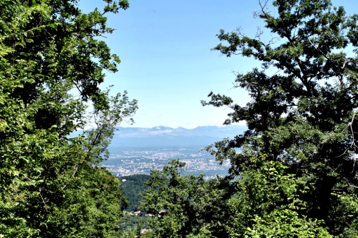
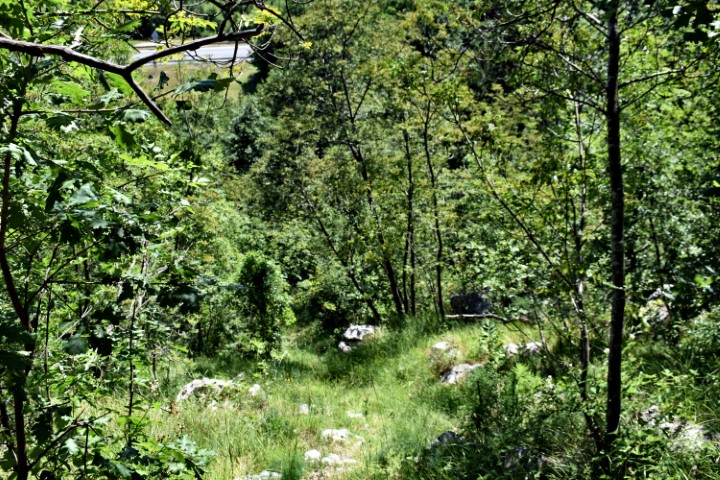
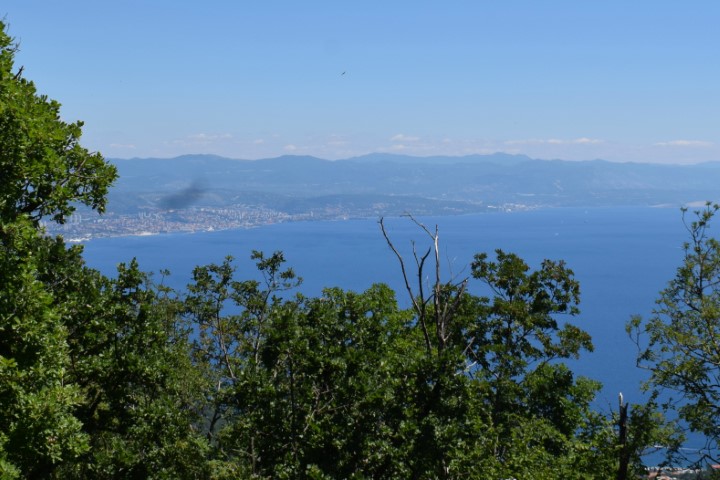
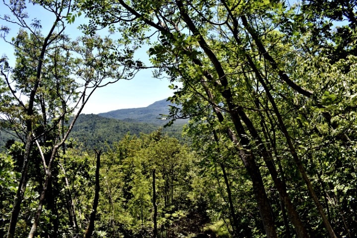
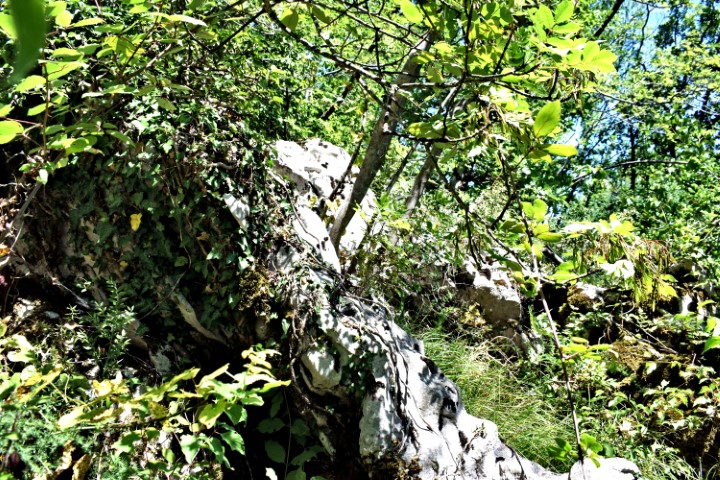
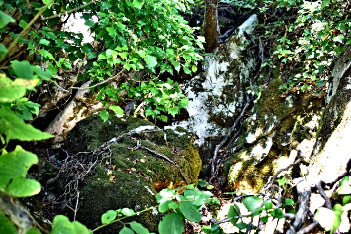
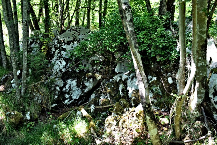
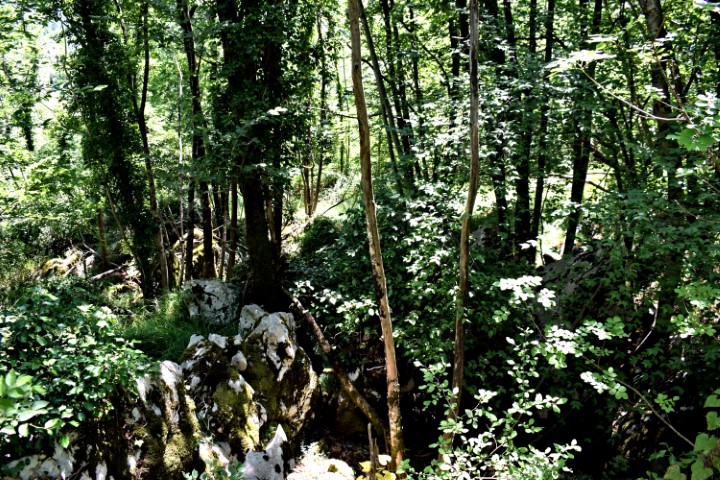
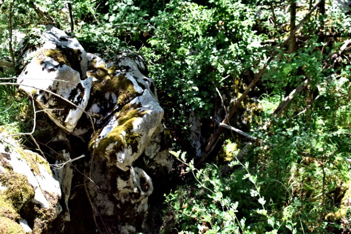
Hiking trail to the top of Petnički Vrh. Posted on 2020-07-052020-07-07by JanS DSC_0127 (Small)DSC_0097 (Small)DSC_0099 (Small)DSC_0101 (Small)DSC_0103 (Small)DSC_0105 (Small)DSC_0109 (Small)DSC_0111 (Small)DSC_0112 (Small)DSC_0116 (Small)DSC_0117 (Small)DSC_0121 (Small)DSC_0122 (Small)DSC_0126 (Small) Name: Hiking trail to the top of Petnički Vrh. Place: Nature Park Učka. Coordinates: Start: 45.31360 N – 14.24968 E (495m) , top Petnički Vrh 45.31867 N – 14.25326 E (641 m). Share this: Share on X (Opens in new window) X Share on Facebook (Opens in new window) Facebook