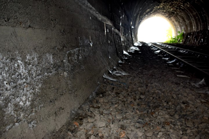
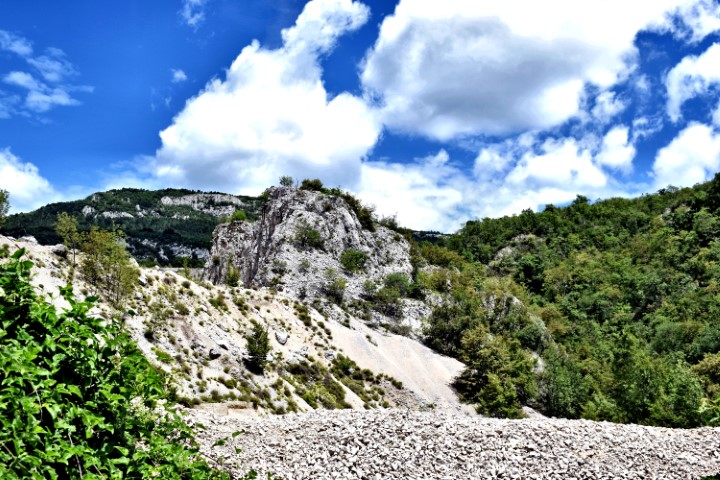
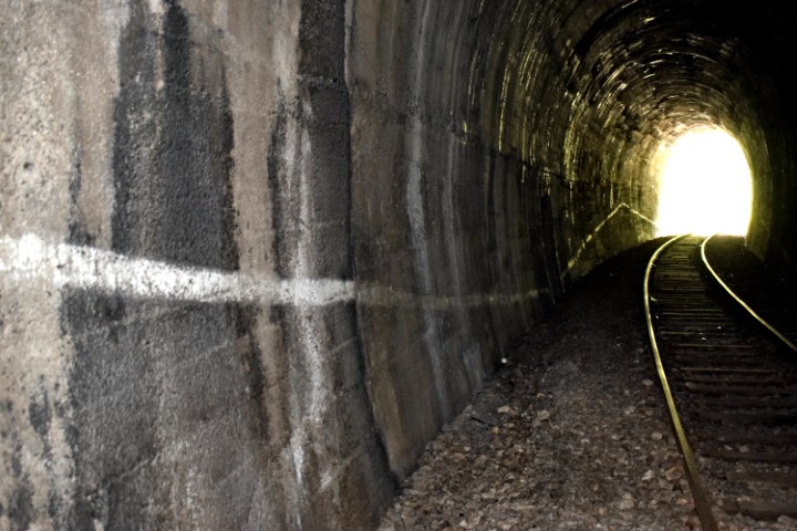
From the quarry near Bančevici through the railway tunnel, and then to the cave Toranji.

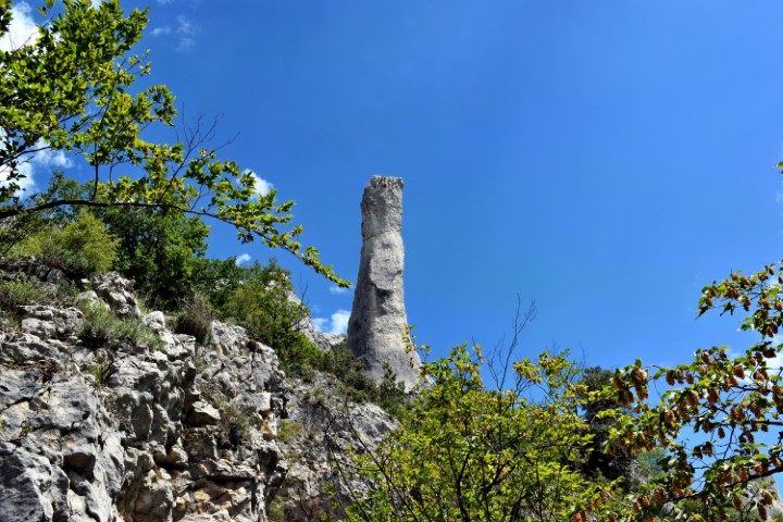
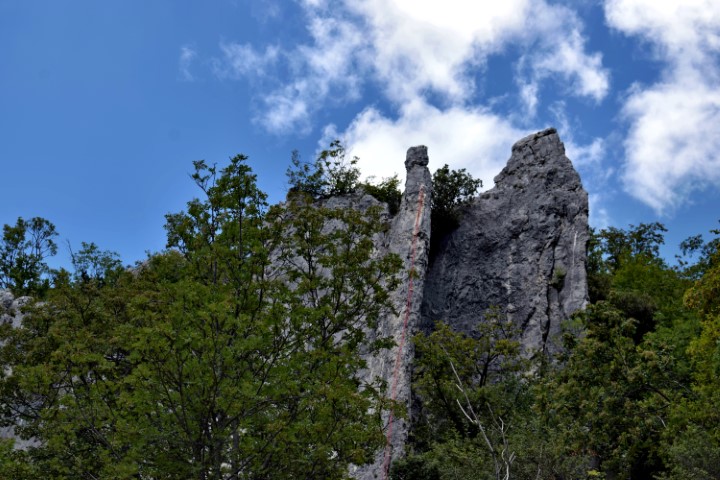
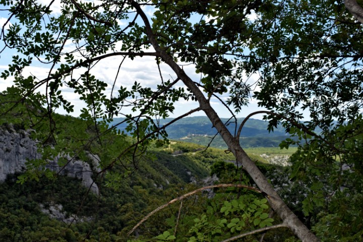
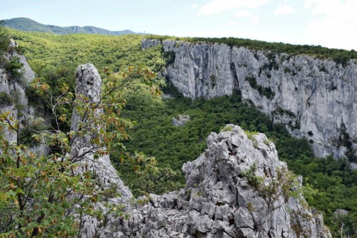
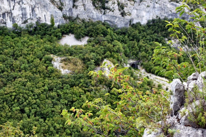
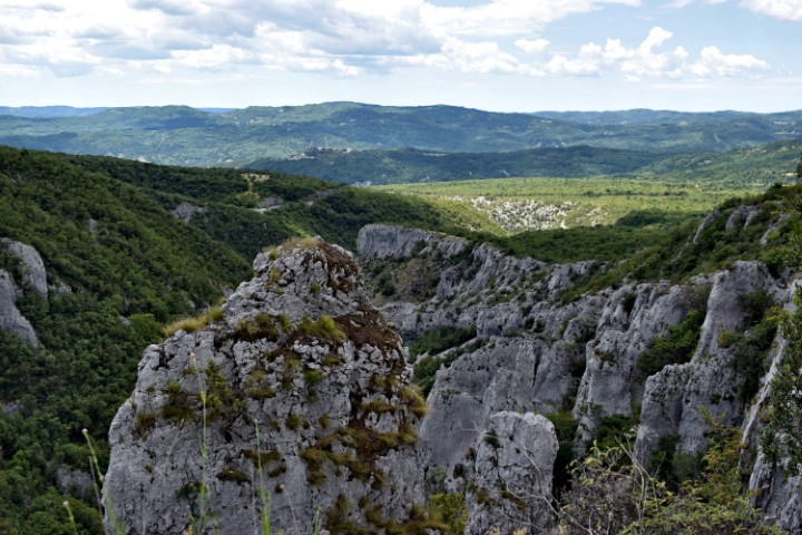
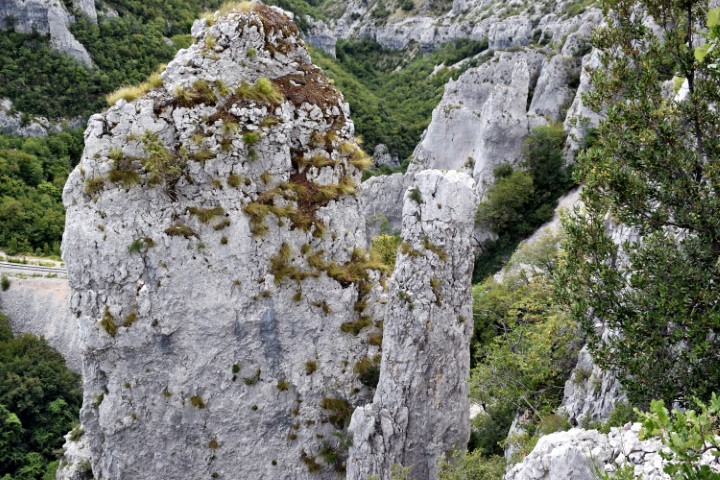

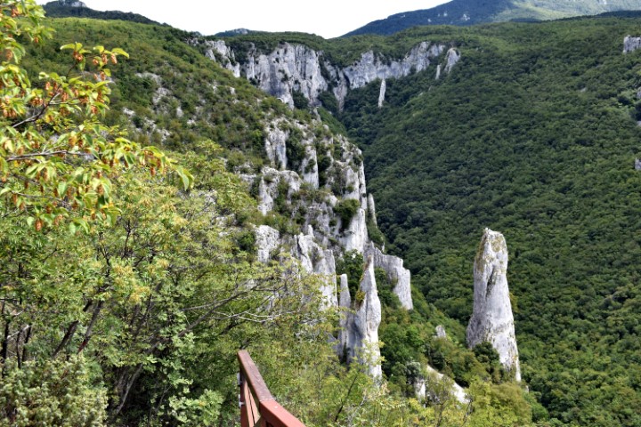
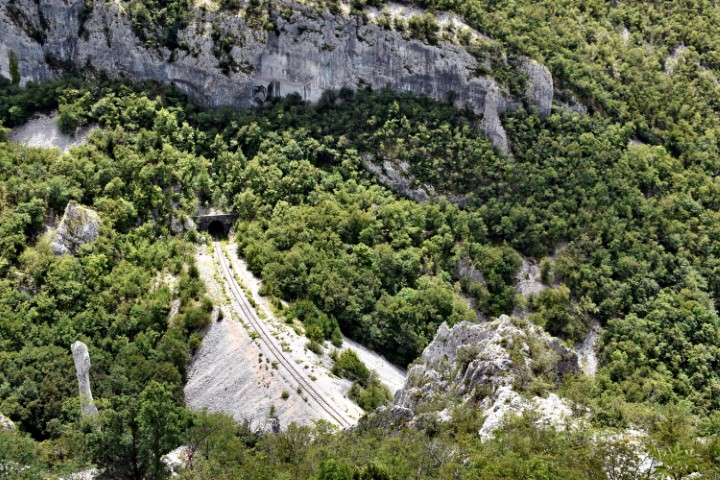
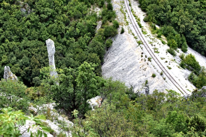
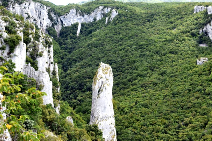
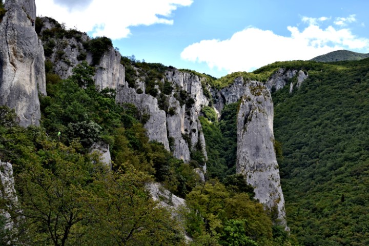
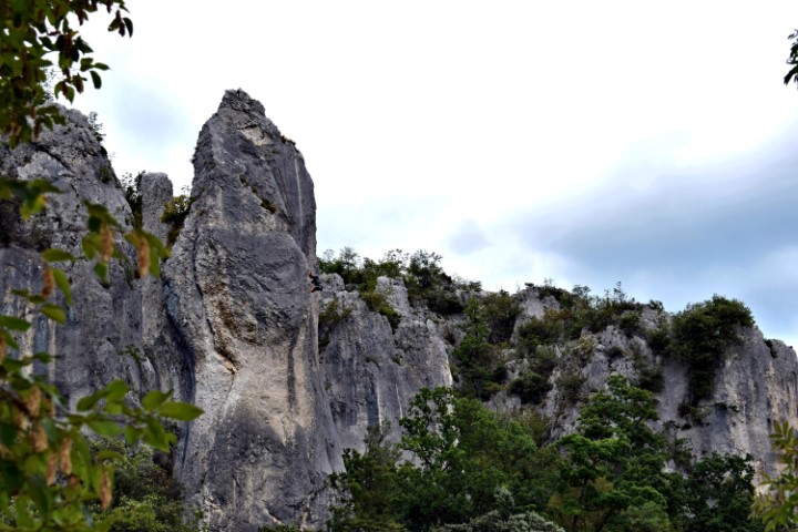
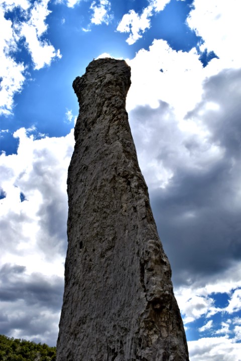

Name: Hiking trail Vela Draga (Učka).
Place: Učka – (Lupoglav).
Coordinates: Starting point 45.31847 N – 14.15770 E, after tunnel 45.31547 N – 14.16642 E to the cave Torenji (350 m. a.s.l.): 45.31540 N – 14.16902 E.