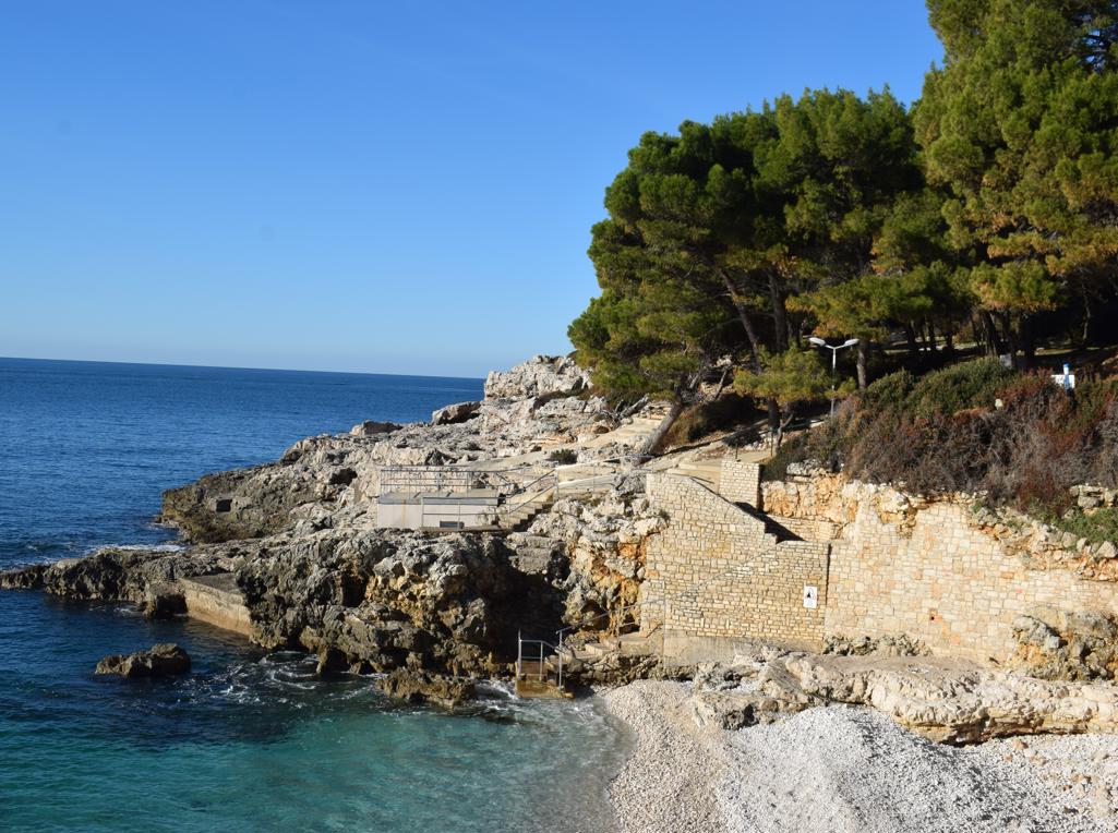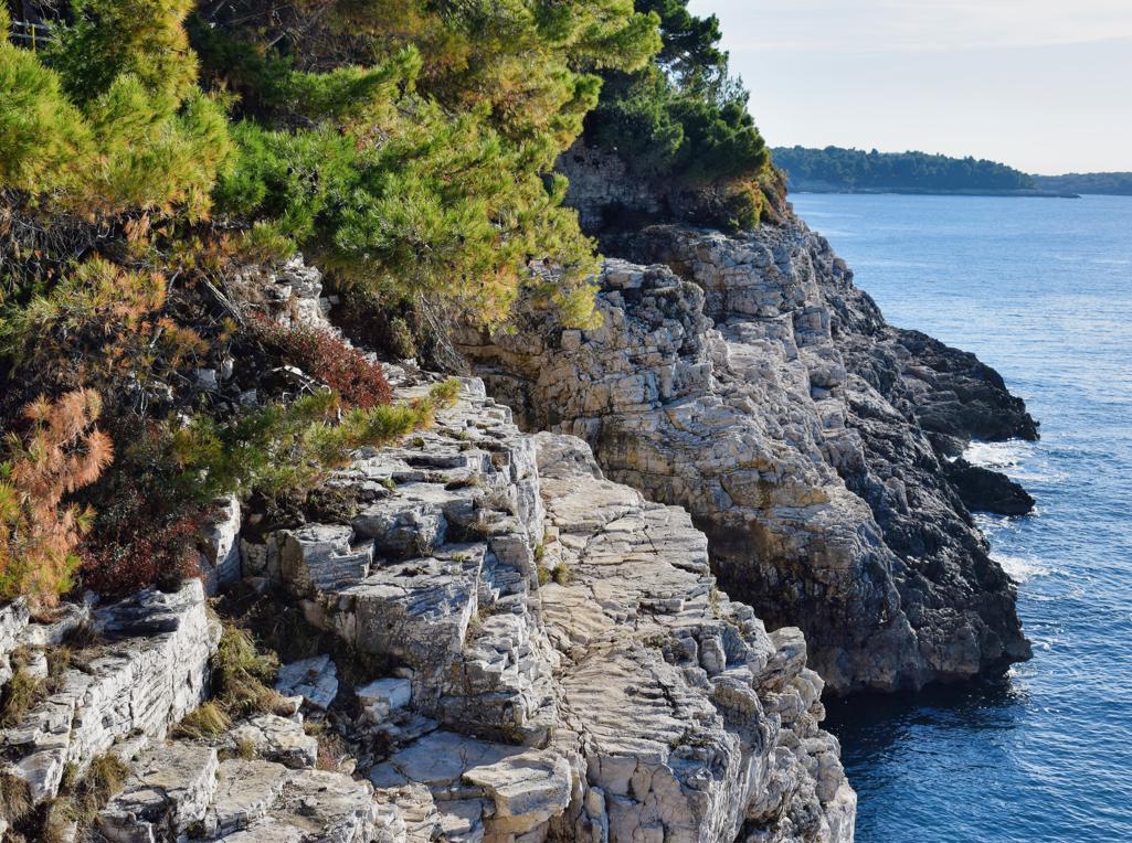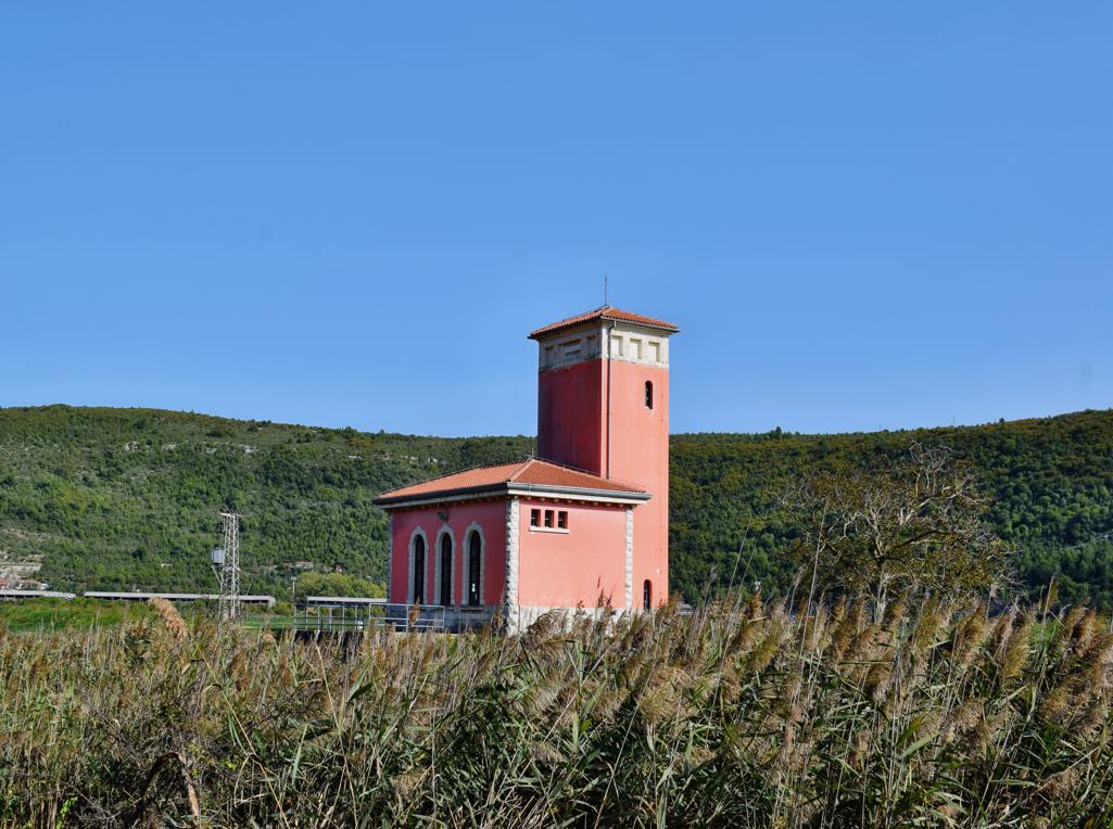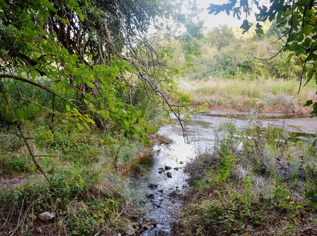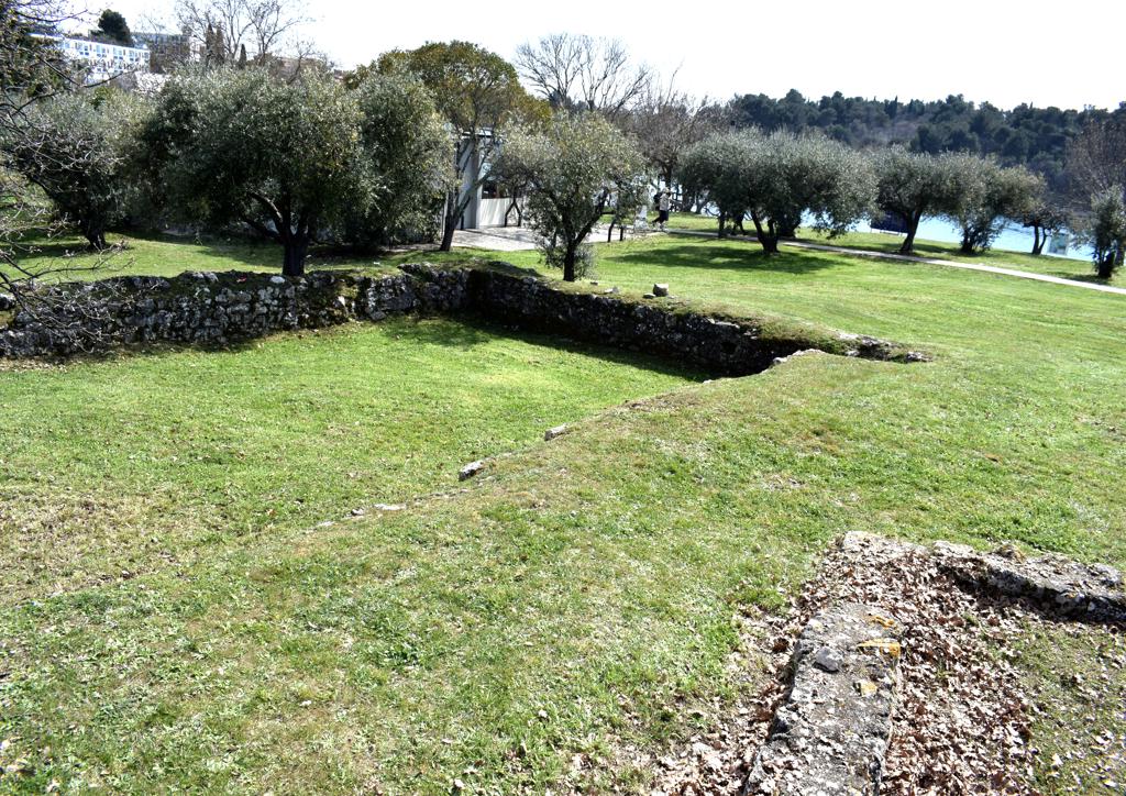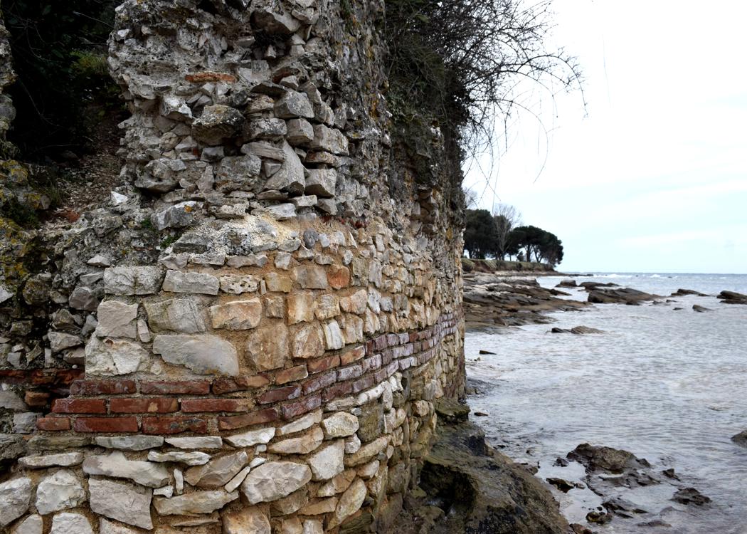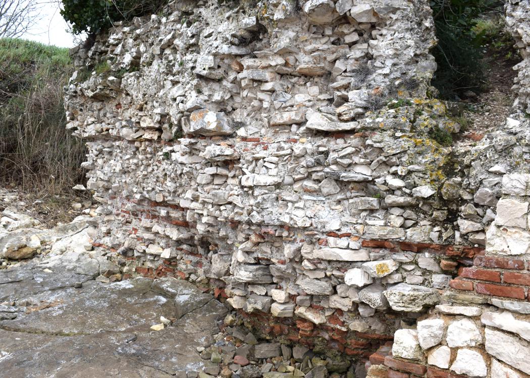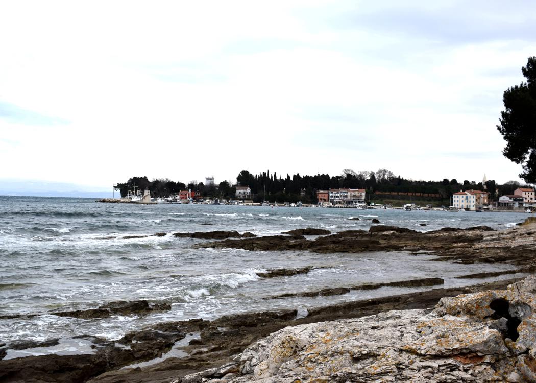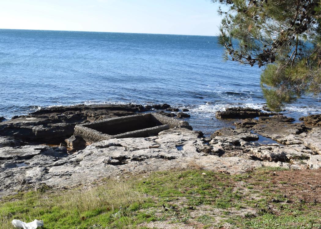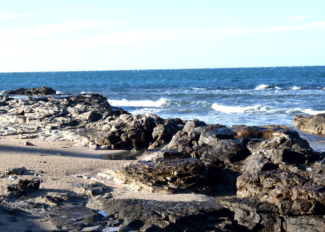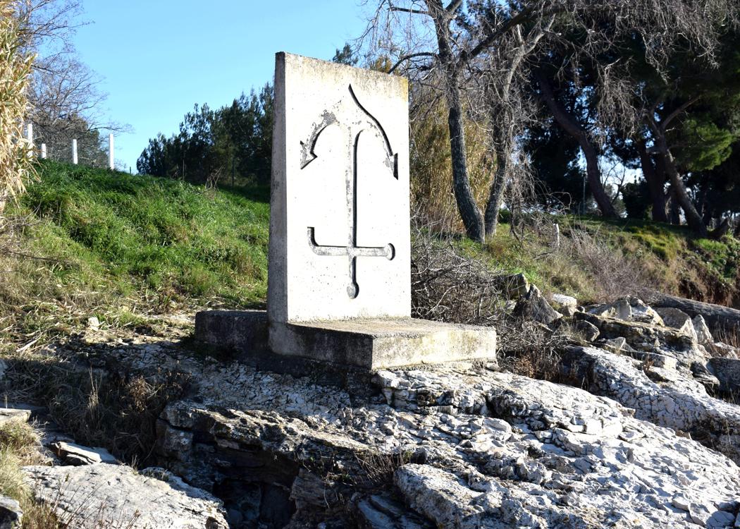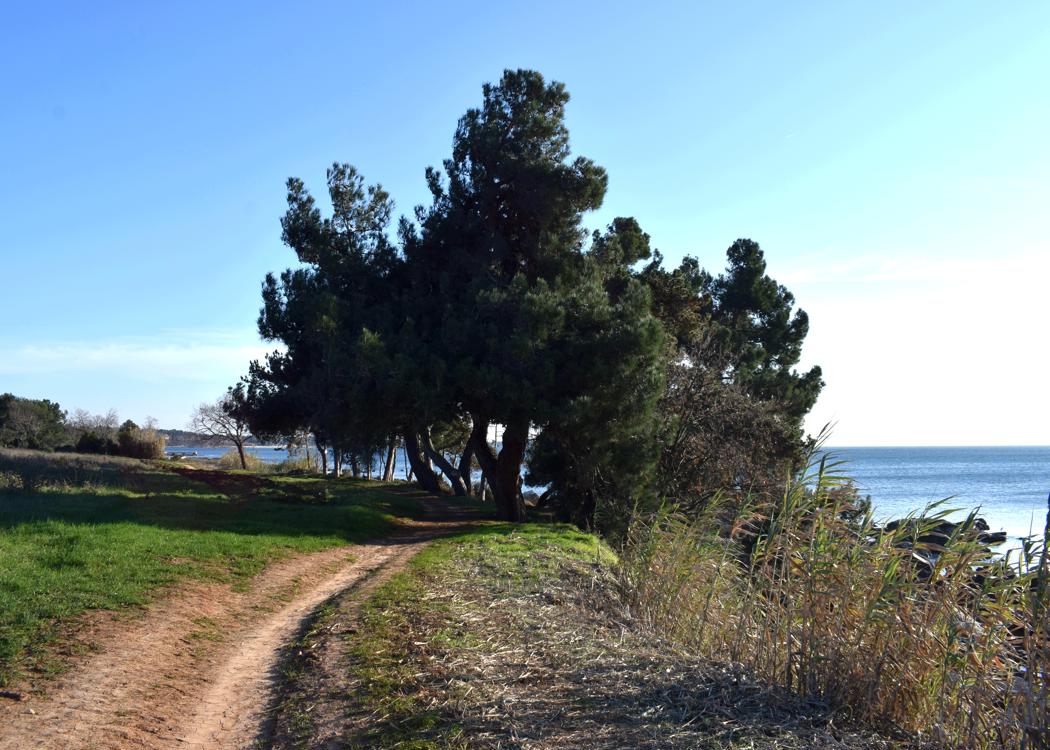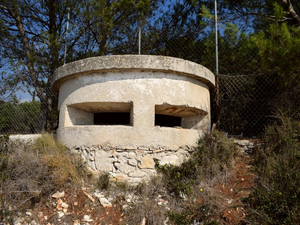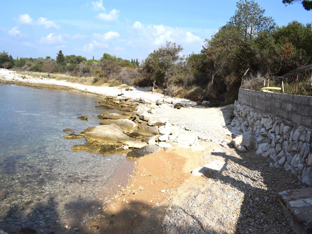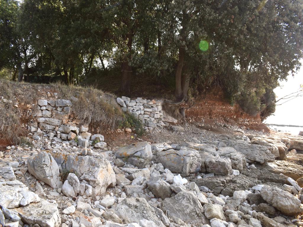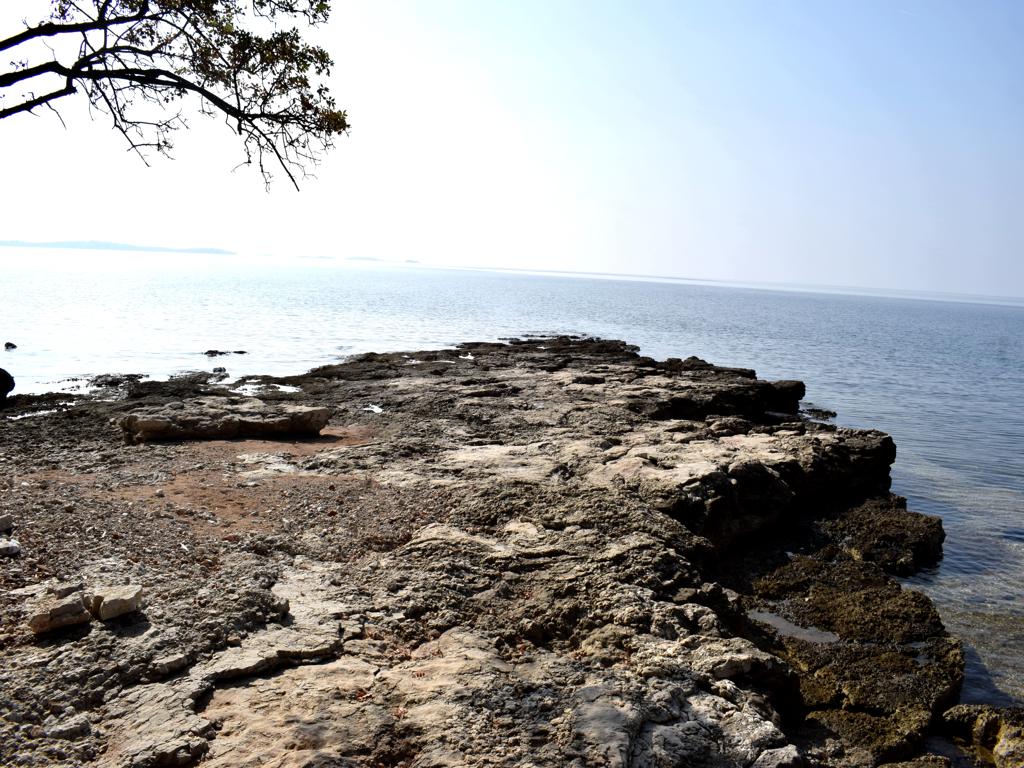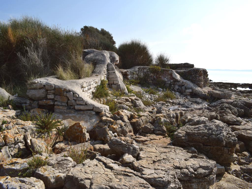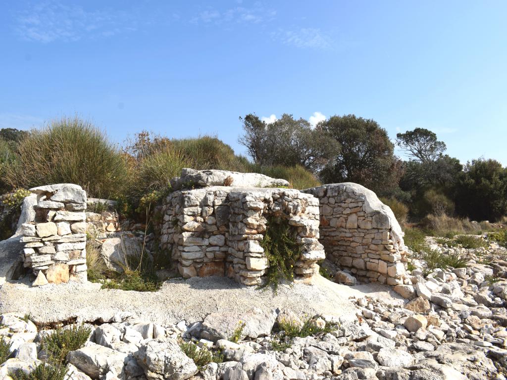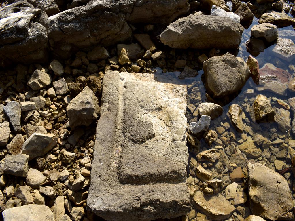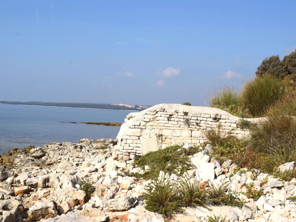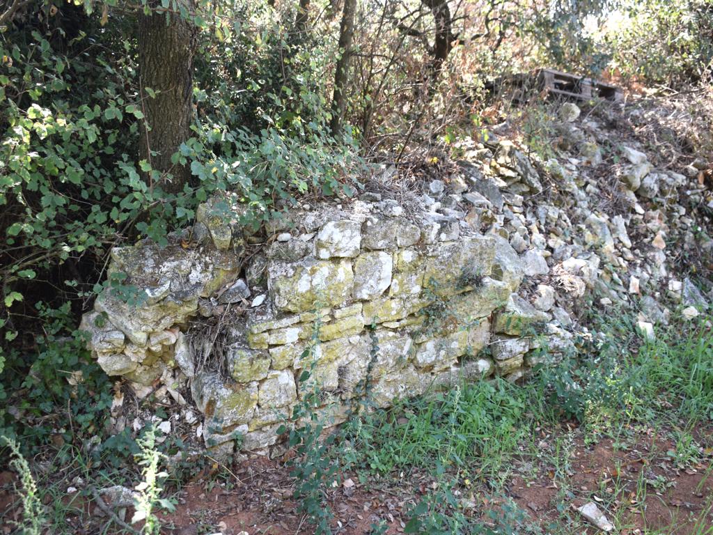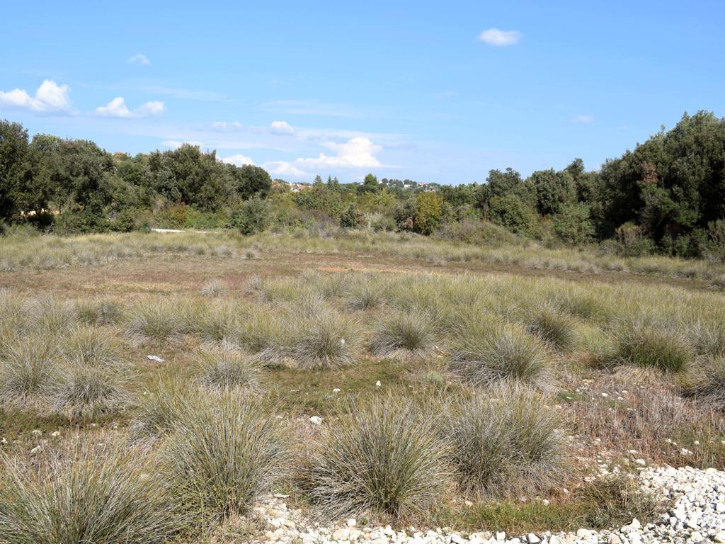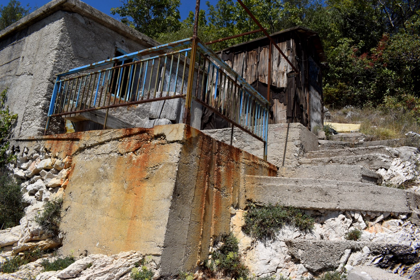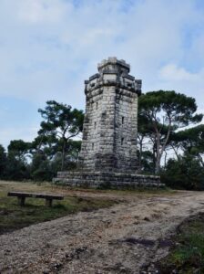
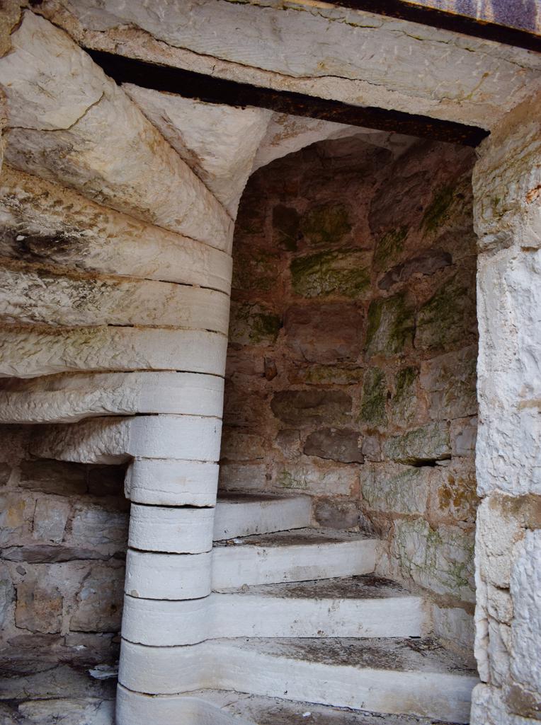
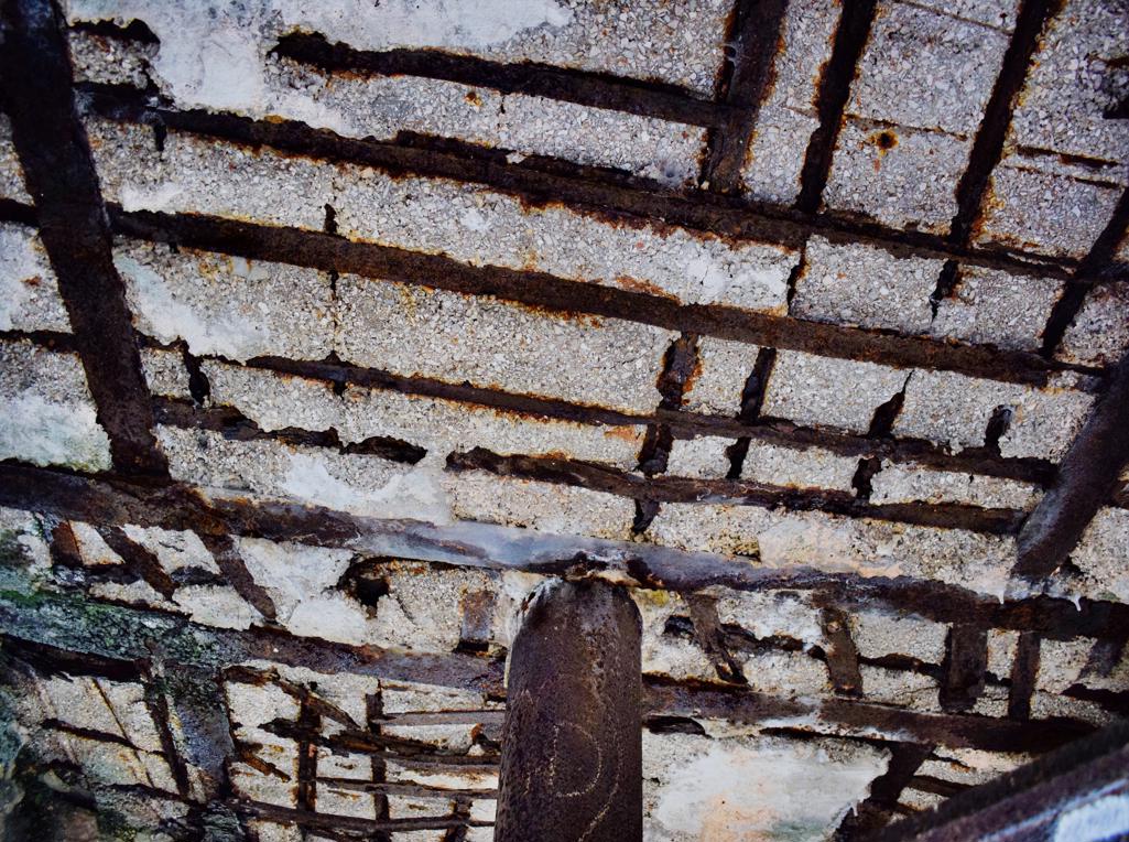
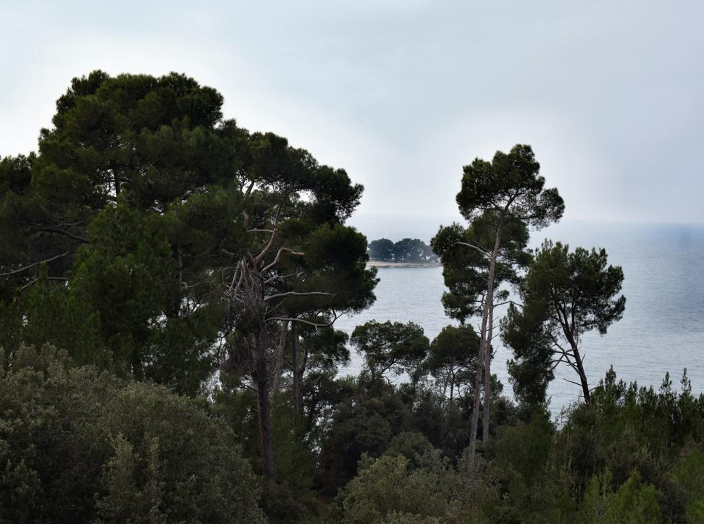
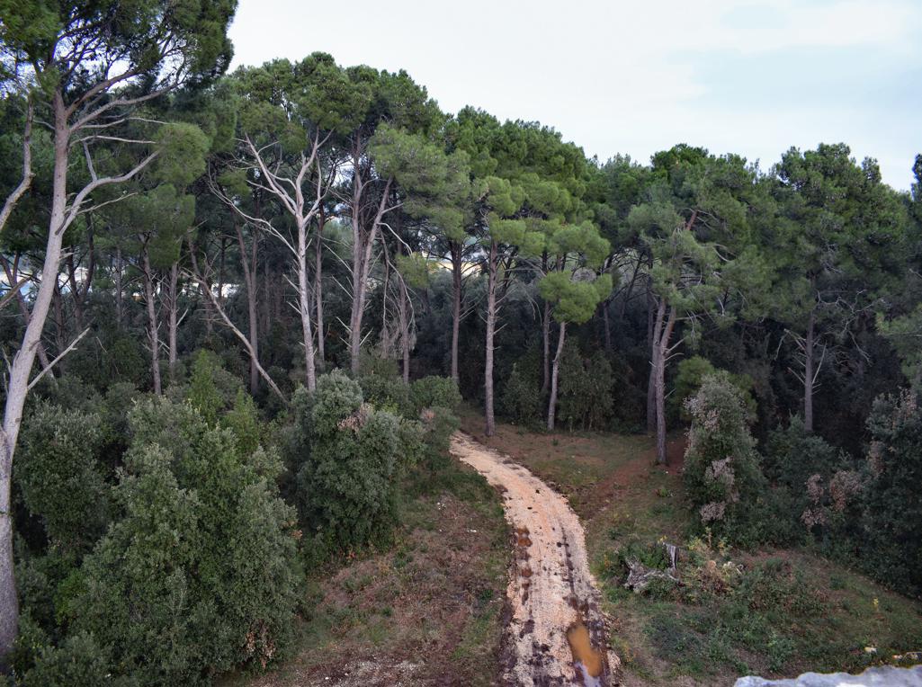
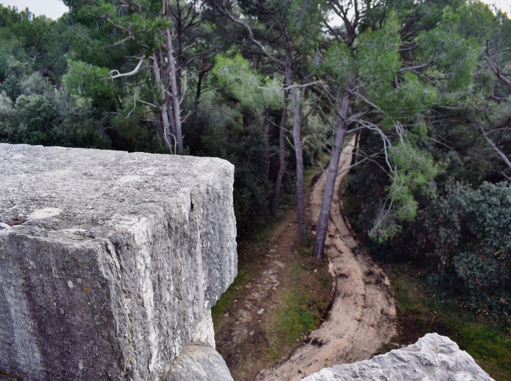
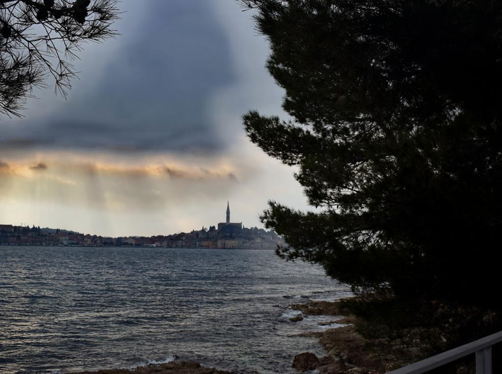
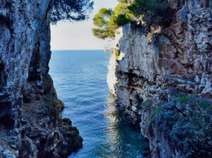
Name: Trail along the bays Lešo, Valdebora and the cape Muća – Observation post Dr. Karl Lueger from 1908.
Place: Rovinj.
Coordinates: Observation tower 45,09585 N – 13.63154 E.
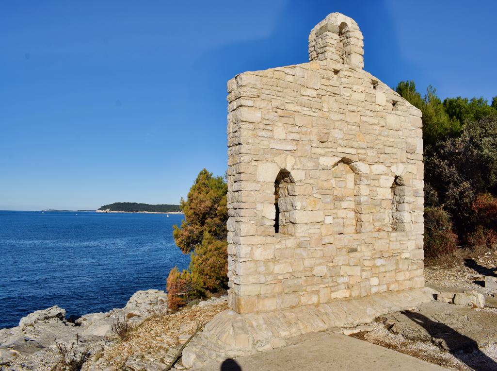
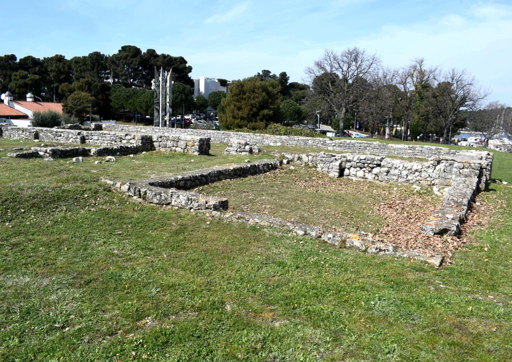
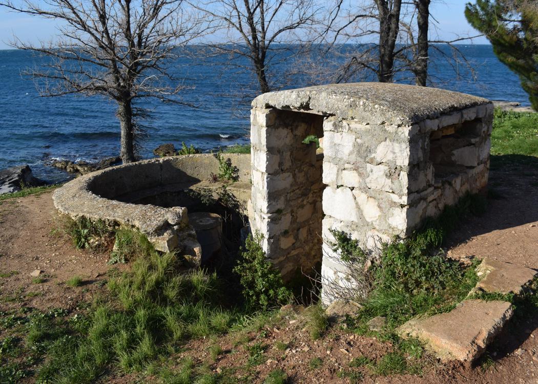
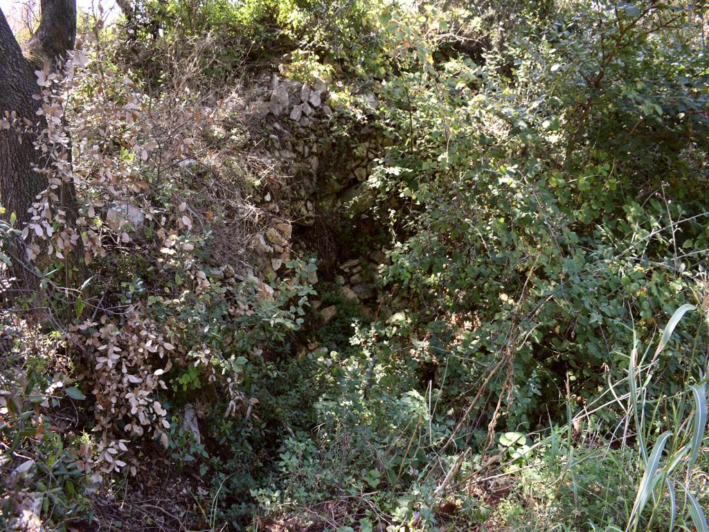
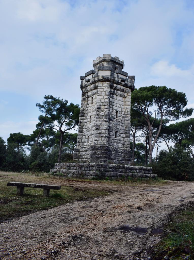
Name: Trail along the bays Lešo, Valdebora and the cape Muća – Observation post Dr. Karl Lueger from 1908.
Place: Rovinj.
Coordinates: Observation tower 45,09585 N – 13.63154 E.
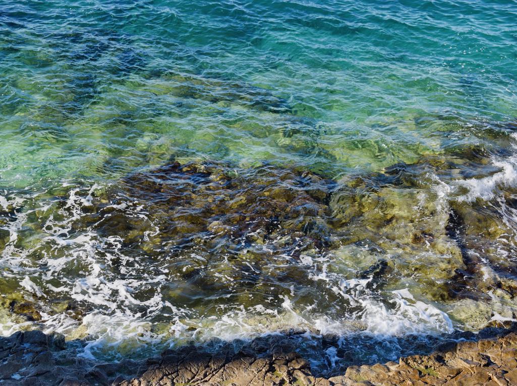
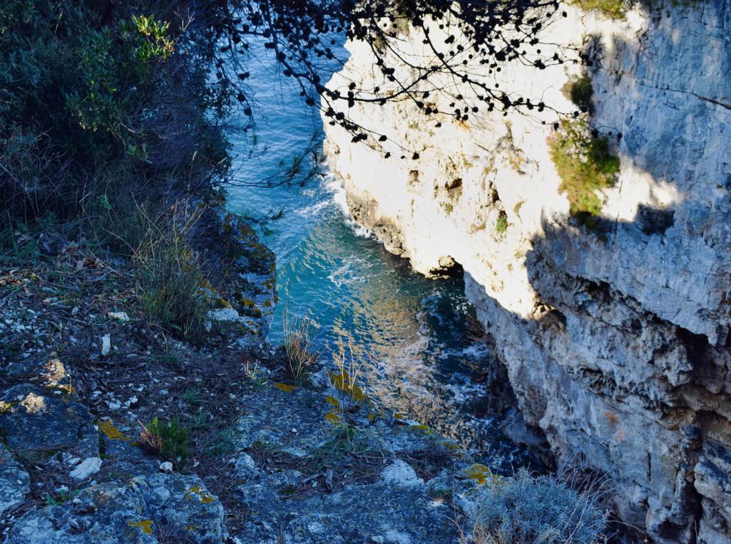
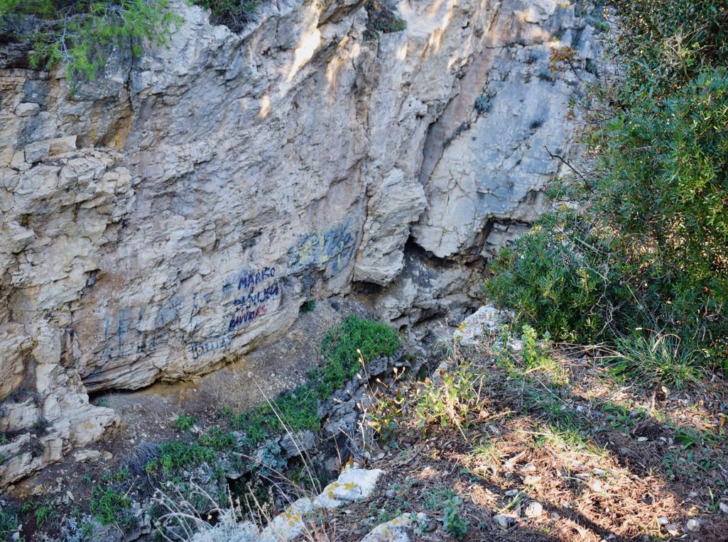
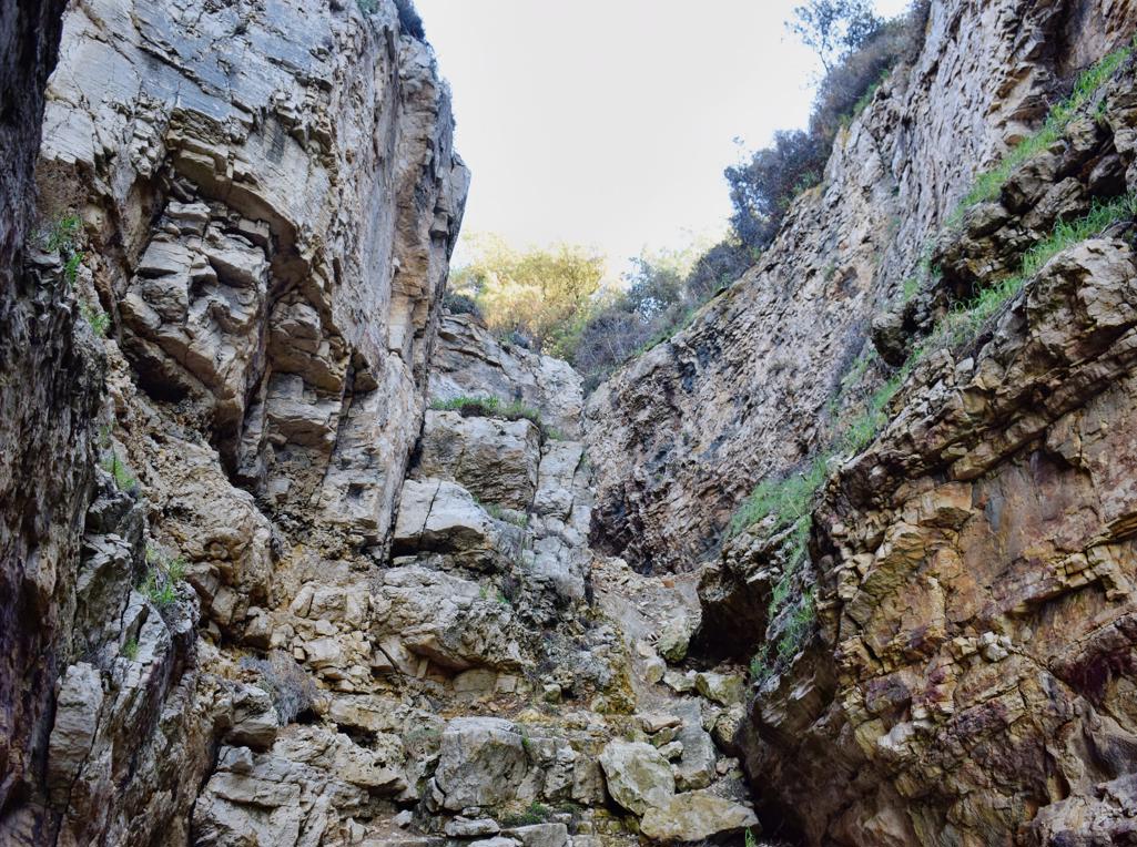
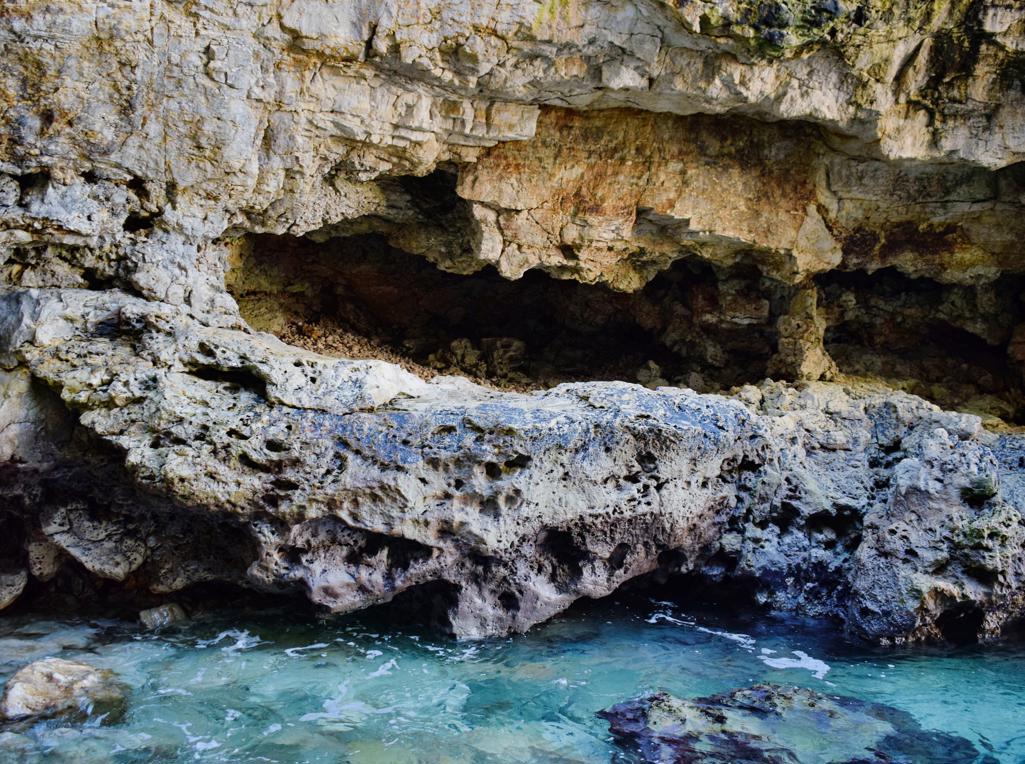
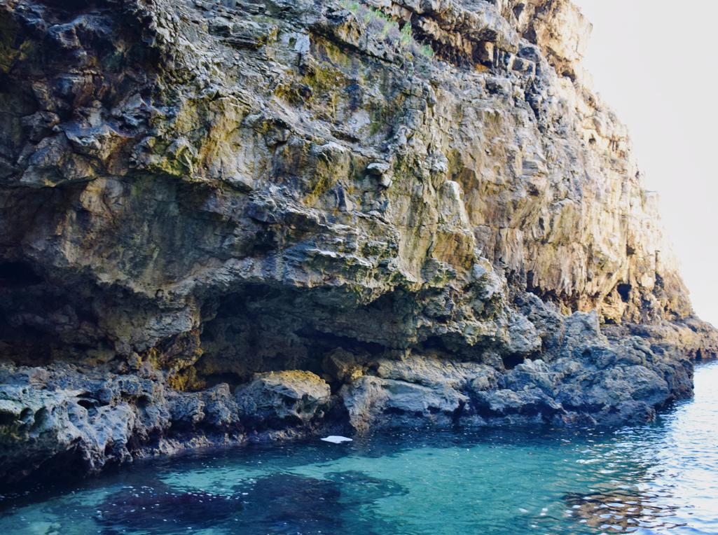
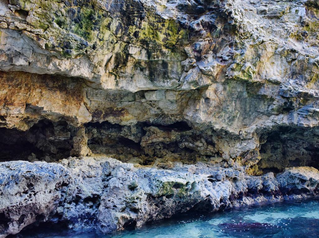
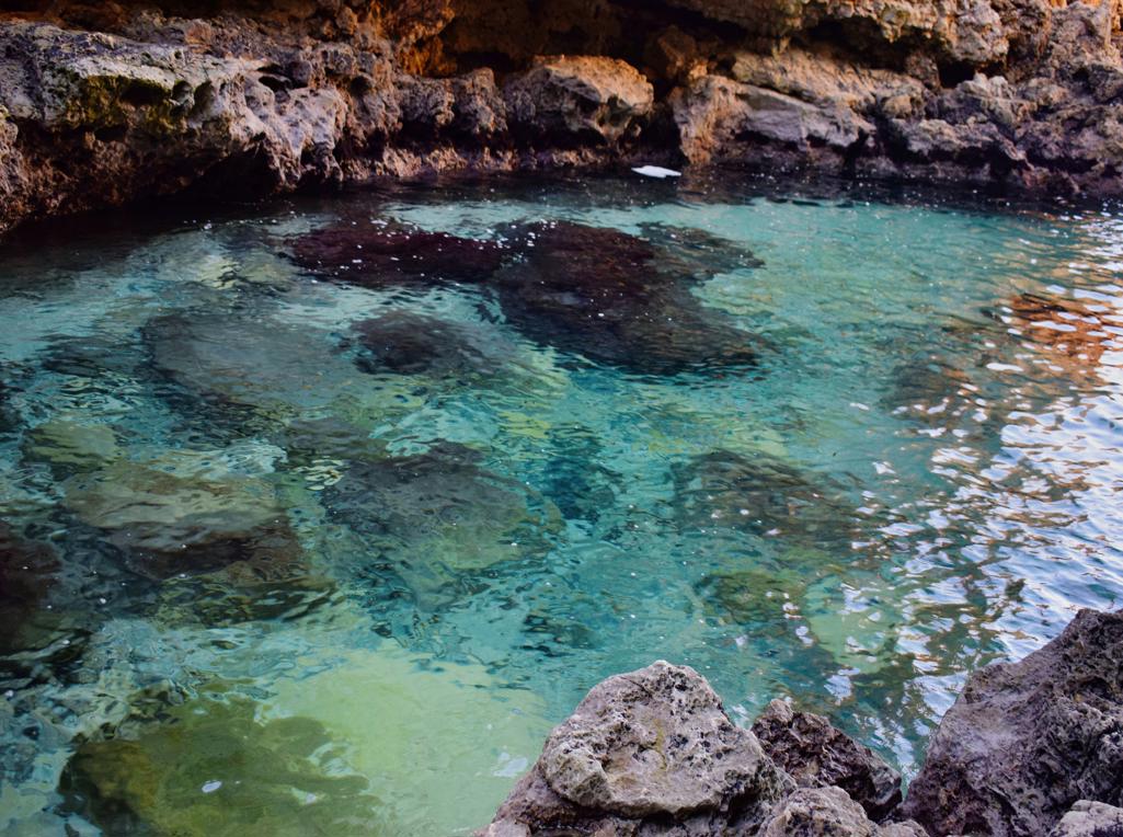
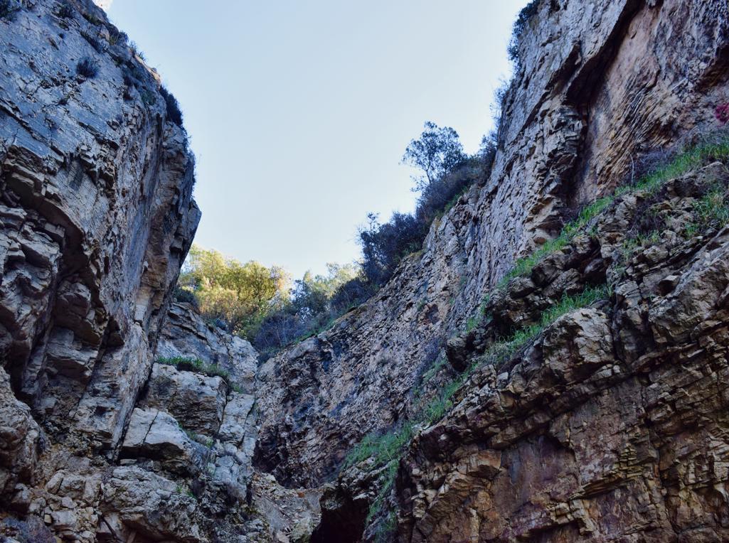
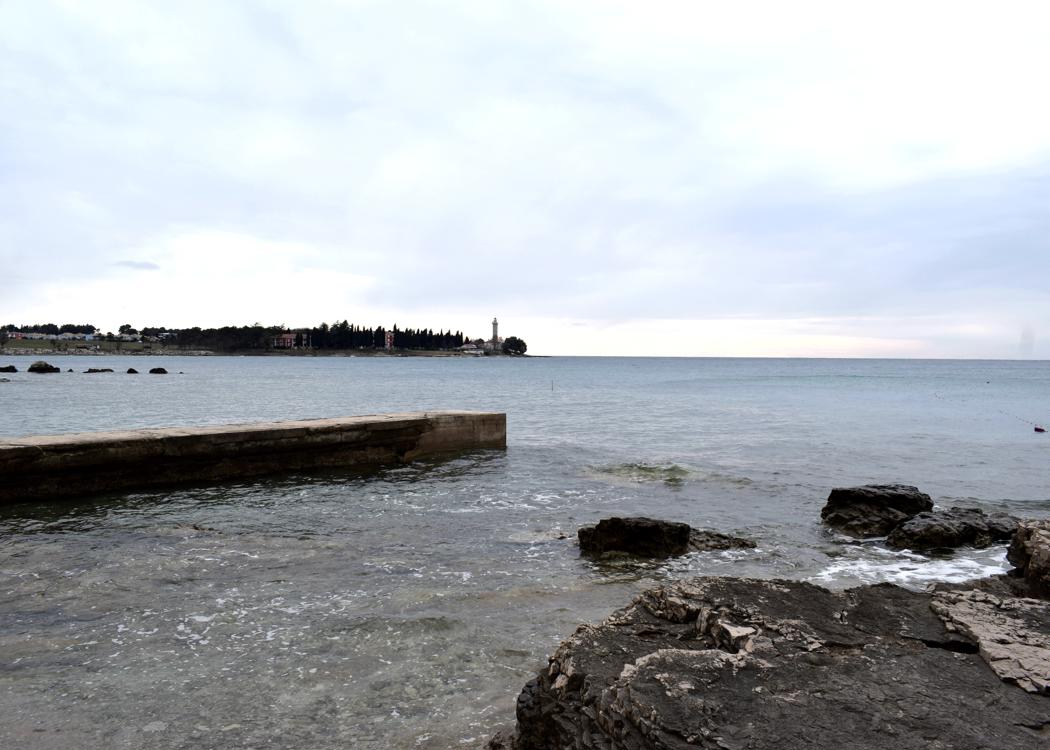
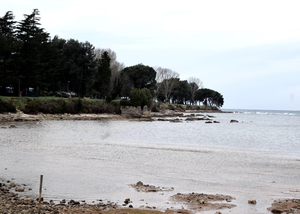
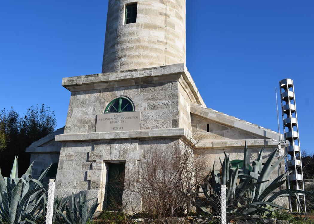
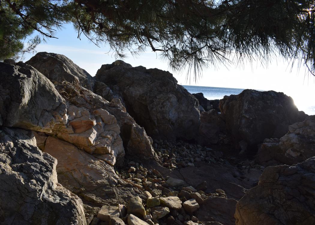
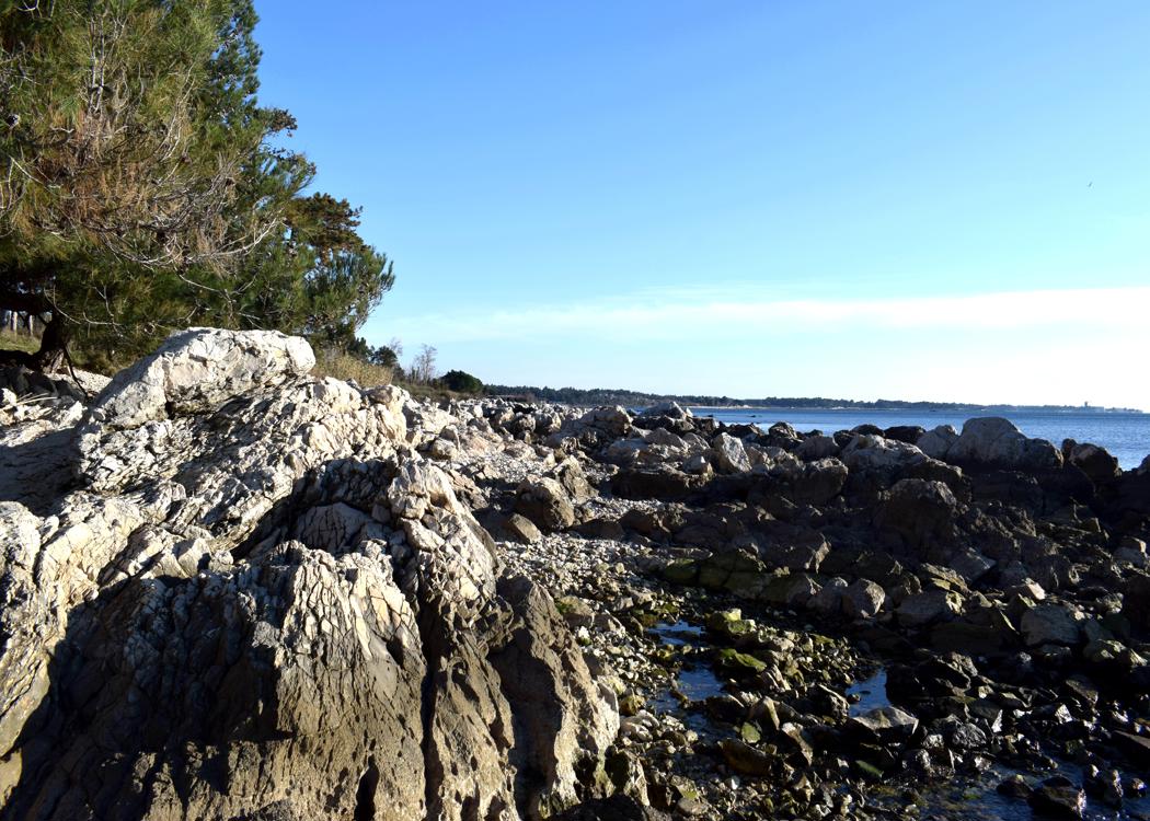
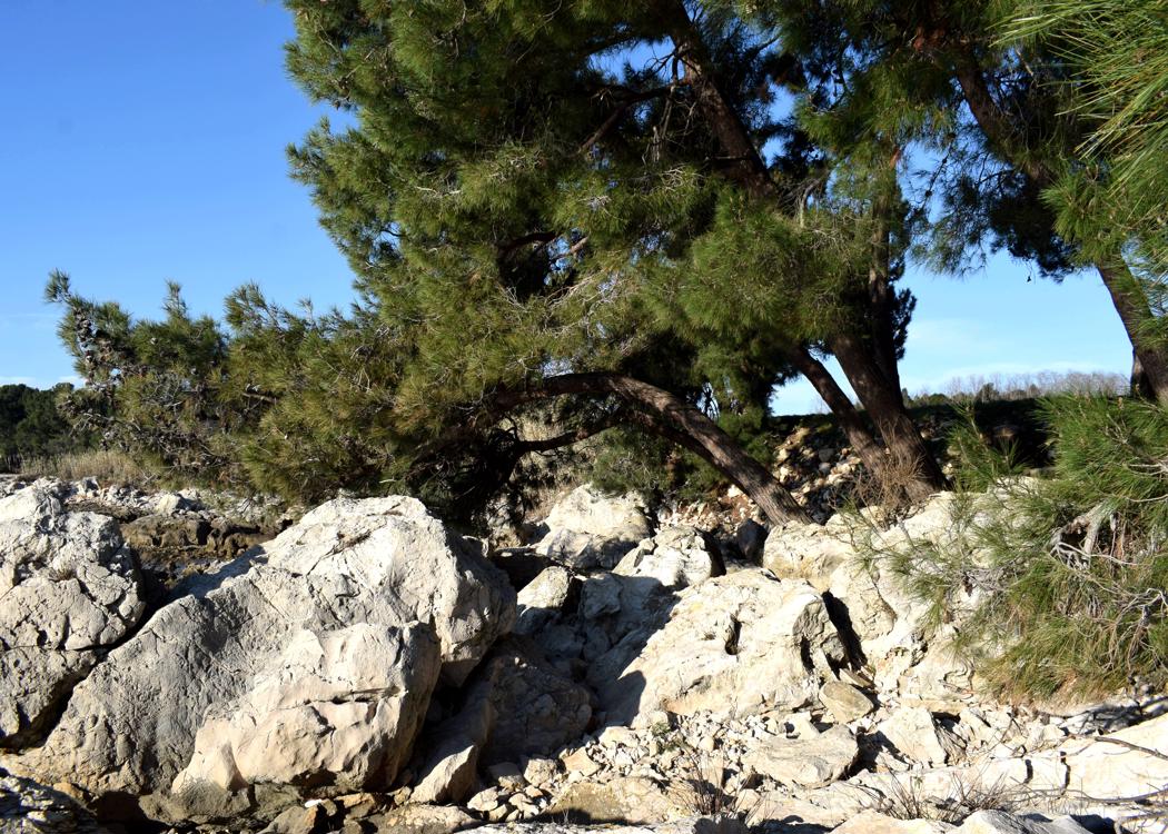
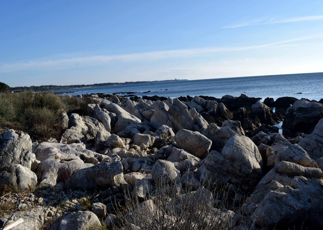
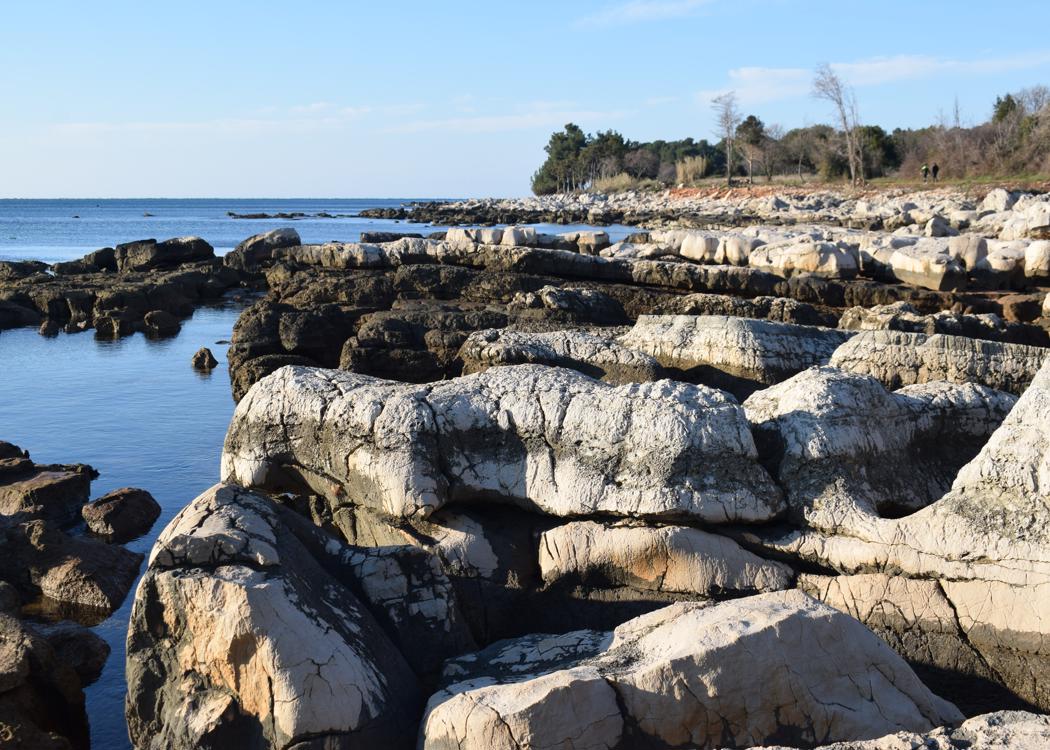
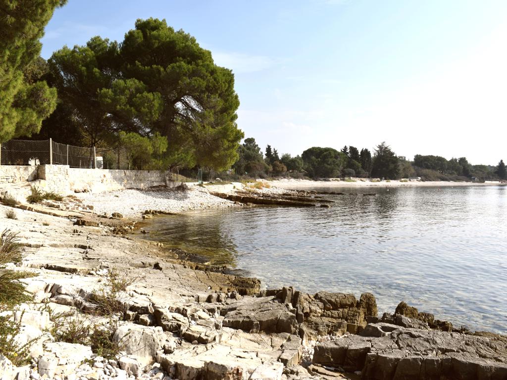
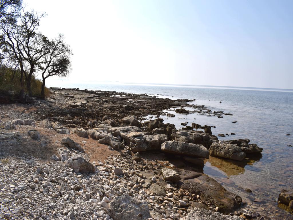
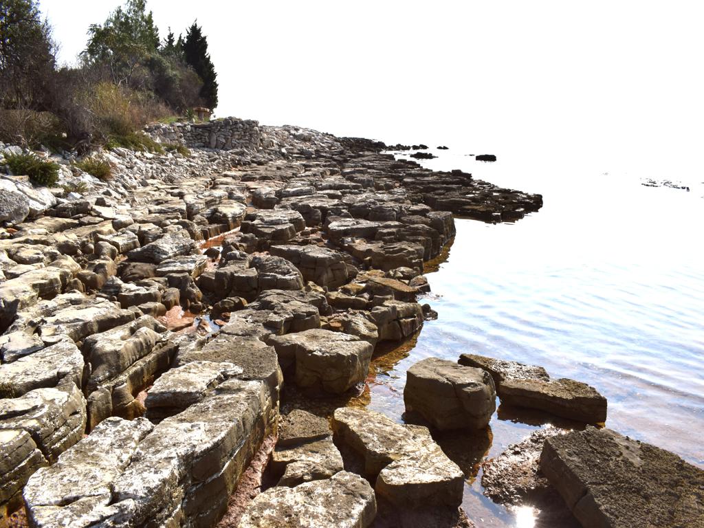
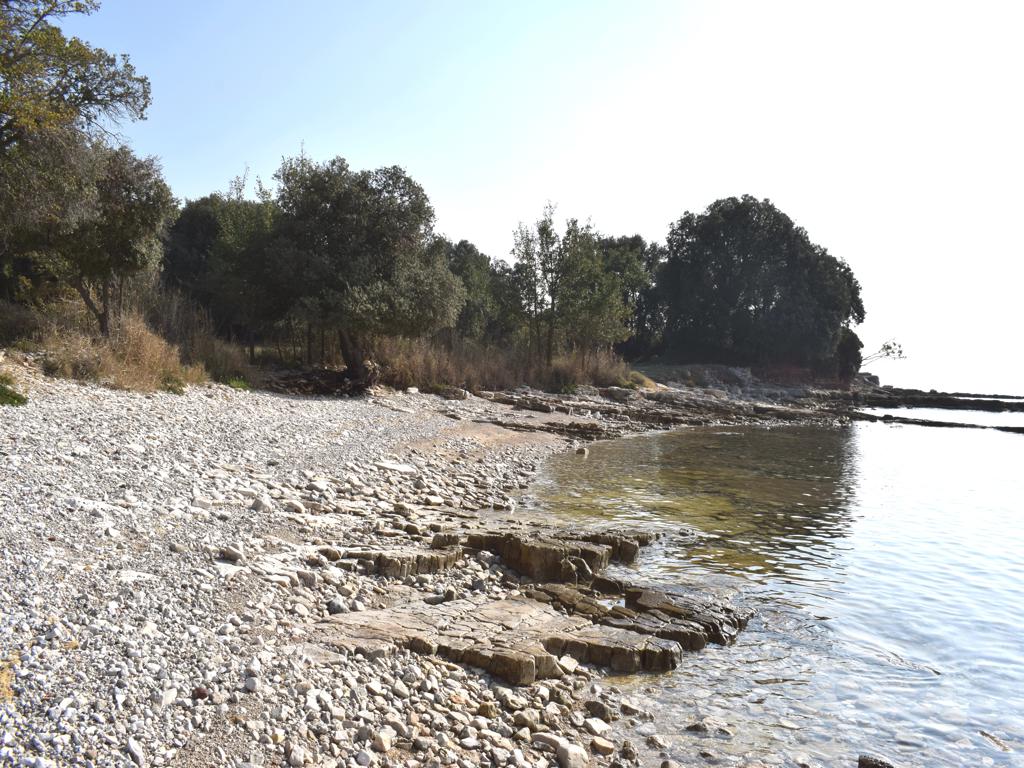
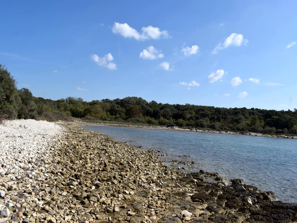
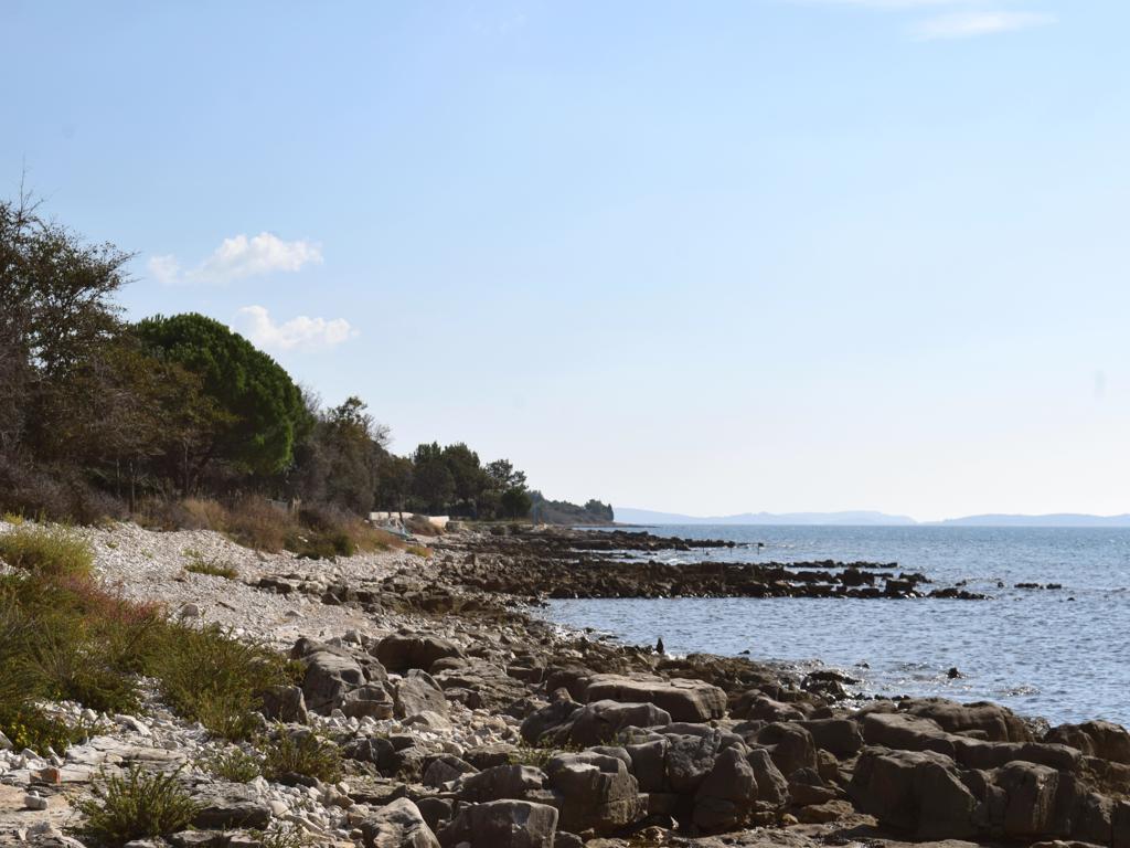
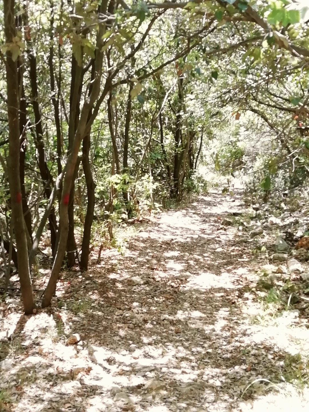
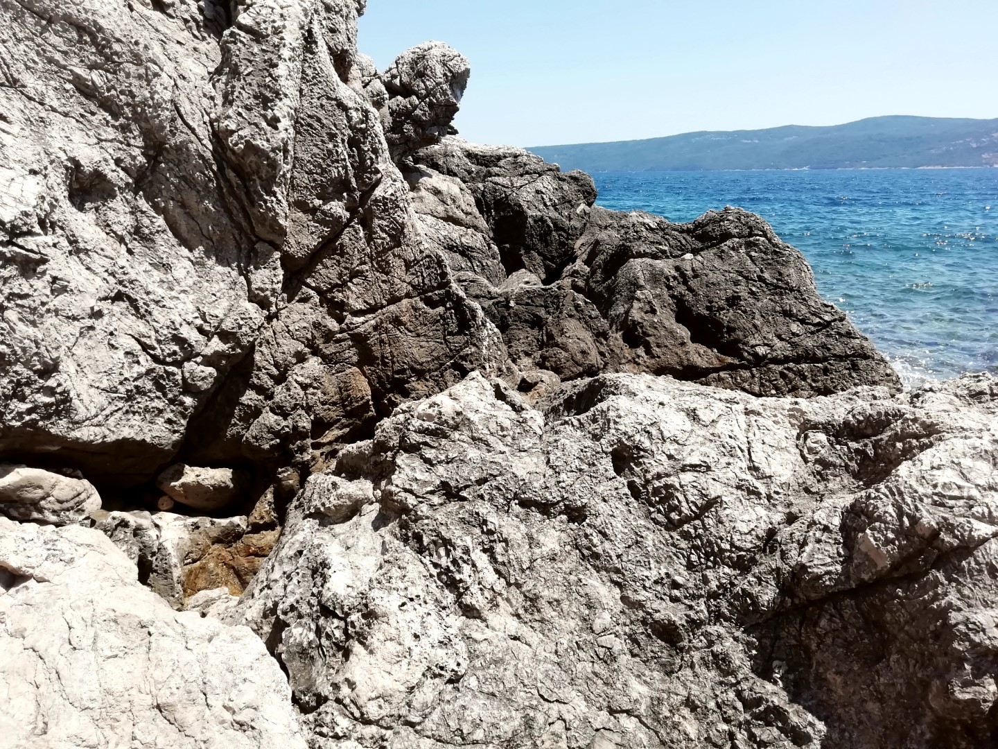
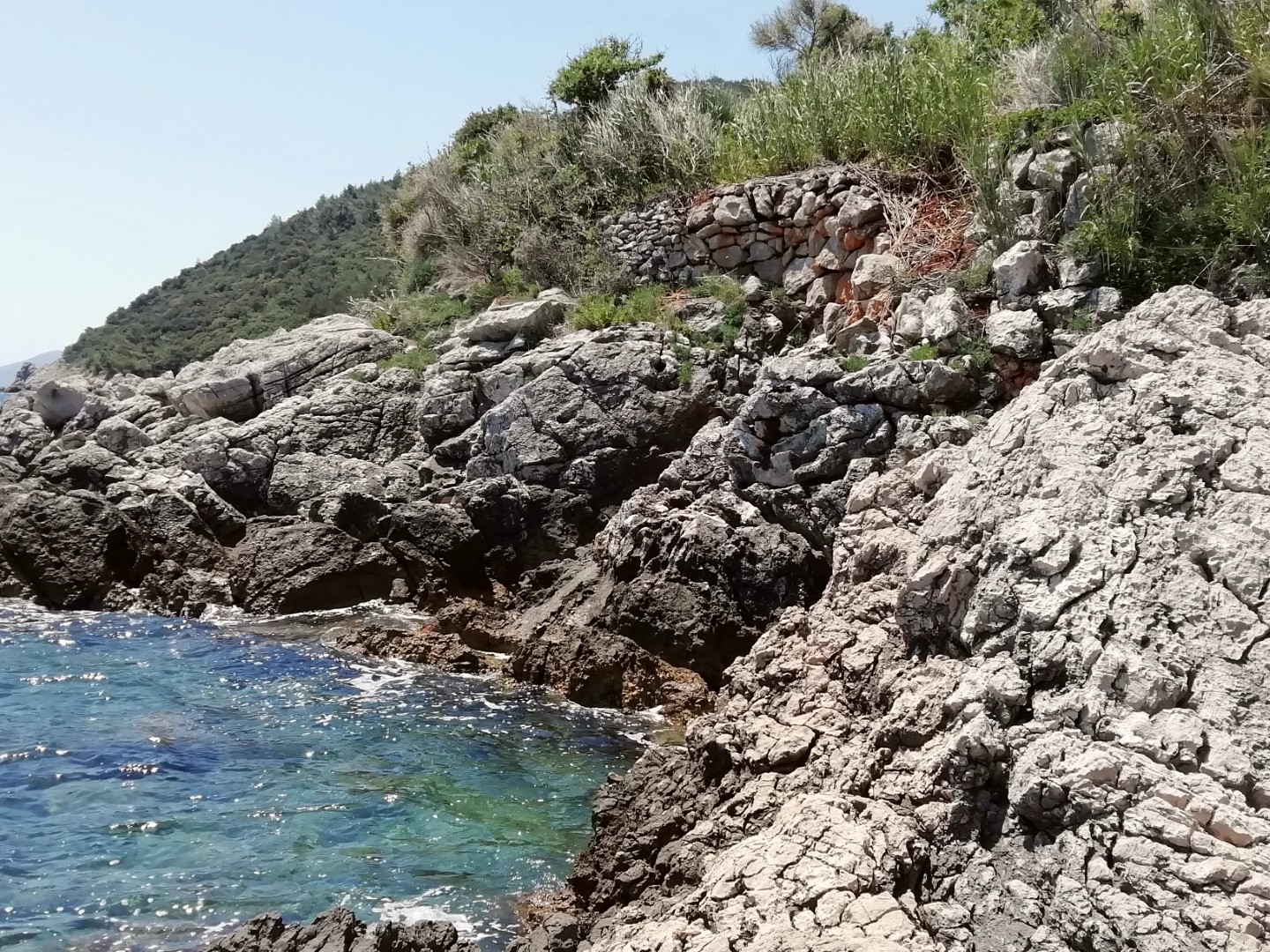
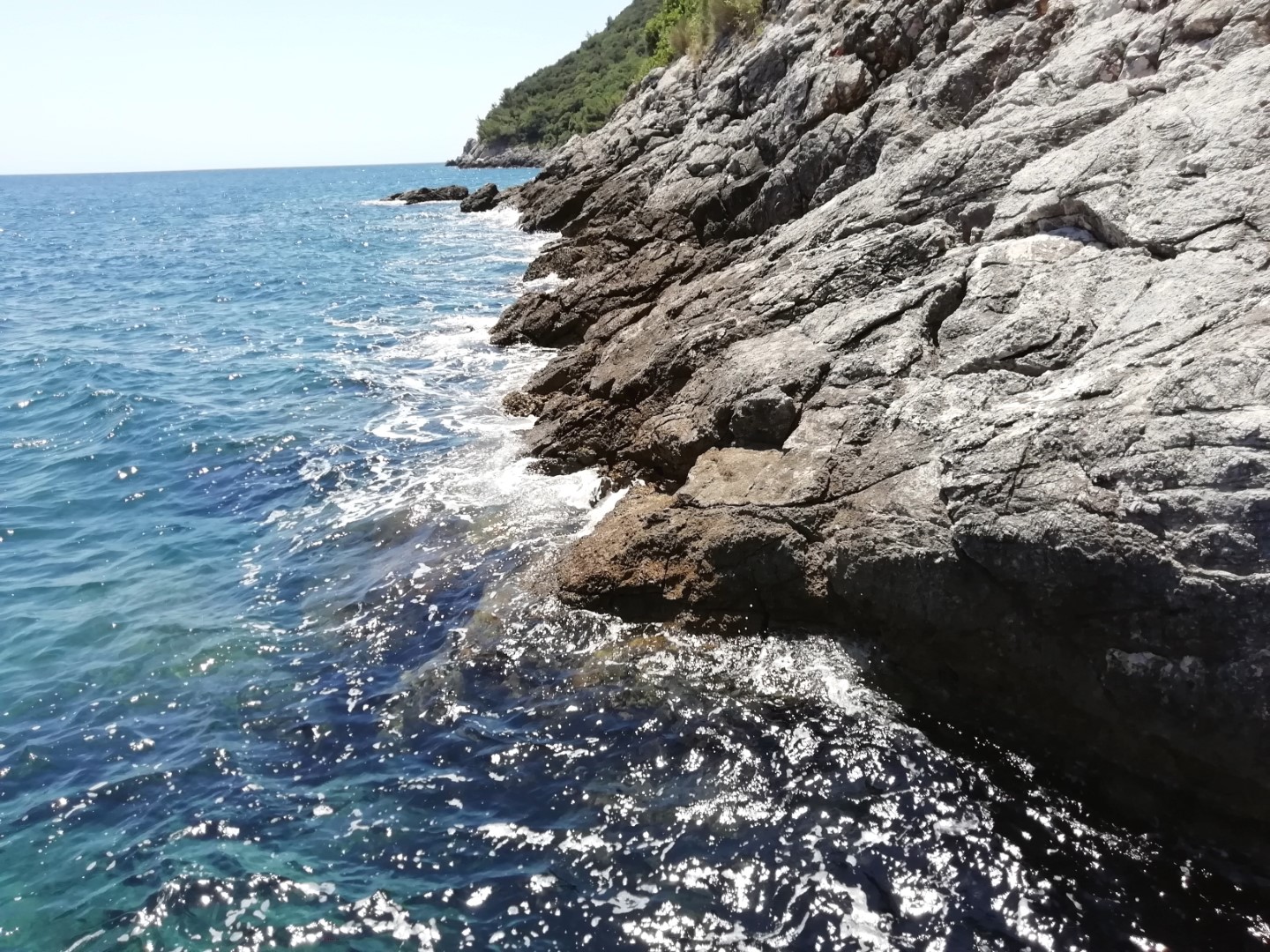
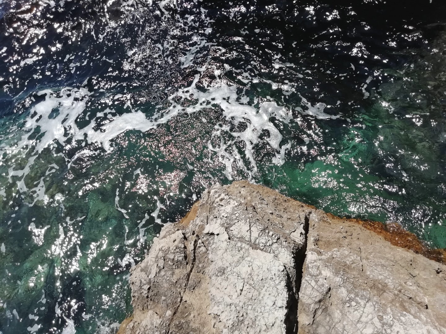
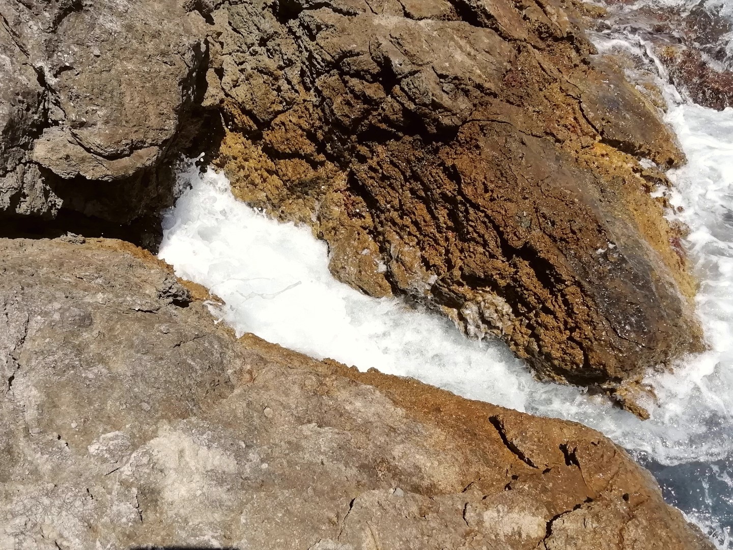
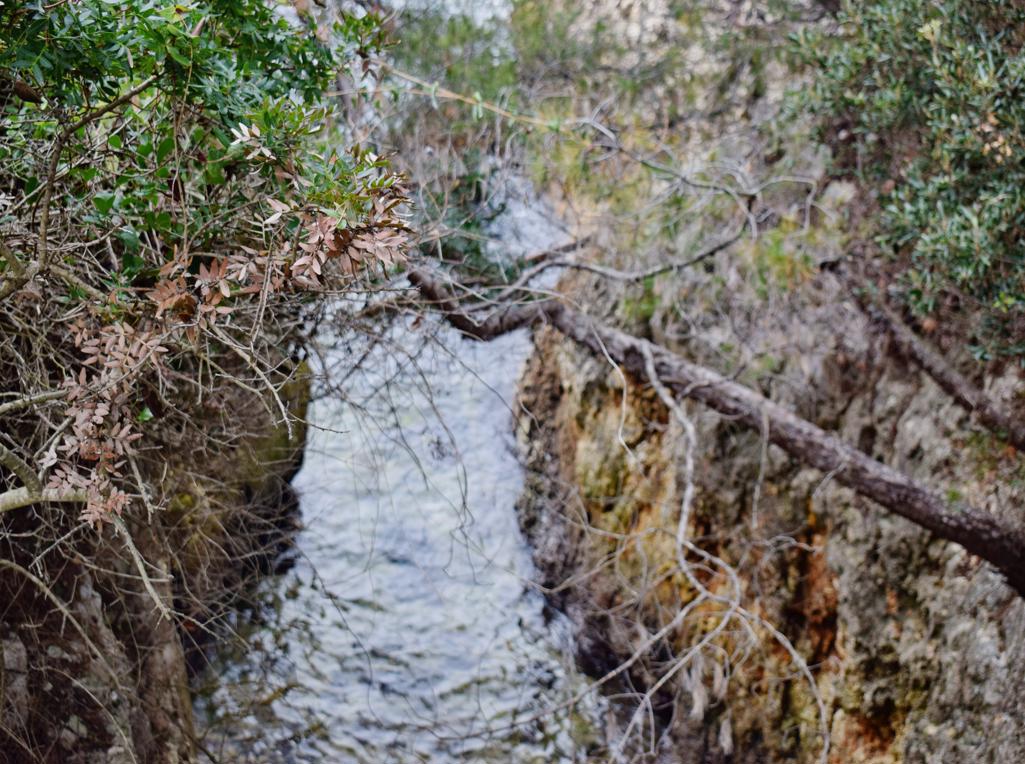
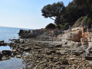
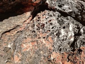
Name: Trail along the coast from the Canyon Verudela to the Fort Bourguignon.
Place: Verudela – Pula.
Coordinates: 44.83599 N – 13.82865, 44.84863 N – 13.83258 E.
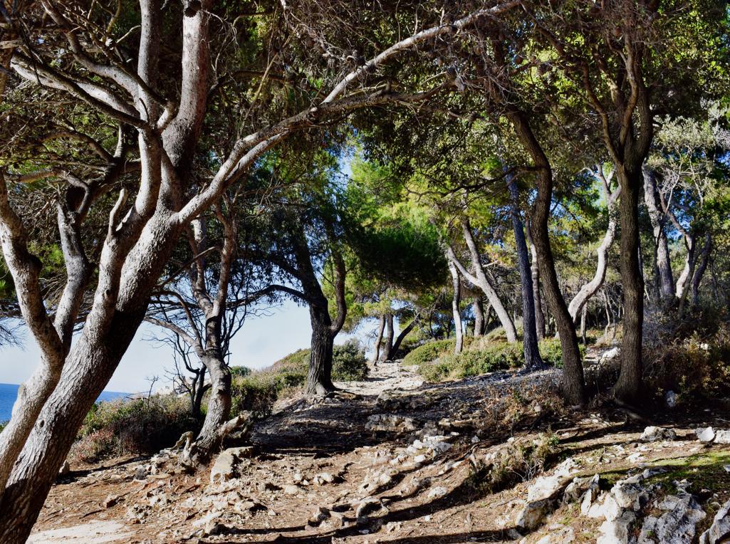
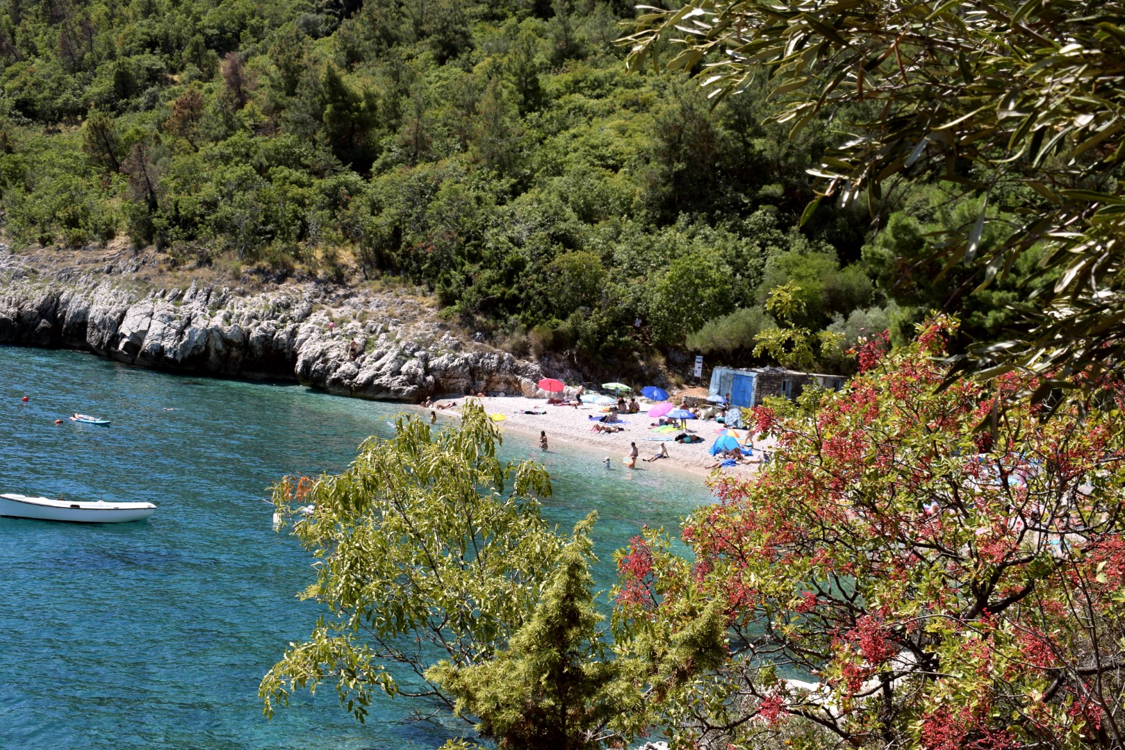
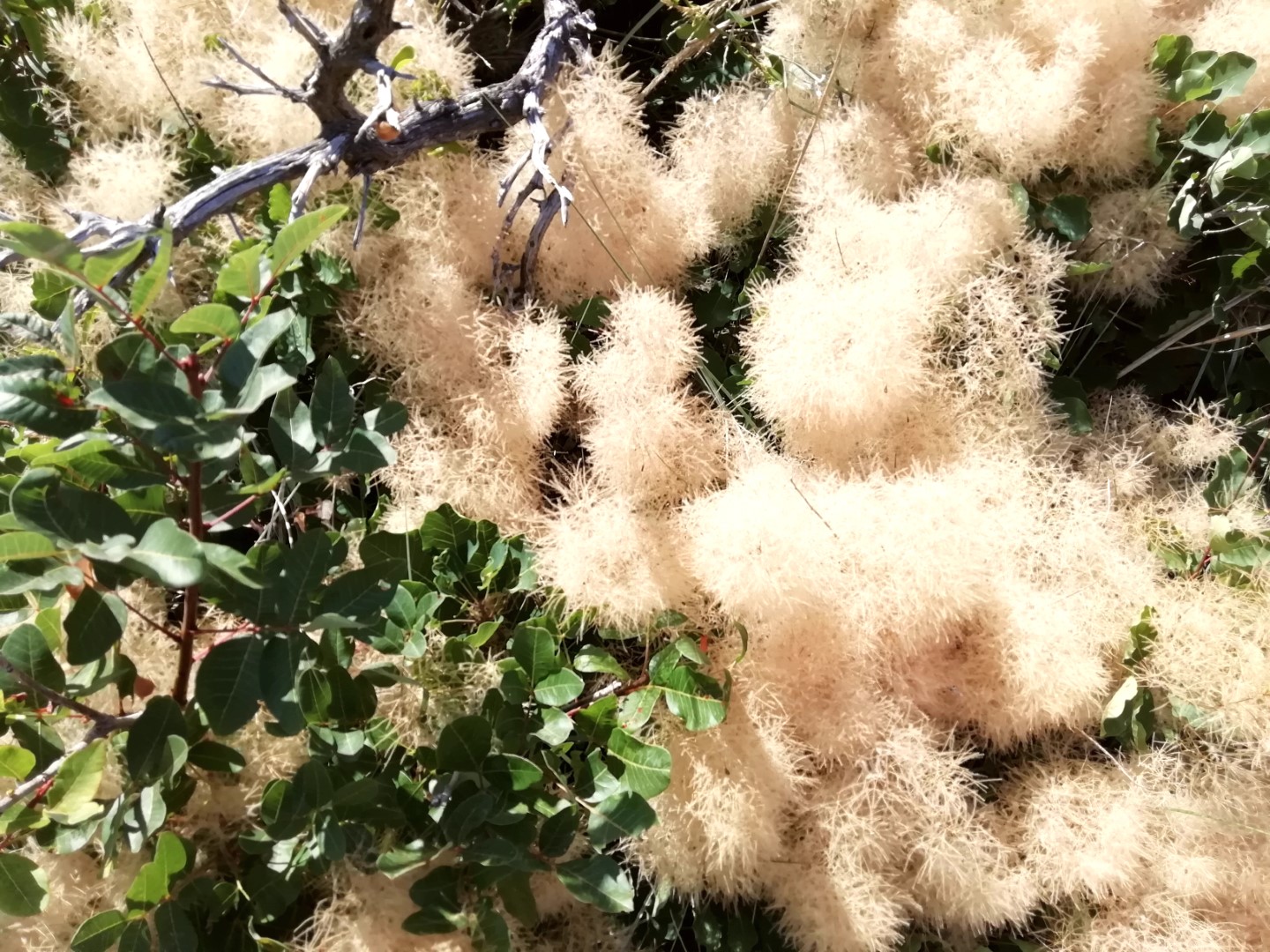
Name: Hiking trail from Puntera to the bay Blaž.
Place: Puntera – (Barban).
Coordinates: Puntera 45.05228 N – 14.02312 E, Bay Blaž 45.00070 N – 14.03843 E.

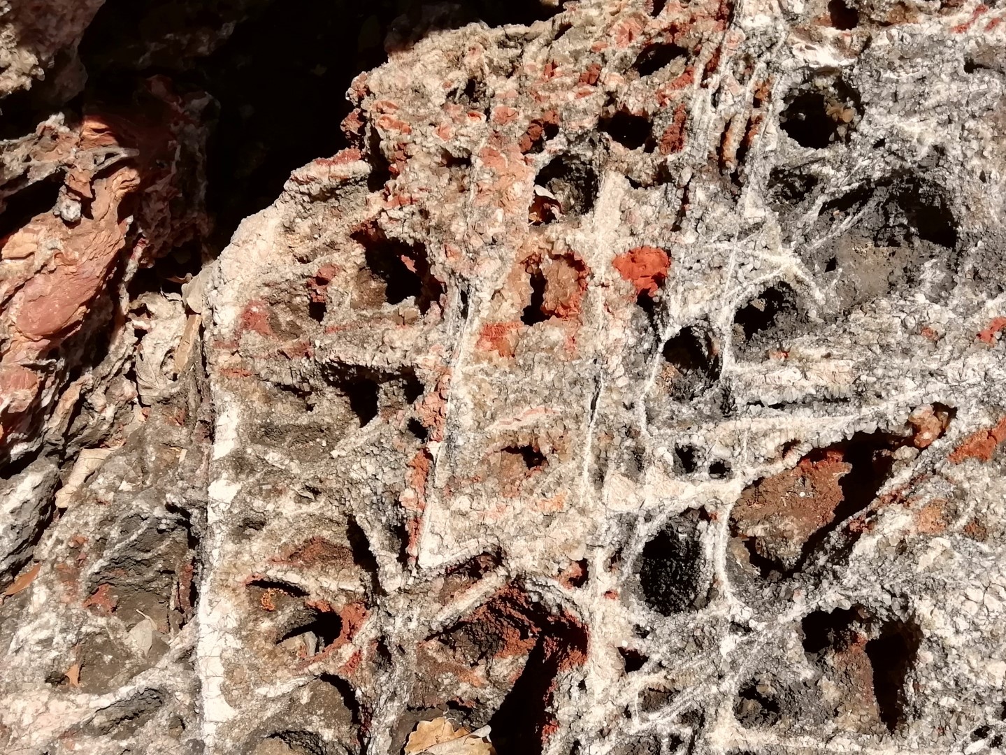
Name: Walk along the bay Mulandrija, the bay Laguna, to the cape Sv. Petar and the ruins Villa Rustiečca.
Place: Poreč.
Coordinates: Cape Sv. Petar 45.20466 N – 13.58604 E, uins Villa Rustica 45.20212 N – 13.58900 E.

Name: Coast along the Luka Savudrija.
Place: Savudrija – (Umag).
Coordinates: From 45.50165 N 13.50244 E to 45.49679 N – 13.49732 E.
Name: Trail along the coast from Zambratija to the village Ravna Dolina.
Places: Zambratija – Ravna Dolina – (Umag).
Coordinates: Cape Špic 45.47746 N – 13.50189 E, Cape Lako 45.48679 N – 13.48999 E.

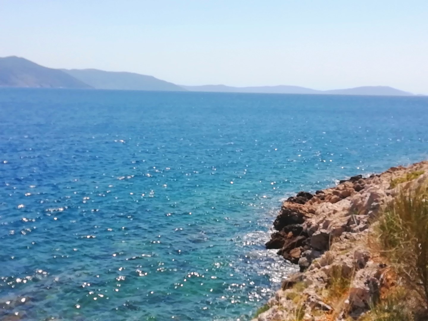
Name: Coast from Cape Gale to Cape Grota near The Roman Villa Dragonera N.
Place: Peroj – (Vodnjan).
Coordinates: 44.98621 N – 13.7581 E to 44.97074 N – 13. 76794 E.
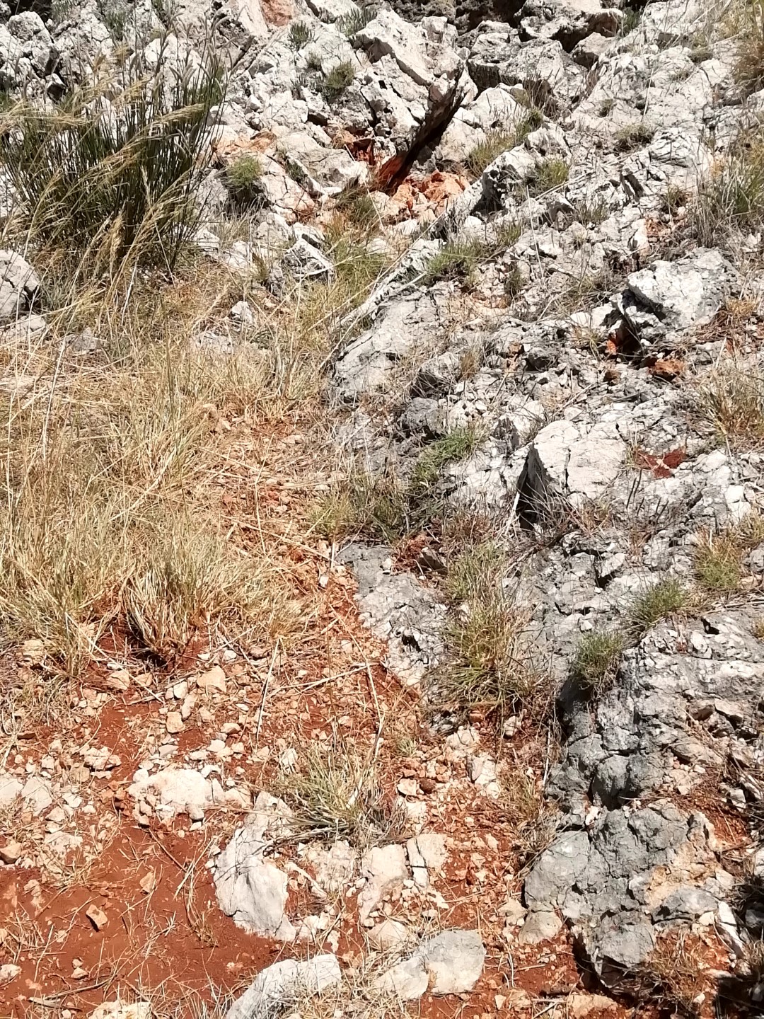
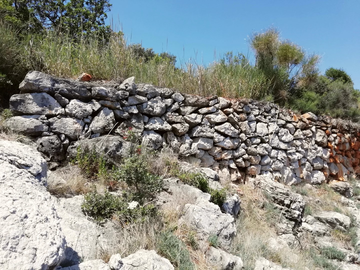
Name: Coast from Cape Barbariga to Cape Gale.
Place: Barbariga – (Vodnjan).
Coordinates: 44.98609 N – 13.73746 E to 44.98293 N – 13.76129 E.

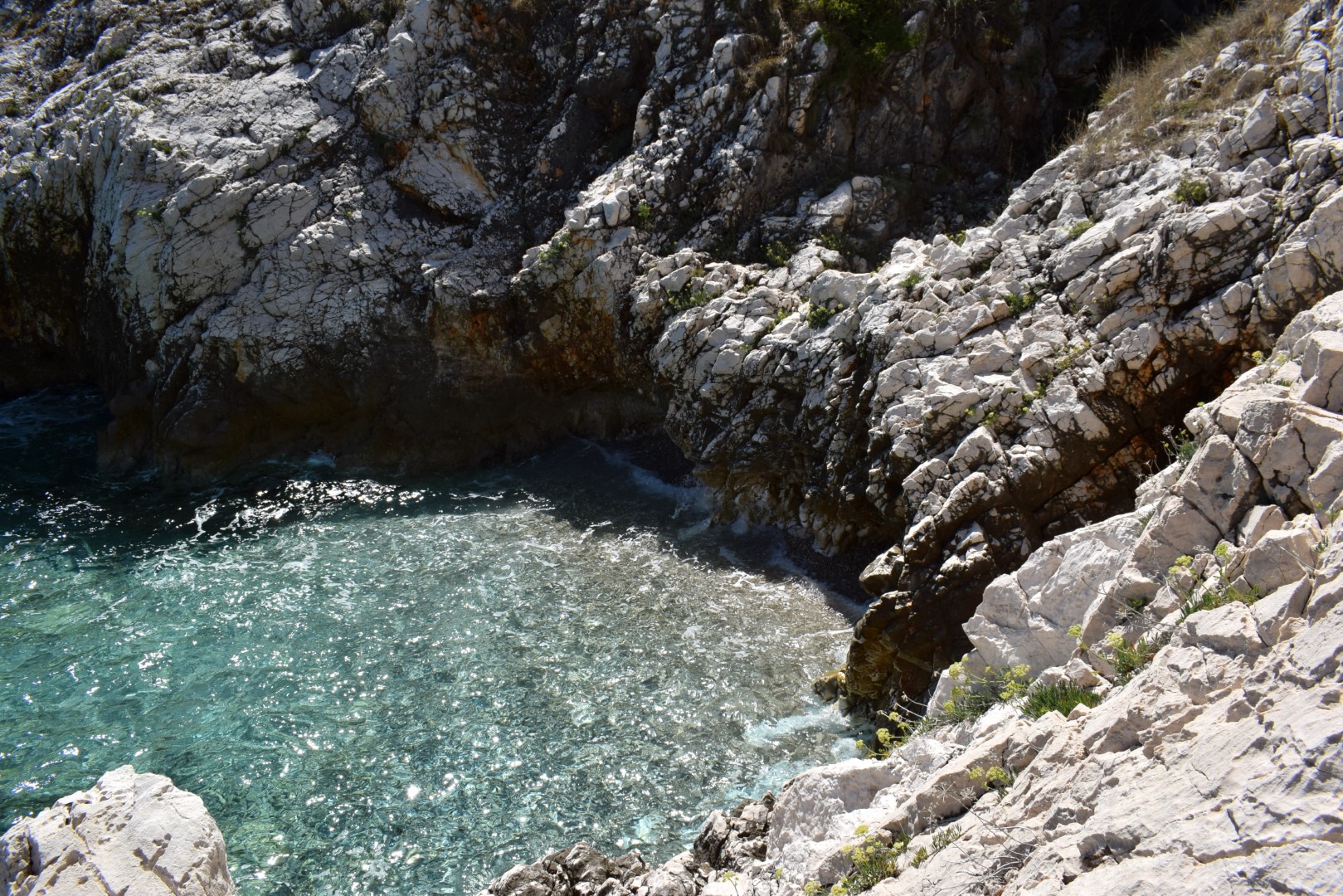
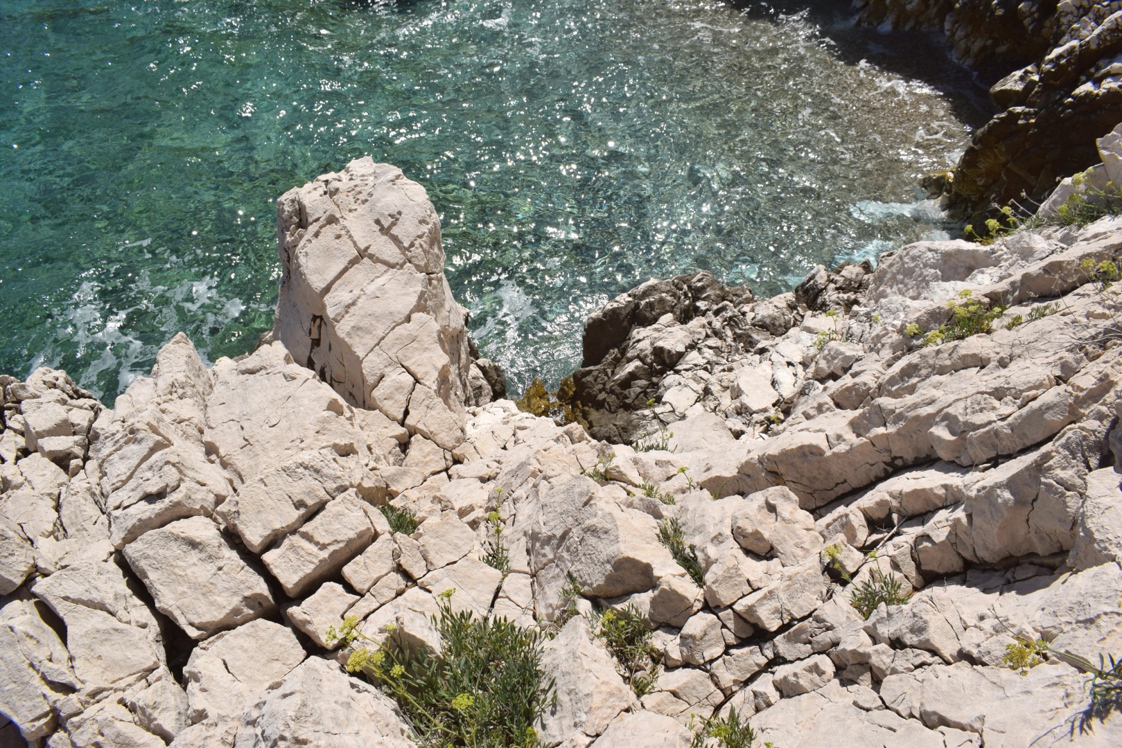
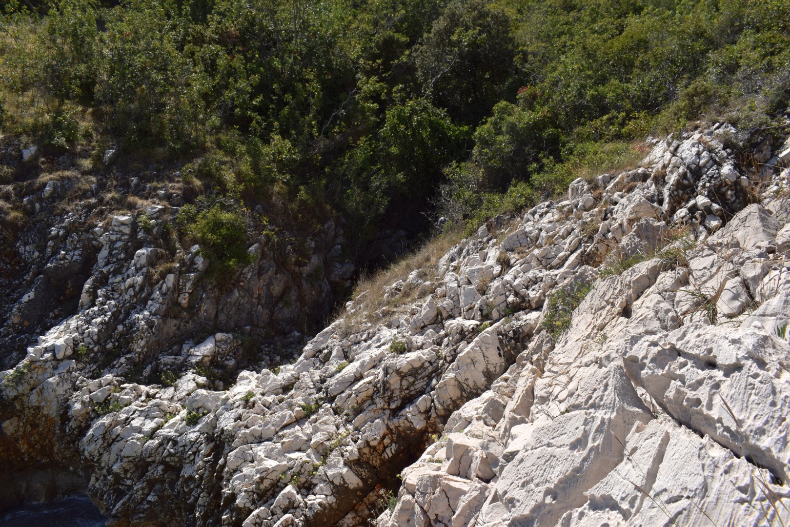
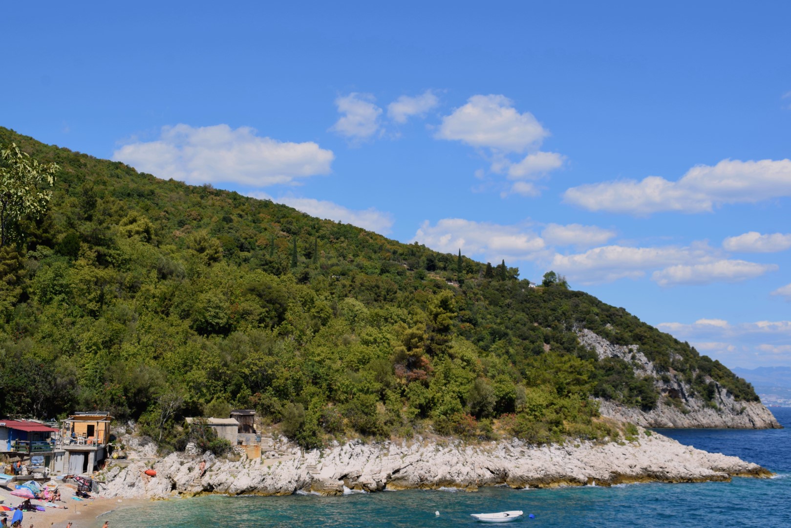
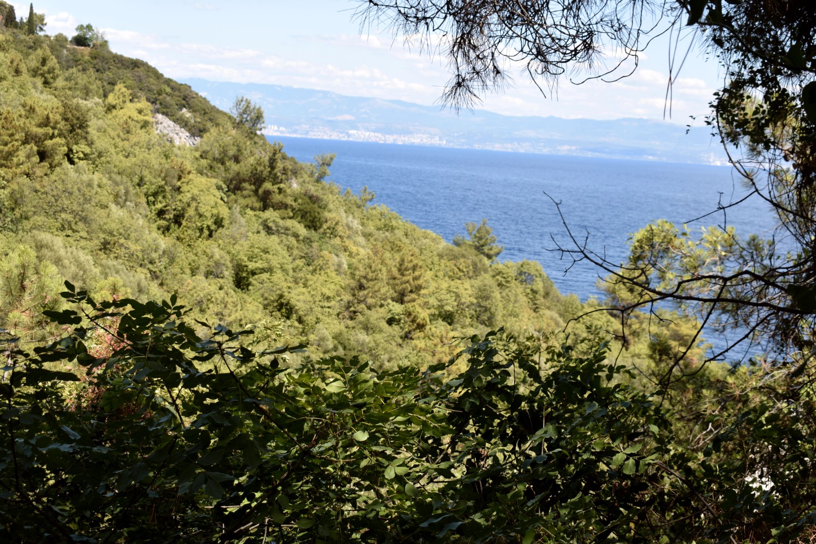
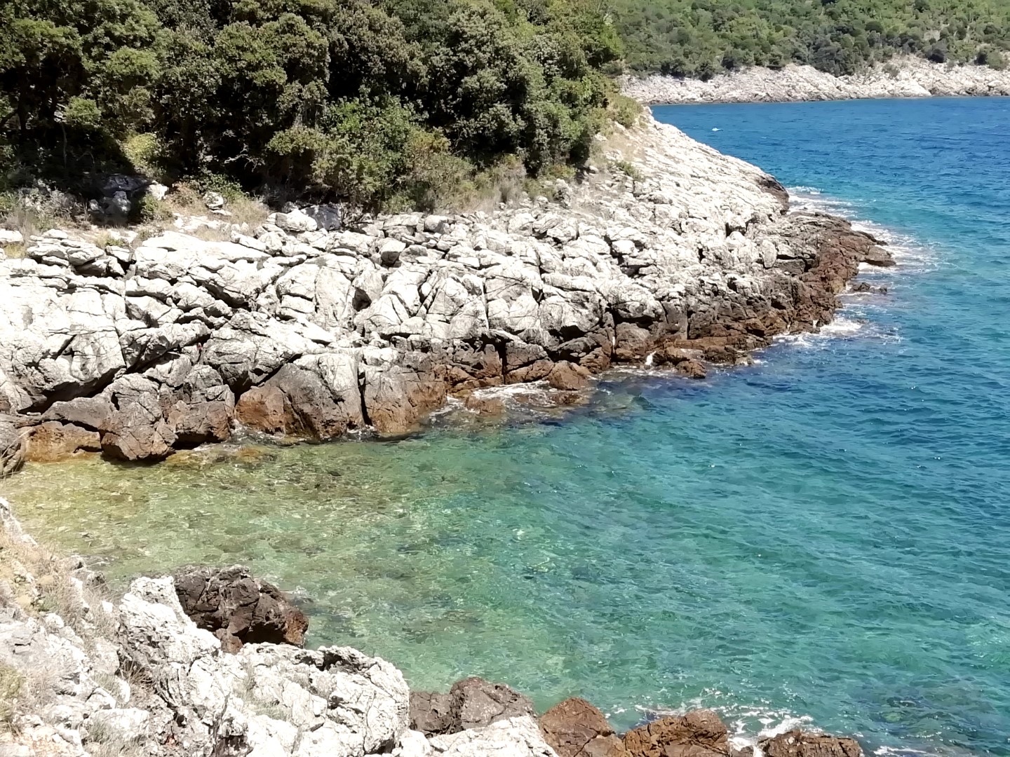
Name: Hiking trail along the coast of the Kvarnar.
Place: Moščćenice – Mošćenicka Draga.
Coordinates: Start 45.2145 N – 14.24746 E, Bay Uboka45.21336 N -14.34557 E, Bay Jelišćica 45.21146 N – 14.24460 E, End 45.20976 N – 14.24468 E.
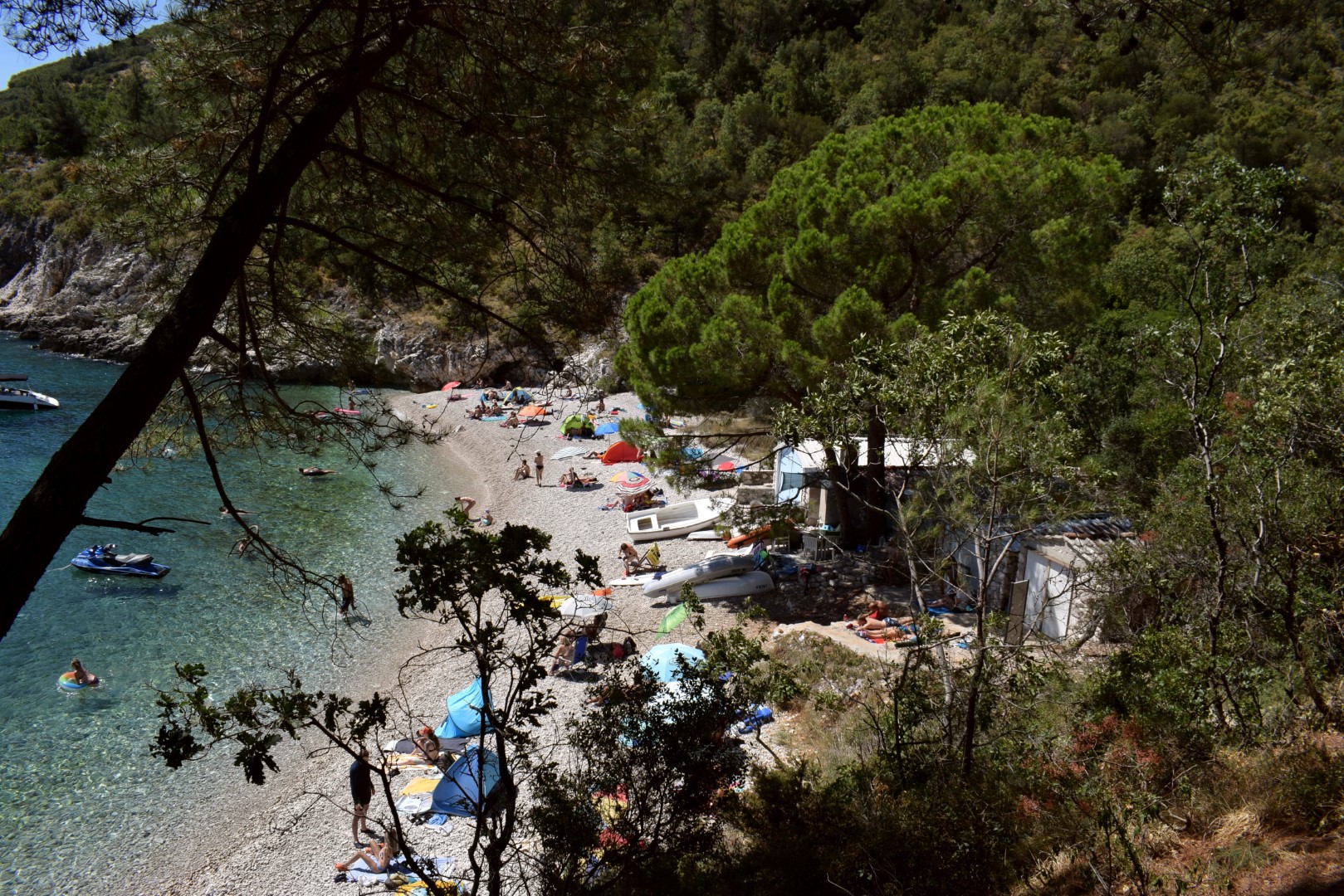
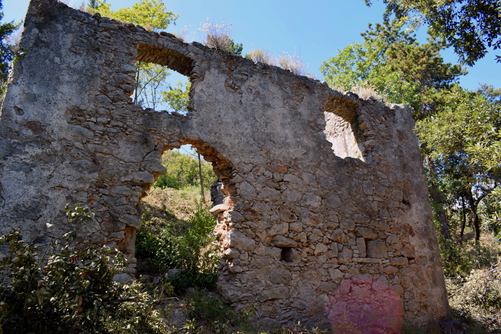
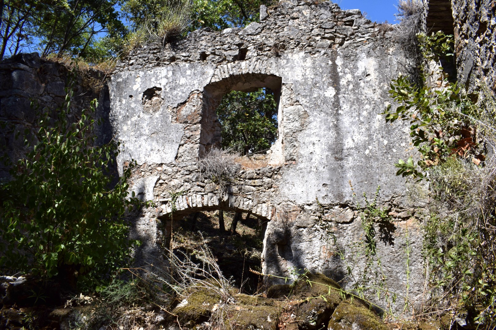
Name: Hiking trail from the village Jurasi to the bay Mali Pesak, and over the reefs to the bay Trstena.
Place: Jurasi – (Kršan).
Coordinates: Jurasi 45.13264 N -14-21214 E, Mali Pesak 45.13218 N – 14.21605 E, Bay Ttrstena 45,12791 N – 14.21330 E.