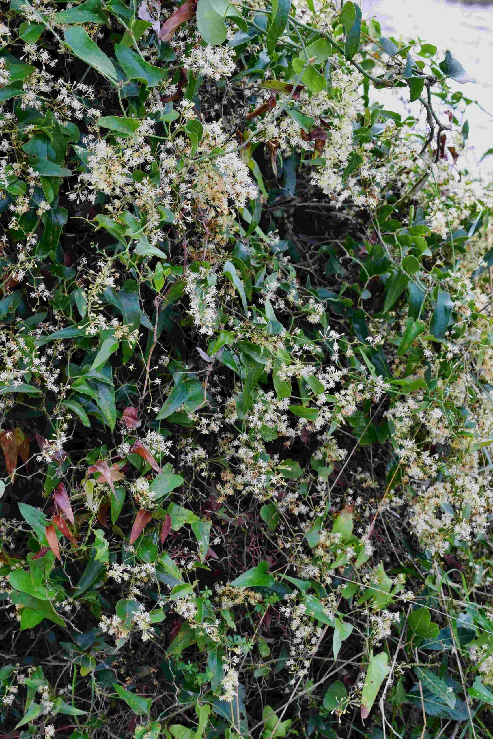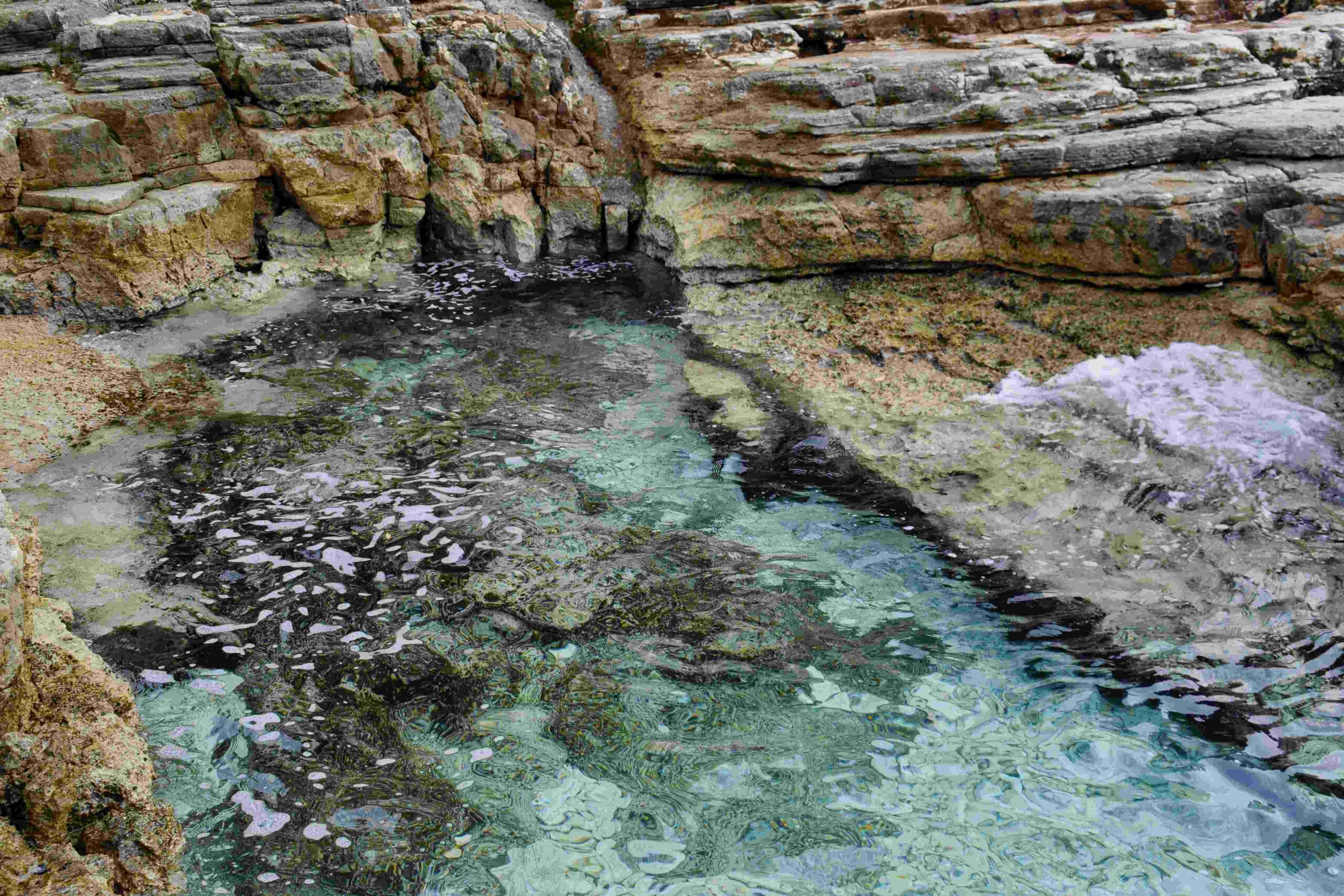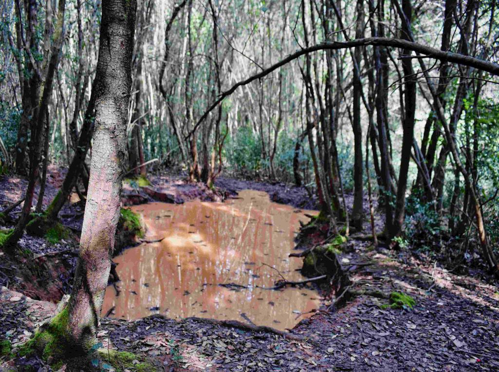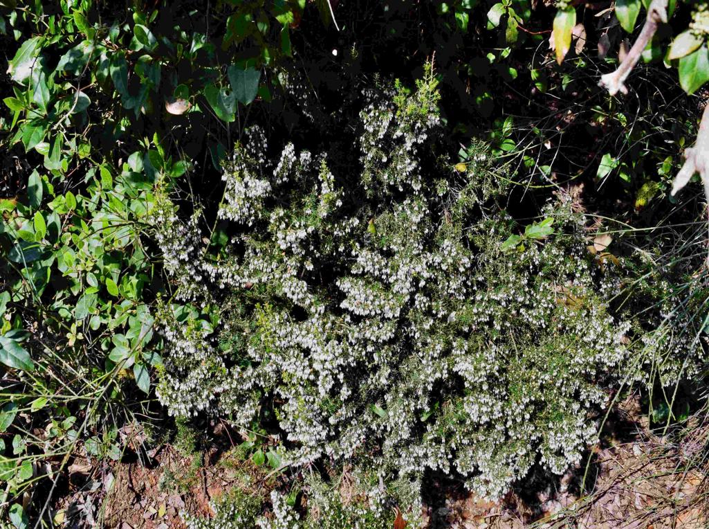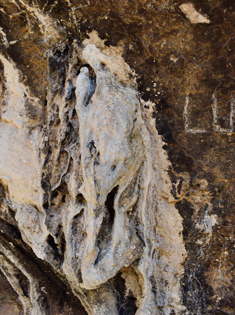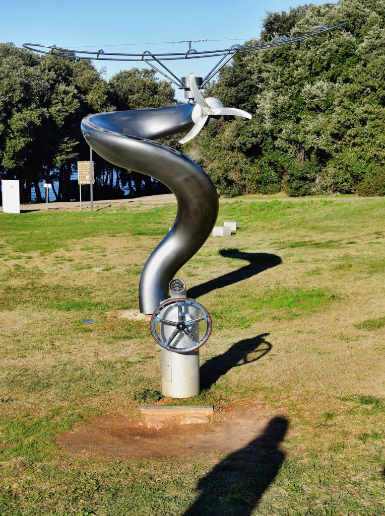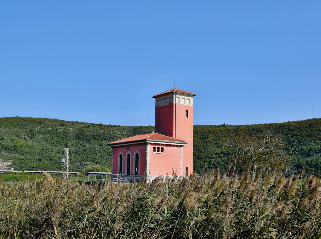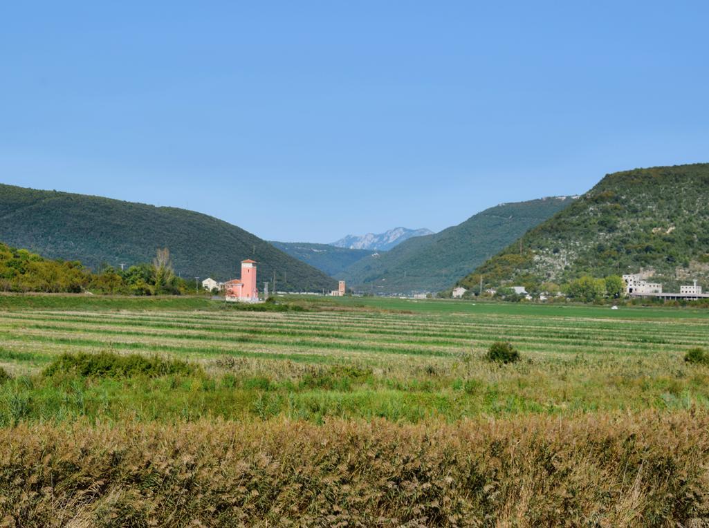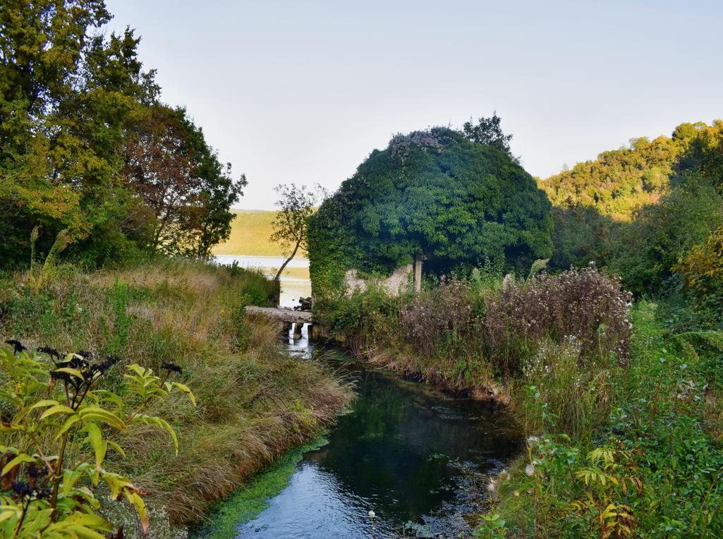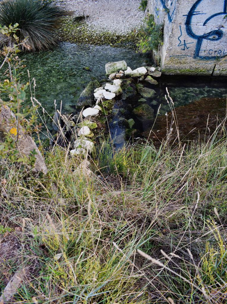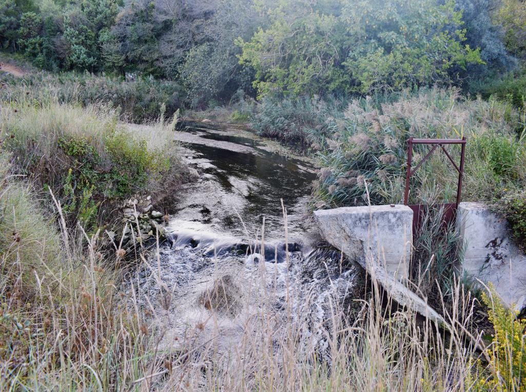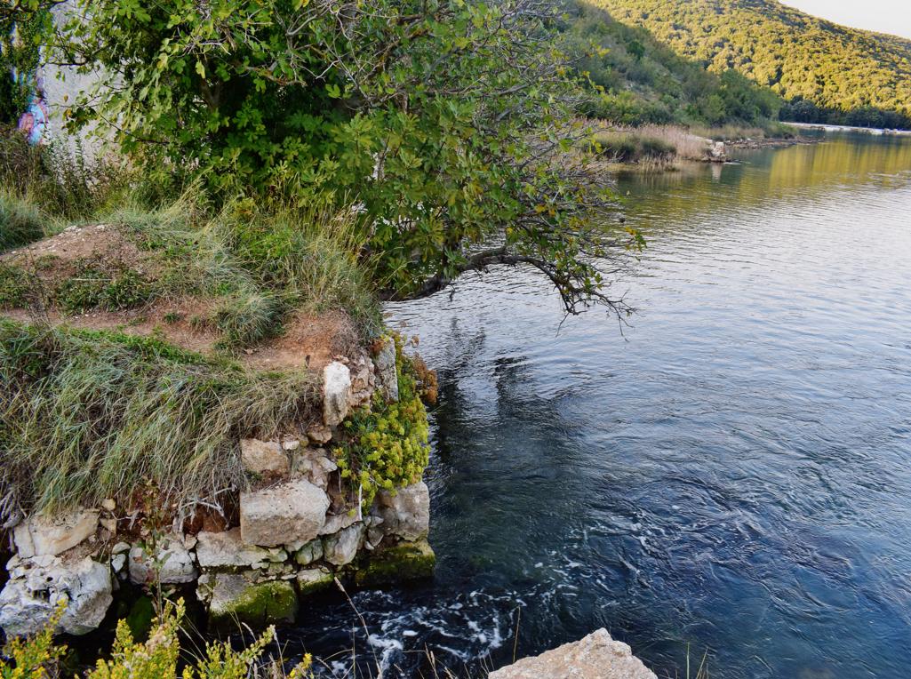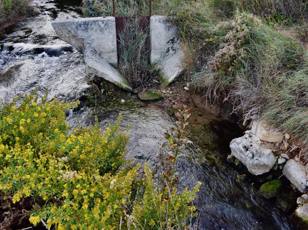
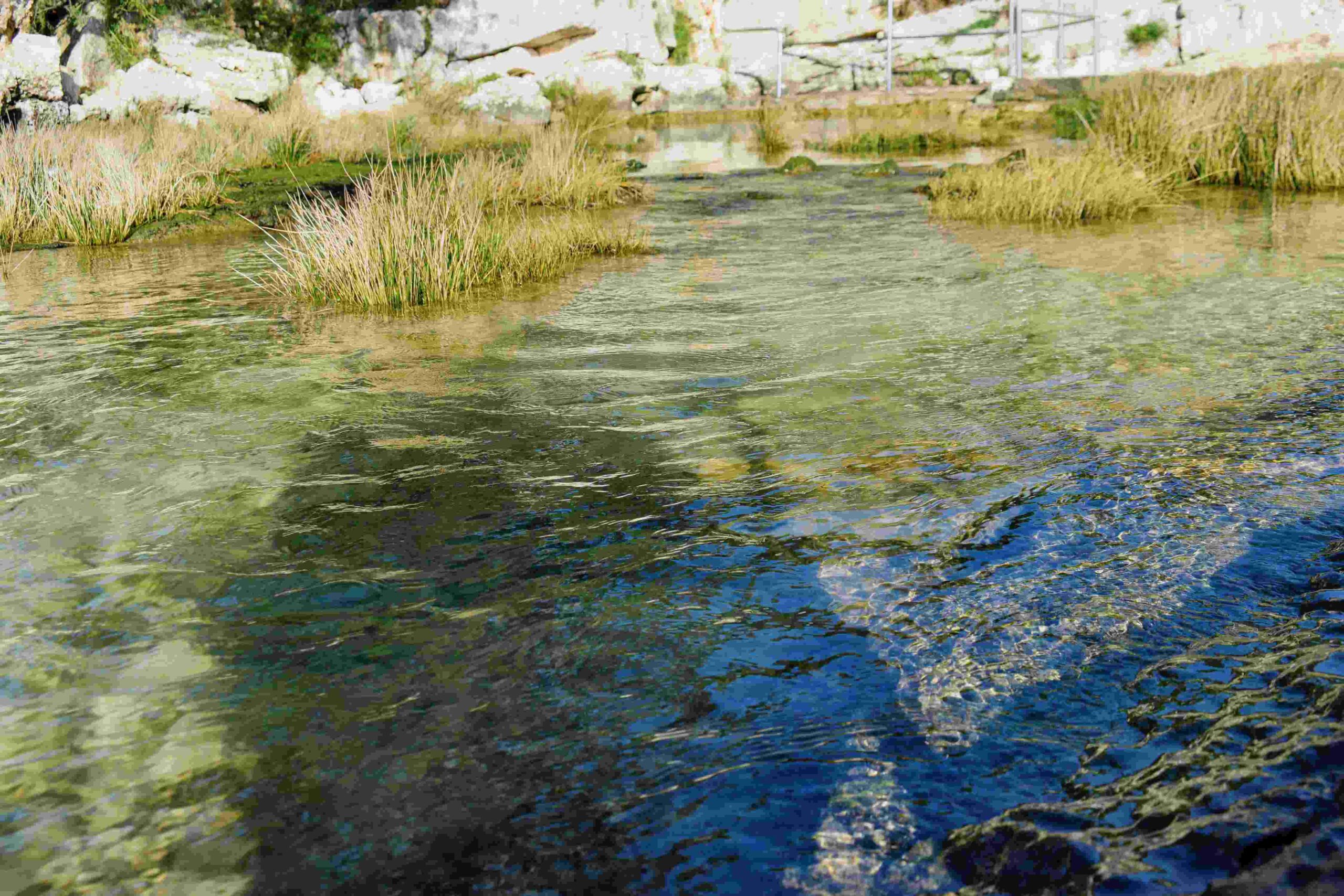
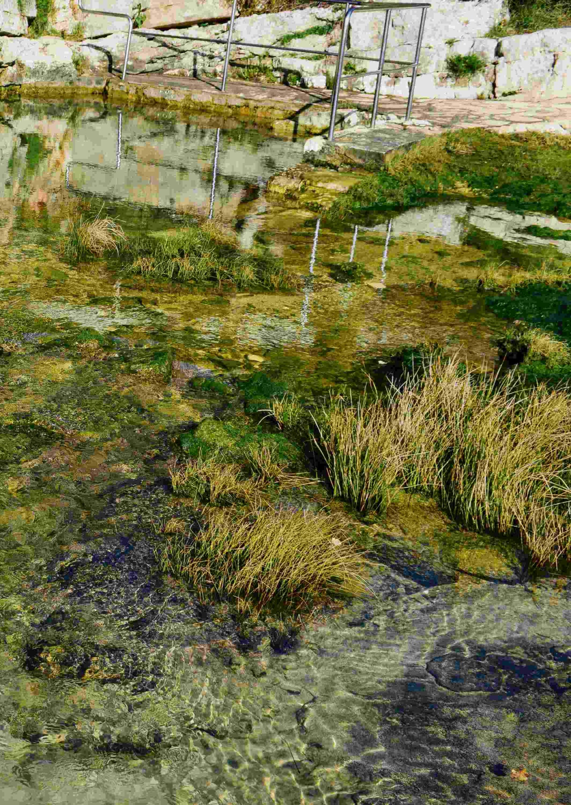
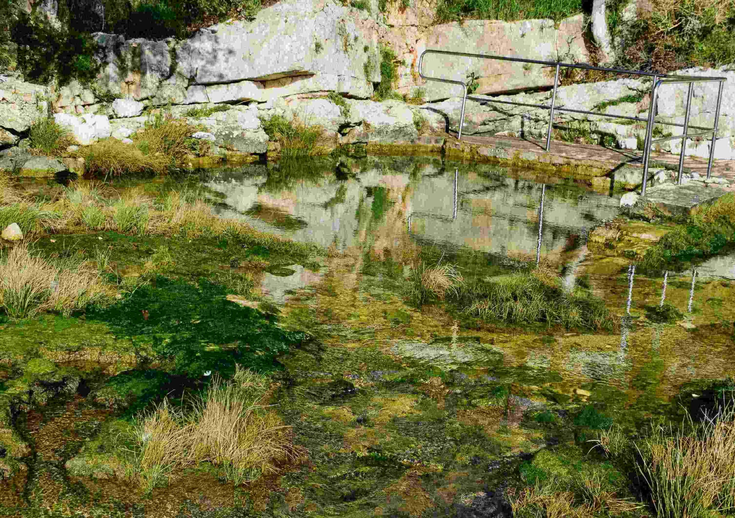
Name: Waterspring St. Martin – Cervar.
Place: Cervar- Poreč.
Coordinates:45.25498 N – 13.59413 E.
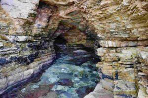
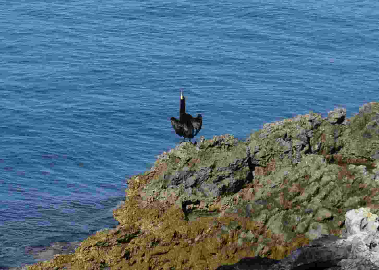
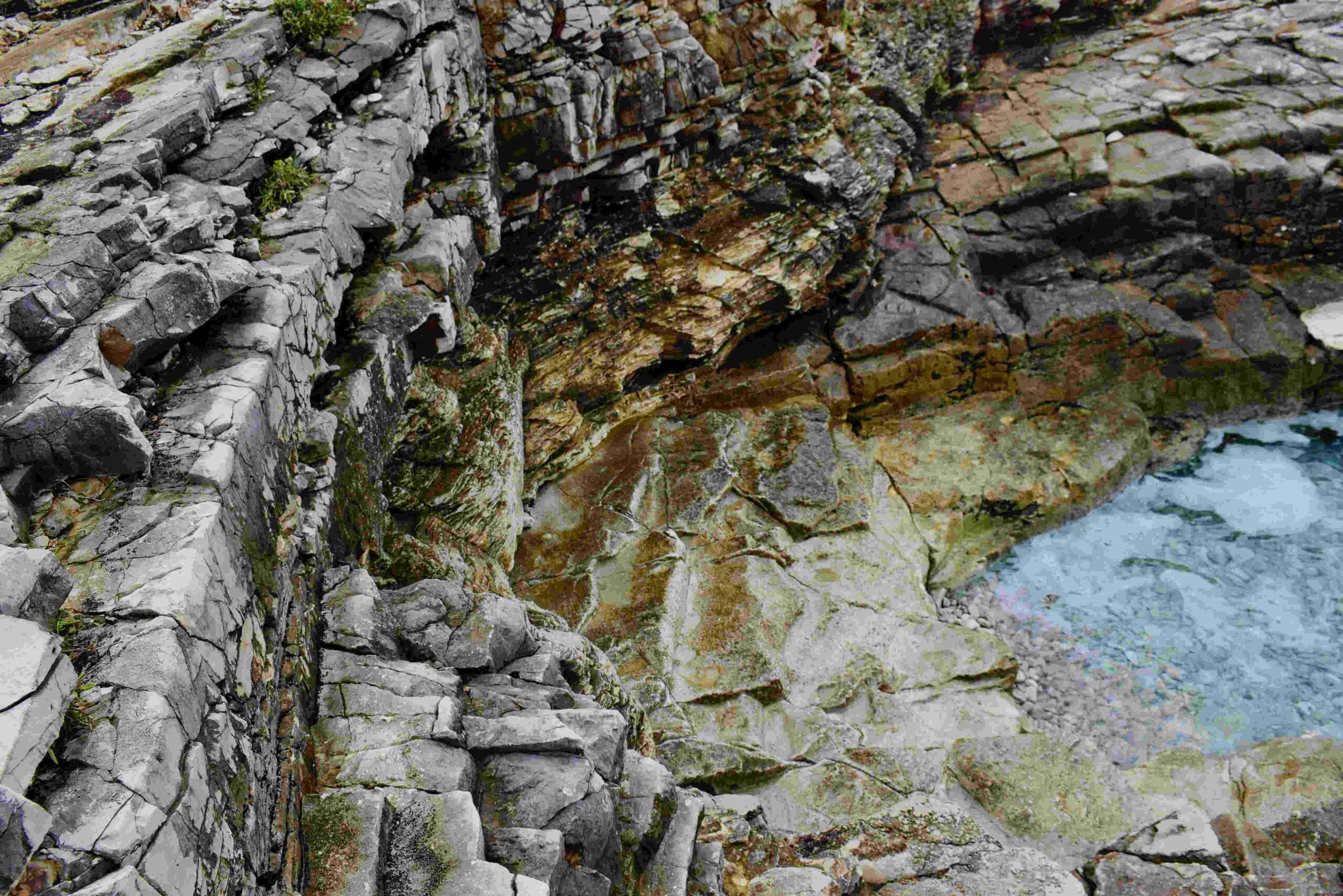
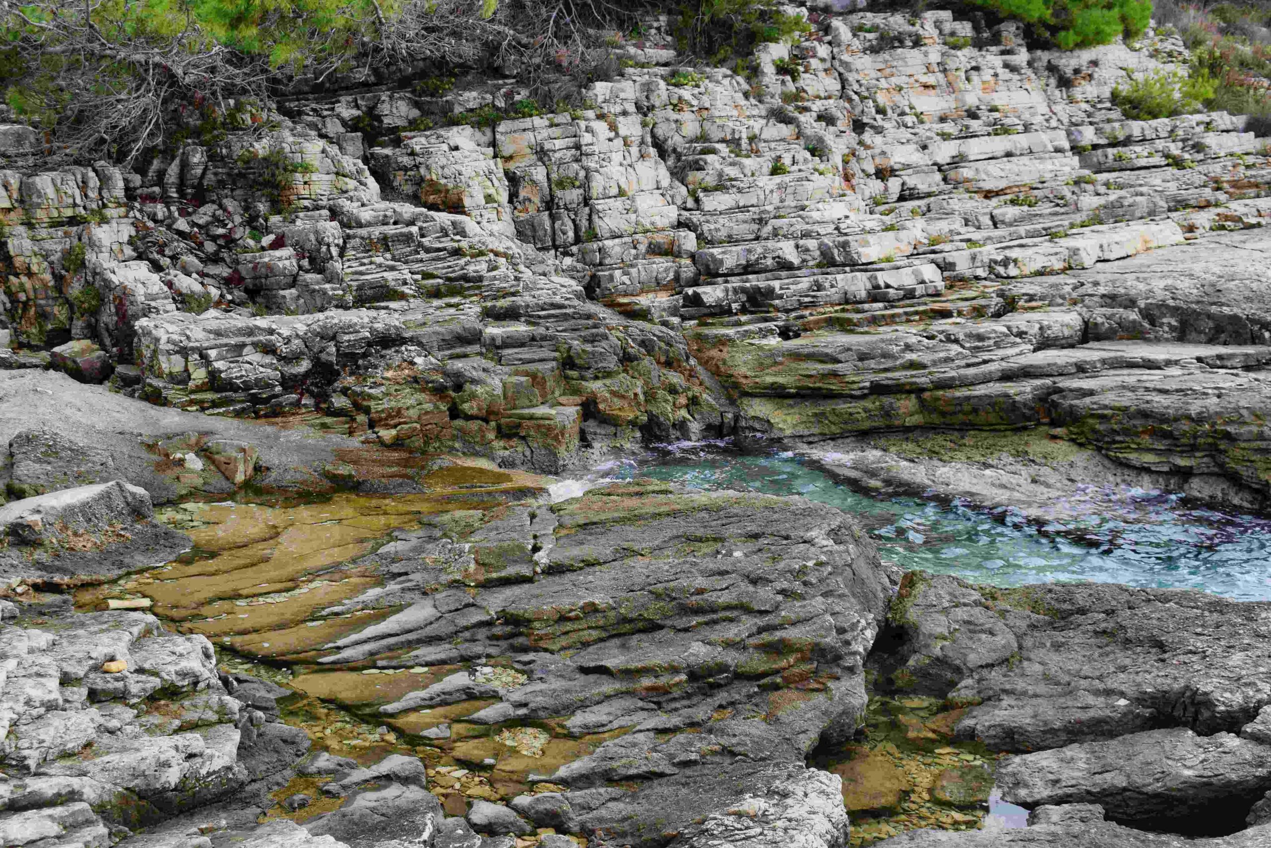
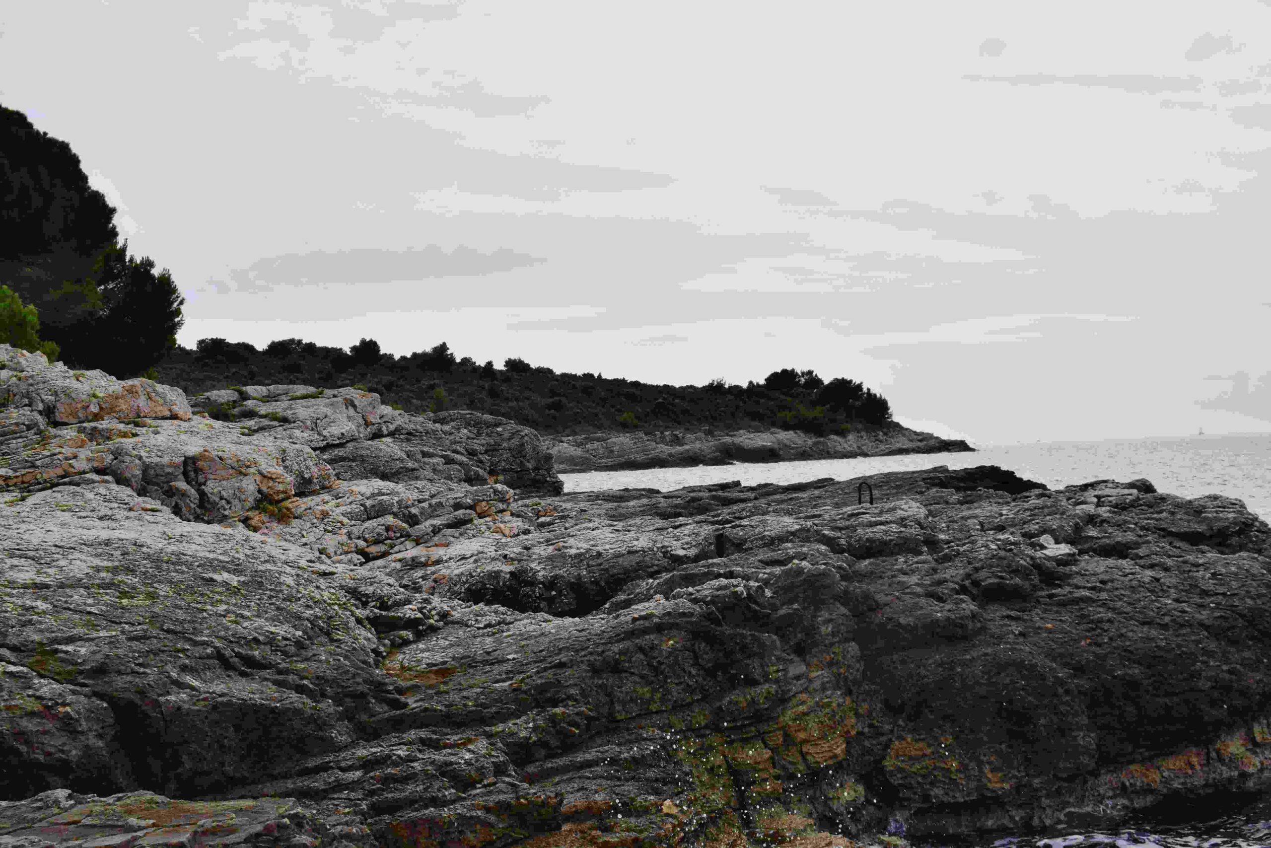
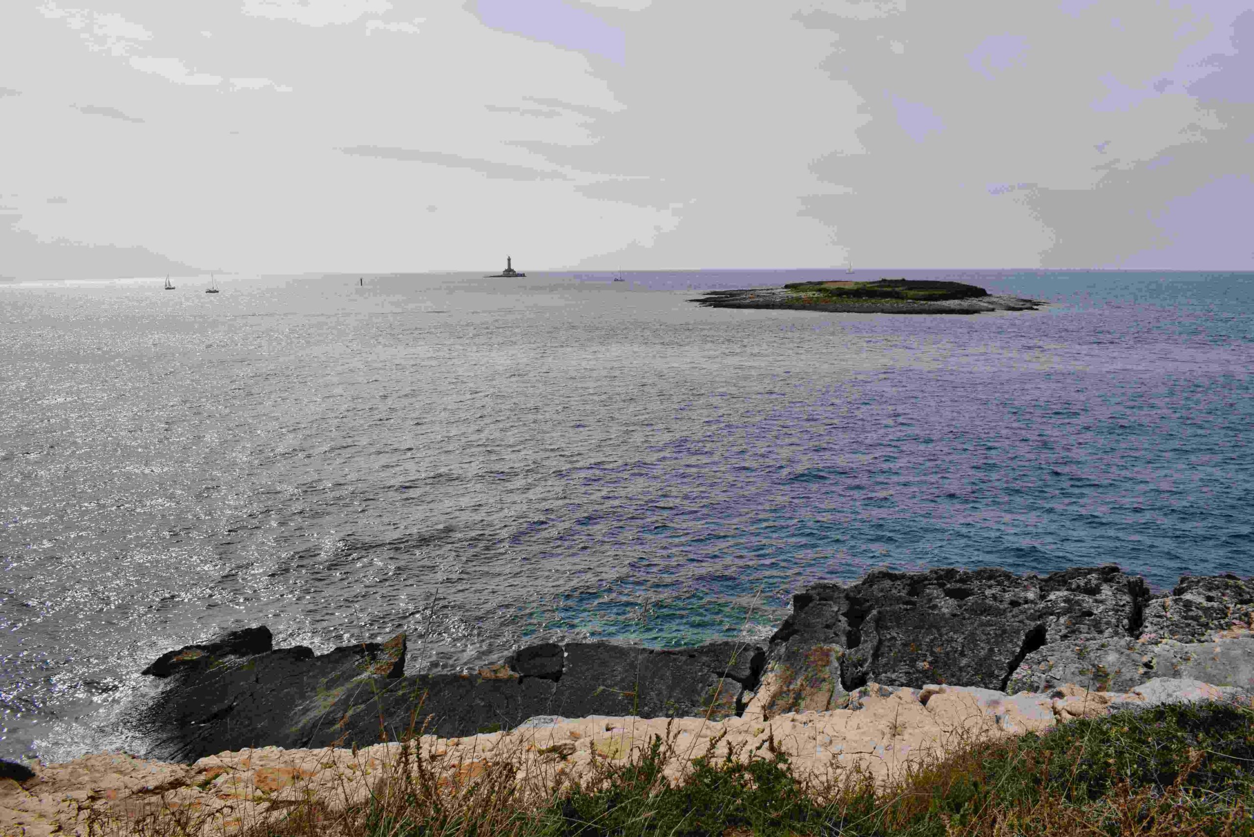
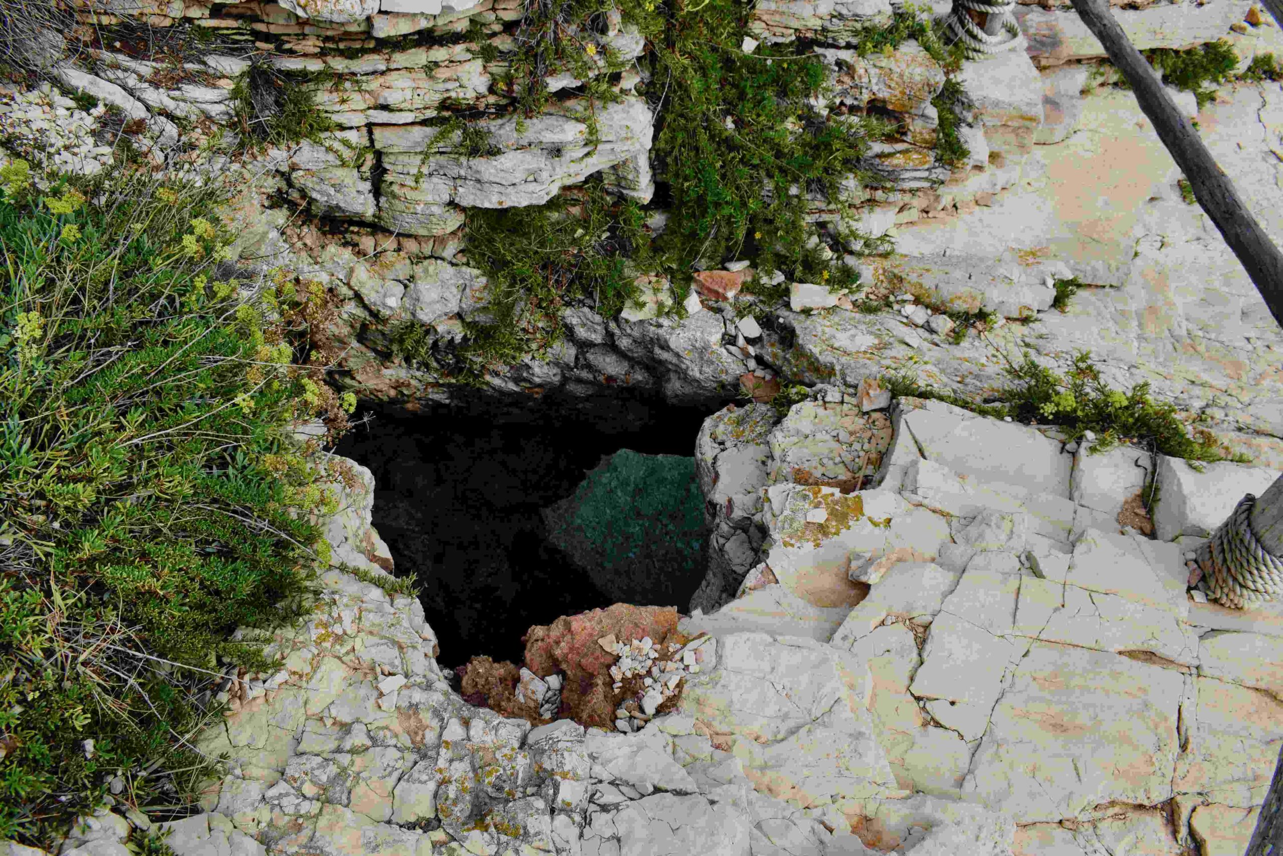
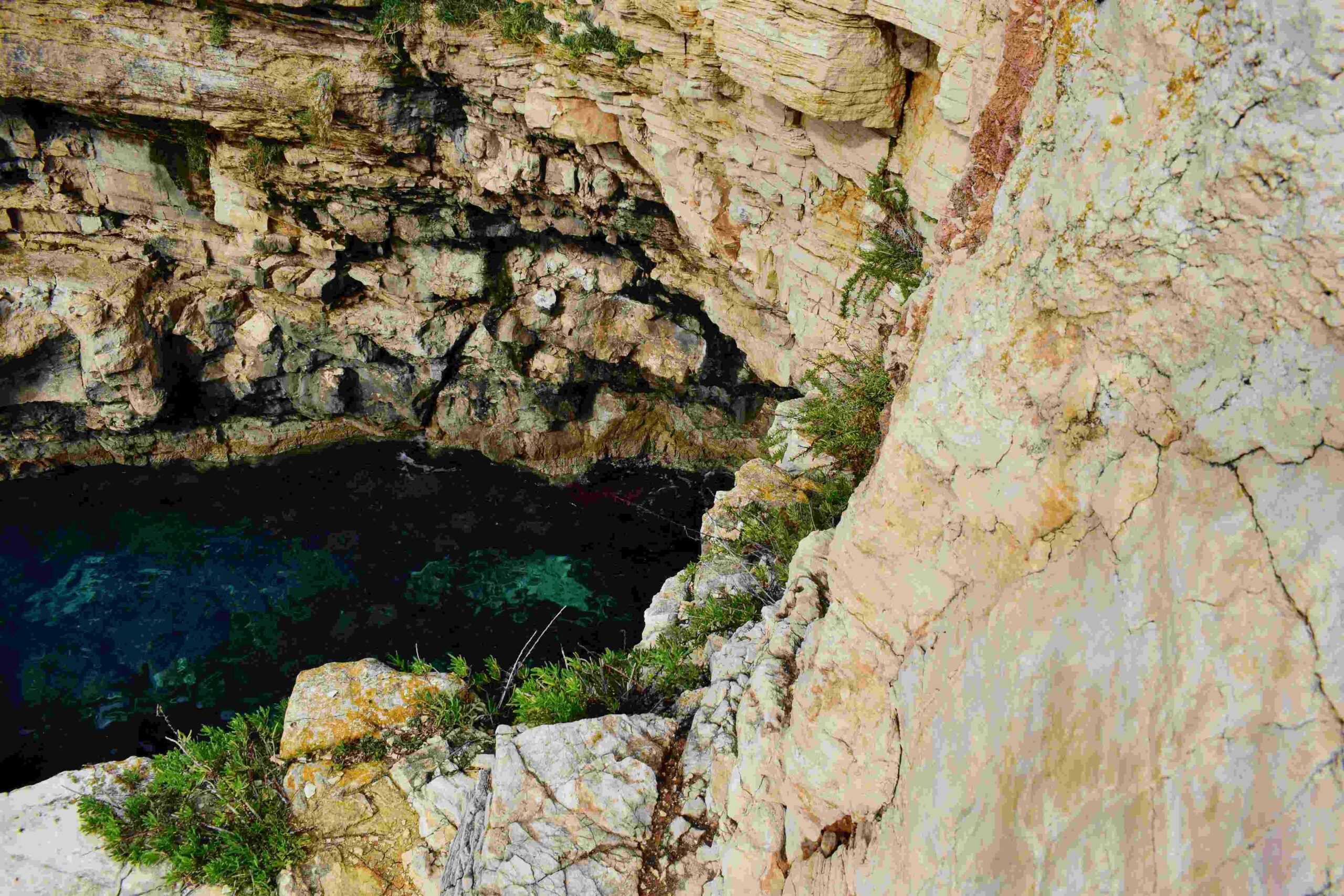
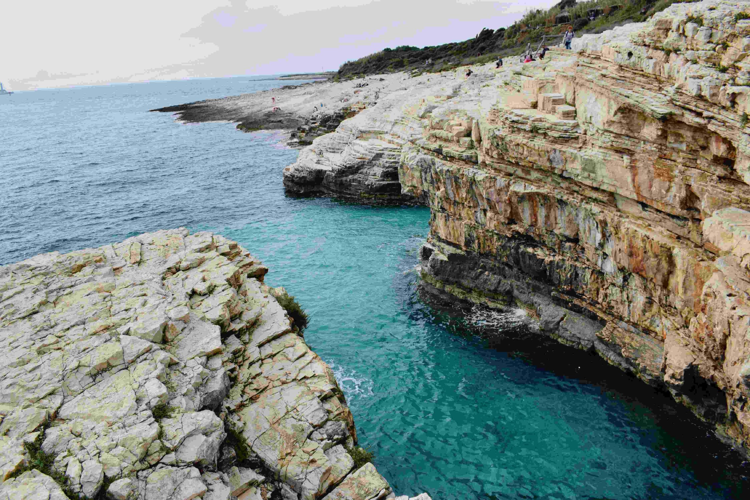
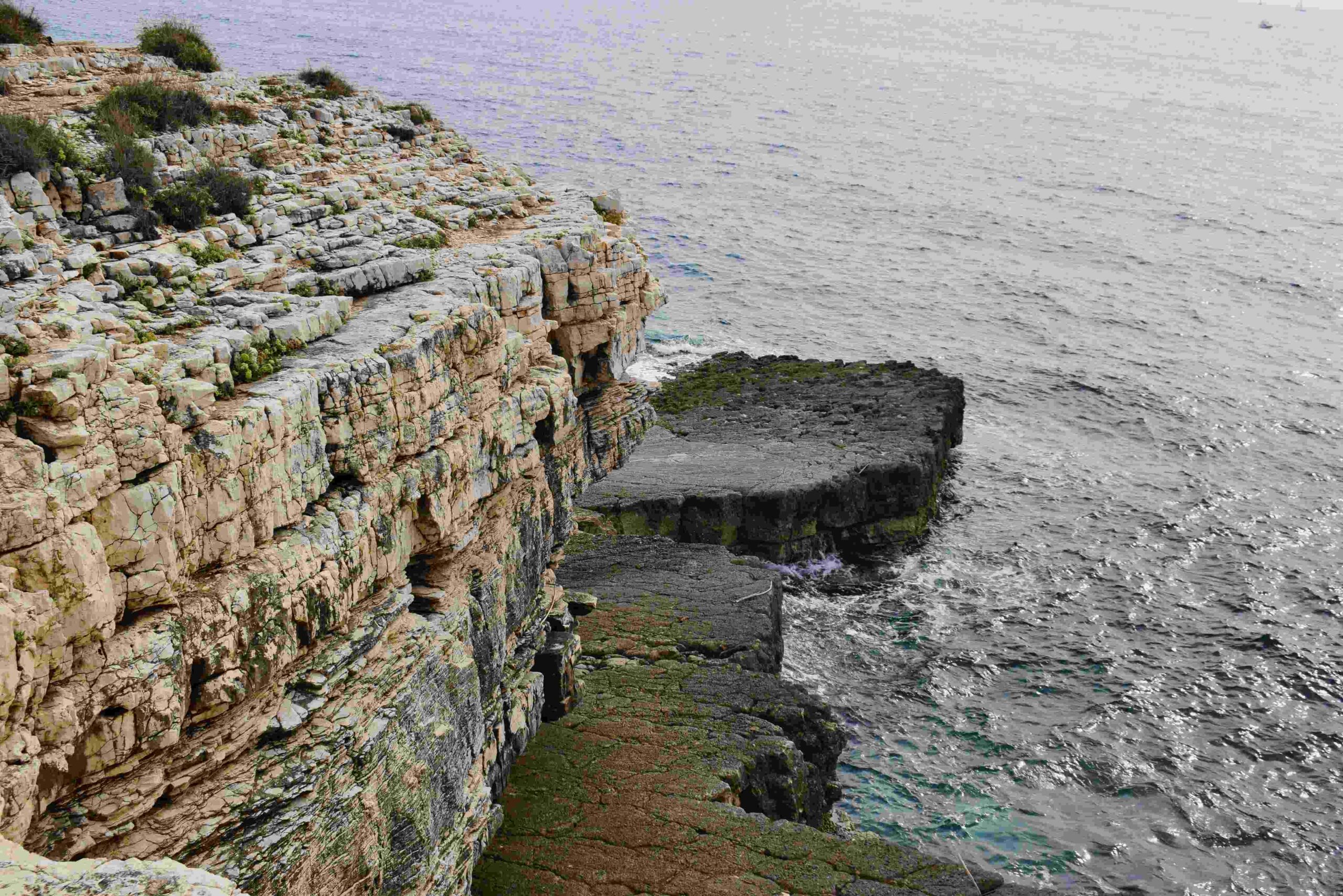
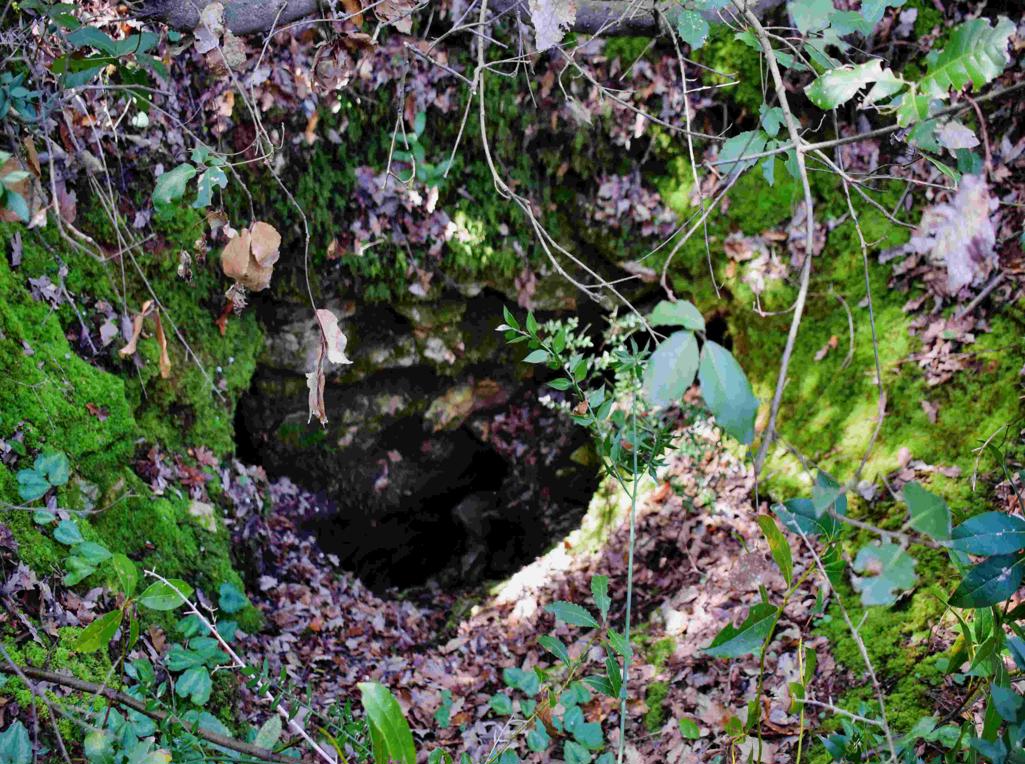
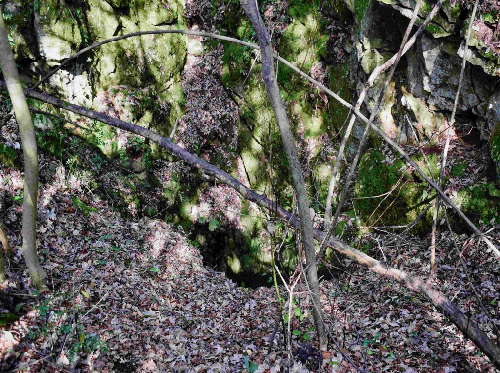
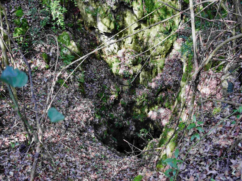
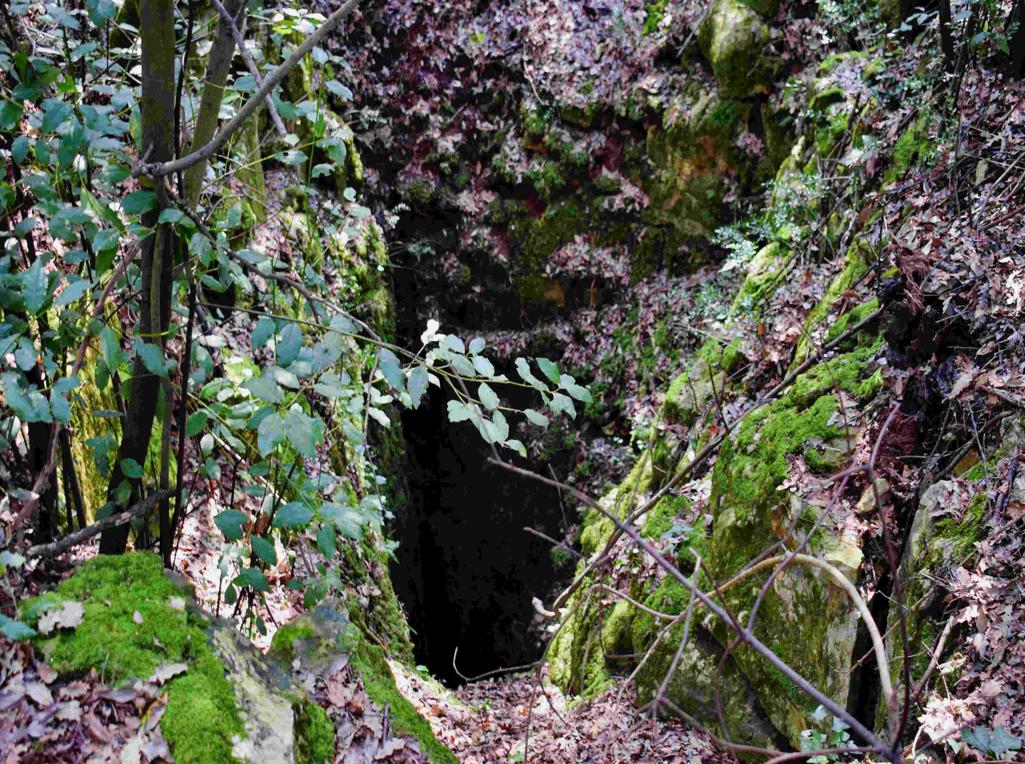
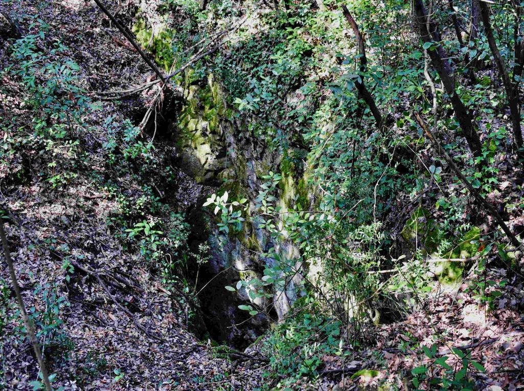
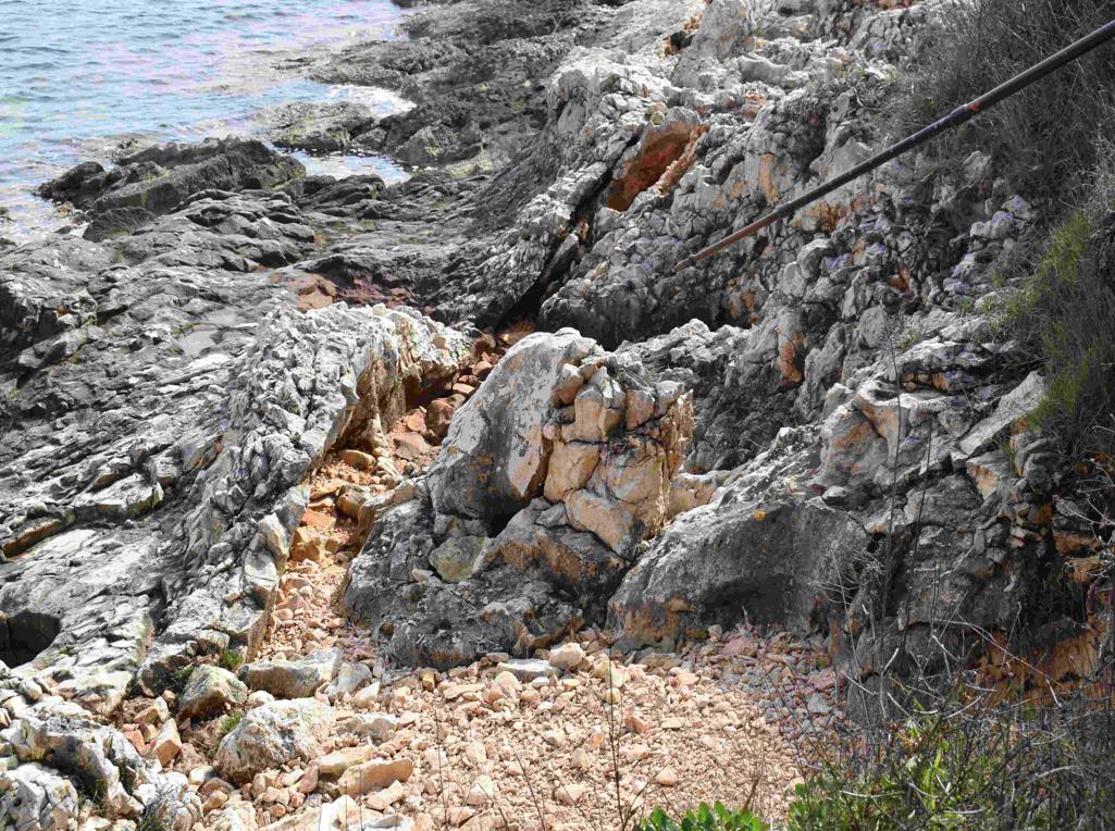
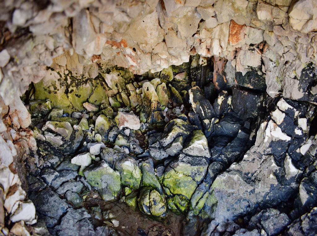
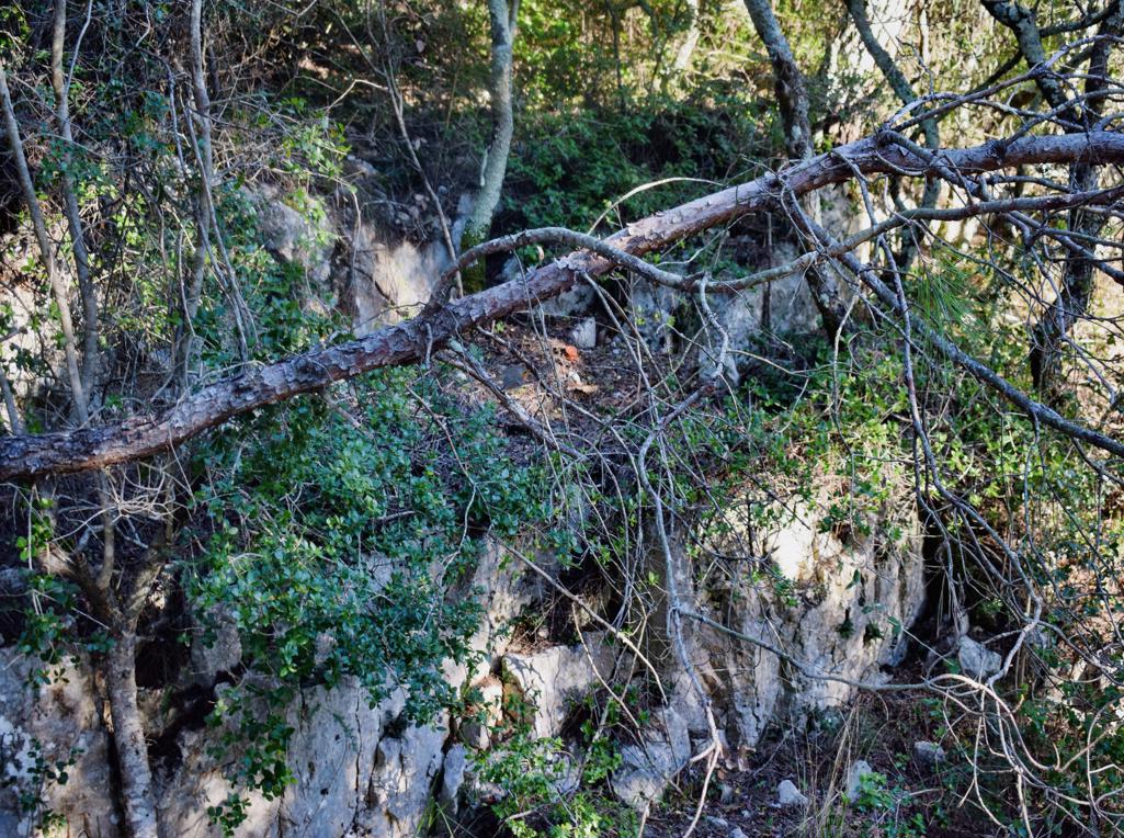
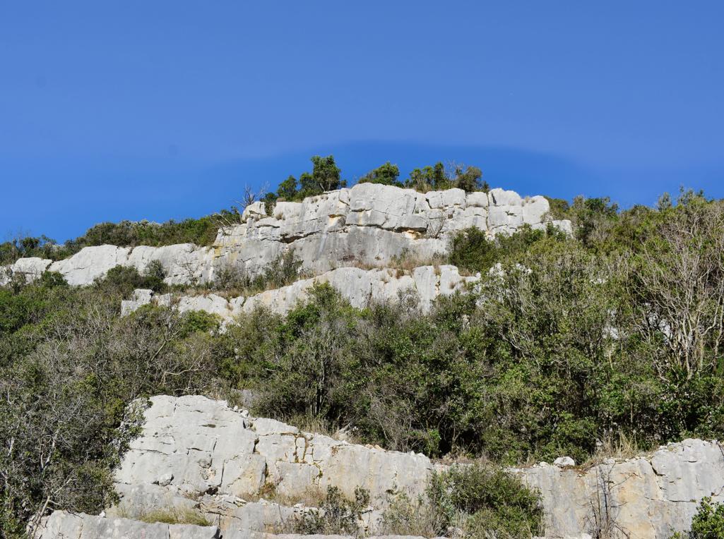
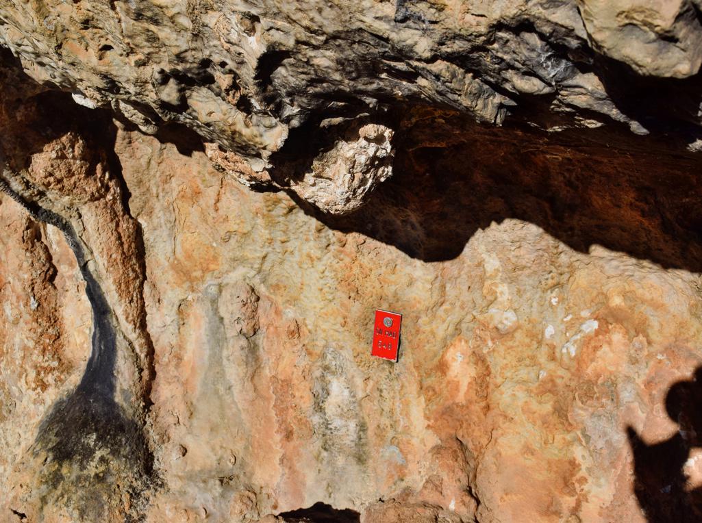
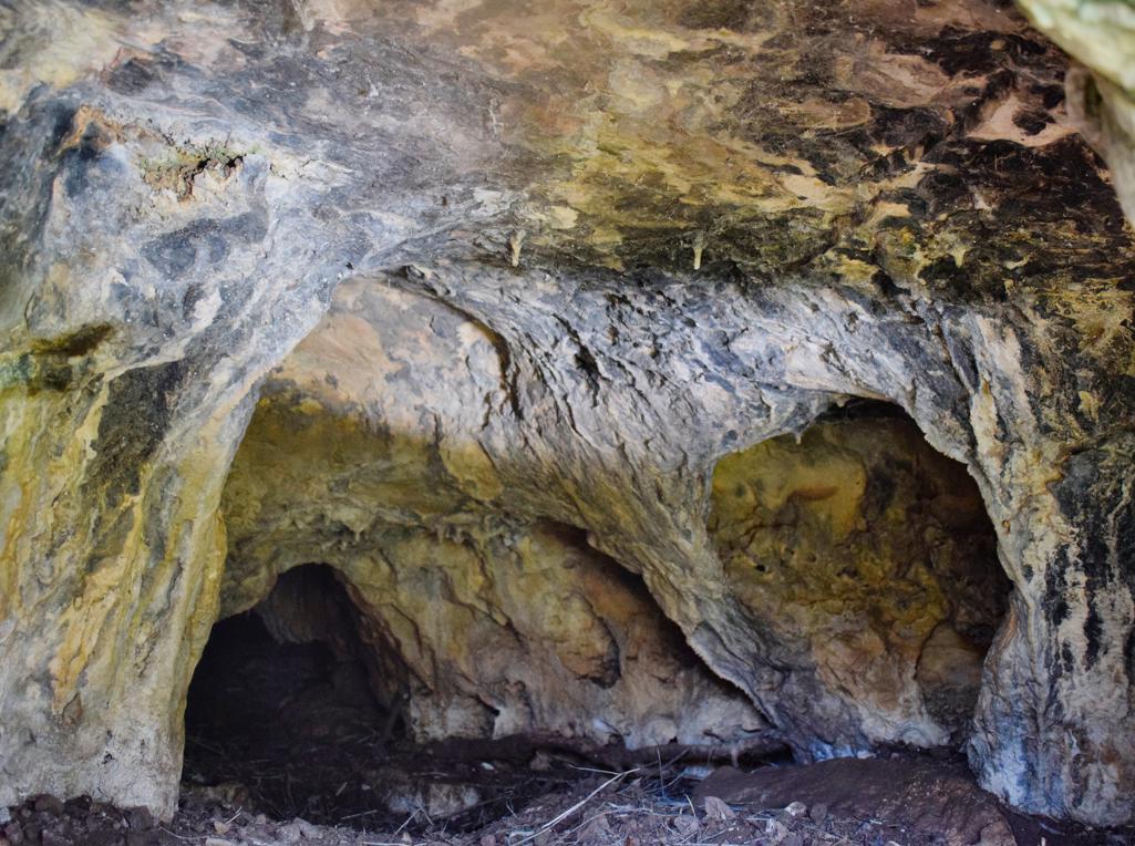
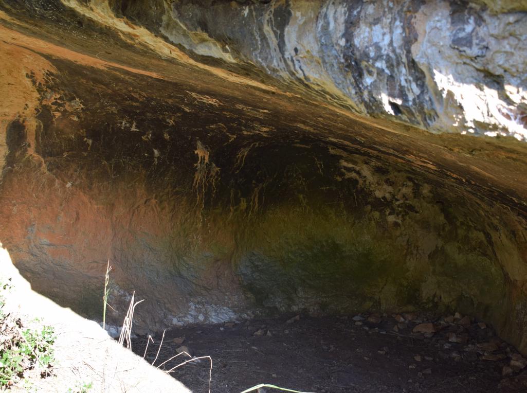
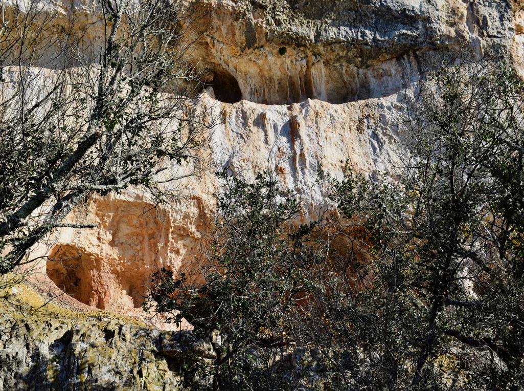
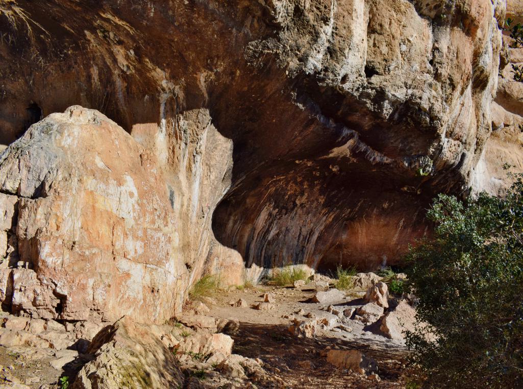
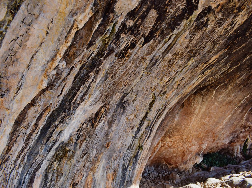
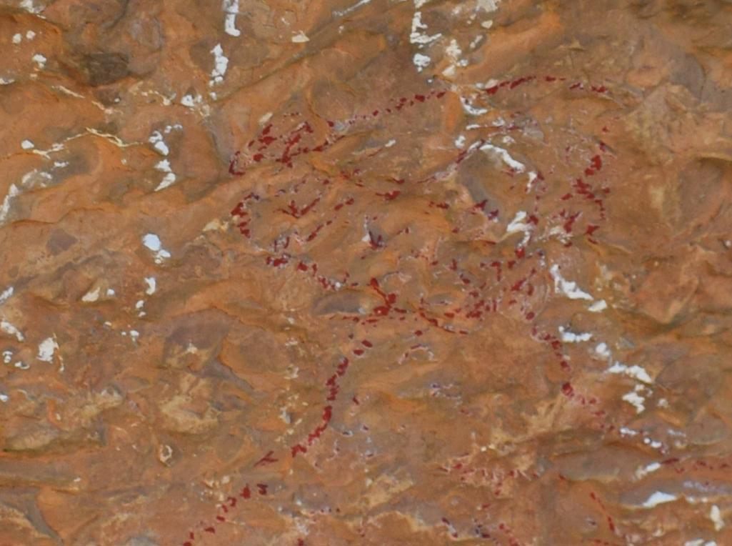
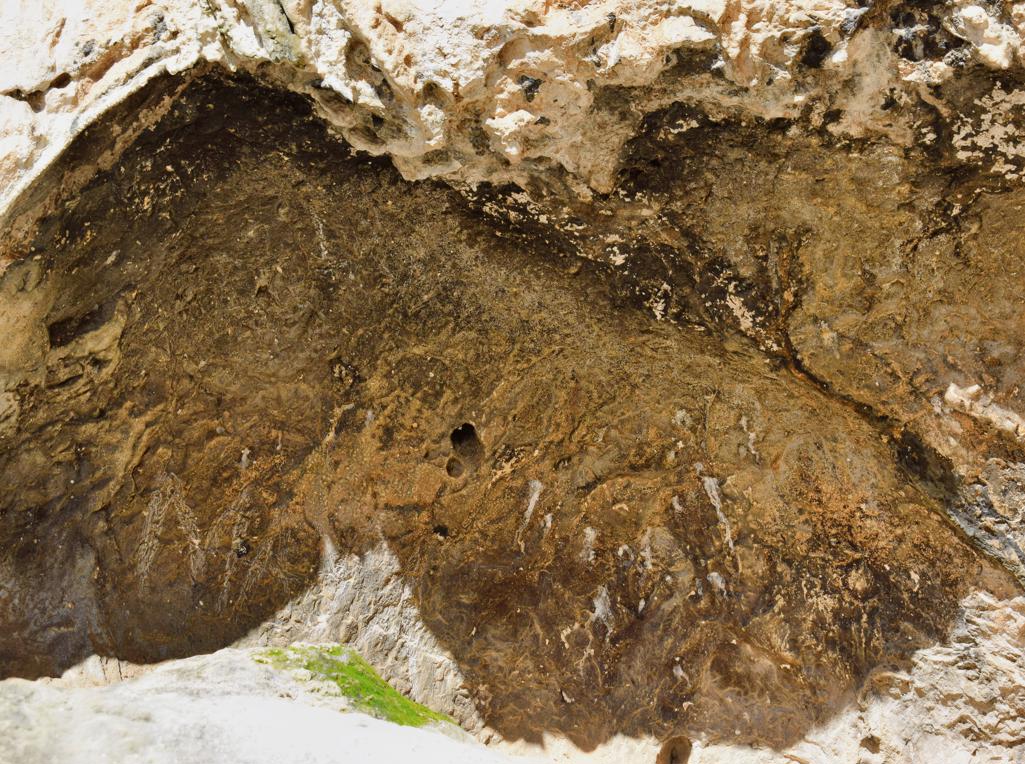
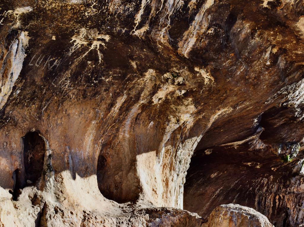
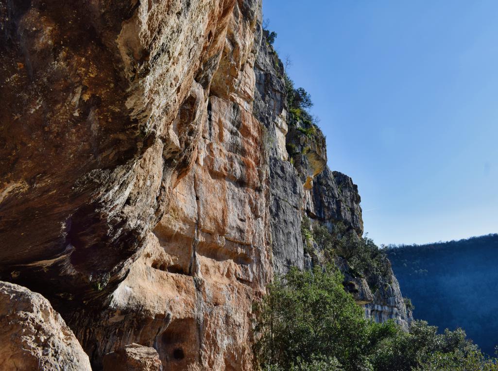
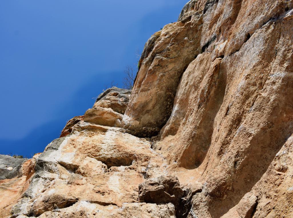
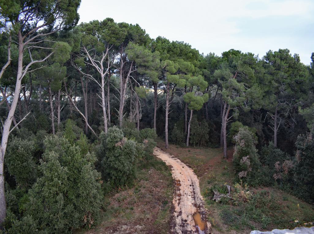
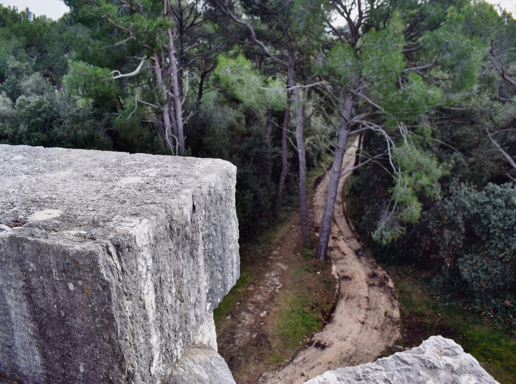
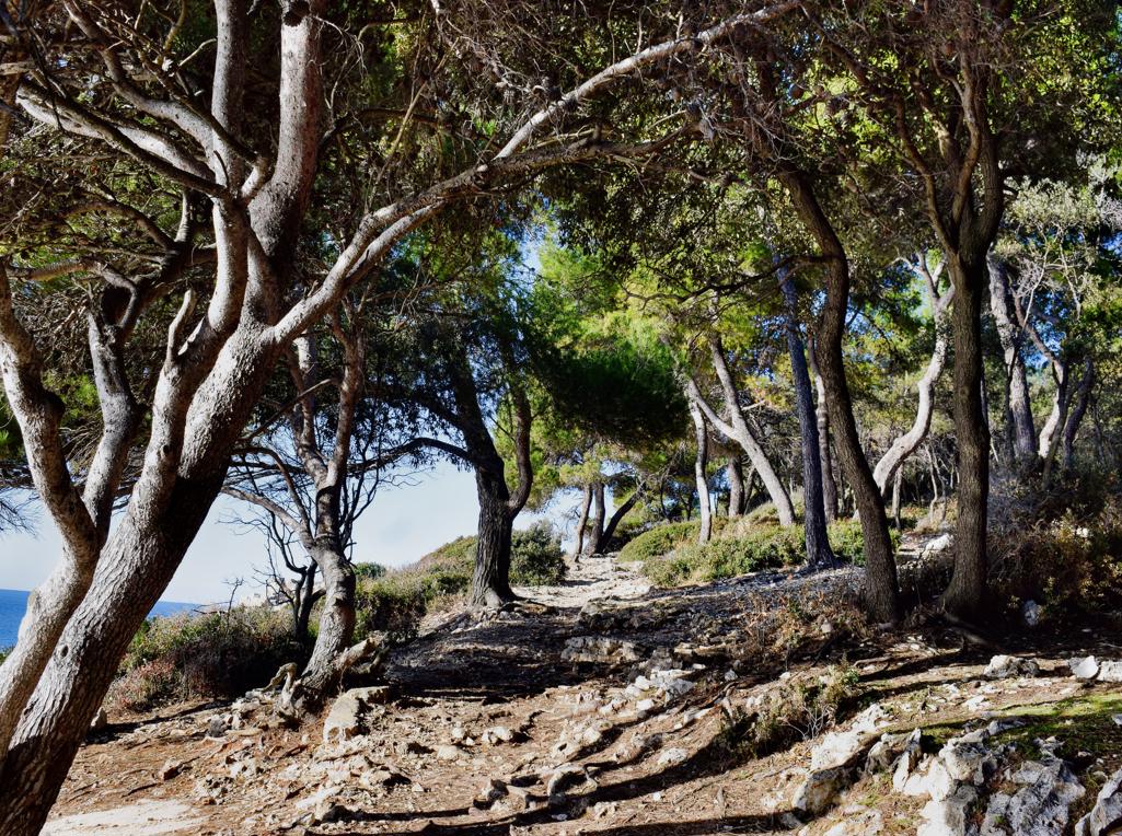
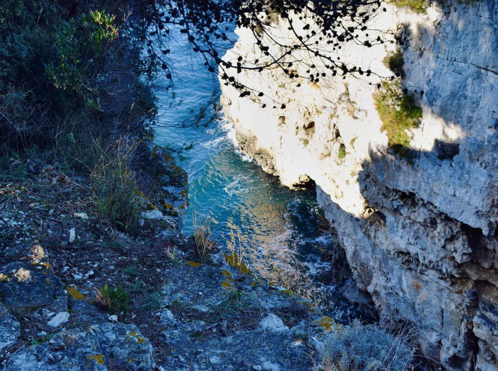
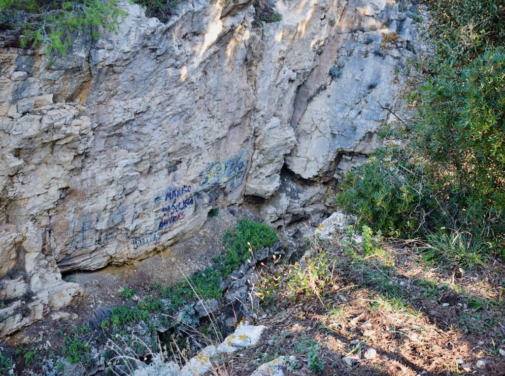
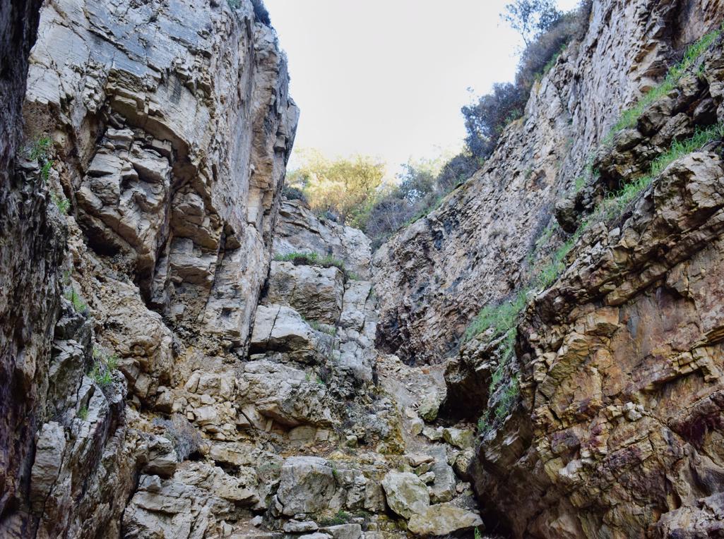
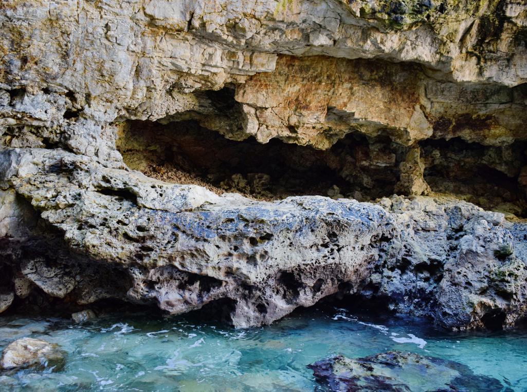
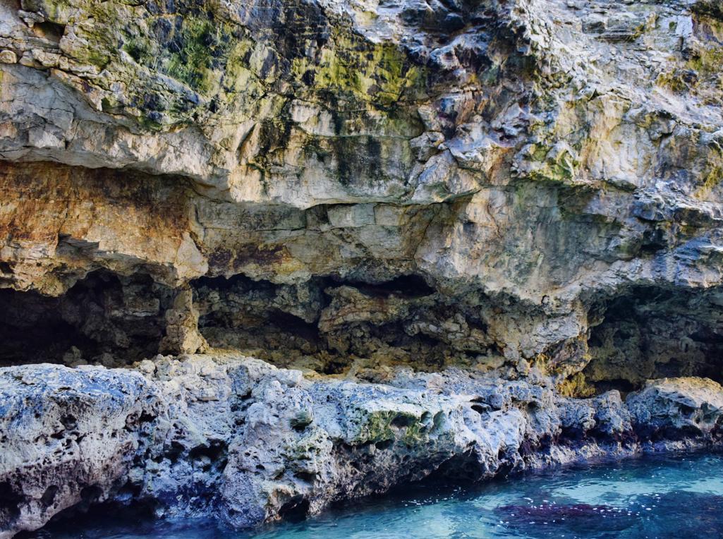
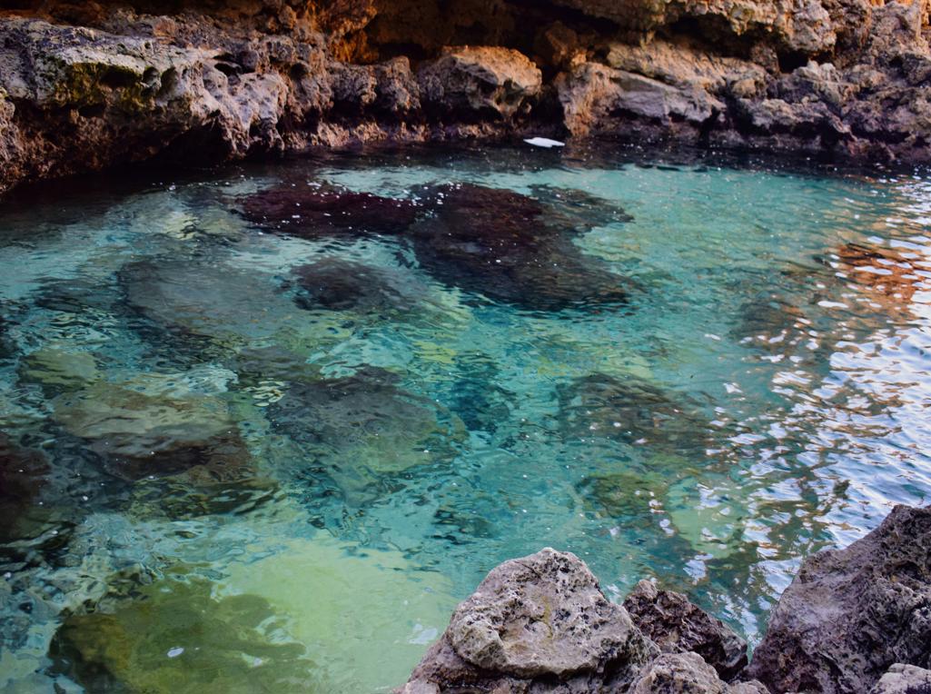
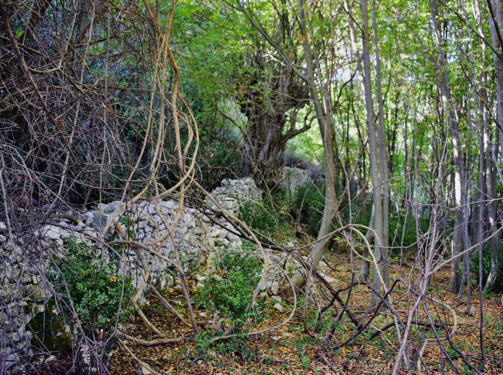
Name: Trail to the cliff/cave Velika kolombarica.
Place:: Prementura – (Medulin).
Coordinates: Start/end 44.79765 N – 13.90635 E, Kolombarica 44.76809 N – 13.91670 E.
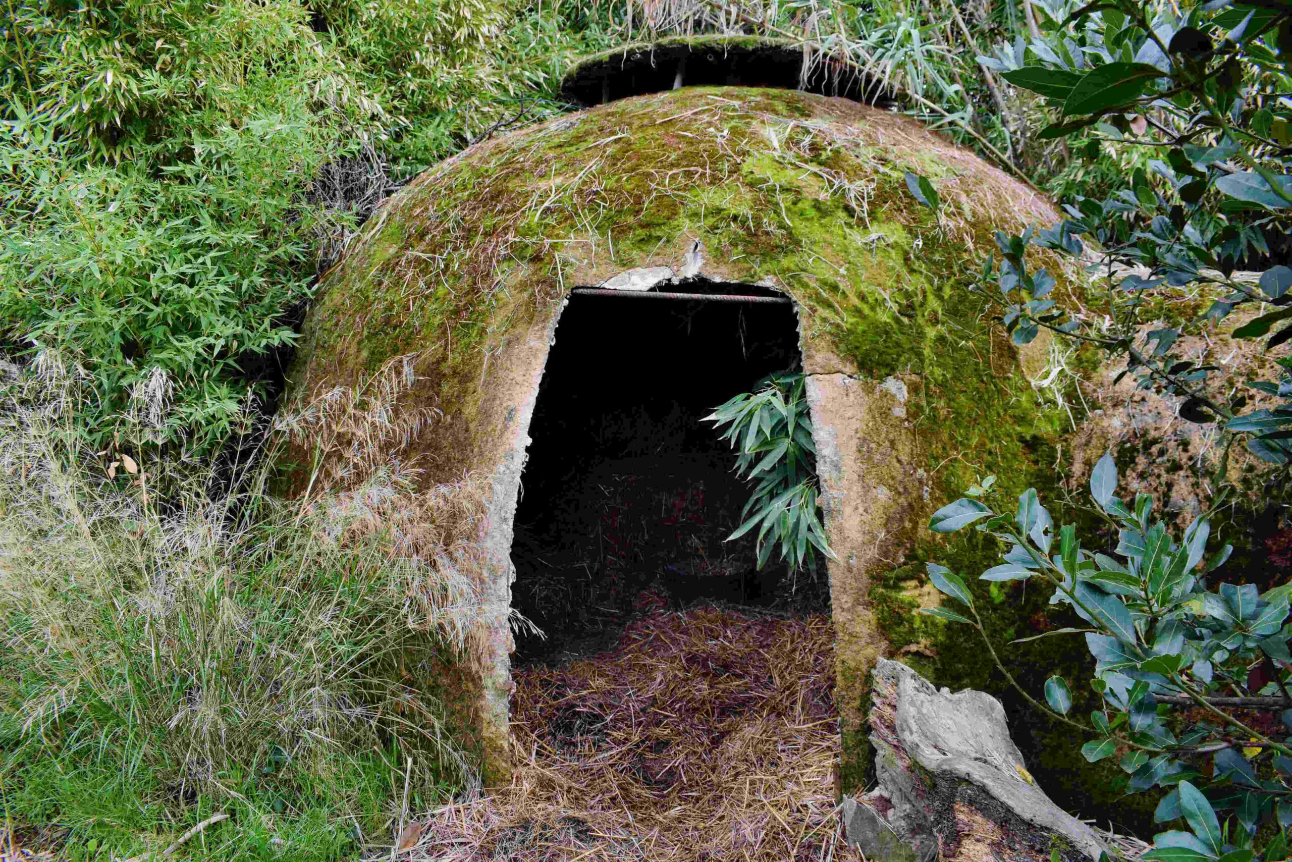
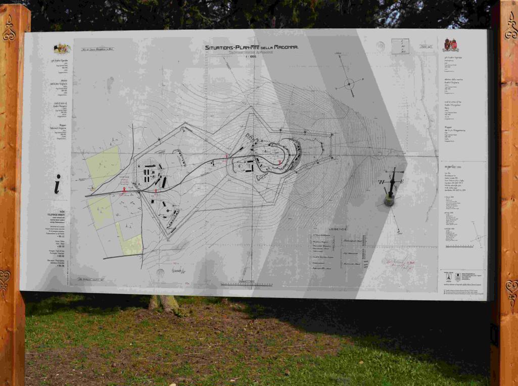
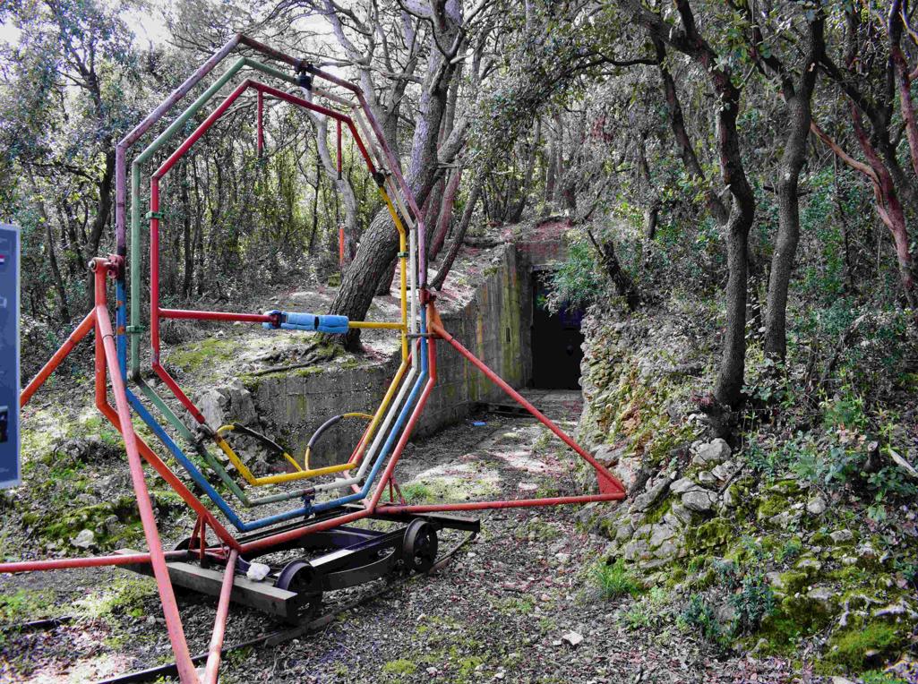
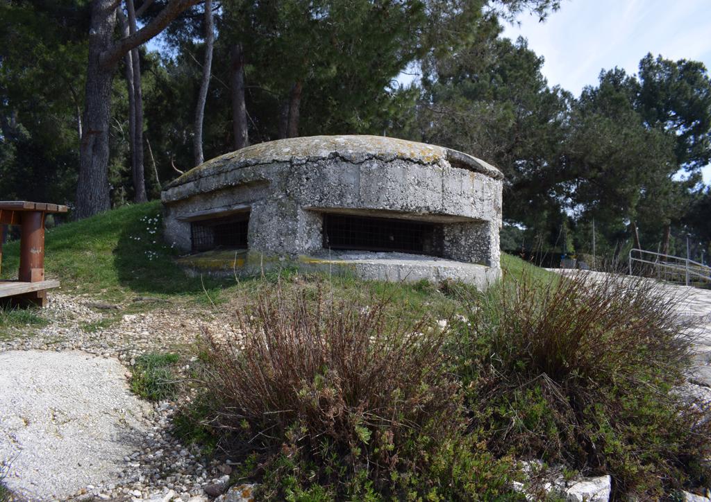
On the Madonna hill near the Kvarnar where built, in the Austria-.Hungarian period 1813-1918, underground batteries, to protect the harbour of Pula.
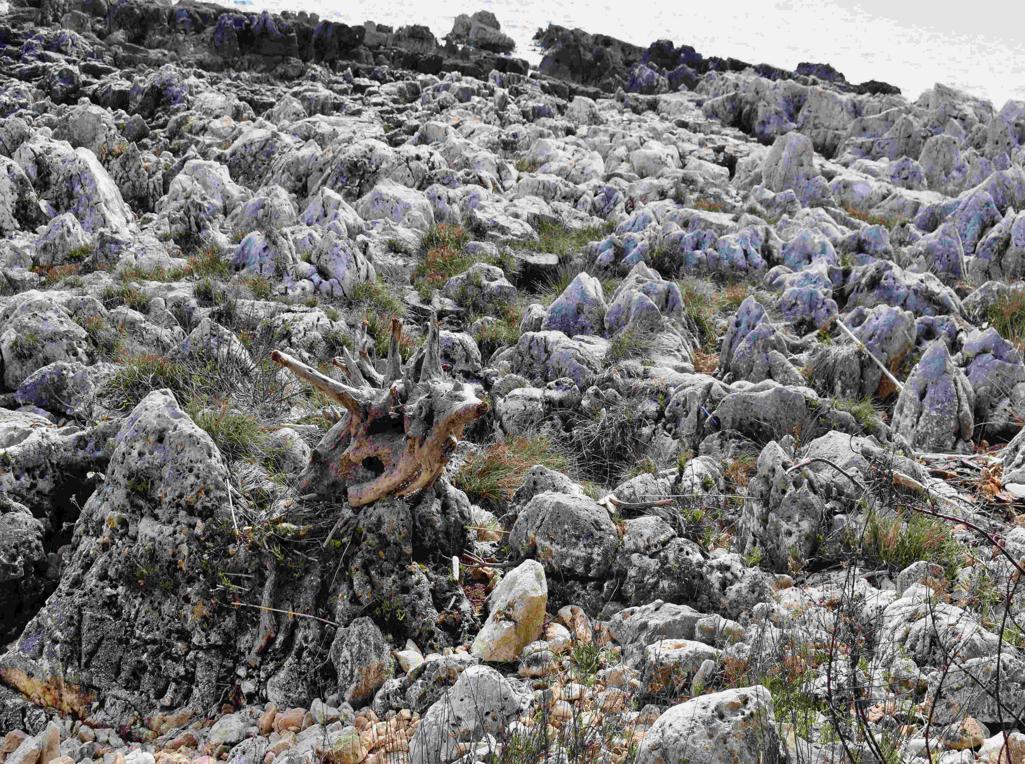
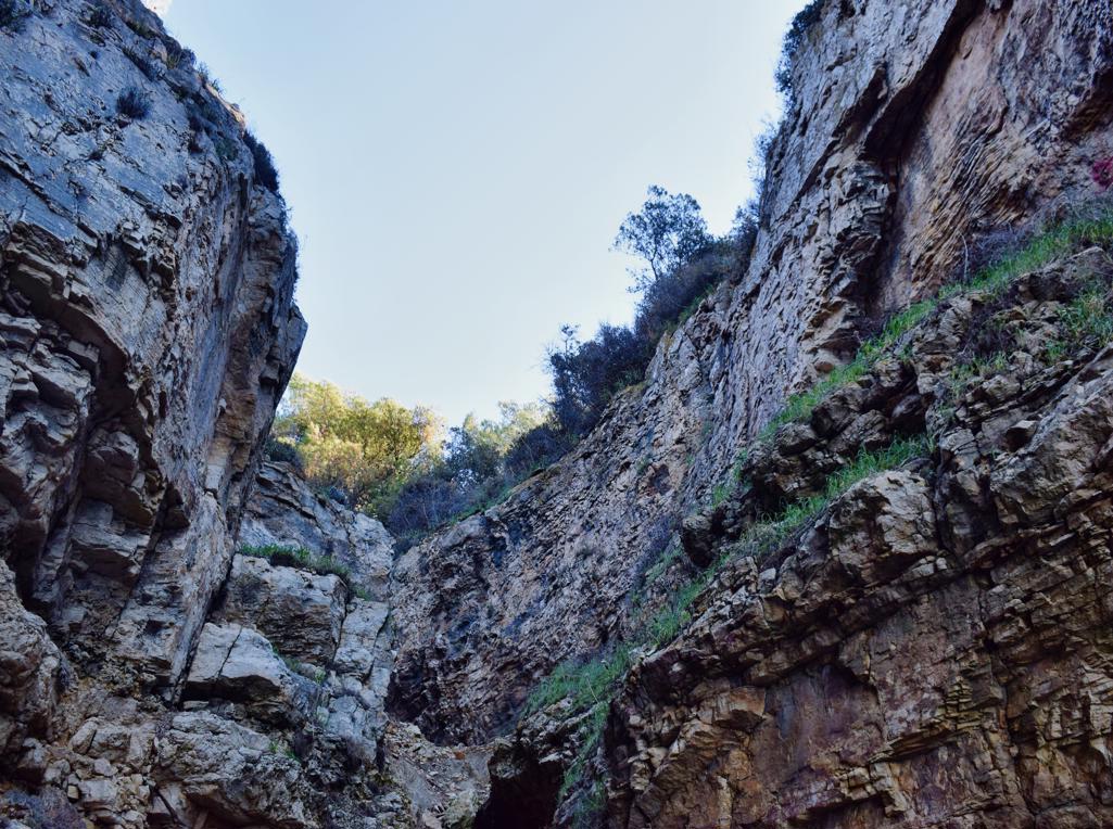
Name: Hiking trail 141 from Sišan to the cape Sv. Stipan, and to the bay Vela Draga.
Place: Sišan – (Ližnjan).
Coordinates: Sišan 44.84824 N – 13.96539 E , Cape Sv. Stipan 44.86313 N – 13.99916 E, Bay Vela Draga 44.84312 N – 13.97867 E.
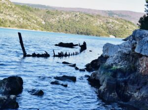
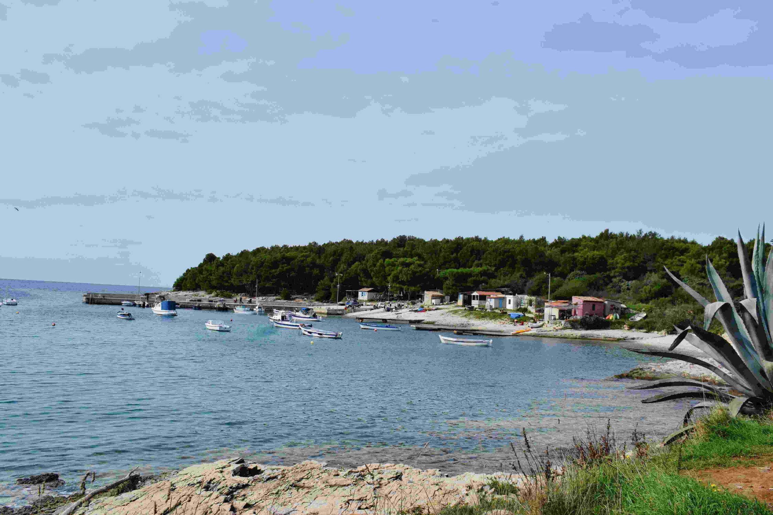
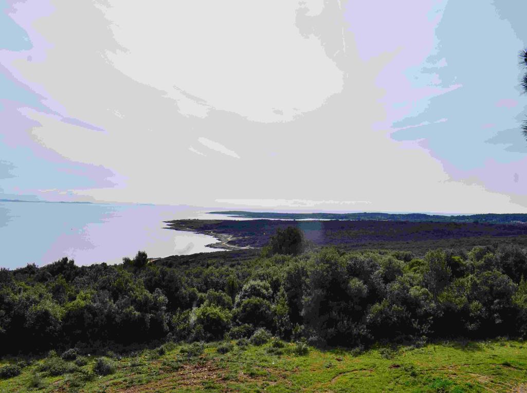
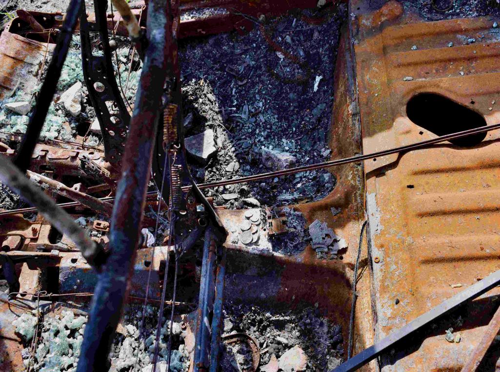
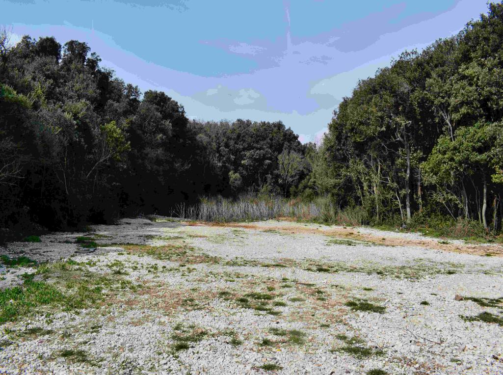
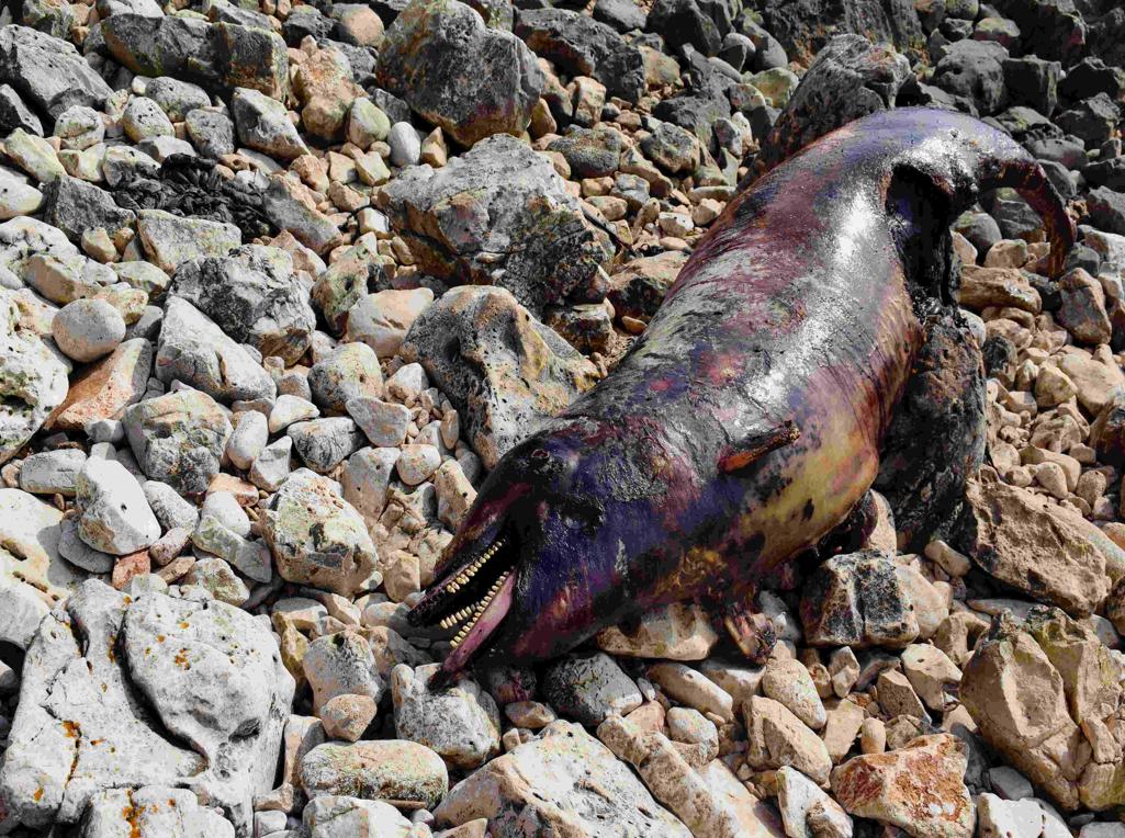
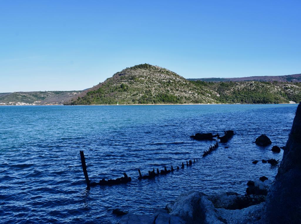
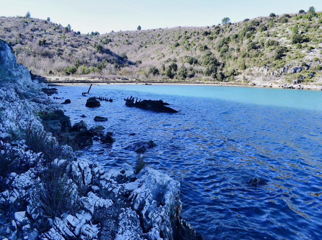
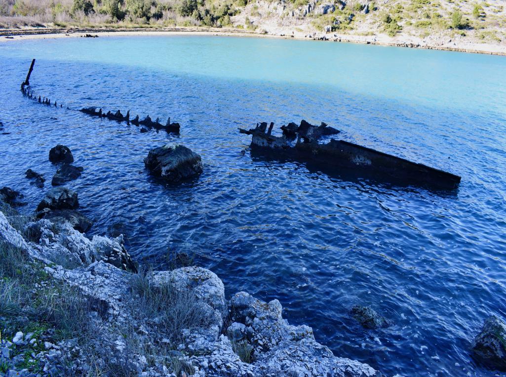
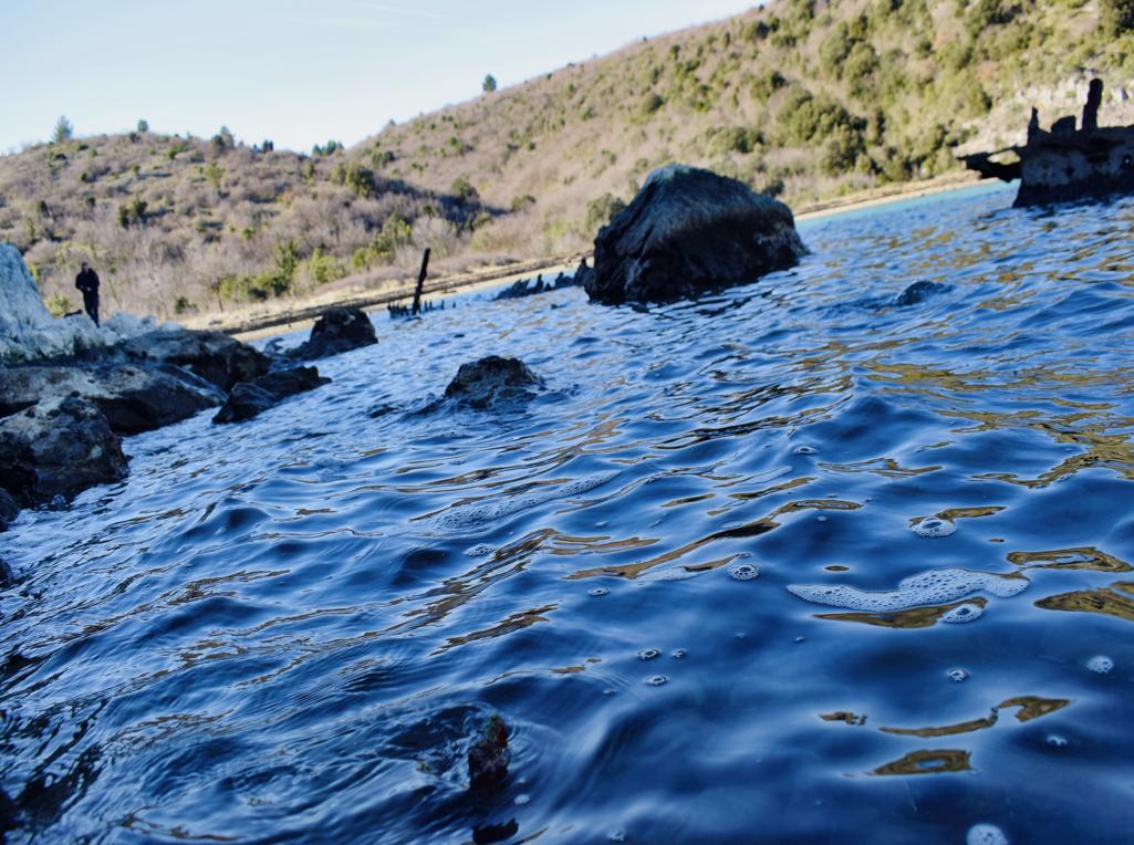
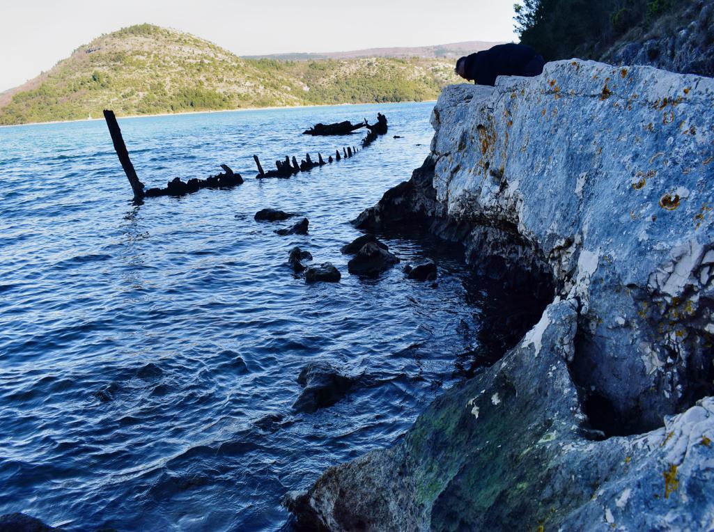
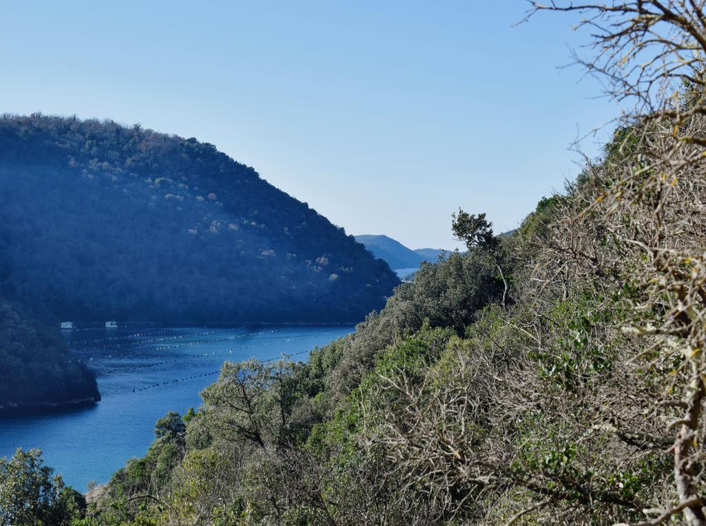
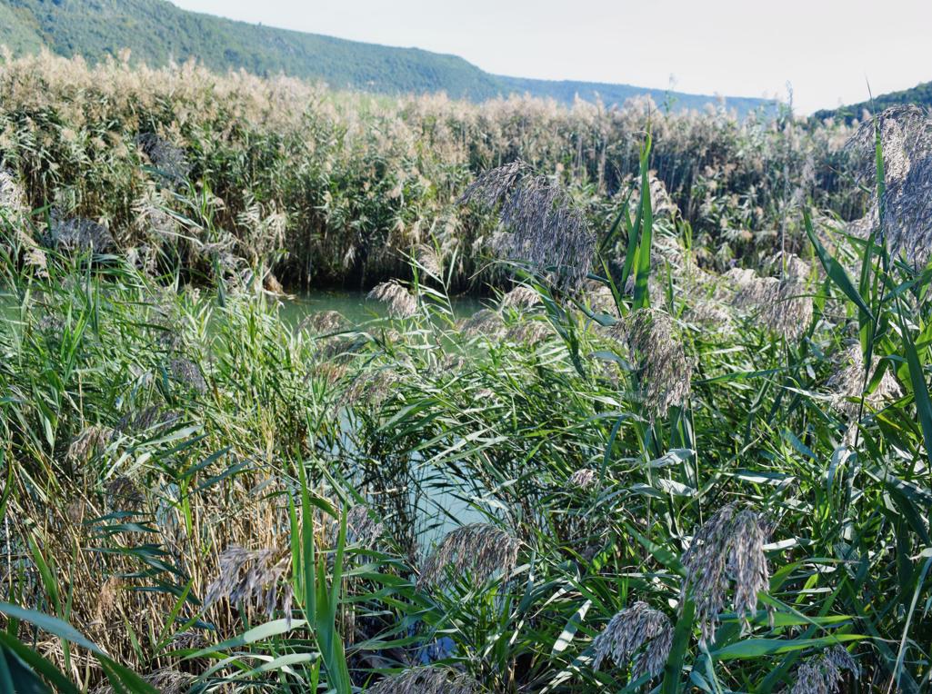
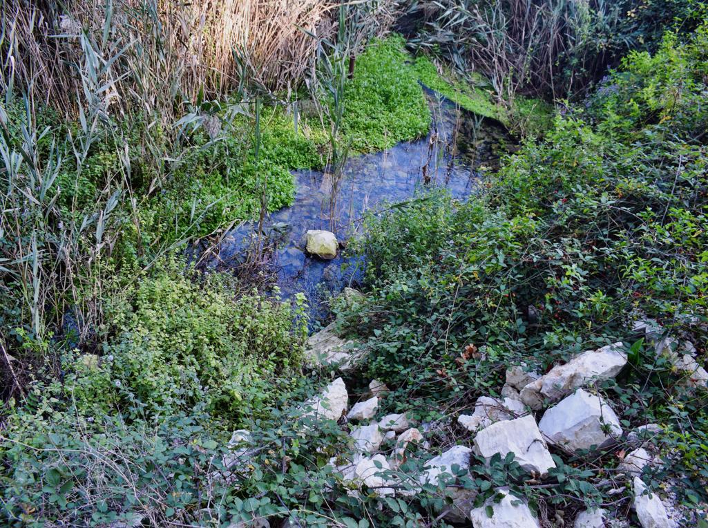
Name: Hiking trail to the Bay Salemušćica with a wreck.
Place: Rakalj – (Marčana).
Coordinates: Start: 44.99792 N – 14.04201 E, Bay: 44.99670 N -14.04801 E.

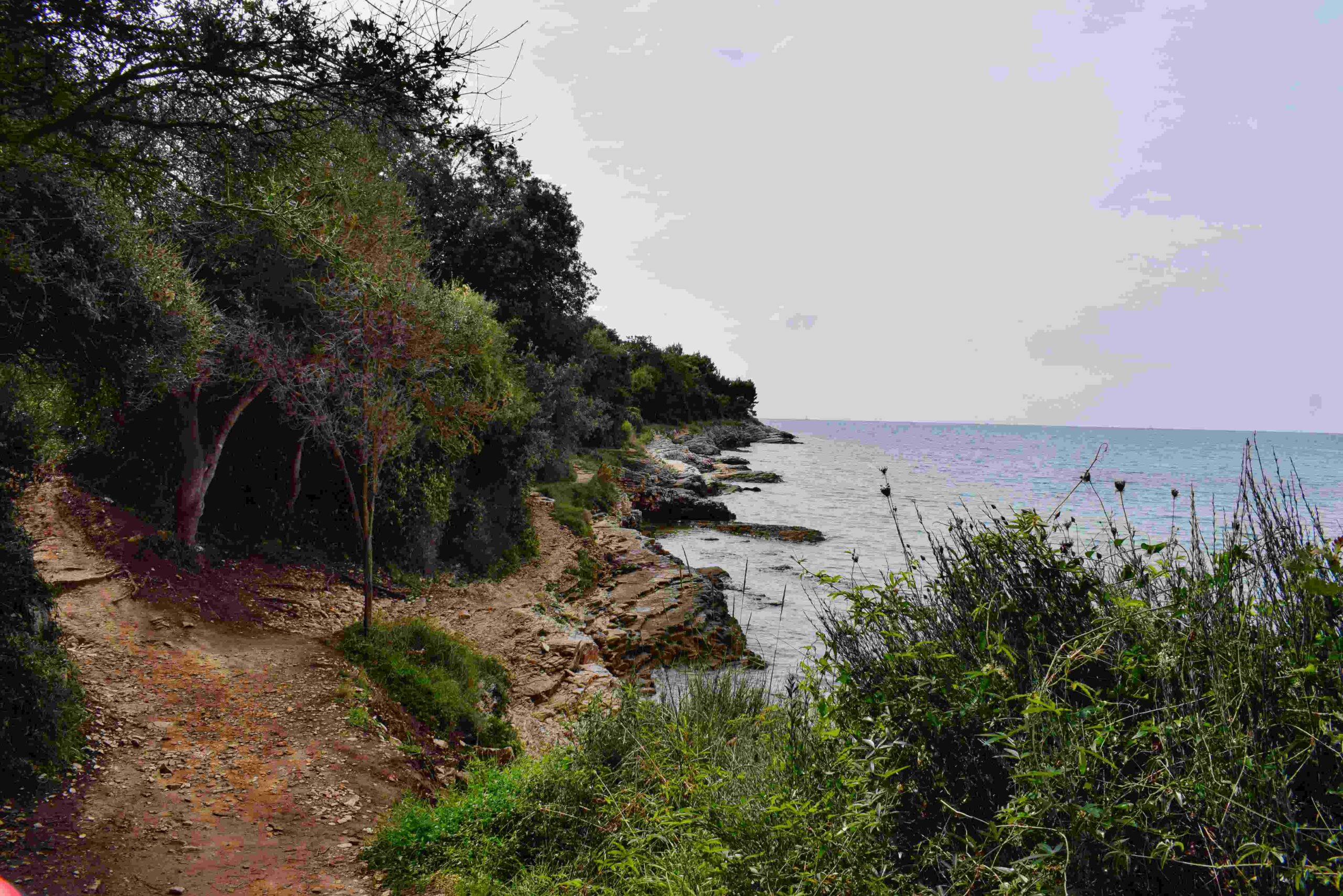
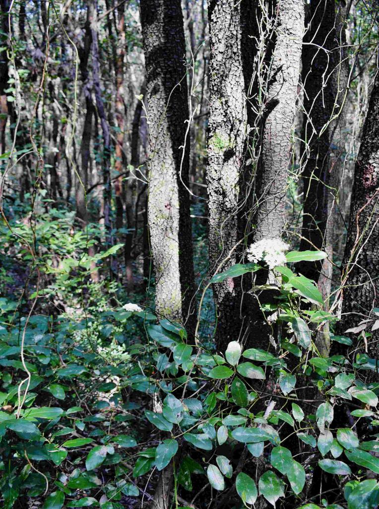
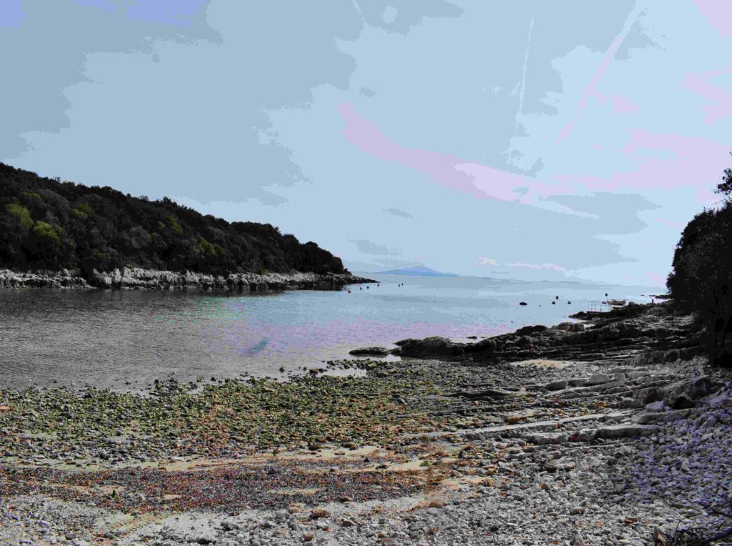
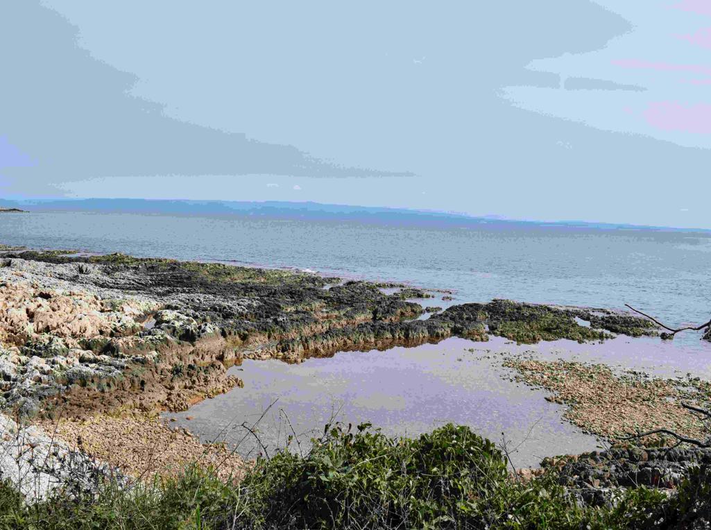
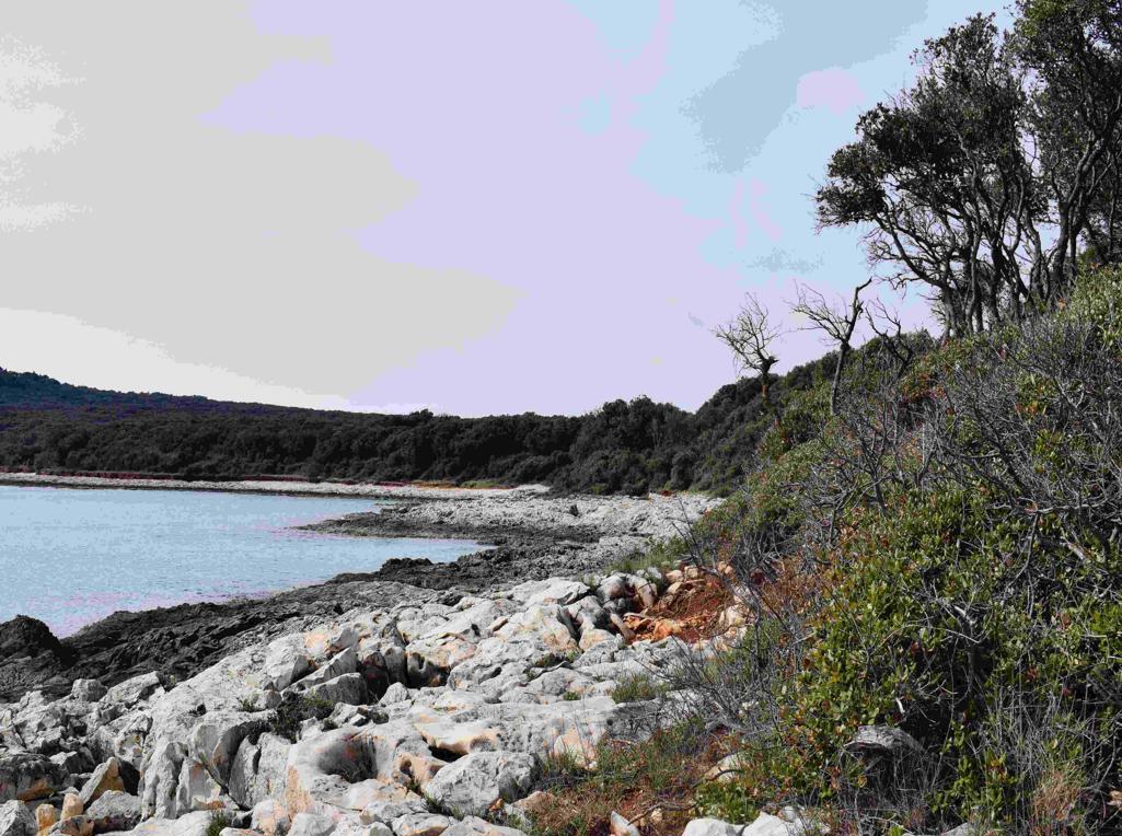
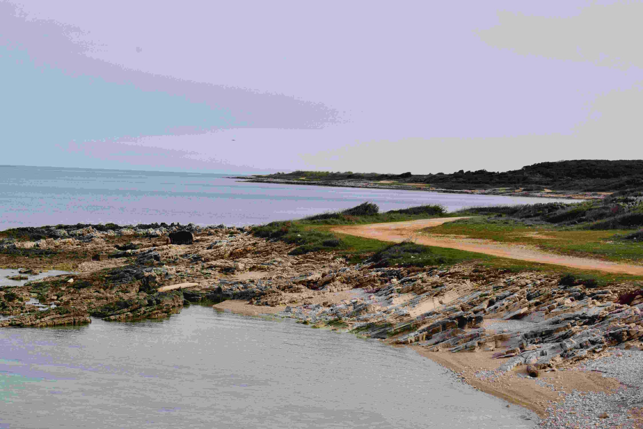
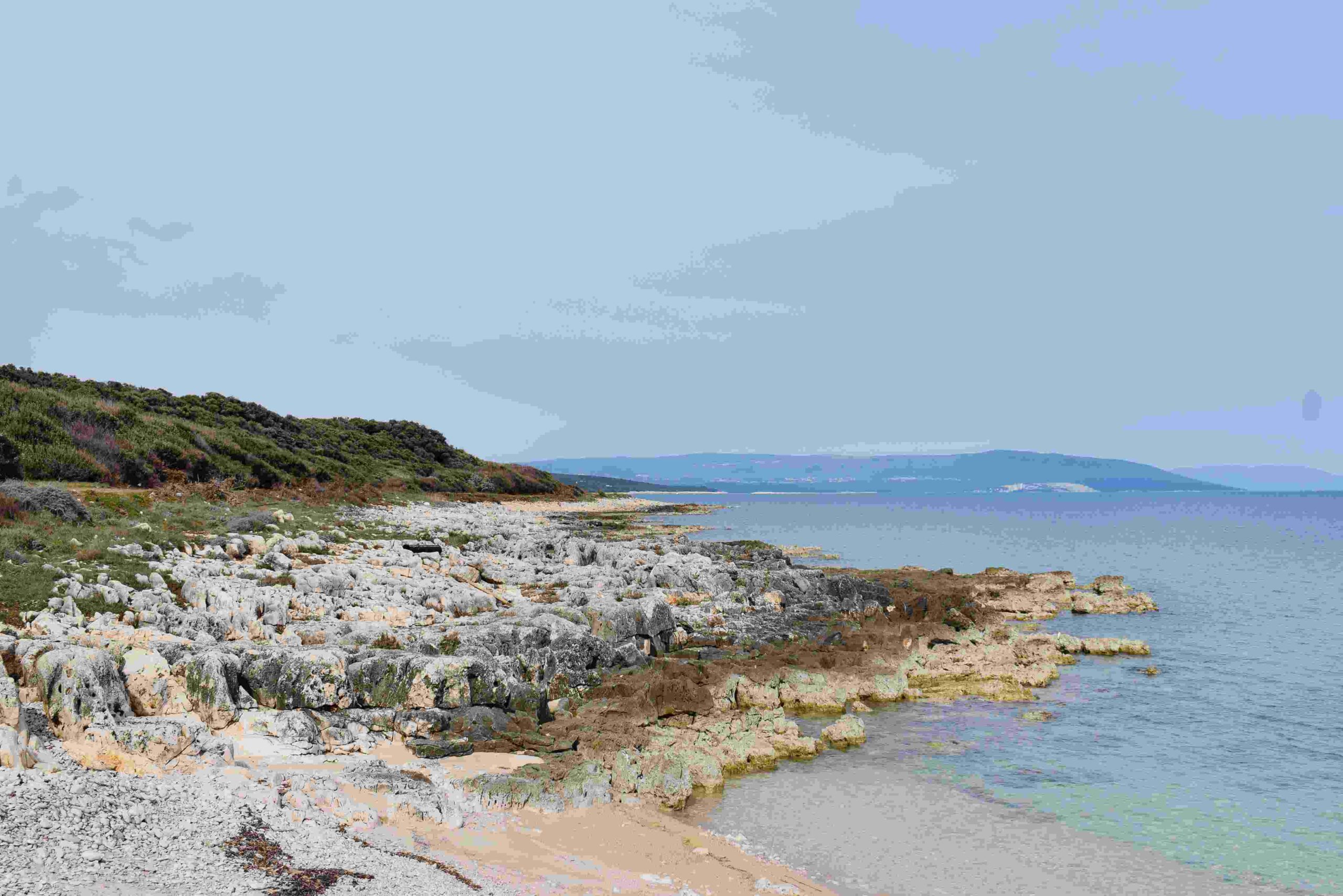
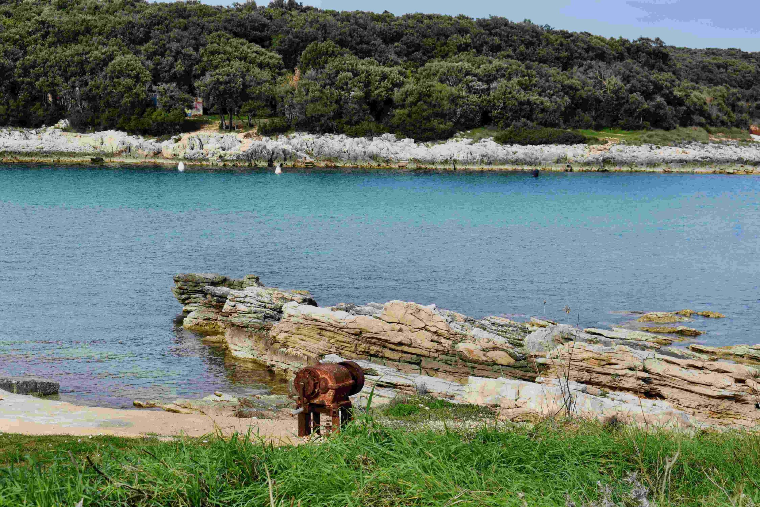
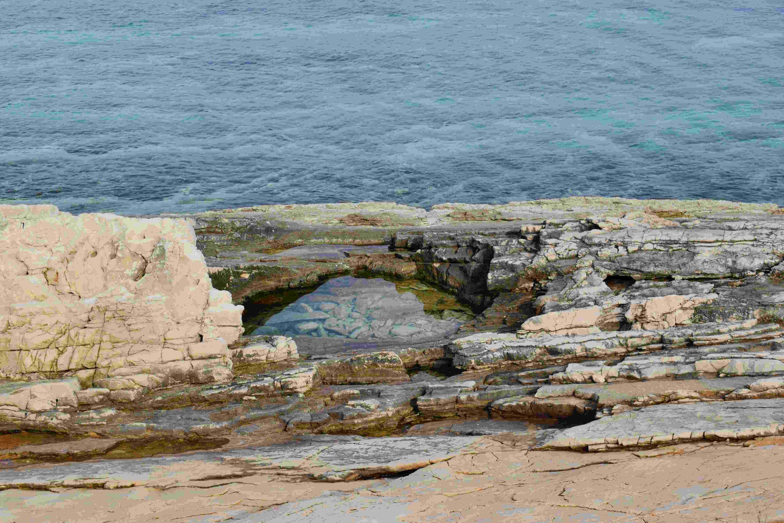
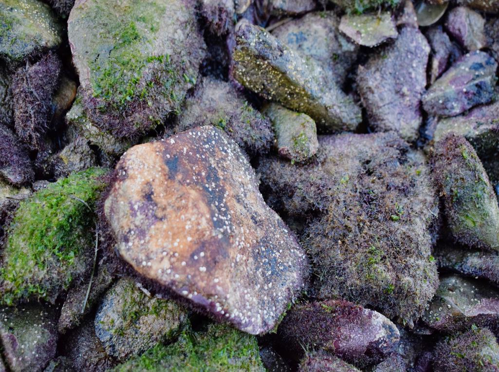
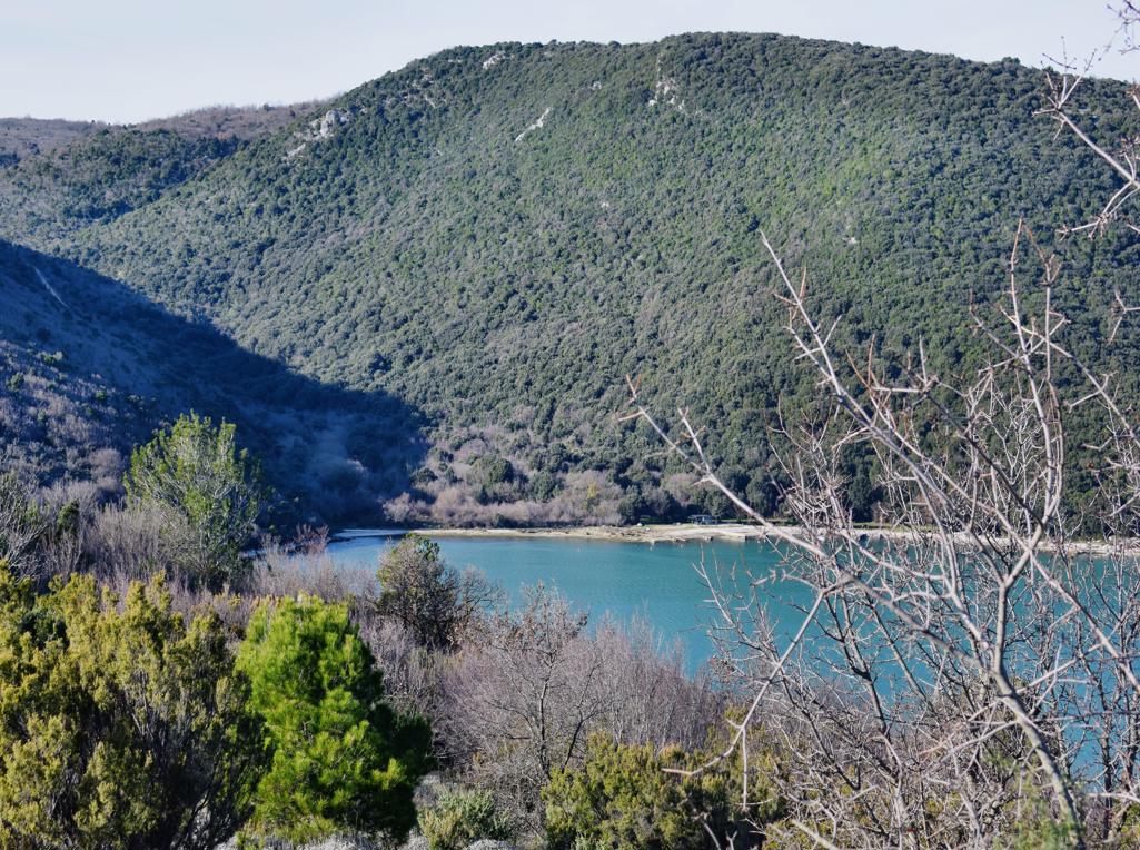
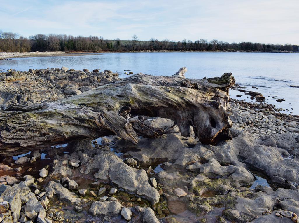
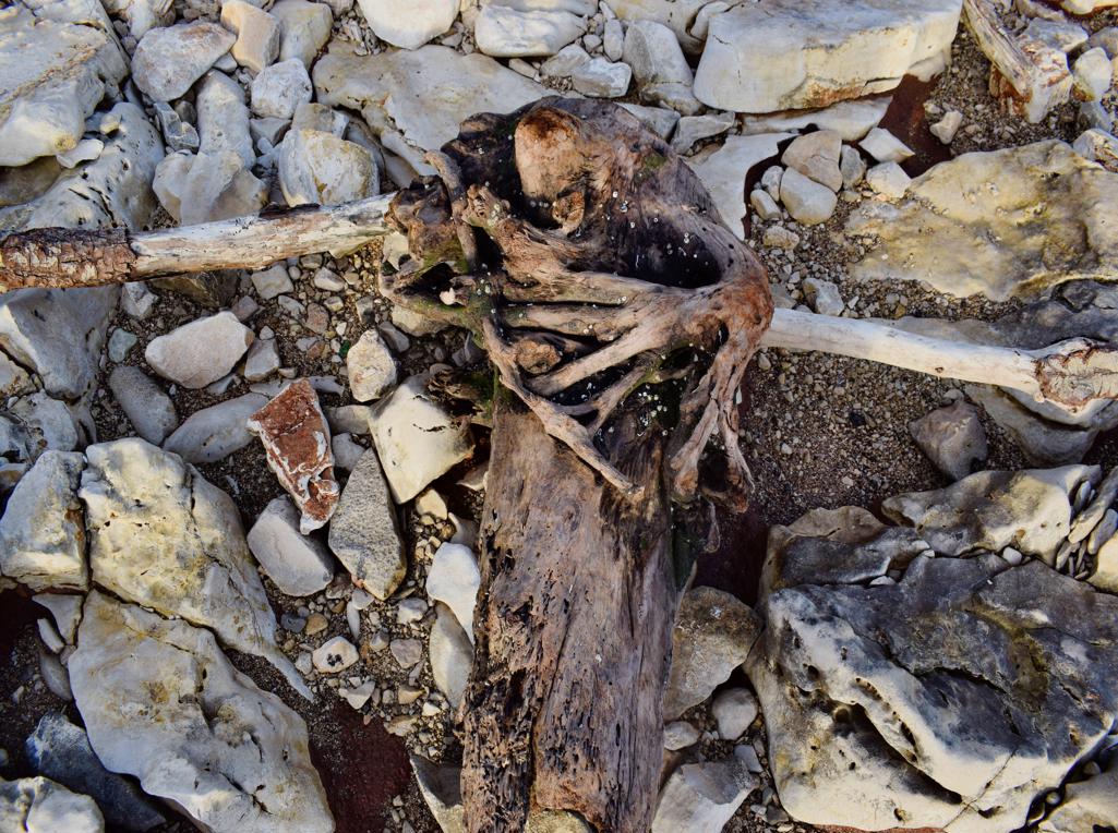
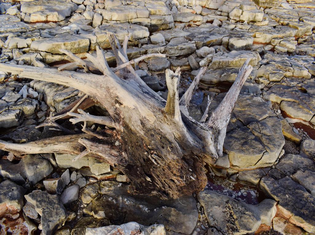
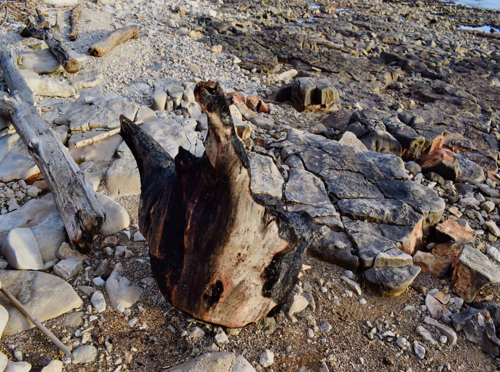
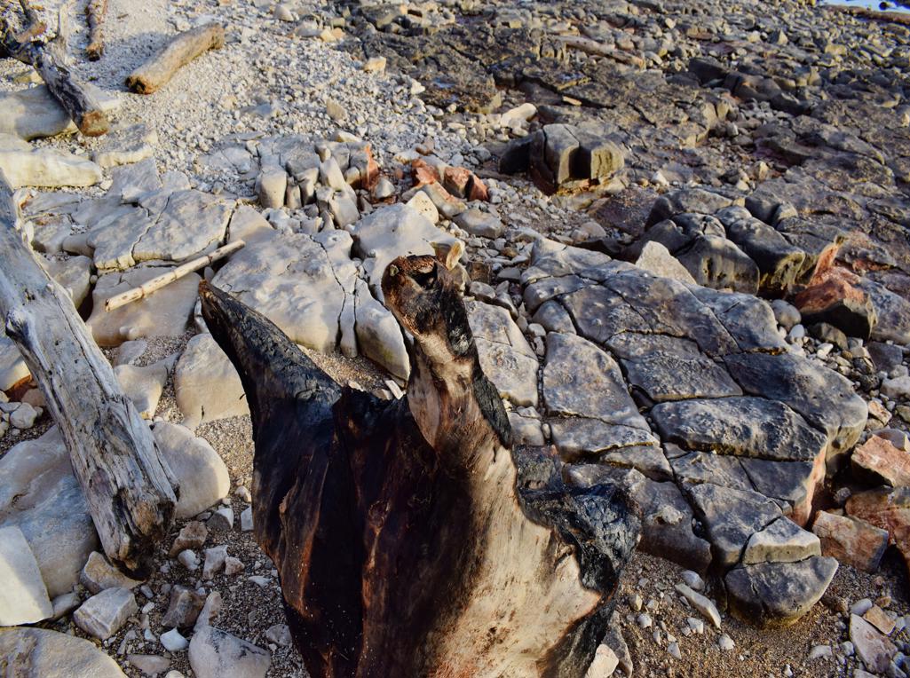
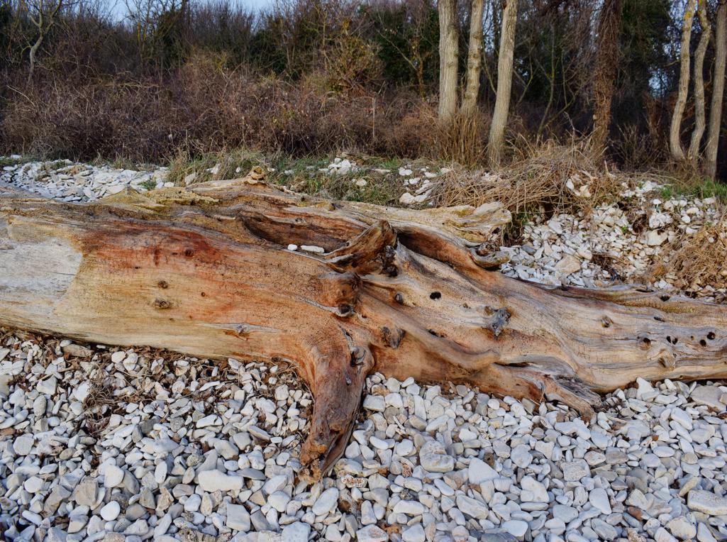
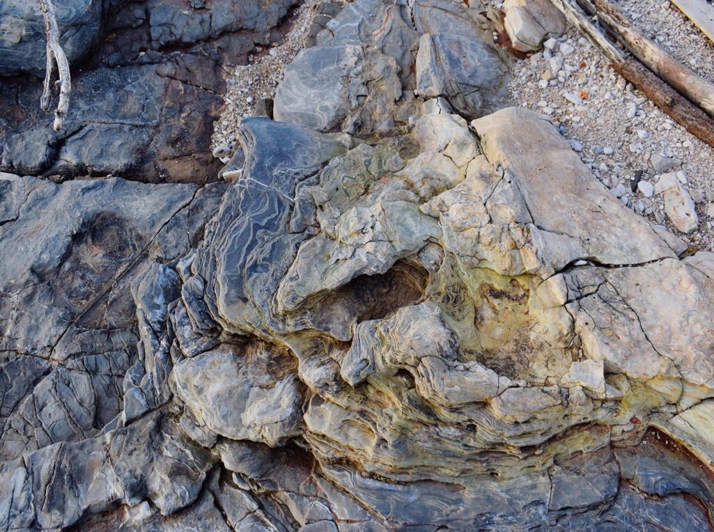
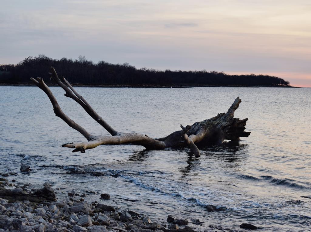
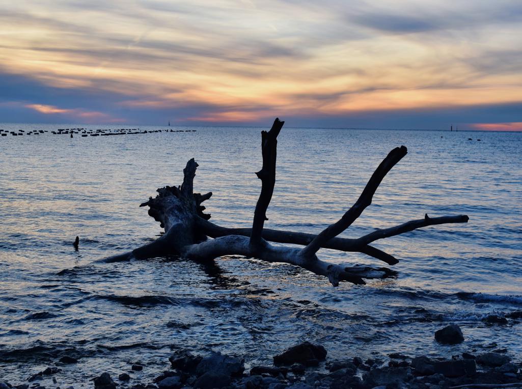
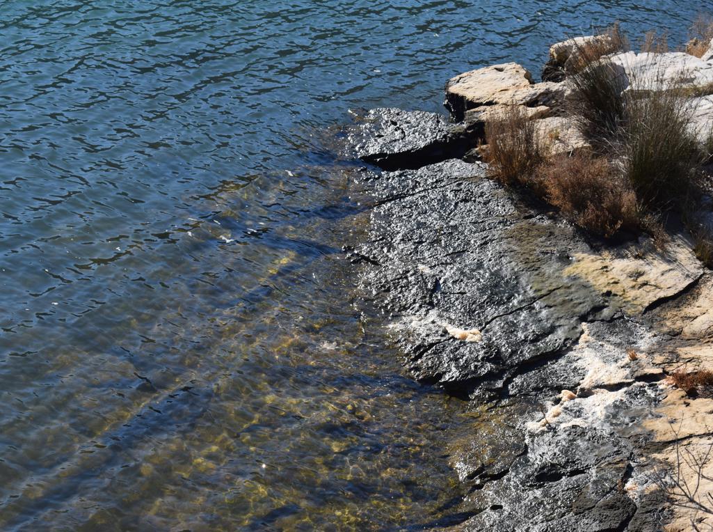
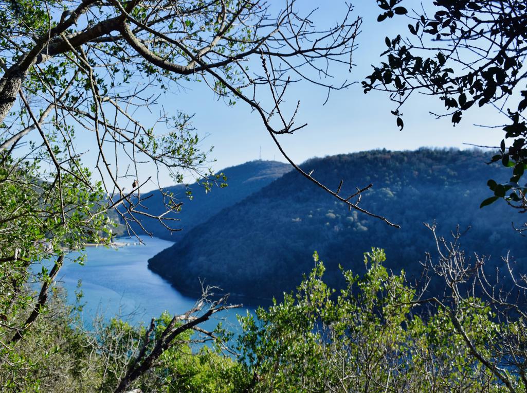
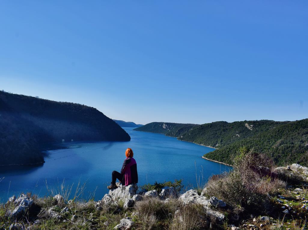
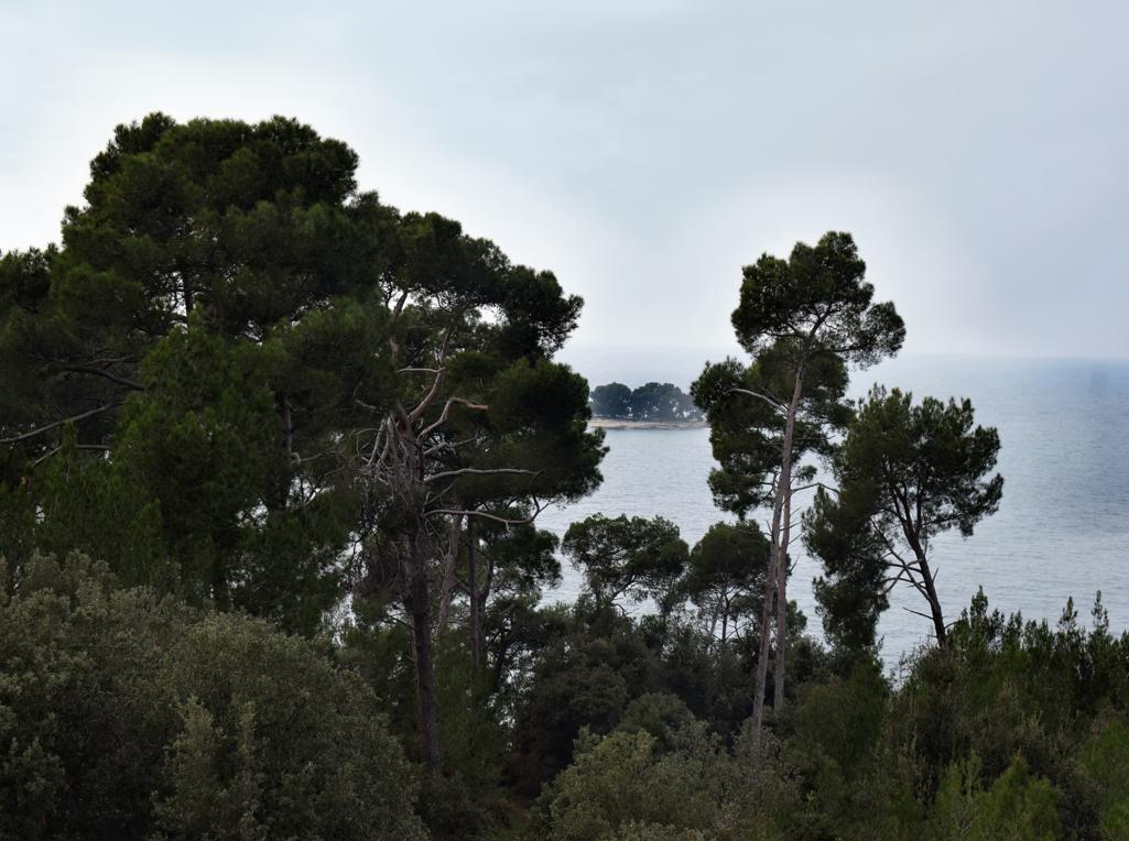
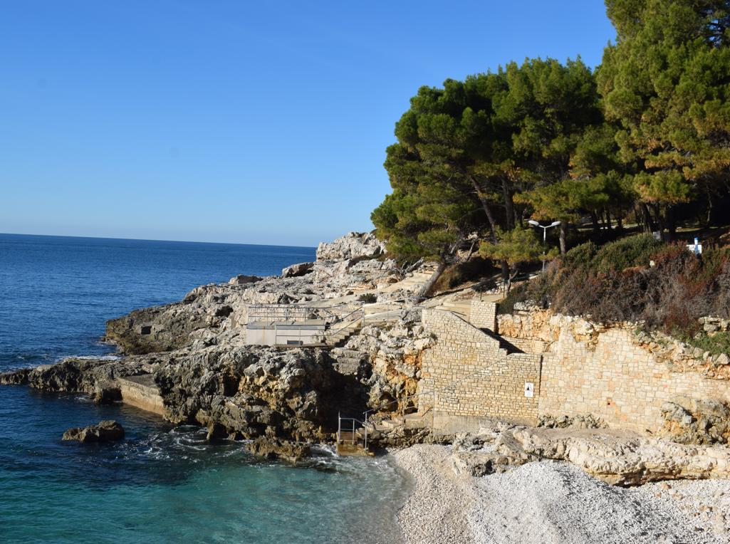
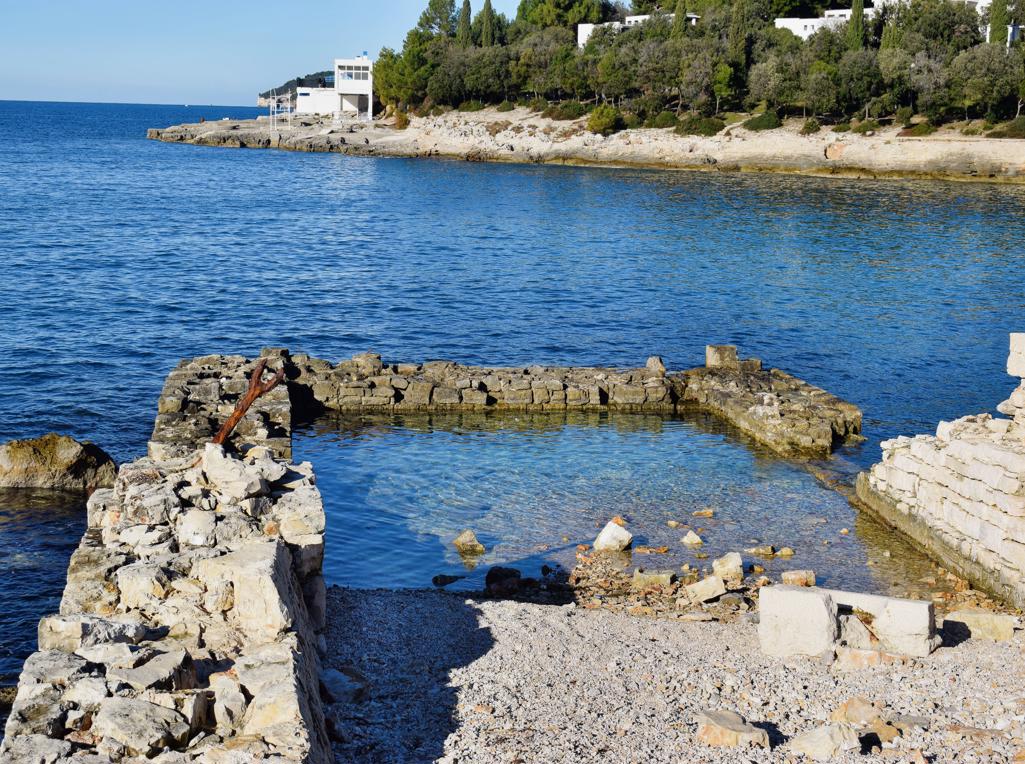
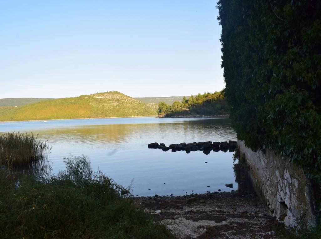
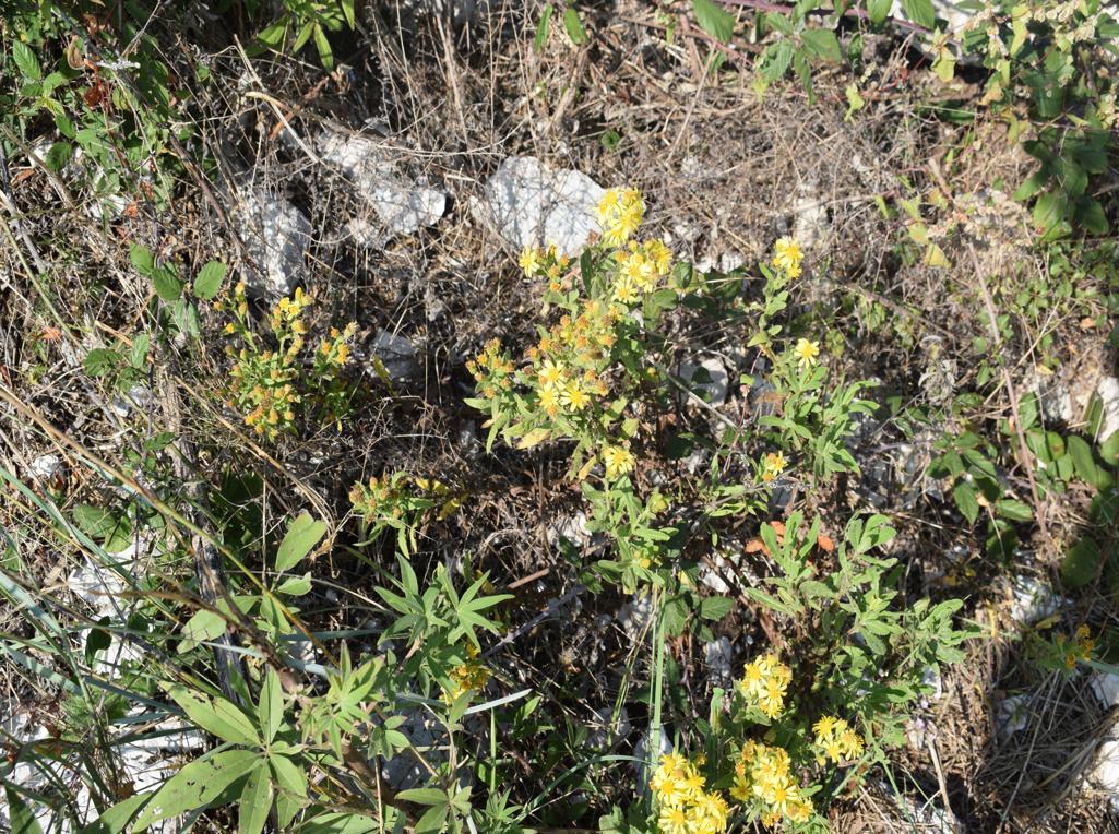
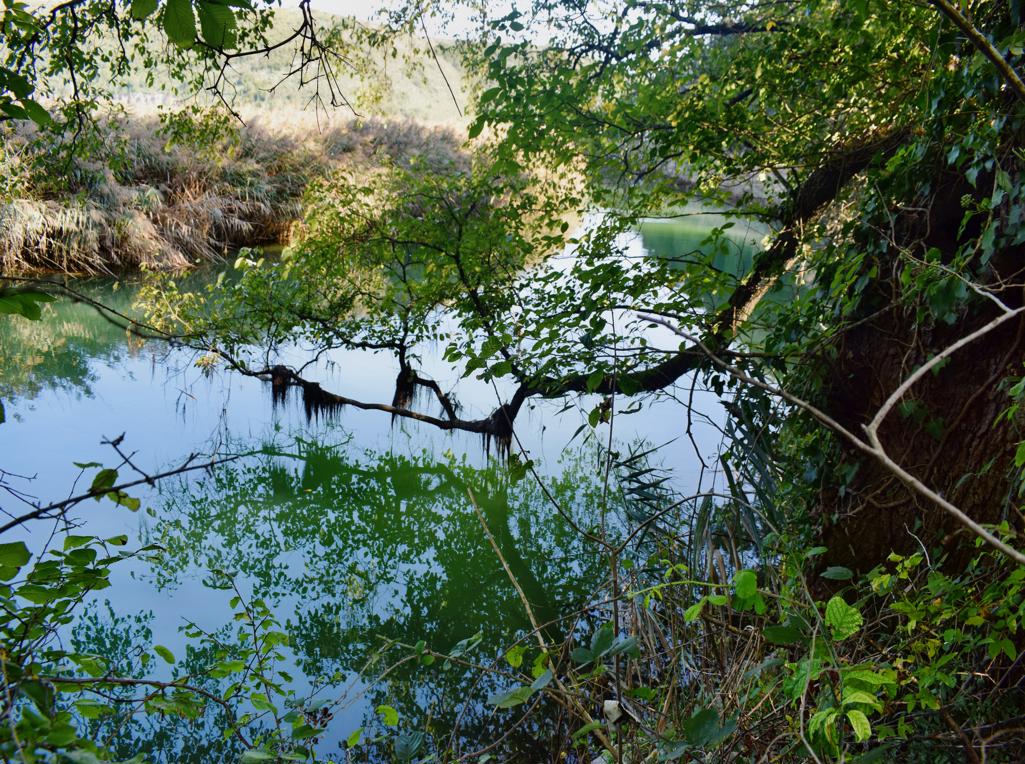
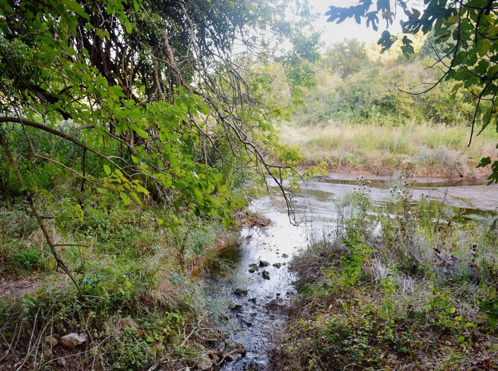
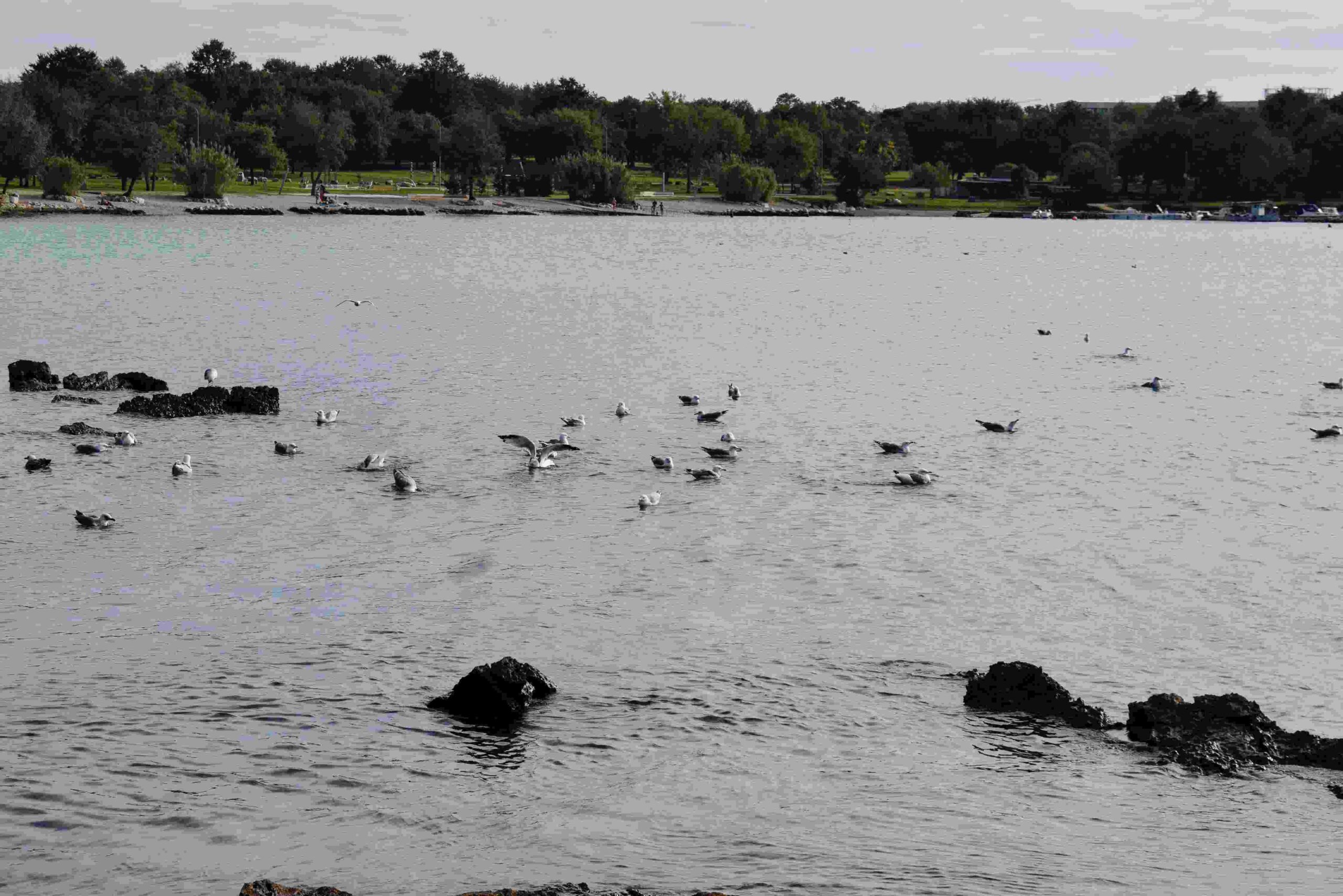
Name: Coast bay Mrčanela – Červar Porat.
Place: Červar Porat – (Poreč).
Coordinates: 45.27396 N – 13.58300 E.
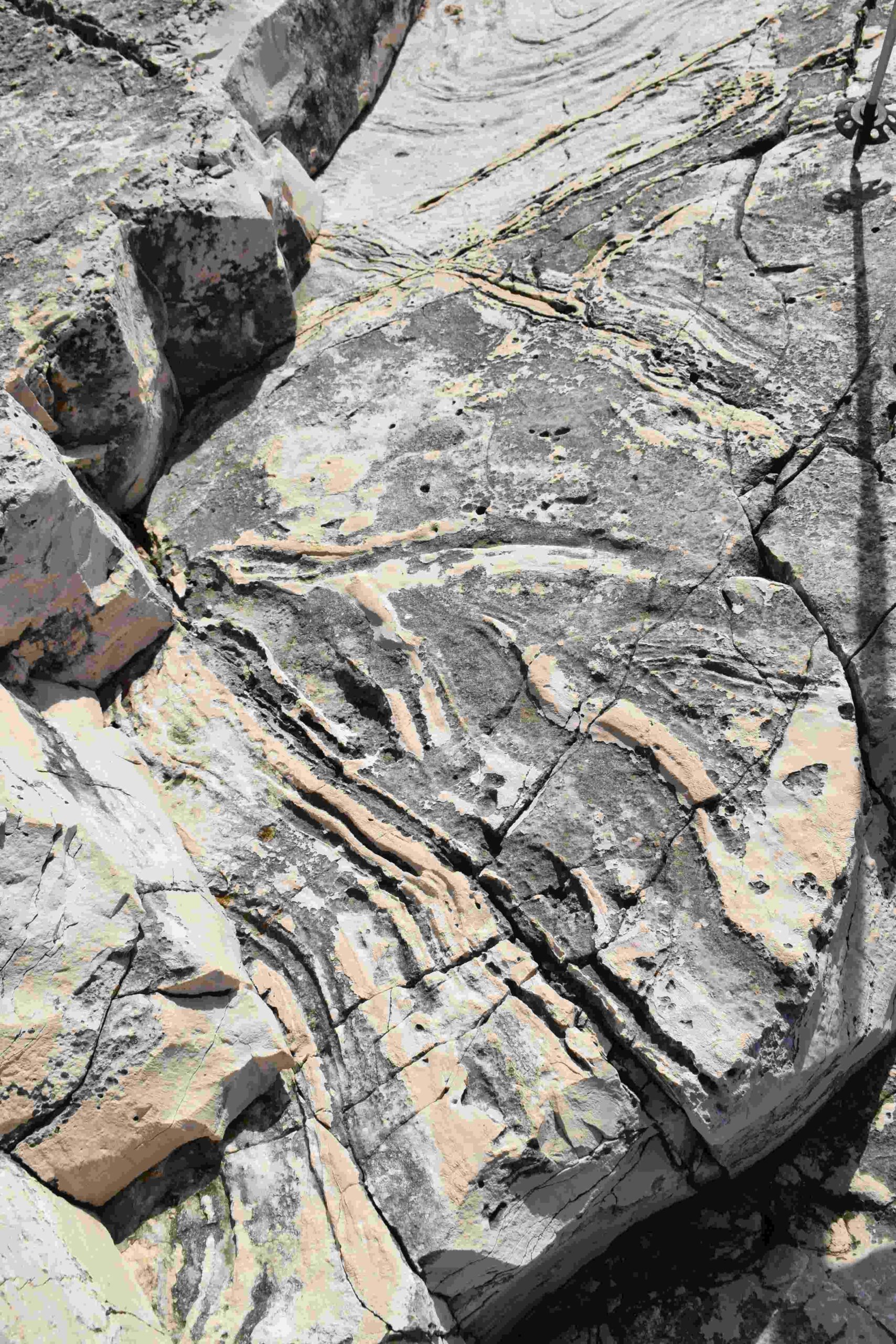
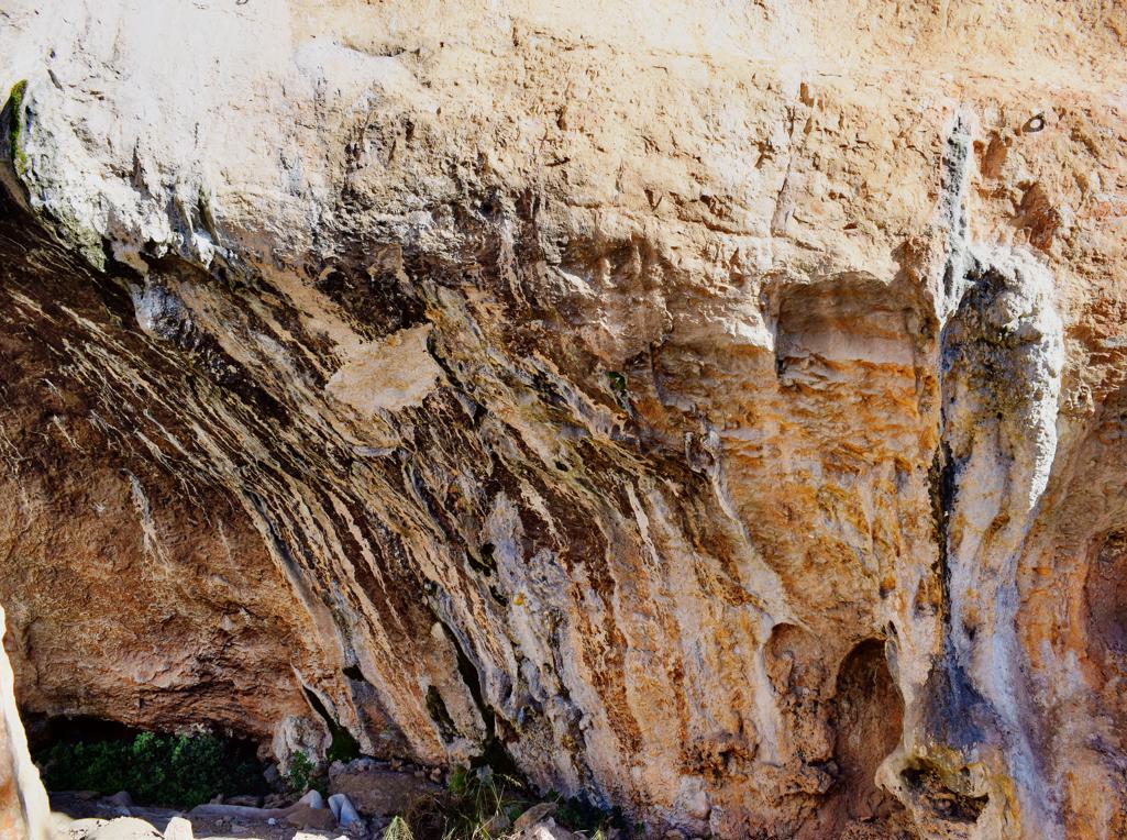
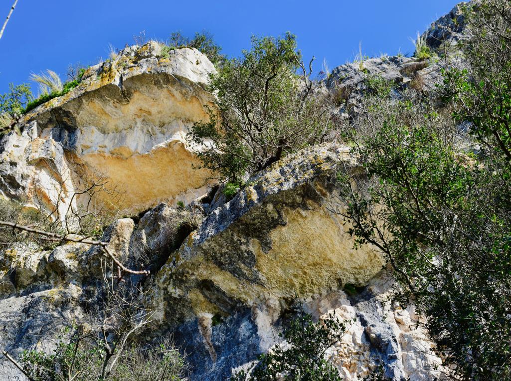
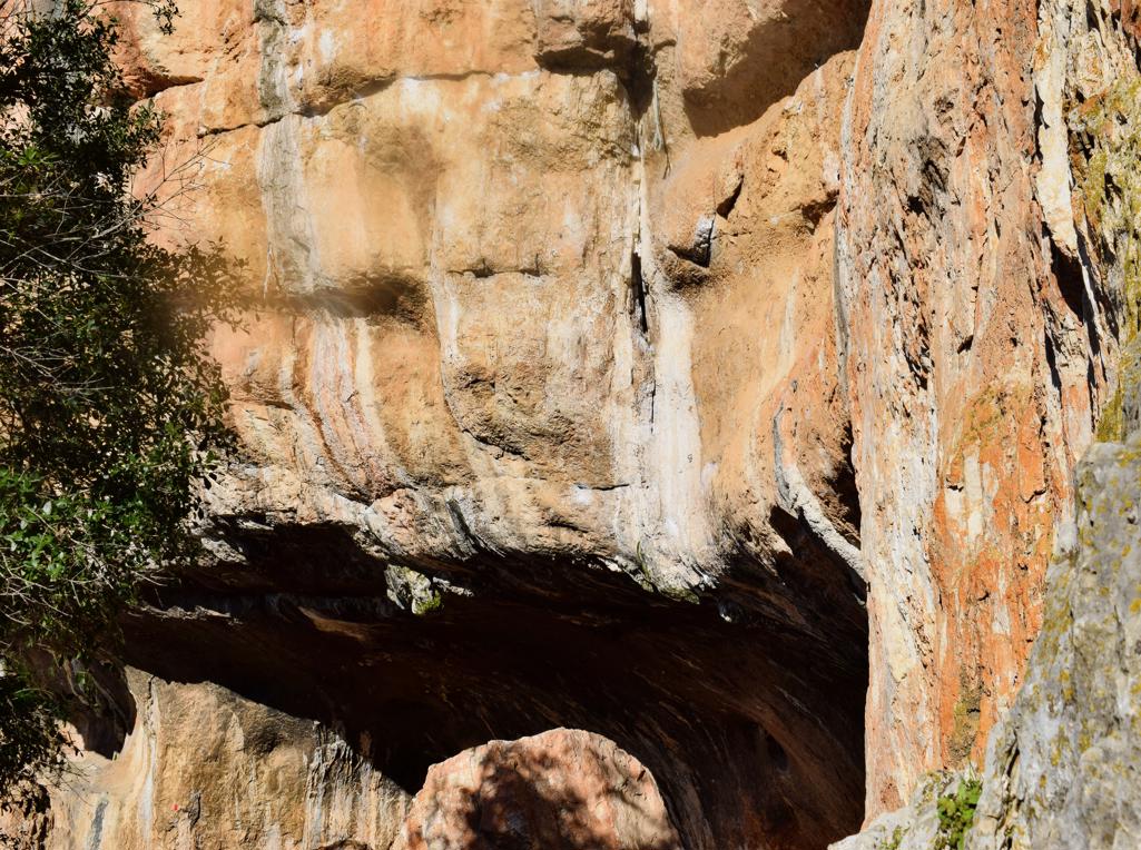
From the fish factory to rock formations Vrela and Kozarica withthe climbing rocks Hproskop and Krugi.
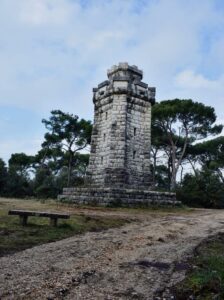
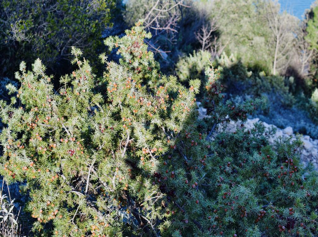
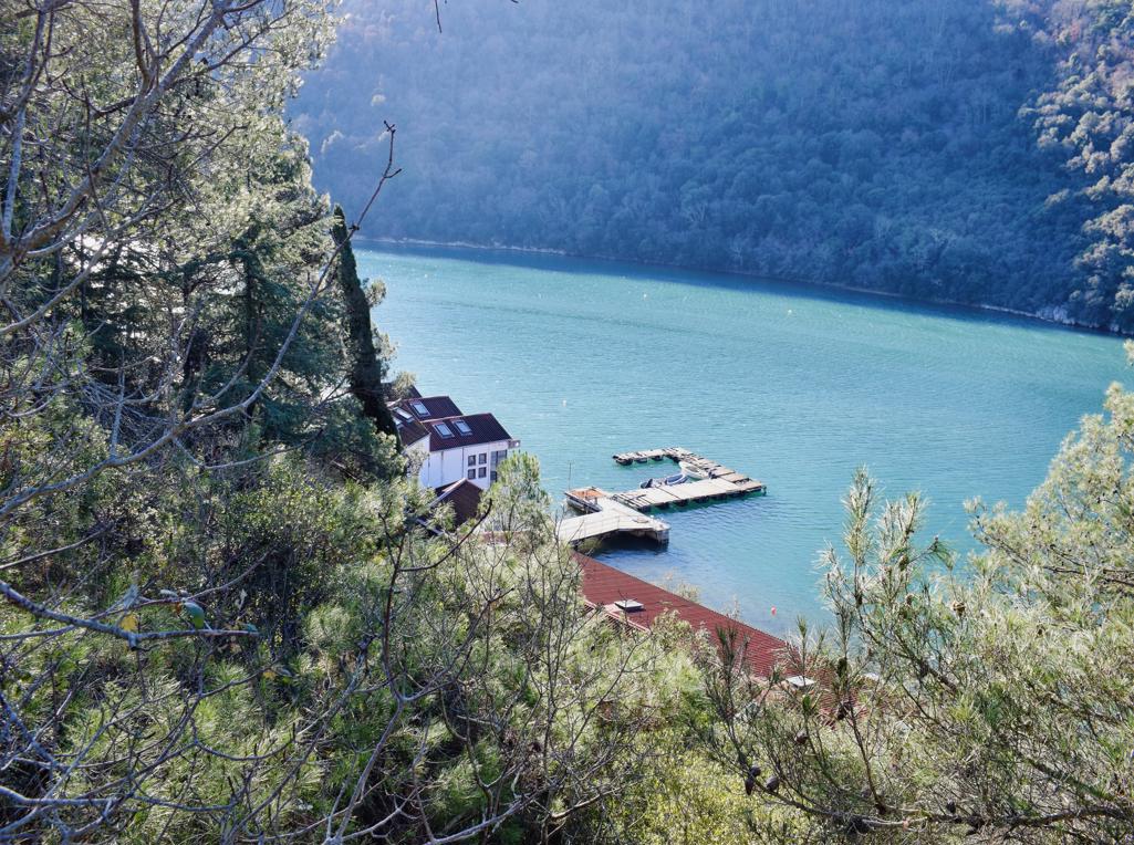
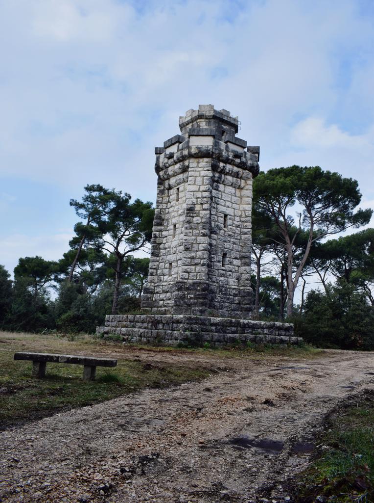
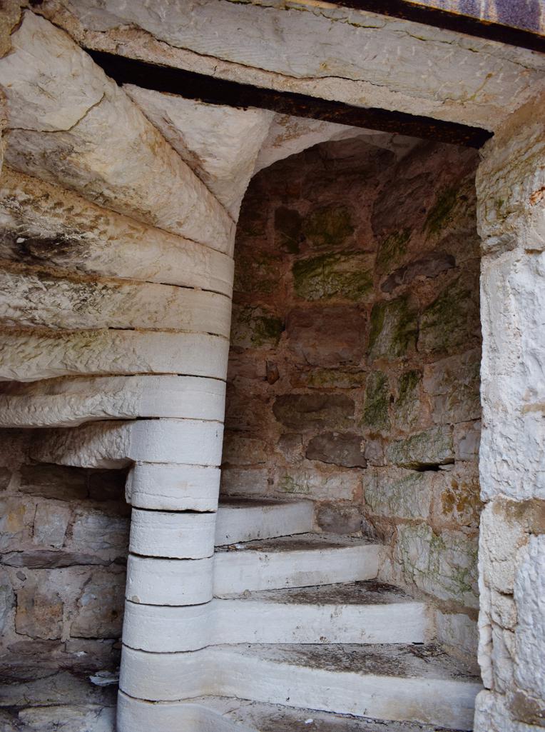
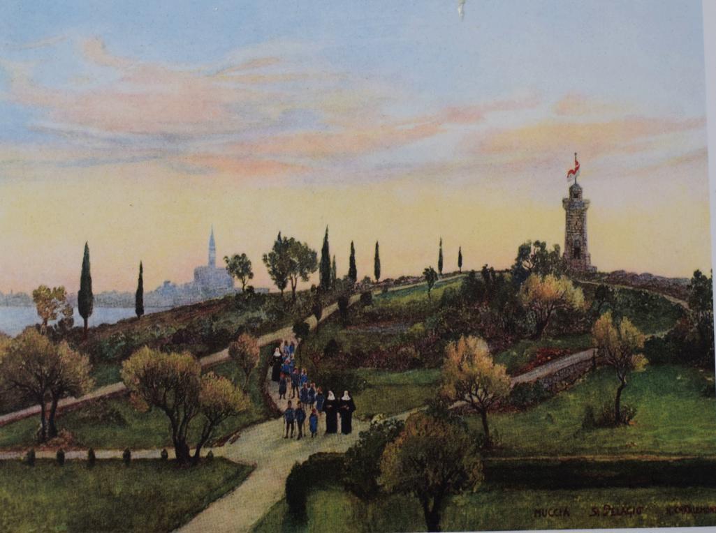
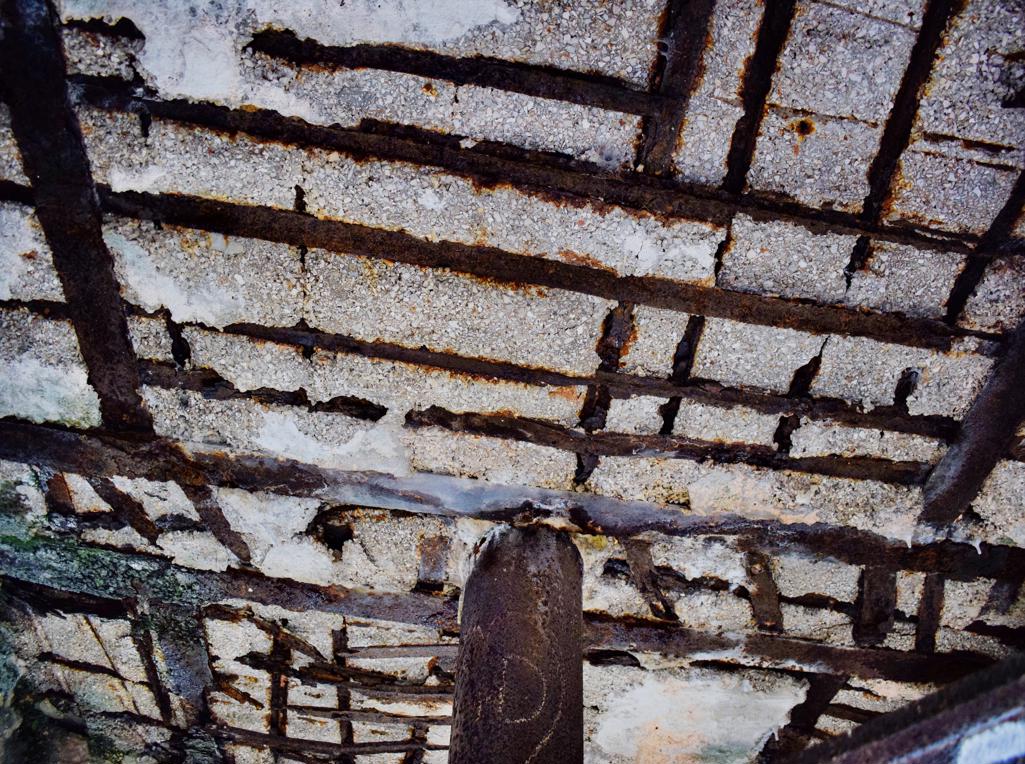
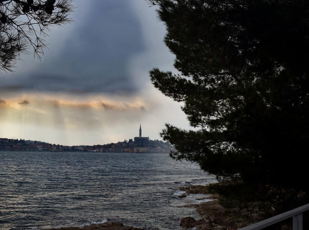
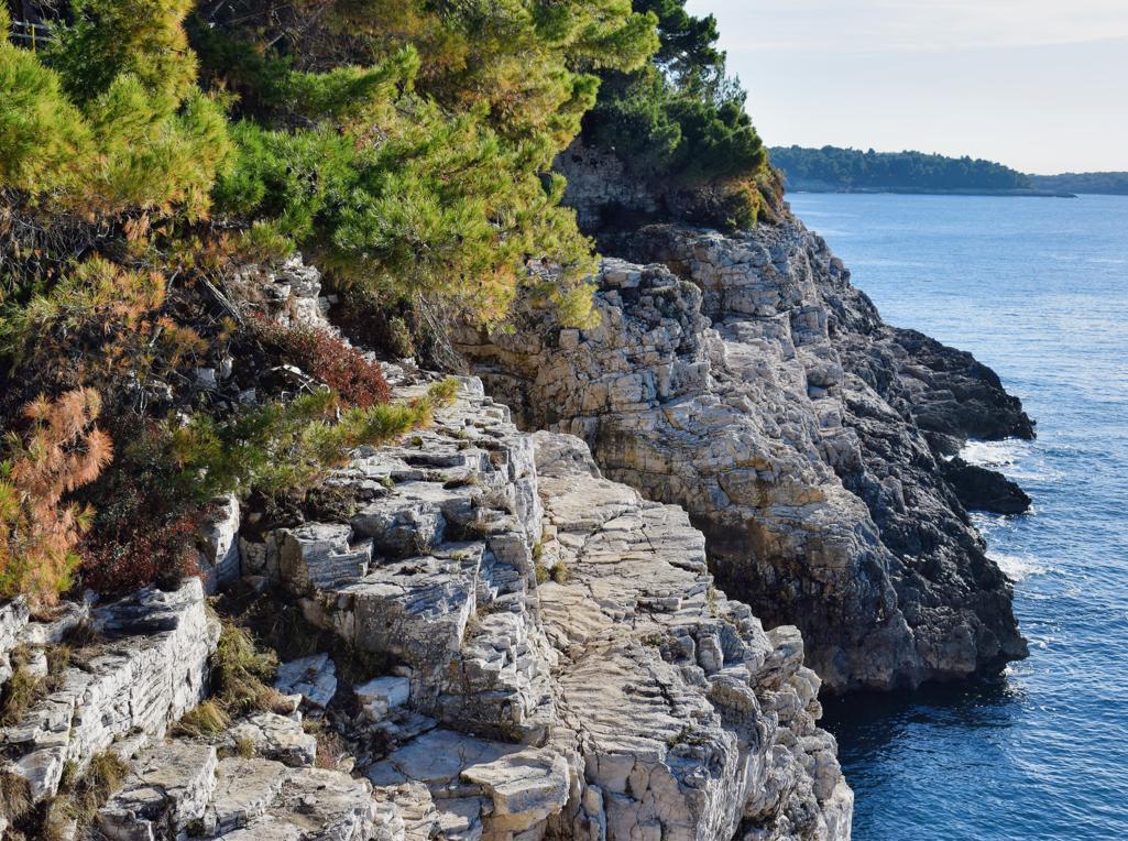
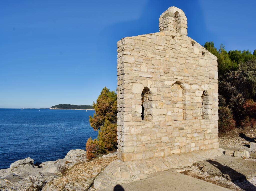
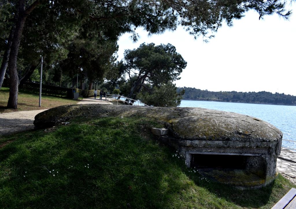
Name: Trail along the bays Lešo, Valdebora and the cape Muća – Observation post Dr. Karl Lueger from 1908.
Place: Rovinj.
Coordinates: Observation tower 45,09585 N – 13.63154 E.
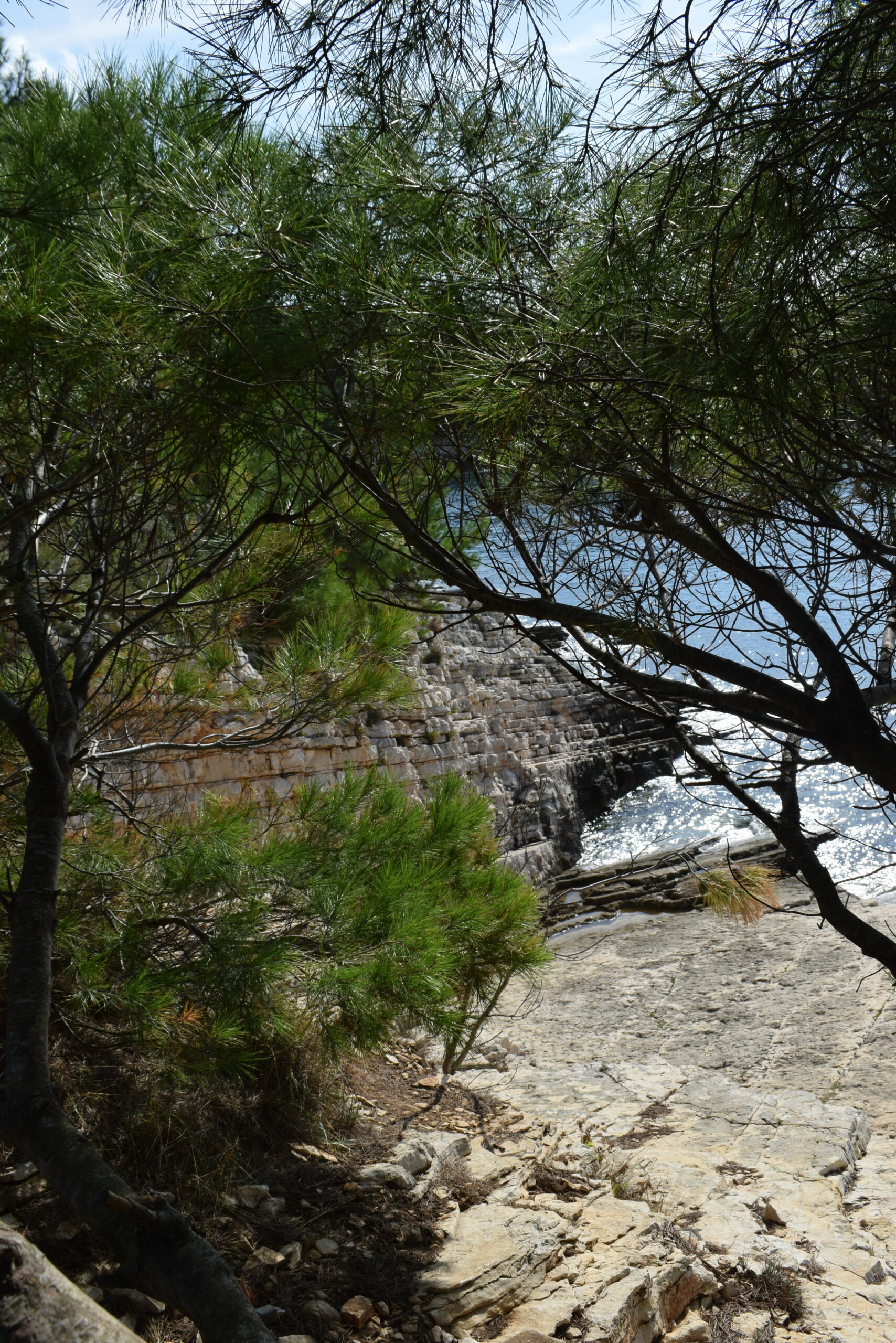
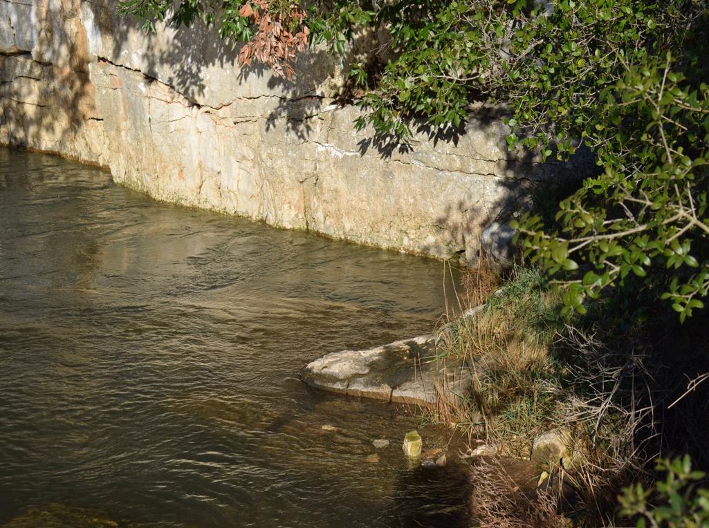
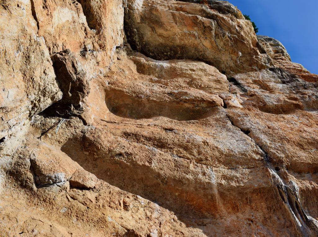
Name: Trail along the coast from the Canyon Verudela to the Fort Bourguignon.
Place: Verudela – Pula.
Coordinates: 44.83599 N – 13.82865, 44.84863 N – 13.83258 E.
Name: Hiking trail from Puntera to the bay Blaž.
Place: Puntera – (Barban).
Coordinates: Puntera 45.05228 N – 14.02312 E, Bay Blaž 45.00070 N – 14.03843 E.

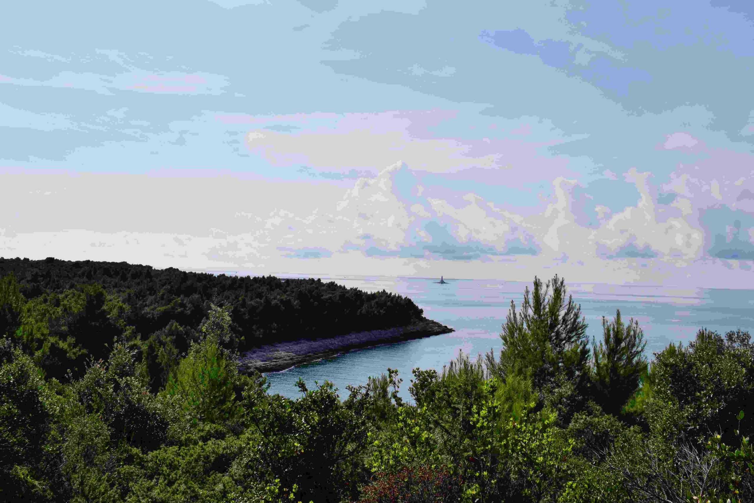
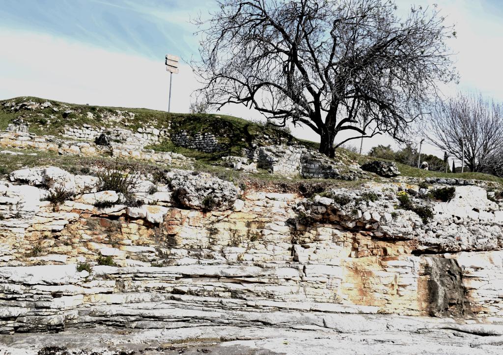
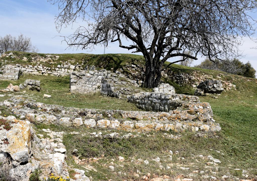
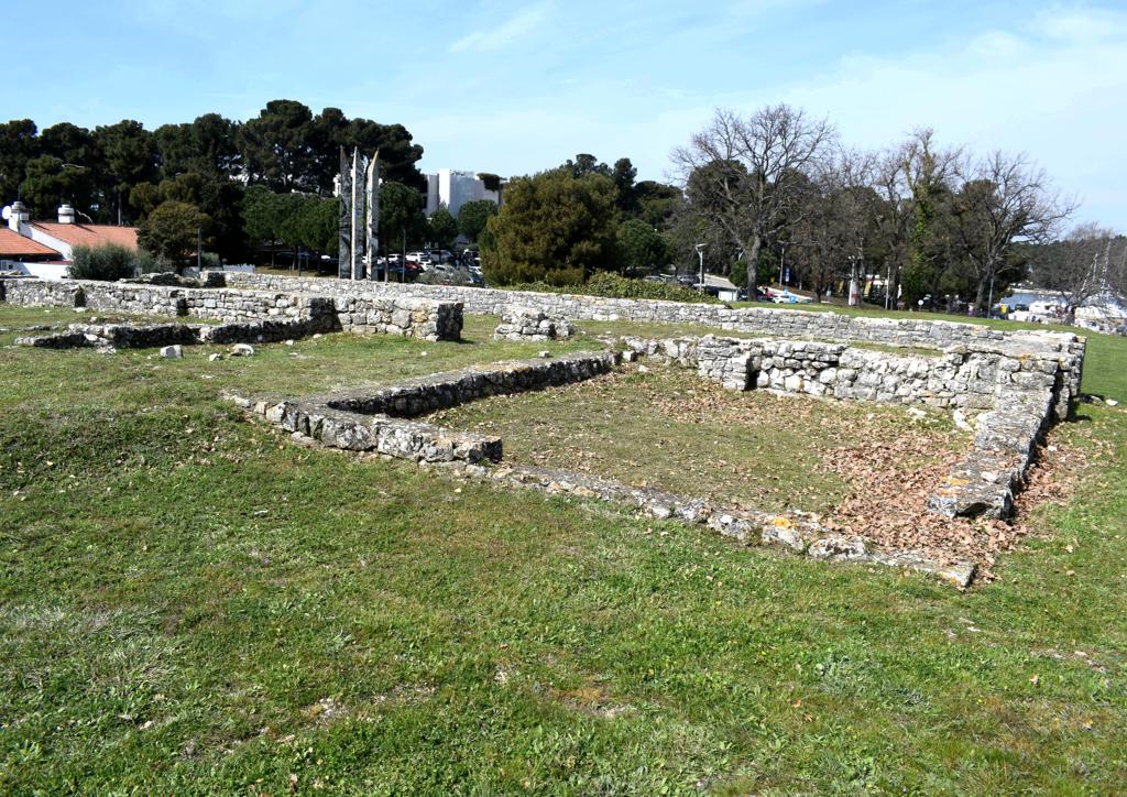
Name: Walk along the bay Mulandrija, the bay Laguna, to the cape Sv. Petar and the ruins Villa Rustiečca.
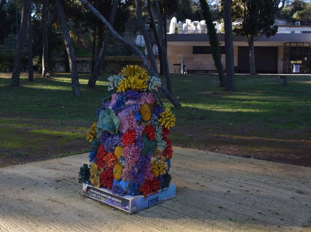
Place: Poreč.
Coordinates: Cape Sv. Petar 45.20466 N – 13.58604 E, uins Villa Rustica 45.20212 N – 13.58900 E.