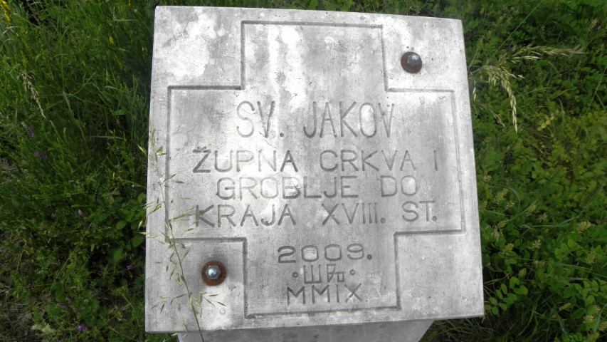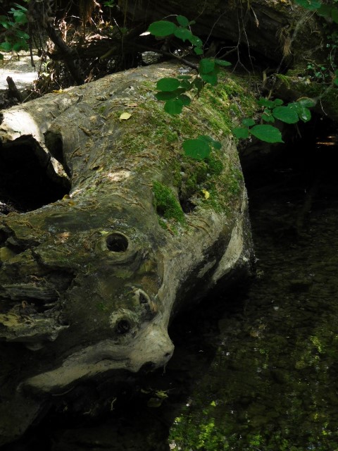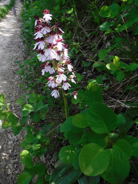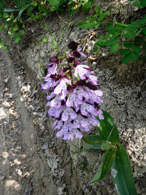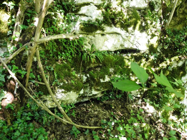


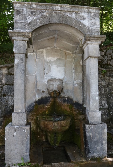
place: Pučići – (Zminj)
coordinaten: 45.14011 N – 13.94013 E
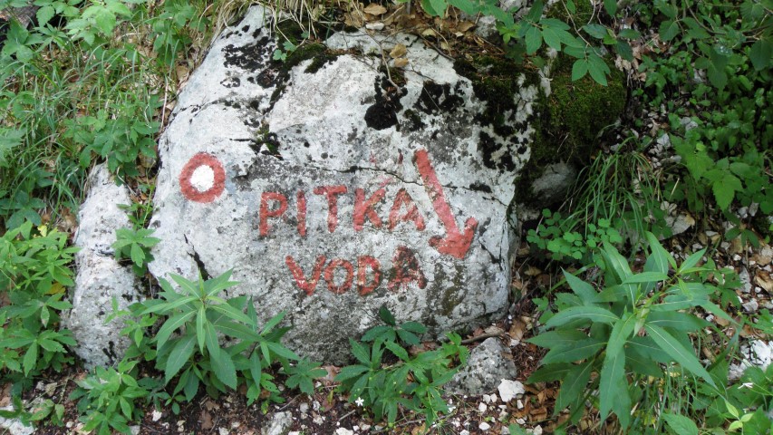
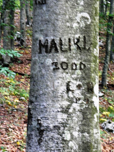
On the road over the Učka from Istria there is a public water supply on the left with an age of more than 200 years. Probably built during the Habsburg Monarchy when the road over the Učka was built in an area that was more intensively occupied for livestock and agricultural activities. The fountain was then a resting and drinking place. This fountain is connected to a natural water source from the immediate vicinity. The water is popularly called “Napoleon’s water”.
On the fountain the name of Emperor Joseph II of Austria is engraved, which ruled from 1780 -1790.
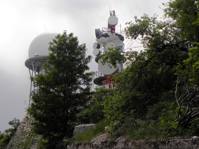
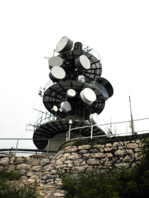
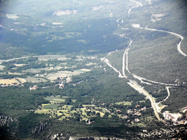
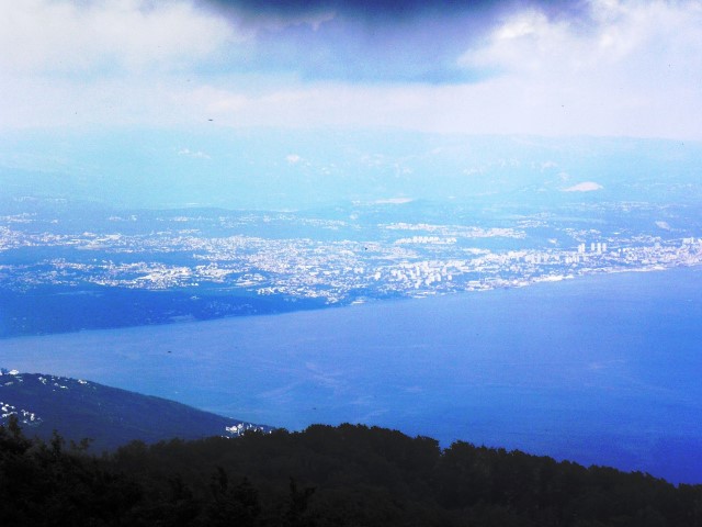
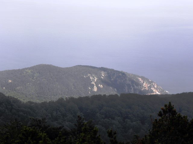
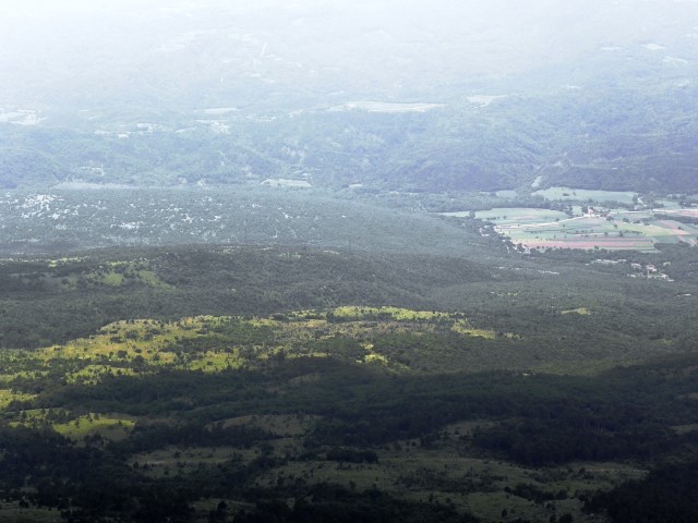
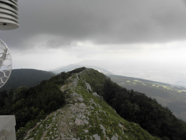
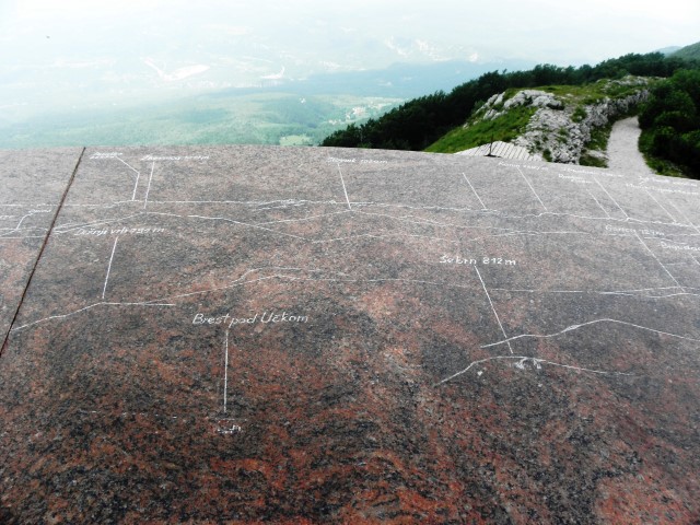
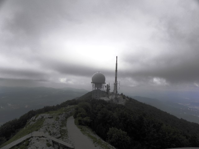
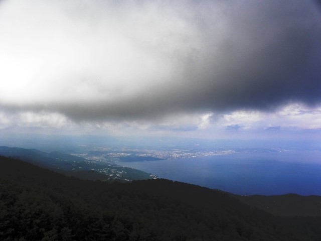
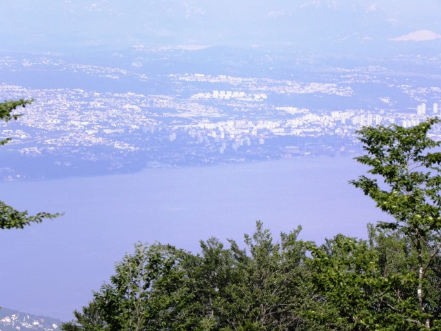
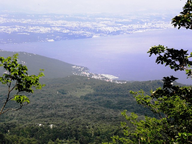
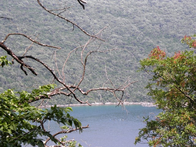
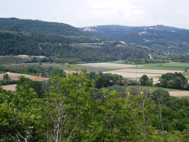
On the top of the Vojak is an outlook of stone with views on the Kvarner Bay, towns, islands and surrounding mountains.
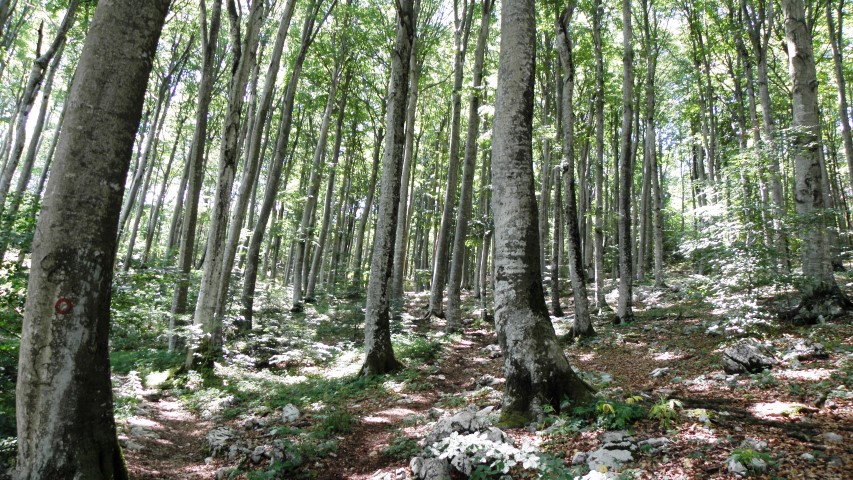
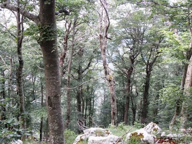
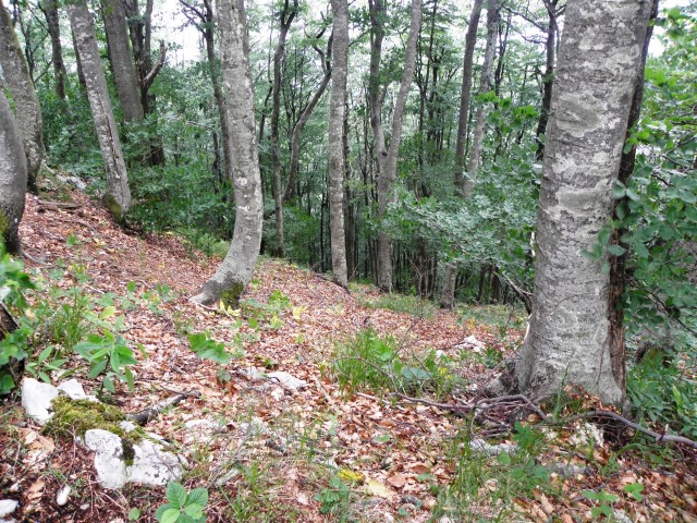
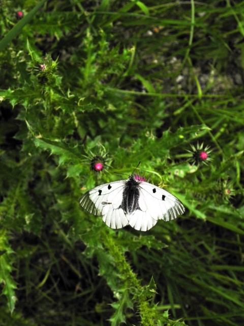
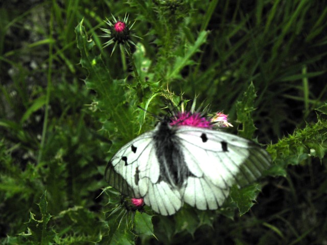
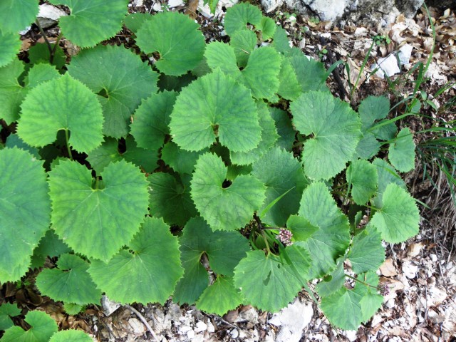
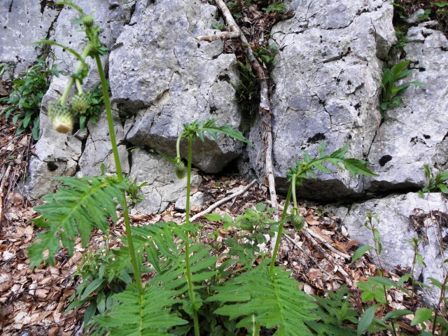
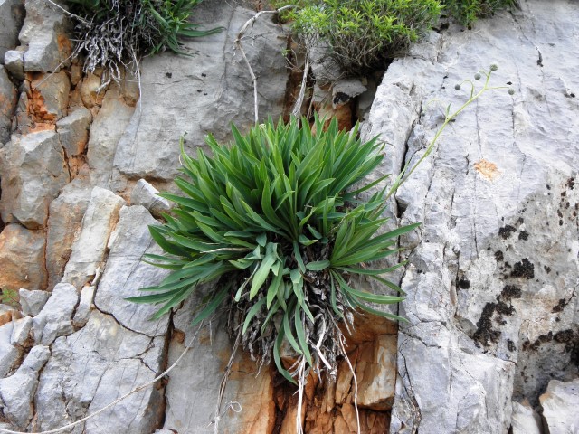
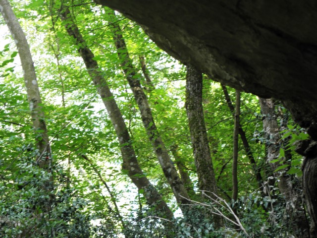
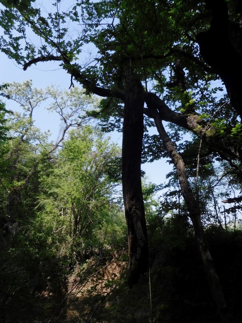
name: Hiking trail from Poklon pass to the top of Vojak
place: Nature park Učka
height: Vojak: 1400 meters
coordinates: Poklon pass 45.30813 N – 14.21575 E ; Top Vojak 45.28497 N – 14.20201 E.
See also the pictures posted on 2018-05-02.
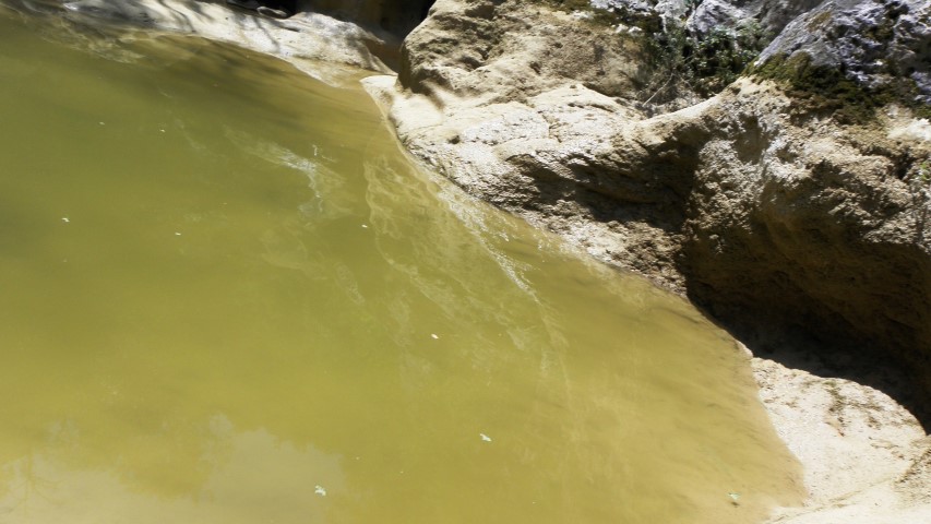
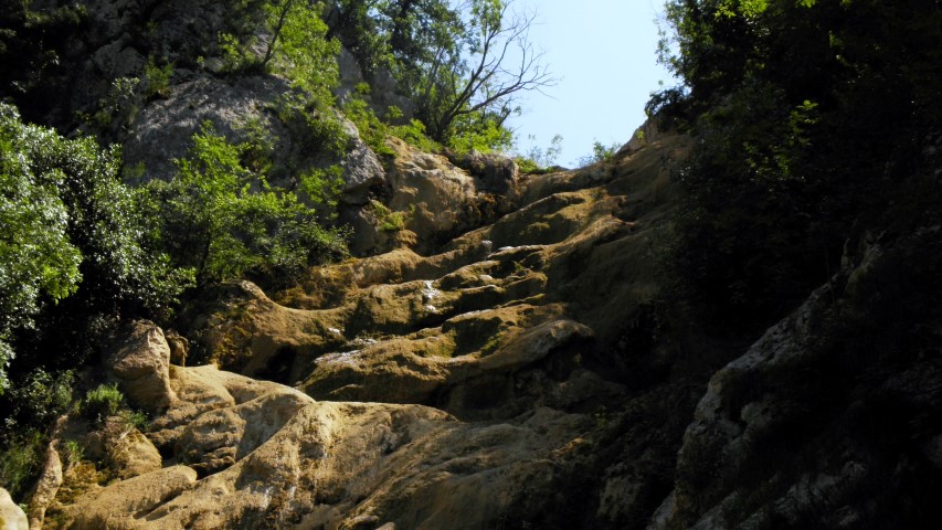
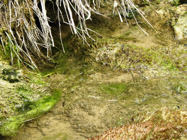
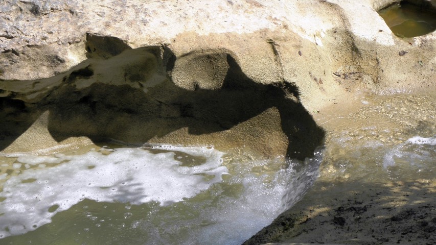
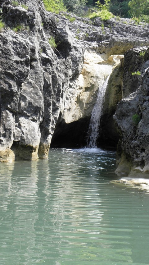
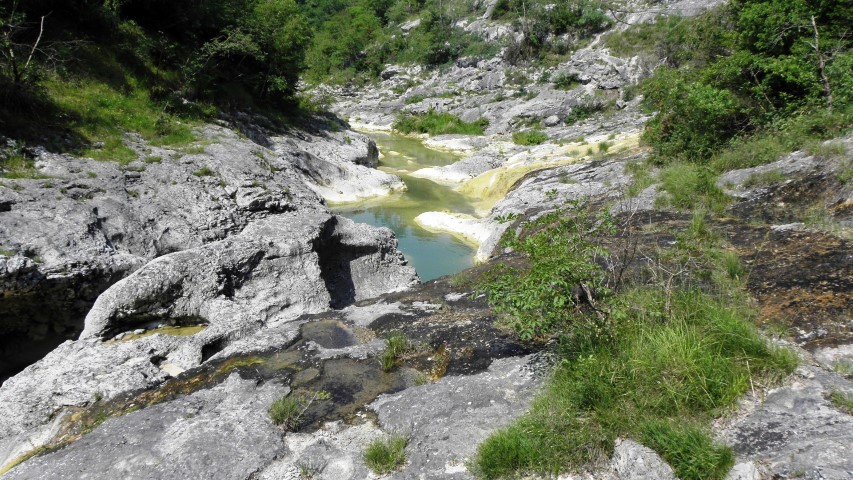
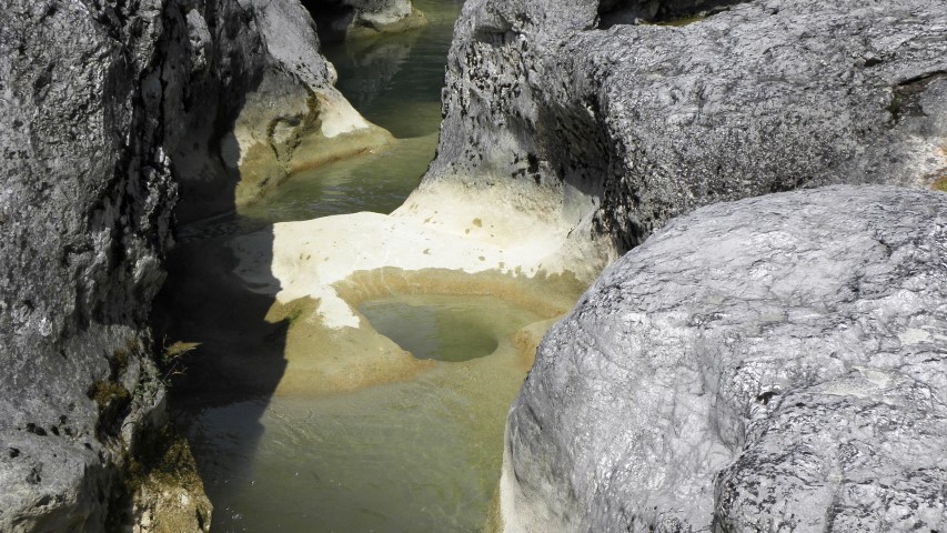
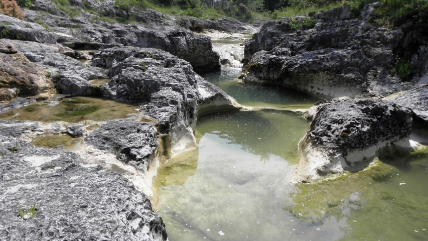
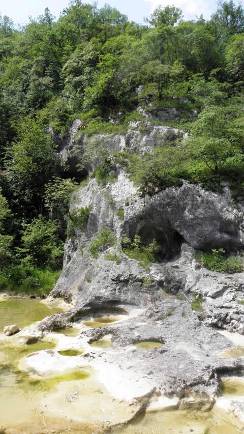
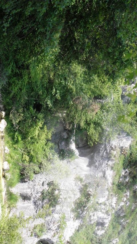
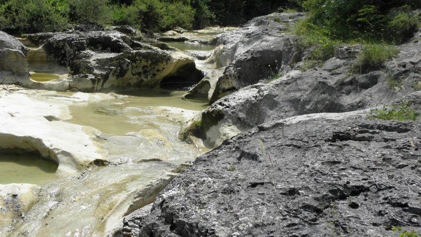
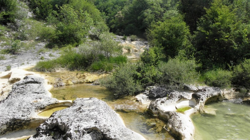
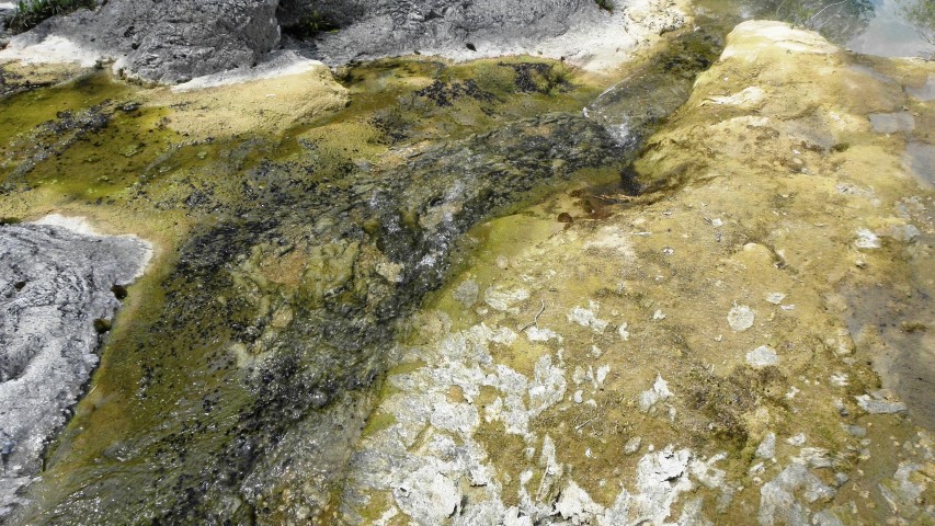
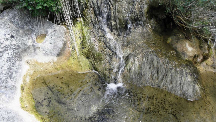
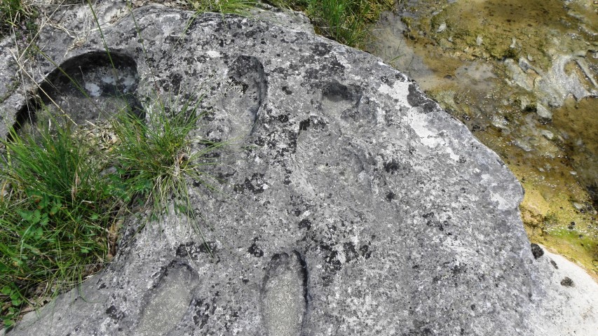
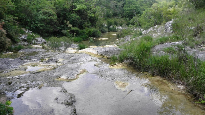
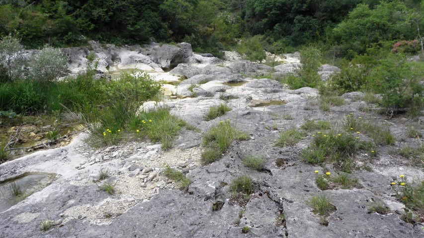
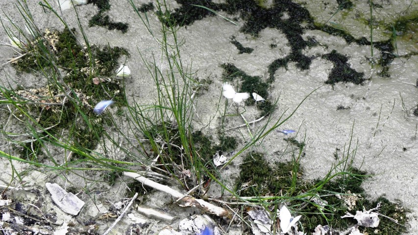
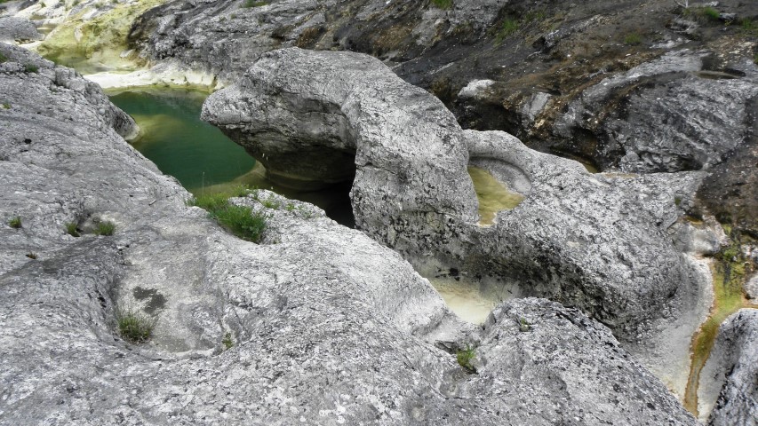
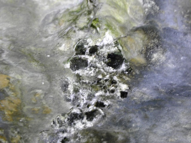
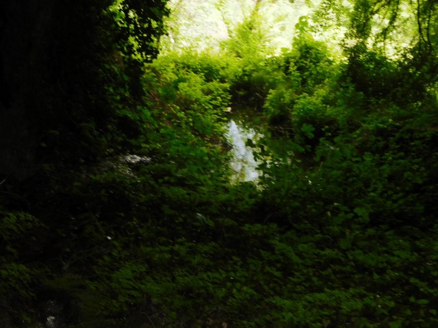
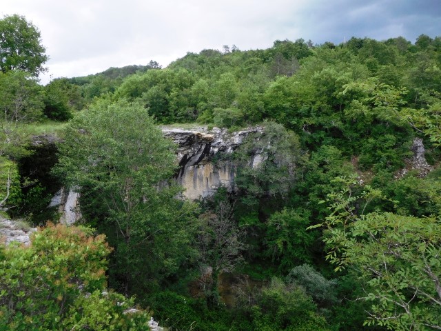
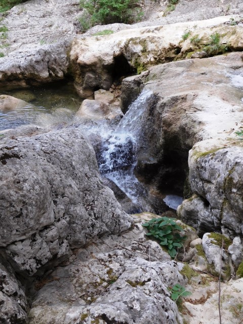
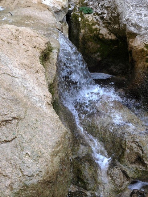
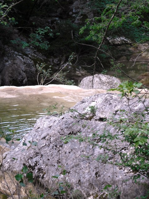
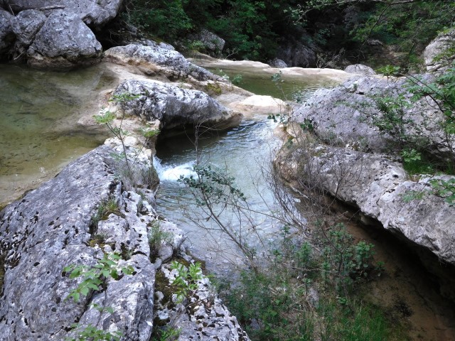
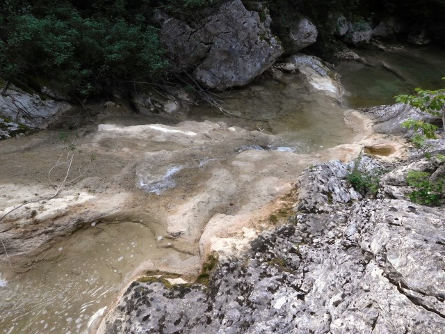
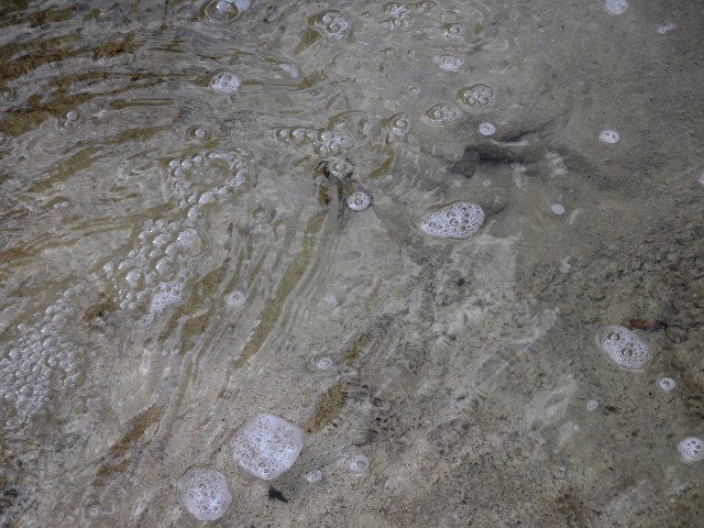
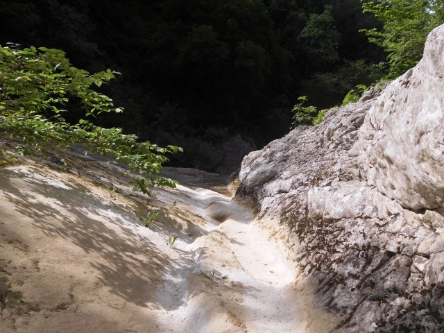
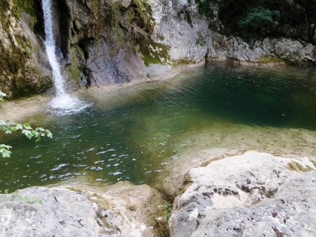
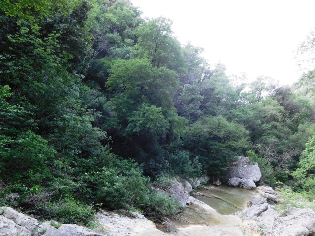
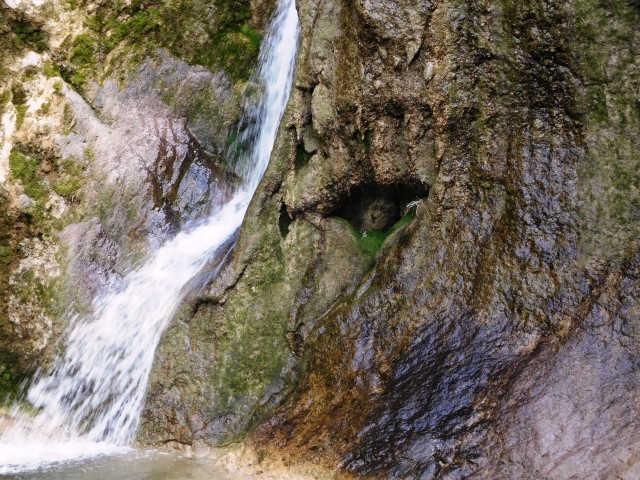
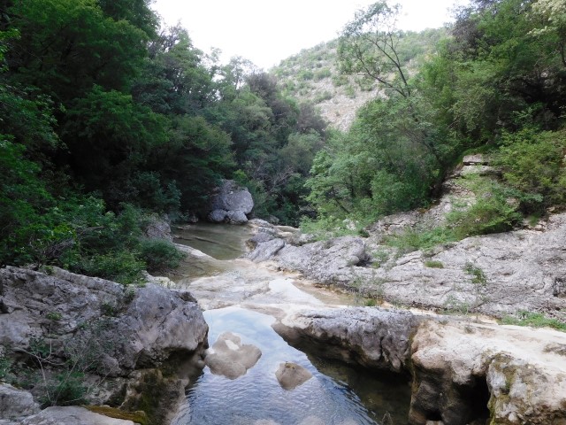
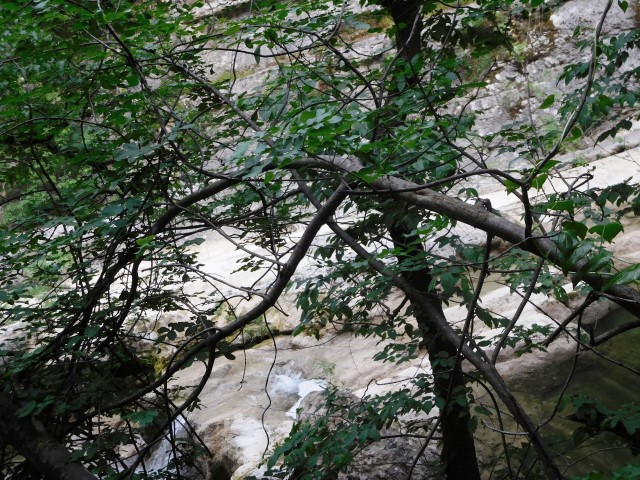
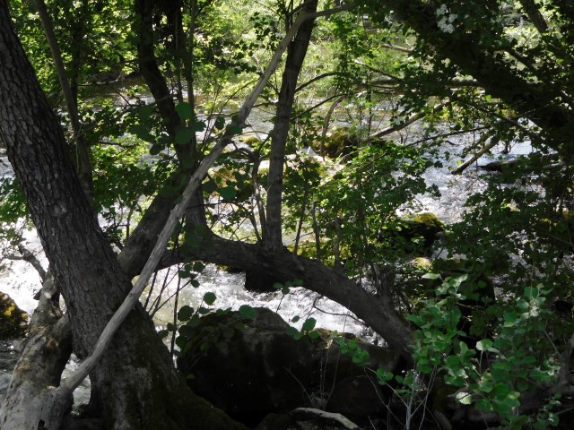
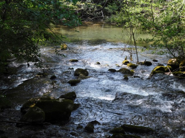
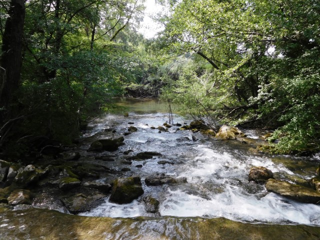
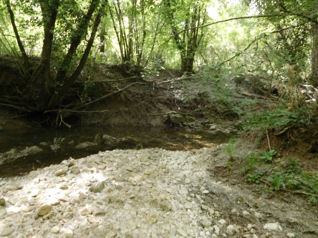
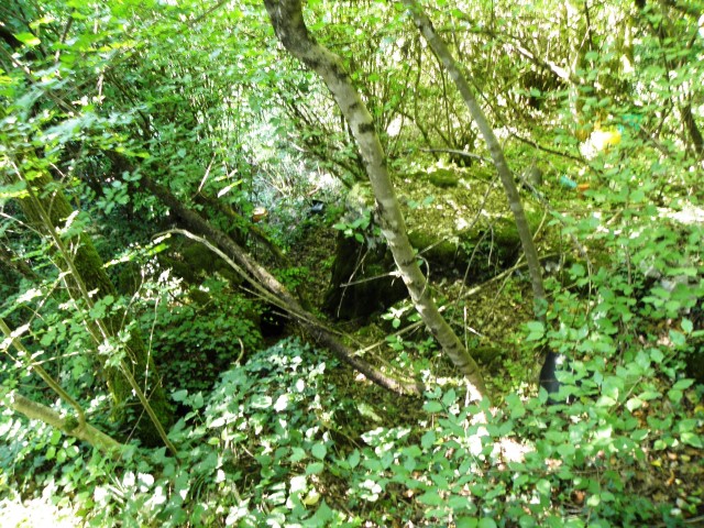
The pictures 6060039, 40.41.43 and 44 are from a lower waterfall in the stream Ardila. Coordinates: 45.43883 N – 13.68112 E.
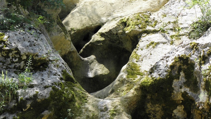
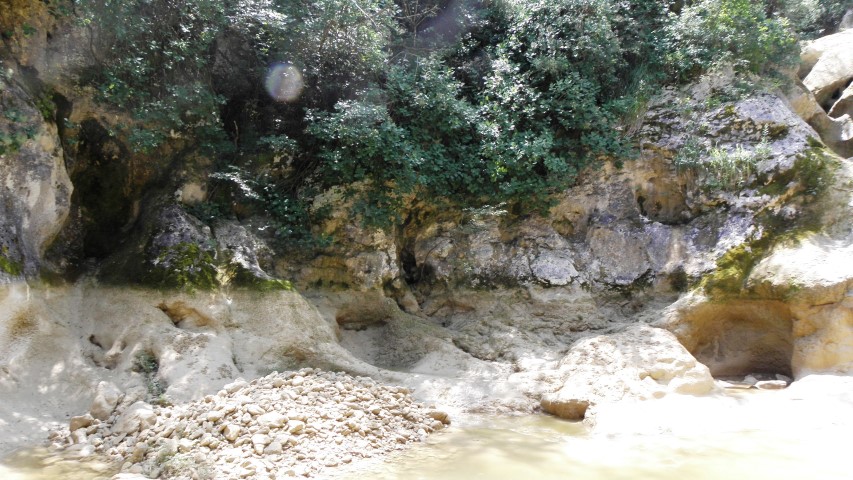
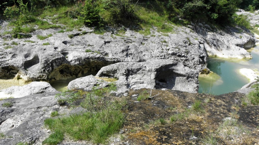
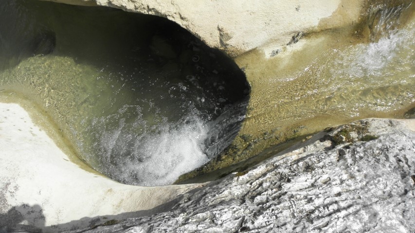
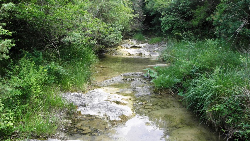
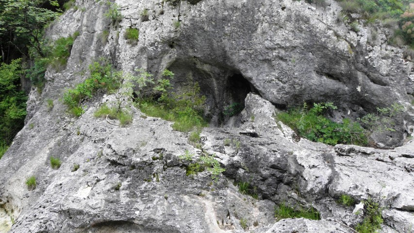
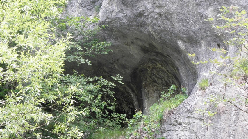
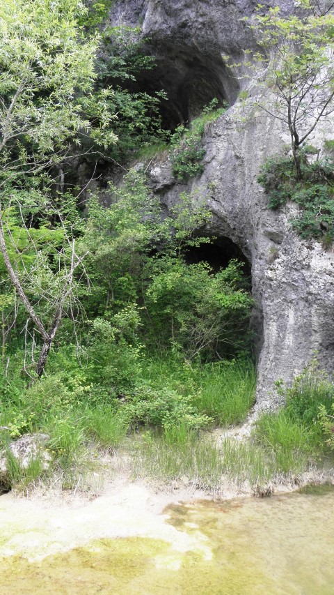
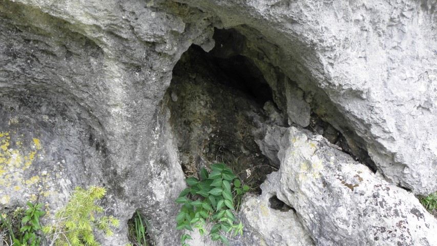
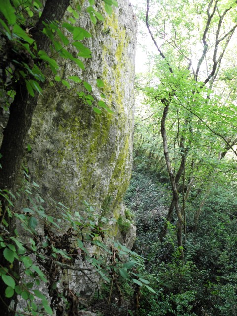
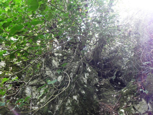
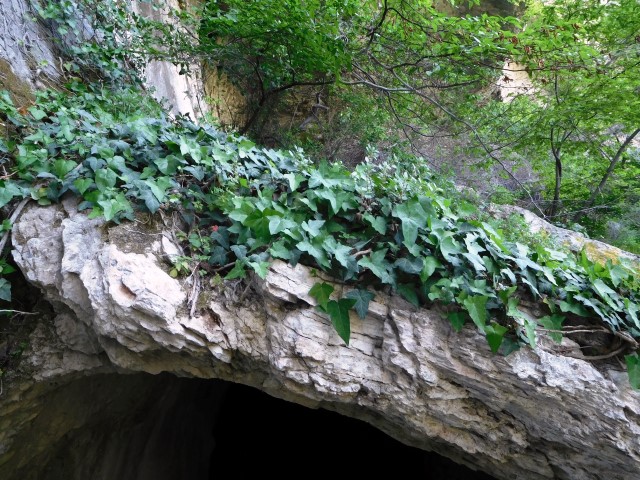
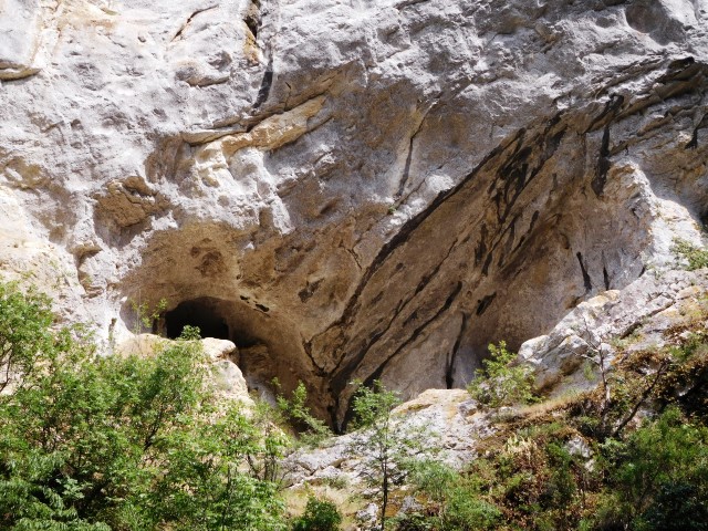
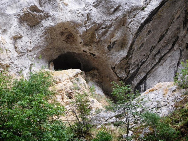
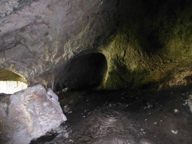
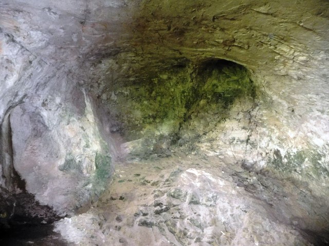
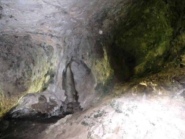
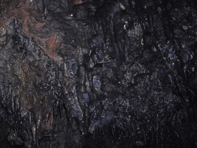
Name: Cingarela caves/waterfall
Place: Momjan – (Buje)
Coordinates: 45.43566 N – 13.68462 E
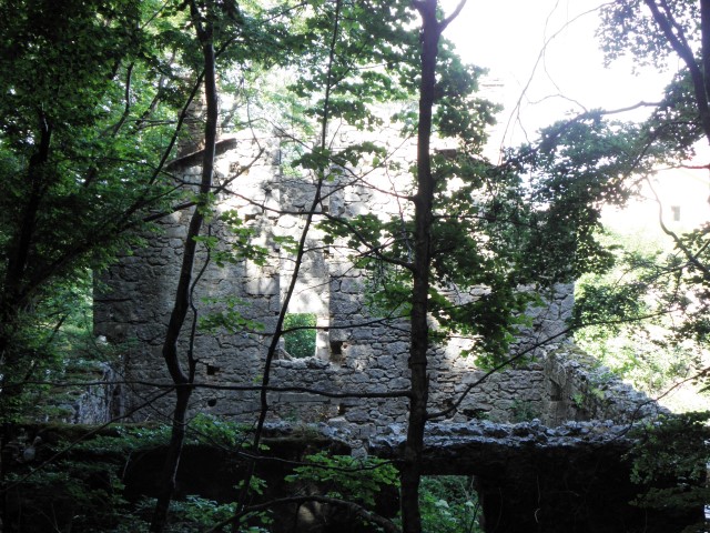
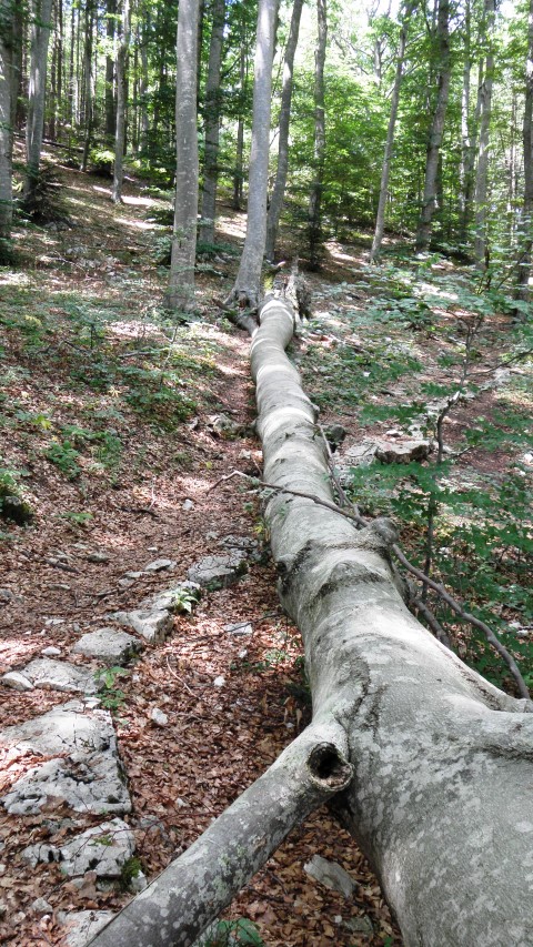
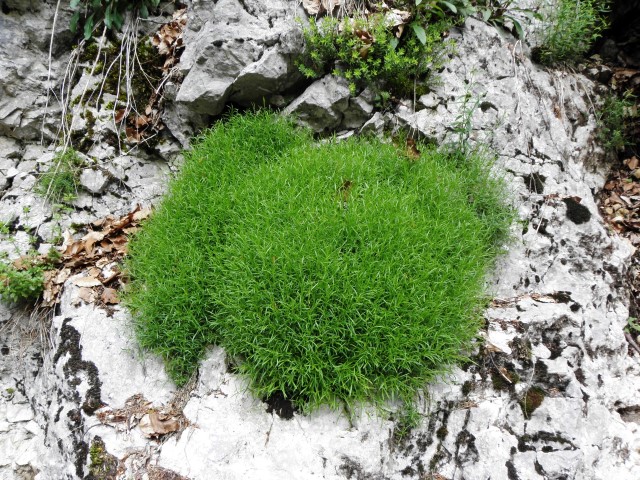
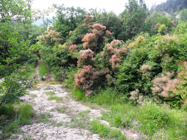
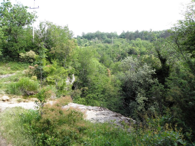
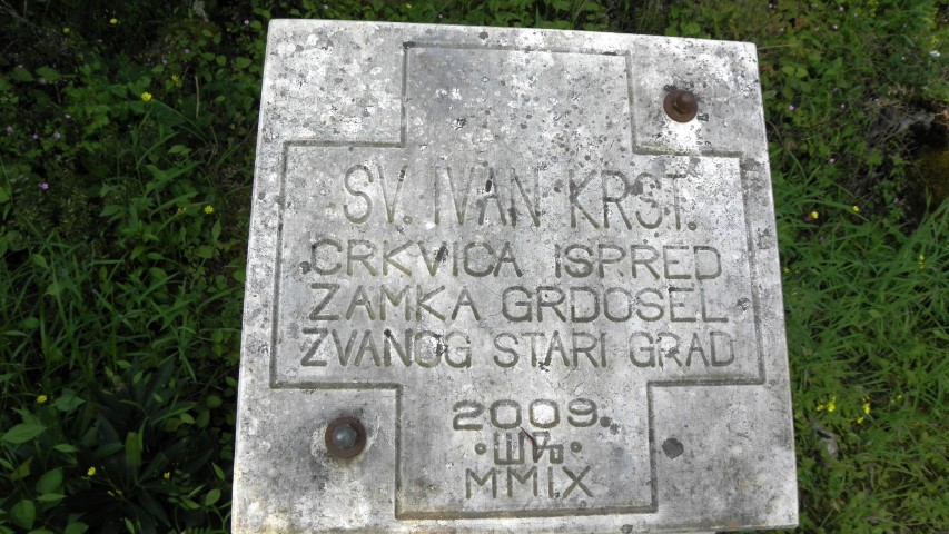
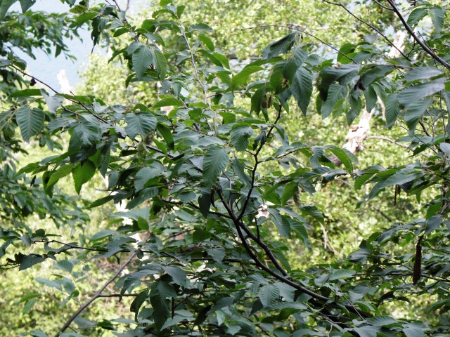
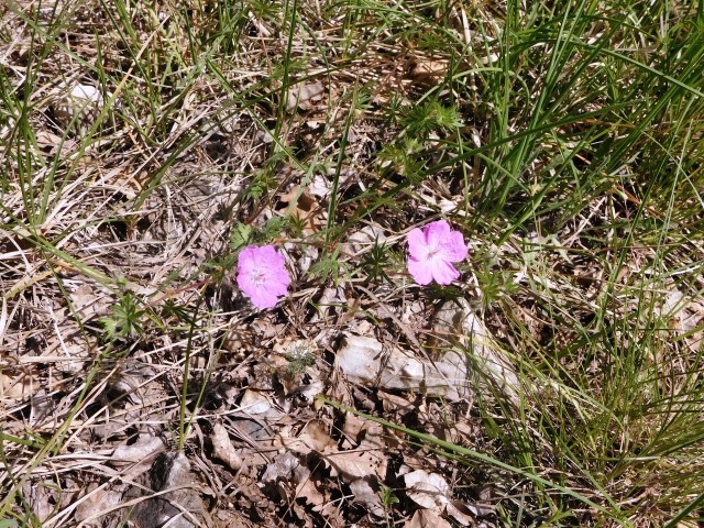
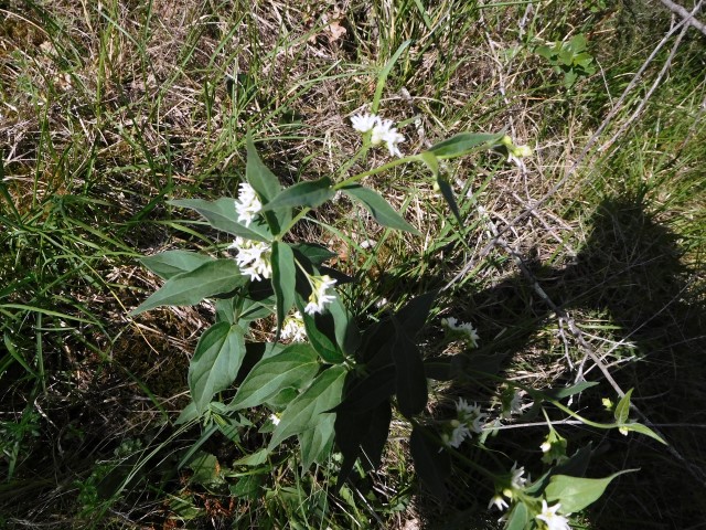
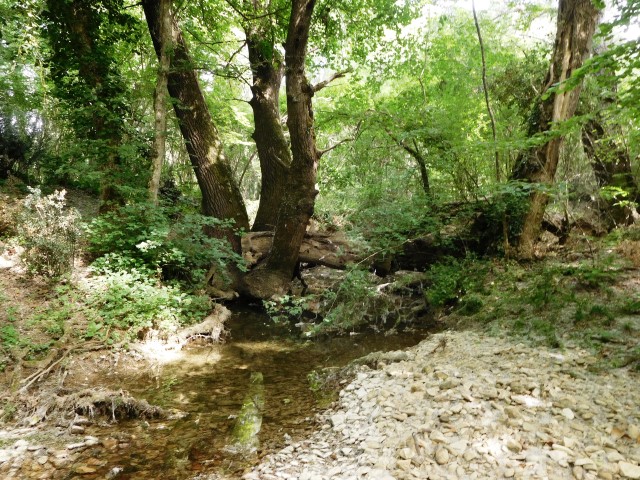
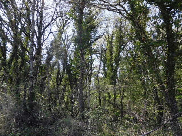
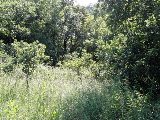
Name: Hiking path Grdoselski river
Place: Grdoselo – (Pazin)
Coordinates:
Grdoselo: 45.28310 N – 13.94351 E
Stari Grad: 45. 29169 N – 13.94392 E
Cerni Puč: 45.29200 N – 13.94636 E
Splits: 45.29216 N – 13.95301 E
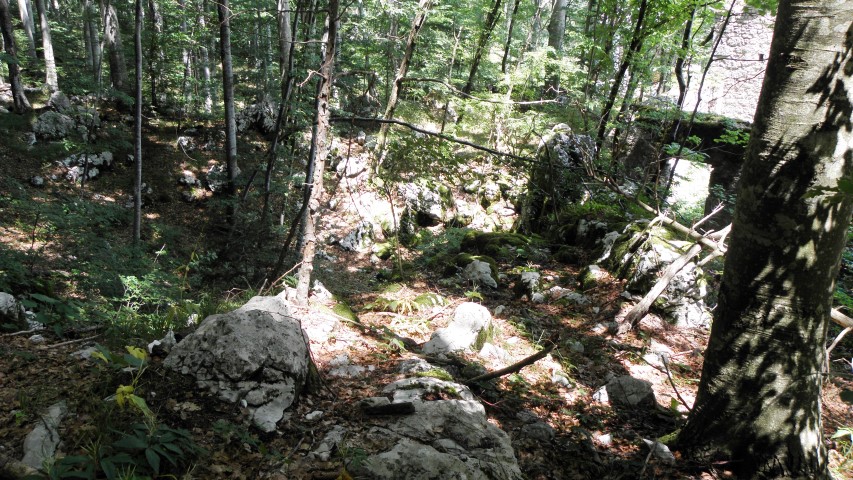
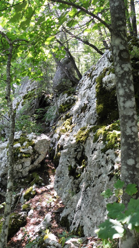
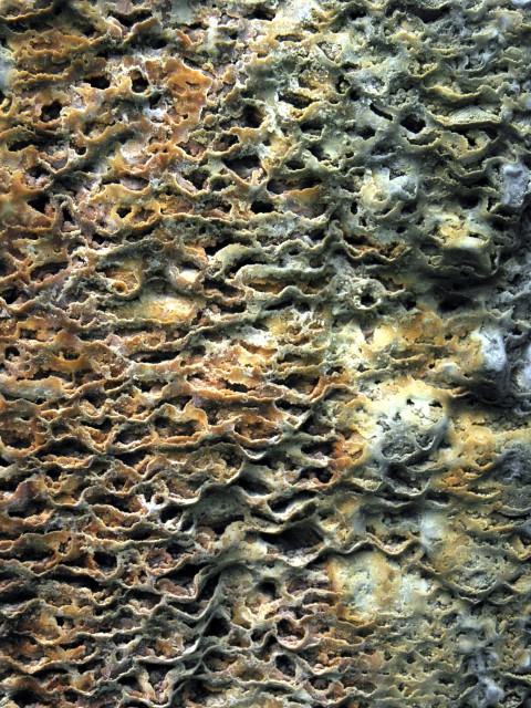
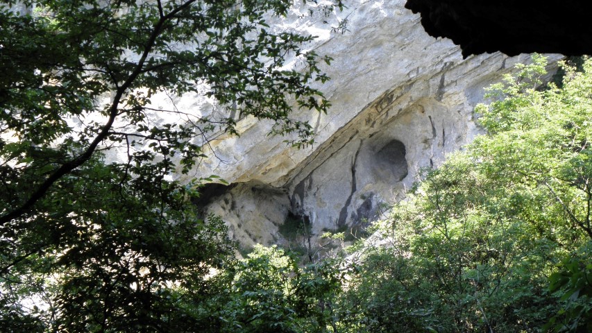
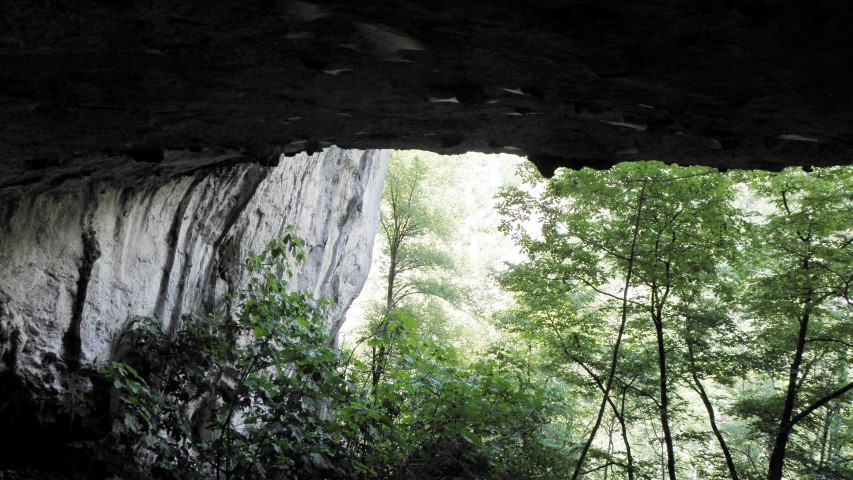
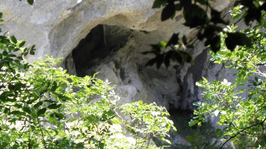
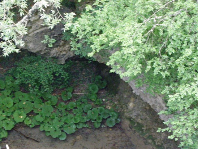
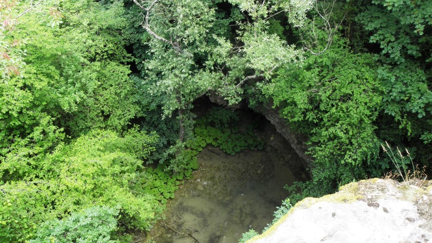
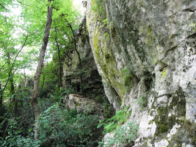
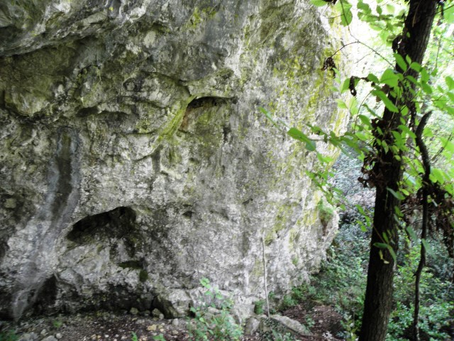
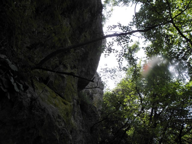
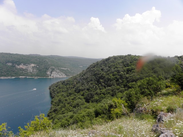
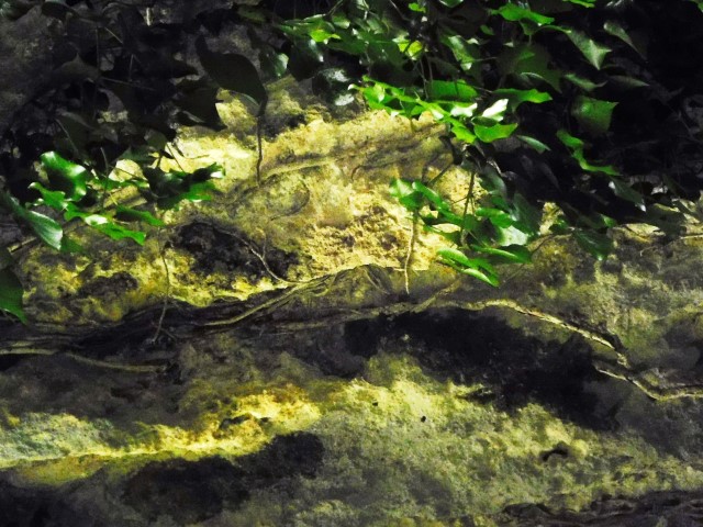
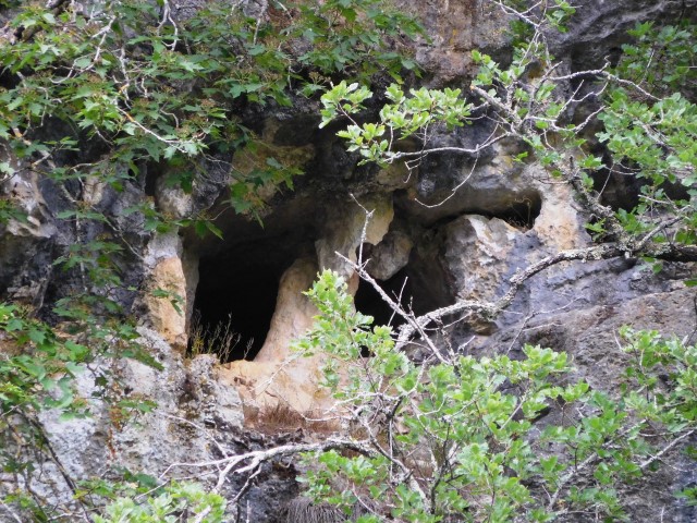
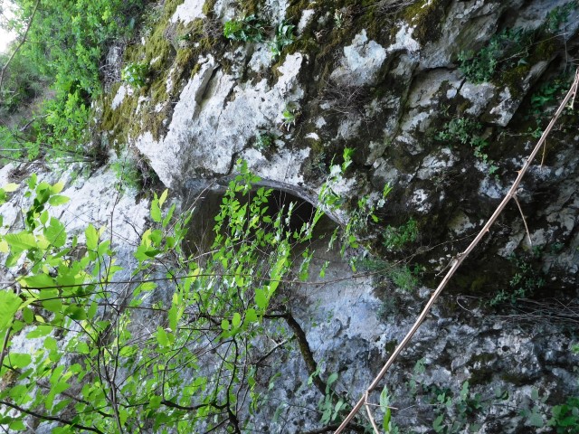
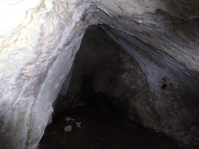
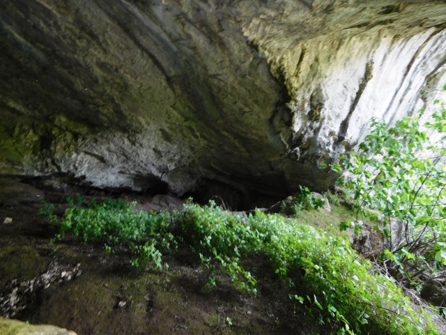
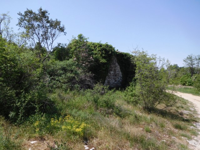
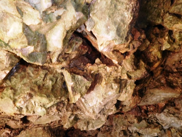
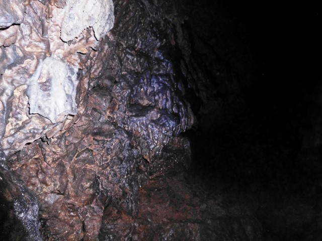
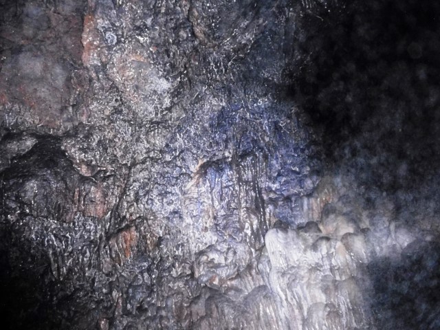
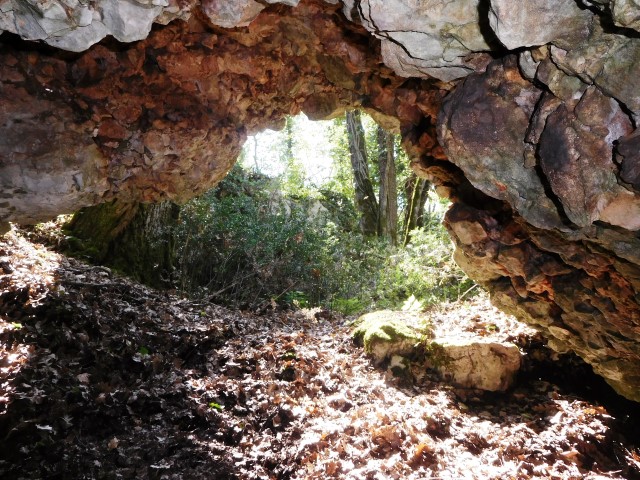
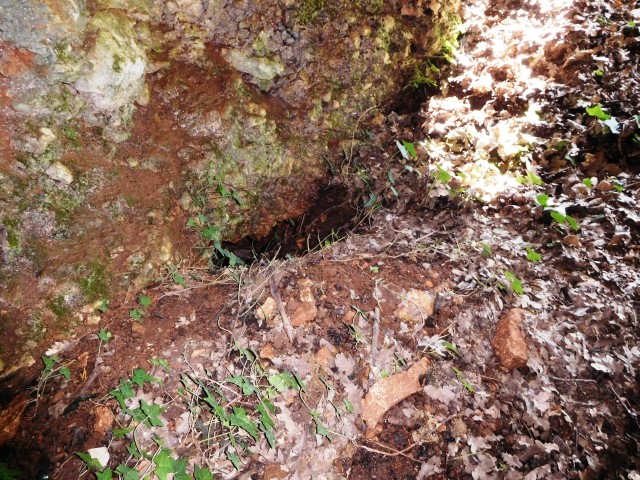
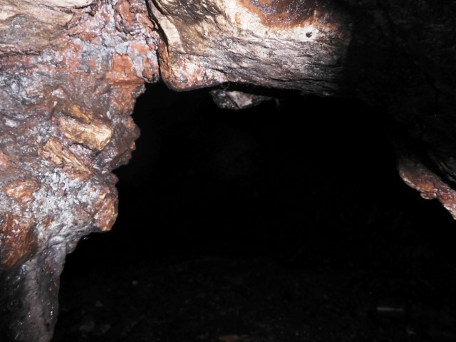
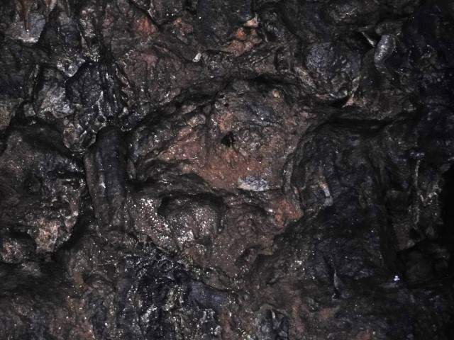
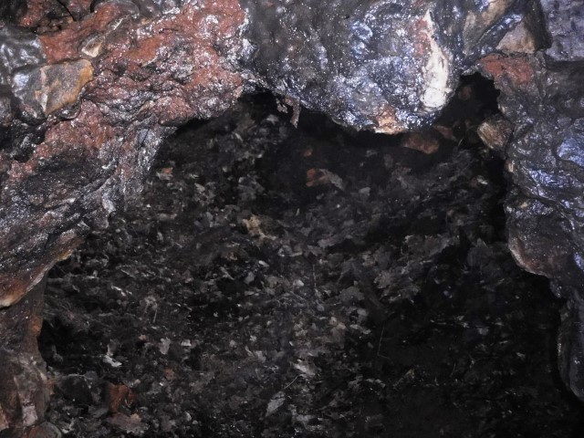
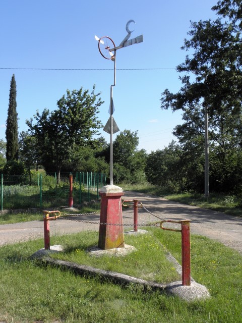
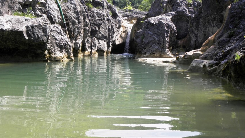
Name: Cave Kamenjaća – Limski Canal
Place: Rovinj Selo – (Rovinj)
Coordinates: 45.12843 N – 13.72435 E.
Also take a look at the pictures posted 2018-03-24. 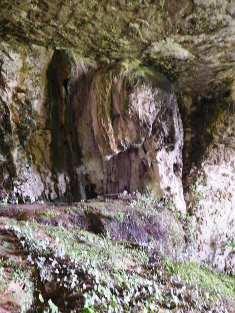
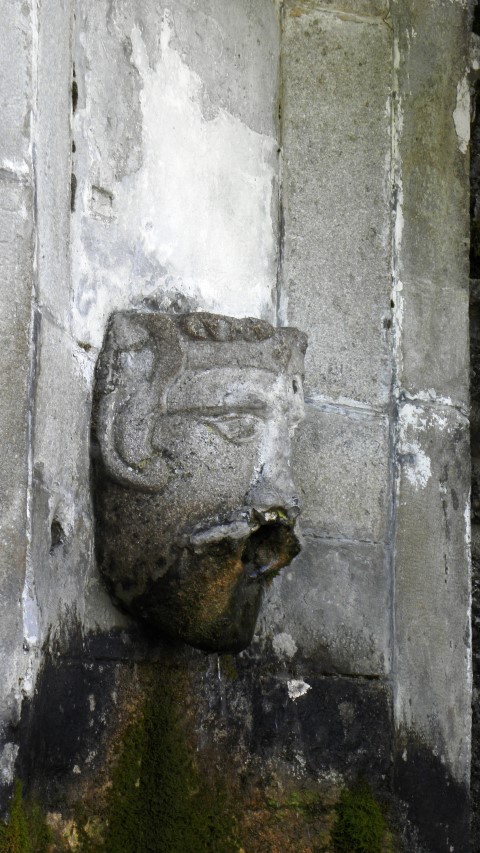
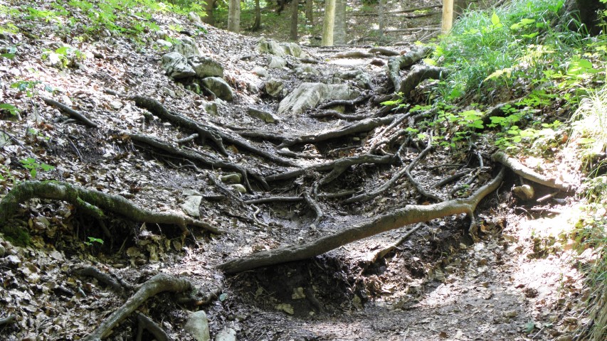
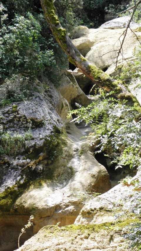
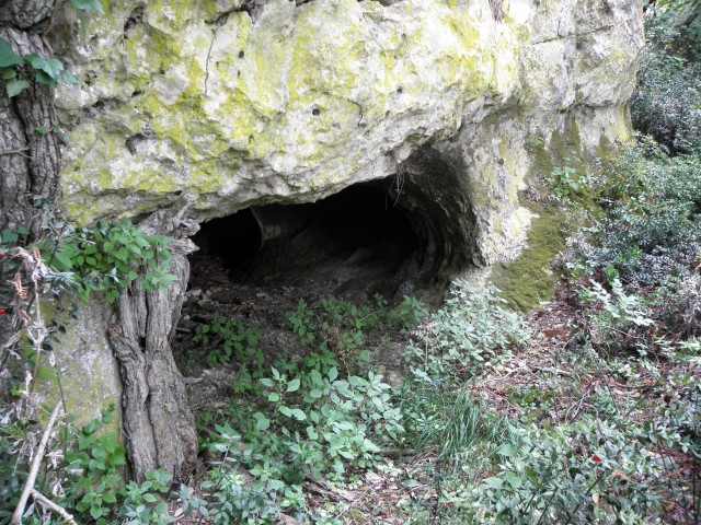
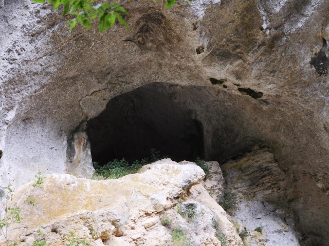
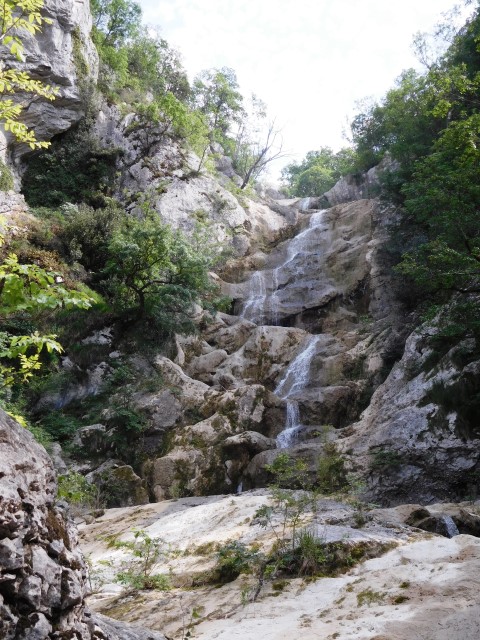
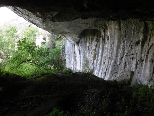
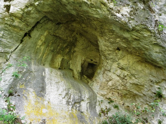
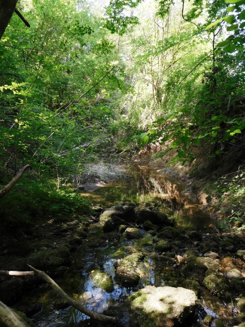
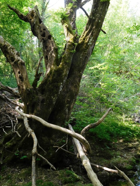
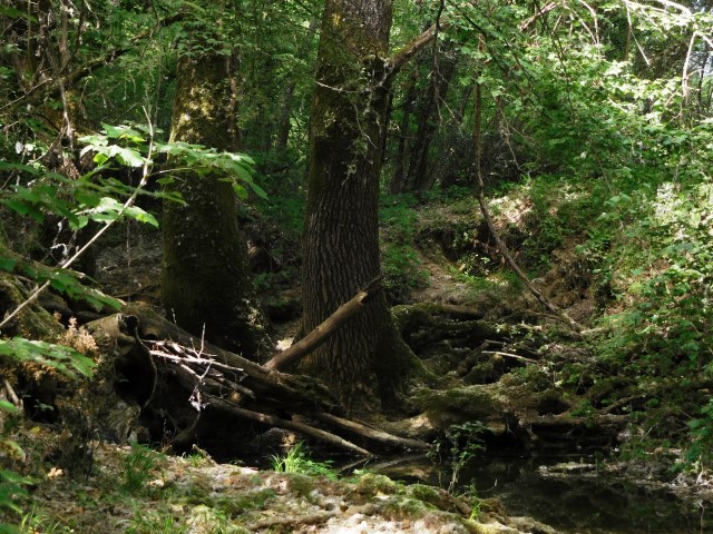
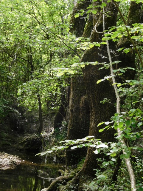
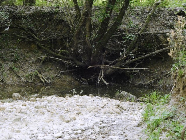
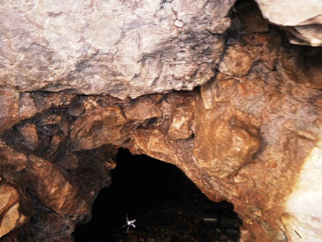
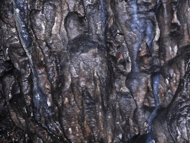
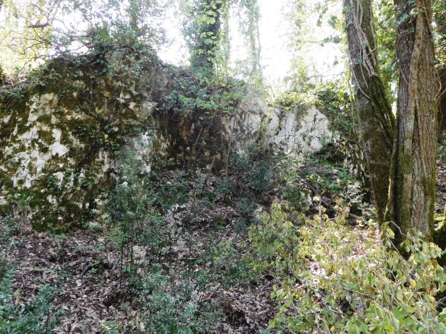
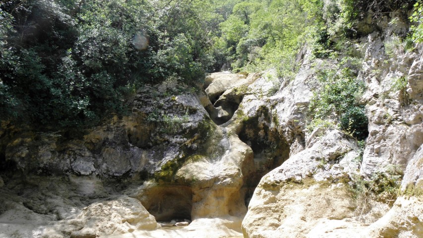
Name: Waterfall Grdoselski – Cave Pećina
Place: Butoniga – (Pazin)
Coordinates: 45.29724 N – 13.95624 E

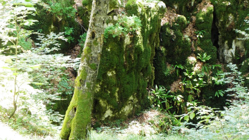
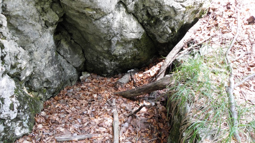
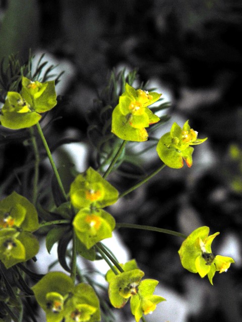
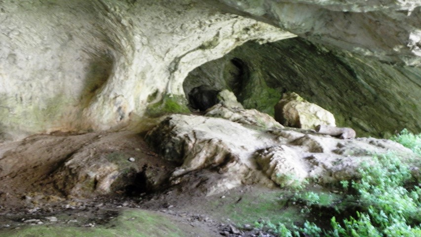
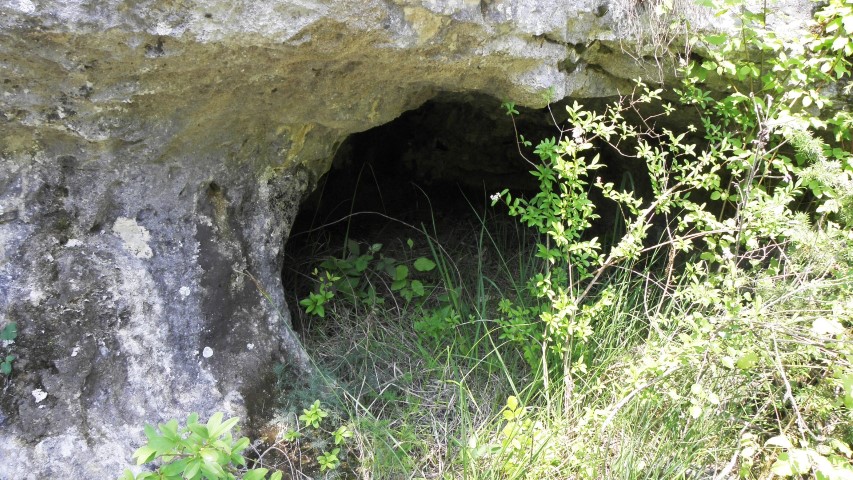
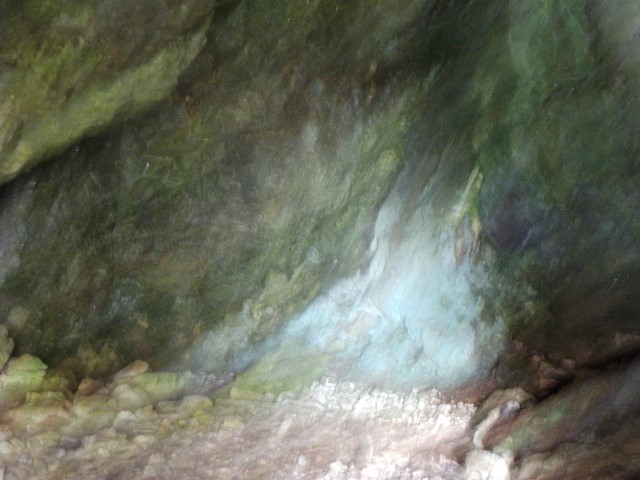
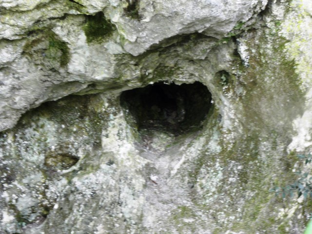
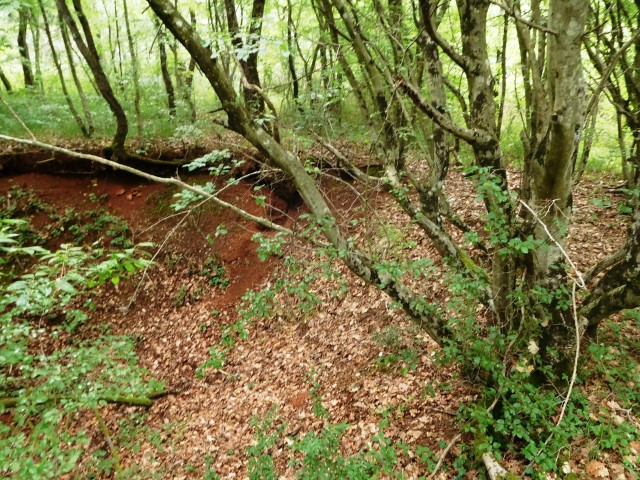
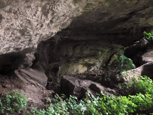
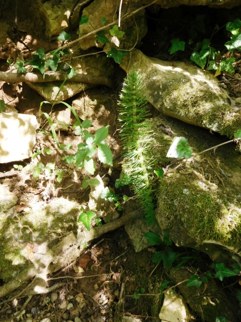
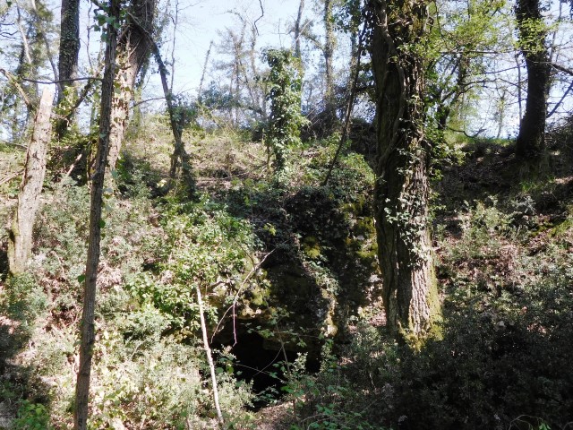
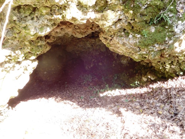
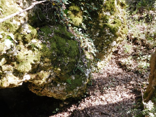
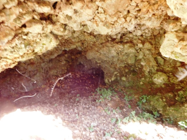
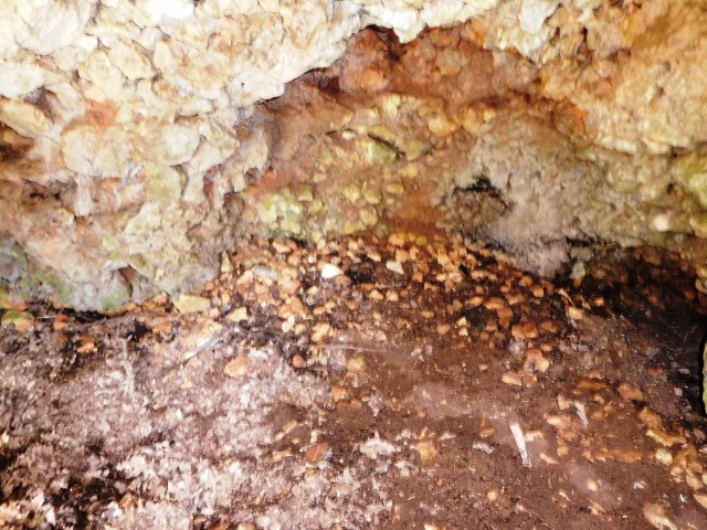
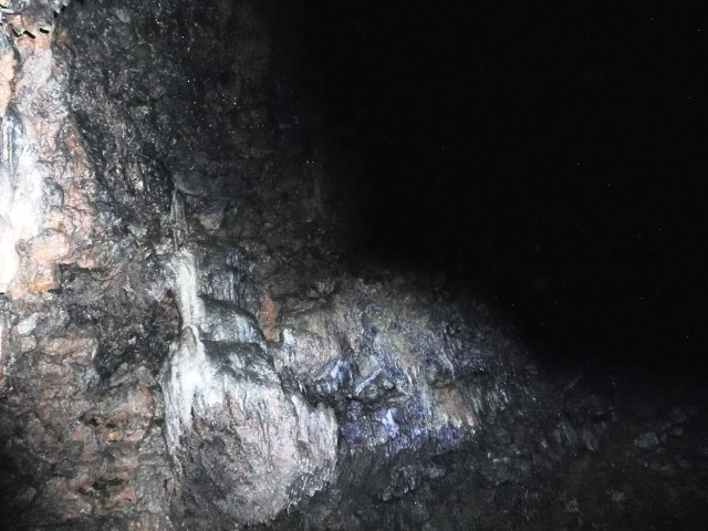
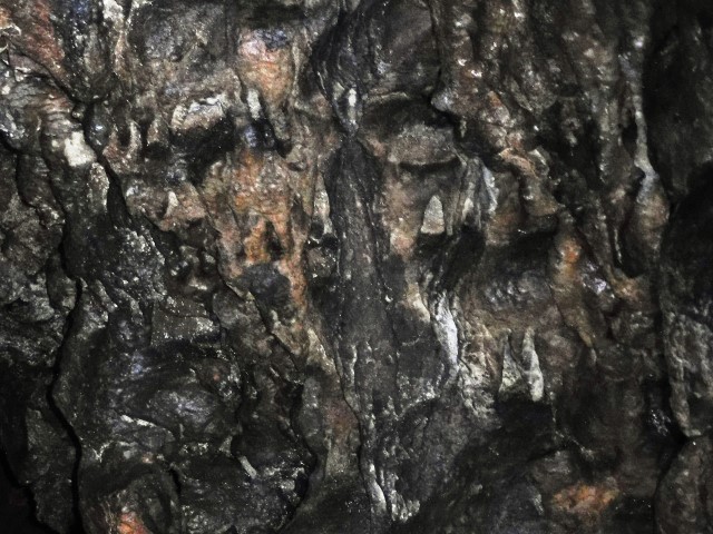
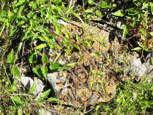
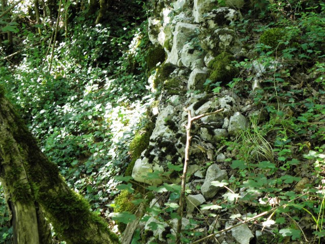
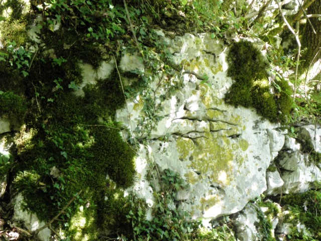
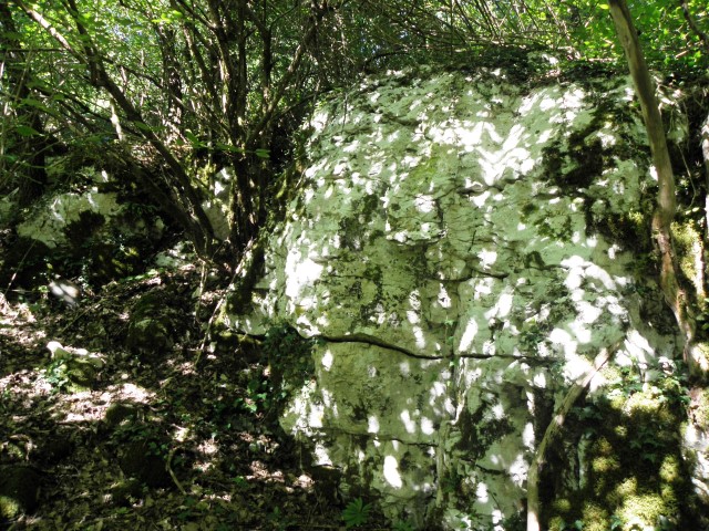
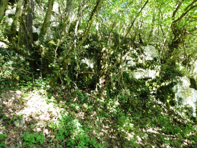
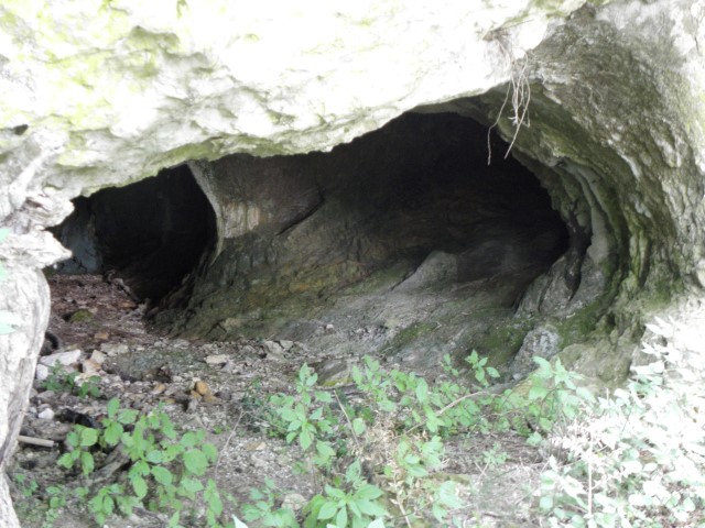
Name: Caves Cerovina
Place: Markovići – (Vižinada)
Coordinates: 45.32750 N – 13.71755 E
In 1953 remains were found from prehistoric times, and it became clear that the cave was inhabited in the Neolithic, Eneolithic and Bronze Age (11.000 BC -600 BC).

[
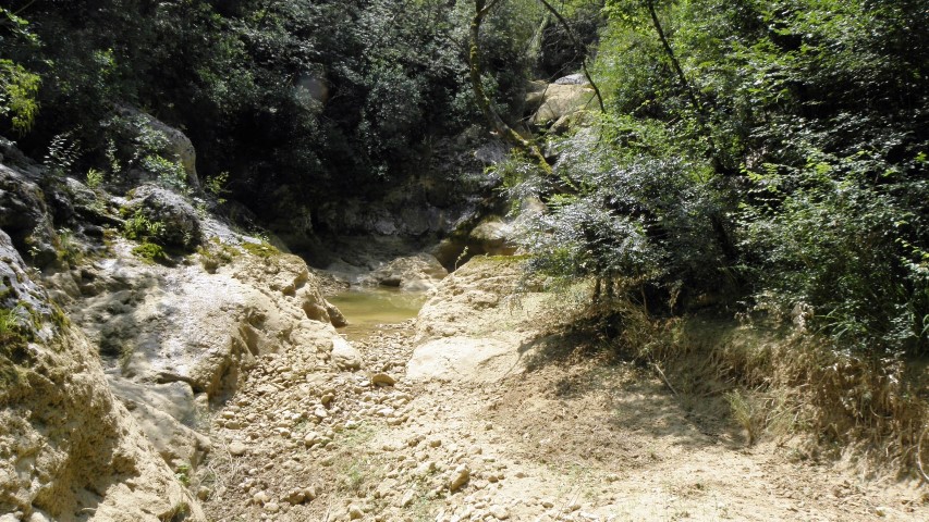
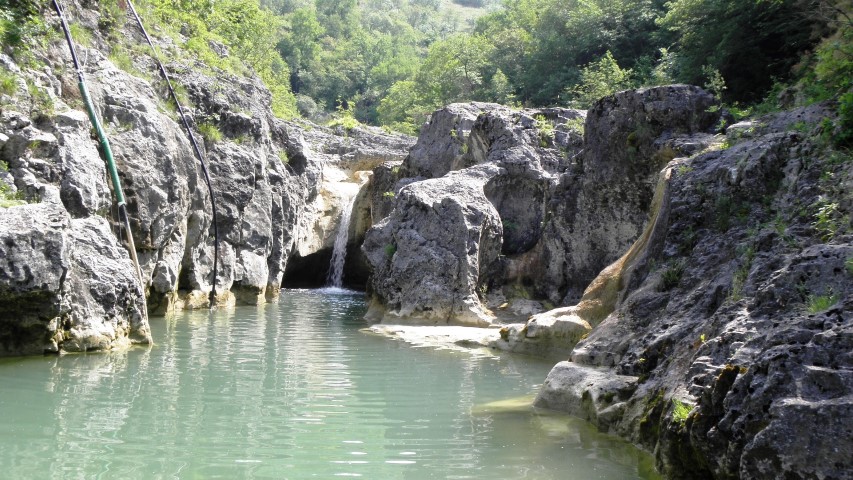
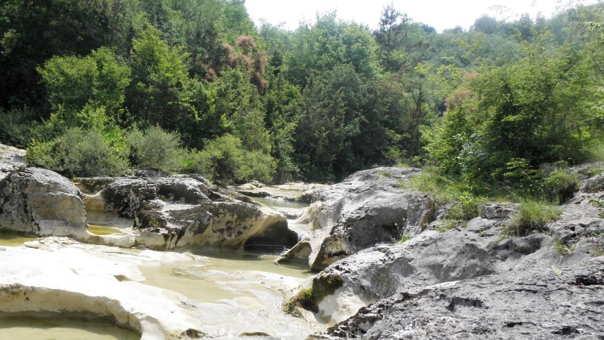
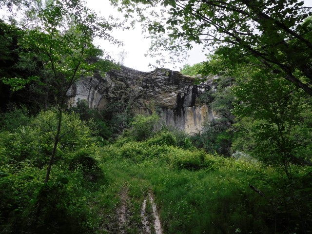
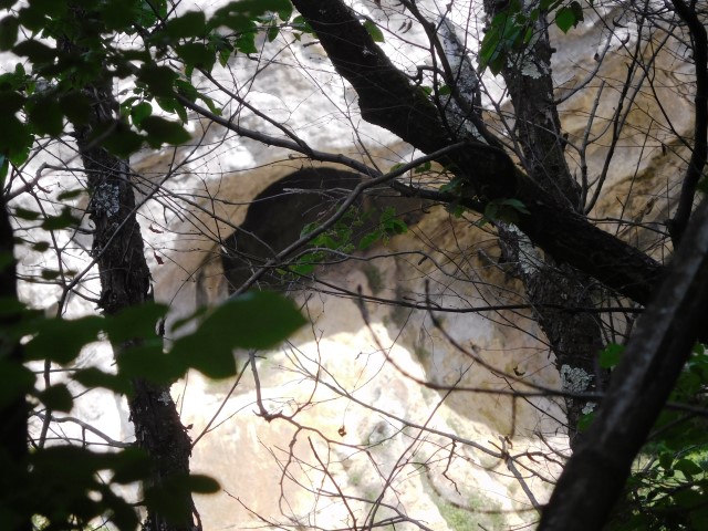
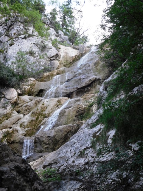
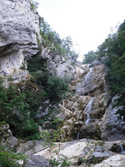
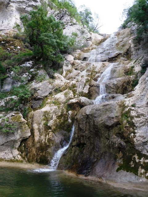
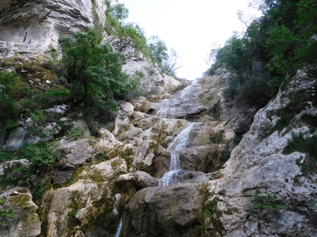
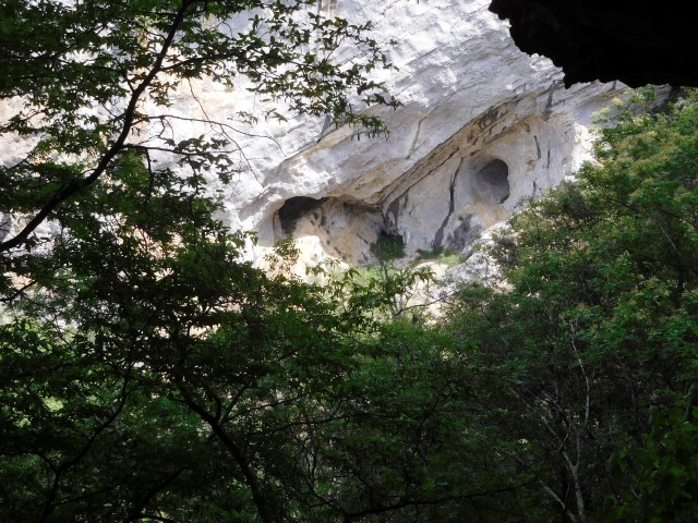
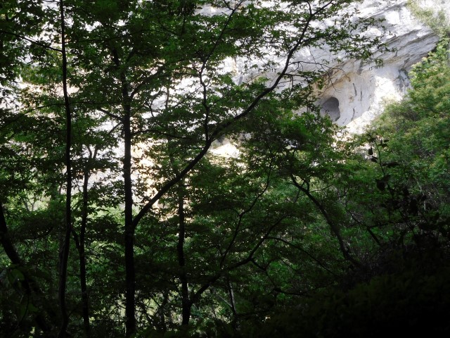
Name: Cingarela waterfalls and caves
Place: Momjan – (Buje)
Coordinates entrance path left side of river Ardila: 45.43585 N – 13.67597 E , Caves and Waterfall. 45.43566 N – 13.68462 E.
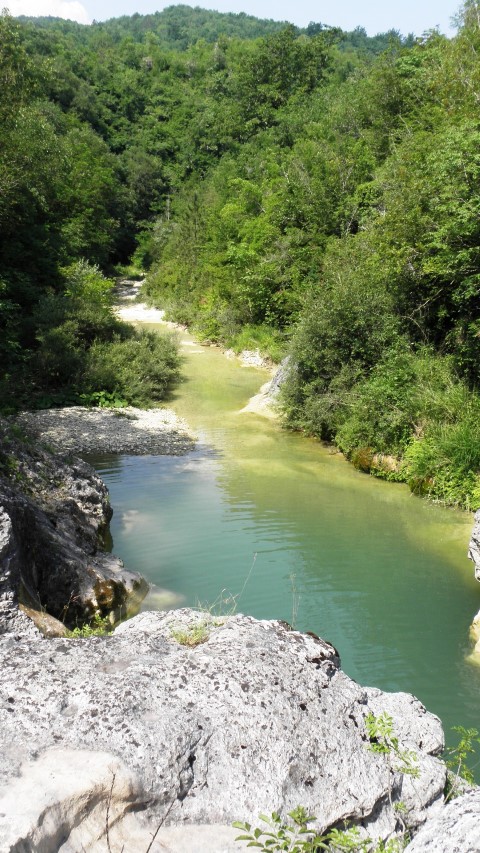
From Gadari to the stream Ardila – Dragonja and the village Dramac.

Place: Gadari – Dramac – (Buje)
Coordinates: from Gadari to Dramac 45.44175 N – 13.66368 E to 45.441181 N to 13.67832 E, Dragogna : 45.44459 N – 13.68202 E