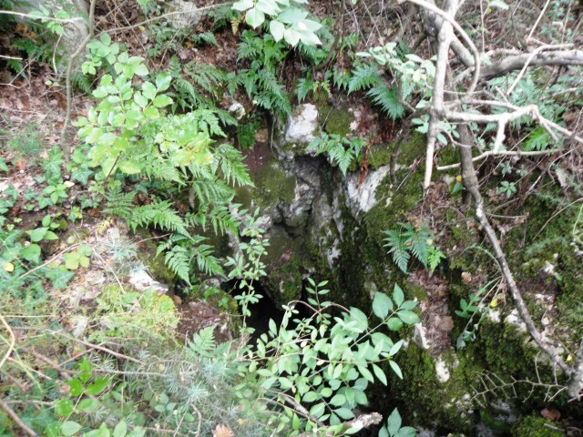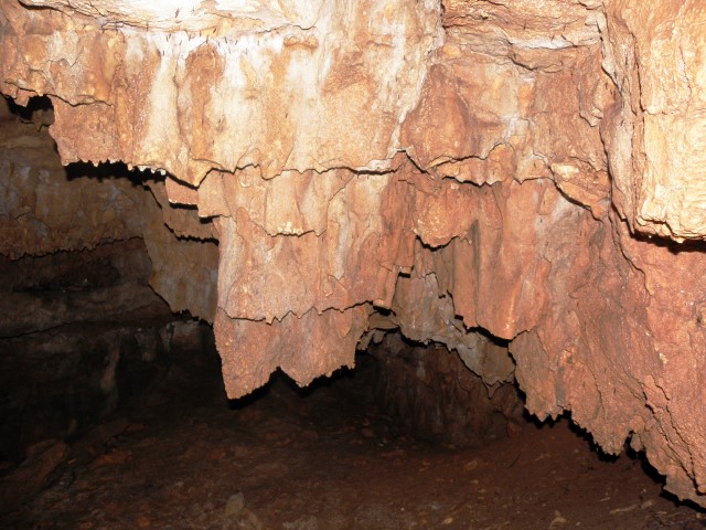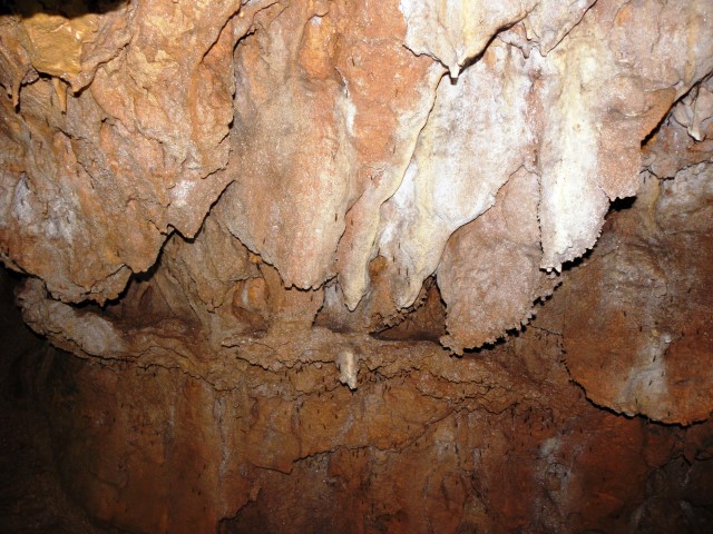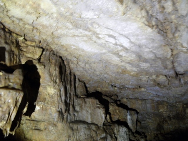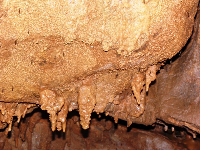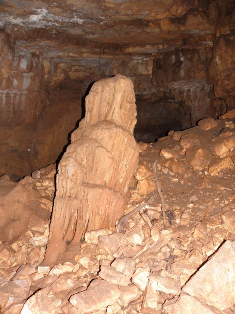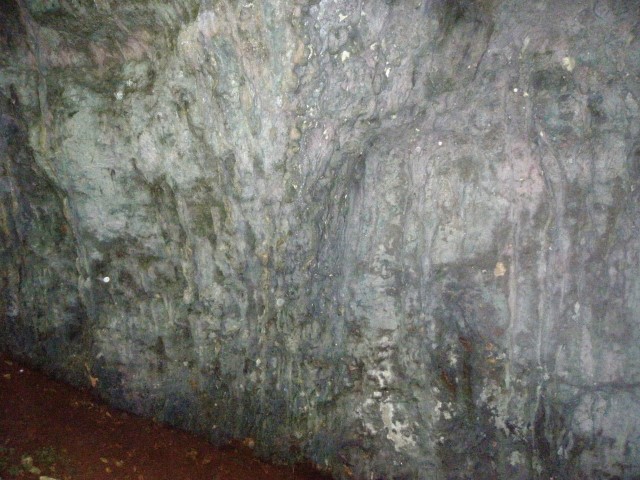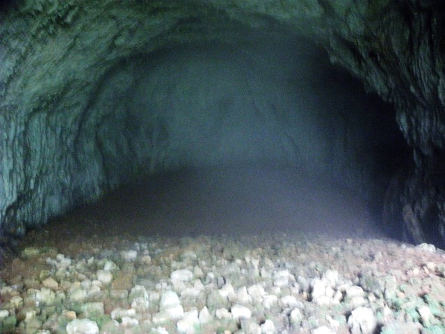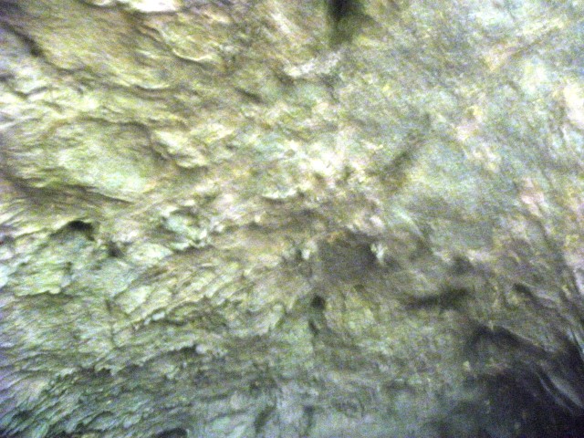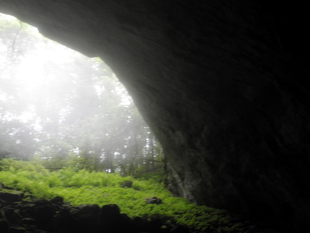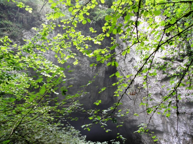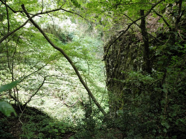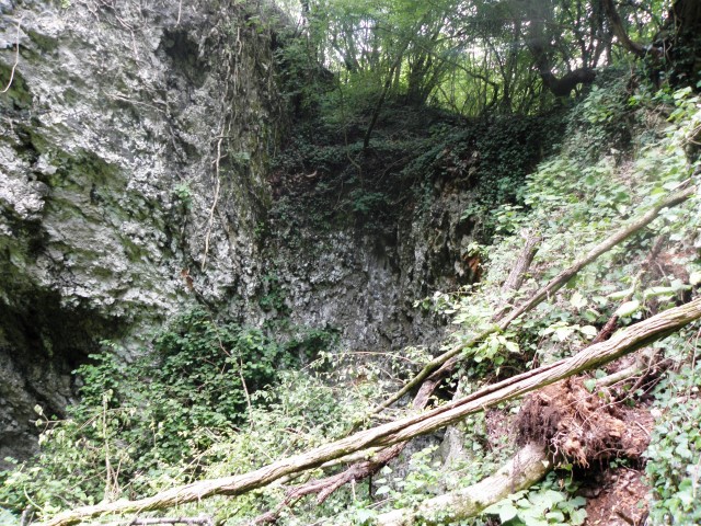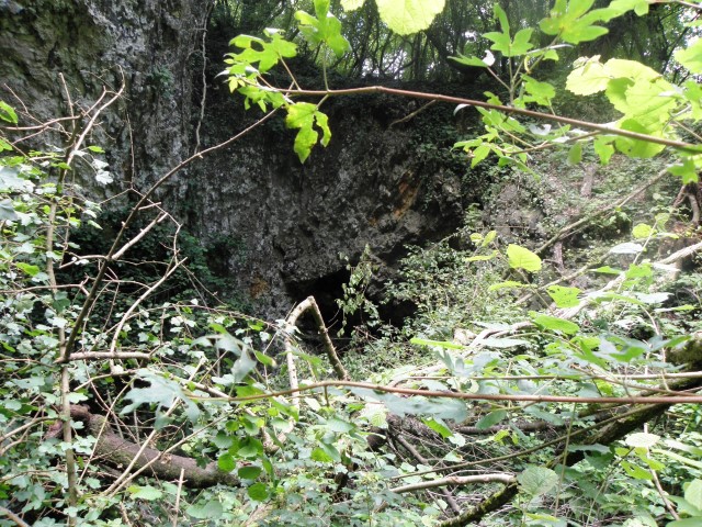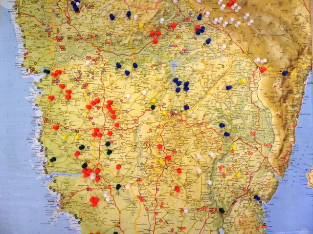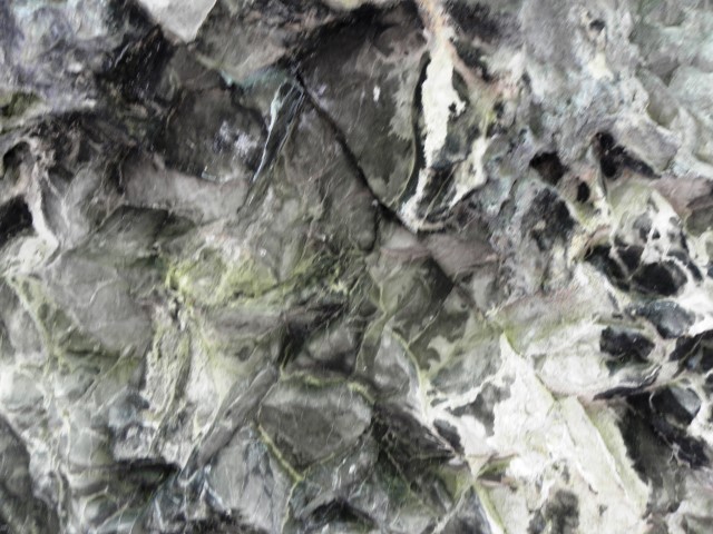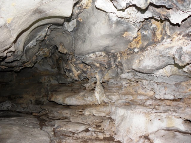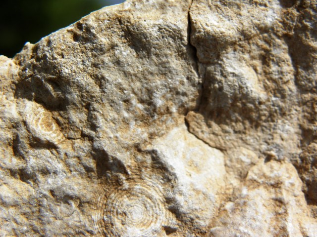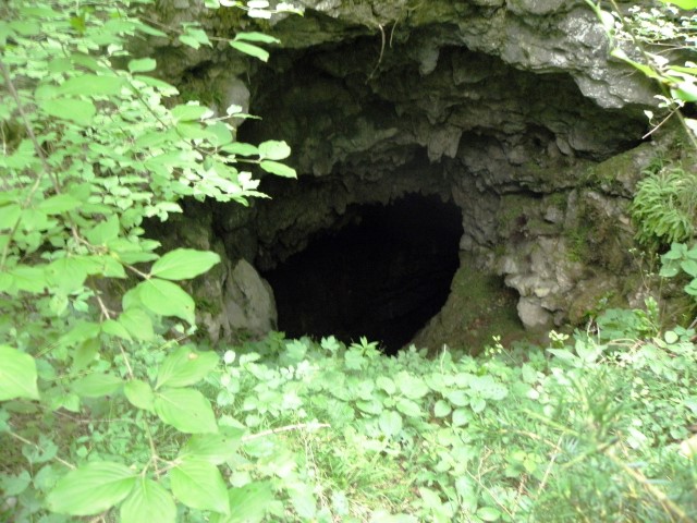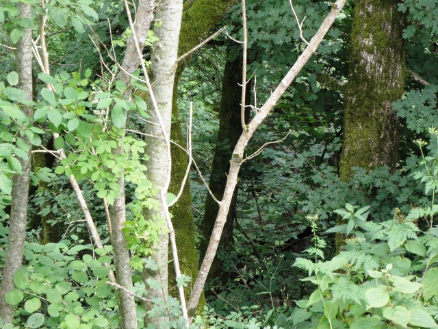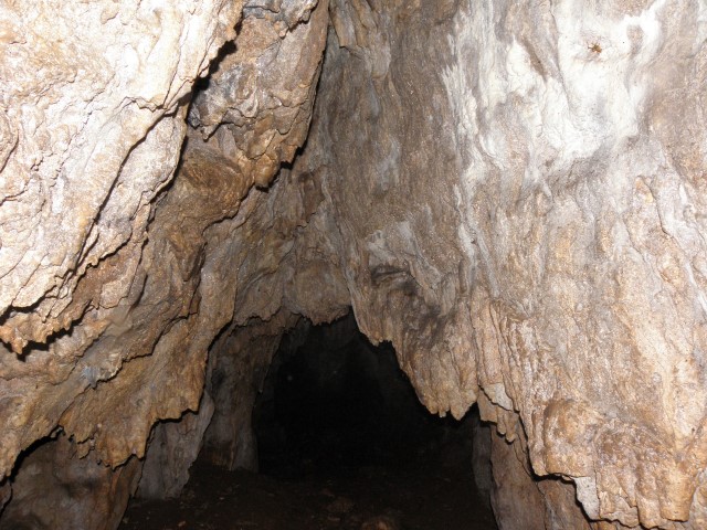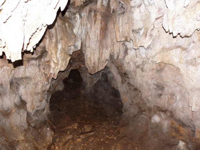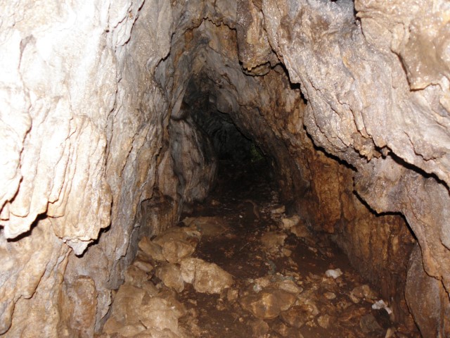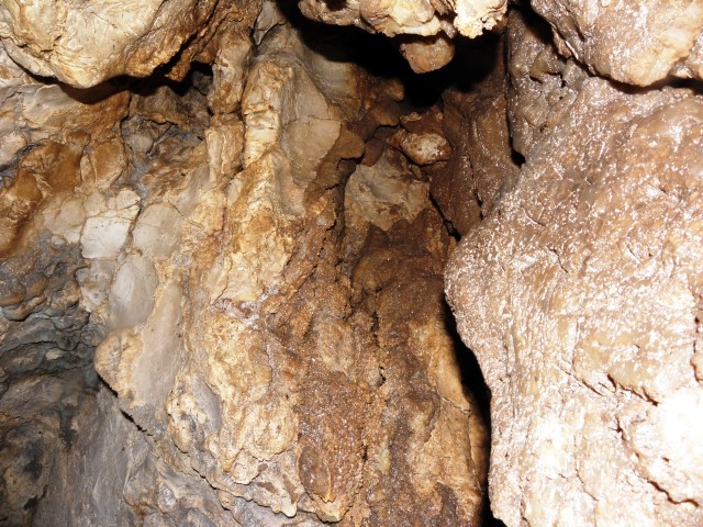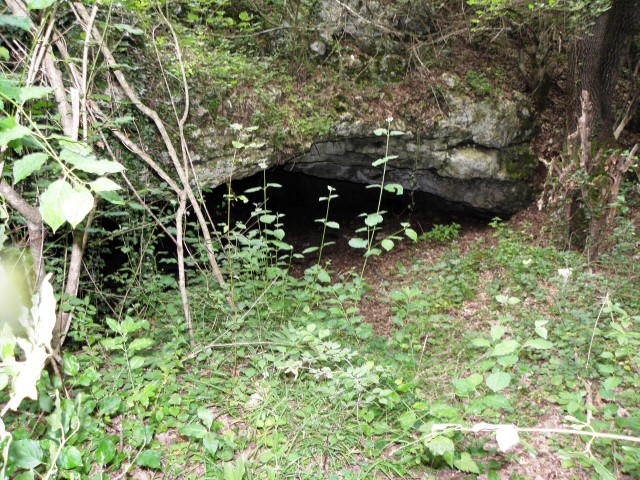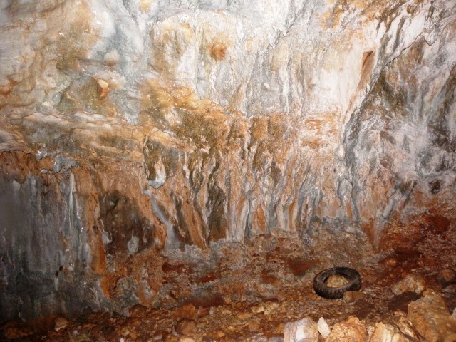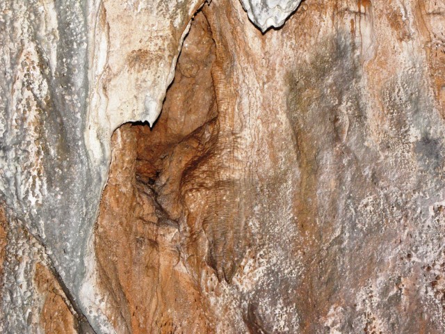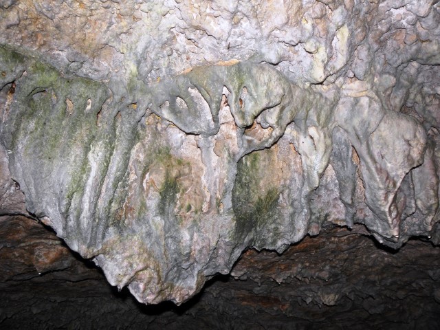
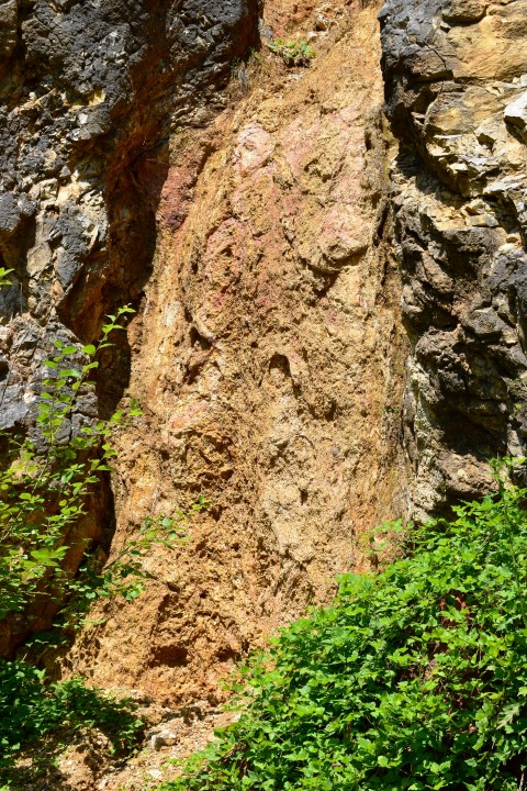
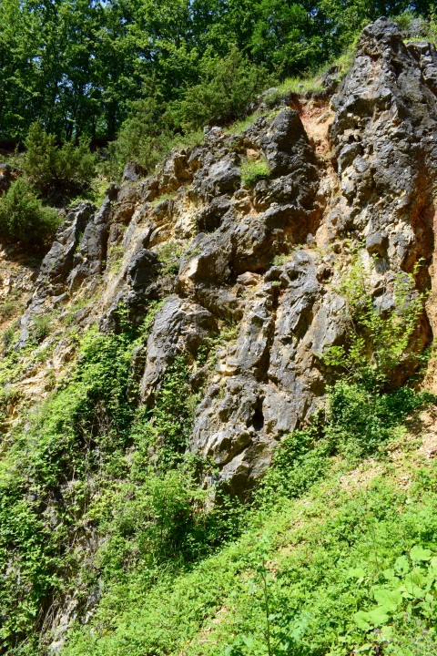


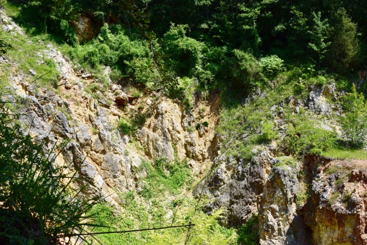

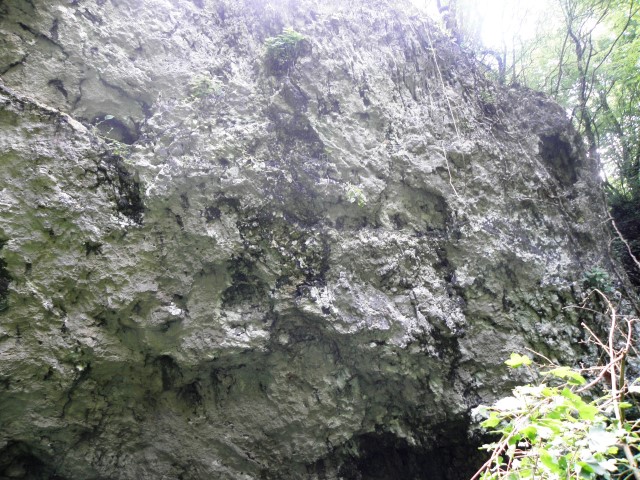
Name: Cave Darišće
Place: Jarbulišće – (Gradišće)
Coordinates: 45.16408 N – 13.99057 E
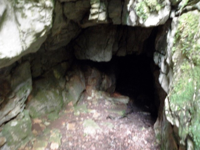
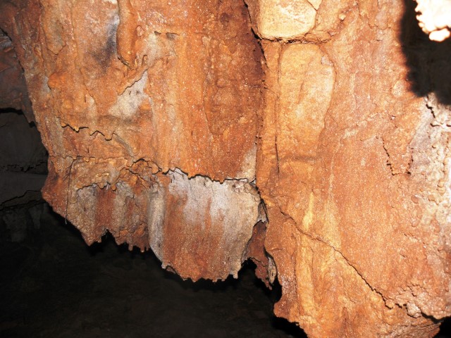
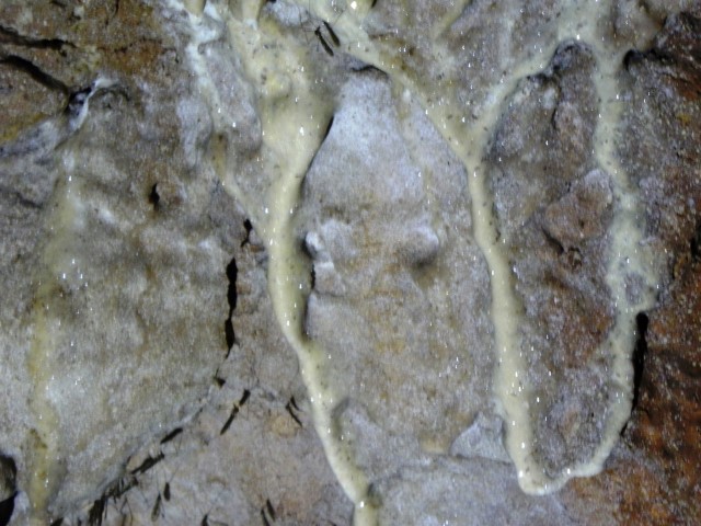
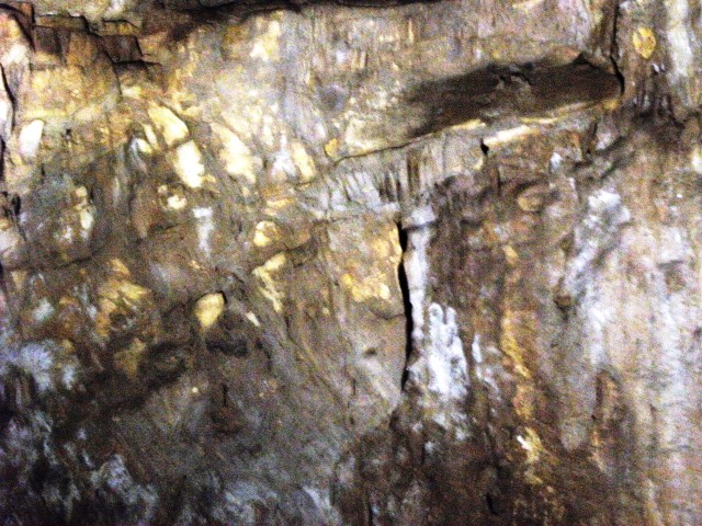
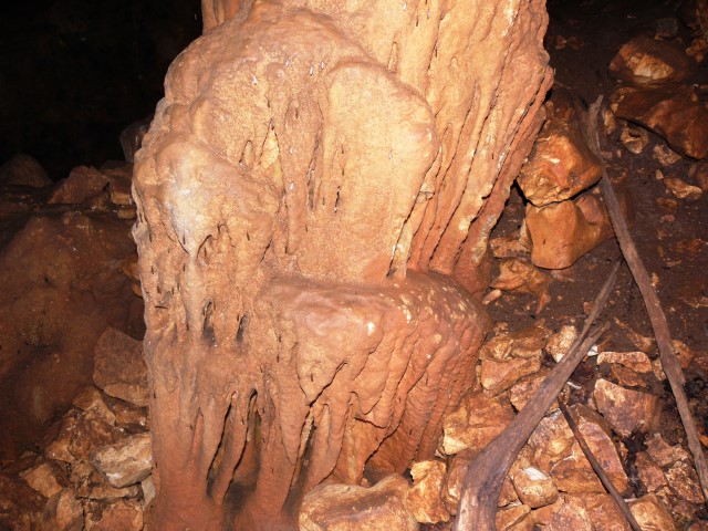
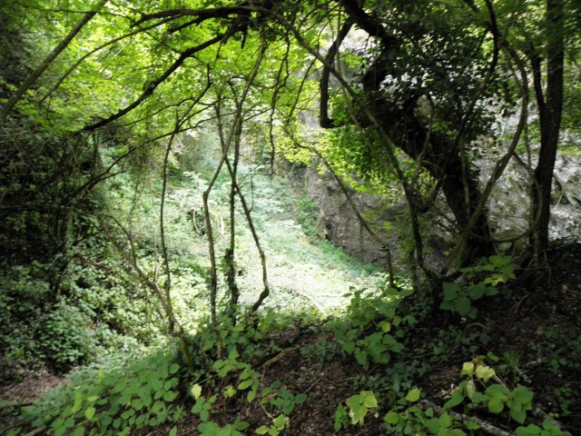
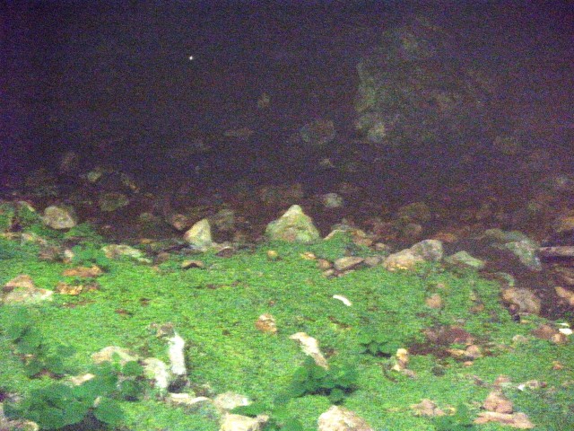
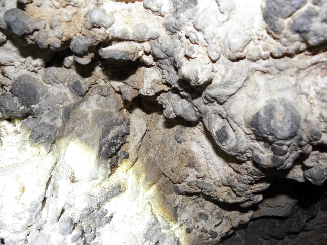
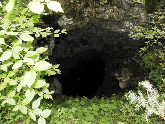
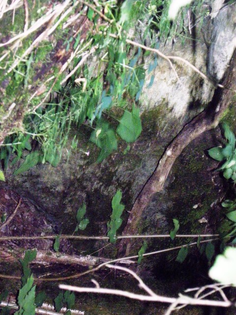
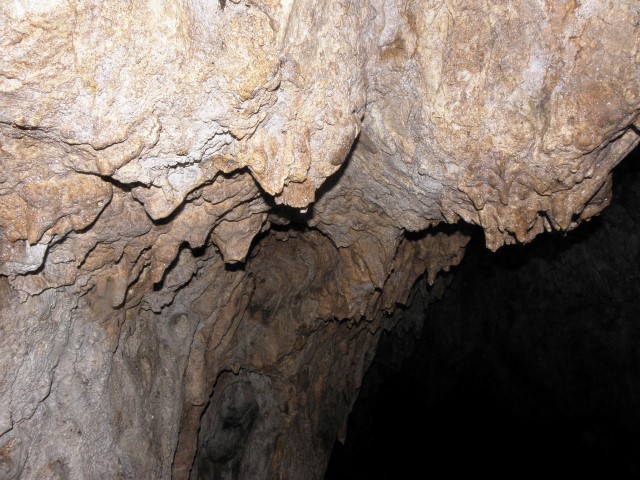
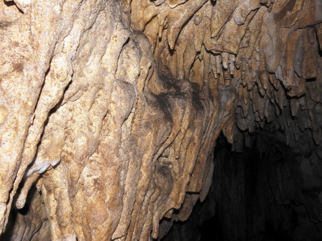
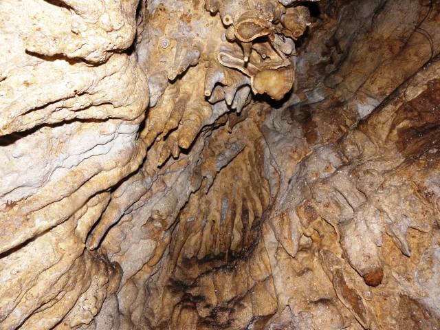
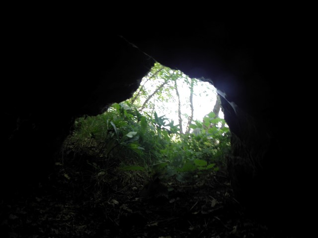
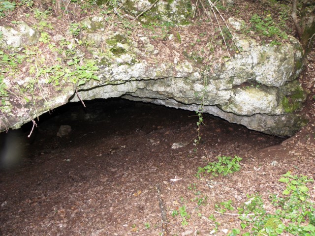
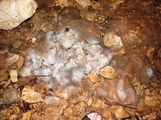
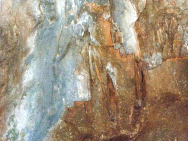
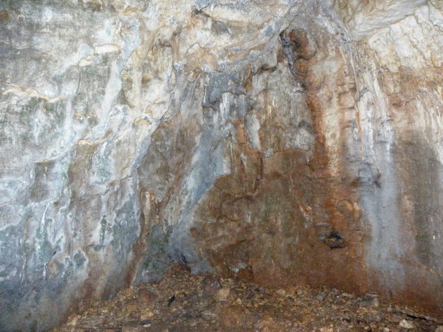
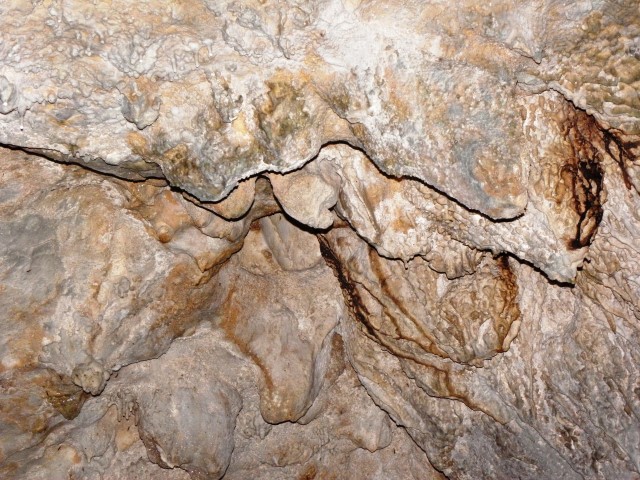
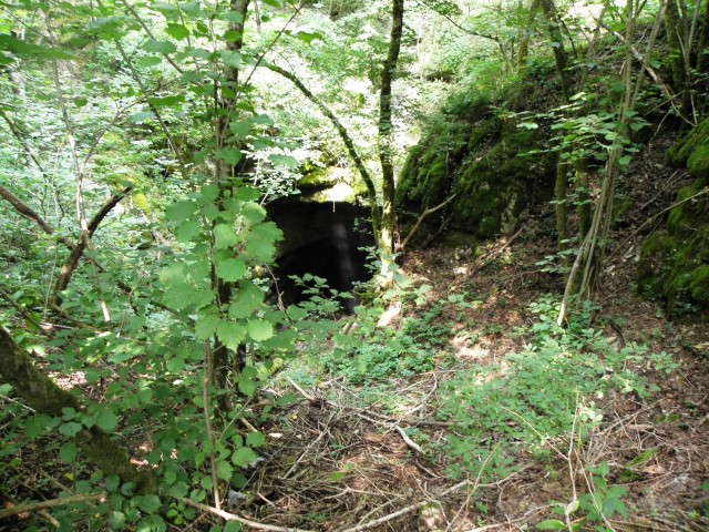
Name: Cave Darišće
Place: Jarbulišće – (Gradišće)
Coordinates: 45.16408 N – 13.99057 E

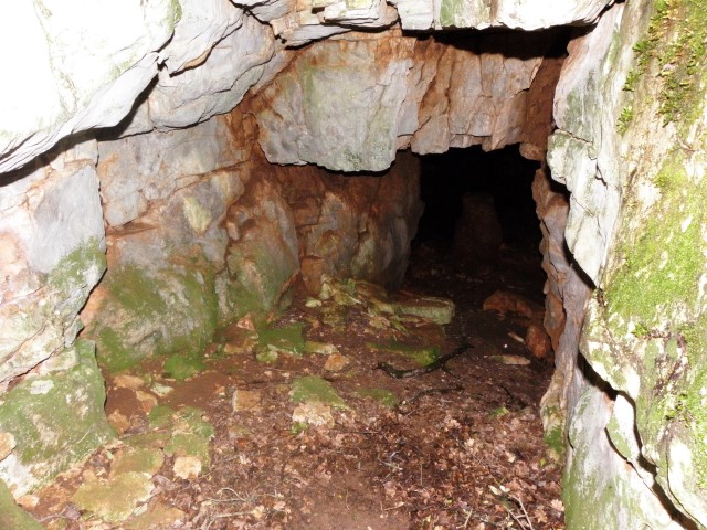
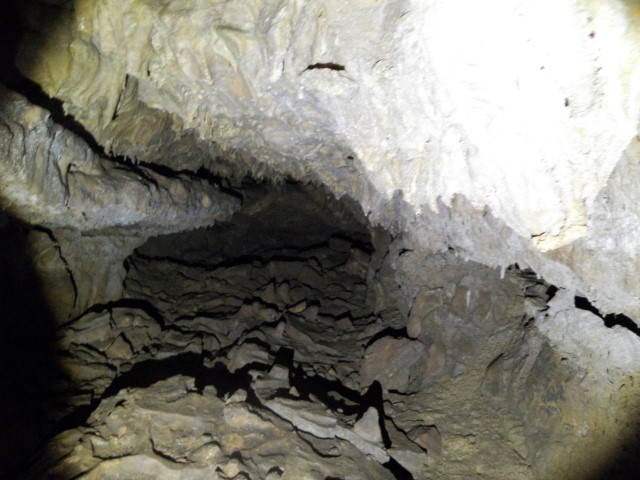
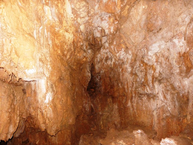
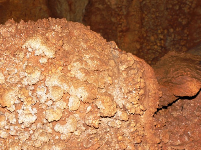
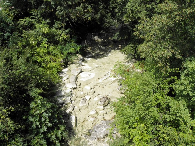
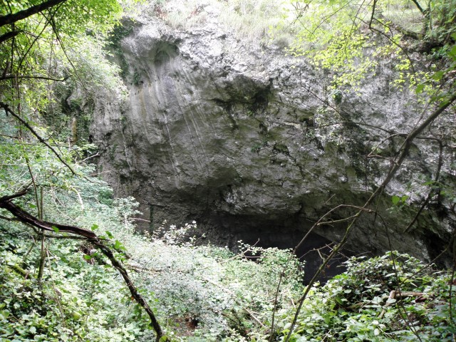
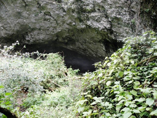
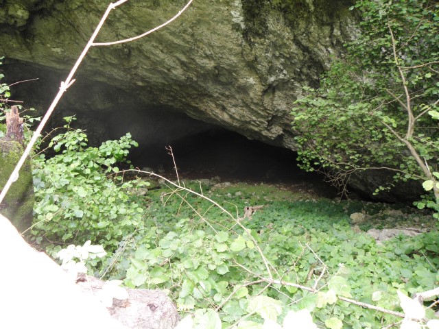
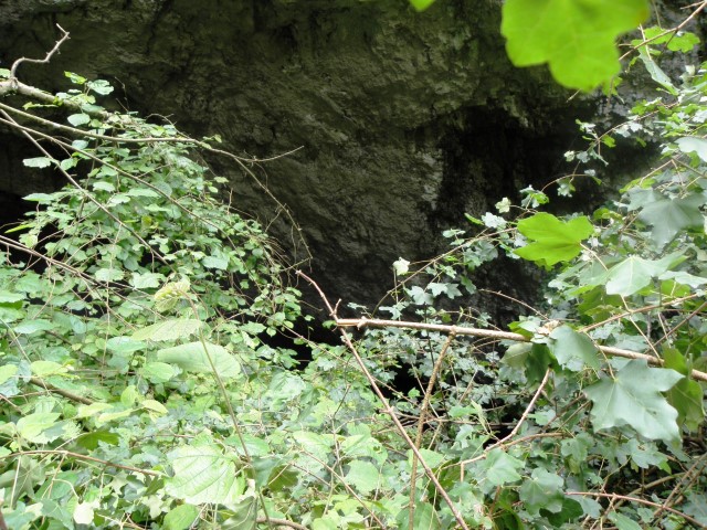
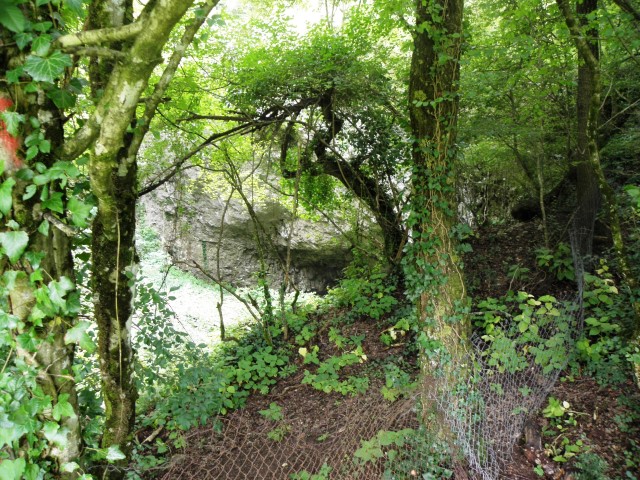
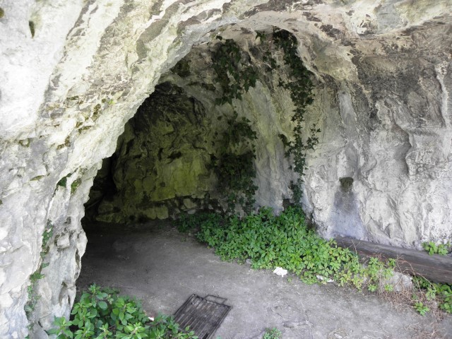
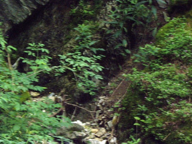
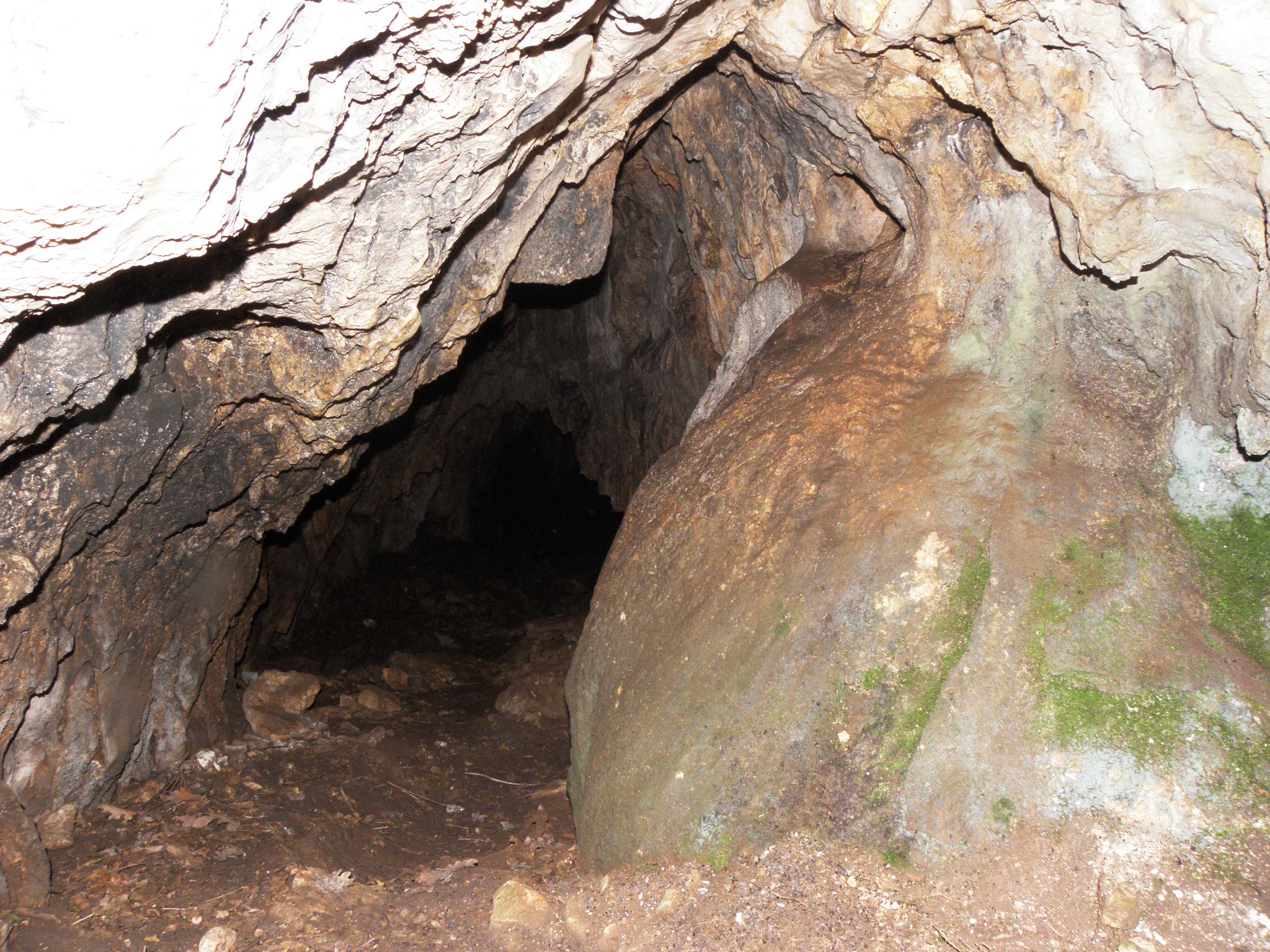
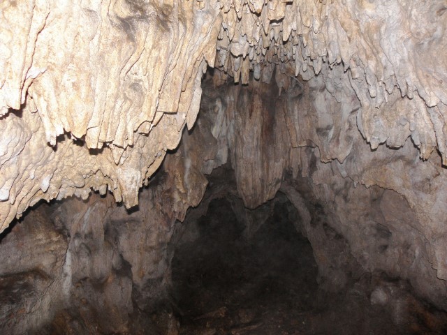
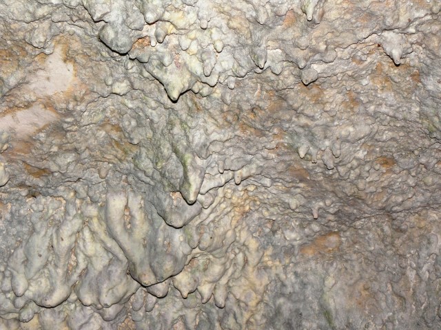
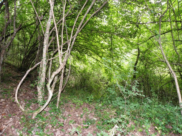
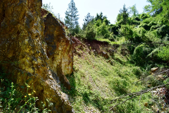
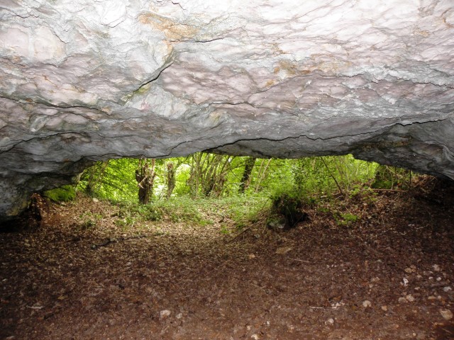
Name: Cave near Orihi
Place: Orihi – (Barban)
Coordinates: 45.06769 N – 13.95820 E
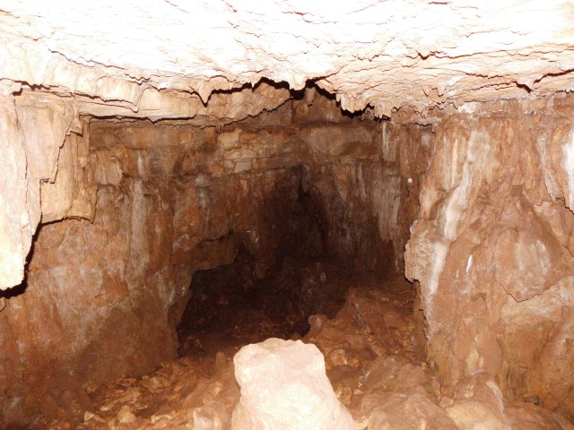
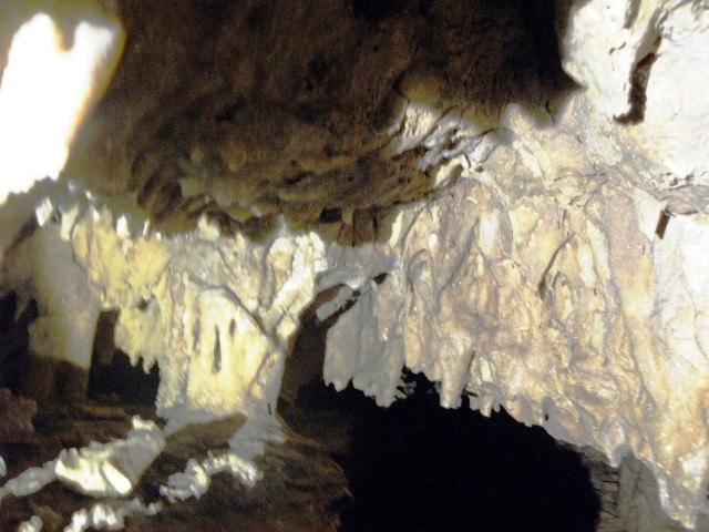
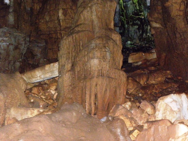
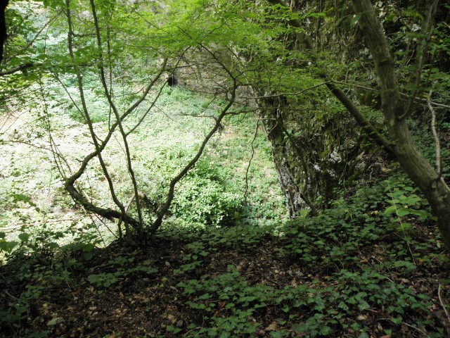
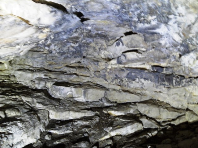
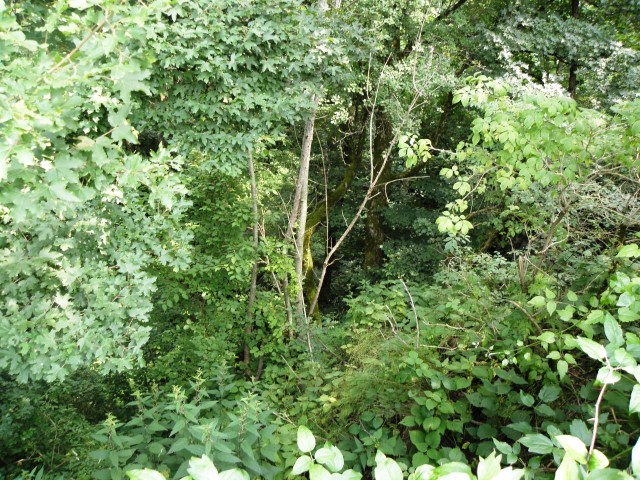
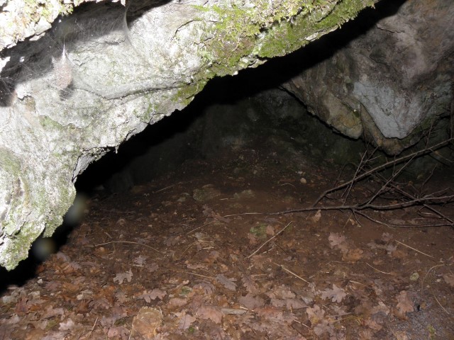
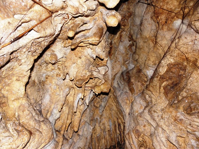
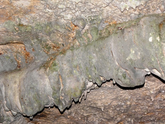
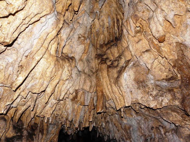
Name: Juranska Pećena
Place: Jurani – (Pićan)
Coordinates: 45.16890 N – 14.02138 E
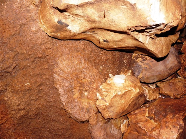
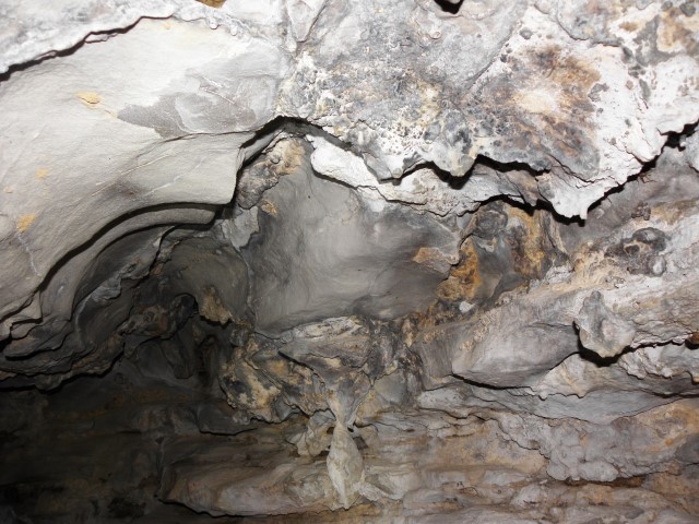
Name: Cave near Fumeti
Place: Fumeti -(Baeban)
Coordinates: 45.05887 N – 13.98529 E
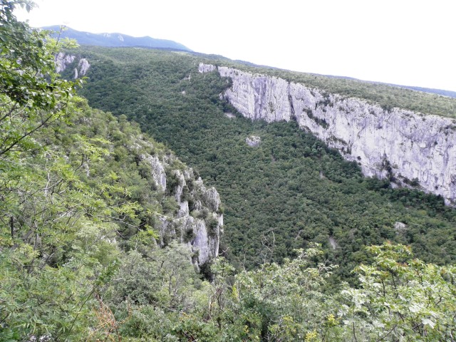
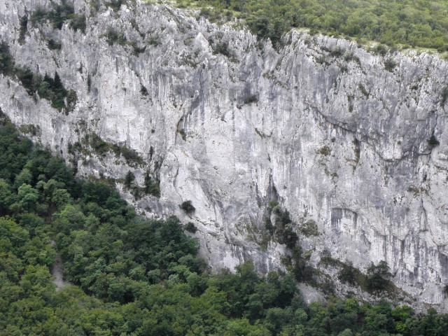
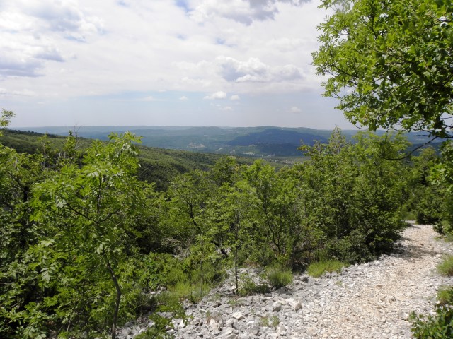
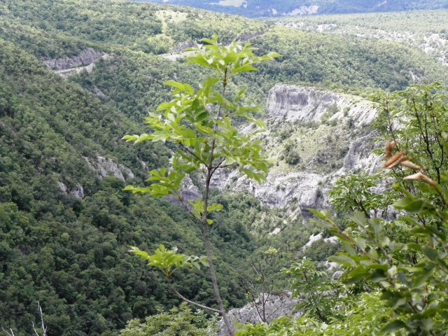
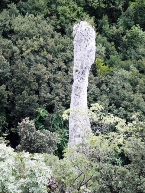
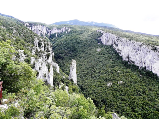
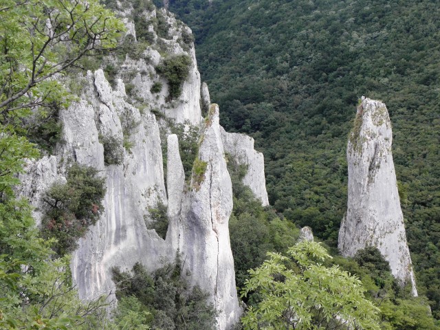
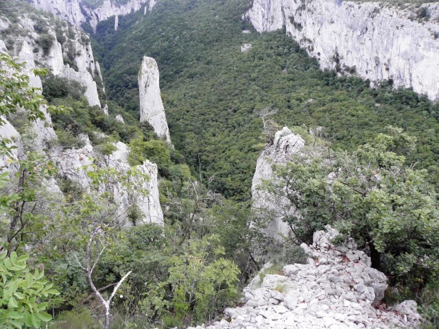
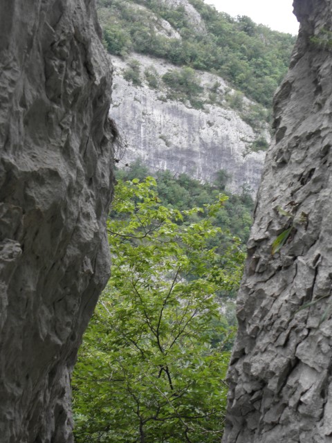
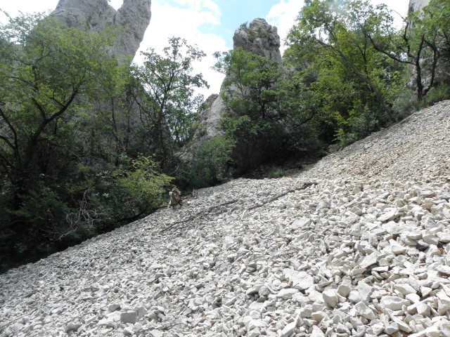
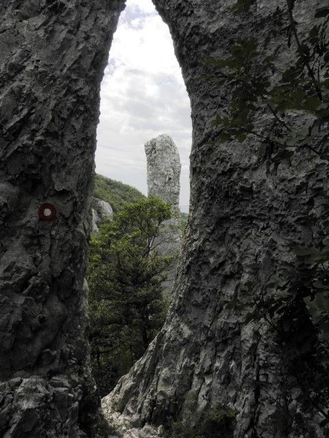
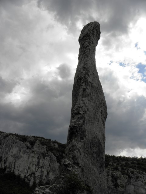
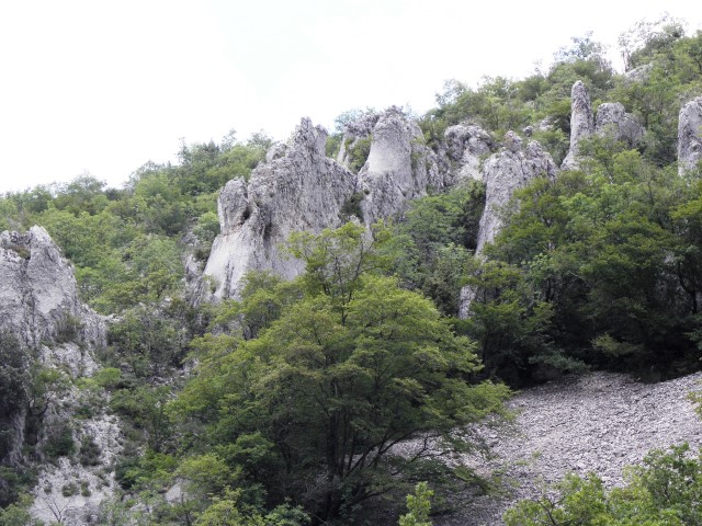
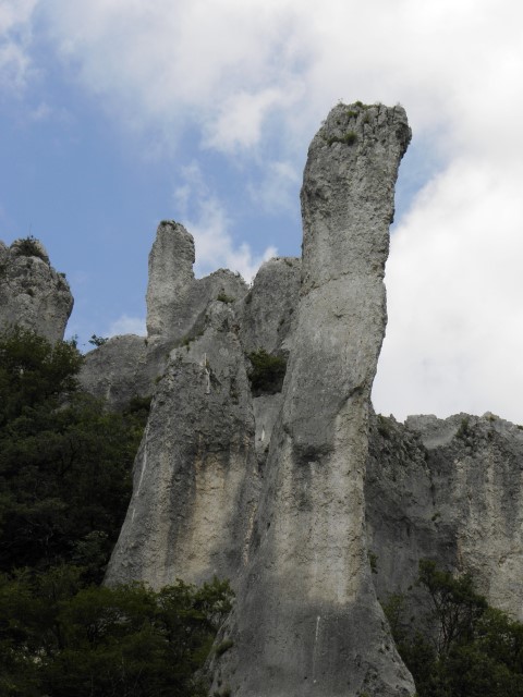
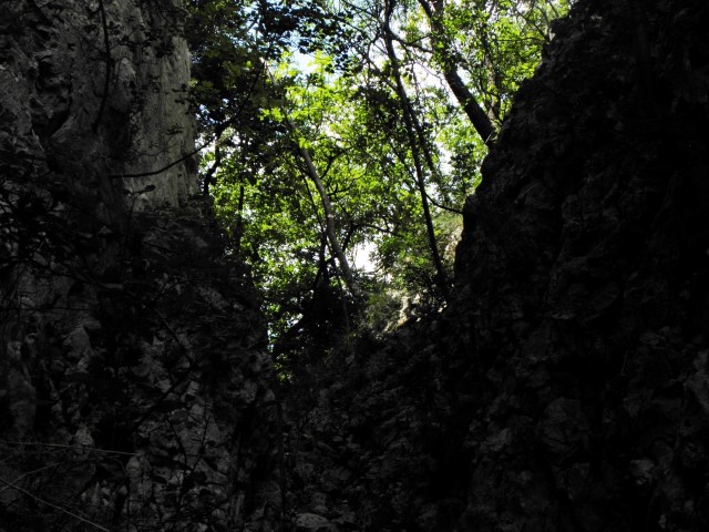
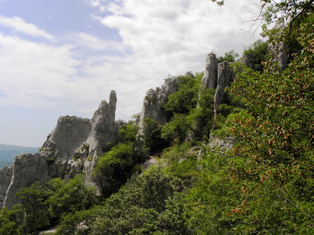
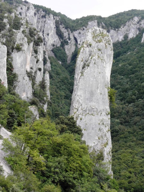
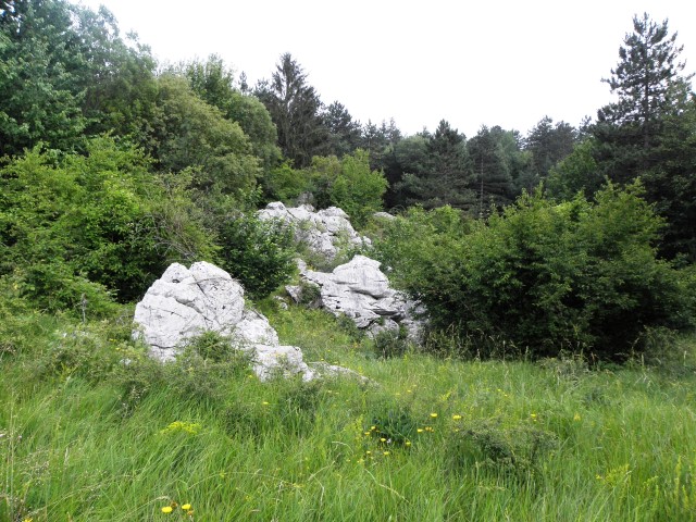
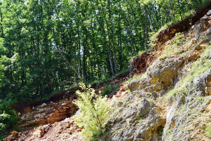
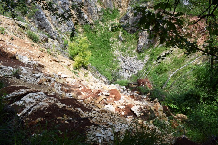
Vela draga is since 1963 protected as a natural area reserve and five years later as a geomorphological monument. In this canyon are impressive rocks and limestone towers upto 100 meters.
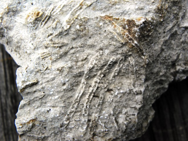
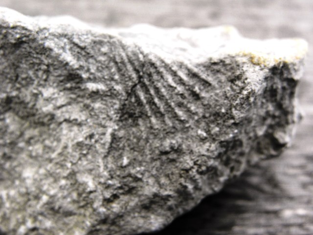
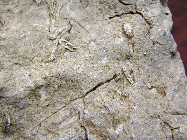
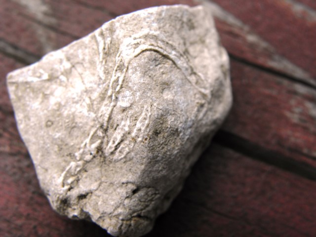
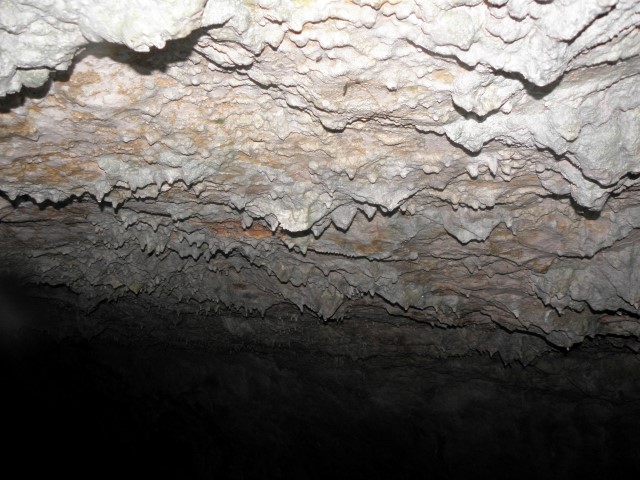
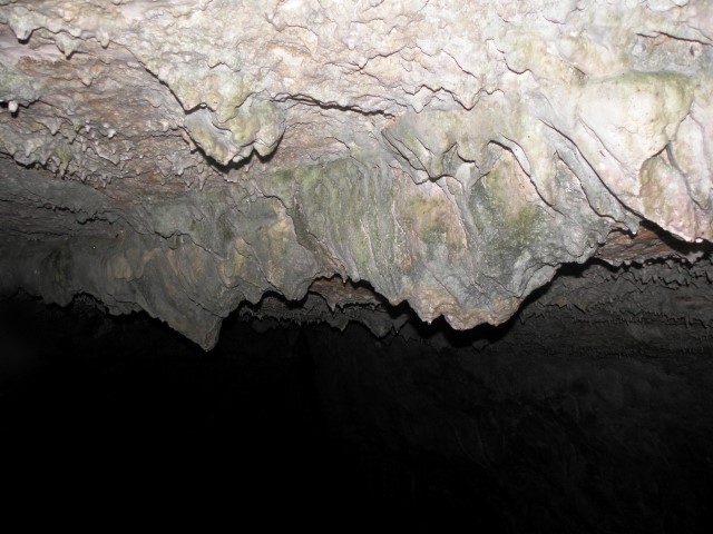
The rocks in the Učka are formed between 140 million years ago and 30 million years ago, and by the organism of shells were formed sediment layers, and by compacting and cementing processes it became solid limestone rocks.
By karstification (melting, abrasion and erosion) the canyon got its form.

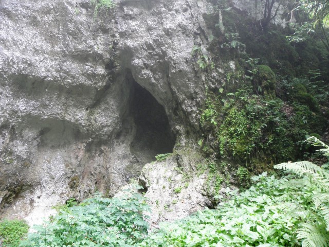
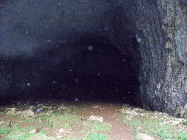
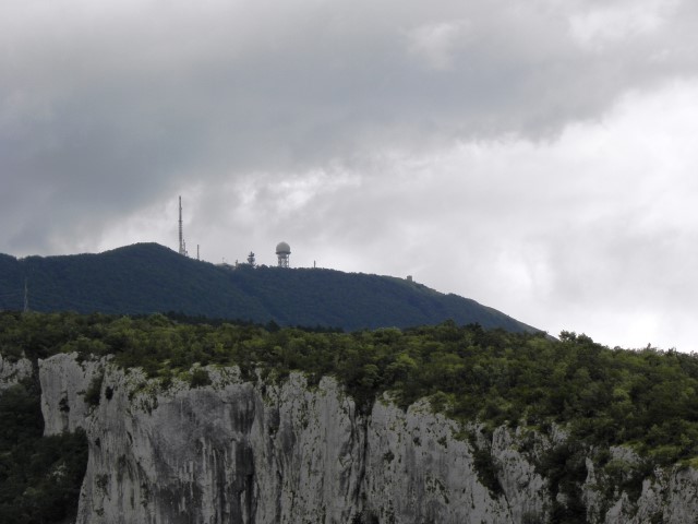
Name: Vela Draga
Place: Učka natural reserve
Coordinates: Entrance 45.31986 N 14.16989 E
cave: 45.31537 N 14.16903 E

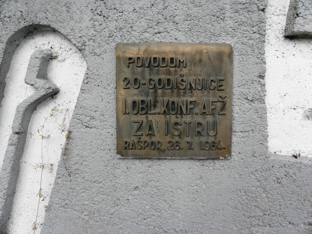
Name: Cave near Rašpor
Place: Rašpor – (Lanišće)
Coordinates: 45.43981 N – 14.08574 E
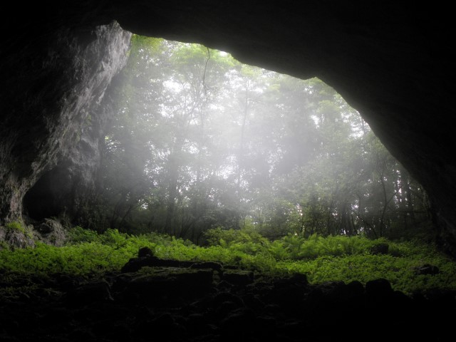
Raporška jama is the deepest cave in Istria (-358 m). The total lengthe of the corridors is approximately 5 kilometers.
Name: Rasporška jama
Place: Rašpor – (Lanišće)
Coordinates: 45.43765 N – 13.07707 E
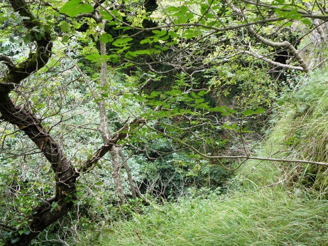
Name: Matulinska peć
Place: Near Brešnica
Coordinates: 45.13955 N – 13.99233 E
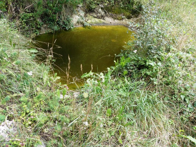
Name: Pucići cave
Place: Pucići – (Žminj)
Coordinates: 45.13985 N – 13.93991 E