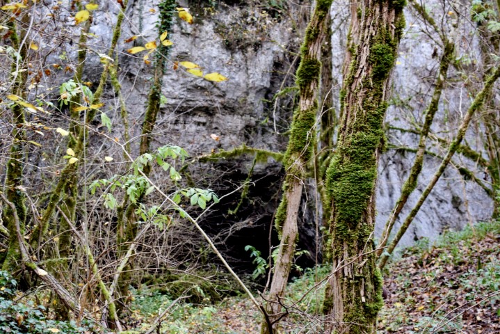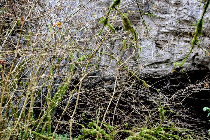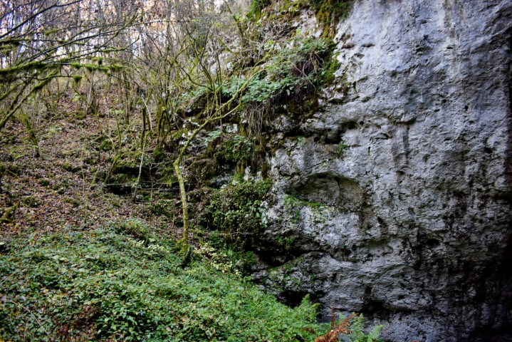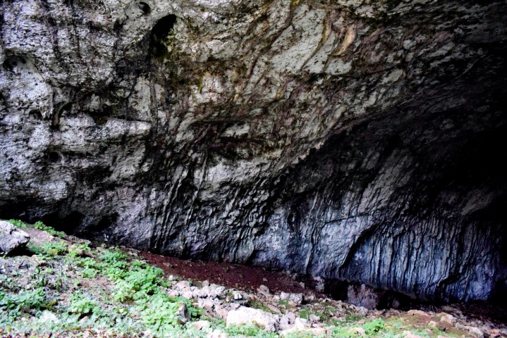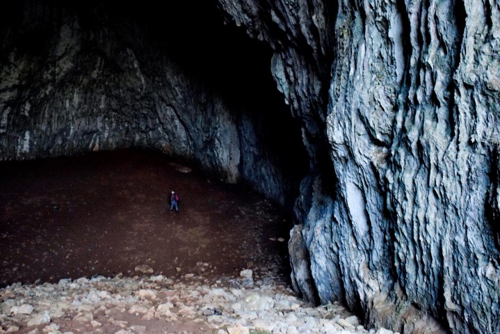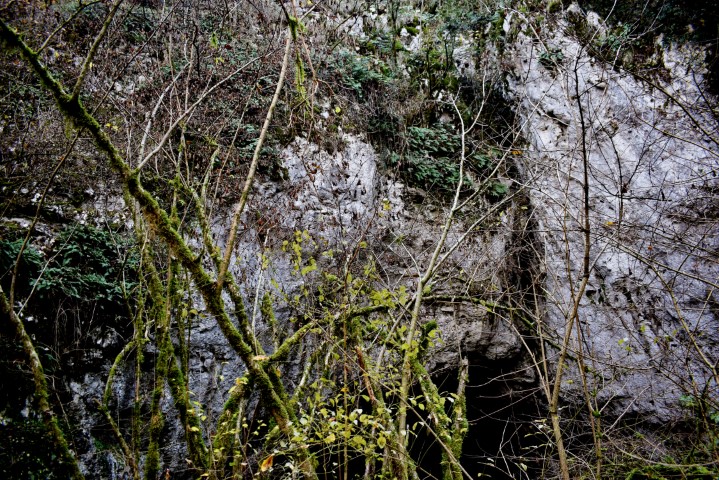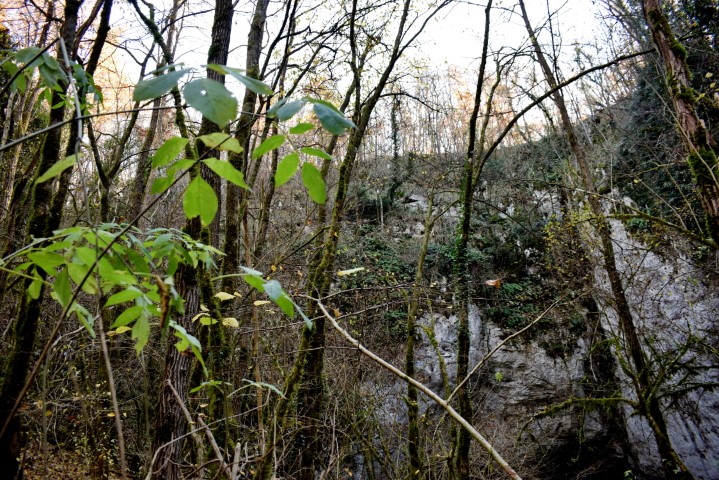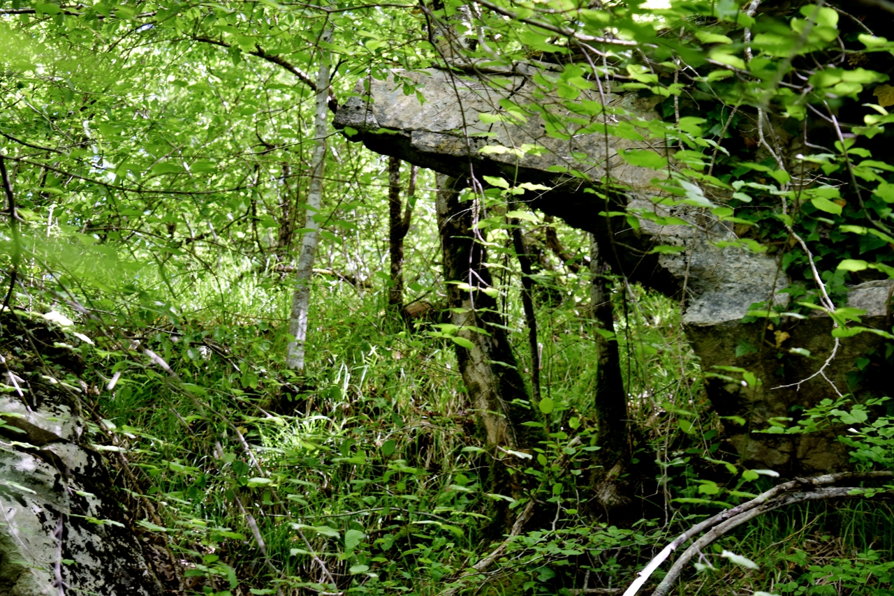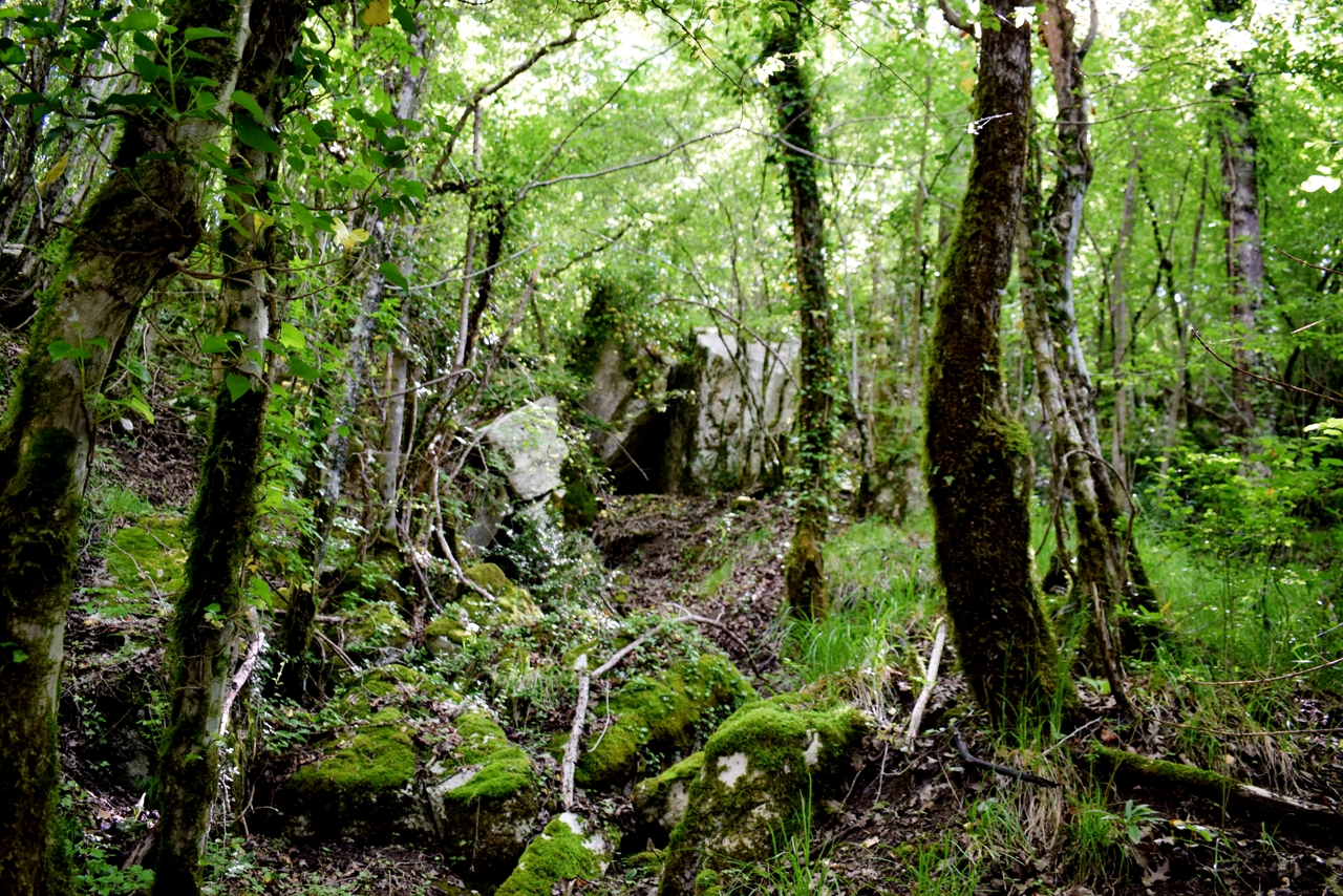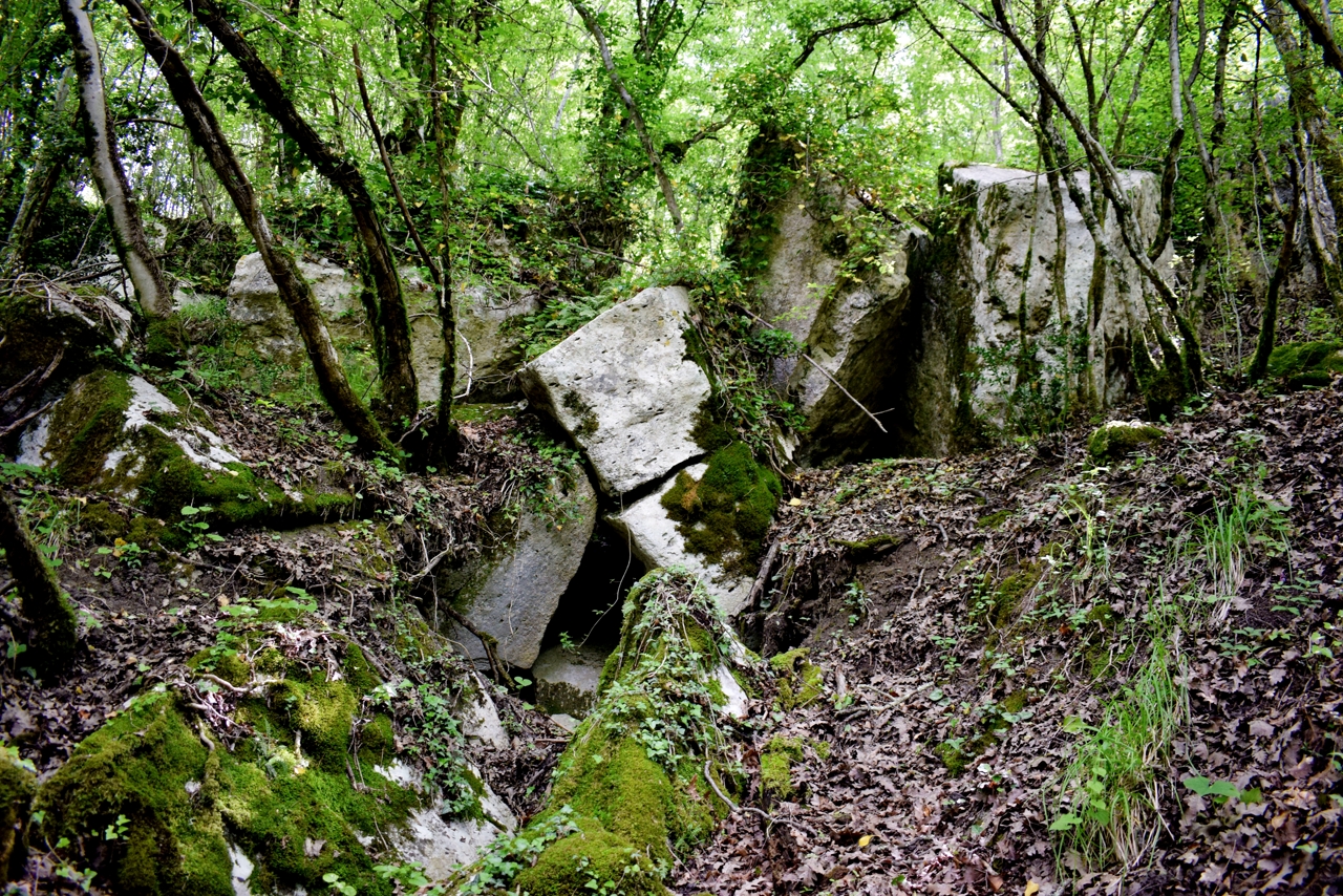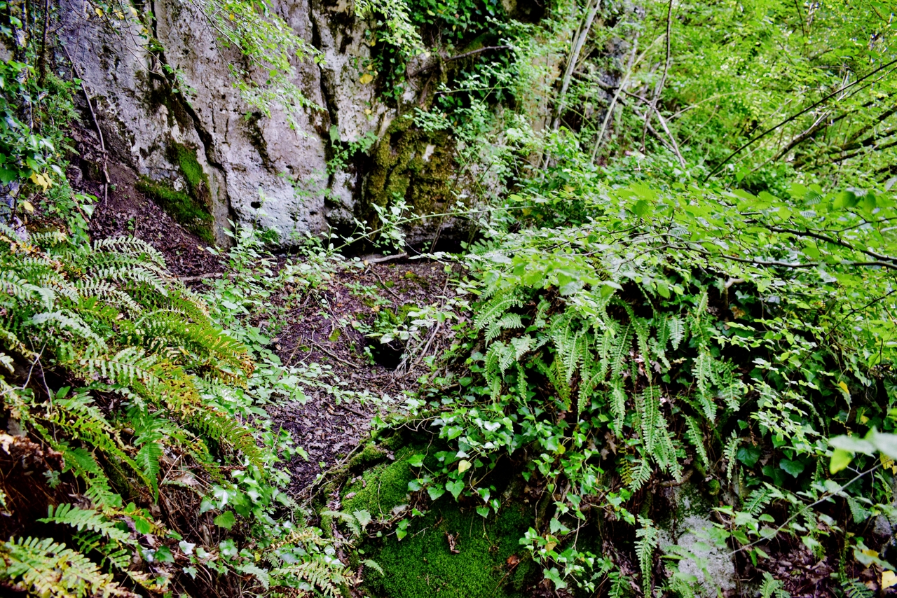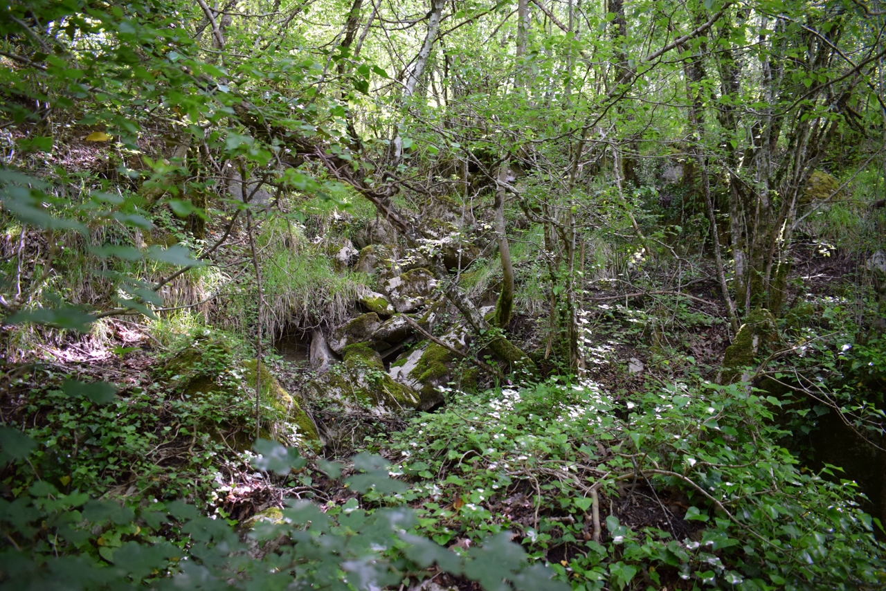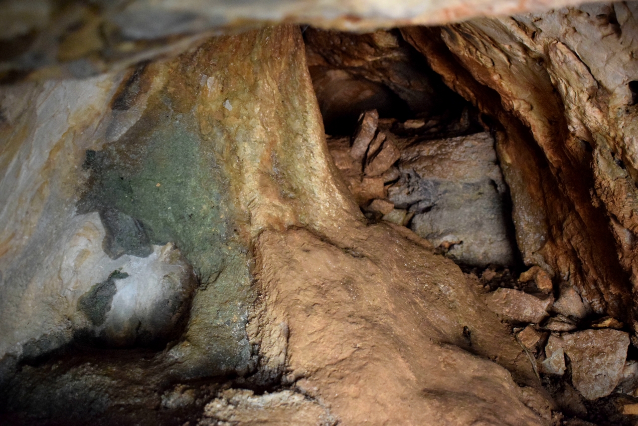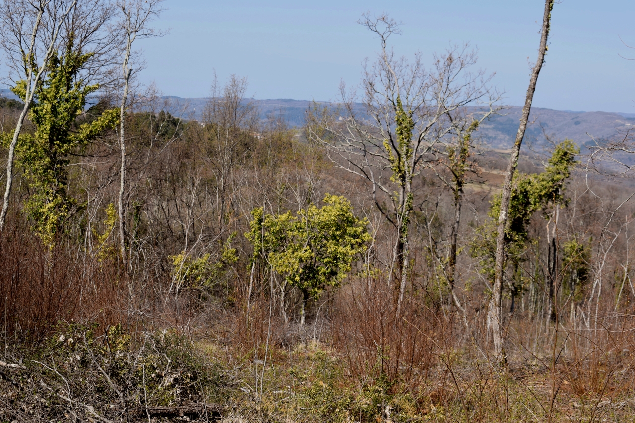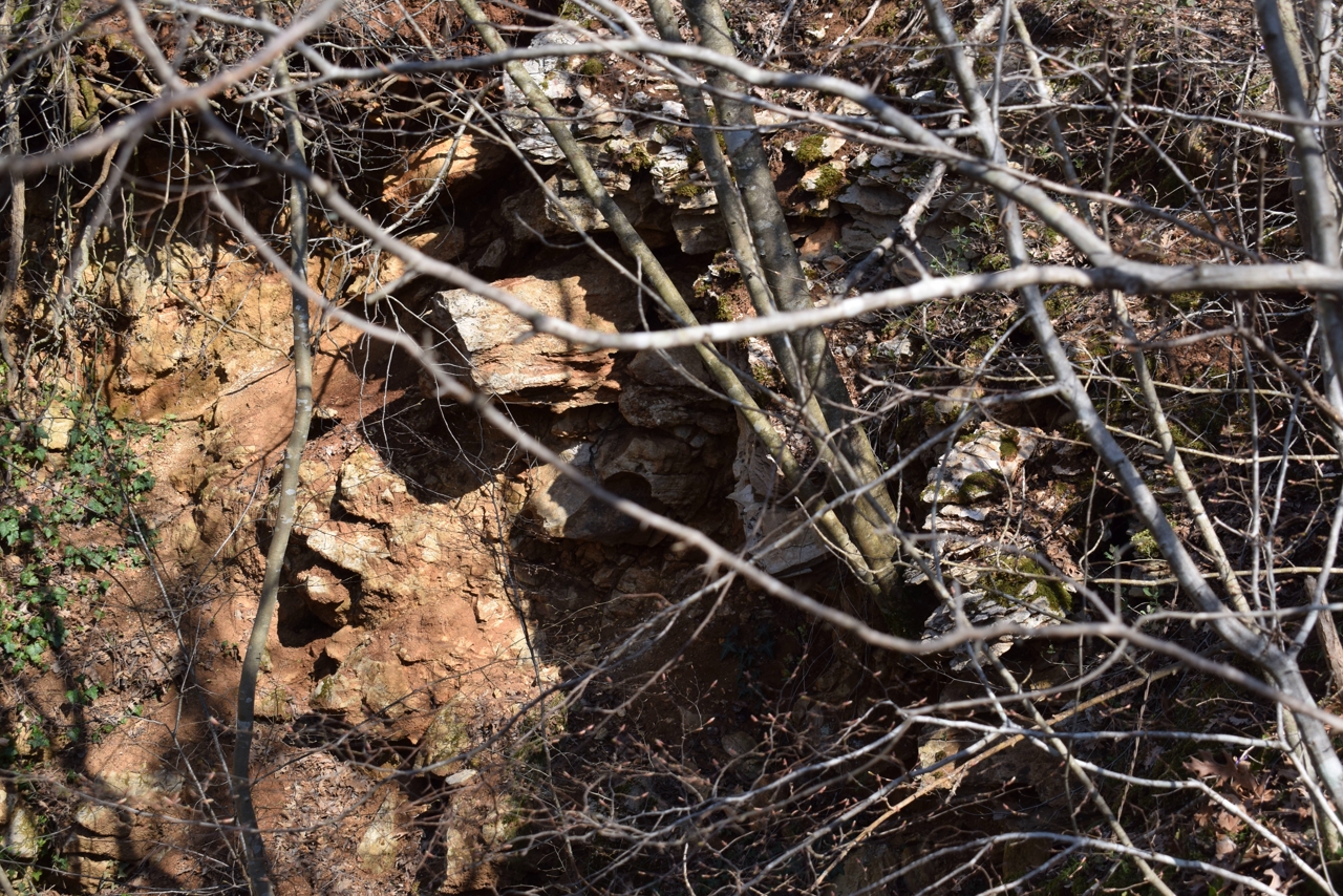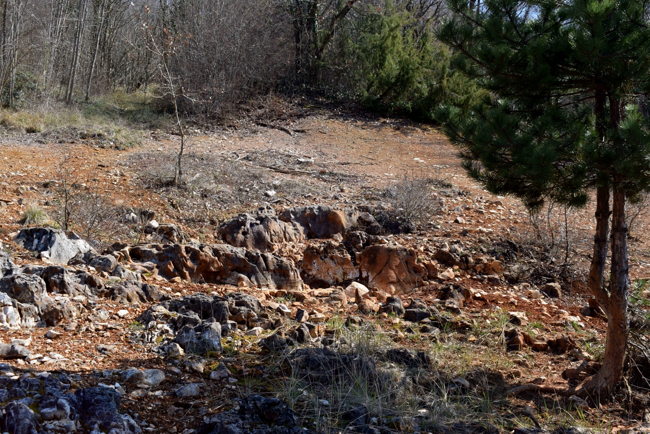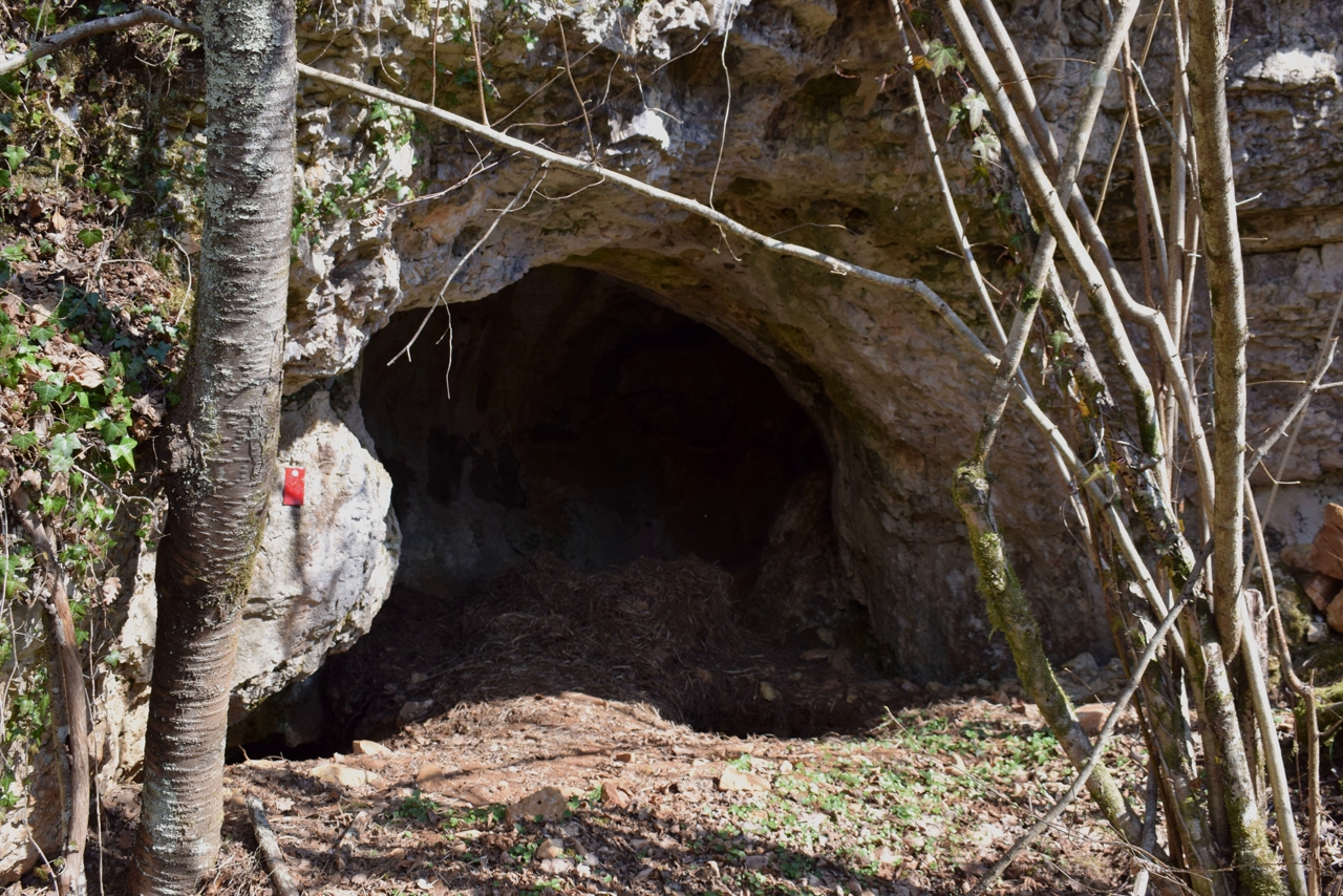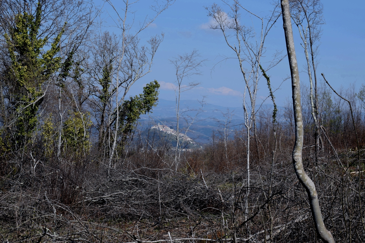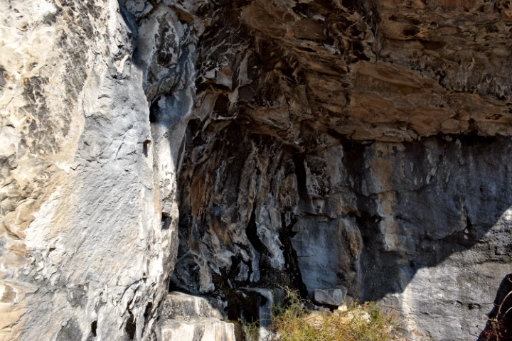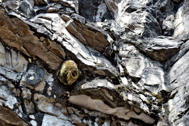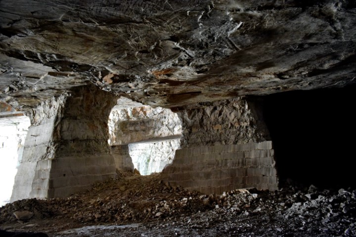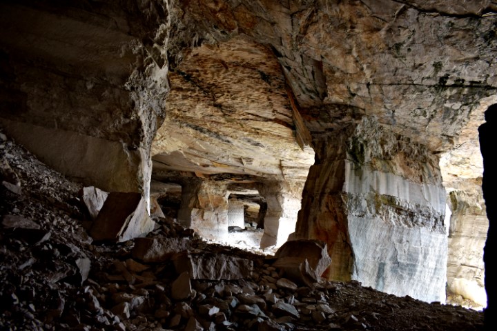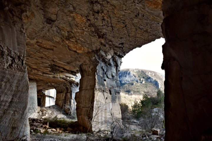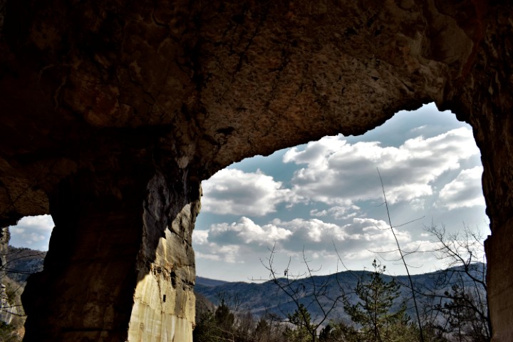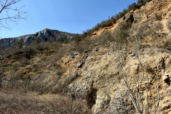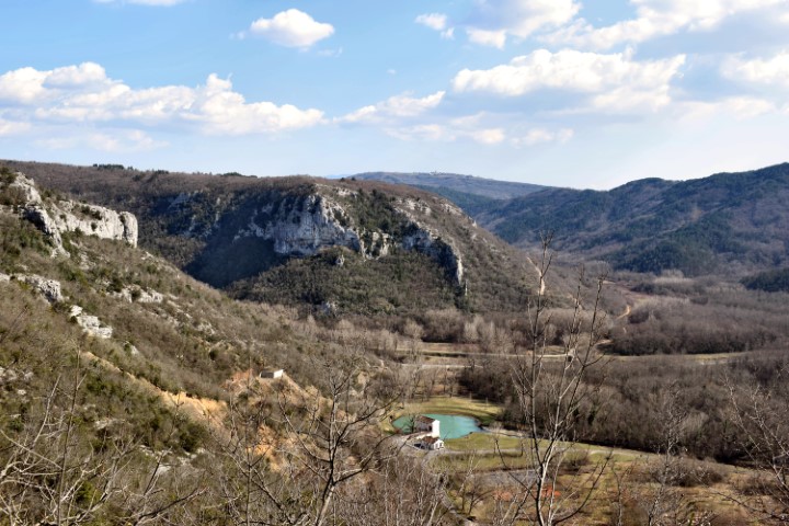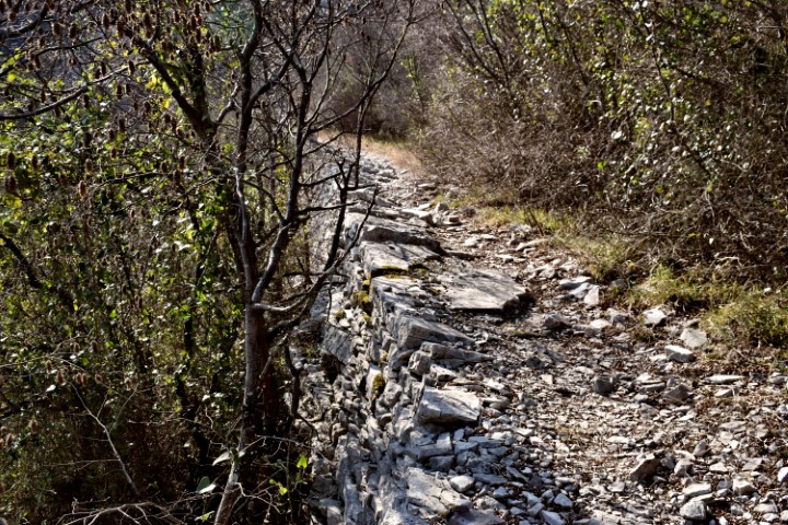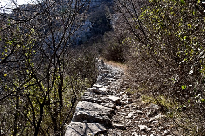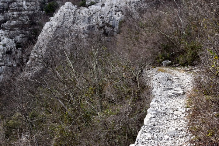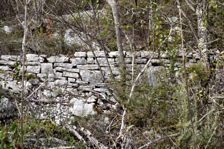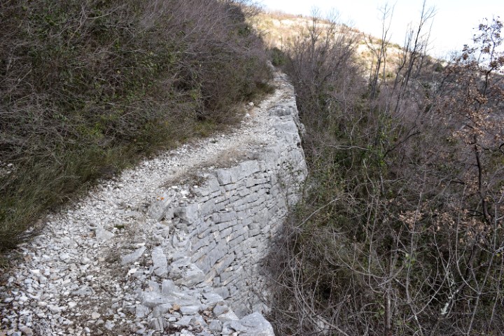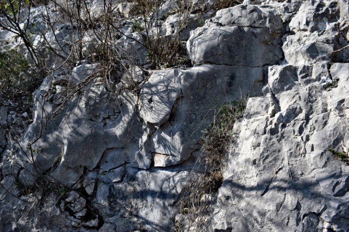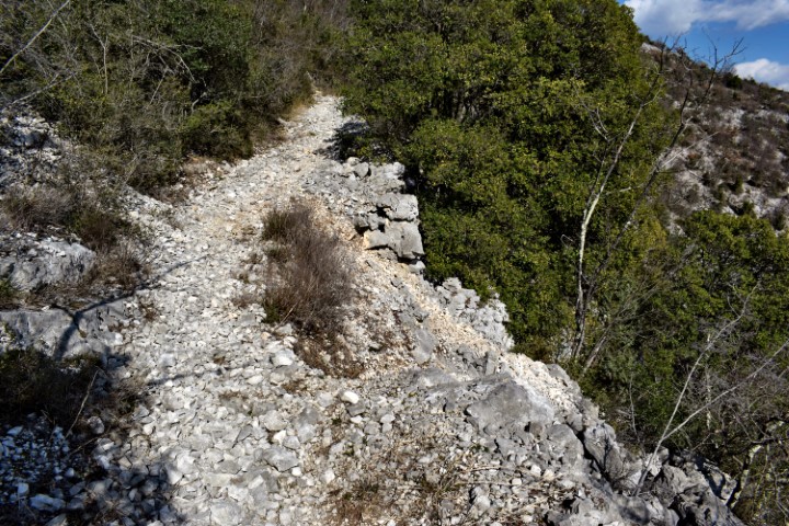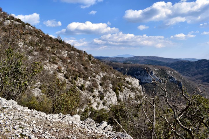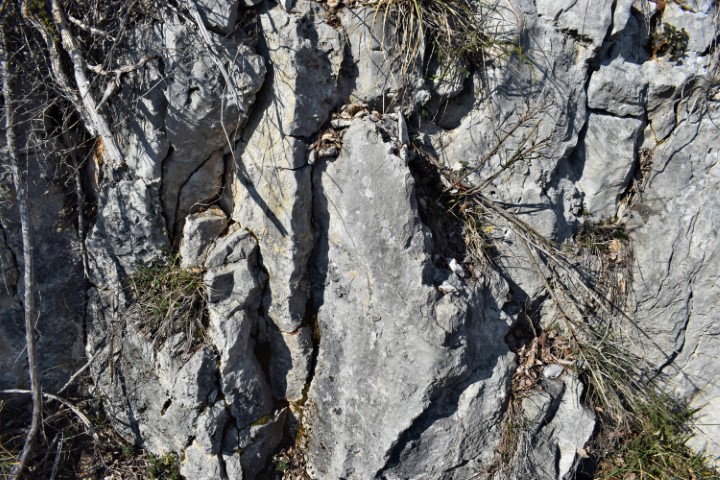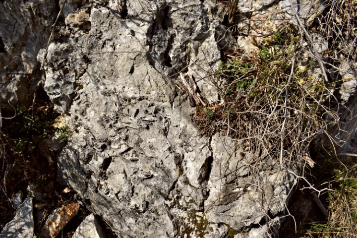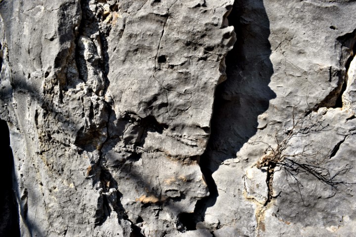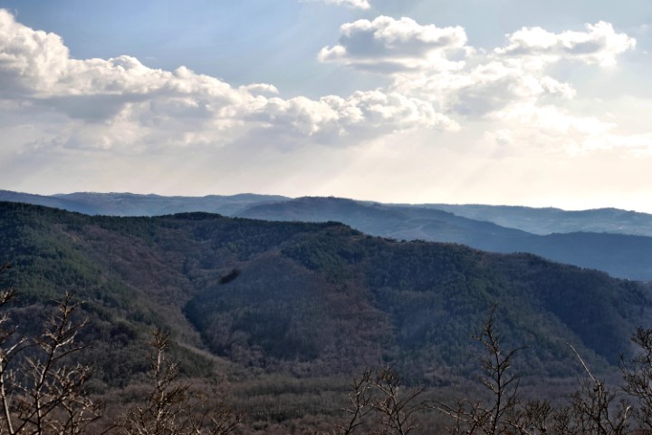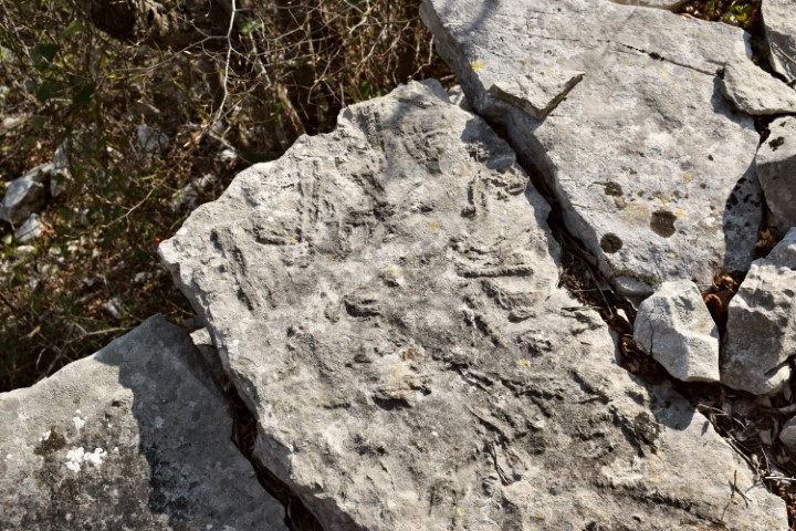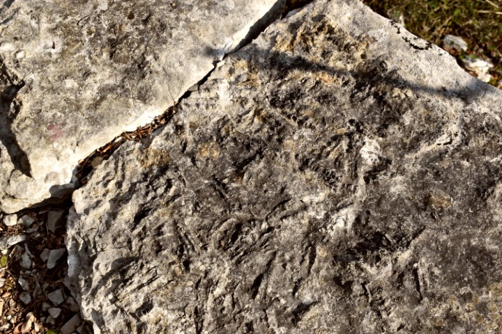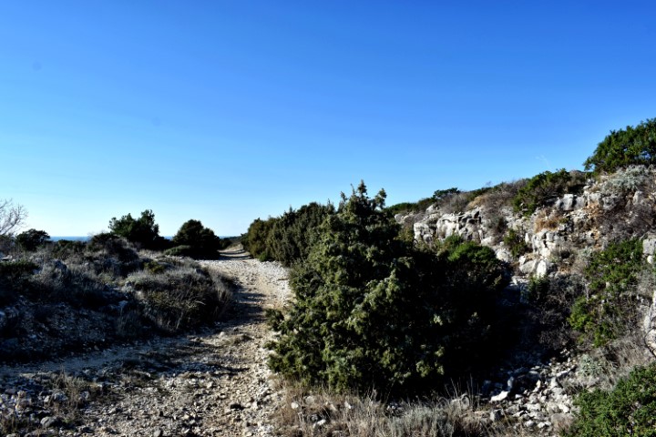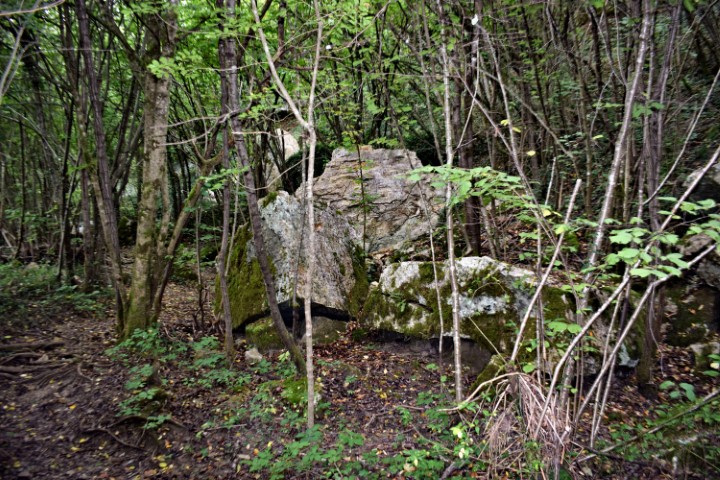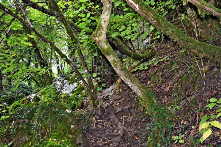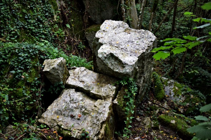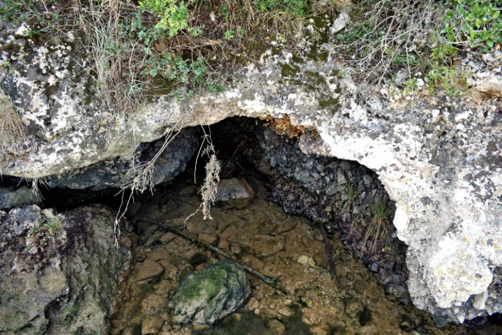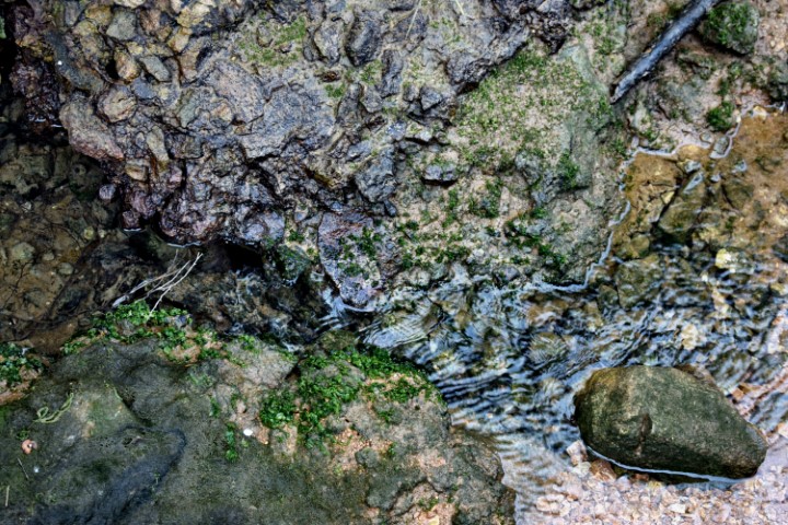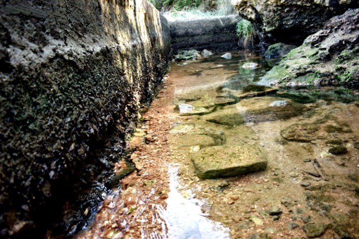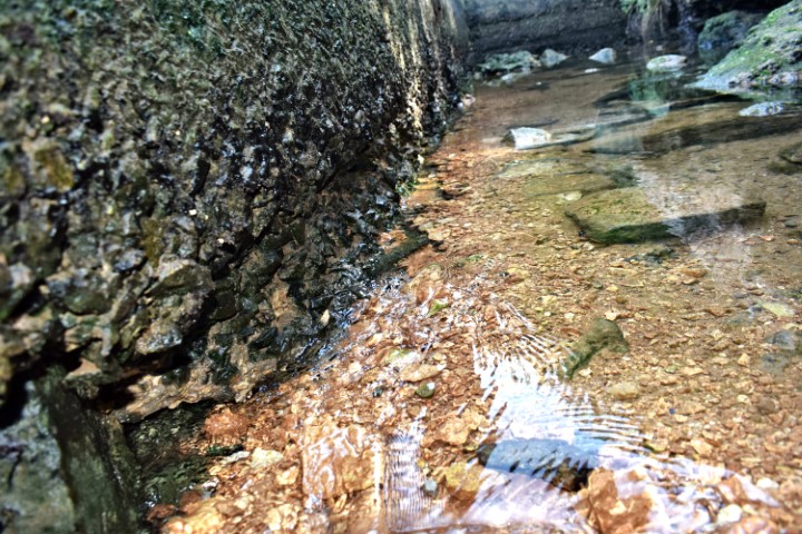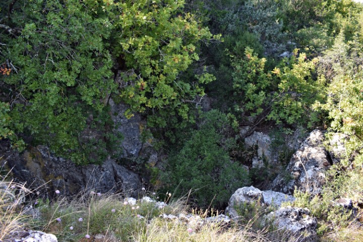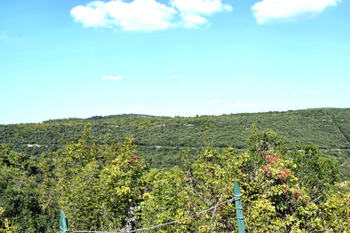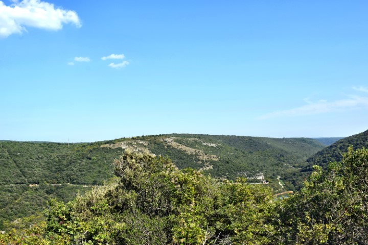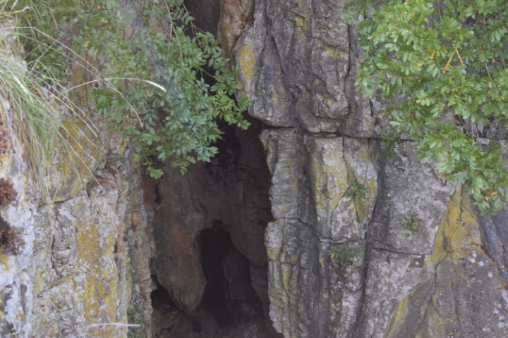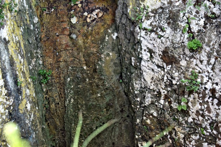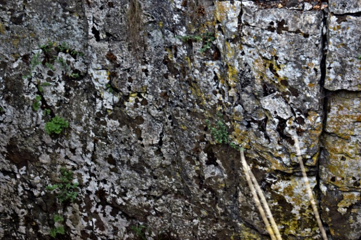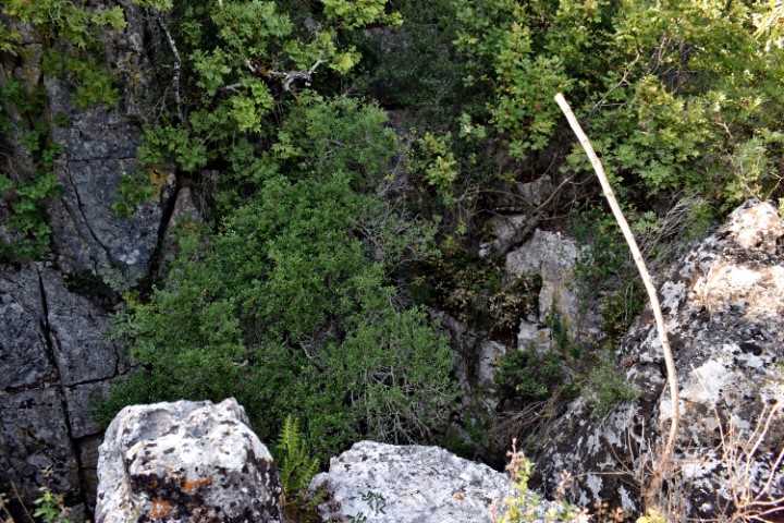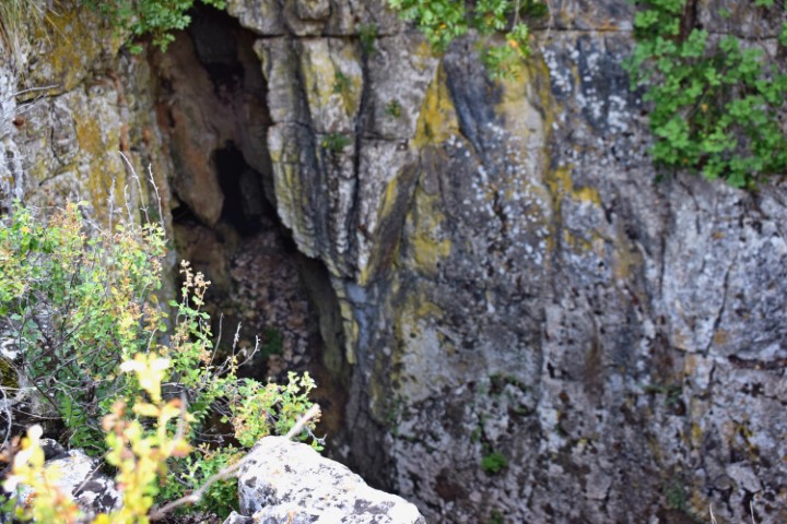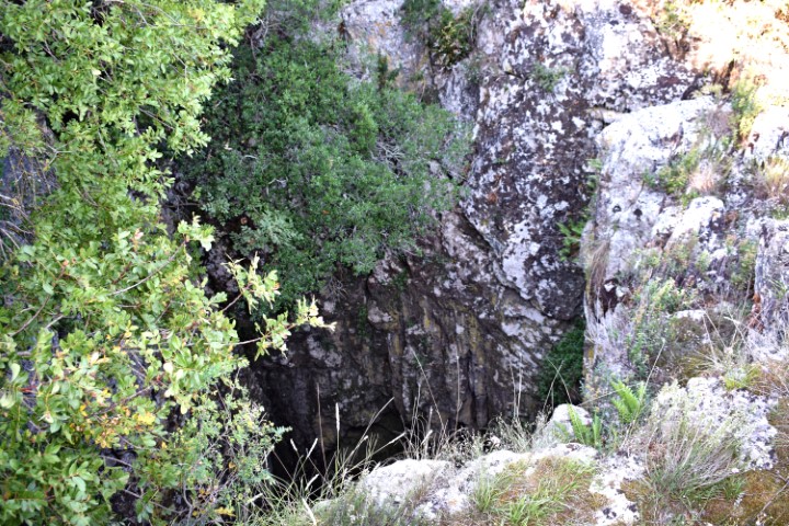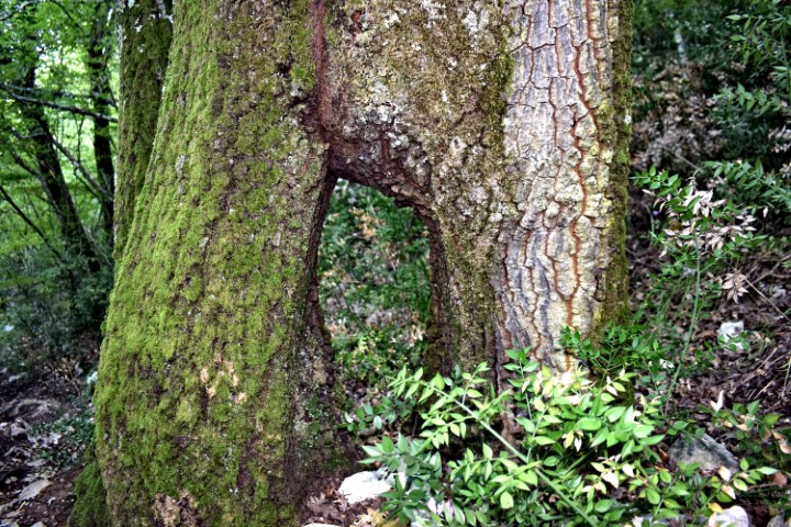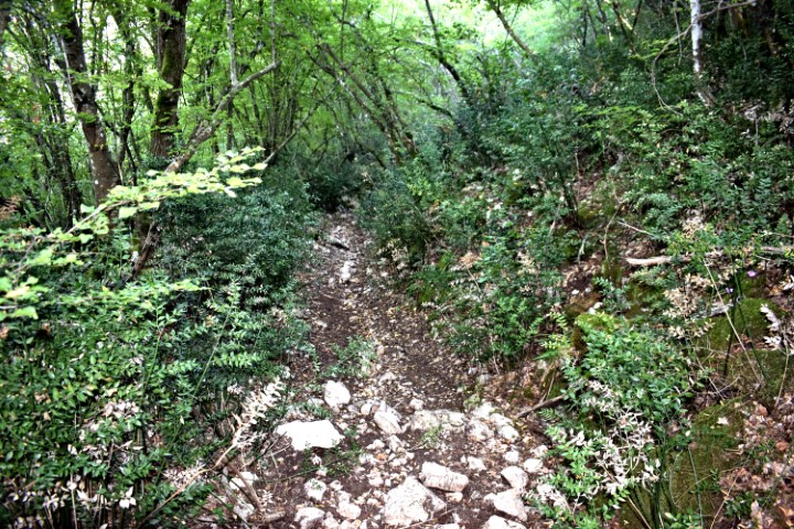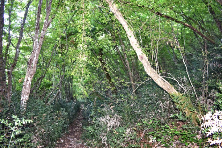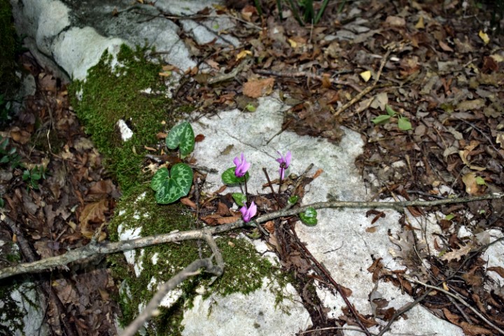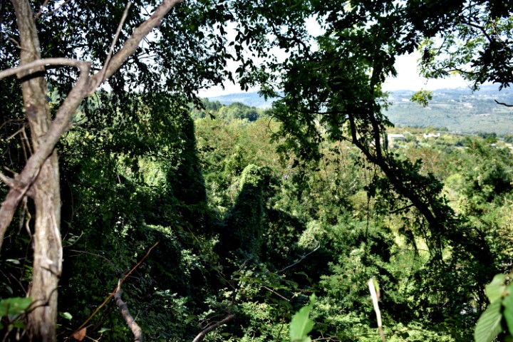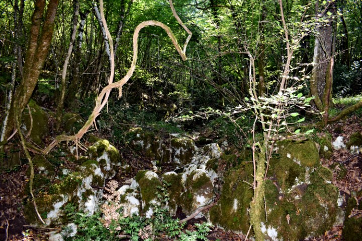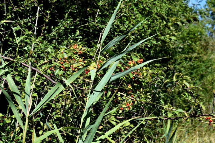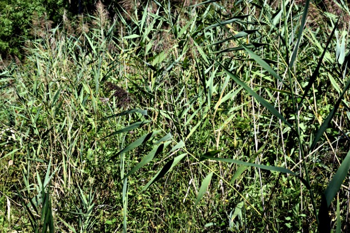
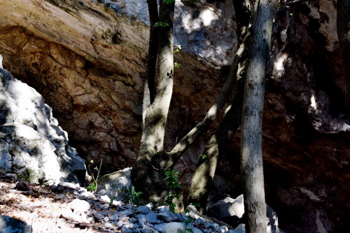
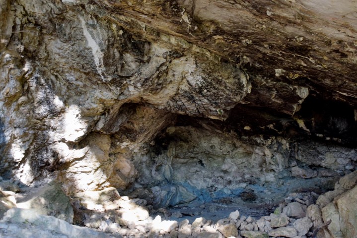

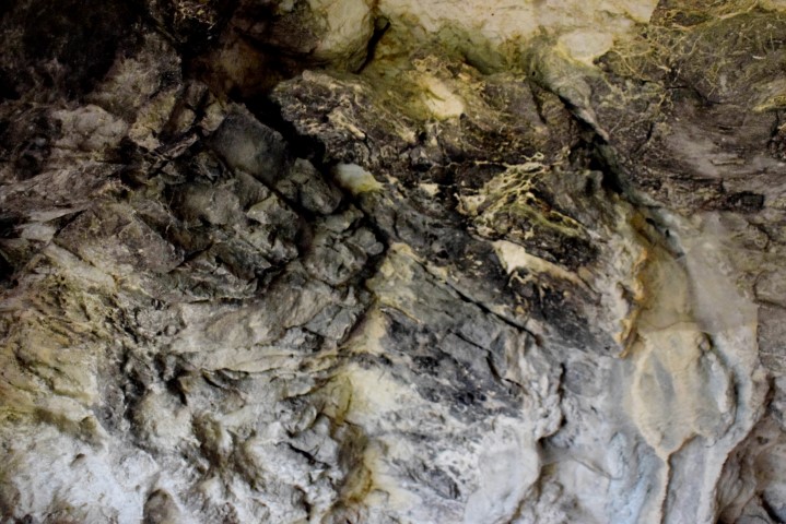
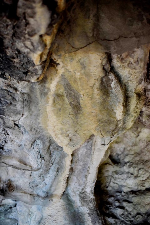
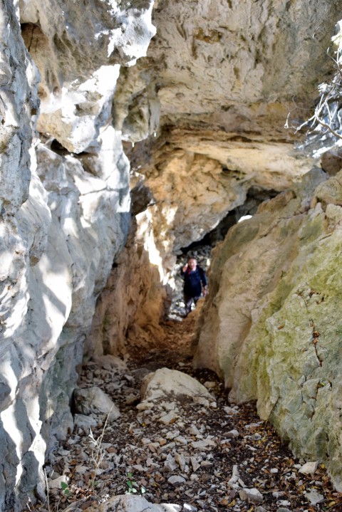
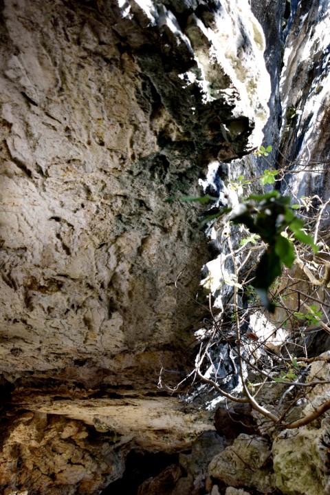

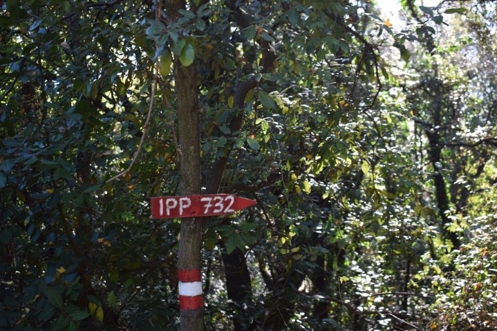
Name: Hiking trail to a cave / shelter near Rabac.
Place: Rabac – (Labin).
Coordinates: Start 45:08242 N – 14.14674 E , Cave 45.08378 N – 14.14611 E.
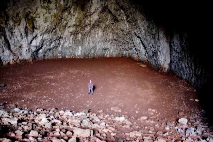
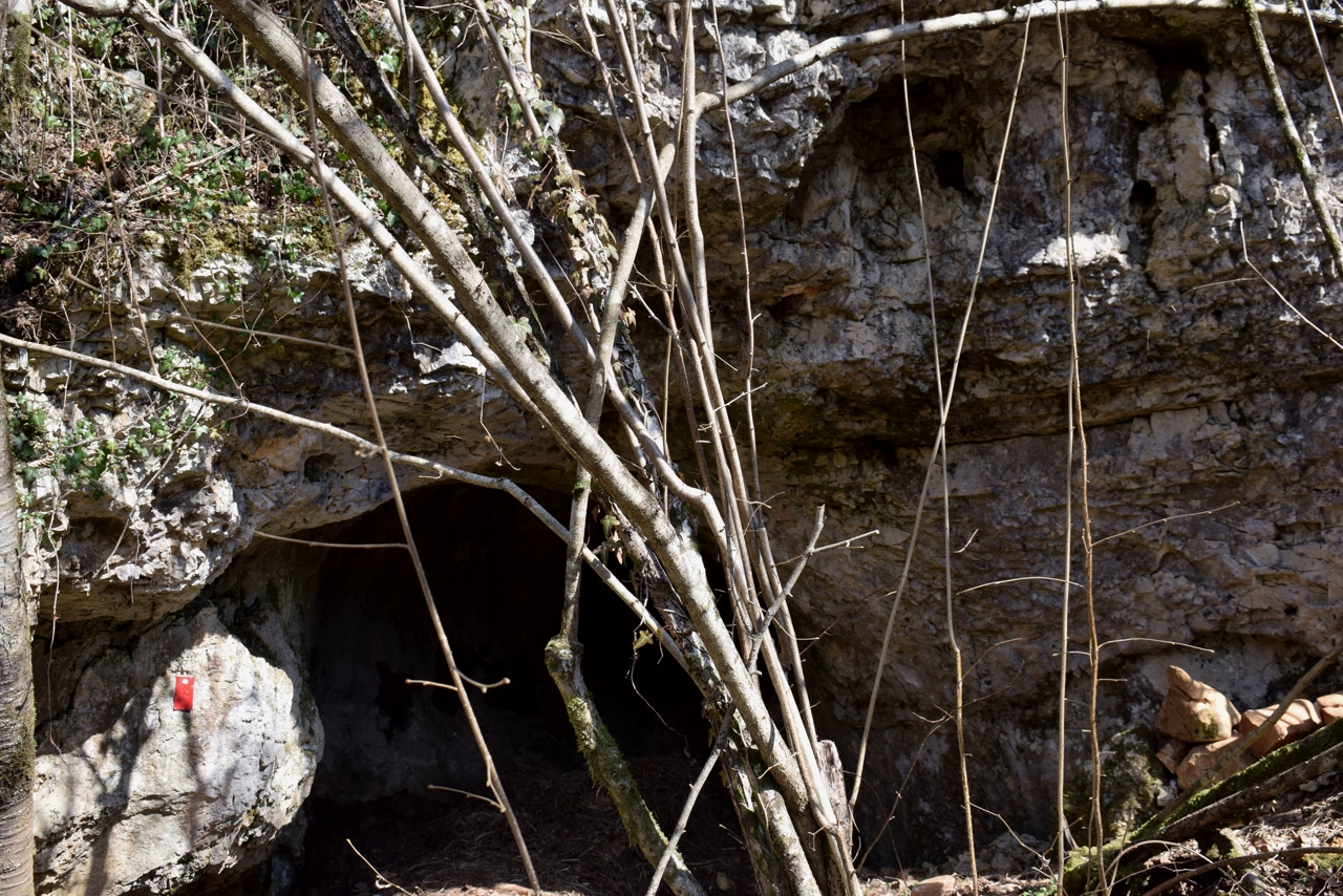
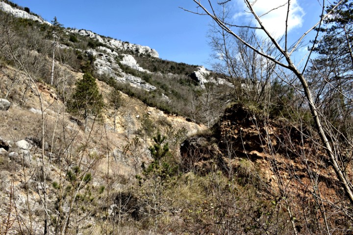
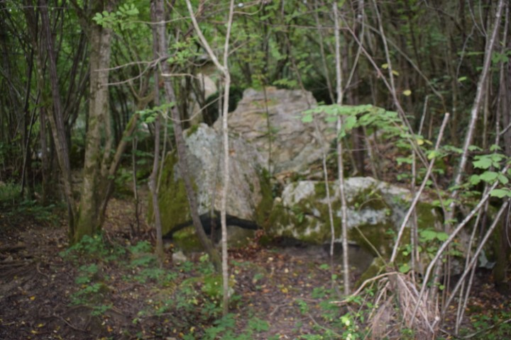
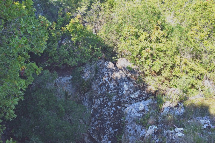
Name: Hiking trail to a cave / shelter near Rabac.
Place: Rabac – (Labin).
Coordinates: Start 45:08242 N – 14.14674 E , Cave 45.08378 N – 14.14611 E.

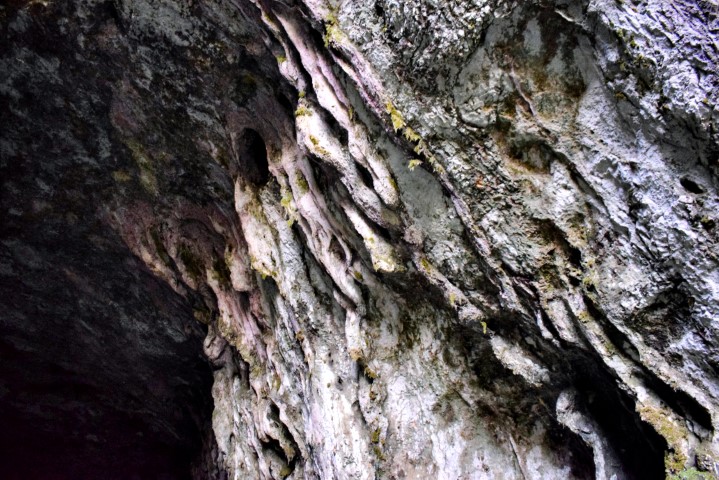
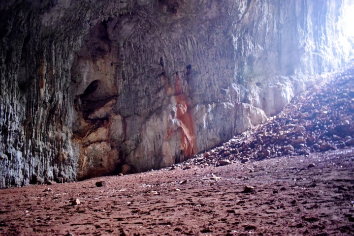
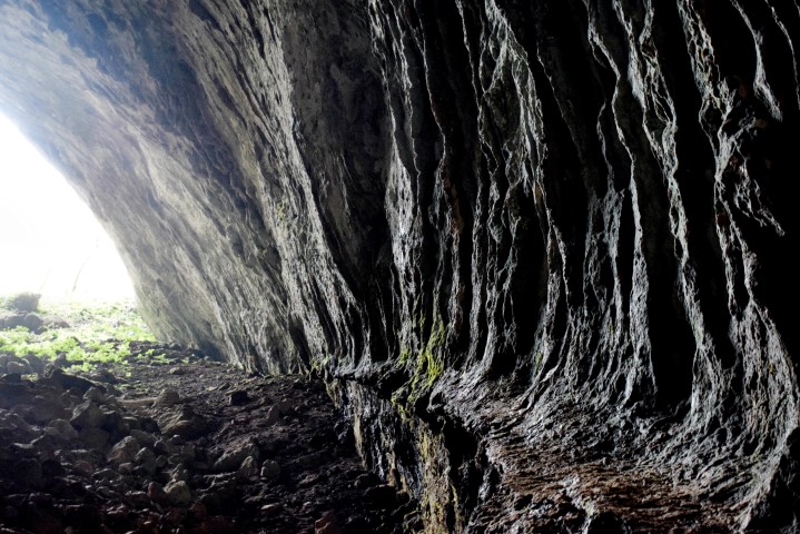
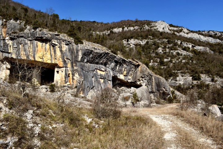
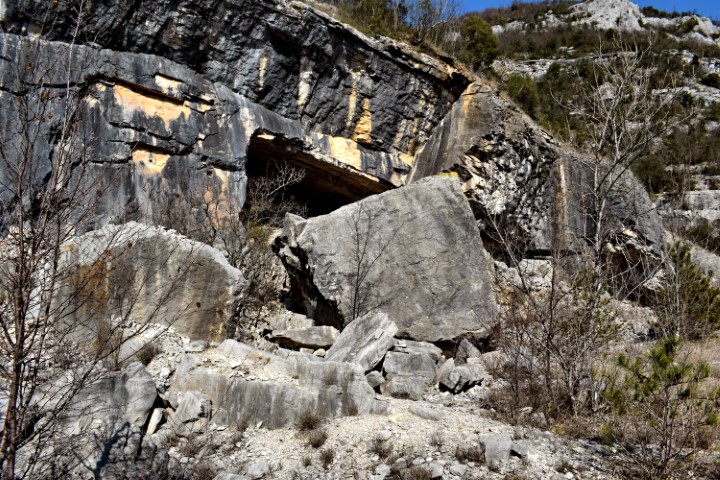
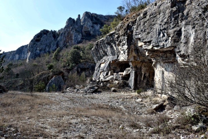
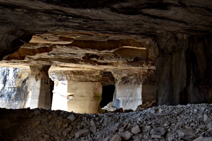
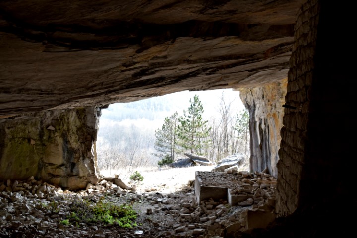
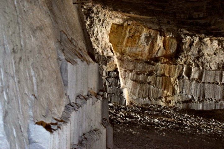
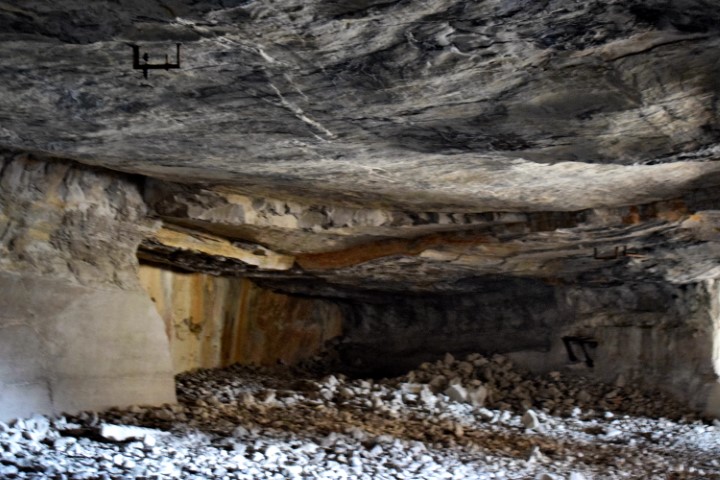
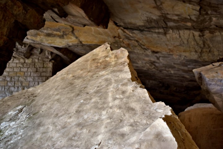
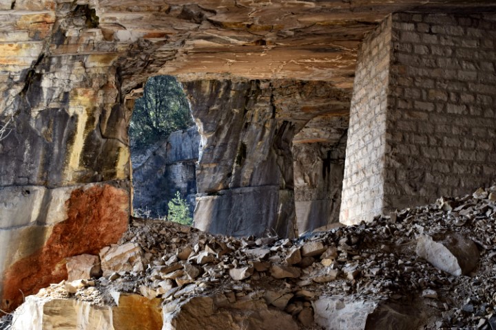
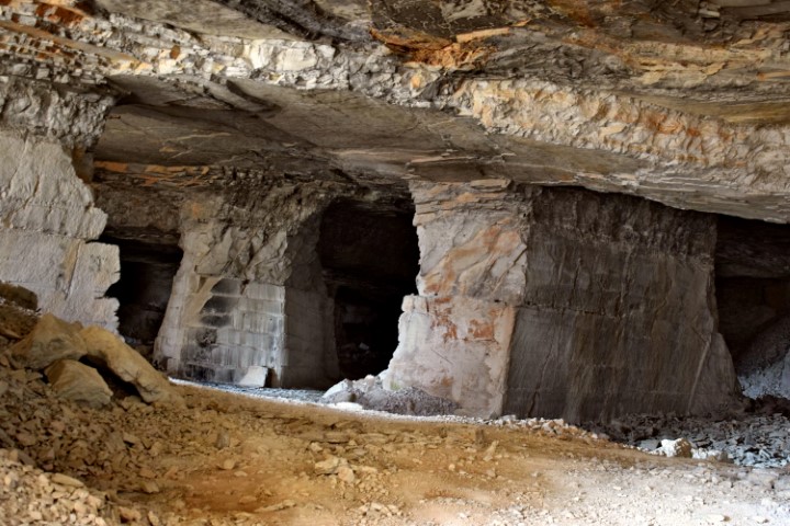
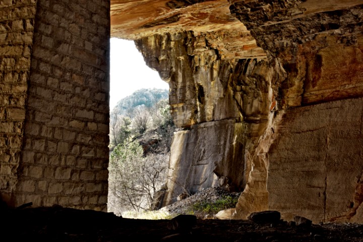
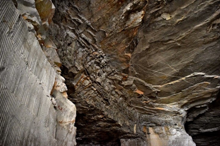
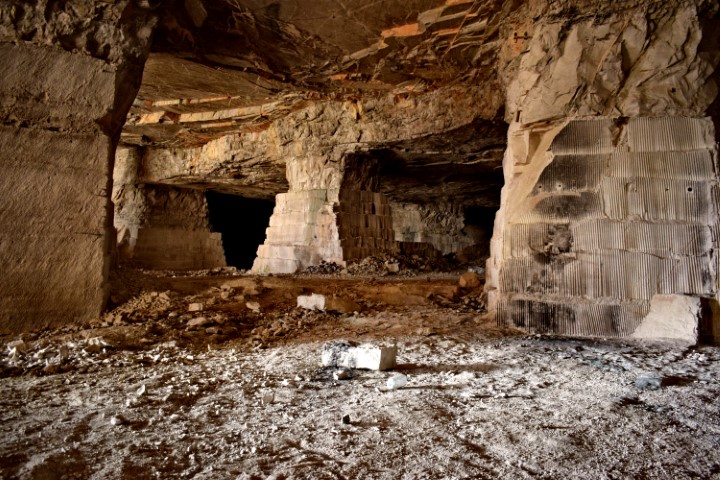
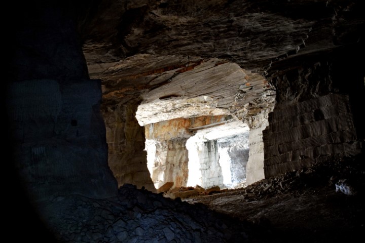
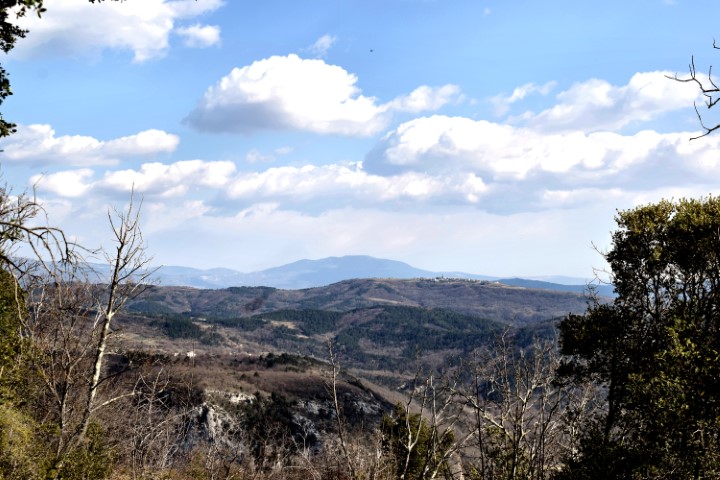
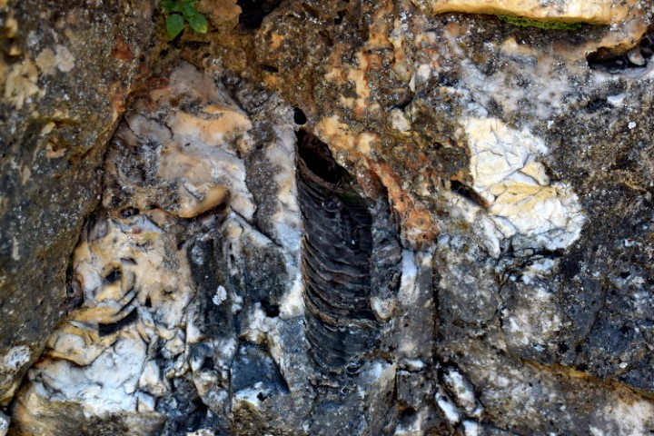
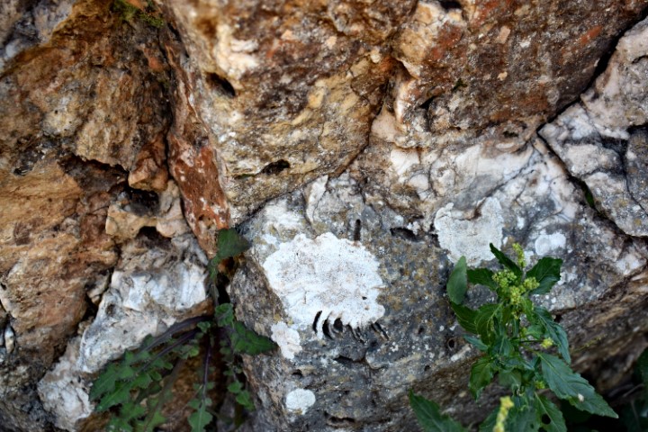
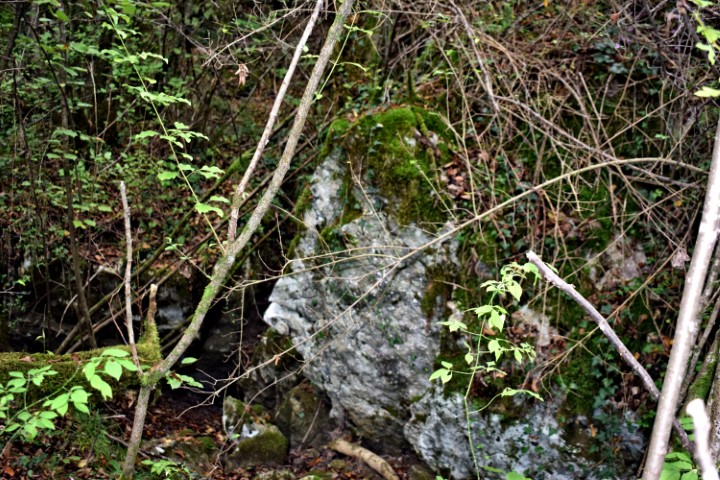
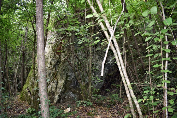
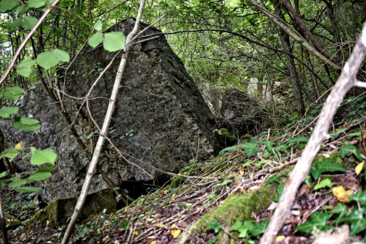
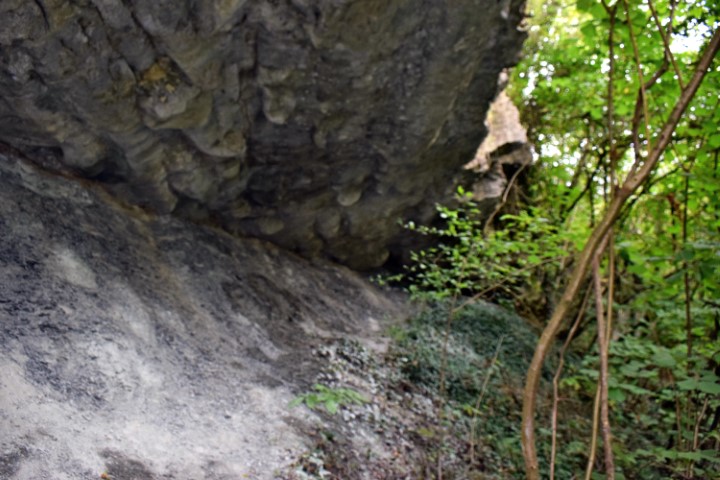
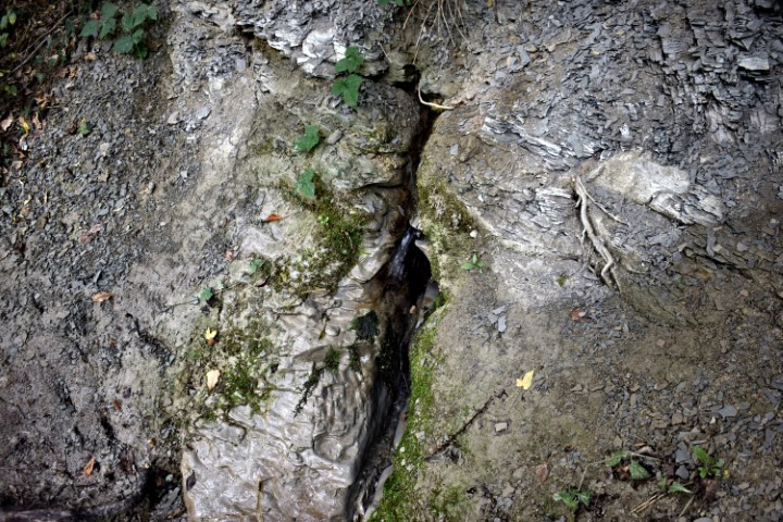
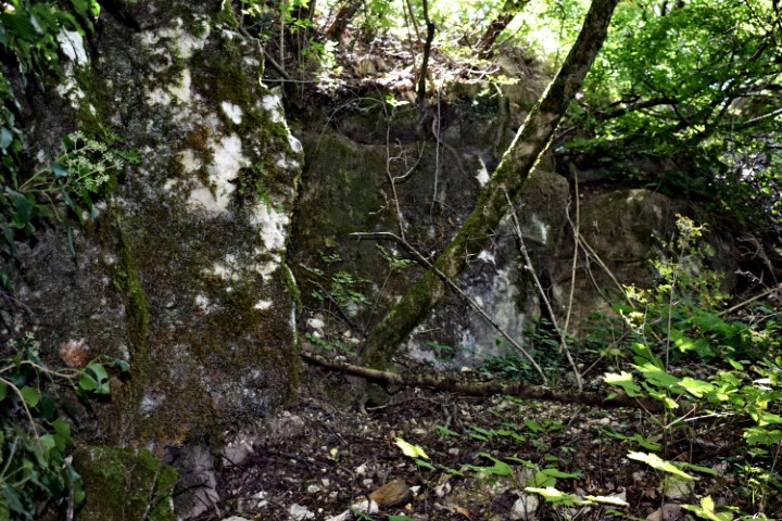
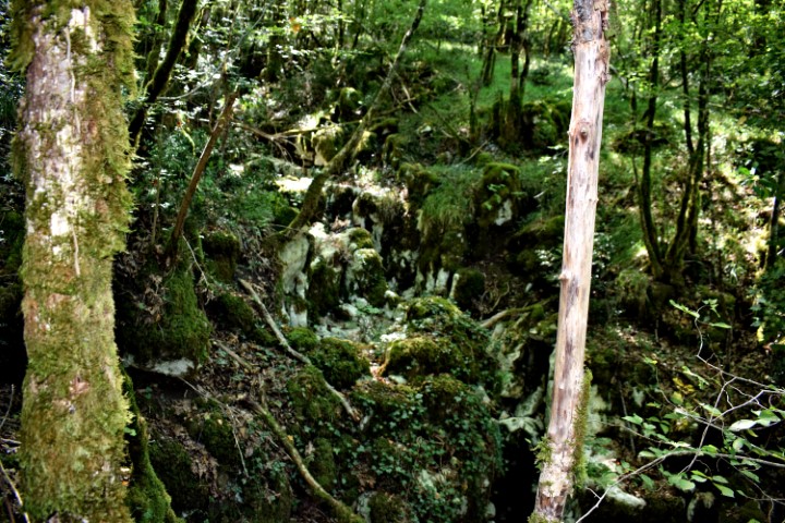
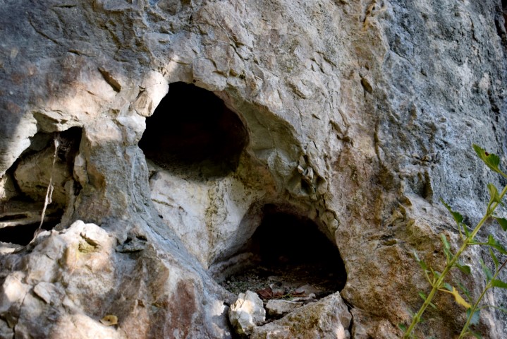
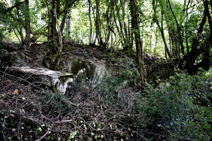
Name: Juranska cave.
Place: Jurani – (Pićan).
Coordinates: Start path to cave: 45.1689 N – 14.03133 E, cave: 45.16879 N – 14.02143 E.

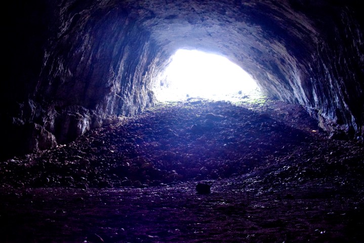
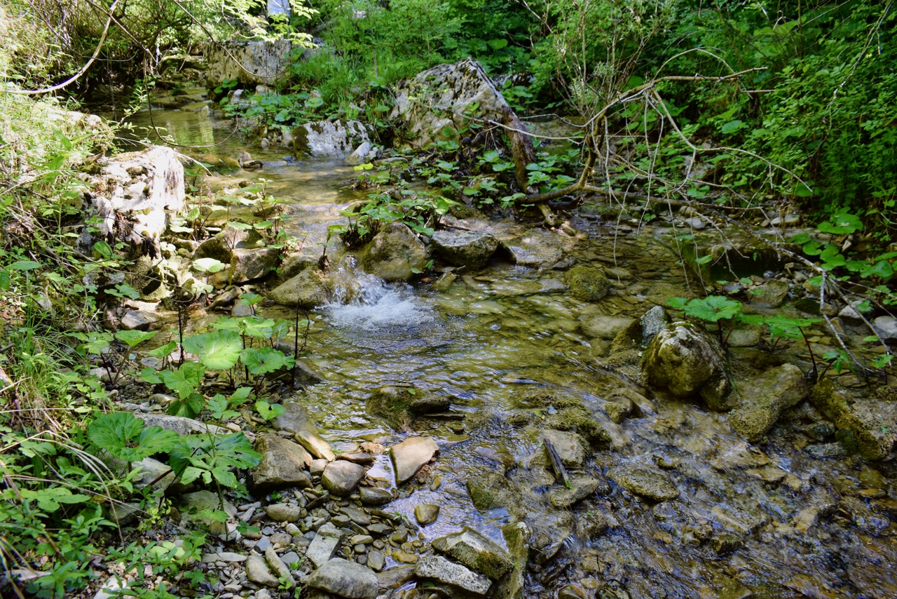
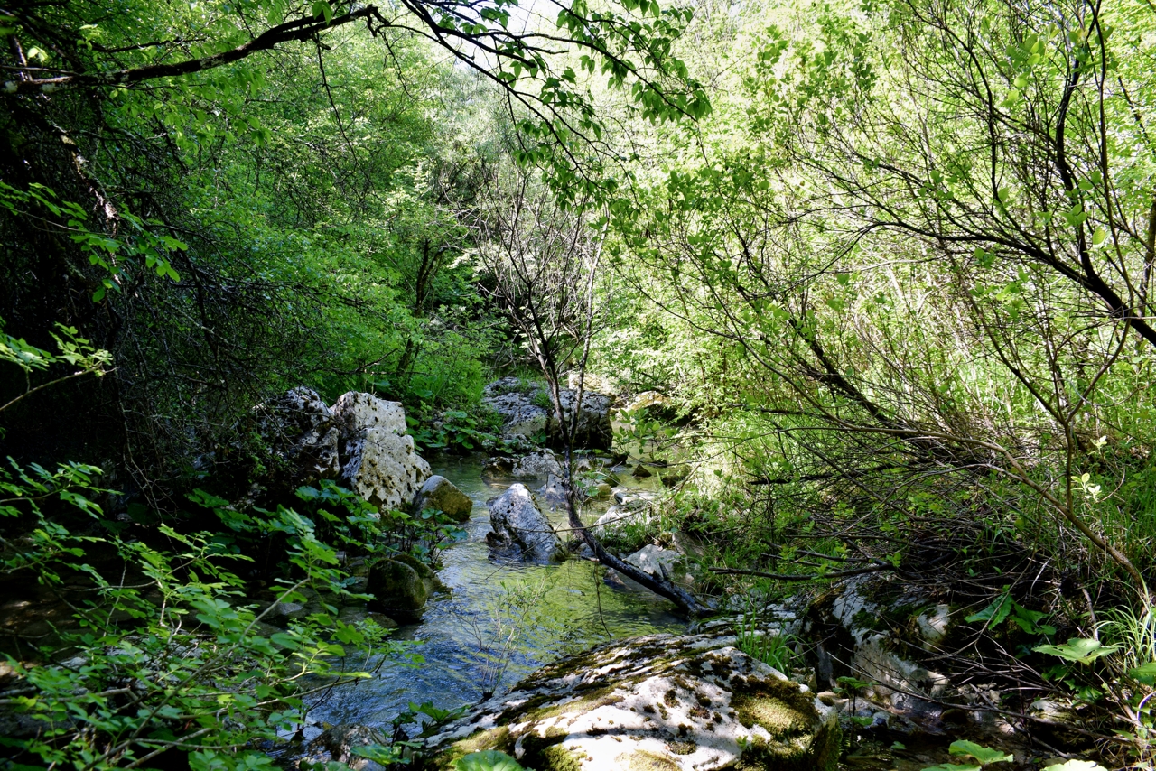
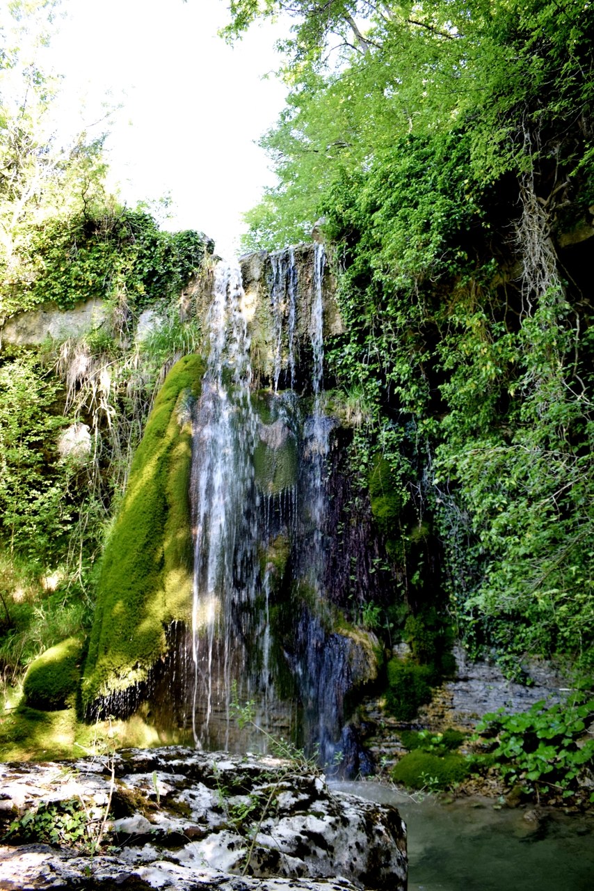
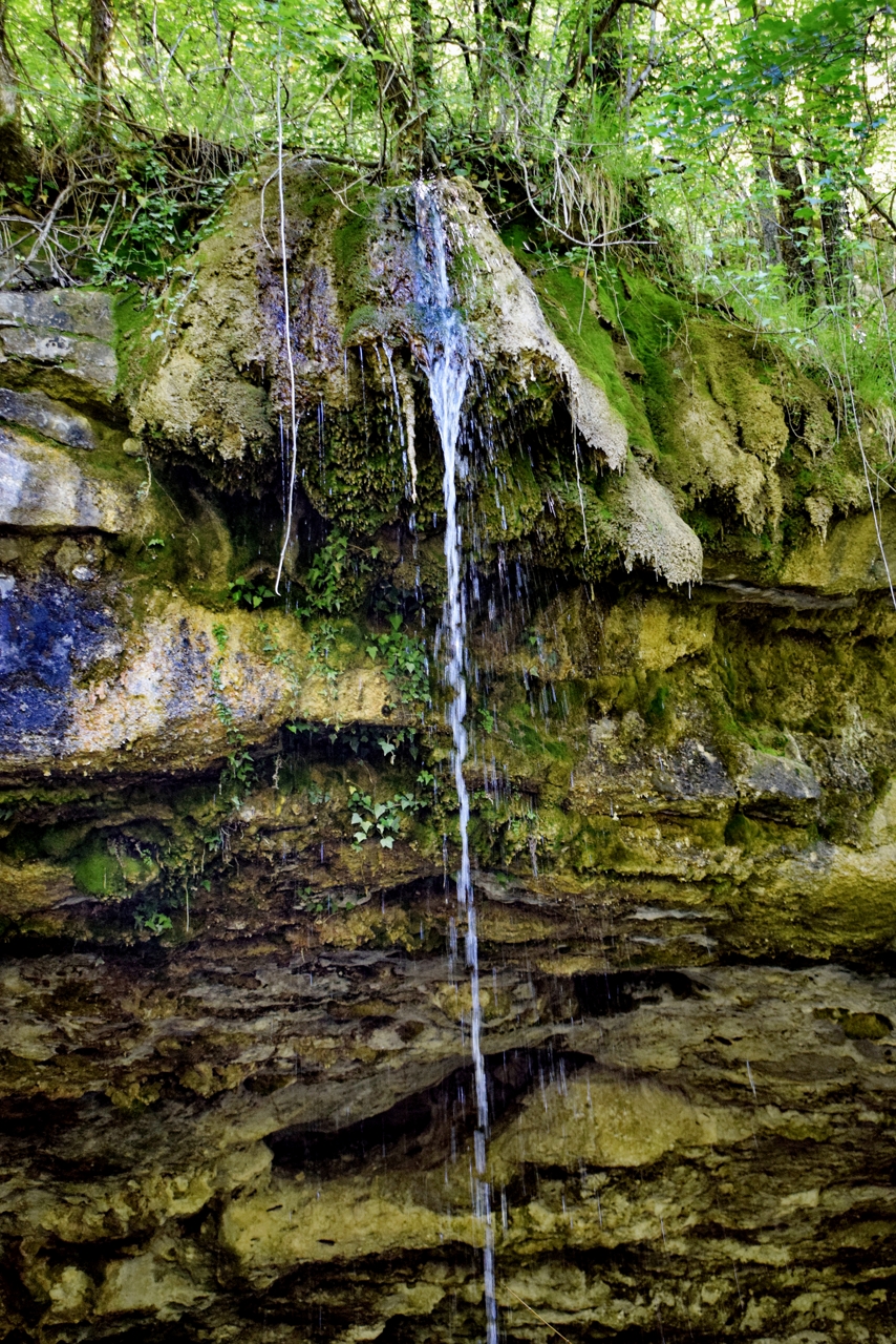
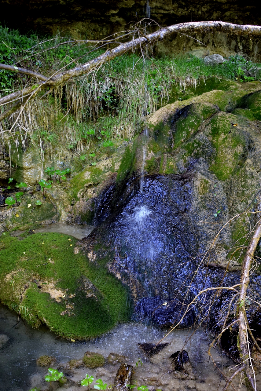
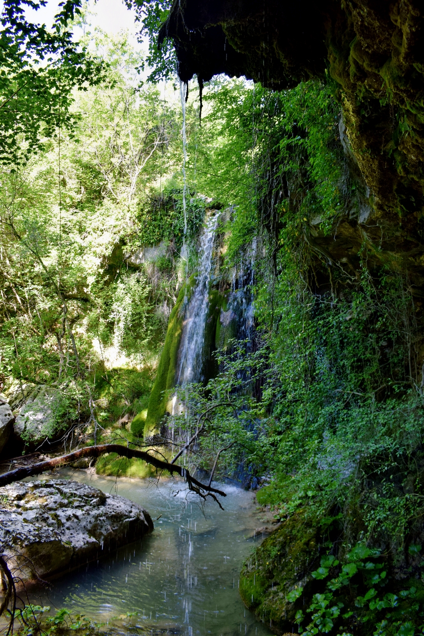
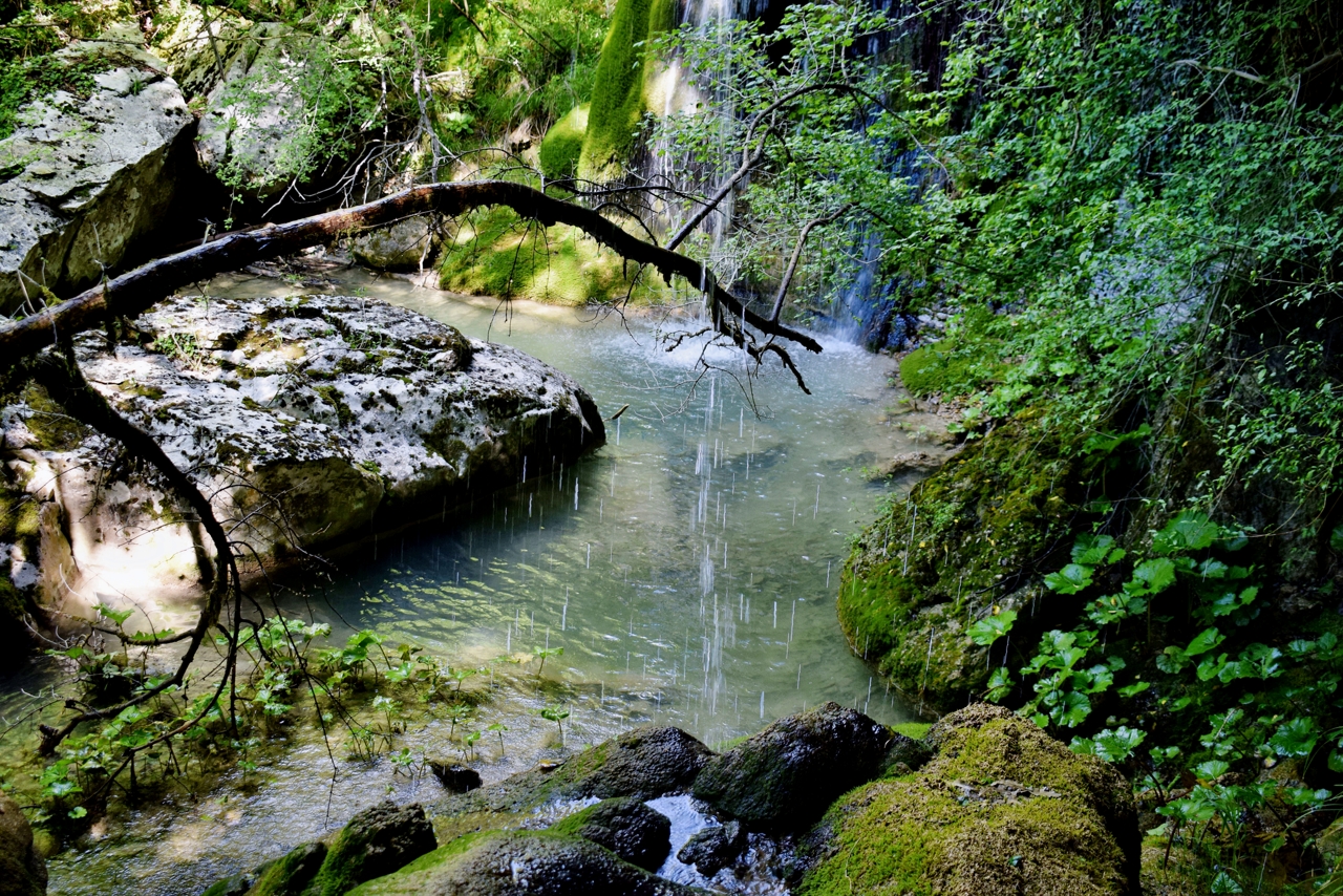
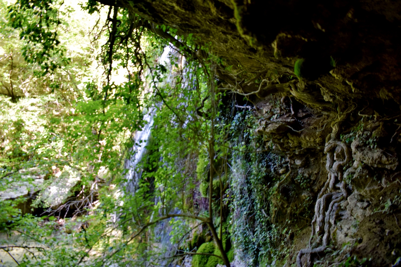
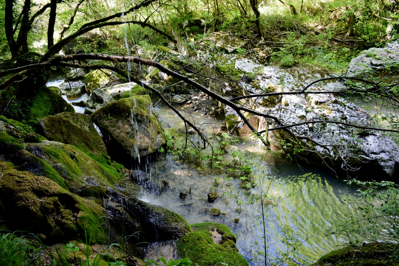
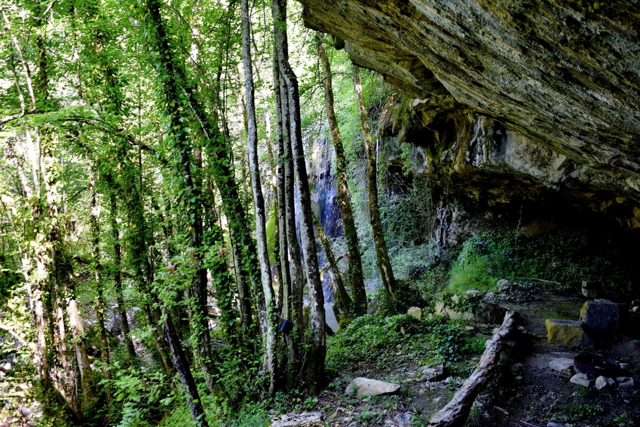
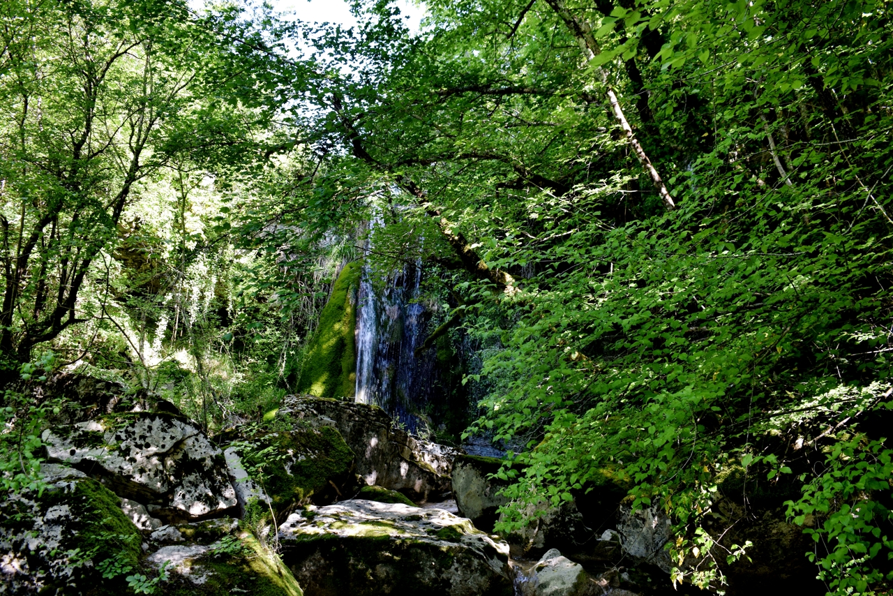
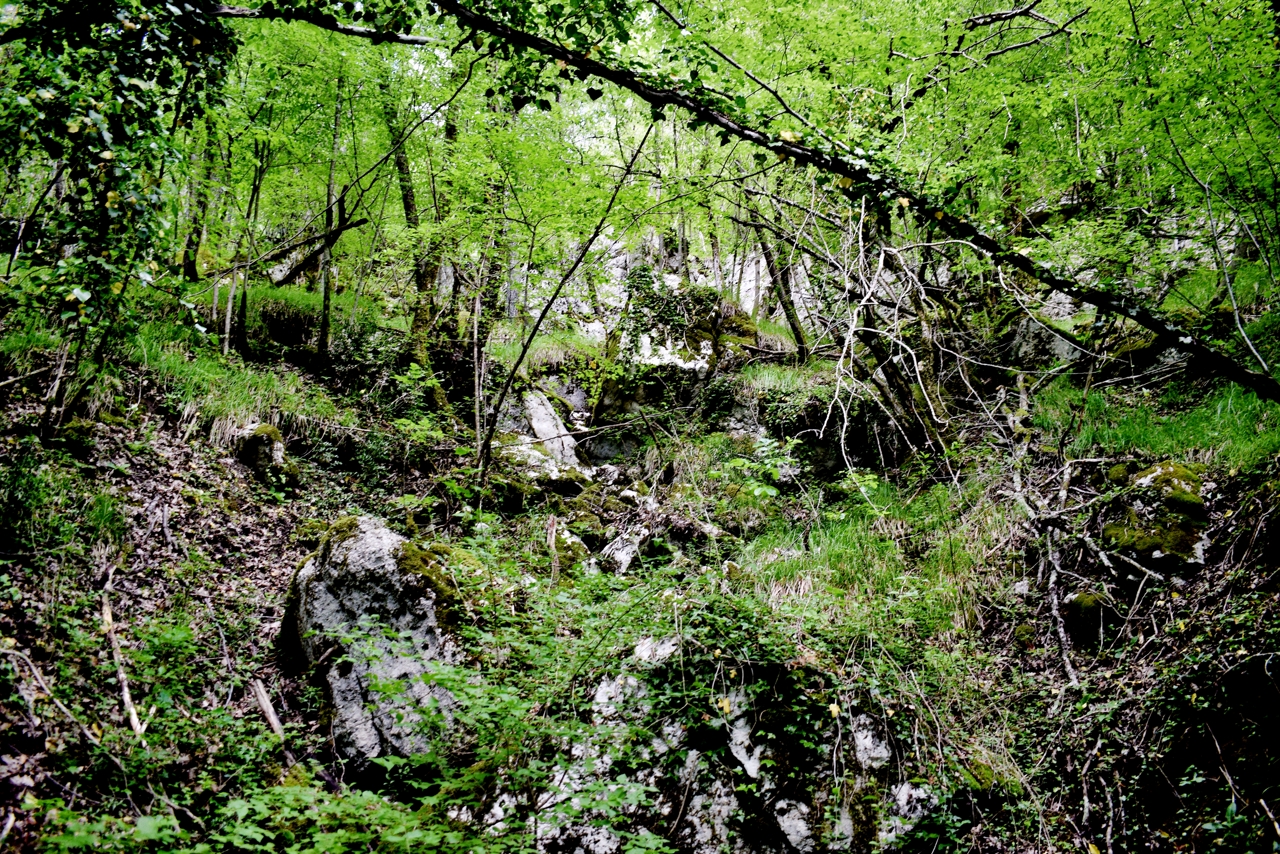
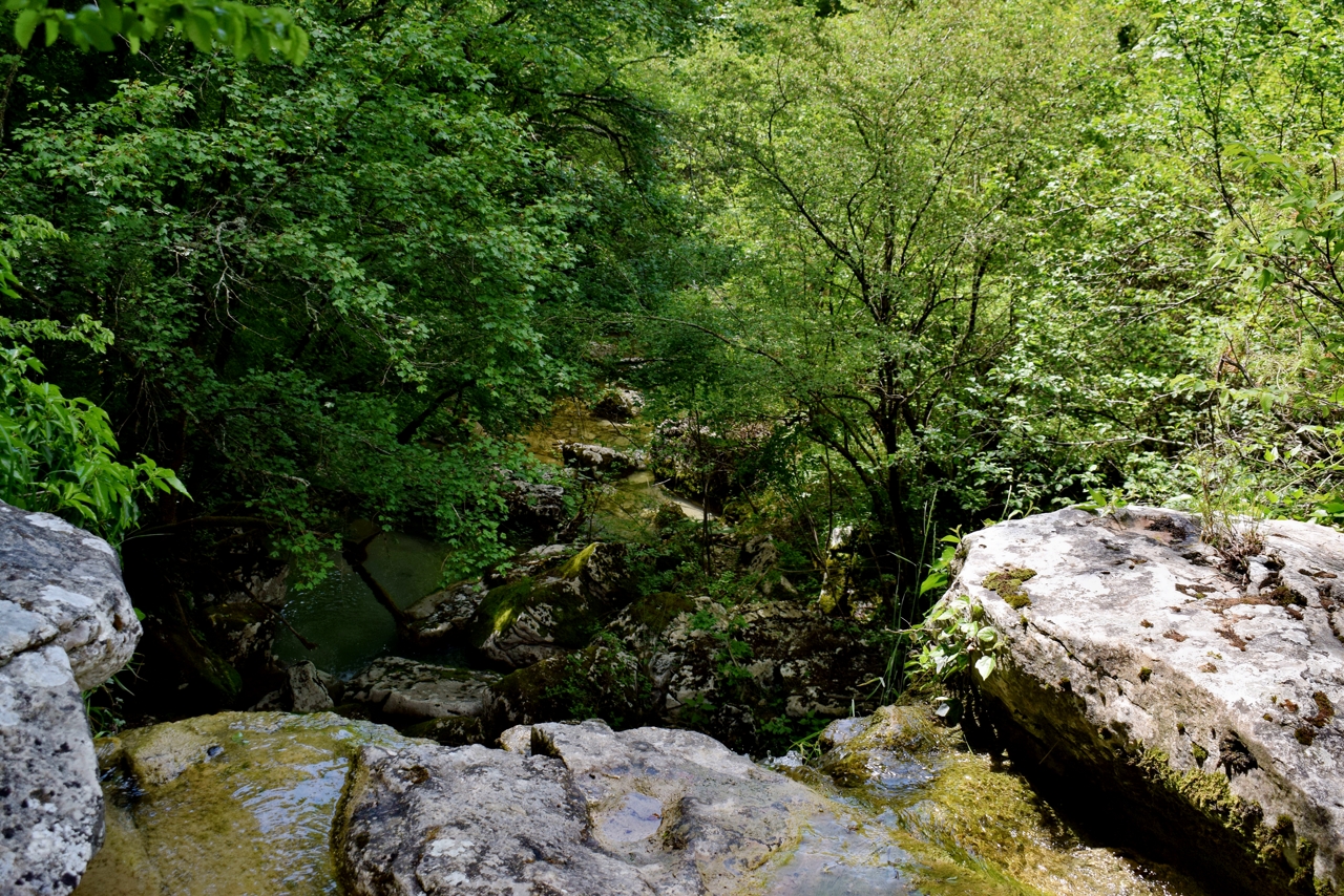
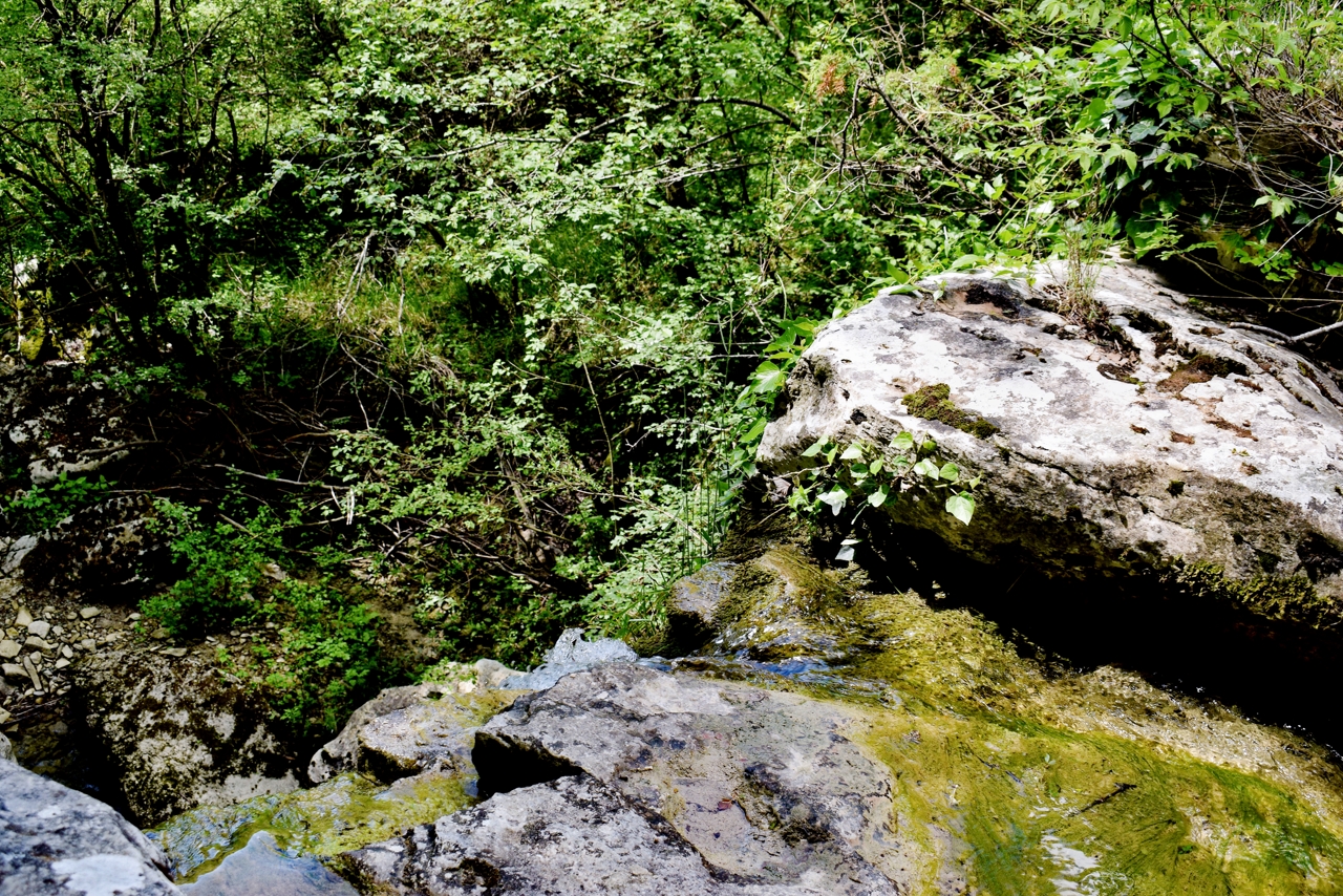
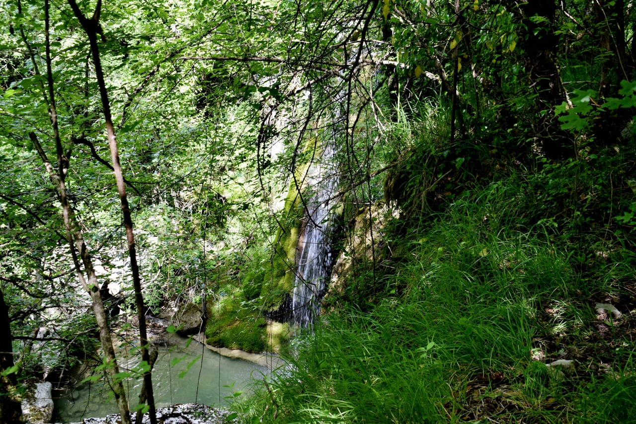
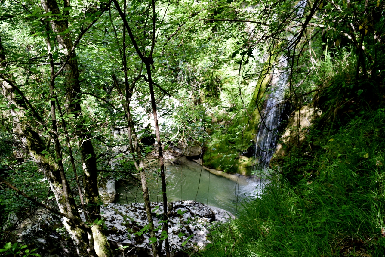
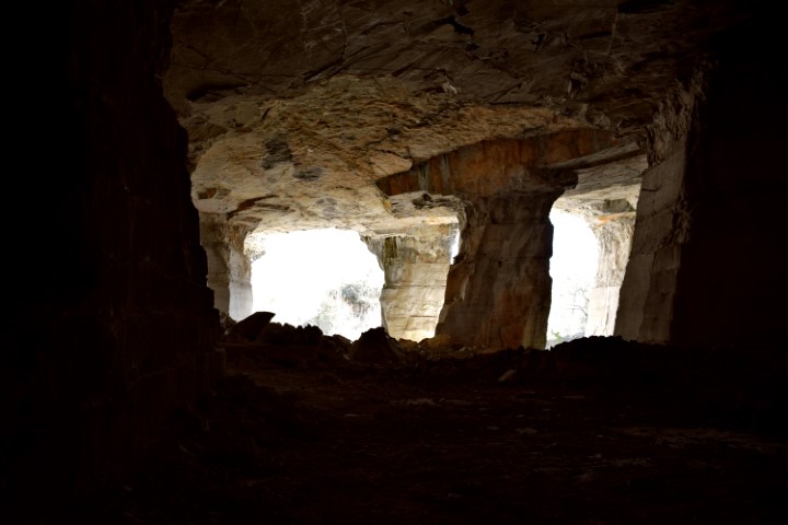
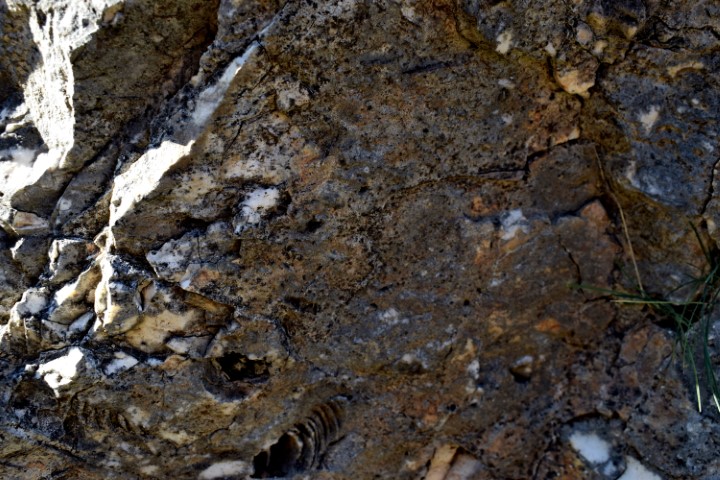
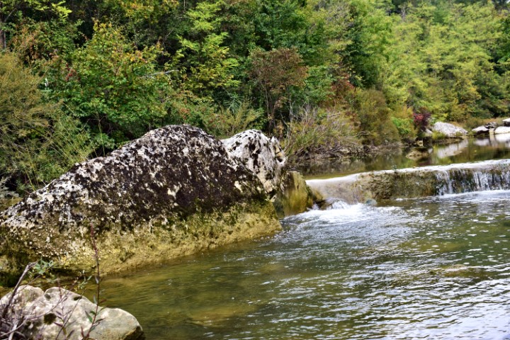
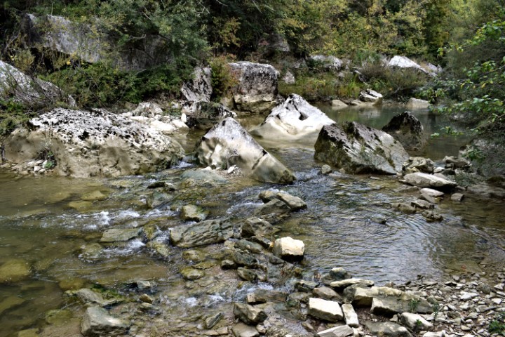
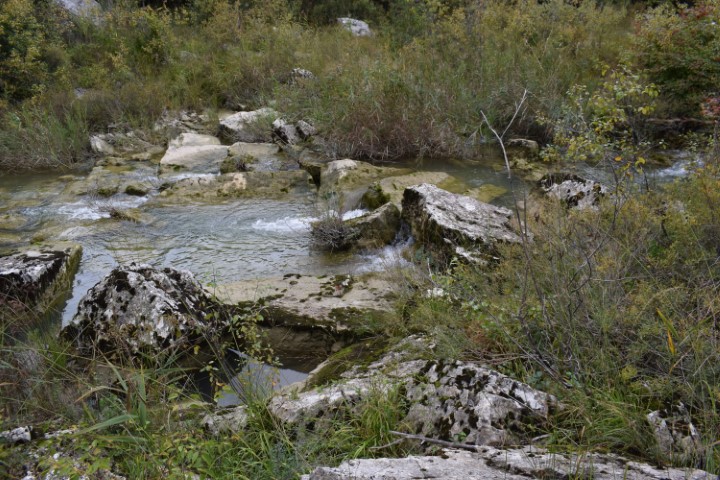
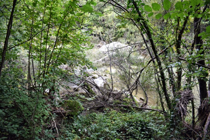
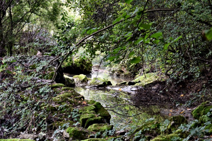
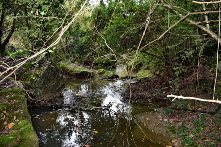
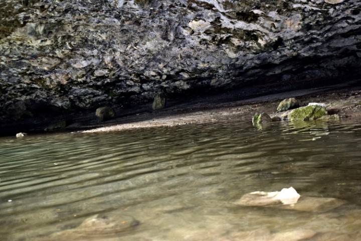
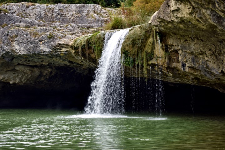
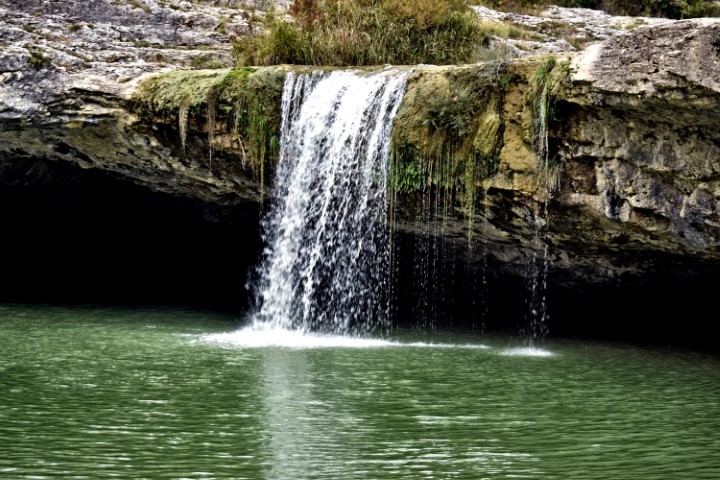
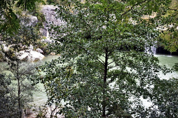
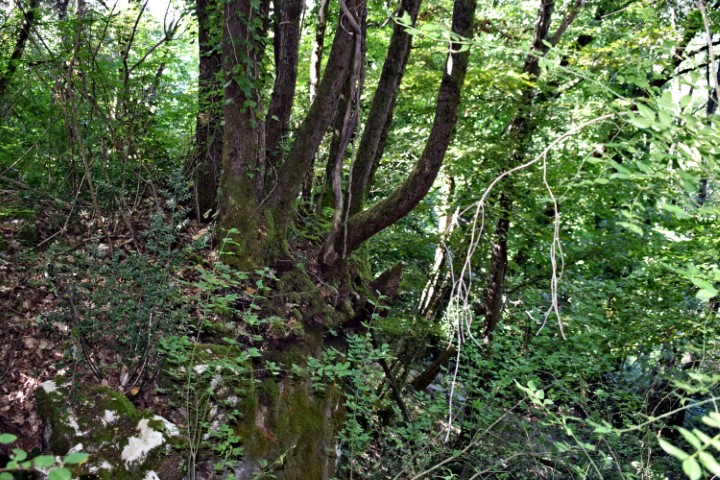
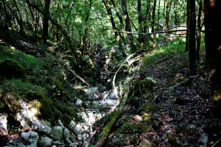
Name: Rakovi stream, waterfall and cave.
Place: Rakovi – (Cerovlje).
Coordinates: 45.27988 N – 14.06593 E

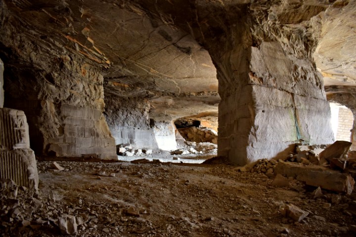
Name: Halleluja cave near Istarska Toplice
Place: Gradinje – (Oprtalj).
Coordinates: 45.38056 N – 13.88126 E.
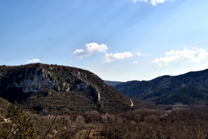
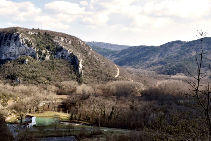
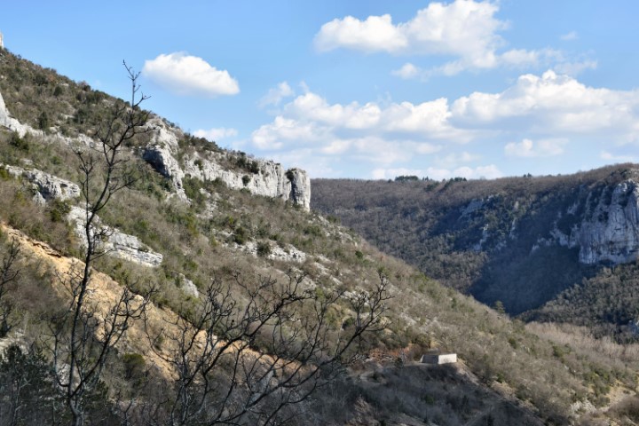
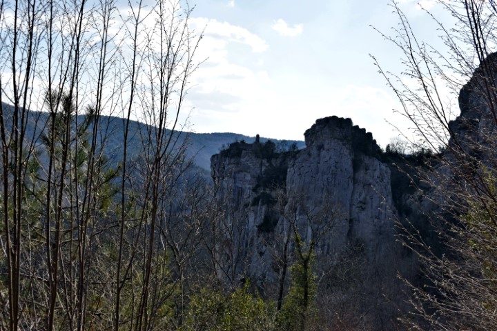
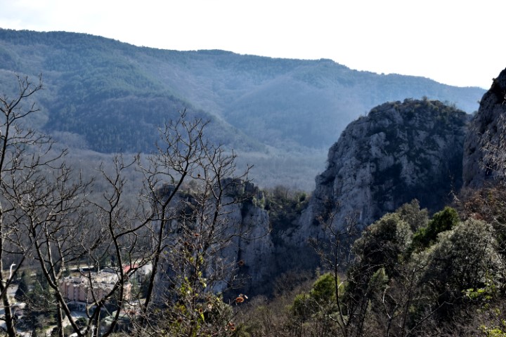
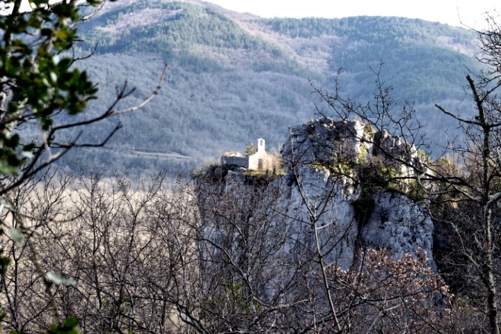
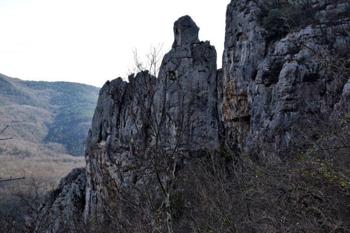
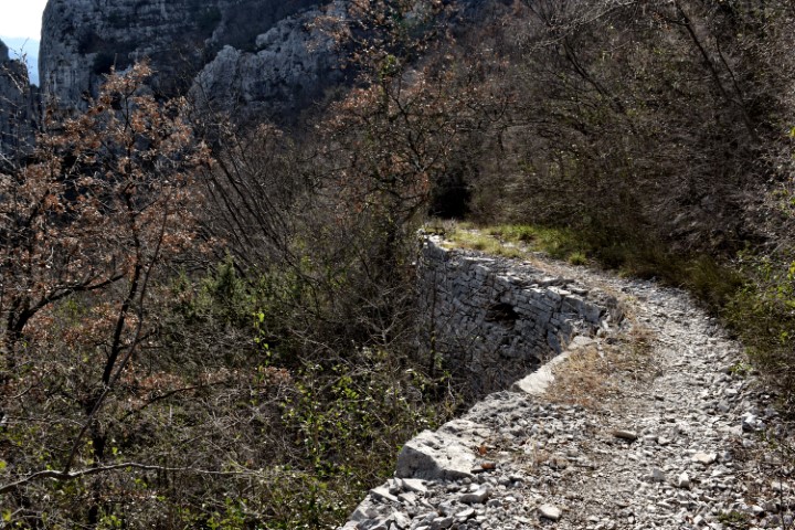
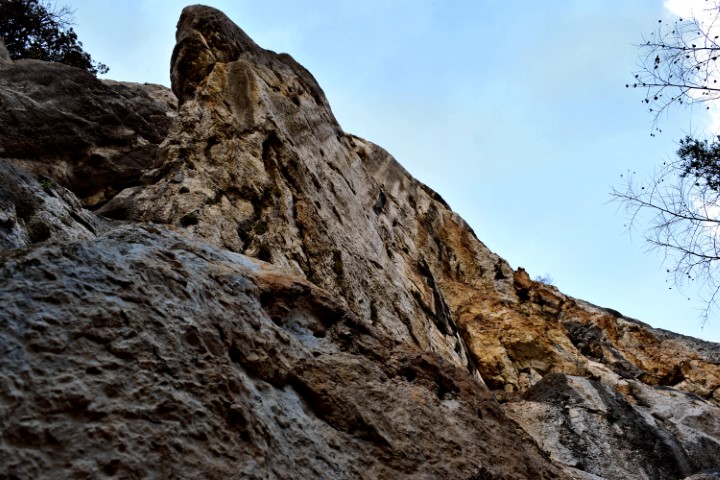
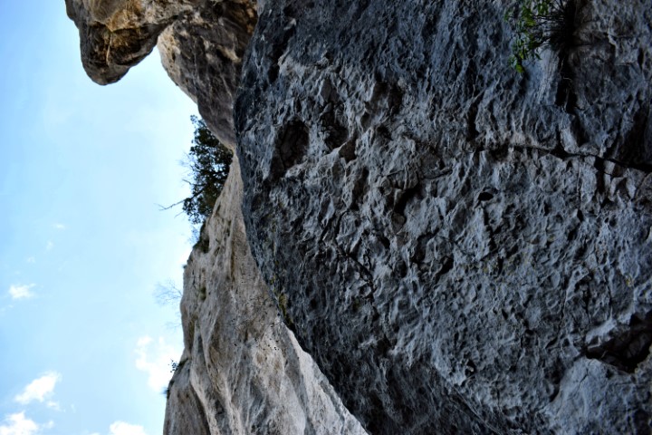
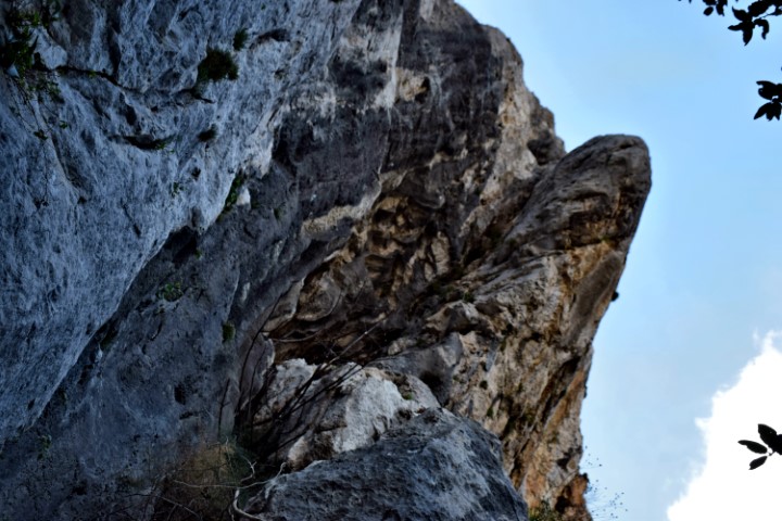
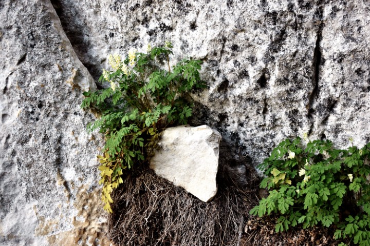
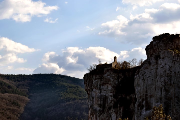
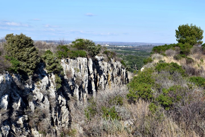
Hiking trail in a protected natural area whose cliffs belong to he Natura 2000 network due to the presence of a rare plant species, the moeringia tommasinii and endangered birds. From the trail a view on the ruins of the St. Stephan church on the top of the Gorostas cliff. 
Name: Hiking trail from Istarske Toplice to the village Znjidariće.
Place: Gradinje – (Oprtalj)
Coordinates: Start 45.37793 N – 13.88368 E to
45.38809 N – 13.87645 E.
Elevation: 295 meters.
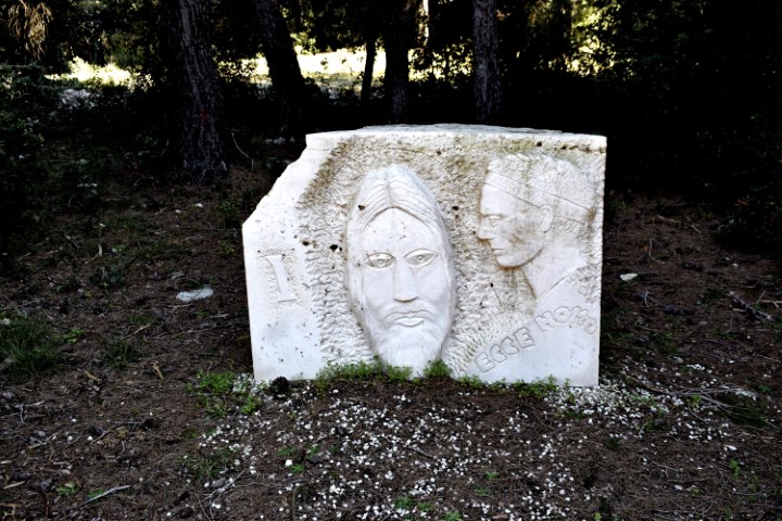
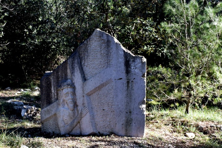
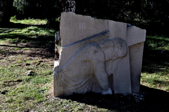
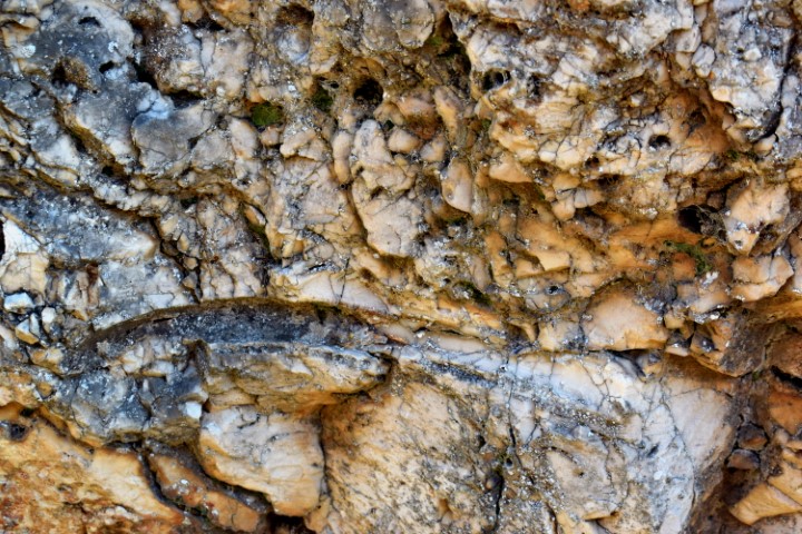
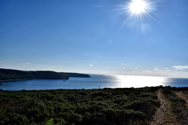
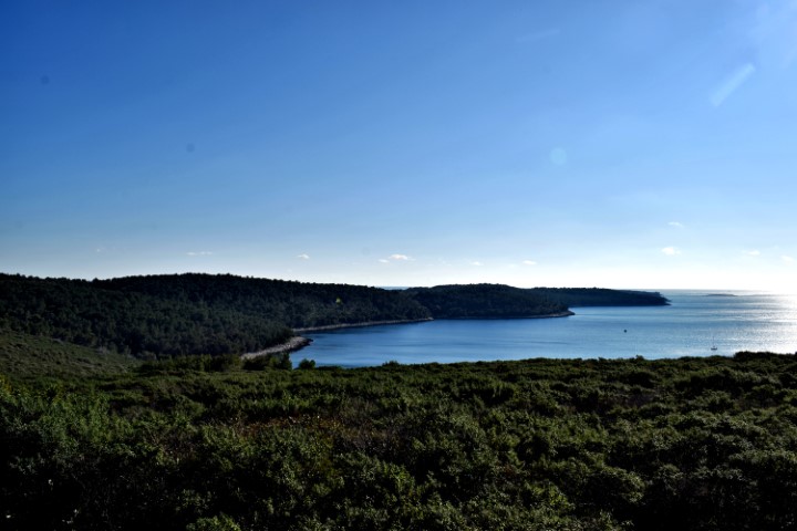
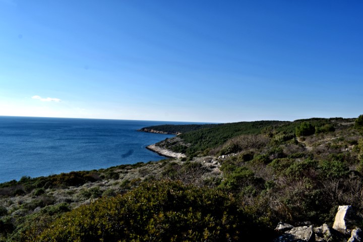
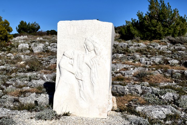
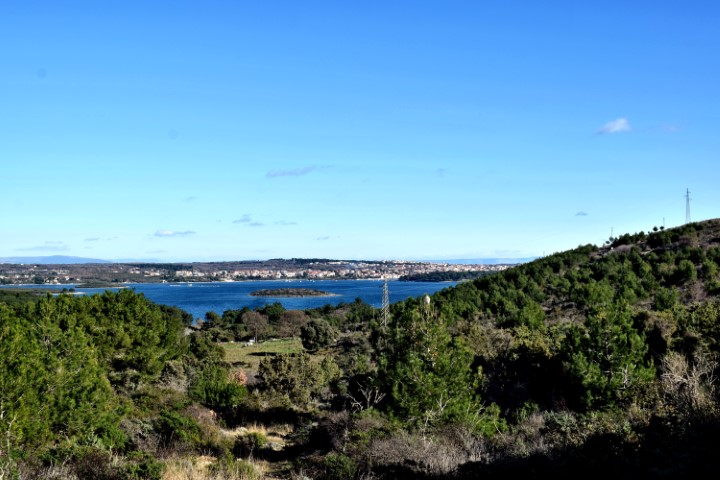
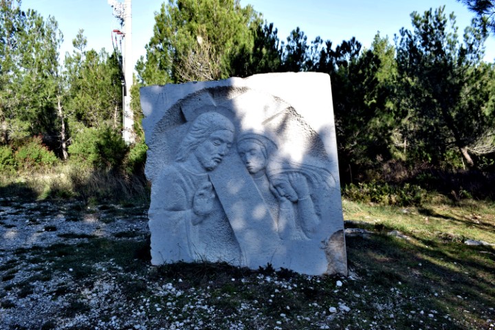
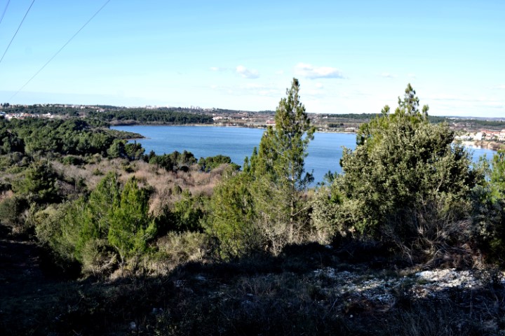
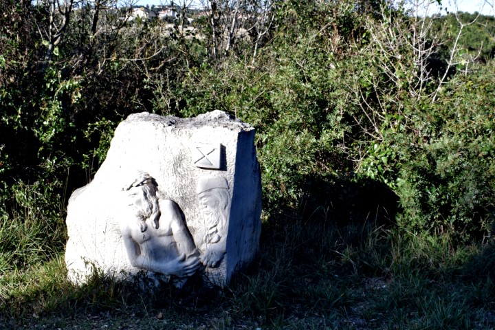
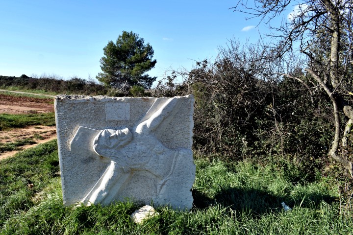
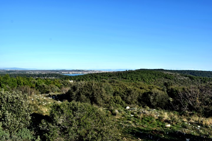
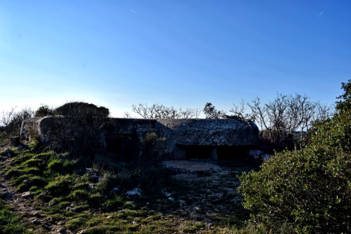
This part of the peninsula is located over a length of 3.5 km between the villages of Prementura and Volme and is bordered on the north side by the bay of Medulin.This nature protected area has many special features such as a prehistoric settlement – a Gradina – from the Bronze Age, and a cave that was inhabited not only in the Bronze Age but also in the Middle Ages. Military facilities such as pillboxes and an artillery battery near Gomila hill. This as part of the Austo-Hungarian defense system in the early 19th century to defend the marina port of Pula. The presence of limestone rocks with bivalve molluscs (rudists). There is also a path over Upper Kamenjak with Stations of the Cross built in 2013.
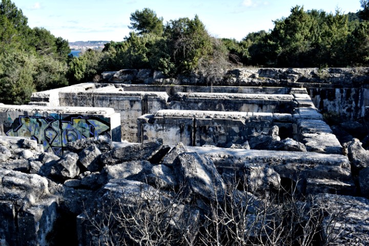
Name: Upper Kamenjak – Monte Kope.
Place: Prementura – (Medulin).
Coordinates: Start 44.8o676 N – 13.90818 E to 44.81419 N – 13.87769 E.
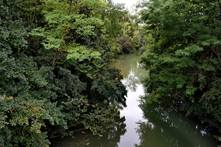
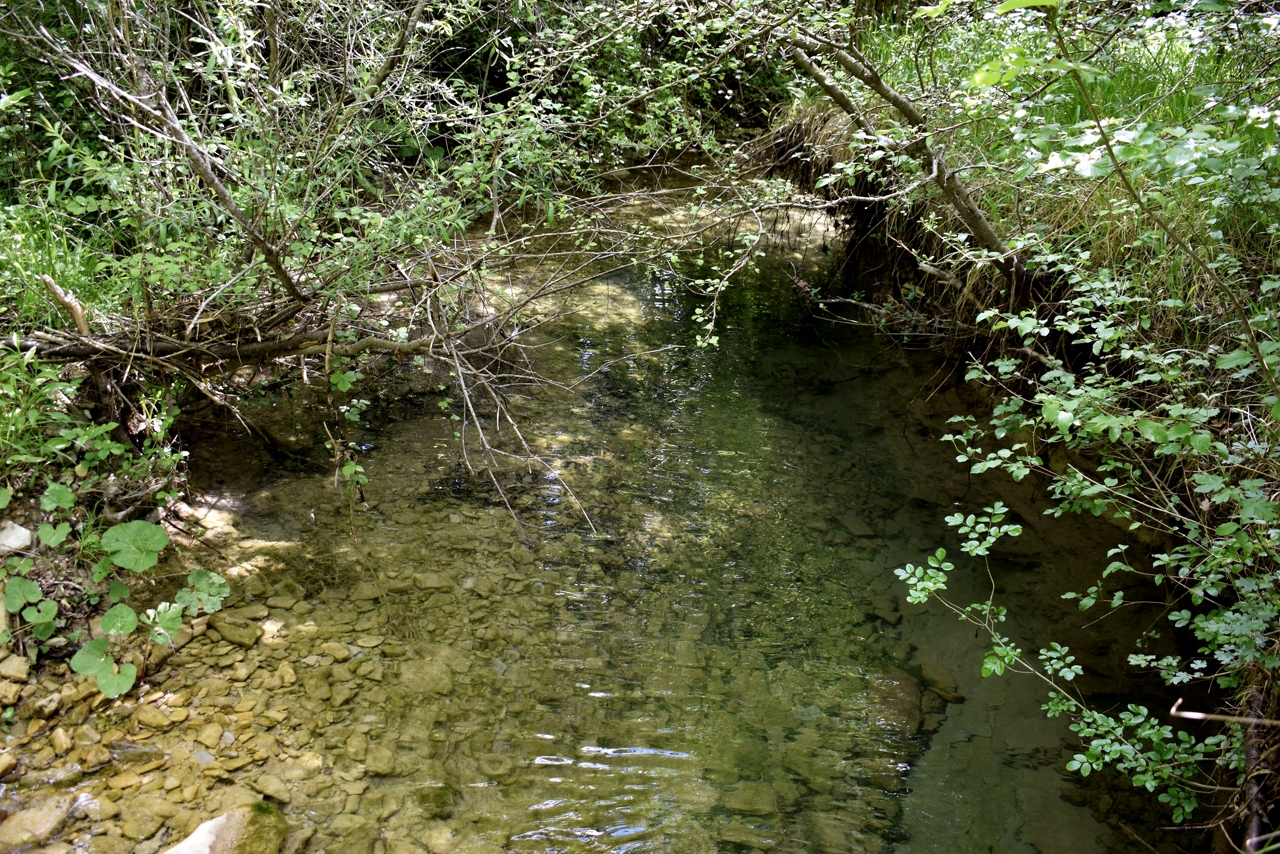
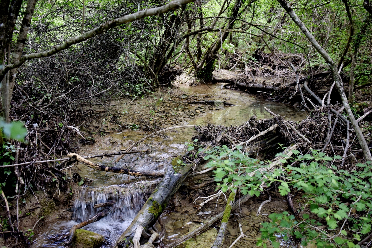
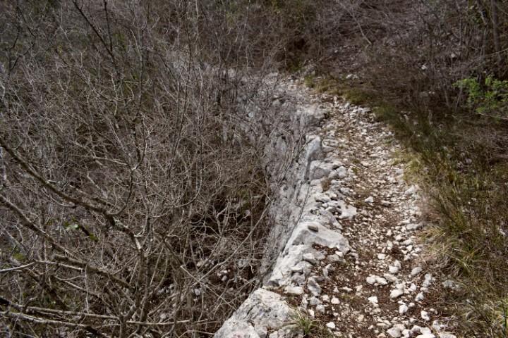
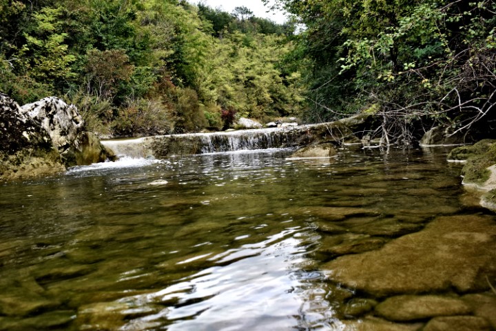
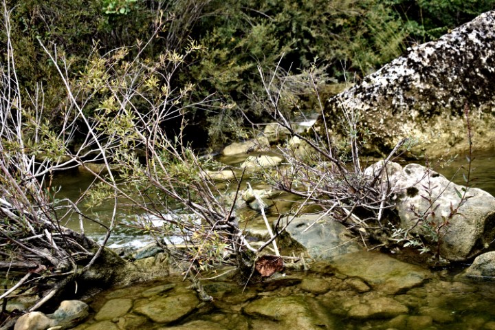
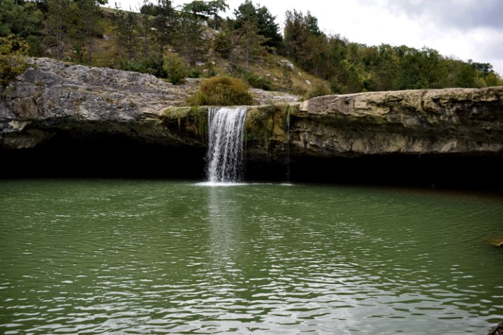
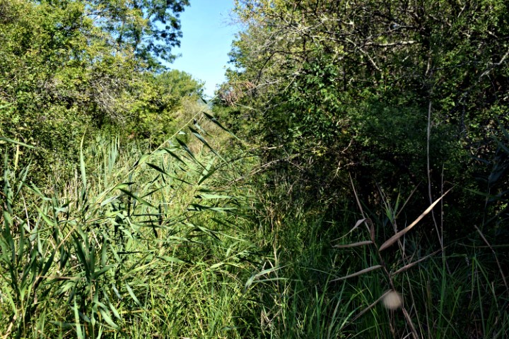
Name: Hiking trail from the bridge over the Pazinčki river near Dusani to Zarečki krov – waterfall.
Place:Near Dusani – near Zarećki – (Pazin).
Coordinates: from 45. 25041 N – 13.94906 E to 45.24900 N – 13.961300 E
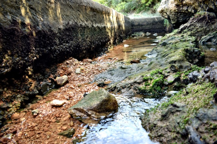
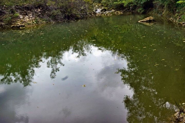
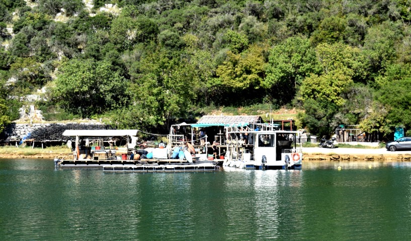
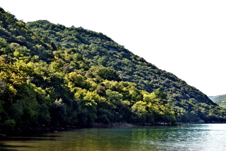
Name: Hiking trail from the beginning of theLimski bay to a water source and the cave Gobolinka.
Place: Kanfanar – Rovinj.
Coordinates: Startpoint 45.12884 N – 13.73999 E, water source: 45.12944 N – 13. 73797 E., Cave Gobolinka 45.13035 N – 1372811 E.
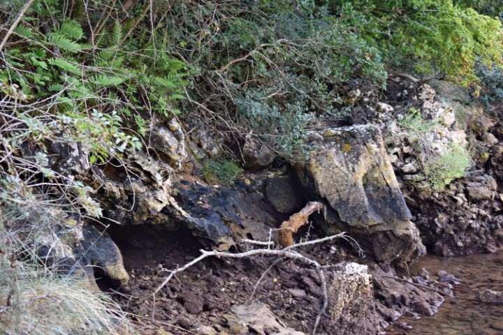
Name: Cave near Klis (HR 2000120) named Sitnica (not found) – trail to Mirna.
Place: Near Klis – Vižinada).
Coordinates: 45.34385 N -13.74631 E?