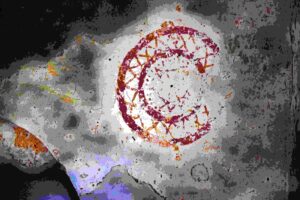
Name: Trail from Sv. Fosca to the Kazuni and the church St. Michael.
Place: Vodnjan – Bale.
Coordinates: start 44.97881 N – 13.78855 E, 44.97544 N – 13.79215 E, 44.97018 N – 13.80113 E, end 45. 44.97151 N – 13.80780 E.

Name: Trail from Sv. Fosca to the Kazuni and the church St. Michael.
Place: Vodnjan – Bale.
Coordinates: start 44.97881 N – 13.78855 E, 44.97544 N – 13.79215 E, 44.97018 N – 13.80113 E, end 45. 44.97151 N – 13.80780 E.
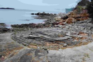
Name: Trail from Červar-Porat along the coast bay Lungo and the bay Santa Marina, with the Roman archaeological sites Loron.
Place: Červar Porat, Santa Marina – (Poreč).
Coor

Name: Trail from Sv. Foška to dry stone houses and the church St. Michael.
Place: Vodnjan.
Coordinates: Sv. Foška: 44.97881 N -13.78855 E, three stone houses: 44.97544 N – 13.79215 E., Church Sv. Mihovel: 44.97151 N – 13.80780 E.
Streams: Mirna, Draga, Pivak and Rečina.
Waterfalls:
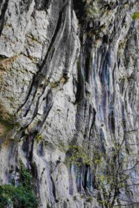
Name: Hiking trail 306 from Buzet to Kotli with 7 waterfalls.
Place: Kotli – (Buzet).
Coordinates: Start/end Buzet: 45.39899 N – 13.97539 E. Kotli: 45.36906 N – 14.01659 E.
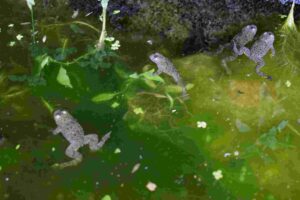
Name: Source Kašteljir, church St. Agata, Dvigrad.
Place: Kanfanar
Coordinates: Start 45.12969 N – 13.84347 E, source 45.13378 N – 13.84004 E, split to the church Sv. Agata 45.13477 N – 13.84050 E, Sv. Agata, 45.13663 N – 13.84534 E. Dvigrad, 45.12644 N – 13.81306 E.
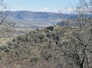
Name: Trail to the cave Trogrlice and the hills Gradine with the Nigrinjan fort and the hill Vrbanovica.
Place: Cerjani – (Kaštelir).
Coordinates: Village Cerjani 45.32812 N – 13.6905 E, cave Progrlice 45.33104 N – 13.13.68320 E, Nigrinjan – Gradine 45.34185 N – 13.68551 E, Vrbanovica 45.33641 N – 13.67197 E.
On the hill Sv. Mihovil was built a monastery in the 7th century and in 1855 a church named St. Michael.
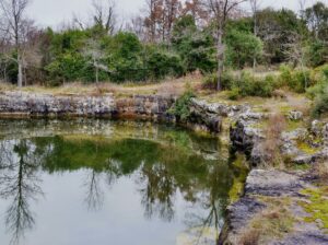
Name: Prehistoric settlement on the hills Sveti Mihovil and Forke .
Place: Bale
Coordinates. Church St. Michael 45.03820 N -13.79952 E, Top Forke
On the hill south of the Elementary School, several pines have been blown over by the storm of the past few days. Archaeological research has established, through the discovery of burnt remains, bones and objects, that under one of the trees near the roots there was a grave from the 1st century.
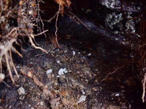
Name: Roman grave on the hill south of the Poreč Elementary School.
Place: Poreč
Coordinates: 45.22355 N – 13.60335 E.
Archaeological research has been carried out in the first quarter of 2023. on the square Marafor. This former Roman forum is located at the end of the main street Maximus Decumanus in the town of Parentium. Several temples were also located here.
After the removal of the current pavement, the former deeper paving of the forum was found with a prehistoric layer below with findings such as ceramics that indicate an age of 4000 years. In the center of the square is a large cistern, which was built here at the beginning of the 15th century. The male skeleton found during this research is believed to be from the Middle Ages, and was located near the site of an earlier church of St. George from the Middle Ages.
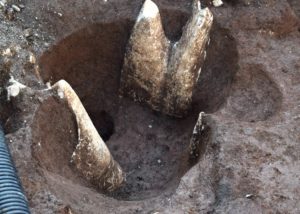
Name: Archaeological research Square Marafor in Poreč.
Place: Marafor – Poreč.
Coordinates:
Archaeological research 2014,2015 and 2017
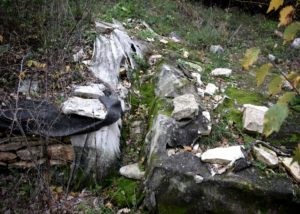
Name: Stari Guran medieval settlement.
Place: Guran – (Vodnjan).
Coordinates: 44.96916 N – 13.89333 E.