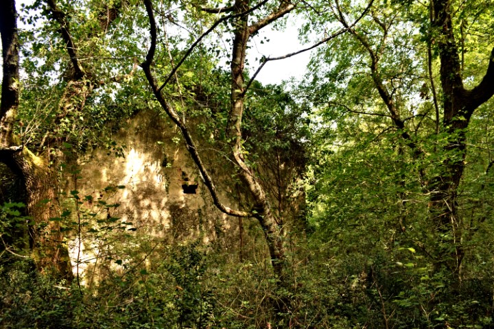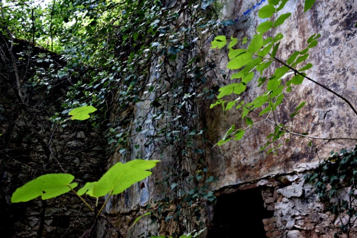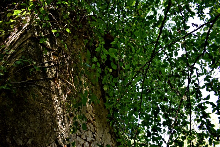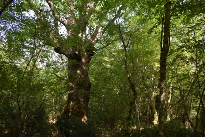
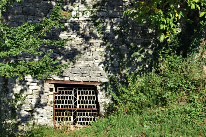
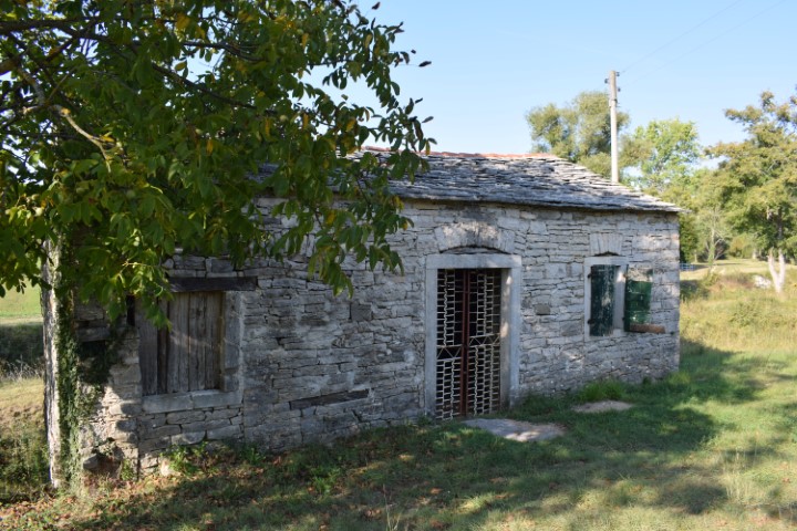
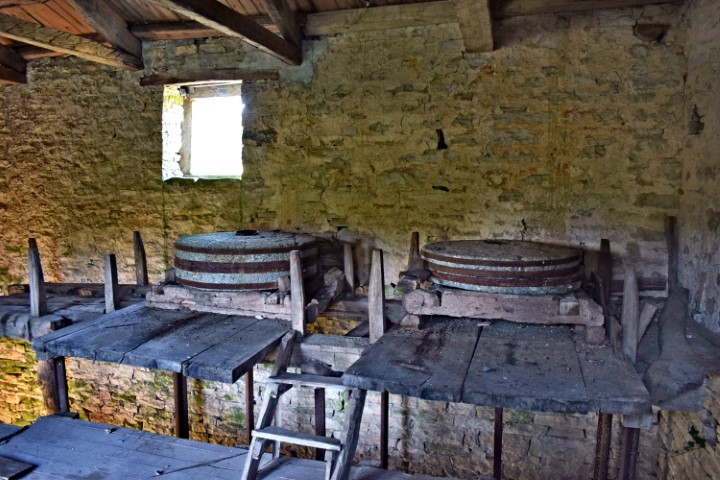

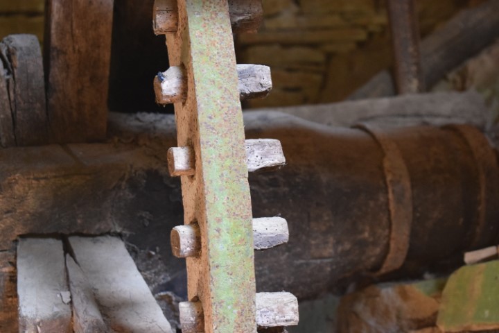
Name: Watermill near Jucovci.
Place: Near Jucovci – Sterna – (Oprtalj).
Coordinates: 45.44108 N – 13.70851 E.
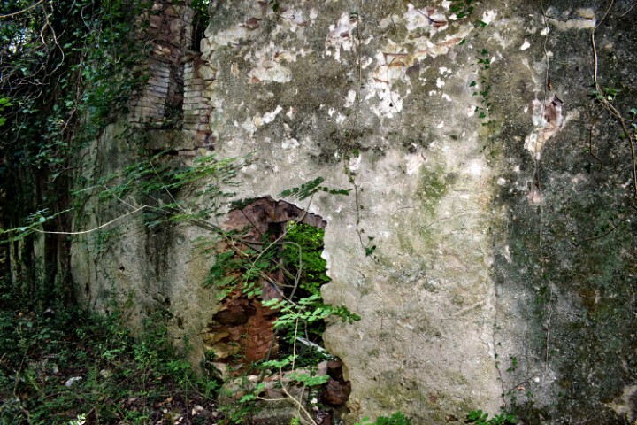
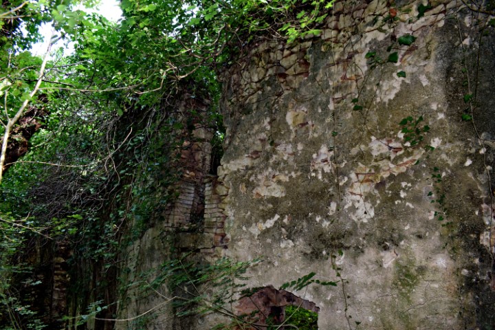
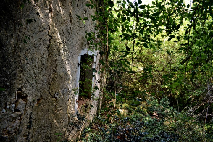
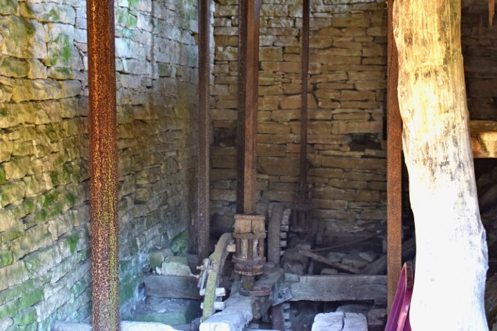
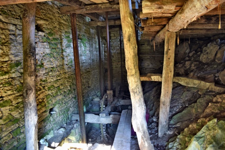
Name: Watermill near Jucovci.
Place: Near Jucovci – Sterna – (Oprtalj).
Coordinates: 45.44108 N – 13.70851 E.

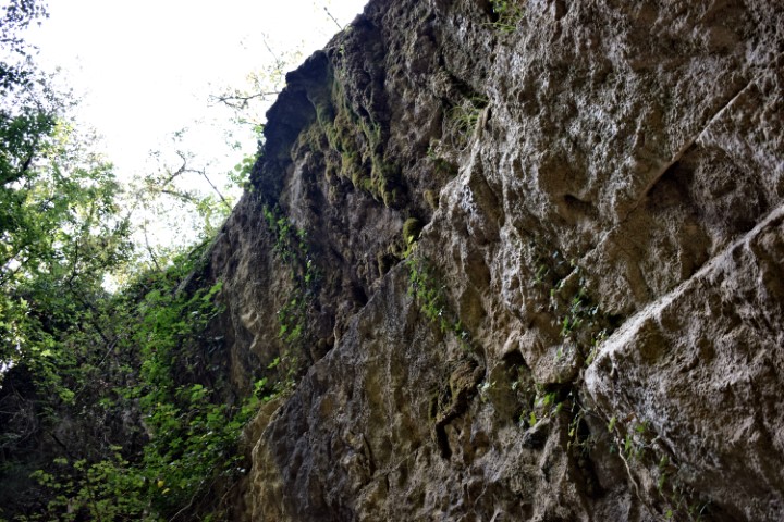
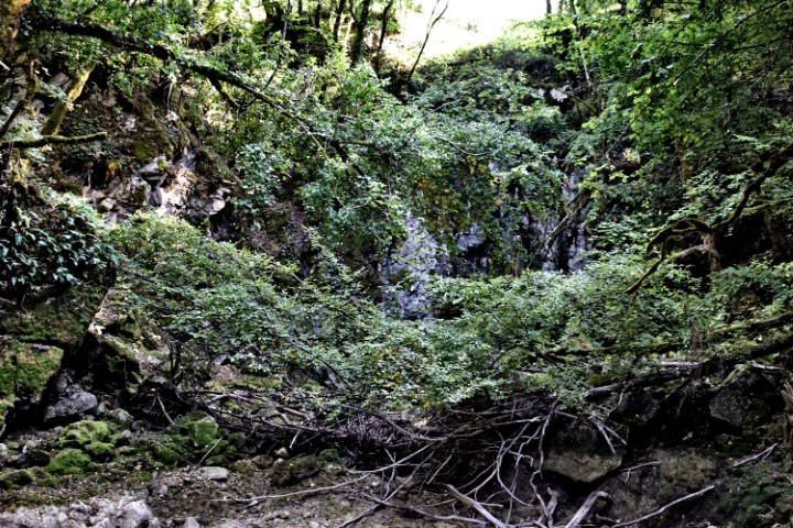
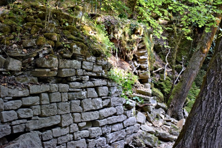
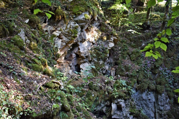
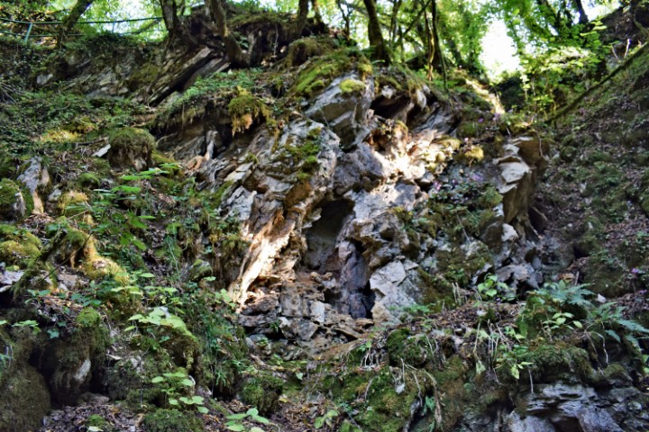
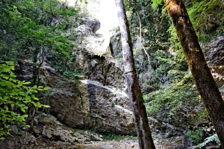
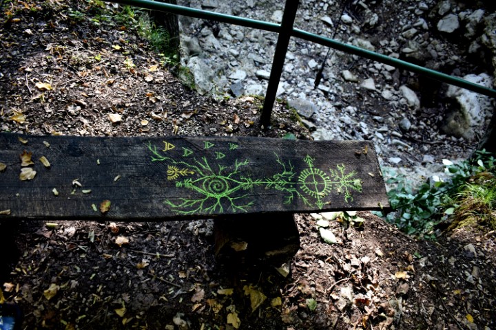
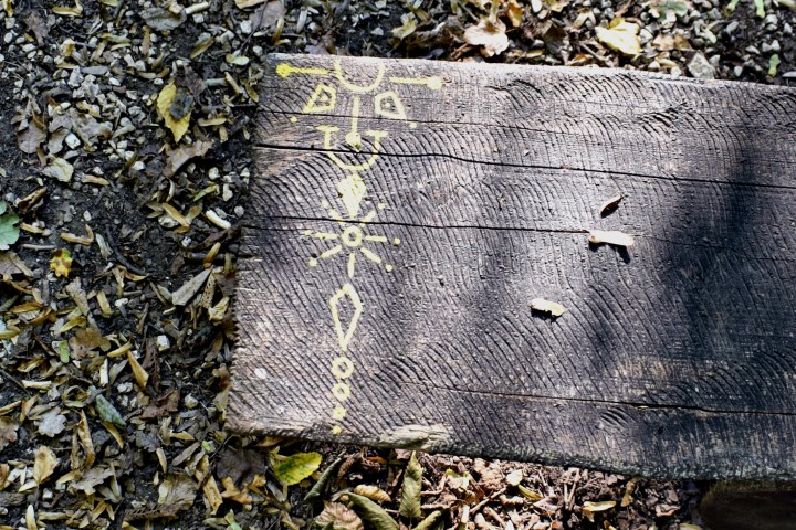
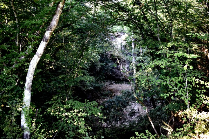
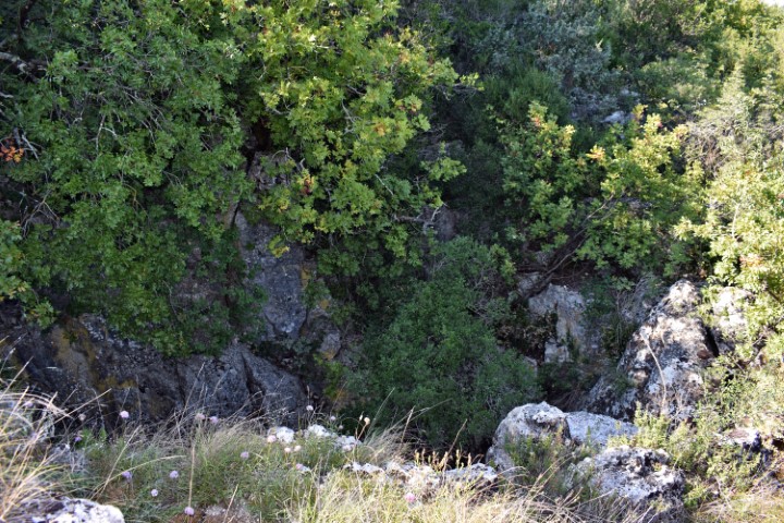
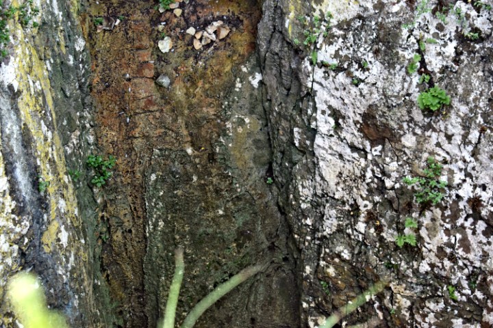
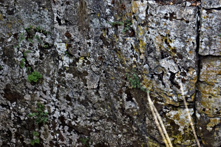
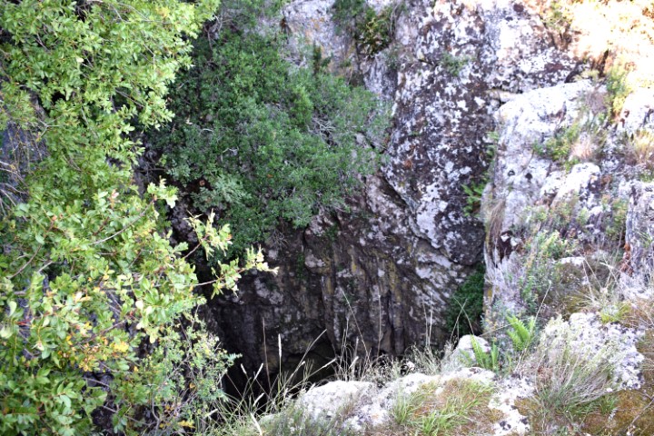
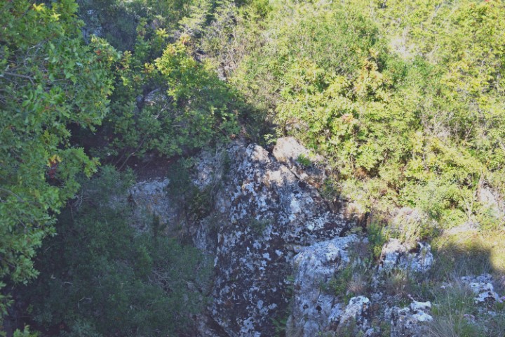
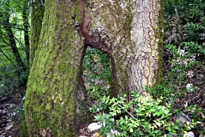
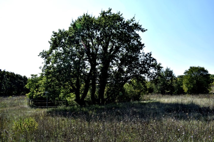
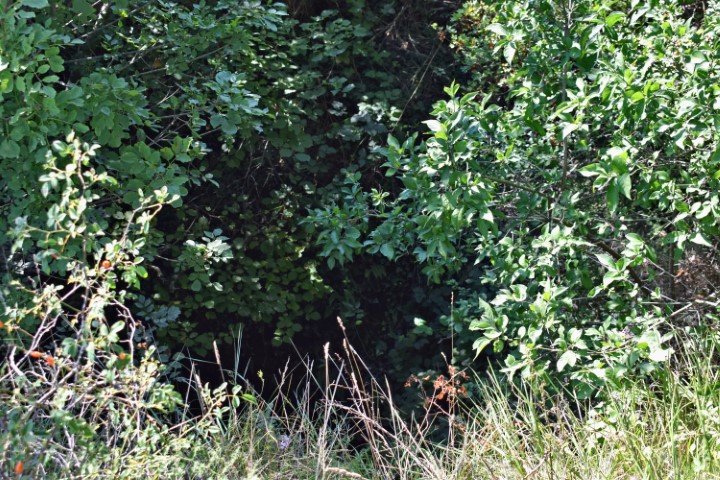
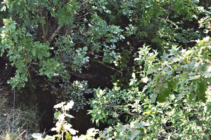
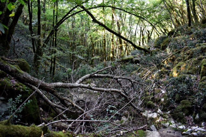
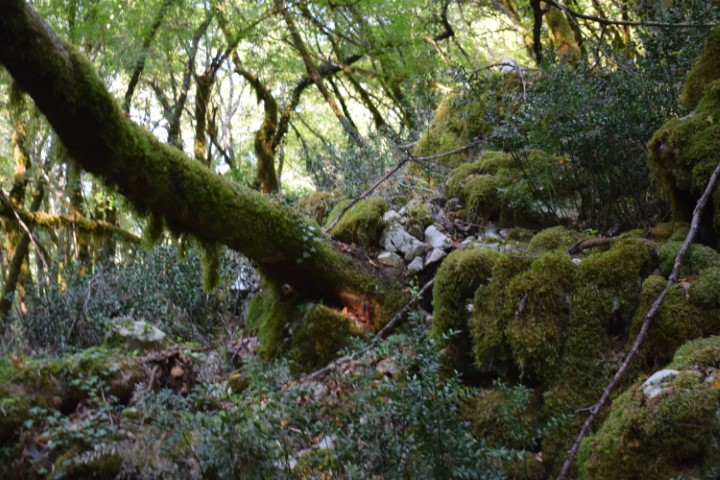
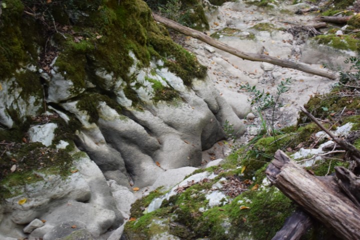
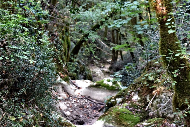
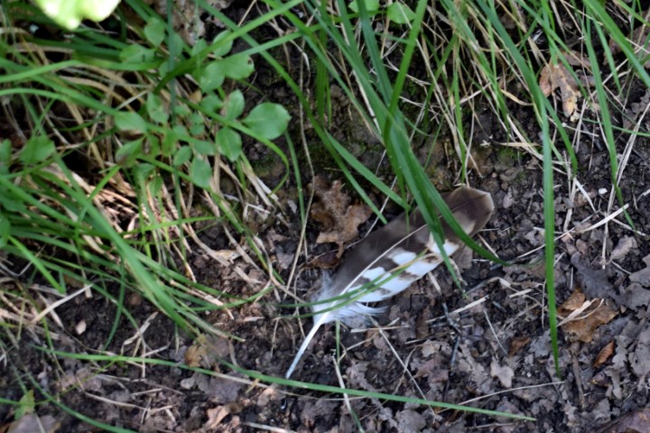
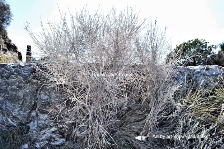
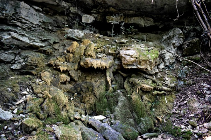
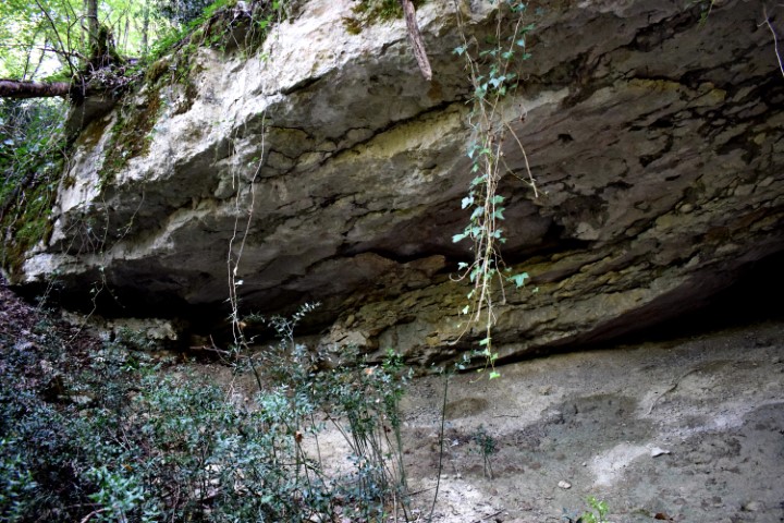
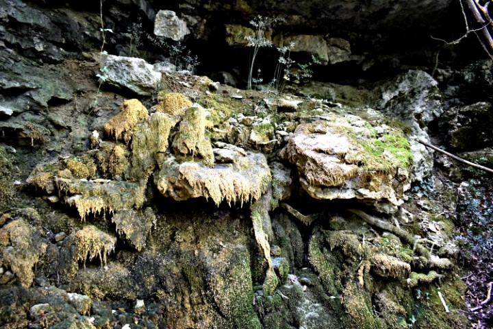
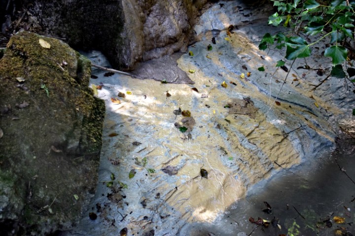
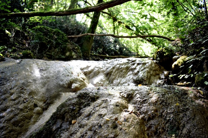
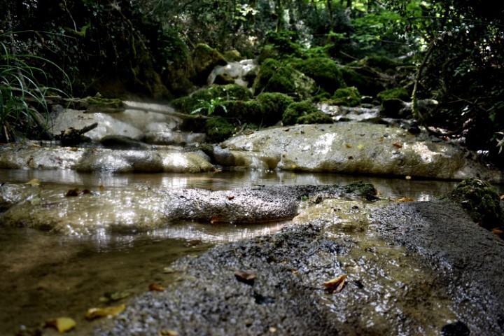
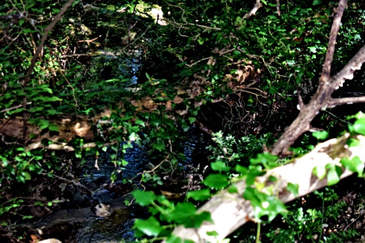
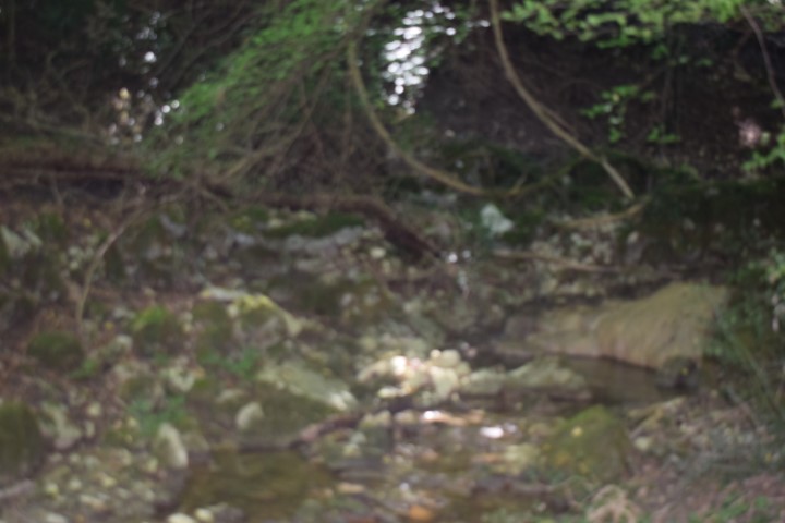
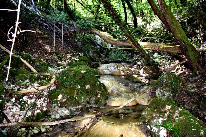
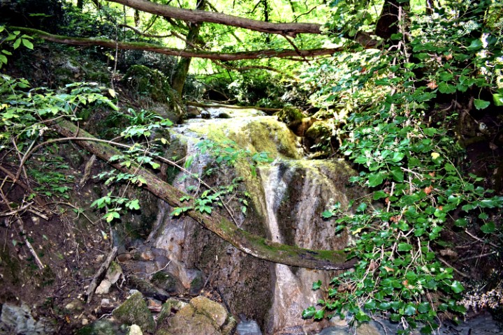
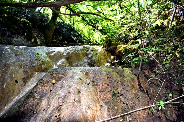
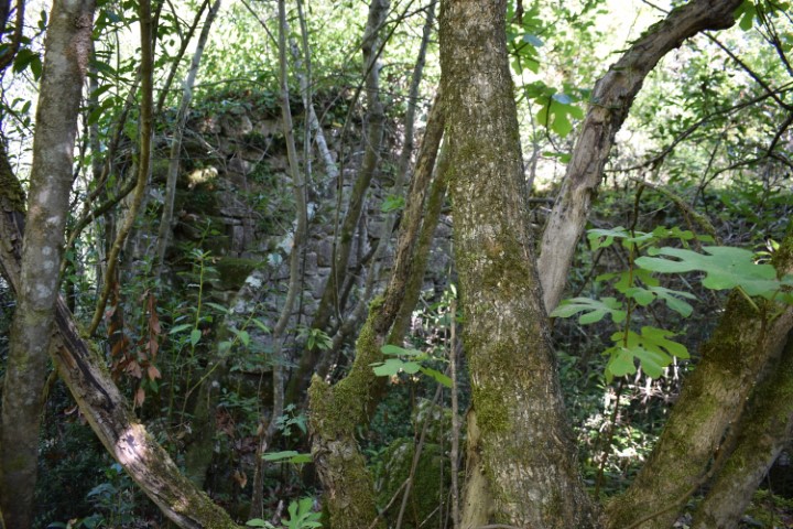
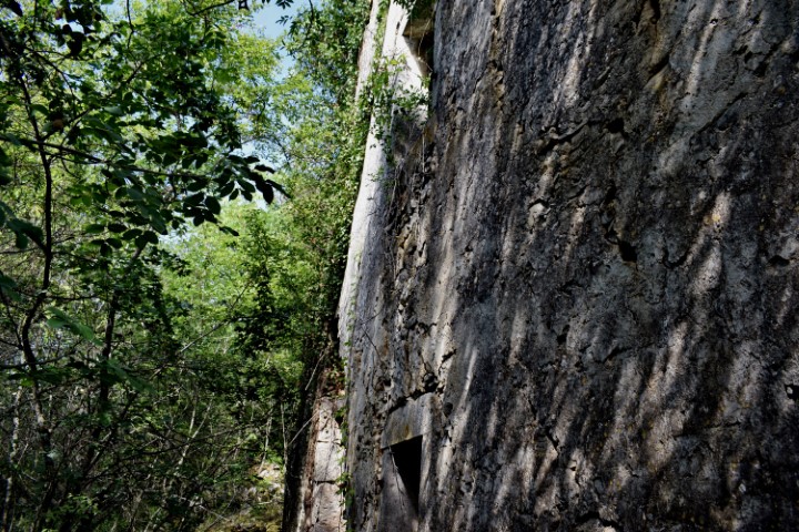
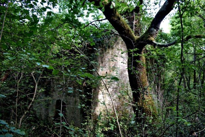
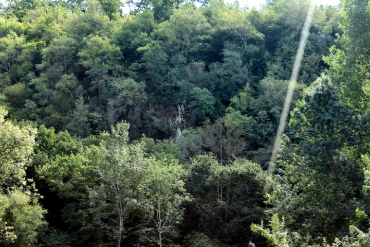
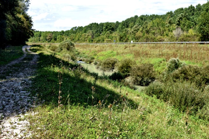
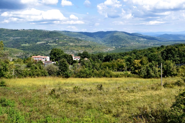
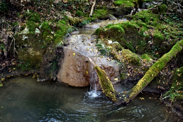
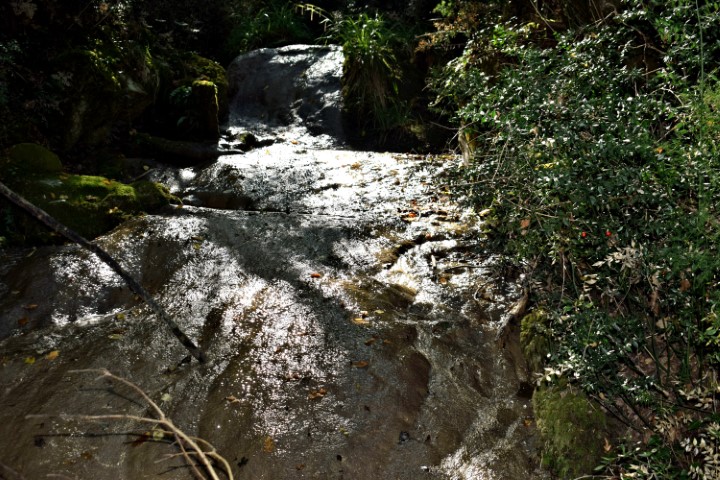
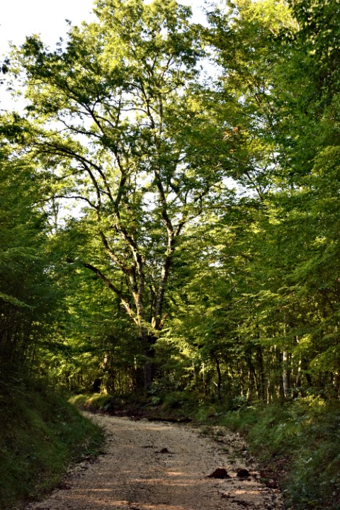
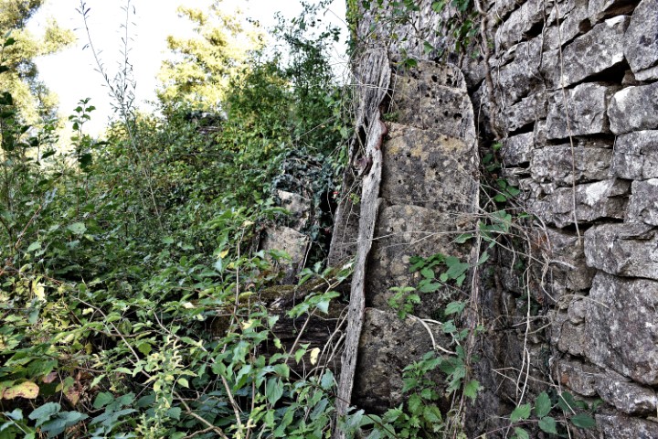
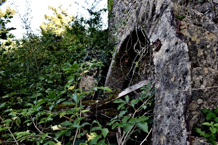
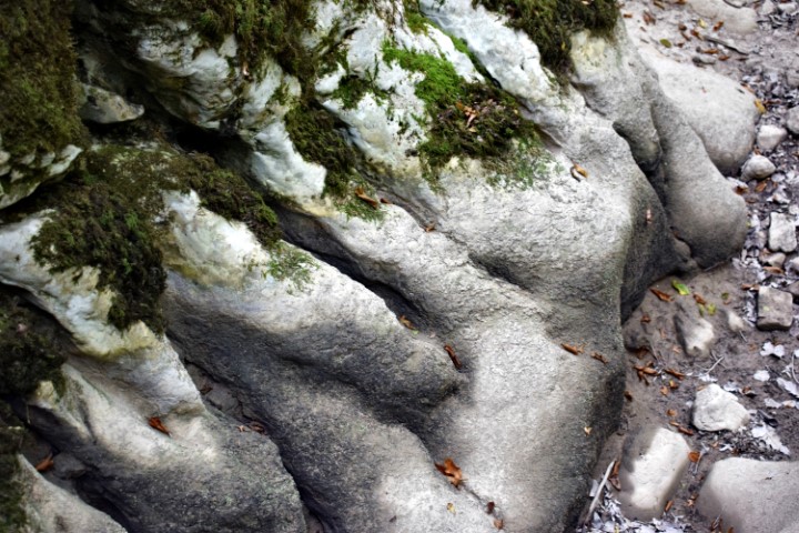
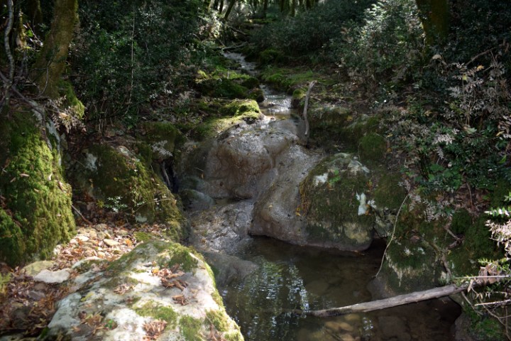
Name: Butori waterfall – “dry”.
Place: Near Sterna – (Opratlj).
Coordinates: 45.44108 N – 13.79851 E
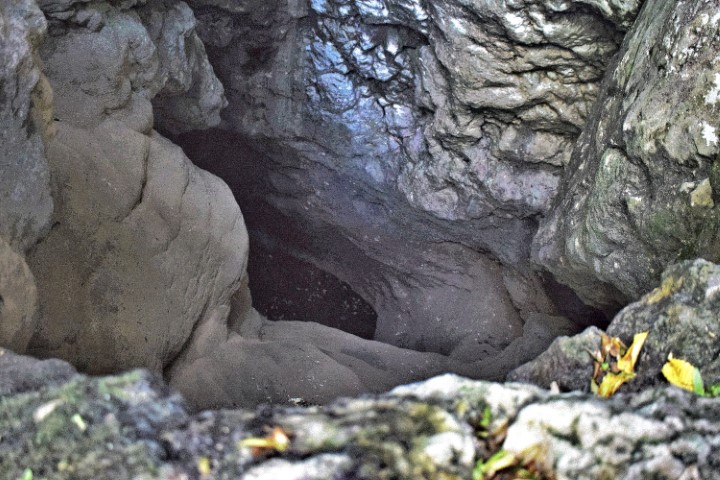
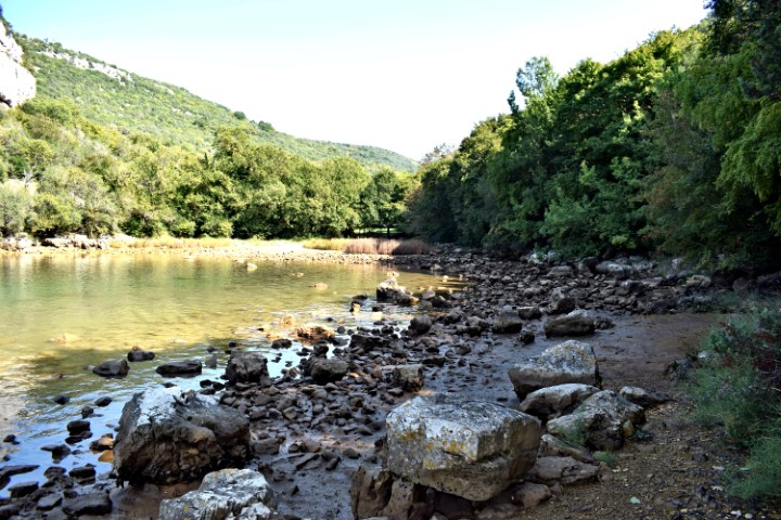
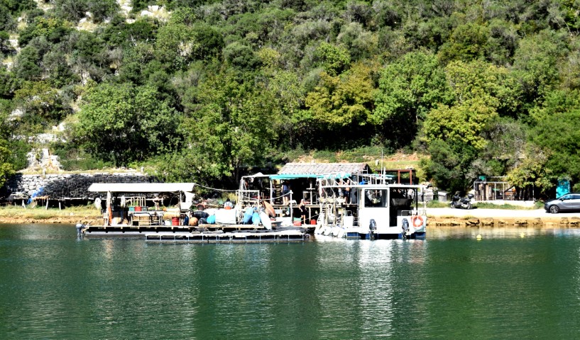
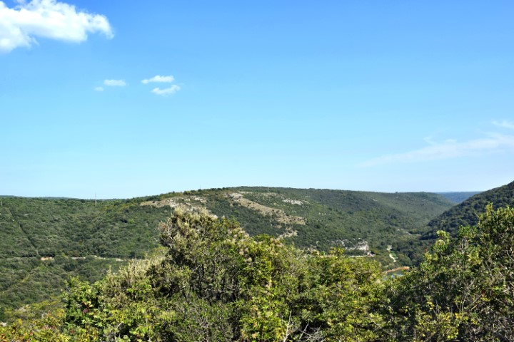
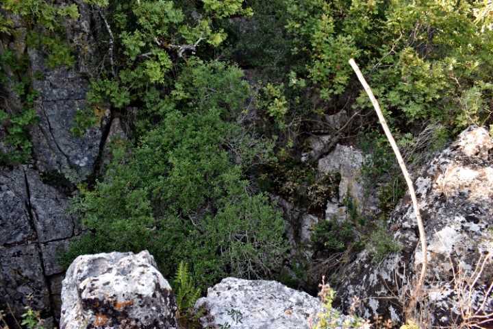
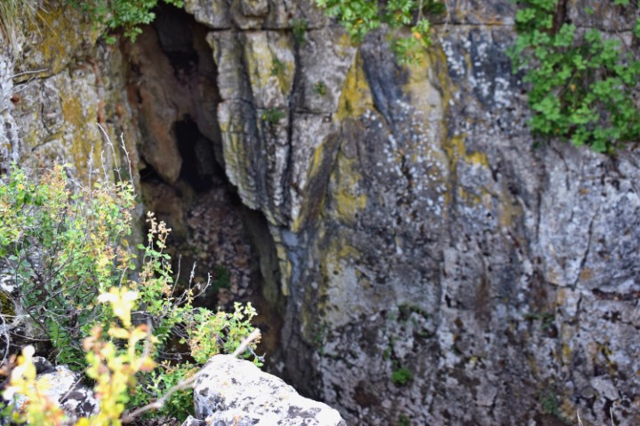
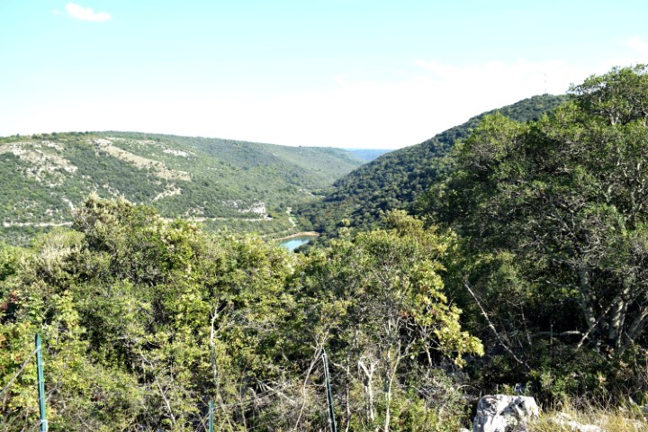
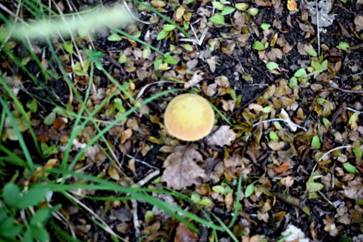
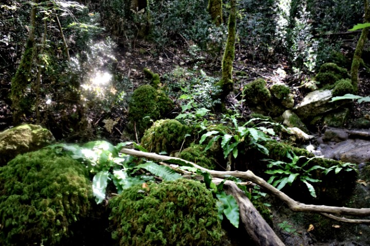
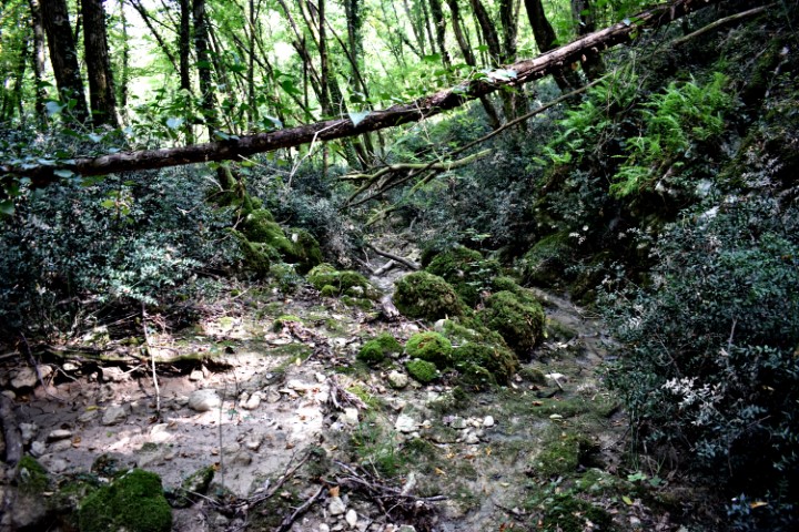
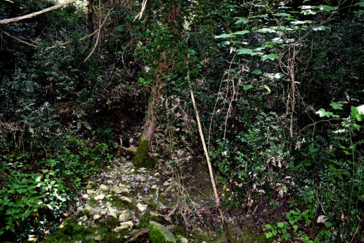
Name: Hiking trail from the beginning of theLimski bay to a water source and the cave Gobolinka.
Place: Kanfanar – Rovinj.
Coordinates: Startpoint 45.12884 N – 13.73999 E, water source: 45.12944 N – 13. 73797 E., Cave Gobolinka 45.13035 N – 1372811 E.
On 11 September 2011, cavers removed 5 m3 of waste from this 54 meter deep cave as part of the “Karst Underground Program” (KUP). This beautiful action was aimed at preventing and limiting groundwater pollution, avoiding the risk of using drinking water from drinking water sources.

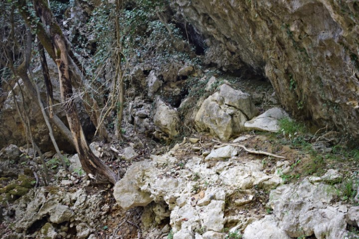
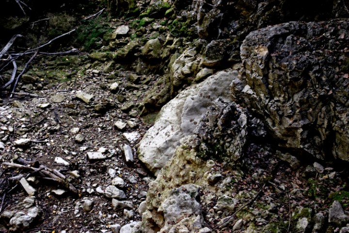
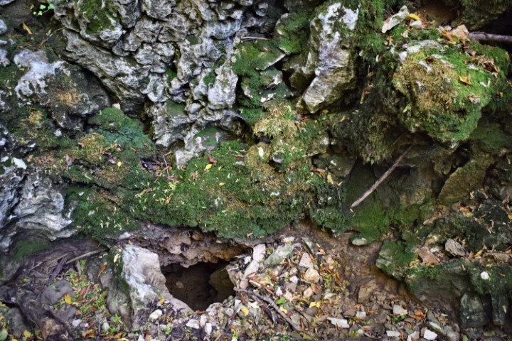
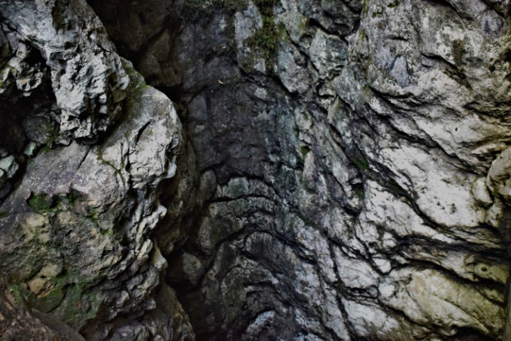
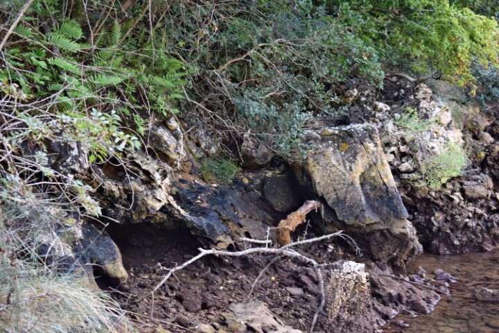
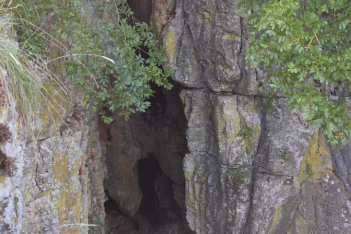
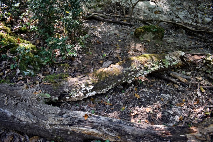
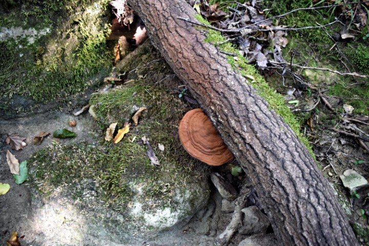
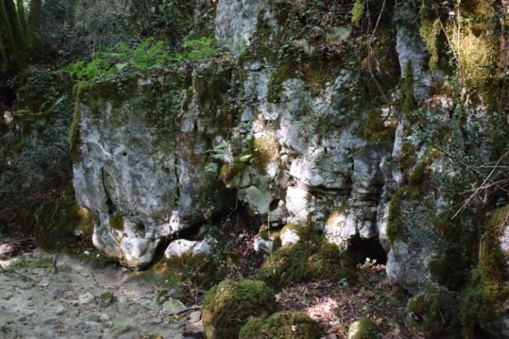
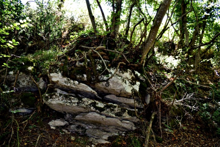
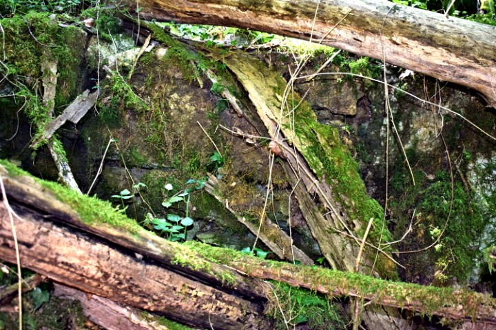
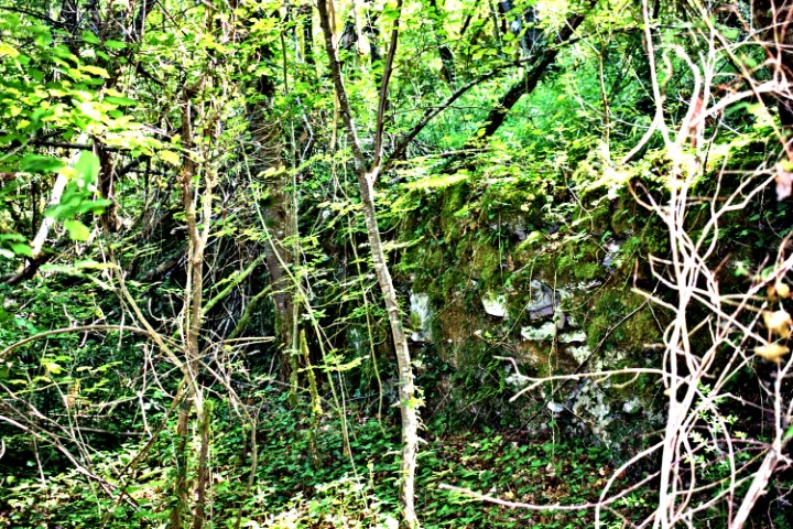
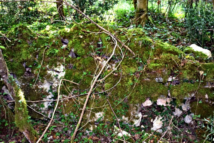
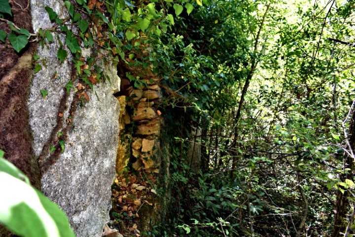
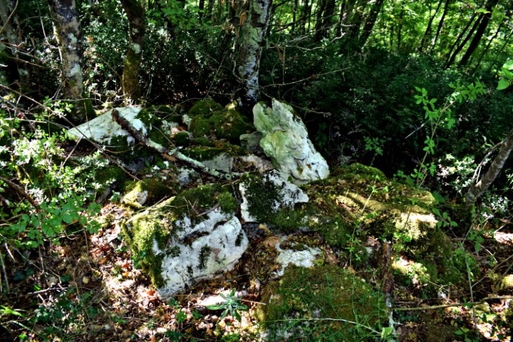
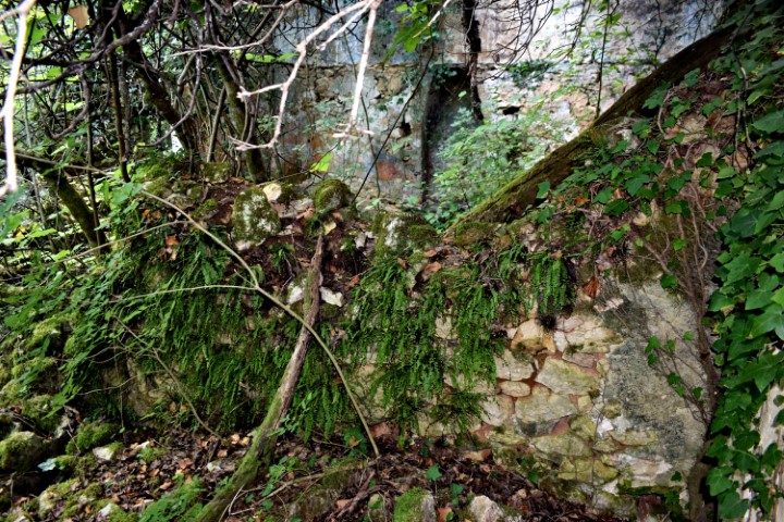
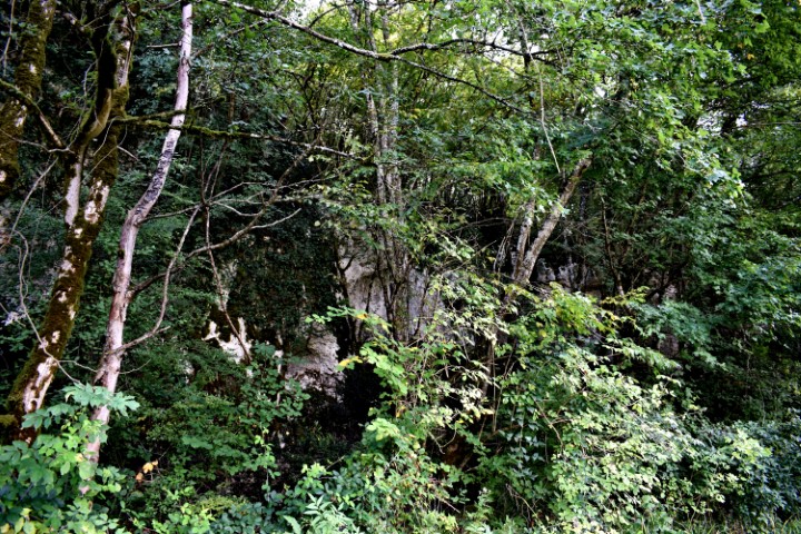
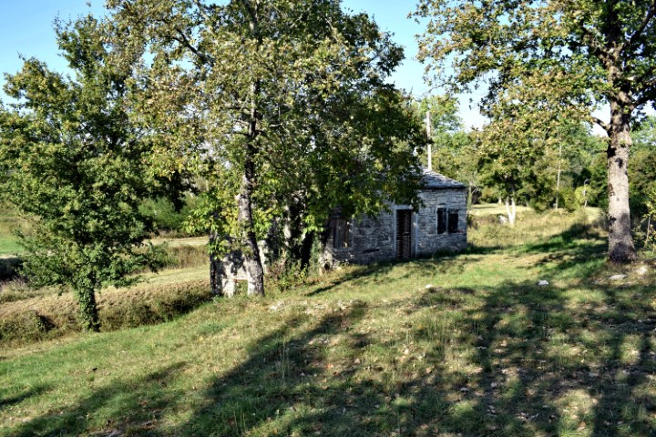
Name: Cave Rebica near Brajcovići.
Place: Brajcovići – (Kanfanar)
Coordinates: 45.09887 N -13.76475 E.
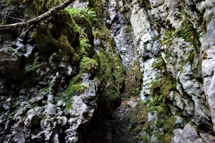
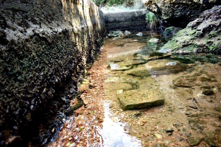
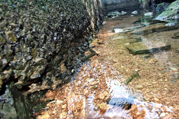
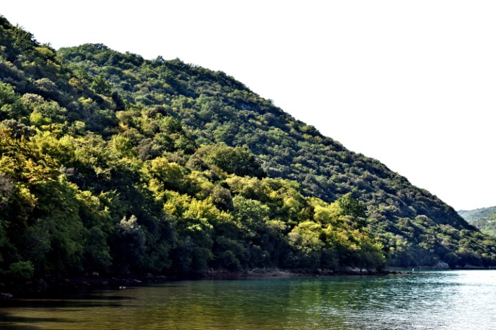
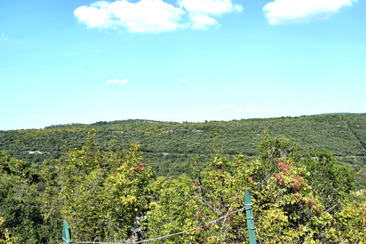
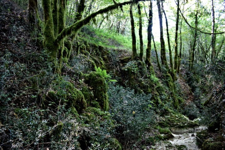
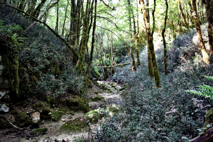
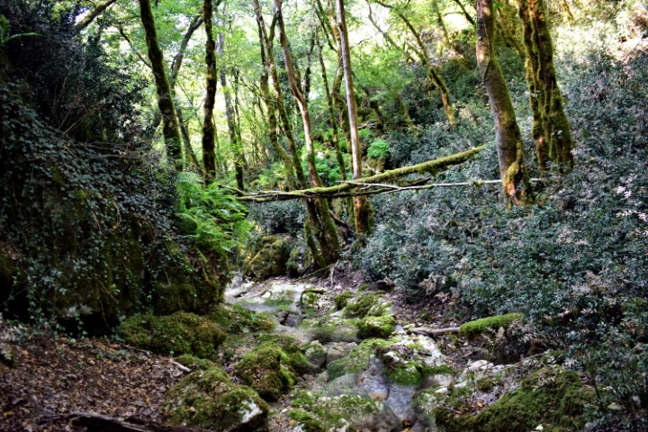
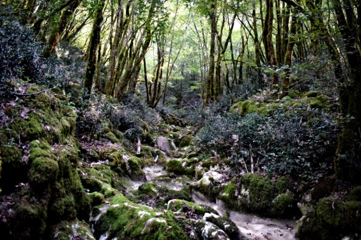
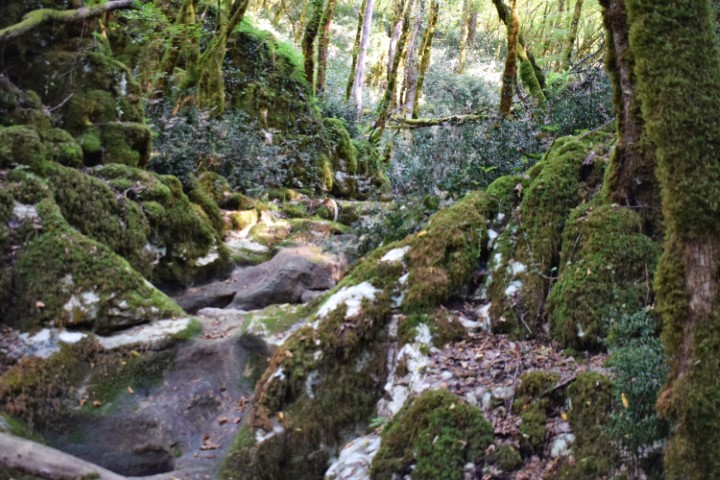
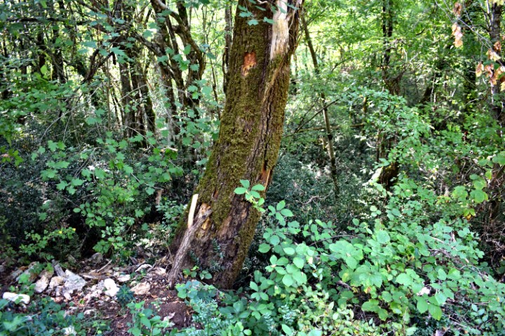
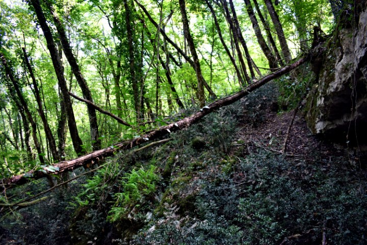
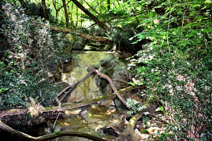
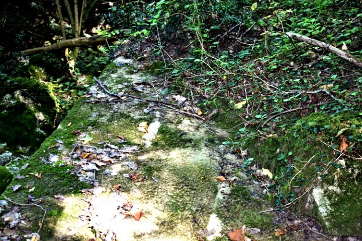
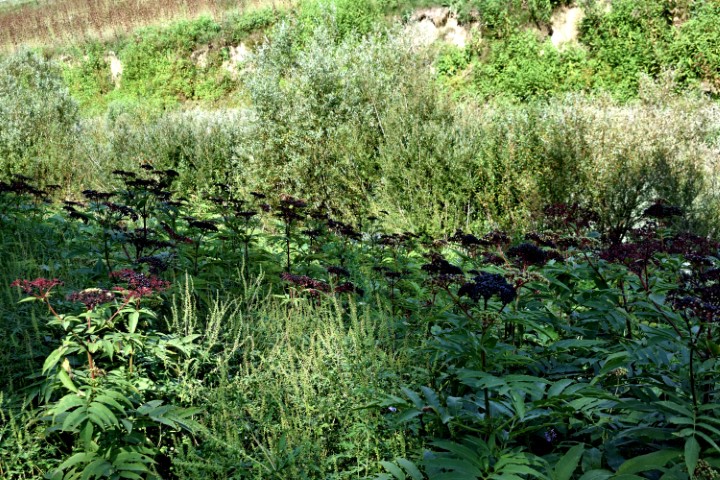
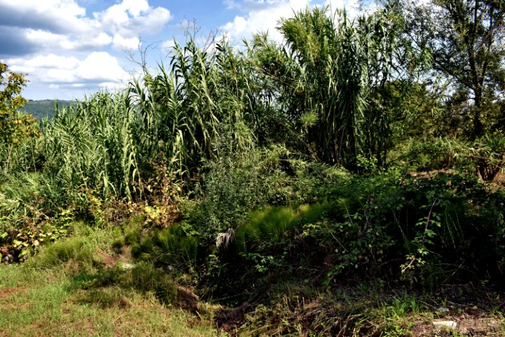
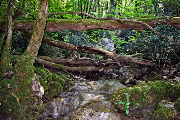
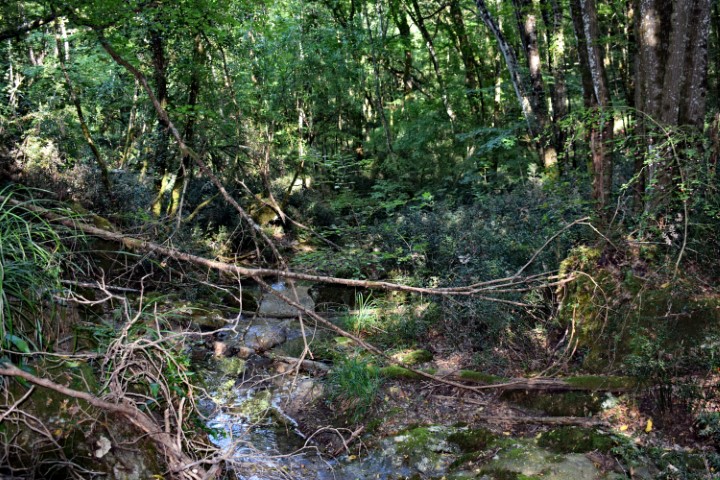
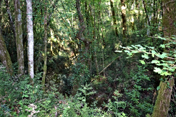
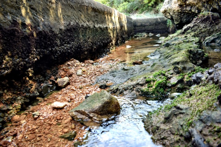
Name: Stream Zenerin downstream from 96 to 62 meters a.s.l. near Zudetići.
Place: Near Zudetići – (Vižinada).
Coordinates: Start point to stream Zenerin in Canyon 45.34398 N – 13.75964 E (96 meters a.s.l.) to 45.333447 N – 13.75758 (62 meters a.s.l.).
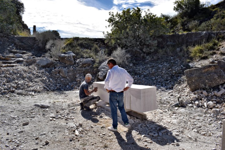
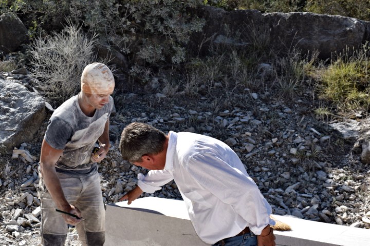
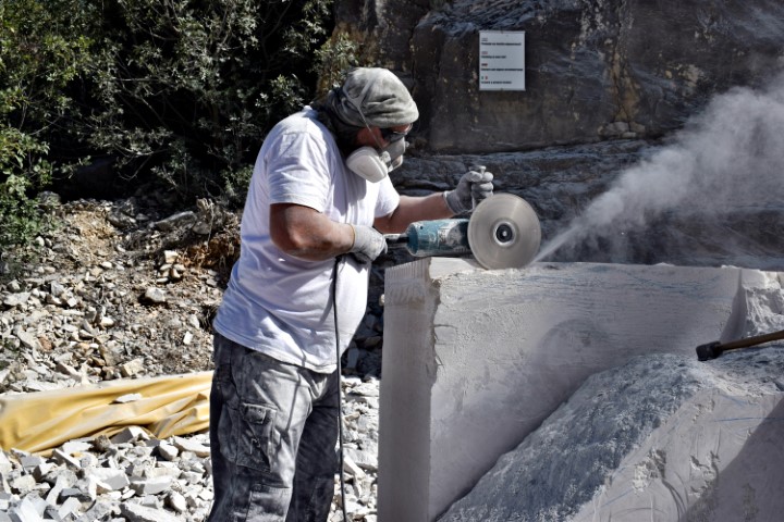
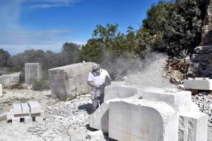
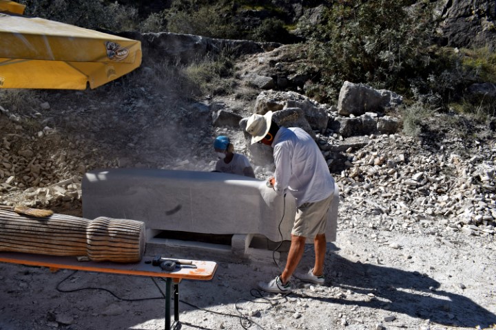
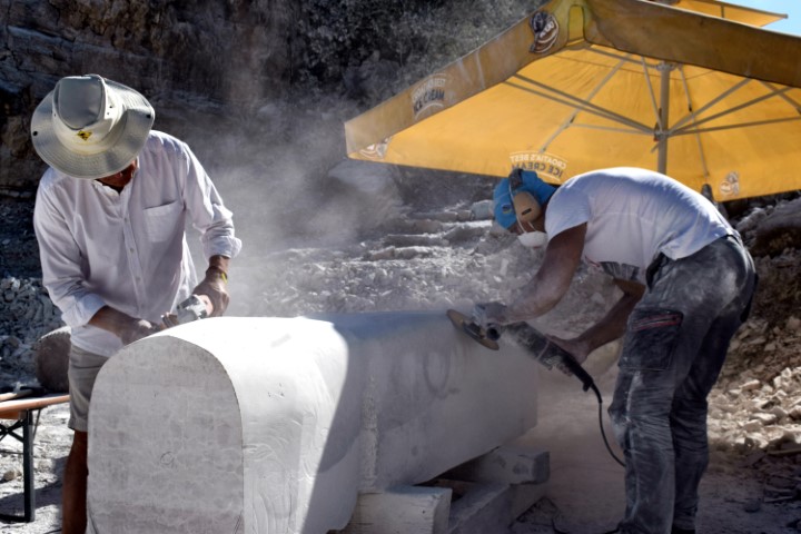
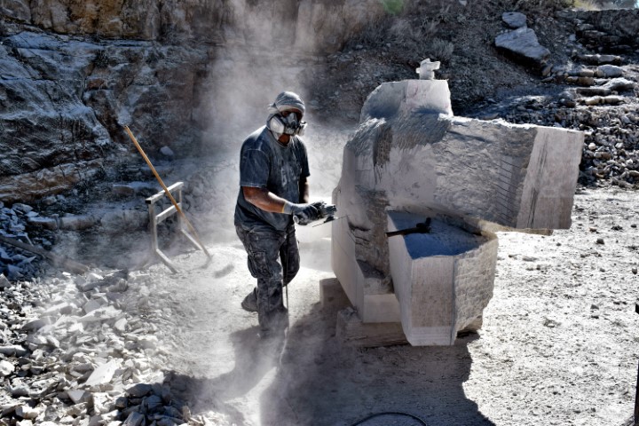
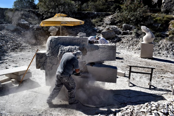
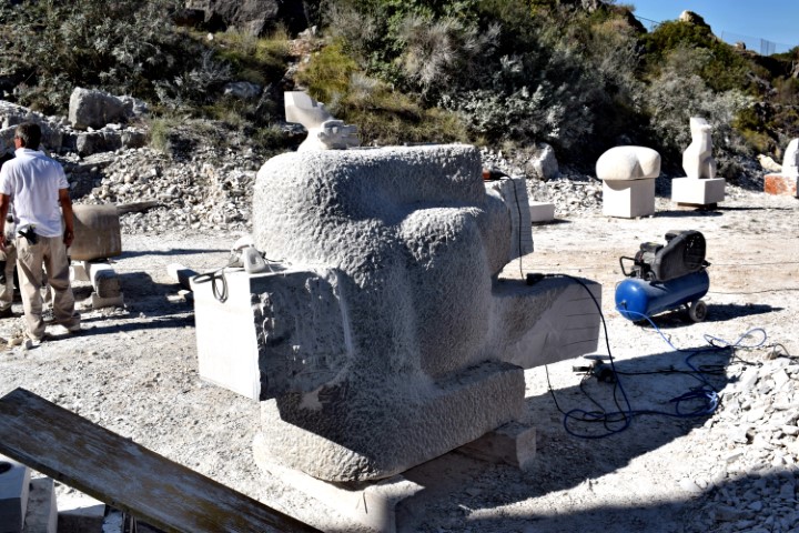
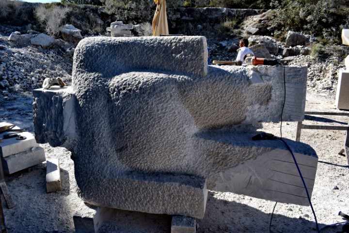
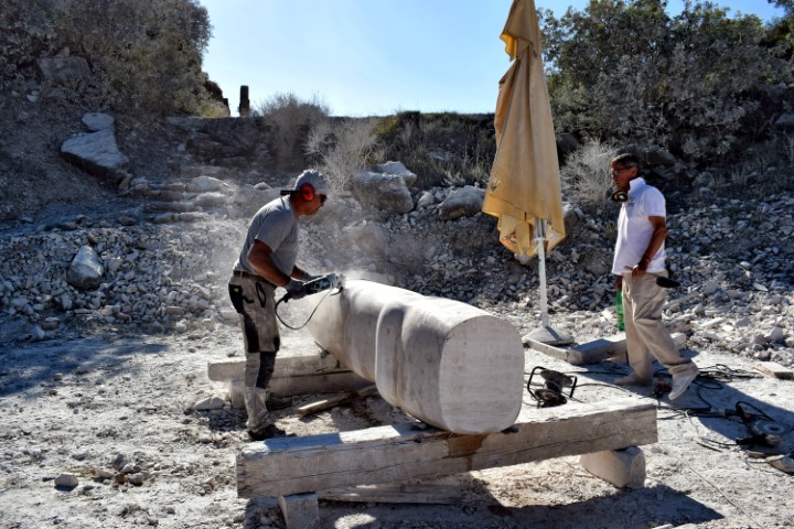
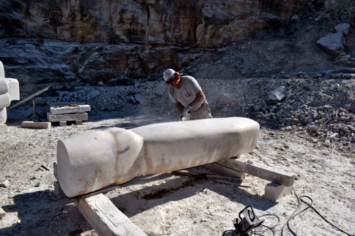
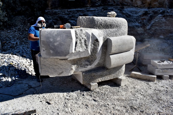
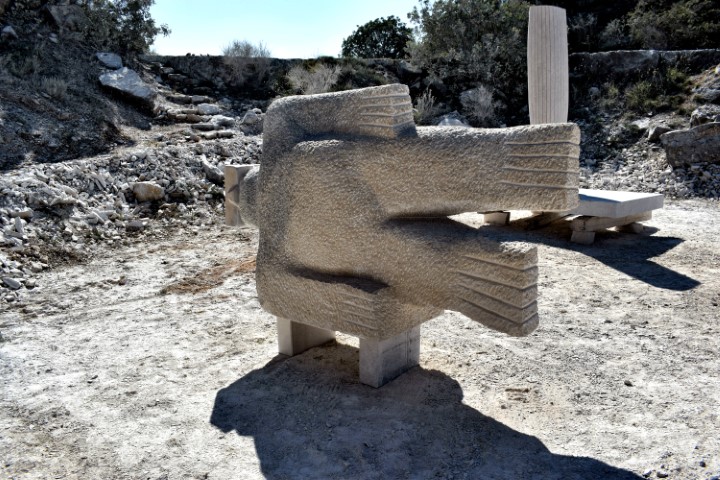
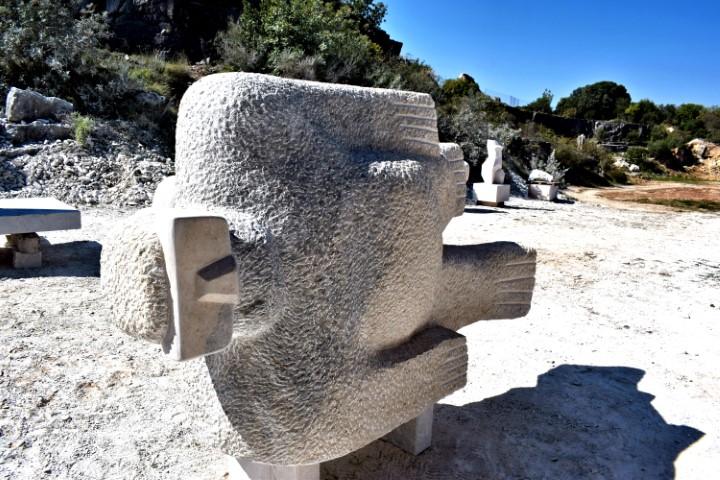
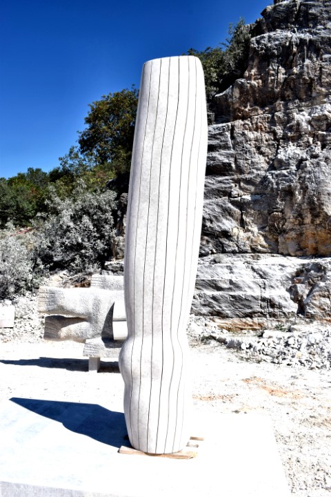
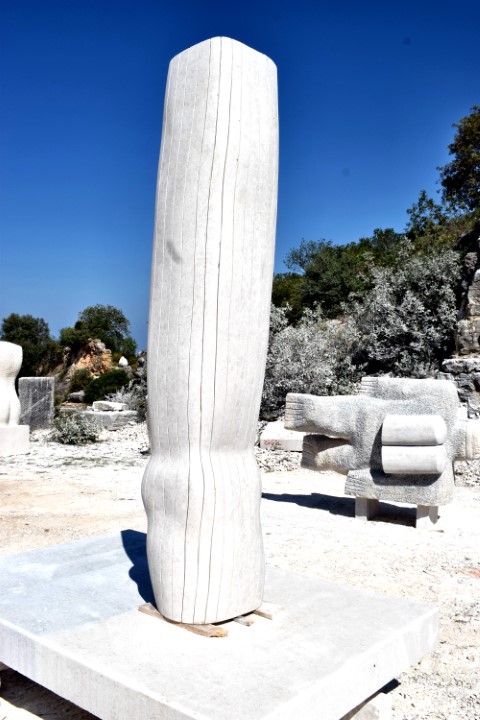
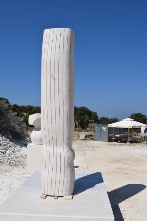
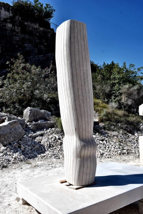
This year the 30th edition without students of (inter) national art academies from the 2nd to the 12th of September. Due to the corona virus, the number of new images is limited to two.
The two sculptures were created by the Art Director Peruško Bogdanić and Petar Dolić and the sculptors Deni Krizmanić and Mauricio Matukina.

Name: School of Sculpture – 10 days of creation.
Place: Vrsar.
Name of sculptures: Will follow later.

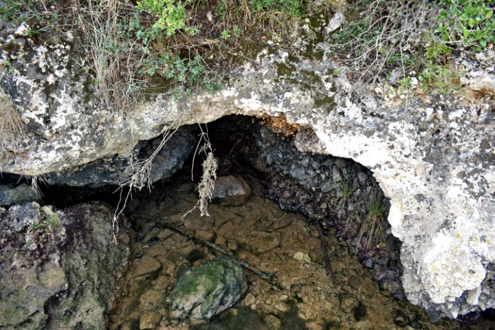
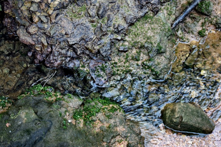
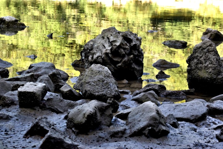
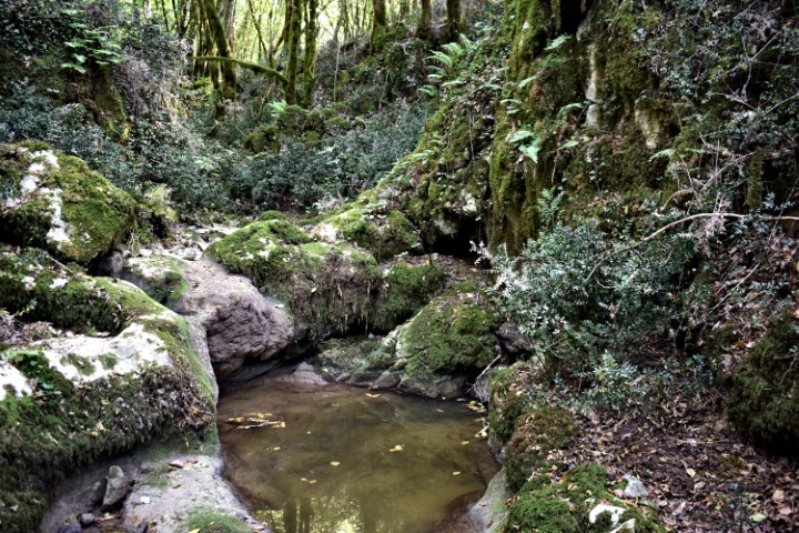
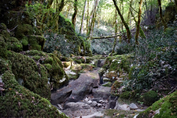
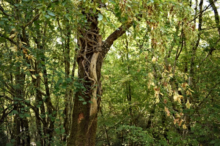
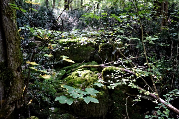
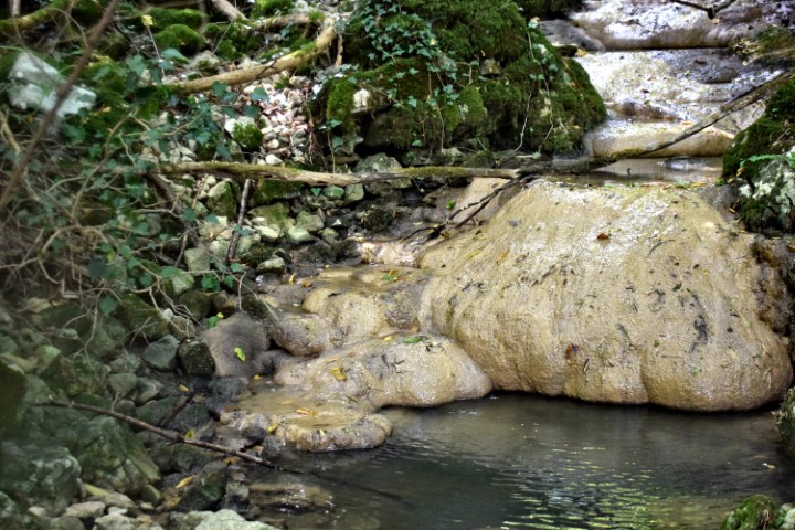
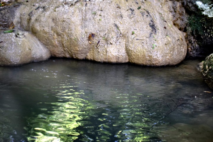
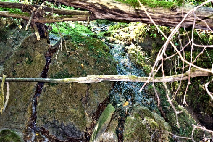
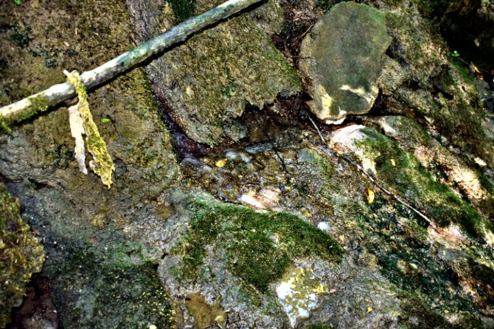
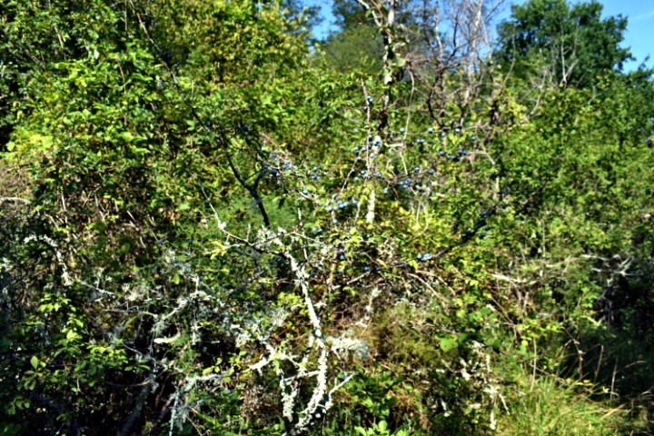
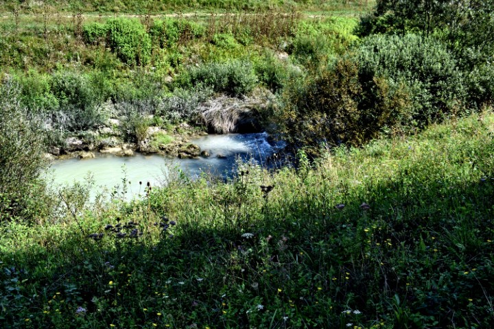
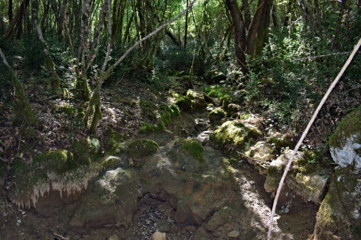
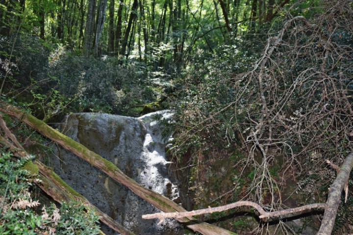
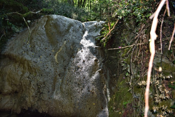
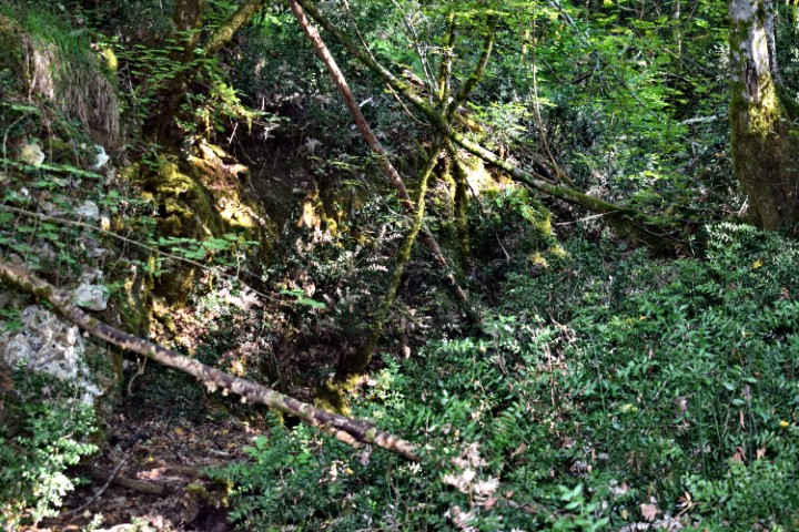
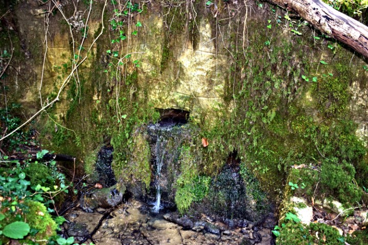
Name: Waterspring – stream Zenerin near Zudetići (II).
Place: Zudetići – (Vižinada).
Coordinates: 45.33783 N – 13.75284 E.
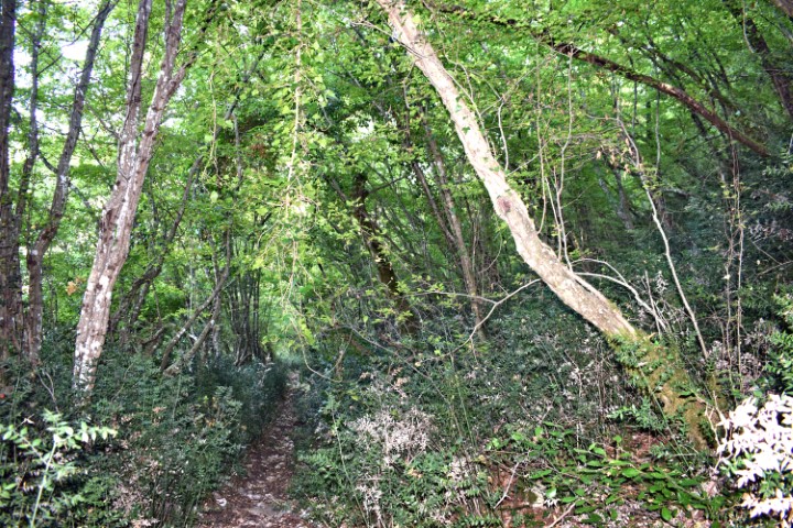
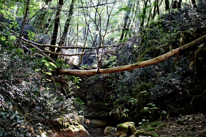
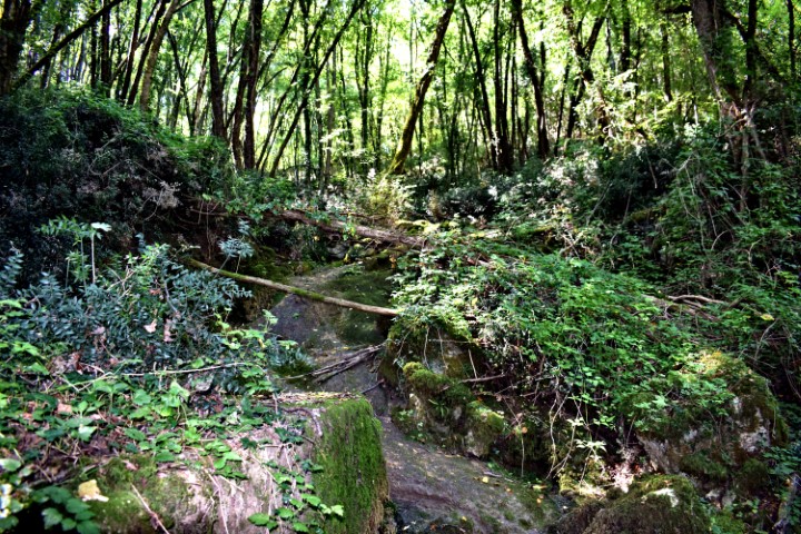
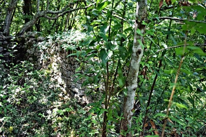
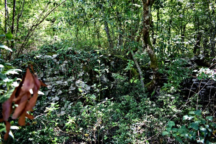
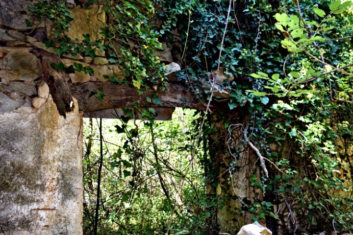
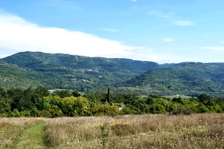
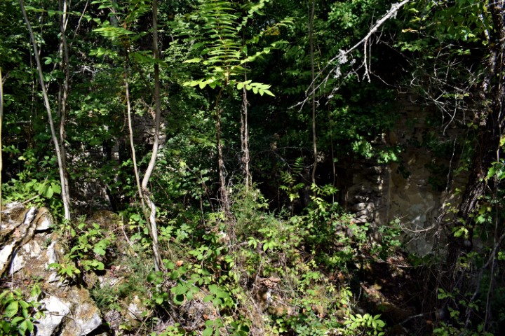
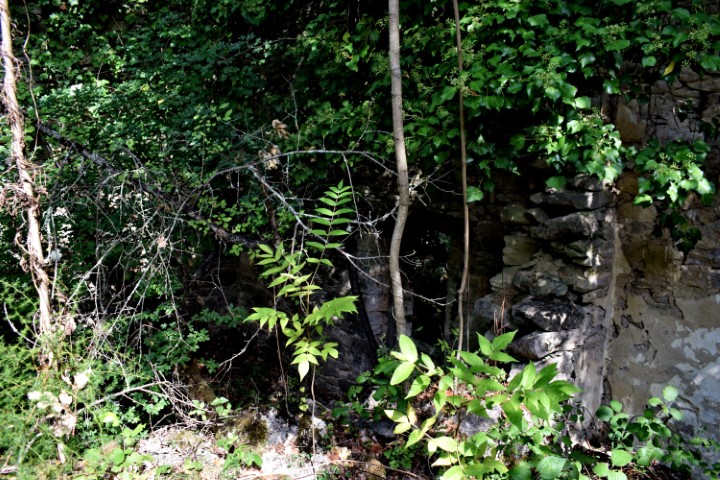
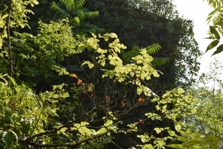
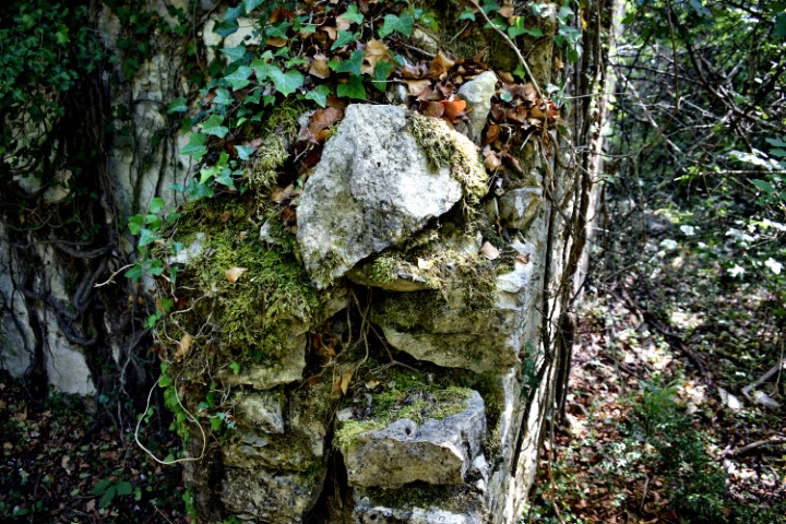
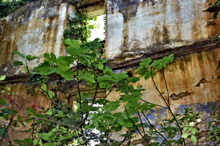
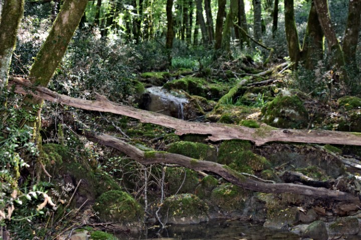
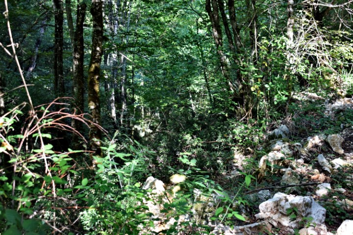
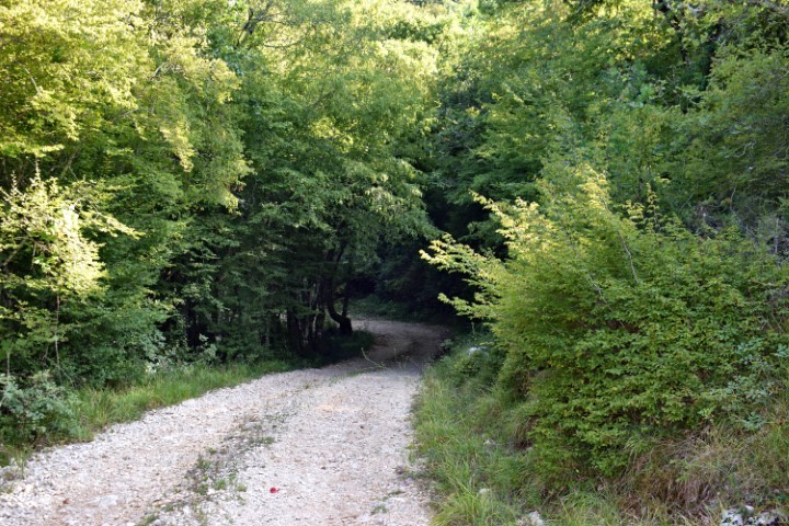
Name: Hiking trail to the waterspring Zenerin and the ruins Mašteliči.
Place: Mašteliči – (Vižinada).
Coordinates: Startpoint 45.34108 N – 13.75044 E, Waterspring Zenerin 45.33854 N – 13.76381 E, Maštelići 45.34082 N . 13.75903 E.
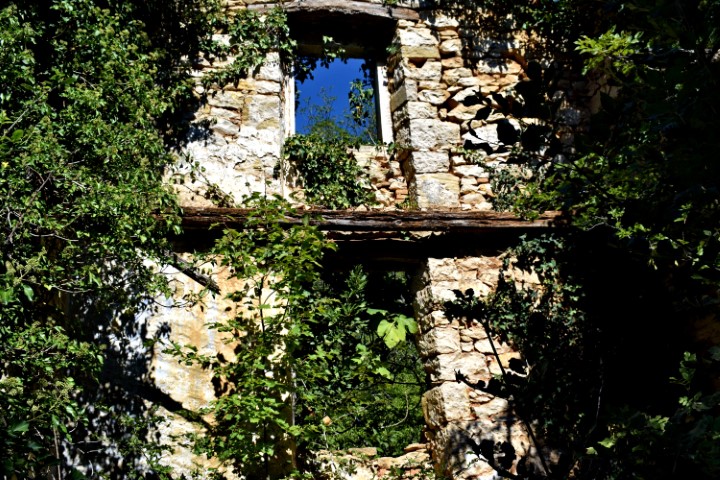
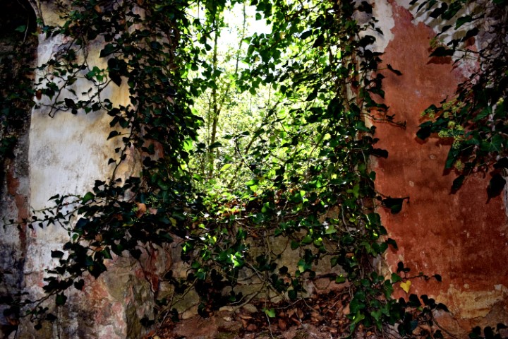
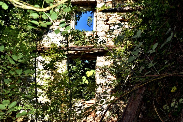
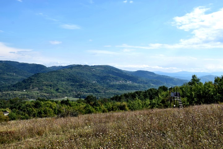
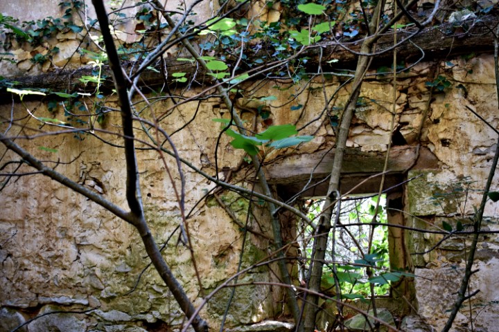
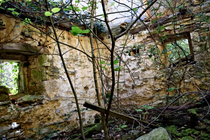
Name: Hiking trail Vižinada to the old village Trombal – river Mirna -Vižinada.
Place: Trombal – (Vižinada).
Coordinates: Start point 45.33561 N – 13.76117 E, ruins Trombal 45.45.34656 N -13.76726 E and 45.34643 N -13.76706 E, Mirna 45.34994 N -13.76103 E.
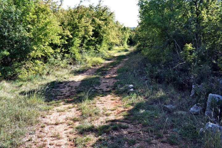
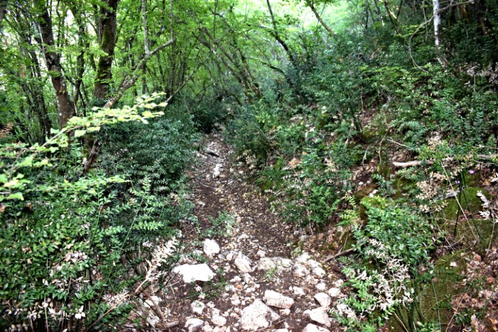
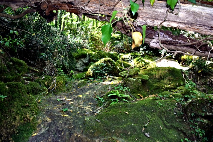
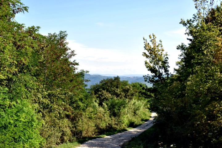
Name: Hiking trail from Zudetići (Ikaši) to the stream Zenerin.
Place: Zudetići (Ikaši) – (Vižinada).
Coordinates: Ikaši 45.34602 N -13.74748 E, stream Zenerin 45.34092 N -13.75636 E.