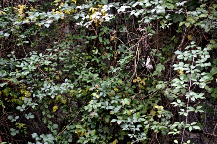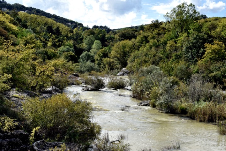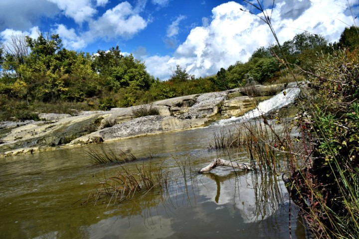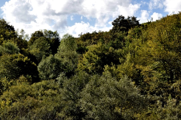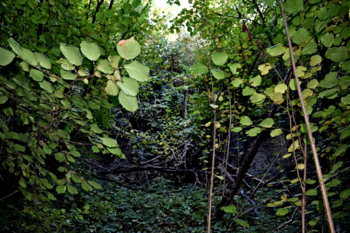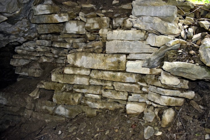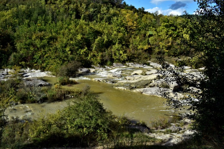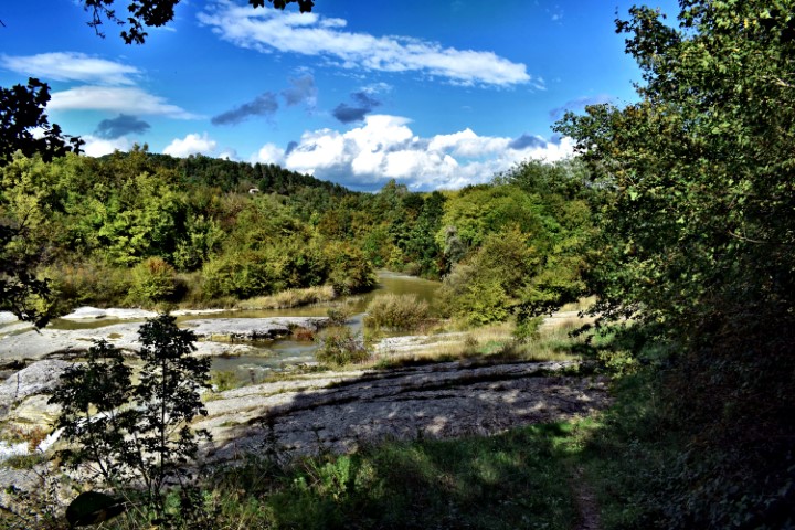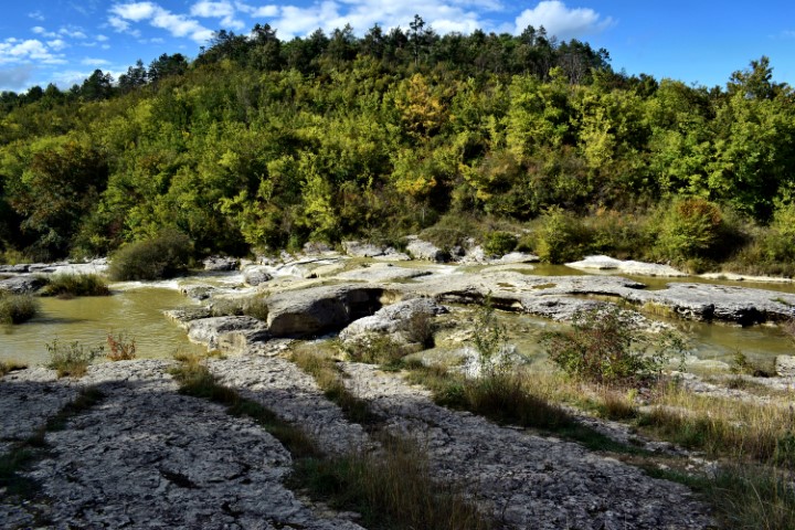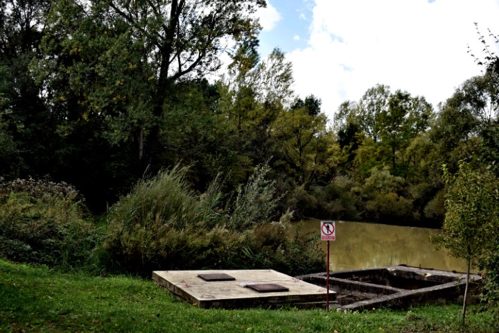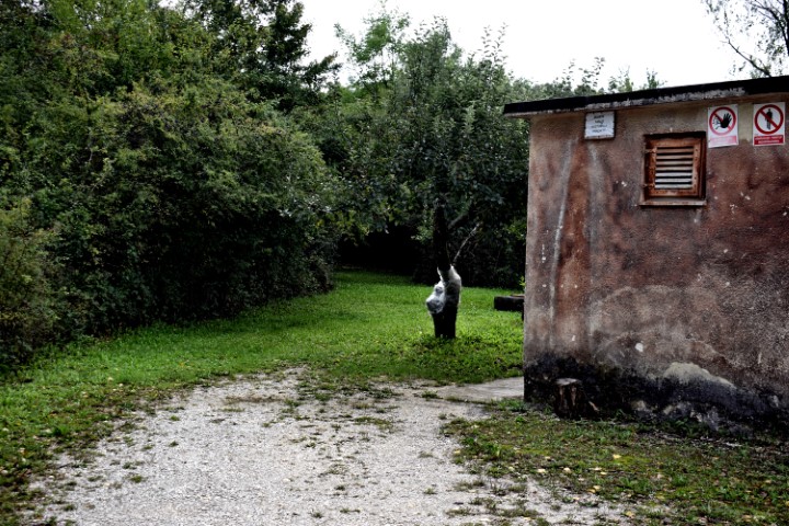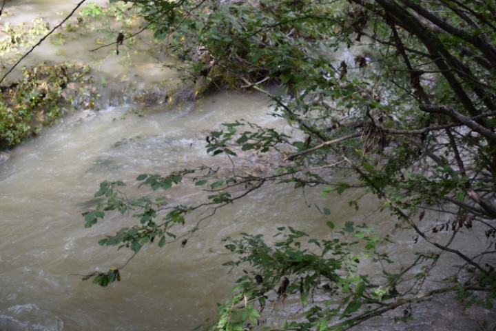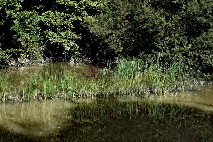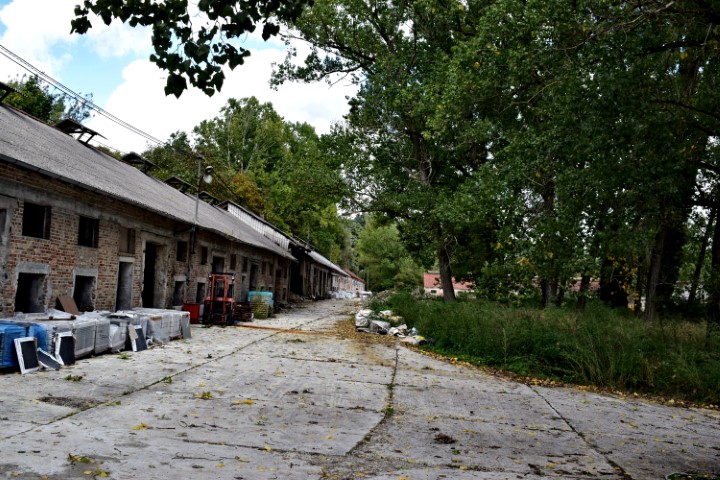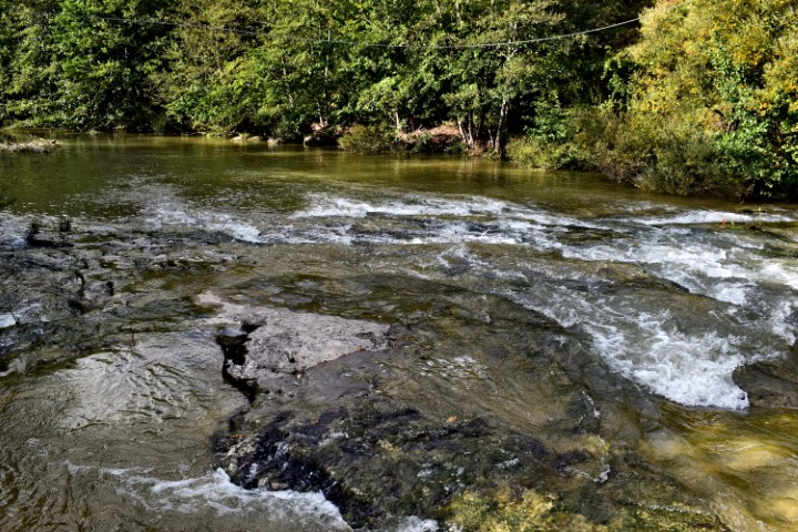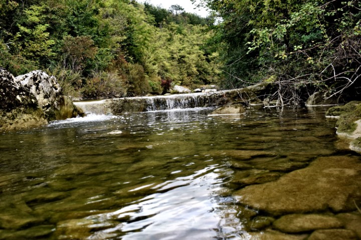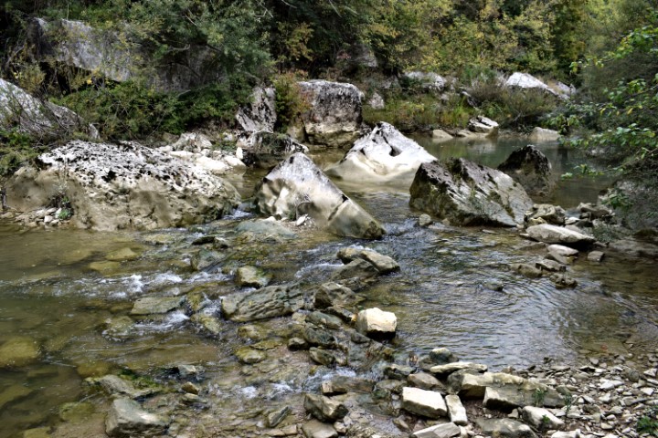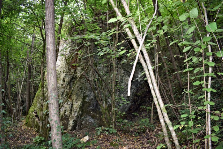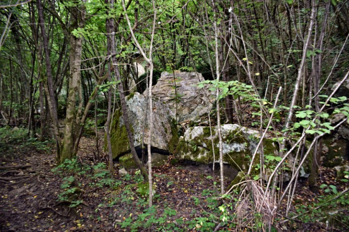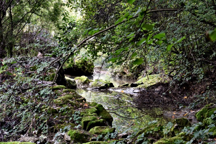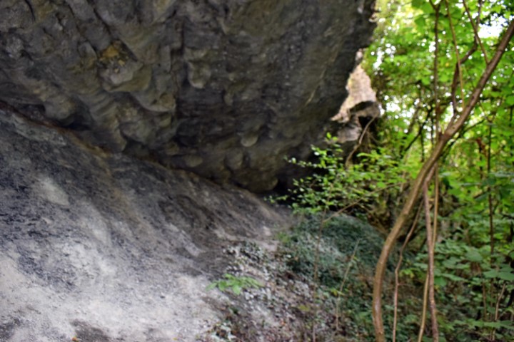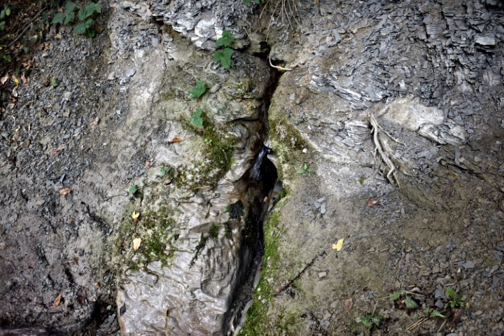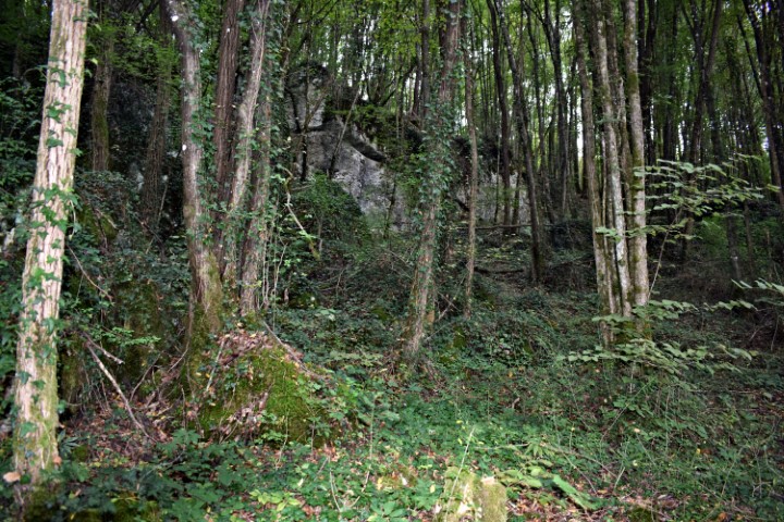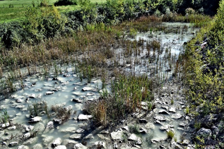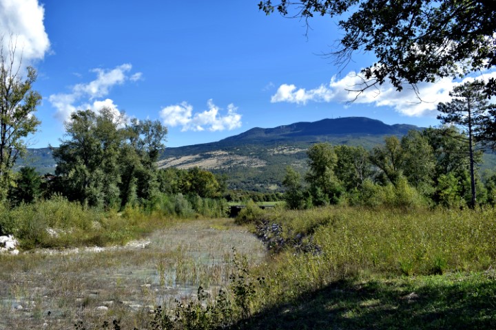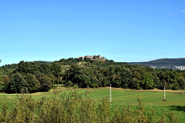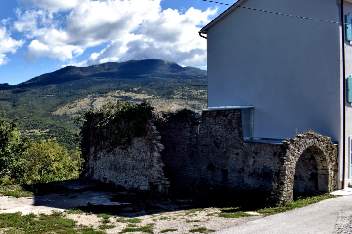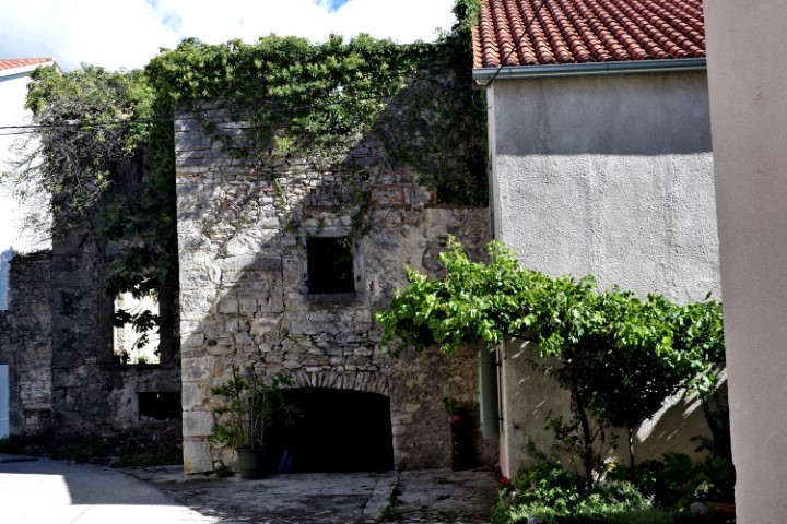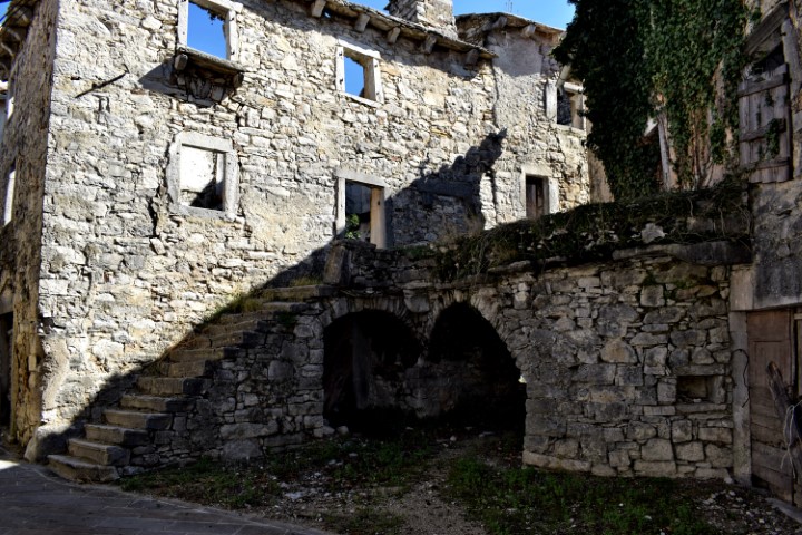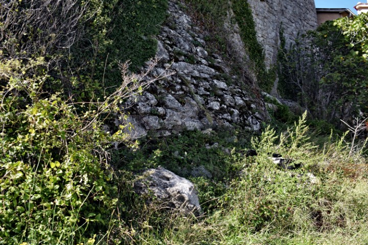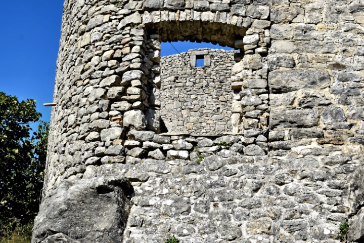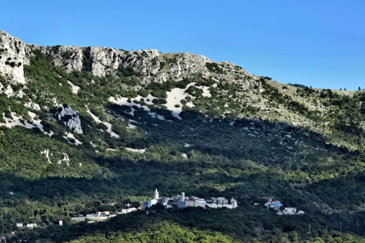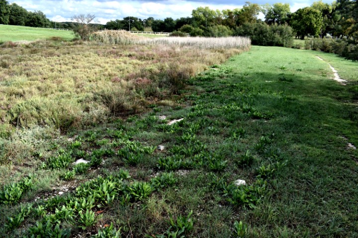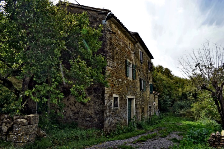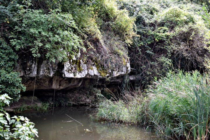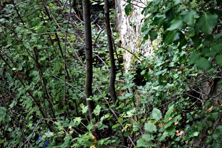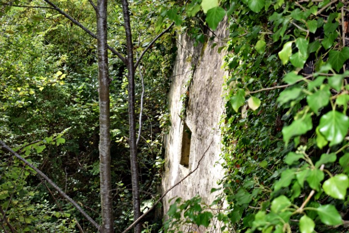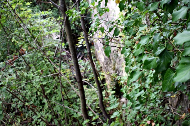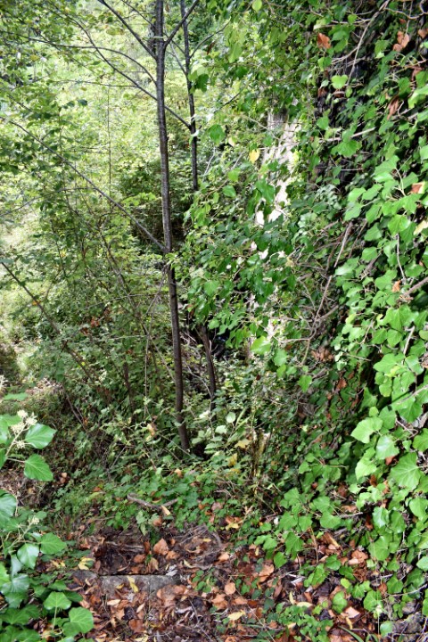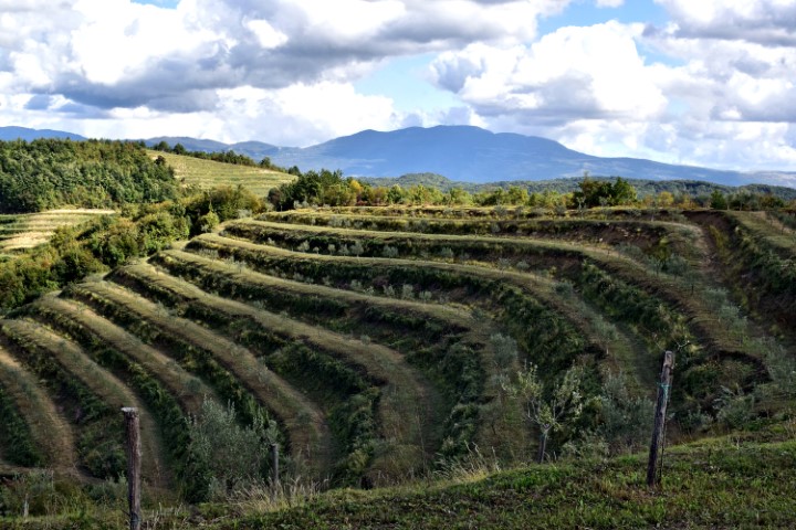

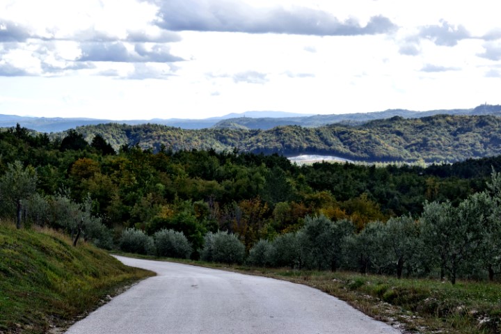

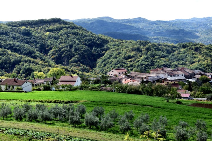
Name: Views near the village Pagubice.
Place: Pagubice-(Cerovlje).
Coordinates: 45.28811 N – 13.99751 E, 45.29222 N – 13. 99632 E 45.29874 N-13.99605 E.
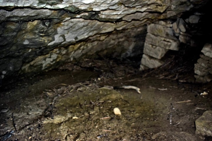
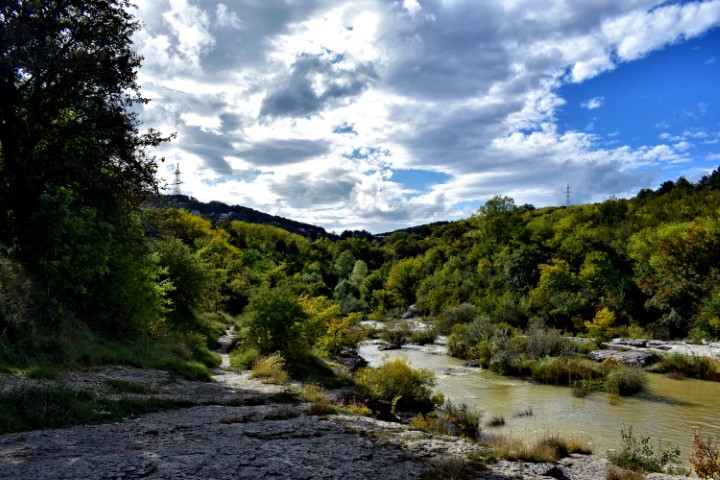
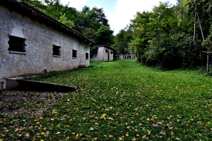
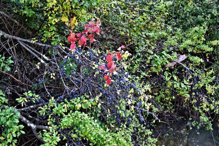
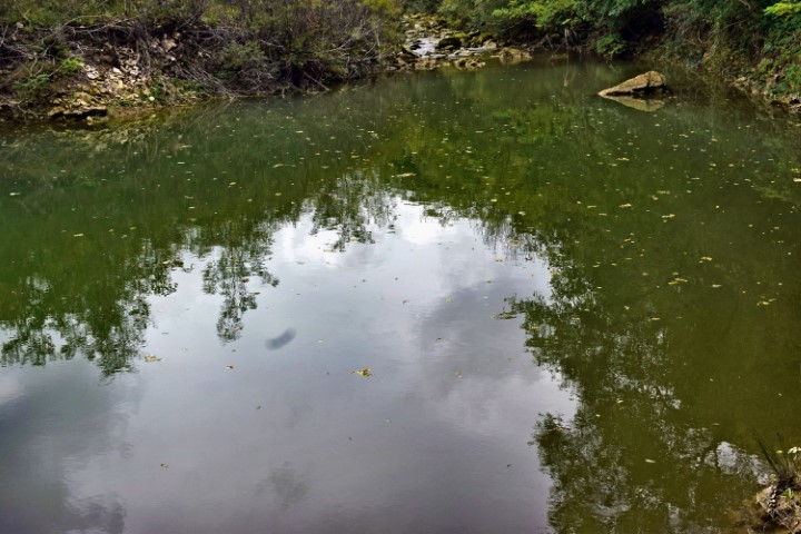
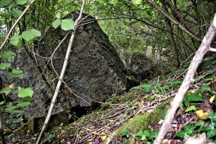
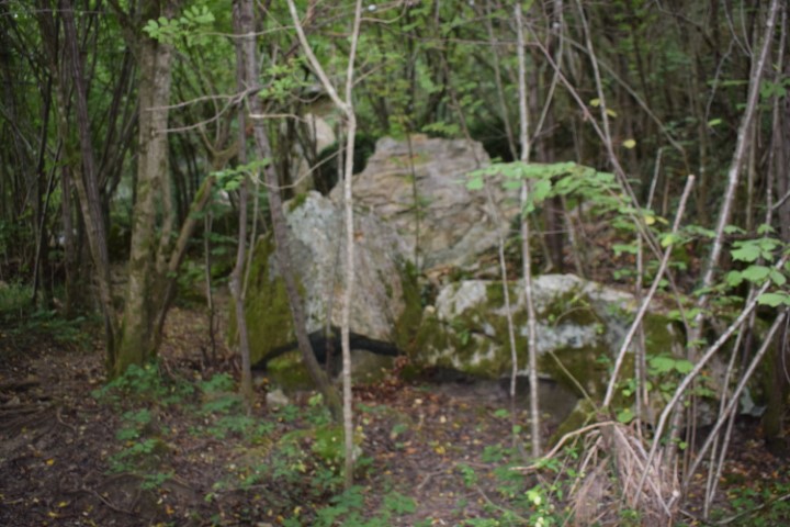
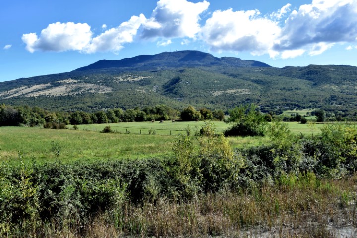
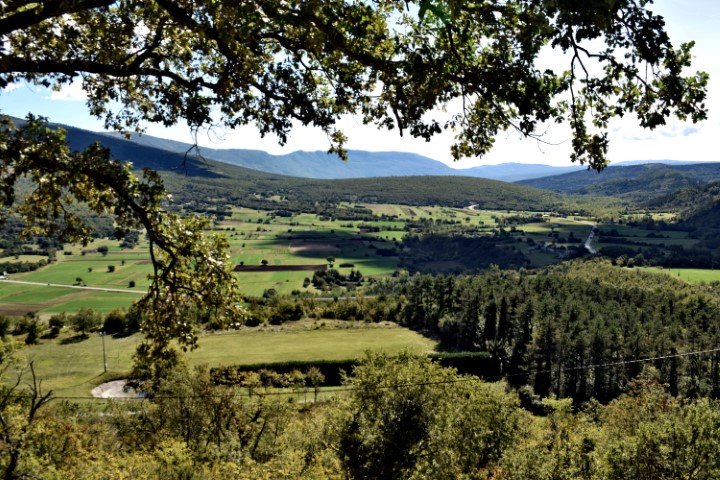
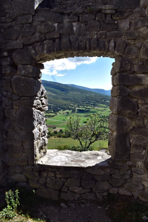
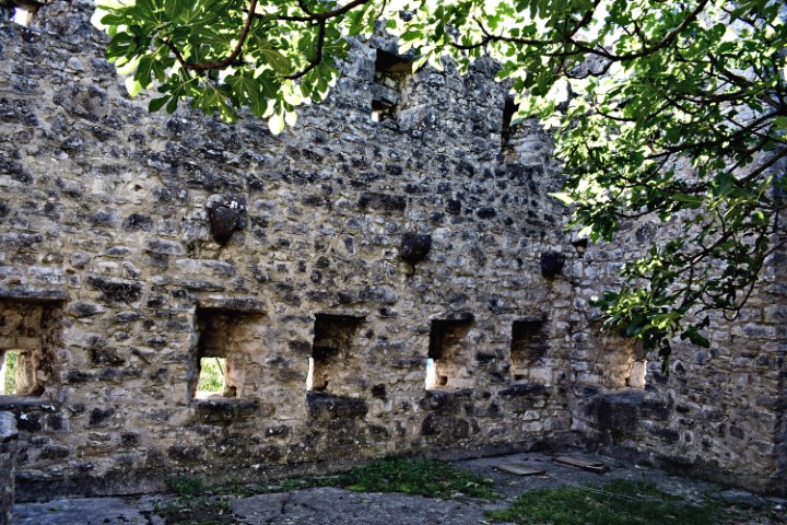
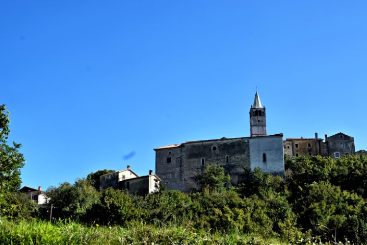
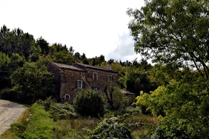
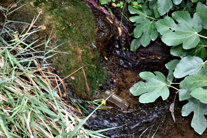
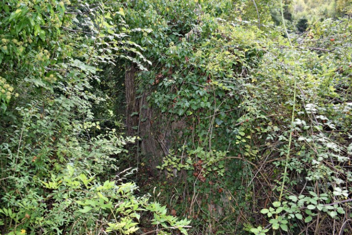
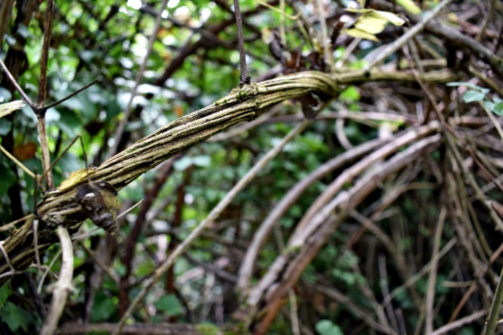
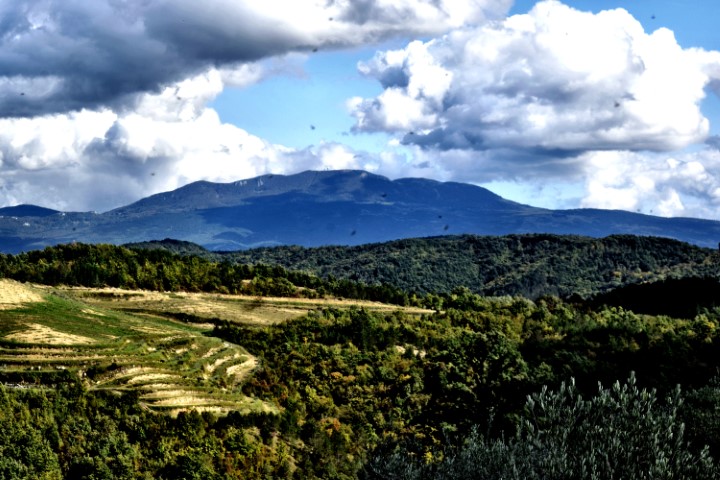
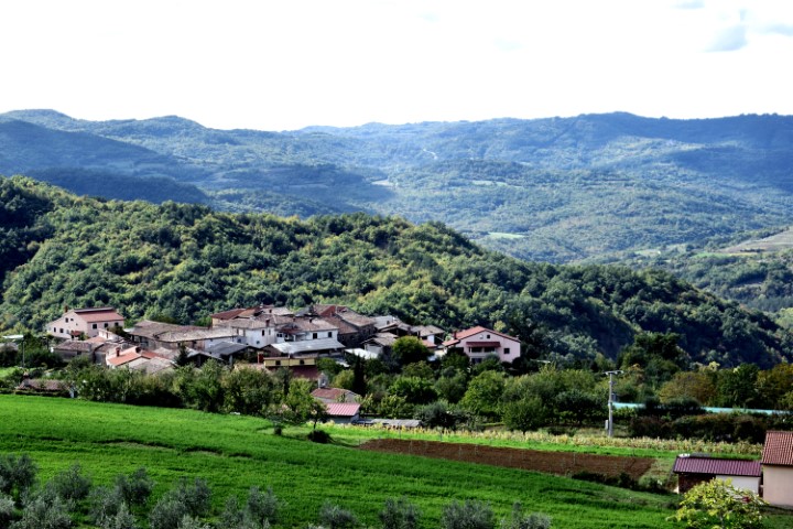
Name: Views near the village Pagubice.
Place: Pagubice-(Cerovlje).
Coordinates: 45.28811 N – 13.99751 E, 45.29222 N – 13. 99632 E 45.29874 N-13.99605 E.

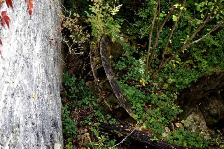
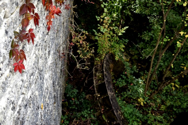
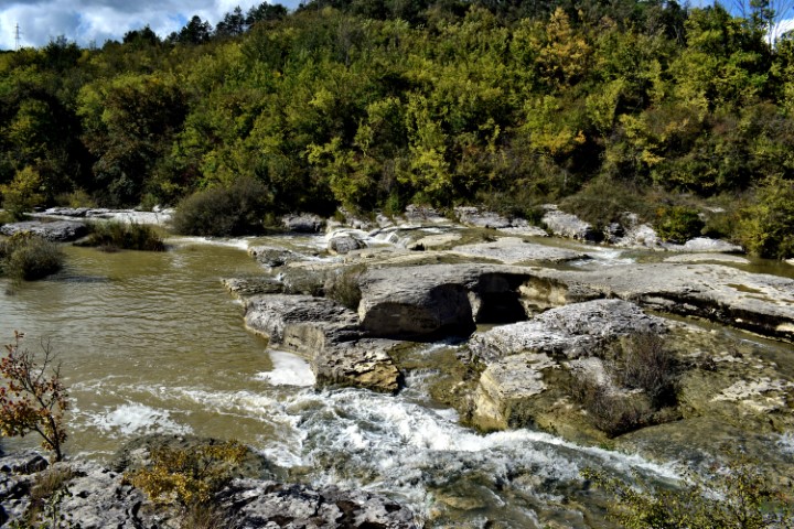
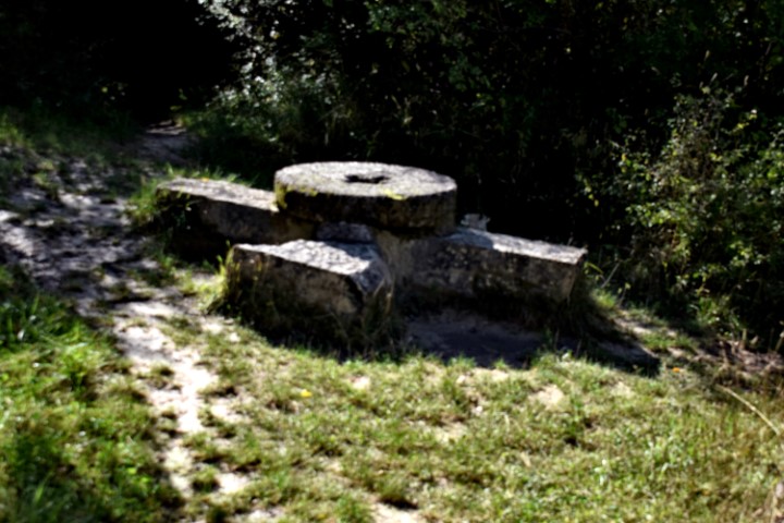
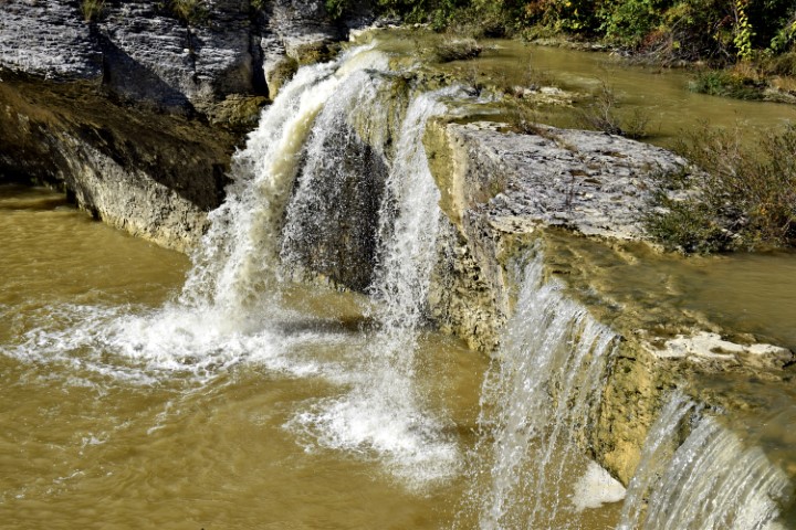
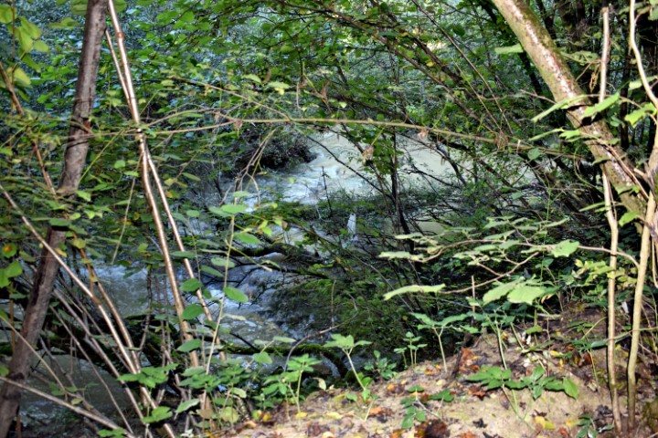
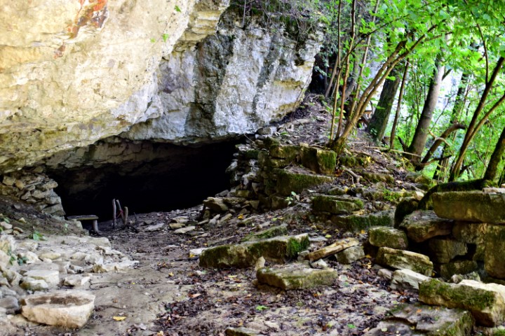
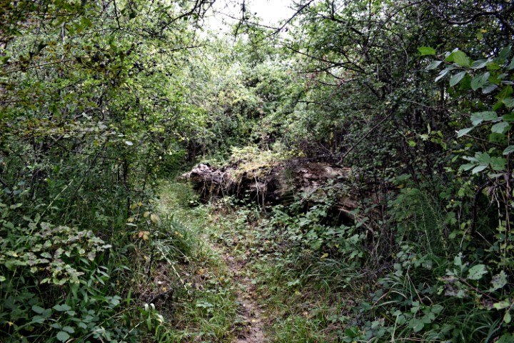
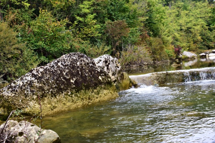
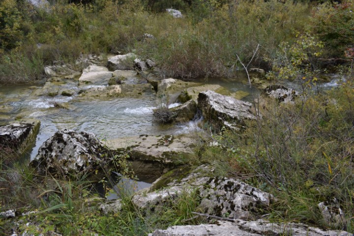
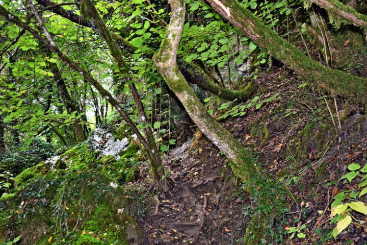
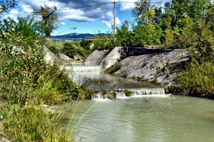
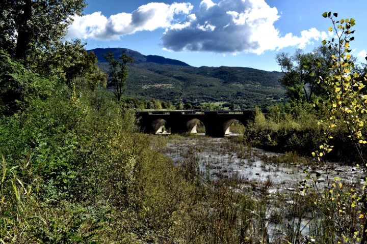
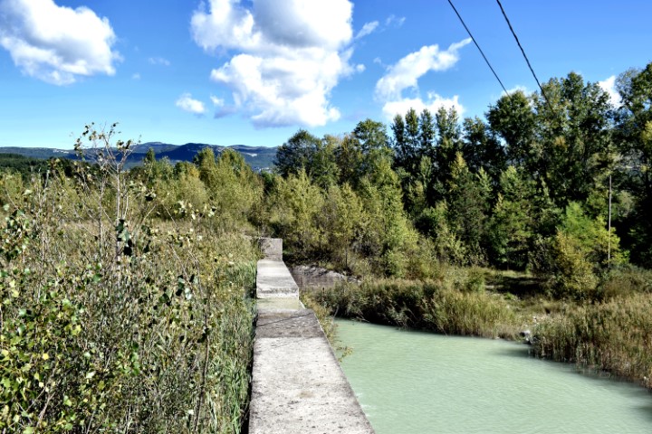
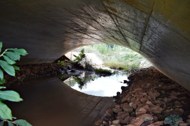
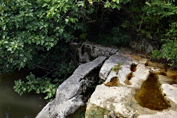
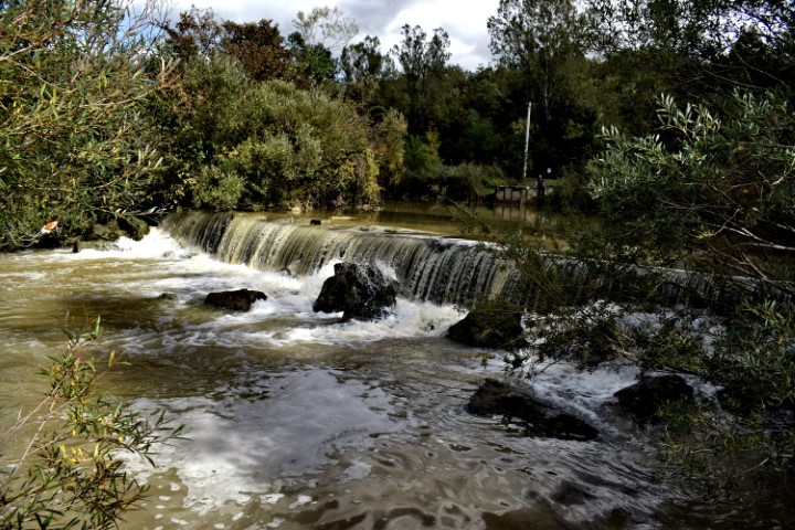
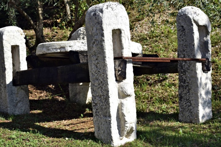
Name: Hiking trail from bridge Sv. Jožefa over the Pazinški river to the Roman way Pazin. watermills (153 – 154).
Place: NearRyavac – (Pazin).
Coordinates: Bridge Jožefa: 45.24530 N – 13.93836 E to 45.24344 N -13.93635 E.
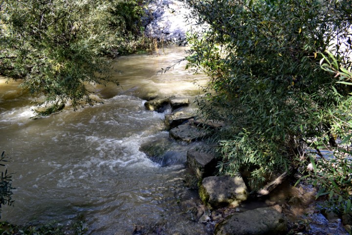
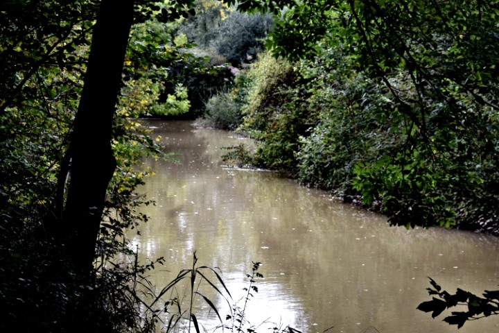
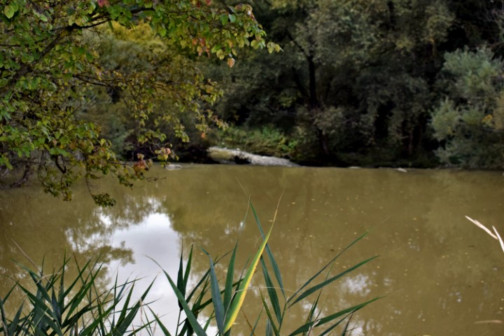
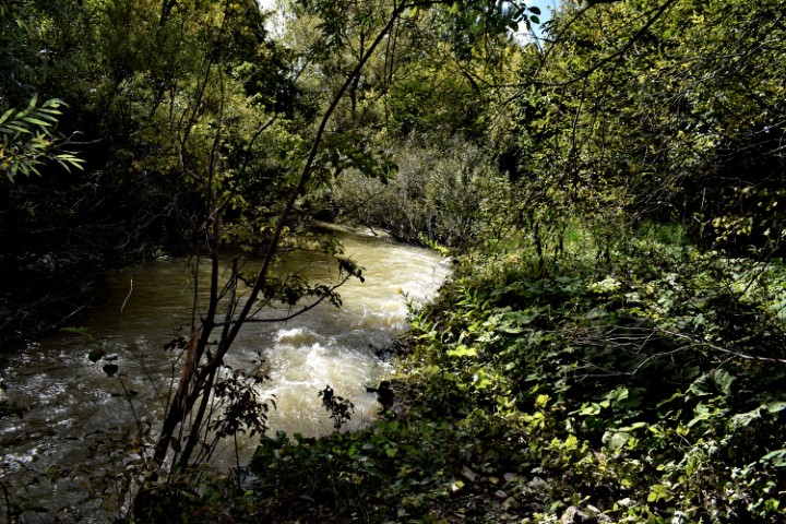
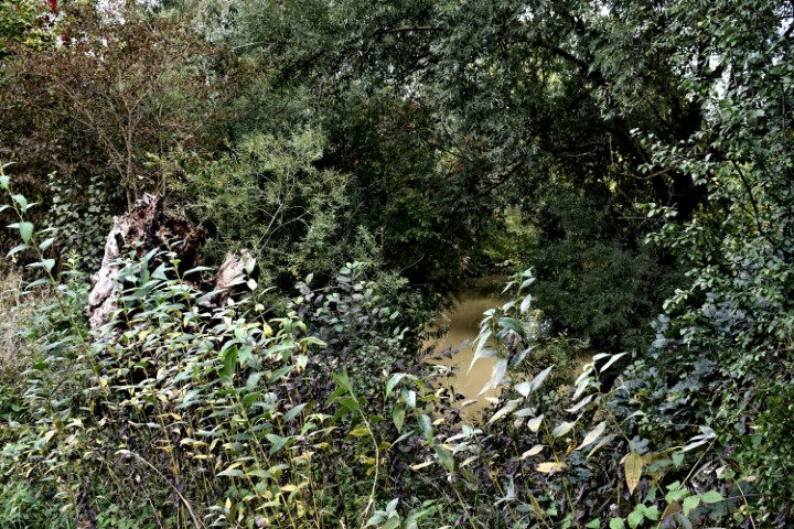
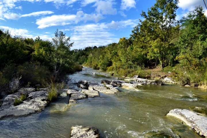
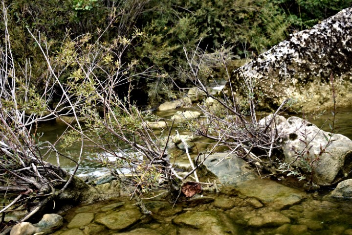
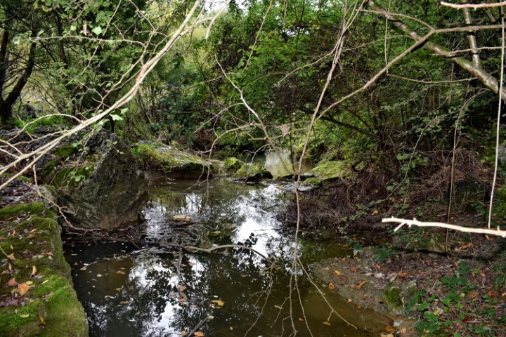
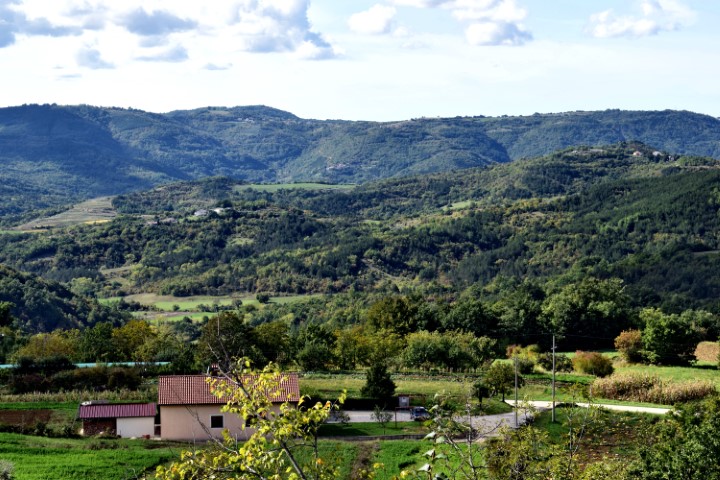
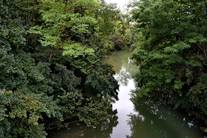
Name: Hiking trail from bridge over Pazinški potok to the bridge Sv. Jožefa.
Place: Near Dusani – near Pazin – (Pazin).
Coordinates: Bridge Dusani : 45.25077 N – 13.13.94918 E, Sv. Jožefa bridge; 45.24530 N – 13.93836 E.

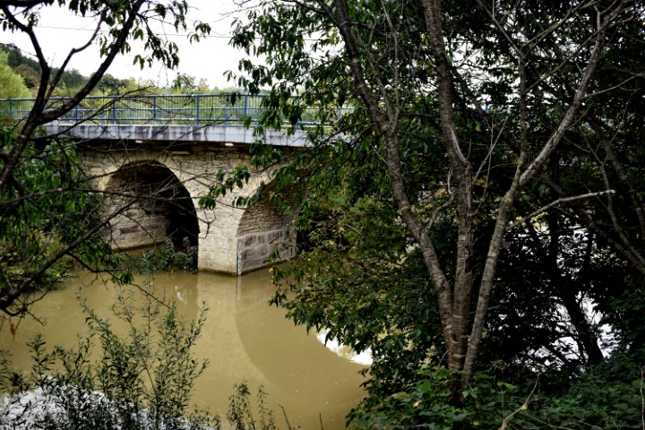
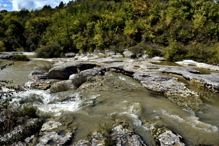
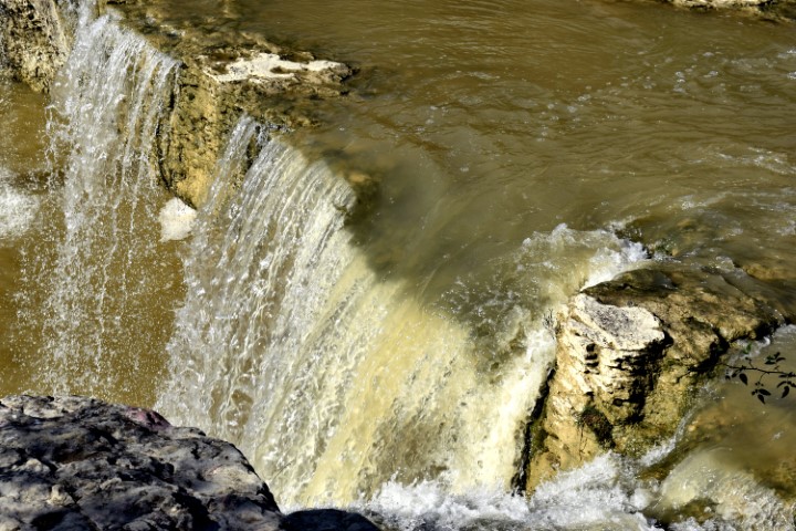
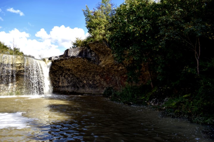
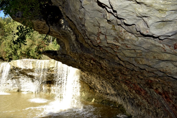
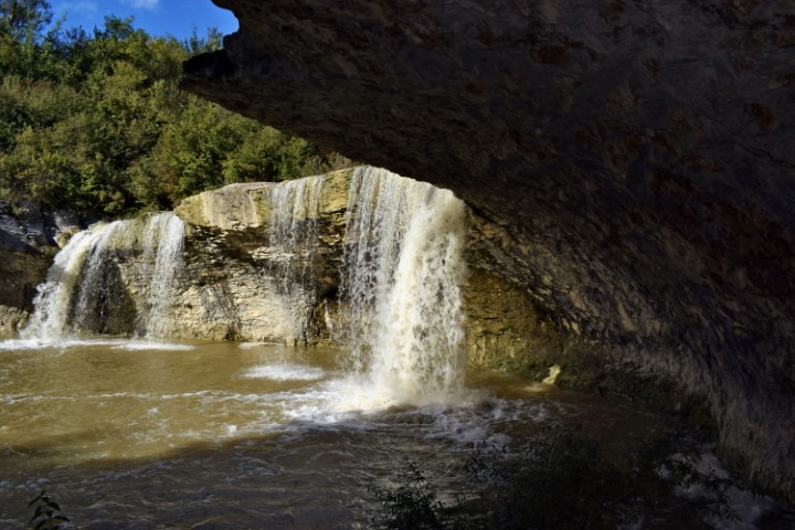
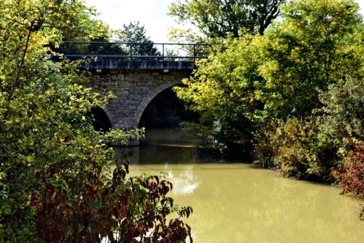
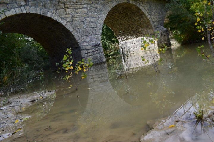
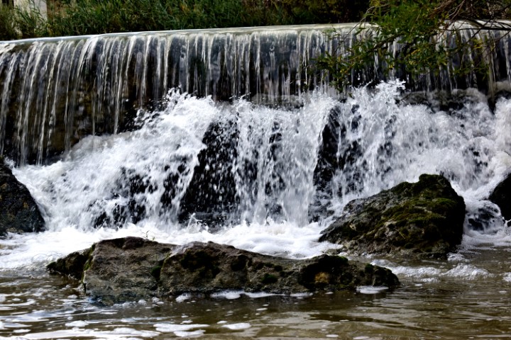
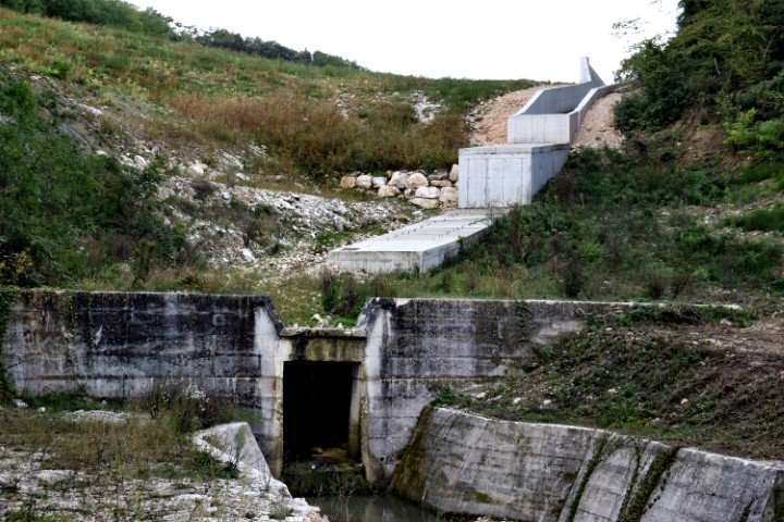
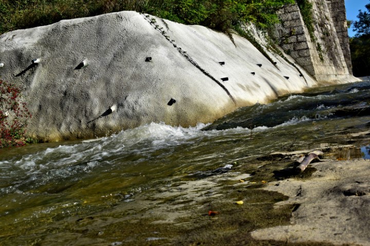
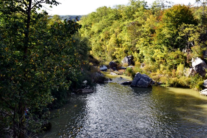
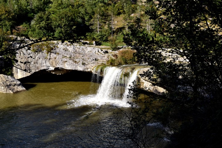
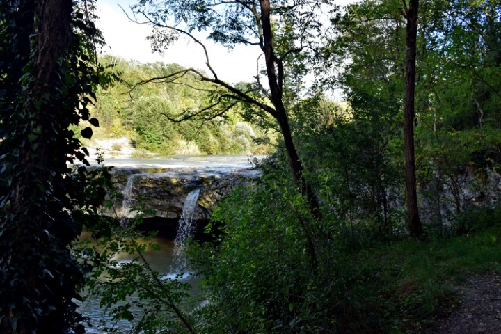
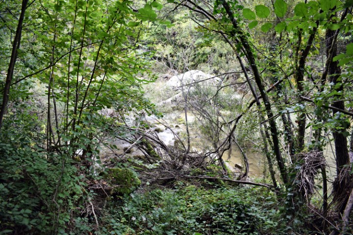
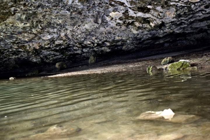
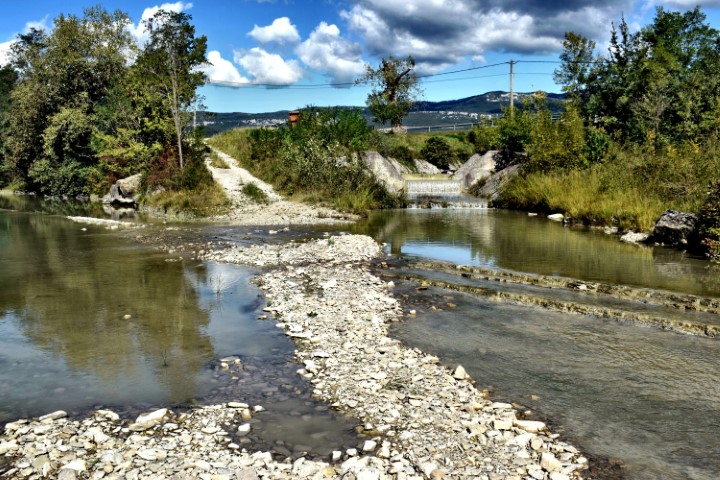
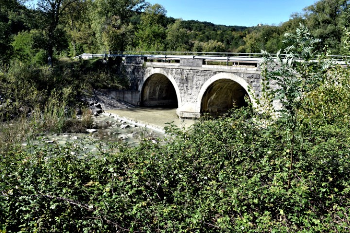
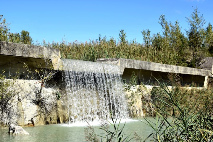
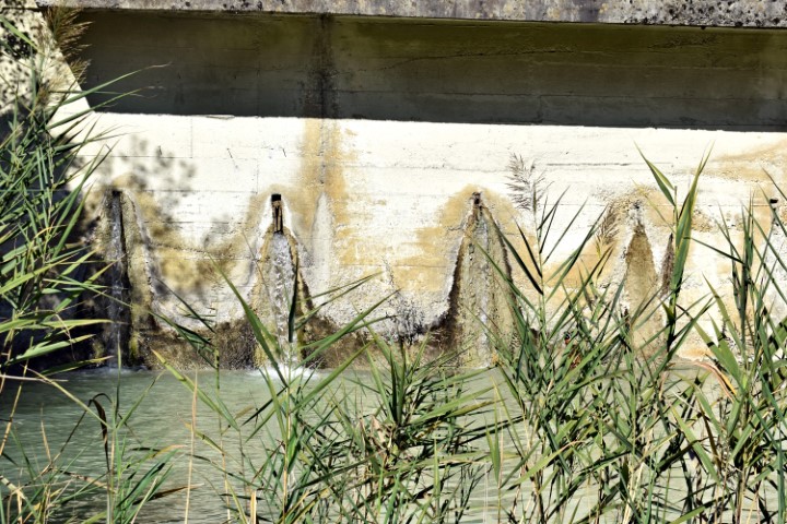
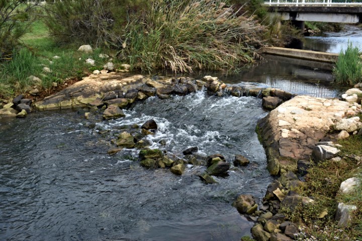
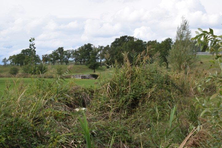
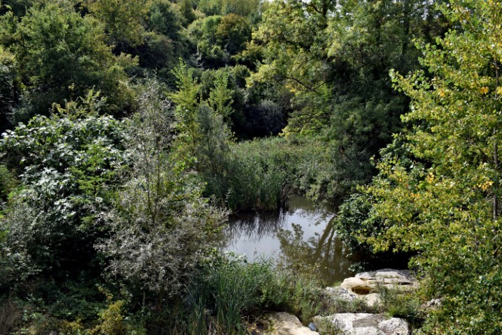
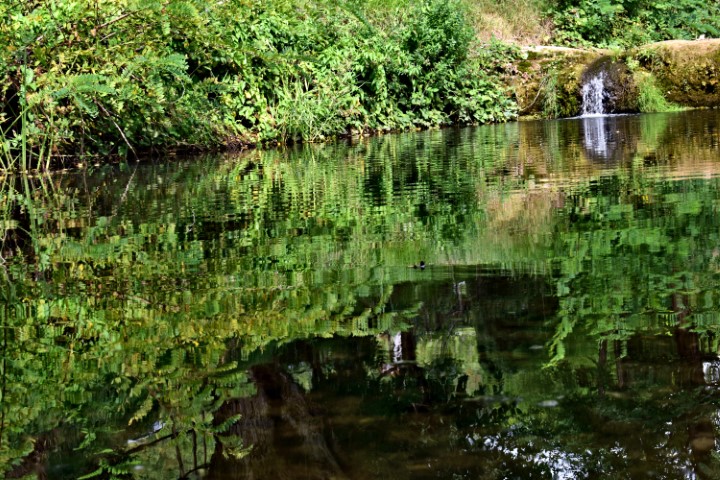
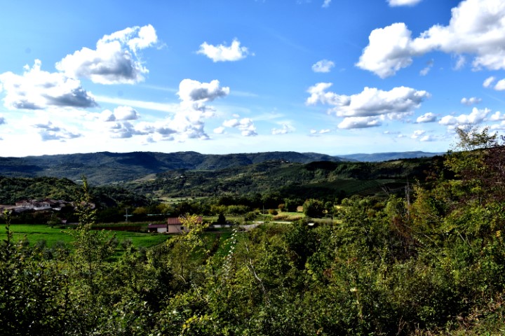
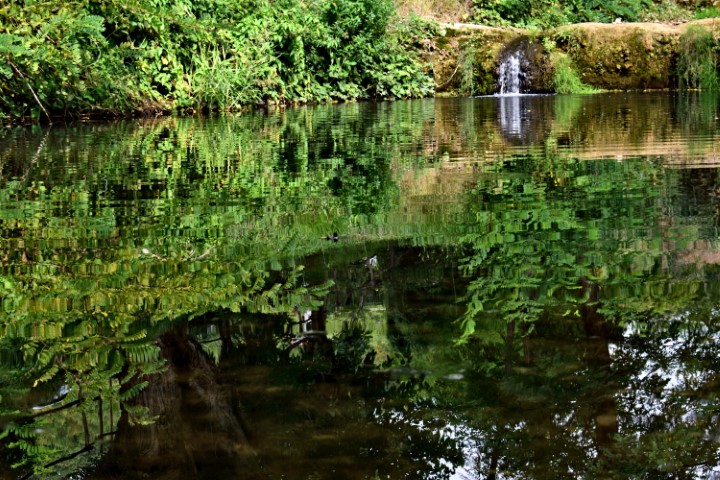
Name: Hiking trail from railway bridge over the Japlenica / Kanal to Zarečski krov.
Place: Near Zarečski – (Pazin).
Coordinates: From 45.24692 N – 13.9661 E to 45.24872 N – 13.9611 E.
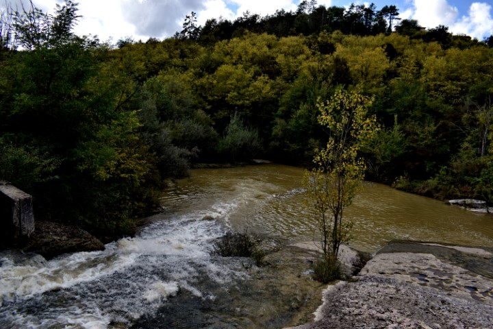
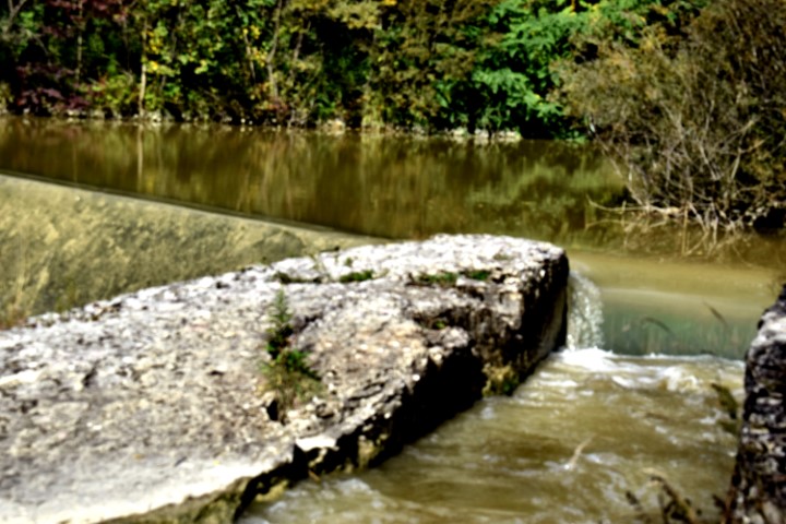
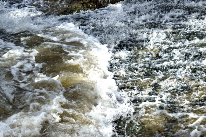
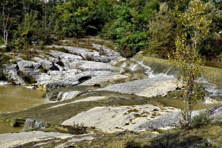
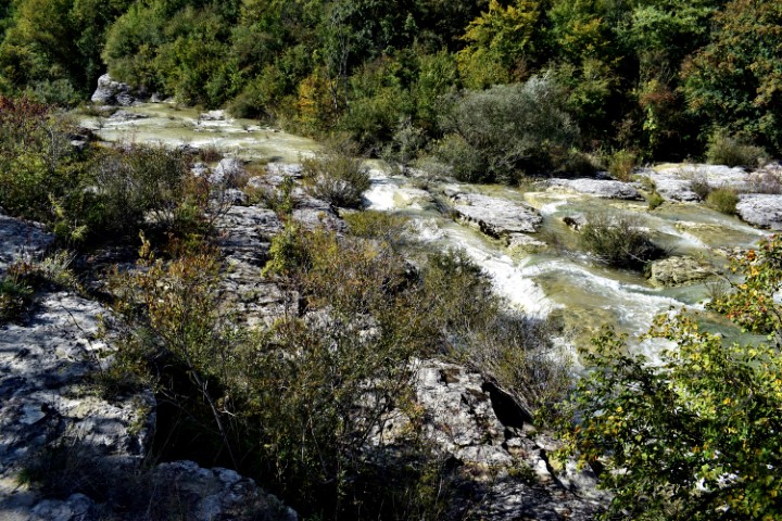
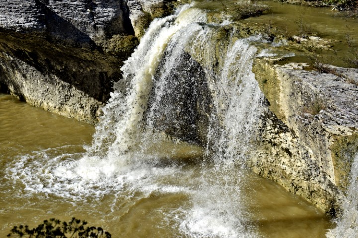
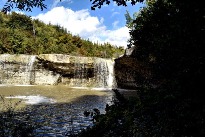
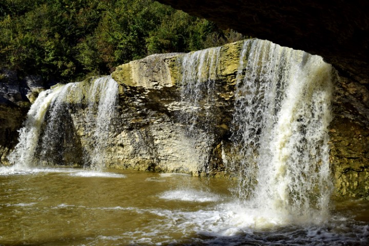
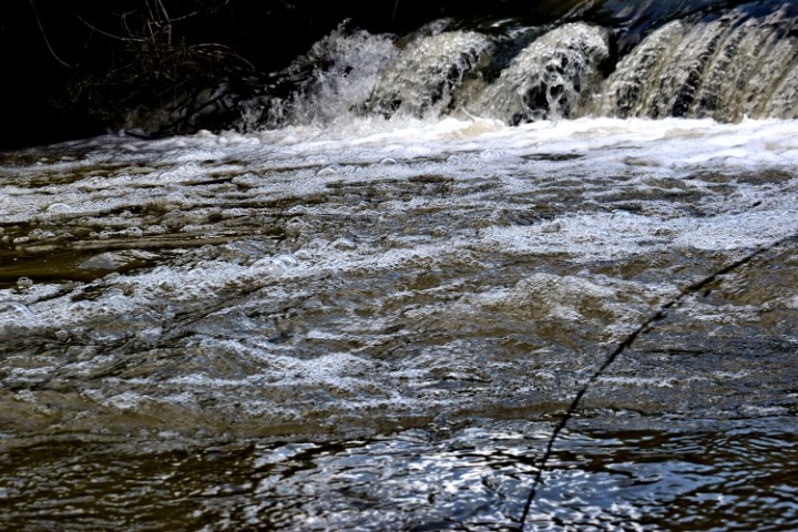
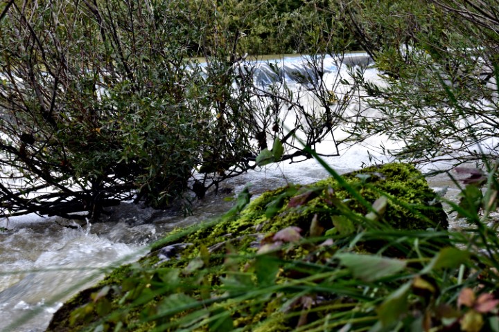
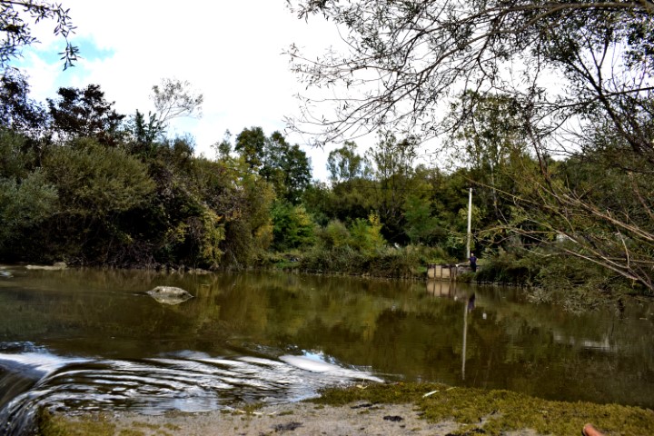
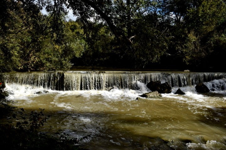
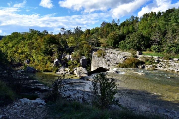
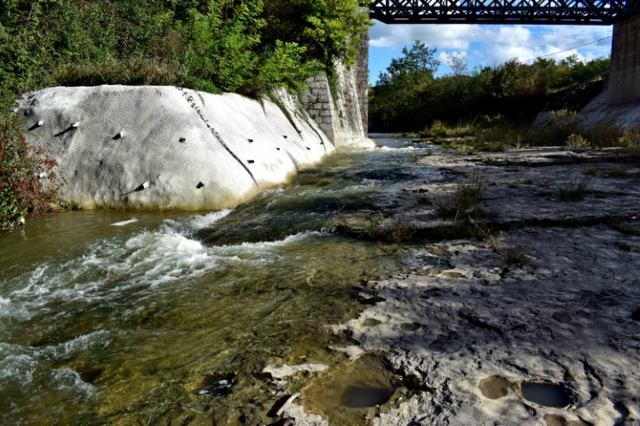
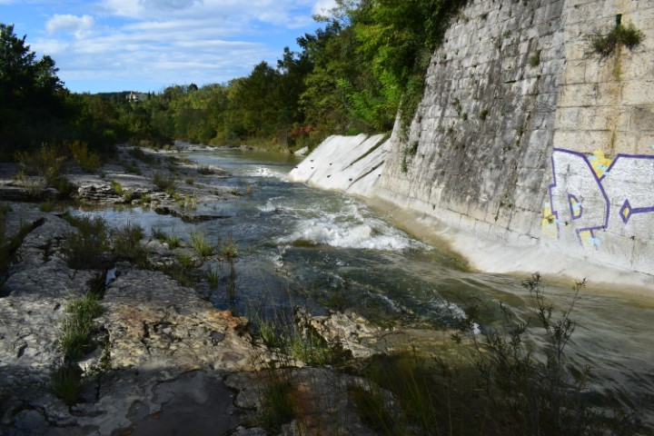
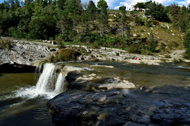
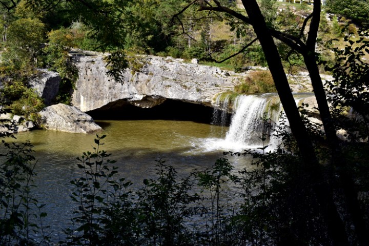
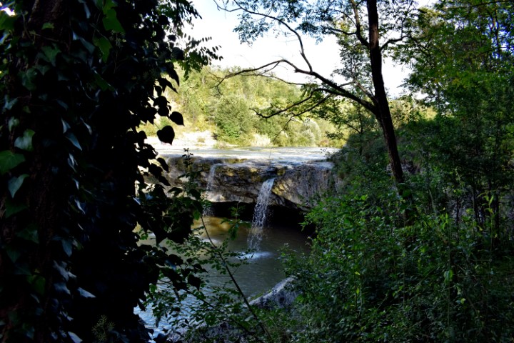
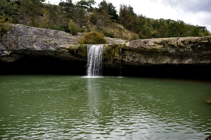
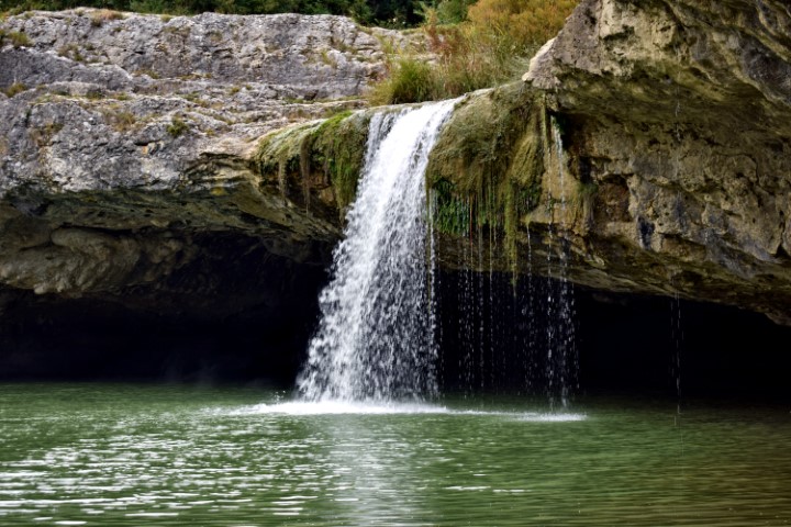
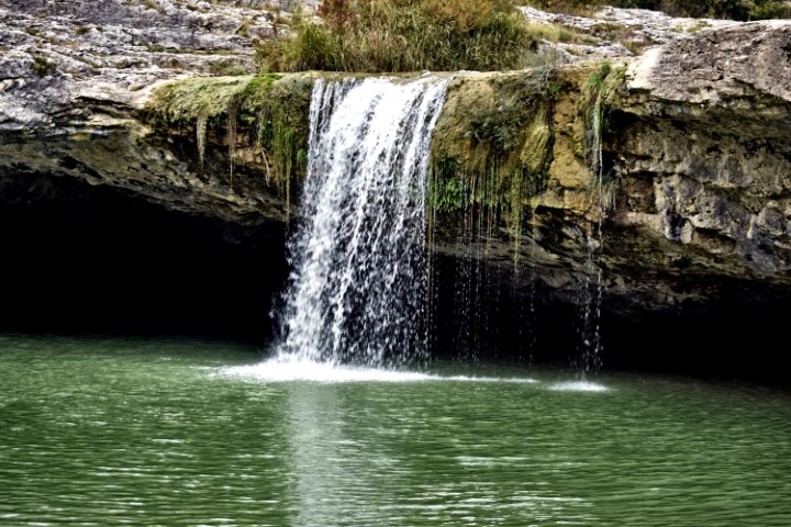
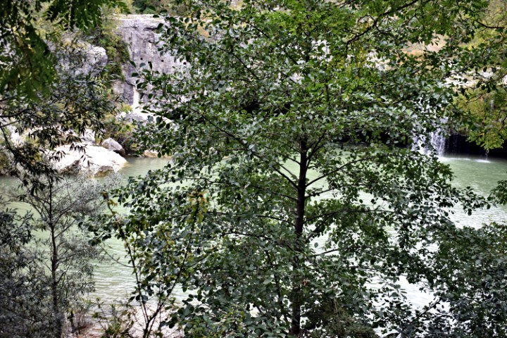
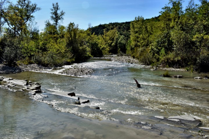
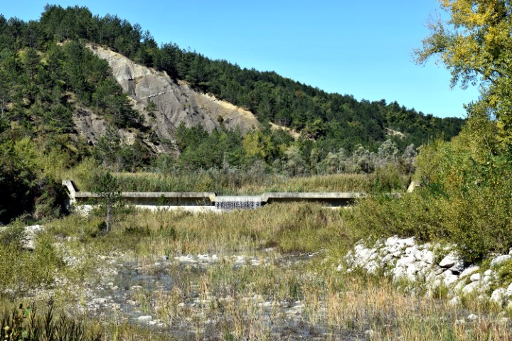
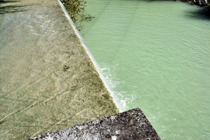
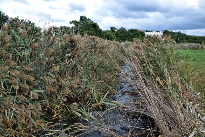
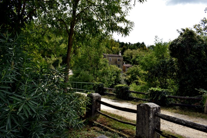
Name: Hiking trail from the bridge over the Pazinčki river near Dusani to Zarečki krov – waterfall.
Place:Near Dusani – near Zarećki – (Pazin).
Coordinates: from 45. 25041 N – 13.94906 E to 45.24900 N – 13.961300 E

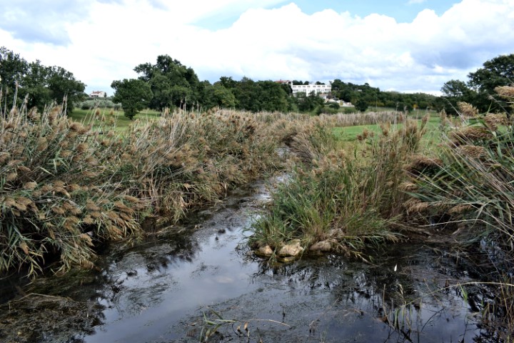
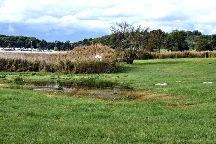
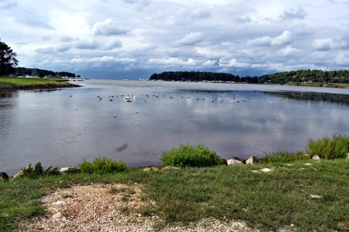
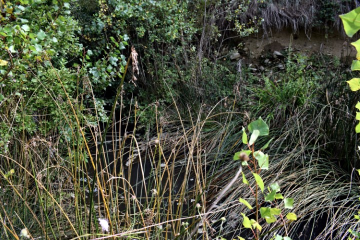
Name: Split Boljušćica stream and Rušanjski potok / Studena stream.
Place: Near Opatija – (Lupoglav).
Coordinates: 45.28163 N – 14.12322 E.

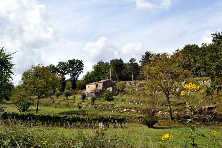
Name: Boljunšćica stream – Boljun.
Place: Boljun – (Lupoglav),
Coordinates: Boljunšćica stream 45.2886 N – 14.11917 E, Boljun 45.30171 N – 14.12117 E.
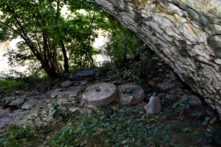
Name: Plomin – former watermills (224) – stream Fianona.
Place: Plomin – Malini – (Kršan)
Coordinates: 45.13972 N – 14.17578 E.

Name: Former watermill Poreč – Stream Molindrinje (129).
Place: Poreč – Parenzo.
Stream: Sv. Andel – Molandrija.
Coordinates: 45.2027 N – 13.59943 E.
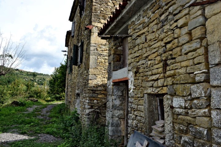
Name: House and watermill Merišće (48) – river Argille.
Place: Momjan (Momiano, II-109) – (Buje).
Coordinates: 45.44068 N – 13.70221 E.