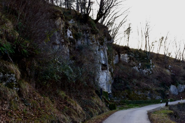
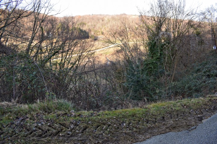
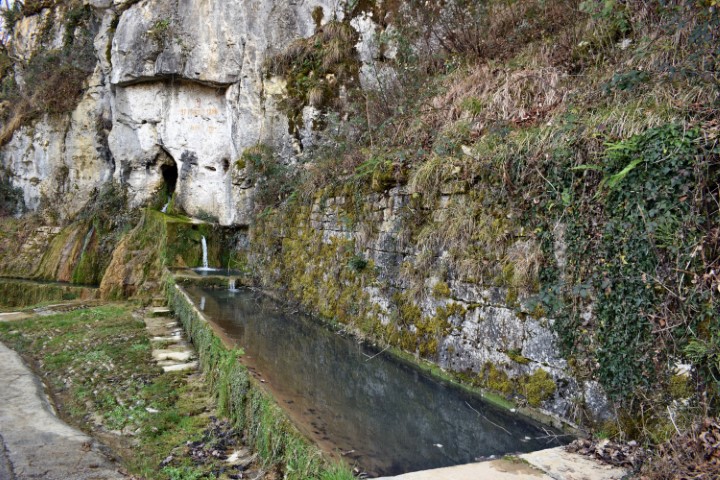
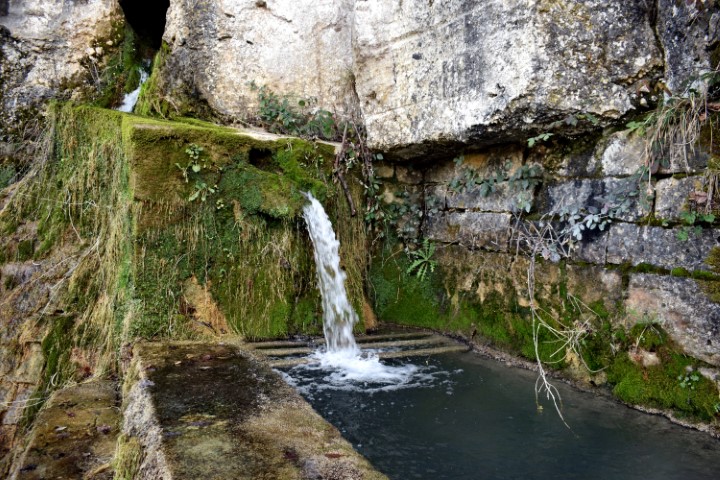
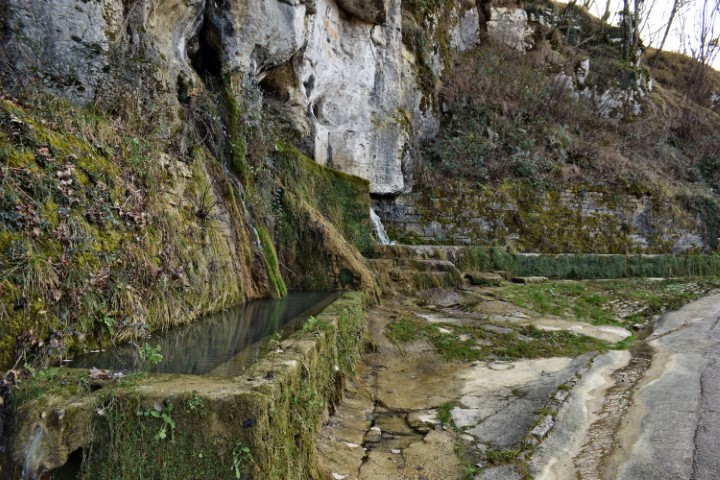
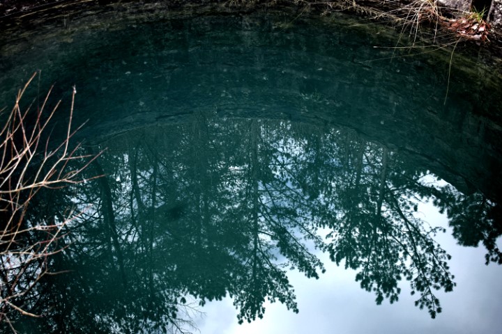
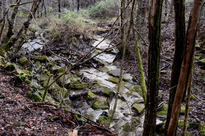
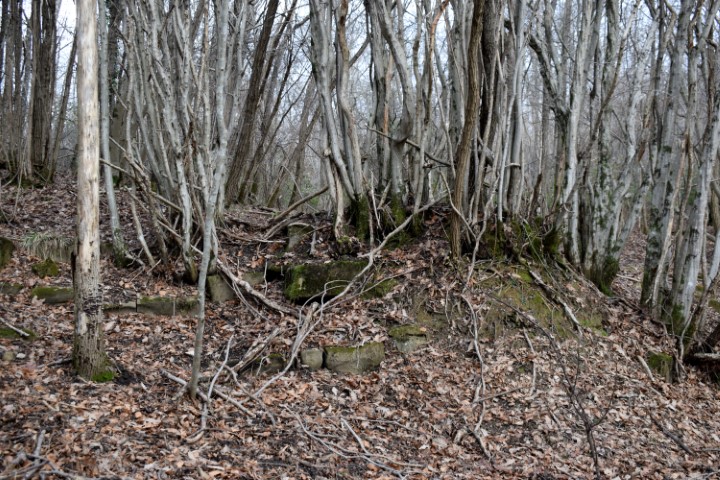
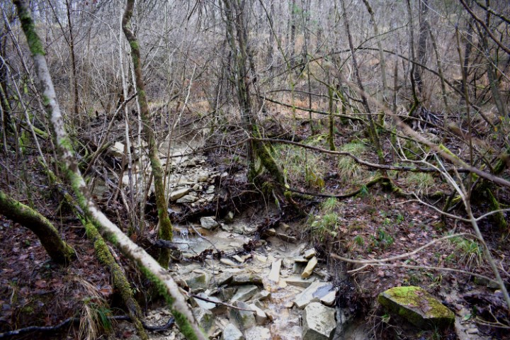
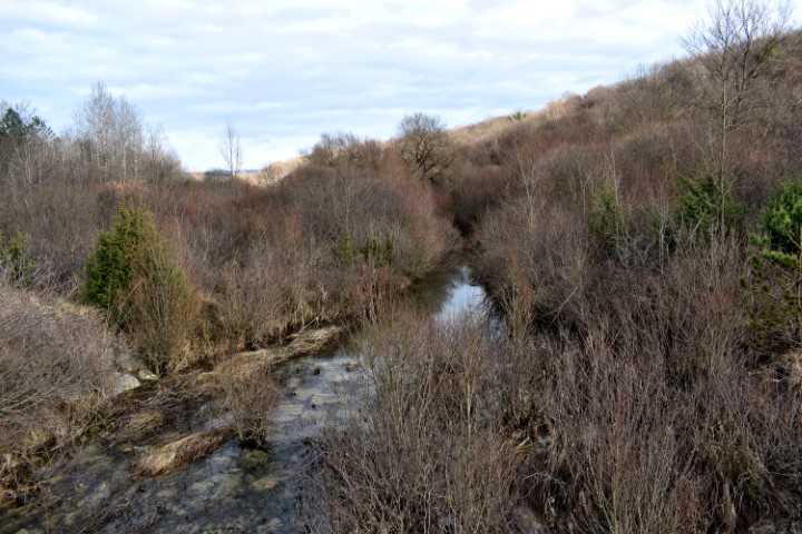
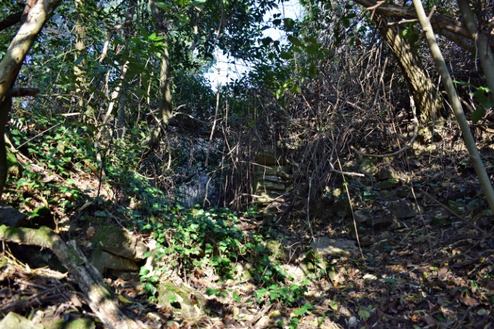
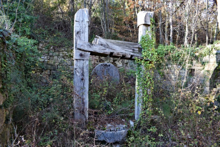
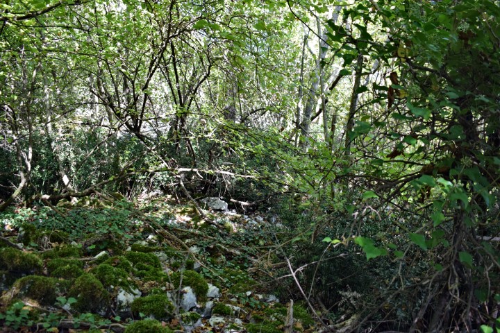
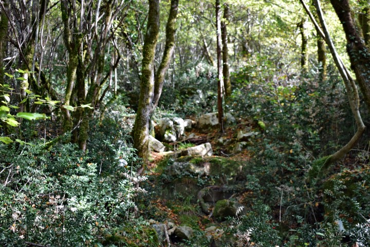
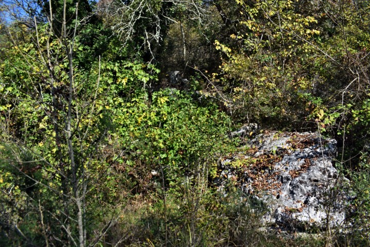
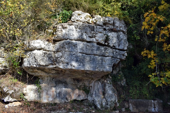
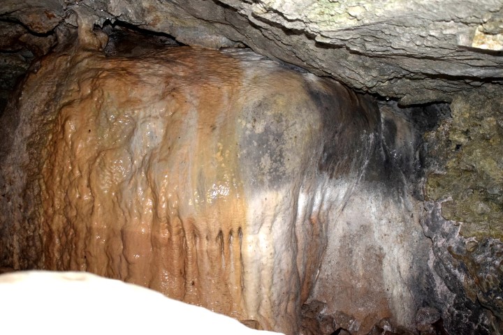
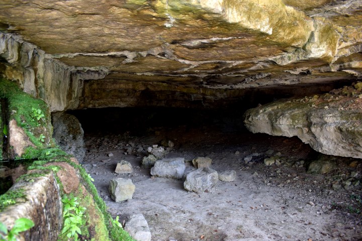
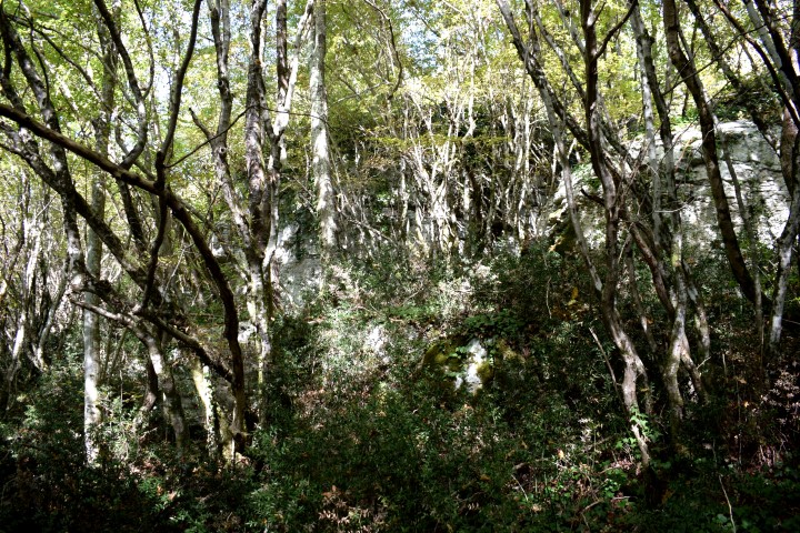
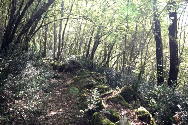
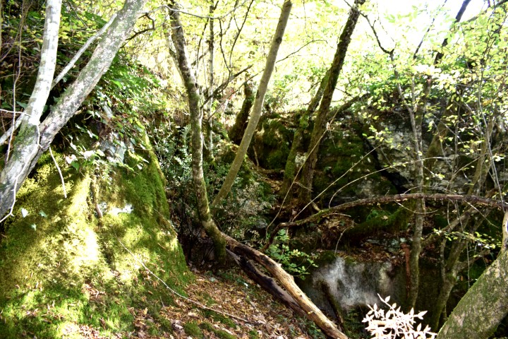
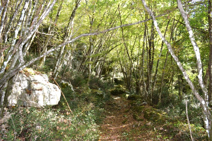
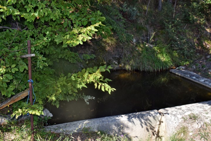
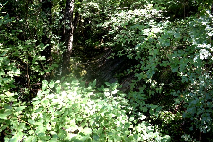
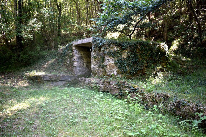
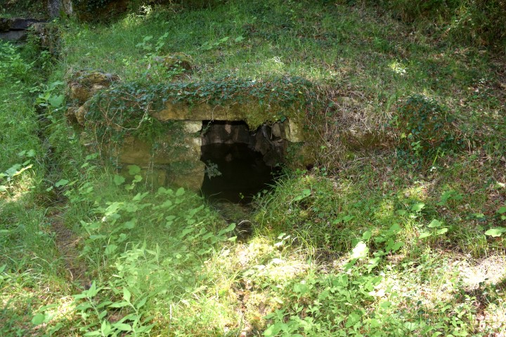
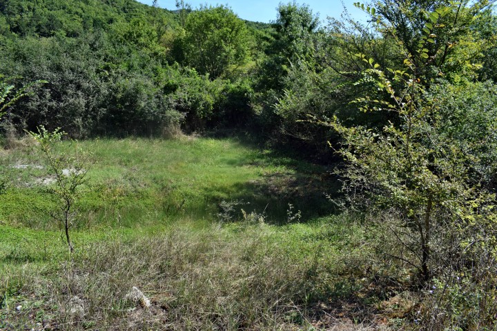
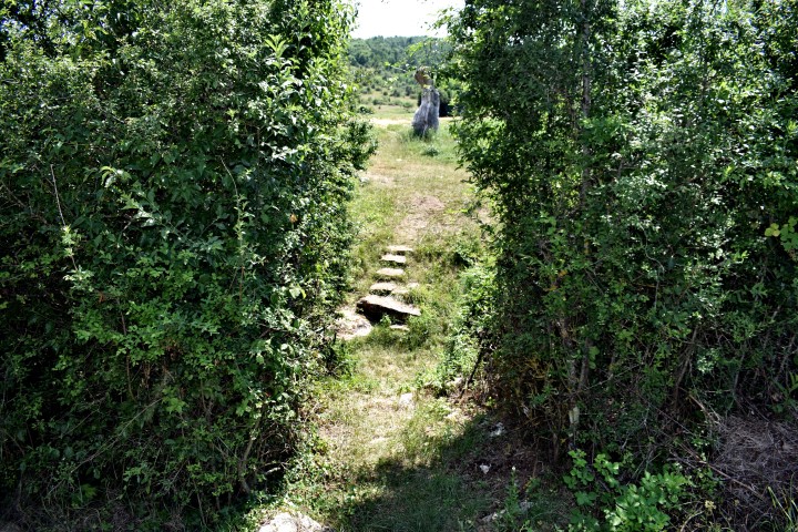
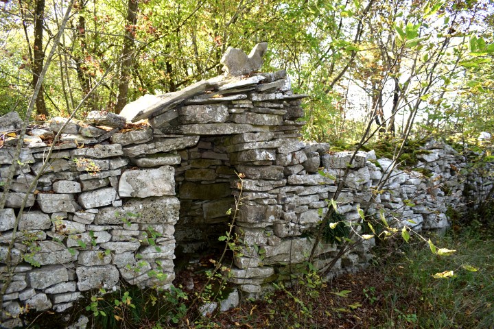
Due to its favorable location (fertile soil and the presence of drinking water) there was a prehistoric settlement here. The period of time is unclear.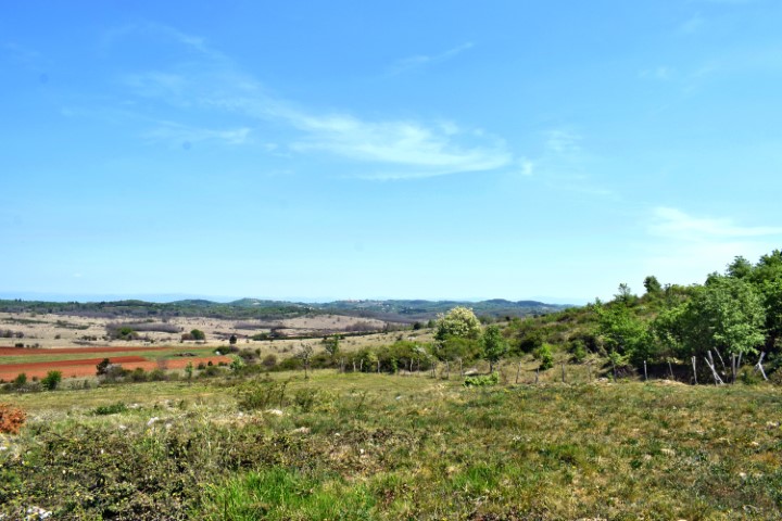

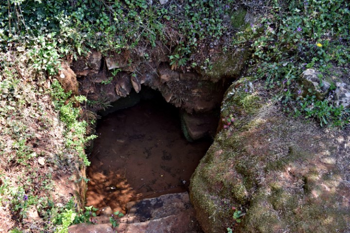
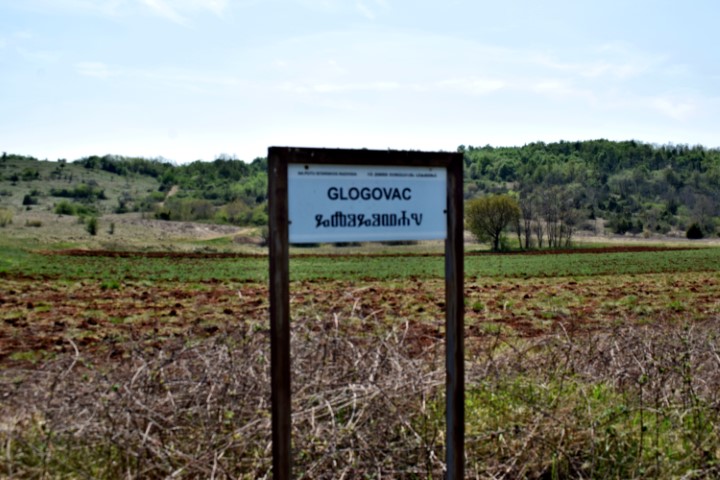
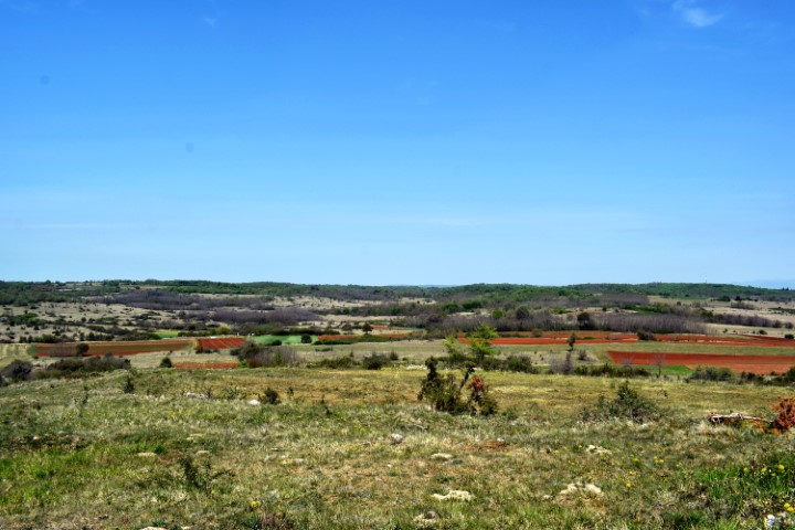

Name: Source Badavca – Hill Glogovac.
Place: Karojba.
Coordinates: 45.27481 N – 13.79915 E
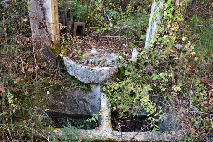
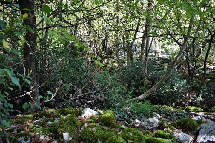
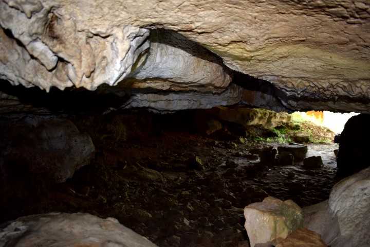
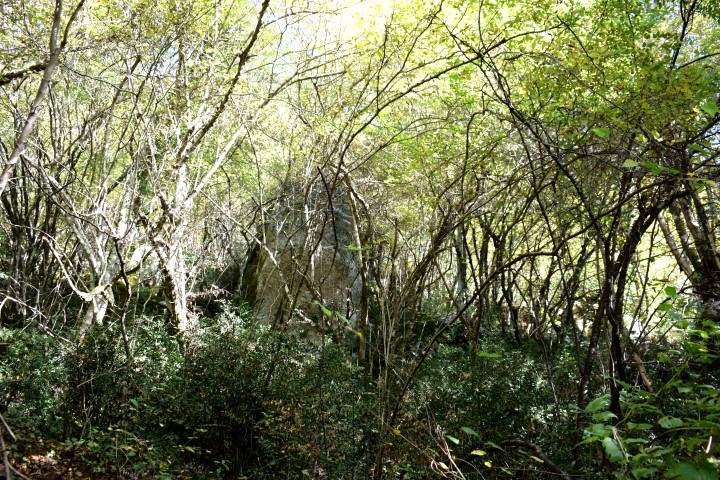
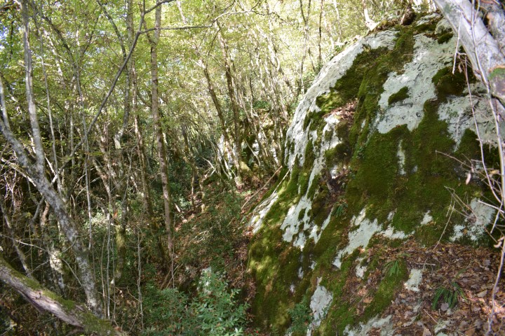
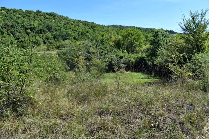
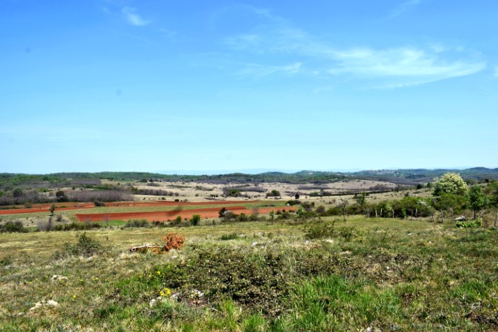
Due to its favorable location (fertile soil and the presence of drinking water) there was a prehistoric settlement here. The period of time is unclear.
Name: Source Badavca – Hill Glogovac.
Place: Karojba.
Coordinates: 45.27481 N – 13.79915 E

Name: Momjan waterspring.
Place: Momjan – (Buje).
Coordinates: 45.44153 N – 13.71276 E.
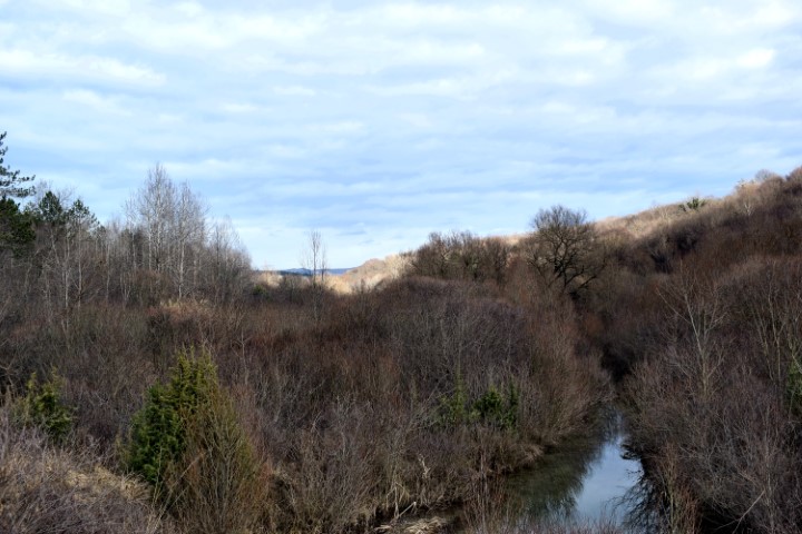
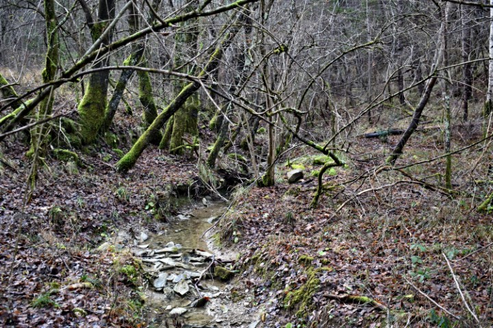
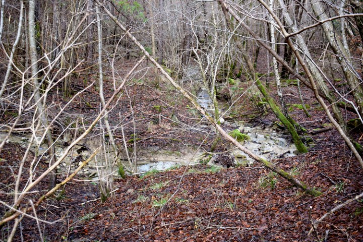
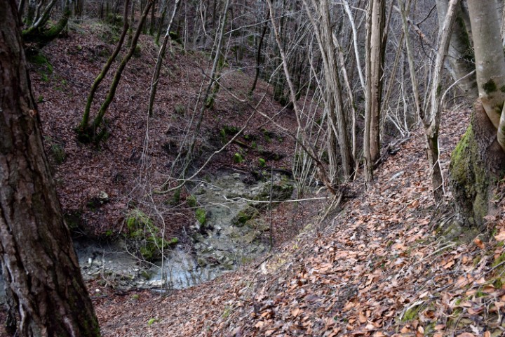
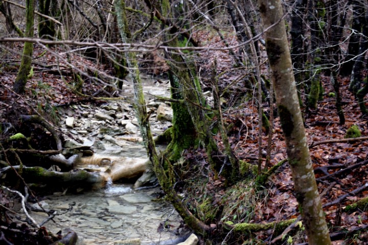
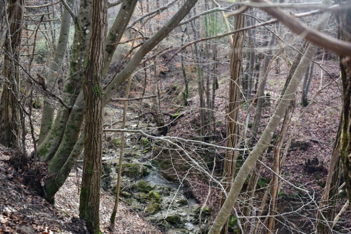
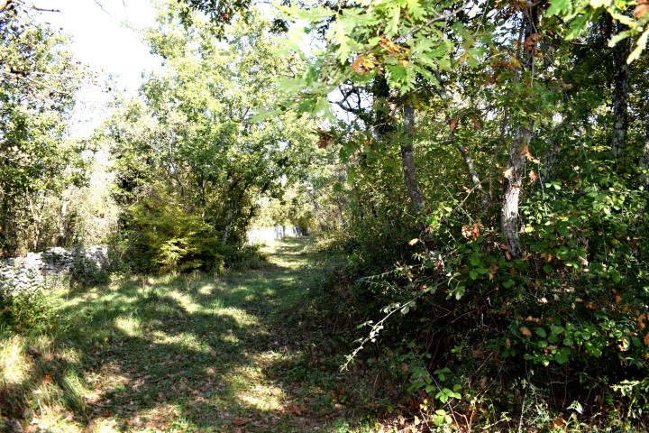
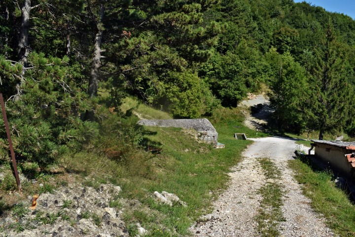
Hiking trail from waterspring Zahej to the bridge over the streams Tamujak and Mlaka.
Possible prehistoric settlement on the position 45.41162 N – 13.86959 E.

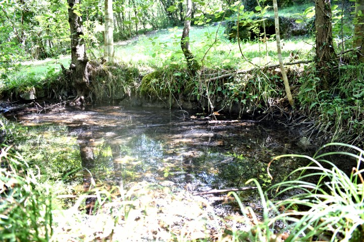
Name: Waterspring Zahej – streams Tamujak and Mlaka.
Place: Zrenj -(Oprtalj).
Coordinates:
Startingpoint: 45.40981 N -13.86729 E, Brige: 45.41416 N -13.86802 E.

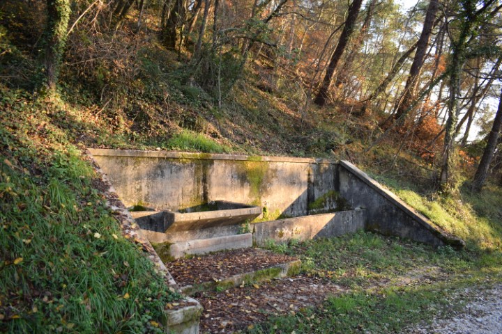
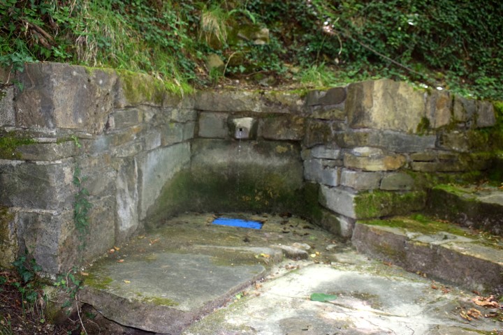
Name: Watersprings near Grožnjan.
Place: Near Grožnjan.
Coordinates: 1. 45.3811 N – 13.727 E 270m. 2. 45.37548 N. – 13.72937 E 177m.
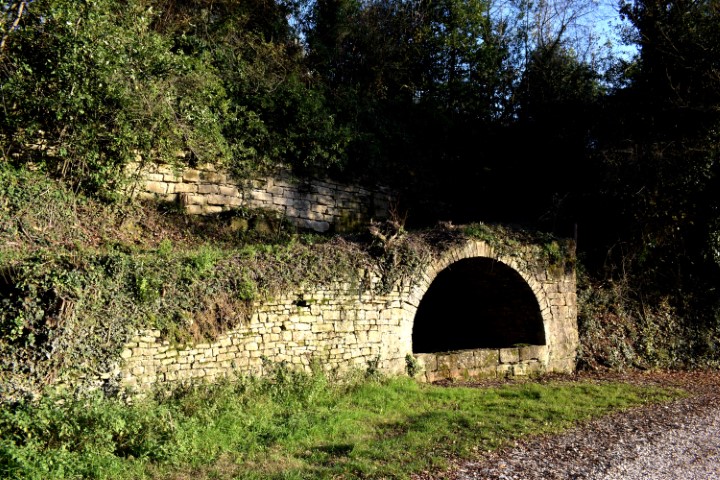
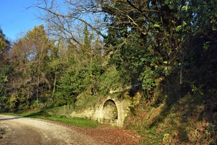
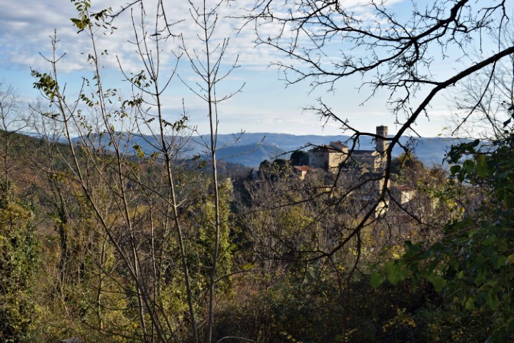
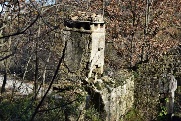
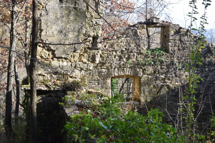
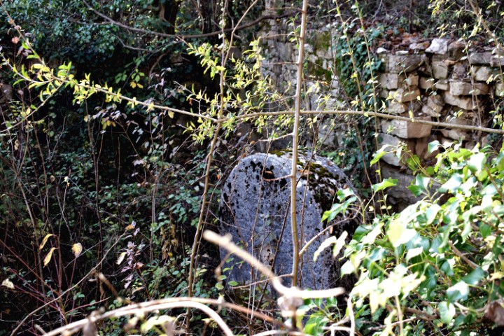
Name: Waterspring – Oil mill Barkonela near Završje.
Place: Near Završje – (Grožnjan).
Coordinates: 45.37599 N -13.77152 E.
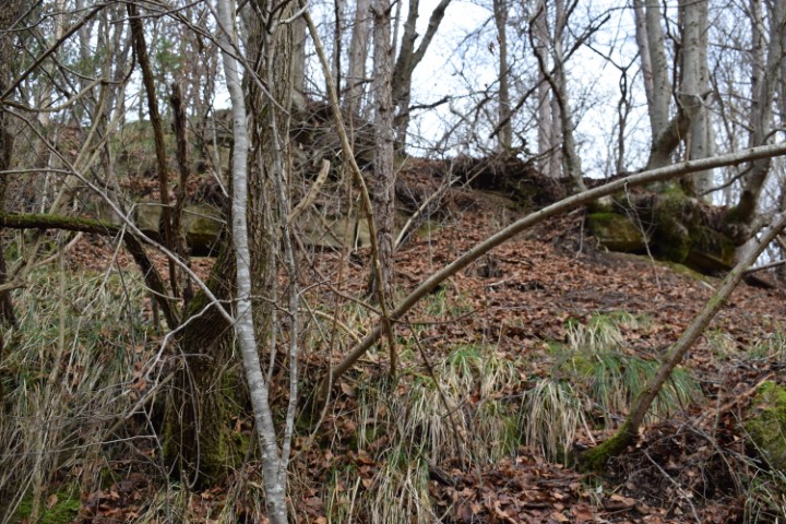
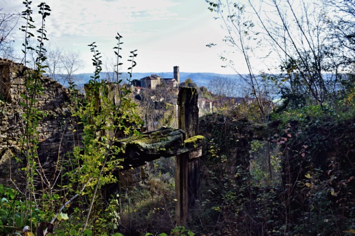
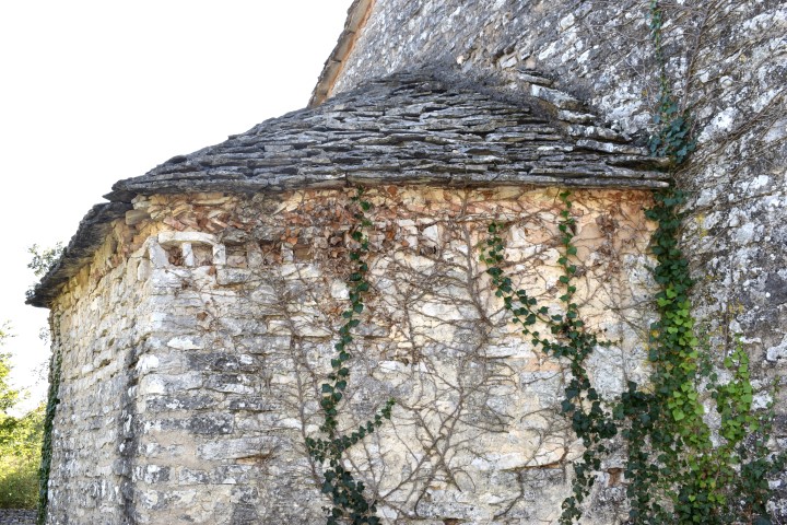
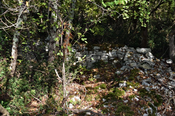
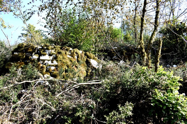
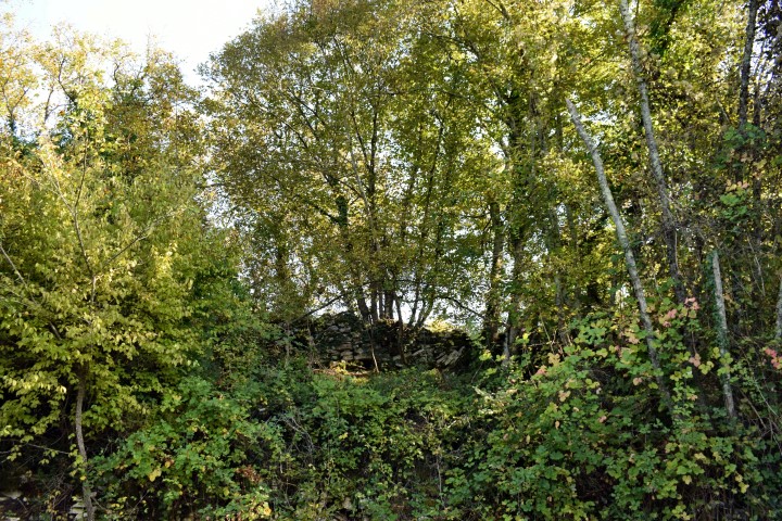
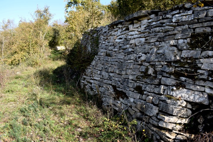
This Gradine originated in the Bronze Age. The Istrians lived here in the first century BC. After being recaptured by the Romans this location was uses as an army camp. The church Sv. Agata was built in the 11th century.
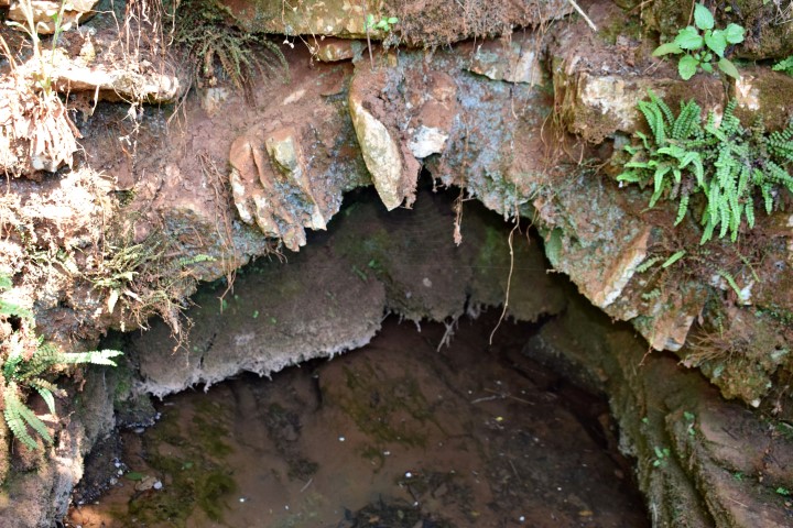
Not far from this location is a cave with a waterspring called Kašteljer.
Name: Prehistoric settlement / gradine Sv. Agata . waterspring Kašteljer.
Place: Kanfanar
Coordinates:
Sv. Agata: 45.13666 N – 13.84532 E, waterspring Kašteljer. 45.13424 N – 13.84097 E.

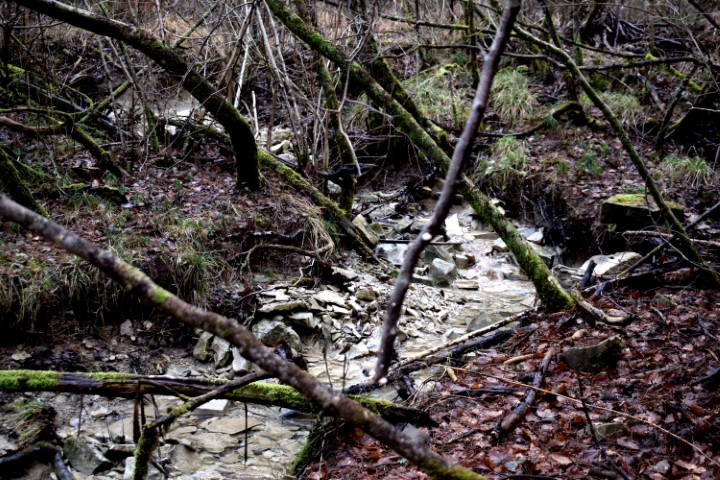
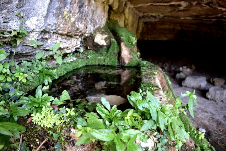
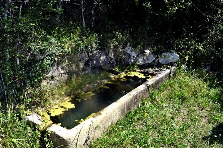
Name: Waterspring Hlaji.
Place: Hlaji – (Buzet).
Coordinates: 45.40392 N – 14.03718 E.
Name: Waterspring Studenac.
Place: Near Kosići.
Coordinates: 45.39137 N – 14.06954 E.
Name: Waterspring – Puddles near Čiritež.
Place: Čiritež – (Buzet).
Coordinates: 45.40057 N – 14.00181 E; 45.40023 N – 14.01790 E.
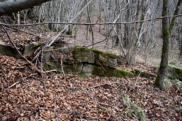
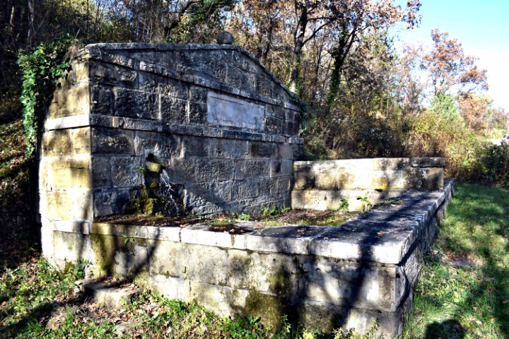
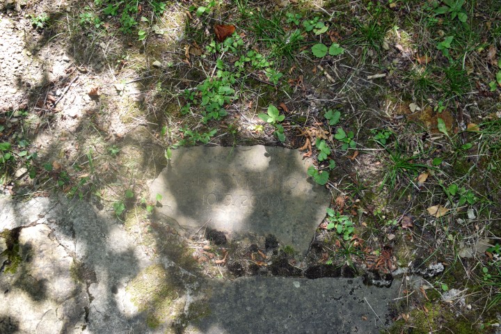
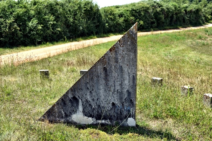
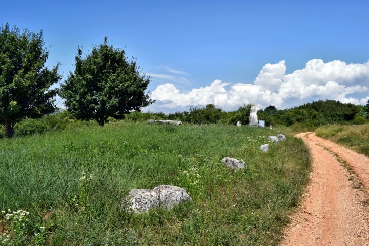
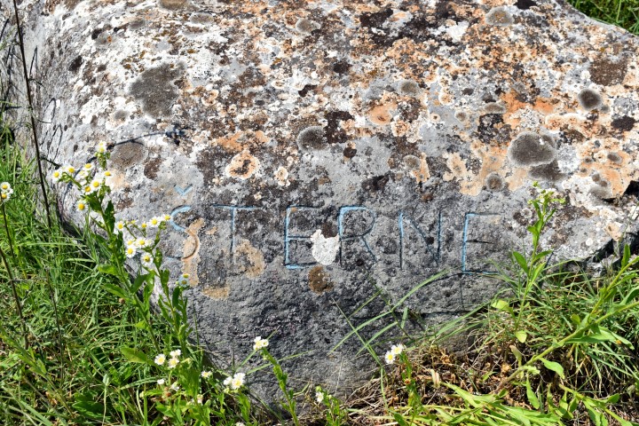
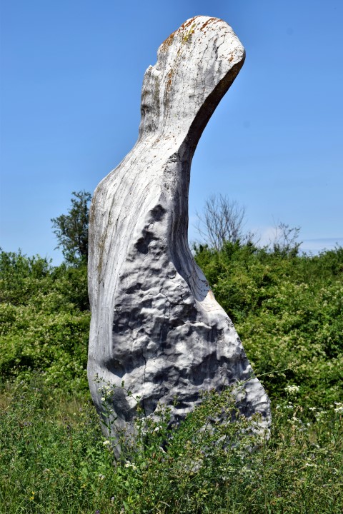
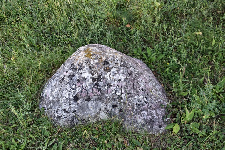
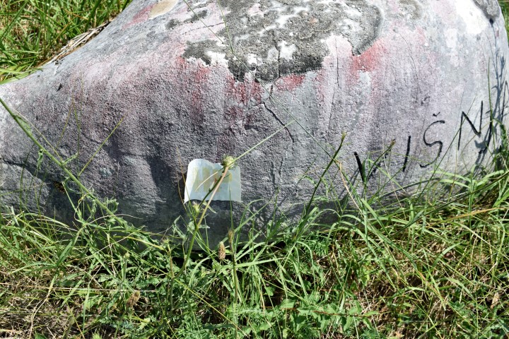
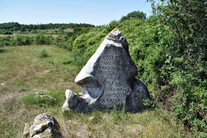
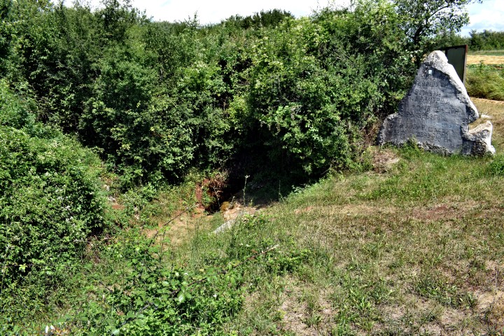
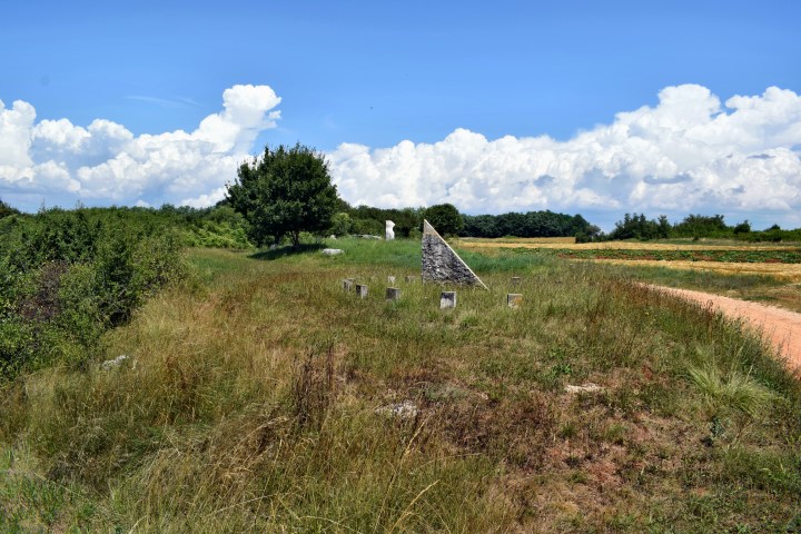
The Book of Boundaries states that this water spring is a delimitation of the road Motovun and Trviž. On the stone that be engraved 700 years ago, the text: “Therefore justice cried out for the the injustice to be eradicated.”
There are also twelve stones with the name of places in the surrounding, and the message on a stone : “That they are all united in peace”.
On this place is also a sundial.
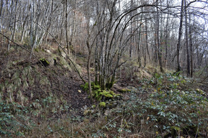
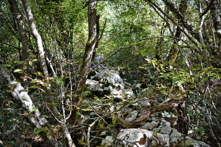
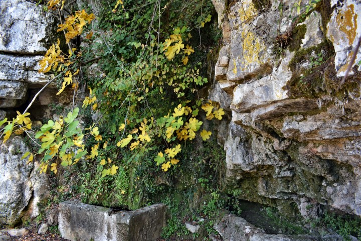
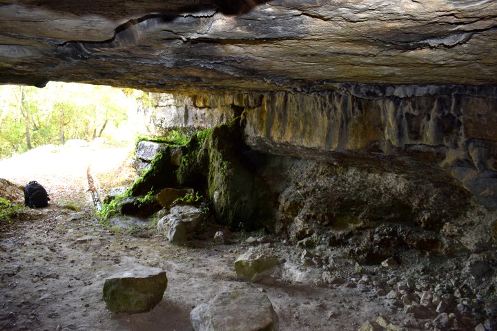
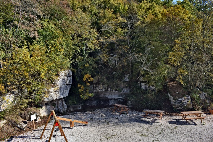
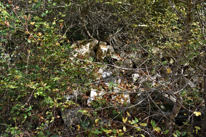
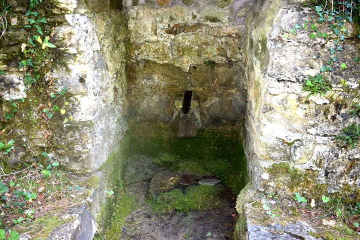
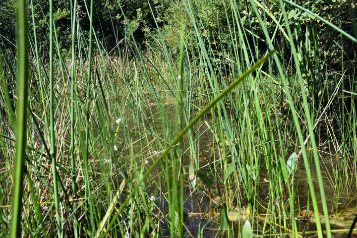
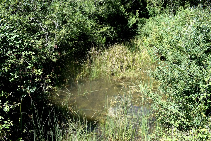
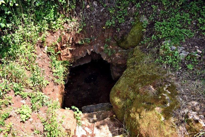
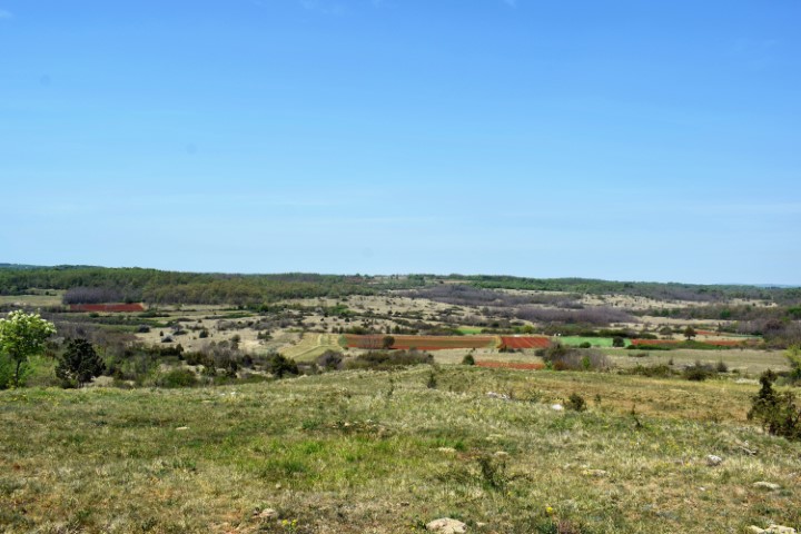
Name: Badavca.
Place: Near Karojba.
Coordinates: 45.27476 N – 13.79866 E