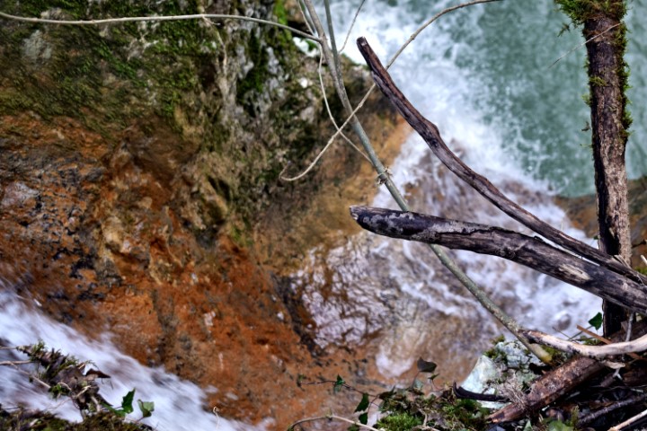
Name: Hiking trail from “Naturepark Skarline” along the stream Labre – Mulski potok.
Place: Tisarica – (Brtonigla).
Coordinates: 45.37530 N – 13.65223 E.

Name: Hiking trail from “Naturepark Skarline” along the stream Labre – Mulski potok.
Place: Tisarica – (Brtonigla).
Coordinates: 45.37530 N – 13.65223 E.
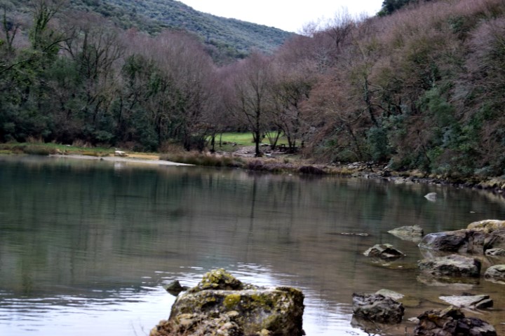
Name: Hiking trail 442 “The challenge of steep stores”.
Place: Kanfanar.
Coordinates: Starting point/end: 45.12876 N – 13.74016 E.
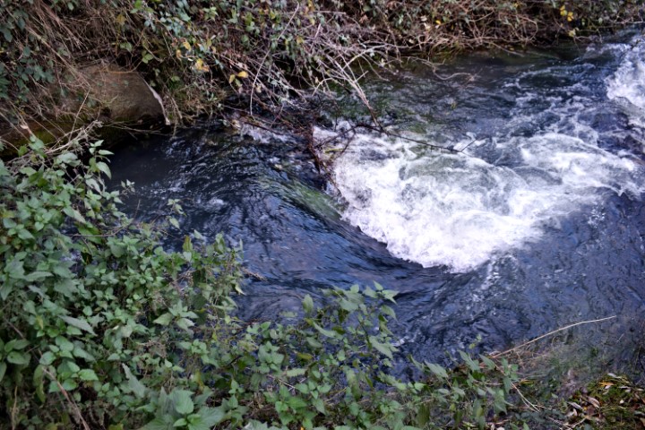
Name: Hiking trail from Cvitići to the river Rasa (ruine watermill – waterspring St. Martin) and the village Gorica.
Place: Cvitići – Gorica – (Barban).
Coordinates: Cvitići: 45.13739 N -14.01027 E, Rasa: 45.13060 N – 14.02521 E, Ruine Watermill (205) 45.13440 N – 14.02803 E, Molinska Draga: 45.13514 N – 14.02796 E, Water spring St. Martin: 45.14162 N – 14.02954 E, Gorica: 45.14031 N – 14.01739 E.
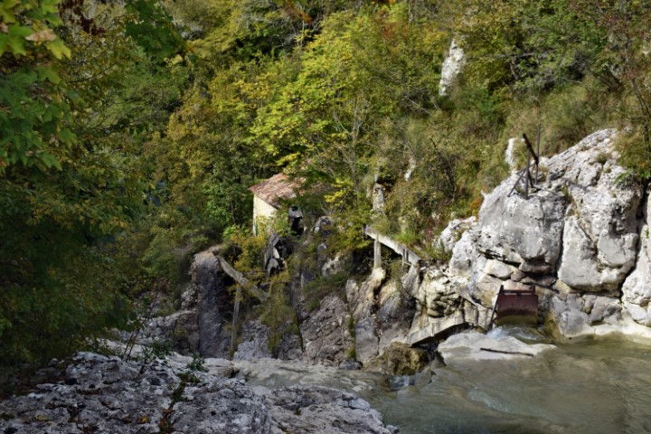
Name:Watermills (81,82) in the river Račine near the village Kotli.
Place: Kotli-(Buzet).
Coordinates: 45.3685 N – 14.0168 E.
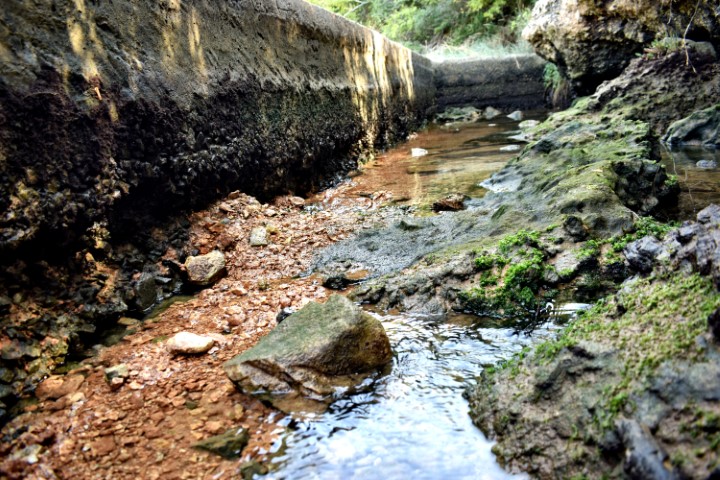
Name: Hiking trail from the beginning of theLimski bay to a water source and the cave Gobolinka.
Place: Kanfanar – Rovinj.
Coordinates: Startpoint 45.12884 N – 13.73999 E, water source: 45.12944 N – 13. 73797 E., Cave Gobolinka 45.13035 N – 1372811 E.
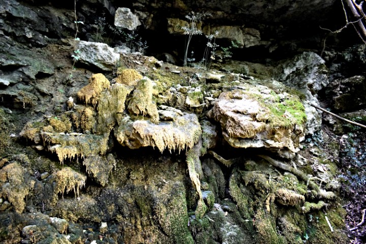
Name: Waterspring – stream Zenerin near Zudetići (II).
Place: Zudetići – (Vižinada).
Coordinates: 45.33783 N – 13.75284 E.
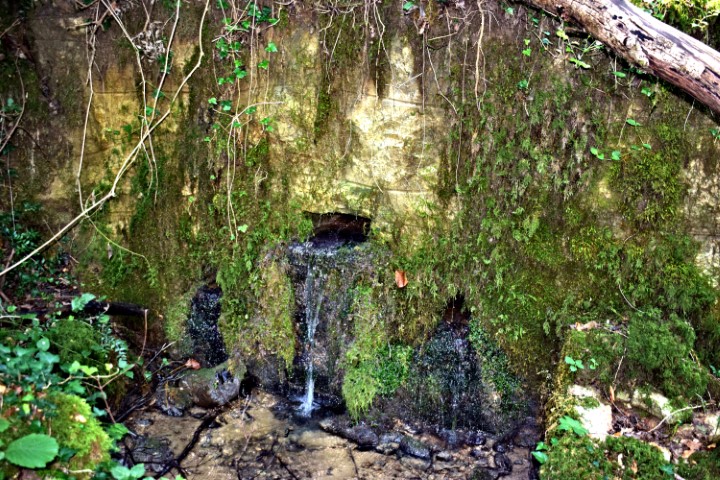
Name: Hiking trail to the waterspring Zenerin and the ruins Mašteliči.
Place: Mašteliči – (Vižinada).
Coordinates: Startpoint 45.34108 N – 13.75044 E, Waterspring Zenerin 45.33854 N – 13.76381 E, Maštelići 45.34082 N . 13.75903 E.
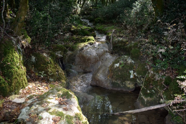
Name: Hiking trail from Zudetići (Ikaši) to the stream Zenerin.
Place: Zudetići (Ikaši) – (Vižinada).
Coordinates: Ikaši 45.34602 N -13.74748 E, stream Zenerin 45.34092 N -13.75636 E.
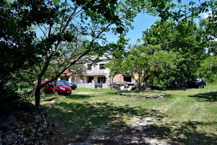
Name: Village Varvari – waterspring near Boskari.
Place: Varvari – Boskari – (Grožnjan).
Varvari: 45.39176 N – 13.75829 E, waterspring: 45.79193 N – 13.75658 E.
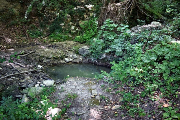
Name: Waterspring near Medvedje.
Place: Near Medvedje – Buzet.
Coordinates: 45.35045 N – 13.95364 E.