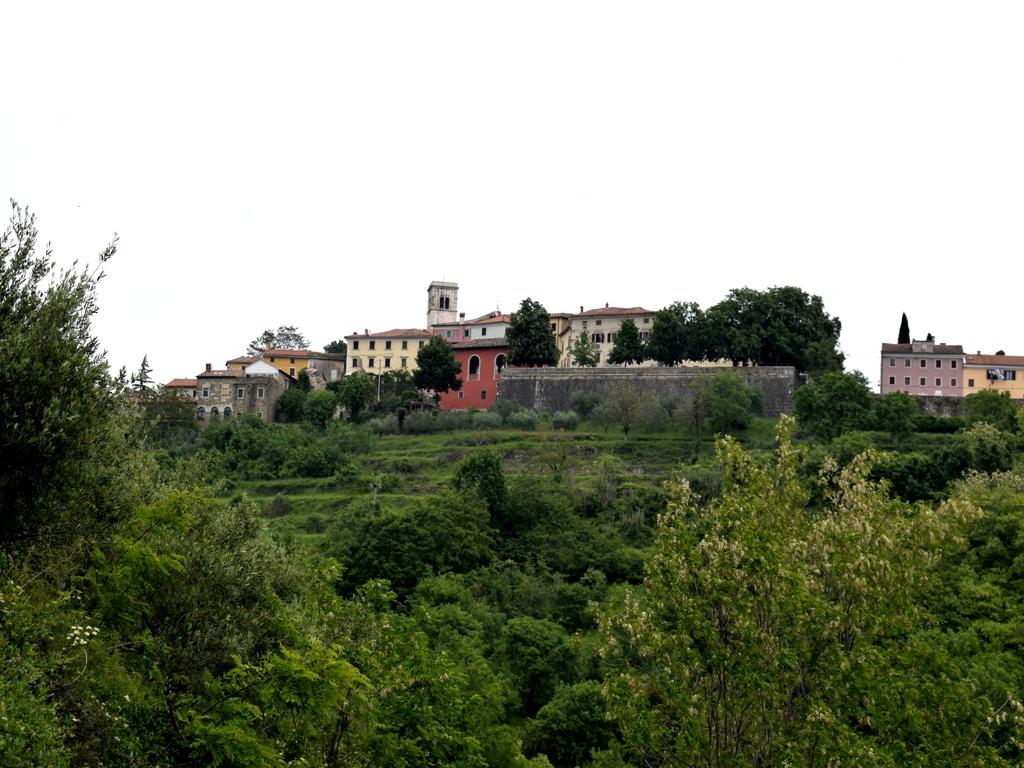
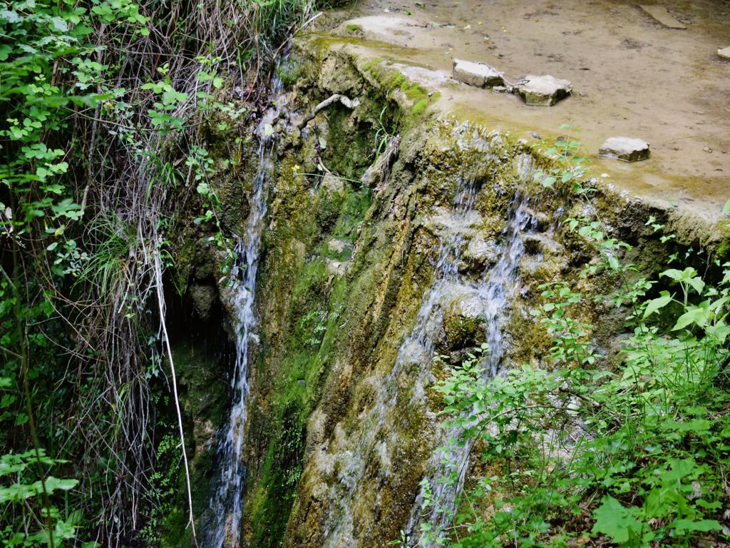
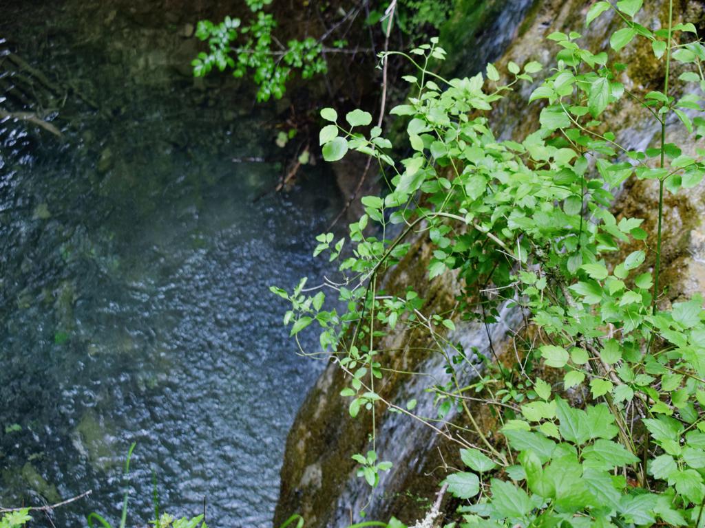
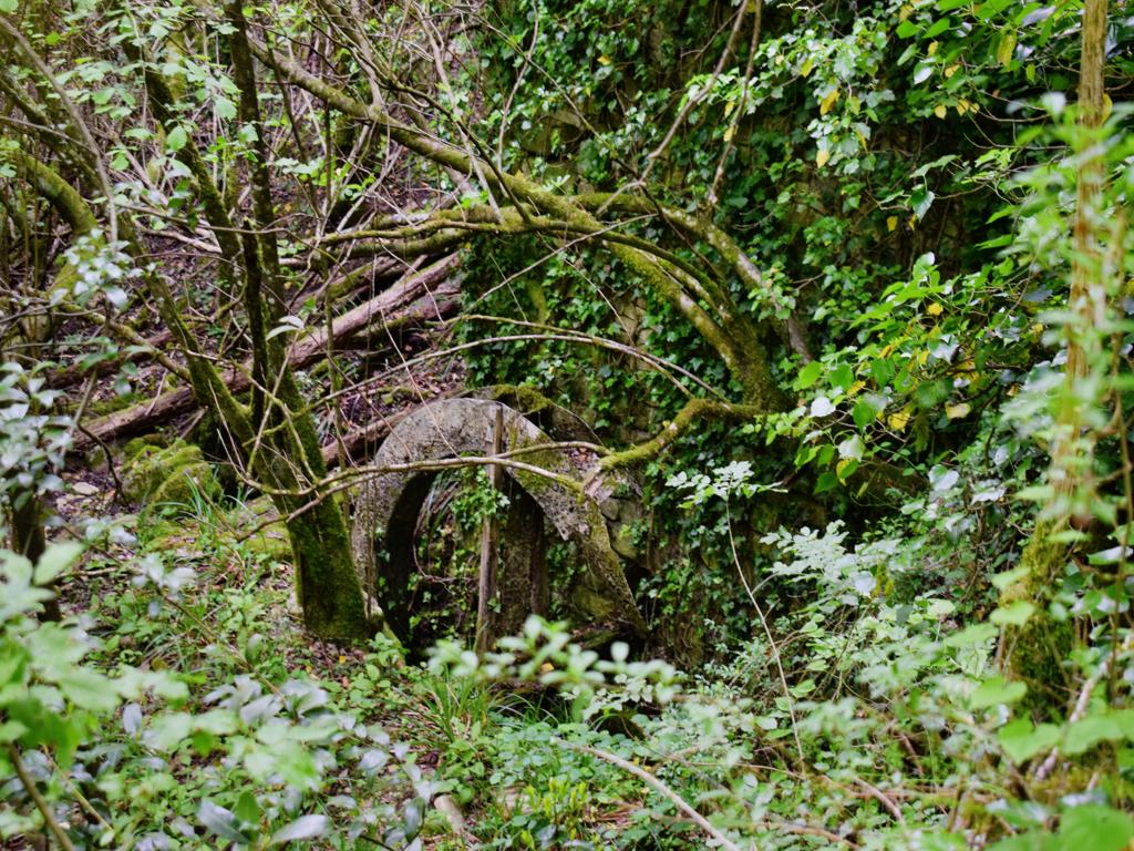
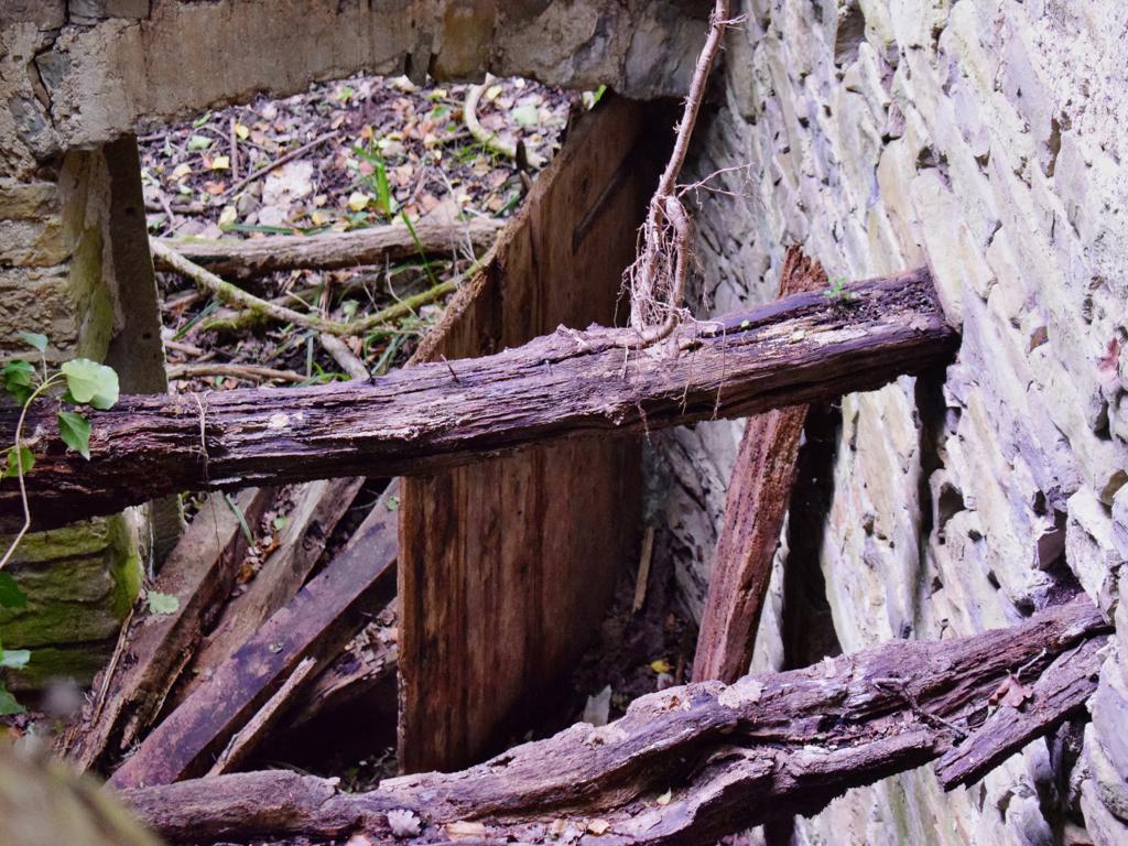
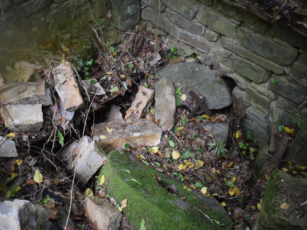
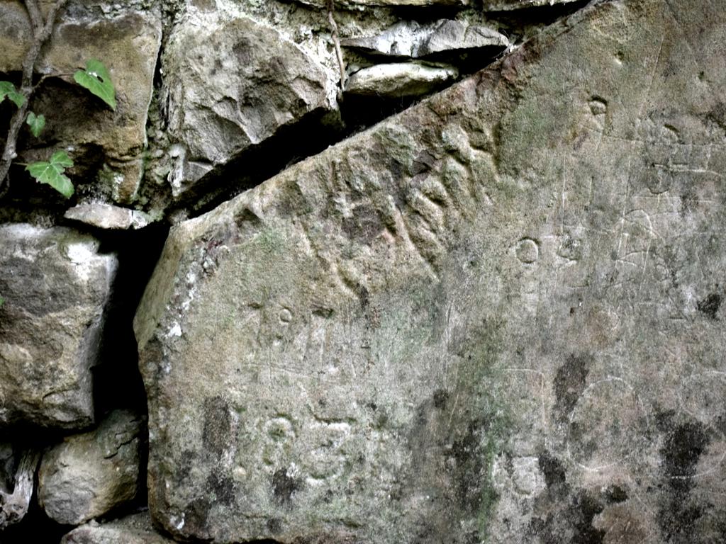
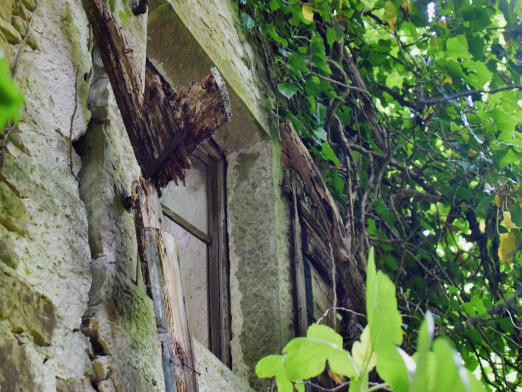
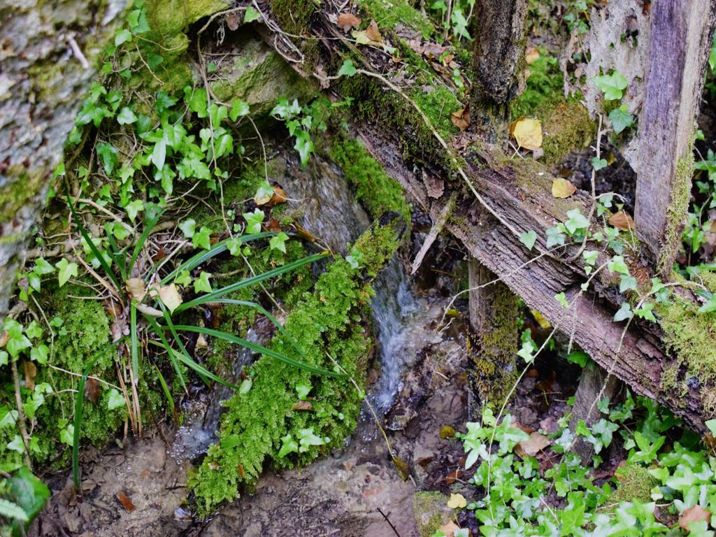
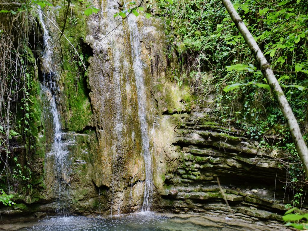
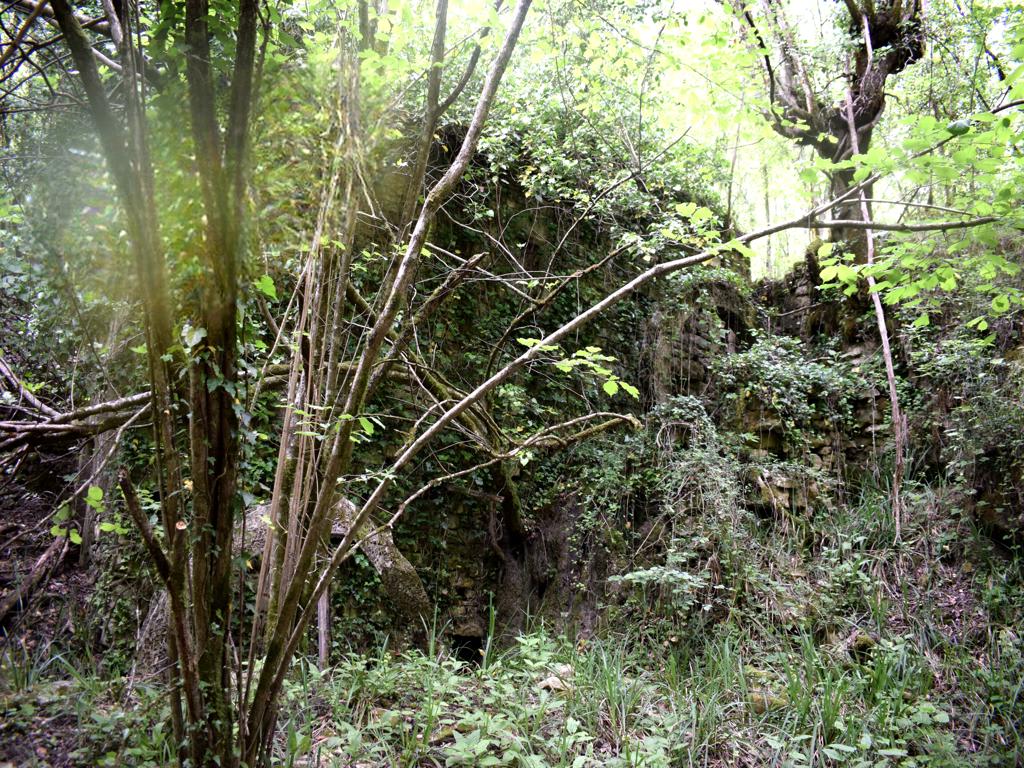
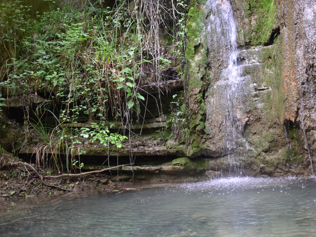
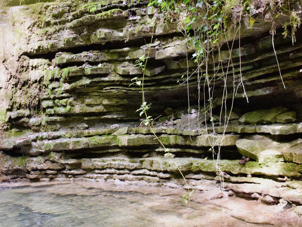
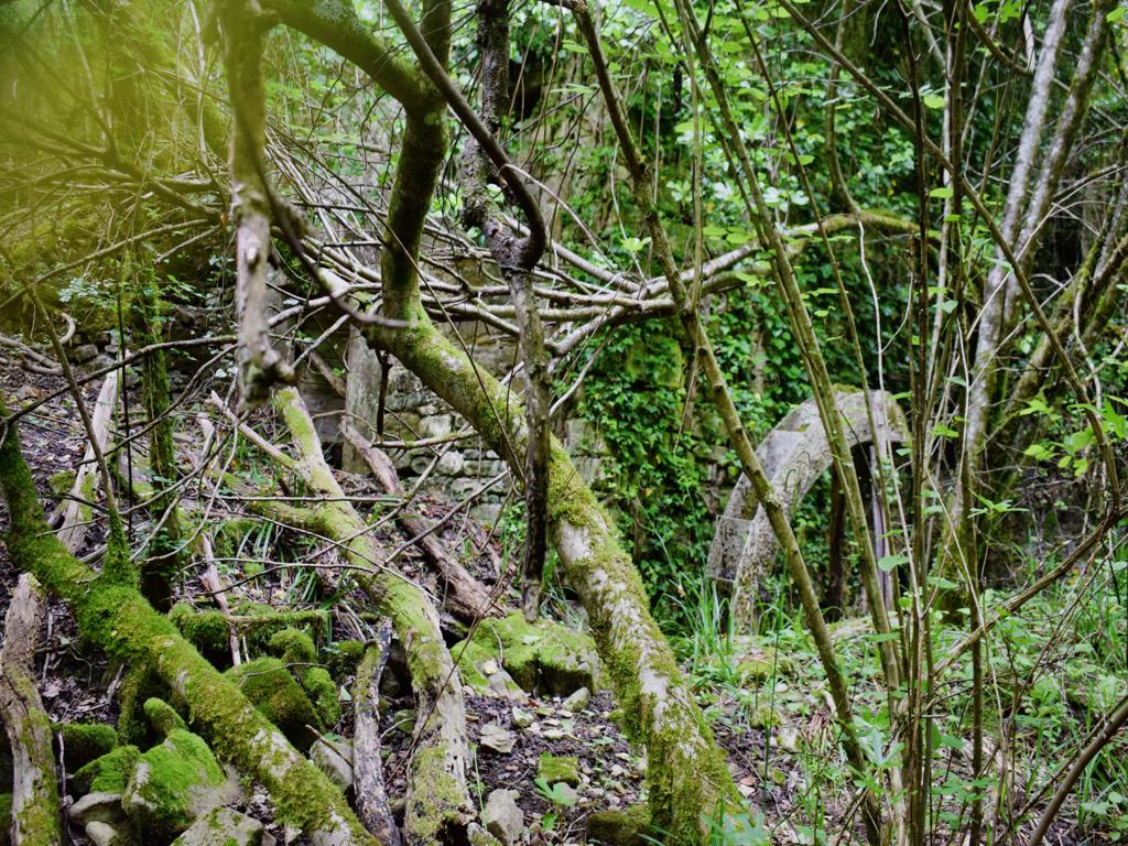
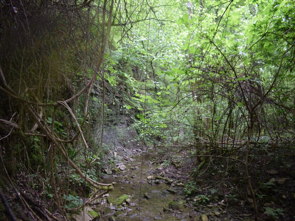
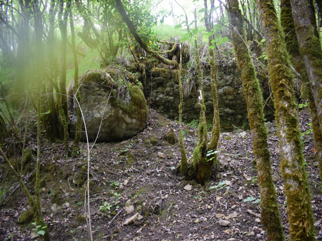
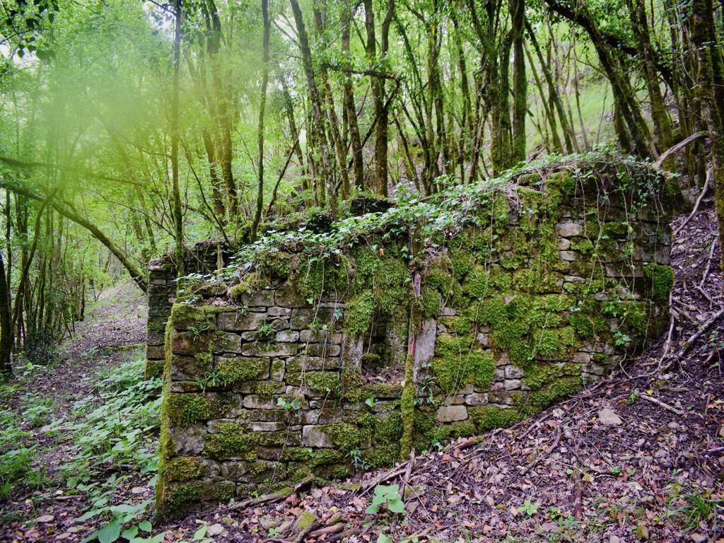
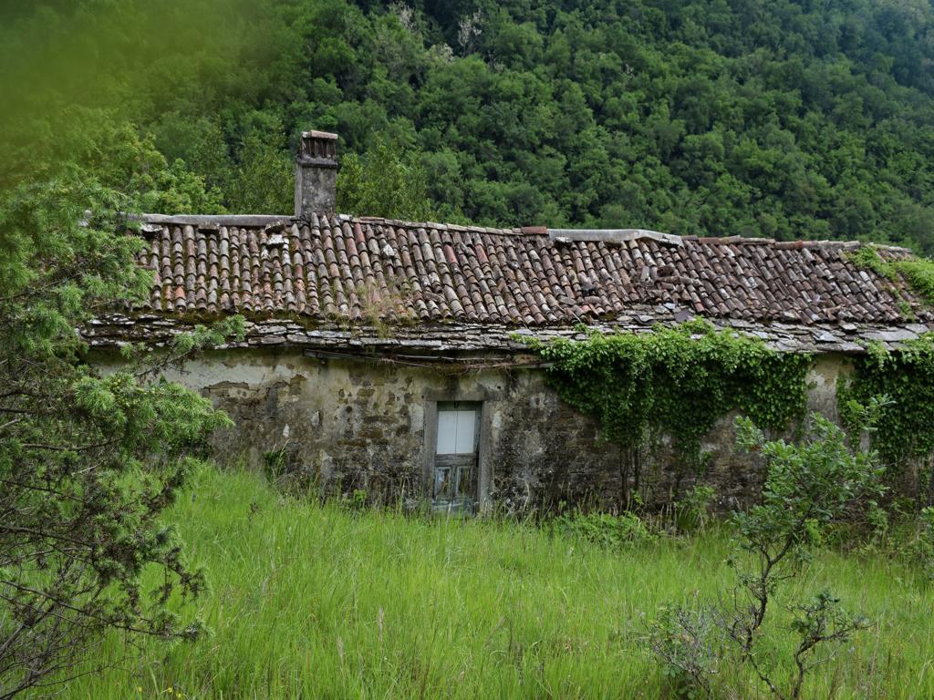
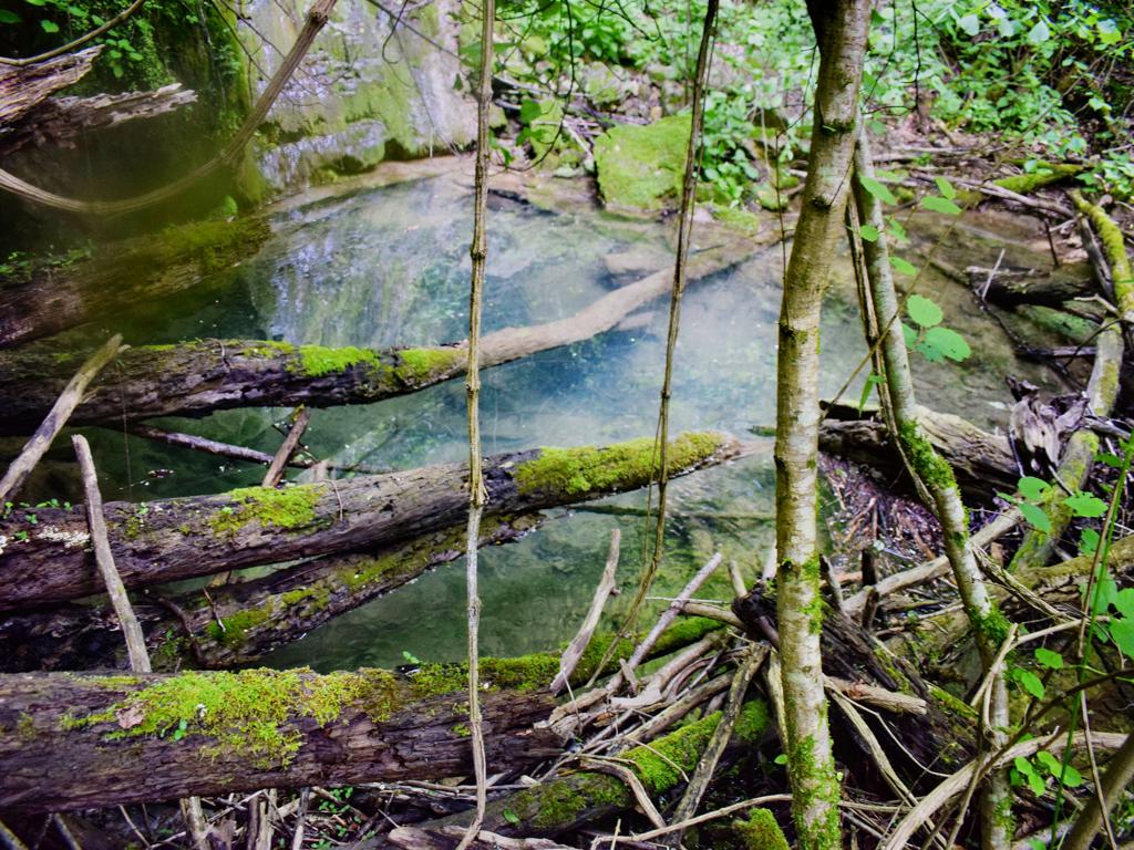
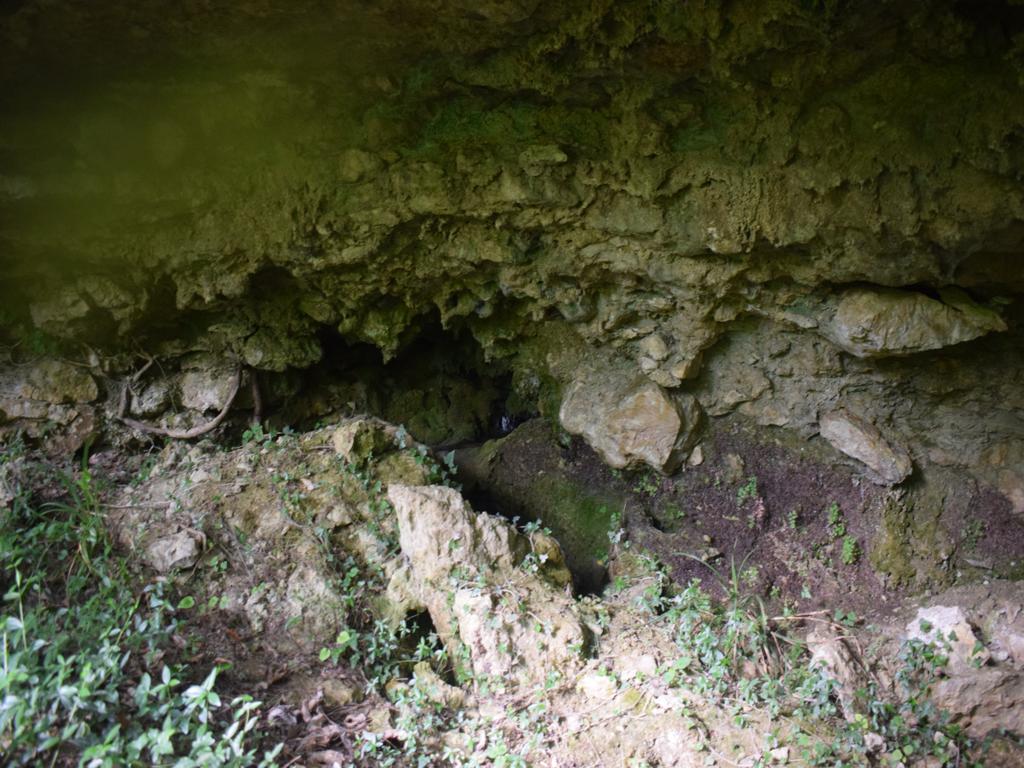
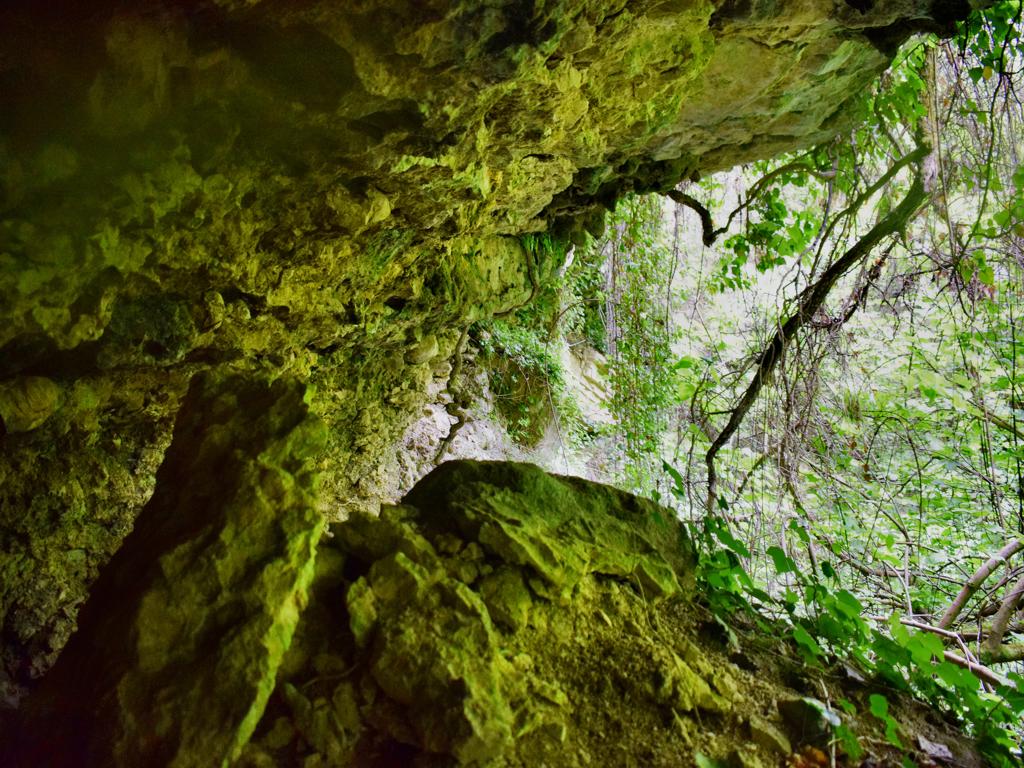
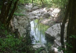
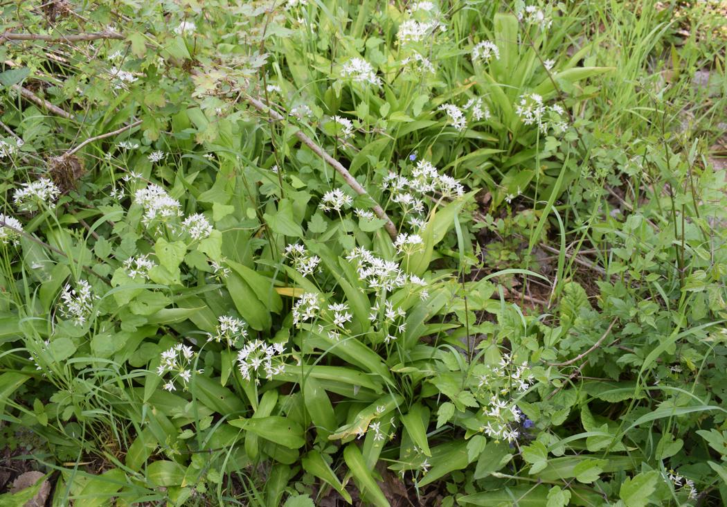
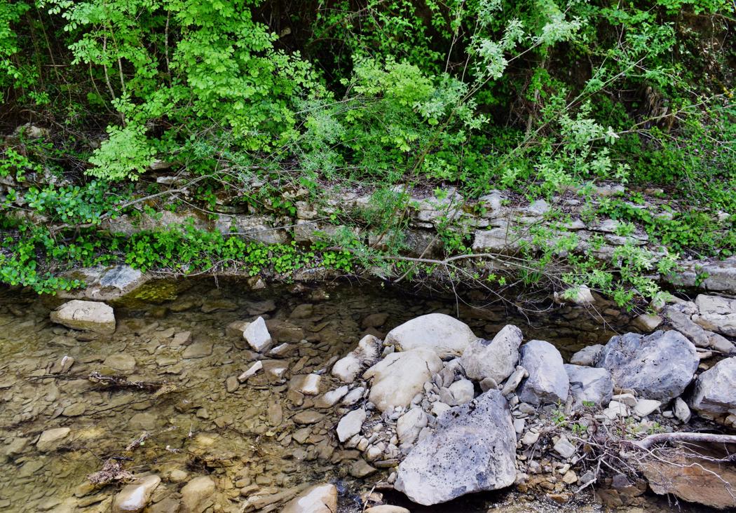
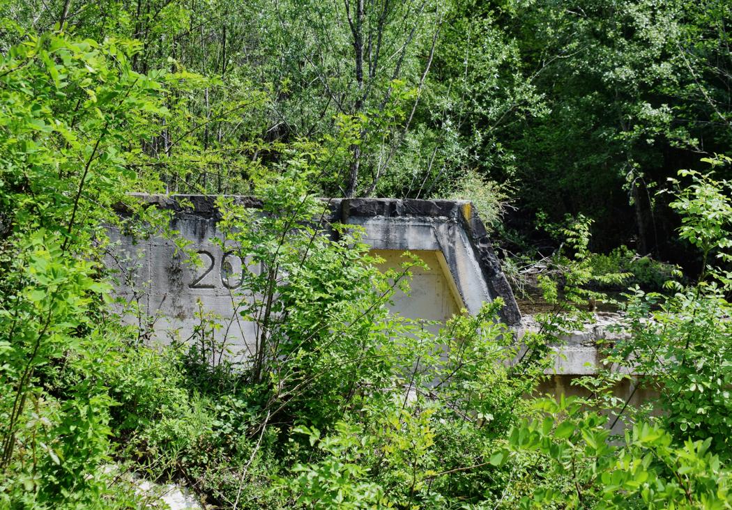
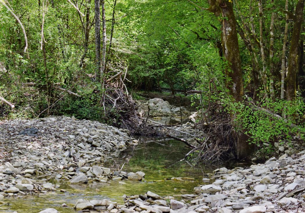
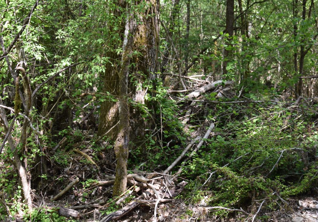
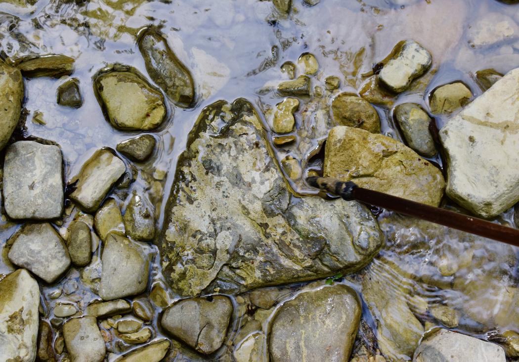
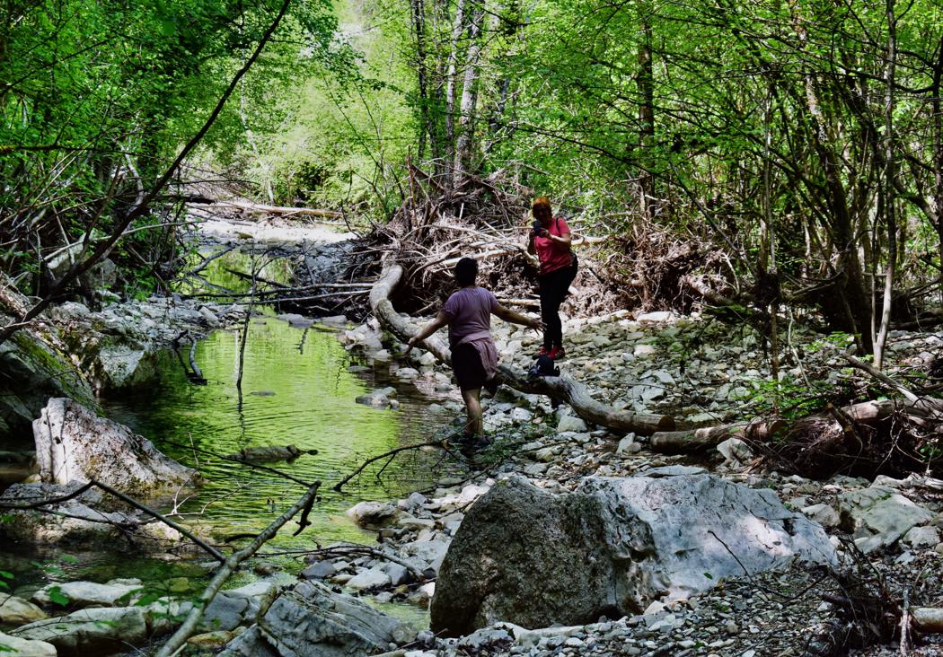
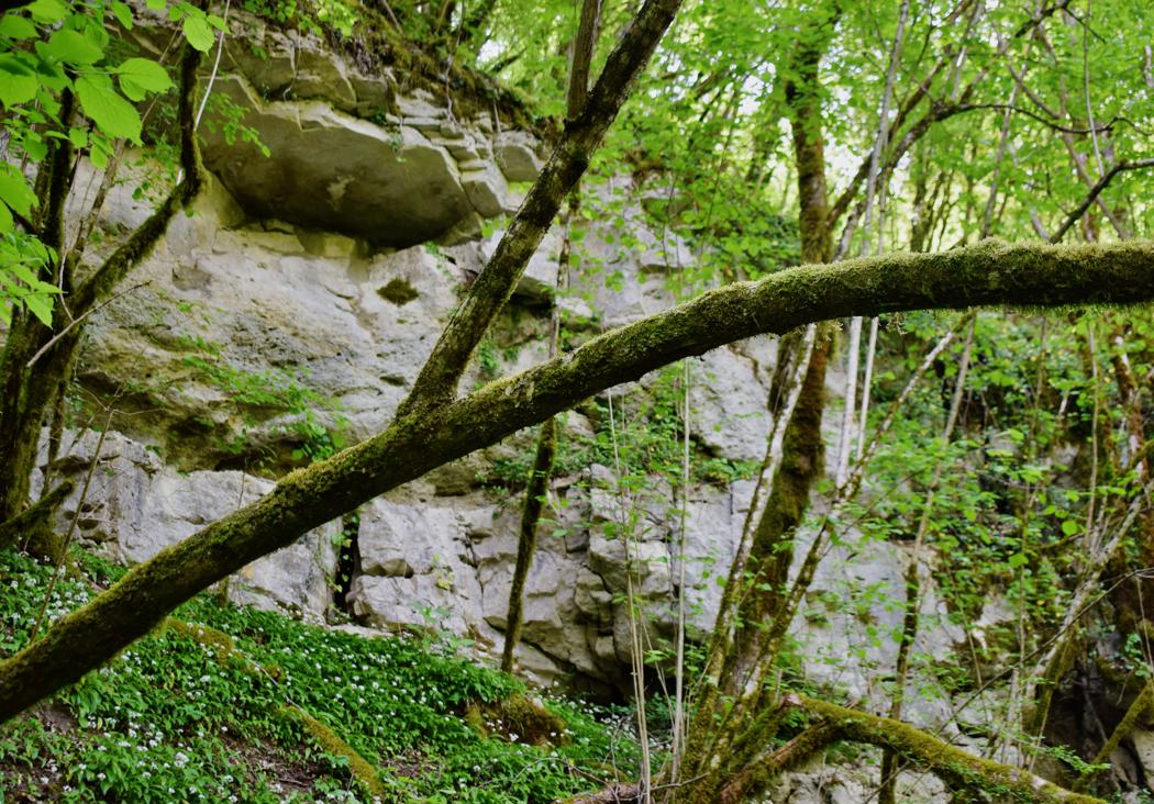
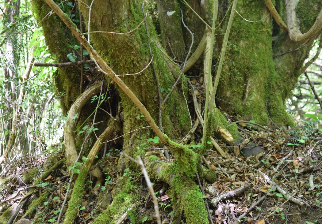
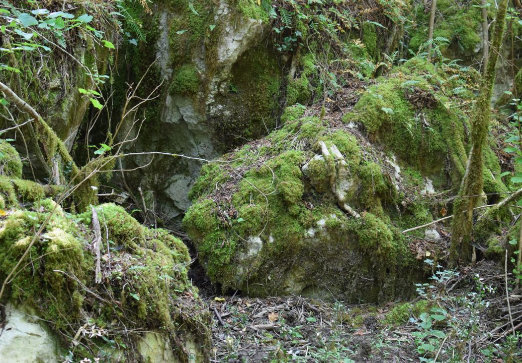
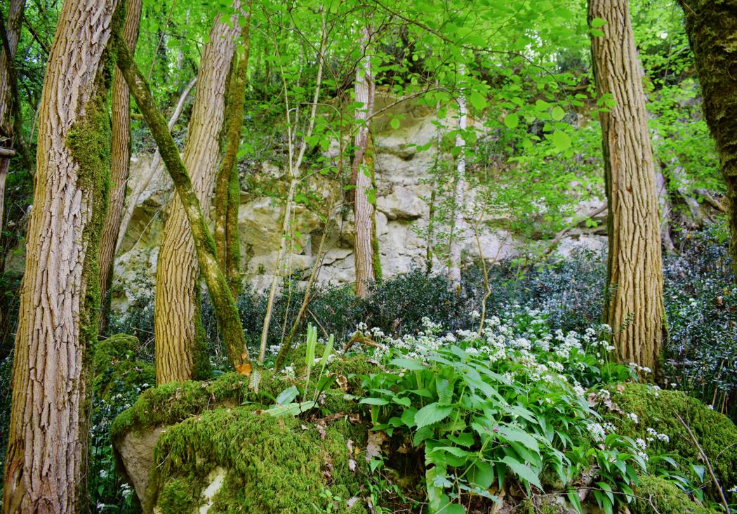
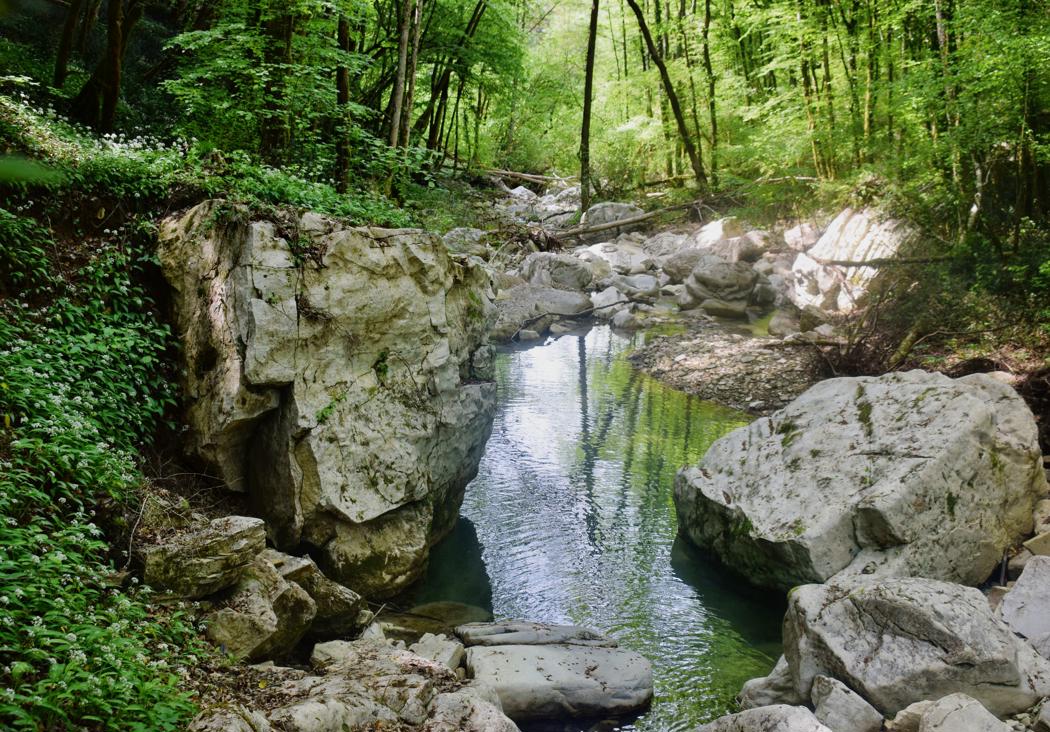
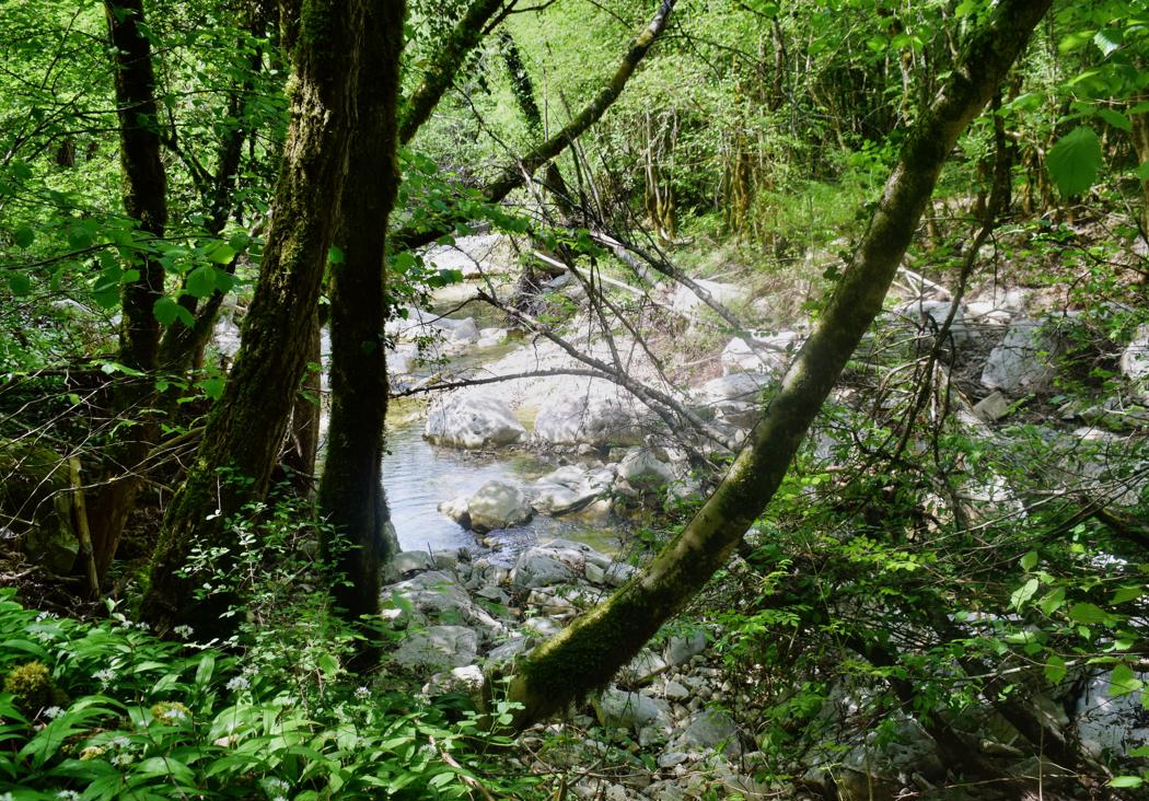
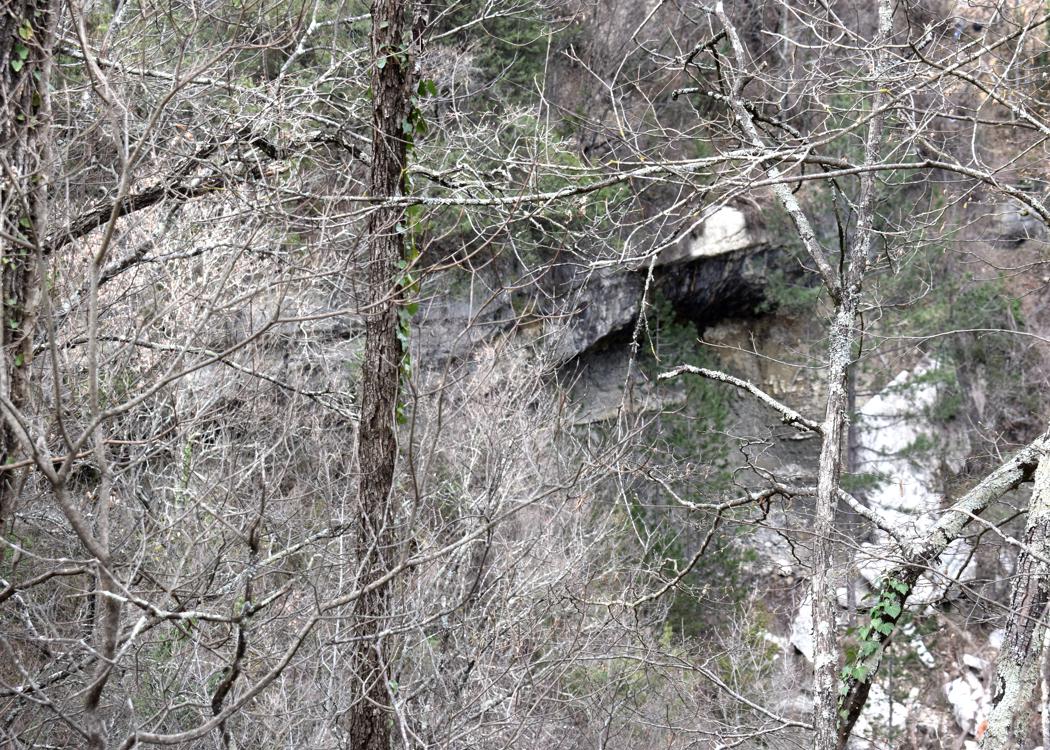
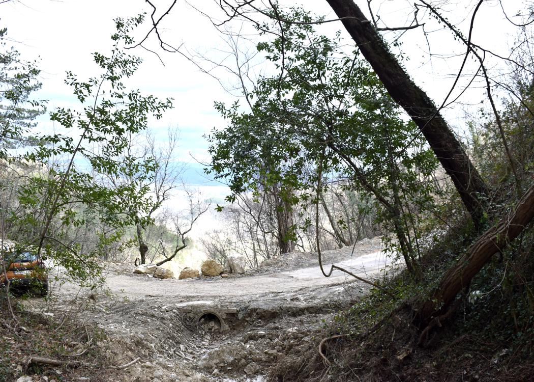
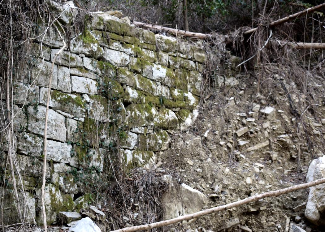
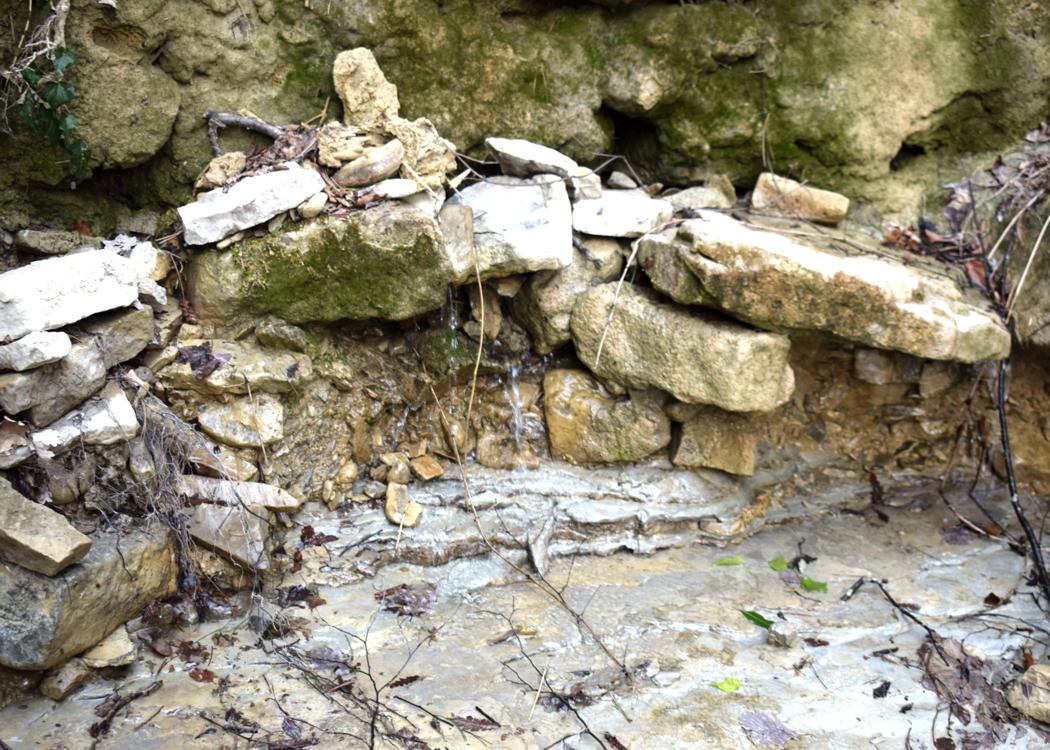
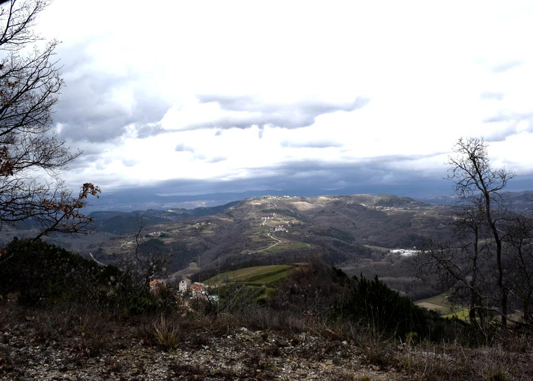
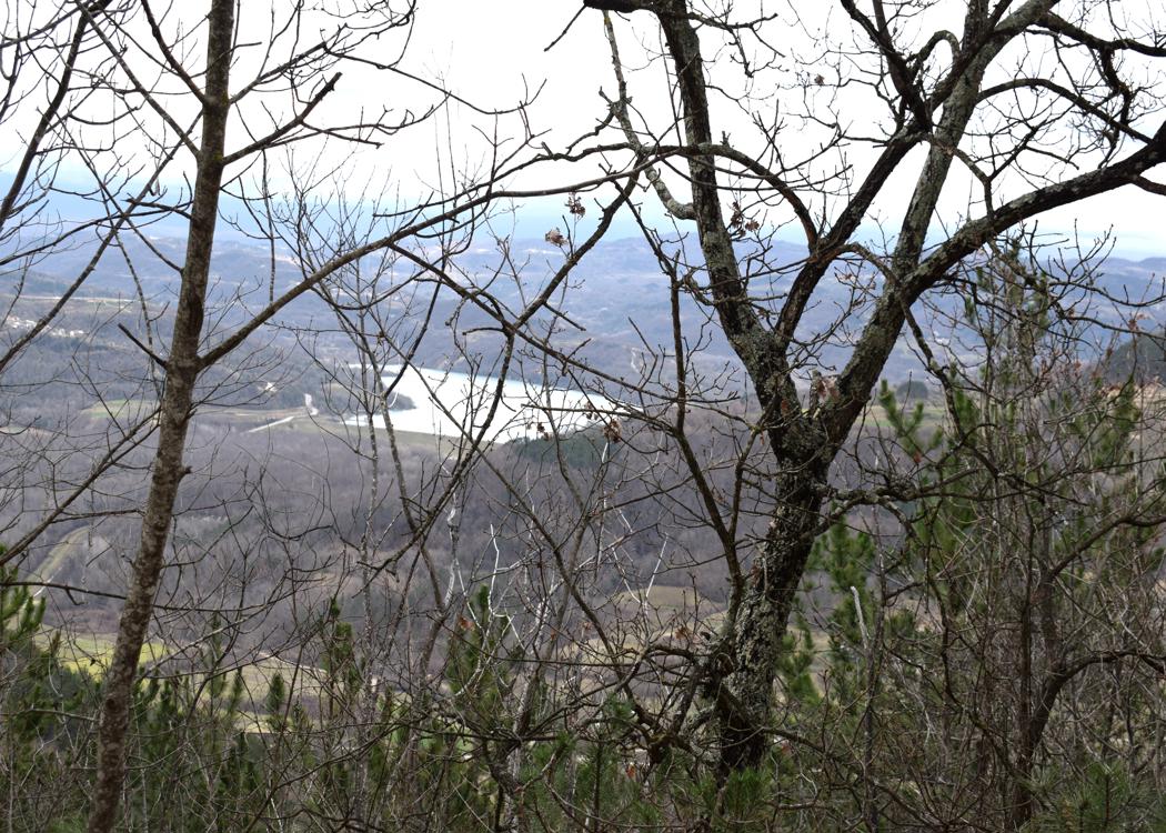
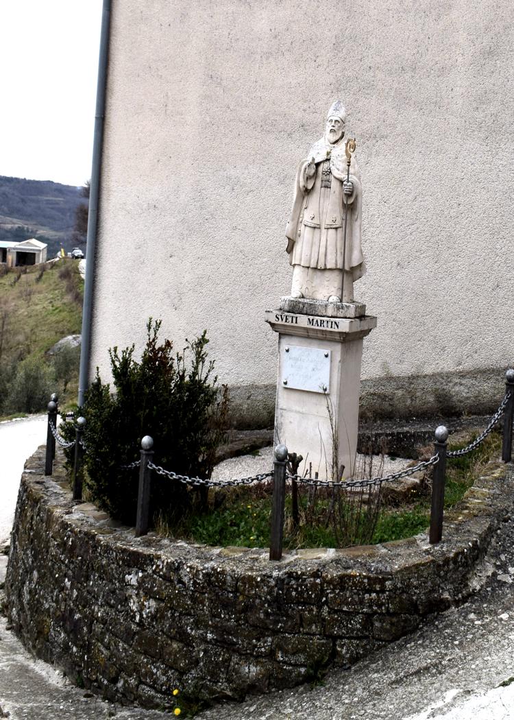
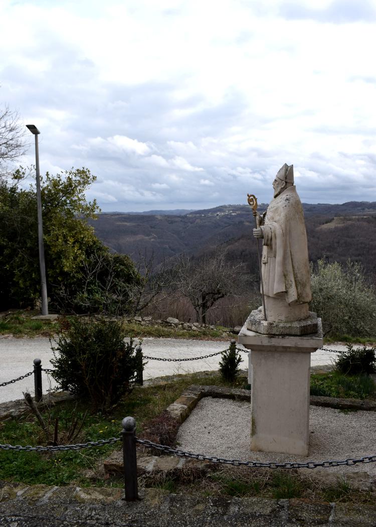
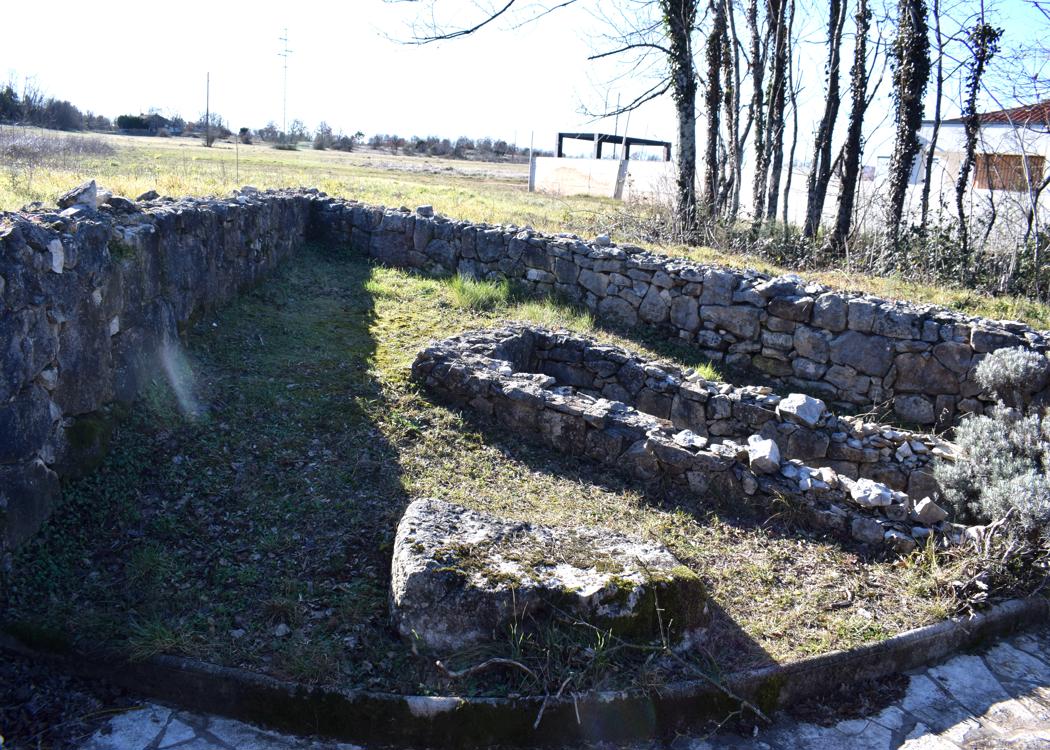
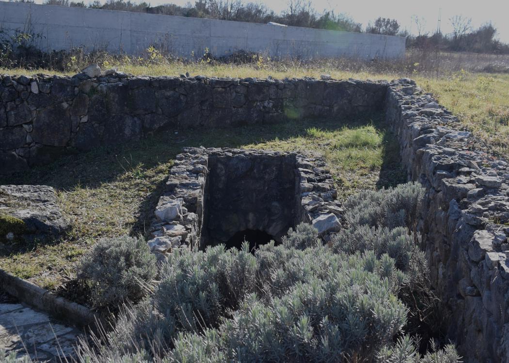
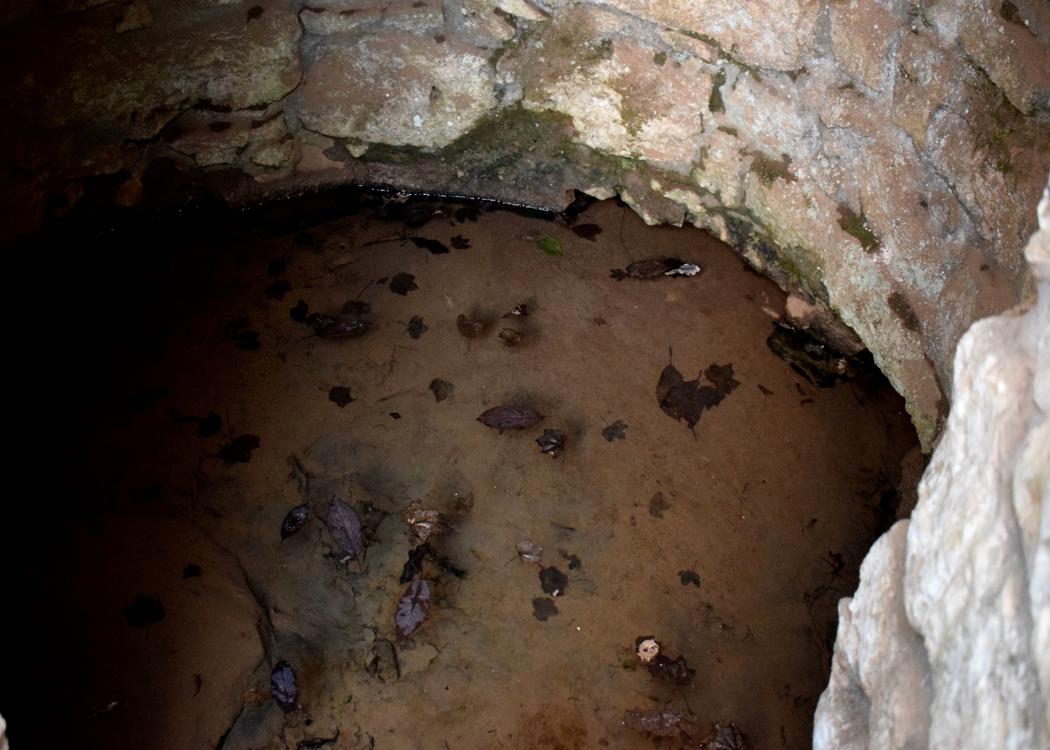
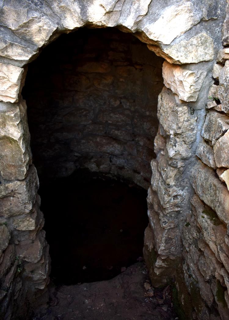
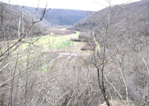
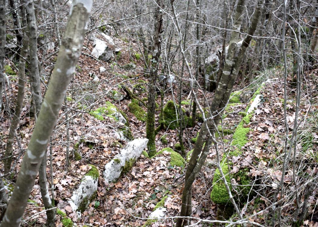
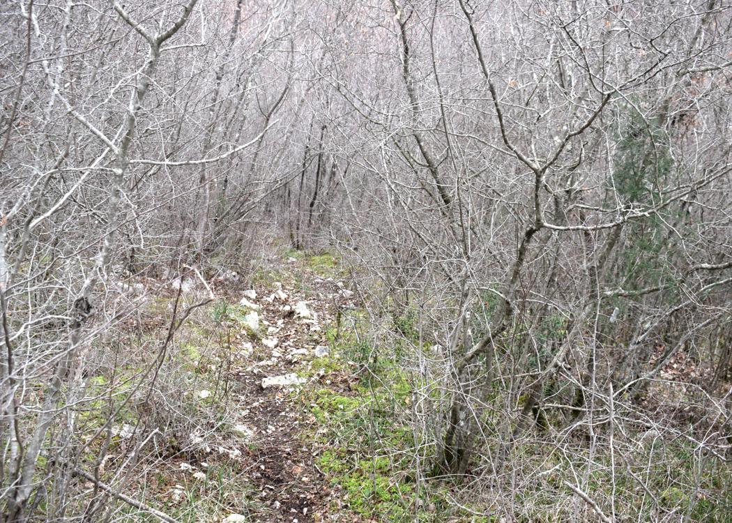
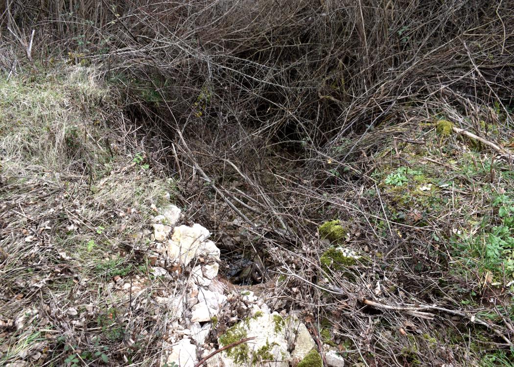
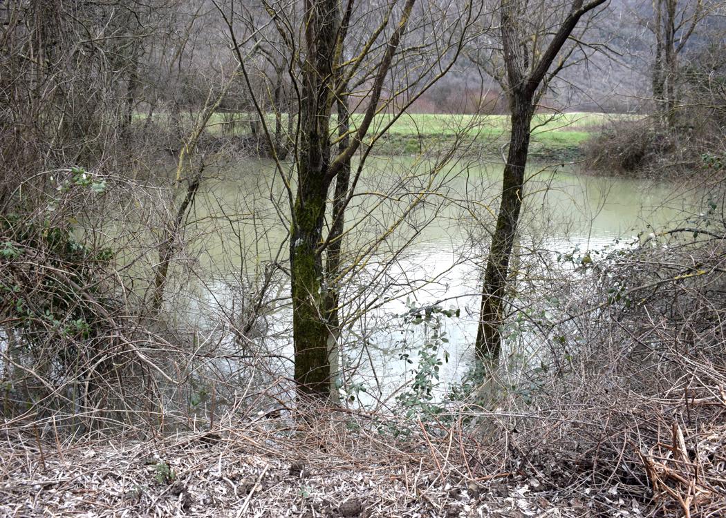
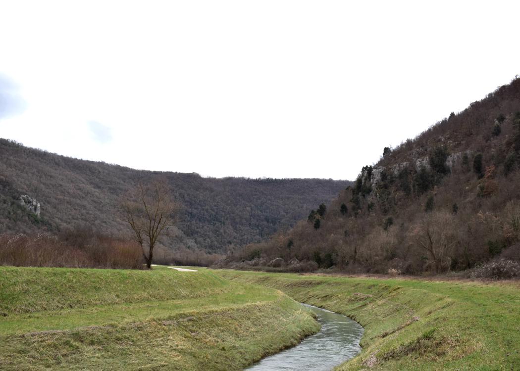
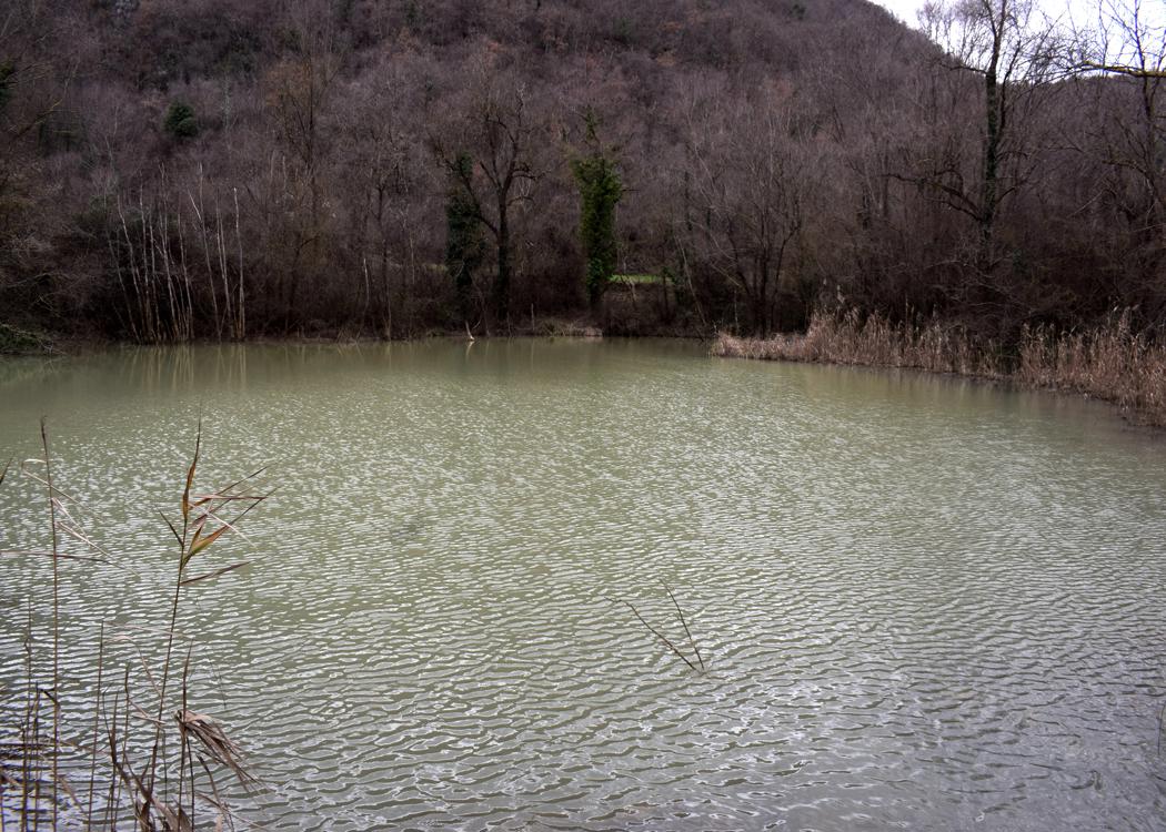
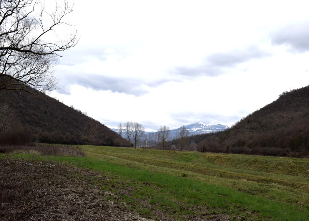
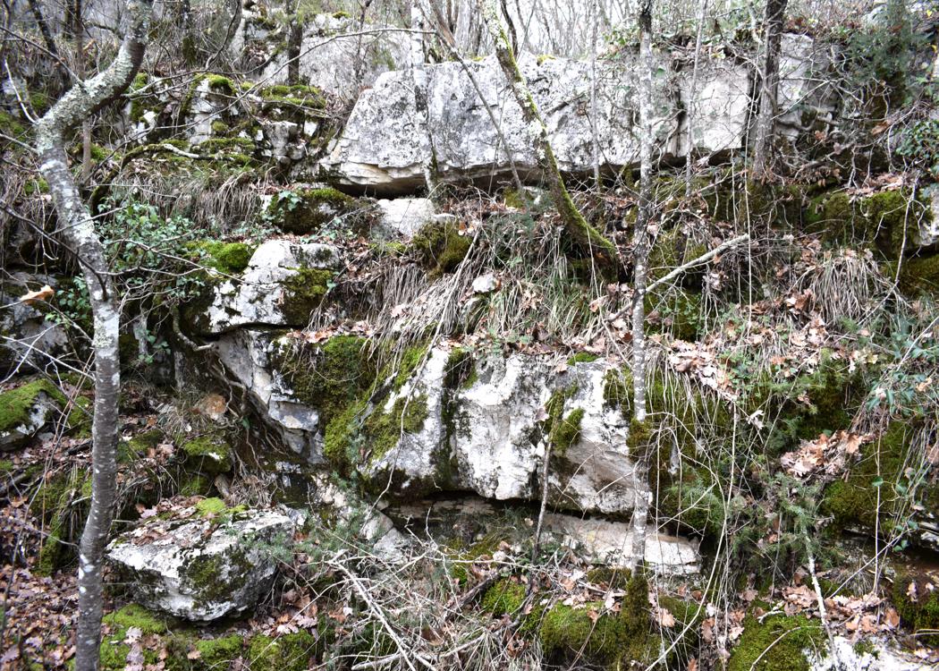
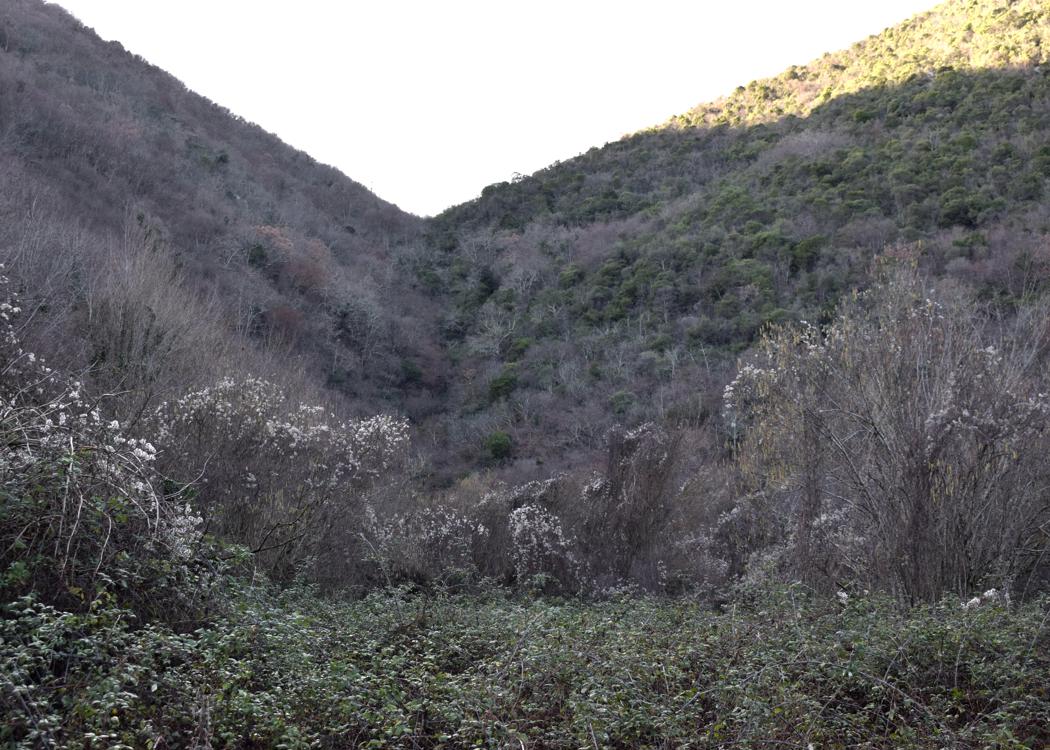
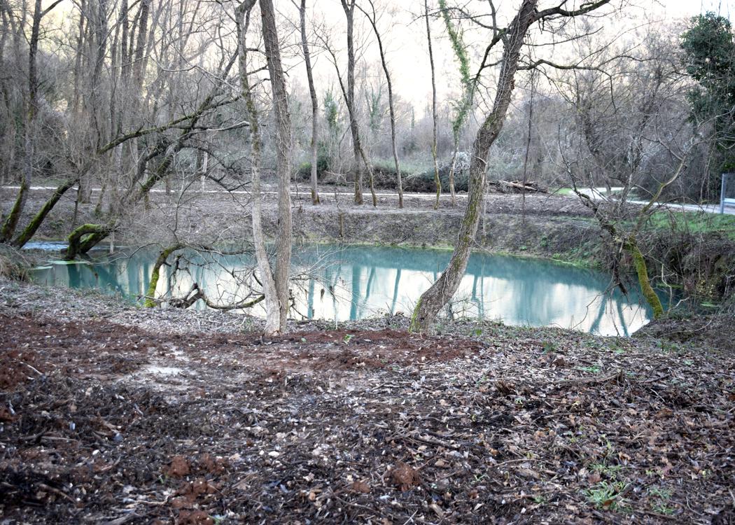
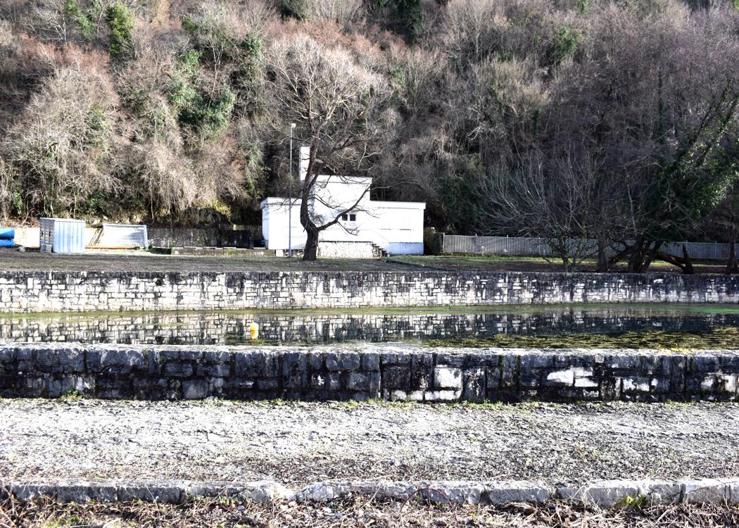
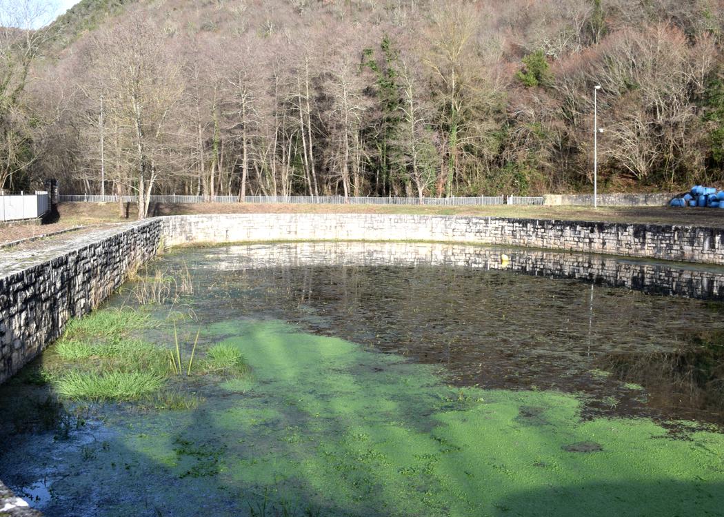
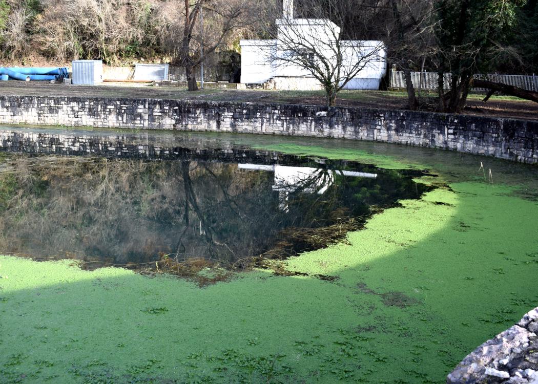
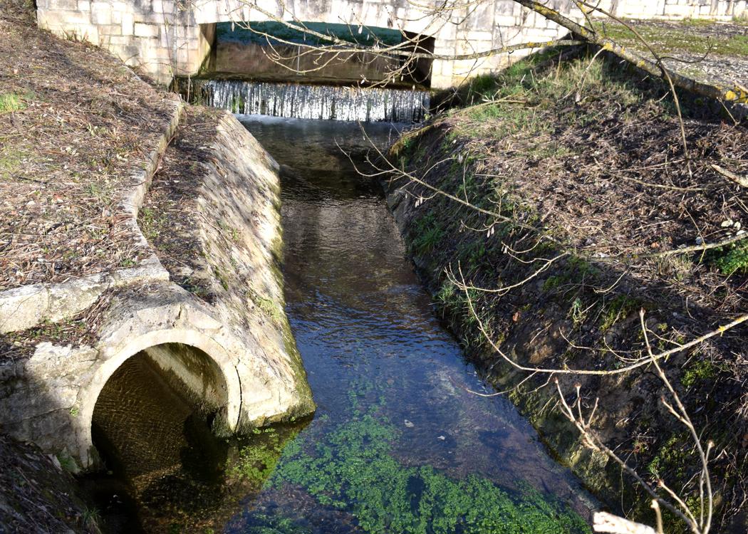
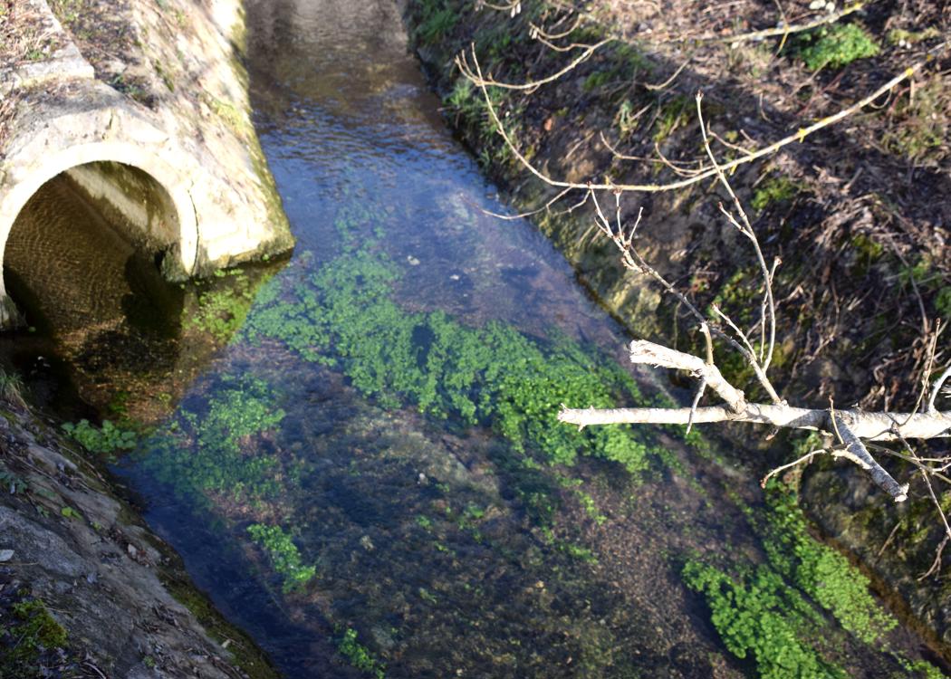
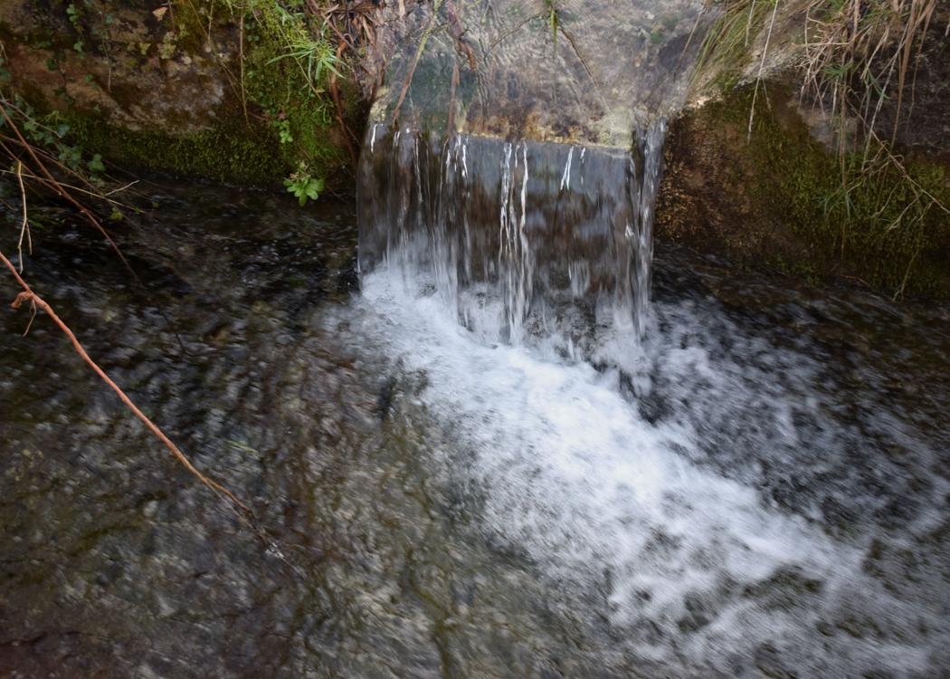
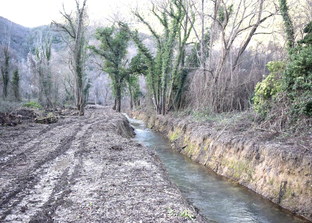
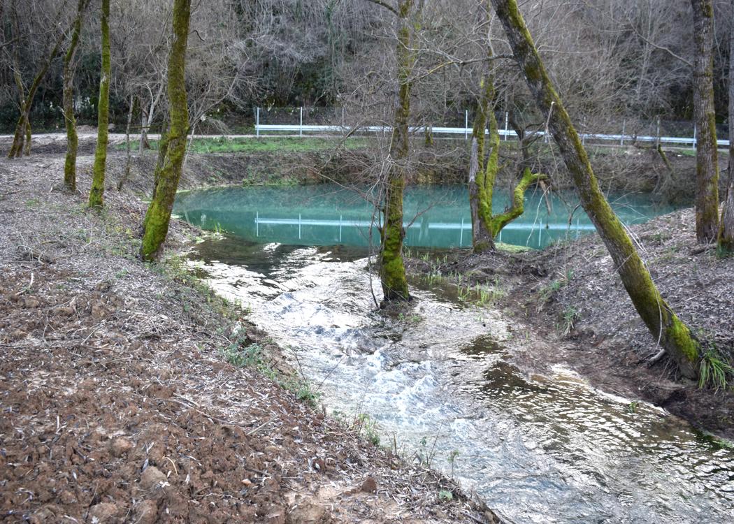
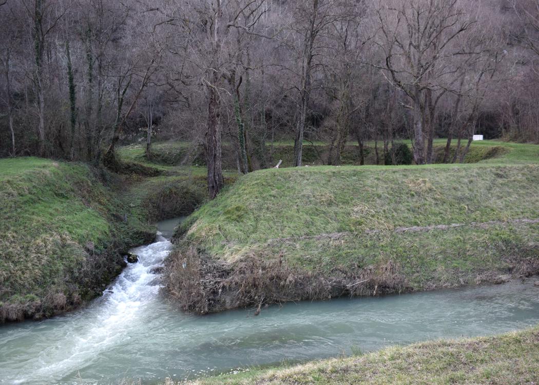
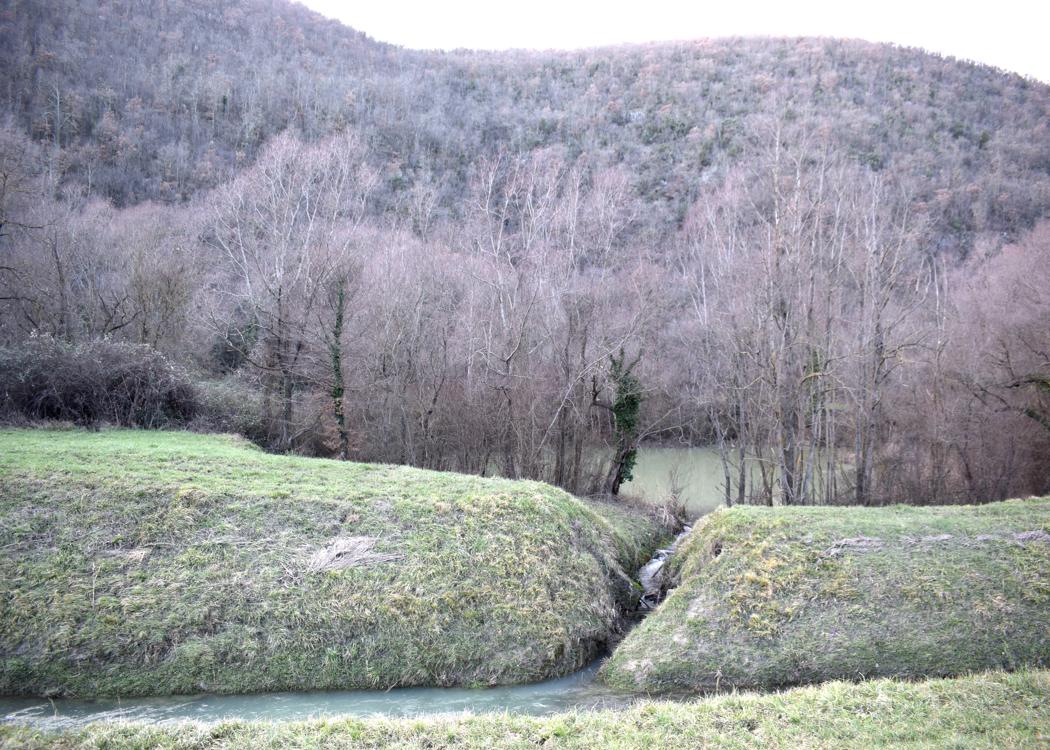
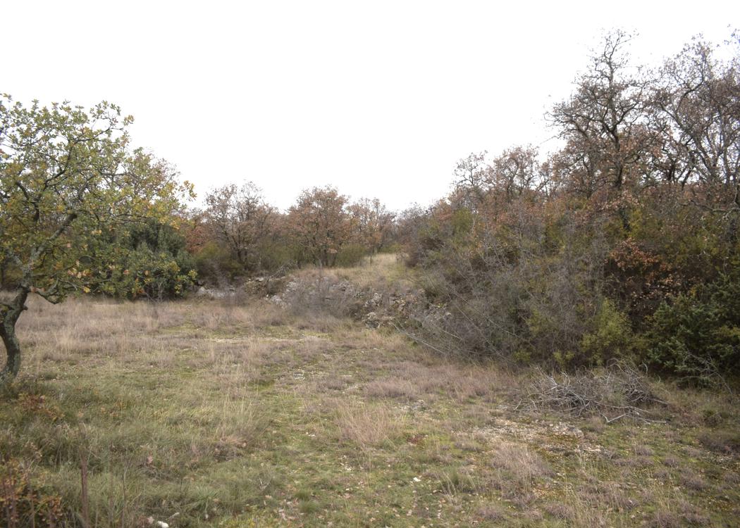
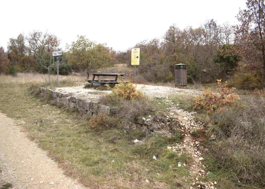
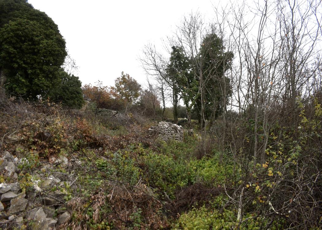
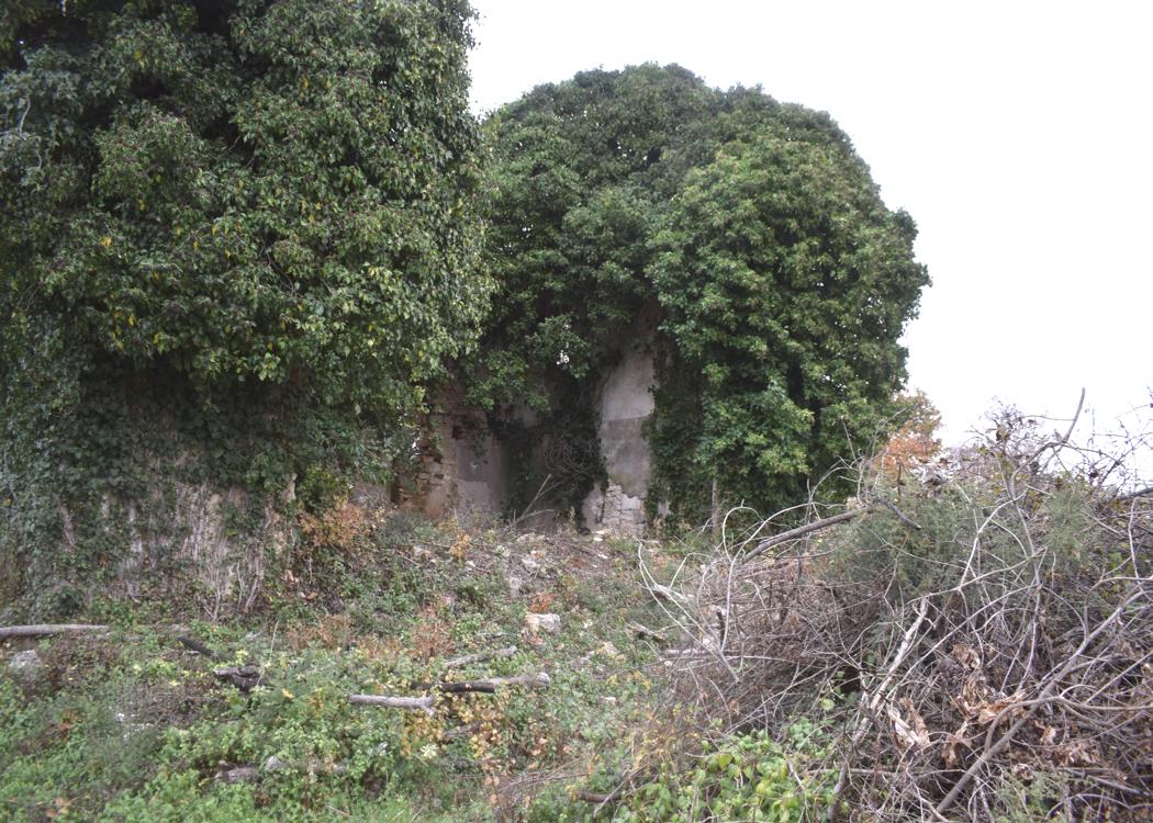
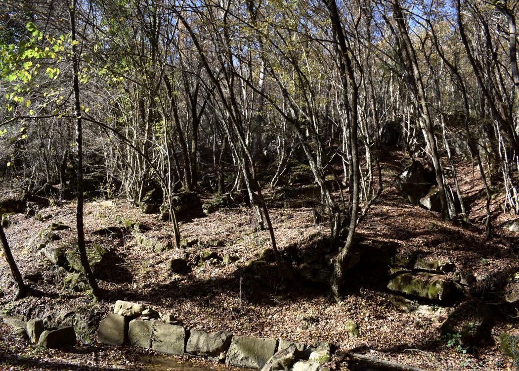
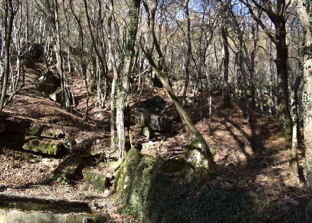
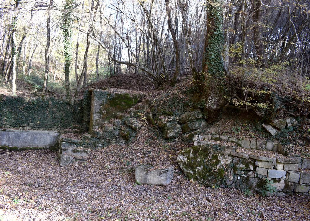
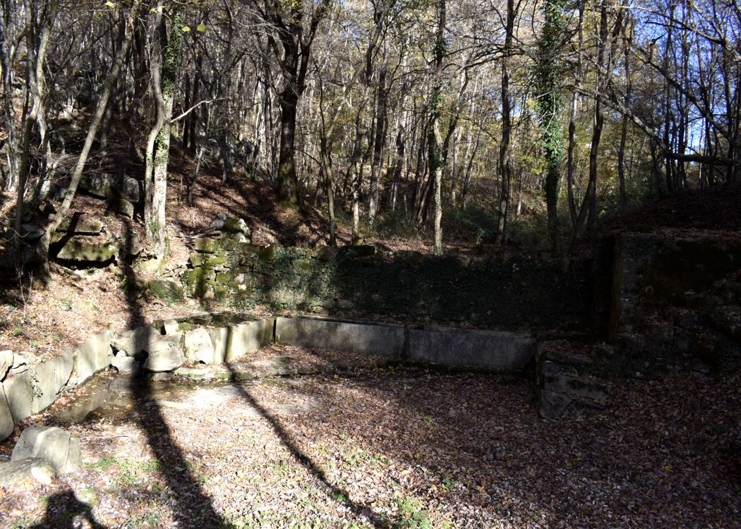
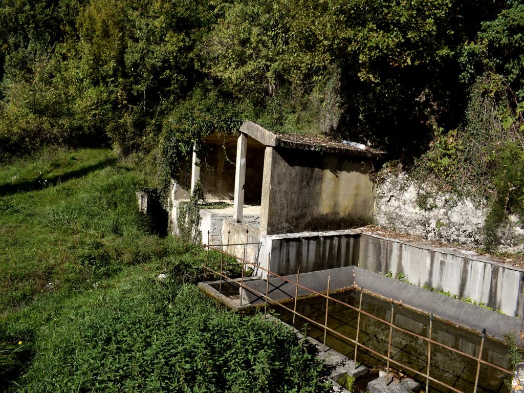
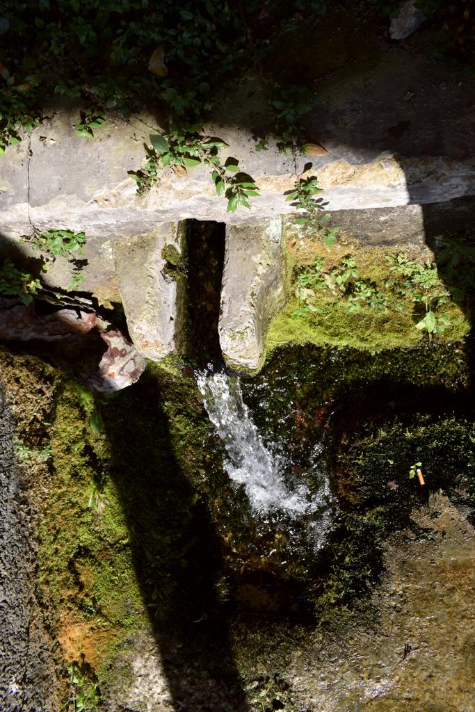
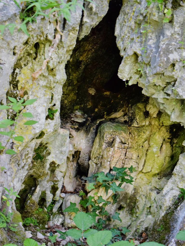
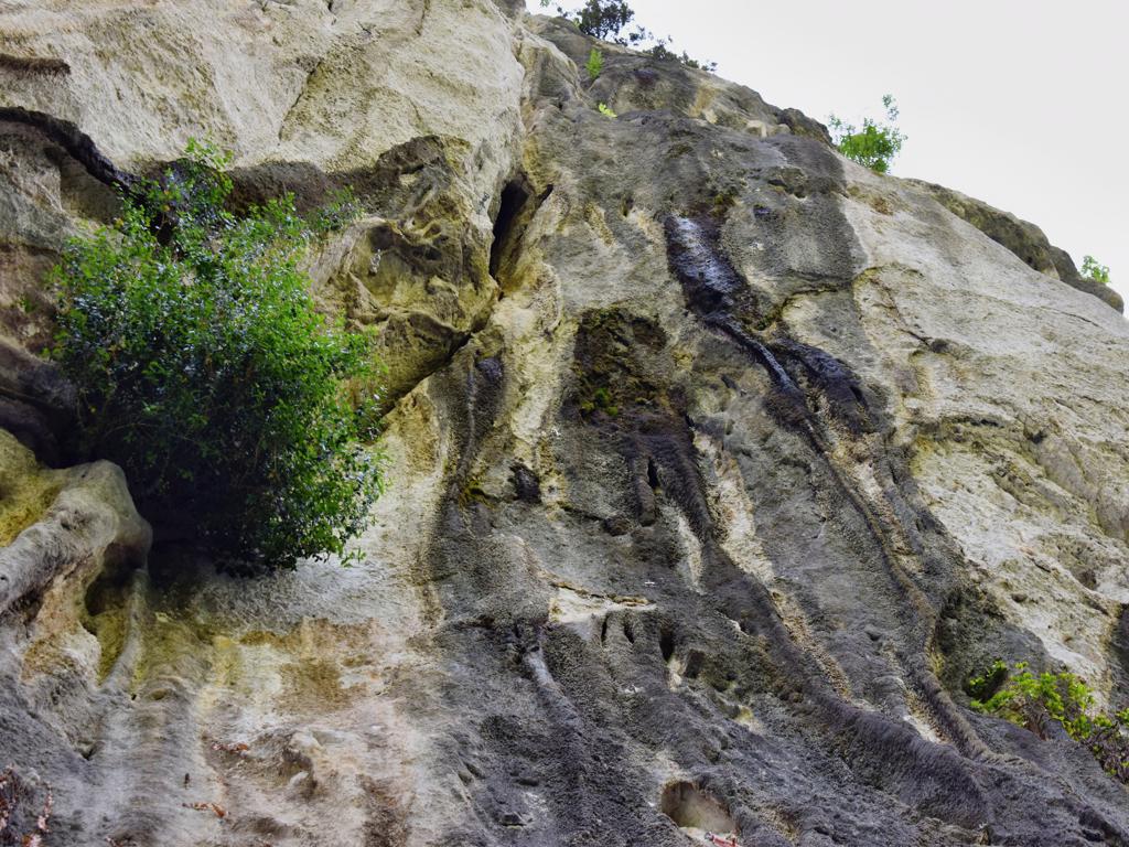
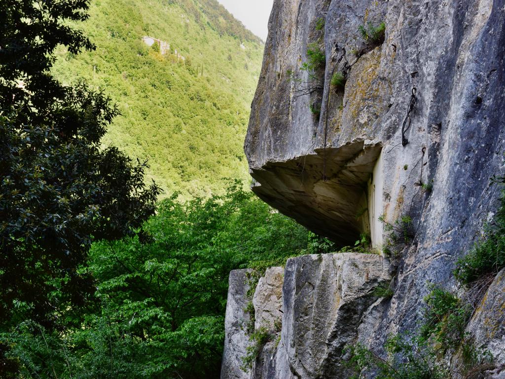
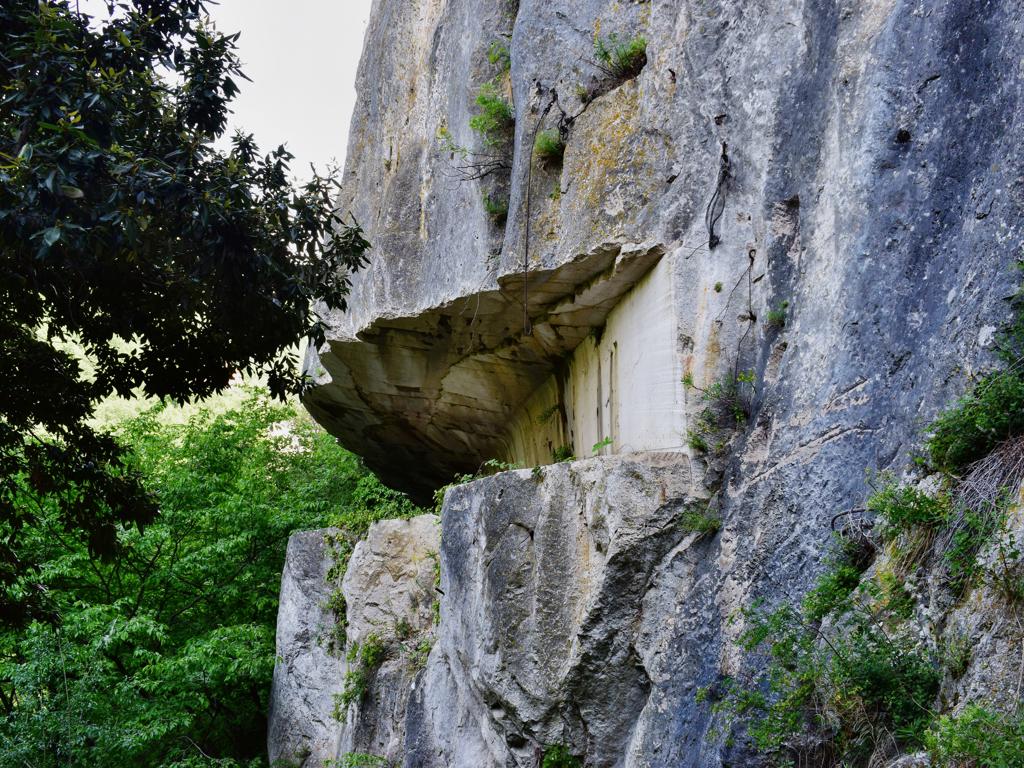
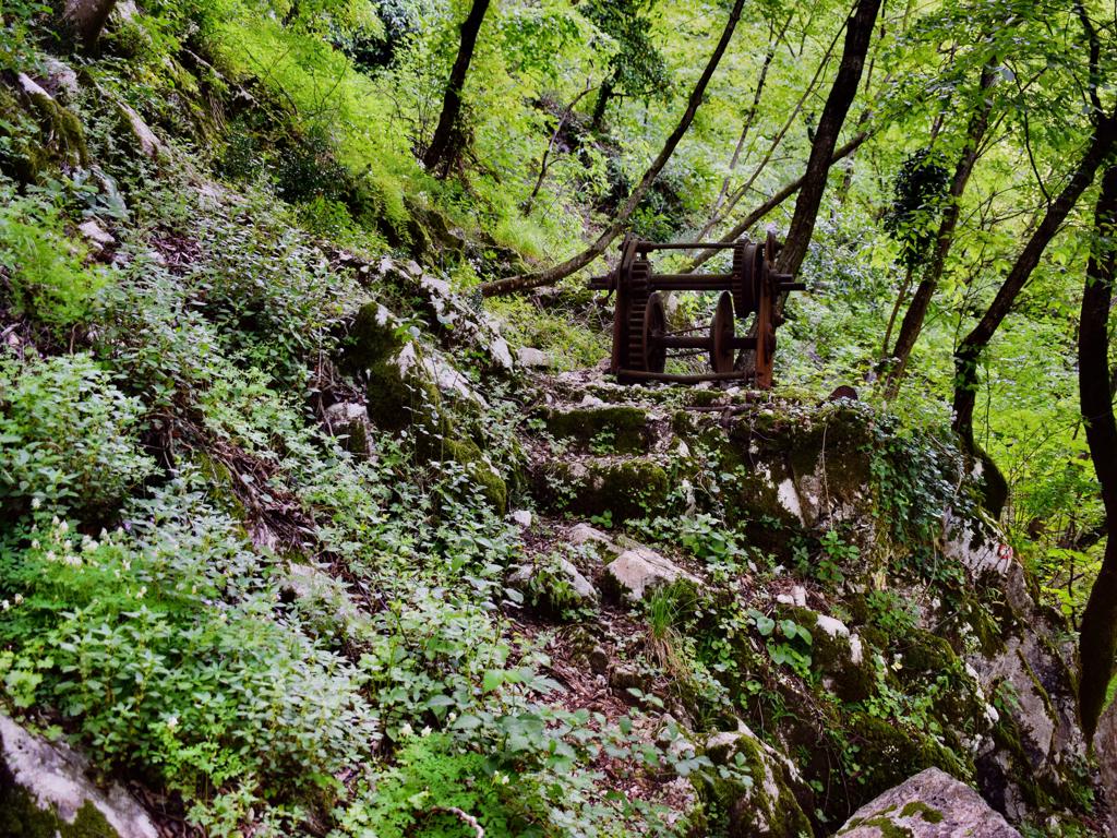
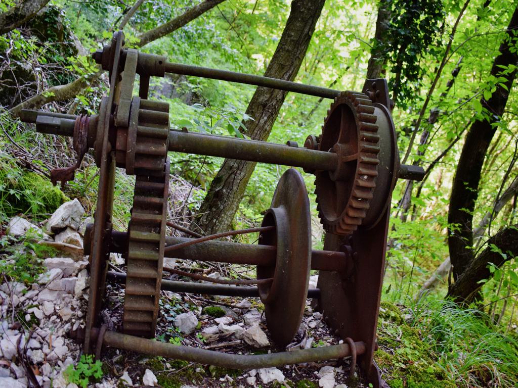
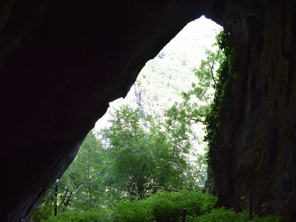
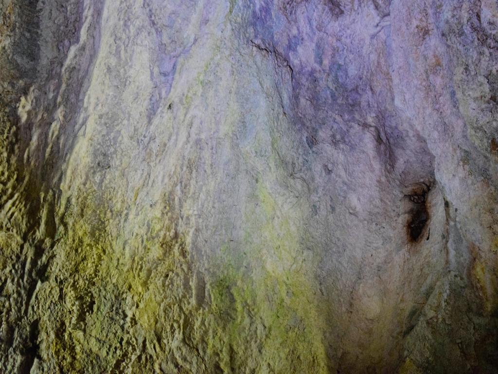
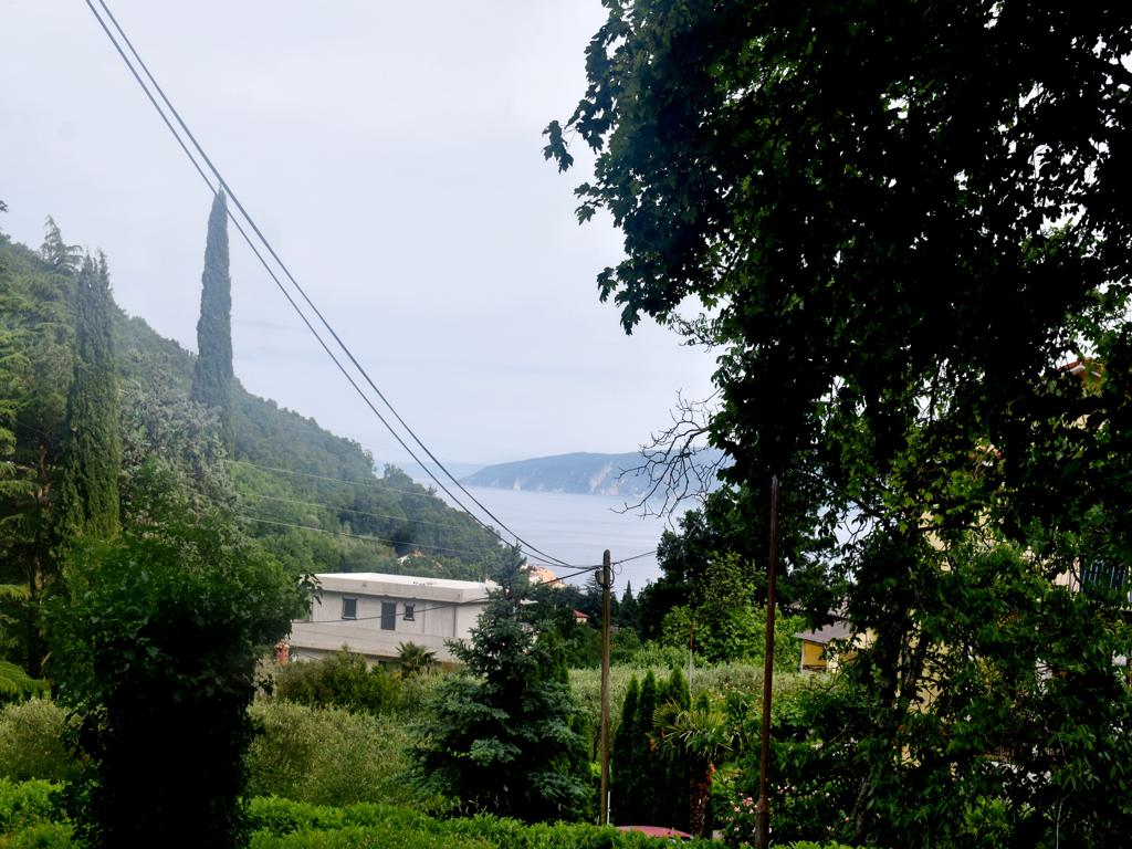
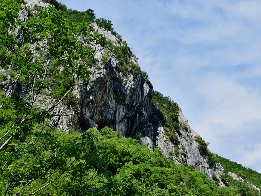
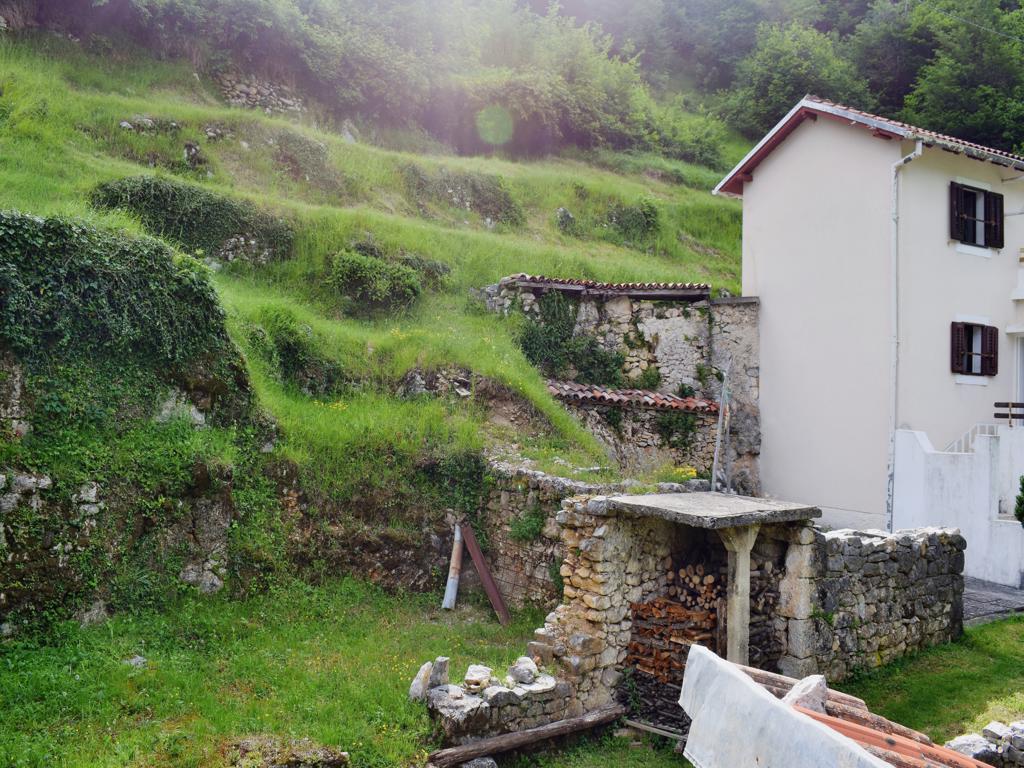
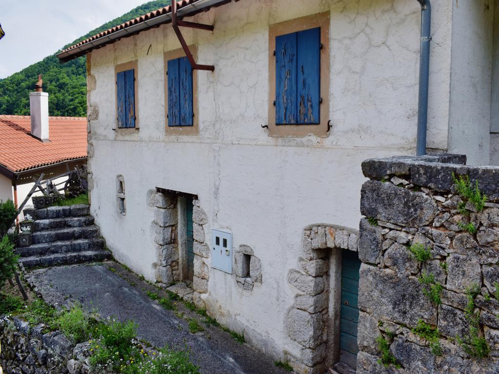
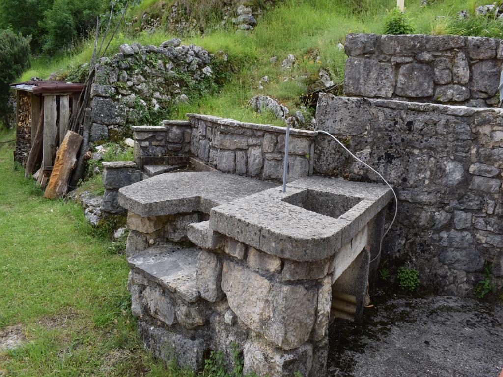
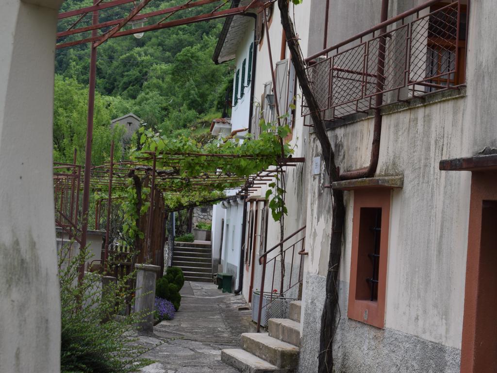
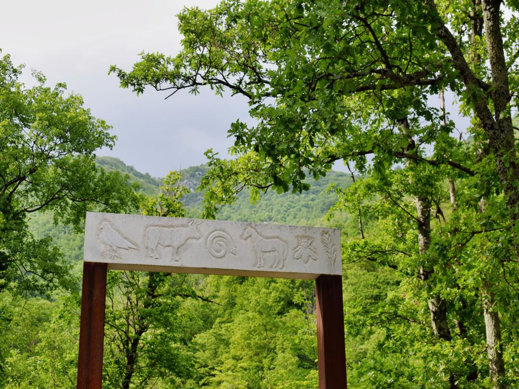
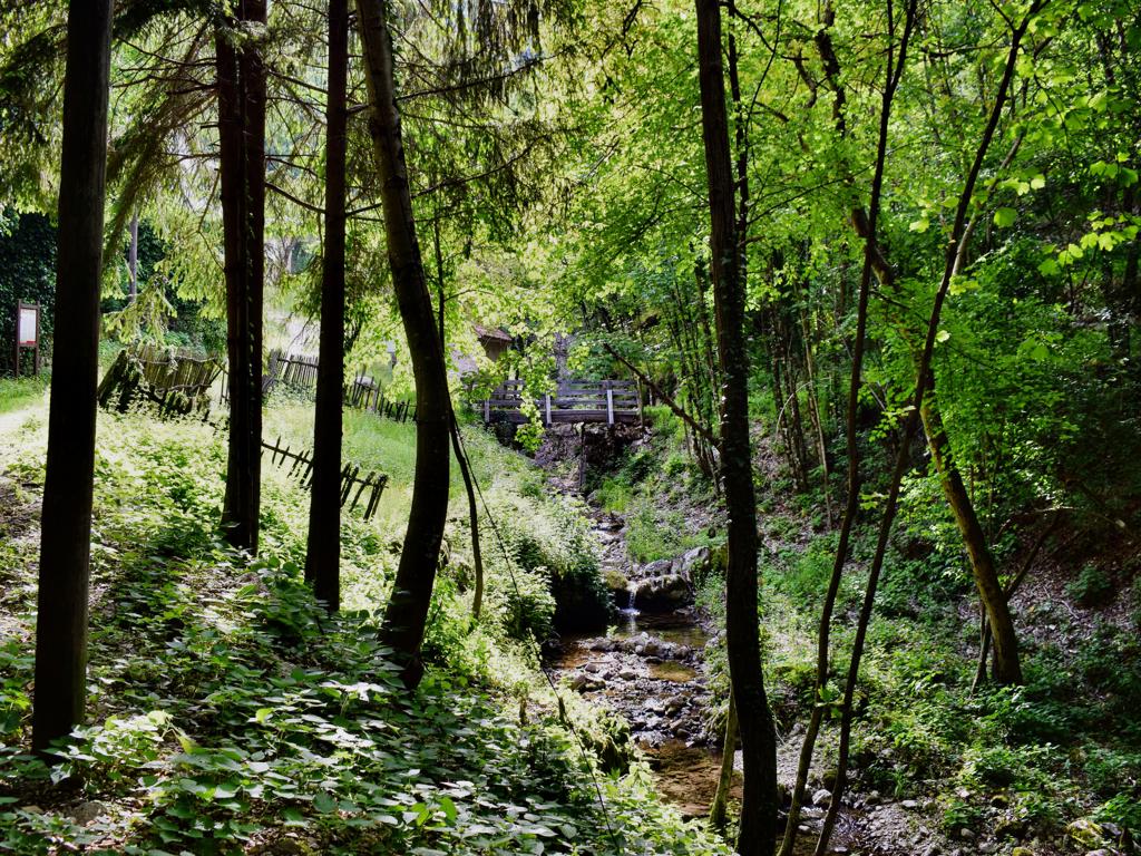
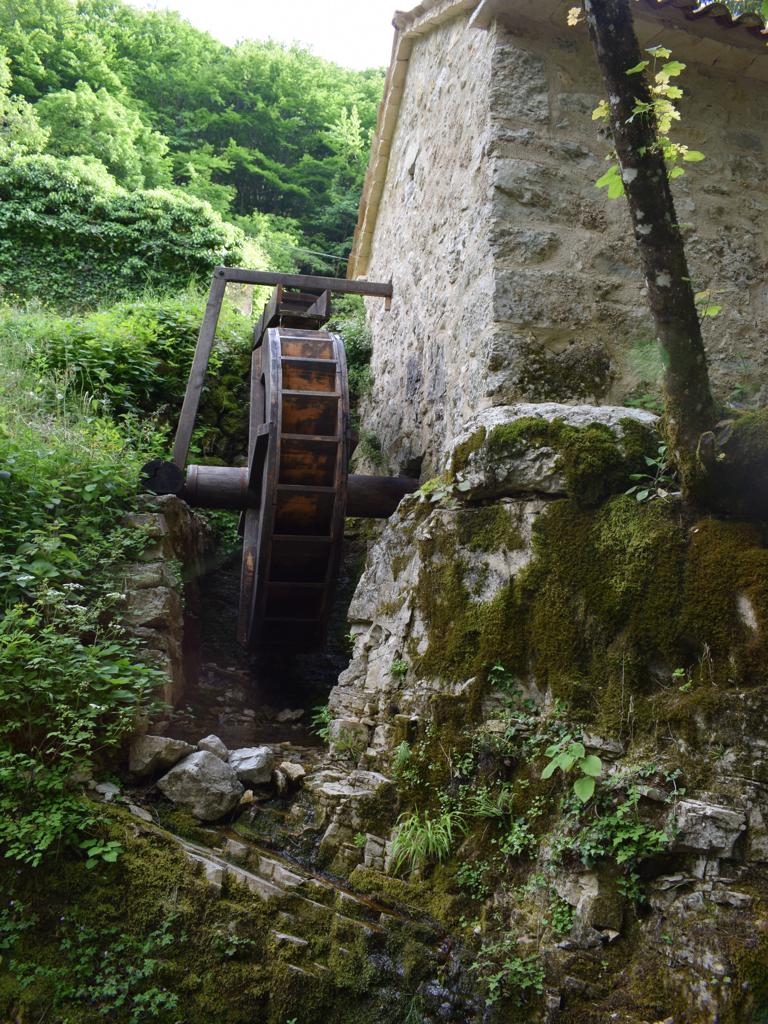
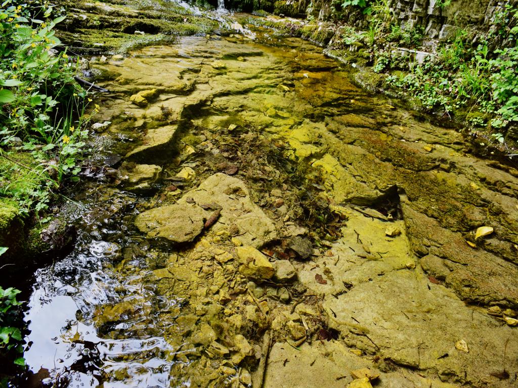
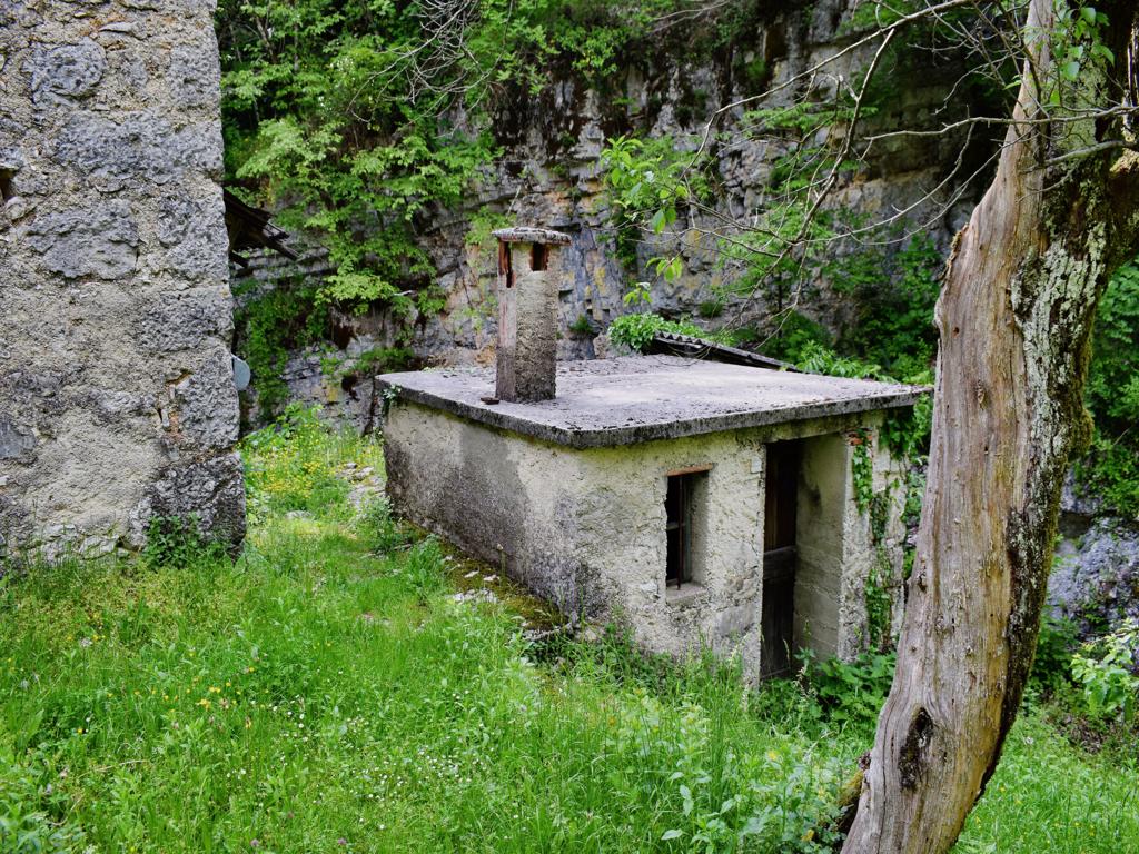
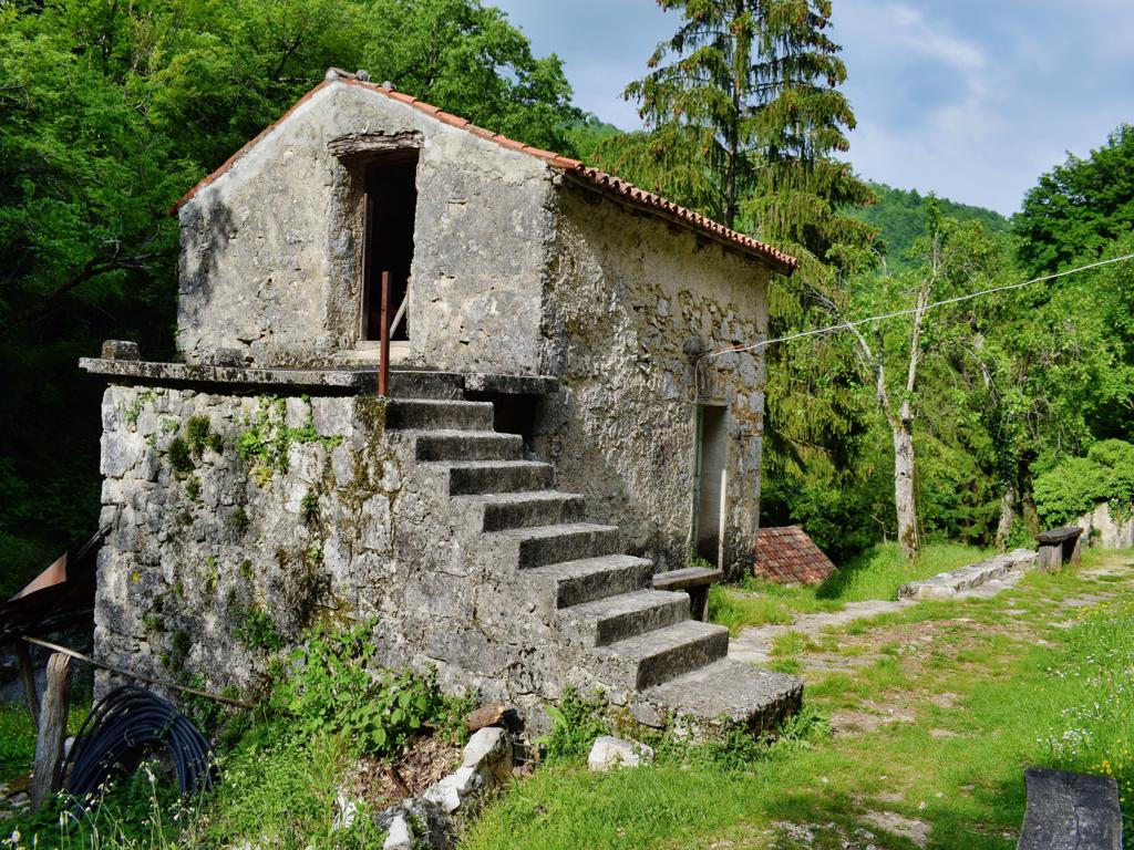
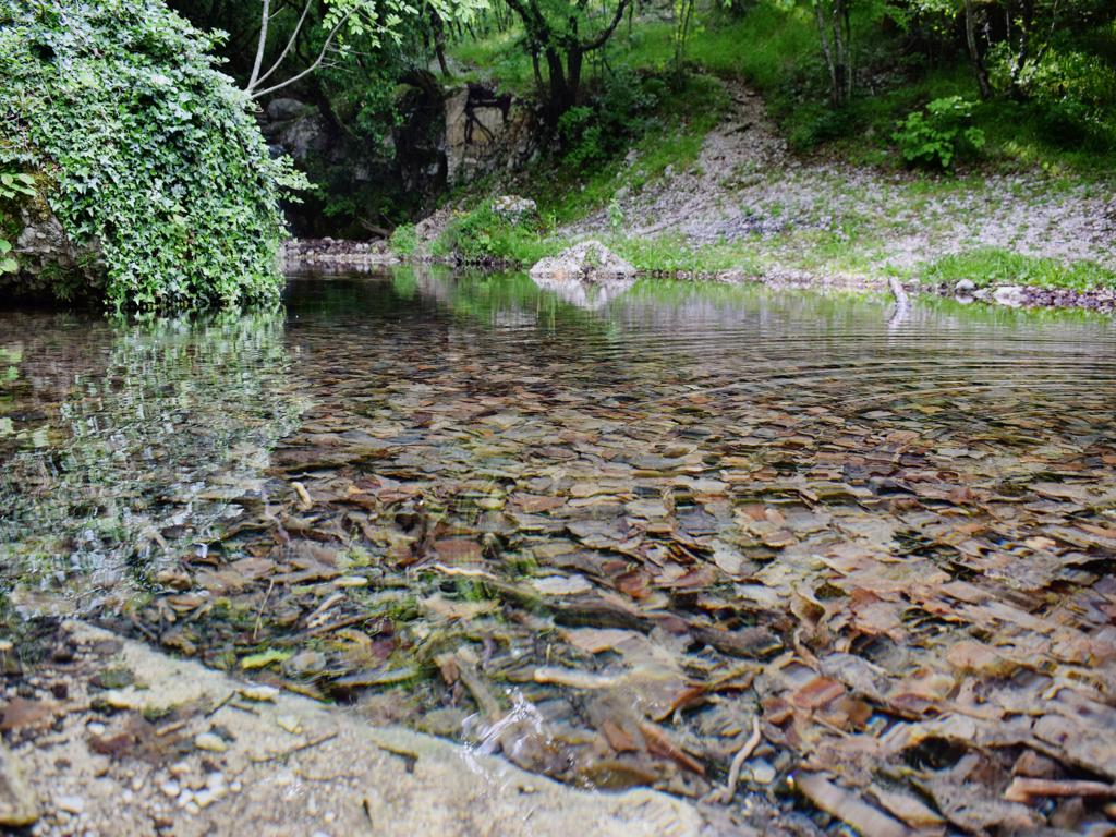
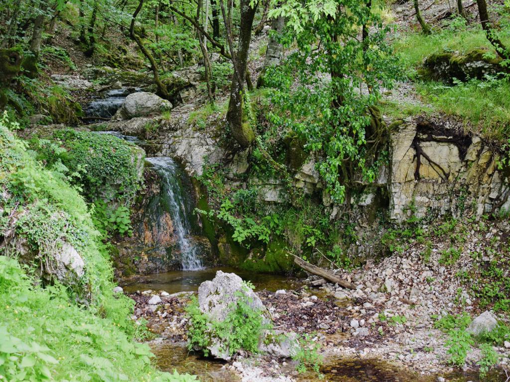
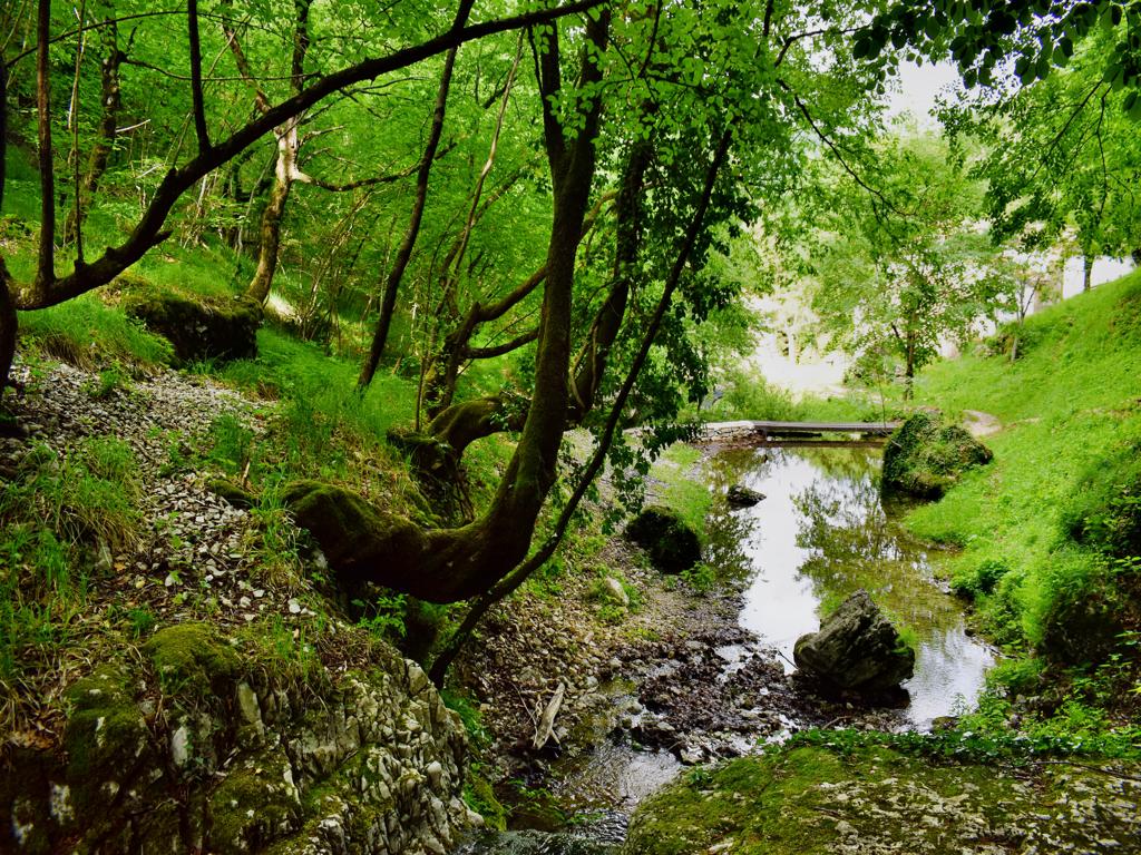
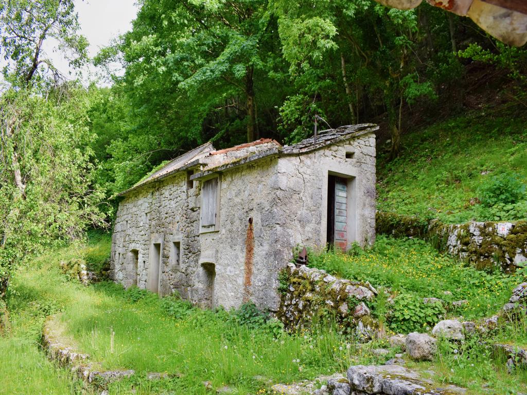
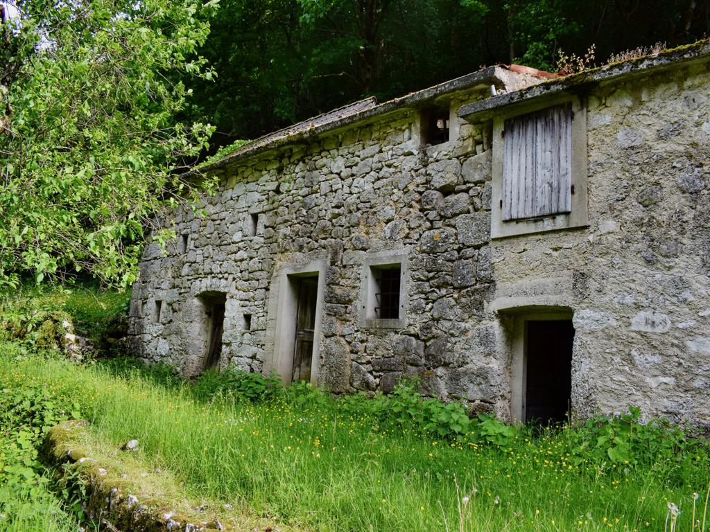
Name: Trail Parenzana from Oprtalj to the split Livade, and from there to the watermill Blaškici.
Place: Blaškici – Oprtalj.
Coordinates: Oprtalj 45.38347 N – 13.82185 E, split Livade 45.37033 N – 13.80742 E, Blaškici 45.36951 N – 13.80487 E.

Name: Trail Parenzana from Oprtalj to the split Livade, and from there to the watermill Blaškici.
Place: Blaškici – Oprtalj.
Coordinates: Oprtalj 45.38347 N – 13.82185 E, split Livade 45.37033 N – 13.80742 E, Blaškici 45.36951 N – 13.80487 E.

Name: Trail along the stream Senica to the hamlet Senica.
Place: Valari – Senica – (Buzet).
Coordinates: start 45.35260 N – 13.90201 E, hamlet Senica 45.35986 N – 13.92681 E.
The churches in Zamask are the St. Martin and the St. Mihovil.
The waterspring is named Murižinica.

Name: Road from the village Pekasi over Zamask to Motovun.
Place: Zamask – (Buzet, Motovun).
Coordinates: Pekasi 45.32557 N – 13.89936 E, Zamask 45.32624 N – 14.87876 E, Motovun 45.34539 N – 13.83095 E

Name: Source Rupica Eržišće.
Place: Eržišće – (Sveta Nedelja).
Coordinates: 45.15179 N – 14.12037.
From Žudigi down to the river Raša. The Šumberska puča has three sources.

Name: Hiking trail to Sumberska puča near the river Raša.
Place: Žudigi – (Pićan),
Coordinates: Start Žudigi 45. 17828 N – 14.05915 E (192 meters),
River Rasa 45.17735 N – 14.06617 E (21 meters), Šumberska puča 45. 17381 N – 14.06497 E.
,
These sources are used for the drinkwater production for the town Labin.

Name: The sources Rakonik, Grdak, Mutvika and Sveti Anton near the river Raša.
Places: Raša, Barban and Nedelja.
Coordinates: Rakonik 45.08698 N – 14.02054 E, Grdak 45.09244 N – 14.01866E, Mutvika 45.09606 N – 14.02672 E, Sveti Anton 45.14121 N -14.02967 E.
Triban was one of the 33 villages/towns located on this 123 km long narrow gauge railway, which ran in 1902 from Trieste to Poreč. The station Triban consited of a shed for passengers and a loading and unloading area for agriculural products, wine, grapes and fruit. The railway was closed in 1935.

Name: Trail Parenzana from former railway station Buje to the village Triban.
Place: Buje – Triban (Buje).
Coordinates: Buje 45.41378 N – 13.66540 E, Triban 45.40342 N -13.68462 E.

Name: Watersource Gradin.
Place: Brezovica – (Koper). 418
Coordinates: 45.44995 N – 13.13.85014 E, 418 meters,

Name: Waterspring and tree with turkey tails (trametes versicolor).
Place: Črnica – (Buzet).
Coordinates: 45.44394 N – 13.93468 E.

Name: Pekasi -Zamaski Dol.
Place: Pekasi – (Motovu).
Coordinates: 45.32454 N -13.90001 E.