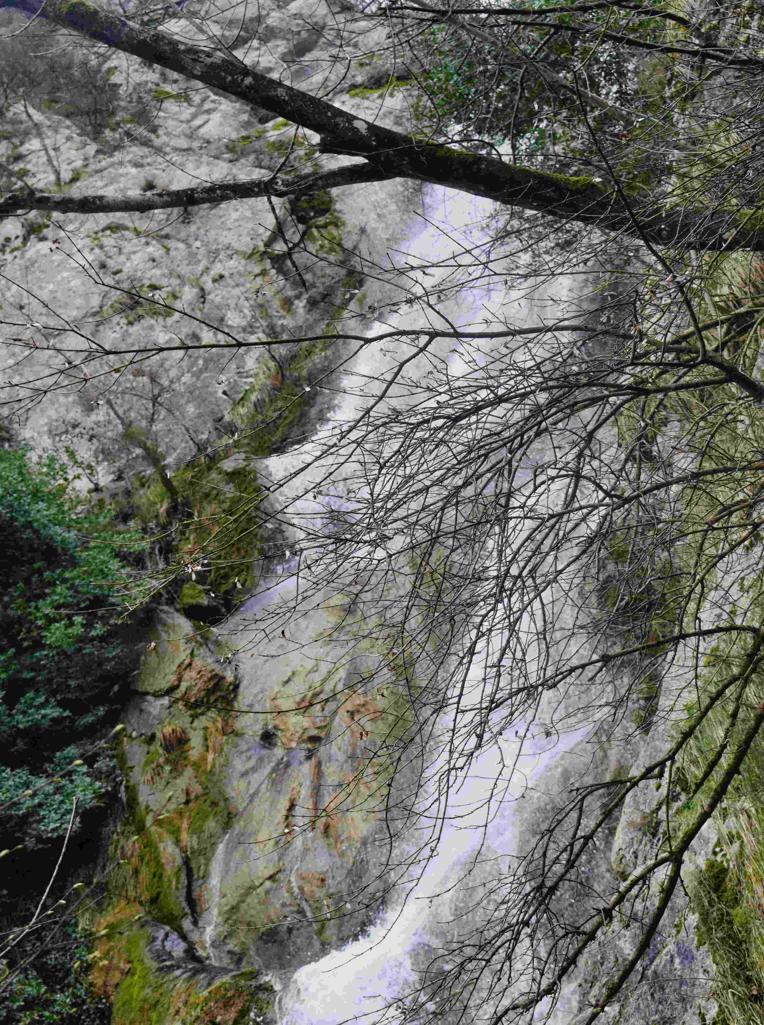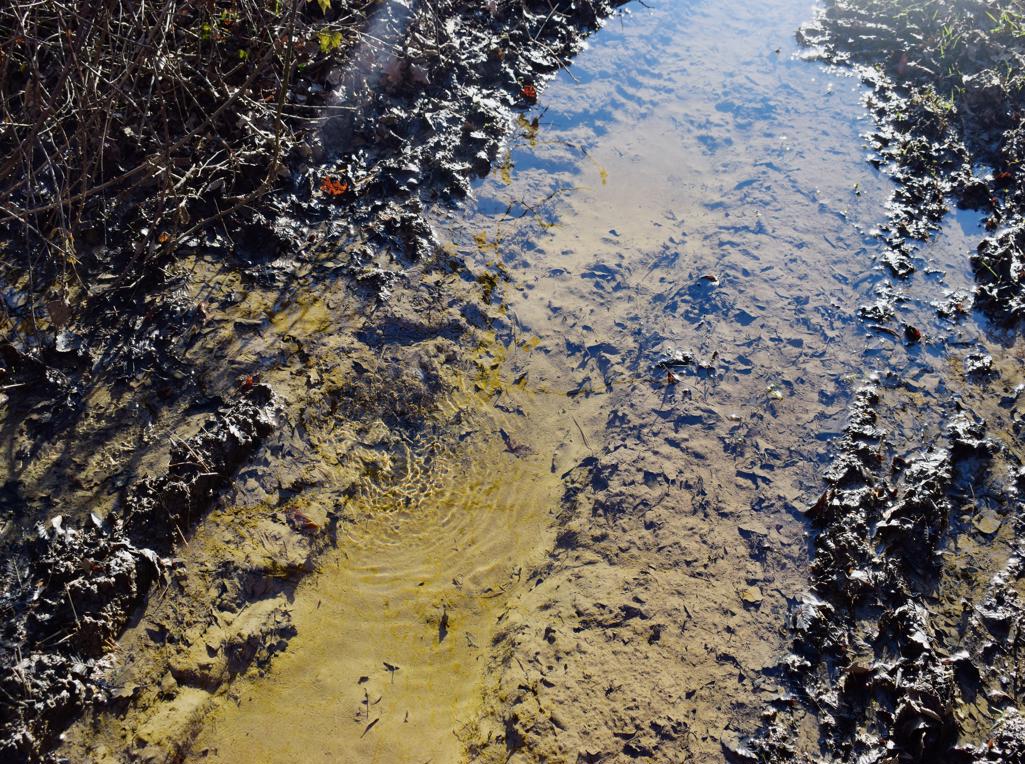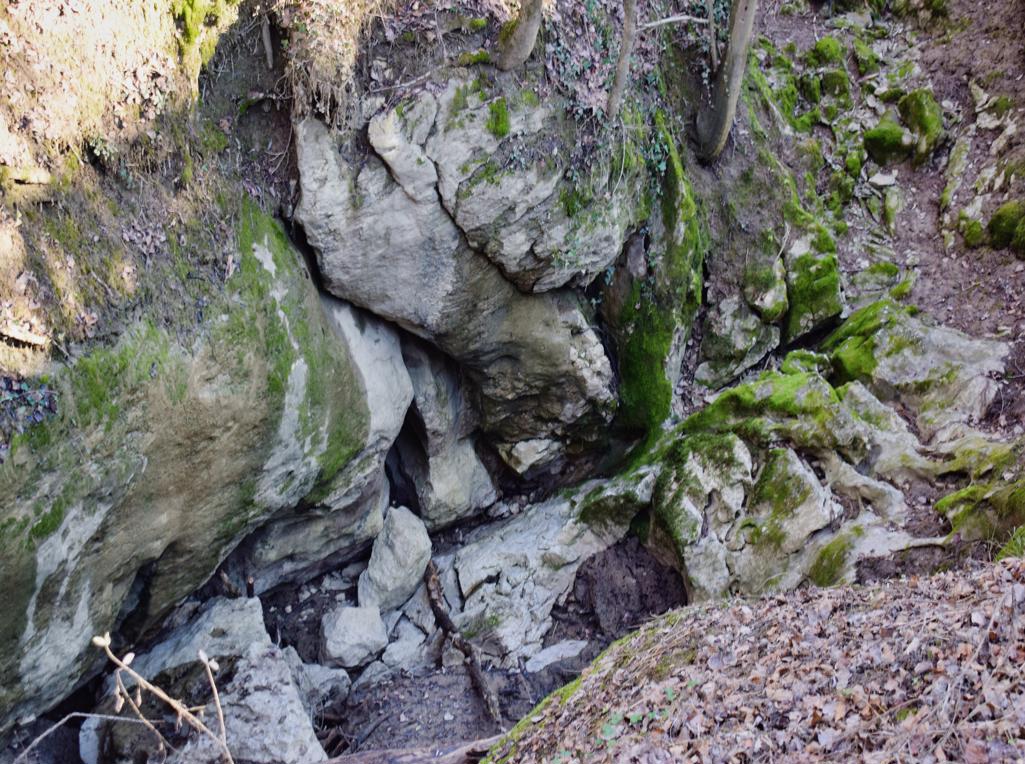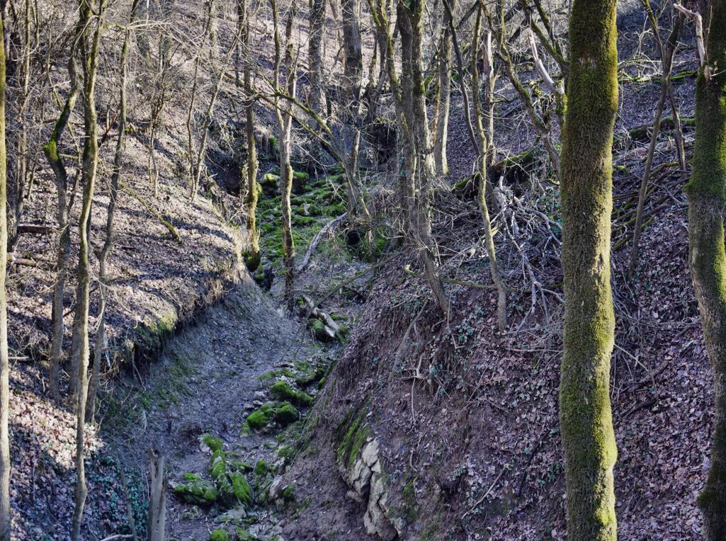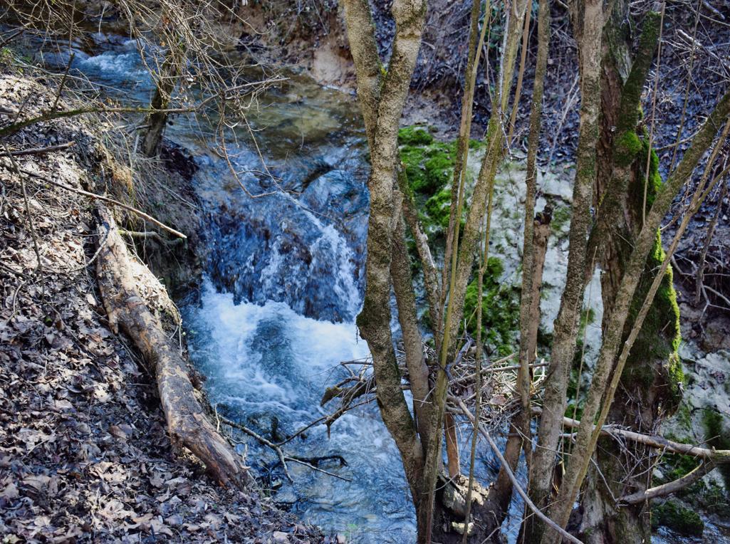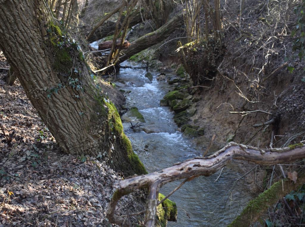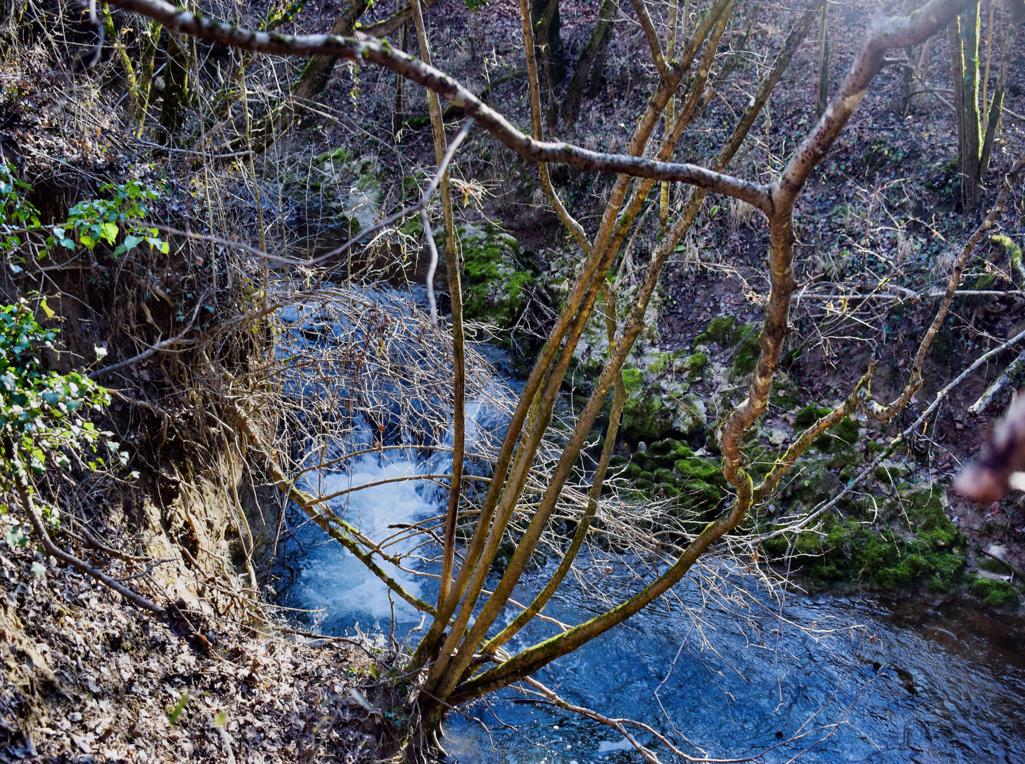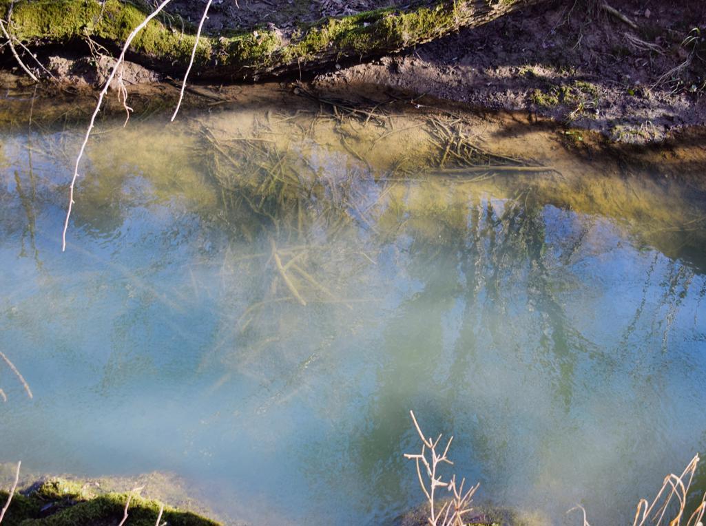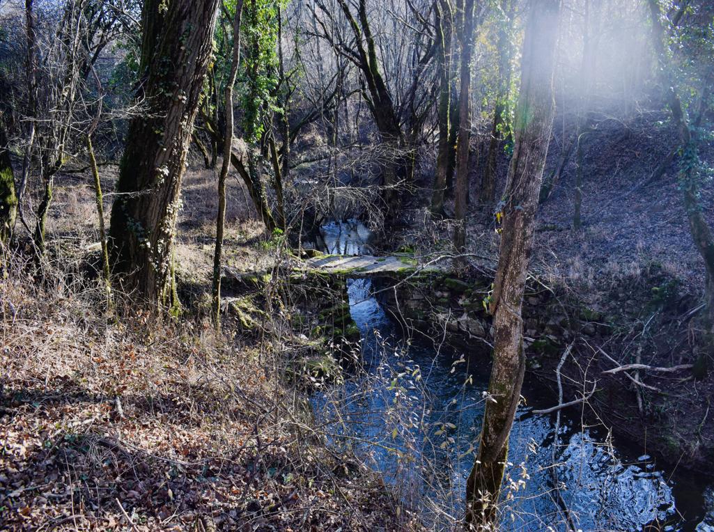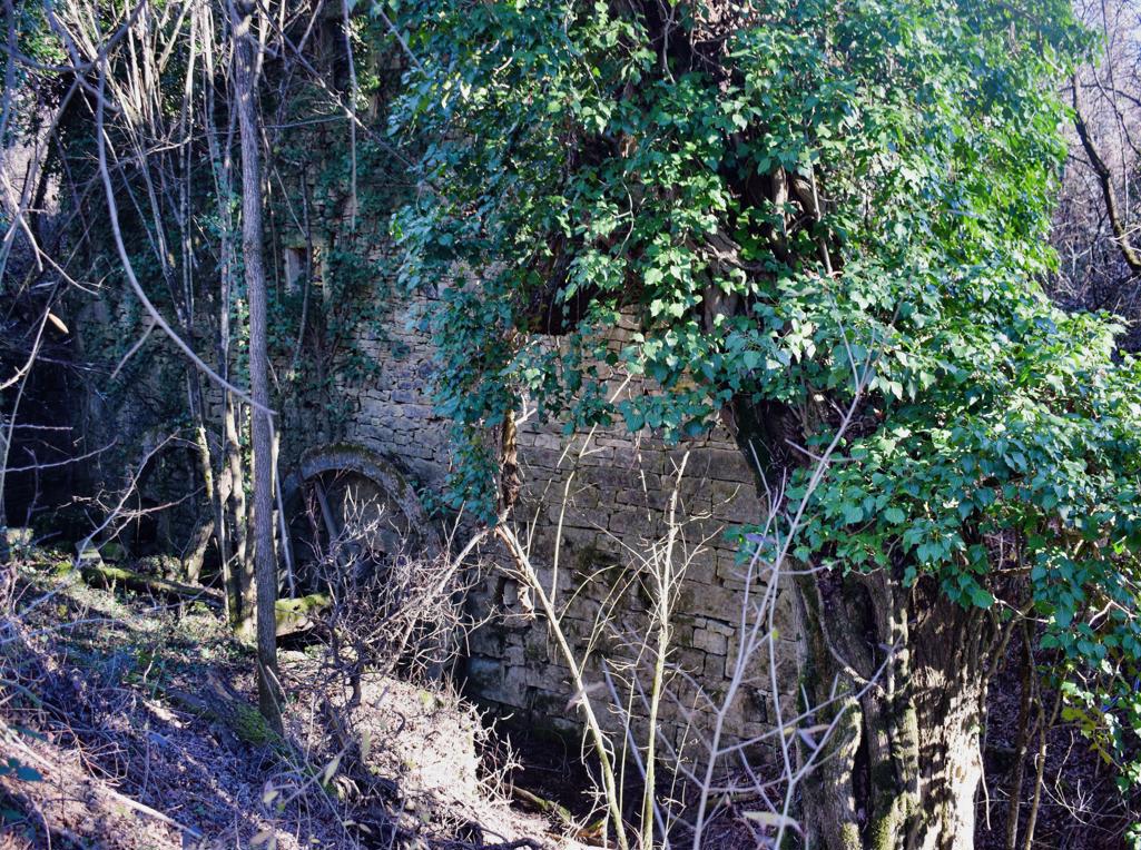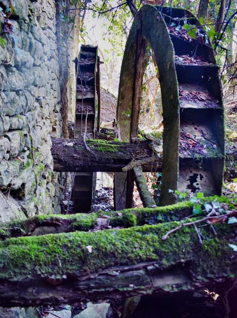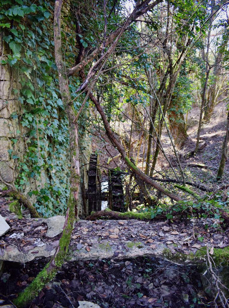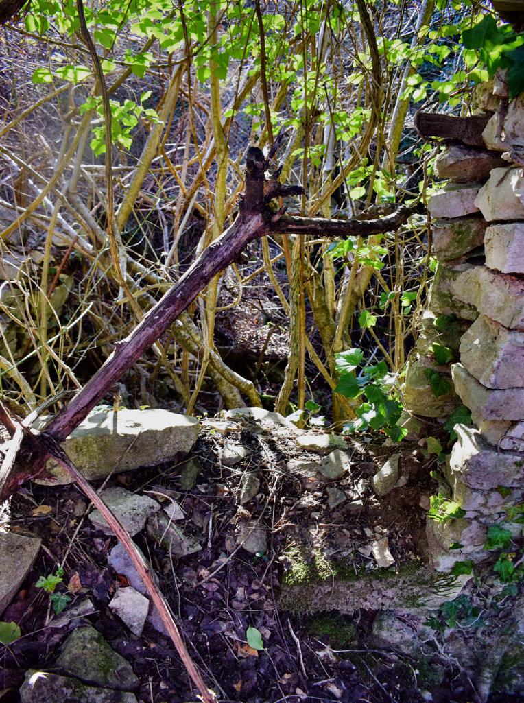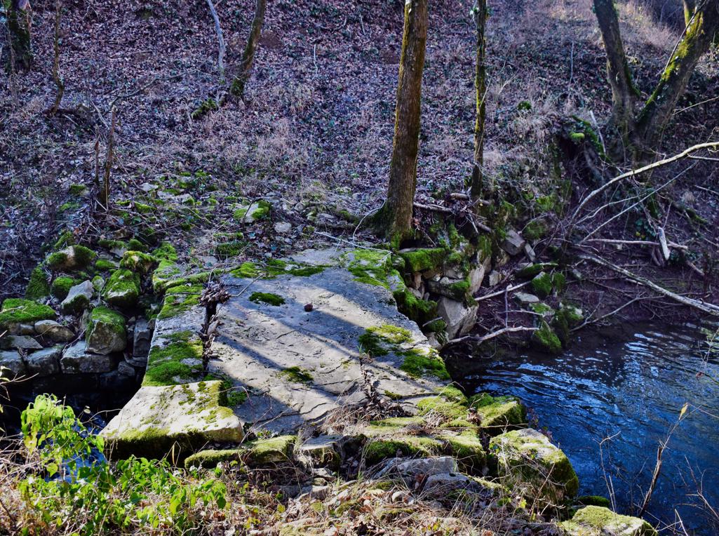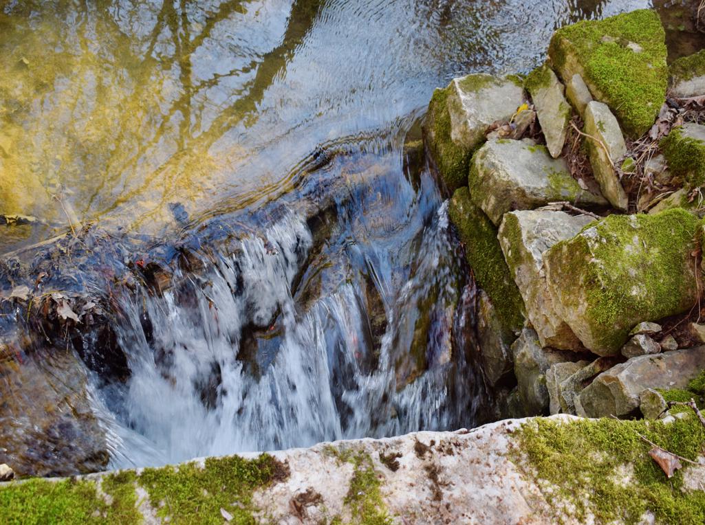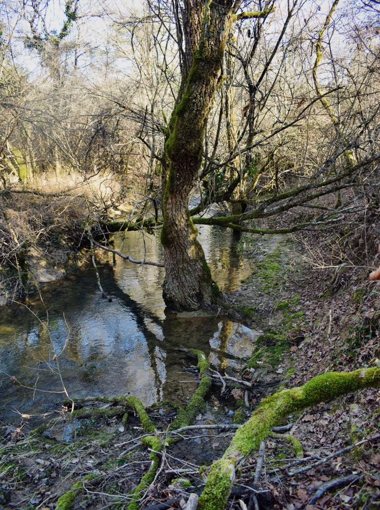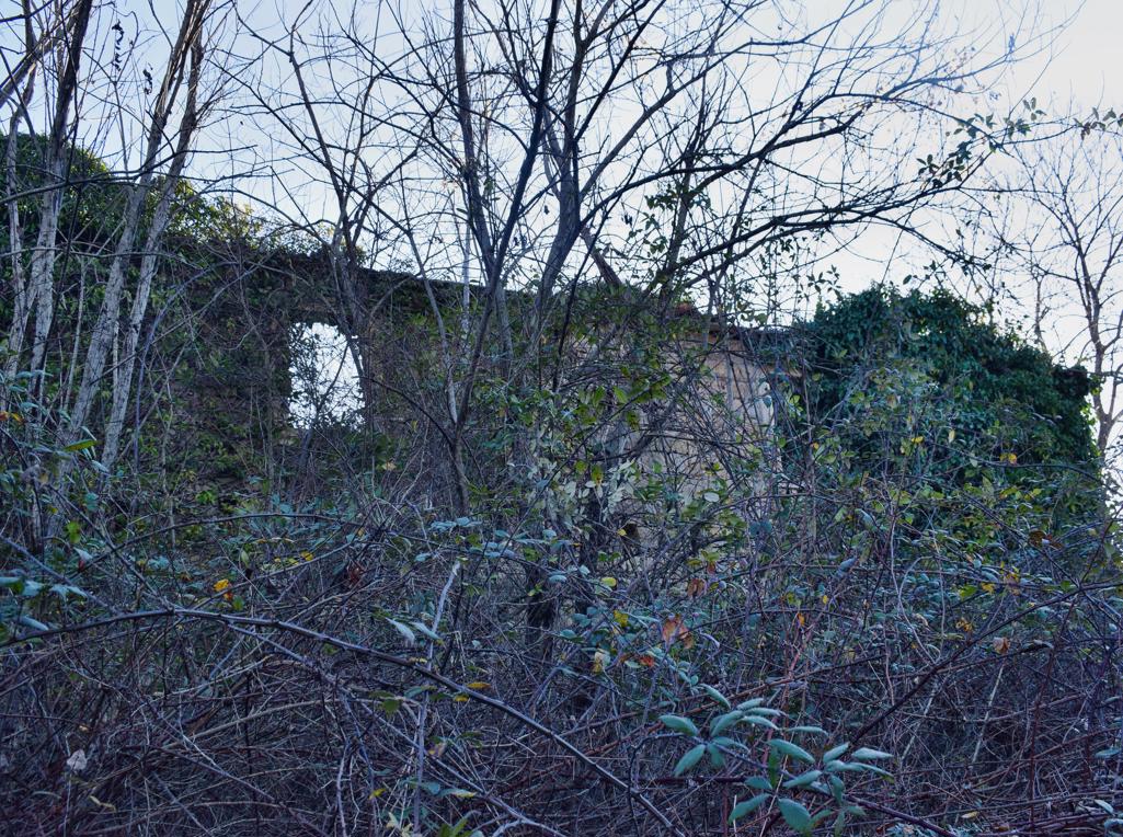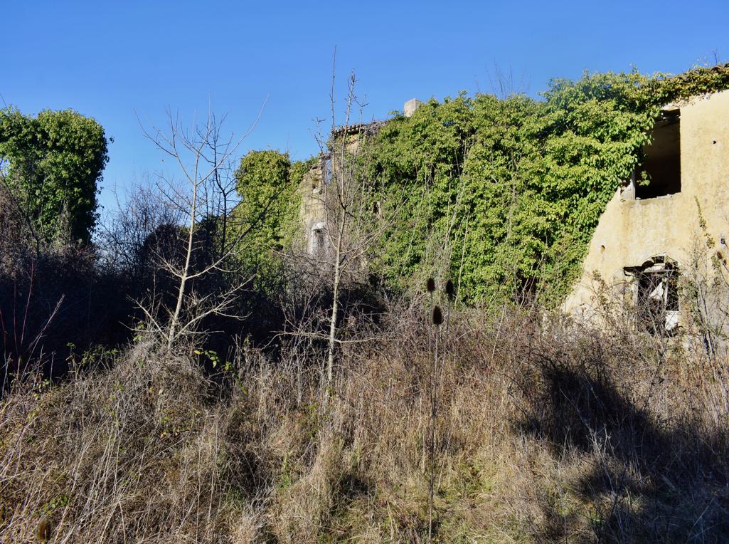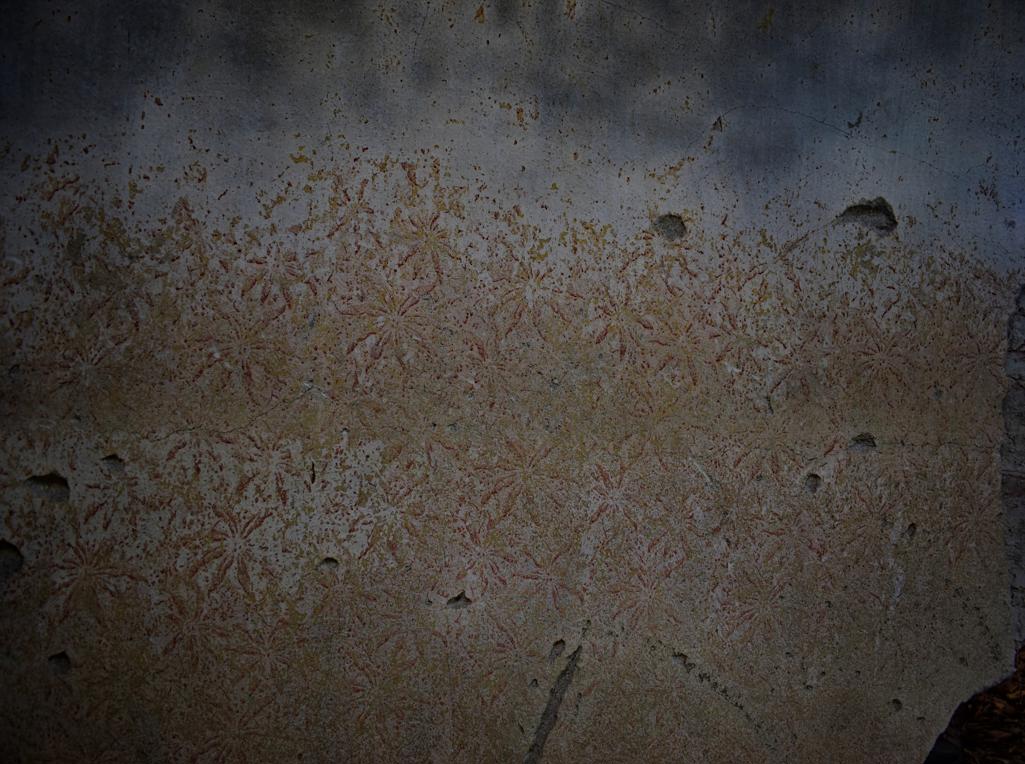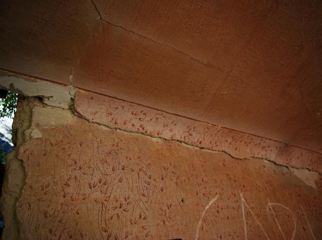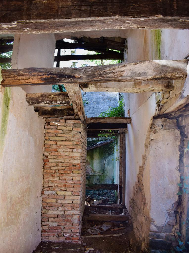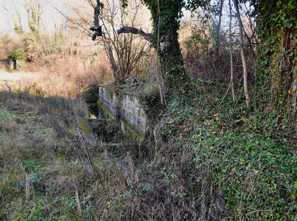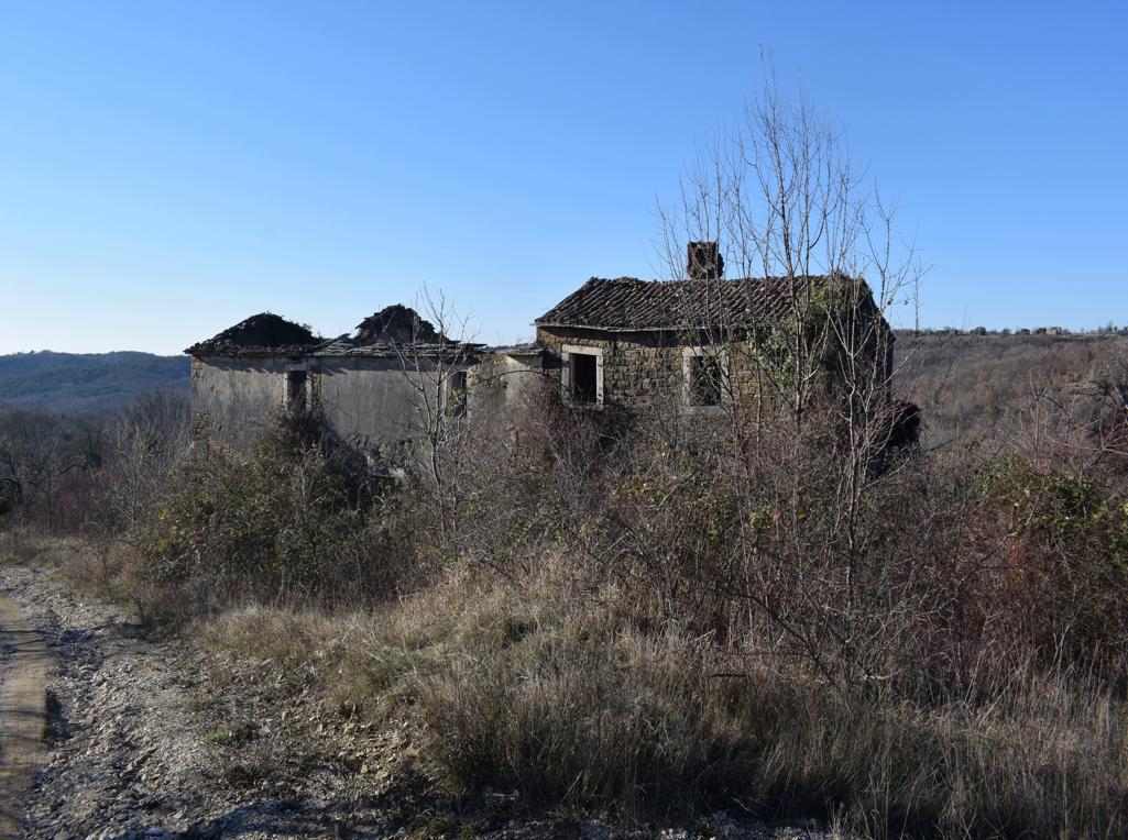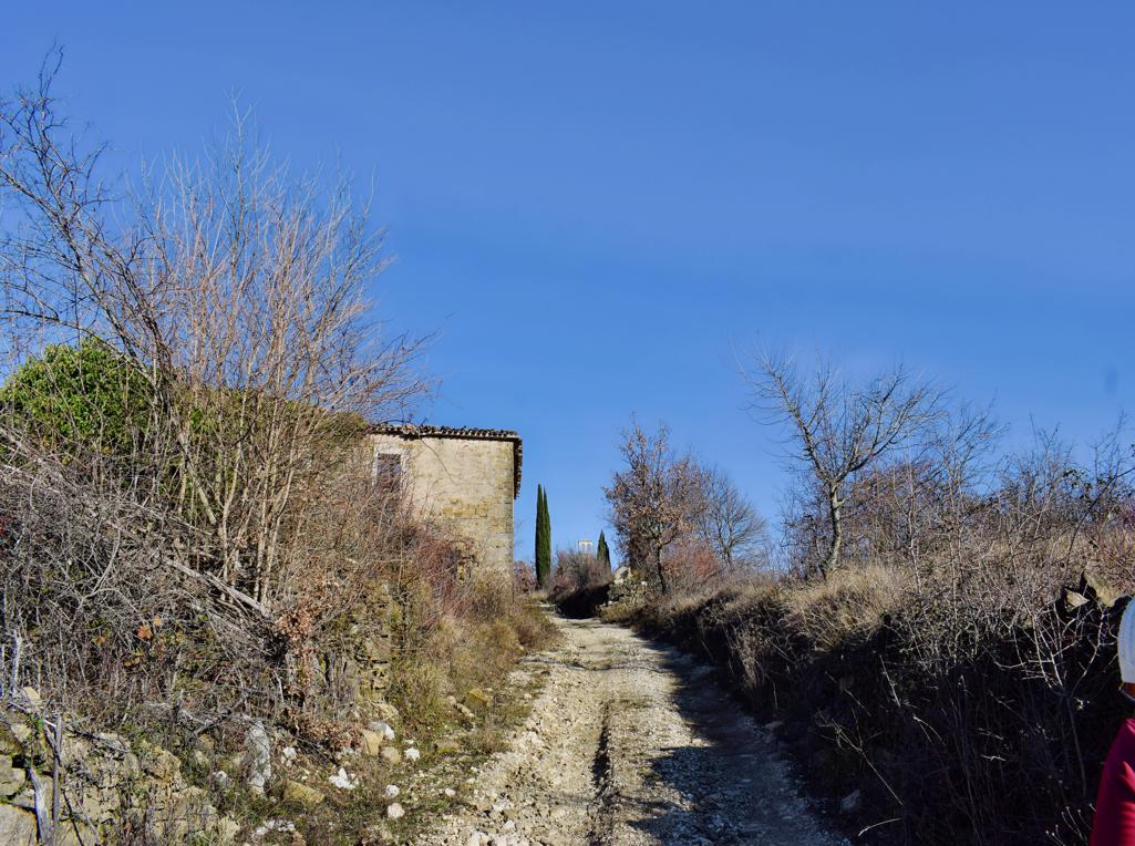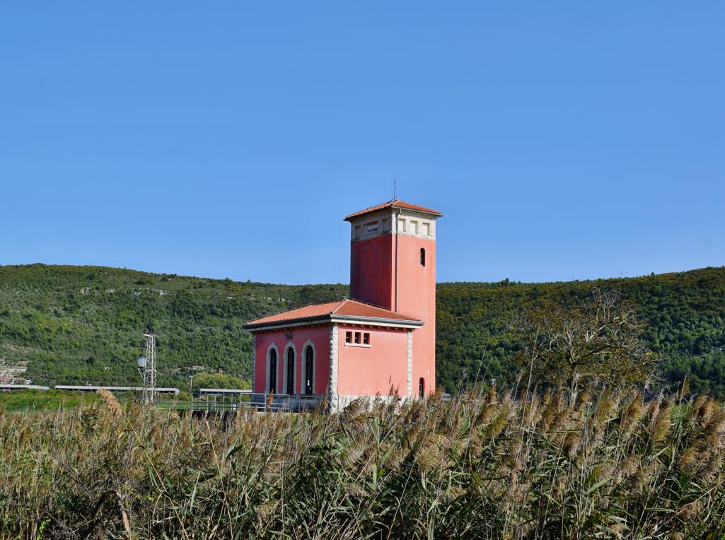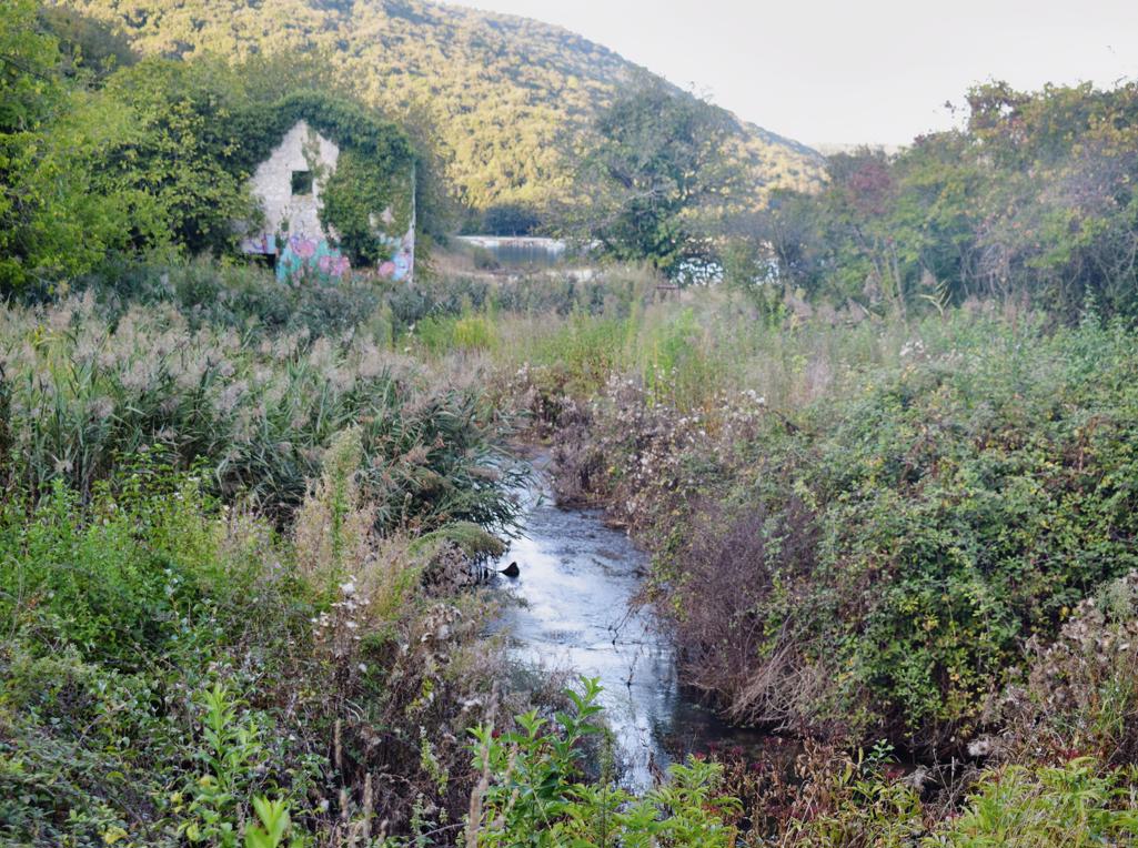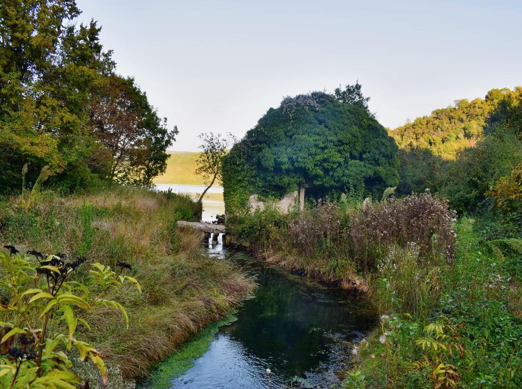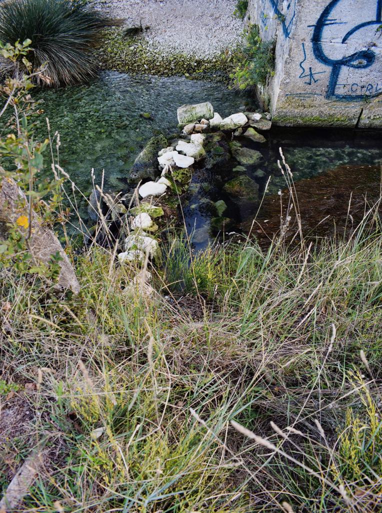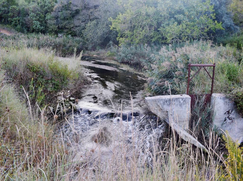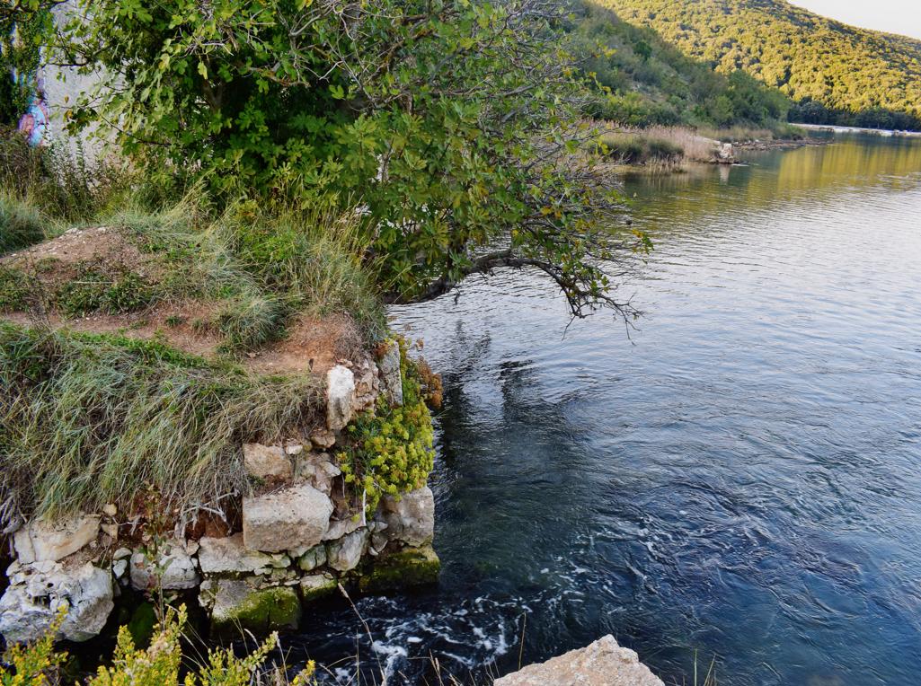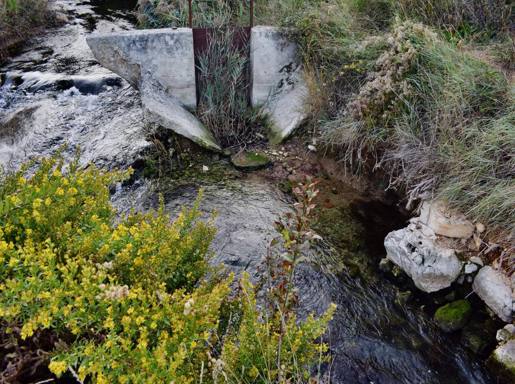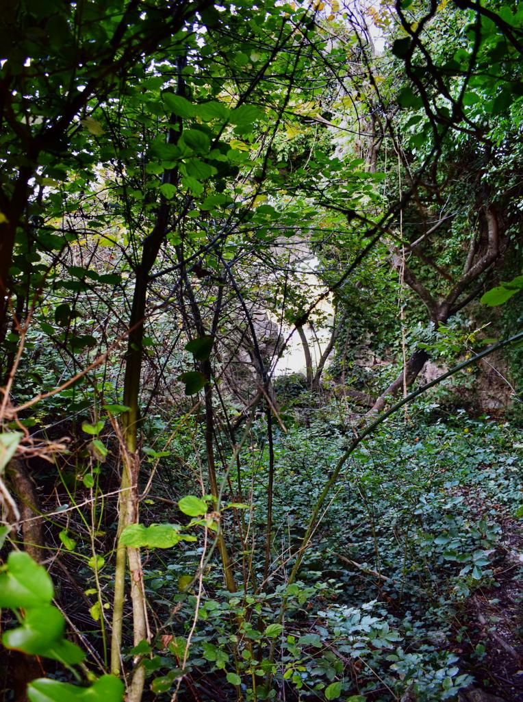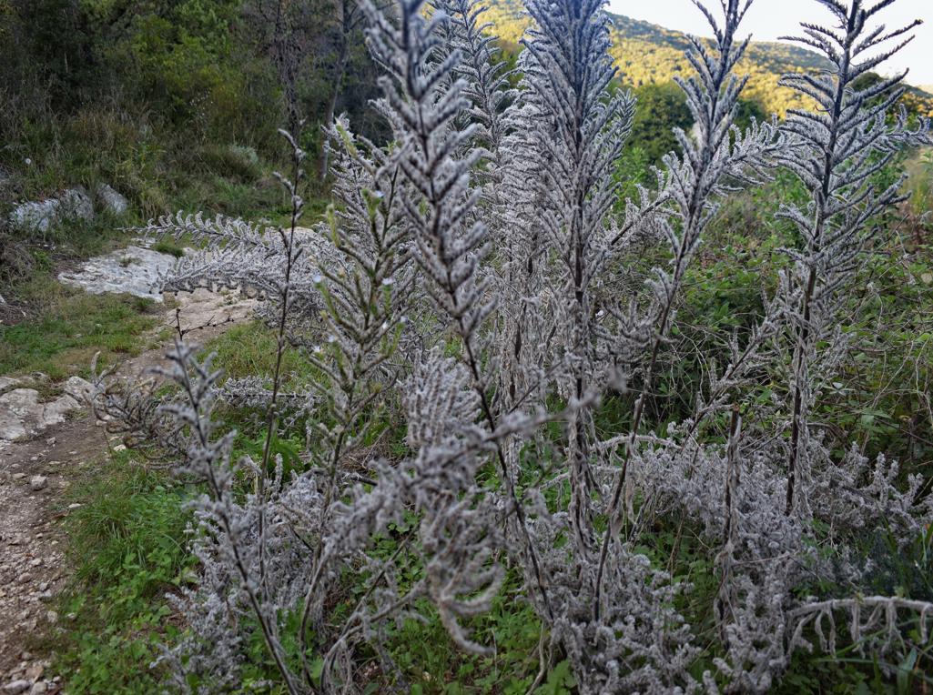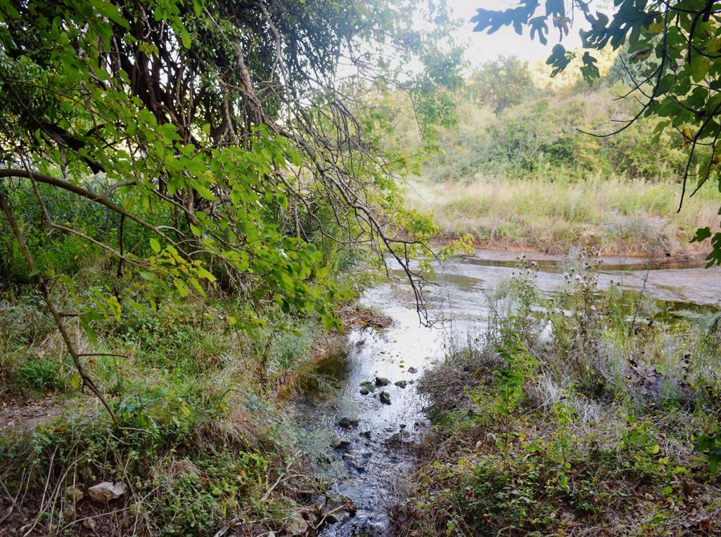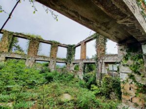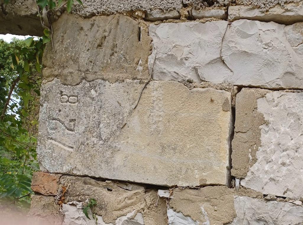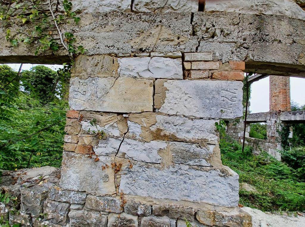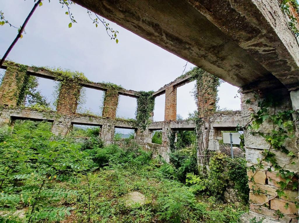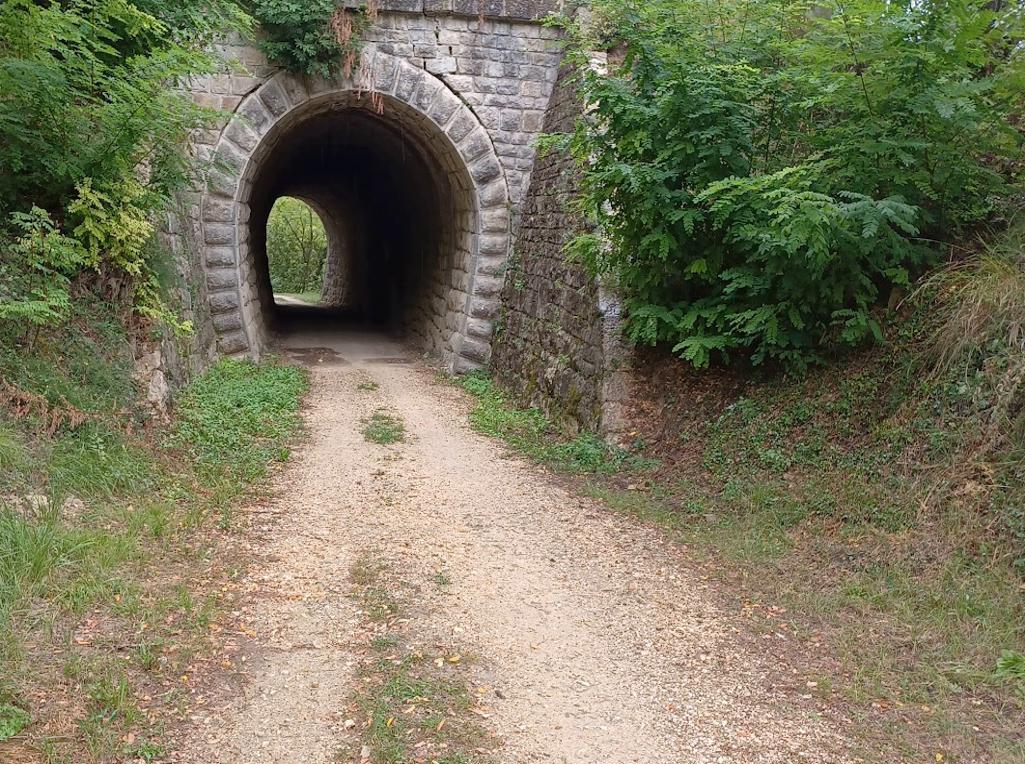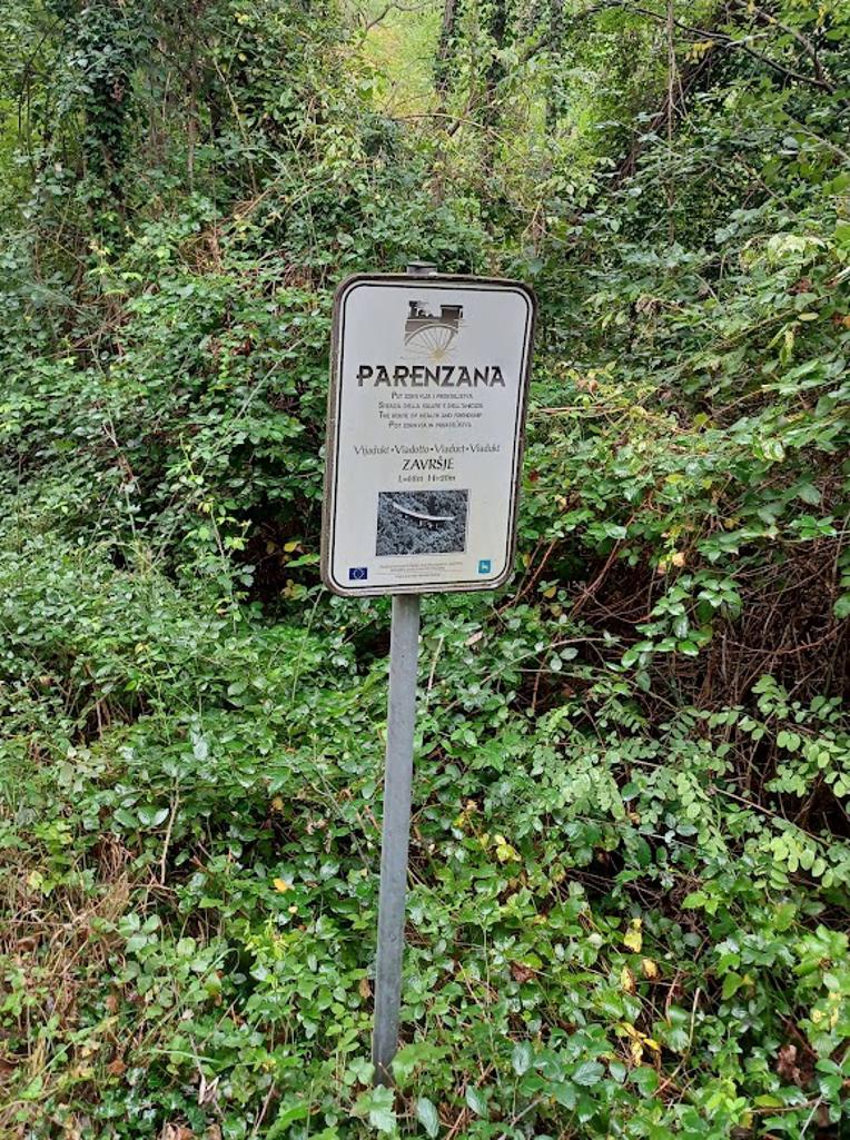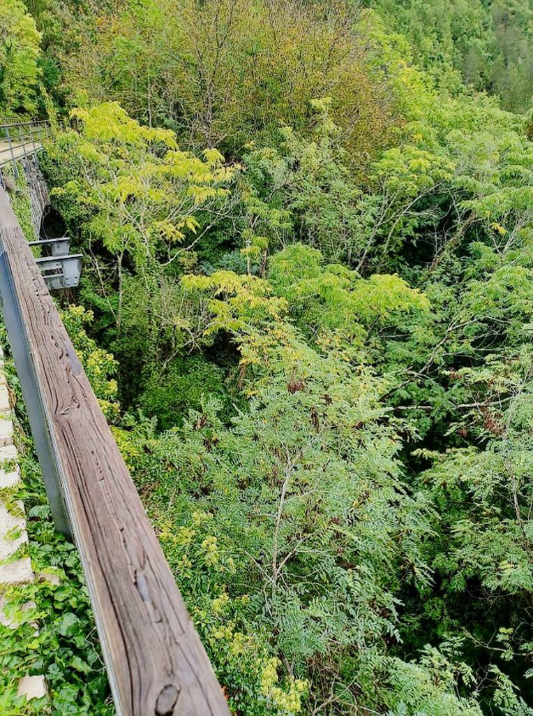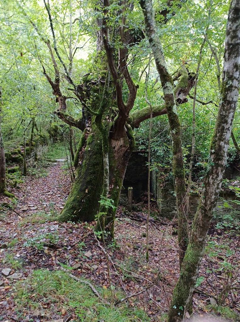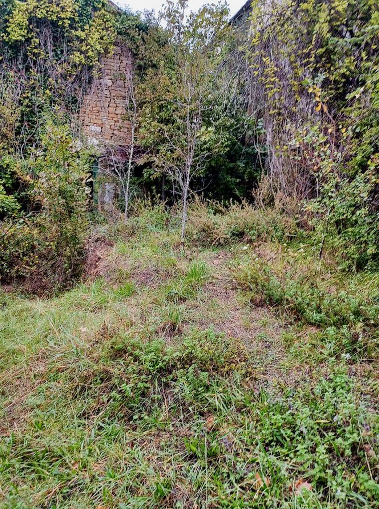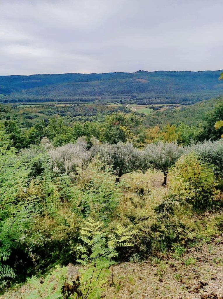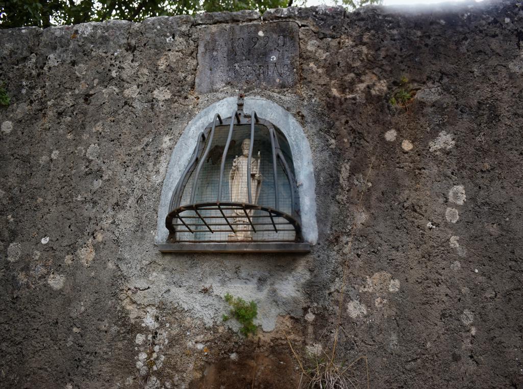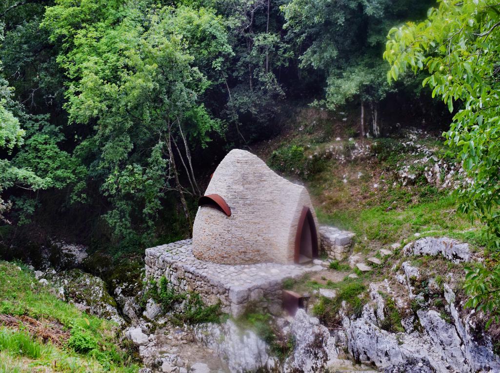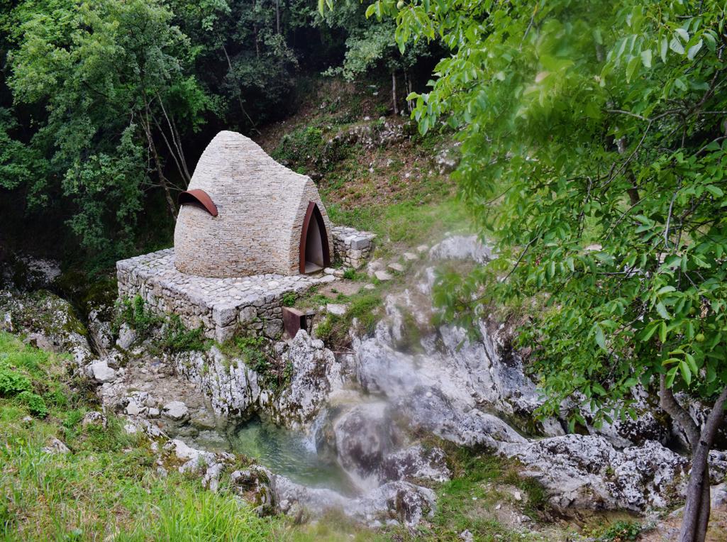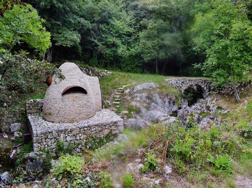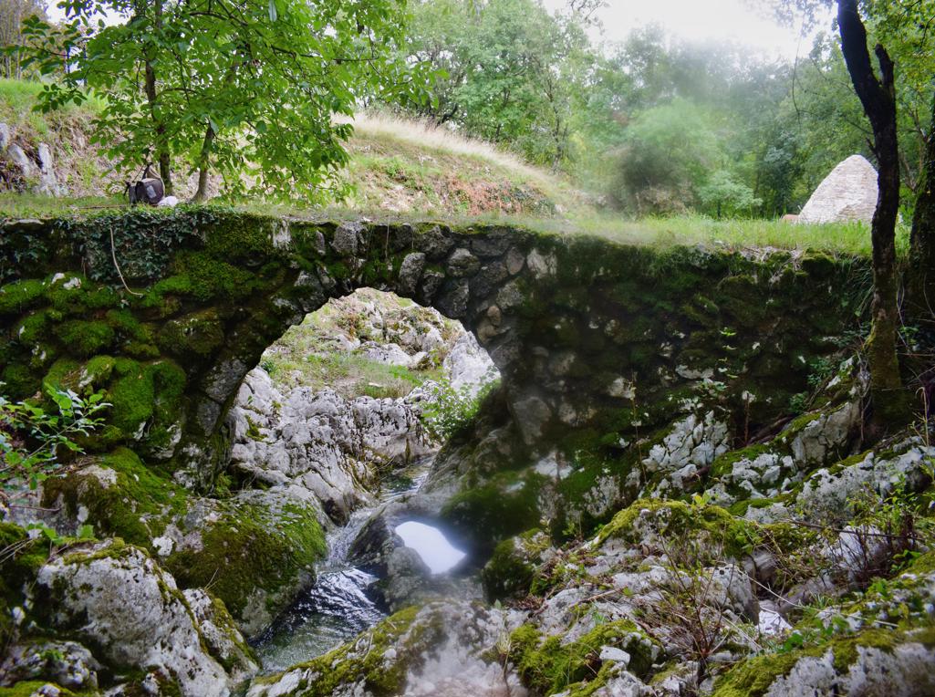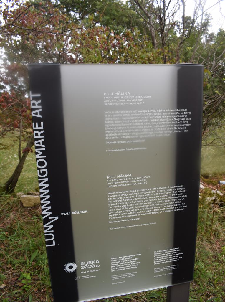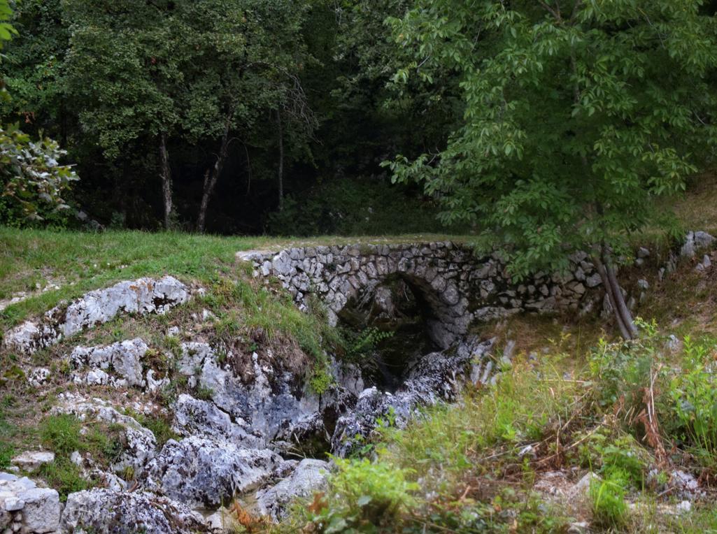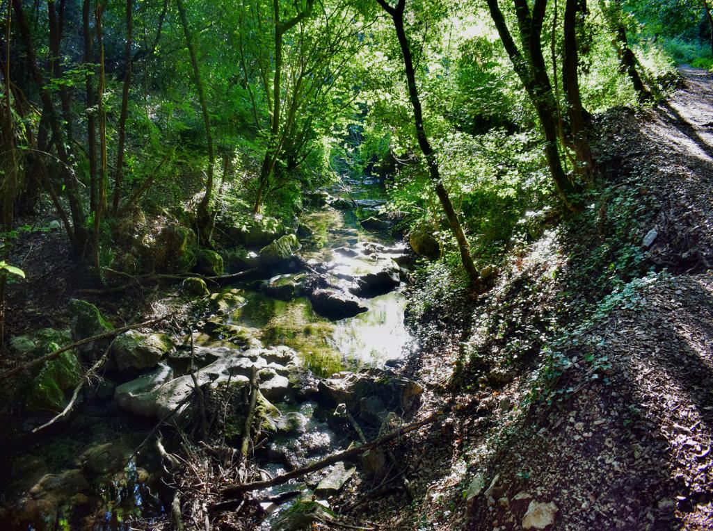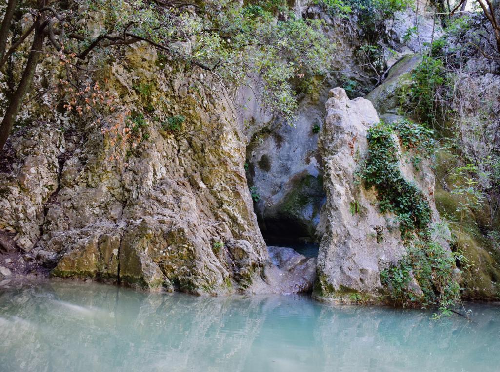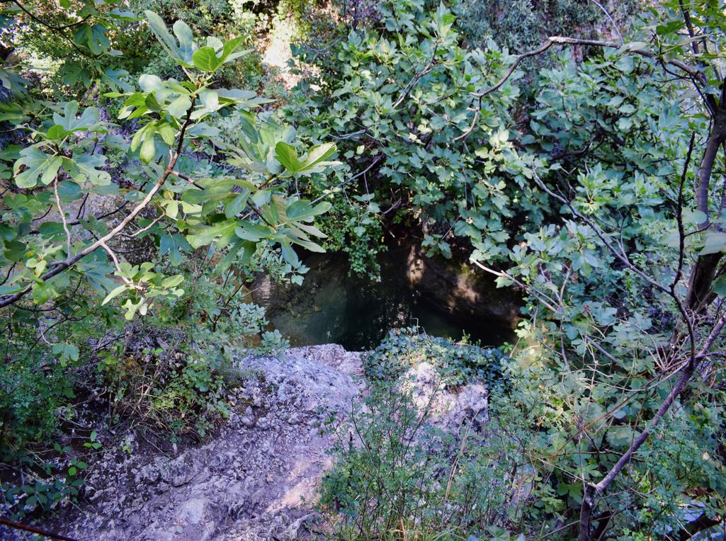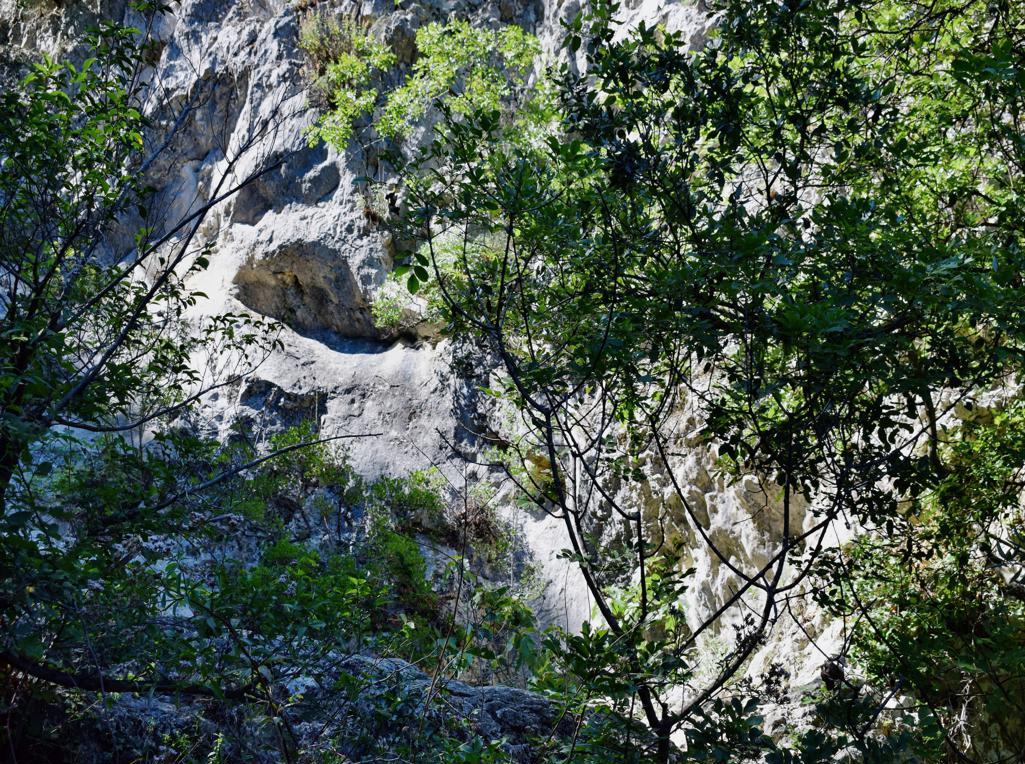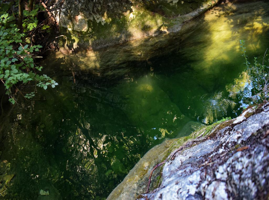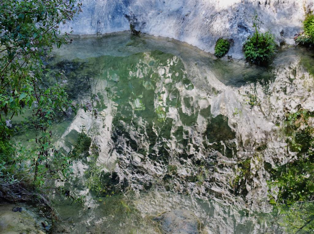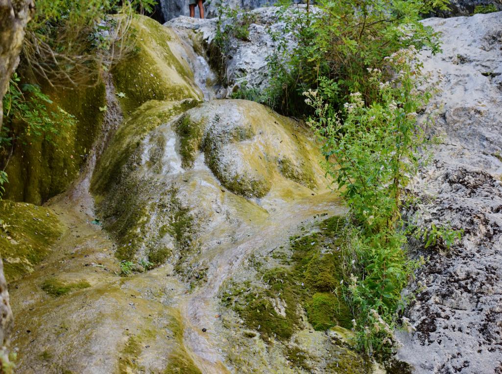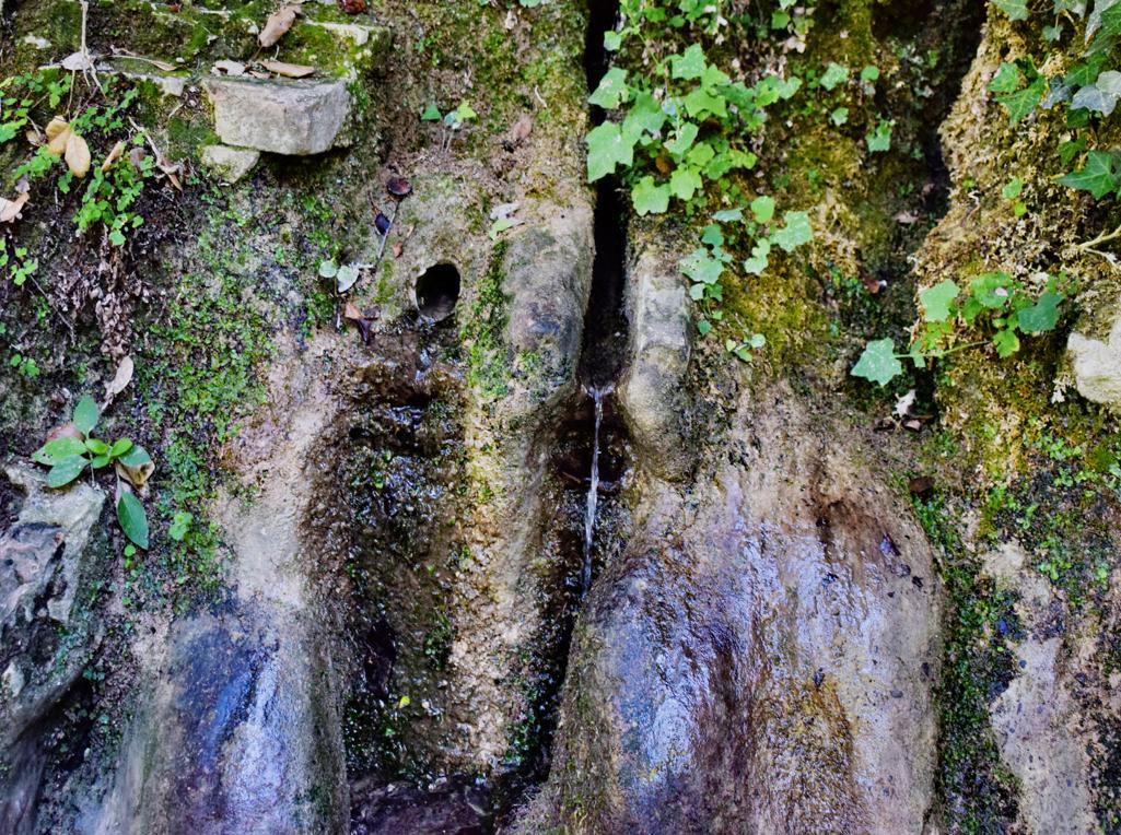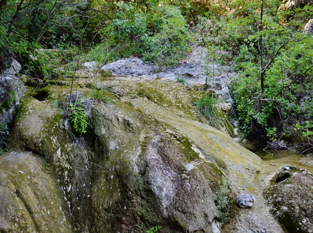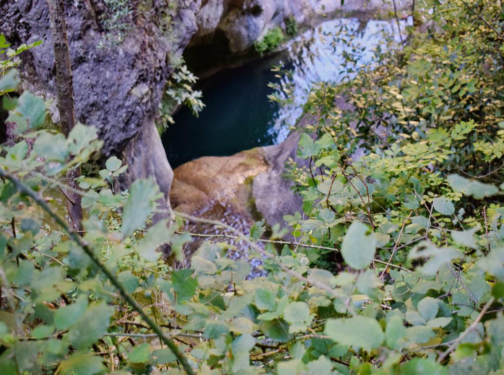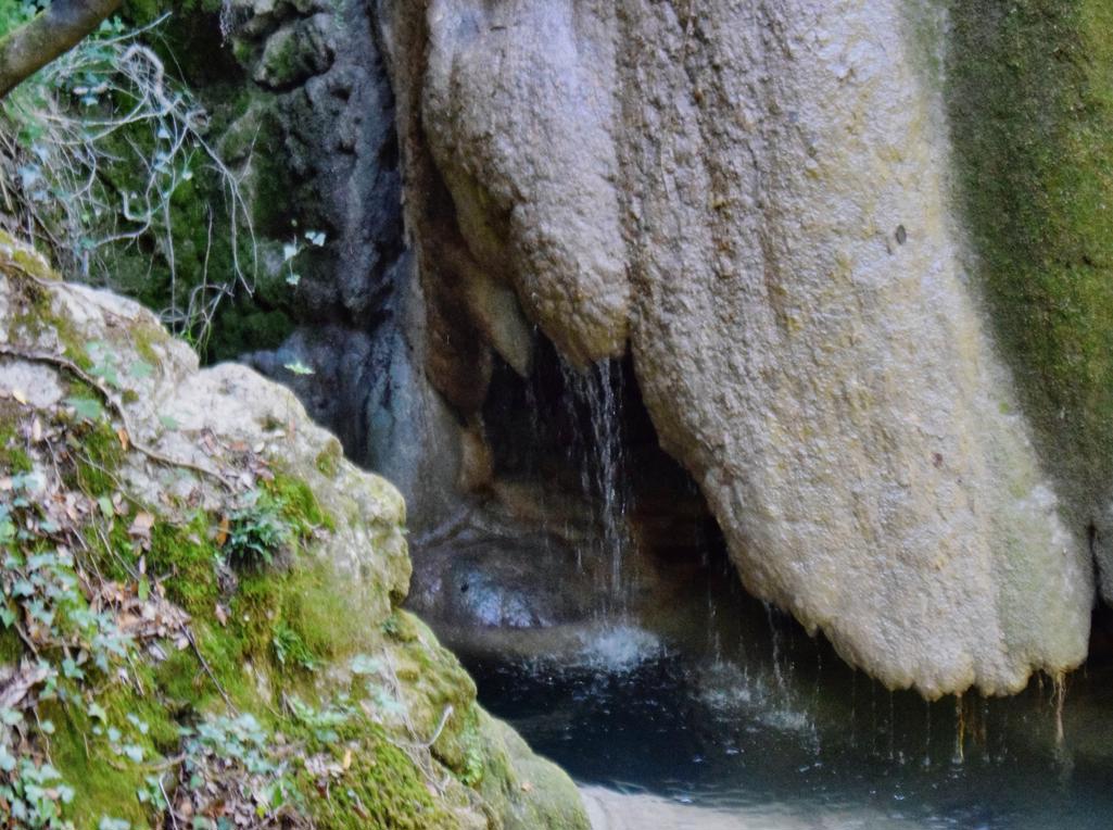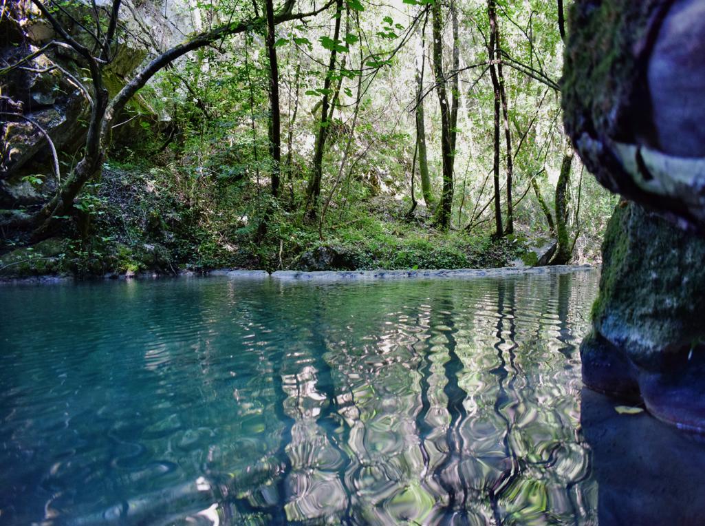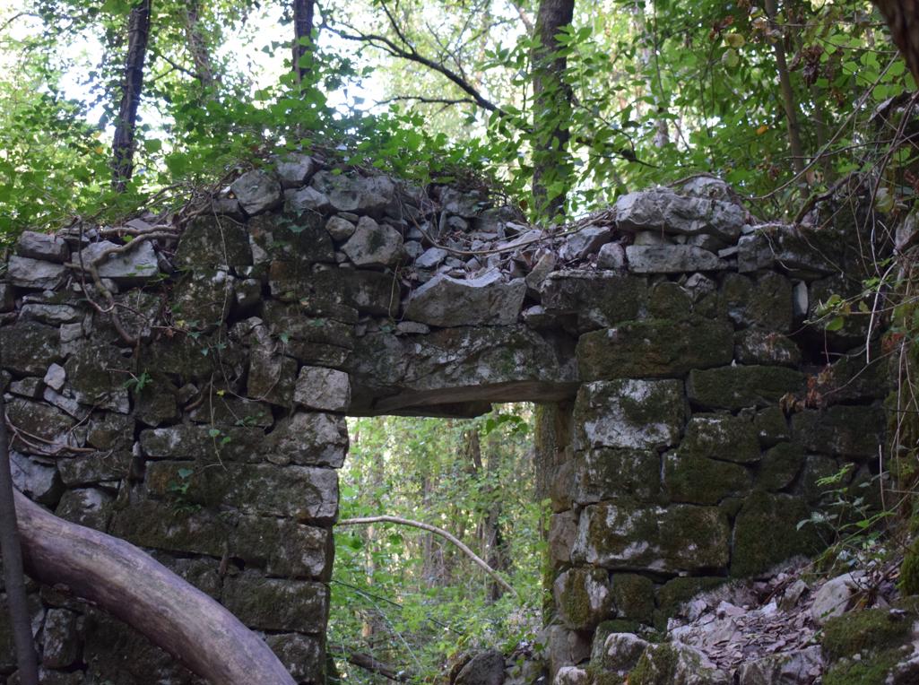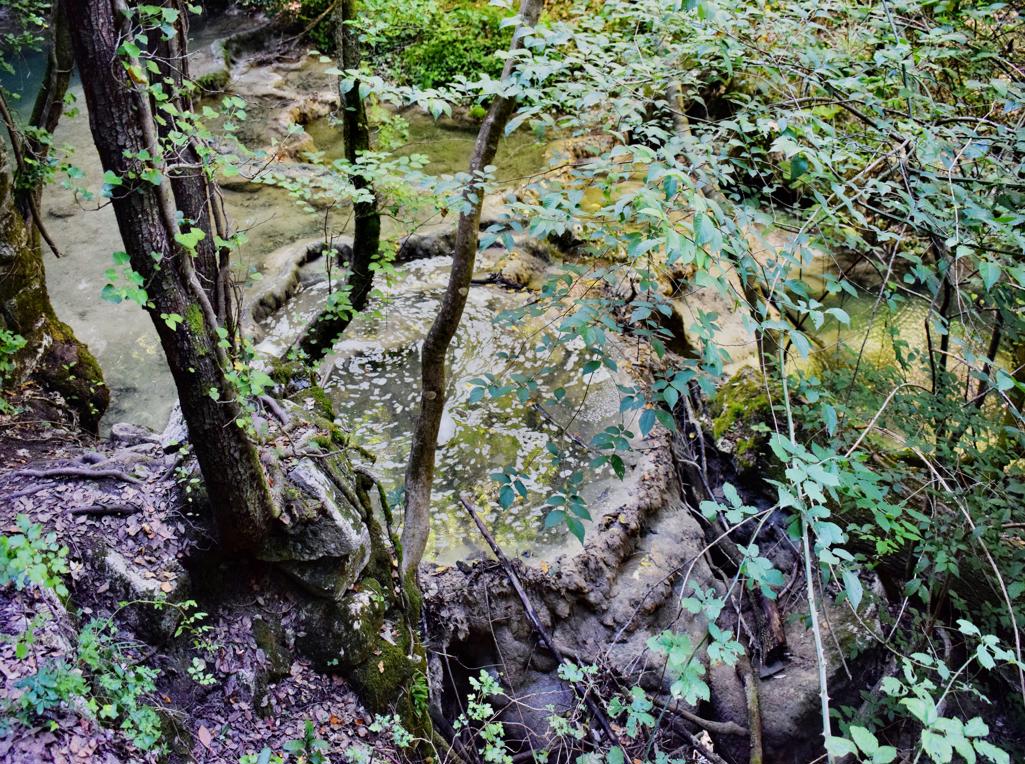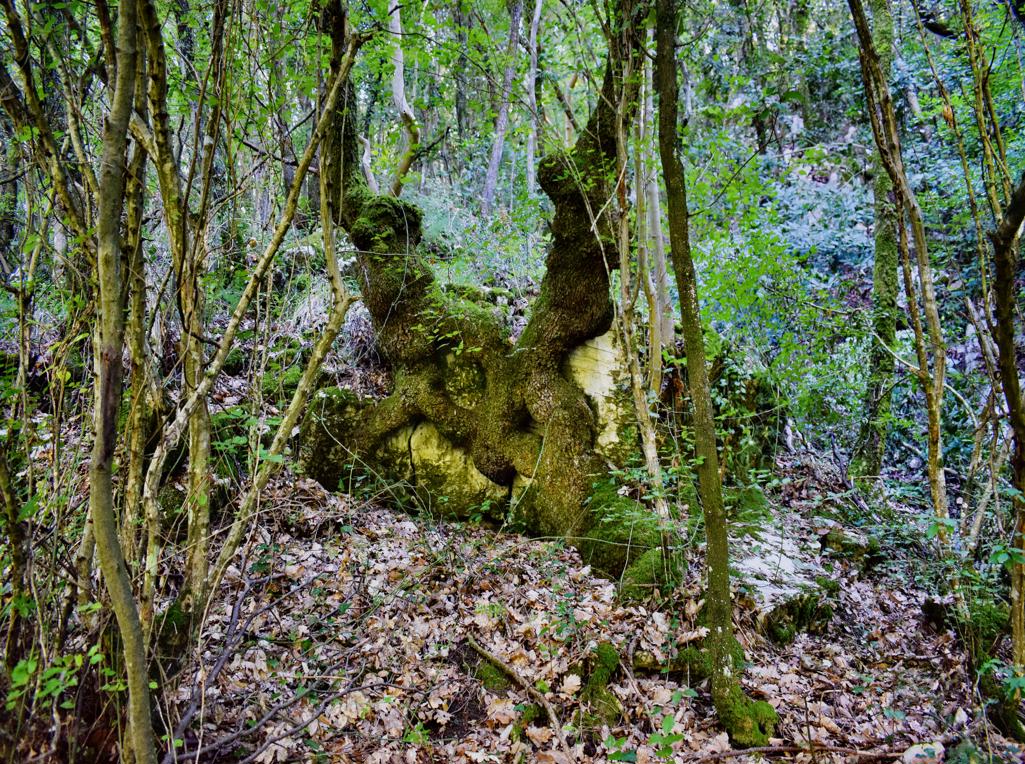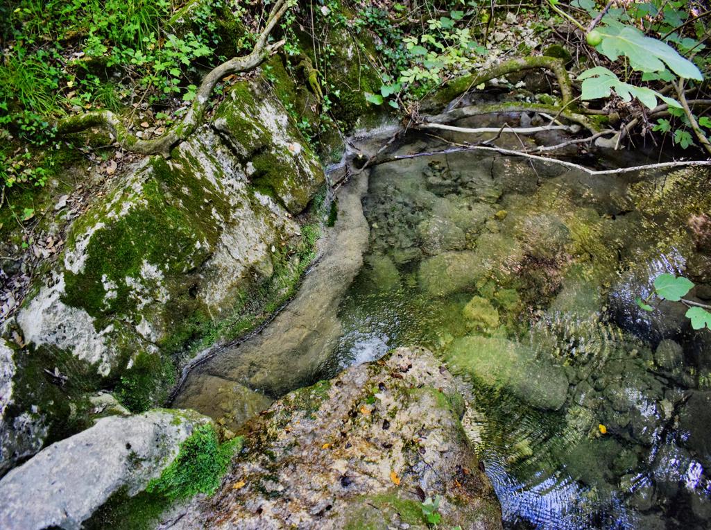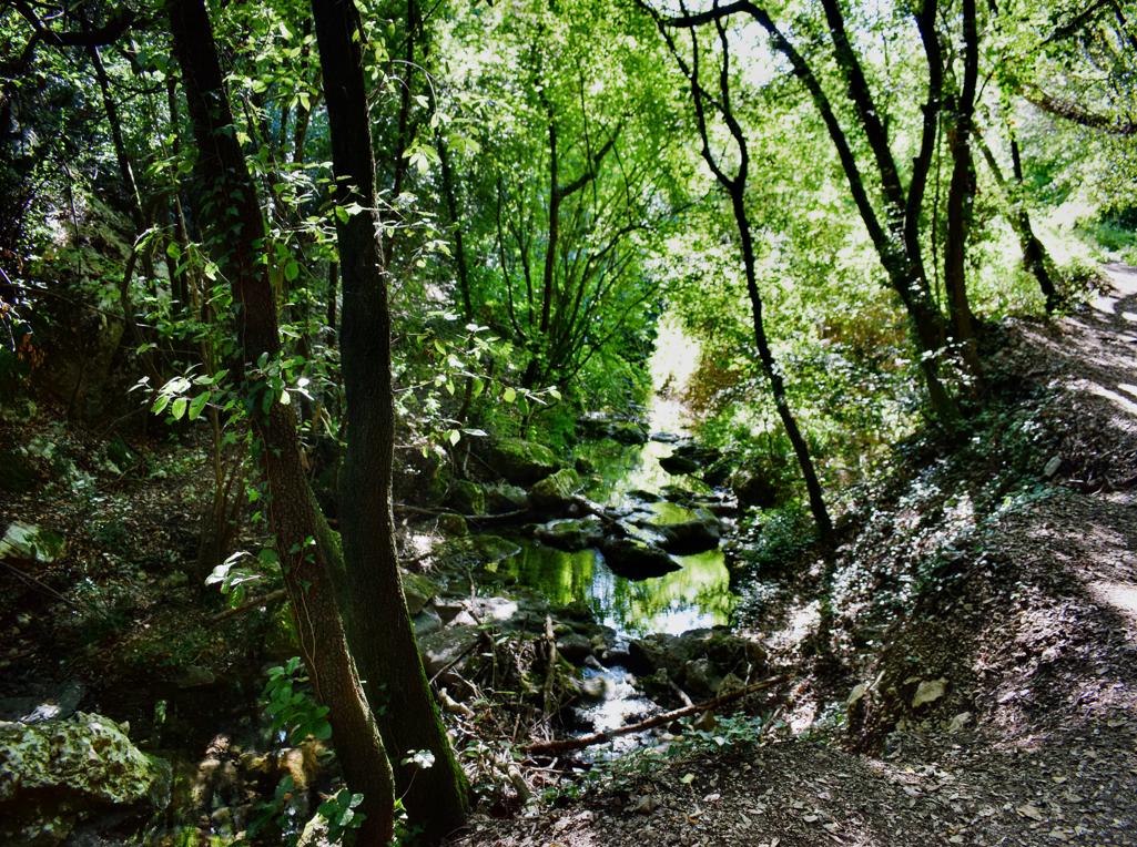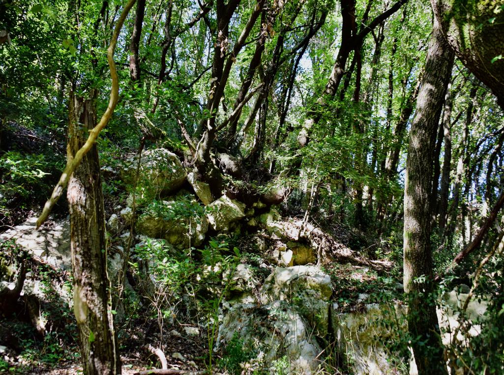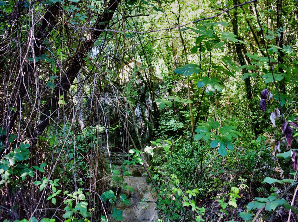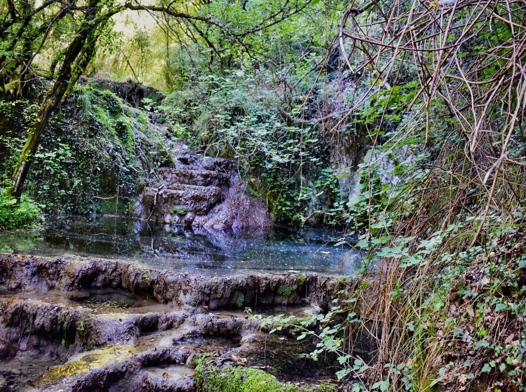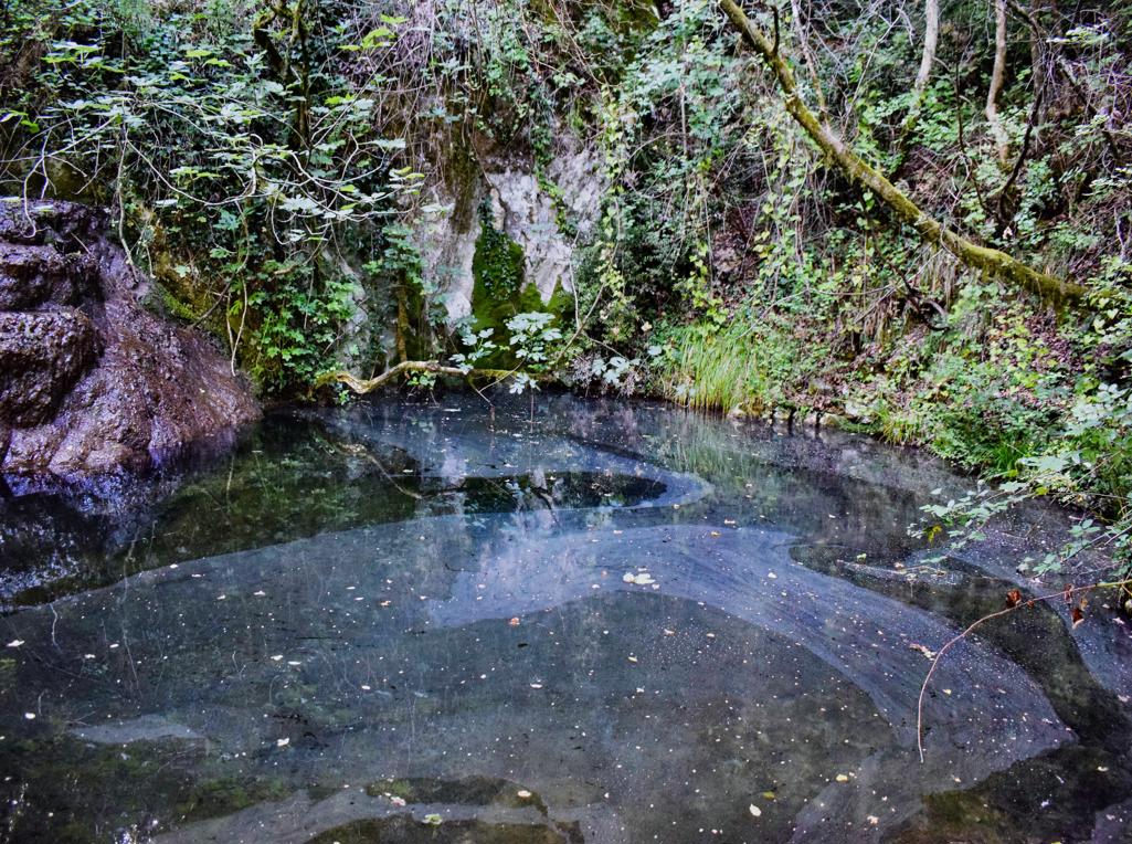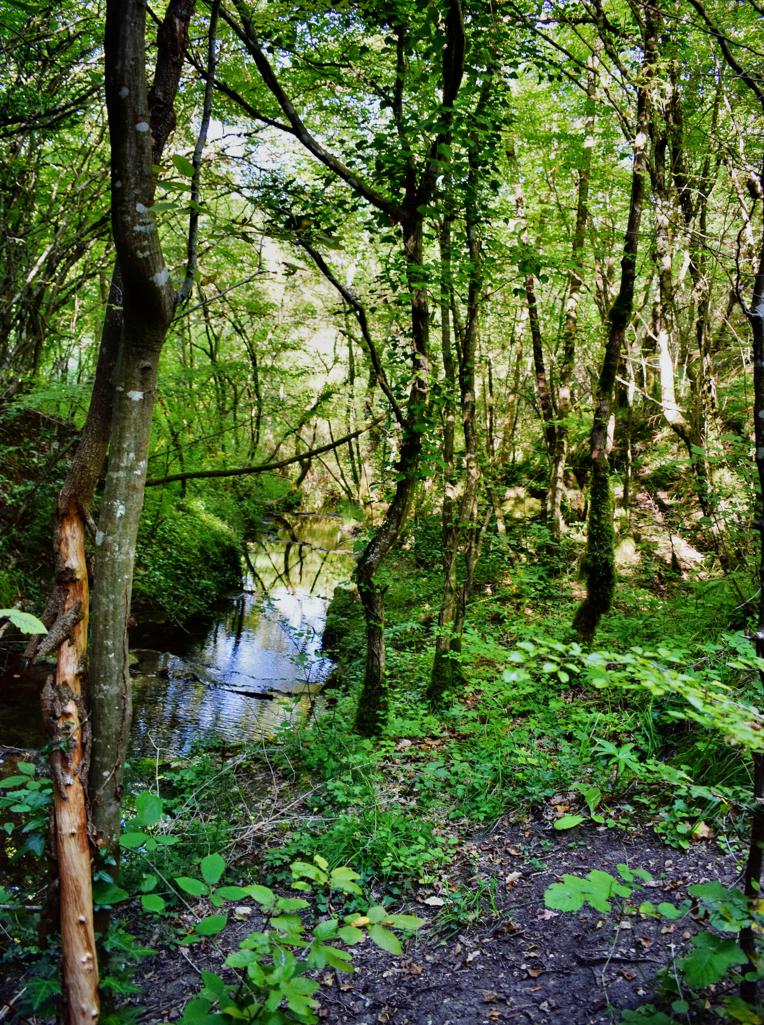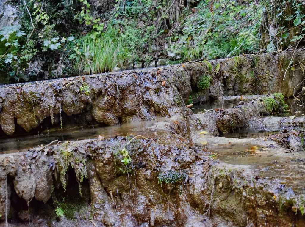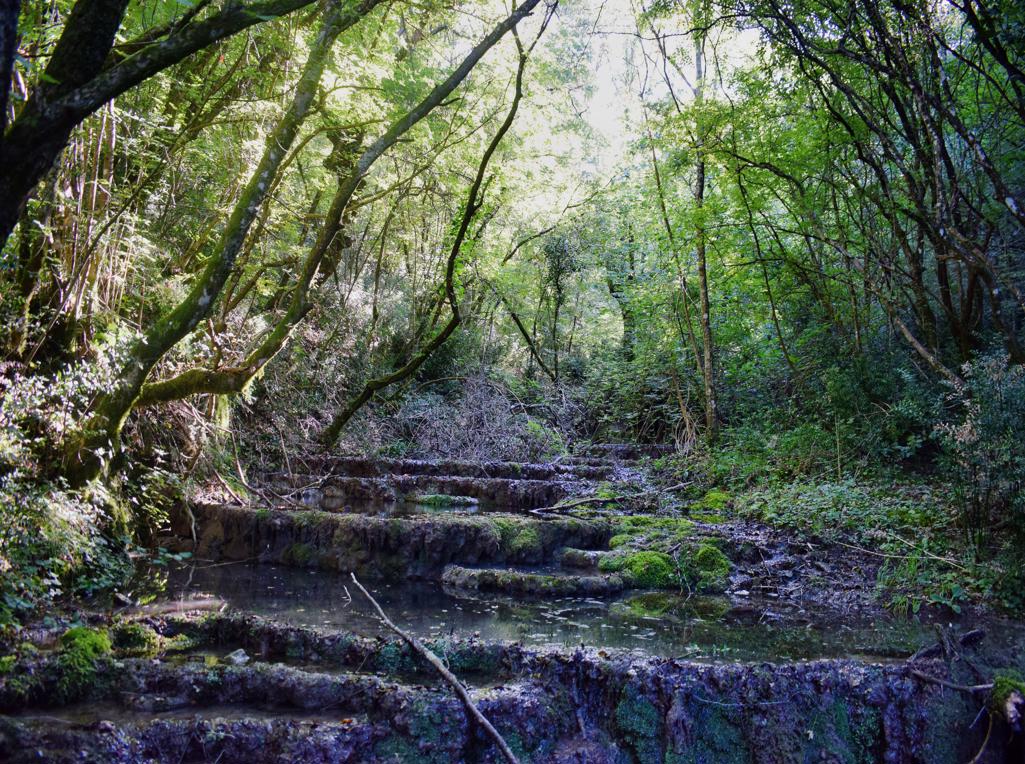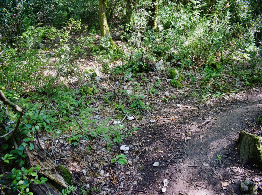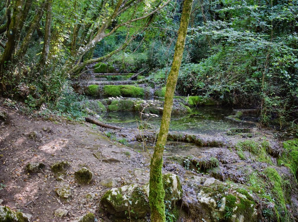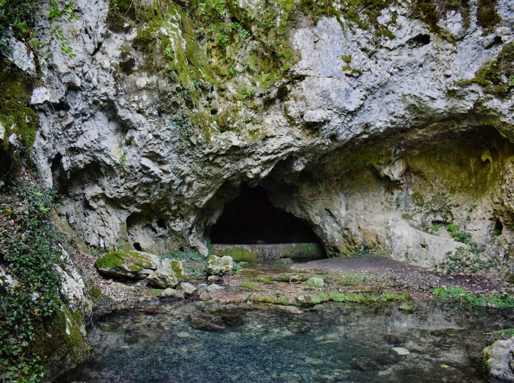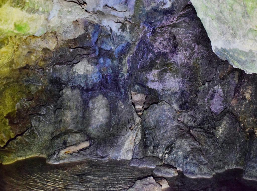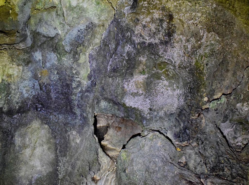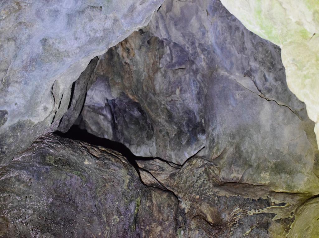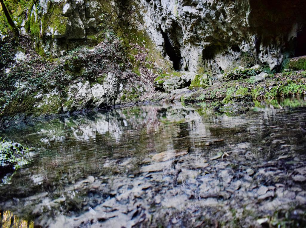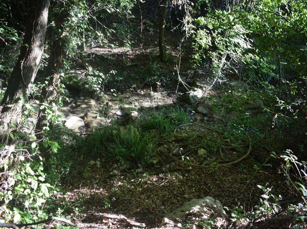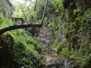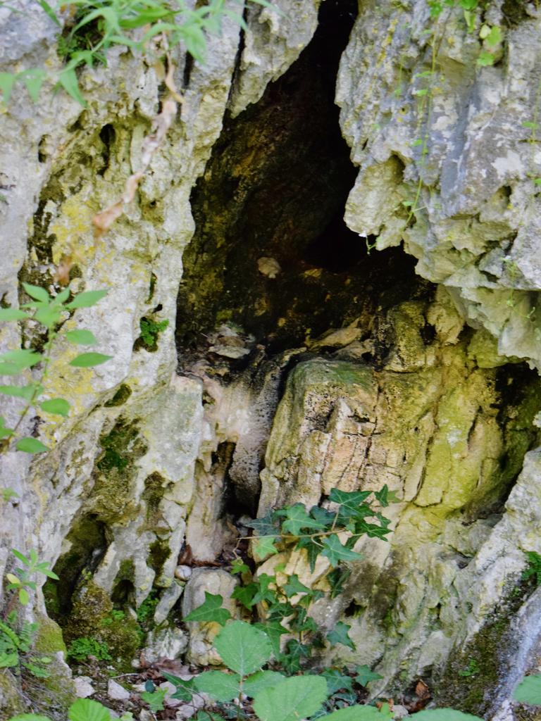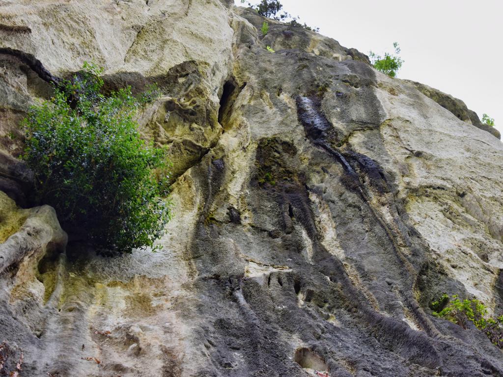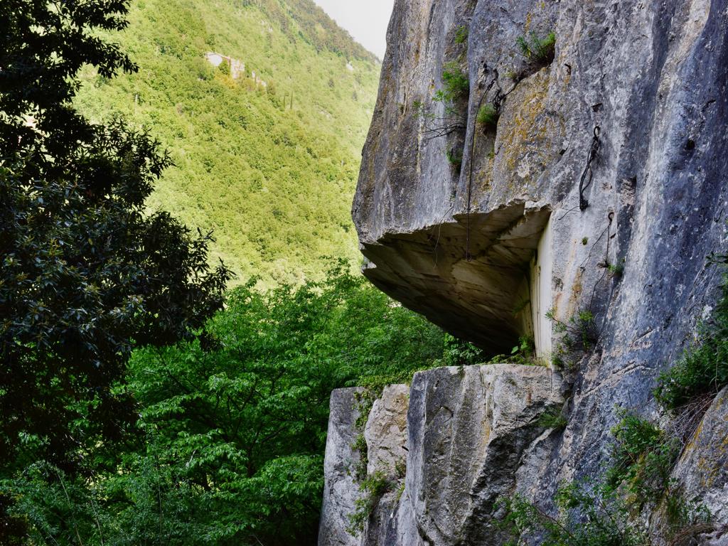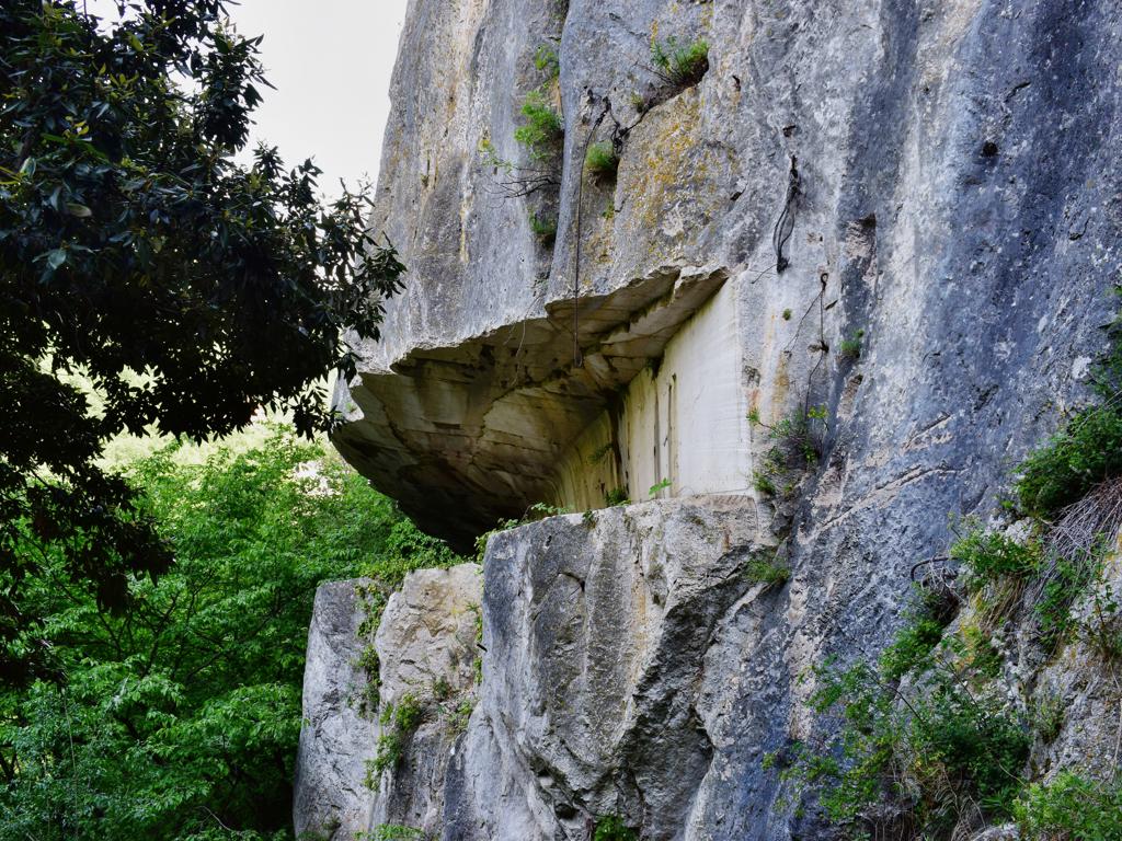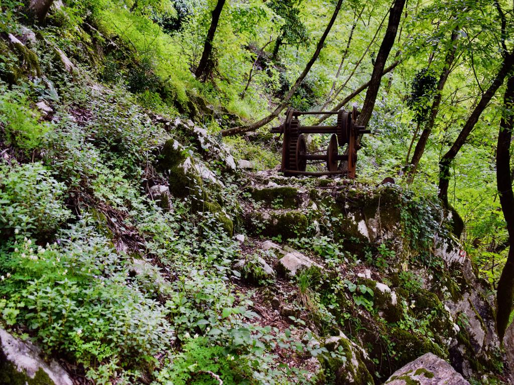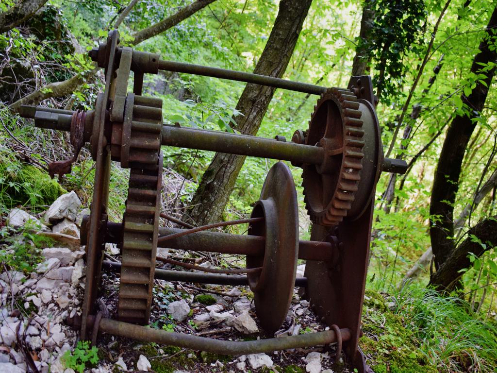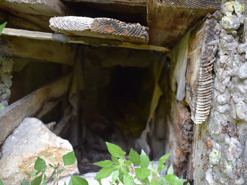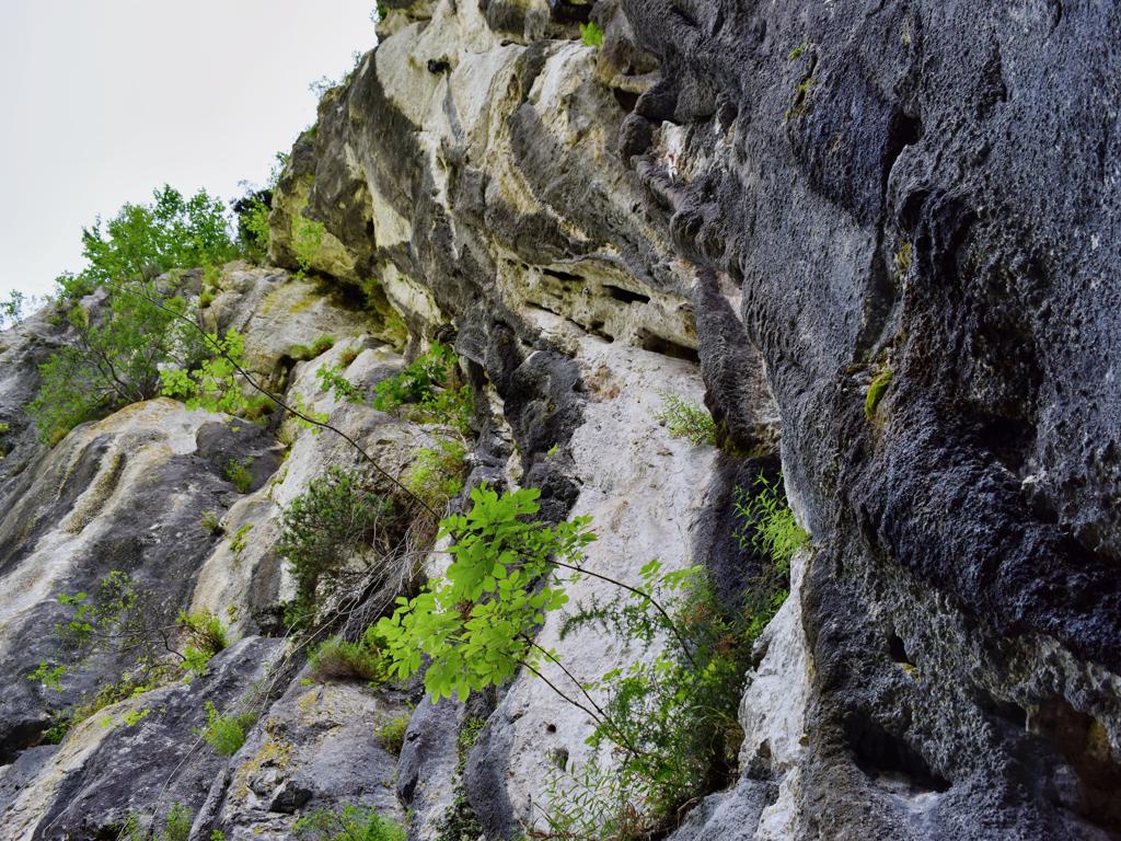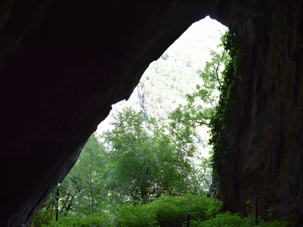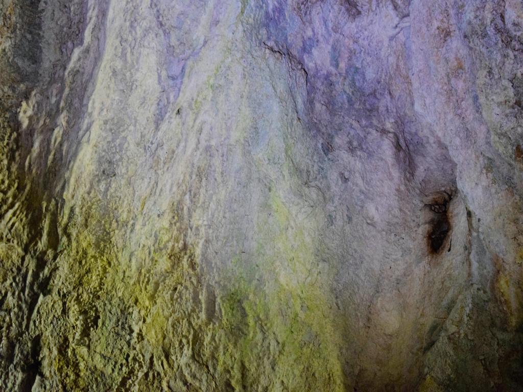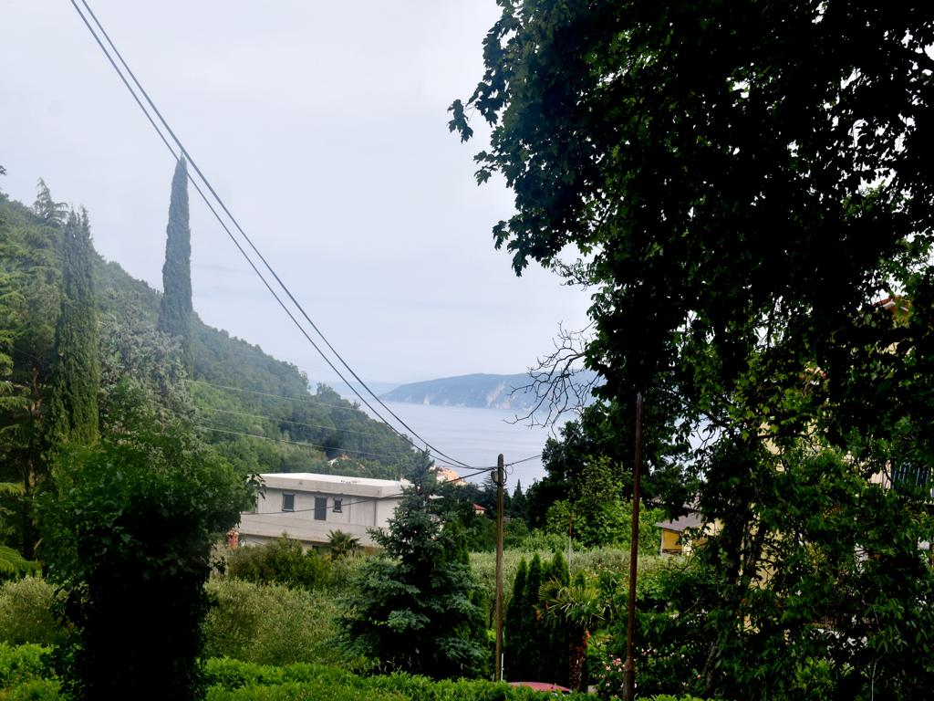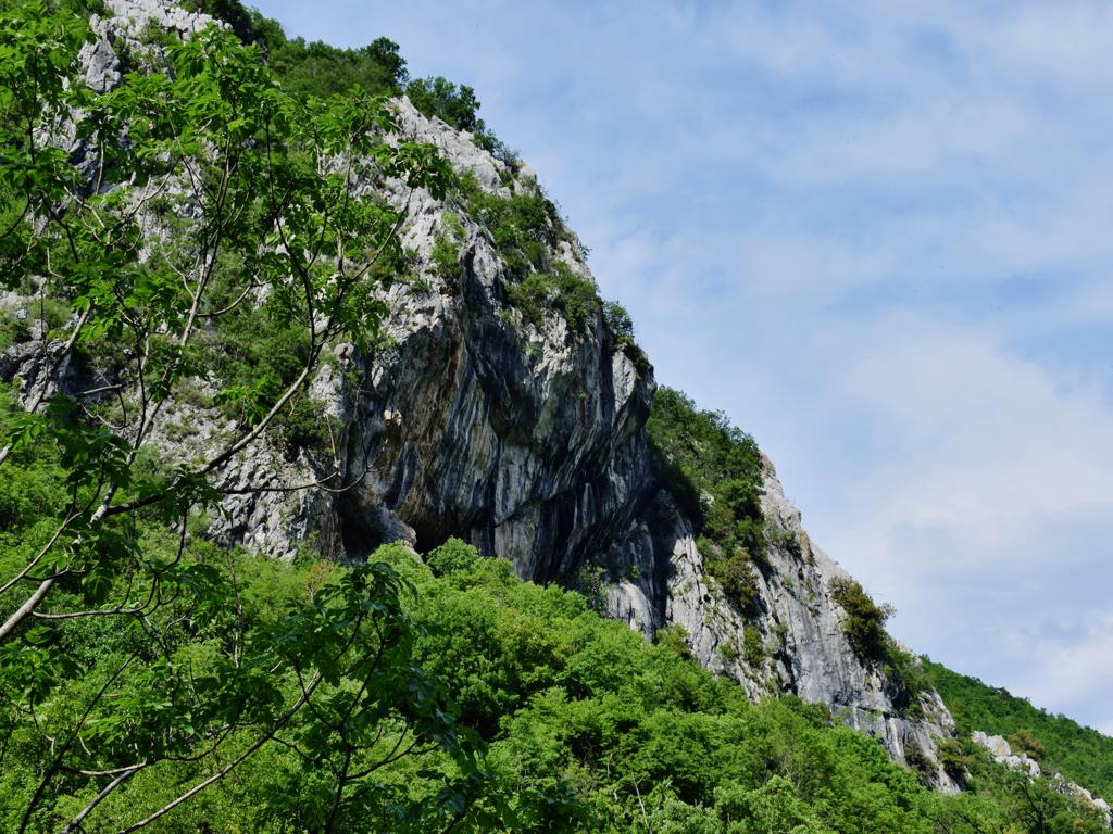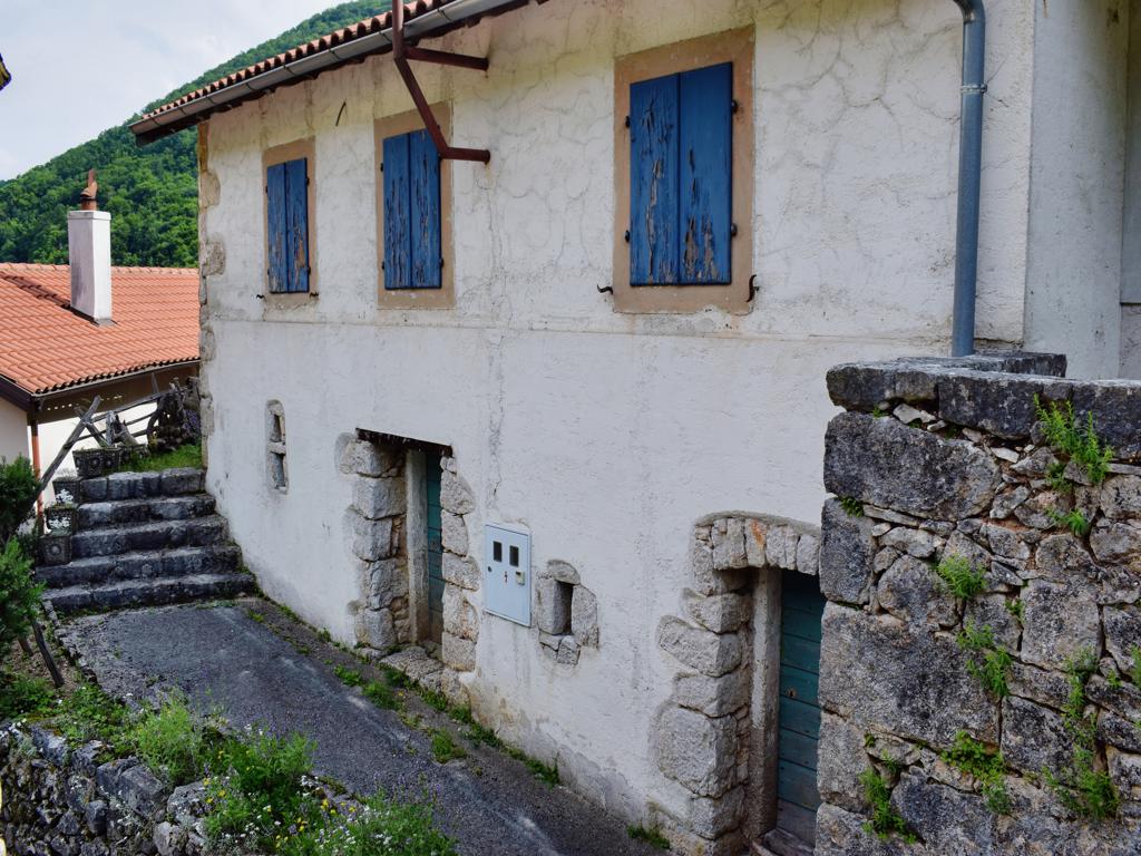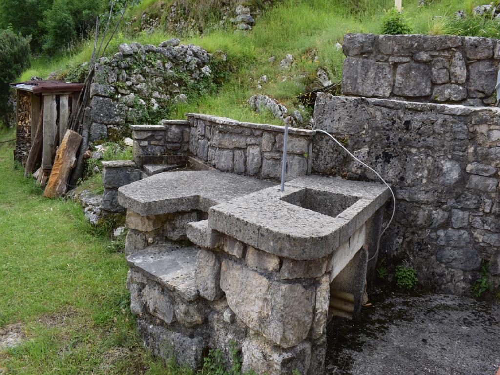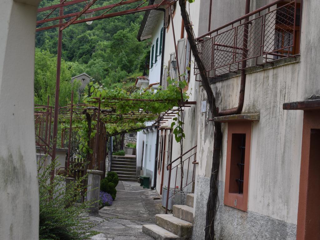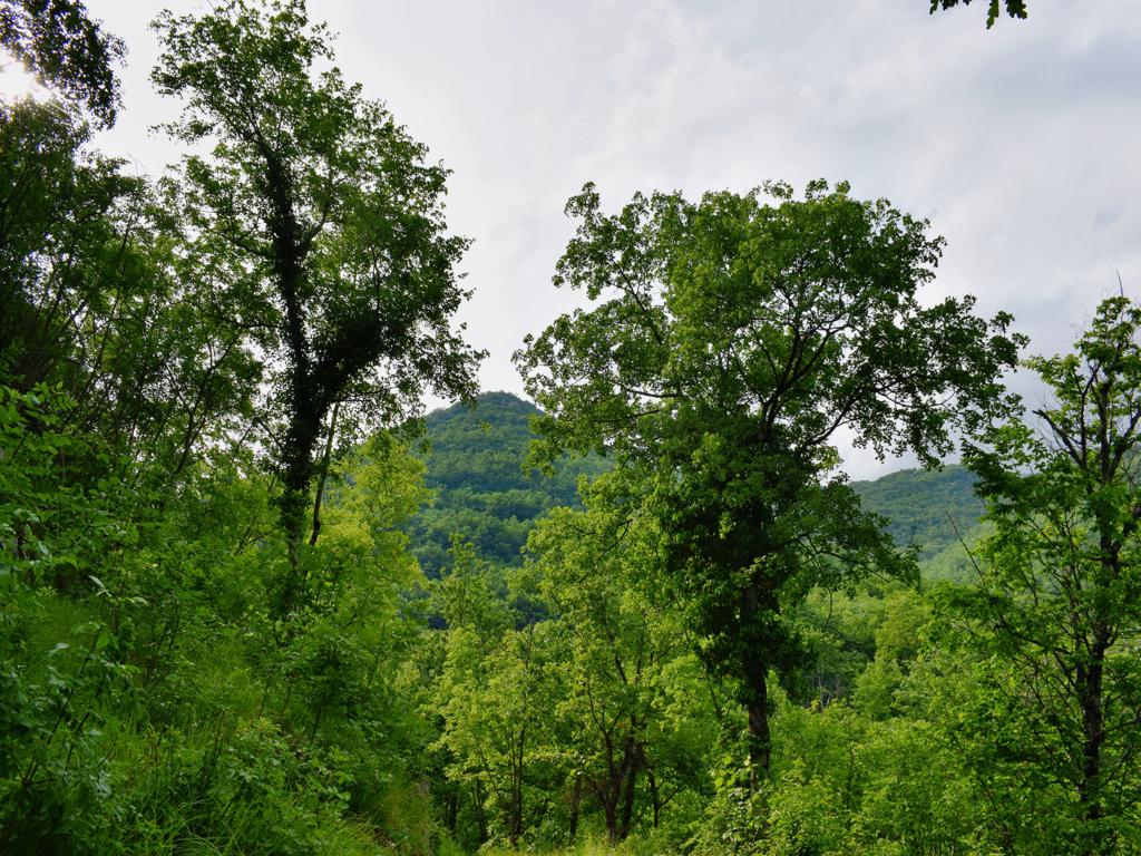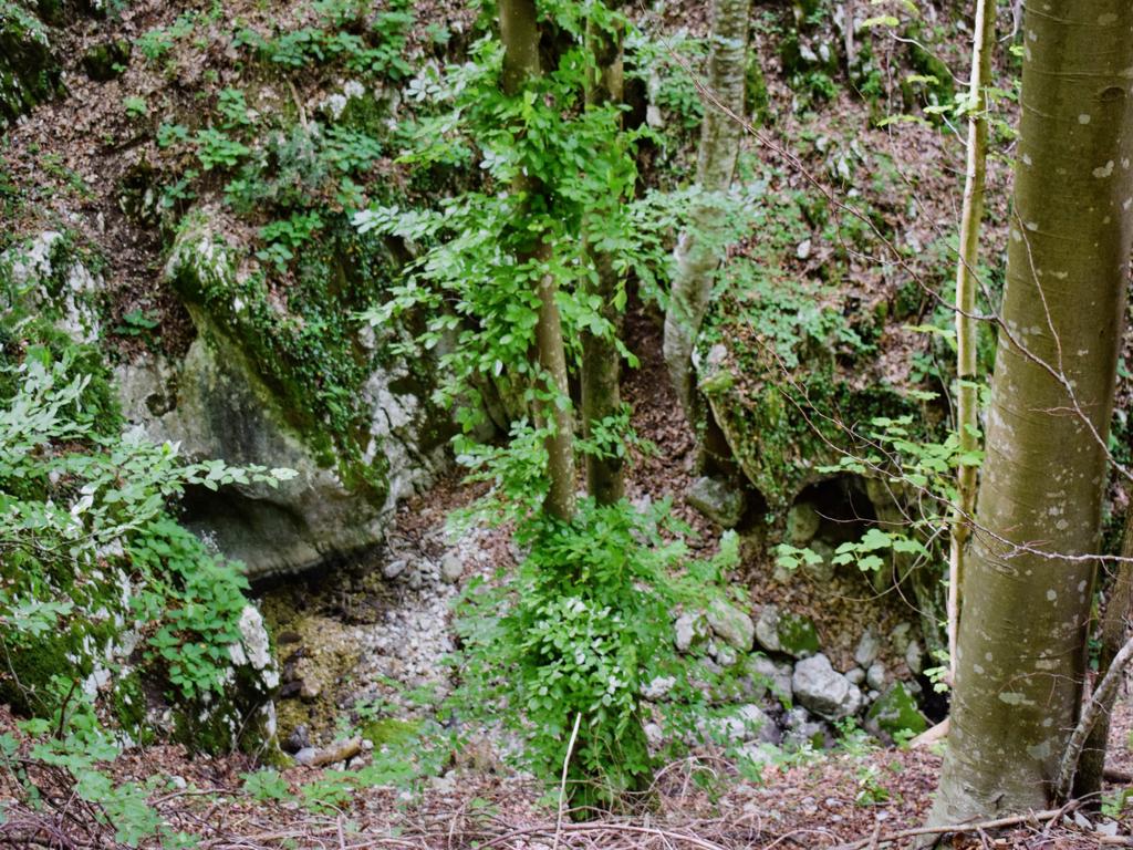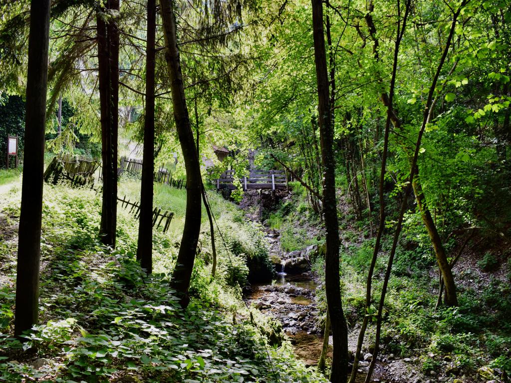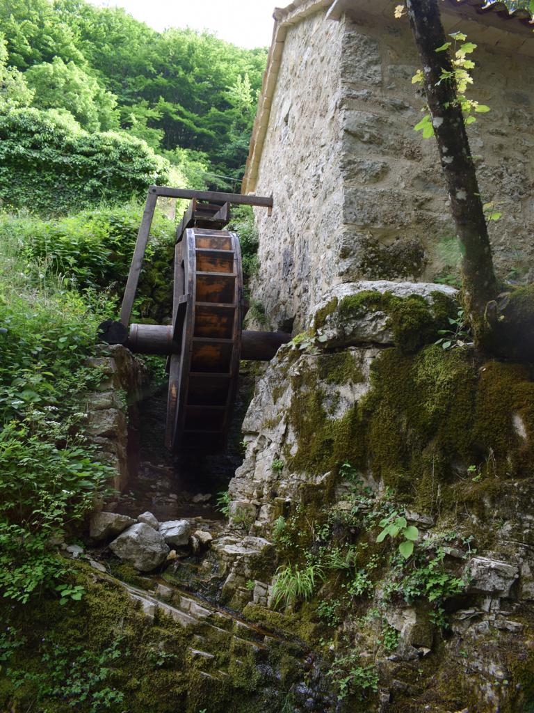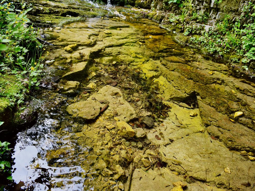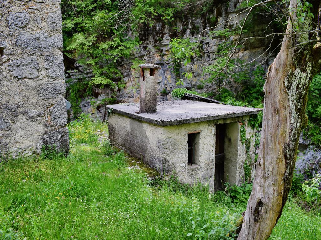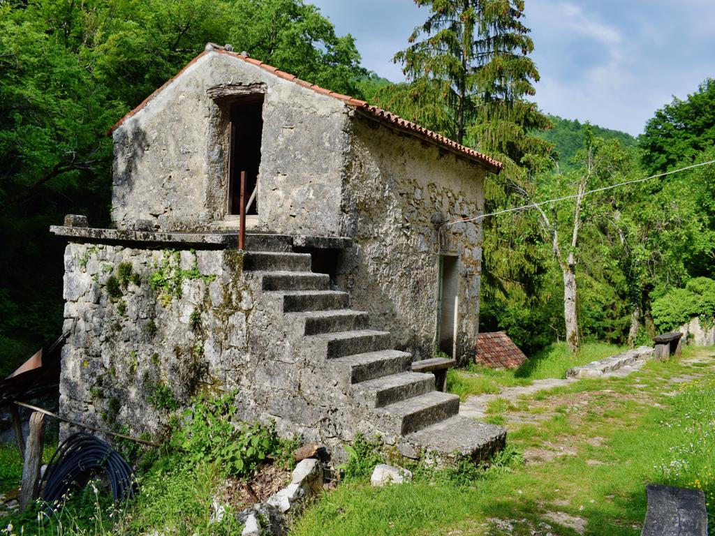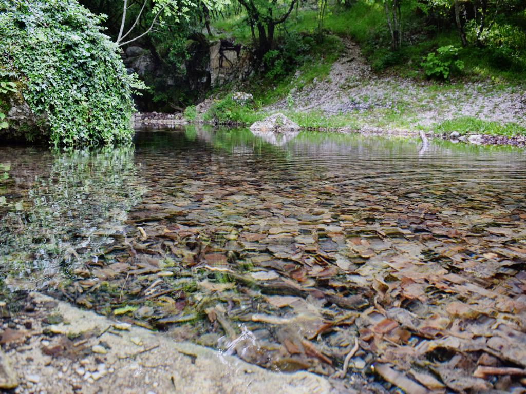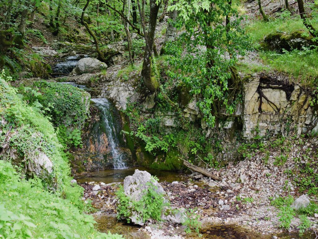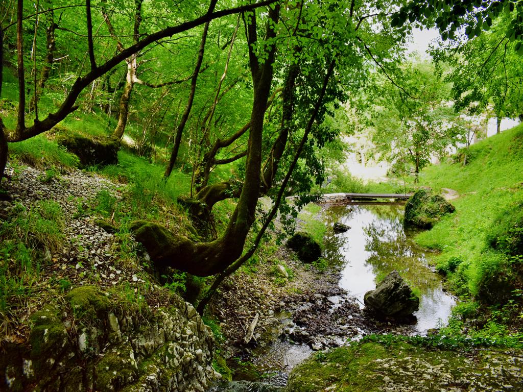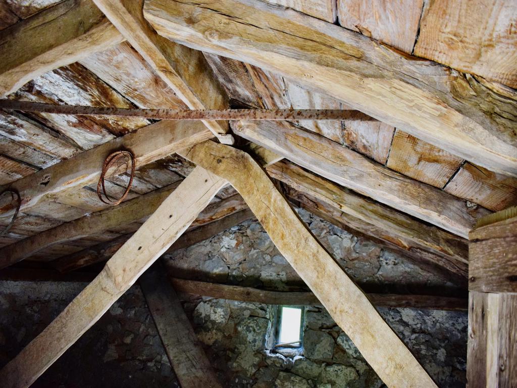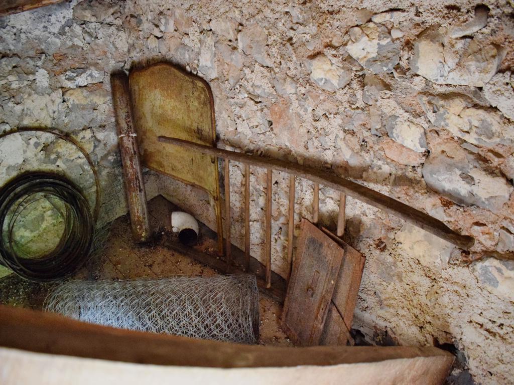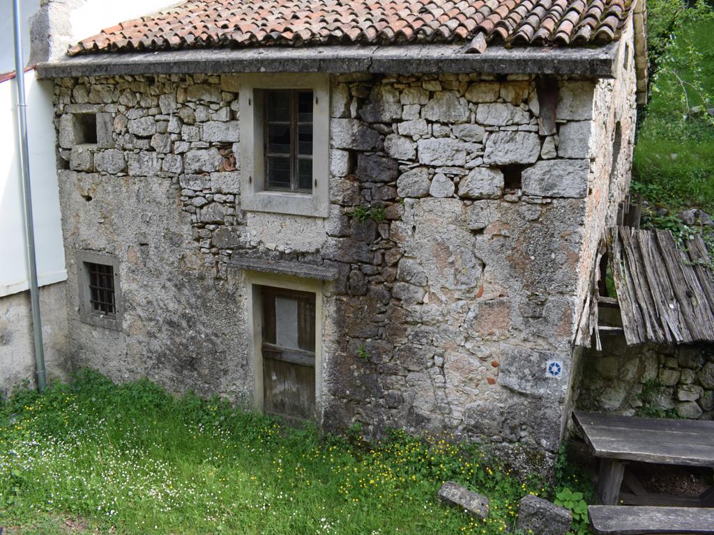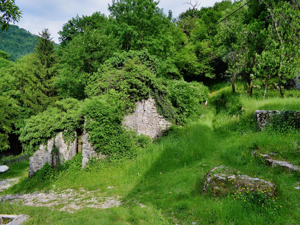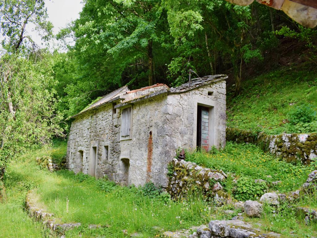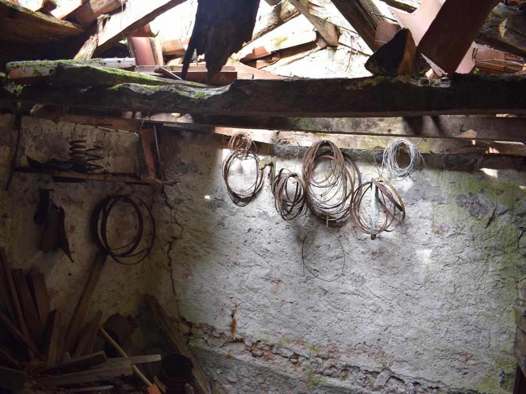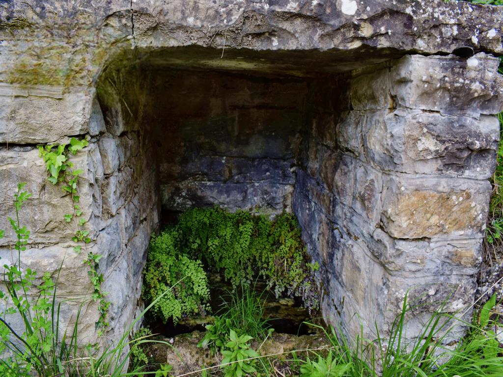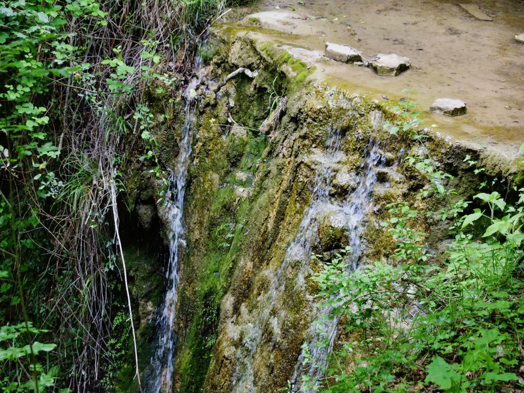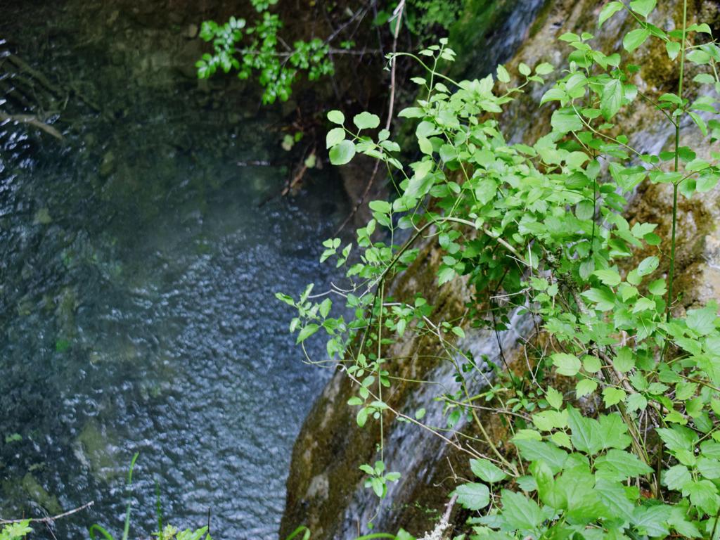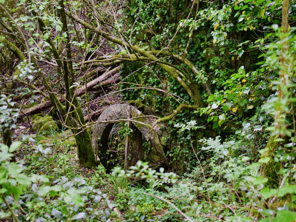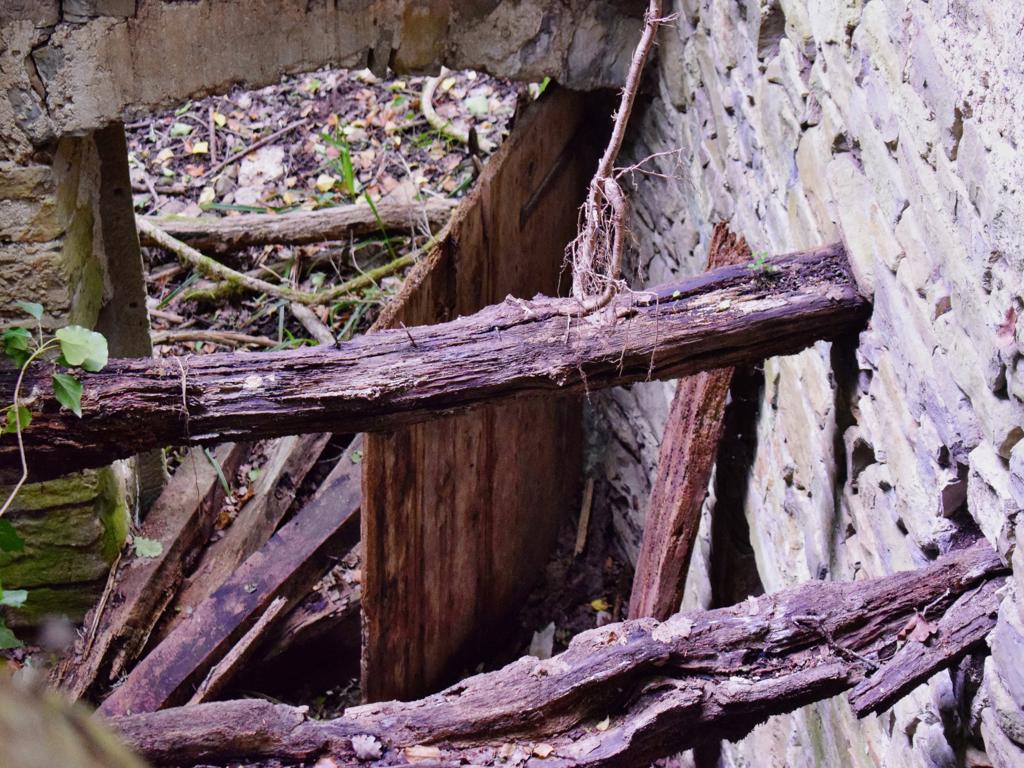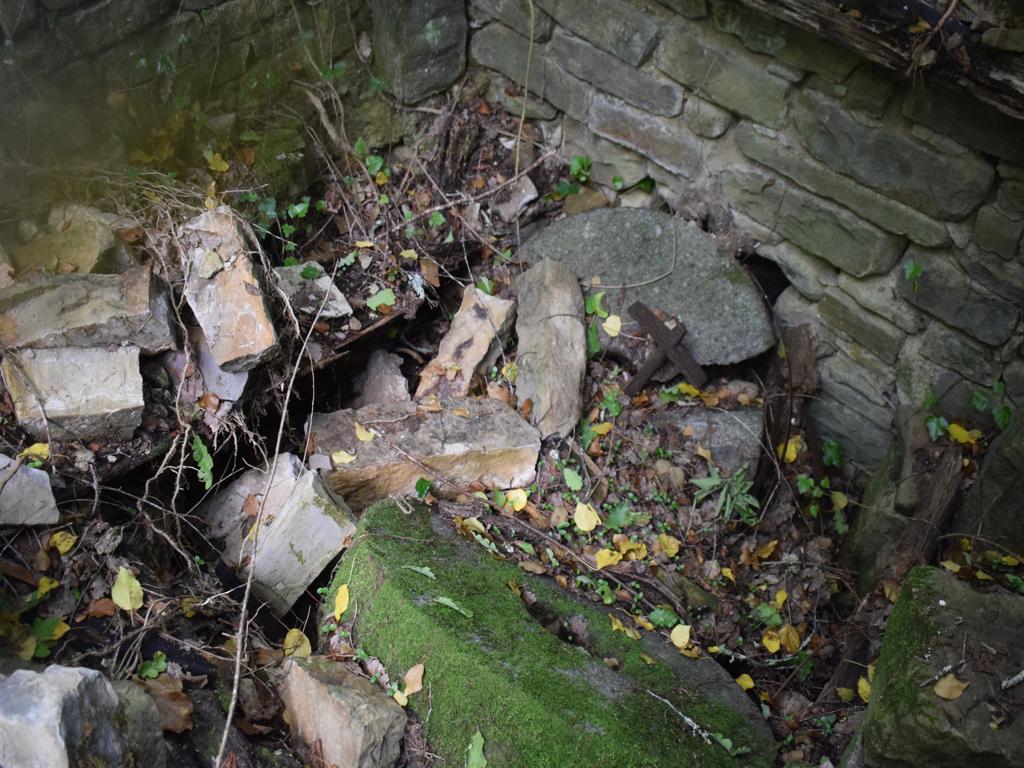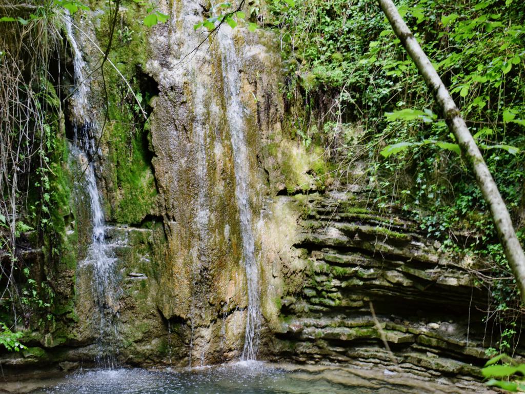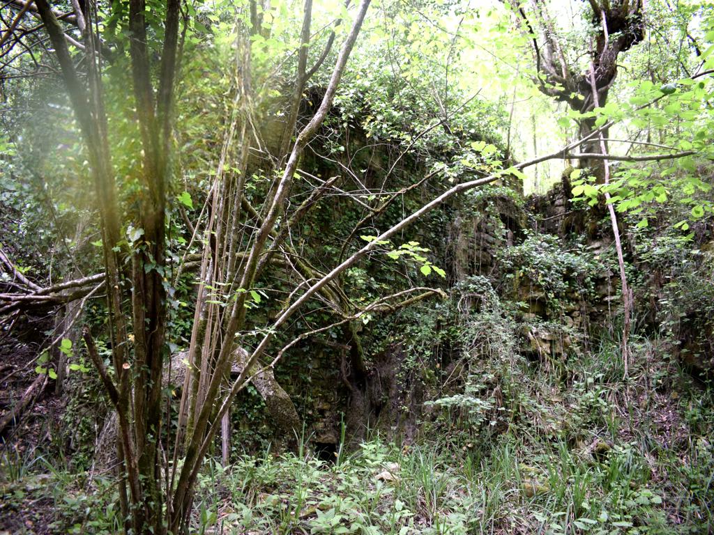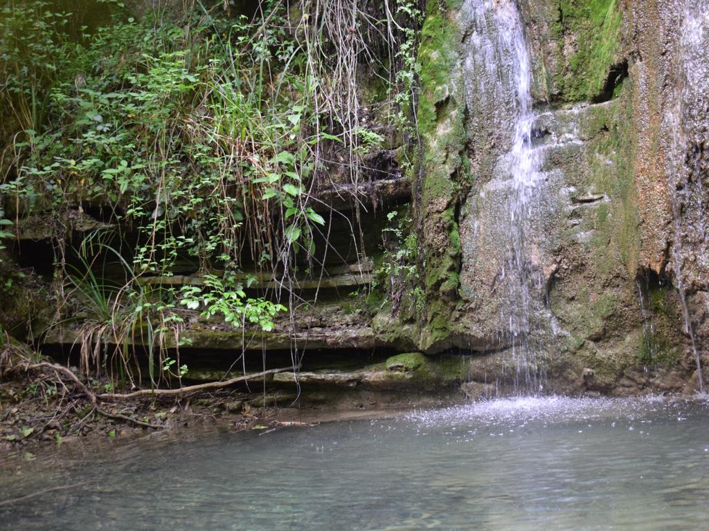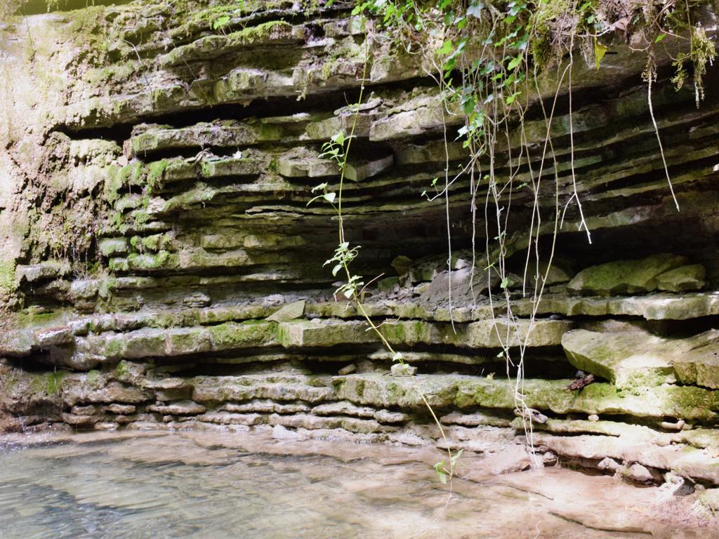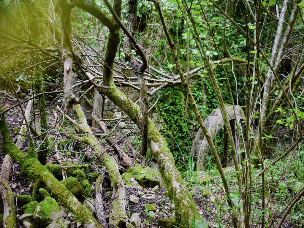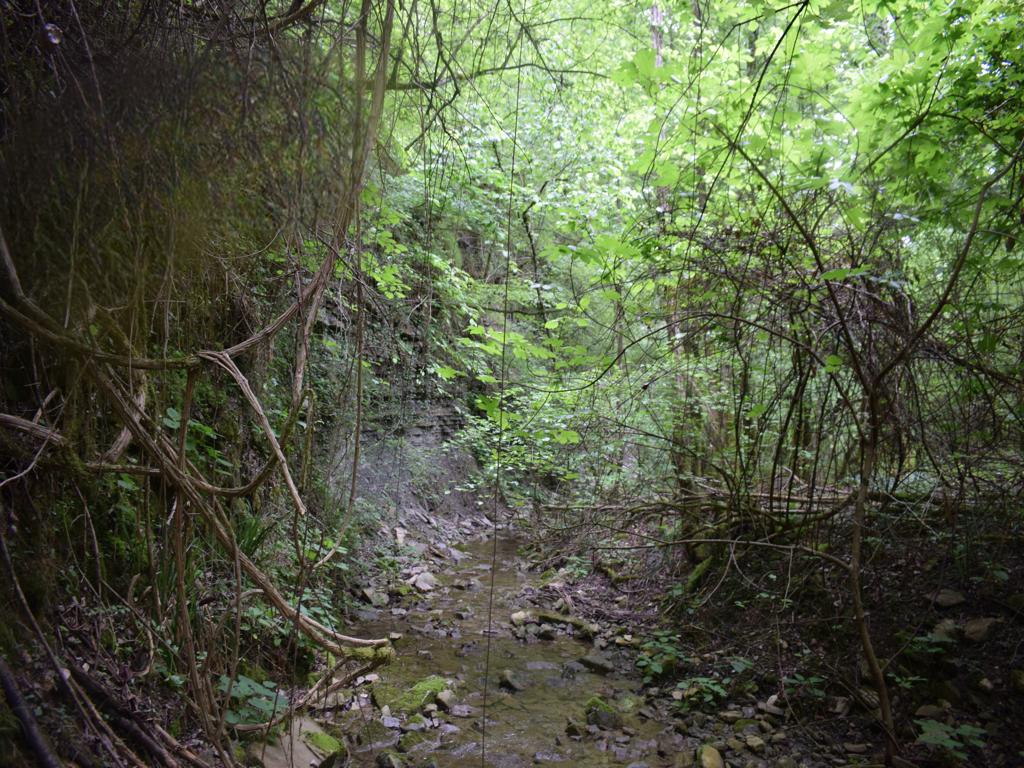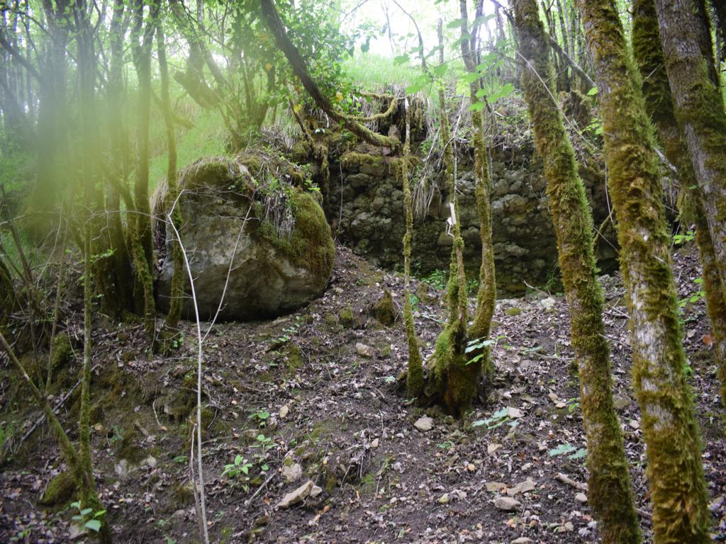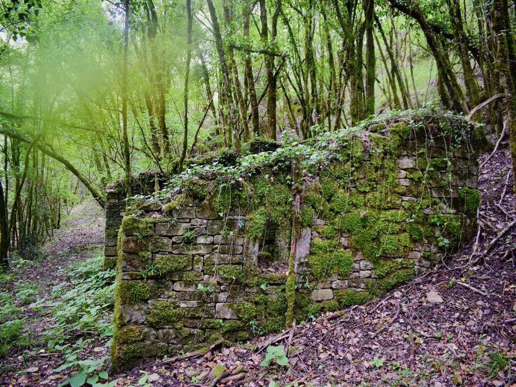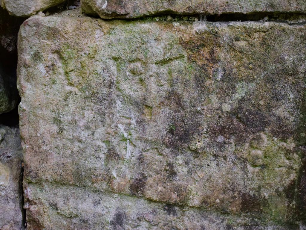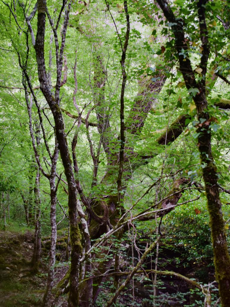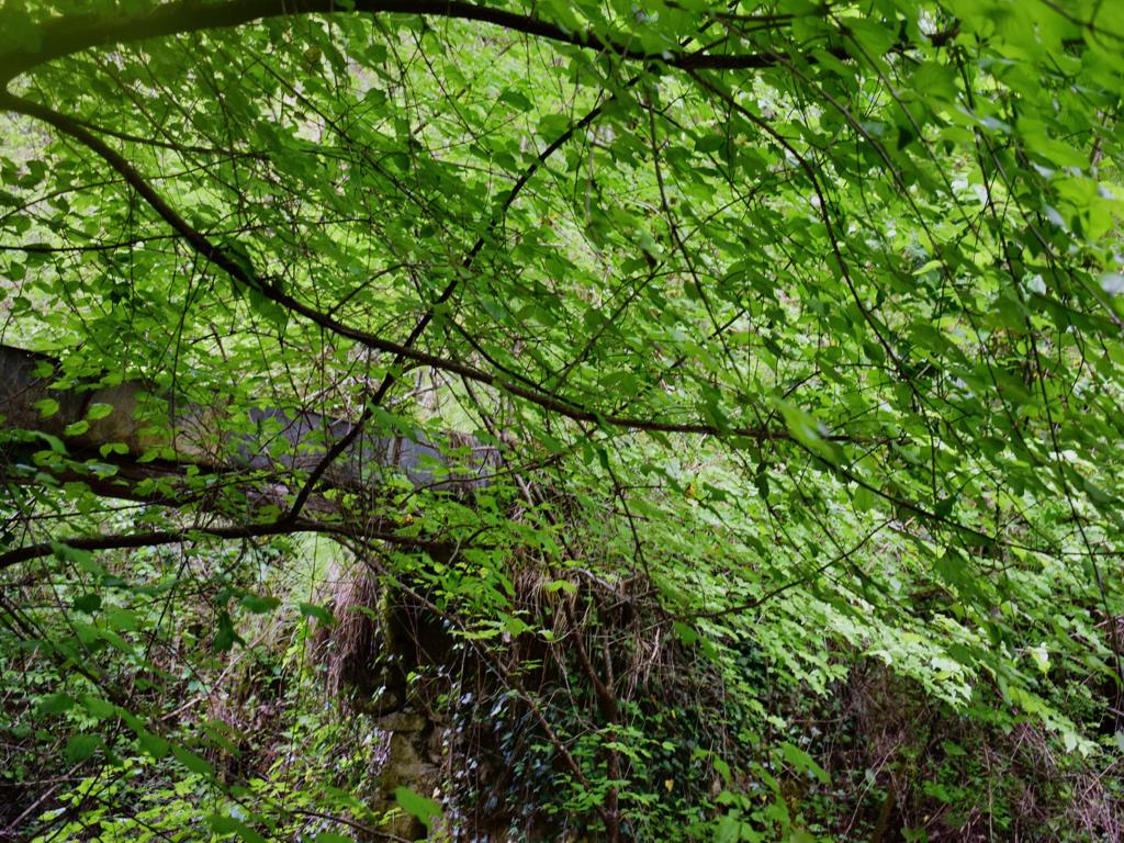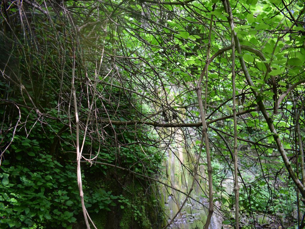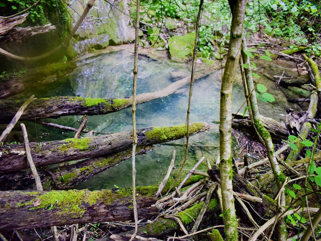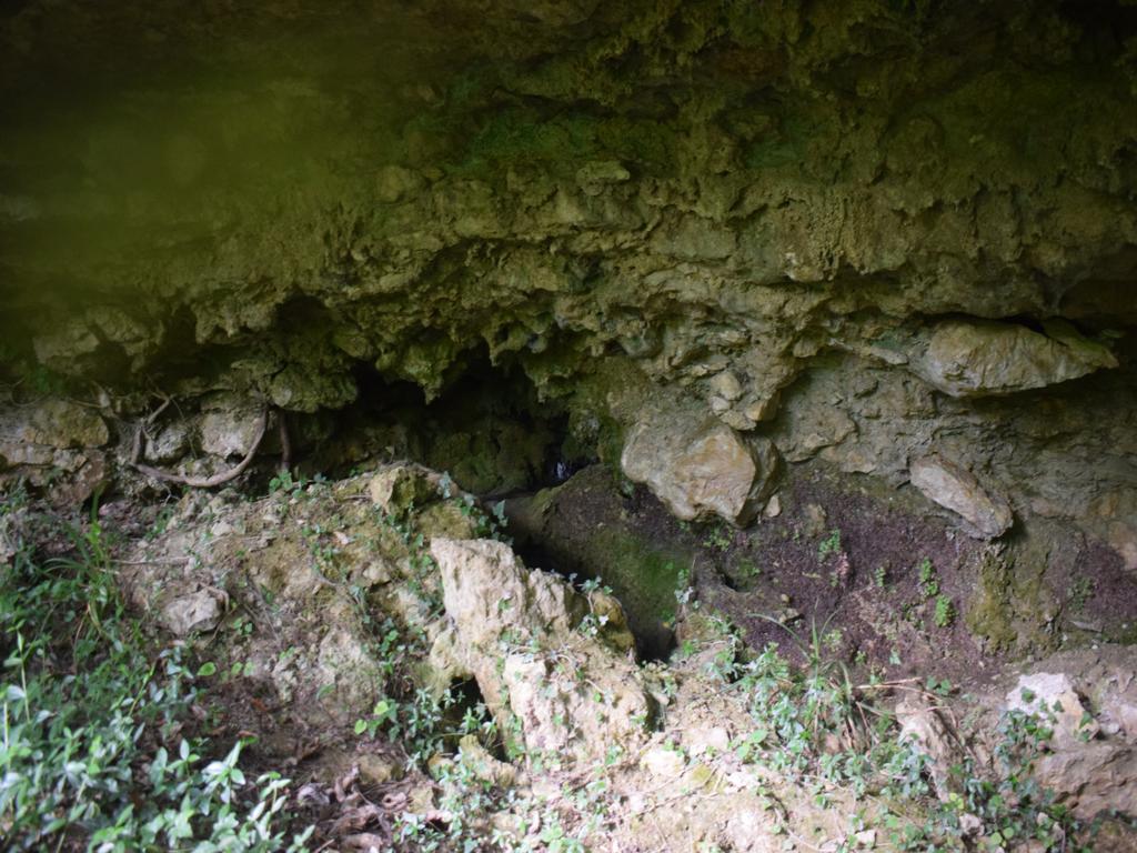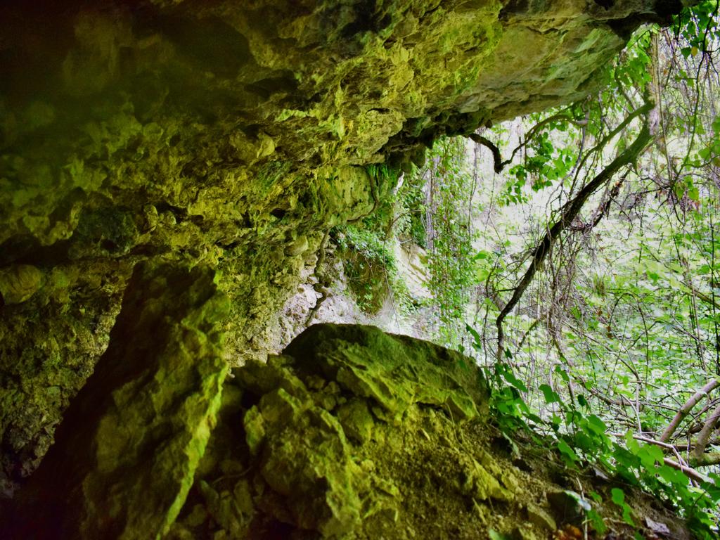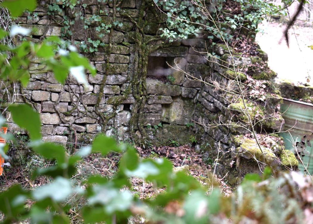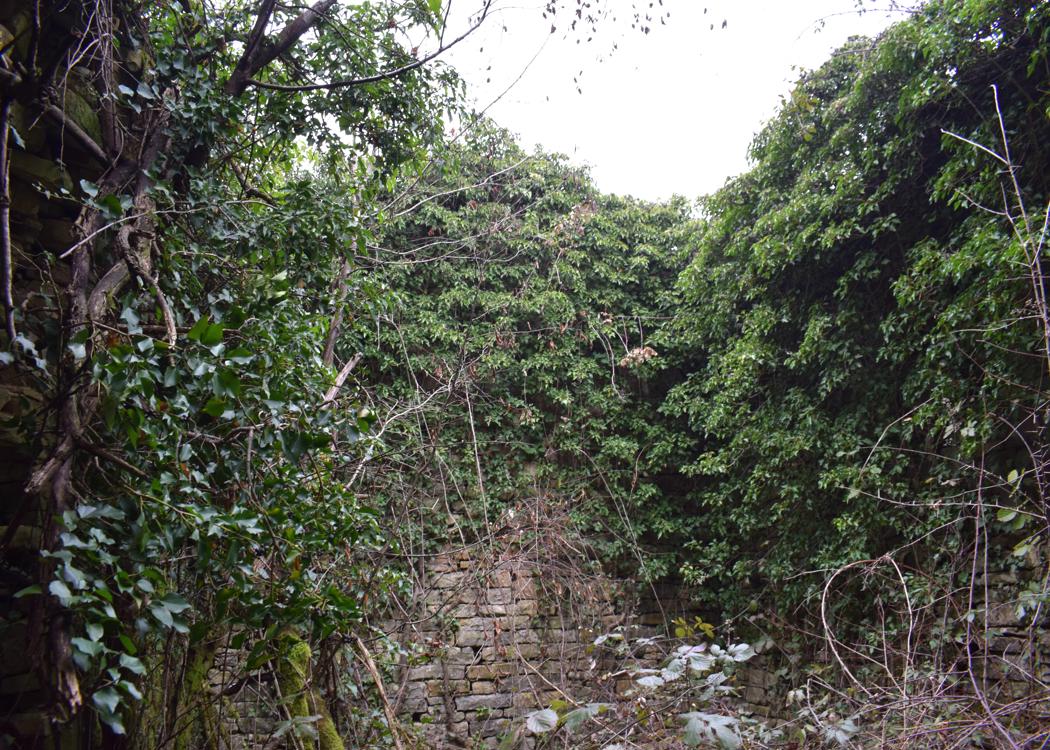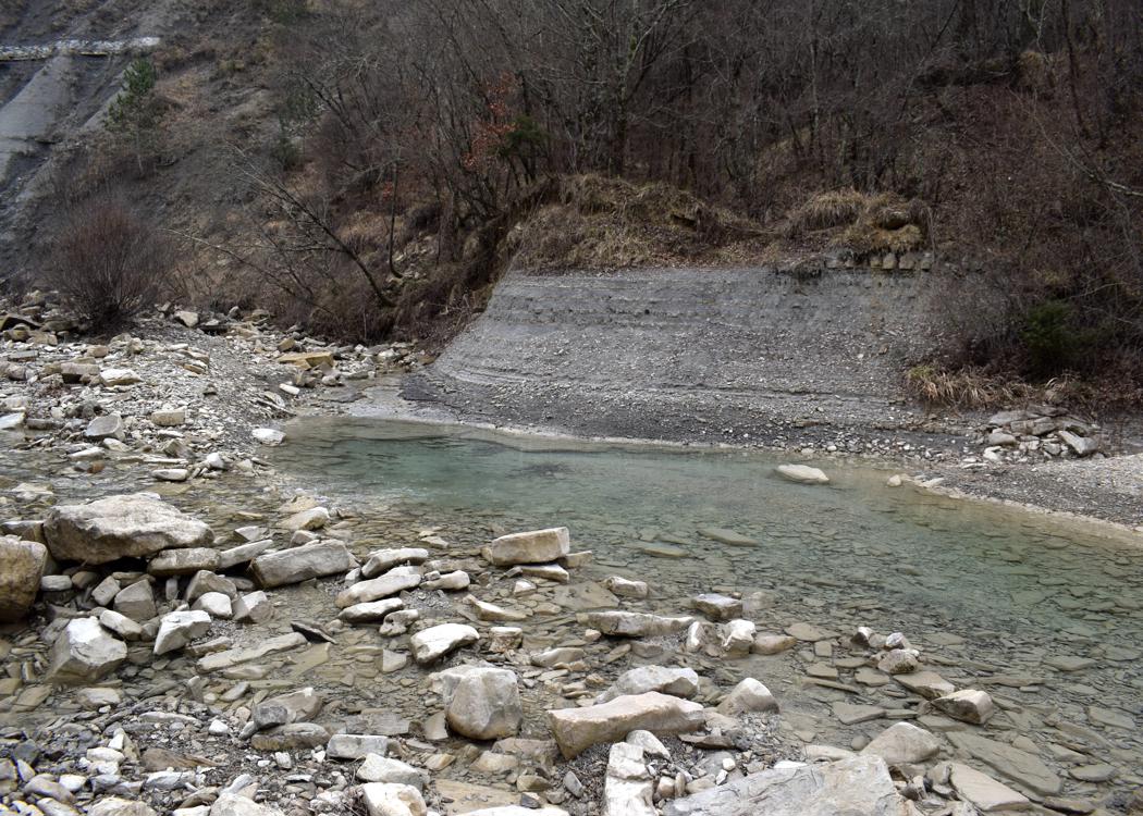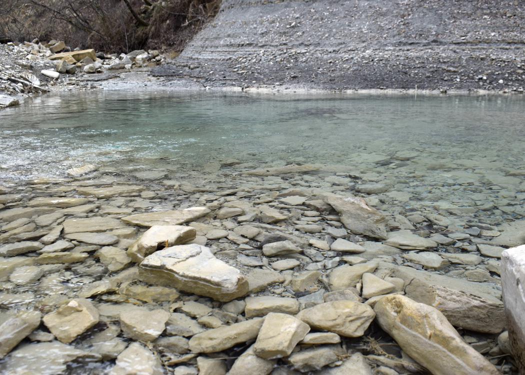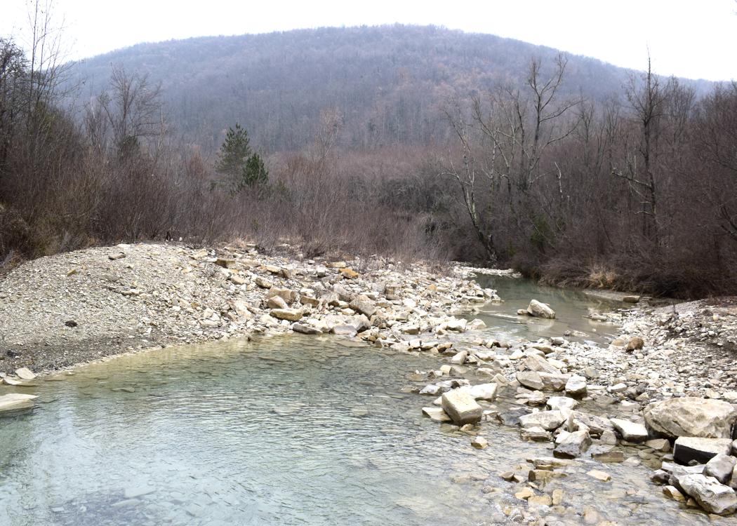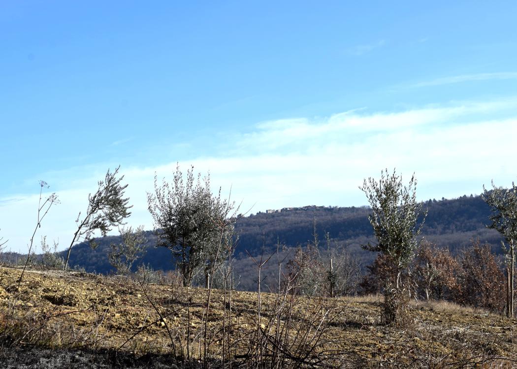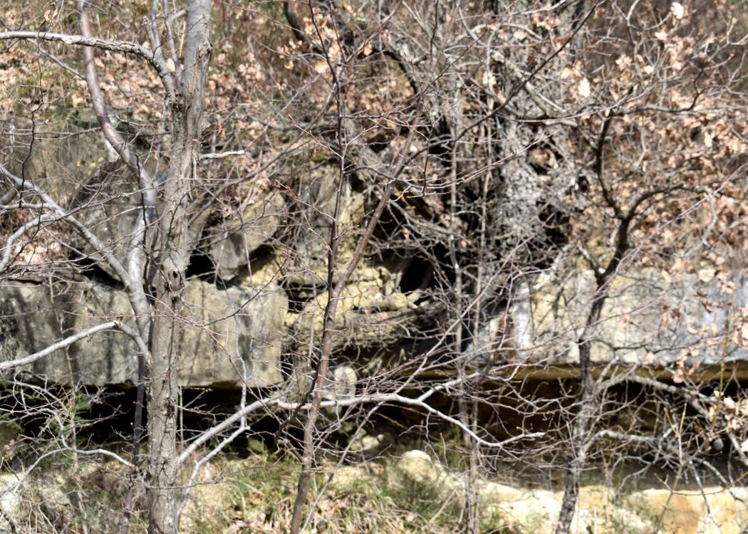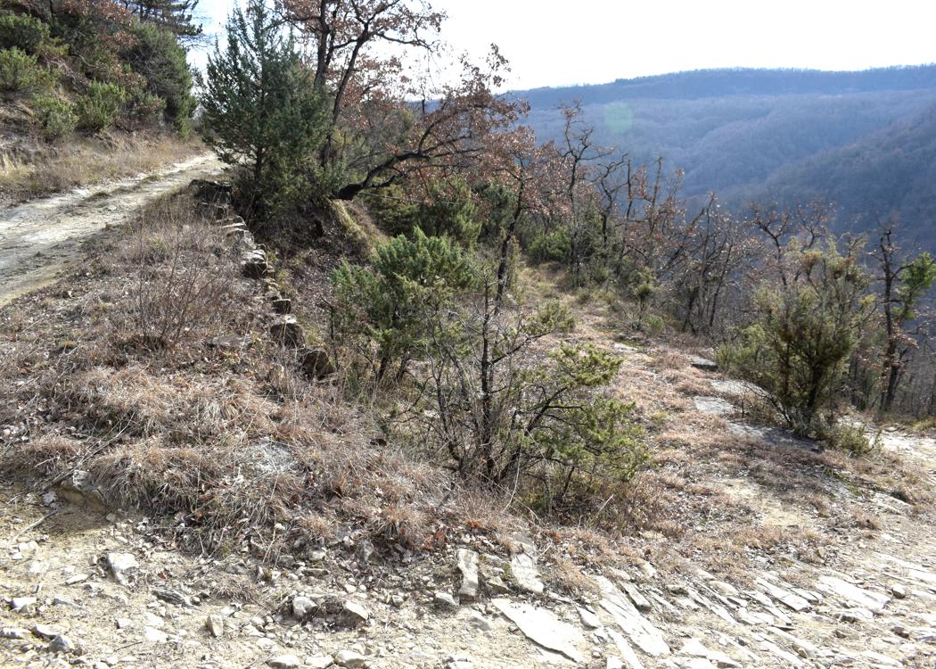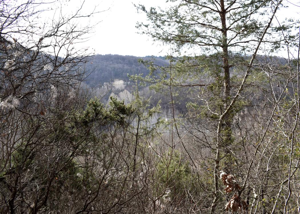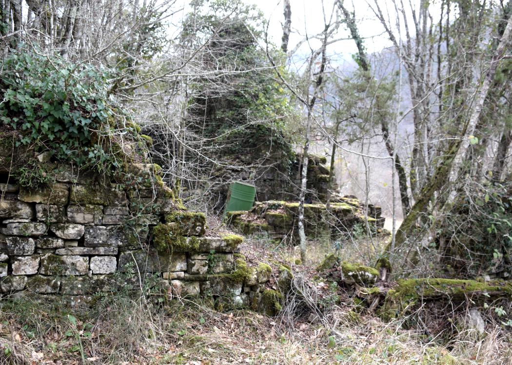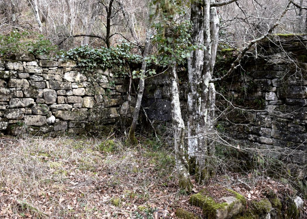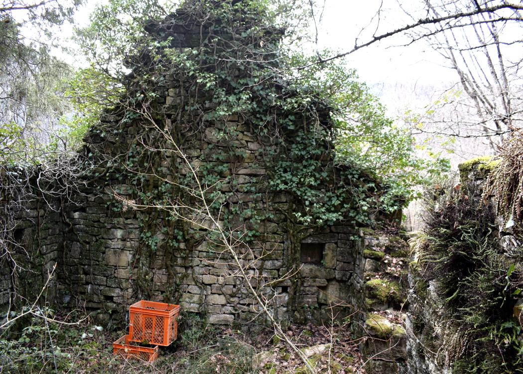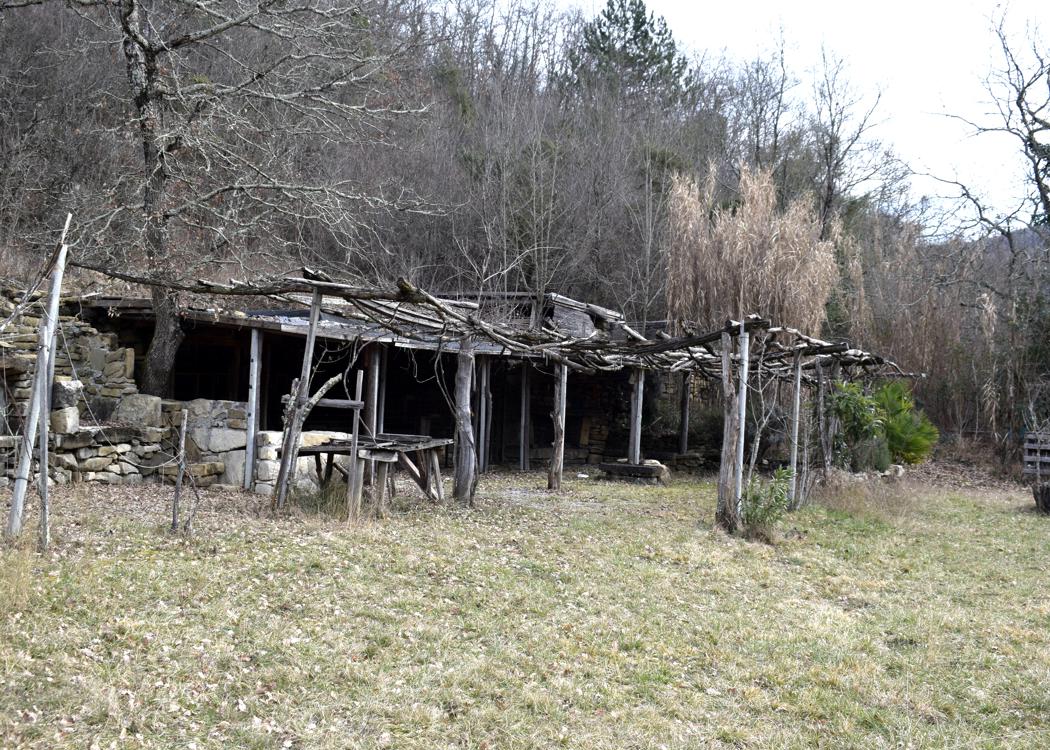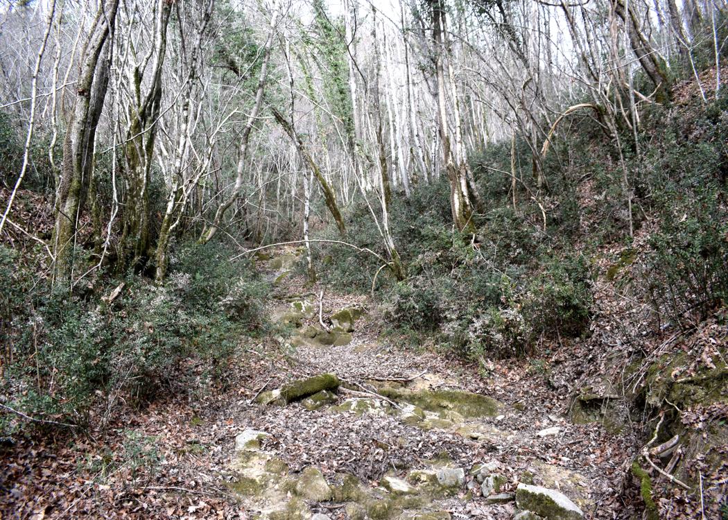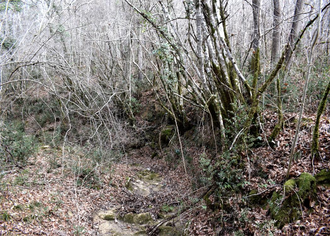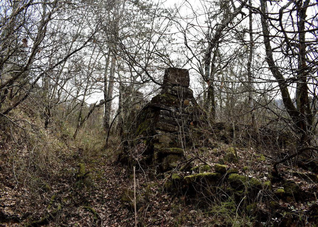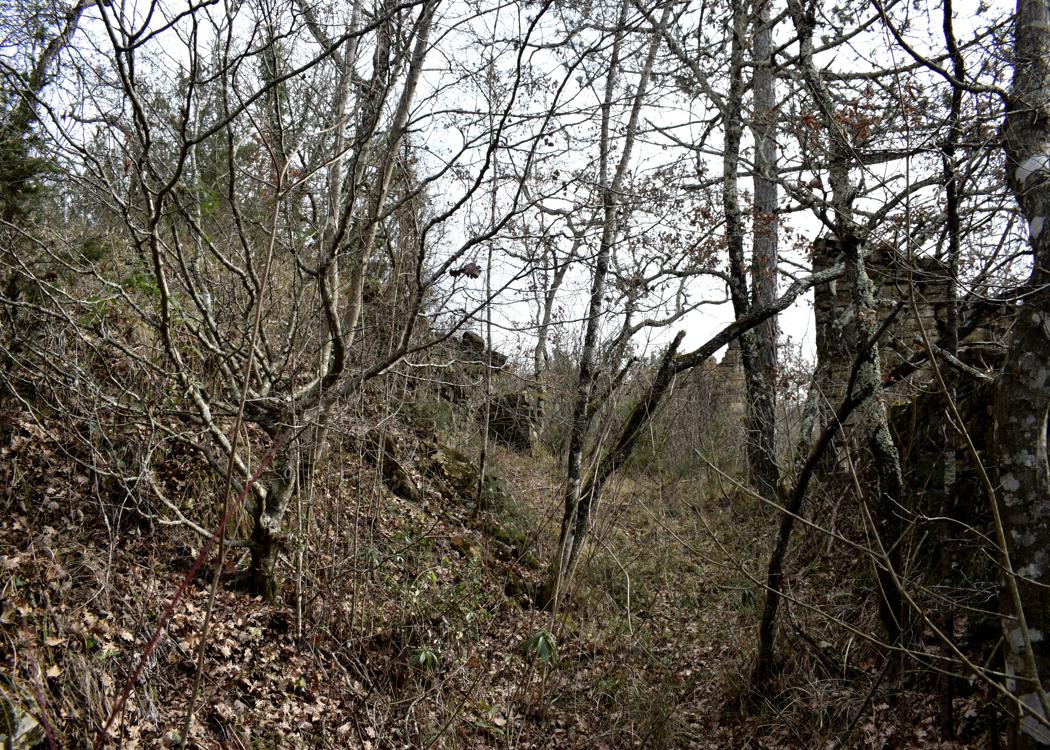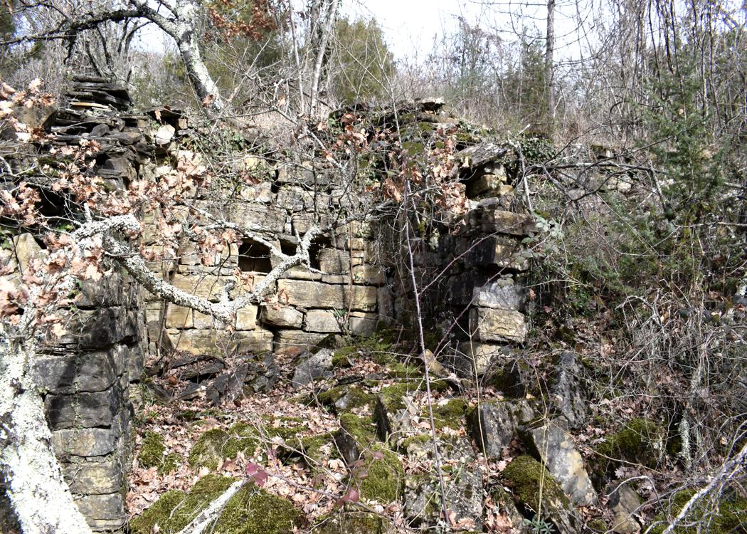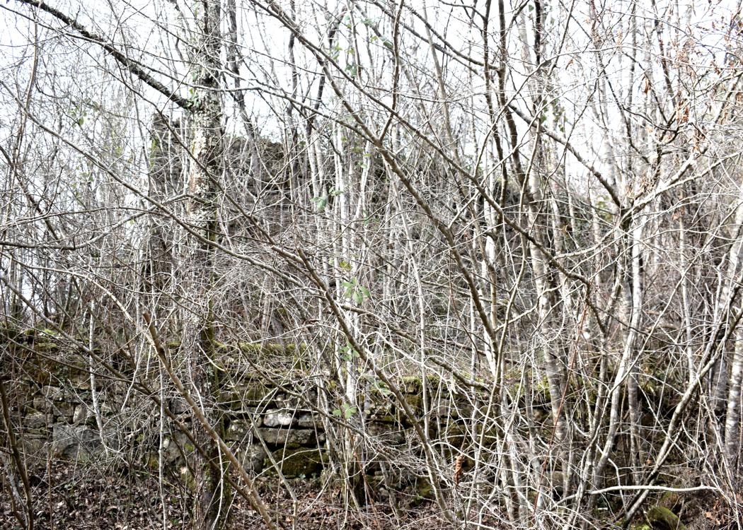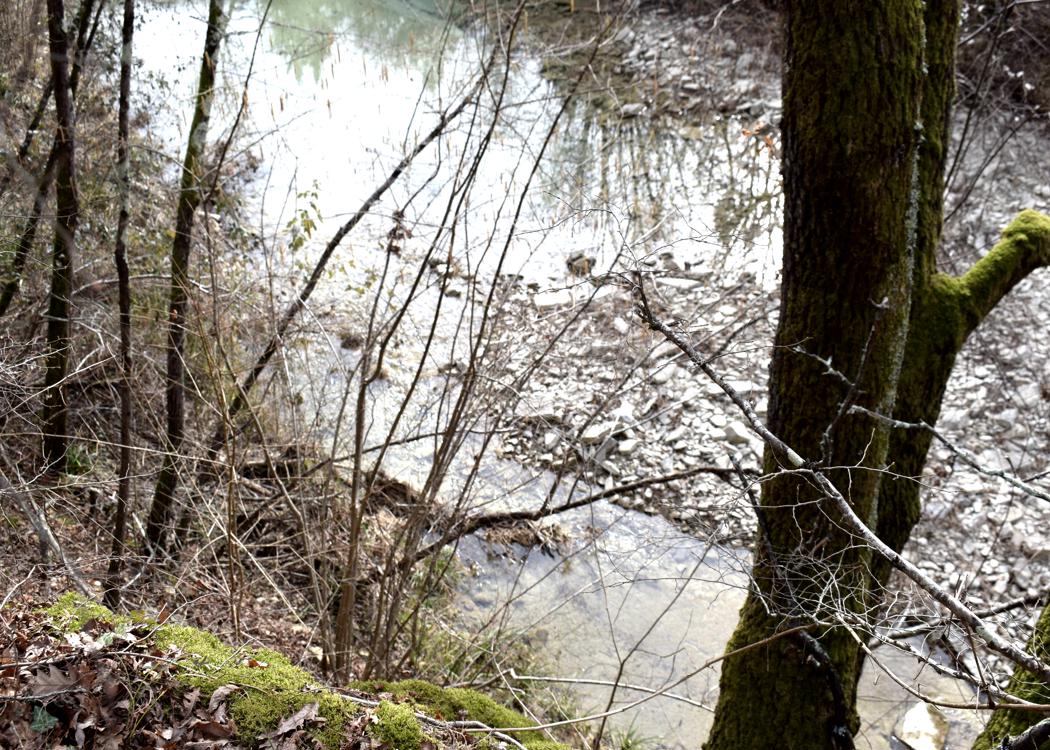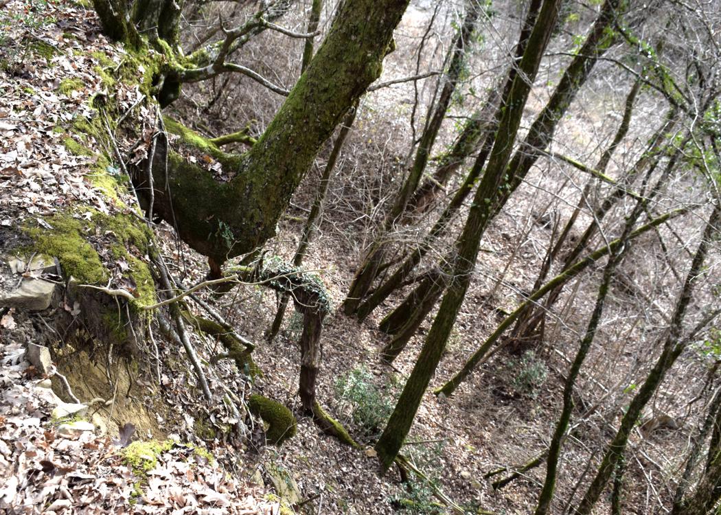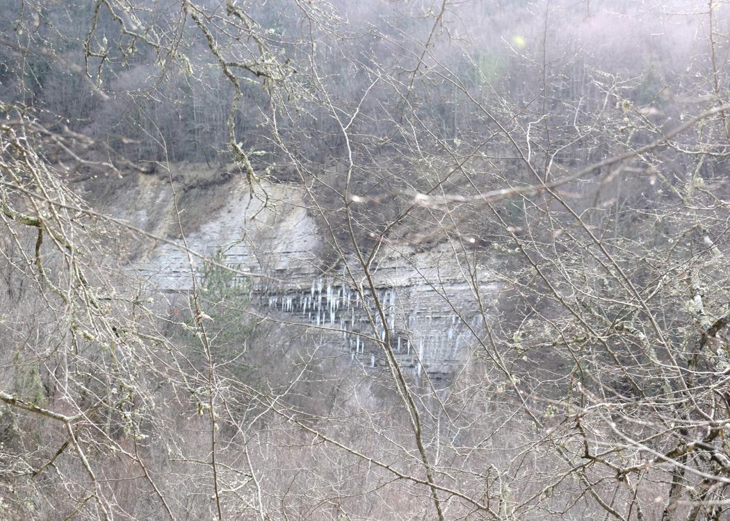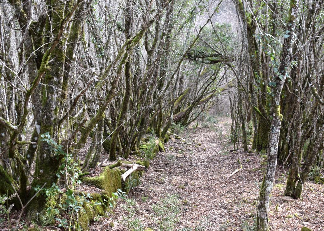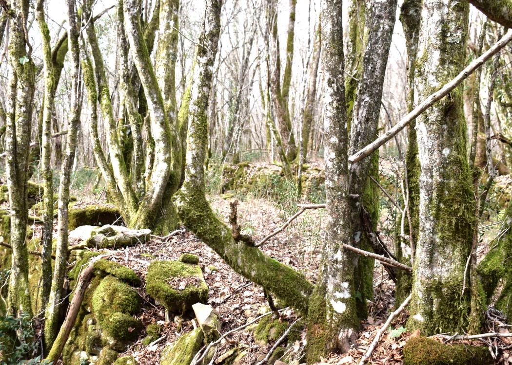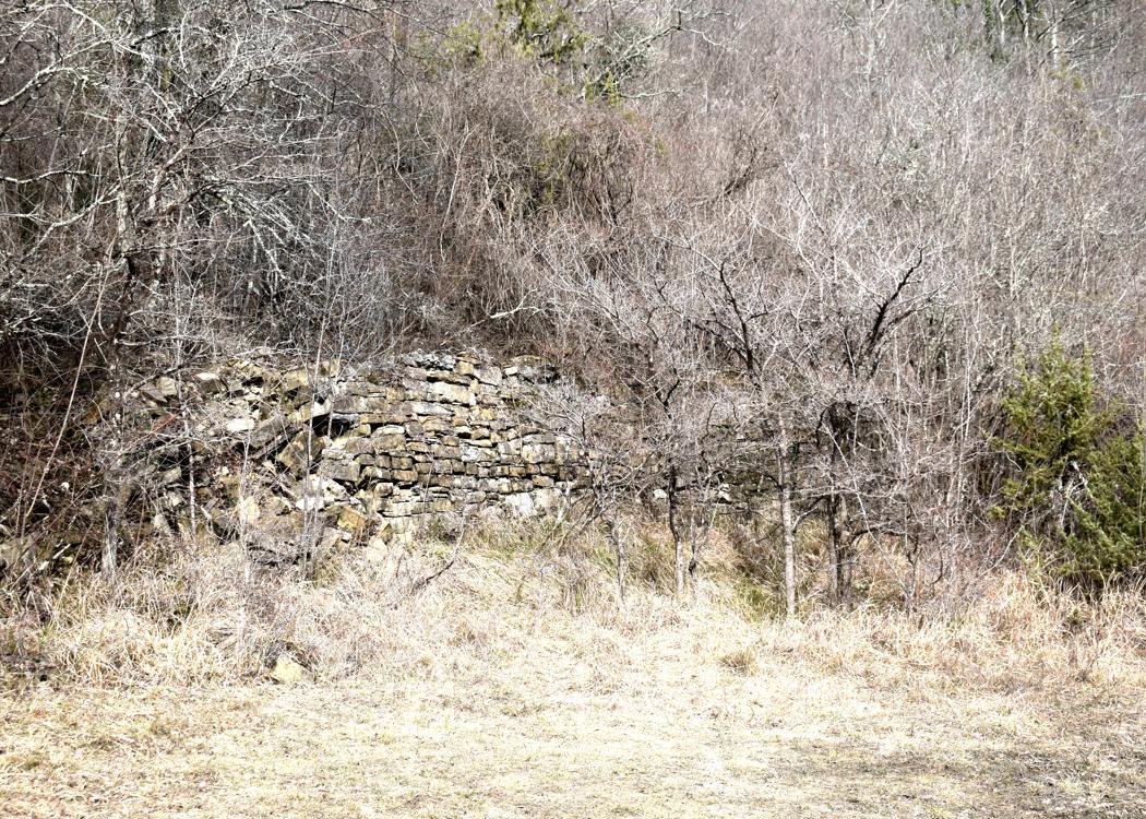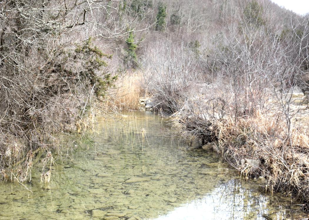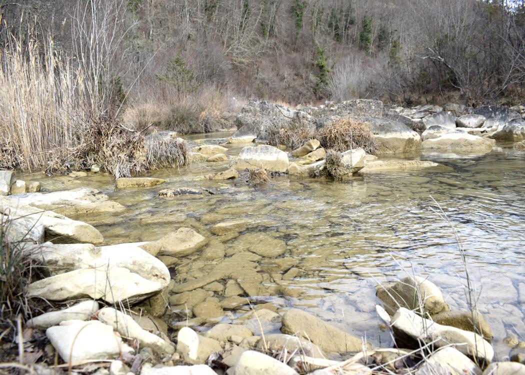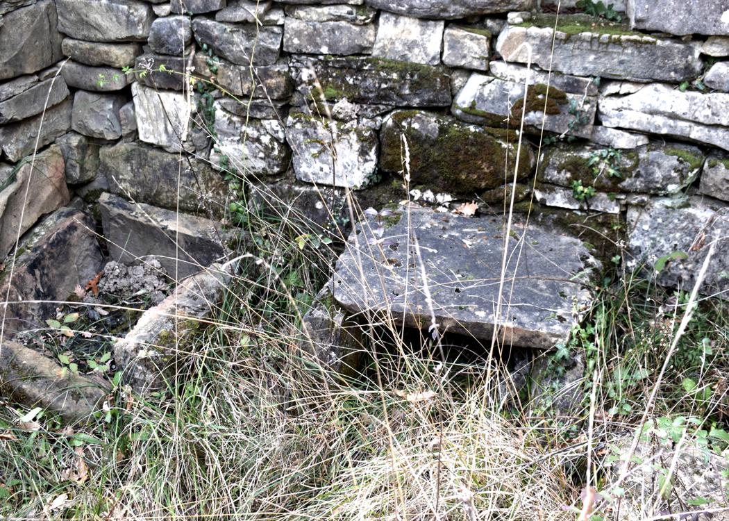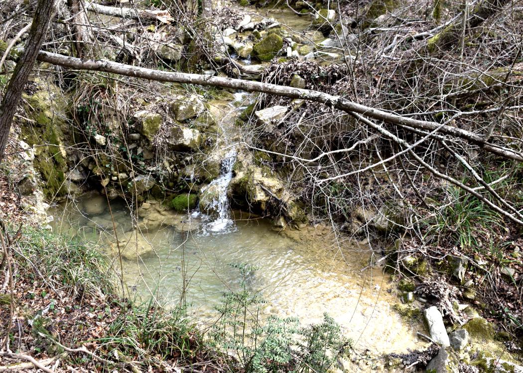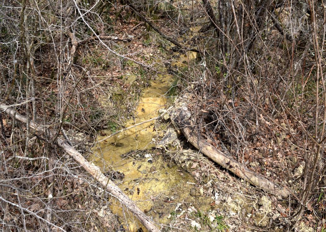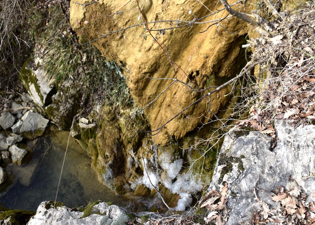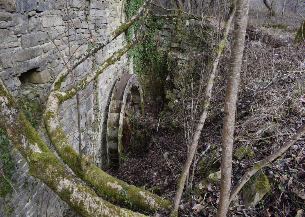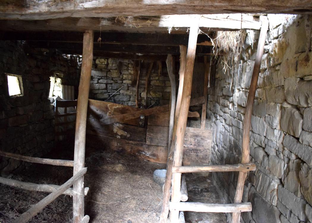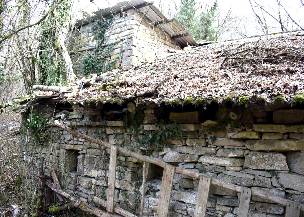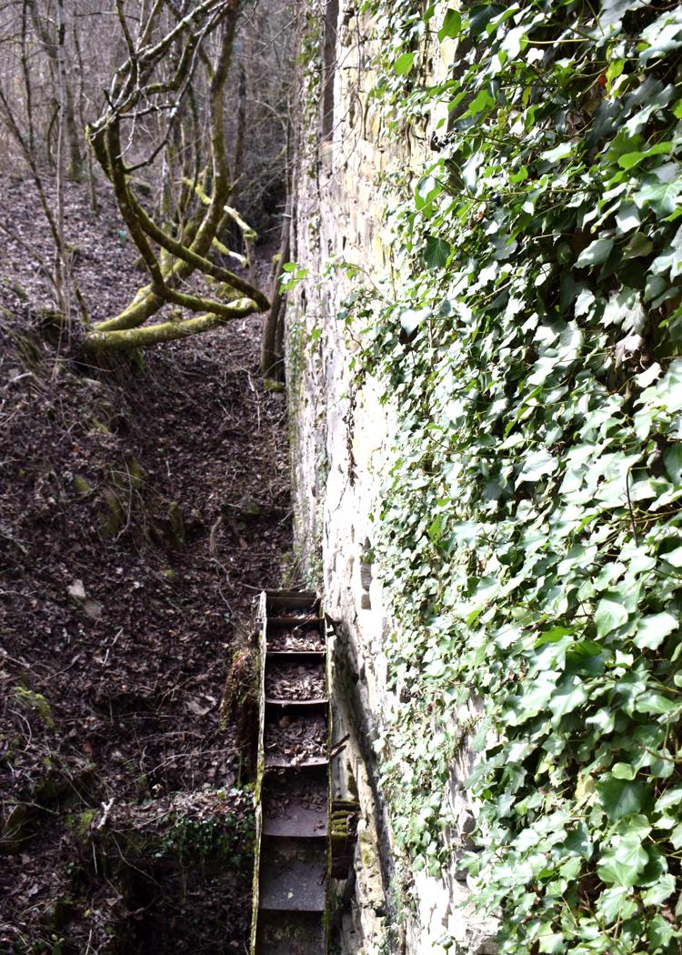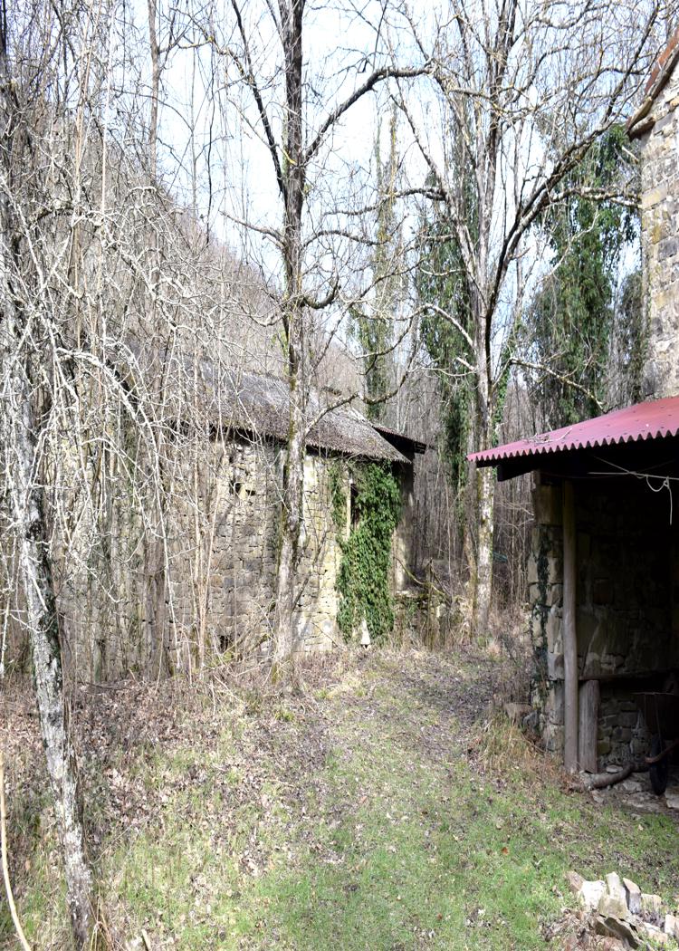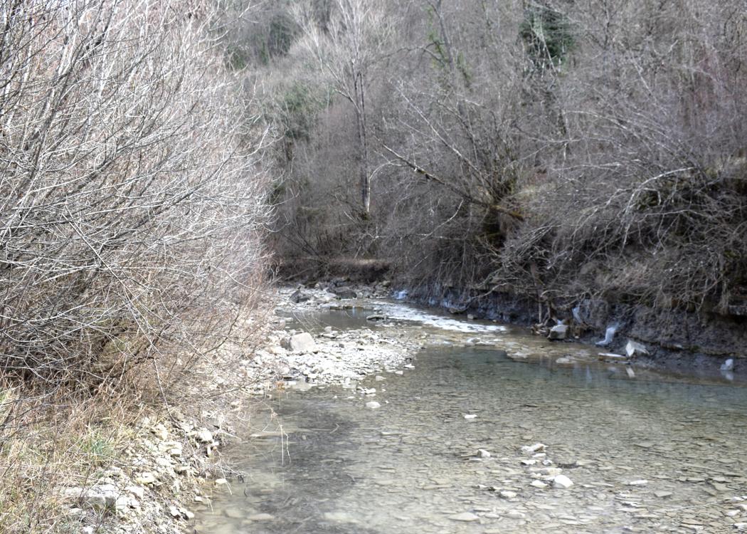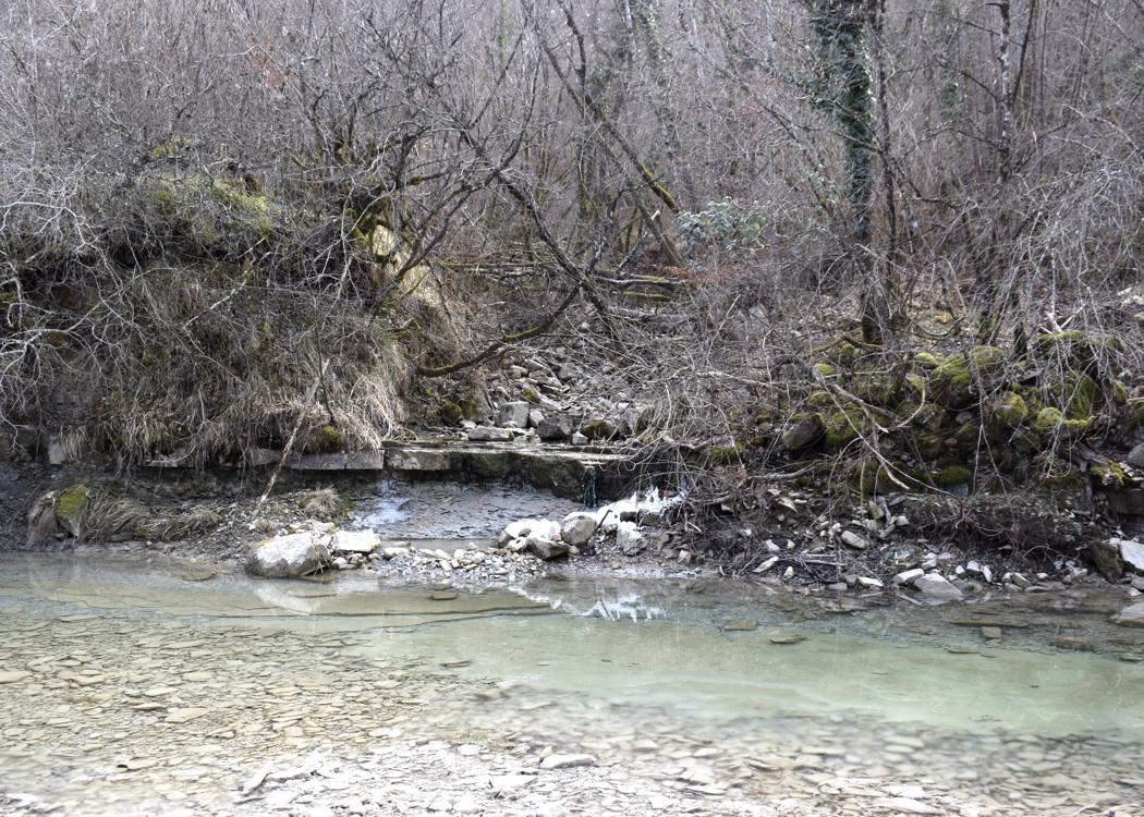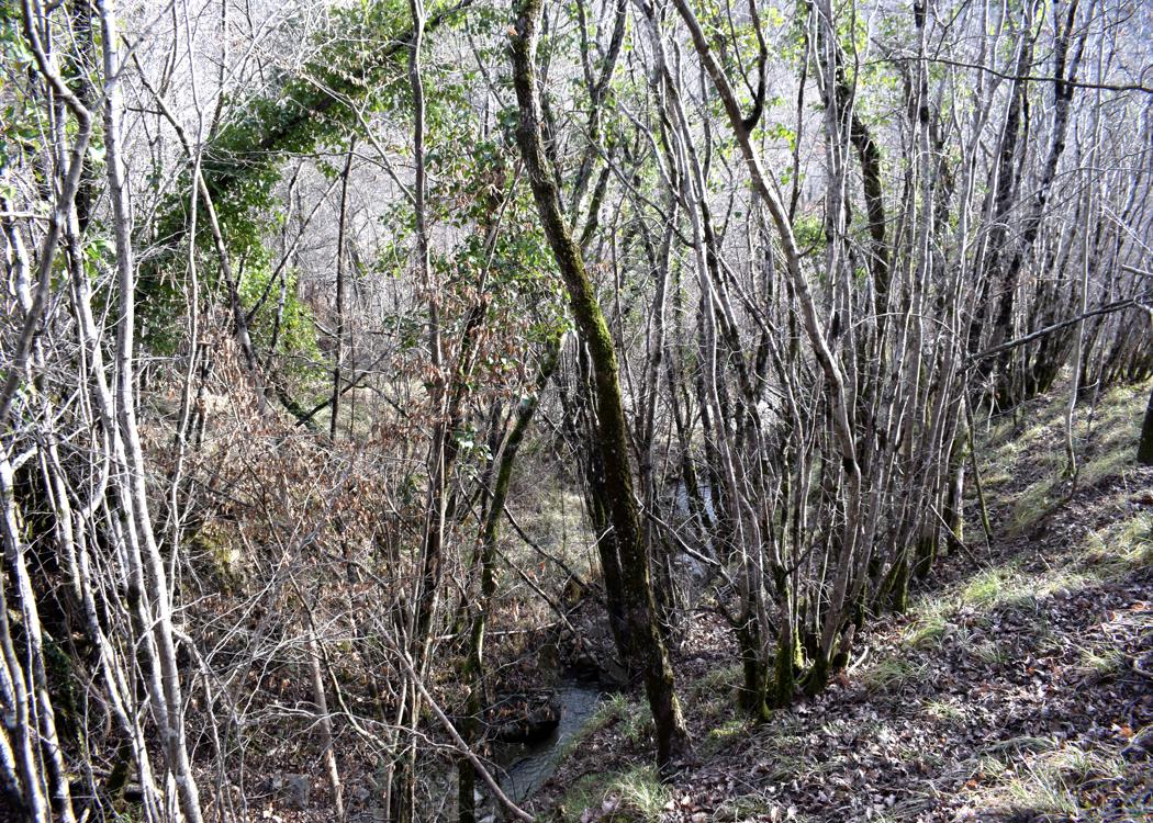
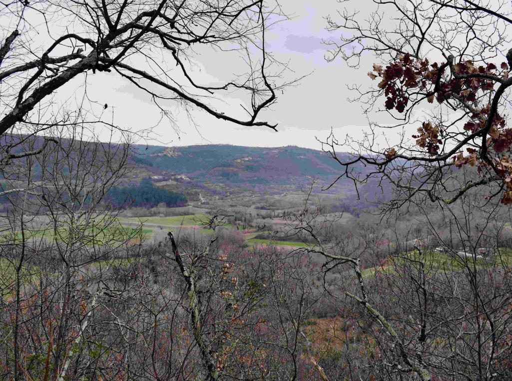
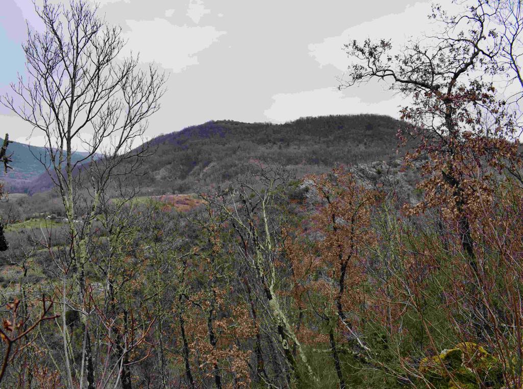
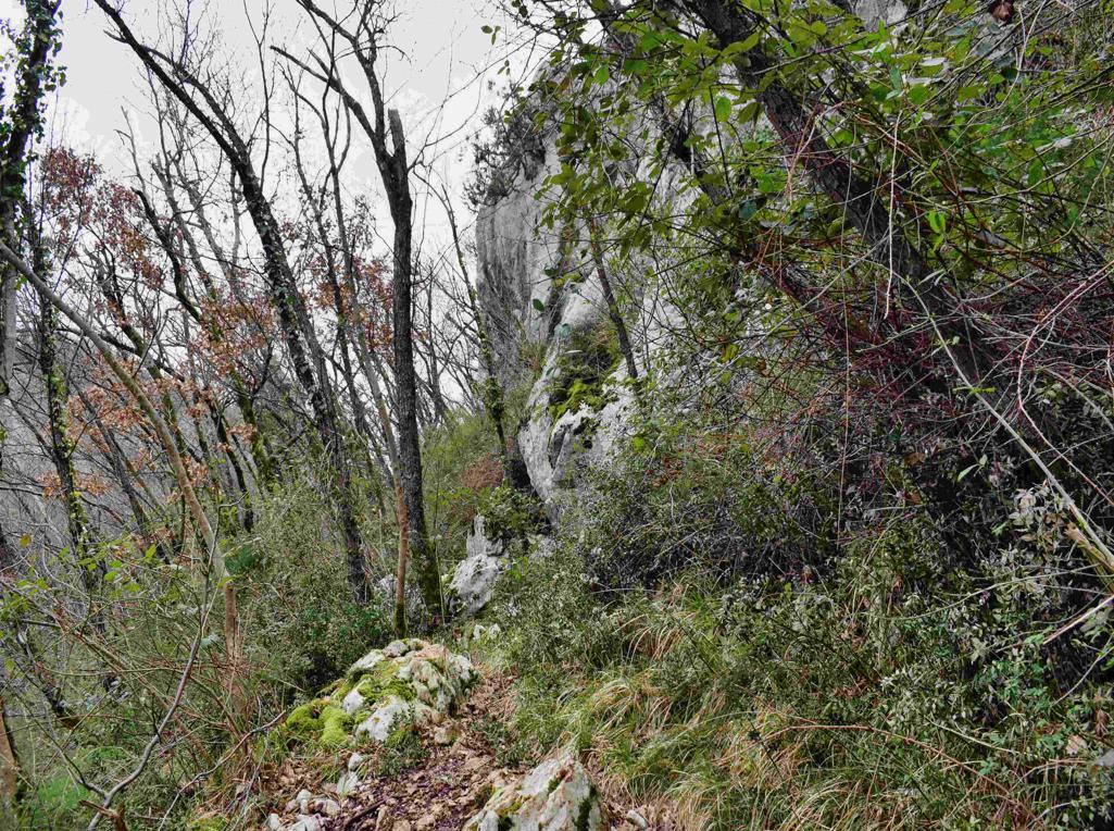
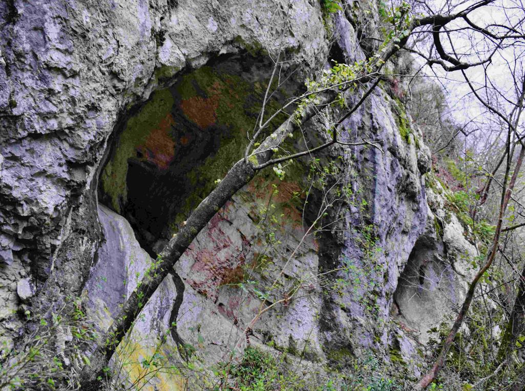
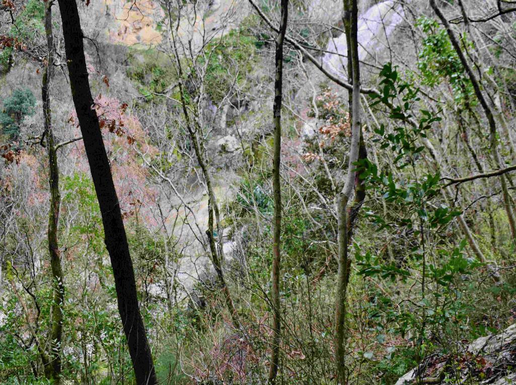
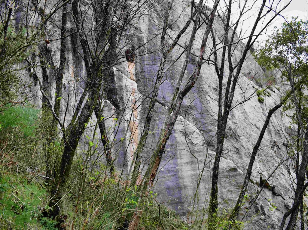
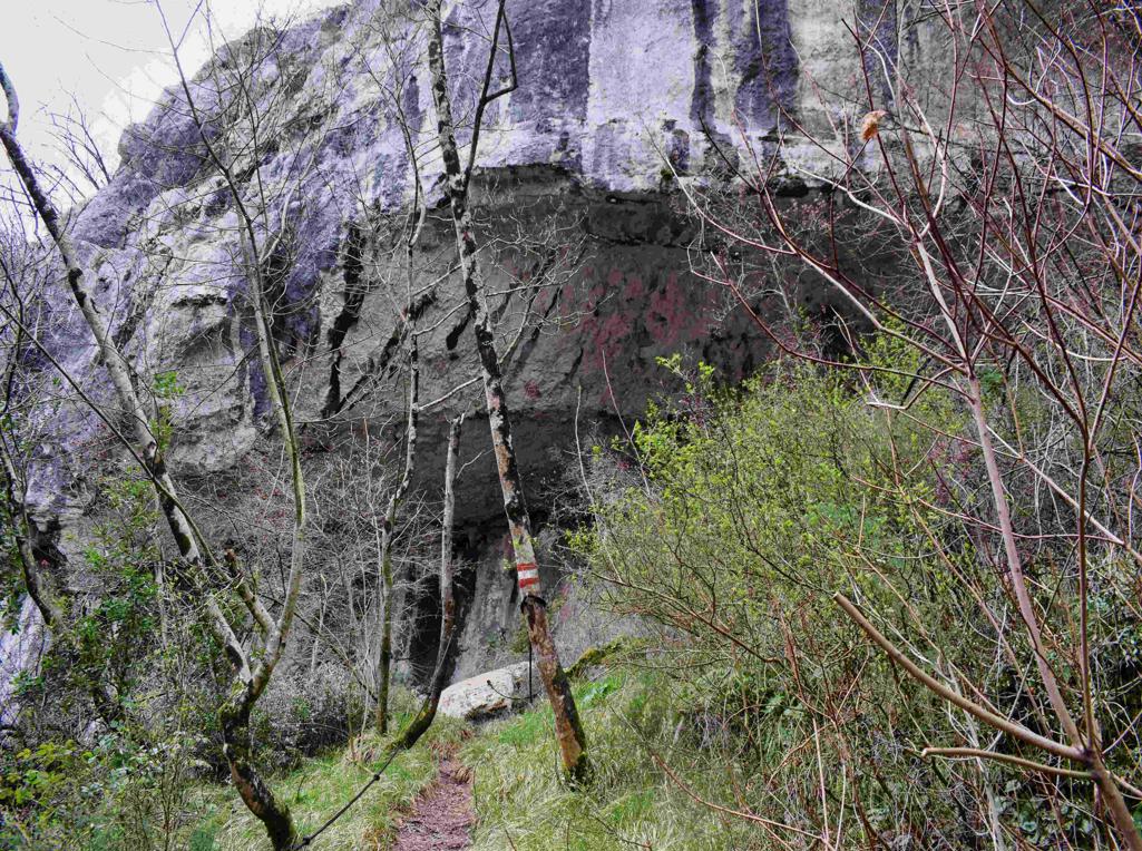
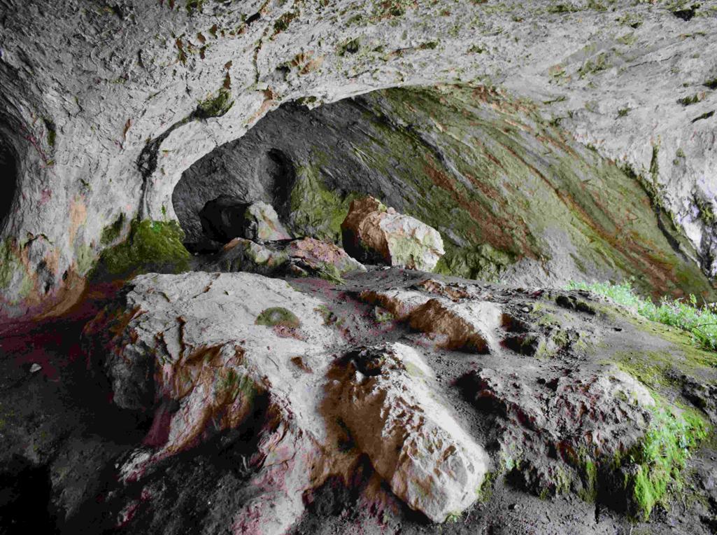
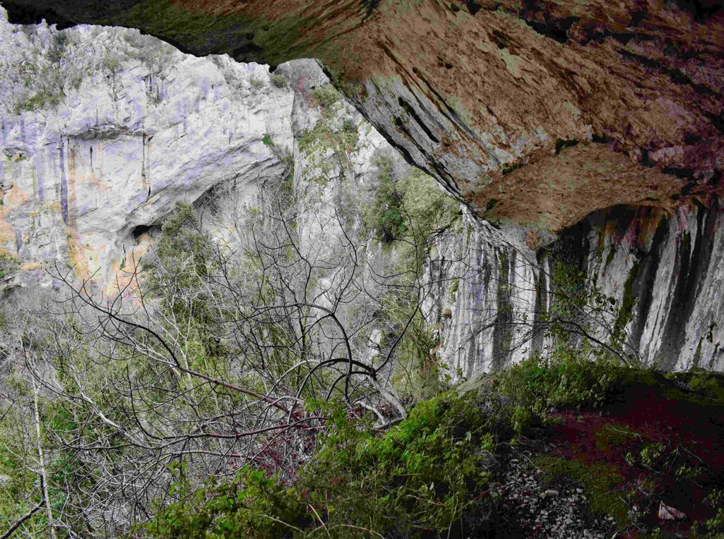
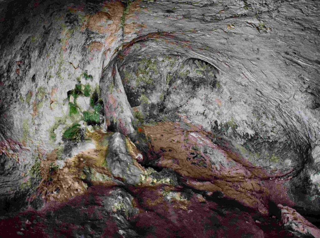
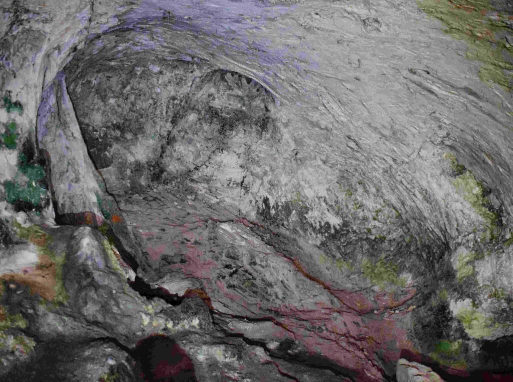
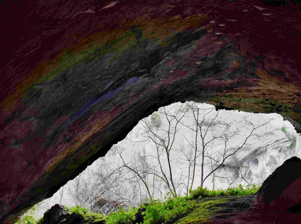
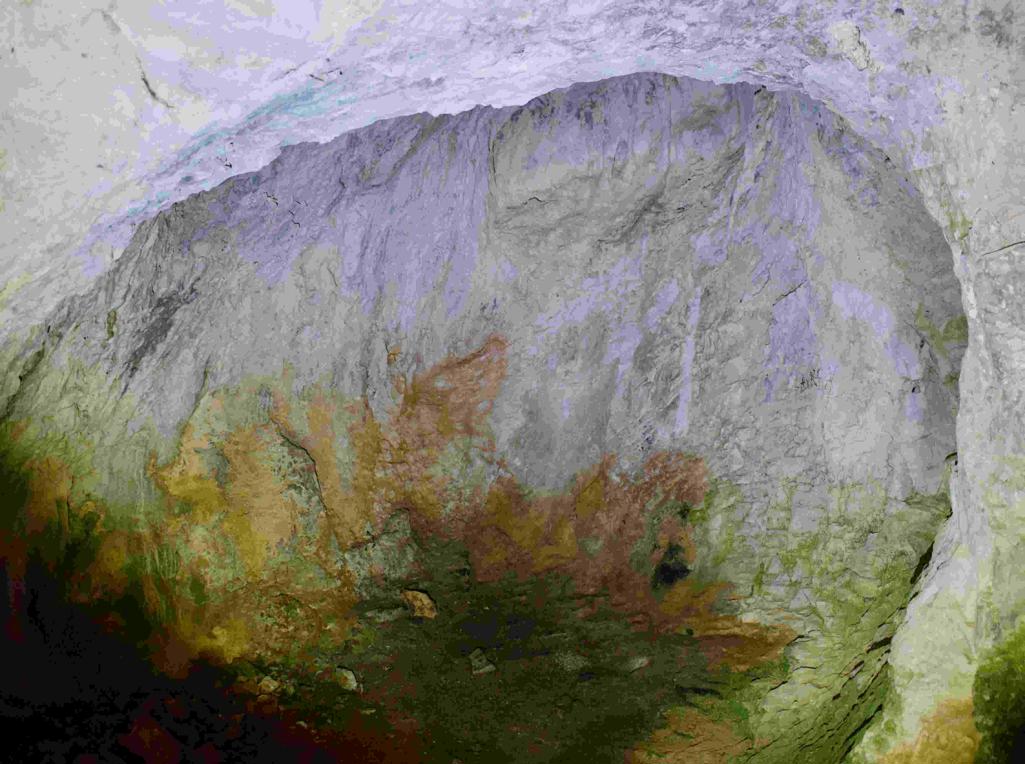

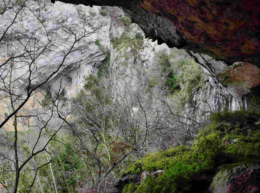
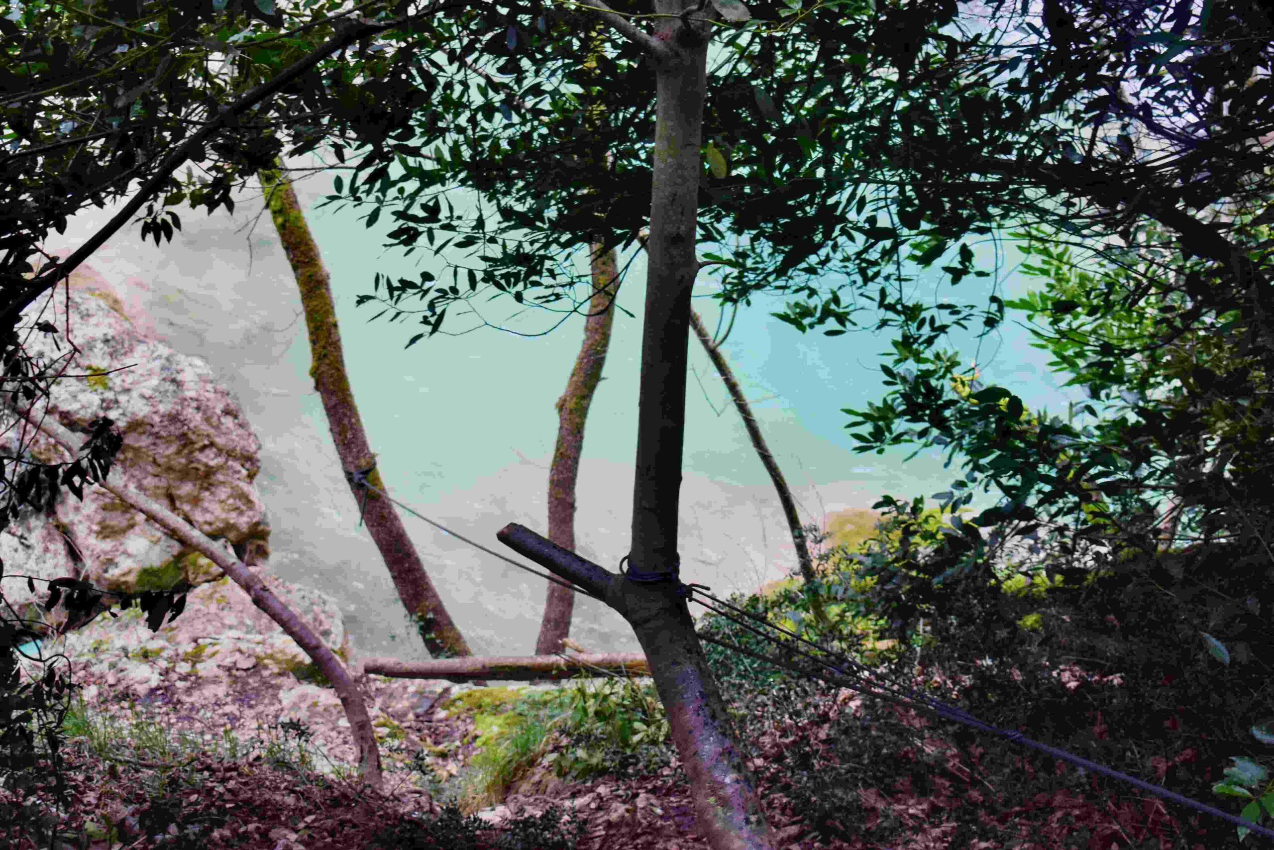
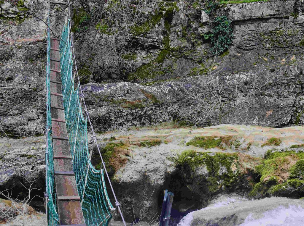
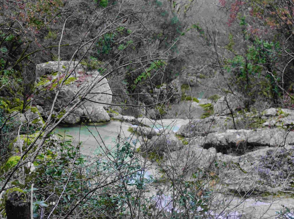
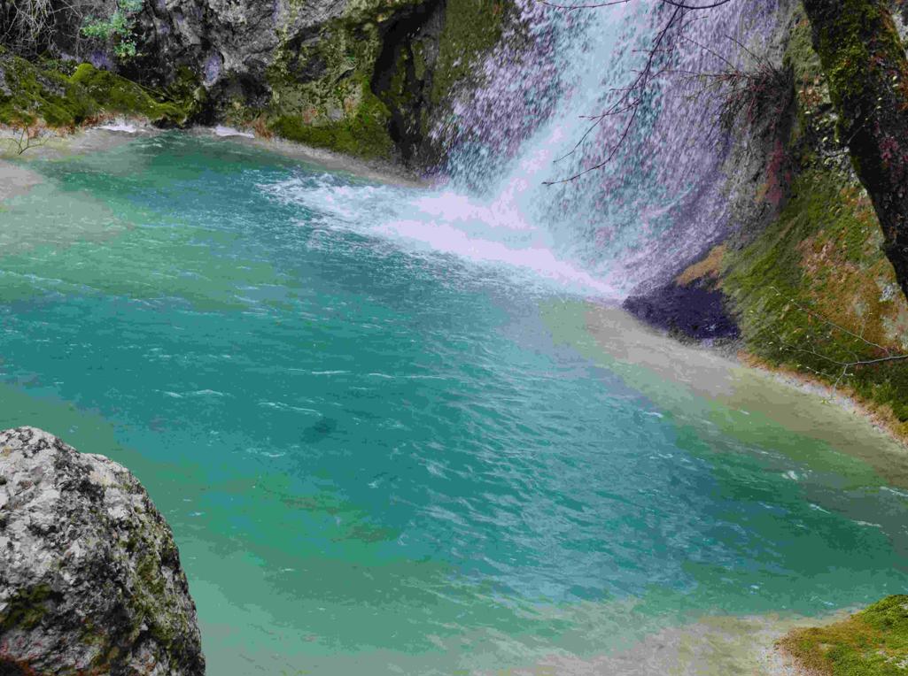
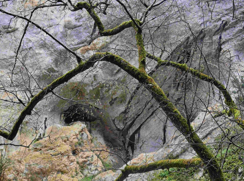
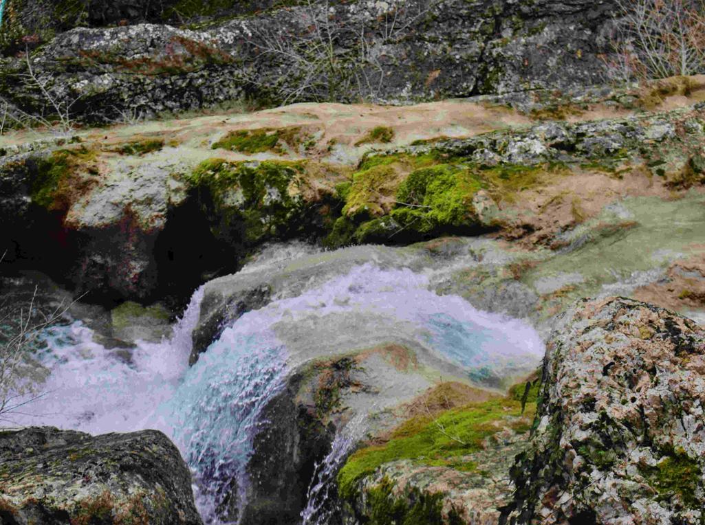
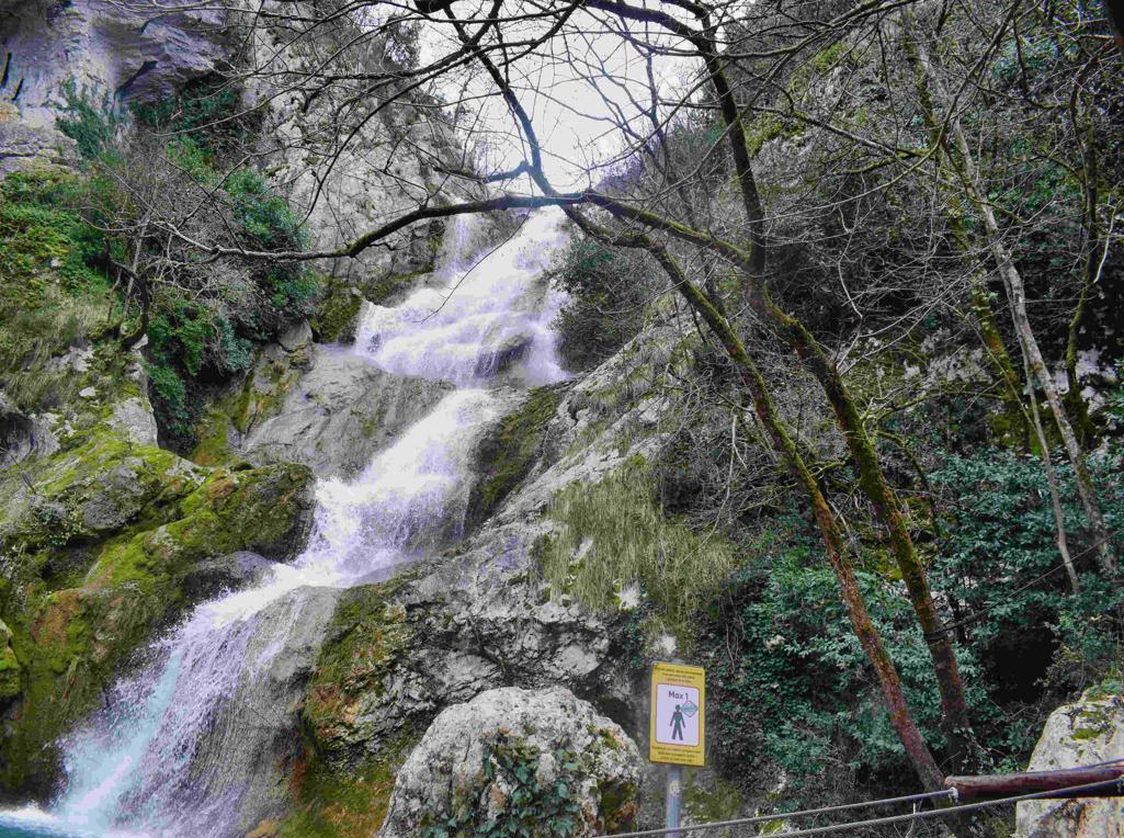
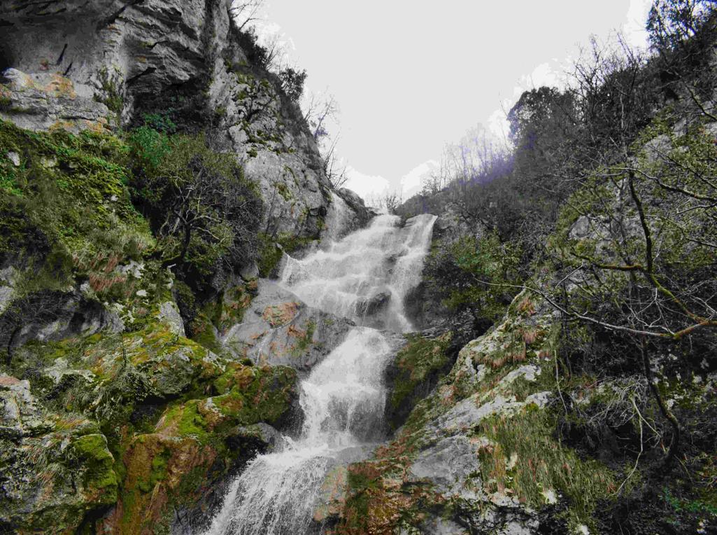
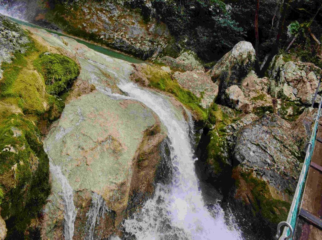
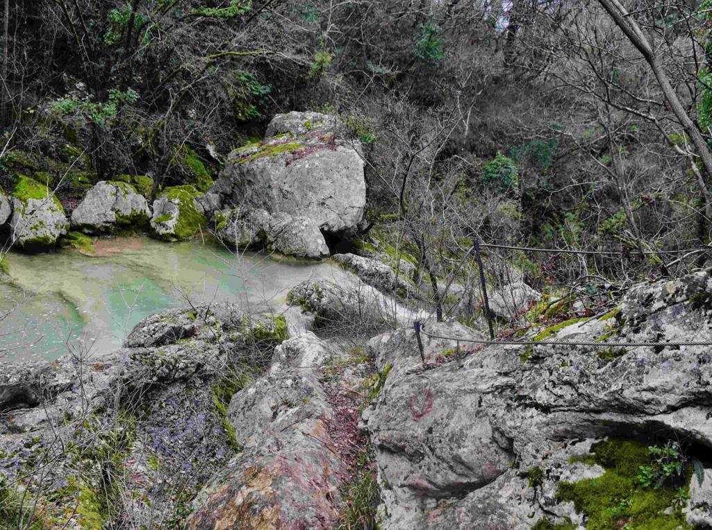
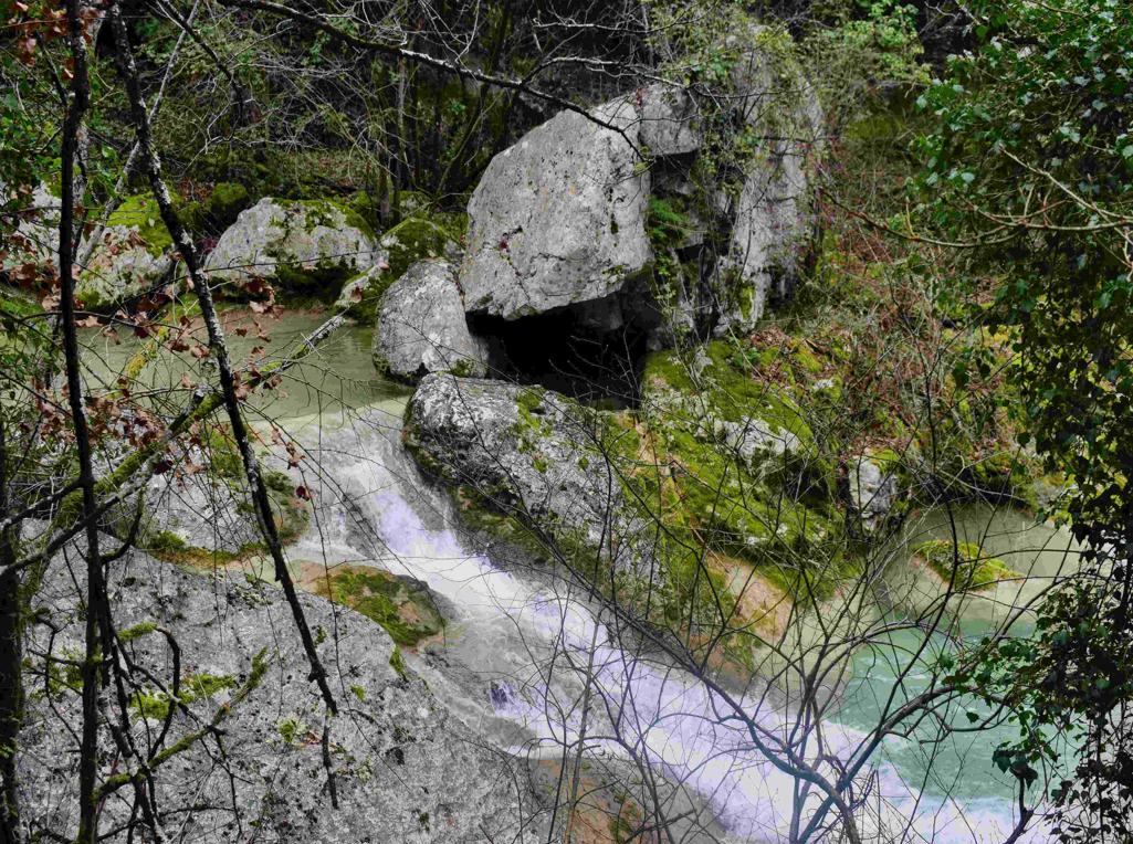
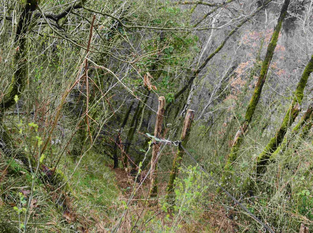
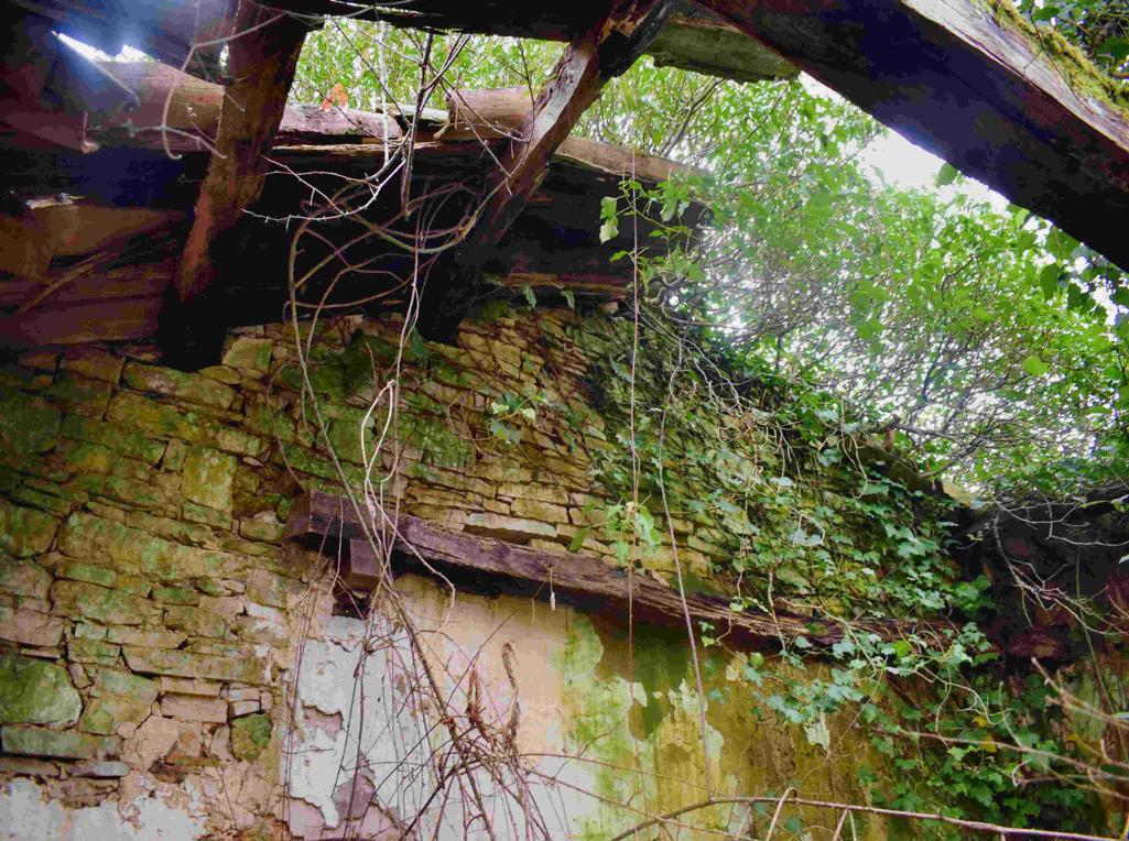
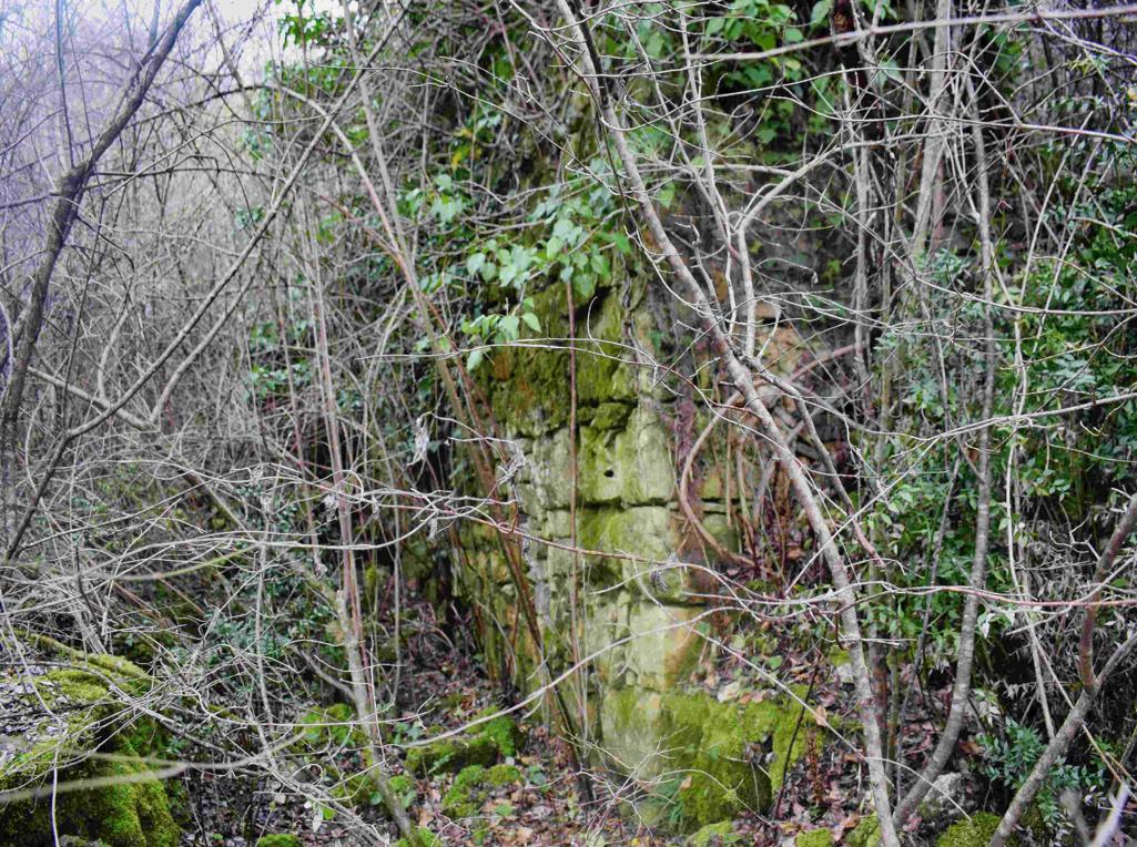
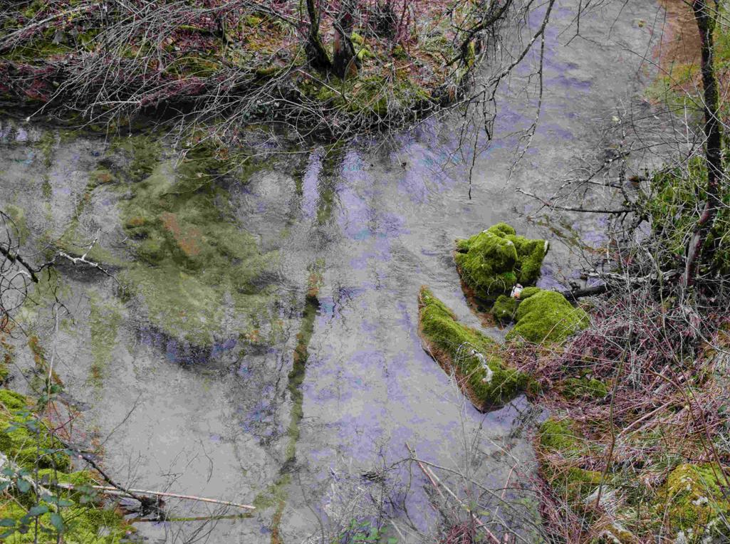
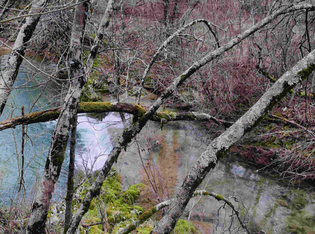
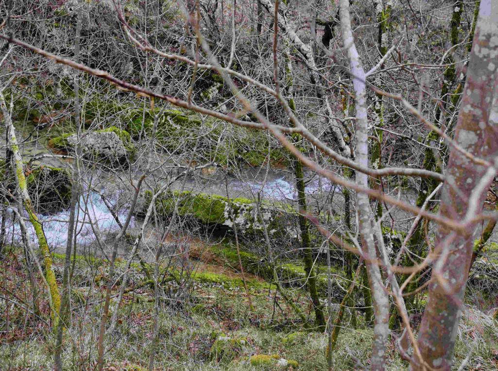
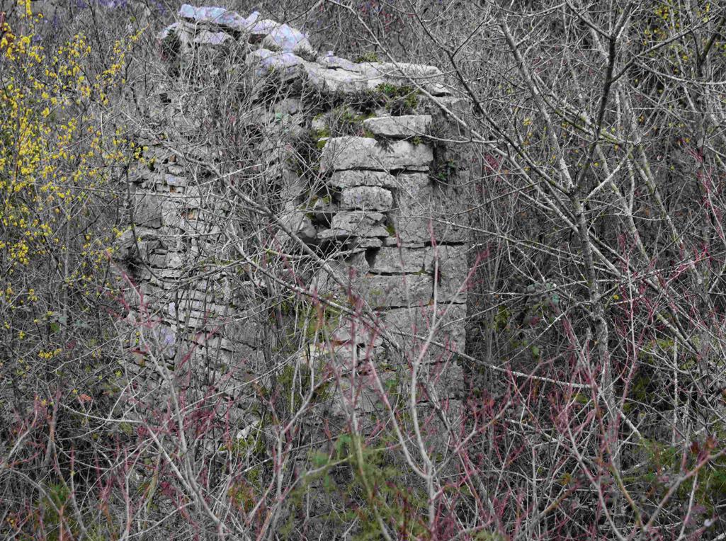
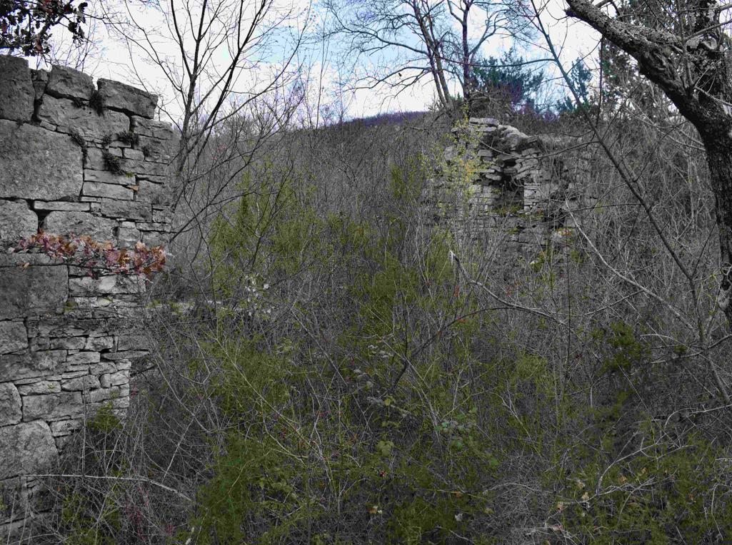
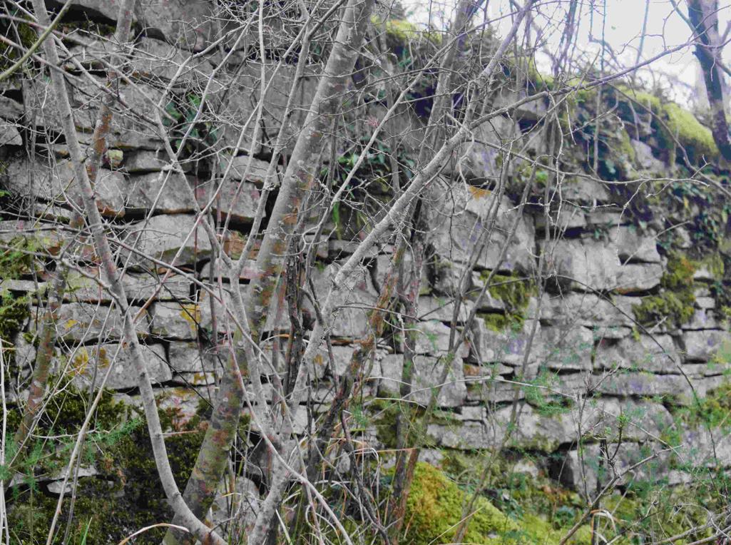
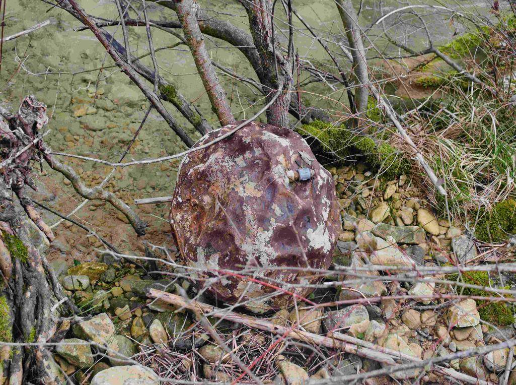
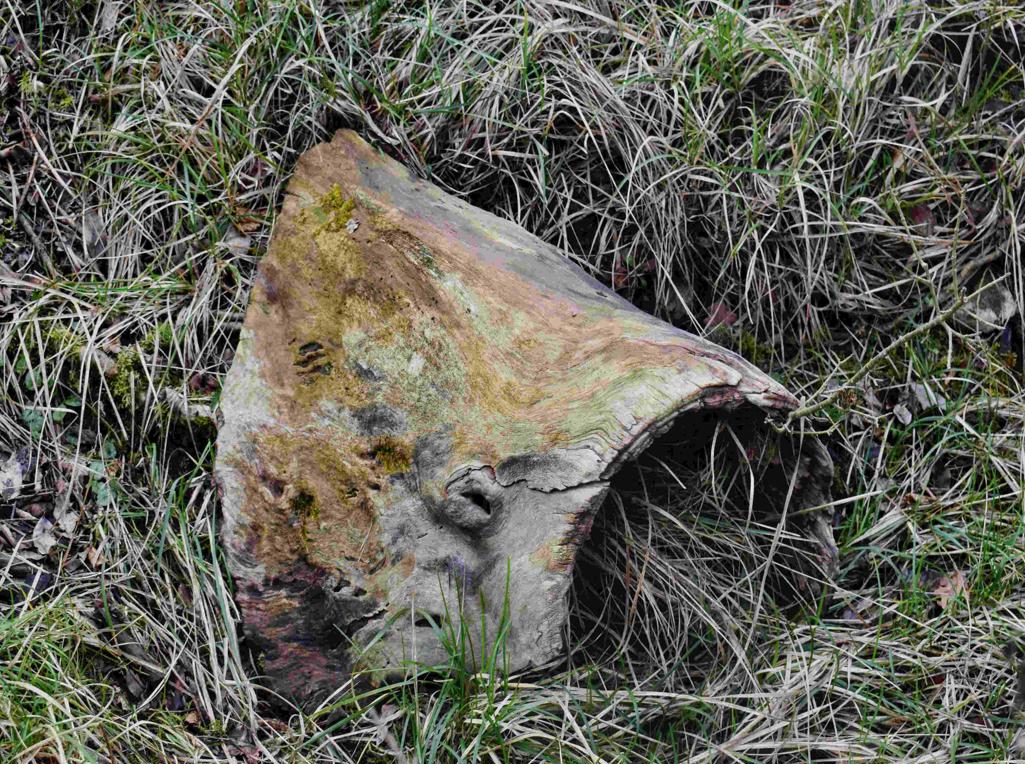
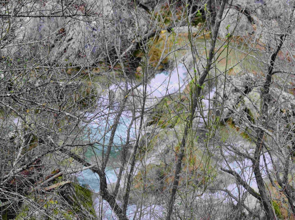
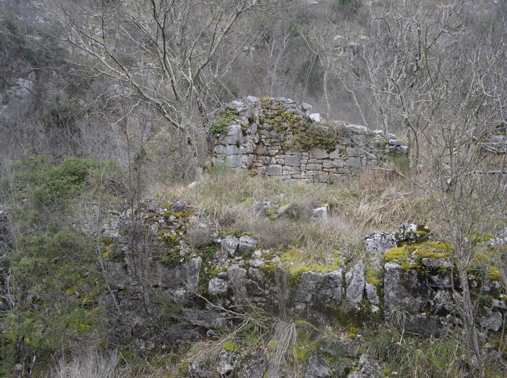
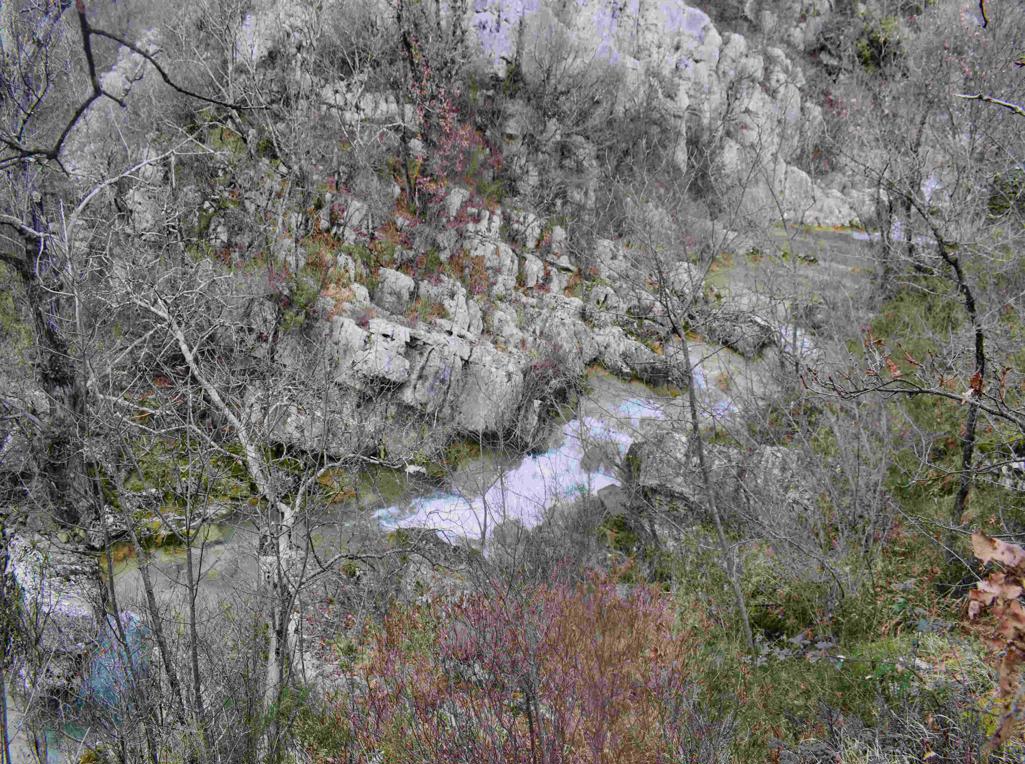
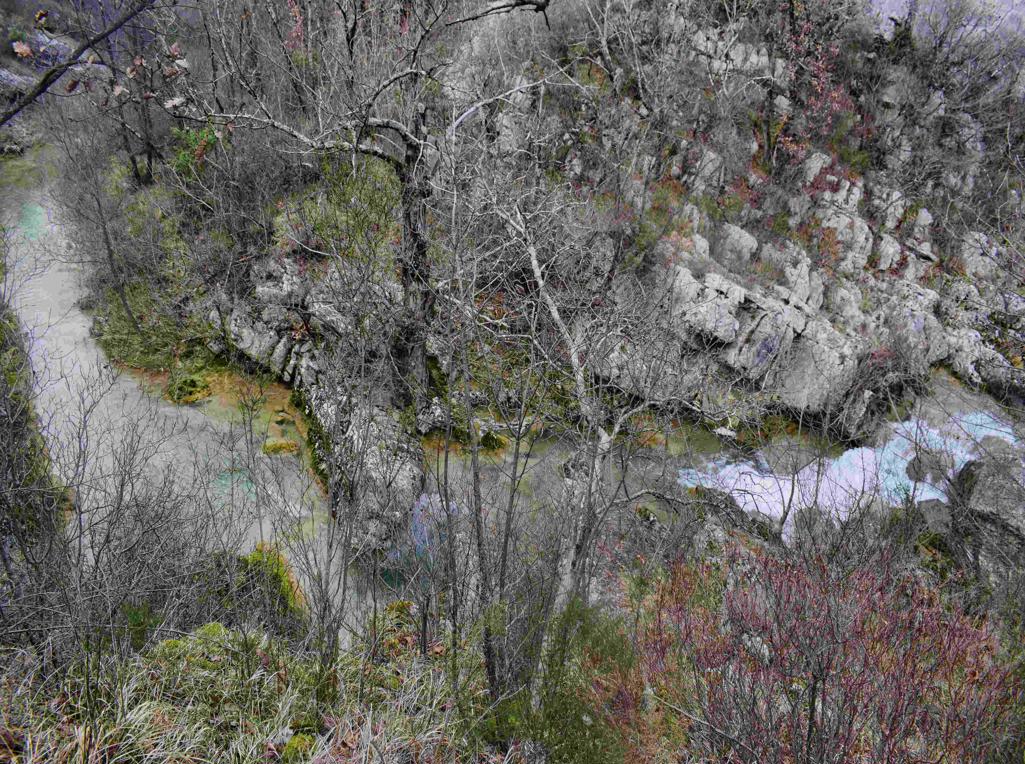
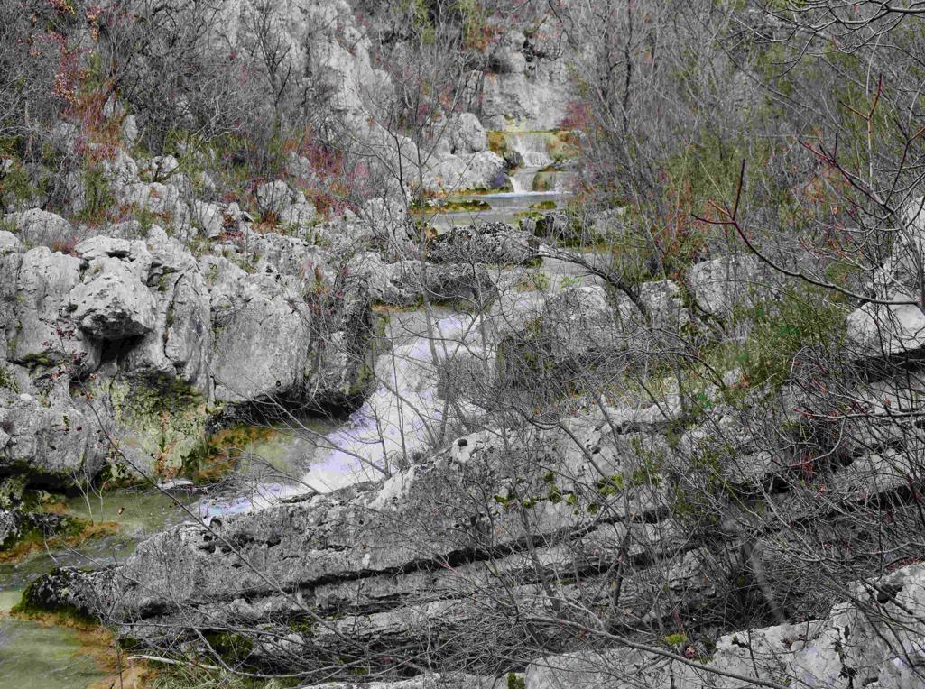
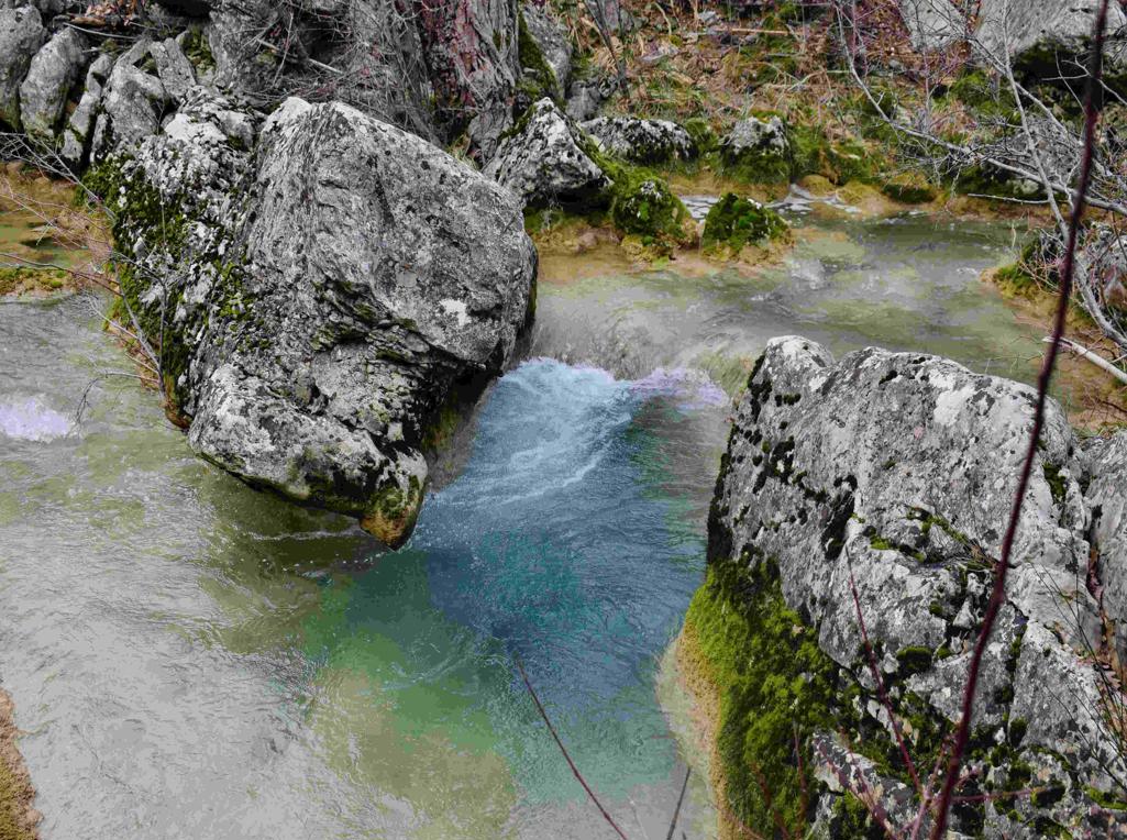
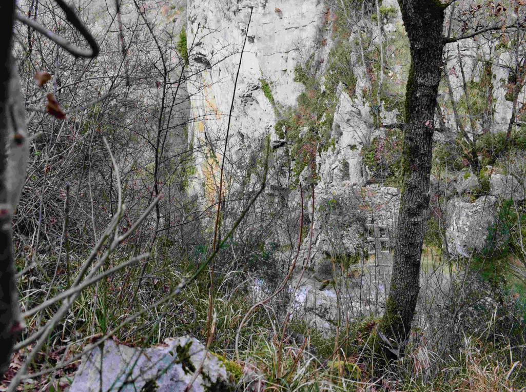
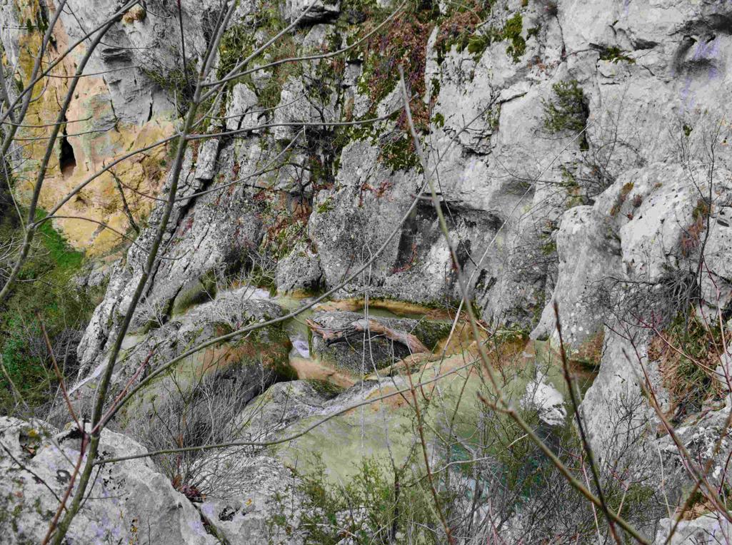
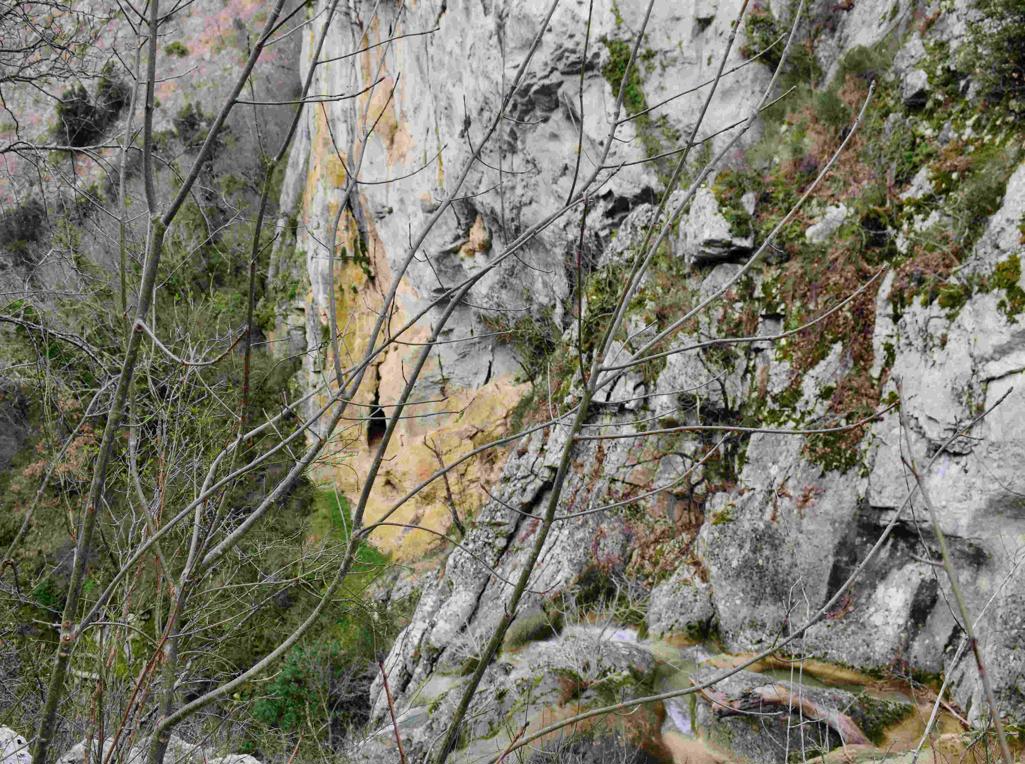
Name: Hiking trail to the Cingarella cave and waterfall and along the Argila river to the former watermills.
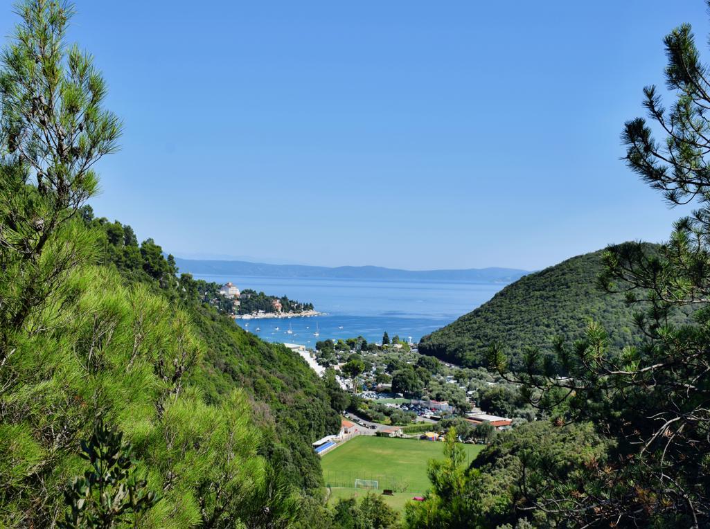
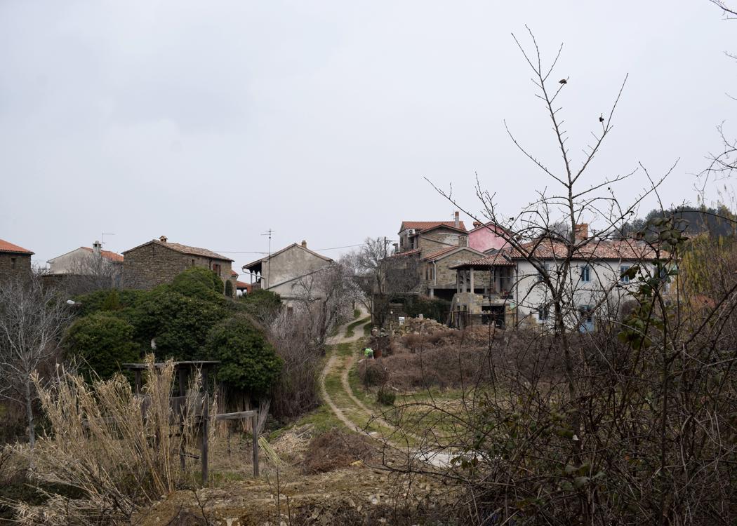
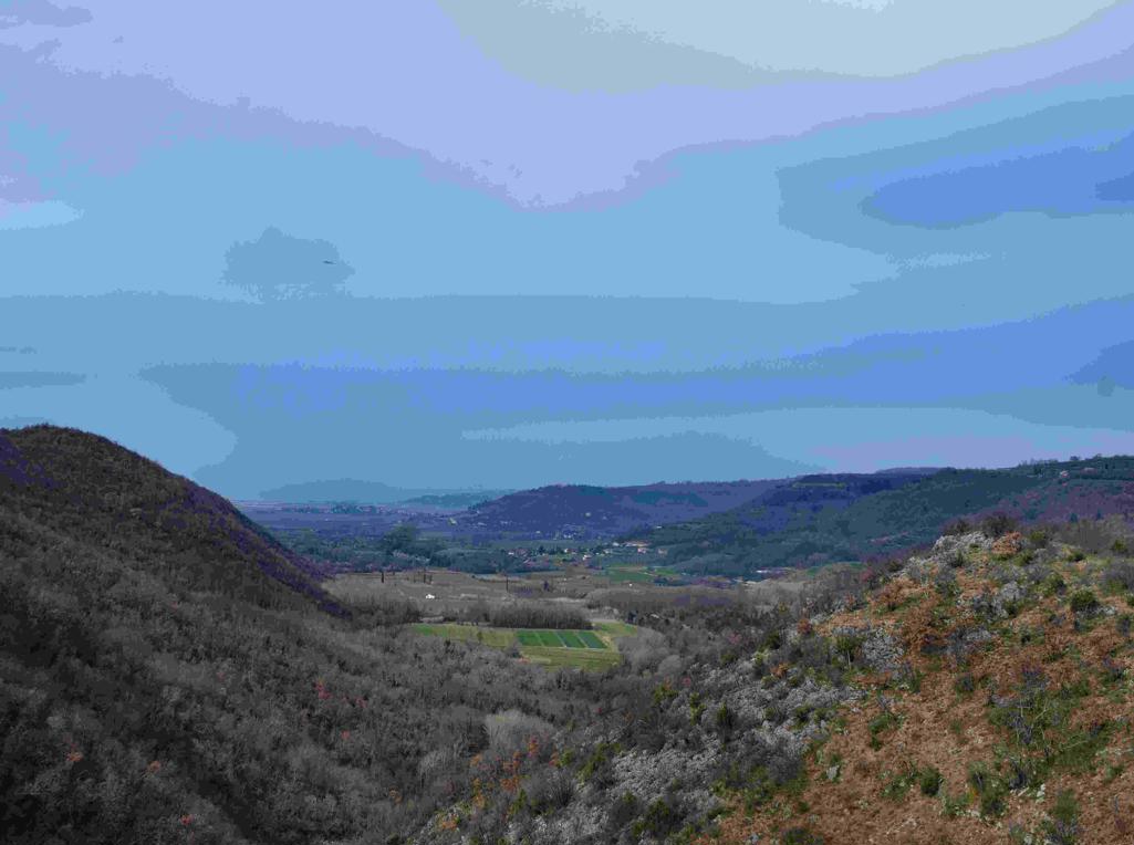
Place: Momjan – (Buje).
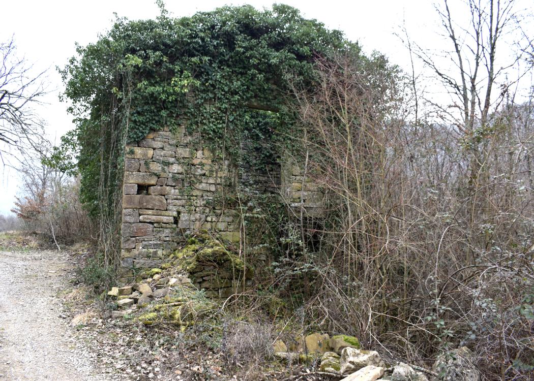
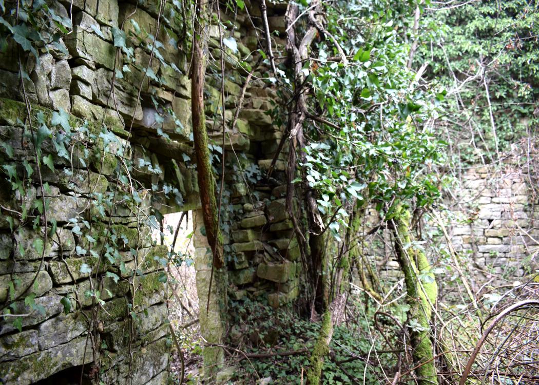
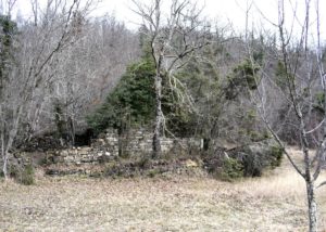
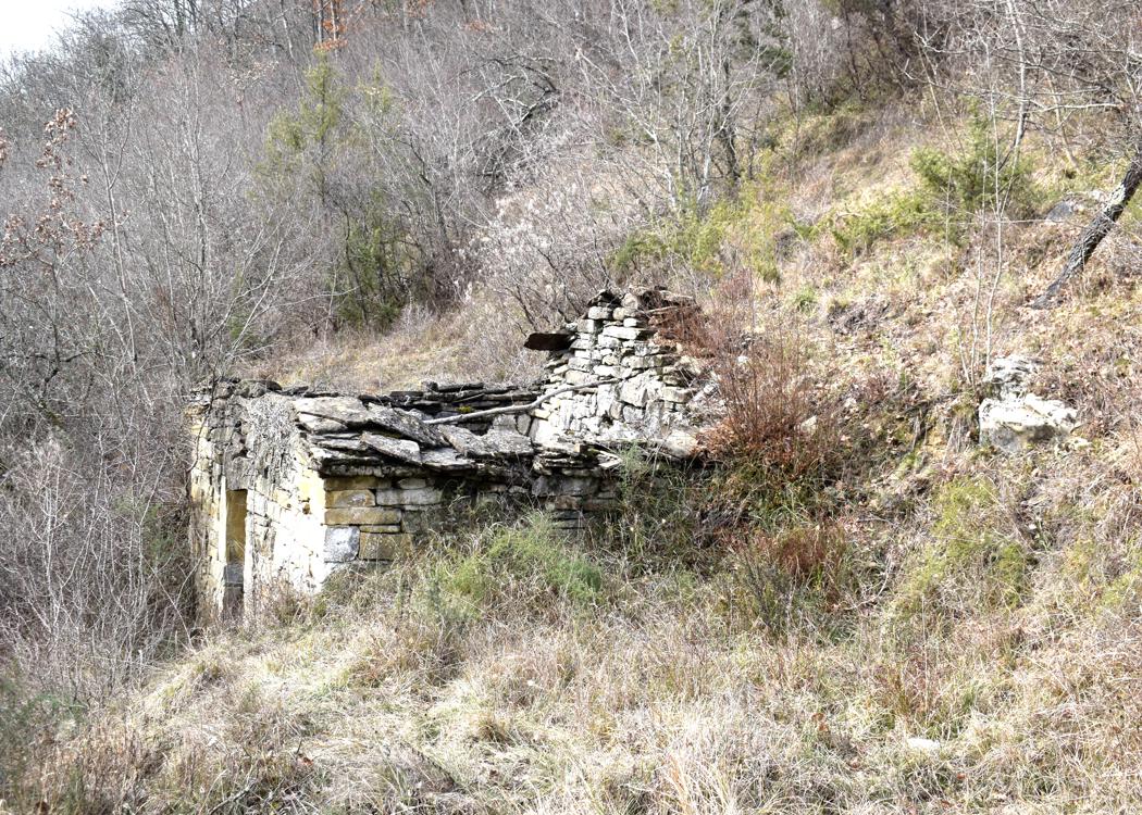
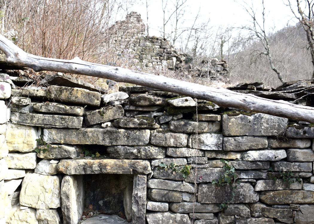
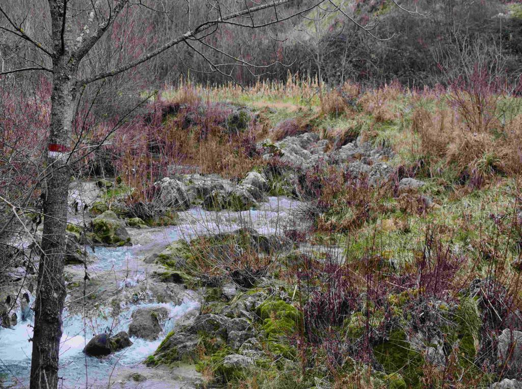
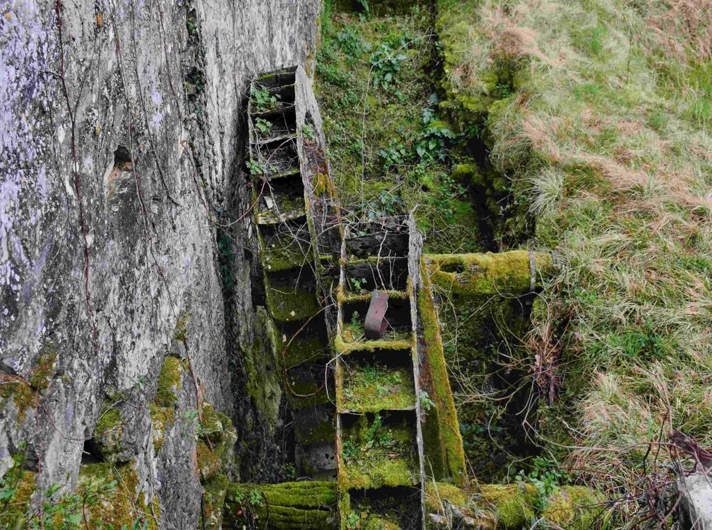
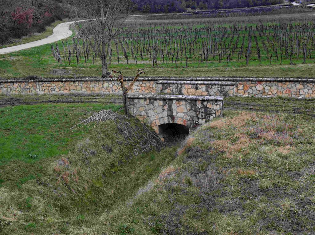
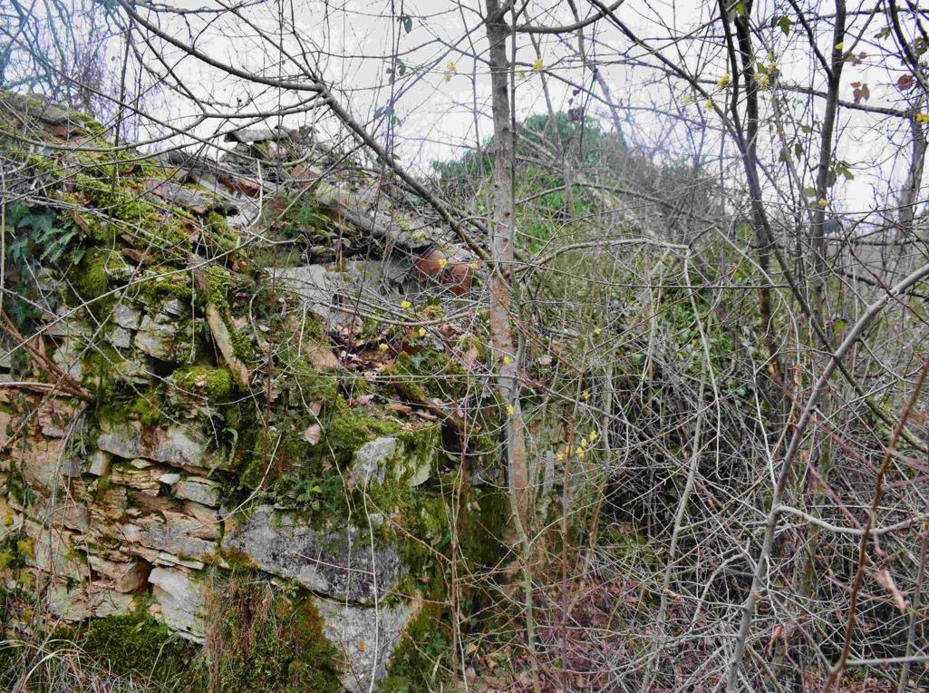
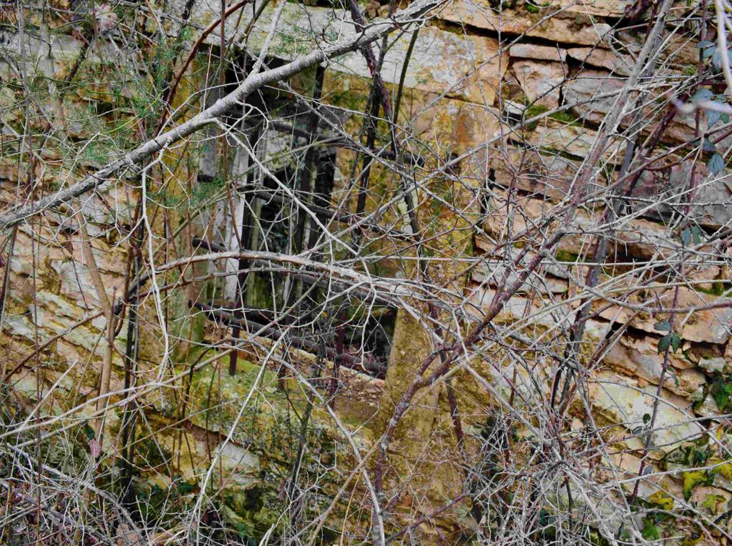
Coordinates: Start 45.43584 N – 13.67604 E, Cingarella 45.43563 N – 13.68466 E, Watermill Nr 49 near the bridge 45. 43481 N – 13.69178 E, Ruins watermills numbers 50, 51, 52 en 53 along the river Argila from 45.43200 N – 13.68999 E to 45.43471 N – 13.68549 E.