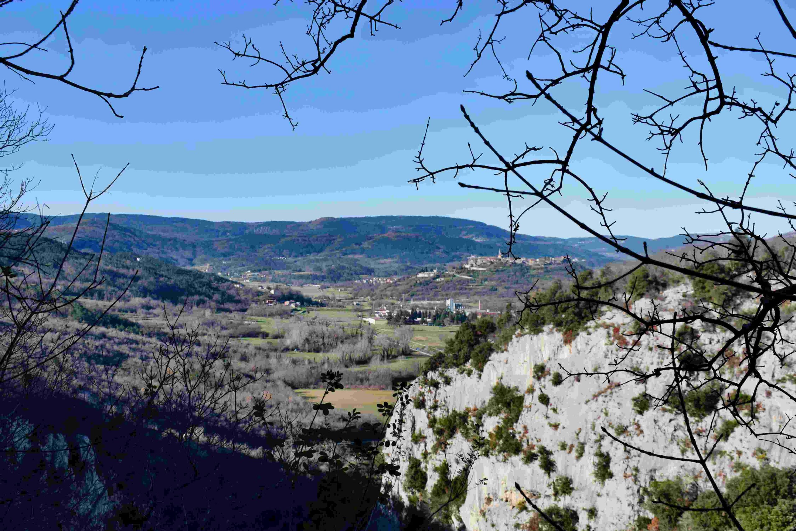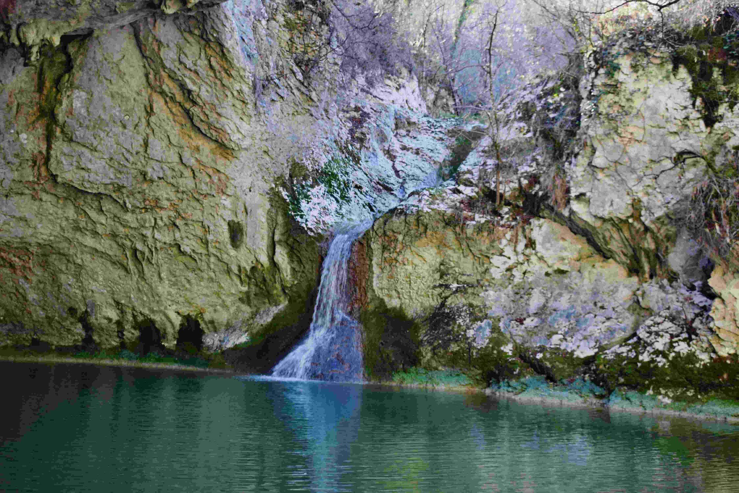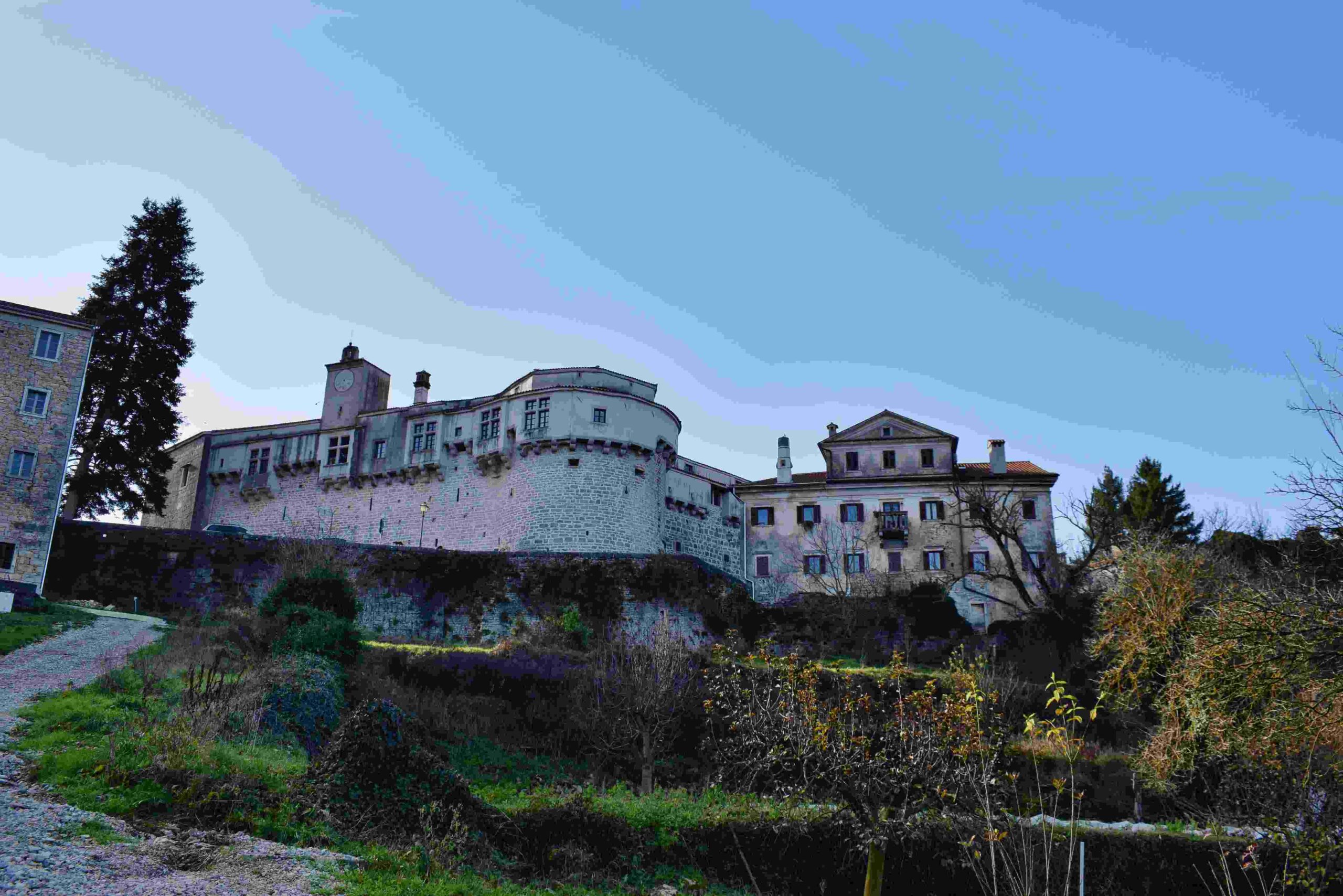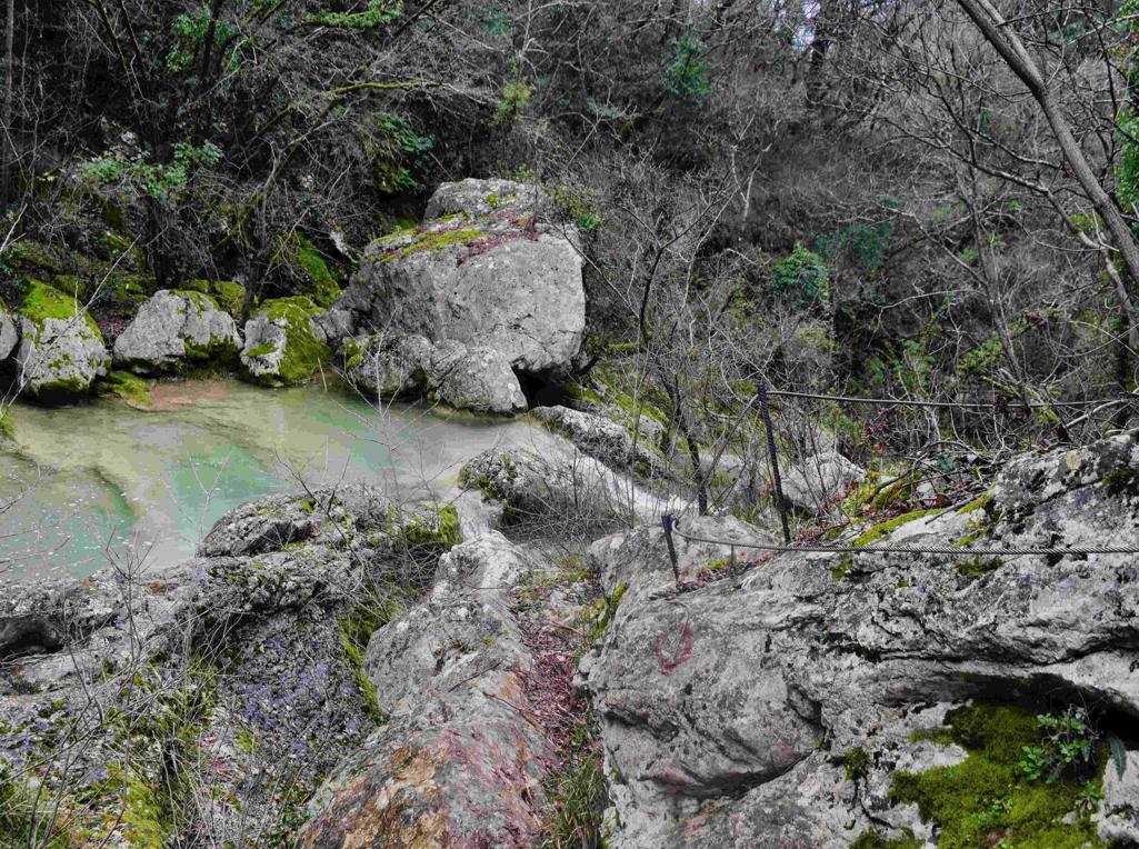


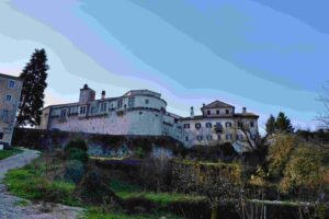
Name: Trail along Pazinćica to Zarečki Krov, Pazinski Krov to Pazinski castle.
Place: Pazin.
Coordinates: Start 45.241o8 N – 13.93894 E, Zarečki Krov 45.24892 N – 13.96102 E, Pazinski Krov 45.24353 N – 13,93492 E, Castle 45.24044 N – 13.93036 E.
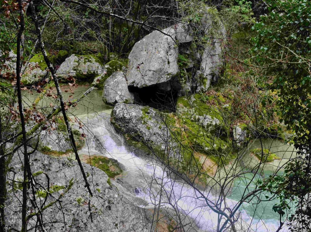
Name: Trail along Pazinćica to Zarečki Krov, Pazinski Krov to Pazinski castle.
Place: Pazin.
Coordinates: Start 45.241o8 N – 13.93894 E, Zarečki Krov 45.24892 N – 13.96102 E, Pazinski Krov 45.24353 N – 13,93492 E, Castle 45.24044 N – 13.93036 E.

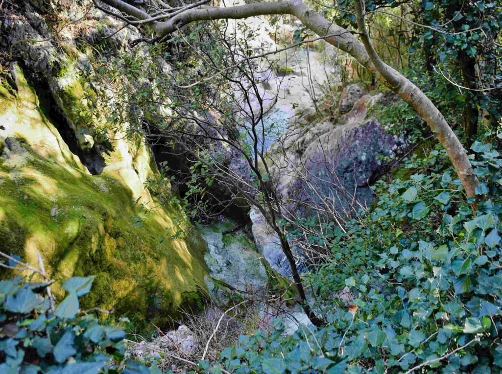
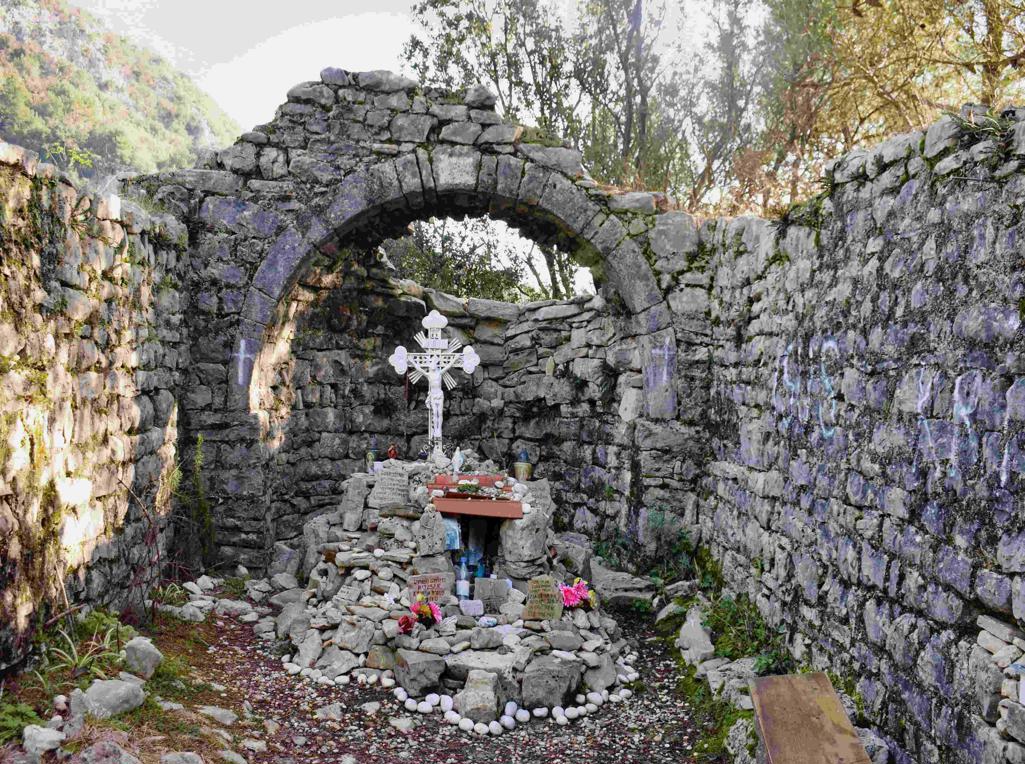
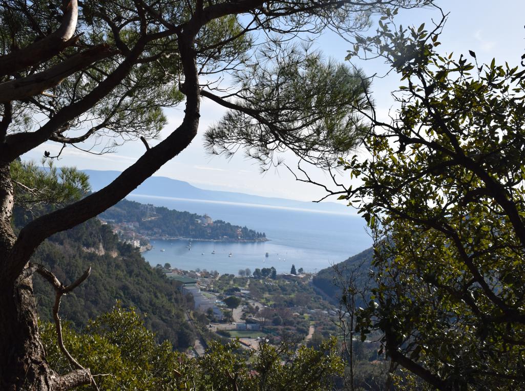
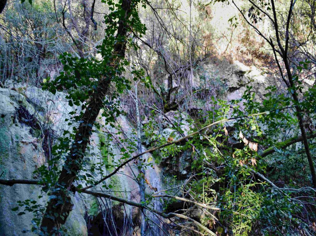
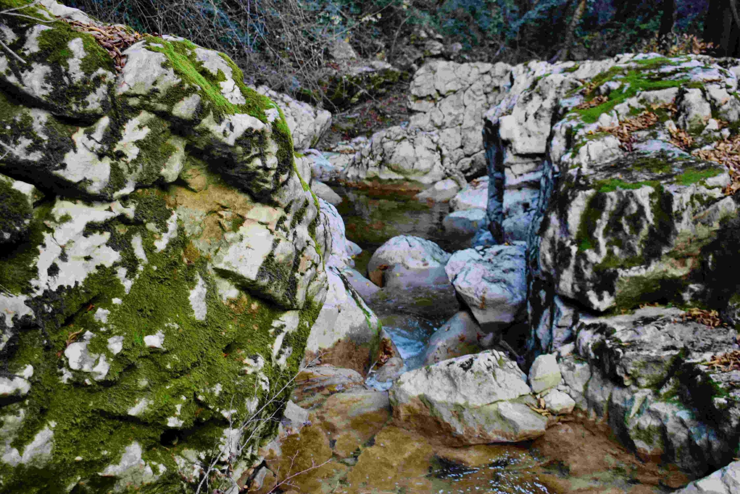
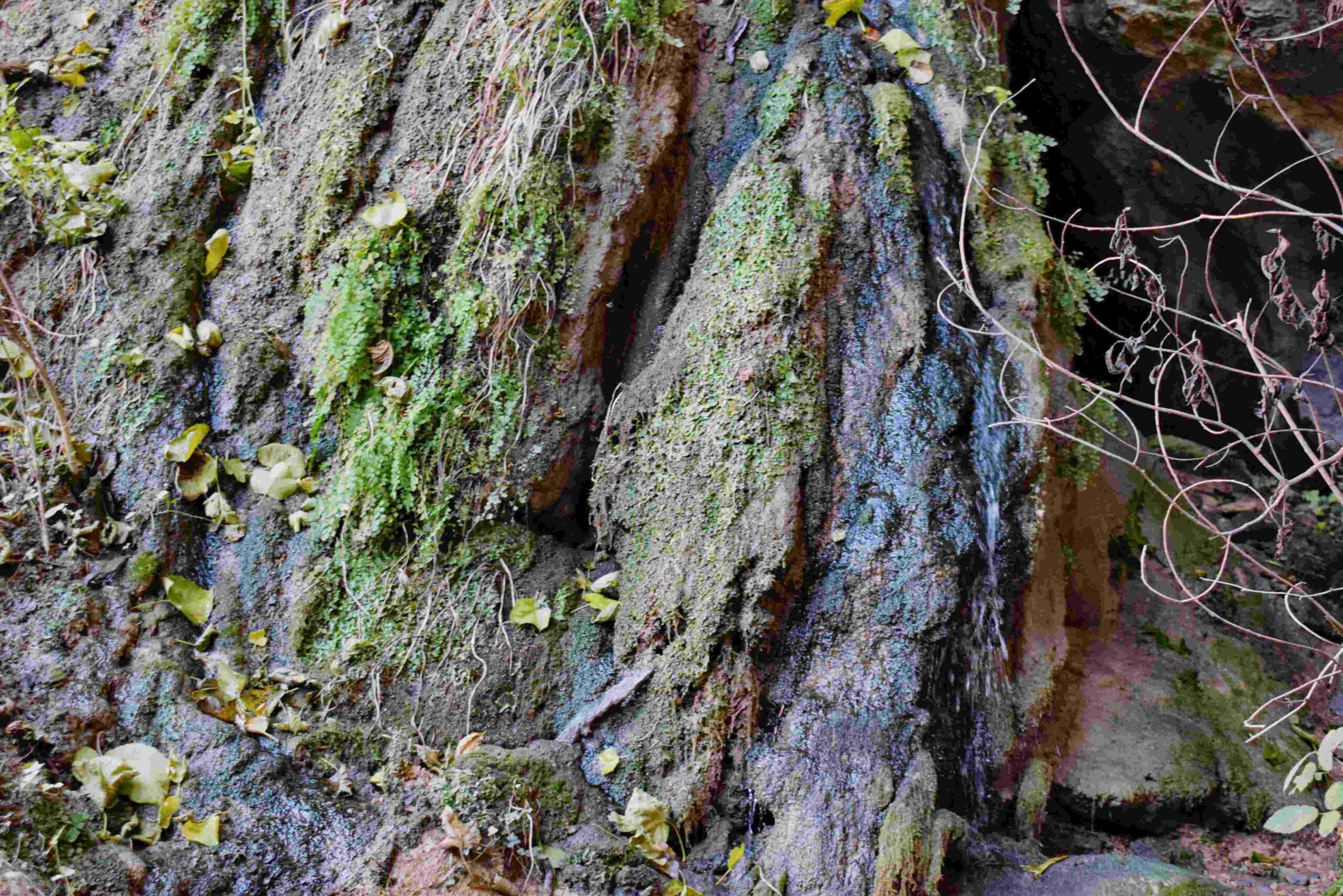
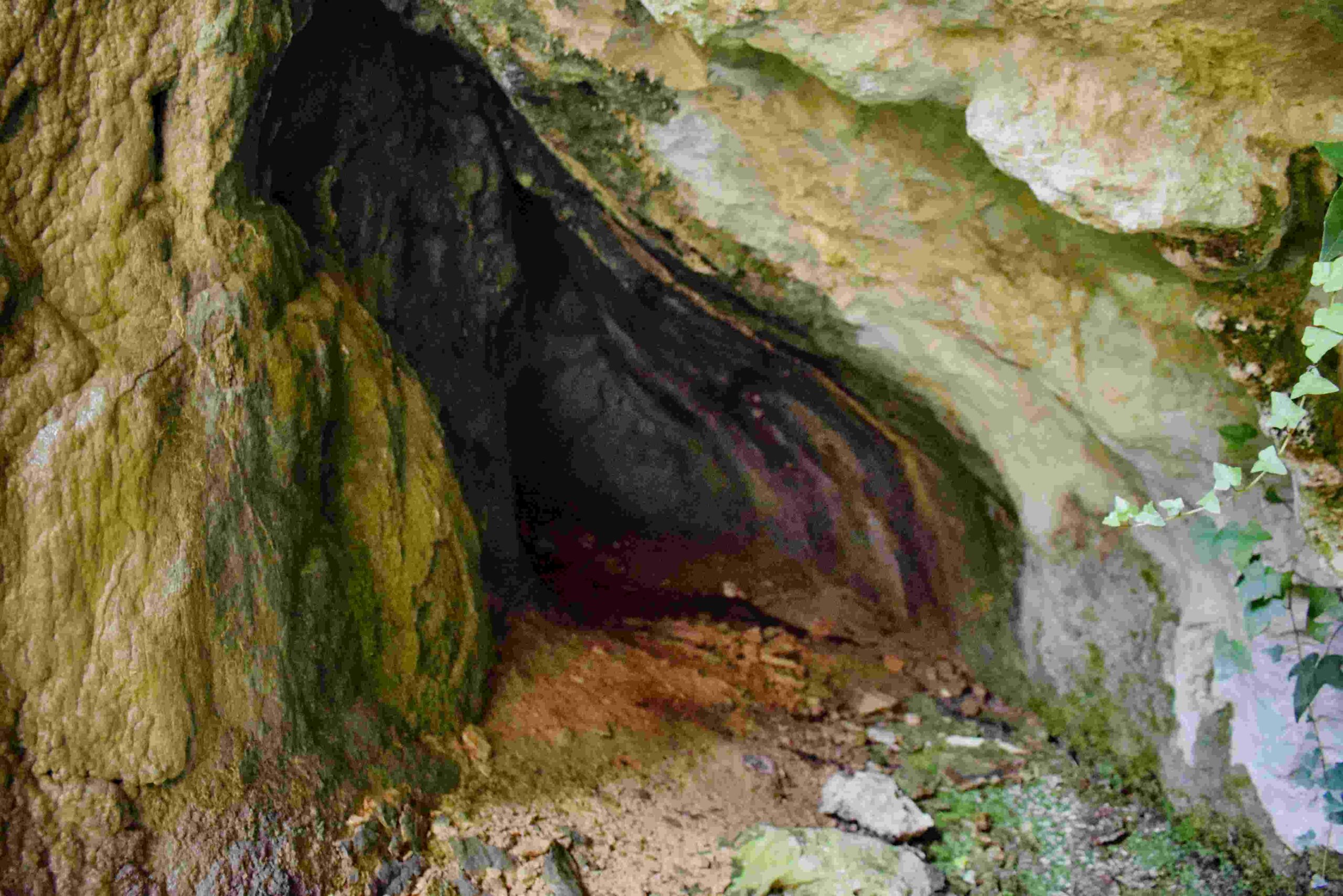
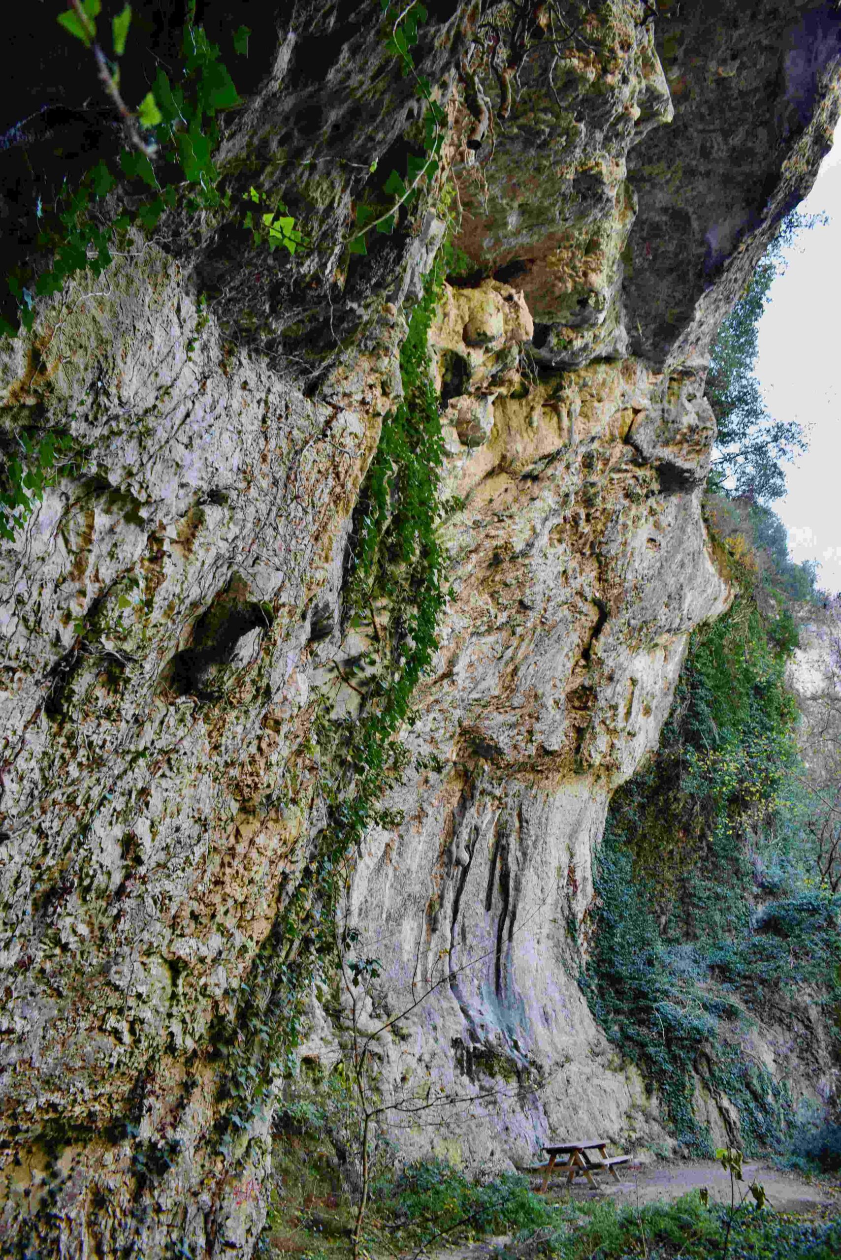
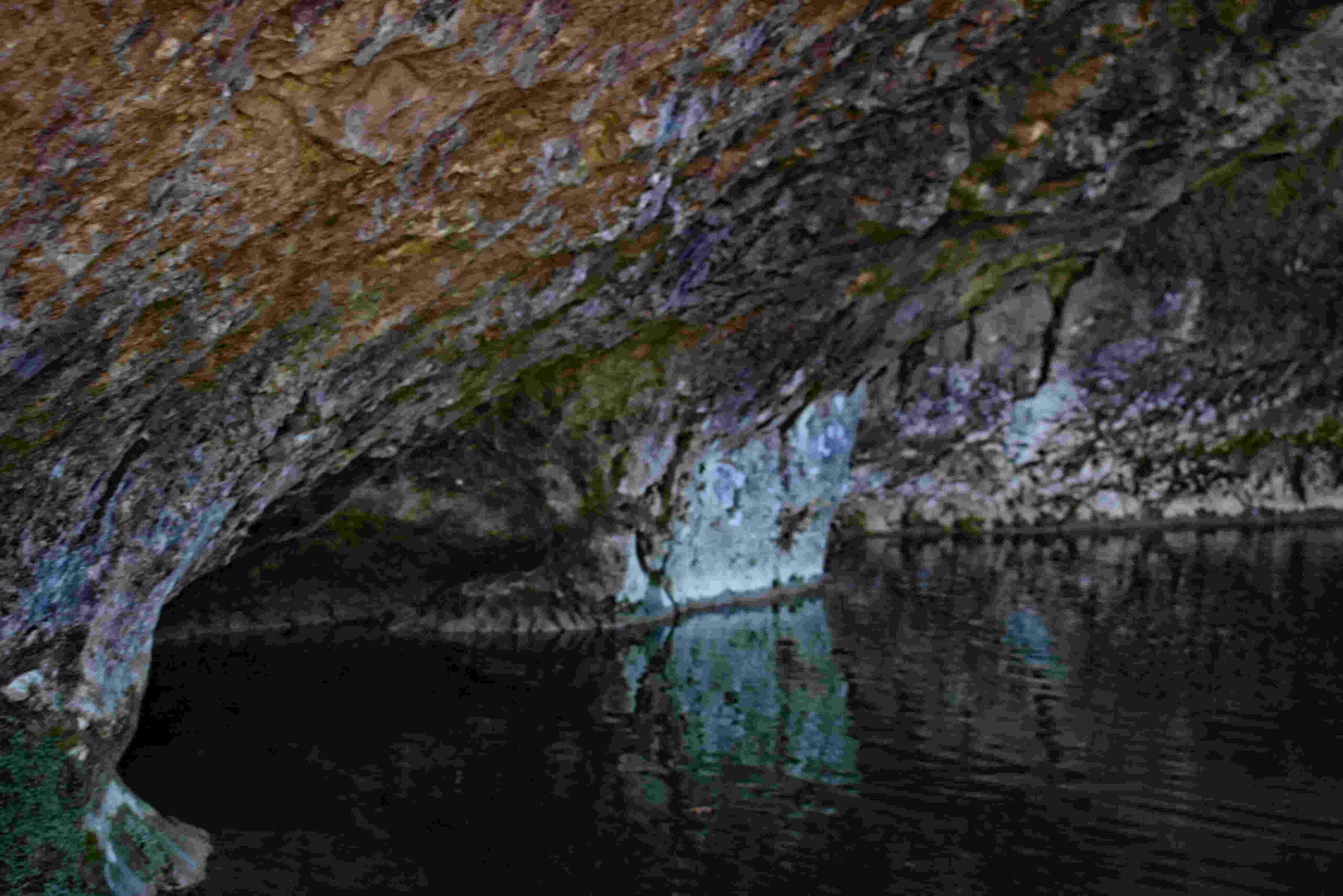
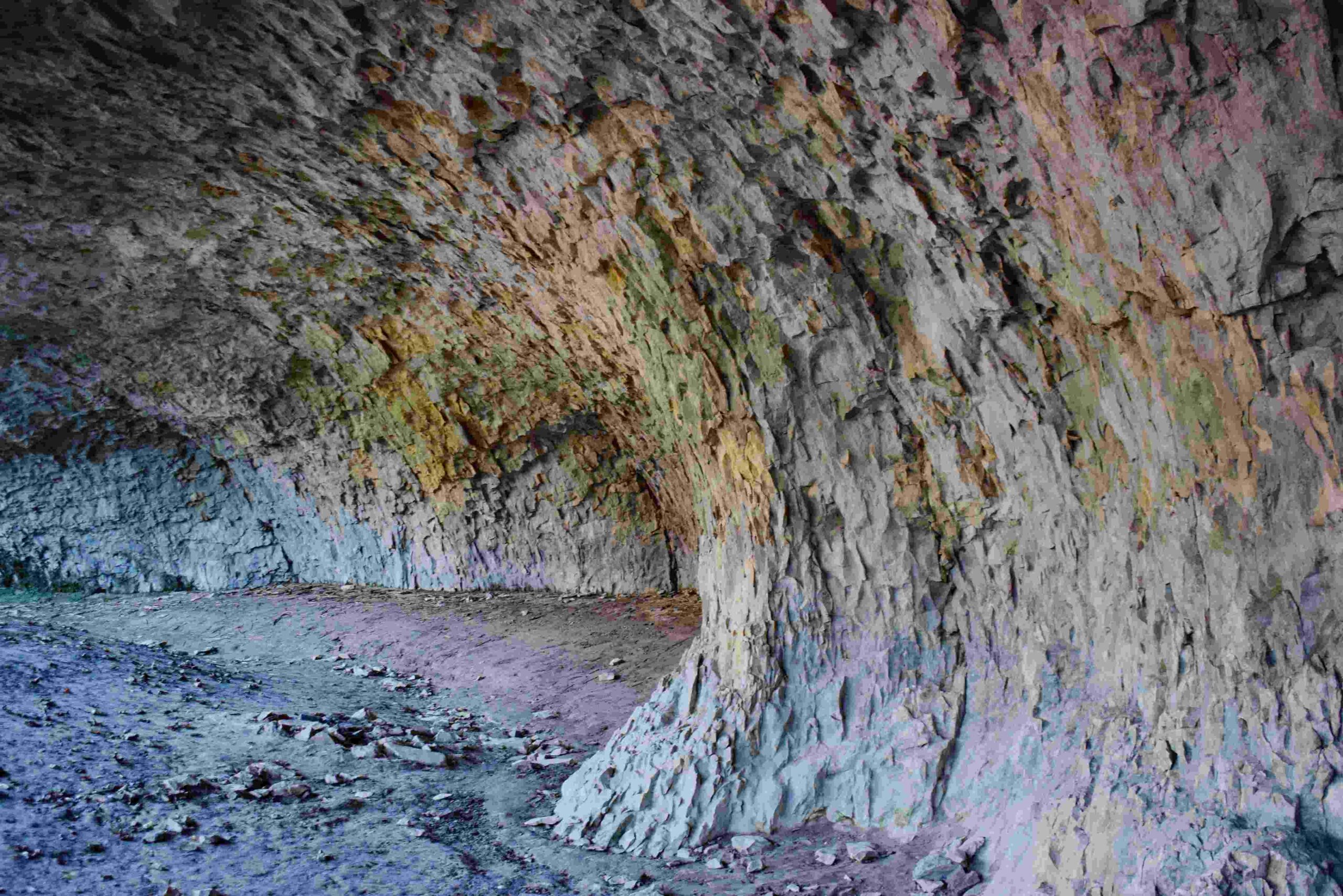
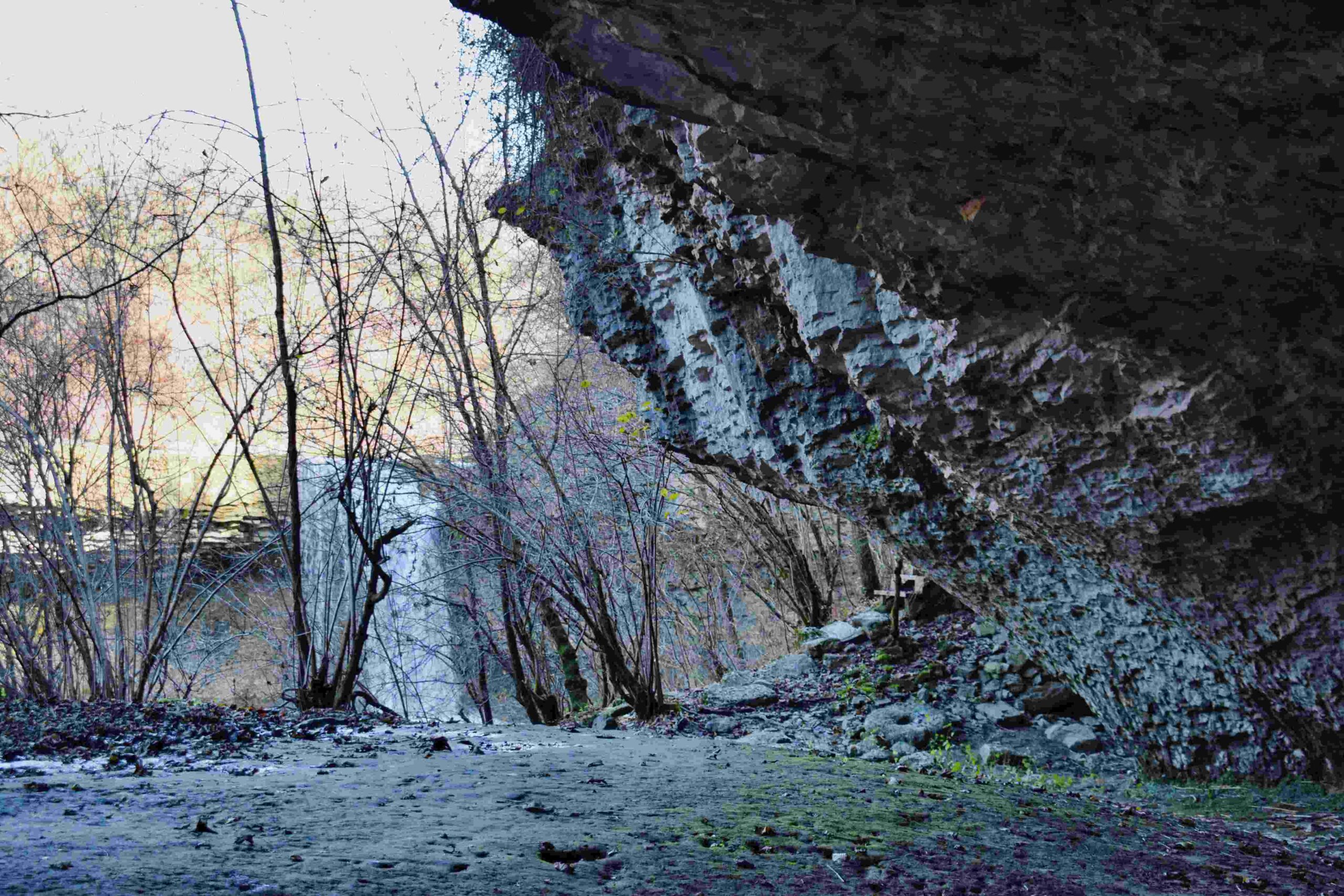
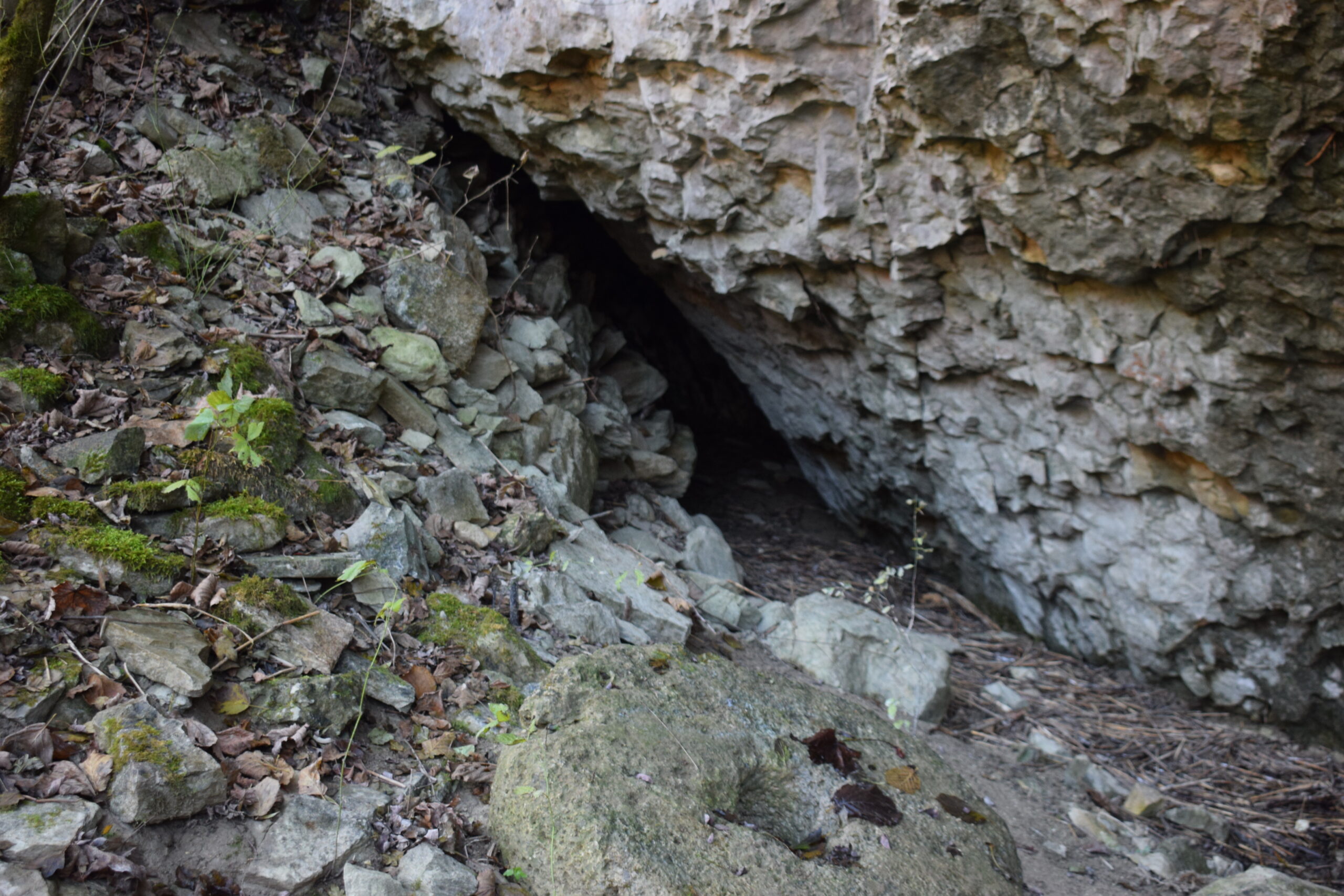
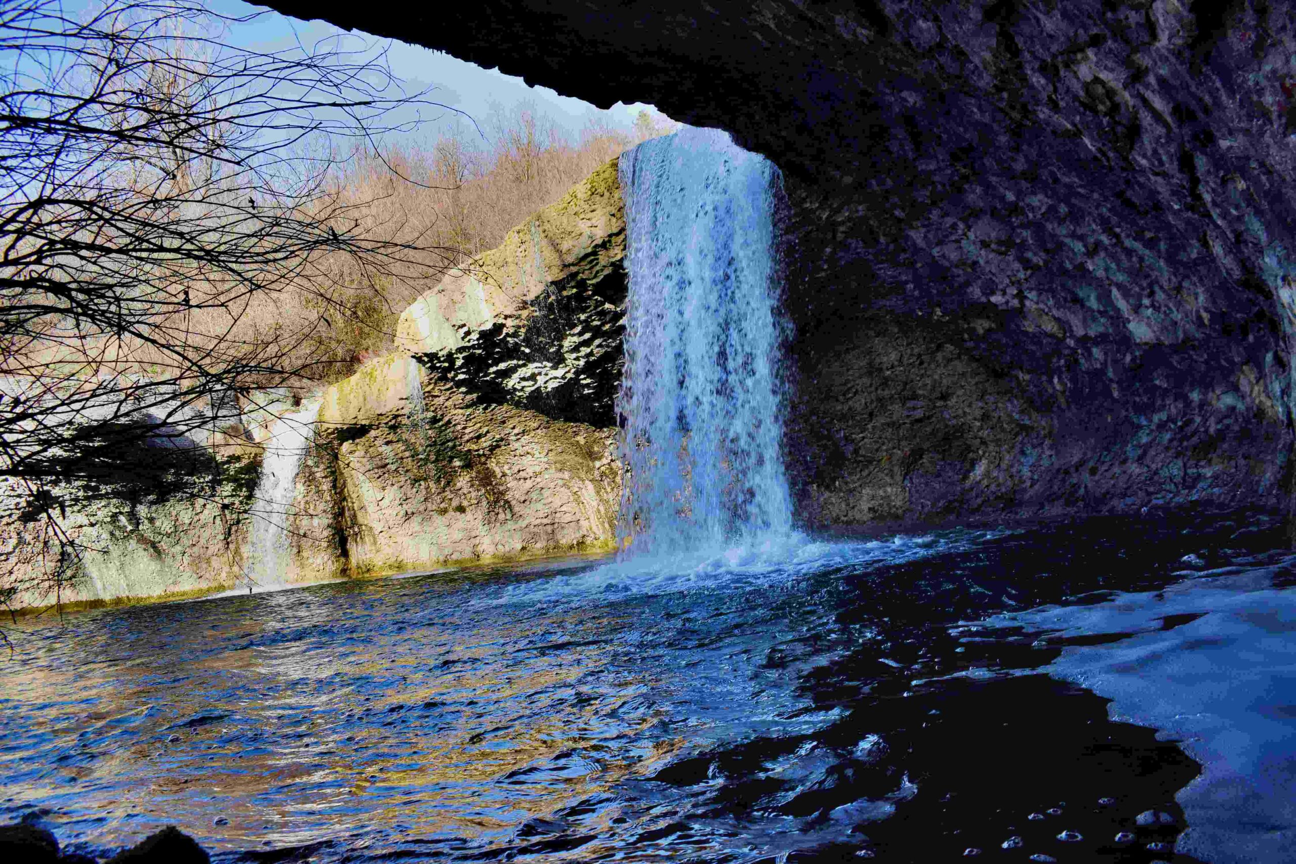
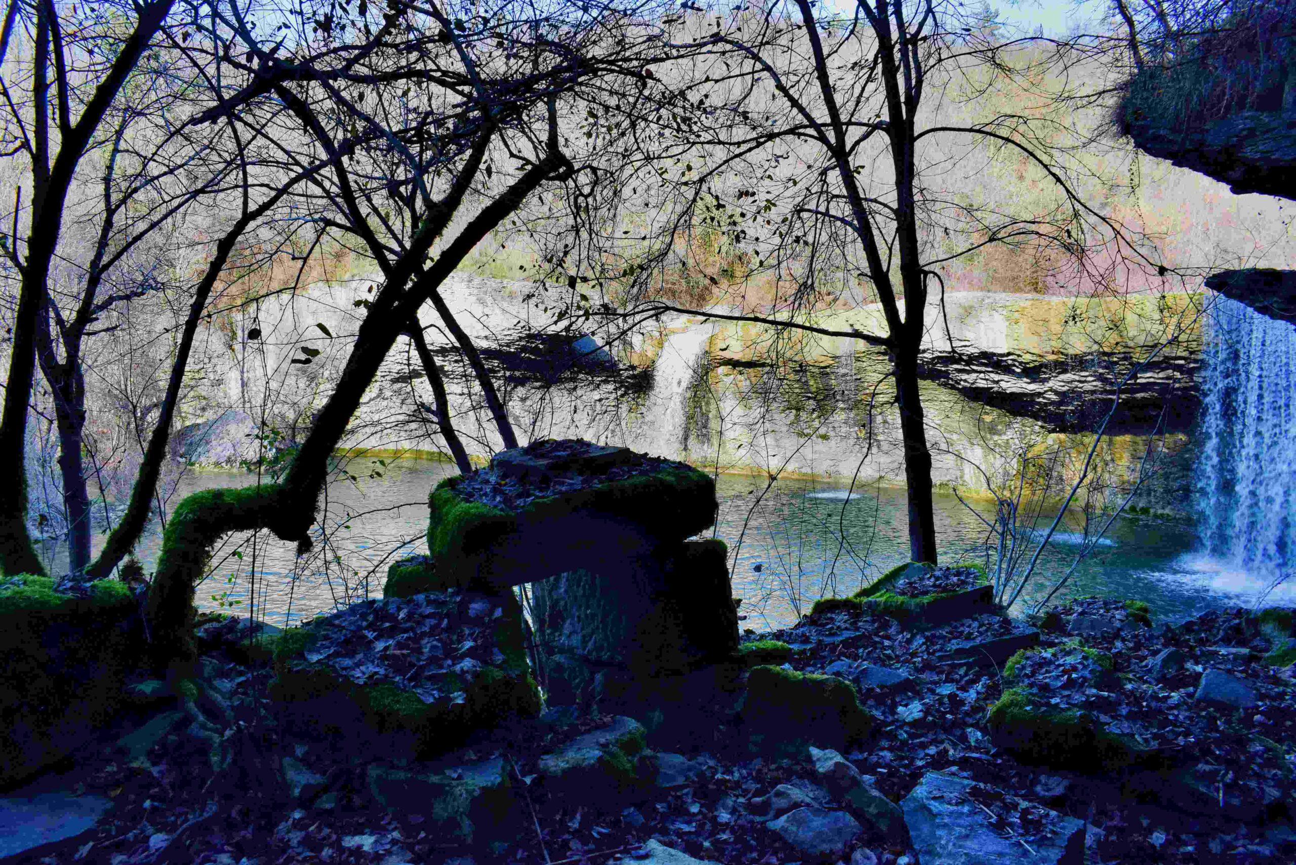
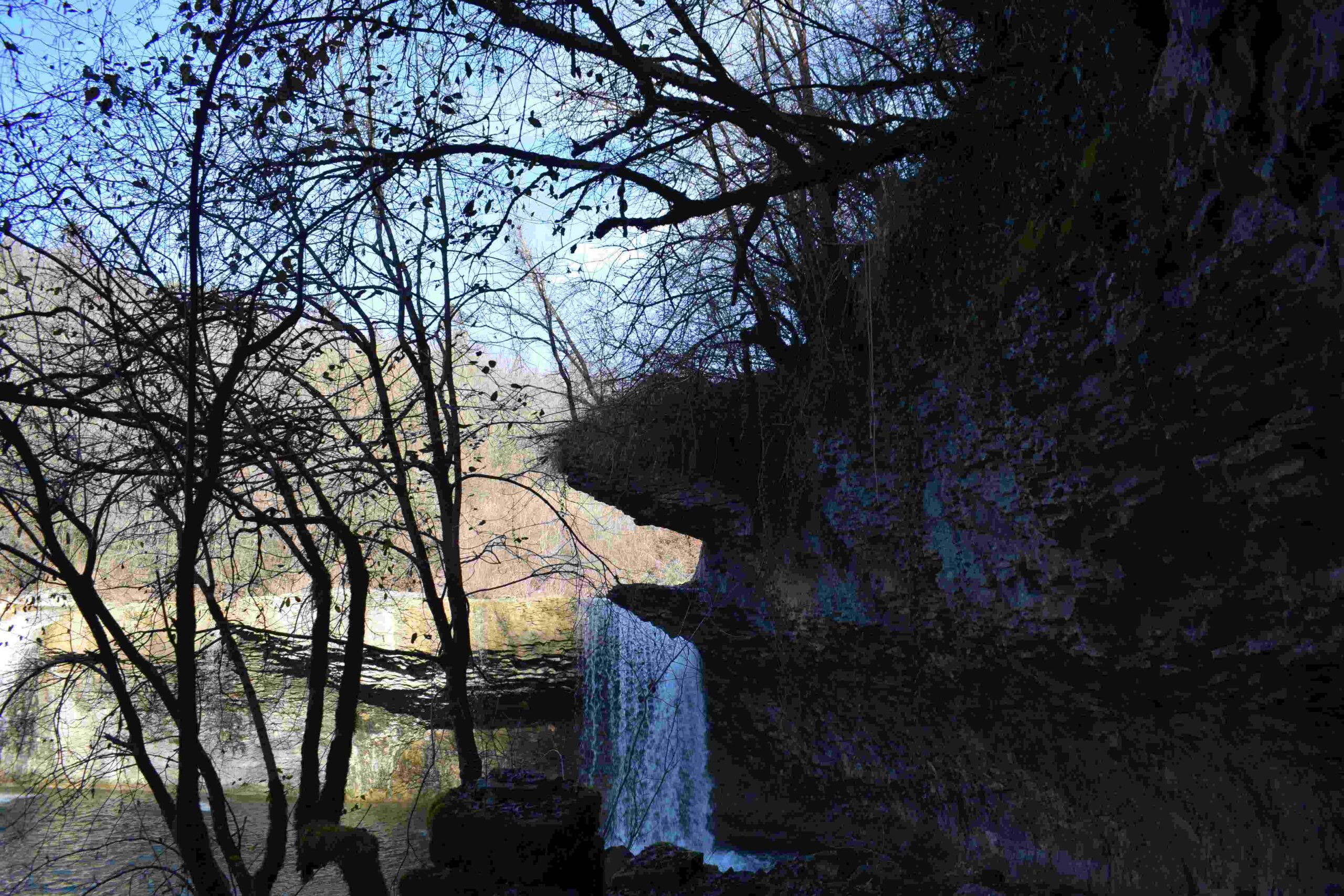
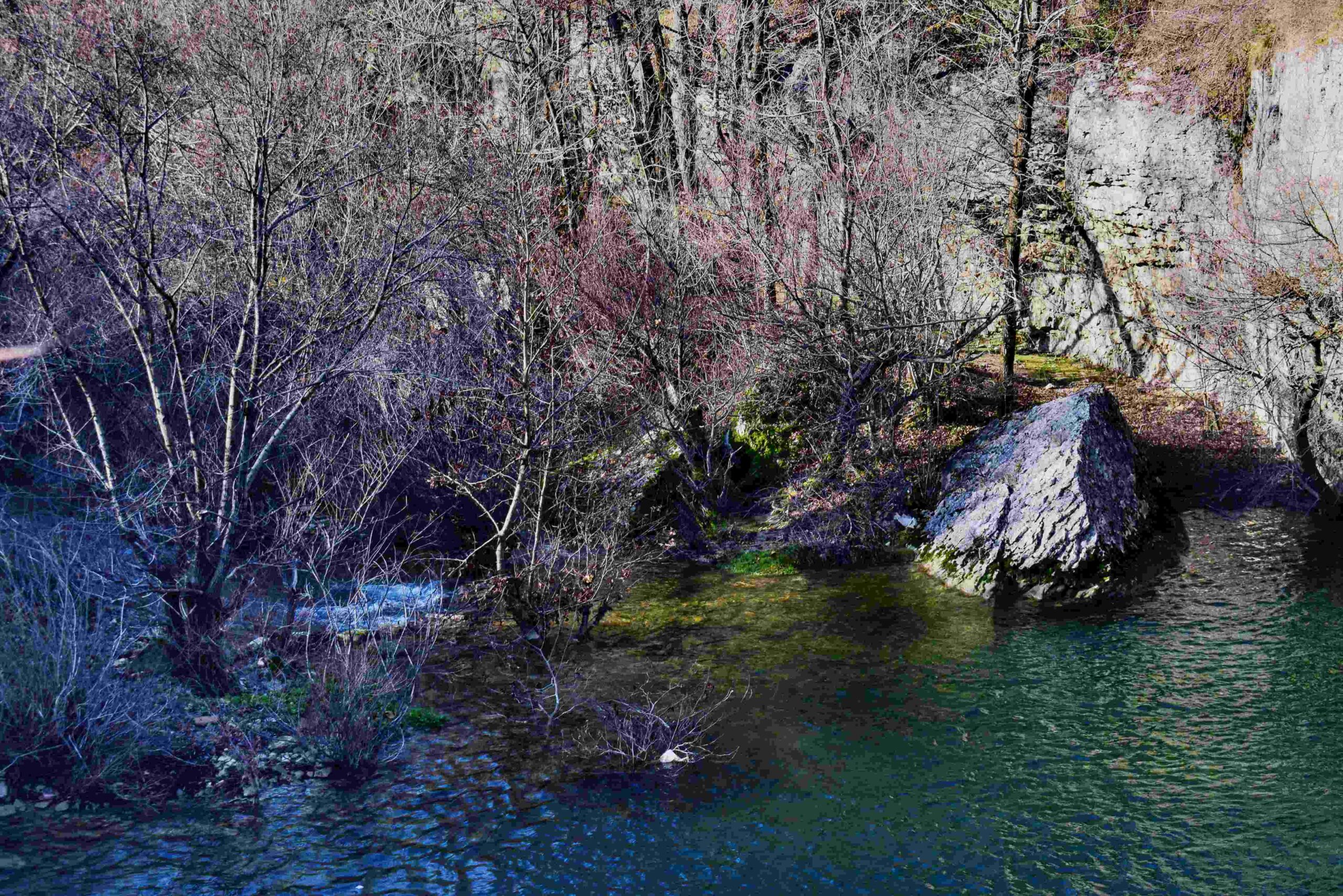
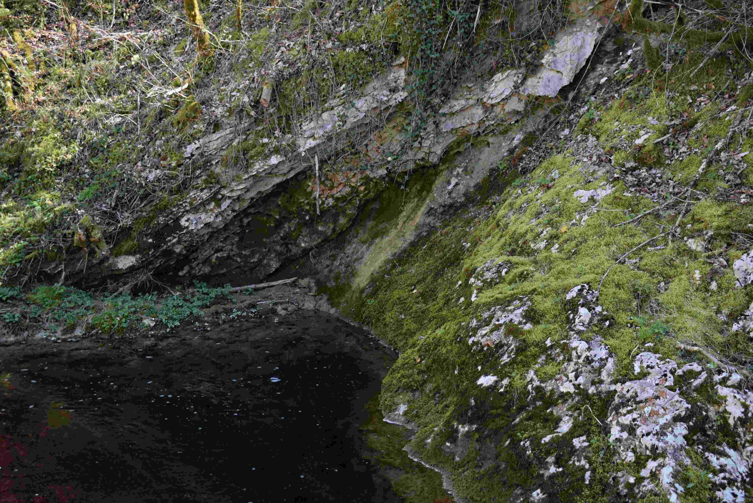
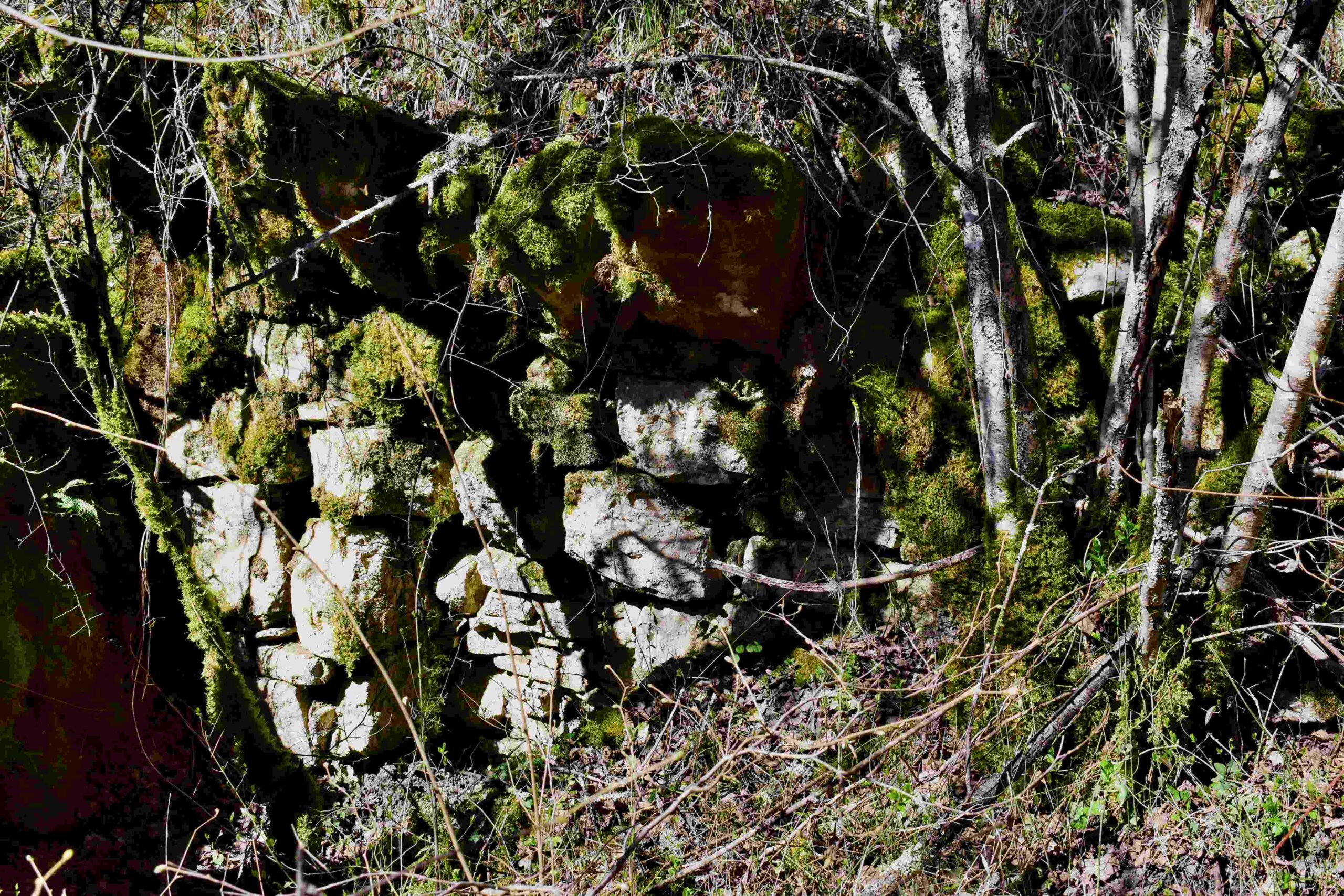
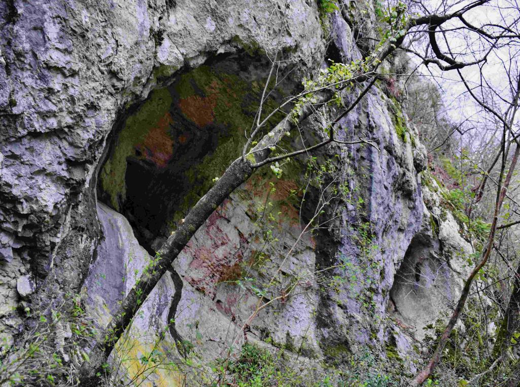
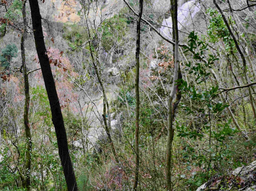
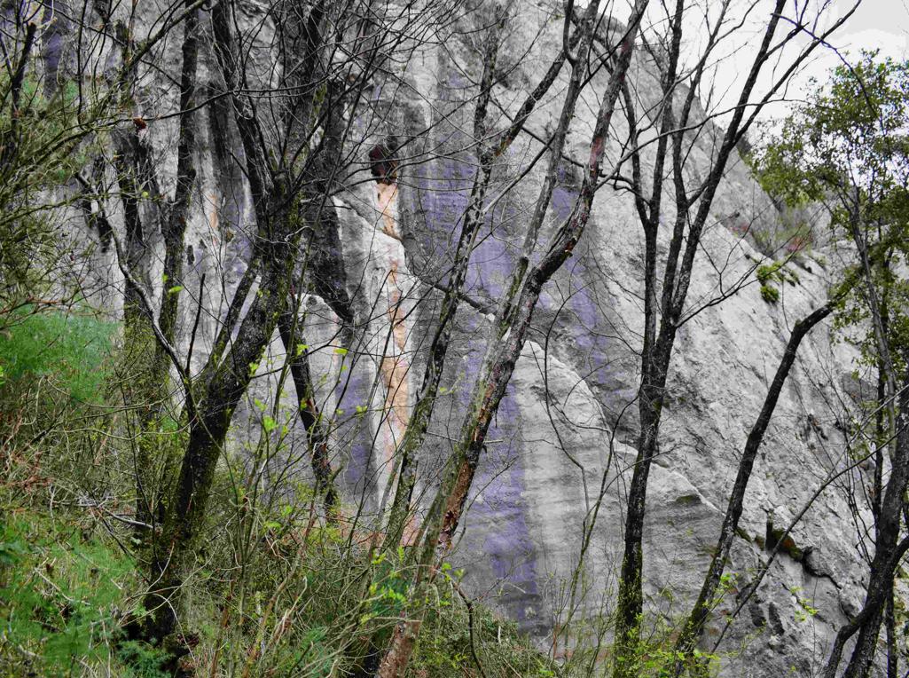
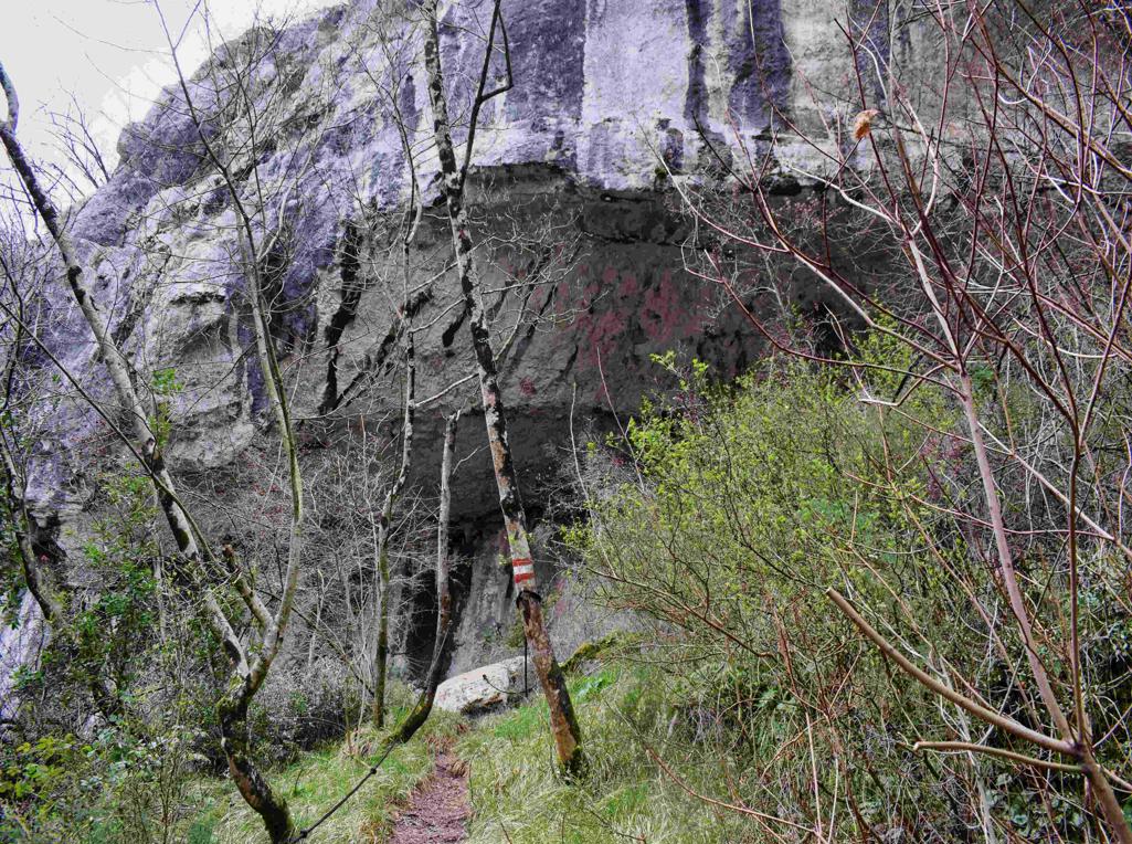
Name: Sentona trail.
Place: Labin – Rabac.
Coordinates: start 45.0827 N – 14.15277 E, cave 45.08524 N – 14.13629 E.

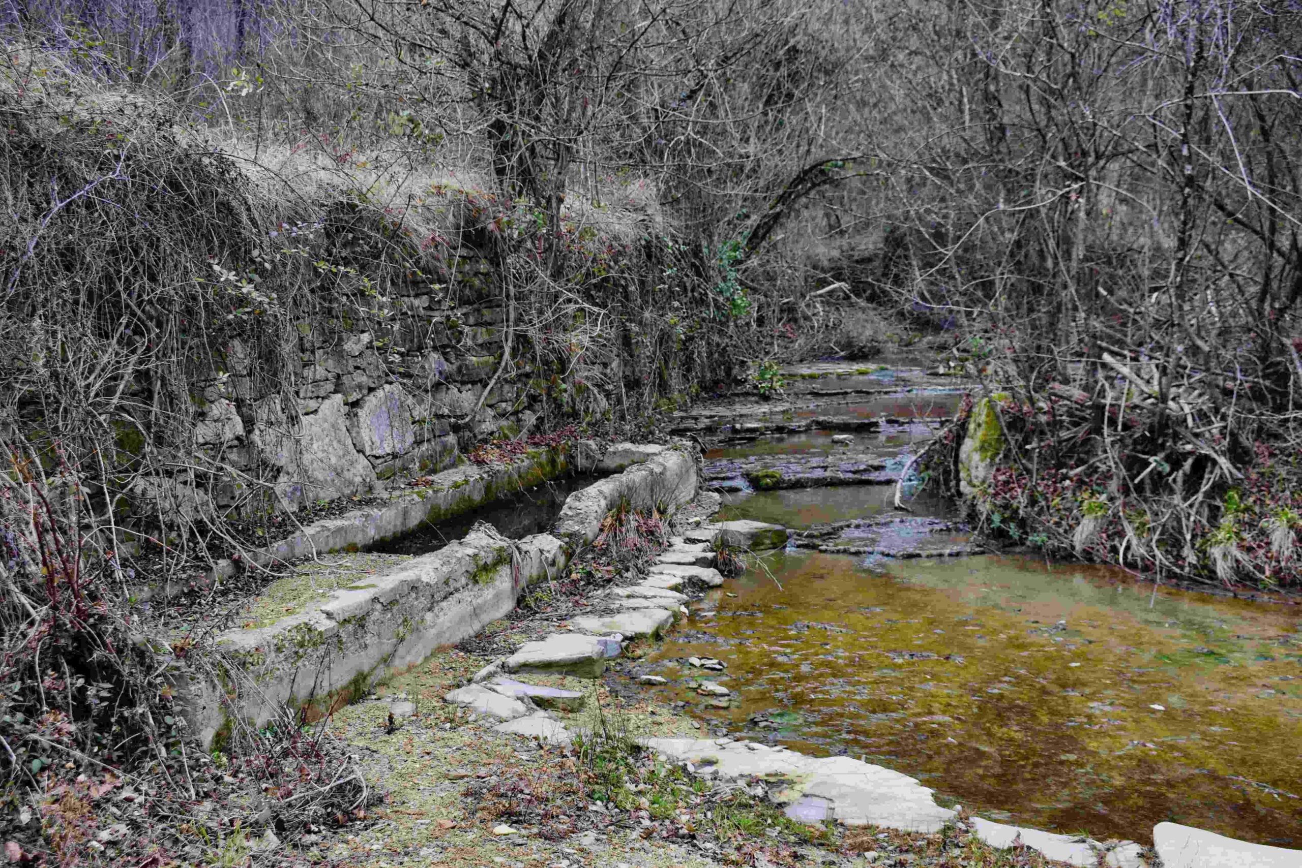
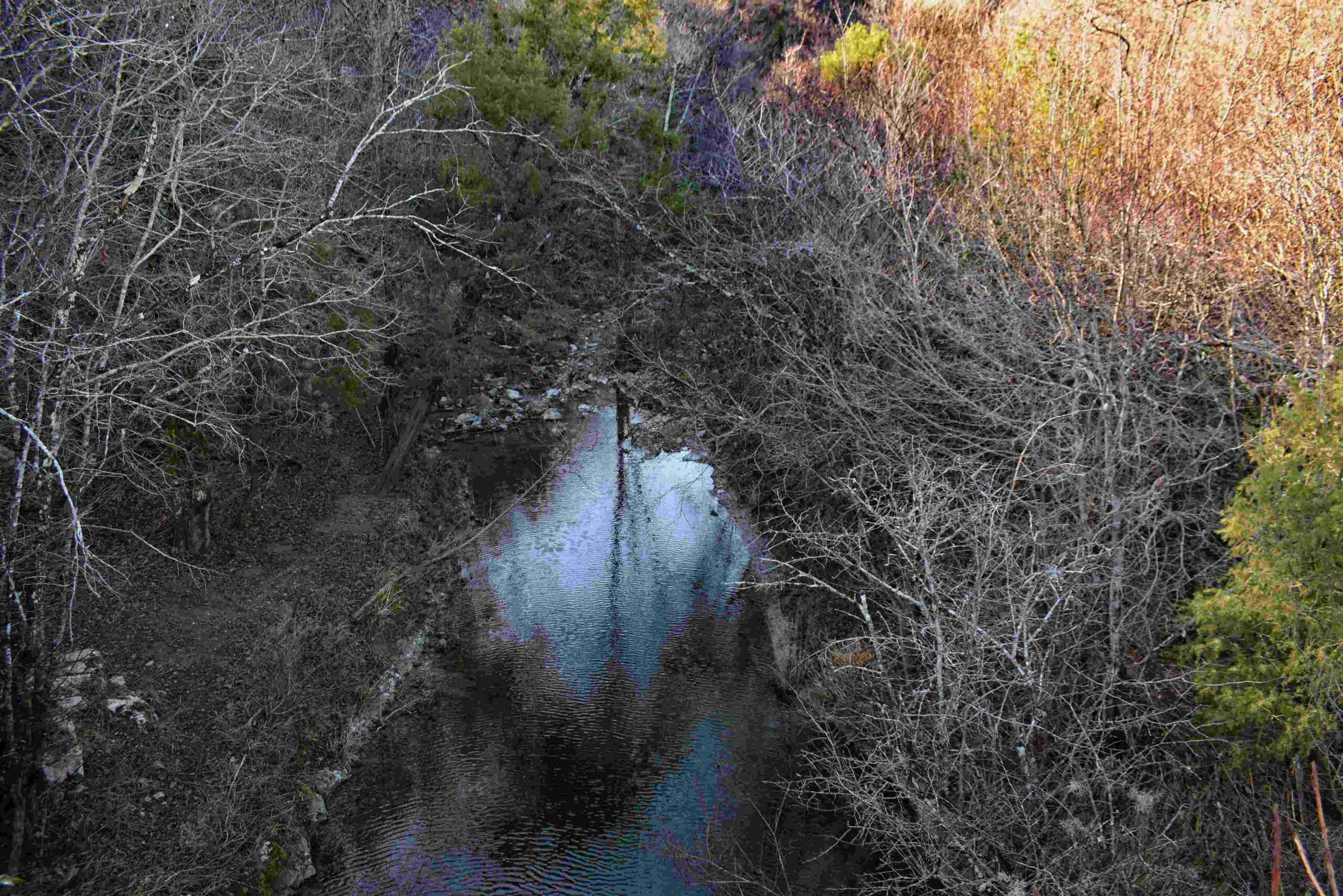
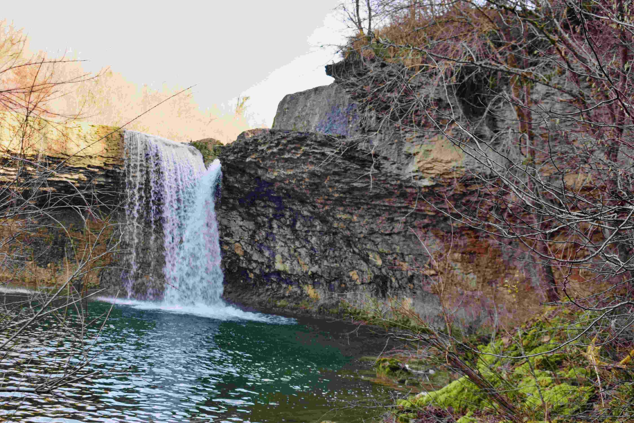
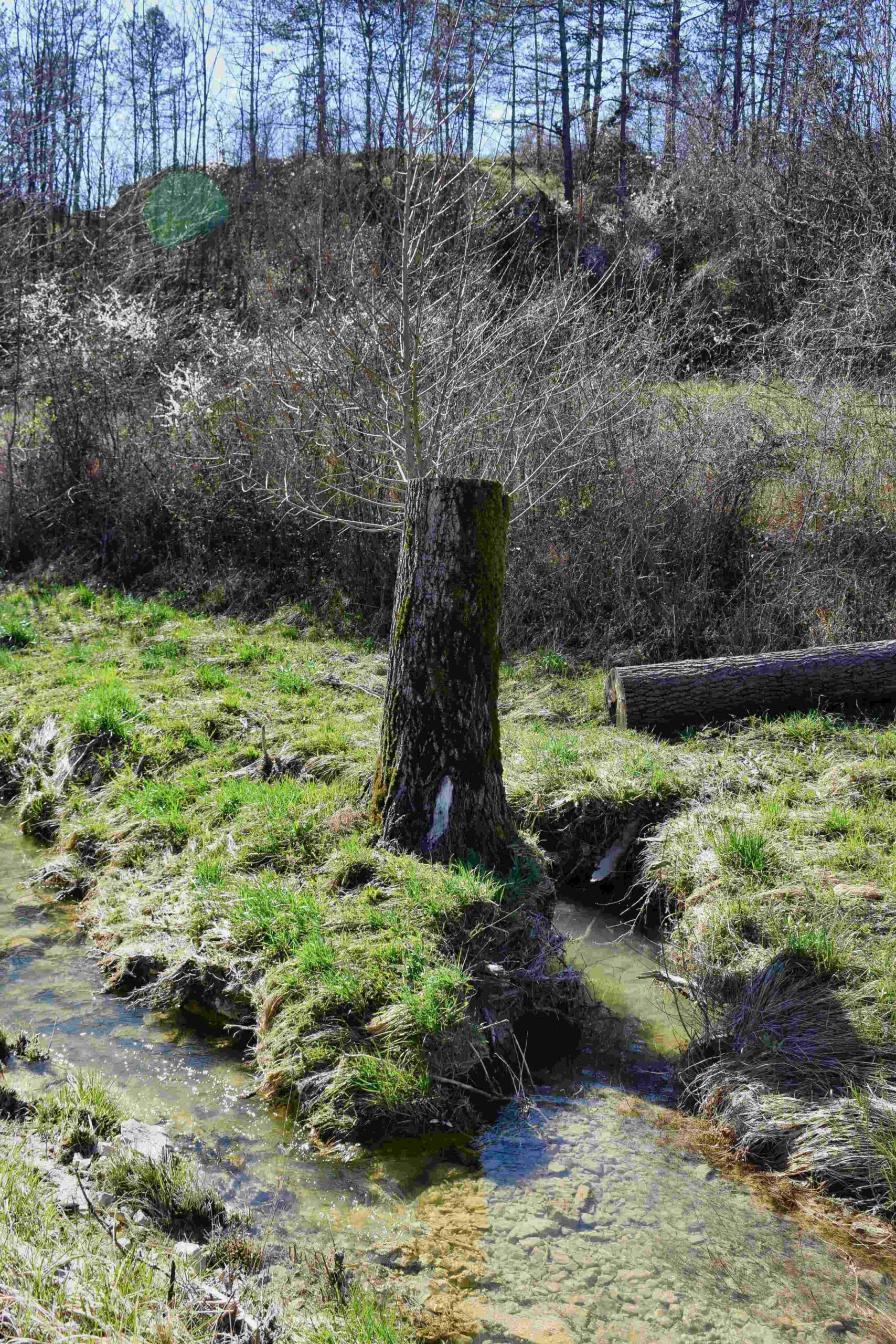
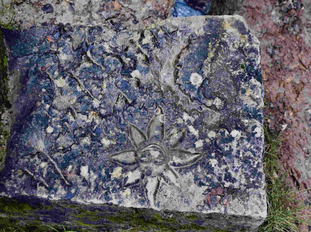
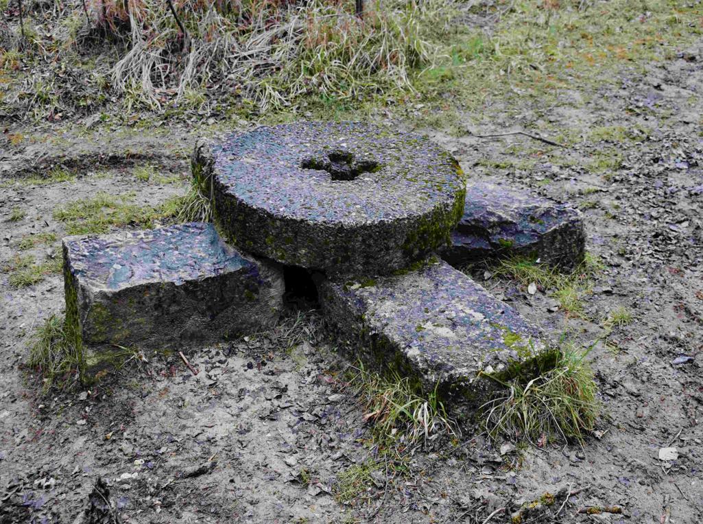
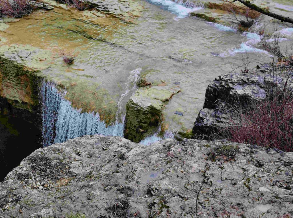
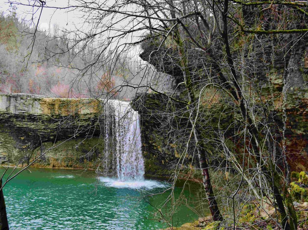
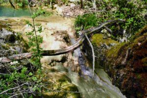
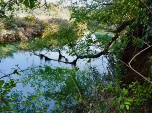
Name: Trail to the watermill Mazurinov and the waterfalls Trebeše, Pićuri and Pavlići.
Place: Trsek – (Koper).
Coordinates : Trsek 45.48165 N- !383172 E., Mazurinov 45.47733 N – 13.83482 E, Trebeše 45. 46971 n – 13.86106 E, Picuri 45.46686 N – 13.86137 E. Pavlići 45.47002 N – 13.84511 E.
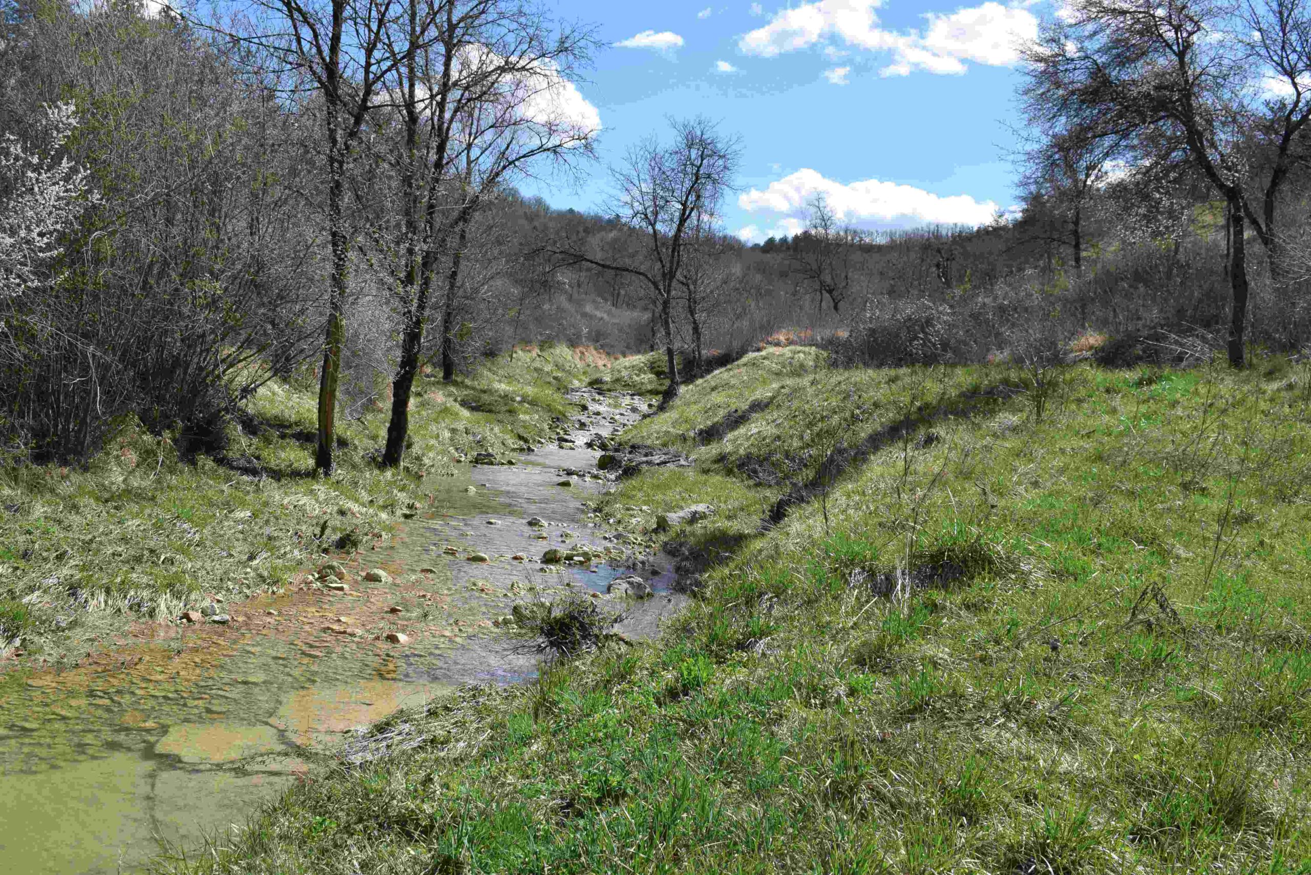
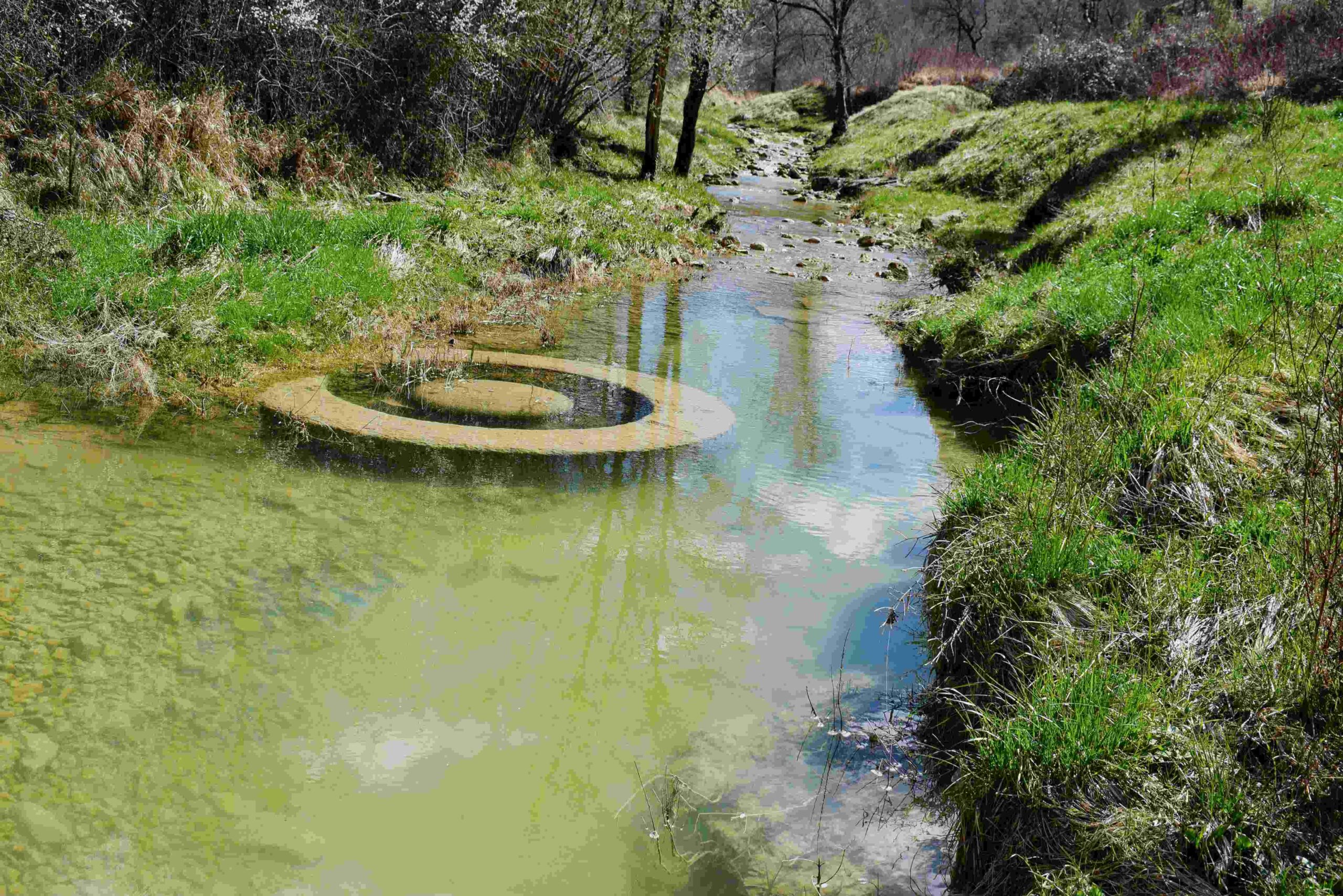
Streams: Mirna, Draga, Pivak and Rečina.
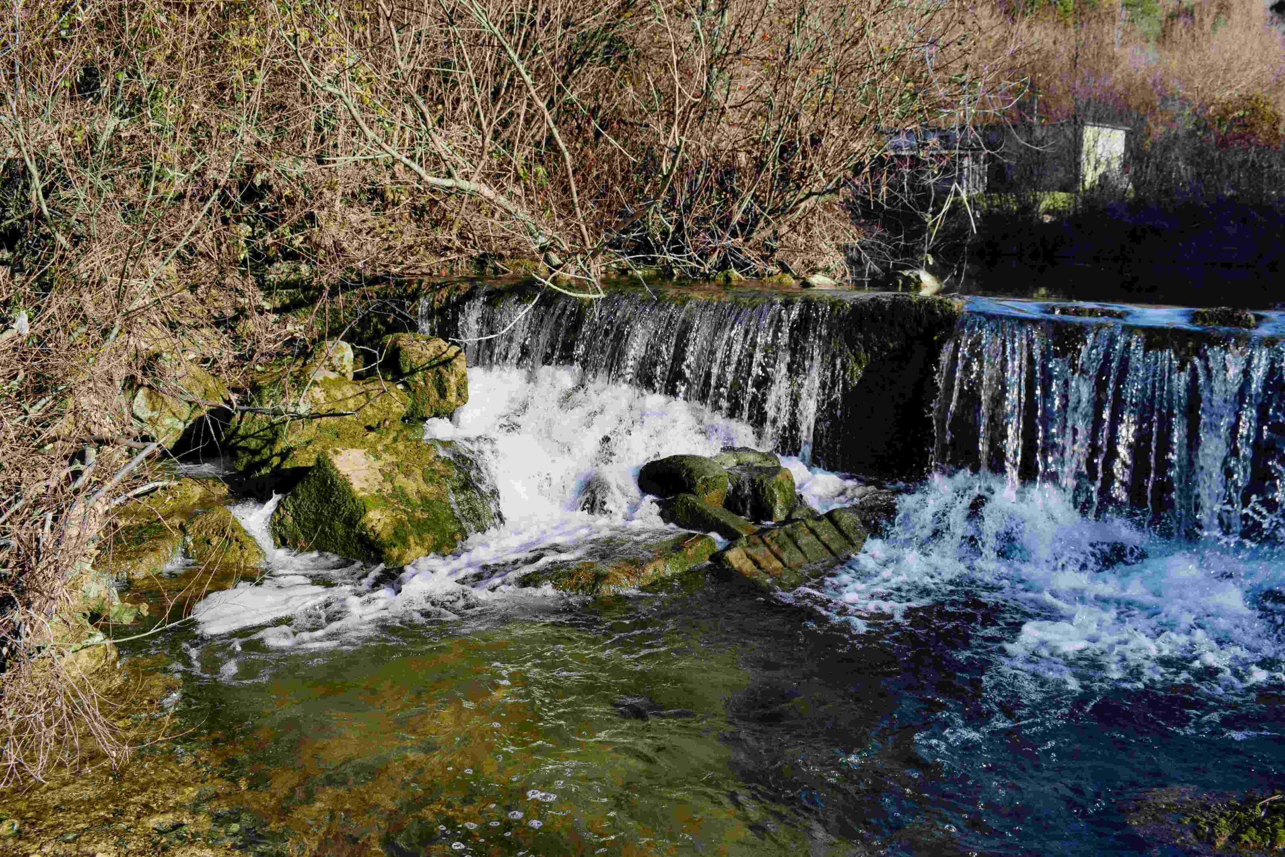
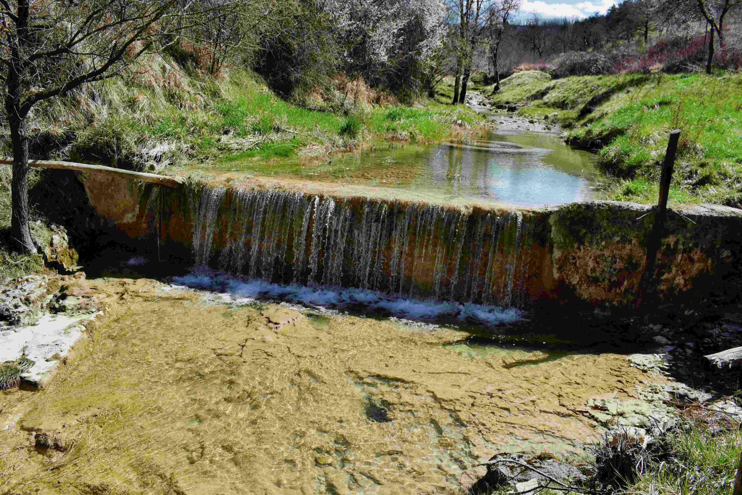
Waterfalls:
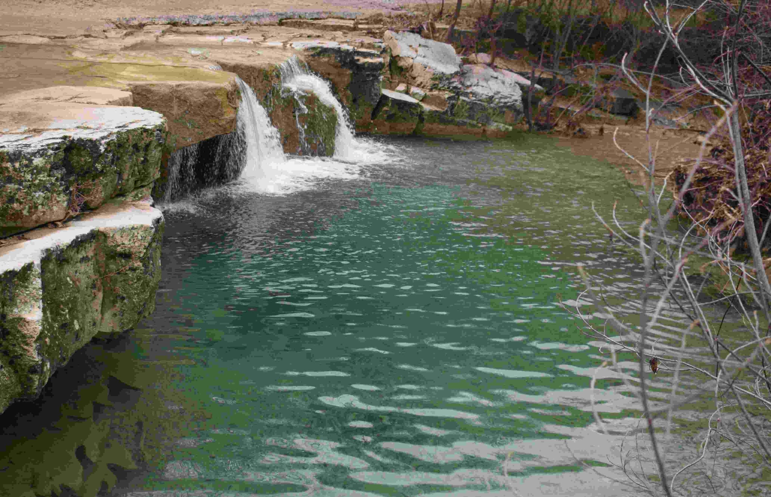
Name: Hiking trail 306 from Buzet to Kotli with 7 waterfalls.
Place: Kotli – (Buzet).
Coordinates: Start/end Buzet: 45.39899 N – 13.97539 E. Kotli: 45.36906 N – 14.01659 E.
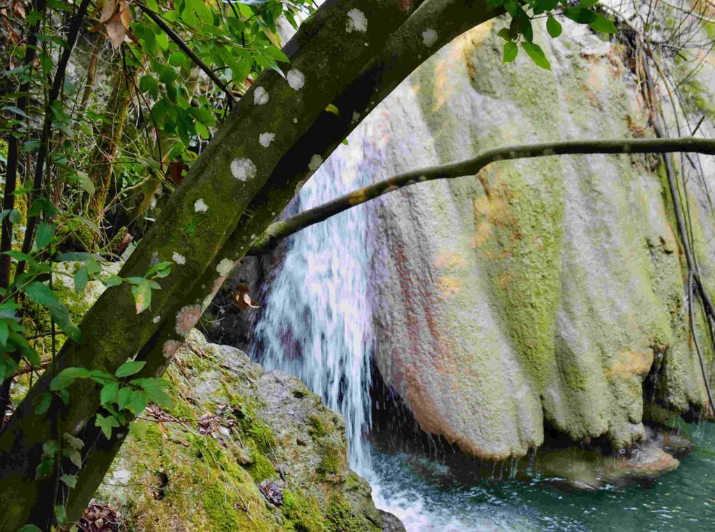
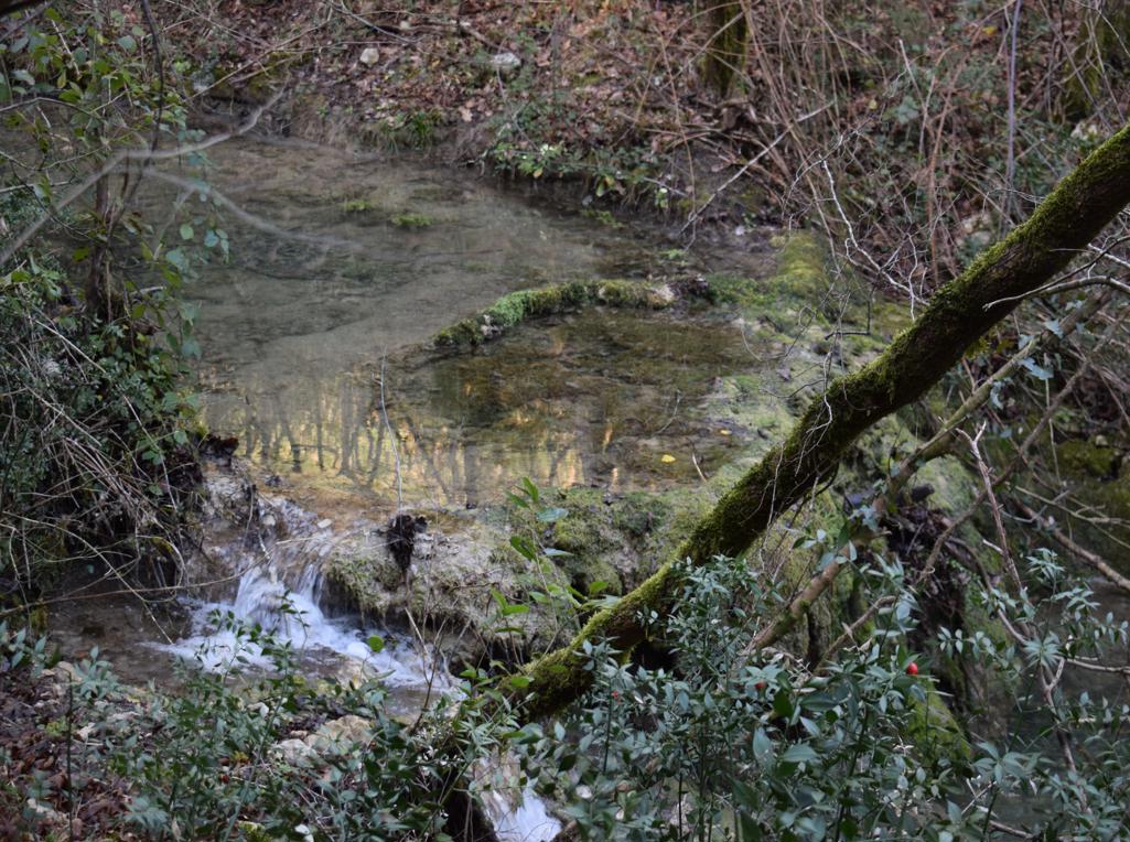
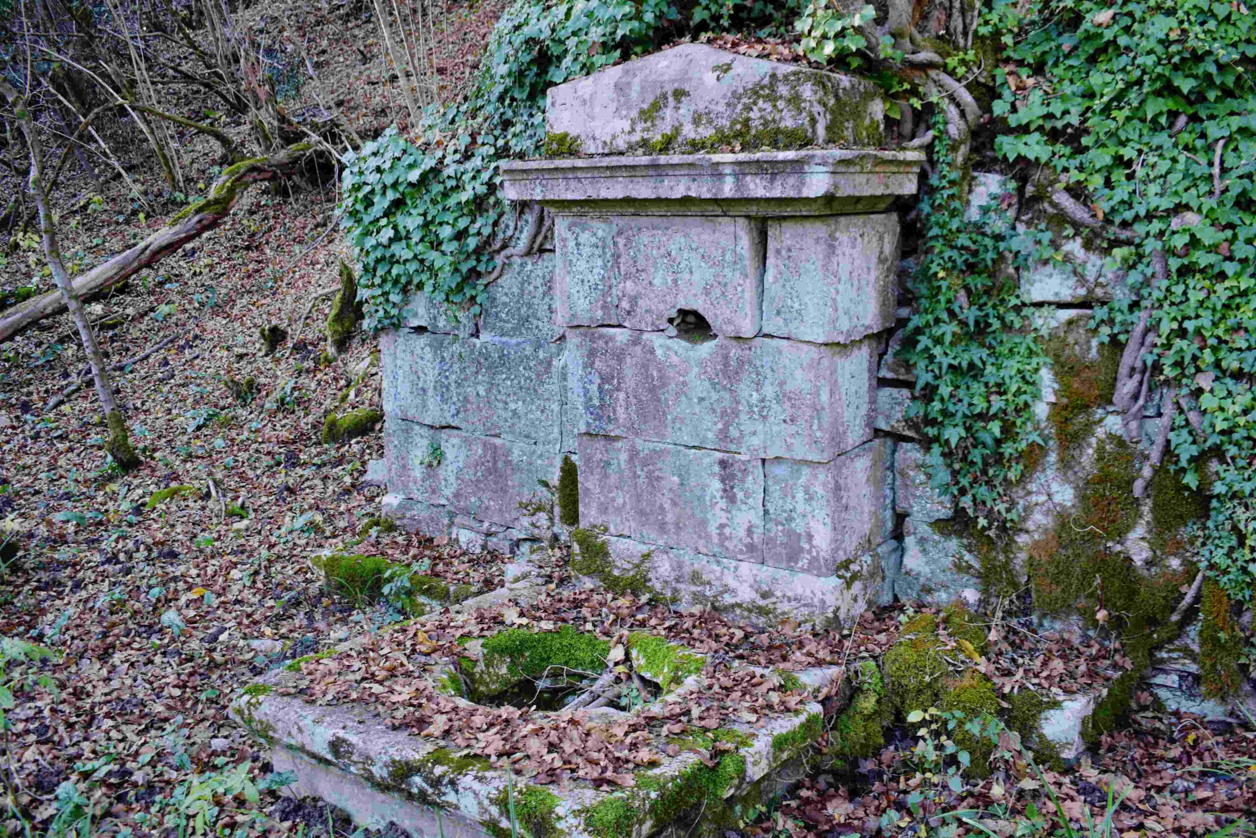
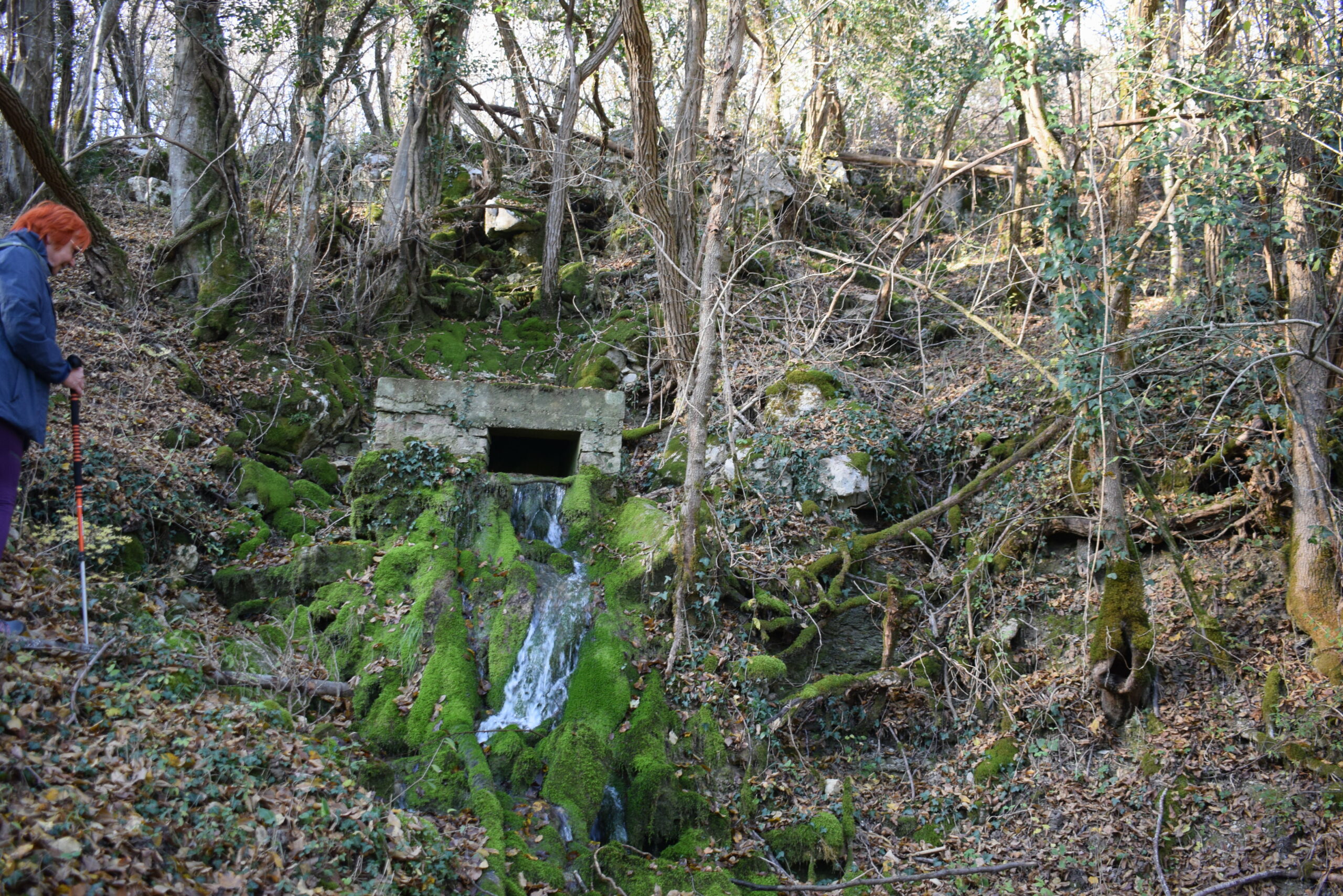
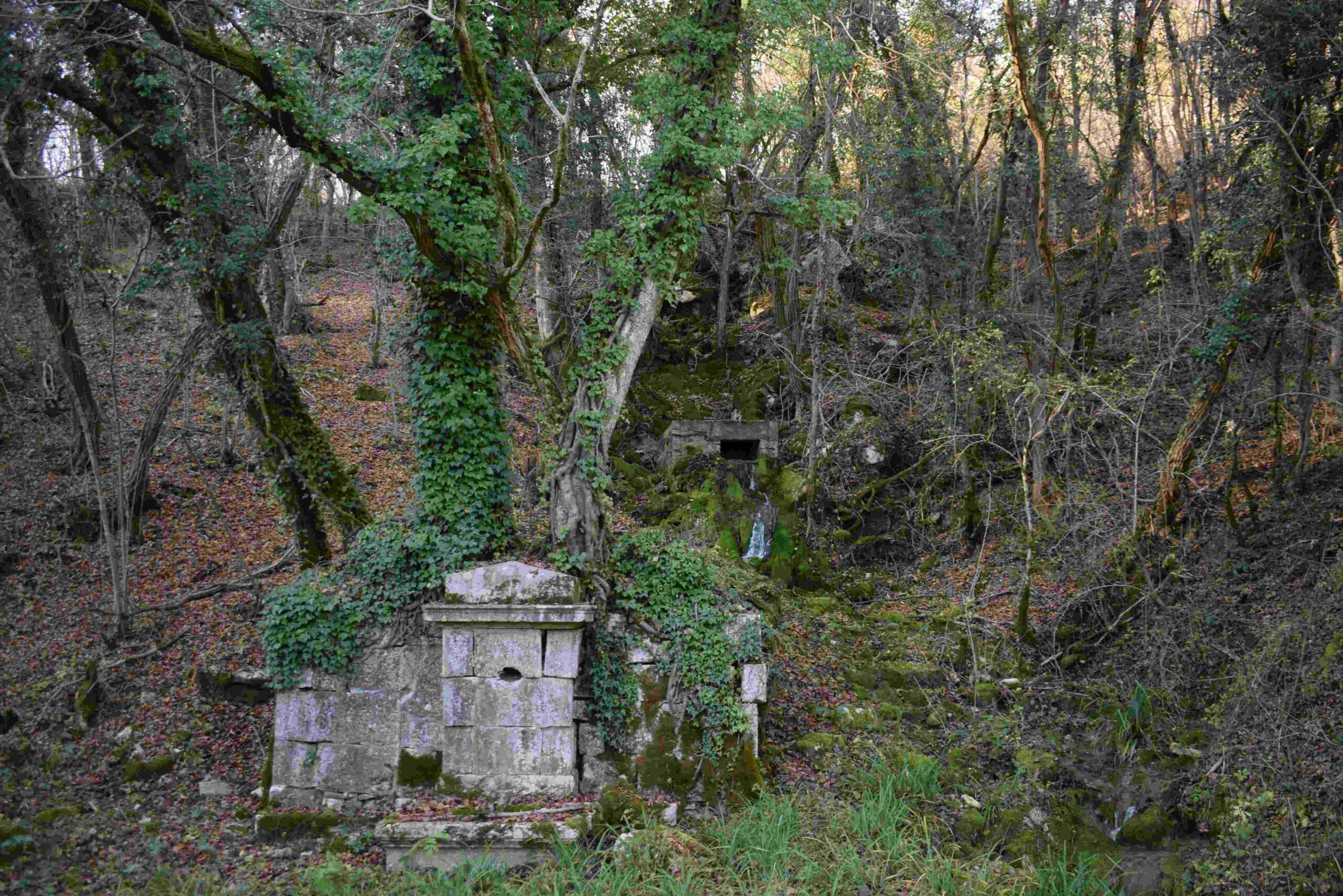
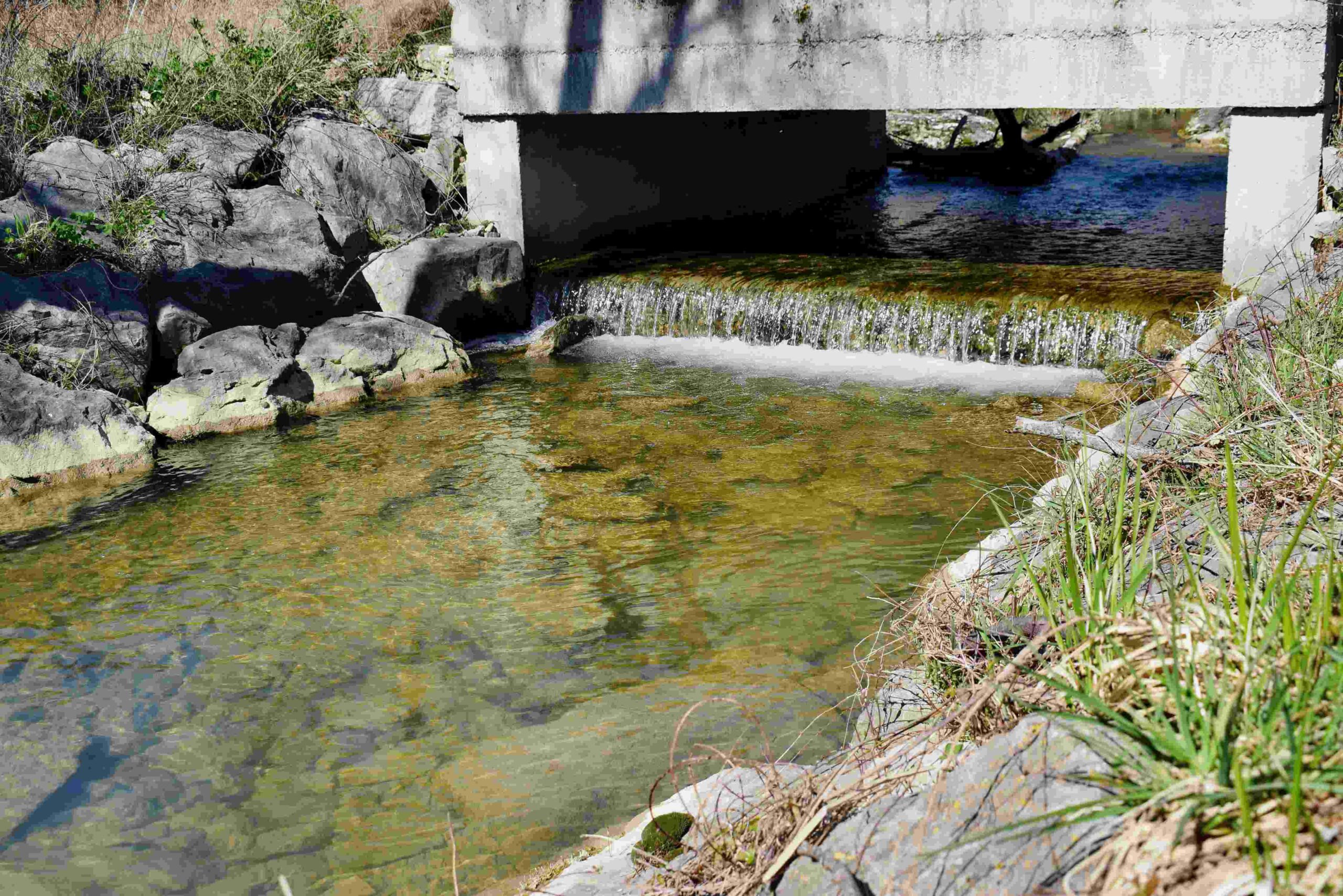
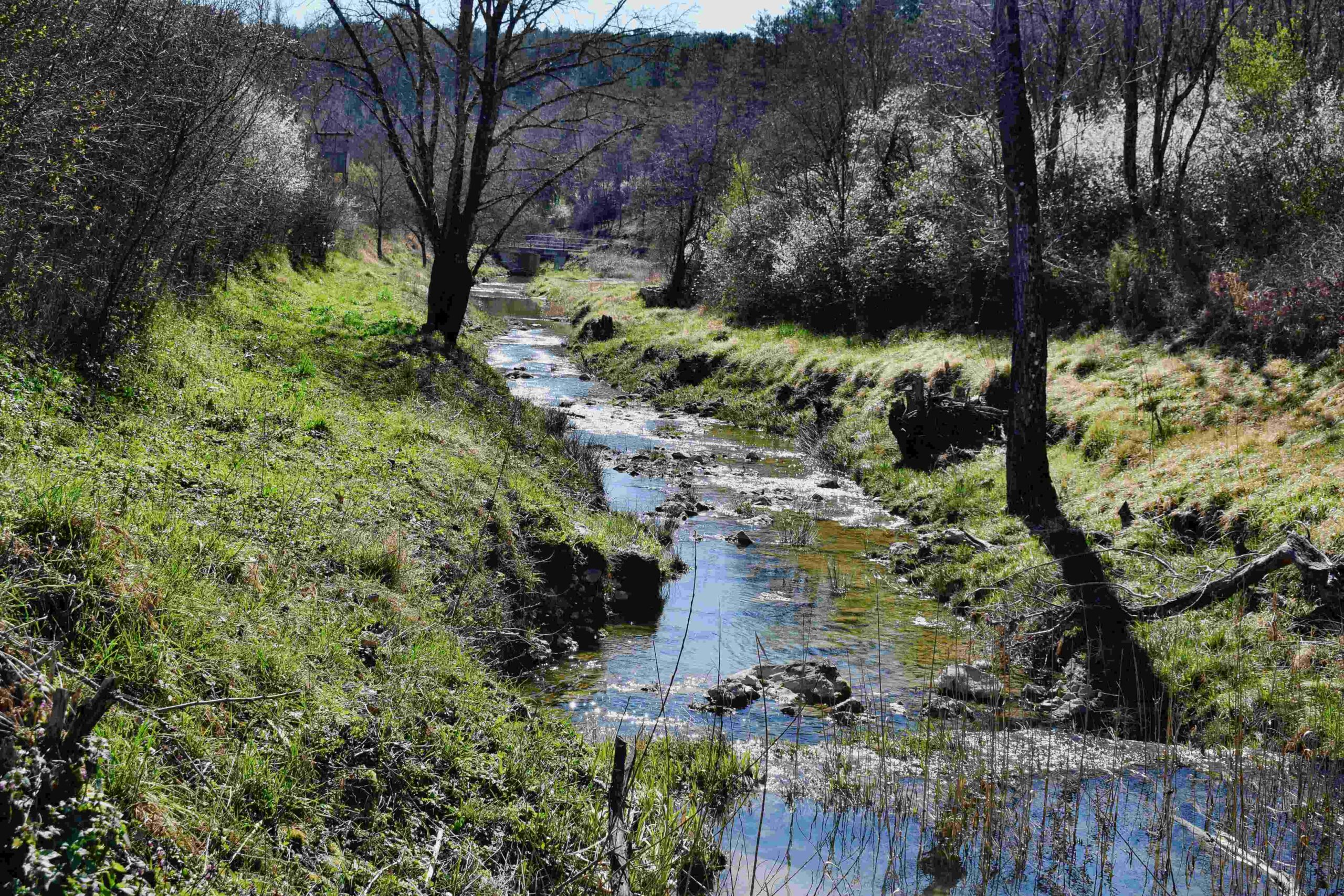
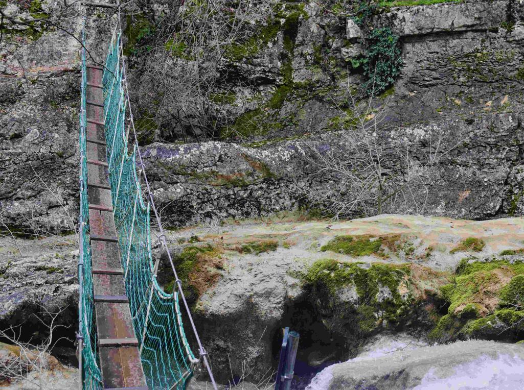
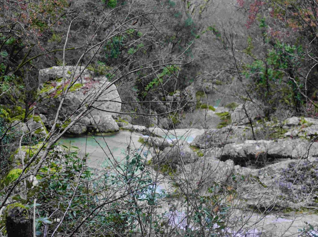
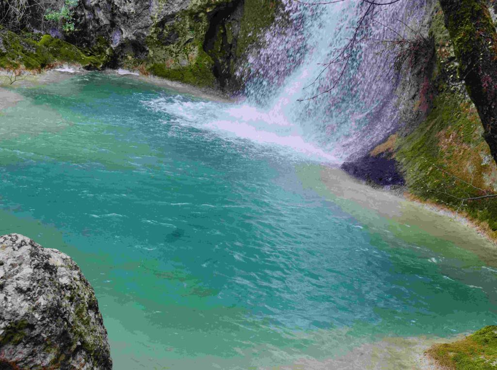
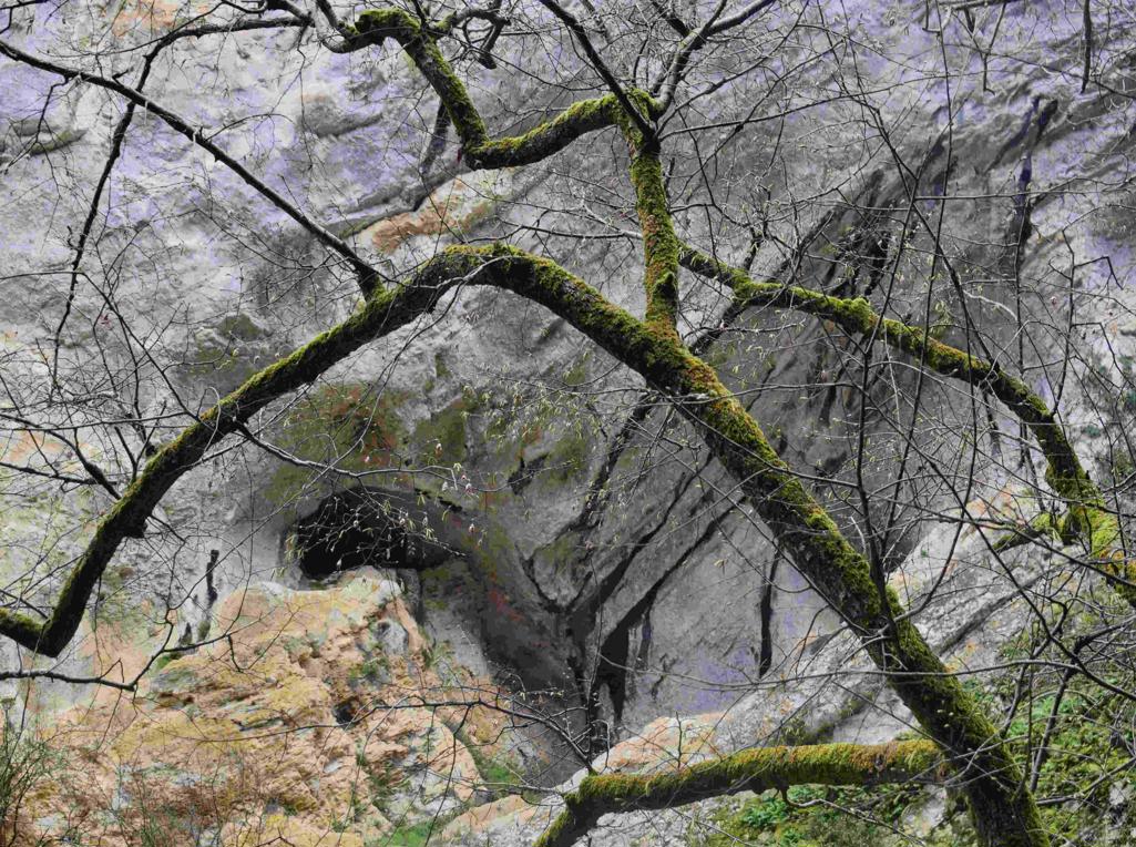
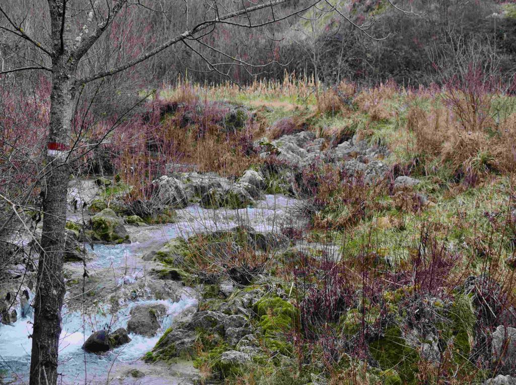
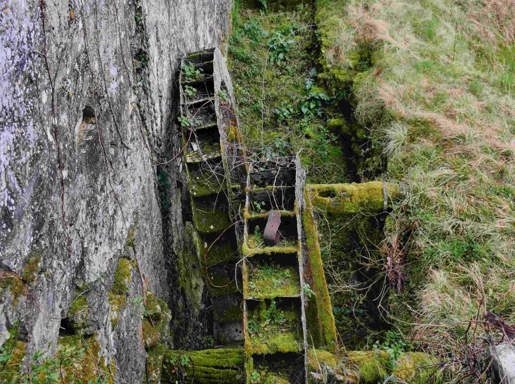
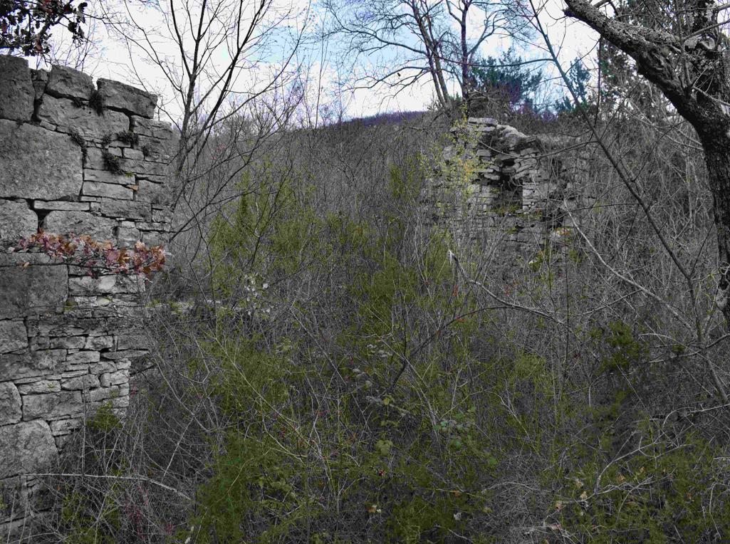
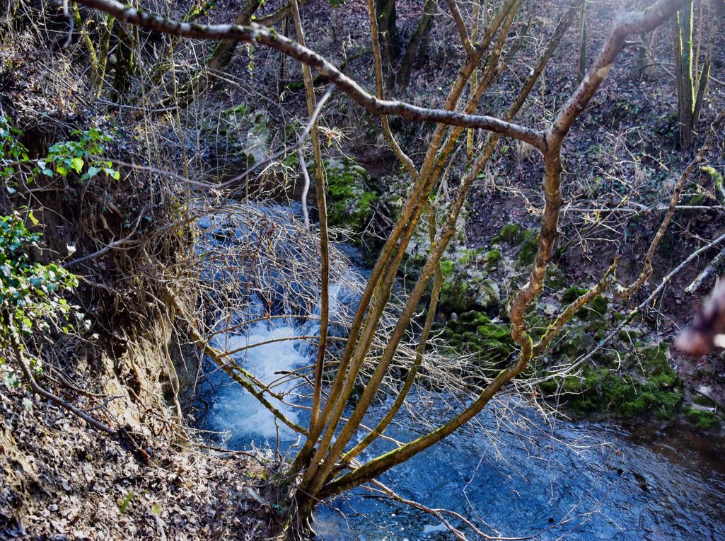
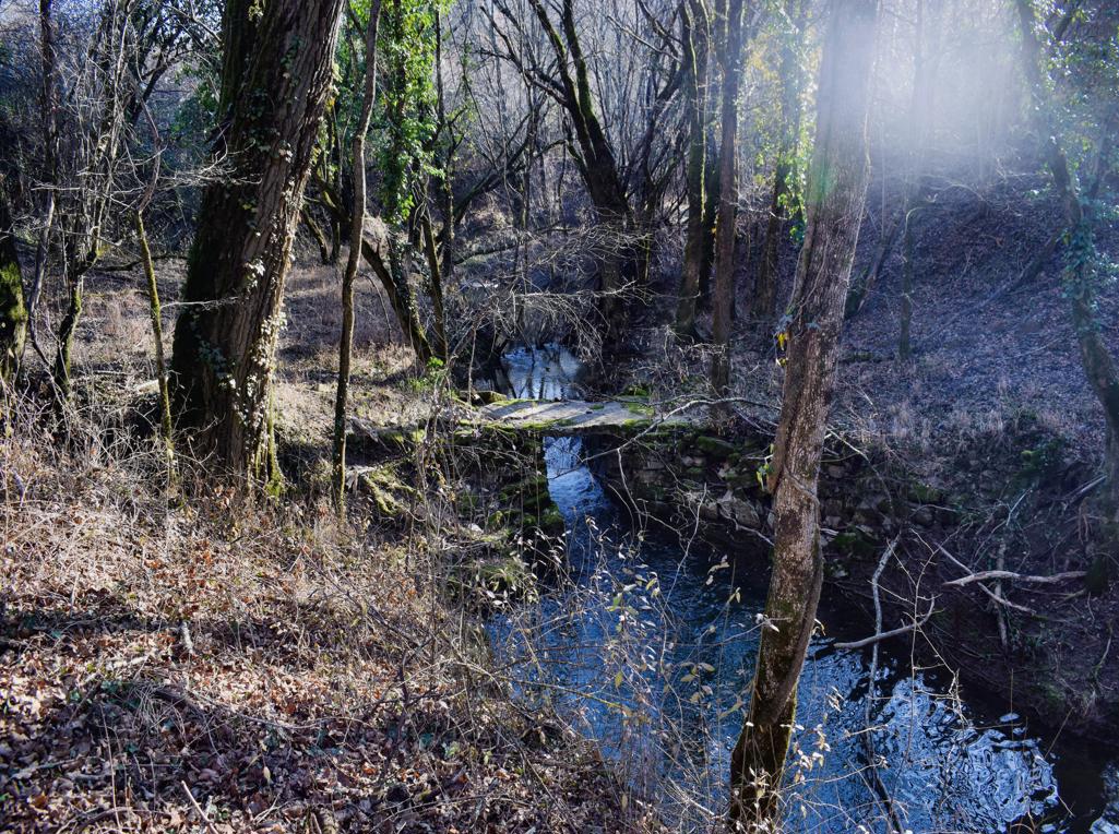
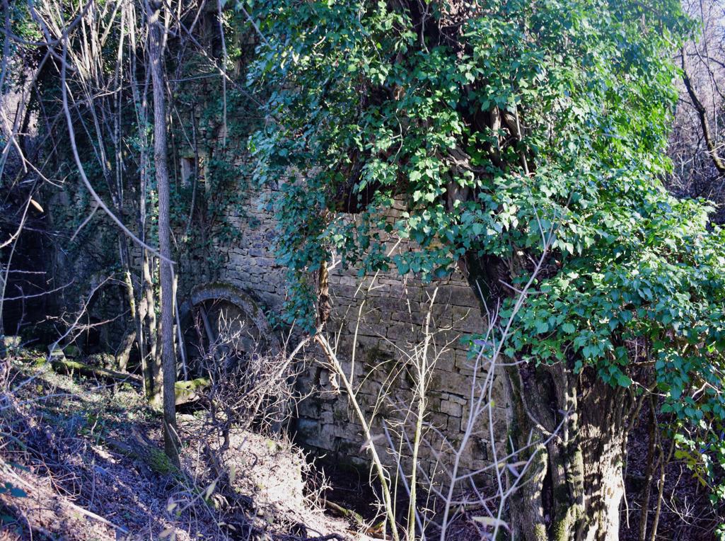
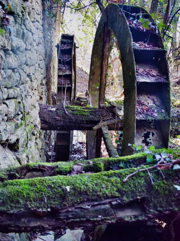
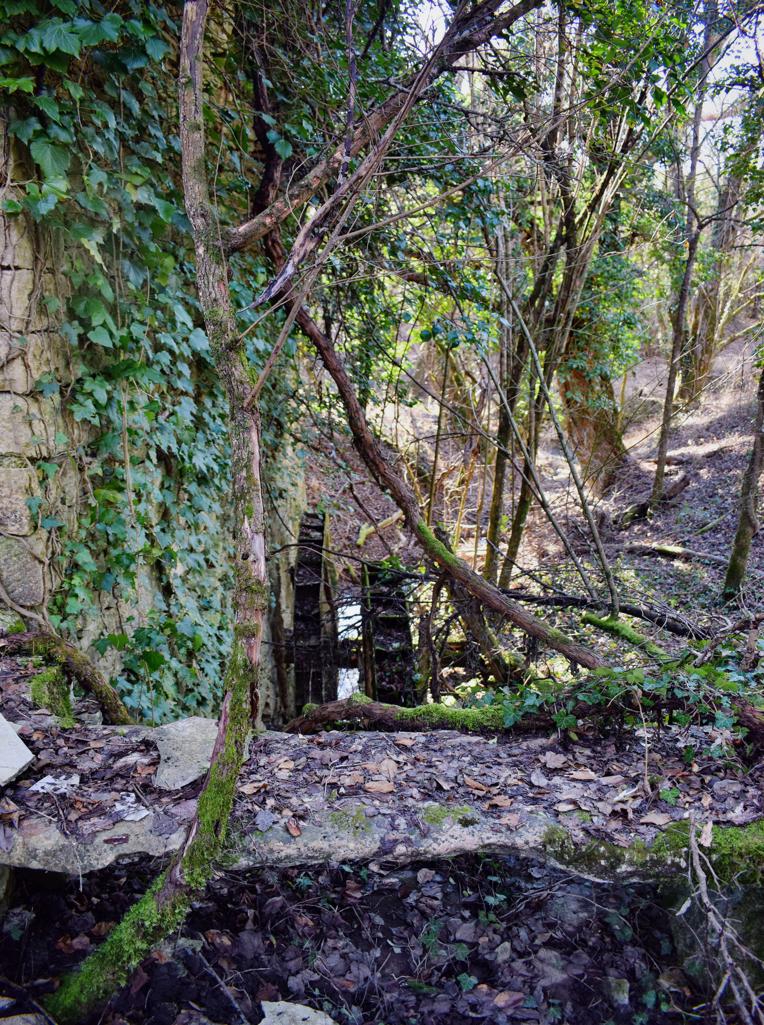
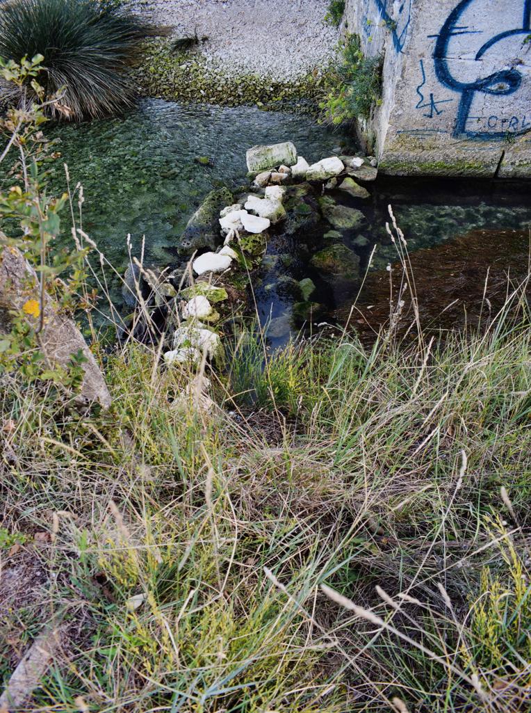
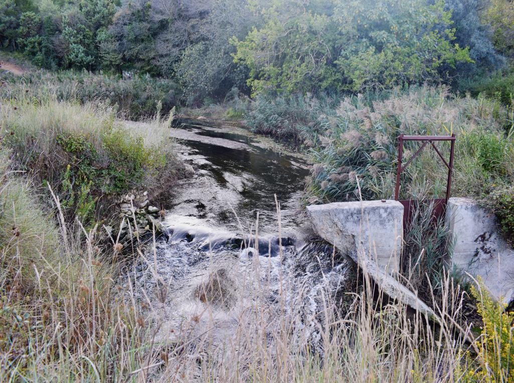
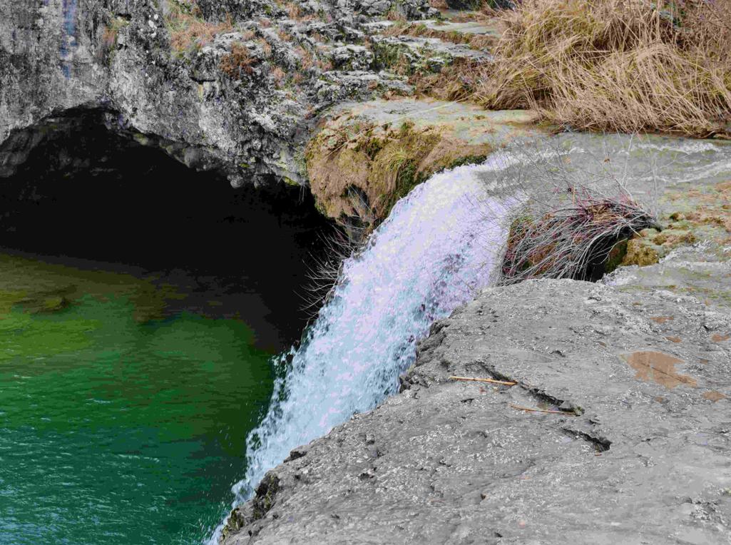
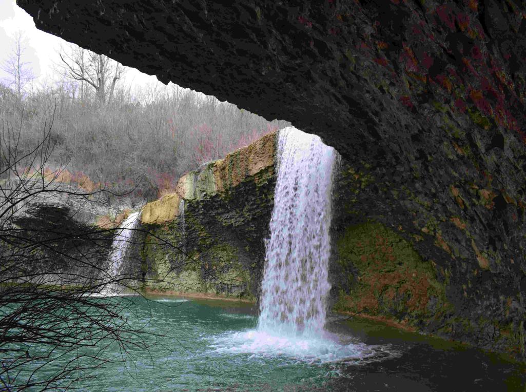
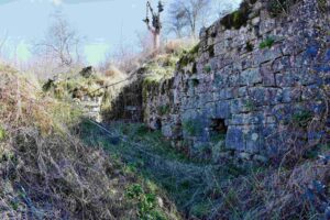
Name:Trail from Pazin castle to Pazinski Krov – Waterfall , ruines watermills and the watersource Rijavac.
Place: Pazin.
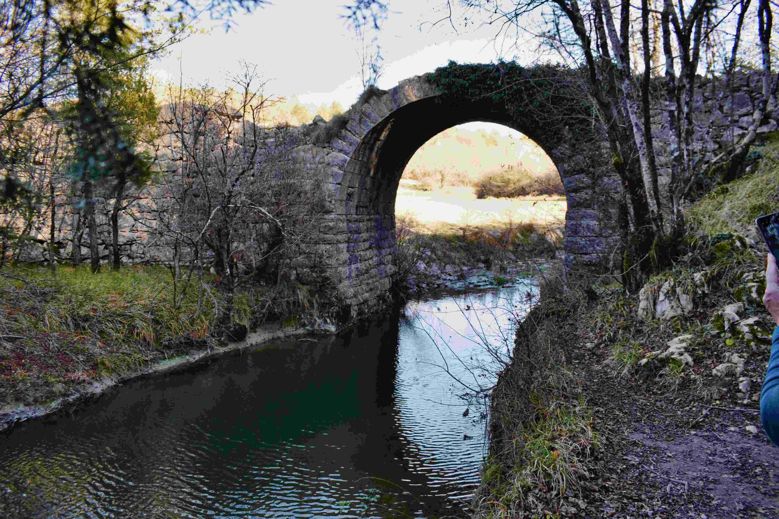
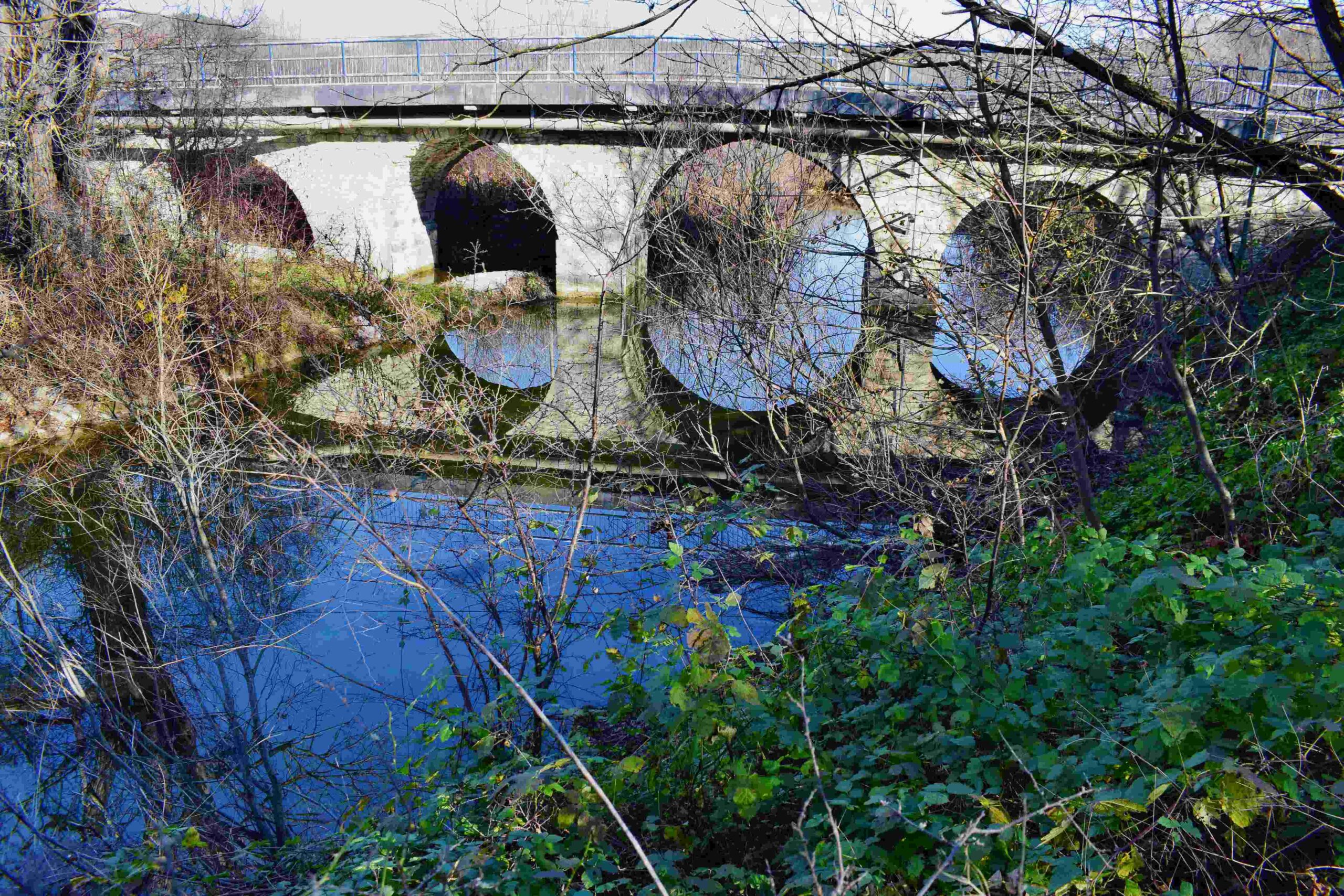
Coordinates: start/end 45,24011 N – 13.96169 E, Pazinski Krov 45. 24353 N – 13. 93483 E, Bridge / watermill 45.24533 N – 13. 93839 E, Water source 45. 25075 N – 13. 94147 E. back from 45.25159N . 13. 94891 E.
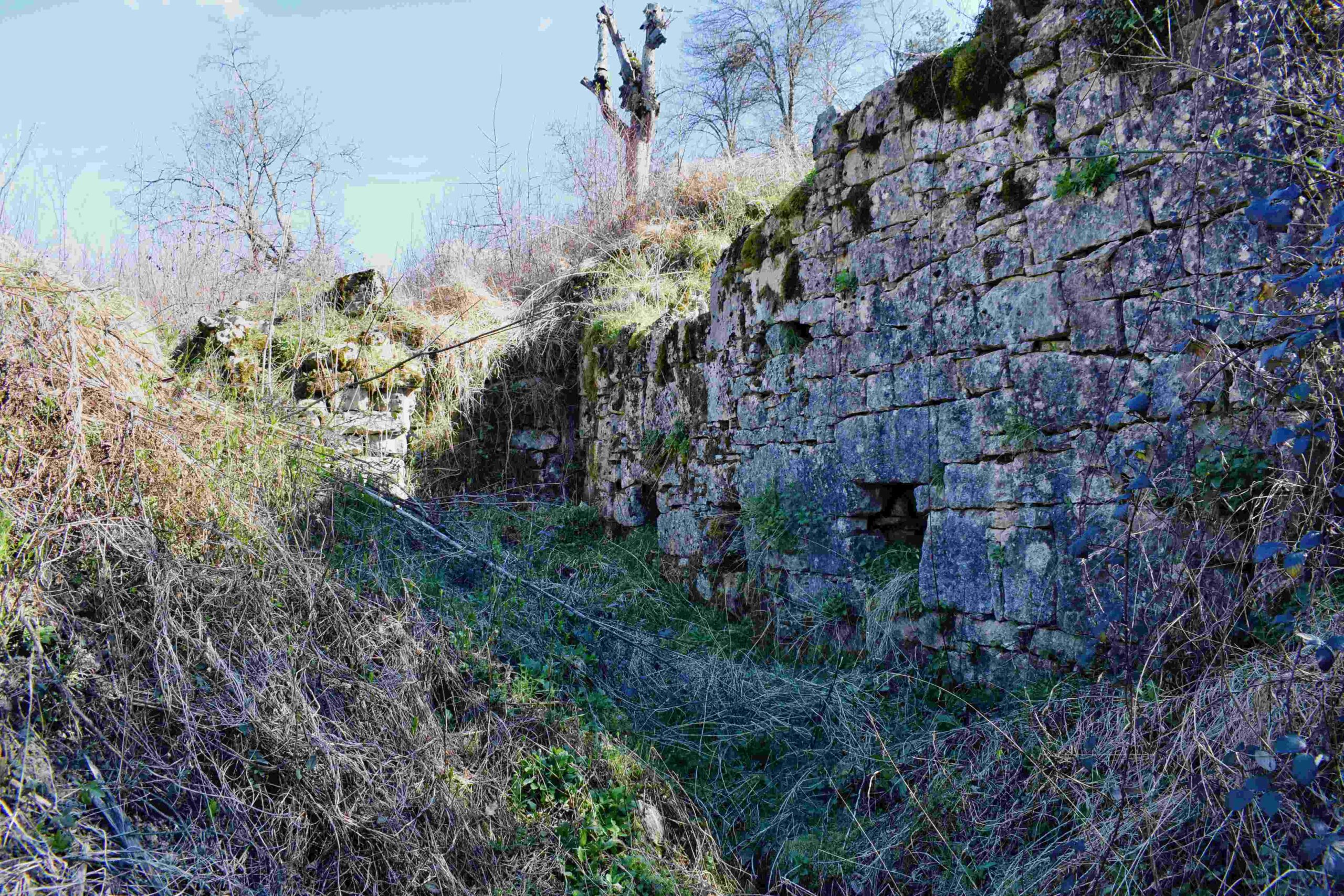
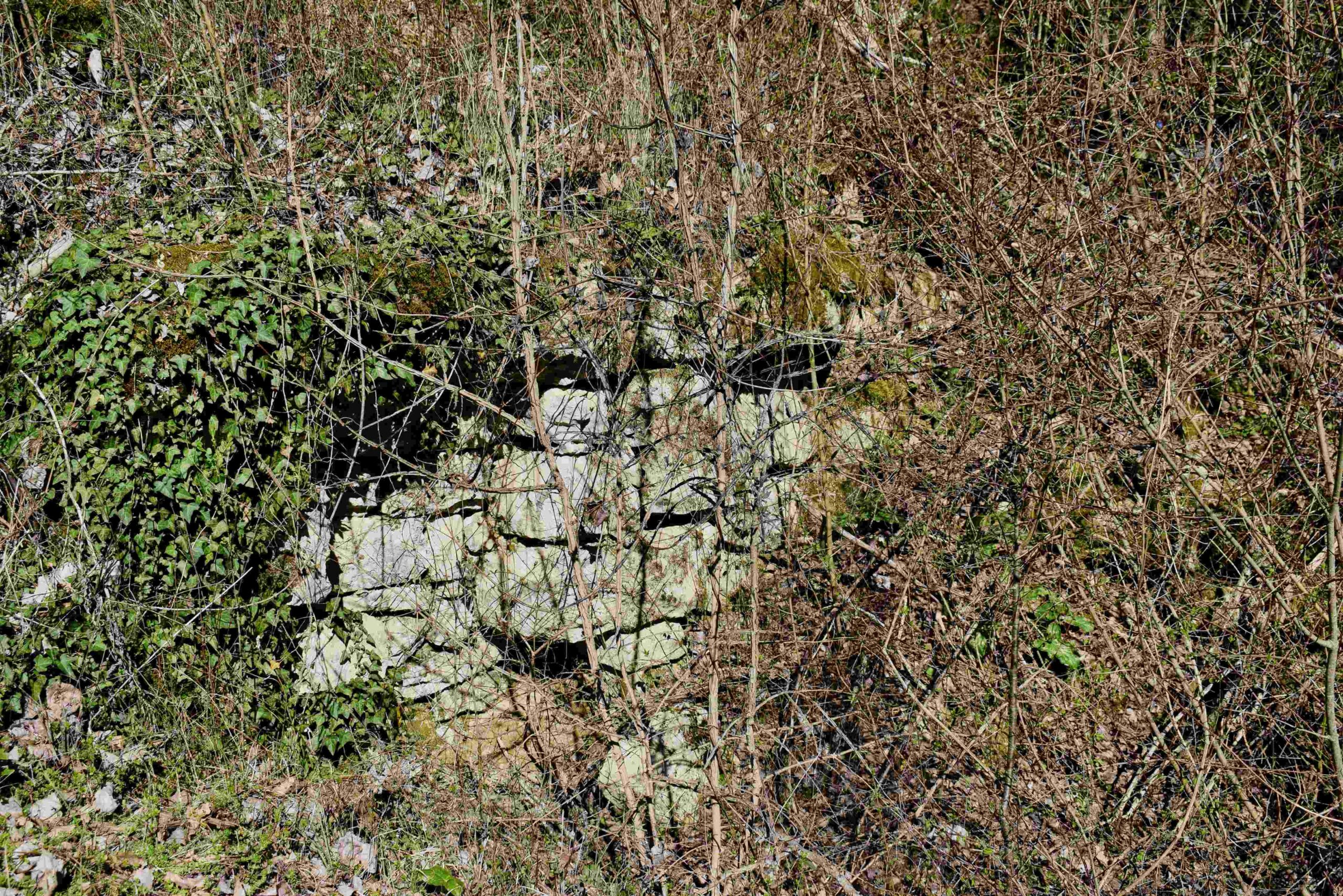
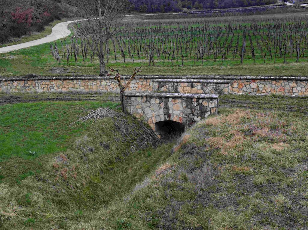
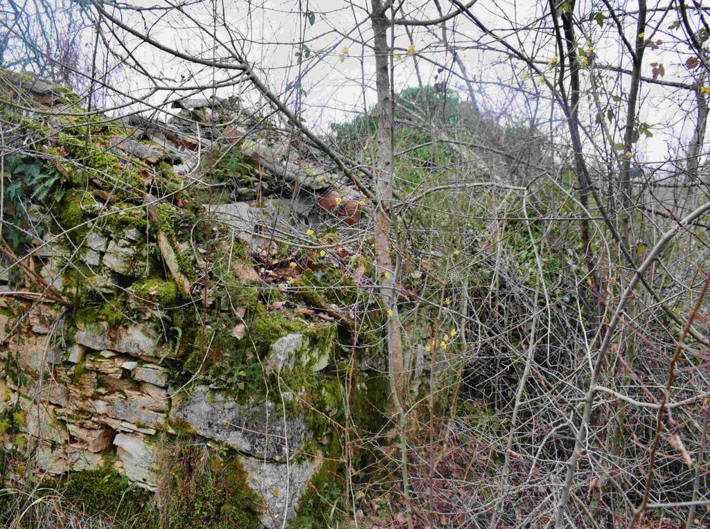
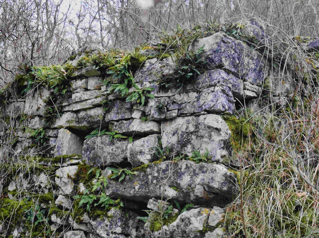
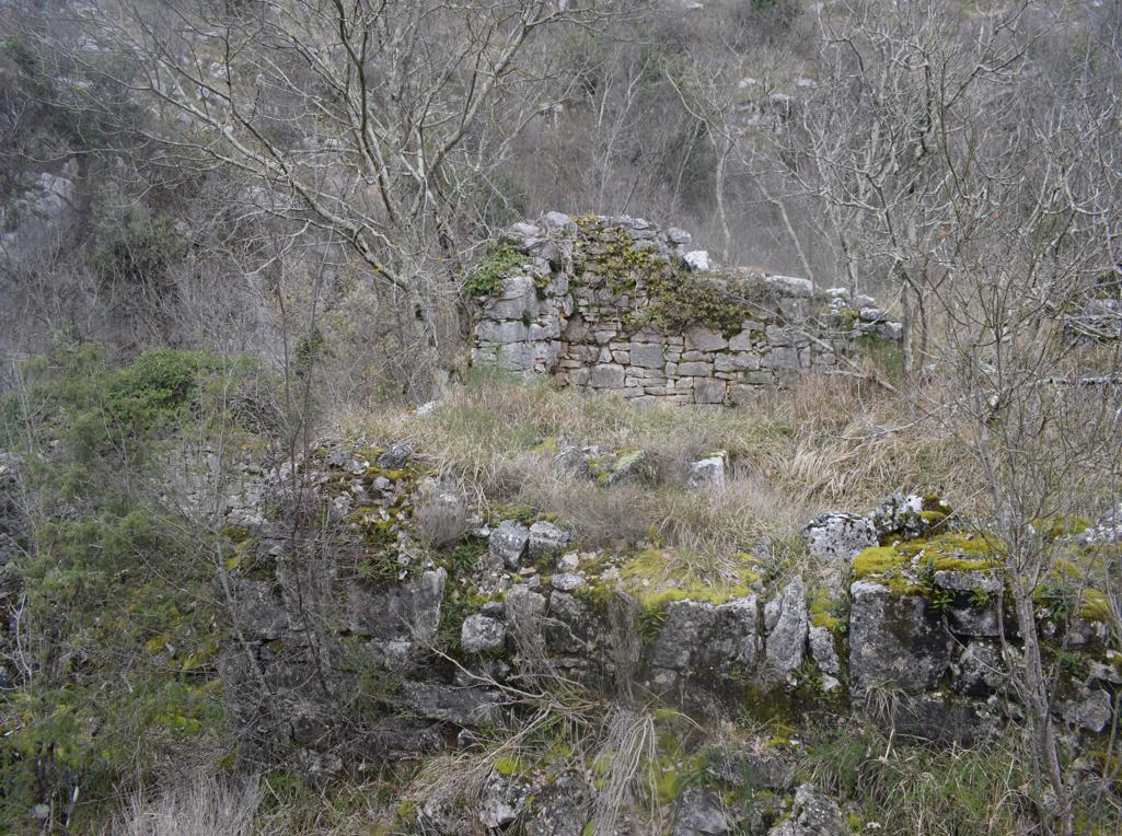
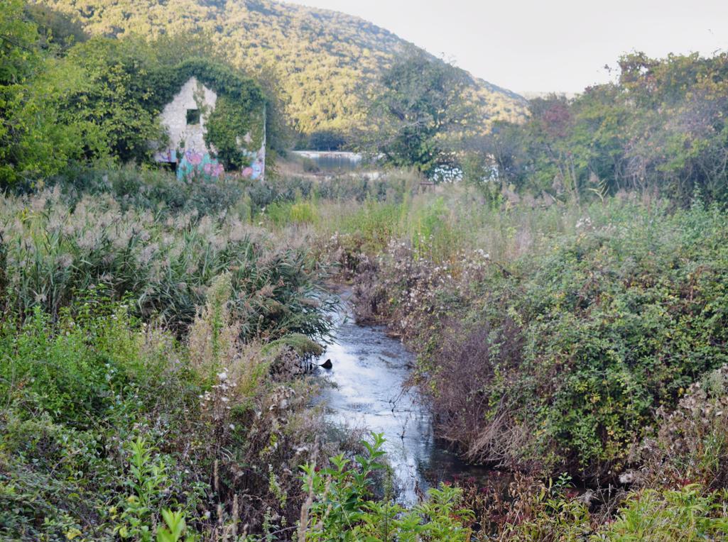
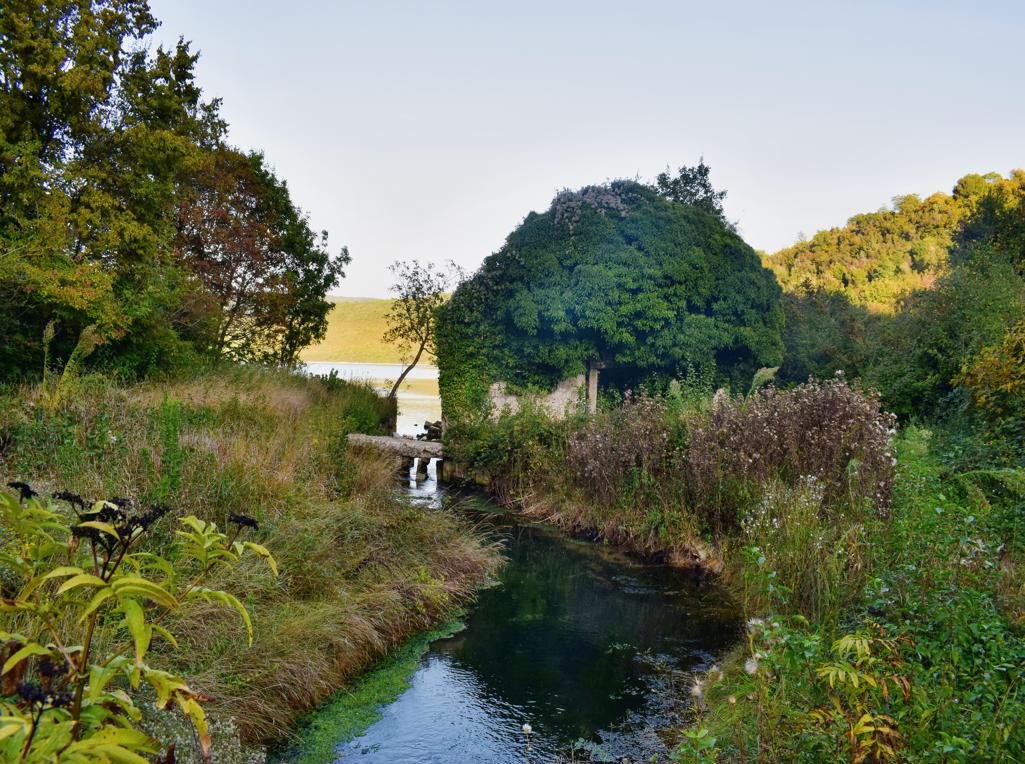
Name: Trail along the stream Codegargna with 2 ruins (206 and 207)
from former watermills.
Place: (Grožnjan).
Coordinates: Start 45.36113 N – 13.73024 E, watermill 107: 45.36907 N / 13.72239E, waterrmill 106: 45.37155/13.71978 E.
Along the Topolovica with the former name Bach Marganizza (Brestovae) there were 7 water mills for grinding grain.
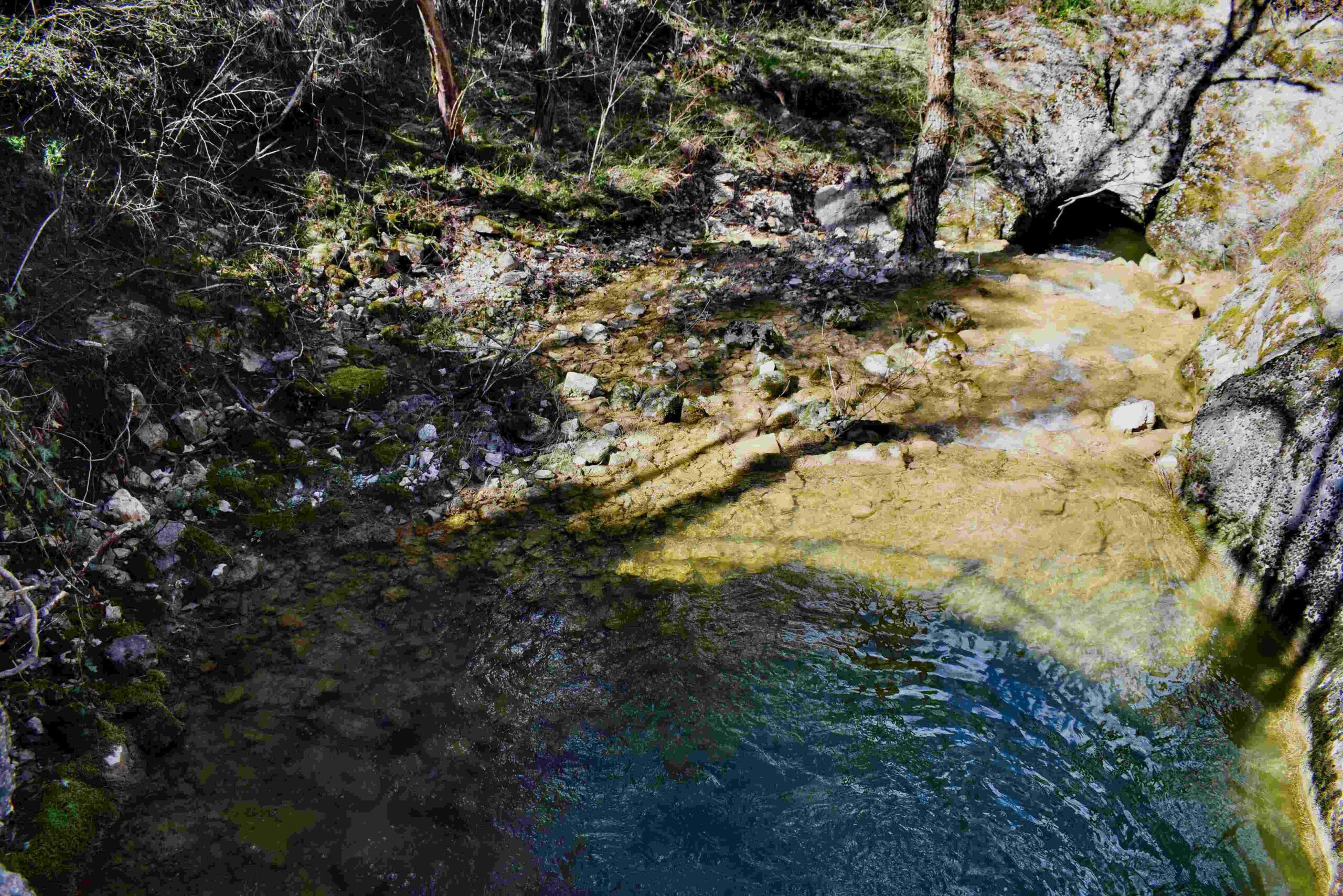
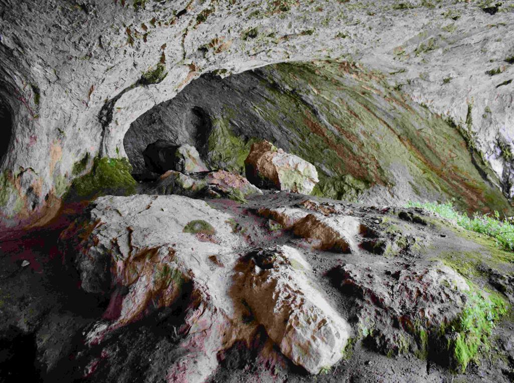
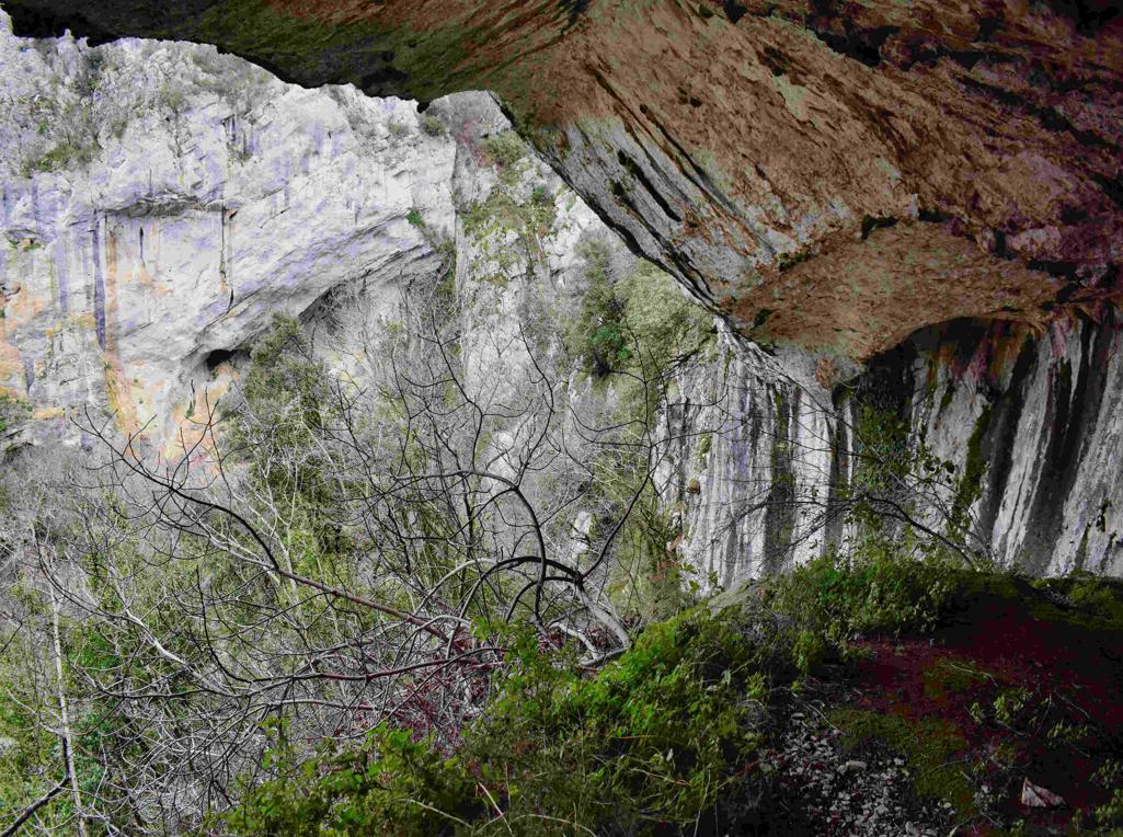
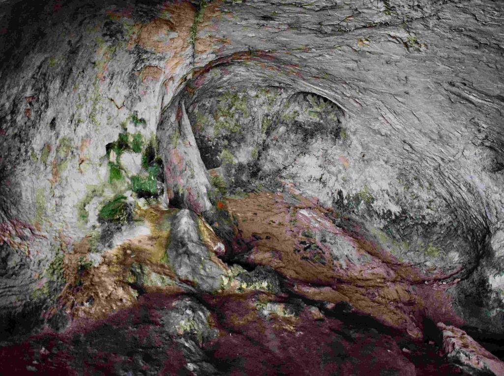
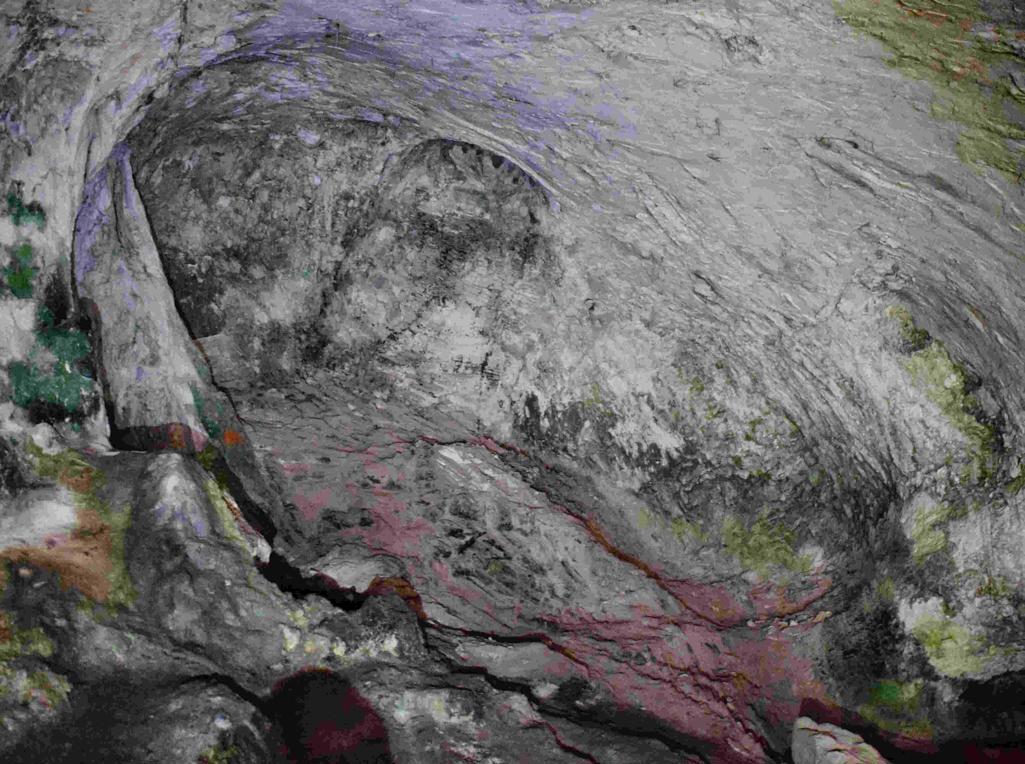
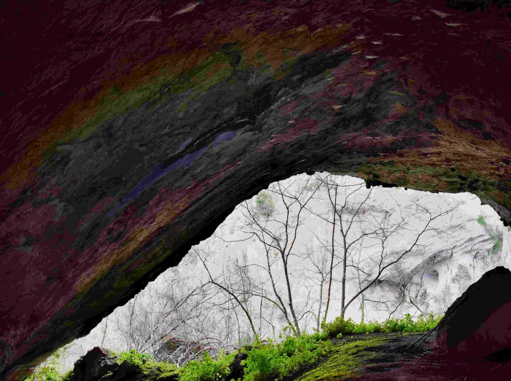
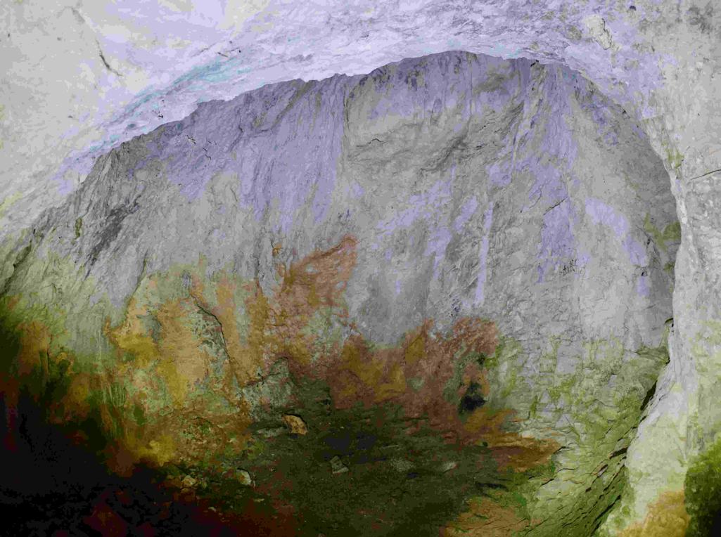
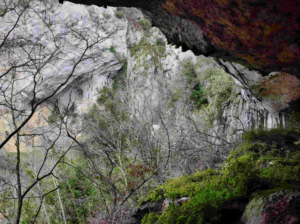
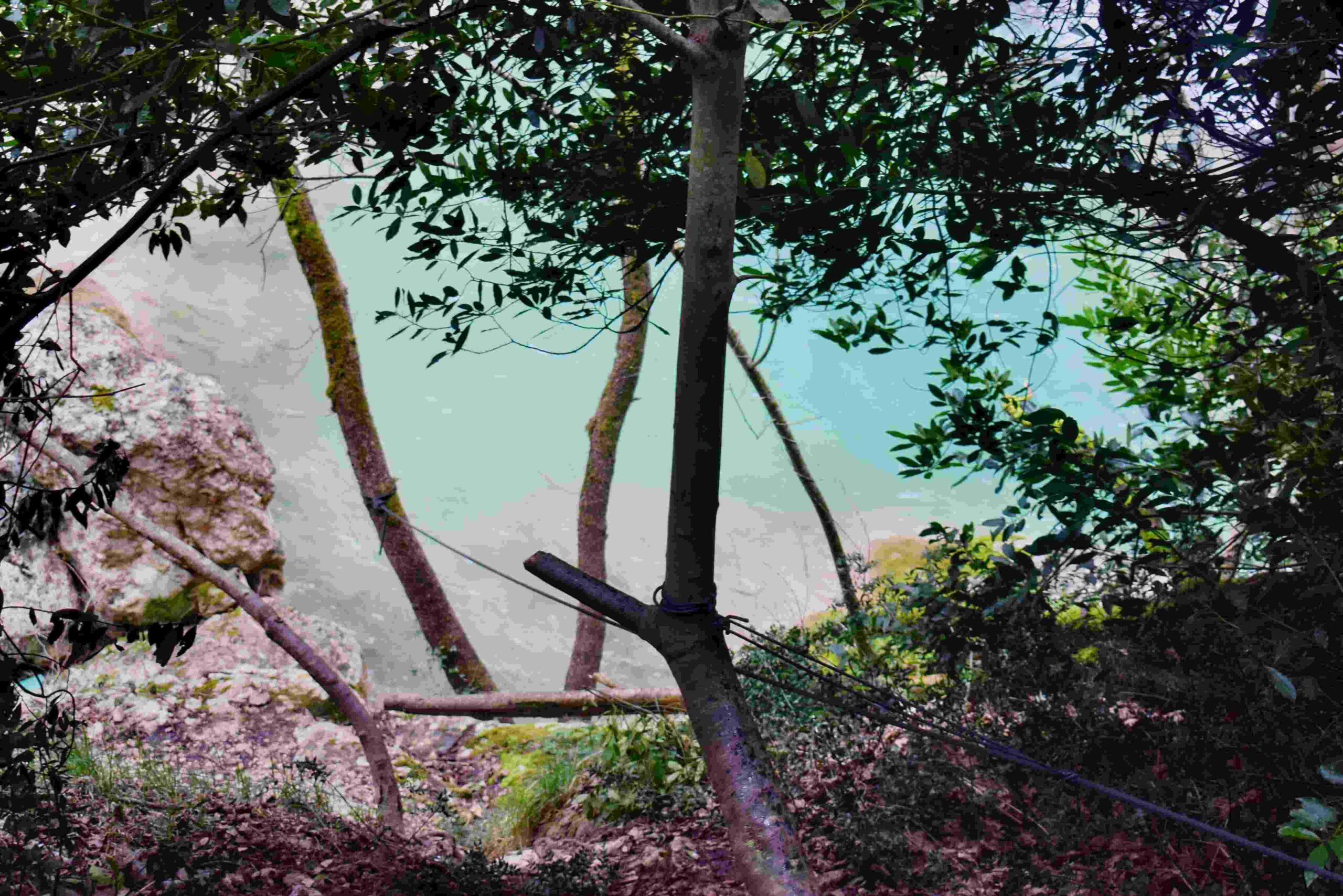
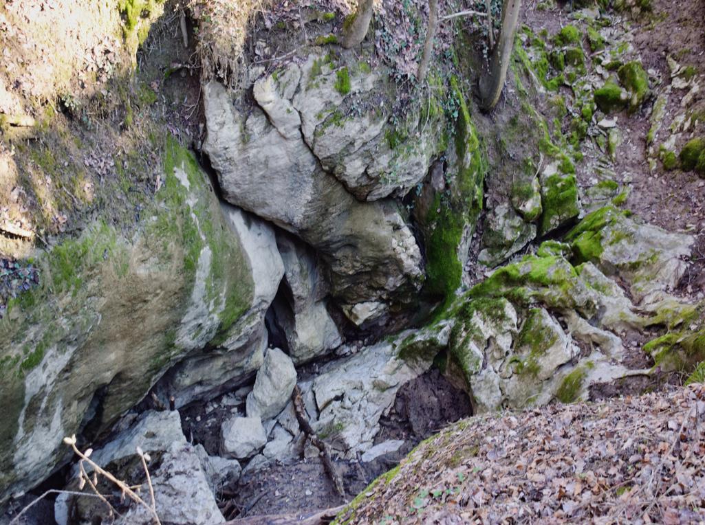
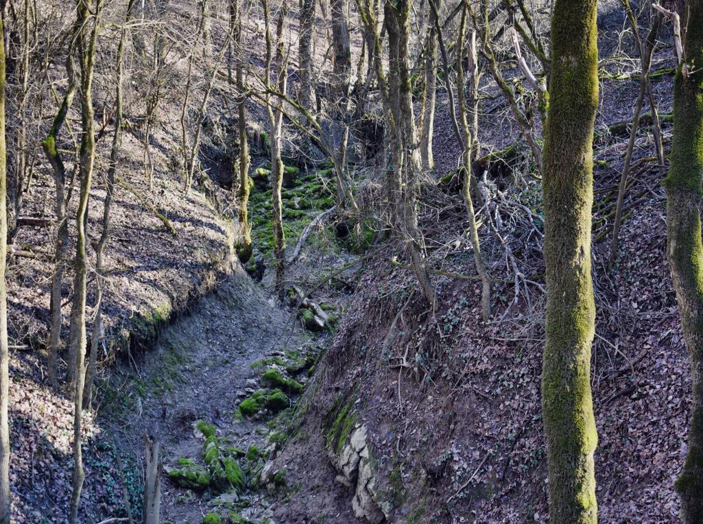
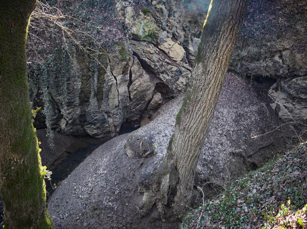
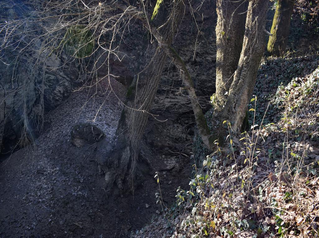
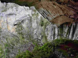
Name: Trail near Triviž along the streams Siže and Topolovica, with on the end cave Siže.
Place: Trivž – (Pazin).
Coordinates: cave (ponor Siže 45.27202 N -13.86110 E-
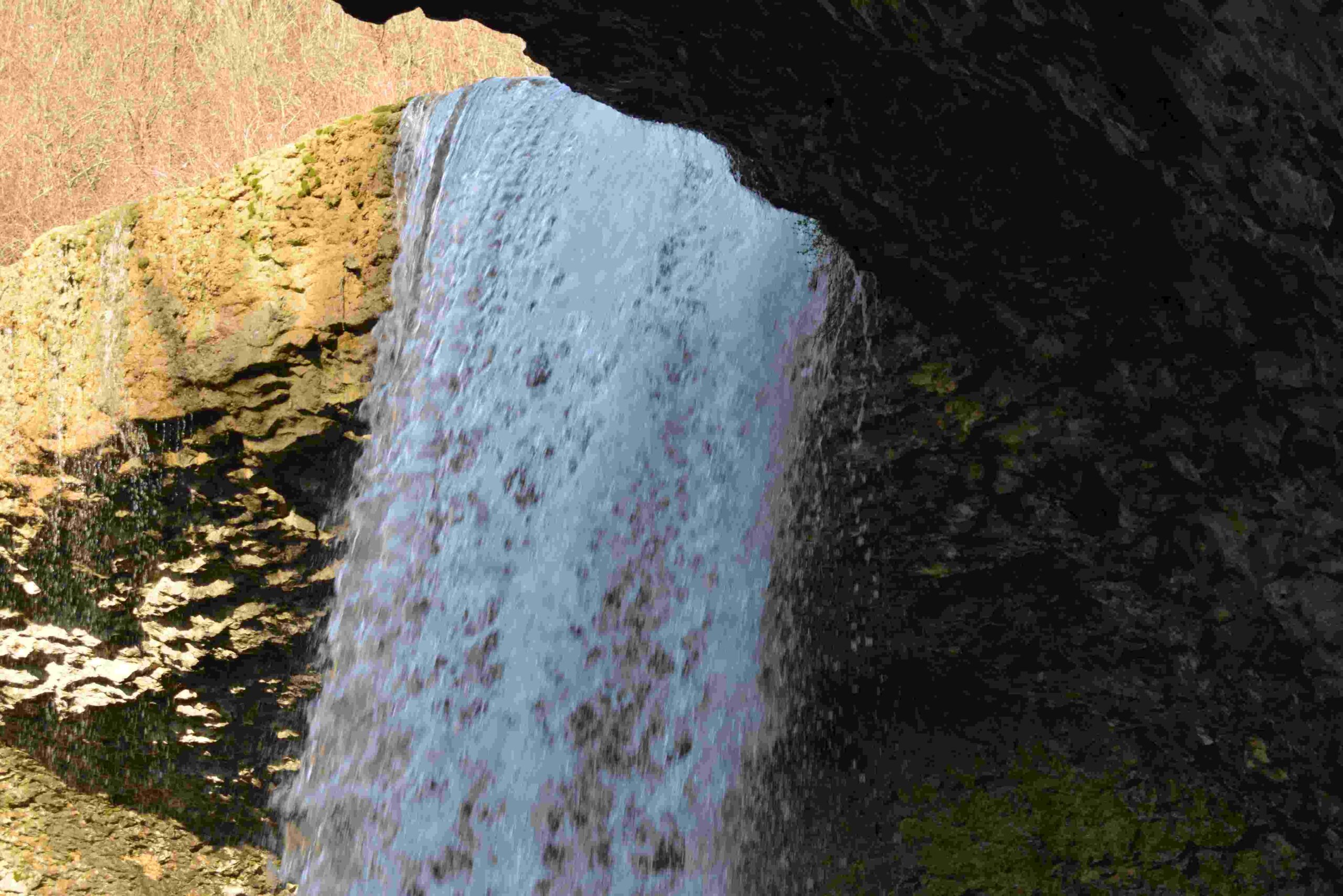
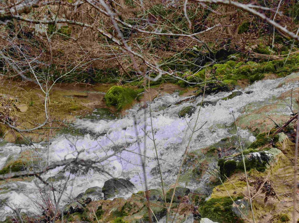
Name: Hiking trail to the Cingarella cave and waterfall and along the Argila river to the former watermills.
Place: Momjan – (Buje).
Coordinates: Start 45.43584 N – 13.67604 E, Cingarella 45.43563 N – 13.68466 E, Watermill Nr 49 near the bridge 45. 43481 N – 13.69178 E, Ruins watermills numbers 50, 51, 52 en 53 along the river Argila from 45.43200 N – 13.68999 E to 45.43471 N – 13.68549 E.
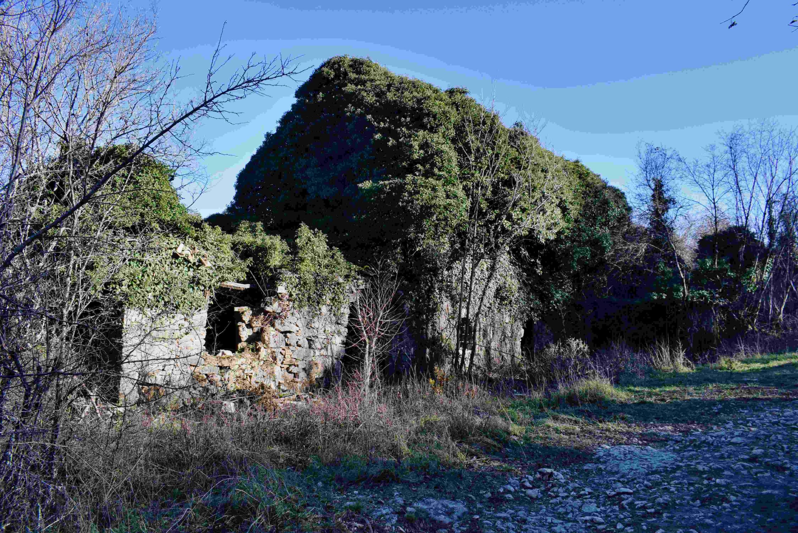
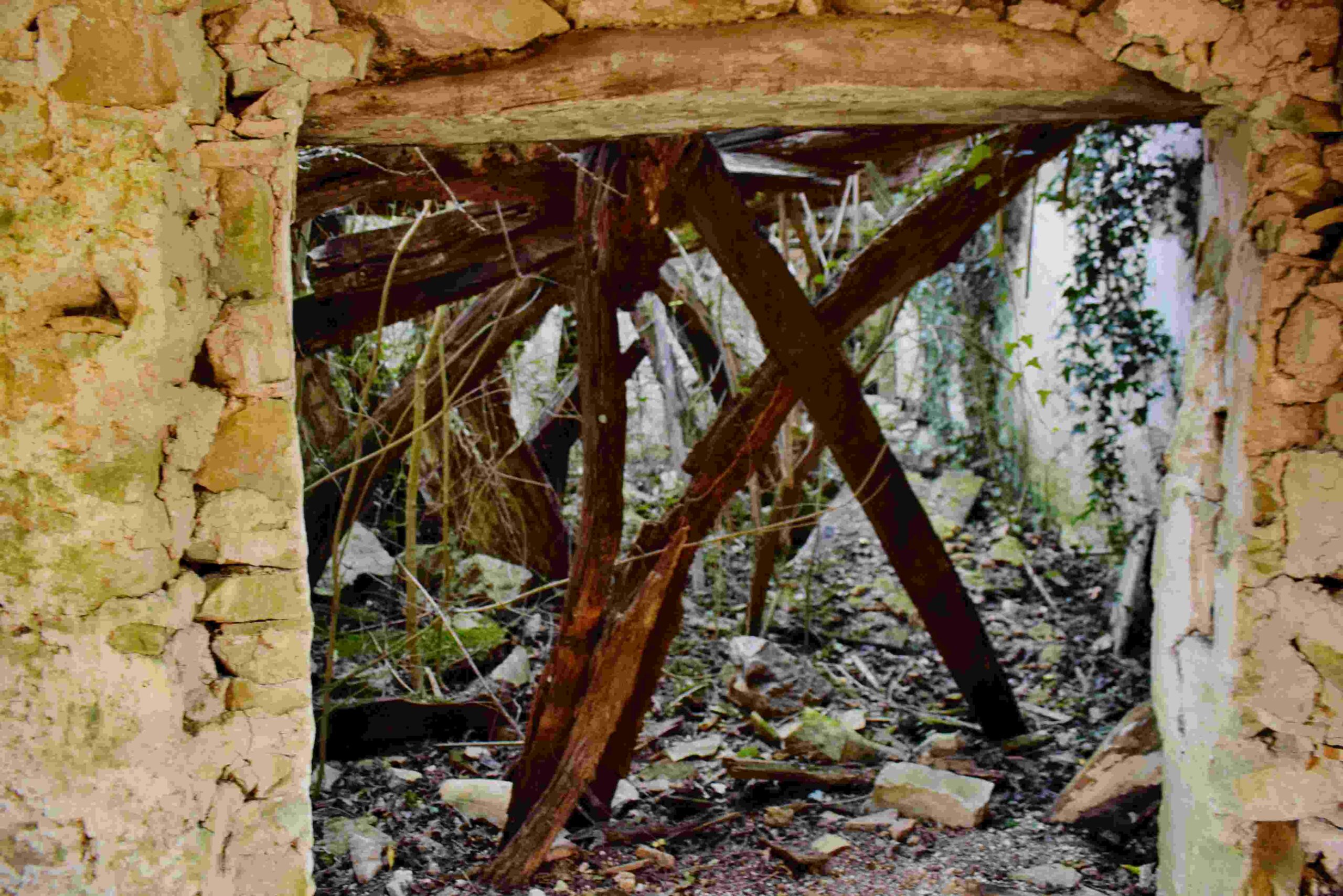
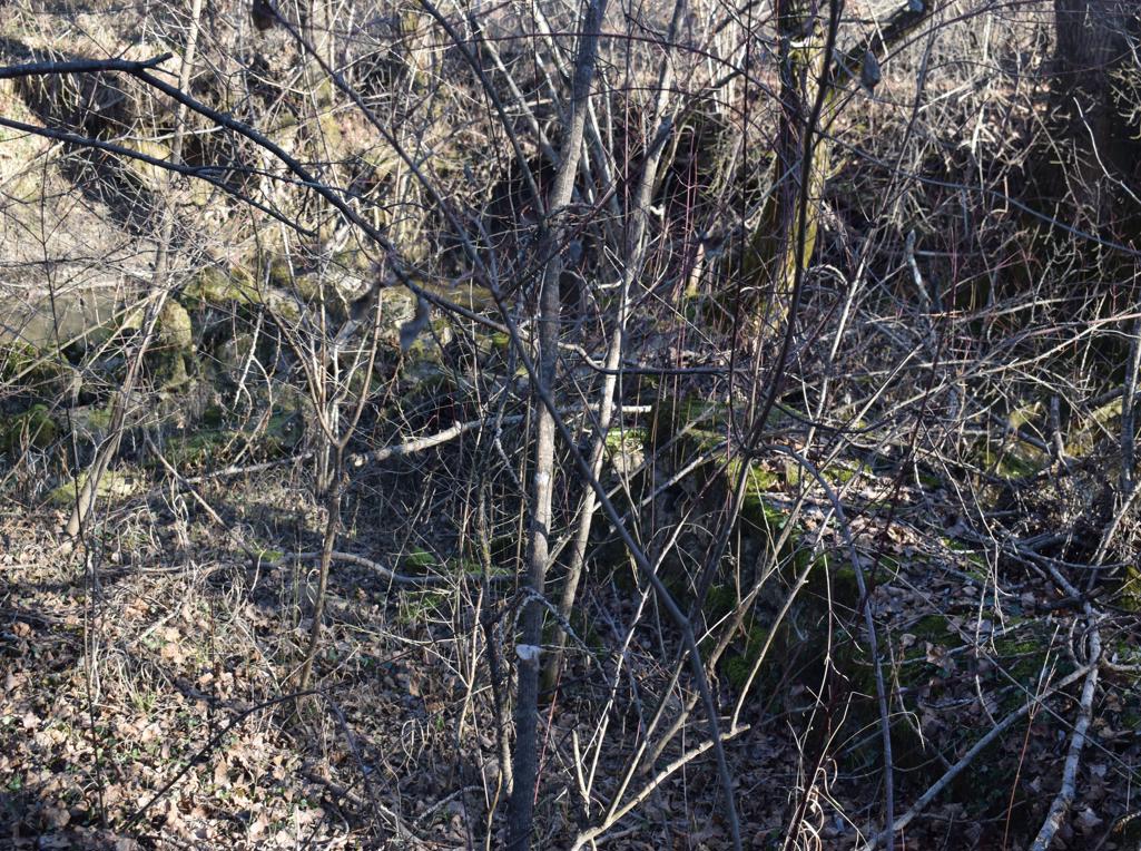
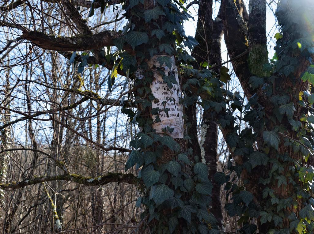
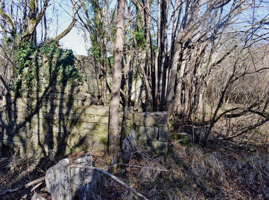
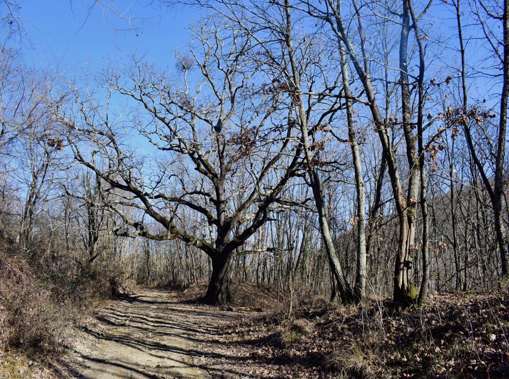
The trail is along the stream Buzuje with caves and a spring, and three former watermills.

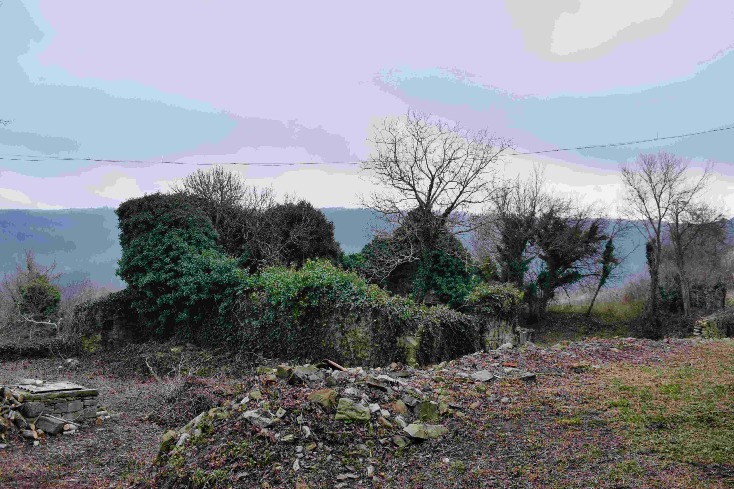
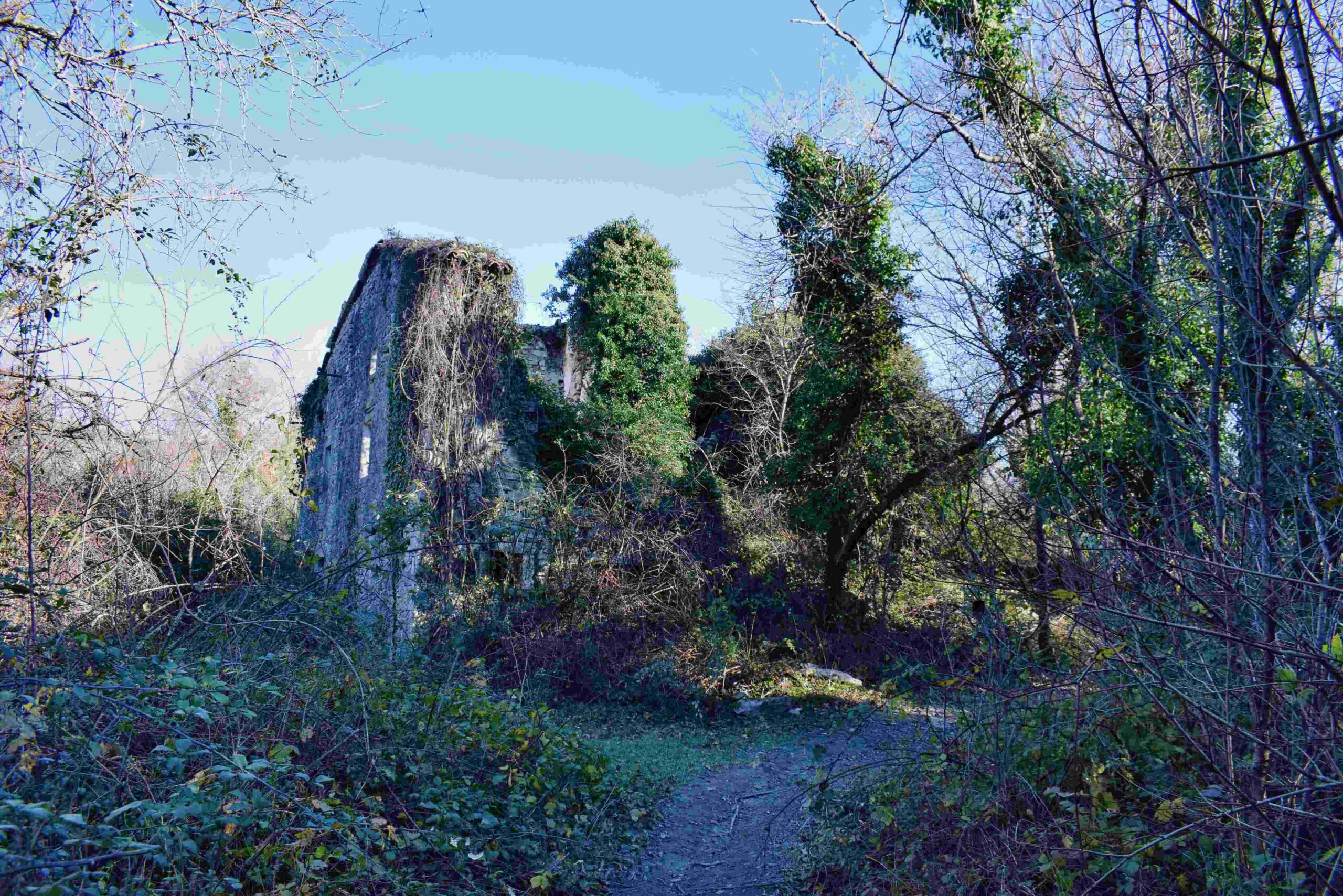
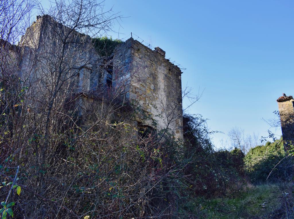
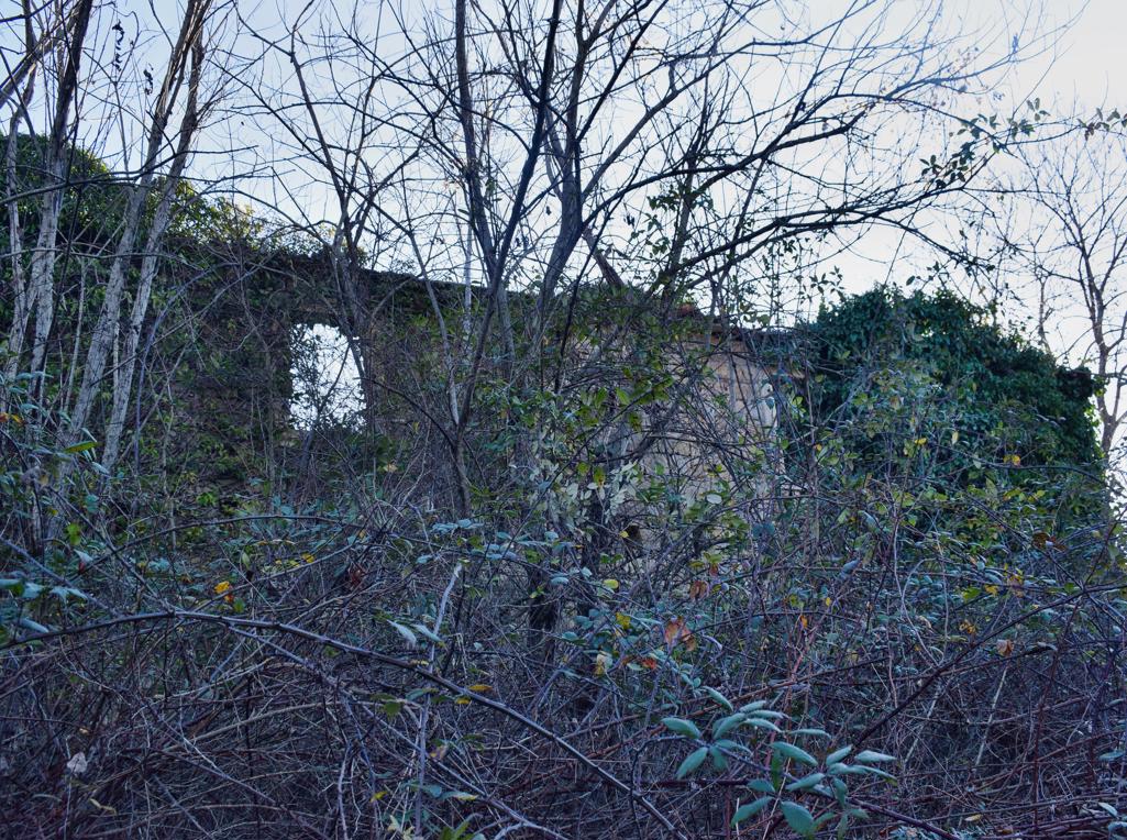
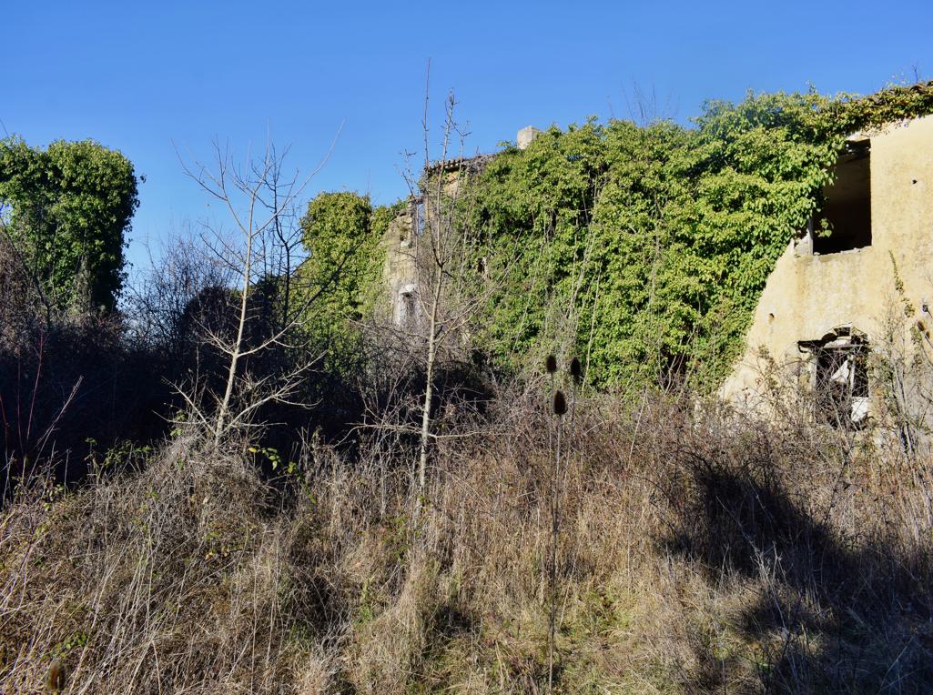
Name: Hiking trail from the village Bazuje to the abandoned village Vrnjak.
Place: Bazuje – Vrnjak – (Grožnjan).
Start: Bazuje 45.41723 N – 13.73696 E, caves 45.41723 N – 13.774101 E, 45.41706 N -13.74309 E, 45.41783 N – 13.74462 E,watermills. 45. 41793 N -13.74435 E, 45.41932 N – 13. 74551 E, 45.42699 – 13 74912 E, Vrnjak: 45.43981 N – 13. 76807 E.
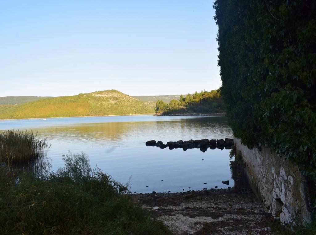
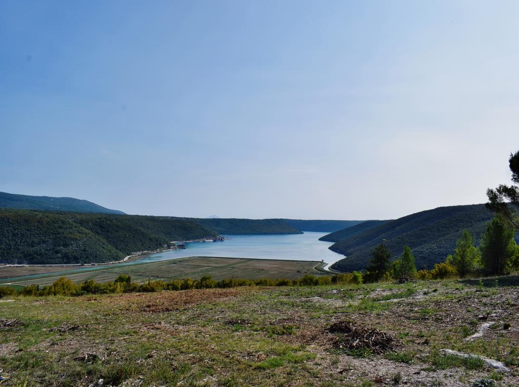
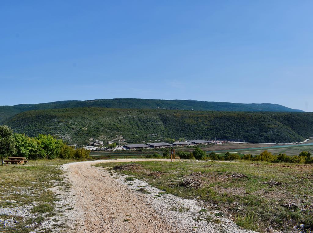
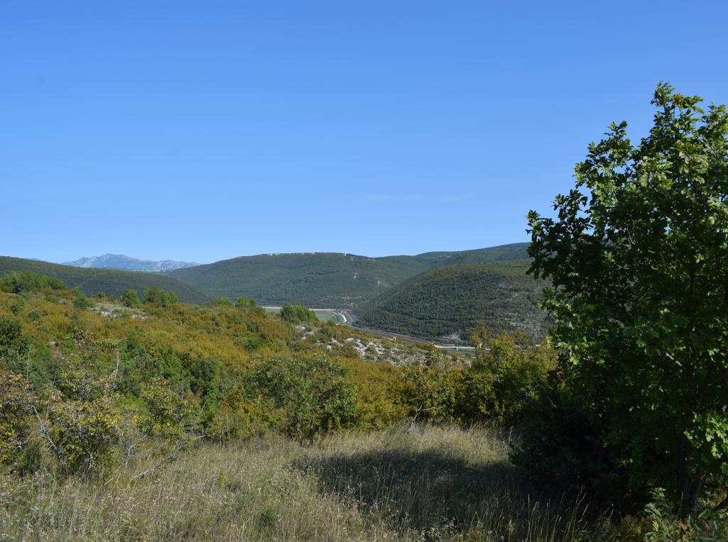
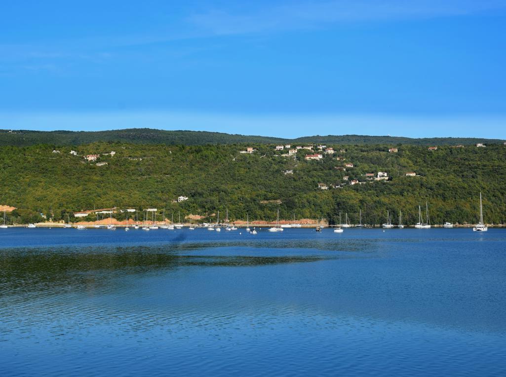
Name: Hiking trail from Puntera to the bay Blaž.
Place: Puntera – (Barban).
Coordinates: Puntera 45.05228 N – 14.02312 E, Bay Blaž 45.00070 N – 14.03843 E.