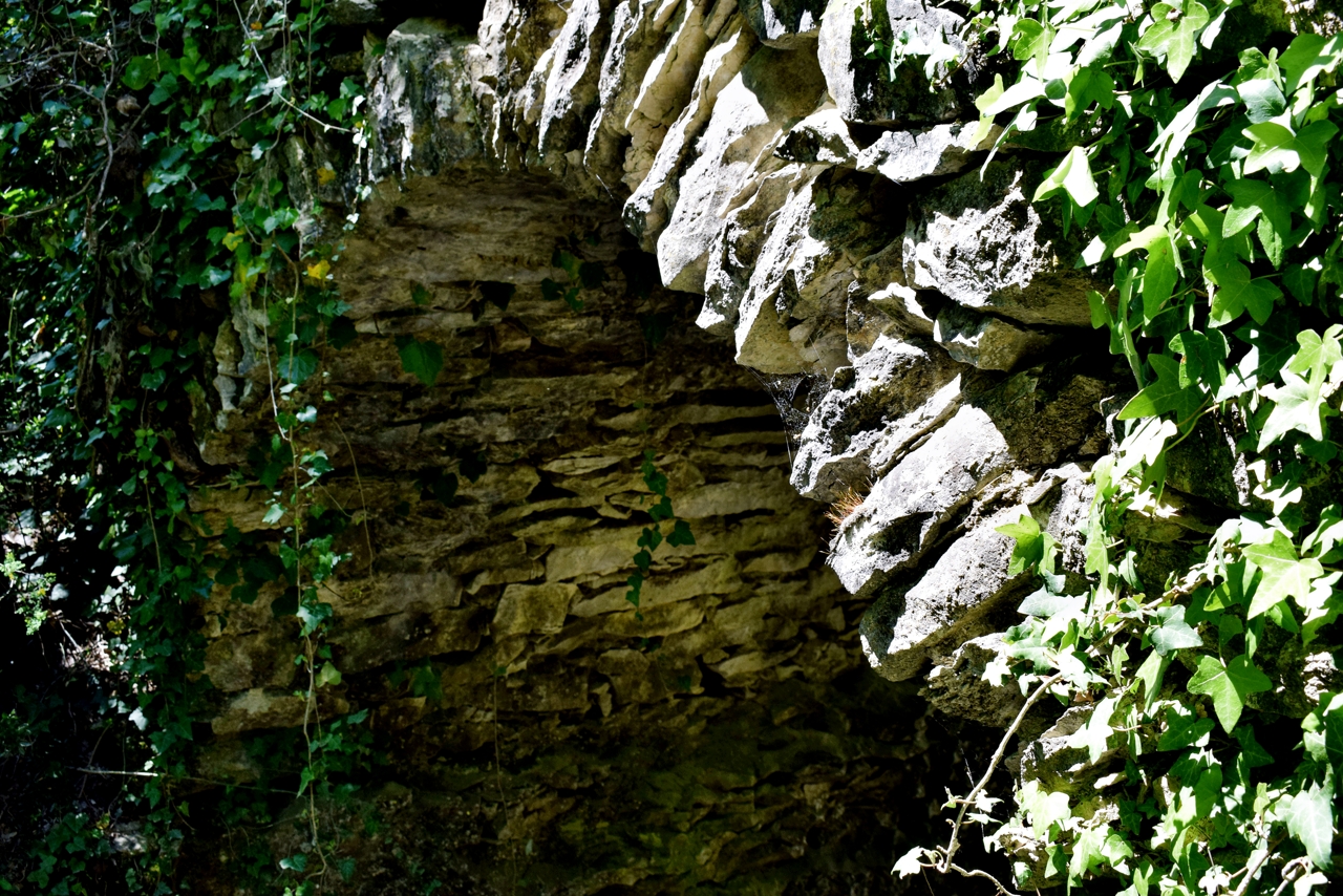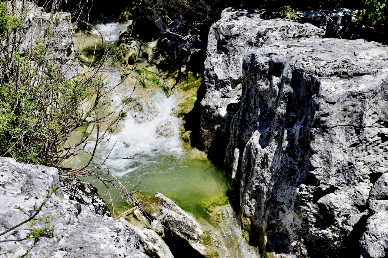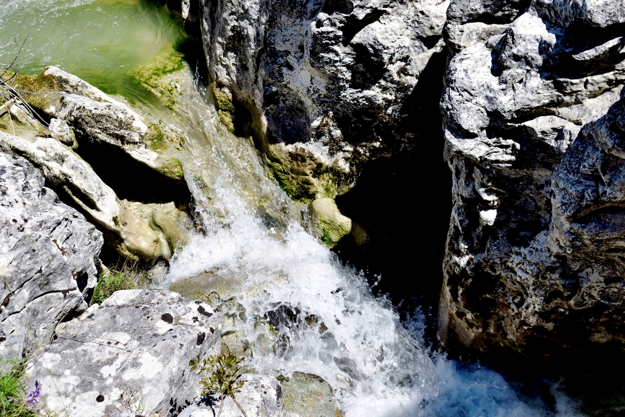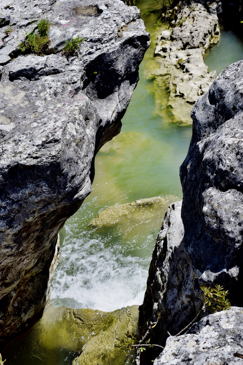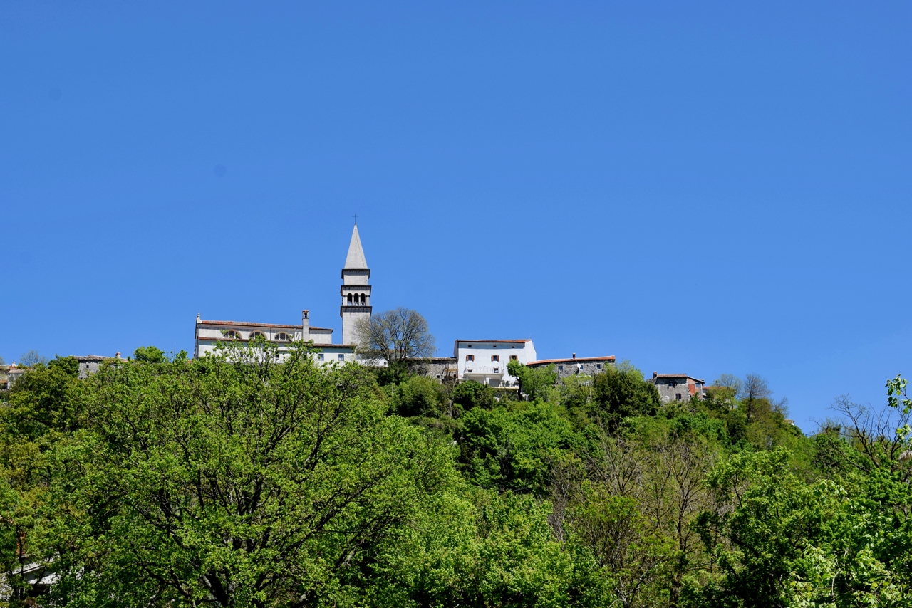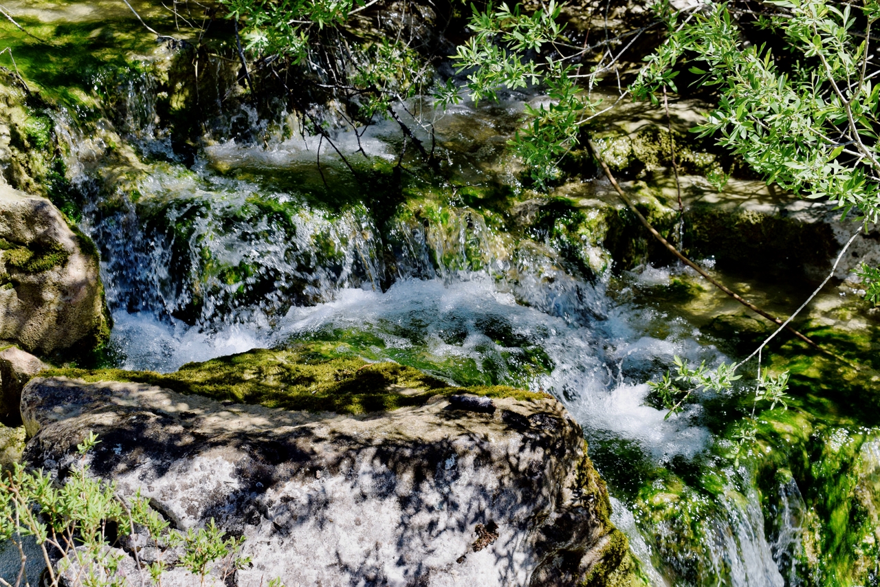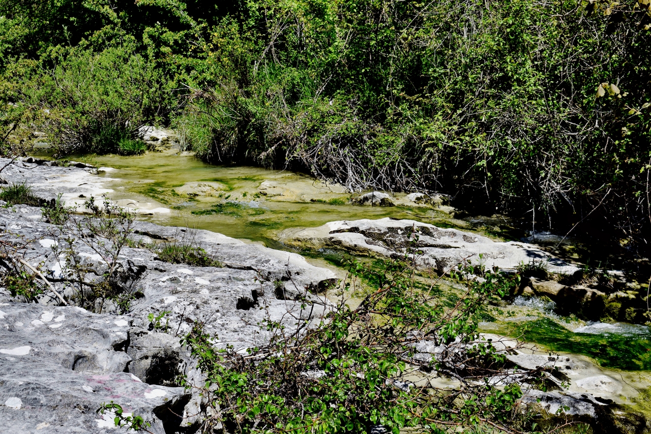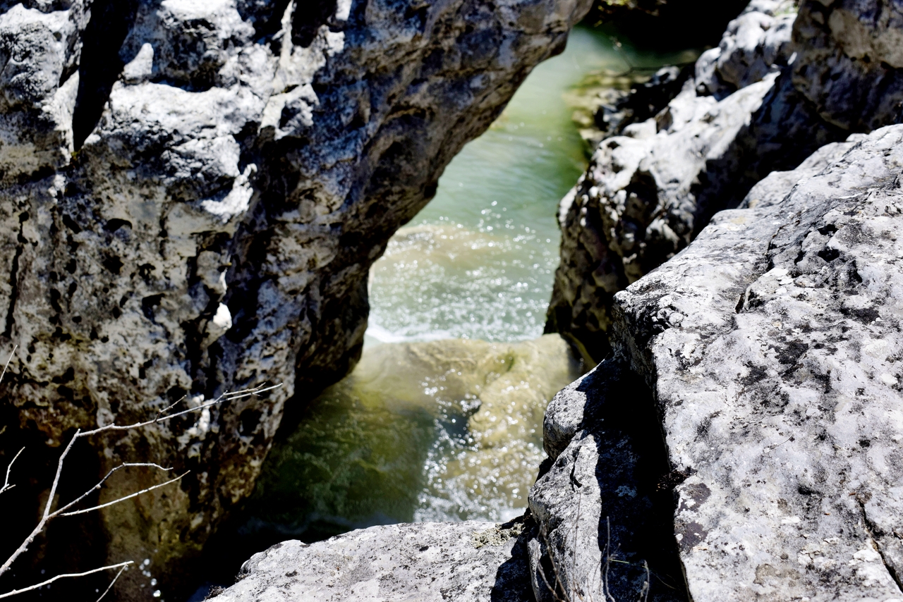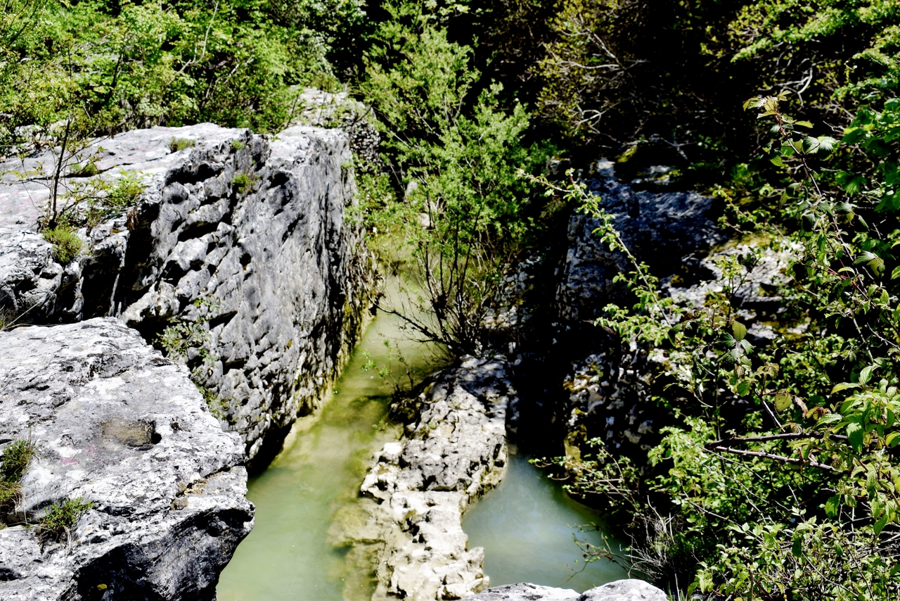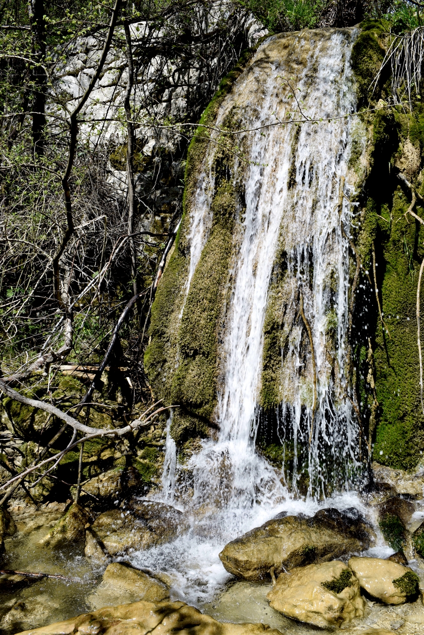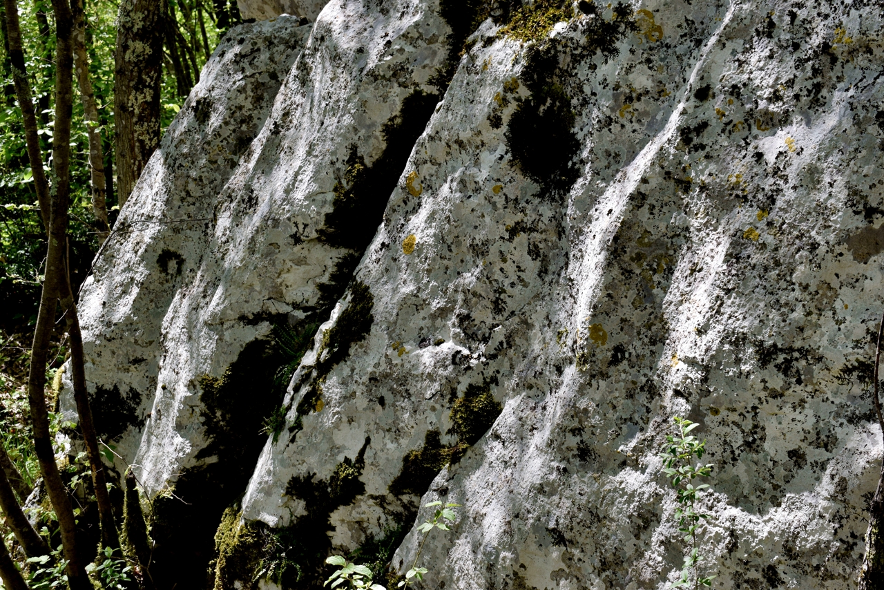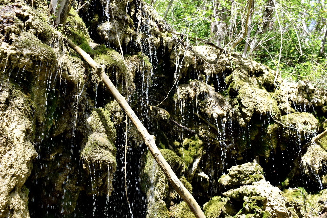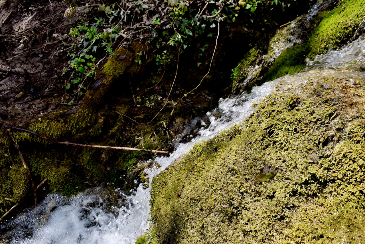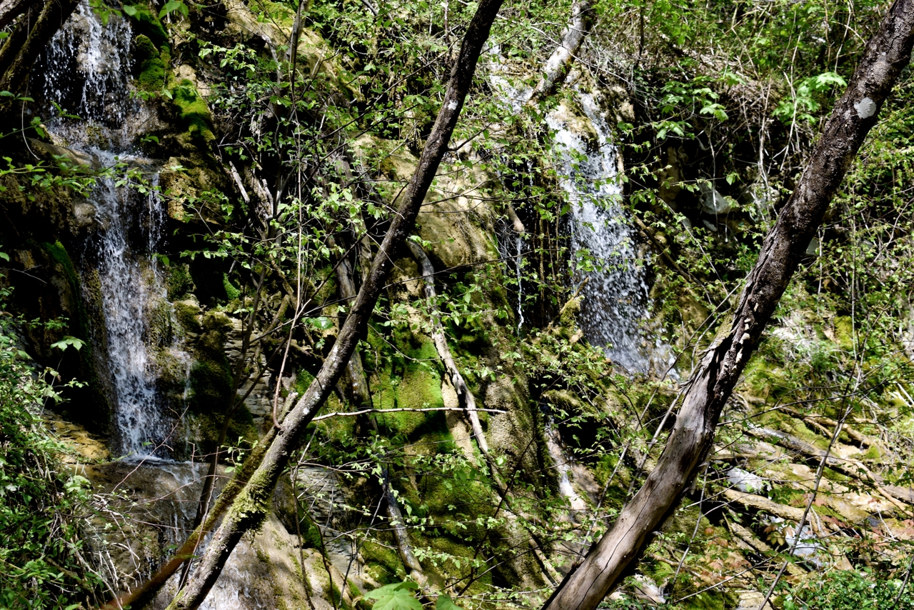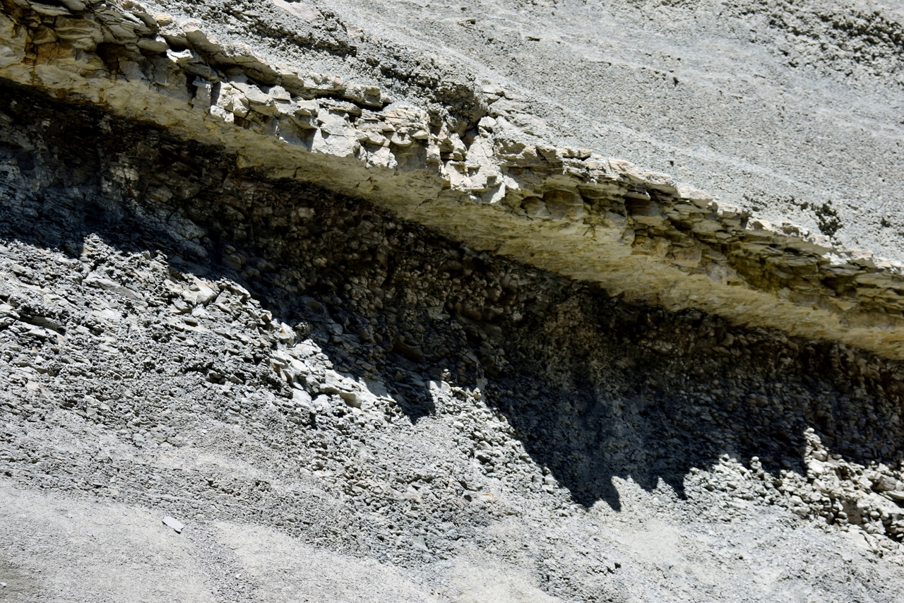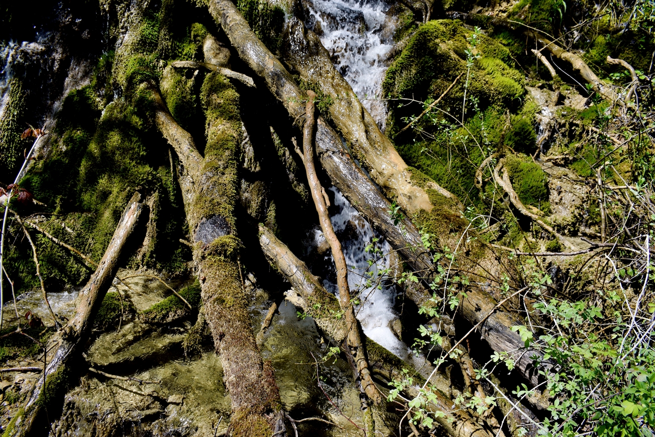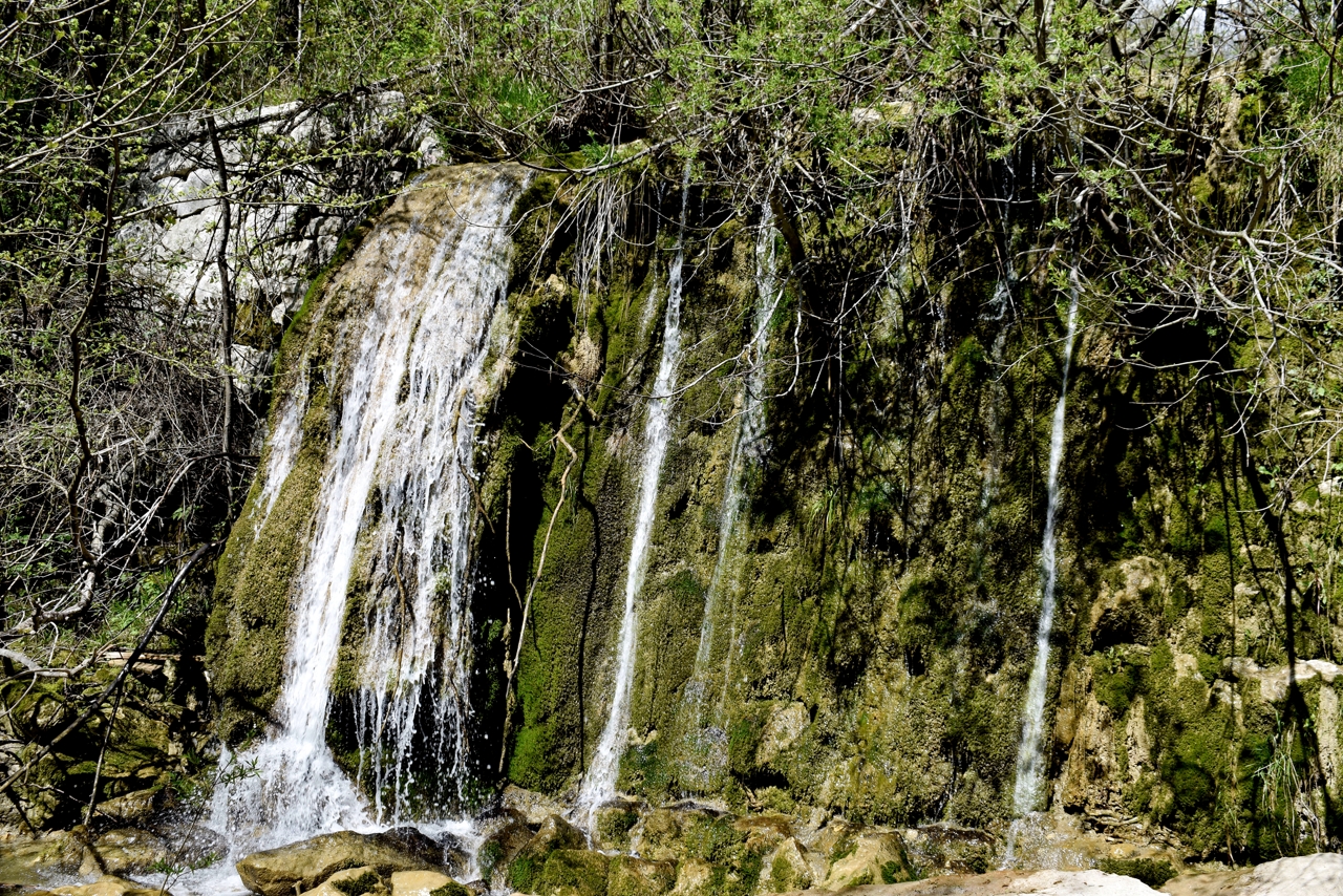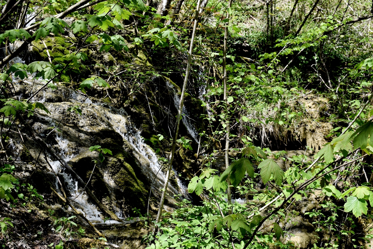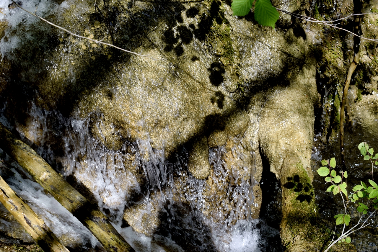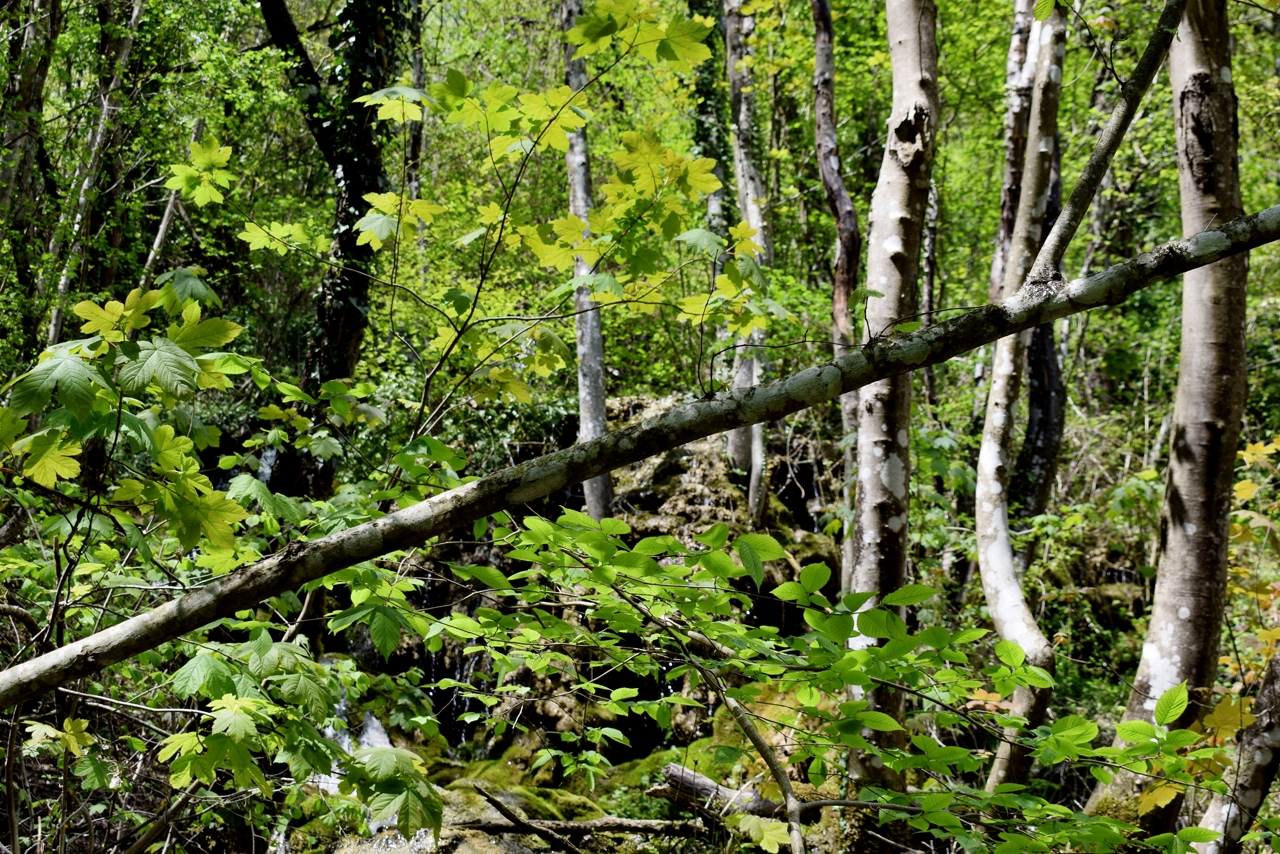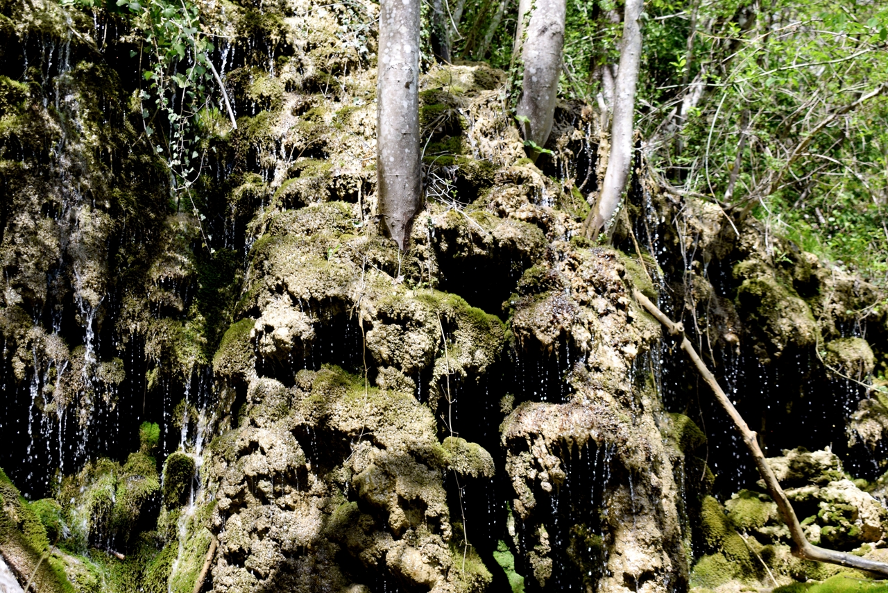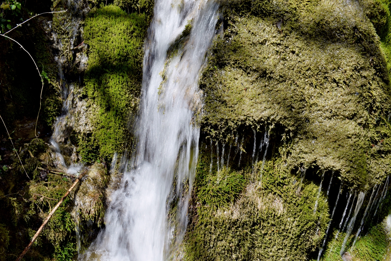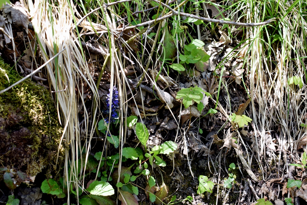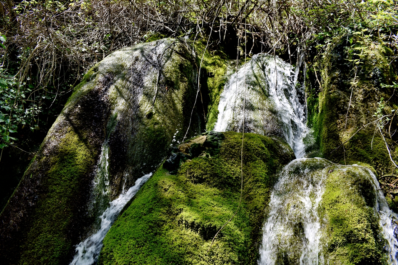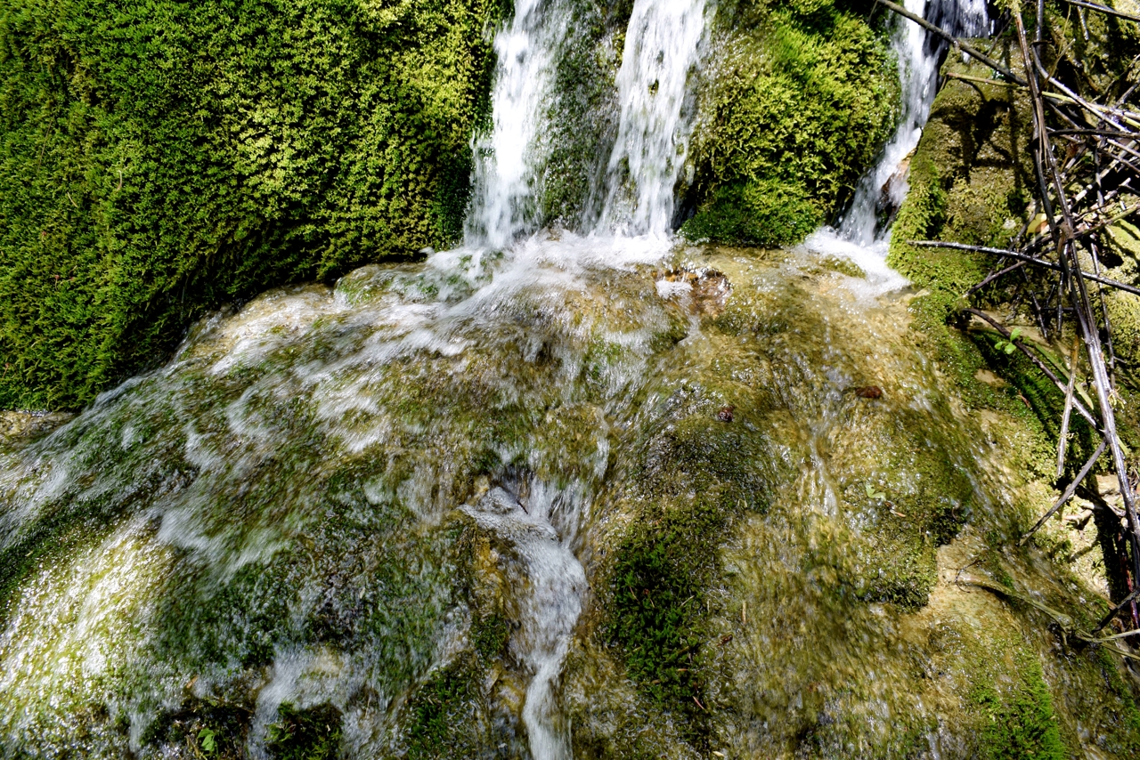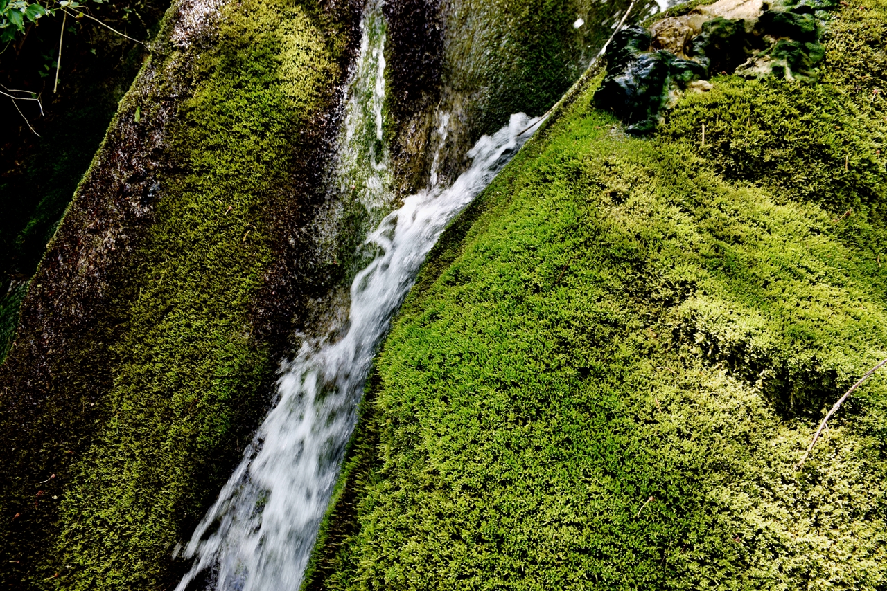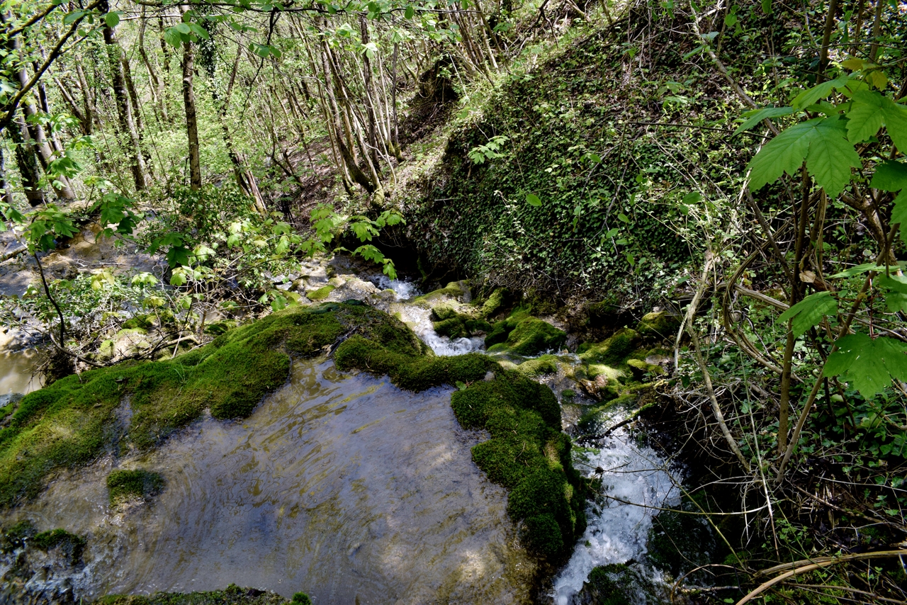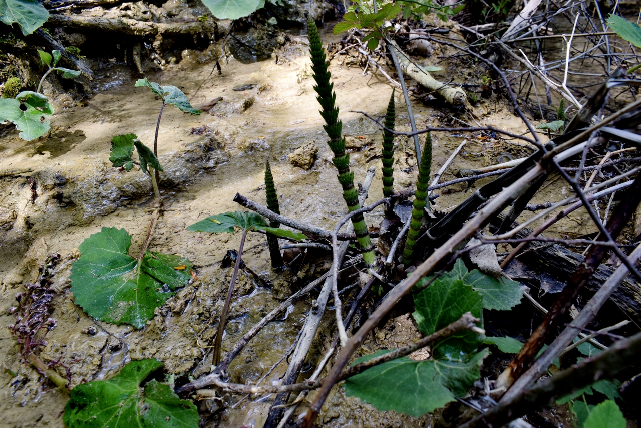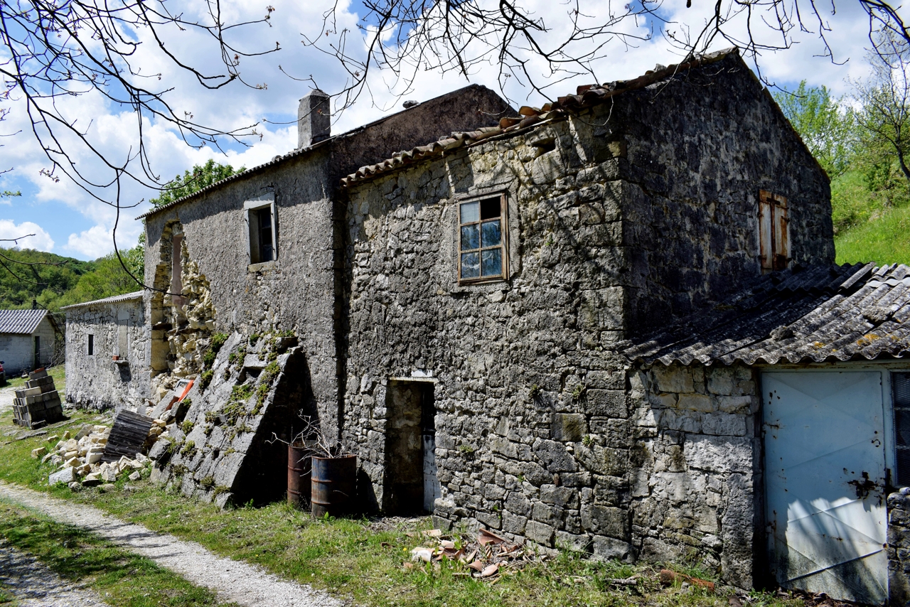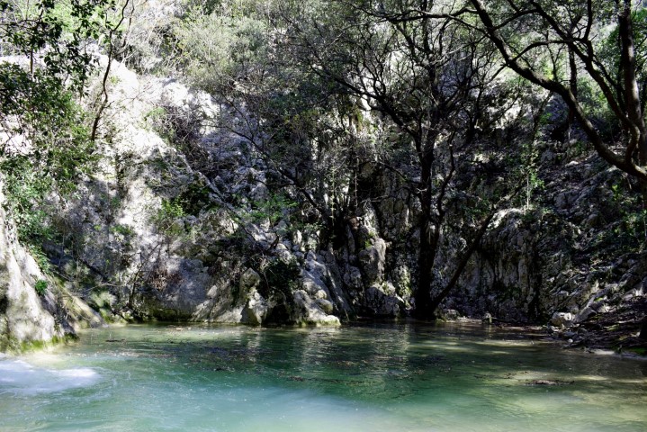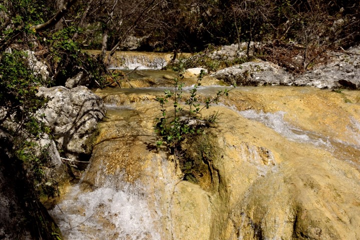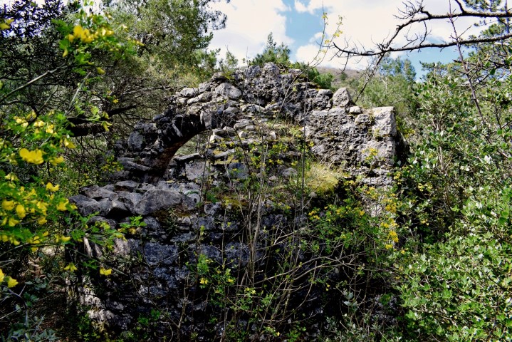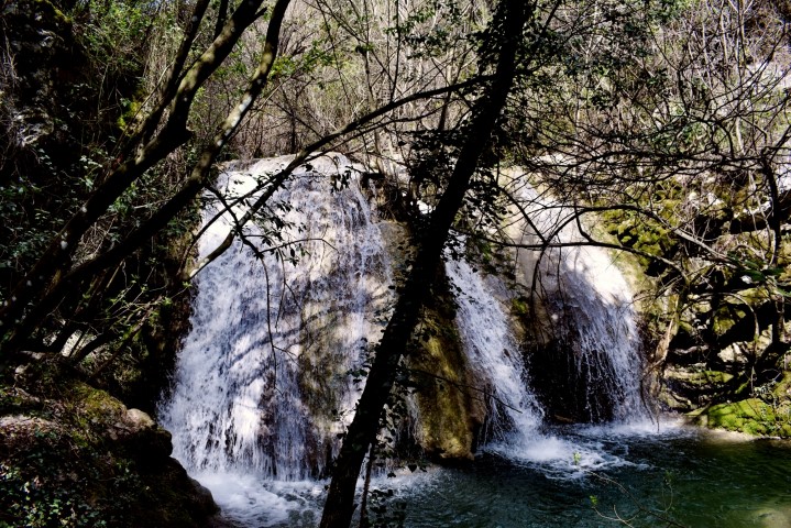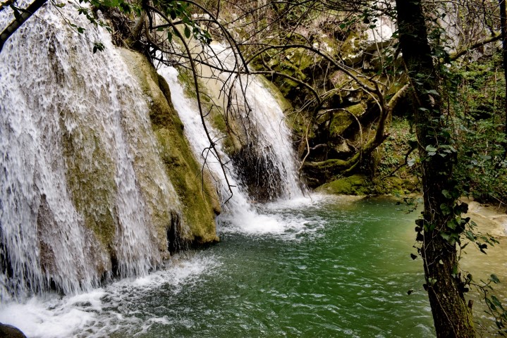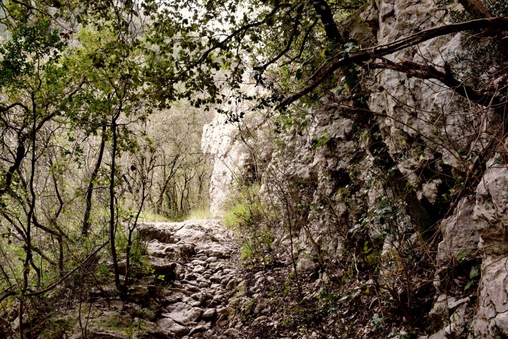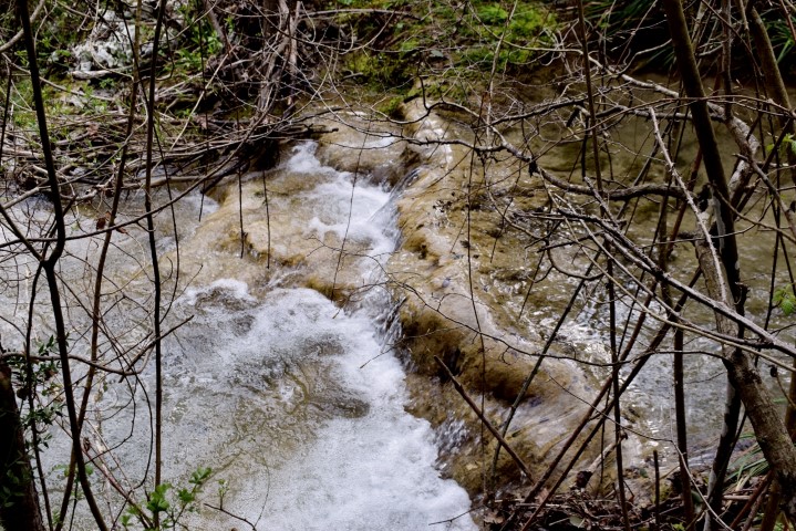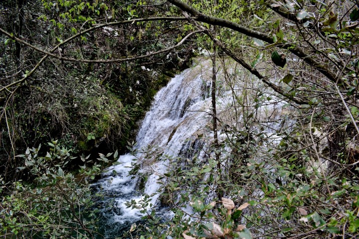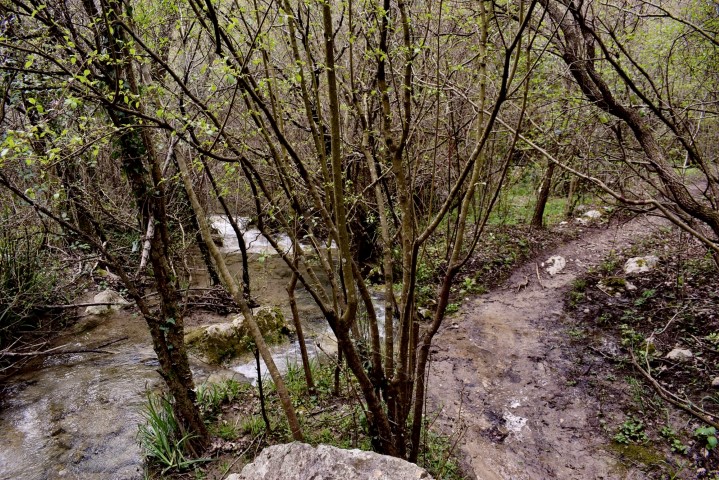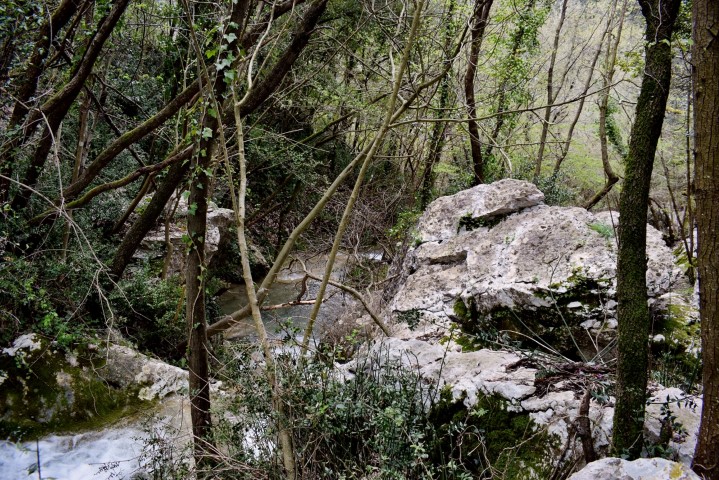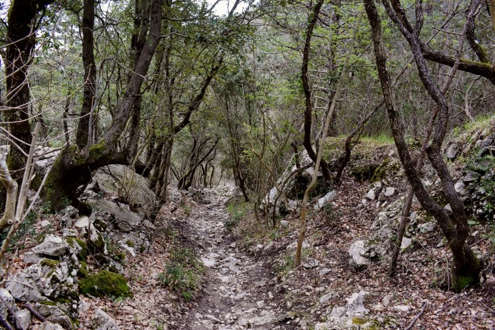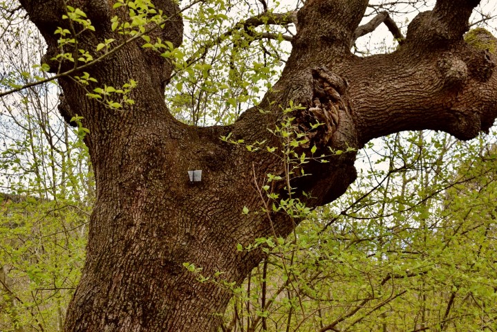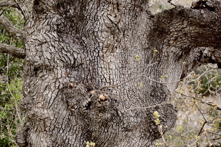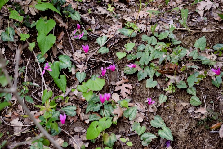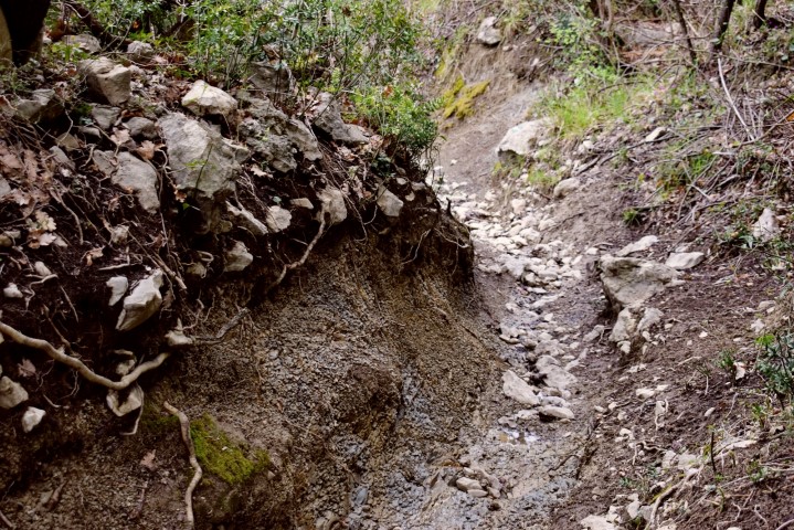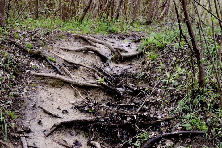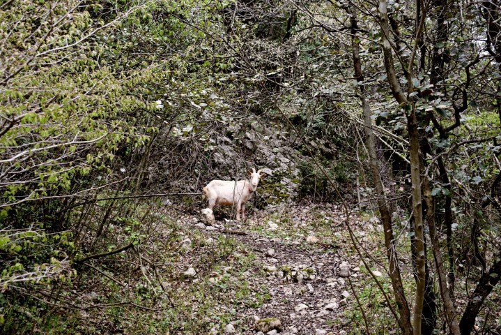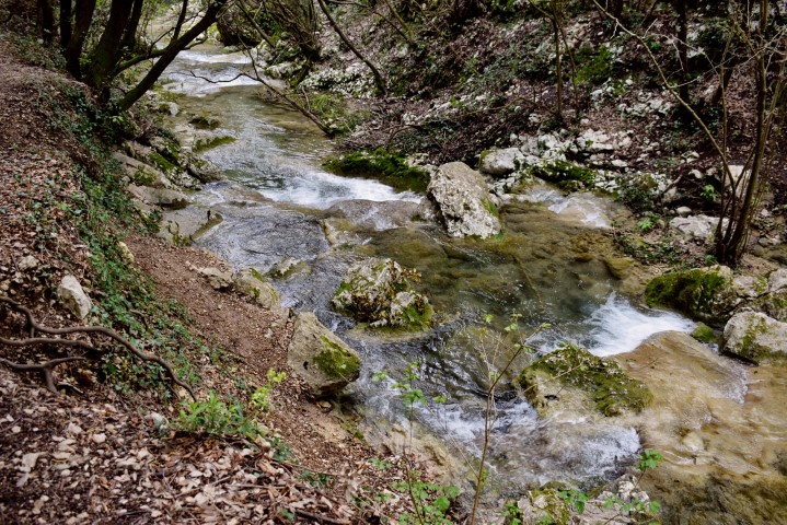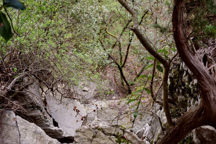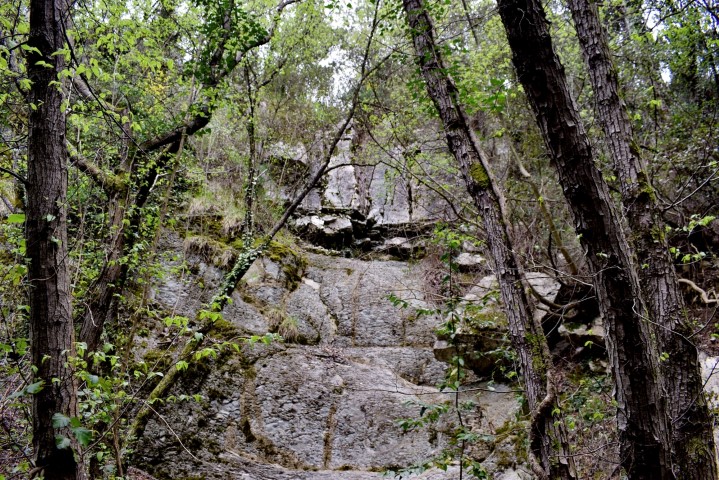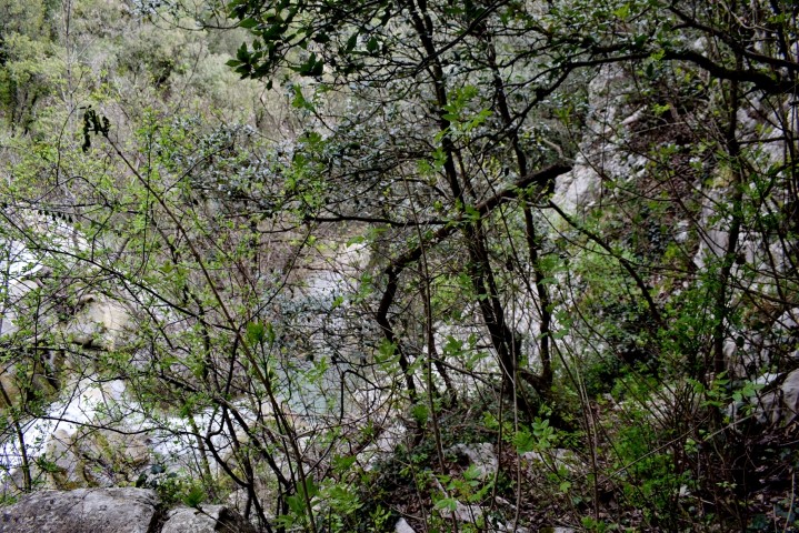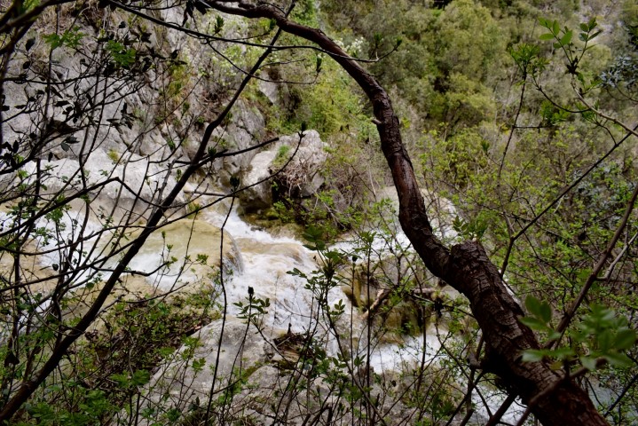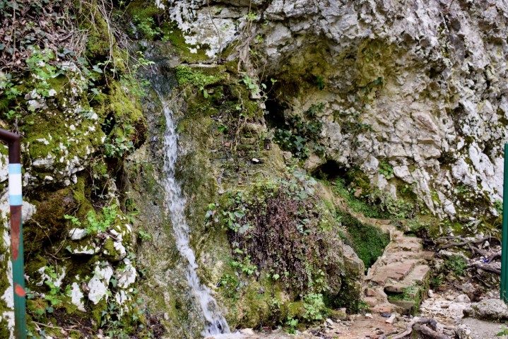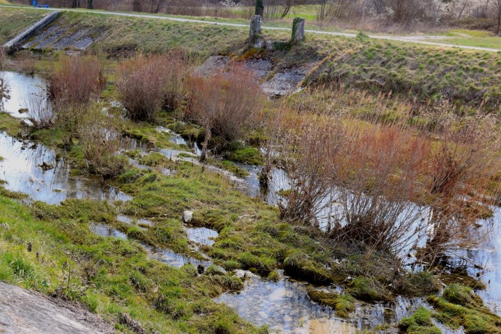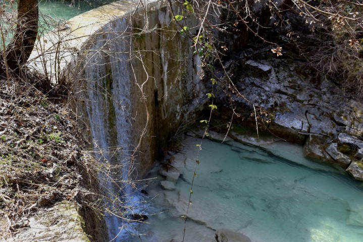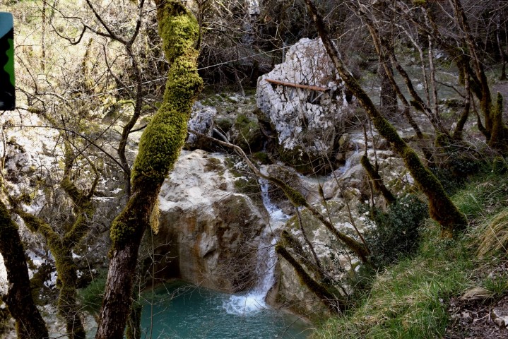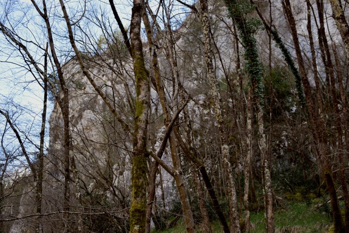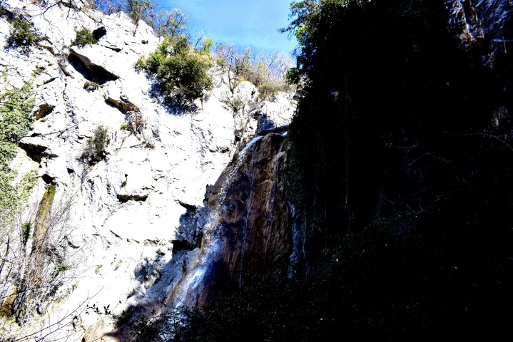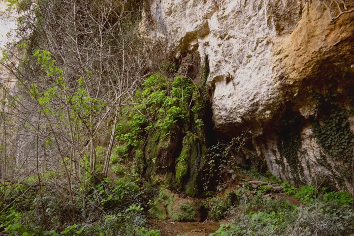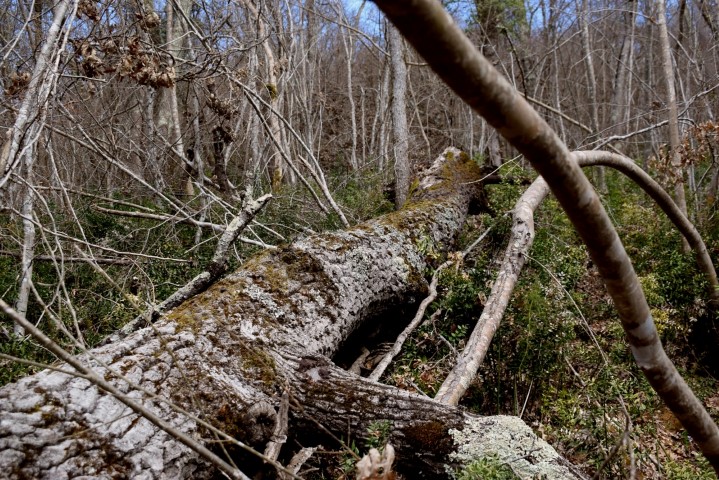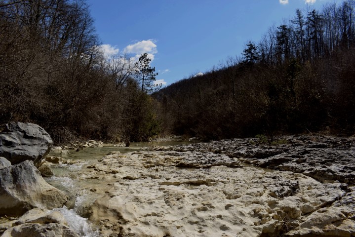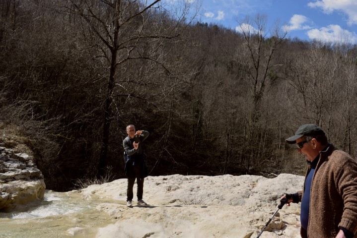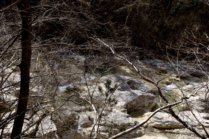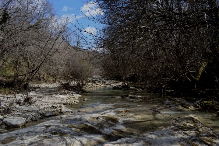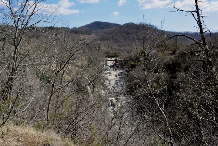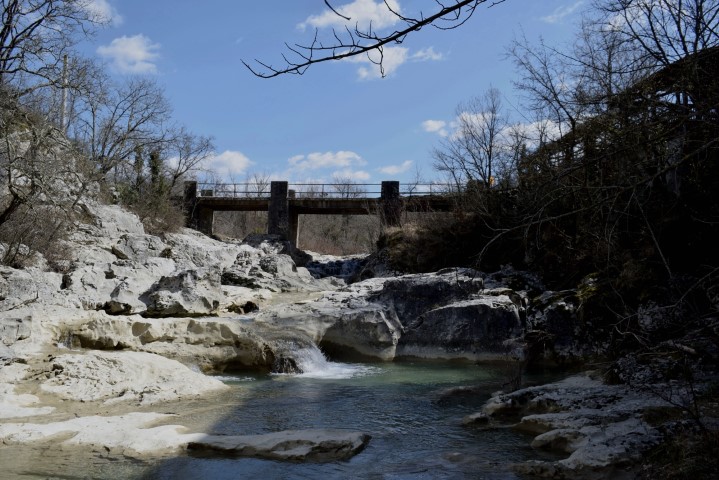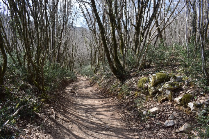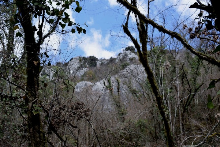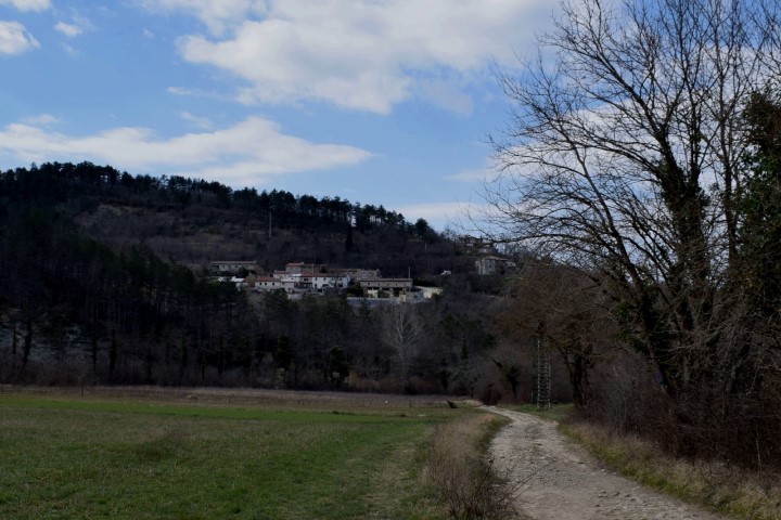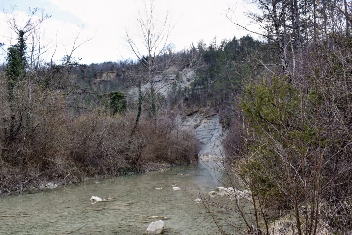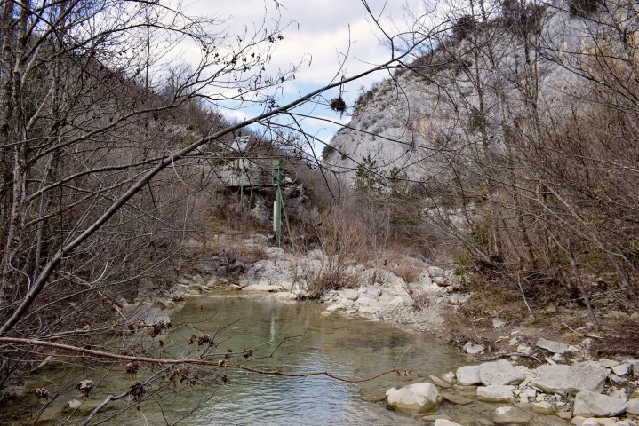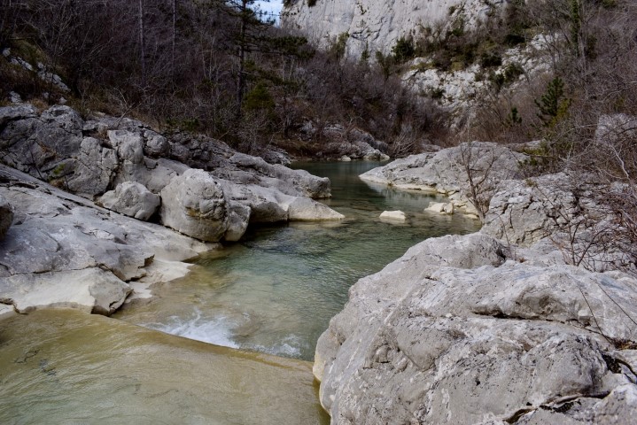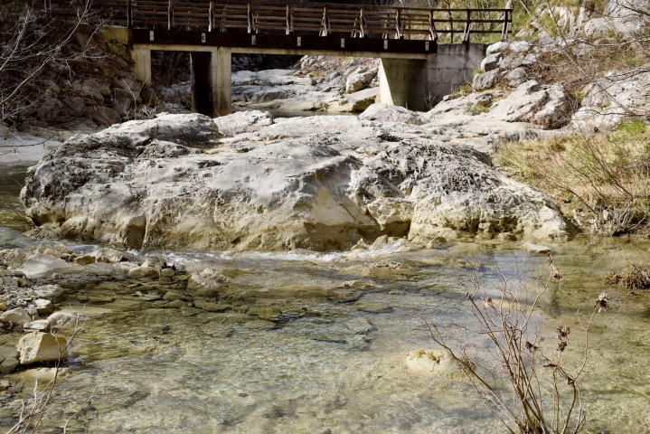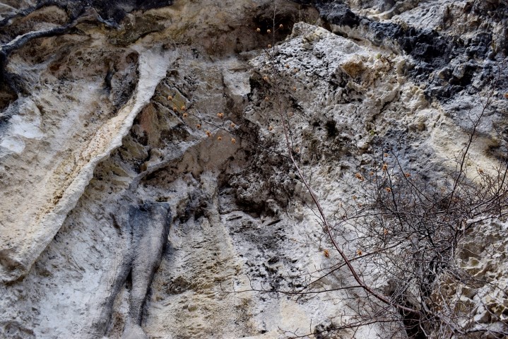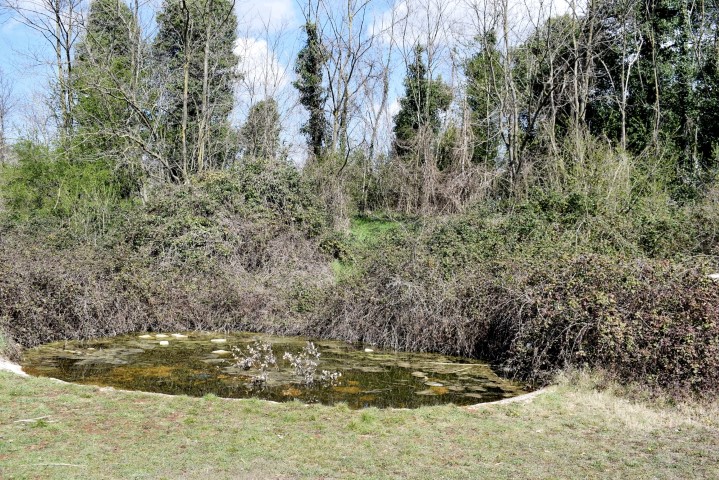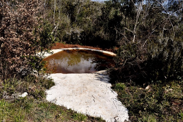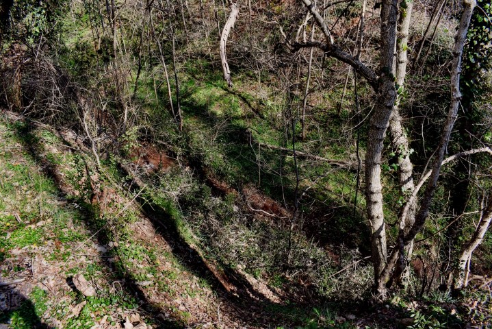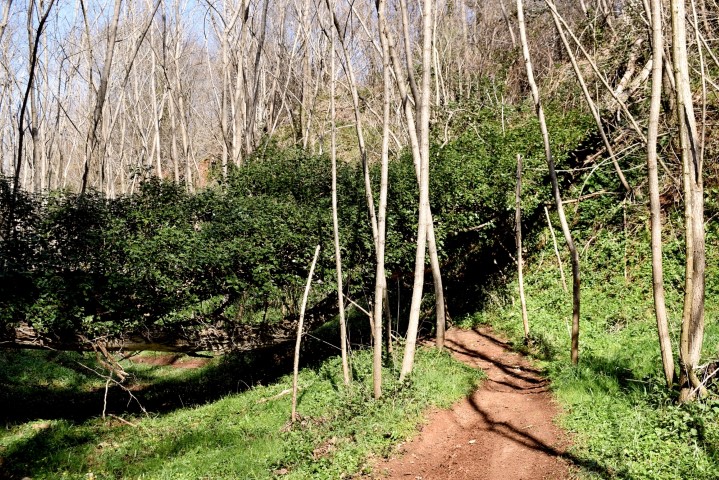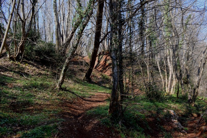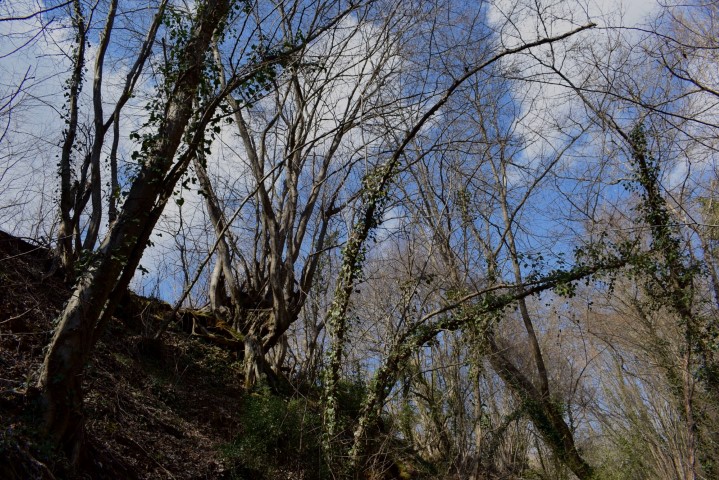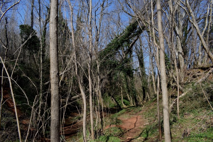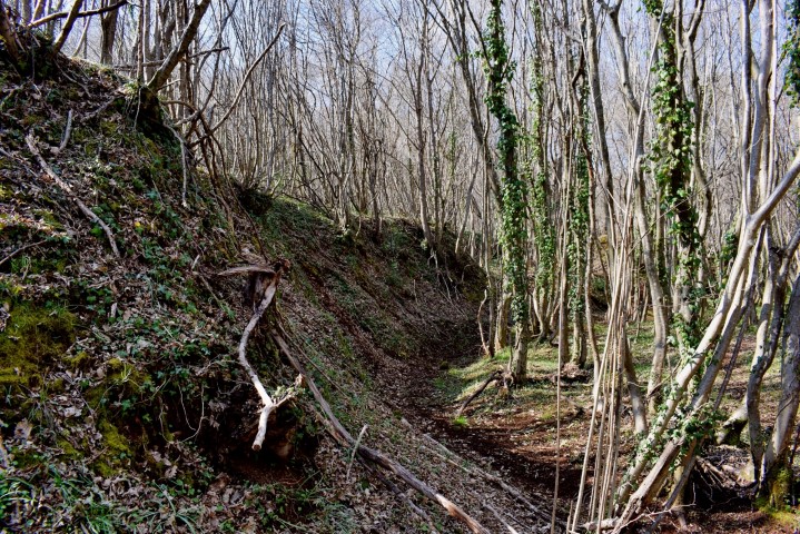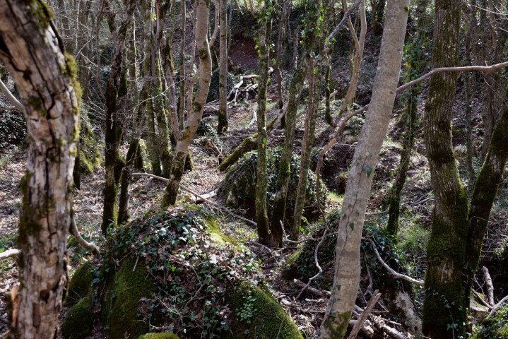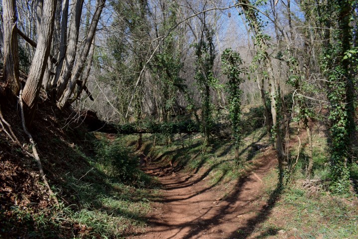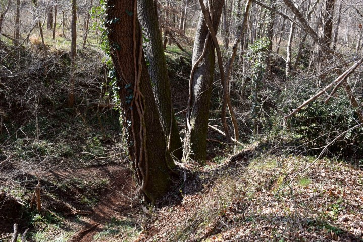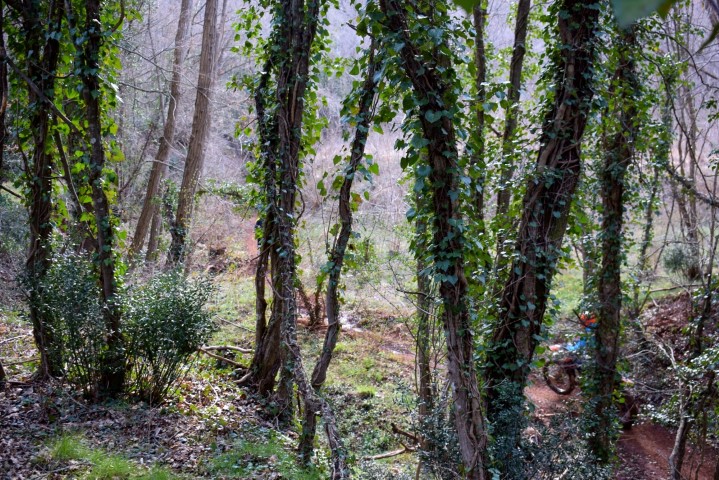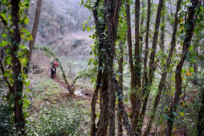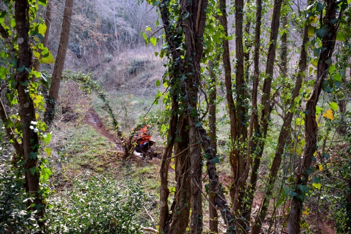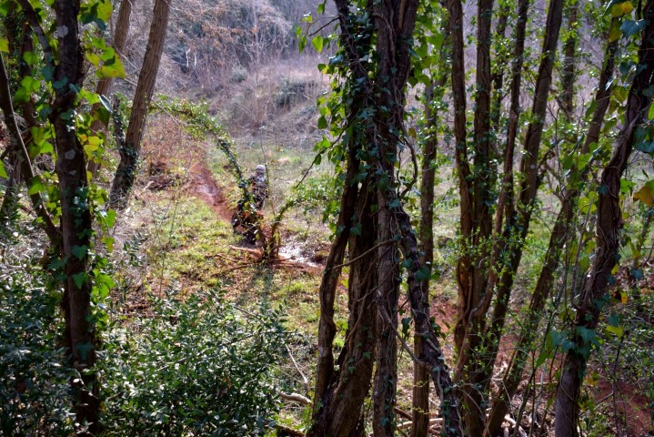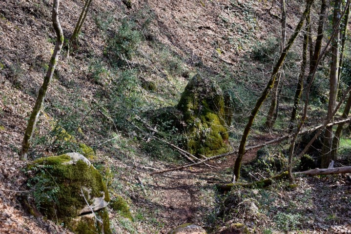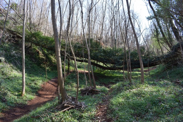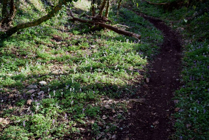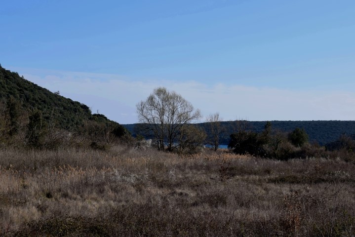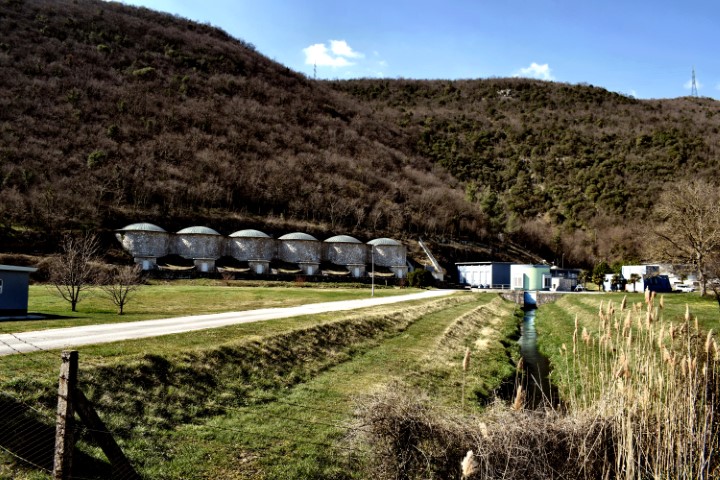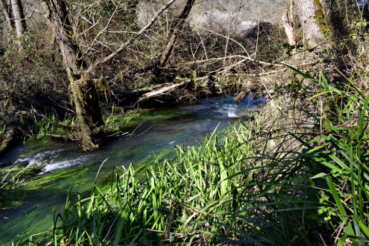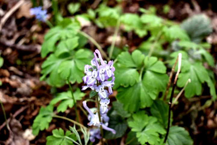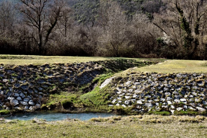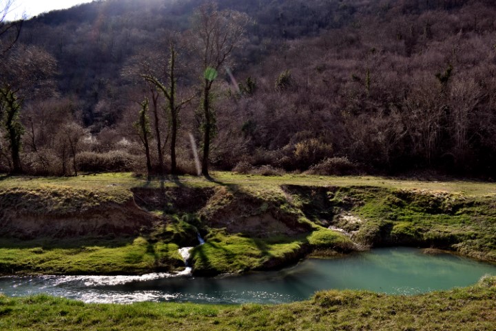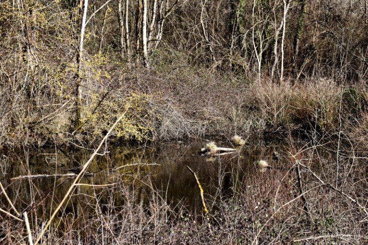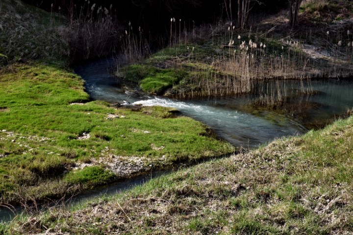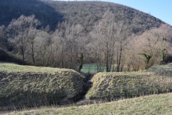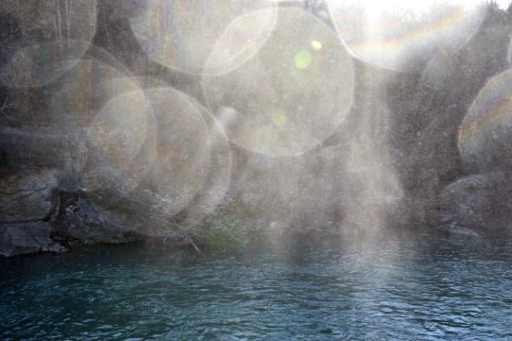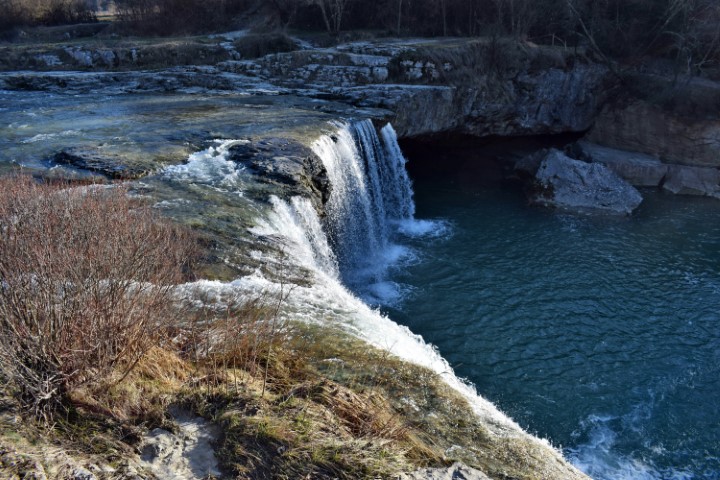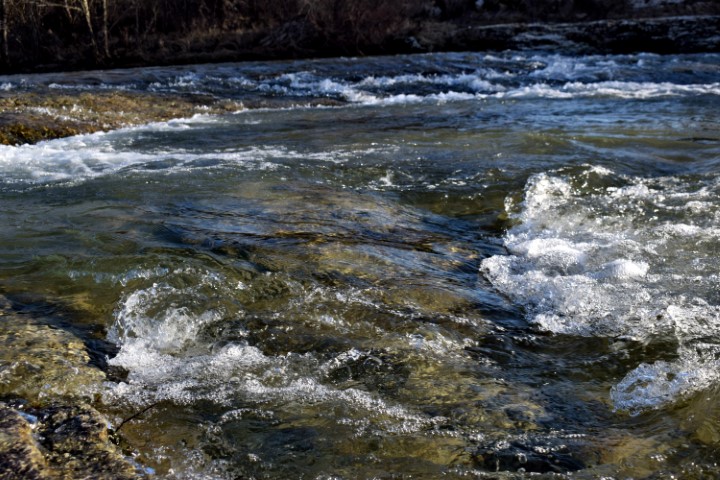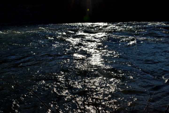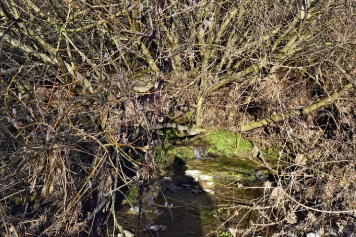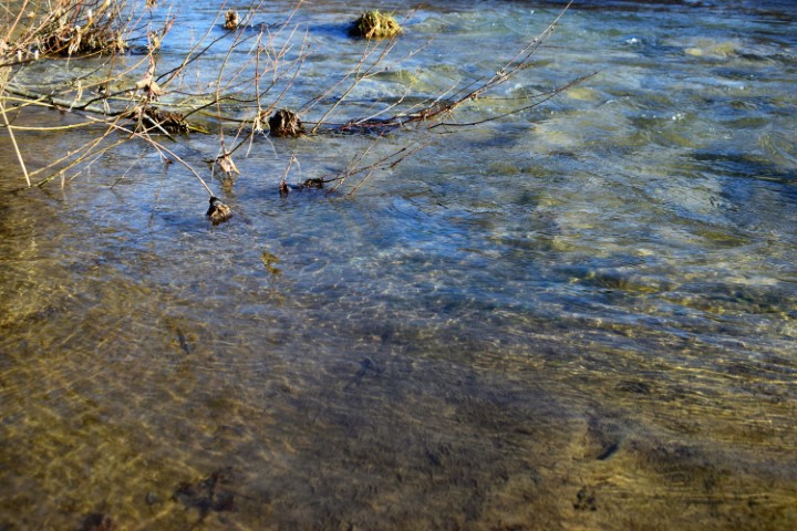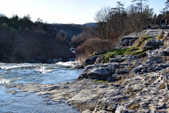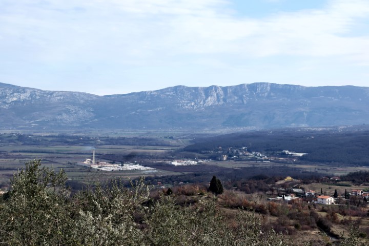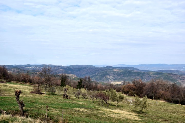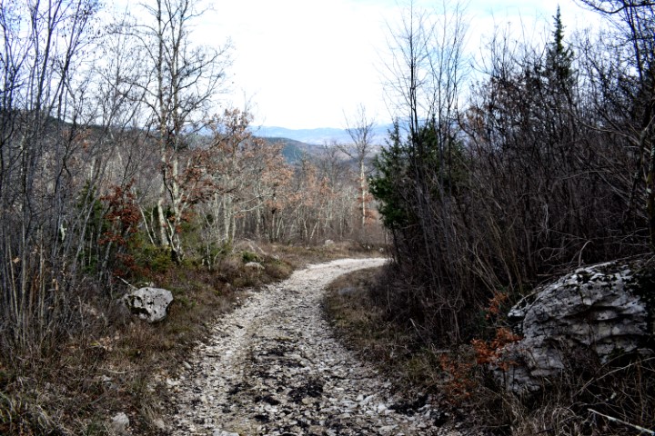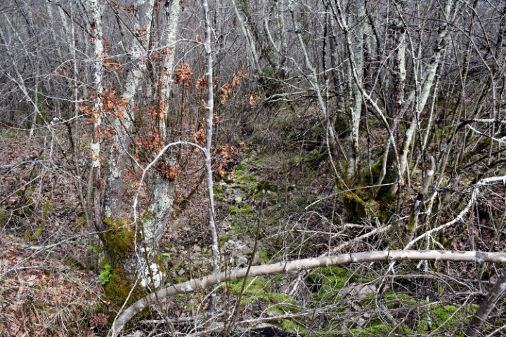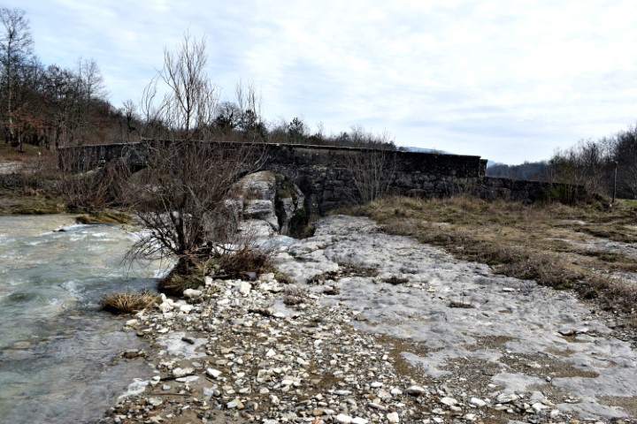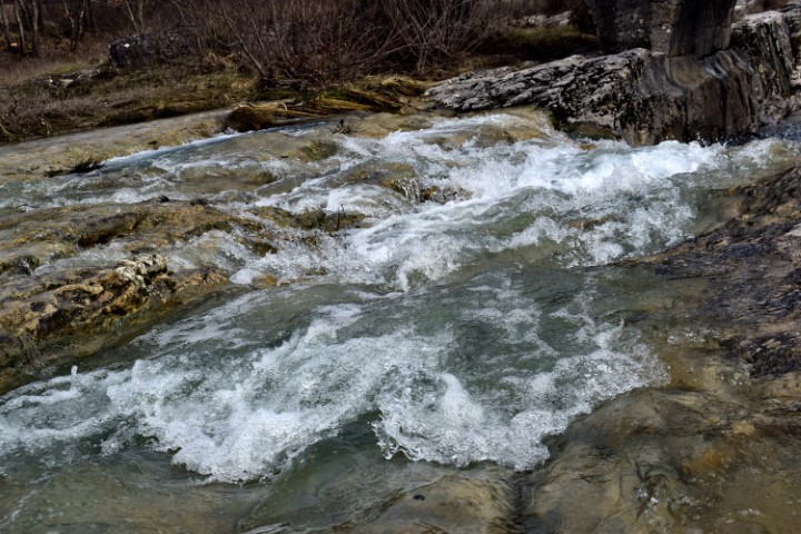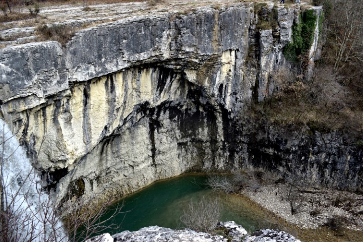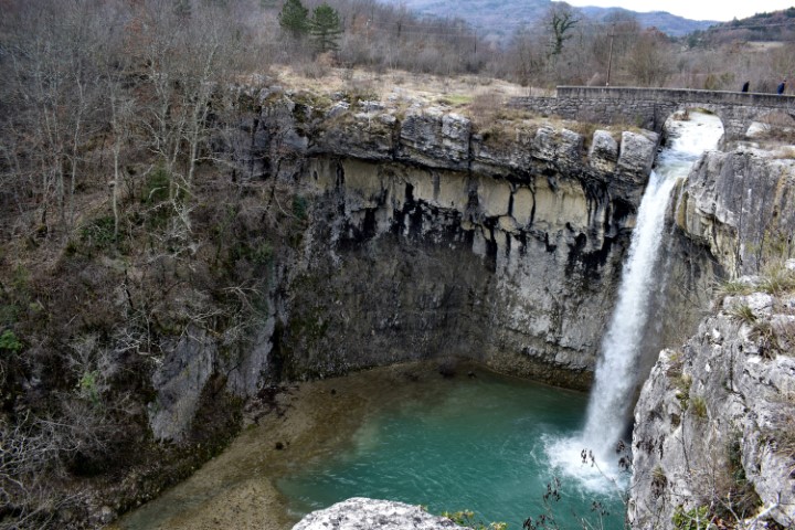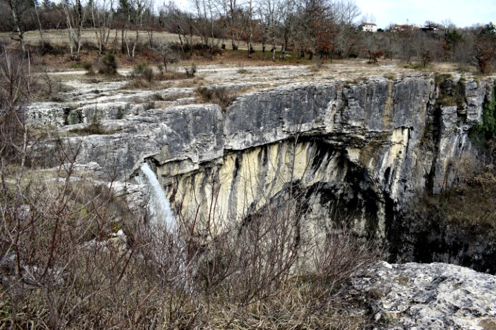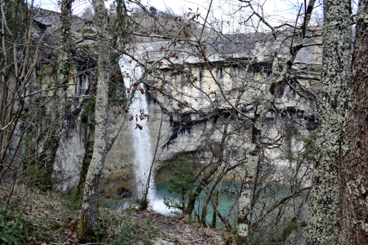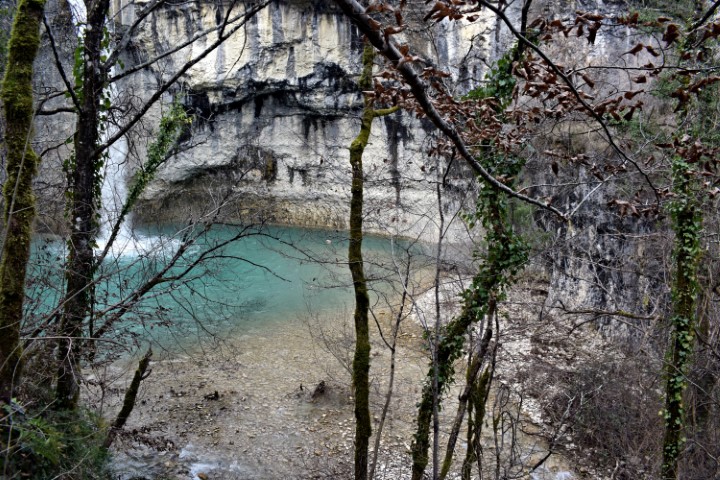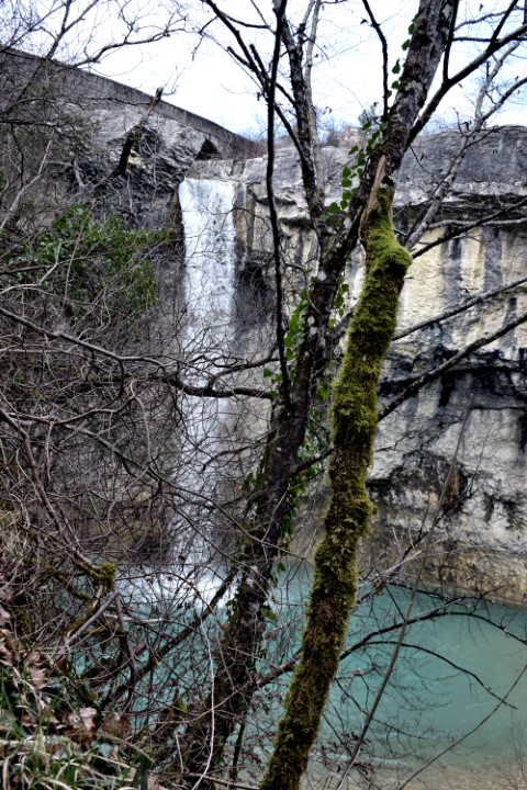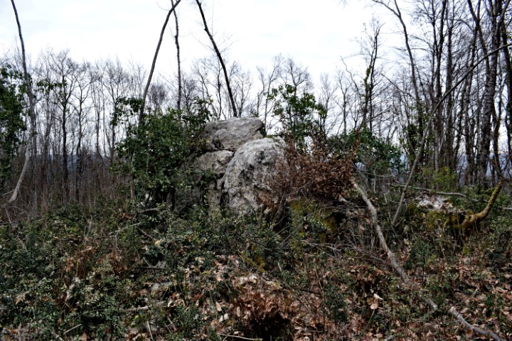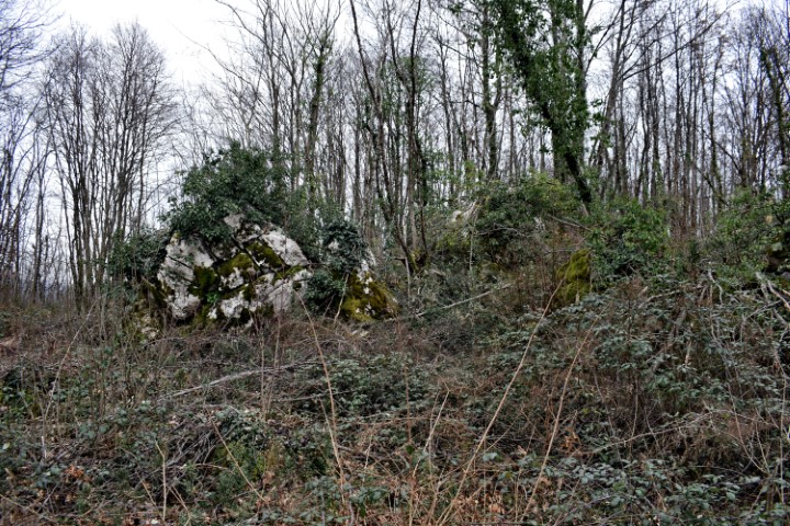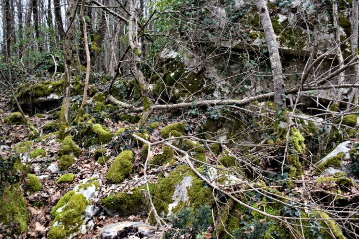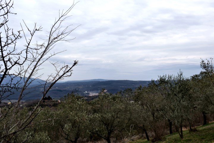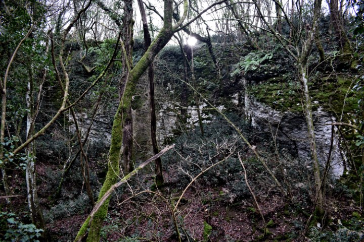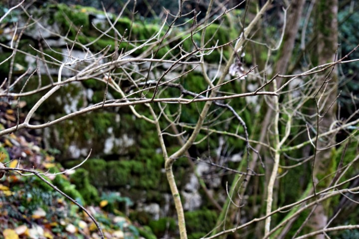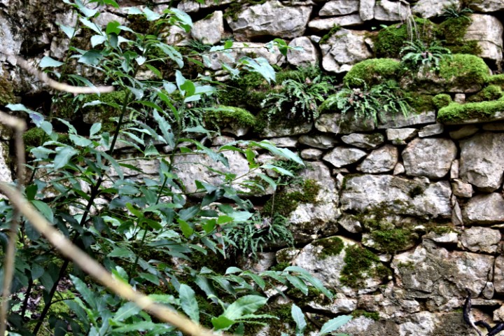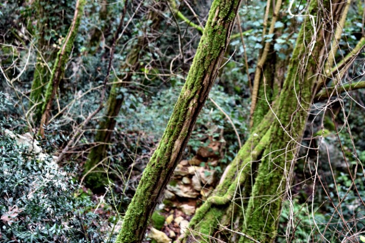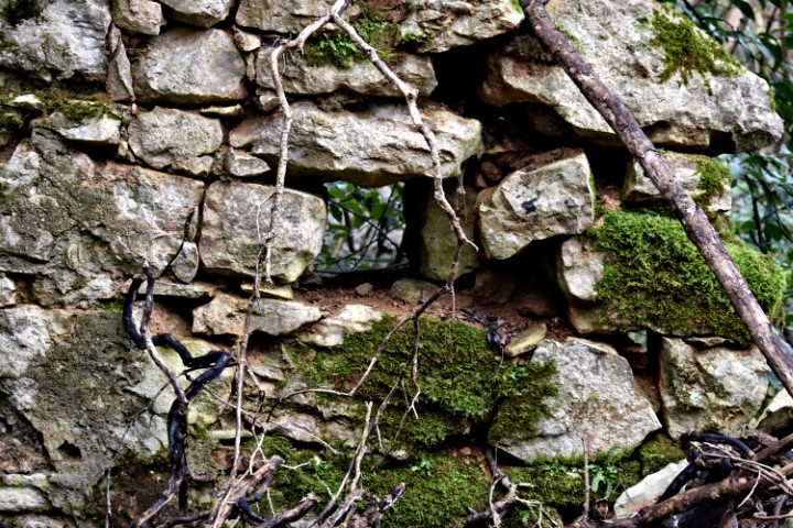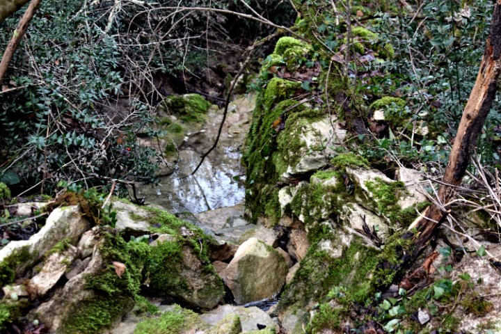

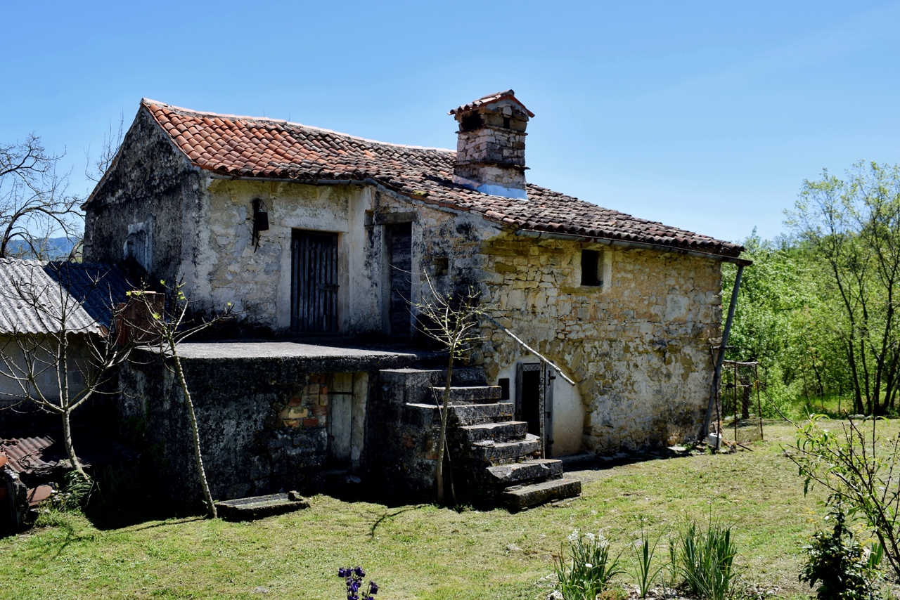

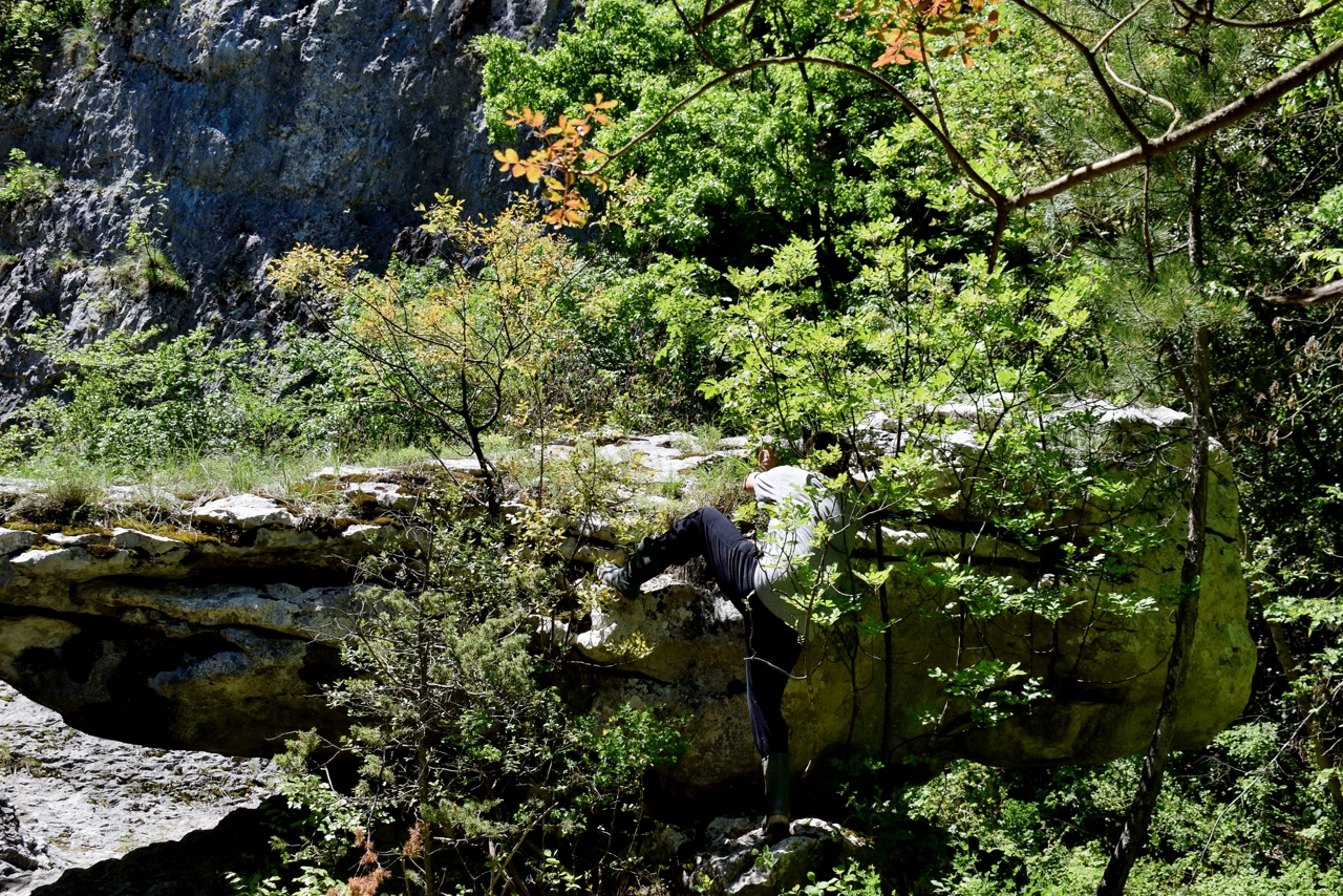
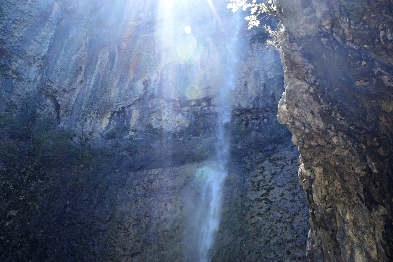
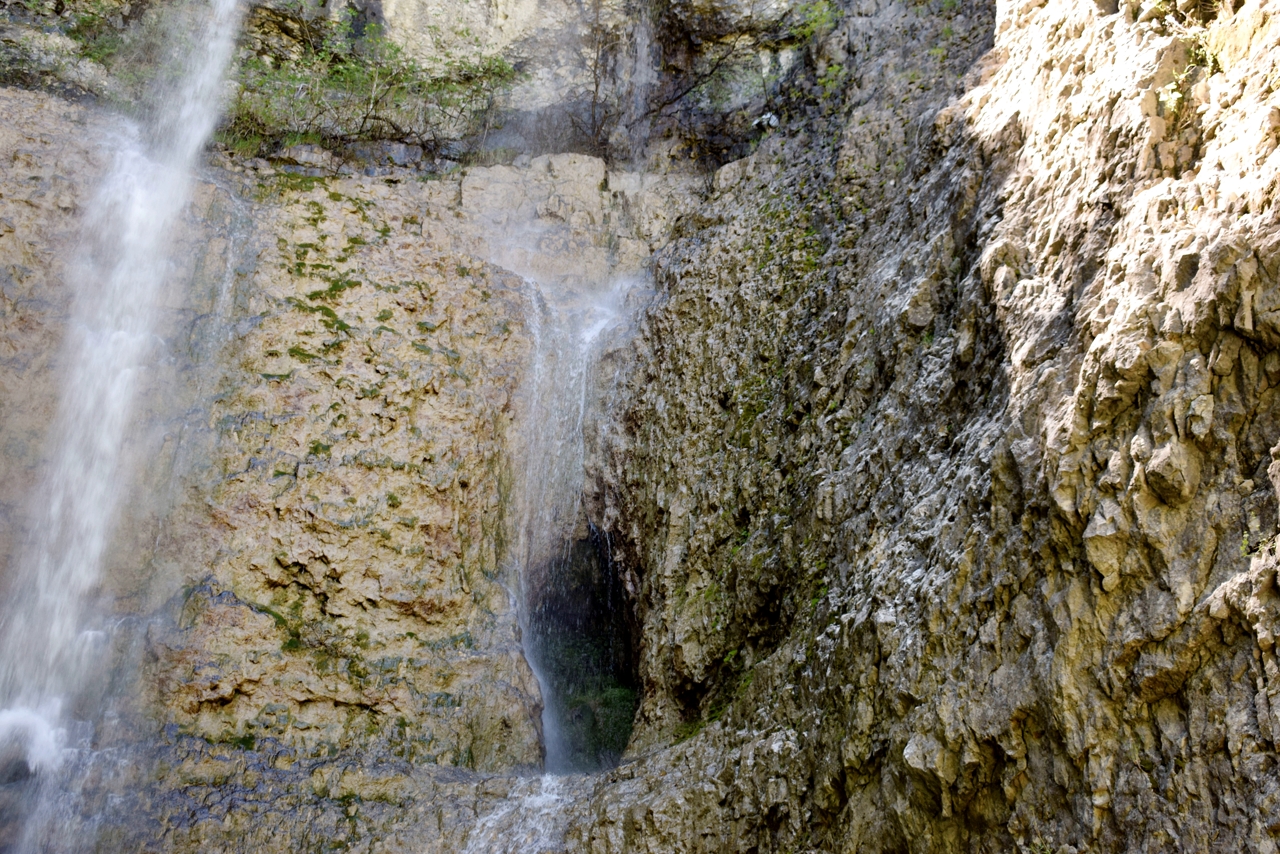
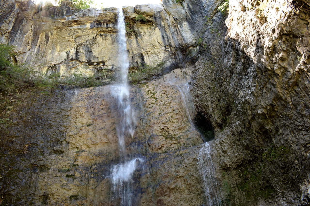
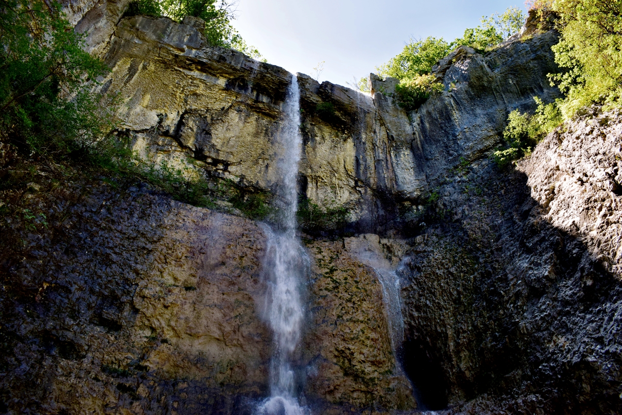
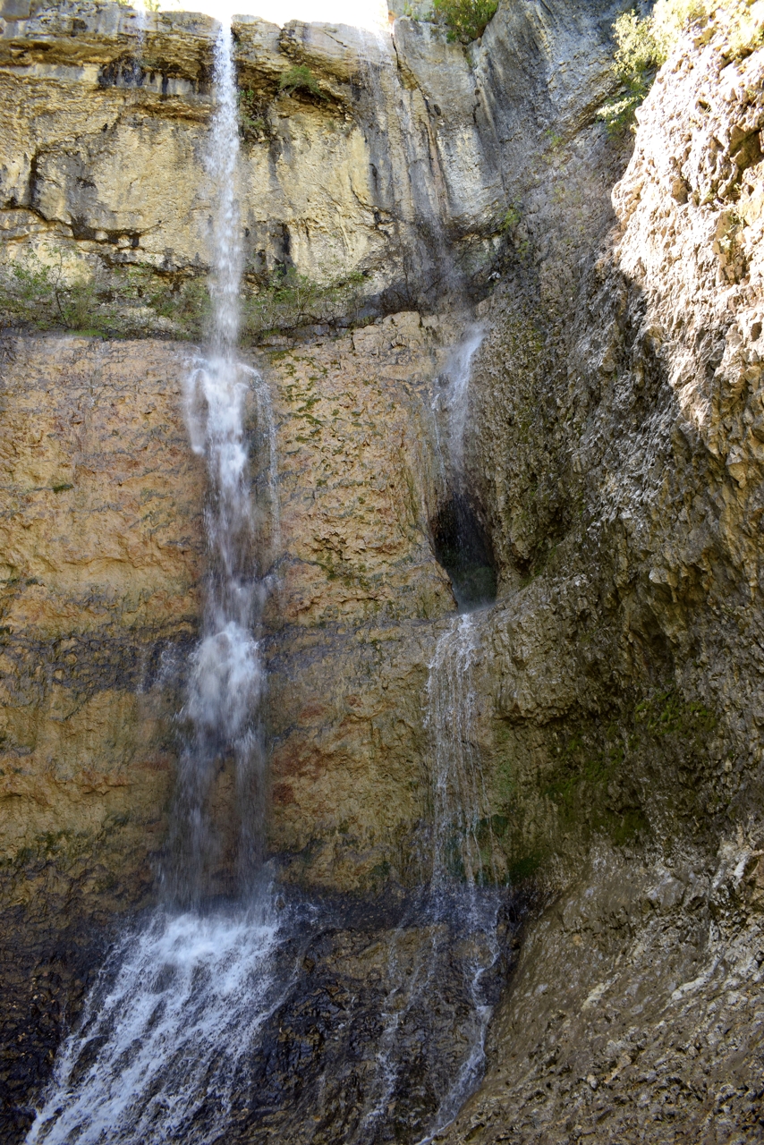

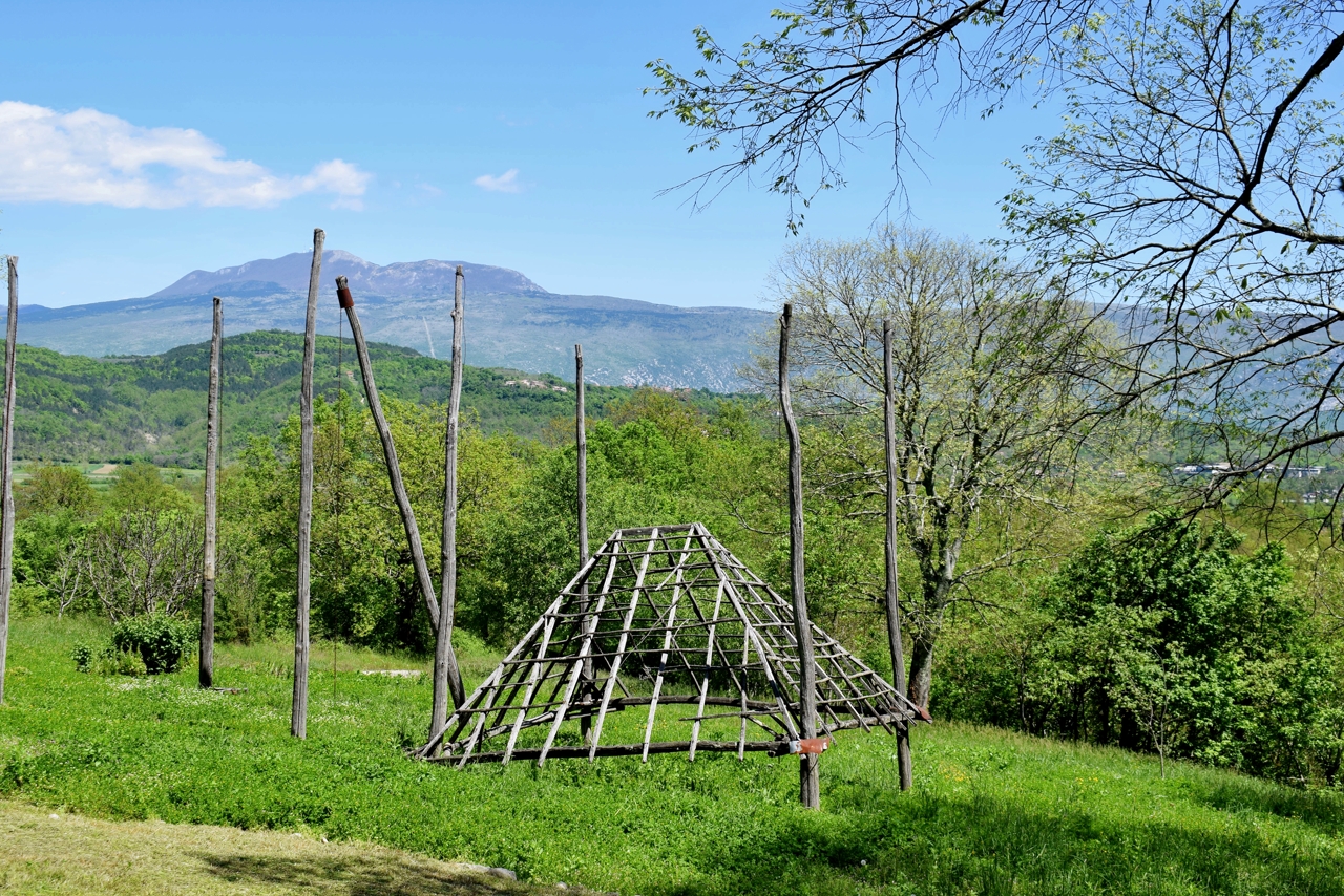
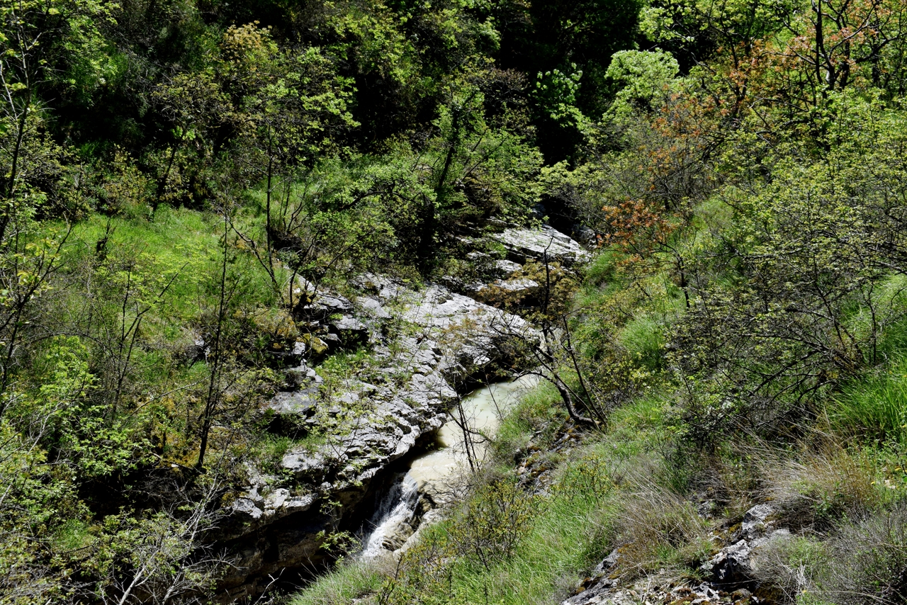
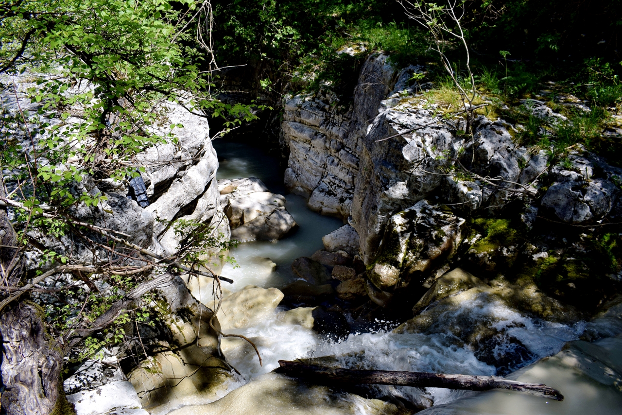
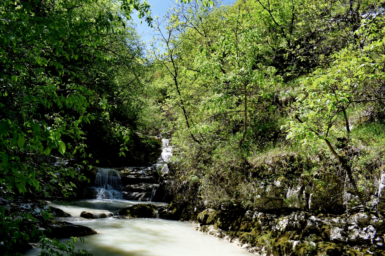

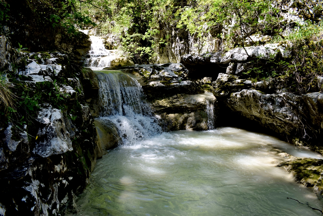


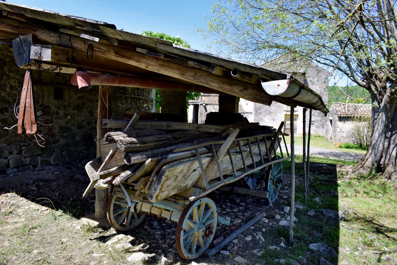


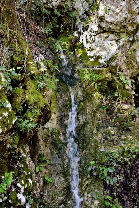
Name: Benkovići waterfalls – Grajanski stream.
Place: Most Pićan – Pićan.
Coordinates: Start: 45.20447 N – 14.05893 E, trail 45.20345 N – 14.0688,
waterfall 45.20043 N – 14.05734 E
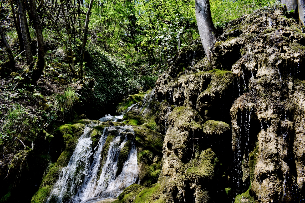
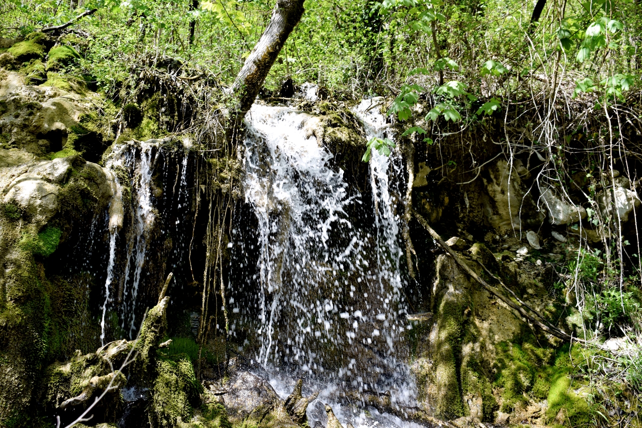
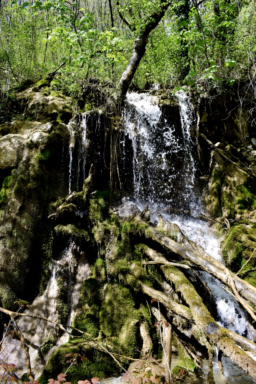
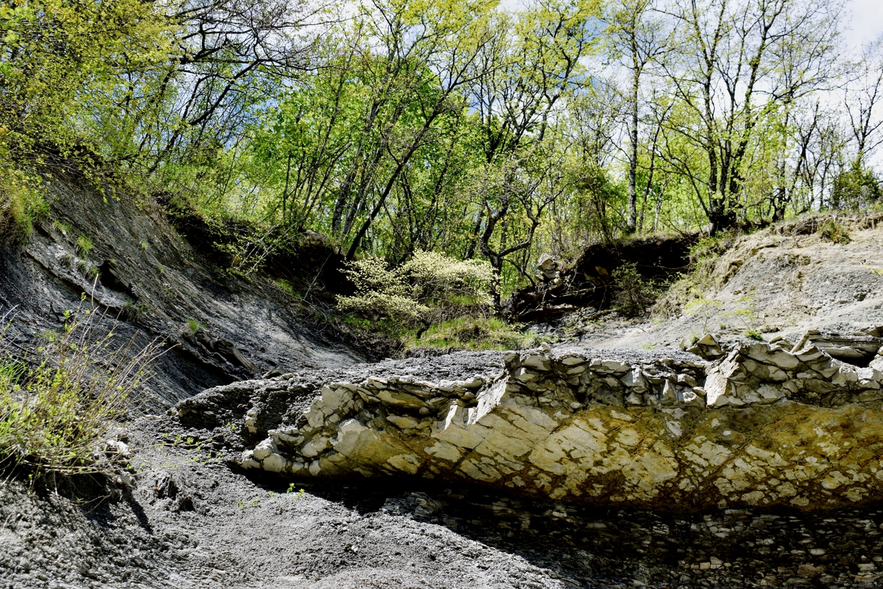
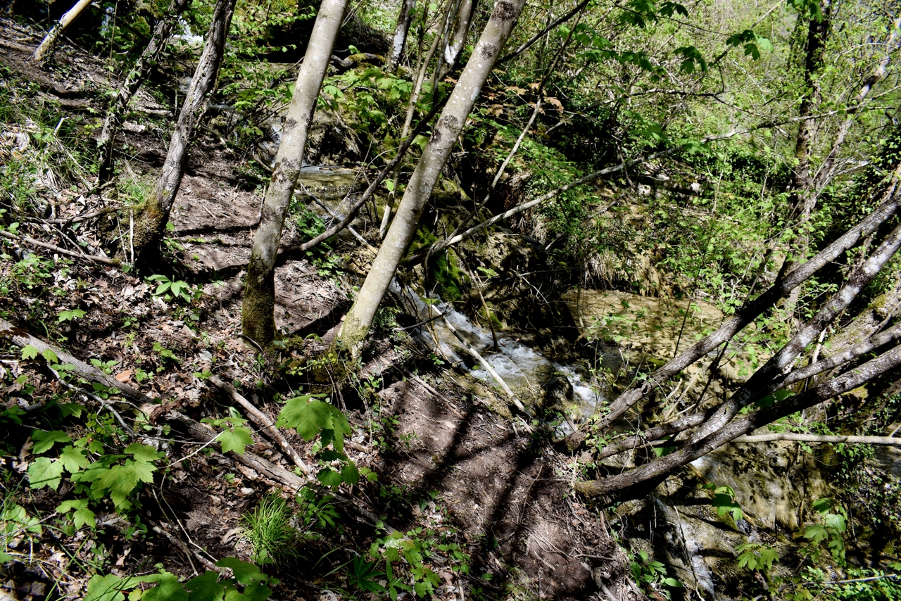
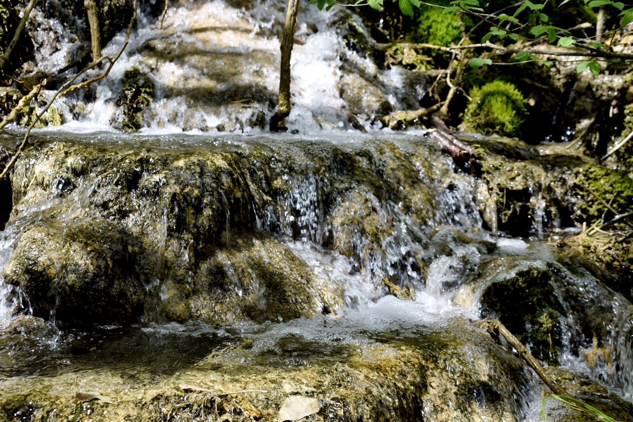
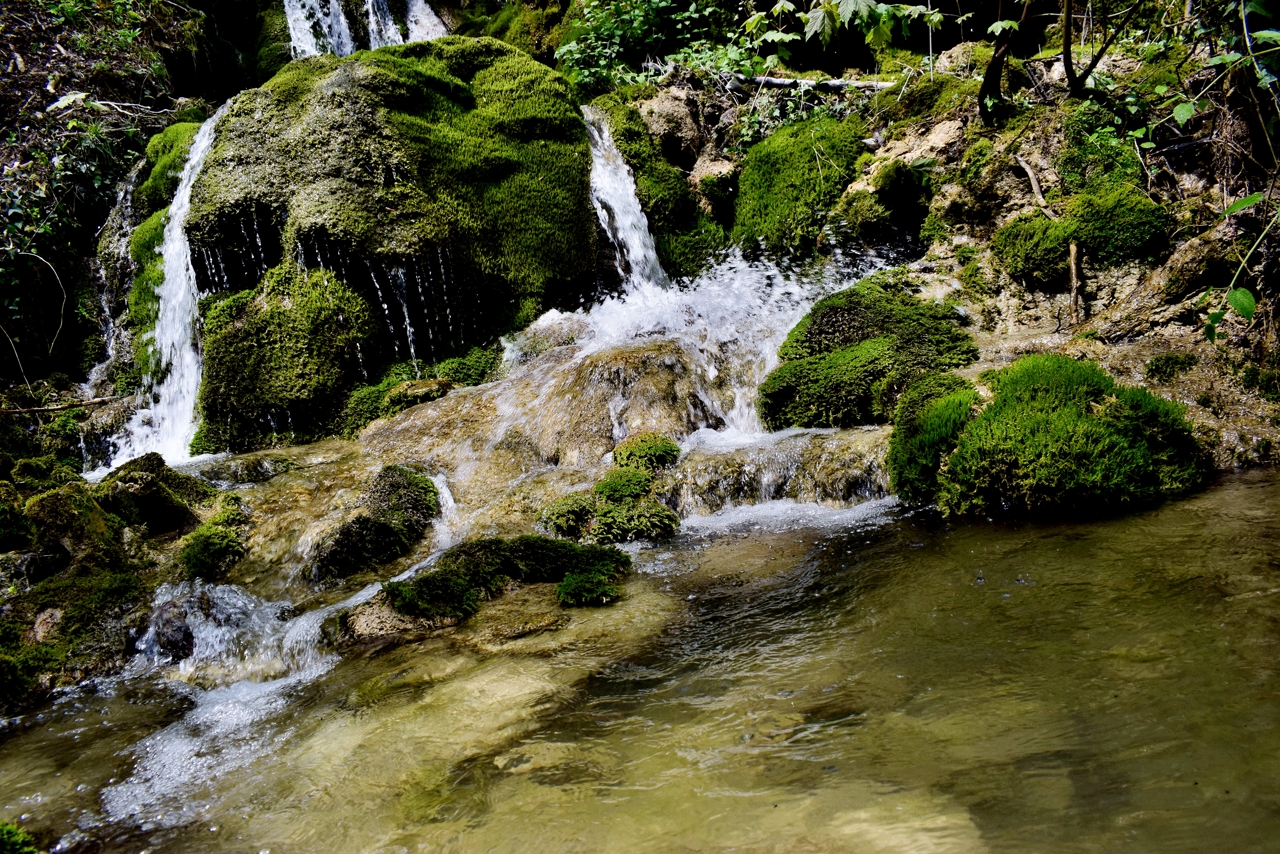
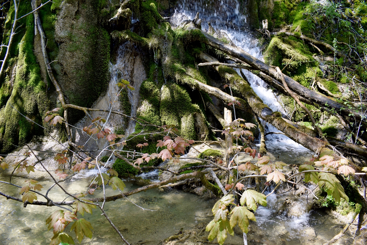
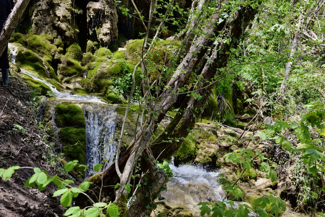
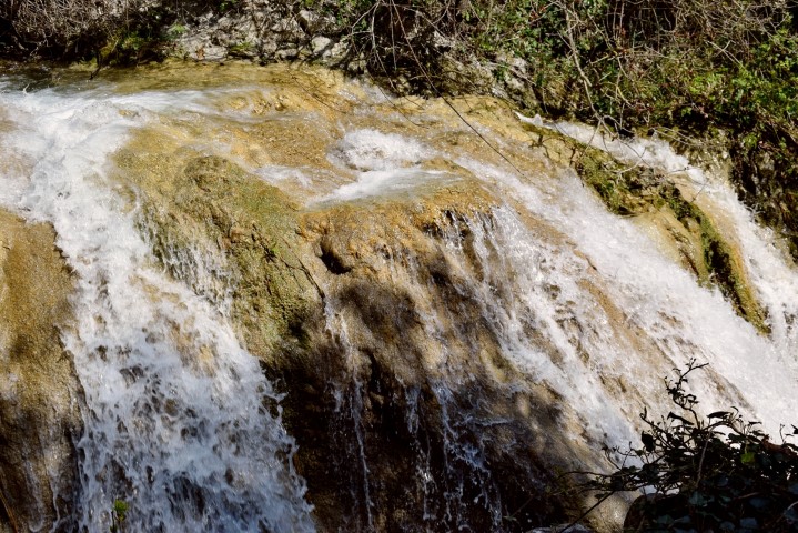
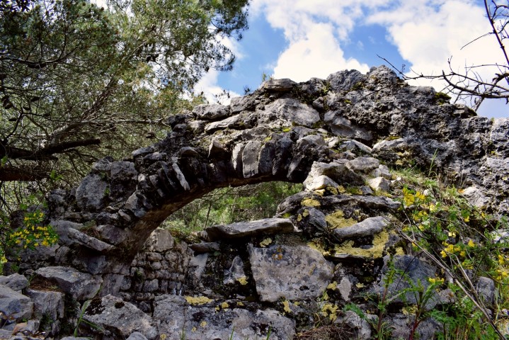
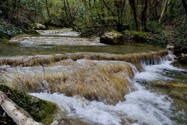
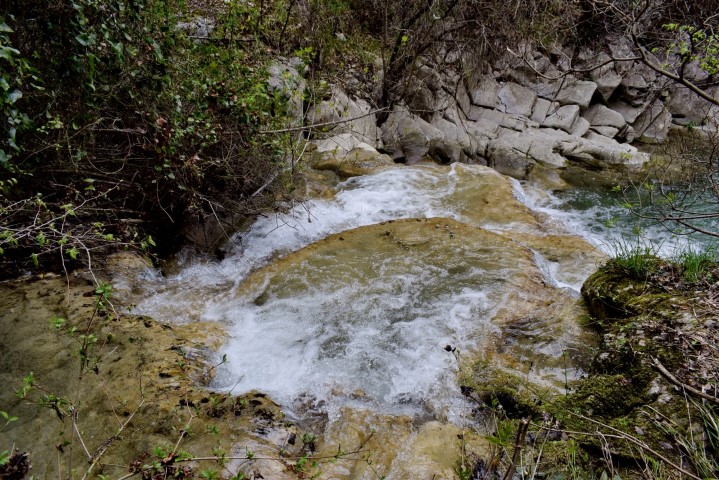
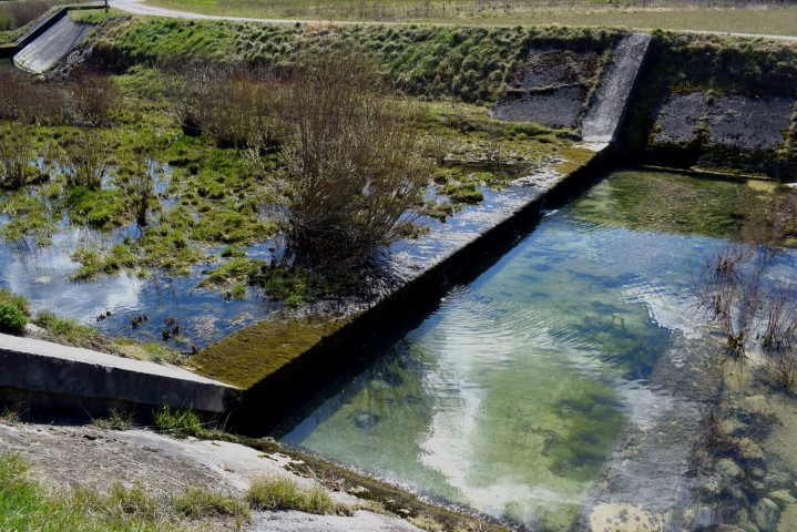
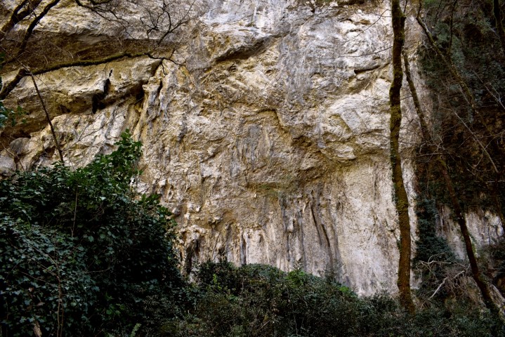
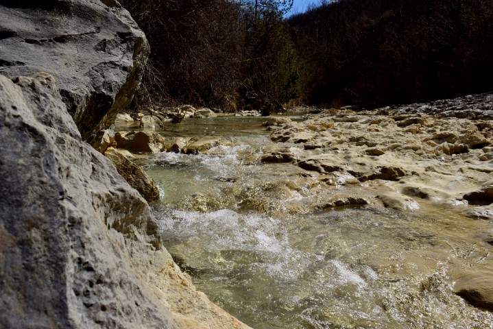
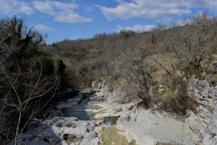
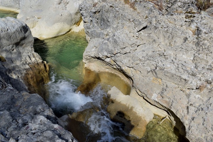
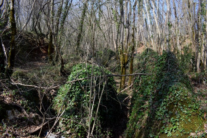
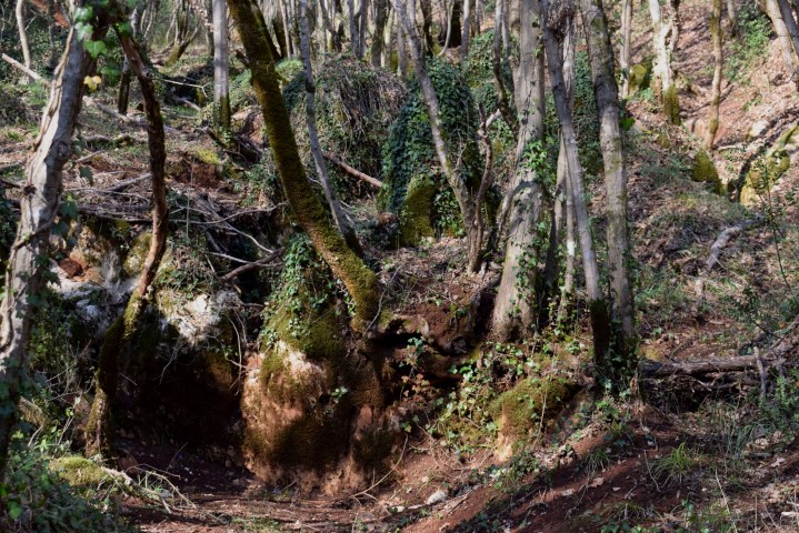
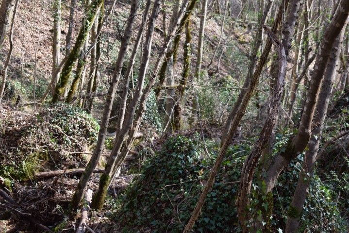
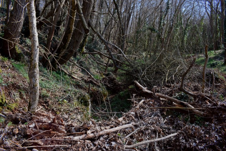
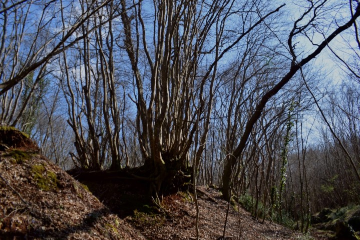
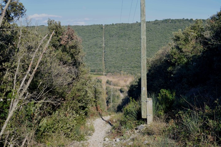
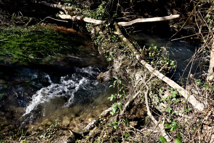
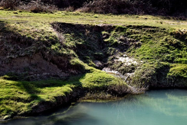
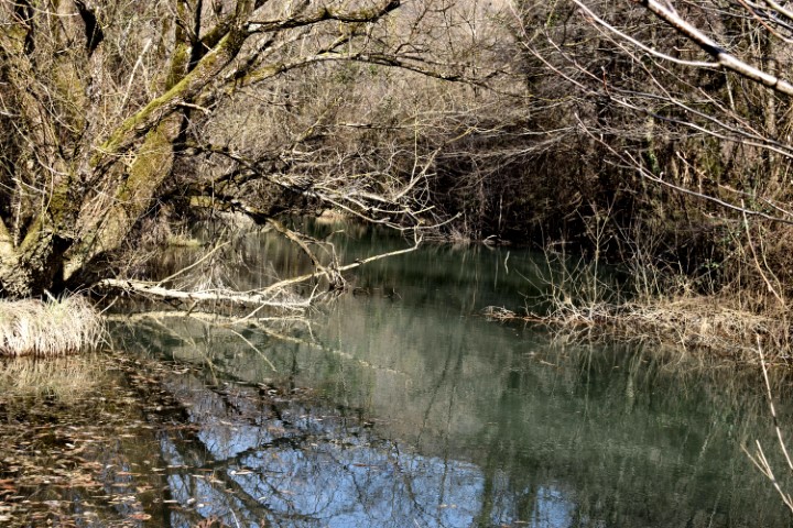
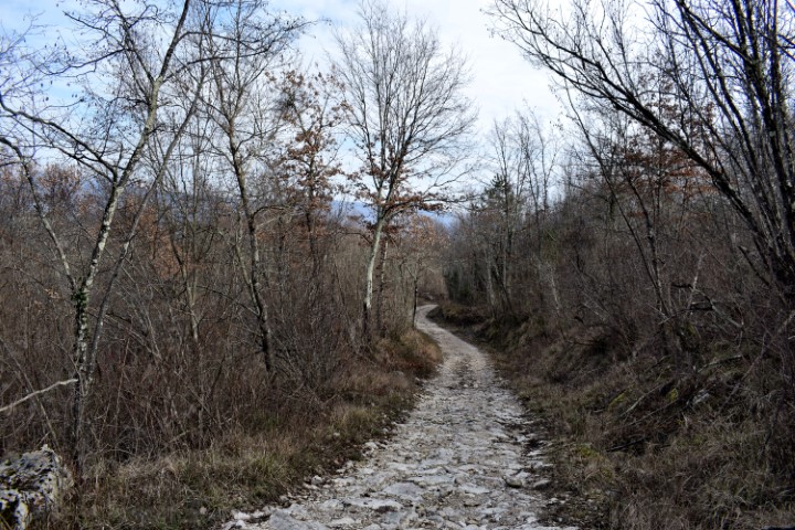
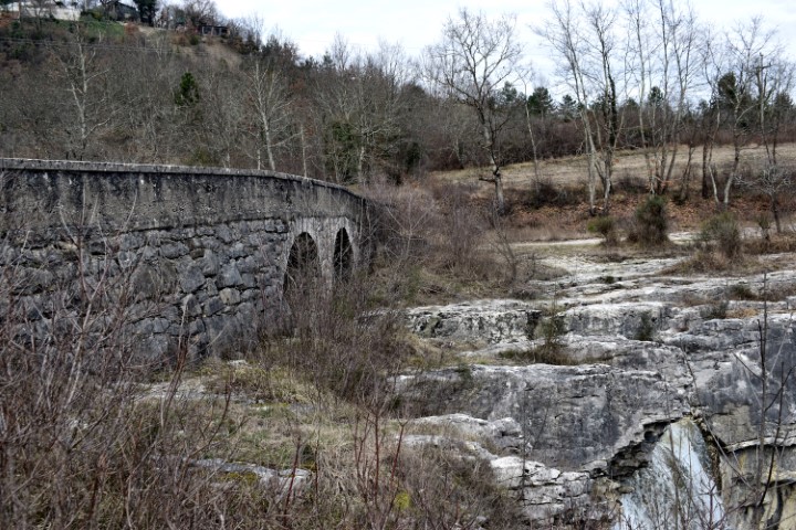
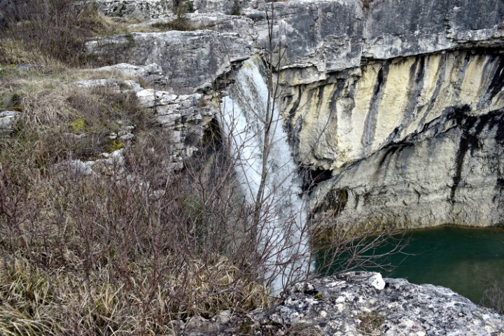
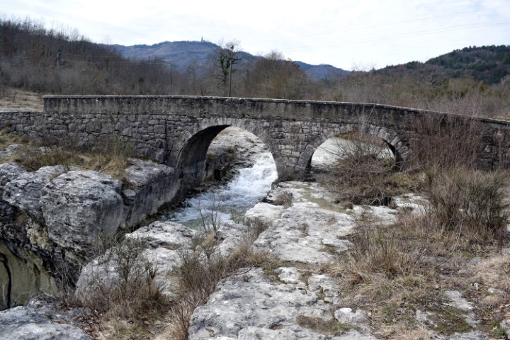
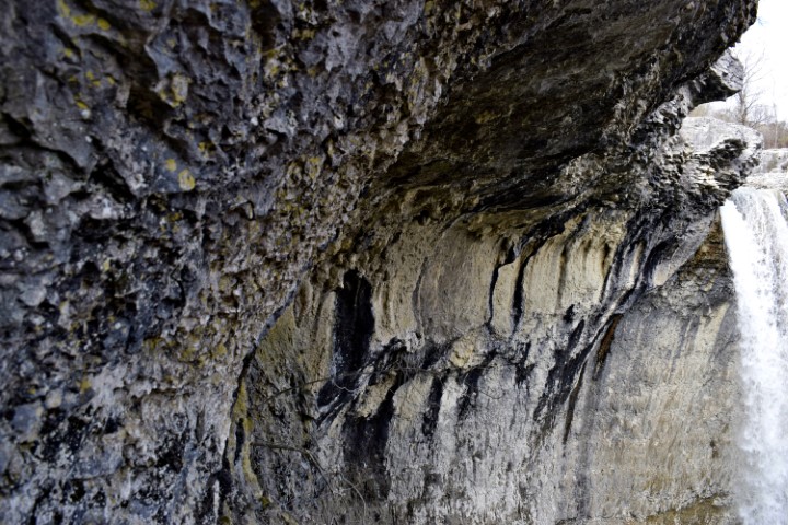
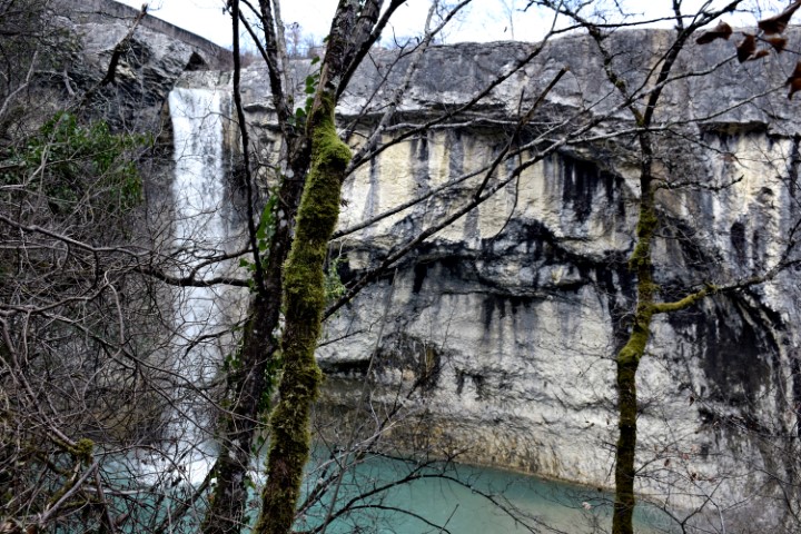
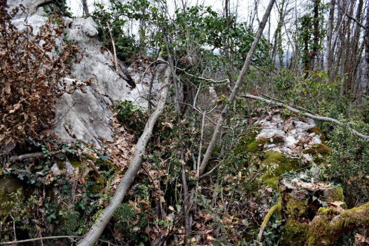
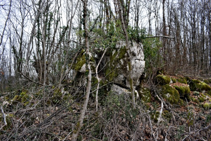
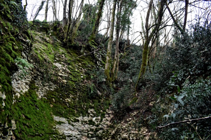
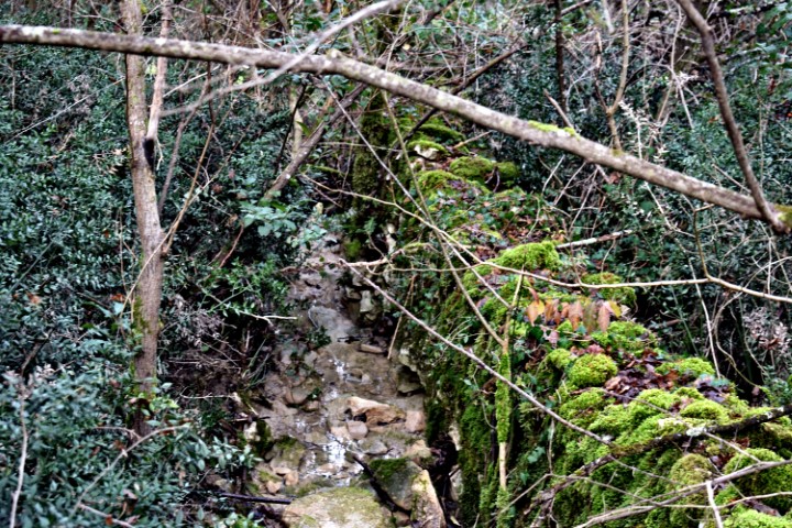
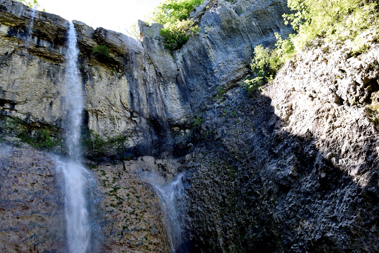
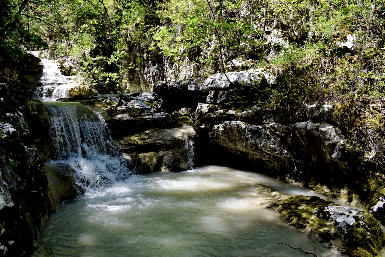
Name: Benkovići waterfalls – Grajanski stream.
Place: Most Pićan – Pićan.
Coordinates: Start: 45.20447 N – 14.05893 E, trail 45.20345 N – 14.0688,
waterfall 45.20043 N – 14.05734 E

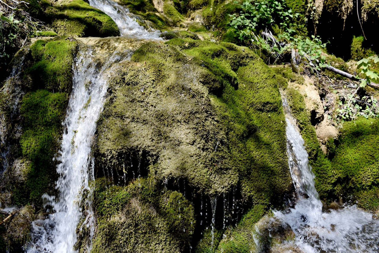
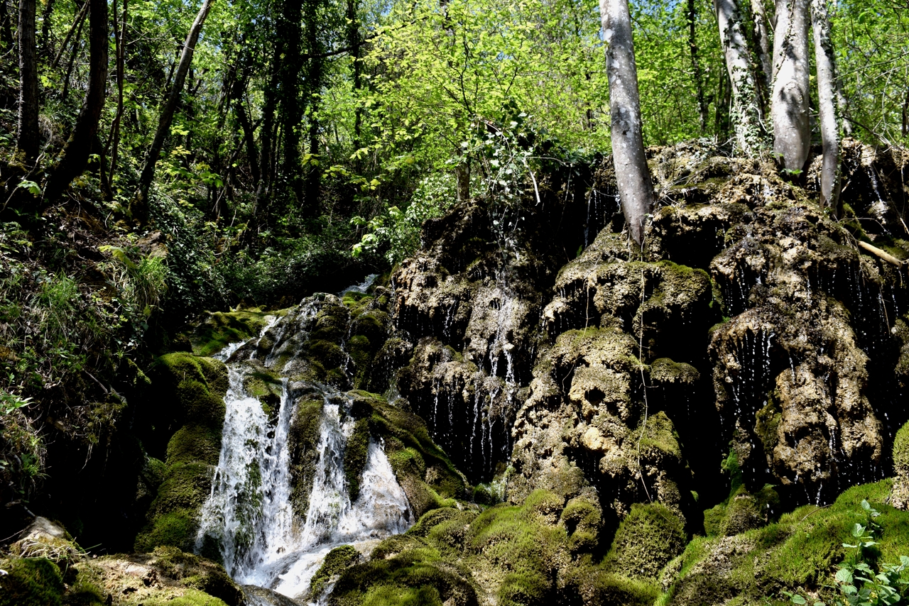
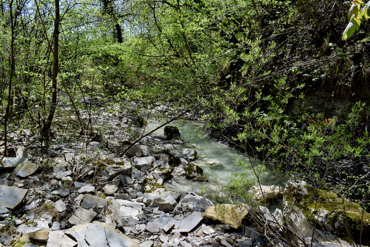
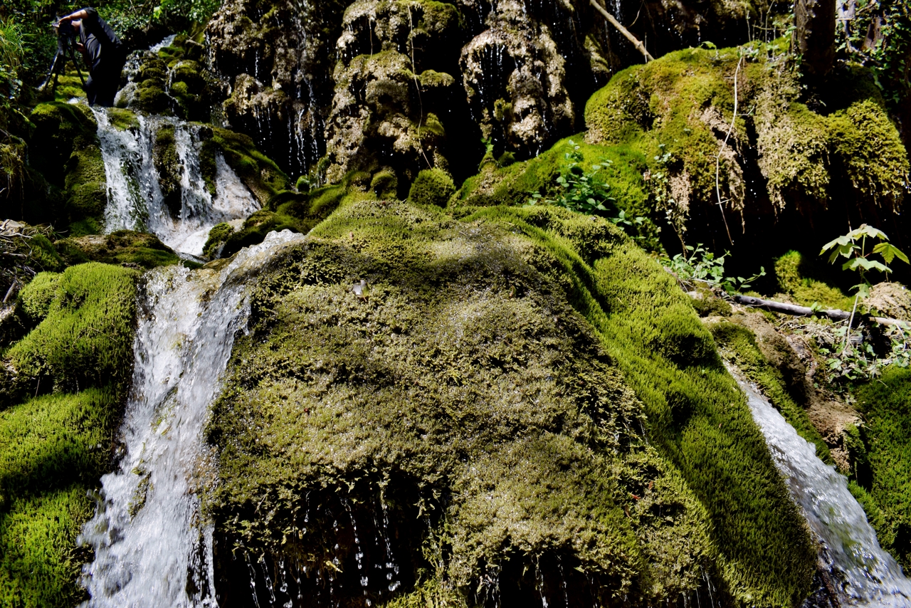
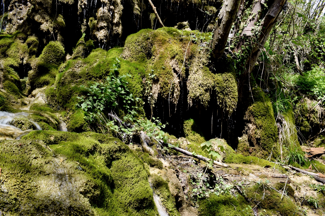
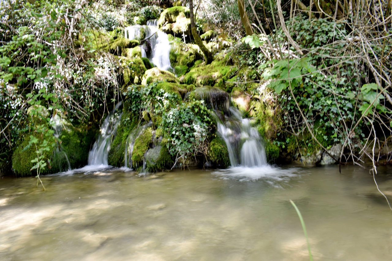
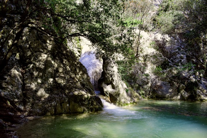
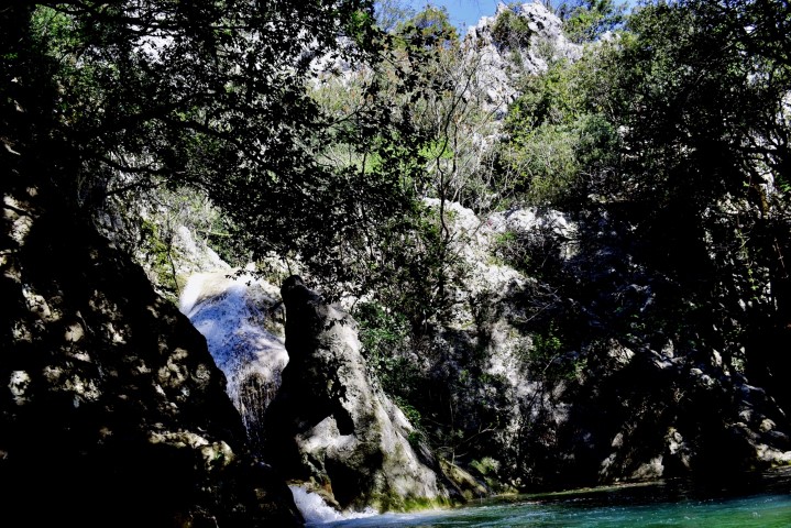
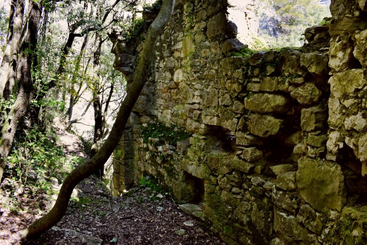
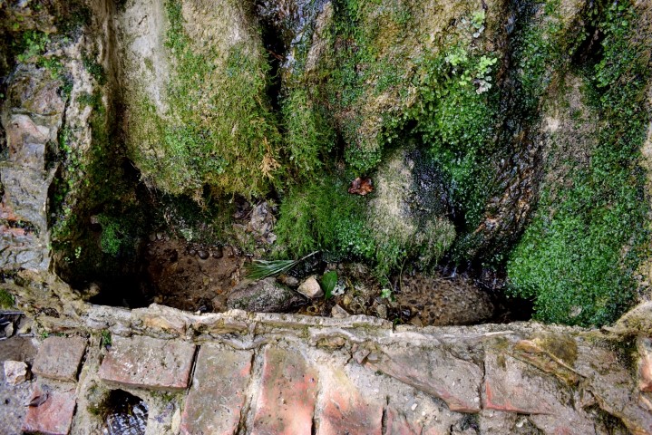
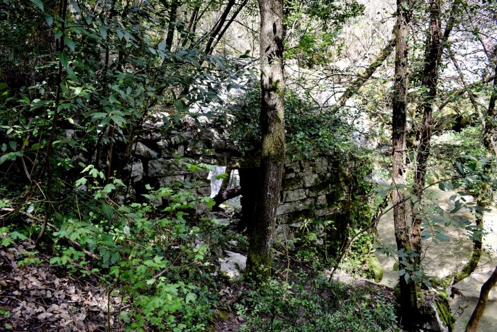
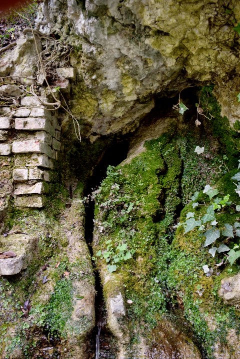
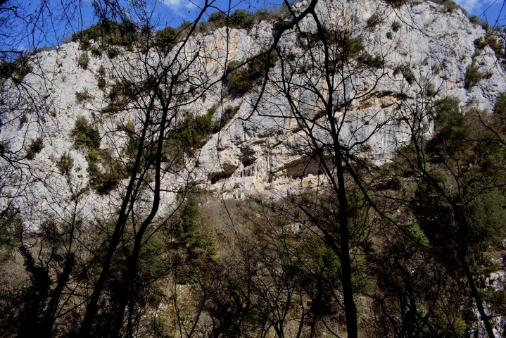
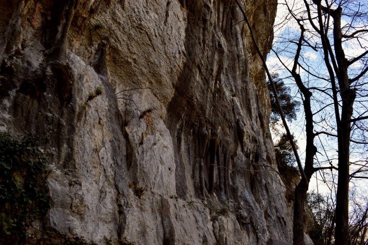
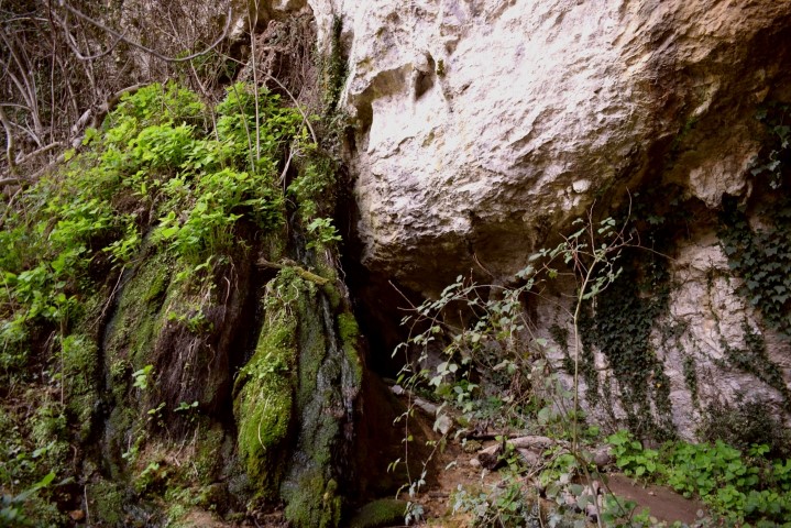
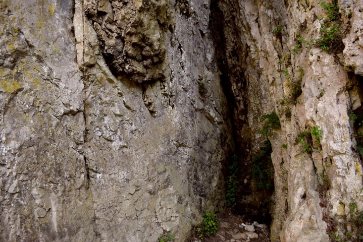
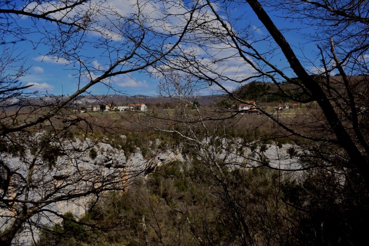
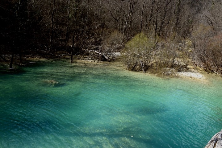
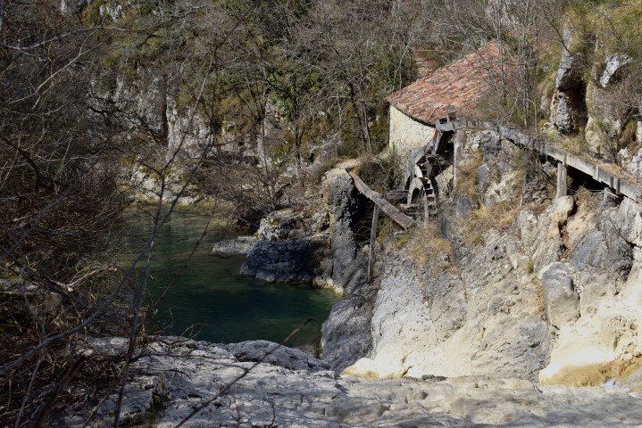
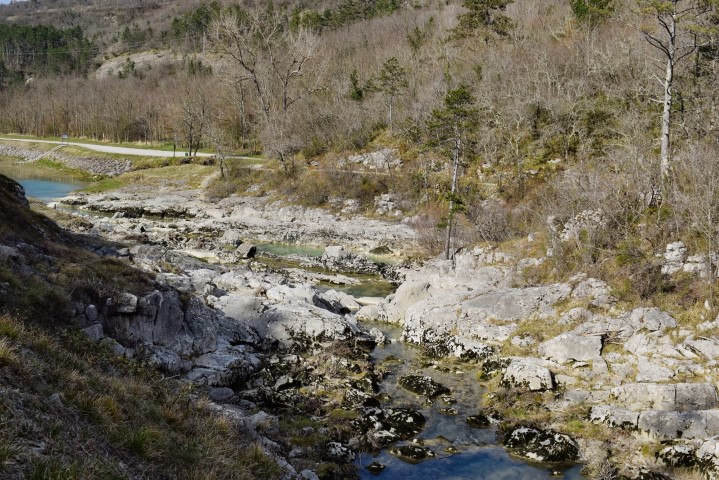
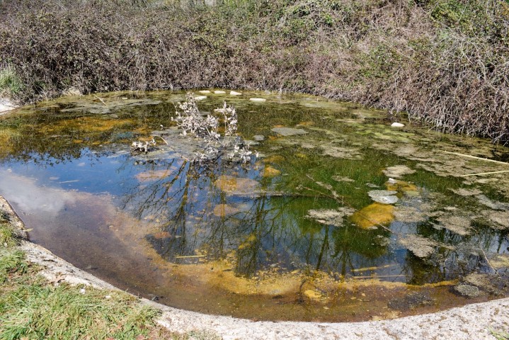
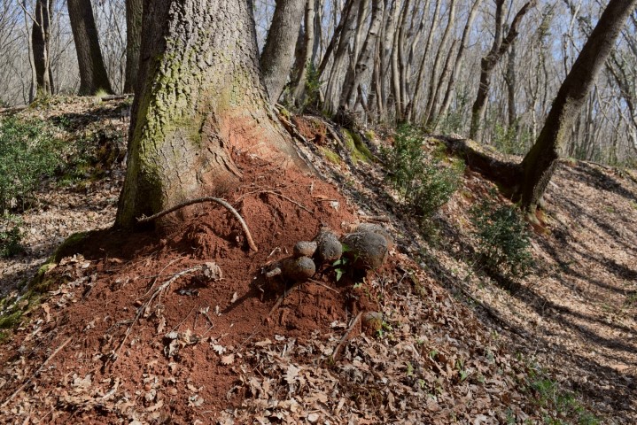
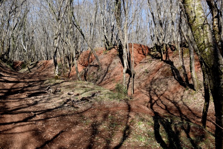
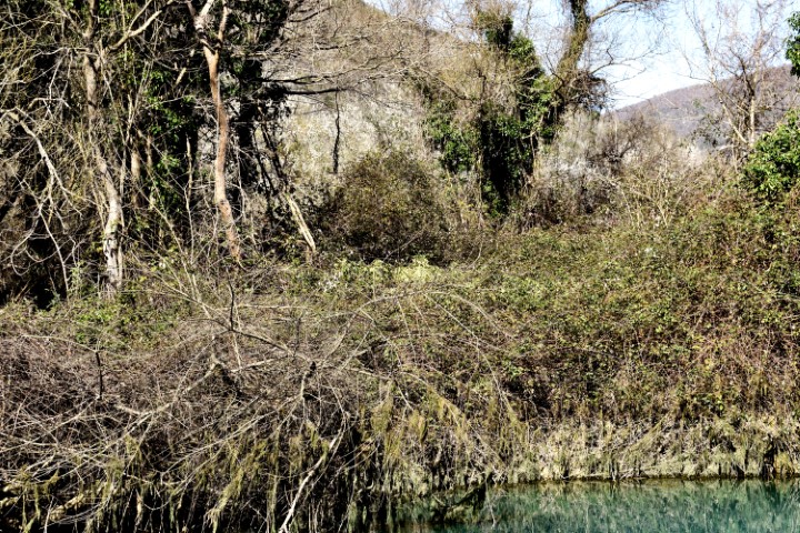
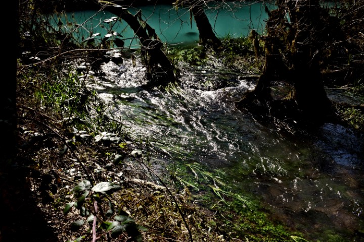
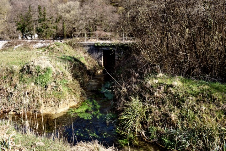
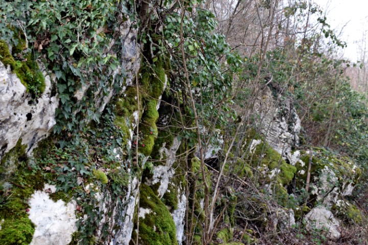
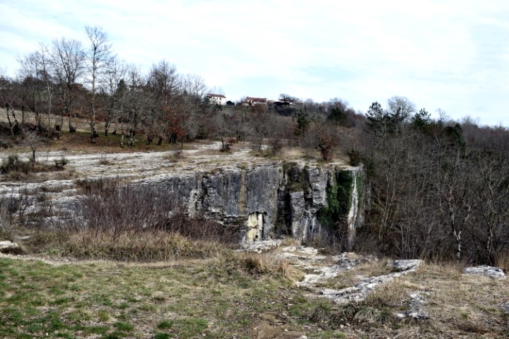
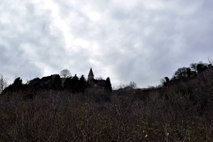
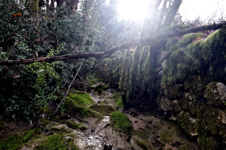
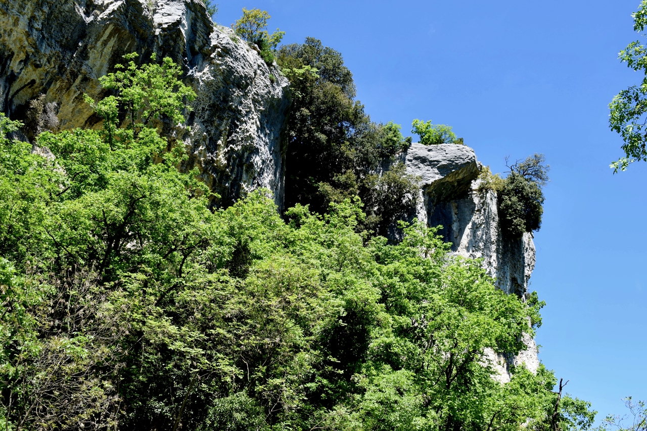
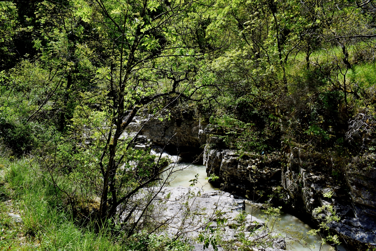
Name: Water source Palonsšćak , watervallen Gravanovo (Raven’s wing).
Place: Baldeti – (Gračisće).
Coordinates: Baldeti: 45.21123 N – 14.01293 E, start trail Gravranovo krilo 45.20520 N – 14.01182 E.
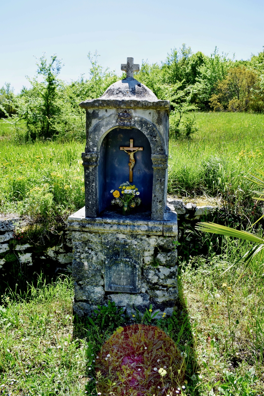
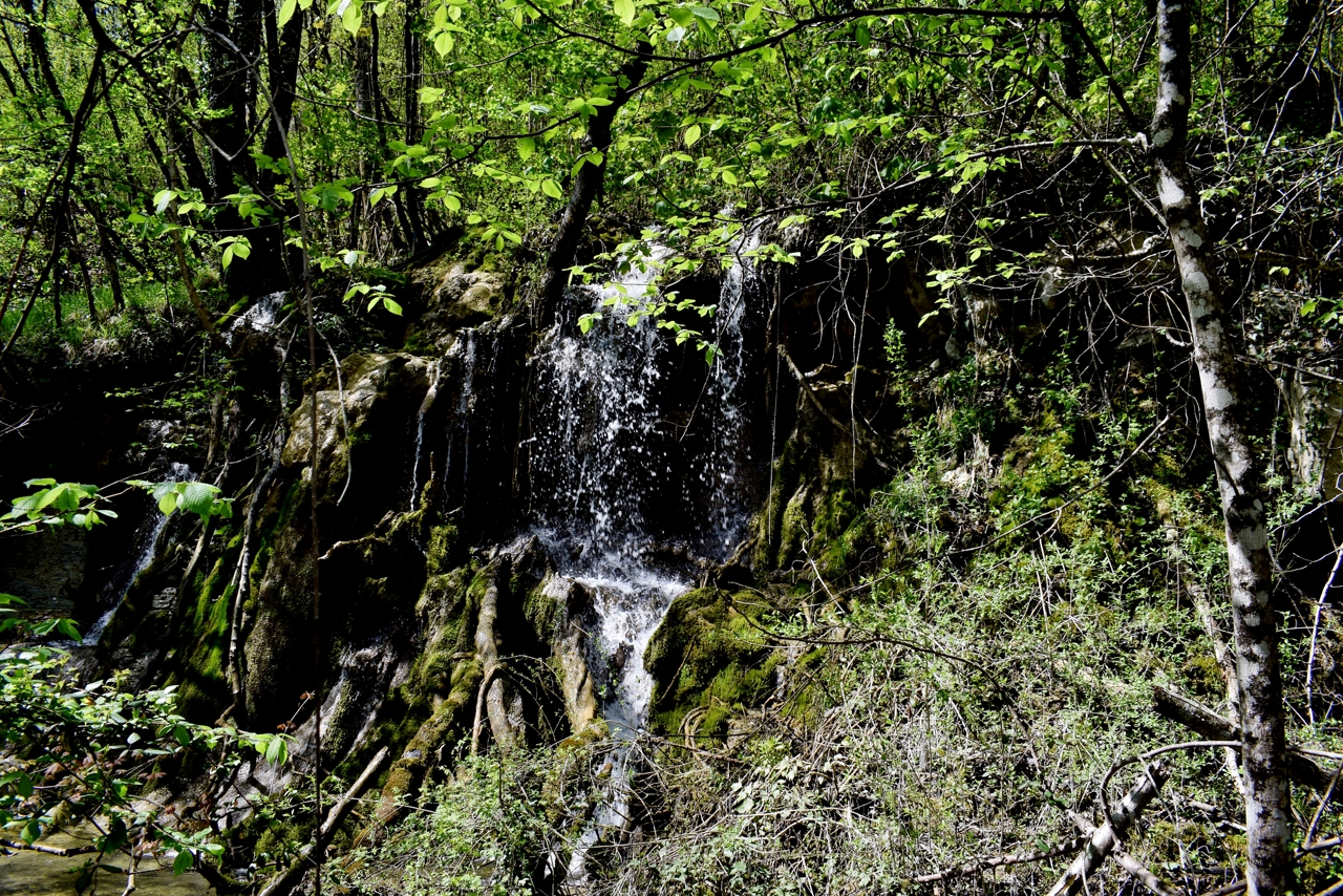
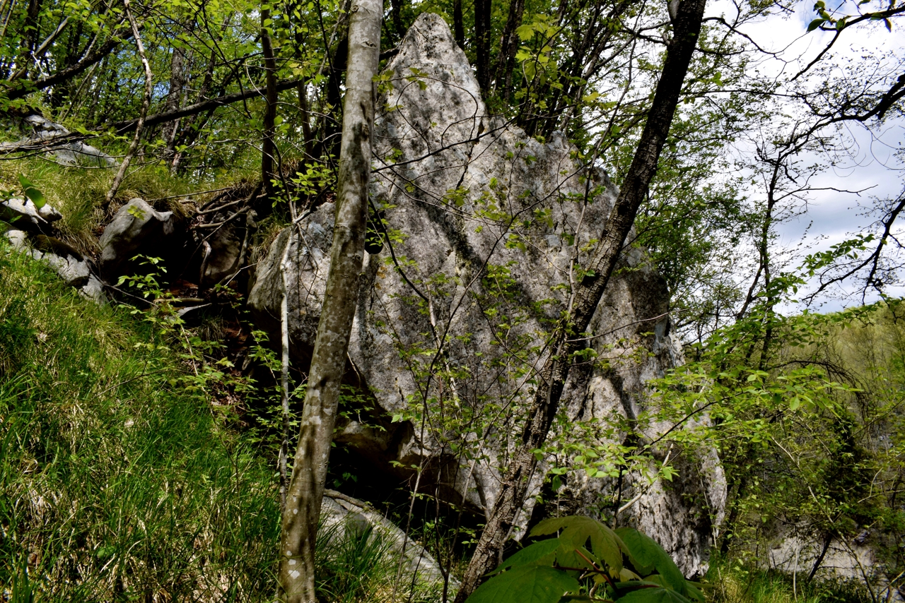
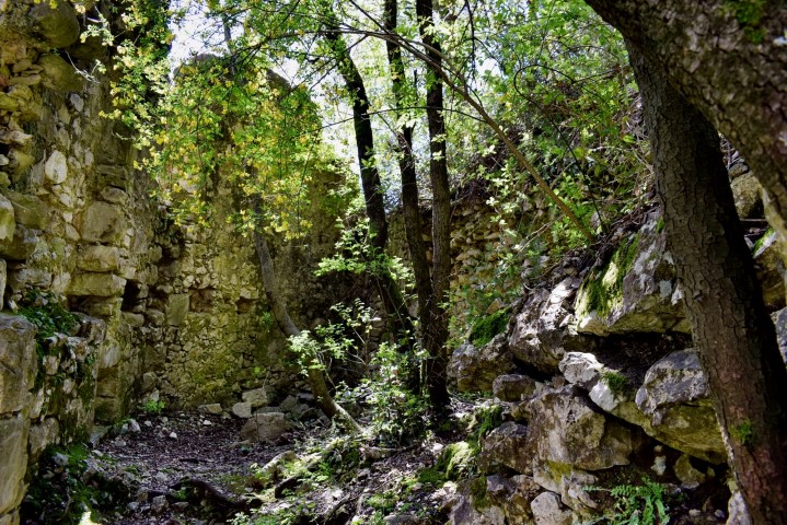
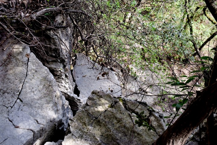
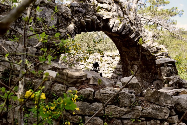
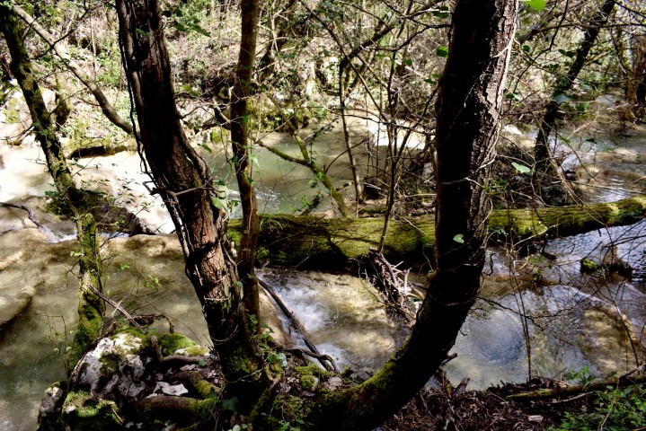
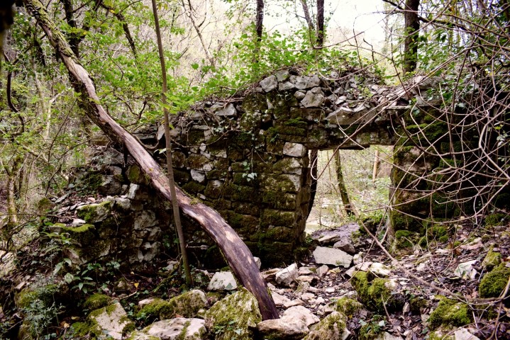
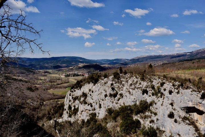
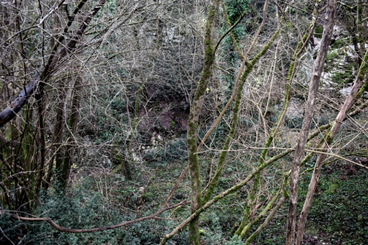
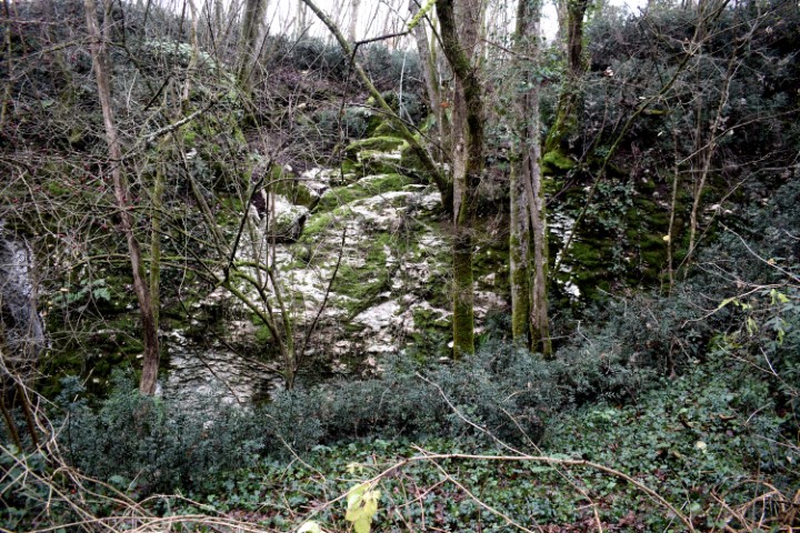
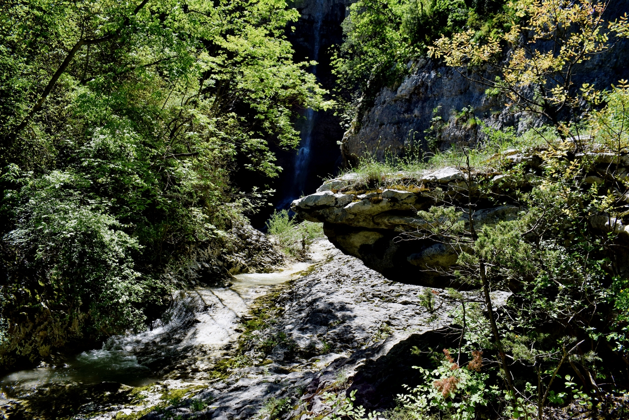
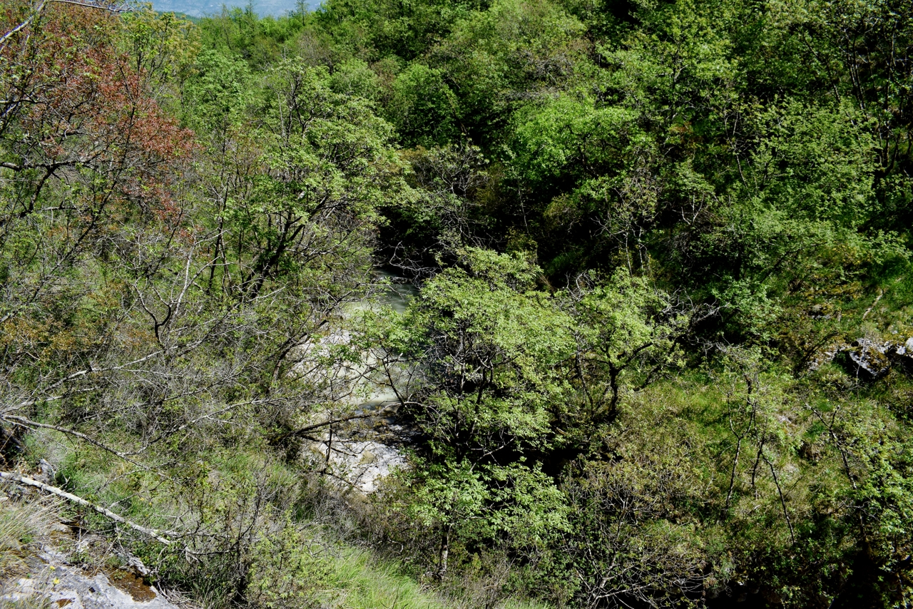
This trail, named after the goddess Sentona, the patroness of travelers, passes through a conservation area, and largely along the Pečina and Scurak streams with large and smaller waterfalls, brooks and limestone barriers. Near the large waterfall close to Rabac is a water spring and the ruins of watermills. The ruins of a Romanesque churh St. Hadran are located on an old path that connected Labin with Rabac.
For more pictures and the cave Nigri see the posts 2018-03-08 and 2019-06-22.
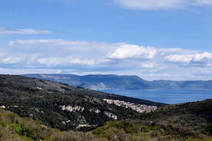
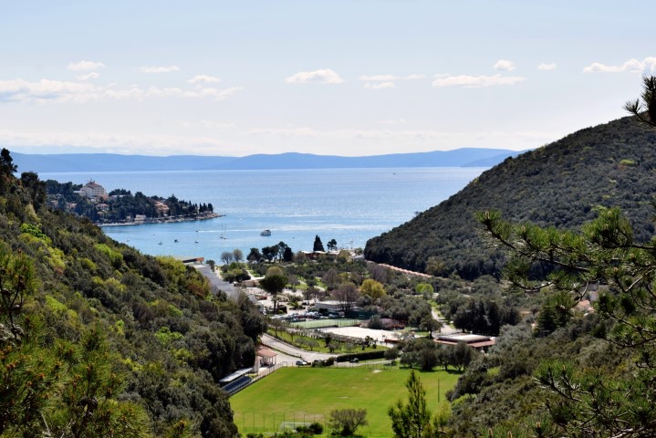
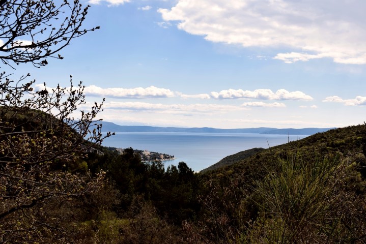
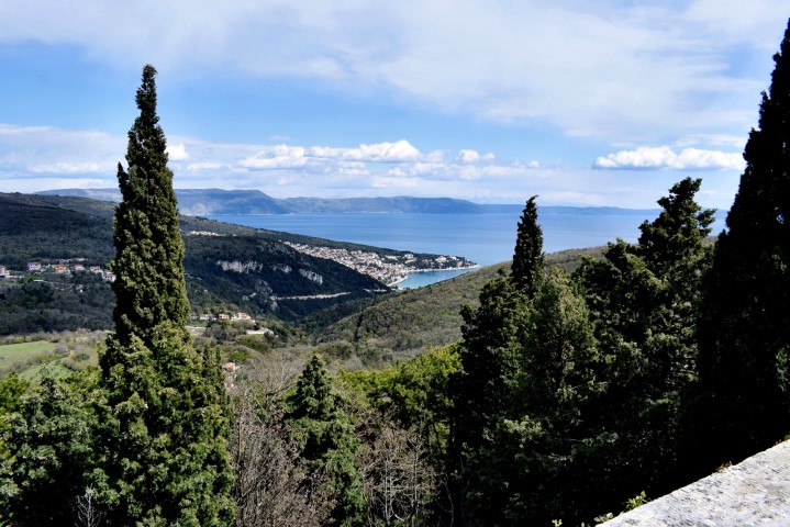
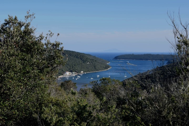
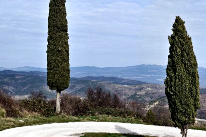
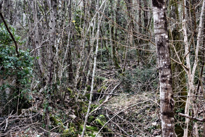
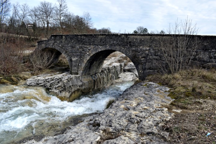
Name: Sentona trail 804 from Maslinica cove Rabac to Labin.
Places: Rabac – Labin.
Coordinates: Start 45.08166 N – 14.14566 E, Labin 45.08699 N – 14.12489 E, Ruins Romanesque church St. Hadran 45.08314 N – 14.14125 E.
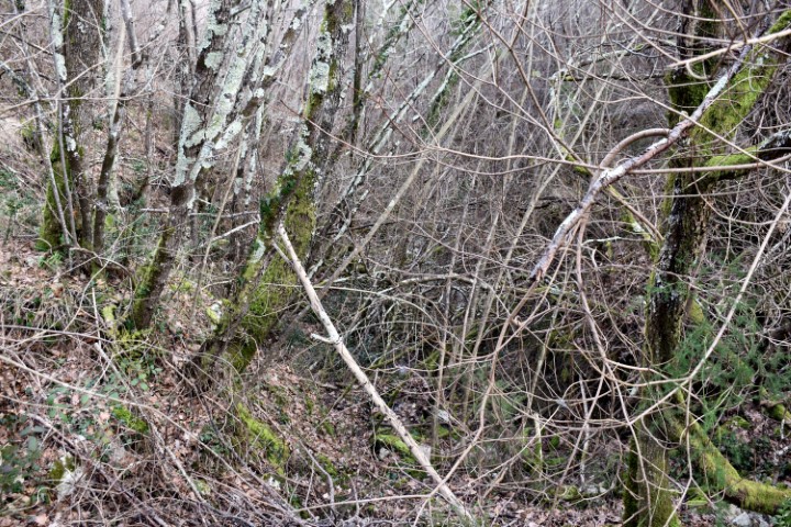
“The trail of seven waterfalls” (306).

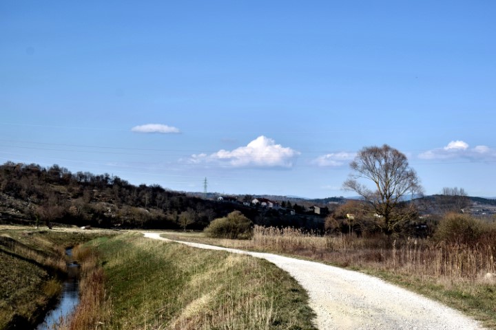
Name: Hiking trail from Vižace, along the stream “Kanal” to Marčana and the bay Vela Budava.
Place: Valtura – (Ližnjan – Marčana).
Coordinates: 44.91541 N – 13.96673 E, 44.93888 N – 13.9779 E, 44.90581 N – 13.98174 E.
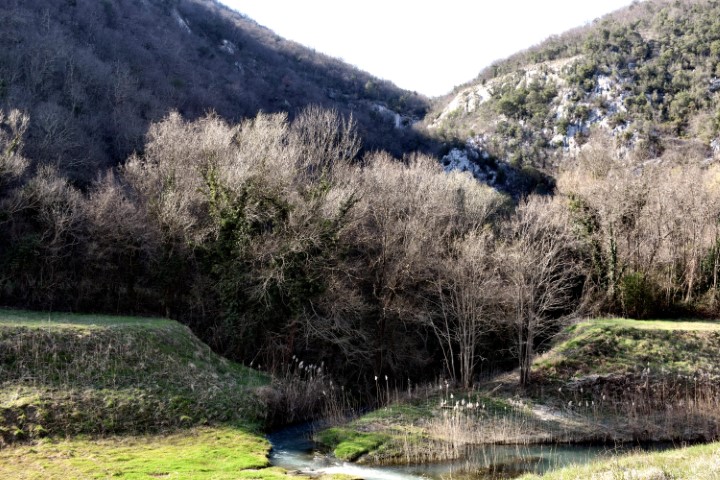
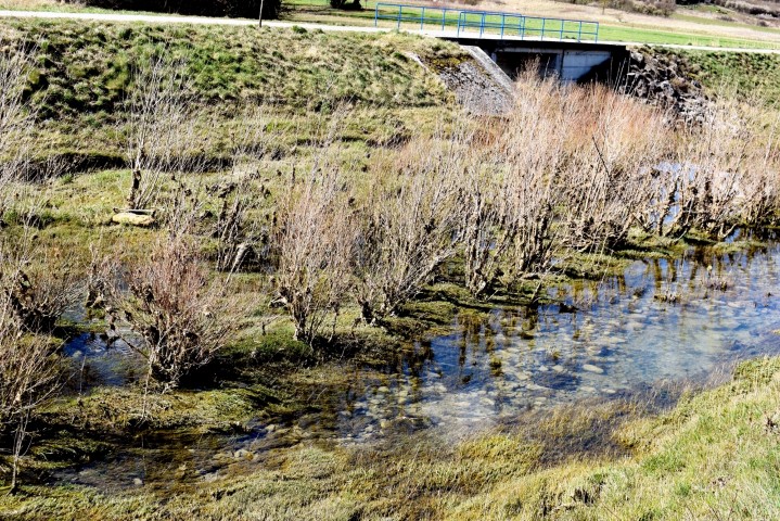
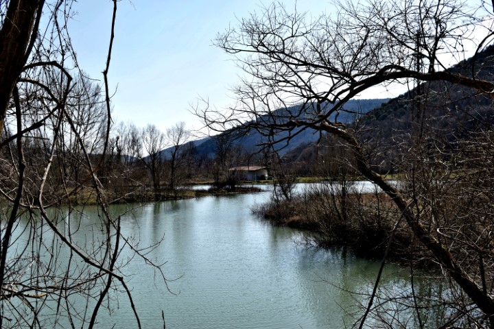
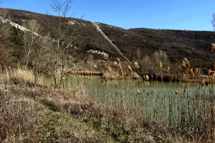
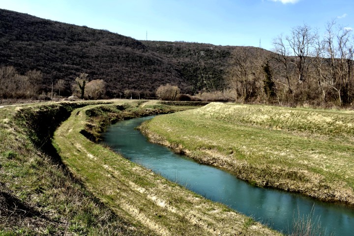
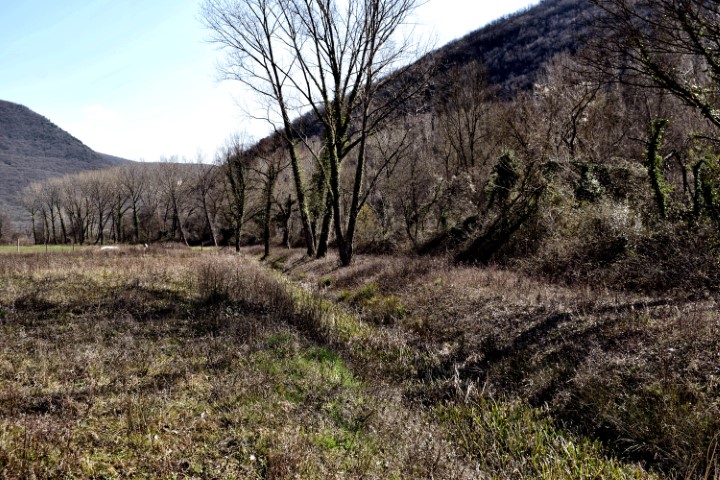
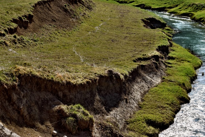
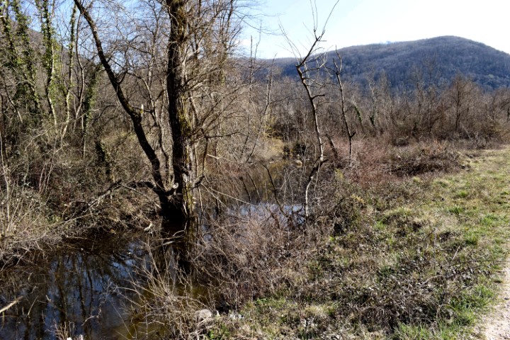
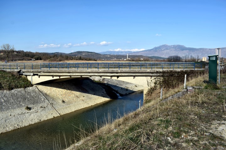
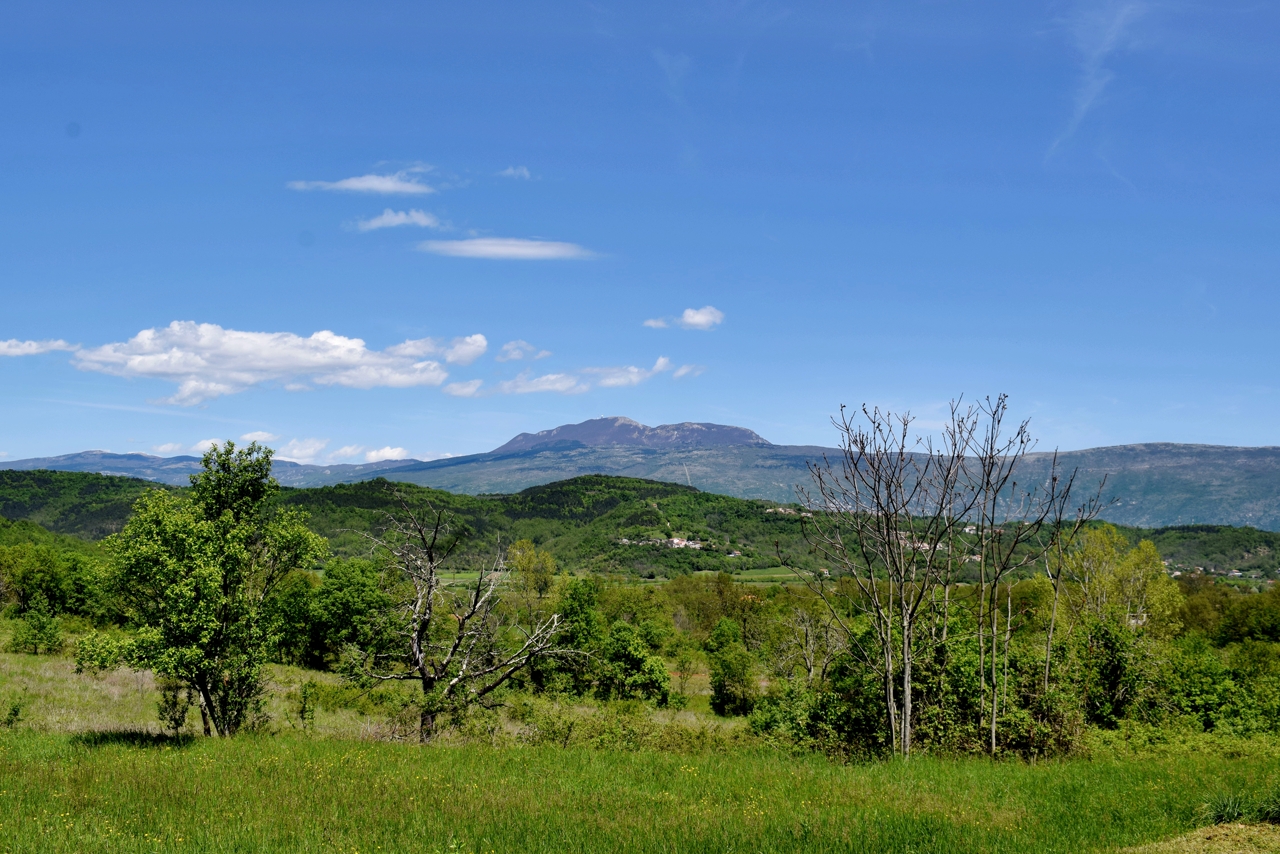
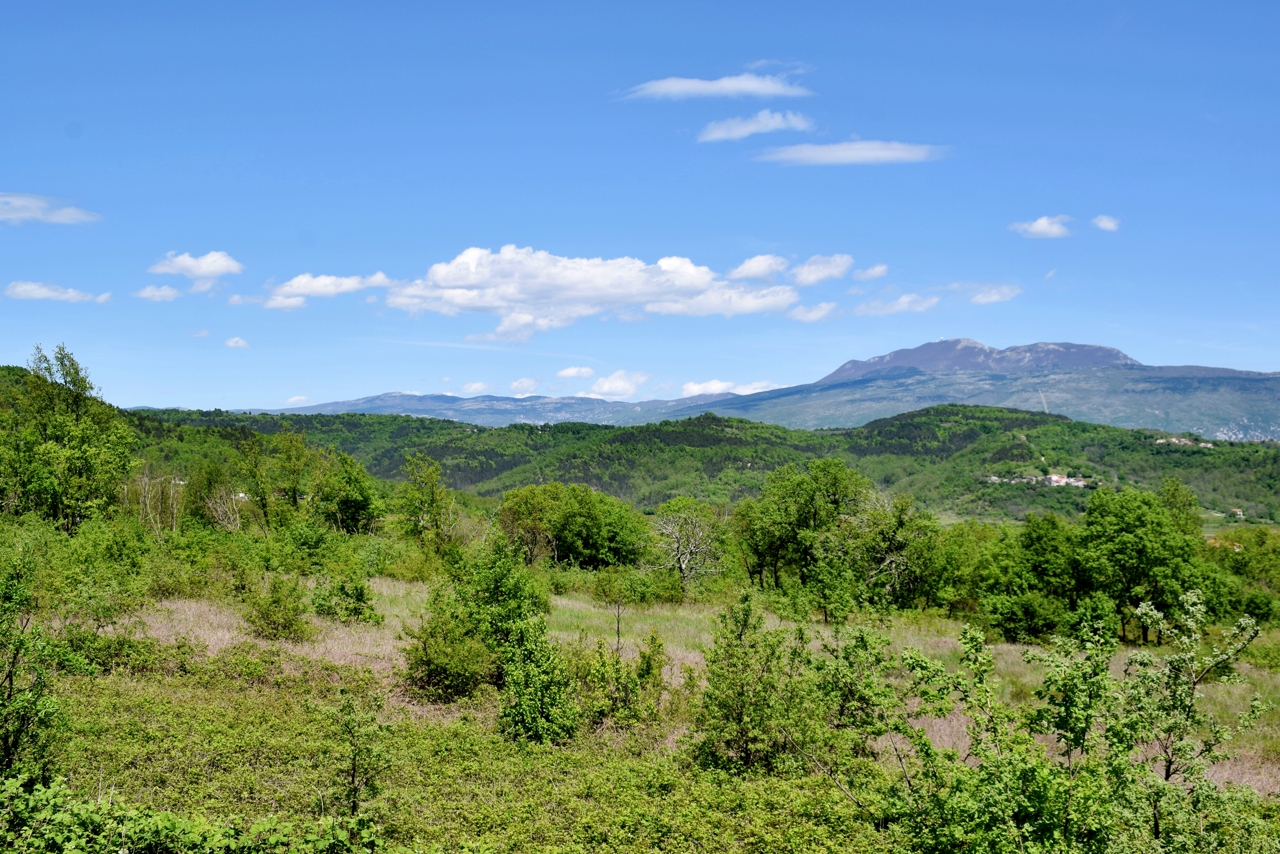
Name: River Raša (24,5 km) from the village Most Raša to the village Marišće.
Place: Most Raša – (Raša) , Marišće – (Kršan)
Coordinates: 45. 06000 N -14.04227 E to 45.18709 N – 14.07813 E.

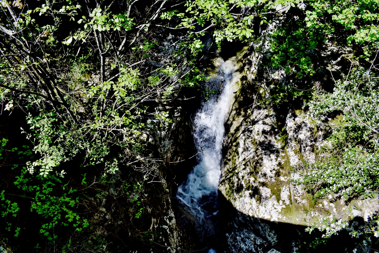
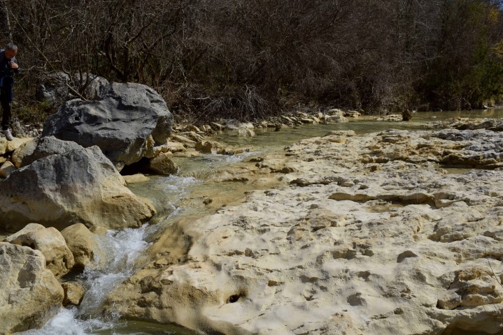
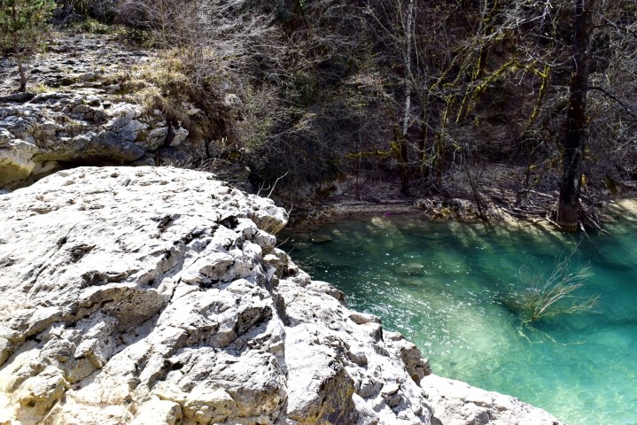
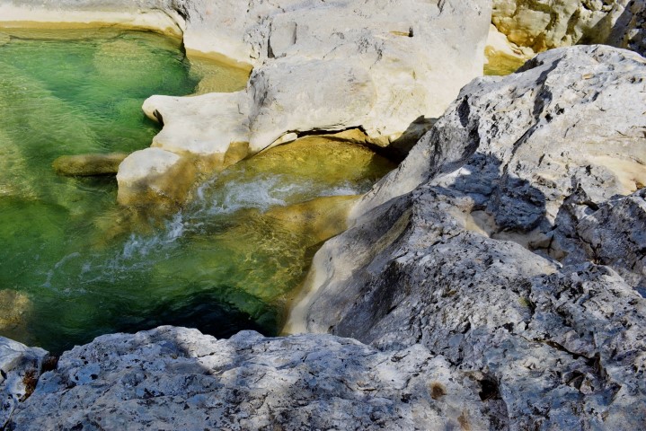
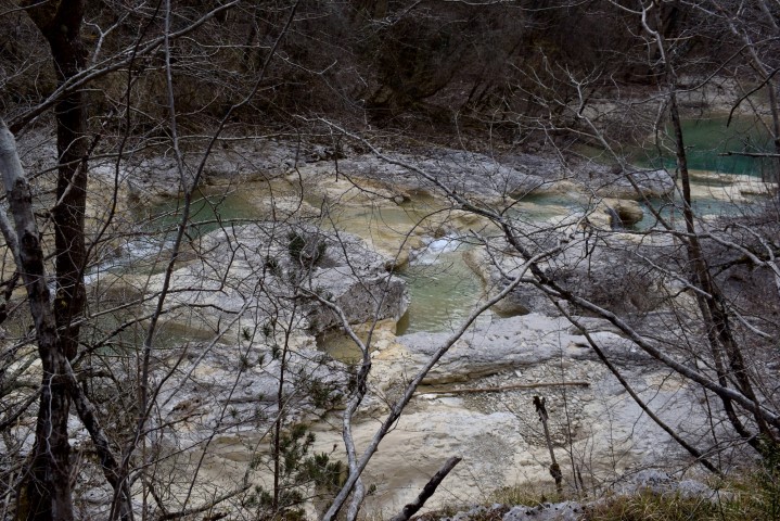
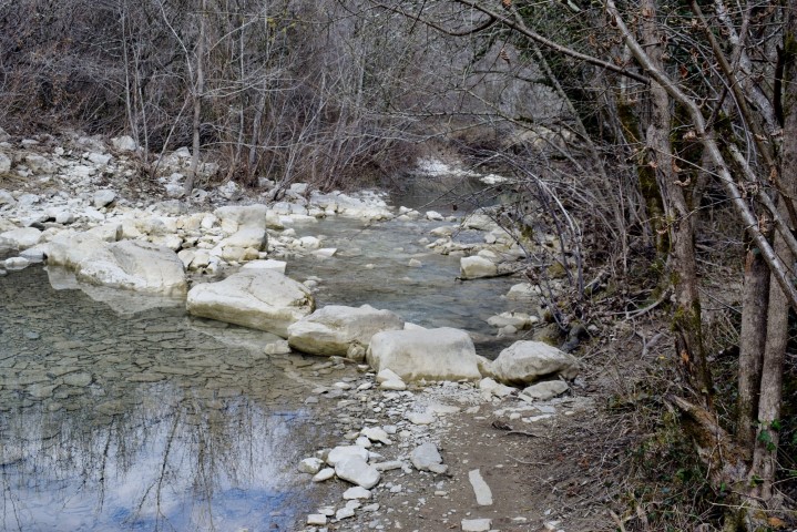
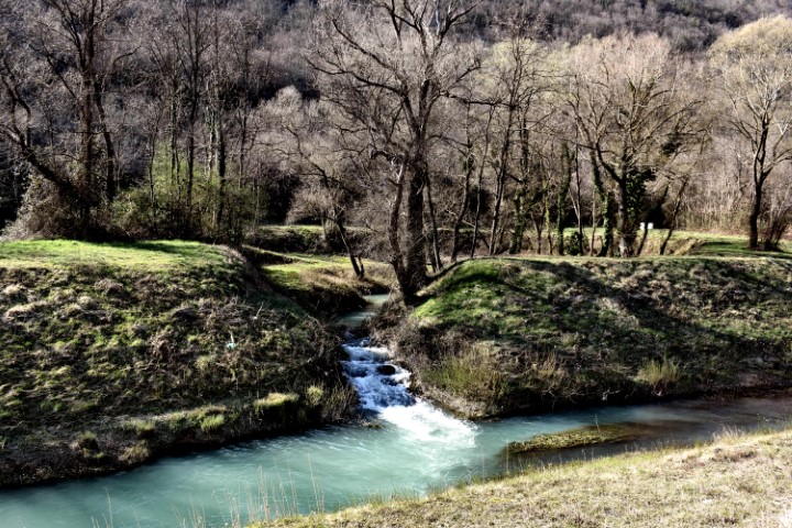
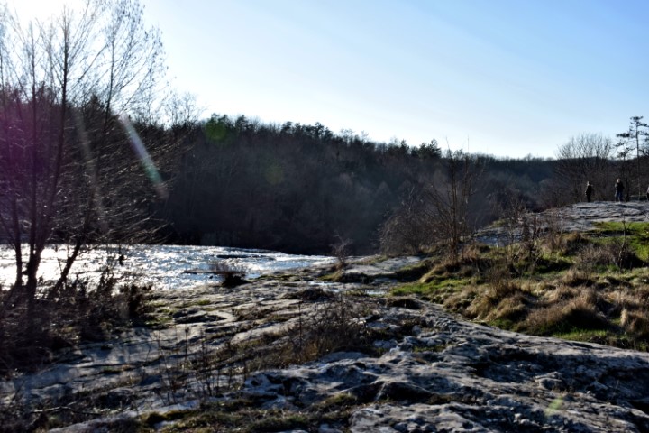
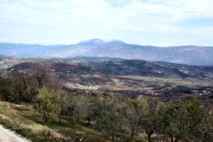
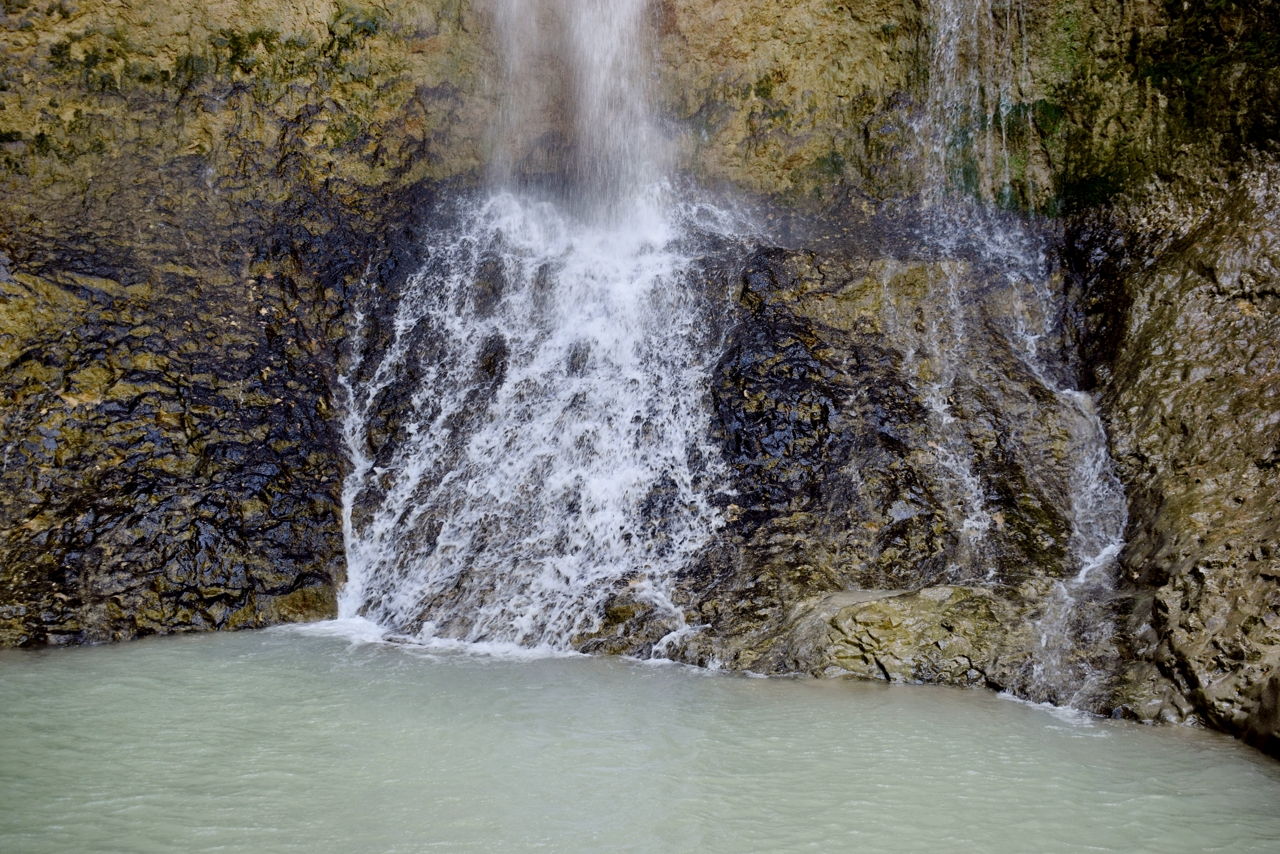
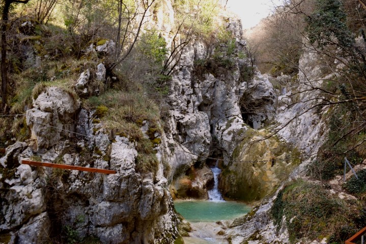
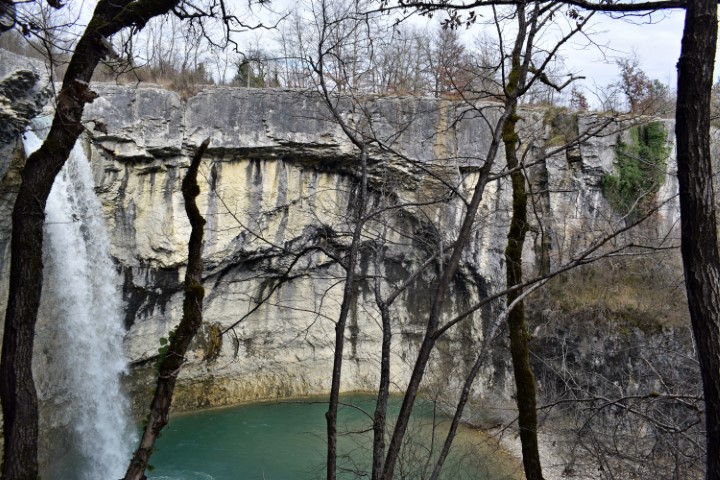
Name: Zarečki waterfall.
Place: Zarevje – (Pazin).
Coordinates: 45.24893 N – 13.96134 E.
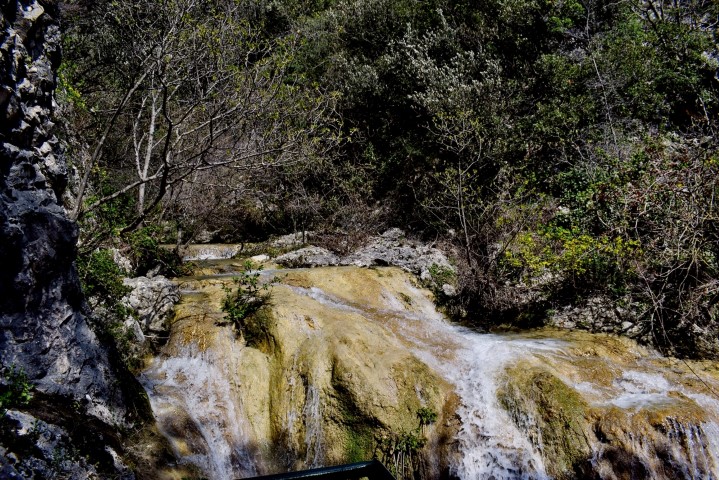
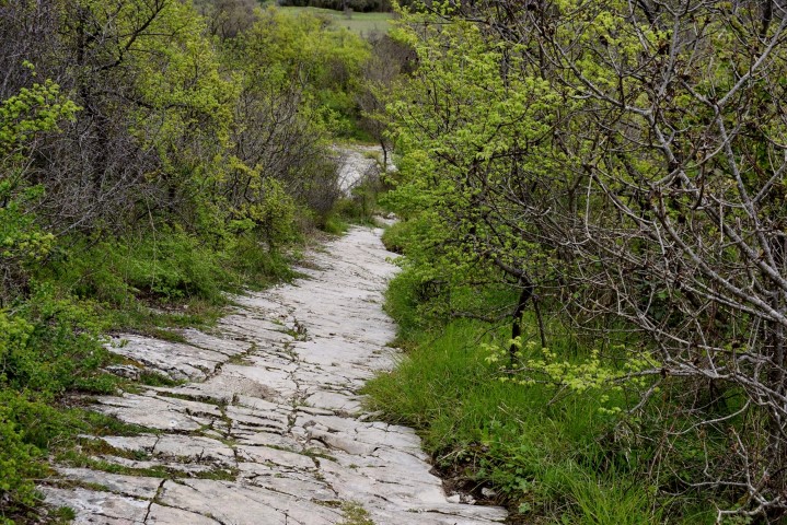
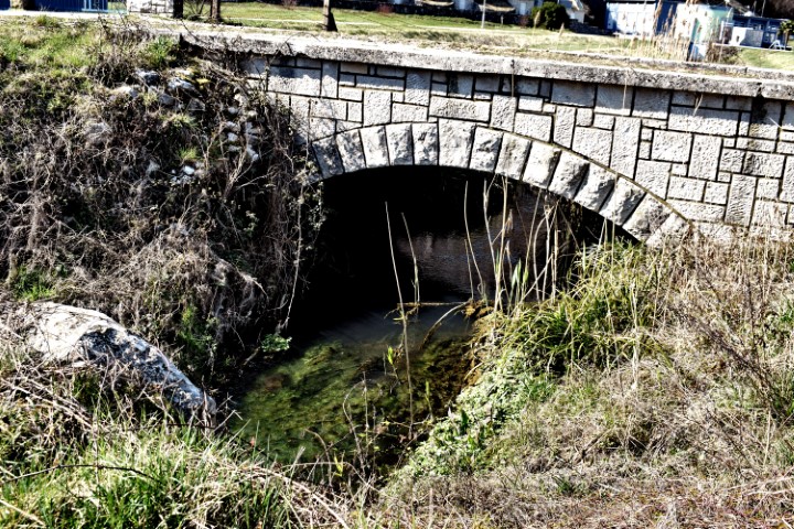
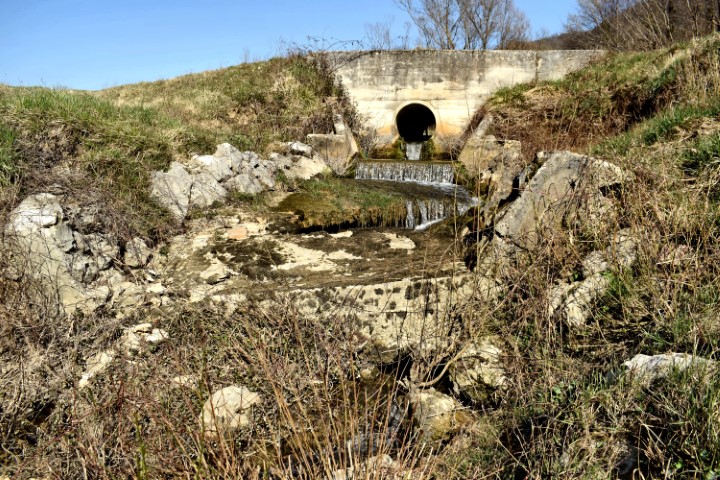
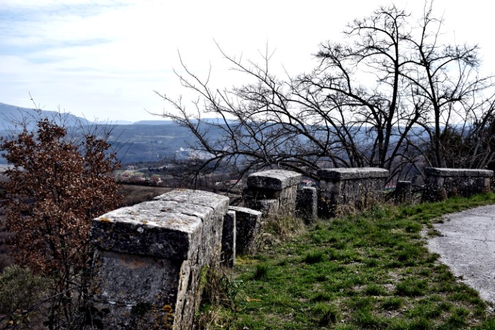
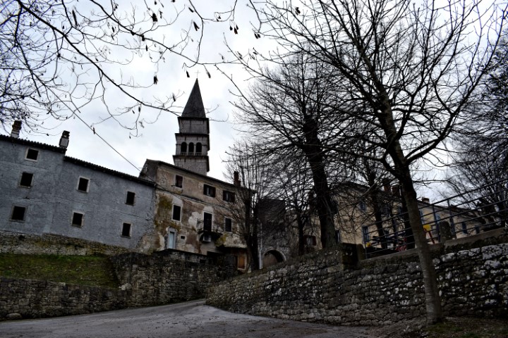
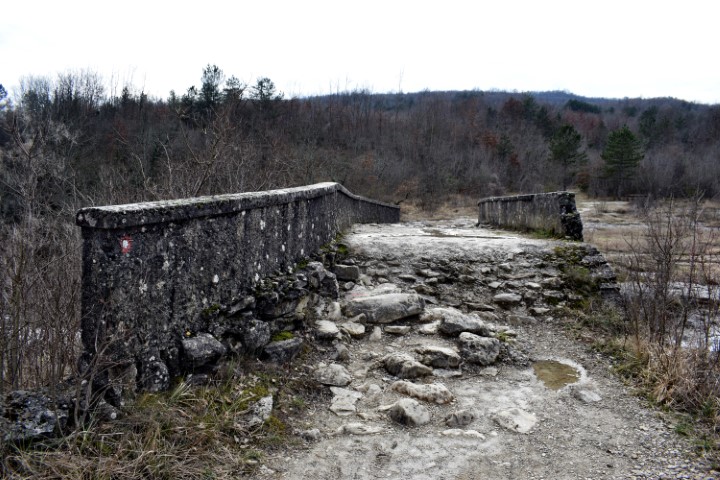
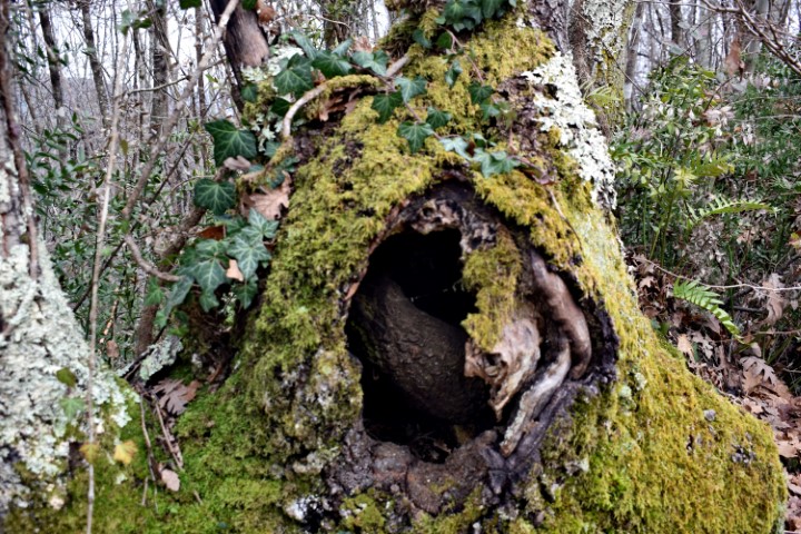
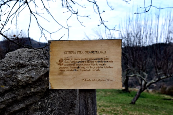
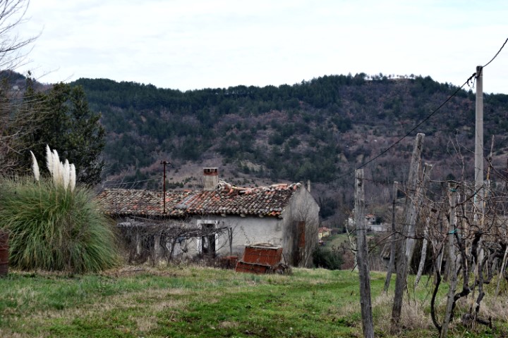
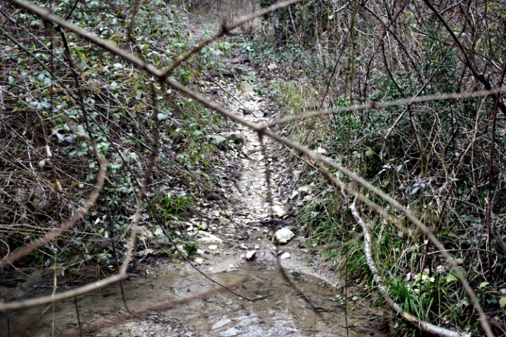
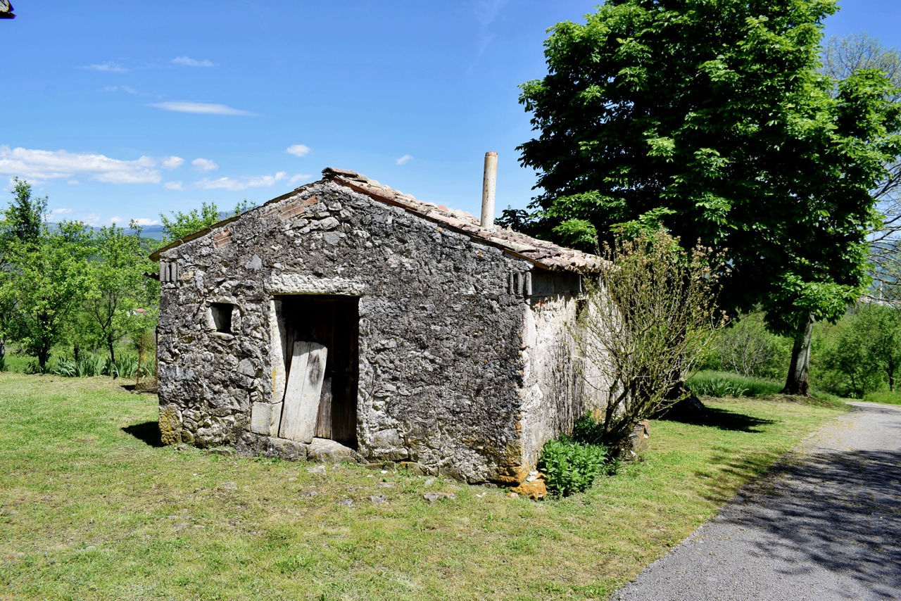
Name: Hiking trail 702 from the church St. Roch in Pičan to the waterfall Sopot.
Places: Lazišće – Slavići – Floričići – Pičan,
River: The Švićki.
Coordinates: Startpoint Pičan 45.20420 N – 14.04033 E, Slap sopot/ bridge 45.21882 N – 14.04385 E.
See too the post placed on 2020-06-25.

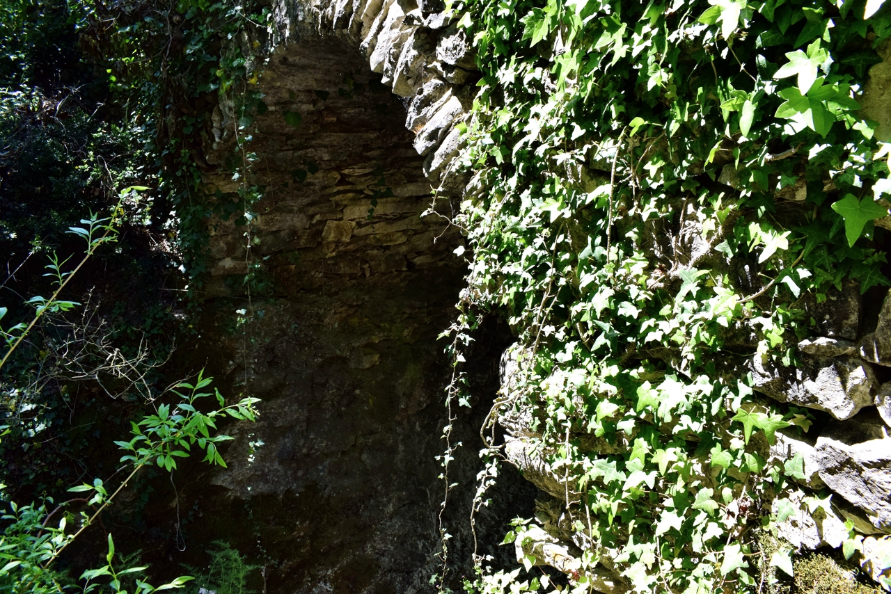
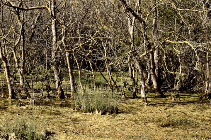
Name: Watermills Žudetići.
Place: Žudetići – (Vižinada).
Coordinates: 45.34738 N – 13.74436 E.