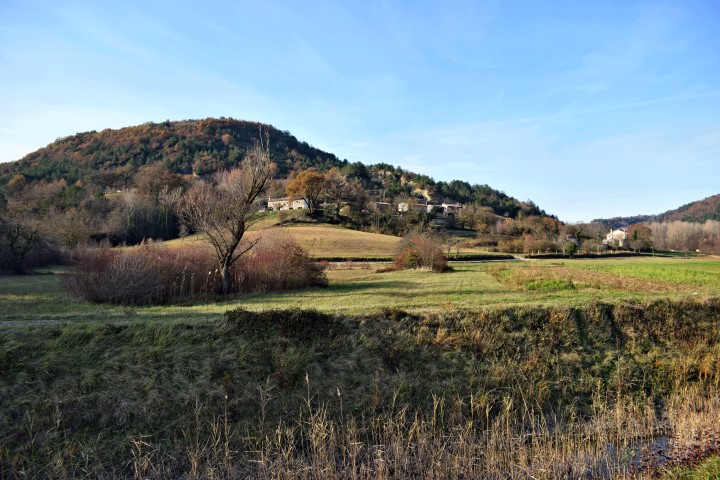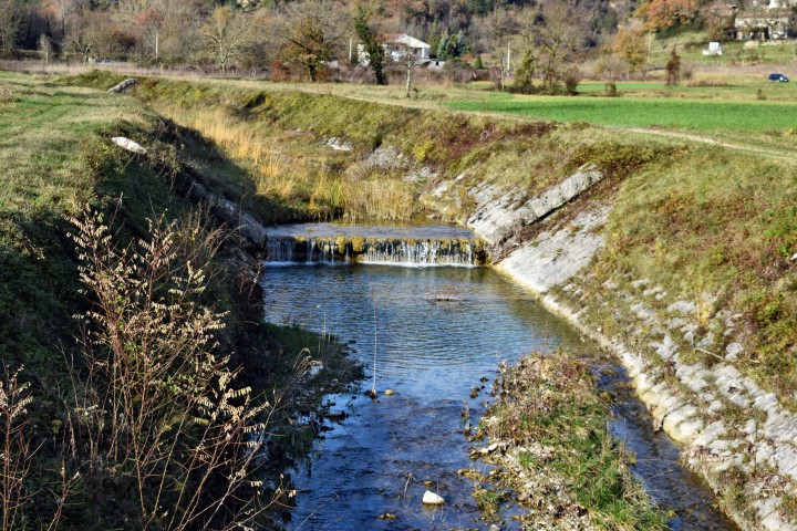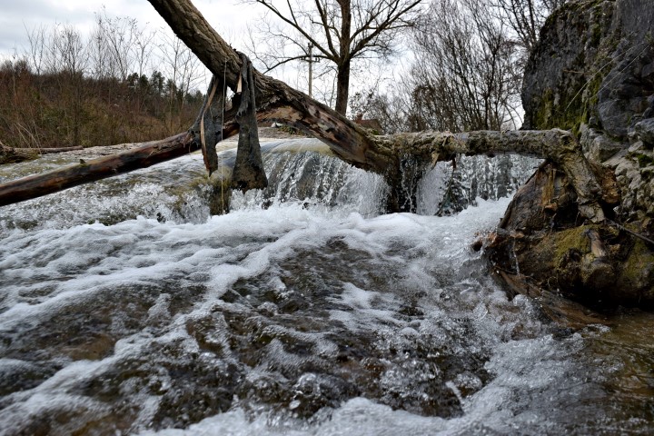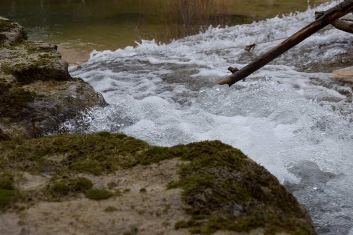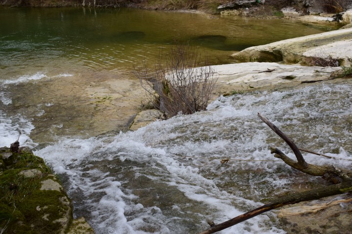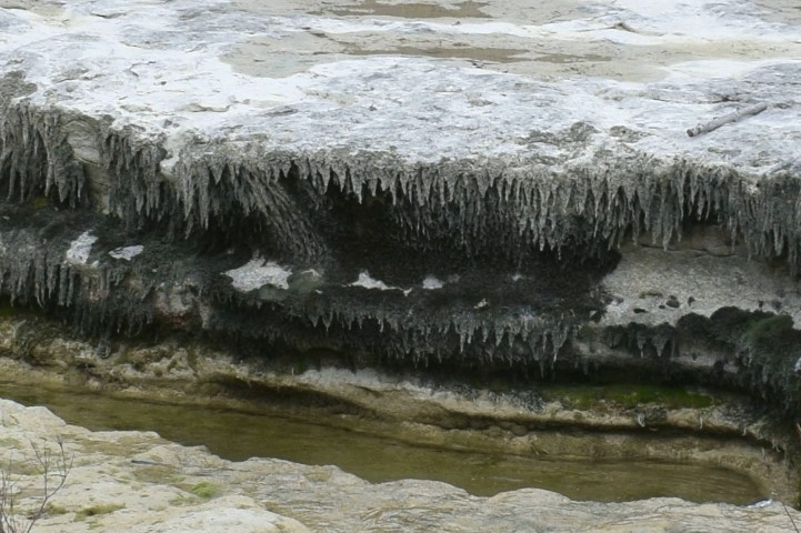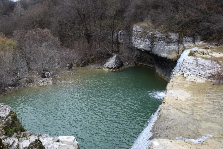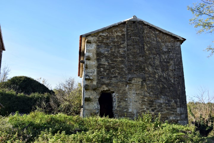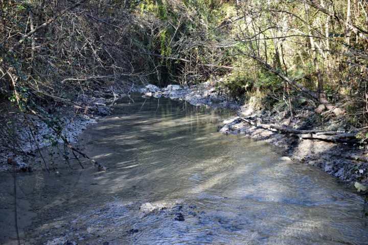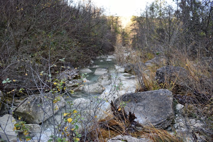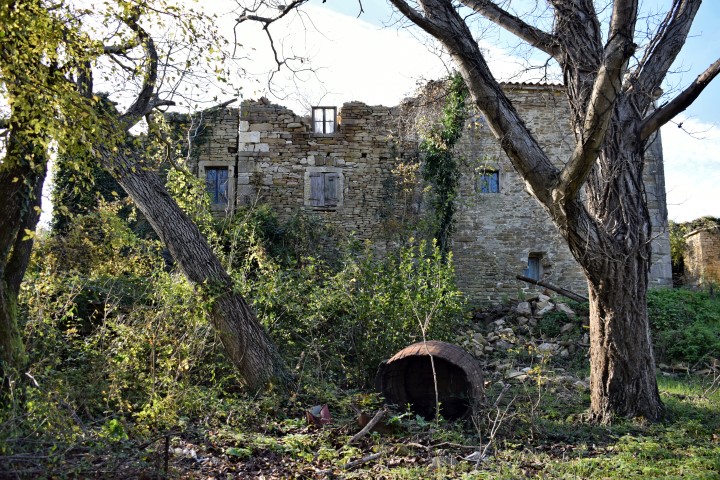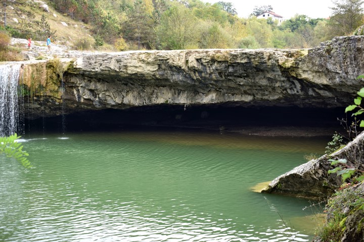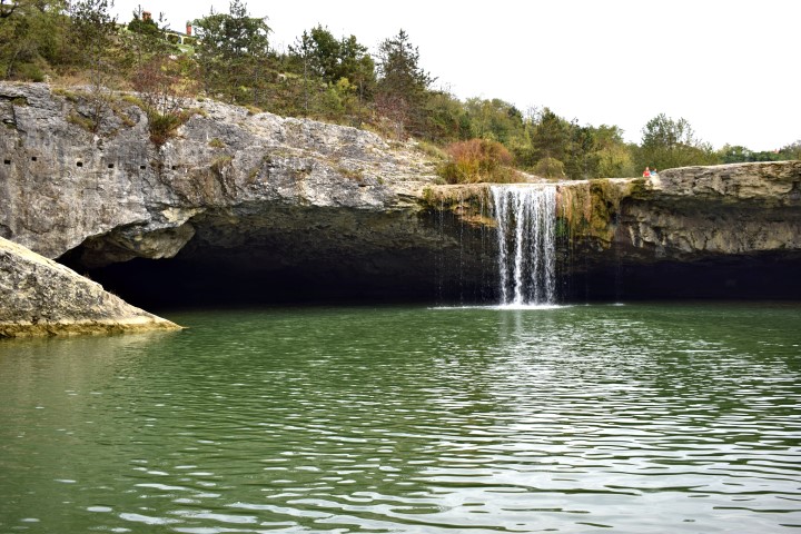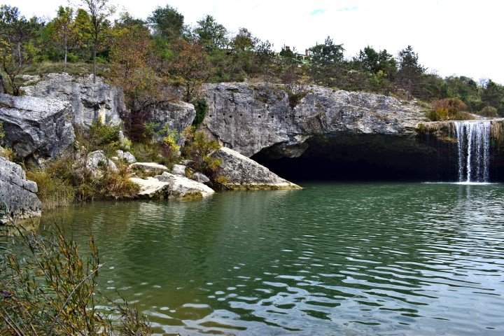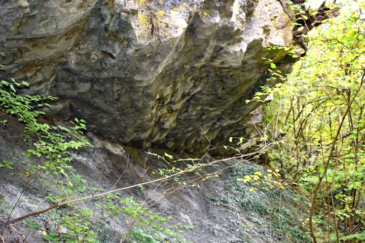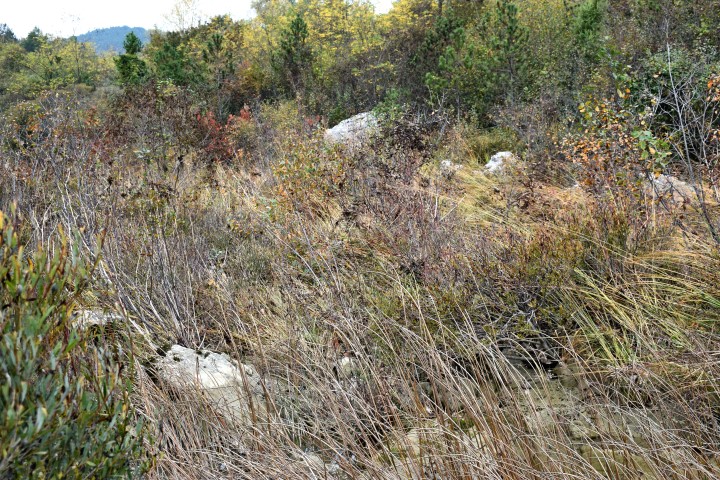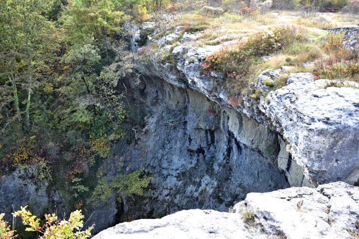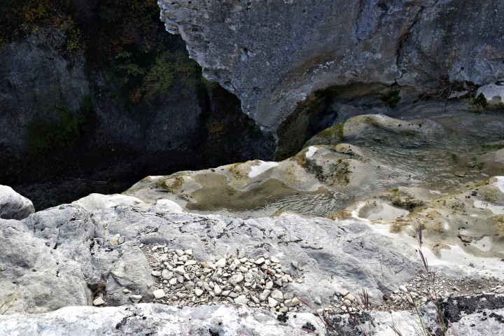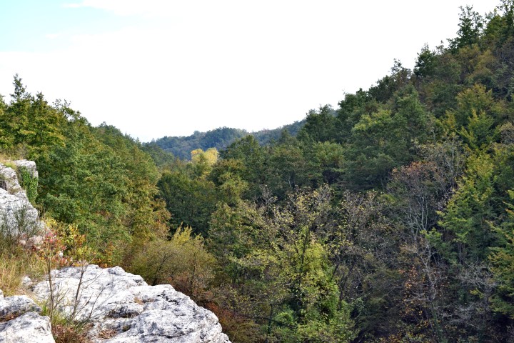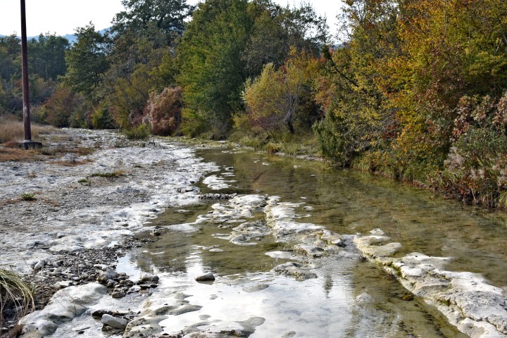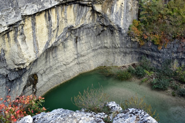

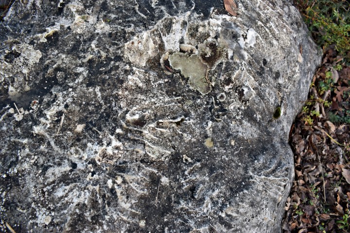
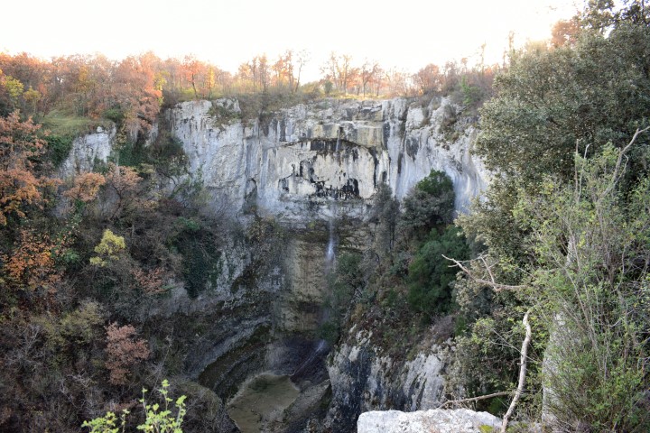
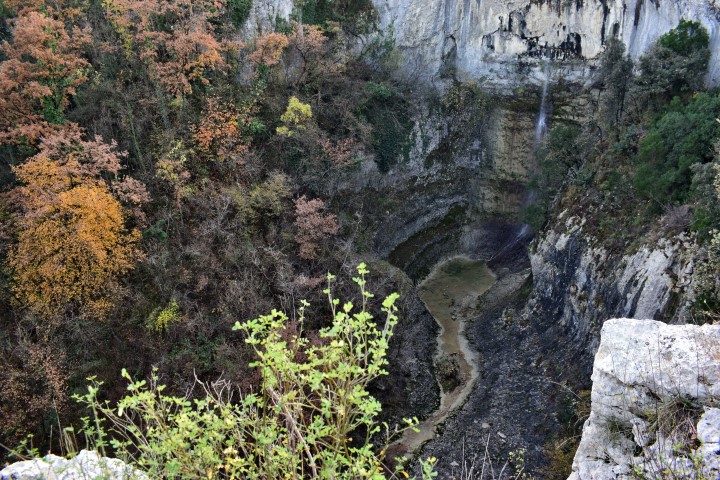

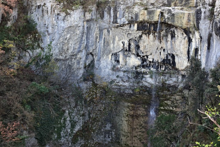

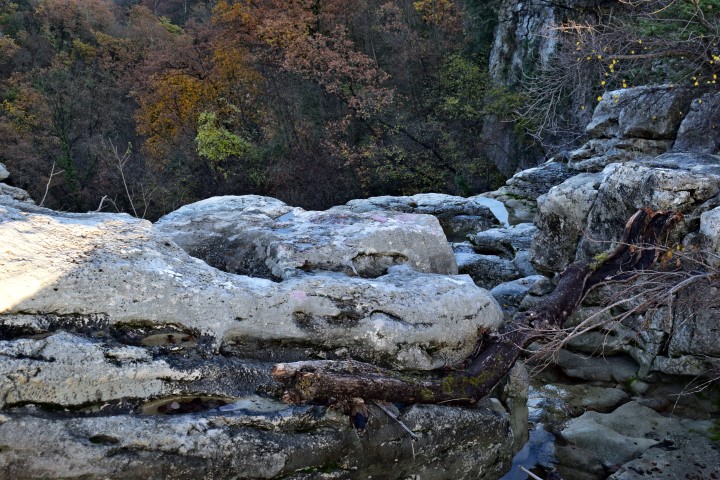
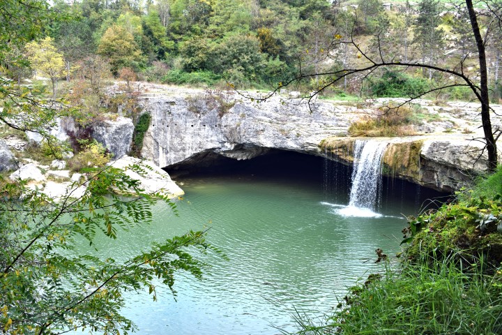
Name: Waterfall Benkovići.
Place: Benkovići – (Pićan).
Stream: Granjanski potok.
Coordinates: 45.200384 N – 14. 057267 E.
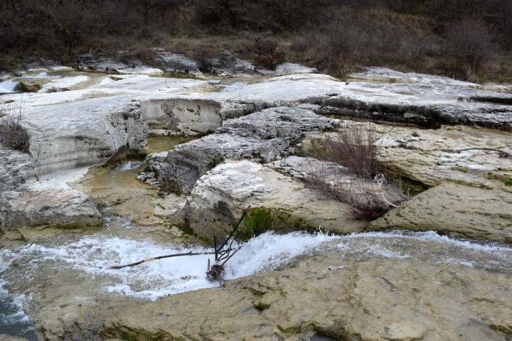
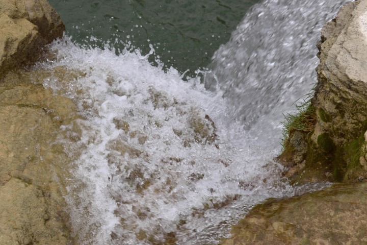
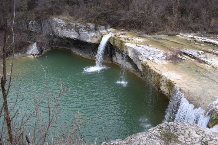
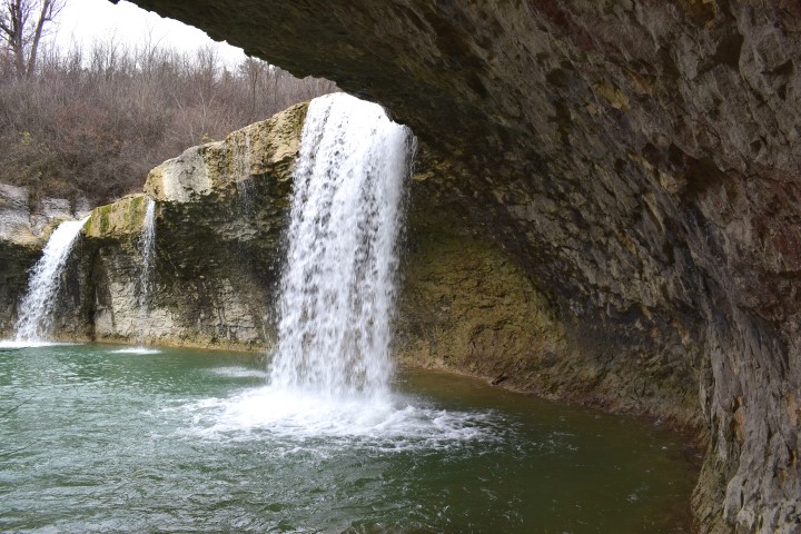
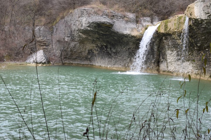
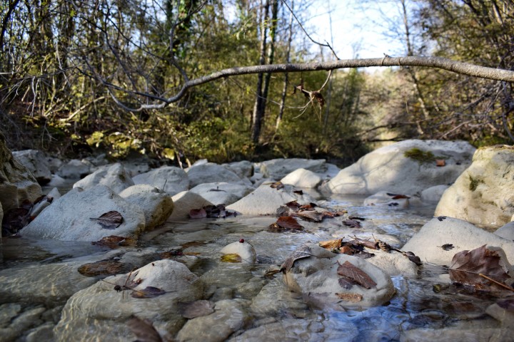
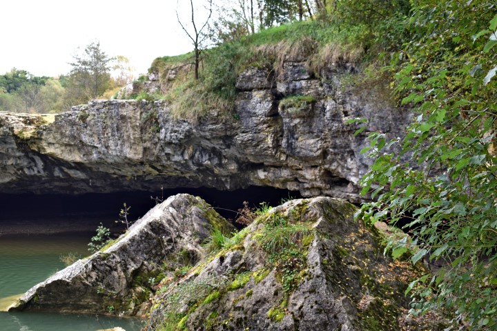
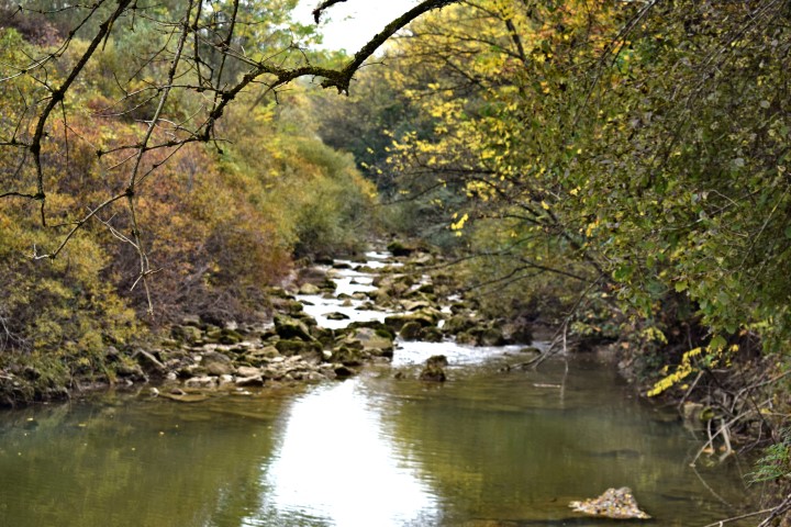
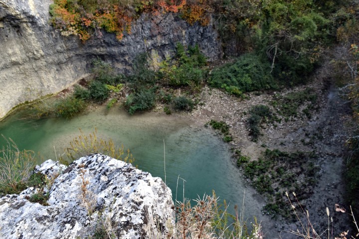
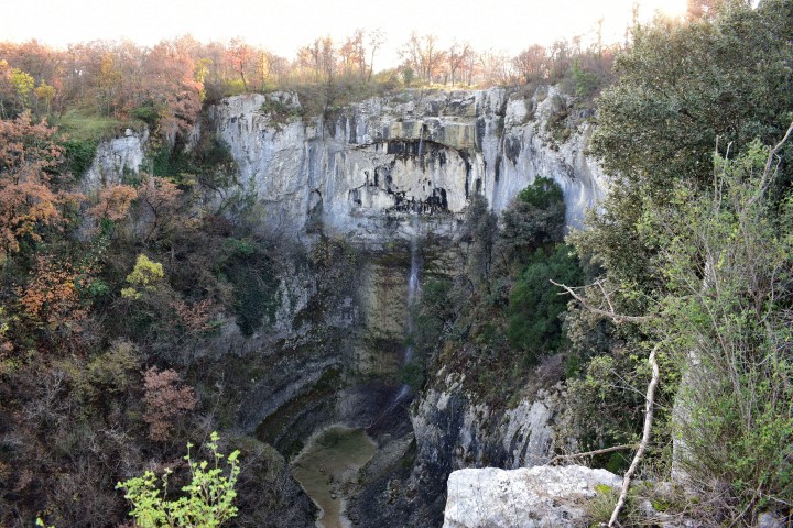
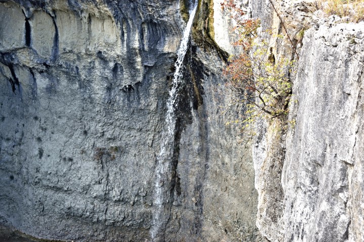
Name: Waterfall Benkovići.
Place: Benkovići – (Pićan).
Stream: Granjanski potok.
Coordinates: 45.200384 N – 14. 057267 E.
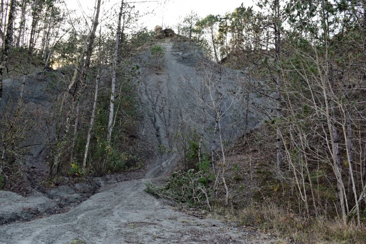
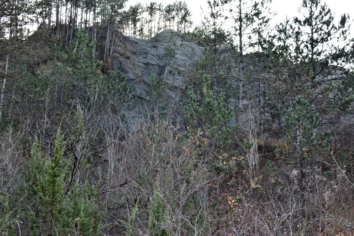
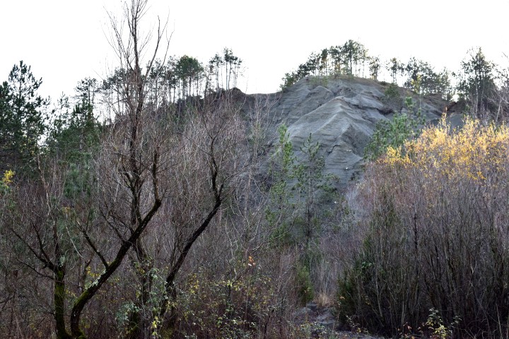
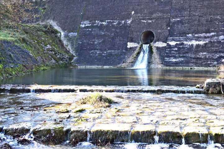
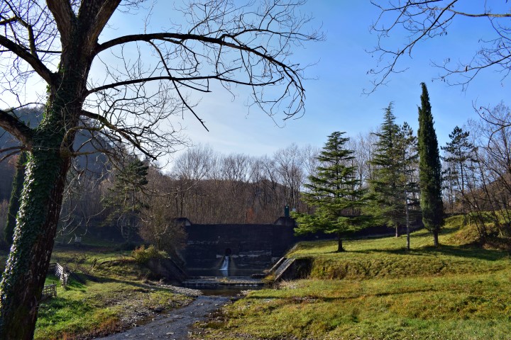
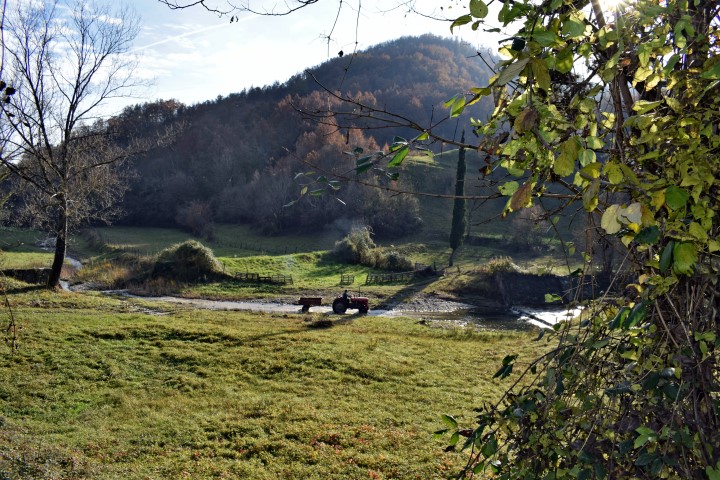
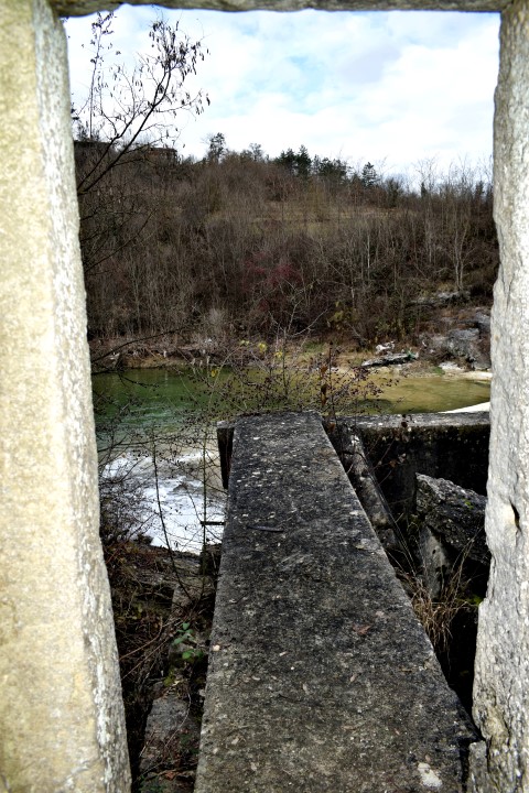
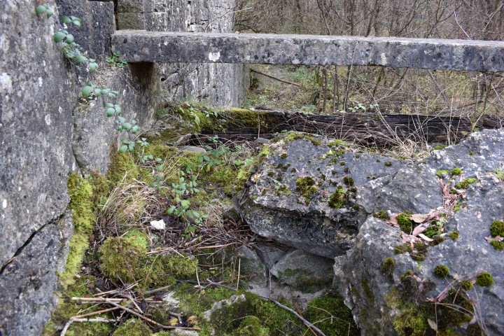
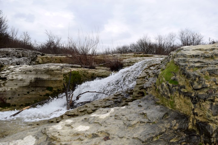
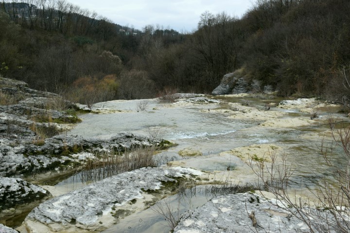
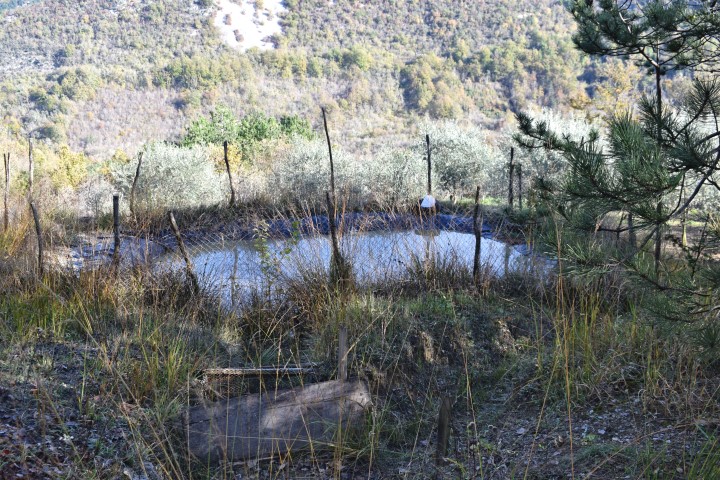
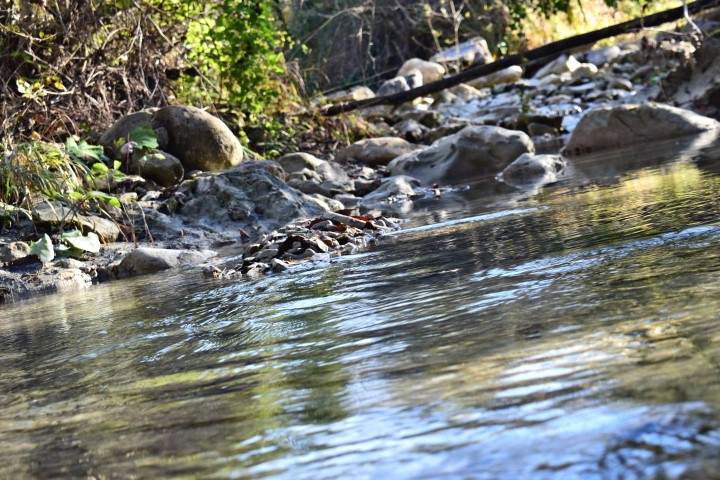
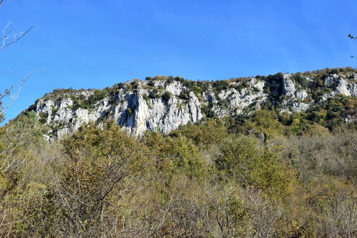
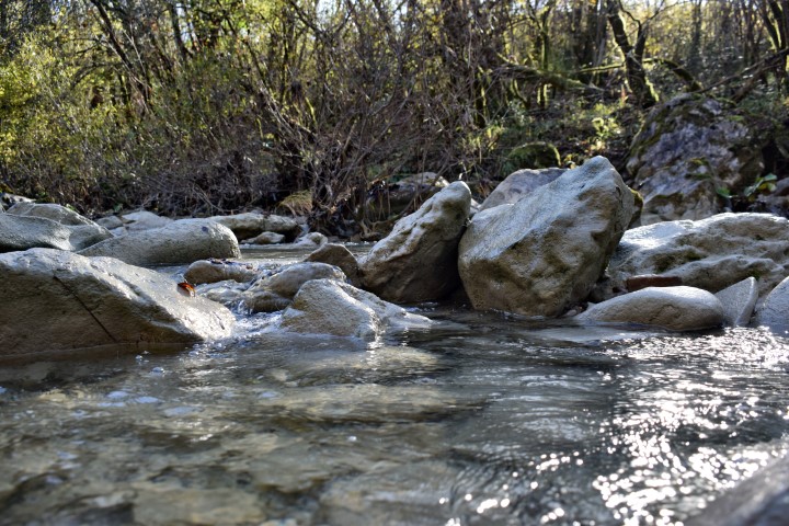
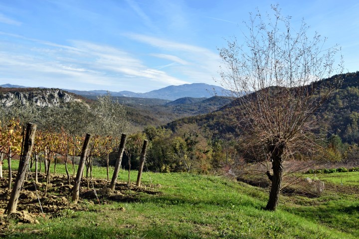
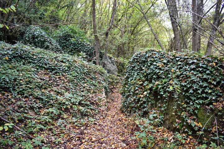
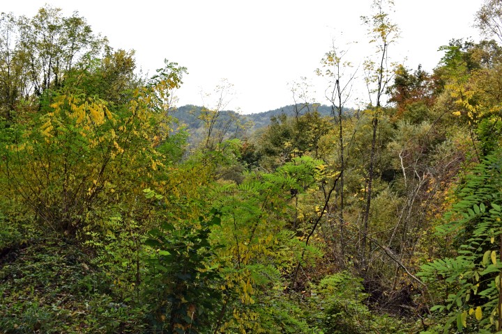
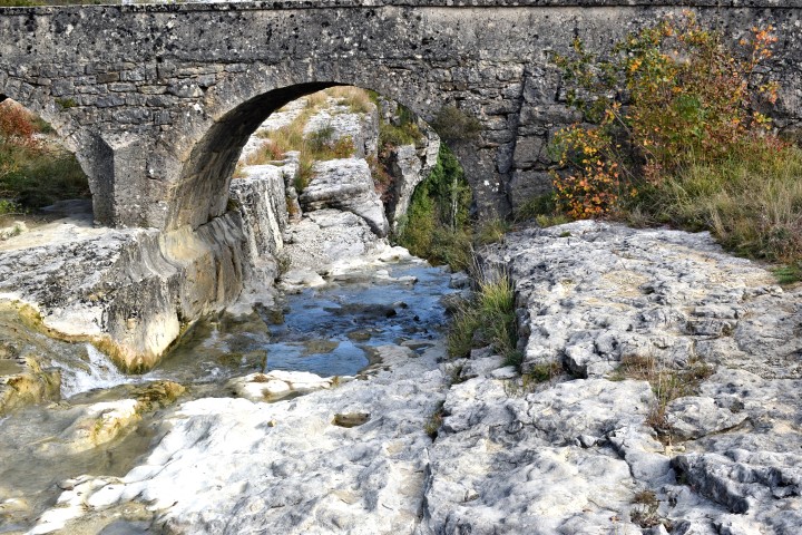
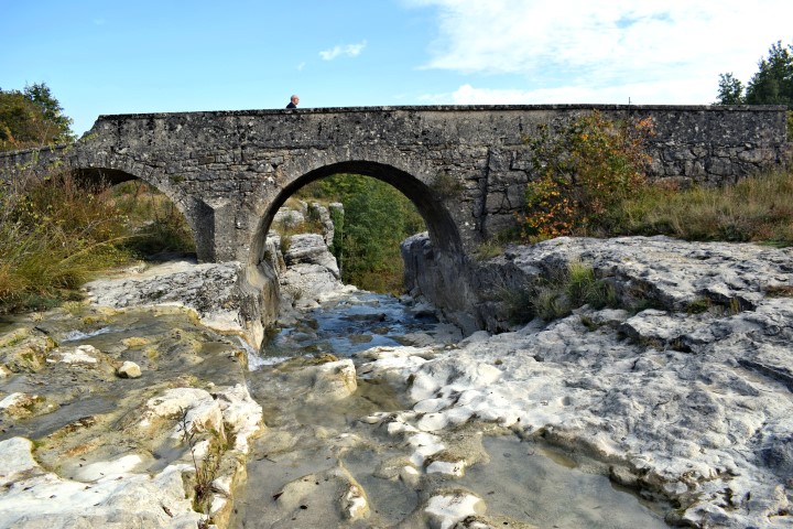
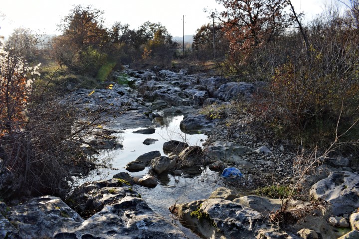
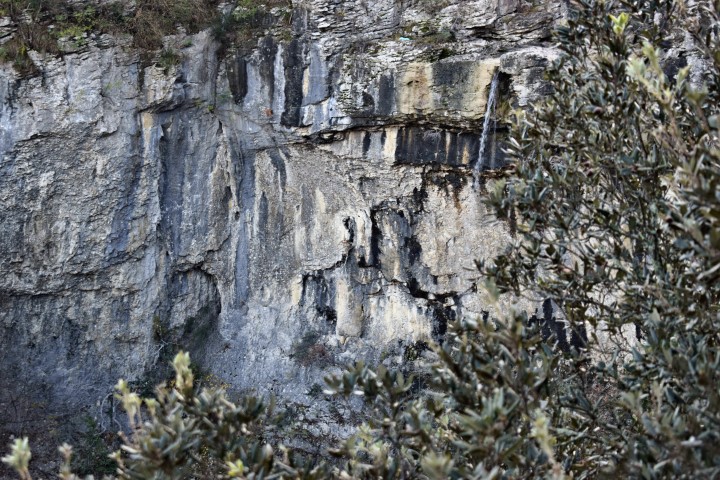
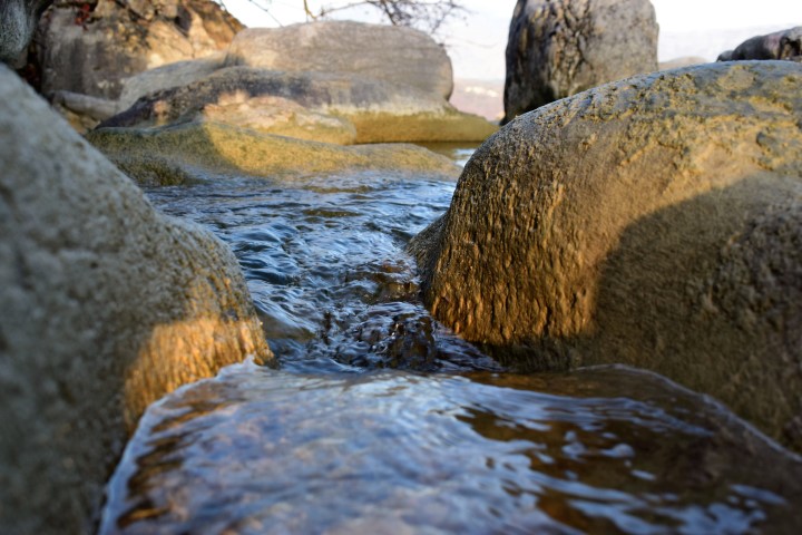
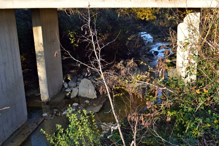
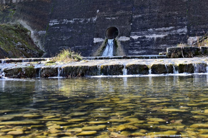
Name: Weir near Skopljak.
Place: Skopljak – (Pićan).
River: Karbuna.
Coordinates: 45.231013 N -14.054039 E, (more…)
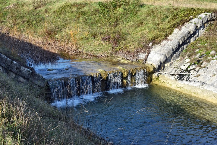
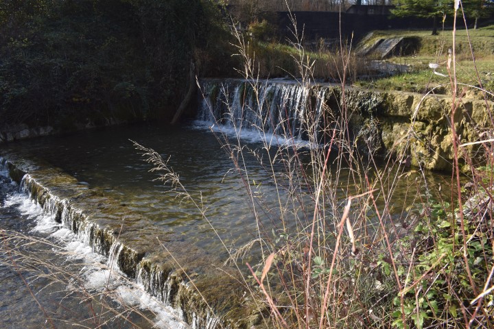
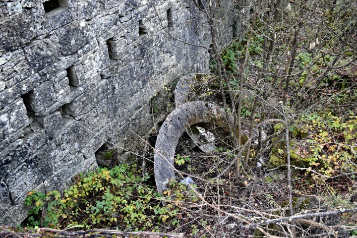
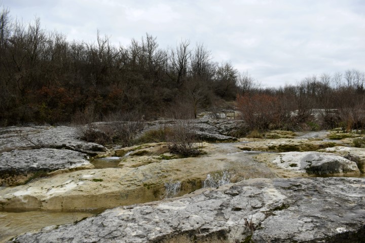
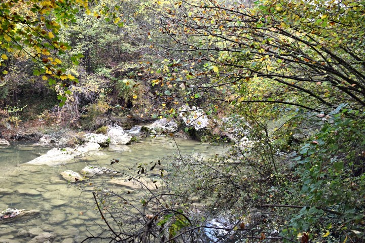
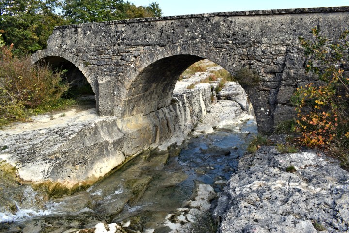
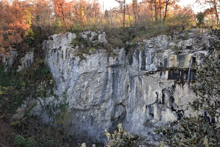
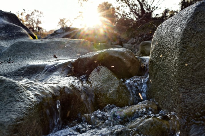
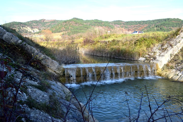
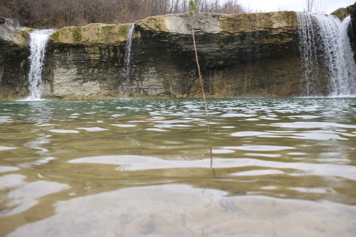
Name: Weir Zuhtići.
Place: Zuhtići- Gologorički Dol – (Cerovlje).
Stream: Gologorički potok
Coordinates: 45.23736 N – 14.050016 E.
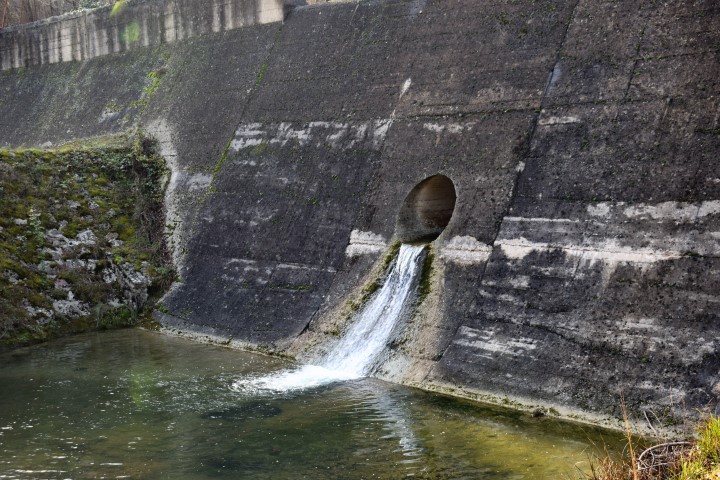
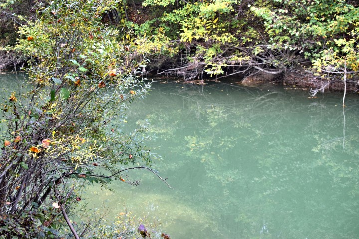
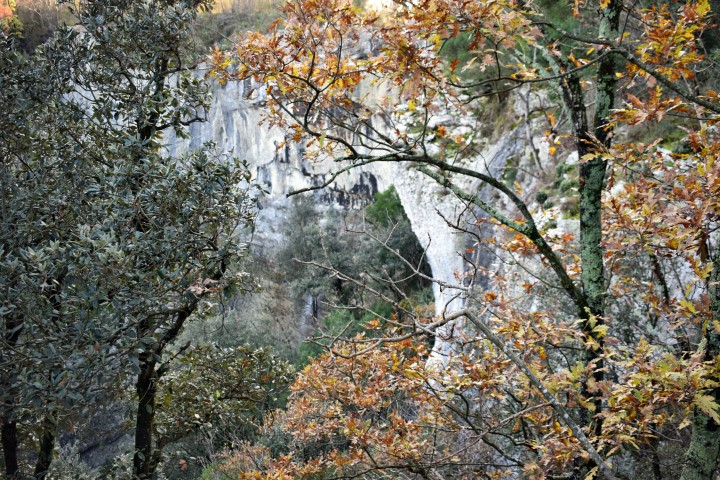
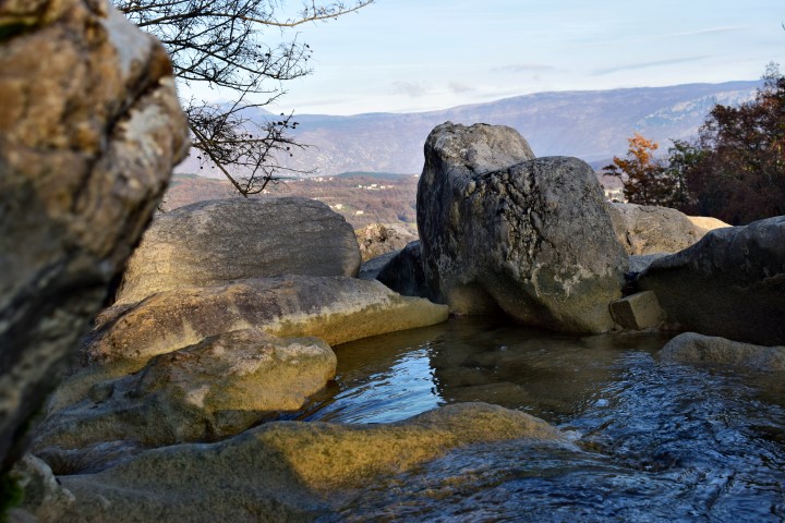
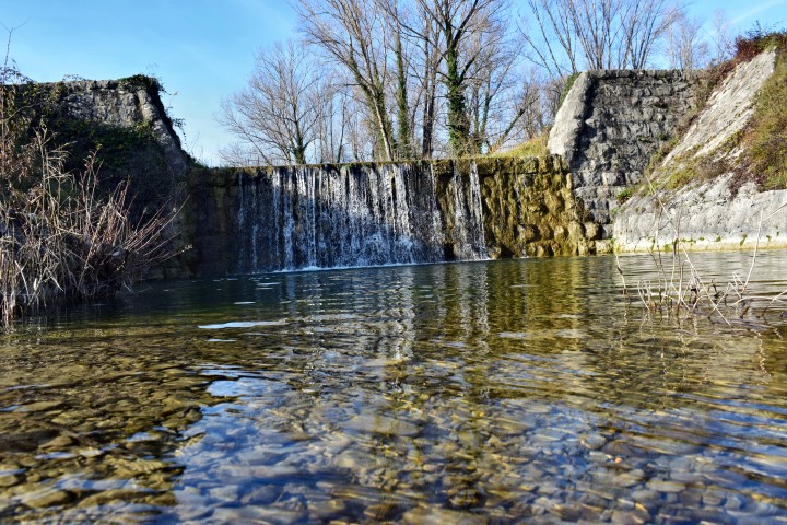
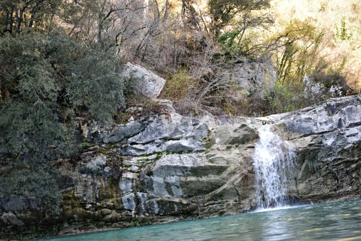
Name: Weir/waterfall Sepčiči.
Place: Sepčići – (Cerovlje).
Coordinates: 45.24258 N -14.039760 E
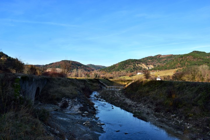
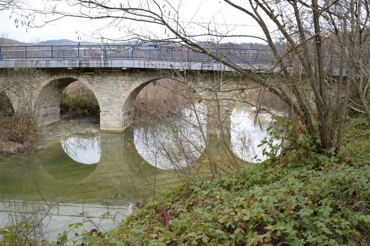
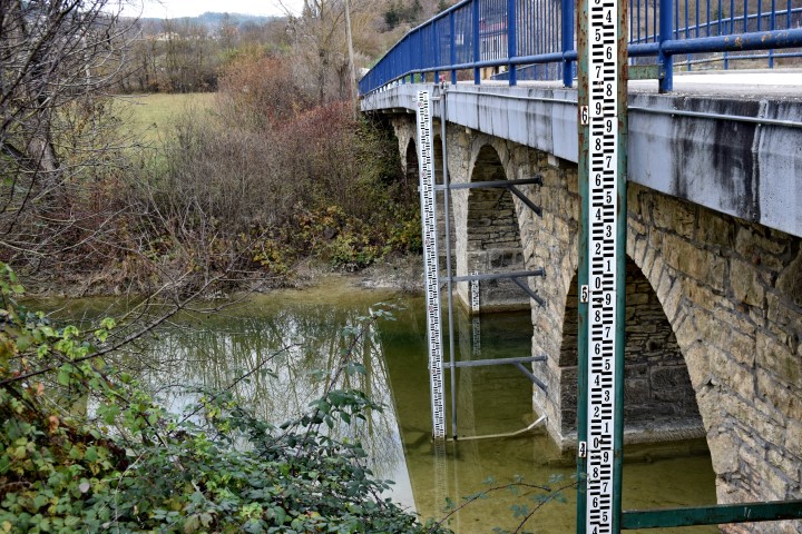
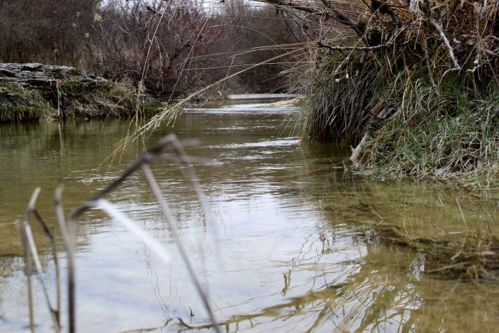
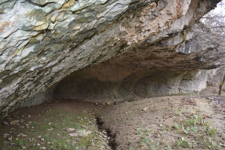
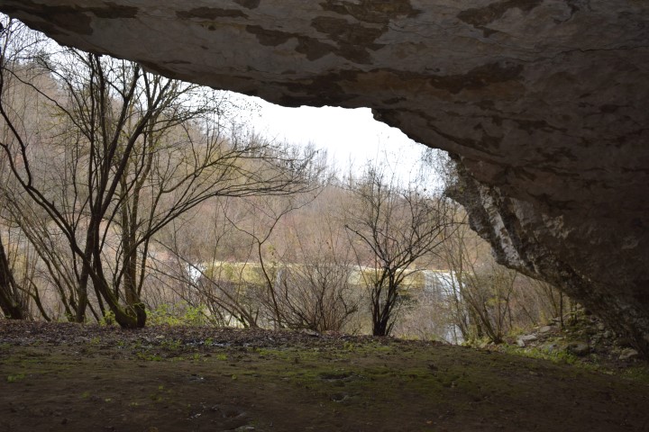
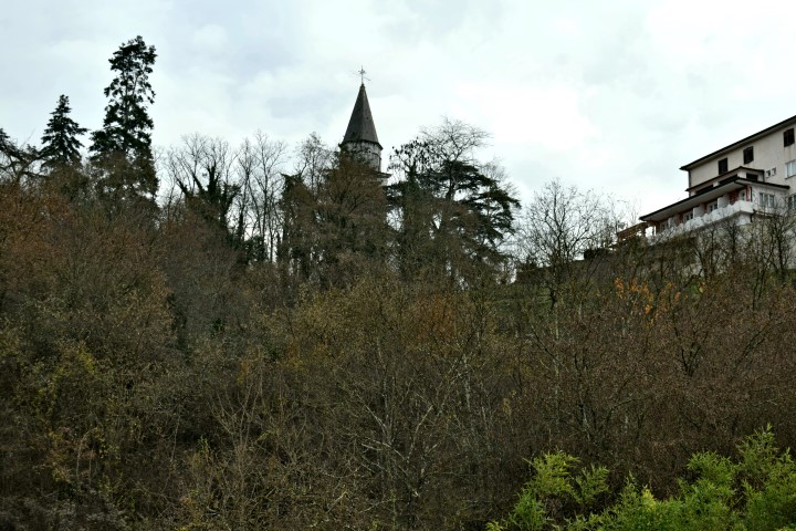
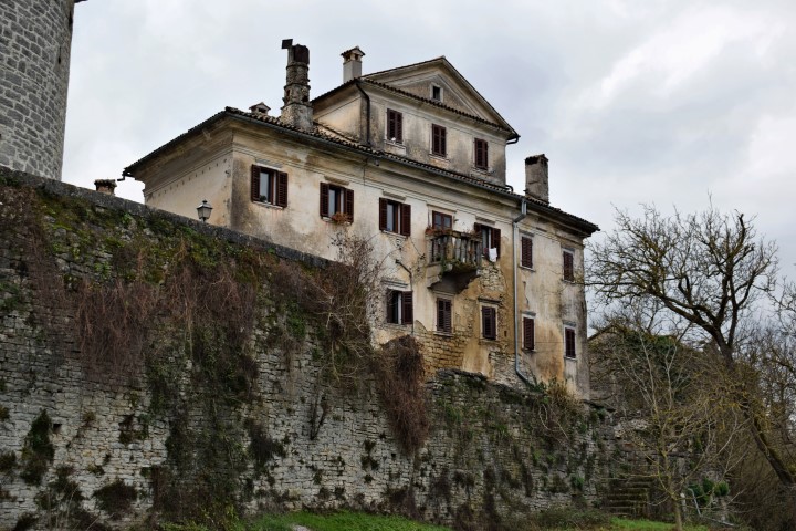
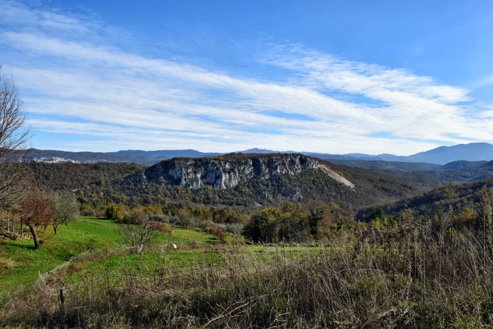
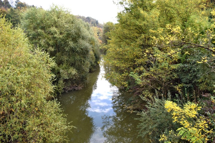
Name: Pazinski krov – Pazinćica stream.
Place: Pazin
Coordinates: Start near bridge St.Jožefa, 45,24498 N – 13.93867 E.
Pazinski krov: 45.24354 N – 13.93536 E.
Prilaz Kaštelu Pazin: 45.24032 N – 13,93126 E,
(more…)
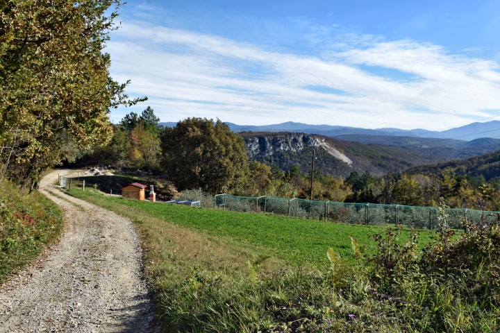
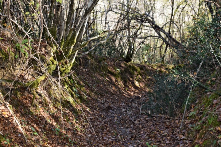
Name: Hiking path from Sv. Sveti to the waterfall Gjork (Mirna) along Podkuk.
Place: Sv. Sveti – Podkuk – (Buzet)
Coordinates:
Starting point: Sv. SvetI 45.38207 N – 13.99431 E.
Podkuk: 45.38317 N – 13.981710 E.
Grjok: 45.37985 N – 13.99586 E.
See too the post dated 2018-01-17.
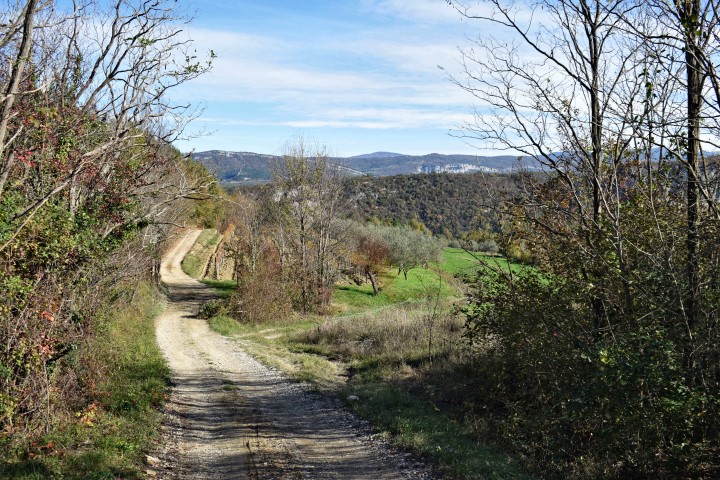
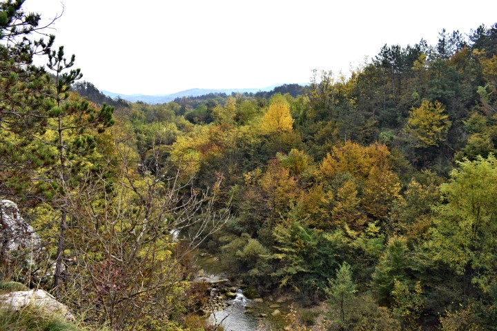
Name: Hiking path Zarečki krov – Pazinćica river.
Place: Zarečje – Dušani – (Pazin).
Coordinates:
Start point: 45.25150 N -13.96076 E.
Zarečki krov: 45.24913 N – 13.96131 E.
Path left site Pazinćica: 45.24876 N -13.96135 E.
Bridge over Pazinćica near Dušani: 45.25035 N – 13.94900 E.
Beginning path right sit Pazinćica: 45.25127 N – 13.95194 E.
End point: 45.24951 N – 13.96077 E. (near start point). (more…)
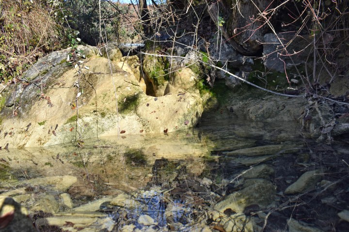
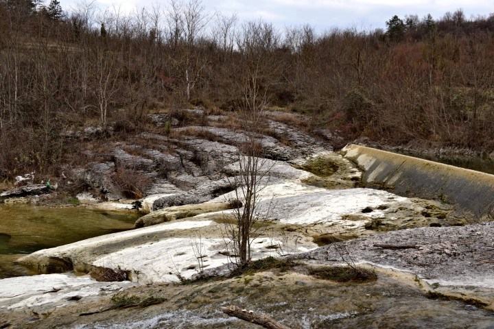
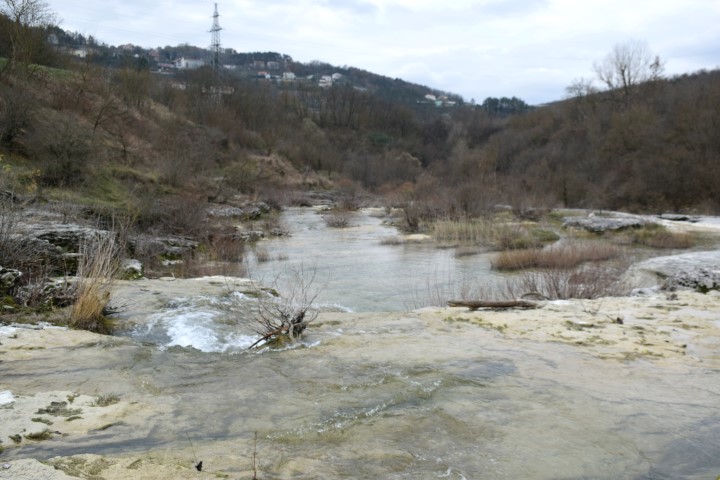
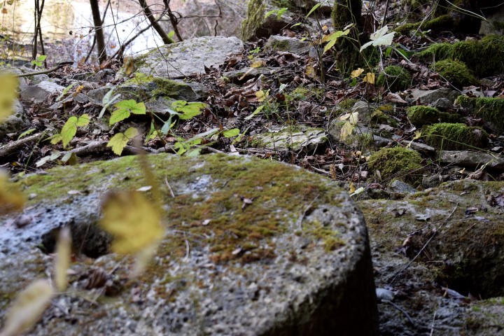
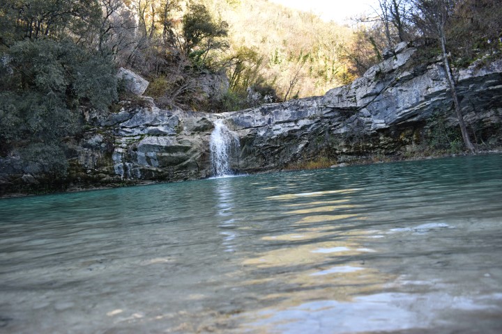
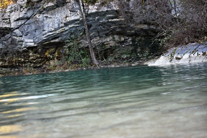
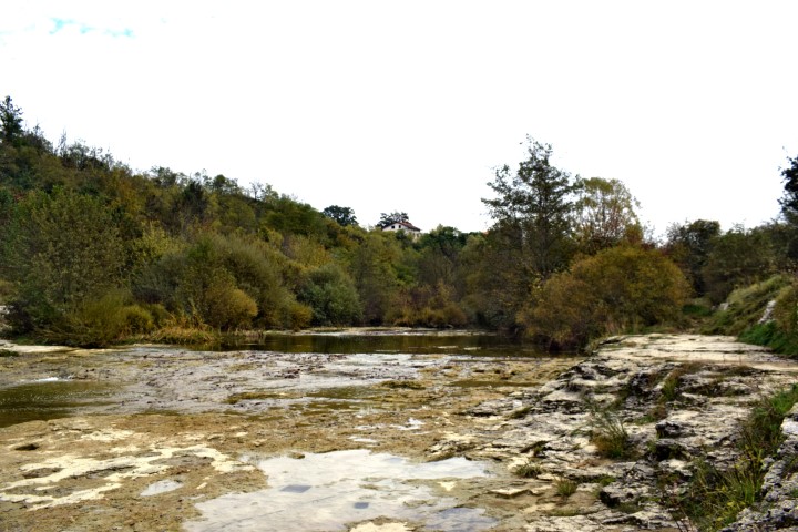
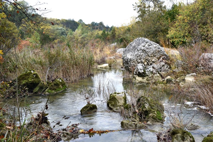
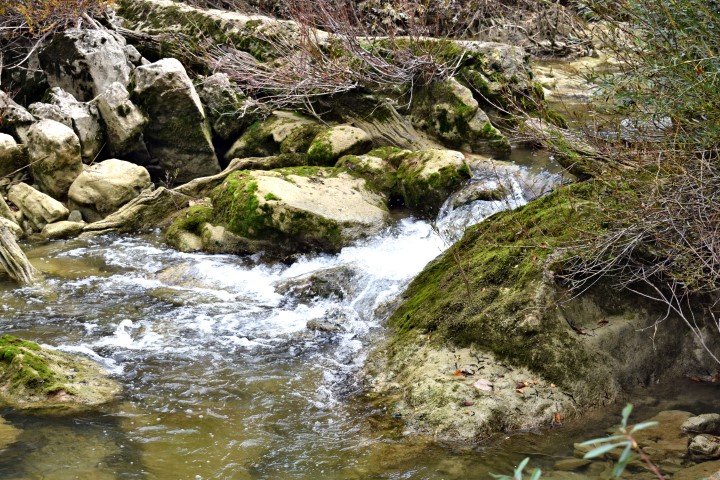
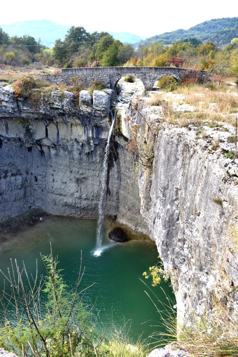
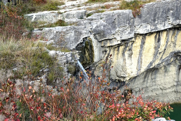
Name: Slap Sopot
Stream: Svićki potak
Place: Near Floričići – (Pican)
Coordinates: 45.21890 N – 14.04397 E
(more…)