Previous posts dated: 2018-10-18, 2018-01-17.
Waterfalls
Hiking path Zarečki krov – Pazinćica river
See too the post dated 2018-01-17.
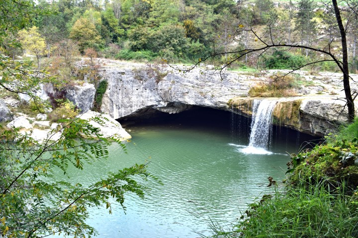
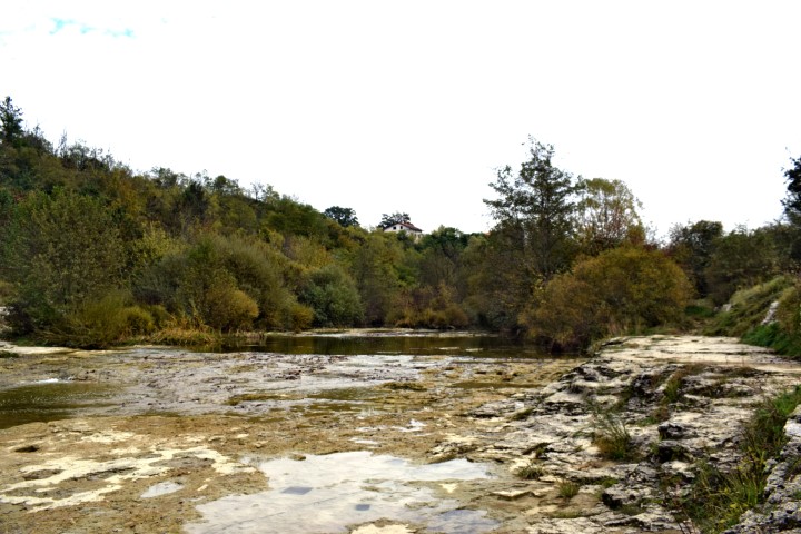
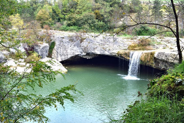
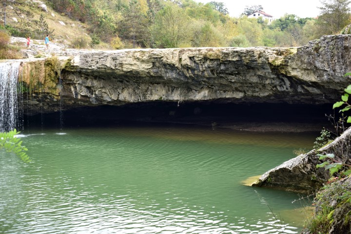
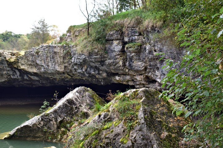
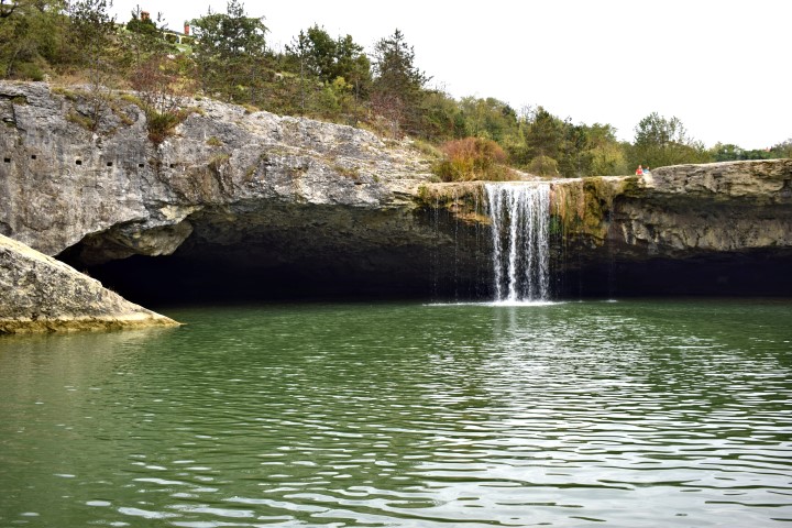
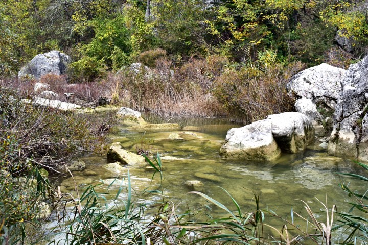
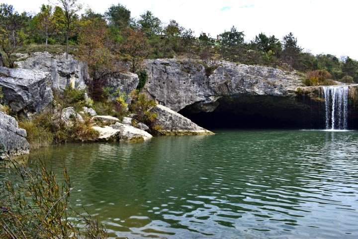

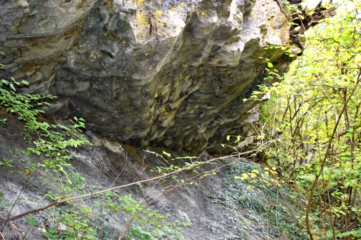
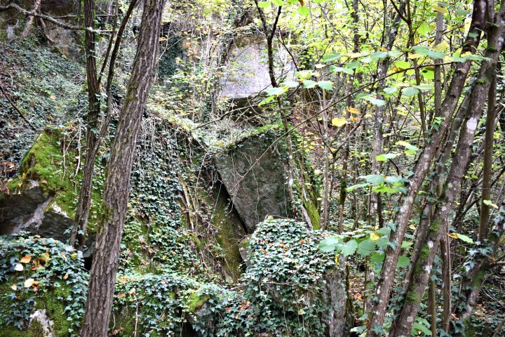
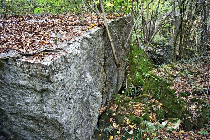
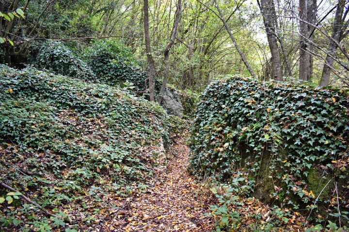
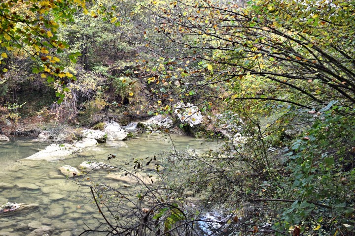
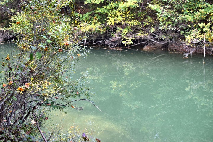
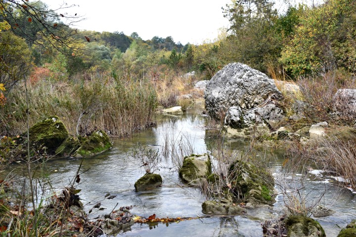
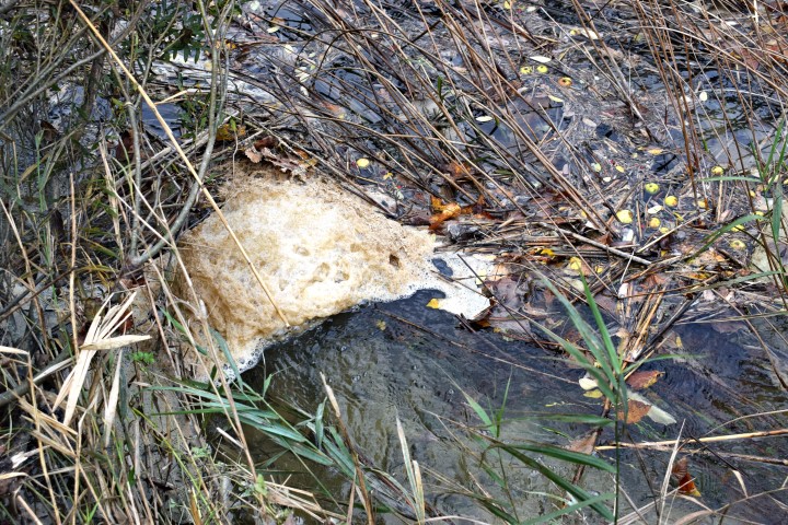
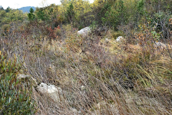
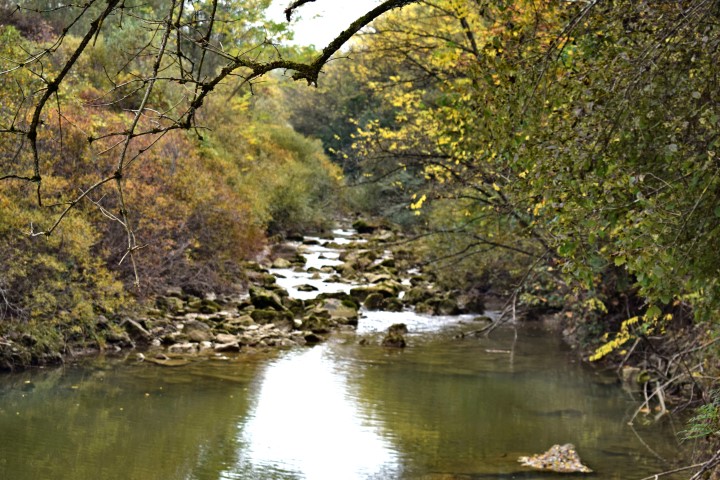

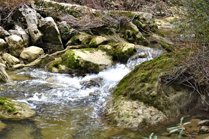
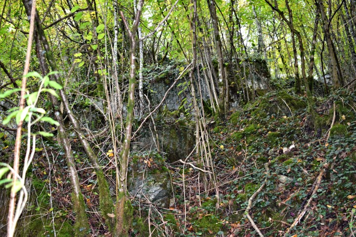
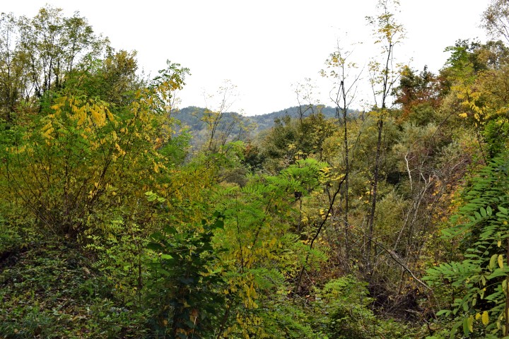
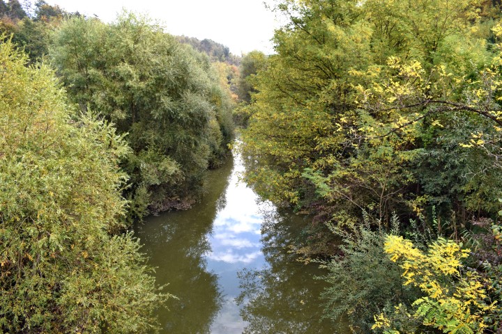


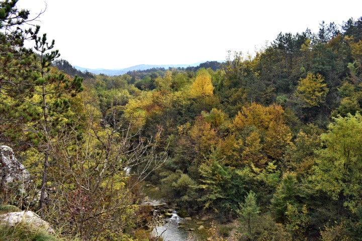

Name: Hiking path Zarečki krov – Pazinćica river.
Place: Zarečje – Dušani – (Pazin).
Coordinates:
Start point: 45.25150 N -13.96076 E.
Zarečki krov: 45.24913 N – 13.96131 E.
Path left site Pazinćica: 45.24876 N -13.96135 E.
Bridge over Pazinćica near Dušani: 45.25035 N – 13.94900 E.
Beginning path right sit Pazinćica: 45.25127 N – 13.95194 E.
End point: 45.24951 N – 13.96077 E. (near start point). (more…)
Slap Sopot – Pićan
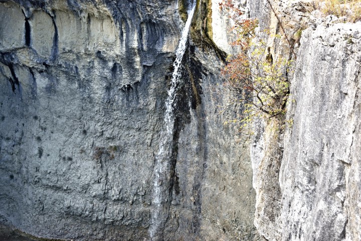
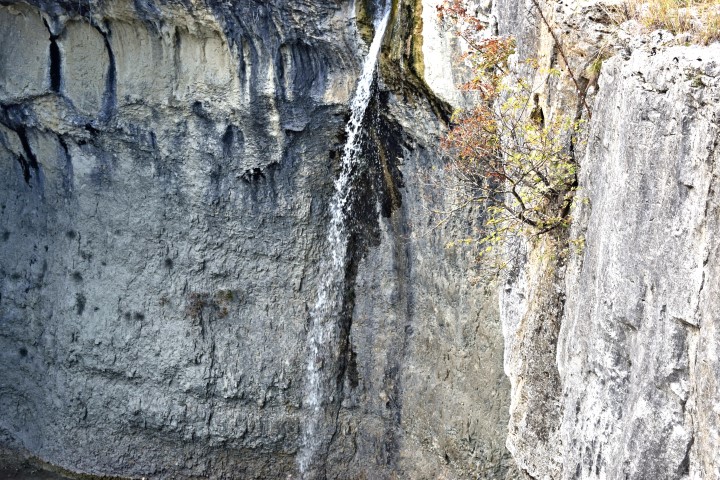
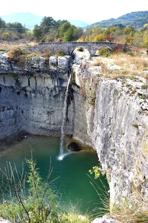

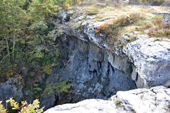
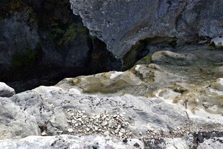
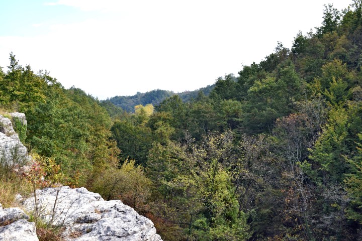
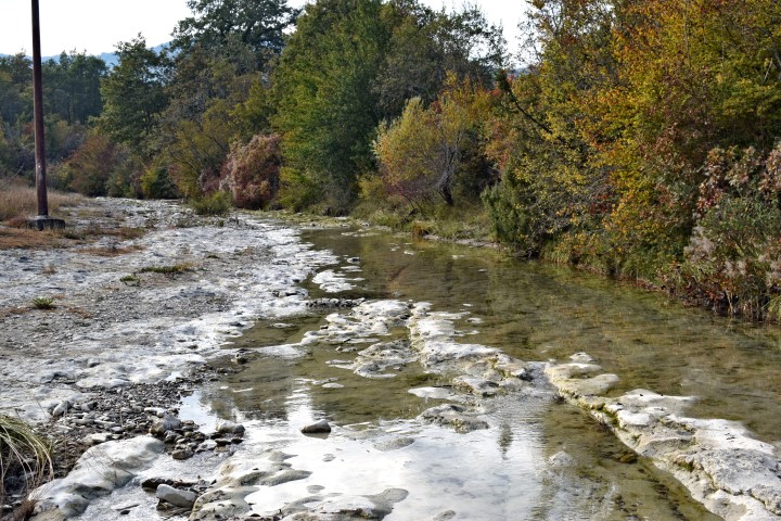
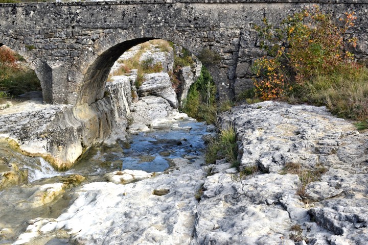
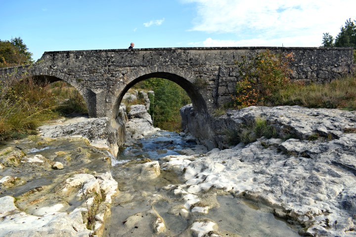
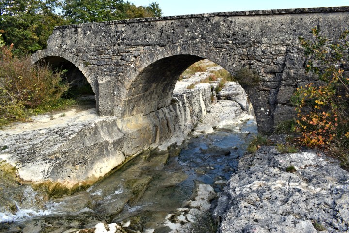
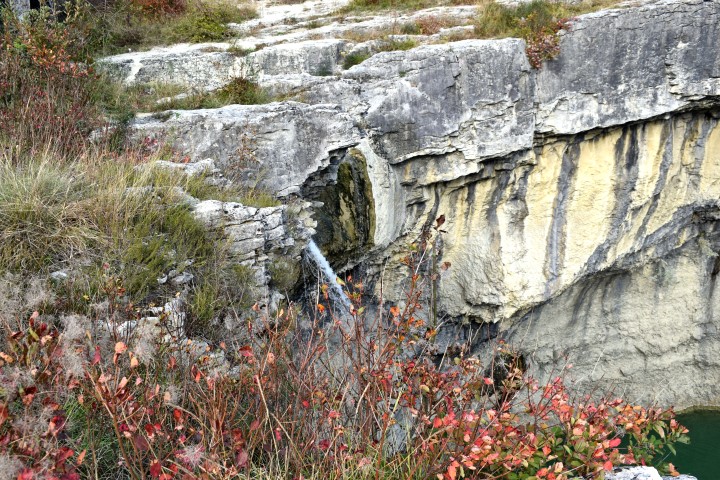
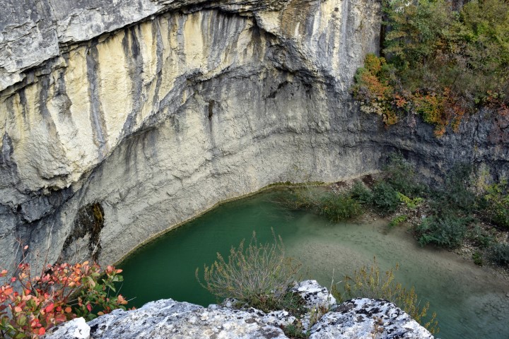
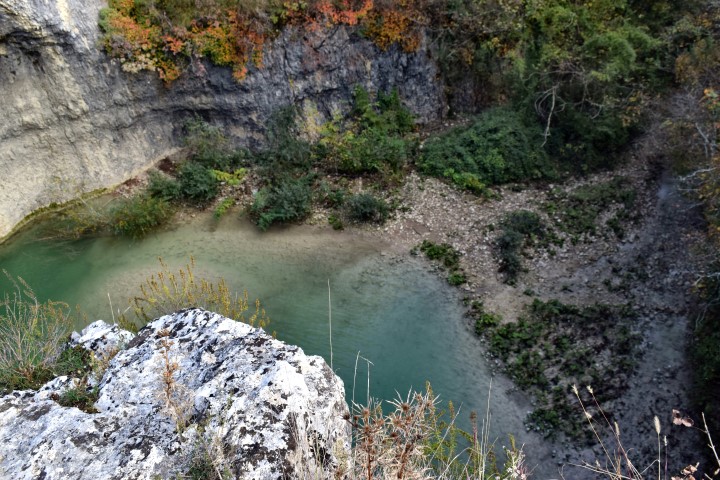

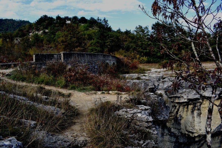


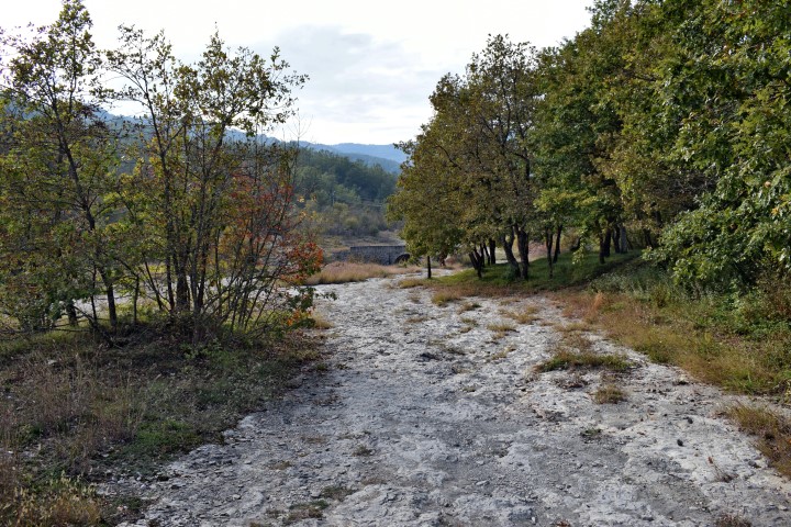
Name: Slap Sopot
Stream: Svićki potak
Place: Near Floričići – (Pican)
Coordinates: 45.21890 N – 14.04397 E
(more…)


Butori waterfall
See also the posts: 2018-06-26, 2018-04-29, 2018-02-05 and 2018-01-26.
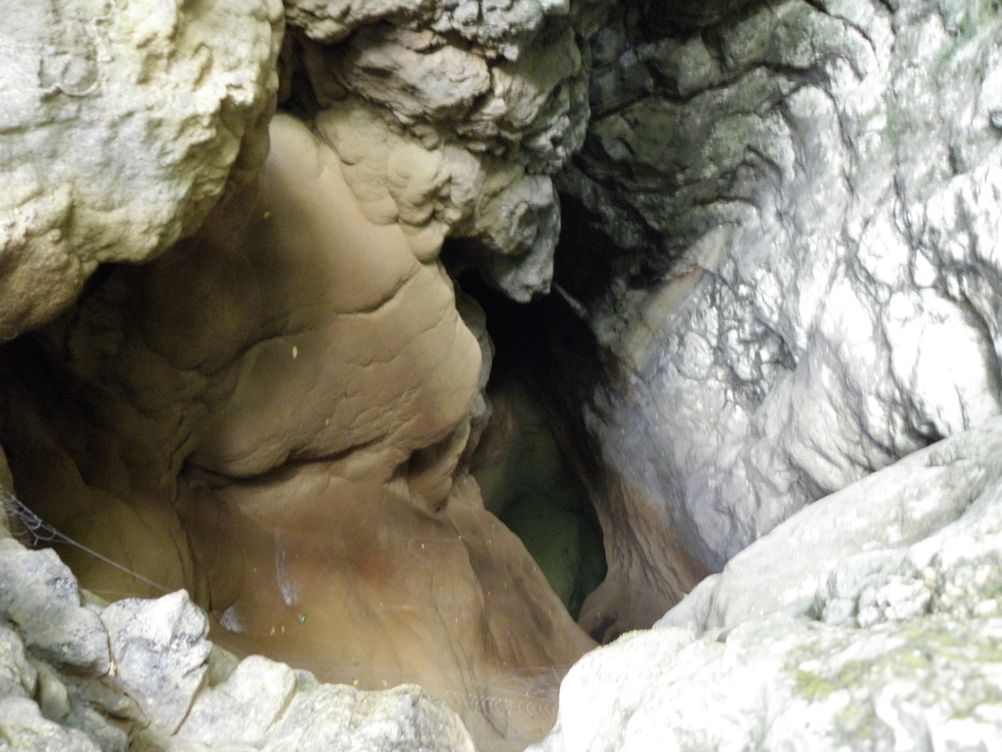
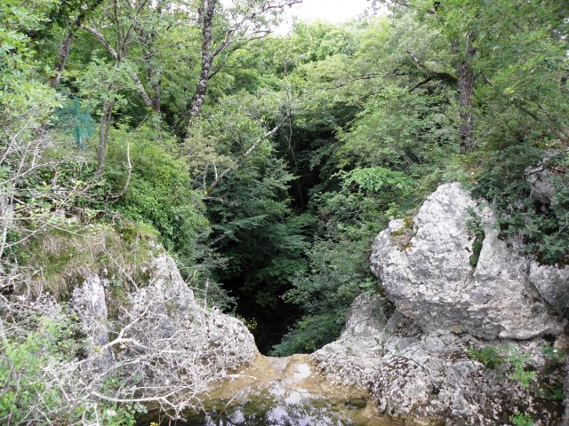
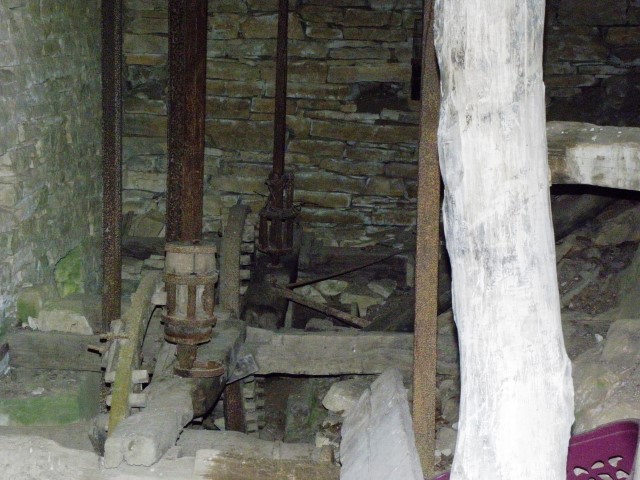
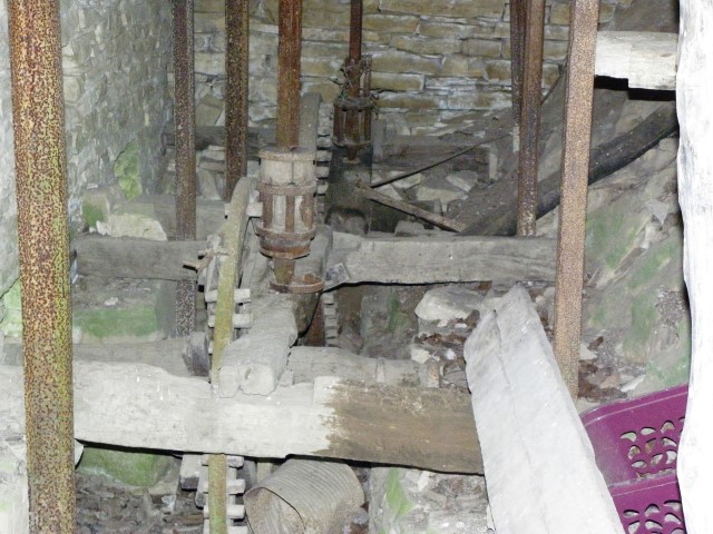


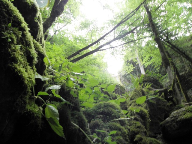
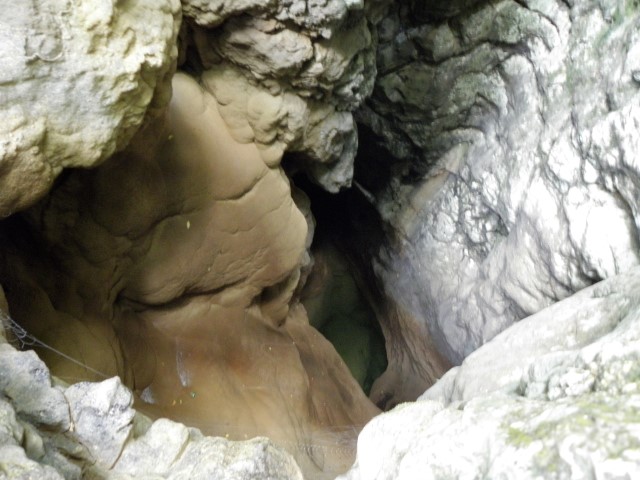
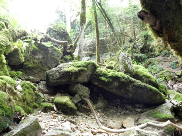

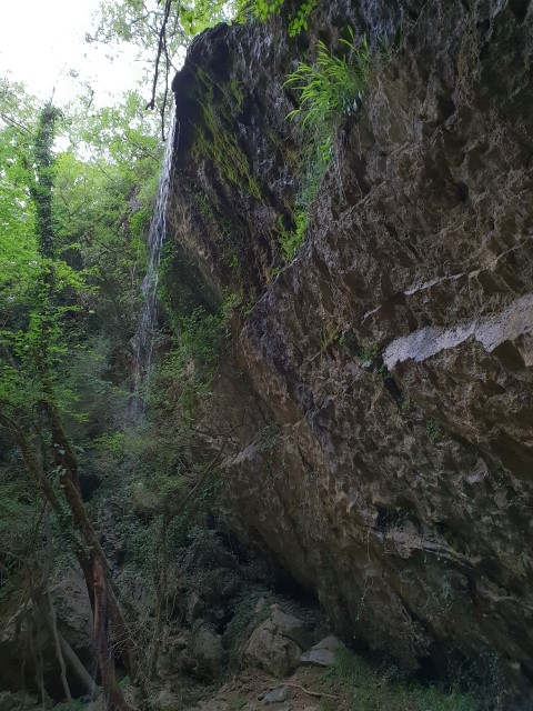
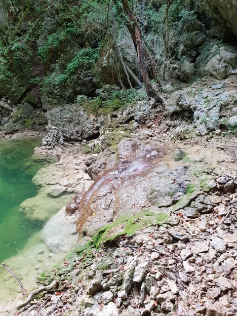
Name: Butori waterfall
Place: Butori -(Buje)
Coordinates: 45.41325 N – 13.77401 E
Cingarela cave/waterfall – “Gypsy” (II)
See also the pictures posted on 2018-05-02.
The pictures 6060039, 40.41.43 and 44 are from a lower waterfall in the stream Ardila. Coordinates: 45.43883 N – 13.68112 E.
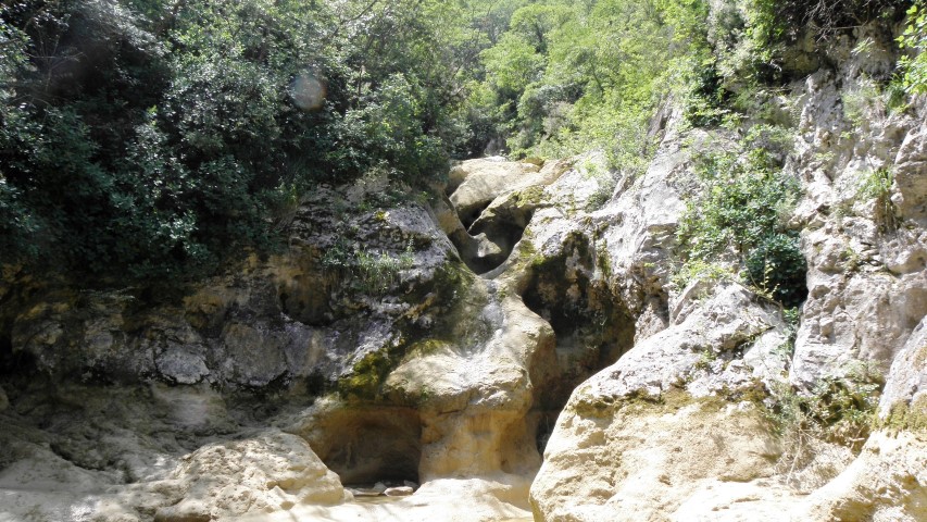
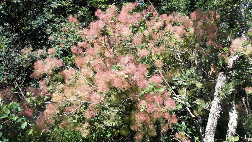
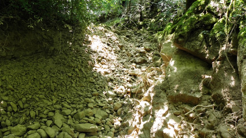
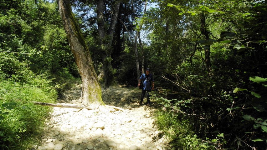
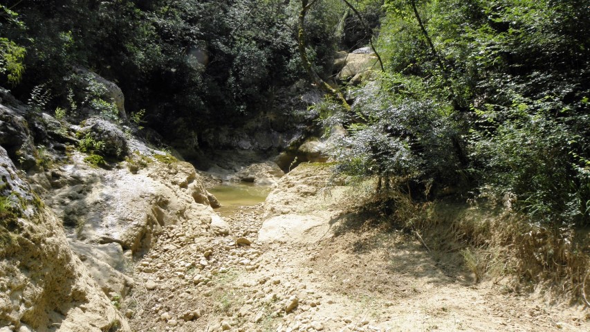
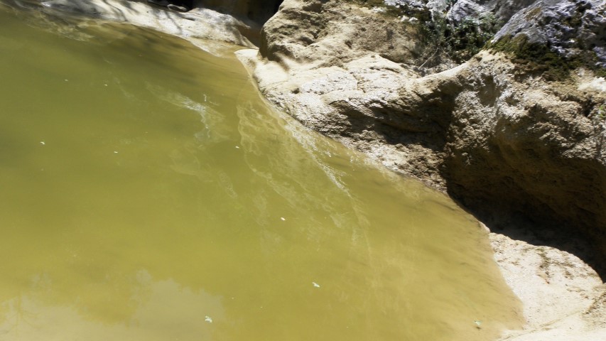
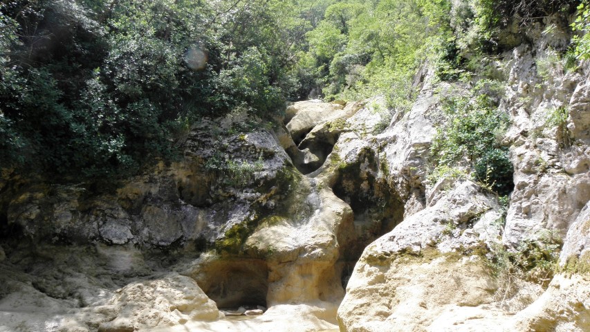
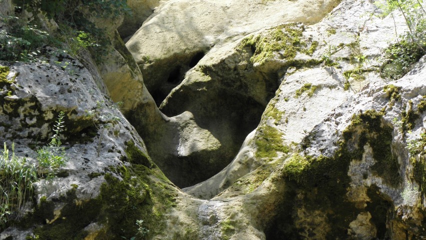
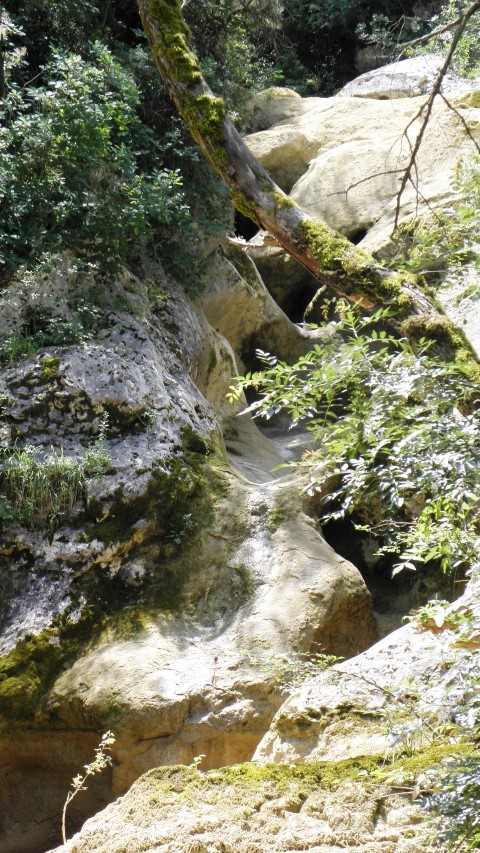
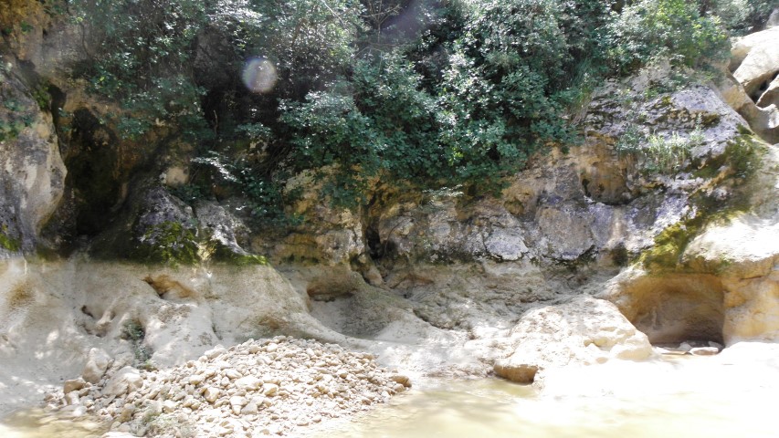
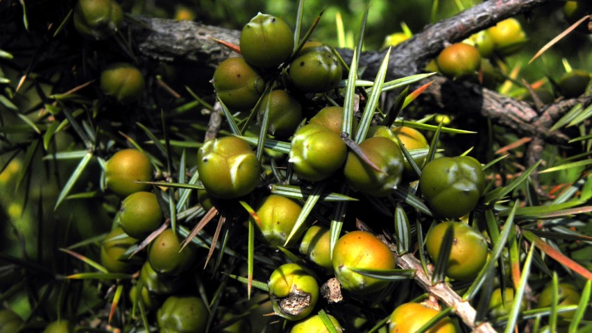
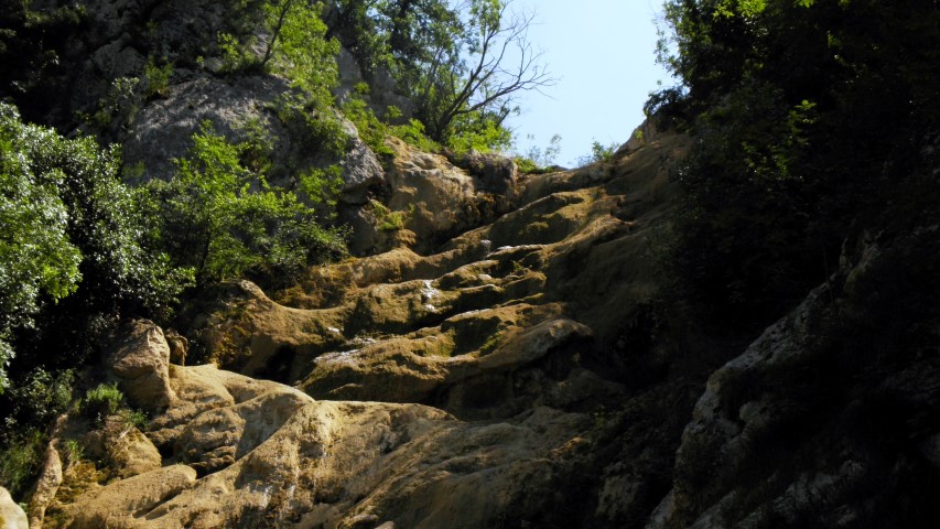
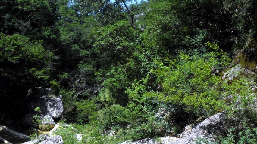
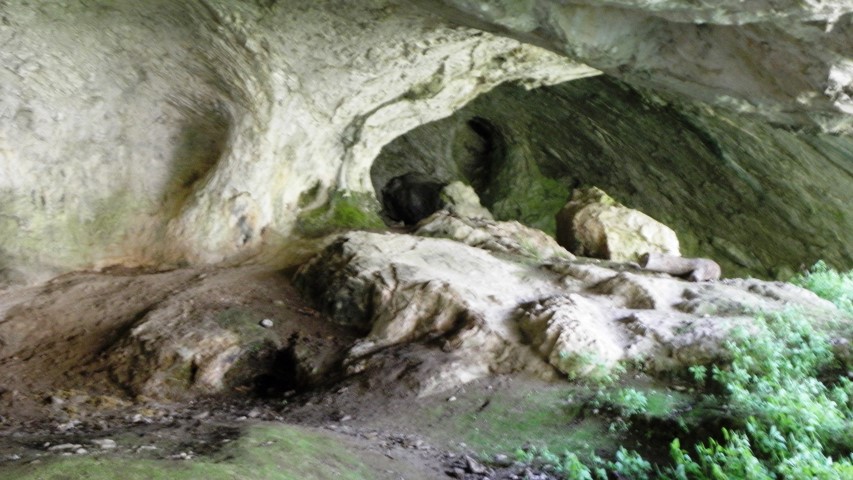


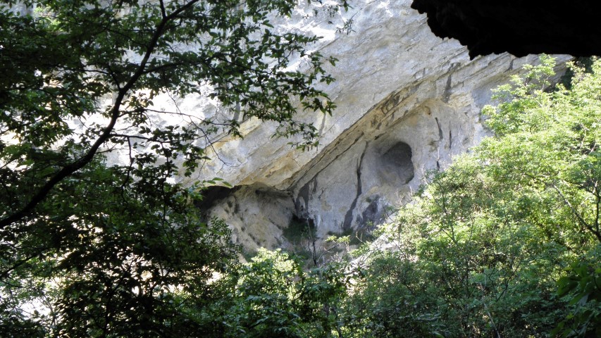
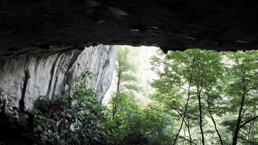
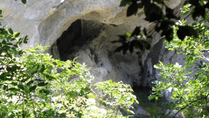
Name: Cingarela caves/waterfall
Place: Momjan – (Buje)
Coordinates: 45.43566 N – 13.68462 E
Butori waterfall (IV)
See also the posts on 2018-01-26, 2018-02-05 and 2018-04-29.
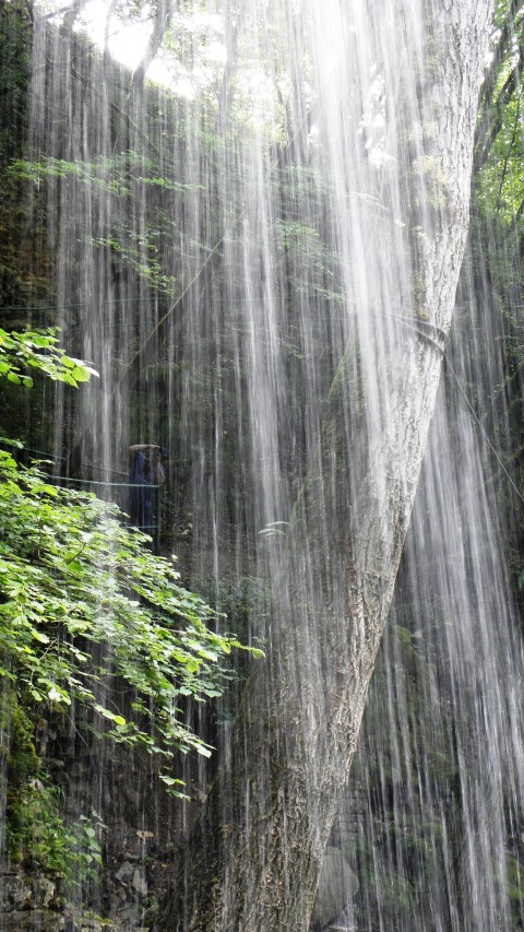
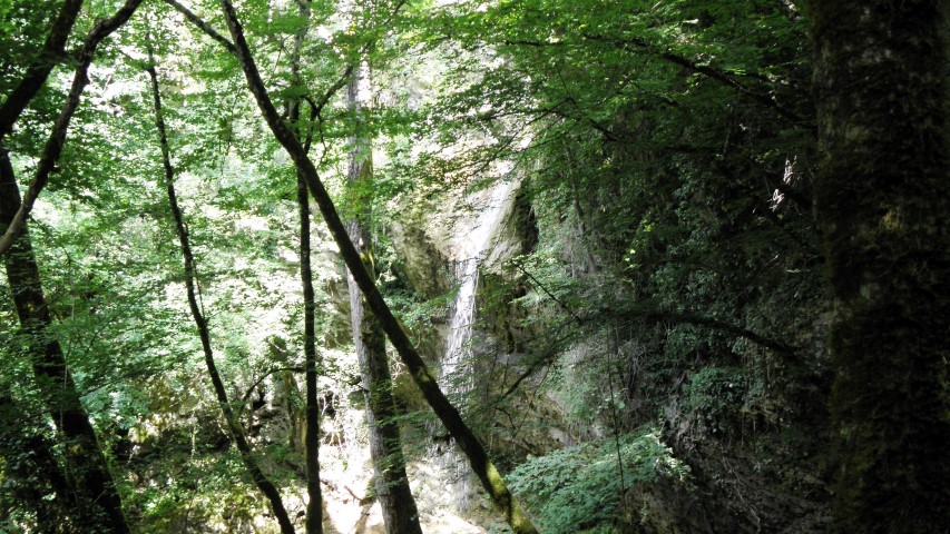
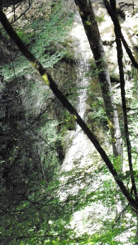
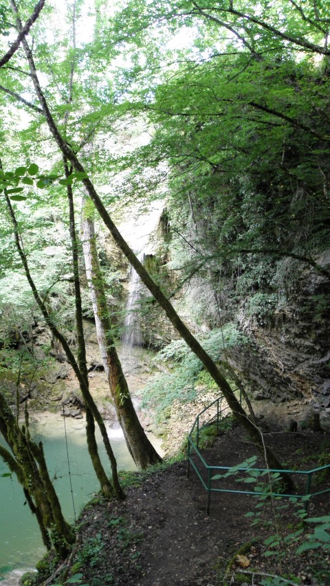
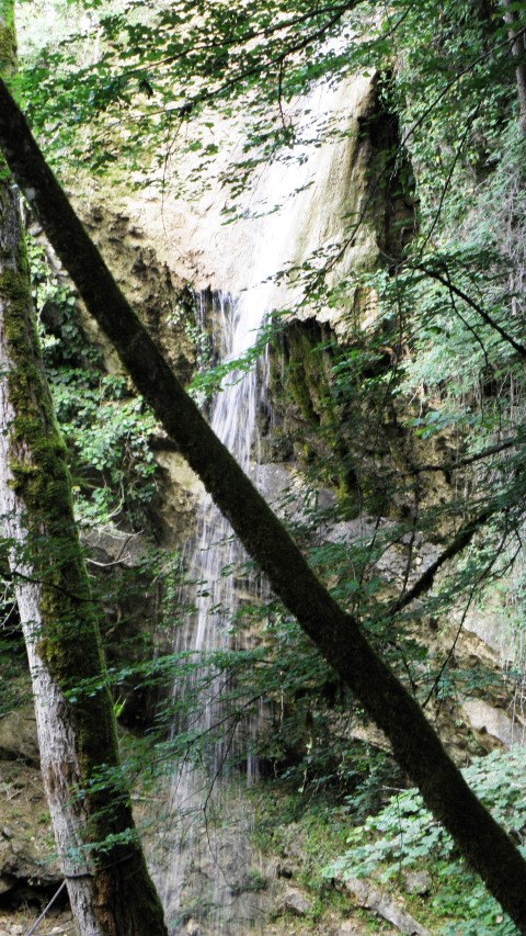
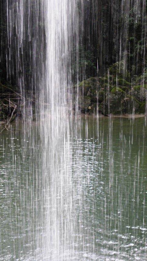

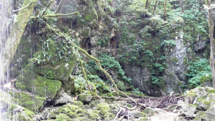
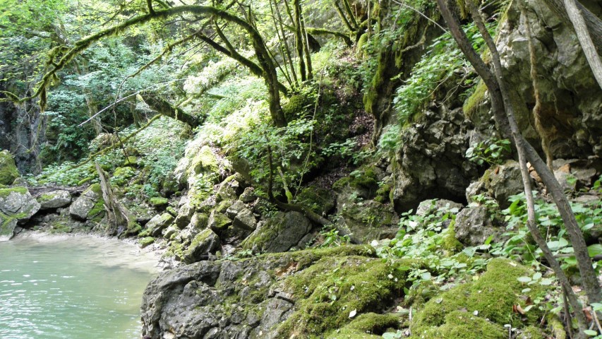
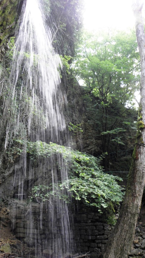
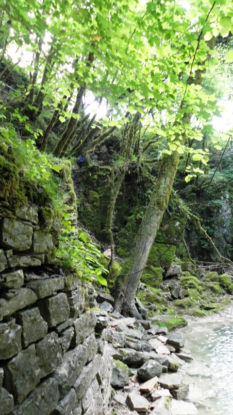
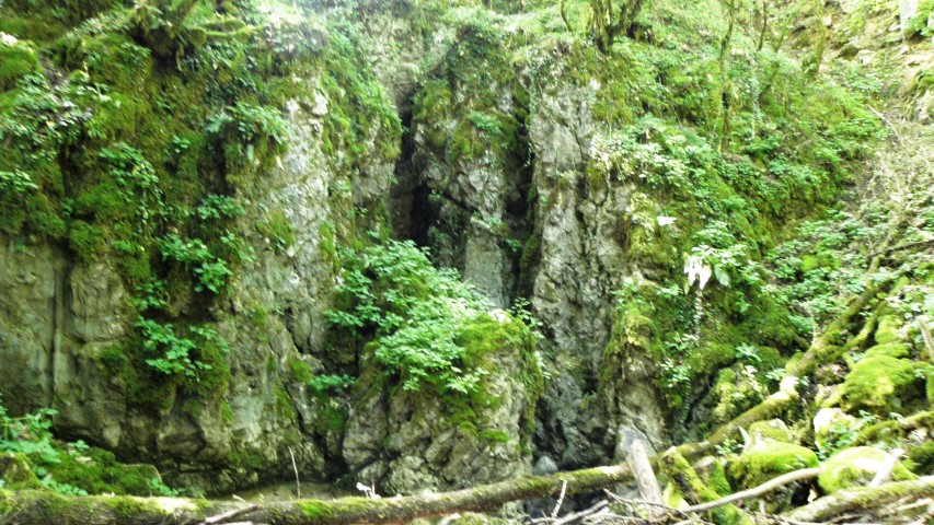
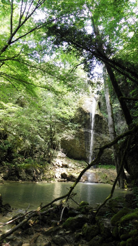
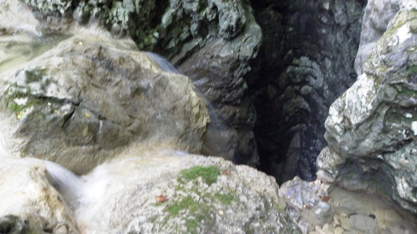

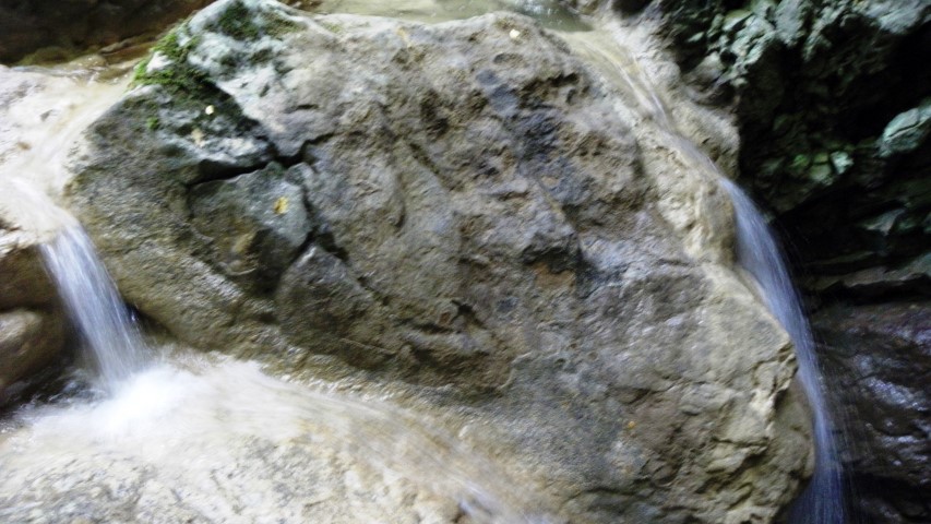

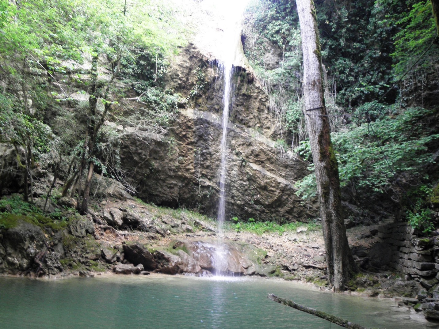
Name: Butori waterfall
Place: Butori – (Buje)
Coordinates: 45.41361 N – 13.77372 E
Hiking path Grdoselo (cemetery) to Stari Grad / Crni Puć (Grdoselski river) to the splits to Pecina and Veli and Mali Slap (large and small waterfall).
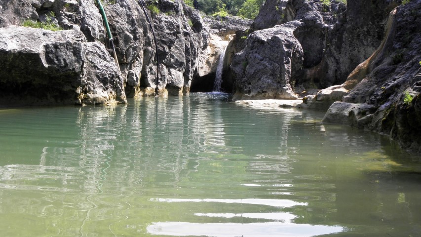
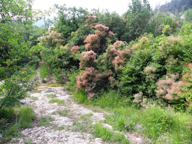
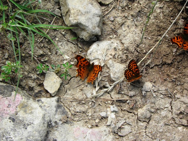
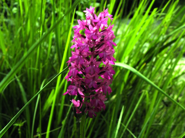
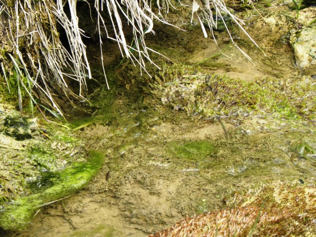
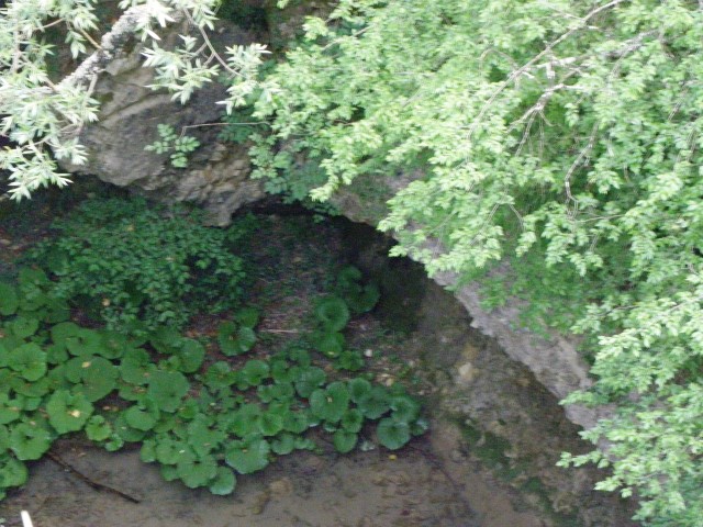
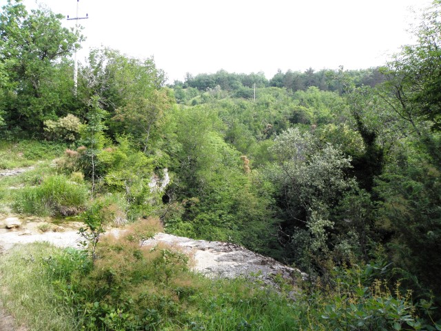

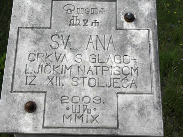


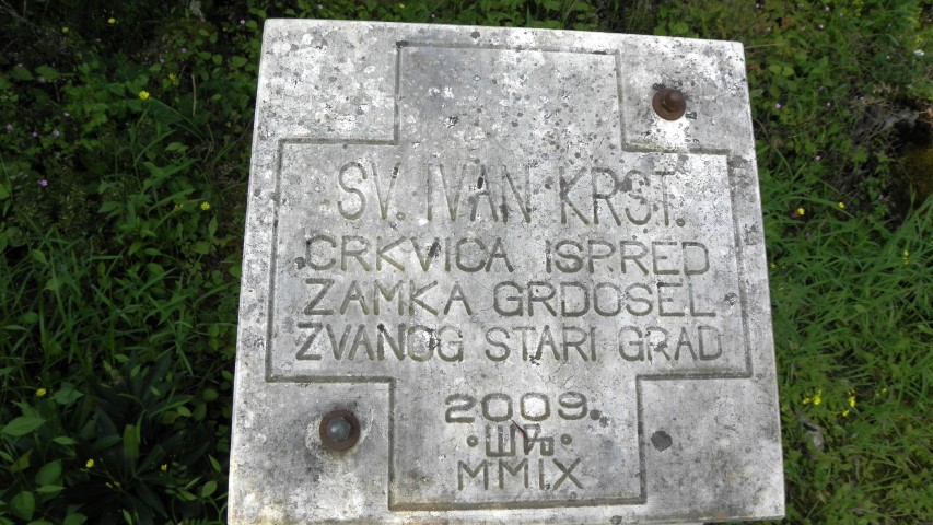
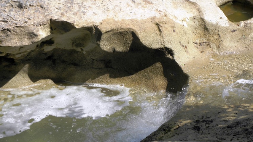

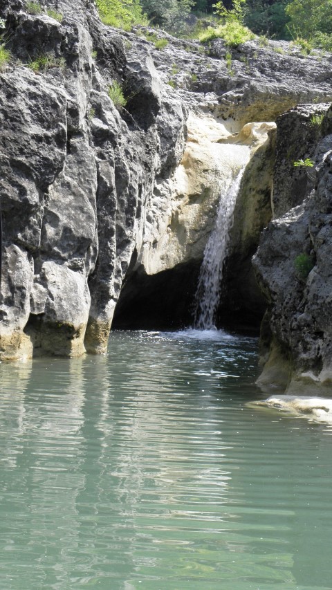
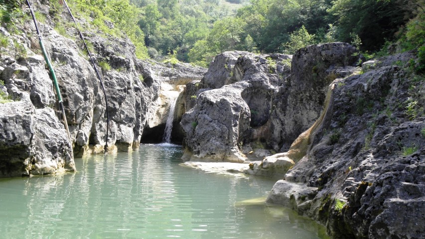

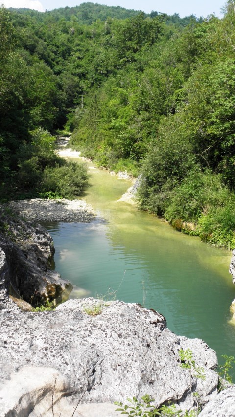


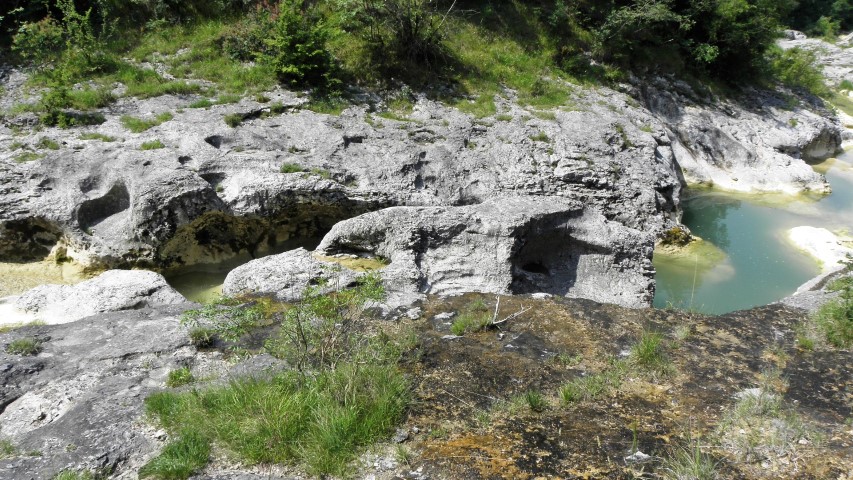

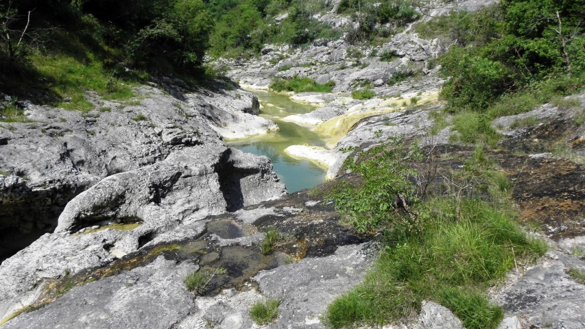
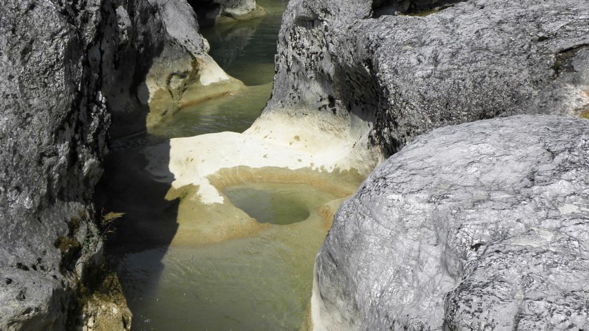


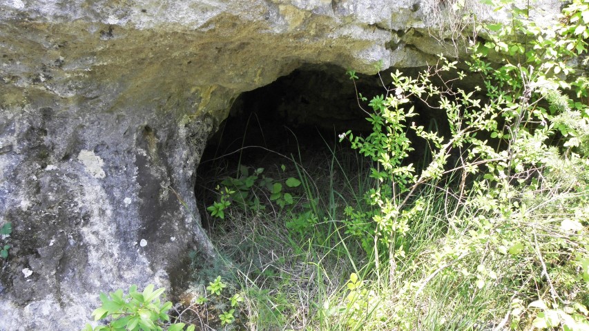


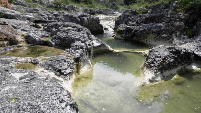
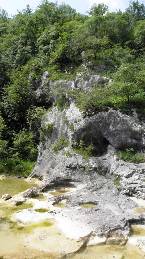

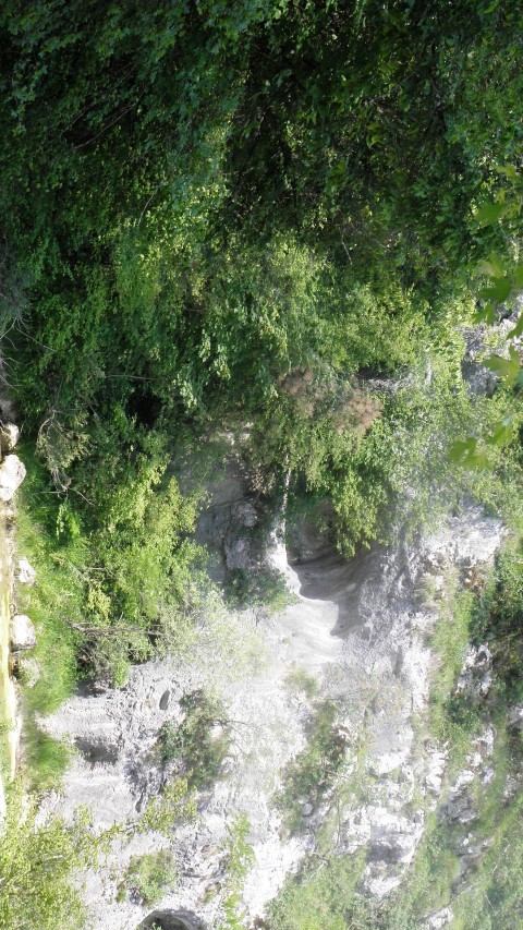


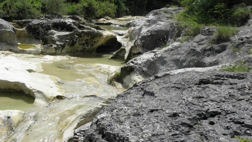
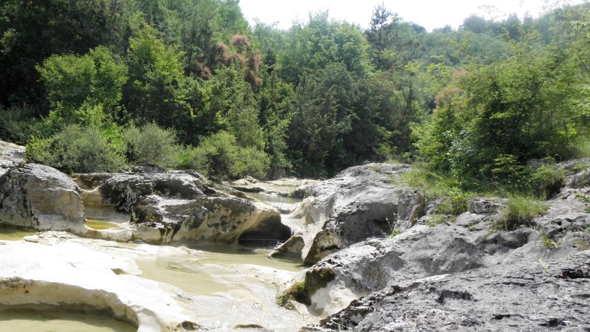
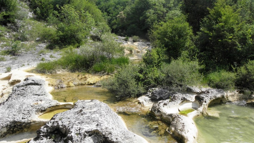
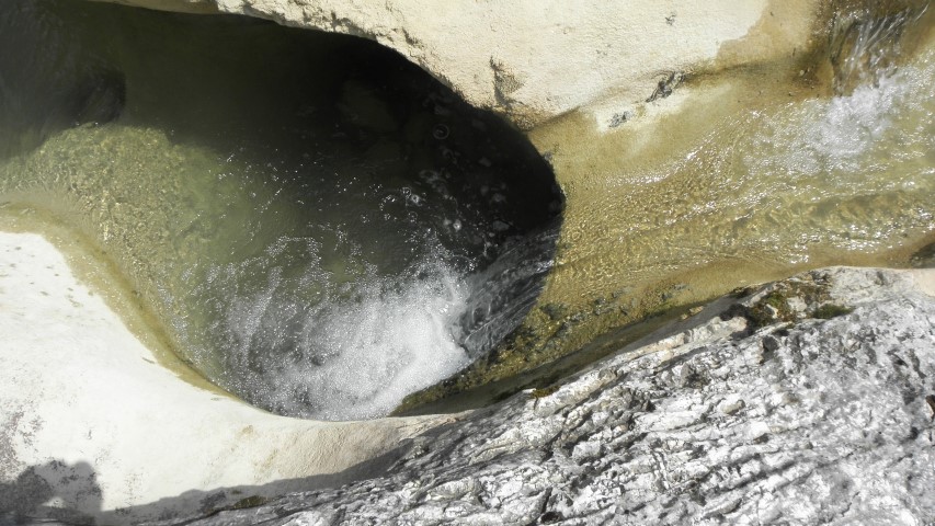
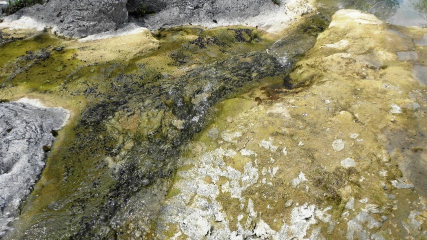
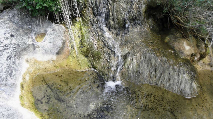
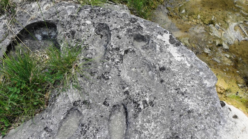

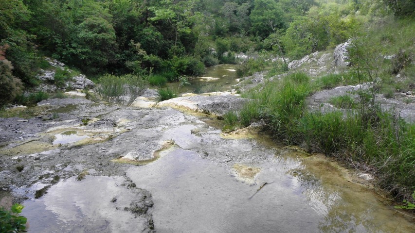
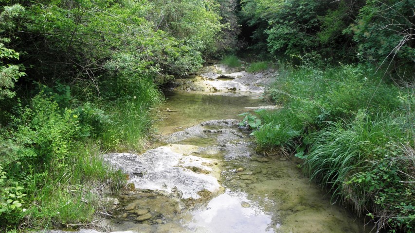
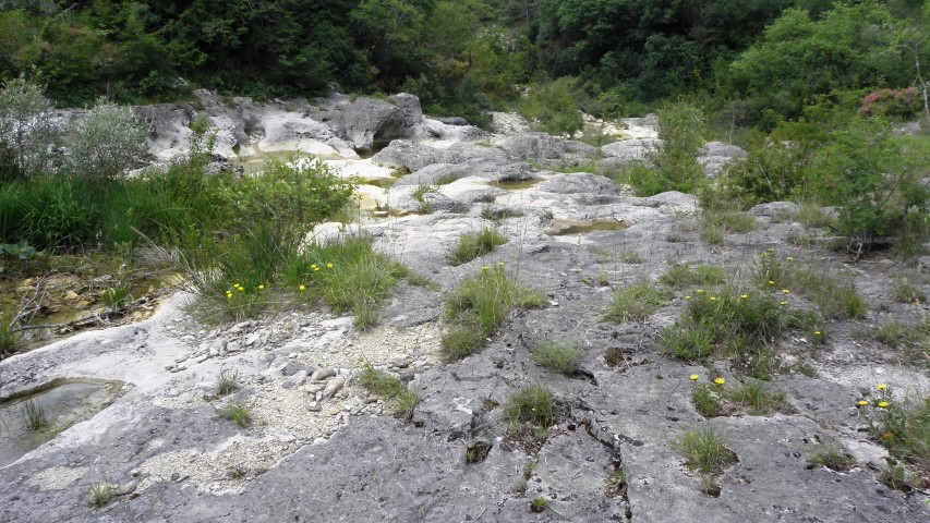

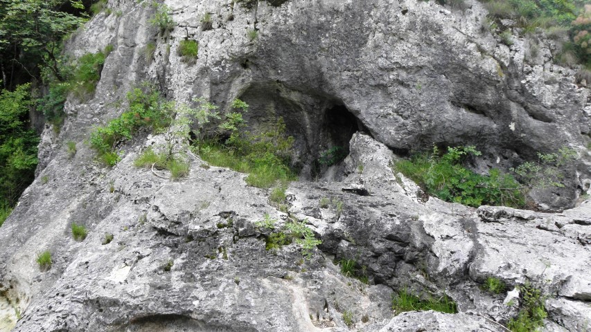
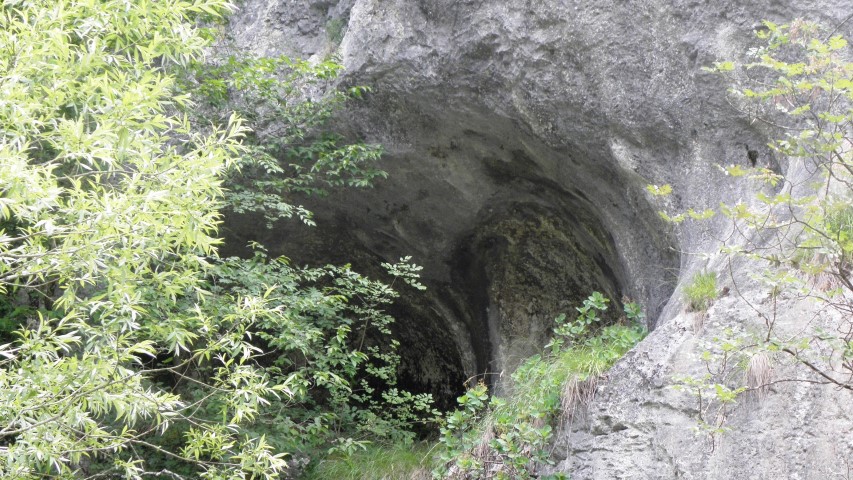
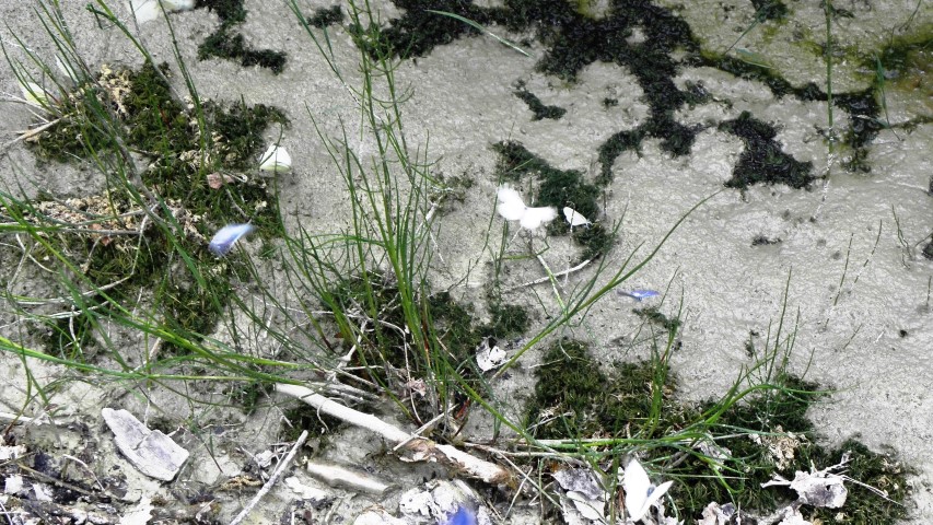
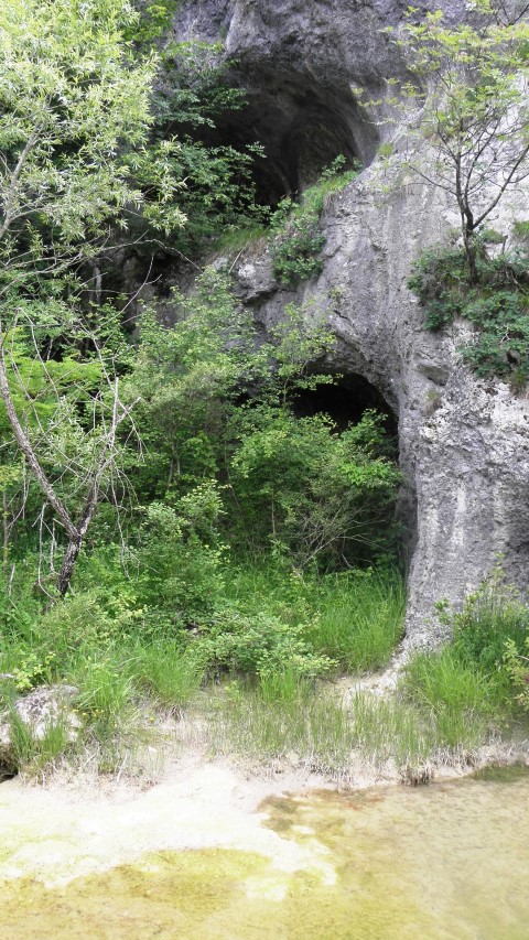
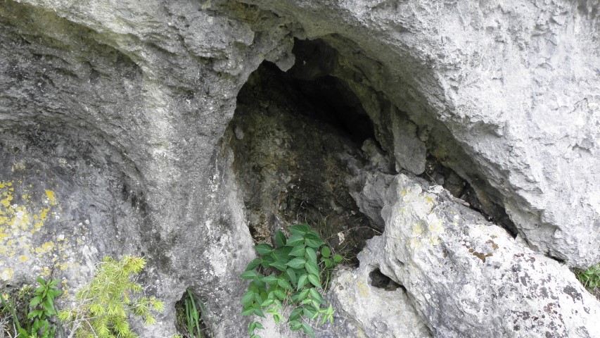

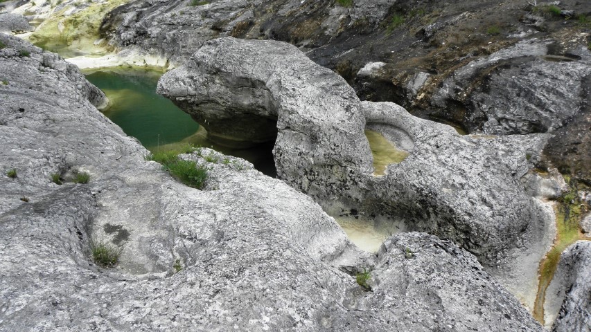
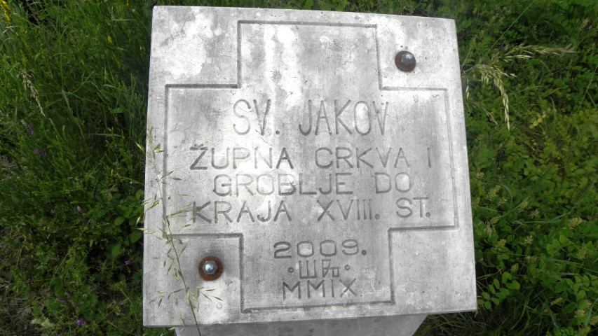
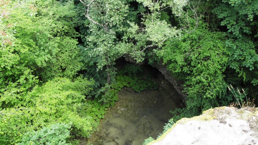
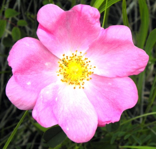
Name: Hiking path Grdoselski river
Place: Grdoselo – (Pazin)
Coordinates:
Grdoselo: 45.28310 N – 13.94351 E
Stari Grad: 45. 29169 N – 13.94392 E
Cerni Puč: 45.29200 N – 13.94636 E
Splits: 45.29216 N – 13.95301 E
Small Rečina tunel, Waterfall Rečina – Nature Park Učka
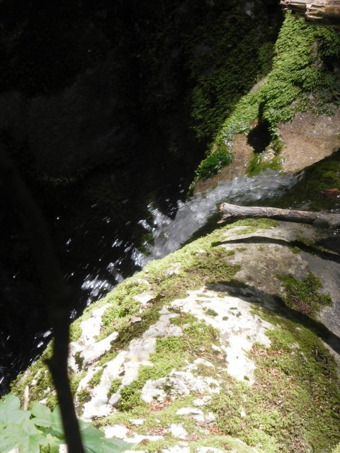
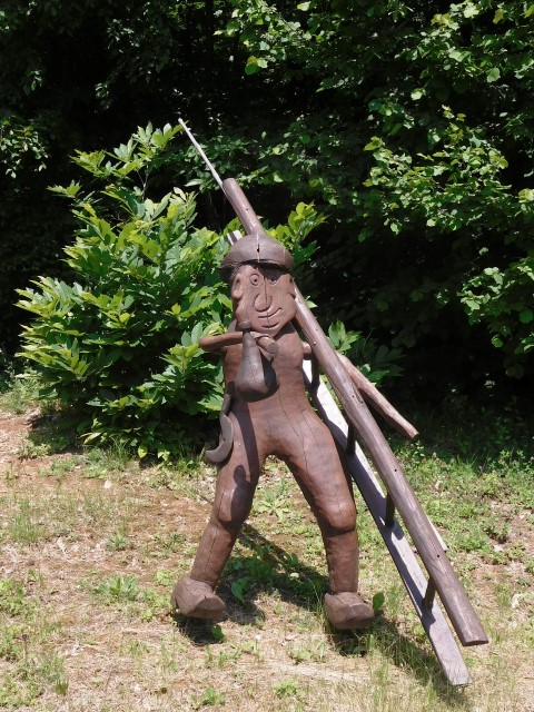
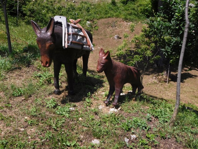
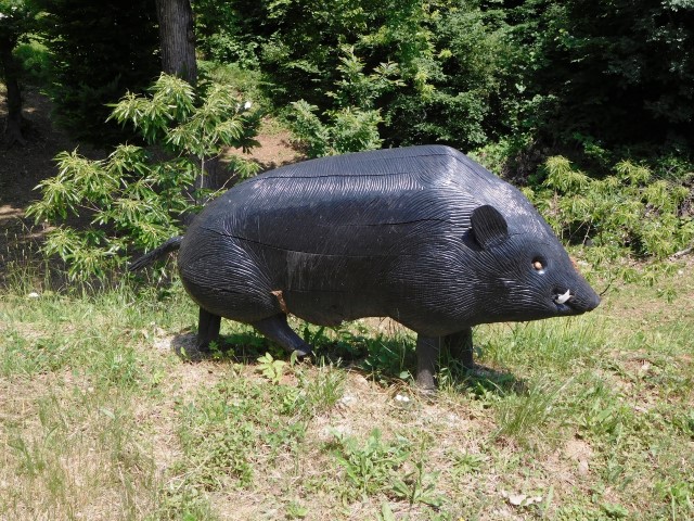
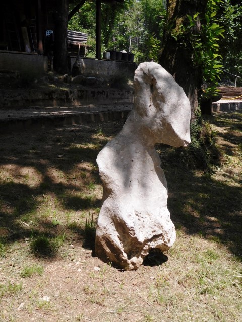
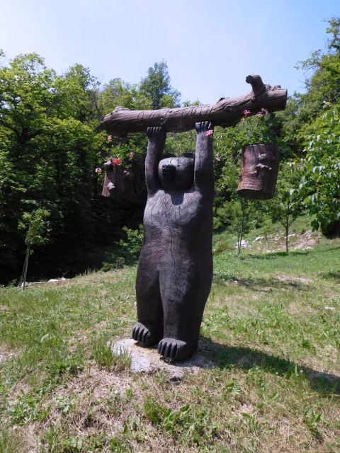
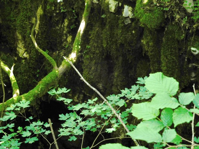

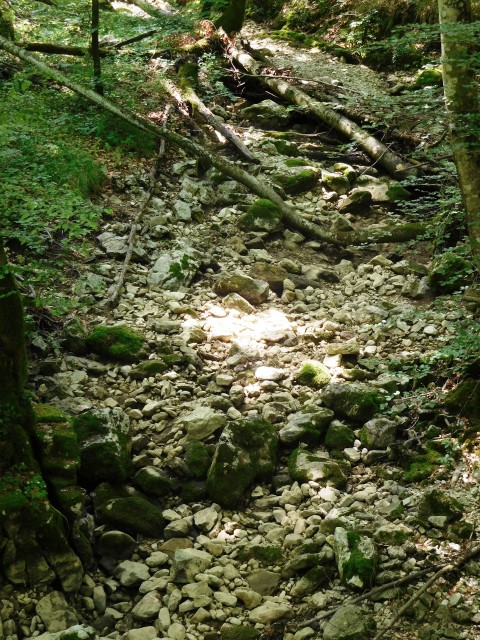
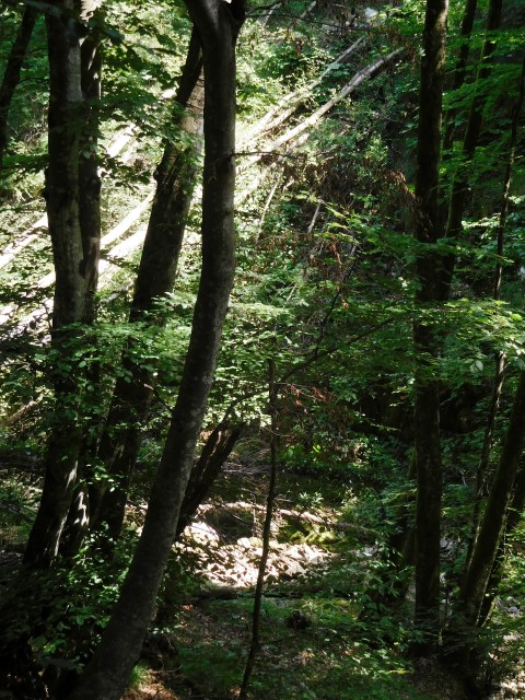
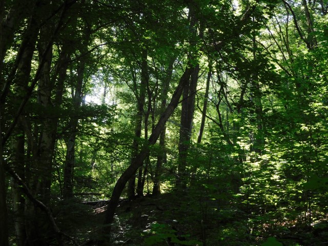
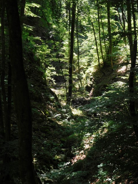
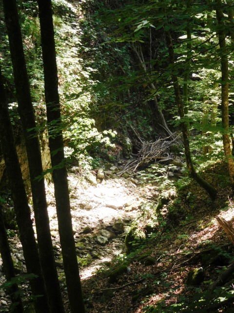
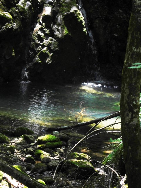


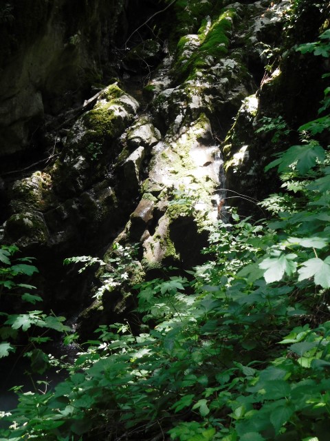
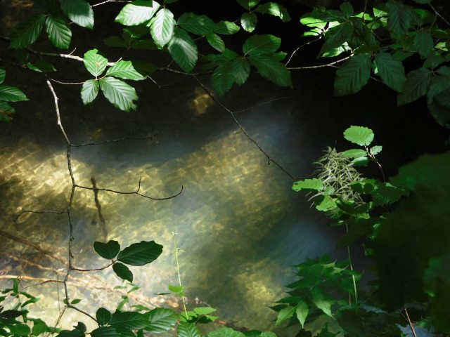
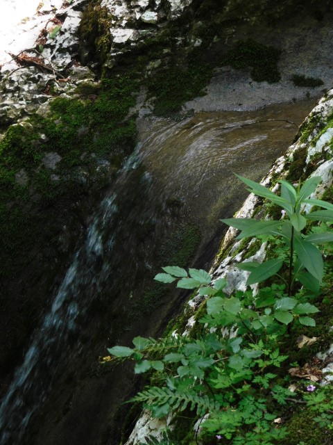
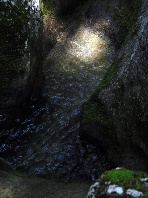


Name: Waterfall Rečina – Small Rečina tunel
Place: Nature Park Učka
Coordinates waterfall: 45.30638 N – 14.23592 E
Hiking path Grdoselo
From the cemetery Grdoselo, a Waterfall , Waterfall Crni Puc – river Grdoselski, Stari Grad – Zelena Grad, Izvor Malenica to the endpoint a Waterfall under the bridge Grdoselo.
See too pictures posted on 2018-03-23.
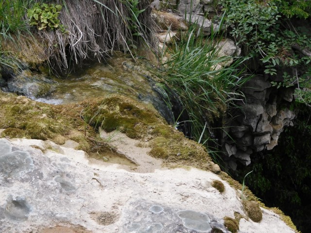
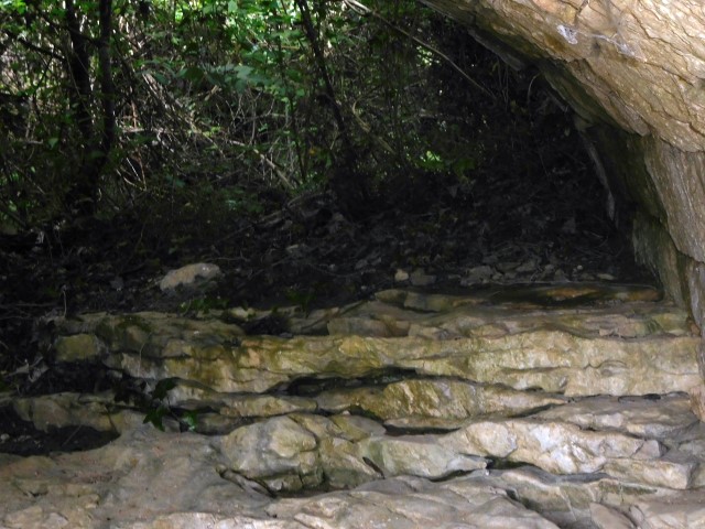
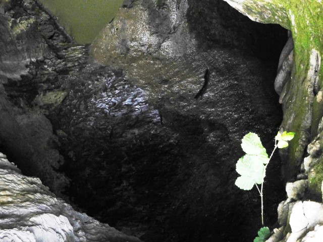
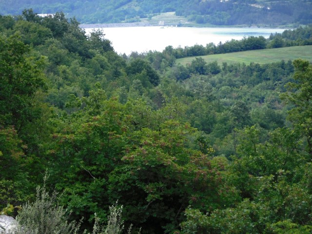
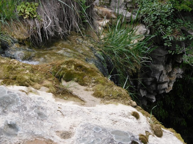
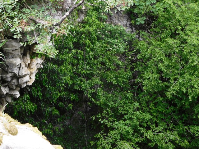
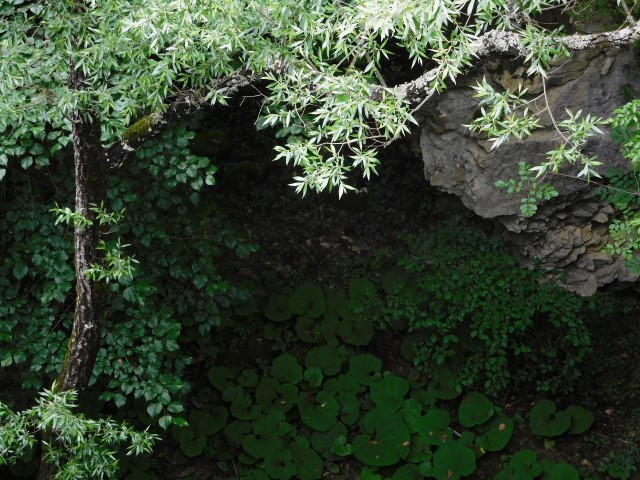
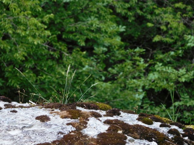
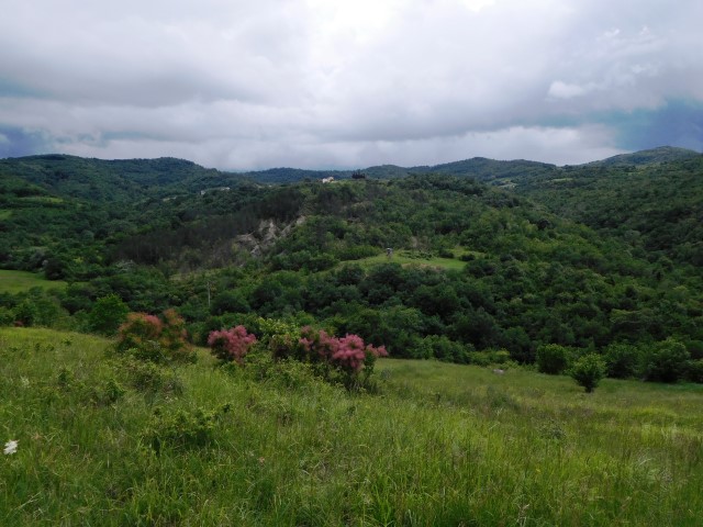
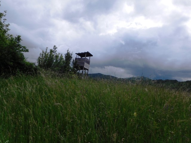
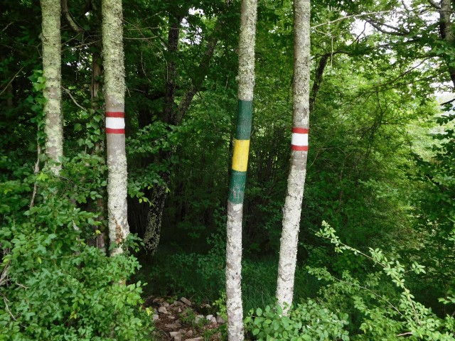
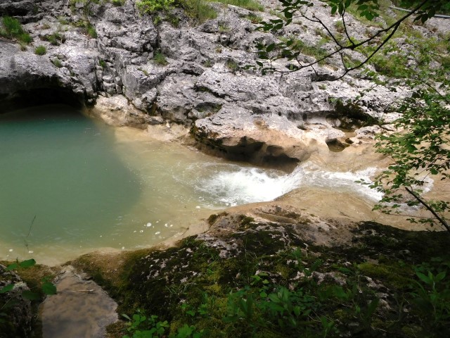
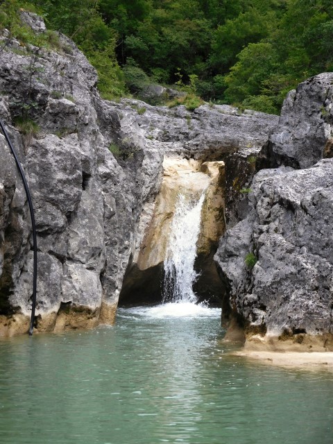

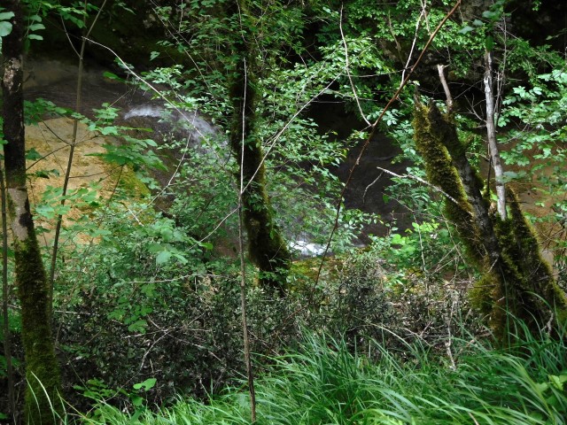
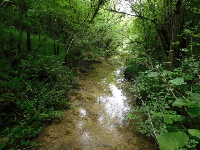


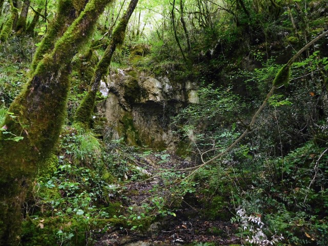
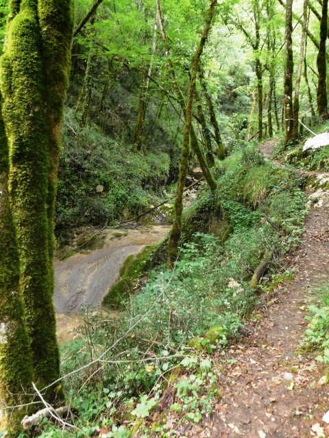
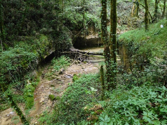
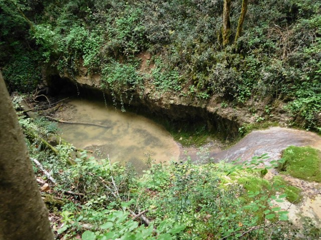
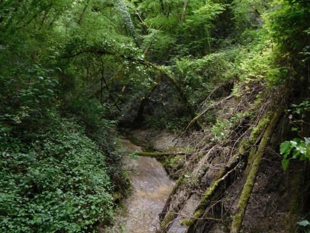
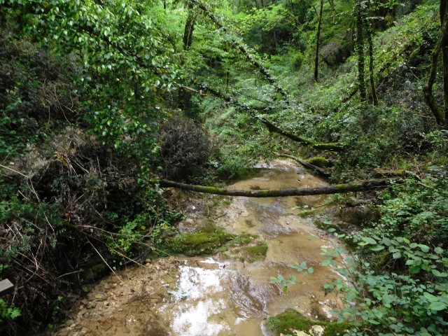
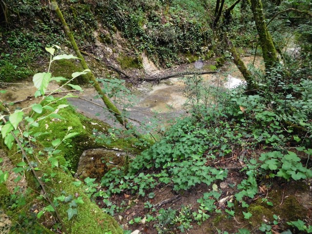
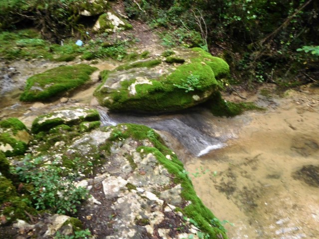
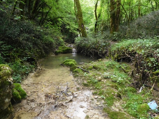
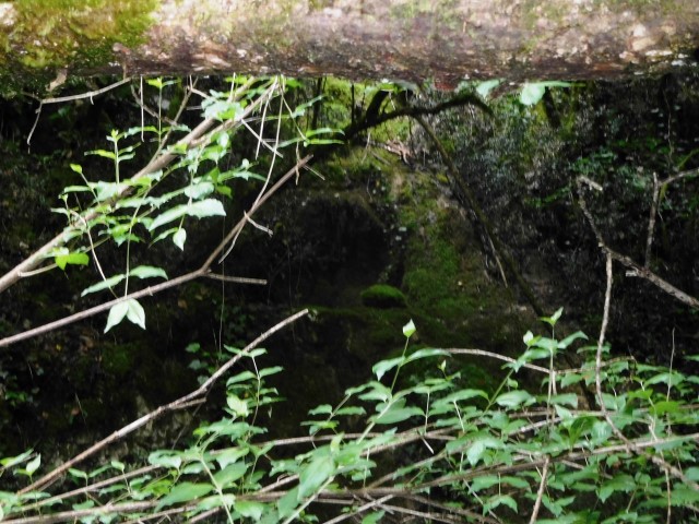

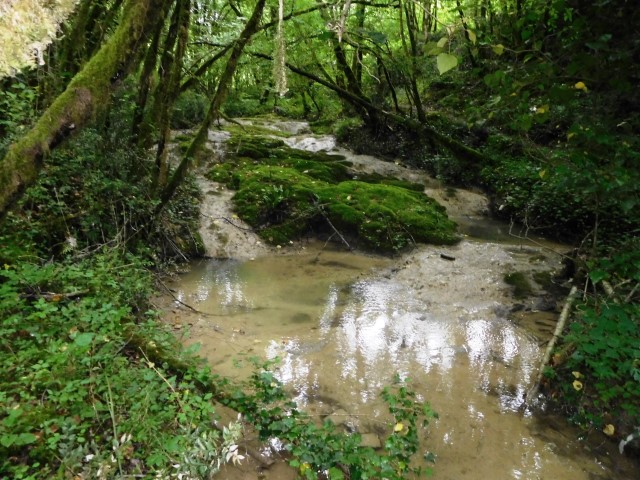
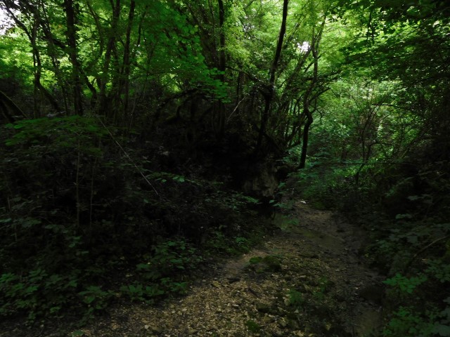
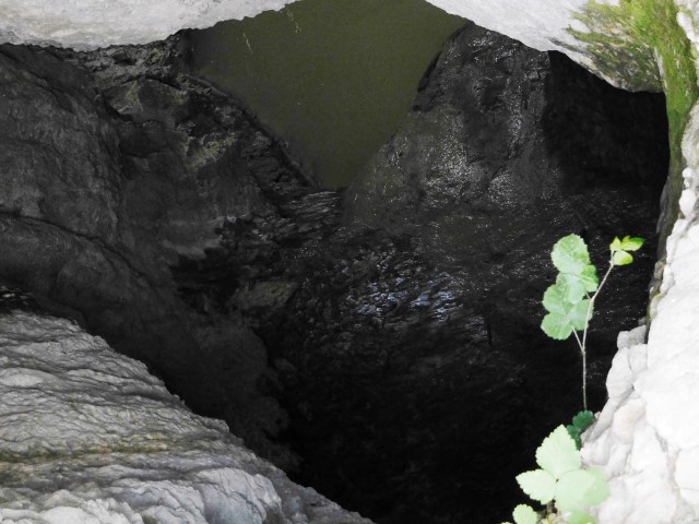
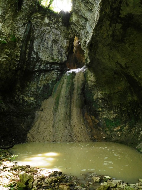
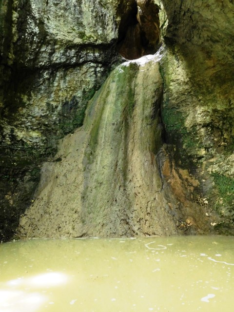
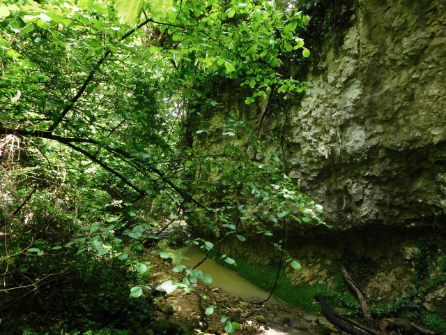
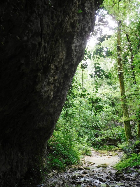
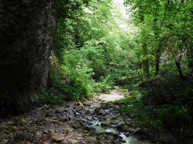
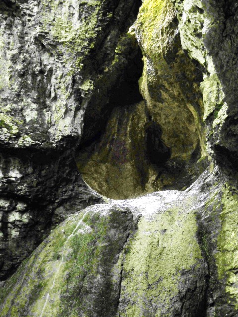

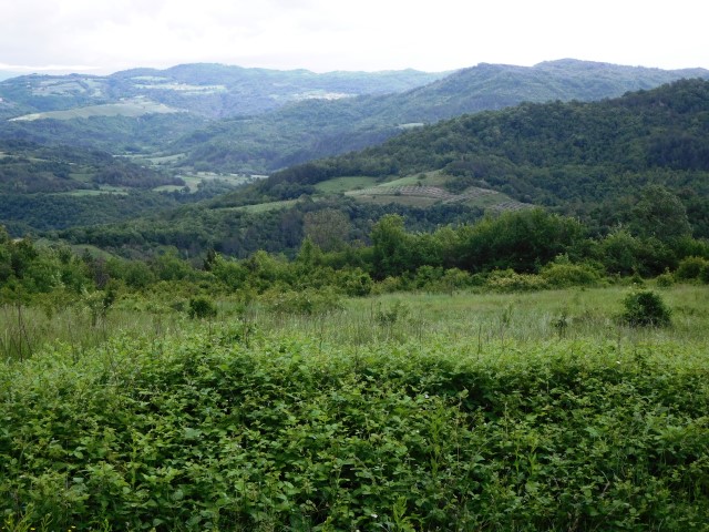
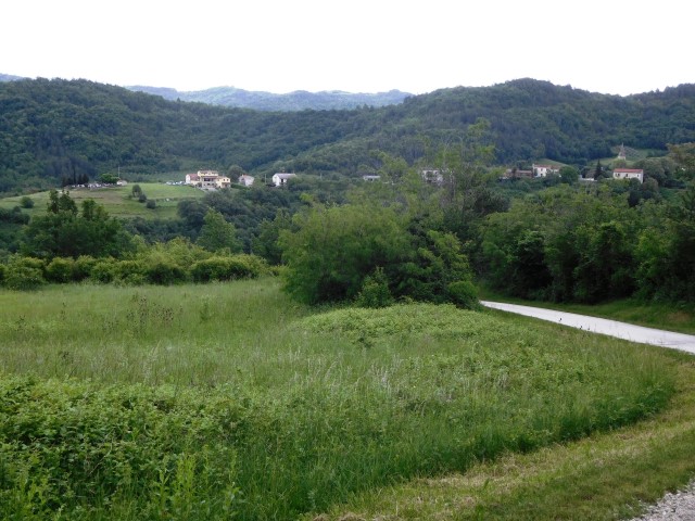
Name: Hiking path Grdoselo
Place: Grdoselo – (Pazin)
Coordinates:
Cemetery: 45.283041 N – 13.94370; Waterfall: 45.28630 N – 13.94479 E; Waterfall Crni Puc: 45.29202 N – 13.94633 E, Stari Grad: 45.29167 N – 13.94391 E; Izvor Malenica: 45.28653 N – 13.94115 E and final the Bridge and Waterfall Grdoselo: 45.27941 N – 13.93956 E