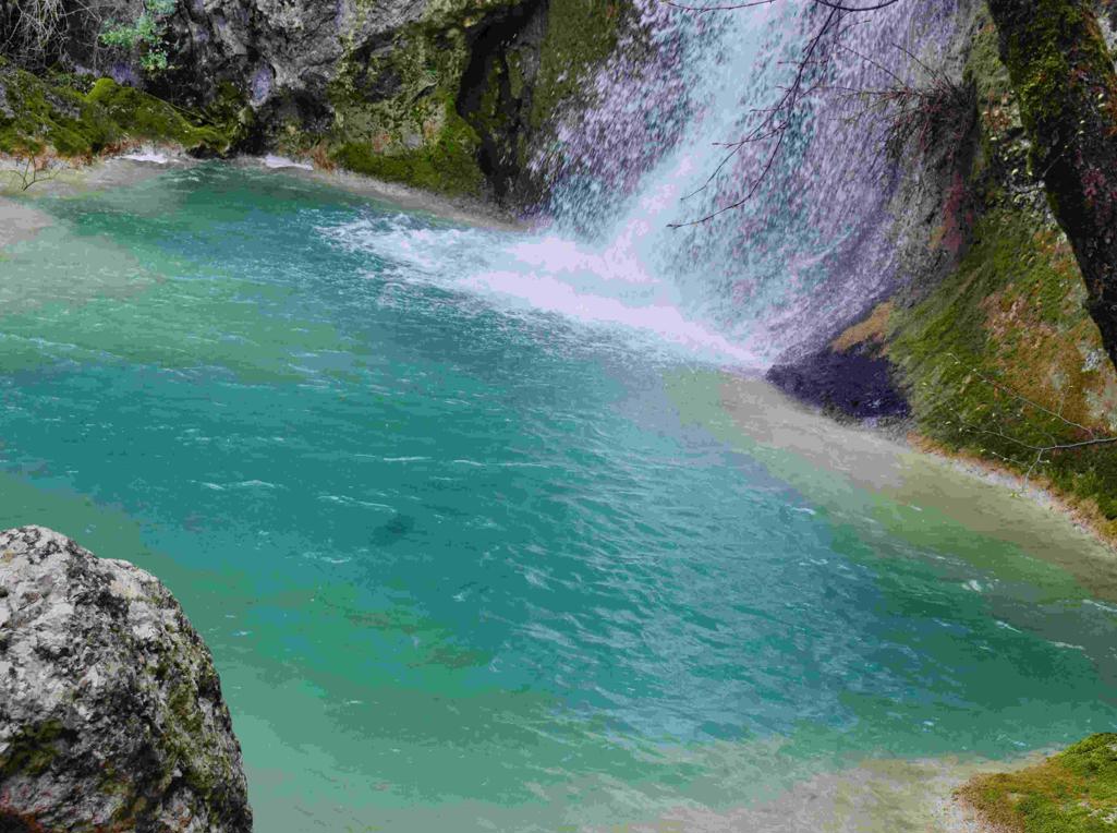
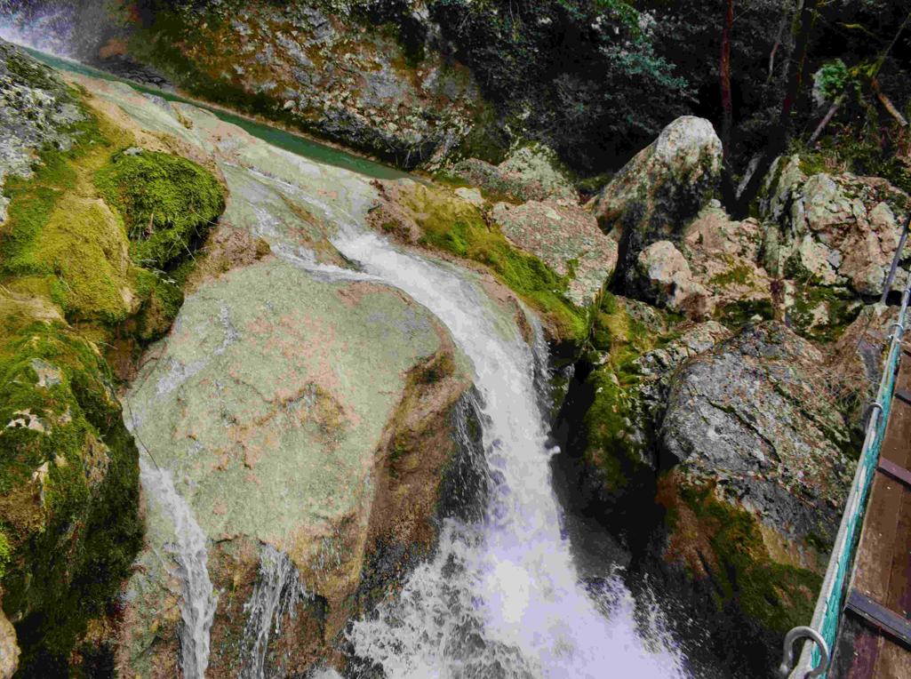
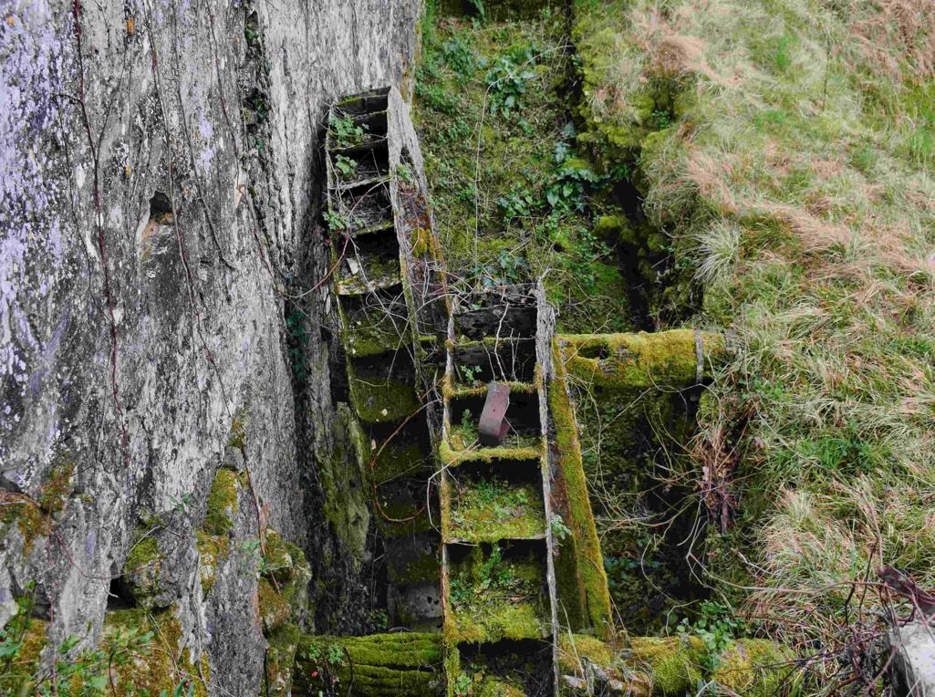
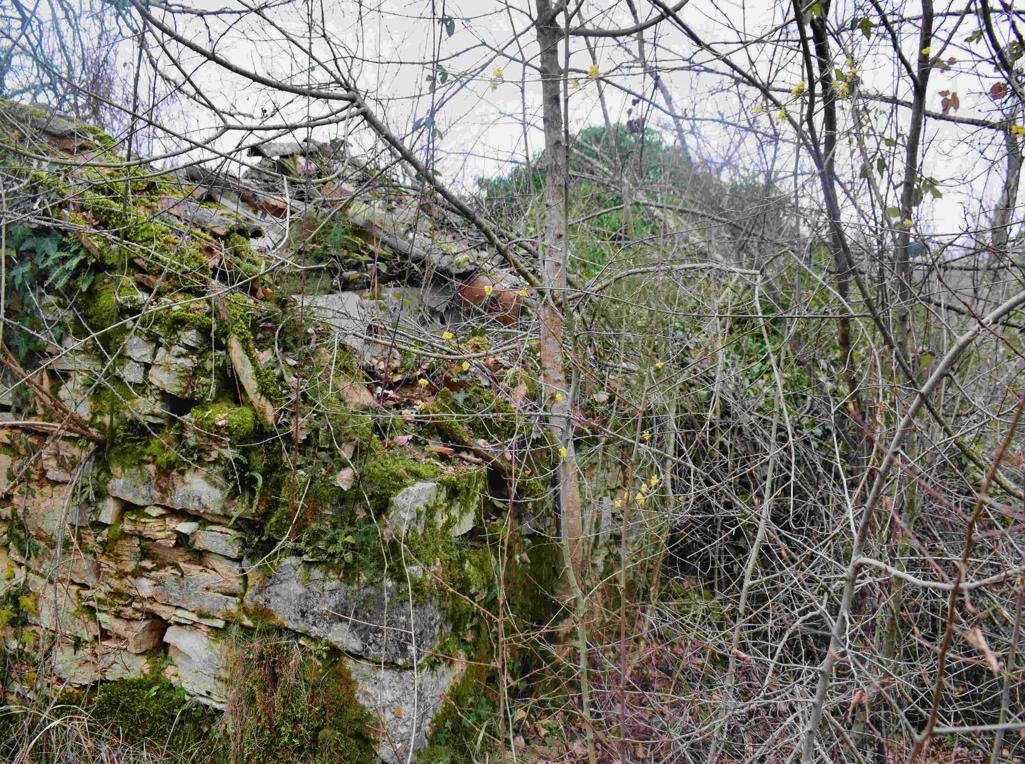
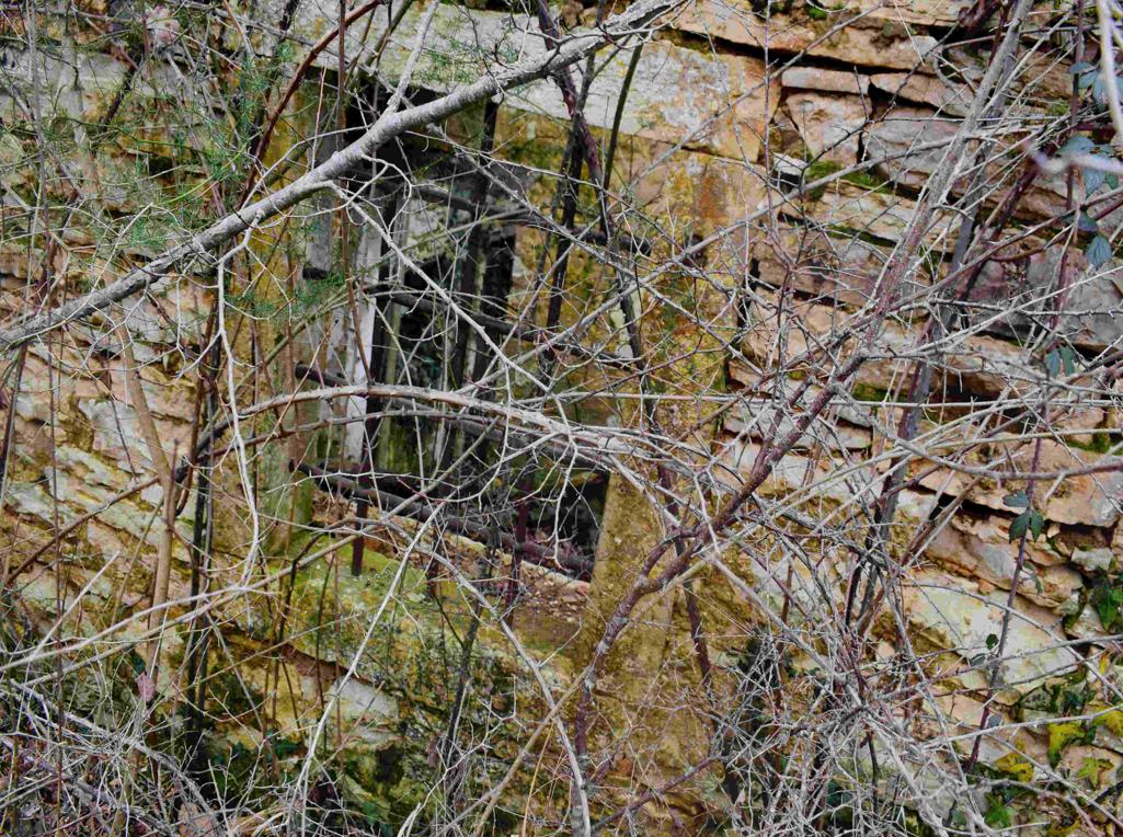
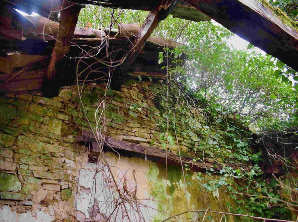
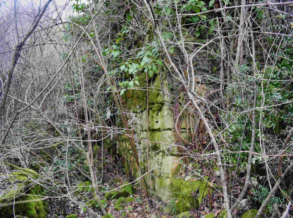
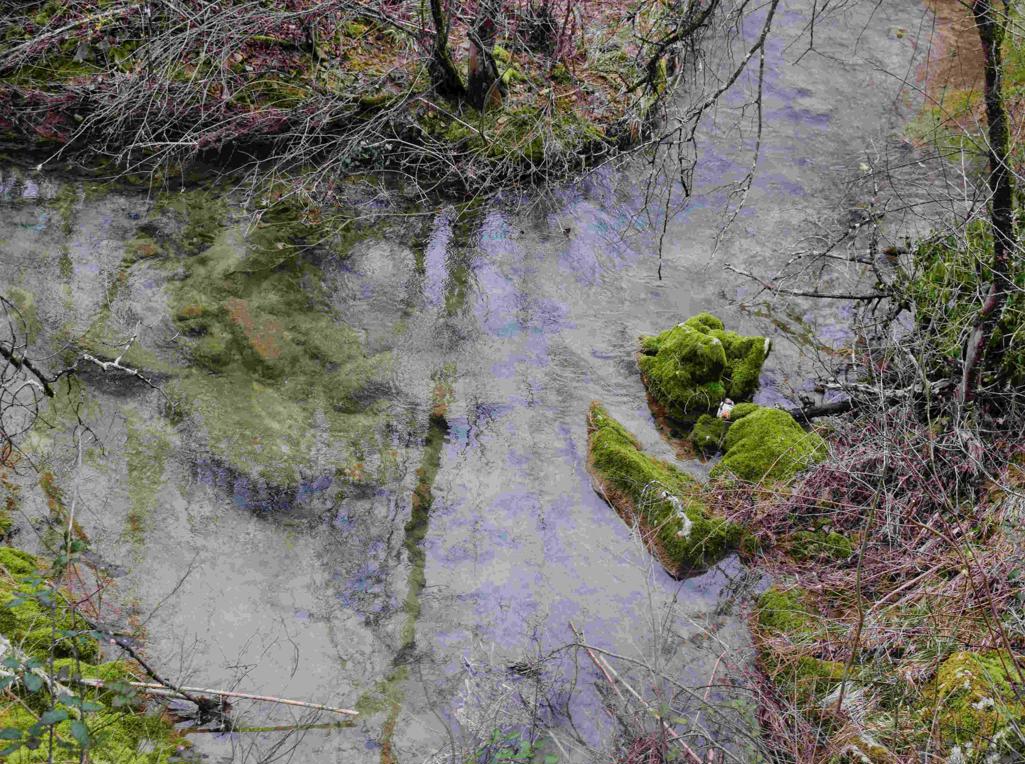
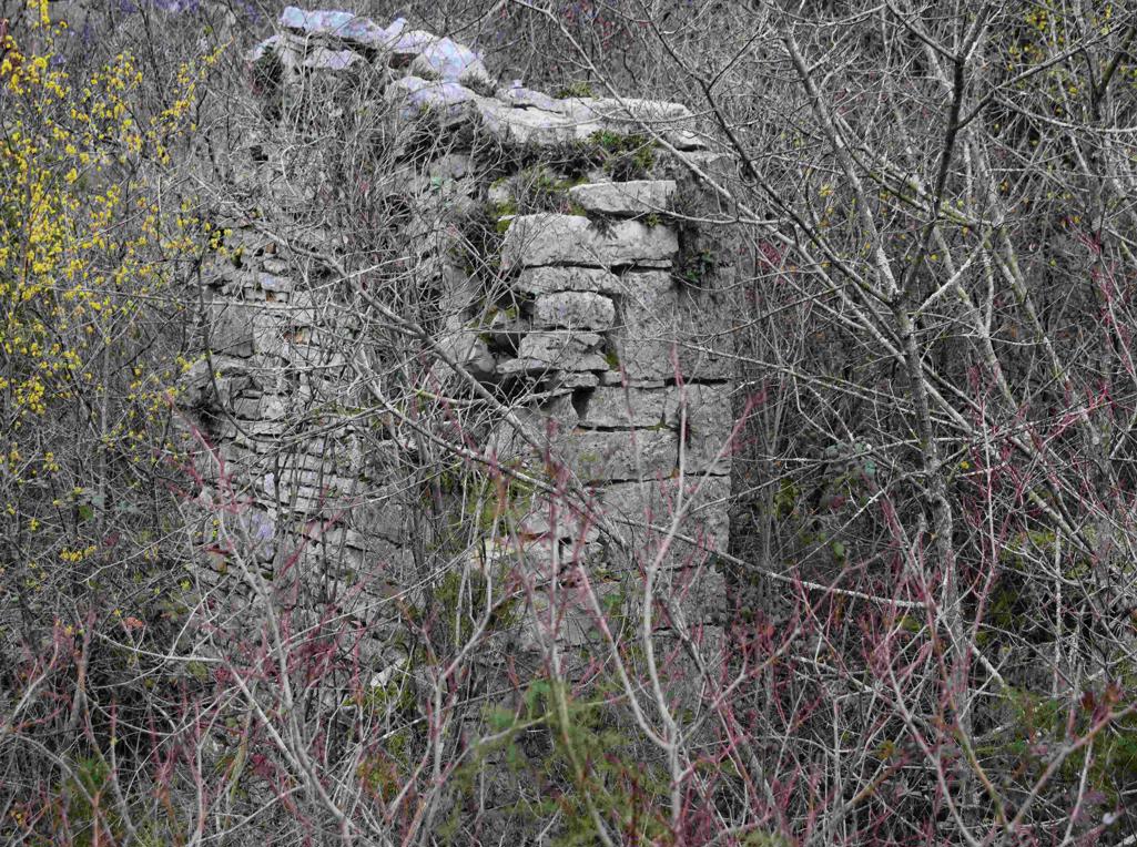
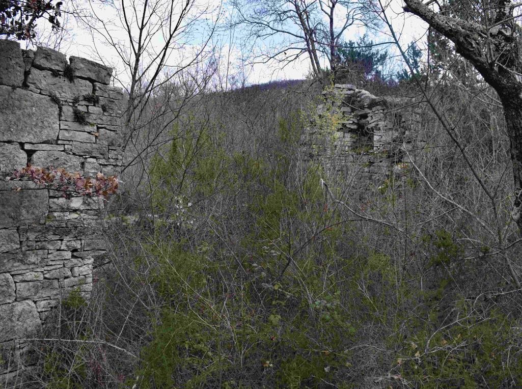
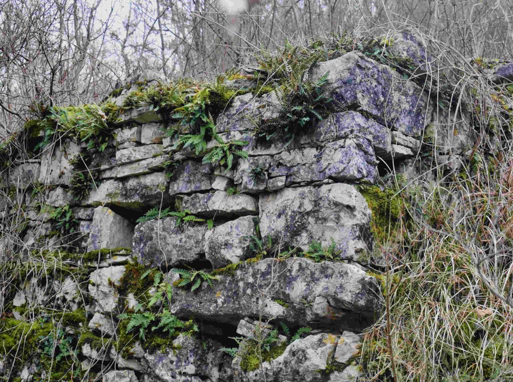
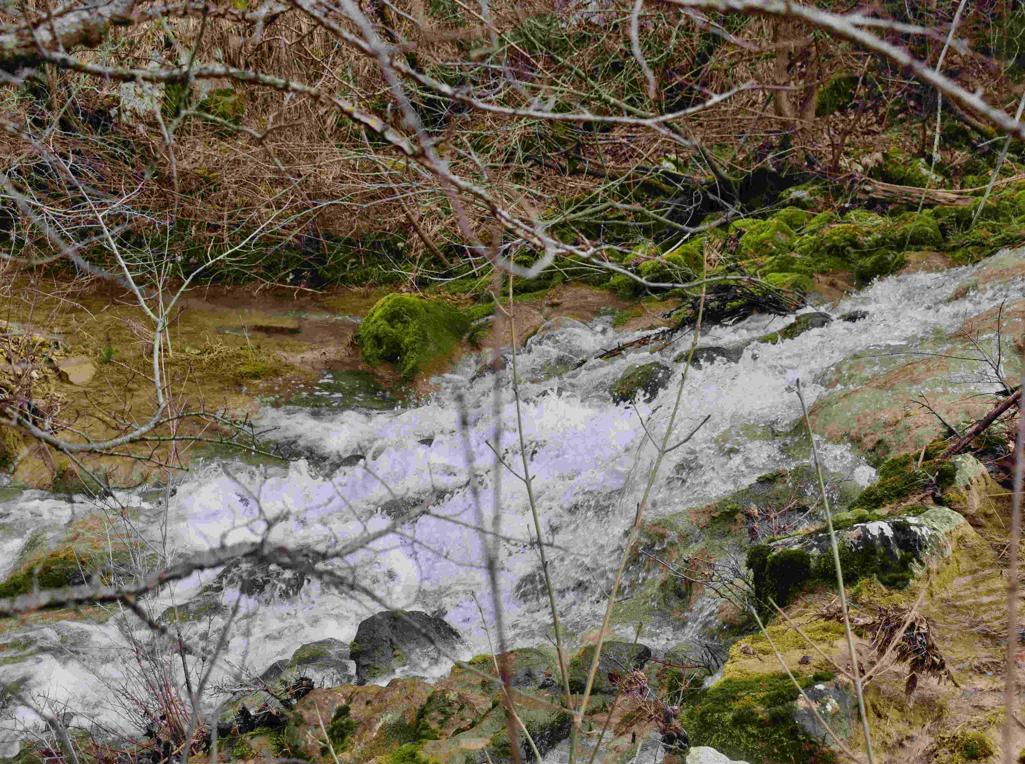
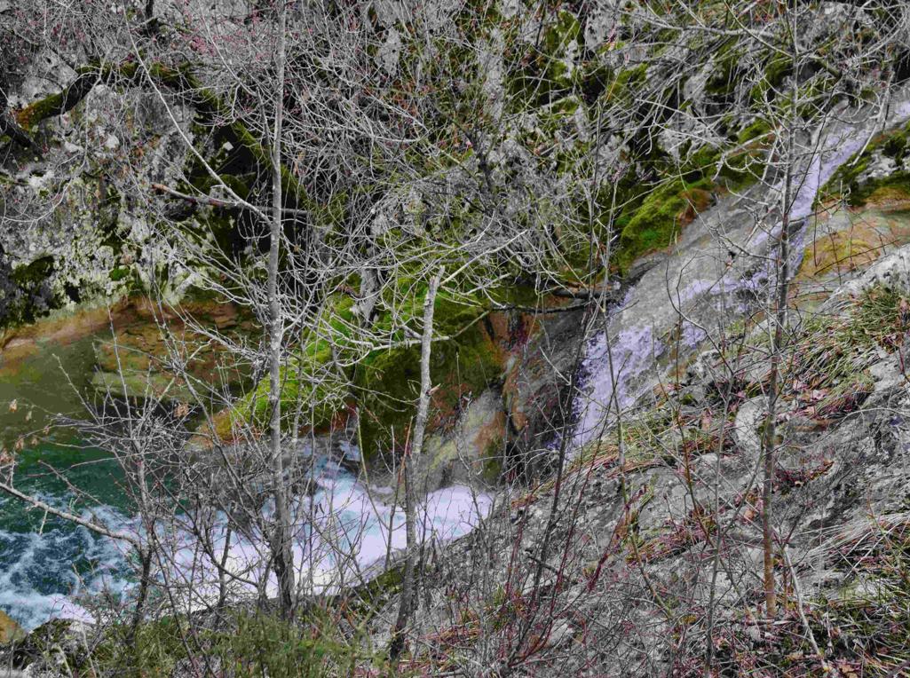
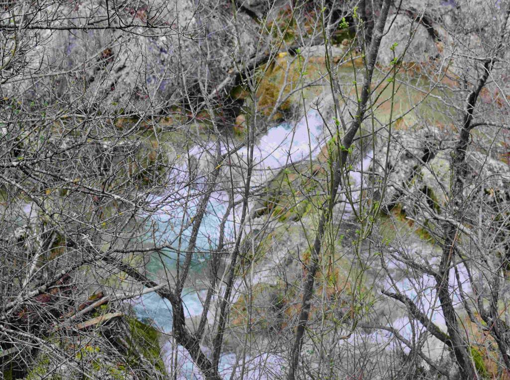
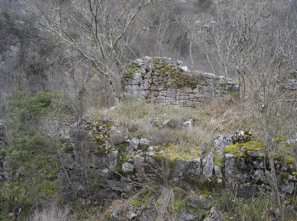
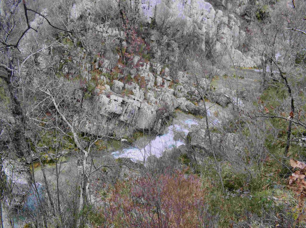
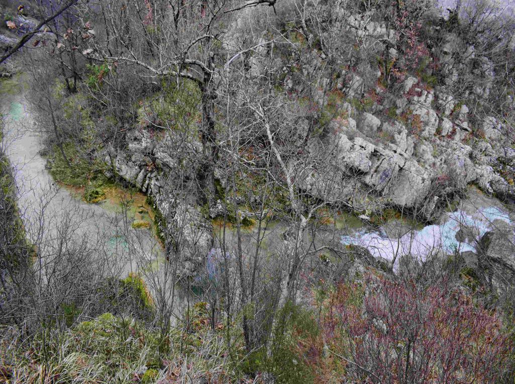
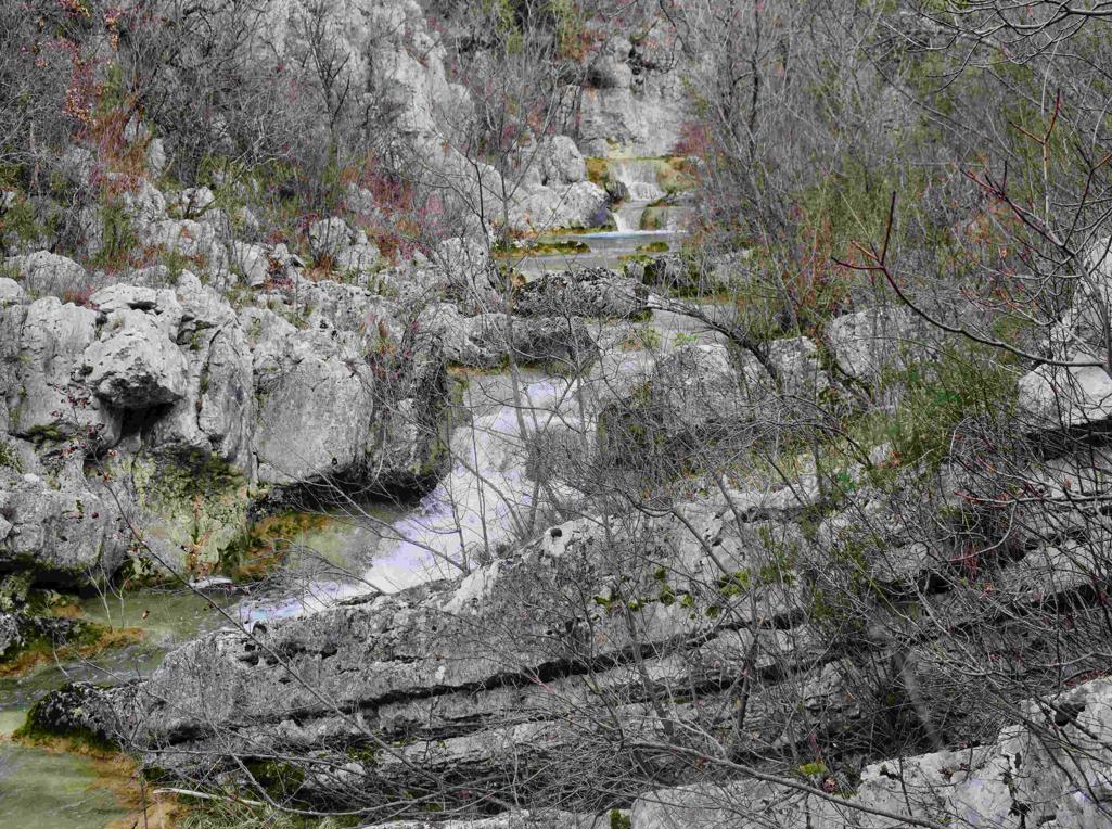
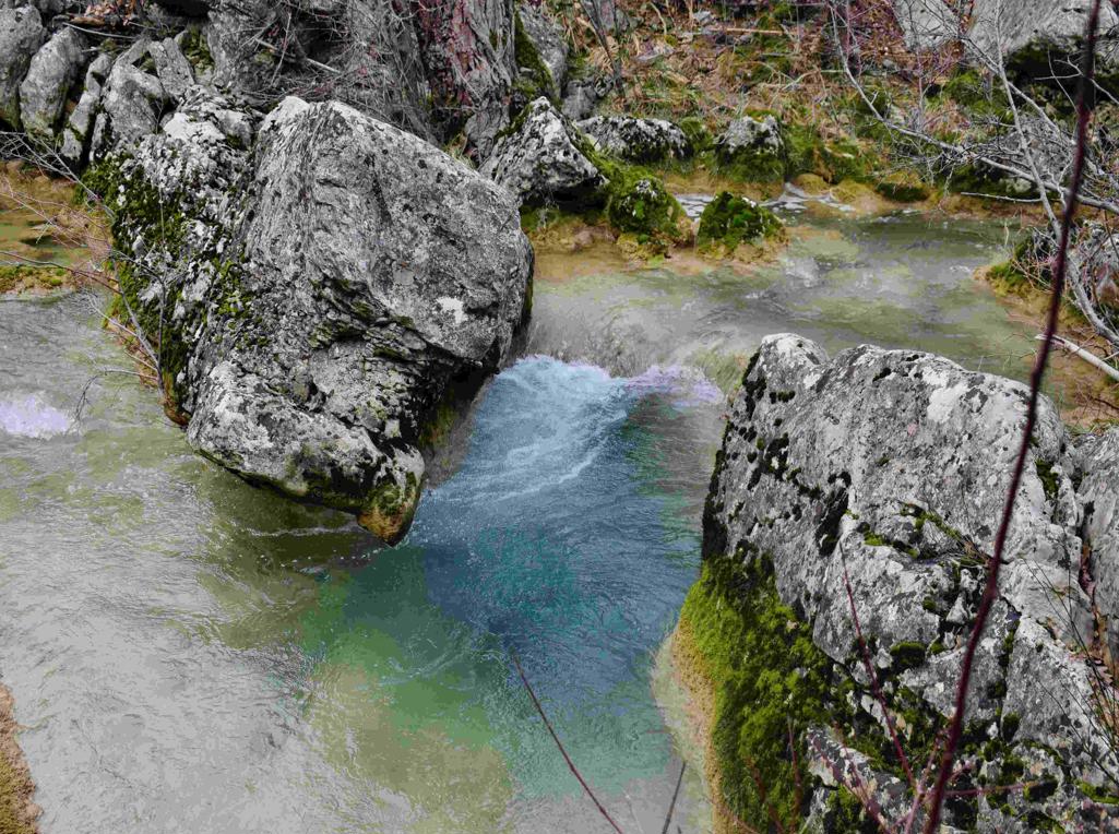
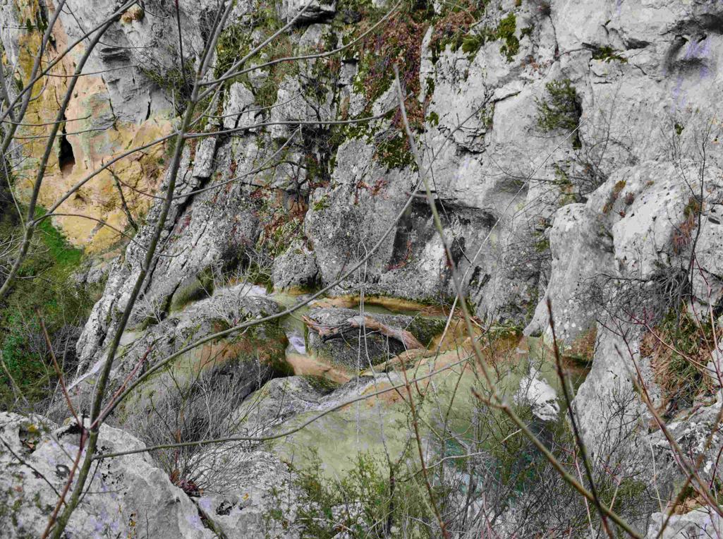
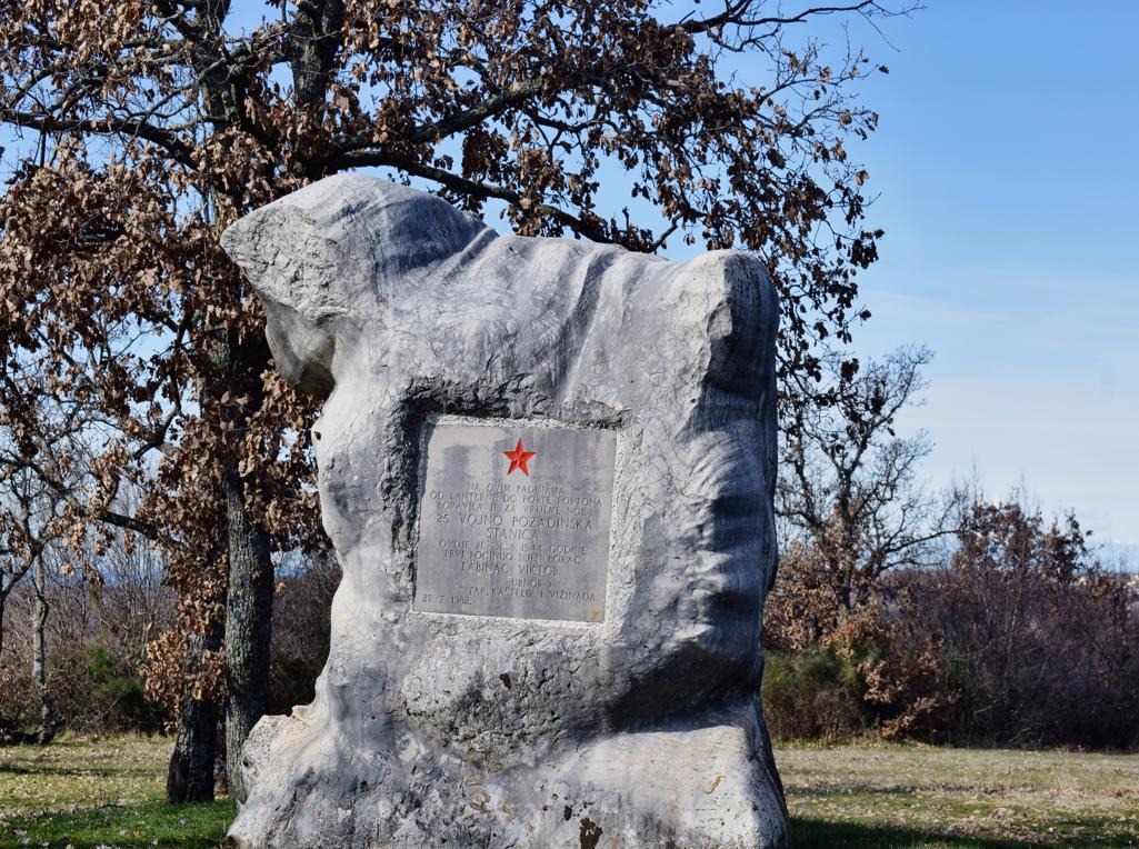
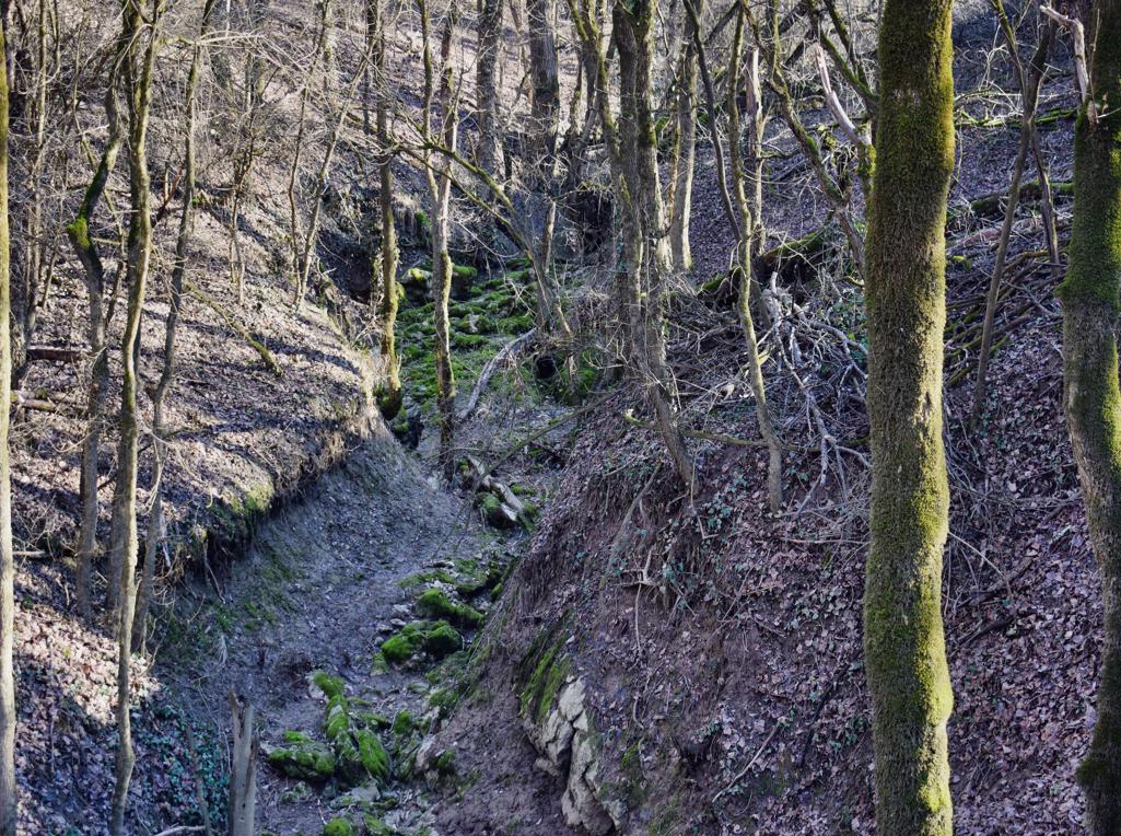
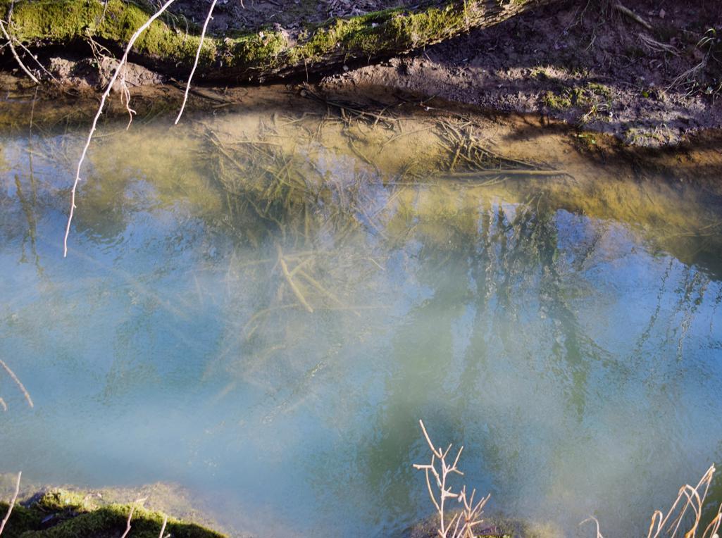
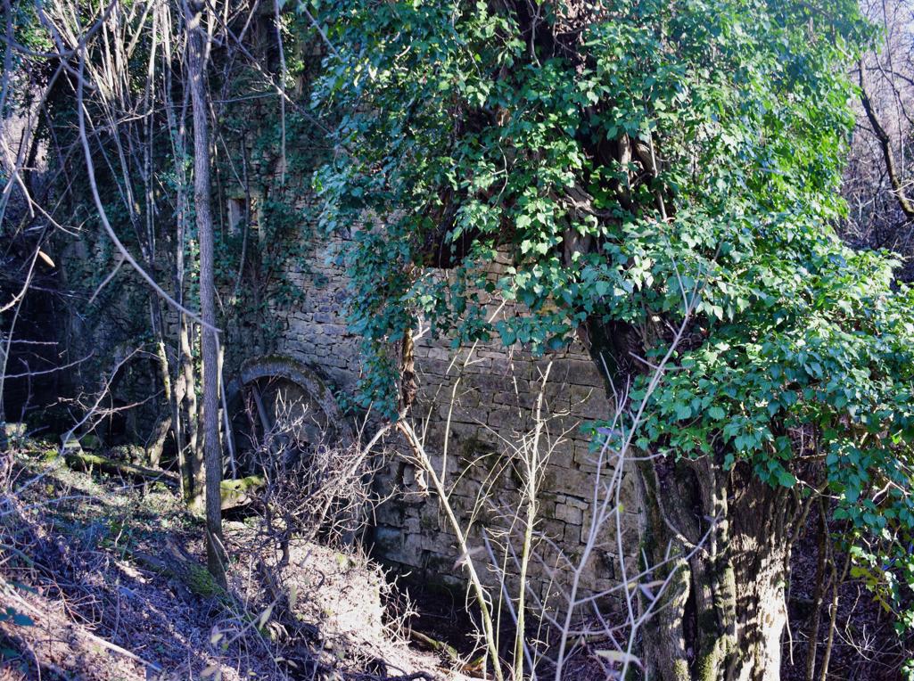
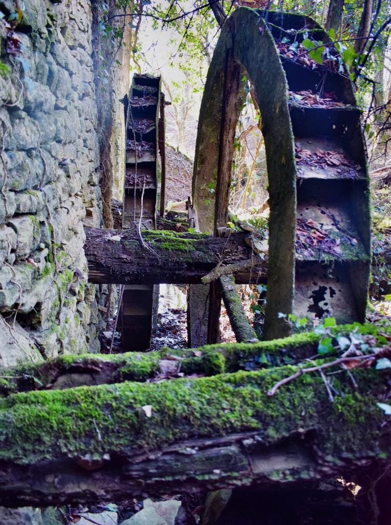
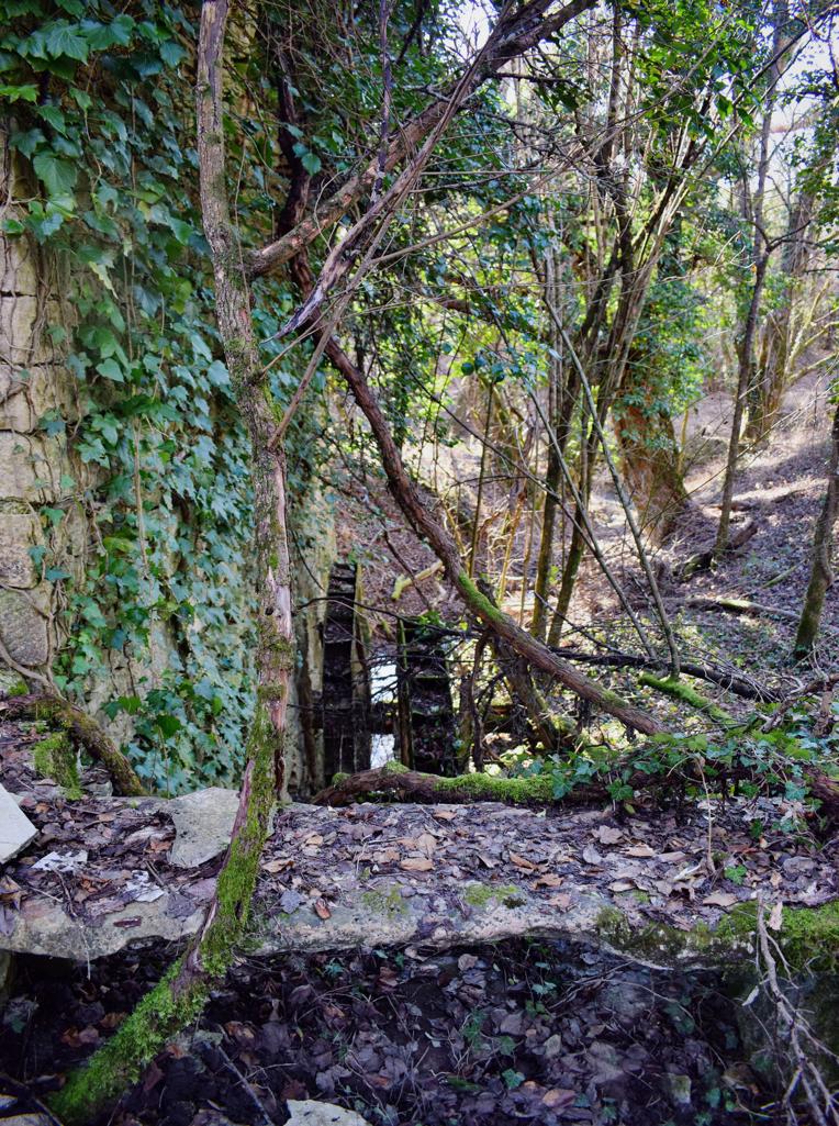
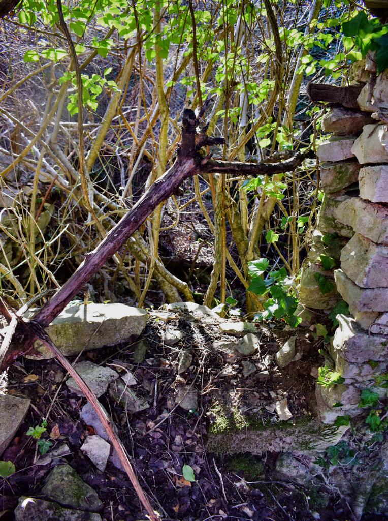
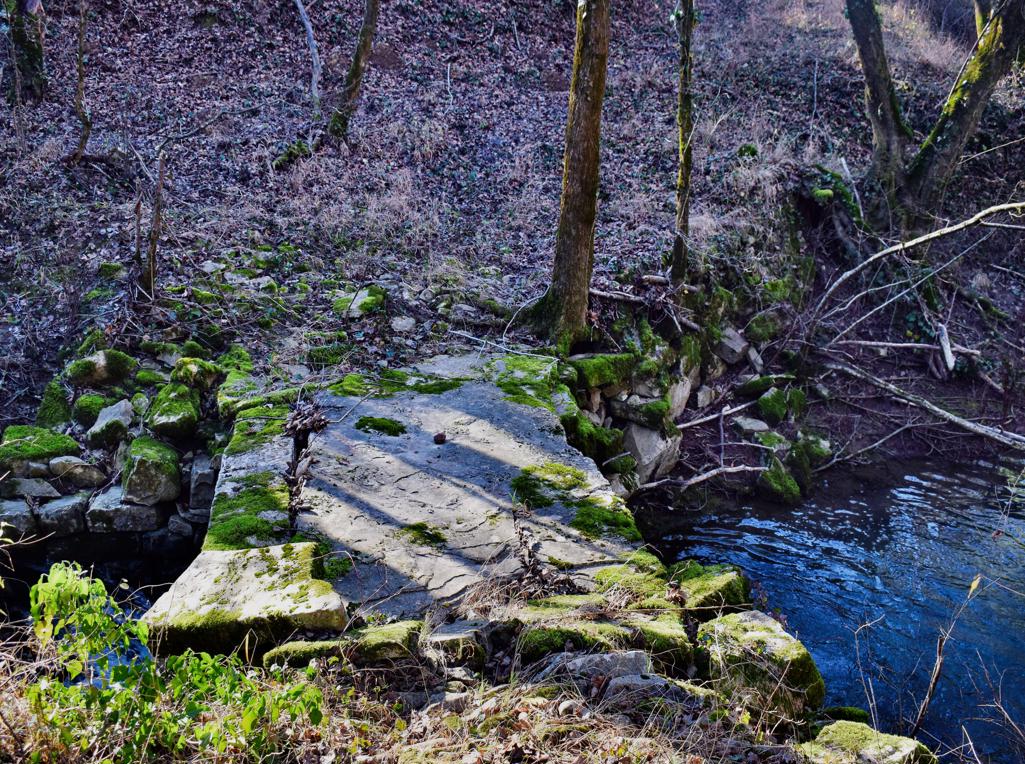
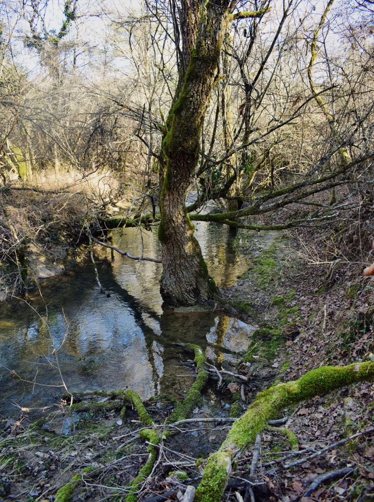
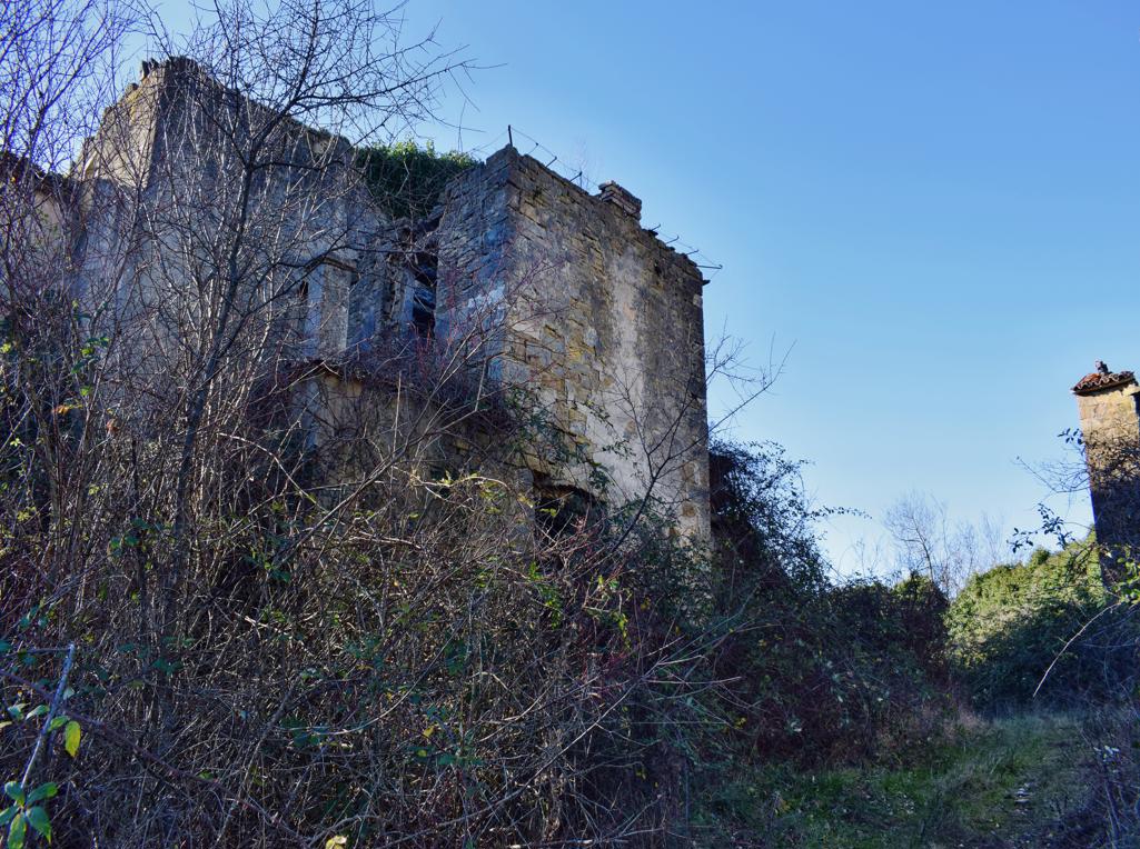
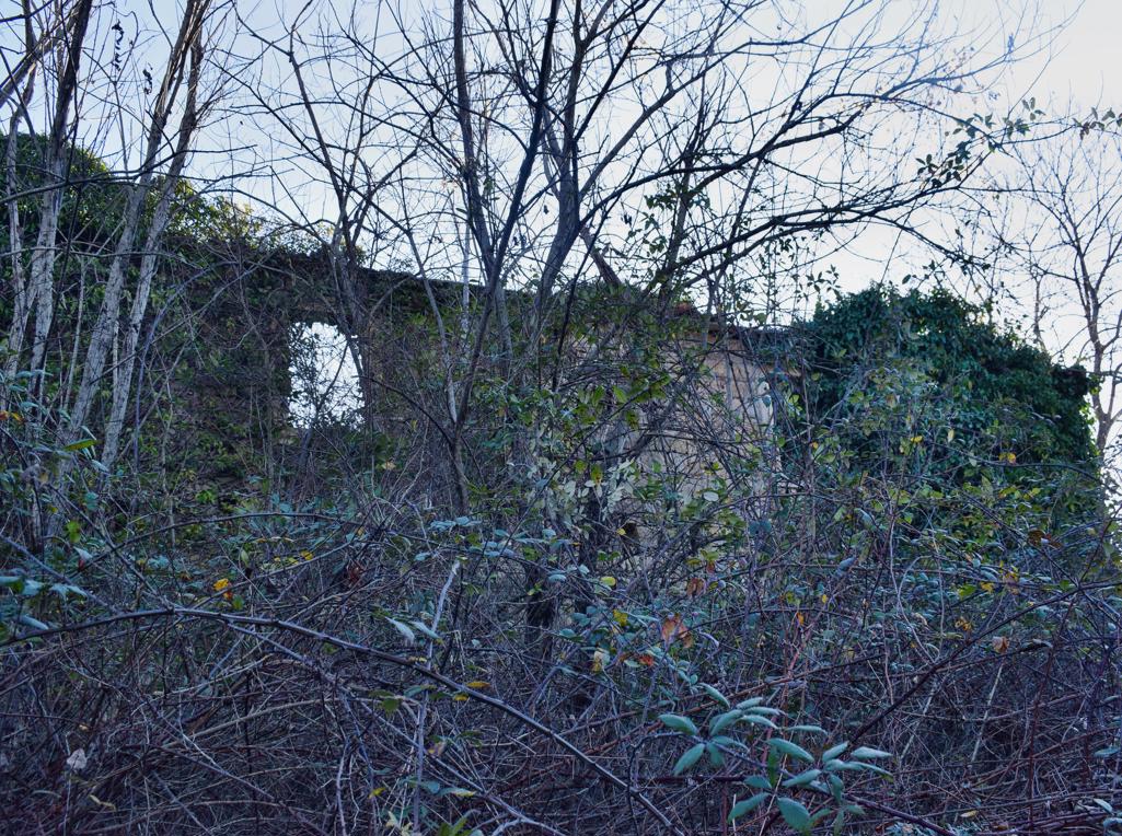
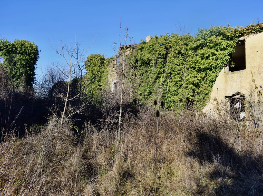
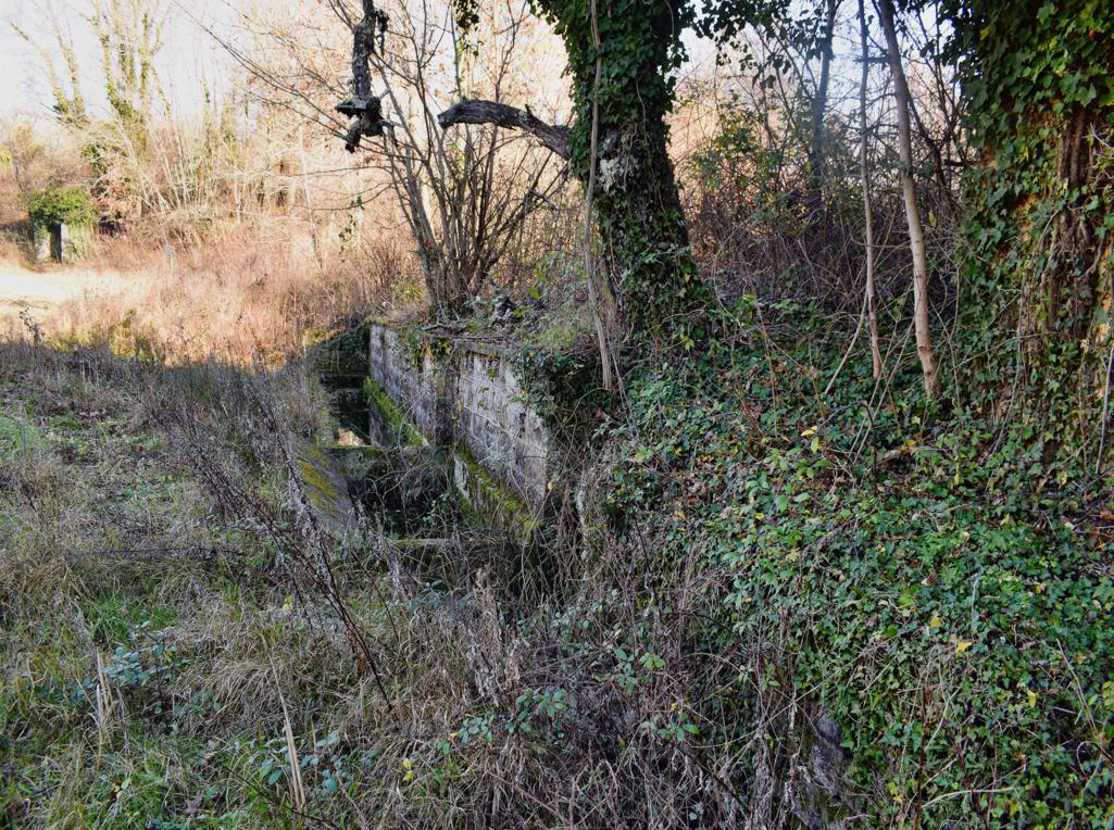
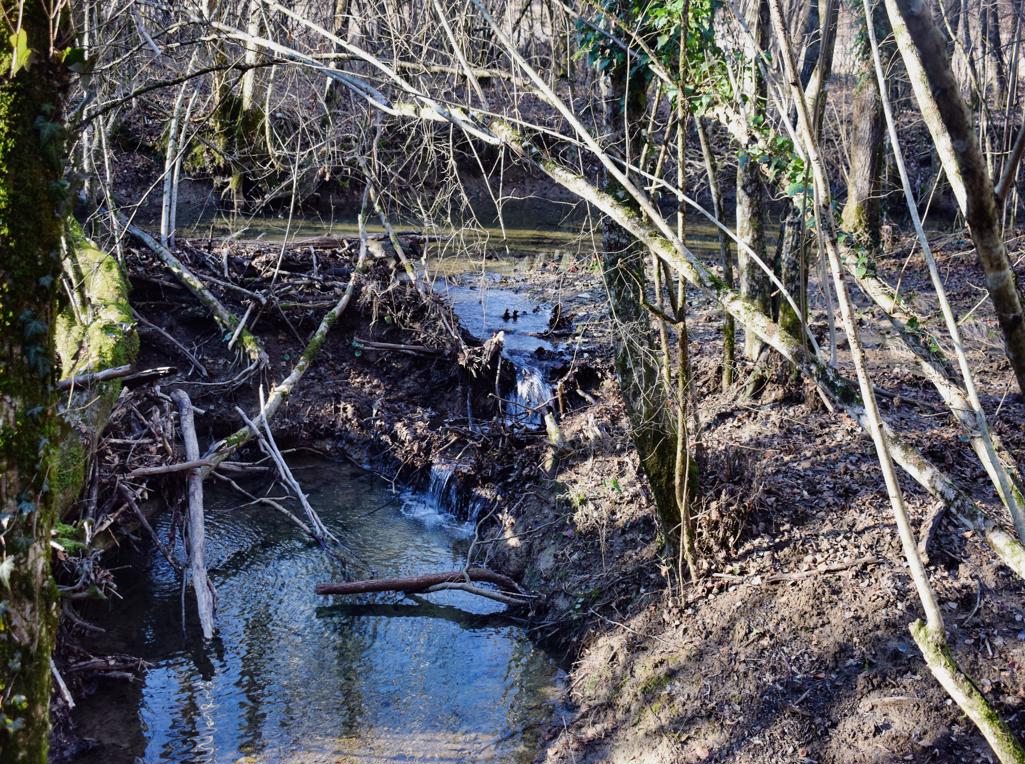
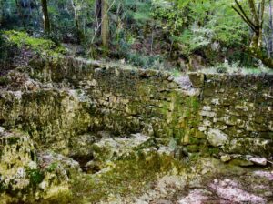
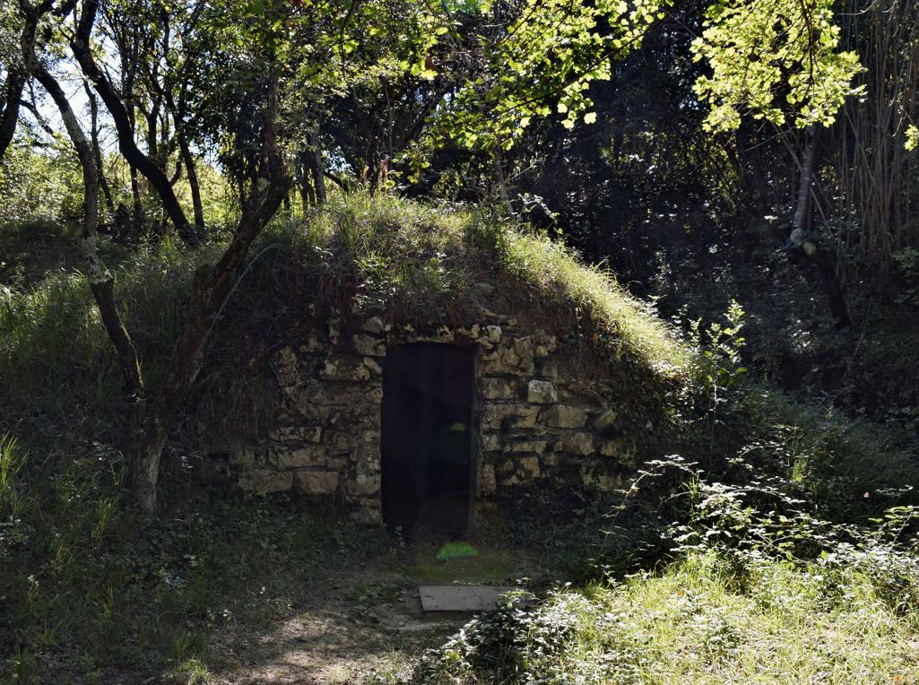
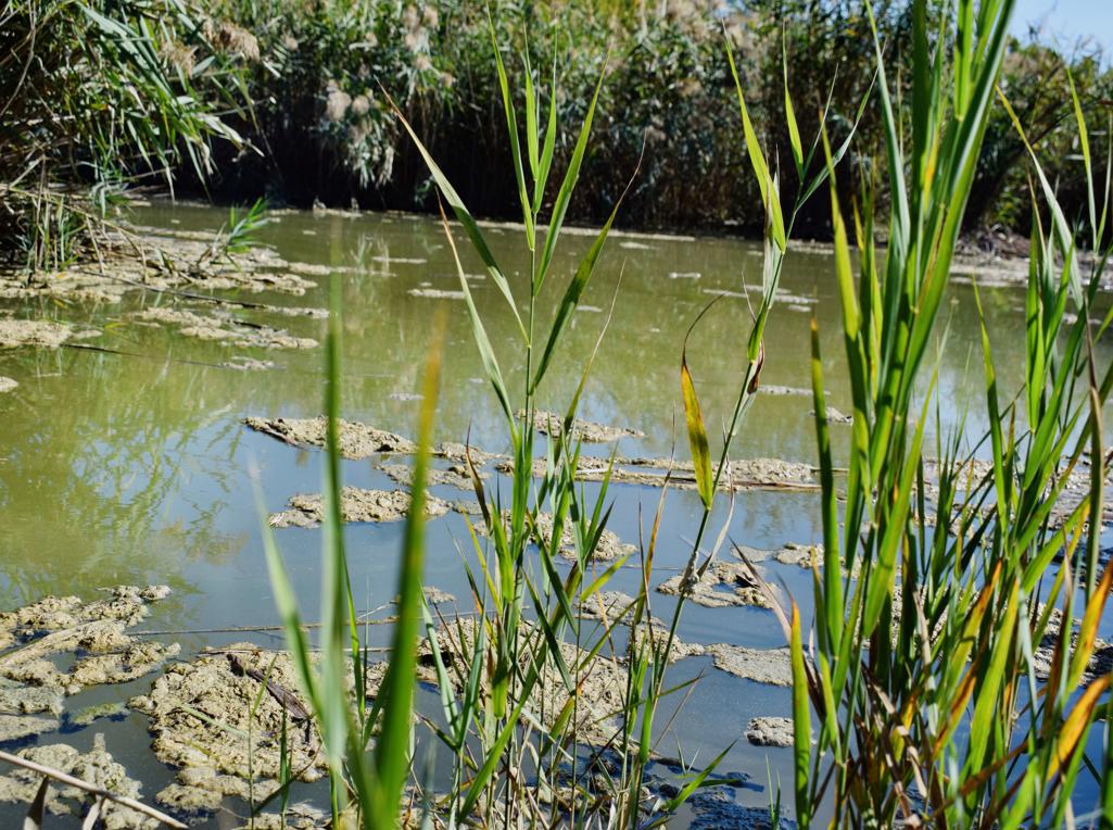
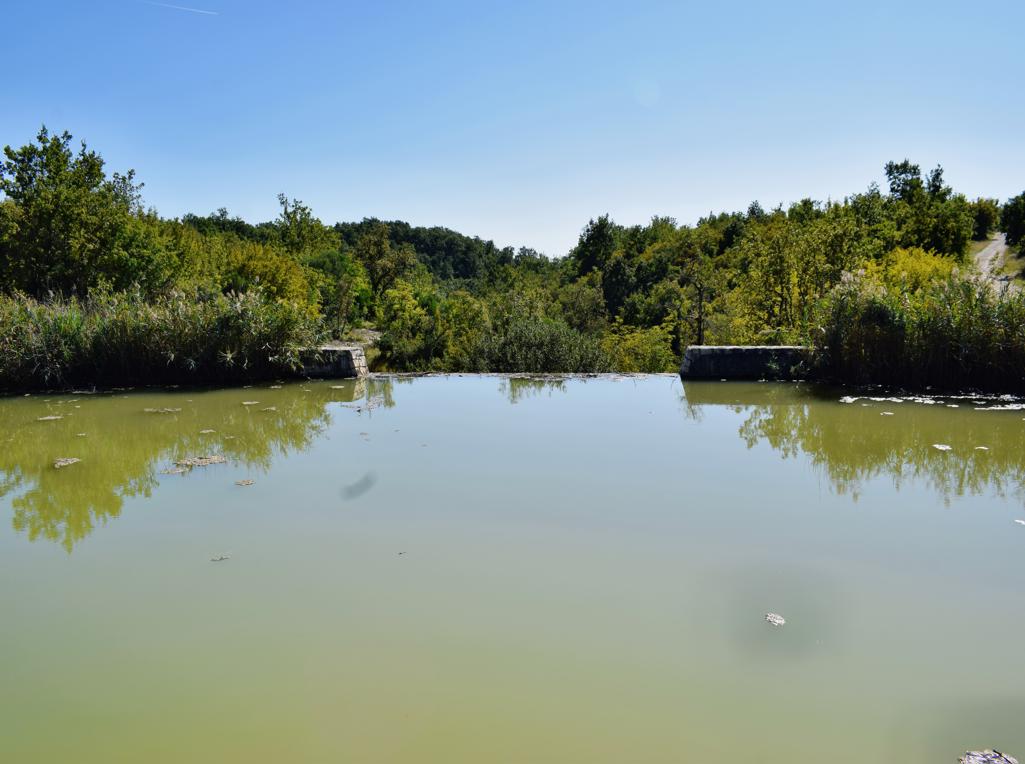
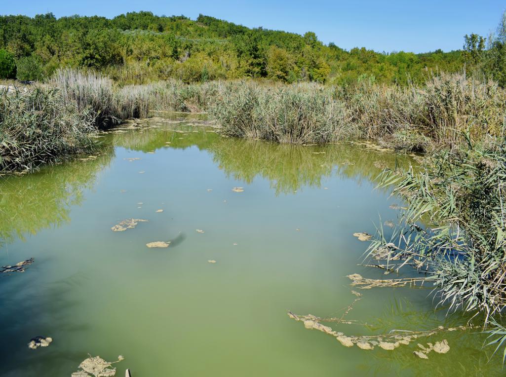
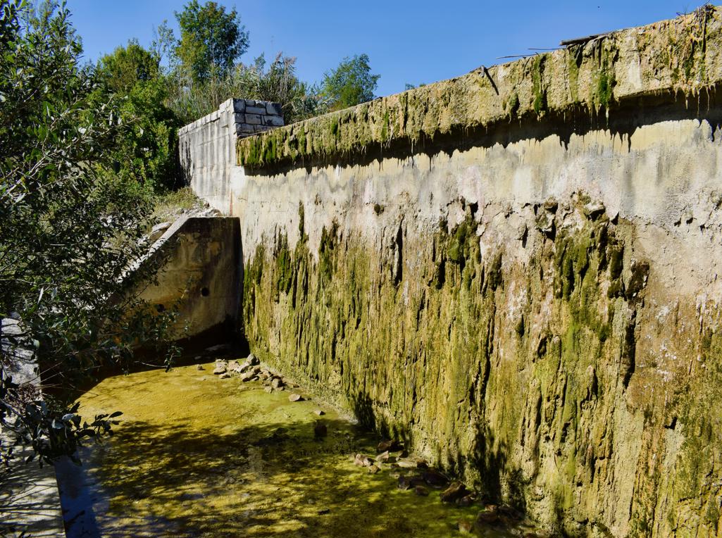
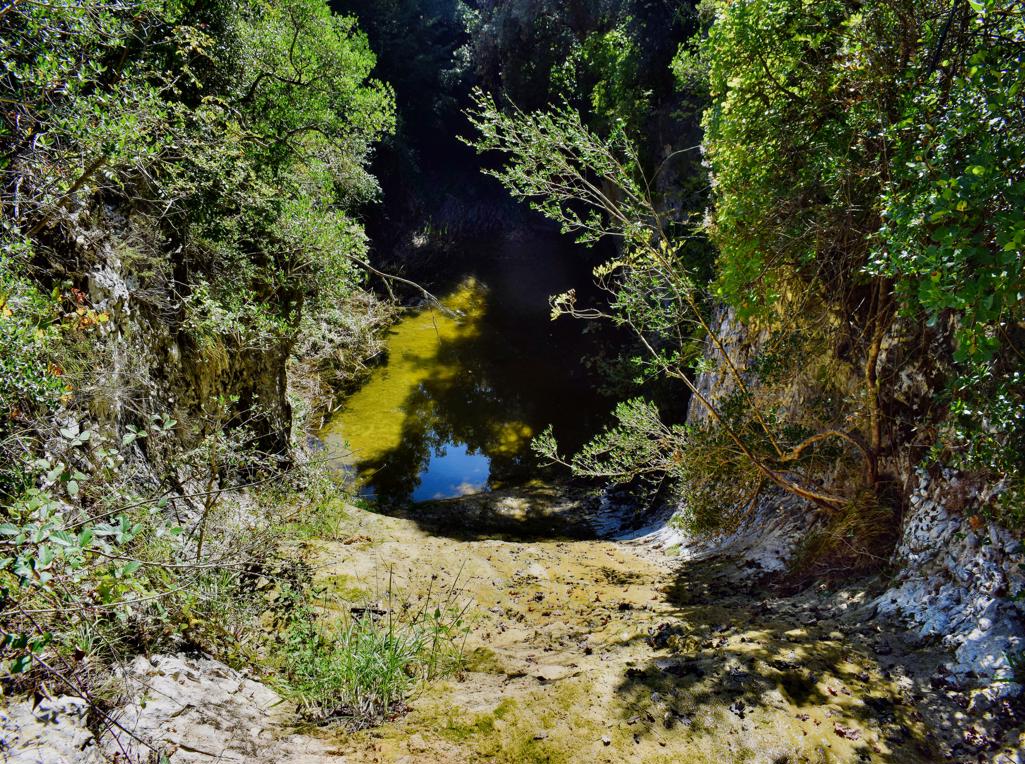
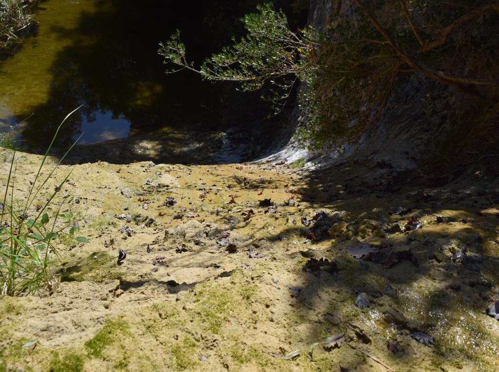
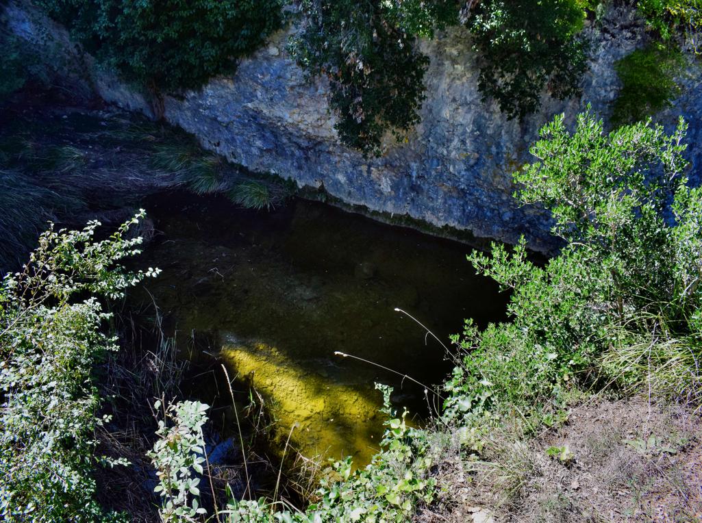
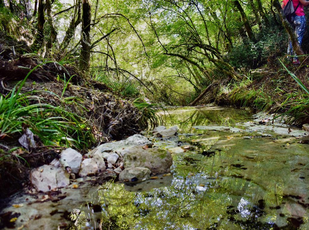
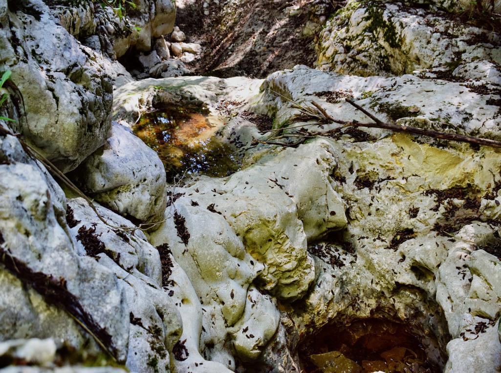
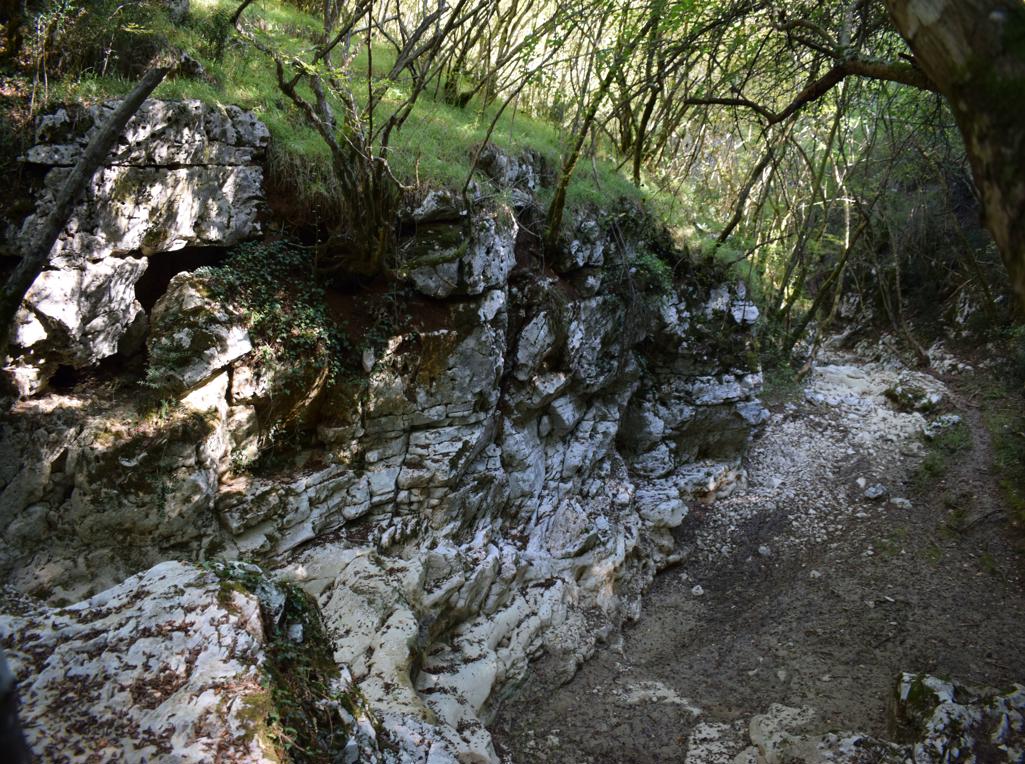
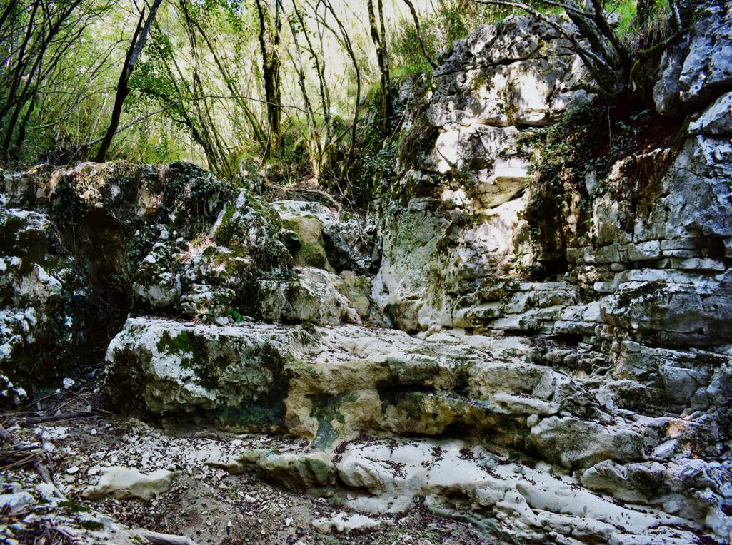
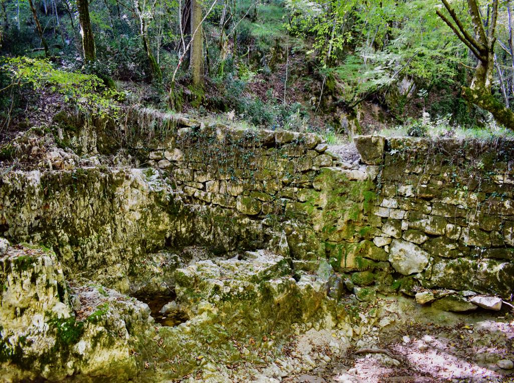
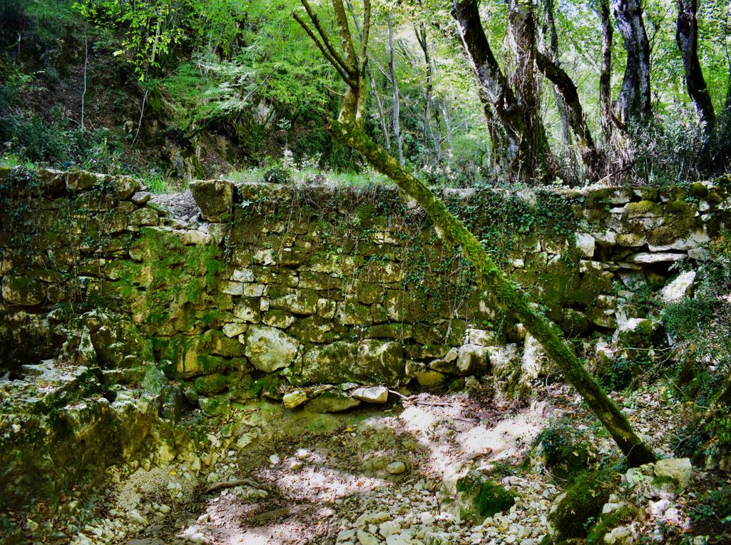
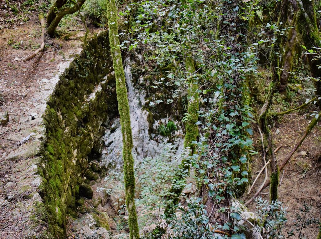
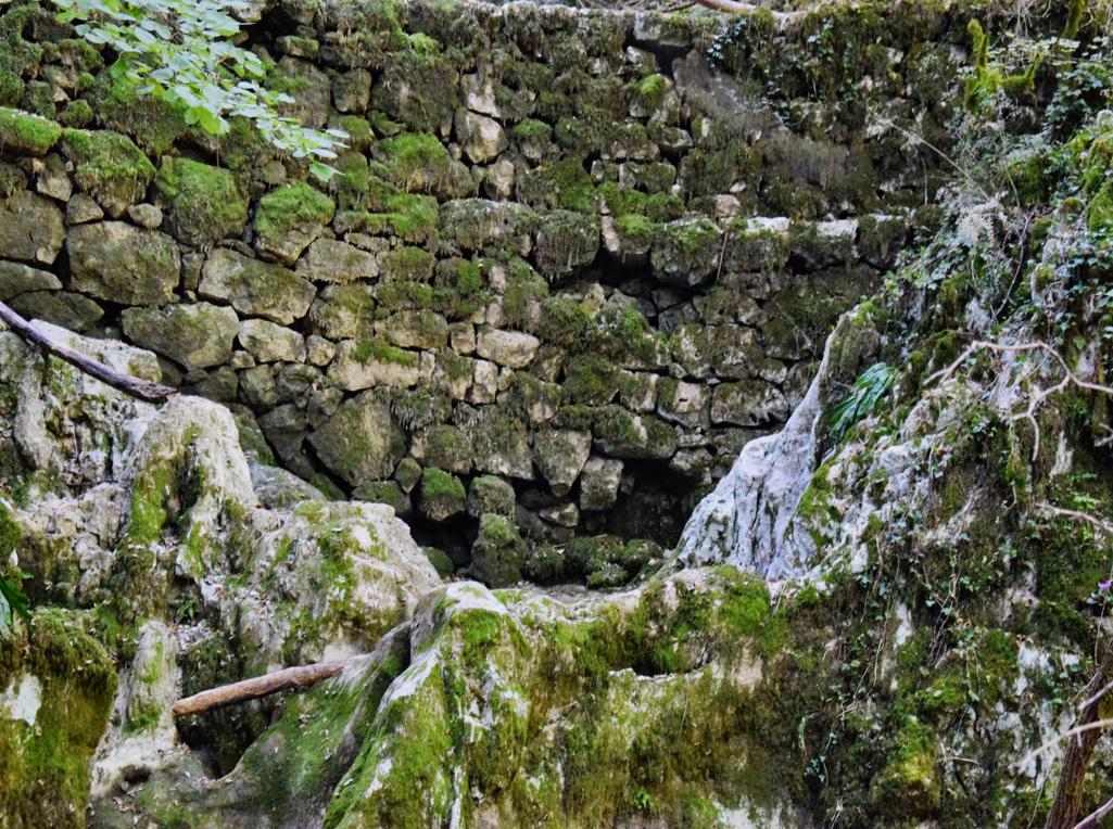
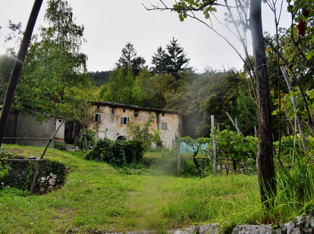
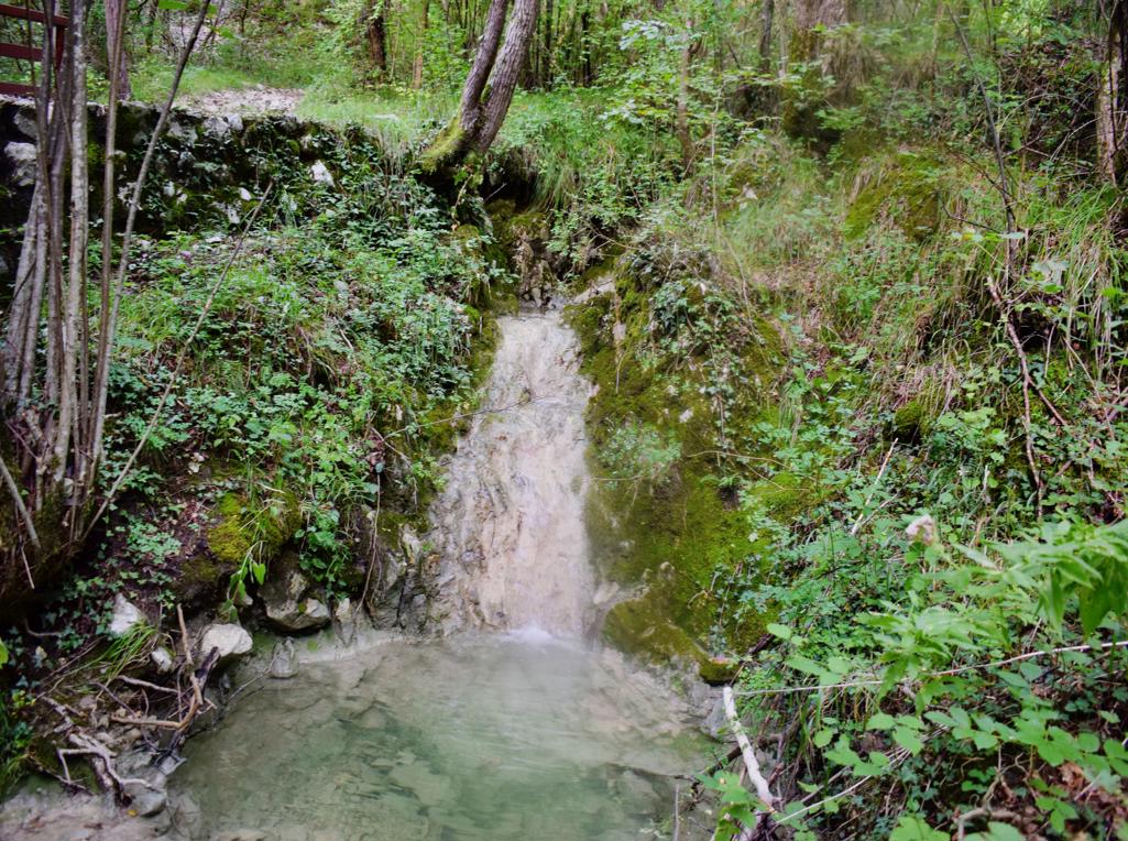
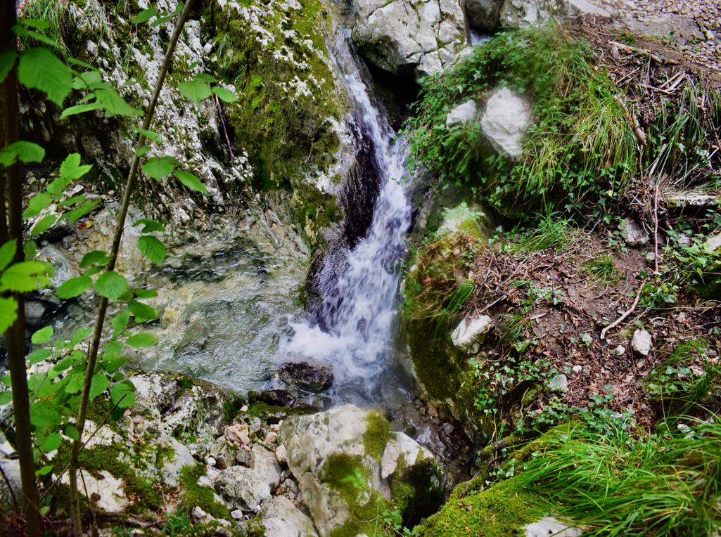
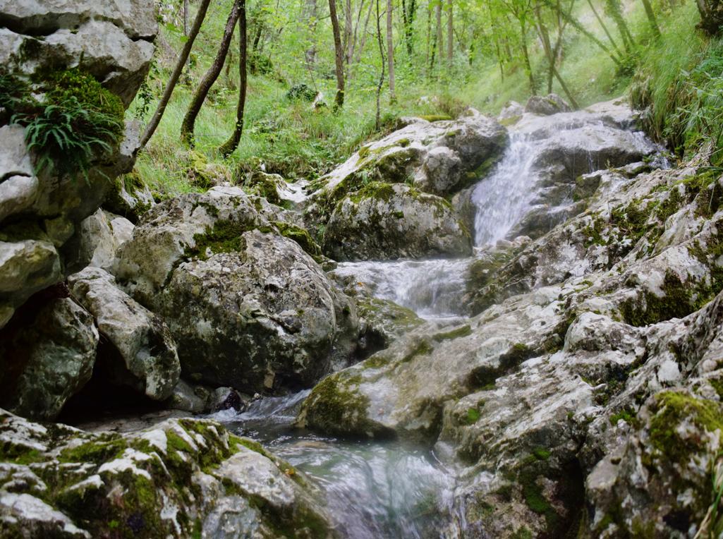
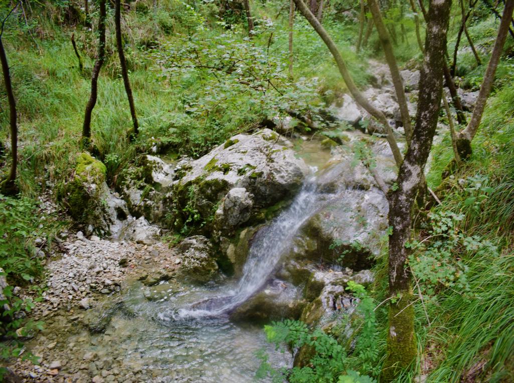
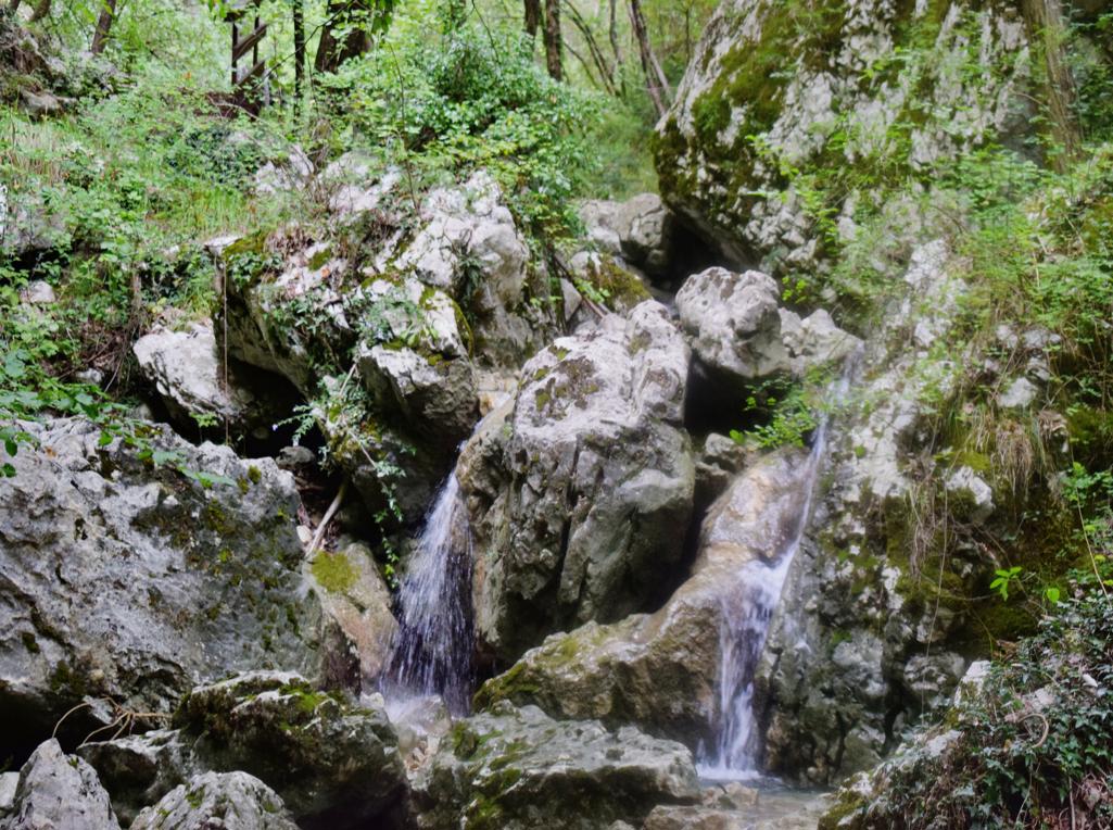
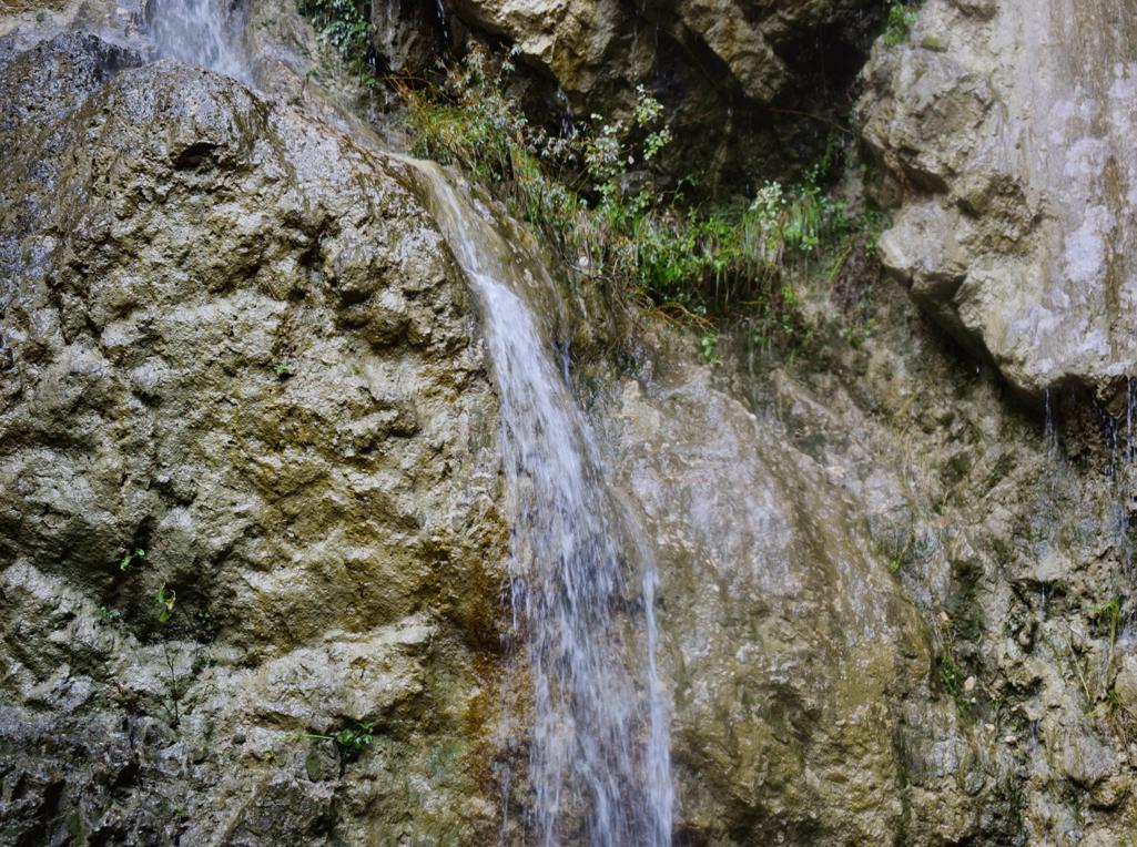
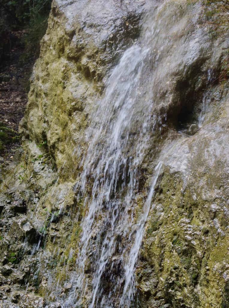
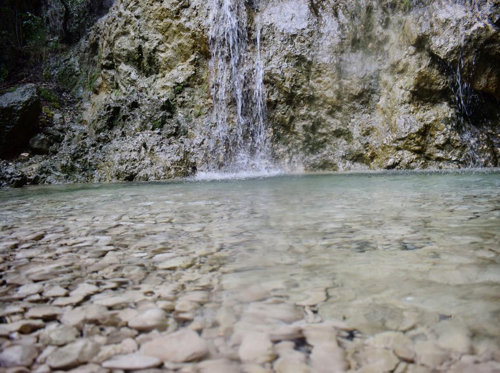
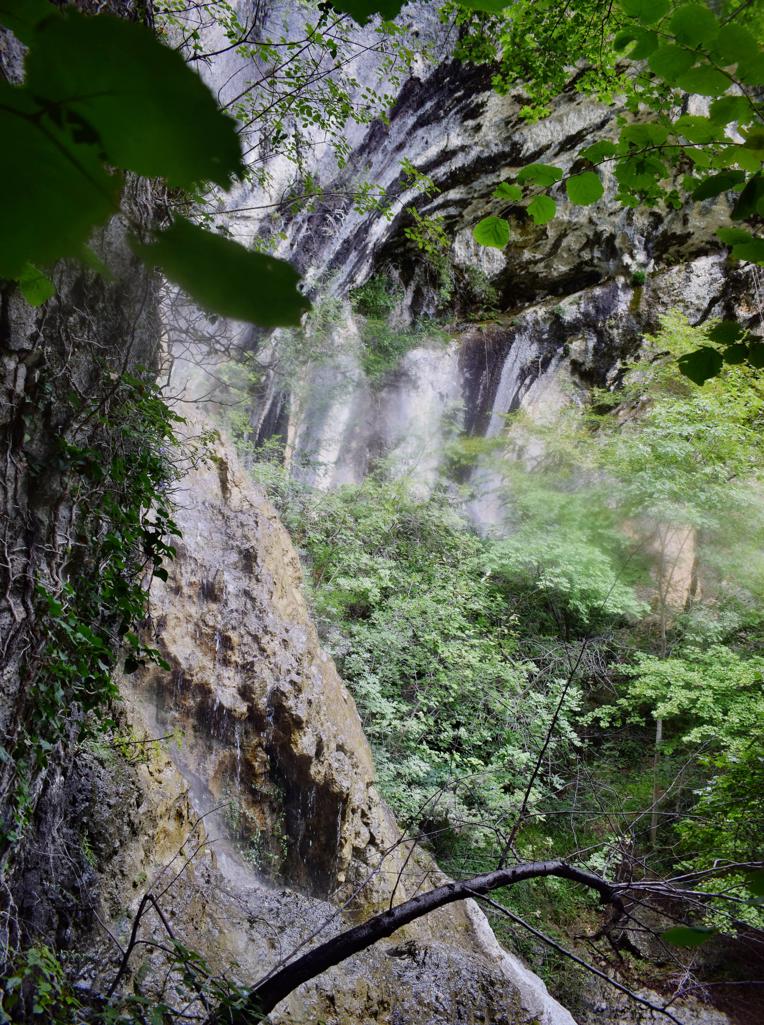
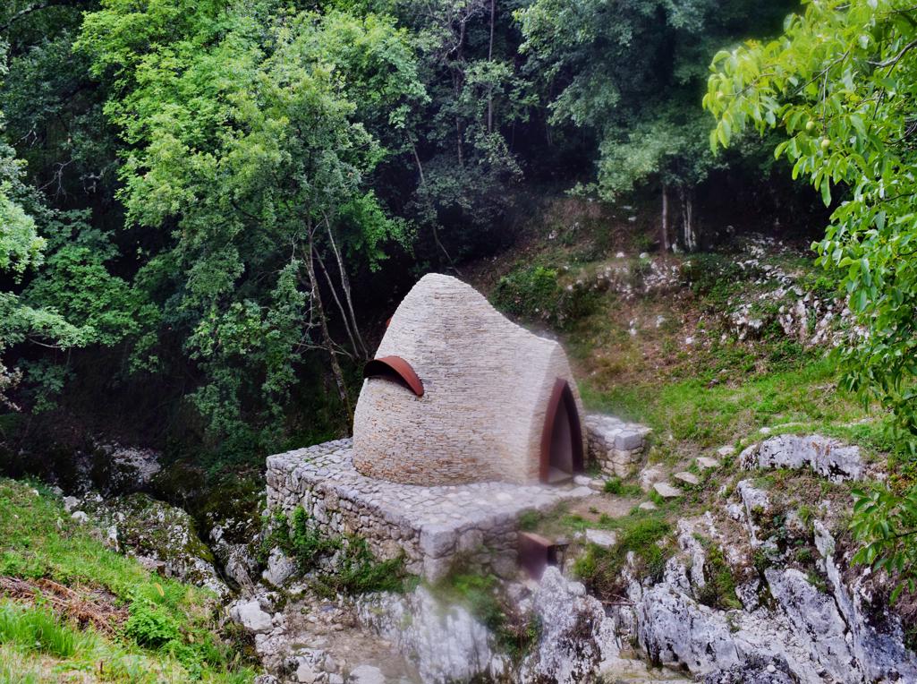
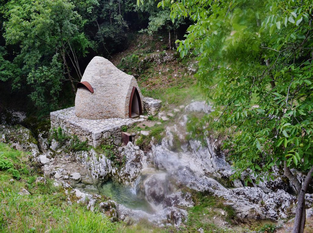
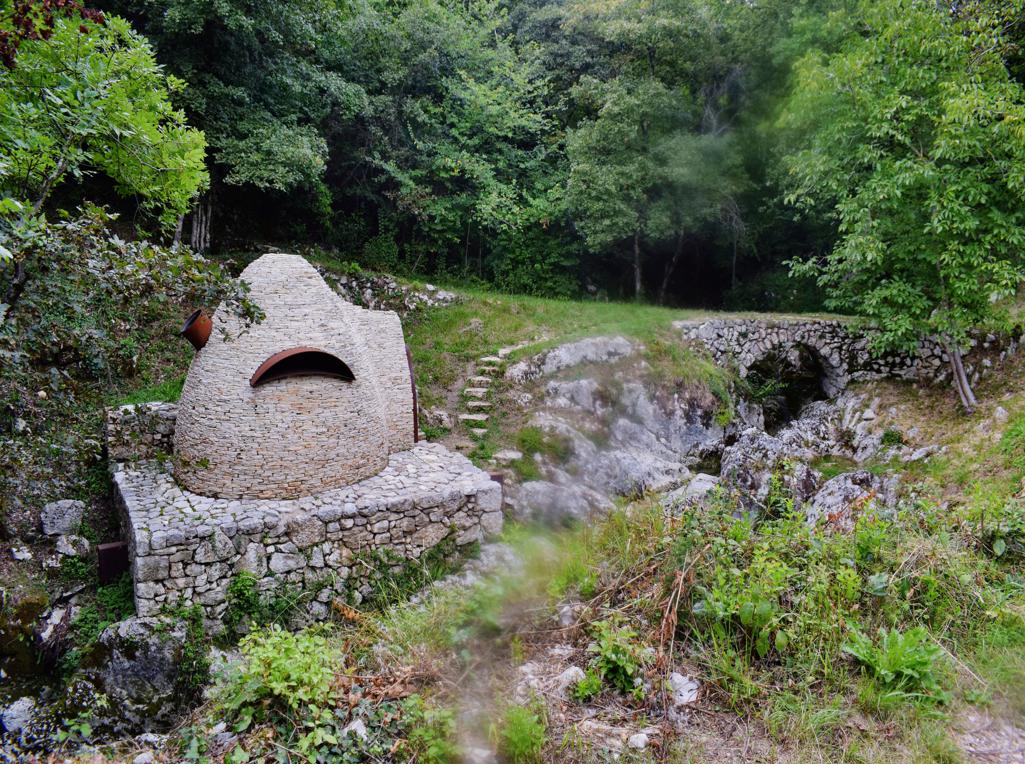
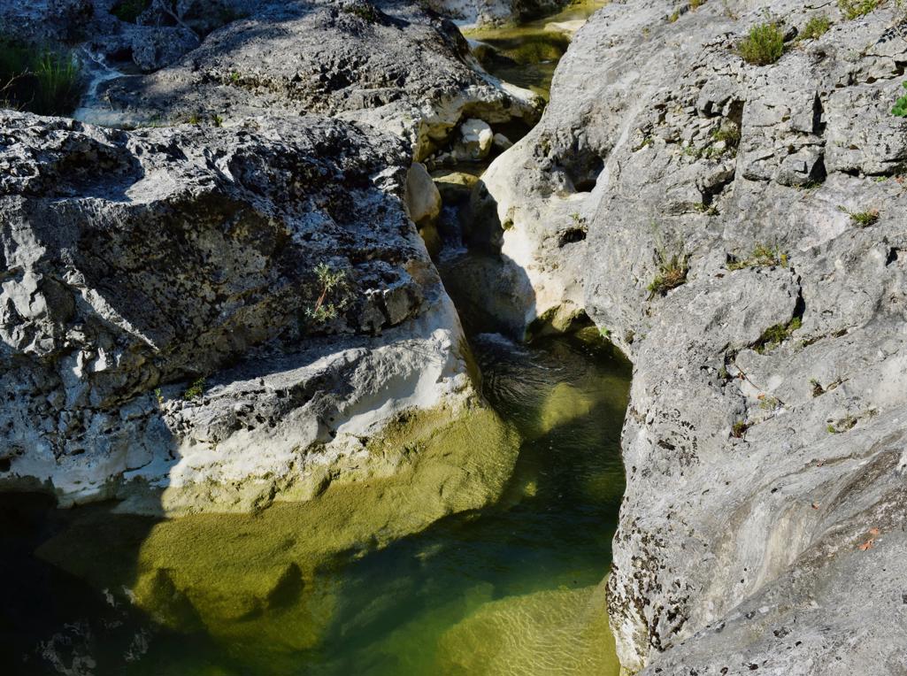
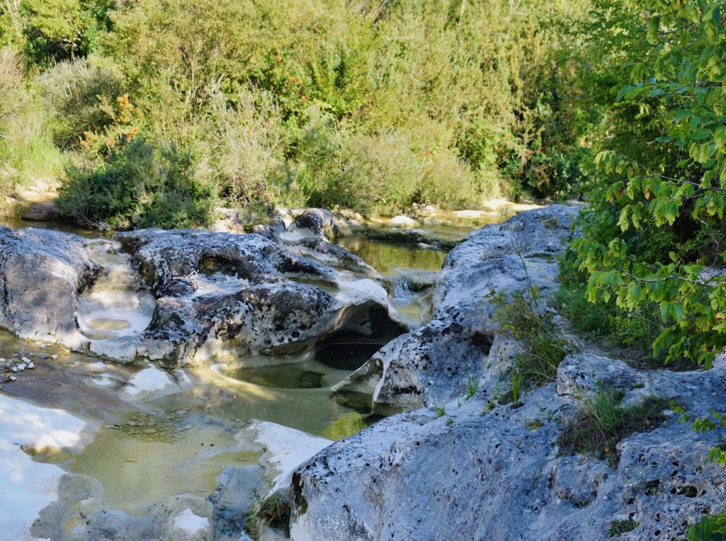
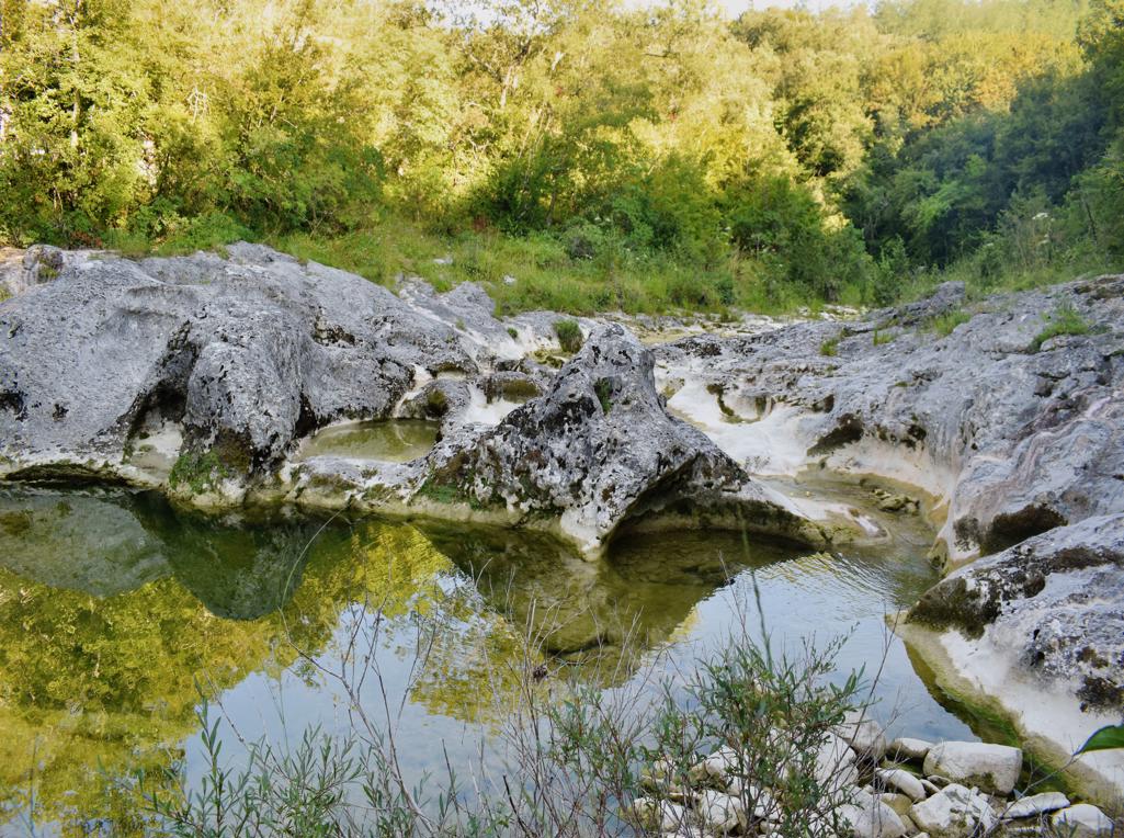
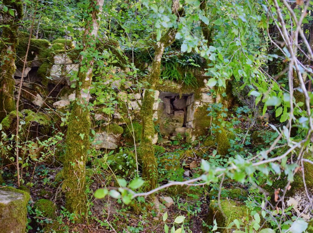
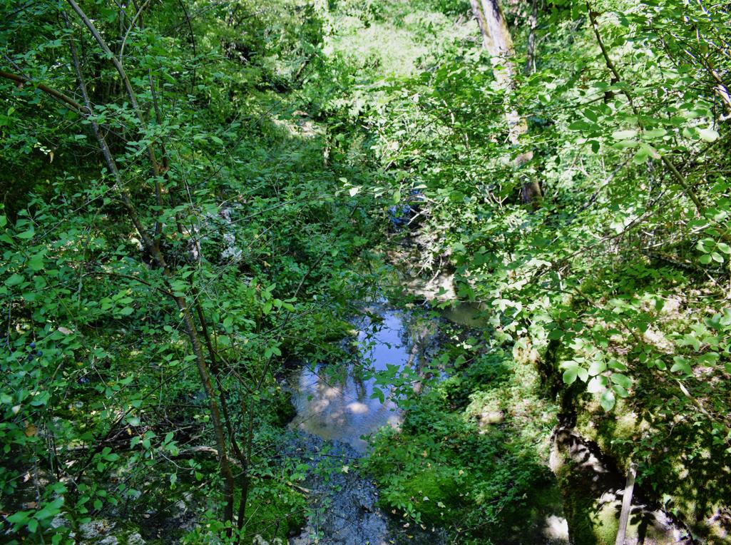
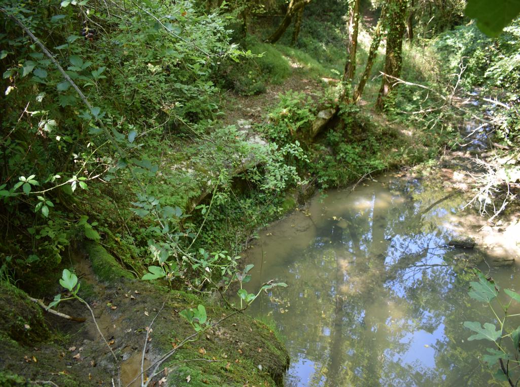
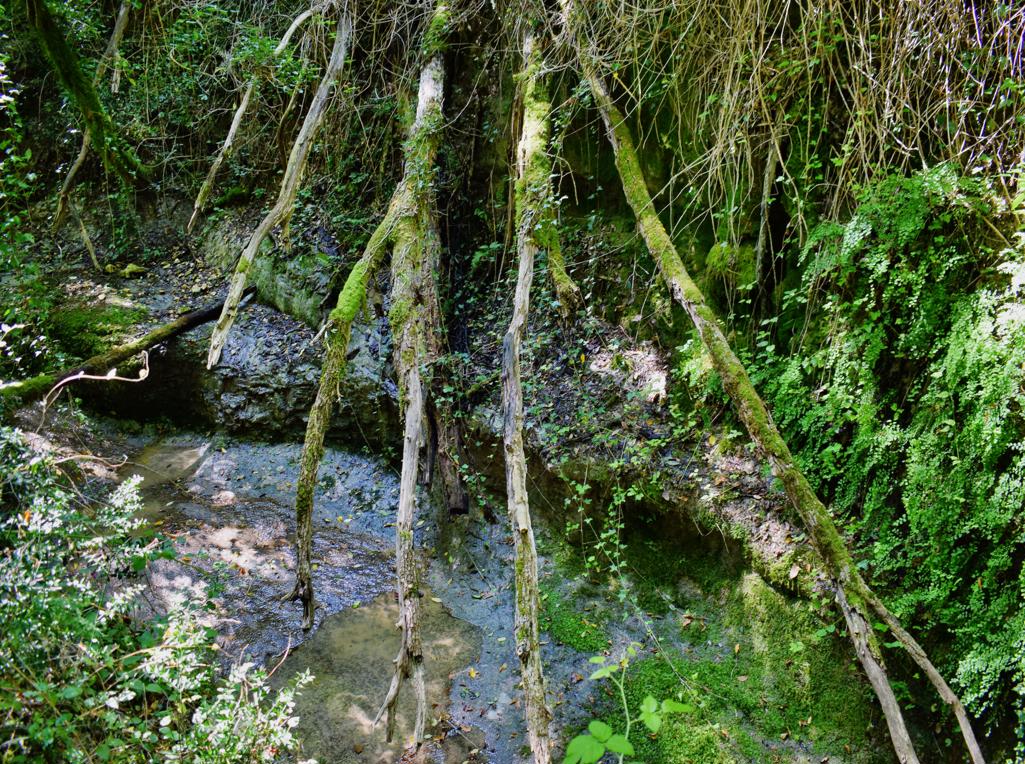
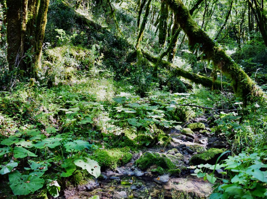
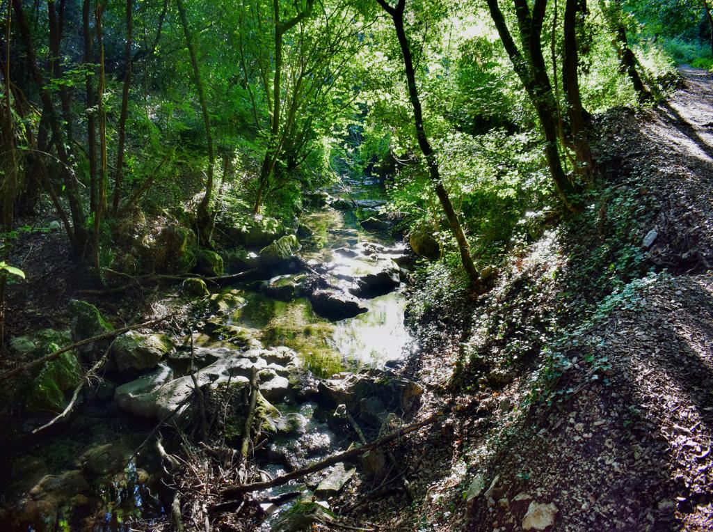
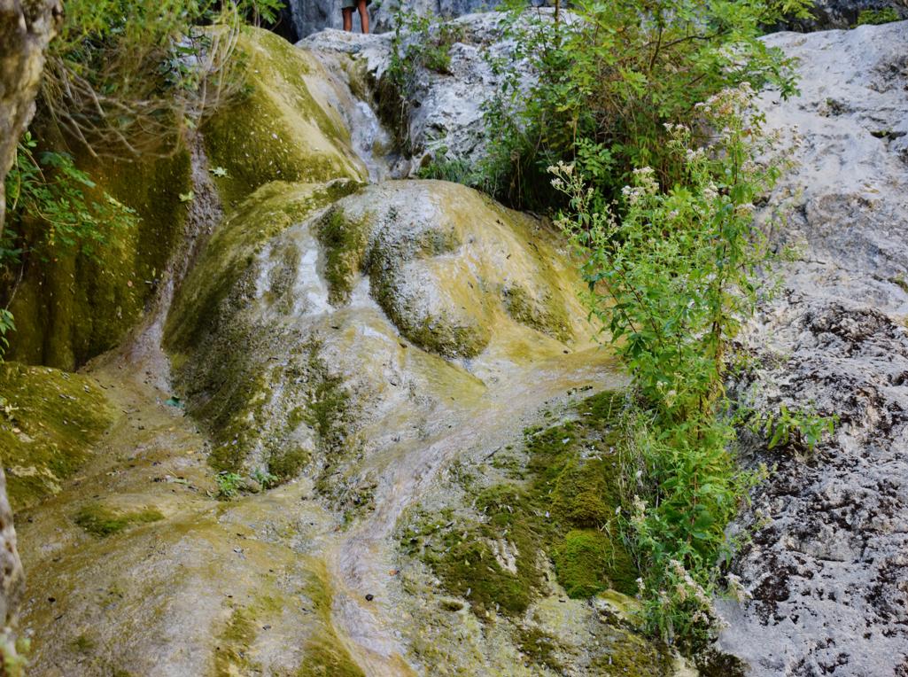
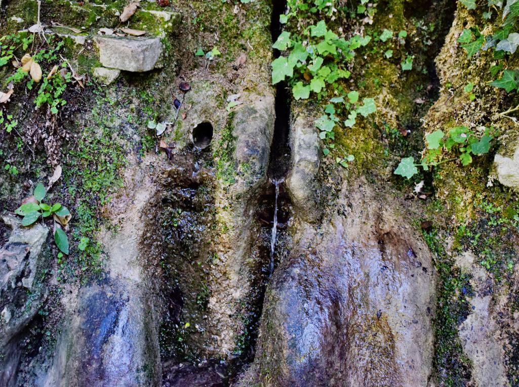
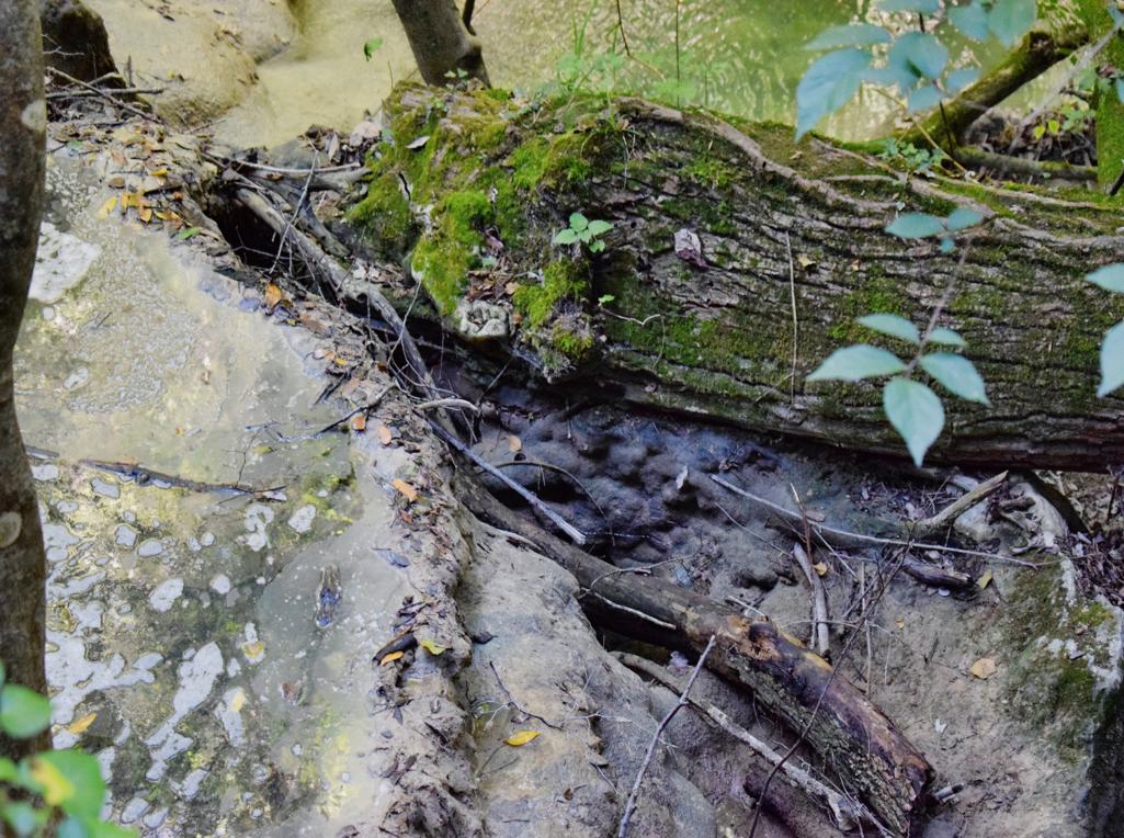
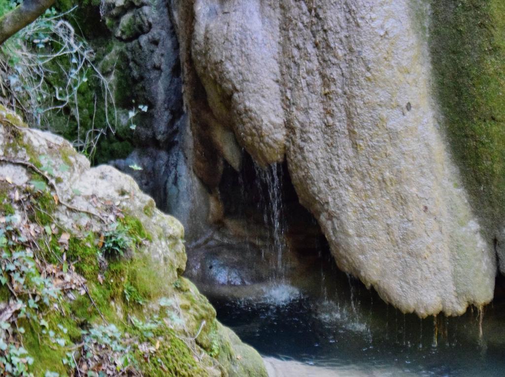
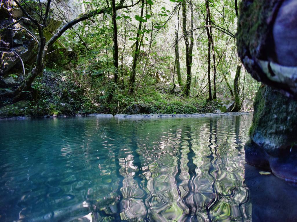
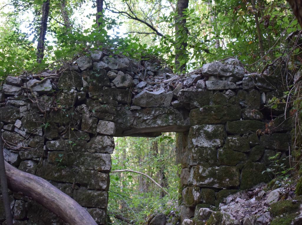
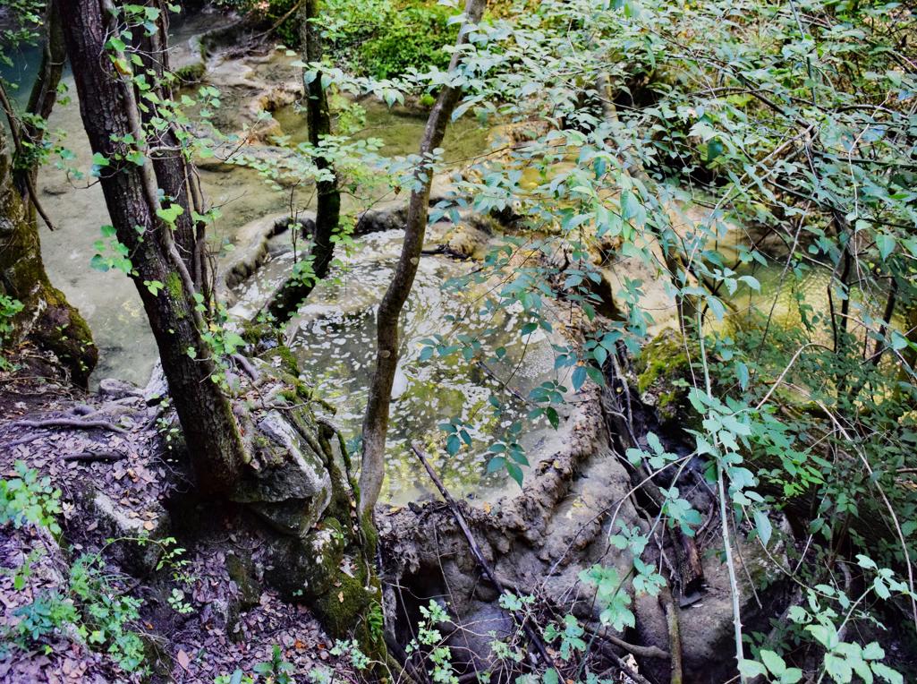
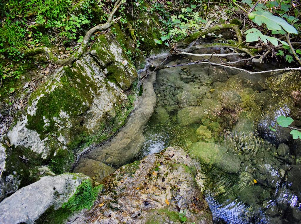
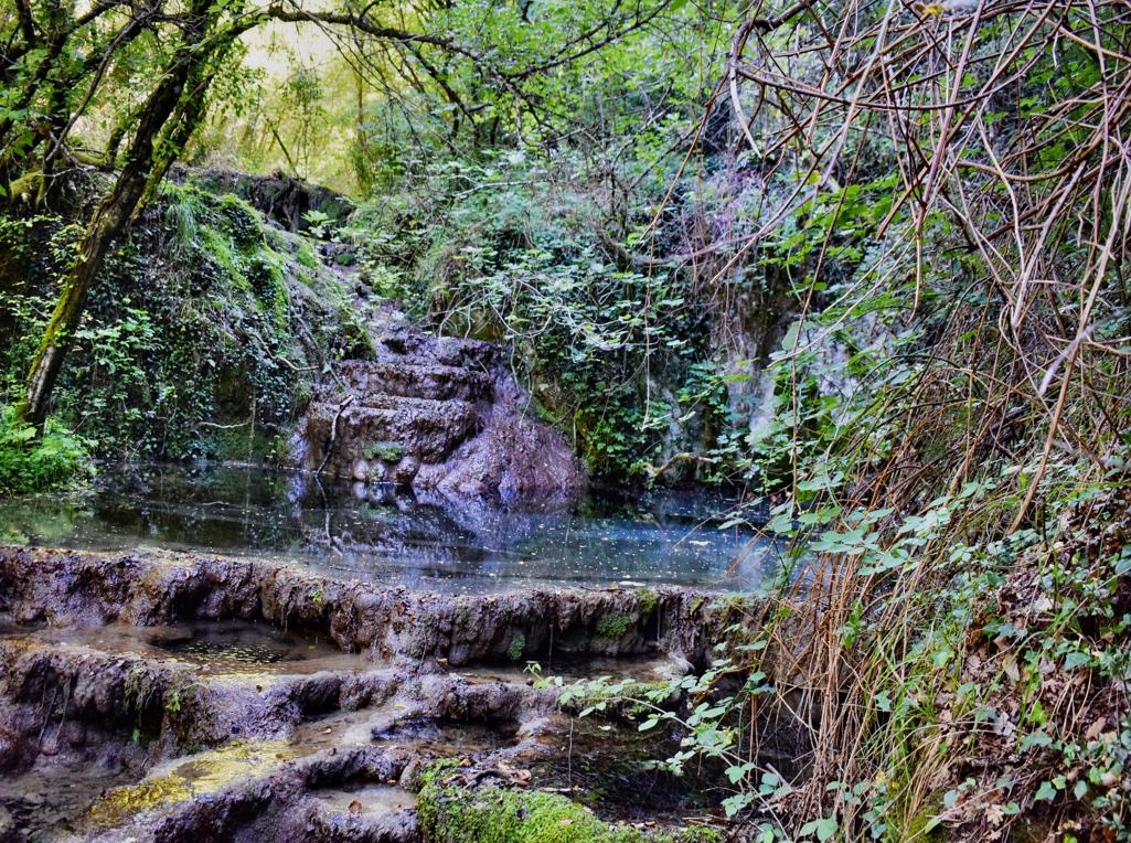
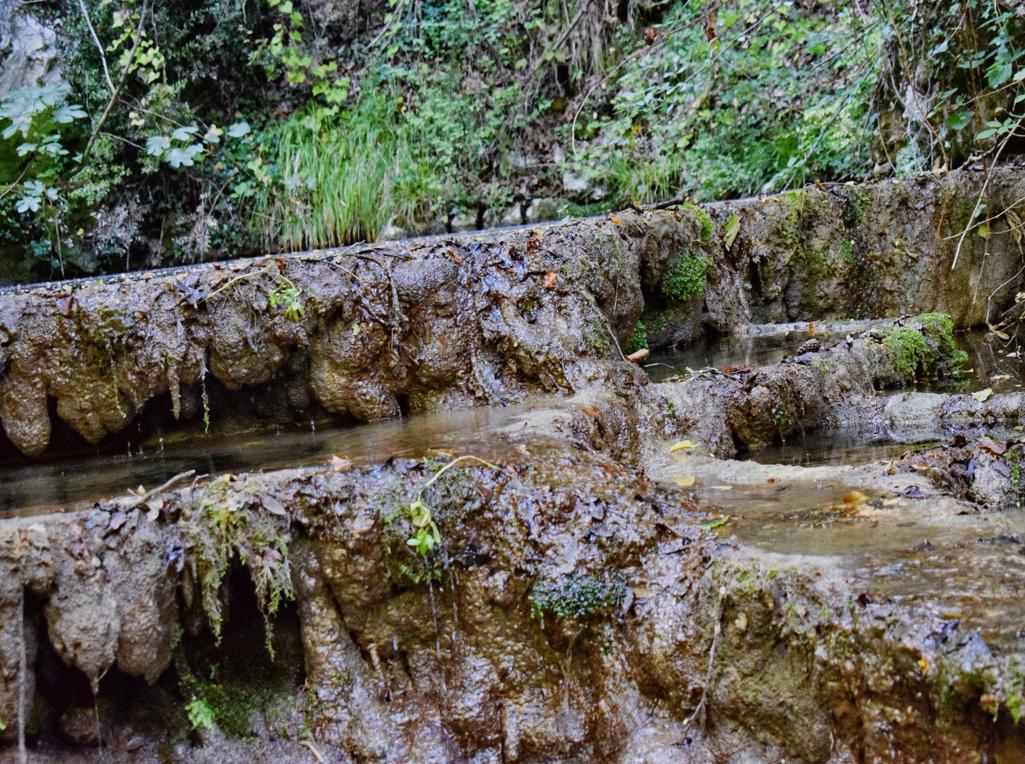
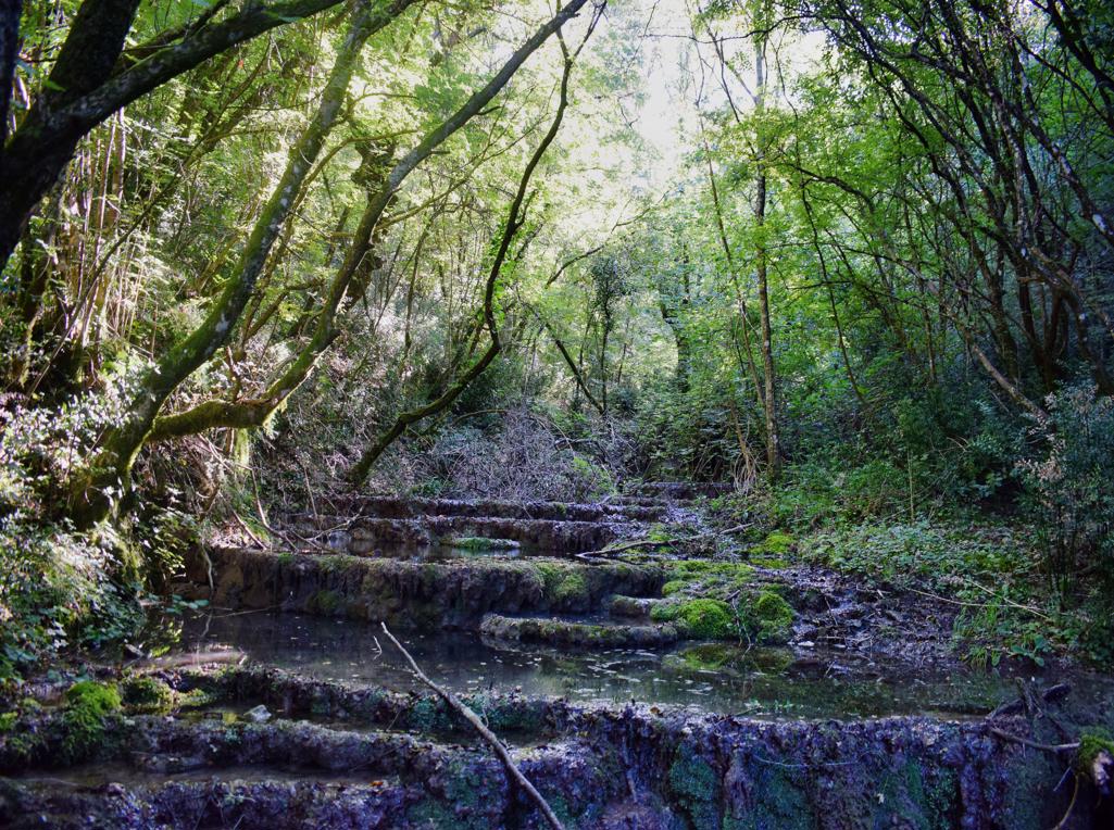
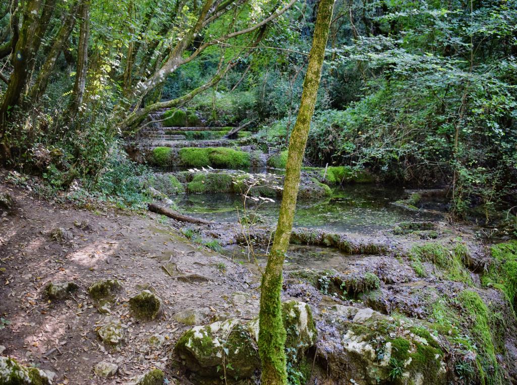
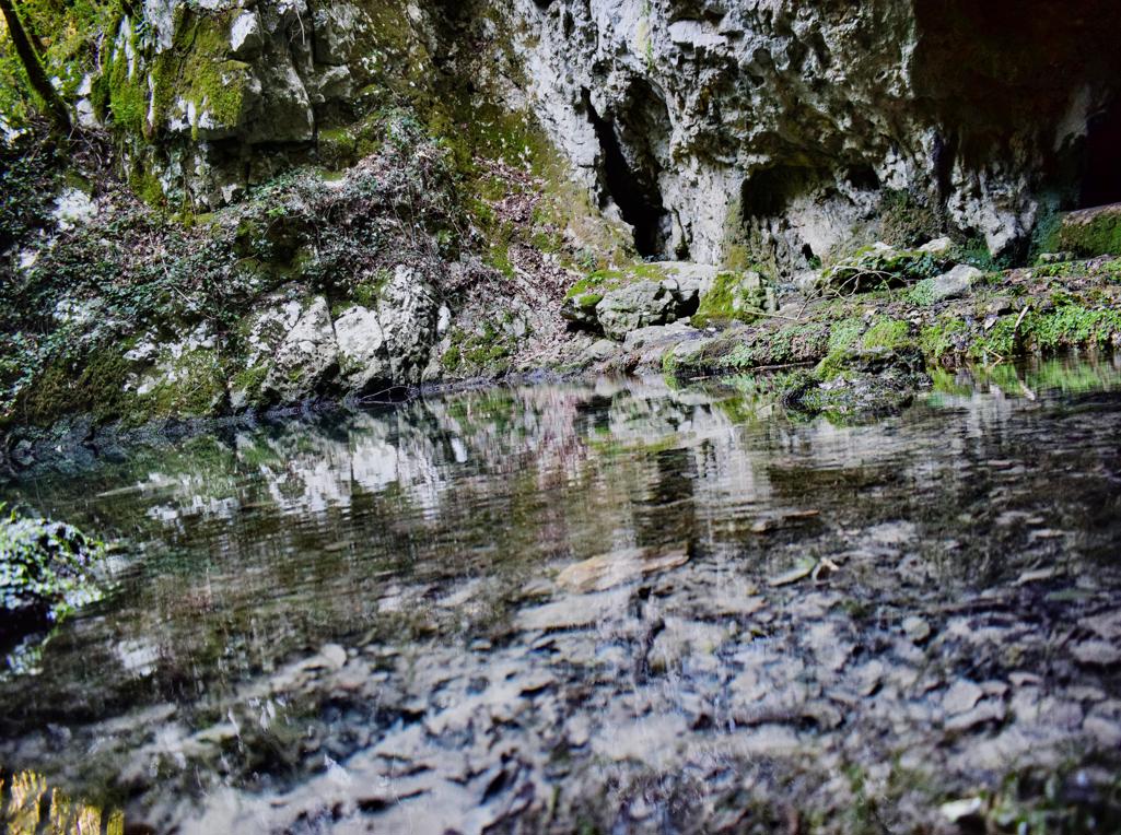
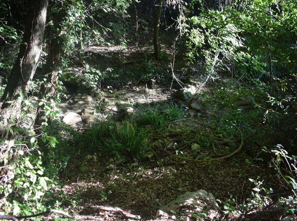
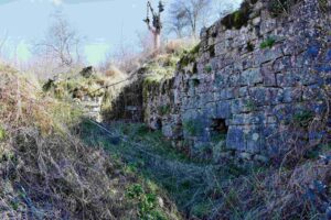
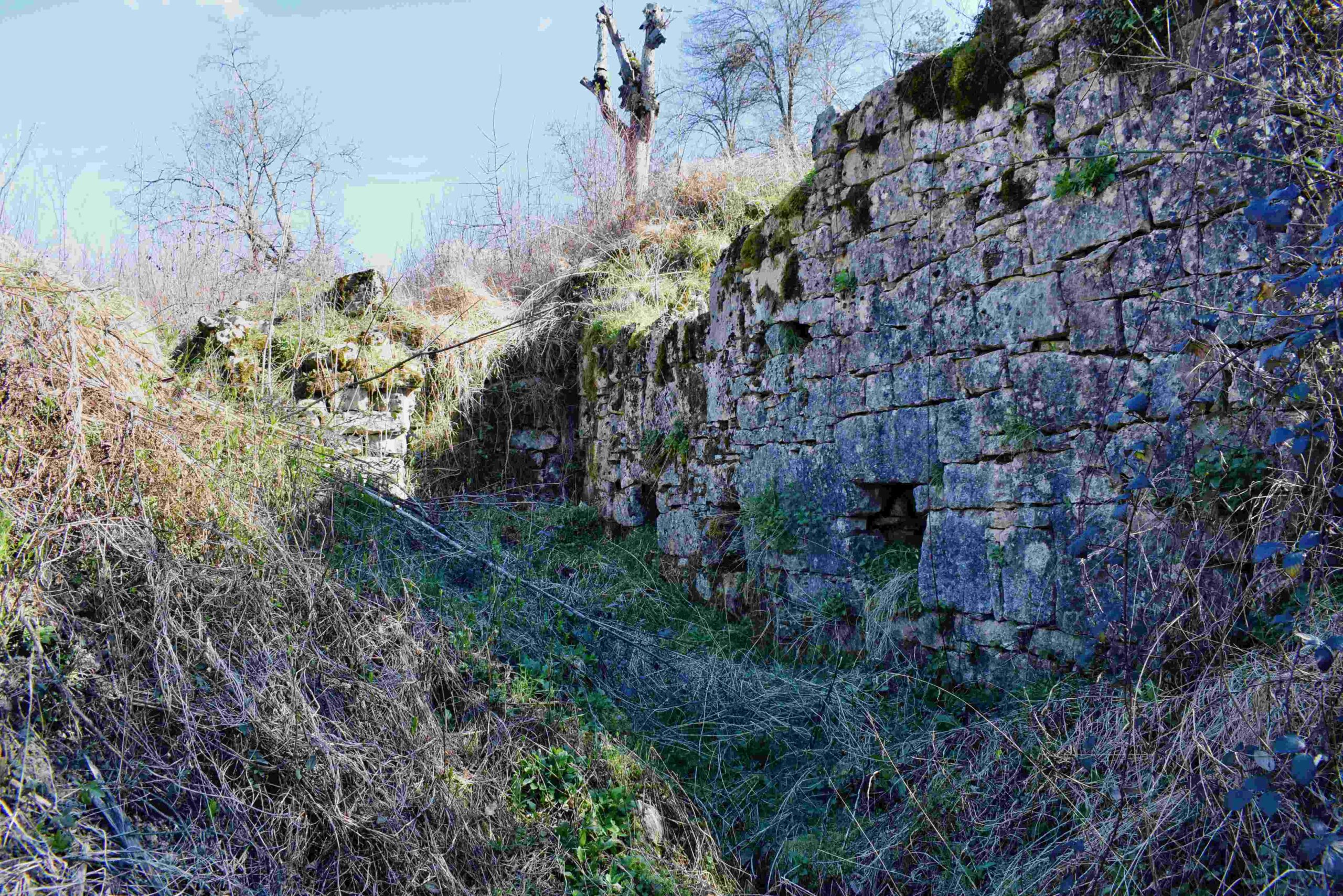
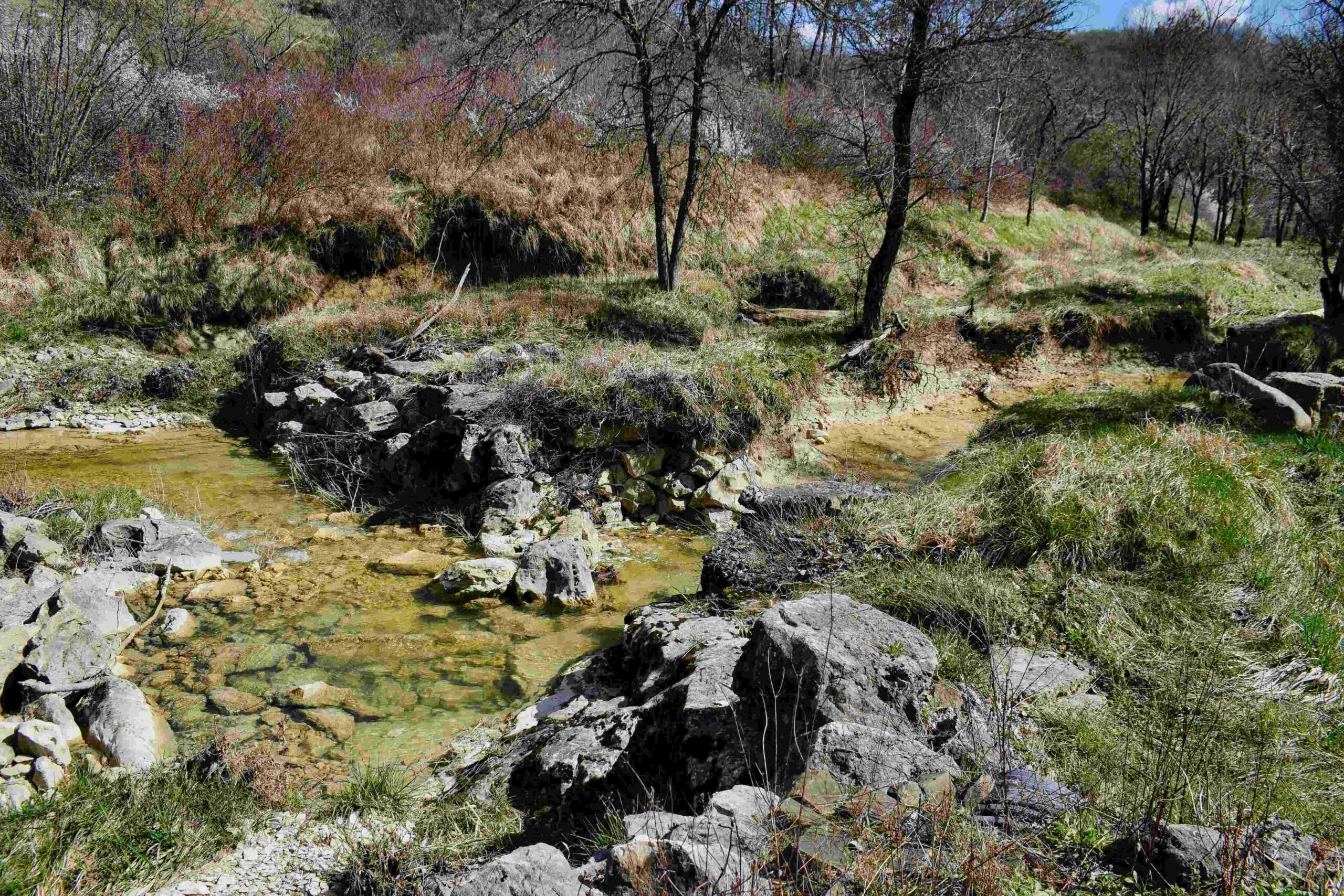
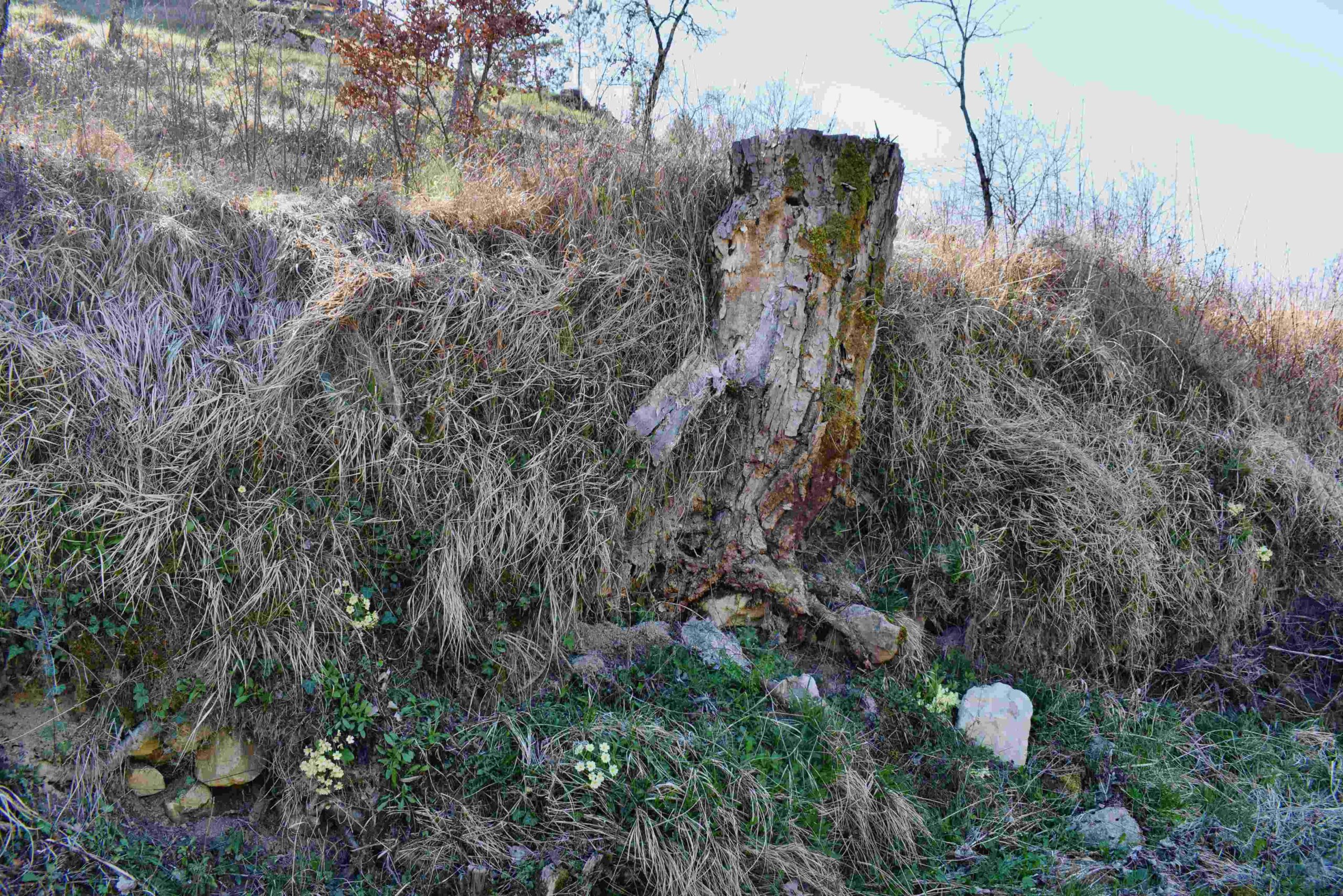
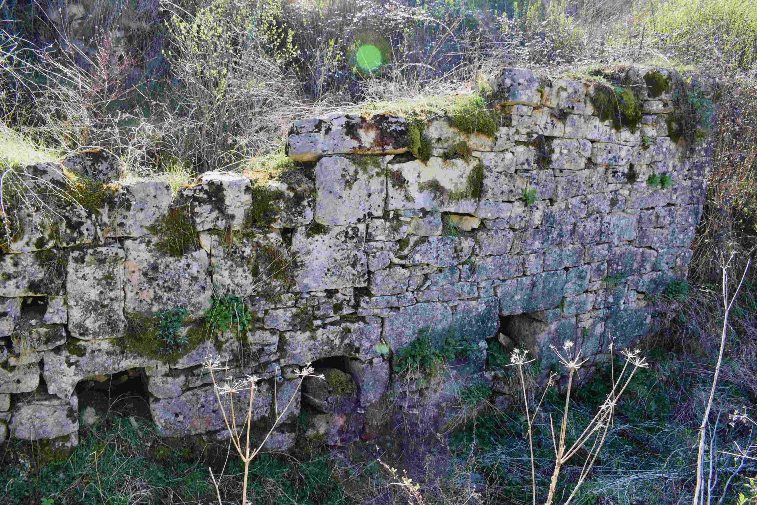
Along the Topolovica with the former name Bach Marganizza (Brestovae) there were 7 water mills for grinding grain.
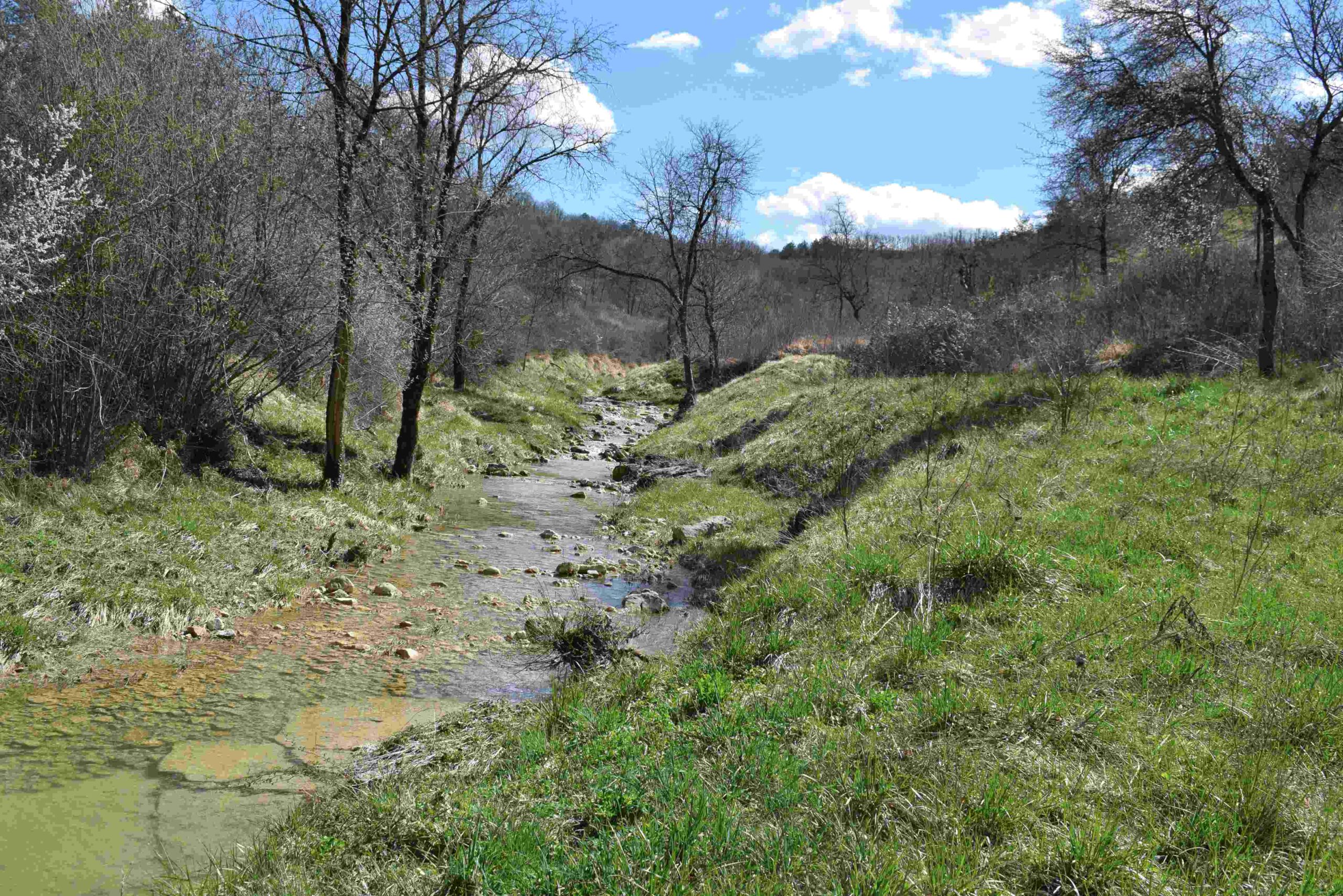
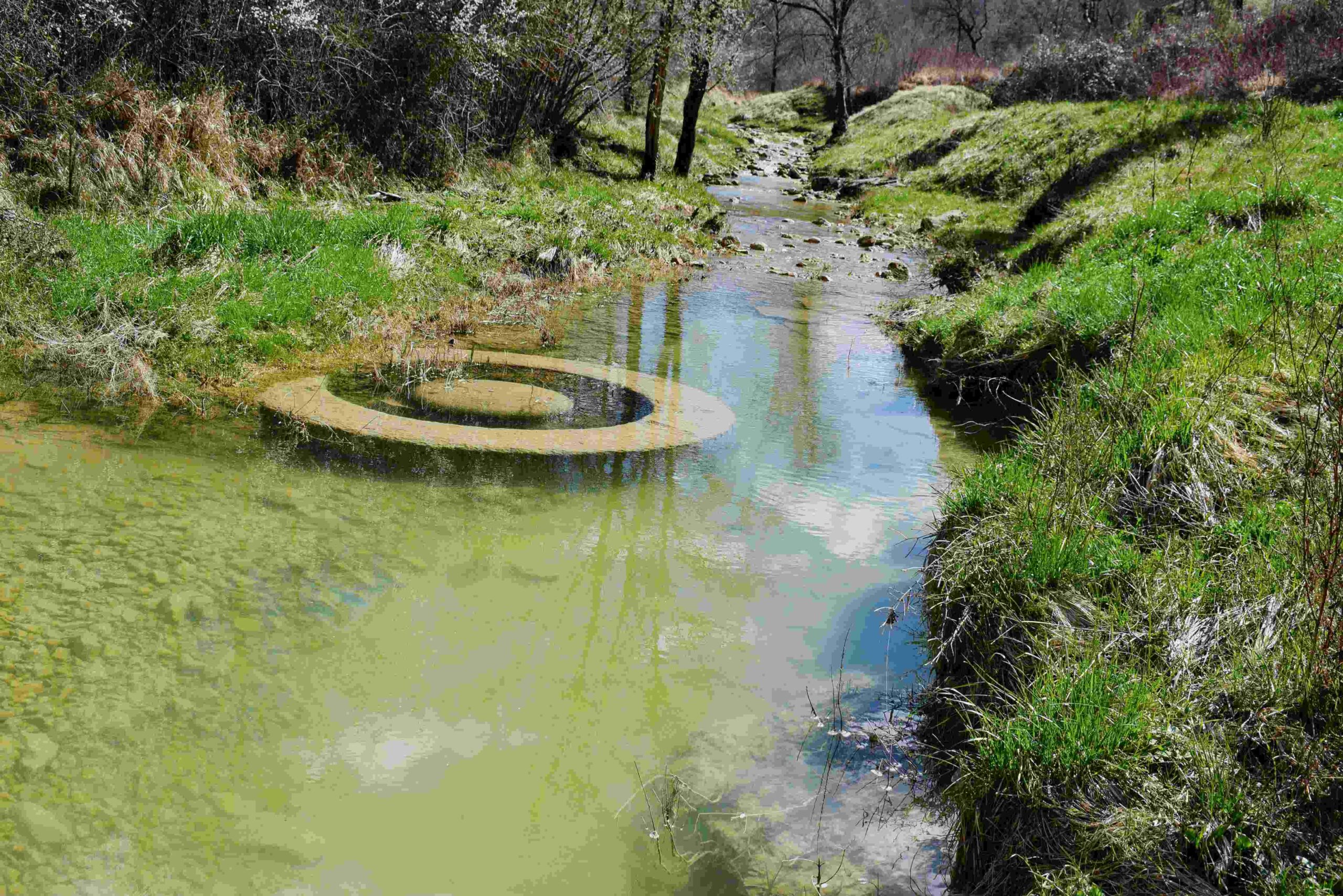
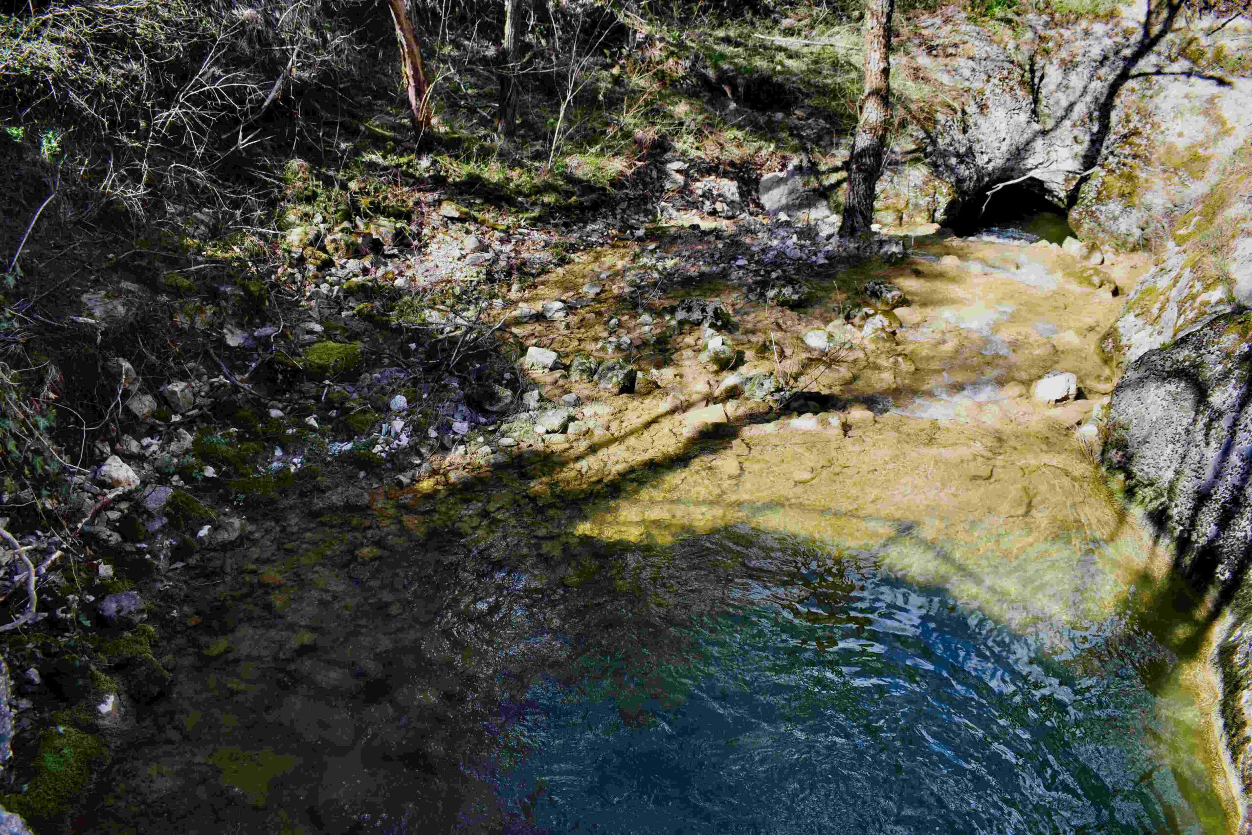
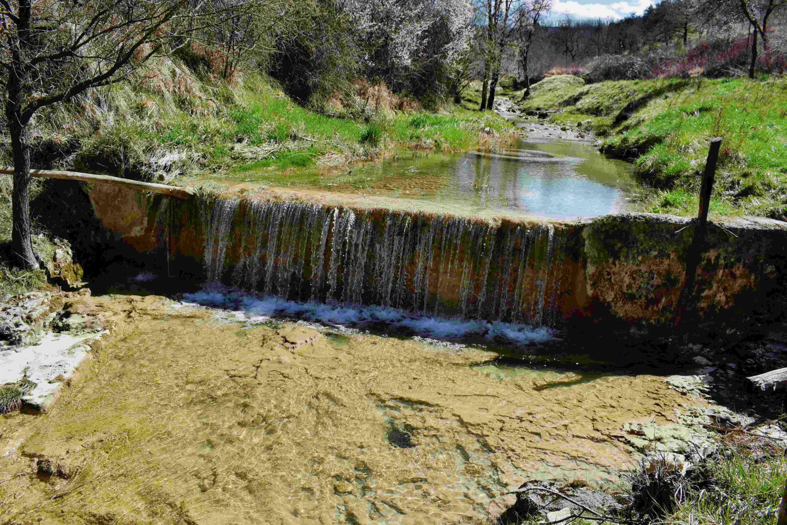
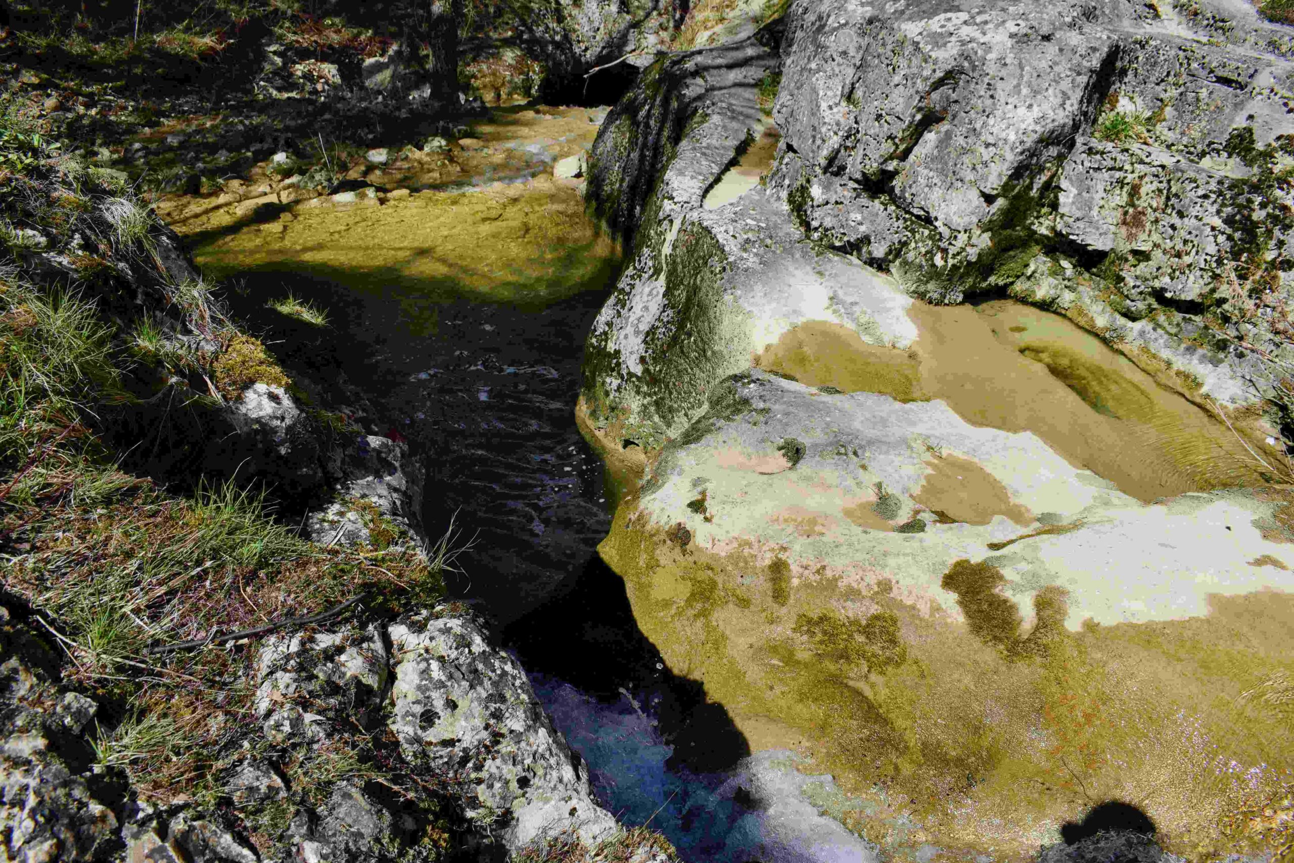
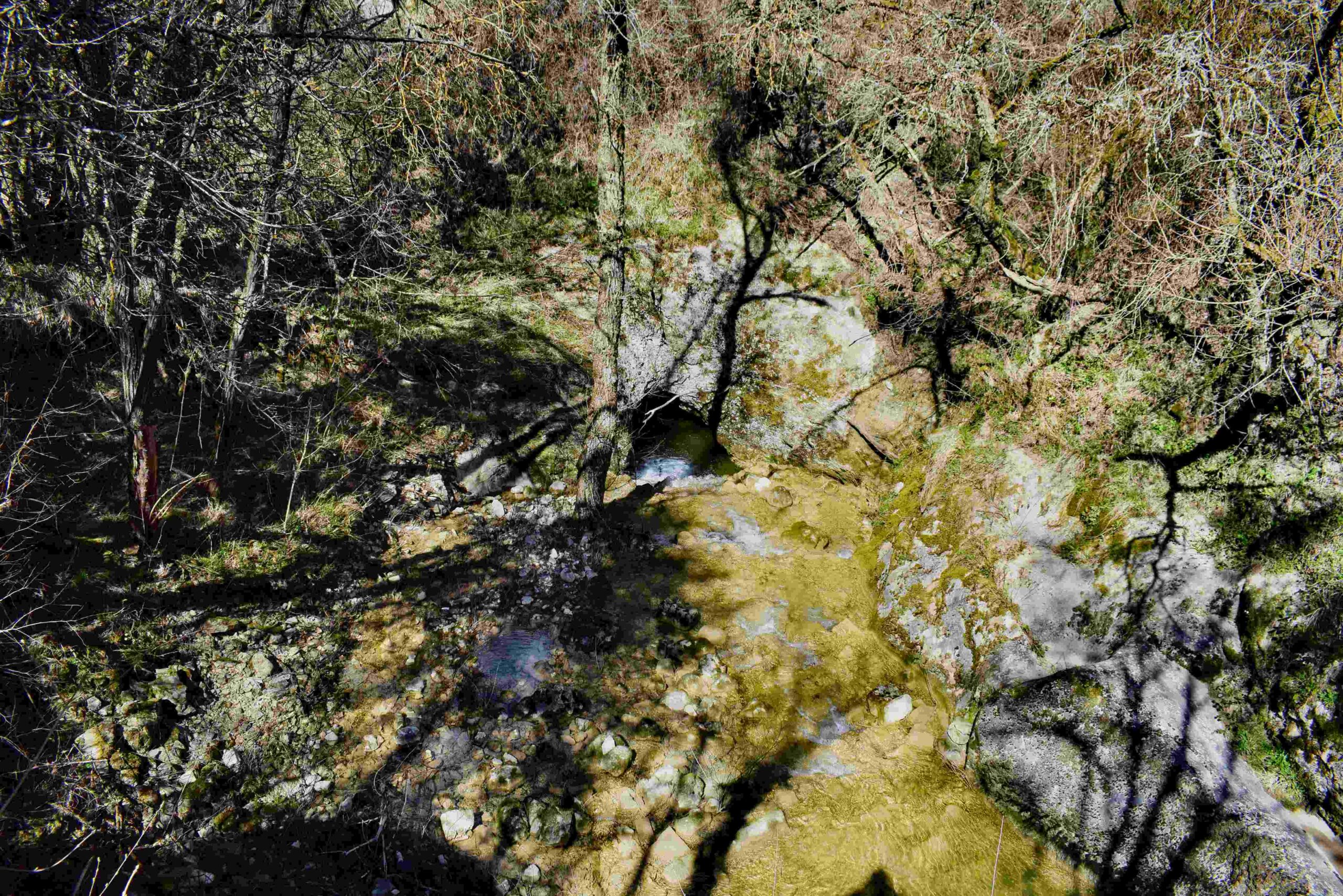
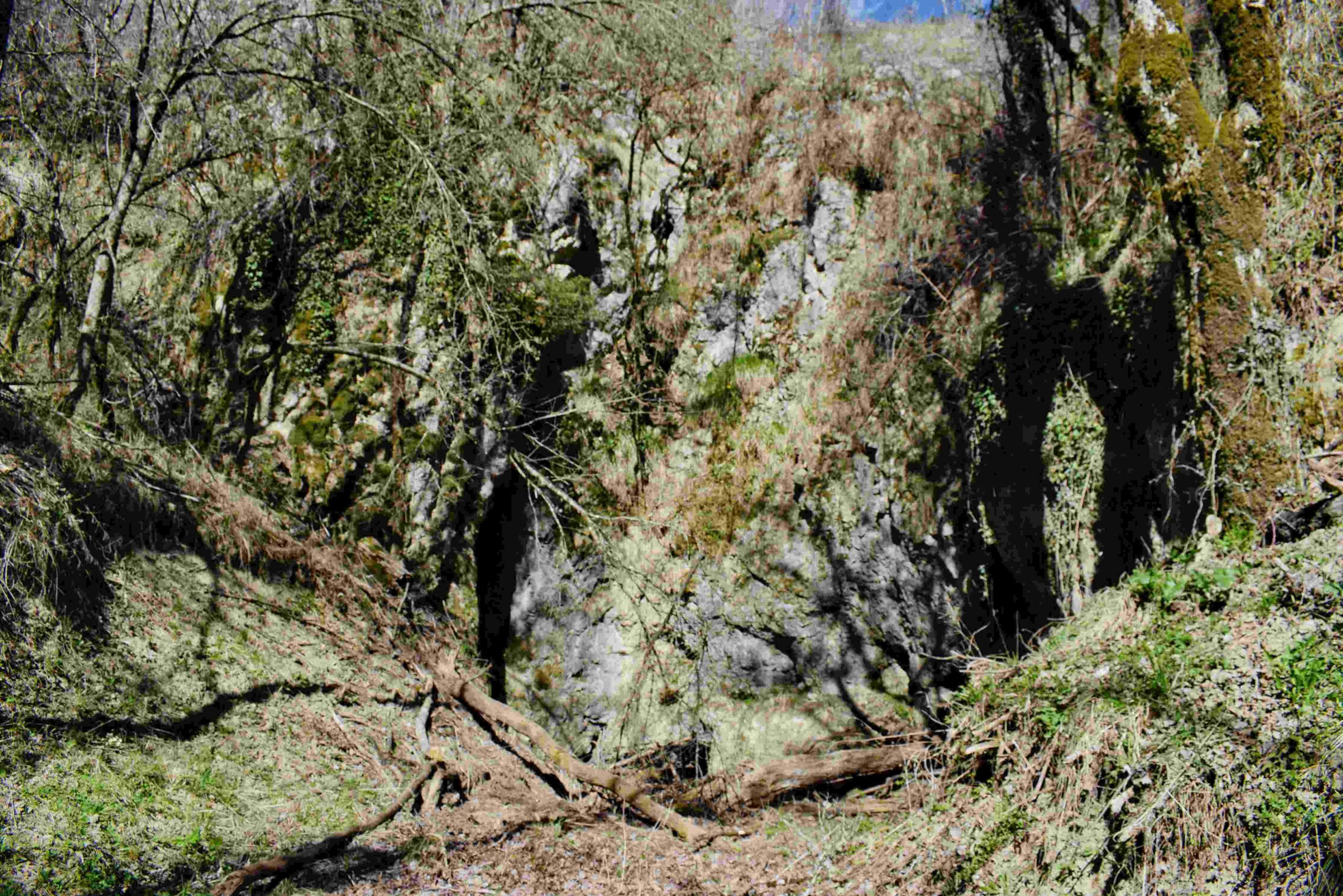
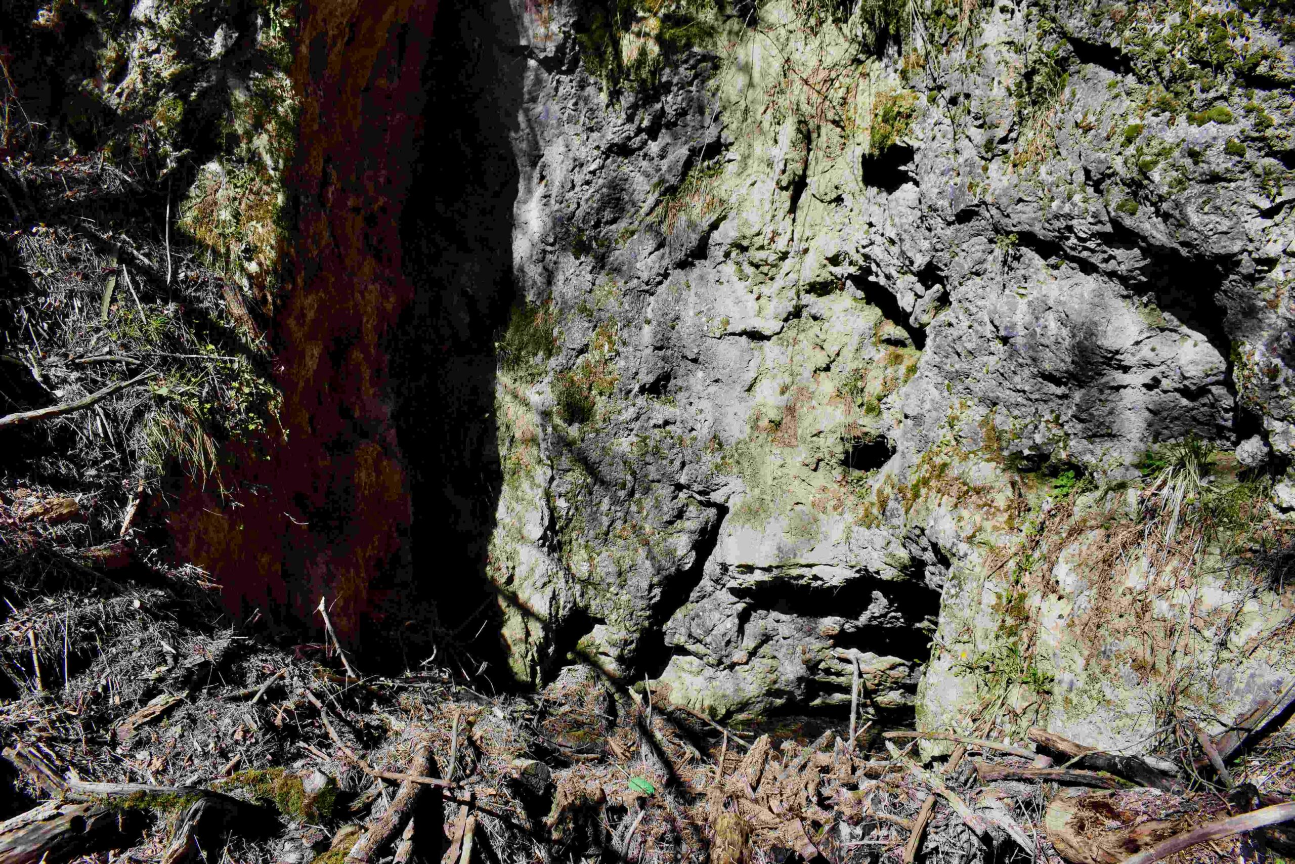
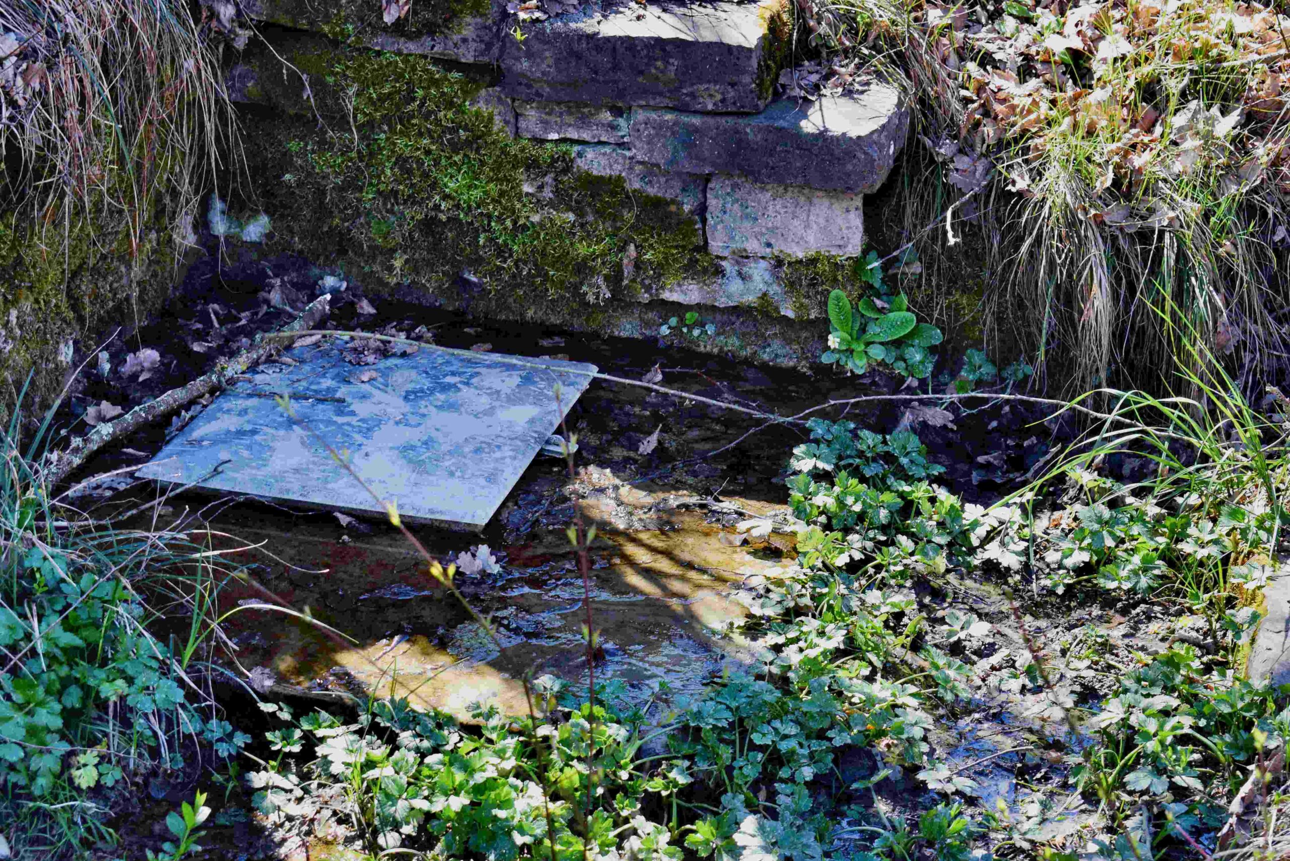
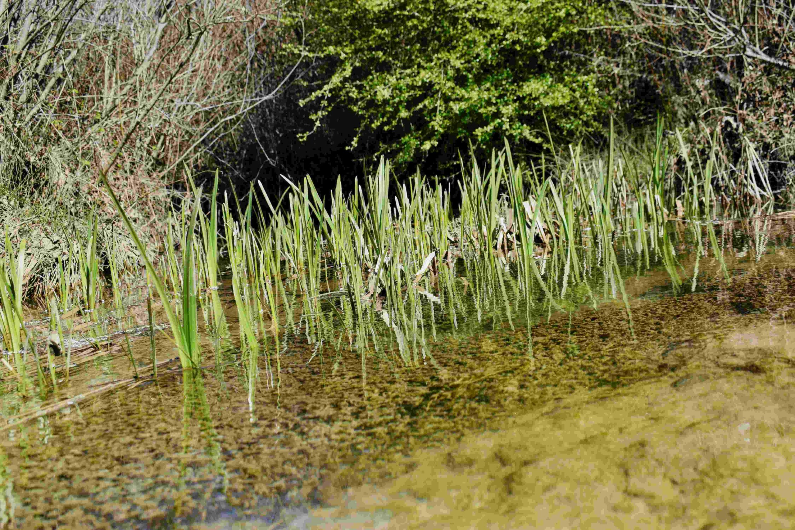
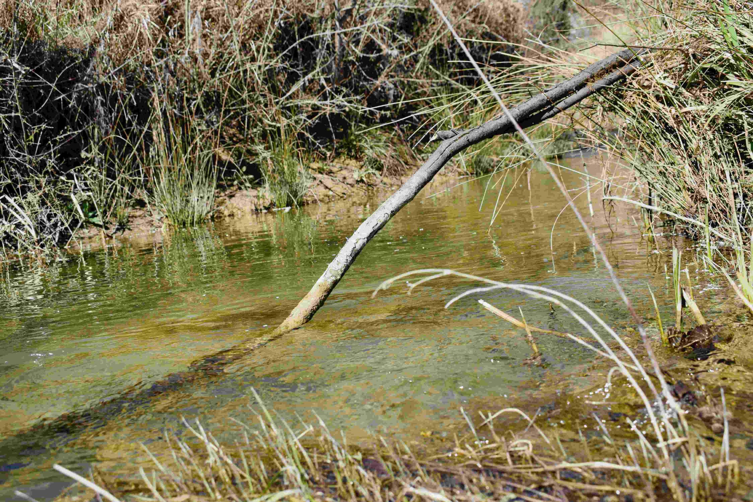
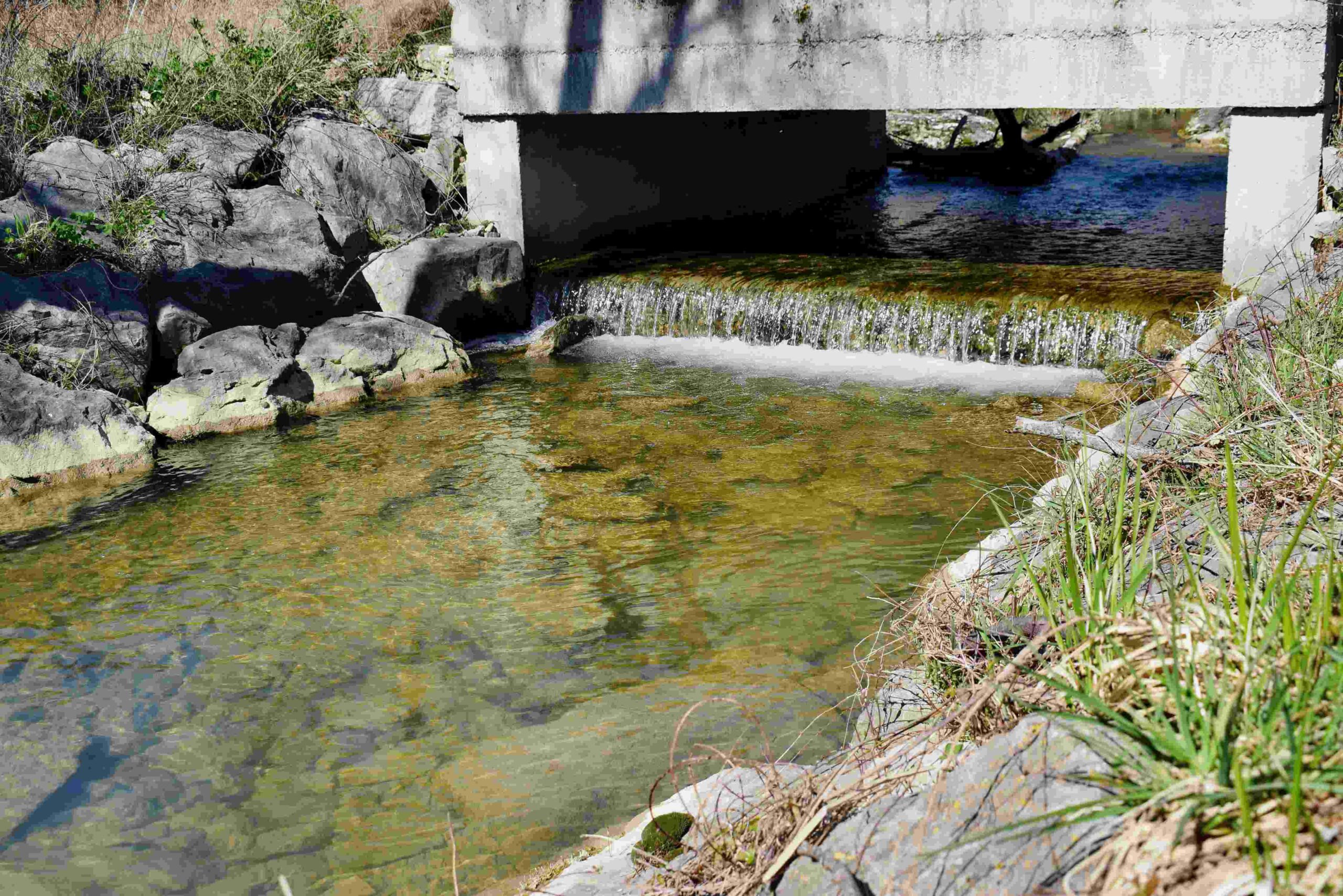
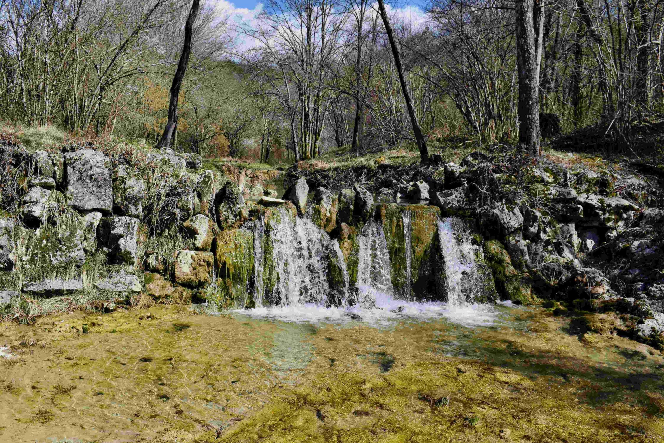
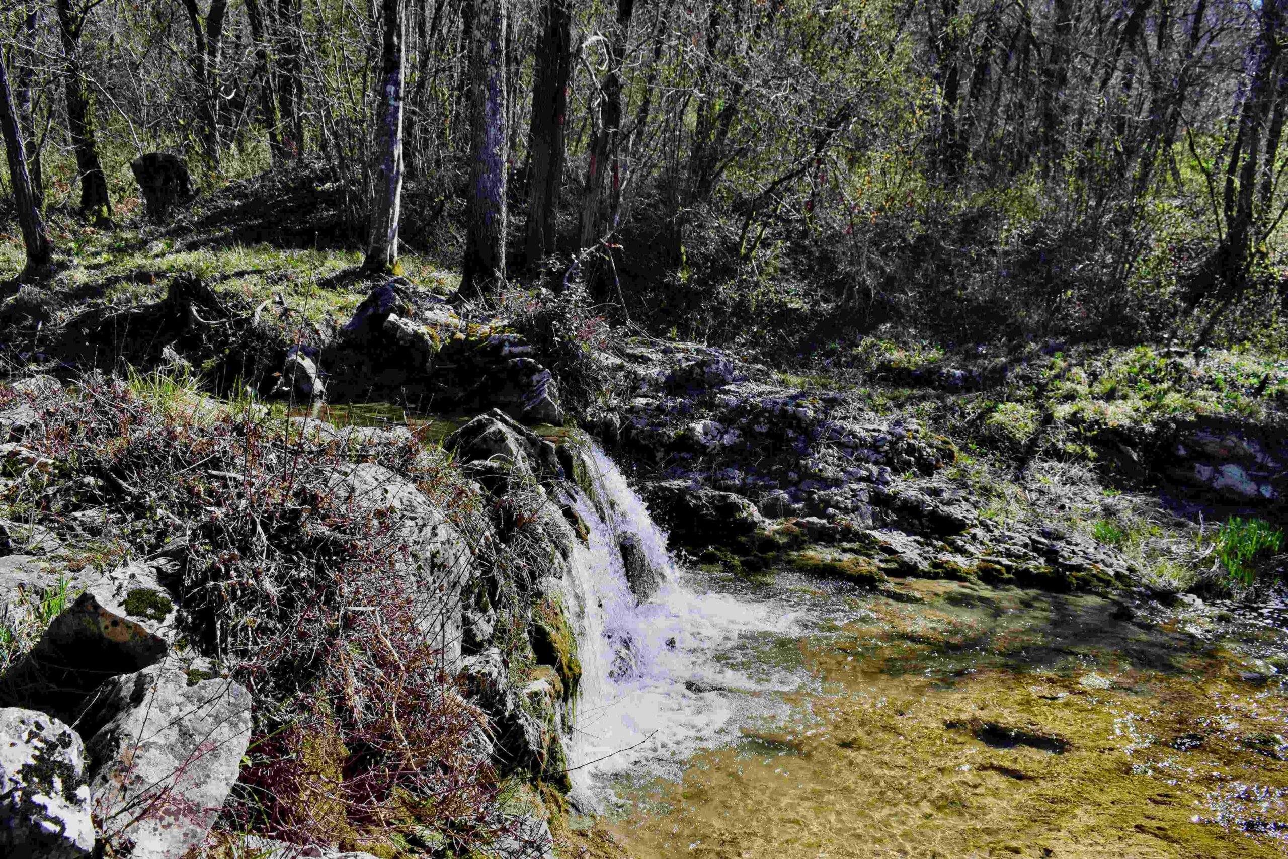
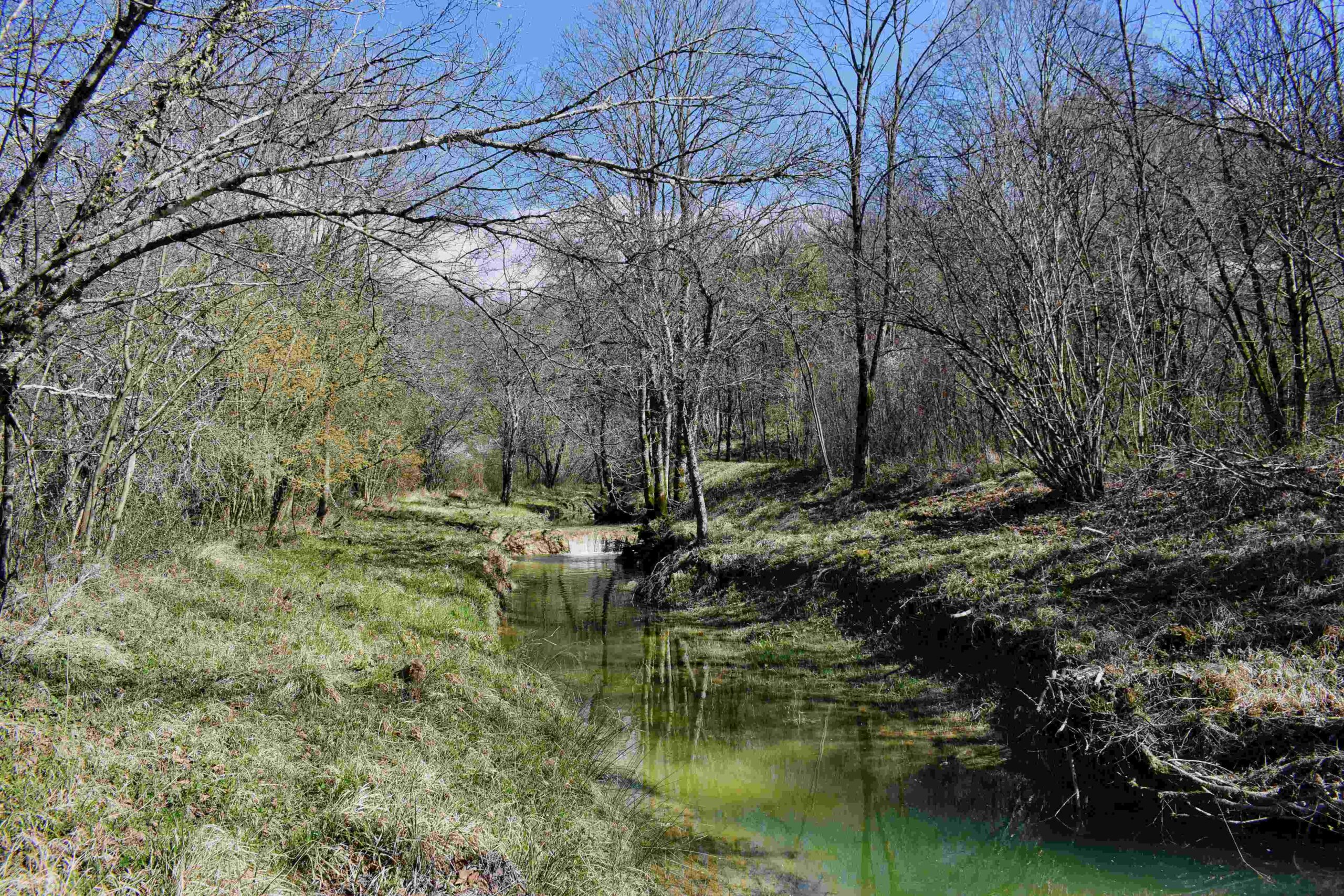
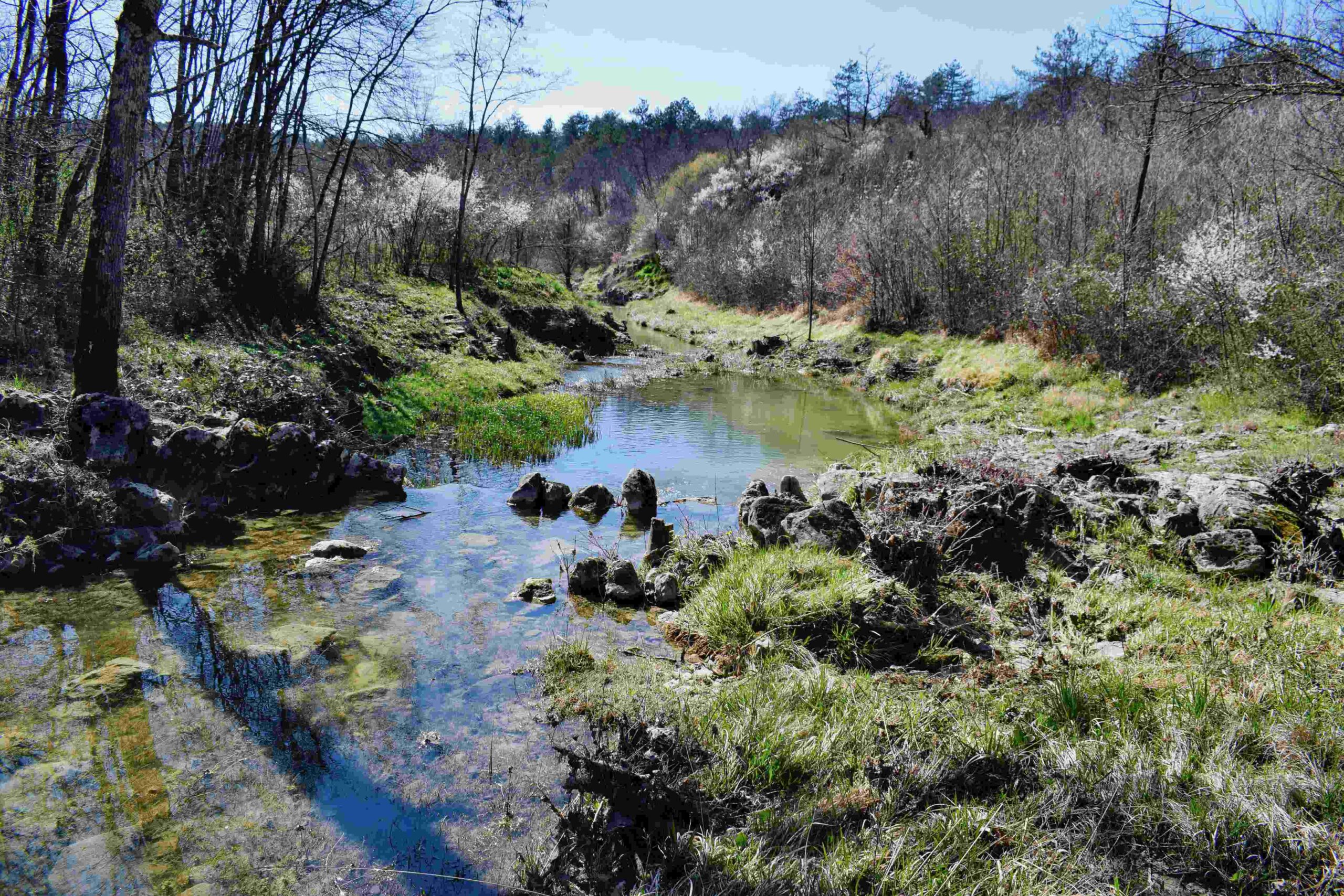
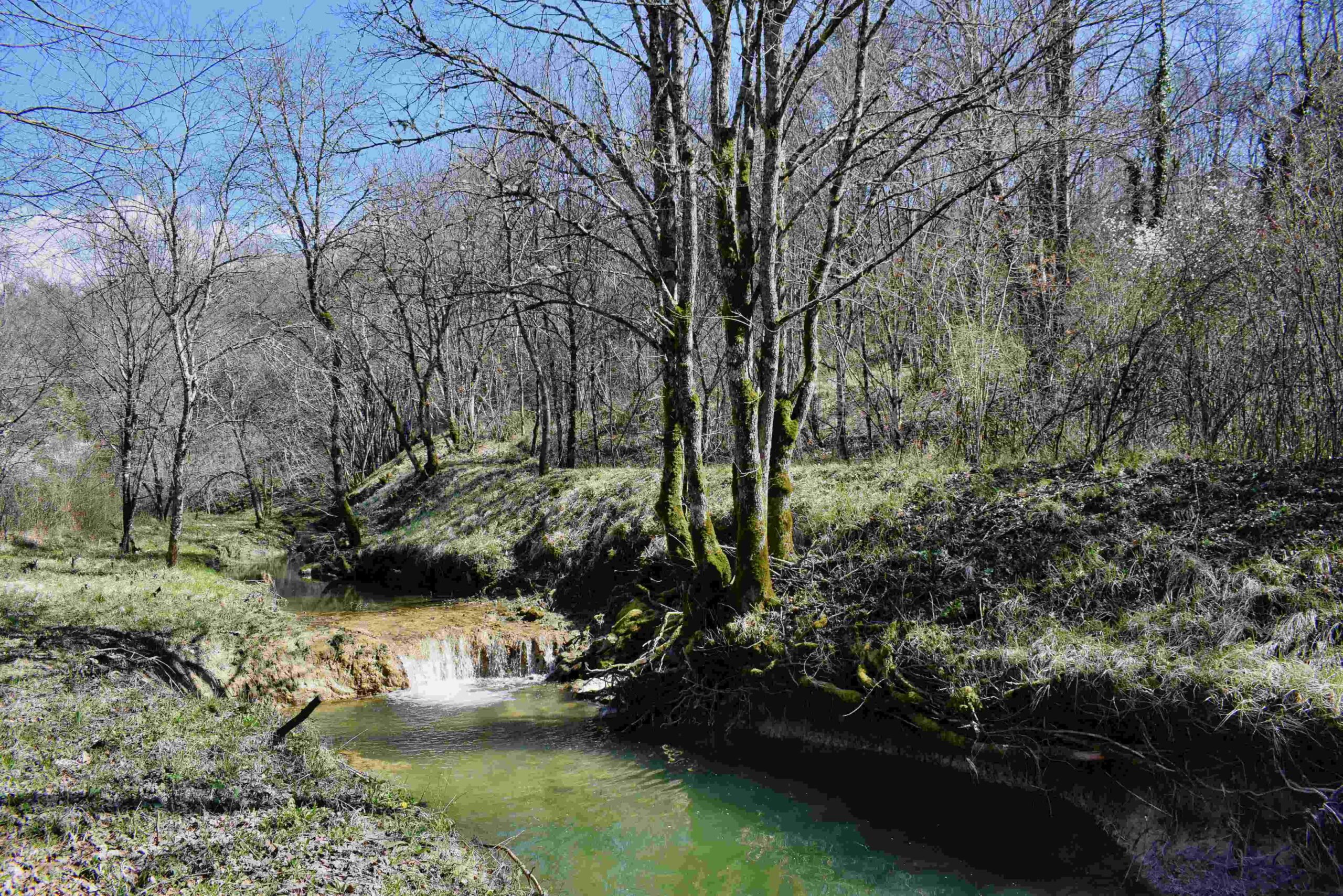
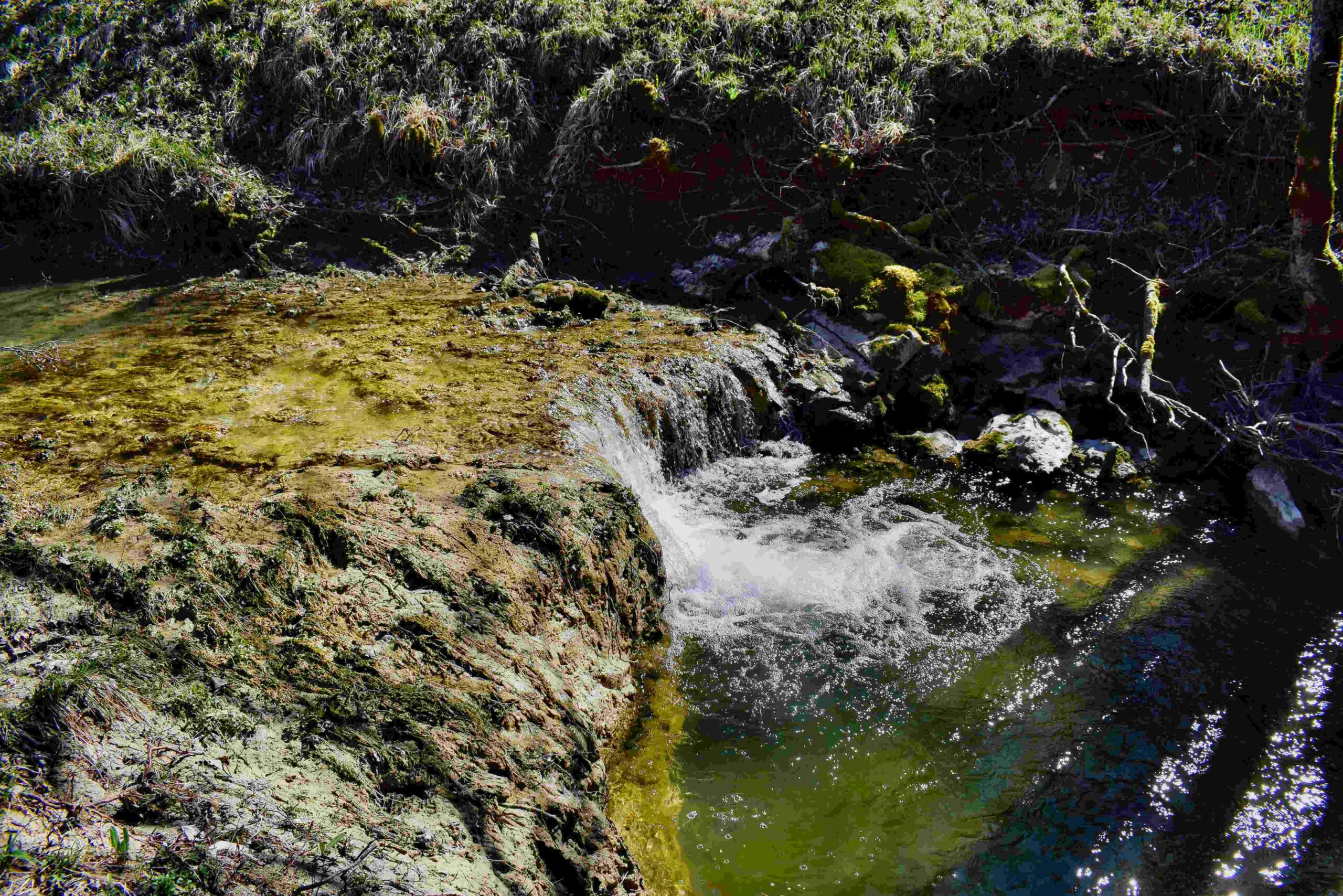
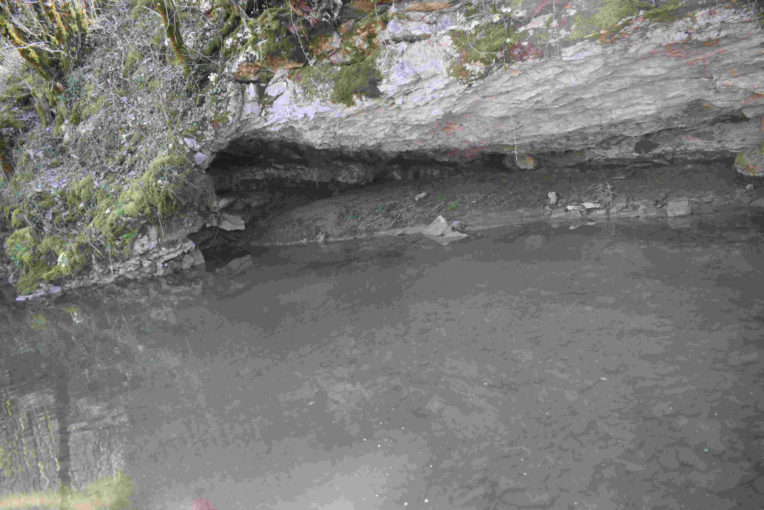
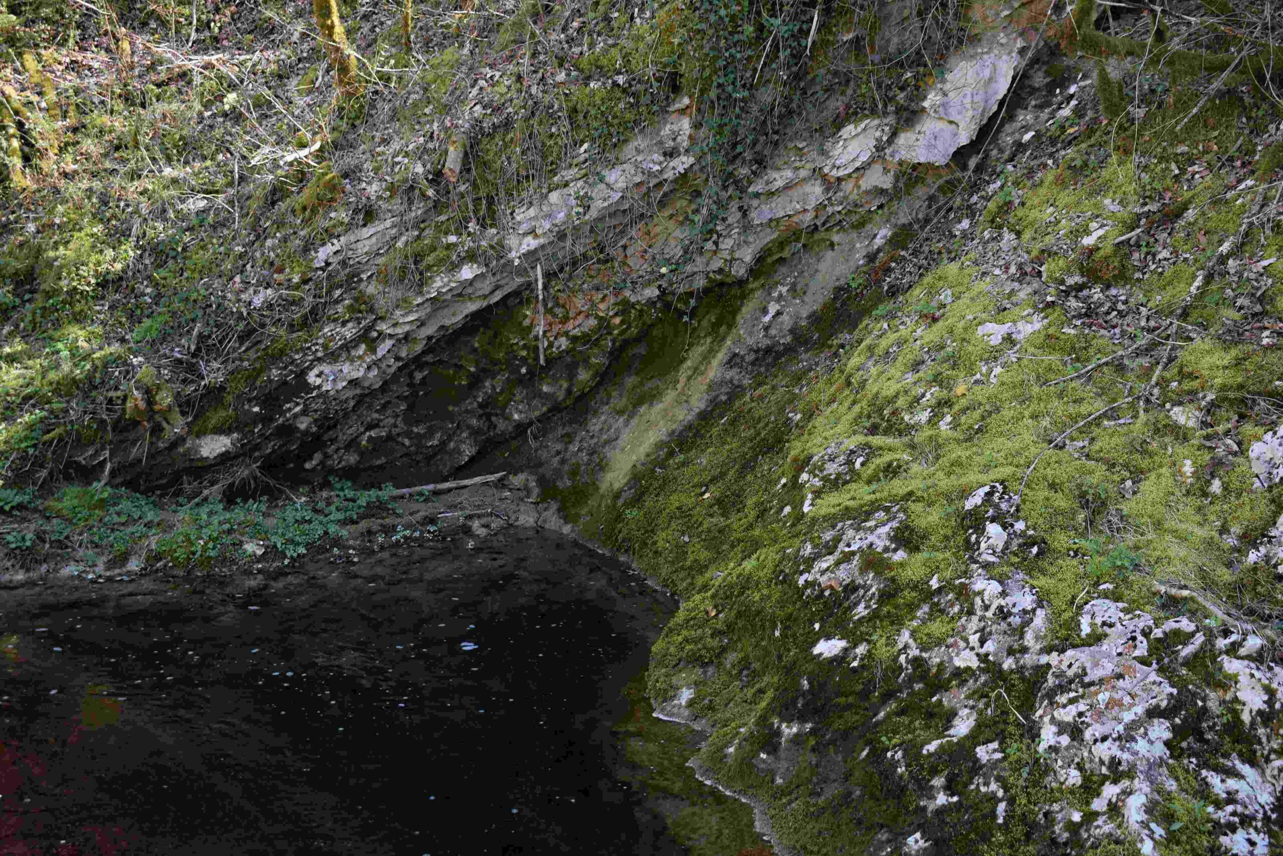
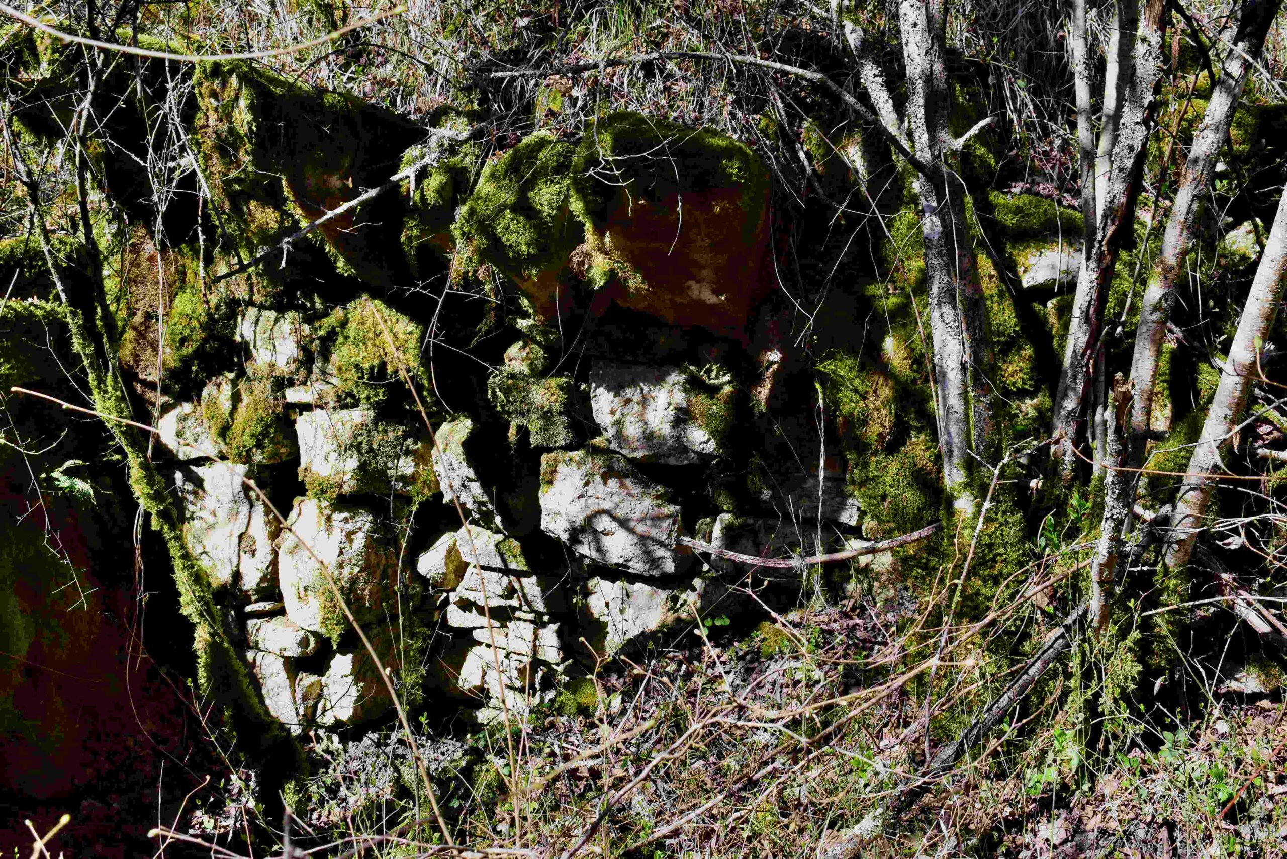
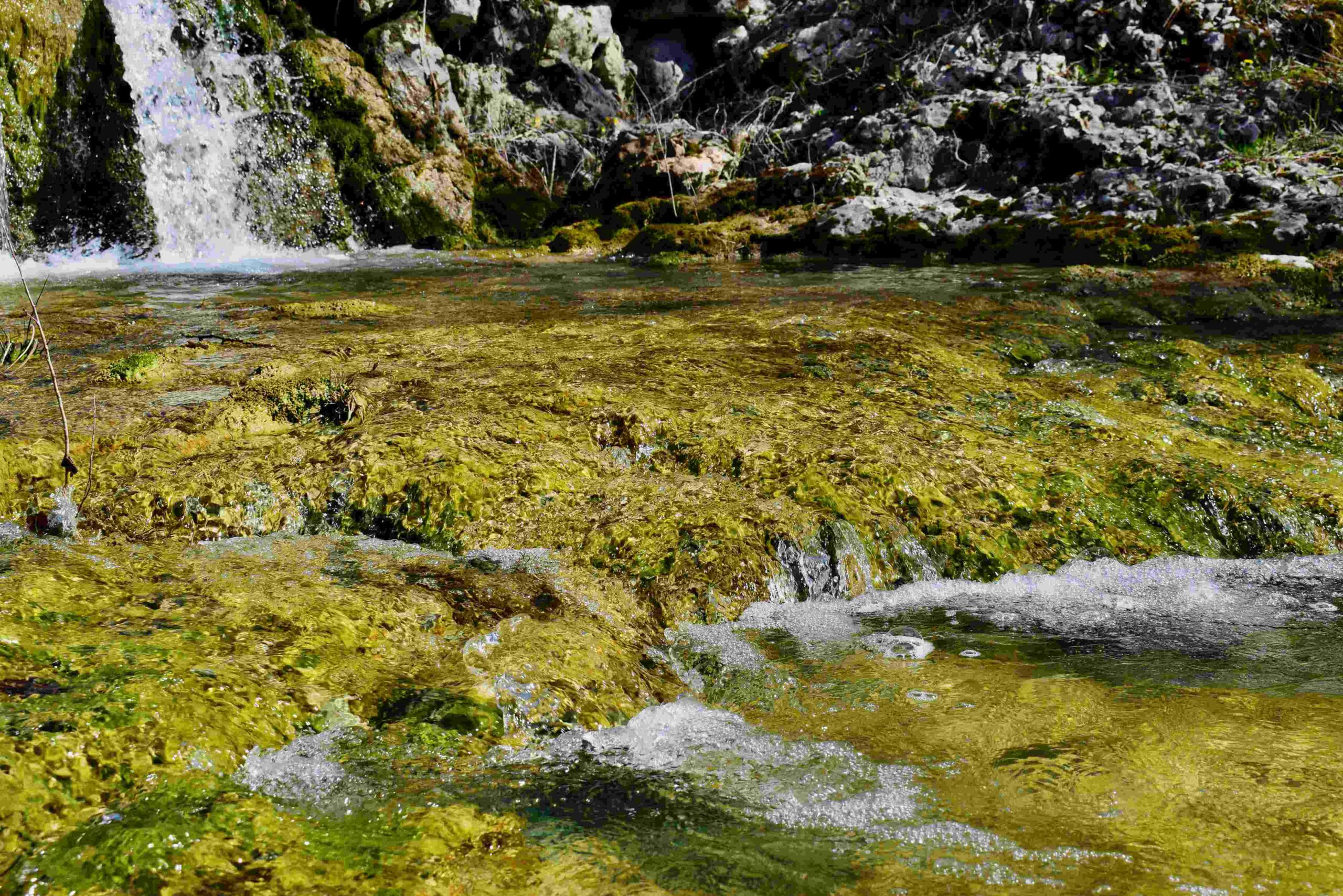
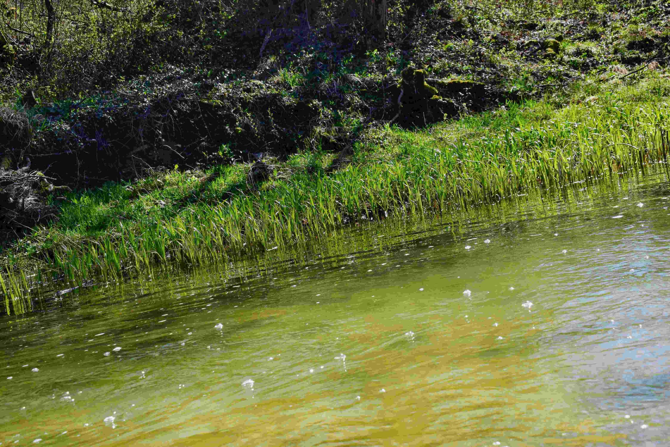
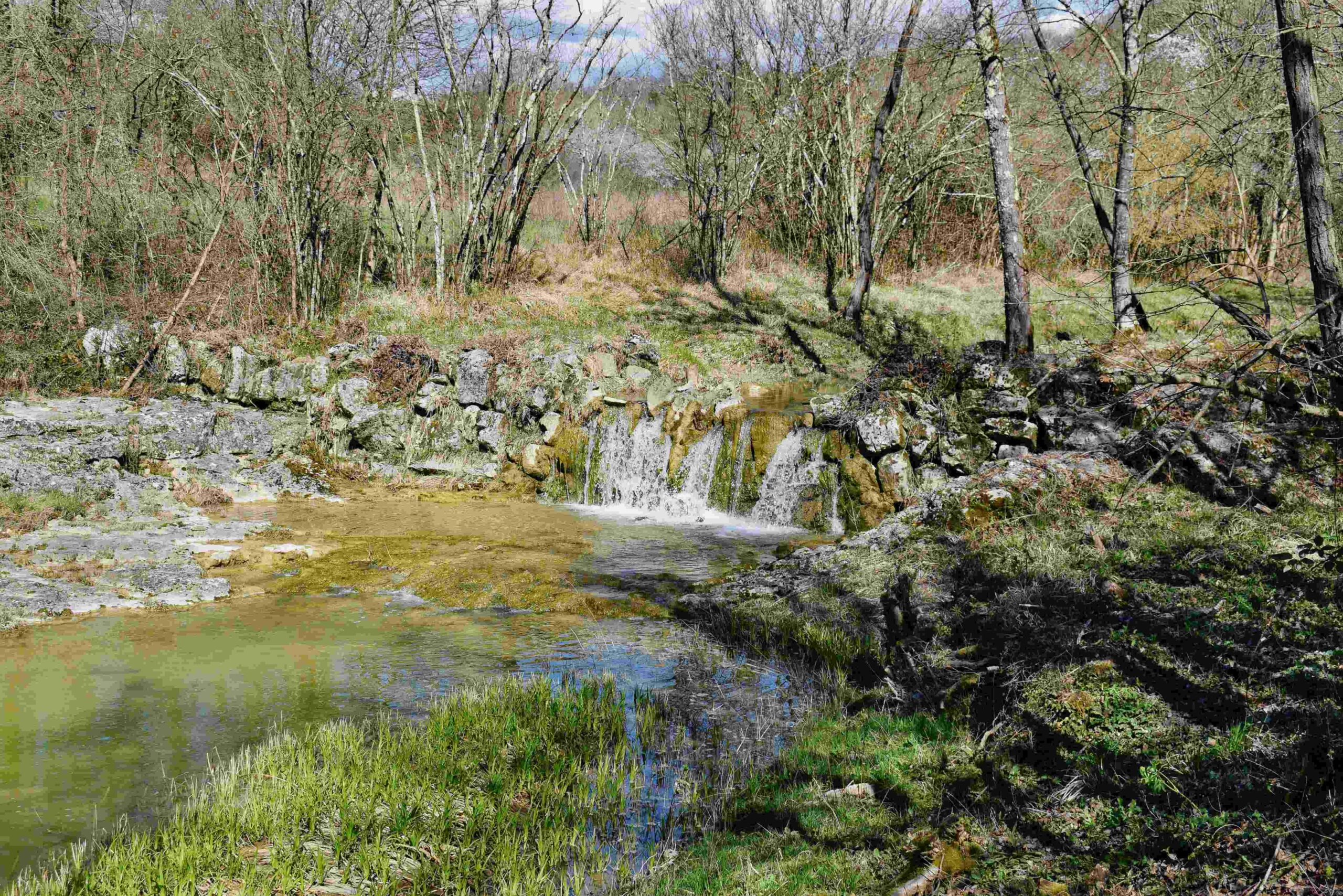
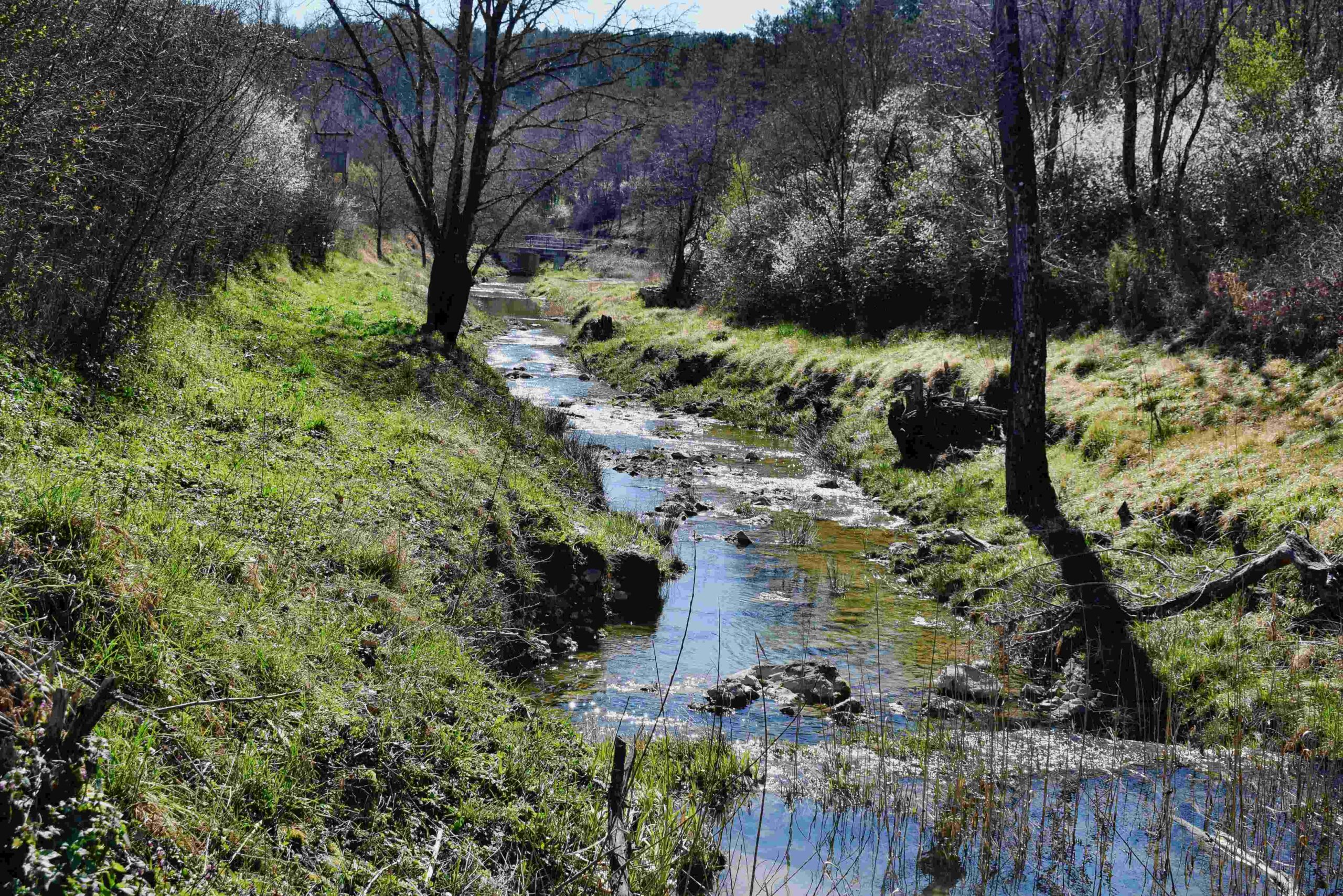
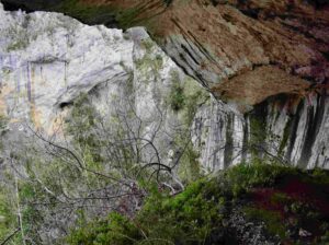
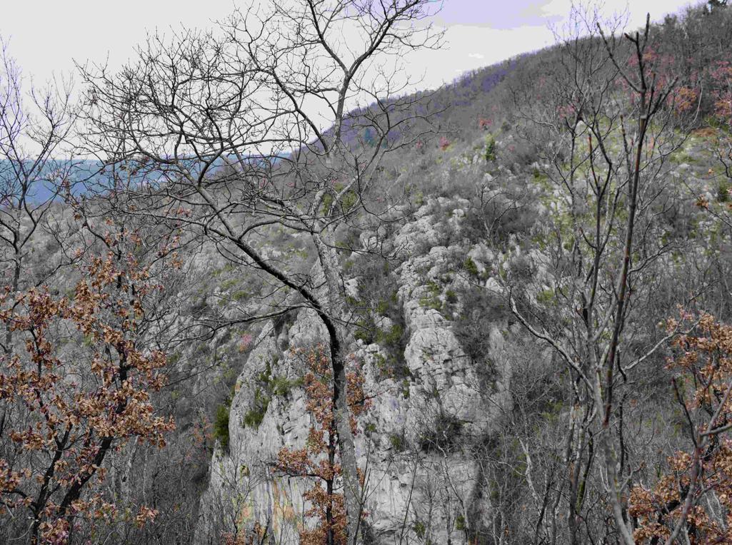
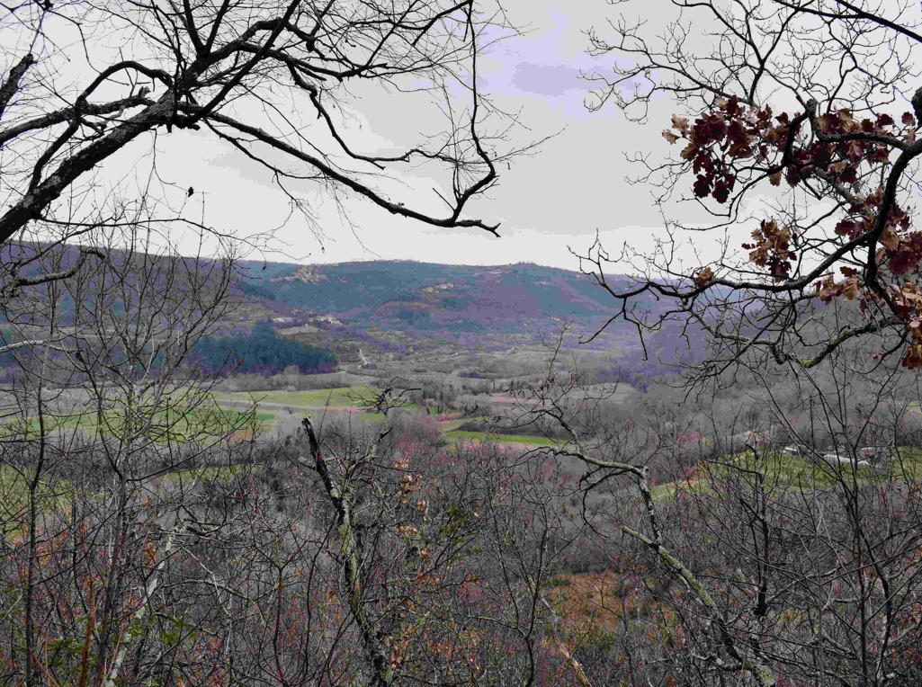
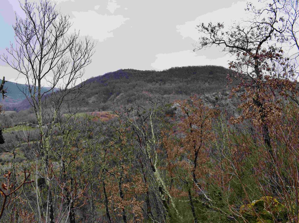
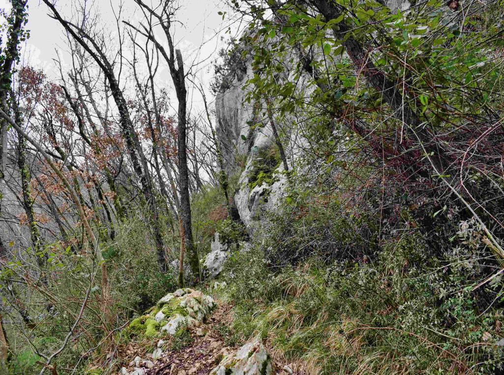
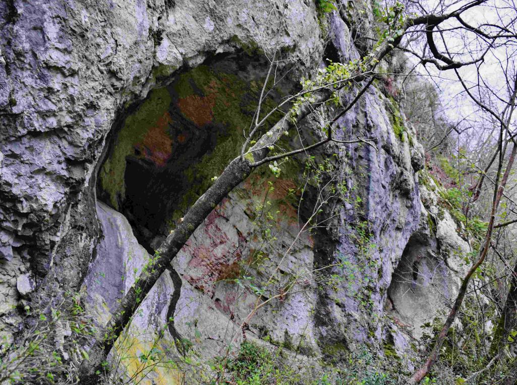
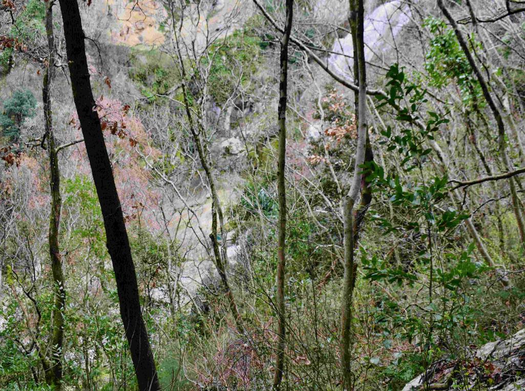
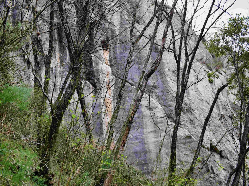
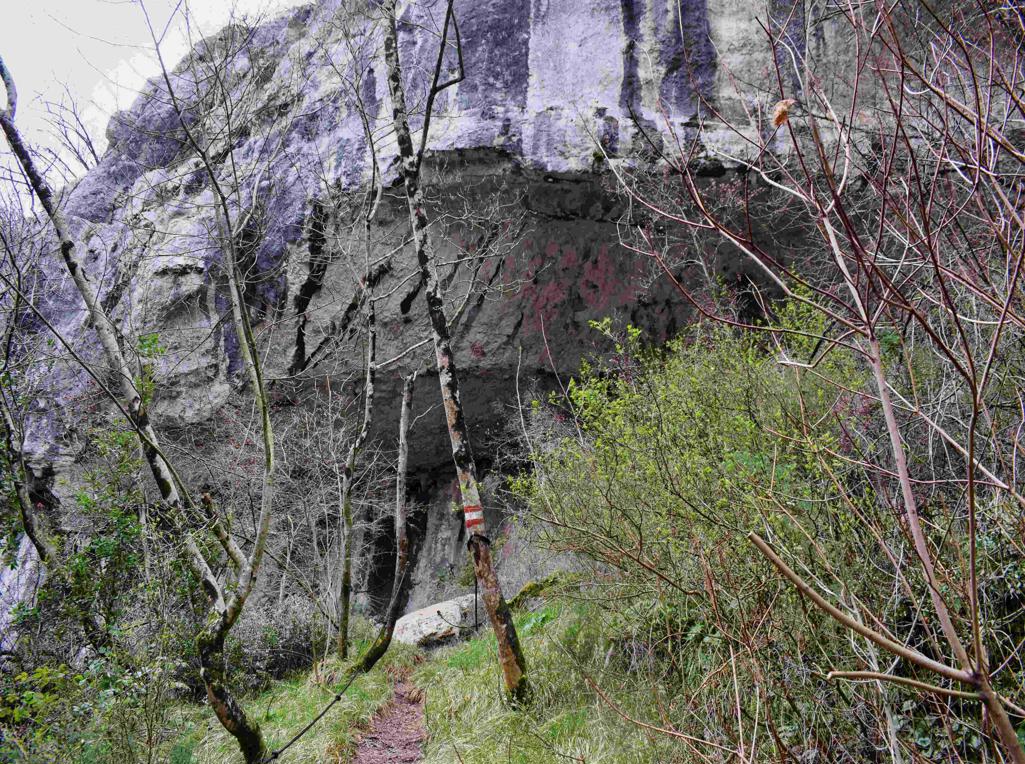
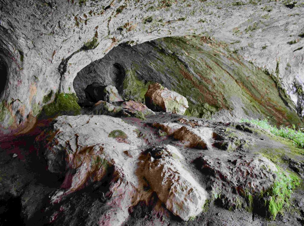
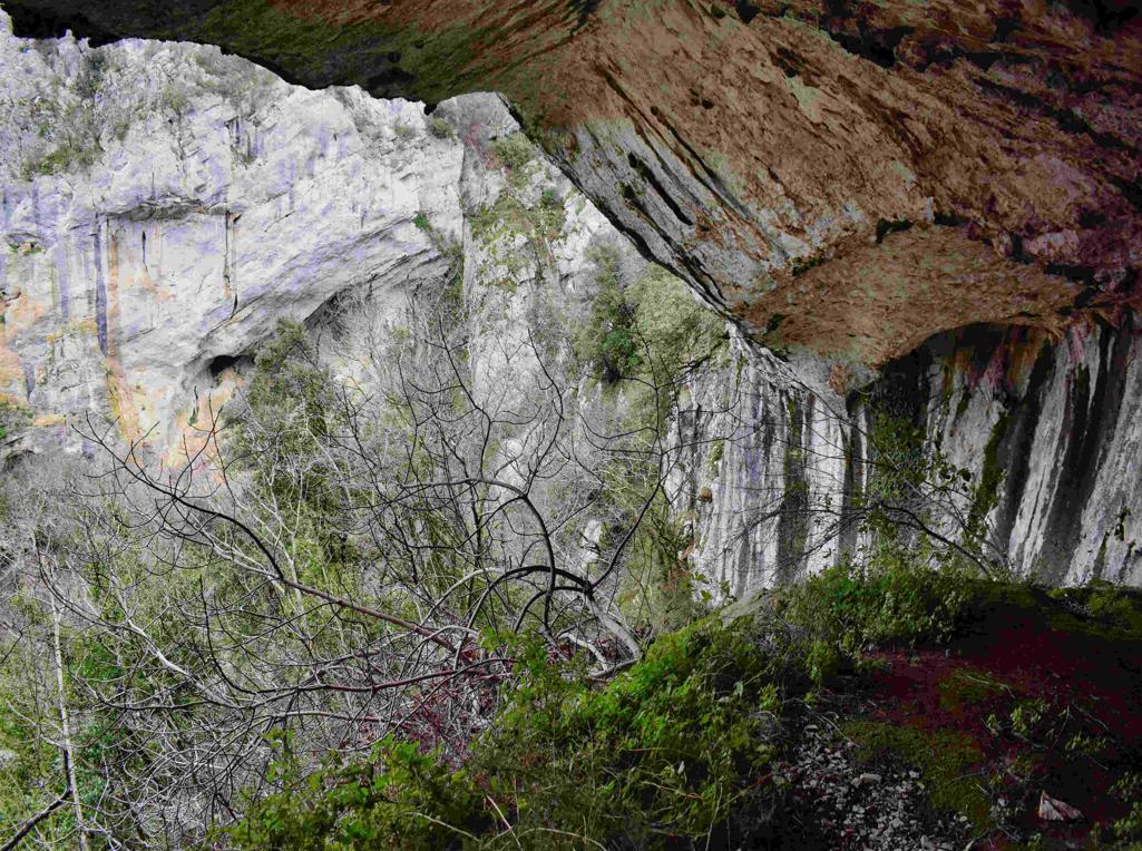
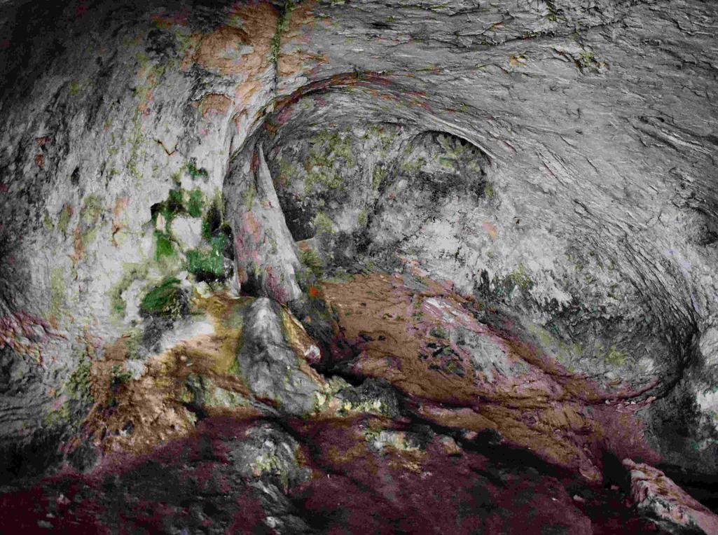
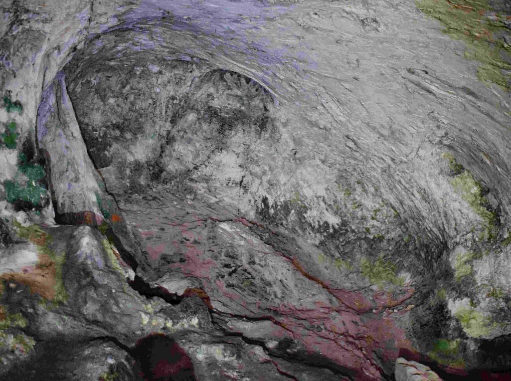
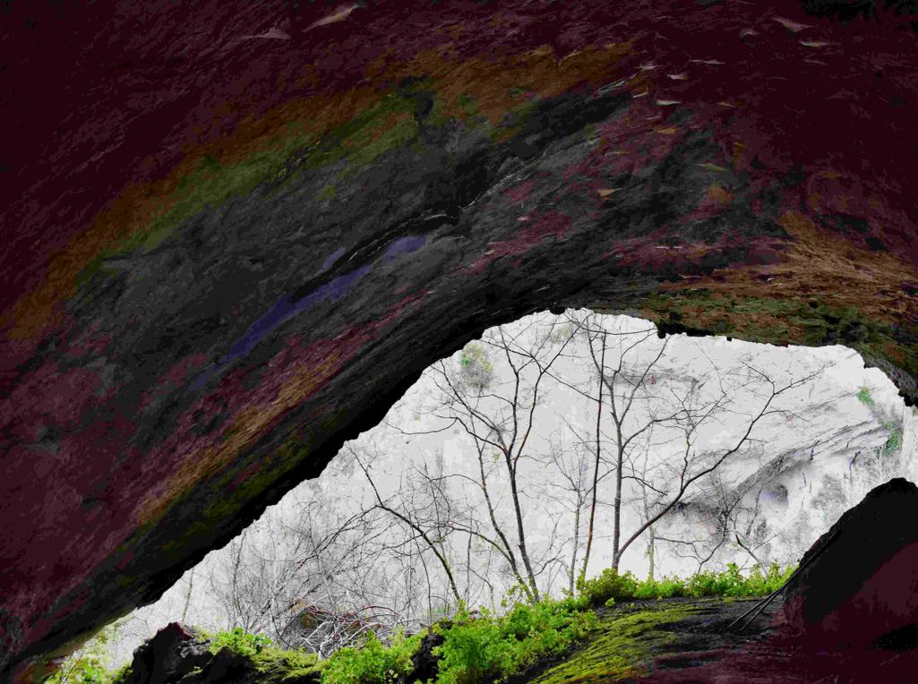
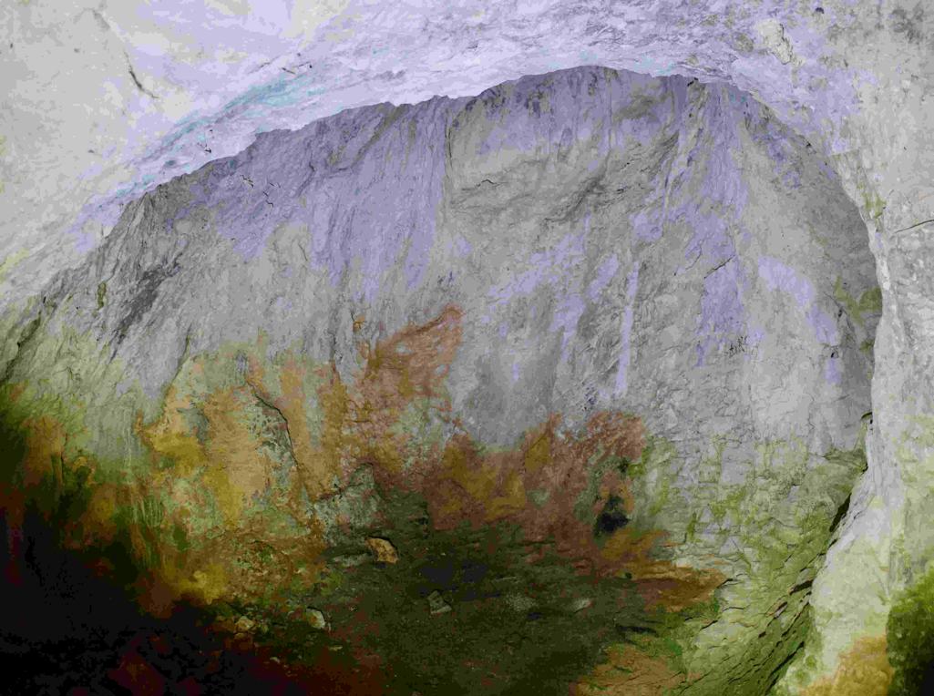
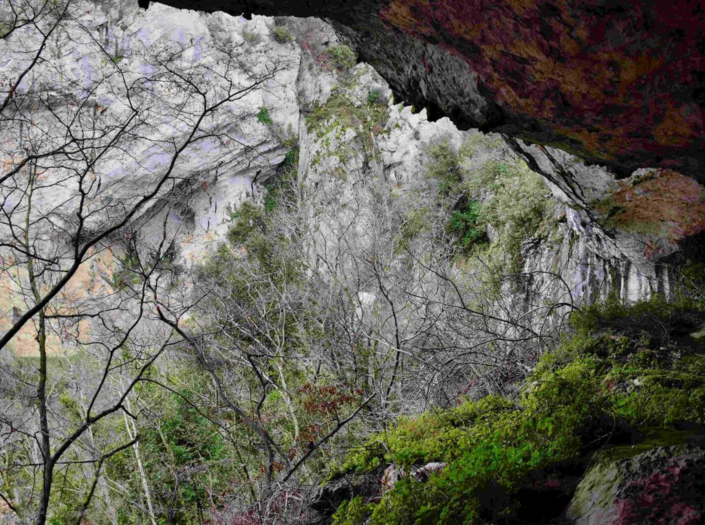
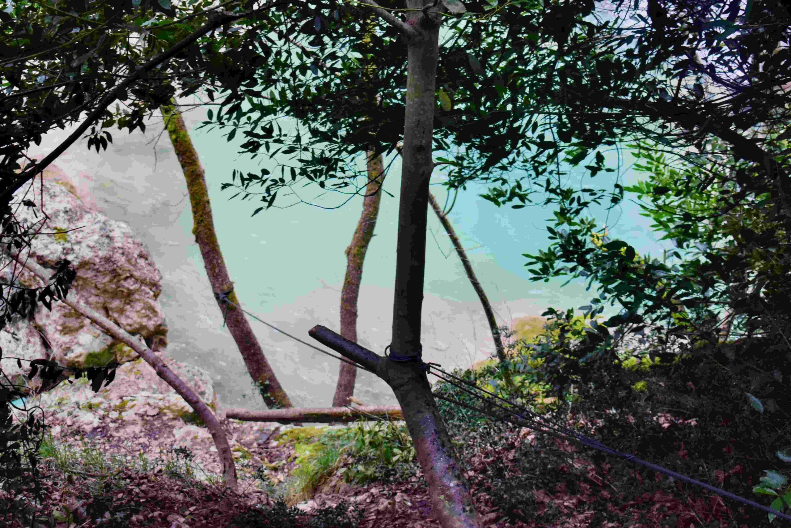
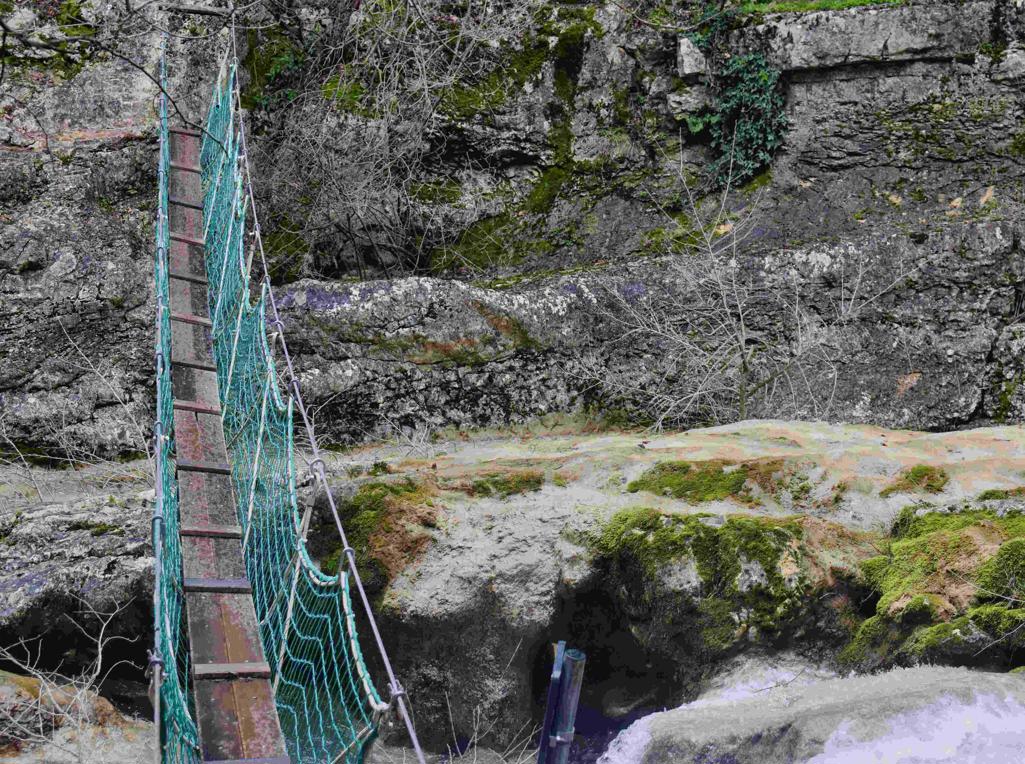
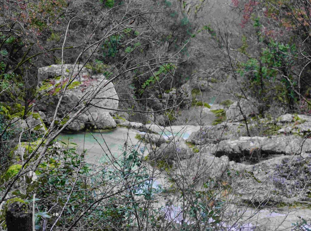
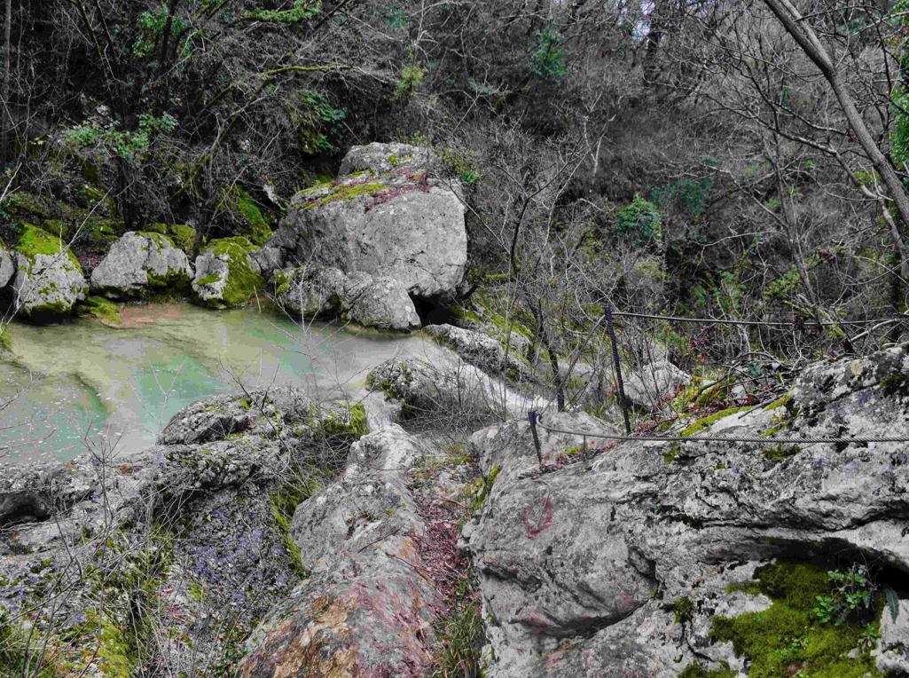
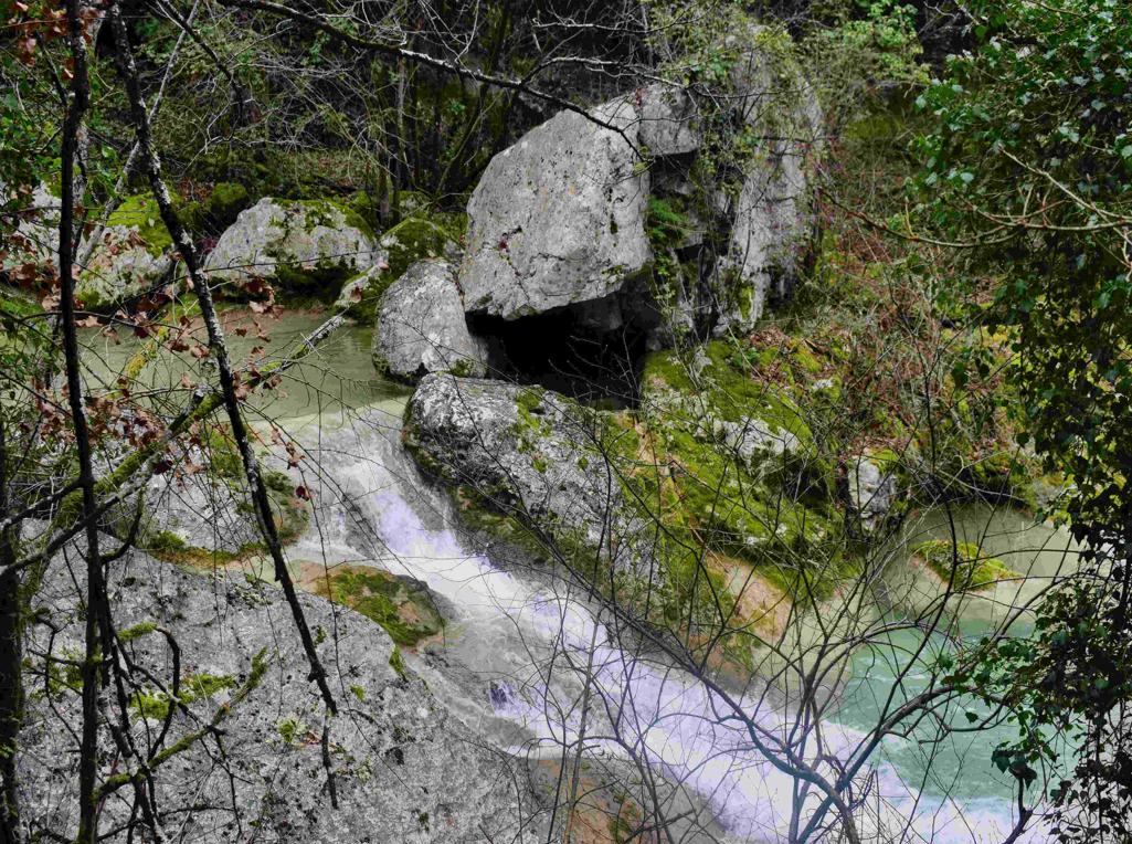
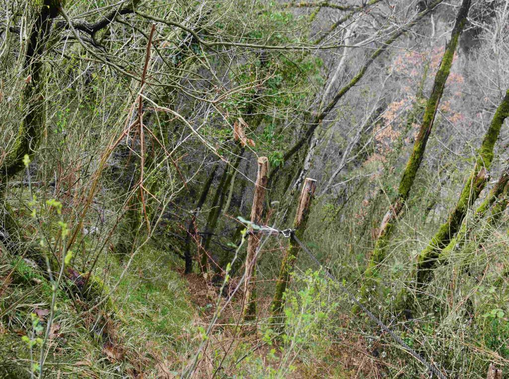
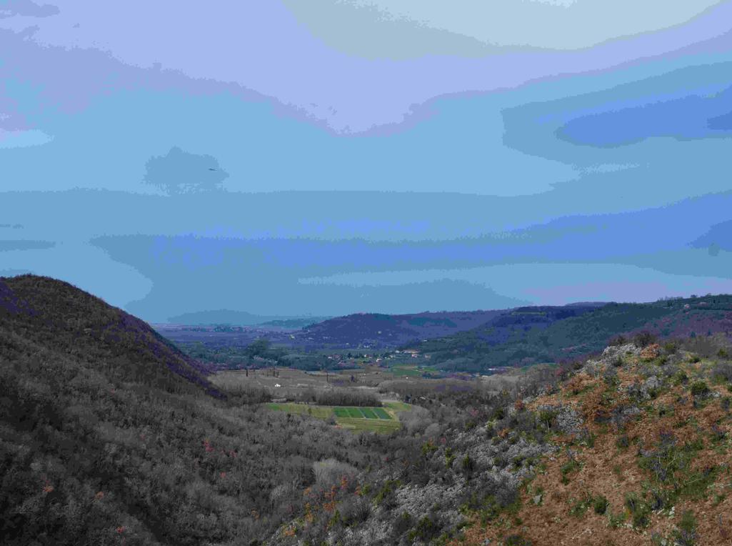
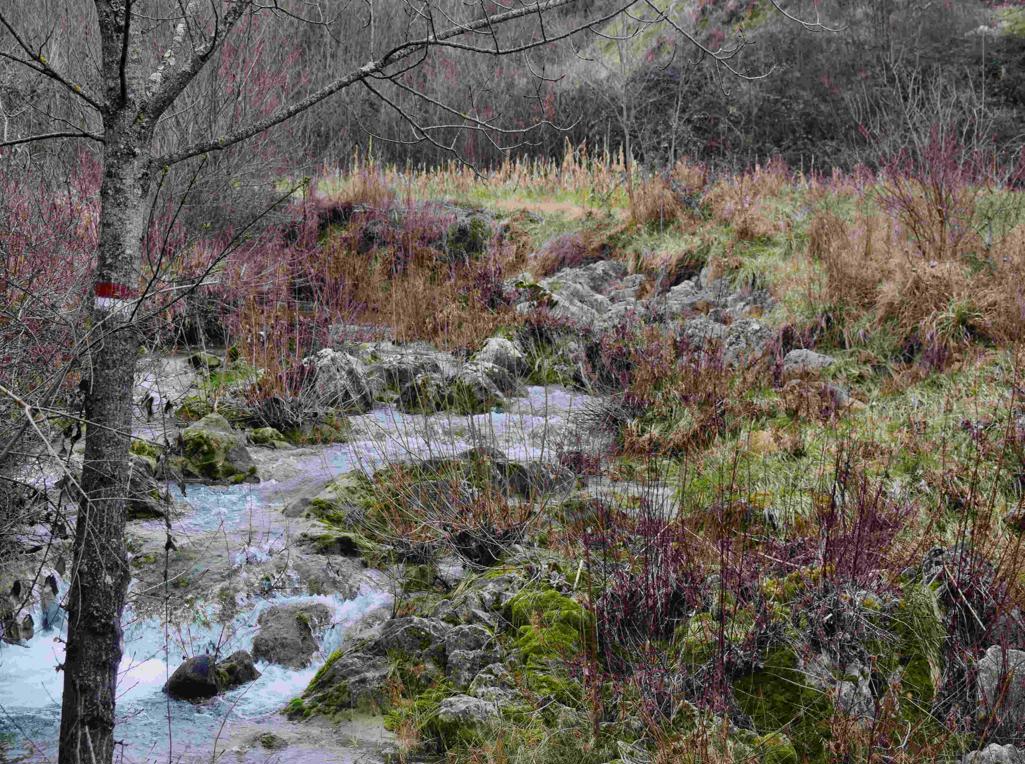
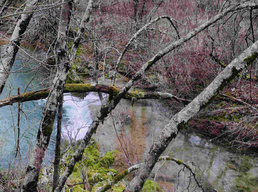
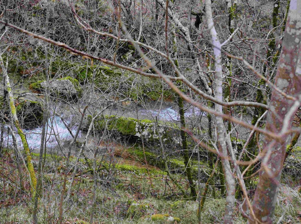
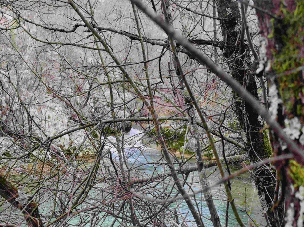
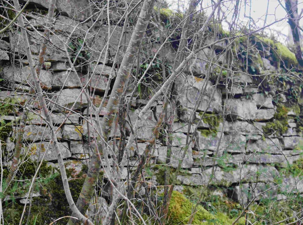
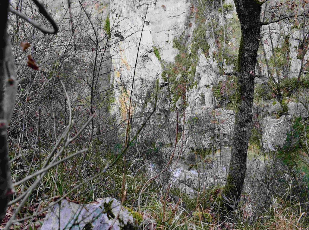
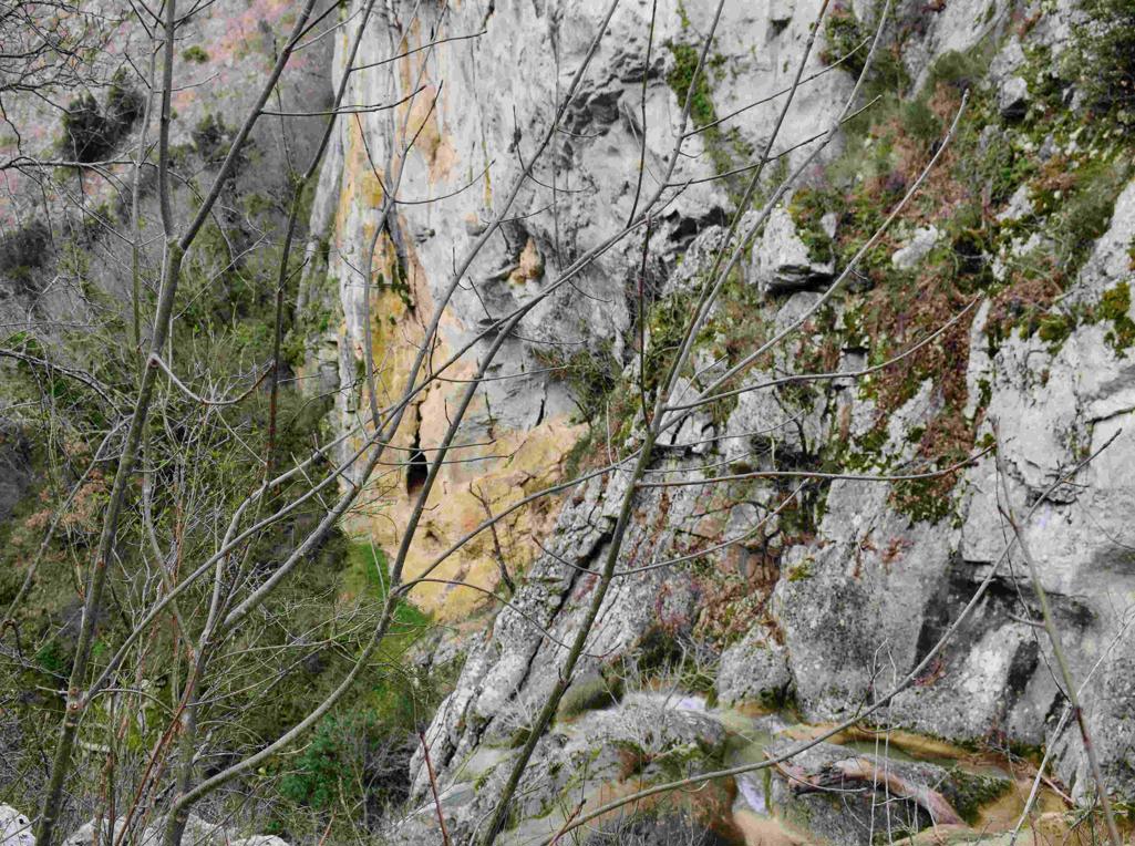
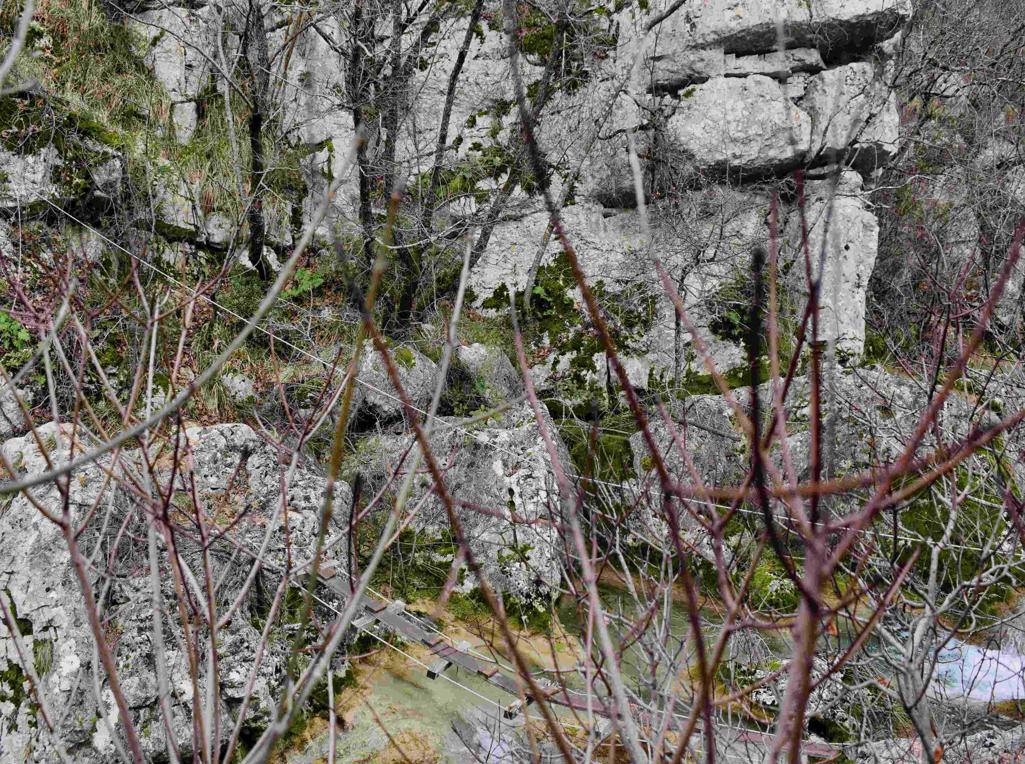
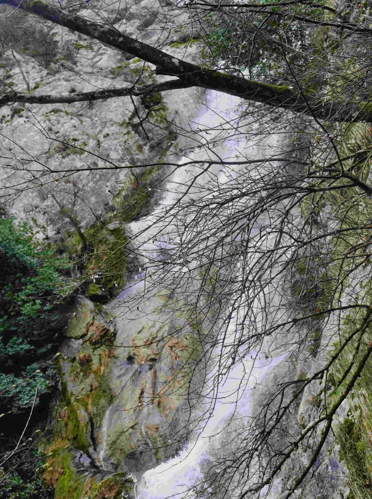
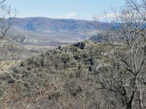
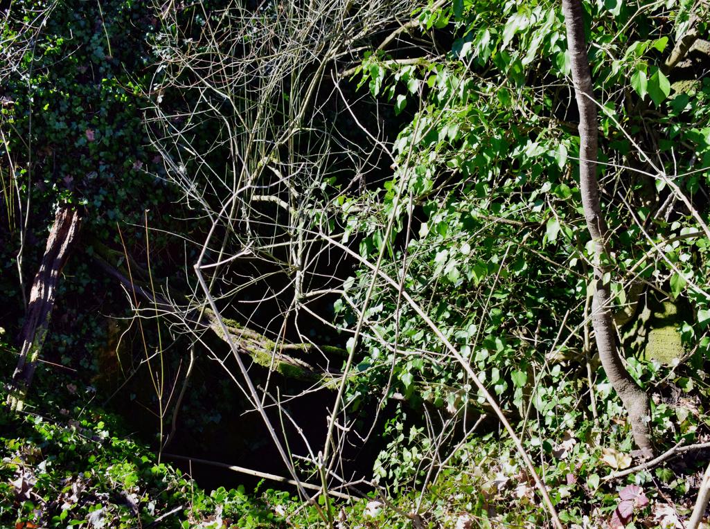
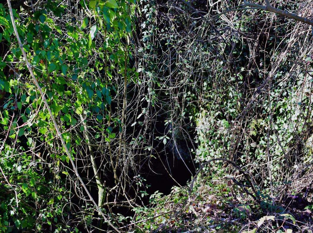
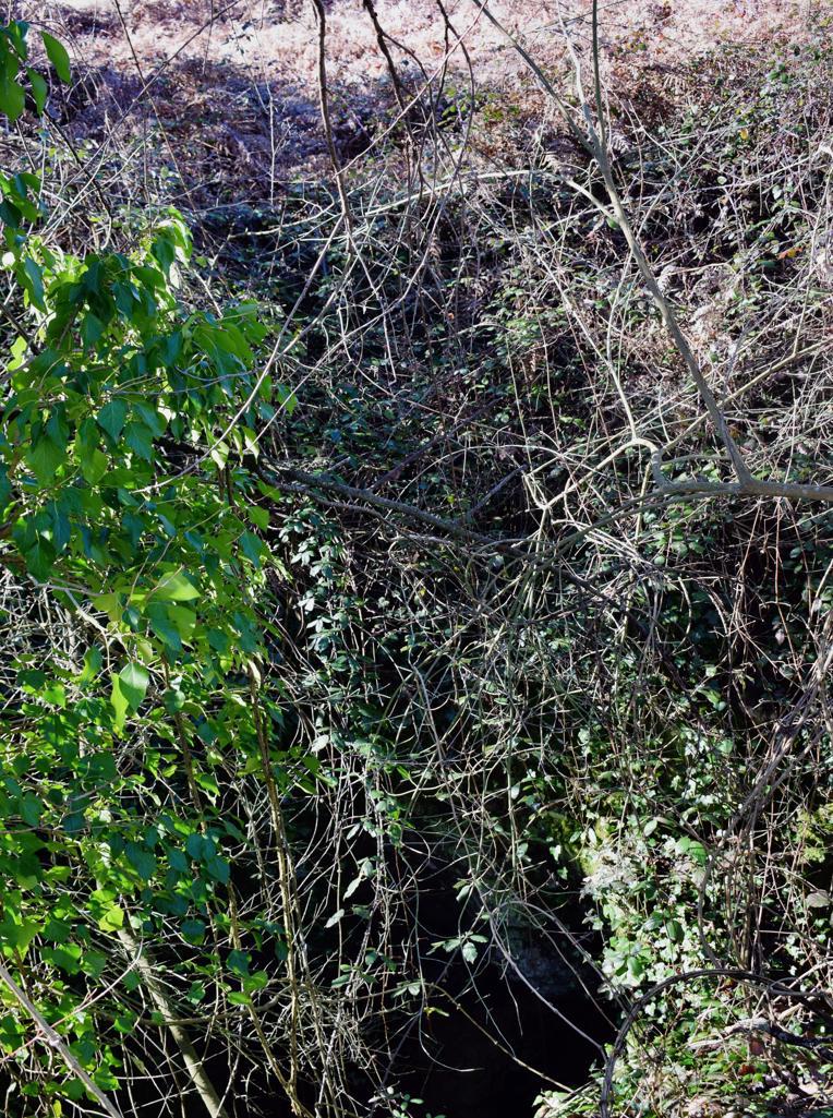
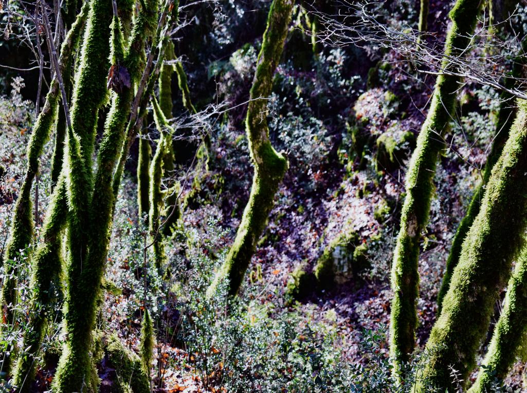
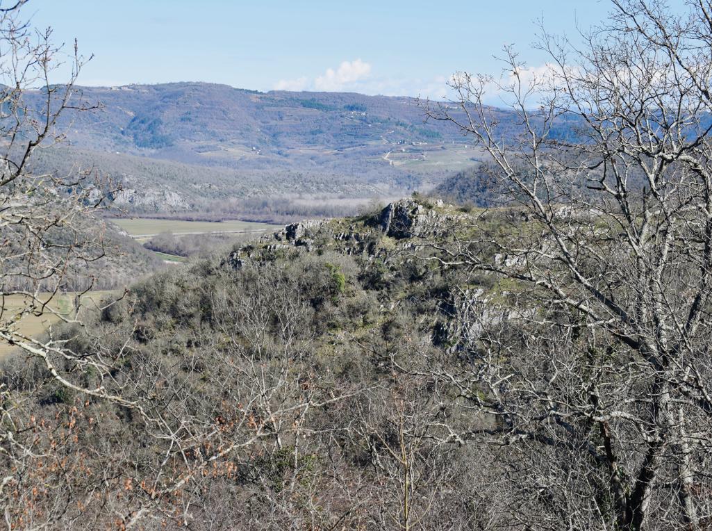
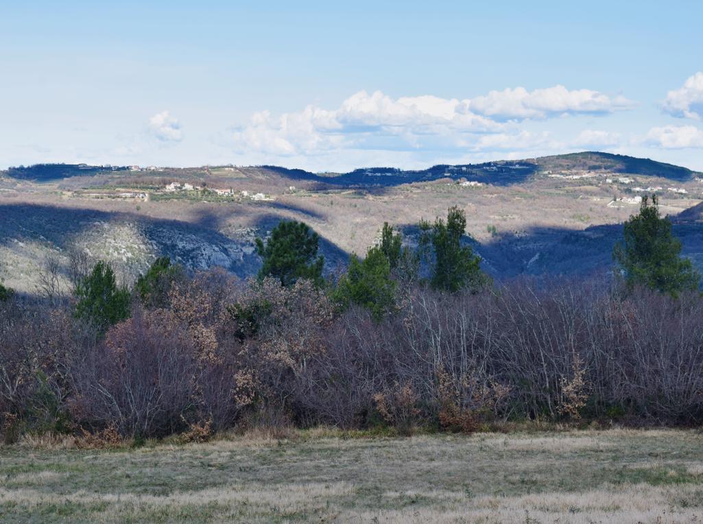
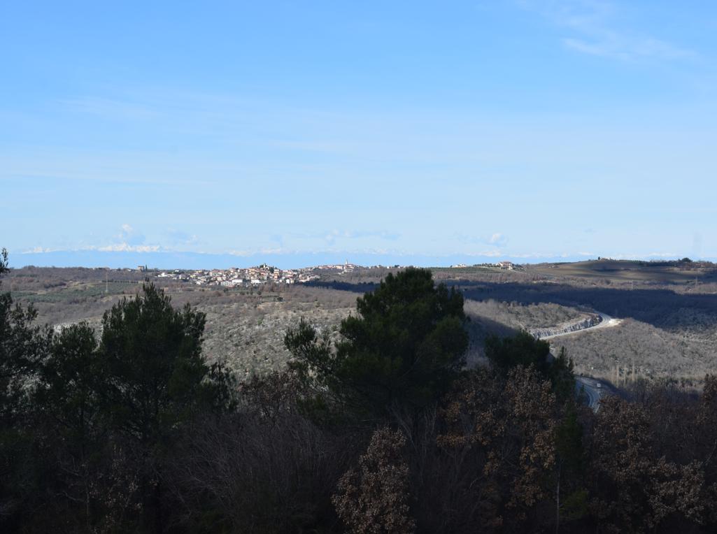
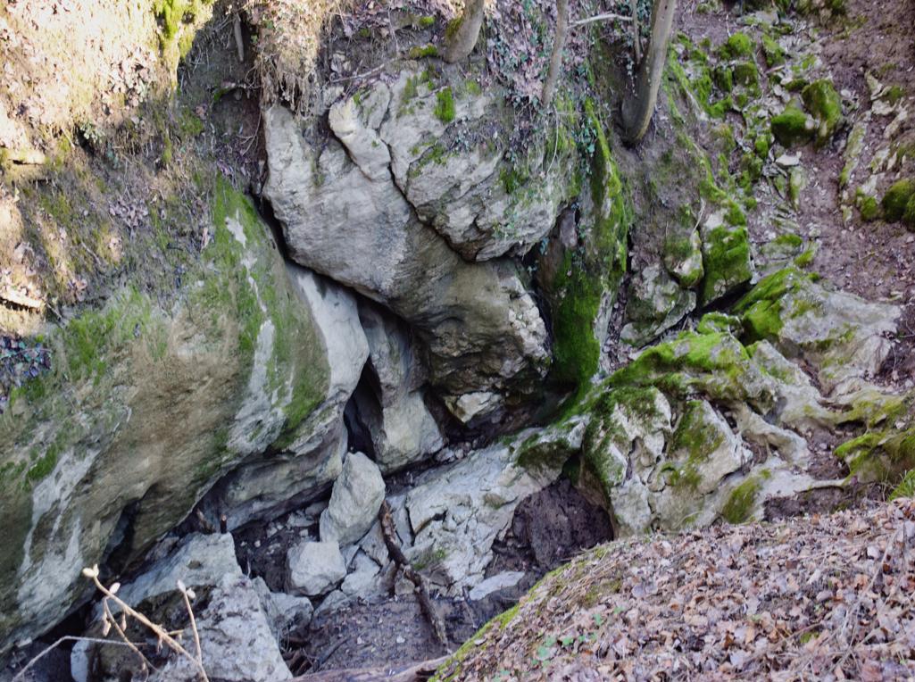
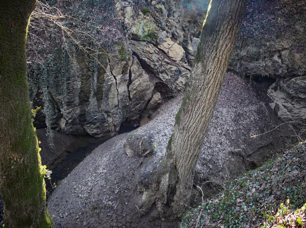
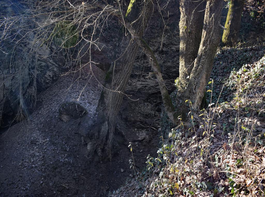
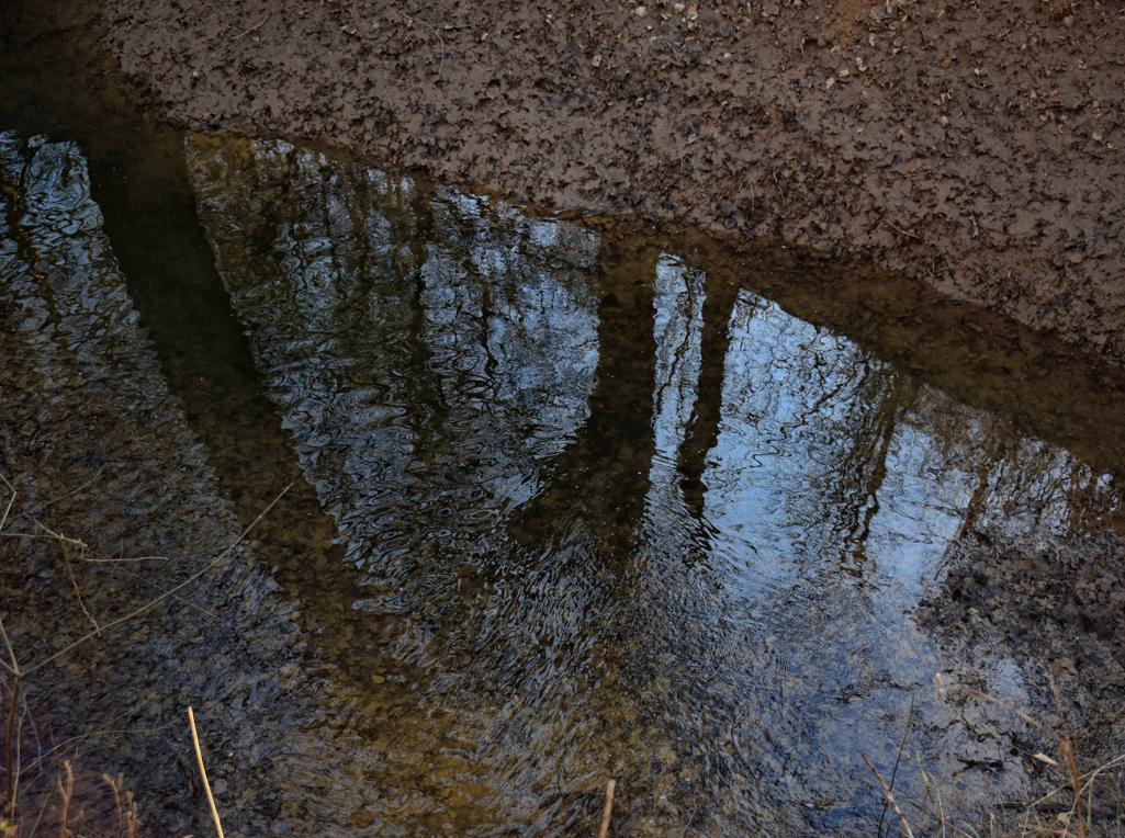
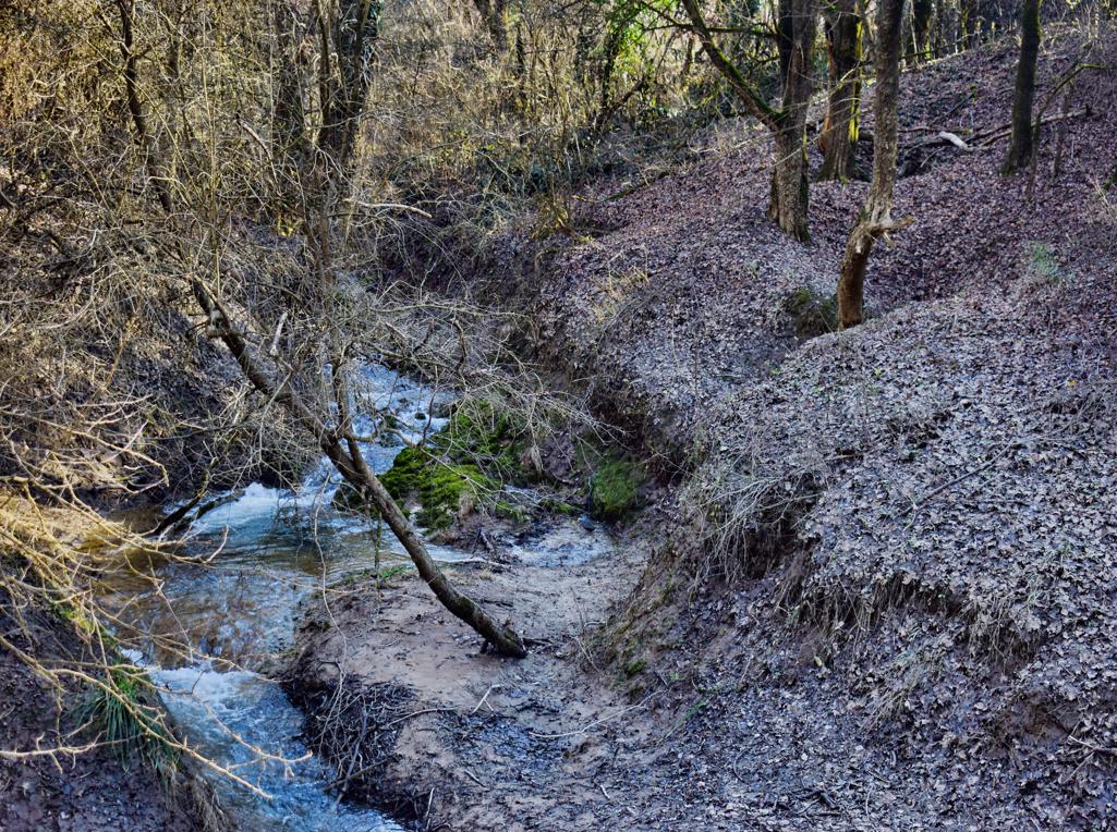
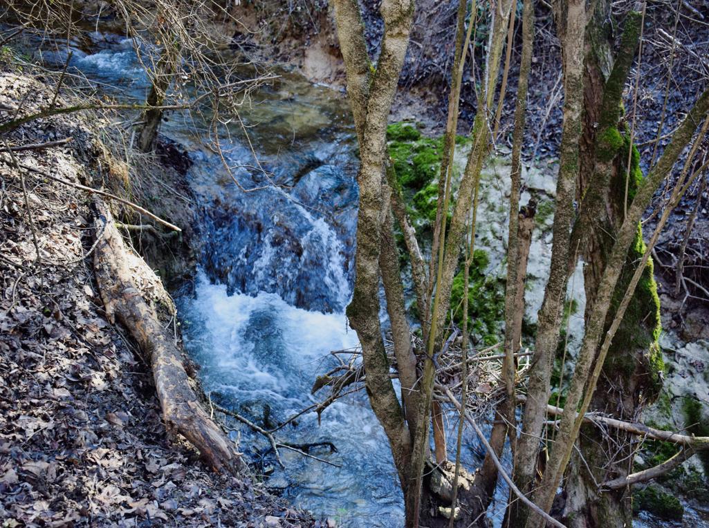
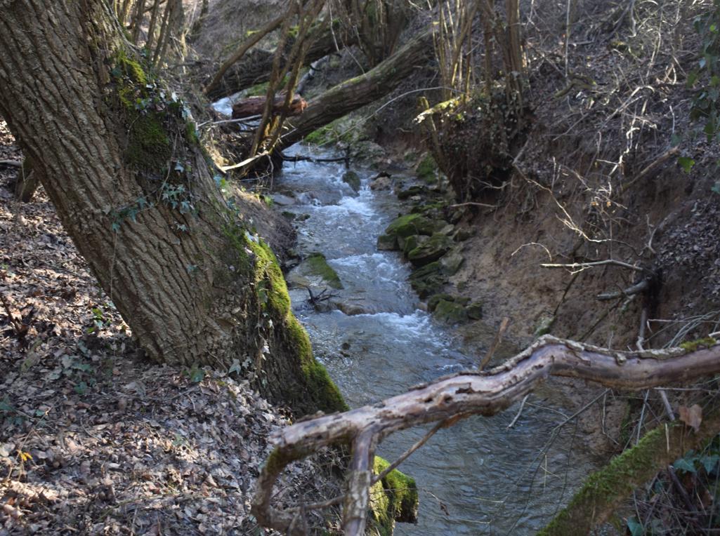
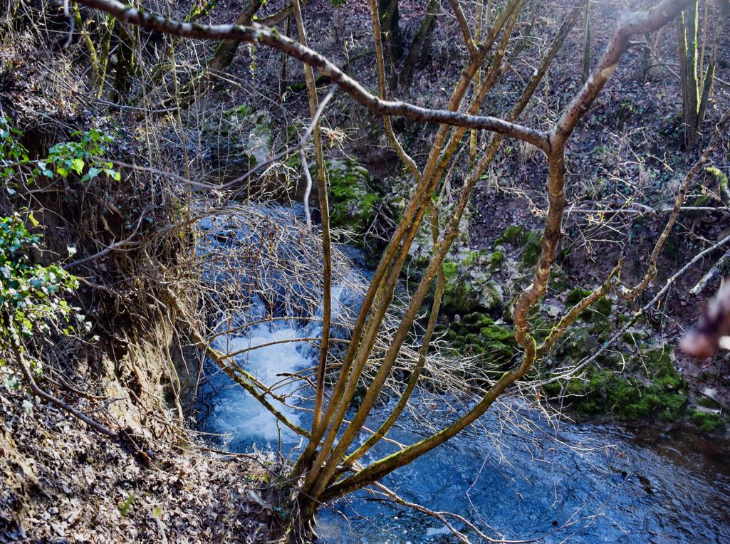
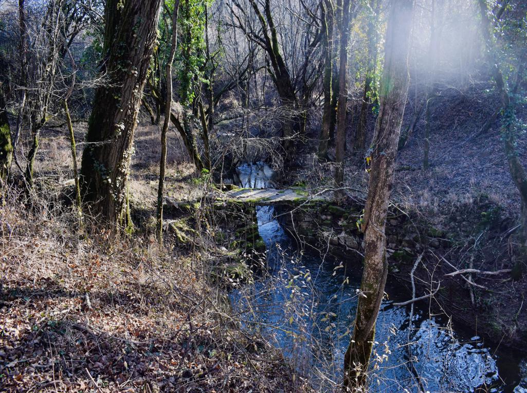
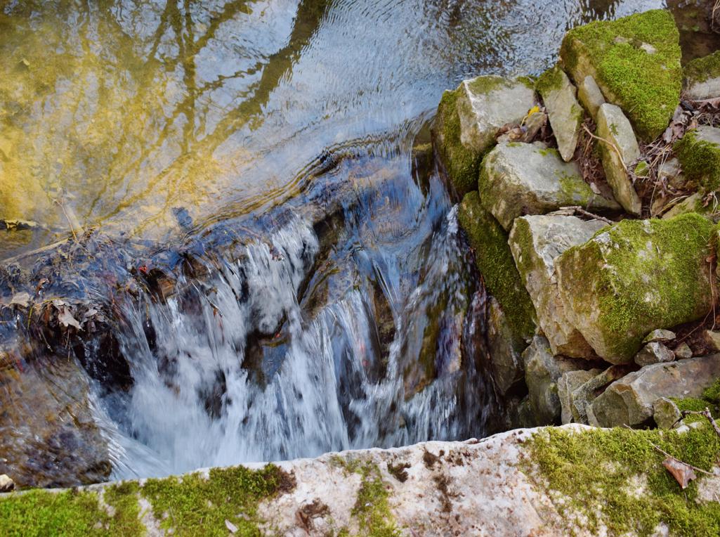
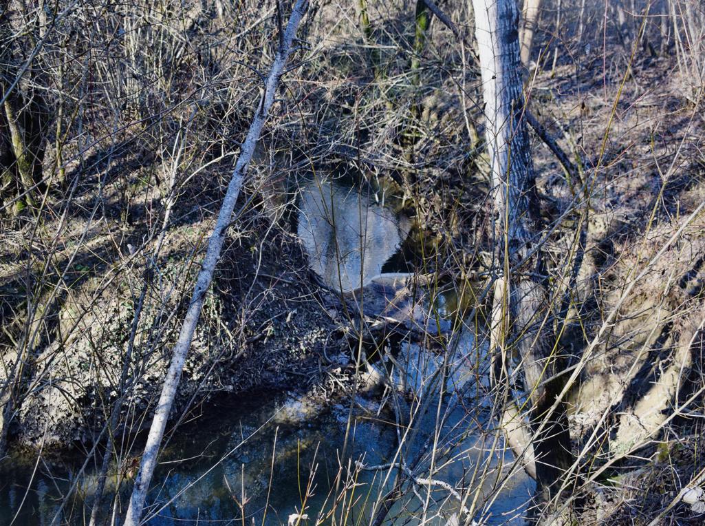
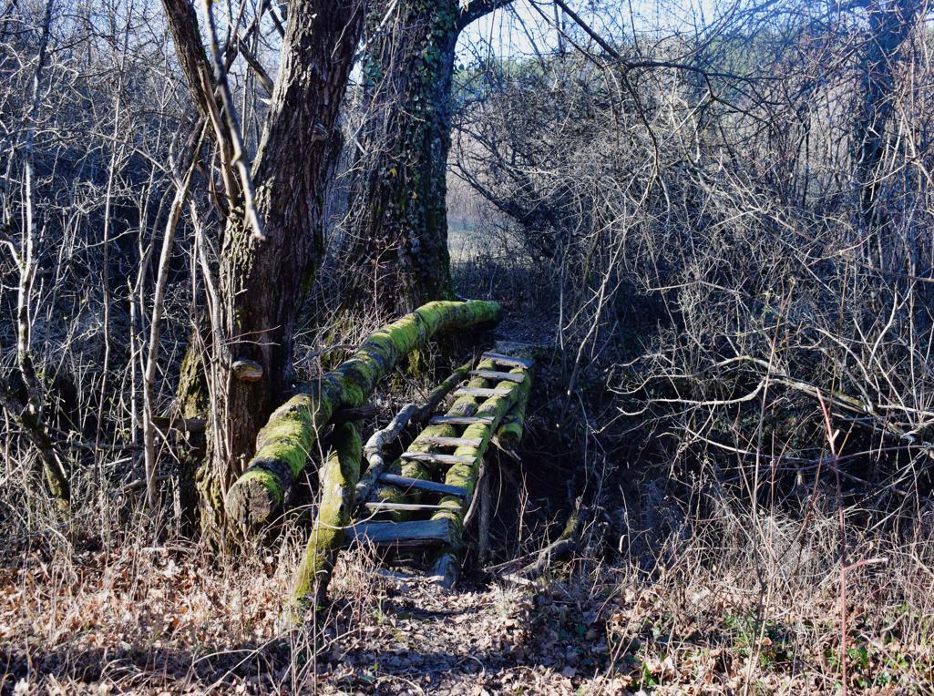
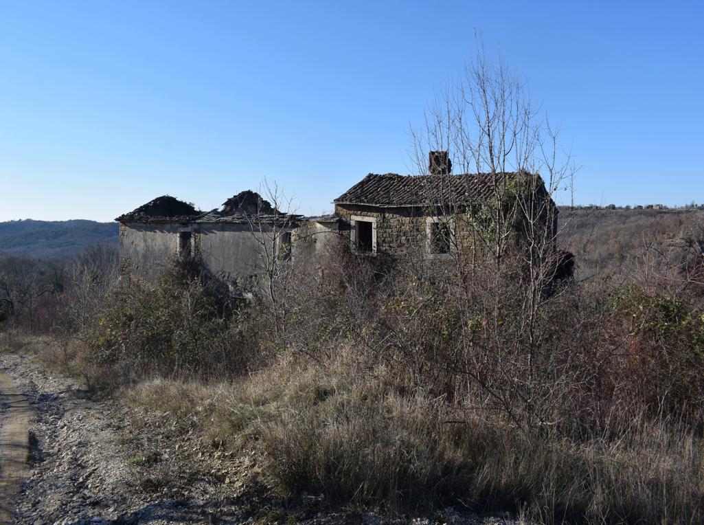
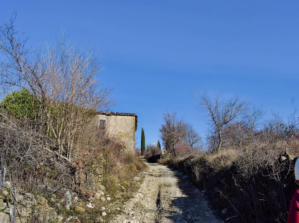
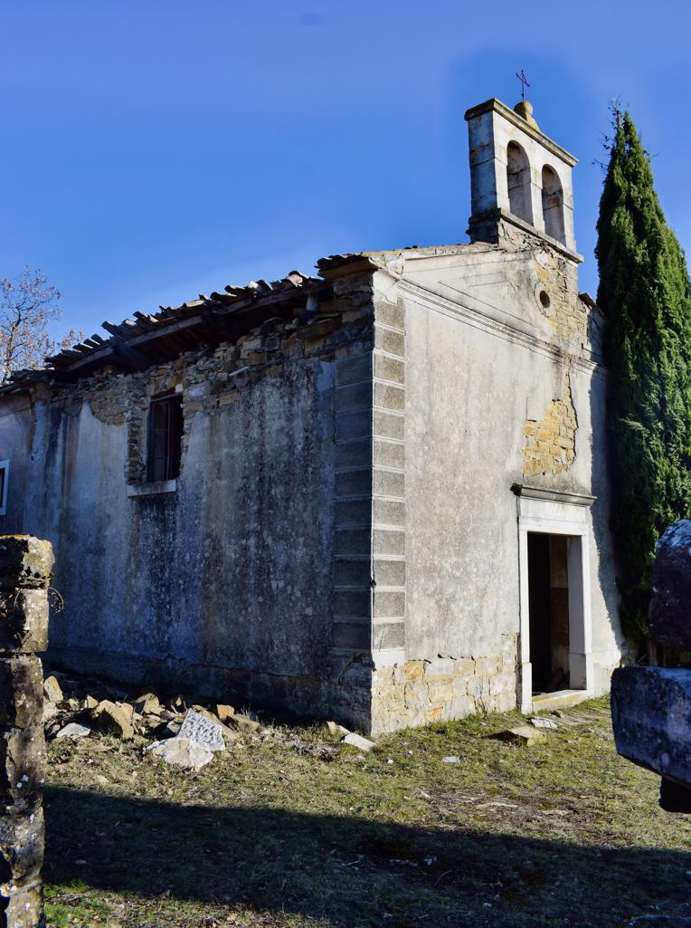
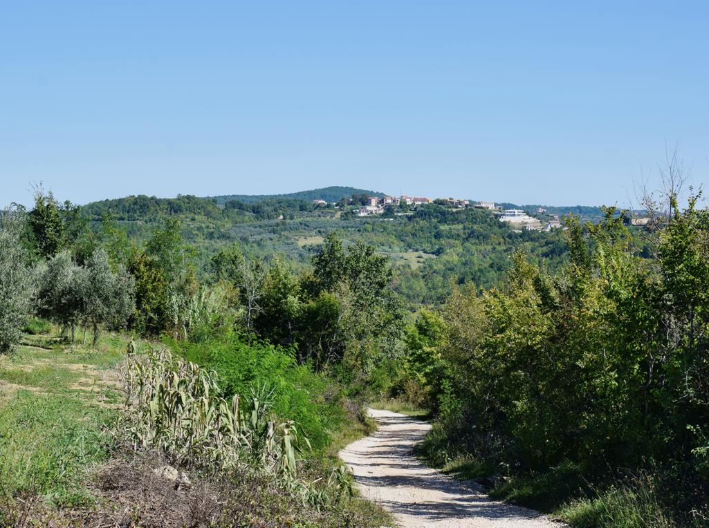
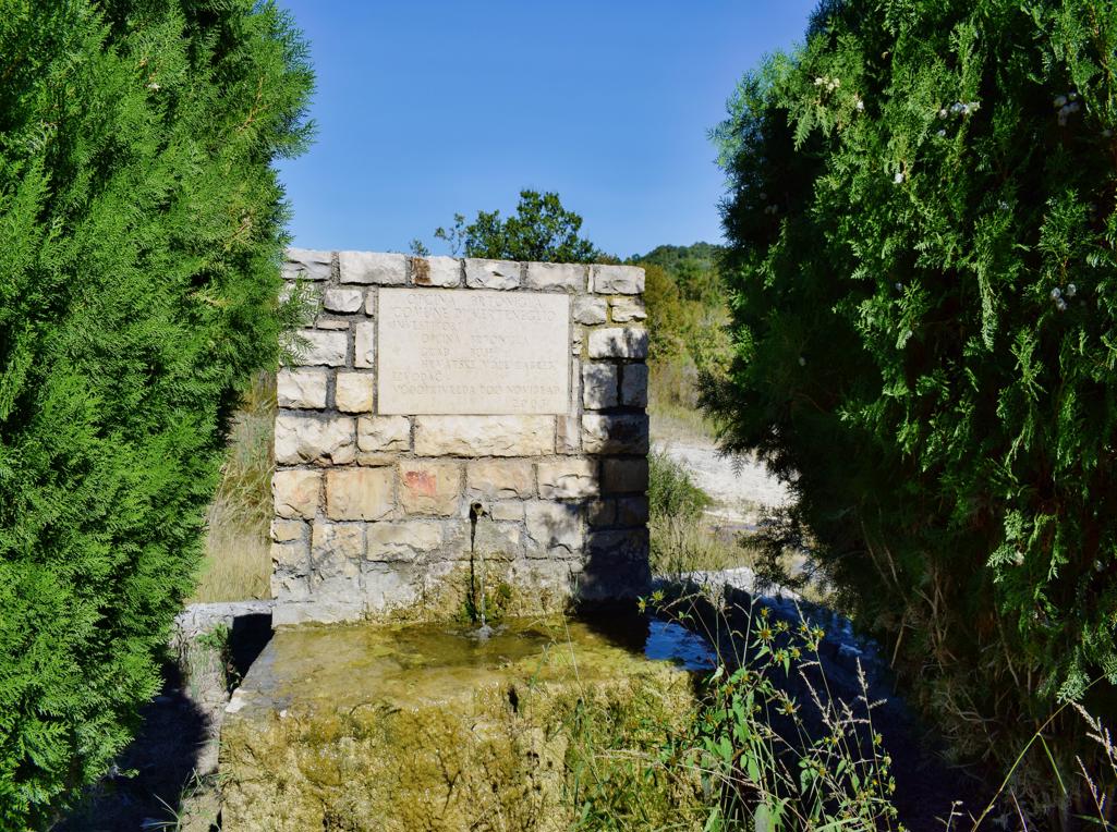
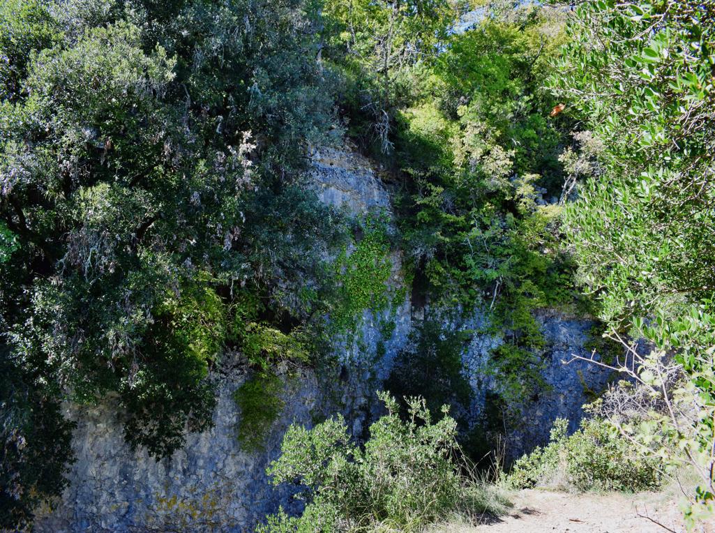
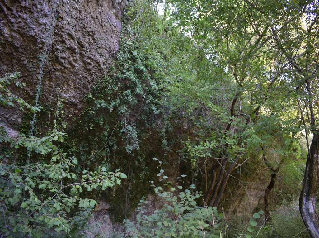
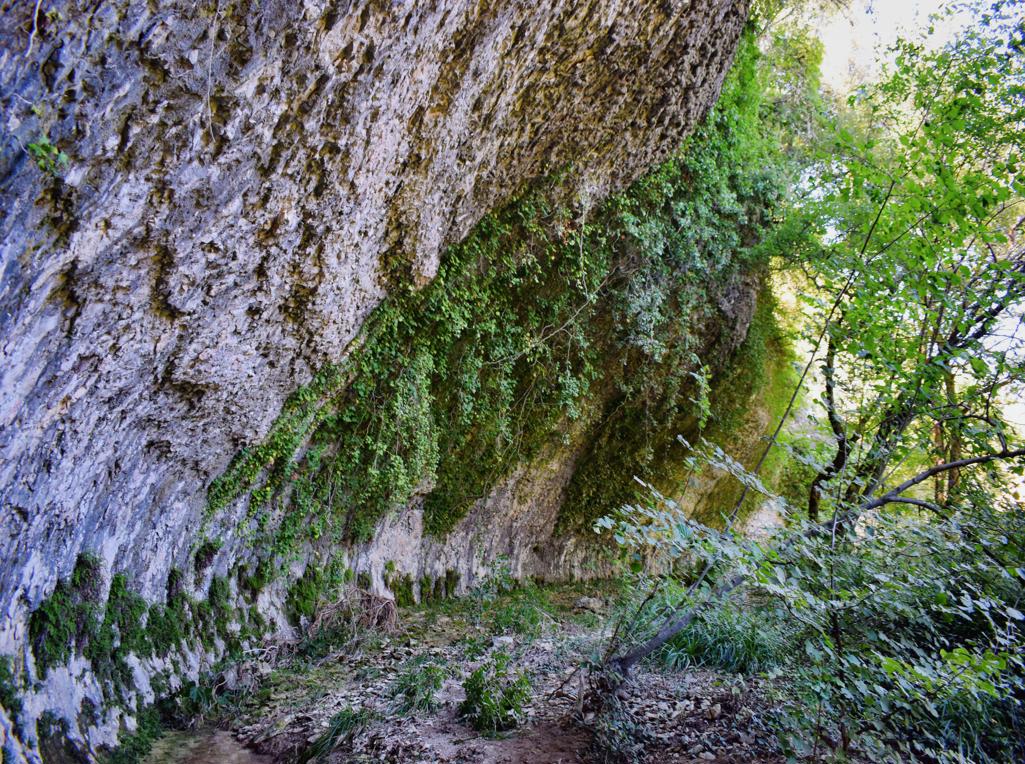
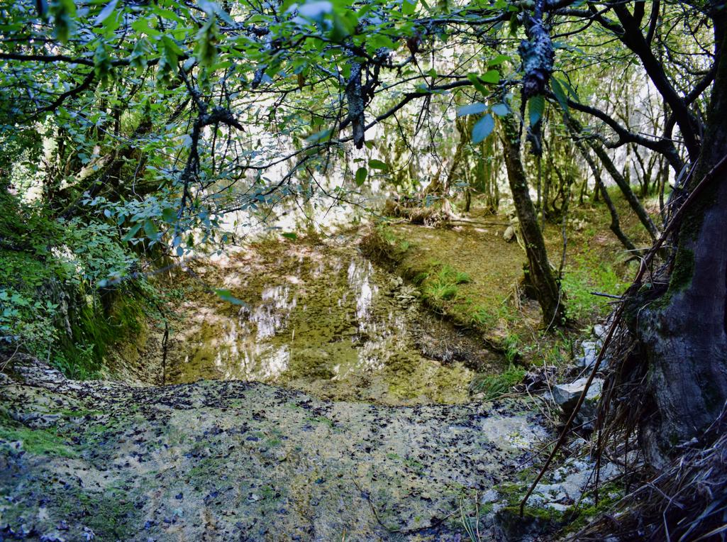
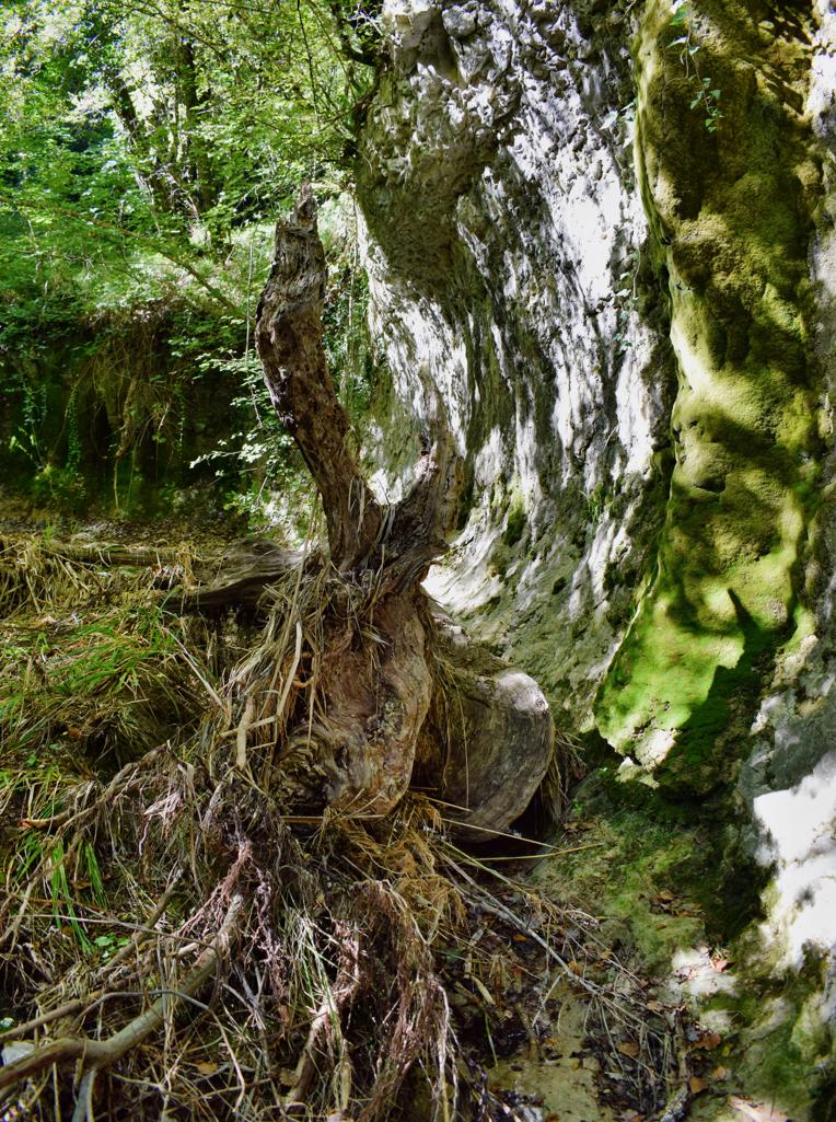
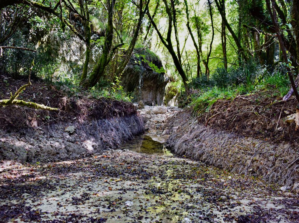
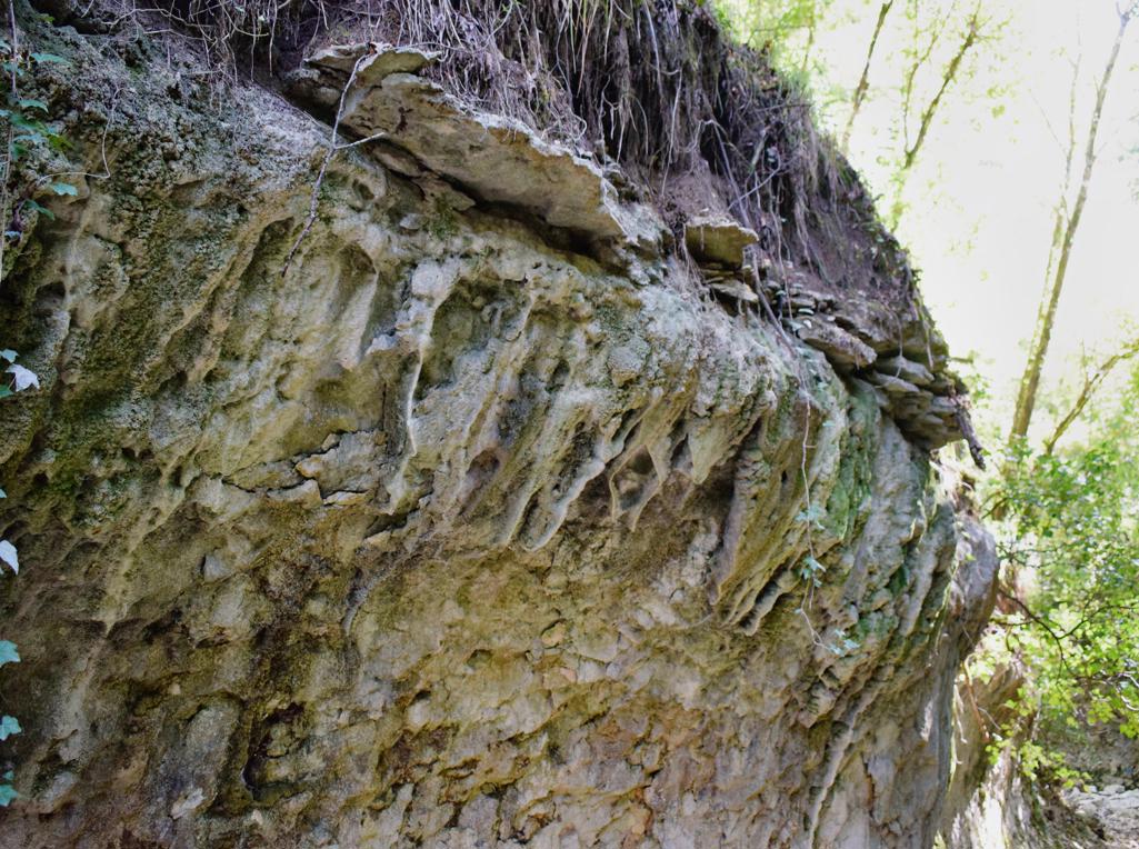
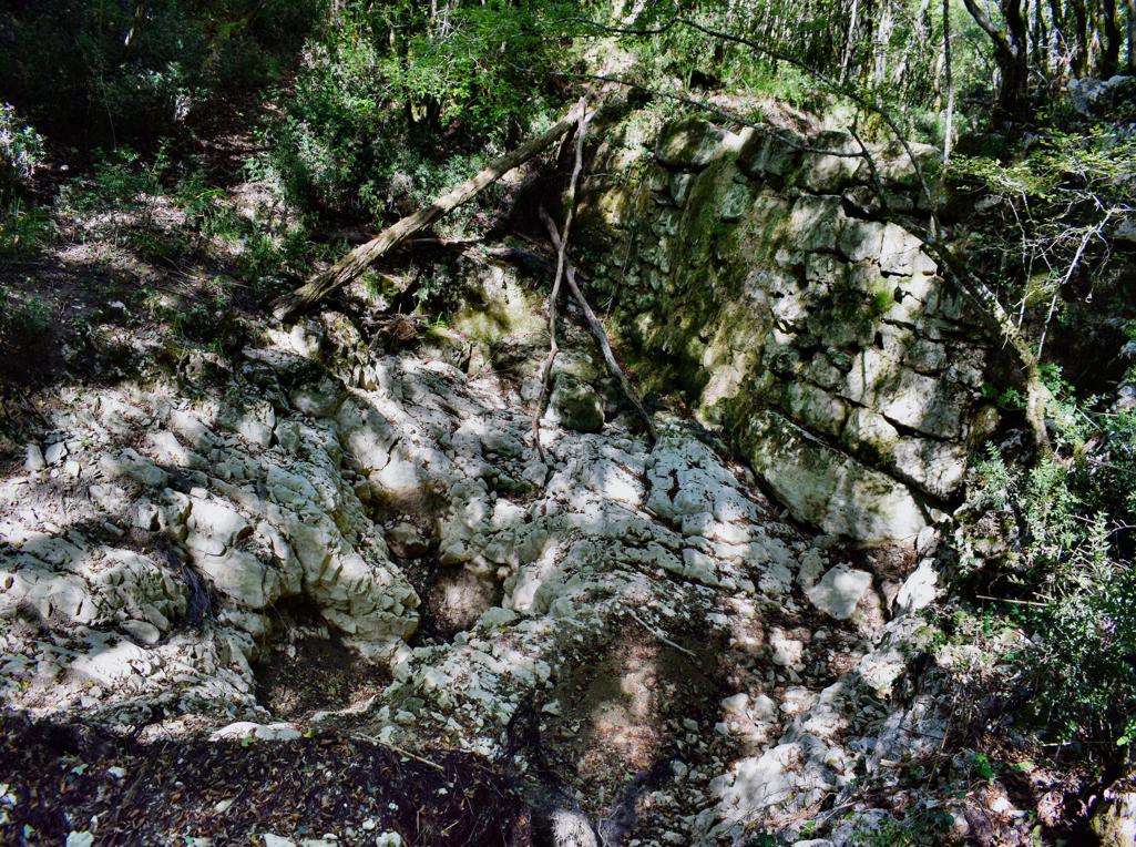
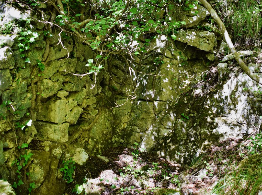
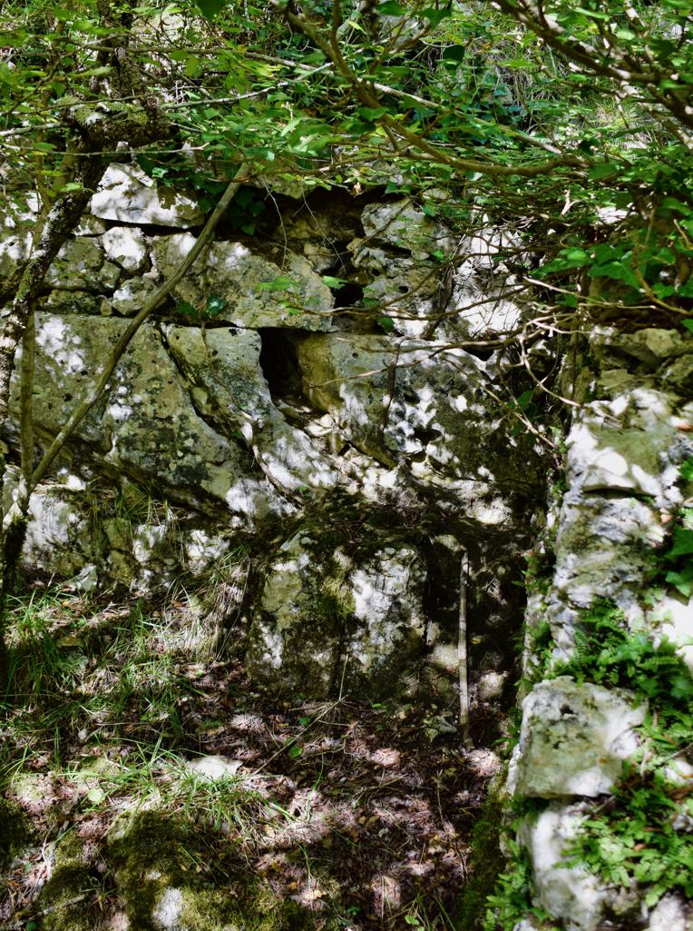
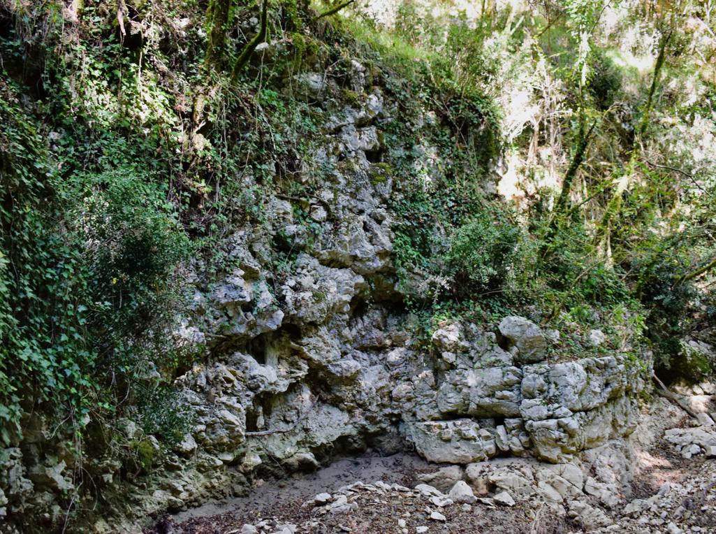
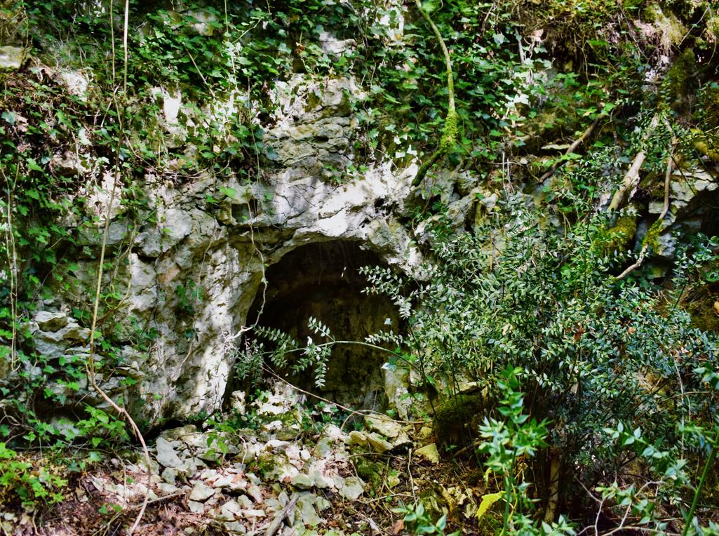
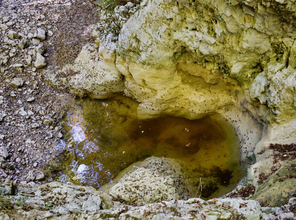
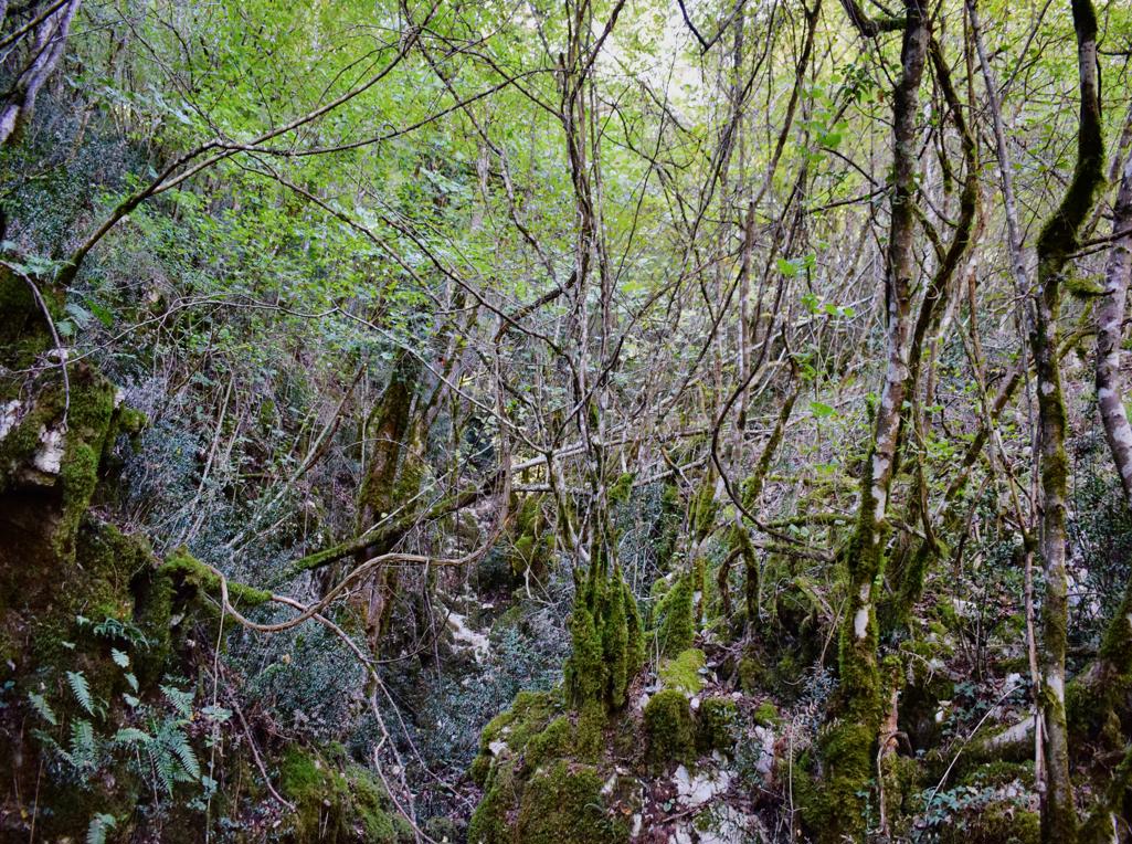
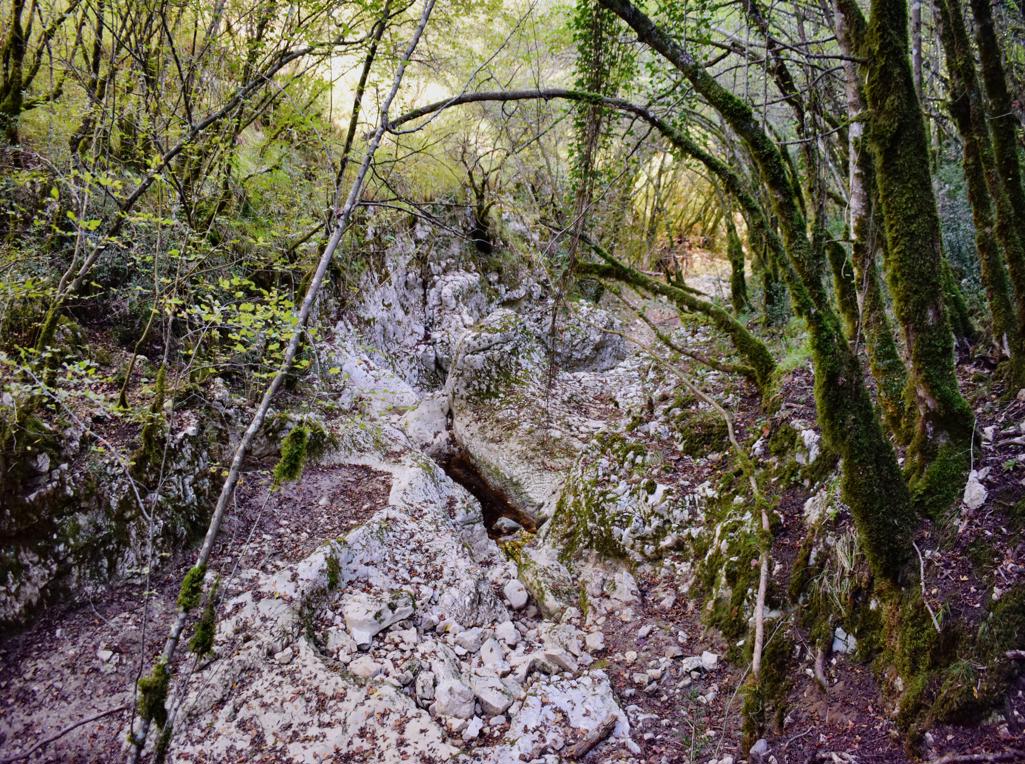
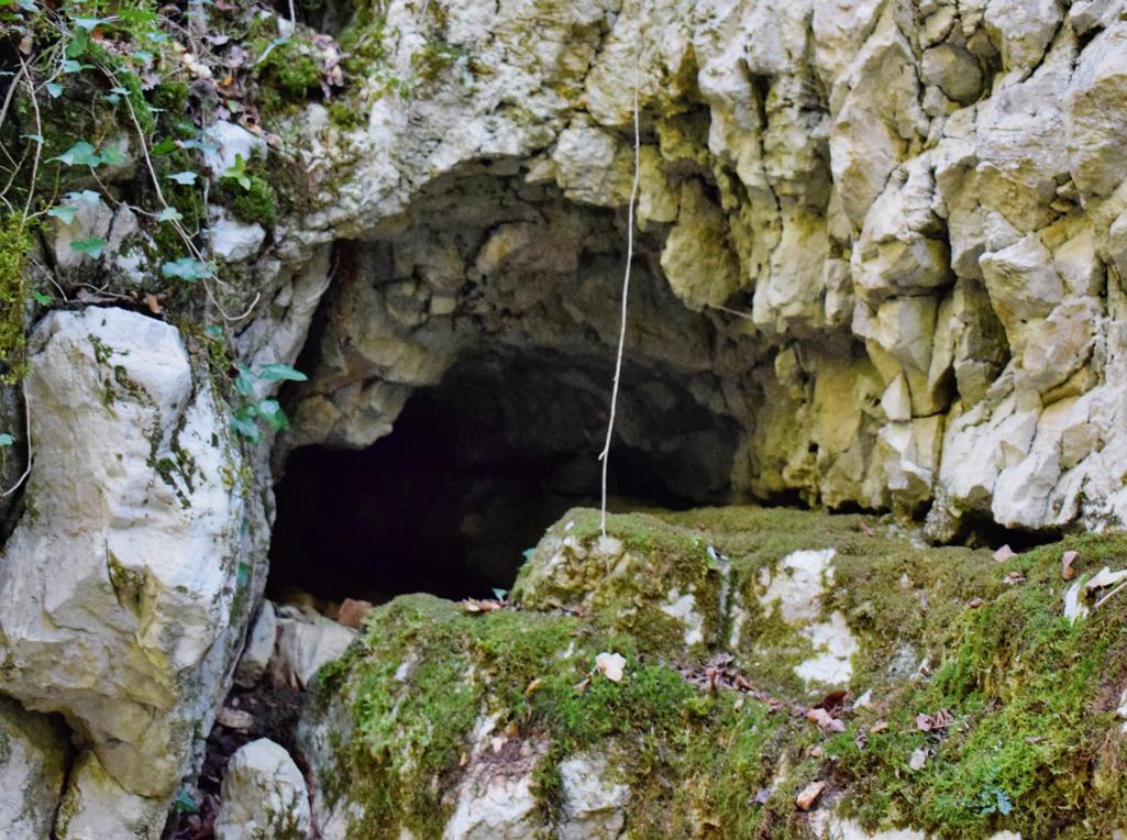
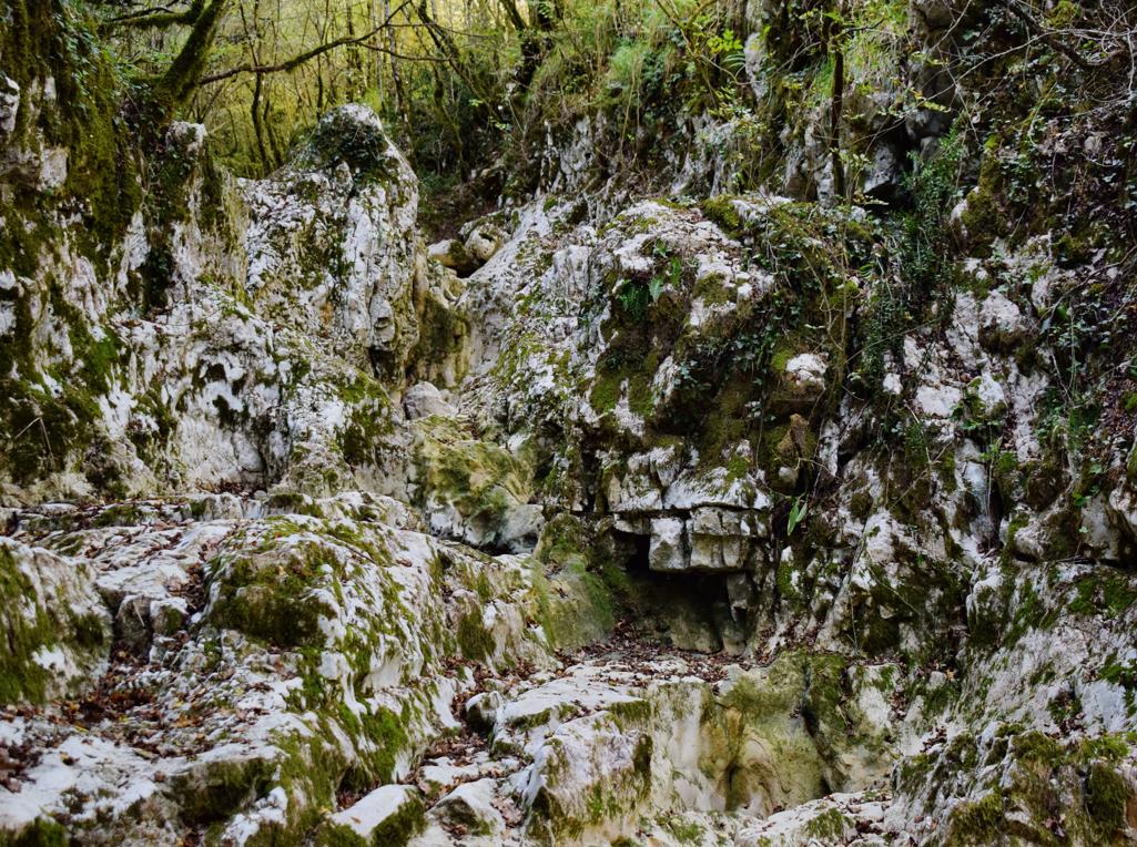
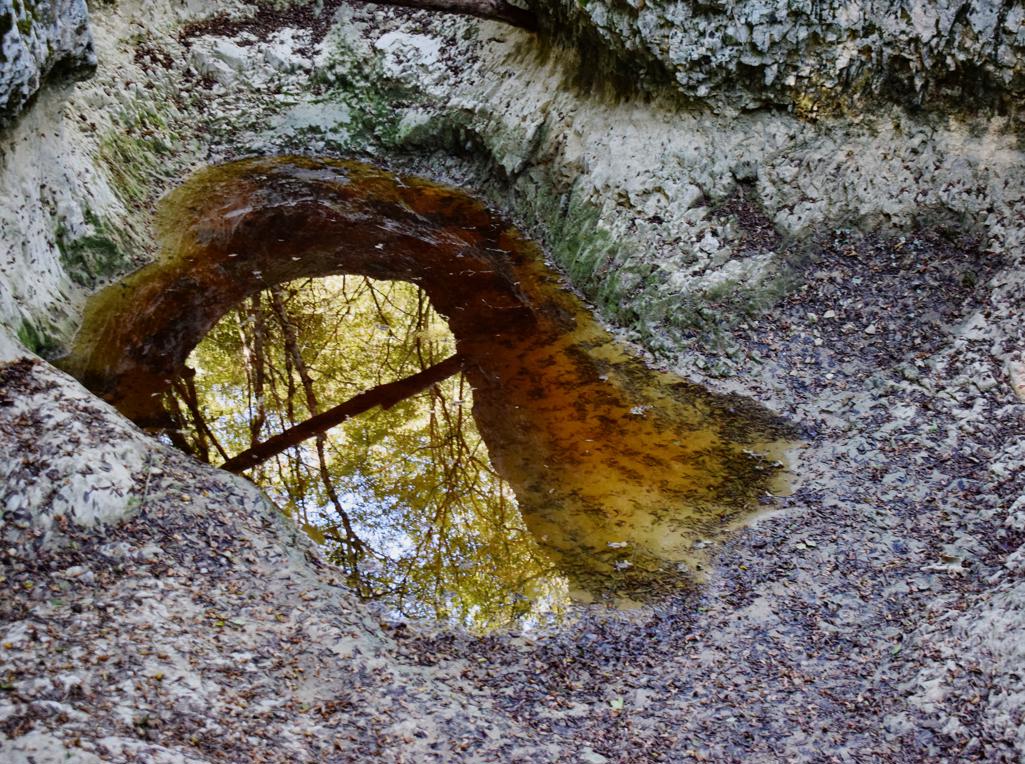
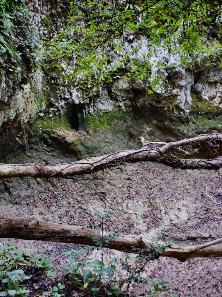
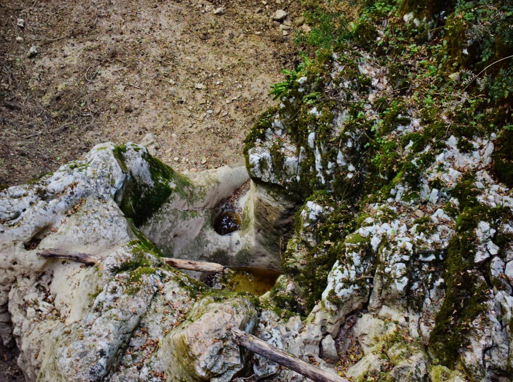
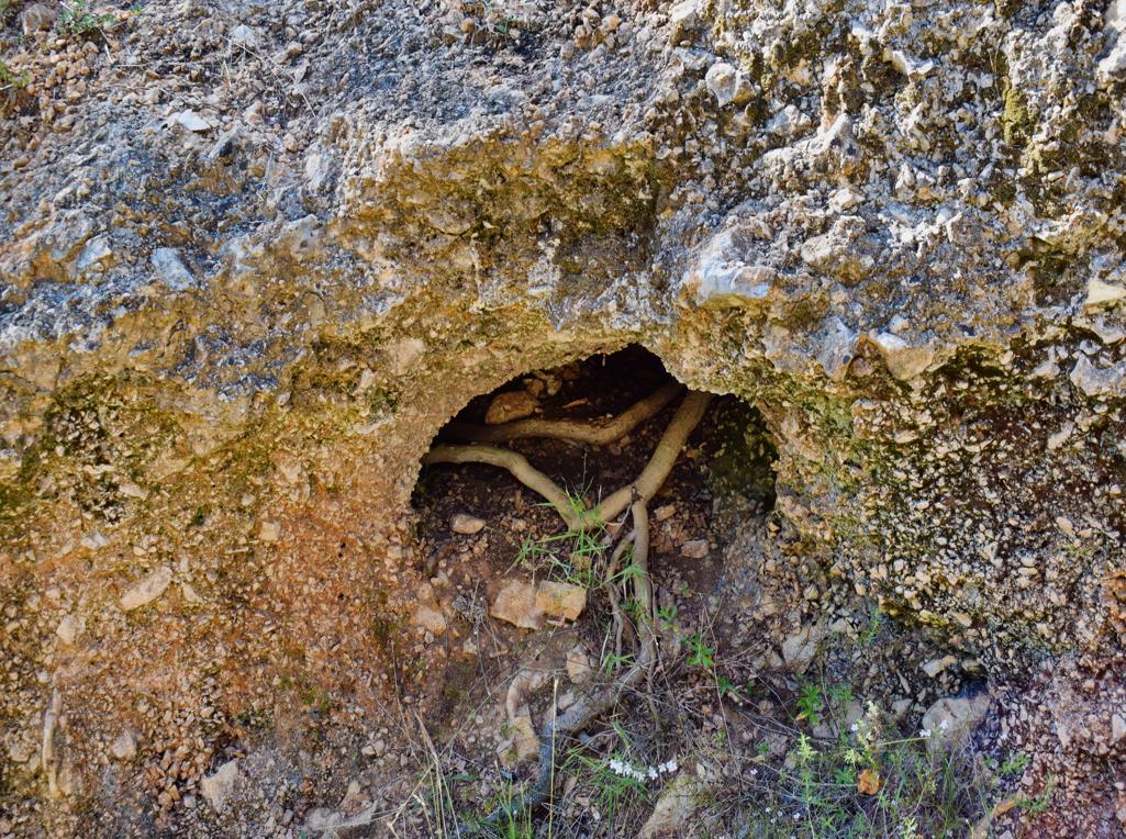
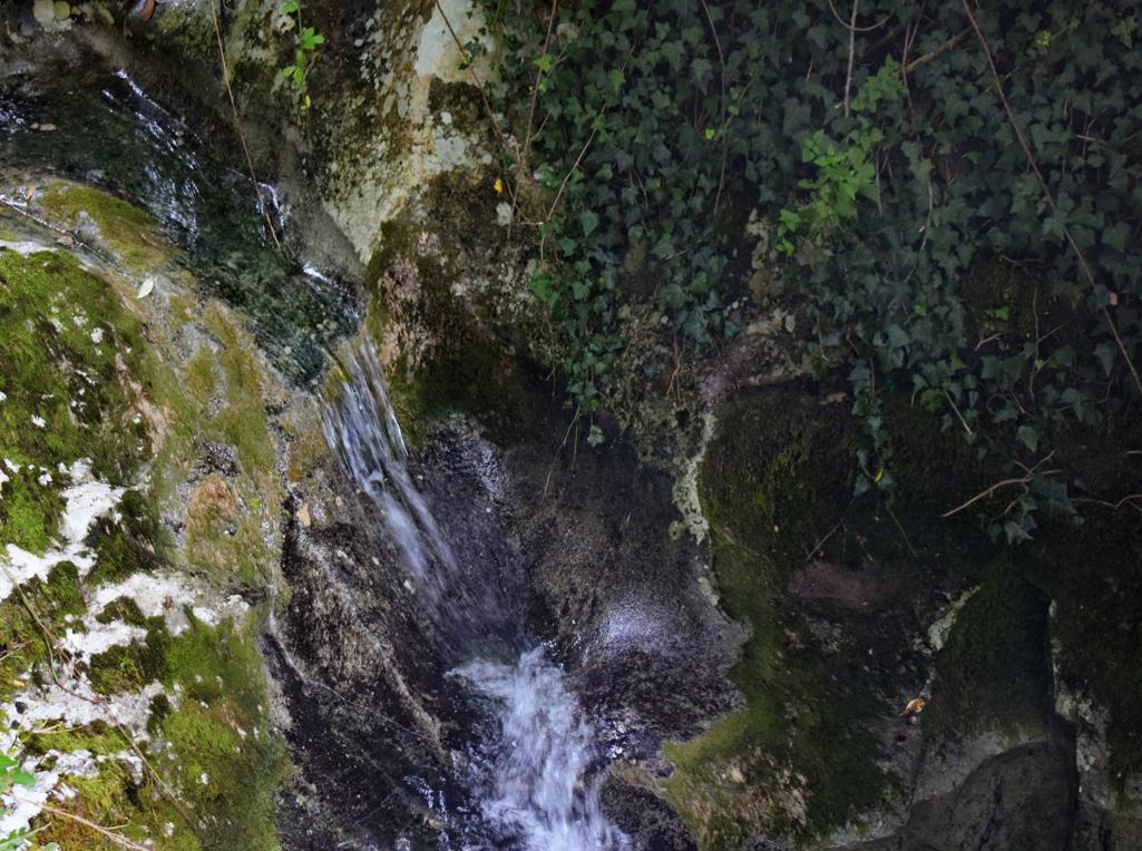
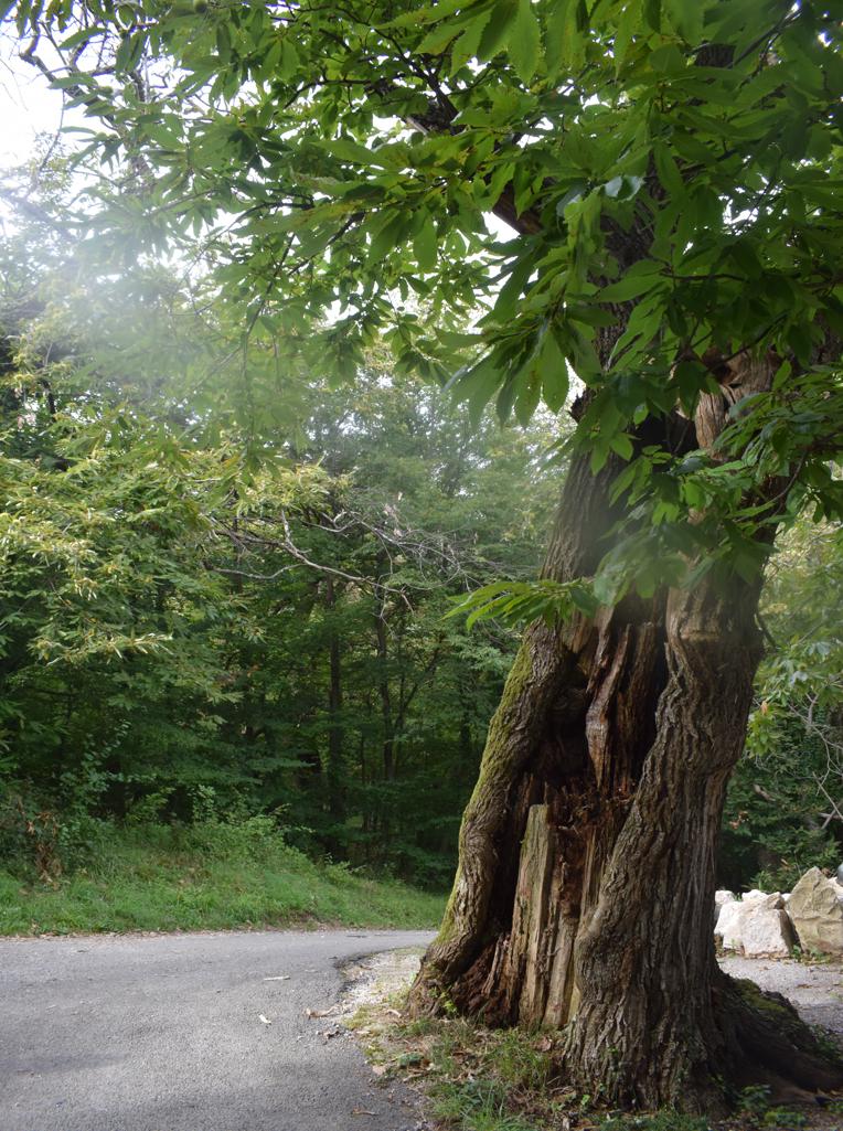
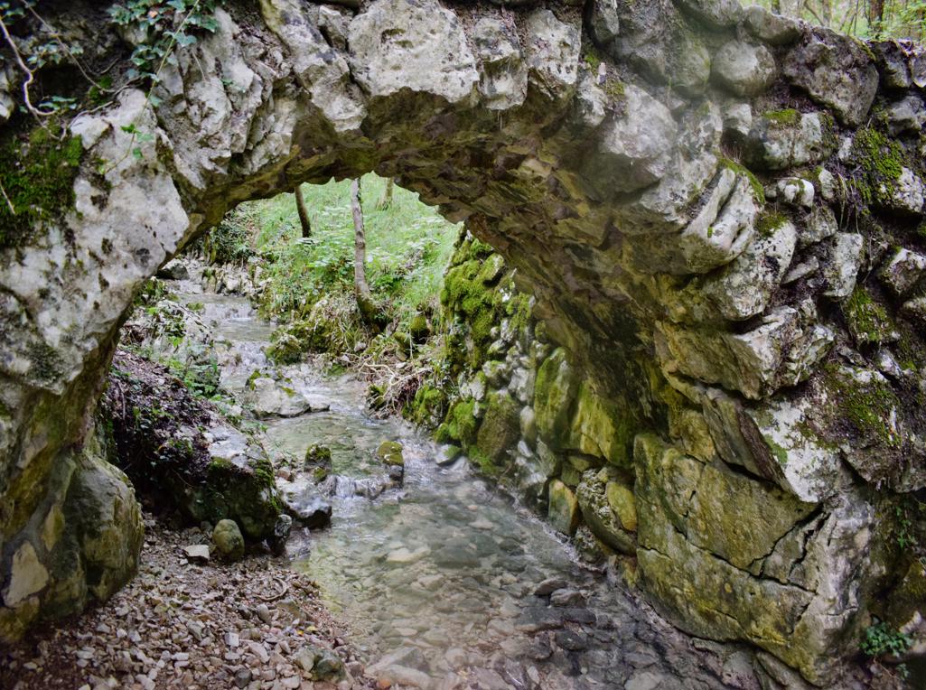
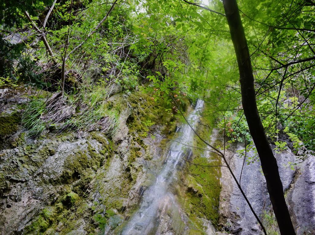
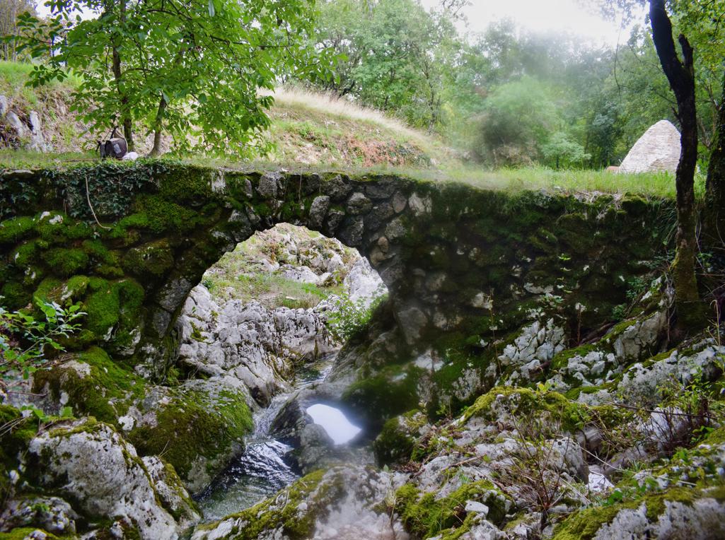
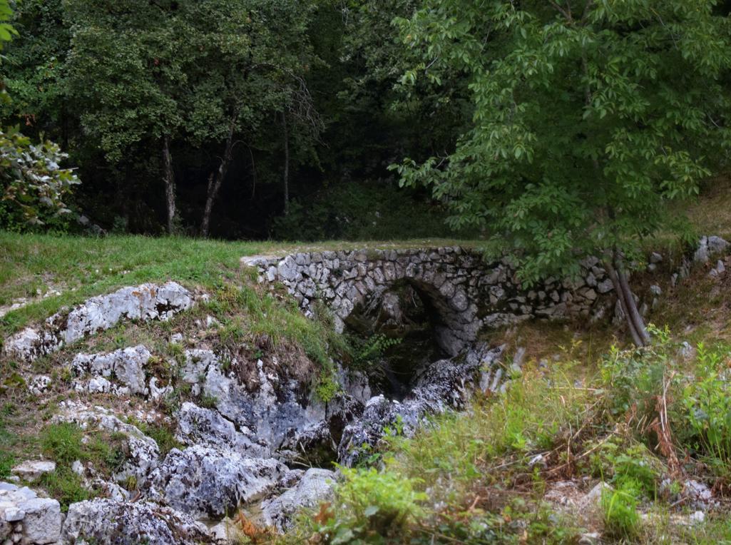
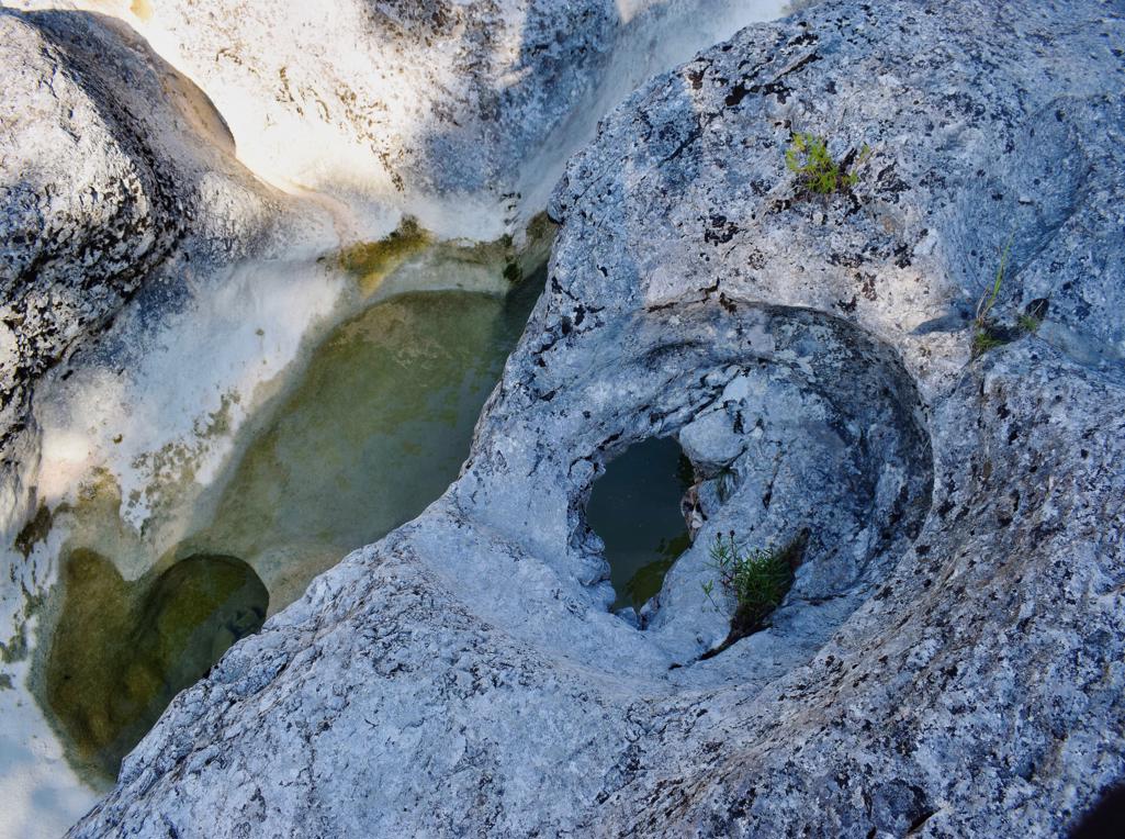
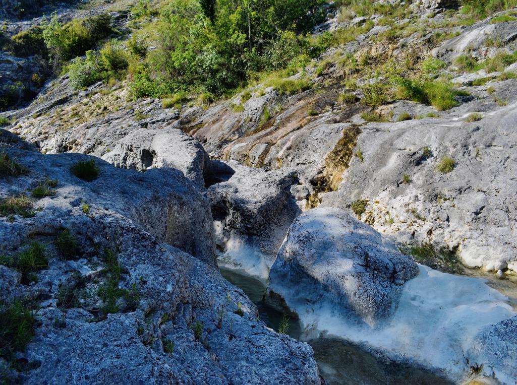
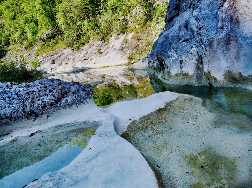
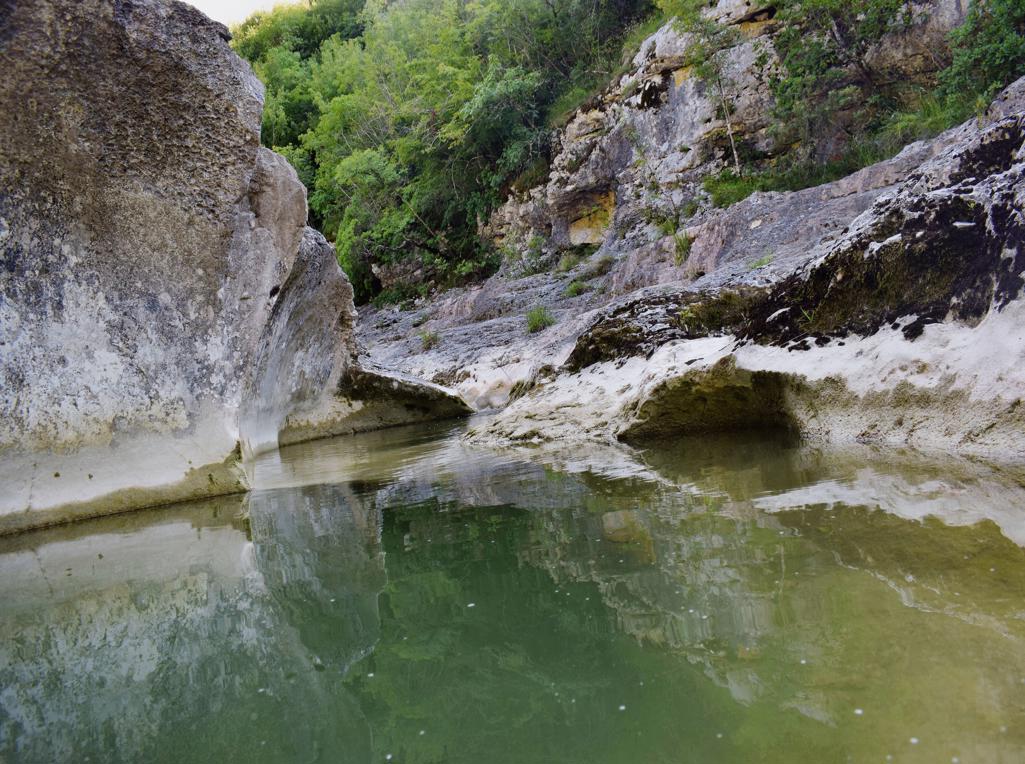
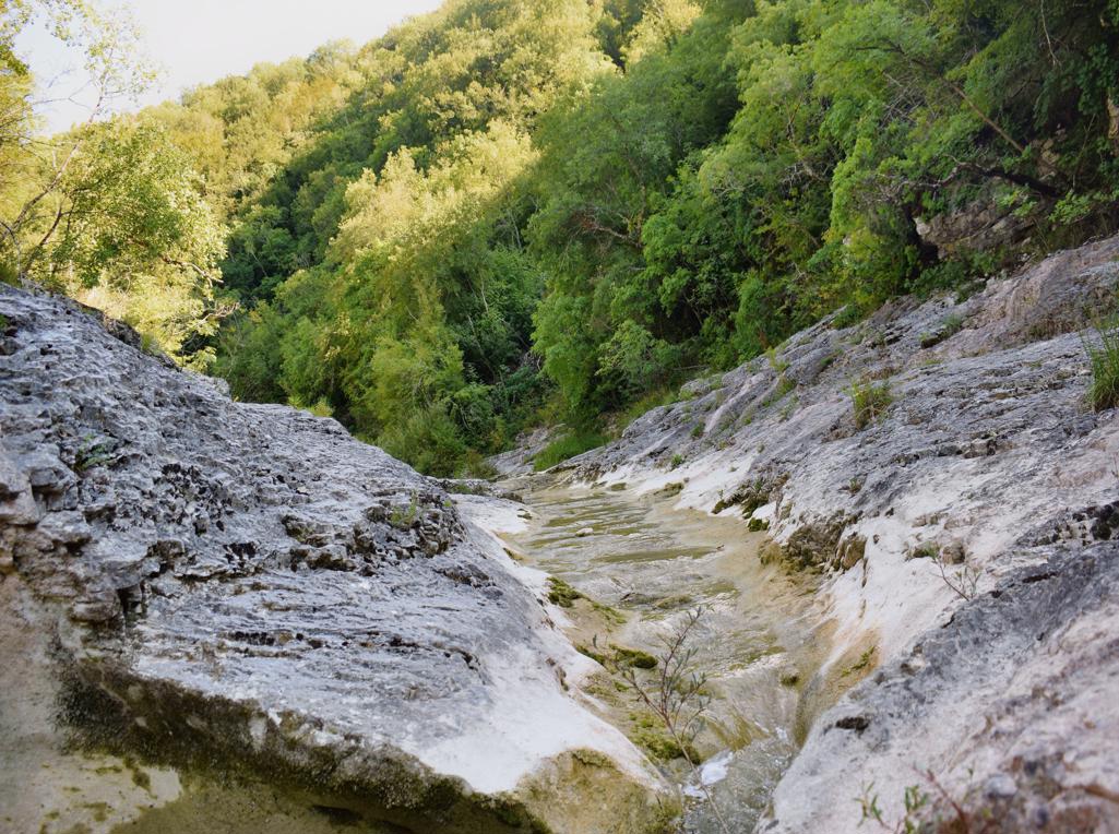
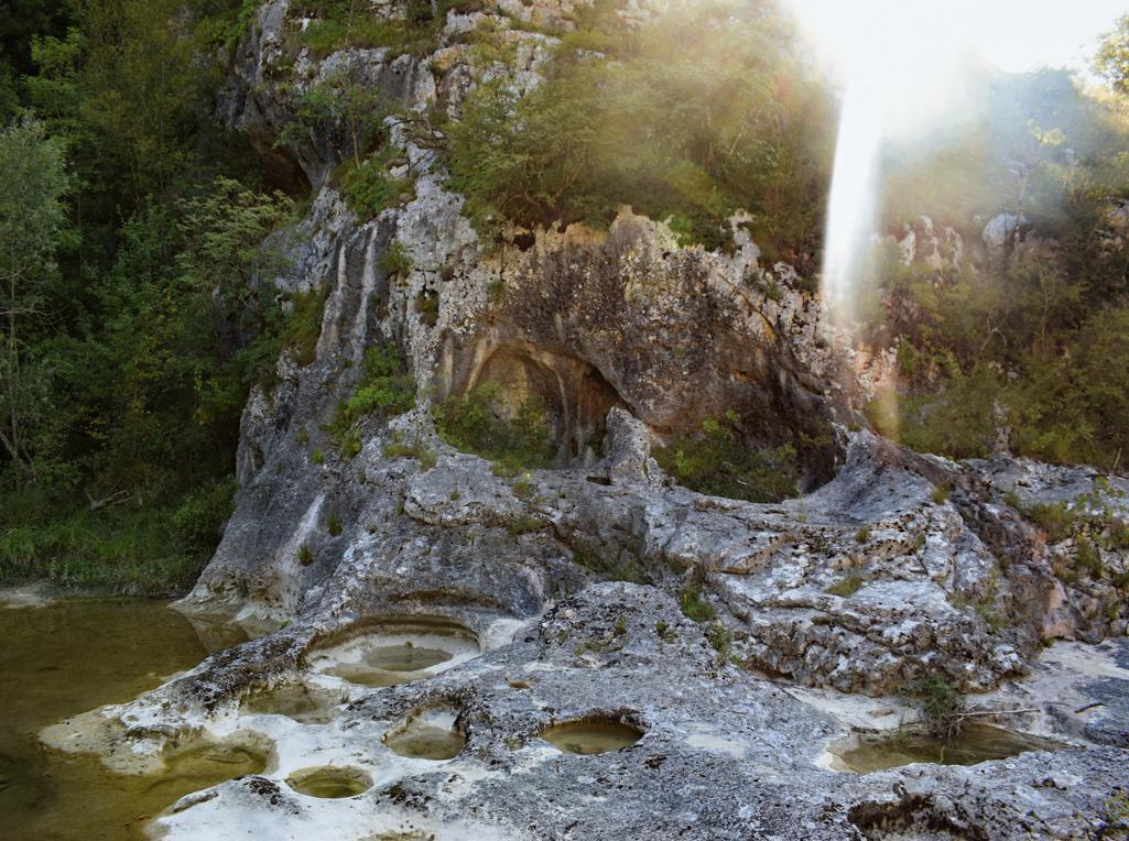
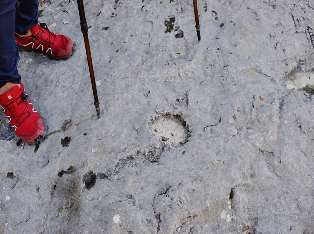
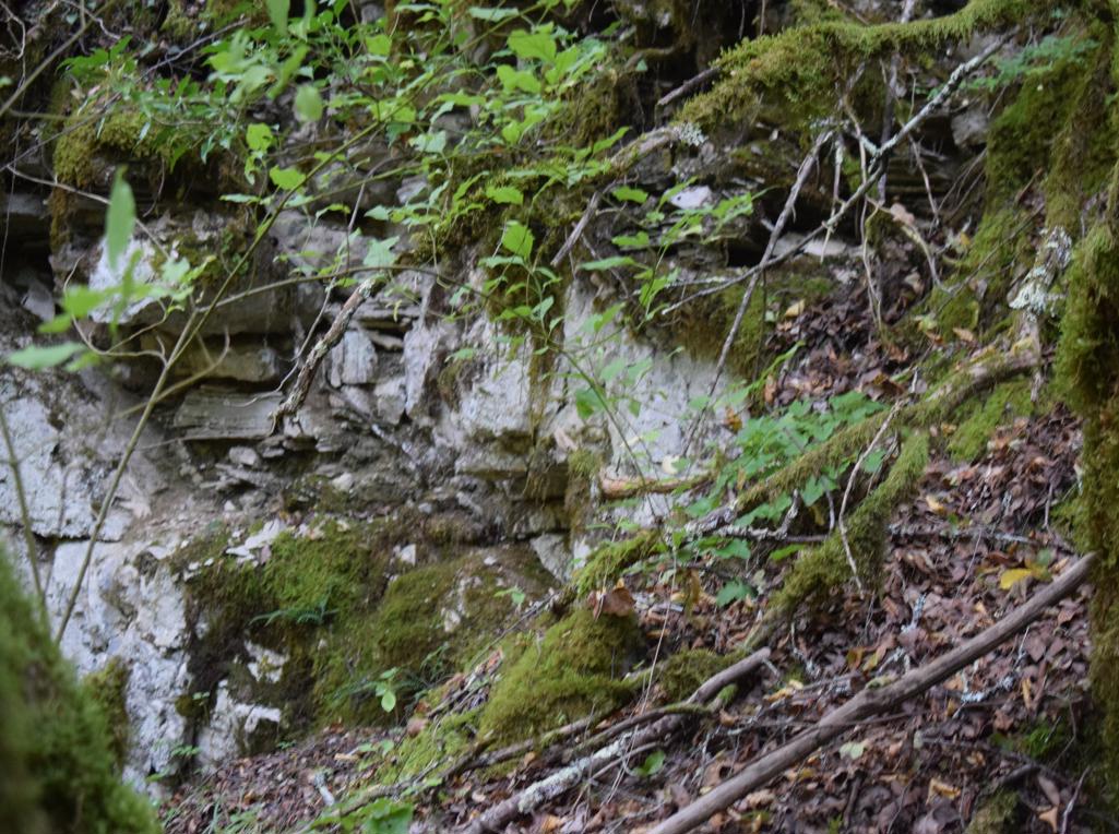
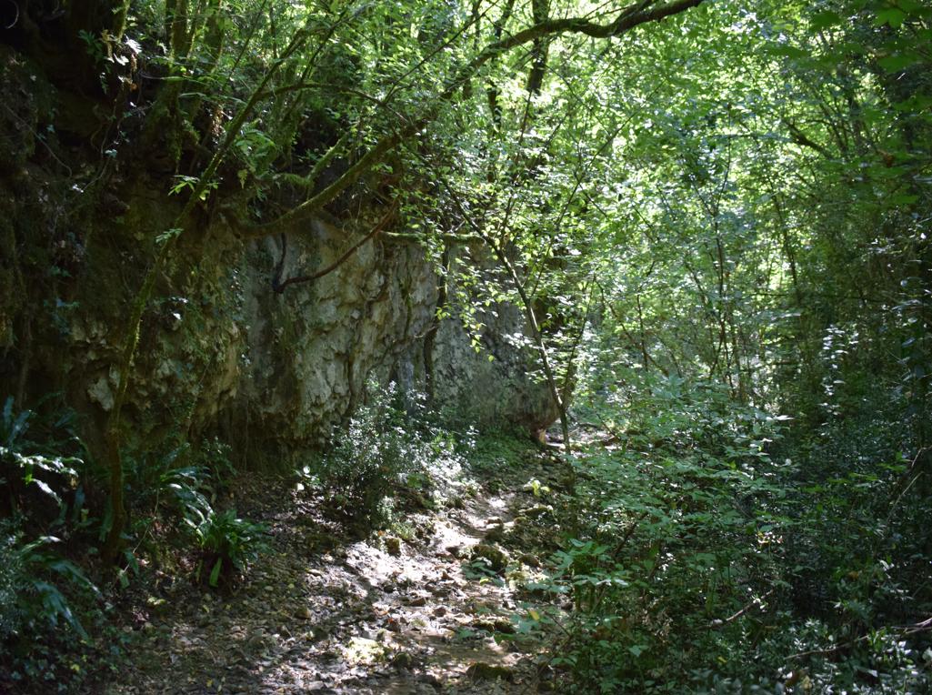
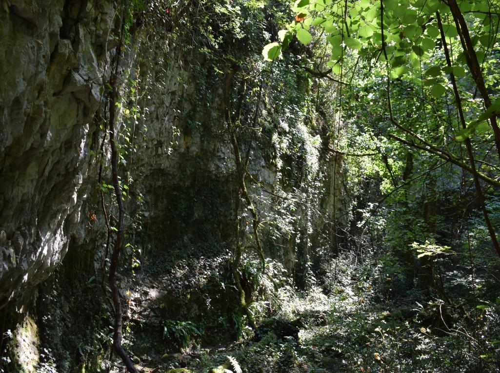
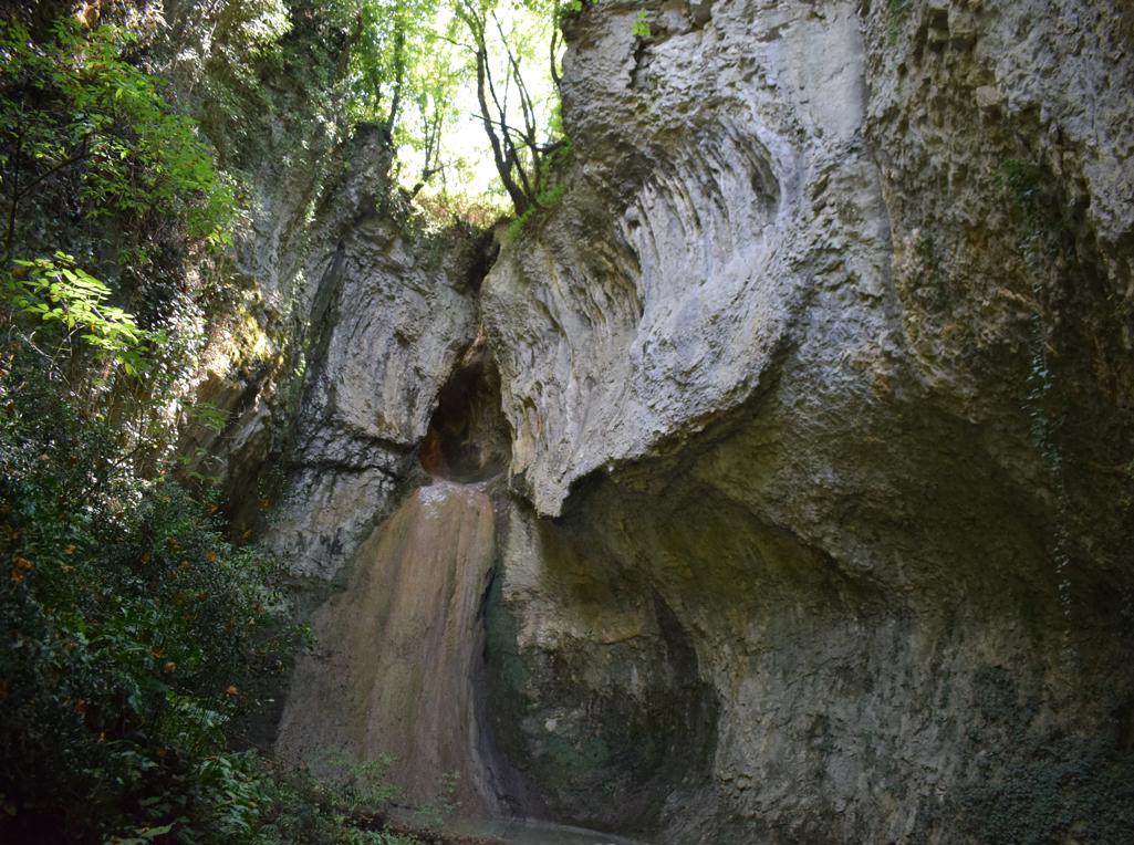
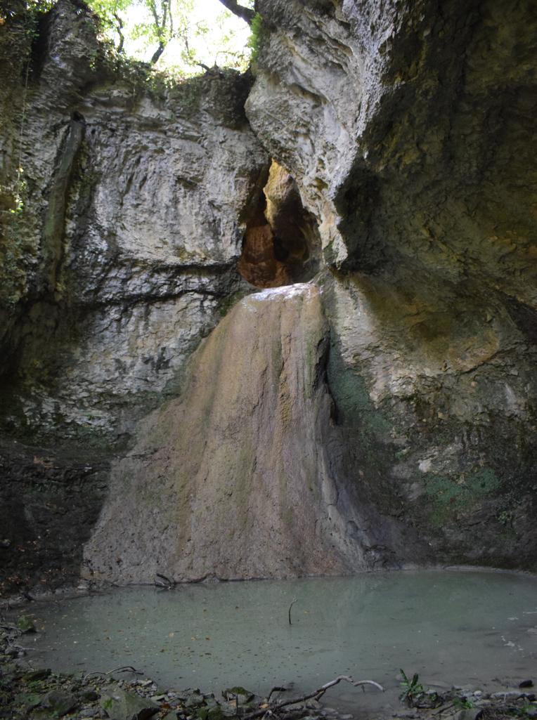
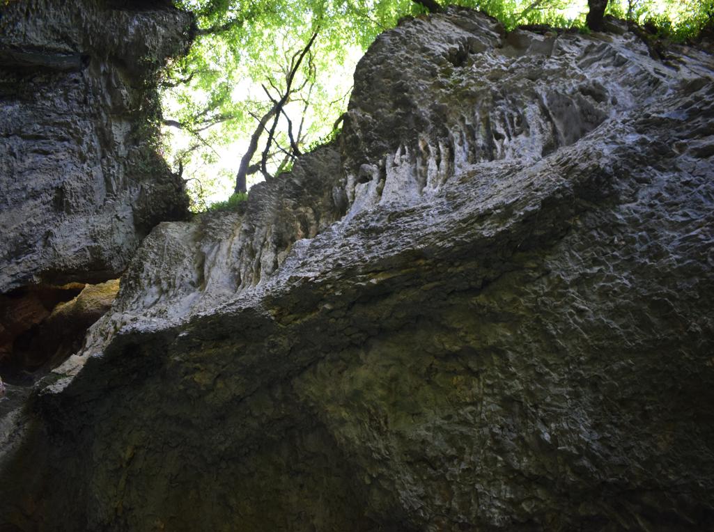
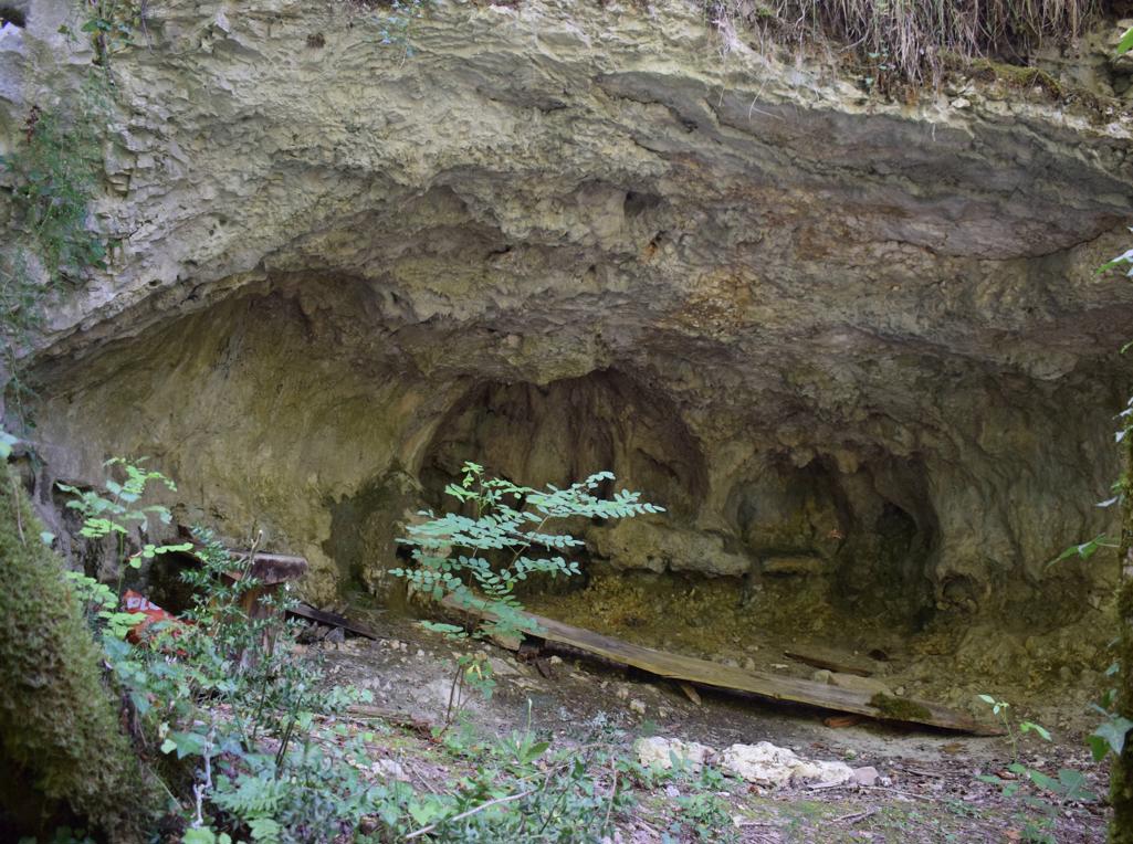
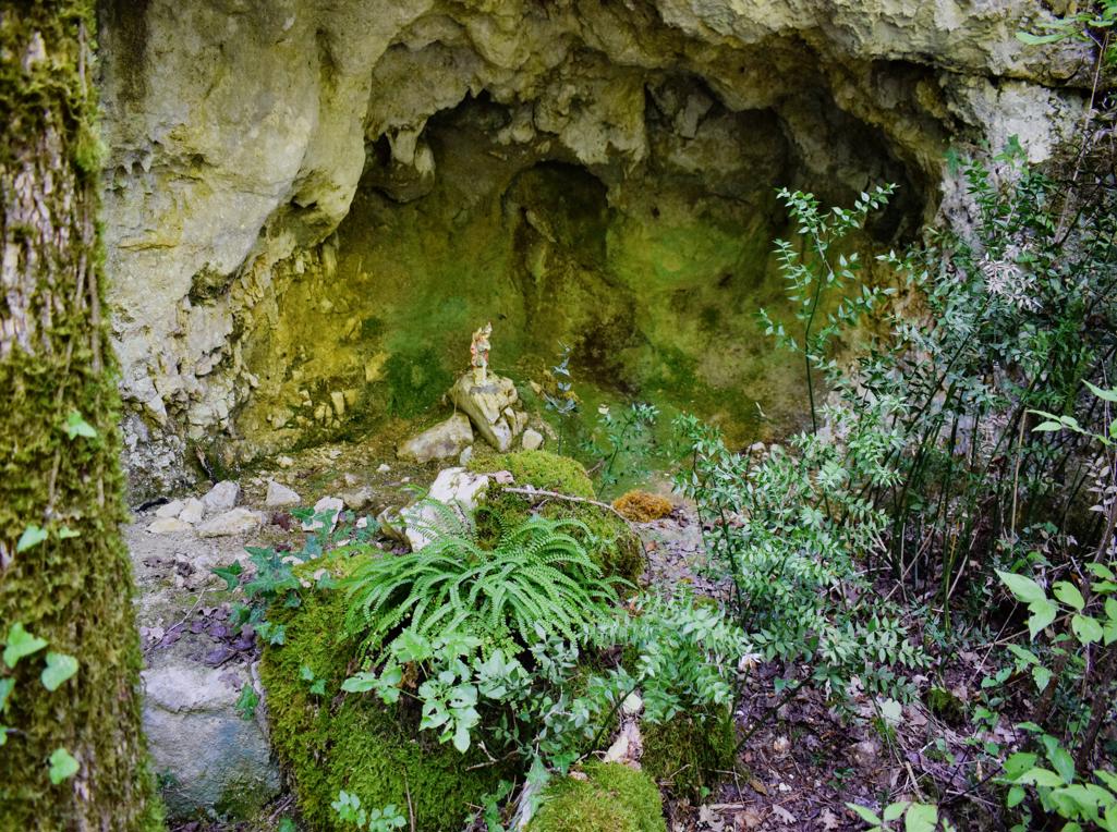
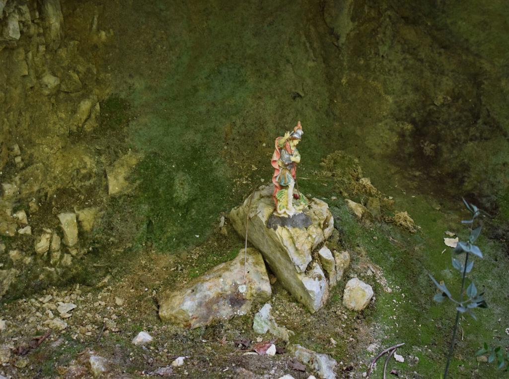
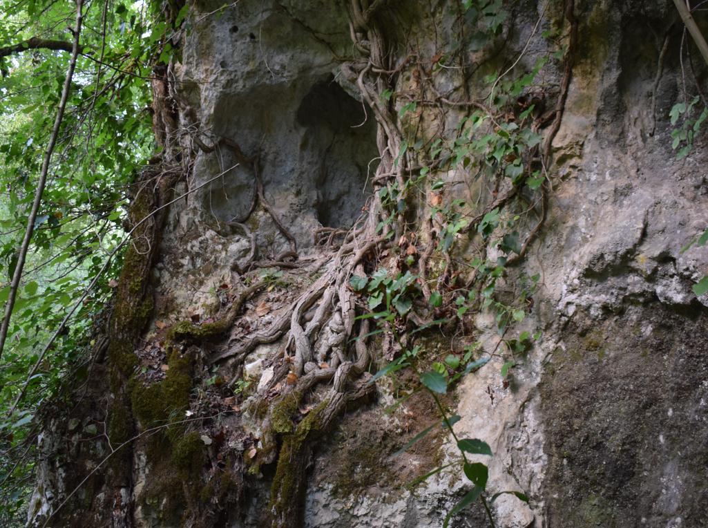
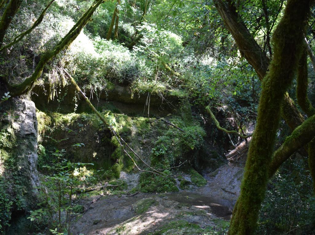
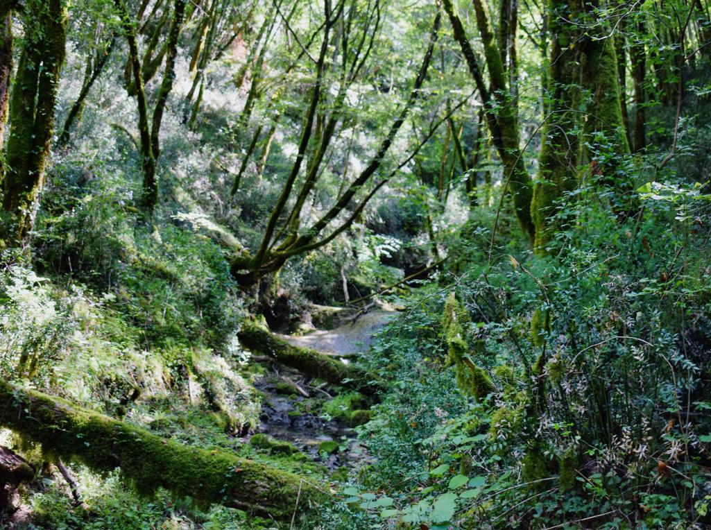
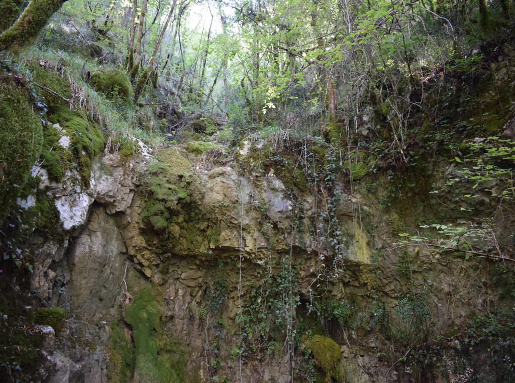
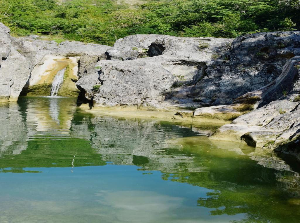
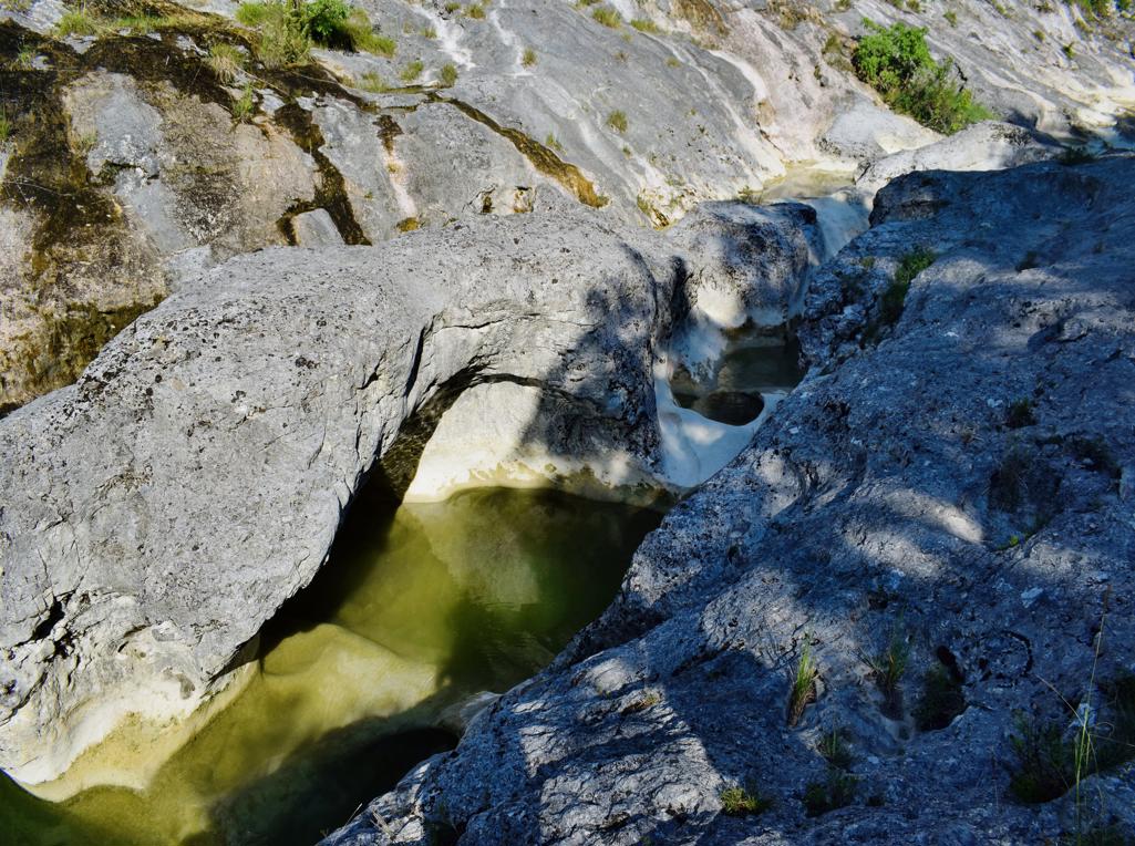
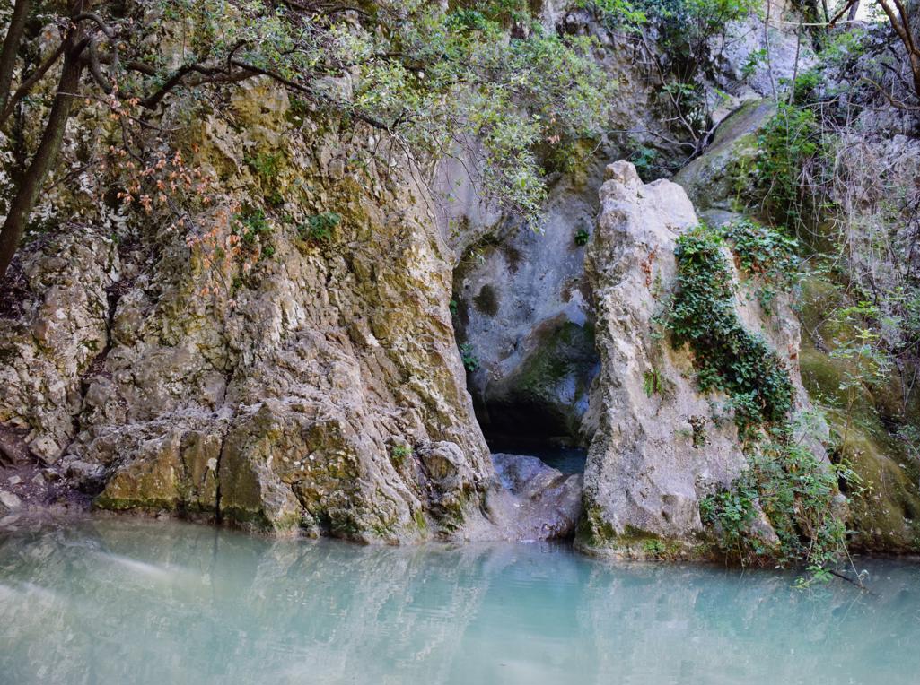
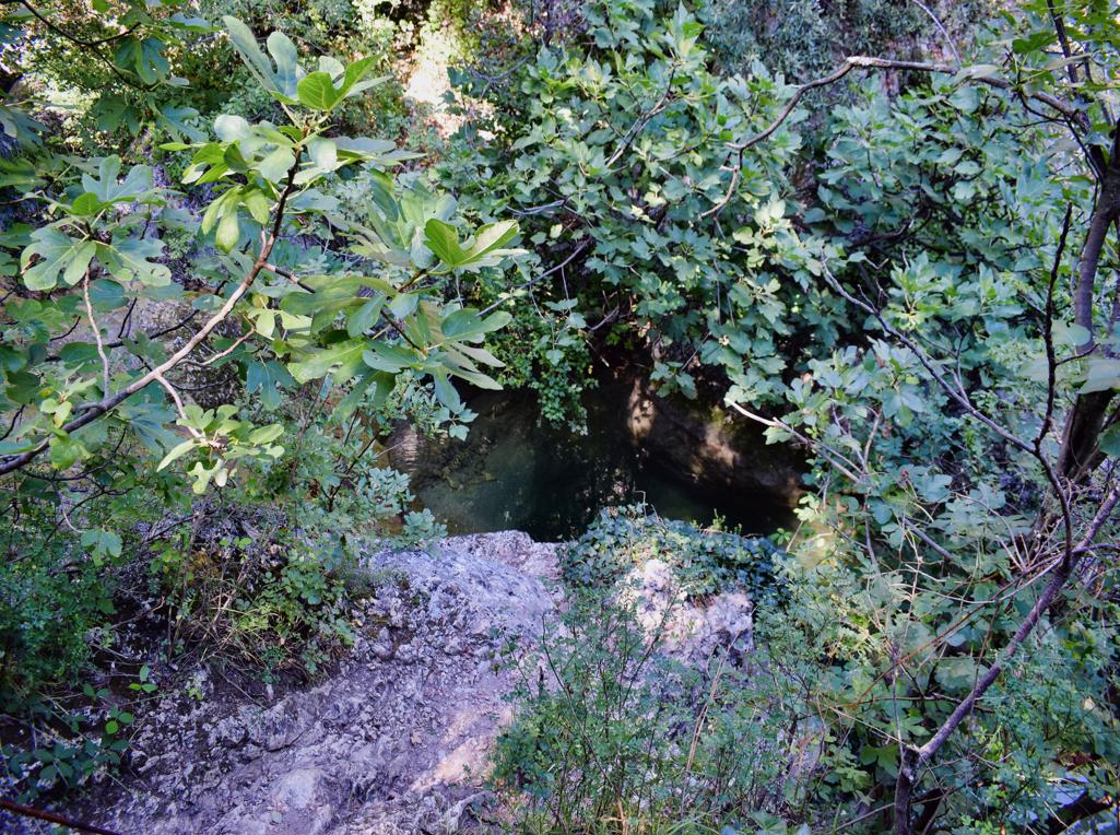
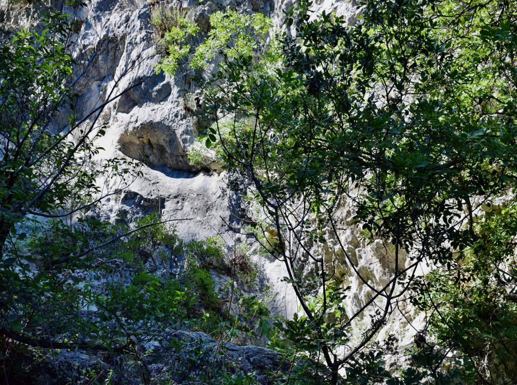
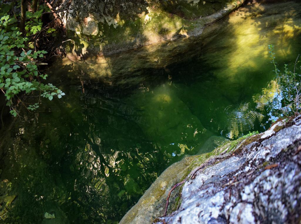
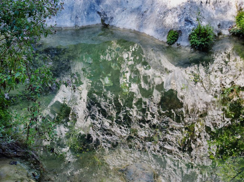
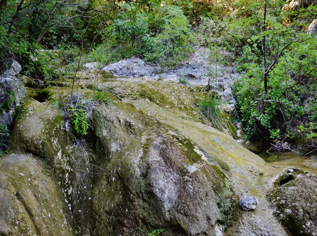
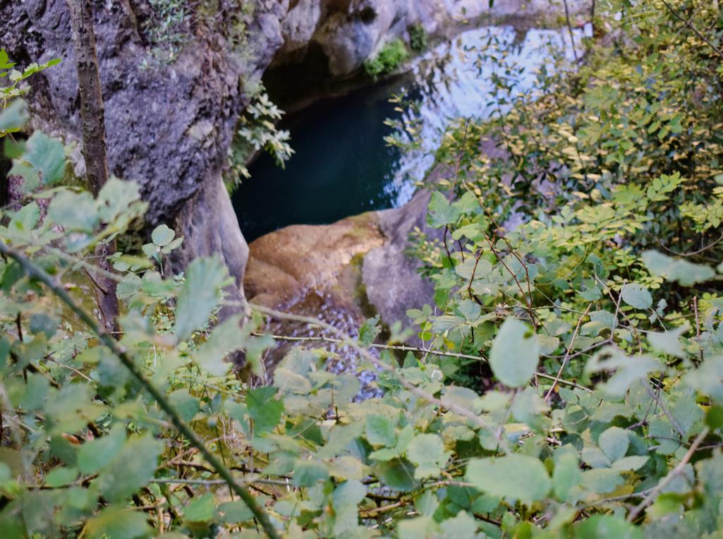
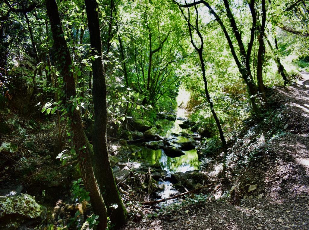
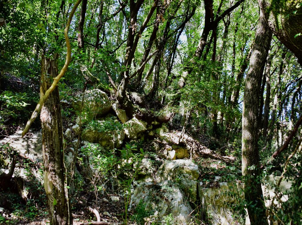
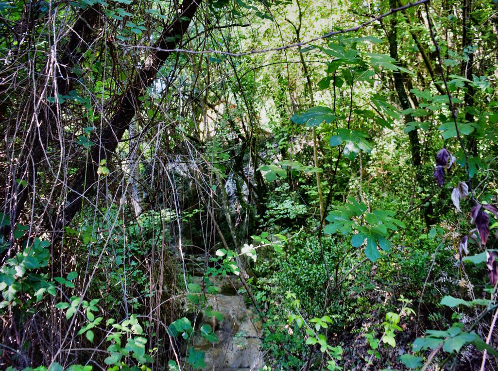
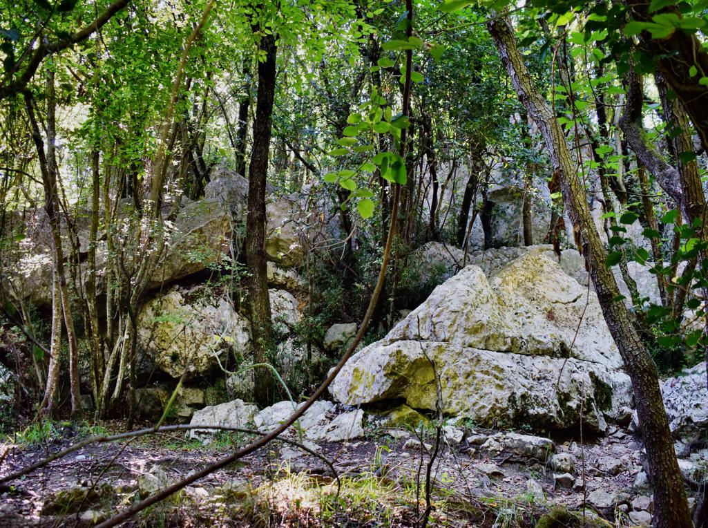
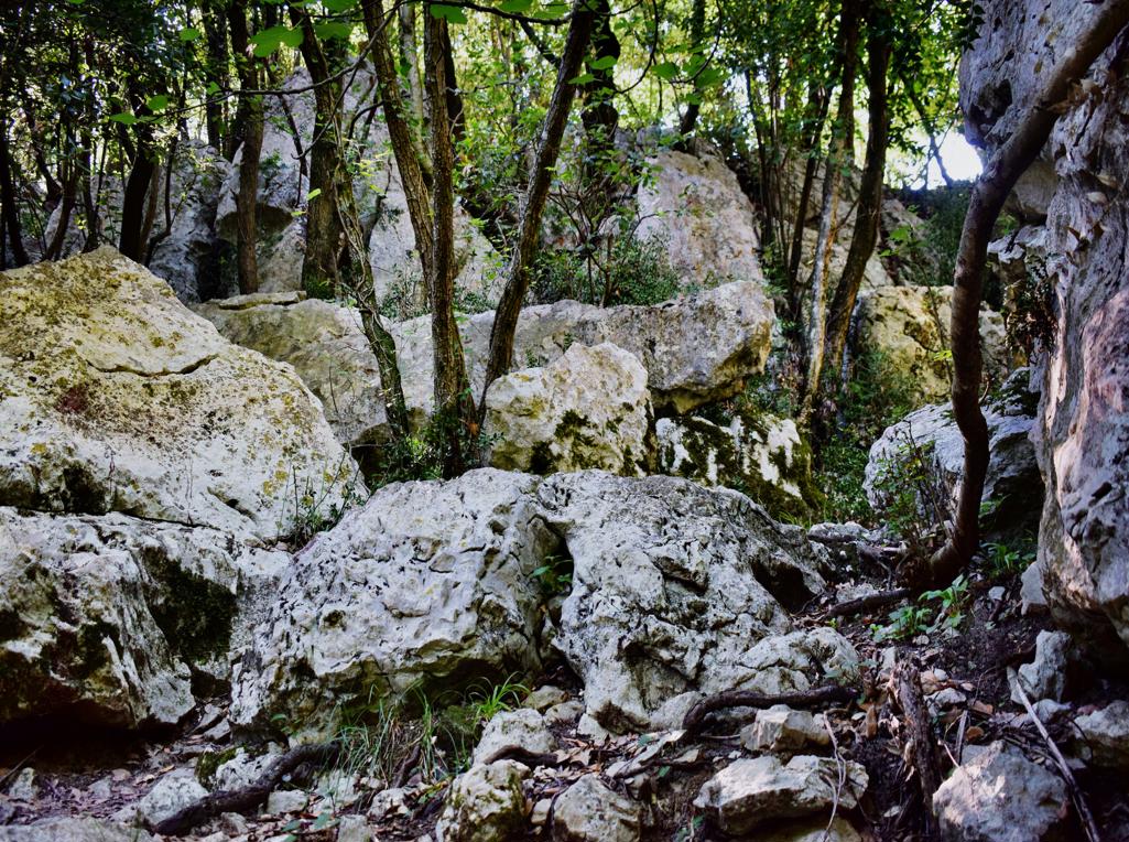
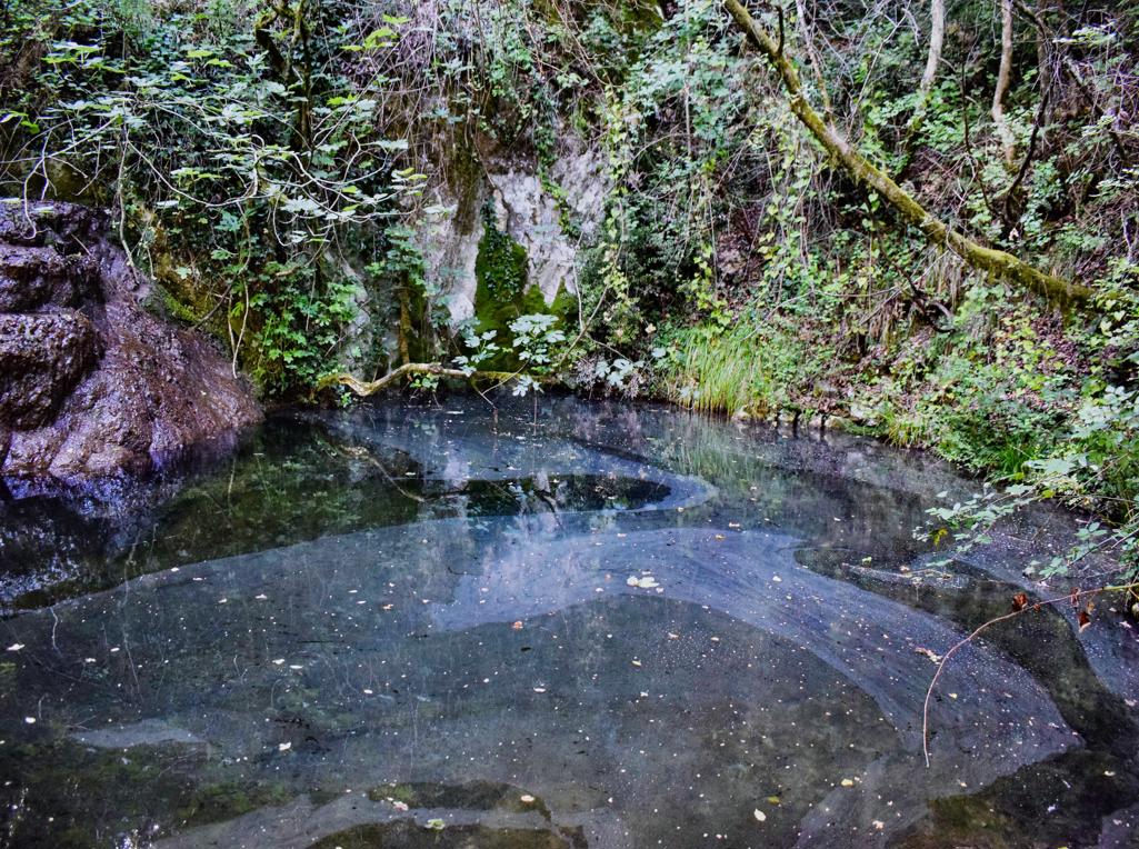
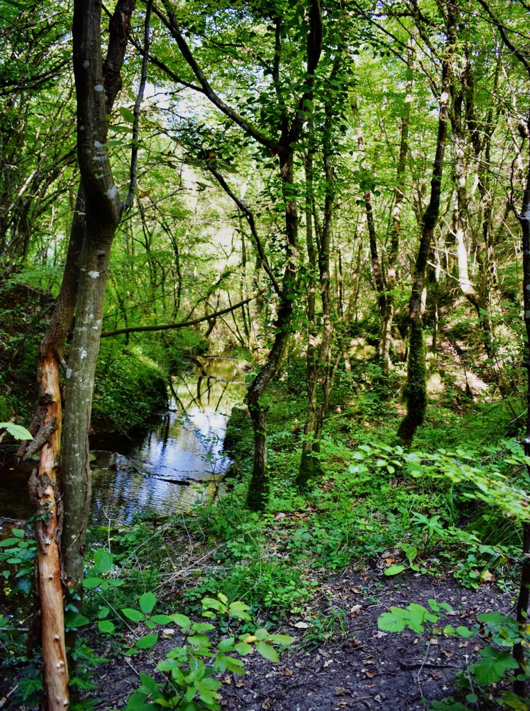
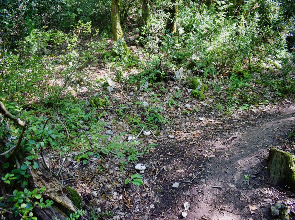
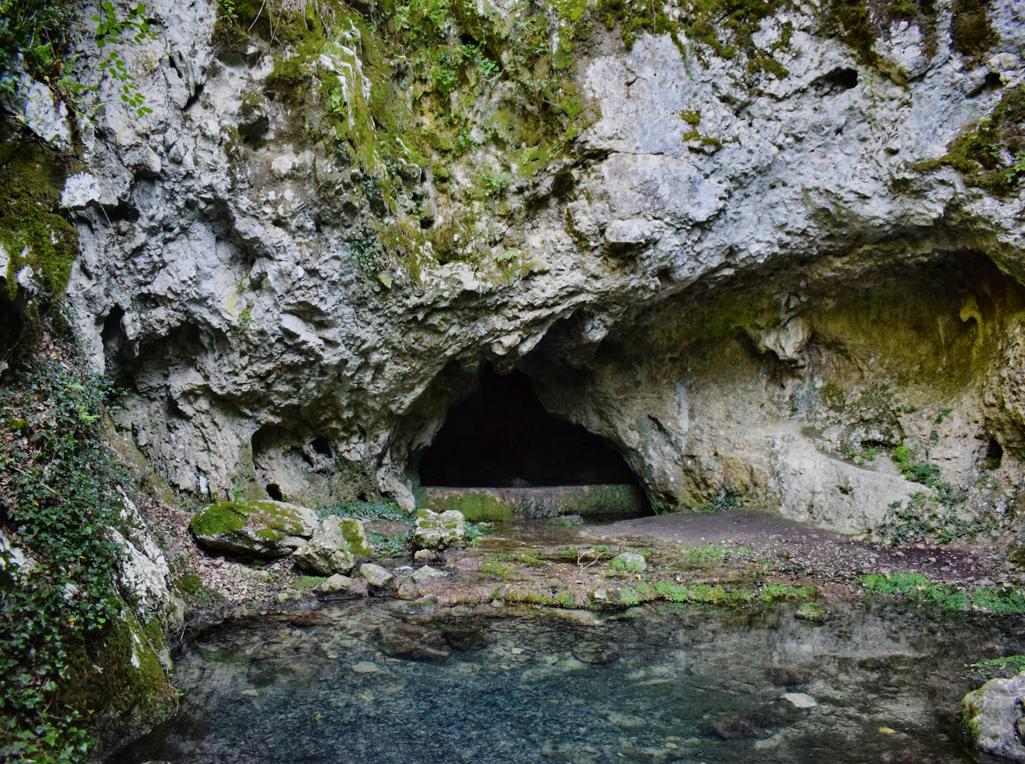
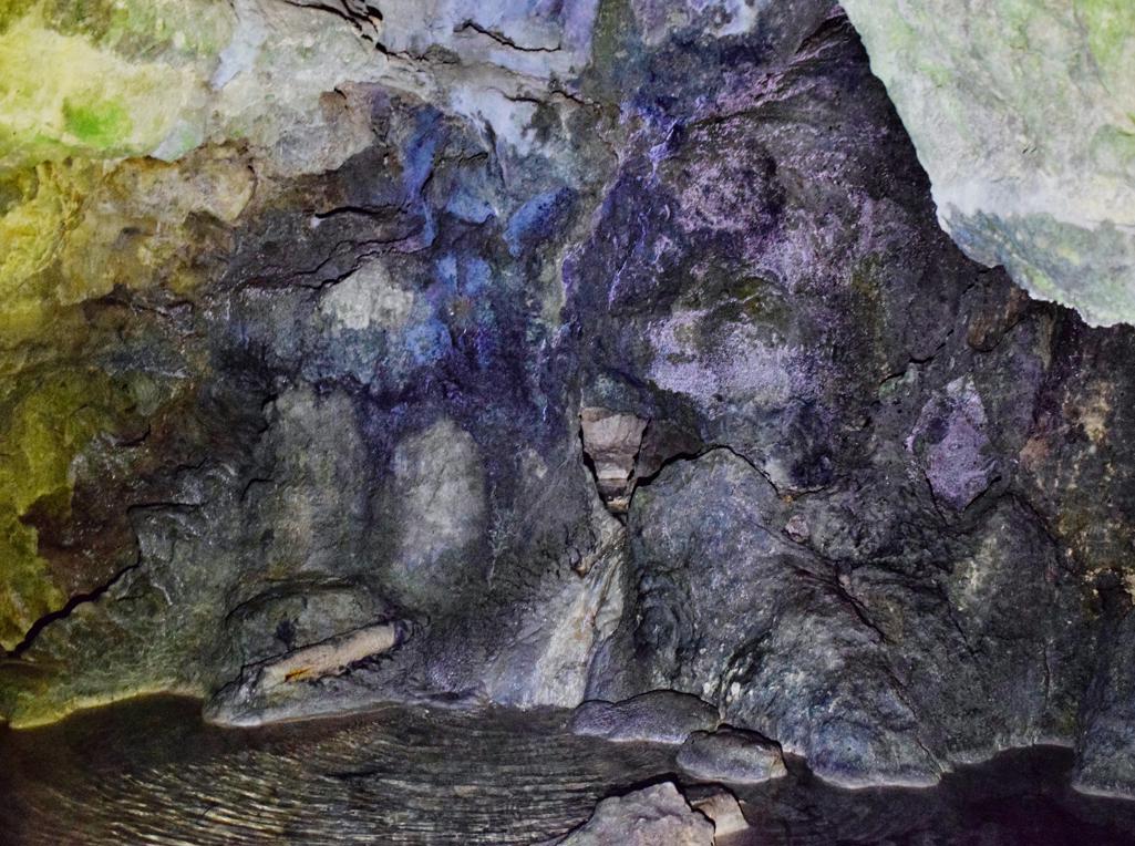
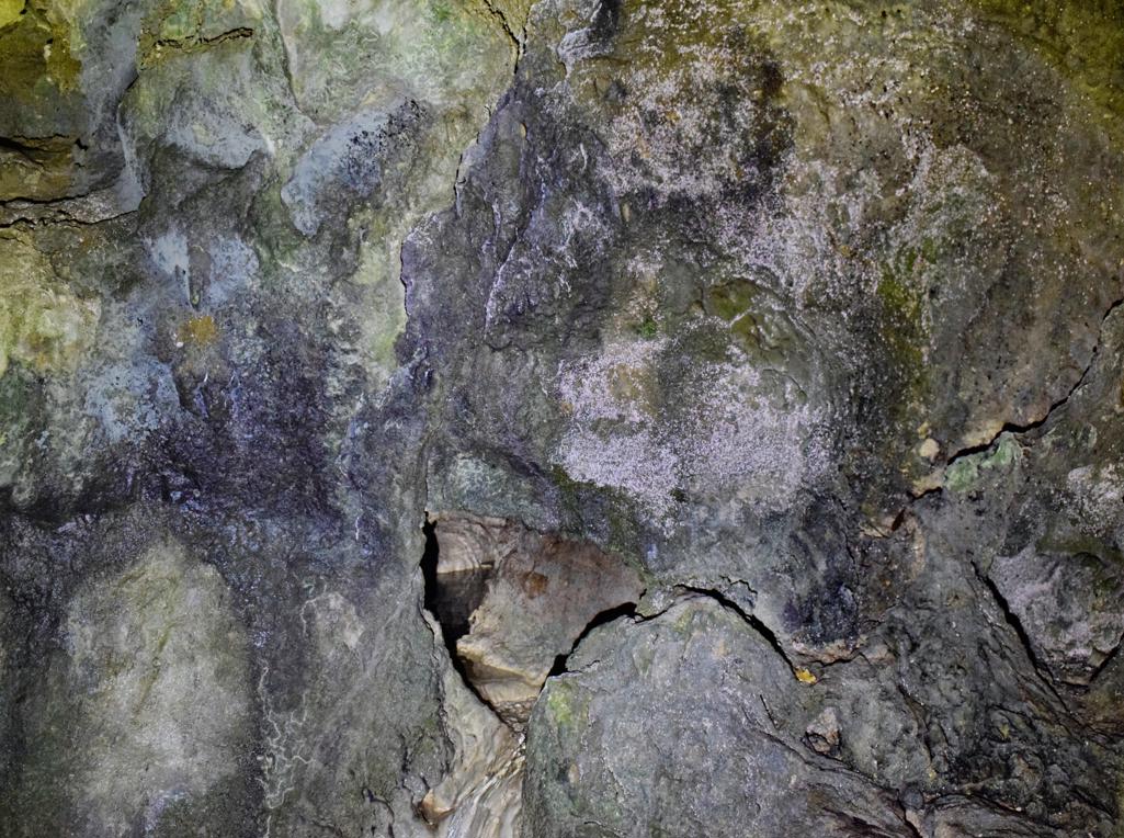
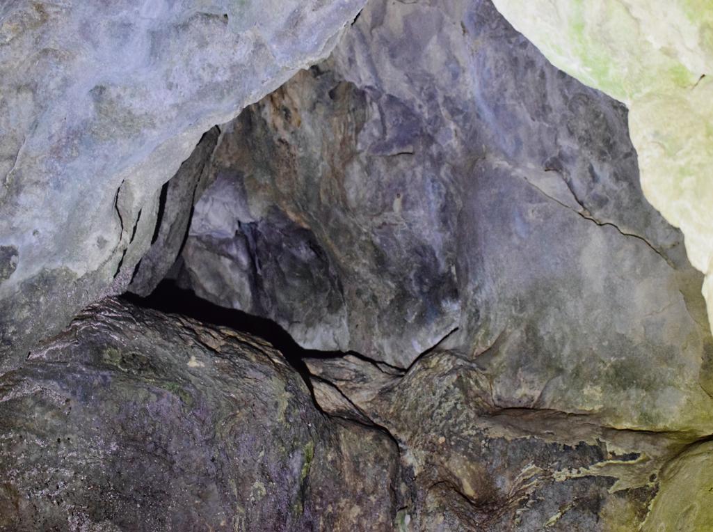
Name: Trail near Triviž along the streams Siže and Topolovica, with on the end cave Siže.
Place: Trivž – (Pazin).
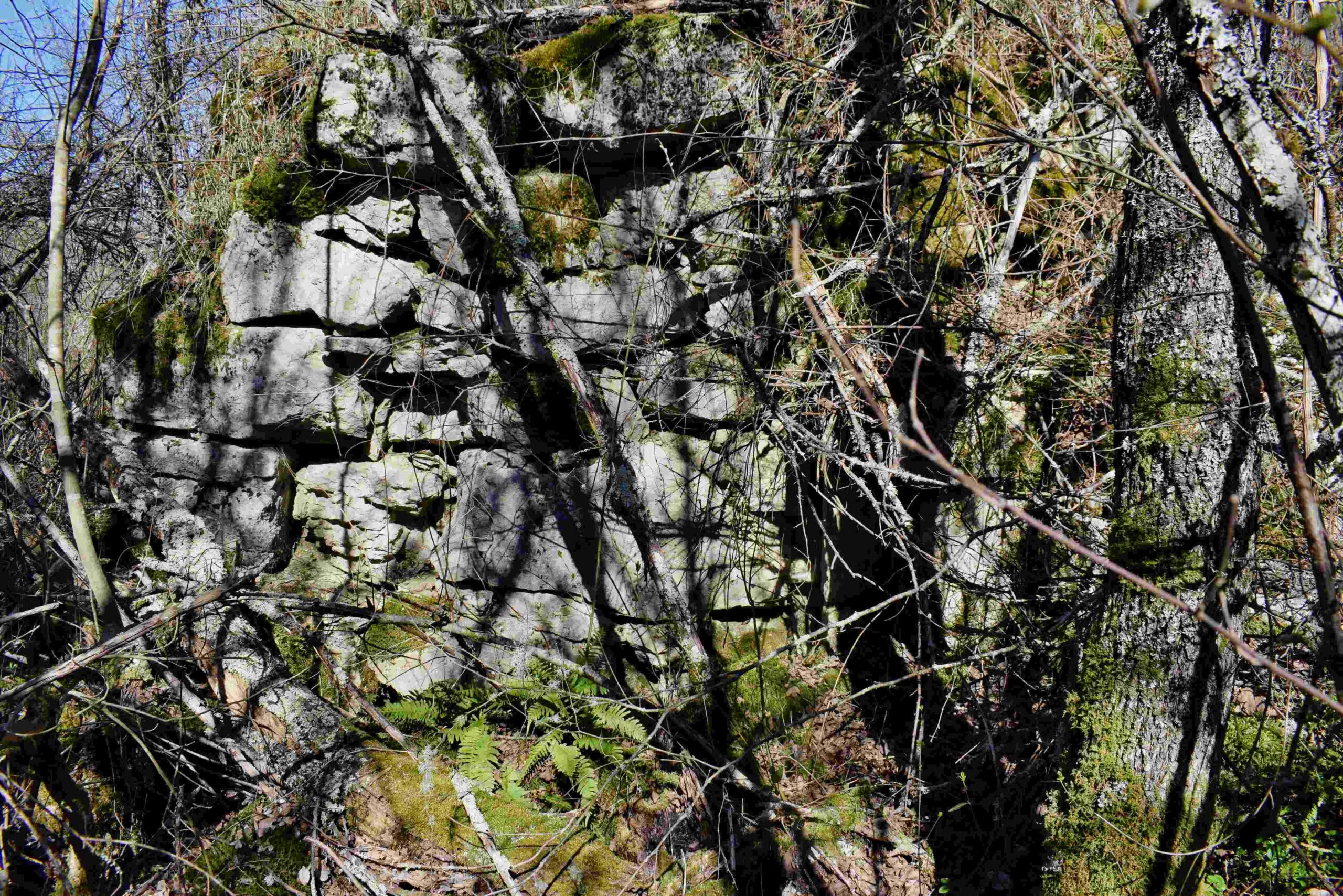
Coordinates: cave (ponor Siže 45.27202 N -13.86110 E-