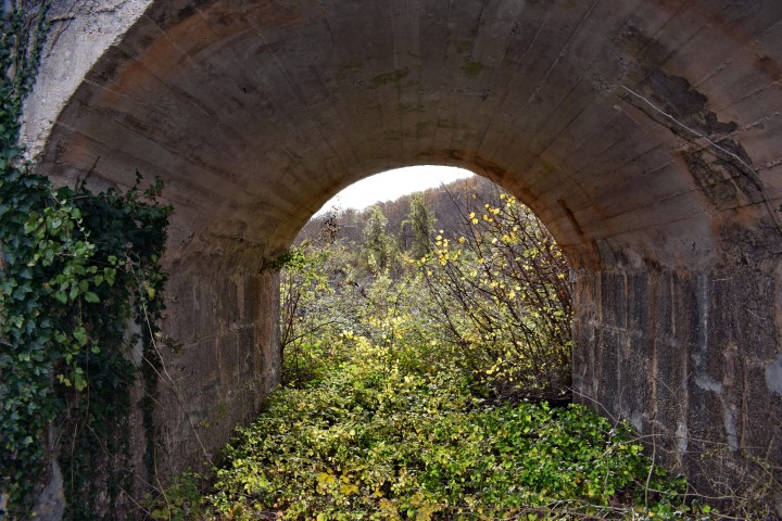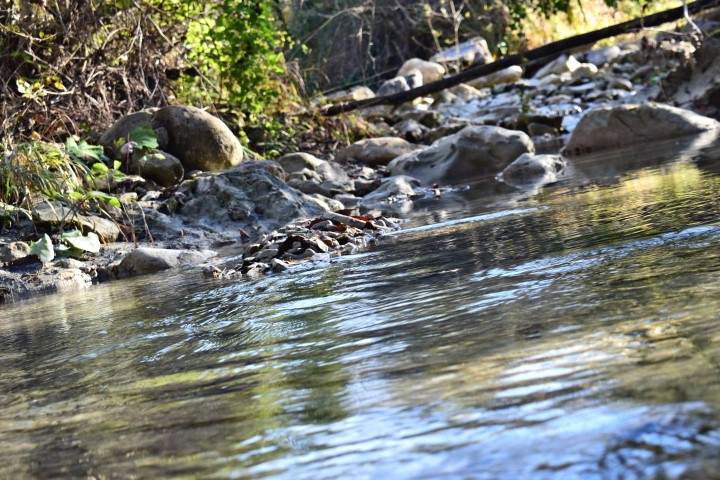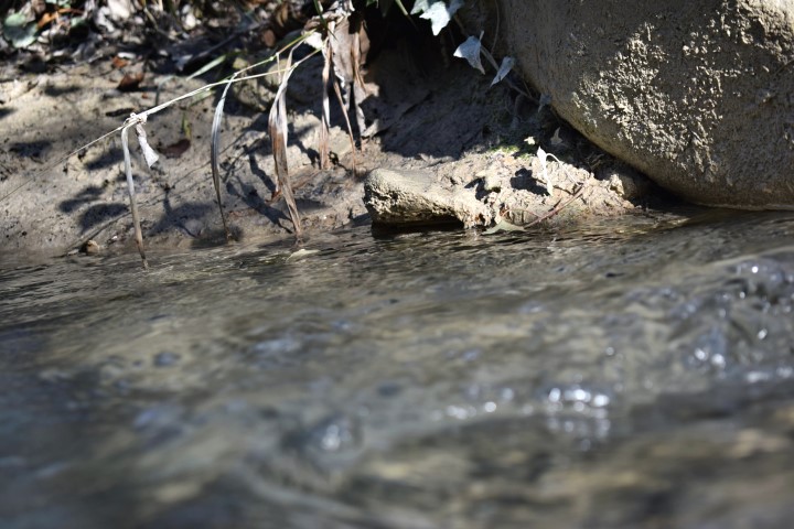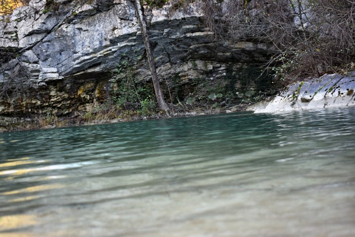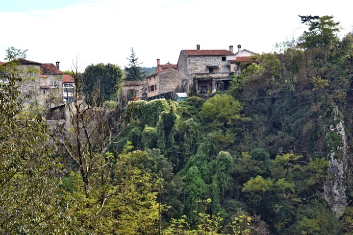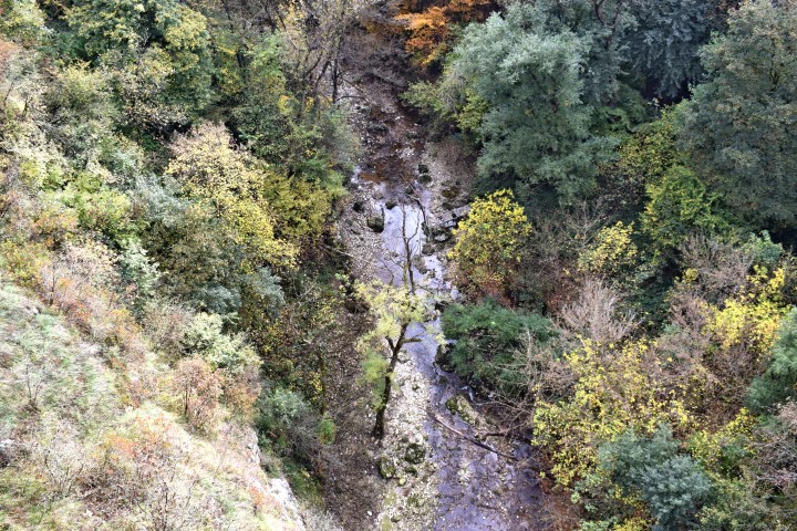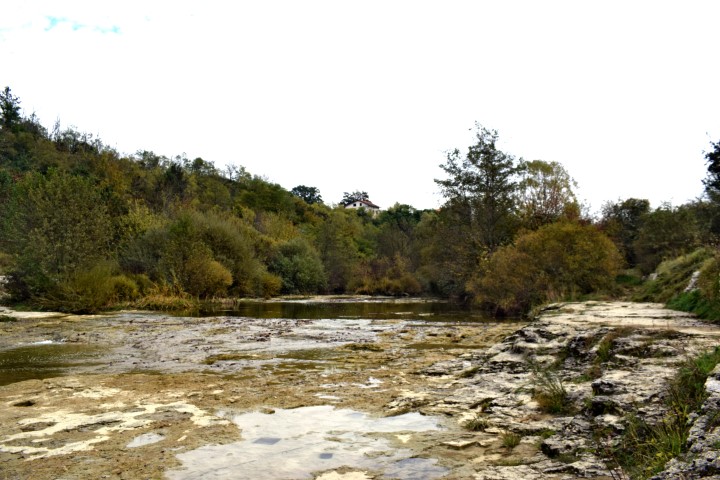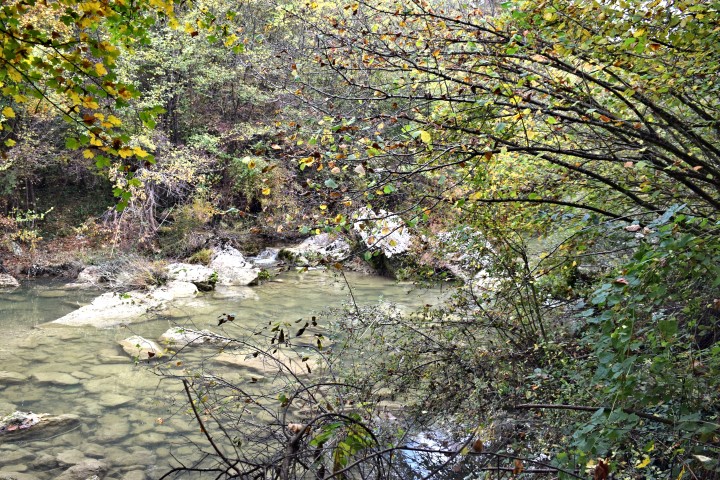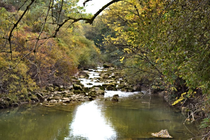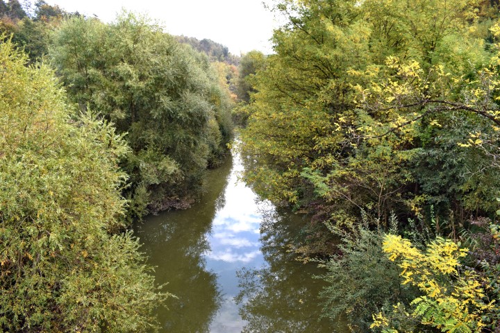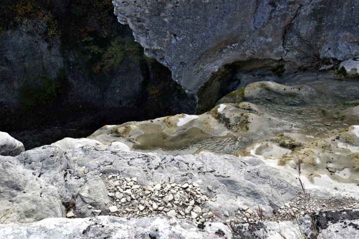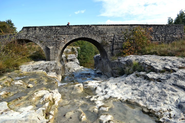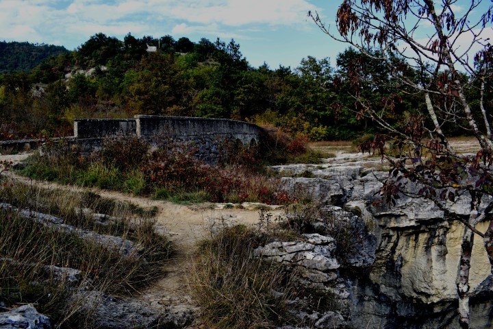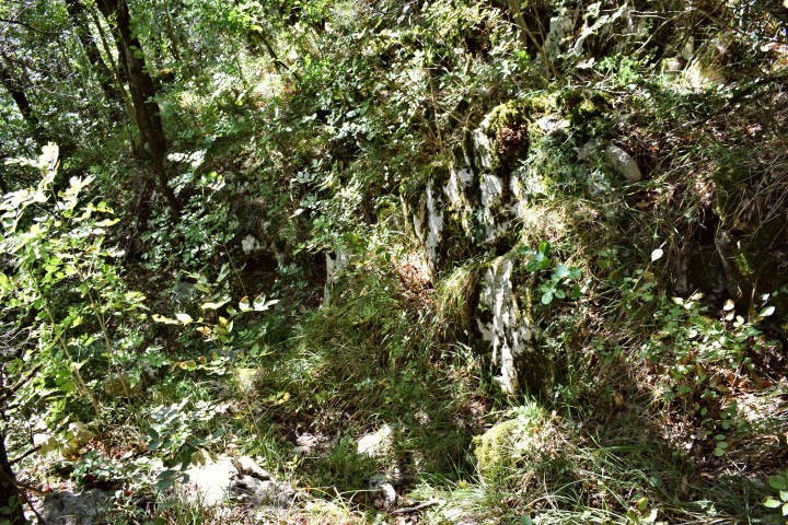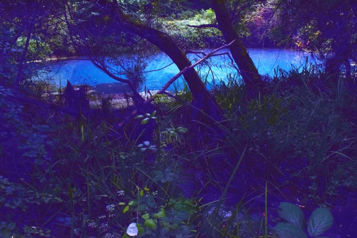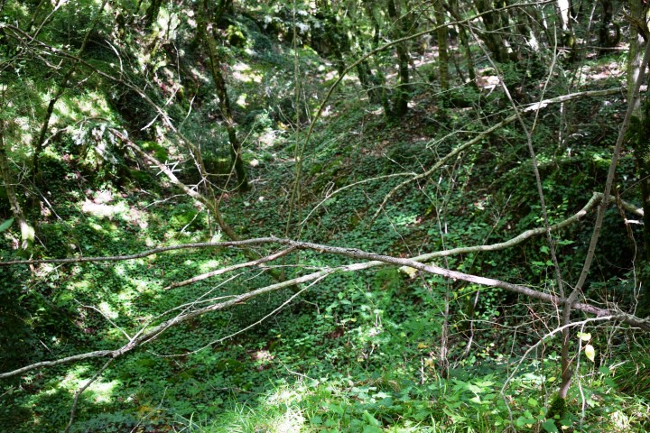

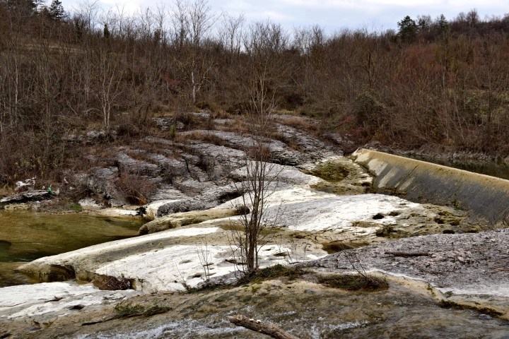

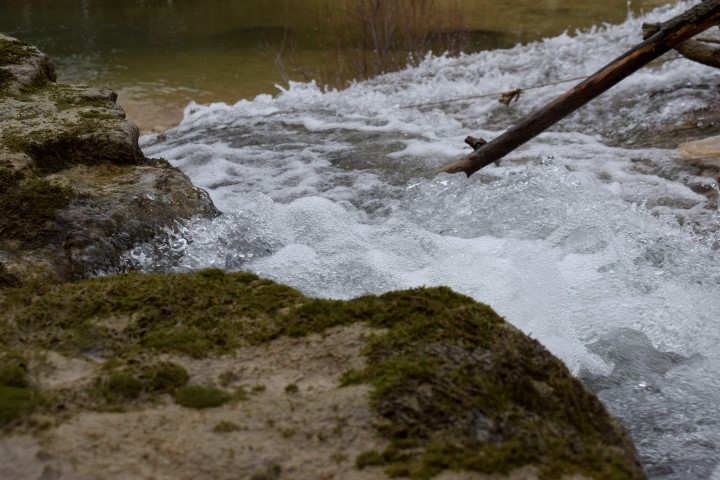
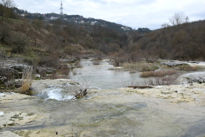

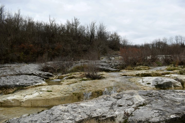


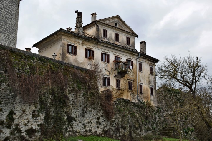

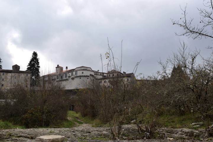
Name: Pazinski krov – Pazinćica stream.
Place: Pazin
Coordinates: Start near bridge St.Jožefa, 45,24498 N – 13.93867 E.
Pazinski krov: 45.24354 N – 13.93536 E.
Prilaz Kaštelu Pazin: 45.24032 N – 13,93126 E,
(more…)
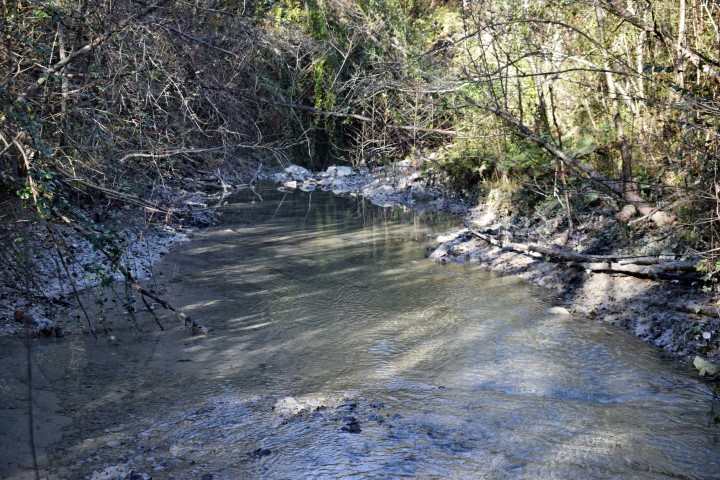
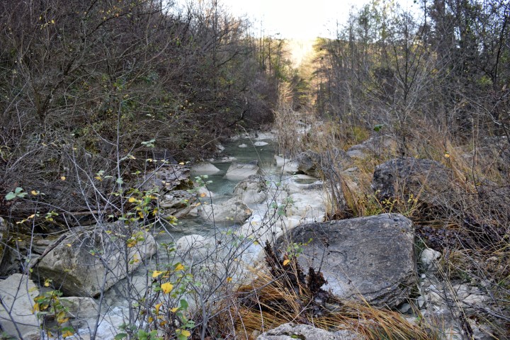
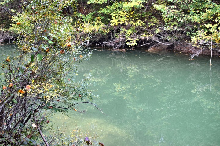
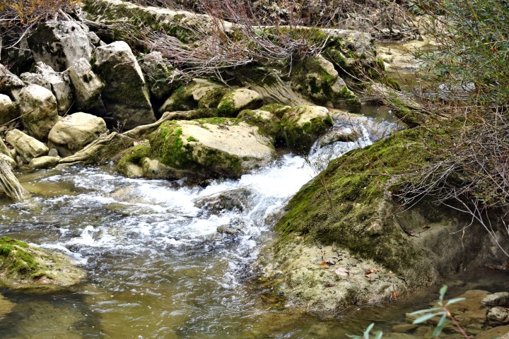
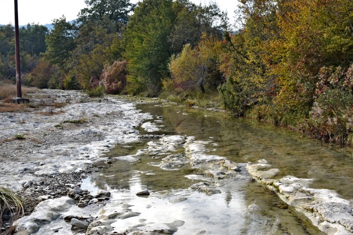
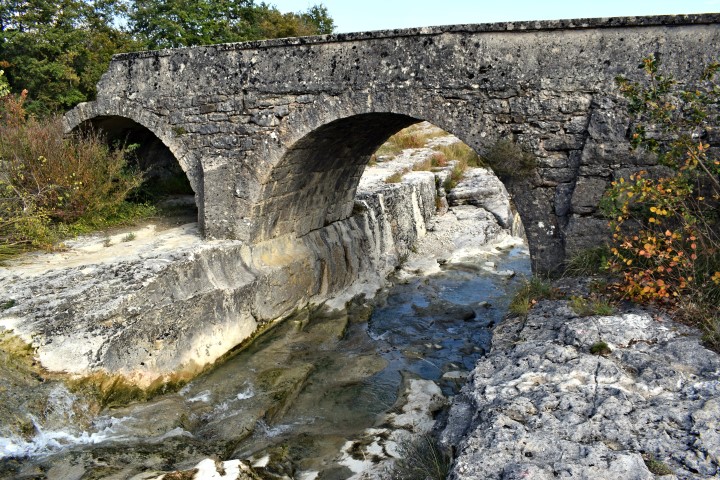
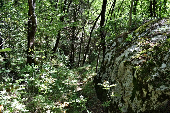
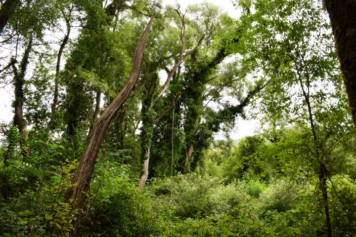
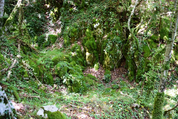
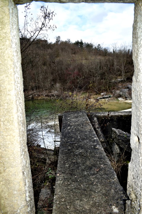
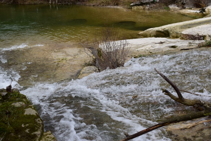
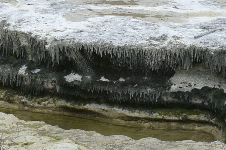
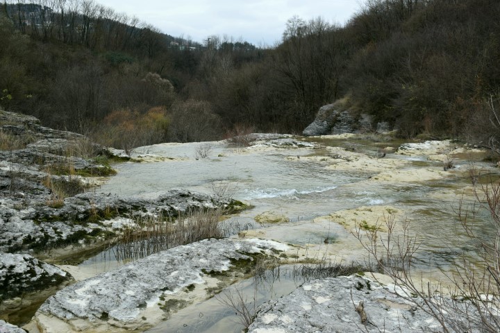
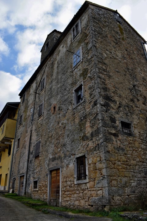
Name: Pazinski krov – Pazinćica stream.
Place: Pazin
Coordinates: Start near bridge St.Jožefa, 45,24498 N – 13.93867 E.
Pazinski krov: 45.24354 N – 13.93536 E.
Prilaz Kaštelu Pazin: 45.24032 N – 13,93126 E,
(more…)
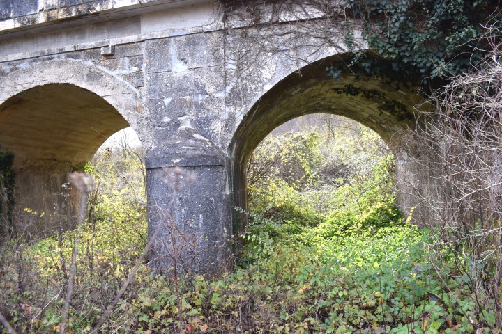
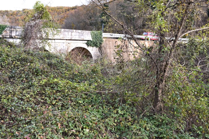
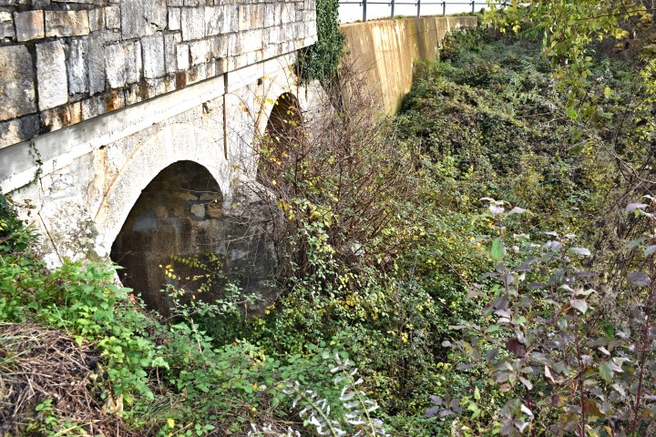
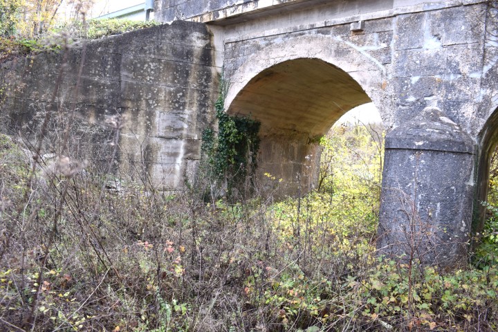
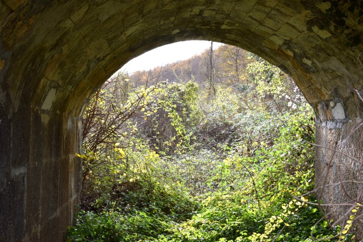
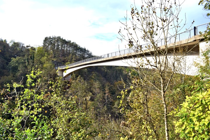
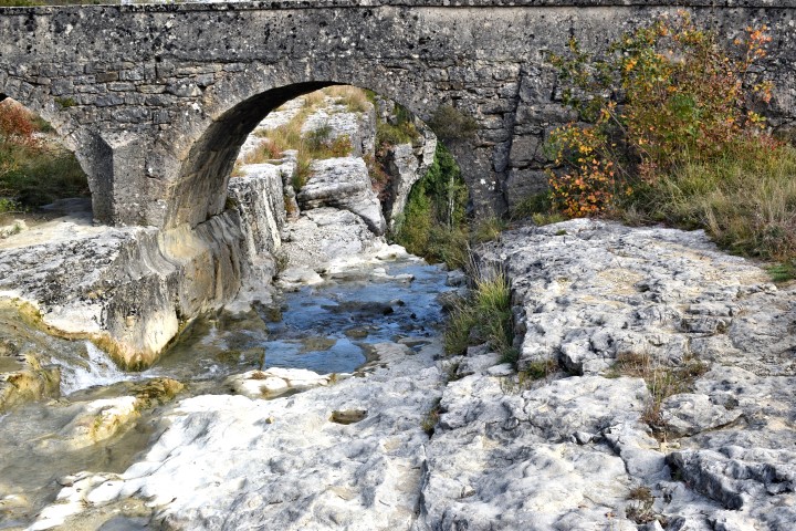
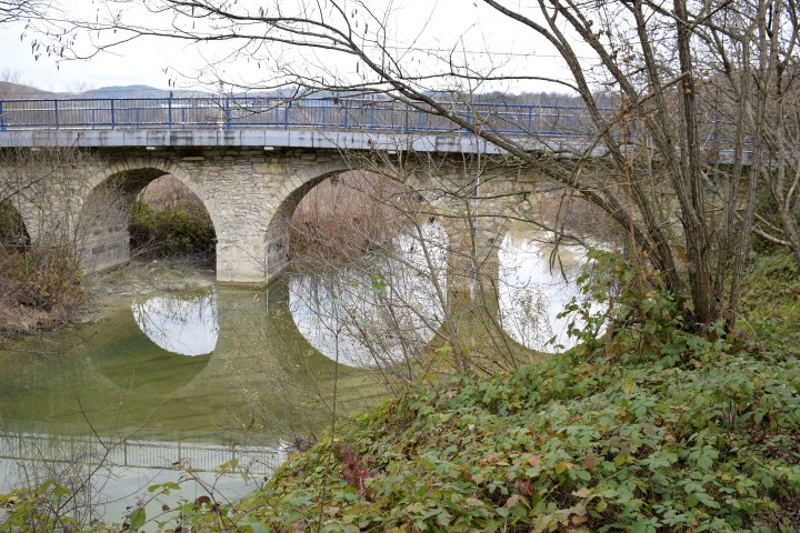
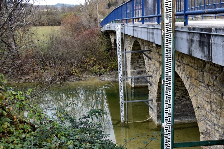
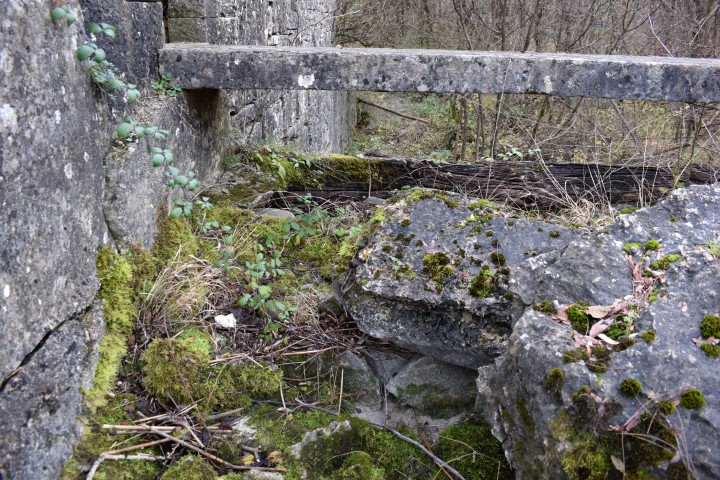
Name: Bridge over stream Draga.
Place: Tinjan
Coordinates: 45.19967N – 13.83743 E
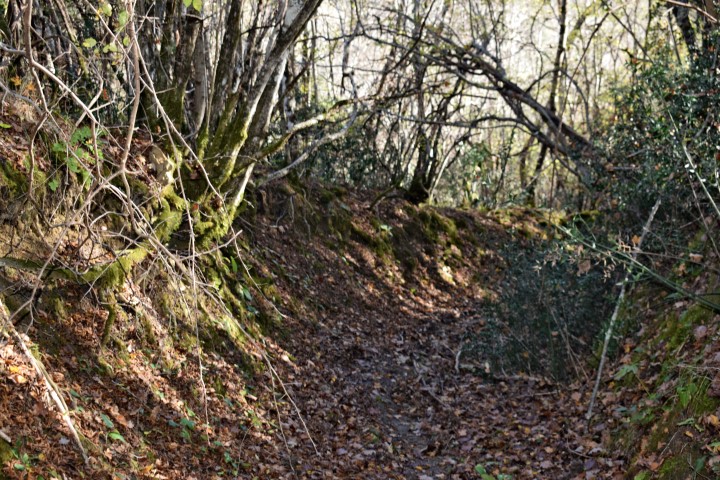
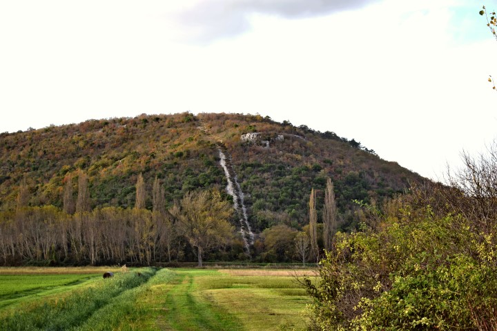
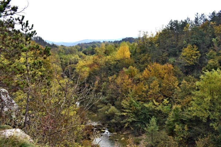
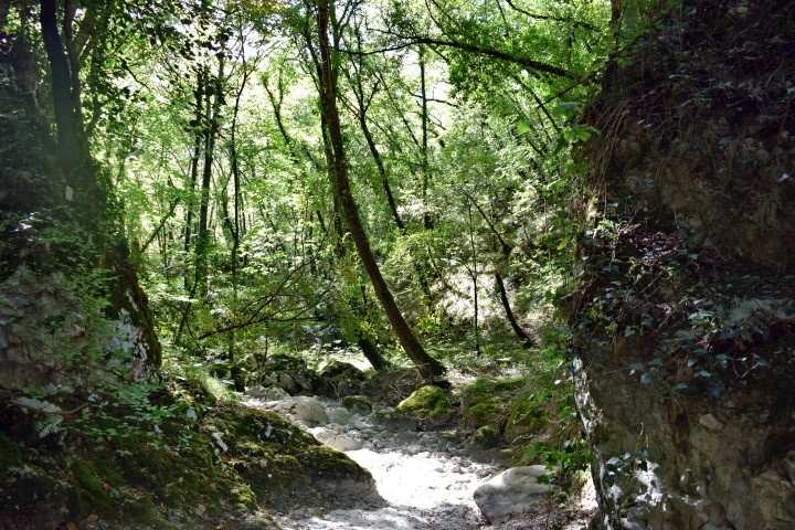
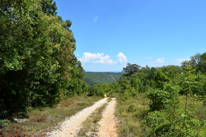
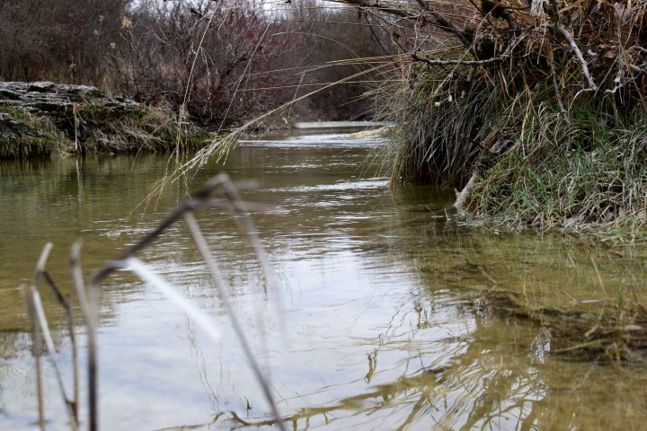
Name: Hiking path from Sv. Sveti to the waterfall Gjork (Mirna) along Podkuk.
Place: Sv. Sveti – Podkuk – (Buzet)
Coordinates:
Starting point: Sv. SvetI 45.38207 N – 13.99431 E.
Podkuk: 45.38317 N – 13.981710 E.
Grjok: 45.37985 N – 13.99586 E.

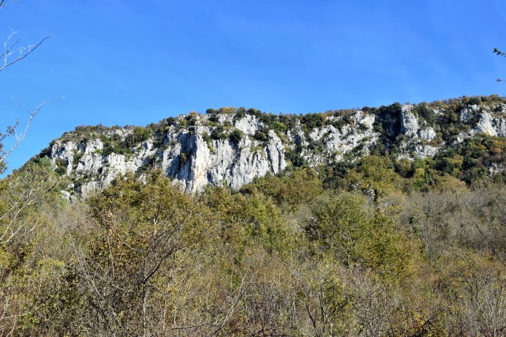
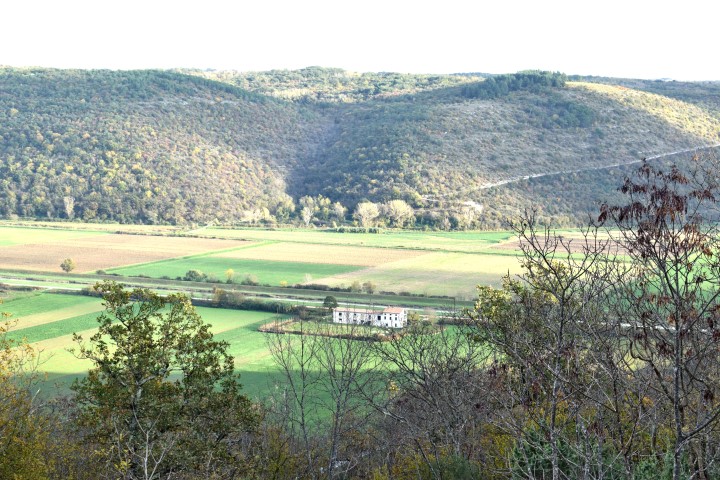
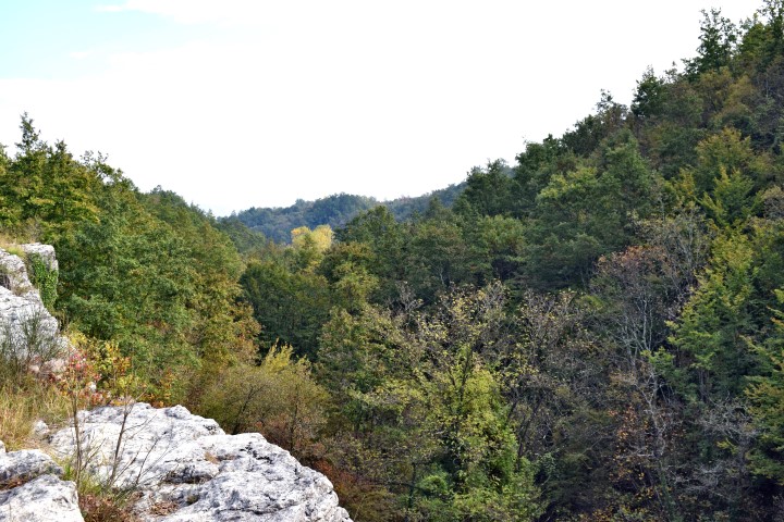
Name: Viewpoint Srbani to Mirna.
Place: Srbani – Nova Vas – (Brtonigla).
Coordinates: 45.34282 N – 13.74725 E

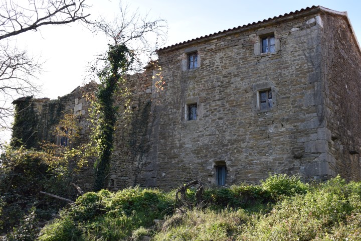
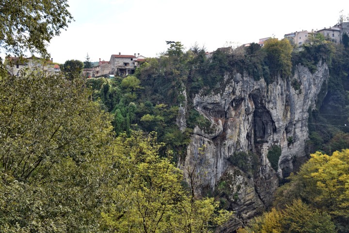
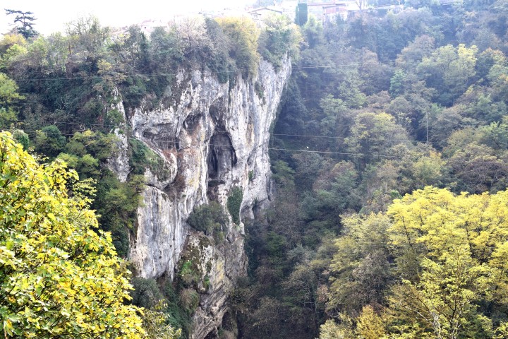
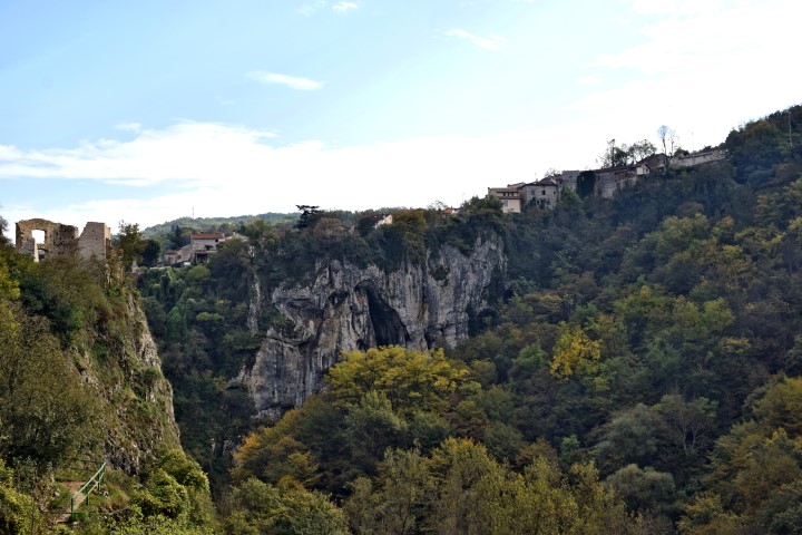
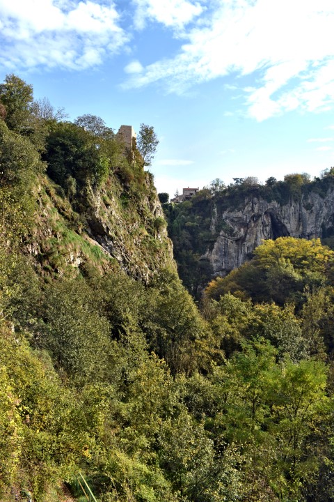
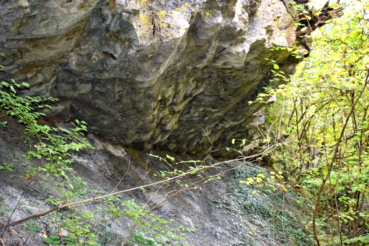
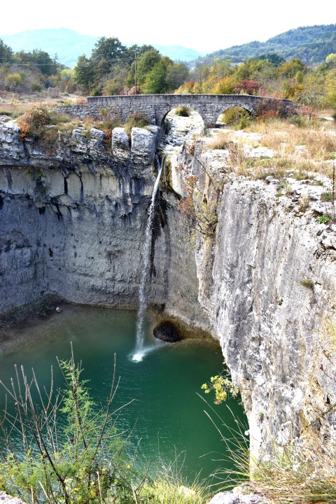
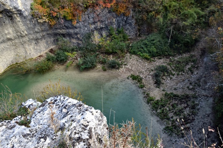
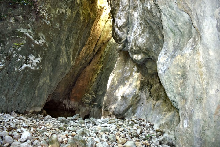
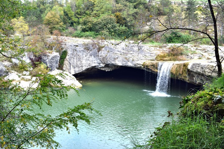
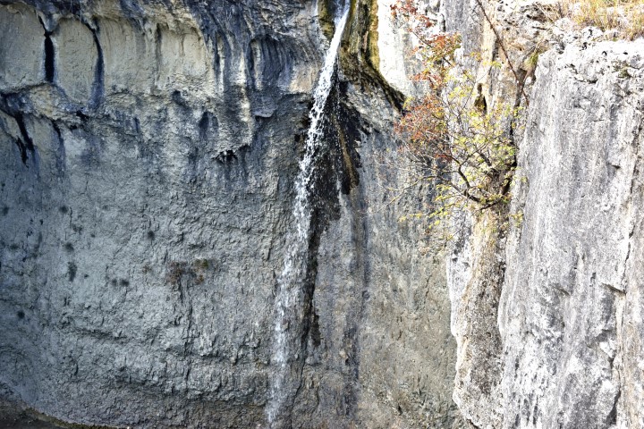
Name: Pazinska jama
River: Pazinčića
Name bridge: Vršić
Coordinates: 45.24156 N – 13.92840 E (bridge over Pazinčića)
Place: Pazin
See too the post dated 2018-01-17.
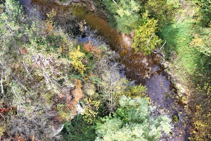
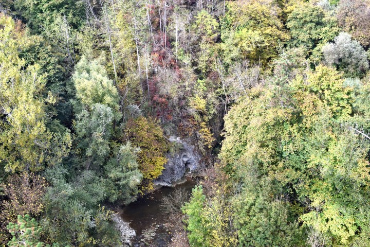
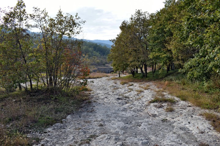
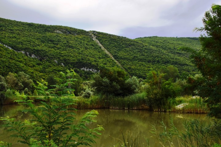
Name: Hiking path Zarečki krov – Pazinćica river.
Place: Zarečje – Dušani – (Pazin).
Coordinates:
Start point: 45.25150 N -13.96076 E.
Zarečki krov: 45.24913 N – 13.96131 E.
Path left site Pazinćica: 45.24876 N -13.96135 E.
Bridge over Pazinćica near Dušani: 45.25035 N – 13.94900 E.
Beginning path right sit Pazinćica: 45.25127 N – 13.95194 E.
End point: 45.24951 N – 13.96077 E. (near start point). (more…)
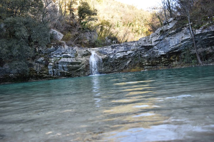
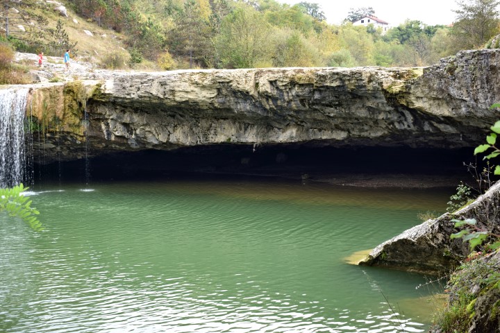
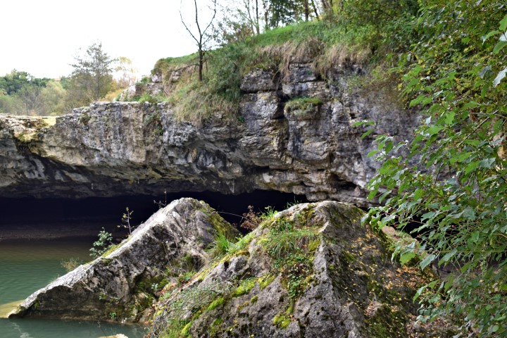
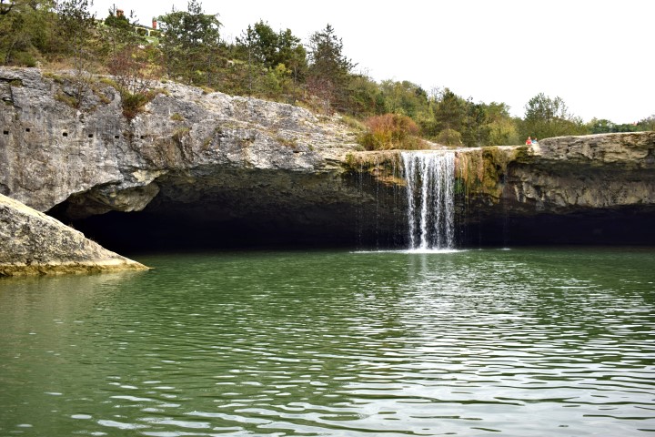
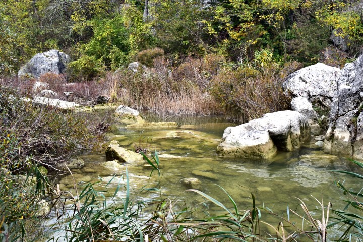
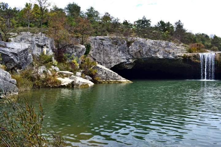
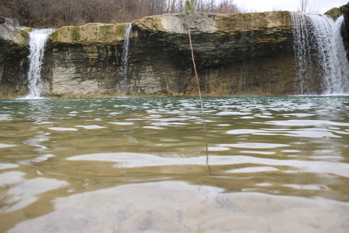
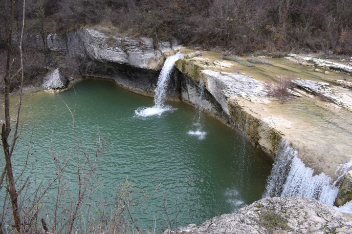
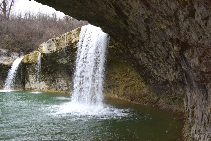
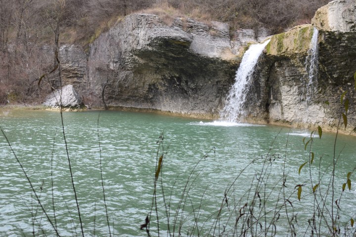
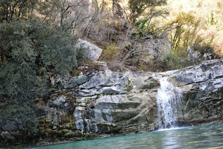
Name: Slap Sopot
Stream: Svićki potak
Place: Near Floričići – (Pican)
Coordinates: 45.21890 N – 14.04397 E
(more…)
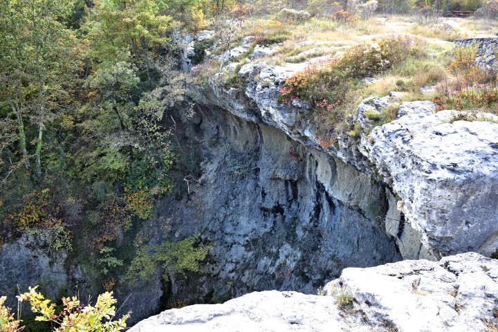
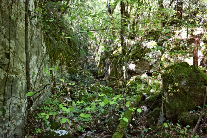
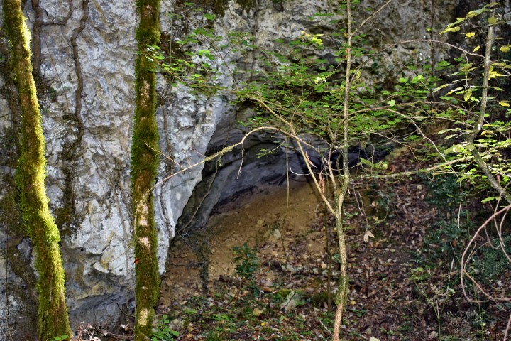
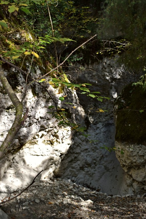
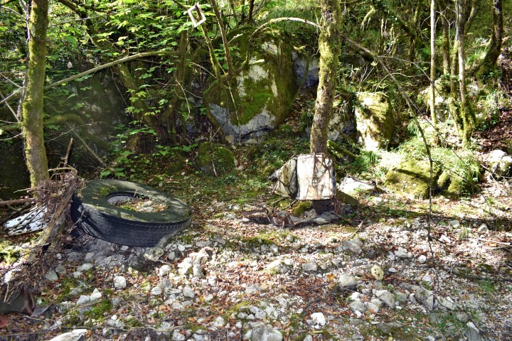
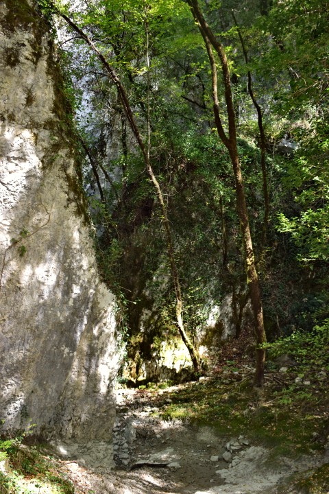
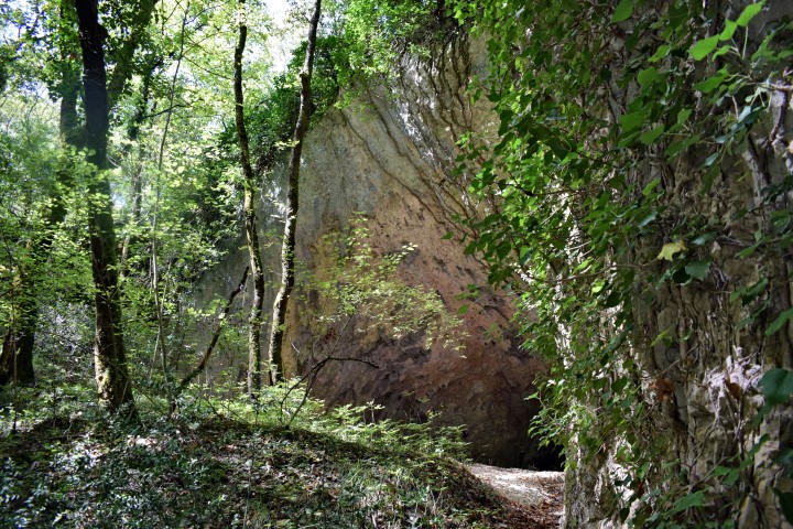
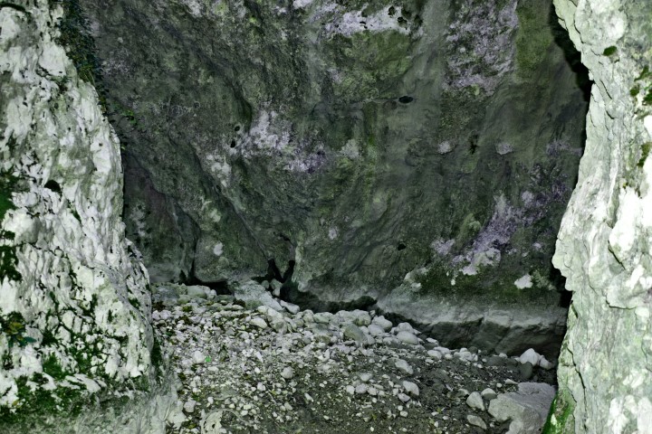
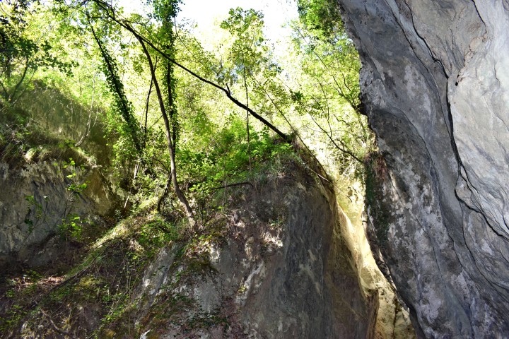
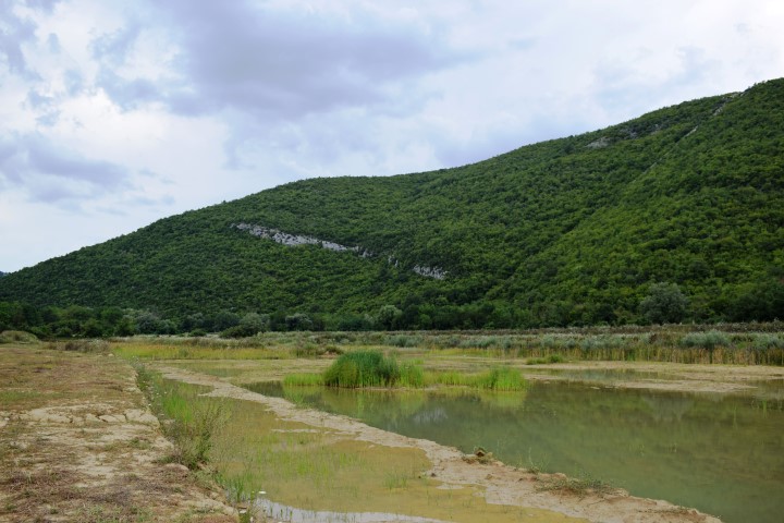
This hiking path starts near the village Baričeviće: 45.31660 N -14.15137 E. Entrance forest path: 45 .31590 N – 14.15146 E.
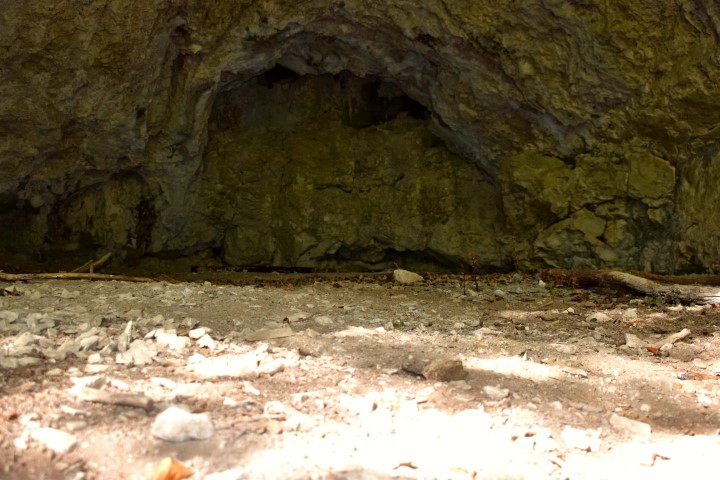
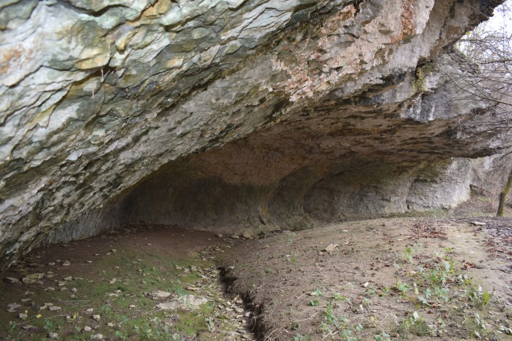
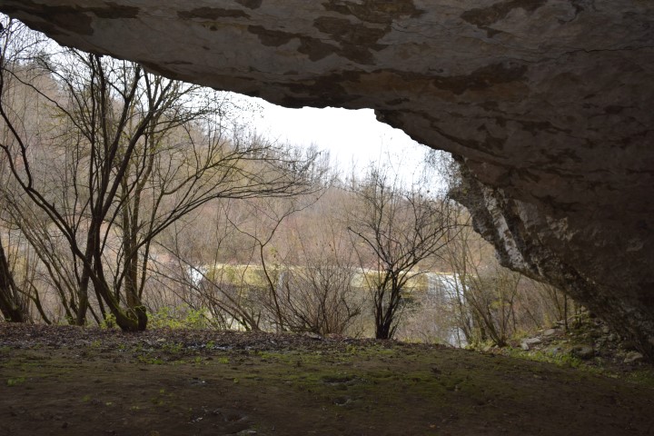
Cave near the crossing of the streams Veladraga and Crnjak: 45.31363 N – 14.15347 E.
After following the path is on the top the railway from Lupoglav to Rasa with a view over the Vela Draga canyon.
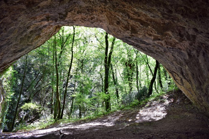
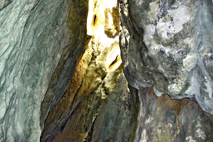
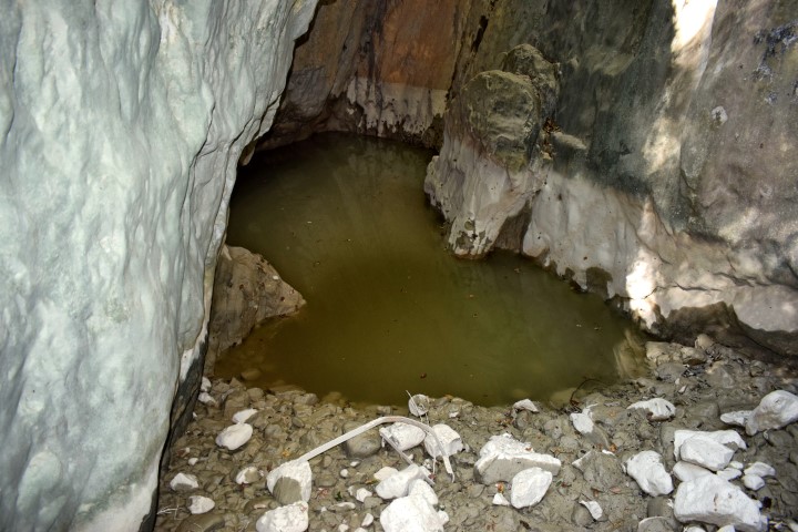
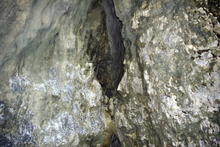
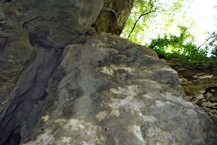
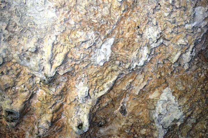
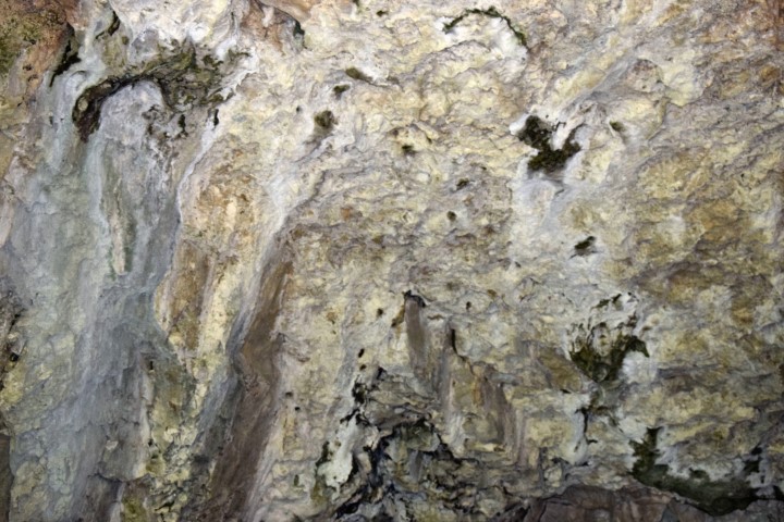
Name: Cave Vela Draga near crossing of the streams Veladraga en Crnjak.
Place: Baričevići – Učka
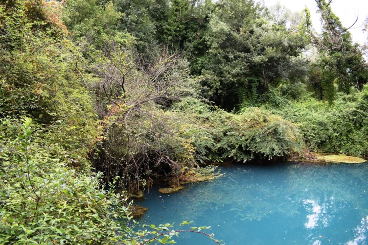
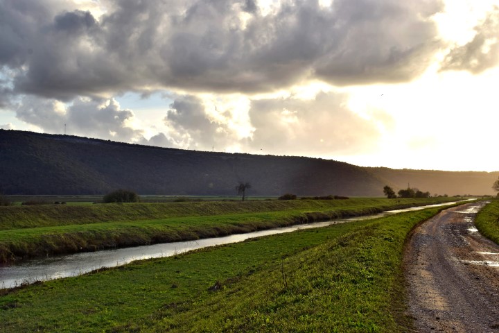
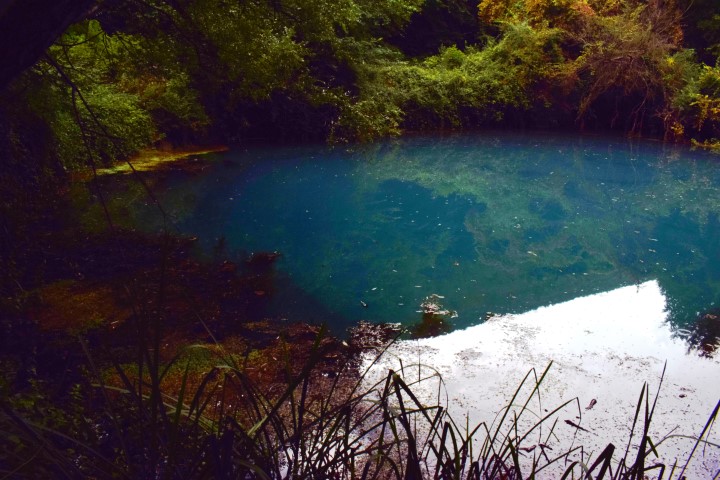
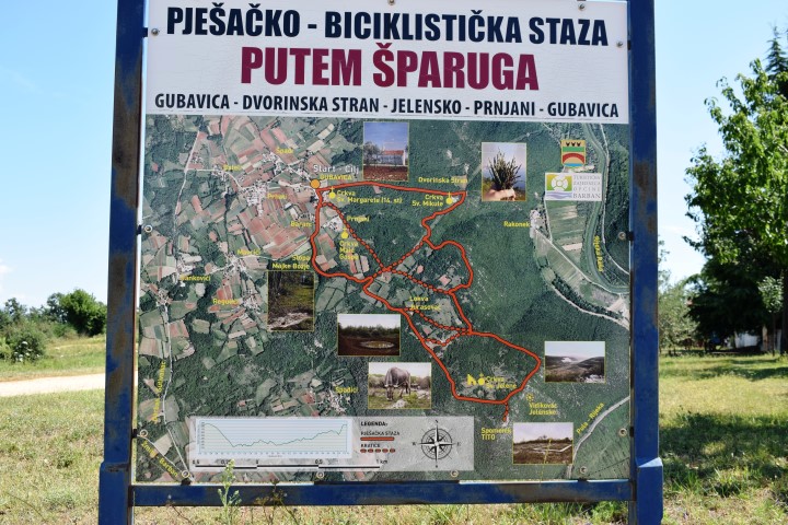
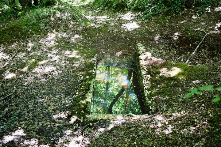
Name: Hiking path Most Rasa to spring Grdak
Place: Most Rasa – Barban
Coordinates: Starting point: 45.0601 N – 14.0201 E; Stream Rakonik: 45.0866 N – 14.0201 E; Spring / Lokva Grdak 45.09249 N – 14.01866 E.

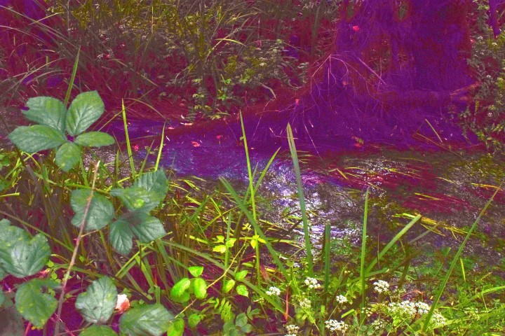
Name: Hiking path Prhati – stream Rakonik to Rasa
Place: Prhati – (Barban)
Coordinates: Starting point 45.08708 N – 14.01868 E, First cross point: 45.08708 N – 14.00196 E, splitting: 45.08744 N – 14.1131 E and end point 45.08672 N – 14.01646 E.
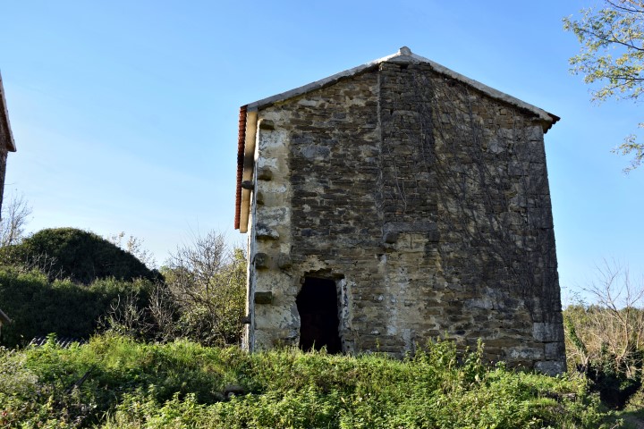
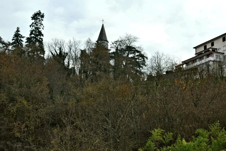
Name of church: St Margaretha from the 14th century.