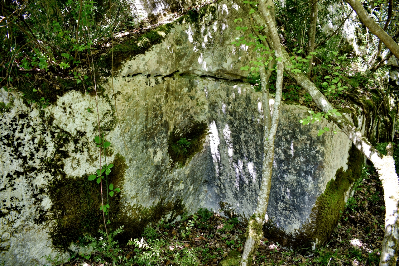
Name: Roman quarry prejikov vrh 3A.
Place: Near Flengi – (Vrsar).
Coordinates: 45.16422 N – 13.67018 E.

Name: Roman quarry prejikov vrh 3A.
Place: Near Flengi – (Vrsar).
Coordinates: 45.16422 N – 13.67018 E.
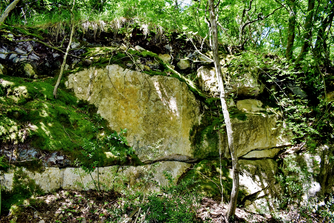
Name: Roman quarry Smokovac.
Place: Flengi -(Vrsar).
Coordinates: 45.16536 N – 13.66496 E.
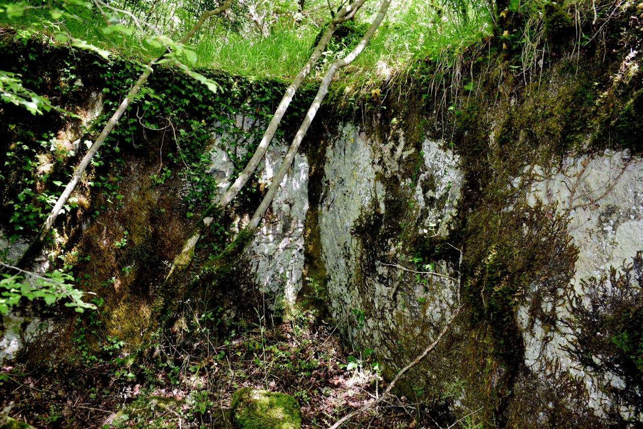
Name: Roman quarry Prjekijov vrh 2.
Place: Near Flengi – (Vrsar).
Coordinates: 45.16448 N – 13.67233 E.
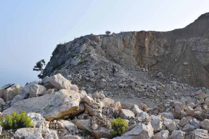
Name: Koromačno and the church Sv. Ivan Glavosljek.
Place: Koromačno – (Rasa).
Coordinates: Quarry 44.96737 N – 14.13474 E, Church Sv. Ivan Glavosljek 44.97210 N – 14.13318 E.
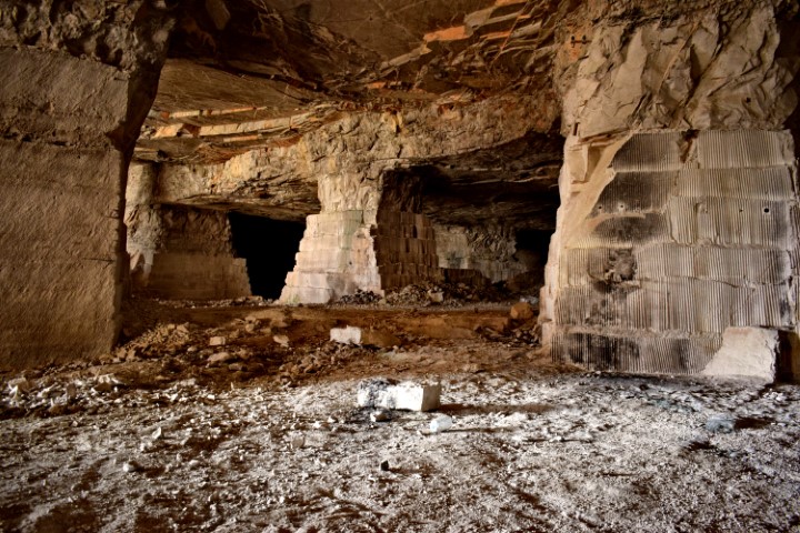
Name: Halleluja cave near Istarska Toplice
Place: Gradinje – (Oprtalj).
Coordinates: 45.38056 N – 13.88126 E.
Hiking trail in a protected natural area whose cliffs belong to he Natura 2000 network due to the presence of a rare plant species, the moeringia tommasinii and endangered birds. From the trail a view on the ruins of the St. Stephan church on the top of the Gorostas cliff. 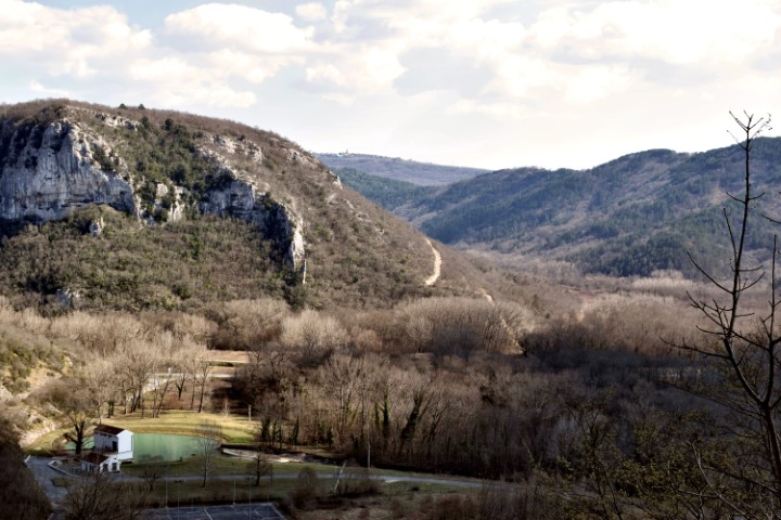
Name: Hiking trail from Istarske Toplice to the village Znjidariće.
Place: Gradinje – (Oprtalj)
Coordinates: Start 45.37793 N – 13.88368 E to
45.38809 N – 13.87645 E.
Elevation: 295 meters.
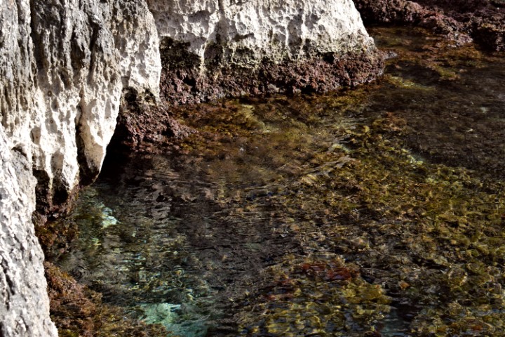
Name: Hiking trail to Crna punta and to the quarry Koromačno.
Place: Near Brovinje, Skitača – (Rasa).
Coordinates: Start 44.96904 N – 14.14534 E, gravel path to Crna punta 44.97357 N – 14.14815 E, Crna punta 44.95703 N – 14.14573 E, end 44.97103 N – 14.13608 E.
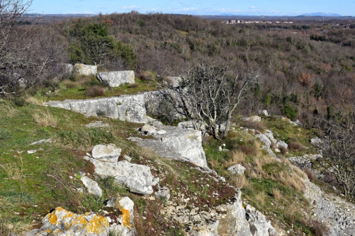
Name: Prehistorisch settlement Mordela.
Place: Near Garbina – (Poreč).
Coordinates: 45.21467N – 13.6284E, 97 meters.
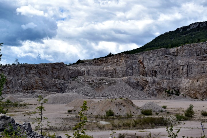
Name: Quarry near Bančevici.
Place: Near Bančevici – (Lupoglav).
Coordinates: 45.31847 N – 14.15770 E