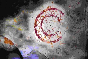
Name: Trail from Sv. Fosca to the Kazuni and the church St. Michael.
Place: Vodnjan – Bale.
Coordinates: start 44.97881 N – 13.78855 E, 44.97544 N – 13.79215 E, 44.97018 N – 13.80113 E, end 45. 44.97151 N – 13.80780 E.

Name: Trail from Sv. Fosca to the Kazuni and the church St. Michael.
Place: Vodnjan – Bale.
Coordinates: start 44.97881 N – 13.78855 E, 44.97544 N – 13.79215 E, 44.97018 N – 13.80113 E, end 45. 44.97151 N – 13.80780 E.
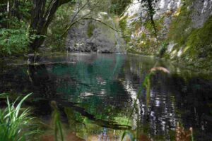
Name: Trail from Ponte Porton along the stream Codegragne and the source, and back via the hamlets Ragaćin and Kovačić.
Place: Ponte Porton – (Grožnjan).
Coordinates: Ponte Porton 45.36115 N – 13.73438 E, source Codegragne 45.37458 N – 13.71672 E.
. This cave/abyss near the village of Brigi (Gračišće) is 273 meters deep and about 2 km long and collects rainwater from the surrounding hills.
.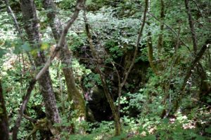
Name: Cave/abyss Bregi.
Place: Near the vilage of Brigi – (Gračišće).
Coordinates: 45.19147 N – 14.00662 E.

Name: Pitcave Kobiljak.
Place: Katun Gračanski – (Pazin).
Coordinates: 45.21018 N -13.98007 E.
On 11 September 2011, cavers removed 5 m3 of waste from this 54 meter deep cave as part of the “Karst Underground Program” (KUP). This beautiful action was aimed at preventing and limiting groundwater pollution, avoiding the risk of using drinking water from drinking water sources.
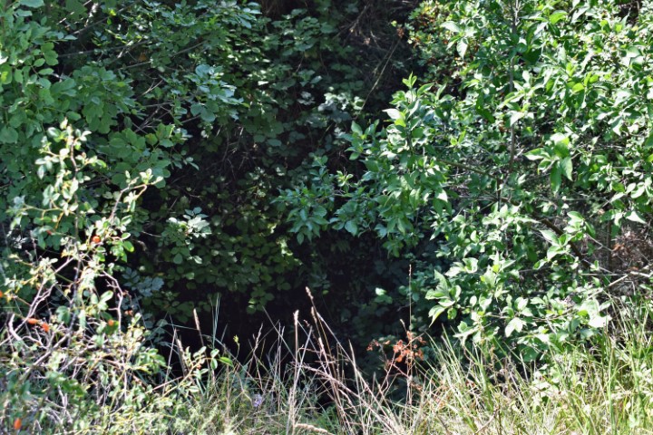
Name: Cave Rebica near Brajcovići.
Place: Brajcovići – (Kanfanar)
Coordinates: 45.09887 N -13.76475 E.
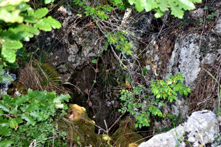
Name: Ditinska pit cave near Prodol.
Place: Near Prodol – (Marčana).
Coordinates: 44.9831 N. – 13.96286 E.

Name: Pegon stream – Abyss/cave Praponjak.
Place: Near Markovići – (Oprtalj).
Coordinates: Startingpoint 45.41081 N – 13.81354 E. Cave/abyss 45.41214 N – 13.83598 E.
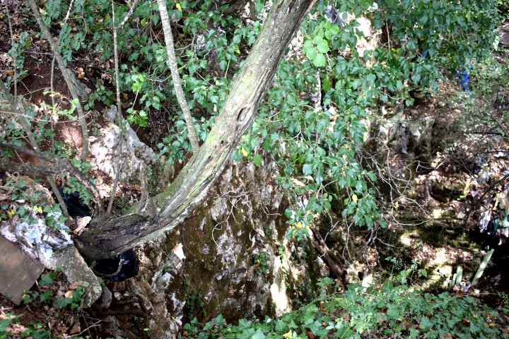
Name: Puddle – Pit cave near hill Zamljak.
Place: Near Sorići – (Kanfanar).
Coordinates: 45.98947 N – 13.74493.
av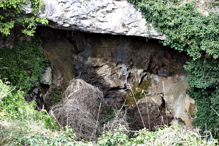
Name: Pit cave Zeliškovica near stream Lavredak.
Place: Brdo – (Kaštelir – Labinci).
Coordinates: 45.339 N – 13.68541 E