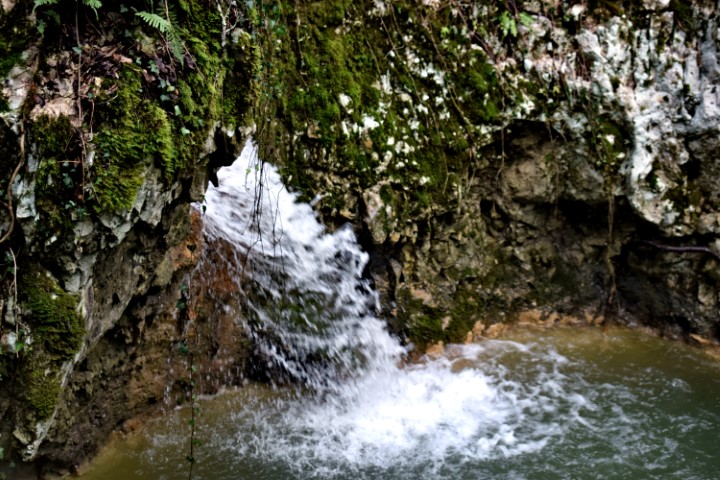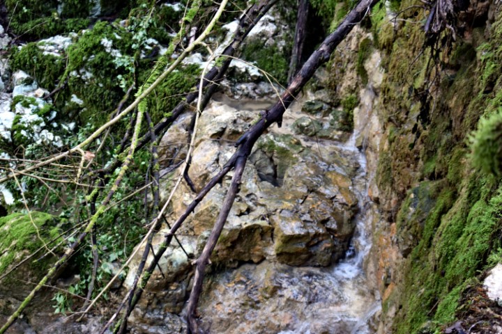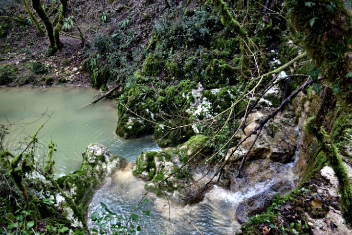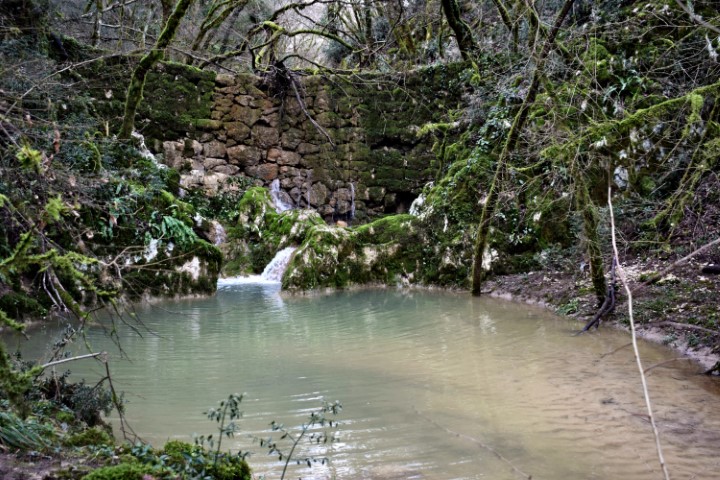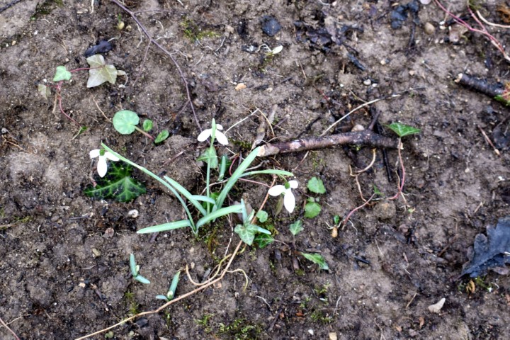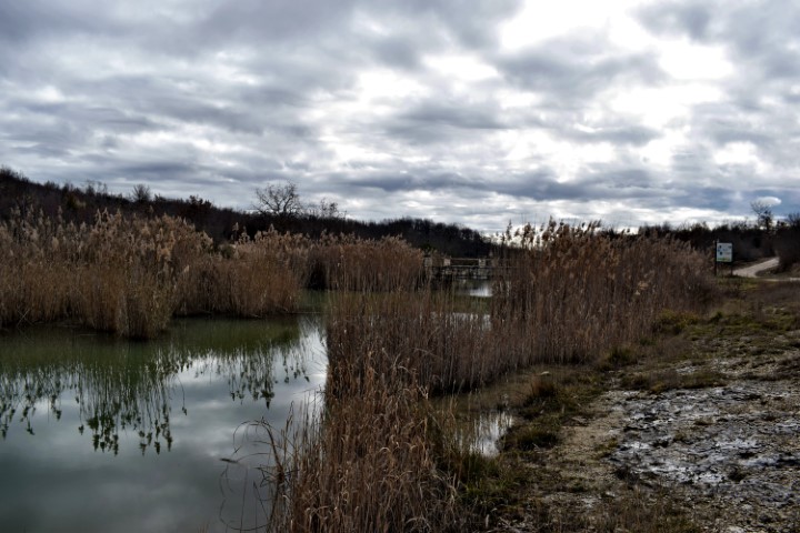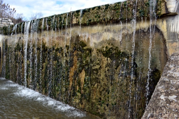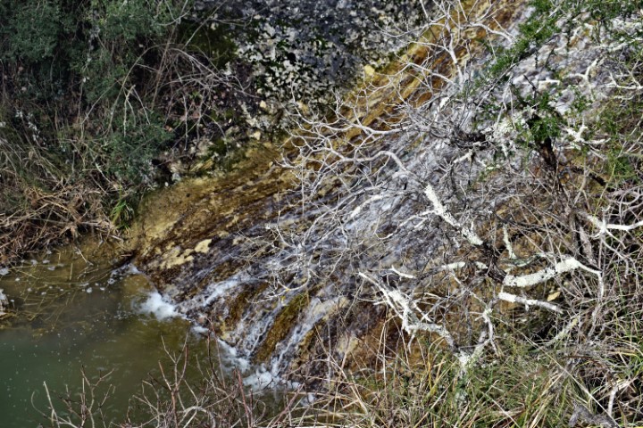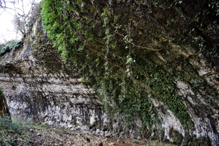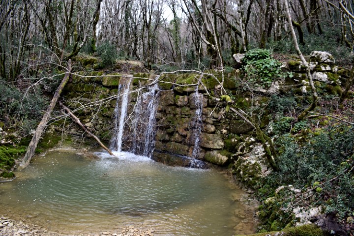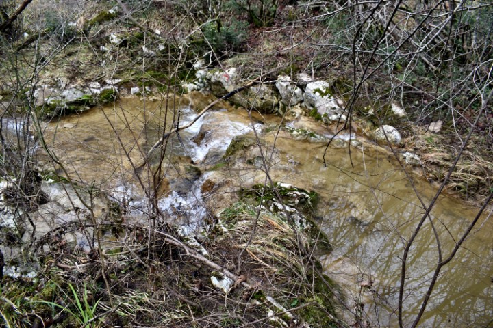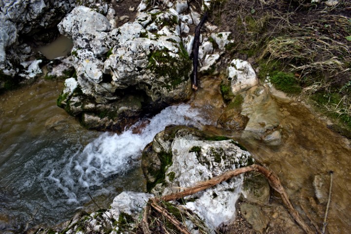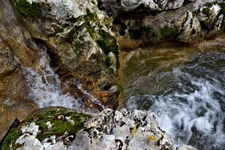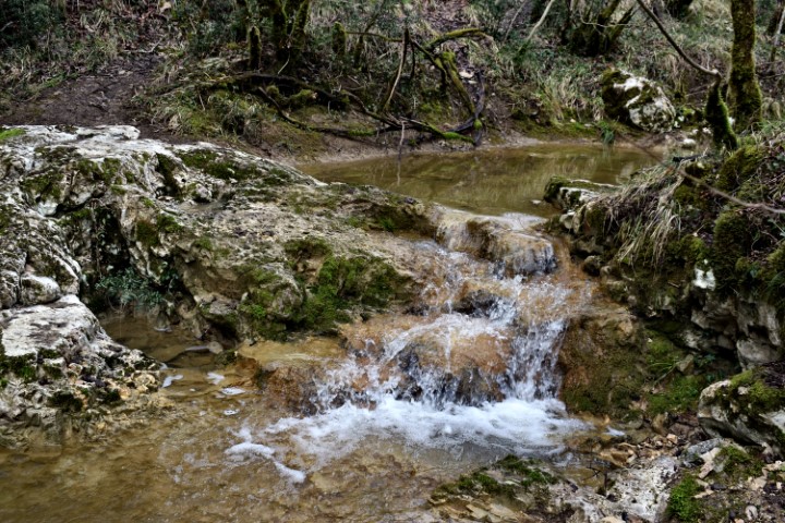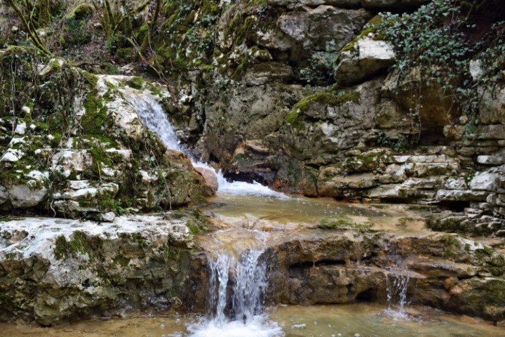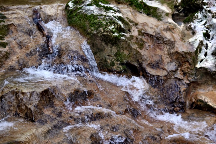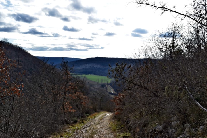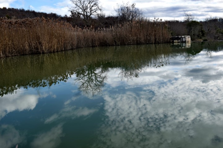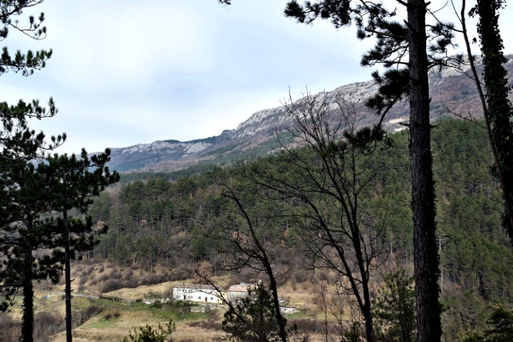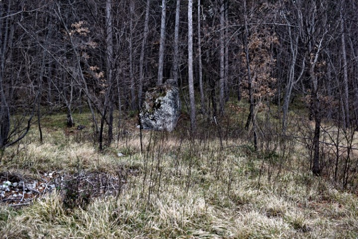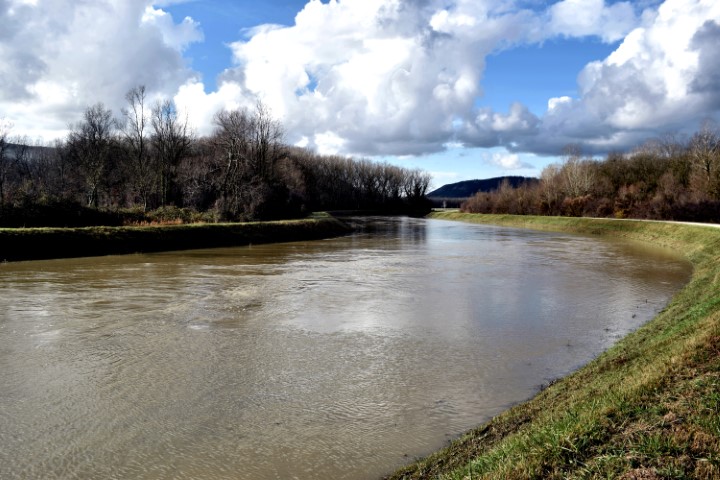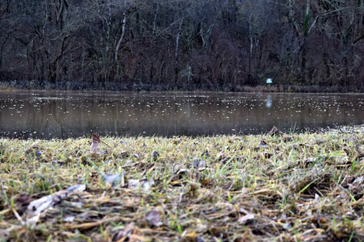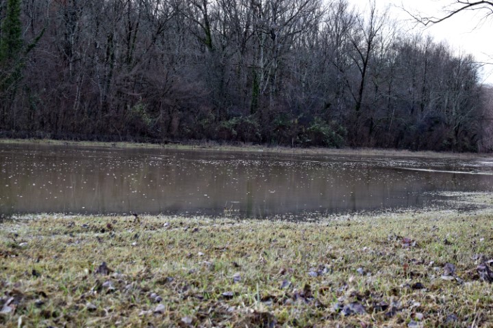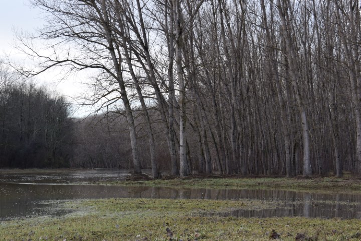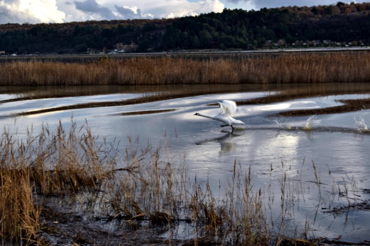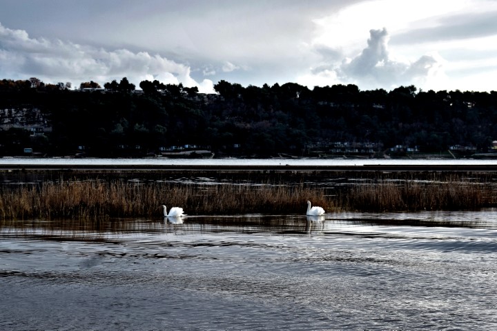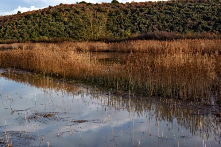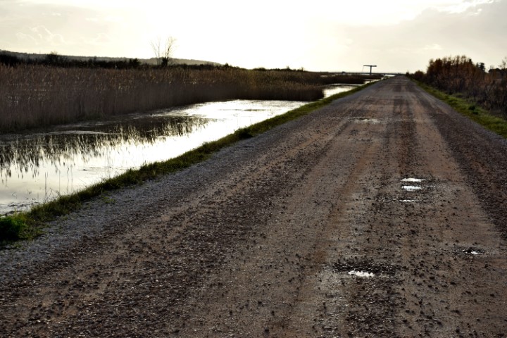
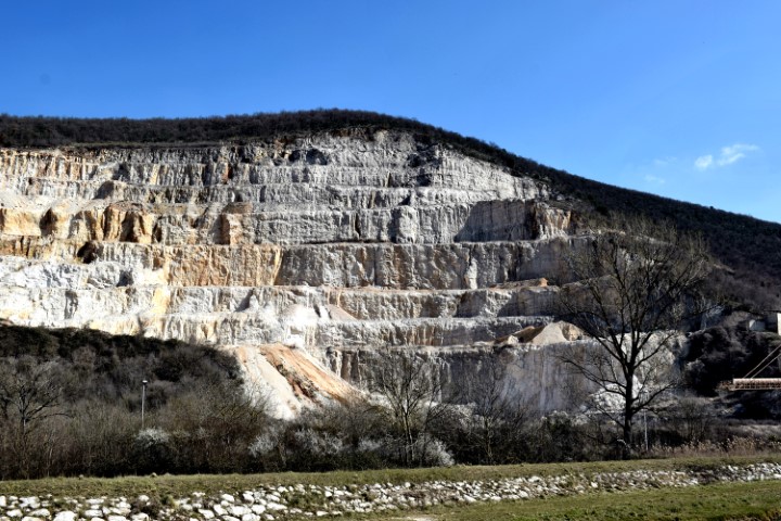
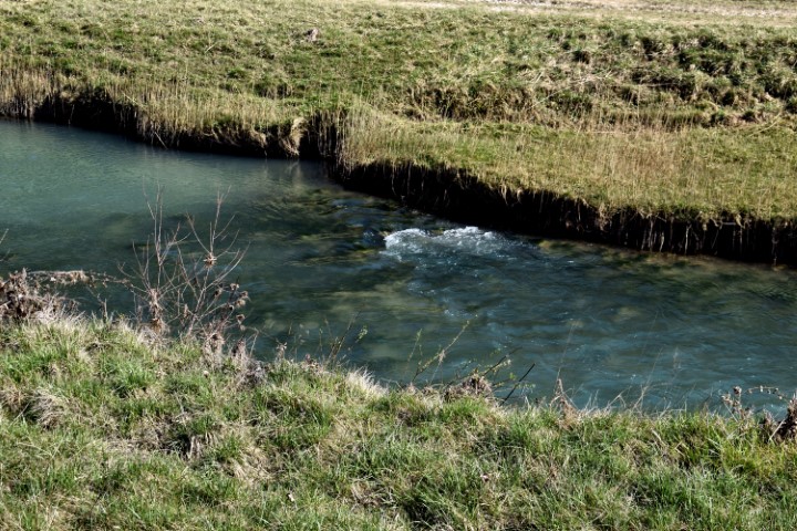
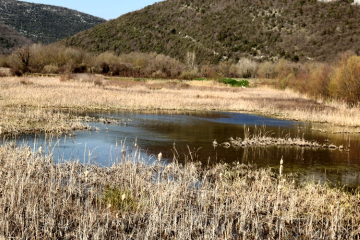
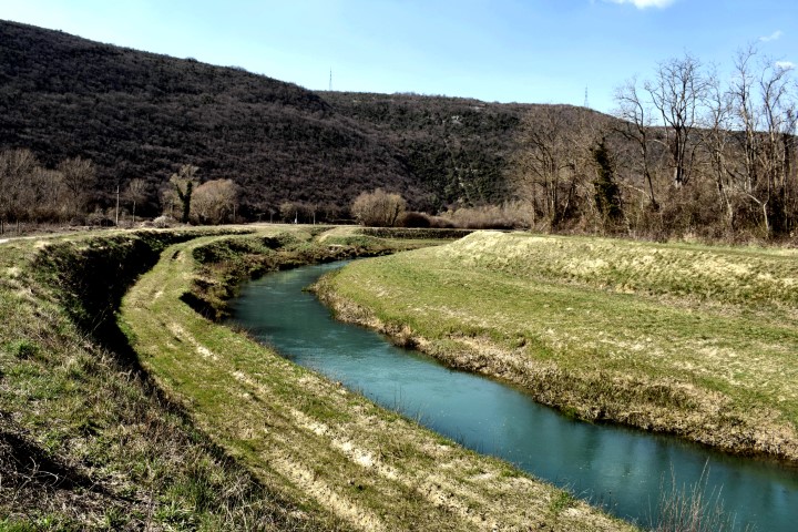
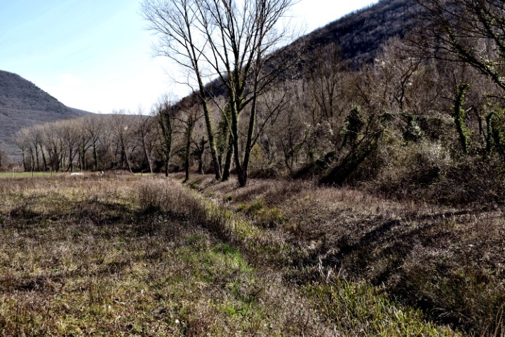
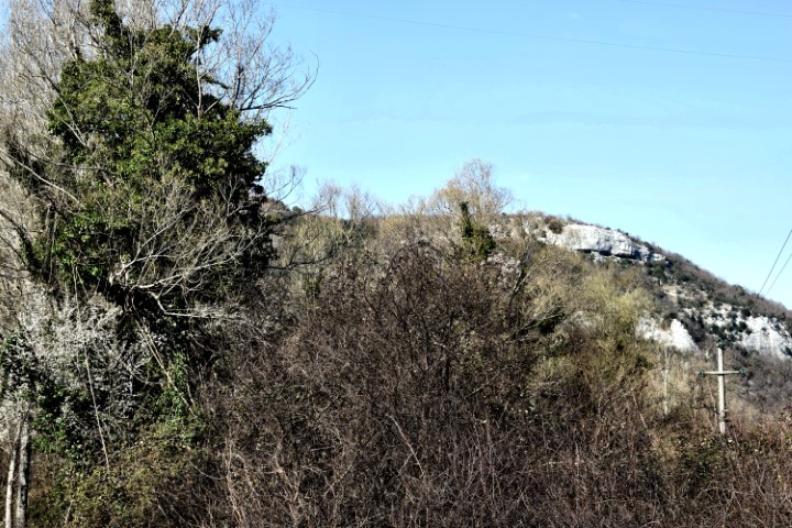
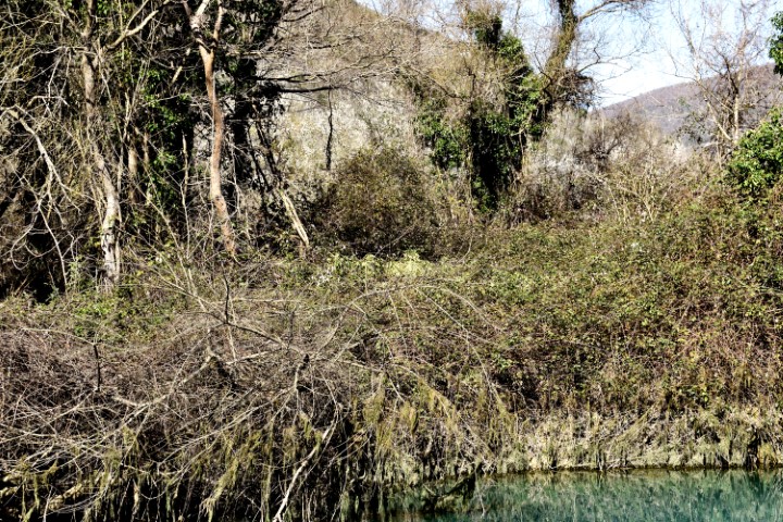
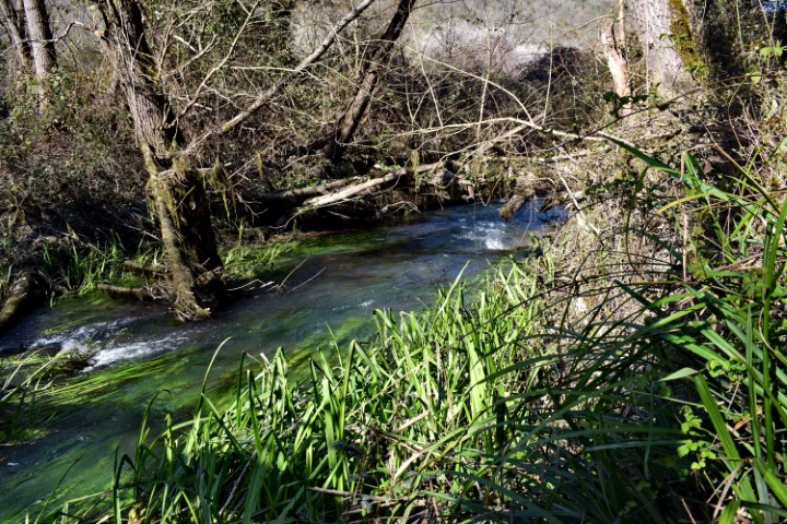
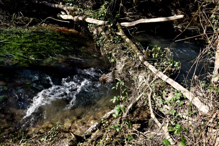
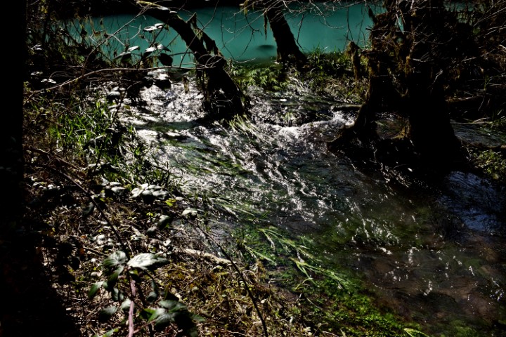


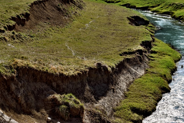
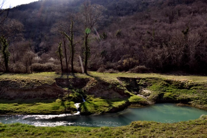
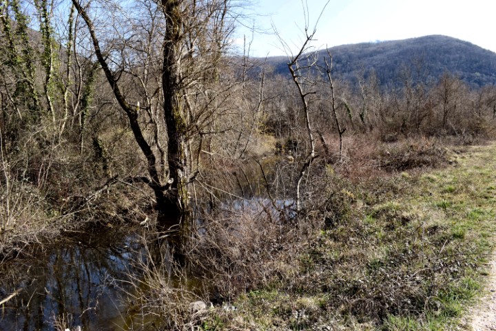
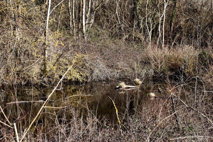
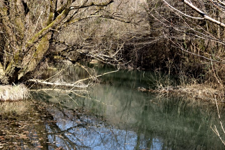
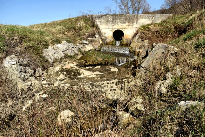


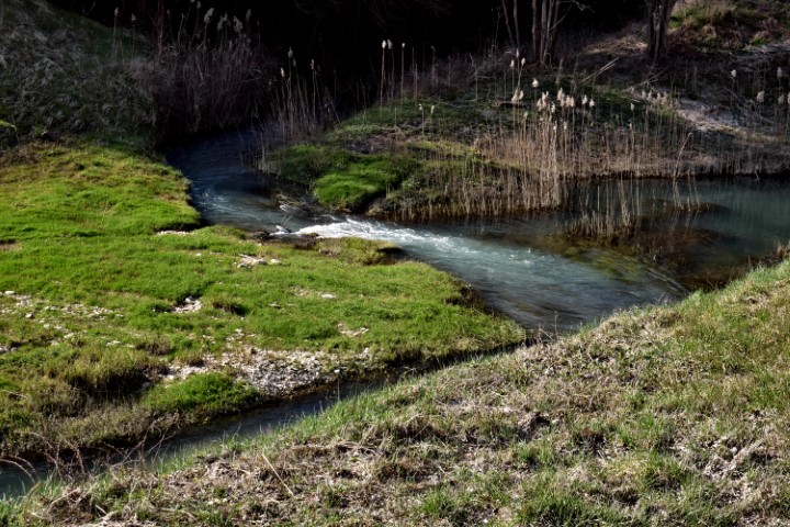


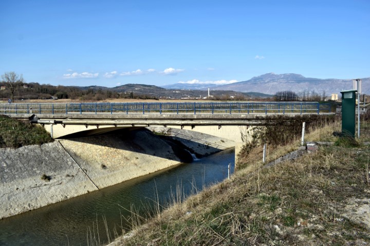

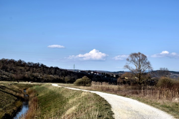

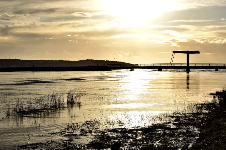
Name: River Raša (24,5 km) from the village Most Raša to the village Marišće.
Place: Most Raša – (Raša) , Marišće – (Kršan)
Coordinates: 45. 06000 N -14.04227 E to 45.18709 N – 14.07813 E.
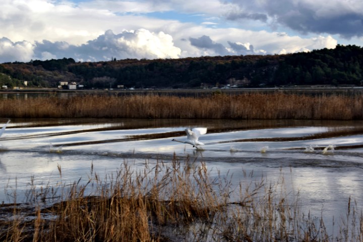
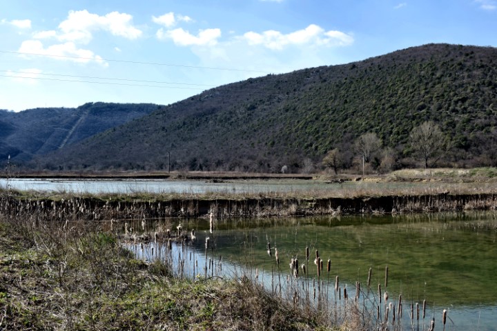
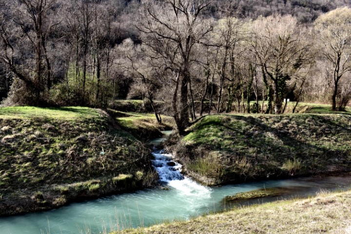
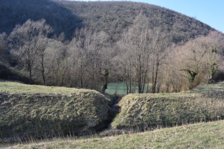
Name: River Raša (24,5 km) from the village Most Raša to the village Marišće.
Place: Most Raša – (Raša) , Marišće – (Kršan)
Coordinates: 45. 06000 N -14.04227 E to 45.18709 N – 14.07813 E.
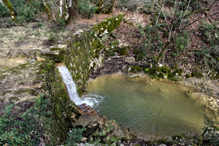
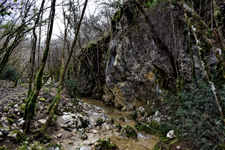
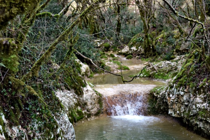
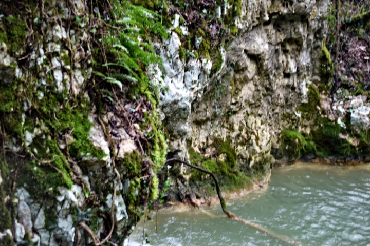
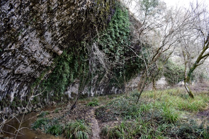
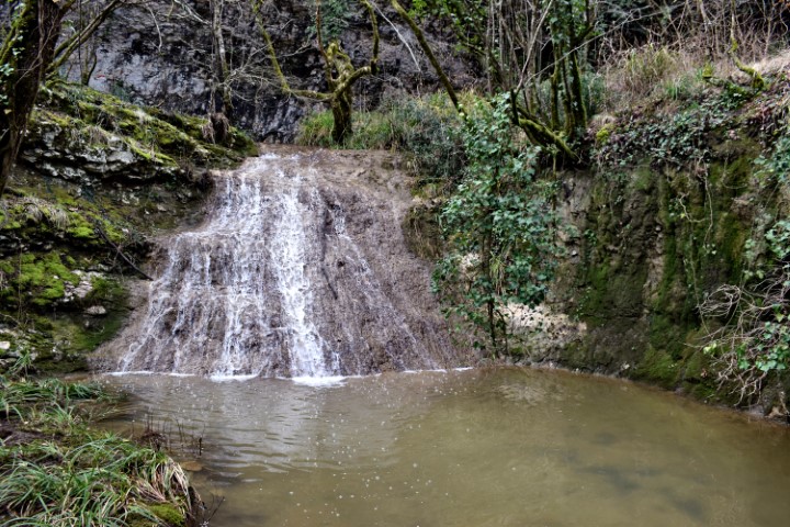
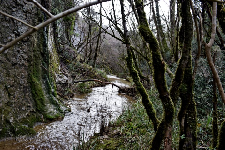
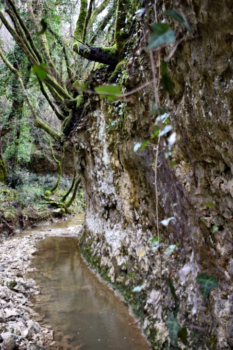
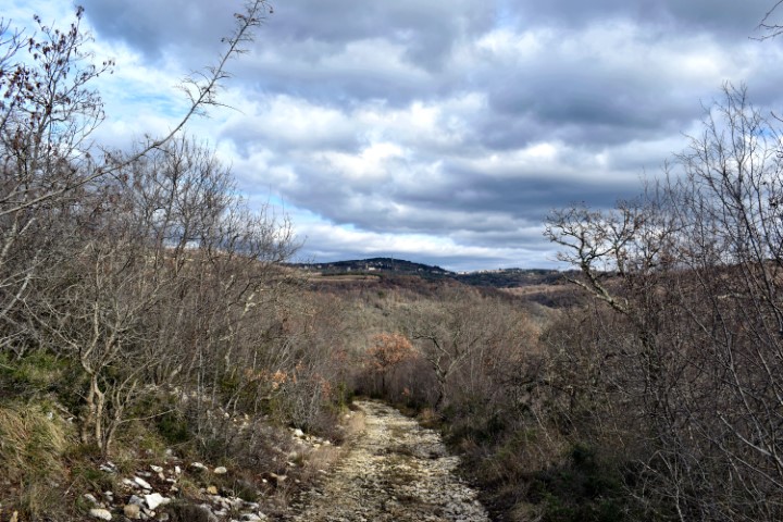
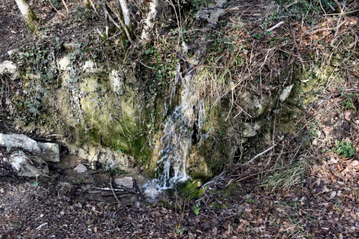
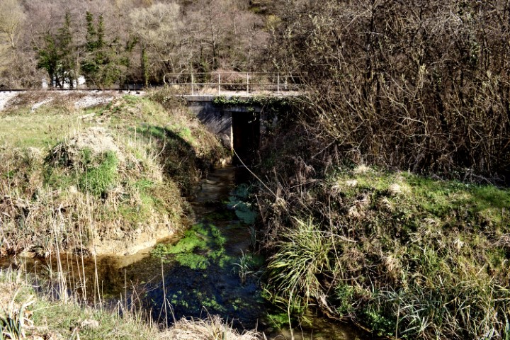
Name: Hiking trail from “Naturepark Skarline” along the stream Labre – Mulski potok.
Place: Tisarica – (Brtonigla).
Coordinates: 45.37530 N – 13.65223 E.
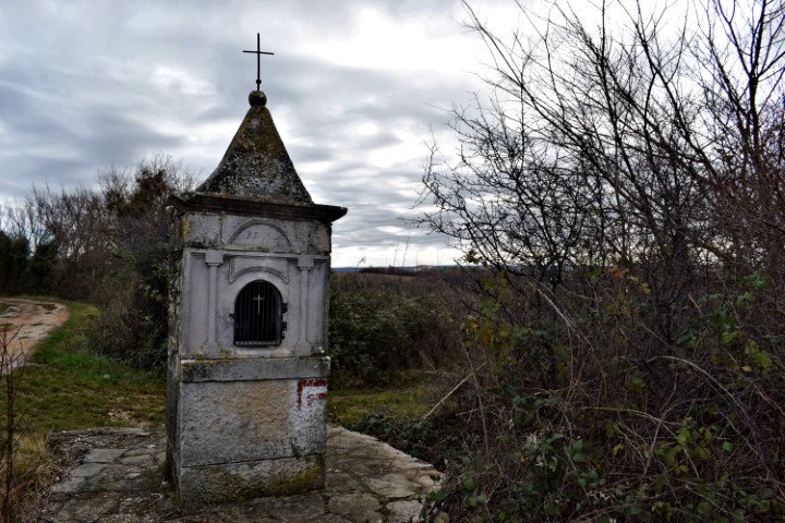
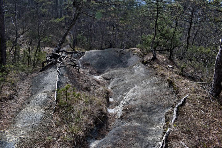
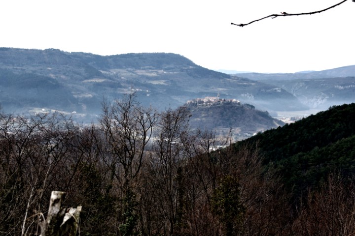
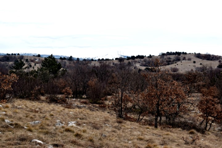
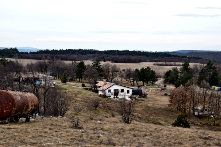
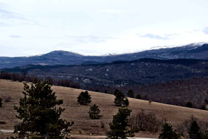
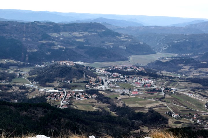
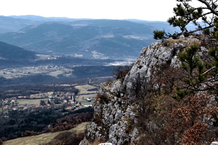
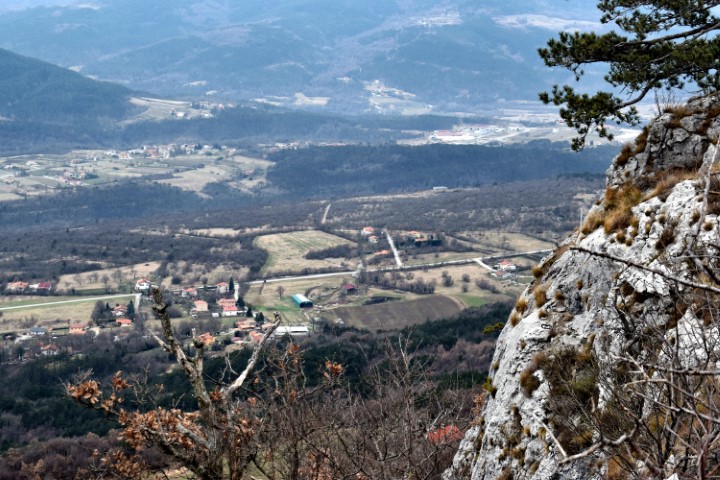
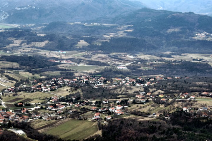
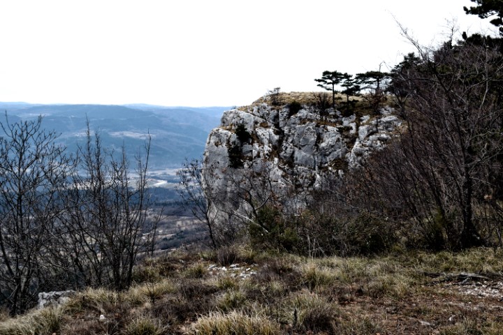
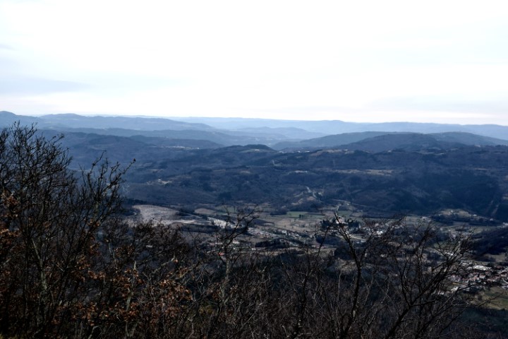
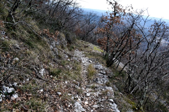
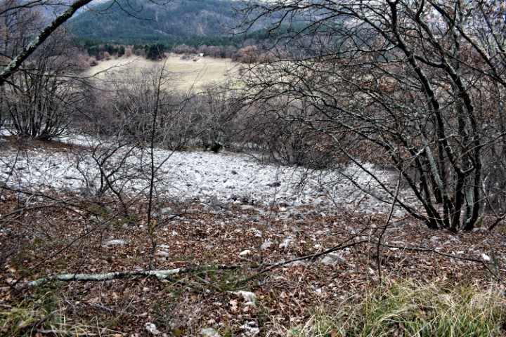
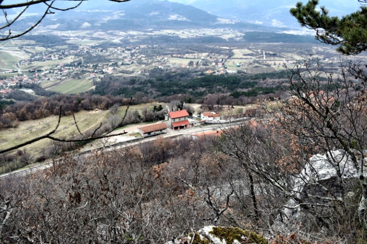
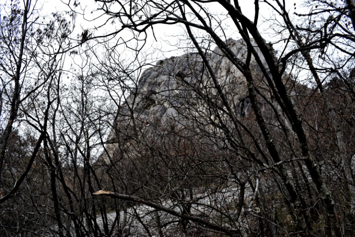
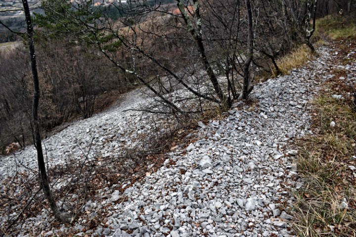
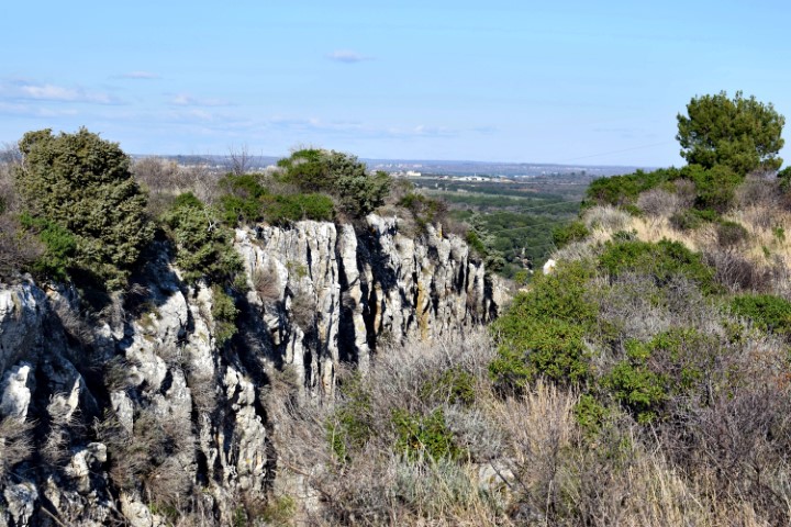
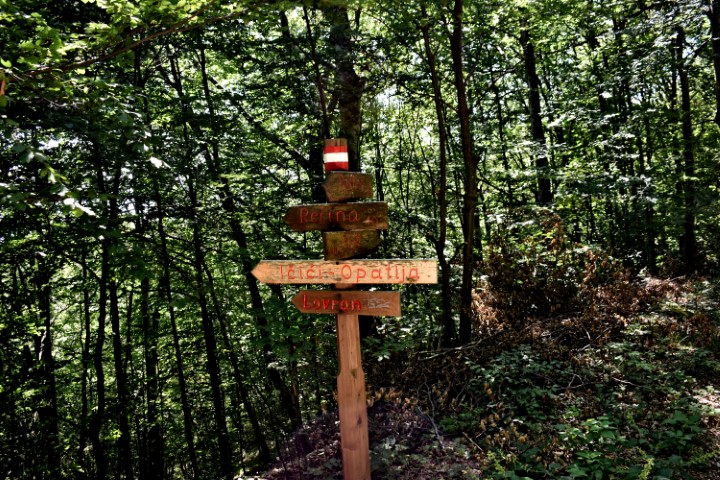
This hiking trail from Buzet Korenika goes through the village of Strana to the top of the cliff Raspalidalica at an altitude of 556 meters. From the railway station Buzet near the village of Finderly back to a small chapel again to Buzet. The church in Strana is the Sv. Marija. 
Name: Hiking trail (304) from Buzet to the top of the cliff Raspadalica.
Place: Buzet – Lanišče.
Coordinates: Start: 45.41037 N – 13.97643 E, Raspadalica: 45.42685 N – 13.98828 E.
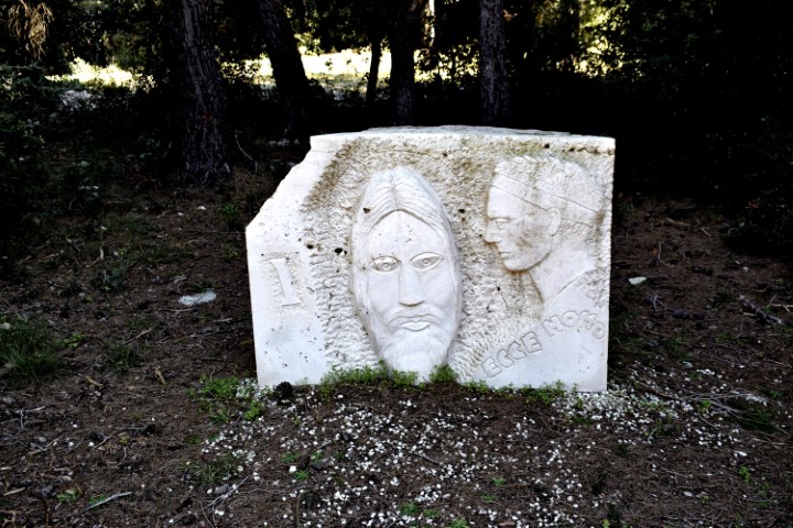
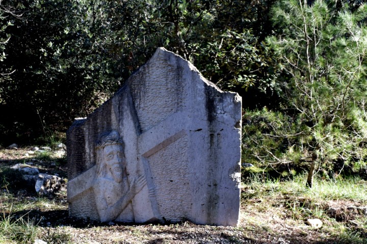
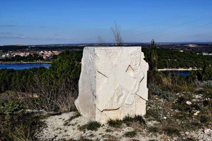
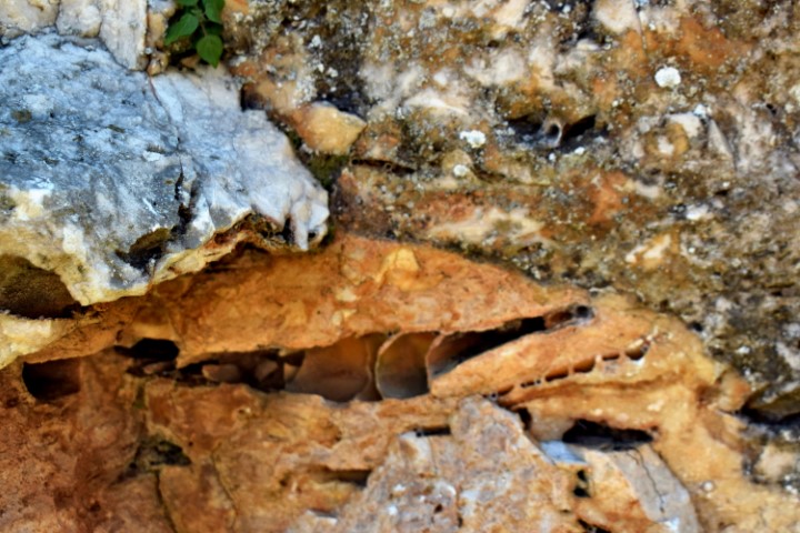
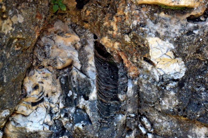
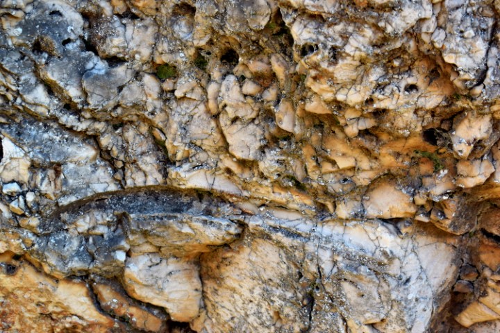
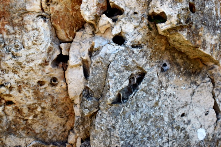
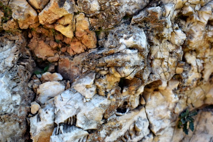
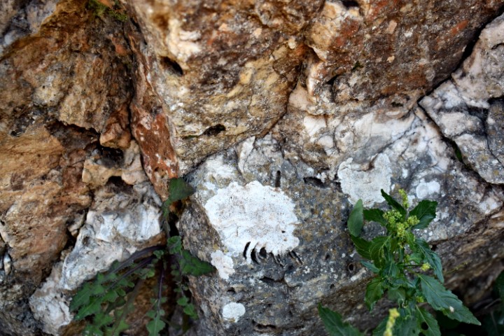
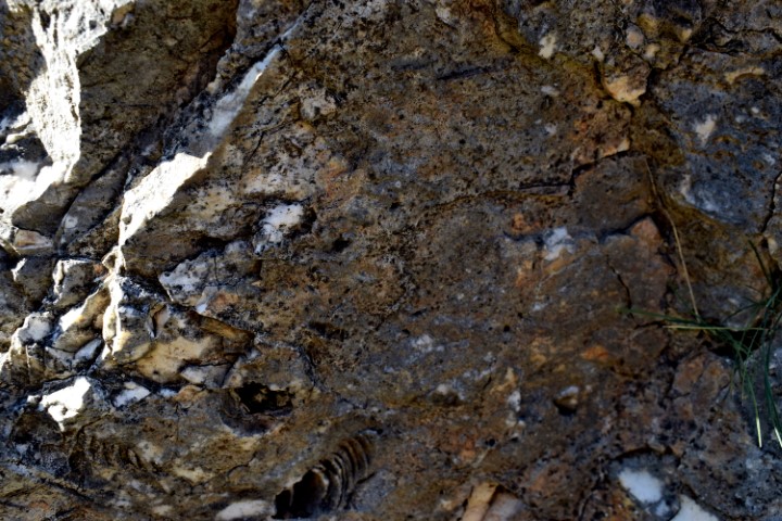
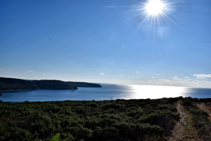
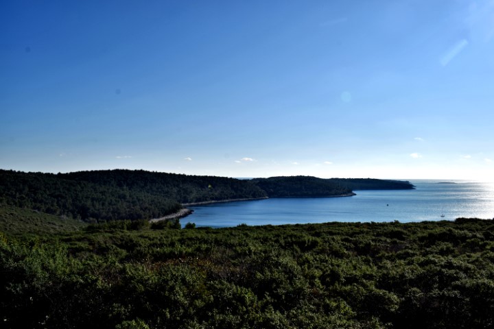
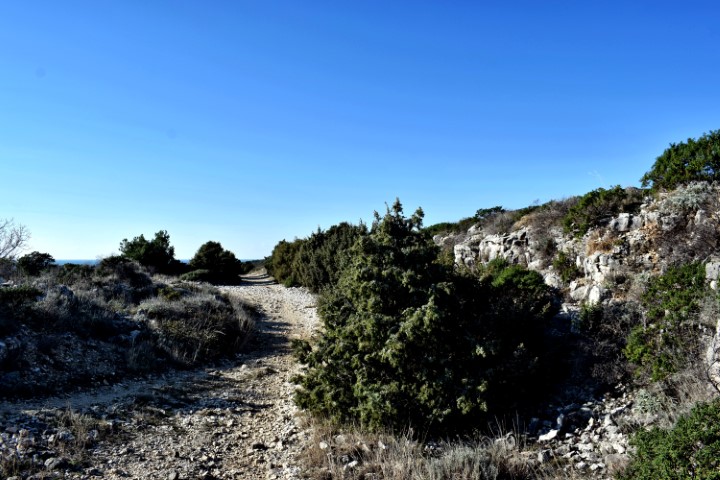
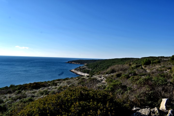
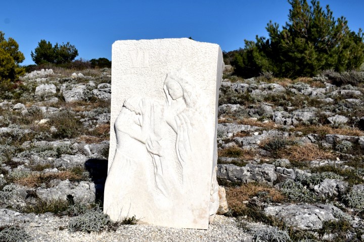
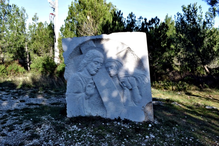
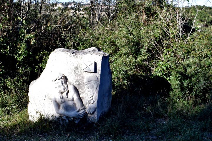
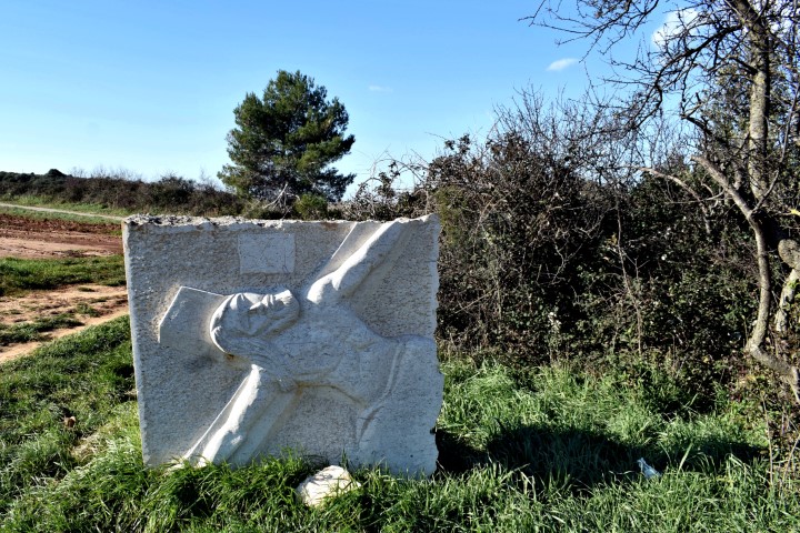
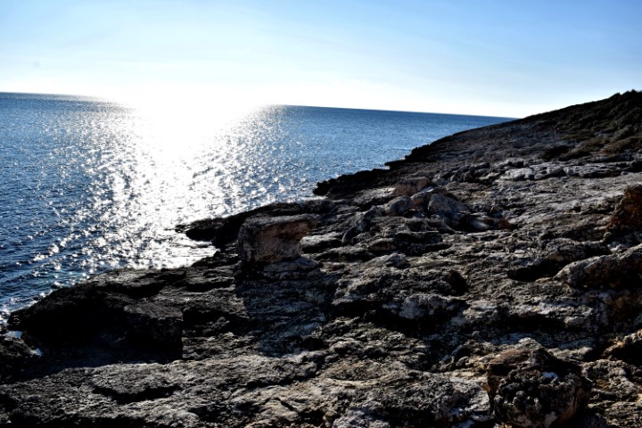
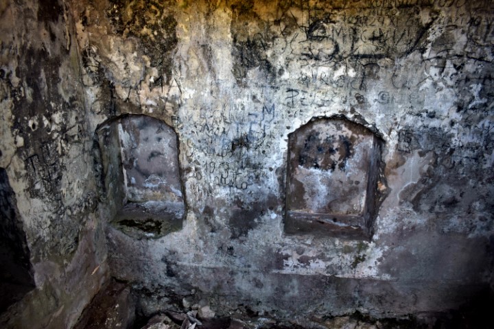
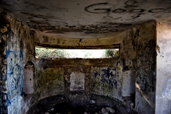
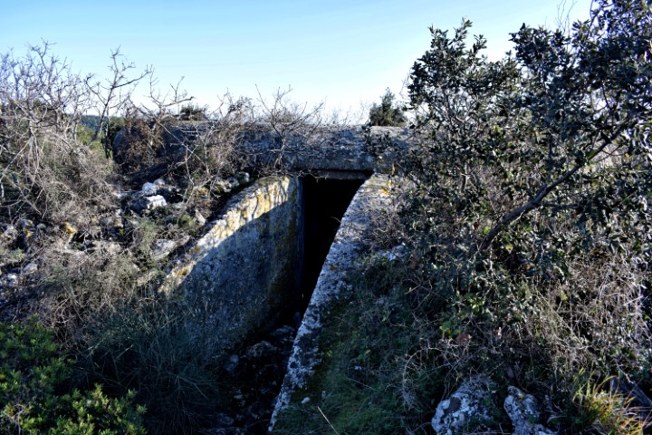
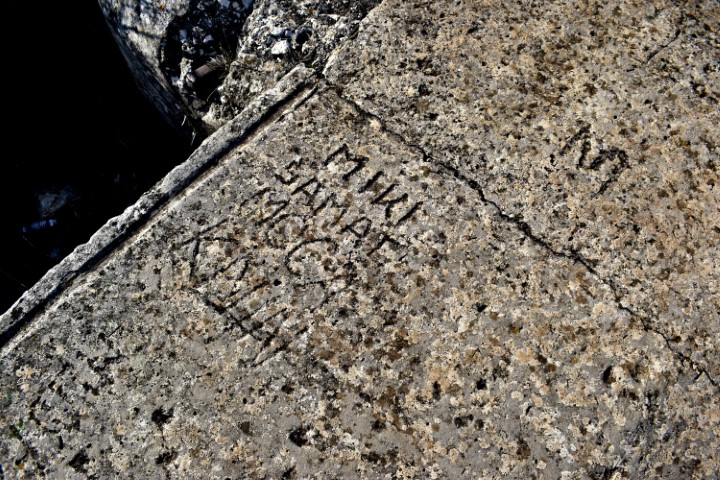
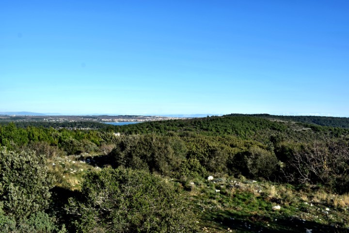
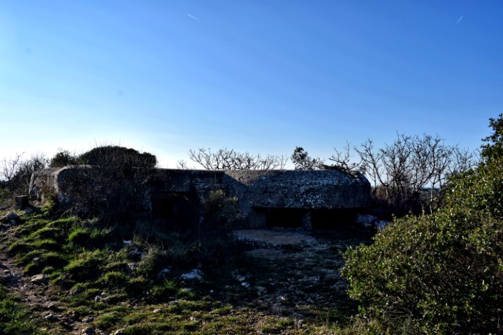
This part of the peninsula is located over a length of 3.5 km between the villages of Prementura and Volme and is bordered on the north side by the bay of Medulin.This nature protected area has many special features such as a prehistoric settlement – a Gradina – from the Bronze Age, and a cave that was inhabited not only in the Bronze Age but also in the Middle Ages. Military facilities such as pillboxes and an artillery battery near Gomila hill. This as part of the Austo-Hungarian defense system in the early 19th century to defend the marina port of Pula. The presence of limestone rocks with bivalve molluscs (rudists). There is also a path over Upper Kamenjak with Stations of the Cross built in 2013.
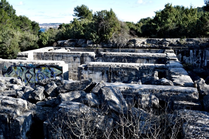
Name: Upper Kamenjak – Monte Kope.
Place: Prementura – (Medulin).
Coordinates: Start 44.8o676 N – 13.90818 E to 44.81419 N – 13.87769 E.
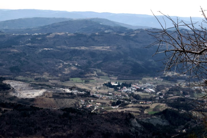
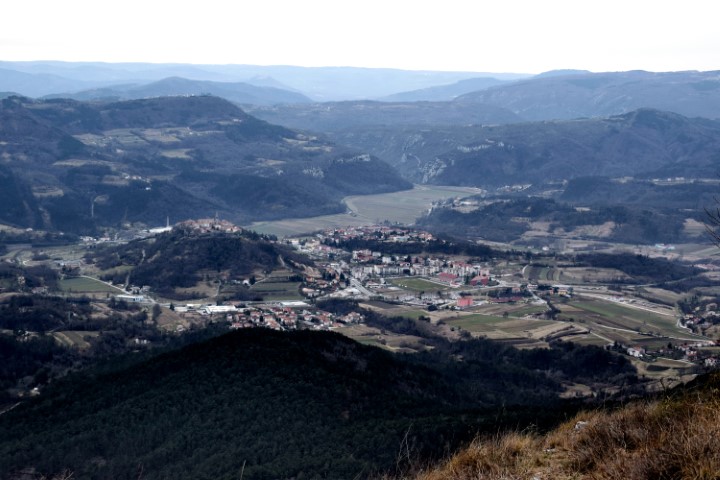
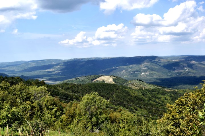
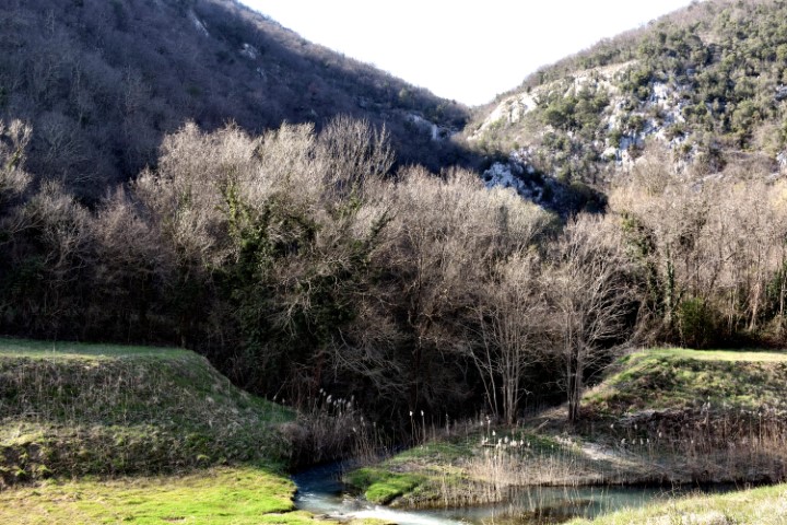
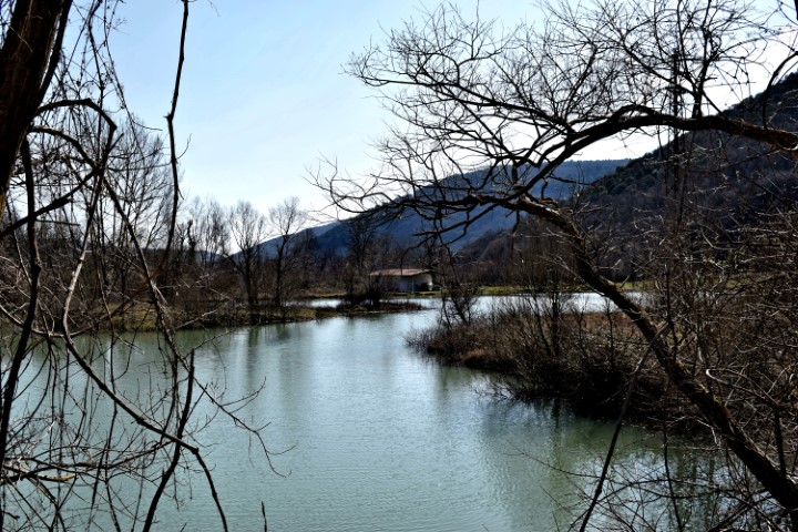
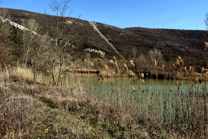
Name: River Mirna – Vižinada / Novigrad.
Place: Vižinada – Novigrad.
Coordinates: 45.35062 N – 13.77323 E, 45.31709 N – 13.59599 E.

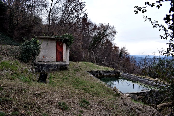
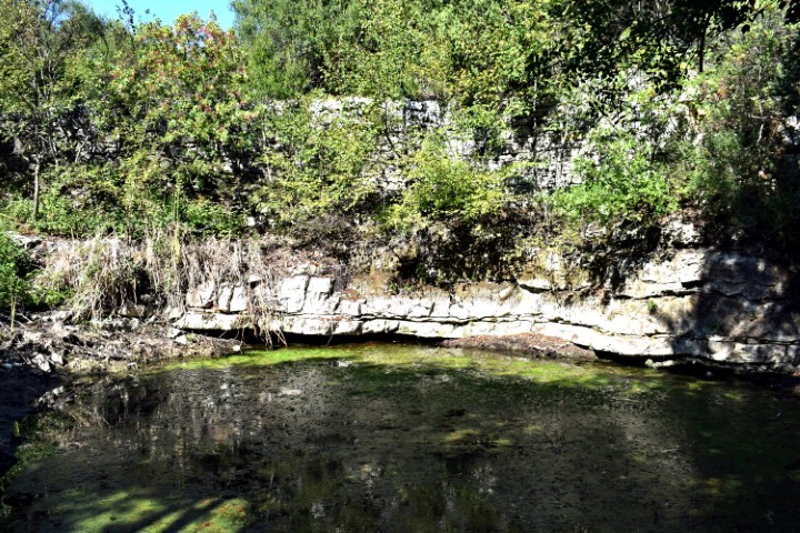
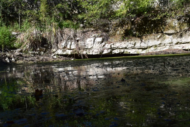
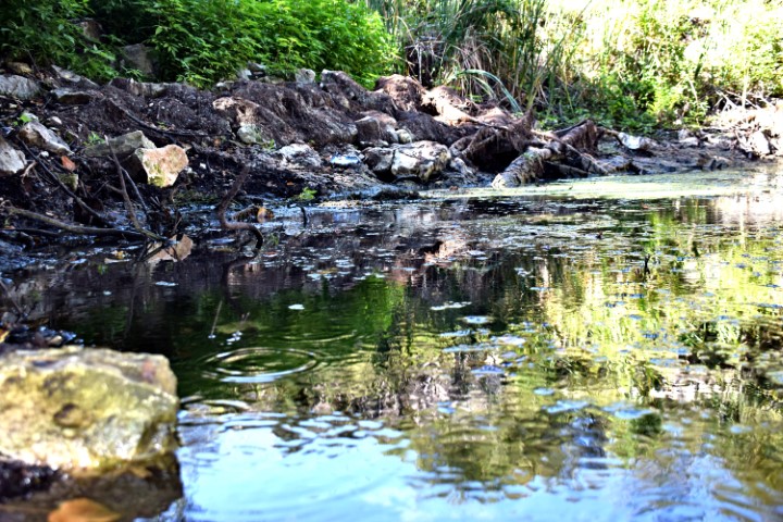
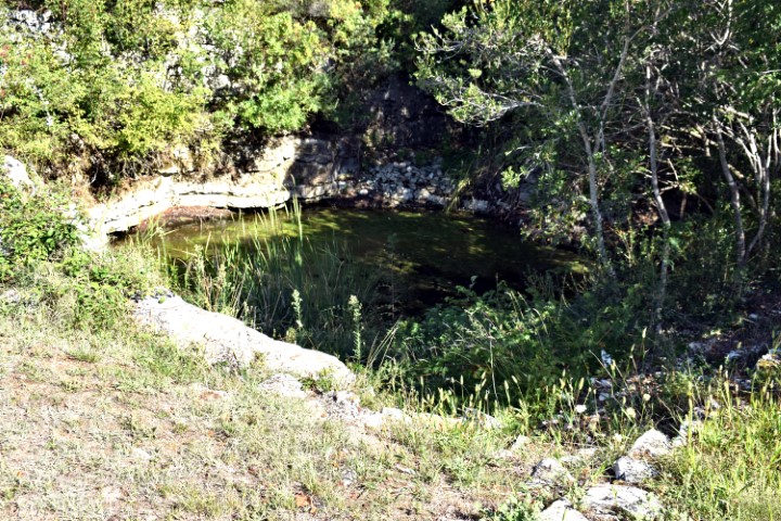
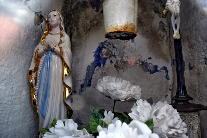
Name: Pool Fontana.
Place: Ethnological and archaeological park Vodnjan.
Coordinates: 44.9799 N – 13.83292 E

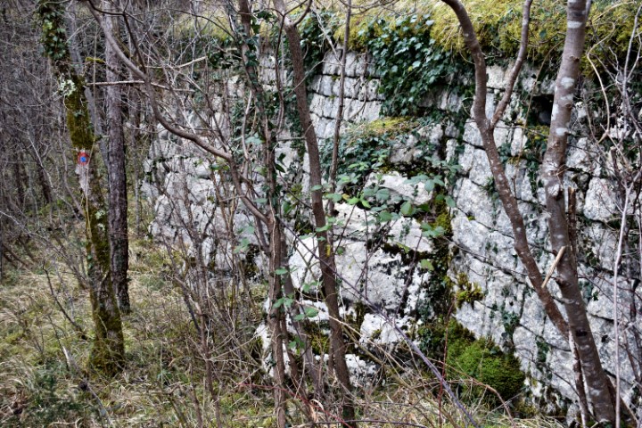
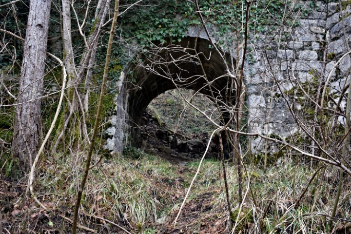
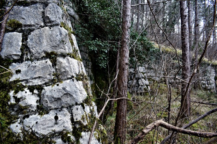
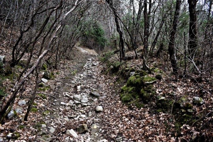
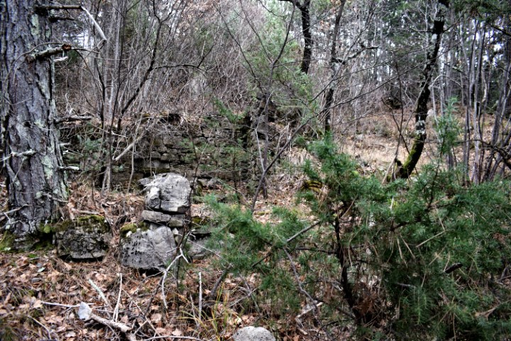
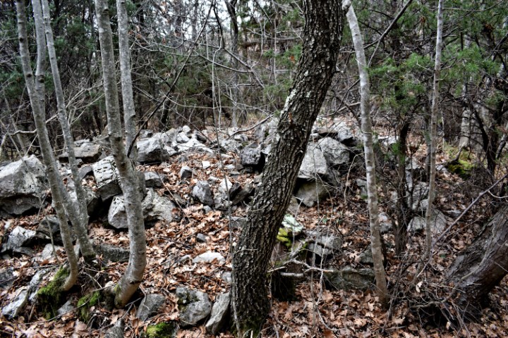
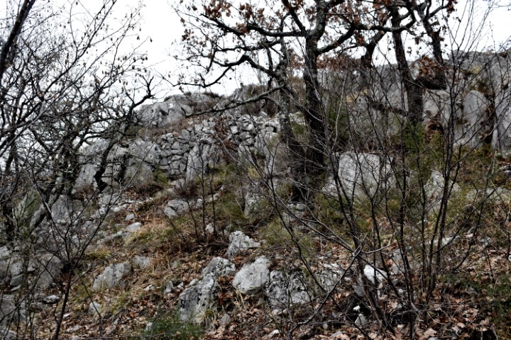
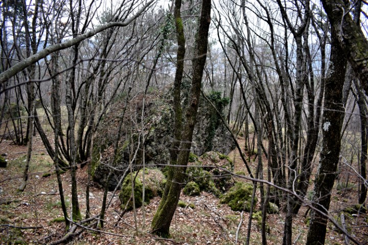
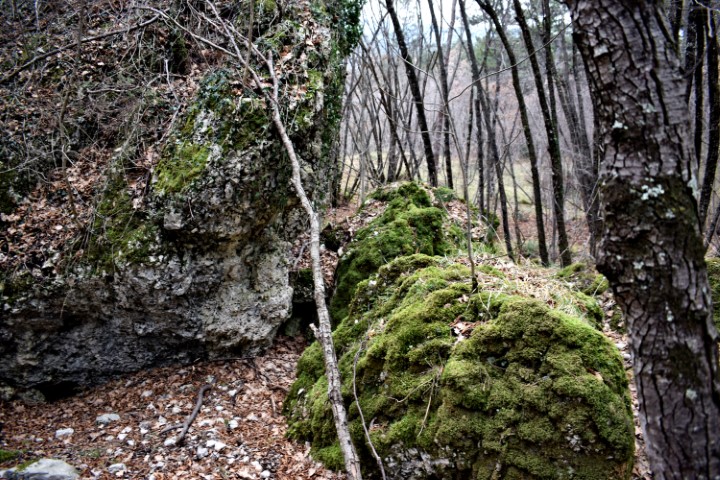
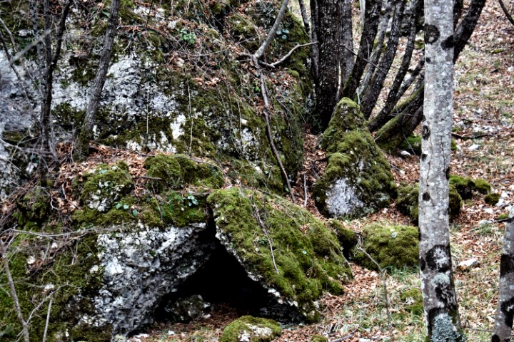
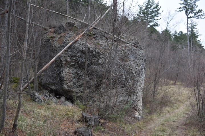
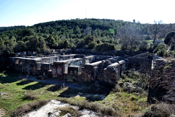
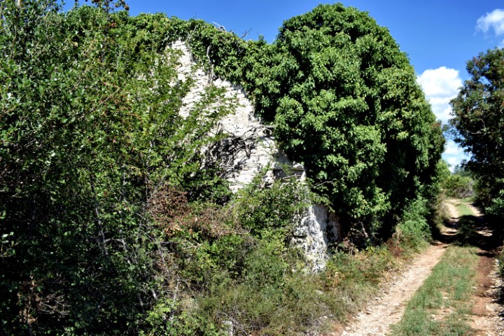
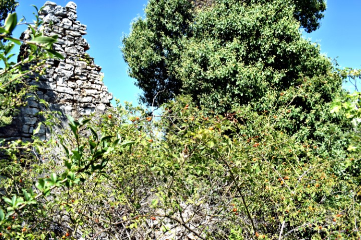
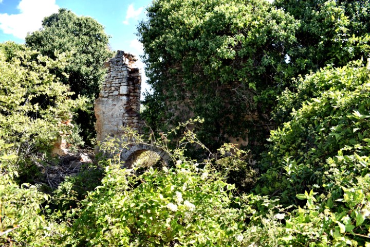
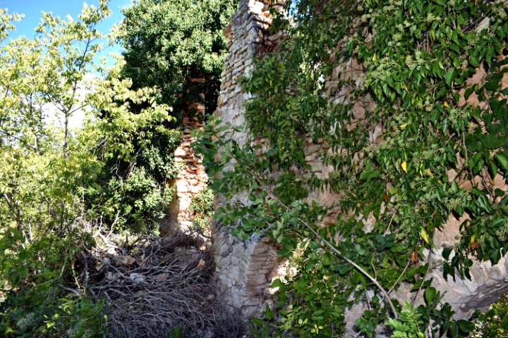
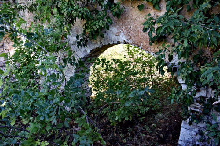
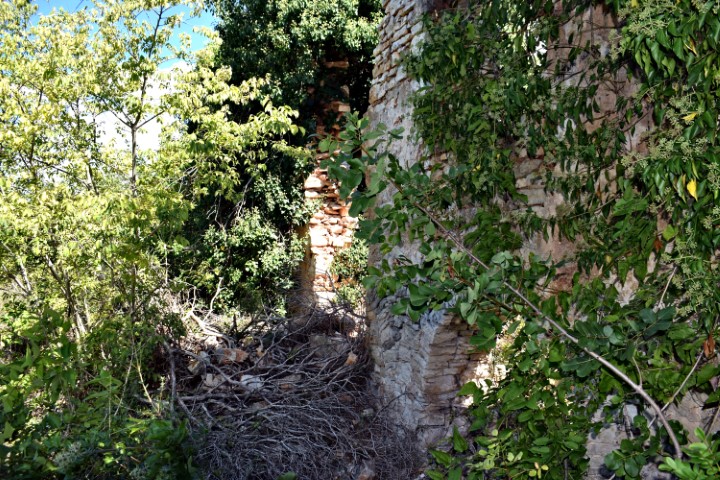
Name: Hidden ruins near Fažana.
Place: Marana – (Fažana).
Coordinates: 44.94592 N – 13.83369 E.
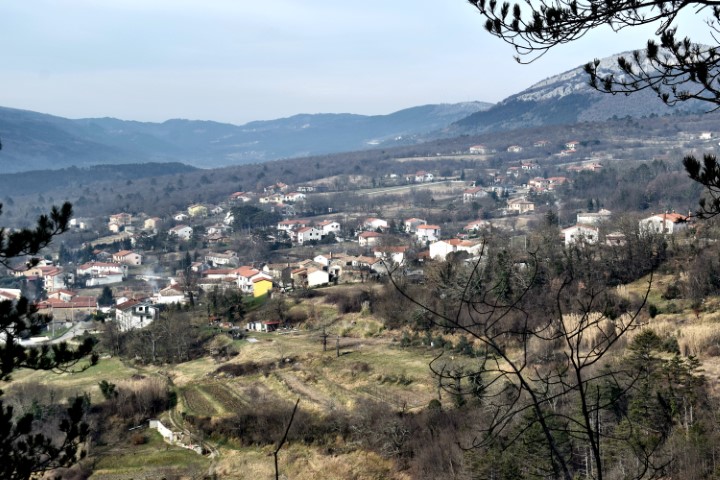
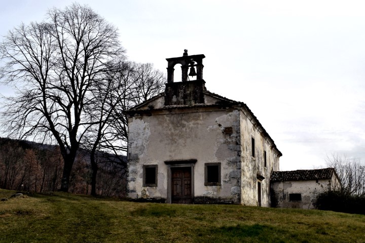
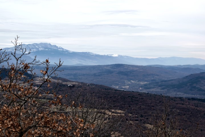
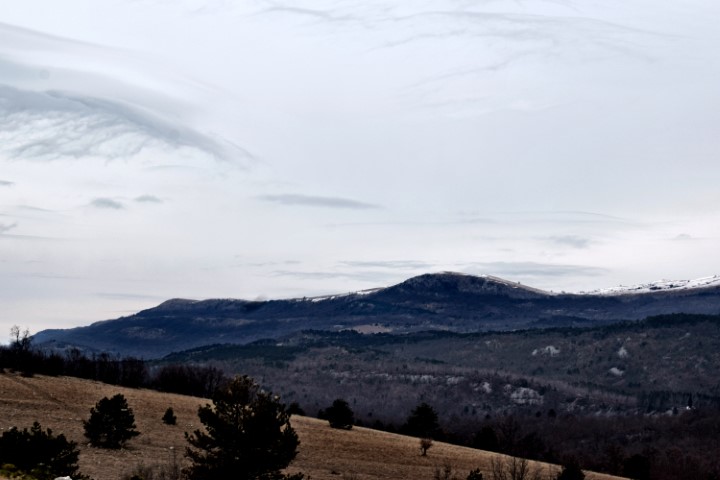
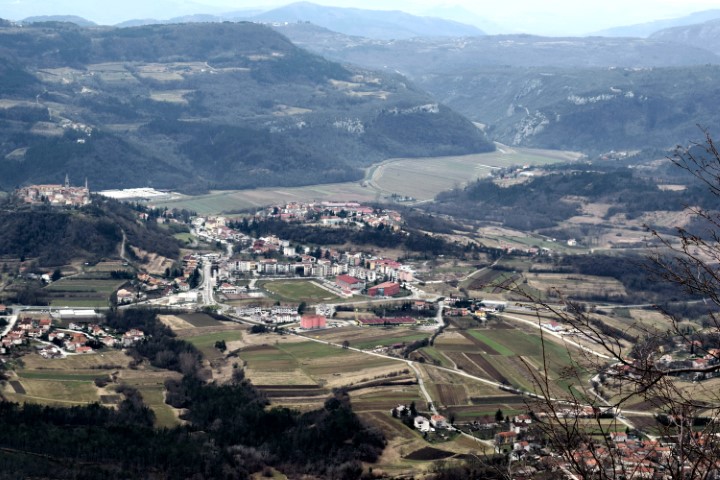
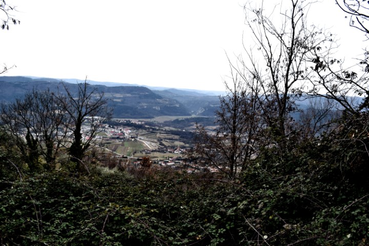
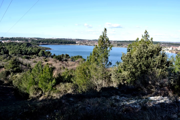
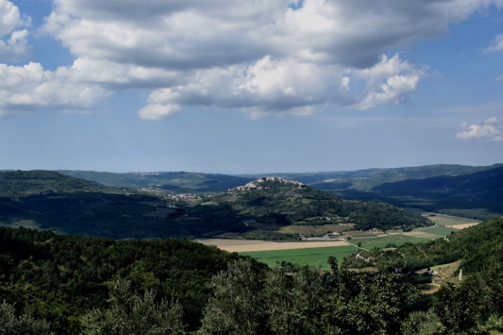
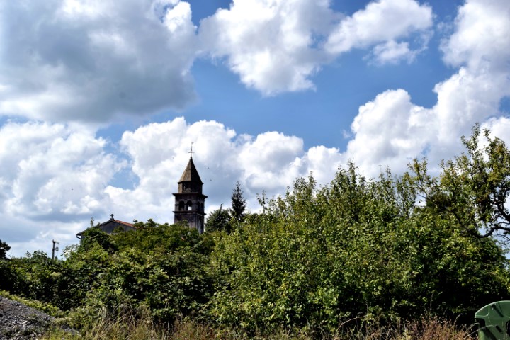
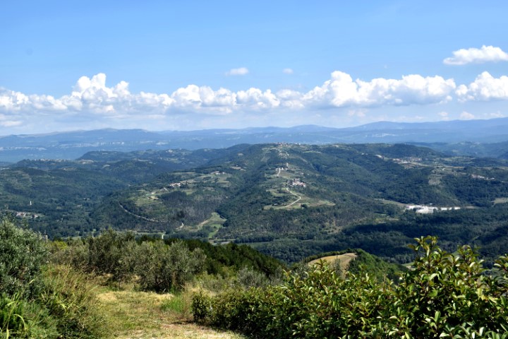
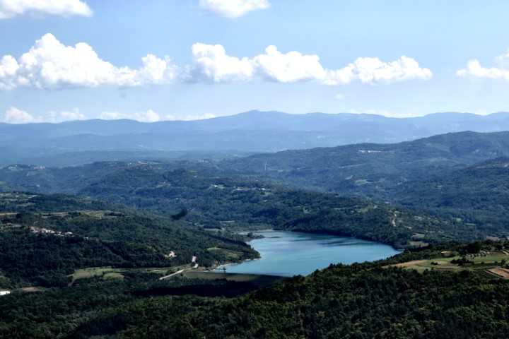
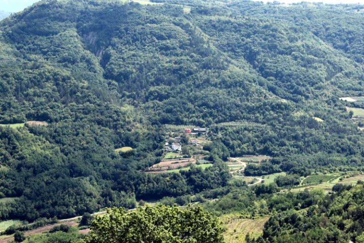
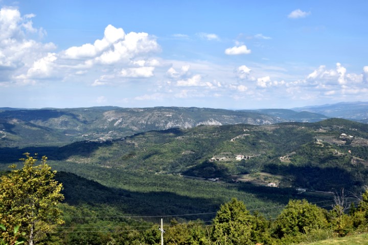
Zamask is located at an altitude of 411 meters above sea level and was inhabited in prehistoric times. In this village are two churches. The parish church St. Michael built in 1900 on the site of a chapel from 1178. The bell tower is from 1821. The other church was built in the XII century and named after St. Martina.
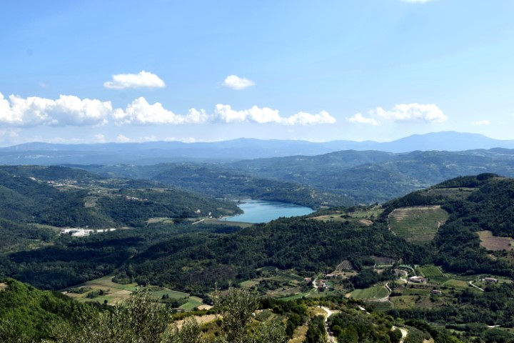
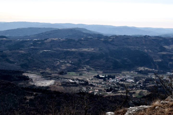
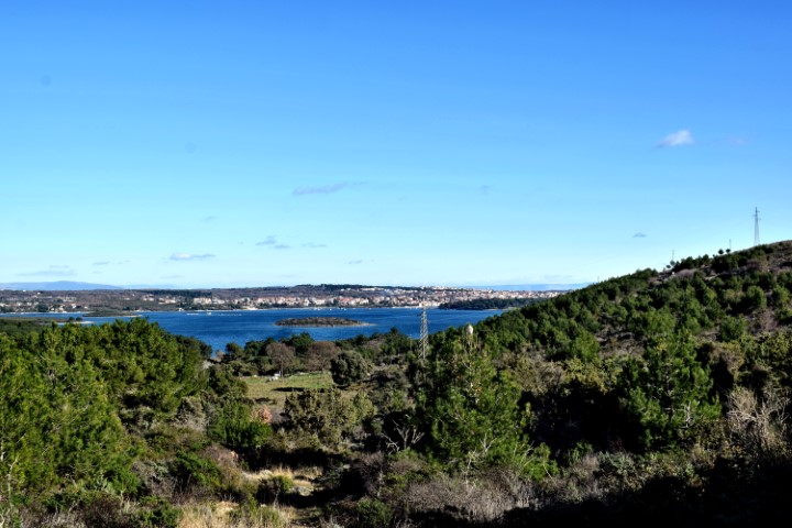
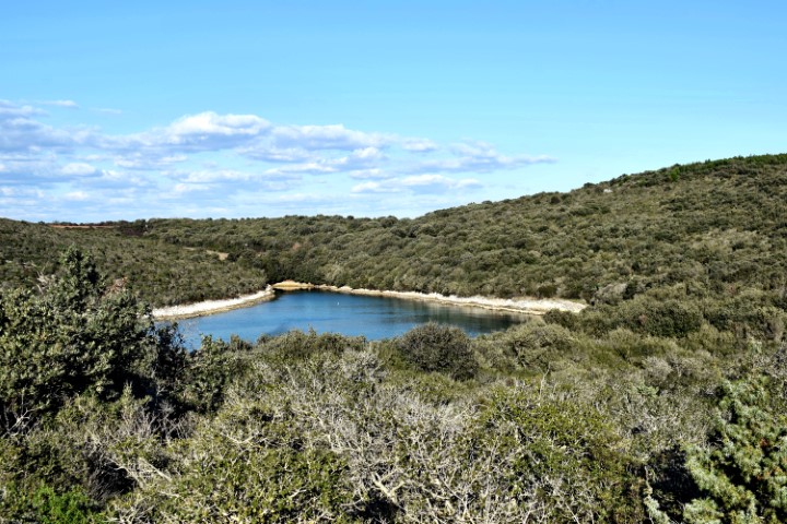
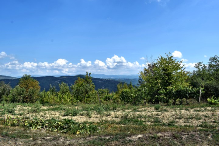
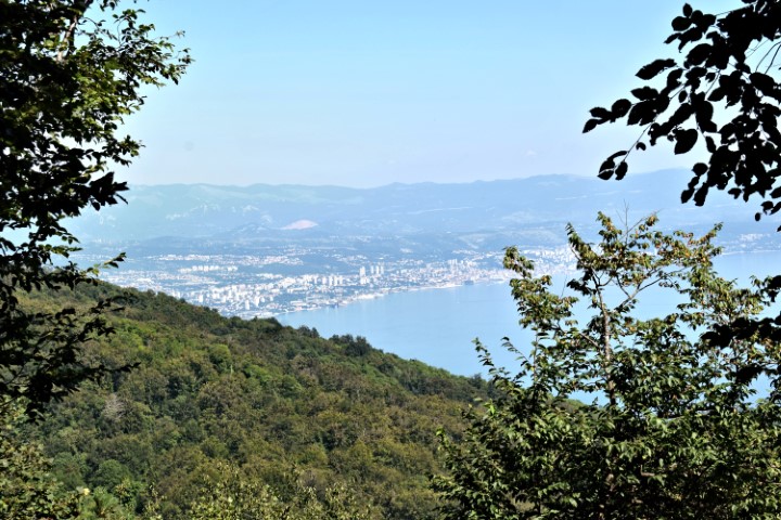
Name: Zamask – Views Butoniga lake and the tops of Central Istria.
Place: Zamask – (Pazin).
Coordinates: 45.32690 N – 13.87994 E.
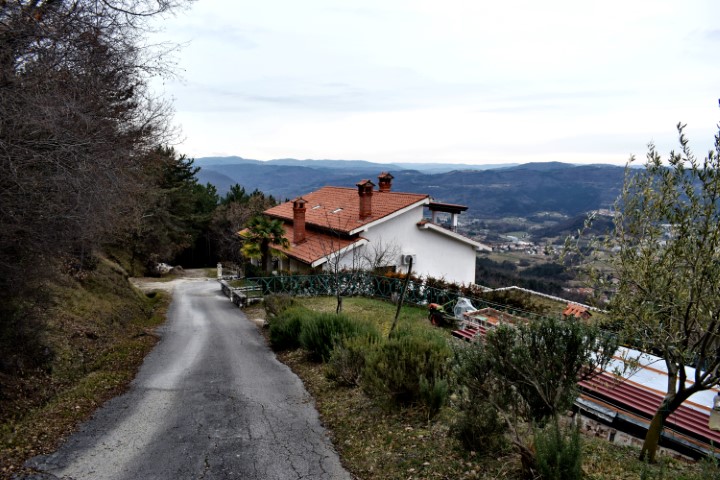
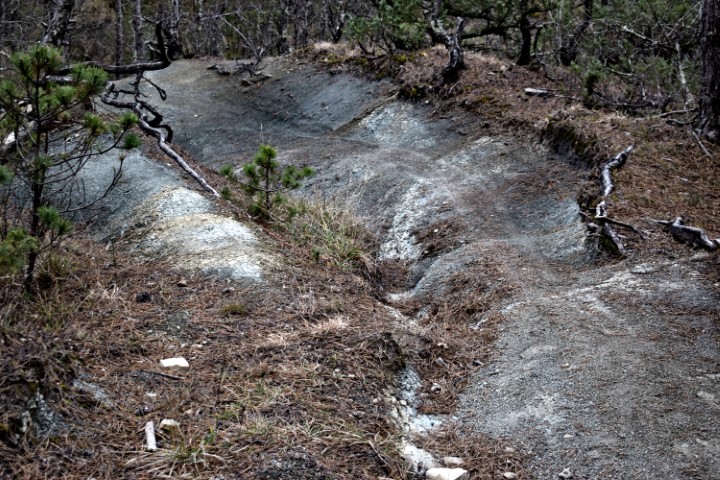
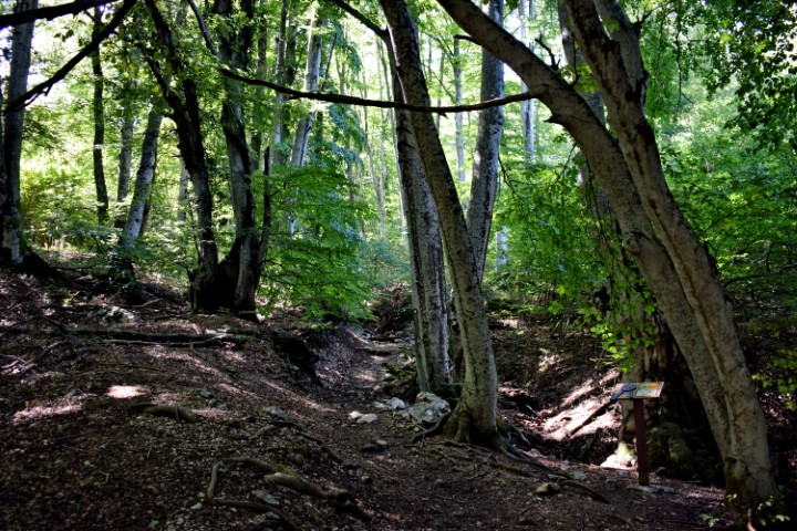
Name: Hiking trail from Poklon (Učka) to Ranch Bubach.
Place: Naturepark Učka.
Coordinates; Poklon 45.30790 N-14.21589 E, Ranch Bubach 45.29780 N – 14.22377 E.
 P
P