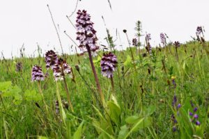
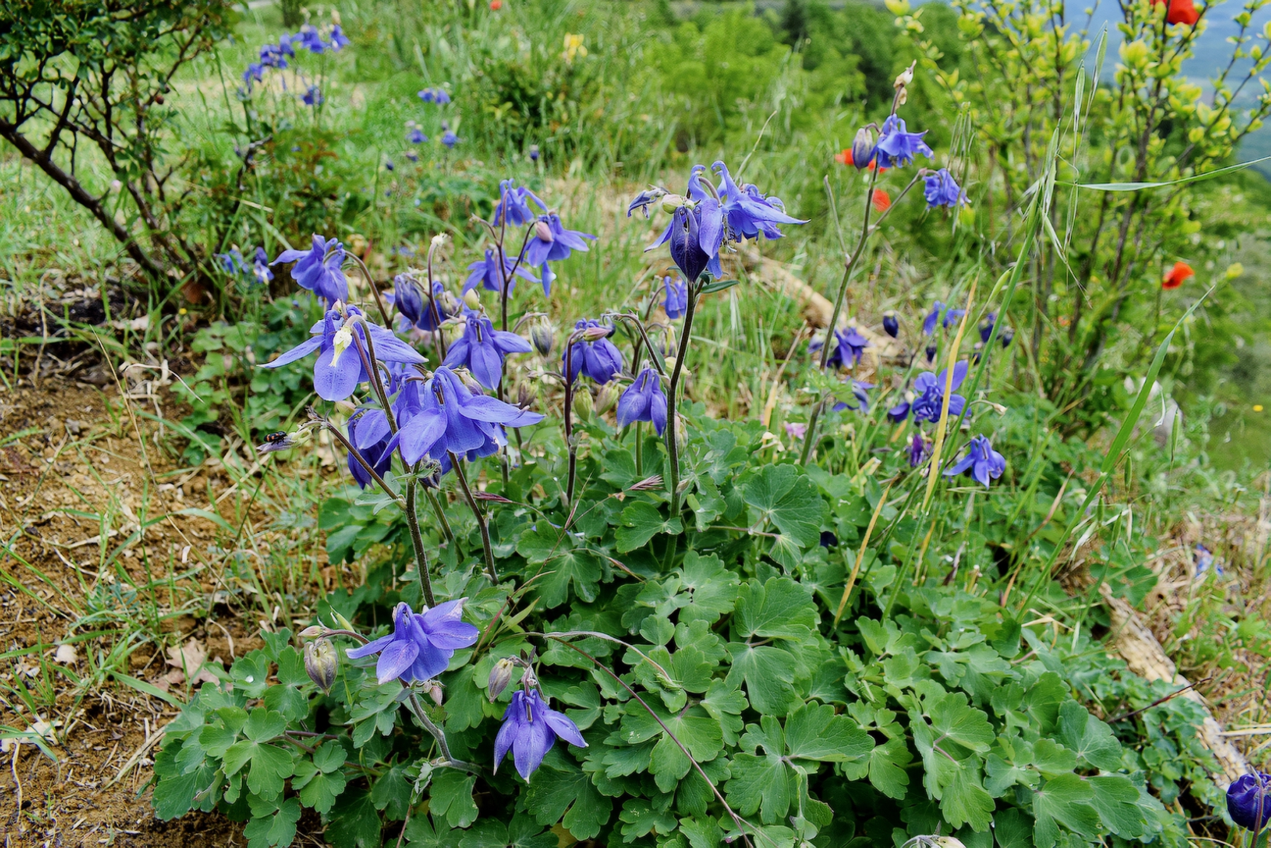
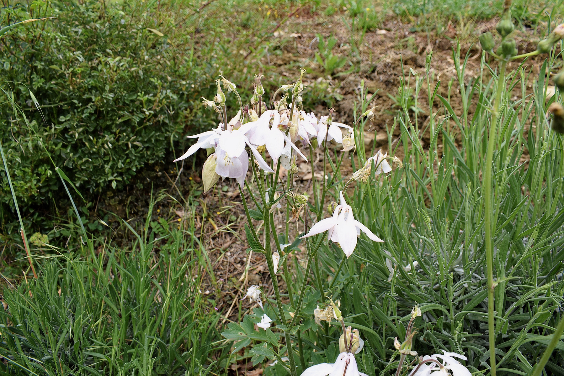
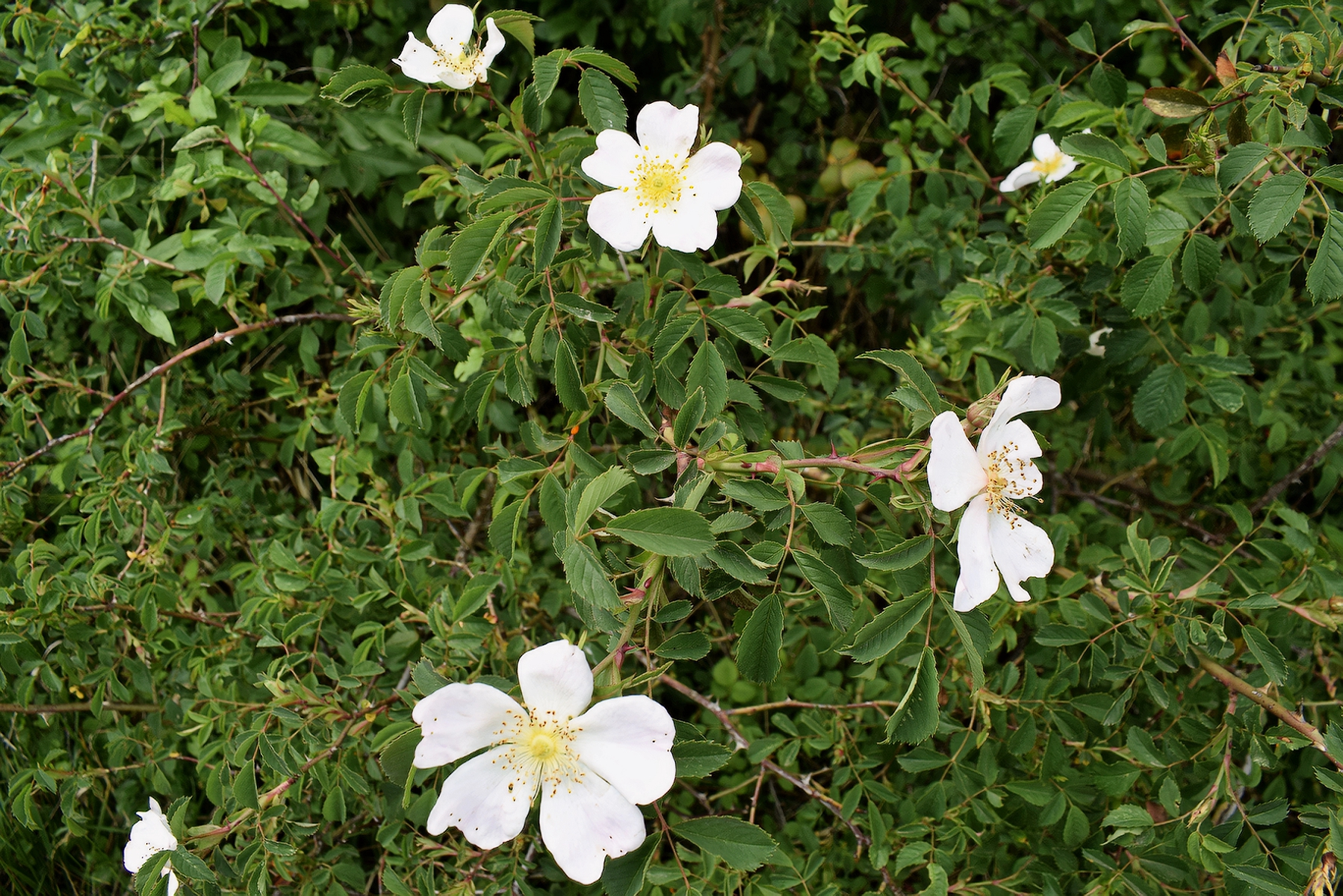
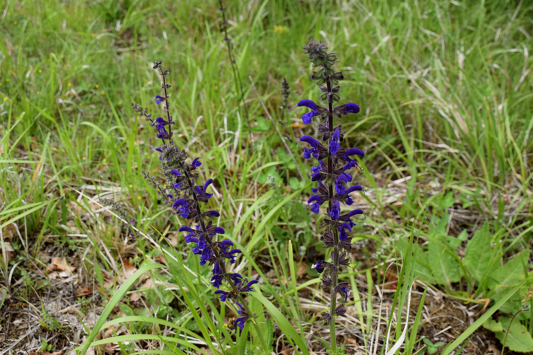
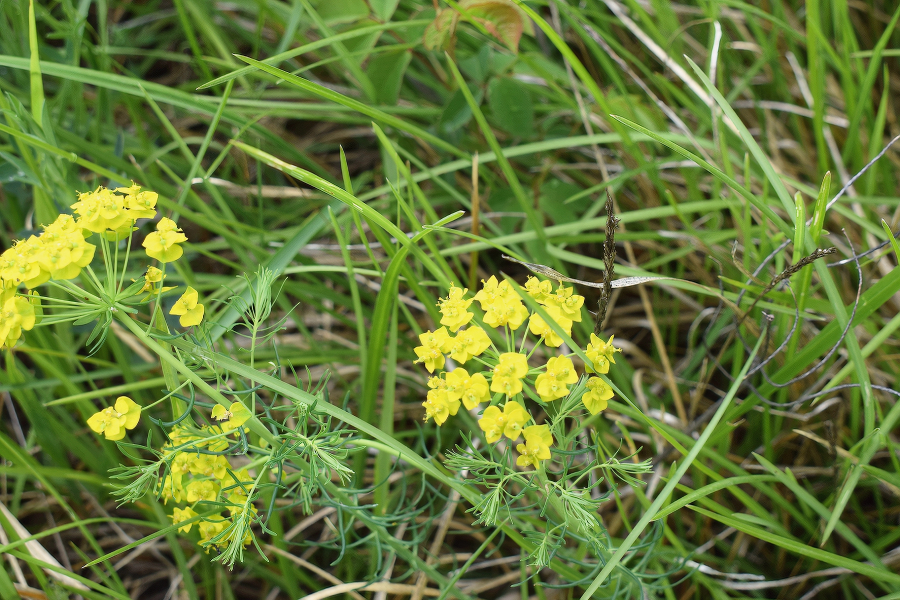
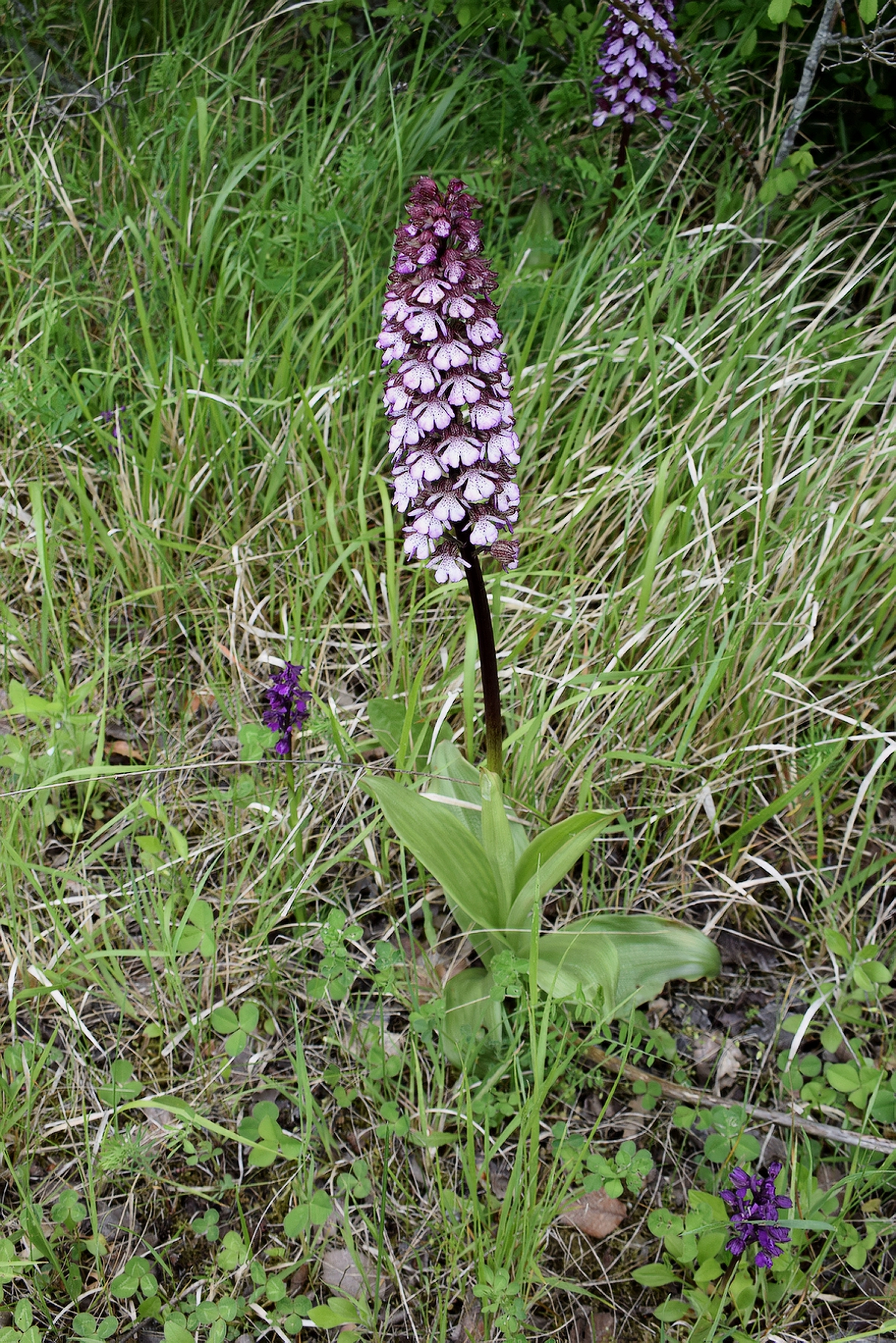
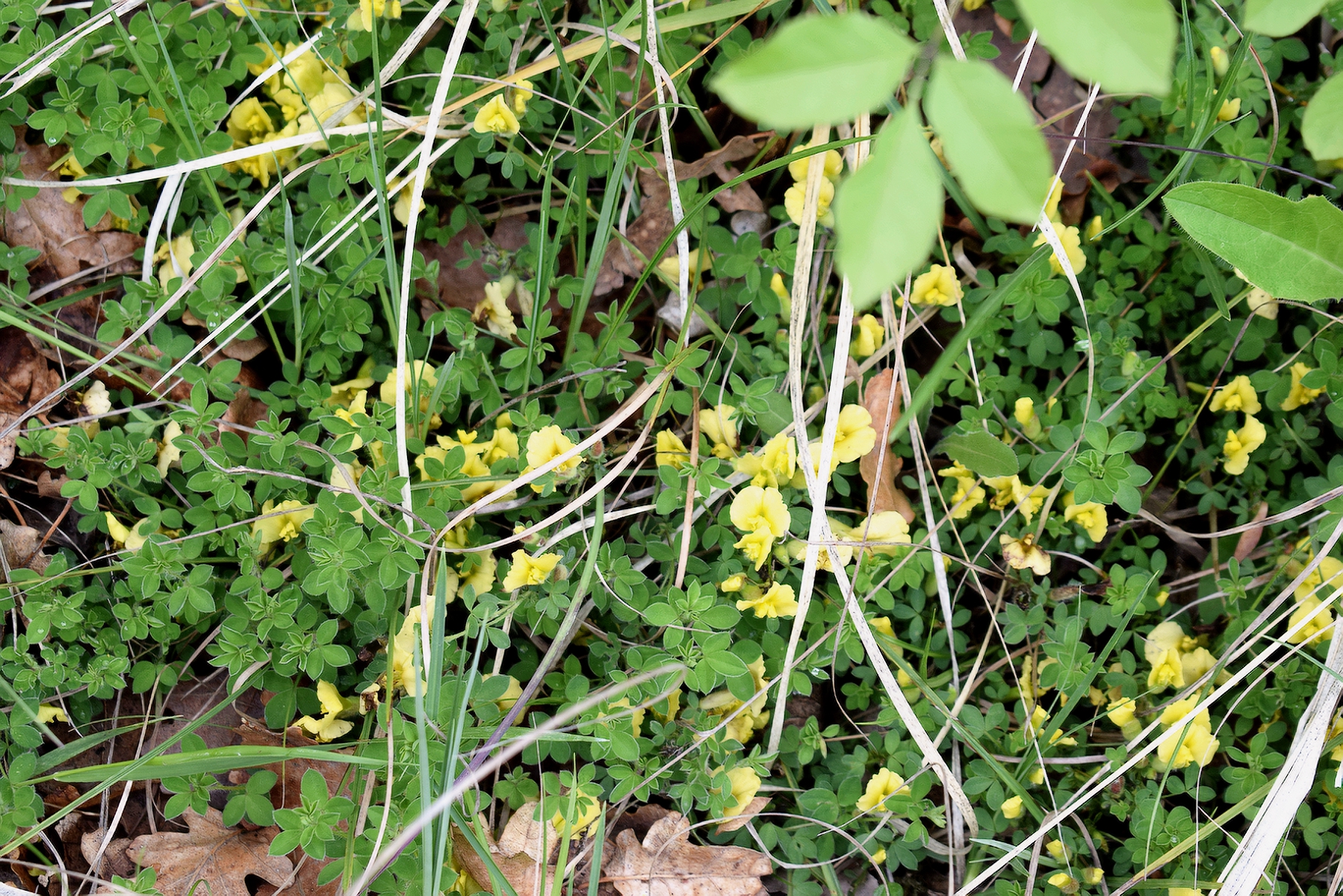
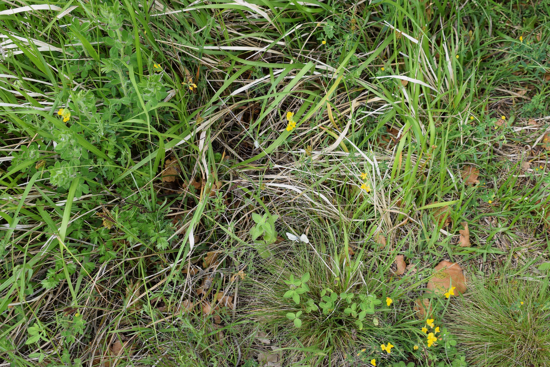
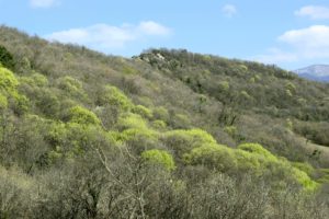
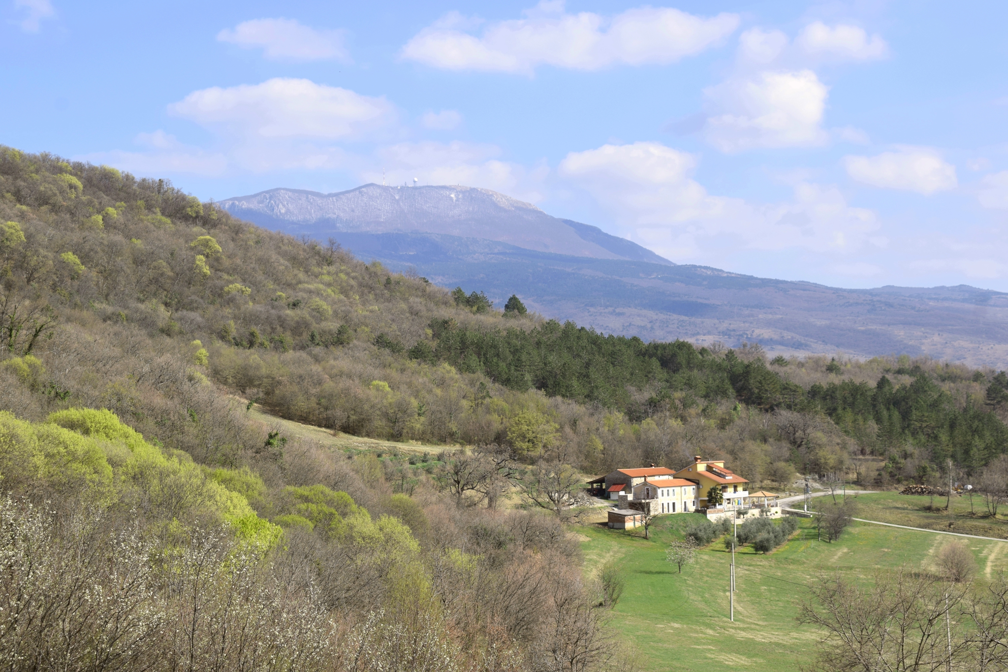
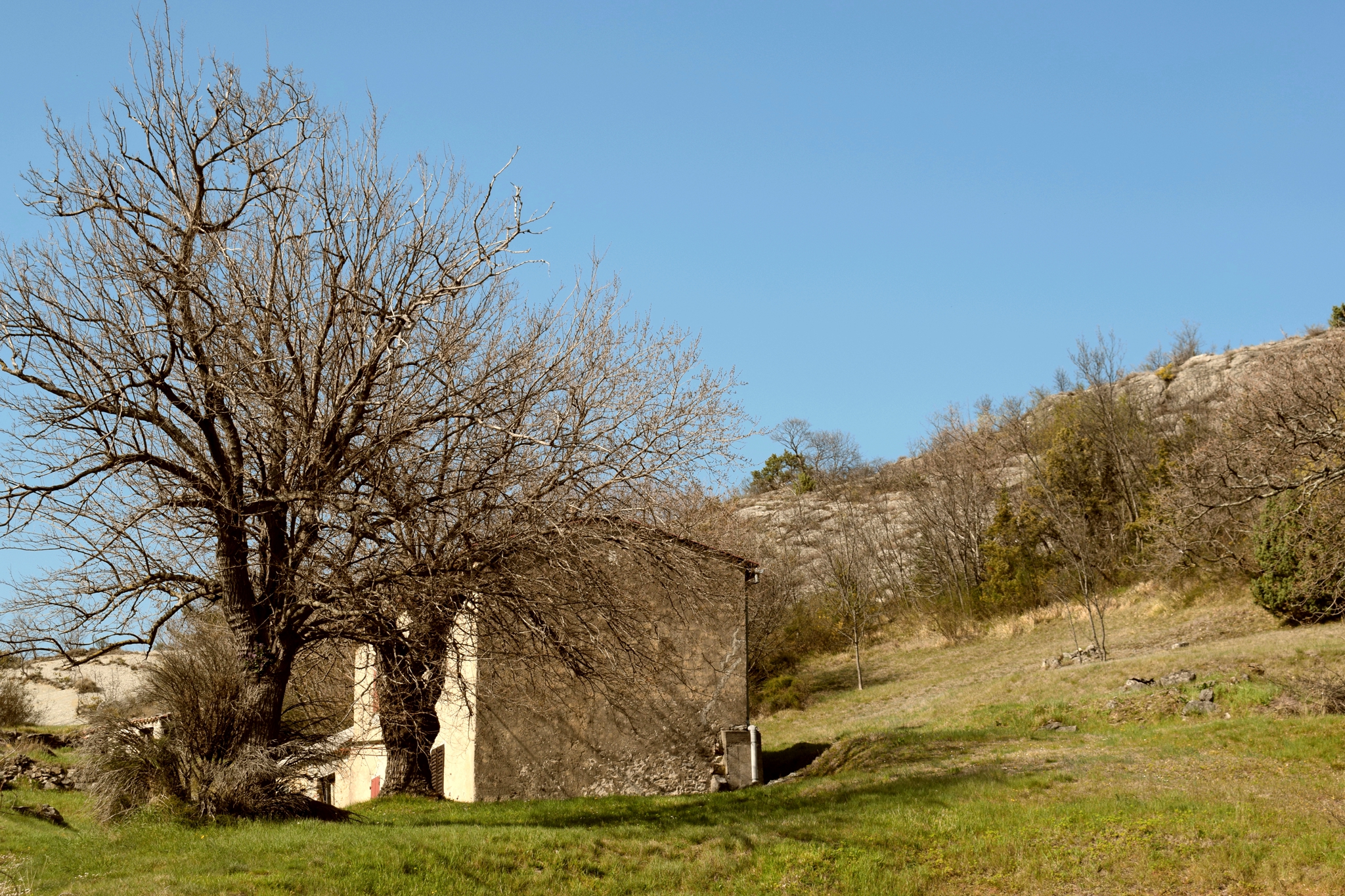
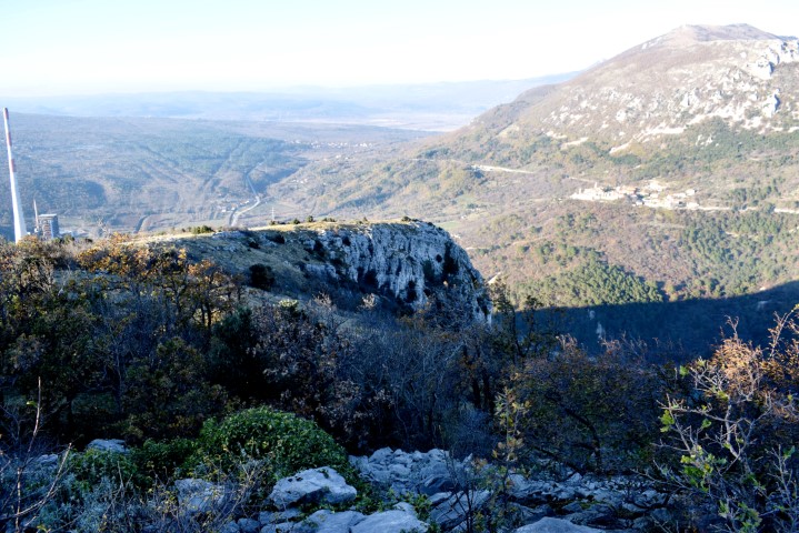
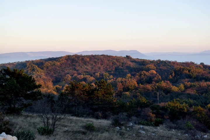
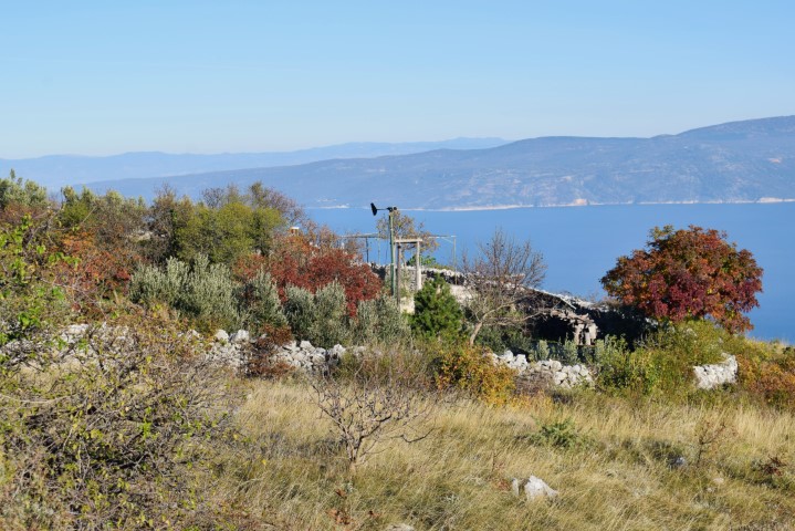
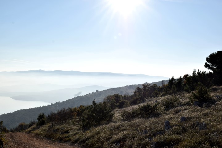
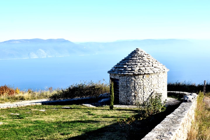
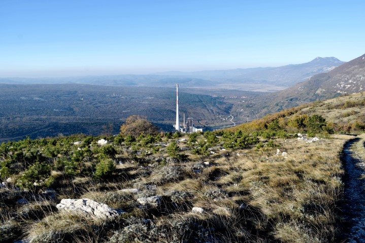
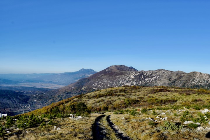
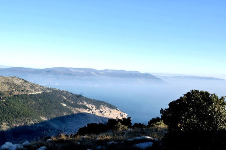
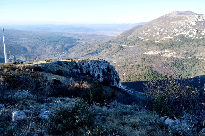
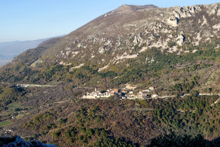
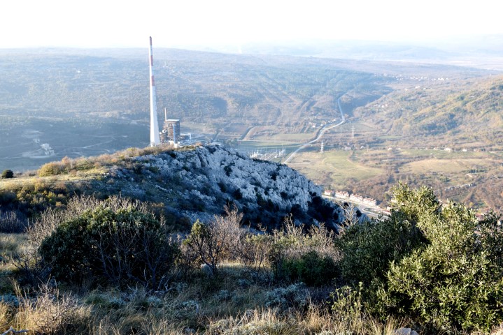
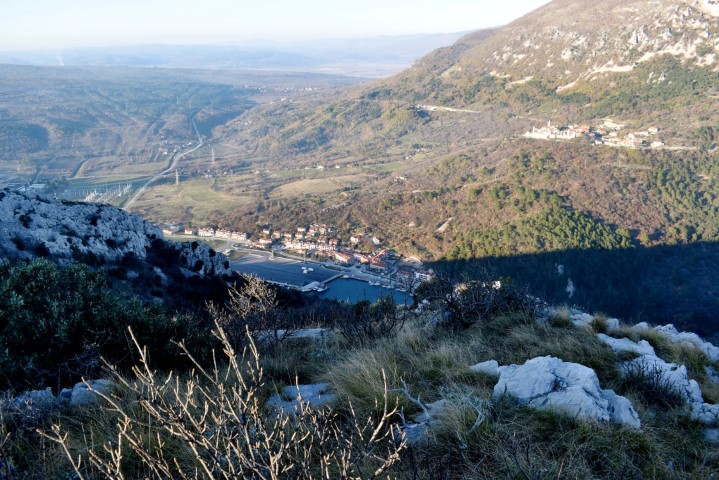
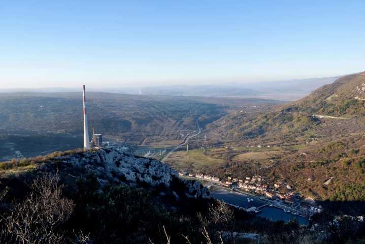
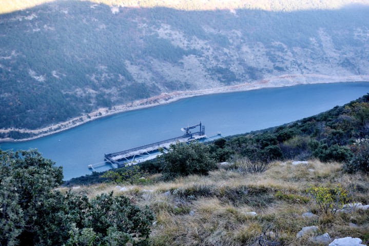
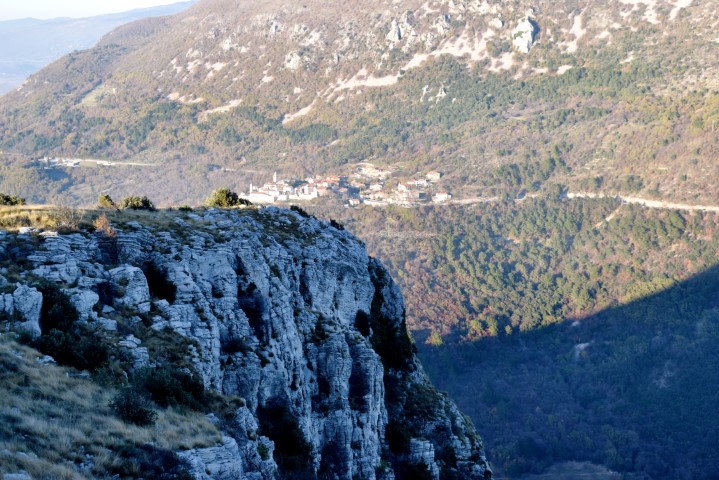
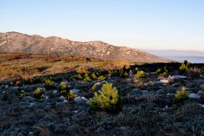
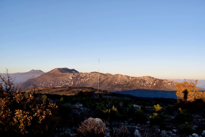
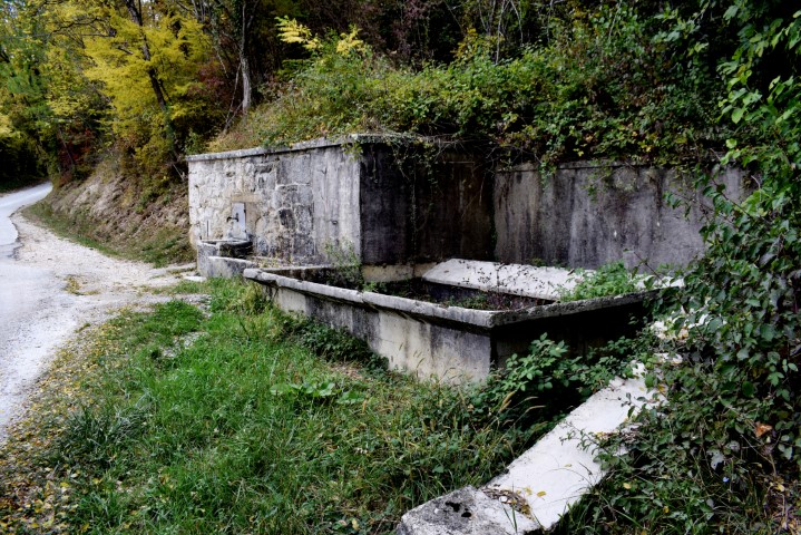
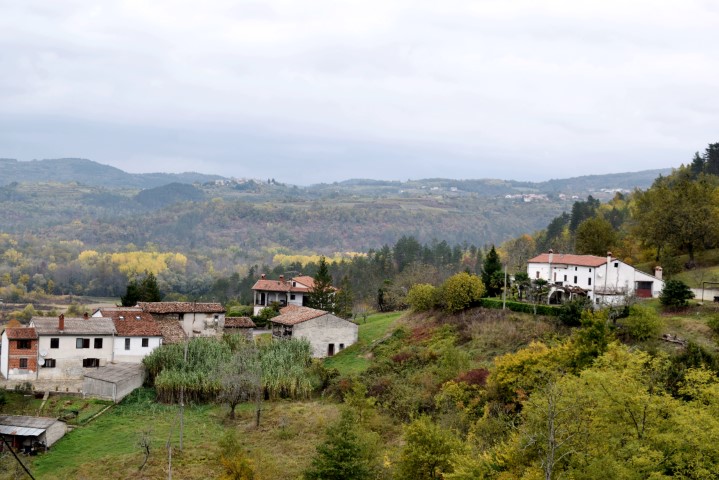
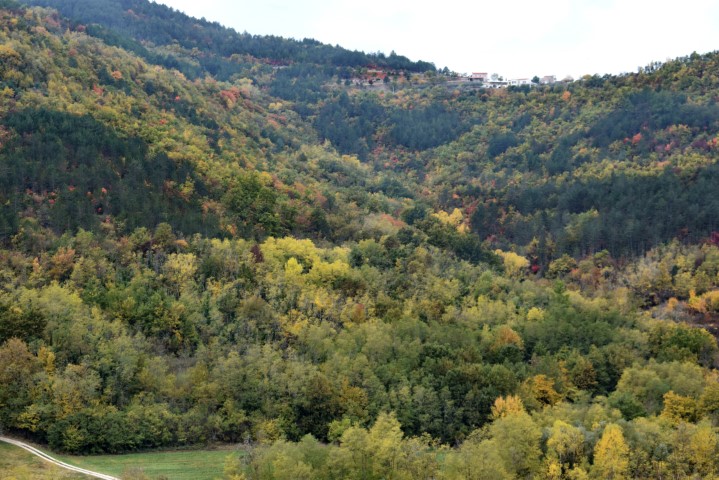
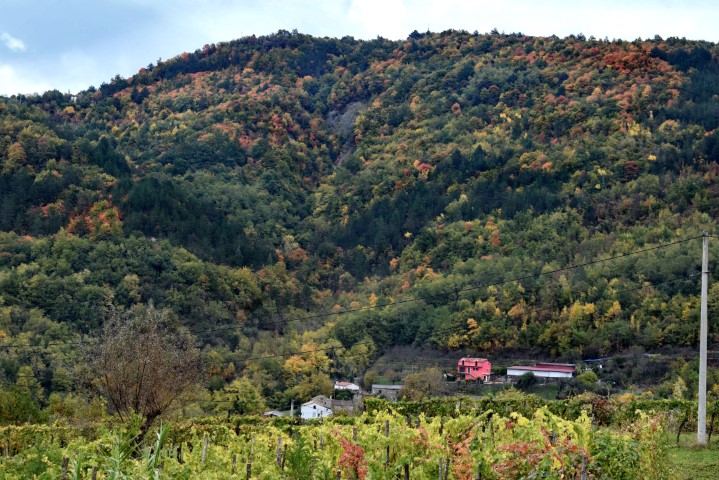
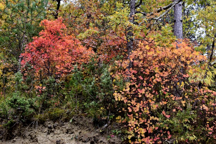
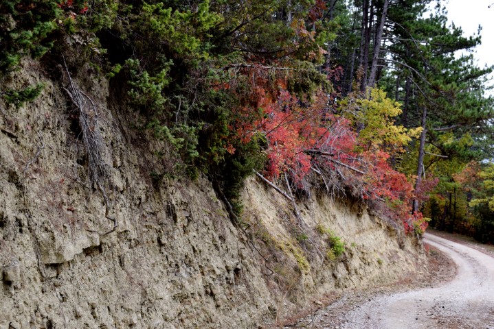
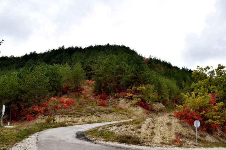
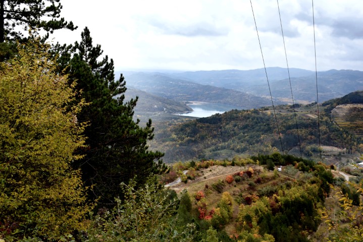
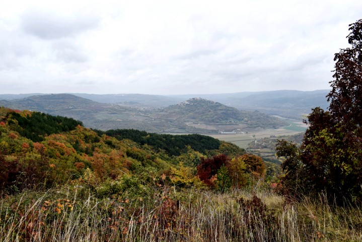
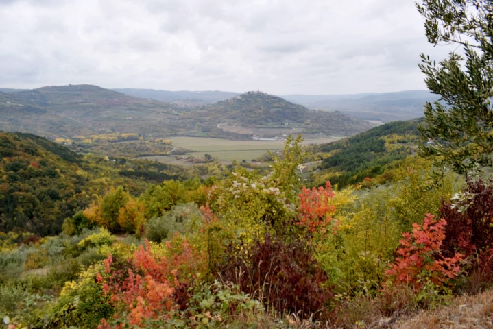
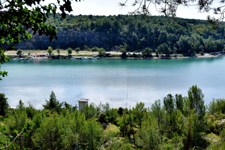
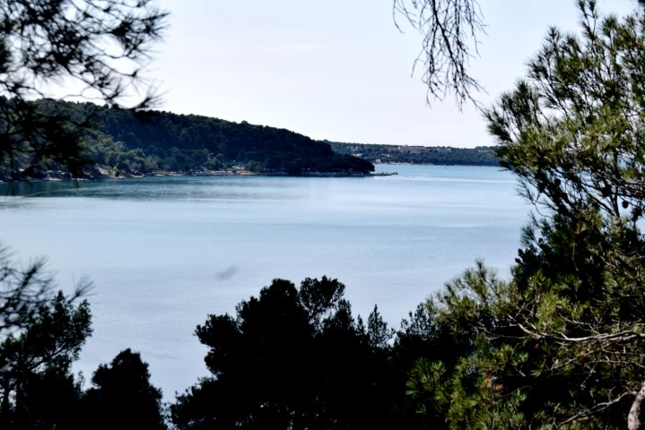
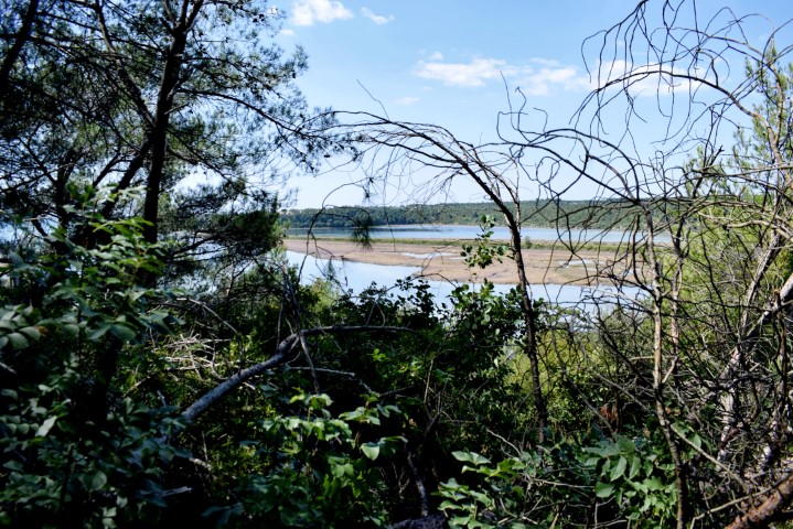
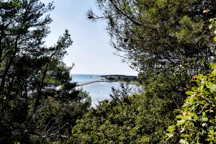
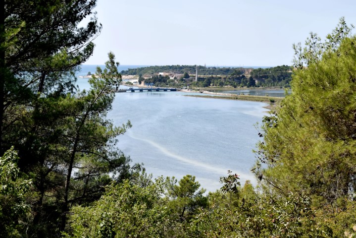
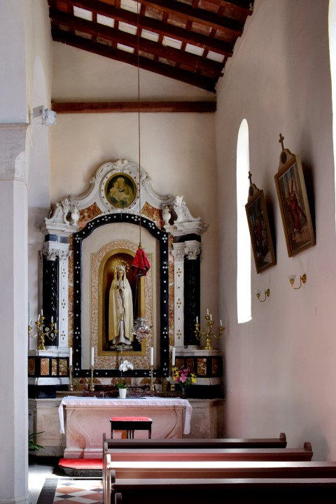
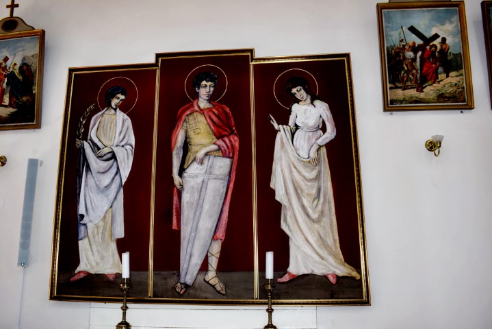
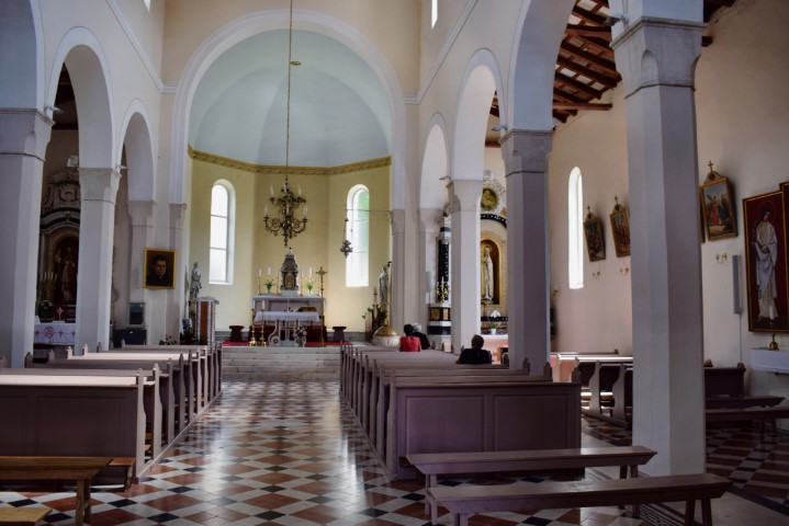
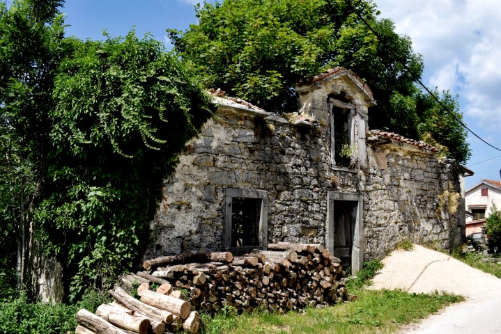
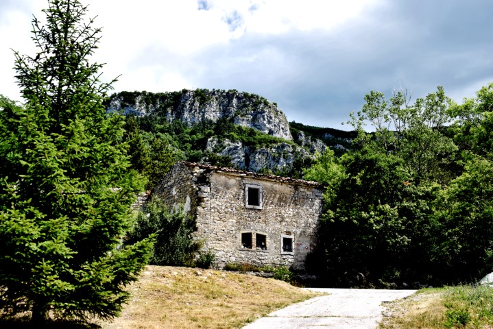
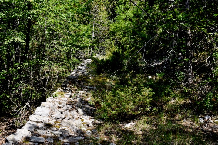
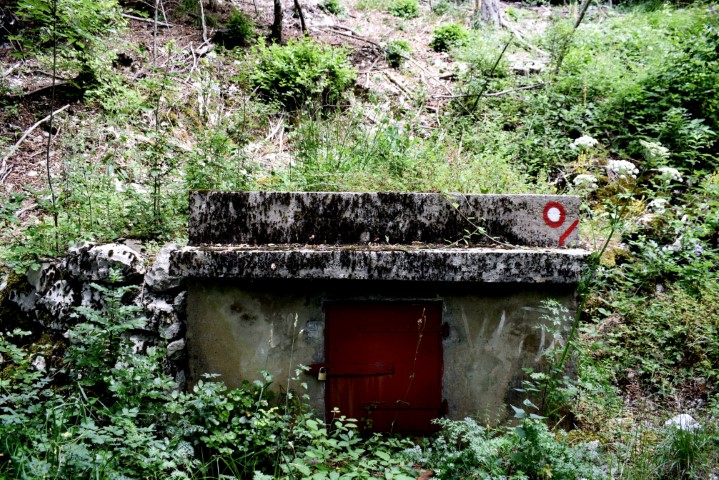
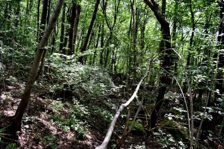
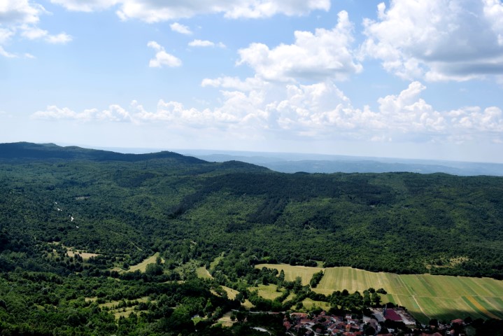
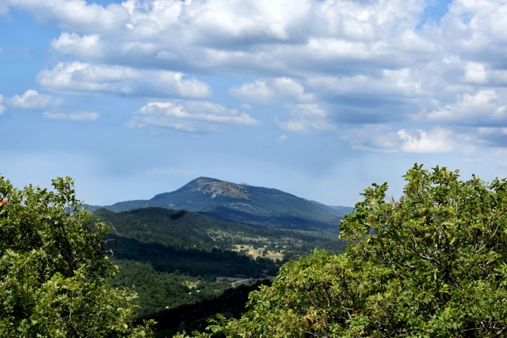
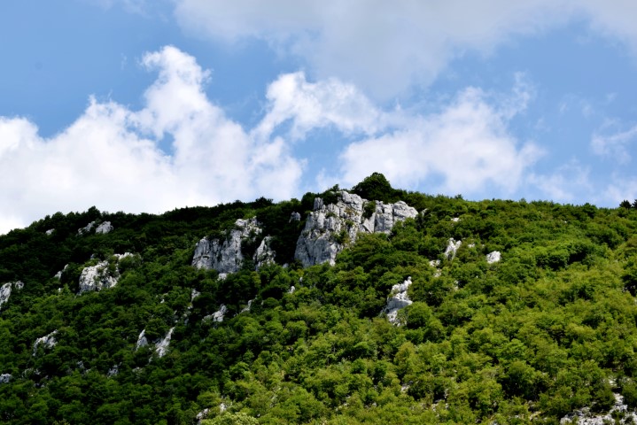
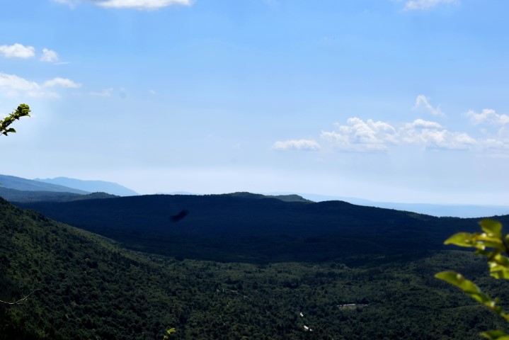
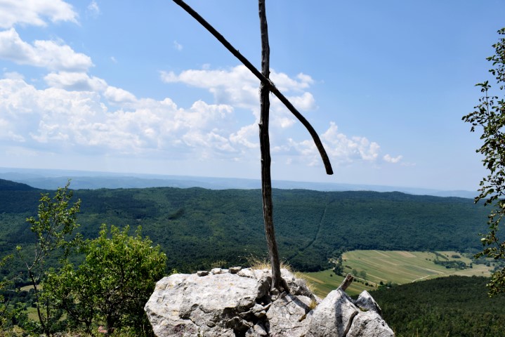
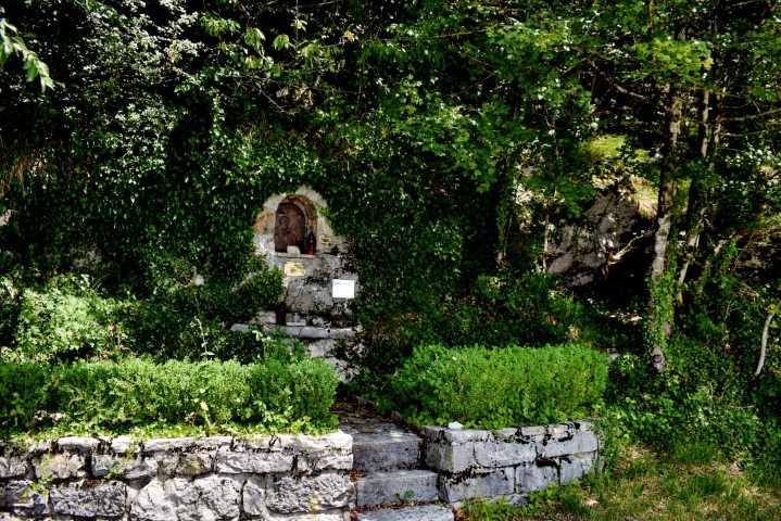
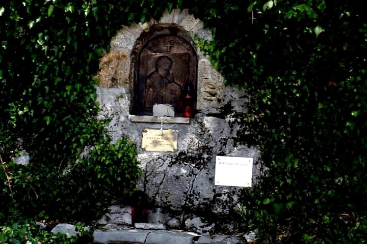
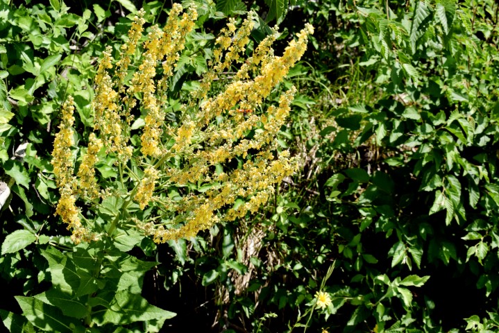
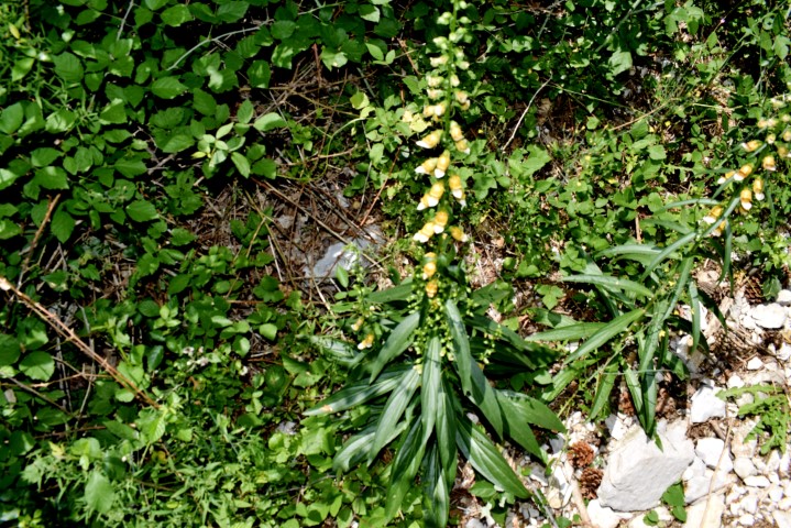
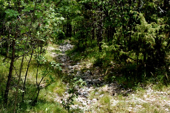
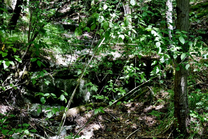
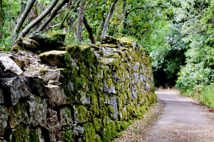
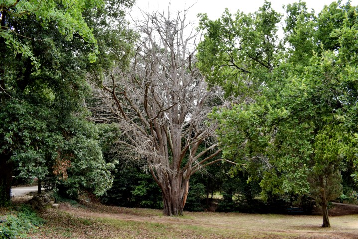
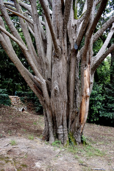
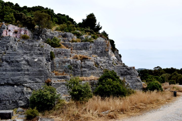
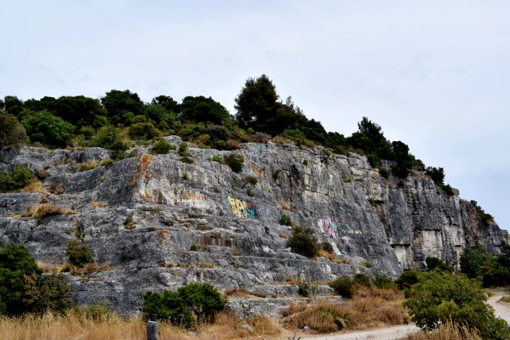
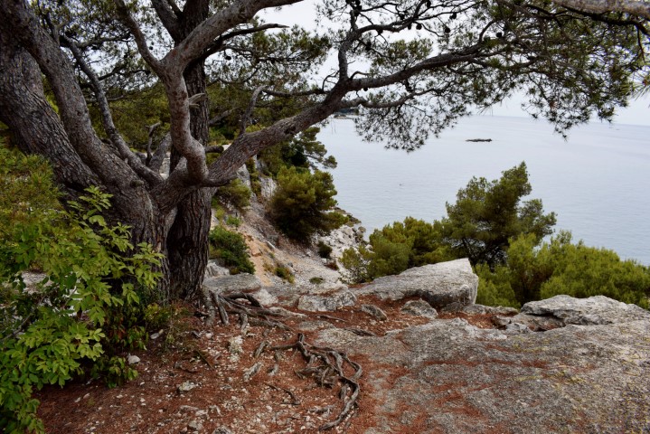
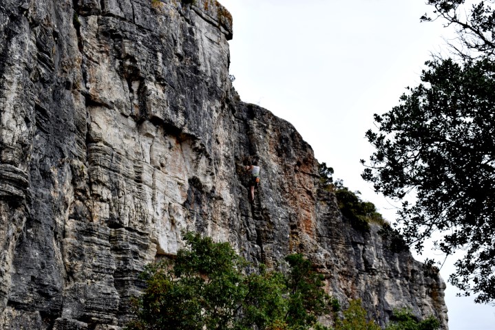
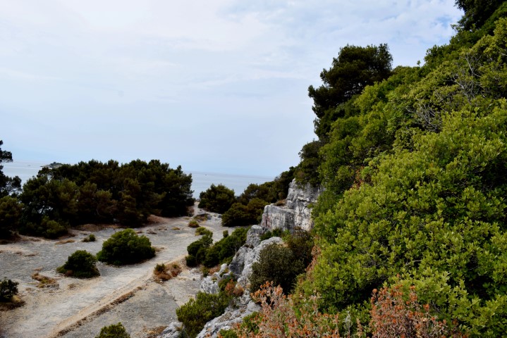
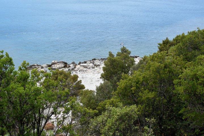
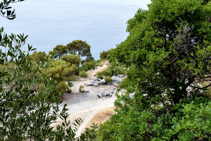
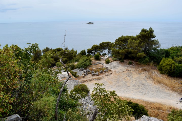
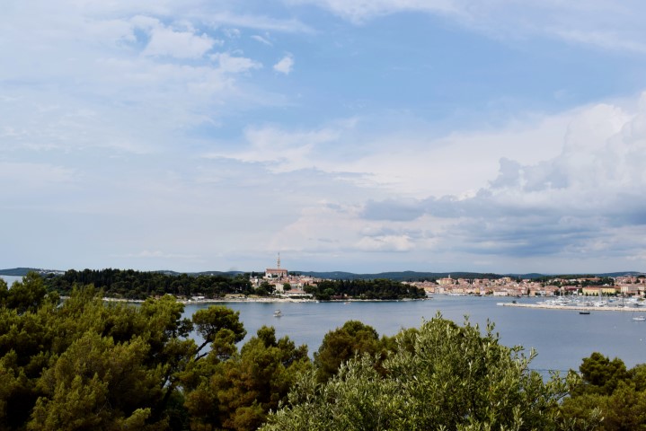
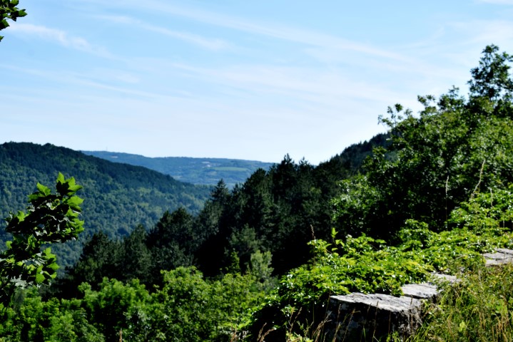
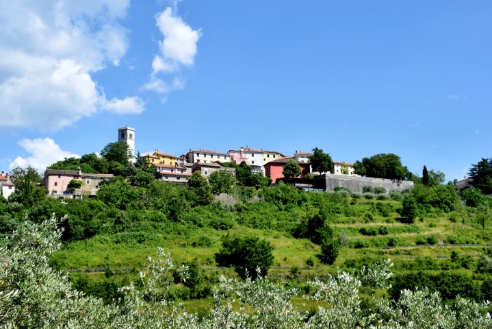
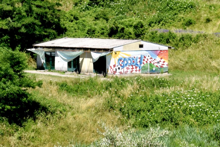
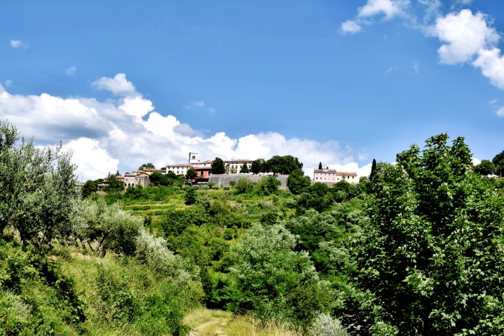
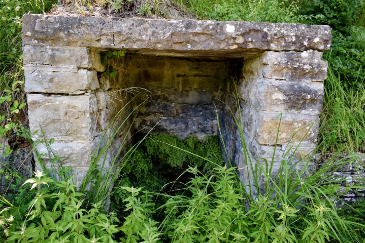
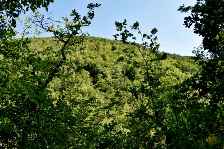
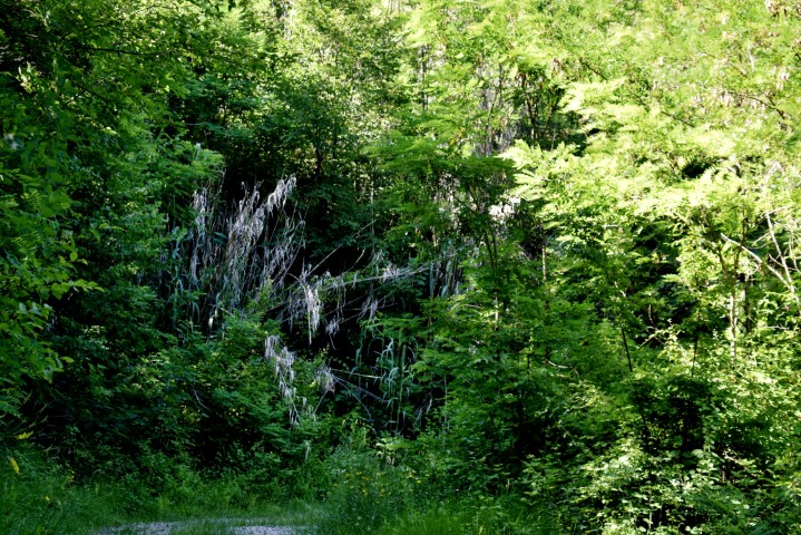
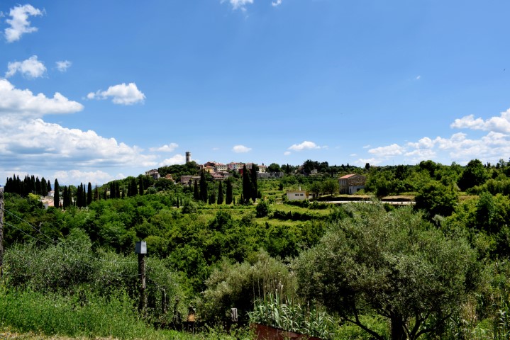
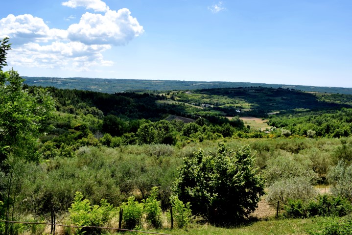
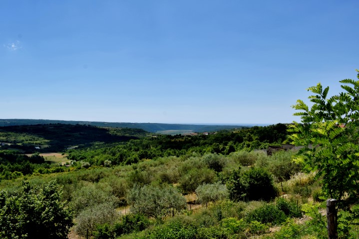
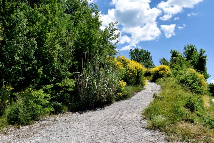
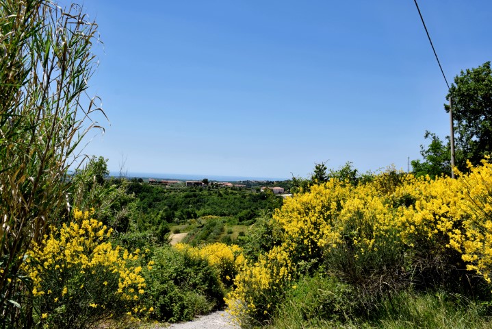
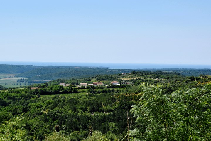
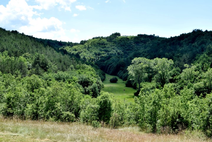
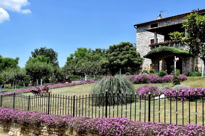
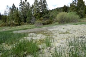
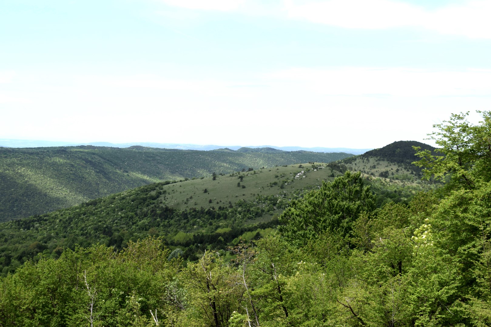
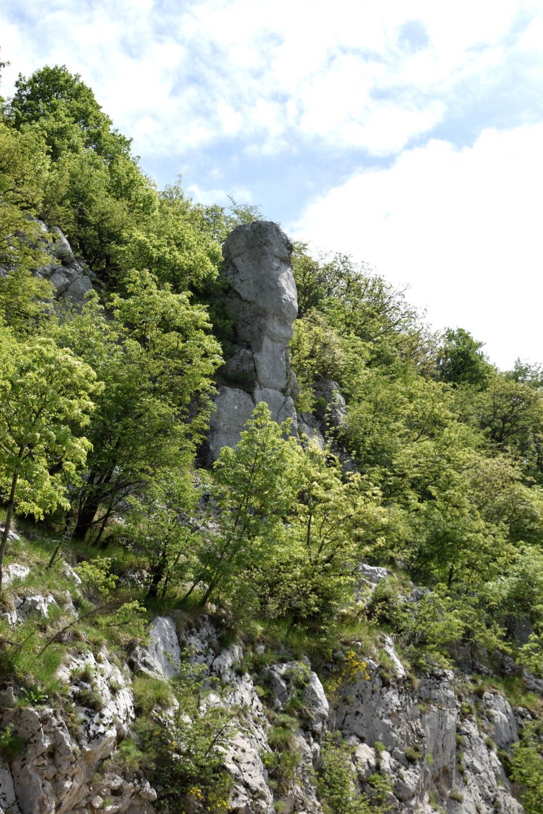
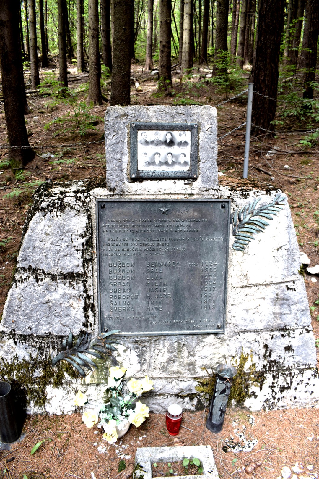
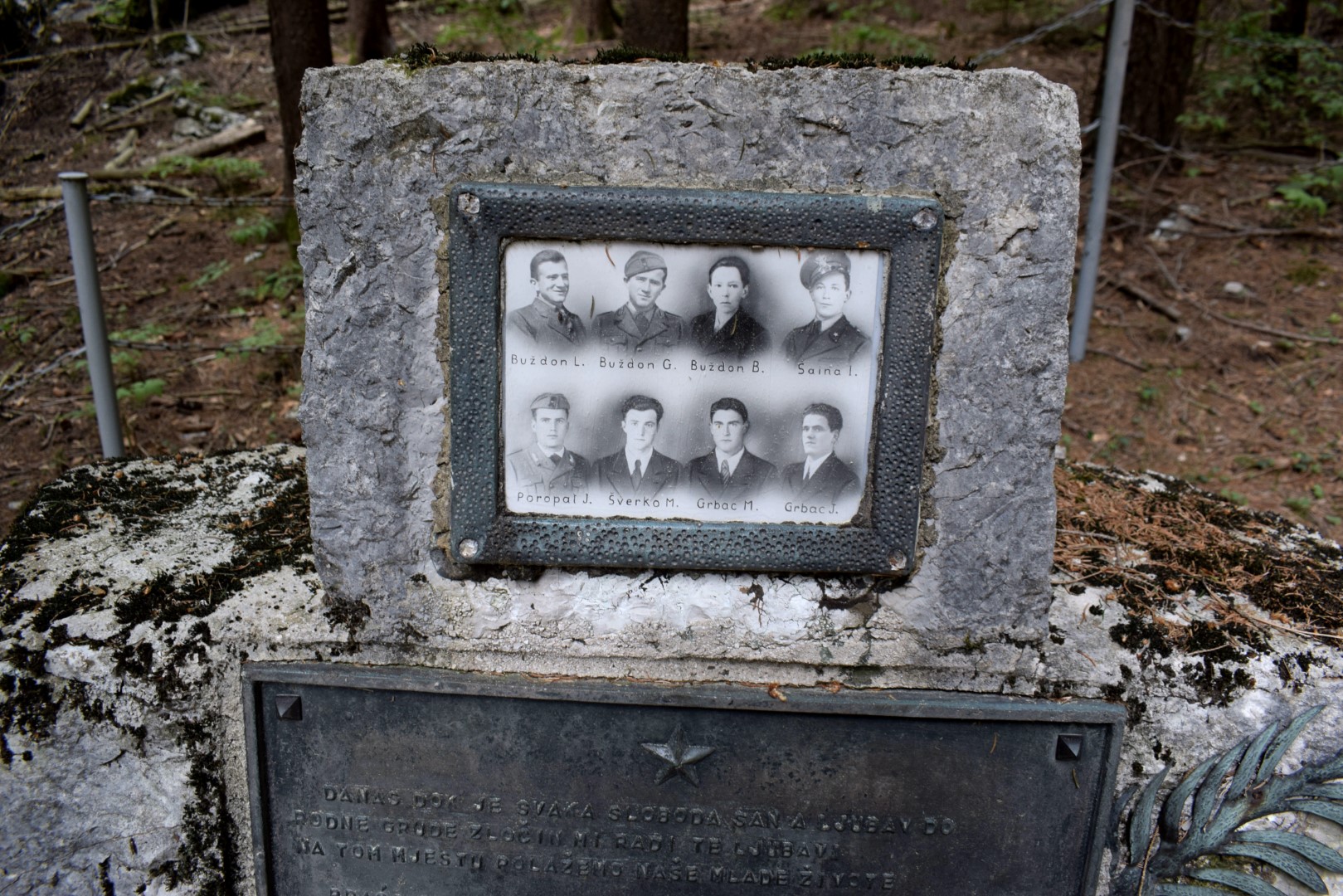
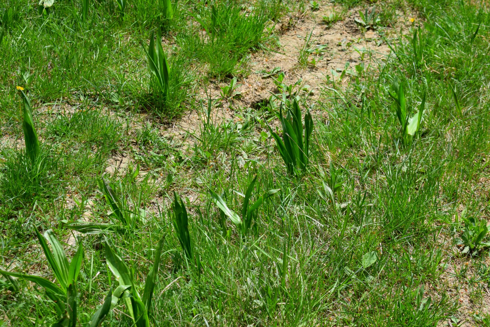
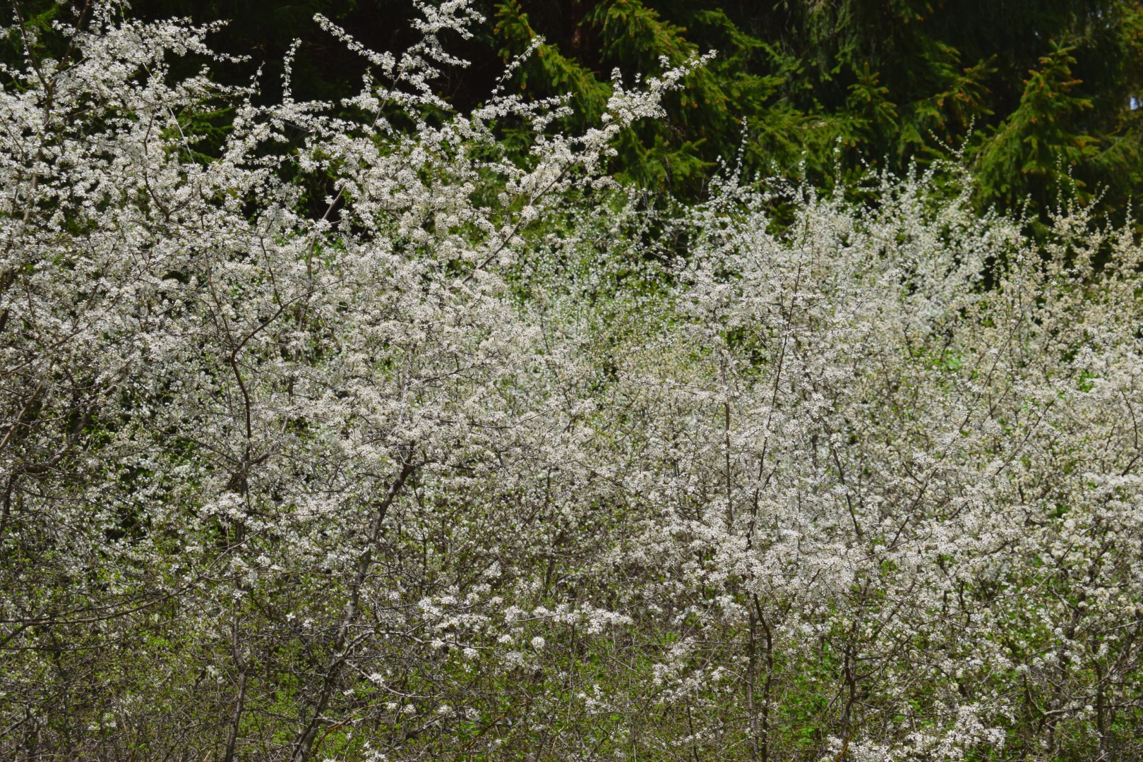
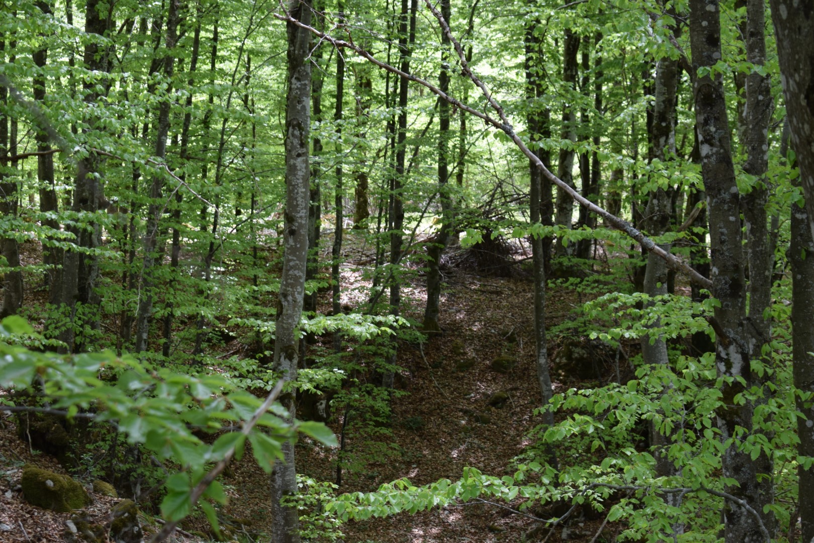
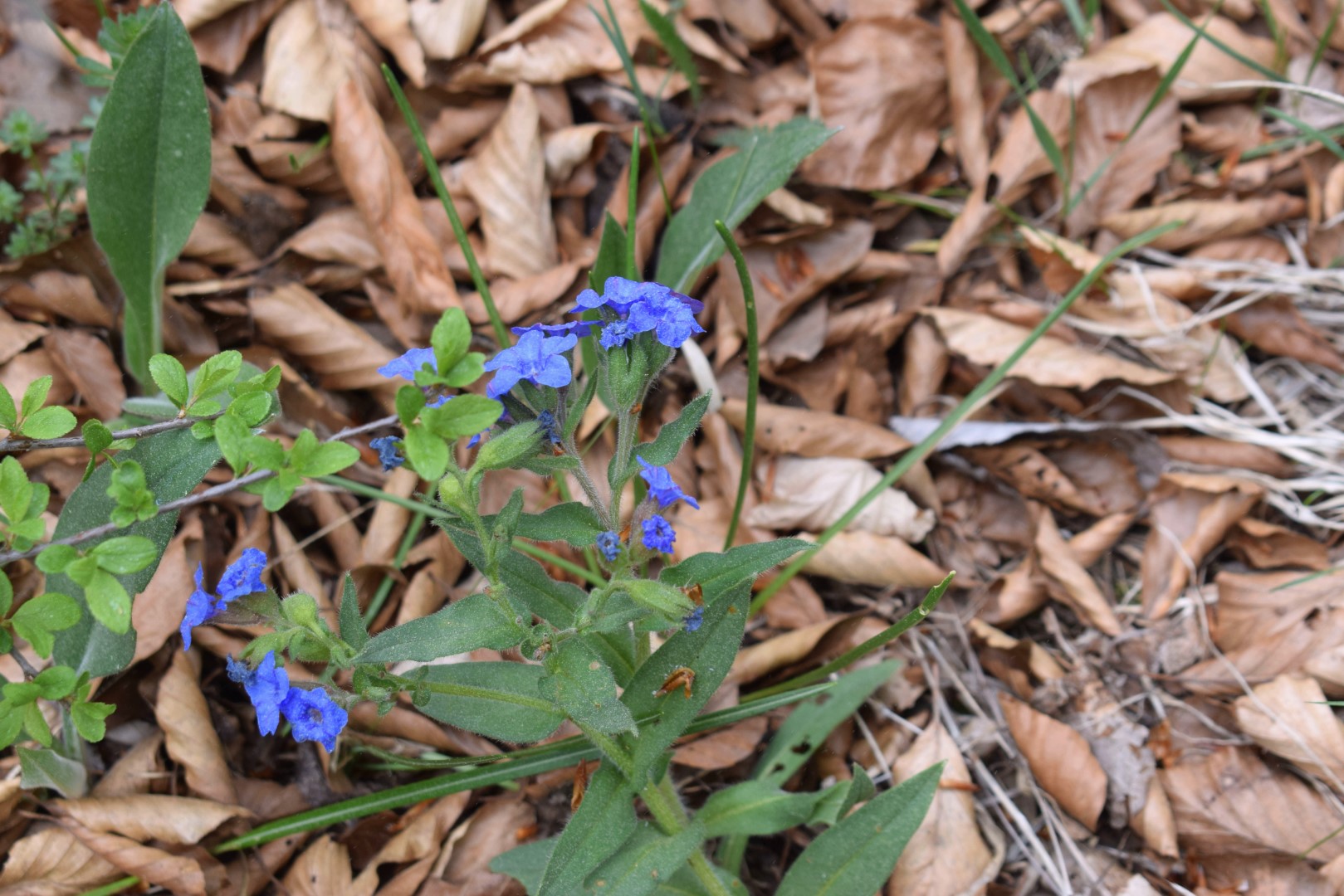
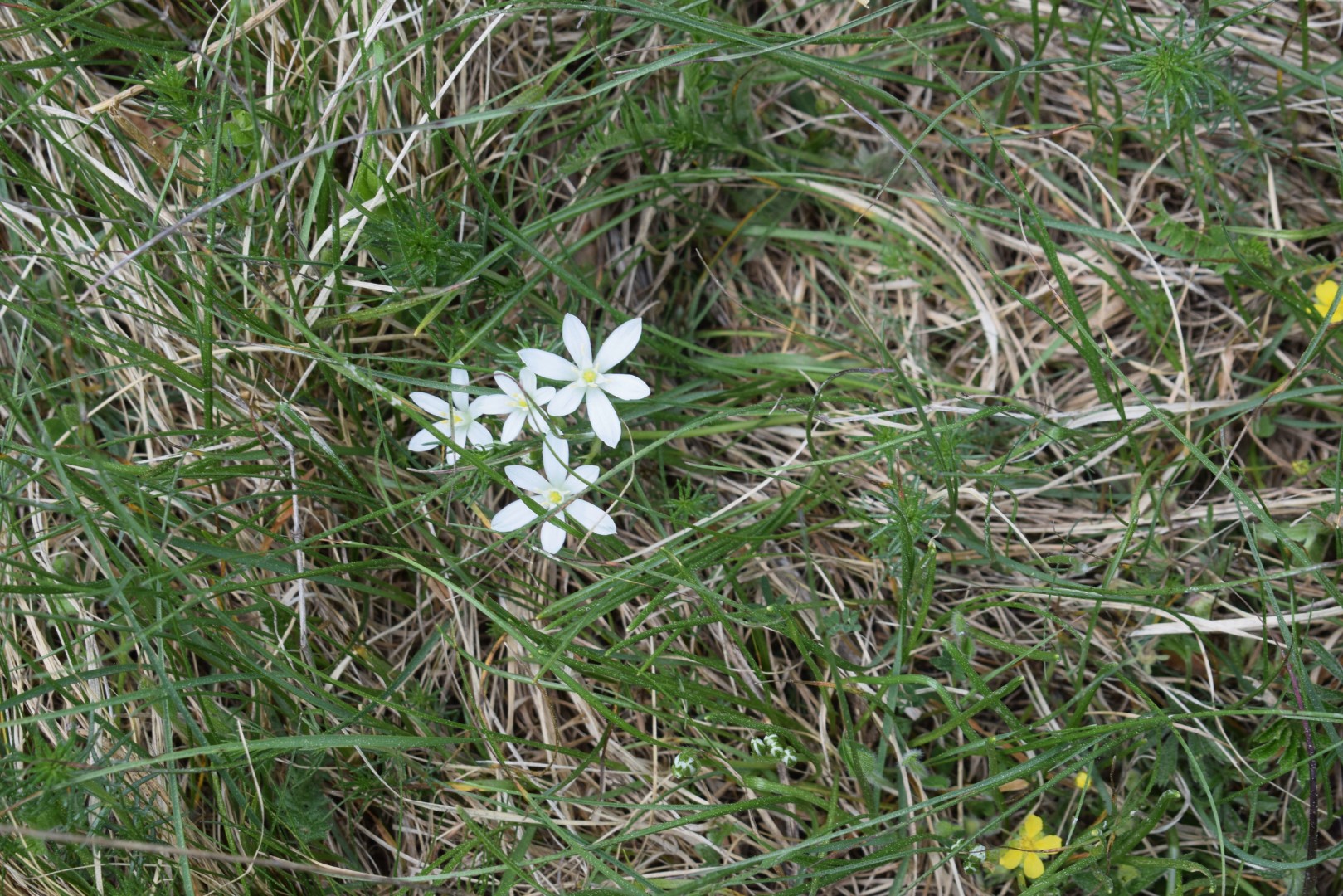
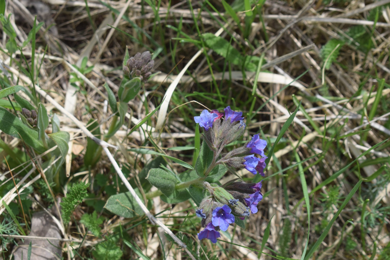
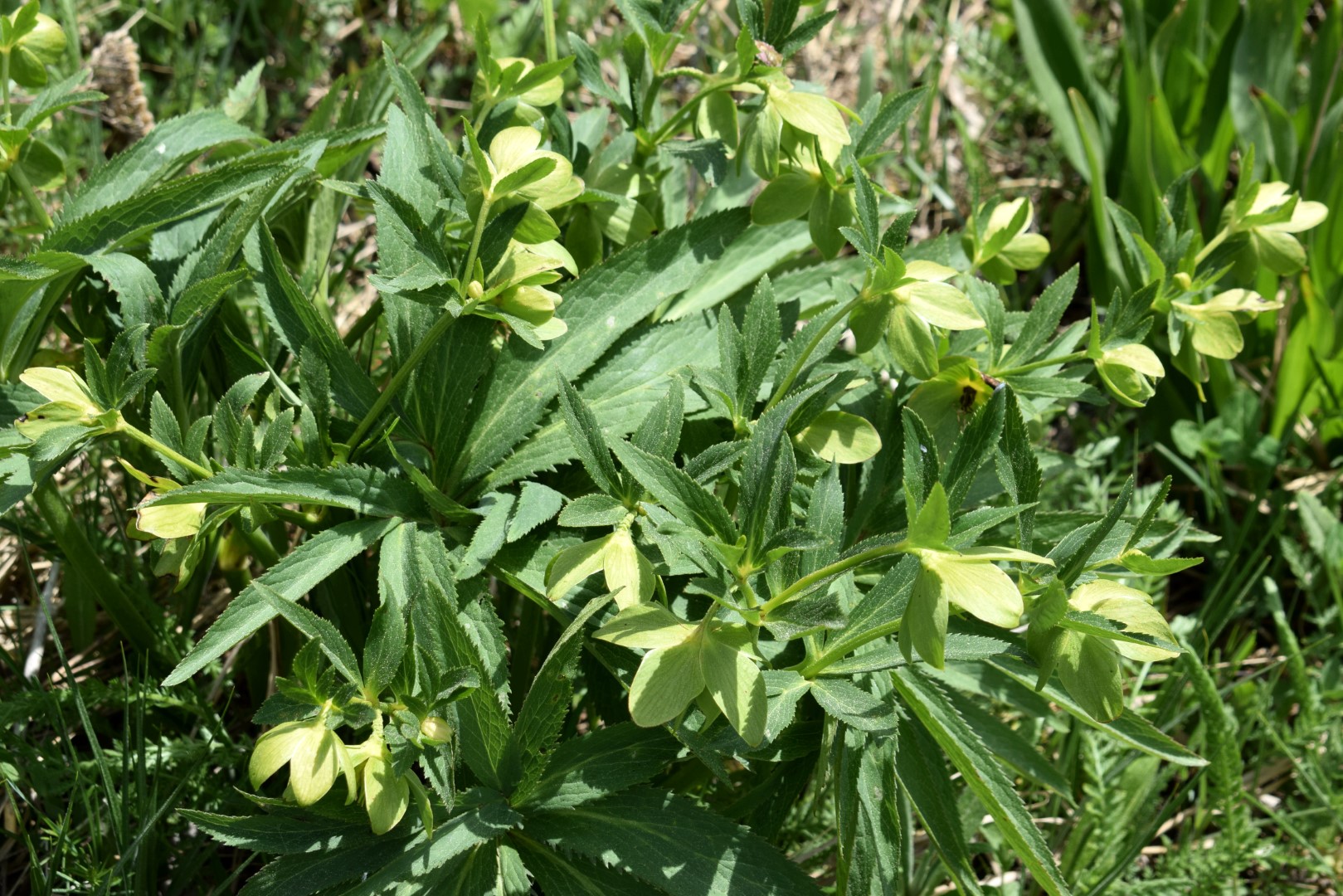
Views on the village Lanišće, Lokve and a Podlomske Zrtve.


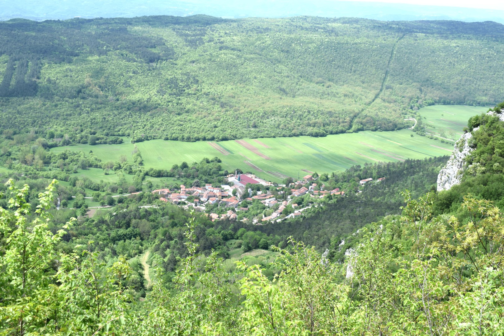
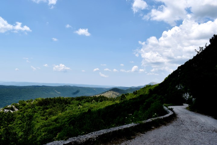
Name: Road from Račja Vas to Veprinac.
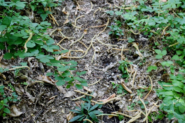
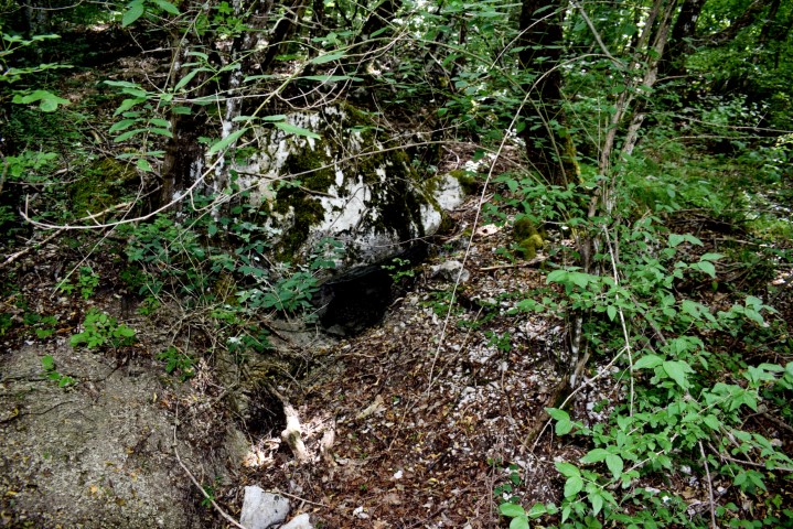
Place: Dane – (Lanišće).
Coordinates: Račja Vas start road 45.42584 N – 14.09766 E, Lokve 45.40040 N – 14.14930 E, Podlomske Zrtve 45.40471 N – 14.13591 E.