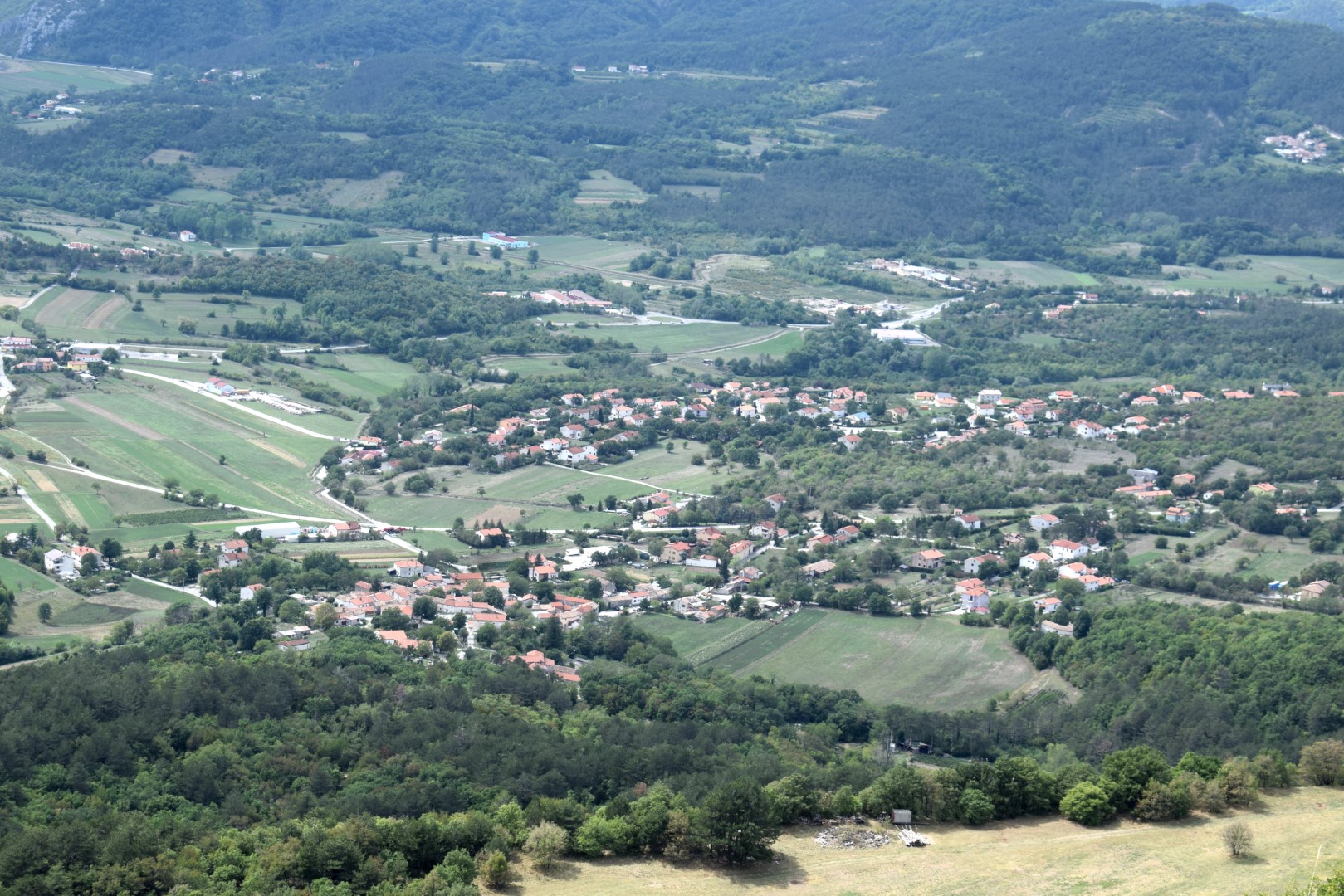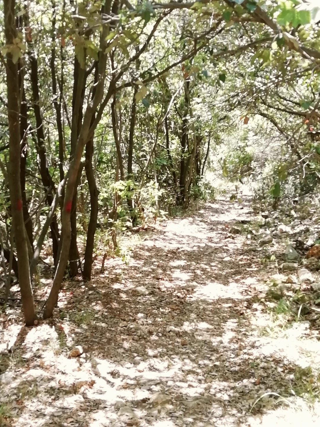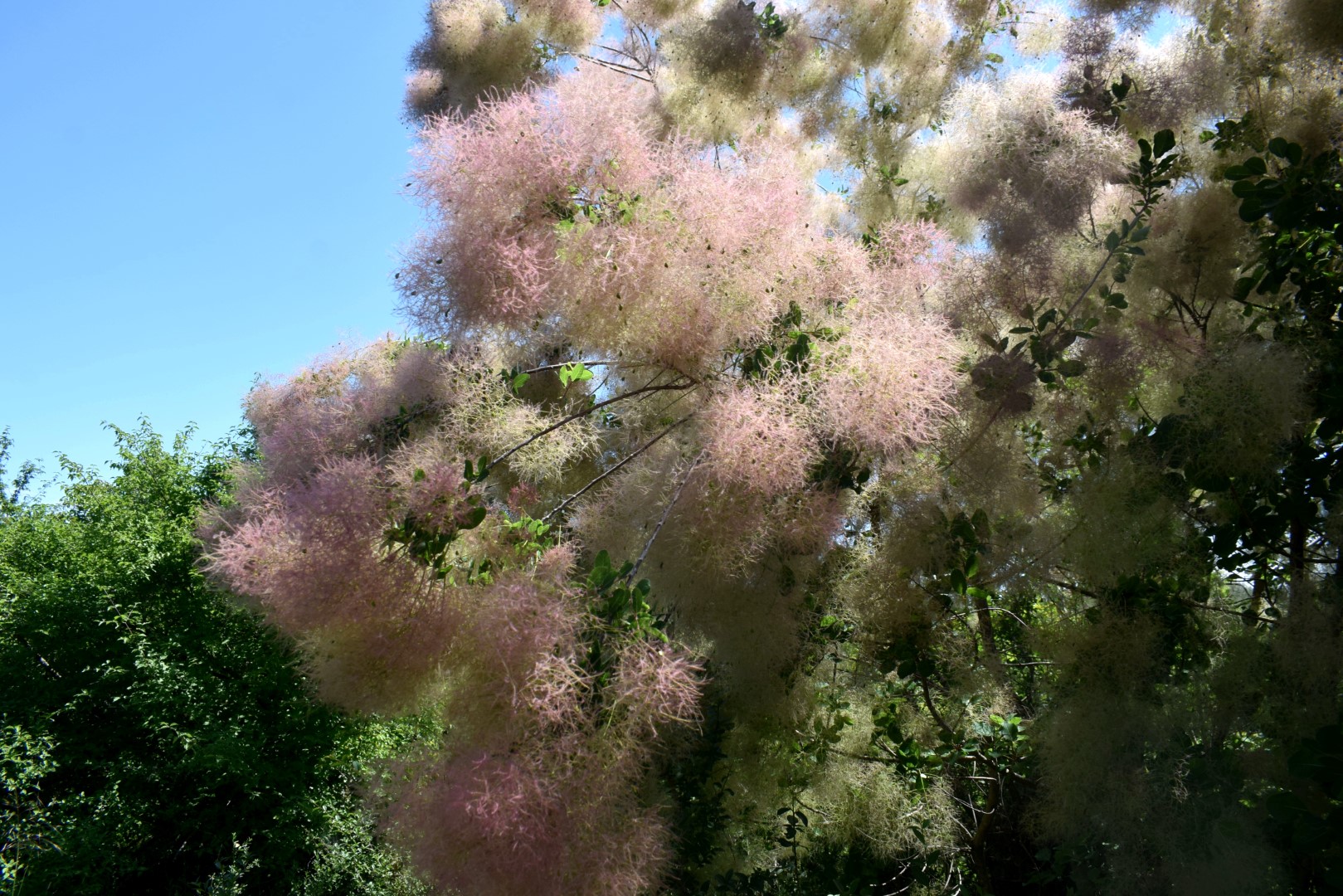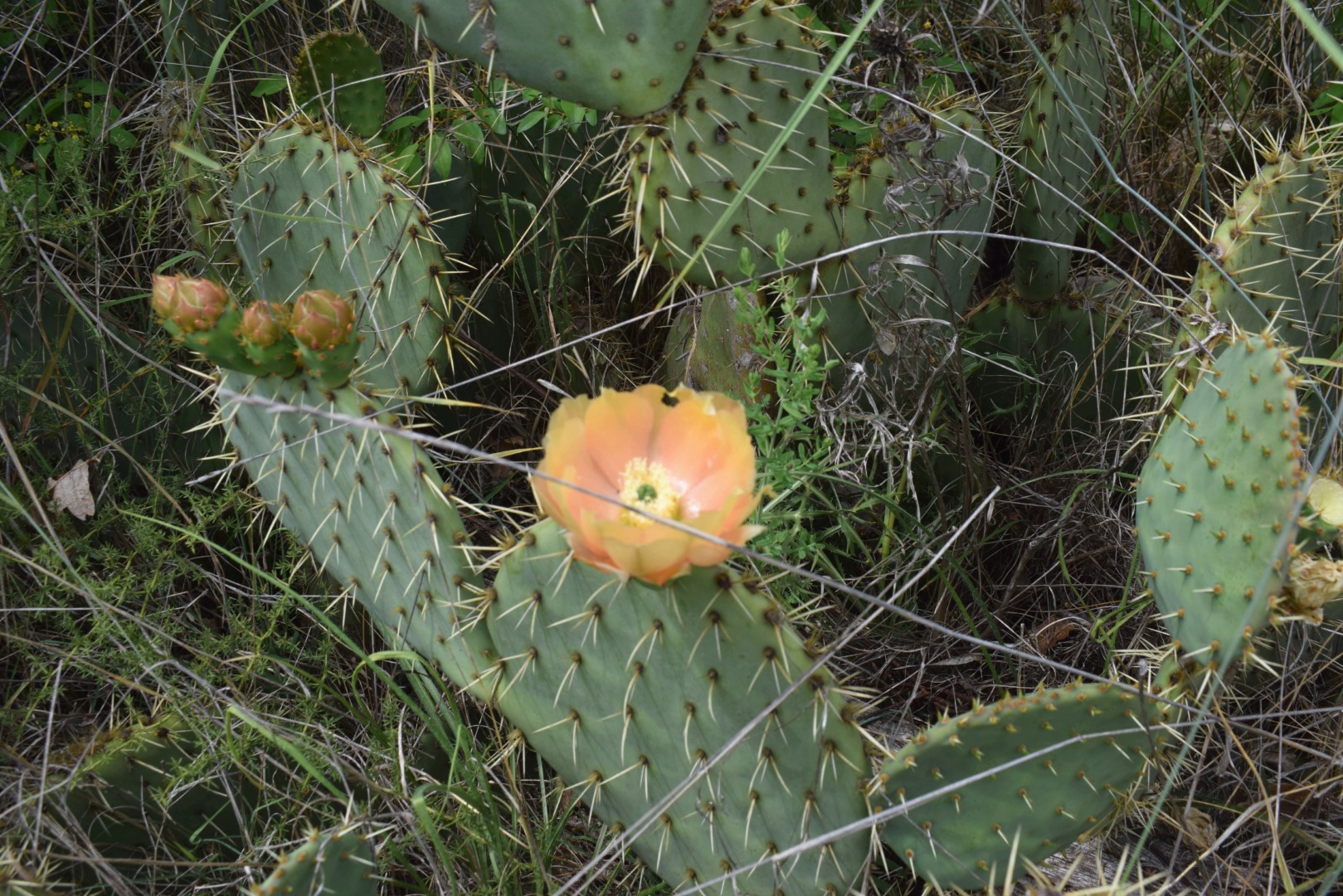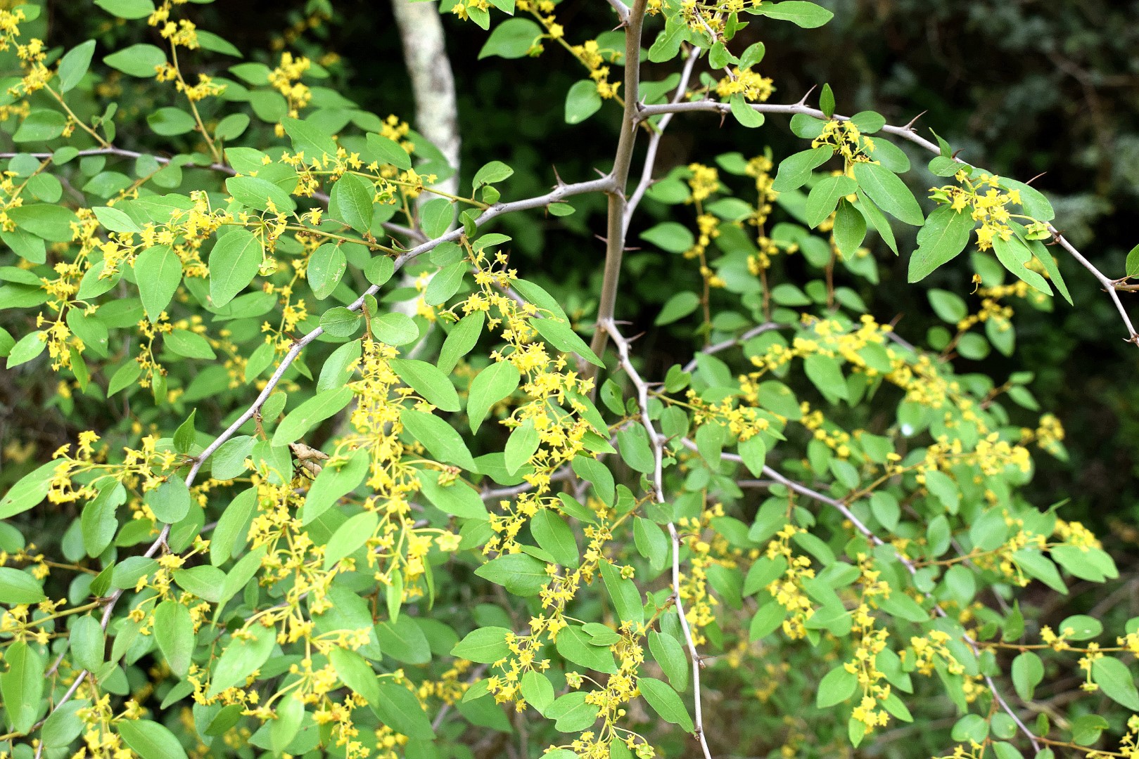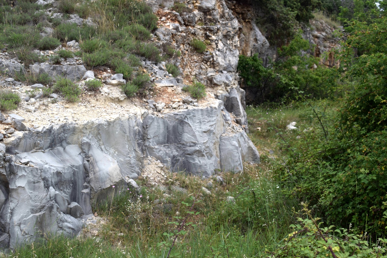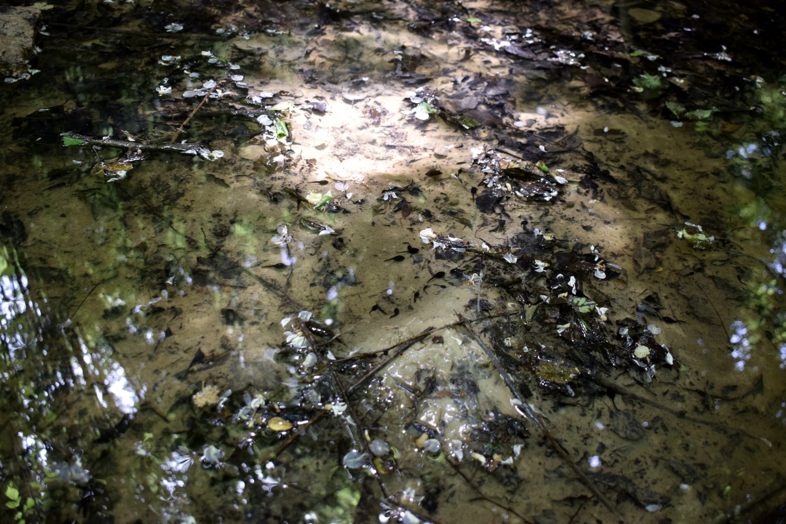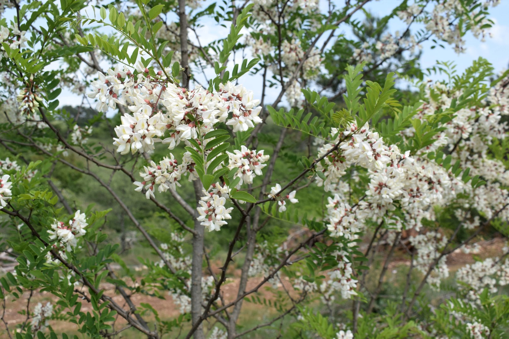
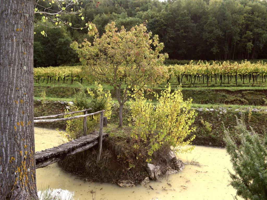

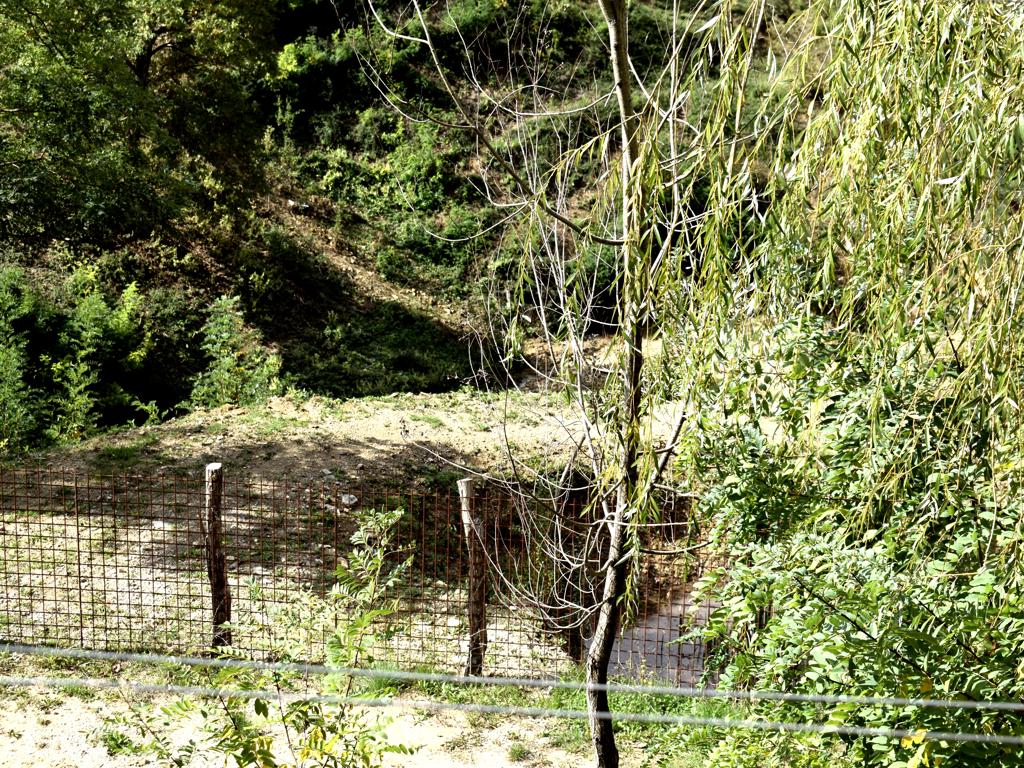

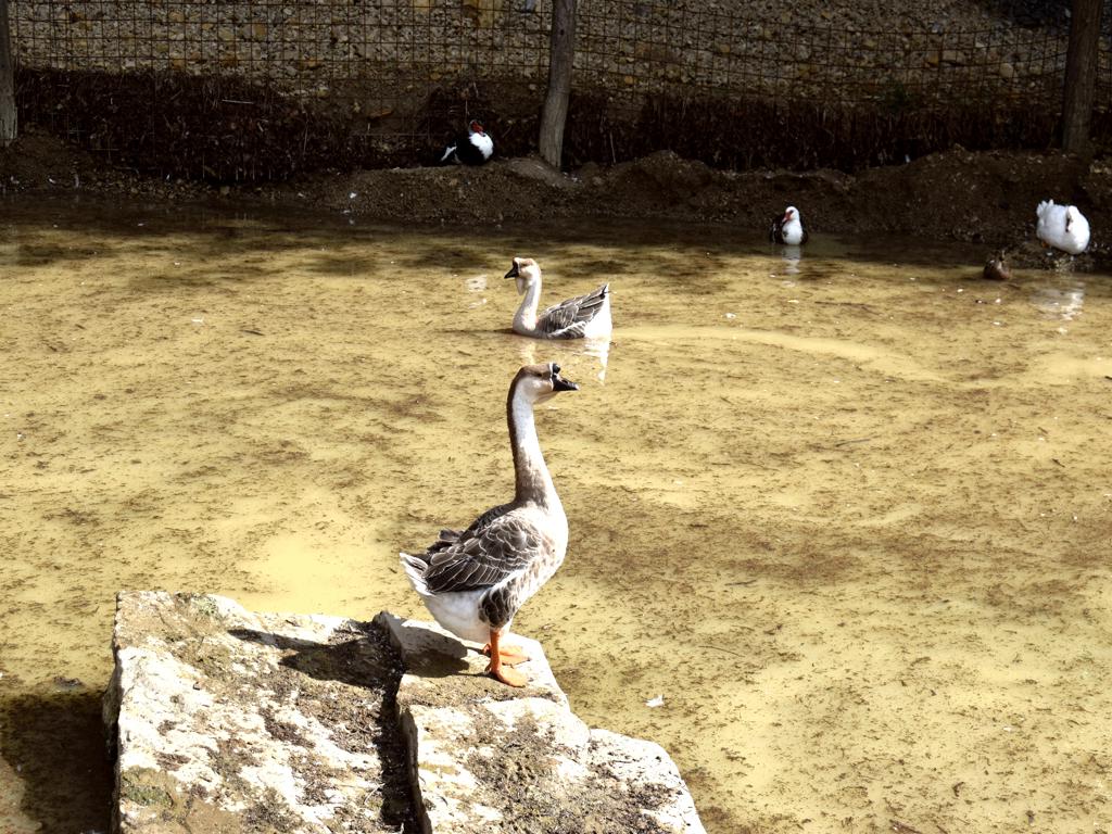
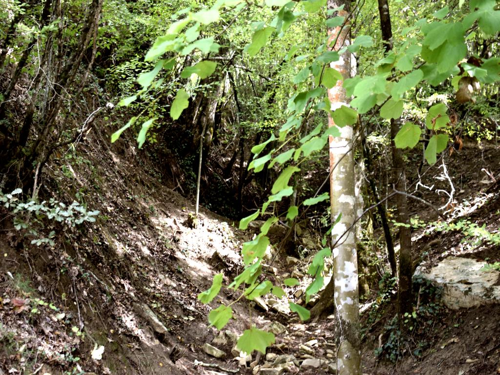
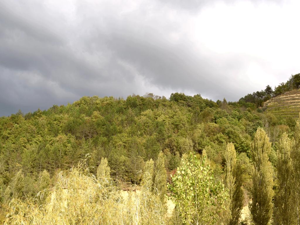

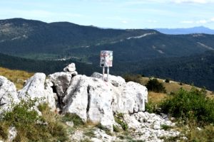
Name: Pekasi -Zamaski Dol.
Place: Pekasi – (Motovu).
Coordinates: 45.32454 N -13.90001 E.
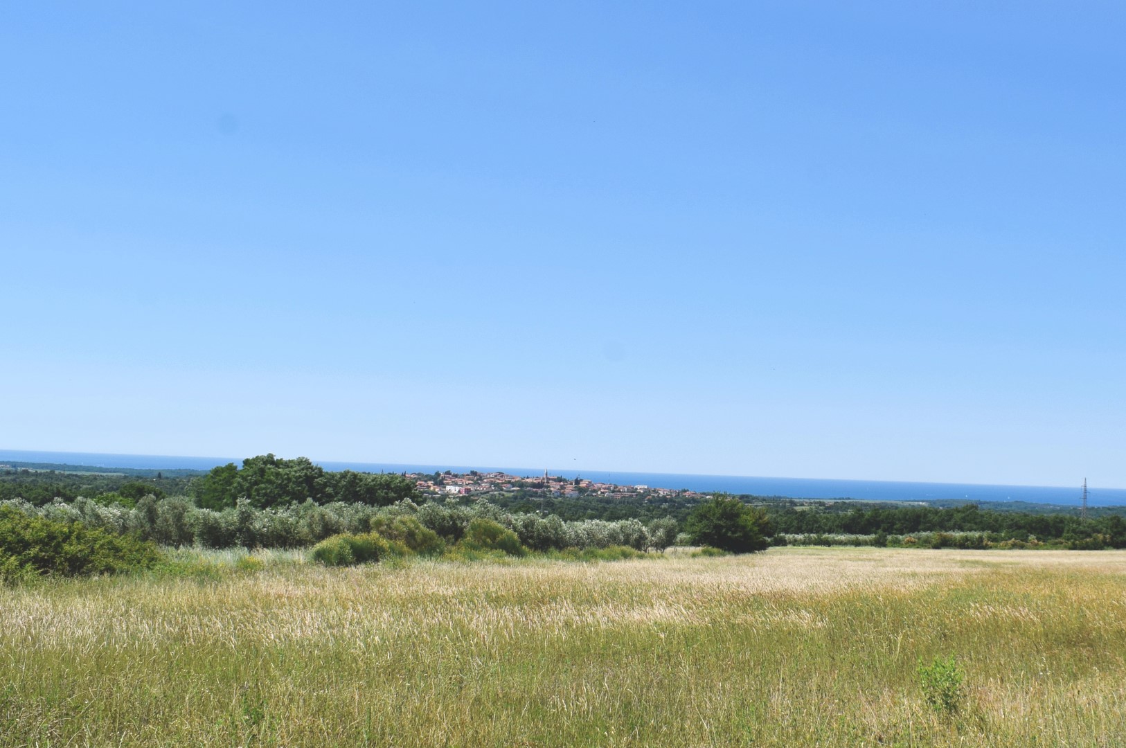
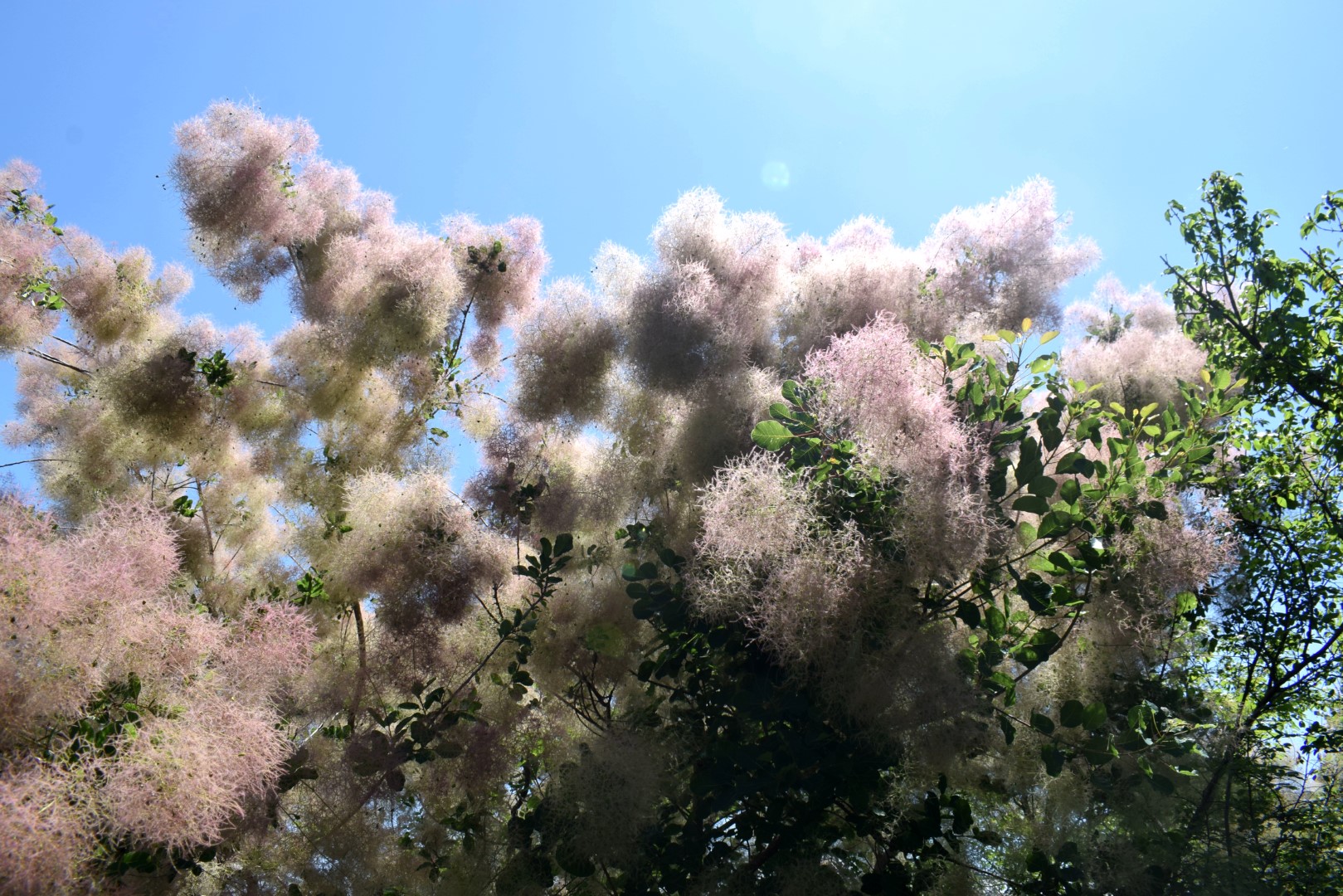
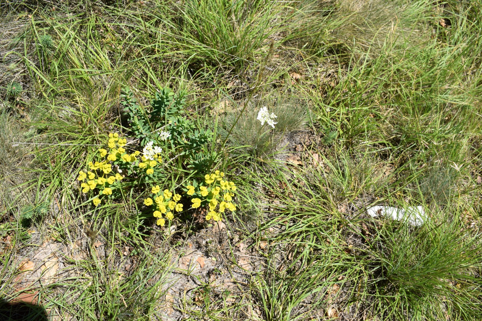
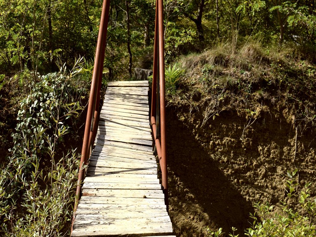
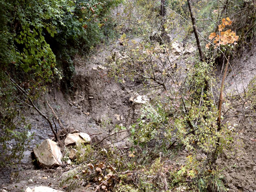
Name: Pekasi -Zamaski Dol.
Place: Pekasi – (Motovu).
Coordinates: 45.32454 N -13.90001 E.
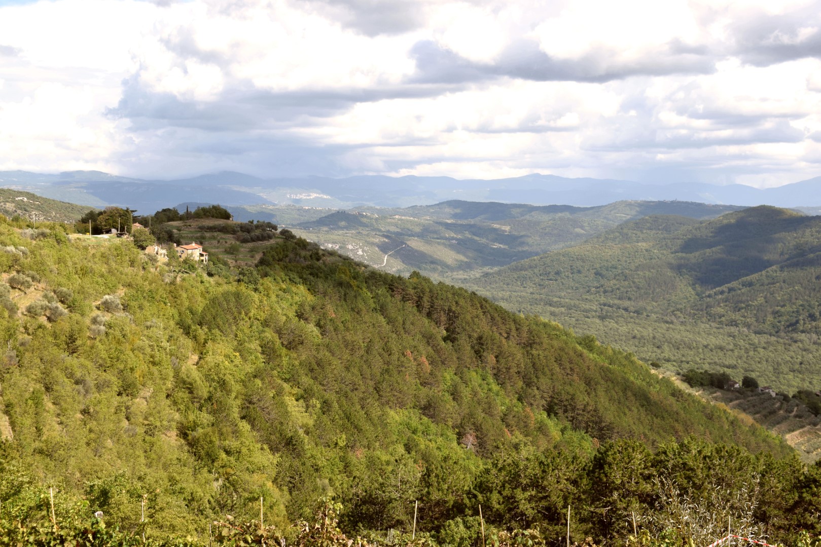
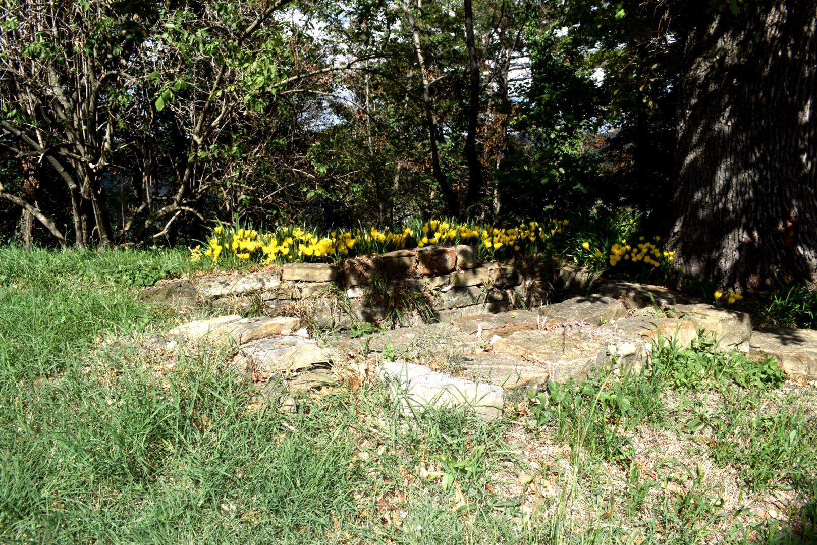
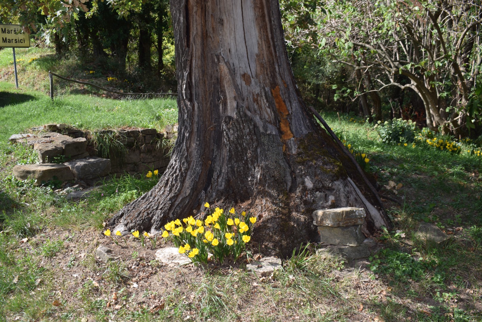
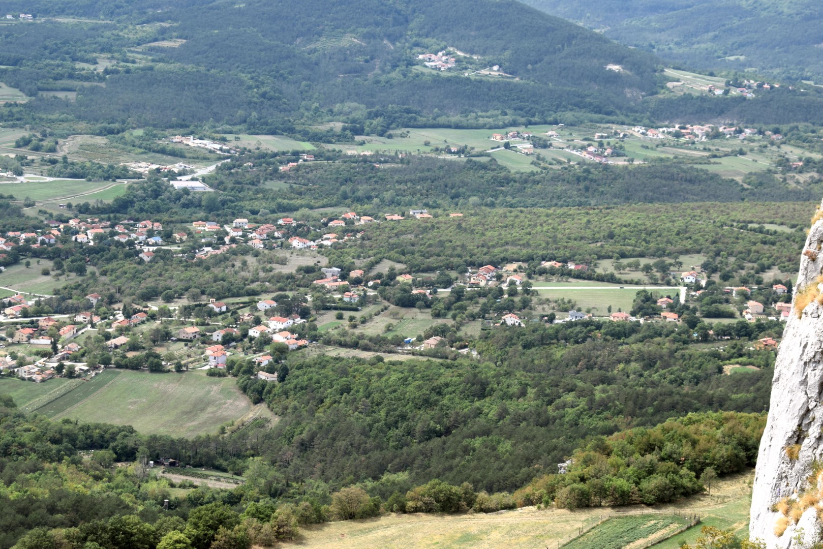
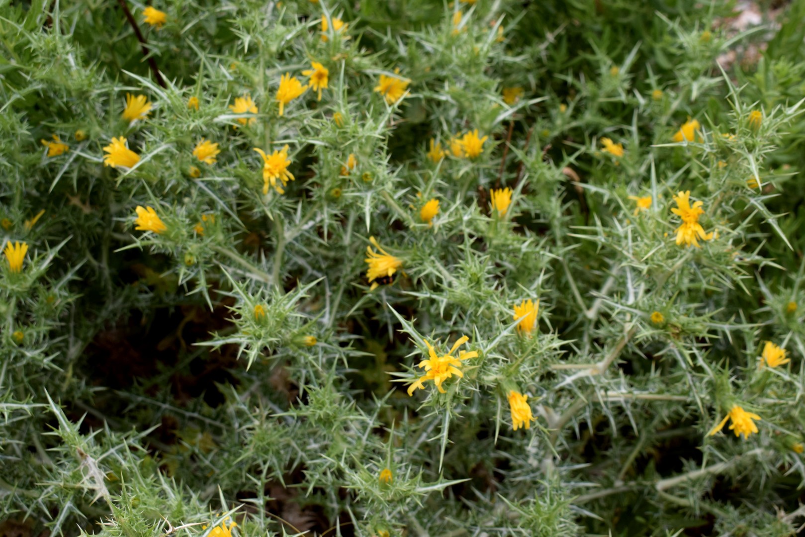
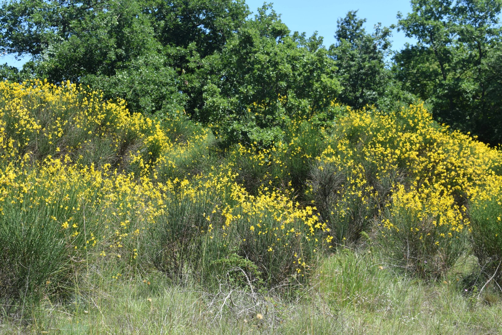
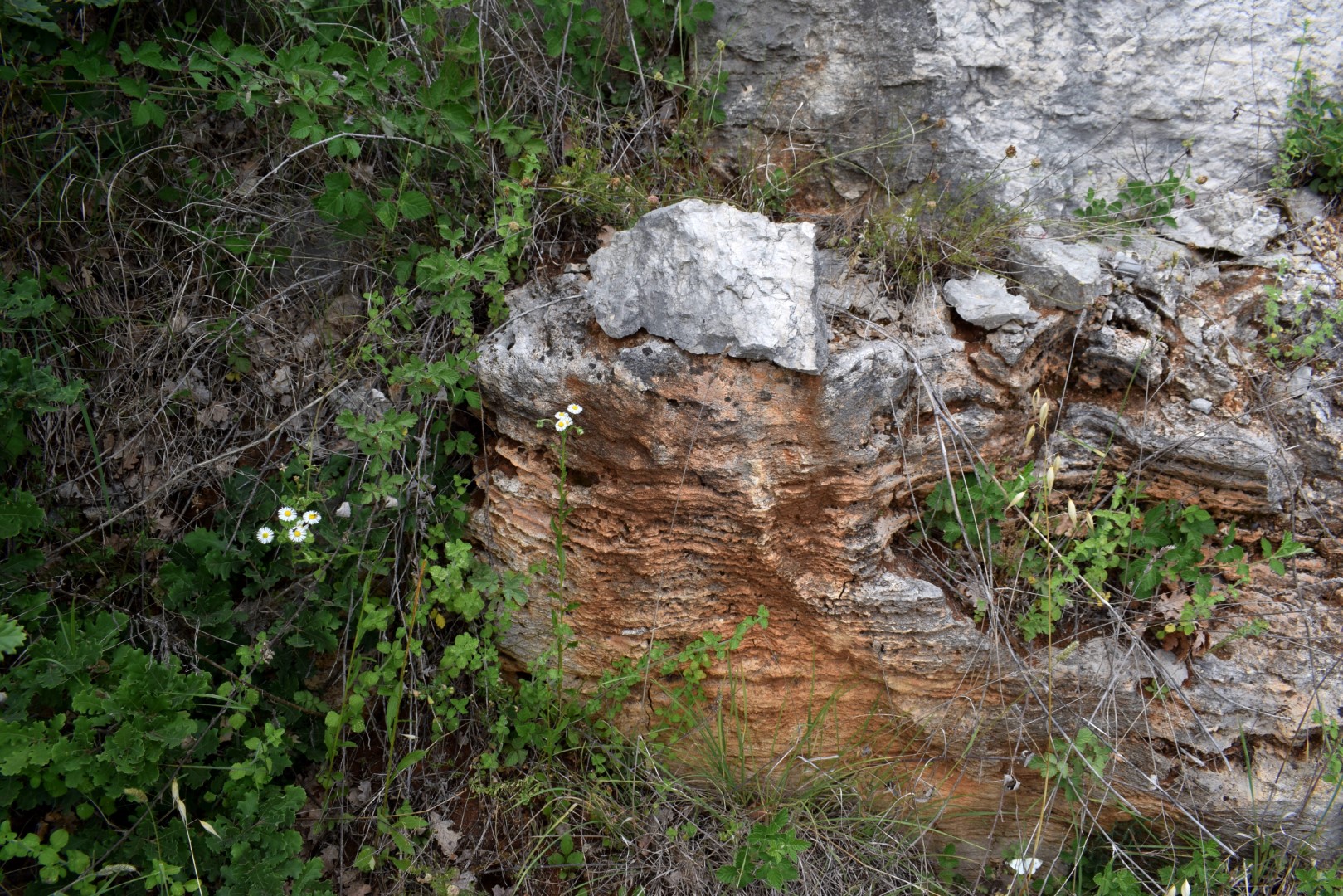
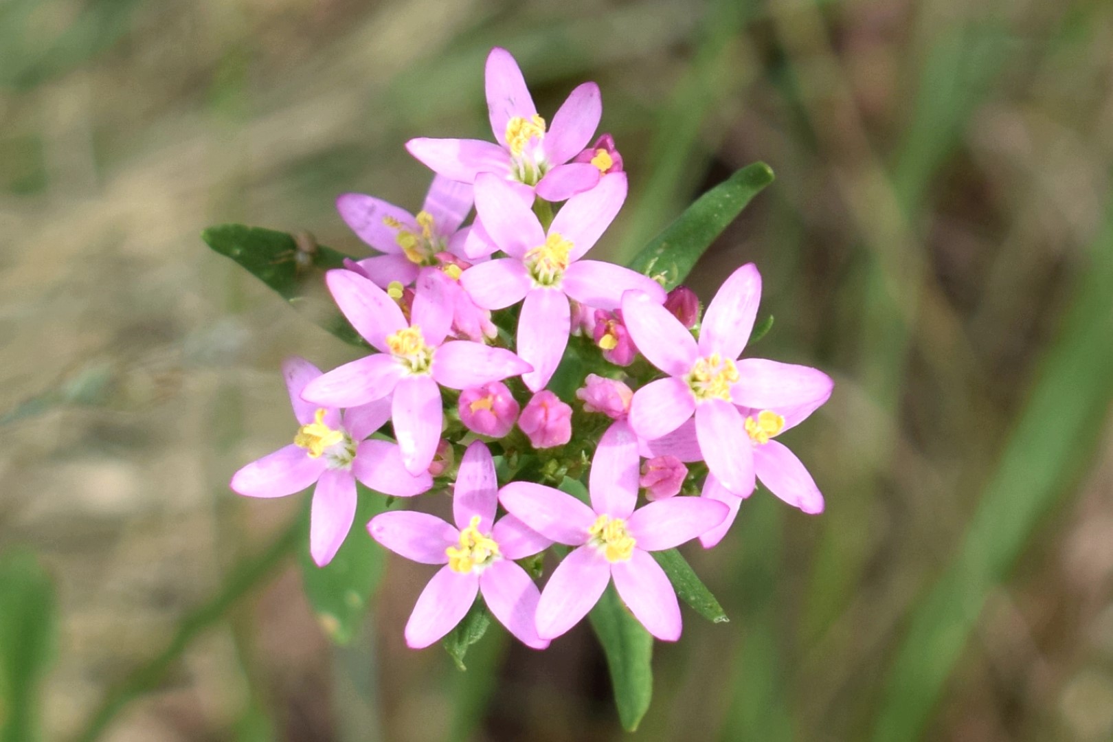
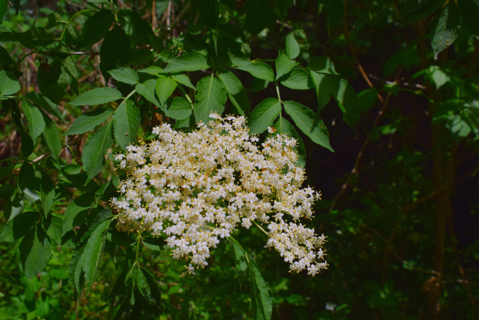
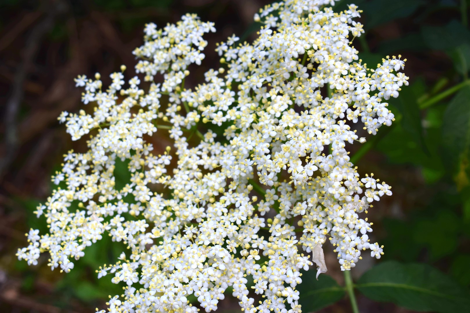
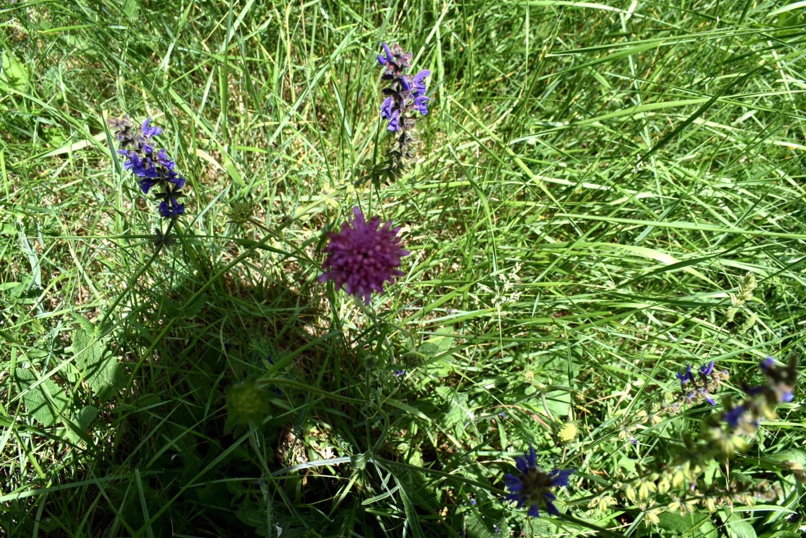
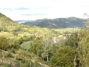
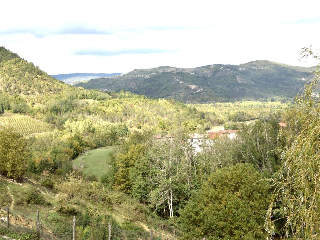
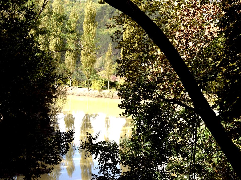
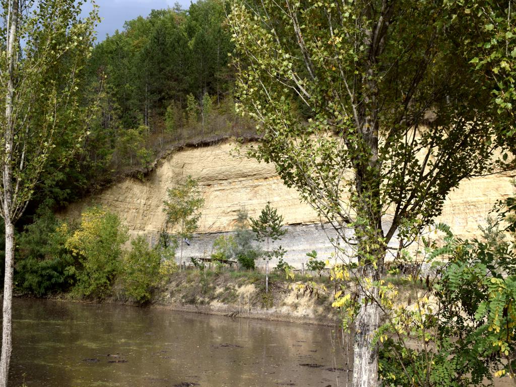
Name: Sternbergia lutea and views on Mirna valley.
Place: Maršići – Oprtalj.
Coordinates: 45.37274 N – 13.83914 E.
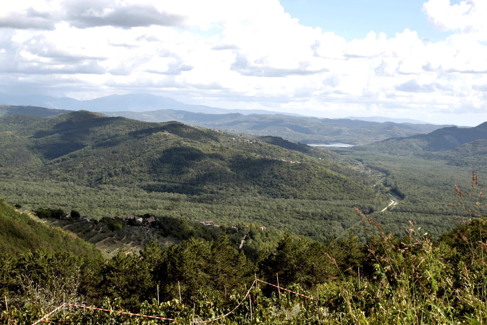
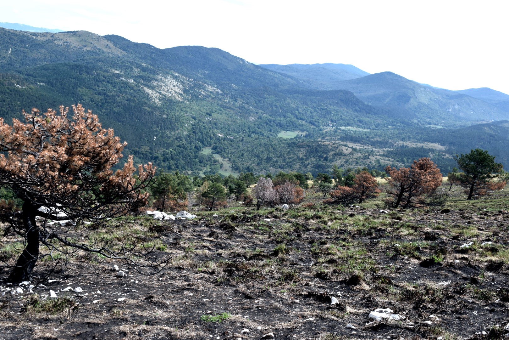
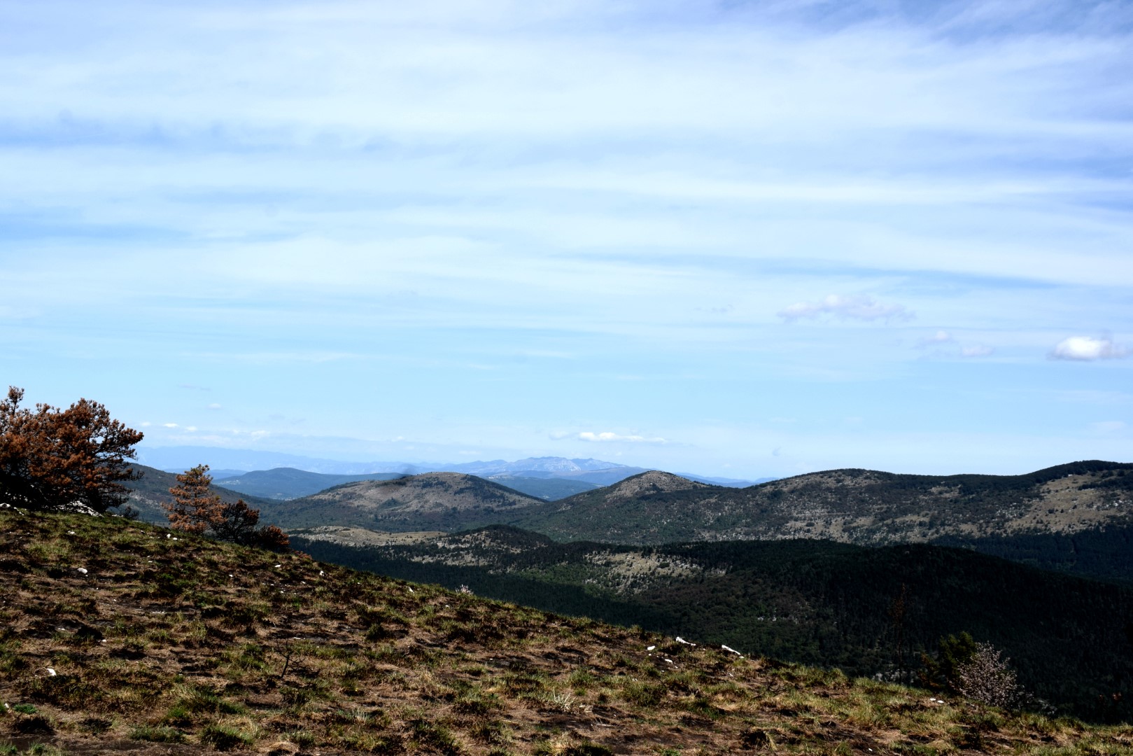
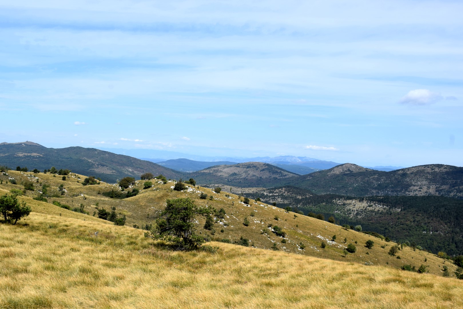
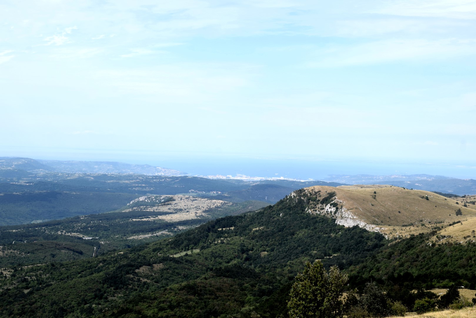
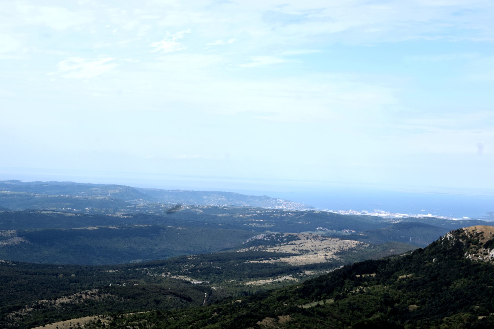
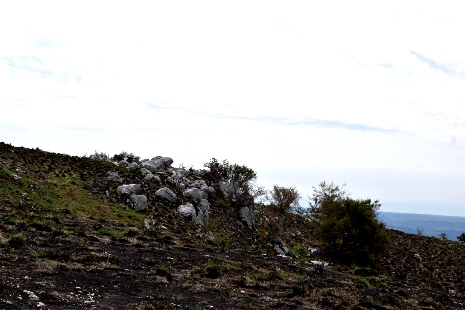
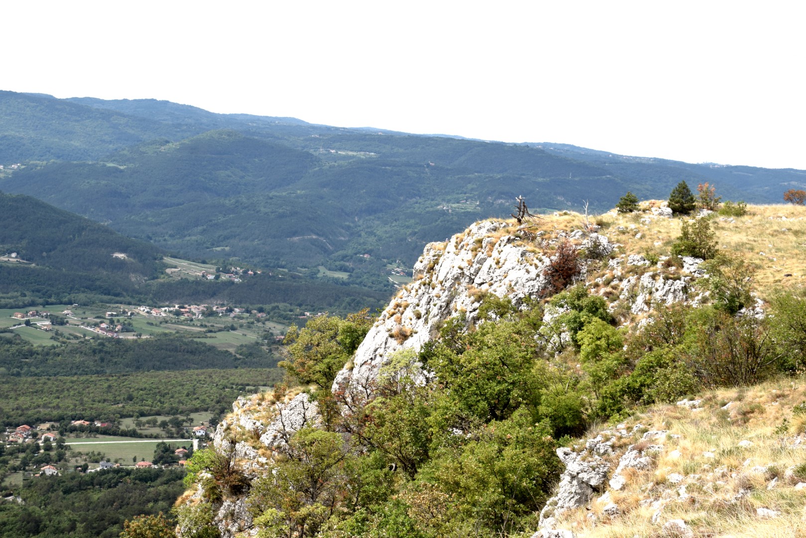
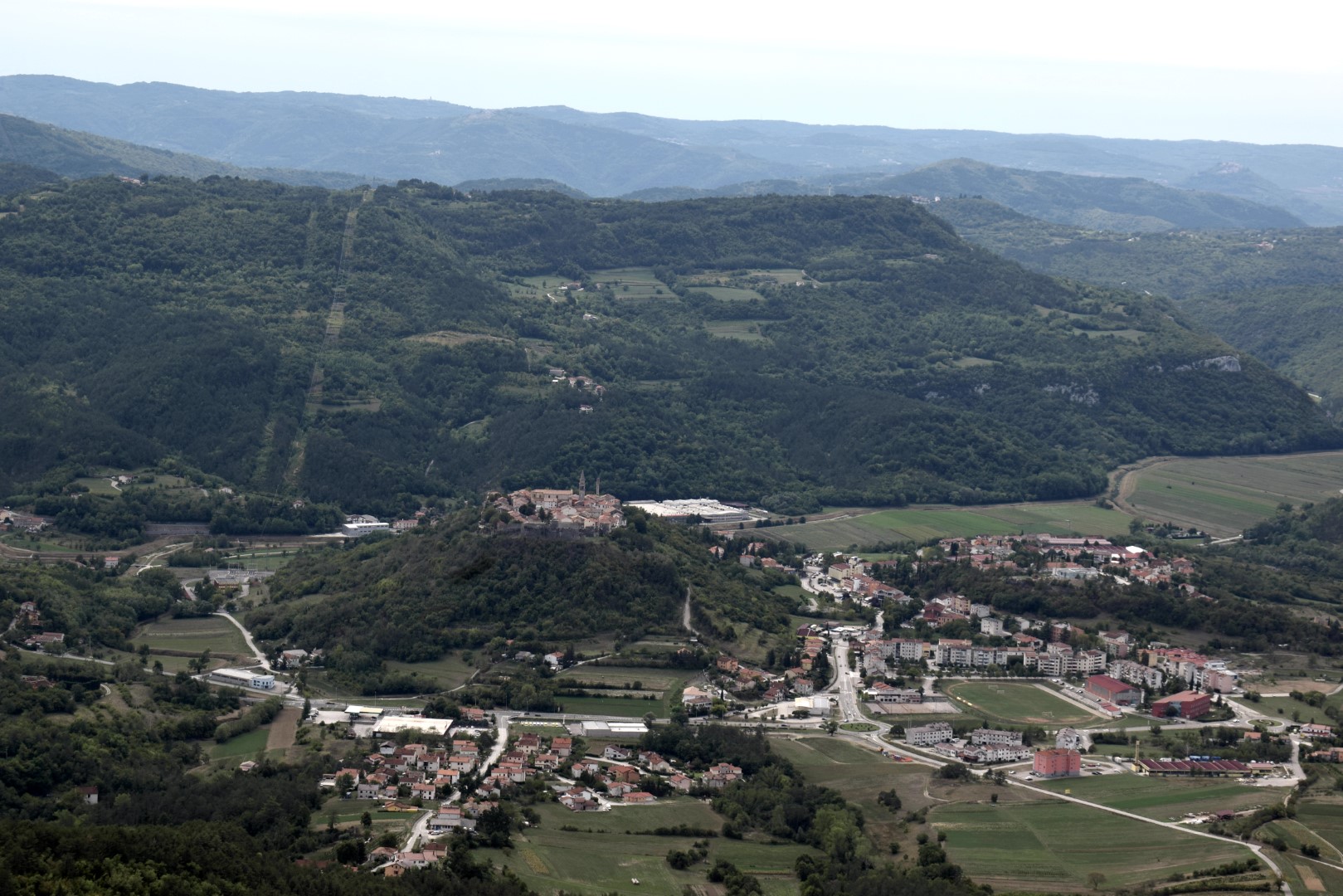
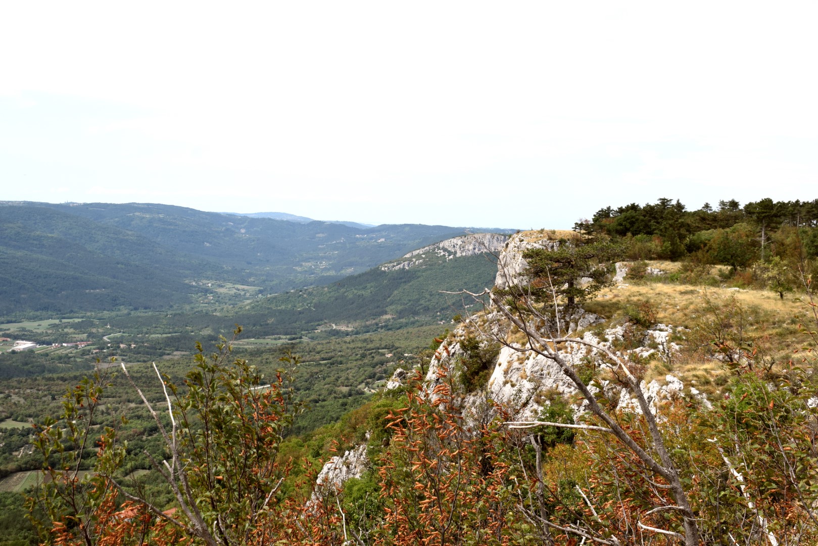
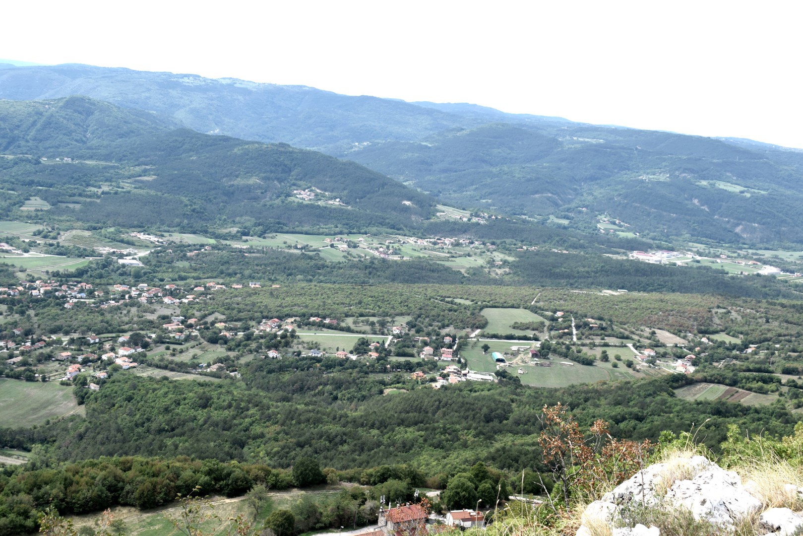
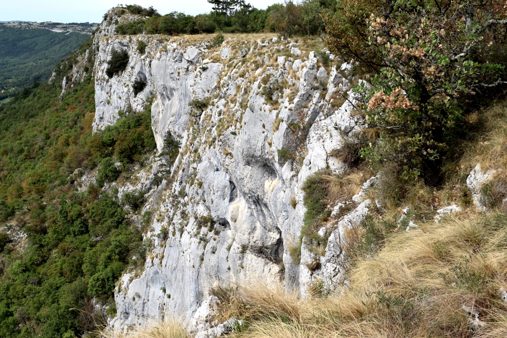
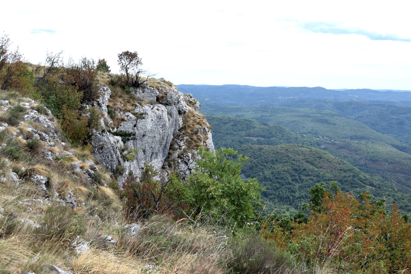
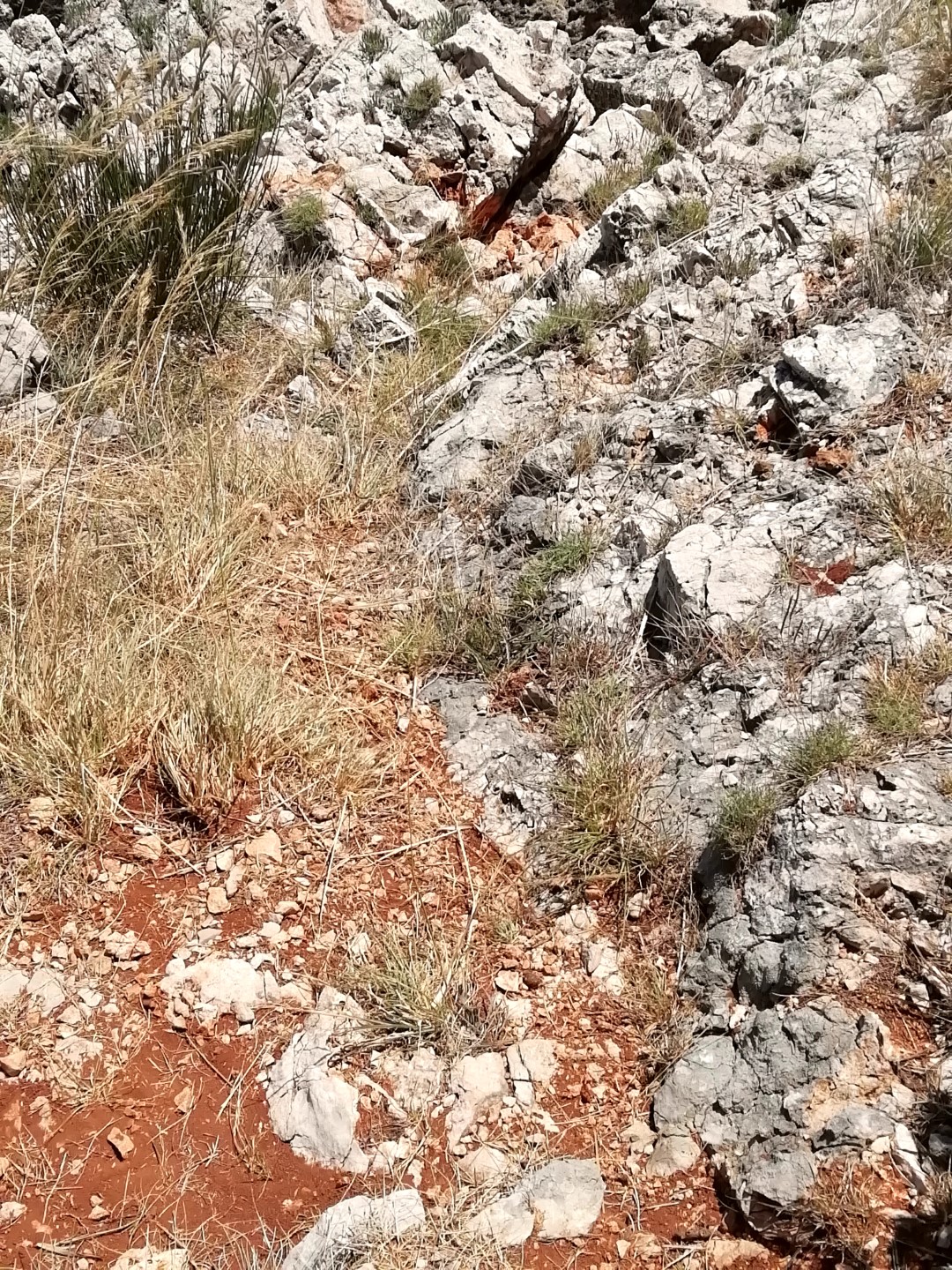
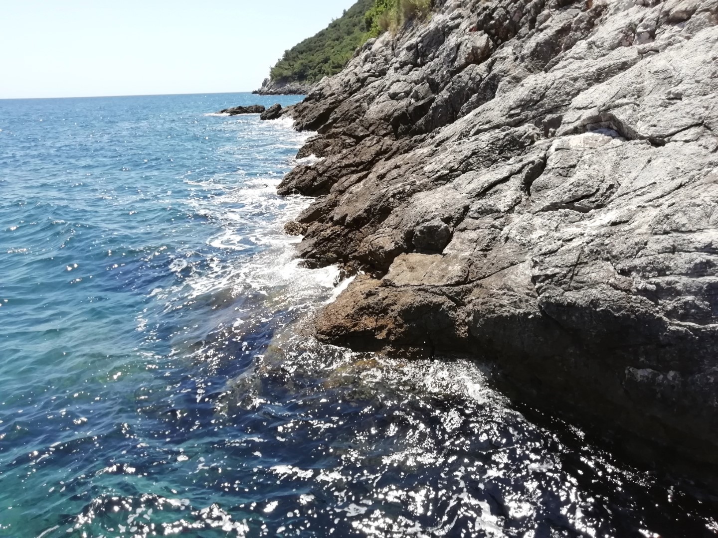
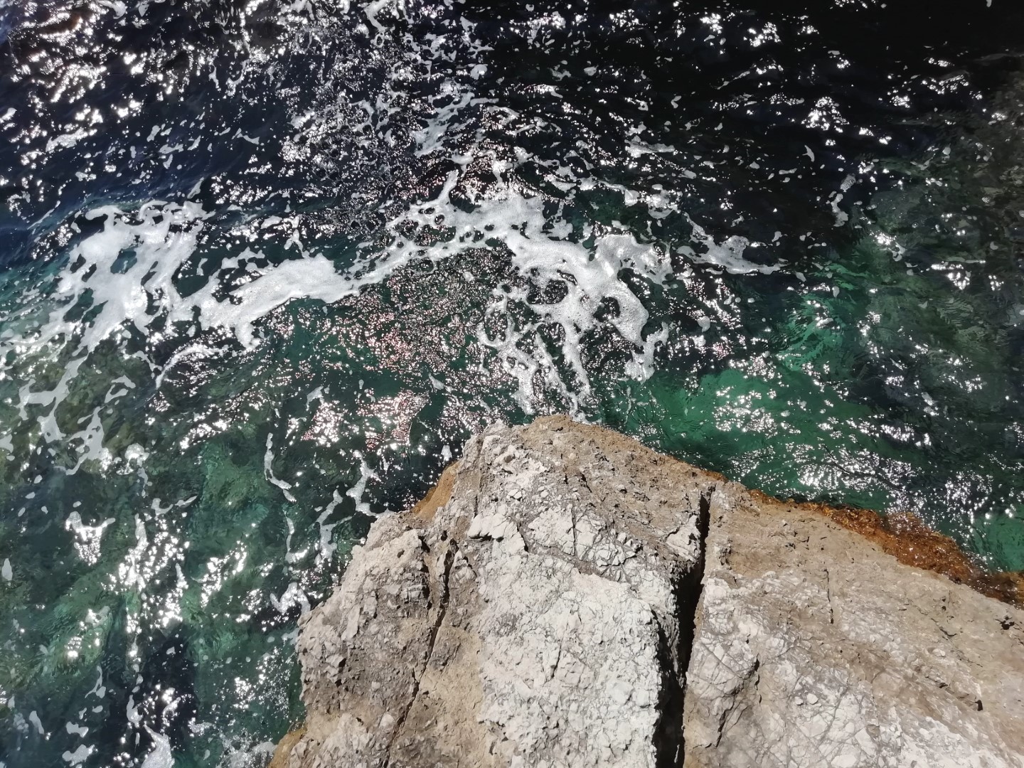
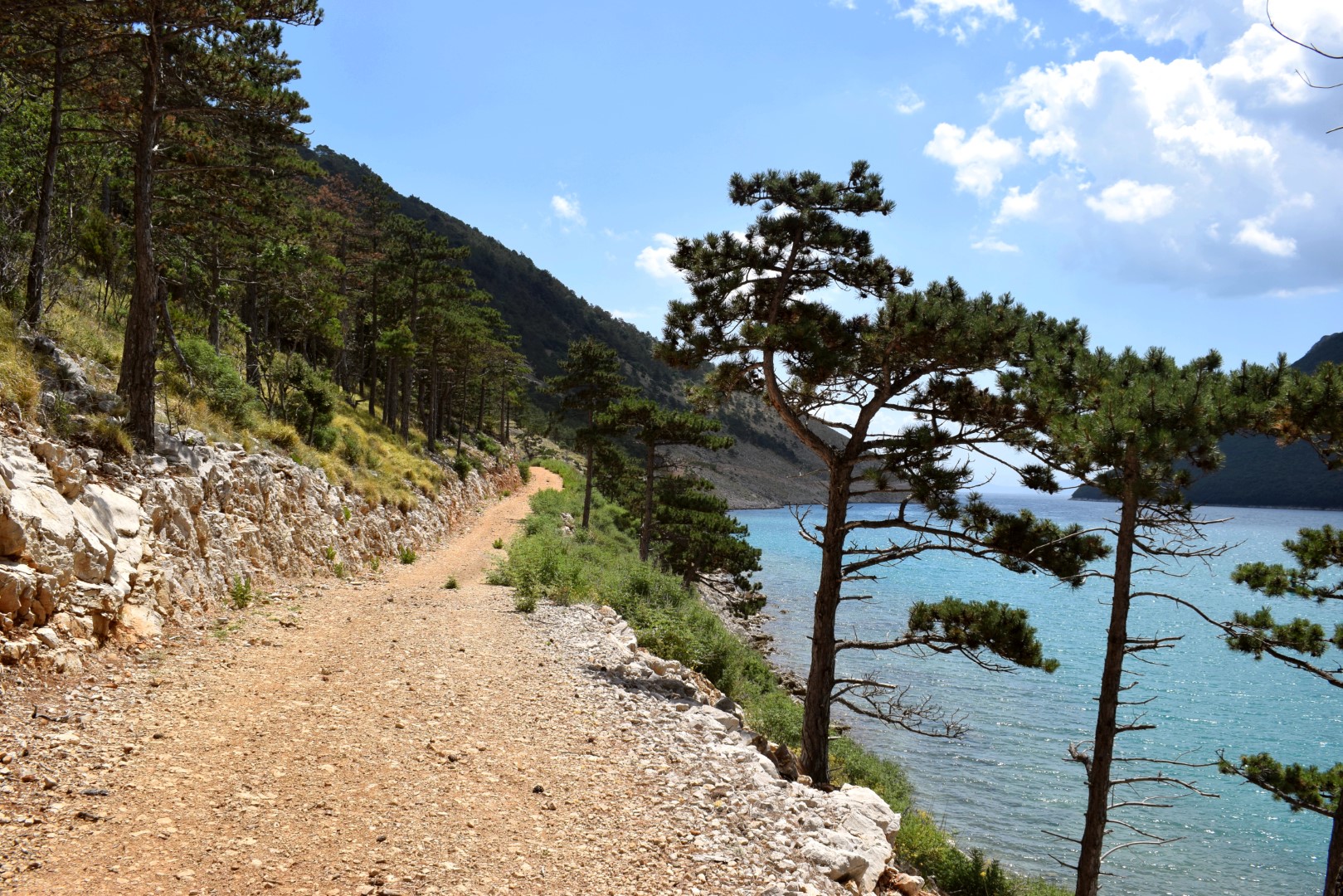
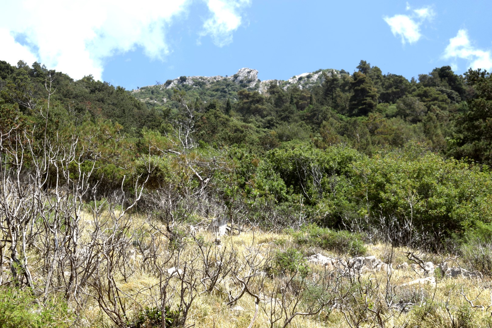
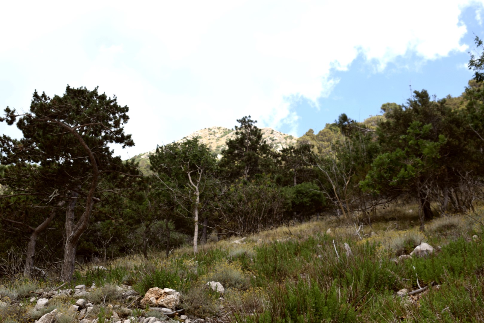
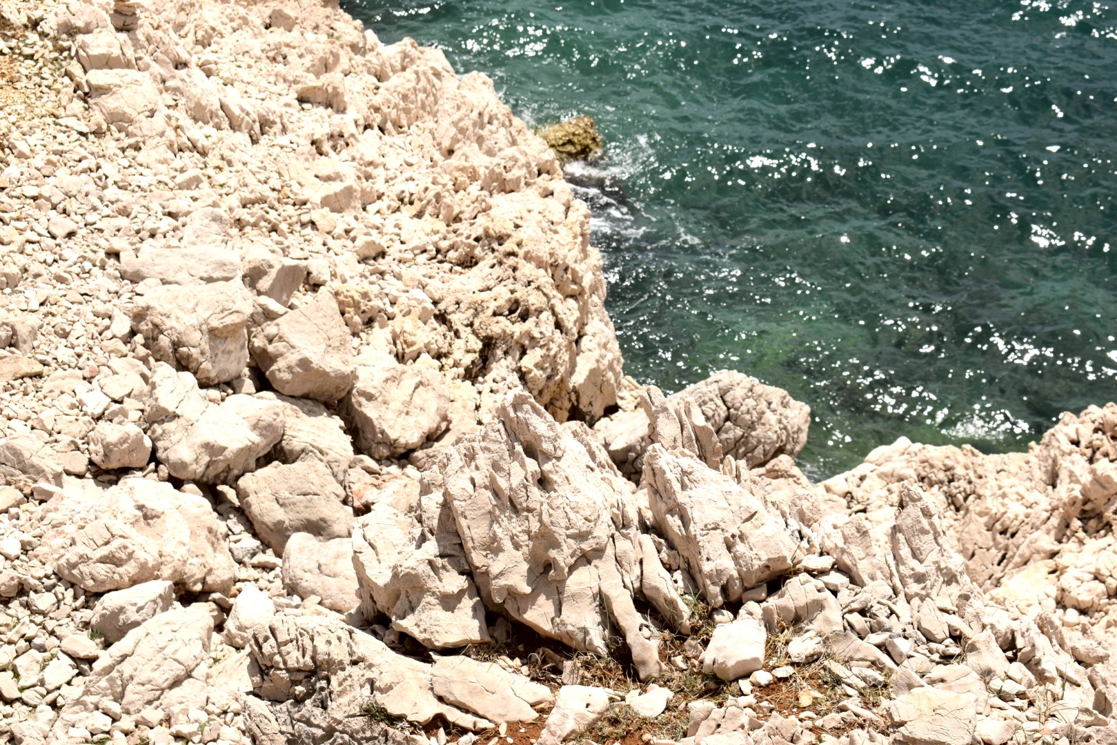
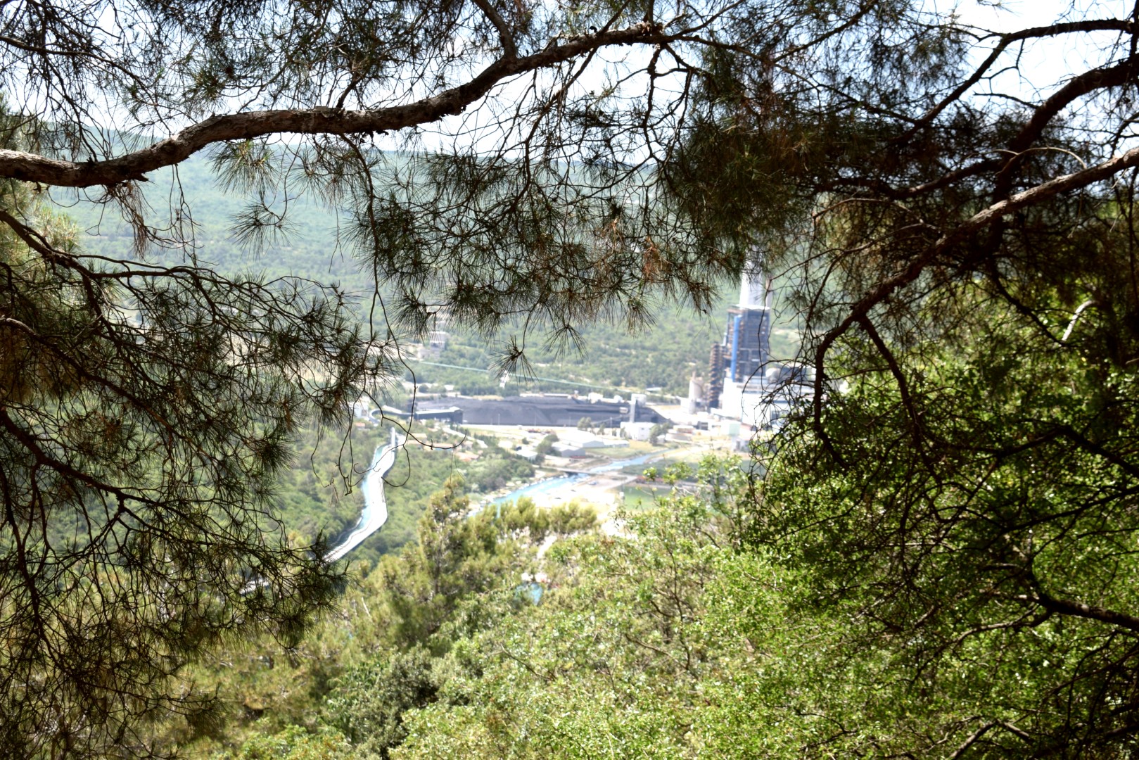
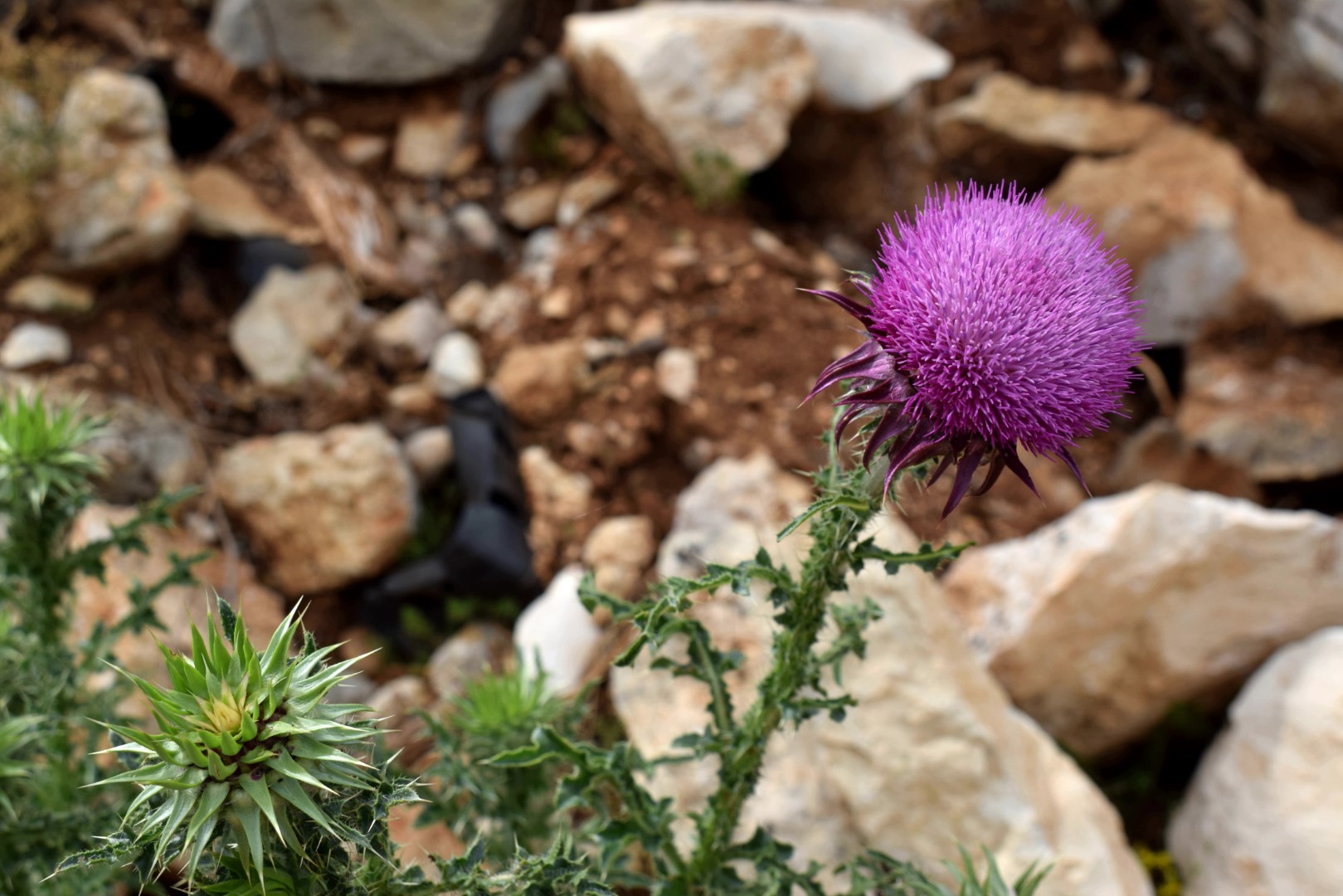
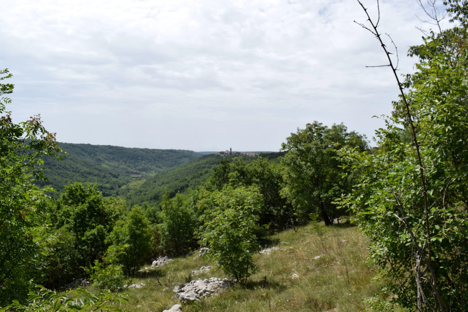
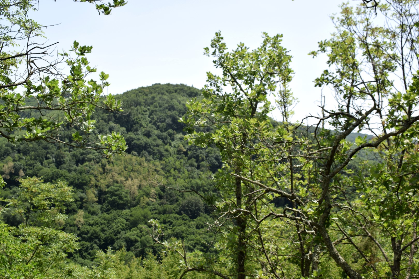
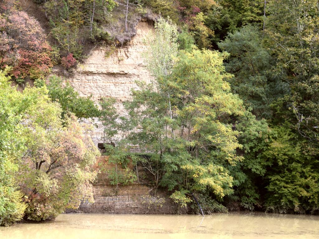
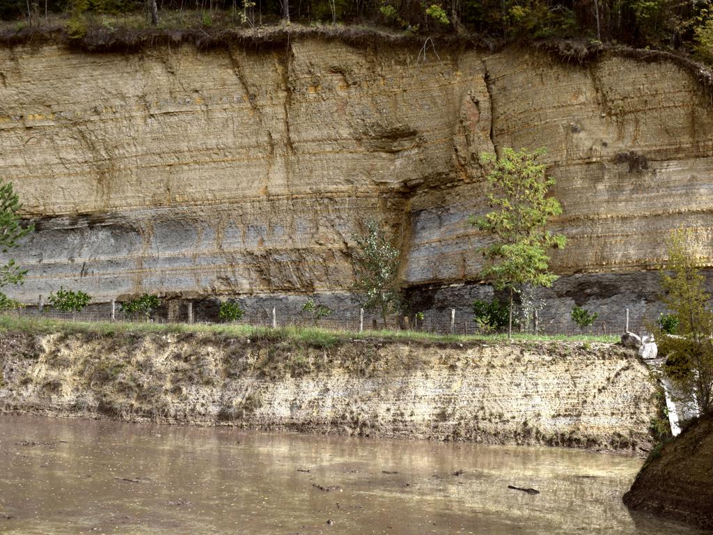
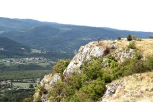
Name: Views from the cliffs Raspadalica in the Cicarija area.
Place: Brest – (Buzet).628
Coordinates: Start 45.45628 N – 14.02979 E, Top 45.45876 N – 14.01393 E.
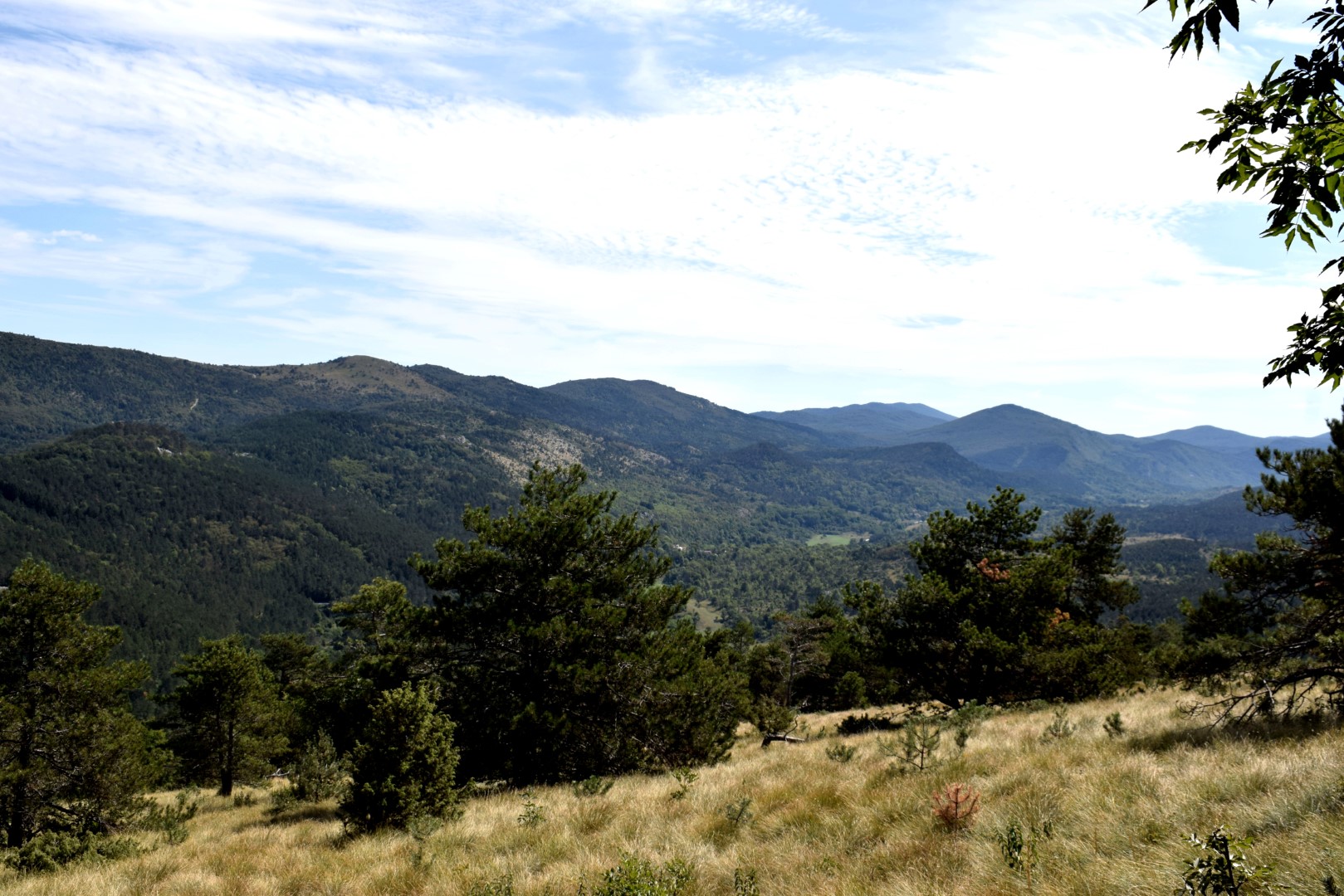
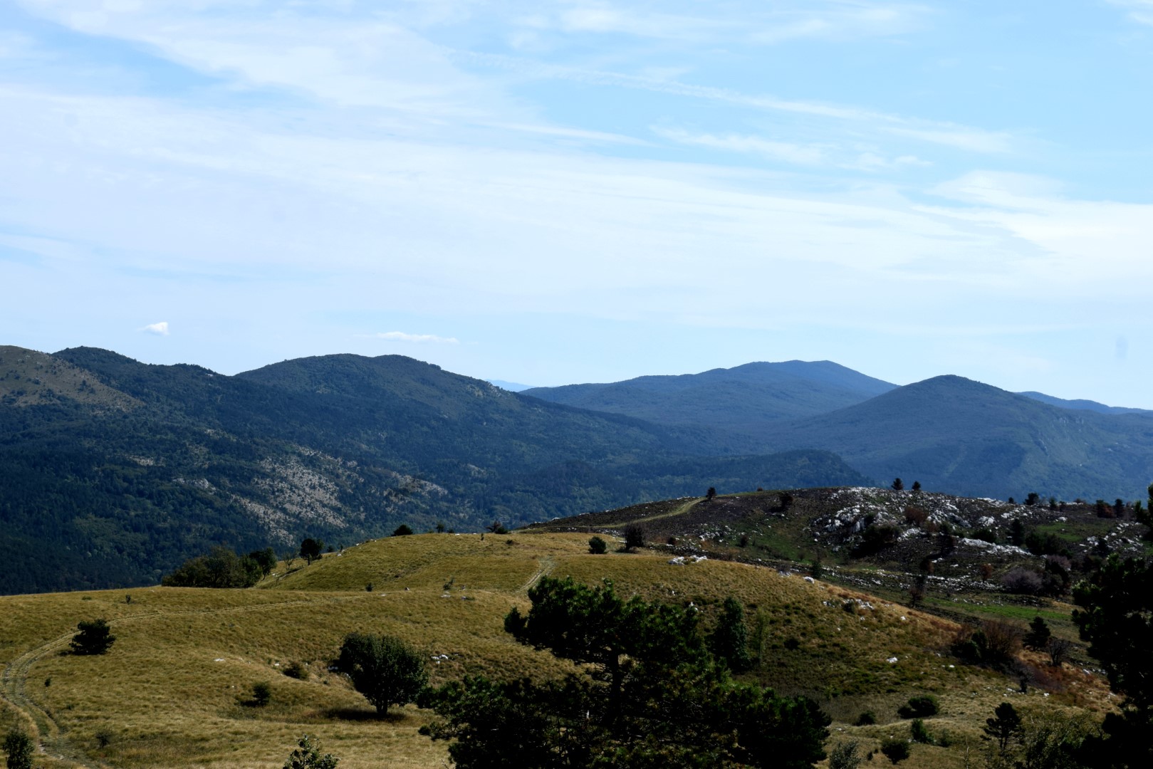
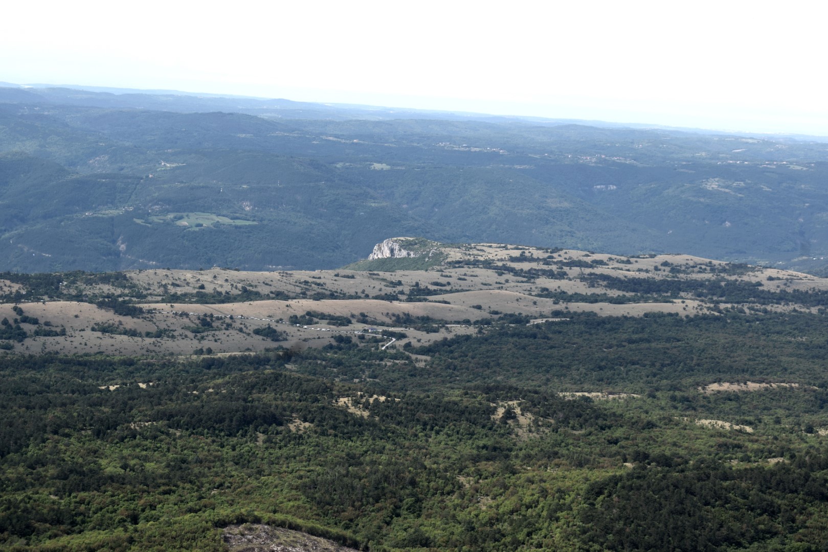
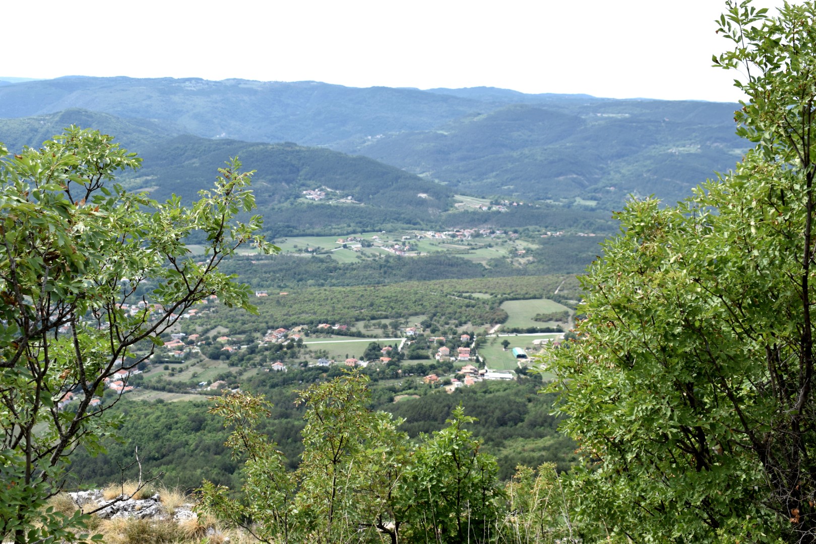
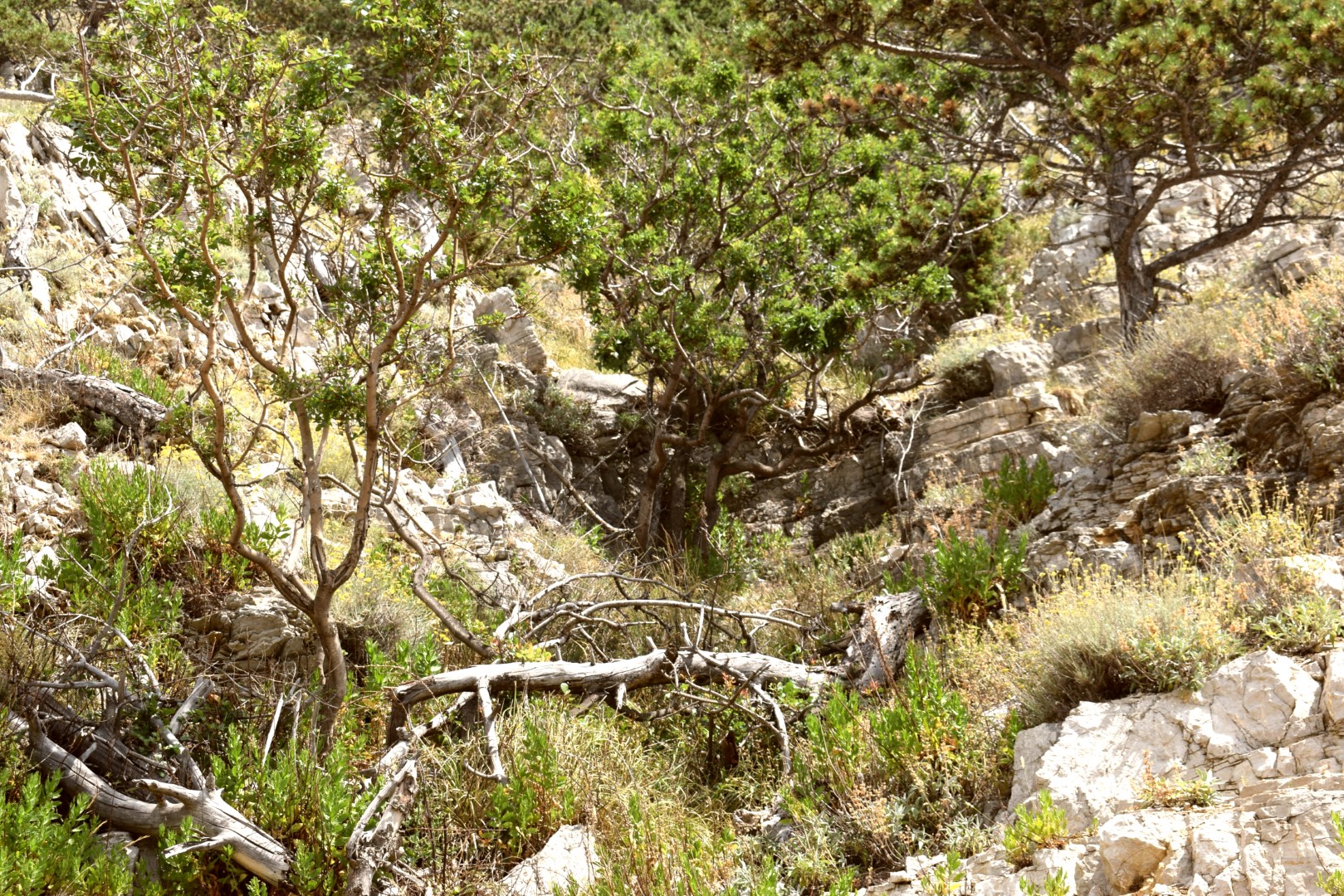
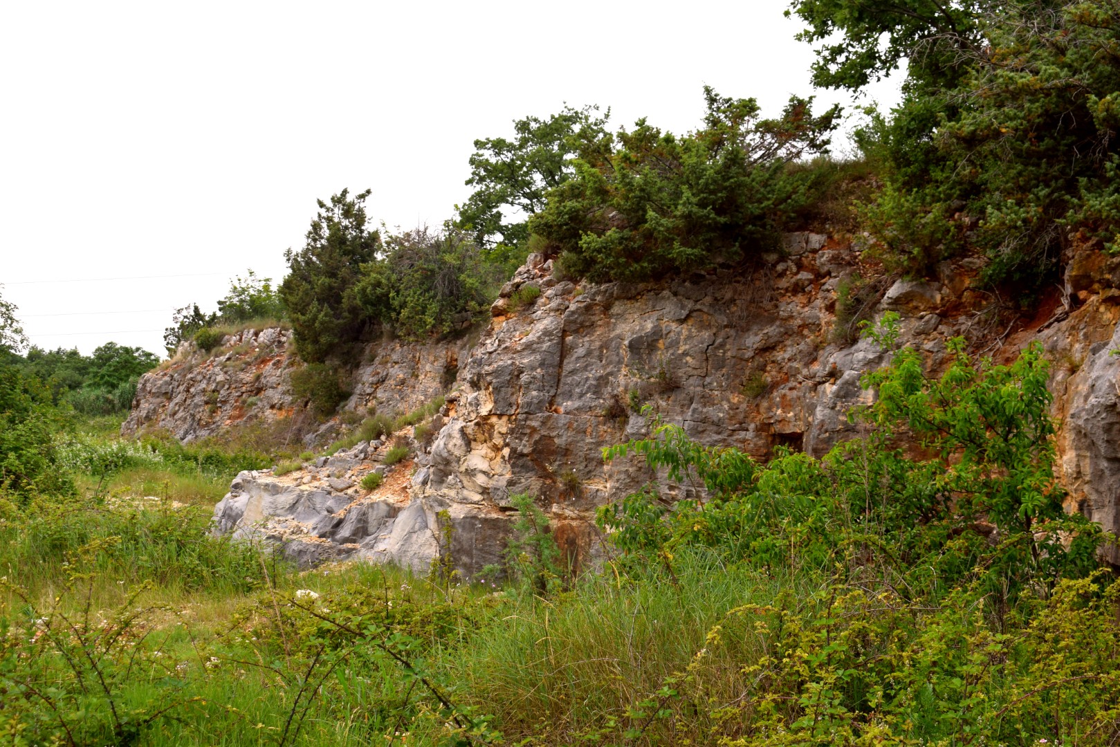
Name: Views from the cliffs Raspadalica in the Cicarija area.
Place: Lanišće – Buzet.
Coordinates: Dirt road to the camping Raspadalica. Exit road Slum – G. Nugla 45.32617 N – 14.00748 E.

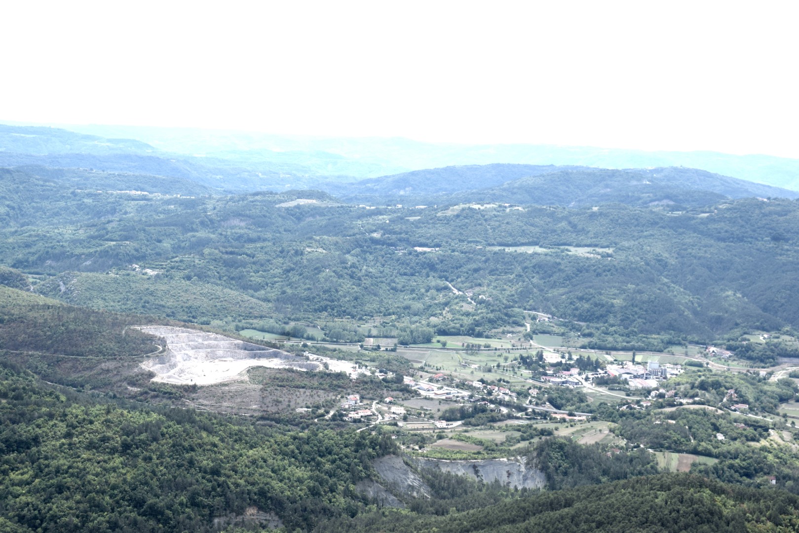
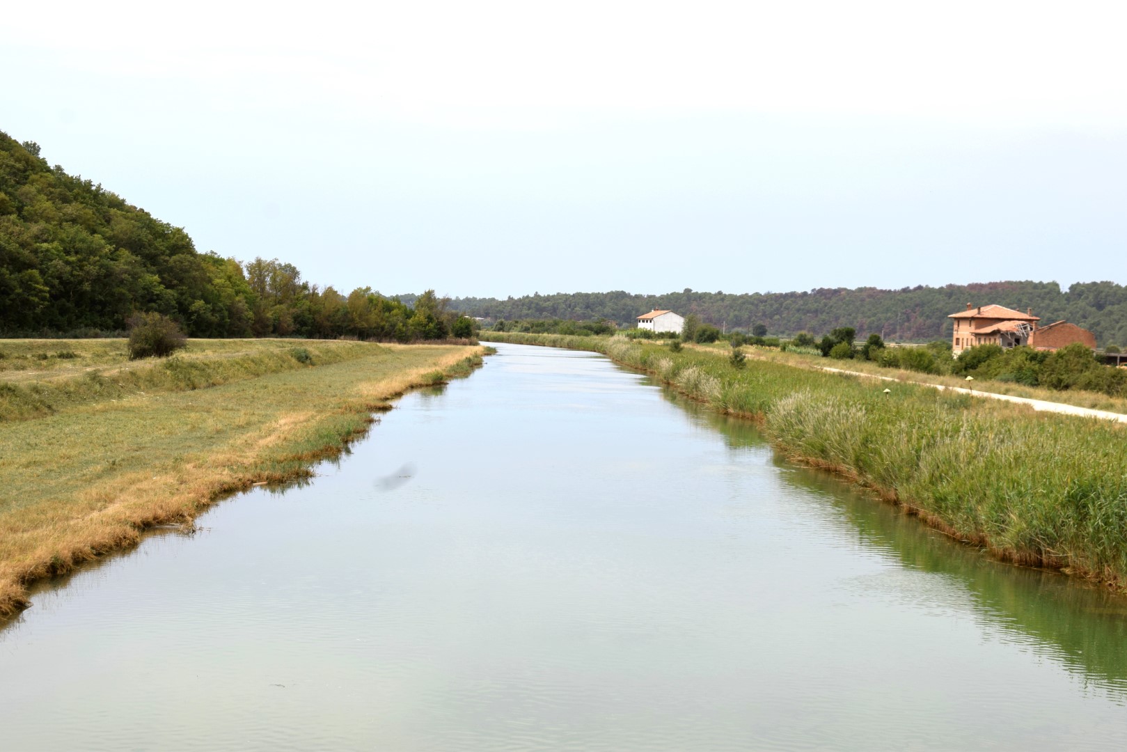
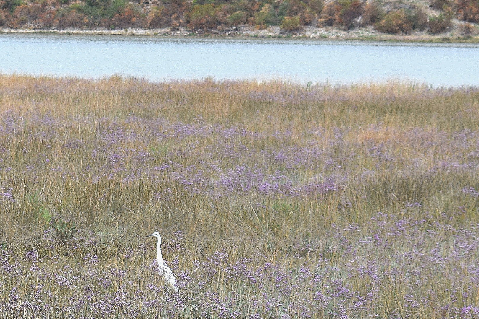
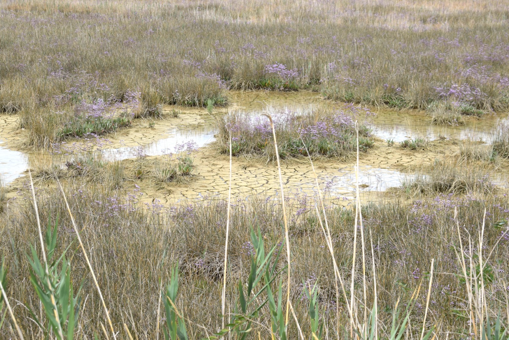
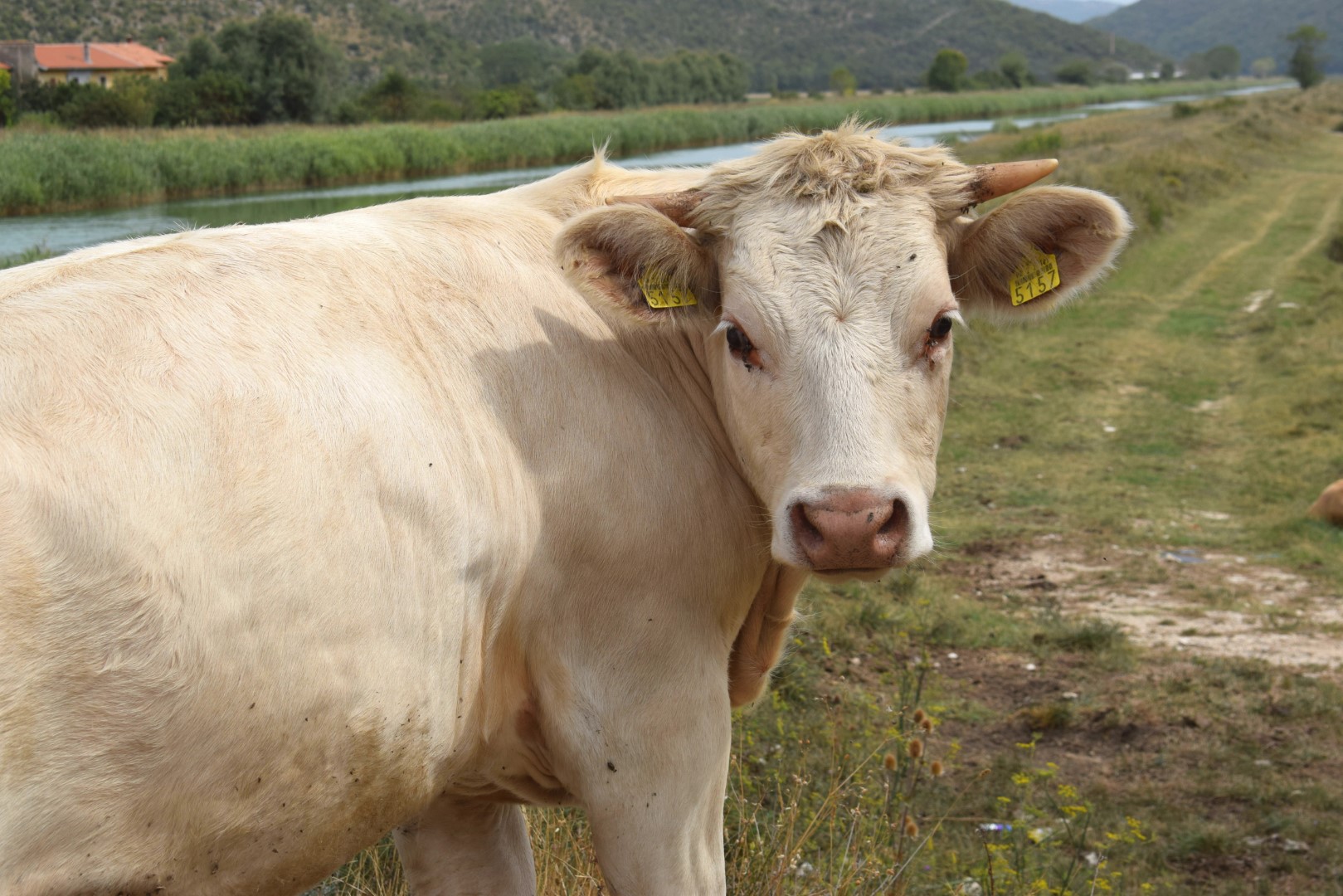
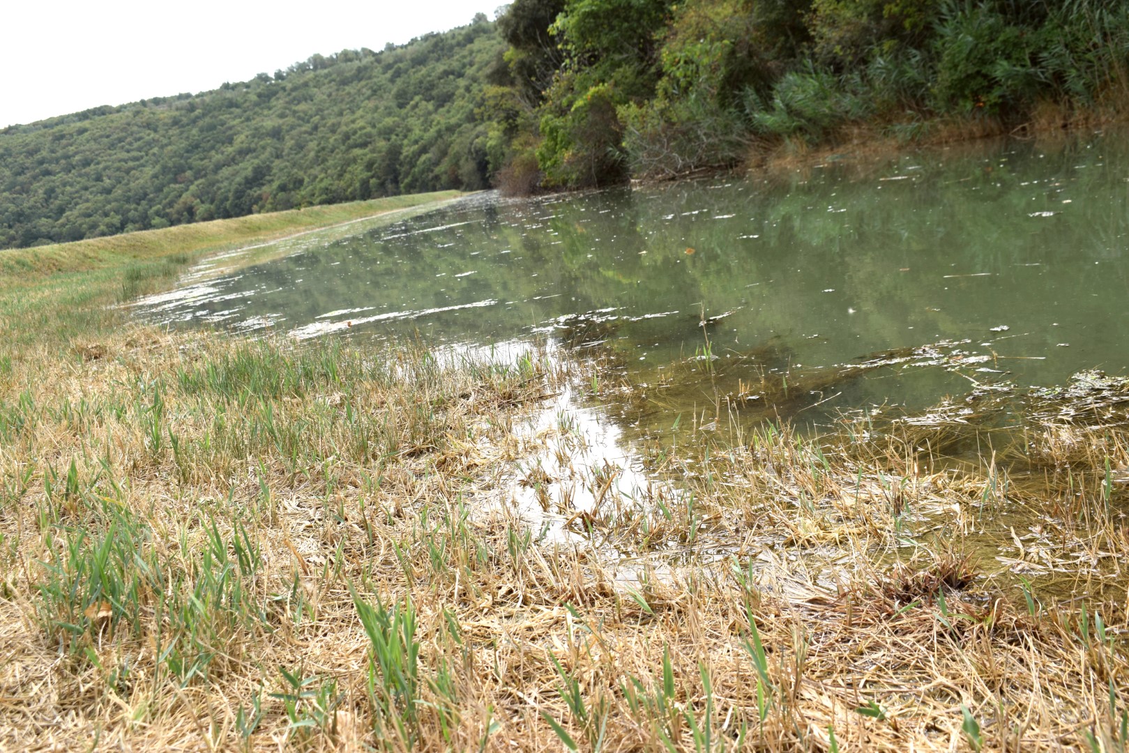
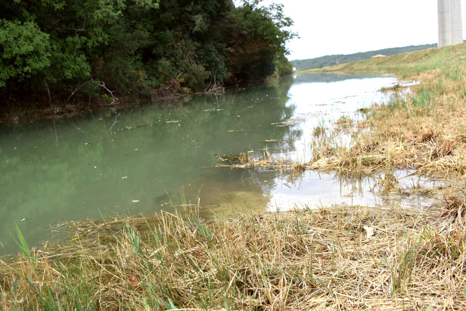
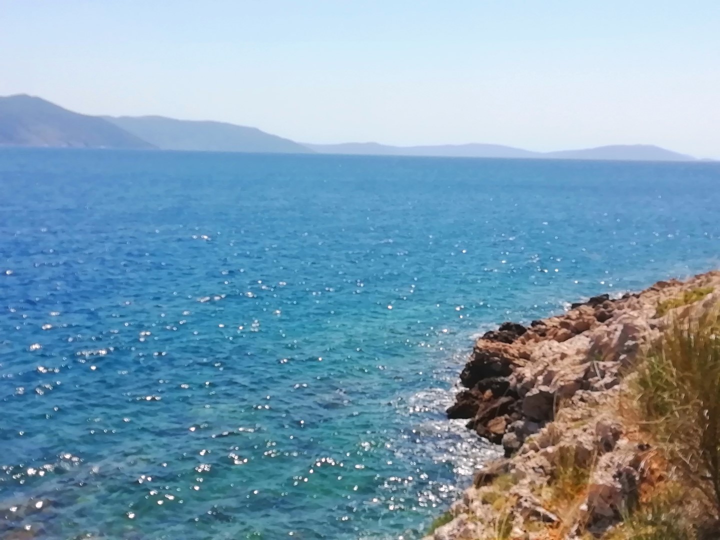
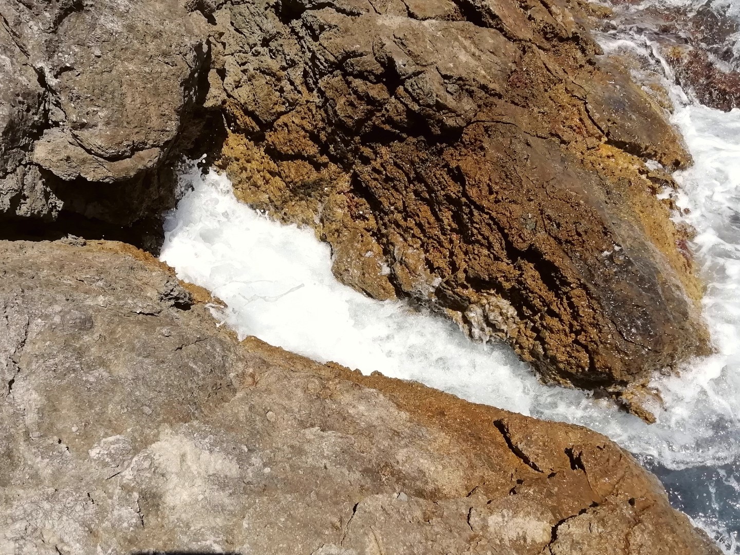
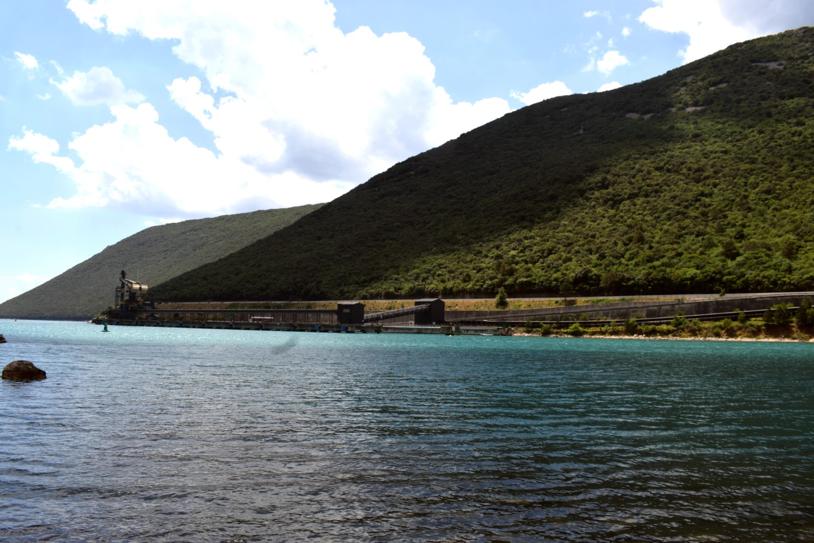
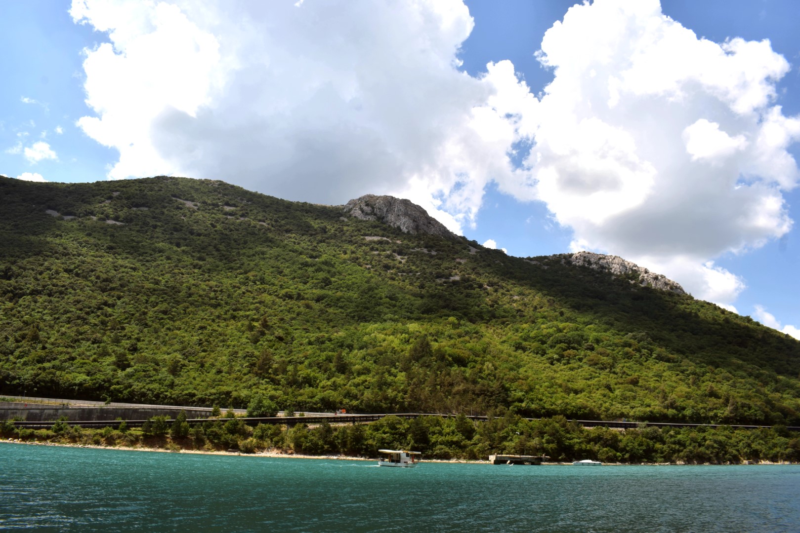
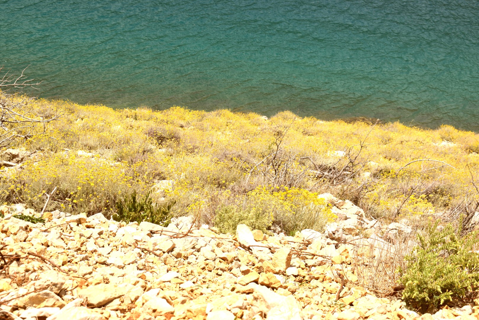
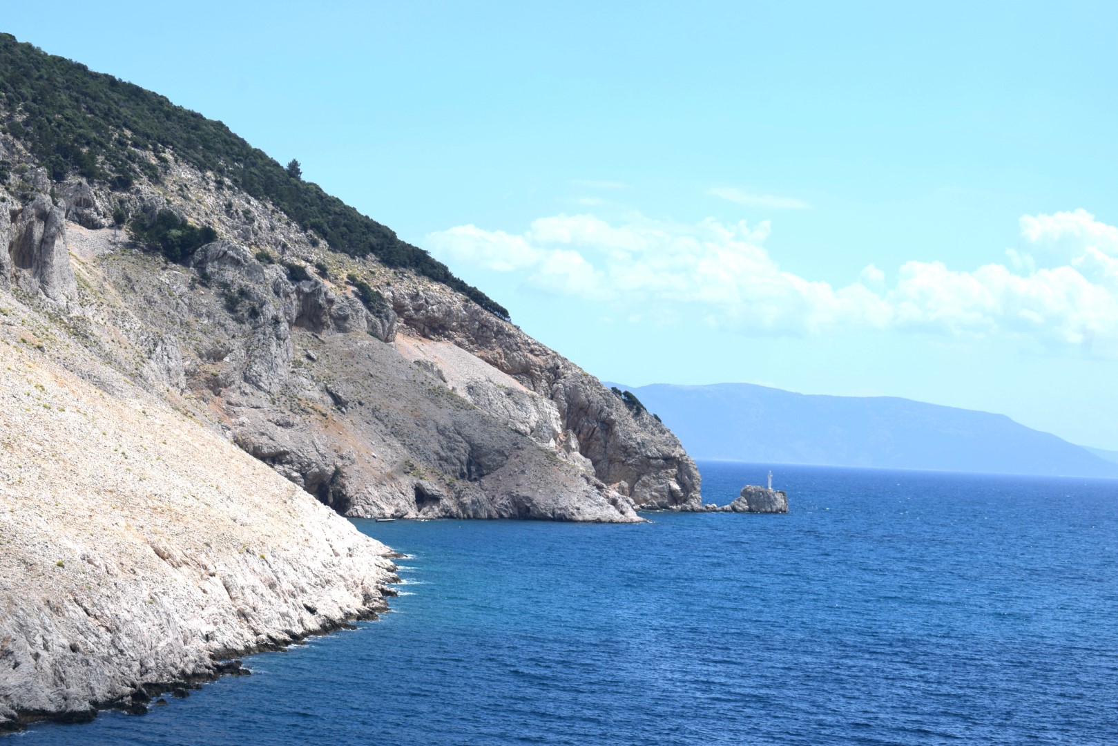
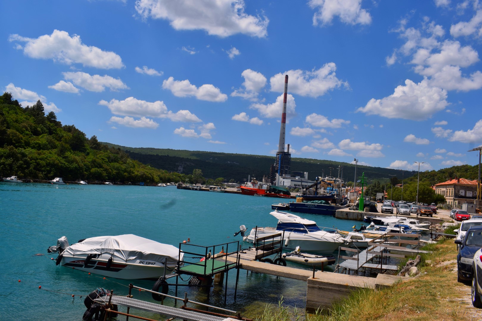
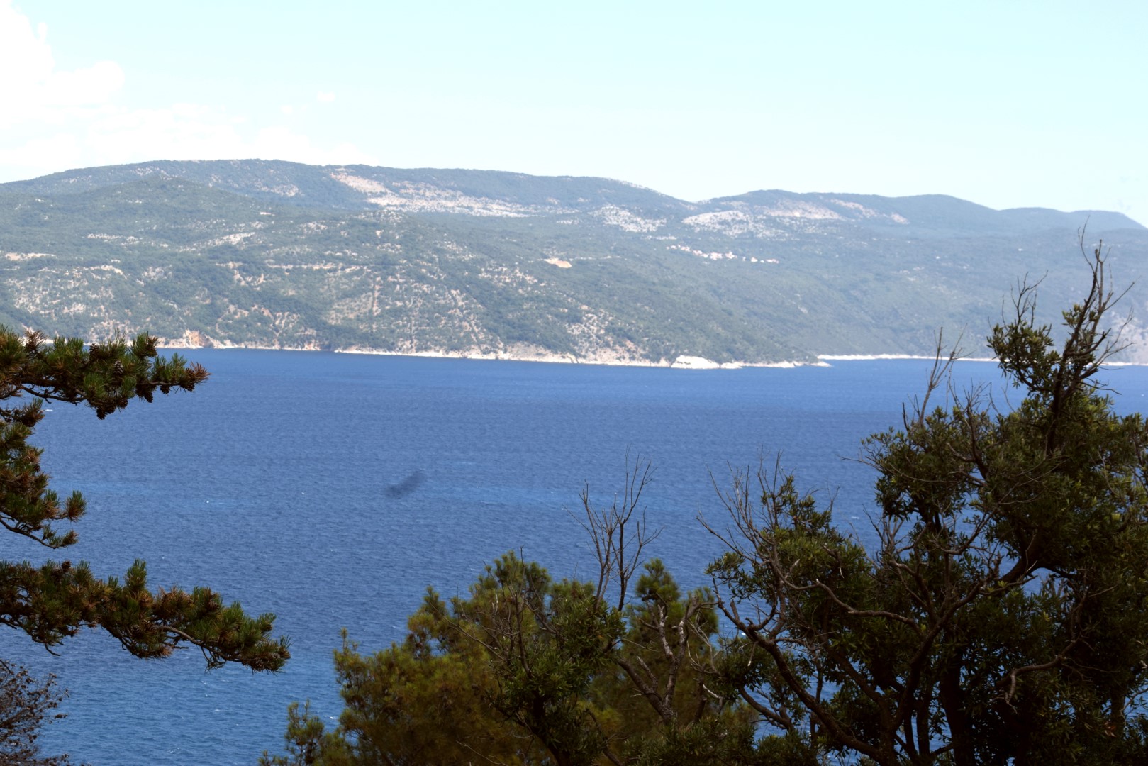
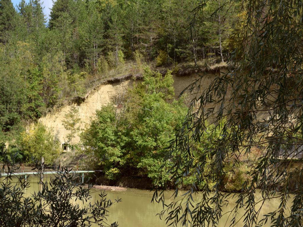
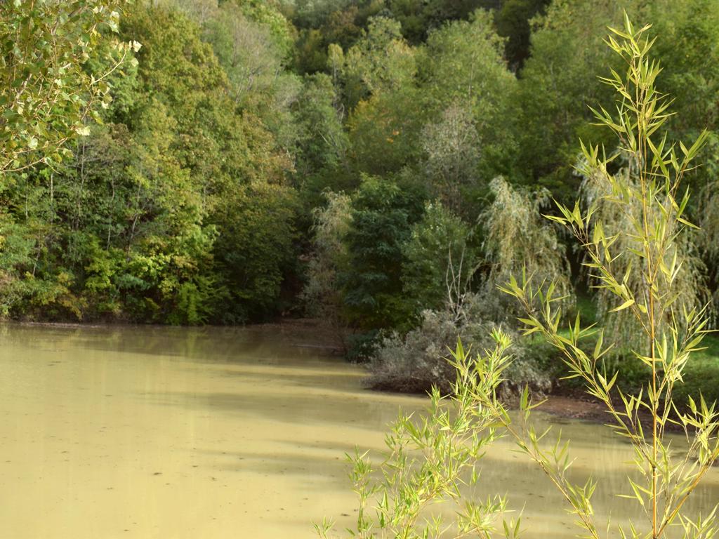
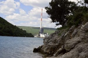
Name: River Mirna and Valley.
Place: Novigrad
Coordinates: 45.32957 N – 13.62653 O.
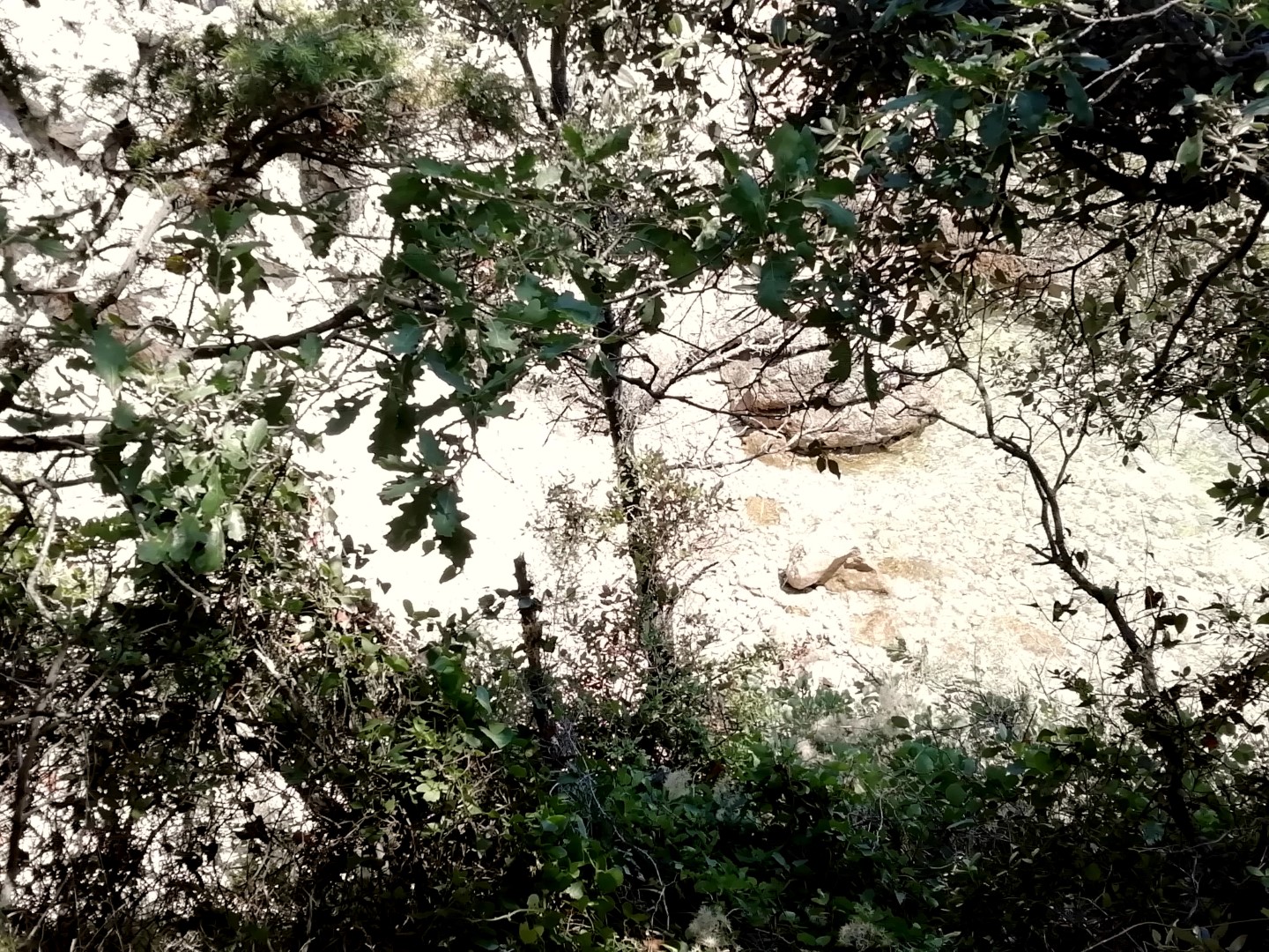
Name: Hiking trail from the village Jurasi to the bay Mali Pesak, and over the reefs to the bay Trstena.
Place: Jurasi – (Kršan).
Coordinates: Jurasi 45.13264 N -14-21214 E, Mali Pesak 45.13218 N – 14.21605 E, Bay Ttrstena 45,12791 N – 14.21330 E.
This trail is a part of the Natura 2000 site ” Plomin-Moščenička draga”.
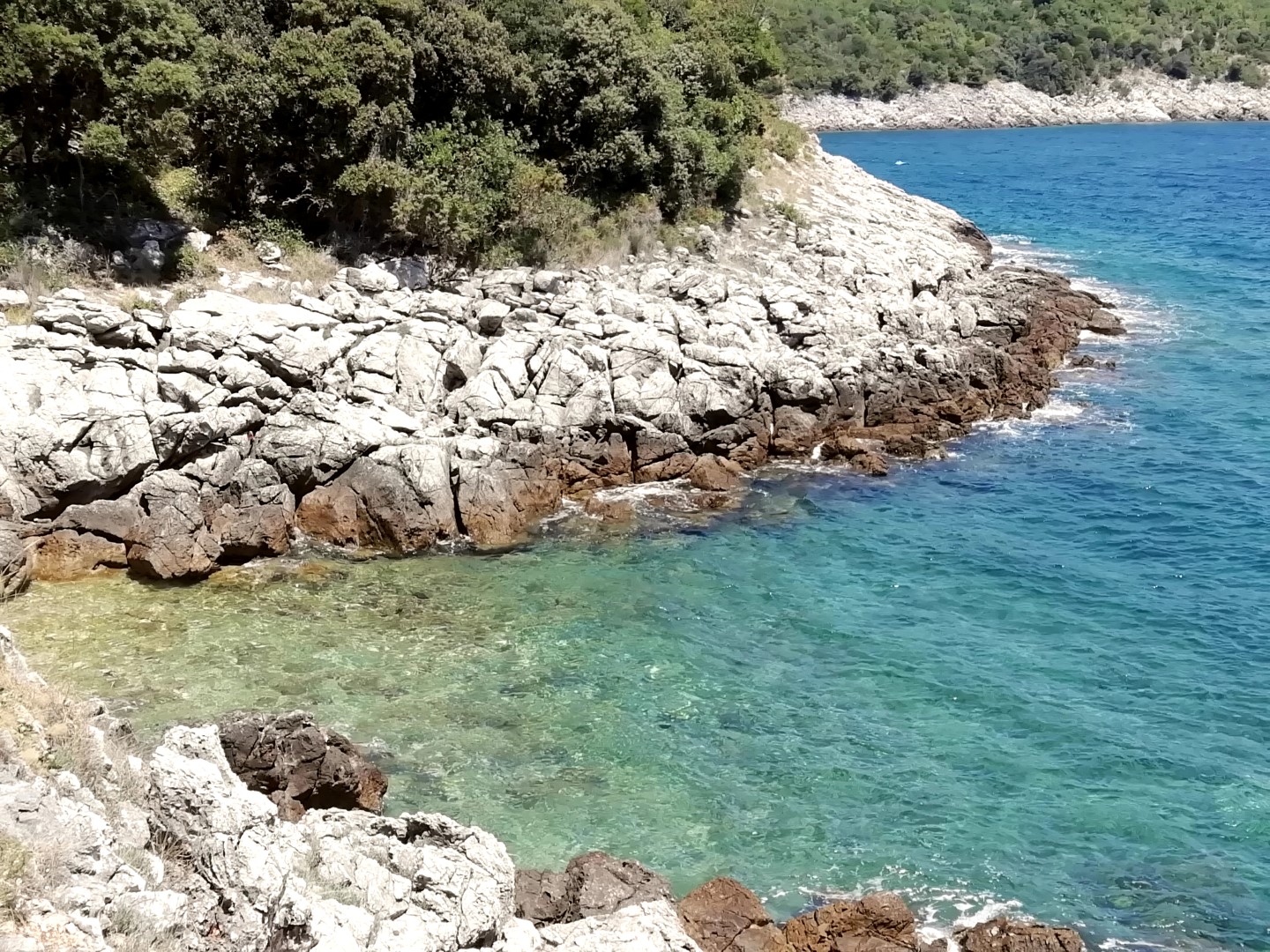
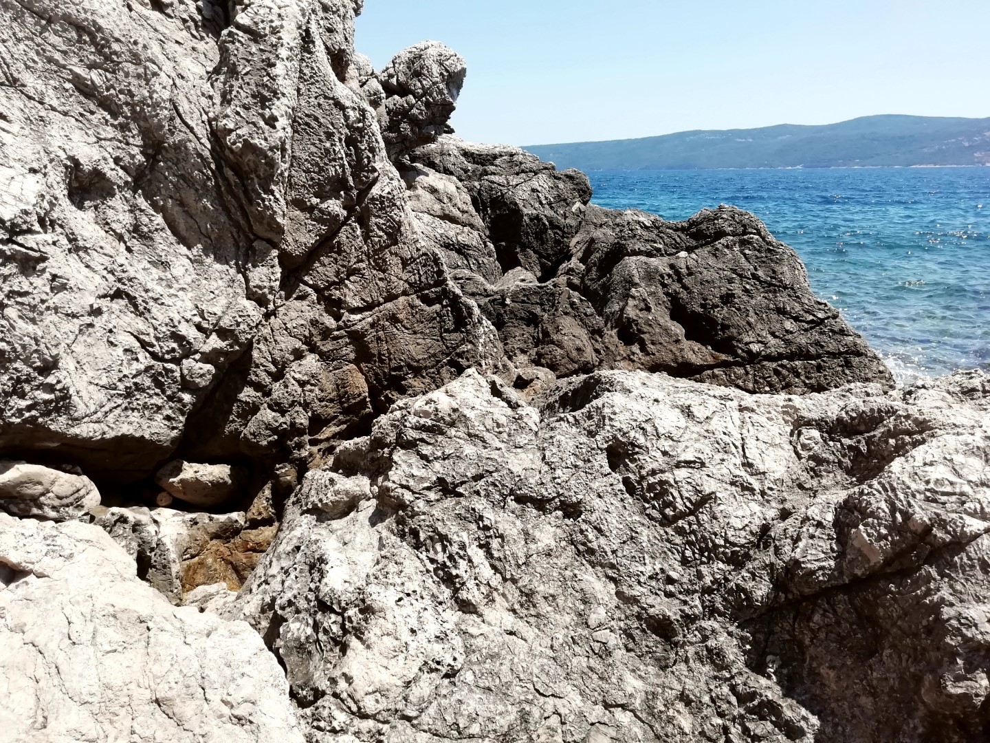
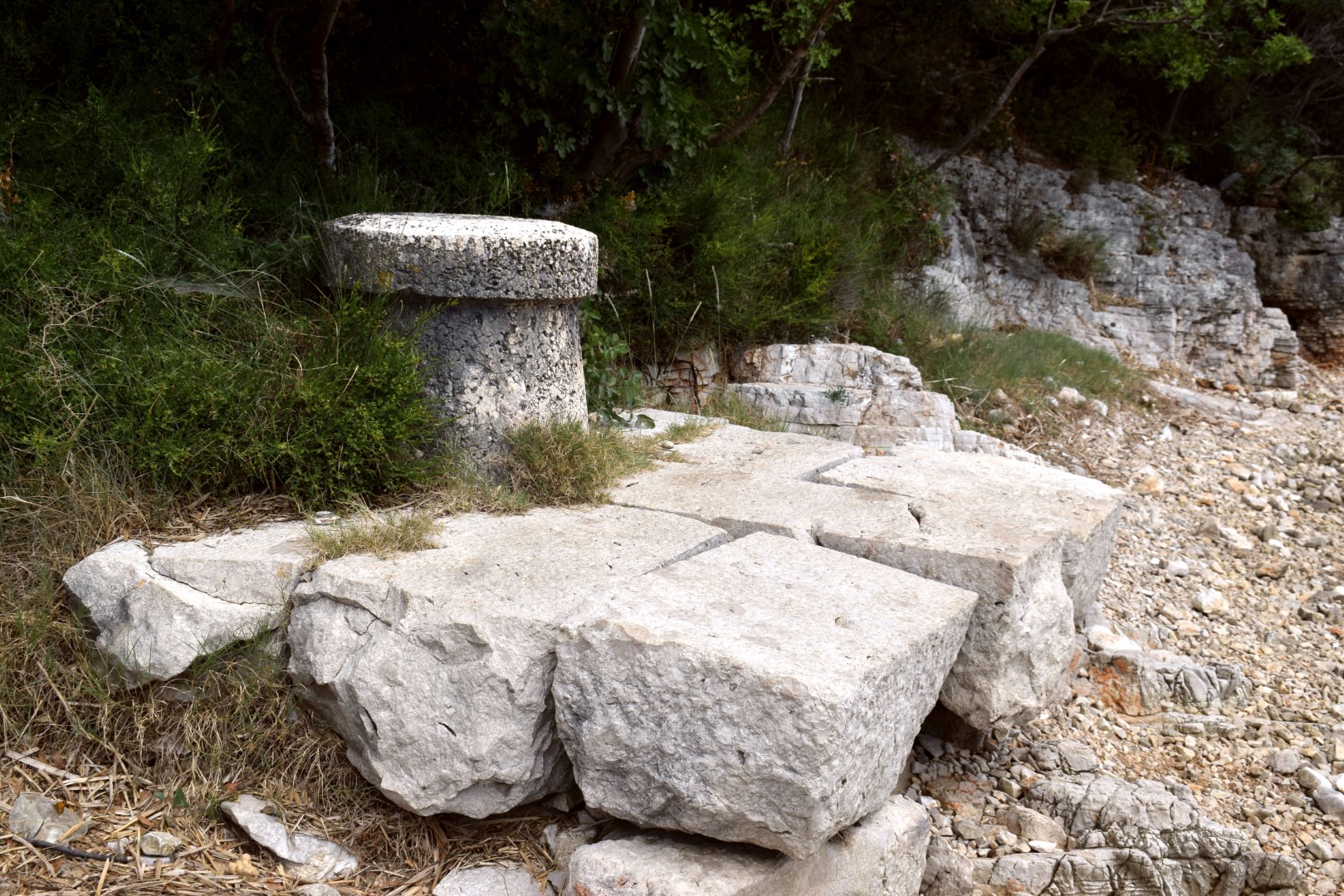
Name: Hiking trail from Plomin harbour to the cape Mašnjak, along the cove Plomin.
Place: Plomin – (Kršan).
Coordinates: start 45.13353 N – 14.17793 E, end 45.12201 N – 14.19710 E.

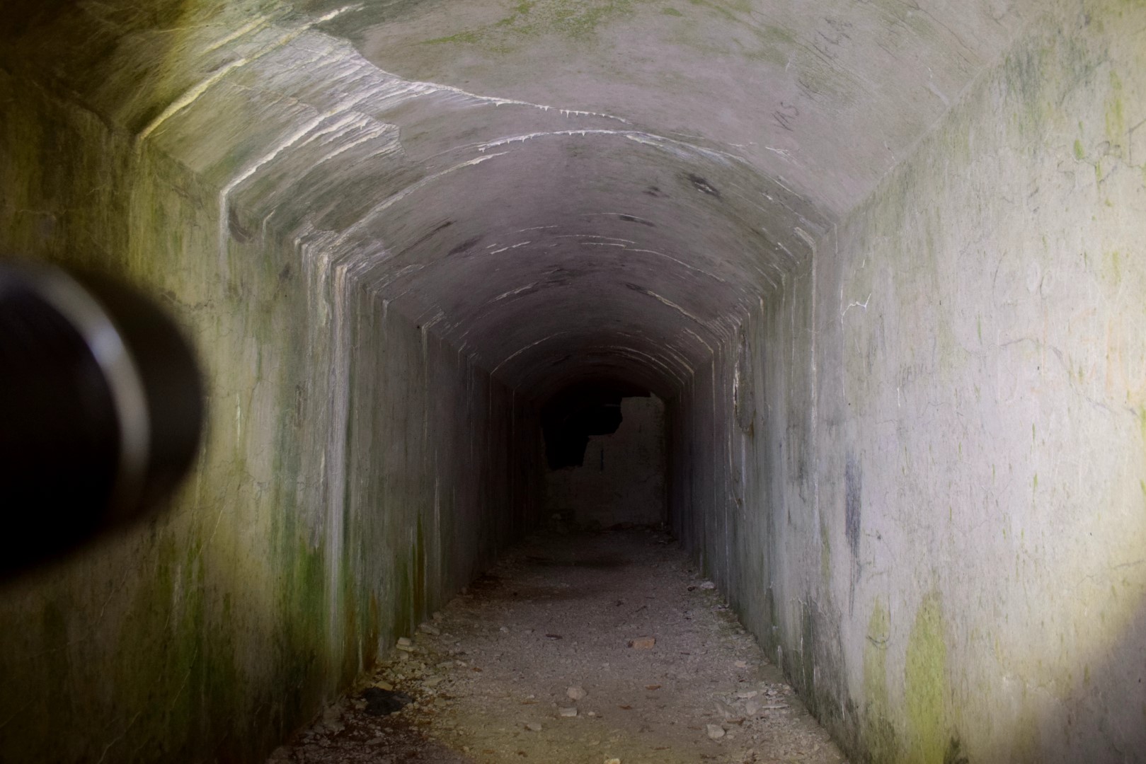
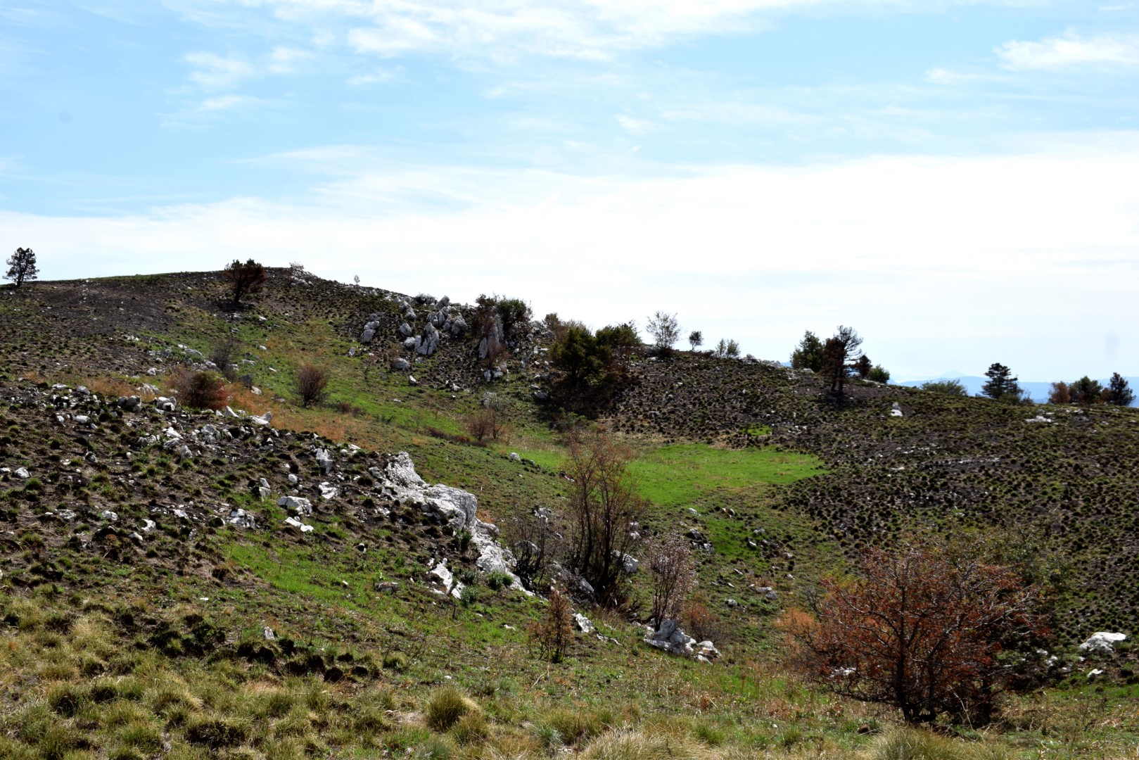
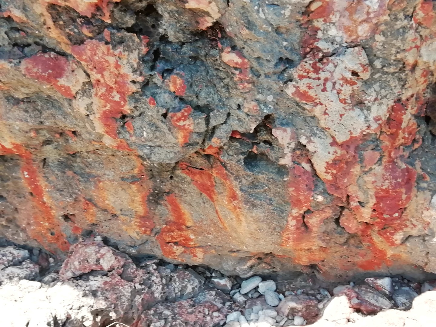
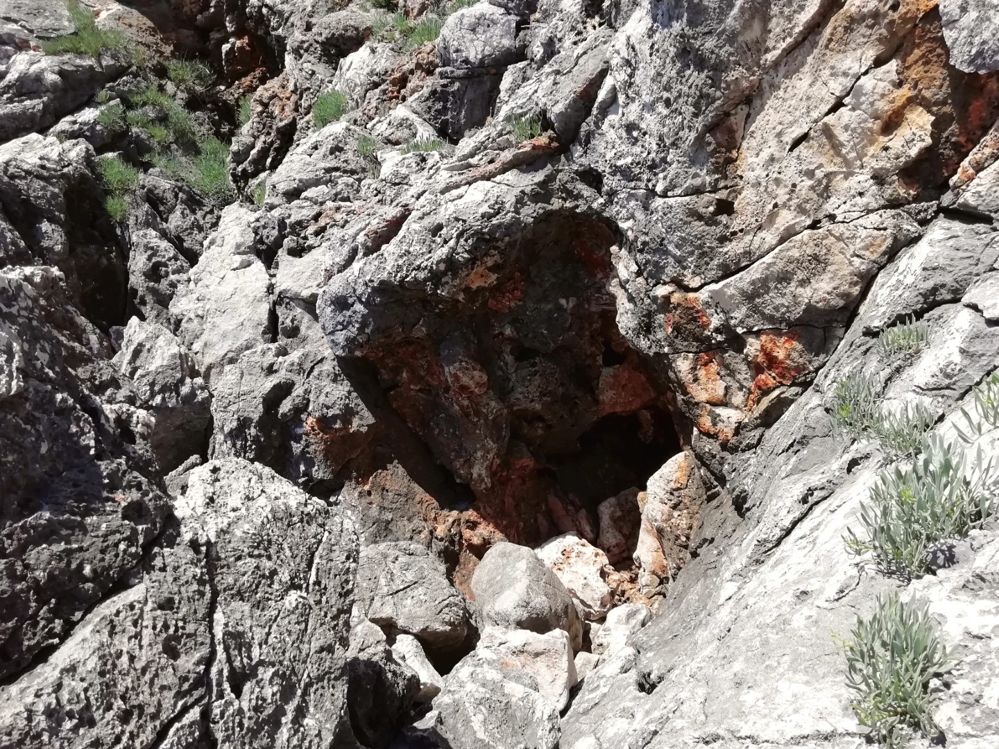
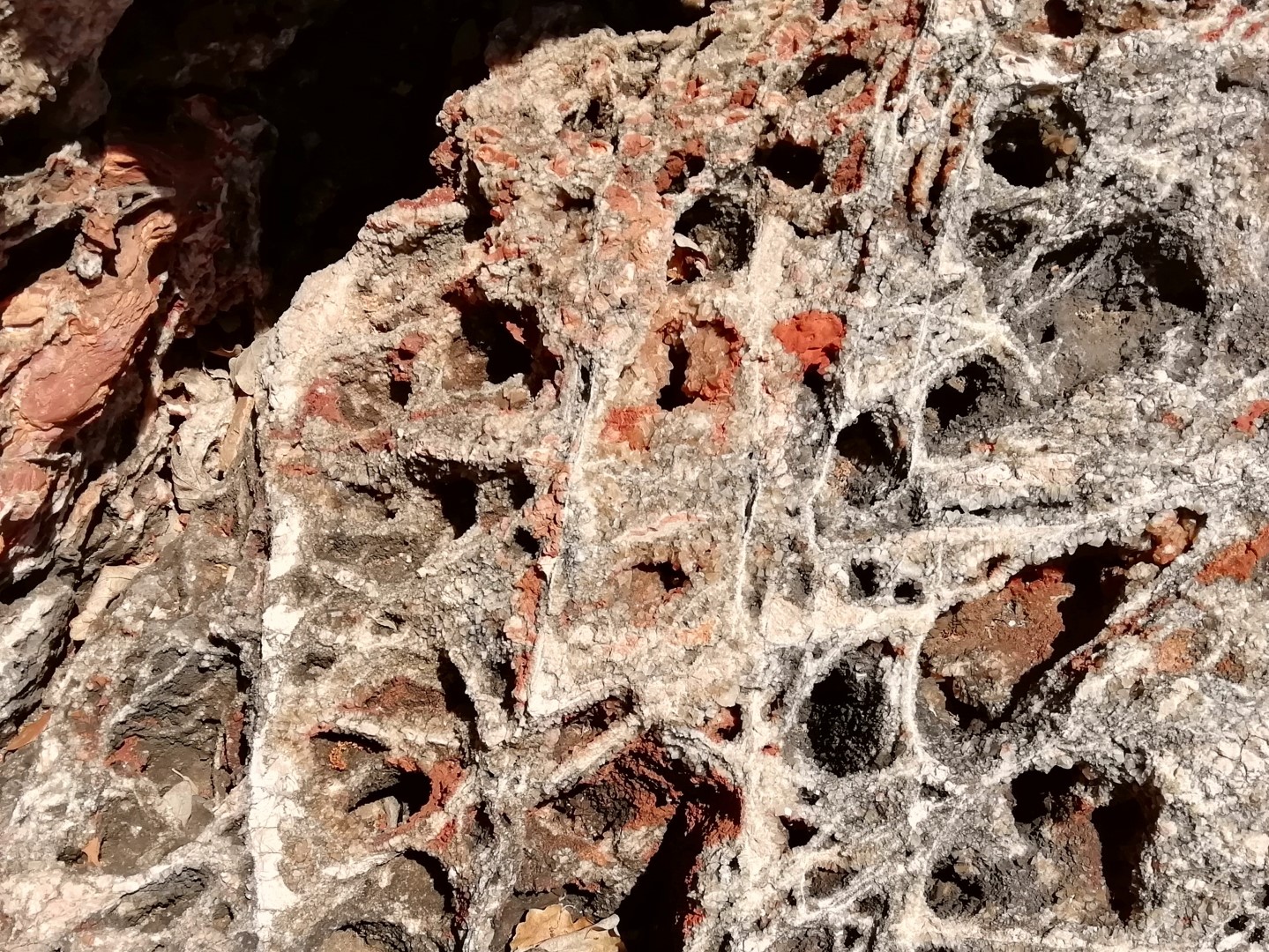
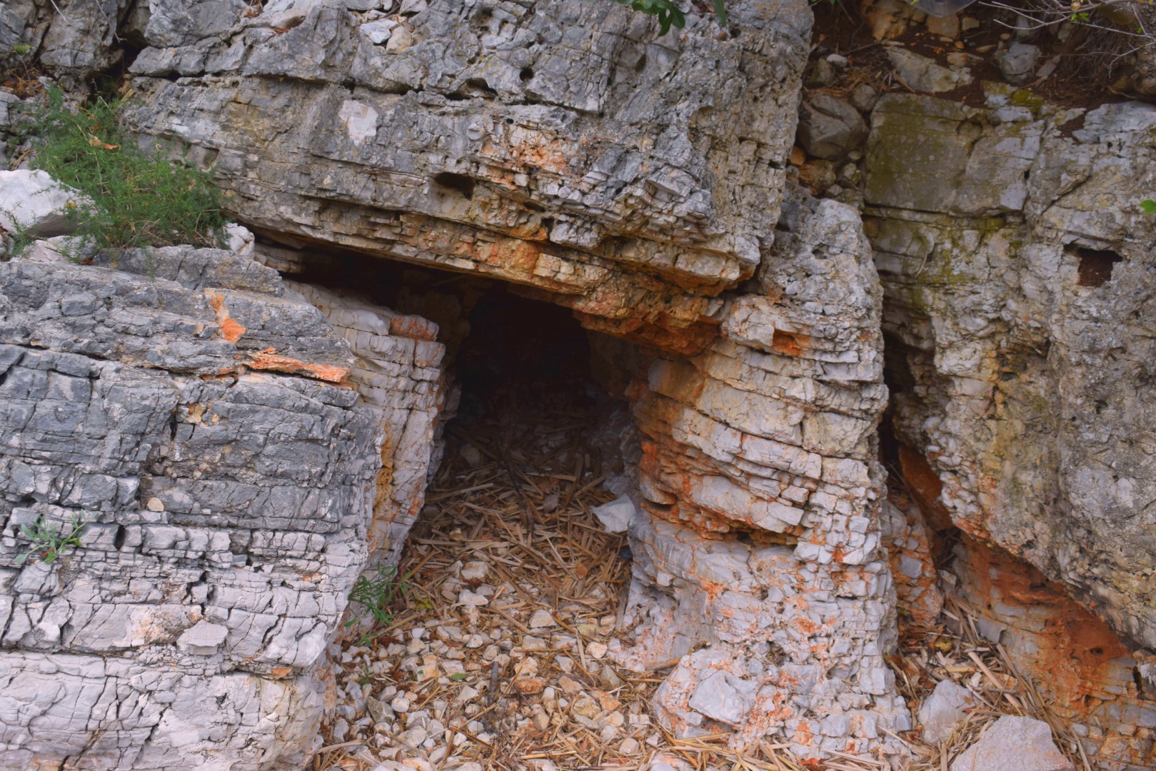
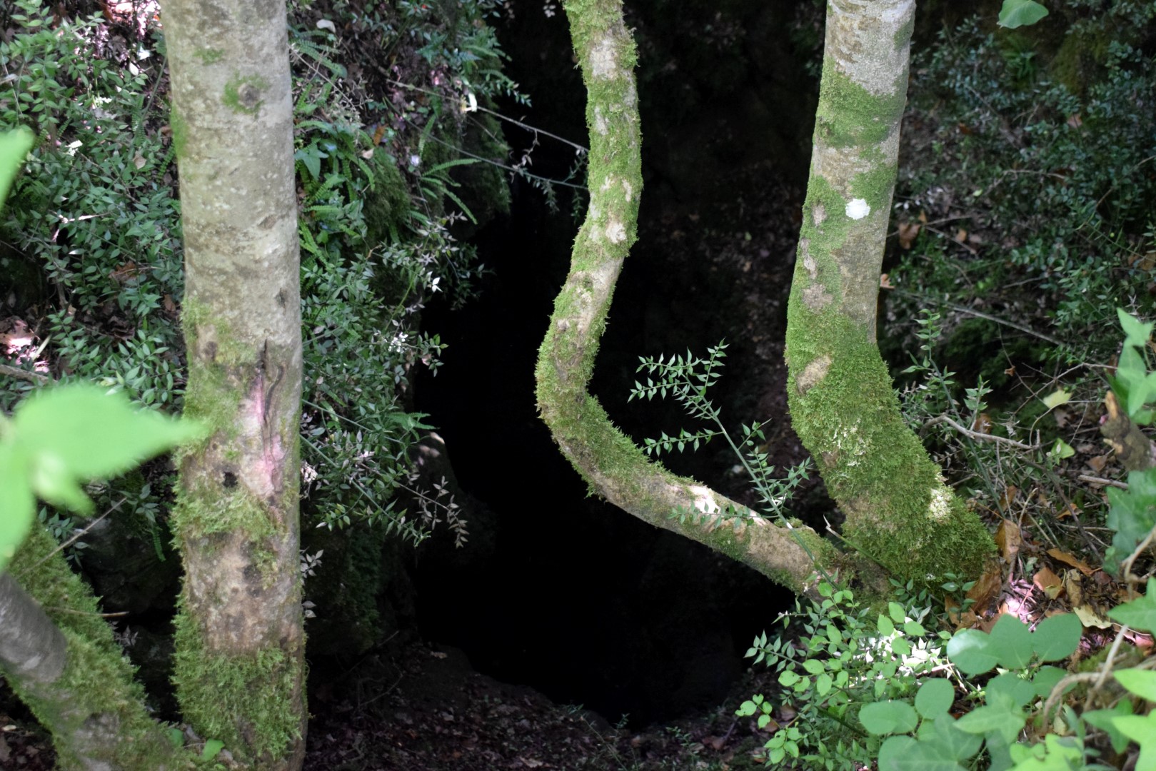
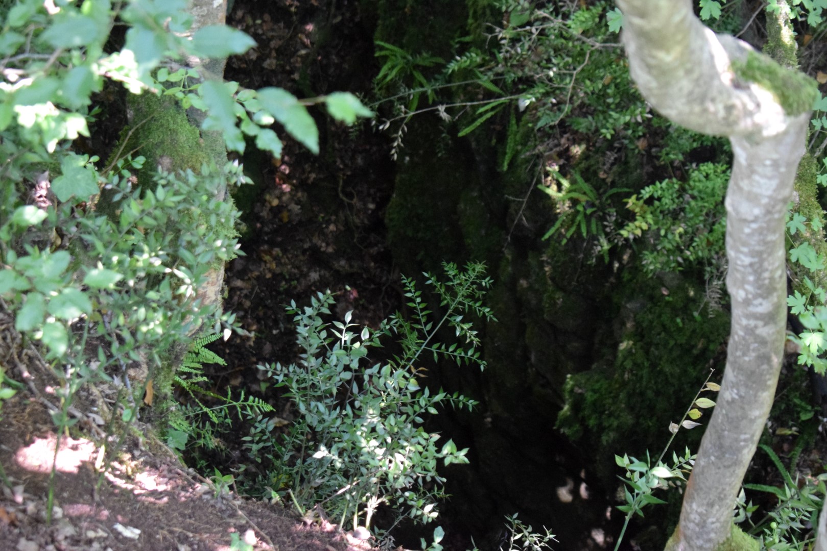
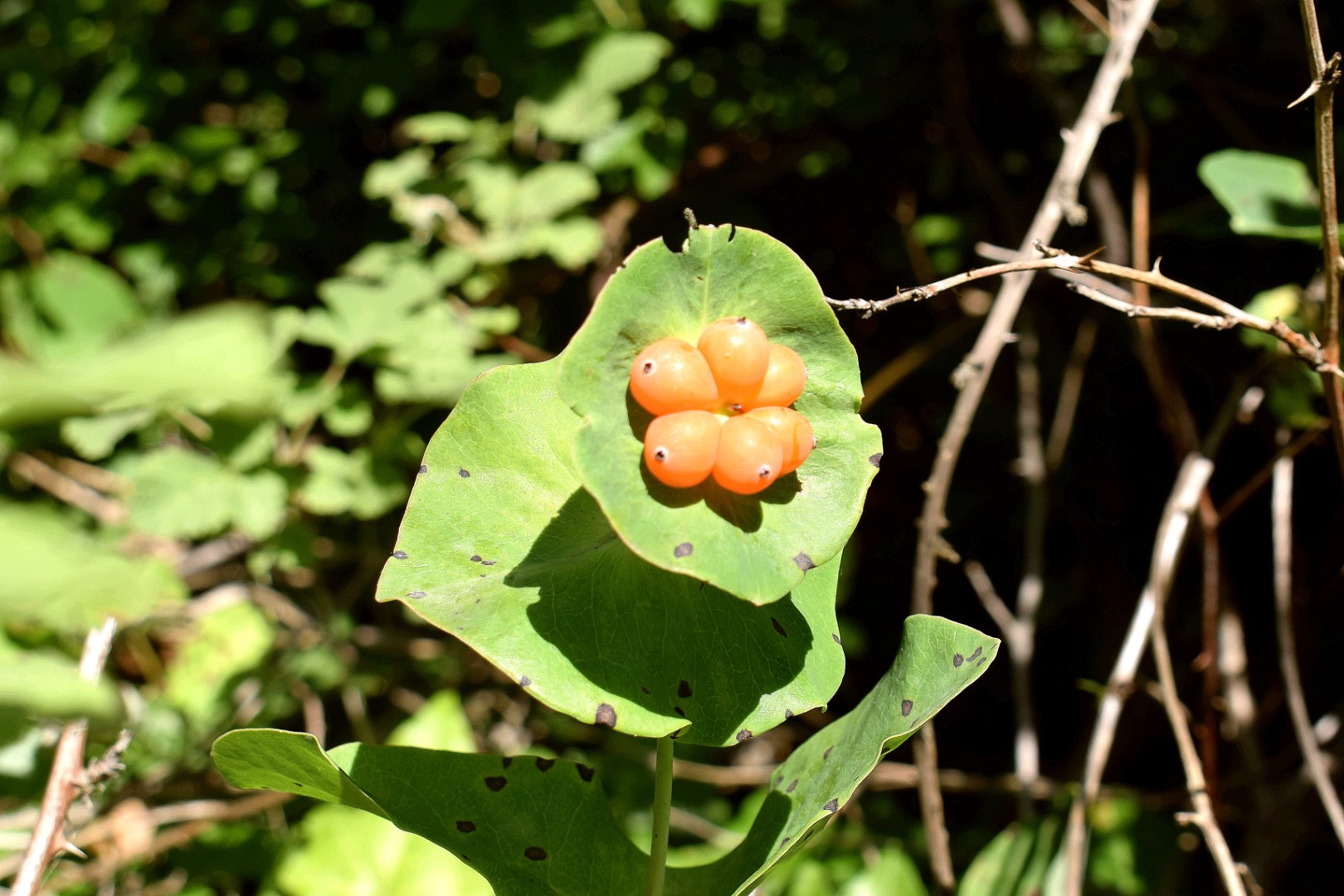
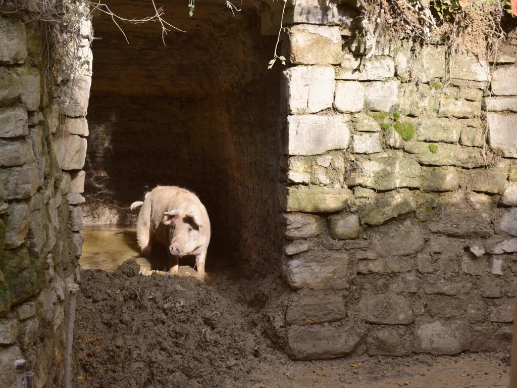
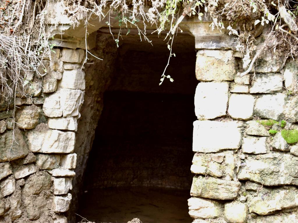
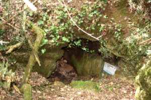
Name: The area around the Markova cave near the village Spin.
Place: Spin – (Tar).
Coordinates: 45.31921 N -13.63156 E
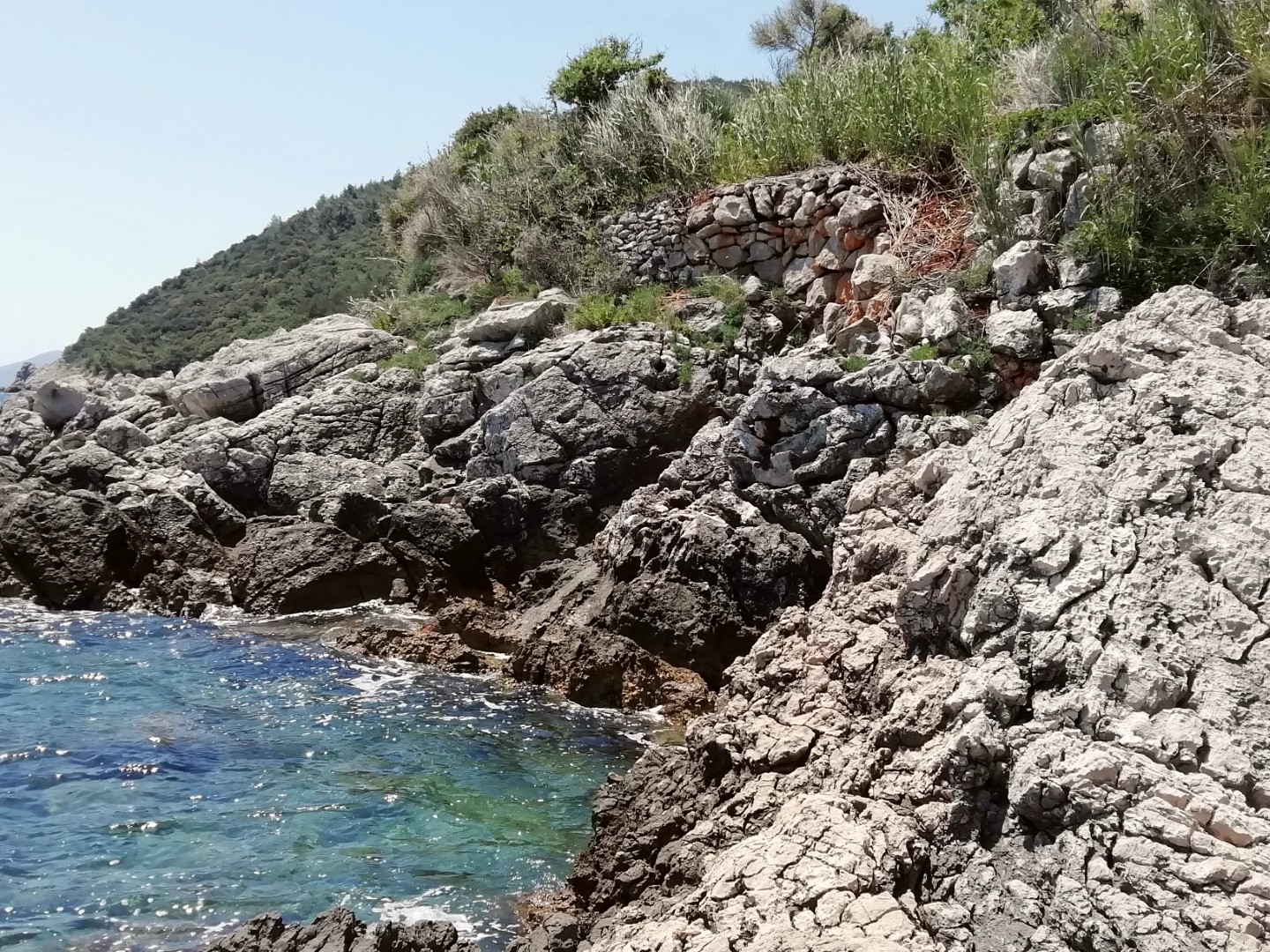
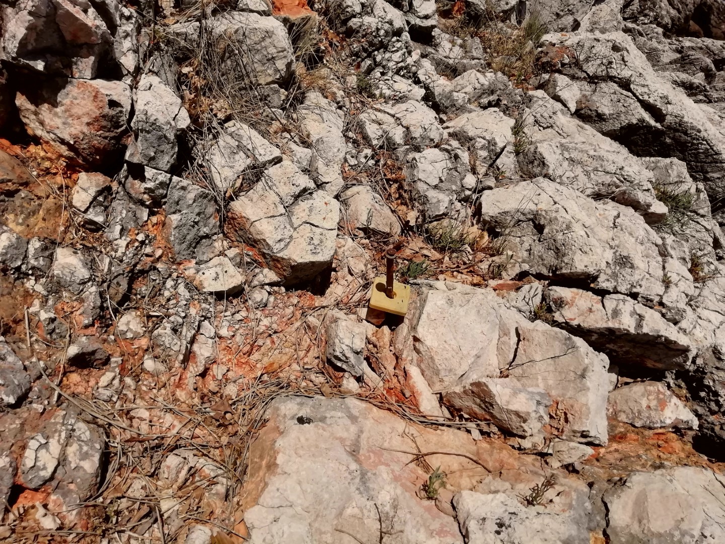
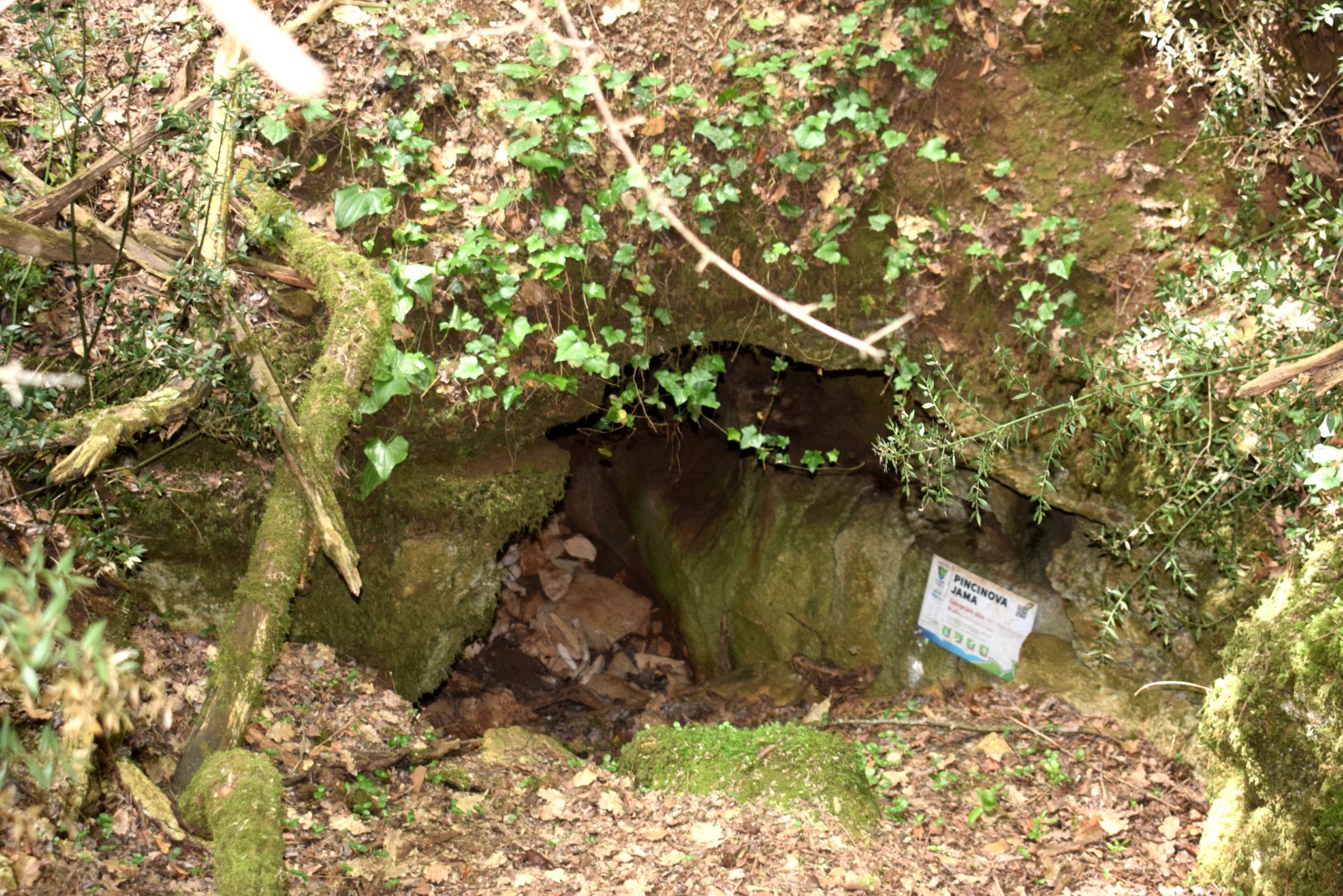
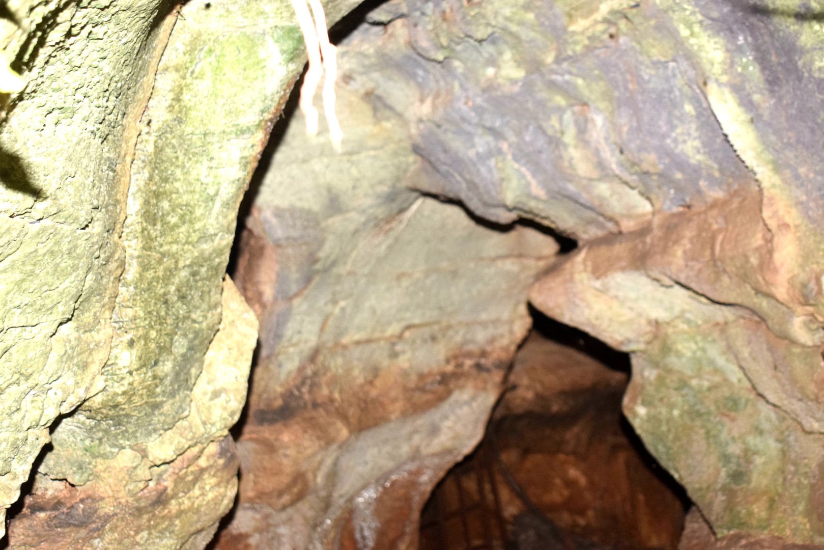
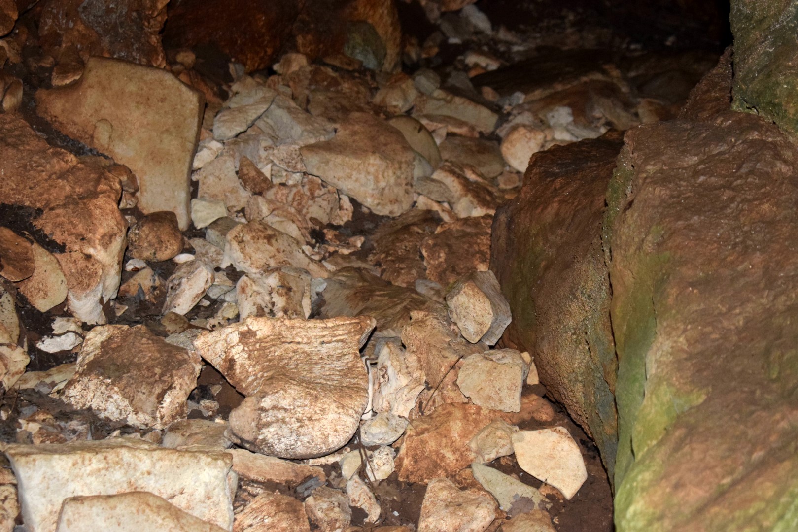
Name: Trail to the Pincinova Cave.
Place: Near Perci – (Tar).
Coordinates: Start trail 45.28787 N – 13.64183 E, Pincinova cave 45.28740 N – 13.63520 E.
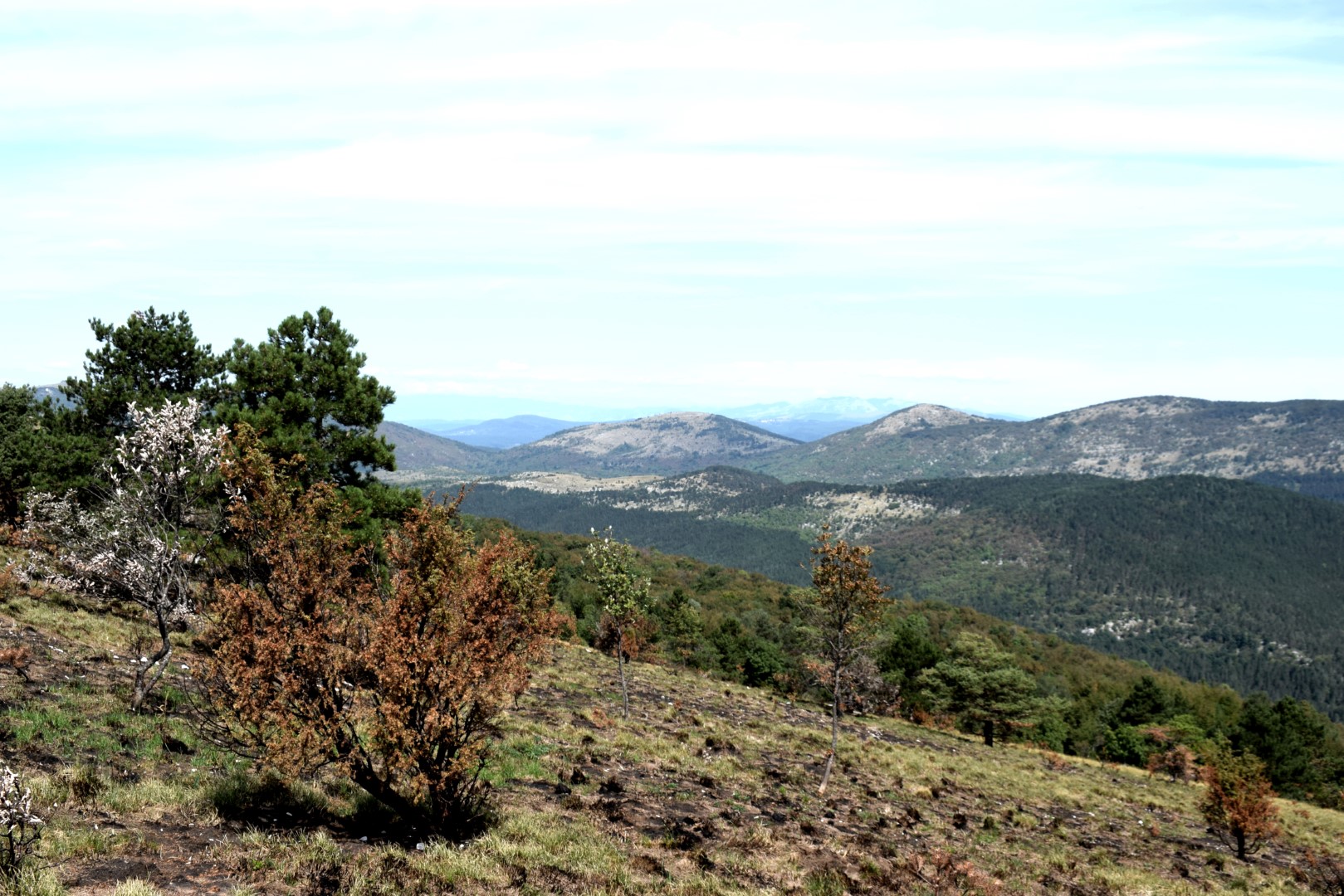
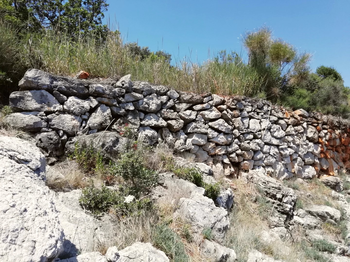
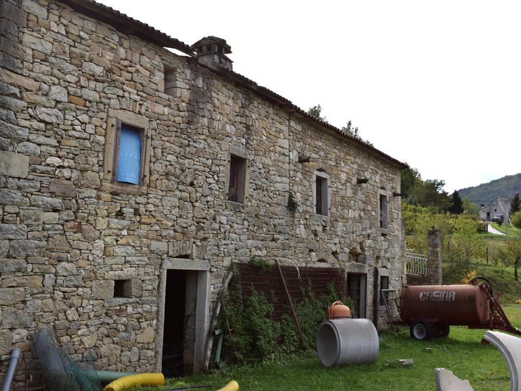
Name: Hiking trail Vela Traba/Draga – river Draga.
Place: Near Surani – (Tinjan – Pazin).
Coordinates: Start 45.23329 N – 13.84249 E, 45.23112 N – 13.85571 E, 45.22533 N – 13.84470 E , 45.23190 N – 13.94620 E.