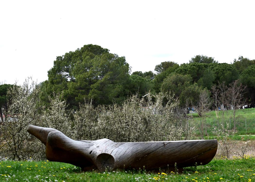
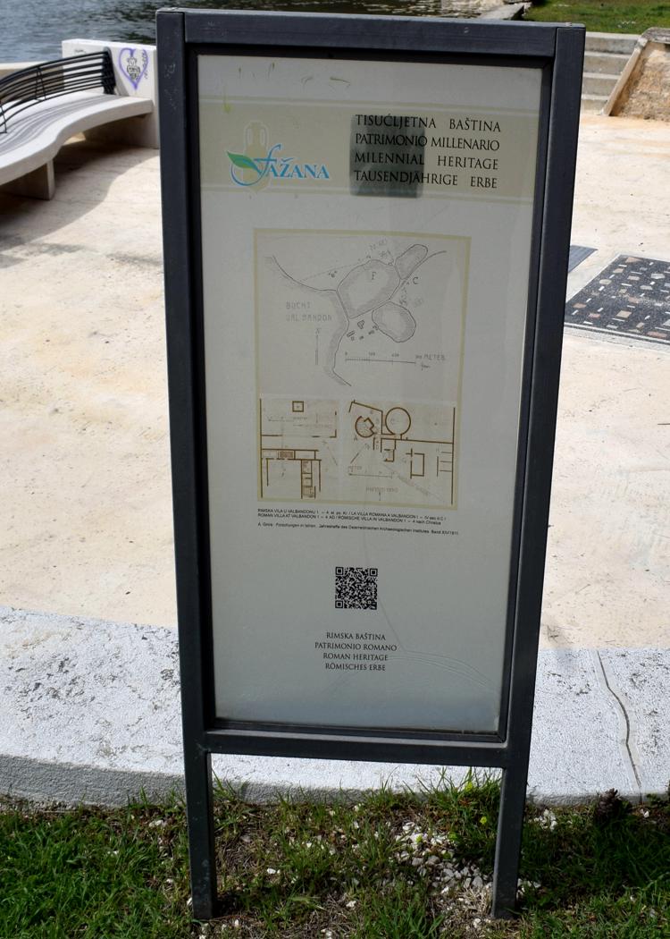
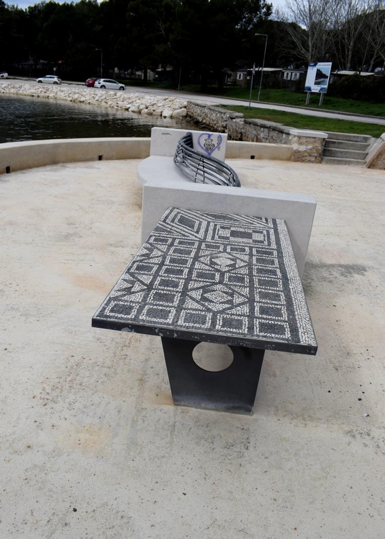
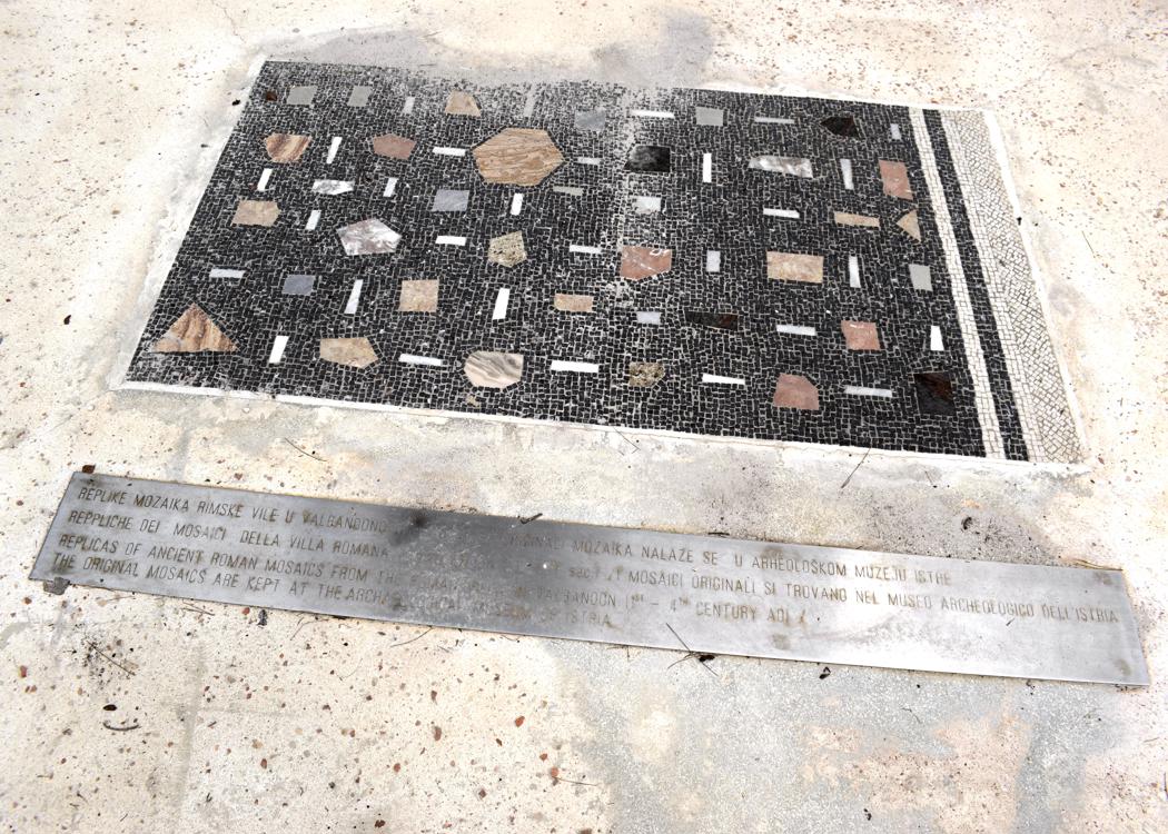
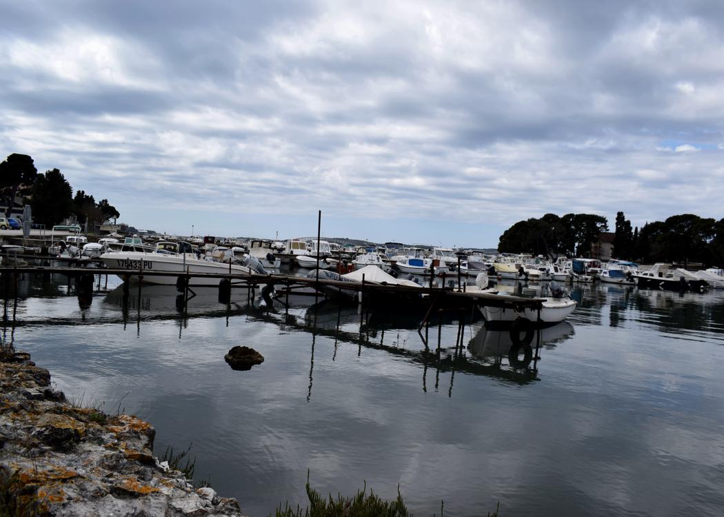
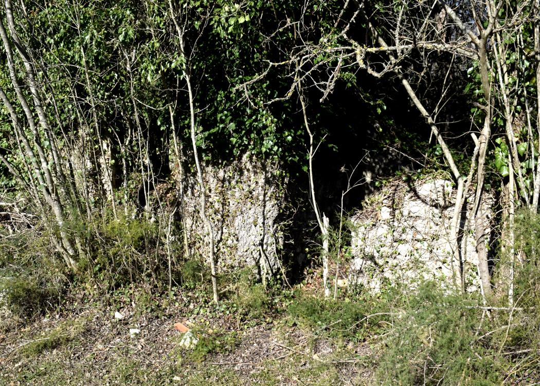
From the first to the 5th century, a large luxurious maritime Roman villa was located on this bay. During the construction of a new quay wall on the north side, three decorated hermes and plinths were found during dredging and archaeological research at the end of 2022.
A herma is sculpture with a head and a torso above a plain usually squared lower section and belonged to the garden architecture of wealthy families.
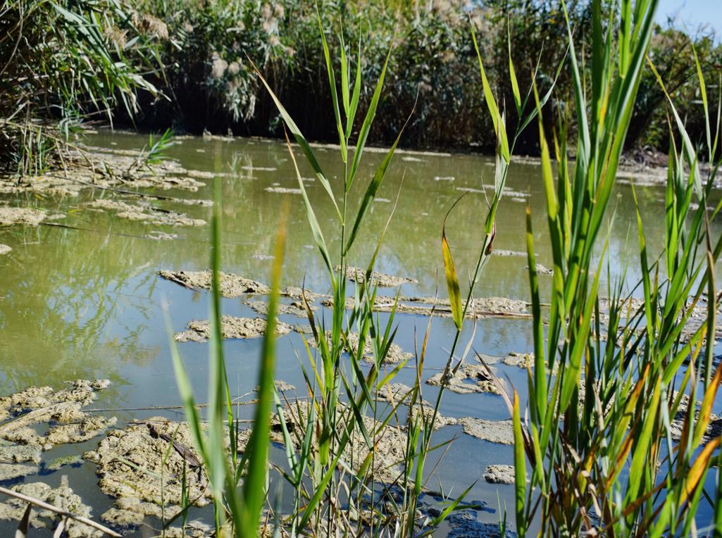
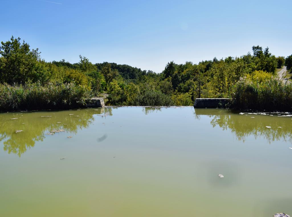
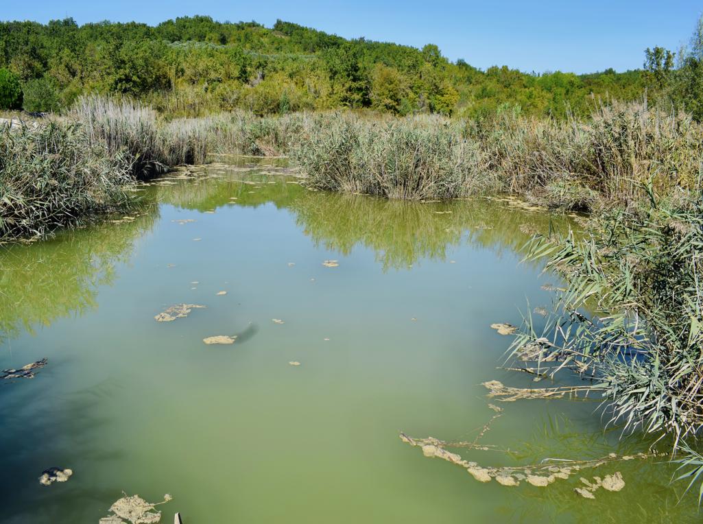
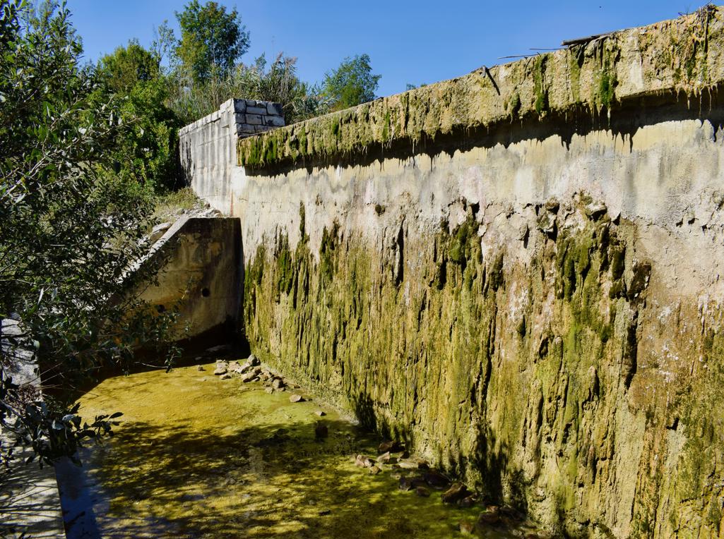
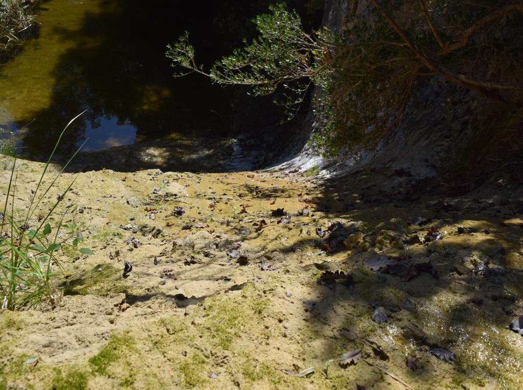
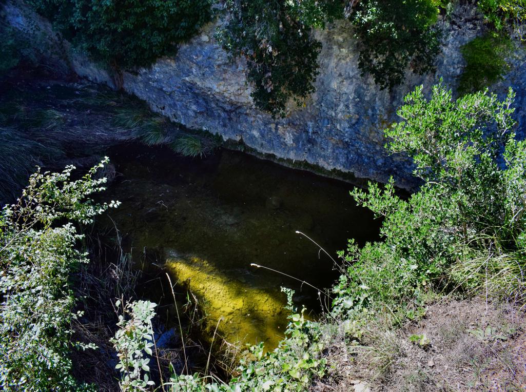
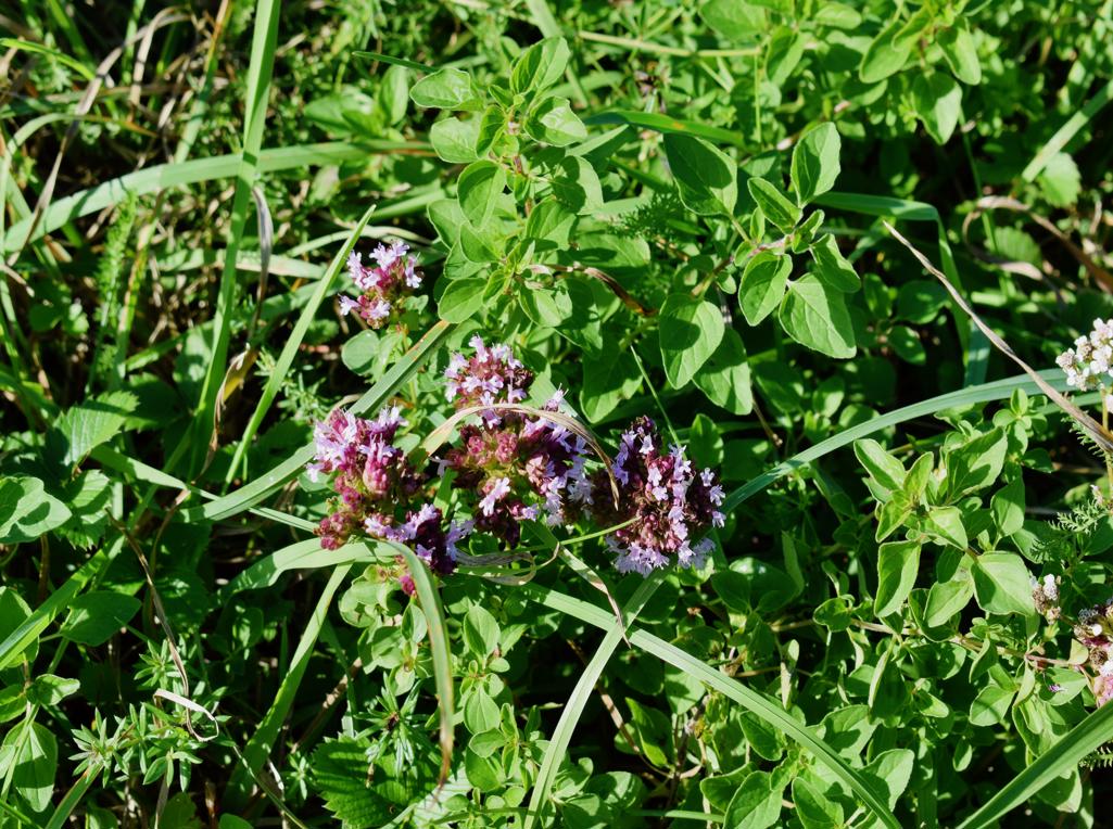
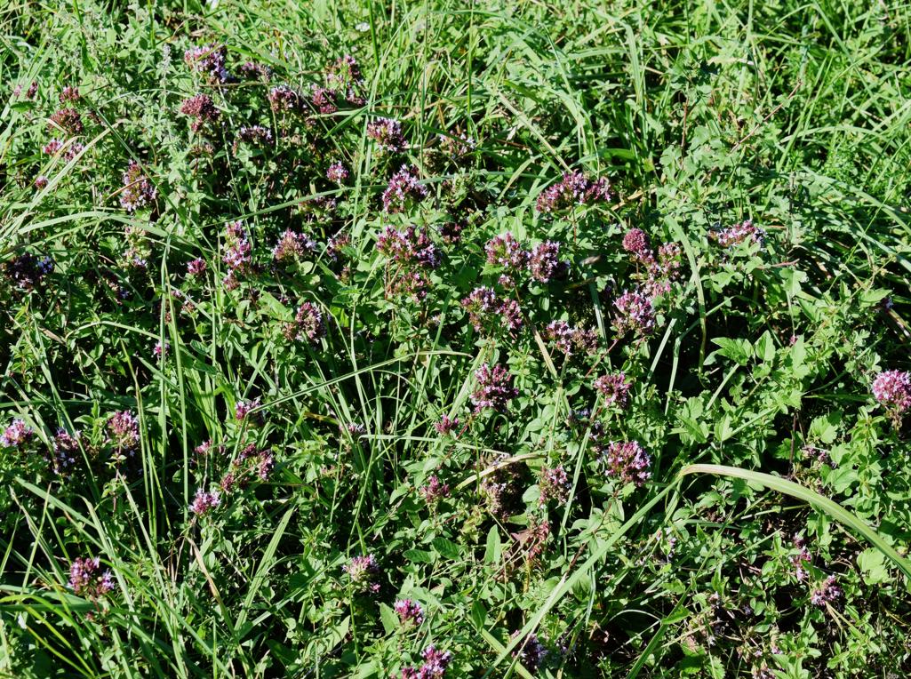
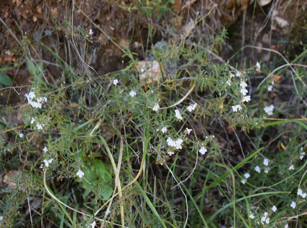
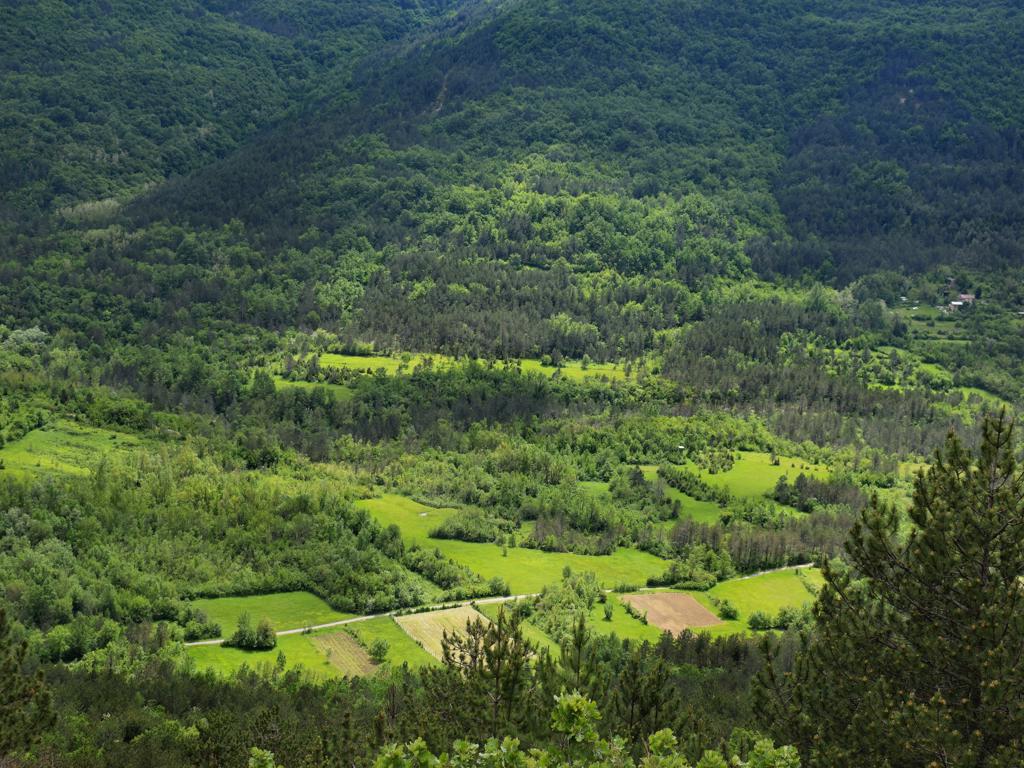
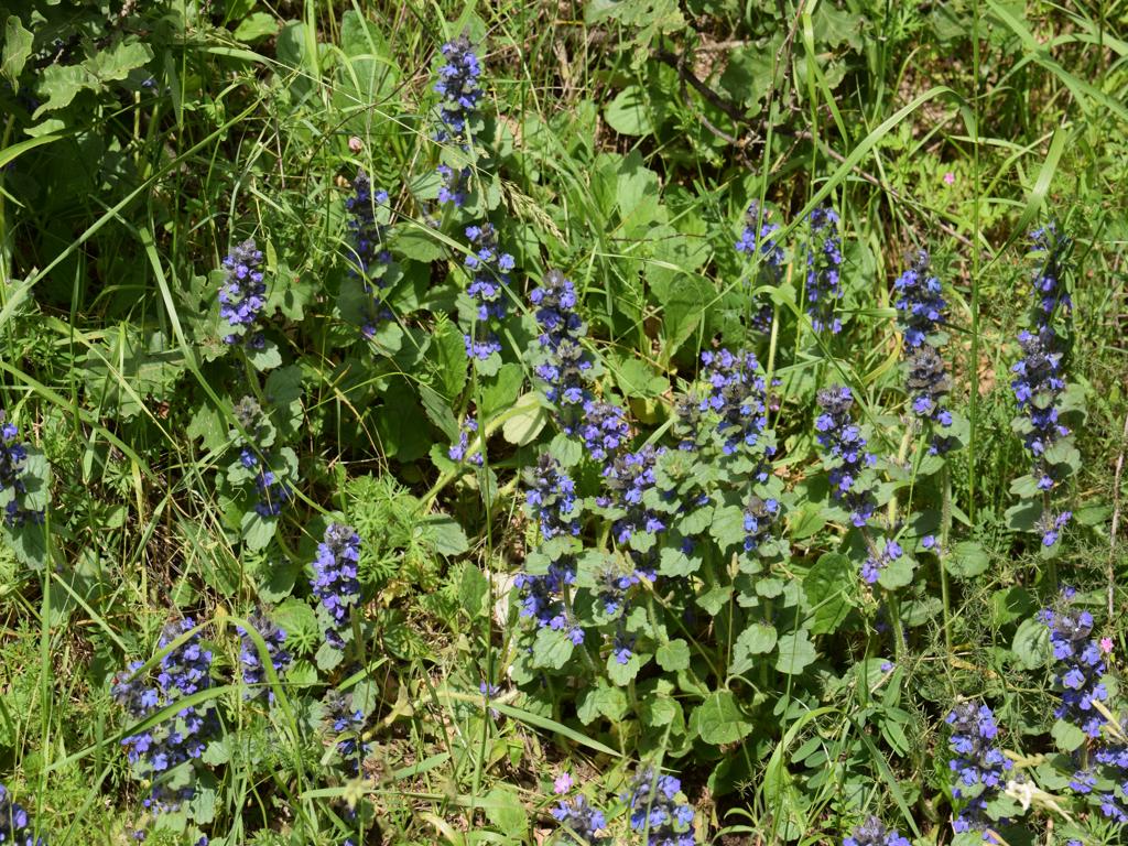
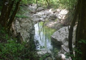
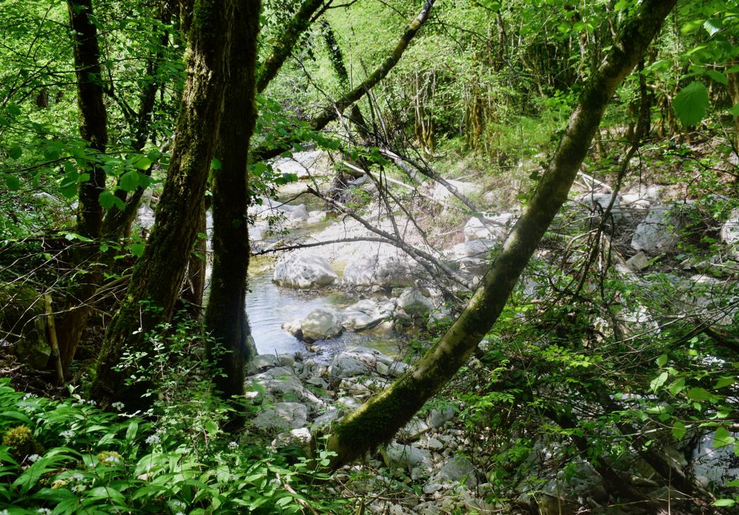
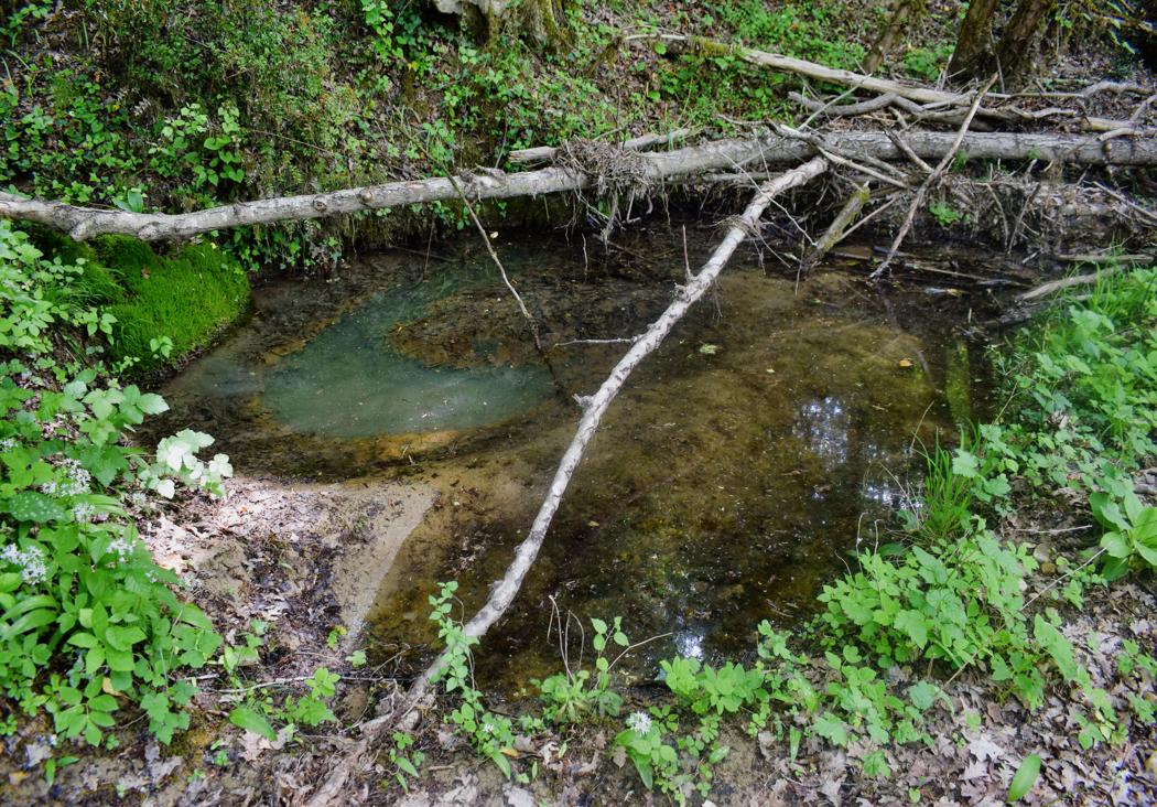
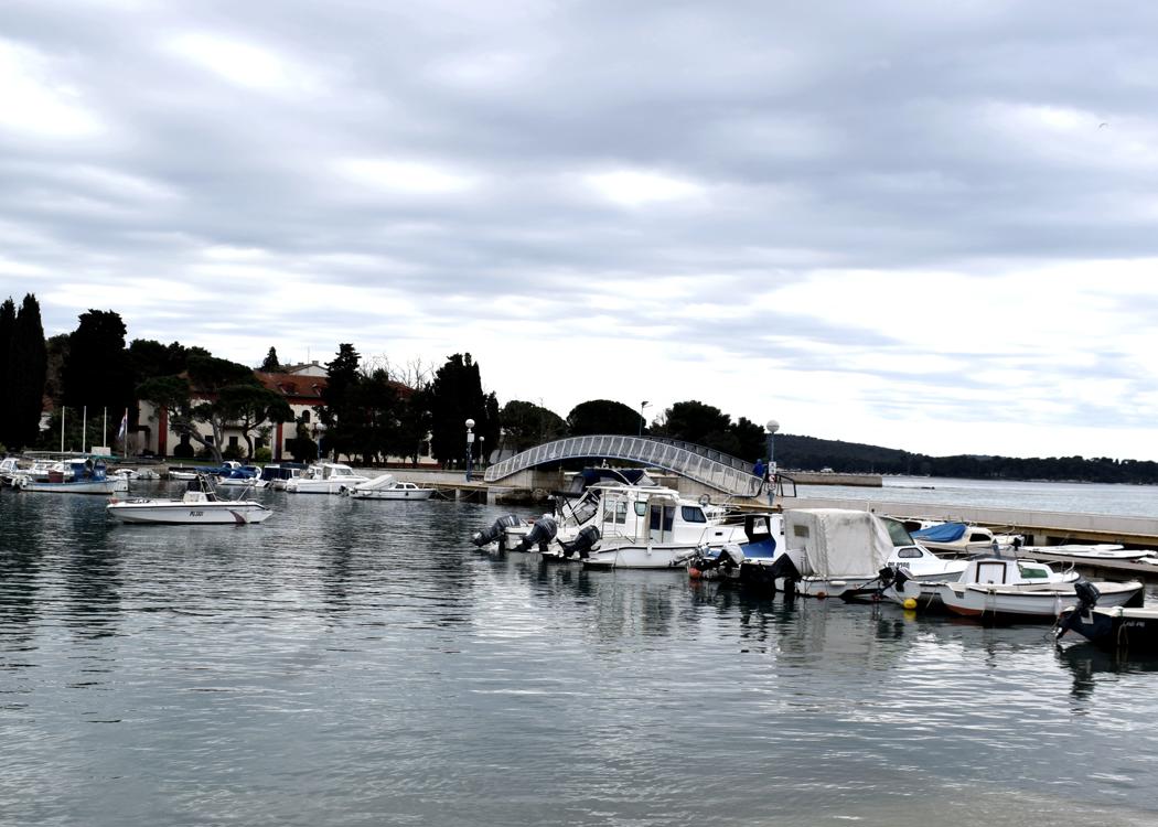
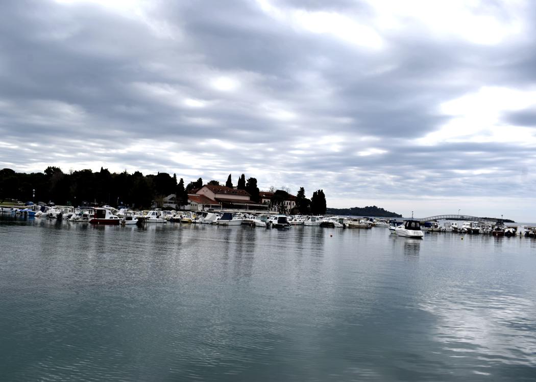
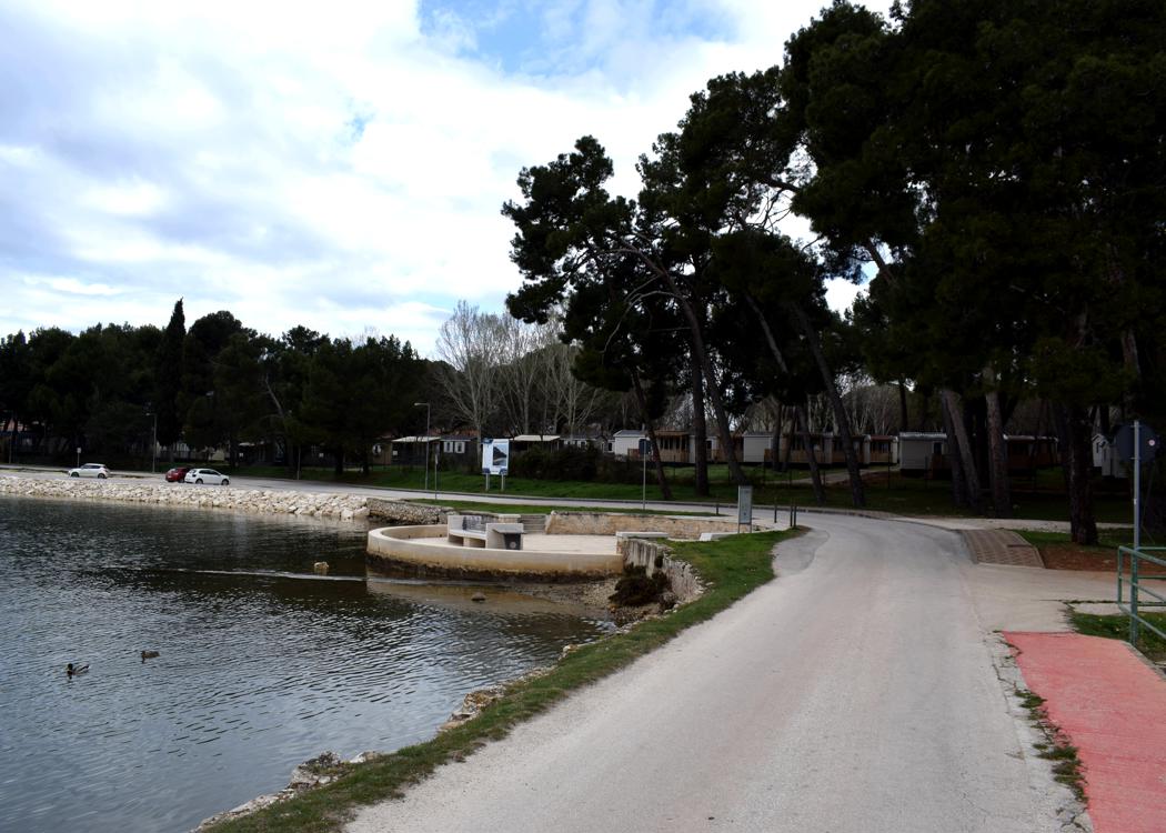
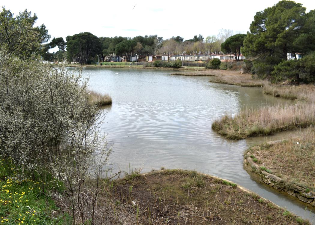
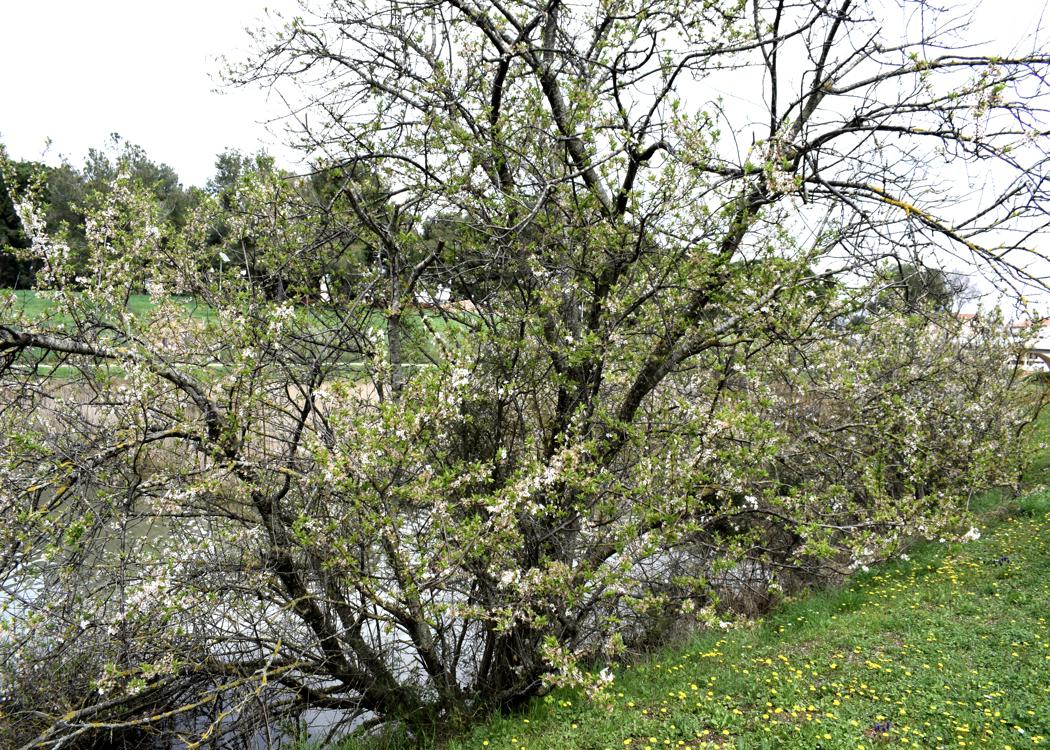
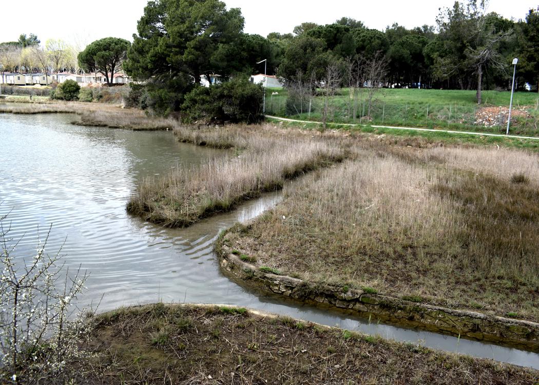
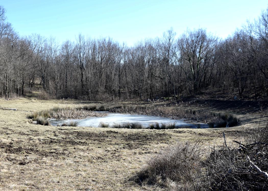
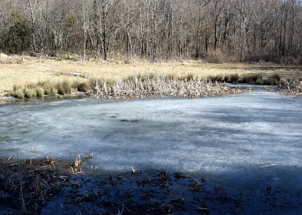
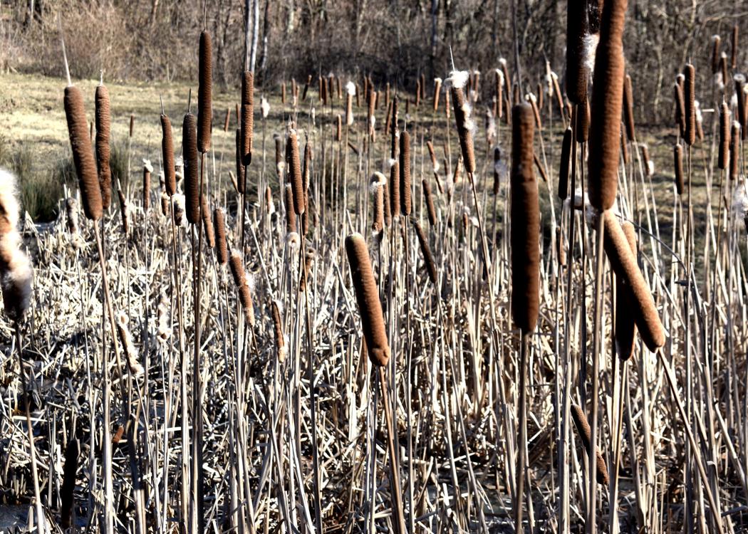
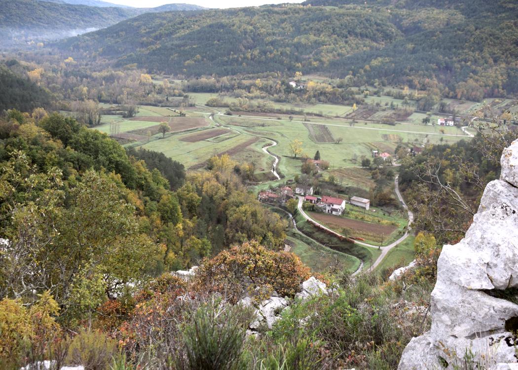
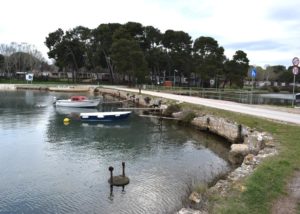
This area also has great natural values because freshwater mixes with seawater, resulting in a large number of plant and animal species.
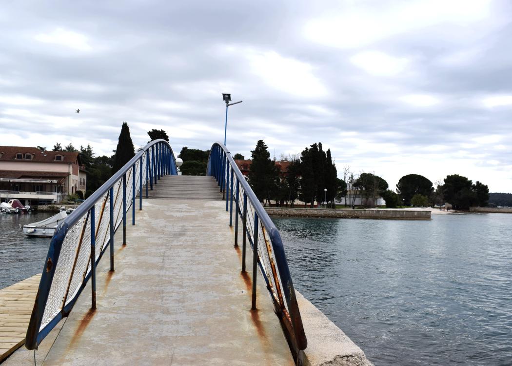
Name: Albandon harbor with Ribnjak bay.
Place: Valbandon – (Fažana).
Coordinates: 44.9131 N – 13.8226 E.