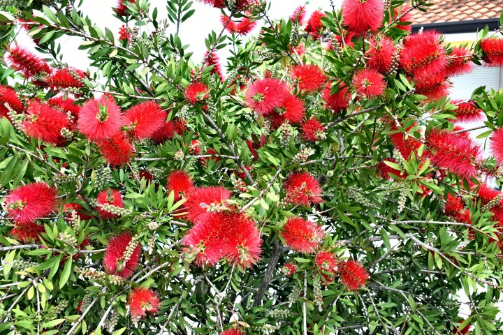
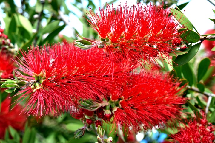
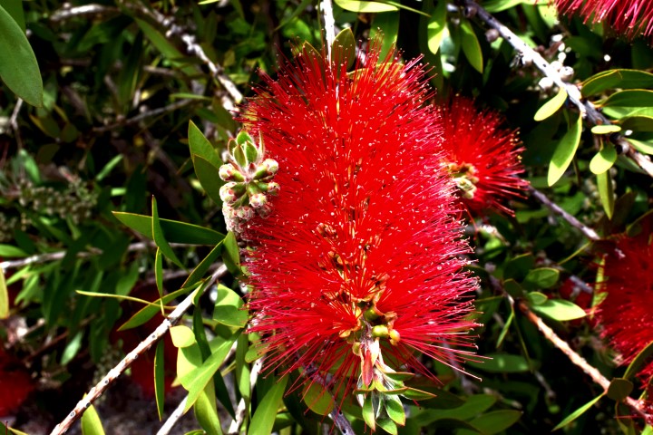
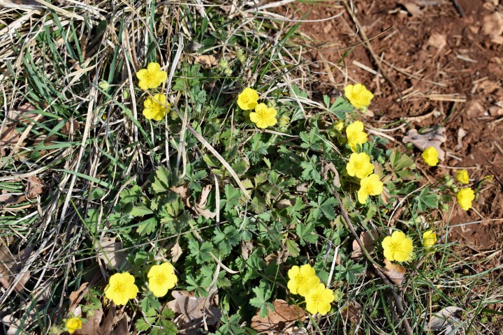
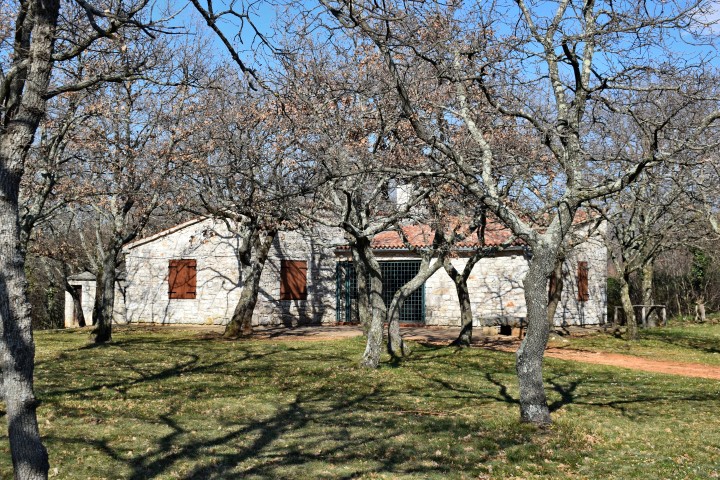
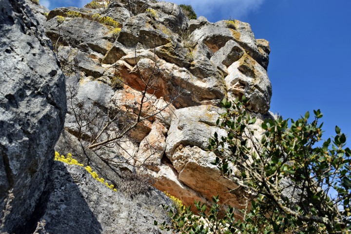
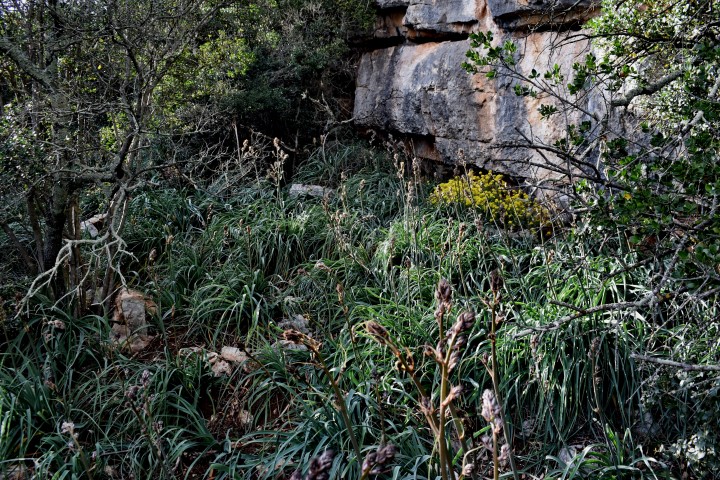
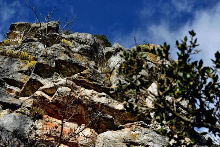
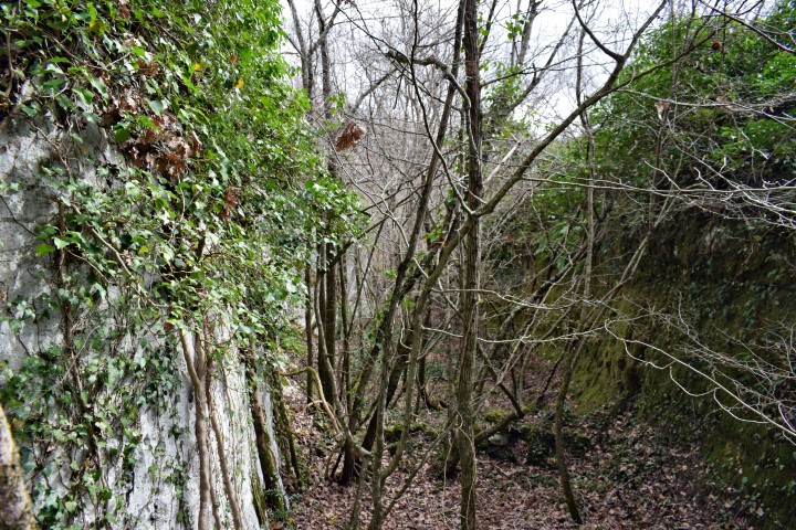
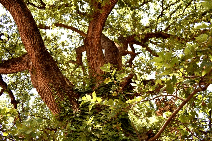
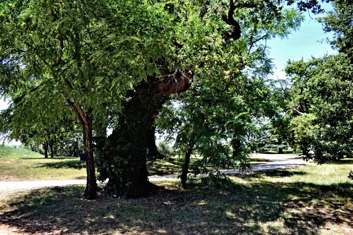
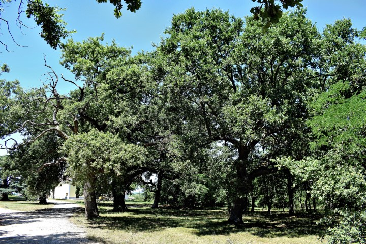
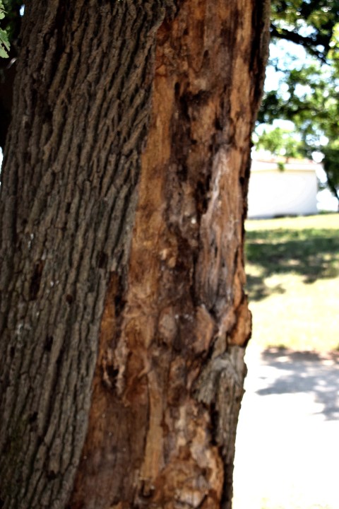
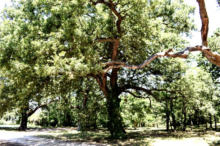
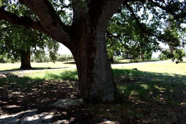
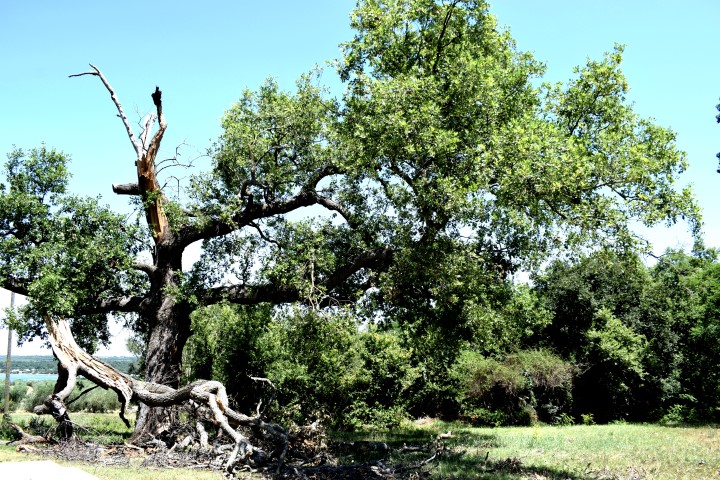
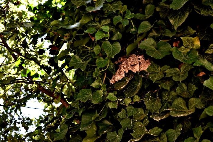
Church St Anne is built on the place of an older church from the 5th Century and restored in 1976. The trees (oaks, hackberry, cedar, pines, cypress) around the church are old and a botanical monument since 1973.


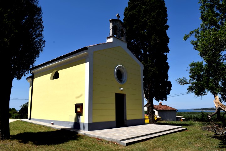
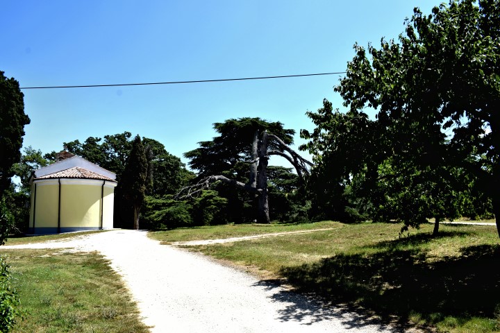
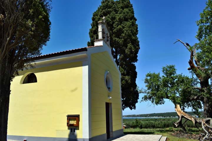
Name: St. Anne – Trees
Place: Červar – (Poreč).
Coordinates: 45.26891 N – 13.59377 E