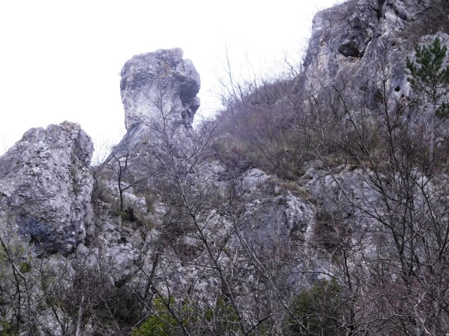
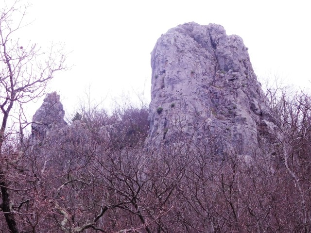
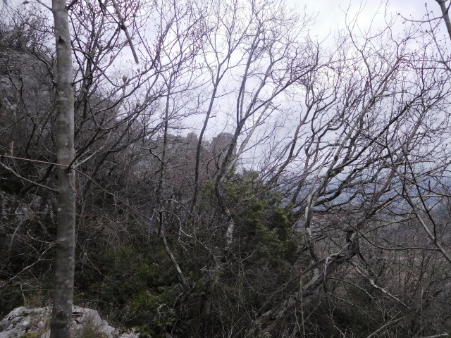
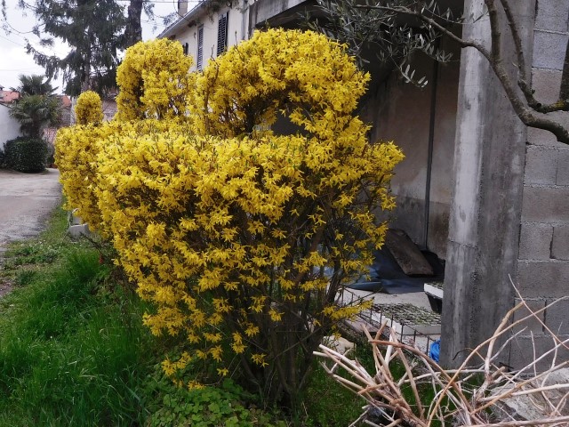
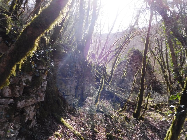
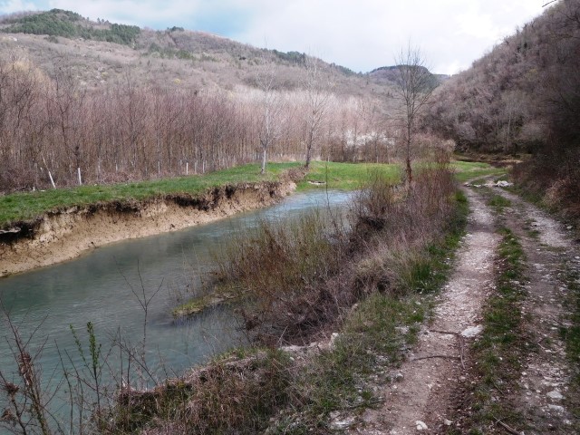
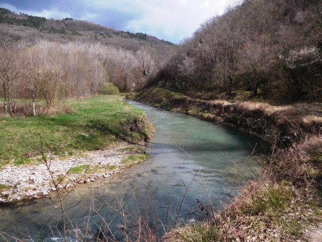
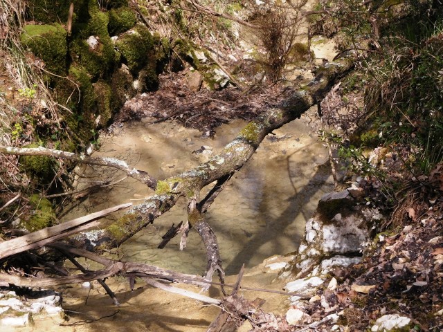
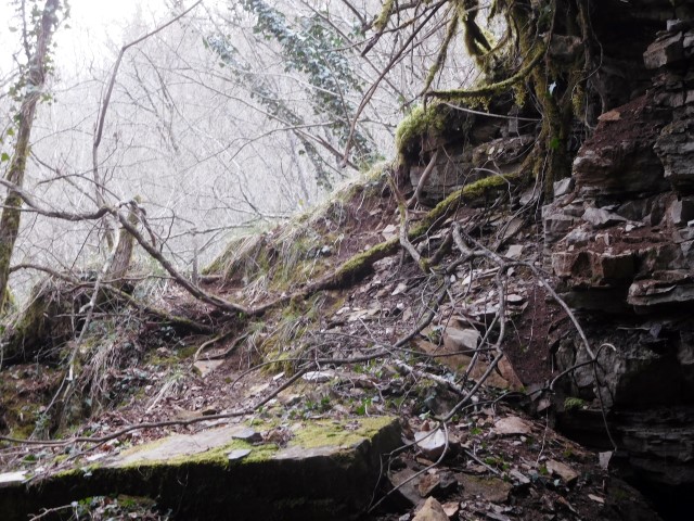
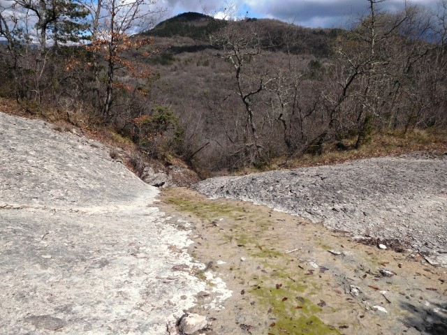
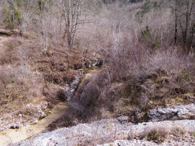
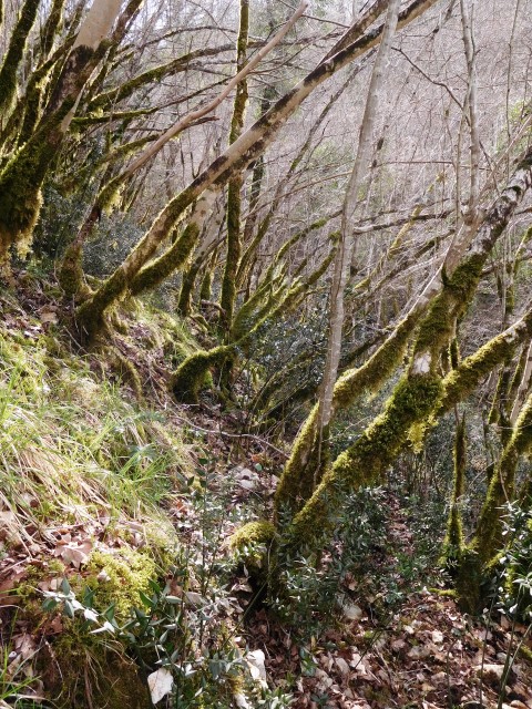
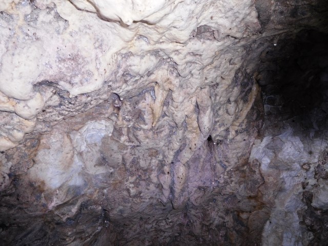
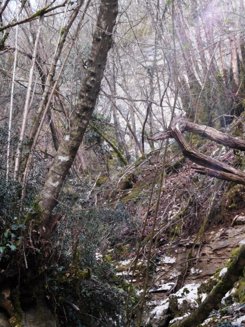
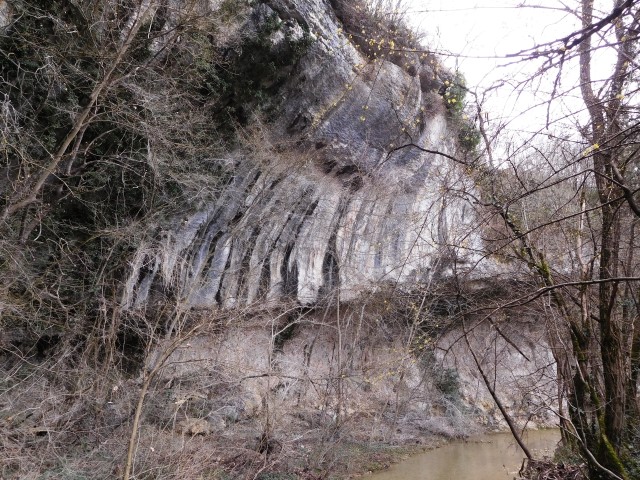
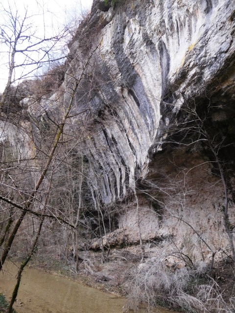
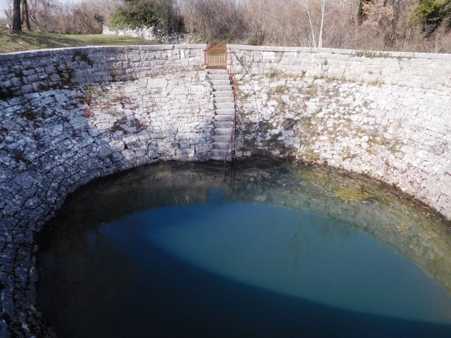
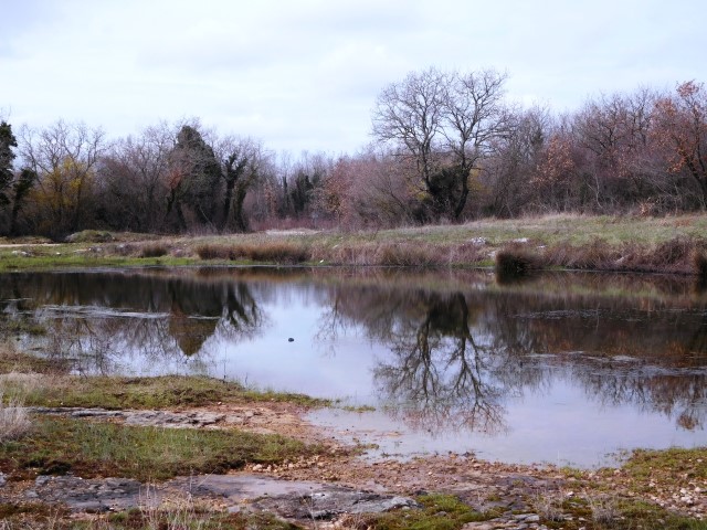
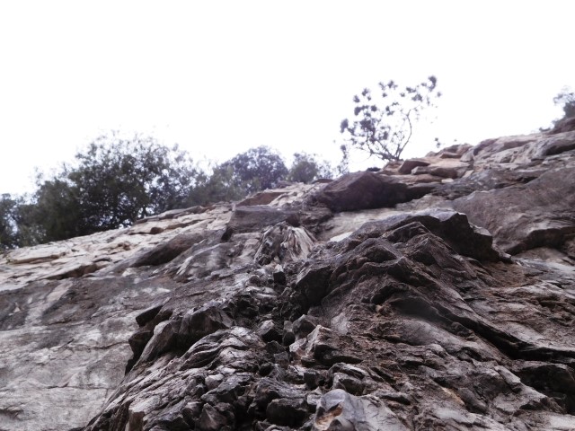
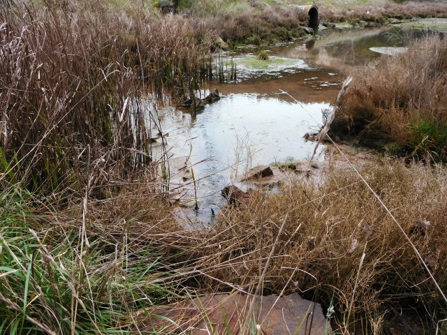
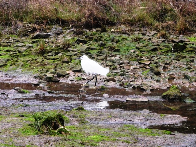
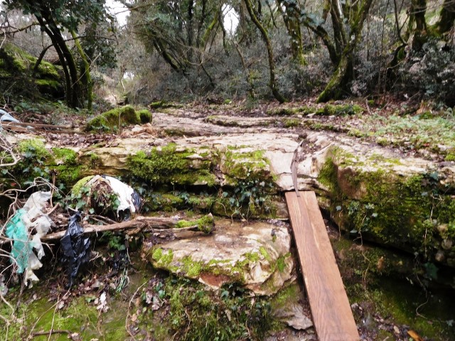
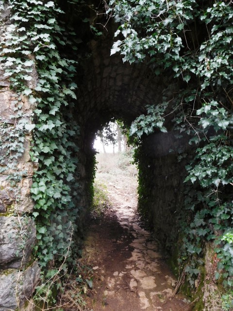
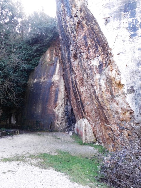
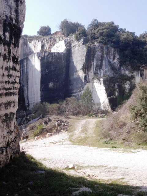
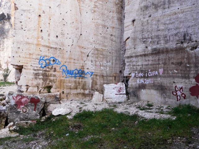
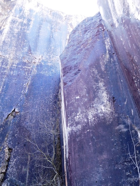
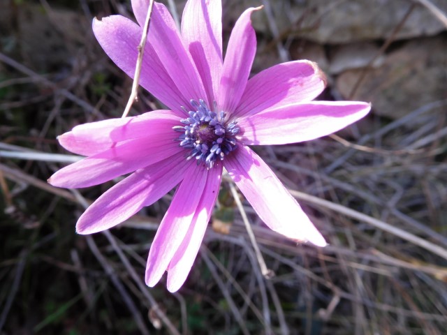
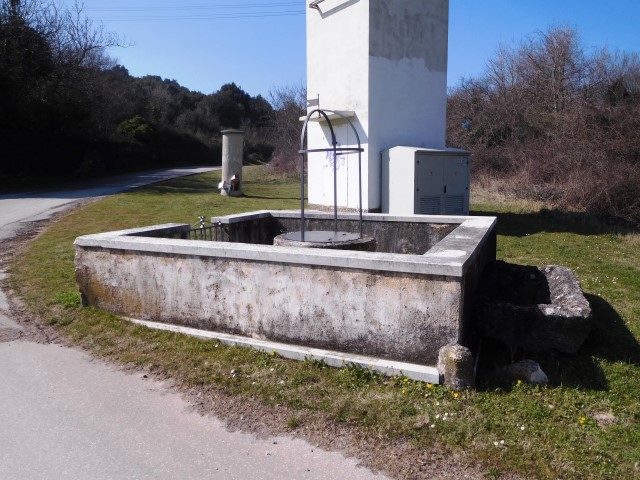
DSCN 8672/8673: former railroad from Rovinj to Kanfanar (1876-1966)

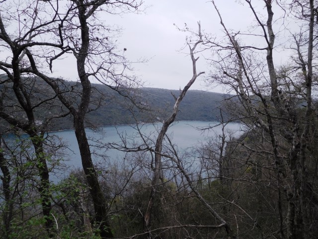
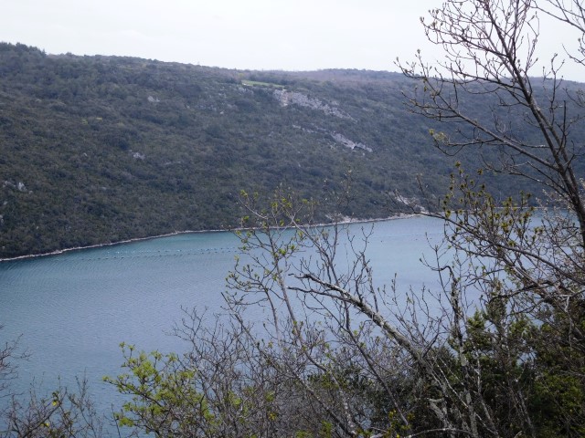
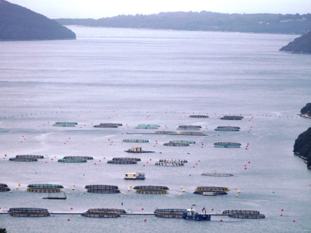


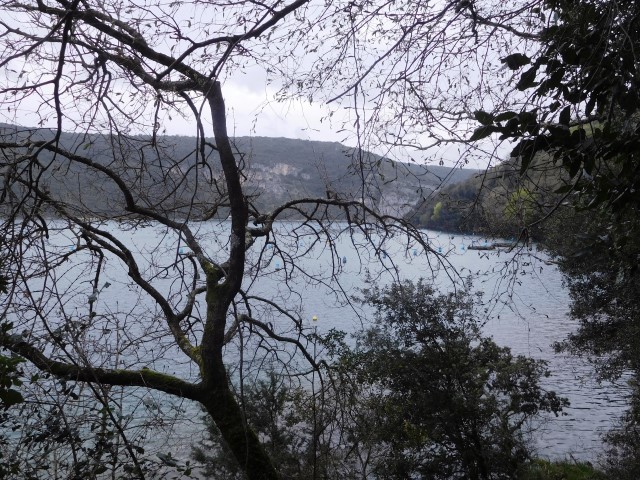


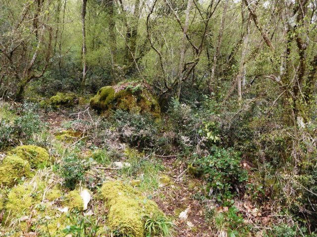

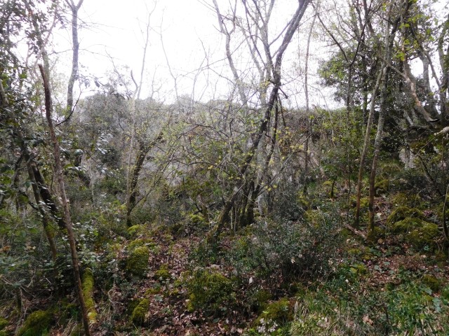

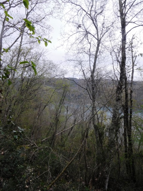
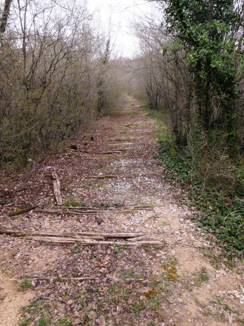

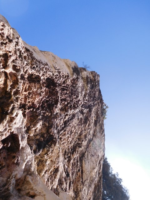
Name: View spot Finida-Kamenjaća Lim Channel
Place: Rovinj – Rovinj-Selo
Coordinates: 45.13214 N – 13.70581 E
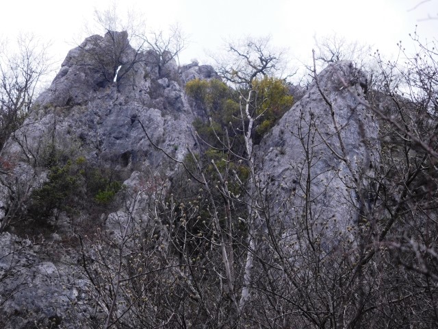
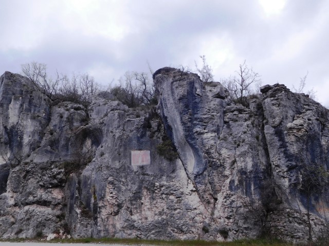
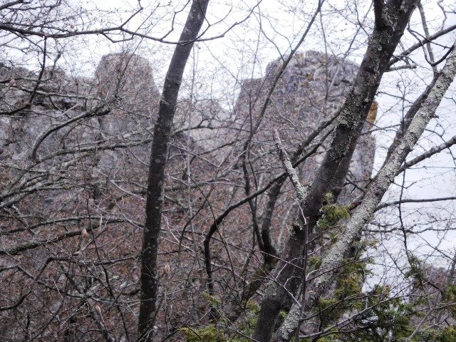
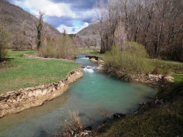
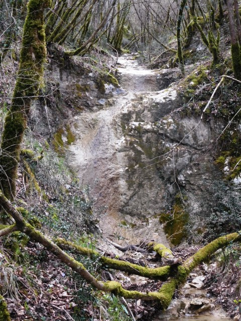
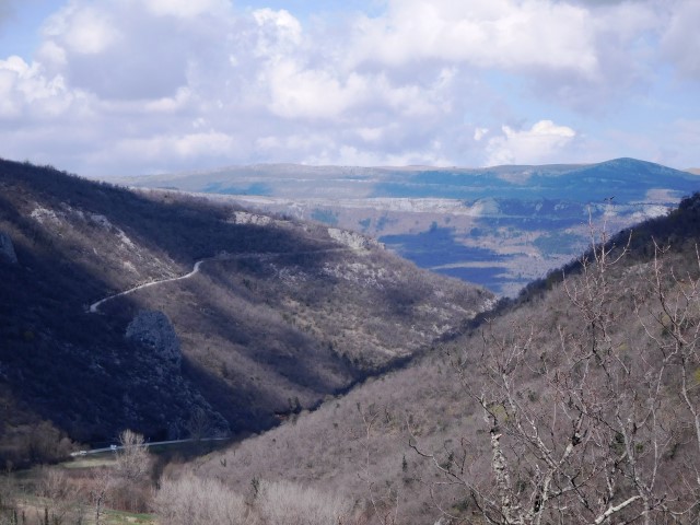
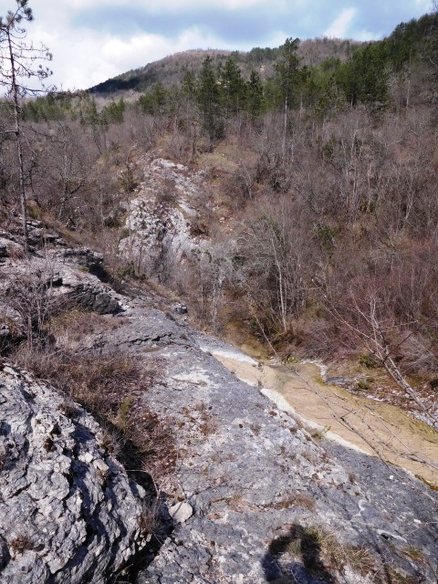
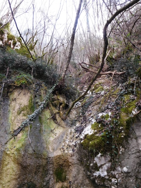
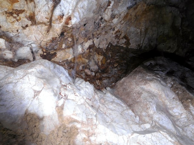
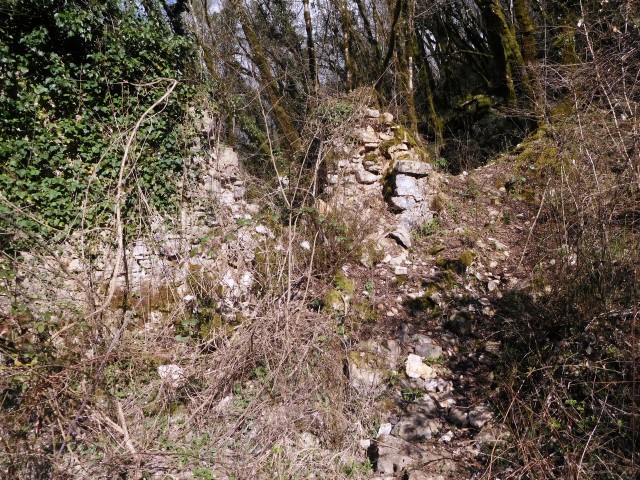
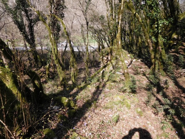
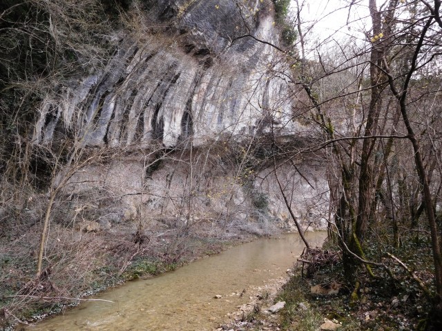
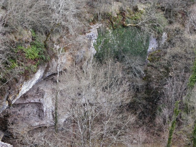
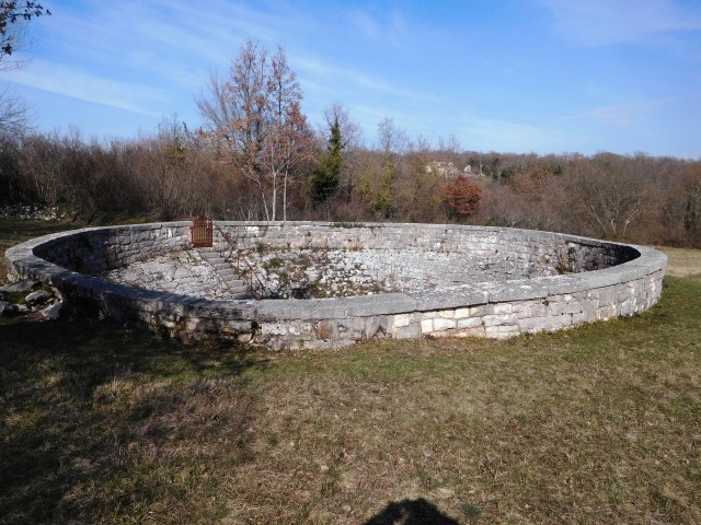
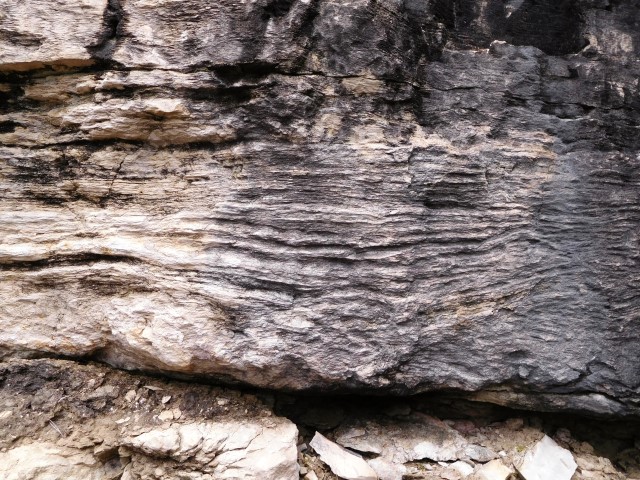
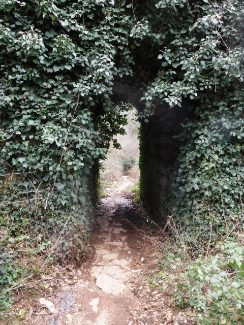
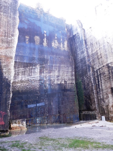
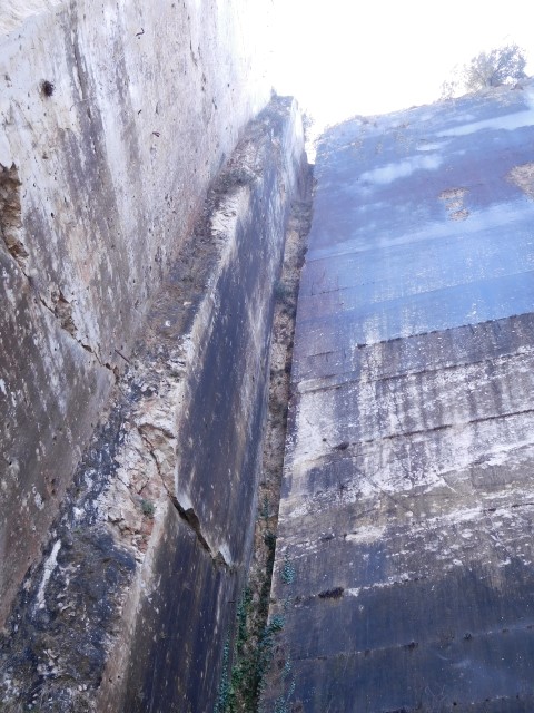
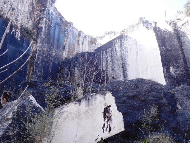
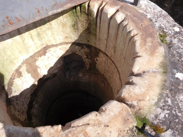
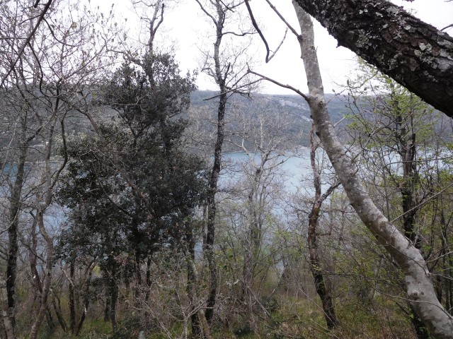
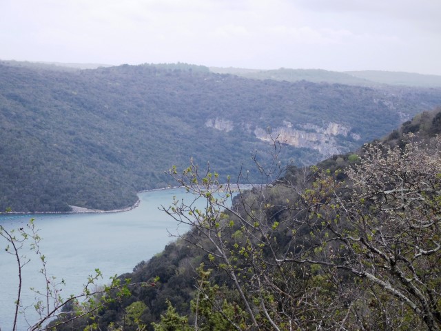
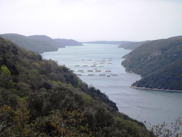
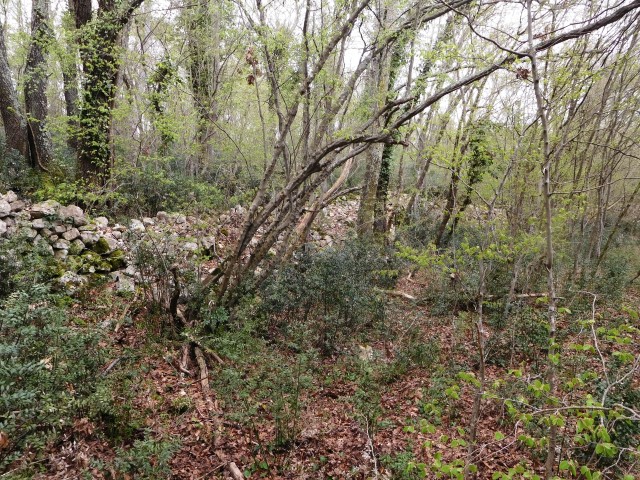
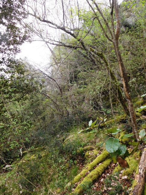
DSCN 8672/8673: former railroad from Rovinj to Kanfanar (1876-1966)
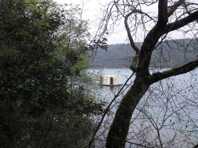
Name: View spot Finida-Kamenjaća Lim Channel
Place: Rovinj – Rovinj-Selo
Coordinates: 45.13214 N – 13.70581 E
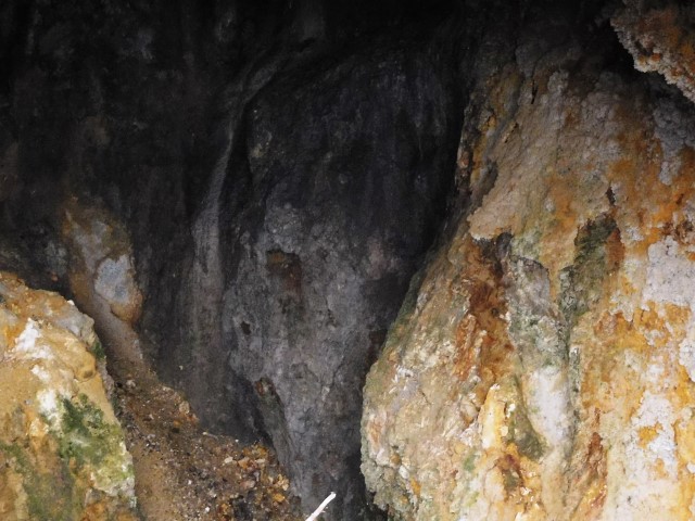
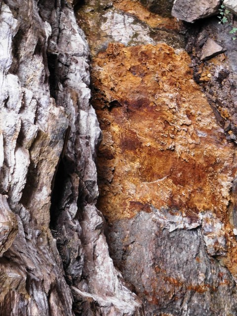
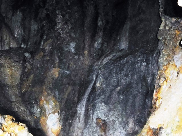
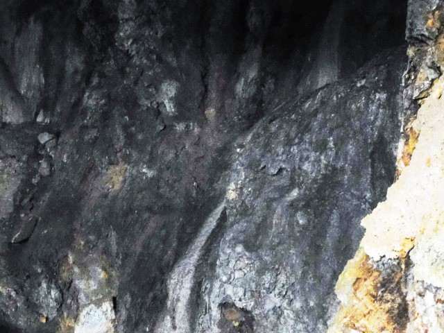
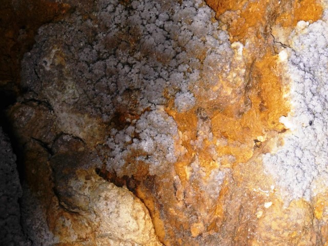
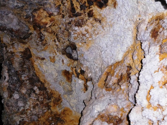
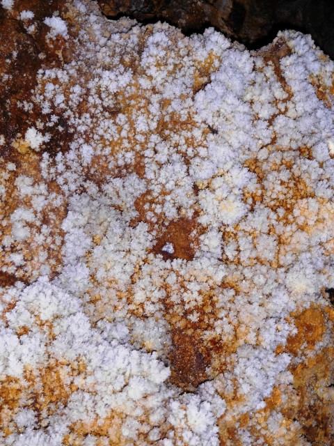
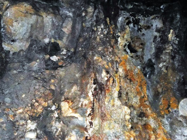
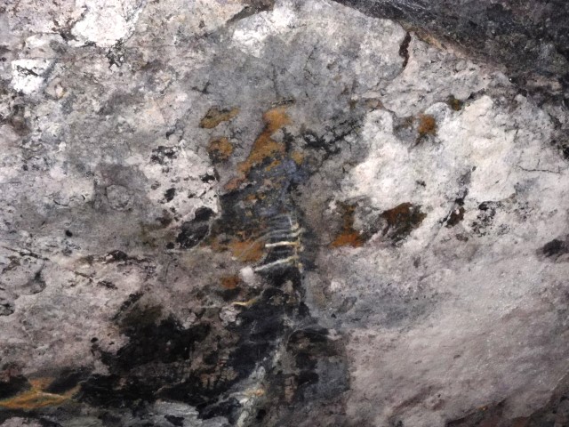
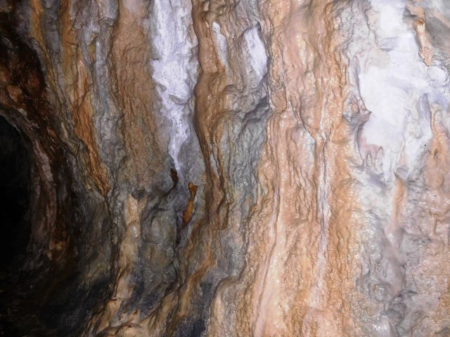
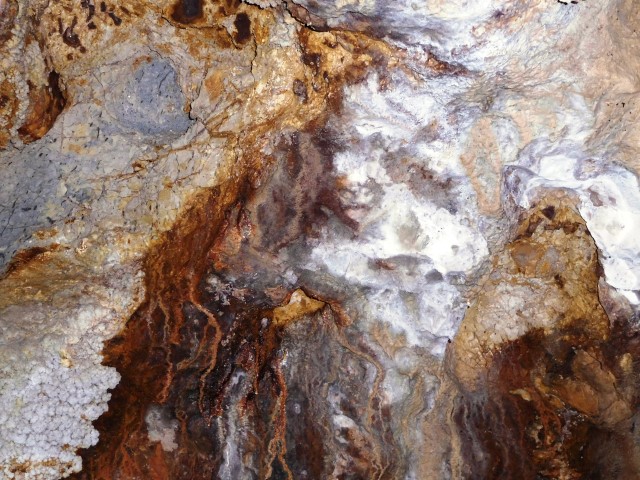
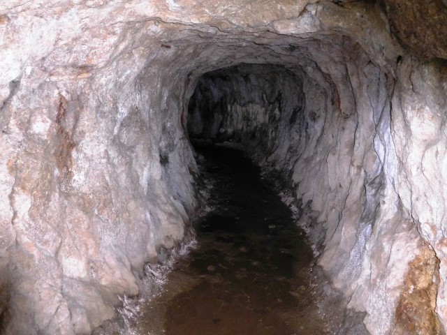
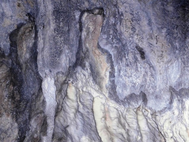
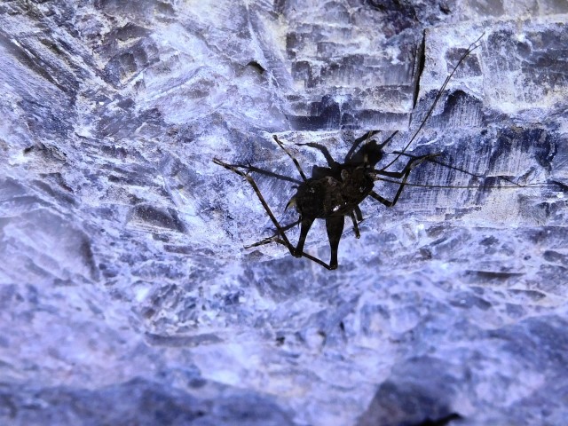
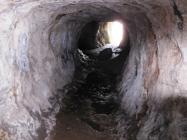
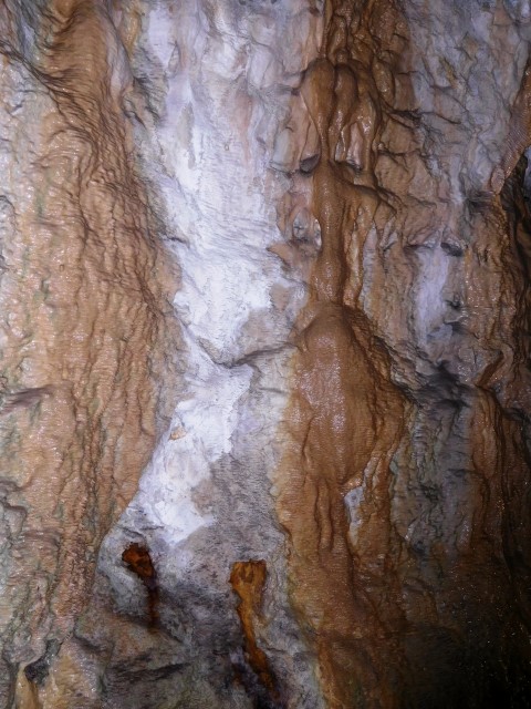
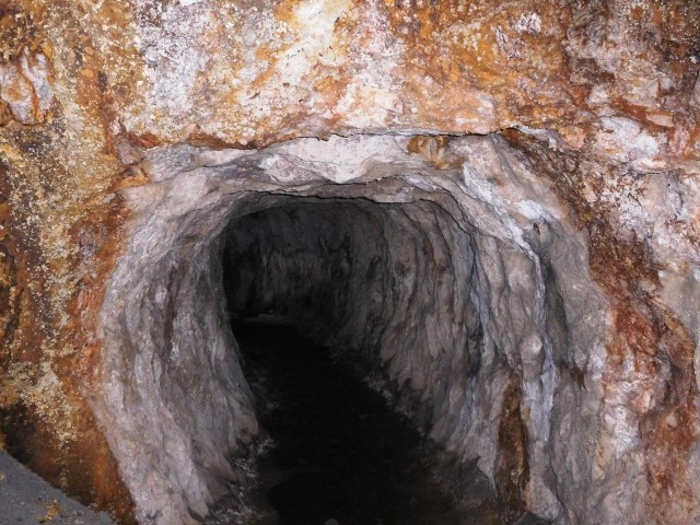
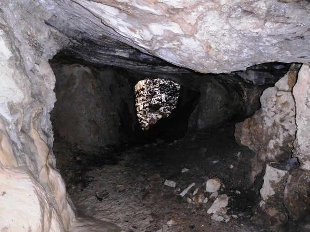
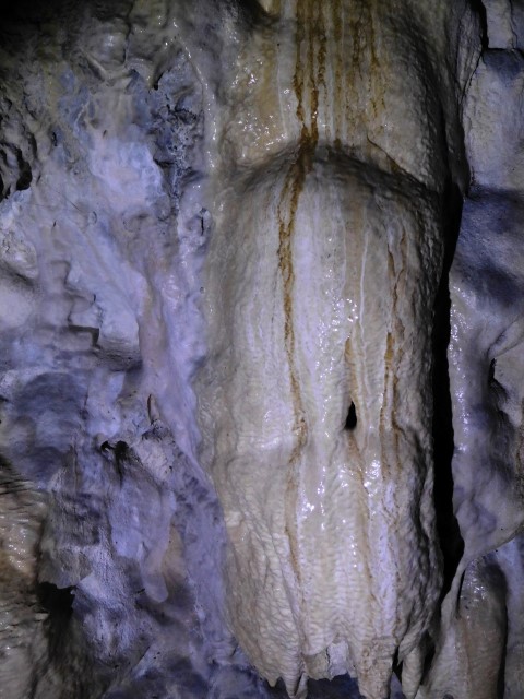
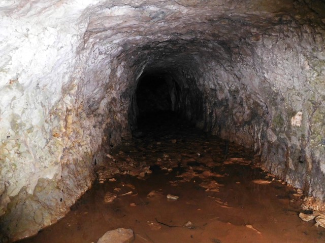
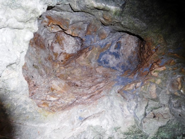
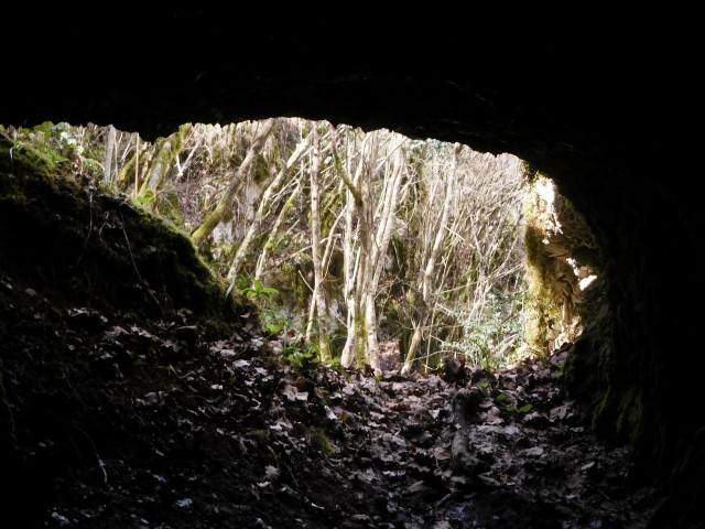
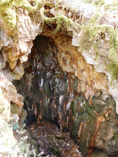
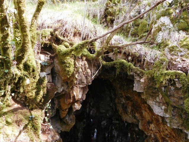
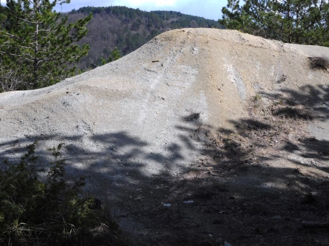
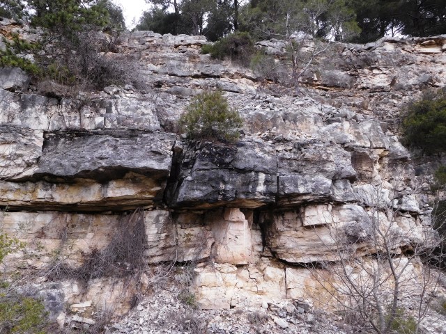
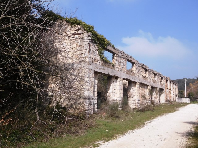
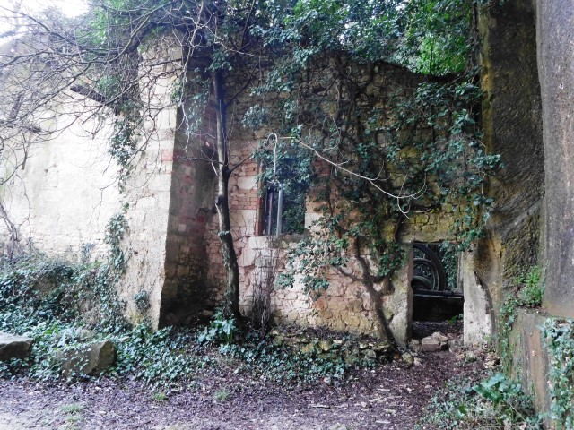
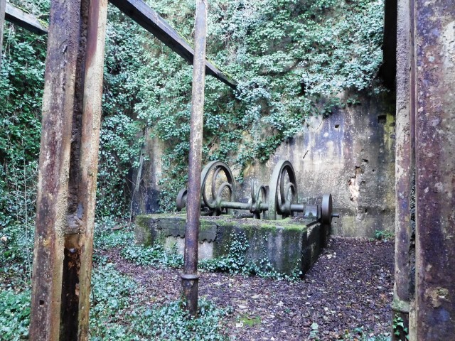
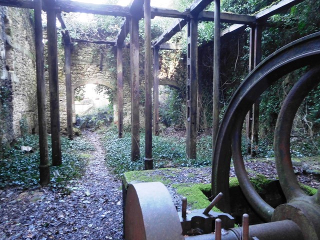
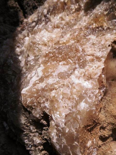
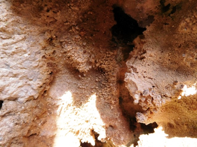
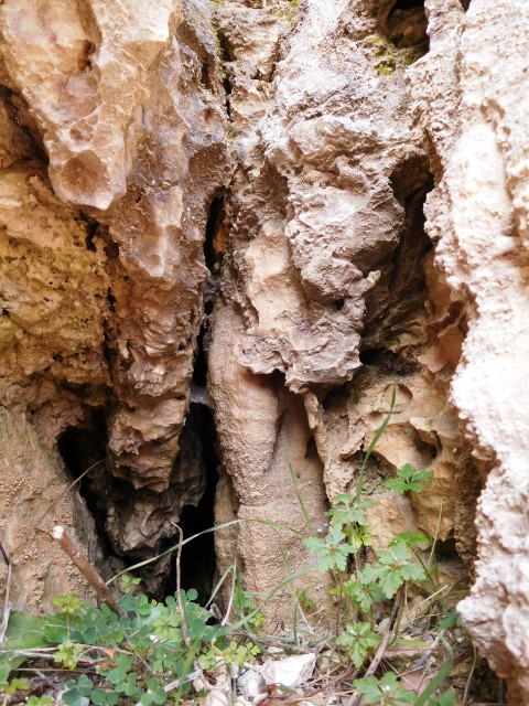
The mines are located in the valley of the river Mirna on a hill named Minjera near Sovinjak. They started here with excavations of the puritanic bauxite in the 16th century. In 1780 a Venetian Pietro Turrini built here a plant for processing bauxite into sulphuric acid and alum that was used among other for tanning leather. The mines were closed in 1856.
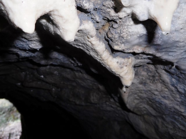
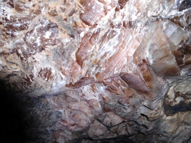
Name: Minjera
Place: Sovinjak – (Buzet)
Coordinates: 45.38628 N – 13.92662 E to 45.38971 N -13.93498 E

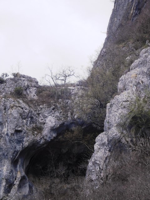
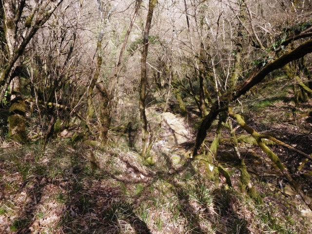
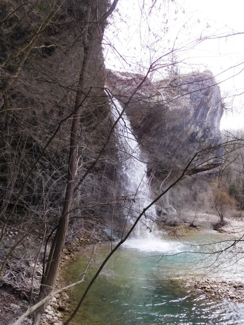
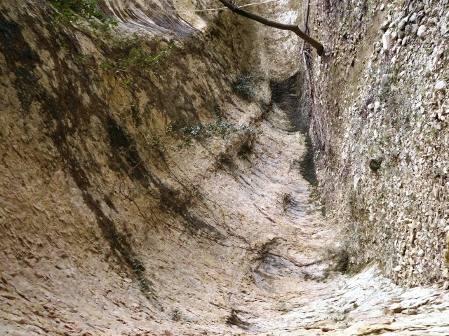
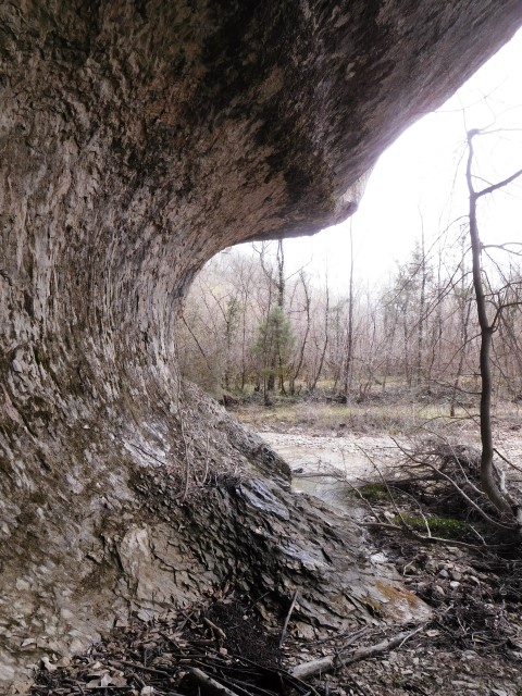
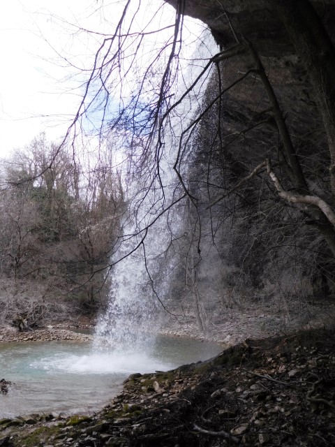
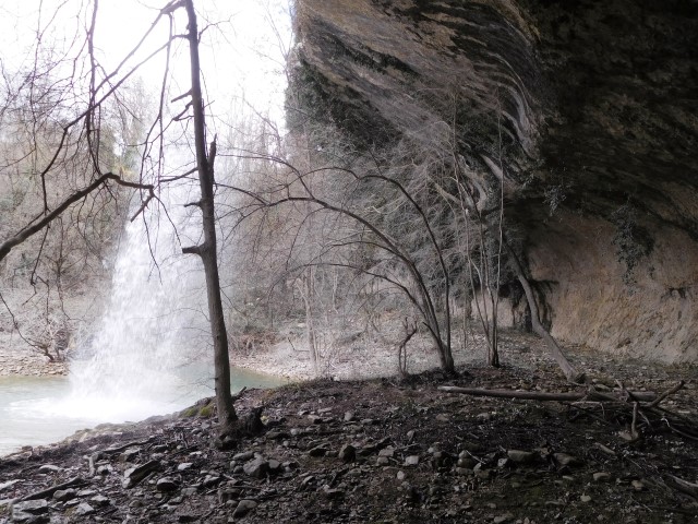
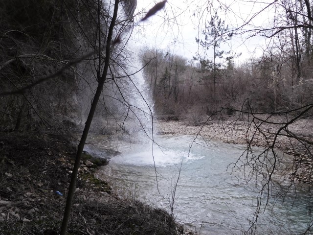
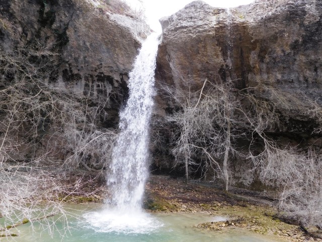
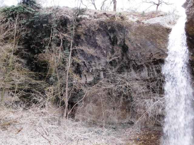
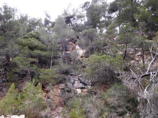
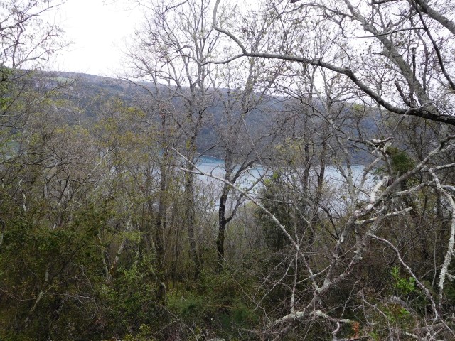
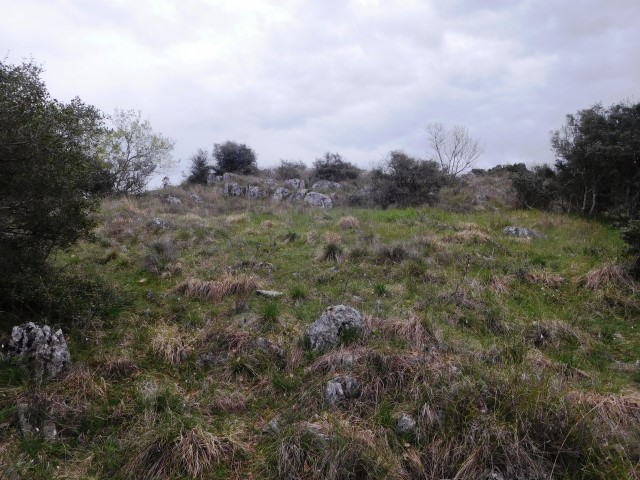
Name: Veli Slap – Grdoselski stream
Place: Butoniga – Pazin
Coordinates: 45.29139 N – 13.96190 E

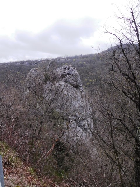
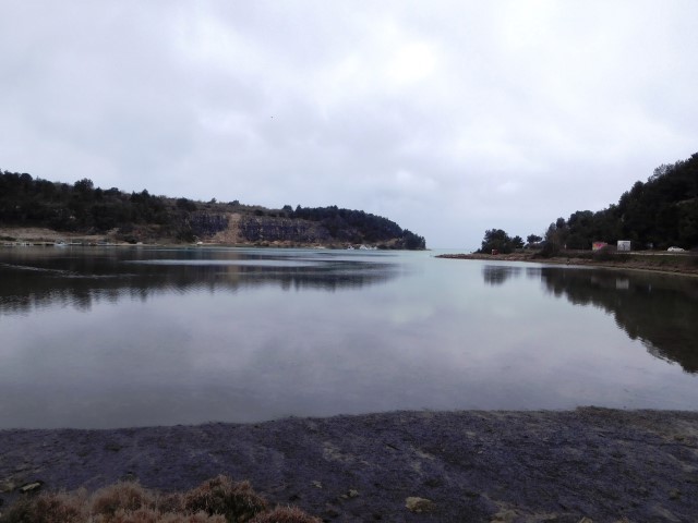
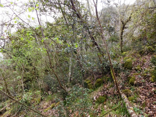
Name: Tar Finida, Tarska Vala, U. Mramor
Place: Tar
Coordinates: 45.31488 N – 13.61372
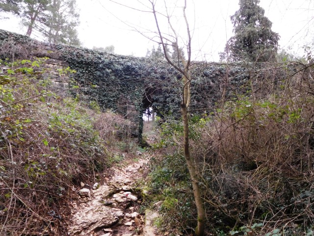
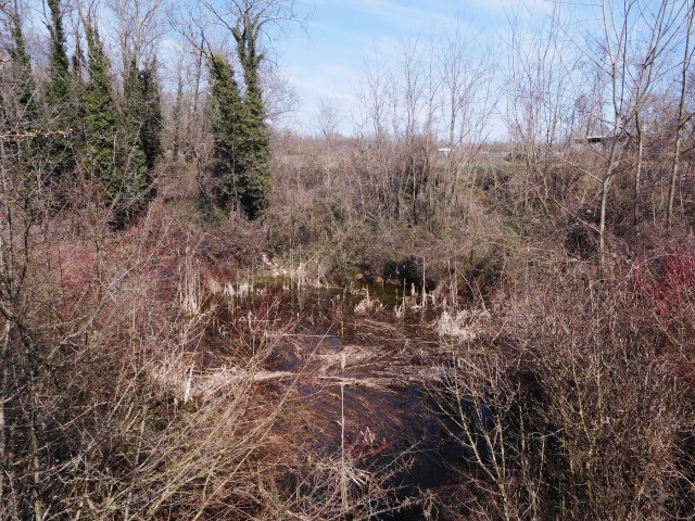
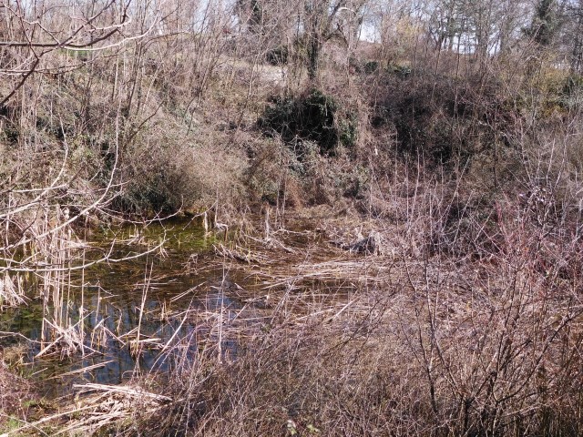
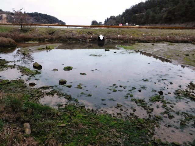
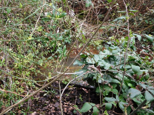
Name: Bridge and stream Tarska Vala
Place: Tar
Coordinates: 45.18763 N – 13.37335 E
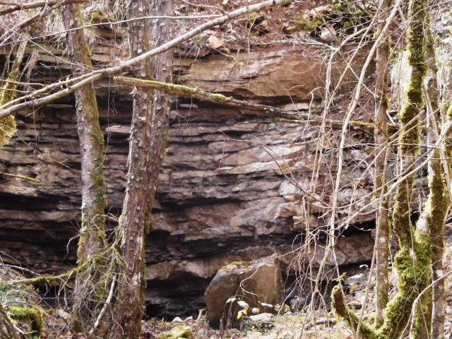
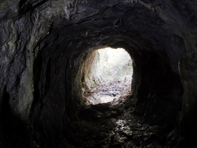
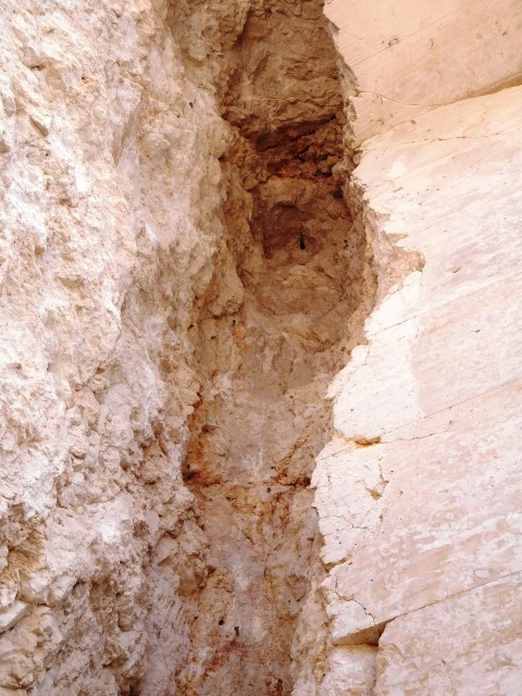
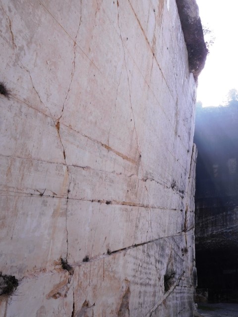
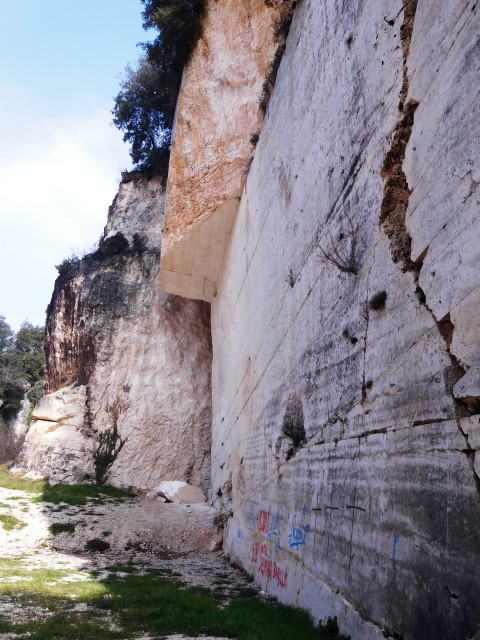
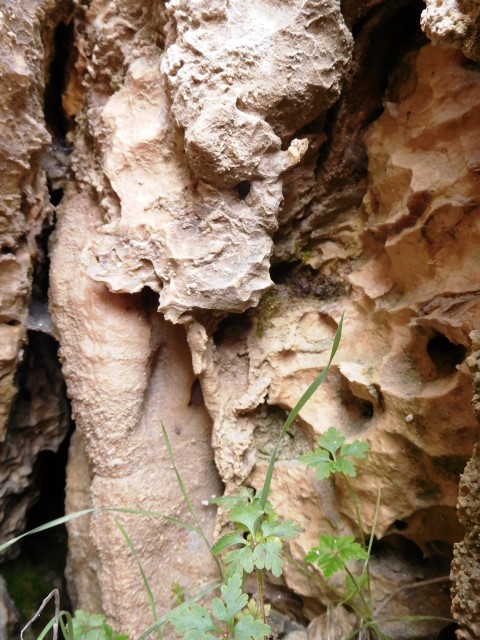
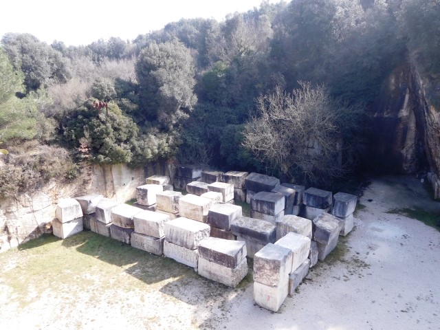
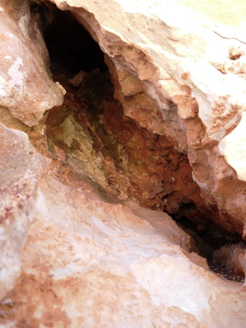
The oldest quarry in Istria. In the antiquity it was a source of high quality white building limestone, and used for the construction of Pula’s Arena, many other objects and famous sculptures.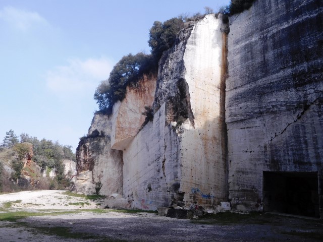
Name: Cave Romane, Quarry Vinkuran
Place: Vinkuran – (Medulin)
Coordinates: 44.83948 N – 13.85918 E