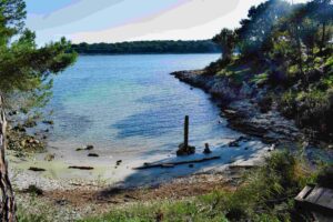
Name: Kamenjak – Trail bay Portič/mali Portić to cape Glavičaca.
Place: Premantura -(Medulin).
Coordinates: Portič 44.77829 N – 13.91378 E, cape Glavičava 44.79475 N – 13.91755 E.

Name: Kamenjak – Trail bay Portič/mali Portić to cape Glavičaca.
Place: Premantura -(Medulin).
Coordinates: Portič 44.77829 N – 13.91378 E, cape Glavičava 44.79475 N – 13.91755 E.
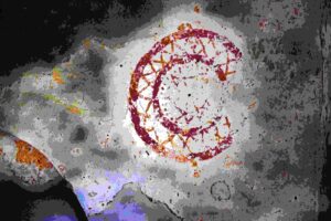
Name: Trail from Sv. Fosca to the Kazuni and the church St. Michael.
Place: Vodnjan – Bale.
Coordinates: start 44.97881 N – 13.78855 E, 44.97544 N – 13.79215 E, 44.97018 N – 13.80113 E, end 45. 44.97151 N – 13.80780 E.
Streams: Mirna, Draga, Pivak and Rečina.
Waterfalls:
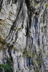
Name: Hiking trail 306 from Buzet to Kotli with 7 waterfalls.
Place: Kotli – (Buzet).
Coordinates: Start/end Buzet: 45.39899 N – 13.97539 E. Kotli: 45.36906 N – 14.01659 E.
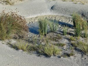
Name: Marl dunes Mali Mlun.
Place: Mali Mlun – (Buzet)
Coordinates: 45.39984 N – 13.92055 E.
This unique cave with a length of 1036 meters has been shaped by the erosion of flysch (sedimented layers) between two layers of limestone. This created a horizontal tunnel with a horizontal floor and a very tight ceiling.
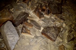
Name:Cave Piskovica.
Place: Gologorica – (Cerovlje).
Coordinates: 45.26200 N -14.03684 E 310 meter a.s.l.
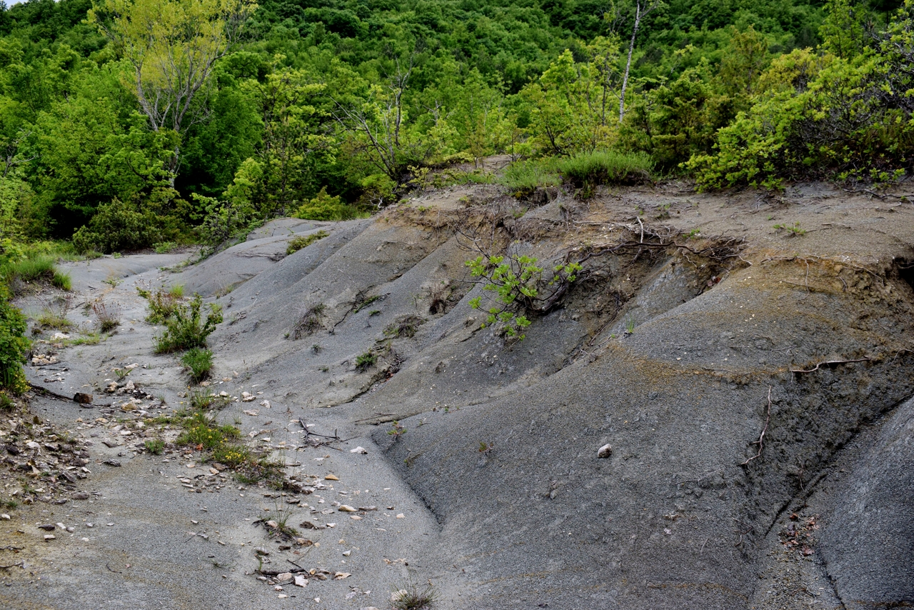
Name: Marl dunes near hamlet Relji.
Place: Relji – (Gračišće).
Coordinates: 45.21015 N – 14.01928 E
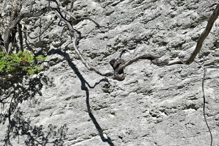
Name: Marl dunes near Grguri.
Place: Grguri – (Grožnjan).
Coordinates: 45.41697 N – 13.79972 E.
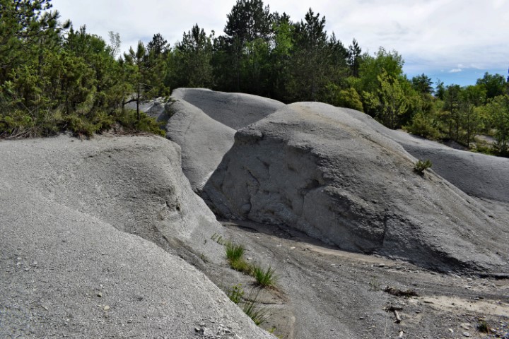
Name: Hiking trail stream Sterna – Sterna dunes.
Place: Sterna – (Grožnjan).
Coordinates: Start point 45.41423 N – 13.80260 E. Stream Sterna 45.42671 N – 13.80111 E.
Marl dunes 45.41631 N – 13.79482 E.
Coast between Bay Valun and Bay Teradige with Cape Crijene Stine.
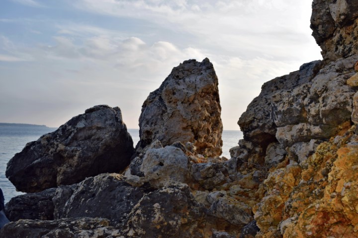
Name: Upper Premantura – Red Rocks.
Place: Premantura – (Medulin).
Coordinates: Starting point trail to coast 44.80675 N – 13.87808 E, Coast: 44.80827 N 13.88275 E, Cave: 44.80653 N – 13.88110 E.
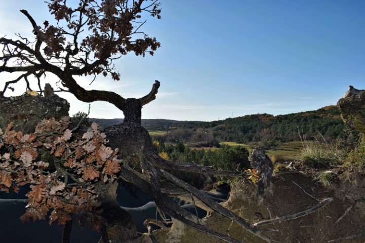
Name: Marl rocks / flysch near Šterna
Place: Šterna – (Grožnjan).
Stream: Šterna.
Coordinates: Starting point: 45.41566N – 13.79378E . Rocks: 45.412146 N- 13. 79601 E.