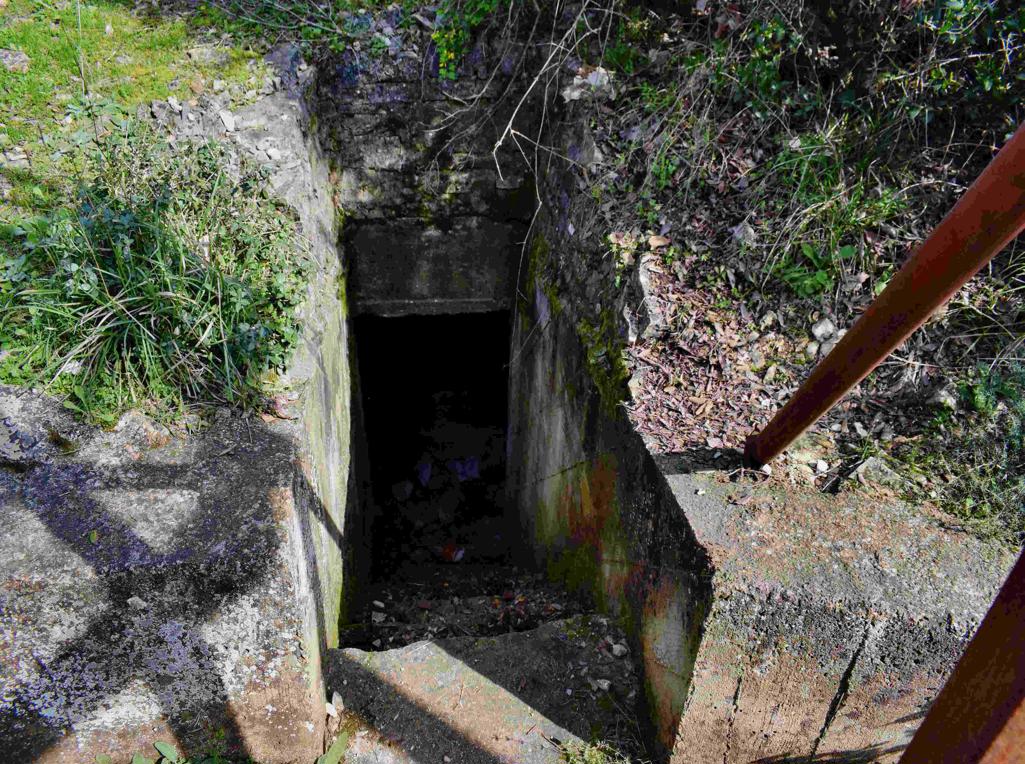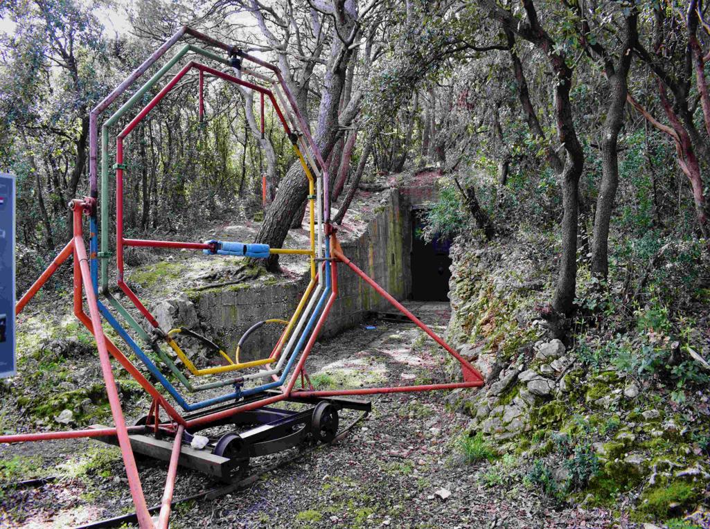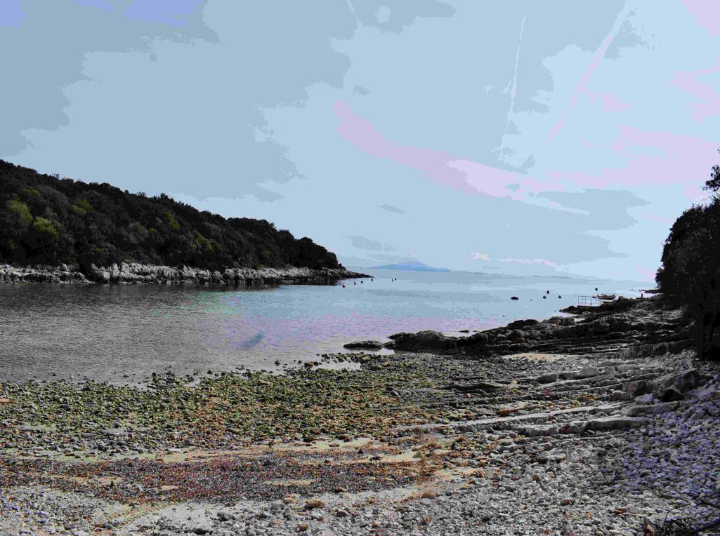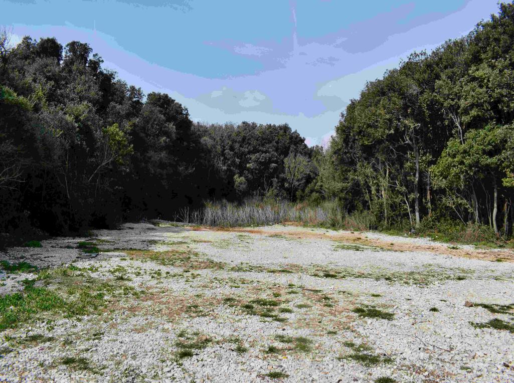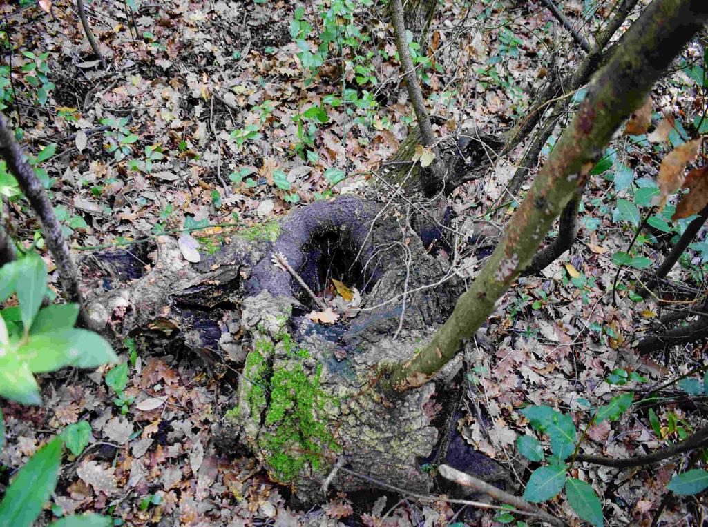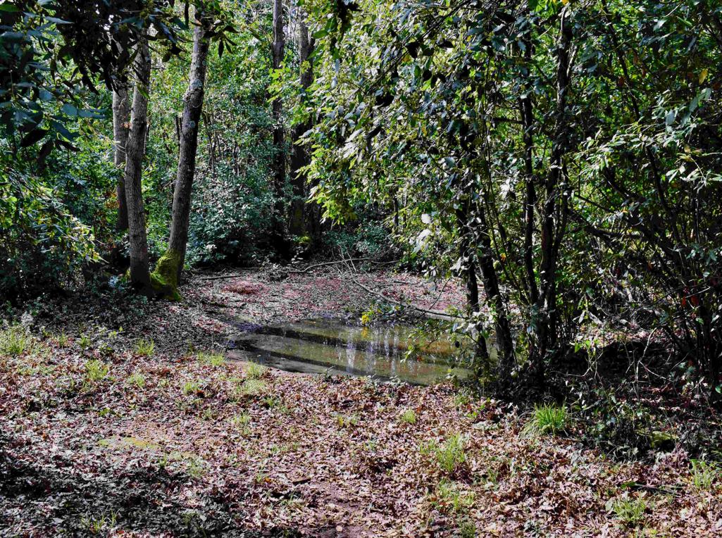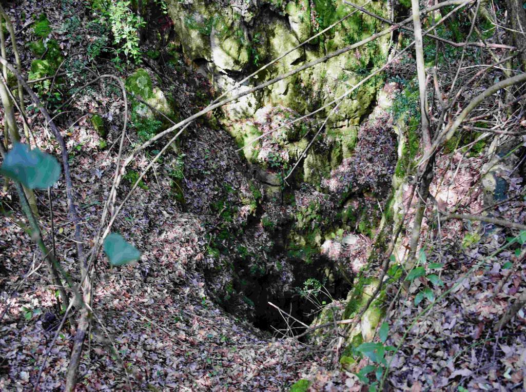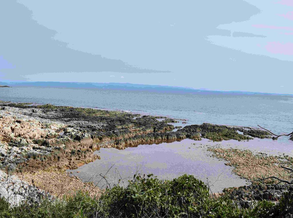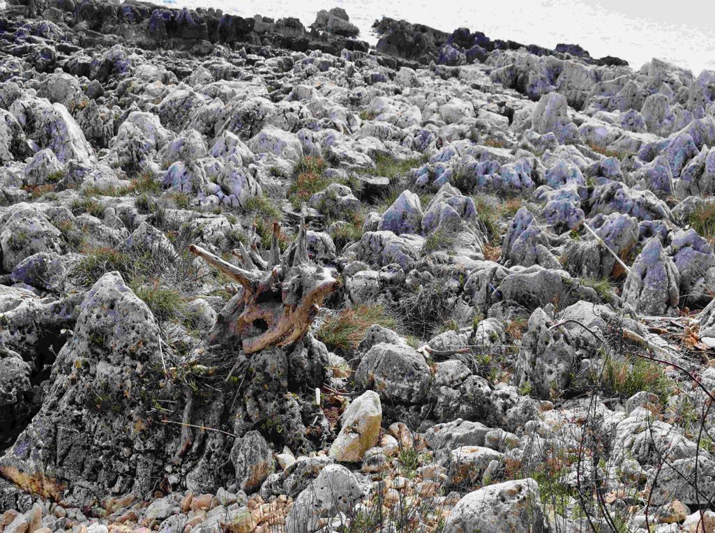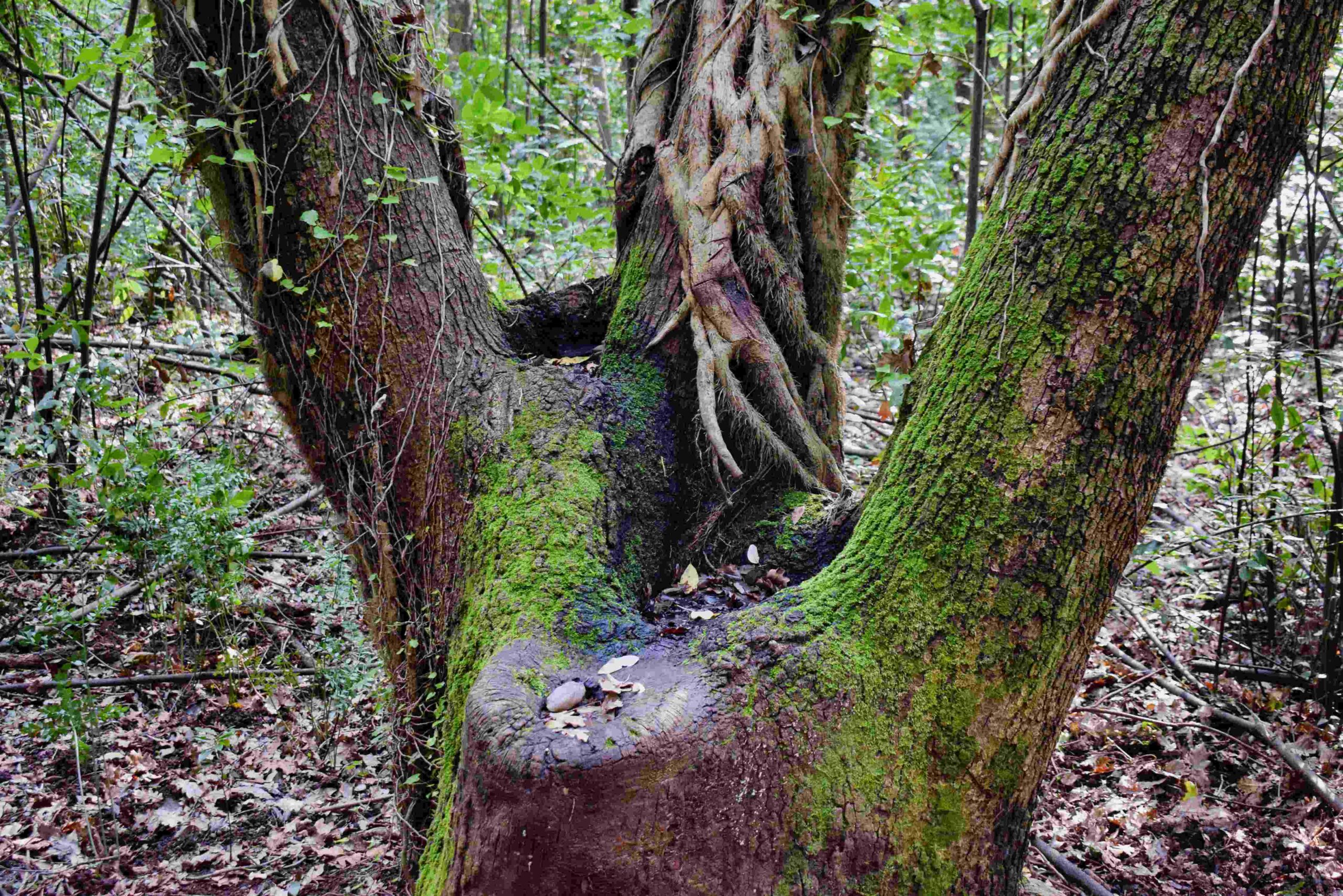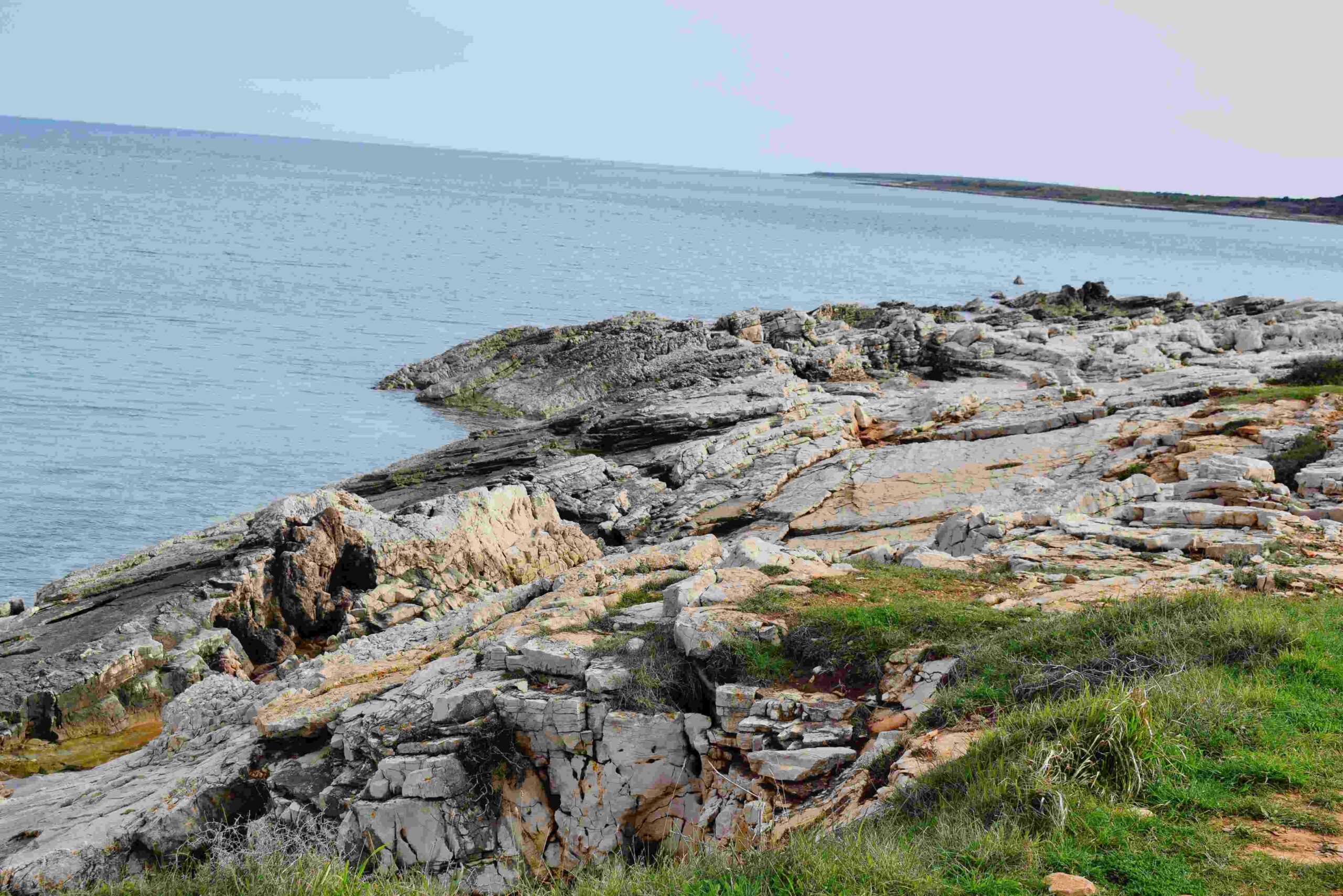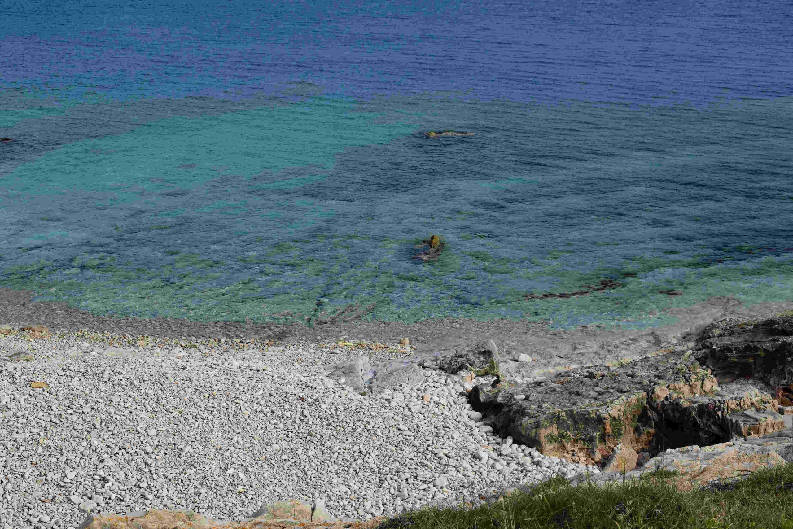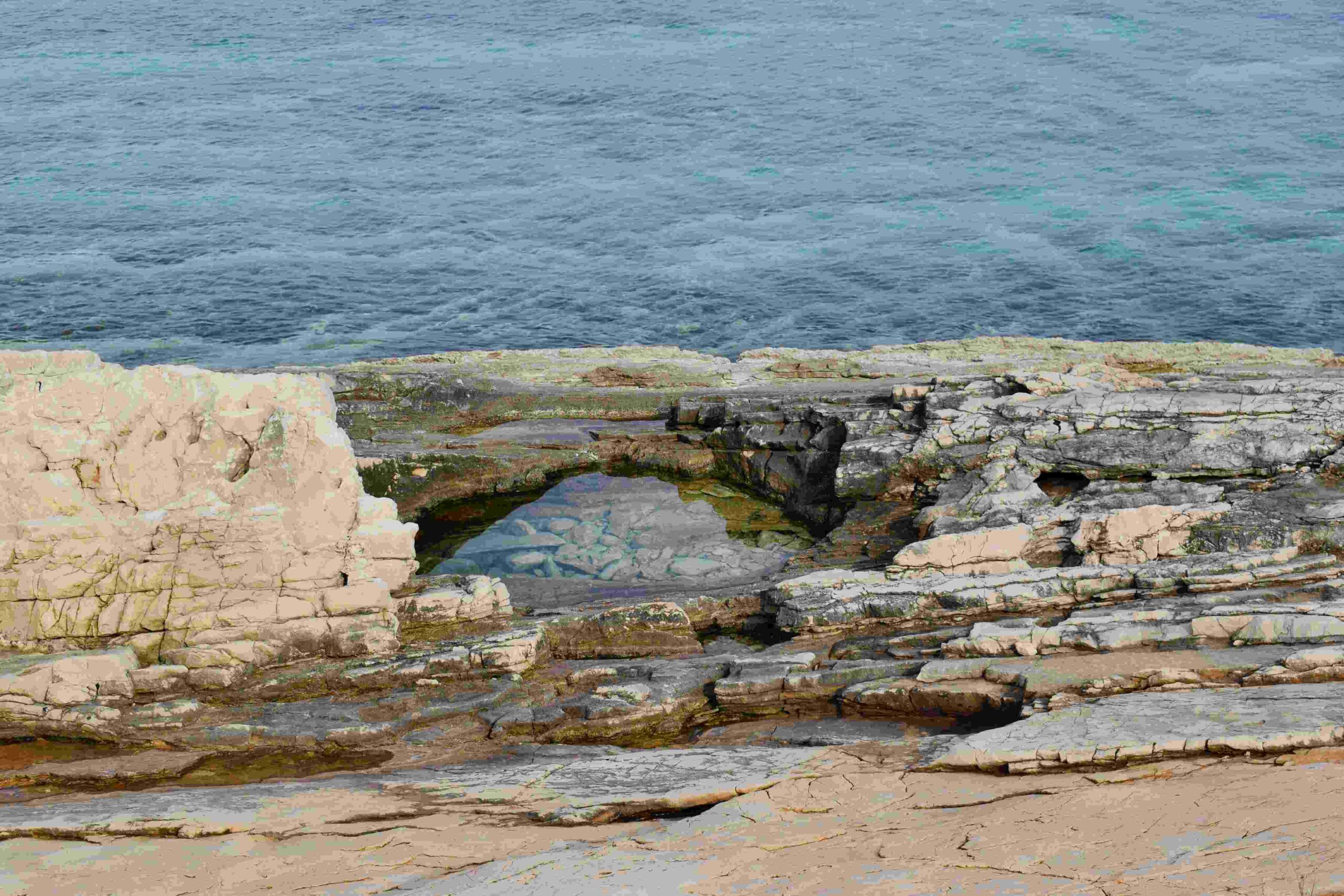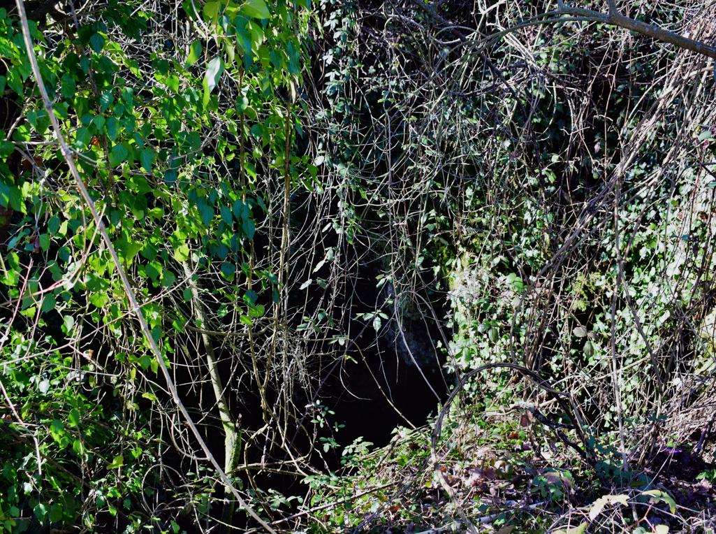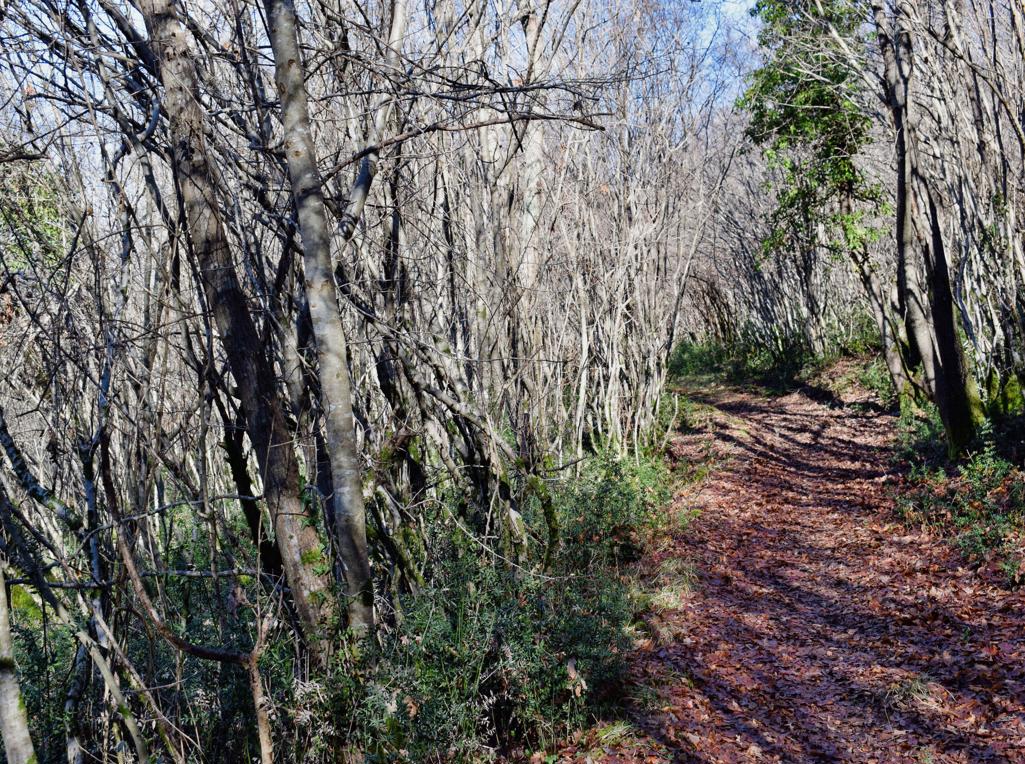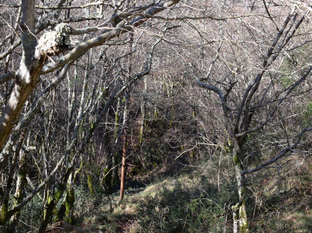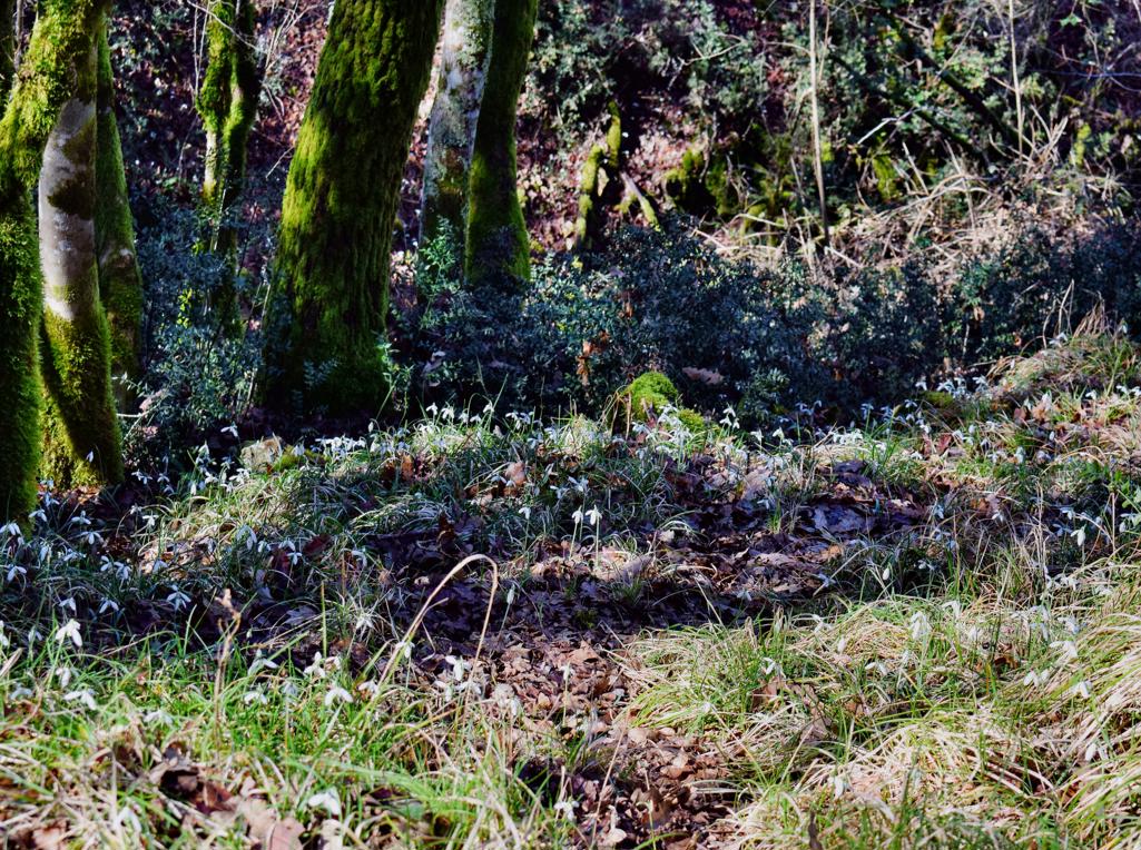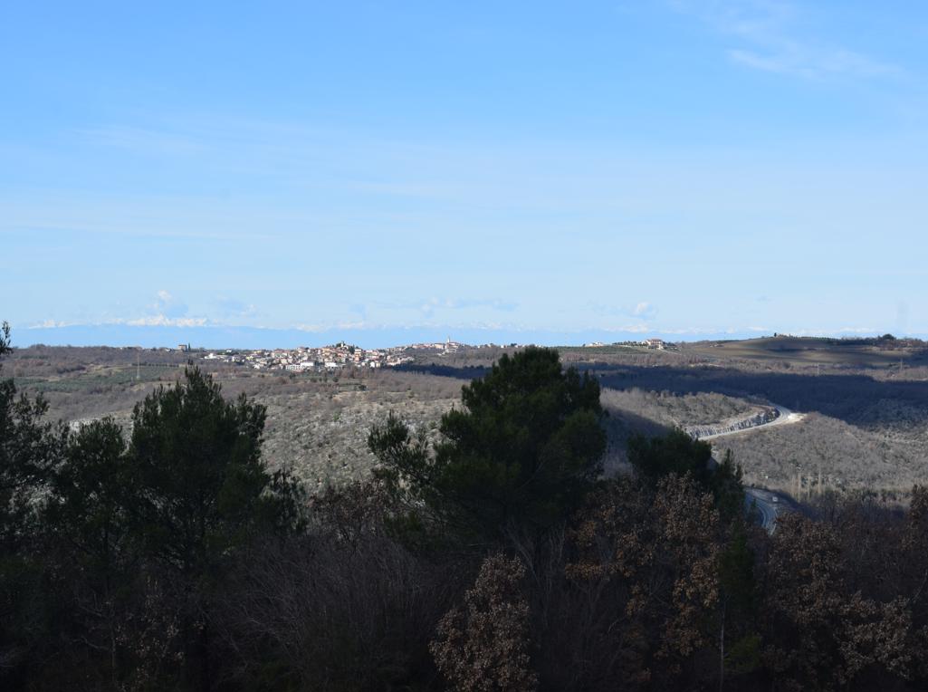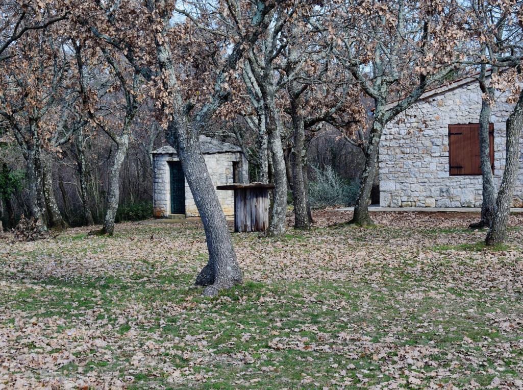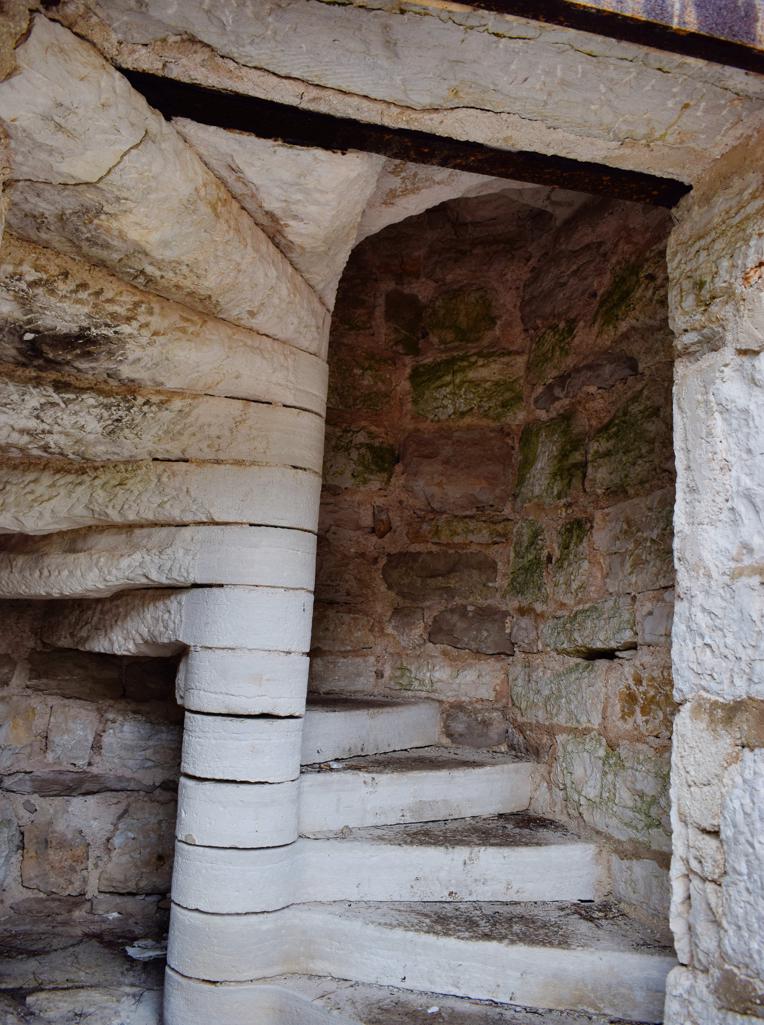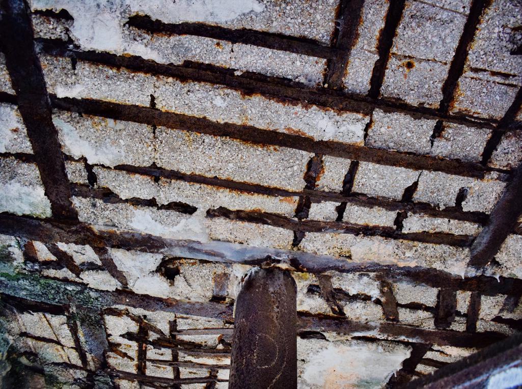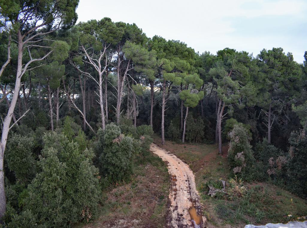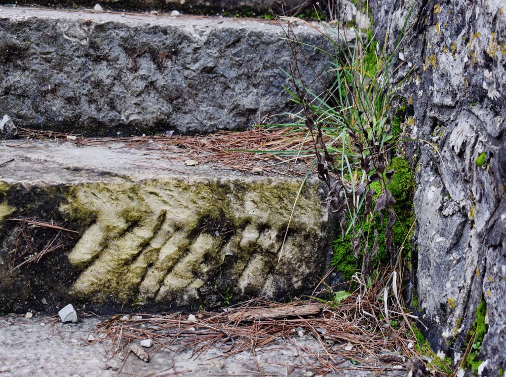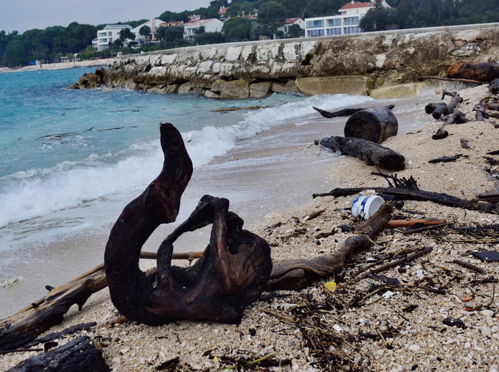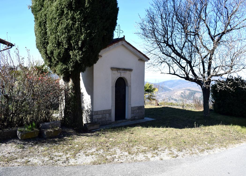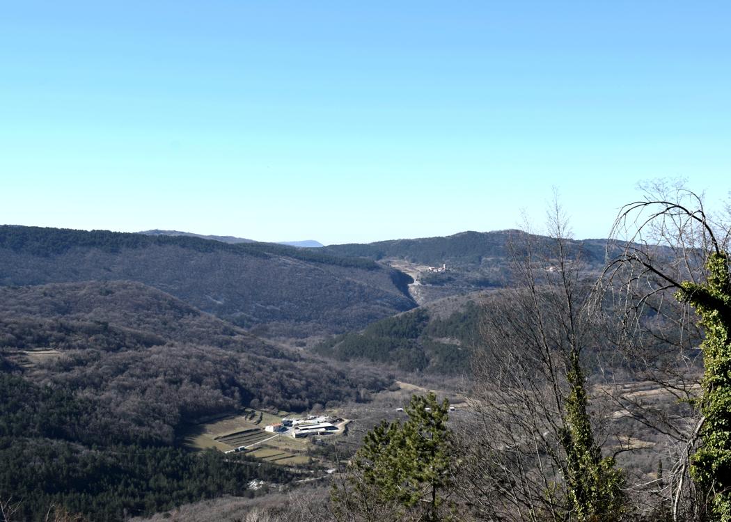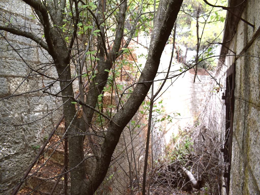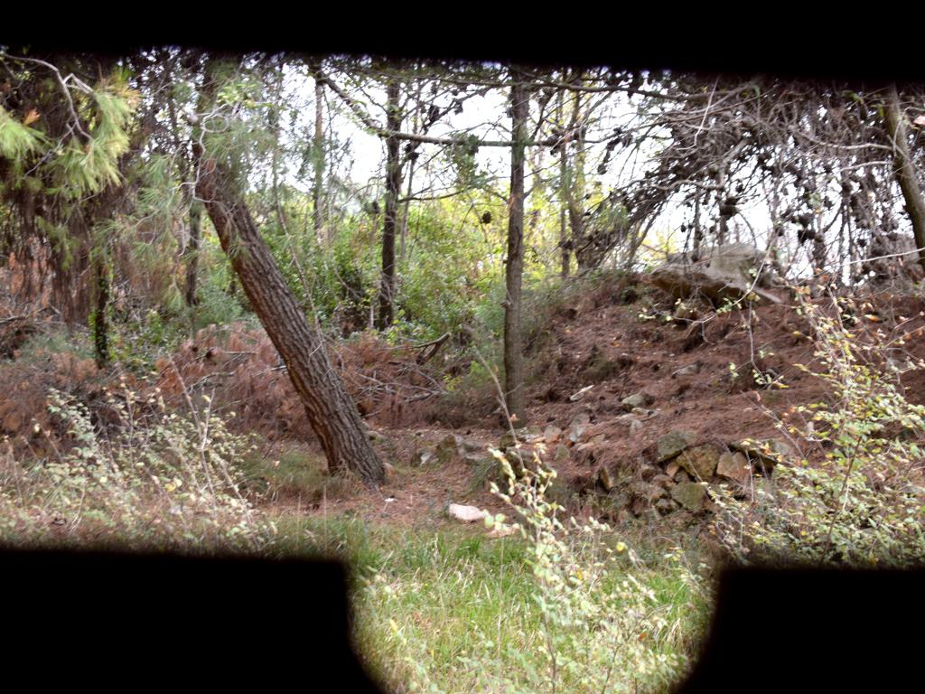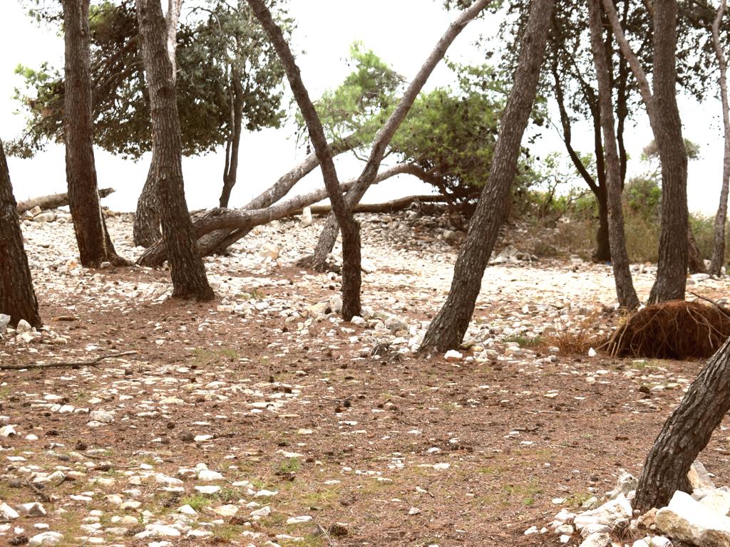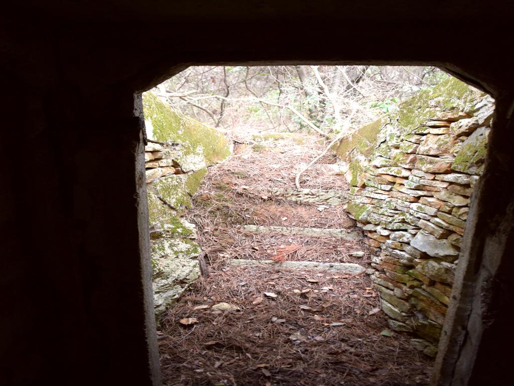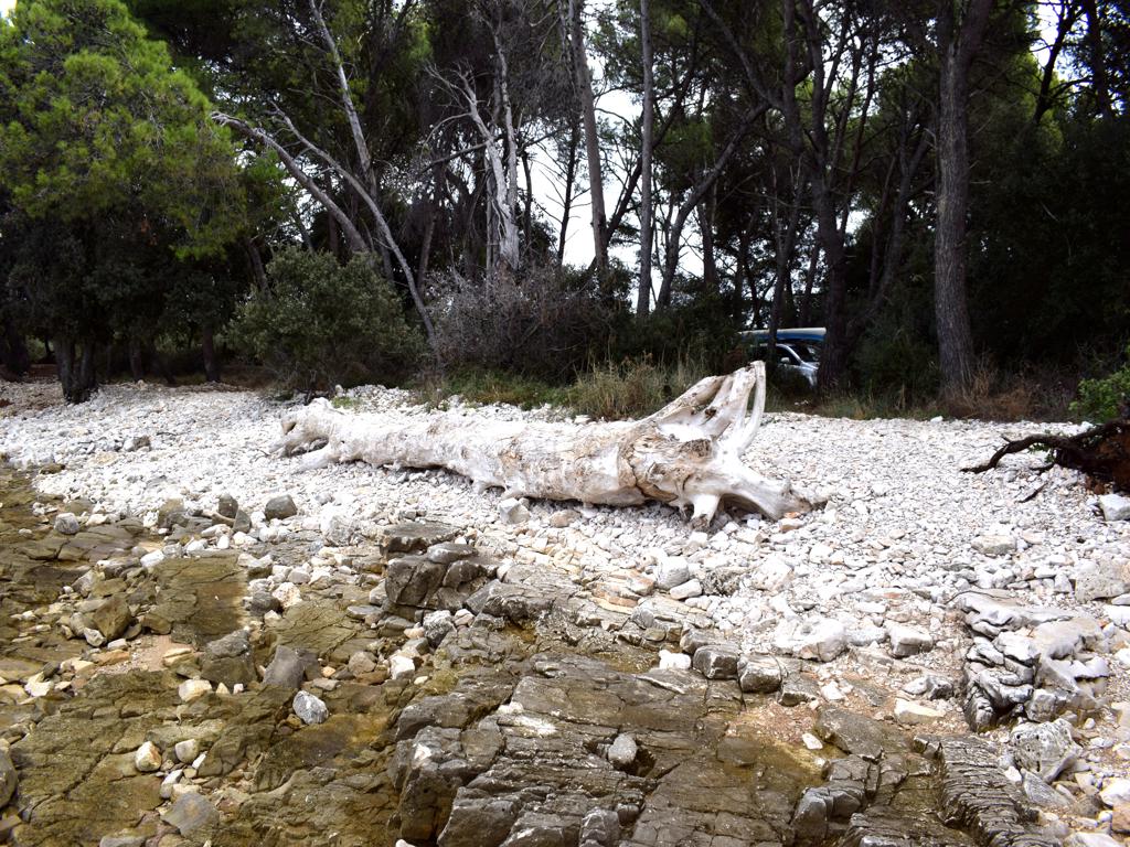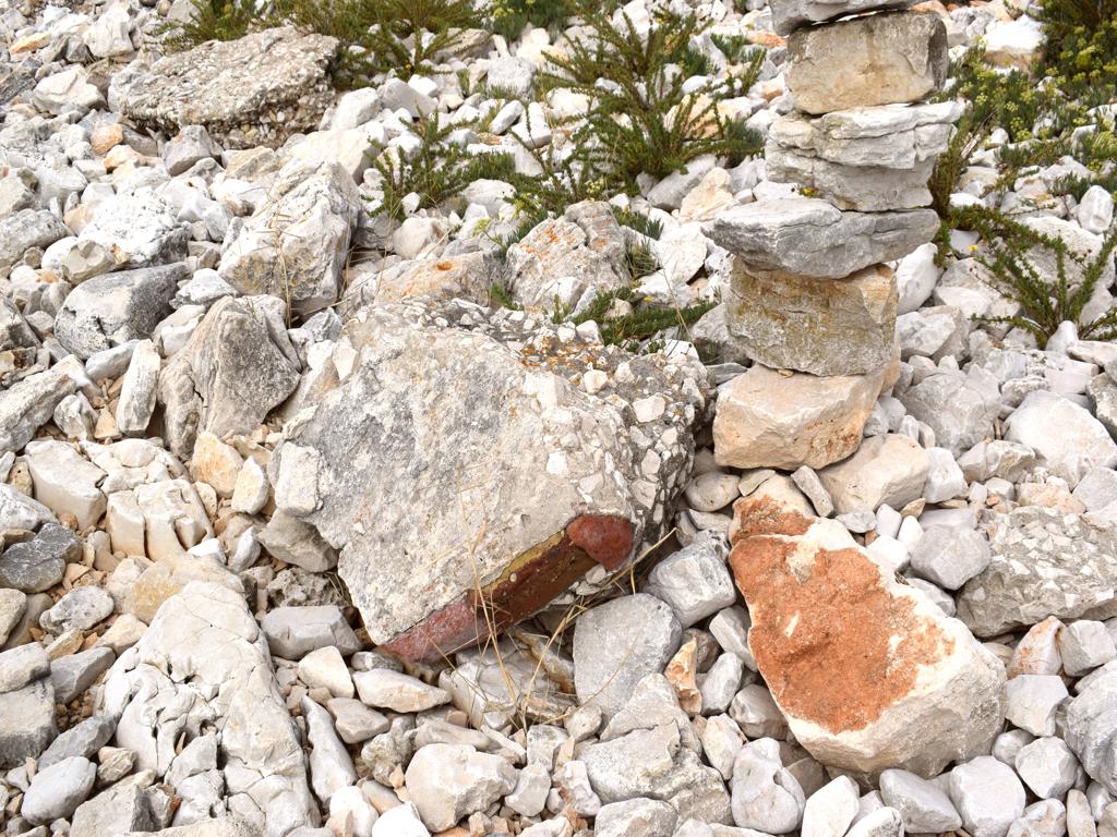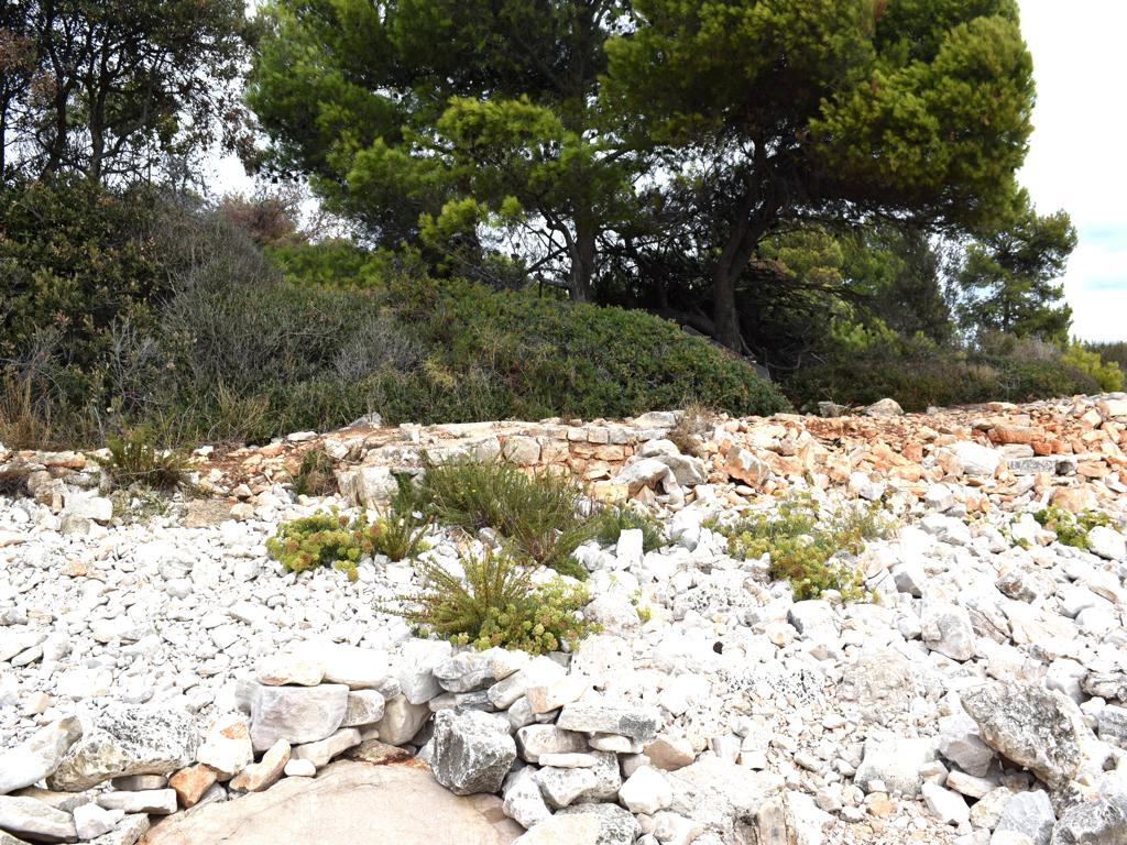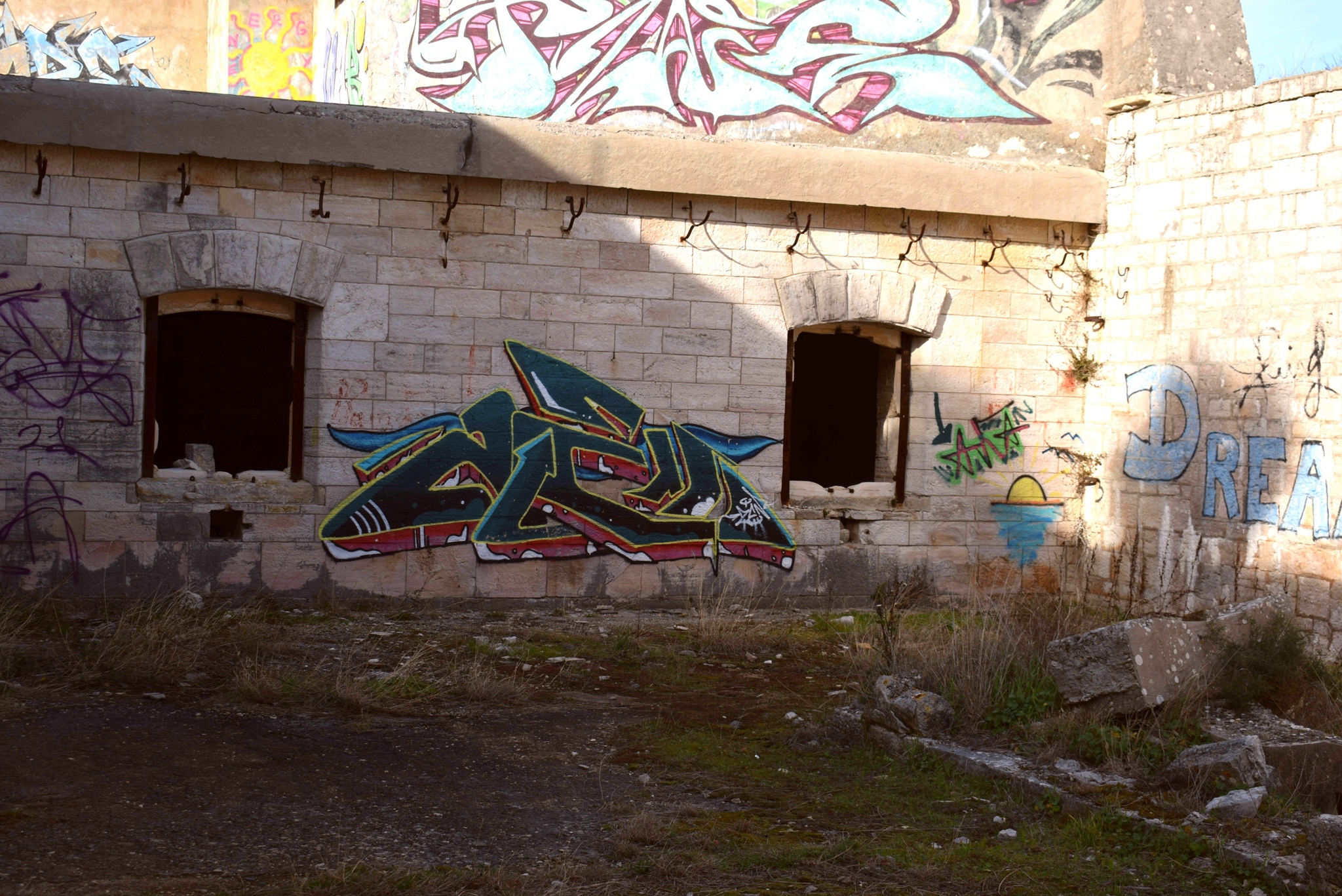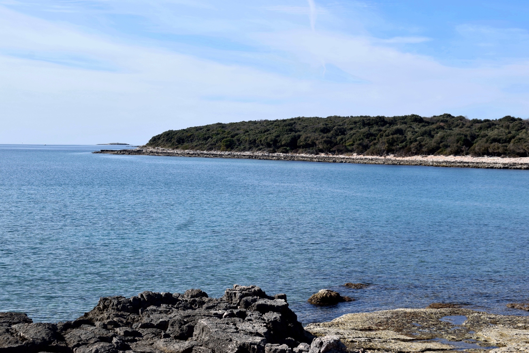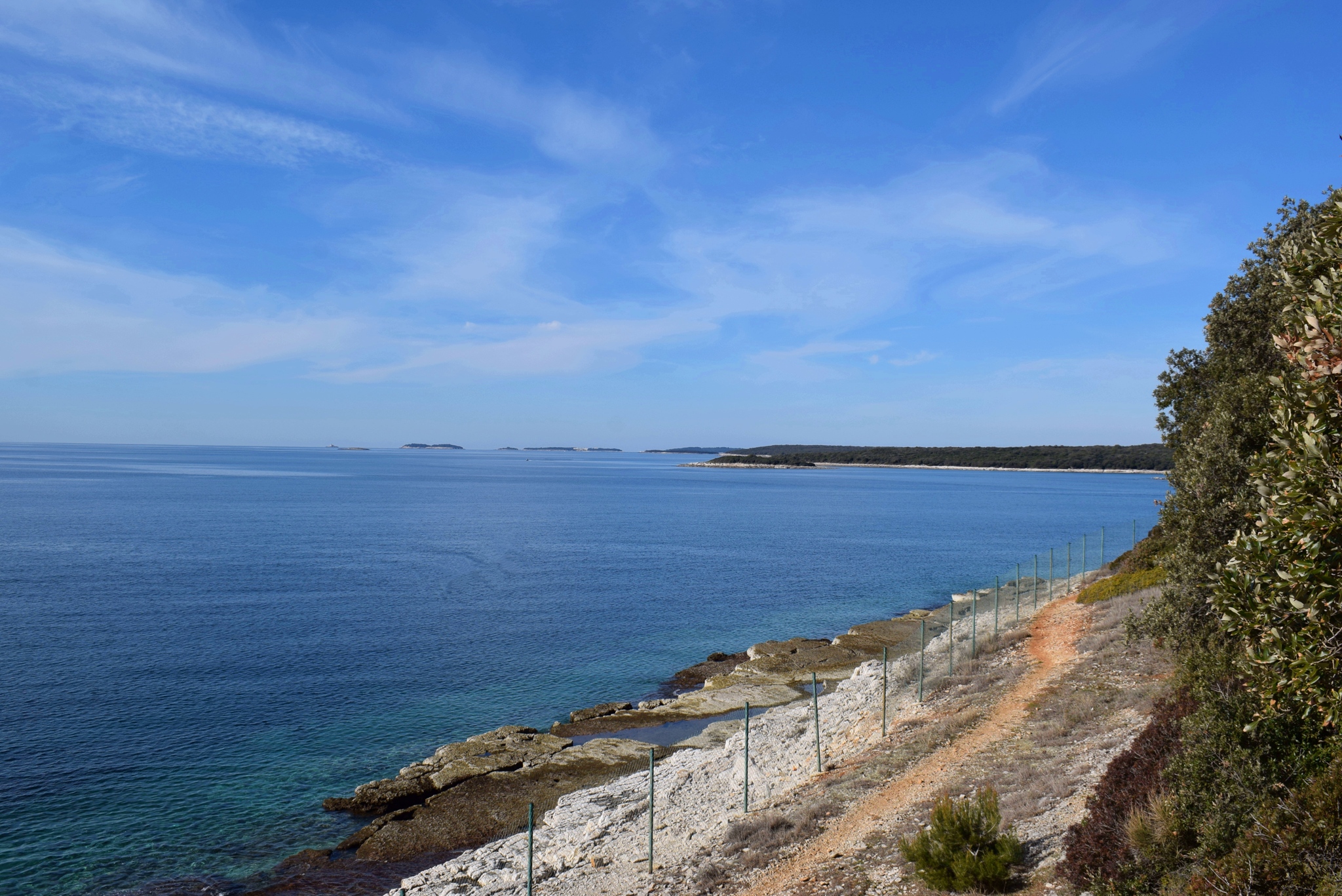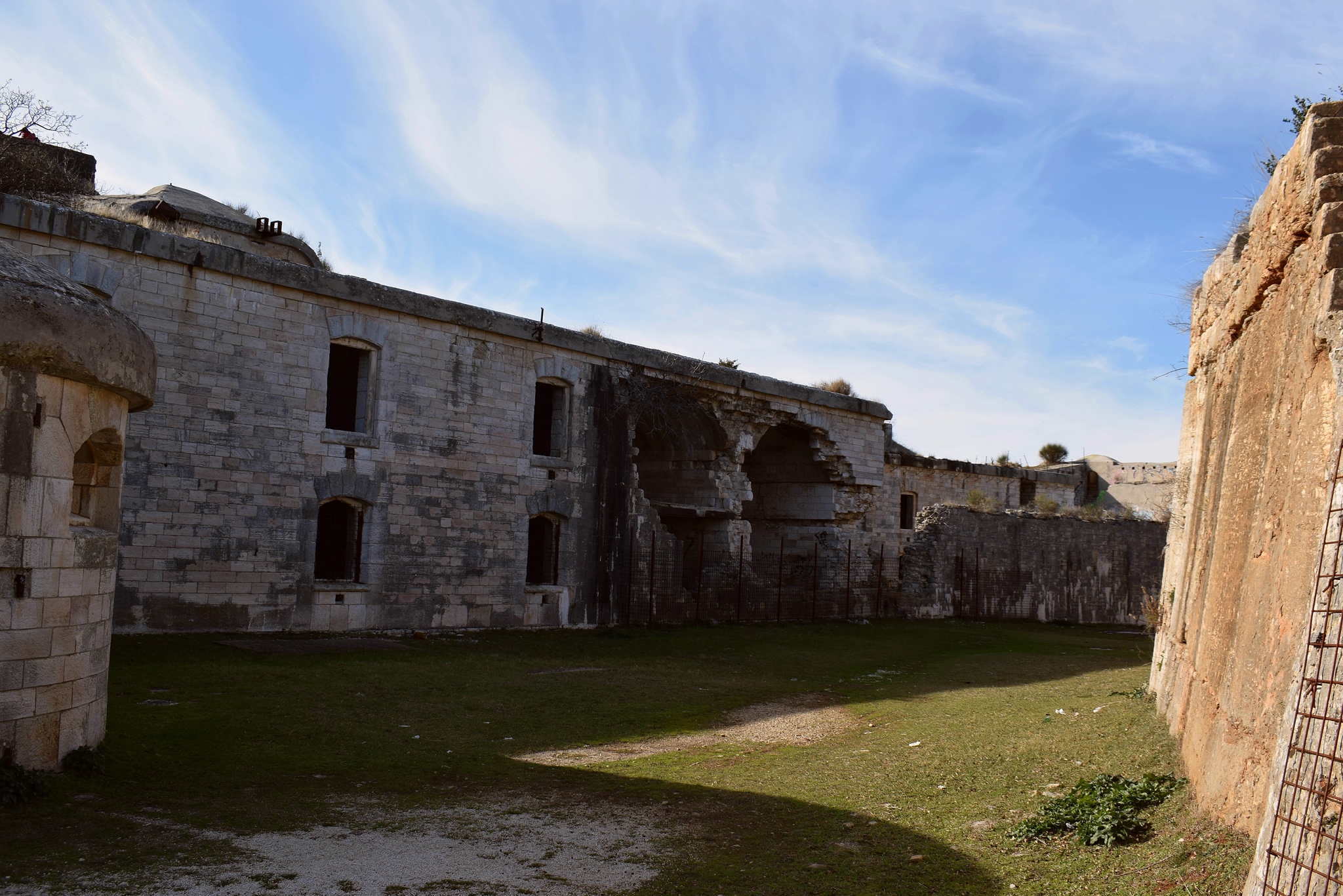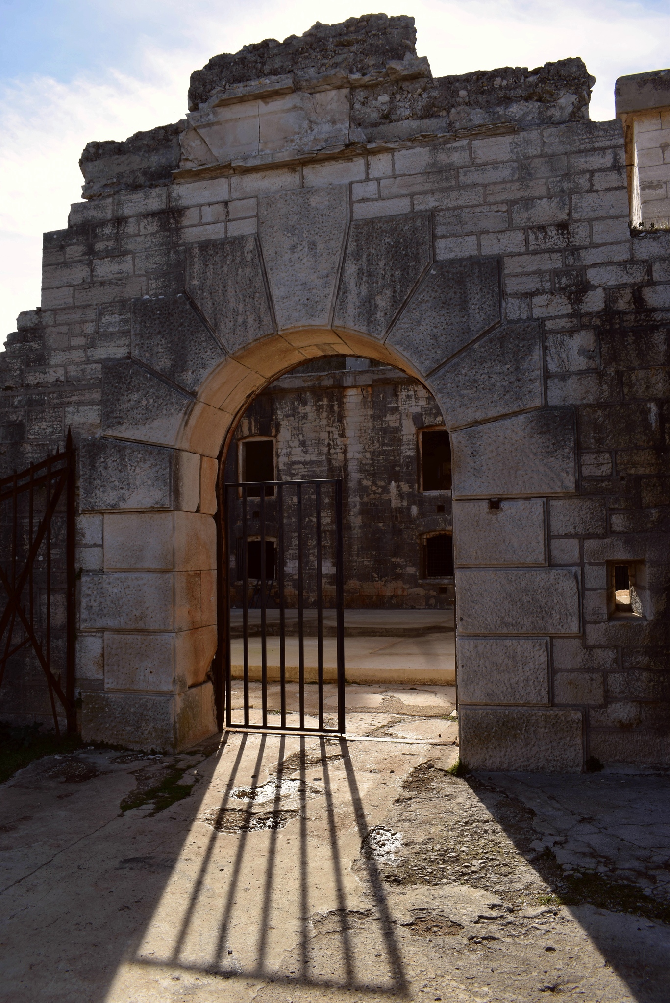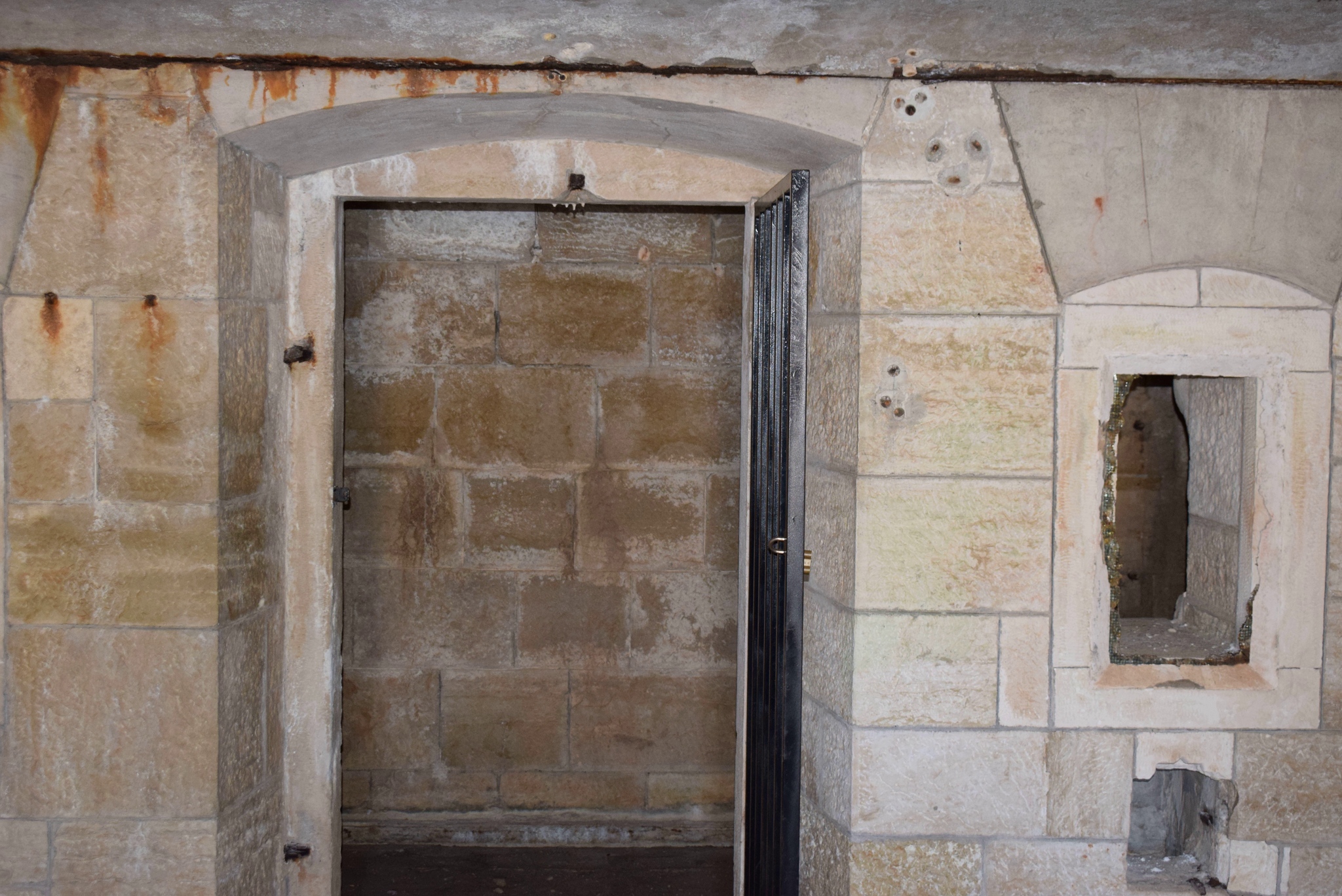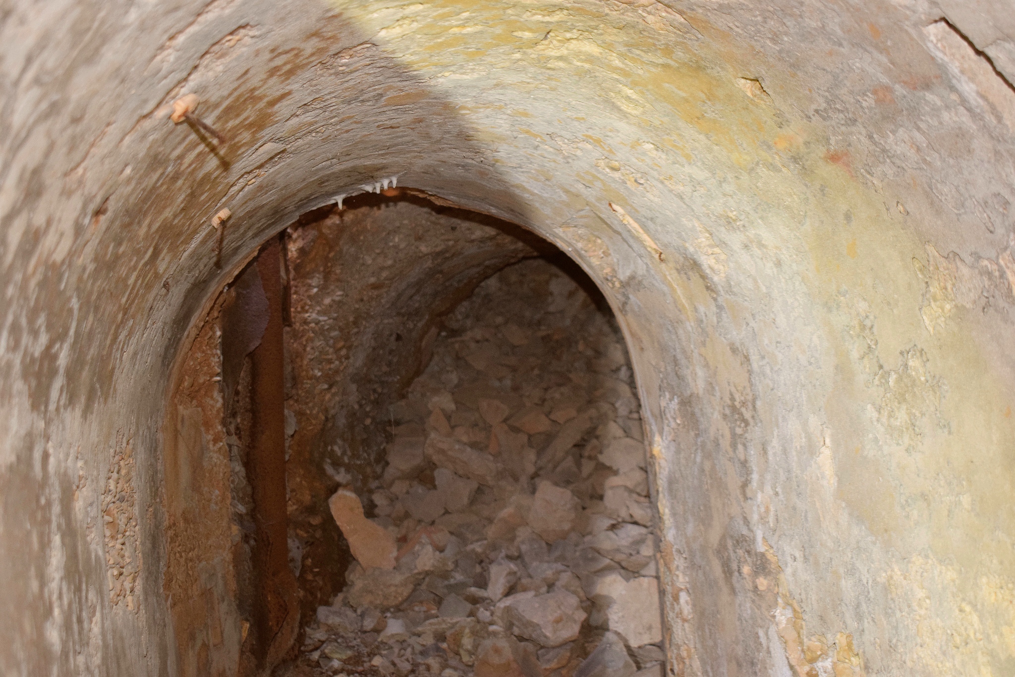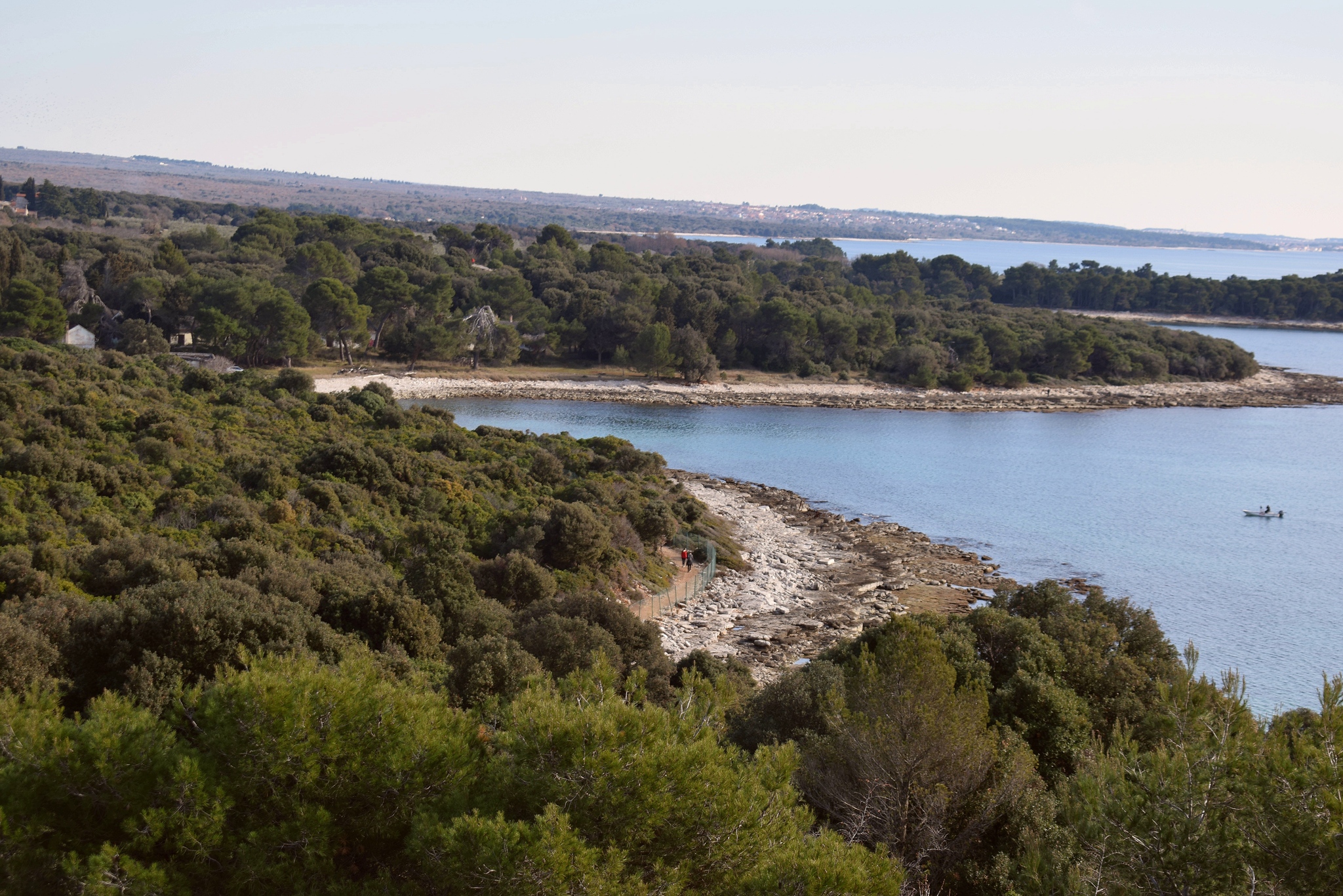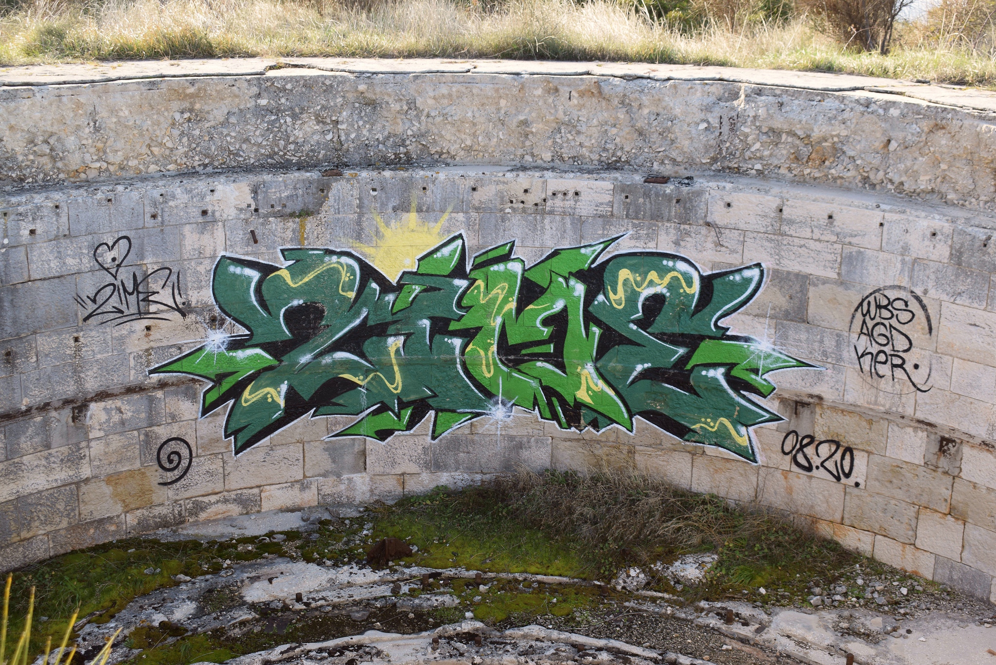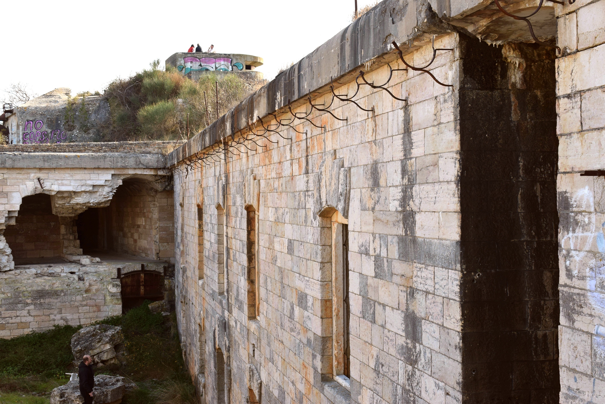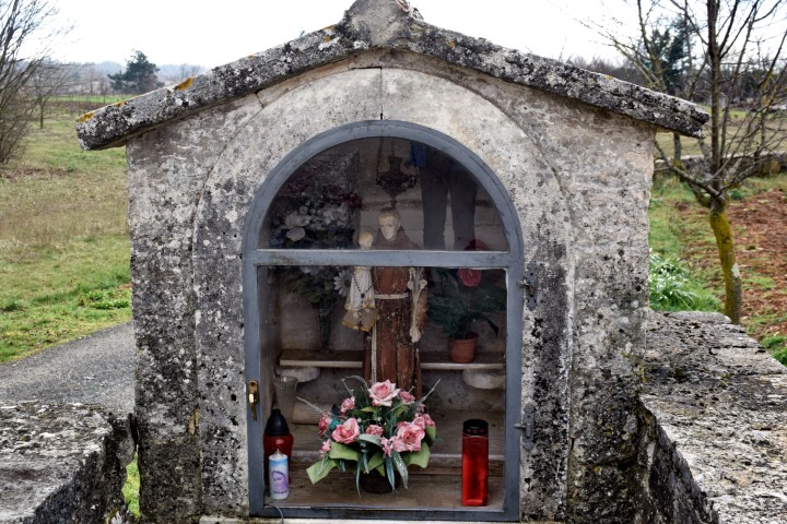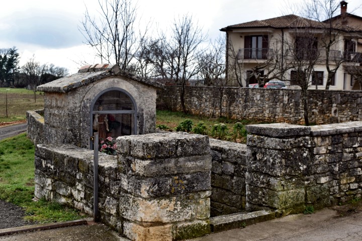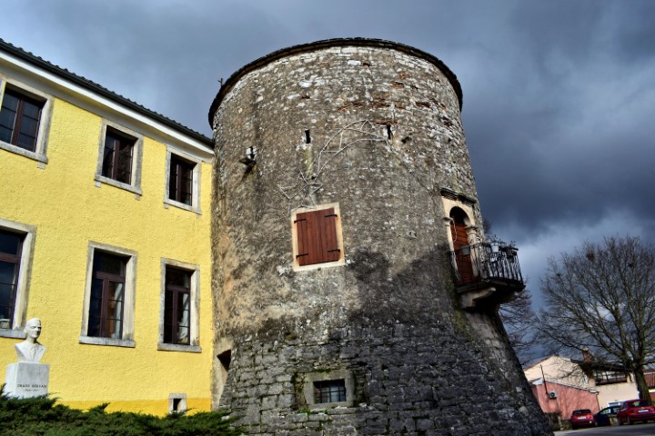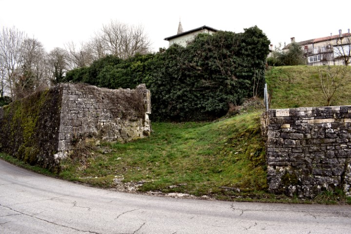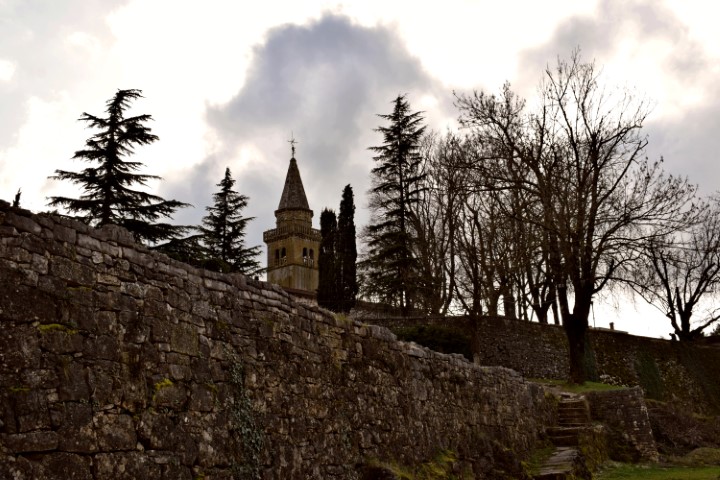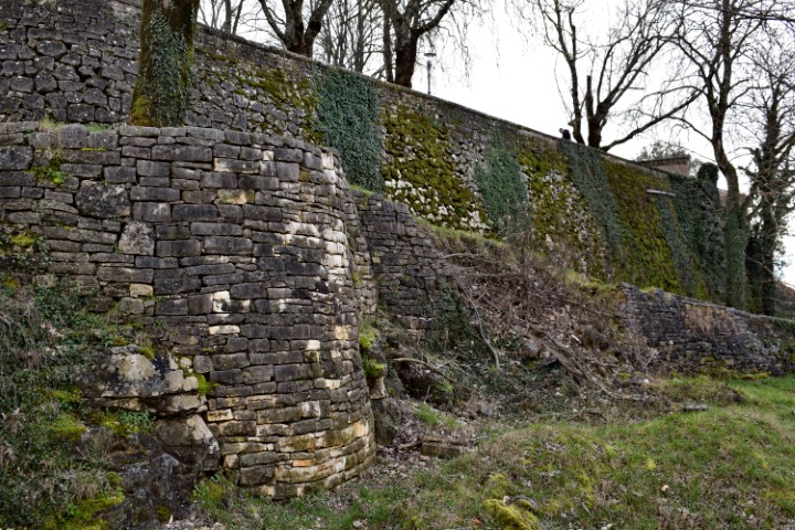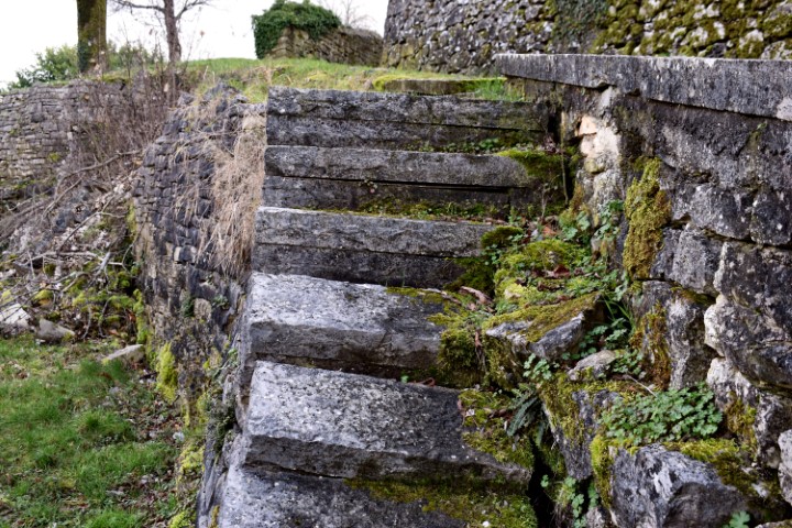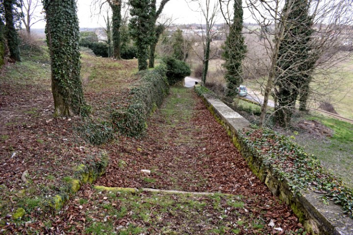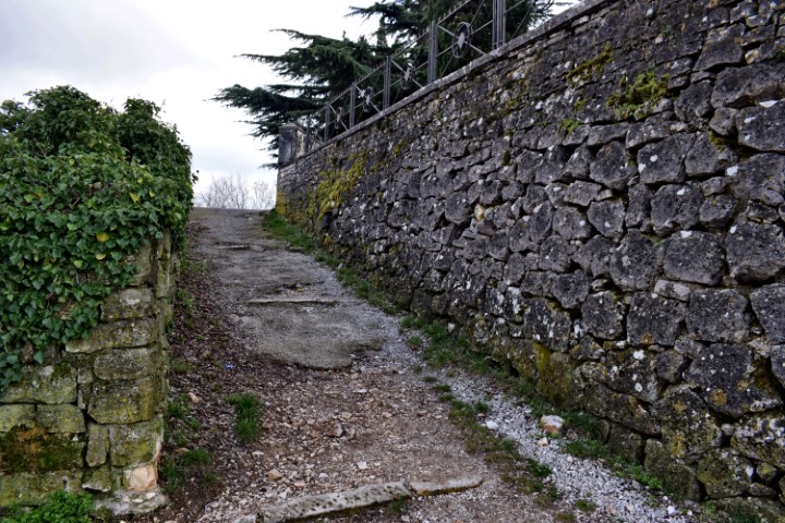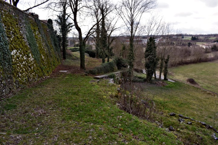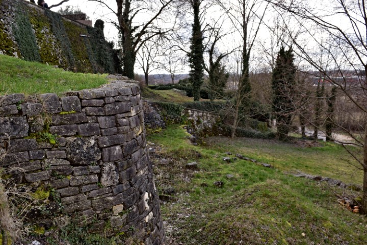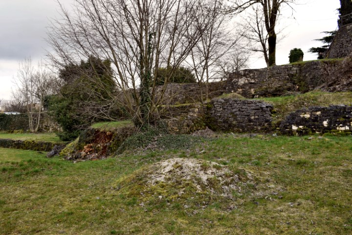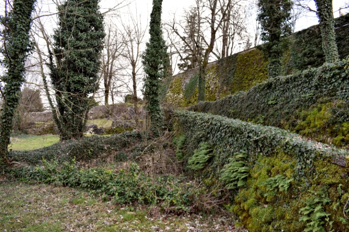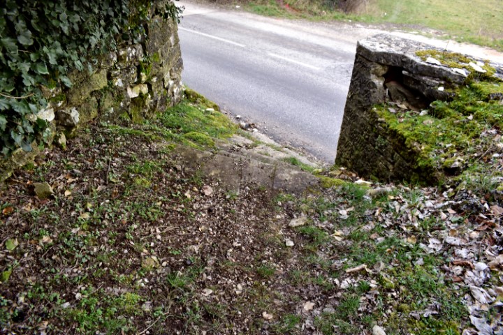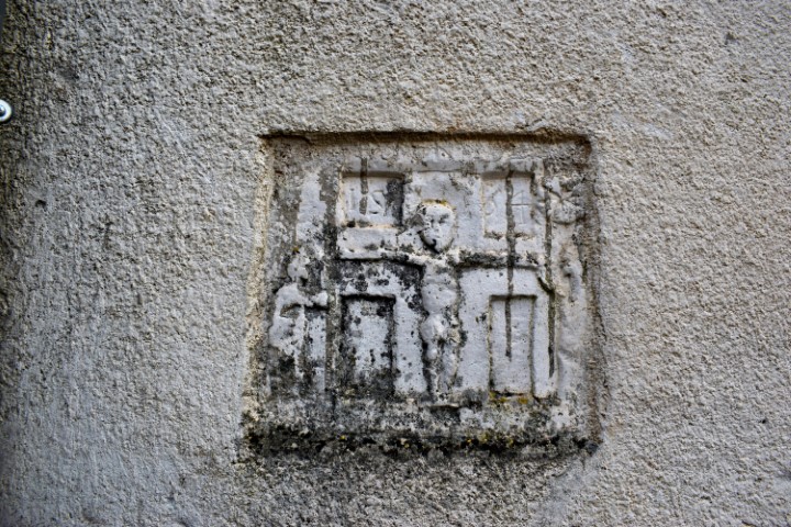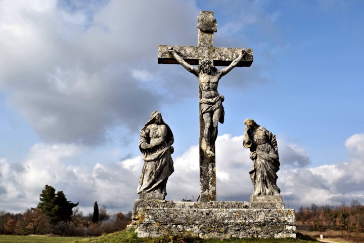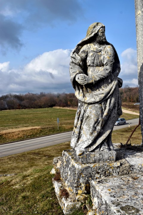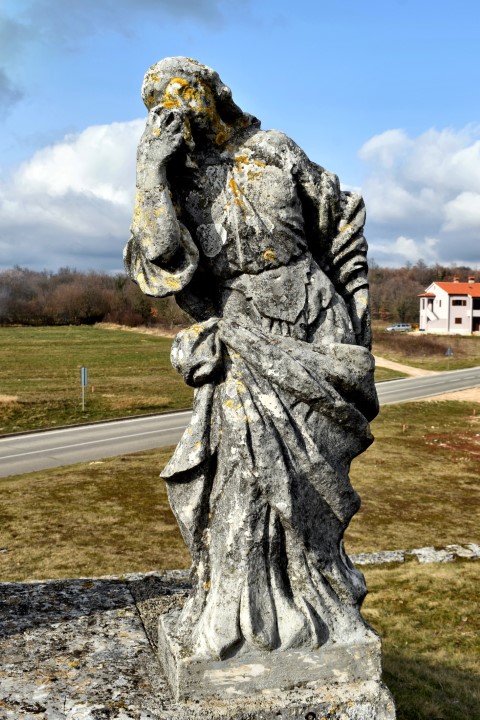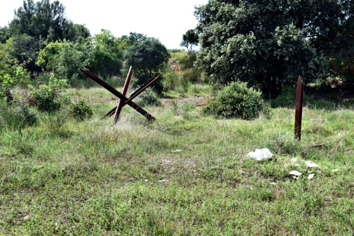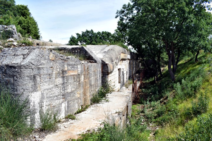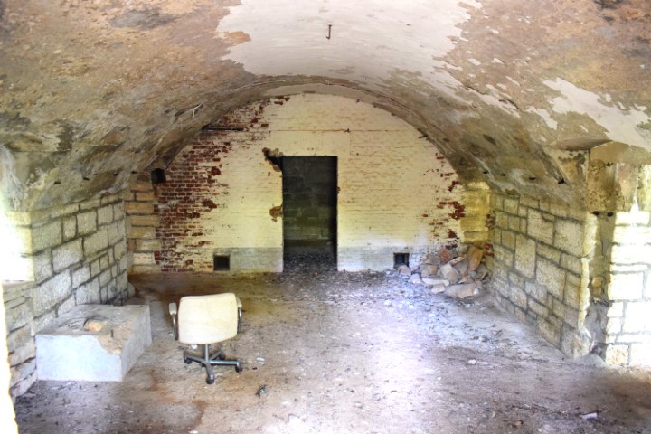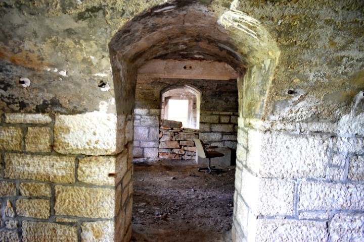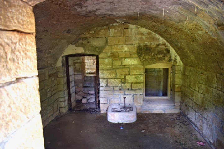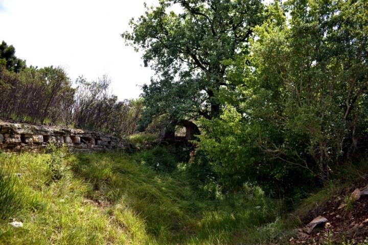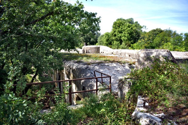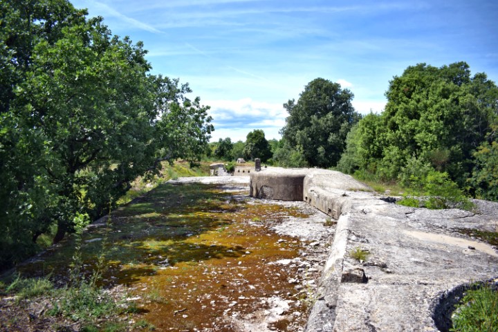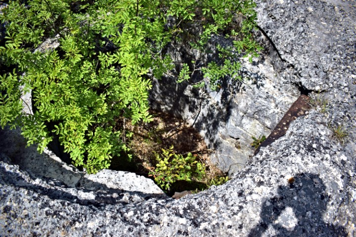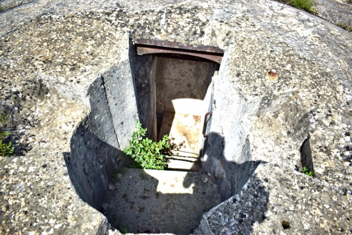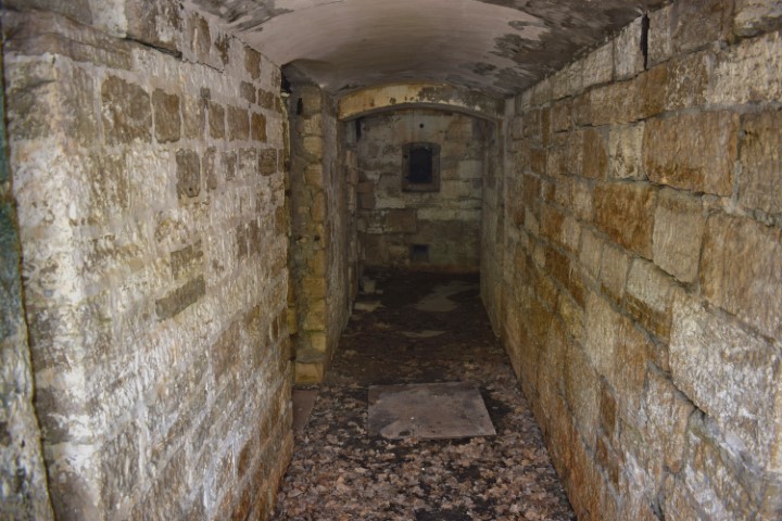

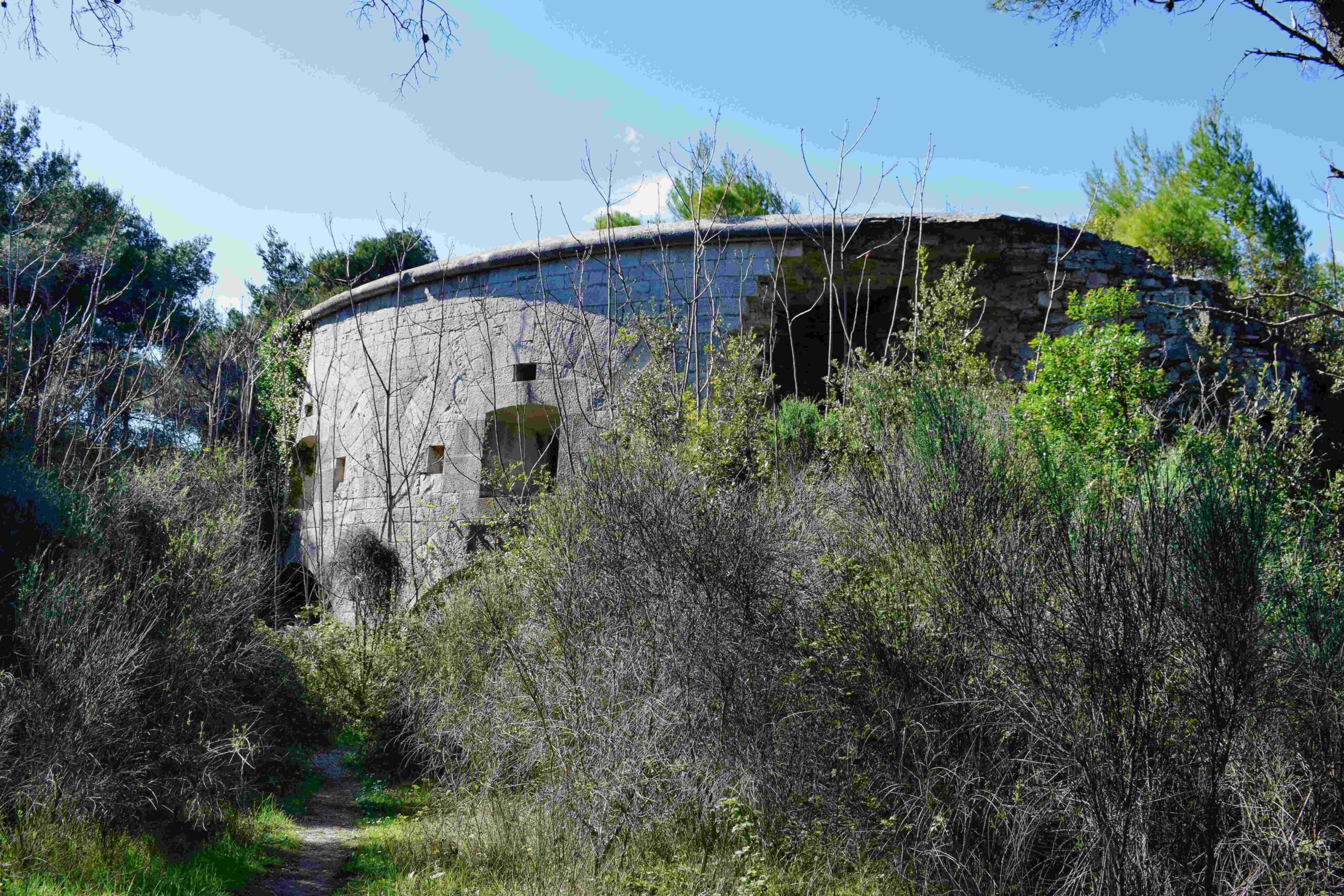
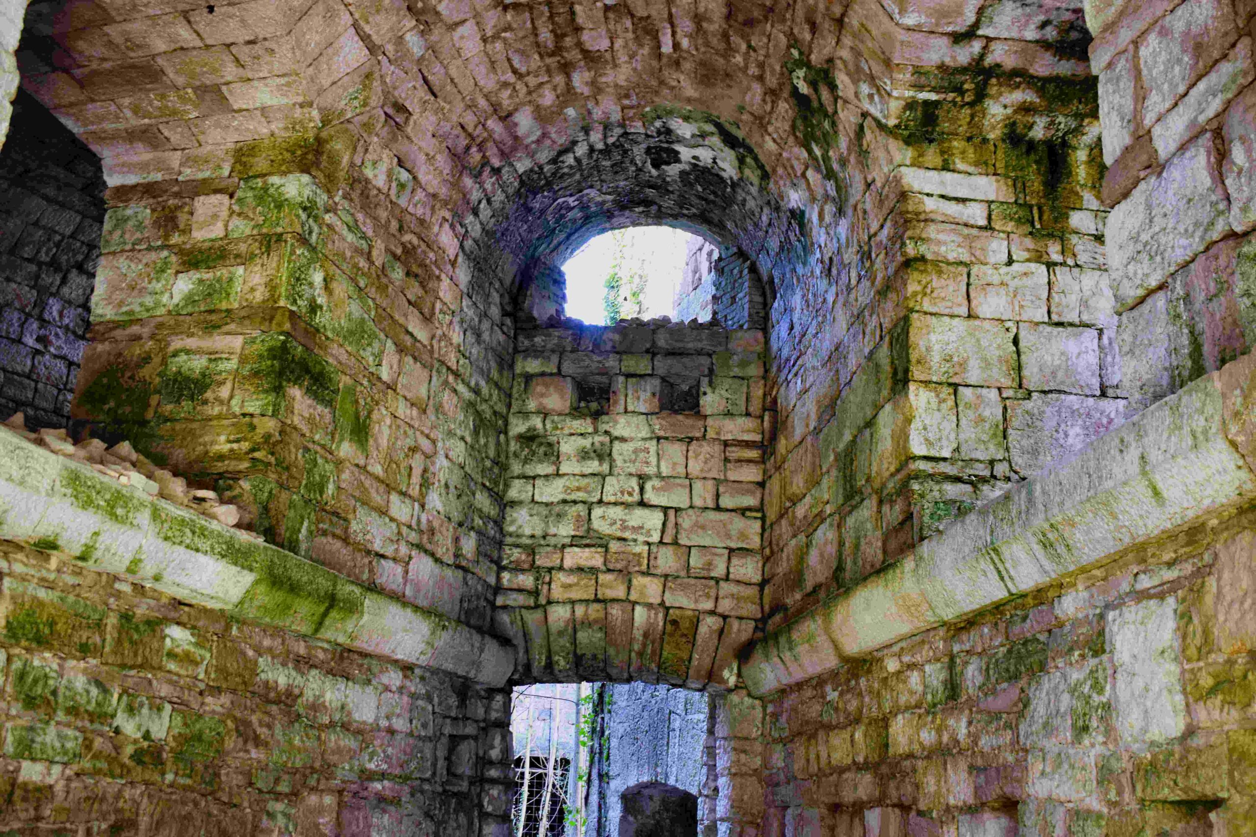
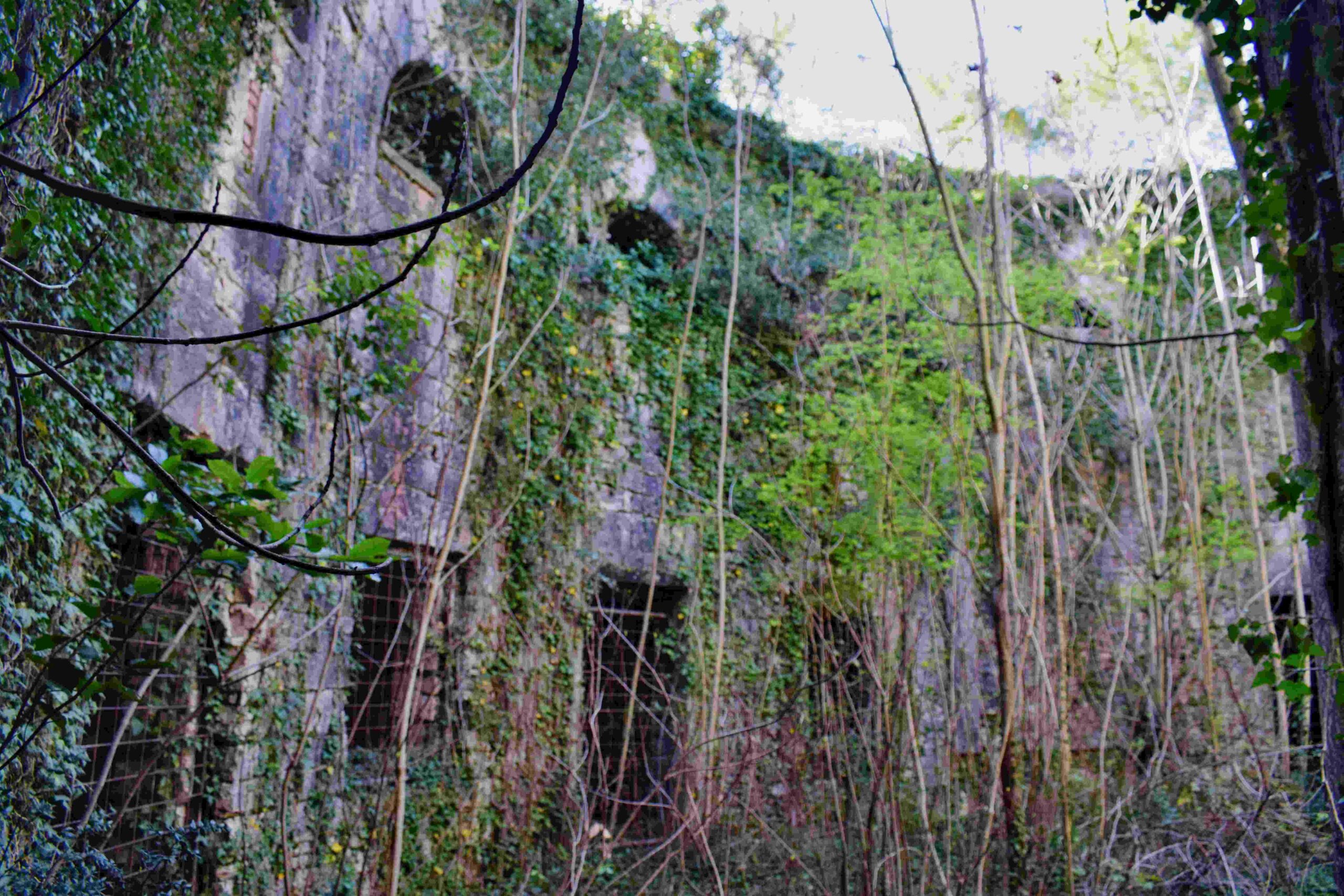
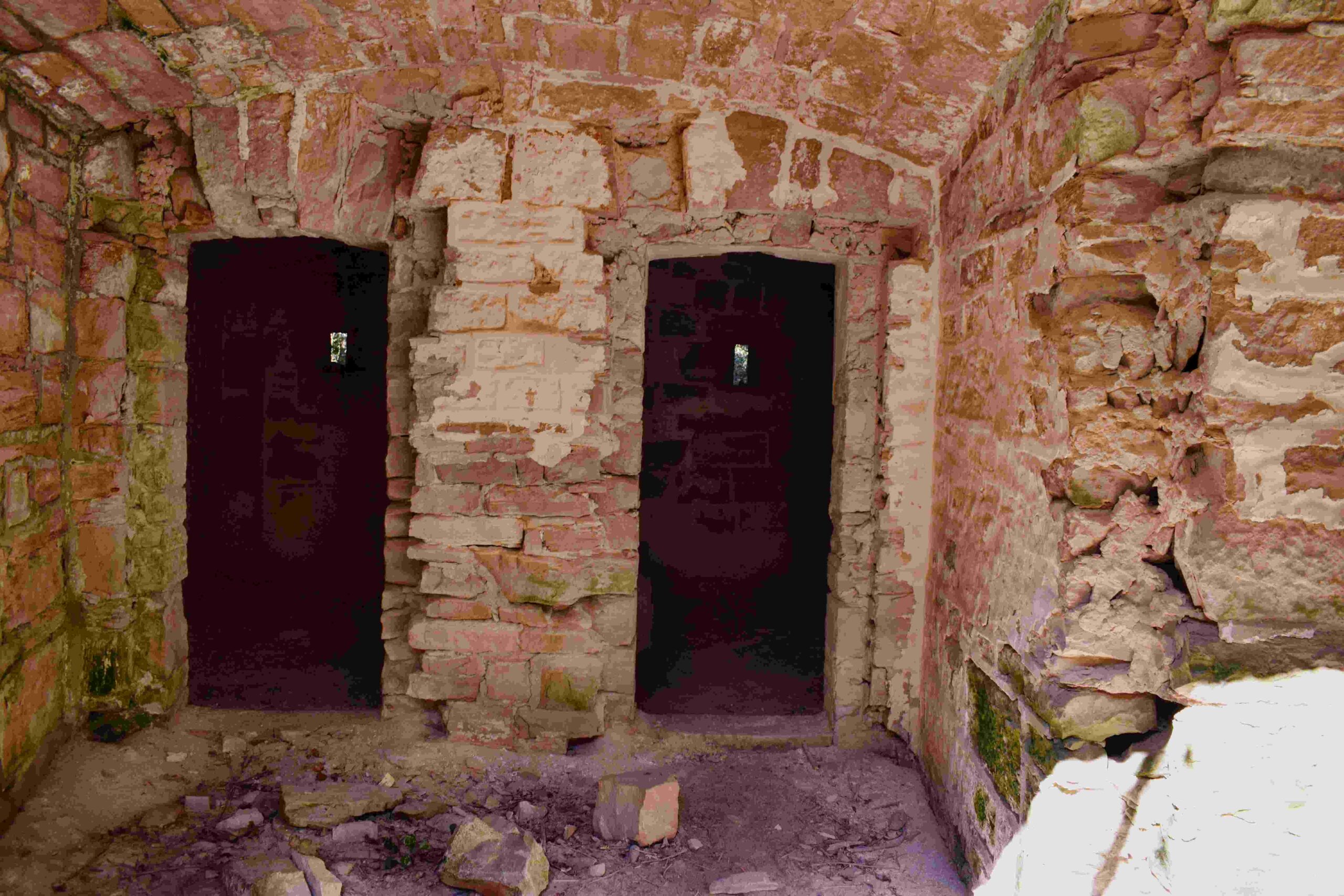
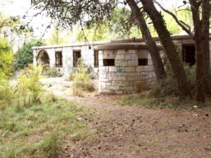
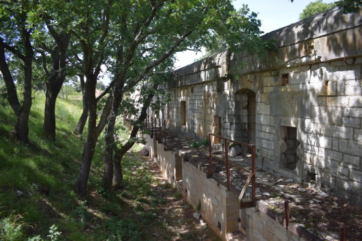
Name: Trail along the northern coast Pula to the fort Monte Minude.
Place: Stinjan – (Pula).
Coordinates: Start 44.88245 N – 13.81990 and from point 44.88274 N – 13.81191 E to Monte Minude 44.88211 N – 13.81489 E.
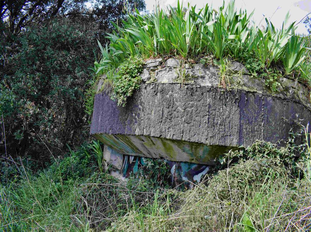
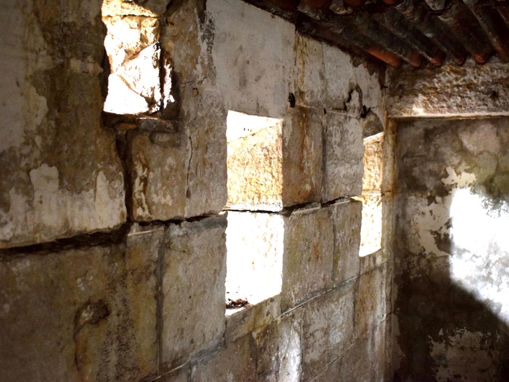
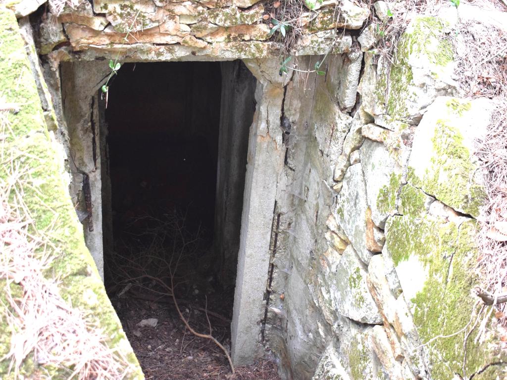
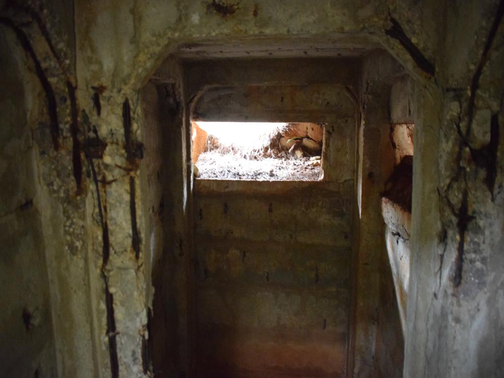
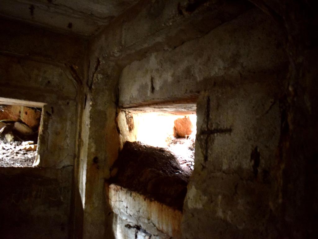
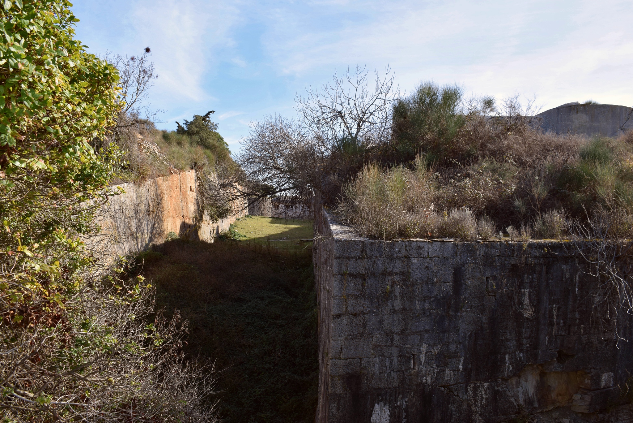
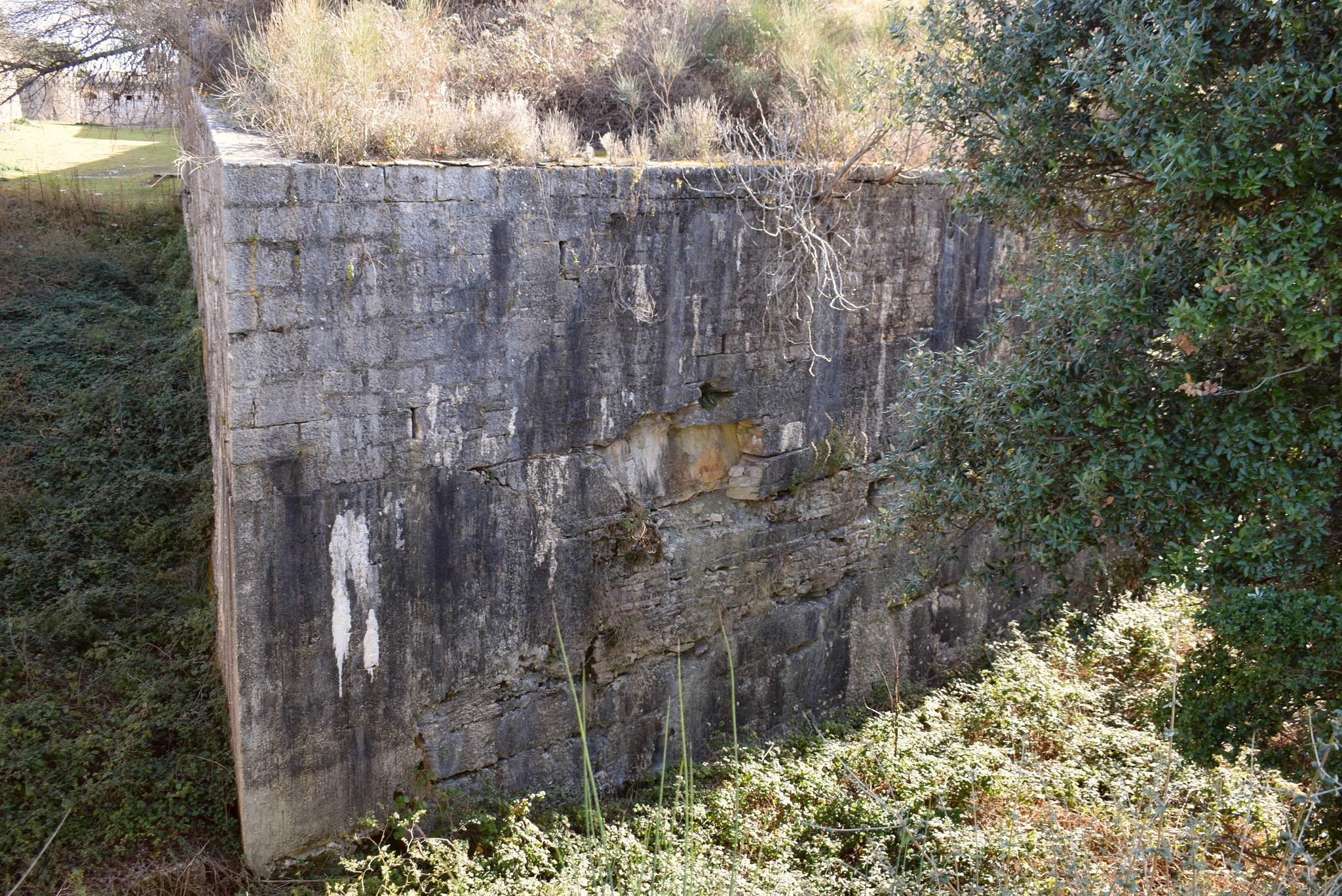
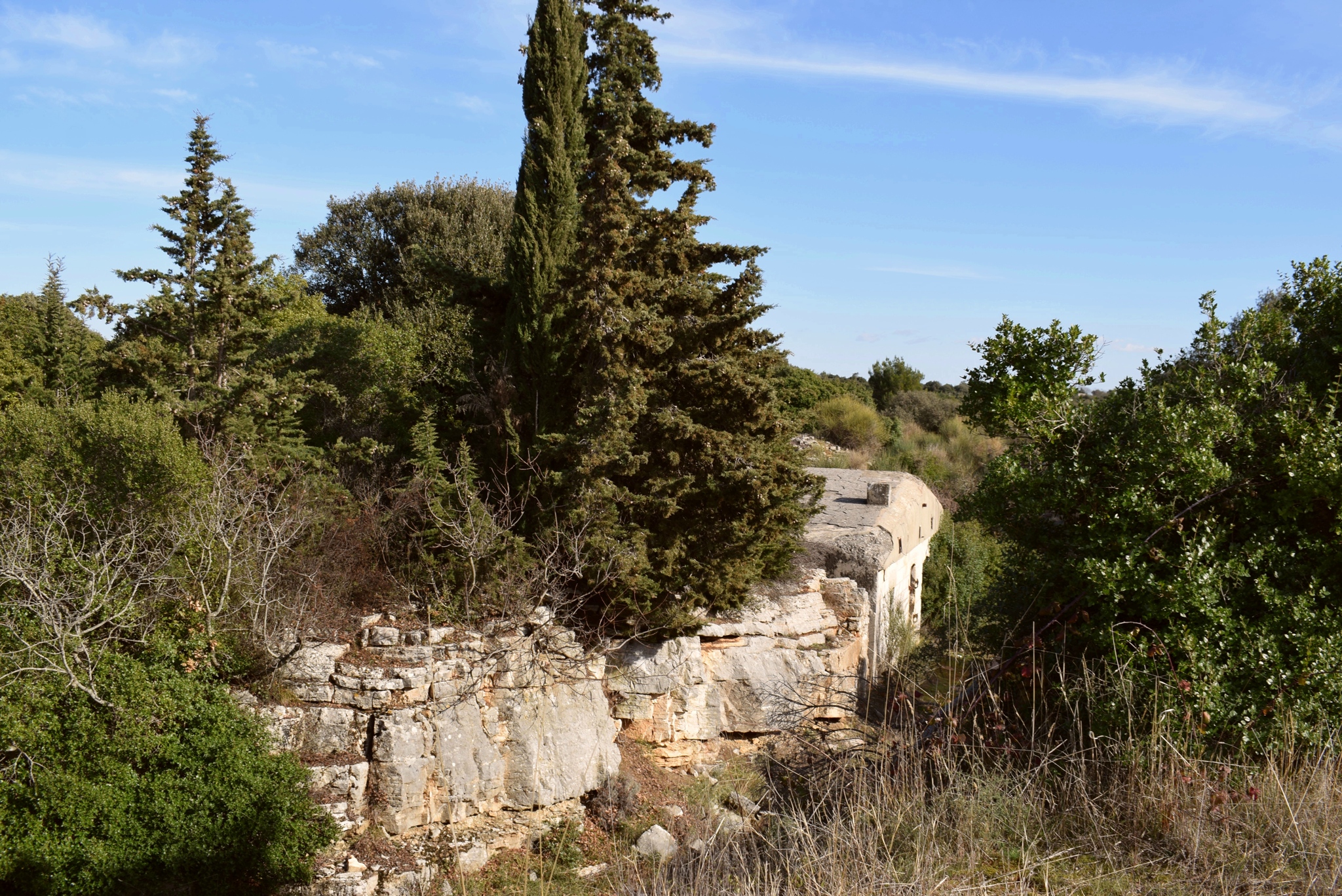
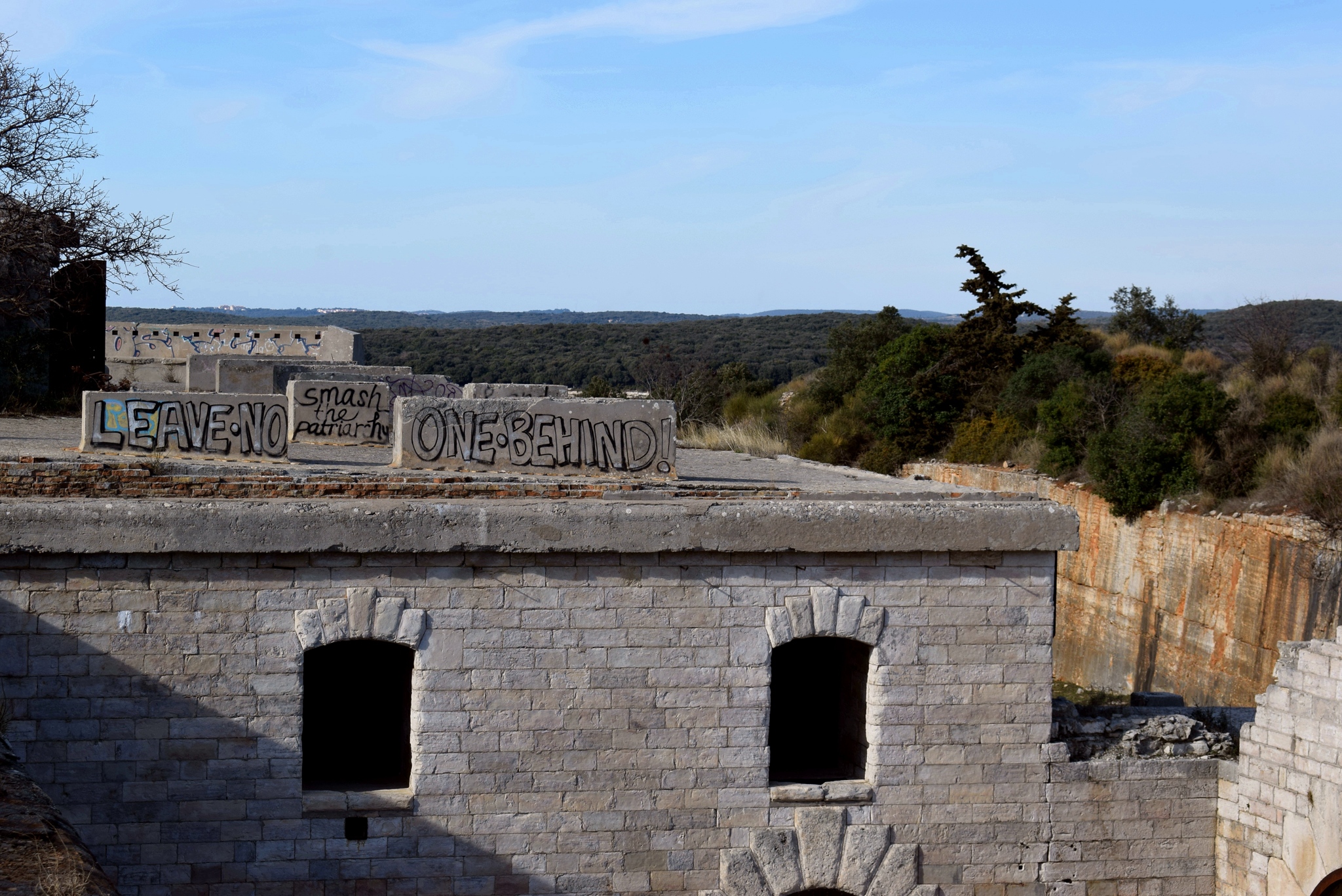
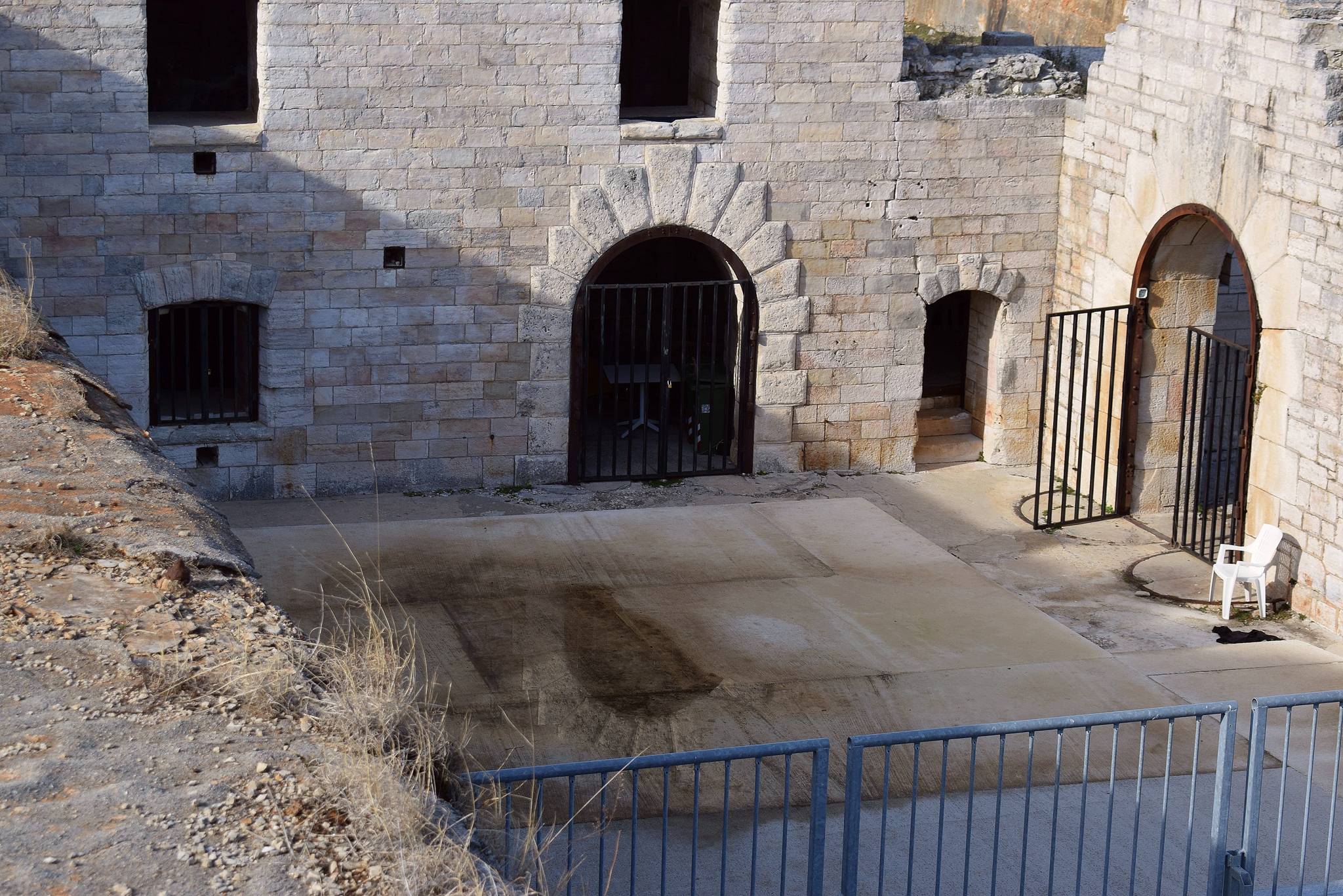
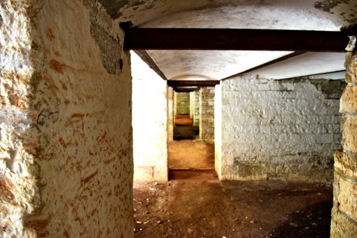
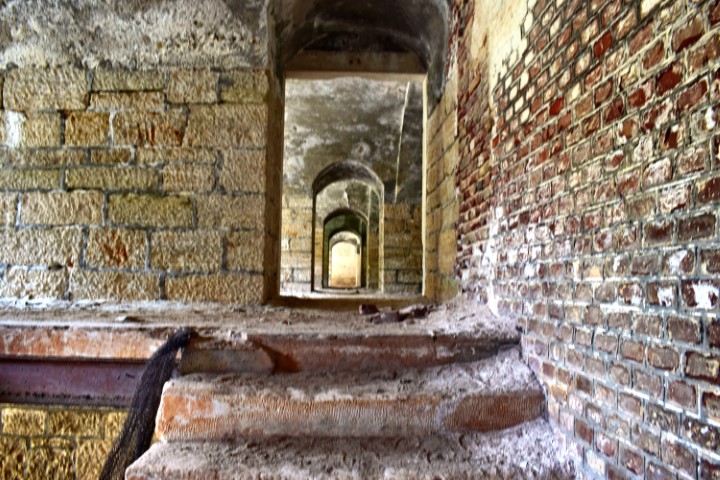
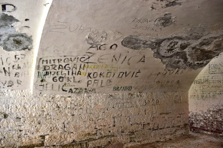
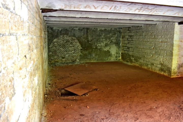
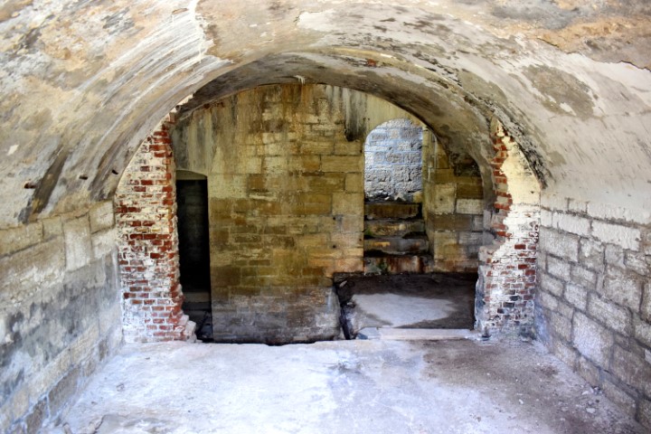
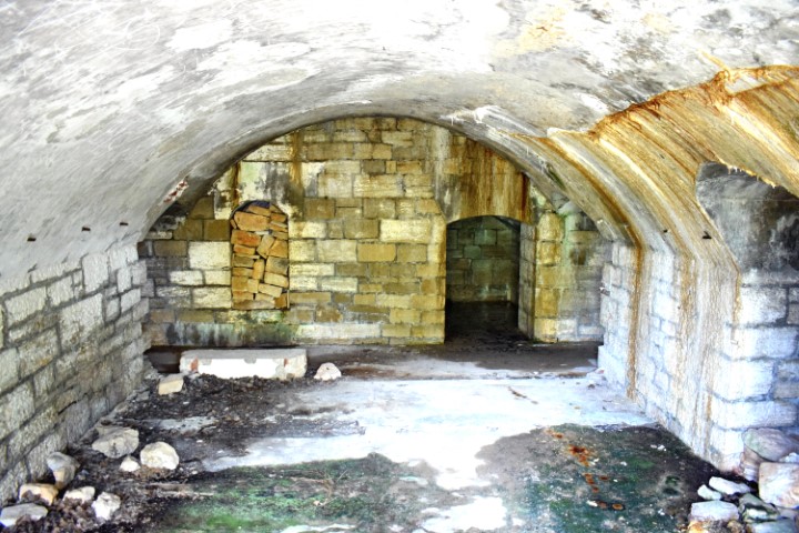
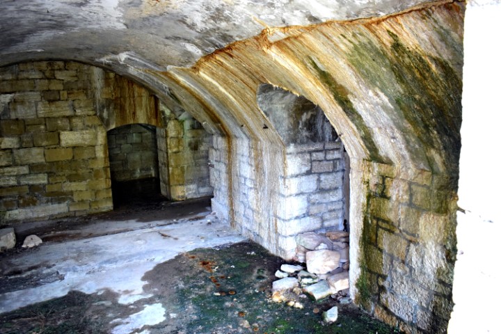
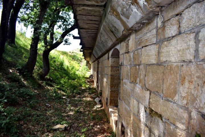
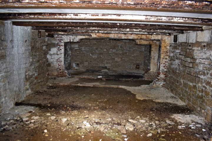
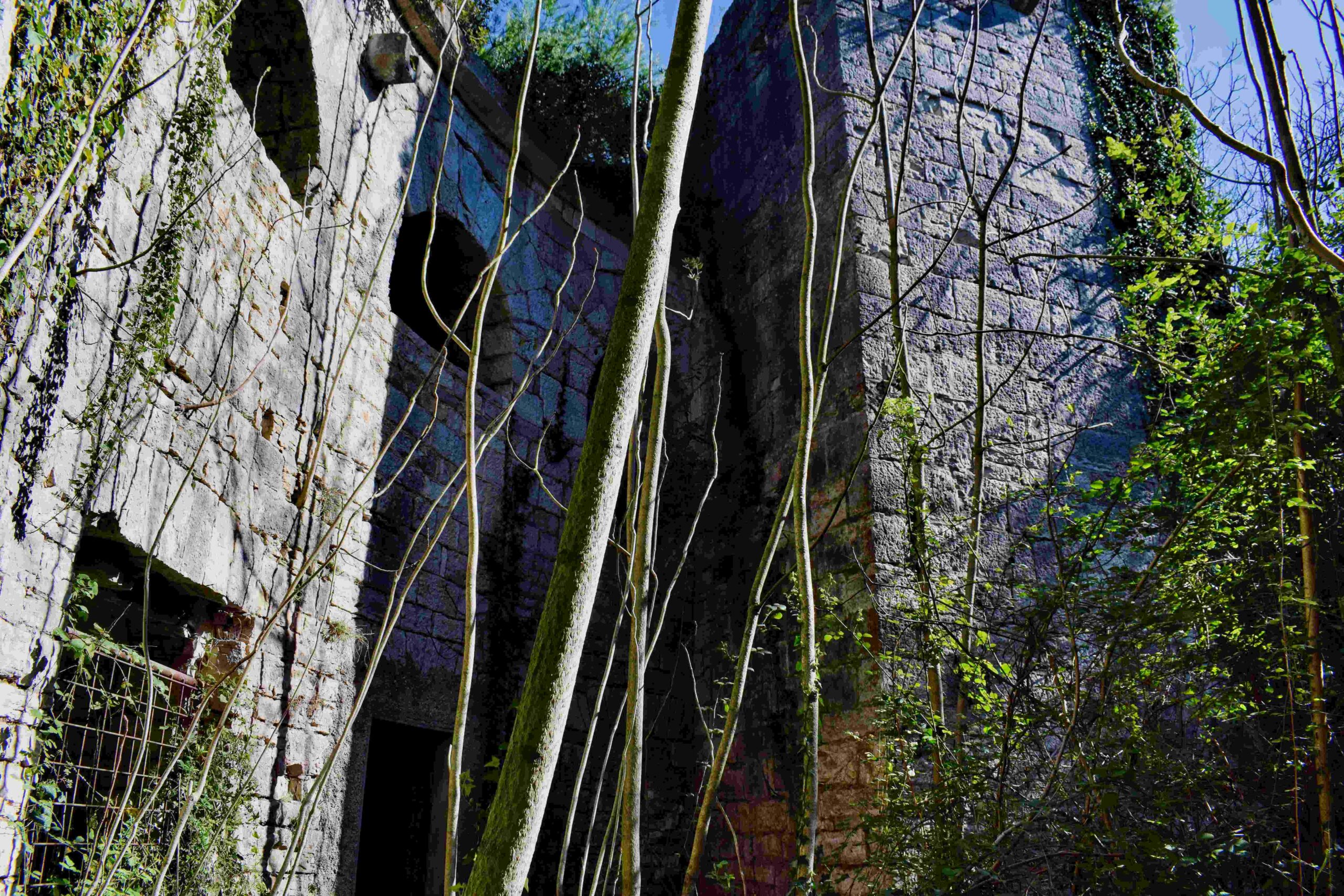
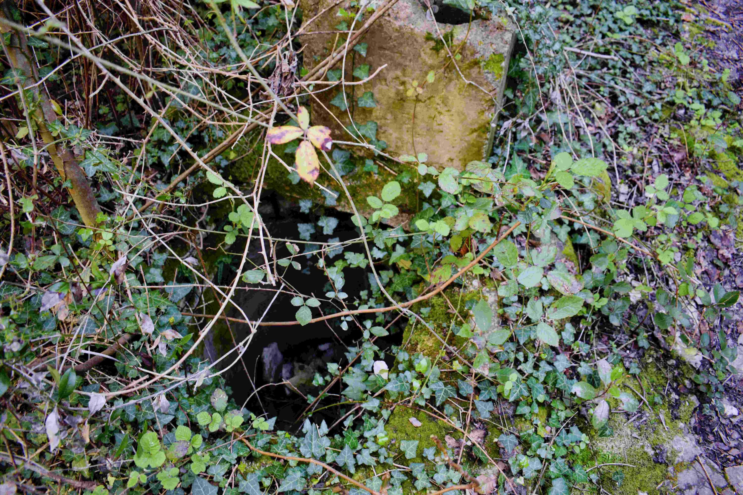
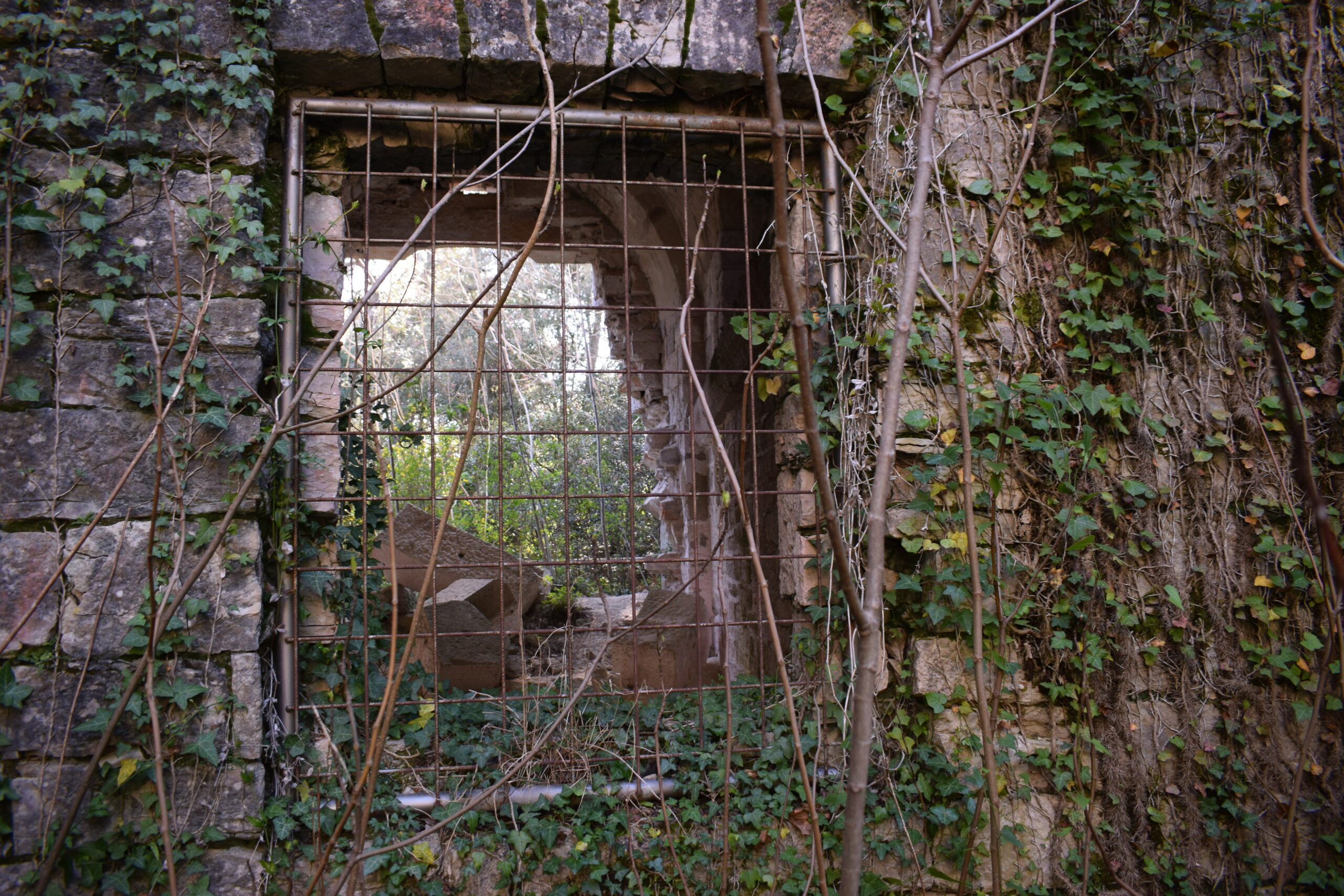
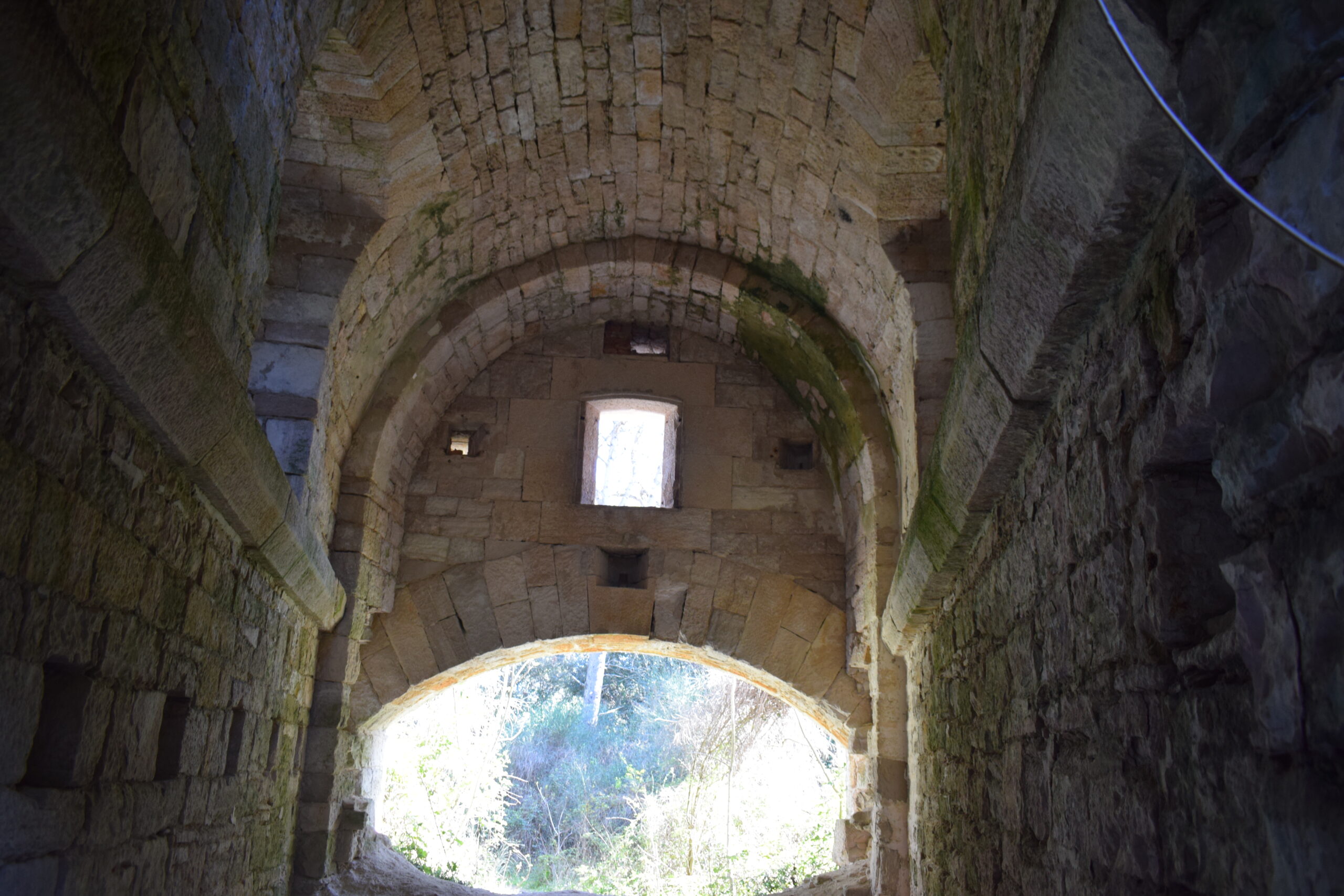
Fort Minude is built in 1852.
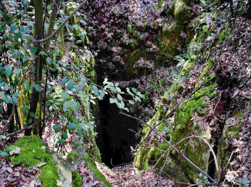
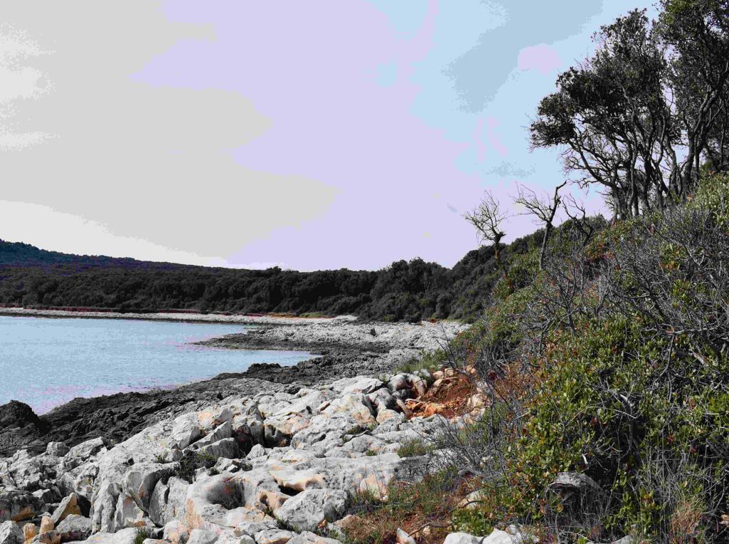
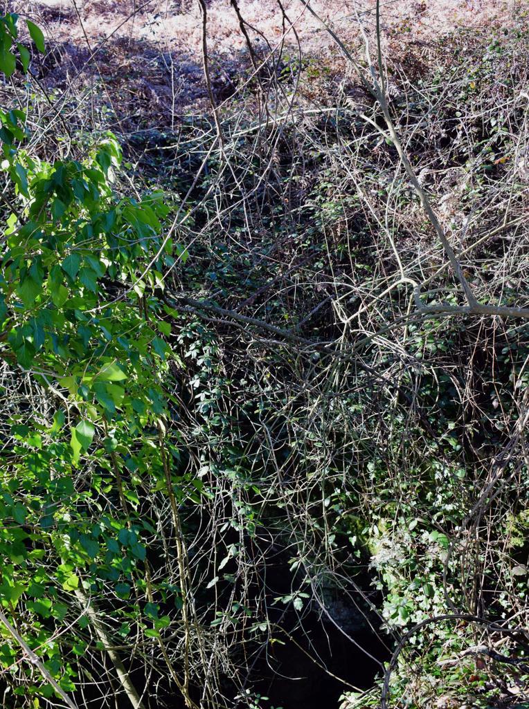
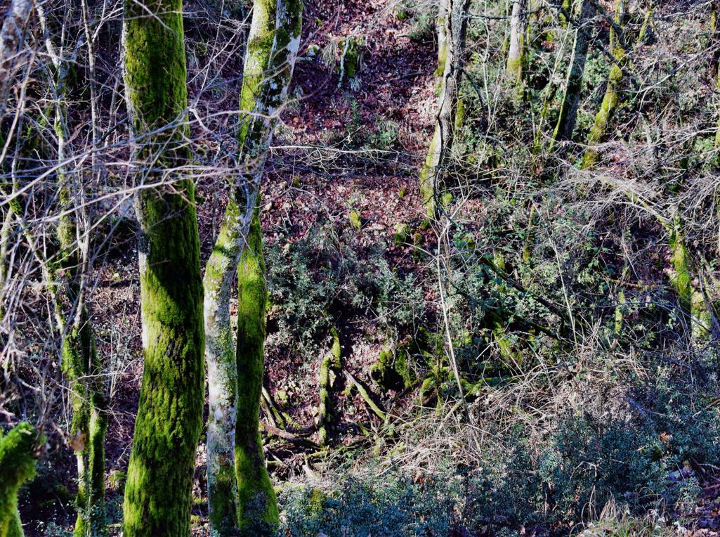
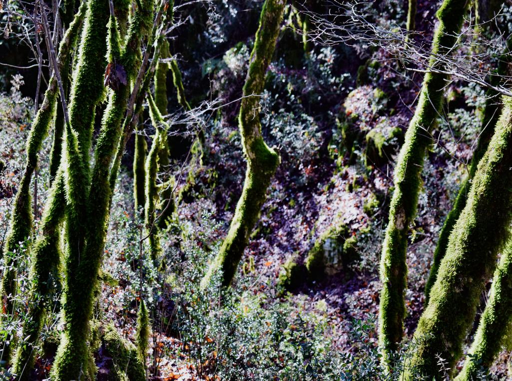
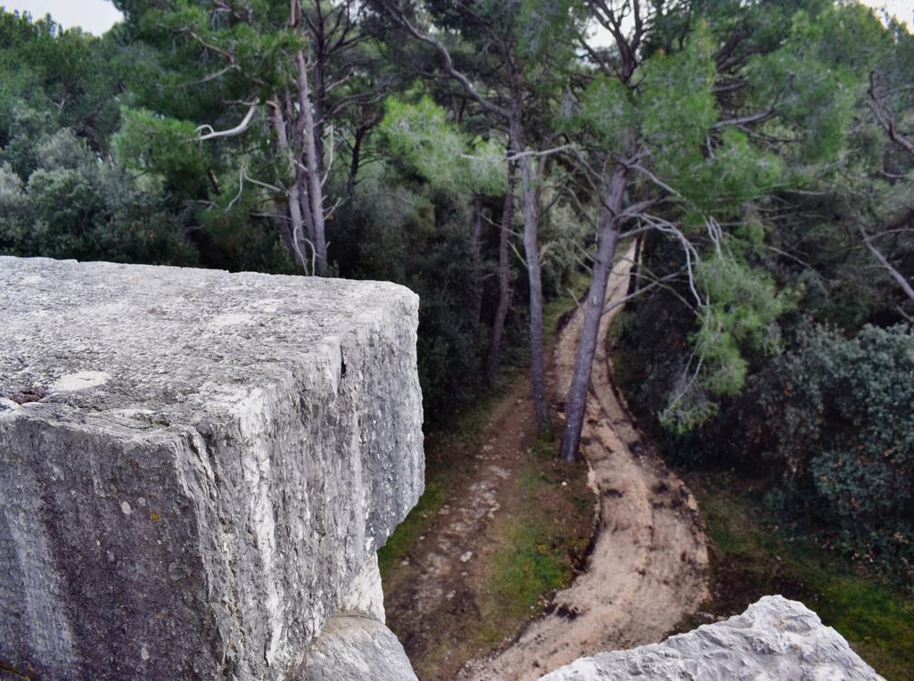
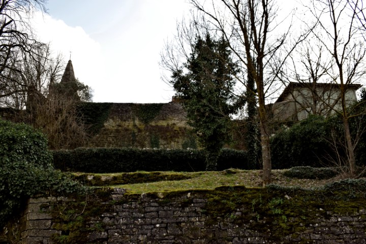
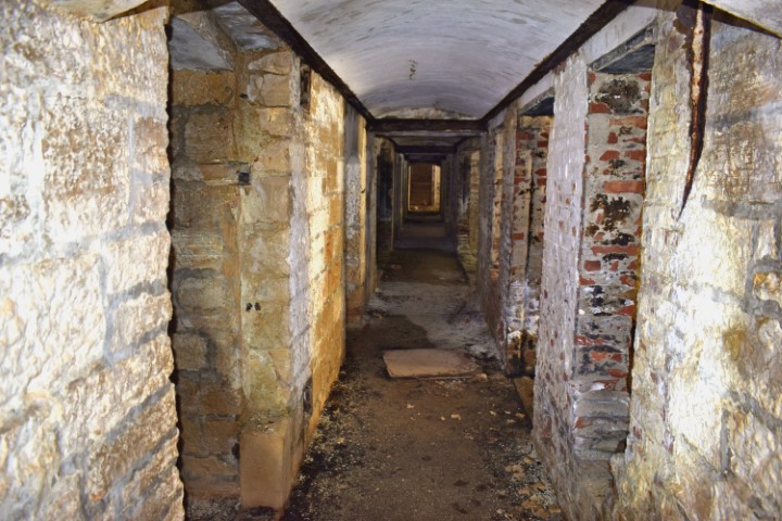
Name: Trail along the northern coast Pula to the fort Monte Minude.
Place: Stinjan – (Pula).
Coordinates: Start 44.88245 N – 13.81990 and from point 44.88274 N – 13.81191 E to Monte Minude 44.88211 N – 13.81489 E.
Fort Minude is built in 1852.
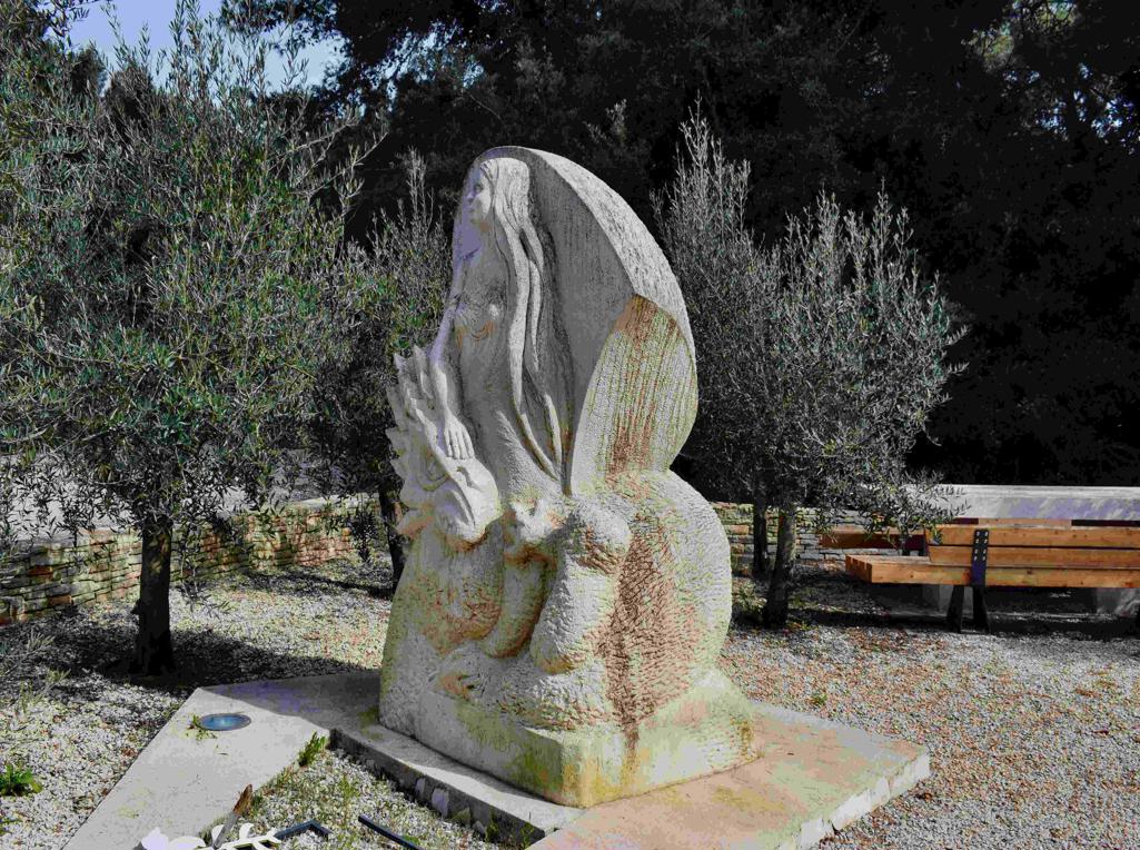
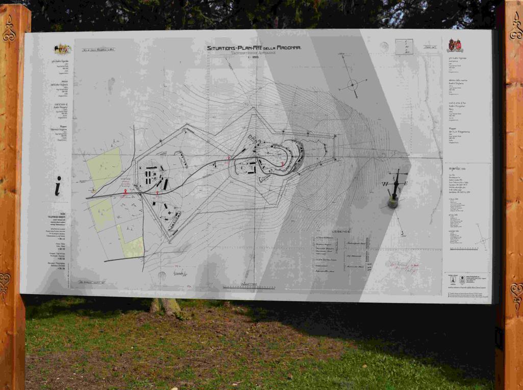
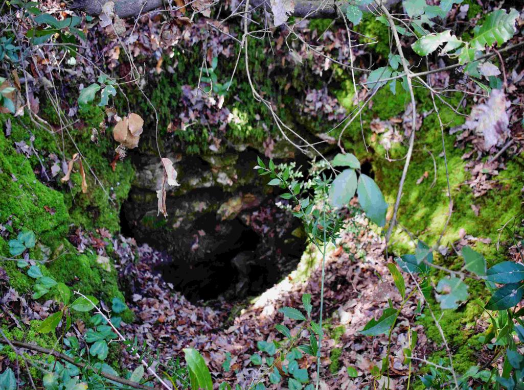
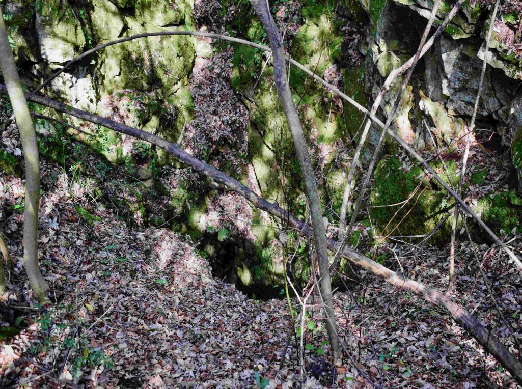
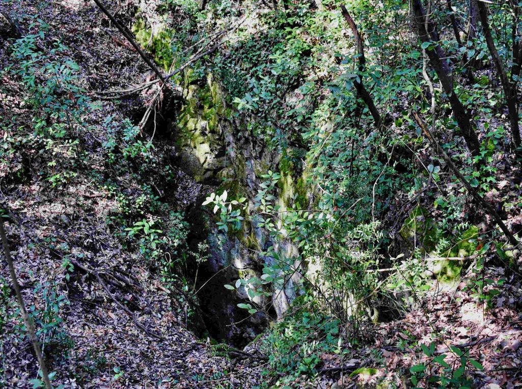
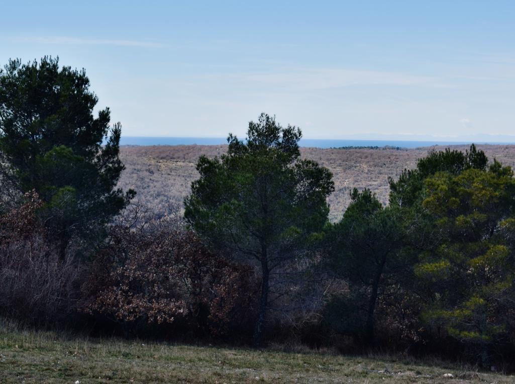
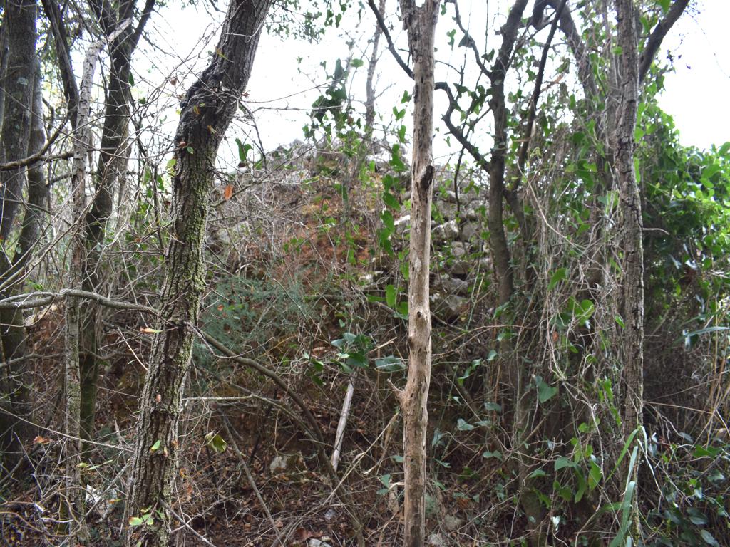
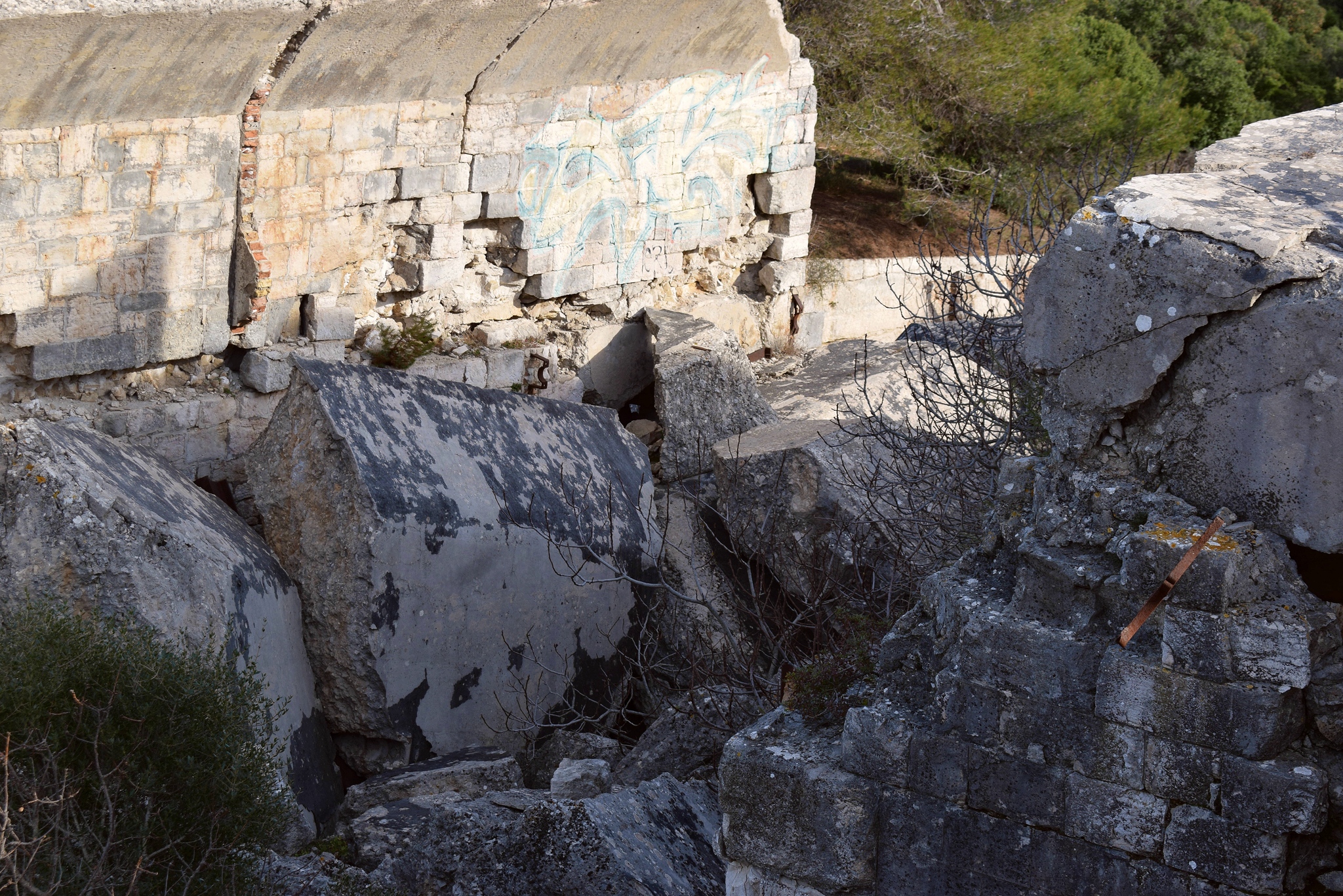
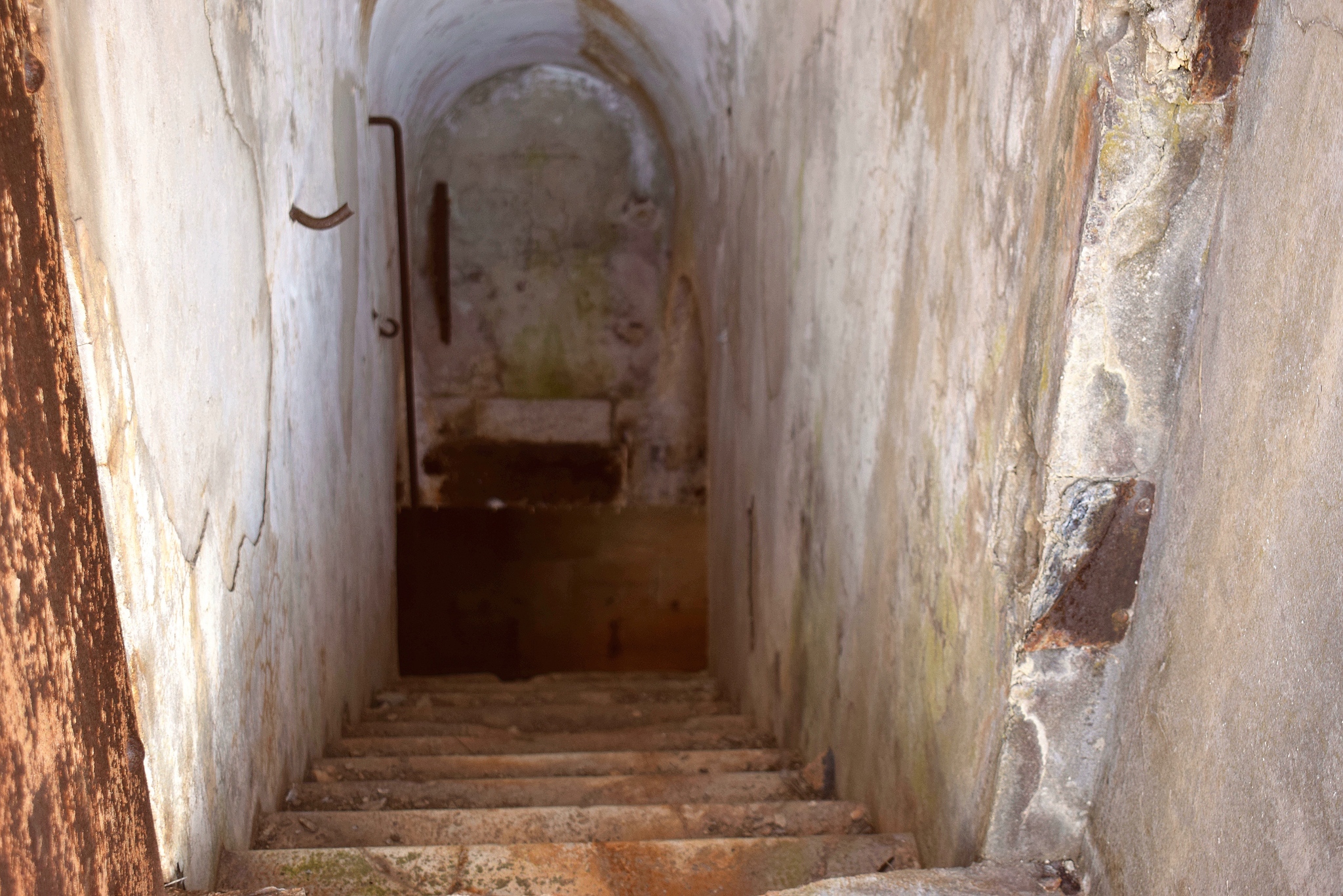
On the Madonna hill near the Kvarnar where built, in the Austria-.Hungarian period 1813-1918, underground batteries, to protect the harbour of Pula.
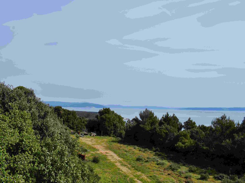
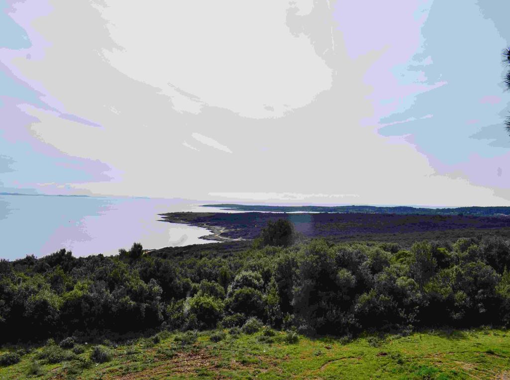
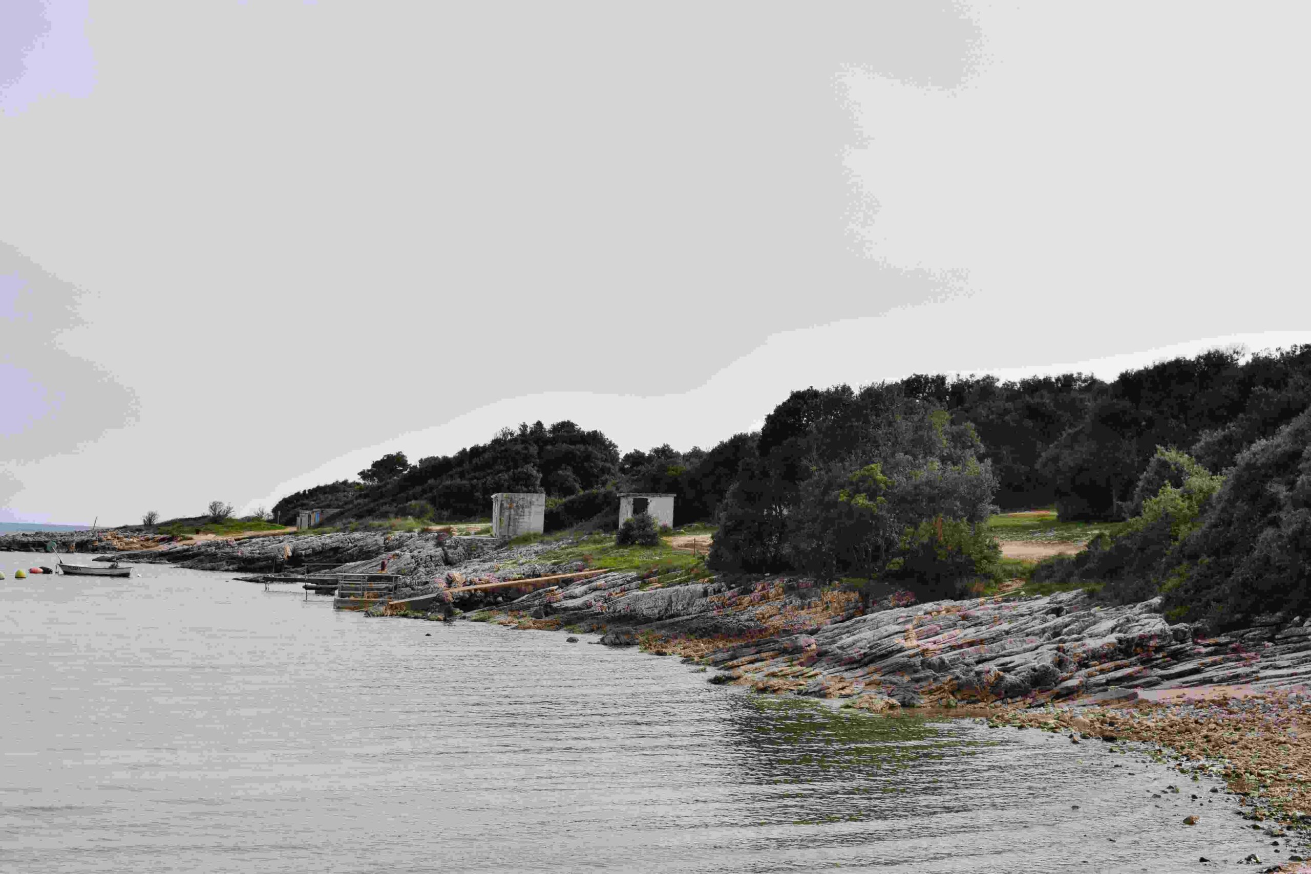
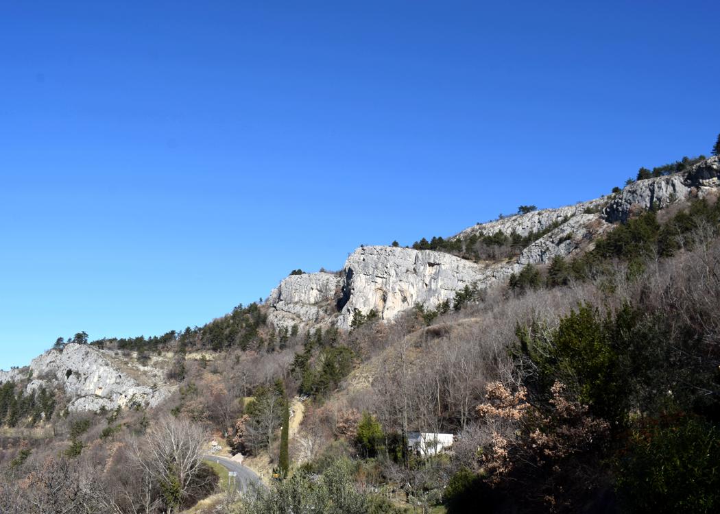
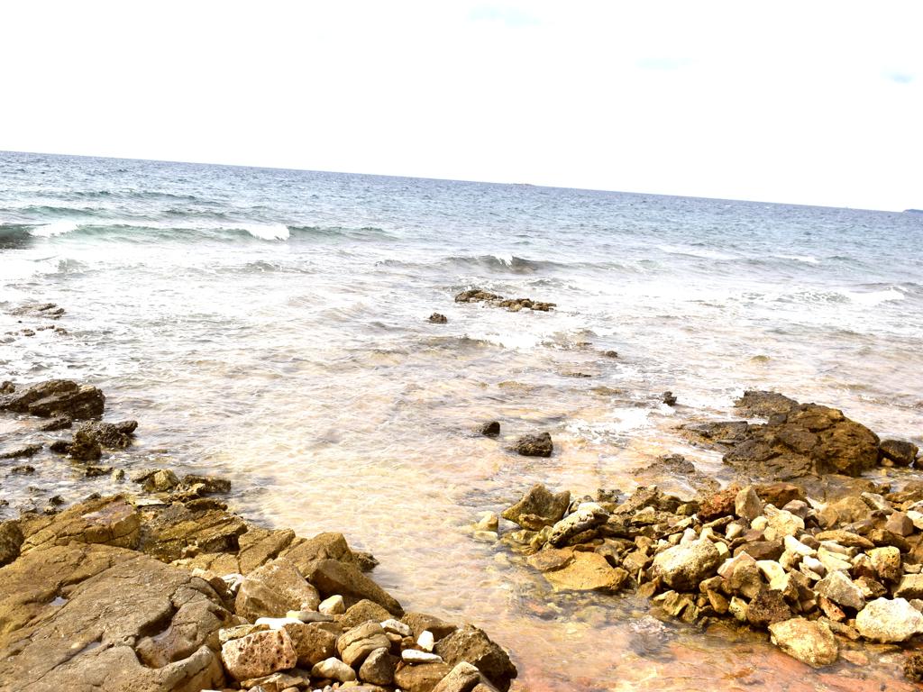
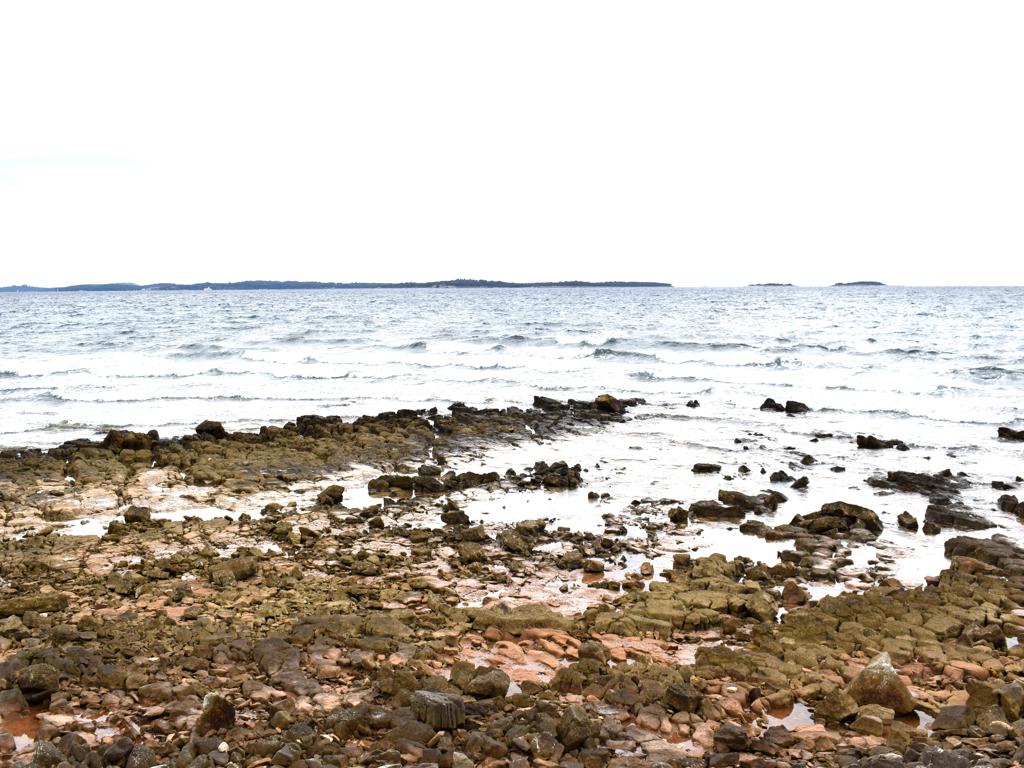
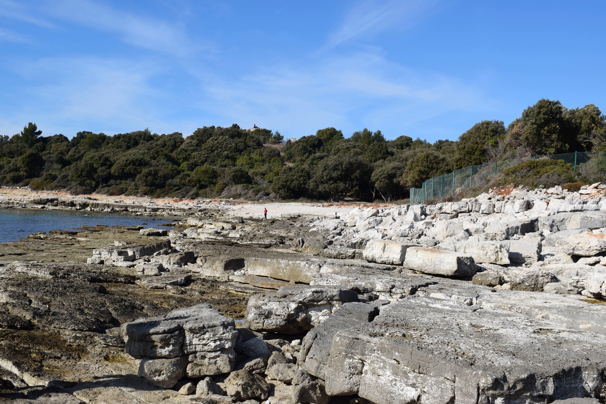
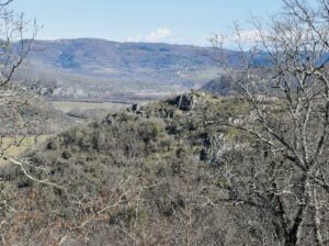
Name: Hiking trail 141 from Sišan to the cape Sv. Stipan, and to the bay Vela Draga.
Place: Sišan – (Ližnjan).
Coordinates: Sišan 44.84824 N – 13.96539 E , Cape Sv. Stipan 44.86313 N – 13.99916 E, Bay Vela Draga 44.84312 N – 13.97867 E.
Name: Trail to the cave Trogrlice and the hills Gradine with the Nigrinjan fort and the hill Vrbanovica.
Place: Cerjani – (Kaštelir).
Coordinates: Village Cerjani 45.32812 N – 13.6905 E, cave Progrlice 45.33104 N – 13.13.68320 E, Nigrinjan – Gradine 45.34185 N – 13.68551 E, Vrbanovica 45.33641 N – 13.67197 E.
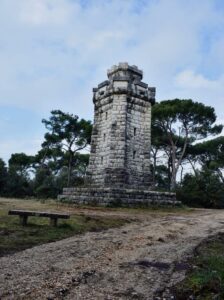
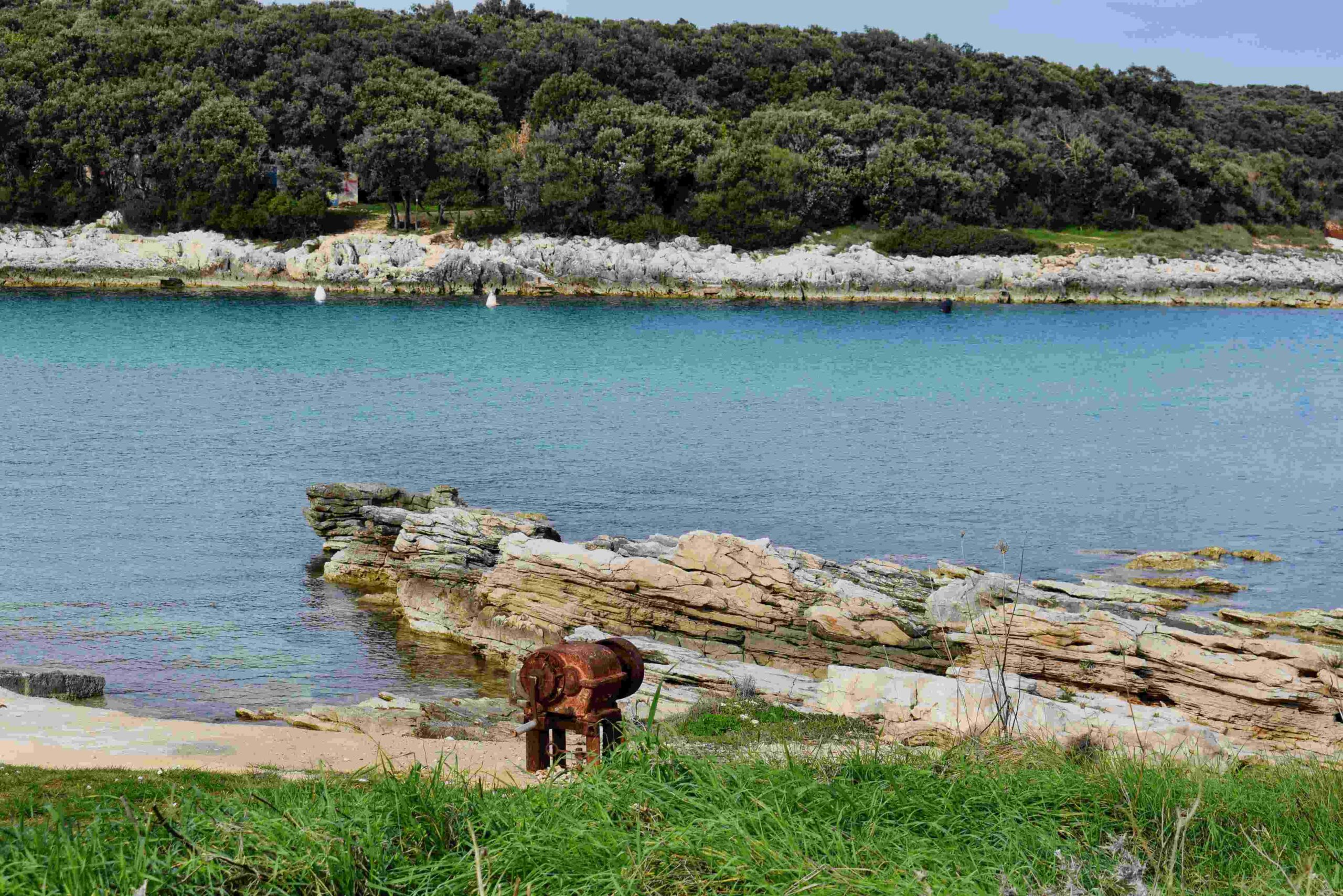
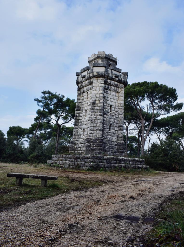
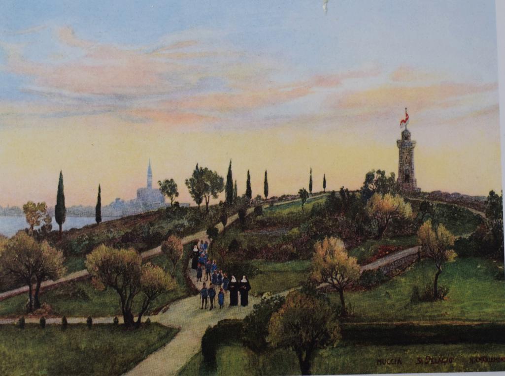
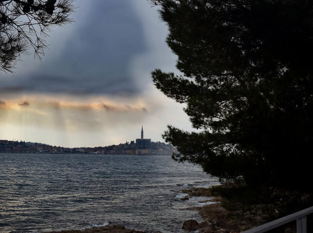
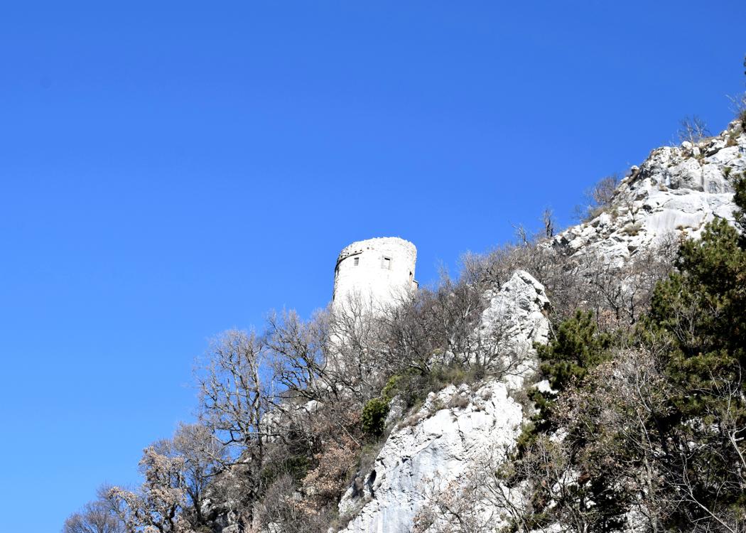
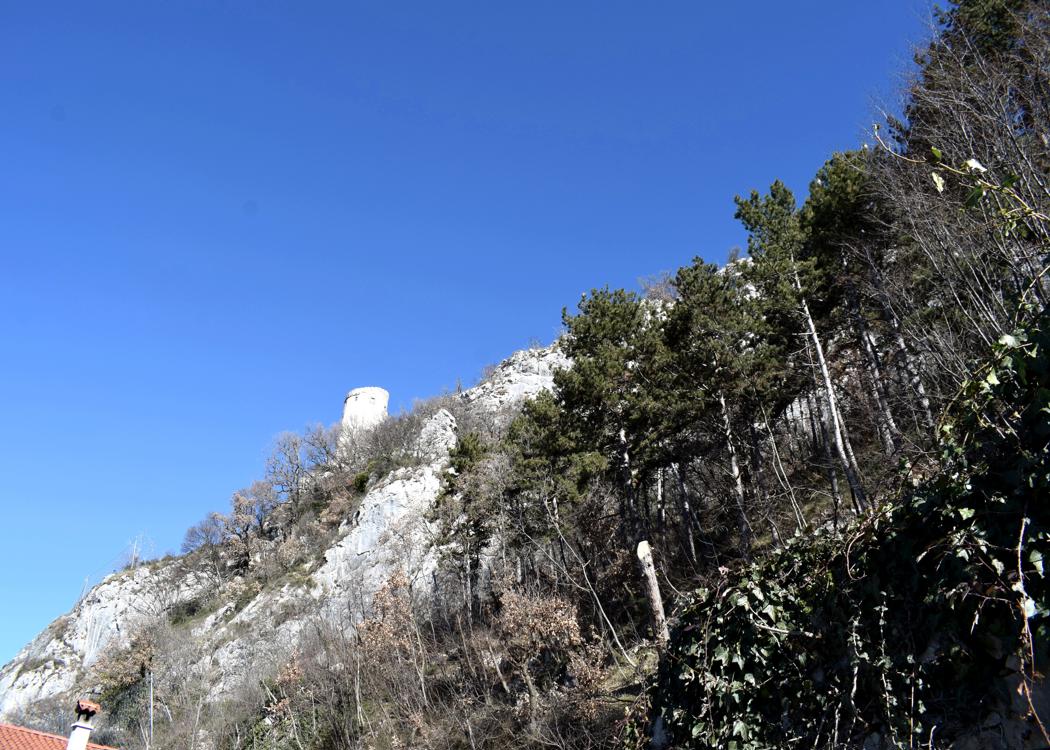
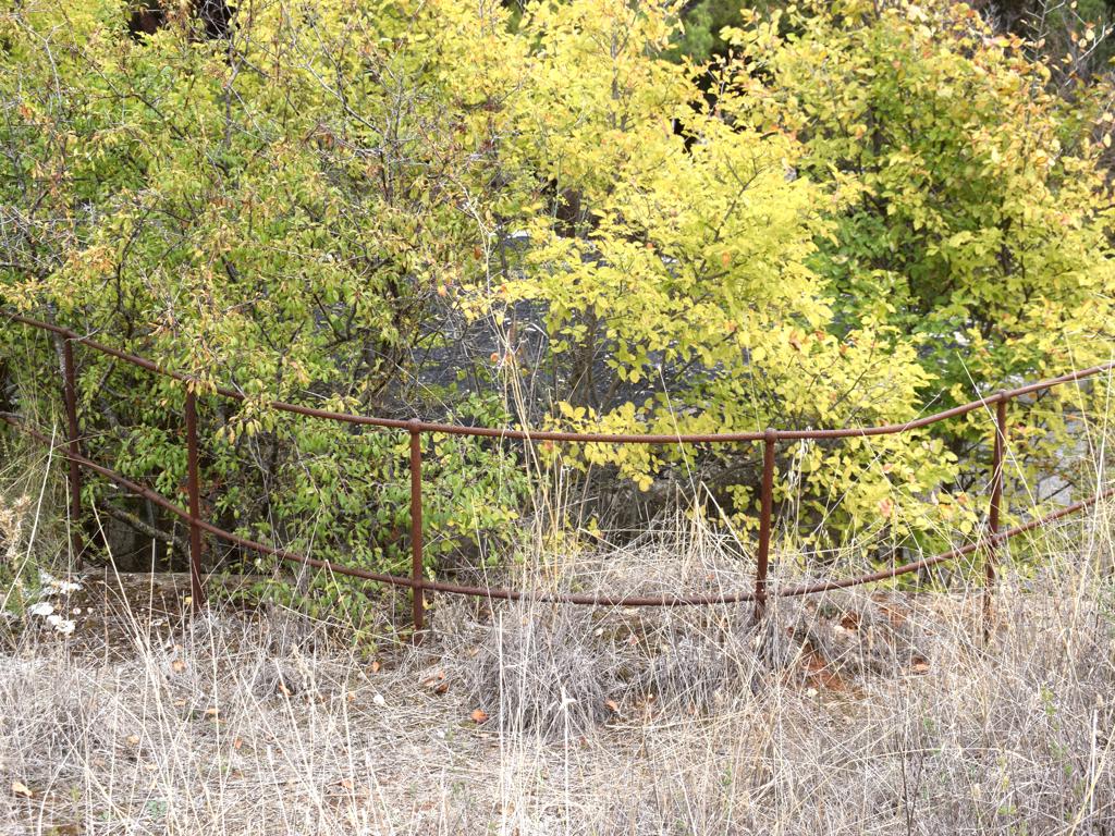
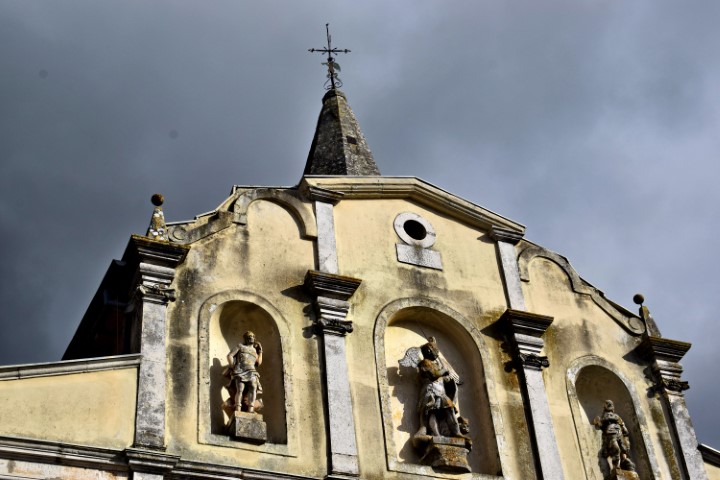
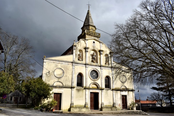
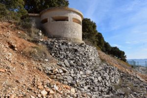
Name: Trail along the bays Lešo, Valdebora and the cape Muća – Observation post Dr. Karl Lueger from 1908.
Place: Rovinj.
Coordinates: Observation tower 45,09585 N – 13.63154 E.
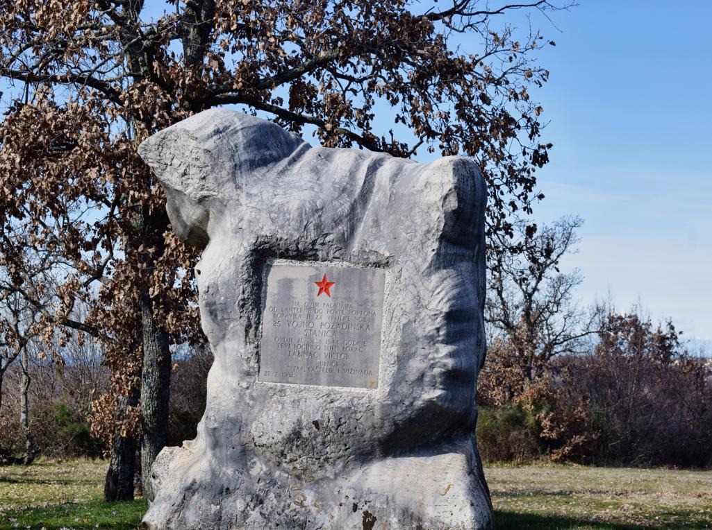
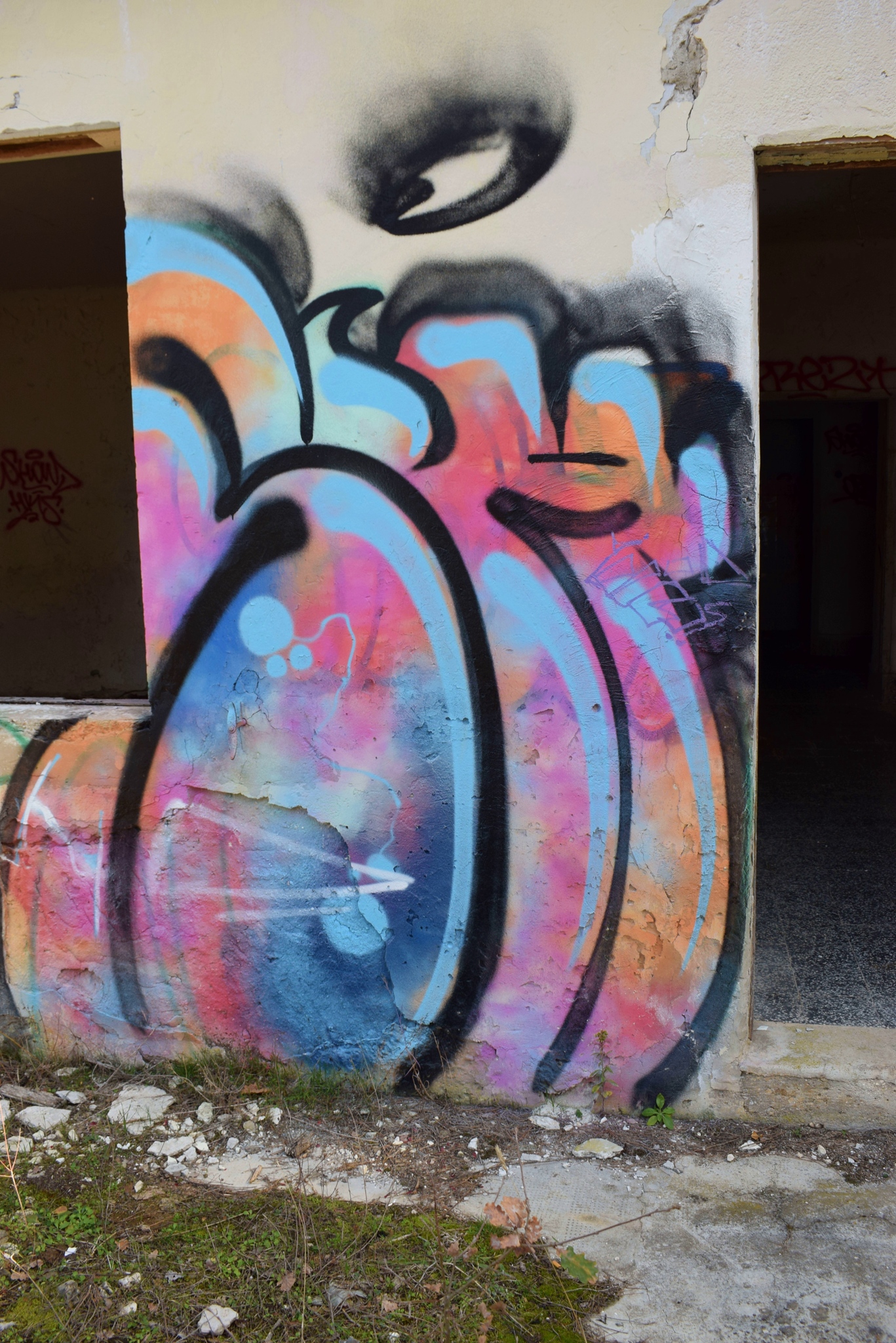
See too the former post about the Defense tower of 2017-03-08.
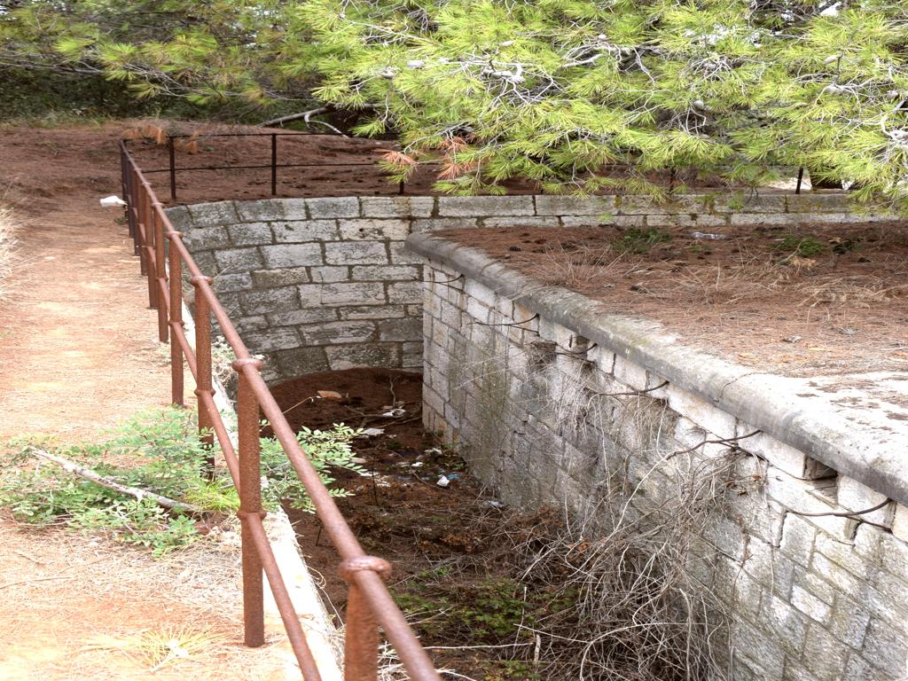
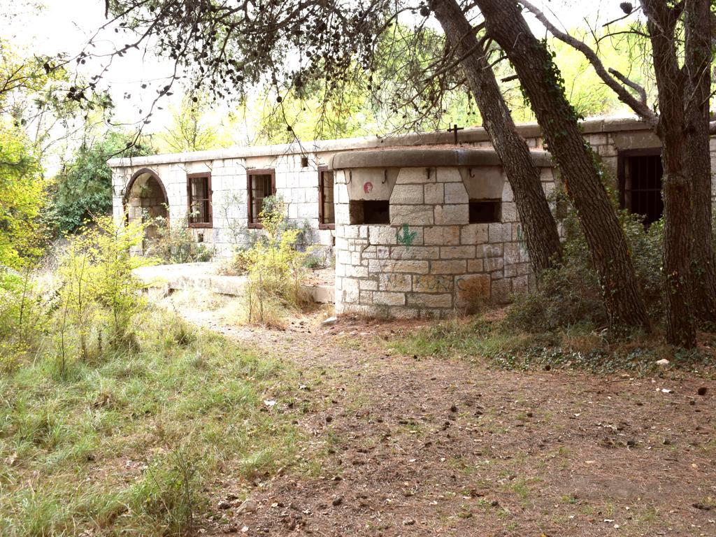
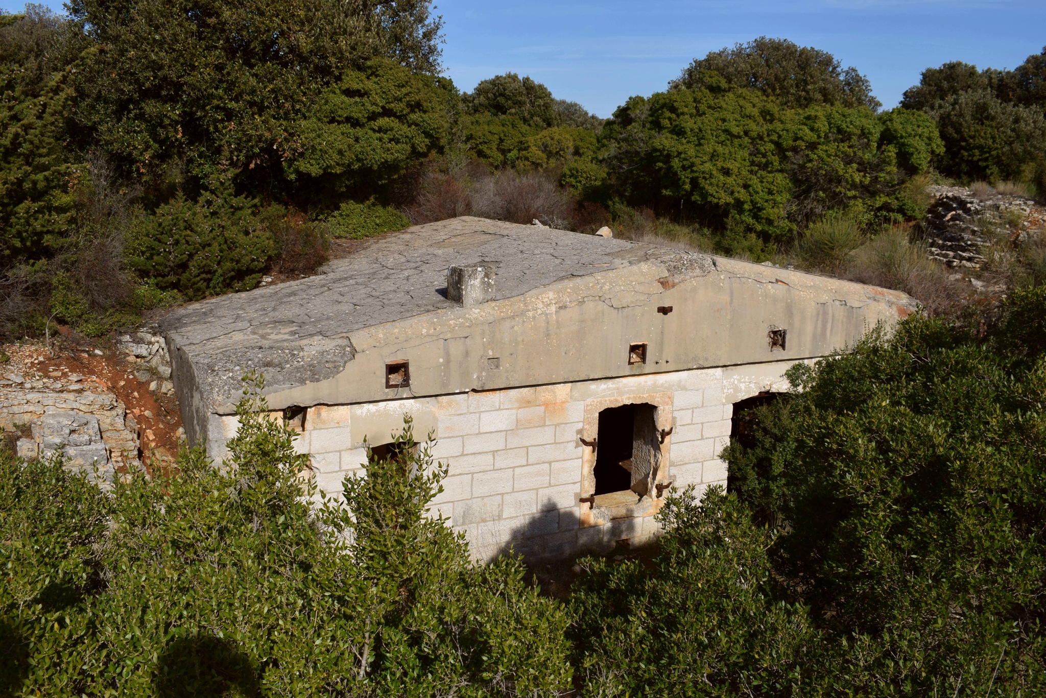
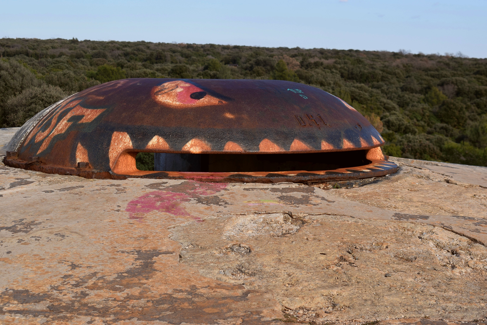
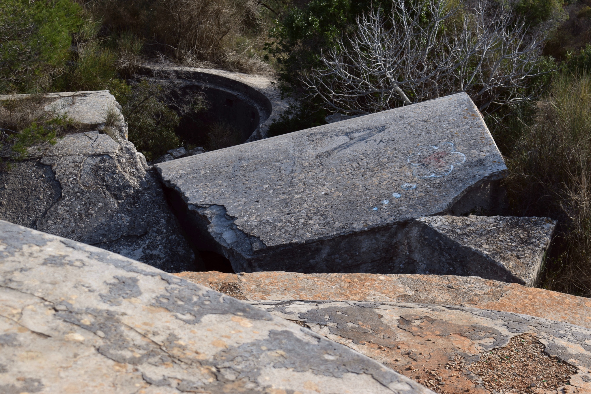
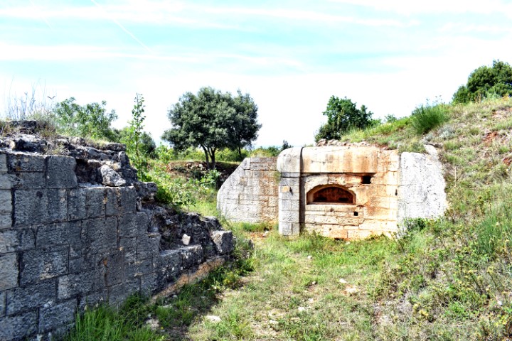
This fortress was built between 1898 and 1914 antod was a part of the Austro-Hungarian defense system. It was built here to control access to the Fažana Canal and the war port of Pula.
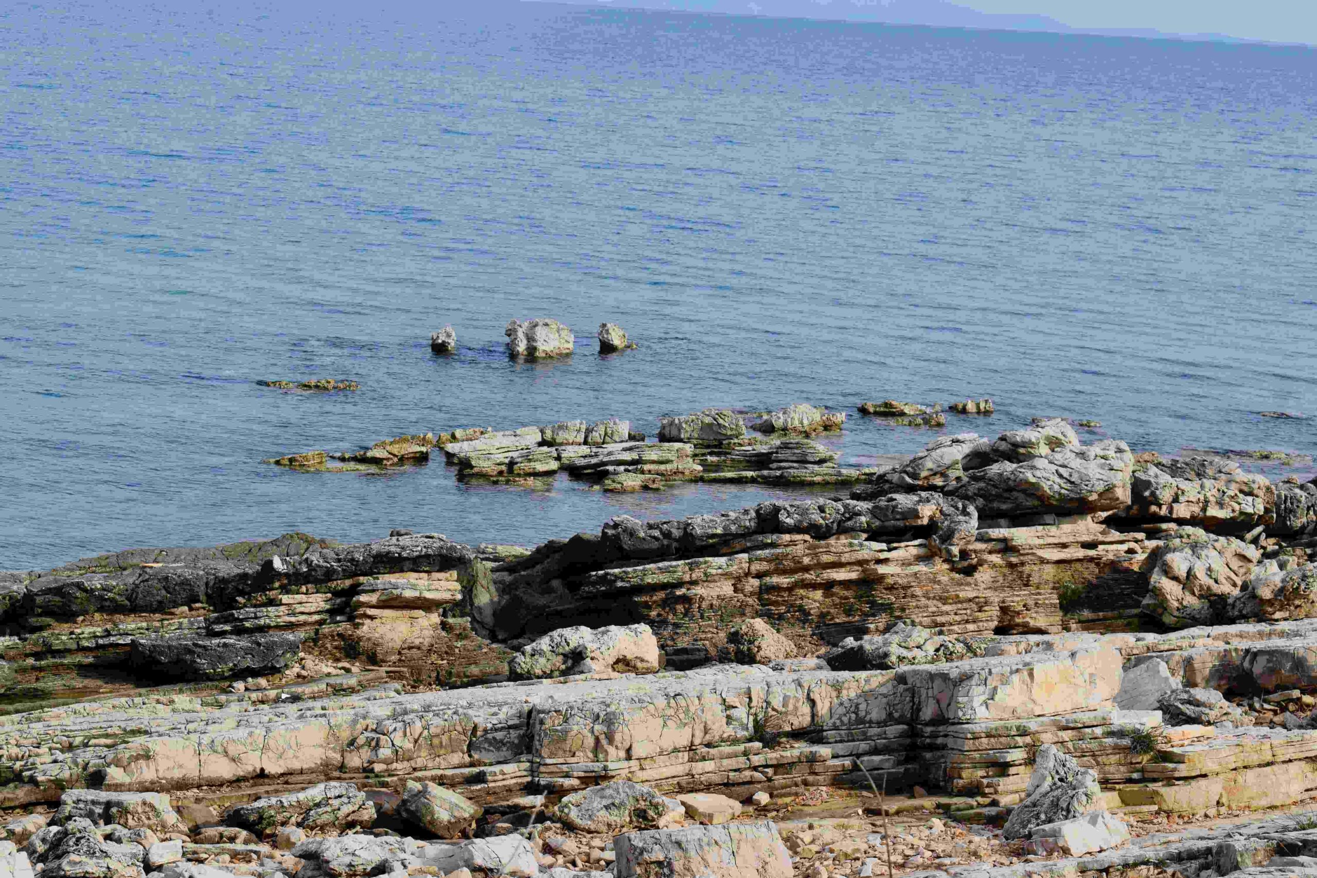
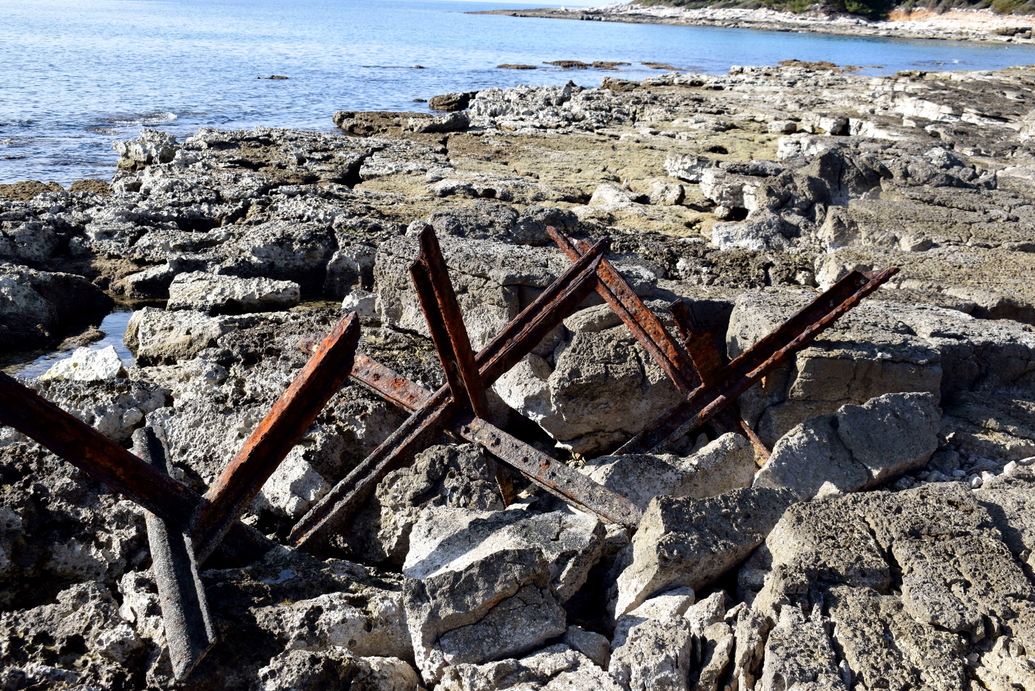
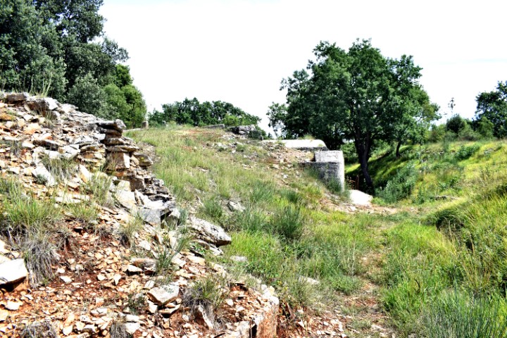
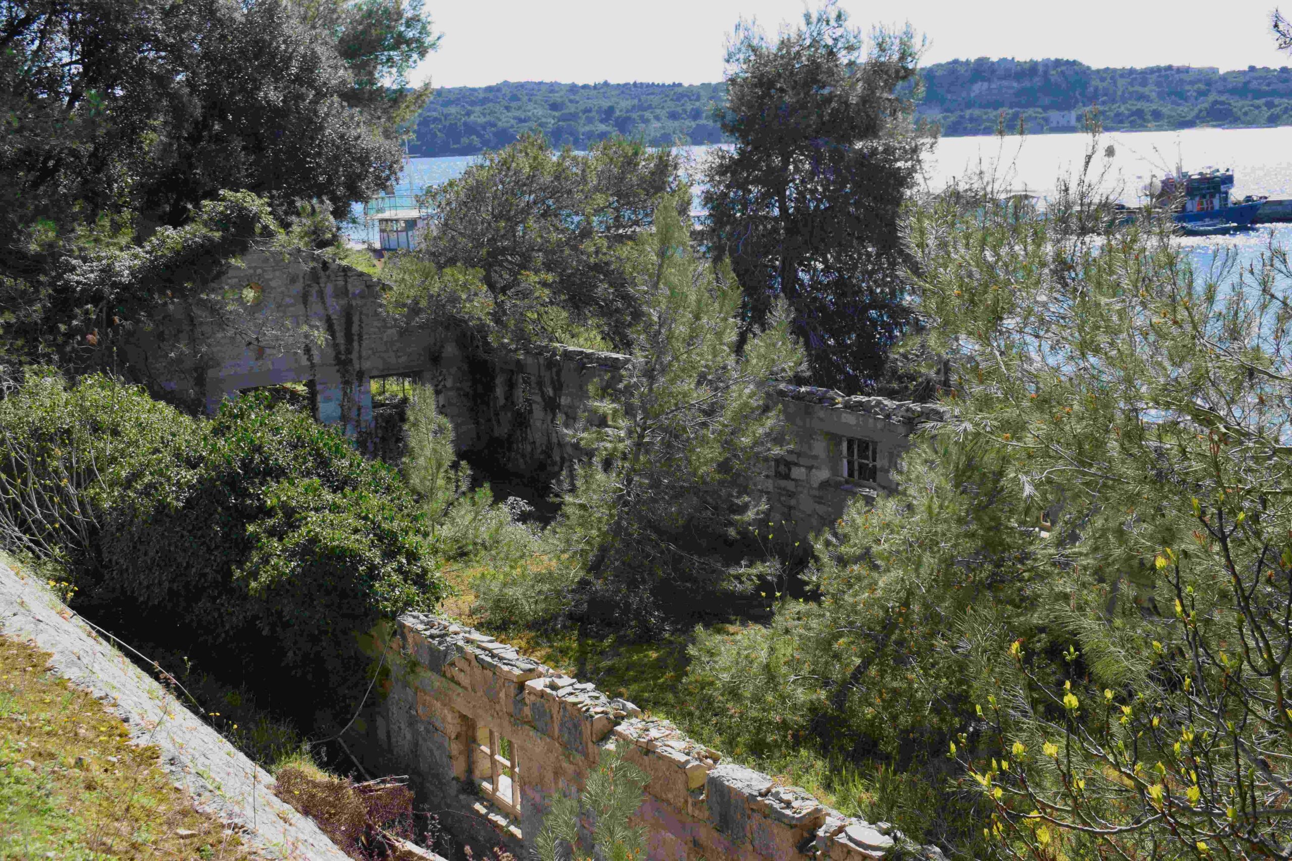
Name: Defense fortification near Cape Barbariga.
Place: Barbariga – (Vodnjan).
Coorinates: 44.98635 N – 13.73697 E and 44.98758 N -13.73483 E
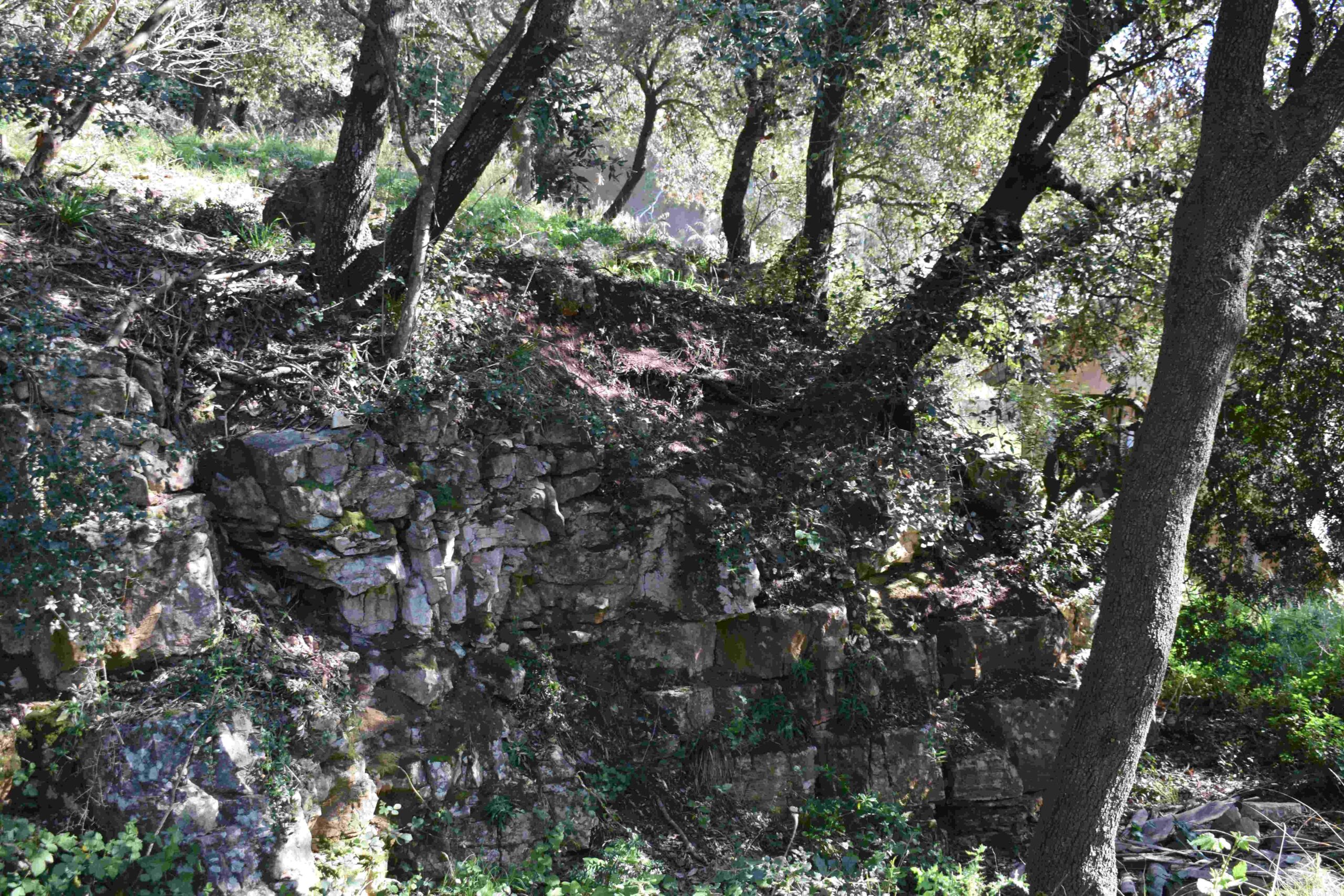
Name: Fort Forno near the Bay Lunga and Cape Debeli.
Place: Near Barbariga – (Bale).
Coordinates: 44.99887 N – 13.72583 E
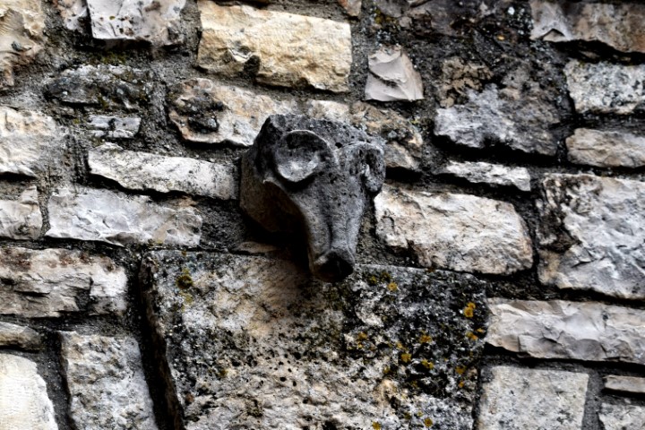
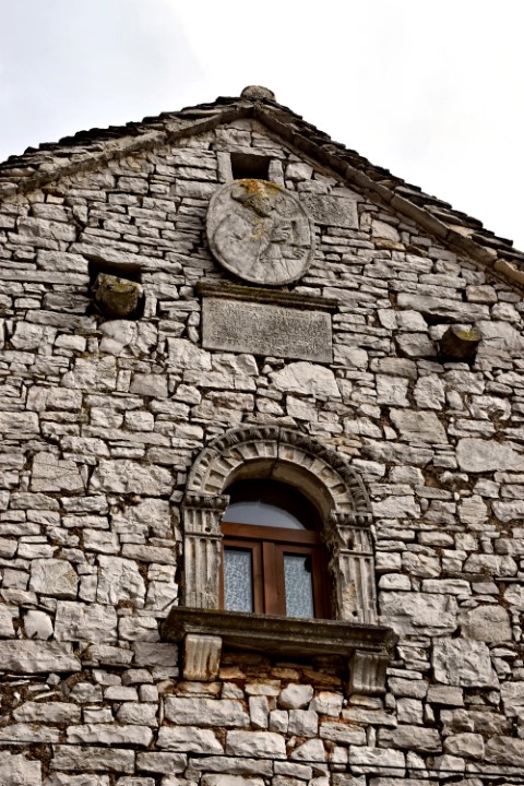
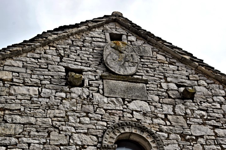
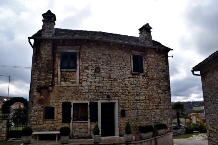
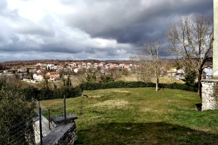
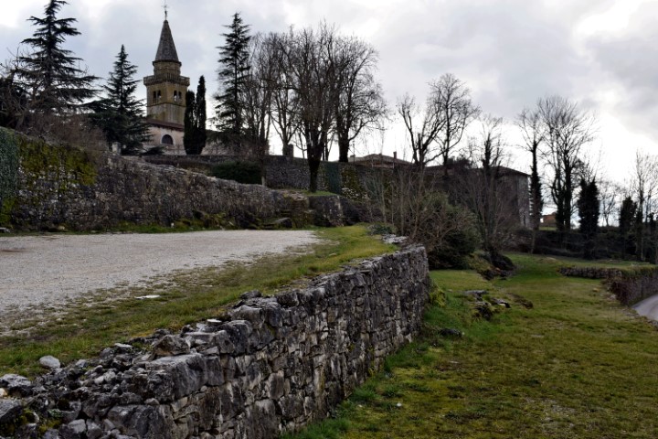
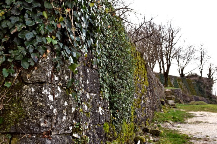
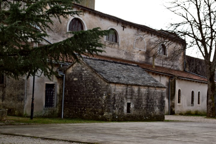
Name: Municipal village Žminj.
Place: Žminj.
Coordinates: 45.14261 N – 13.90728 E
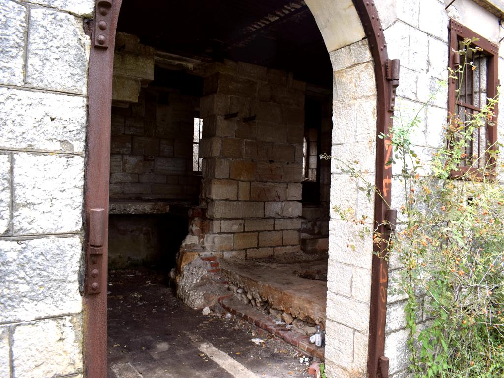
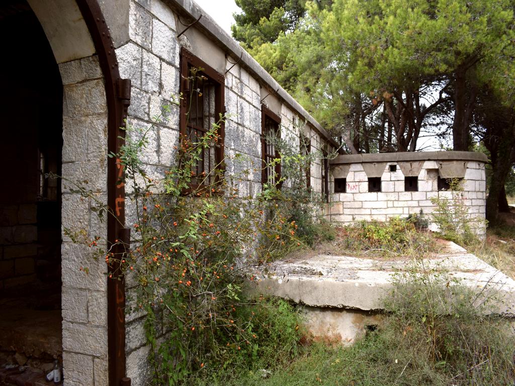
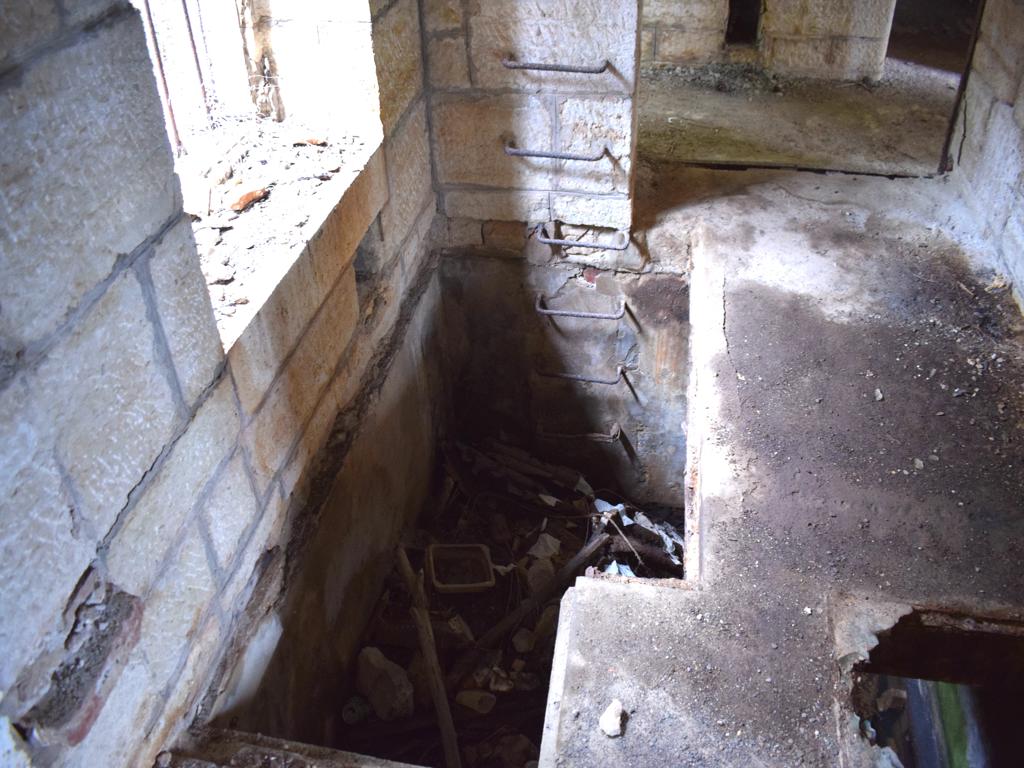
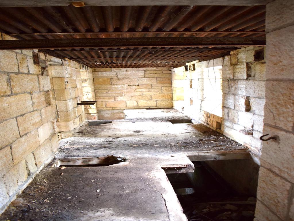
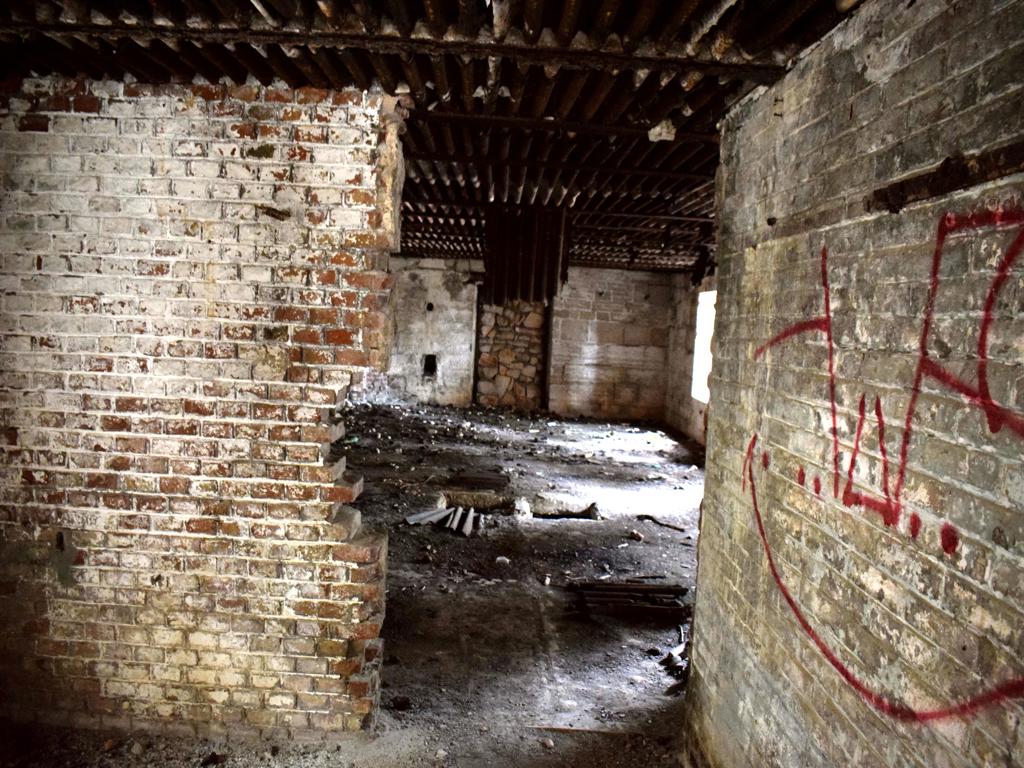
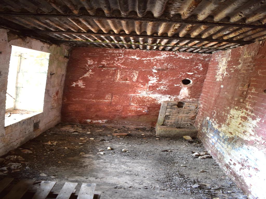
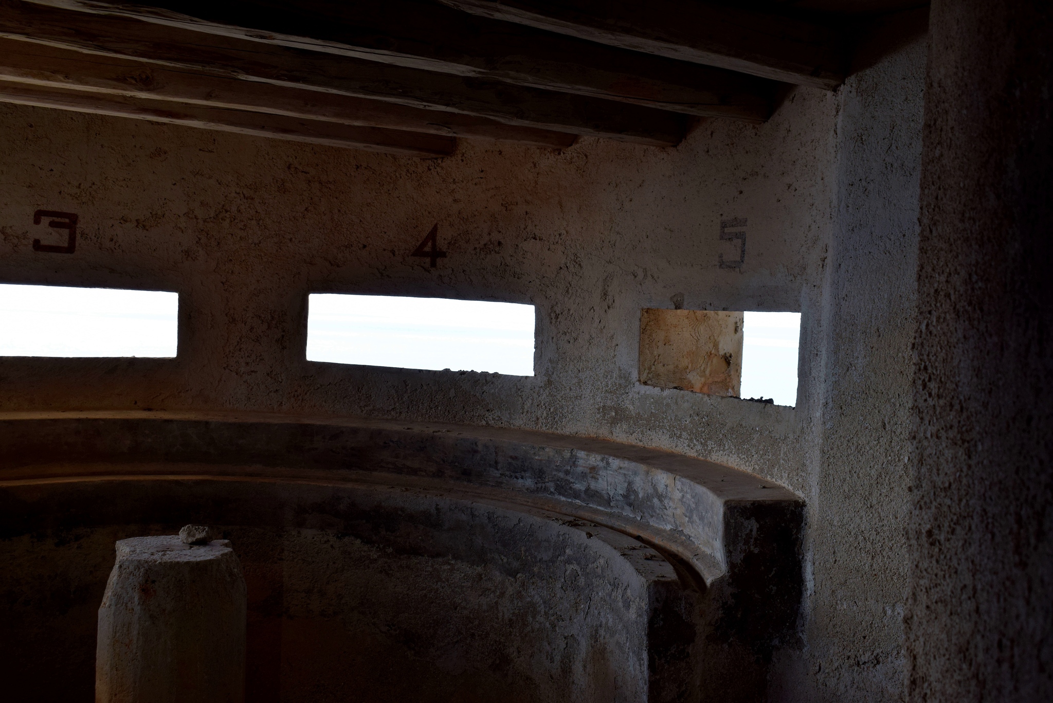
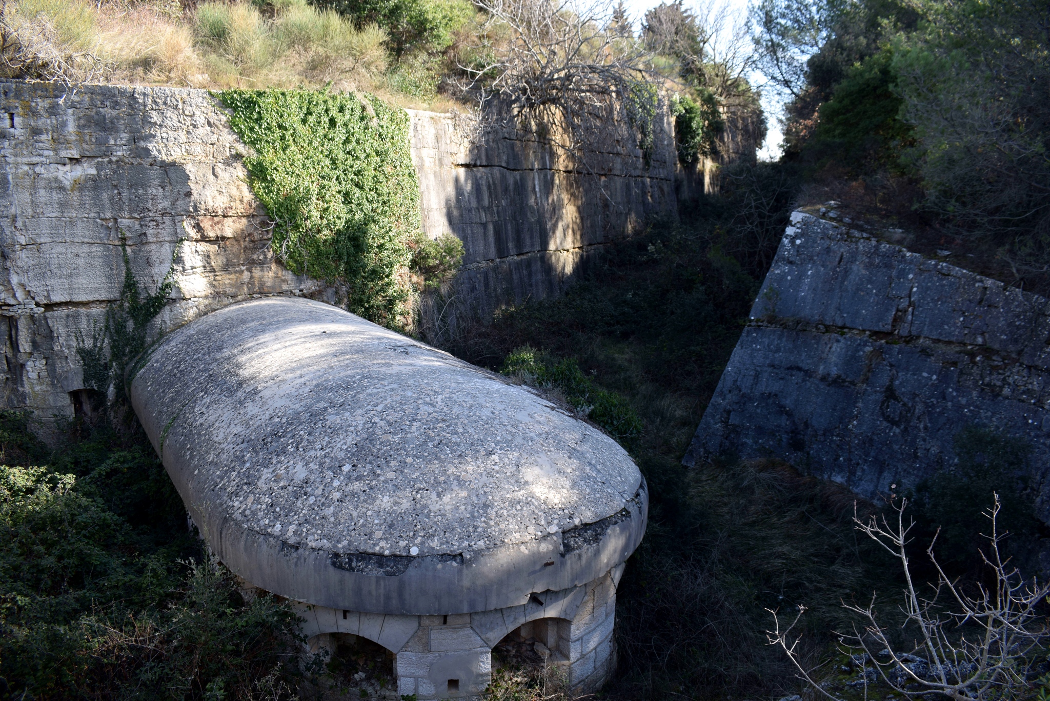
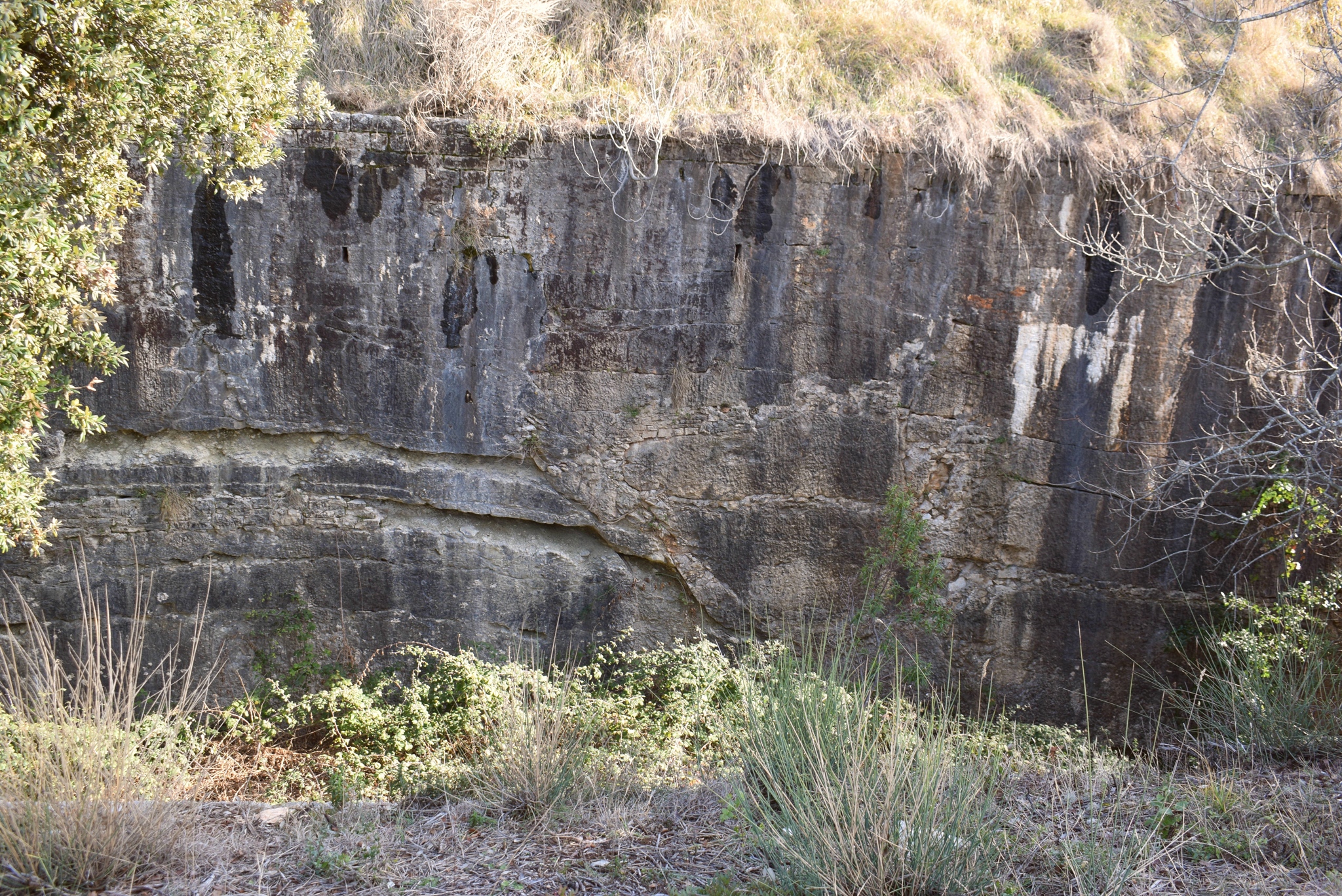
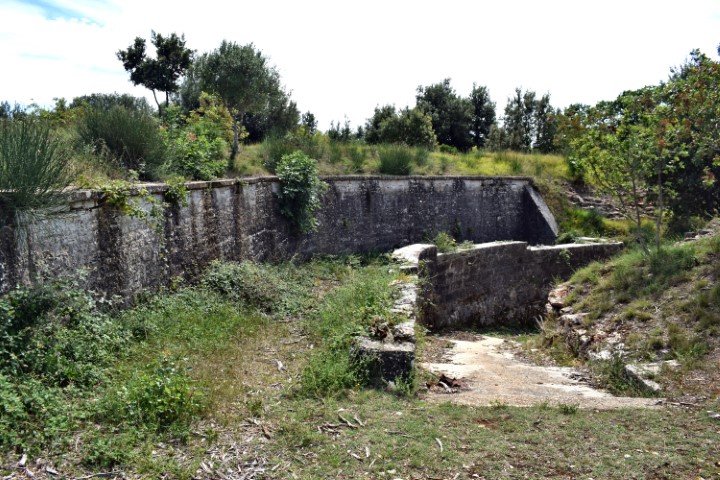
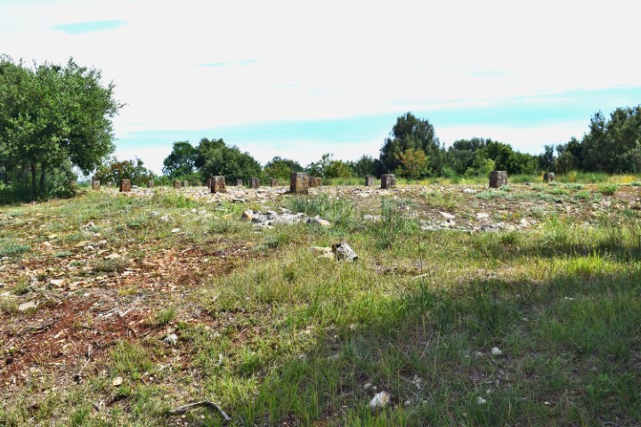
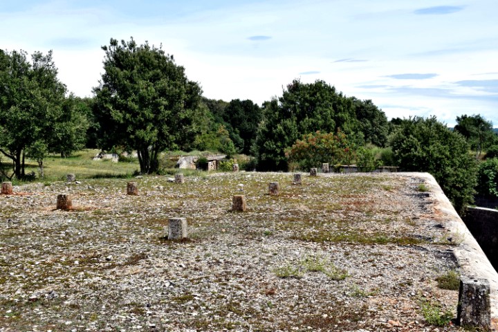
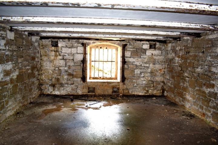
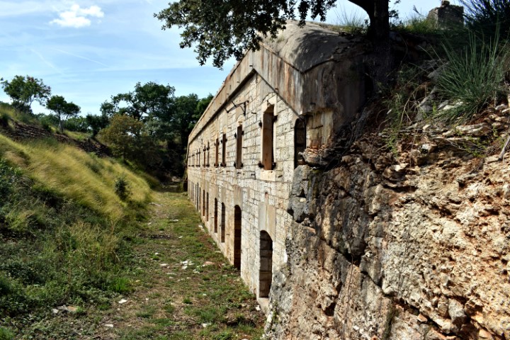
This building was intended to house the approximately 500 infantry soldiers. Is completely underground and flanked on three sides with a moat with a sloping outer bank. The building’s entrenched fronts and flanks are protected by a bomb-proof tunnel carved in the rock. The flanks further with an earthwork rampart.
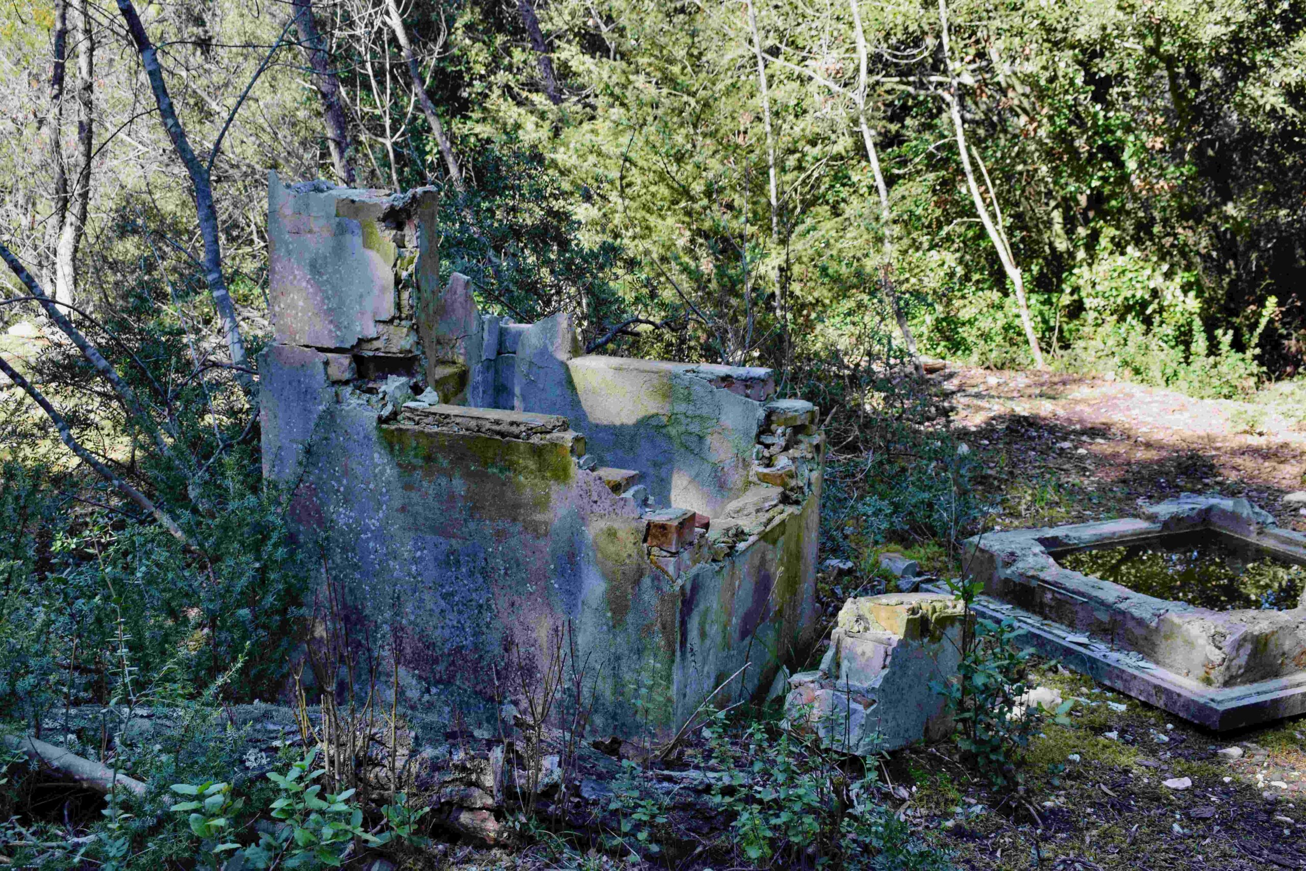
Name: Paravia Untertritt – Barbariga.
Place: Barbariga – Bale.
Coordinates: 45.00351N – 13.73658E.
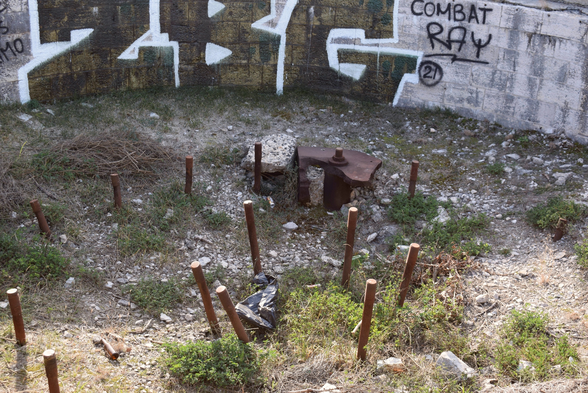
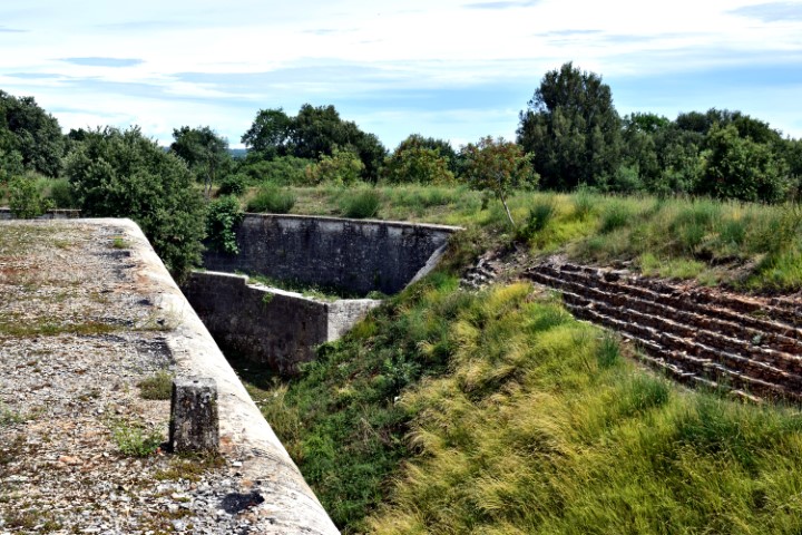
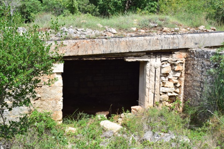
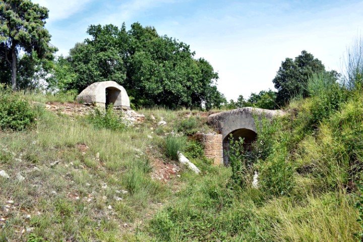
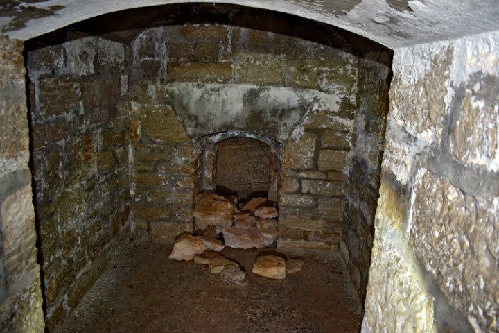
Situated on the Paravia hill at an altitude of 5 meters above sea level and built in 1905 and 1906, it has a rock cut defense moat. It has a two floor building with casemates for the garrison, storehouses and shelters, and was armed with four M99 F caliber howitžers.
This fortress was part of the Barbariga group with more defenses and was part of the Austro-Hungarian fortress Pula, and especially intended for attacks over land.
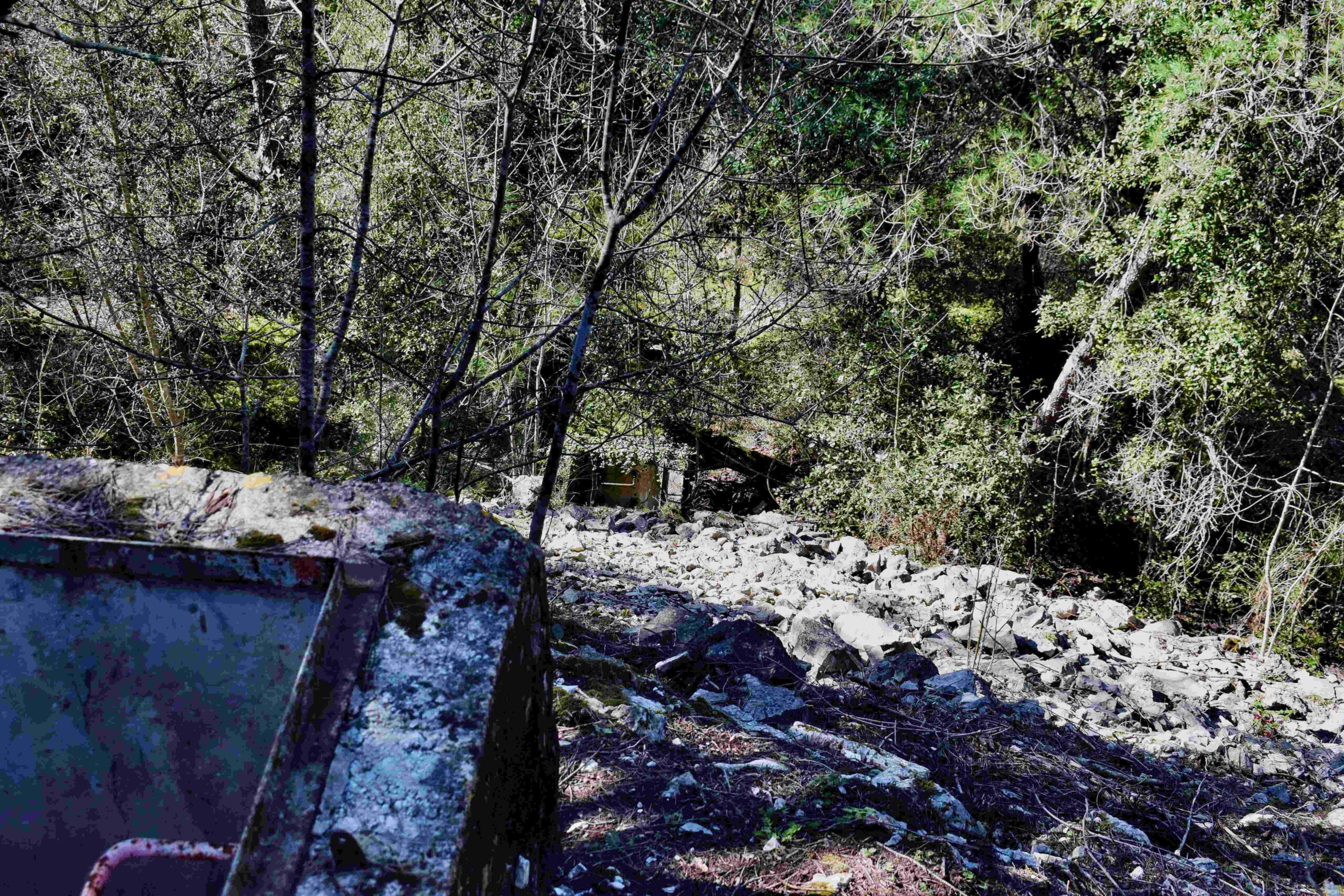
Name: Paravia-Oost – Barbariga.
Place: Barbariga – (Bale).
Coordinates: 45.00434 N -13.74145 E.