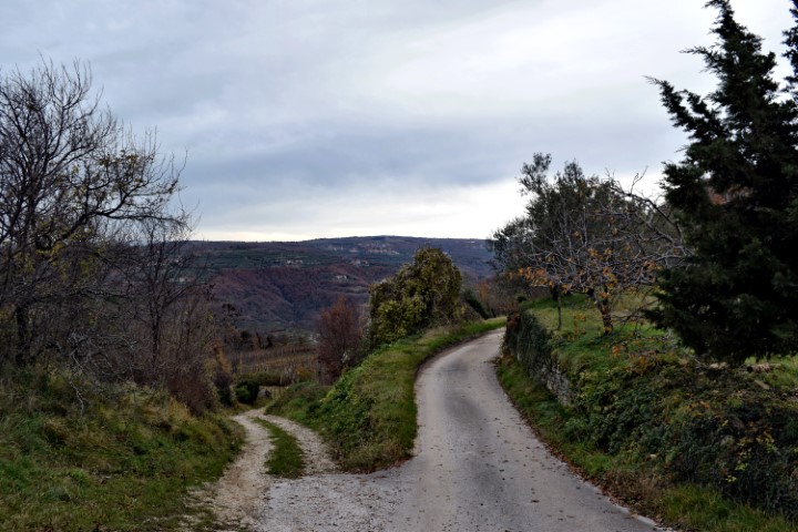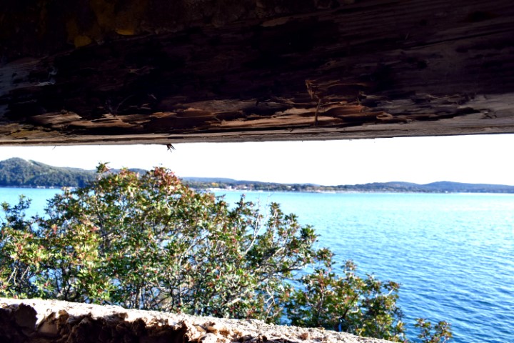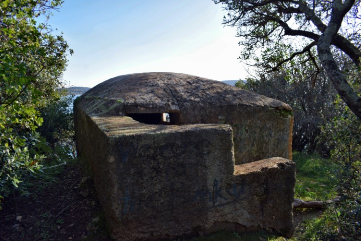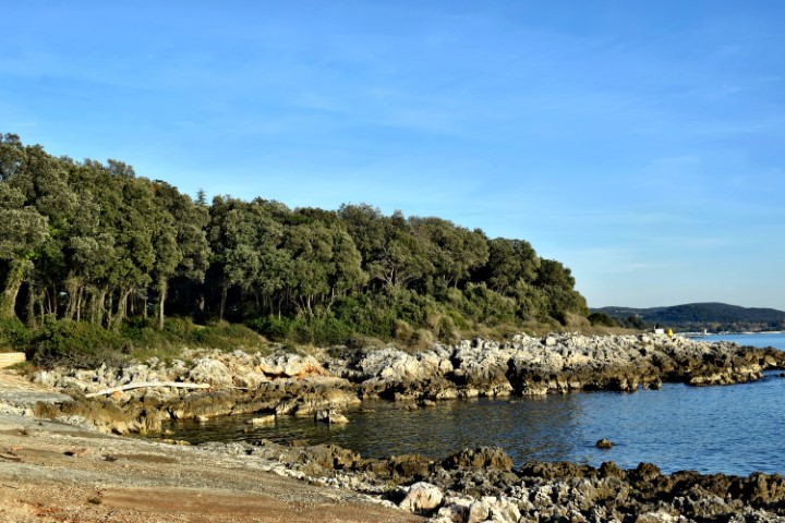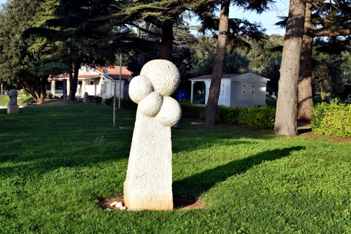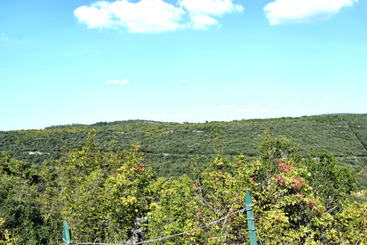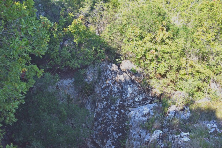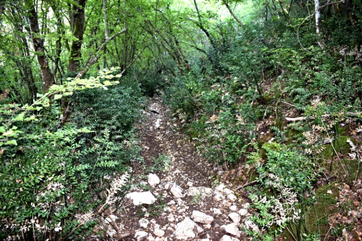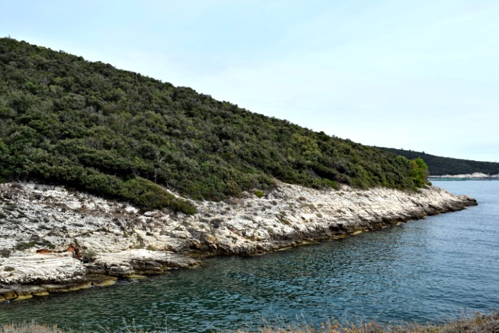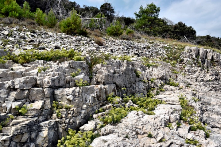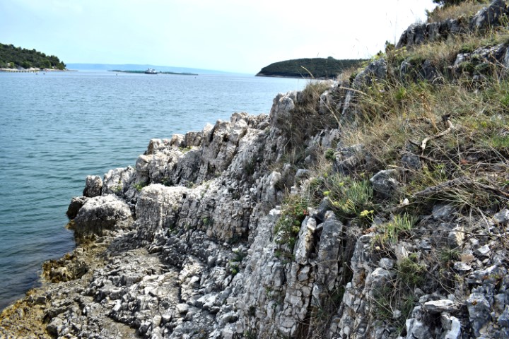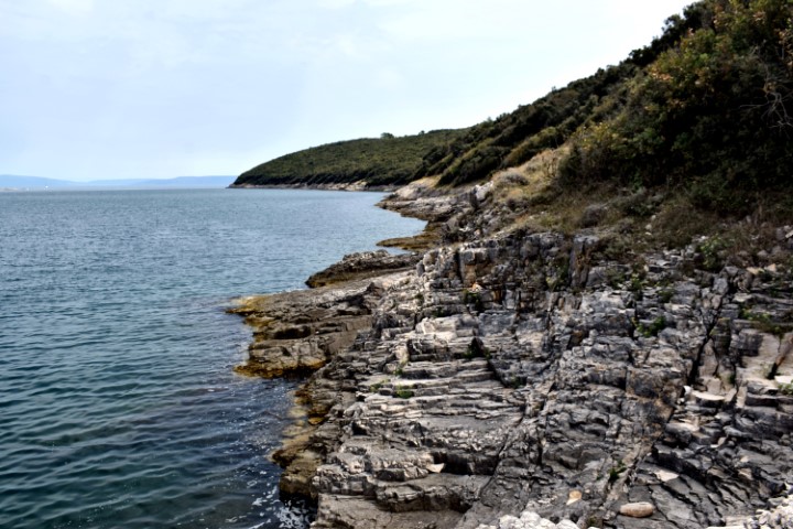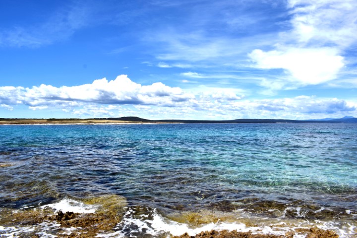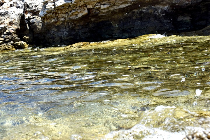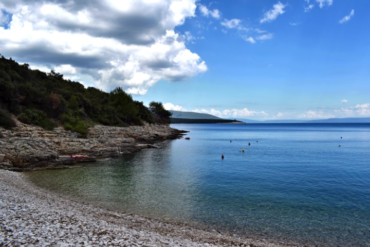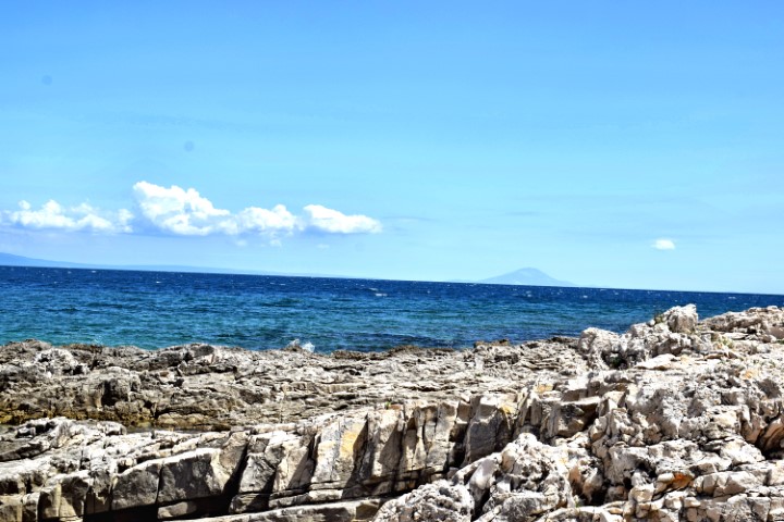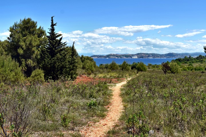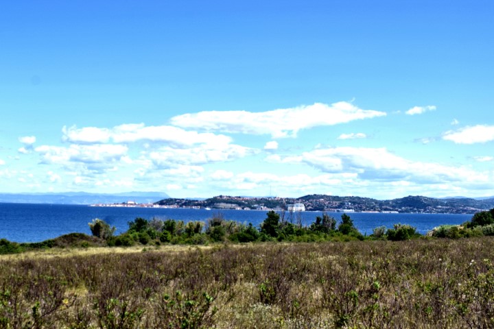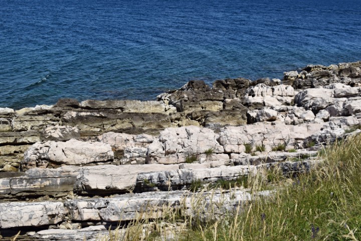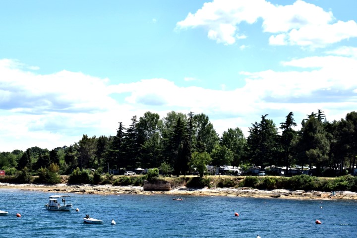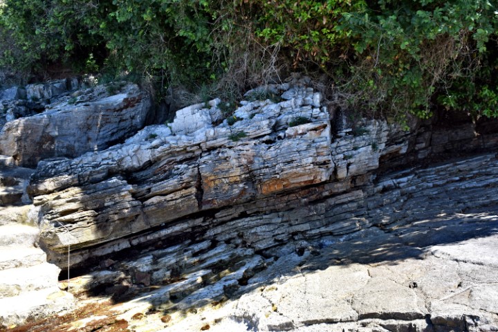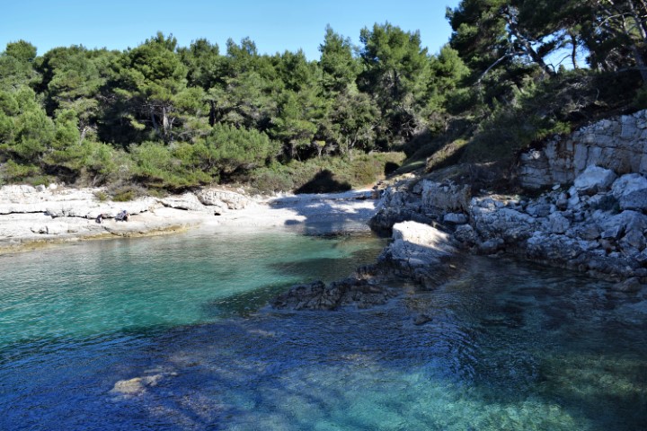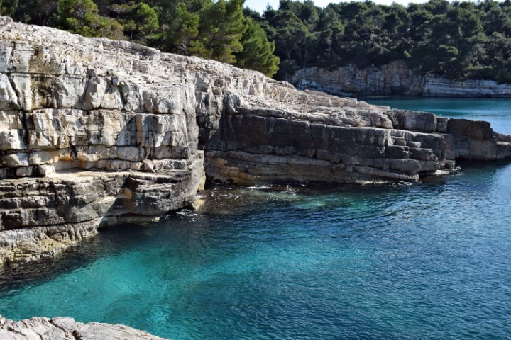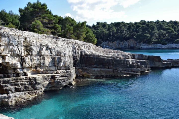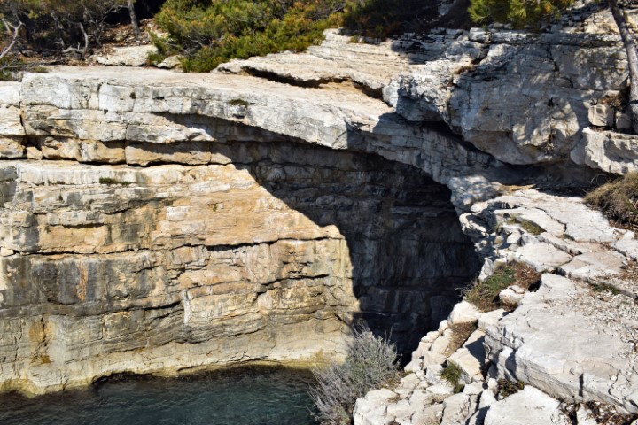
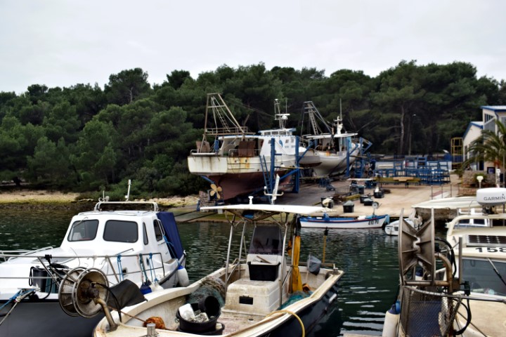

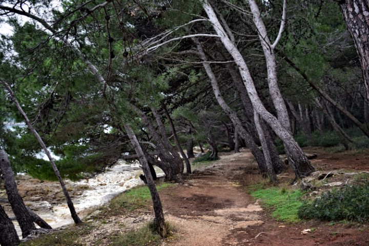
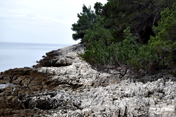
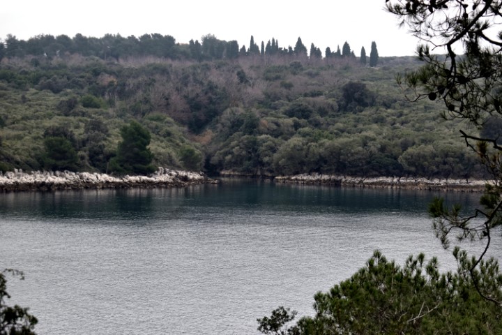
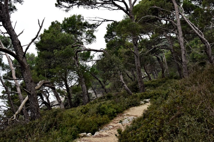


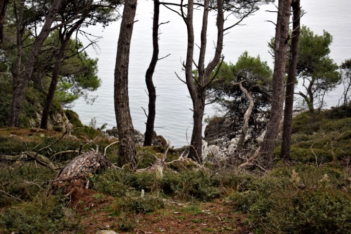

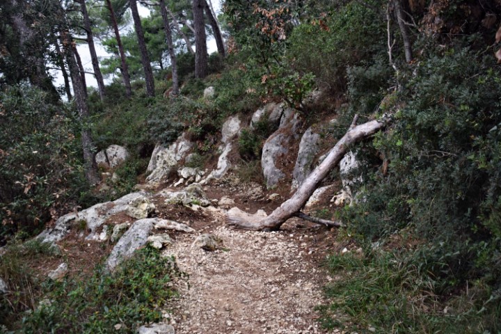
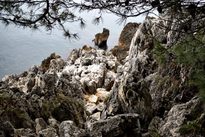
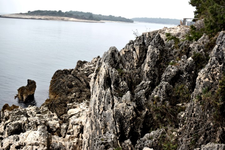

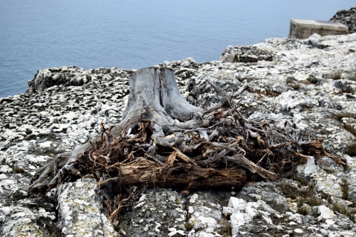
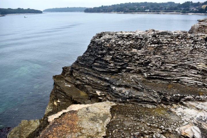


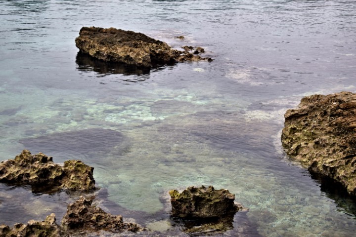
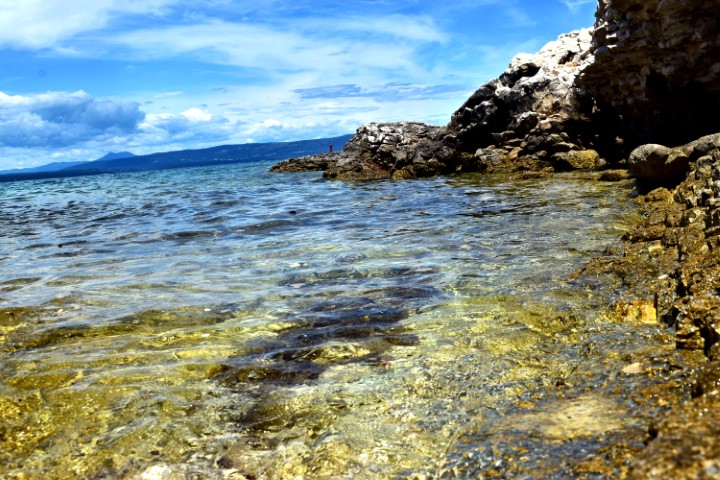
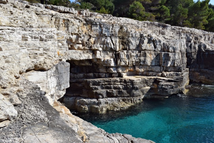
Name: Hiking trail (131) along the peninsula Bumbišta.
Place: Banjole (between bays Paltana, Cintinera) – Medulin.
Coordinates: Start/end: 44.82089 N – 13.86444 E.
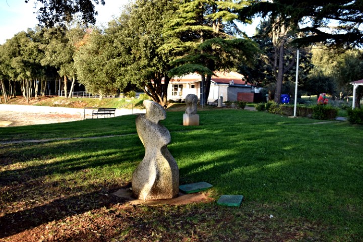
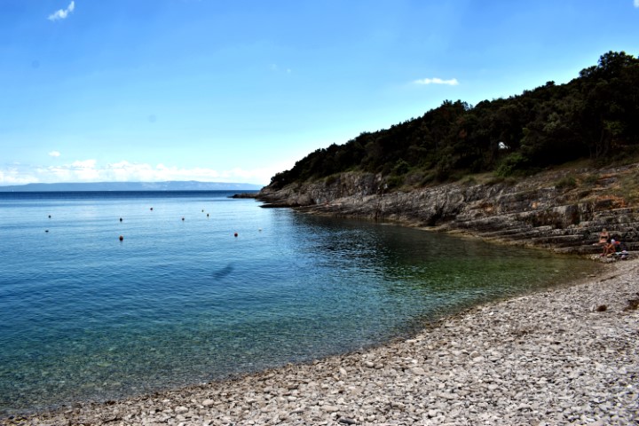
Name: Hiking trail (131) along the peninsula Bumbišta.
Place: Banjole (between bays Paltana, Cintinera) – Medulin.
Coordinates: Start/end: 44.82089 N – 13.86444 E.

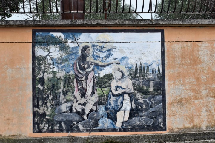
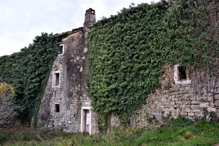
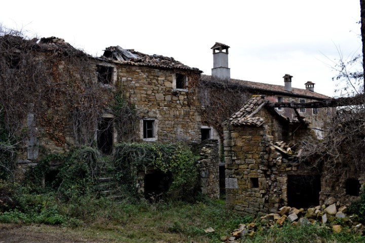
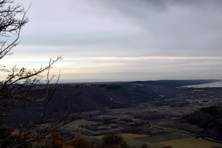
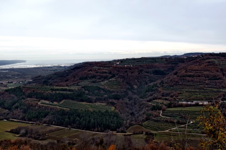
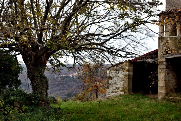
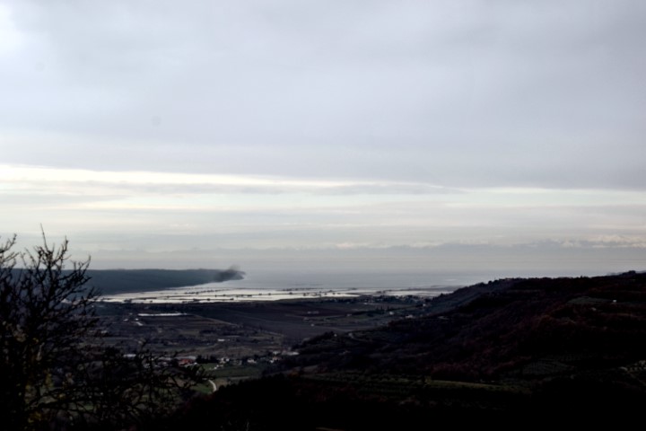
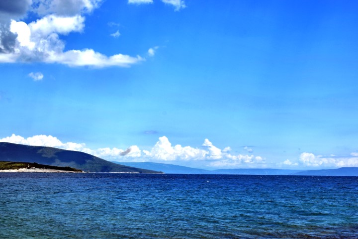
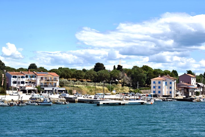
Name: The village Merišće.
Place: Merišće – (Buje).
Coordinates: 45.44534 N – 13.69691 E.

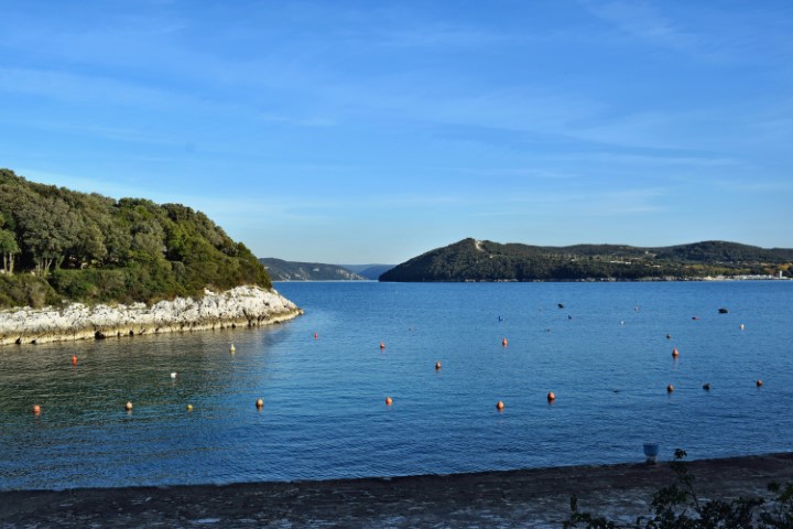
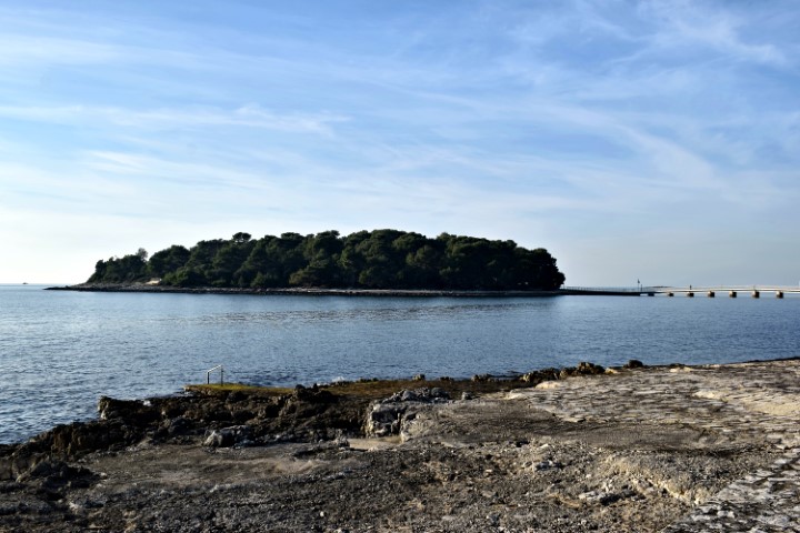
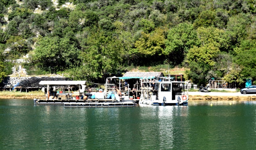
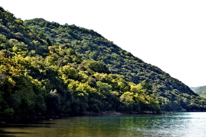
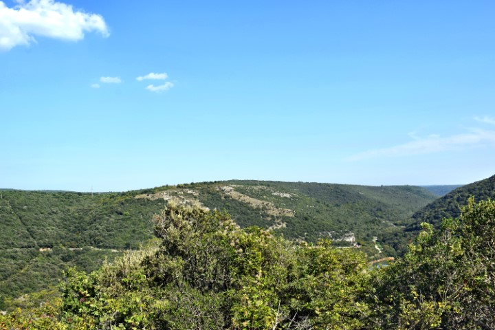
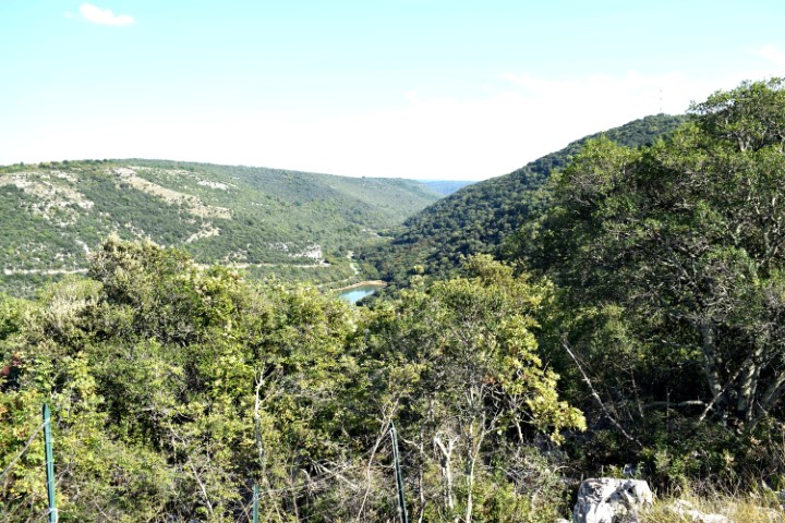
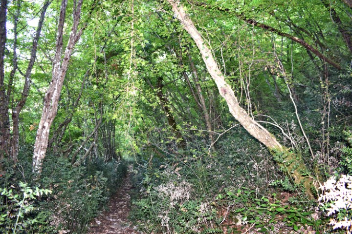
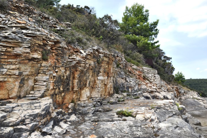
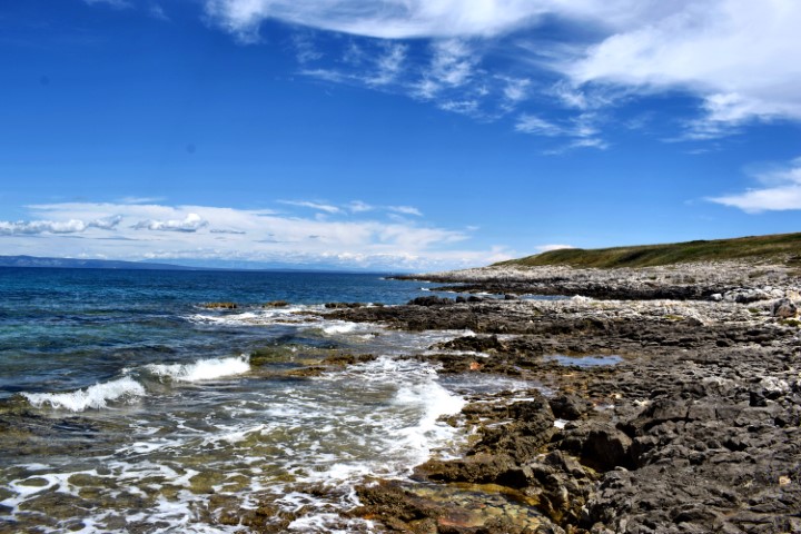
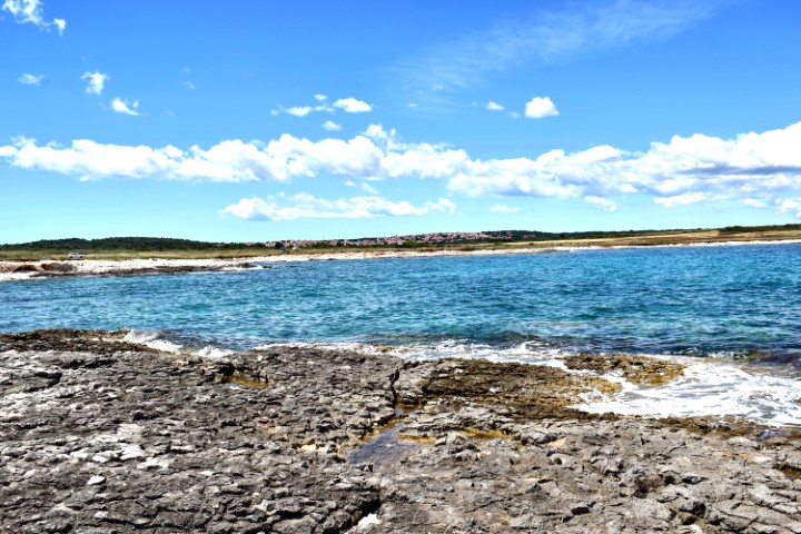
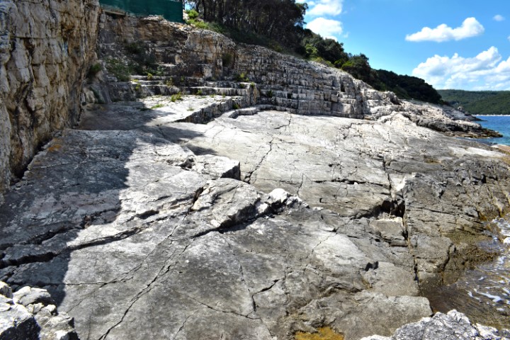
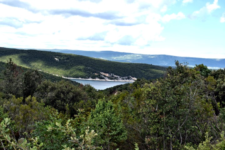
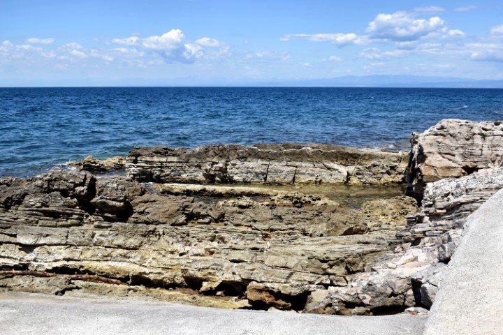
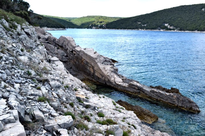
Name: Hiking trail from Vrsar via Koversada to Cape Mrtva (Limski Canal).
Place: Vrsar.
Coordinates: From 45.14227 N – 13.60525 E to 45.13599 N – 13.62234 E.
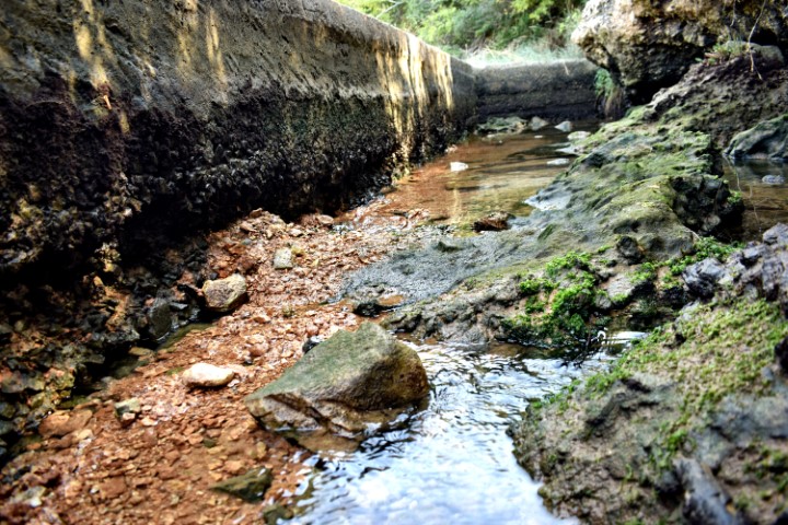
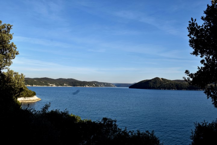
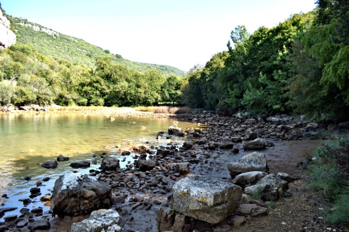
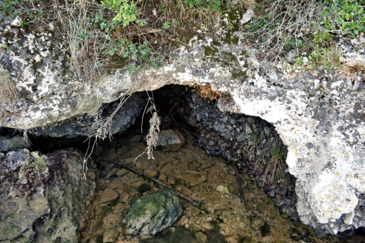
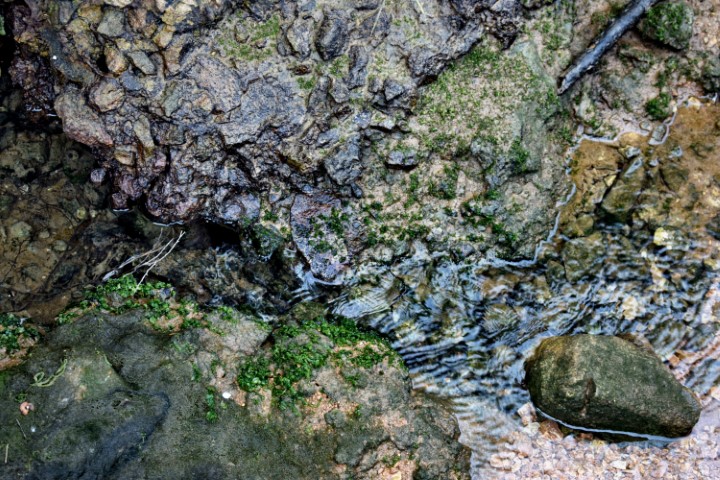
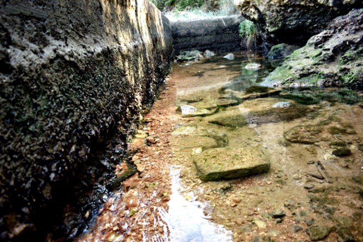
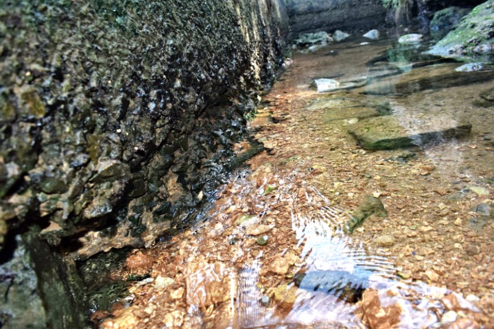
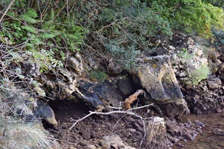
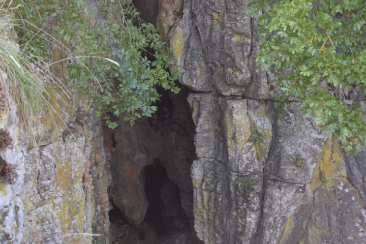
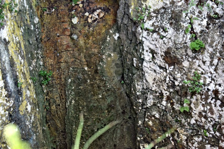
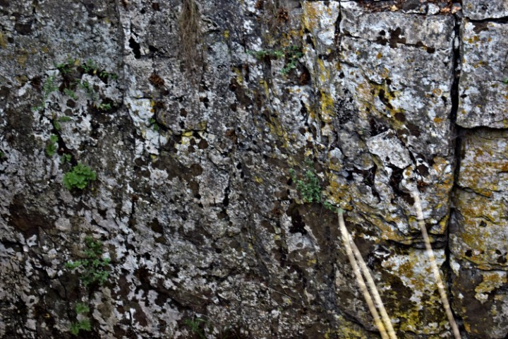
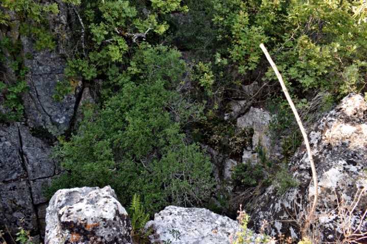
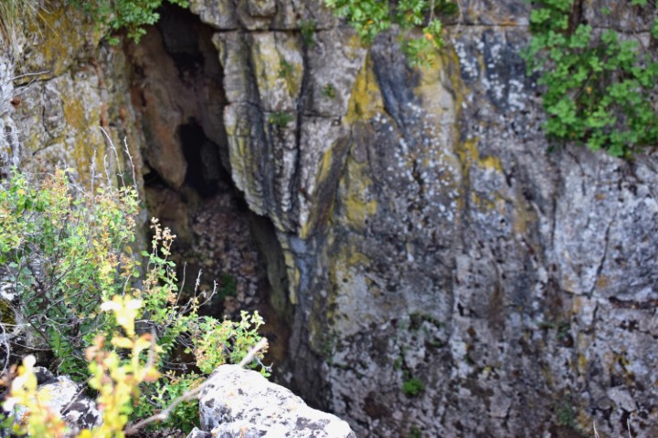
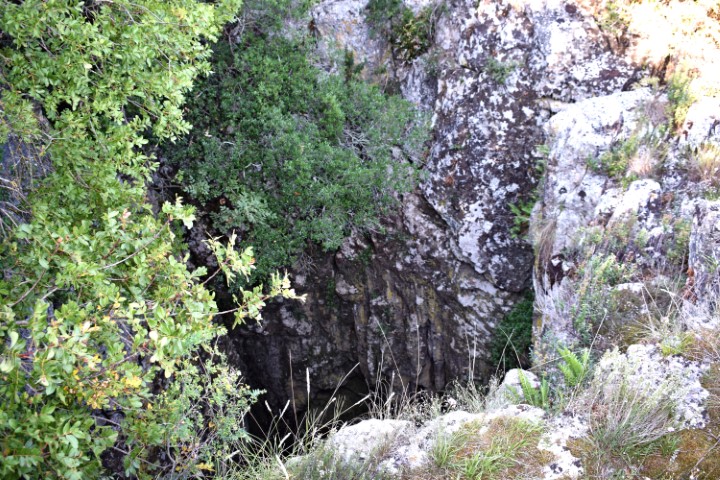
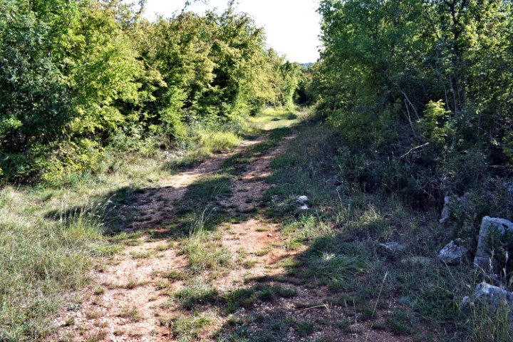
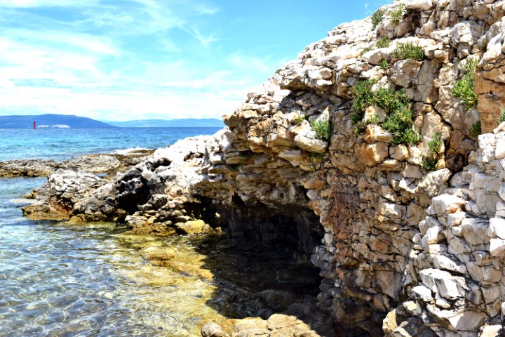
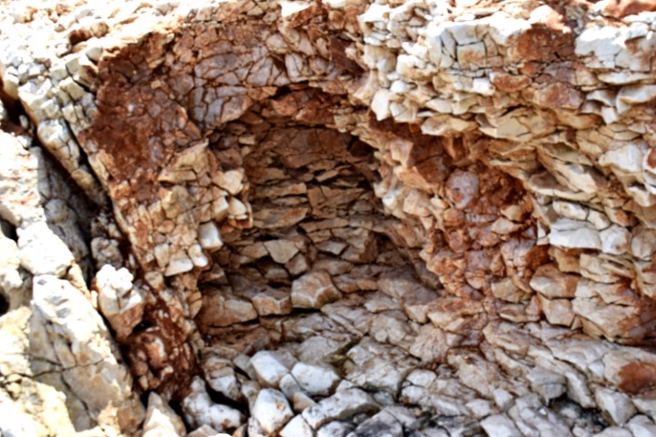
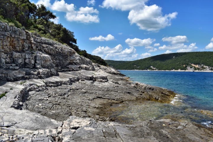
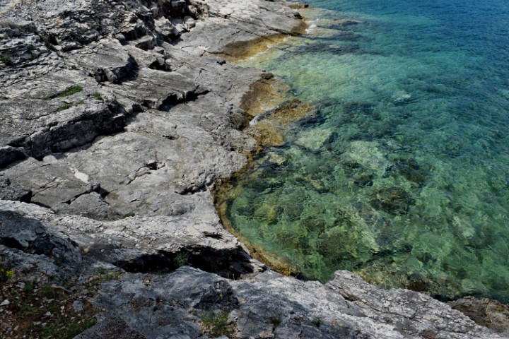
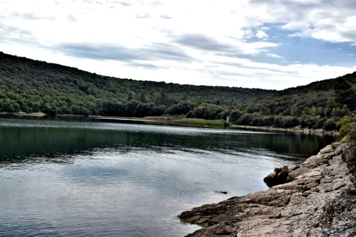
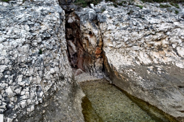
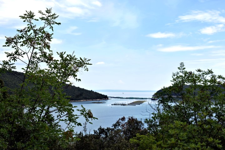
Name: Hiking trail from the beginning of theLimski bay to a water source and the cave Gobolinka.
Place: Kanfanar – Rovinj.
Coordinates: Startpoint 45.12884 N – 13.73999 E, water source: 45.12944 N – 13. 73797 E., Cave Gobolinka 45.13035 N – 1372811 E.
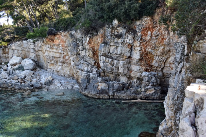
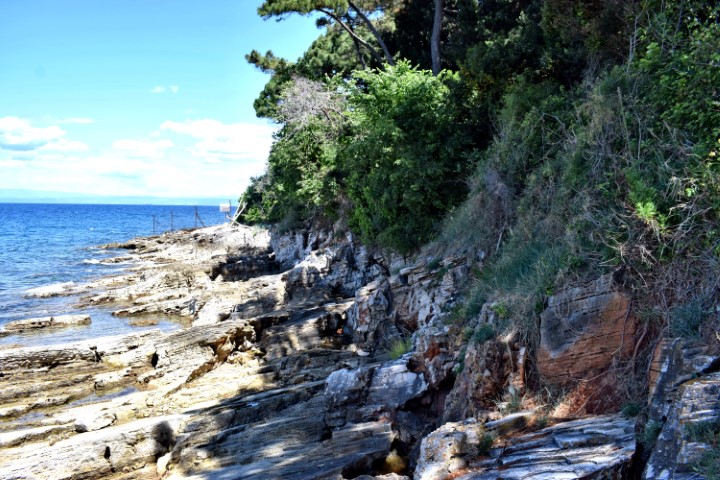
Name: Hiking trail from Ušiće Dvori to Bay Fera and Cape Palj (Port Budava).
Place: Ušiće Dvori – (Ližnjan).
Coordinates: Startpoint 44.88707 N -13.98926 E, Cape Palj 44.89252 N – 13.98619.
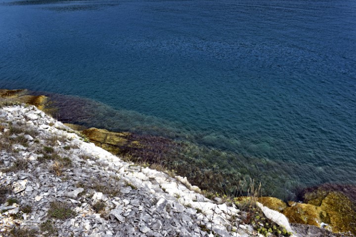
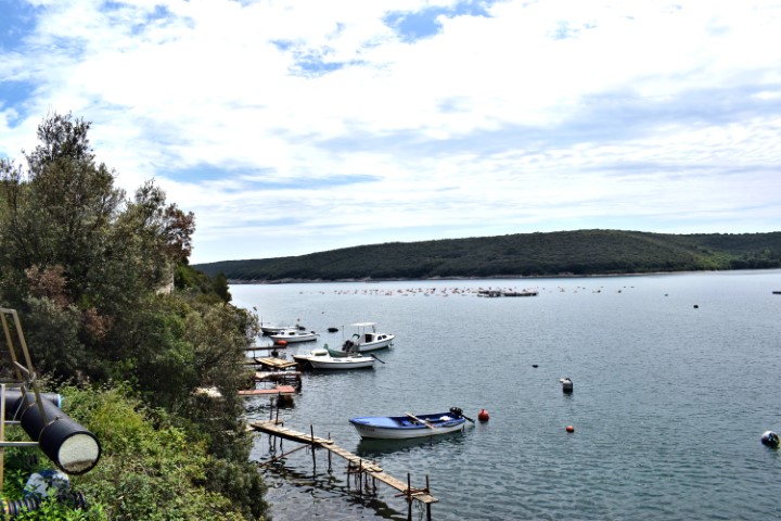
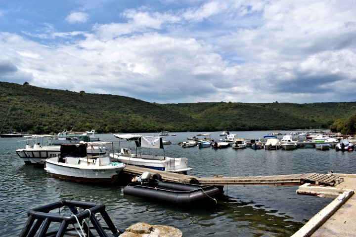
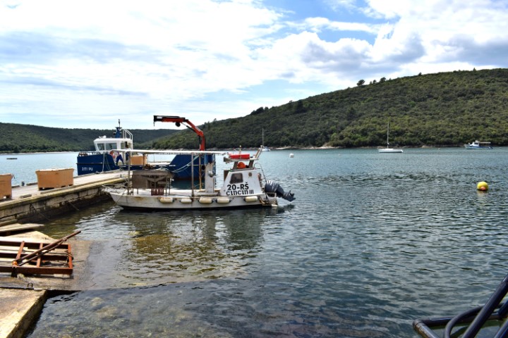
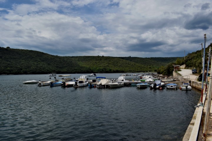
Name: Port Kuje – Cape Uljeva.
Place: Ližnjan
Coordinates: 44.81394 N – 13.99453 E.
Name: Hiking trail to Cape Sočaja and Cape small Jalanica near Peruški.
Place: Near Peruški – (Marčana)
Starting point: 44.93817 N – 14.02678 E.
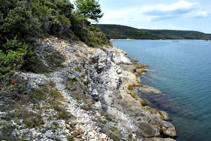
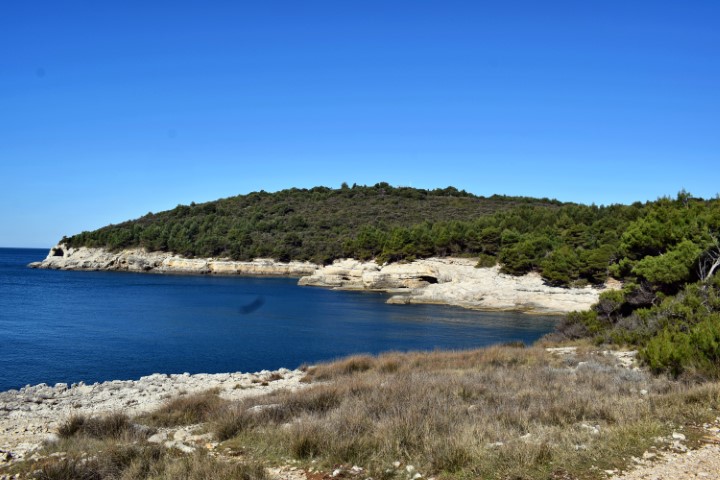
Name: Bay Small- and Big Budava – Rock Stara Stražarica.
Place: Marčana – Ližnjan.
Coordinates: 44.89479 N – 13.98157 E.
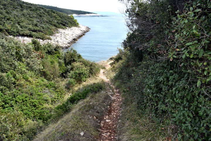
Name: Trail Savudrija via Velika stancija to the coast Savudrijska vala.
Place: Savudrija-(Umag).
Coordinates: Savudrija harbour 45.50101 N – 13.50237 E, Velika stancija 45.50011 N – 13.51240 E, Coast 45.50502 N – 13.51987 E.
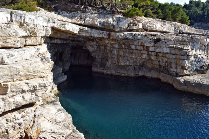
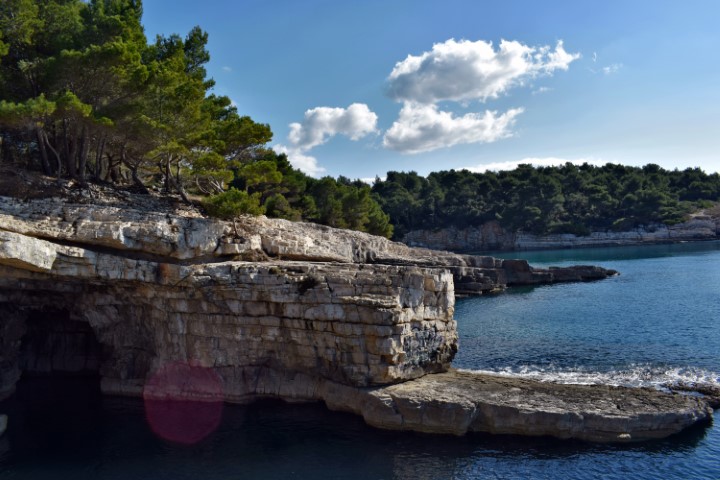
Name: Coast bay Mužilj from Cyclon’s beach to Stoja beach.
Place: Pula
Coordinates: Cyclon’s beach: 44.86133 N – 13.80688 E; Stoja
beach;44.86183 N – 13.80376 E, Galebianne cave: 44.86134 N –
13.80455 E. and Seagull’s rock: 44.86116 N – 13.80538 E.