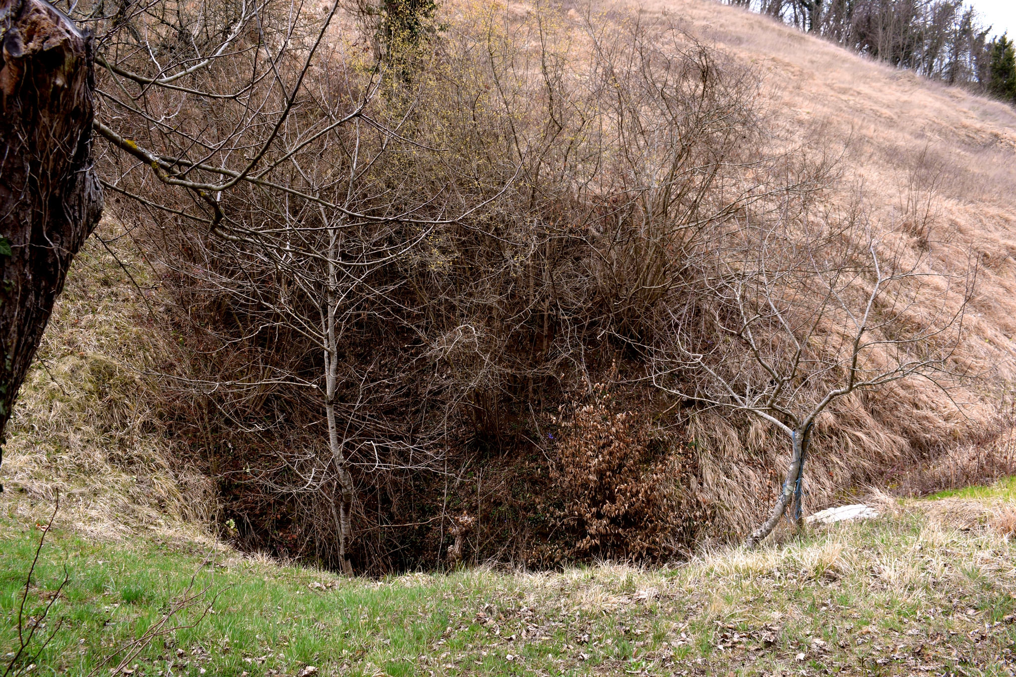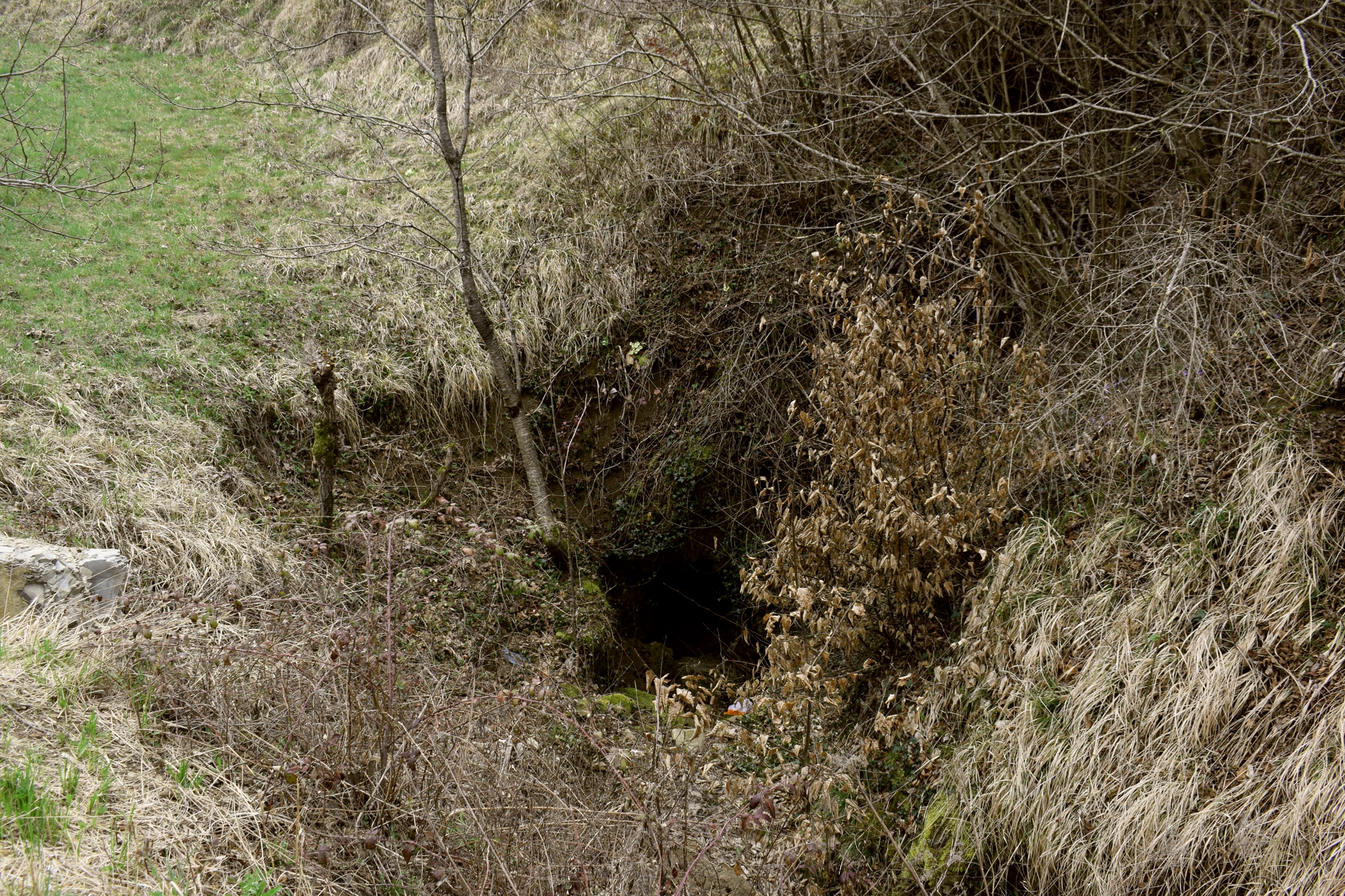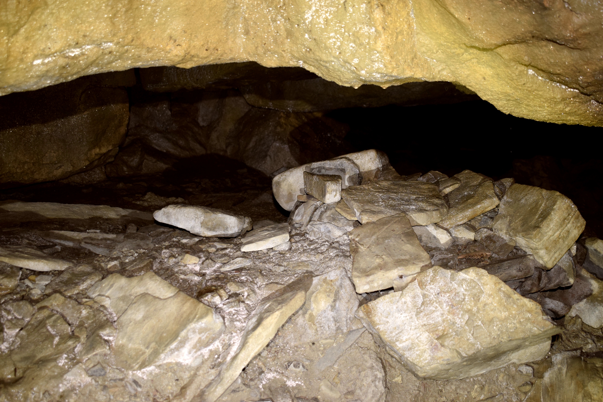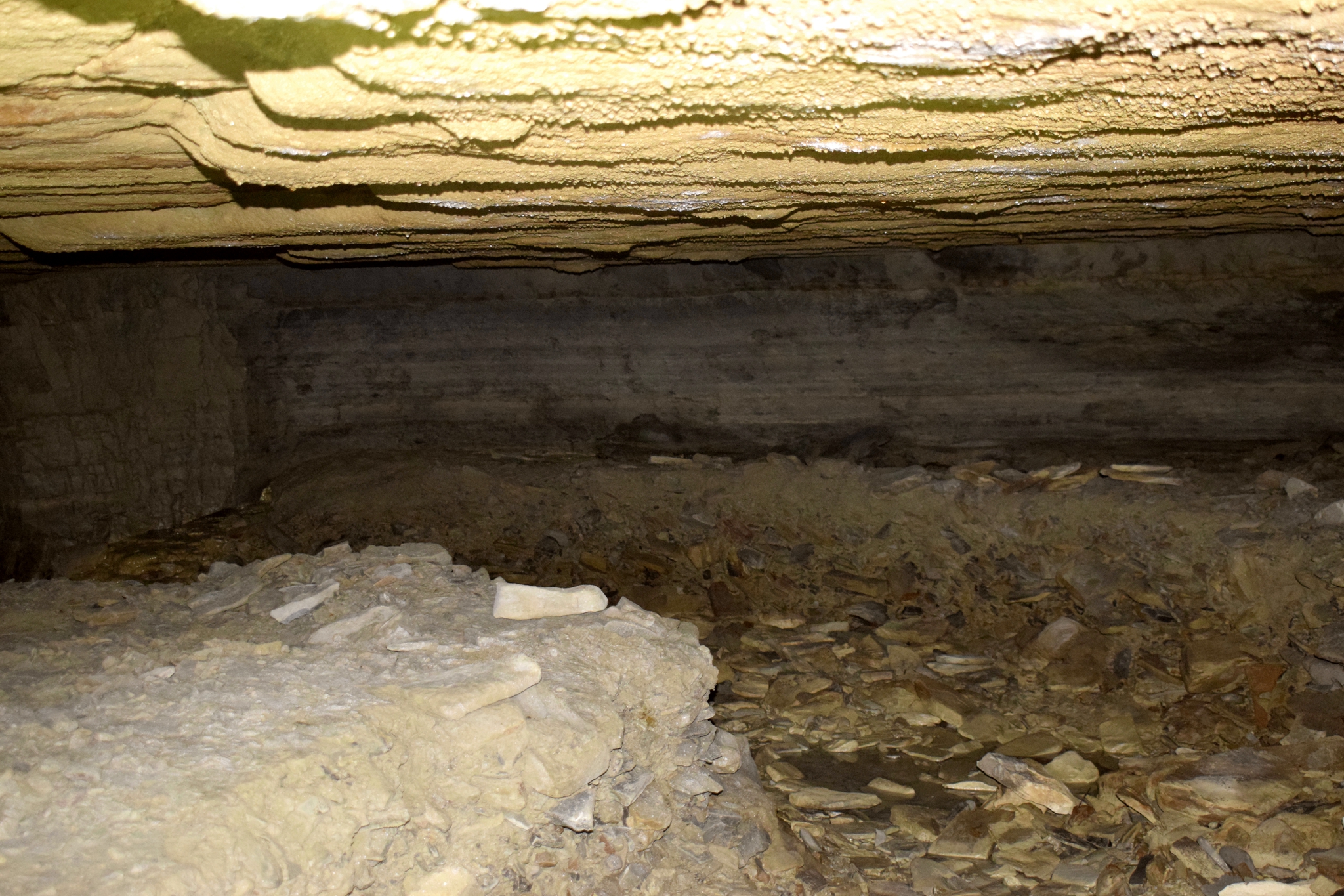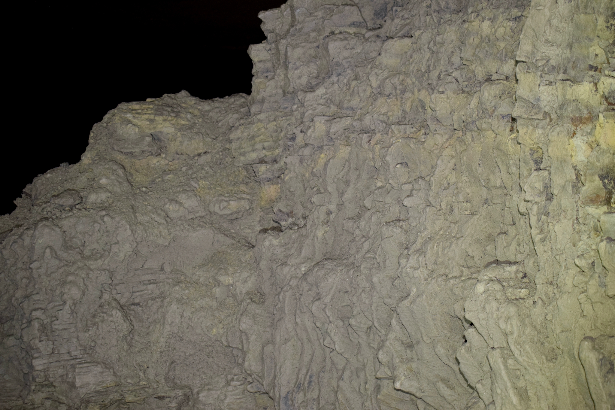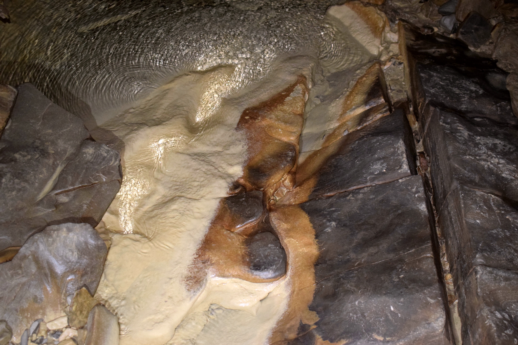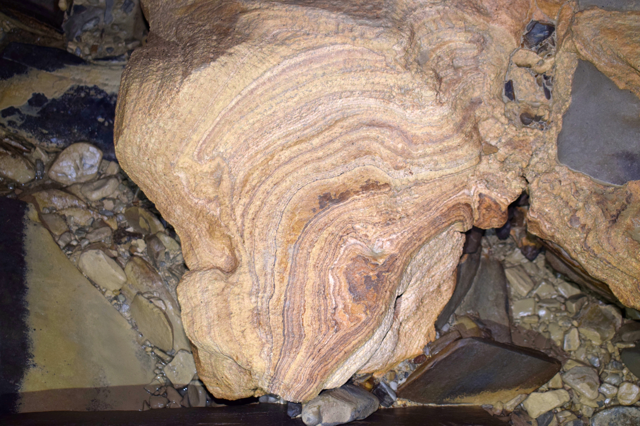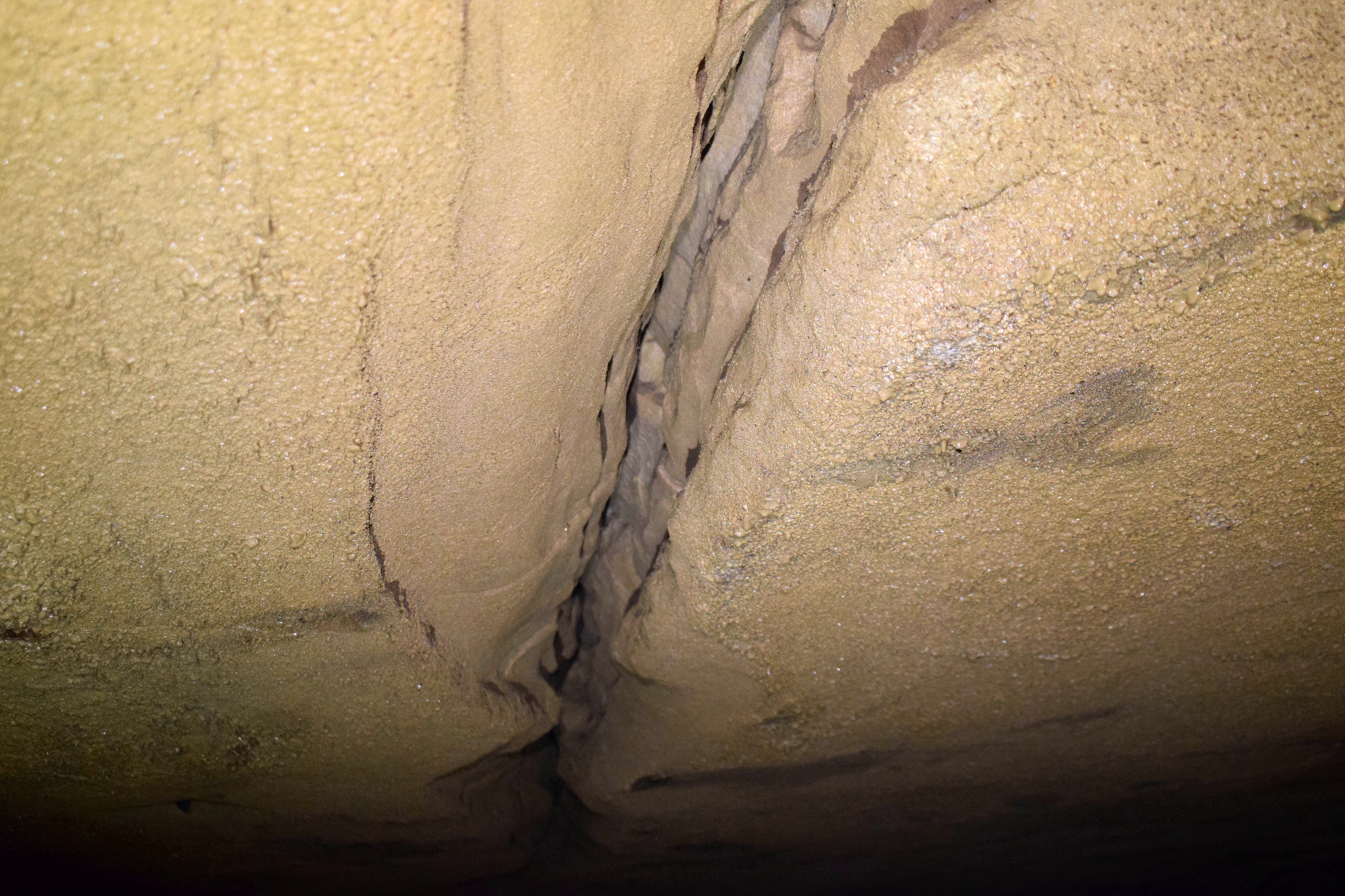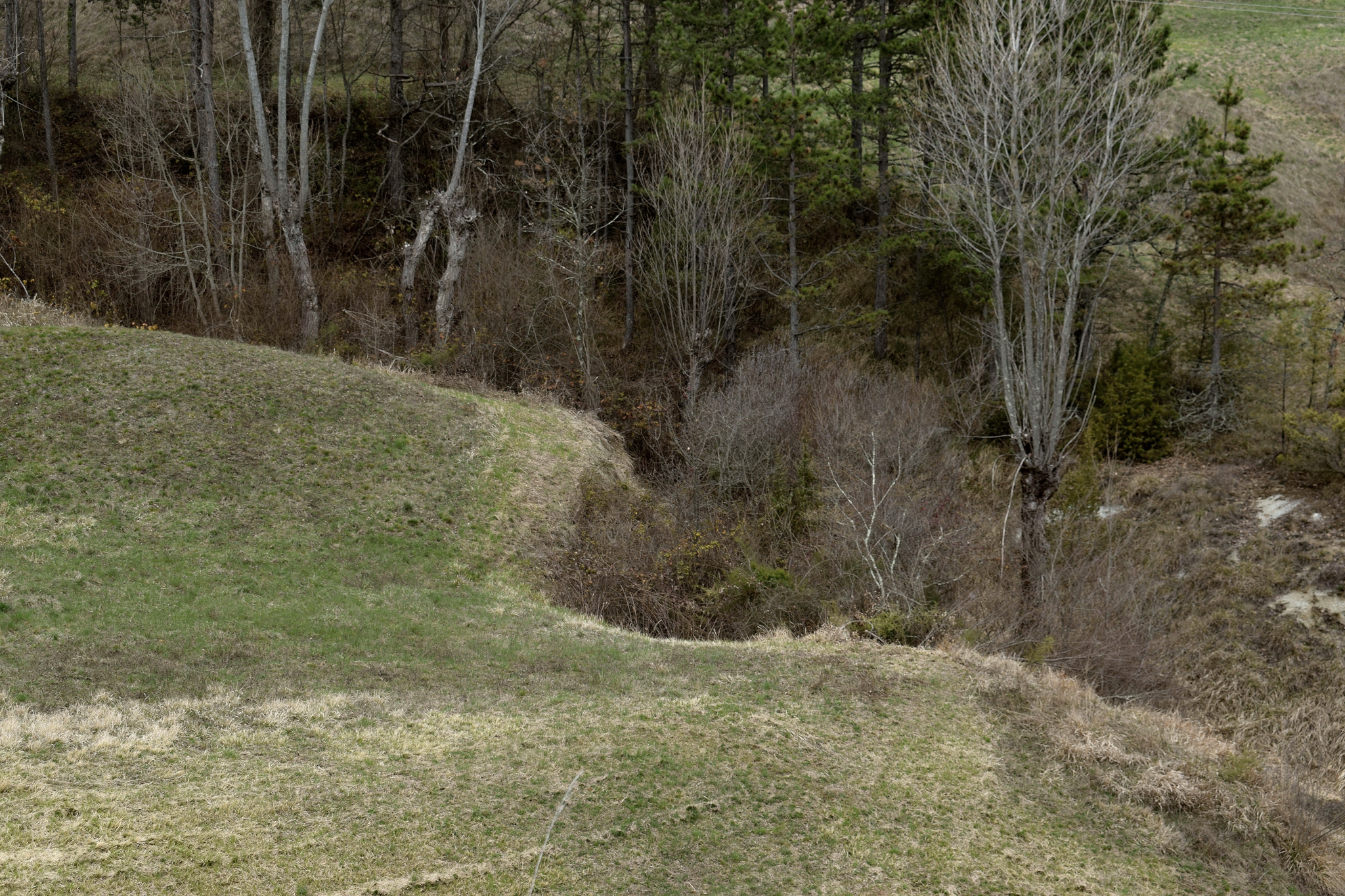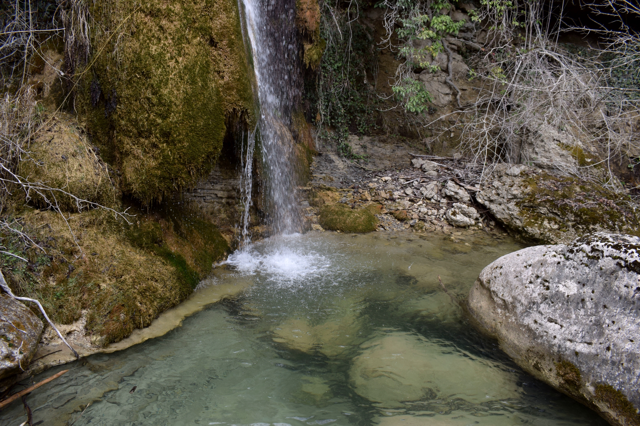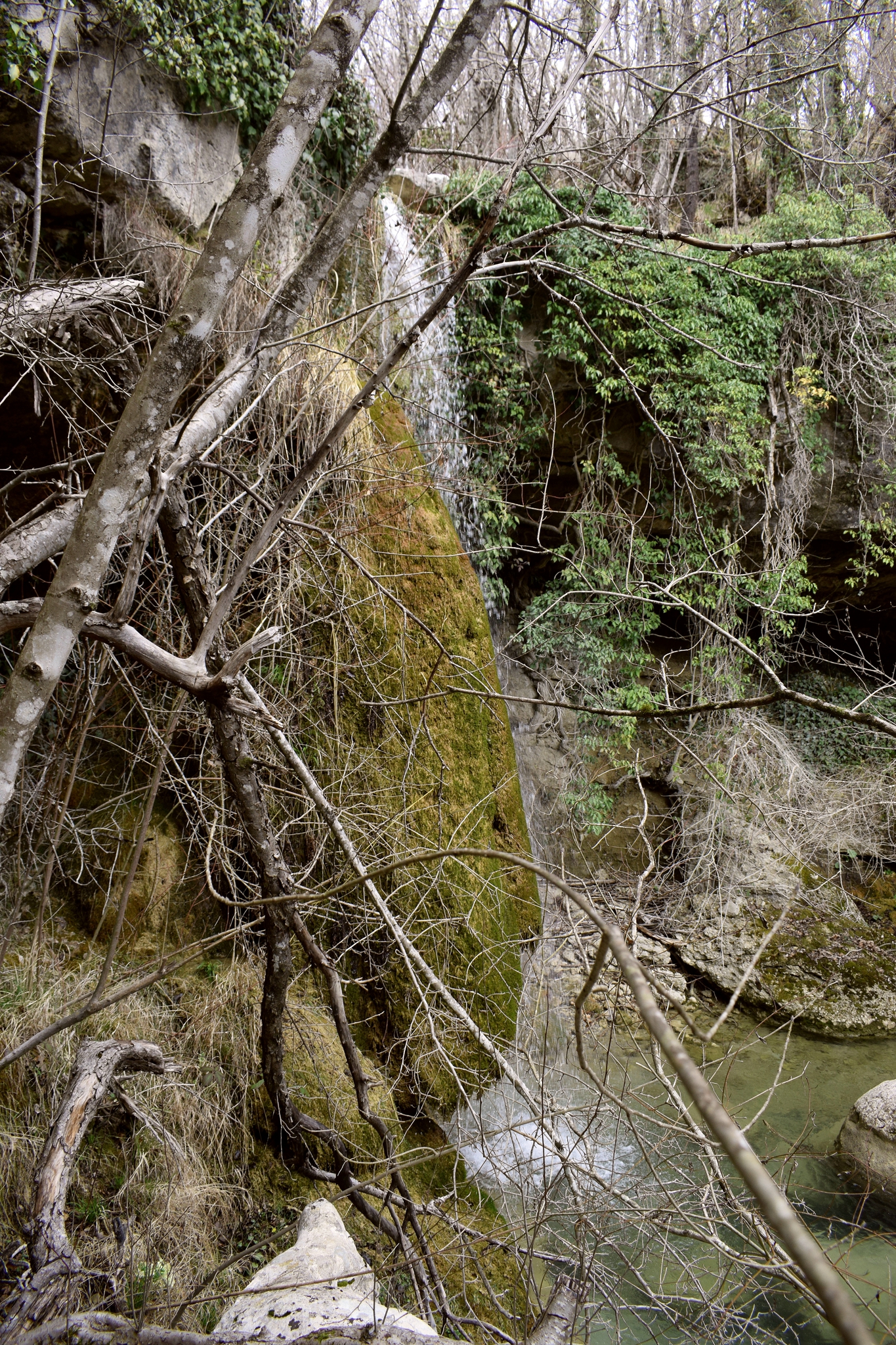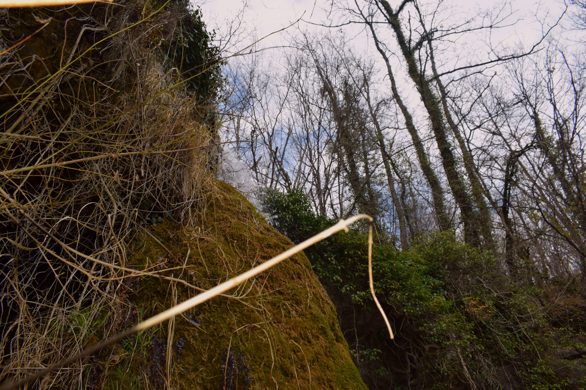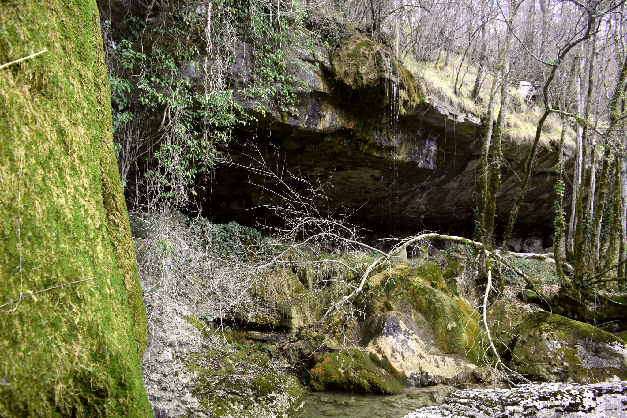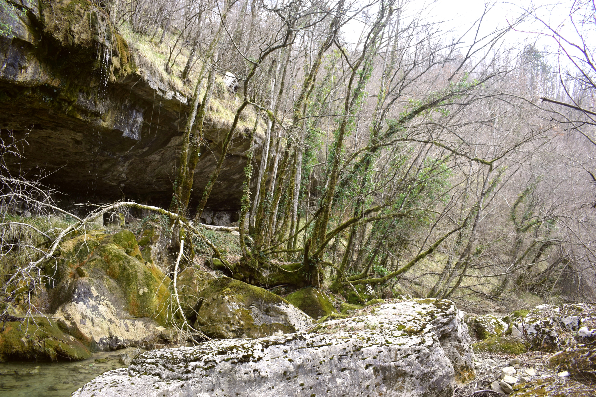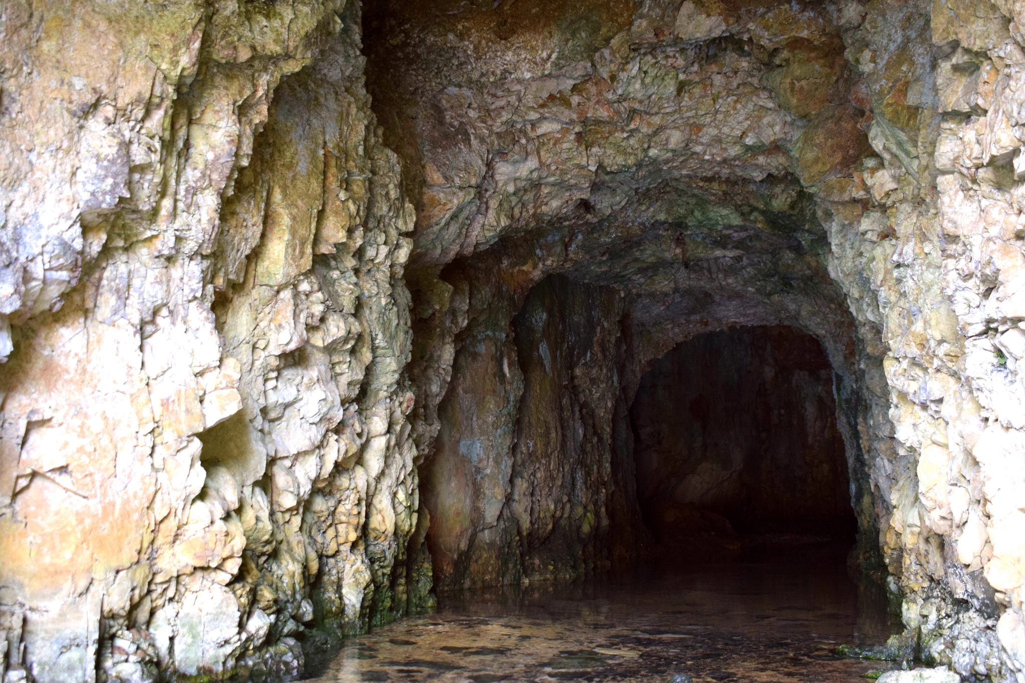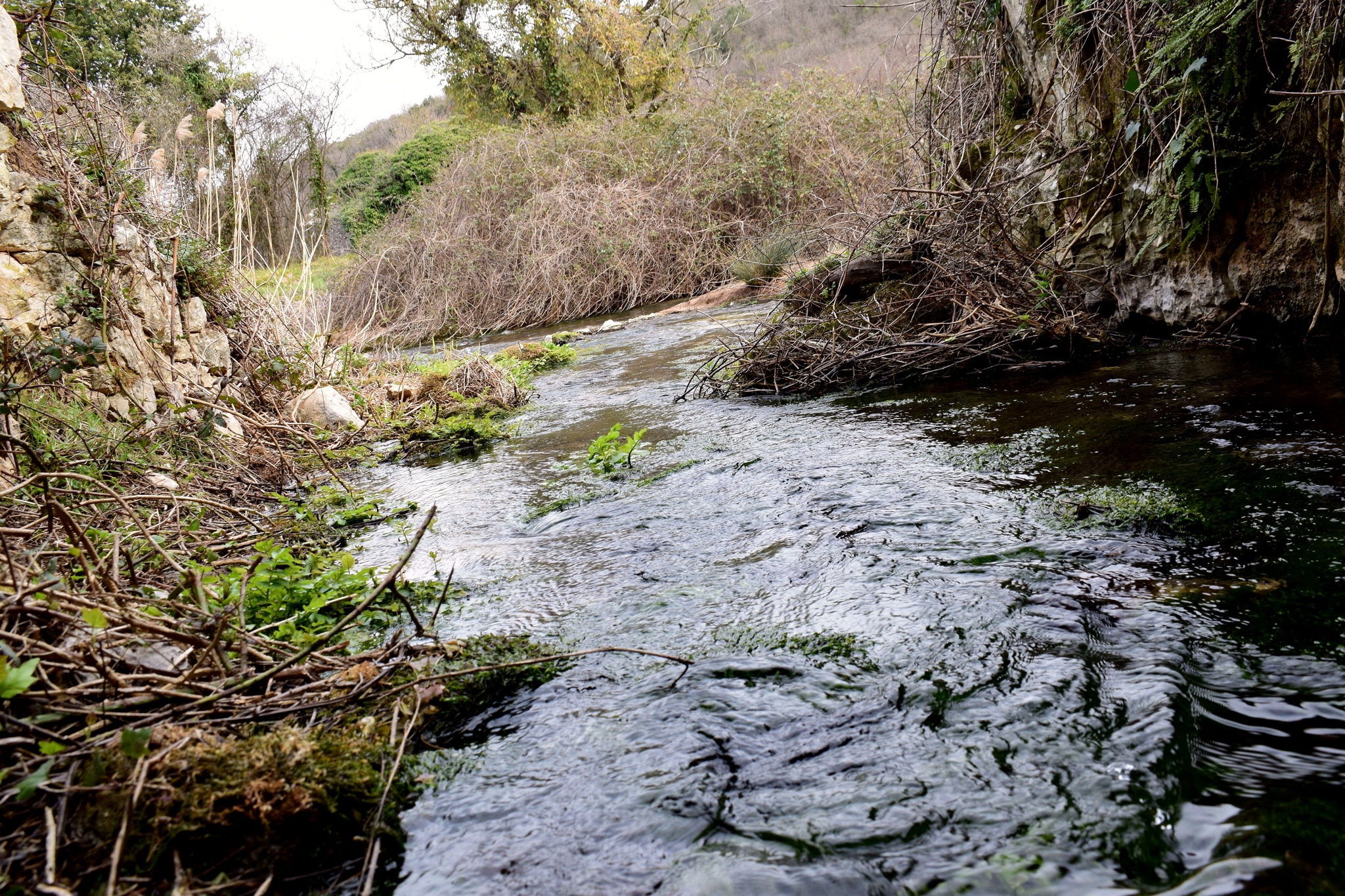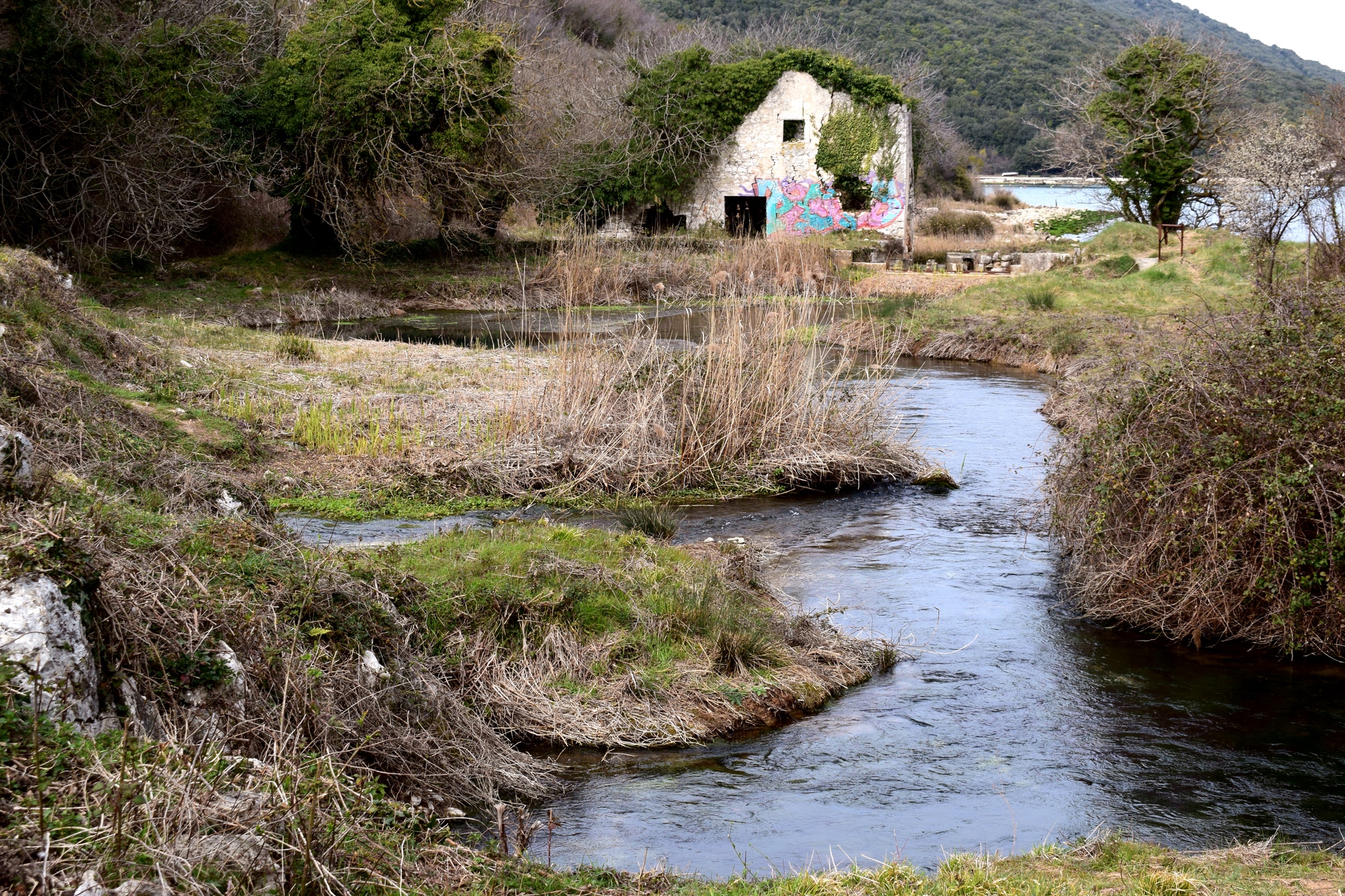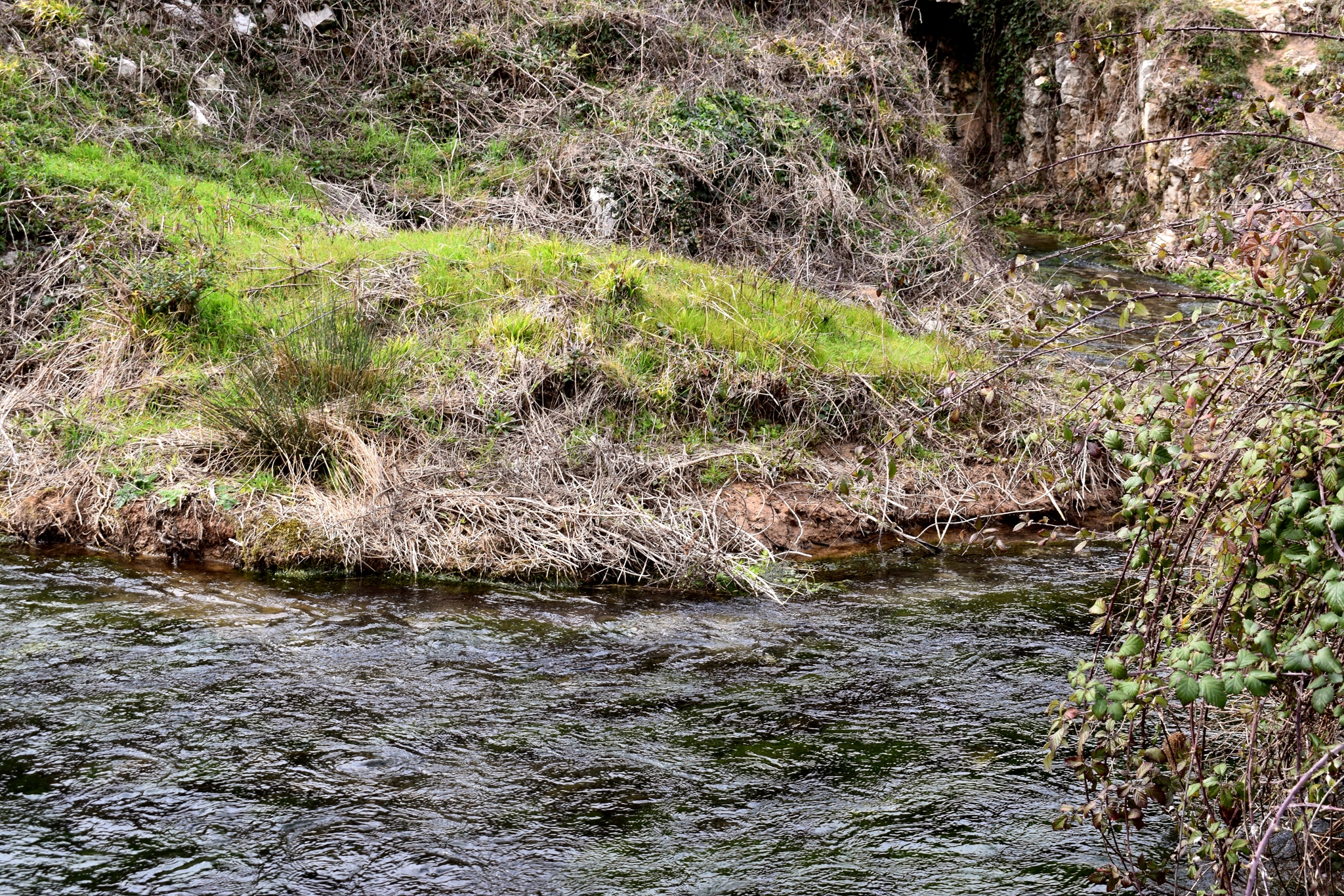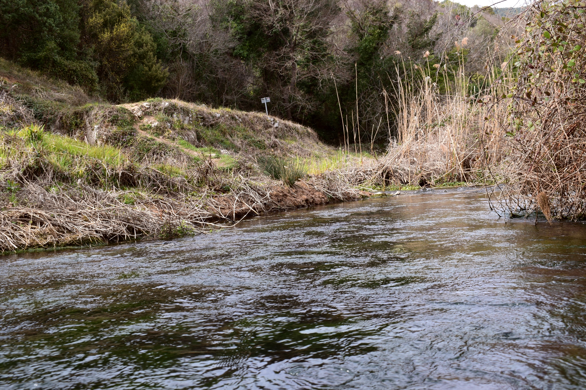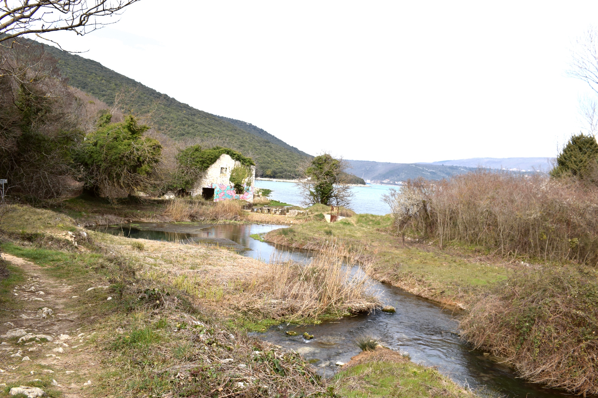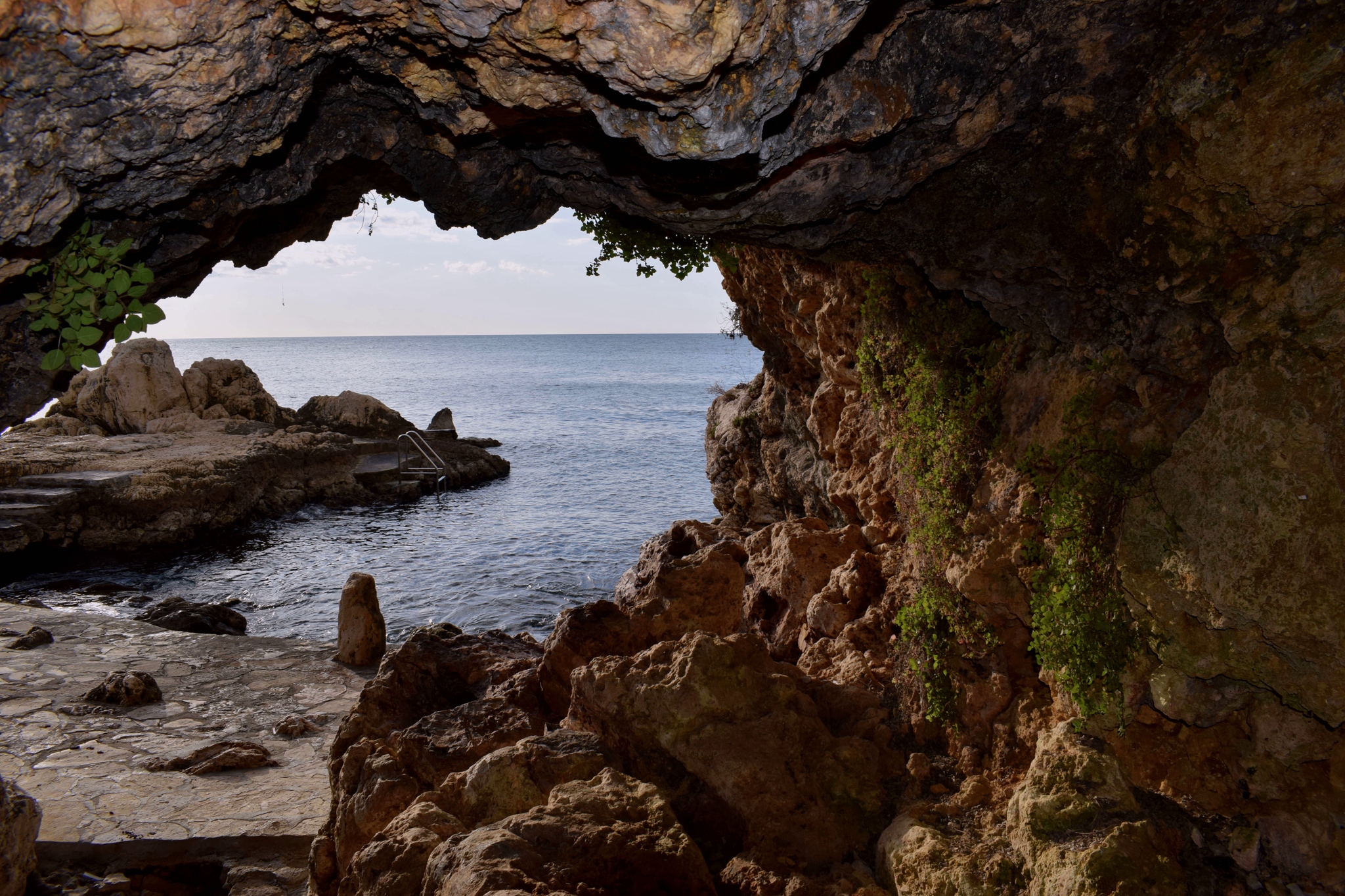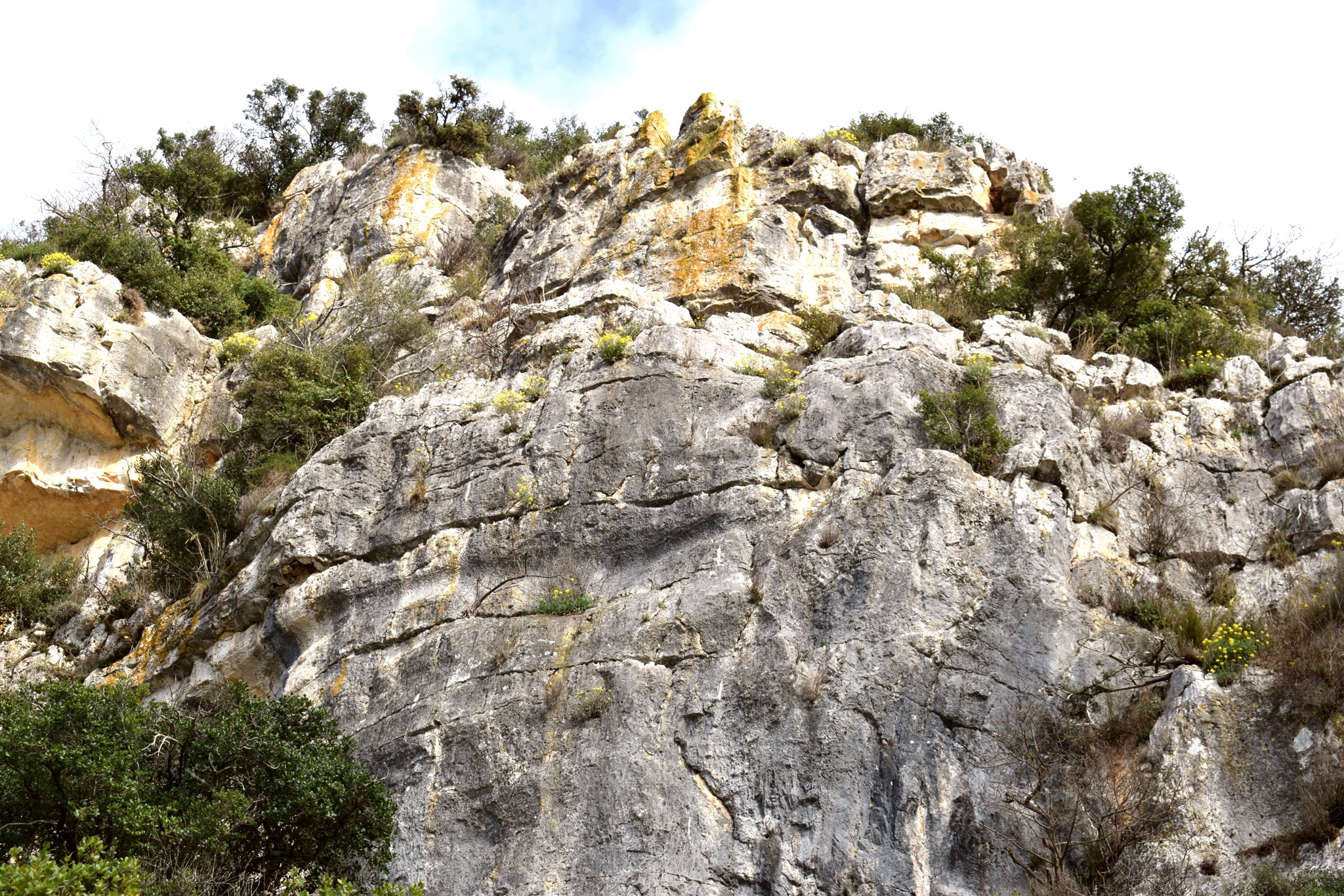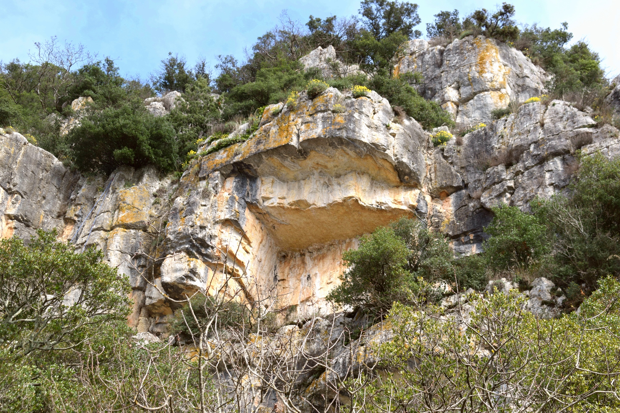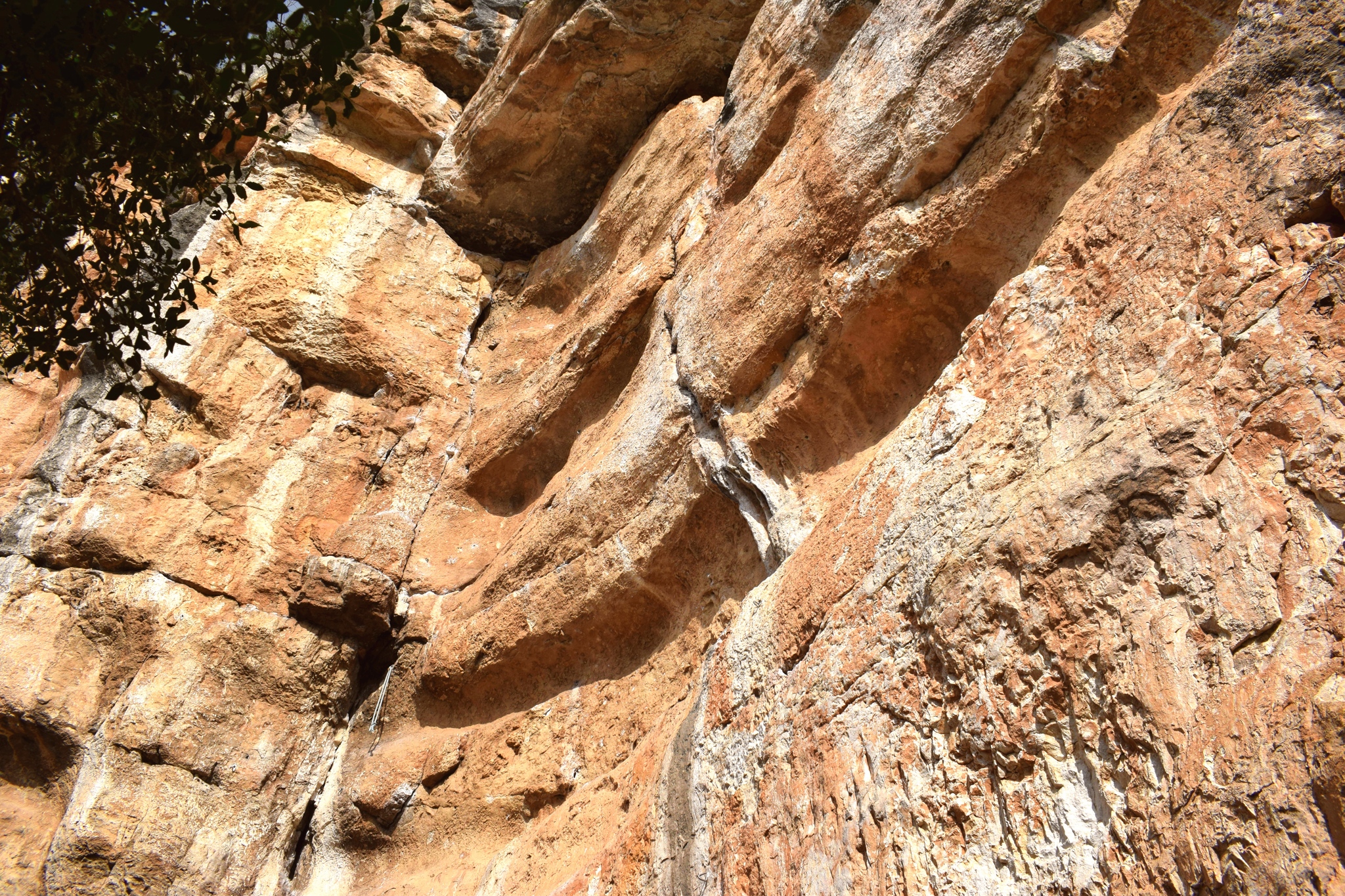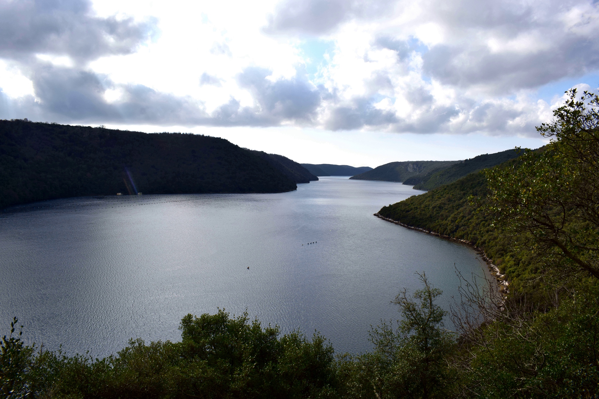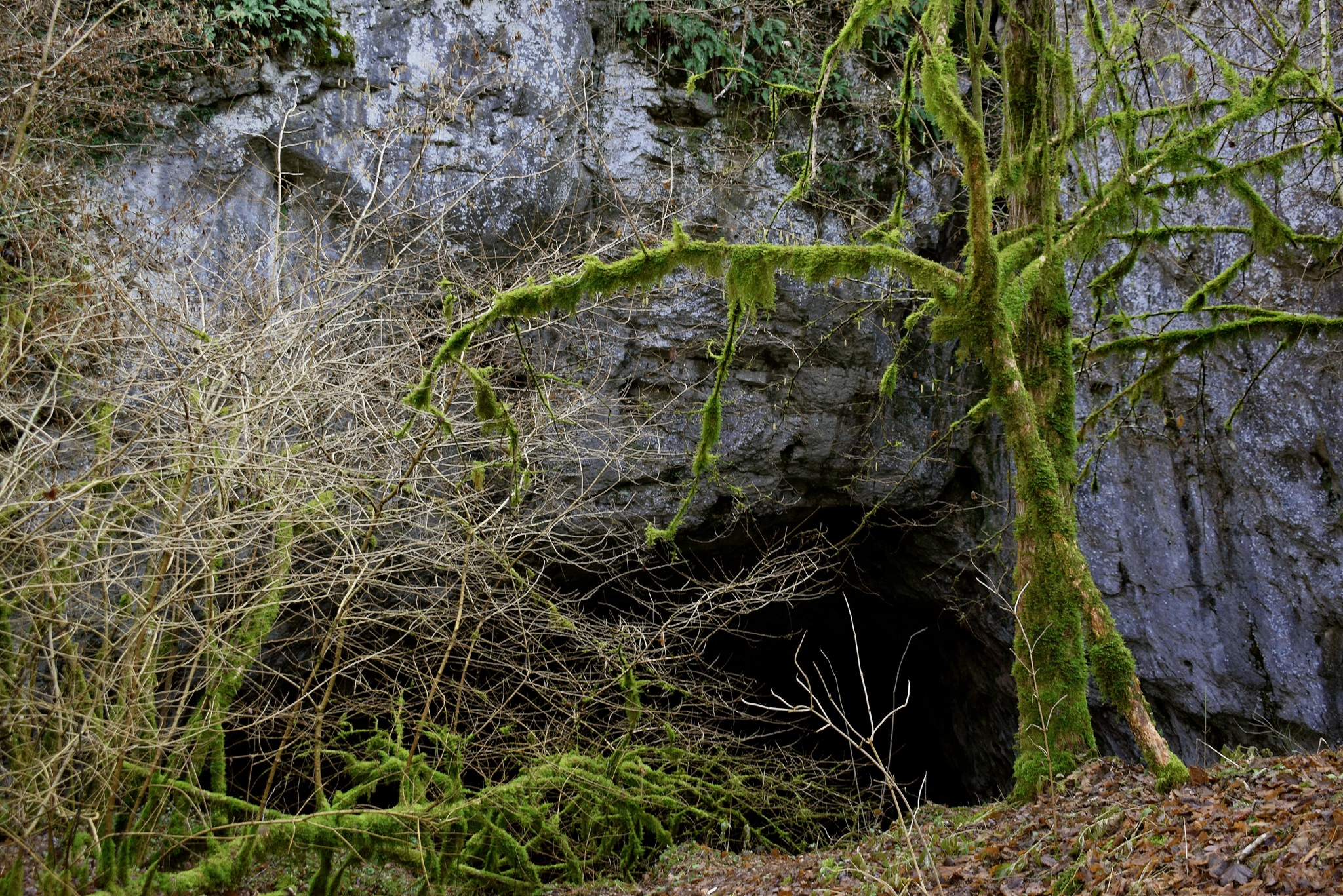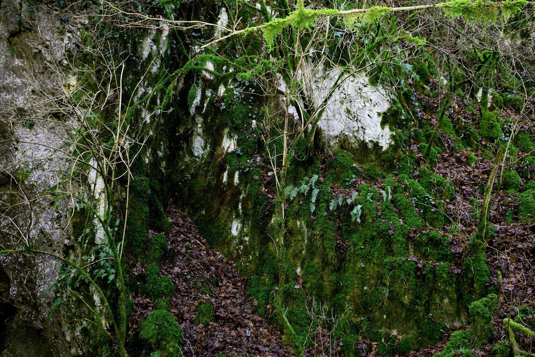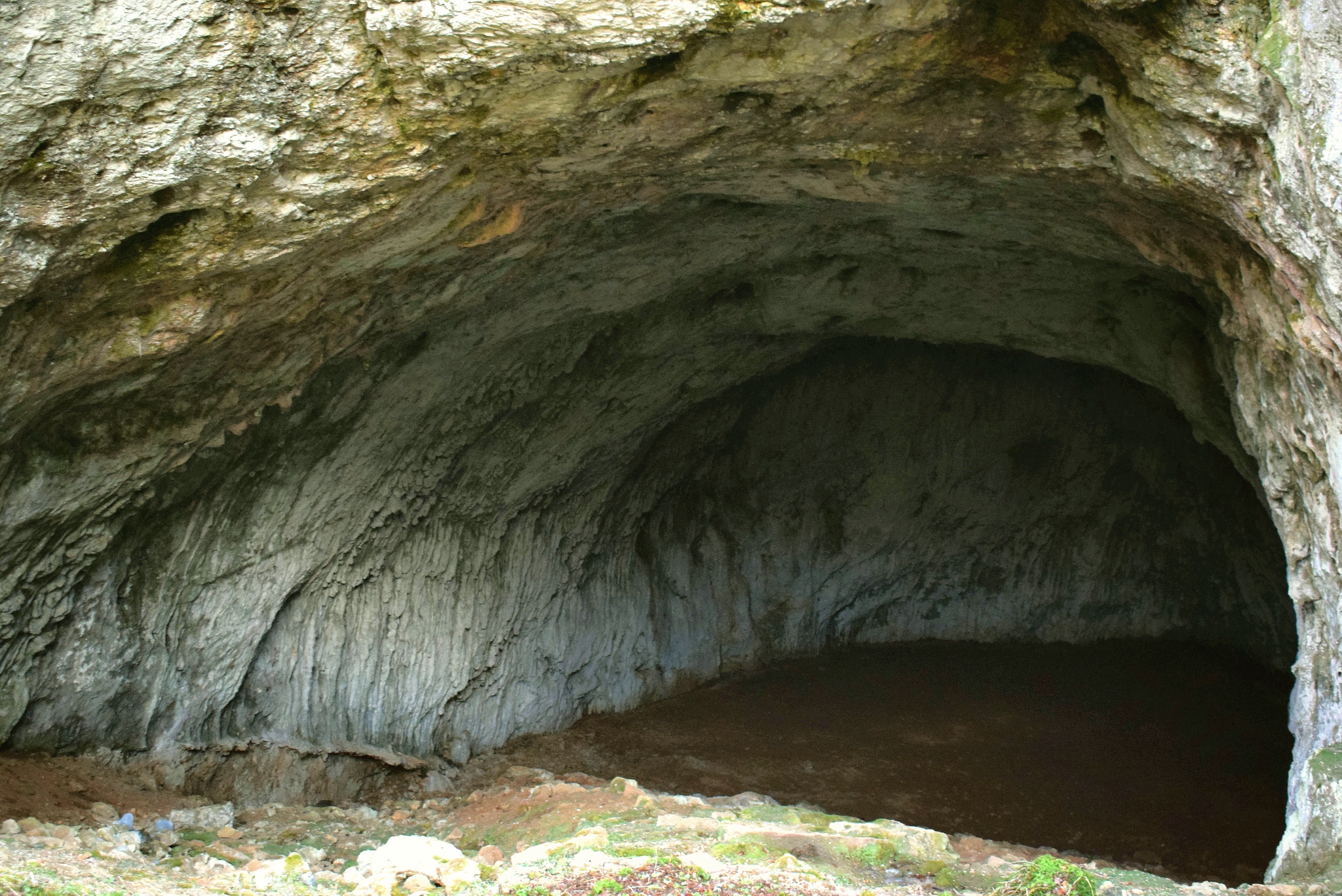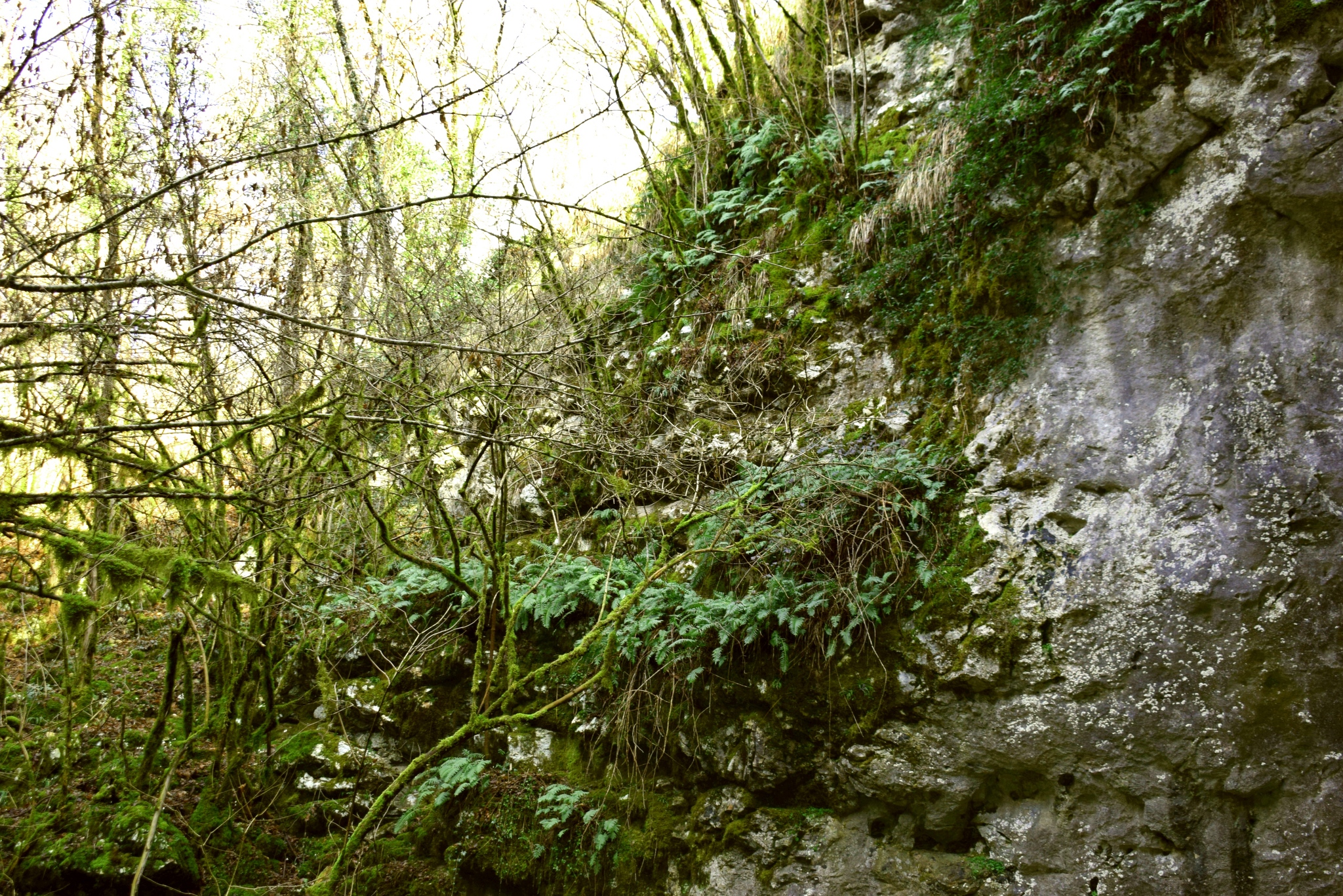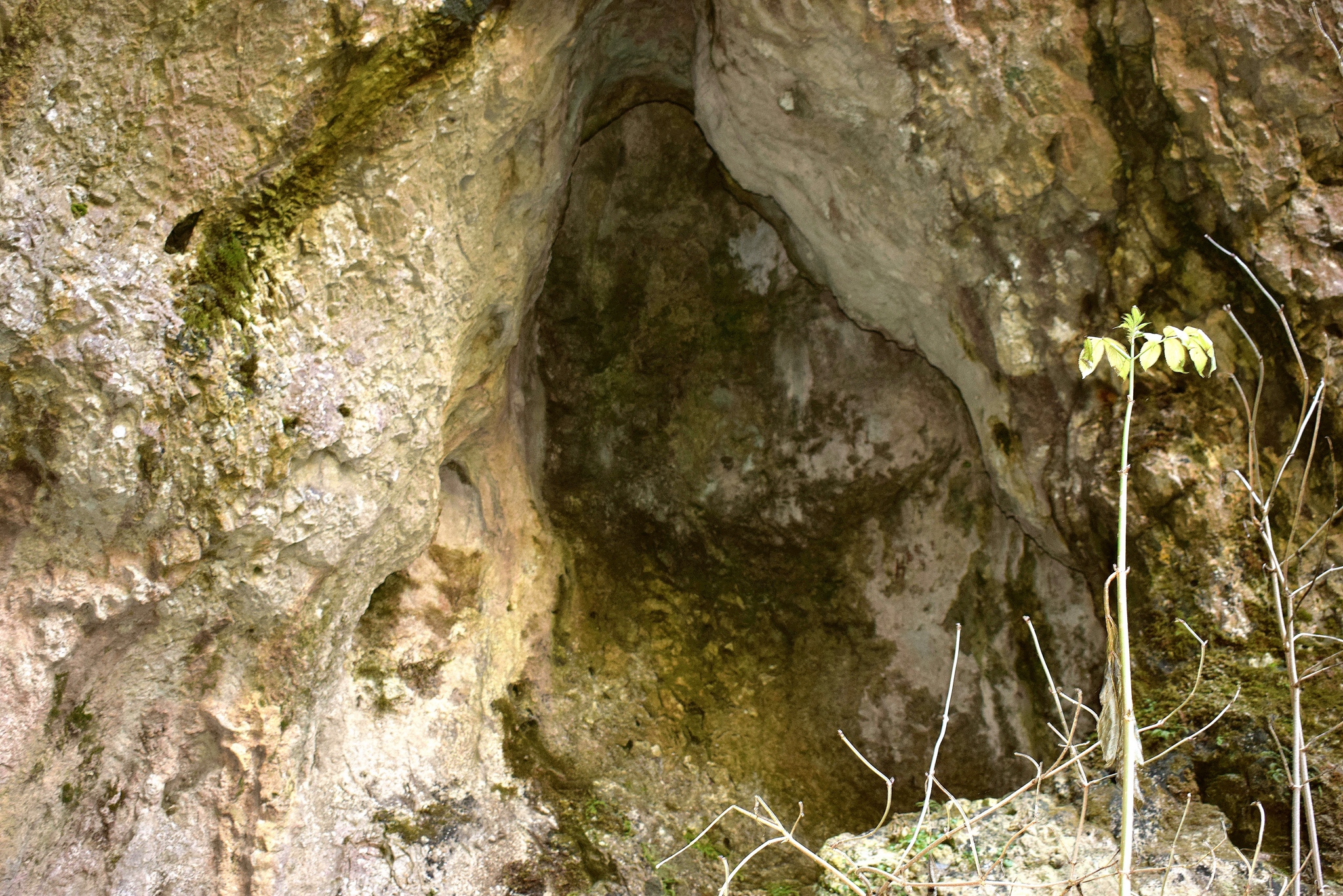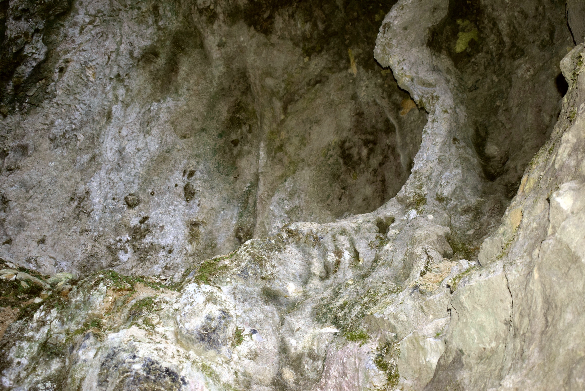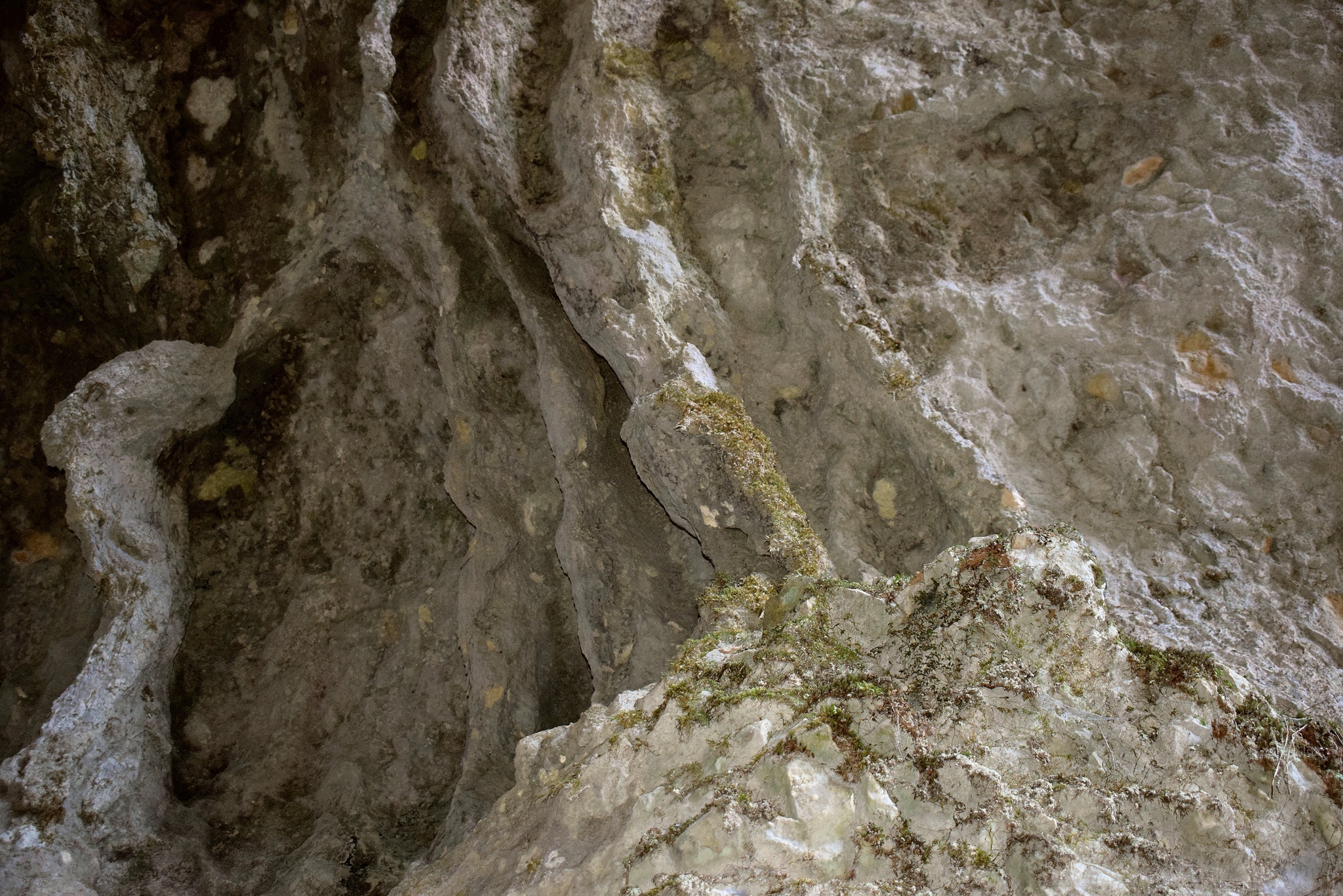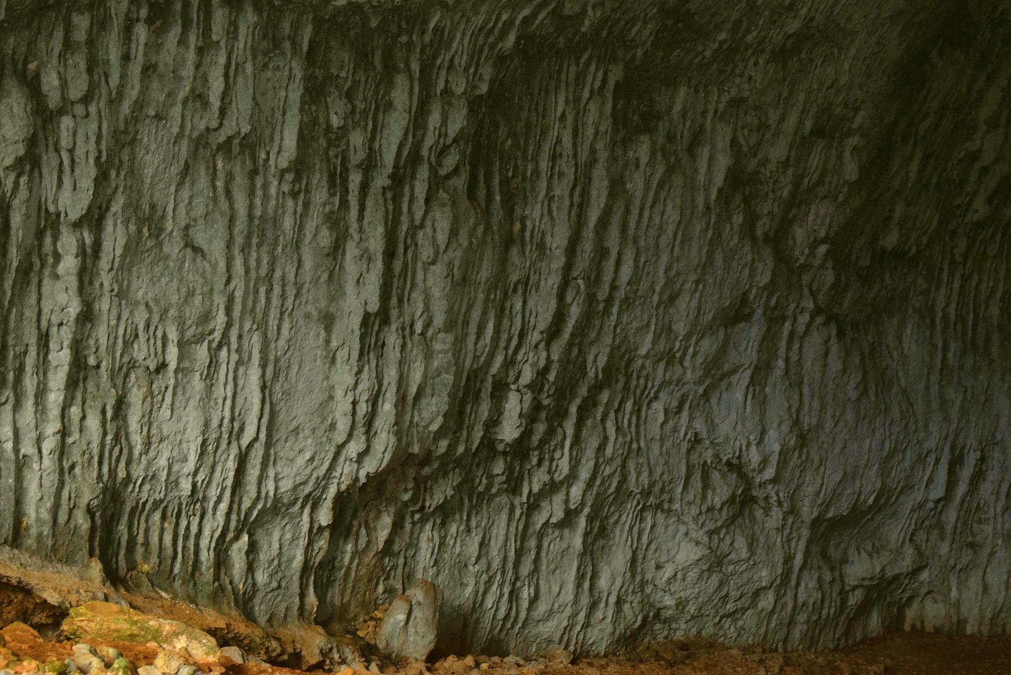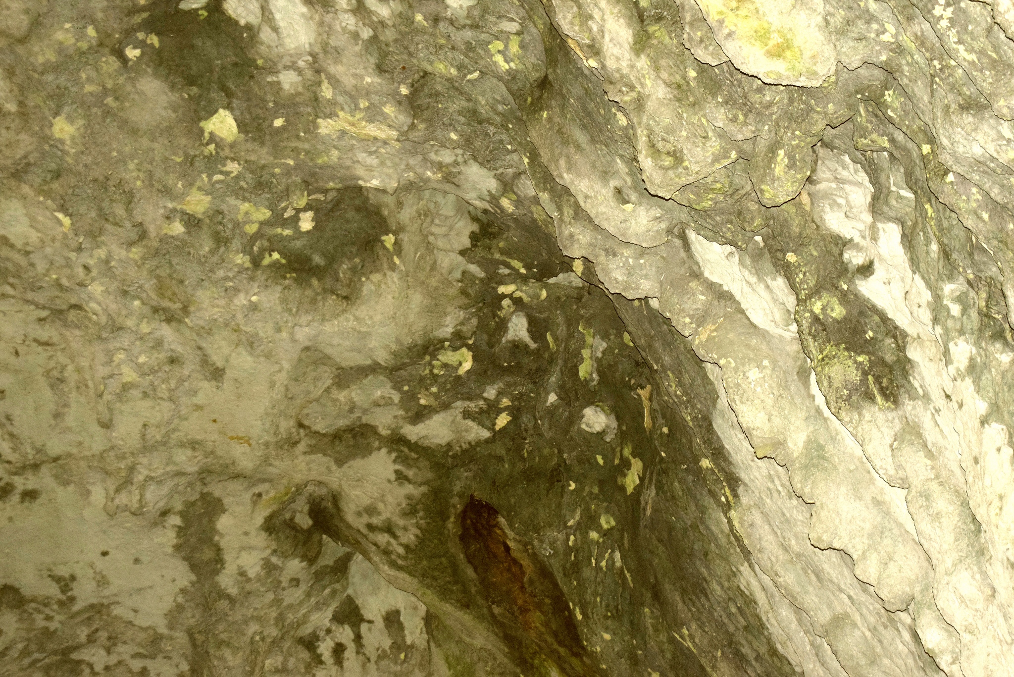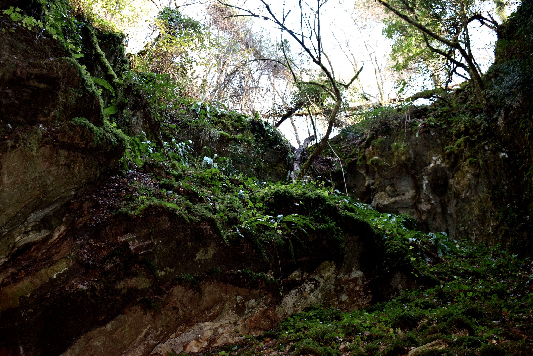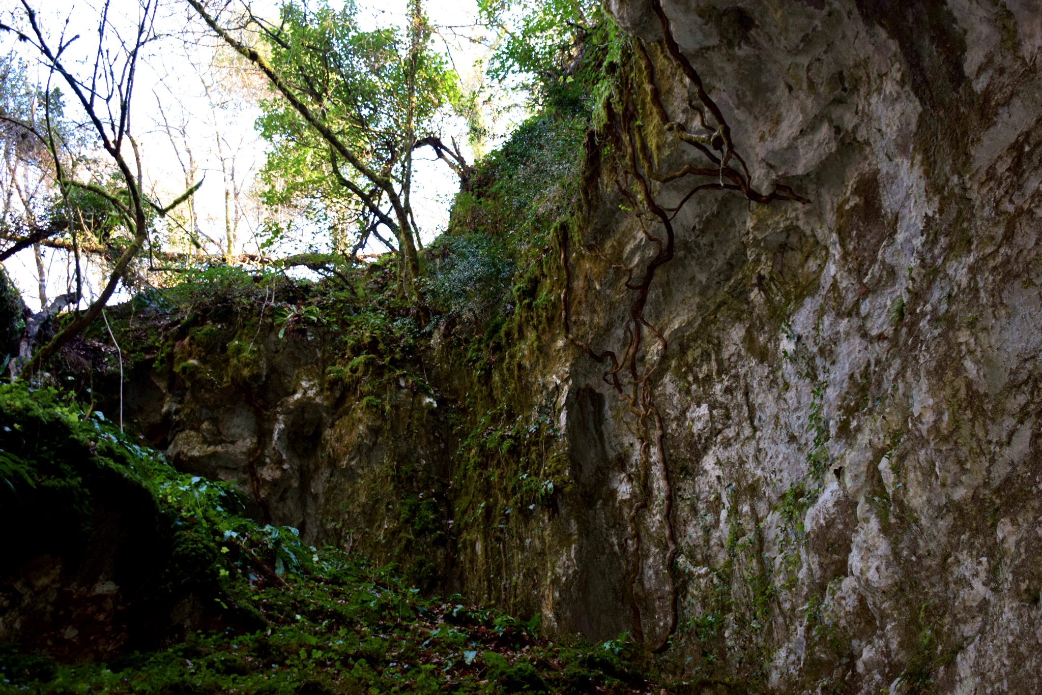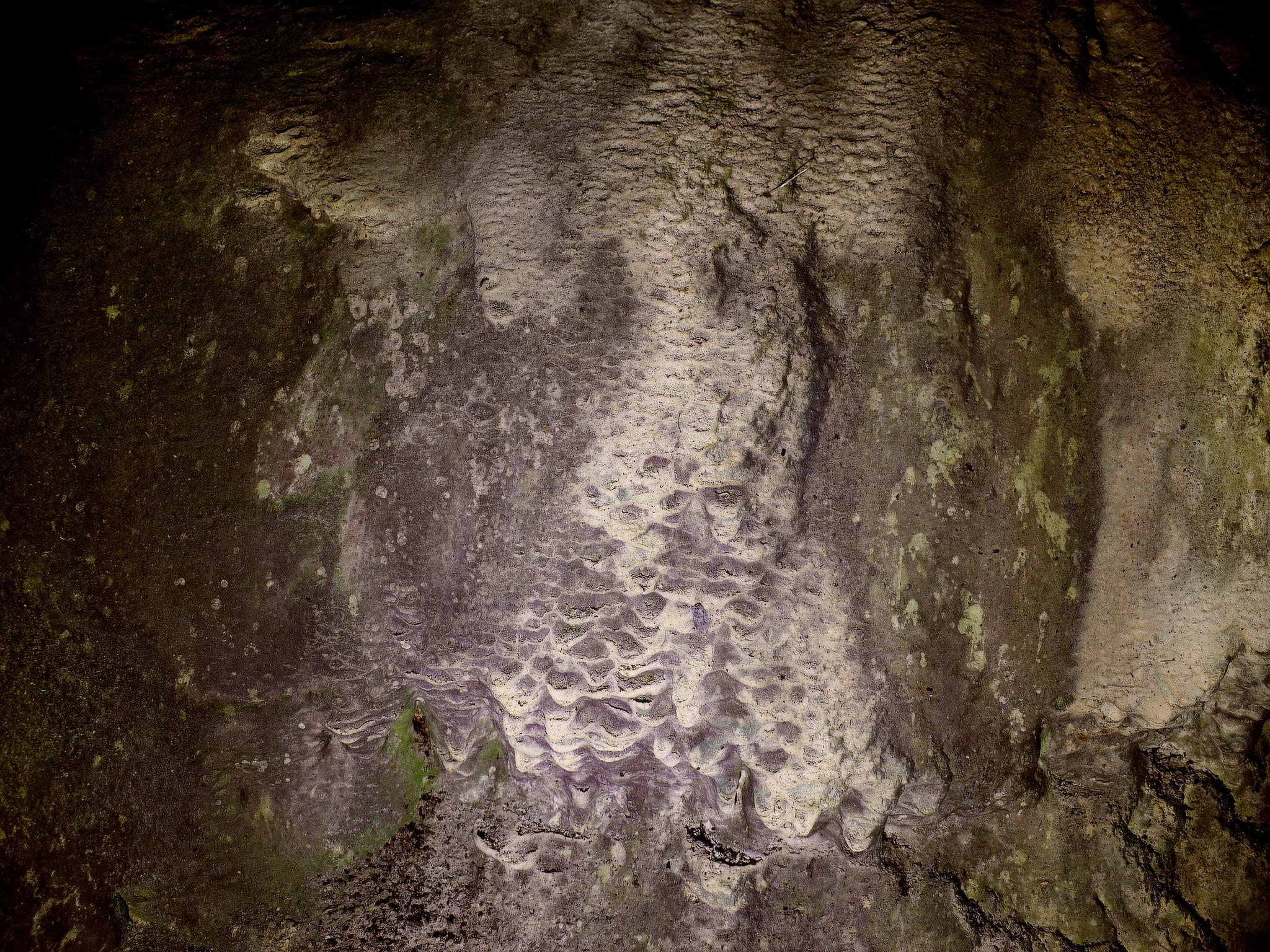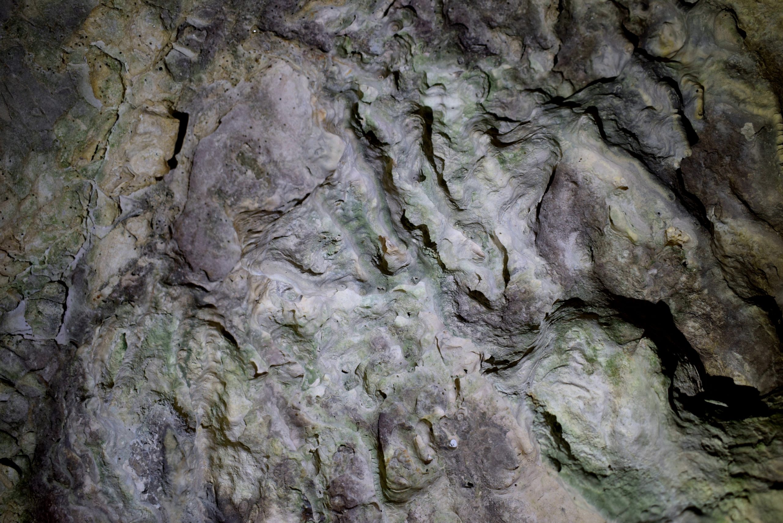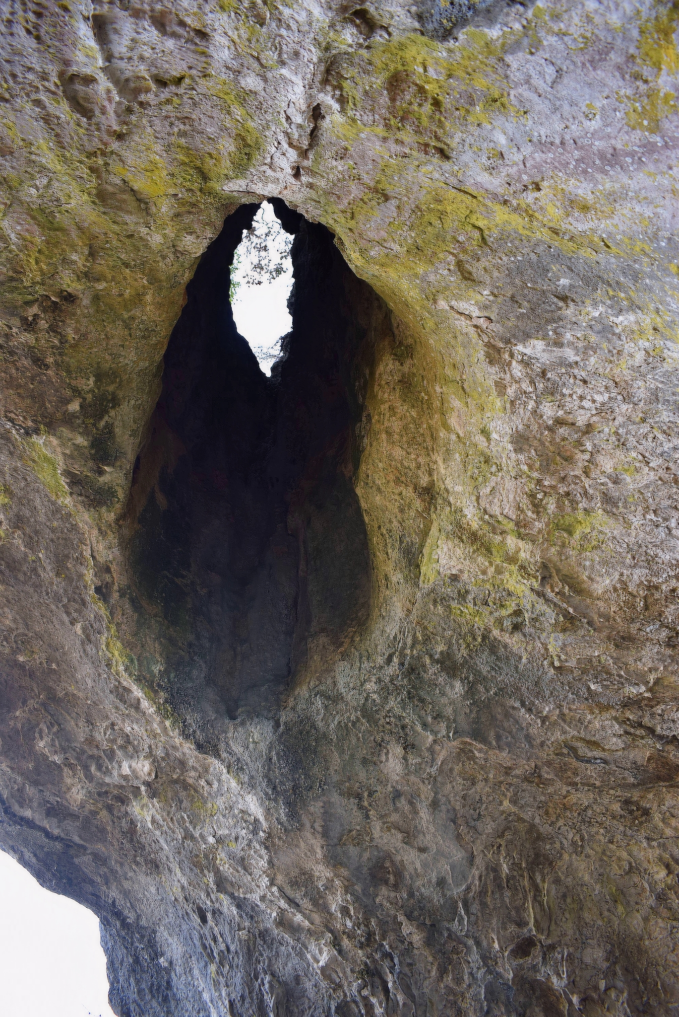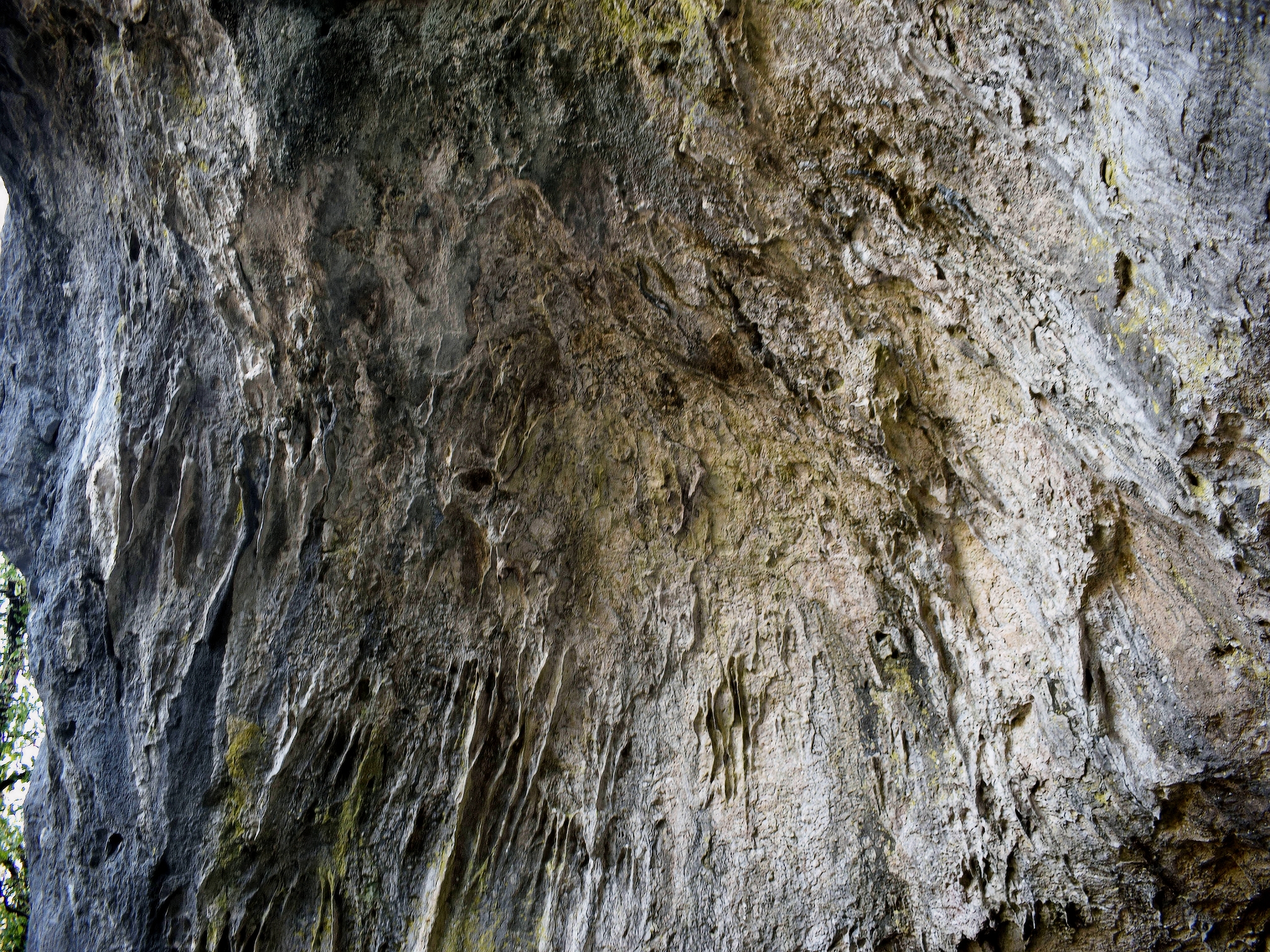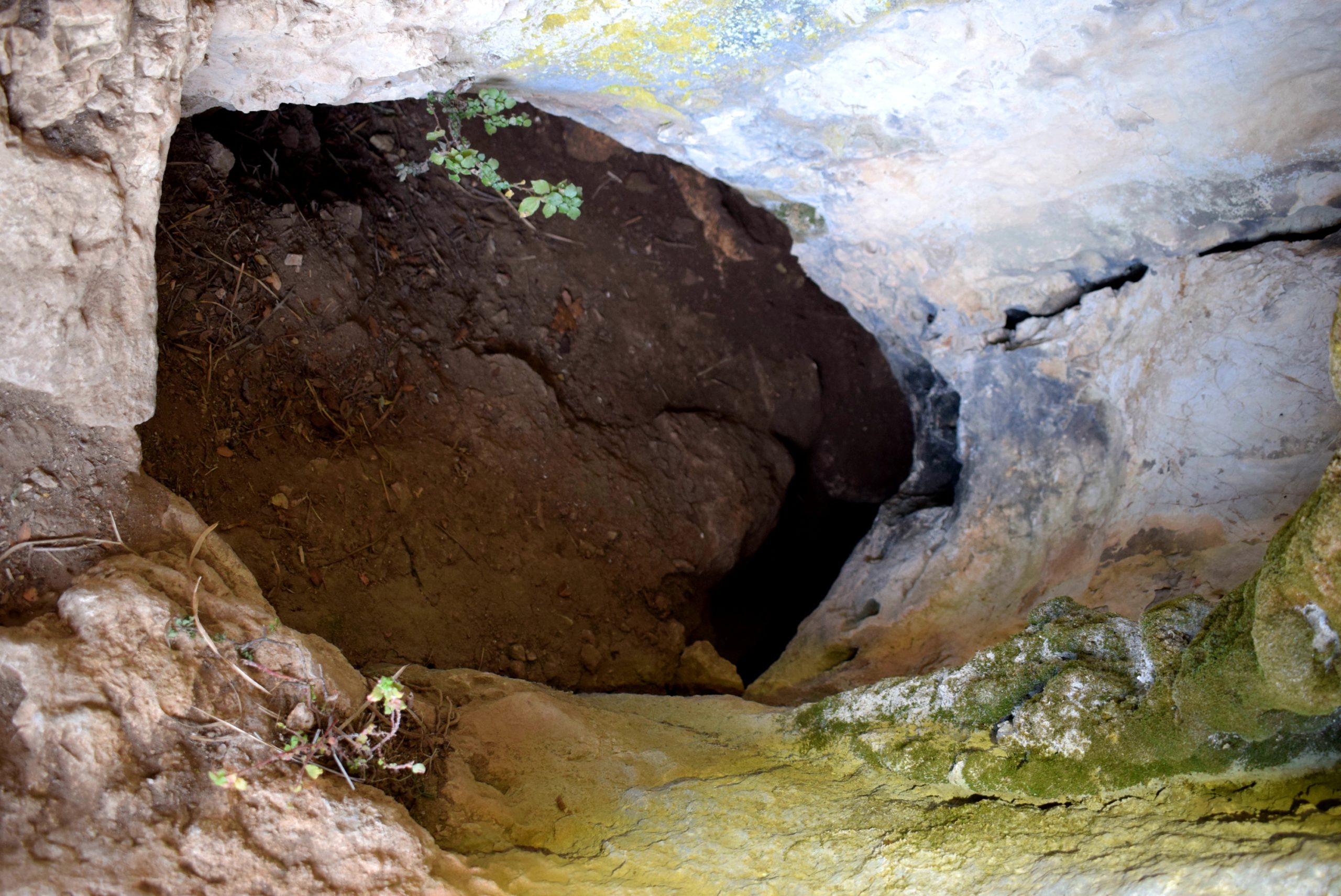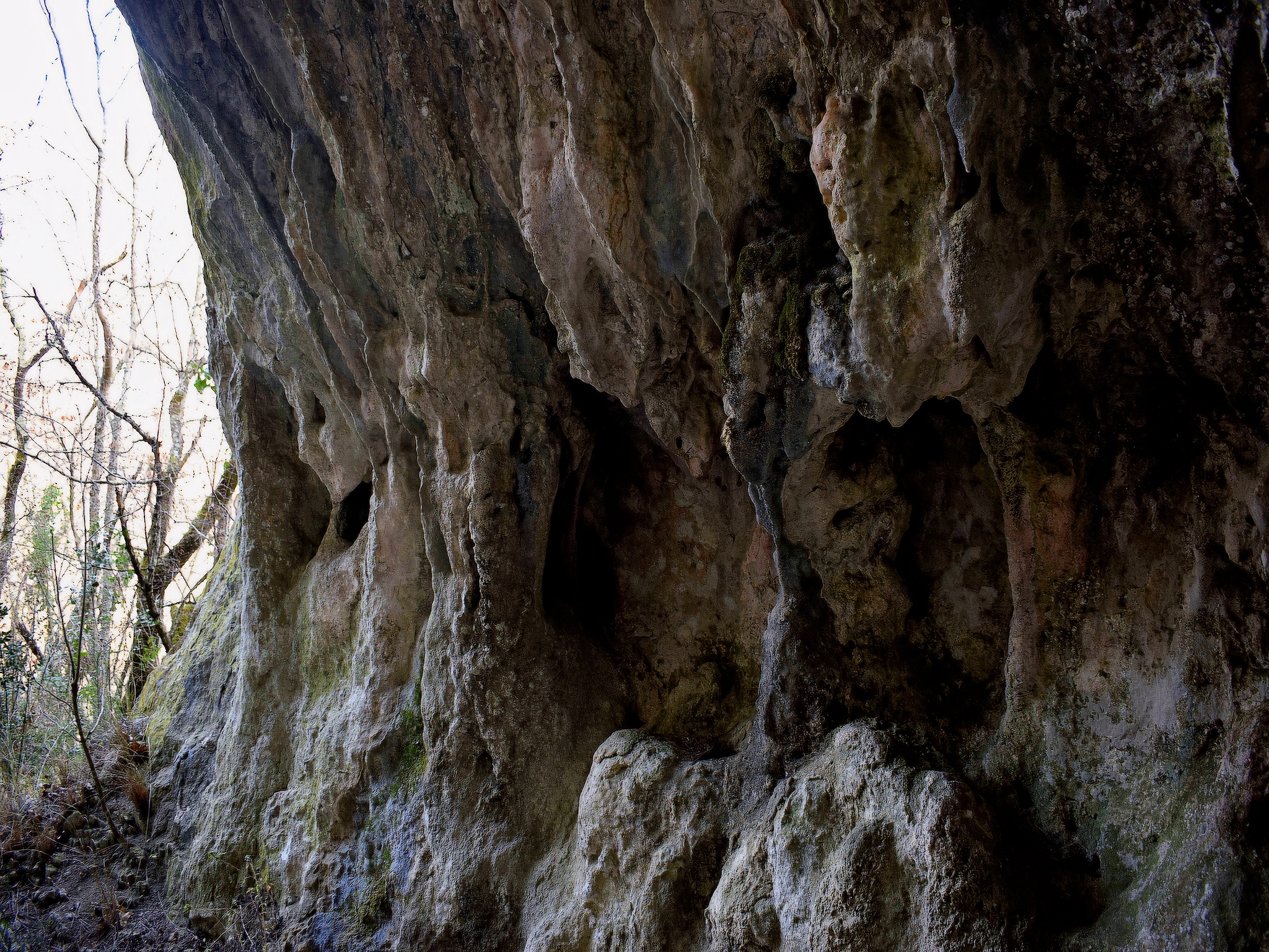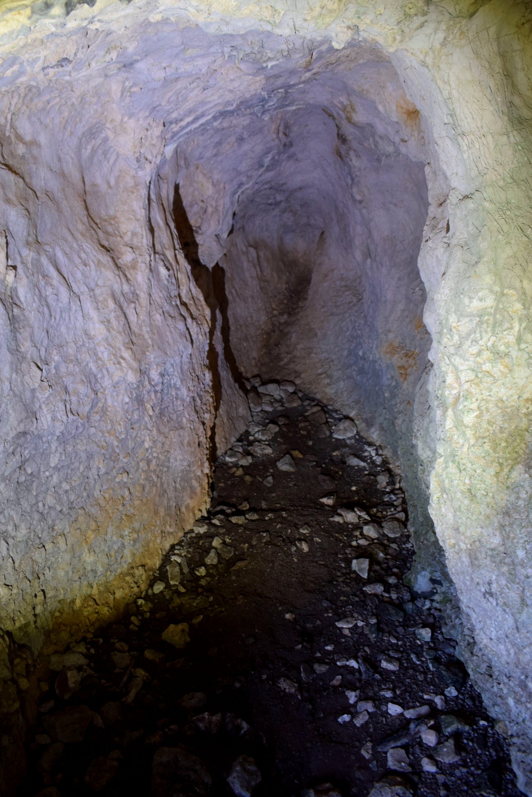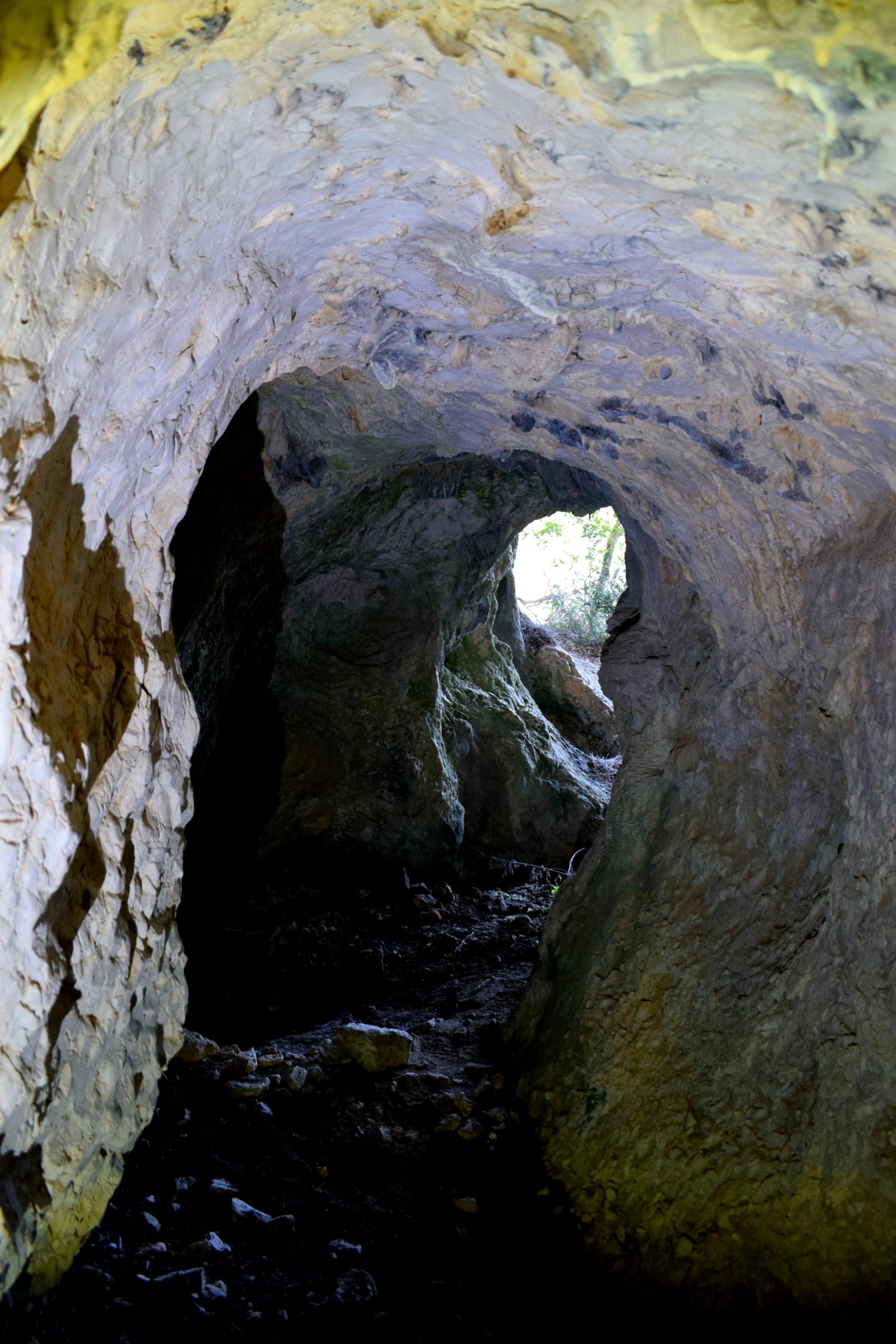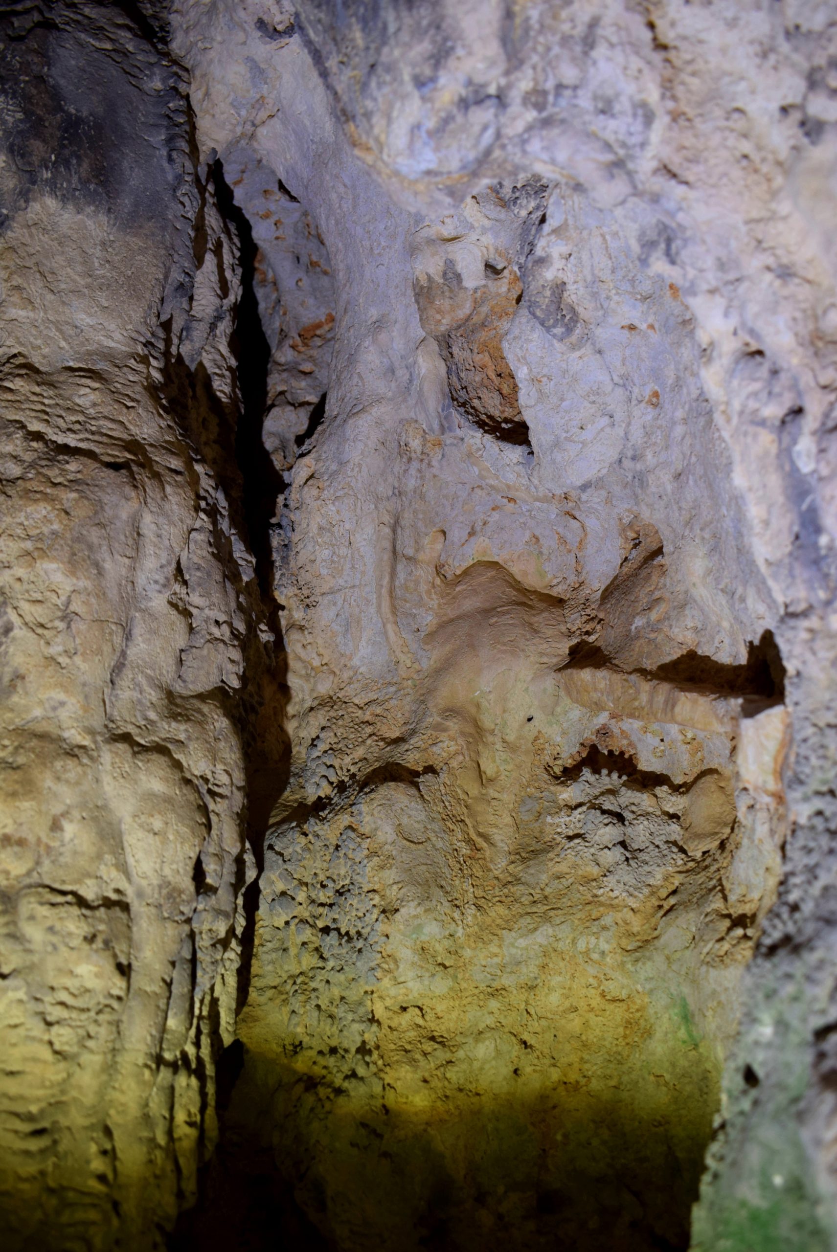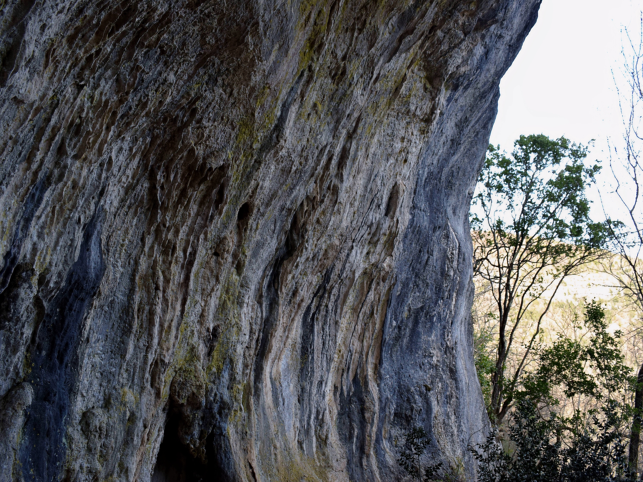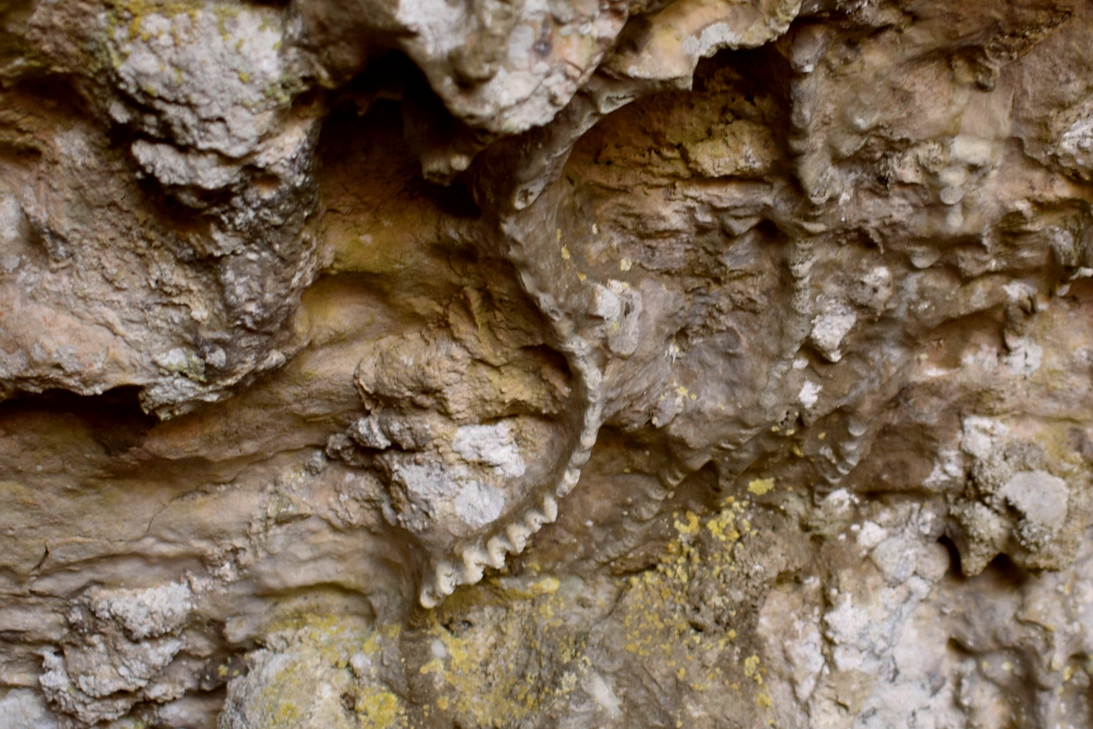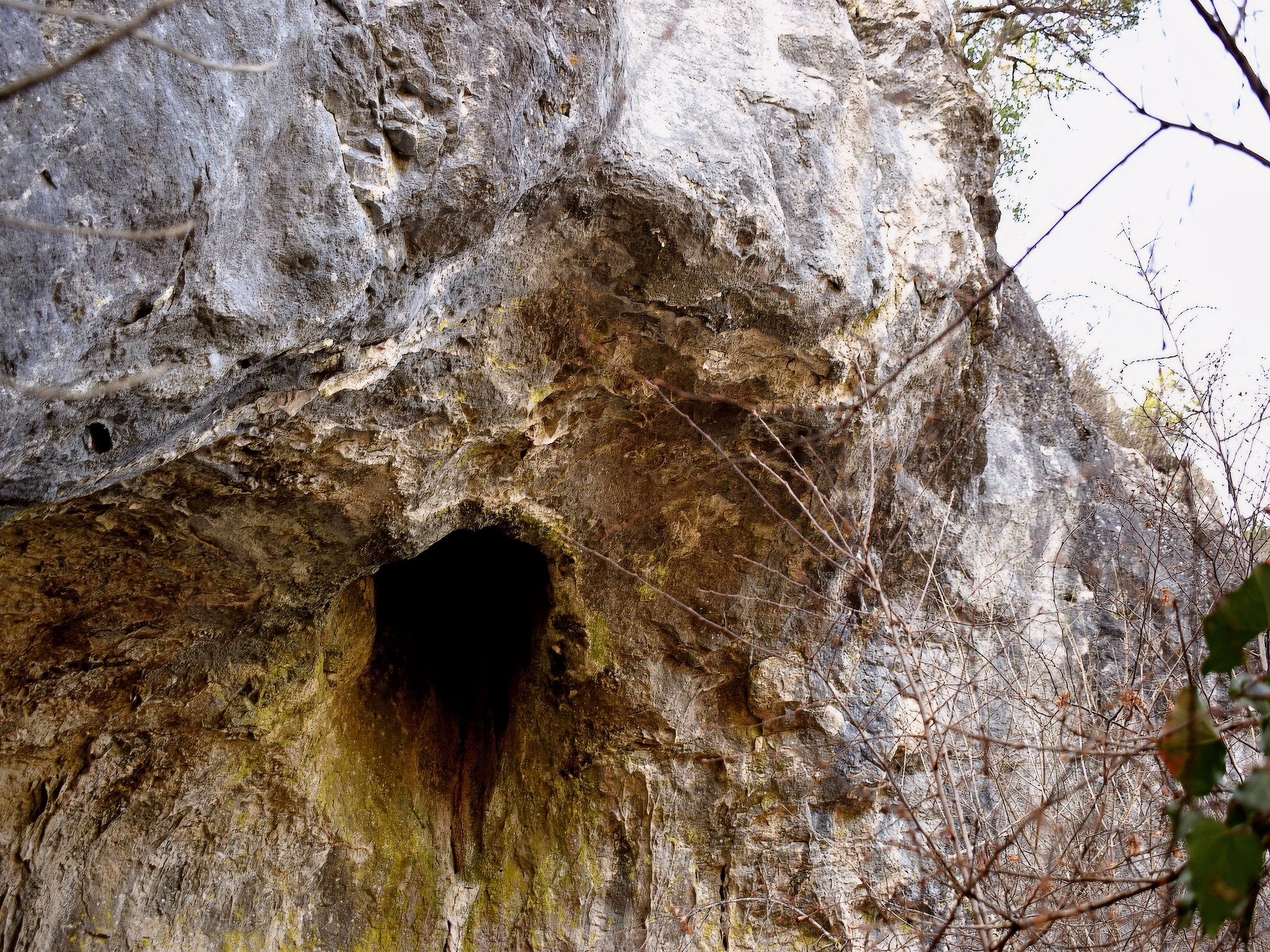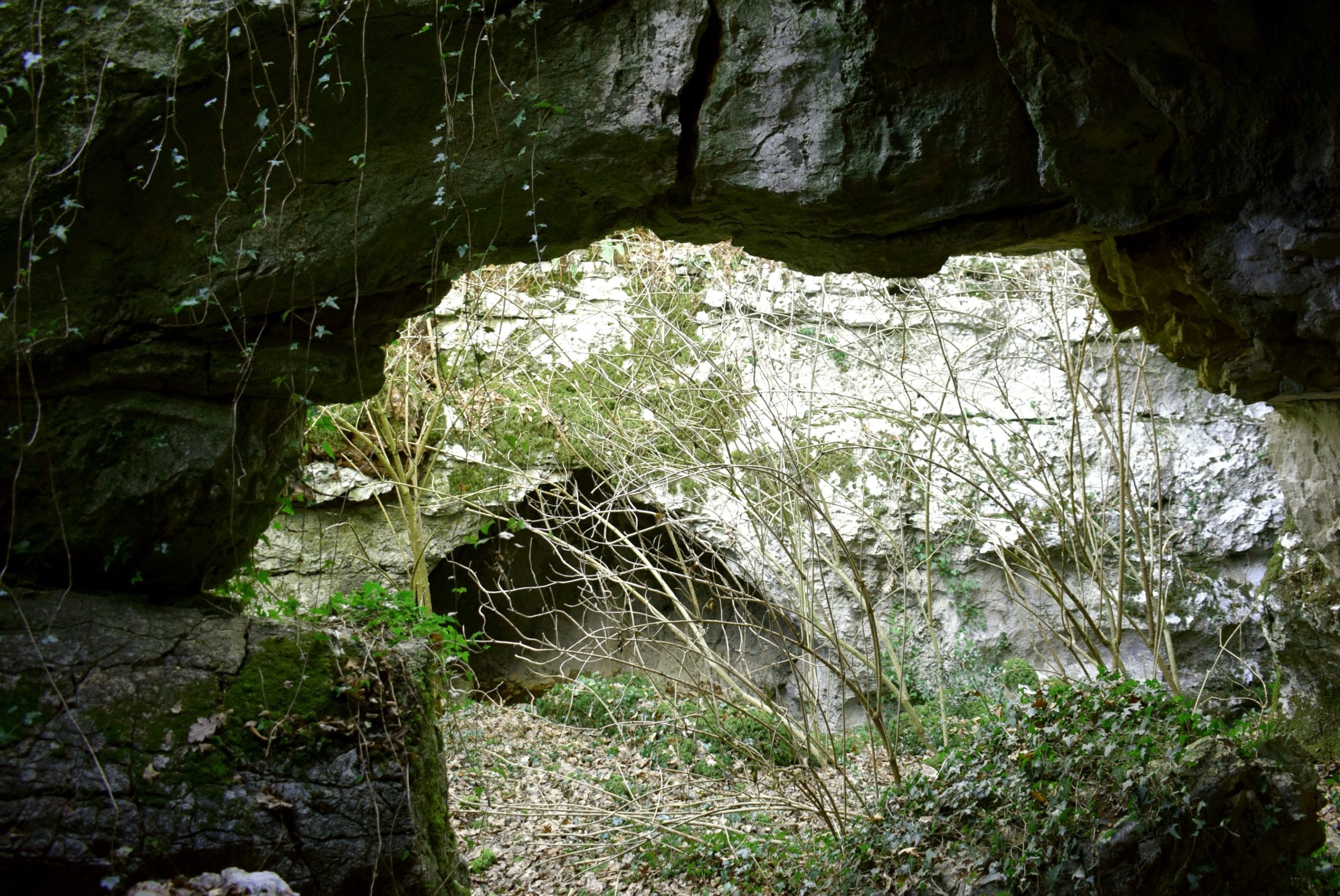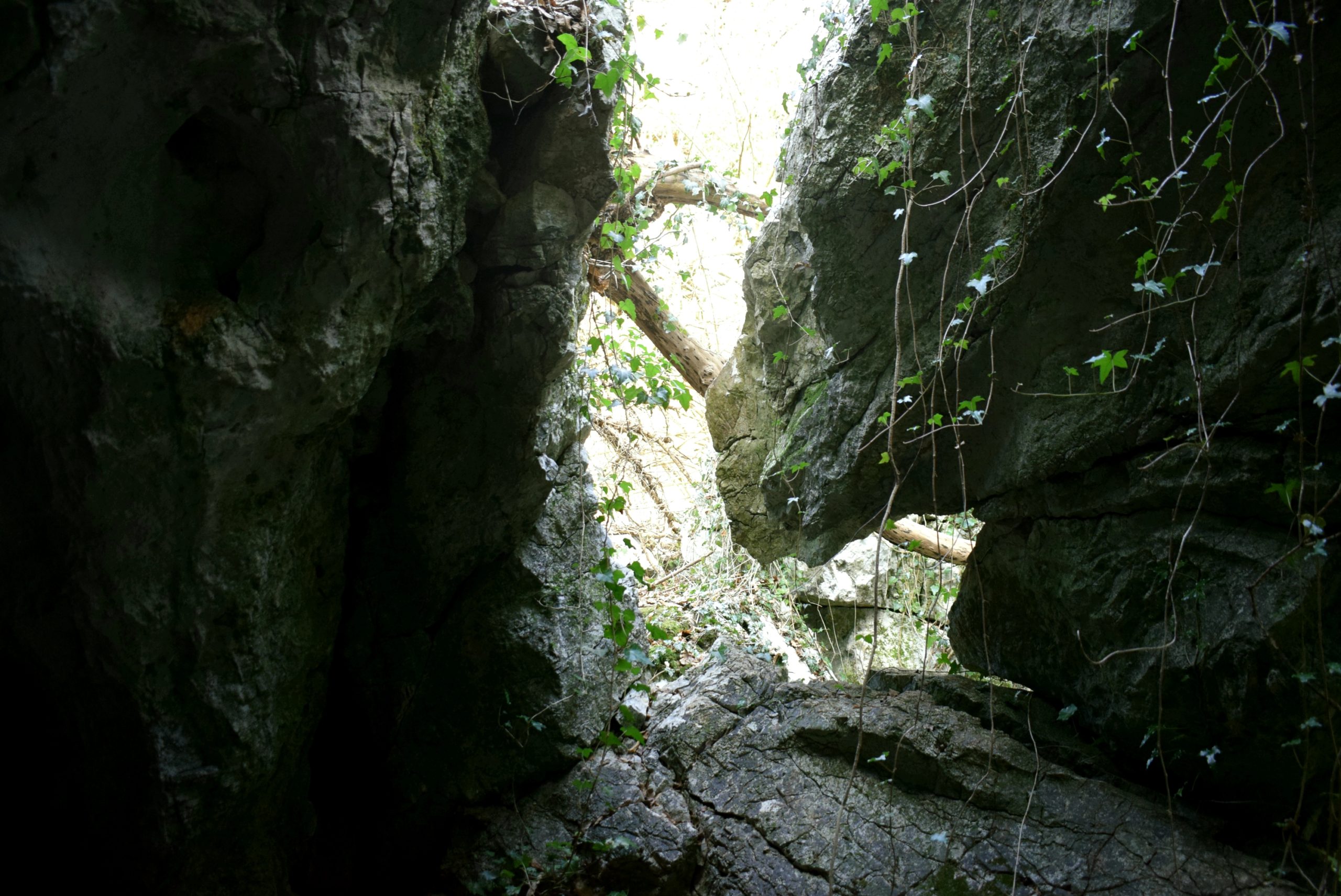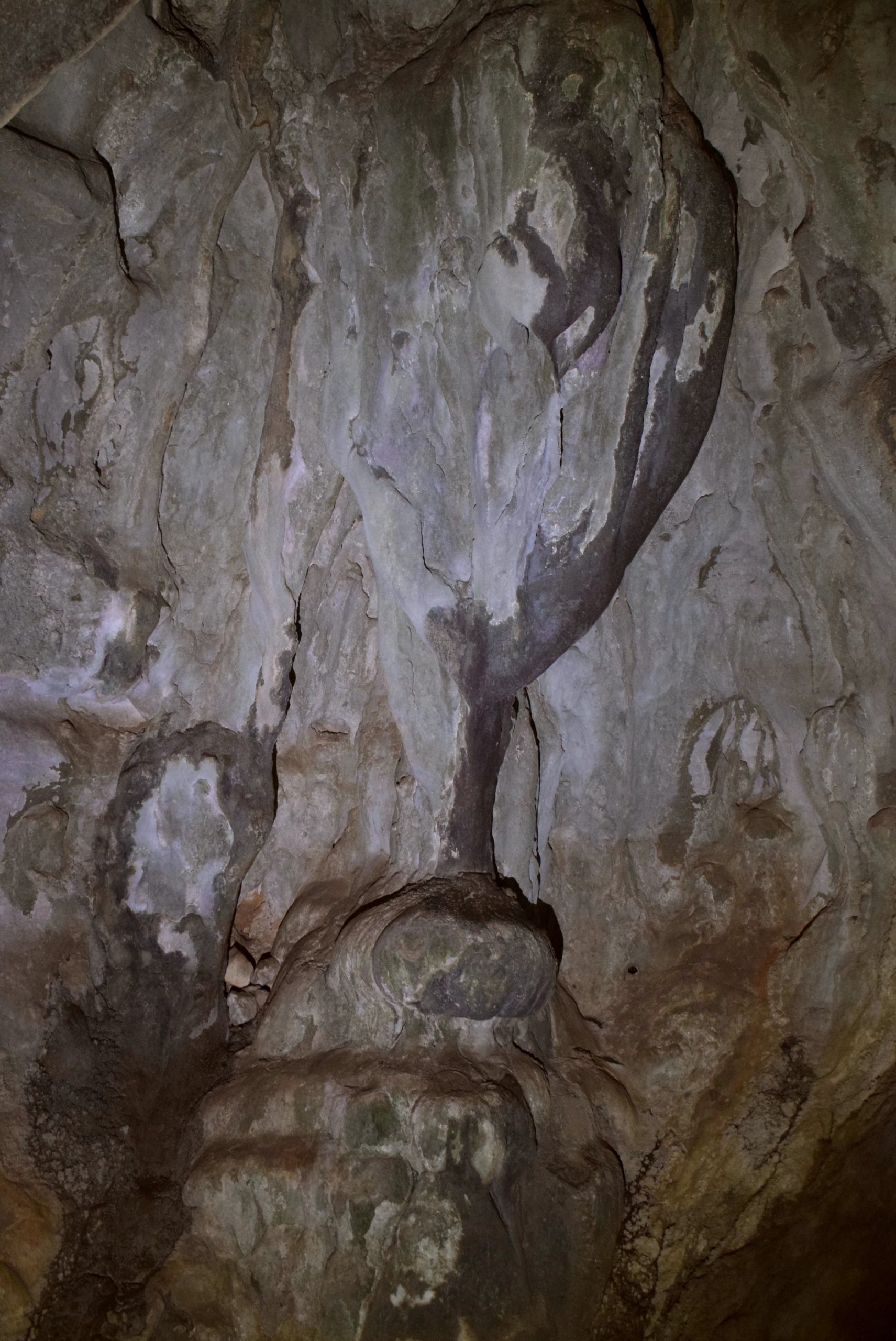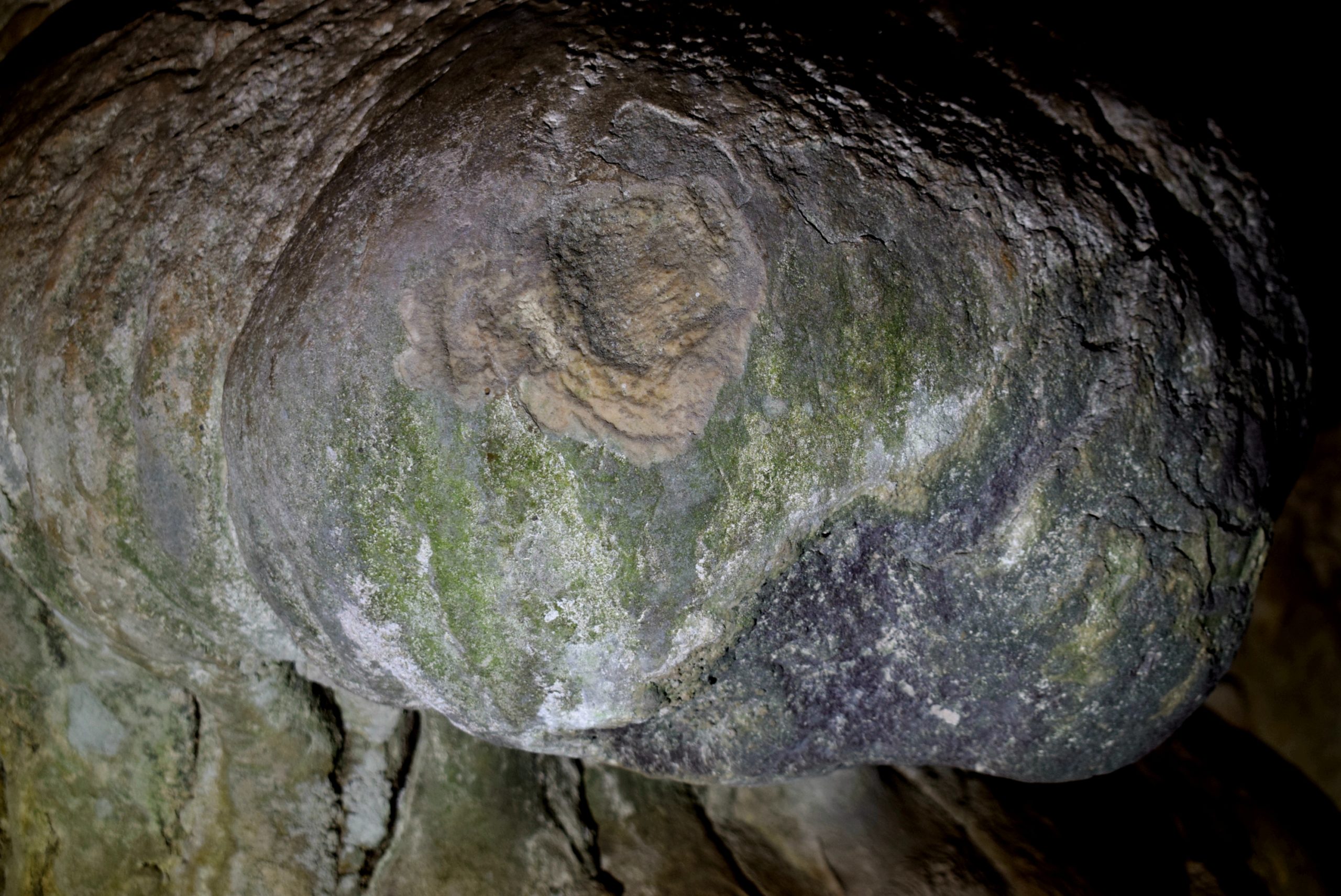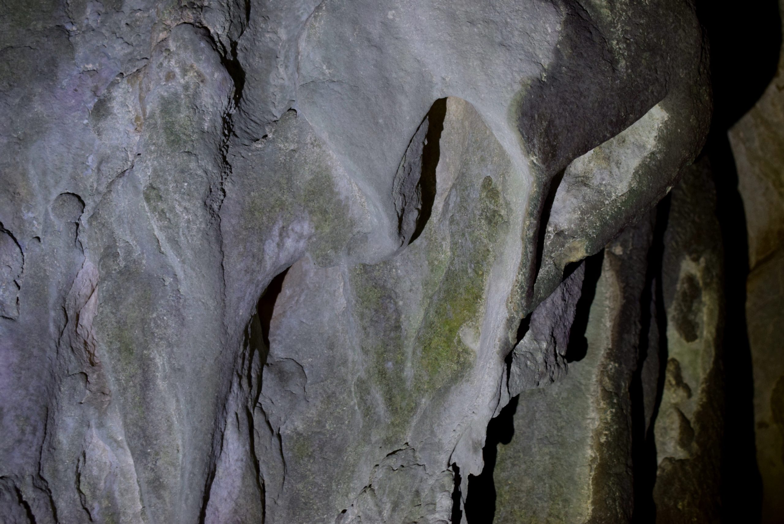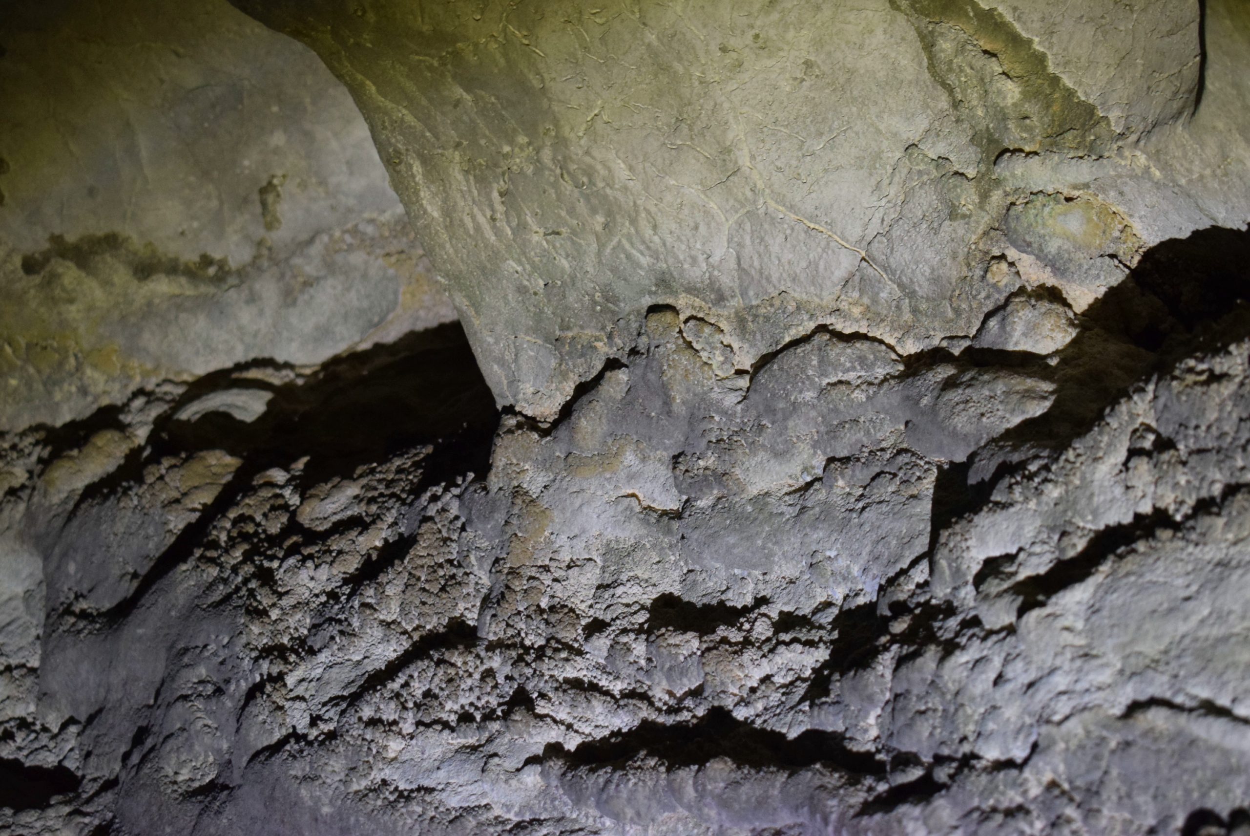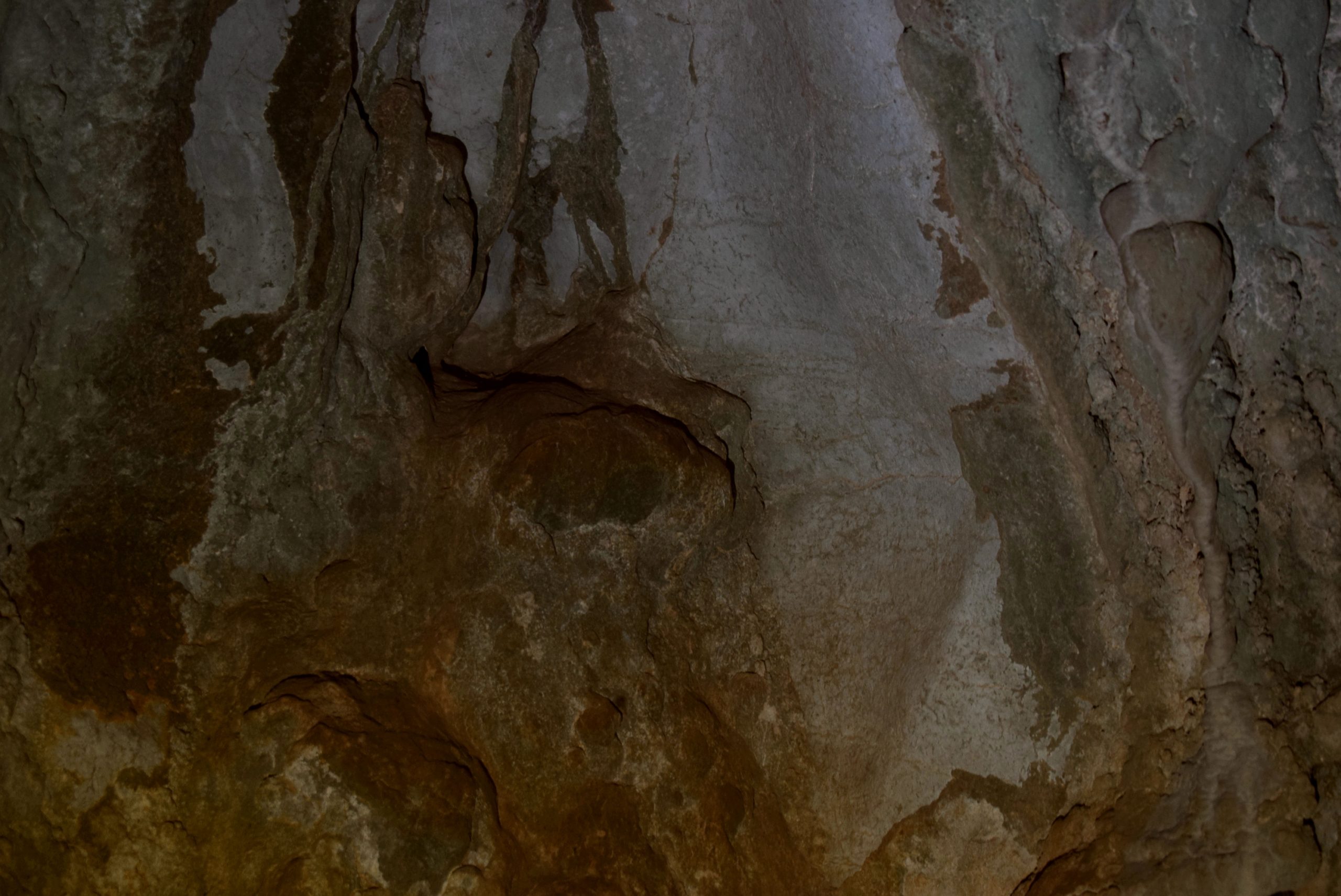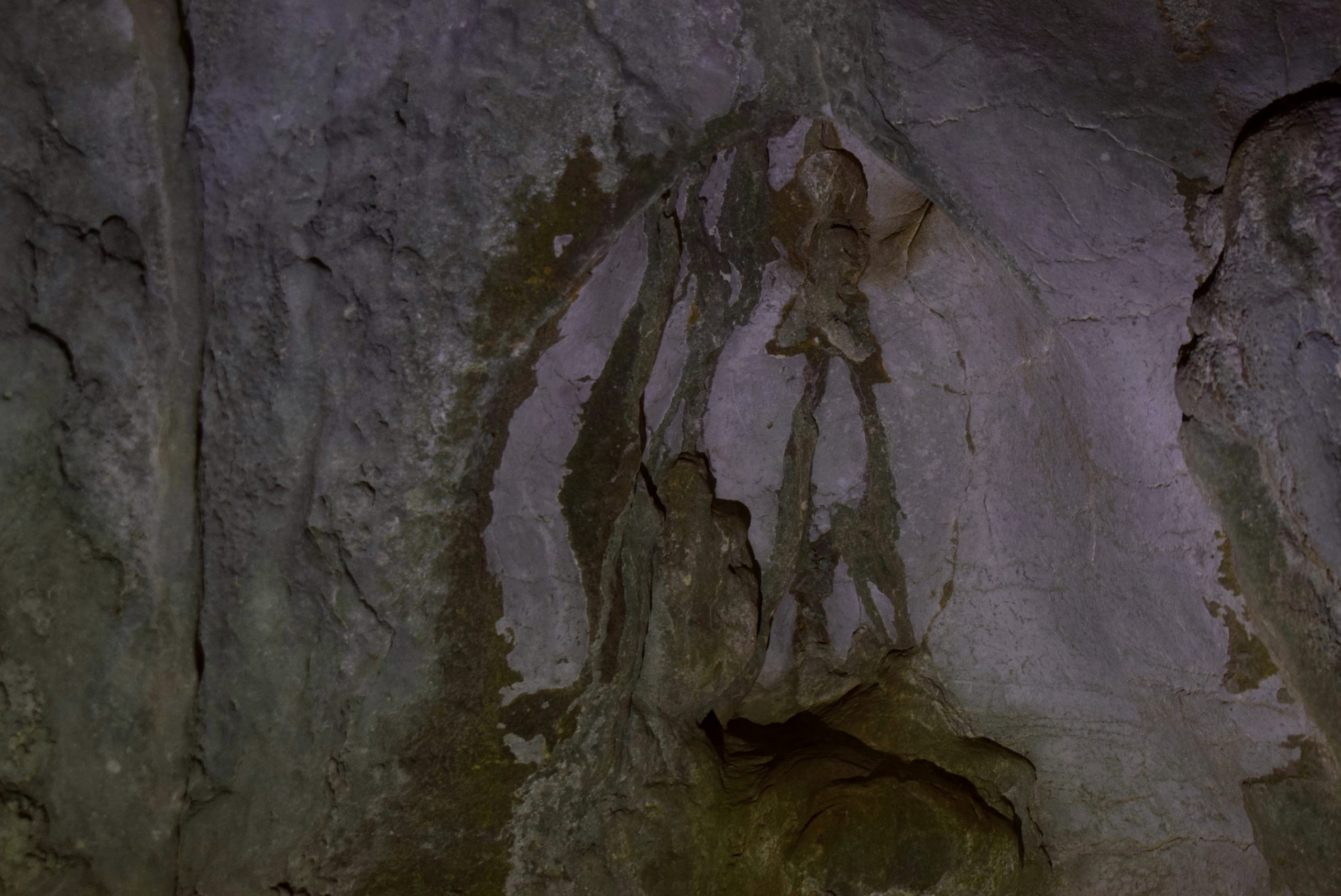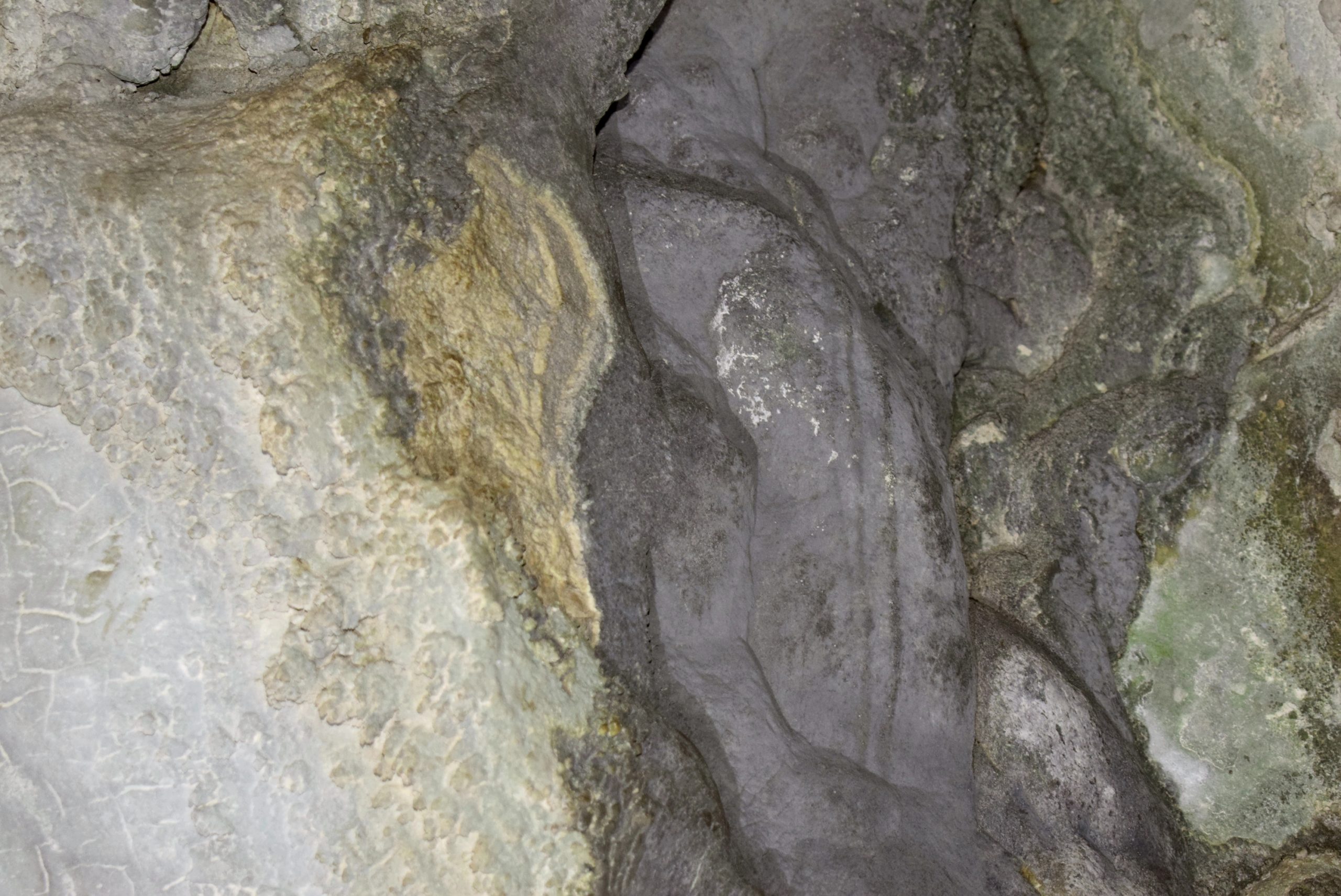
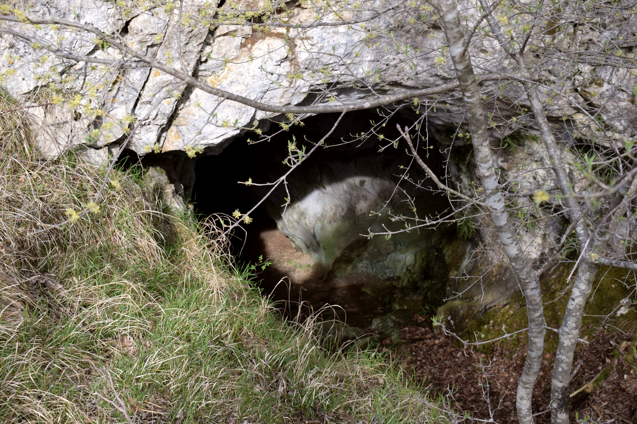
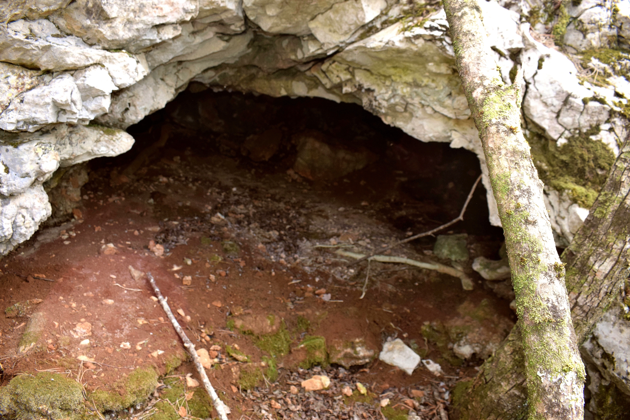


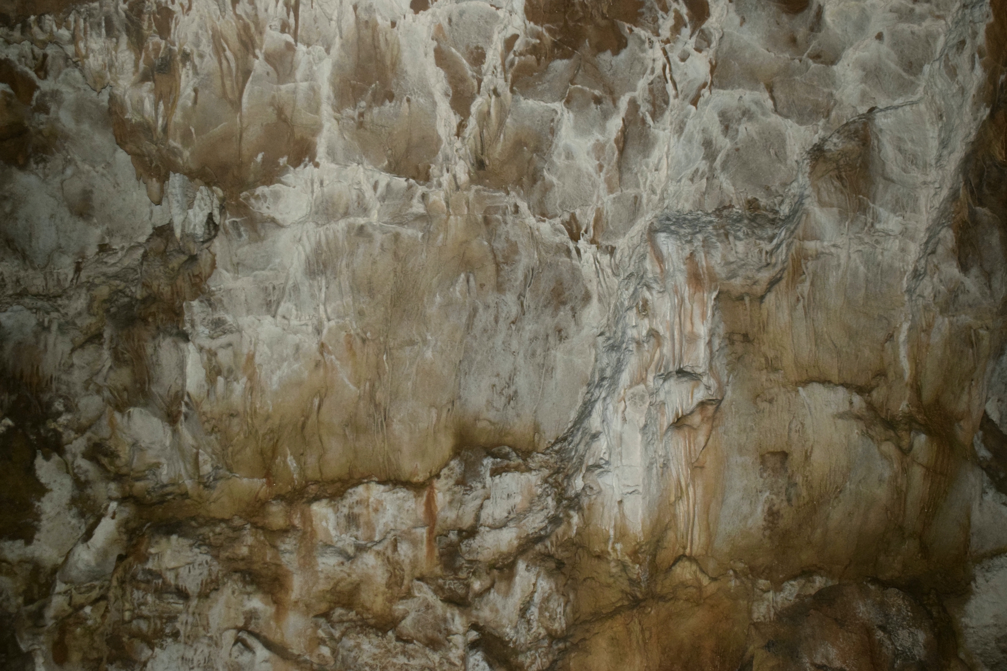
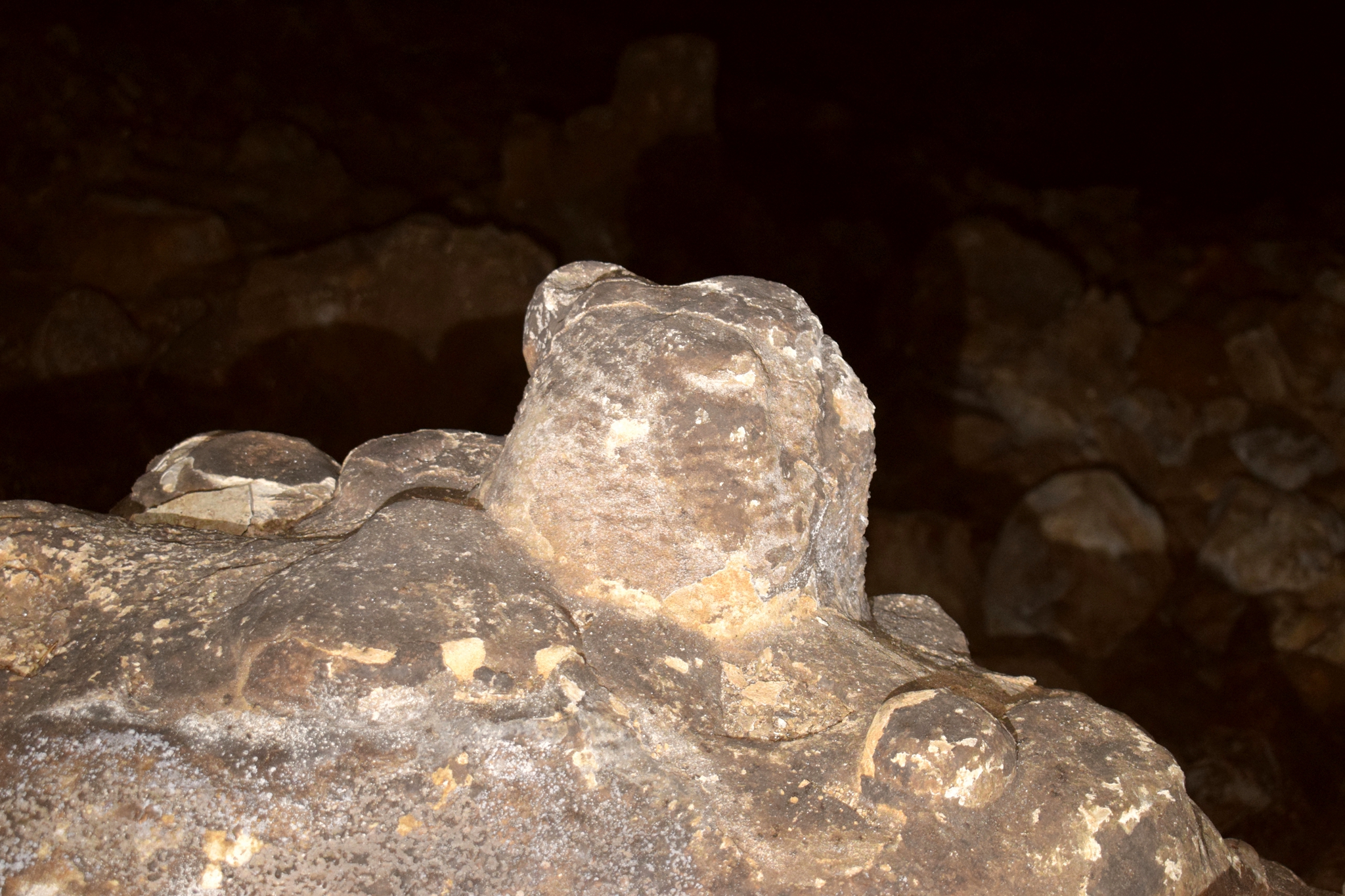
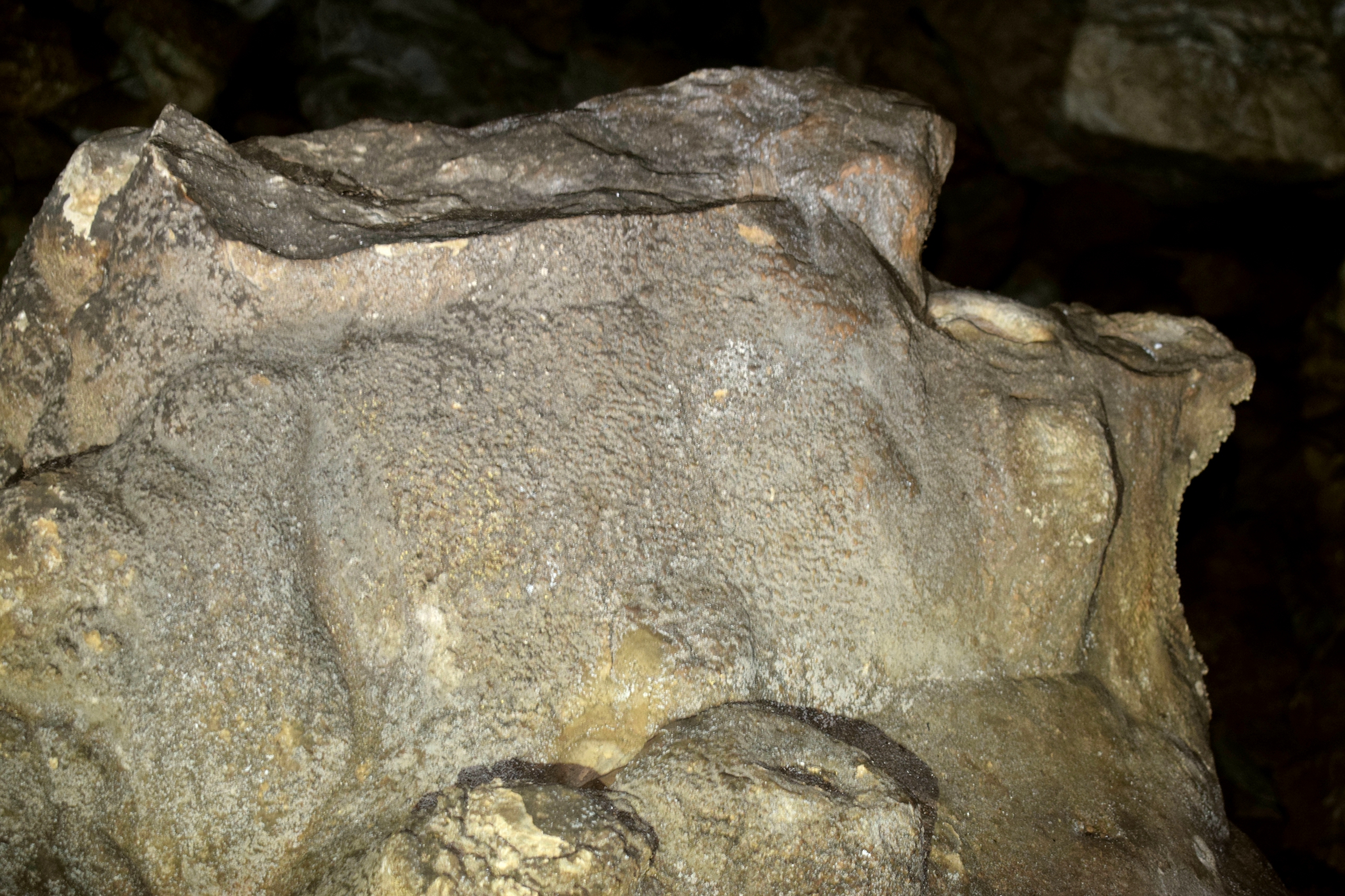
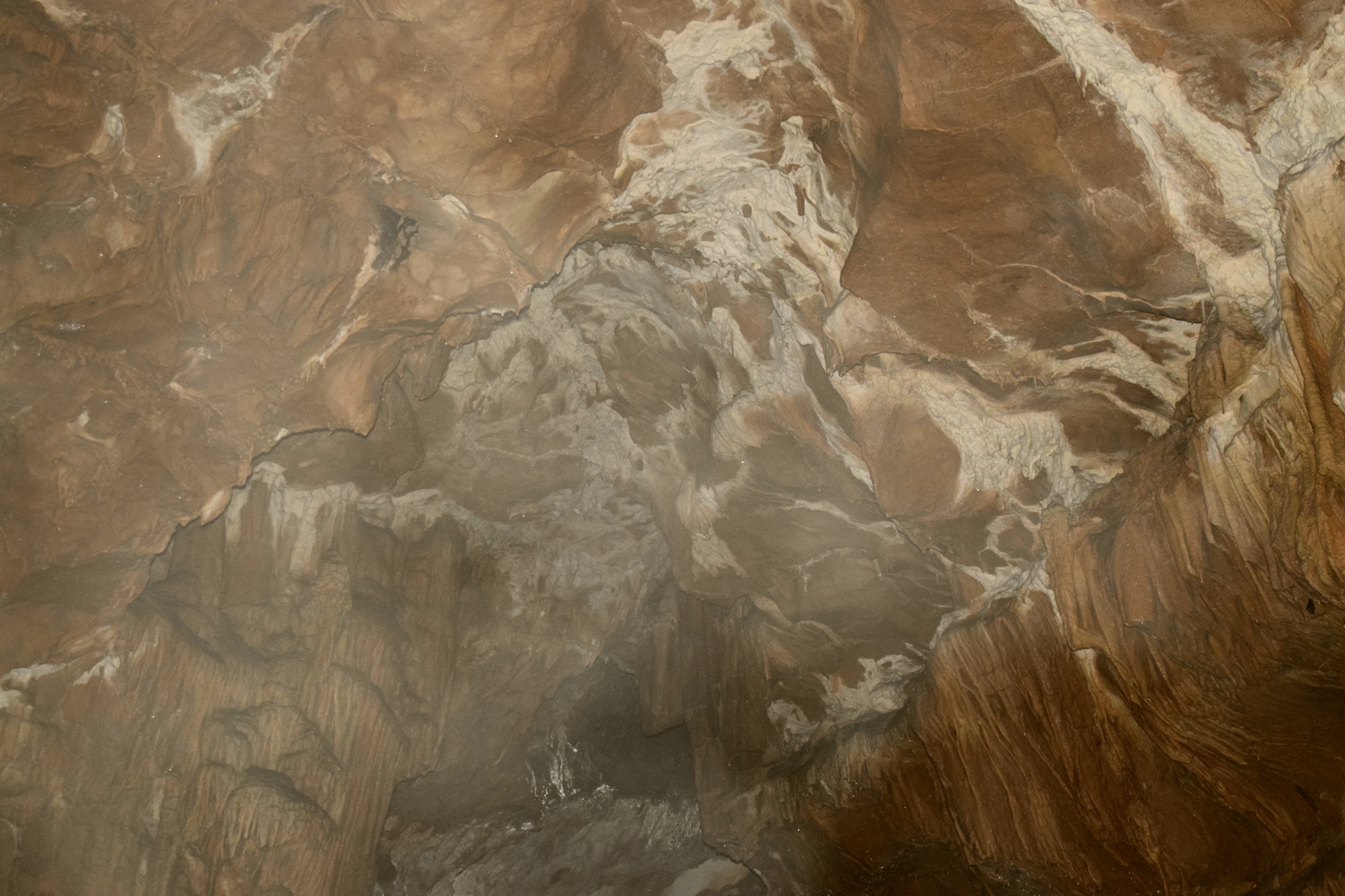

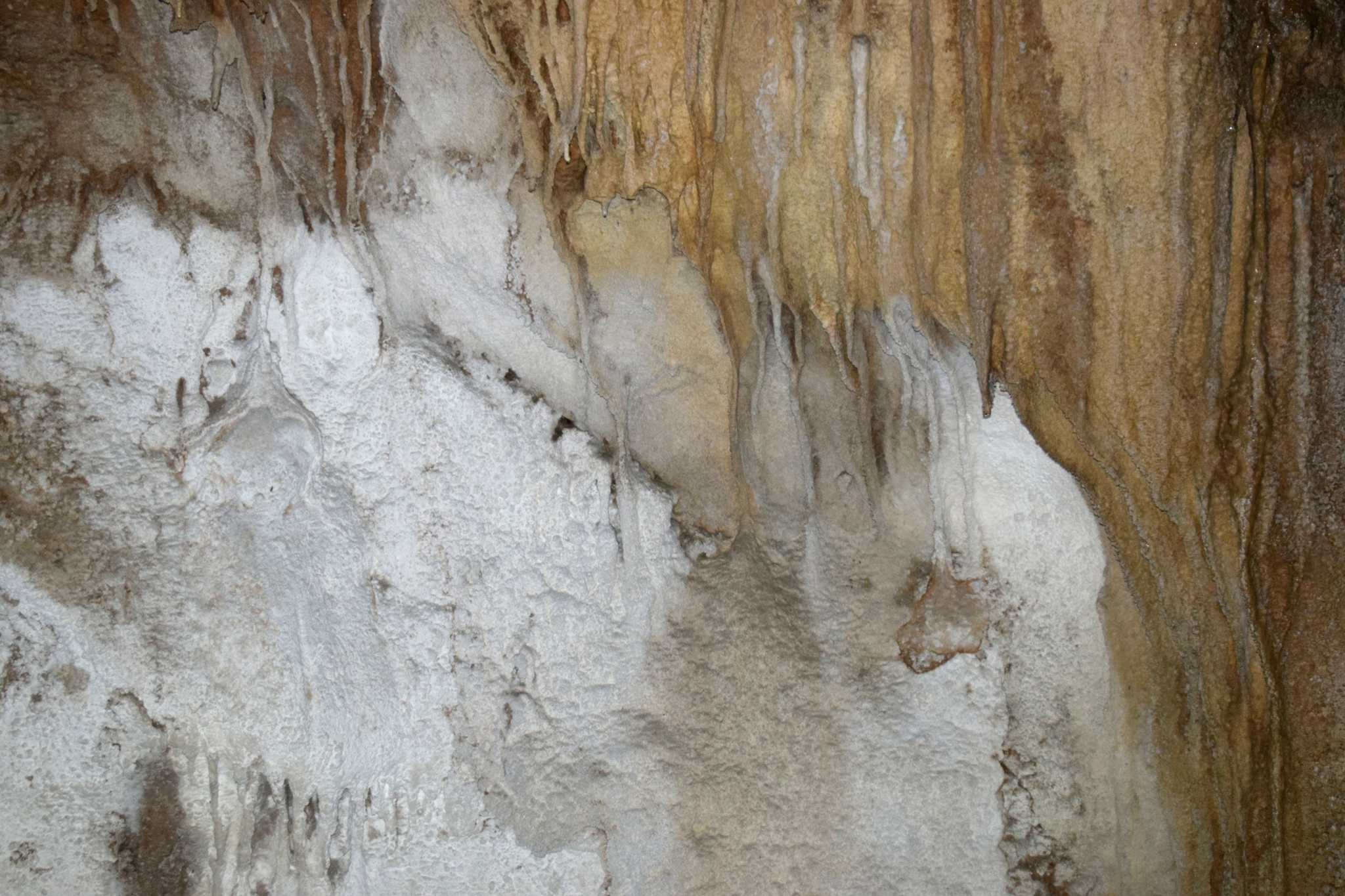
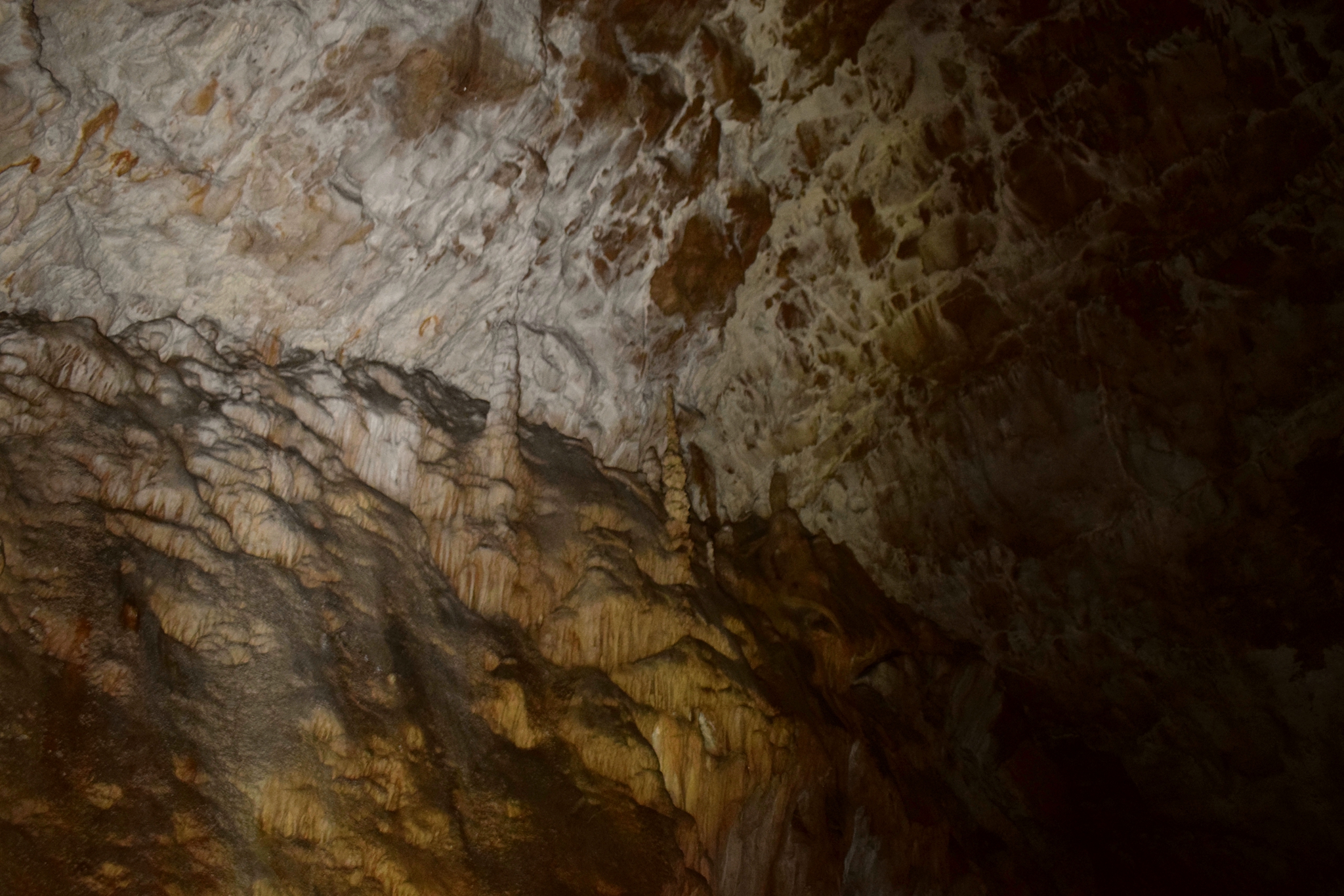
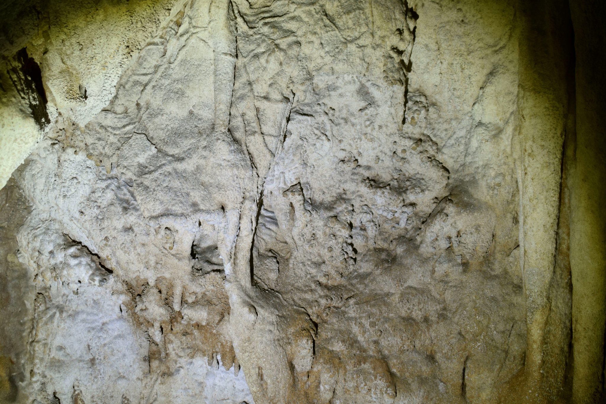
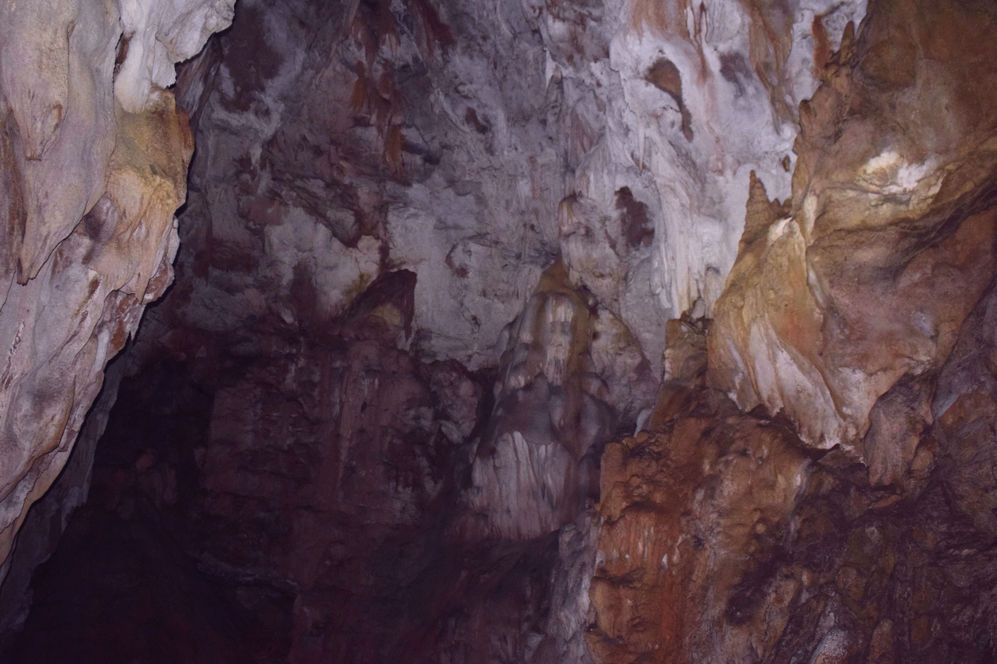
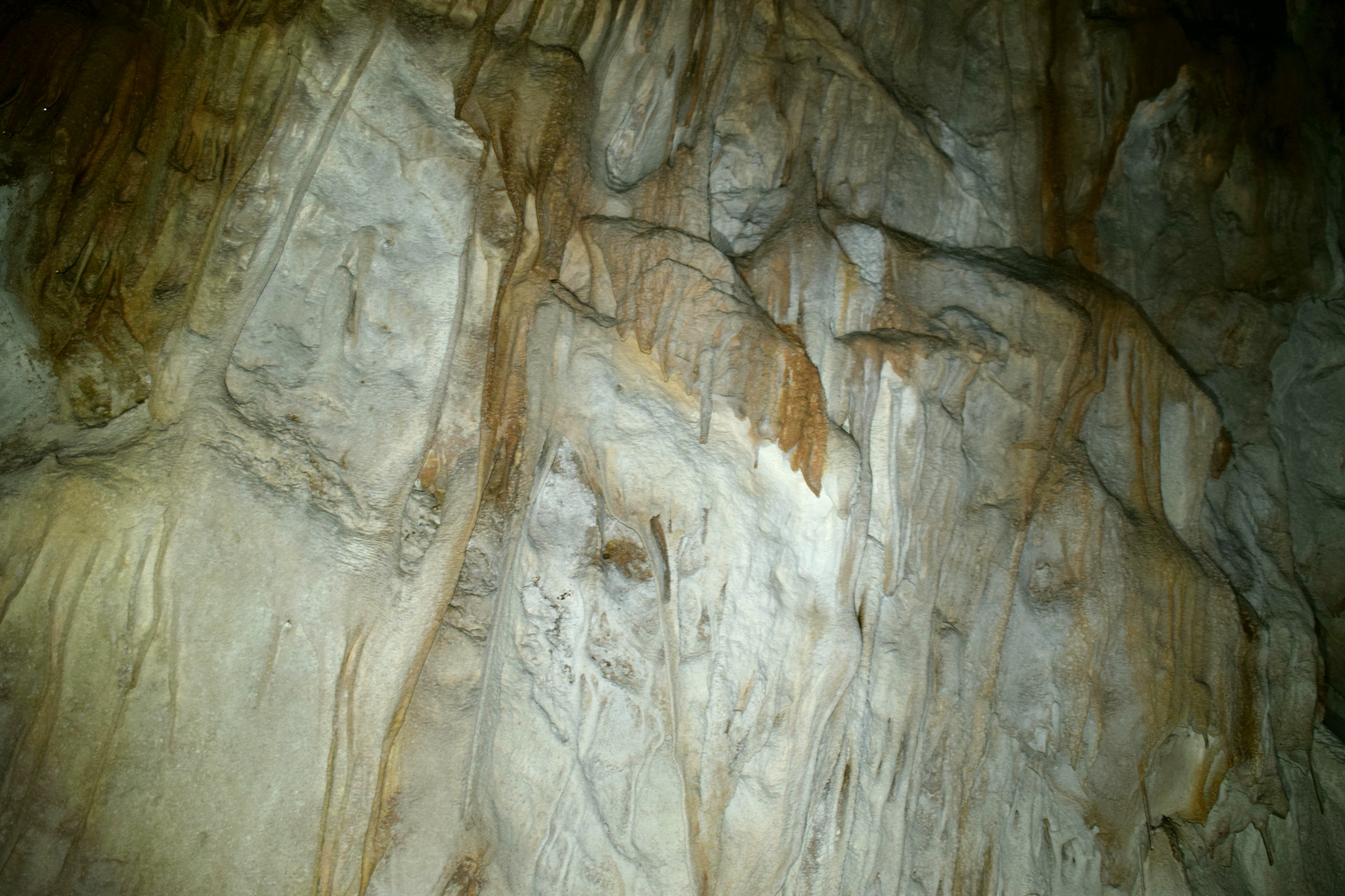
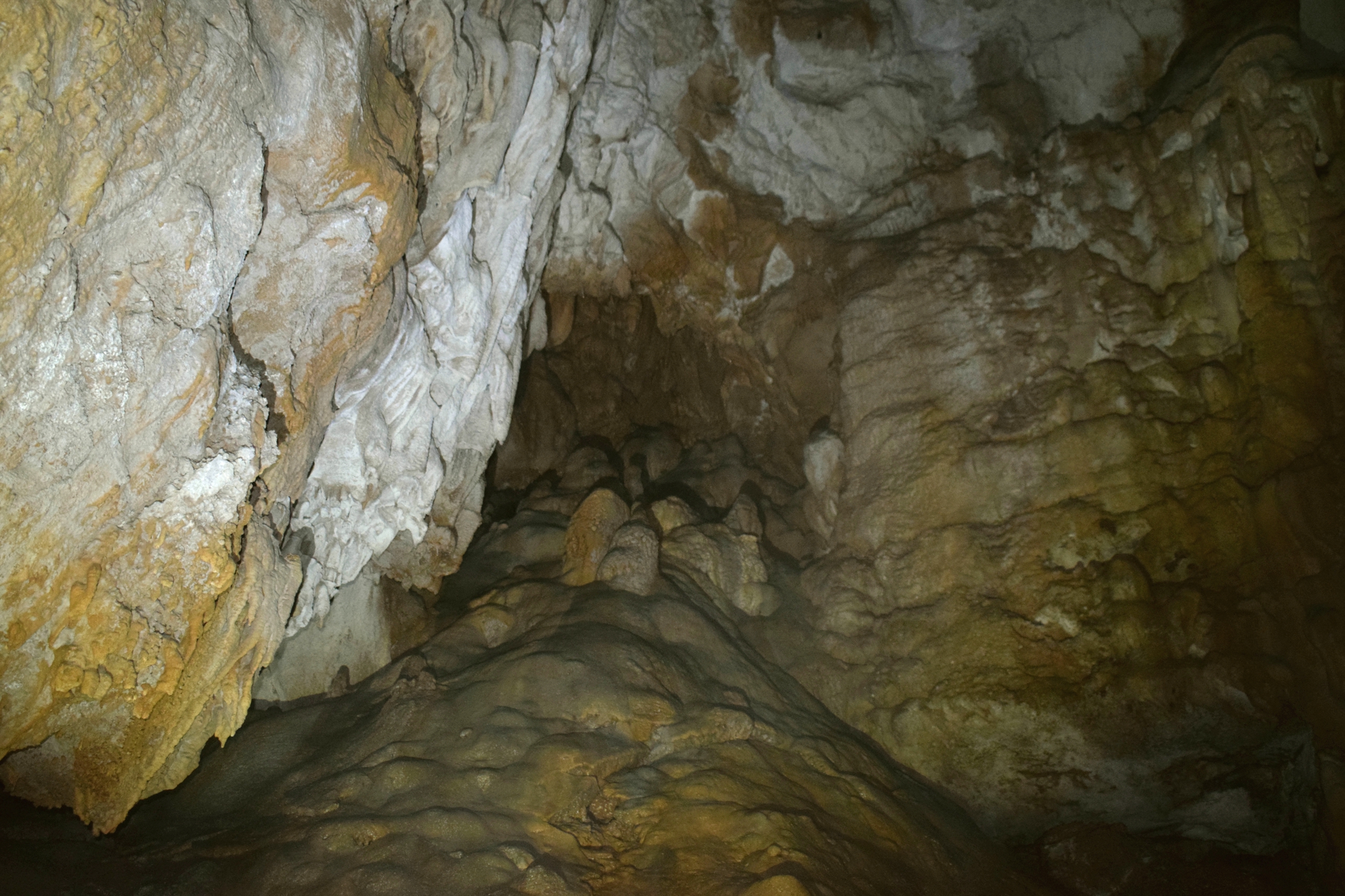
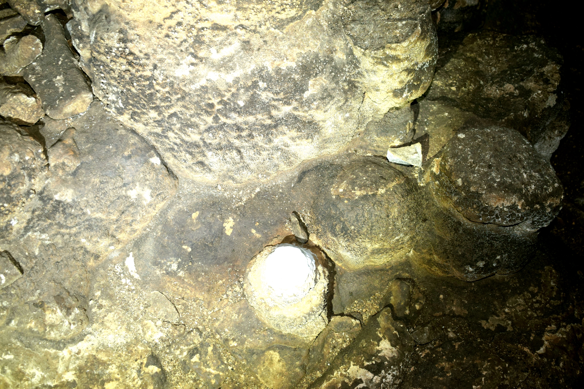
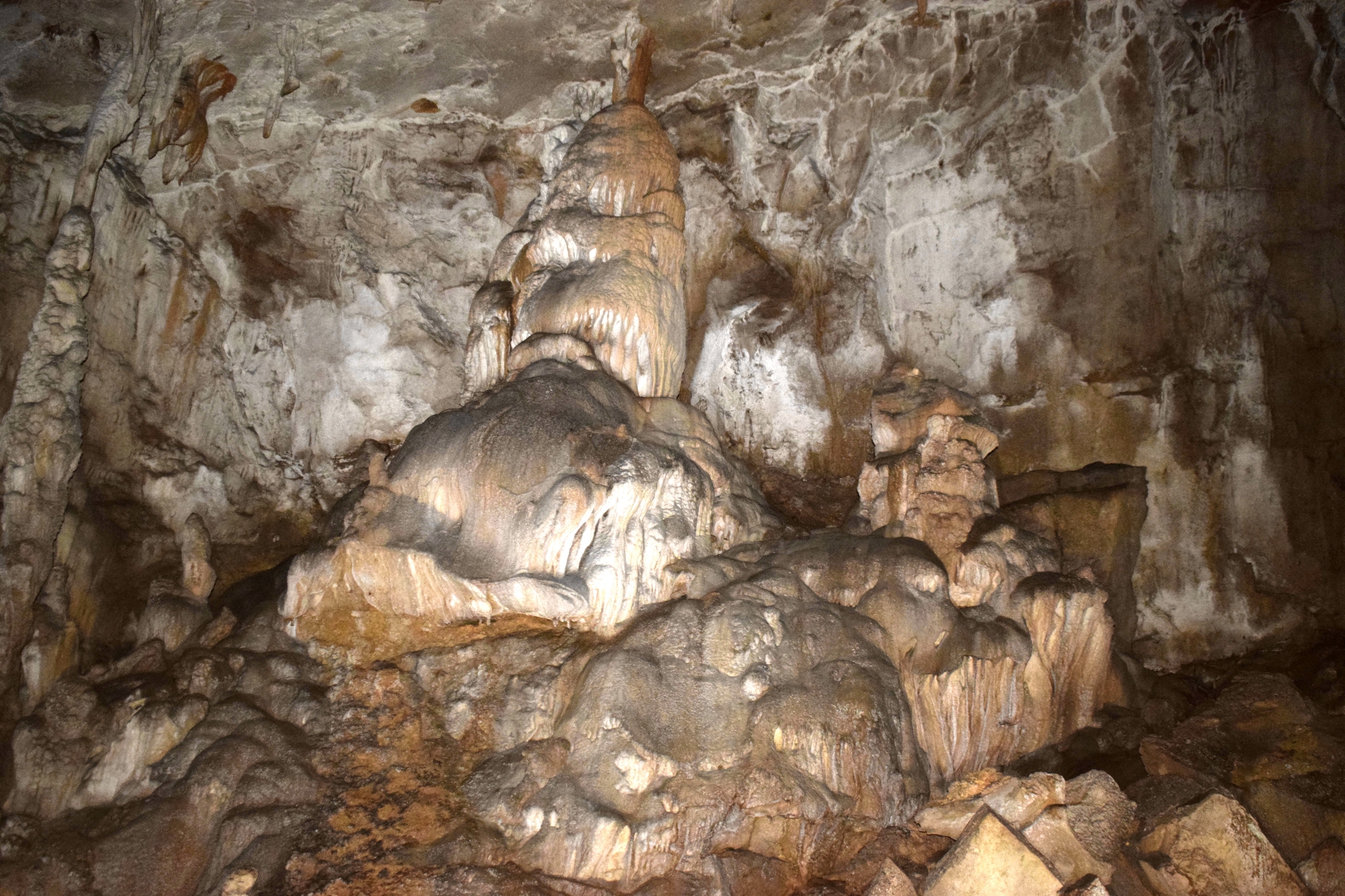
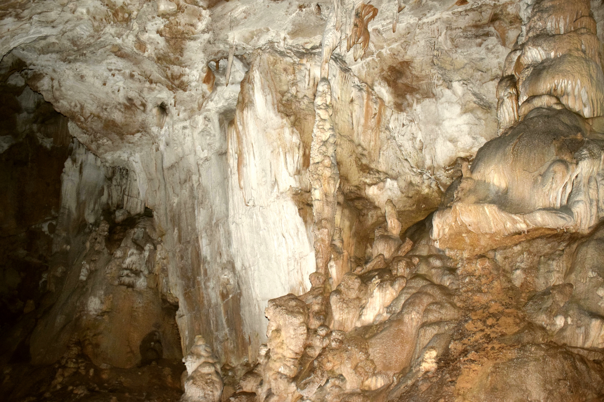
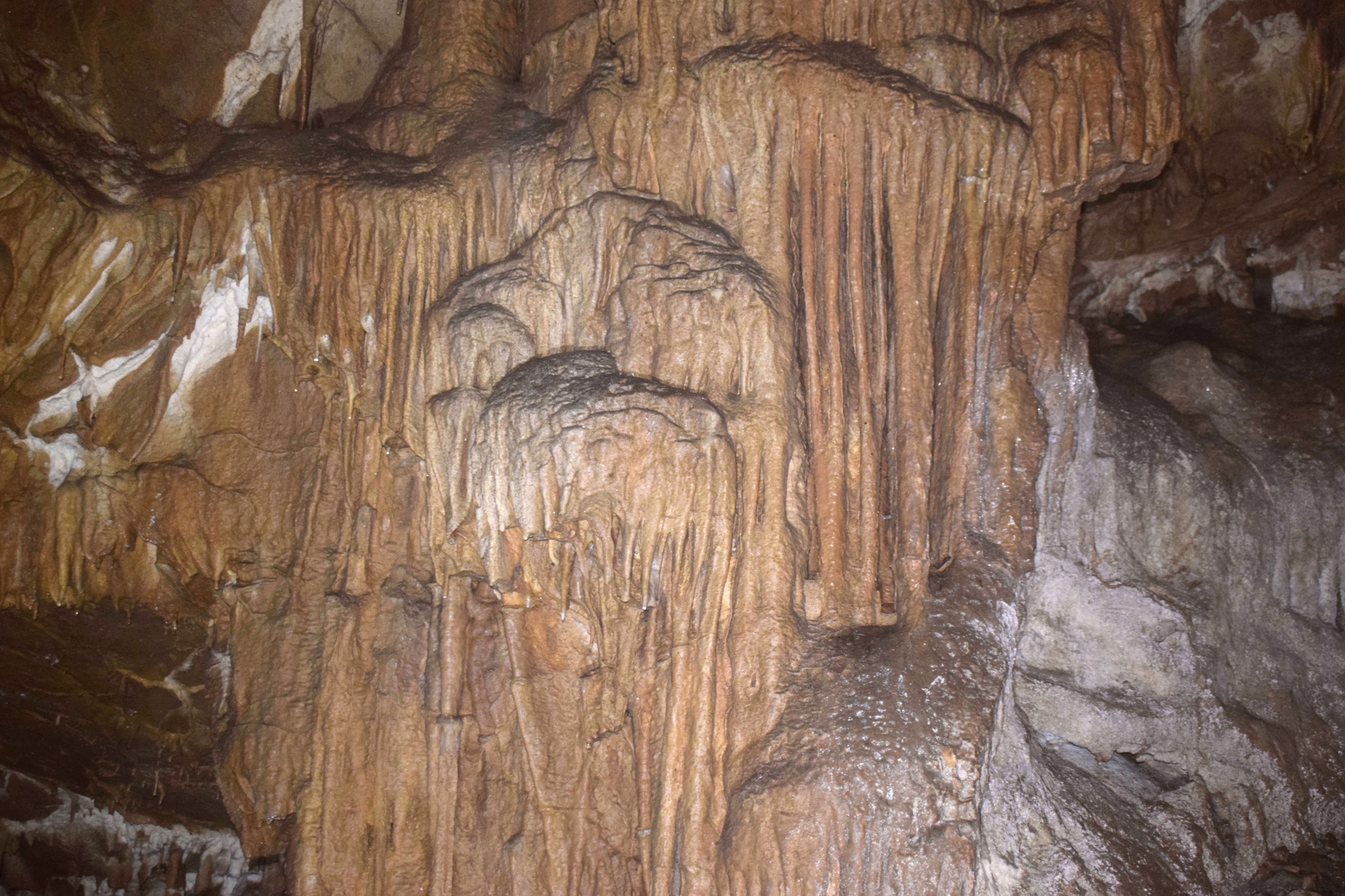
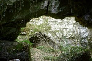
Name: Radota cave on the Croatia / Slovenia border near Brest.
Place: Near Brest – (Lanišće).
Coordinates: Start trail 45.44933 N- 13.99546 E, Radota Jama 45.45611 N – 13.98475 E.
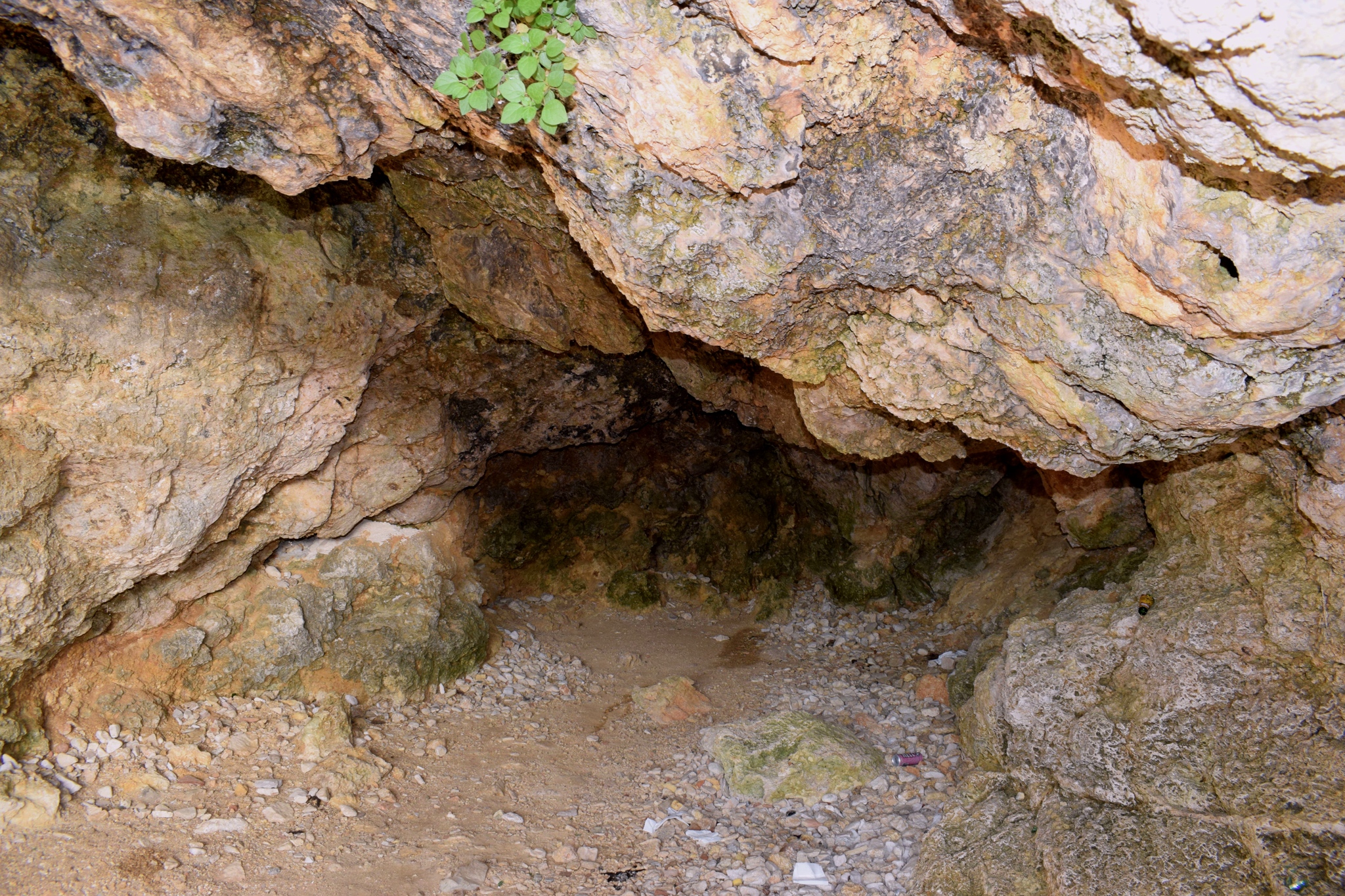
Name: Radota cave on the Croatia / Slovenia border near Brest.
Place: Near Brest – (Lanišće).
Coordinates: Start trail 45.44933 N- 13.99546 E, Radota Jama 45.45611 N – 13.98475 E.
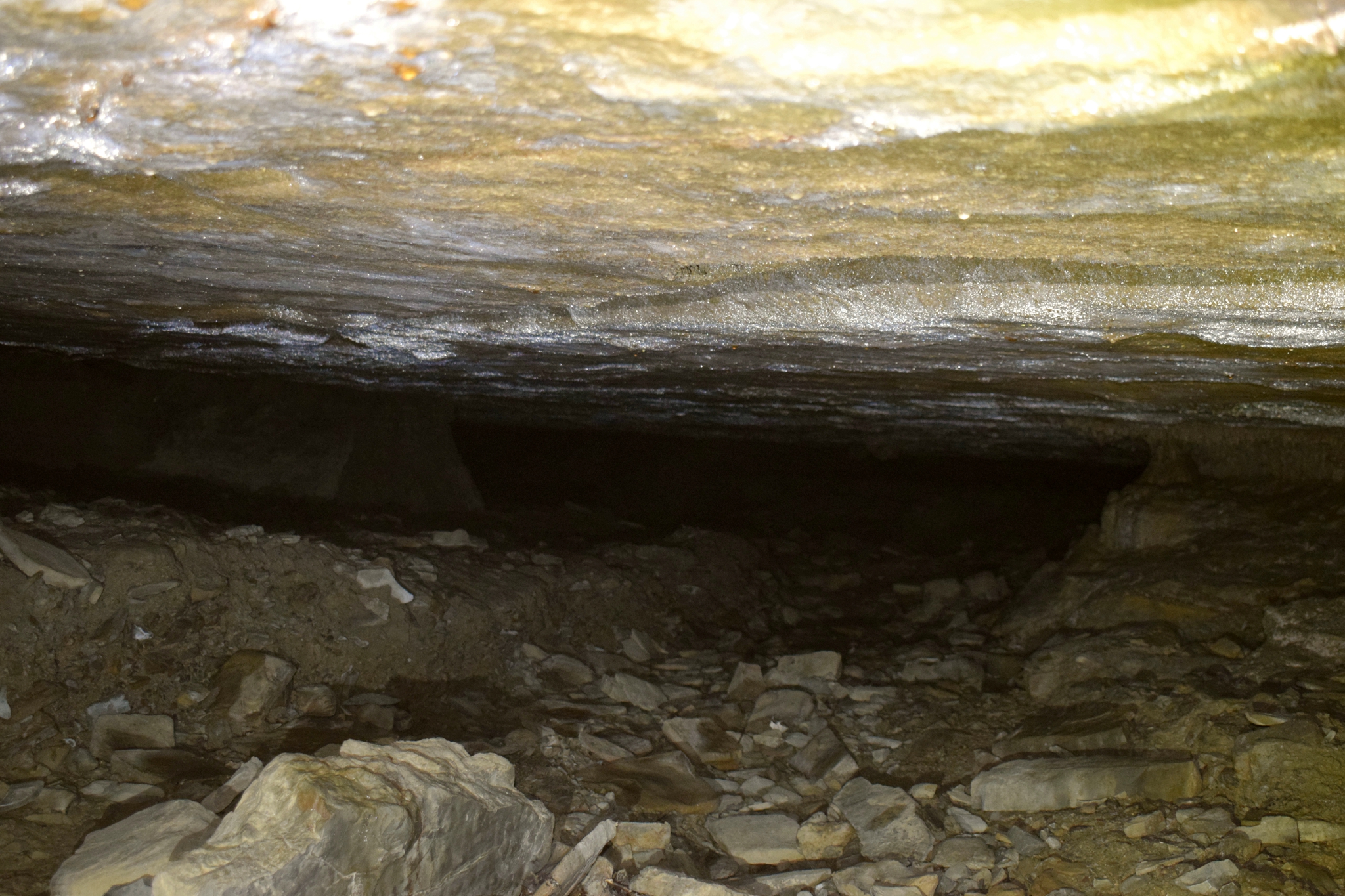
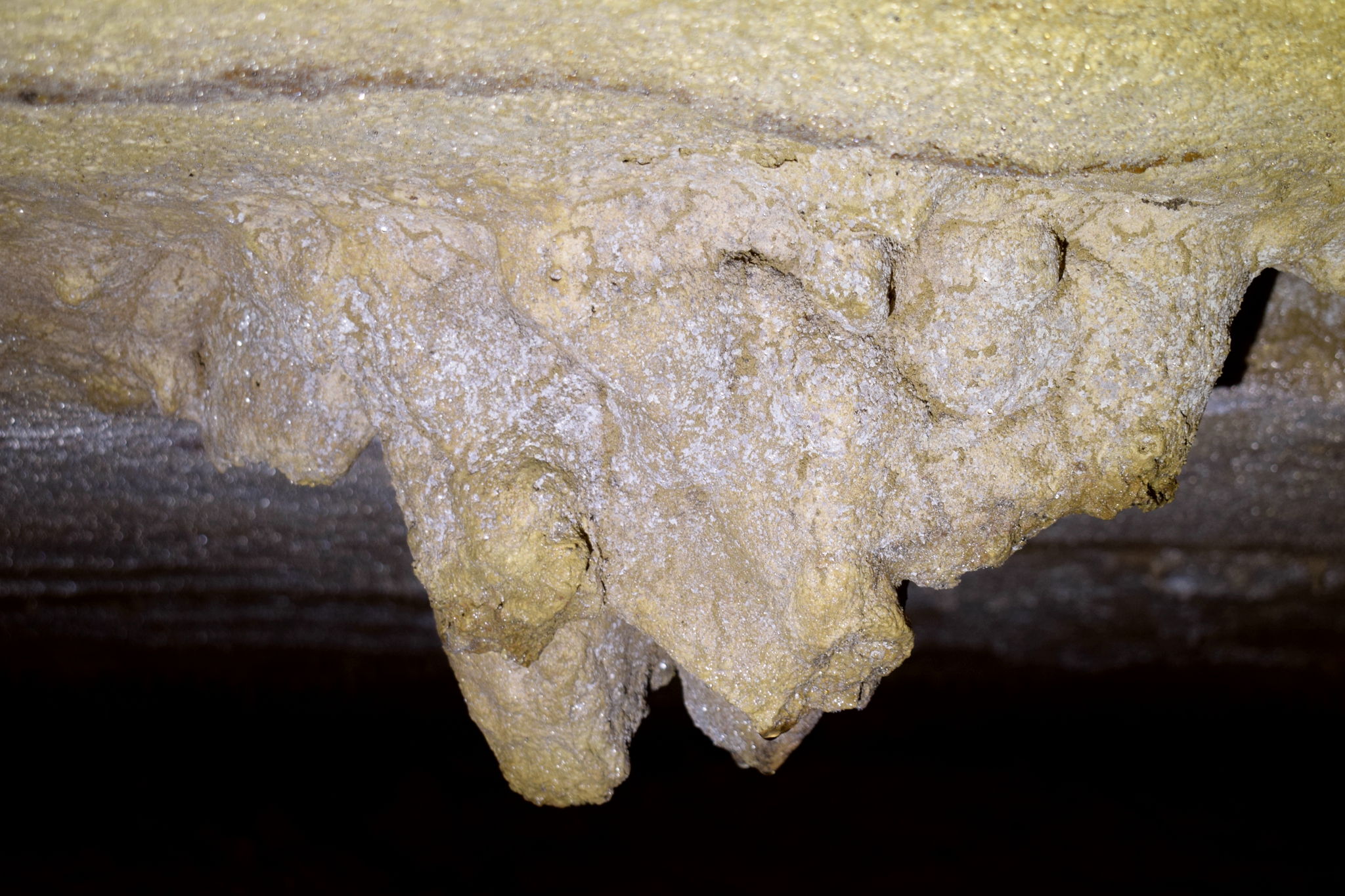
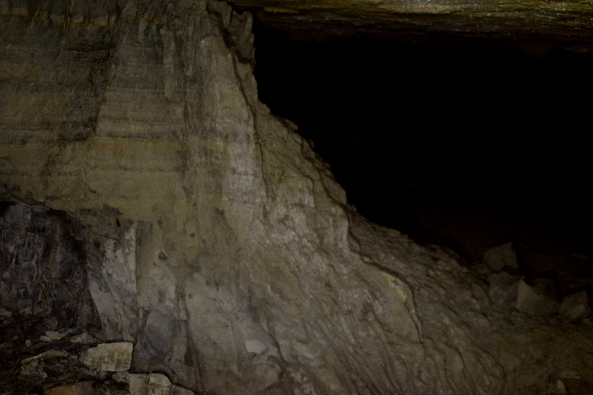
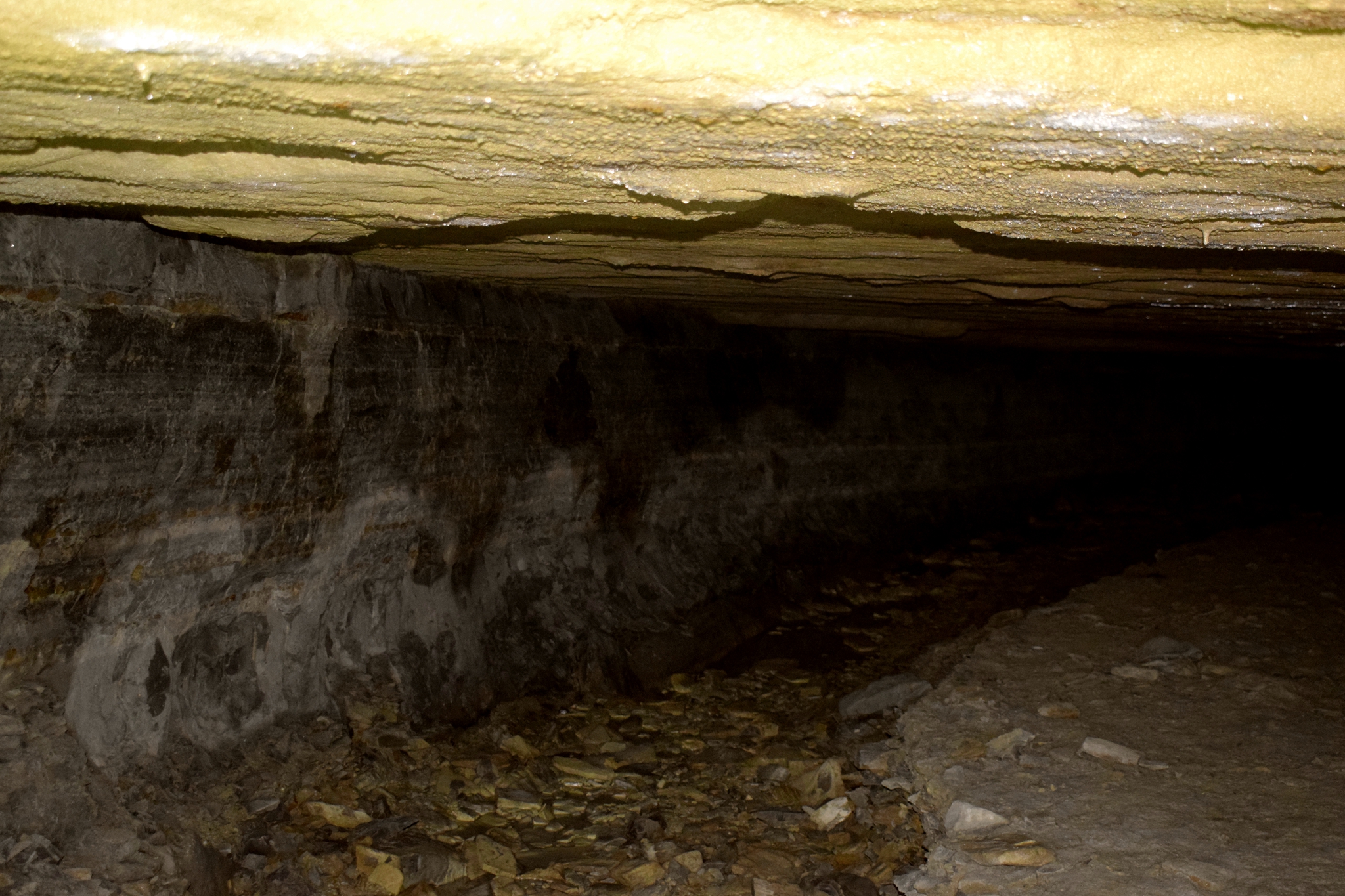
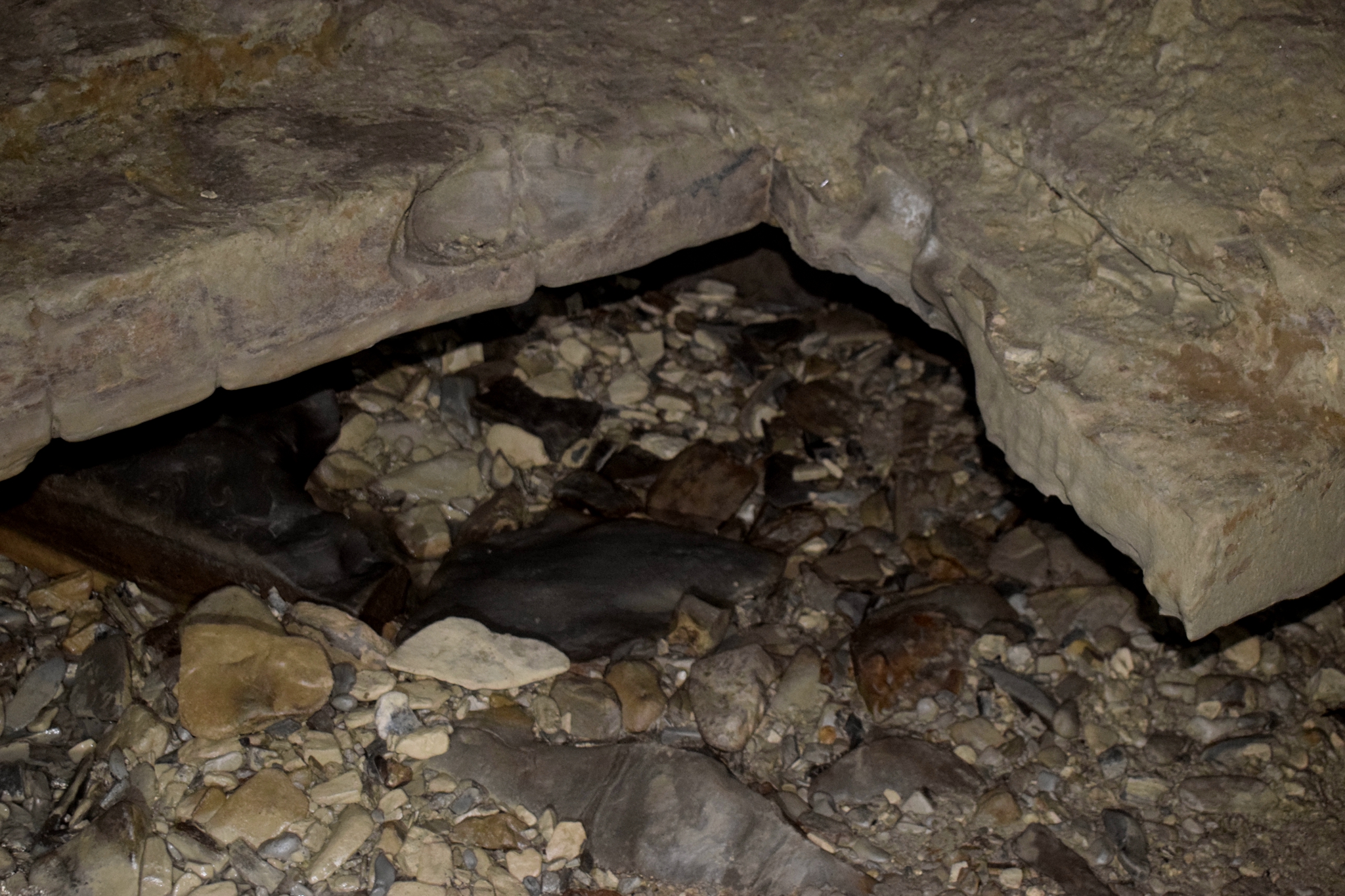
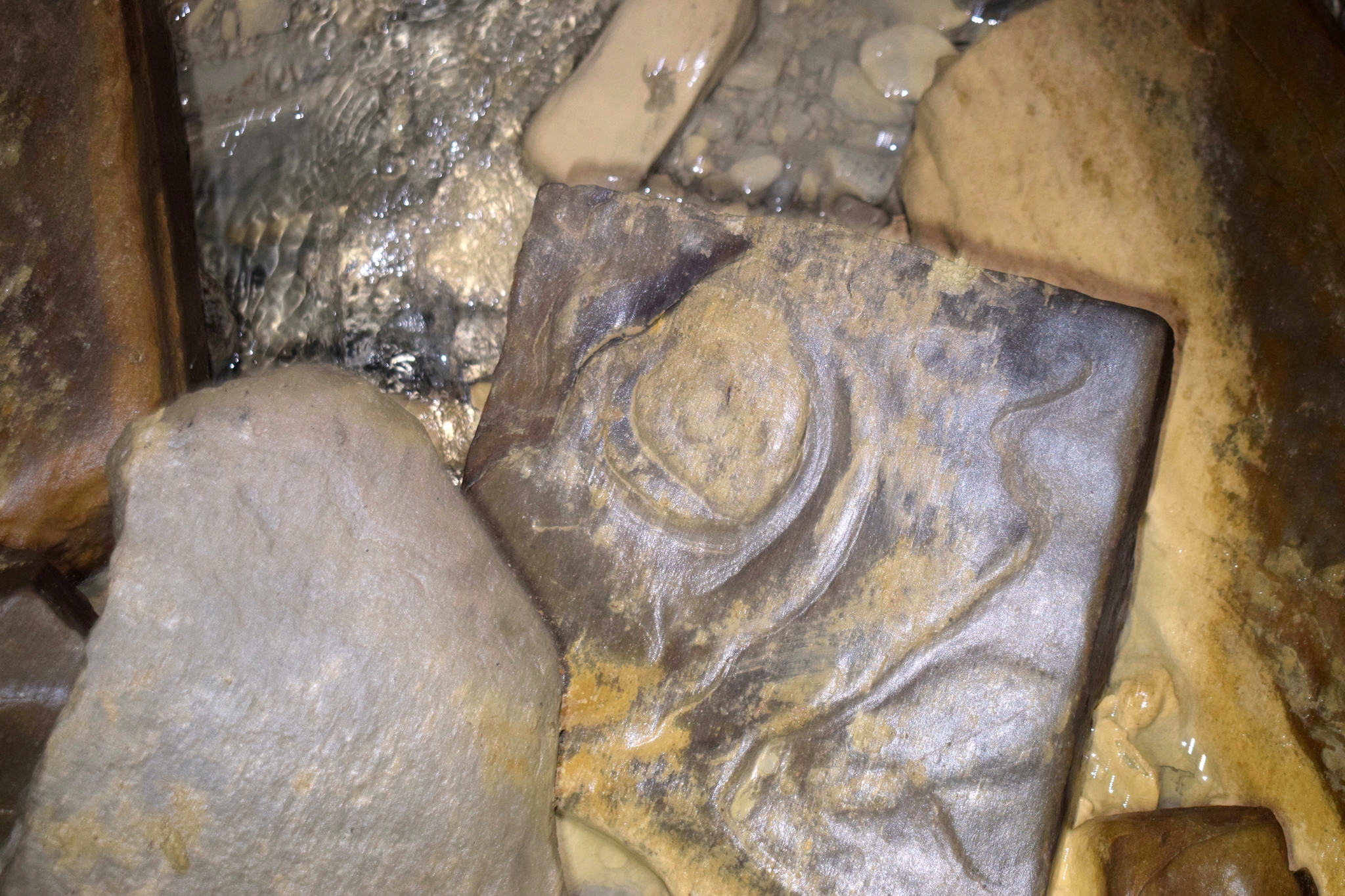
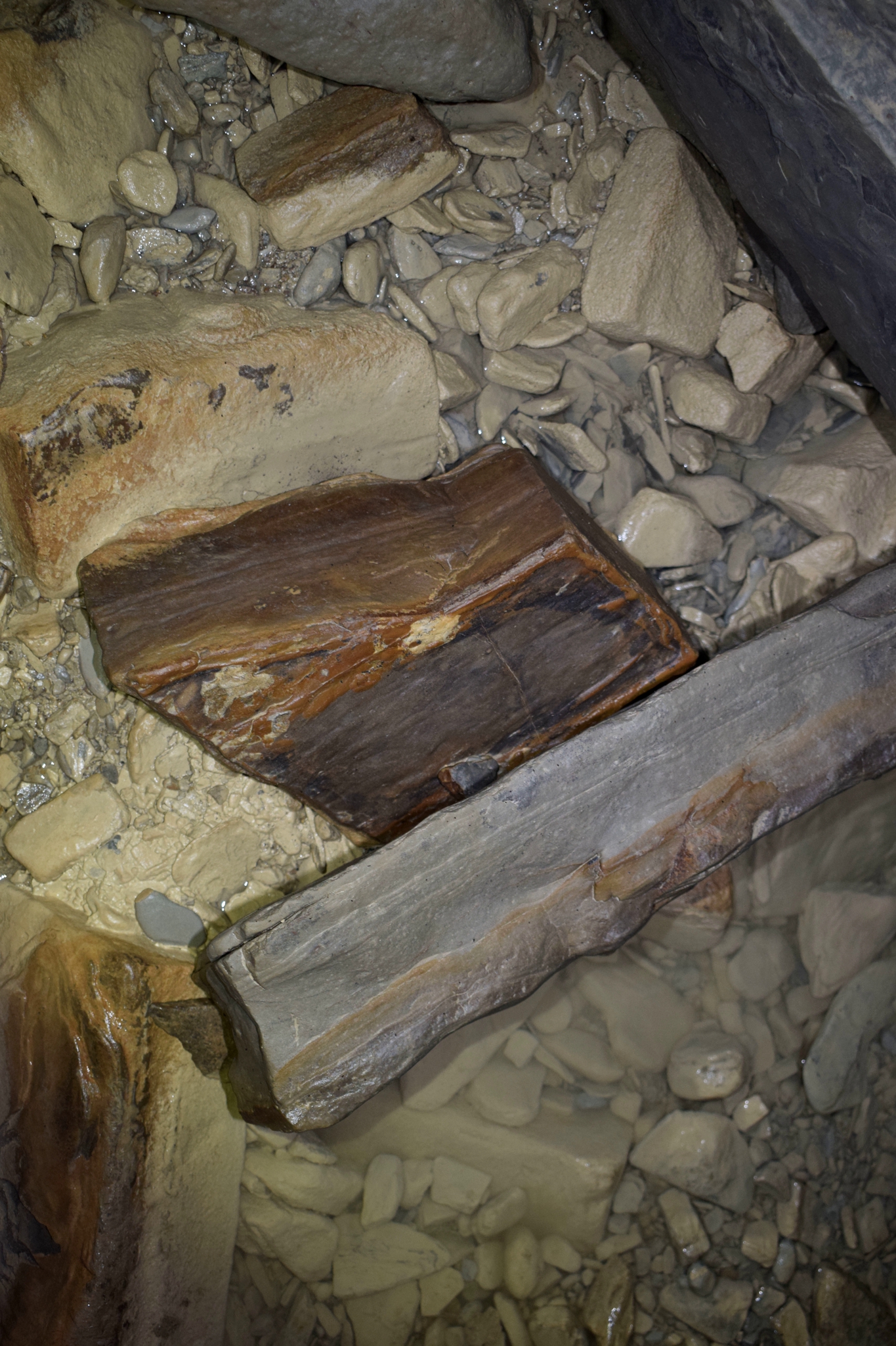
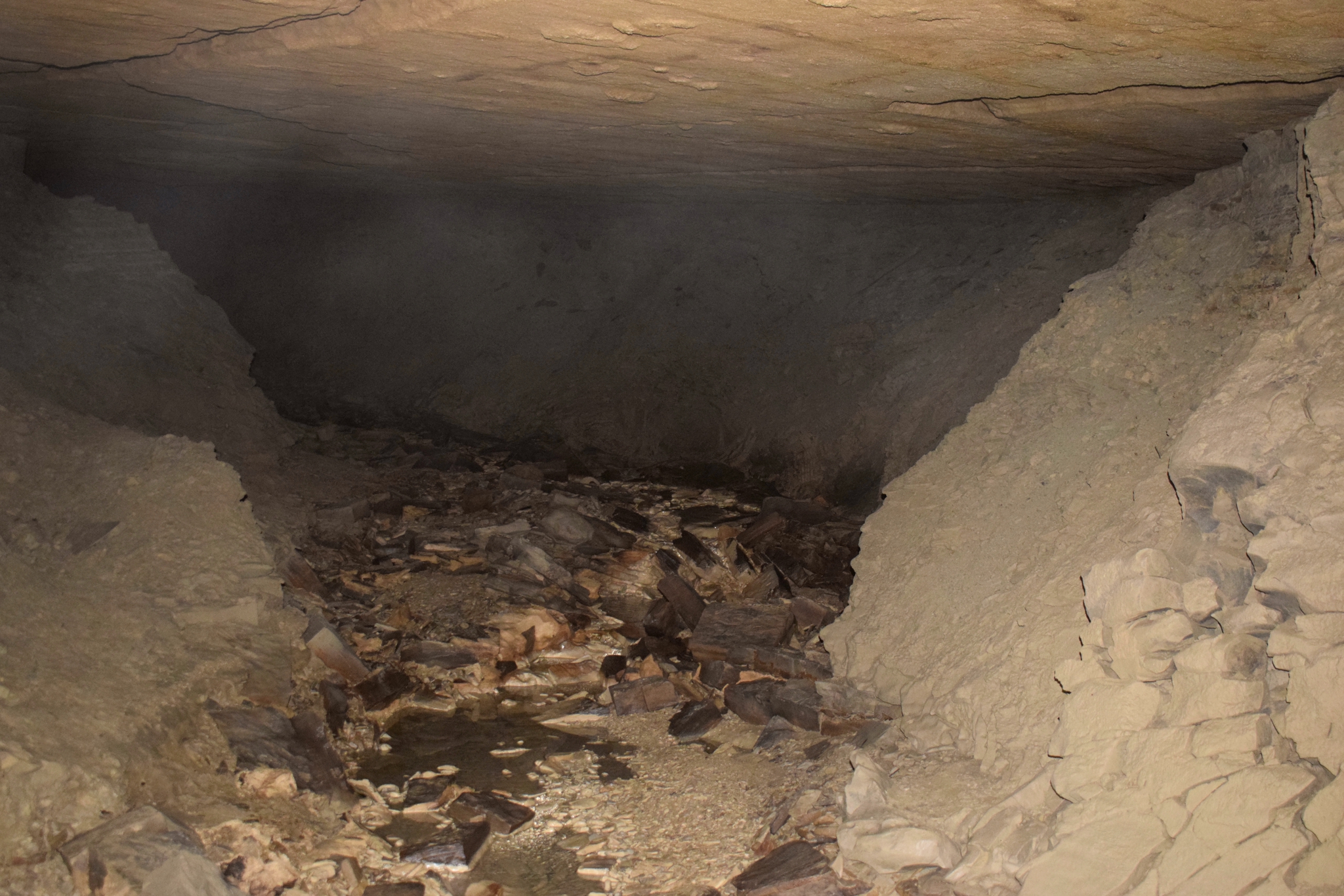
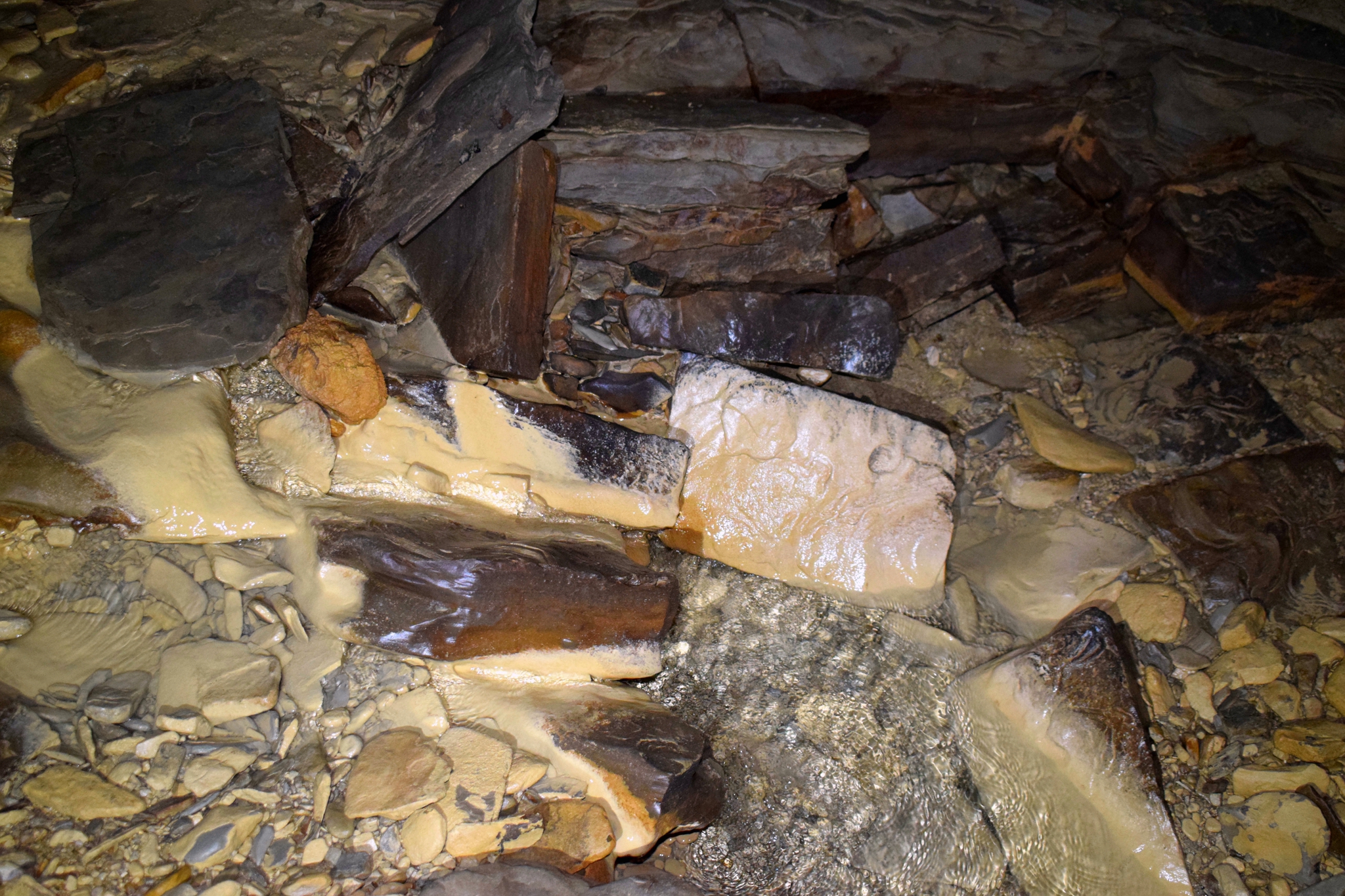
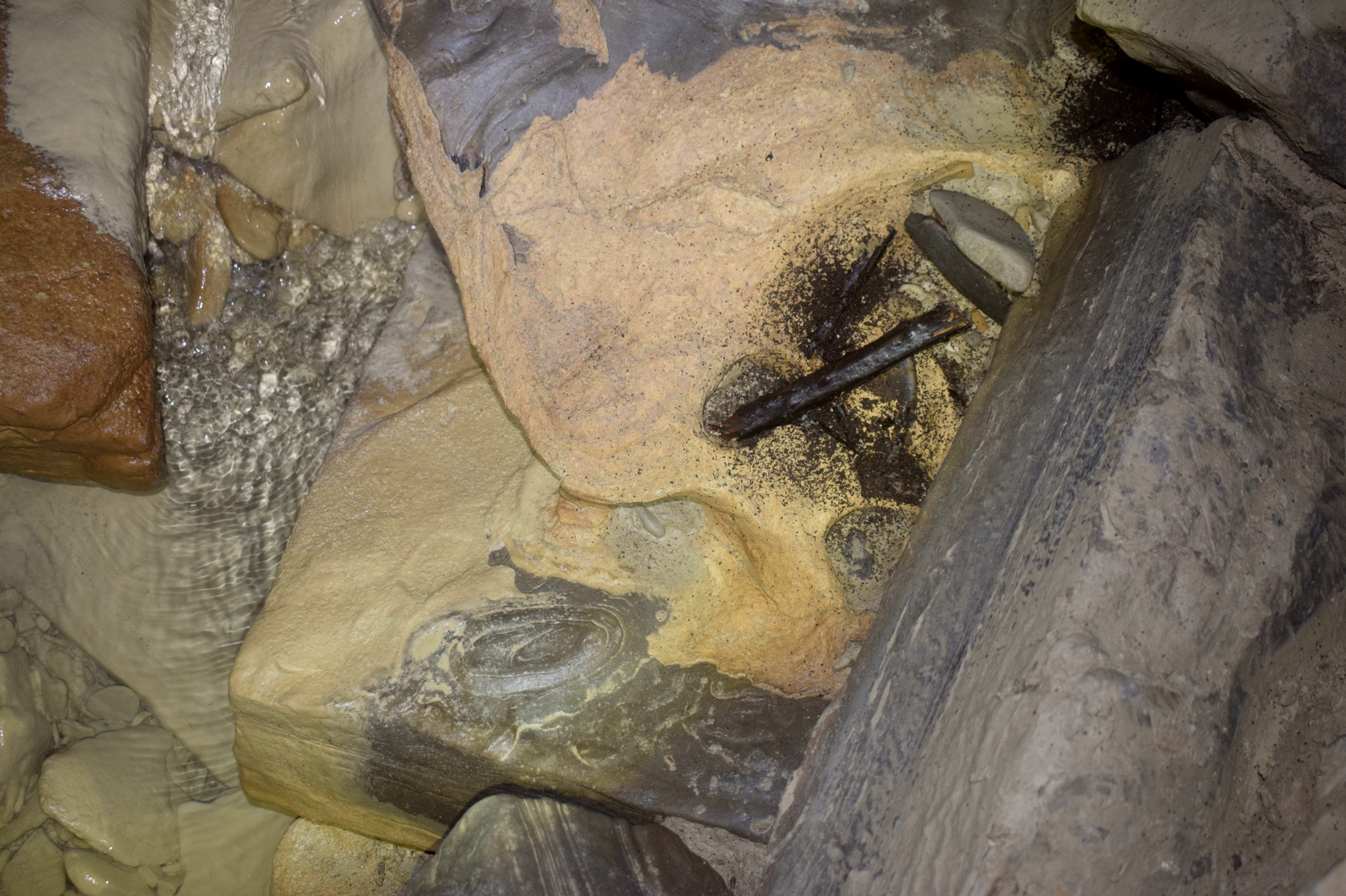
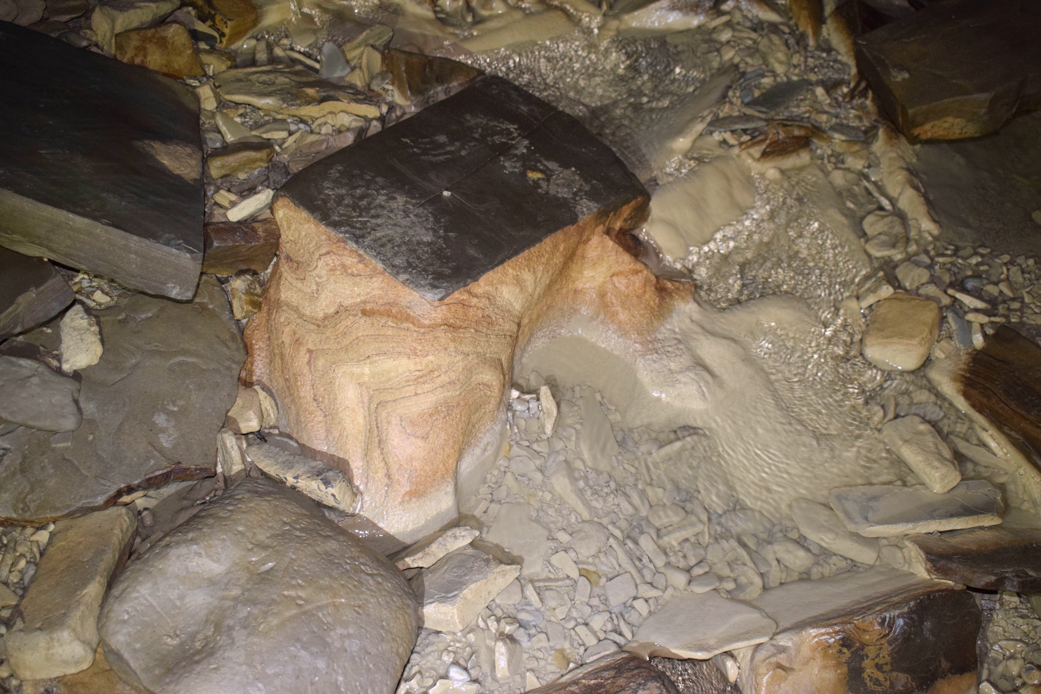
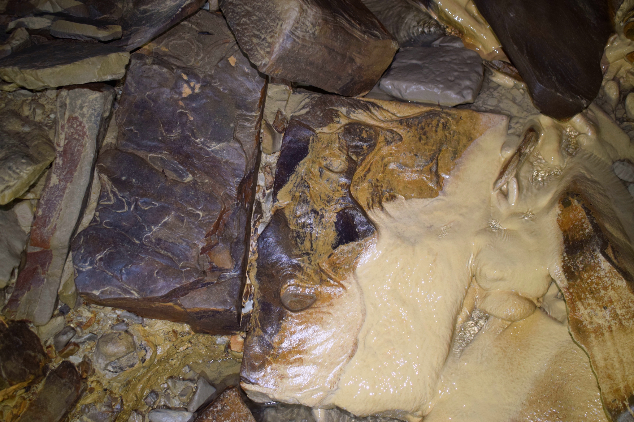
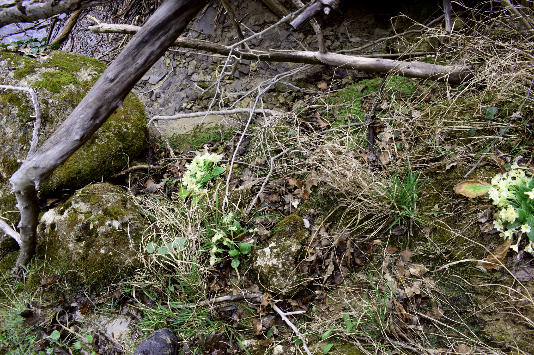
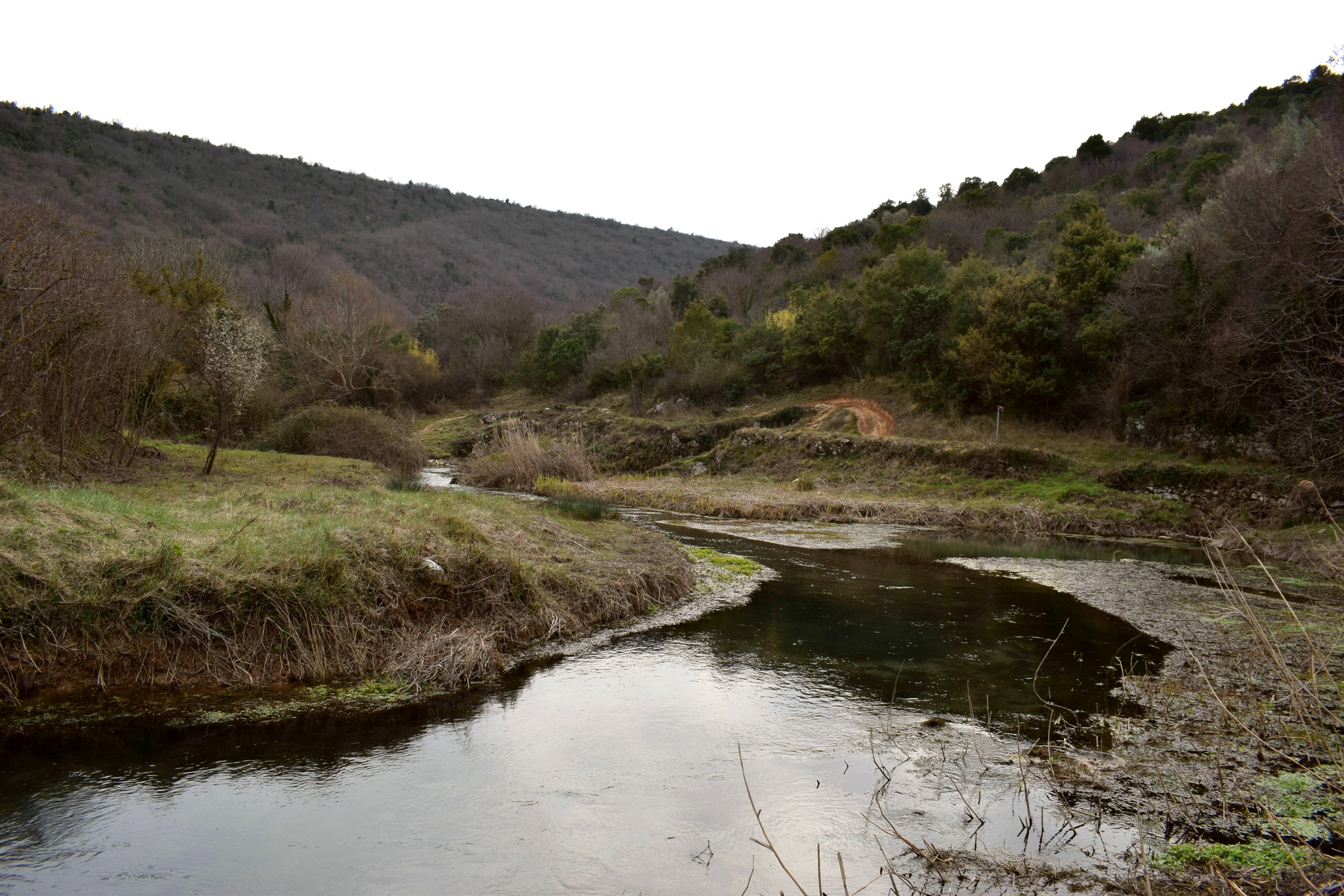
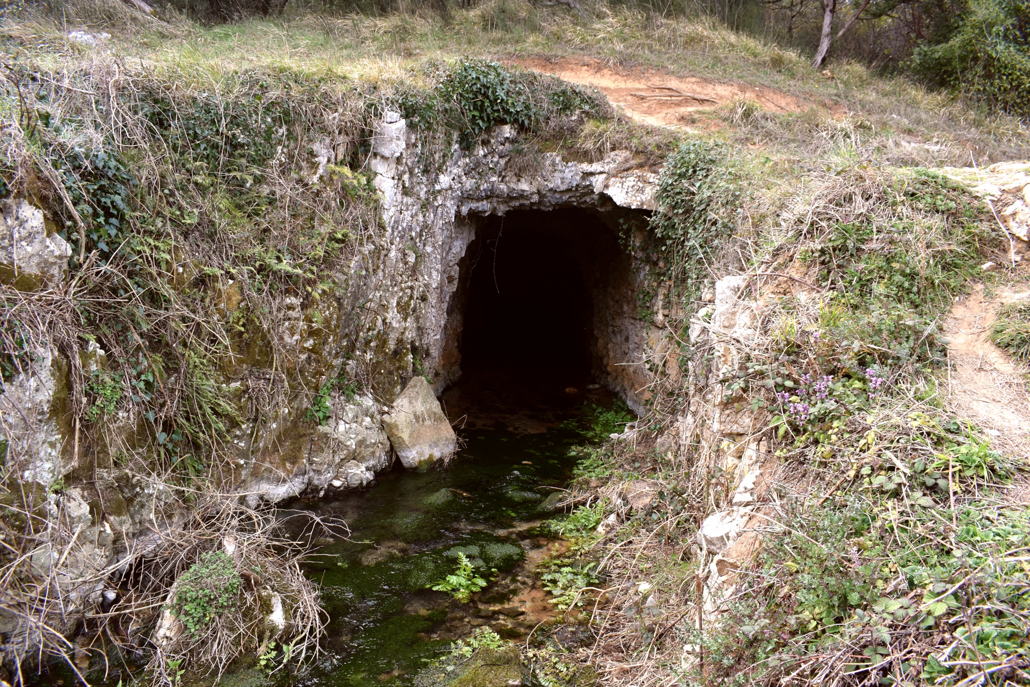
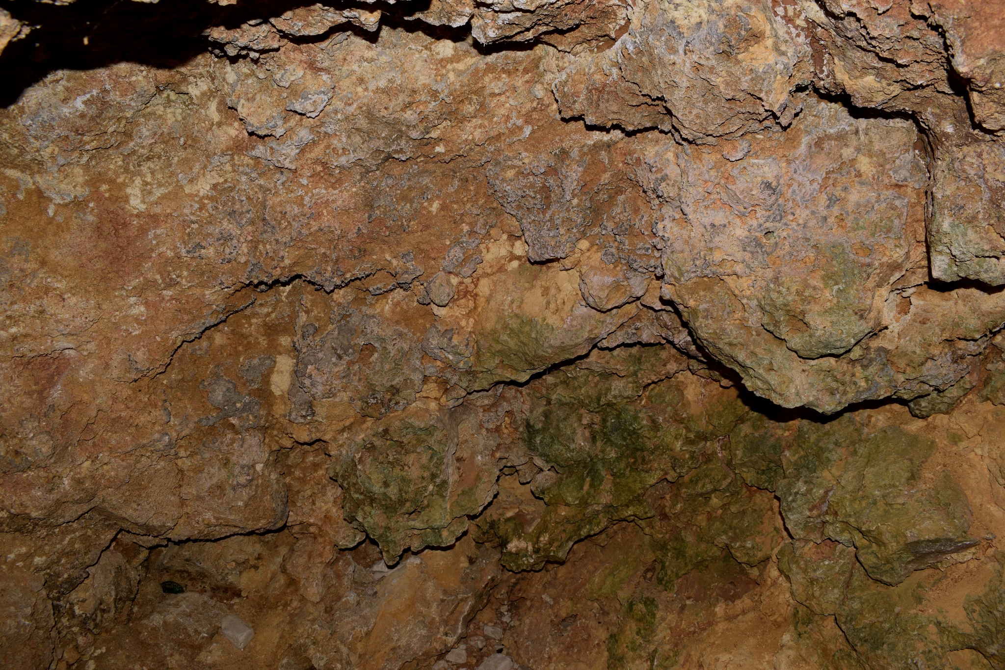
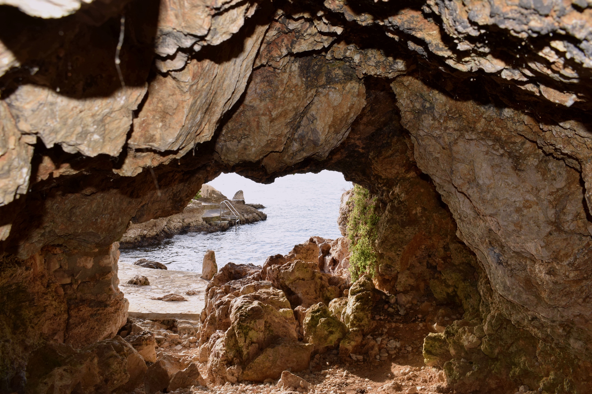
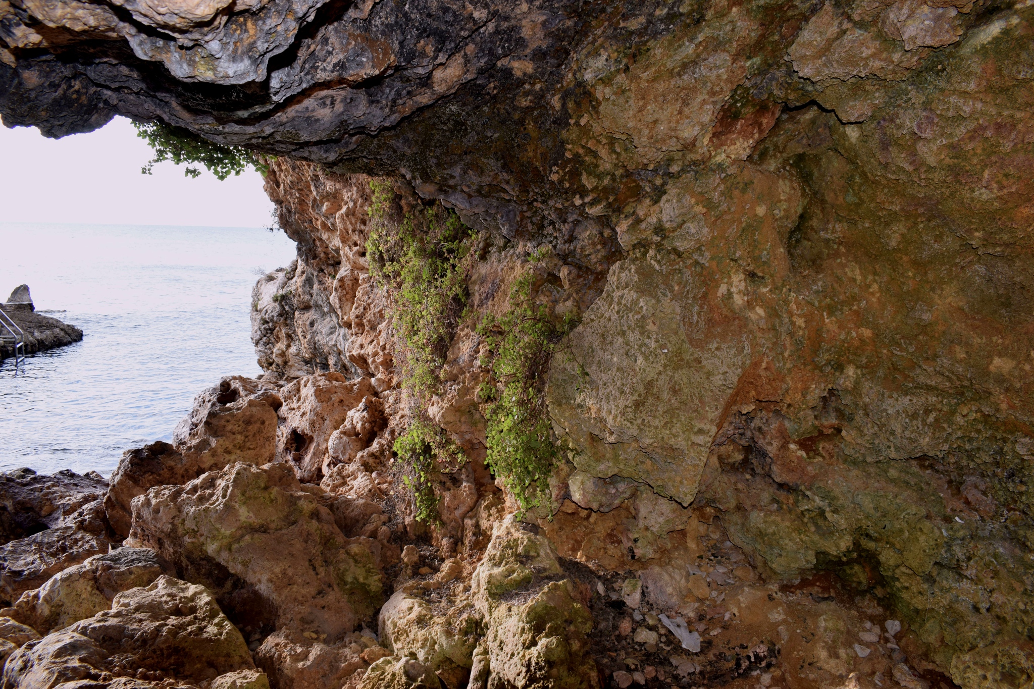
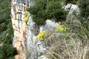
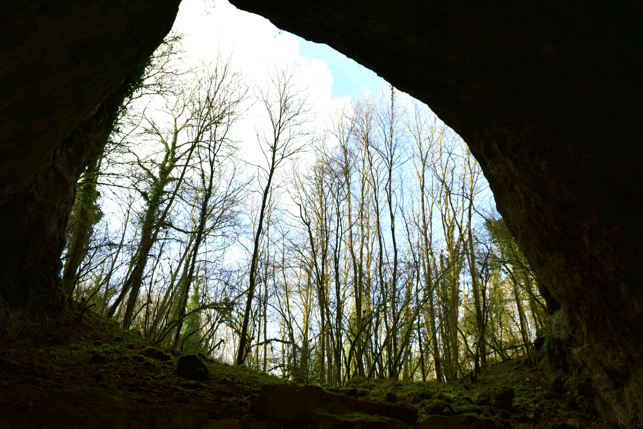
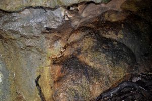
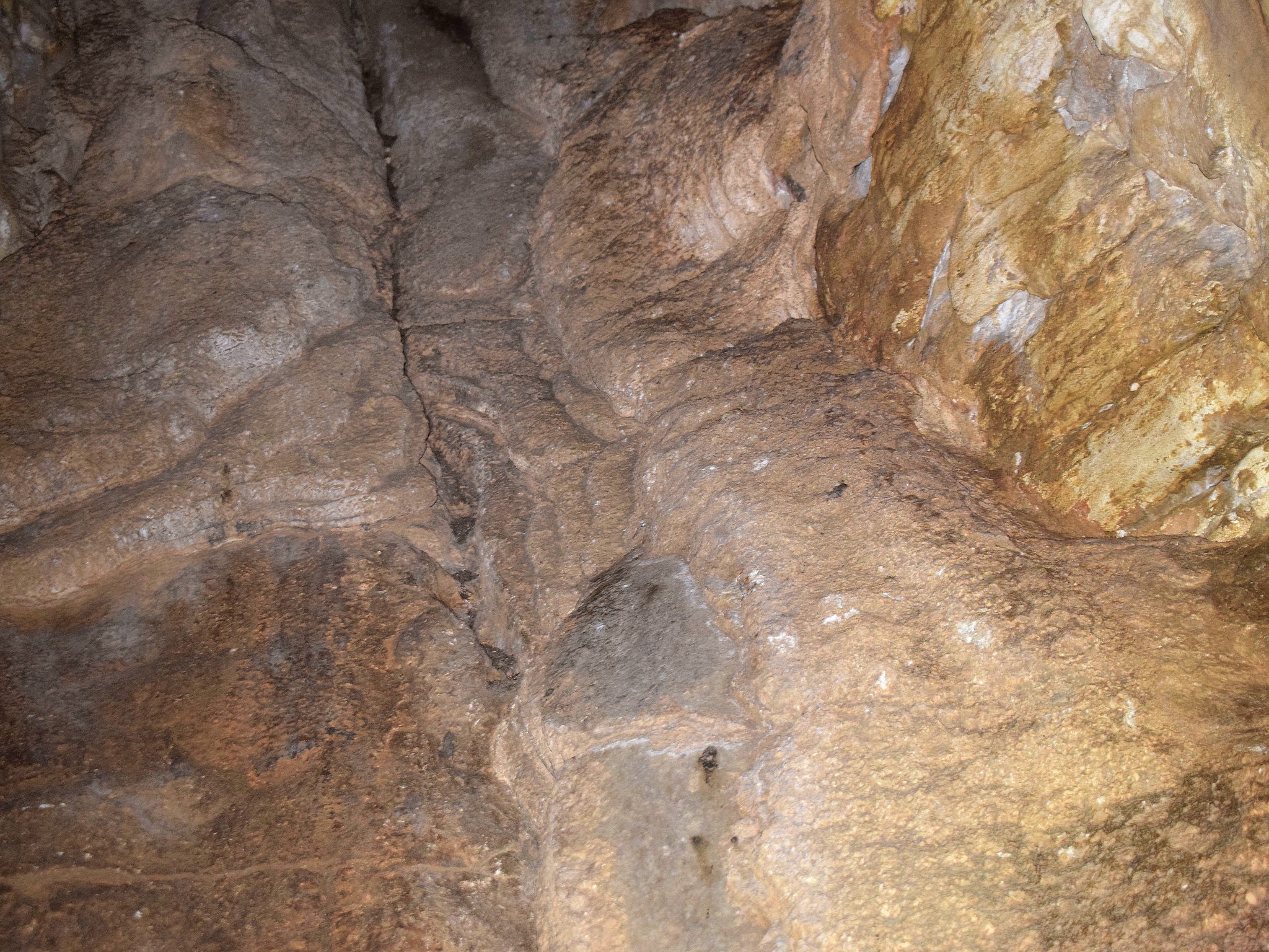
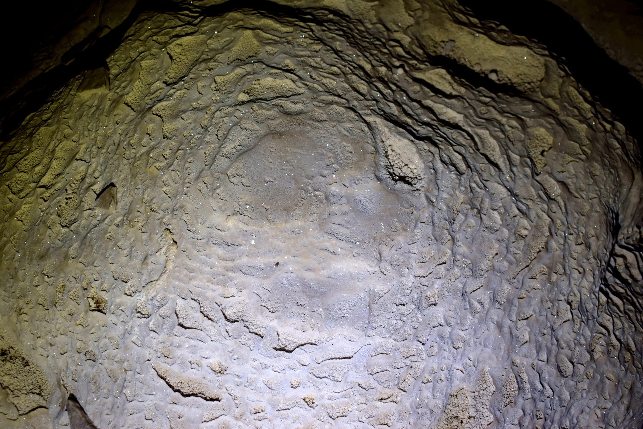
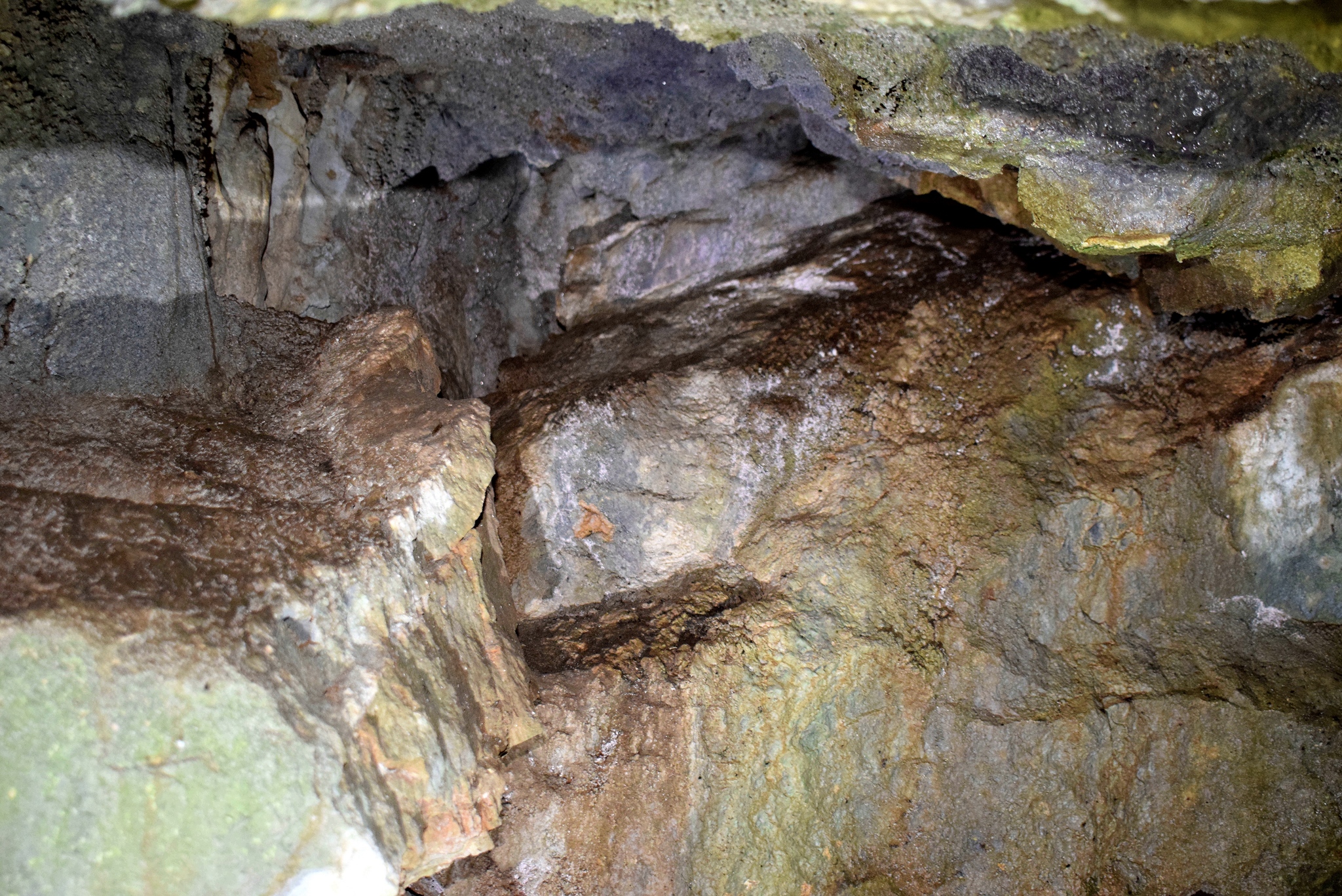
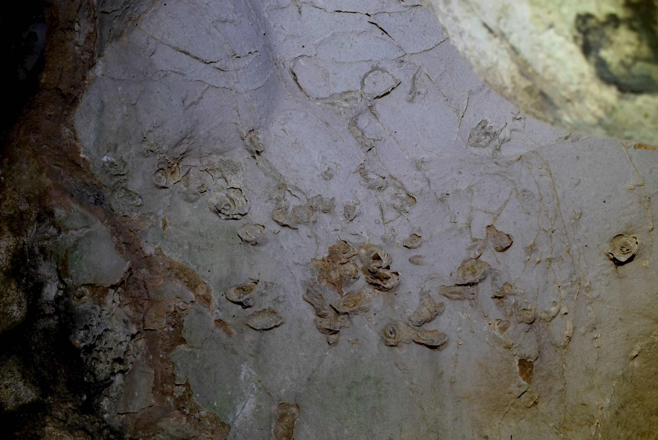
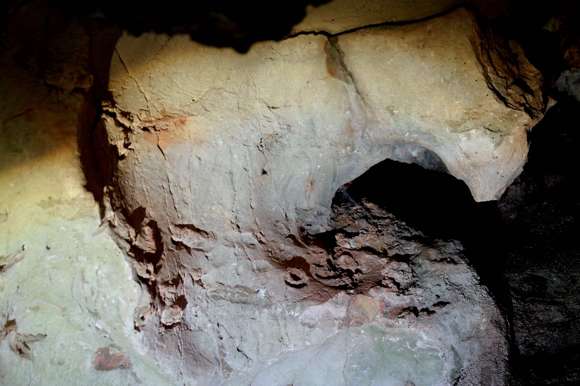
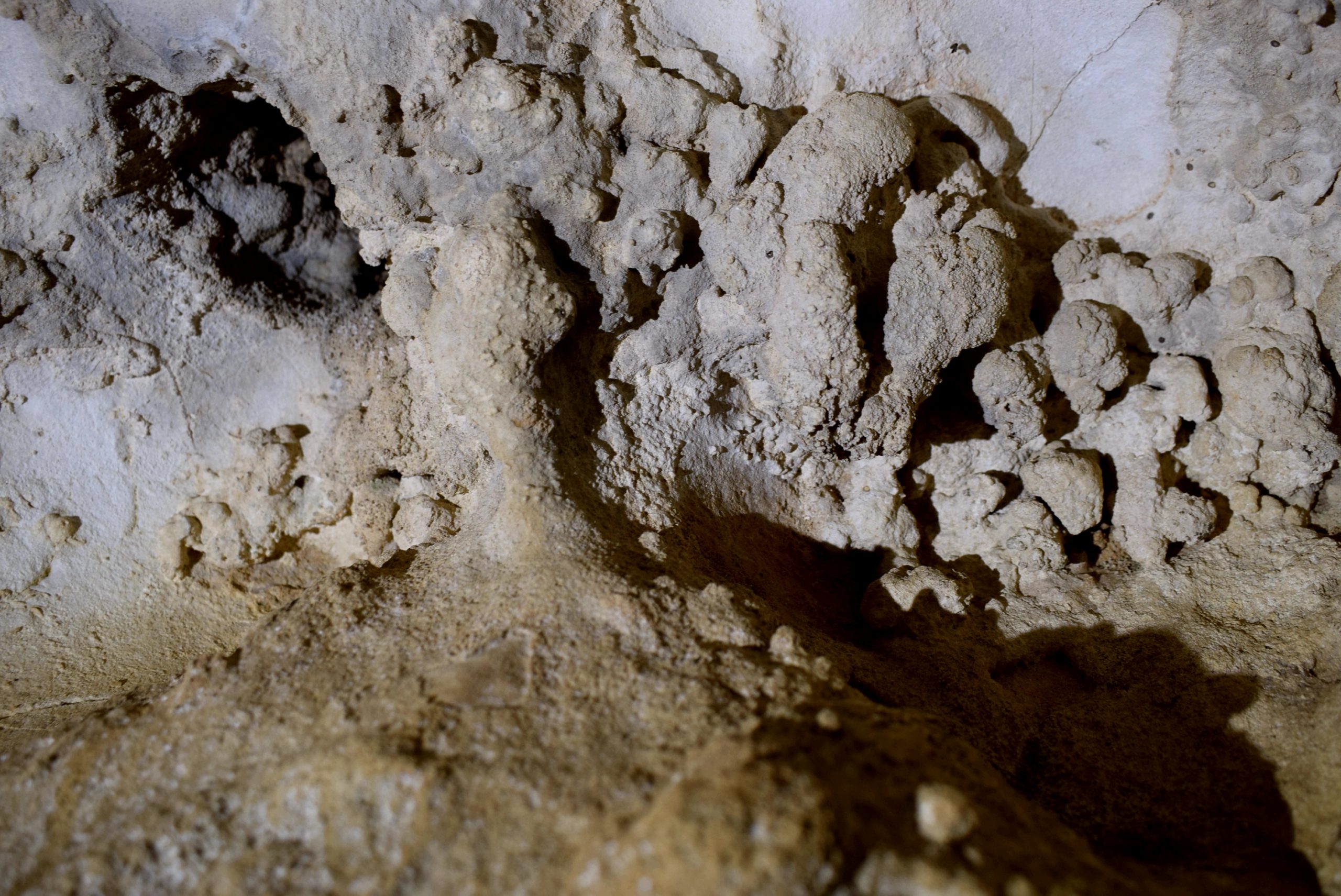
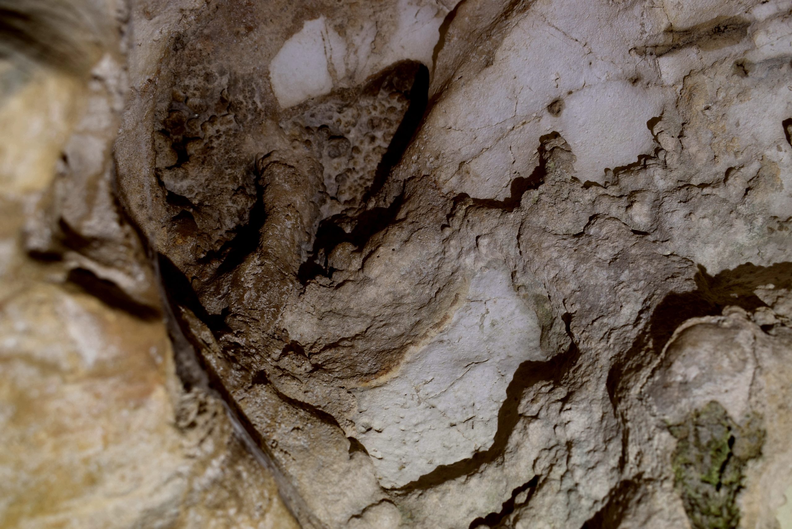
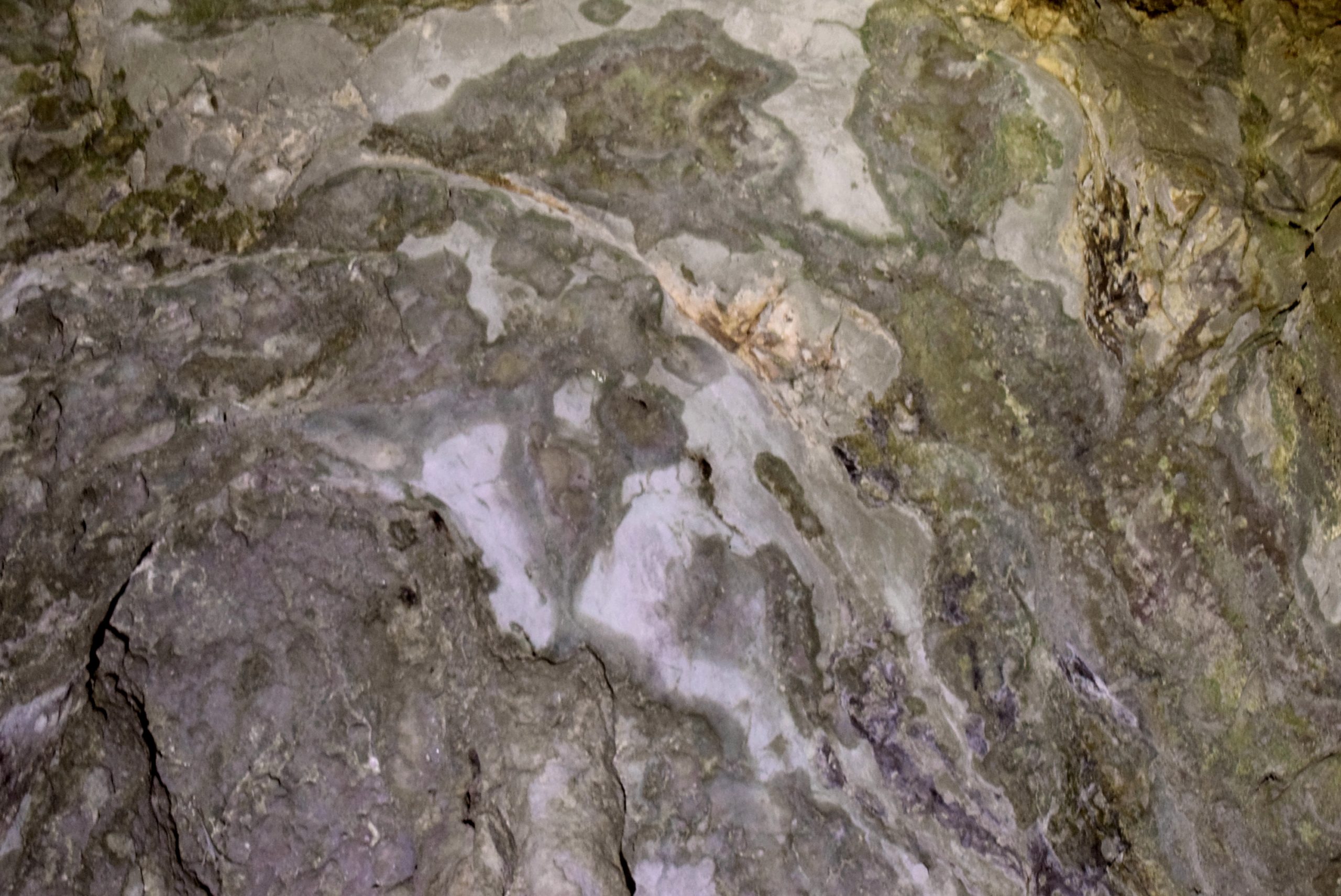
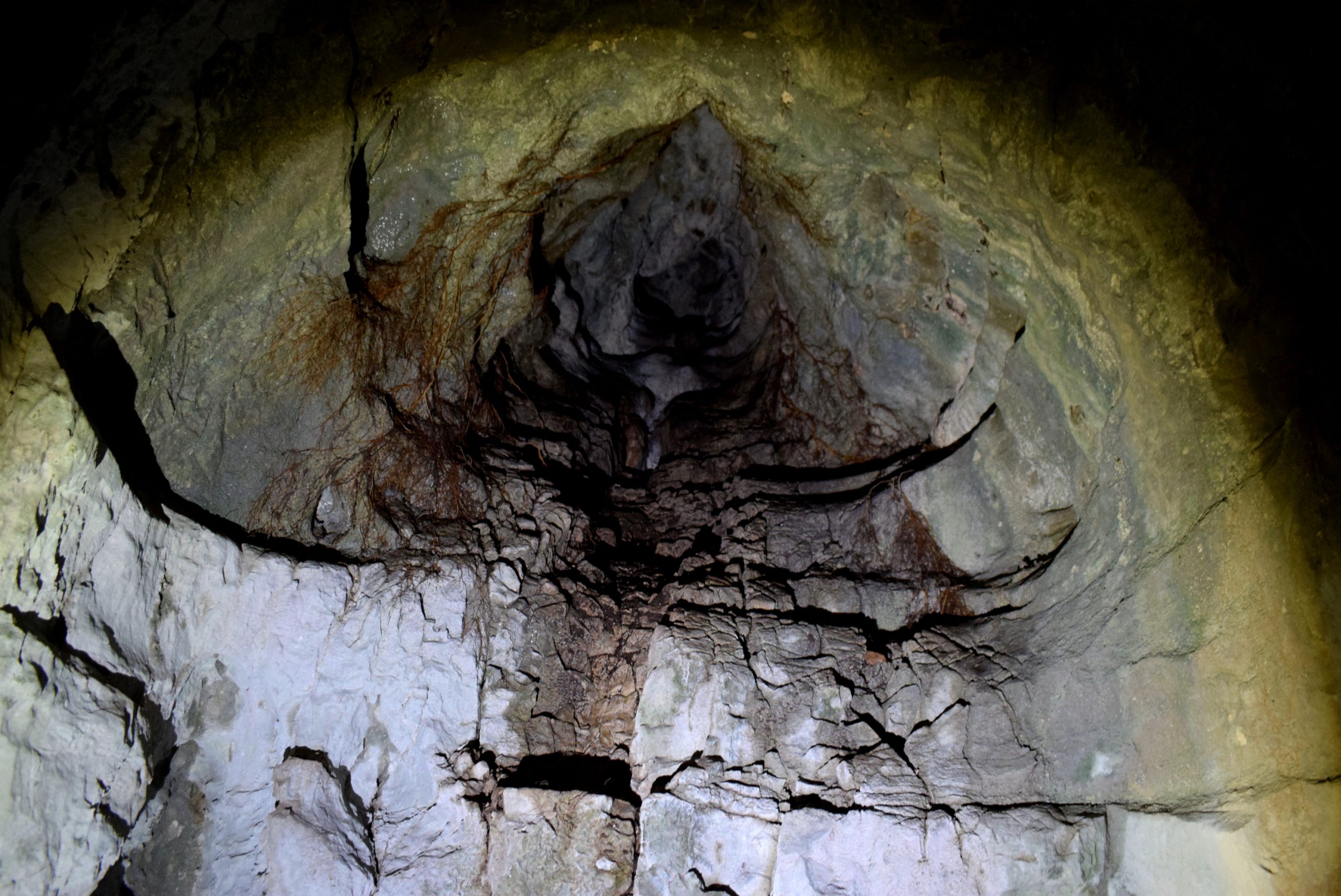
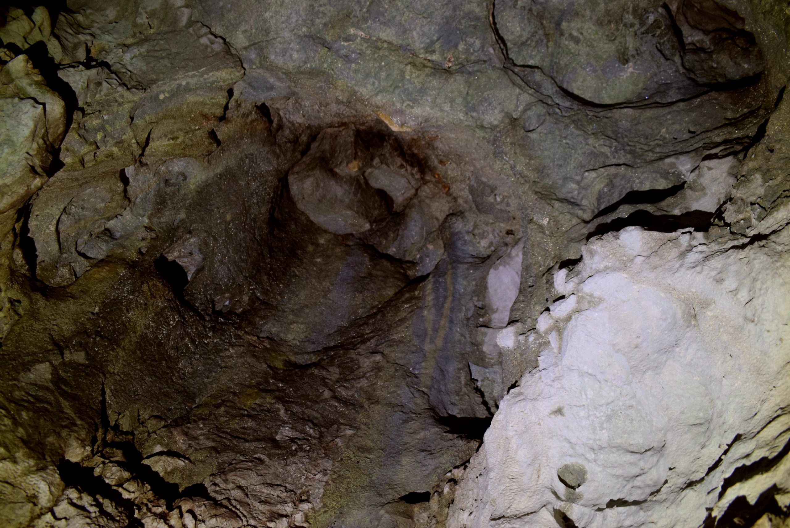
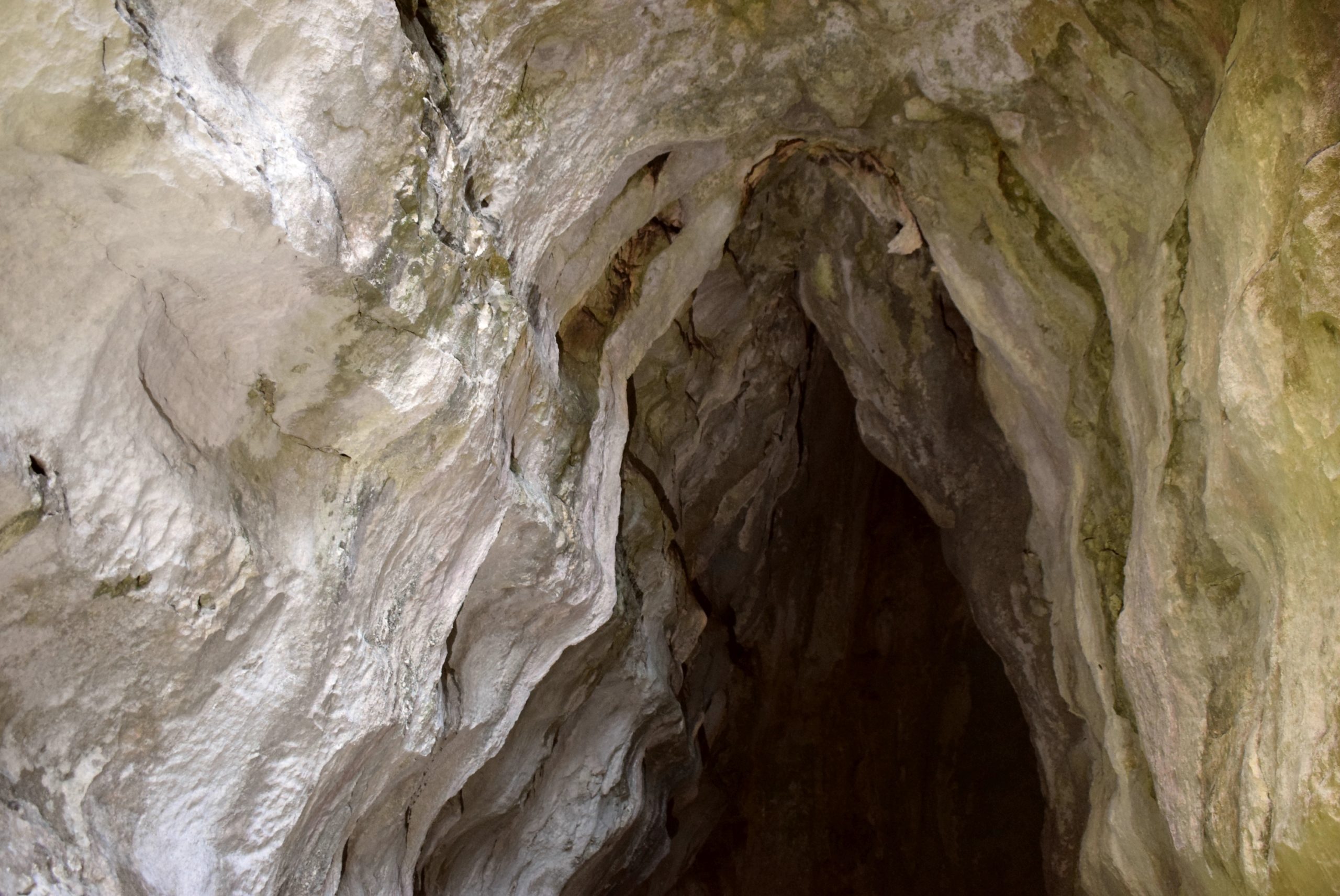
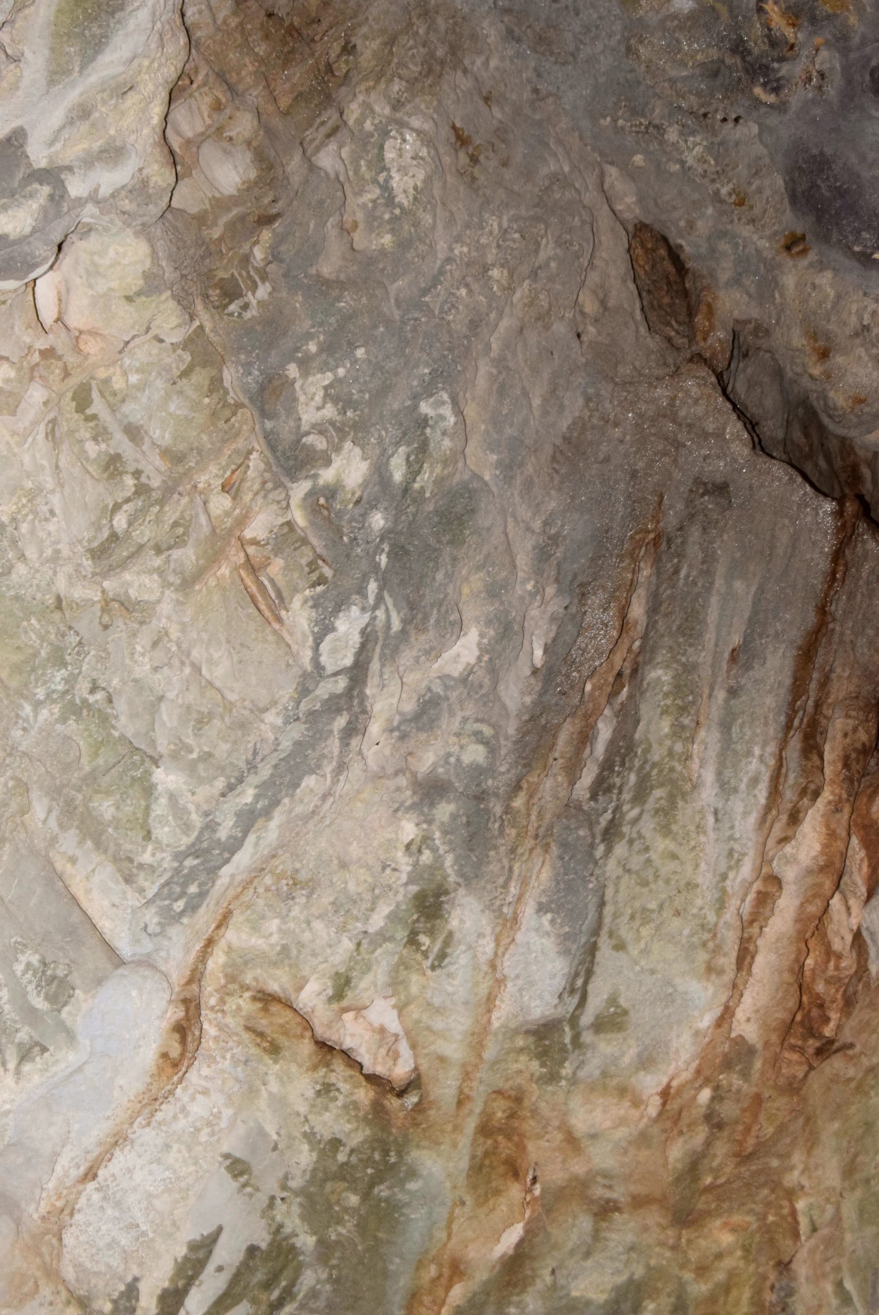
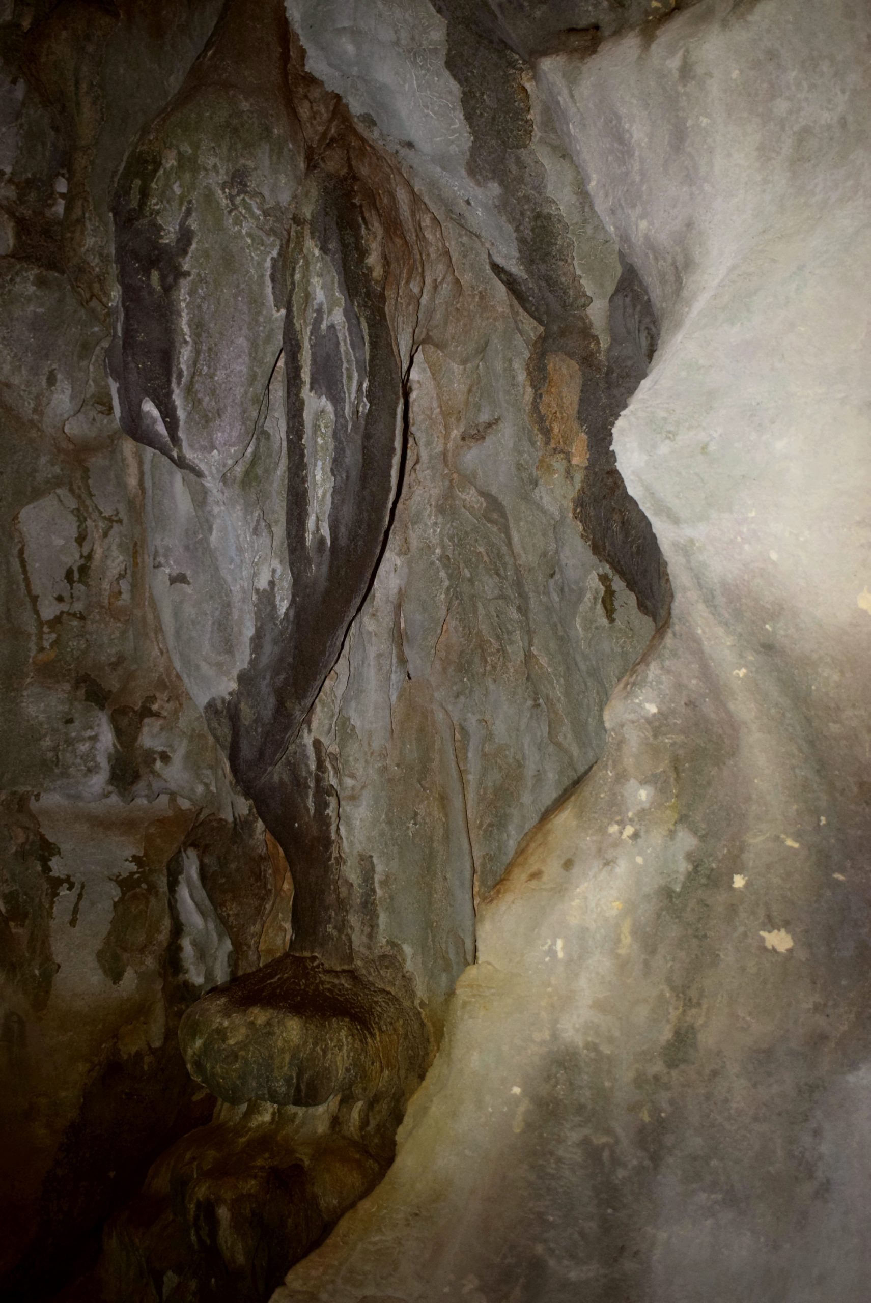
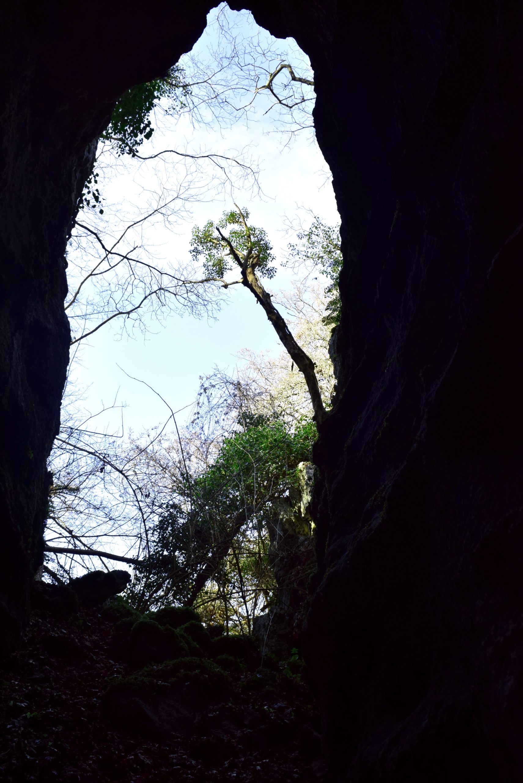
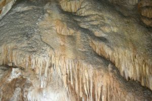
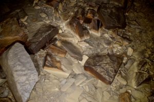
This unique cave with a length of 1036 meters has been shaped by the erosion of flysch (sedimented layers) between two layers of limestone. This created a horizontal tunnel with a horizontal floor and a very tight ceiling.
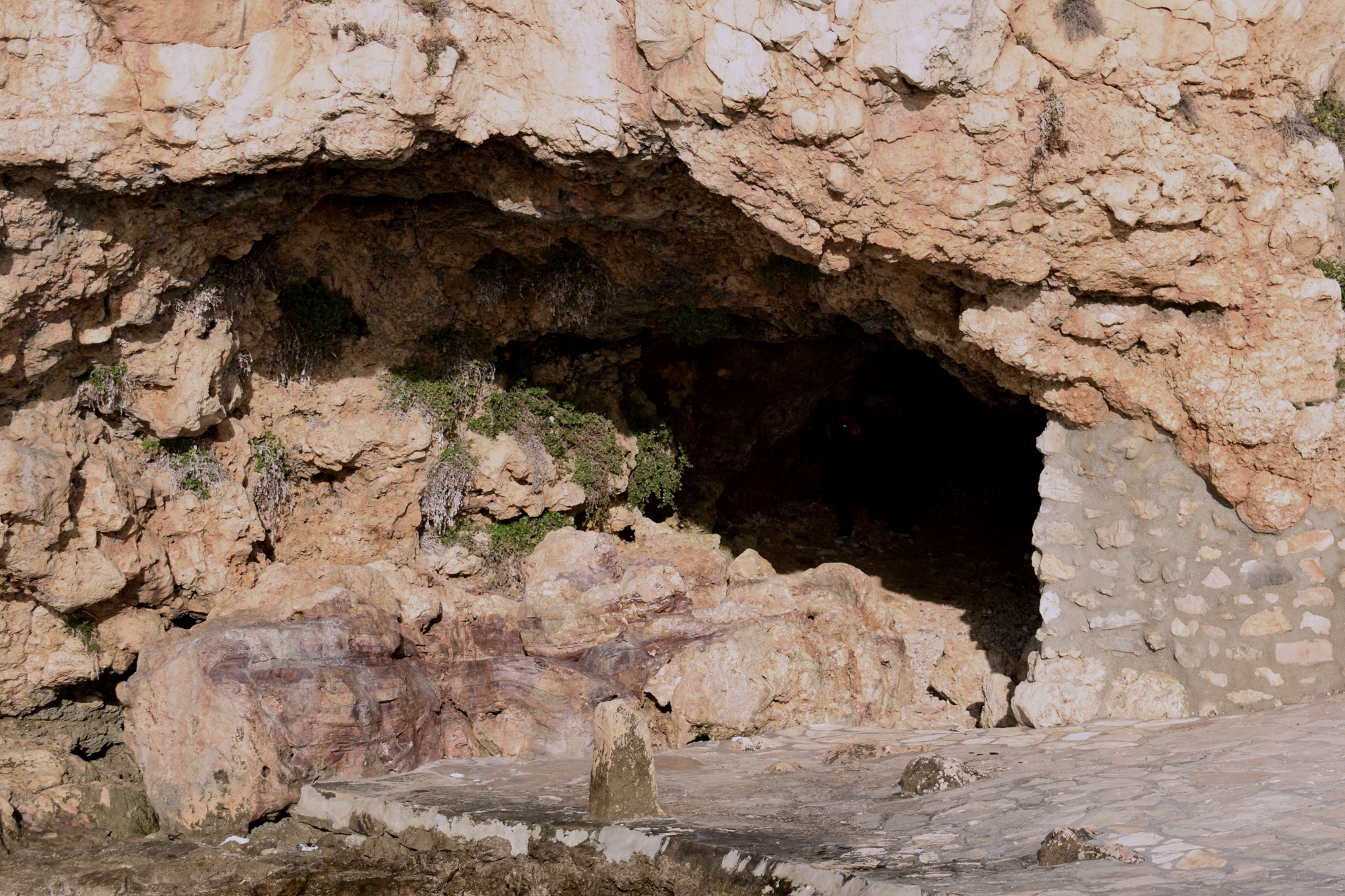
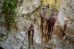
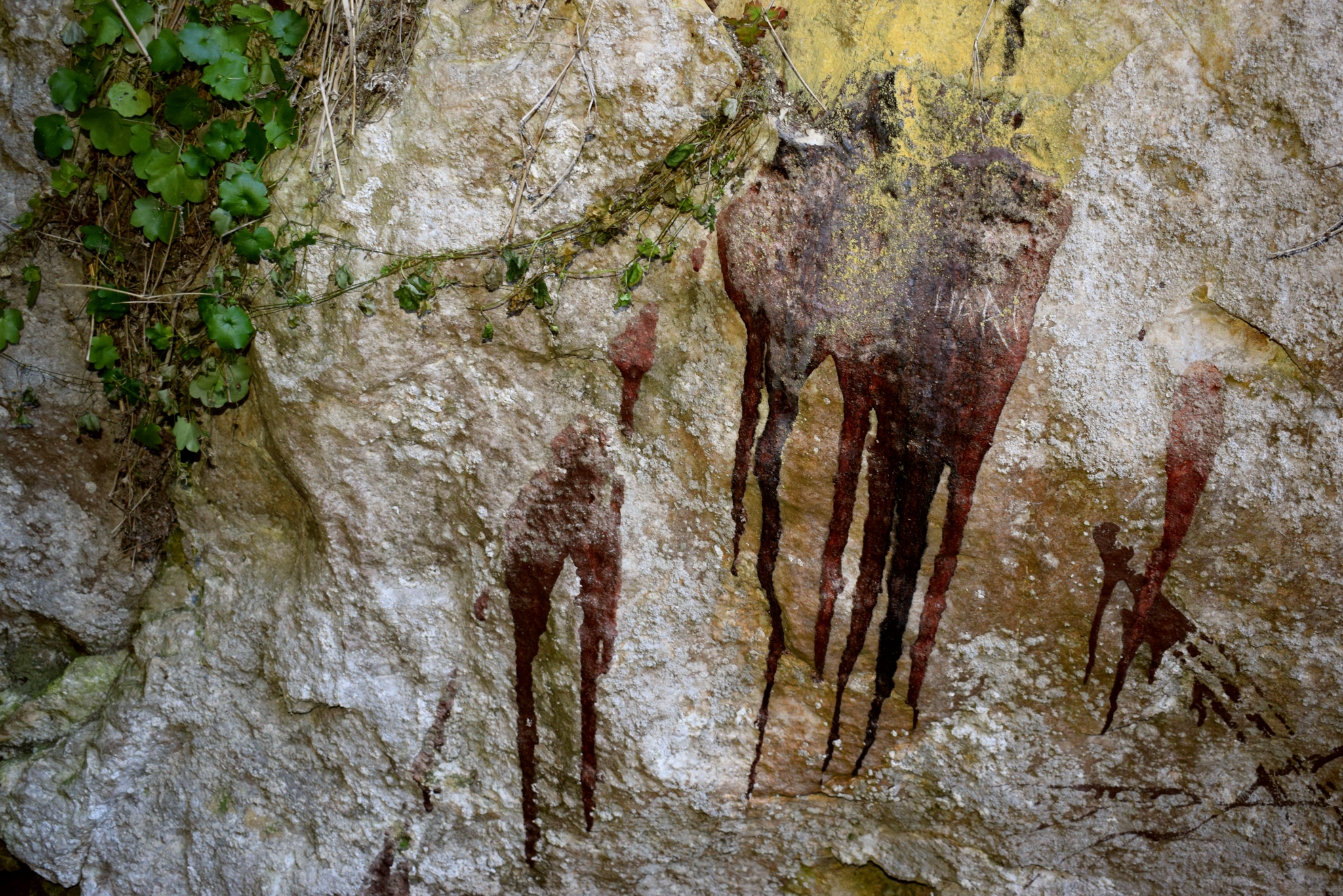
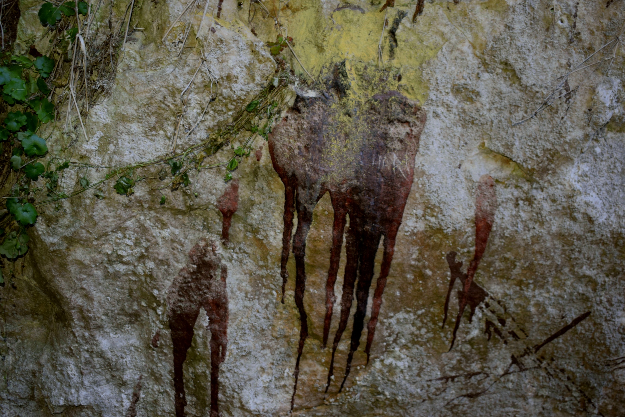
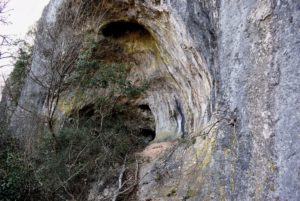
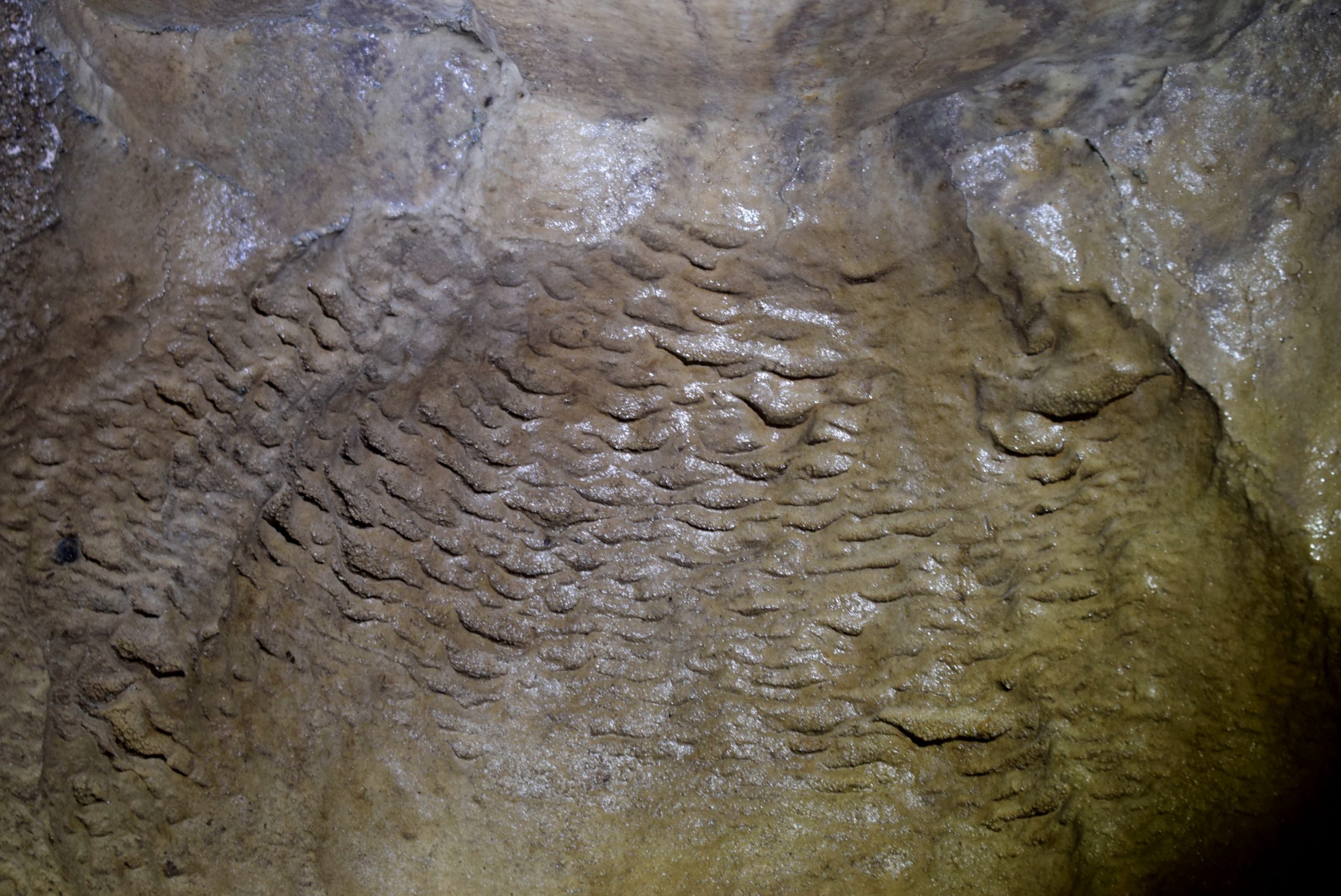
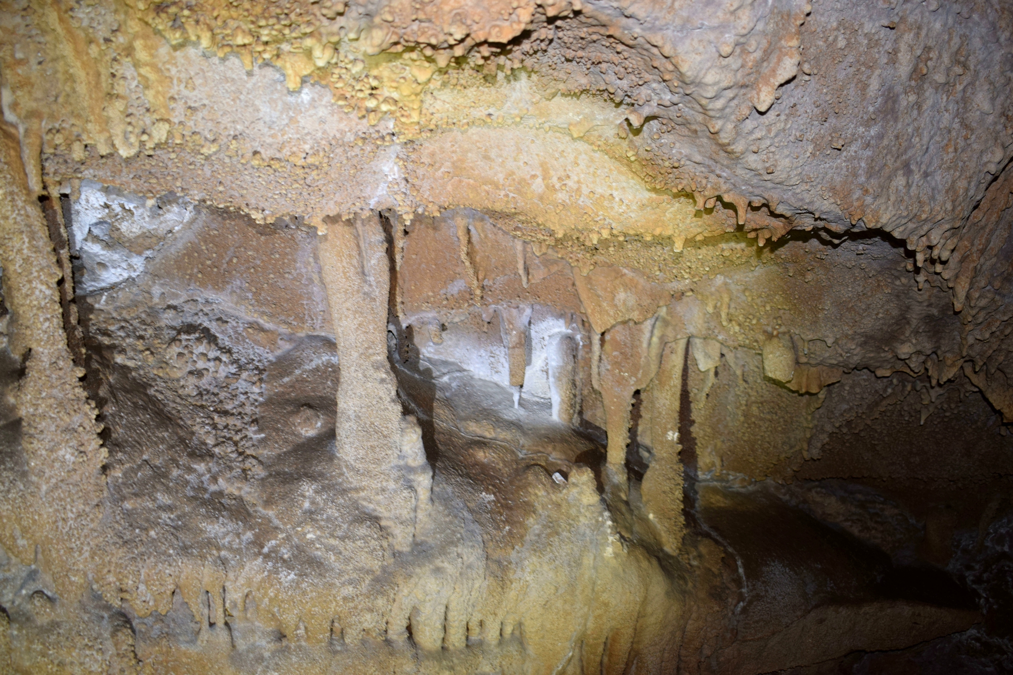
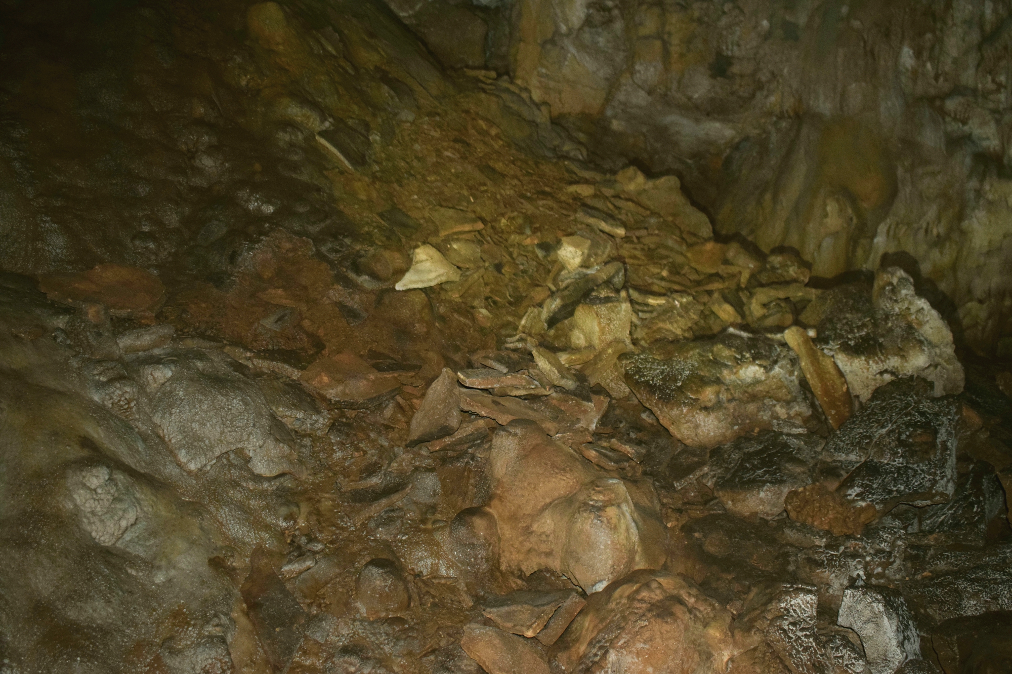
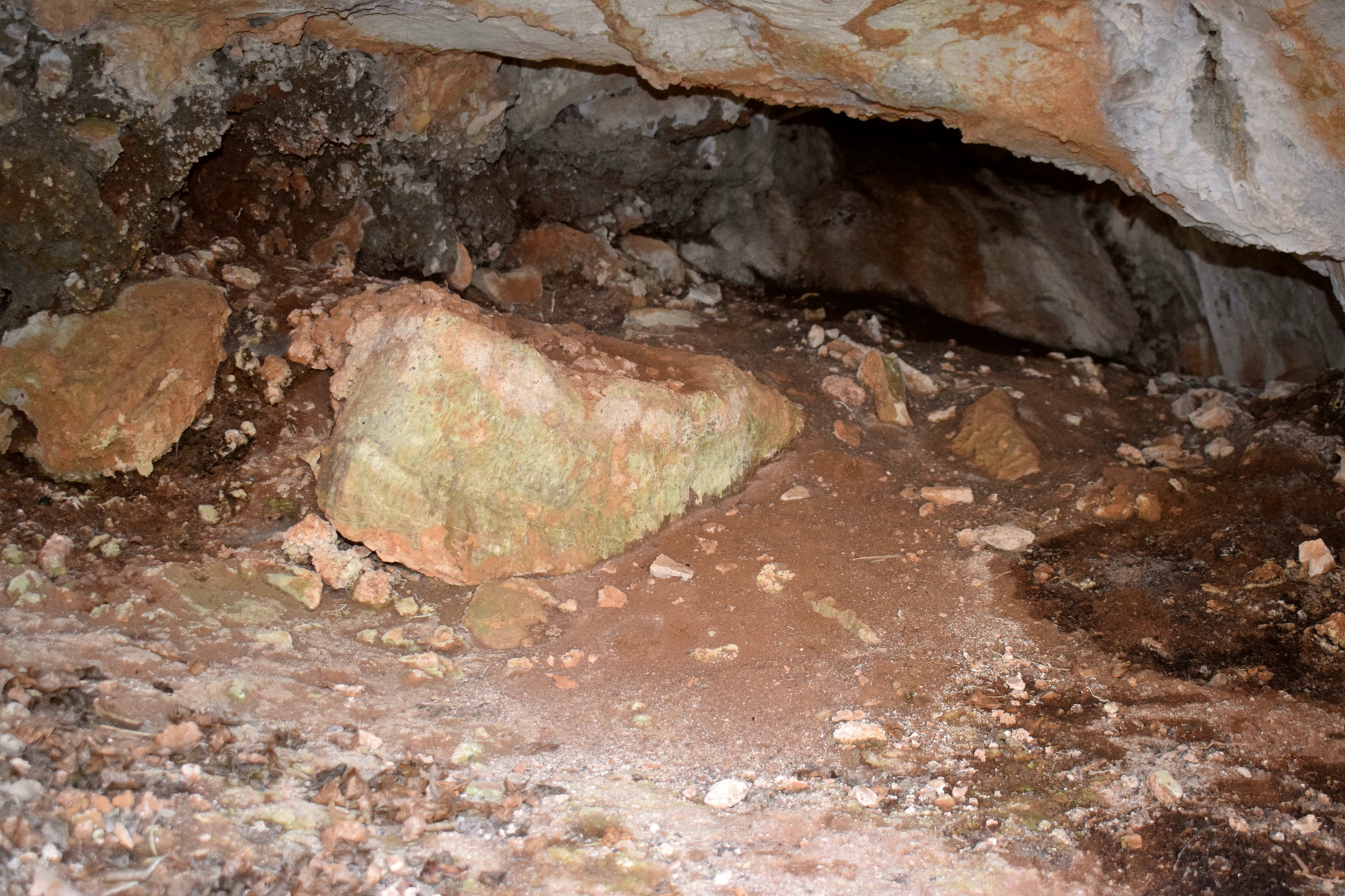
Name:Cave Piskovica.
Place: Gologorica – (Cerovlje).
Coordinates: 45.26200 N -14.03684 E 310 meter a.s.l.

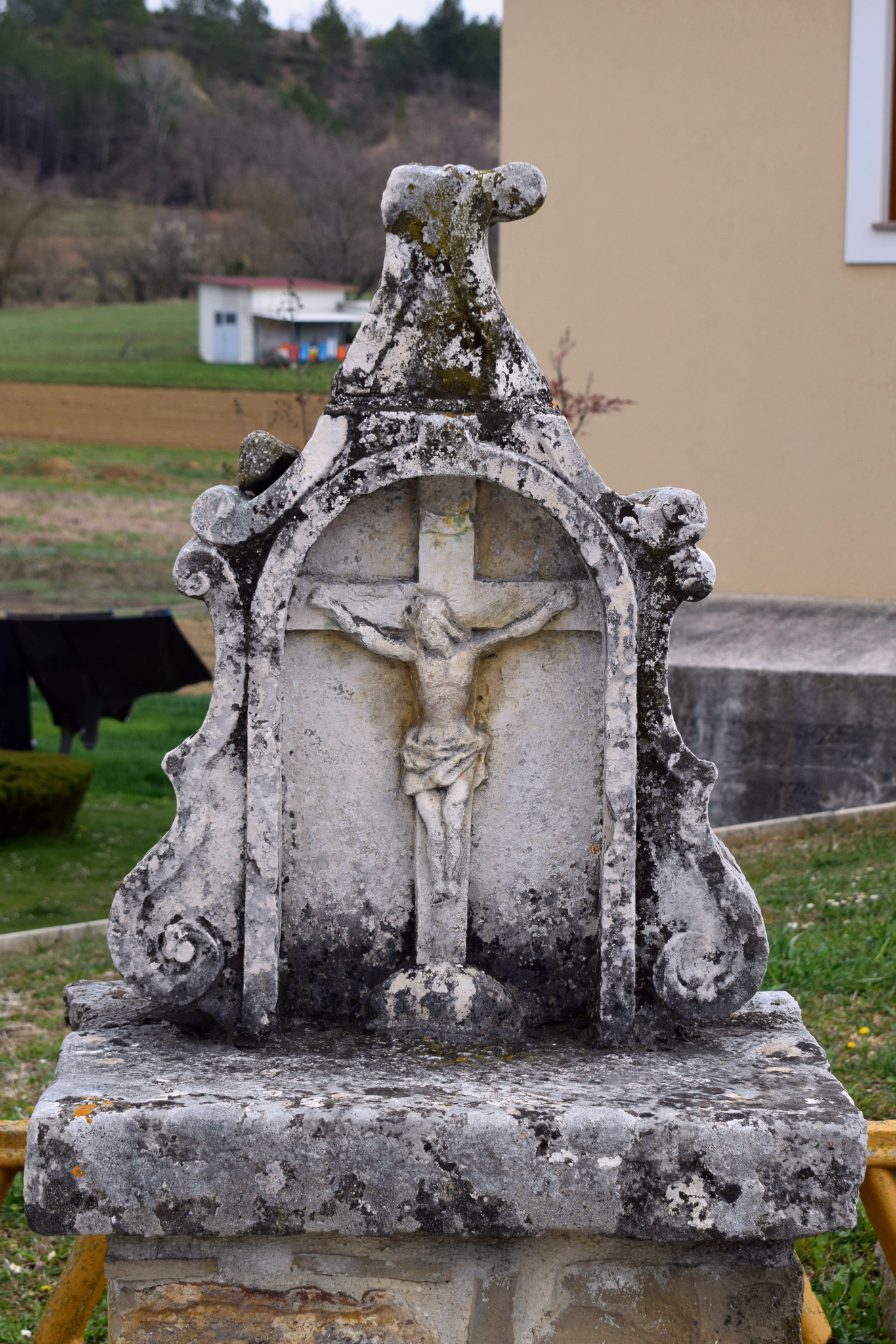
Prehistoric settlement.
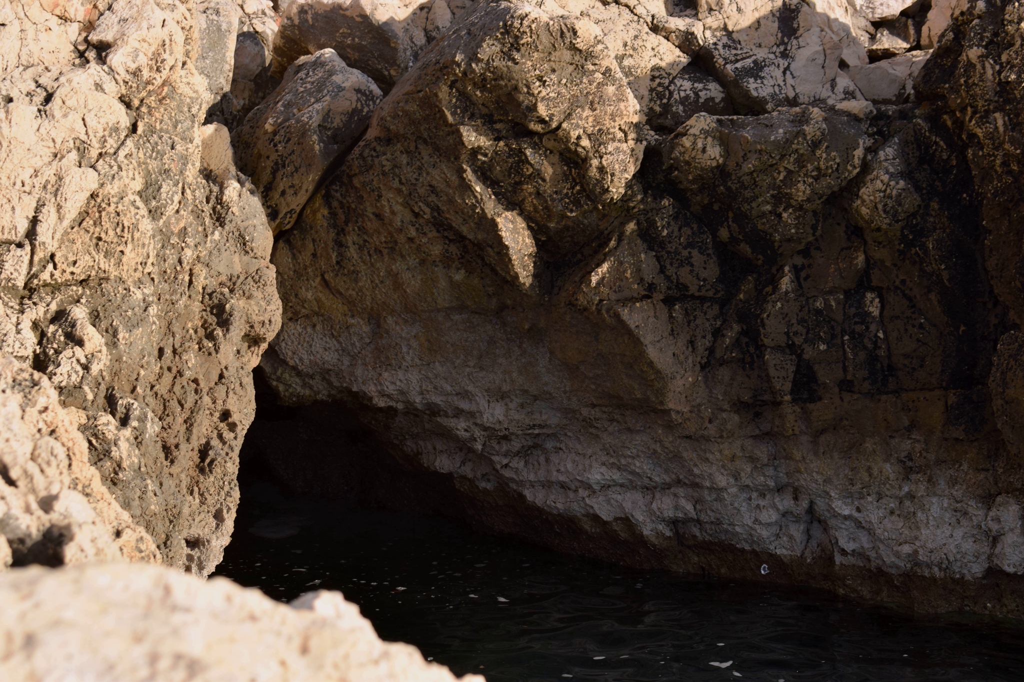
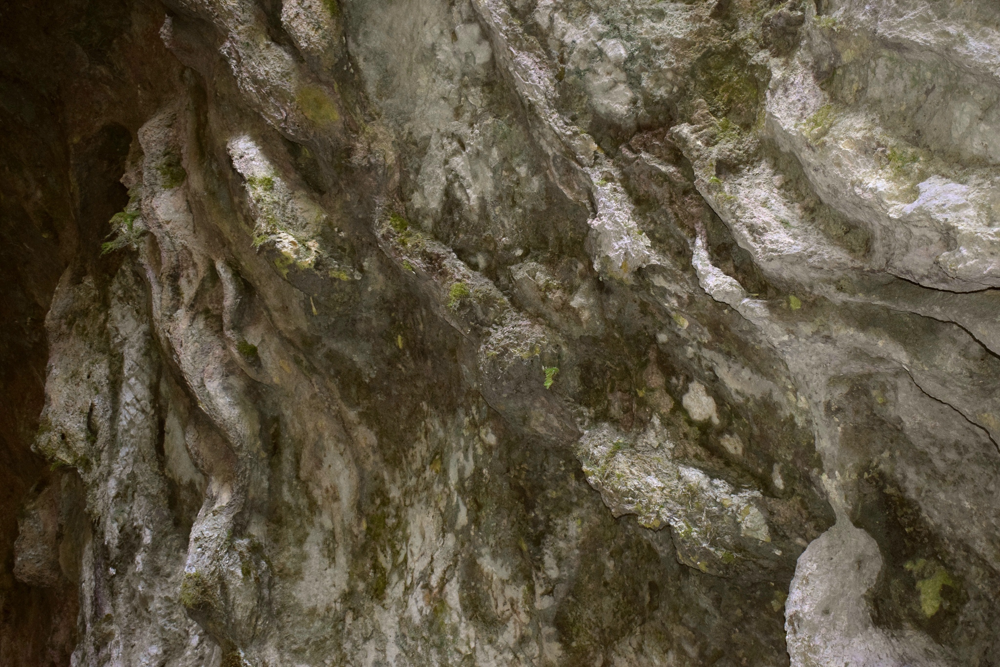
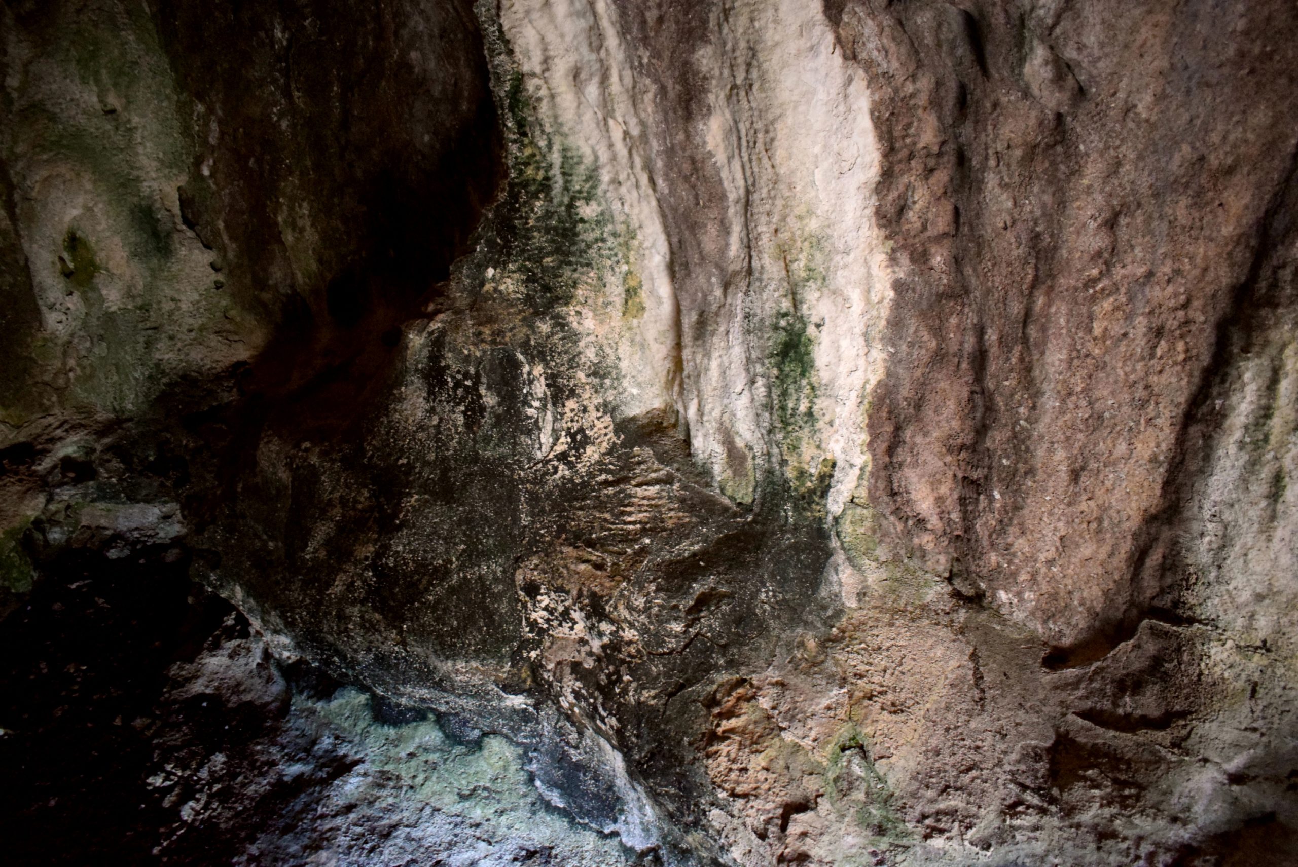
Name: Jamnjak caves.
Place: Čubani – (Zminj).
Coordinates: 45.10234 N – 13.94614 E, 45.1032 N – 13.94788 E.