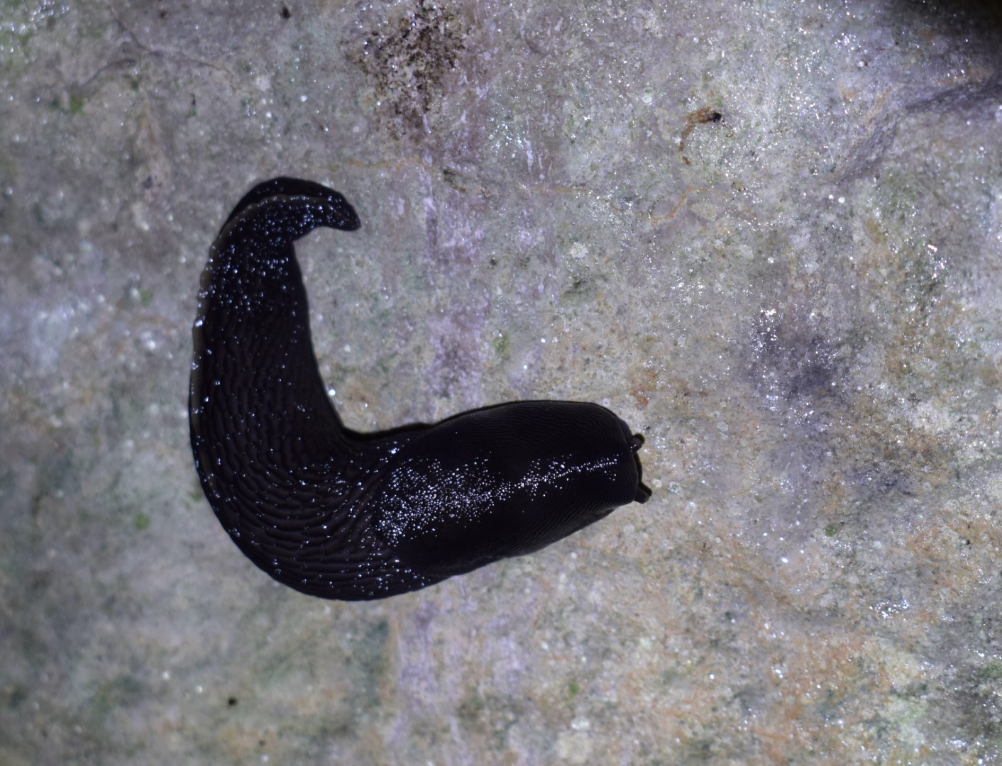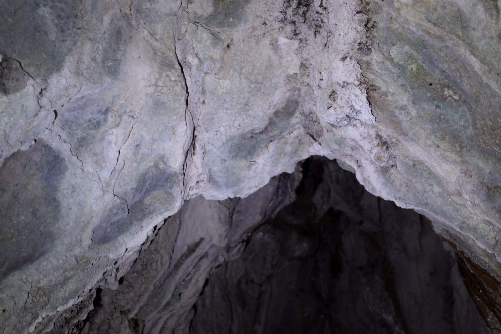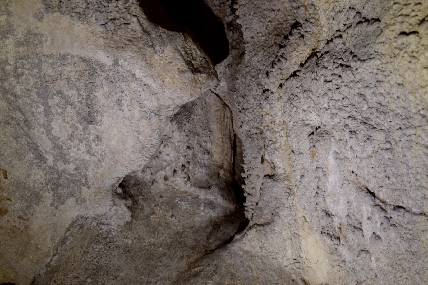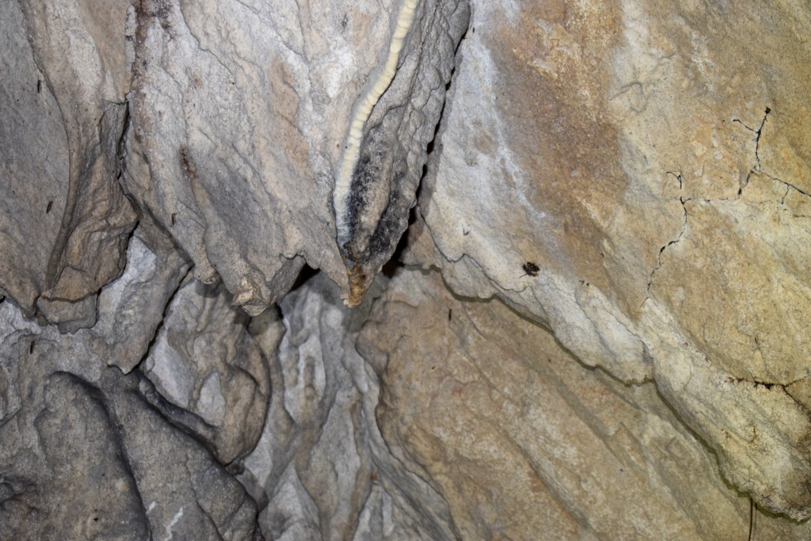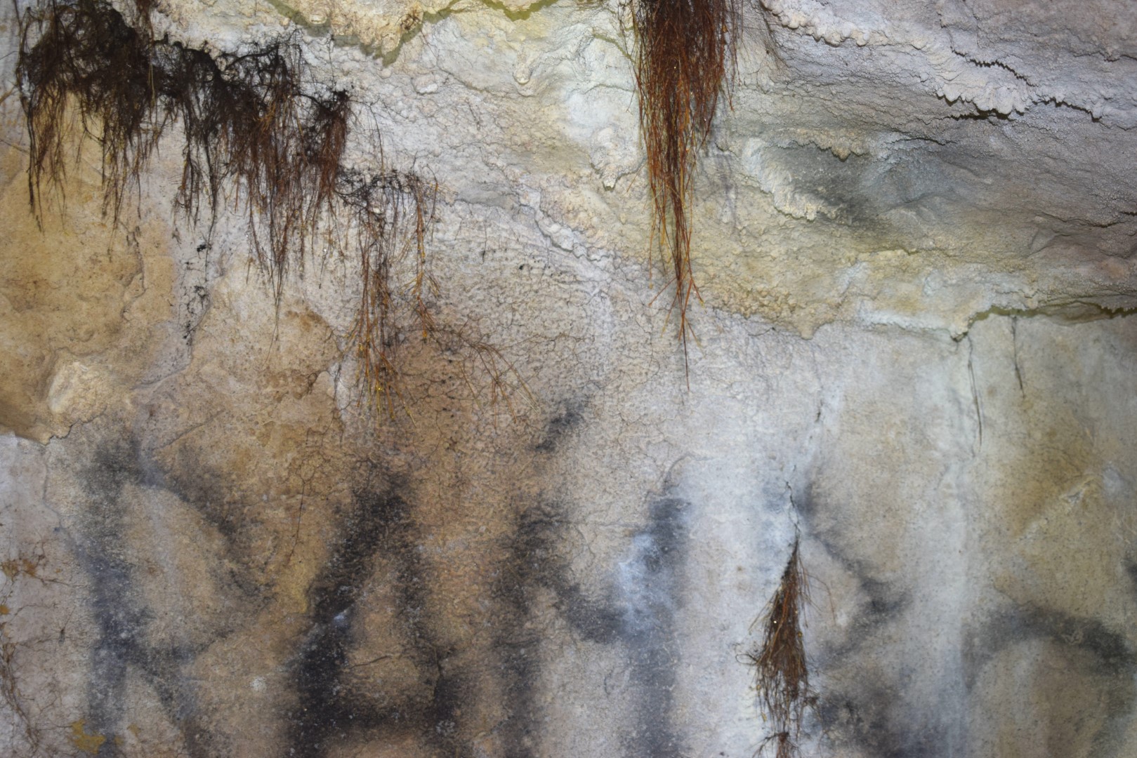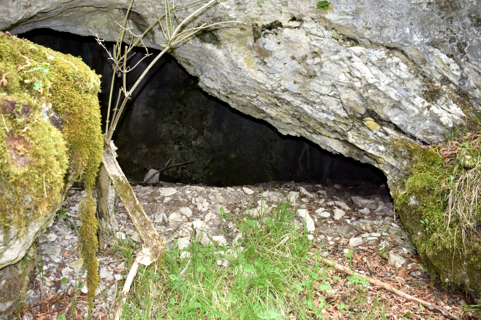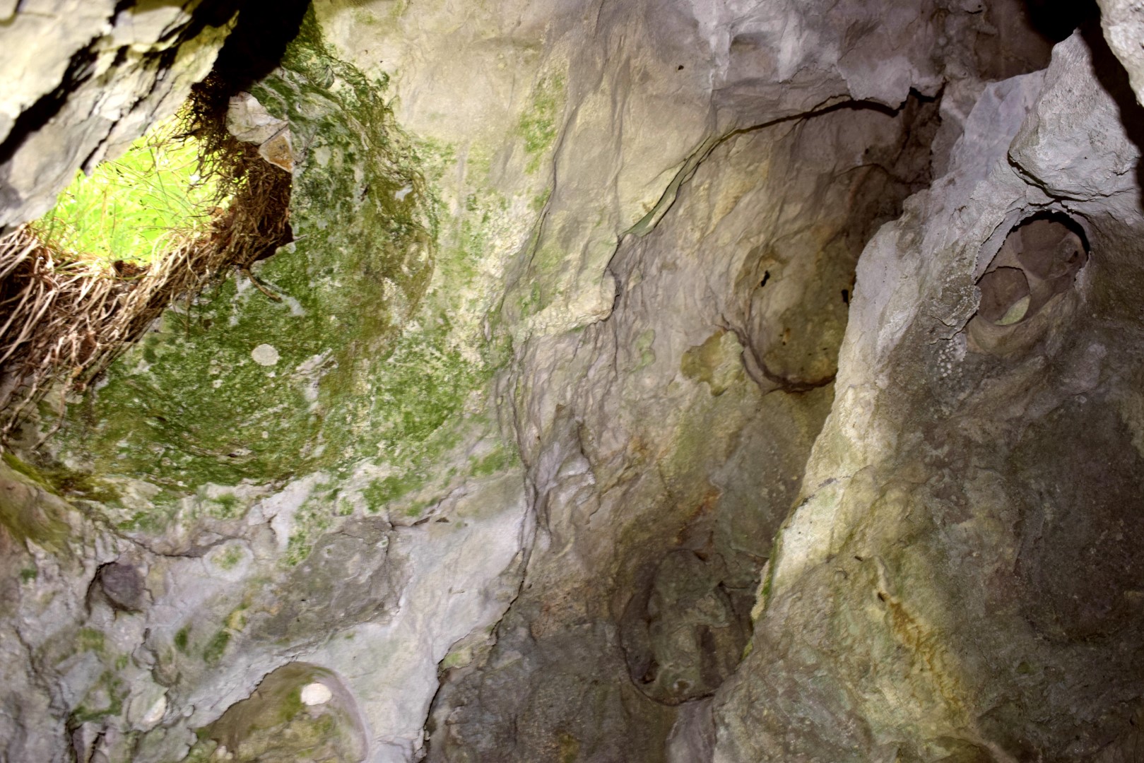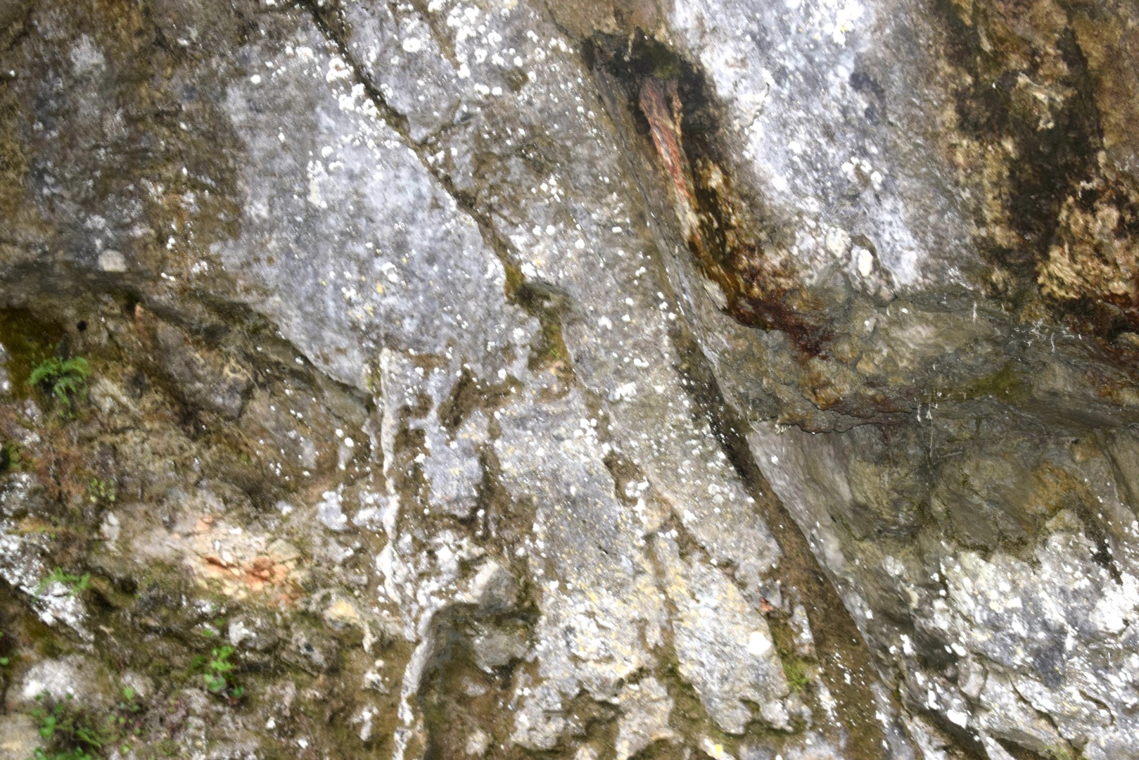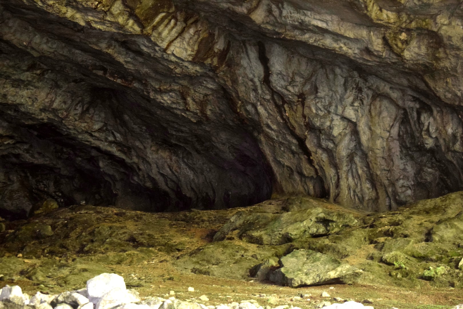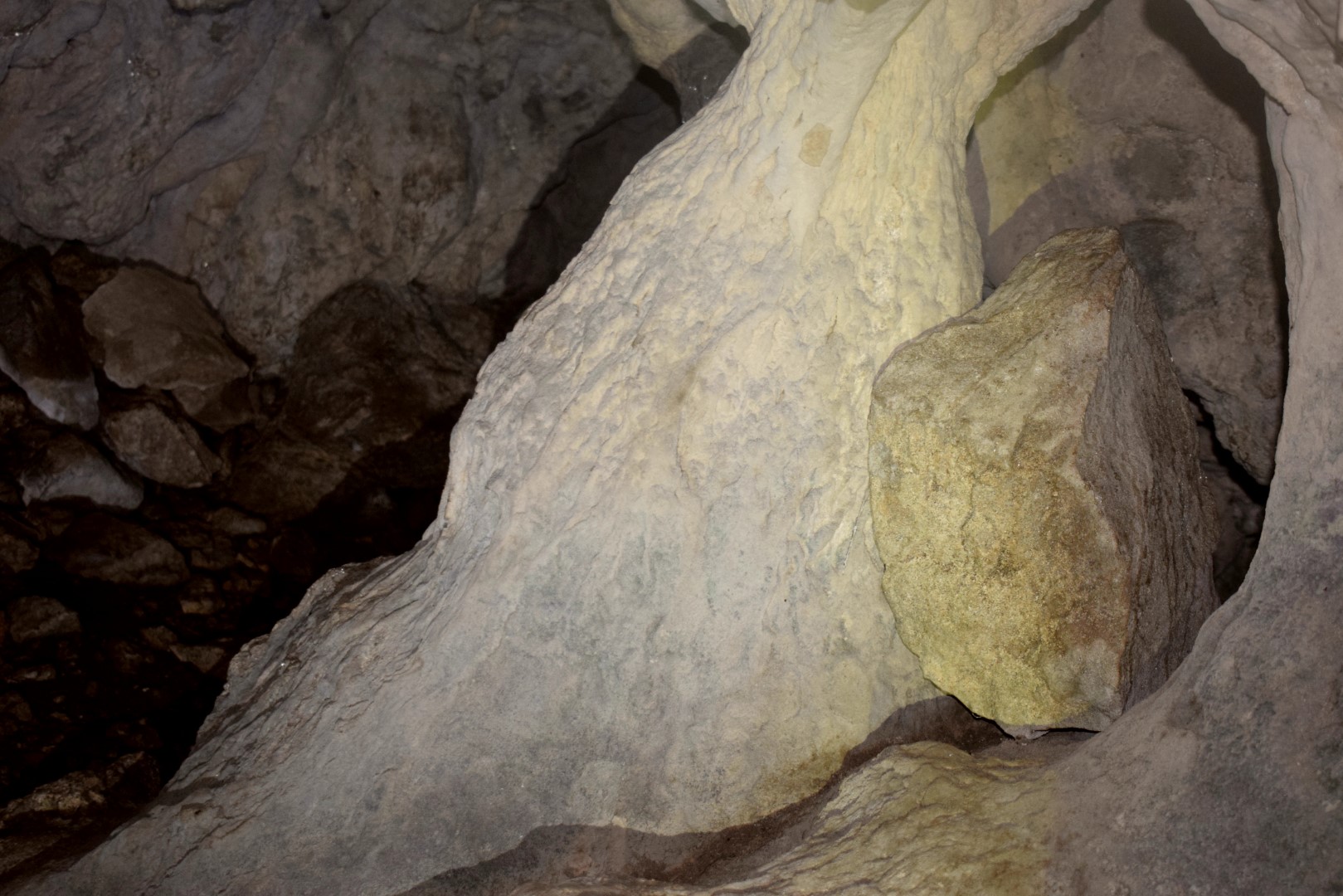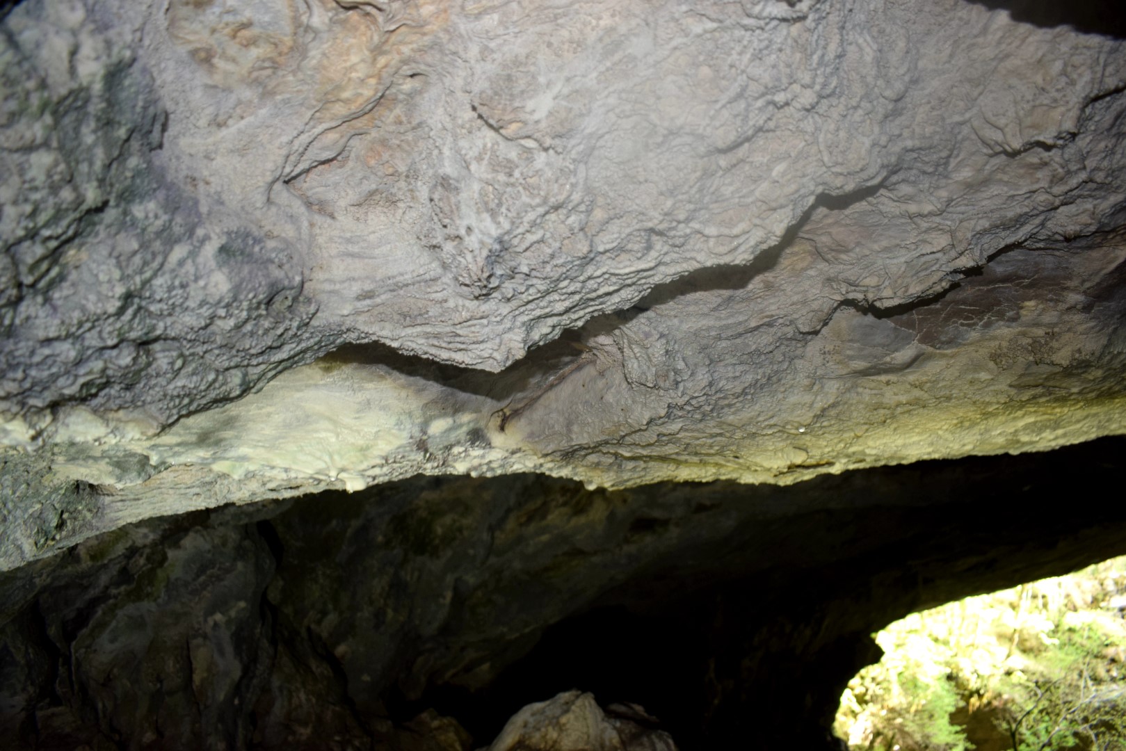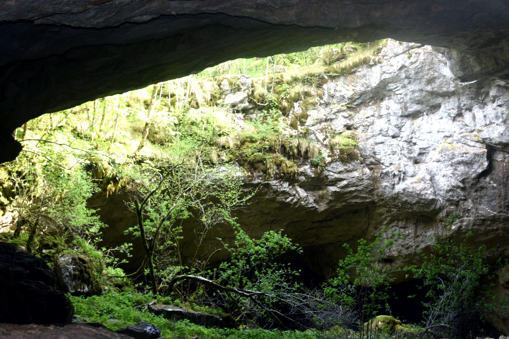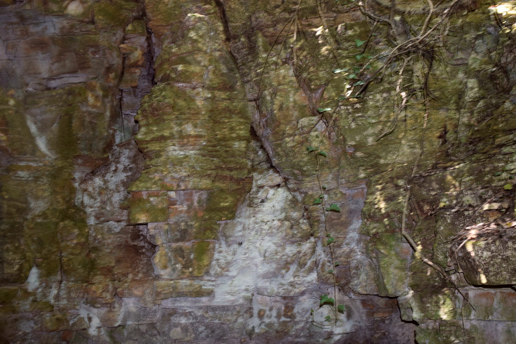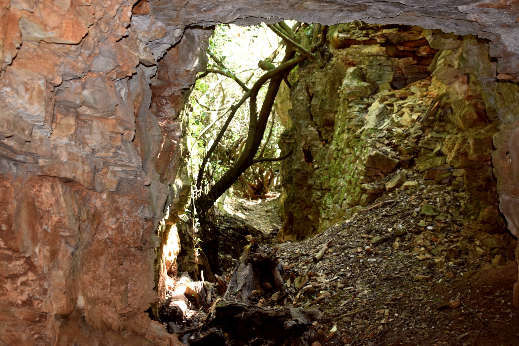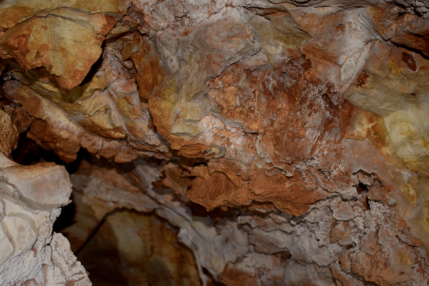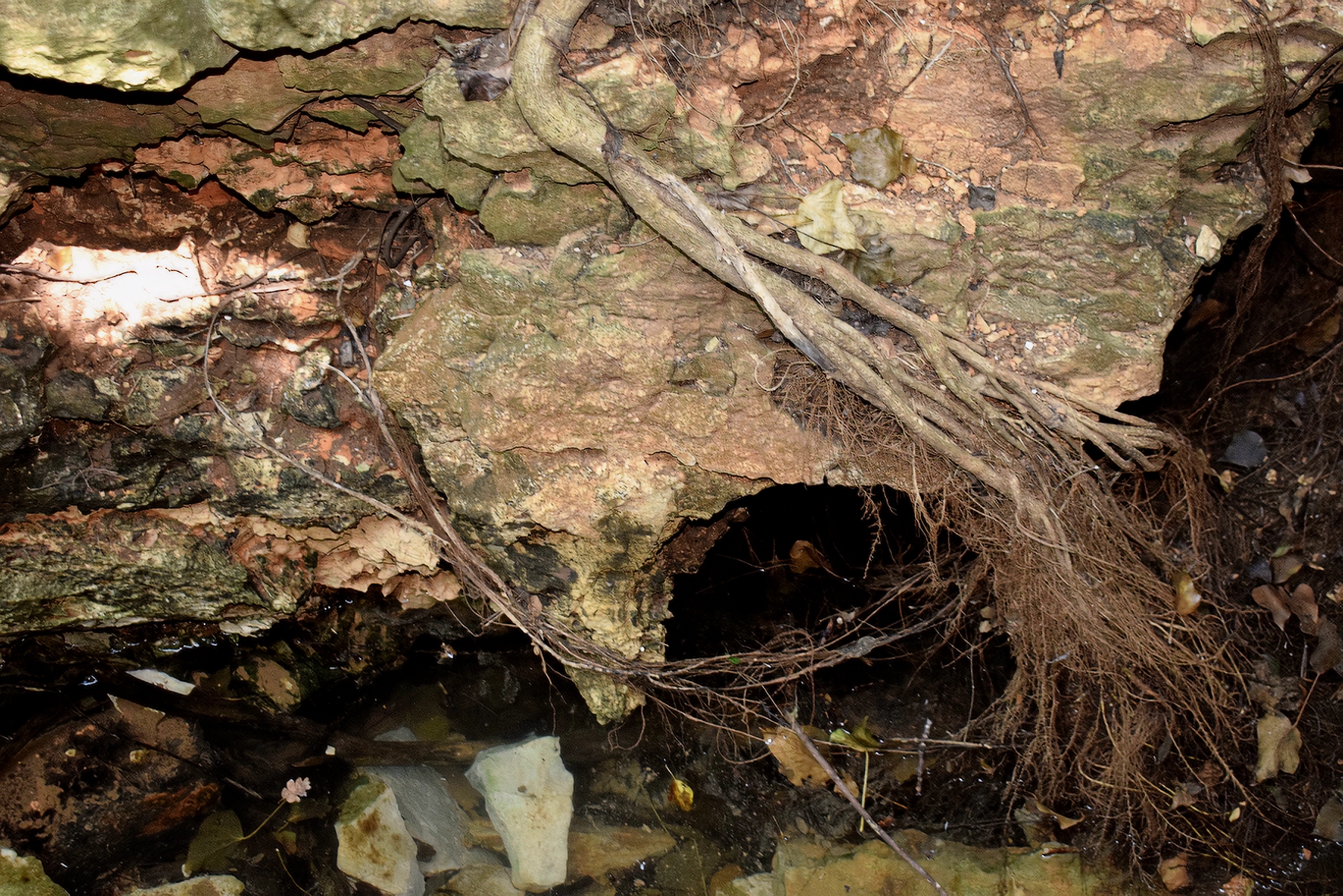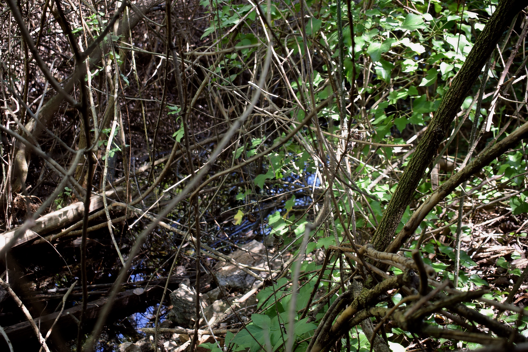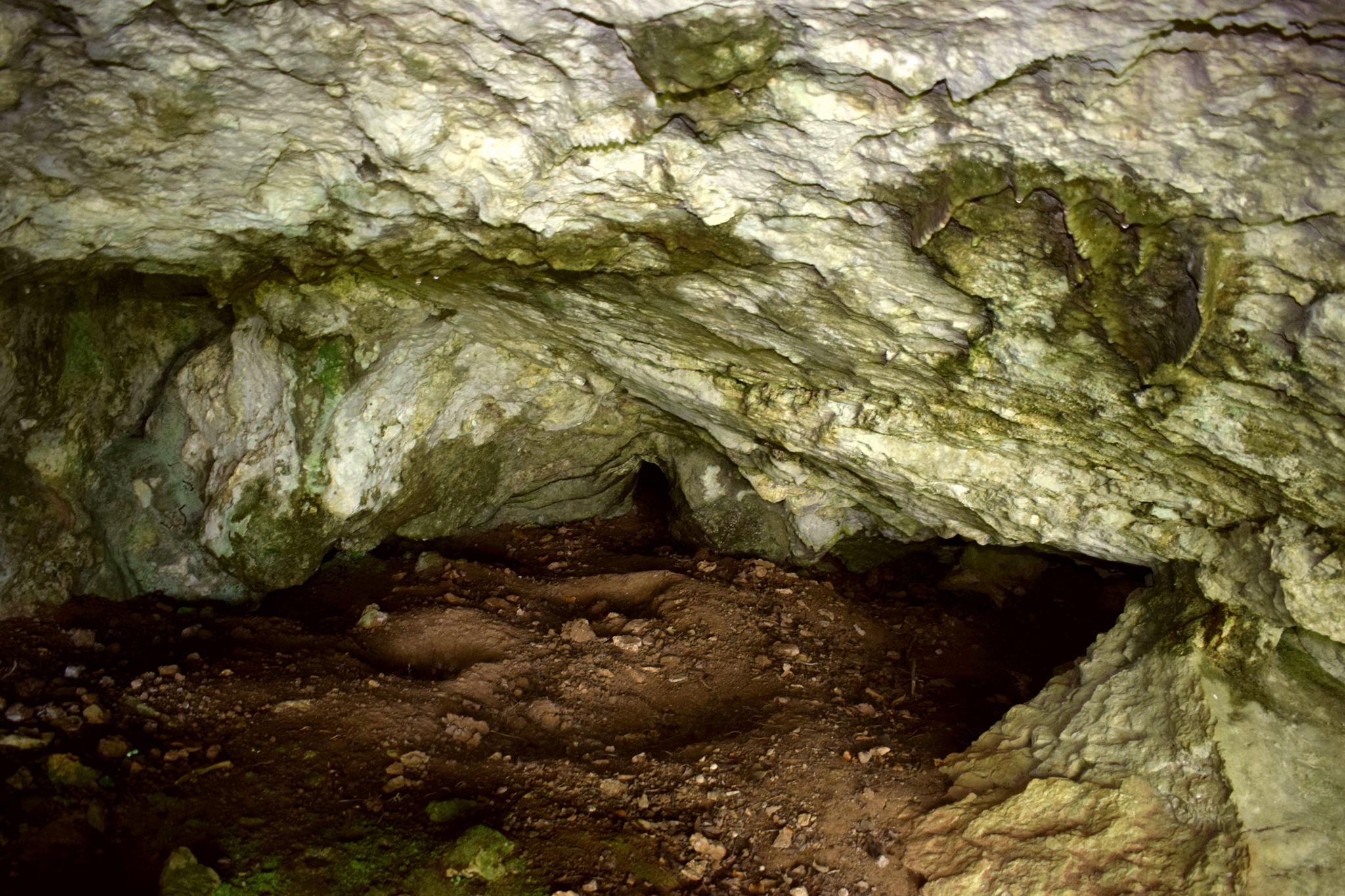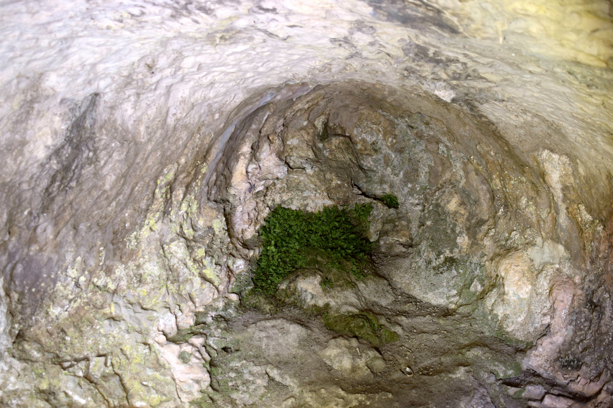
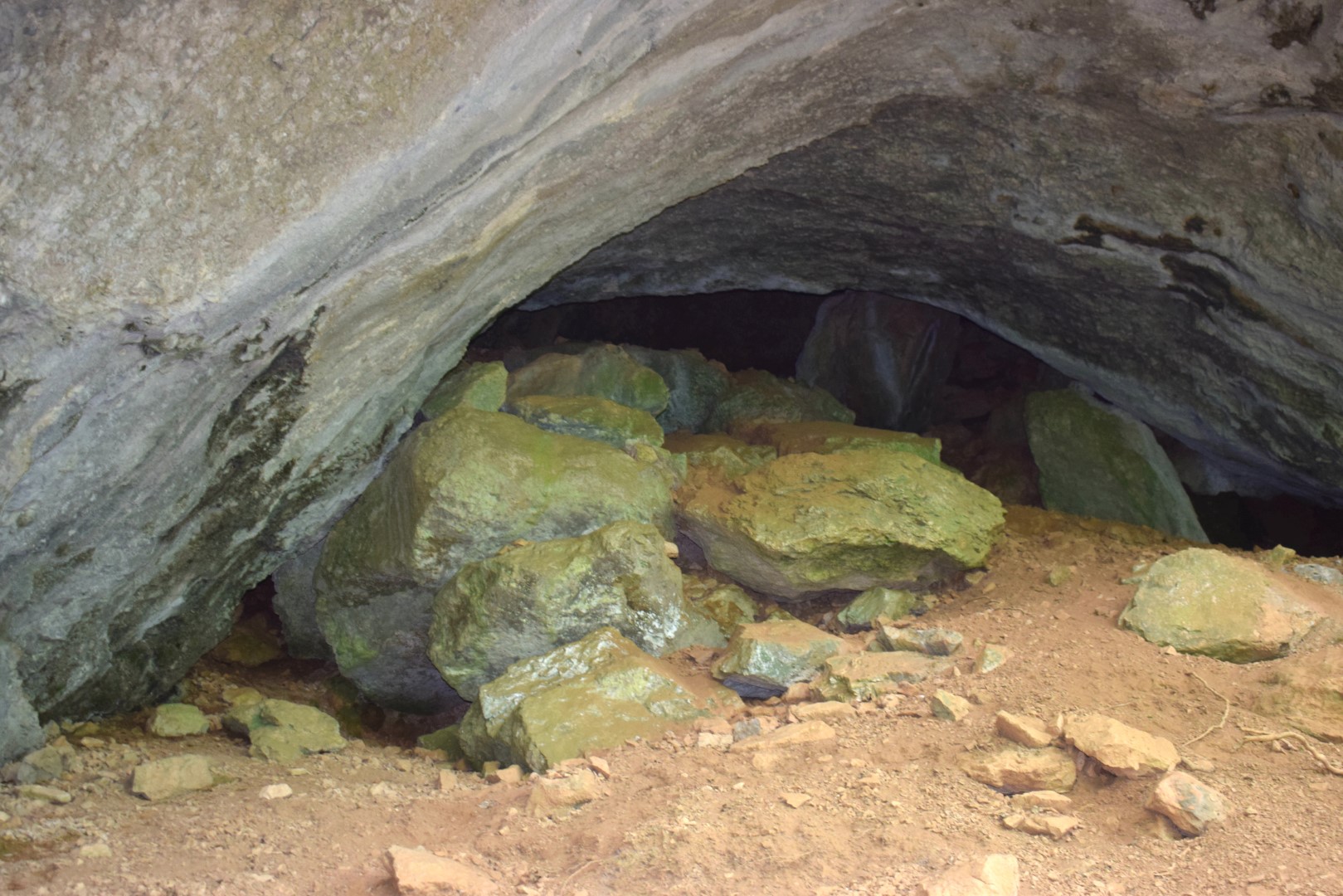


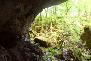
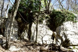
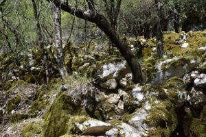
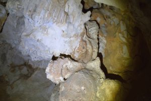
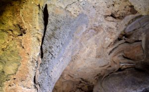
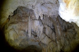
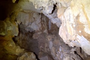
Name: Cave north of the road from Račja Vas to Veprinac.
Place: Račja Vas – (Lanišće).
Coordinates: 45.42103 N – 14.11274 E.
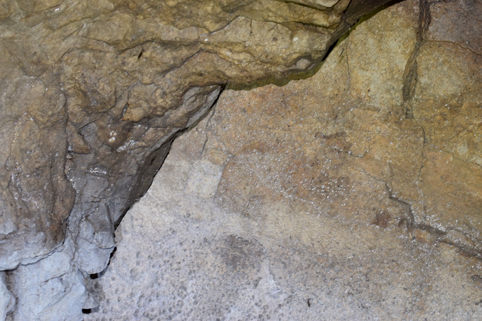
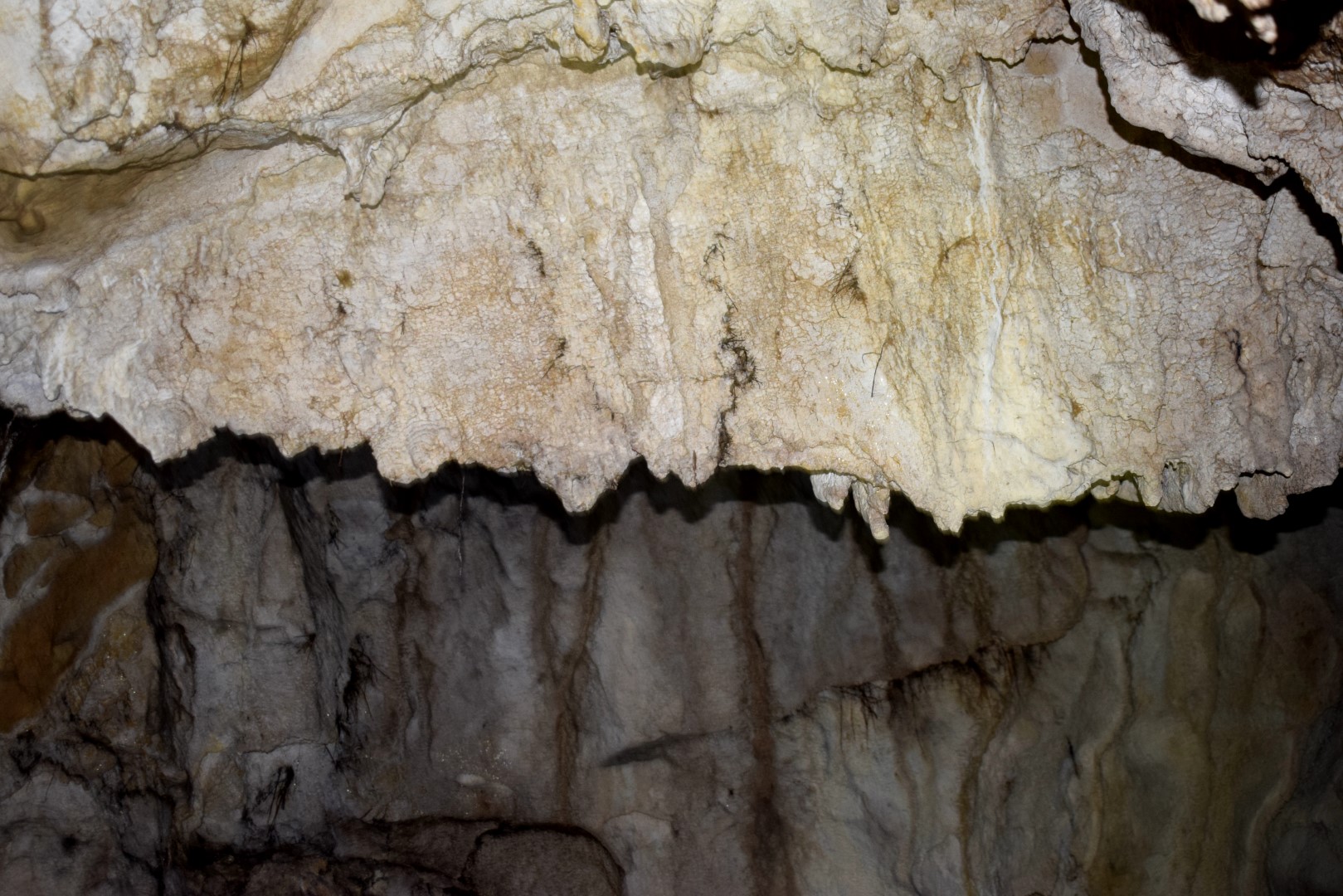
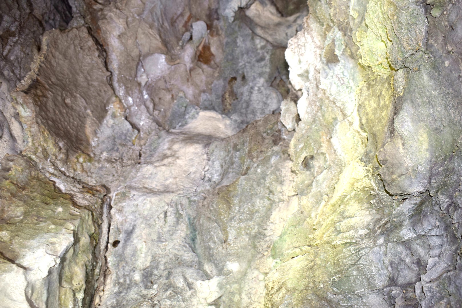
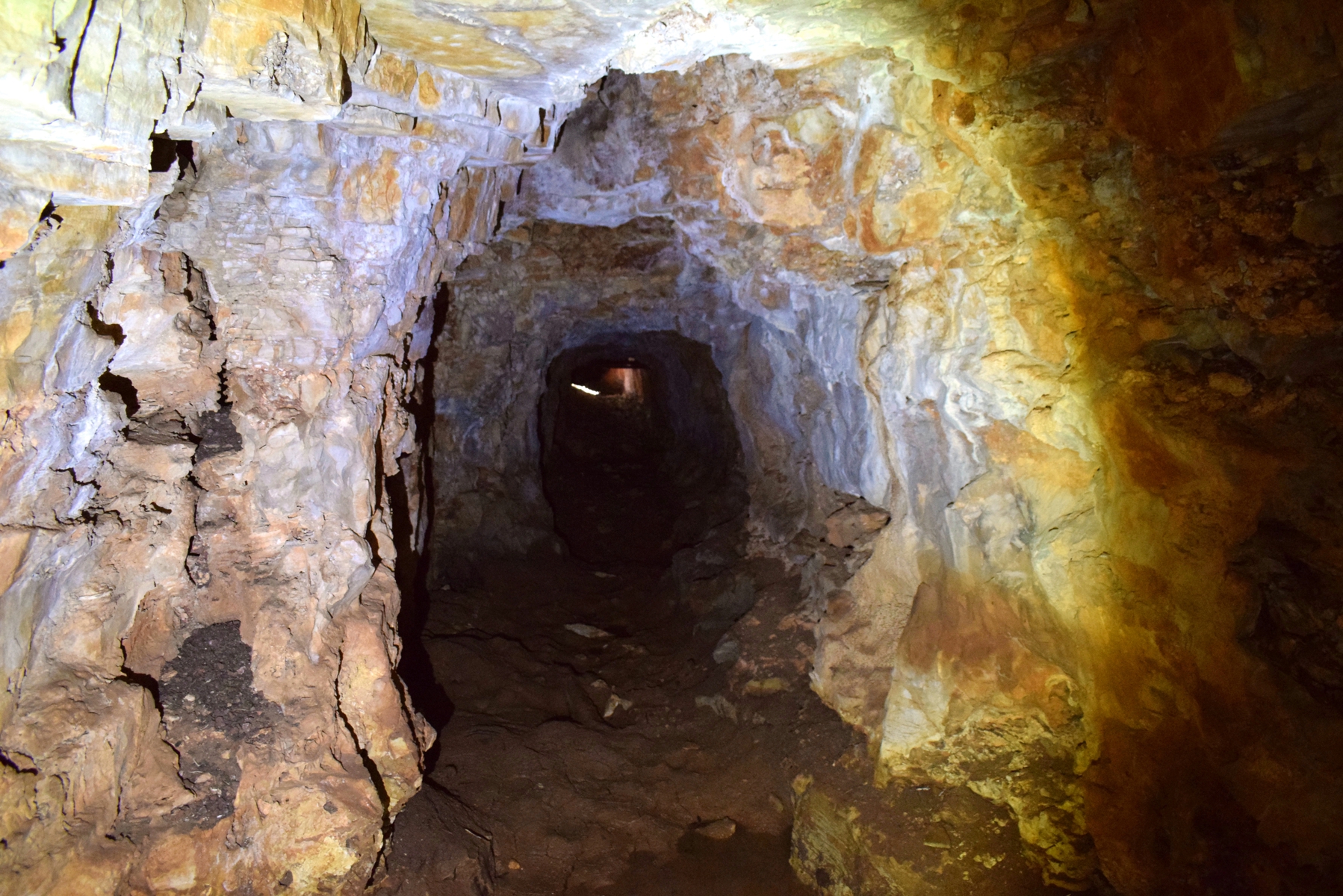
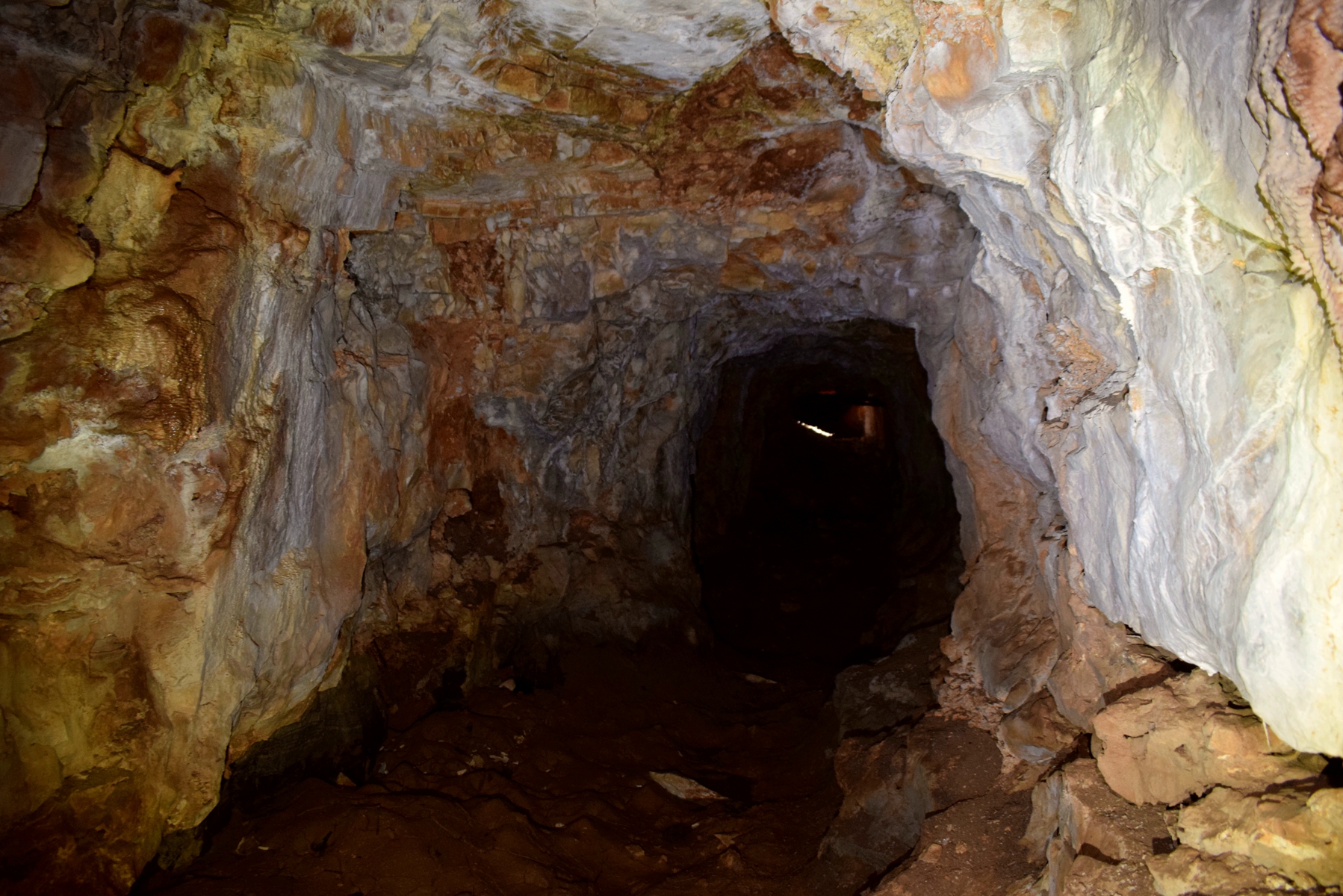
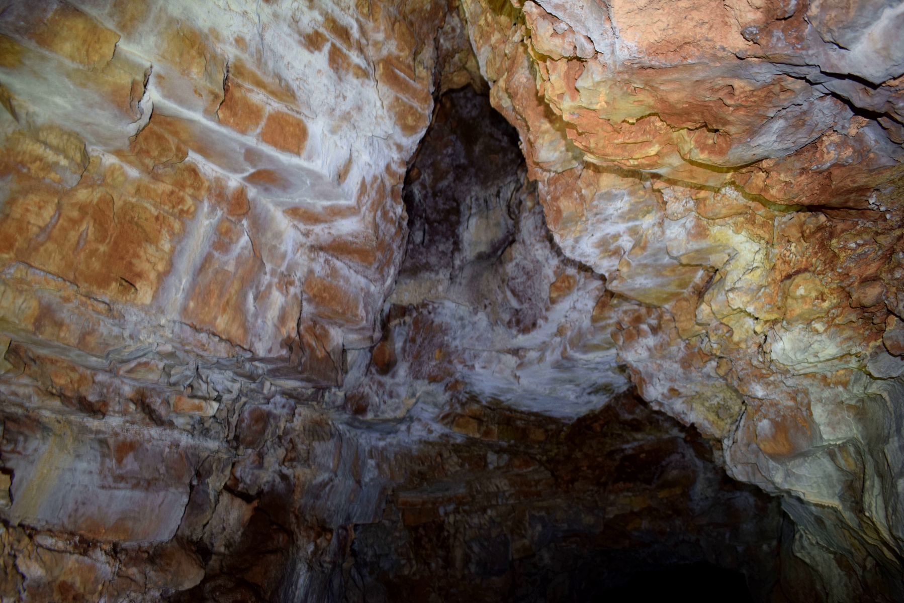
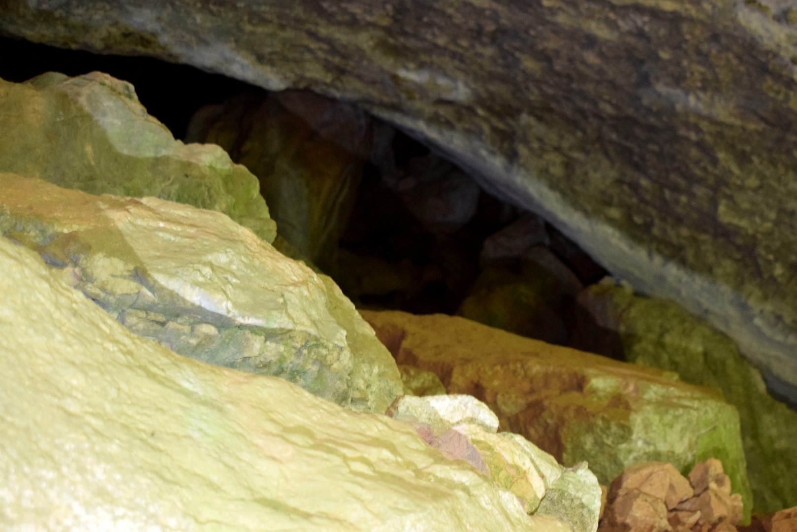
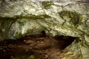
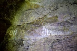
Name: Cave north of the road from Račja Vas to Veprinac.
Place: Račja Vas – (Lanišće).
Coordinates: 45.42103 N – 14.11274 E.
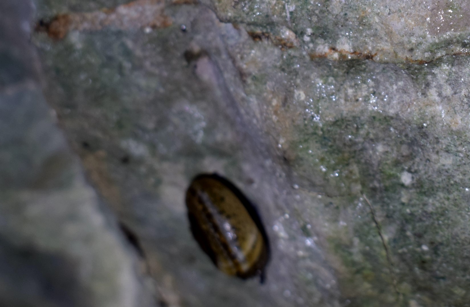
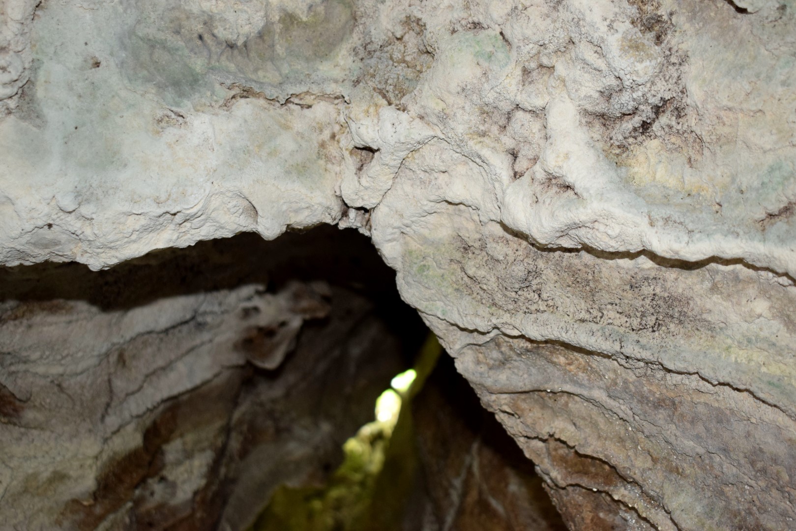
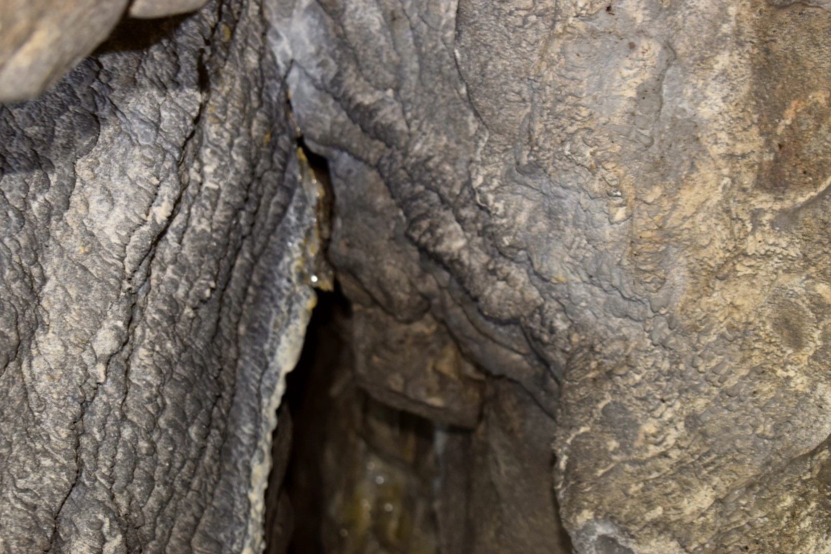
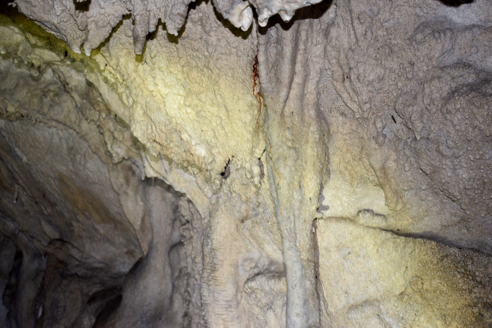
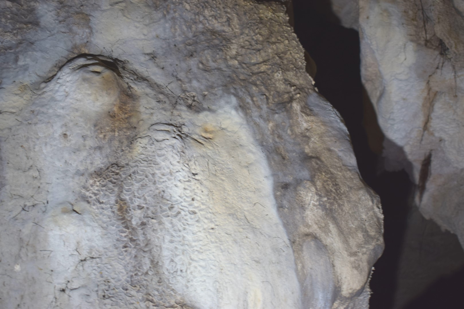
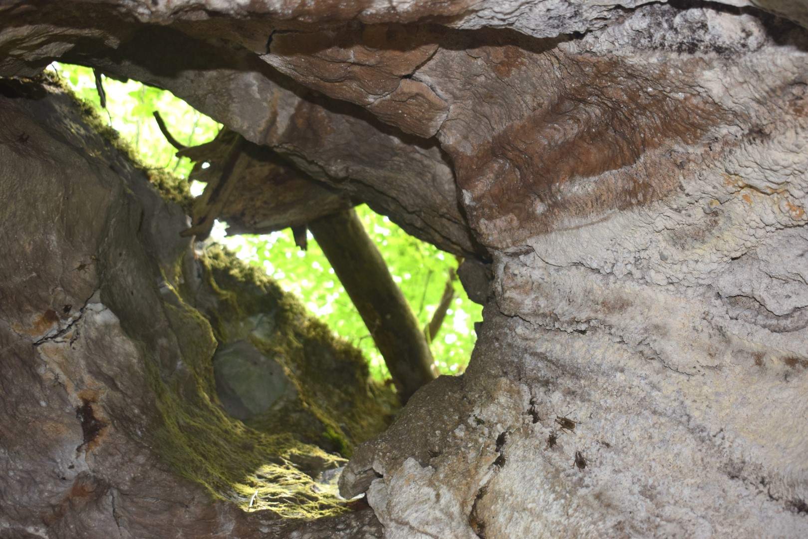
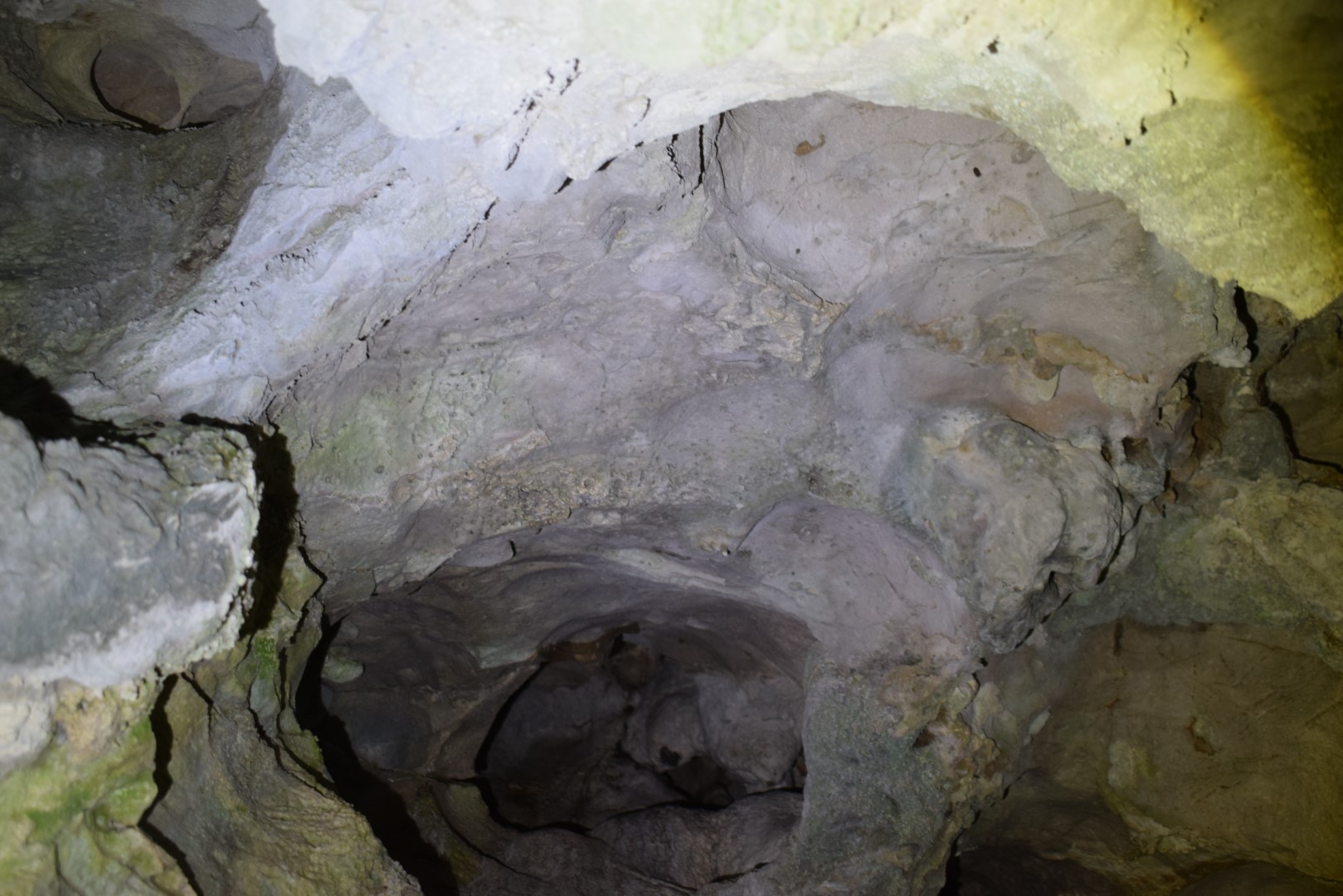
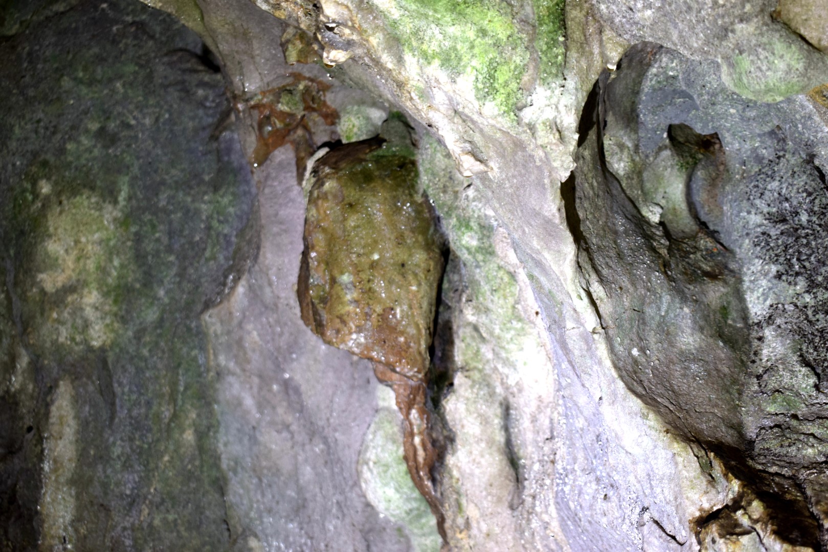
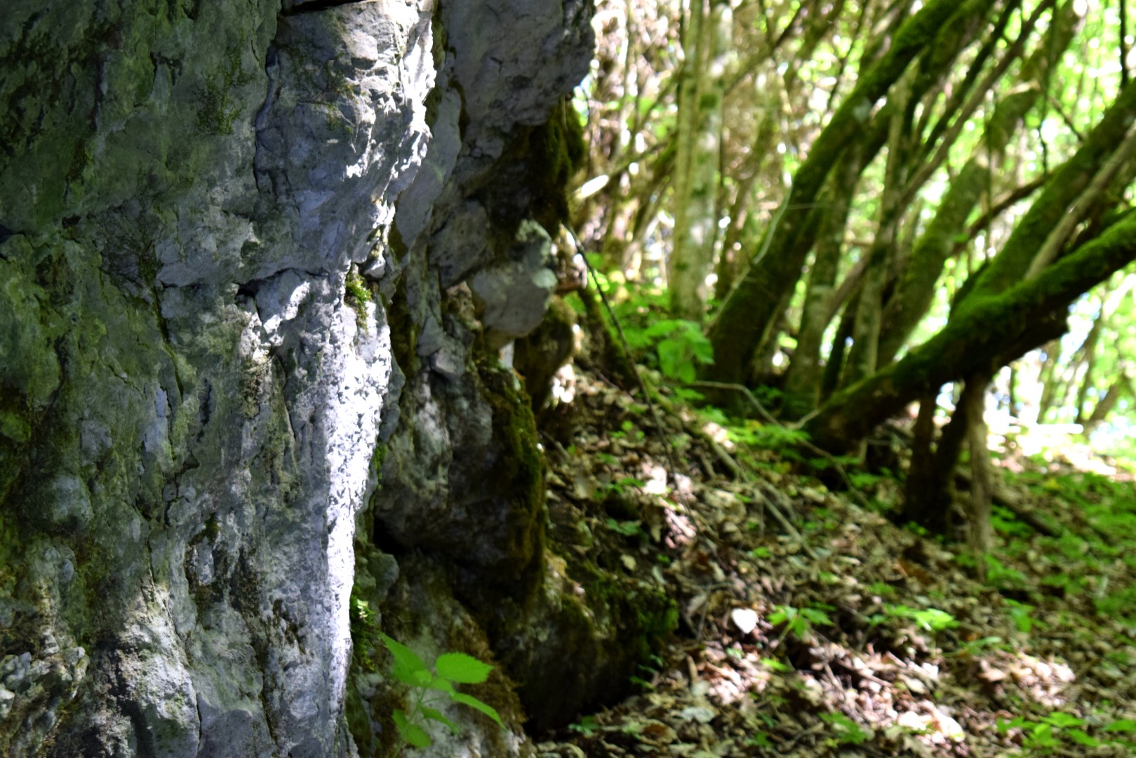
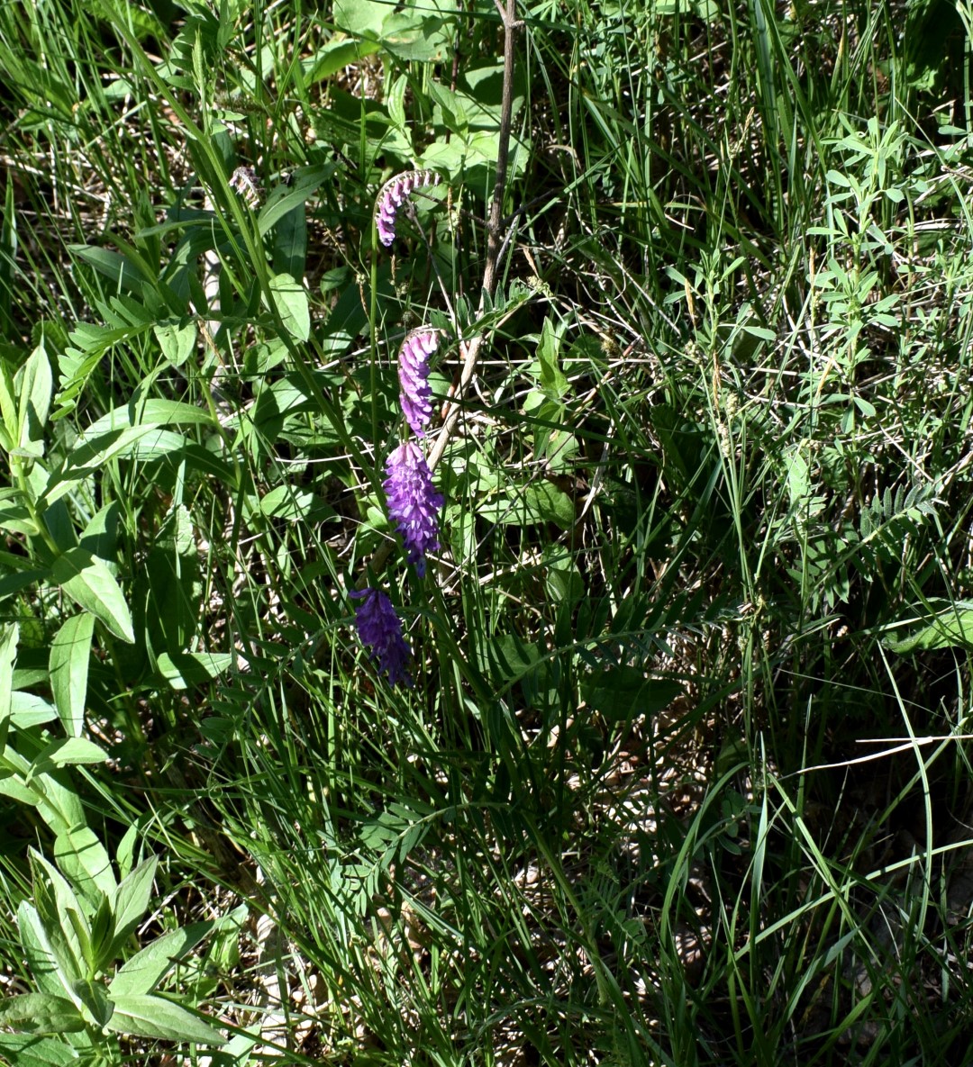
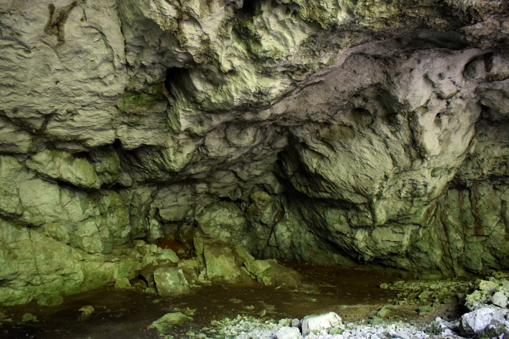
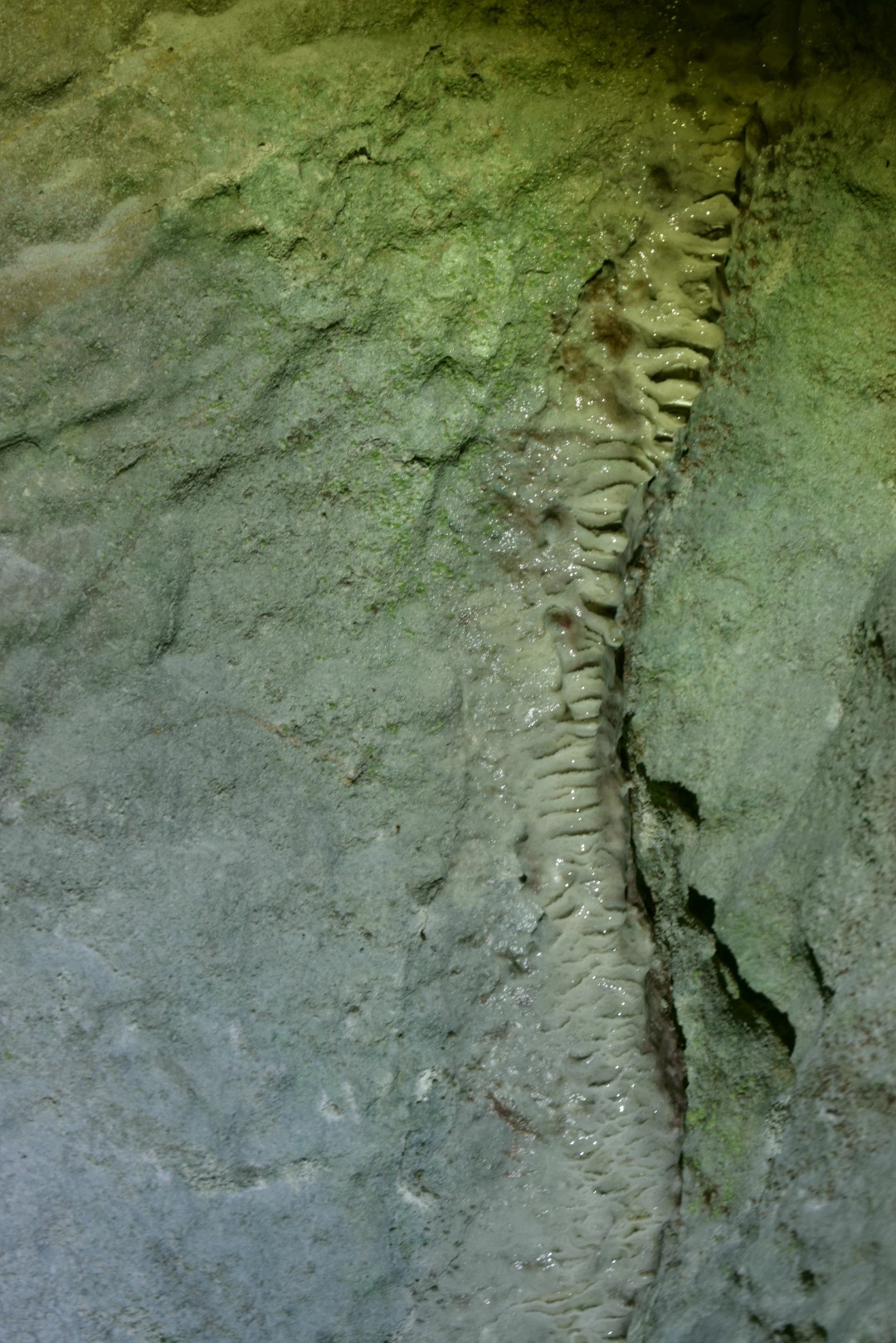
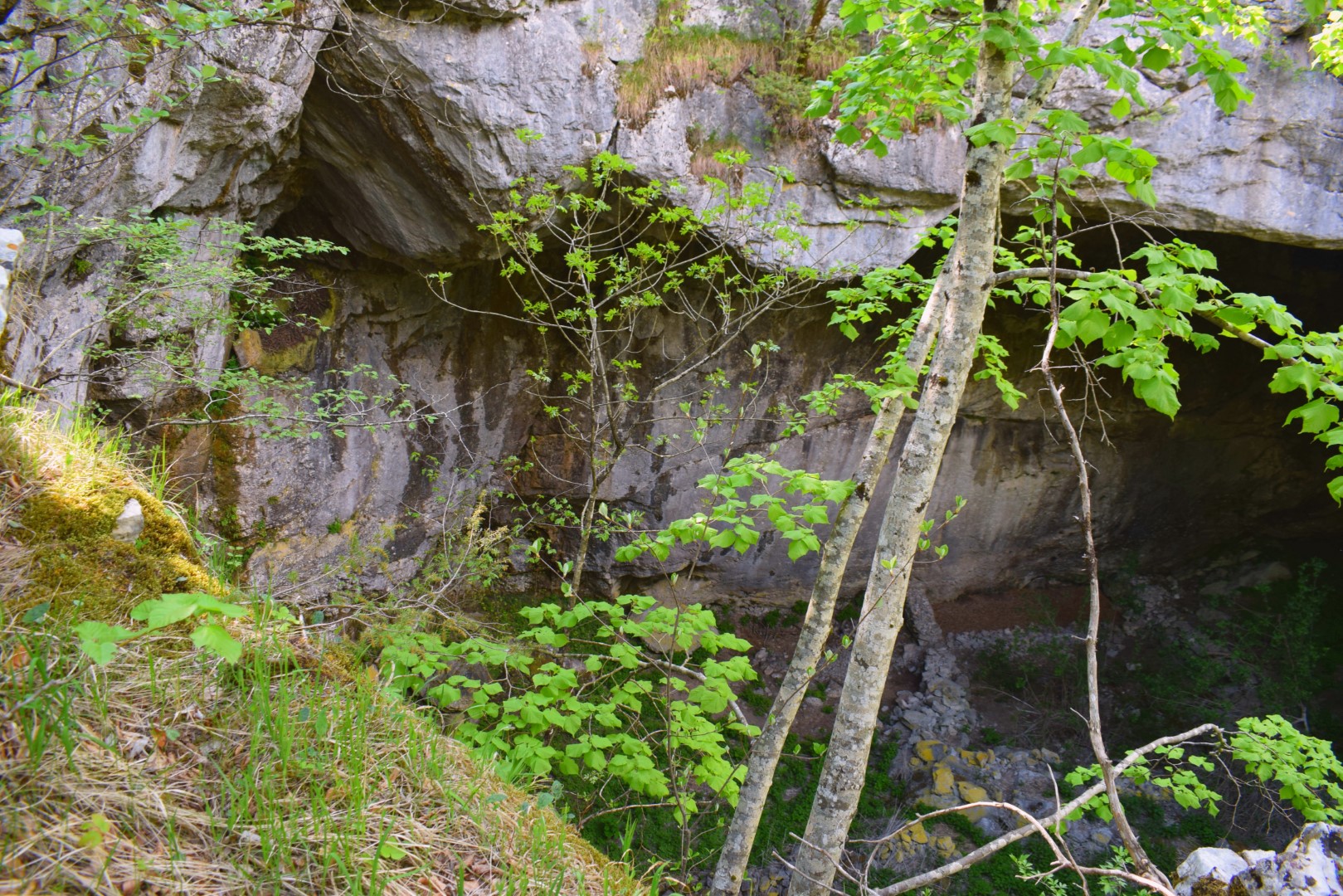
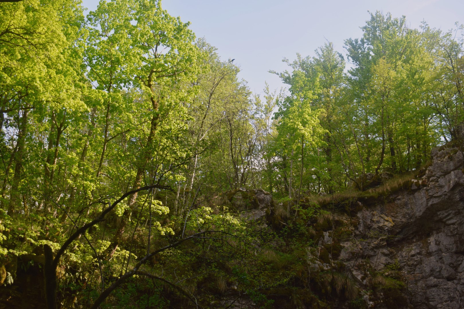
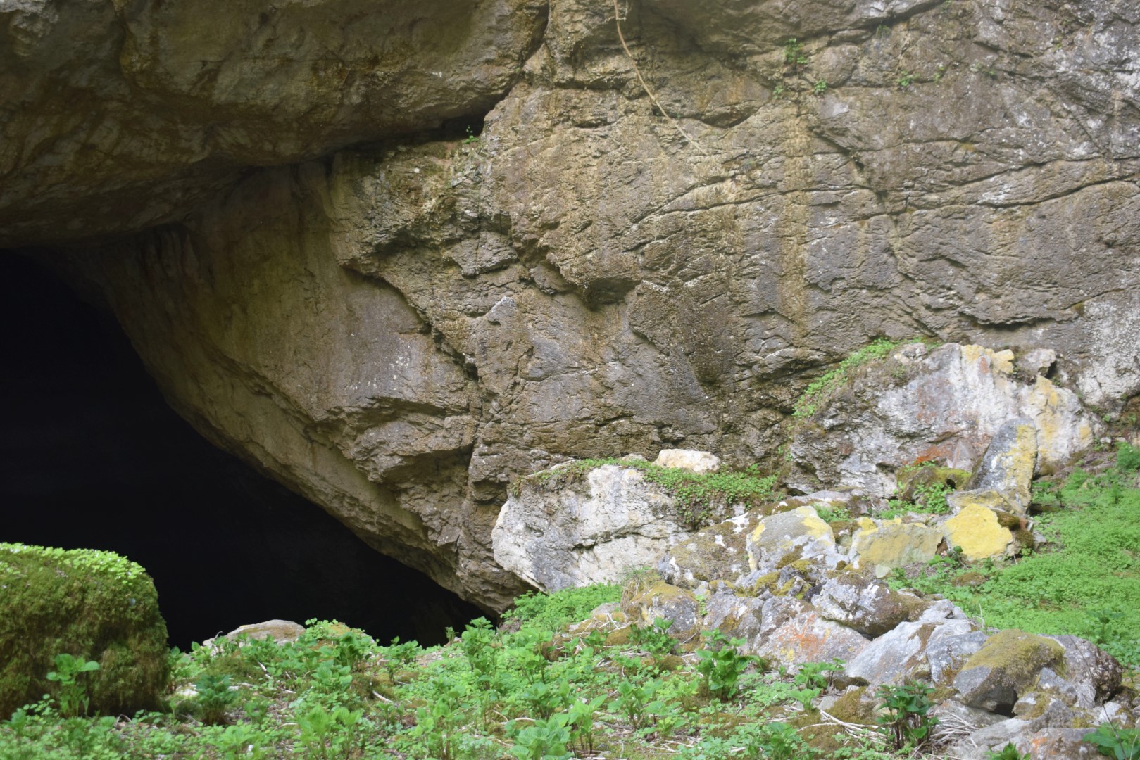
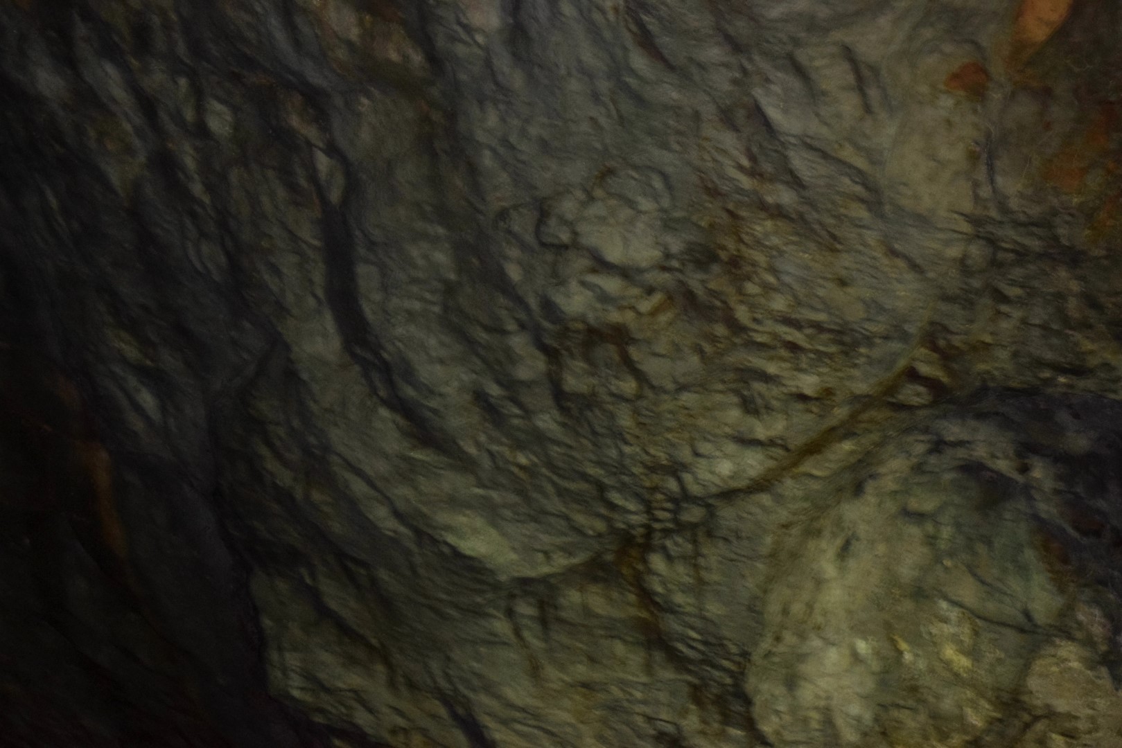
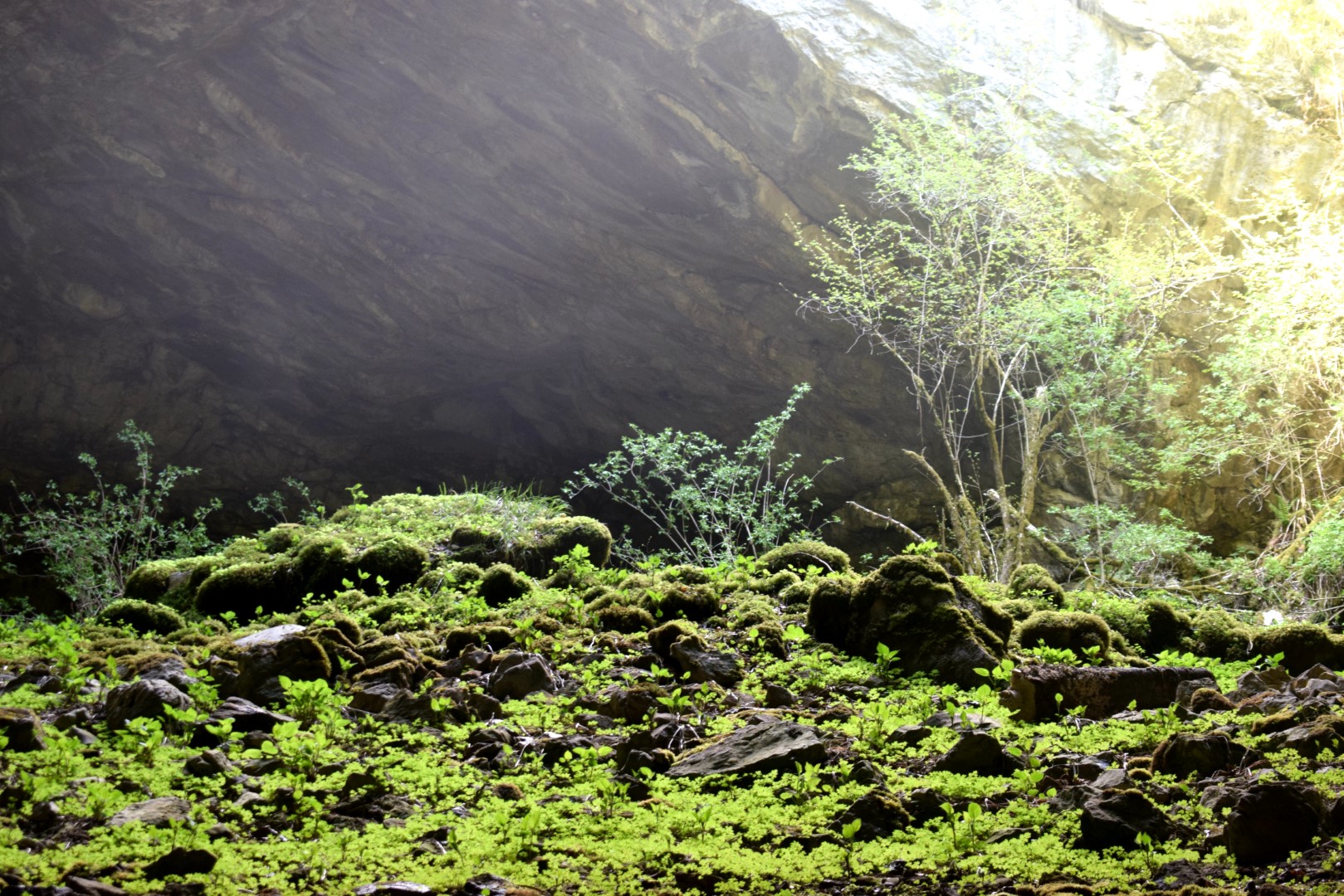
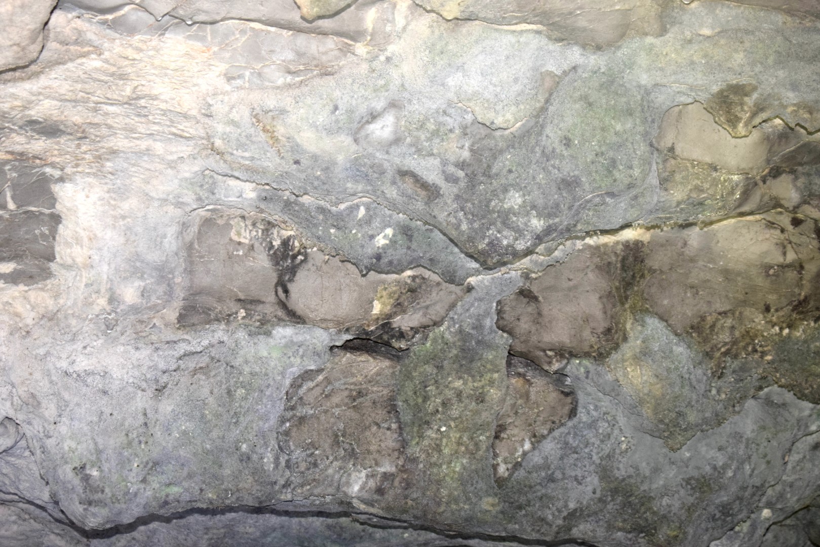
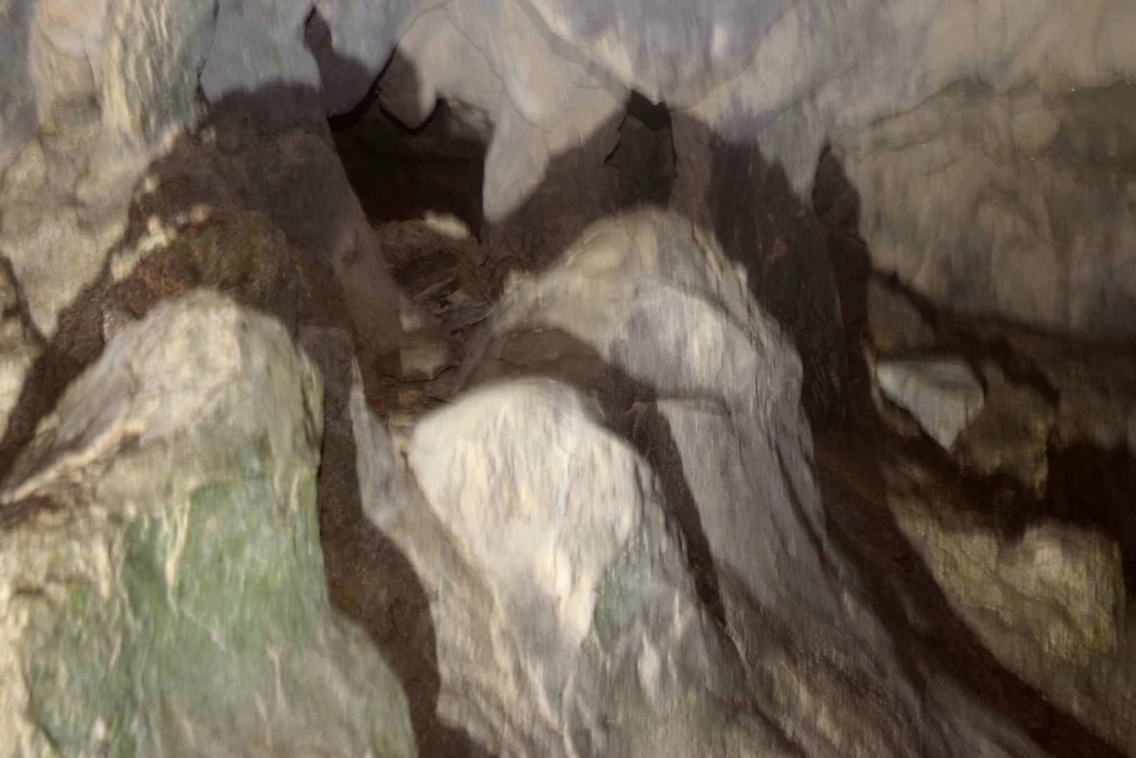
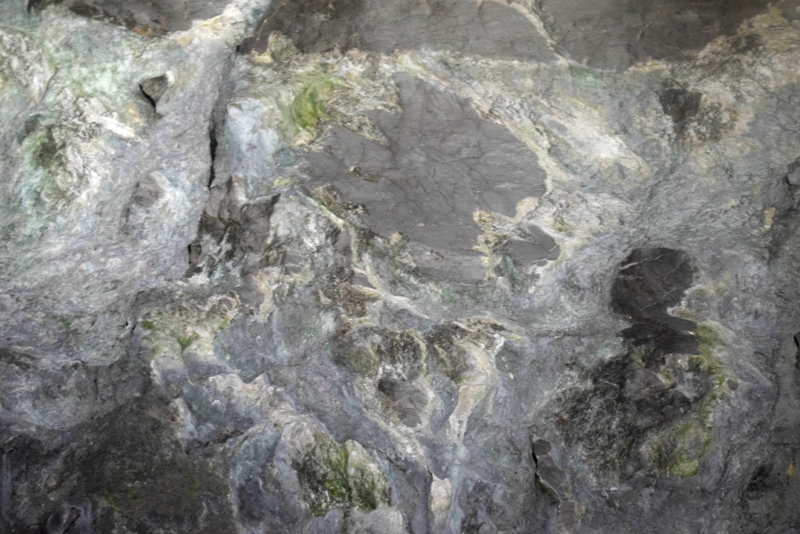
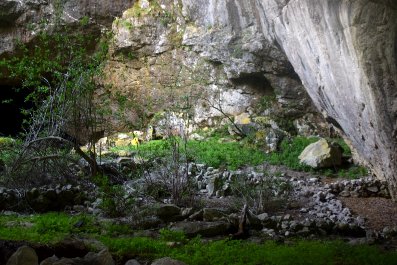
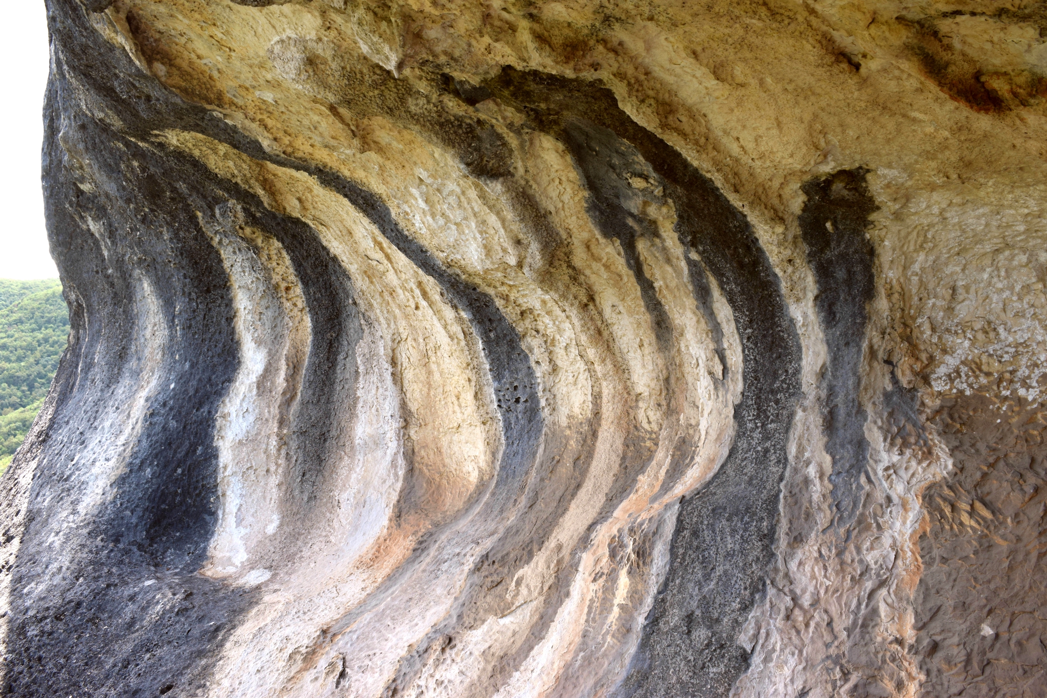
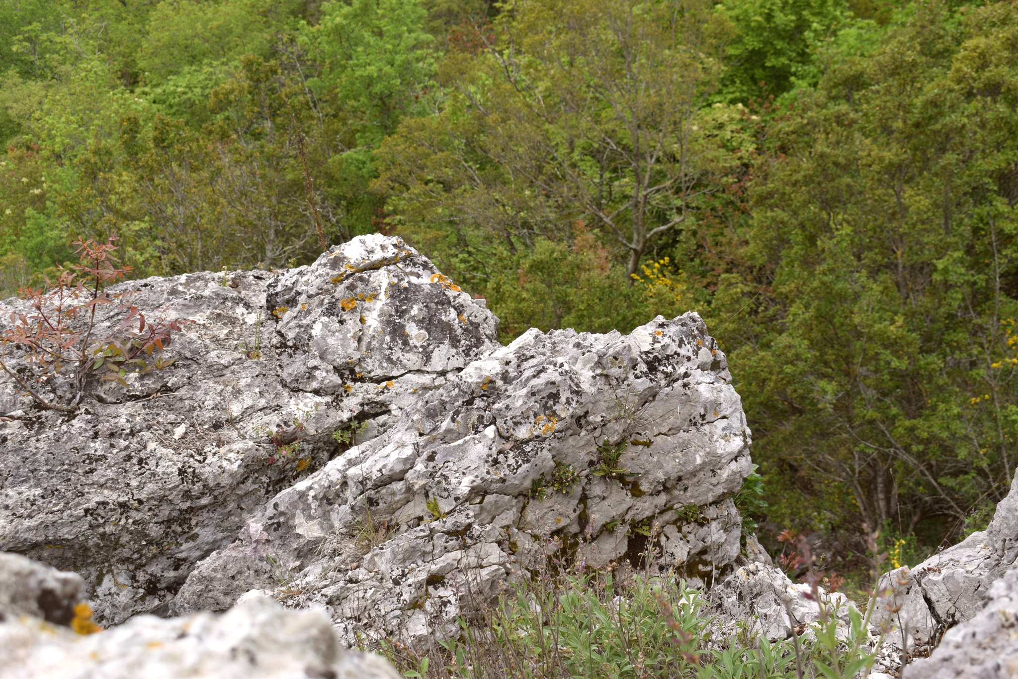
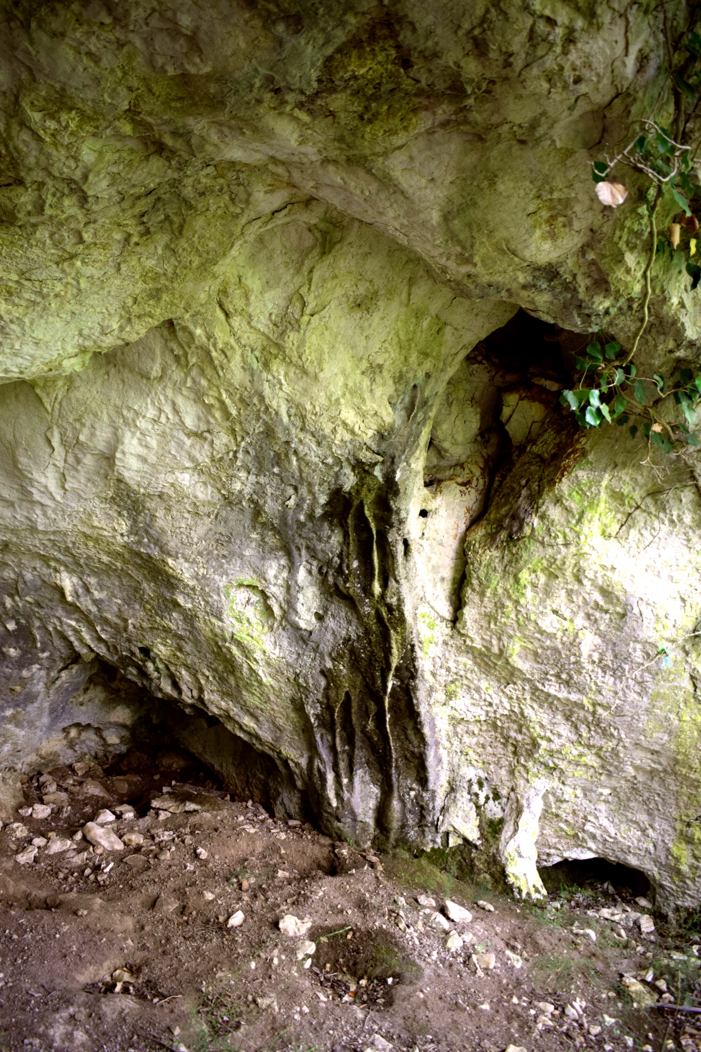
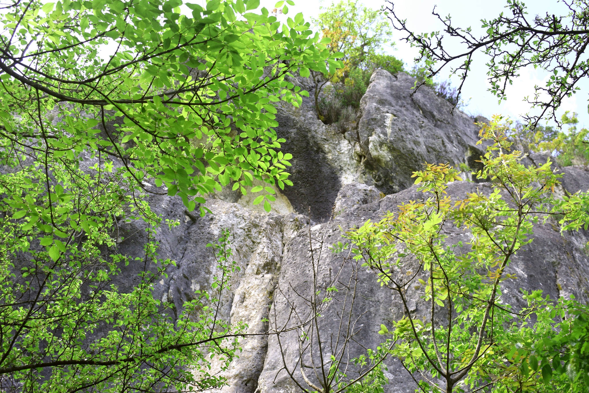
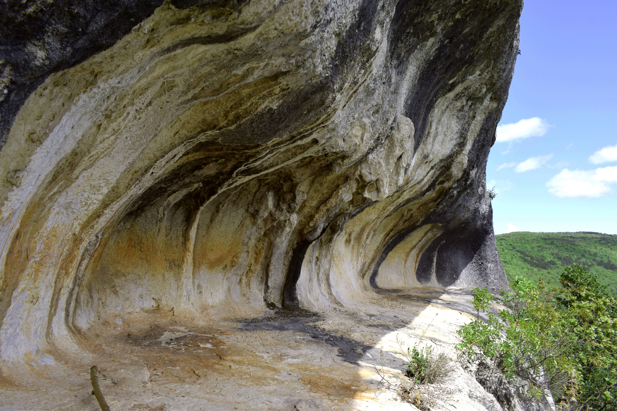
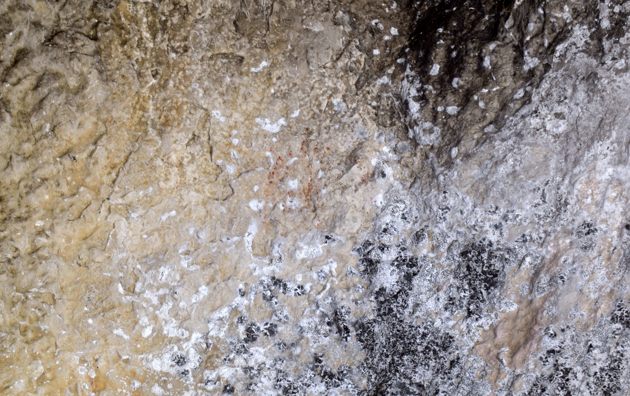
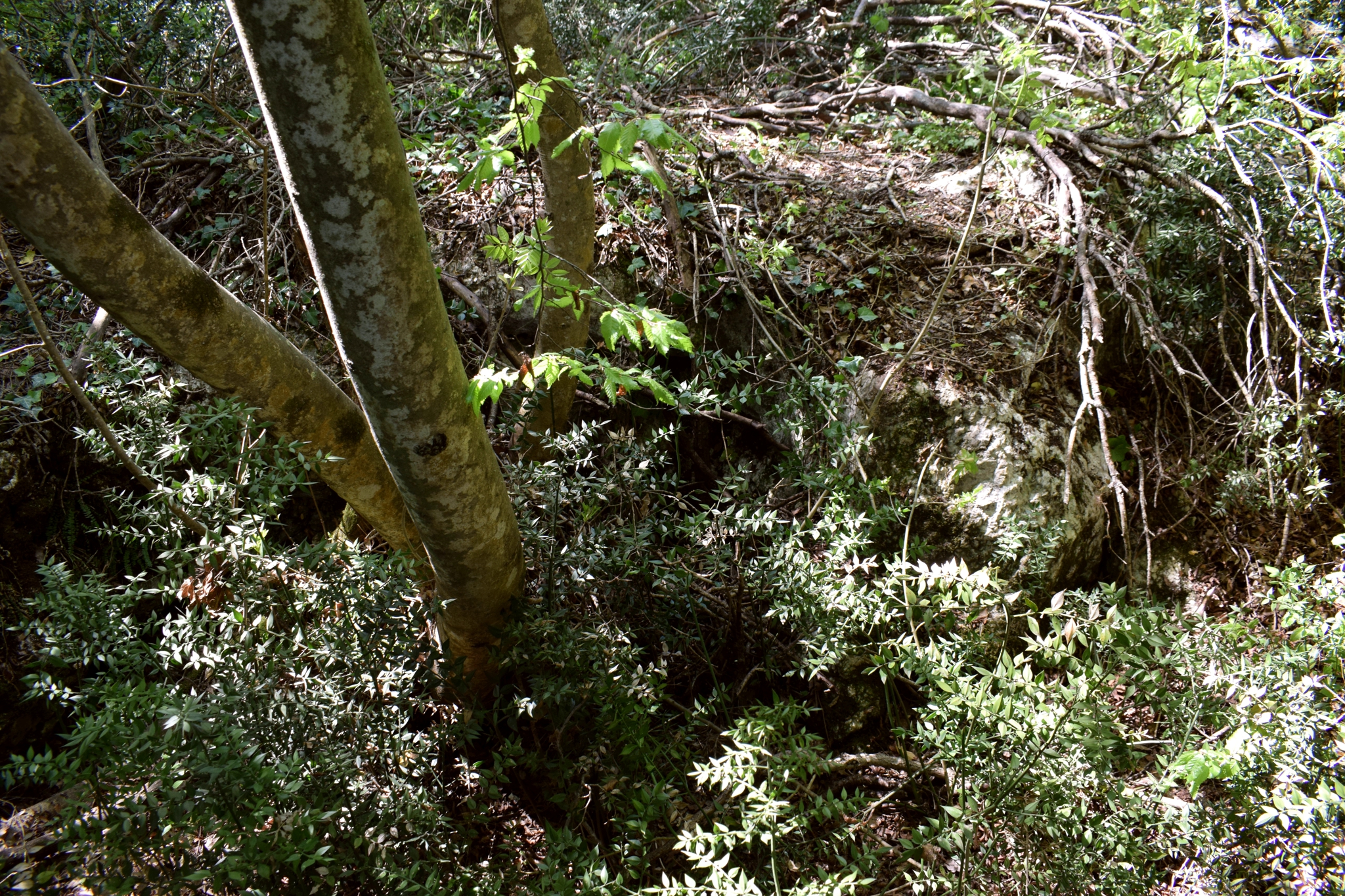
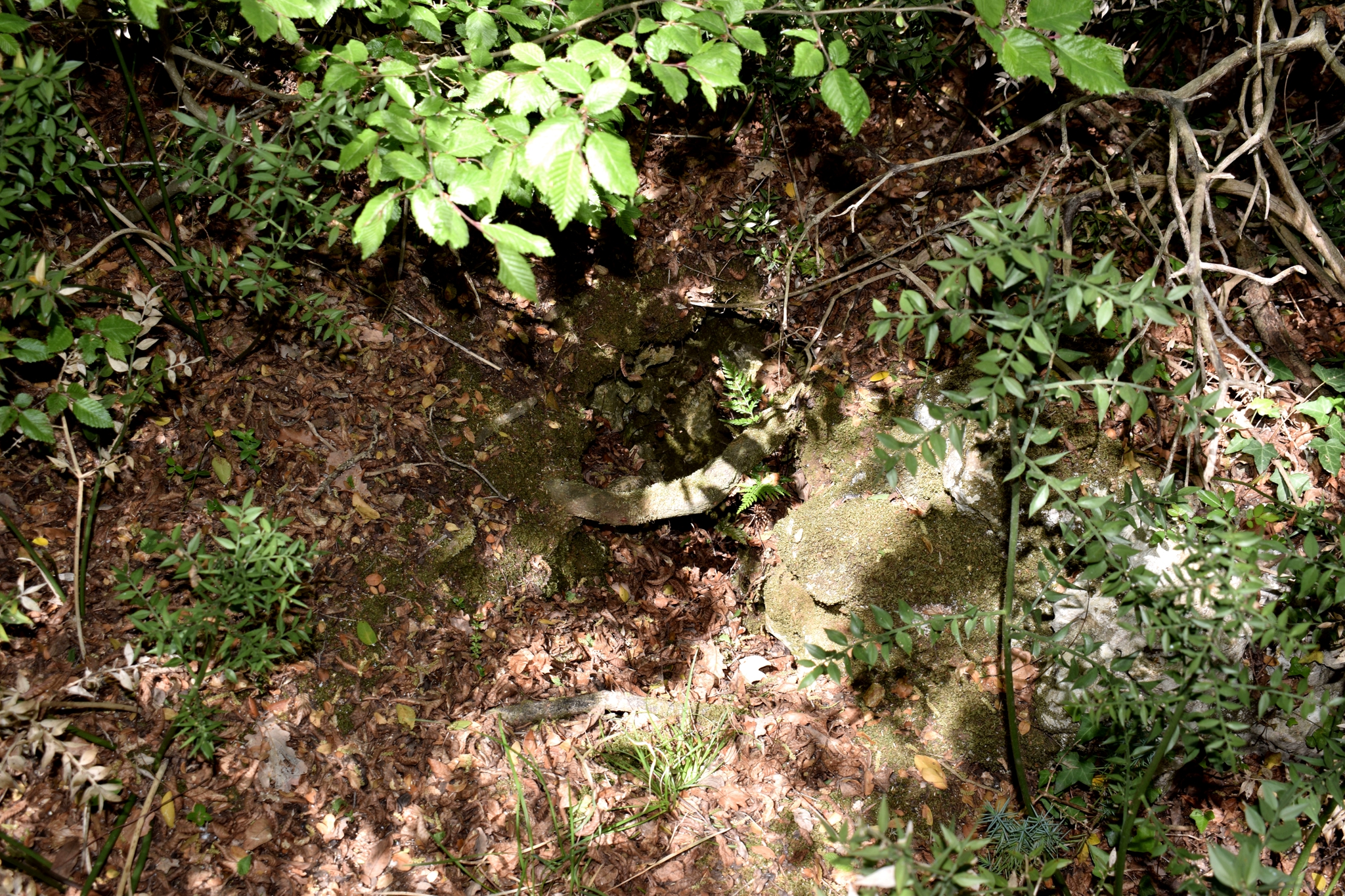
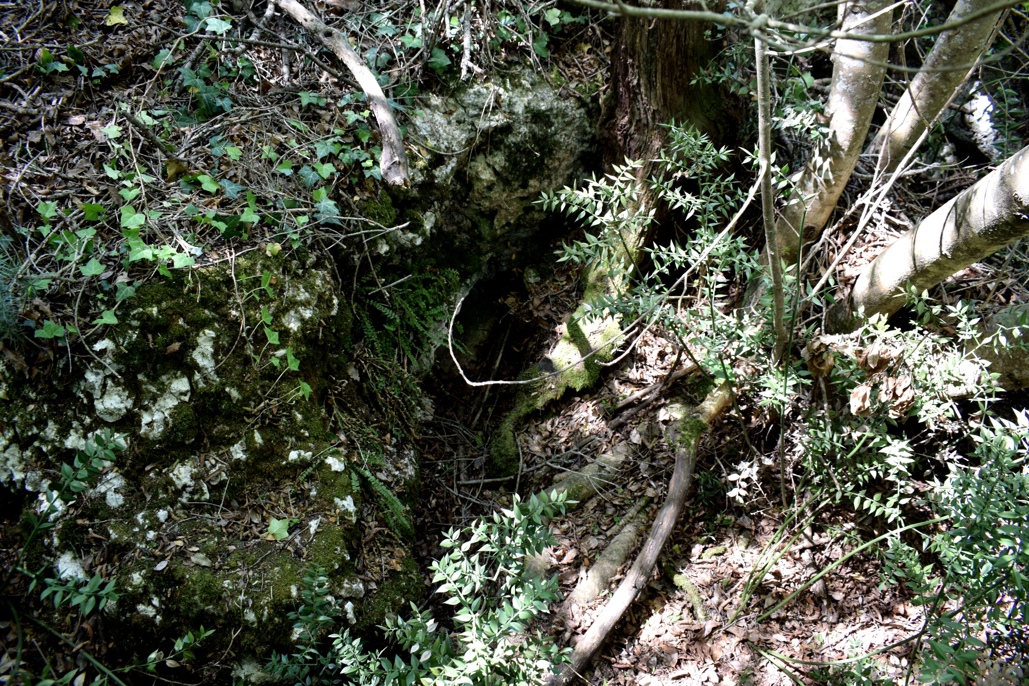
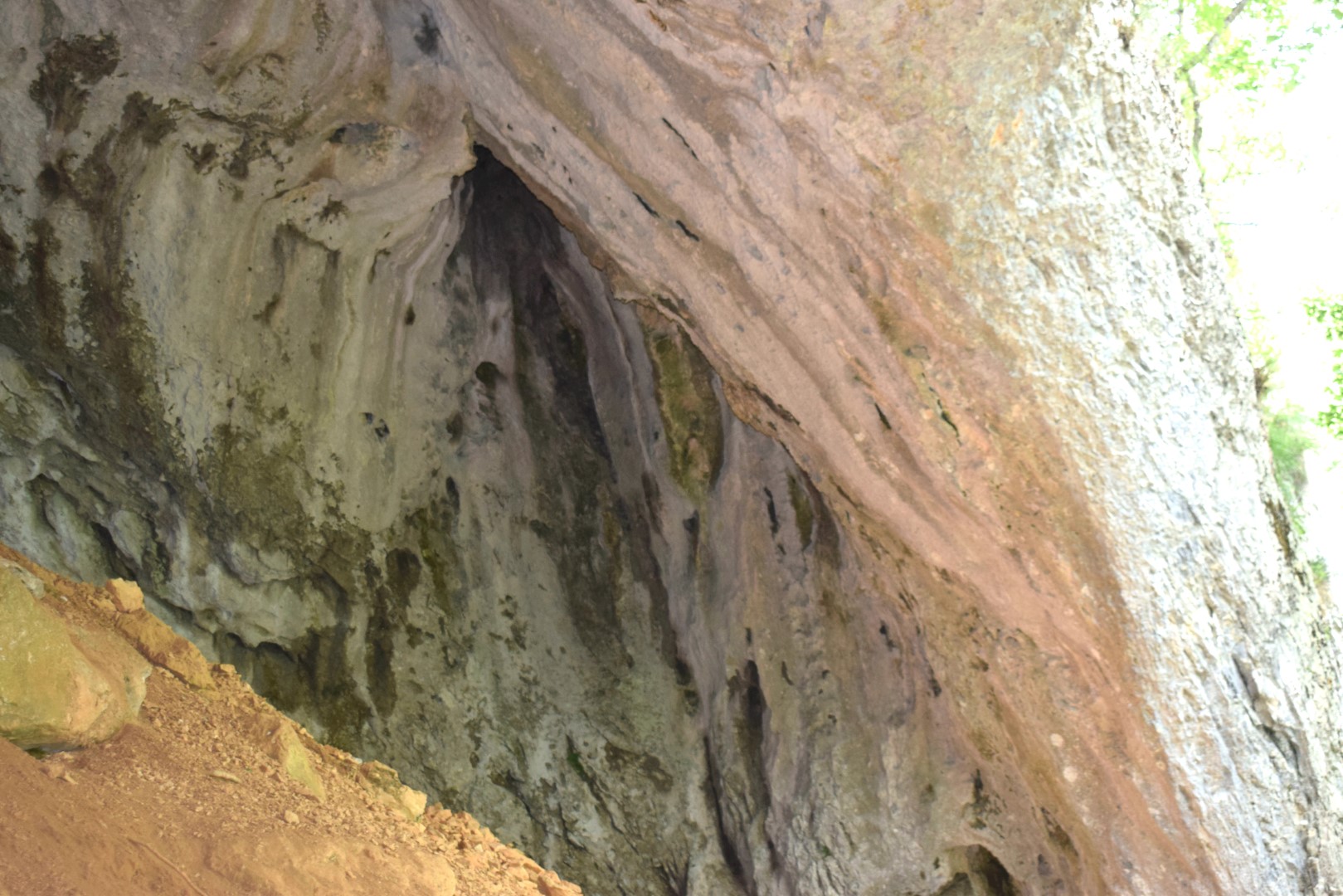
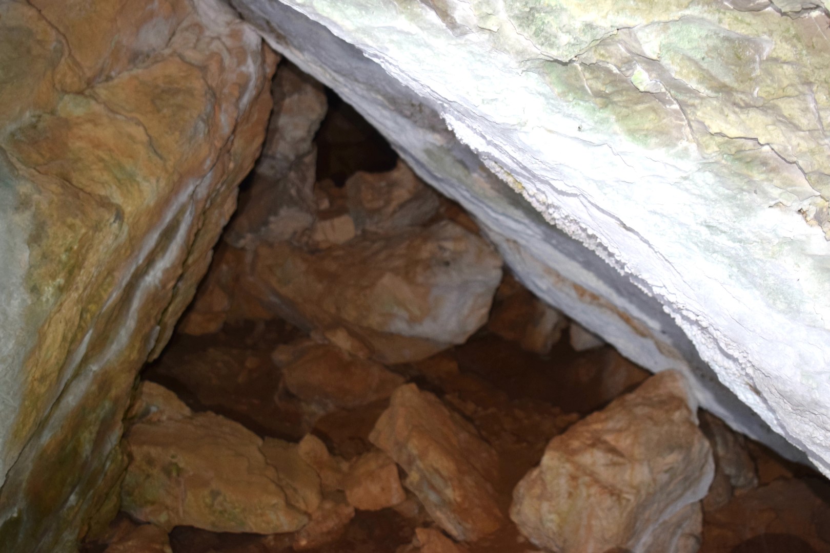
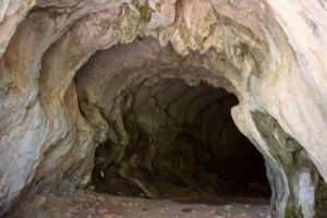
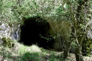
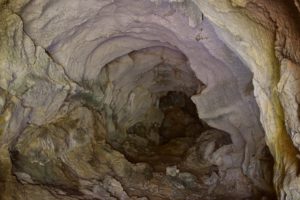
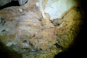
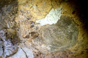
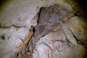
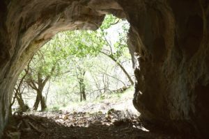
Name: Cave named ” Near big Elm”.
Place: Račja Vas – (lanišće)-
Coordinates: 45.42947 N – 14.09551 E.
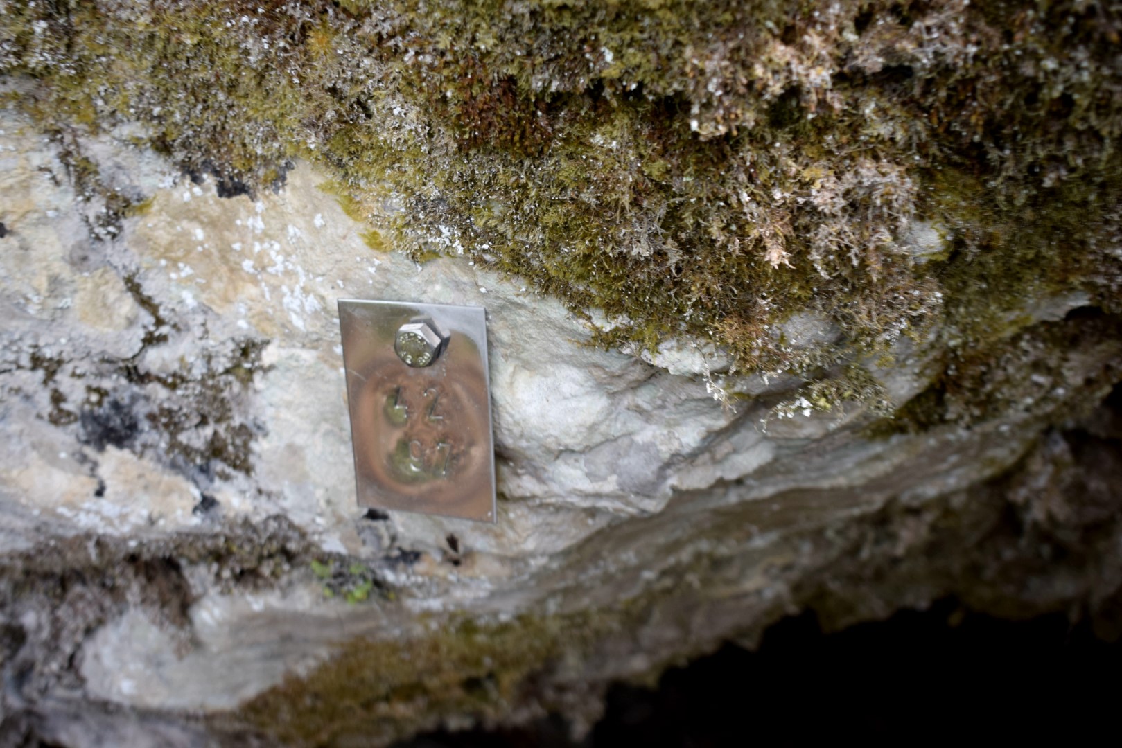
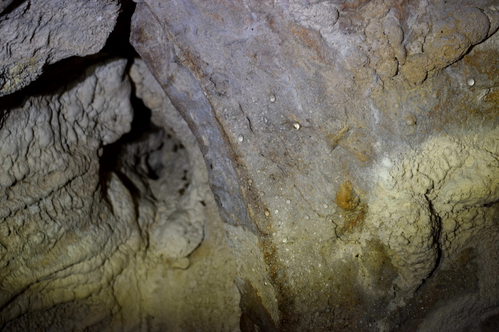
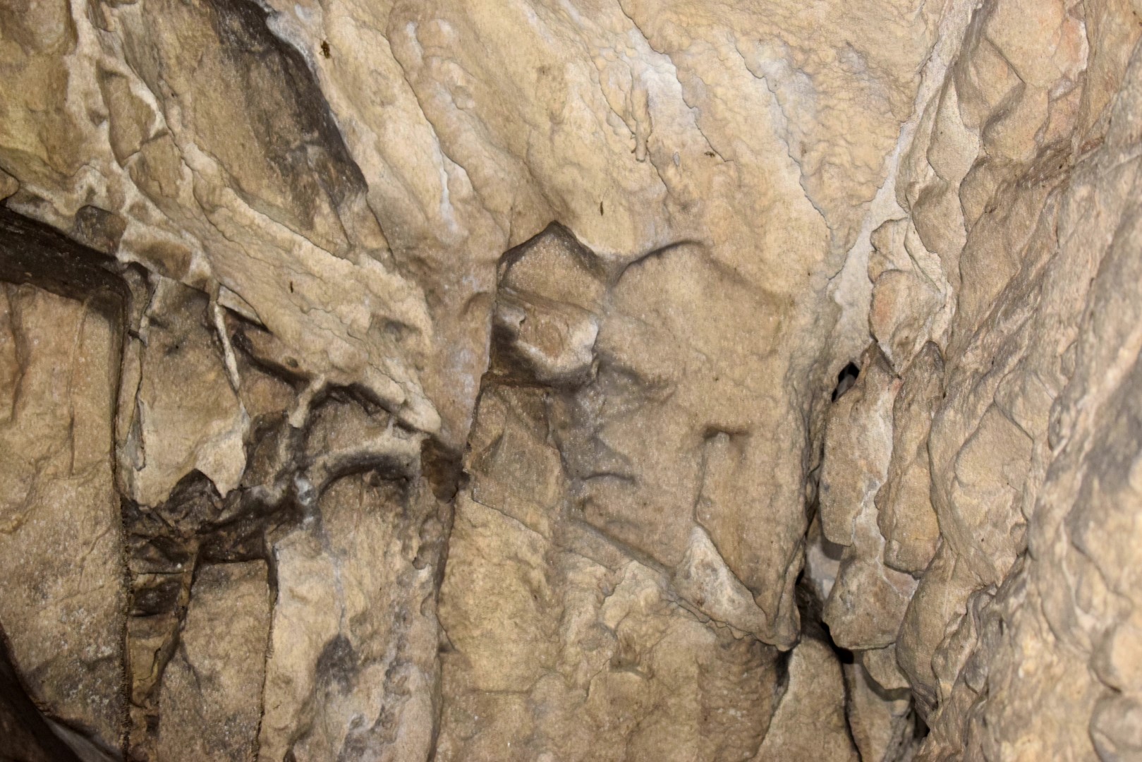
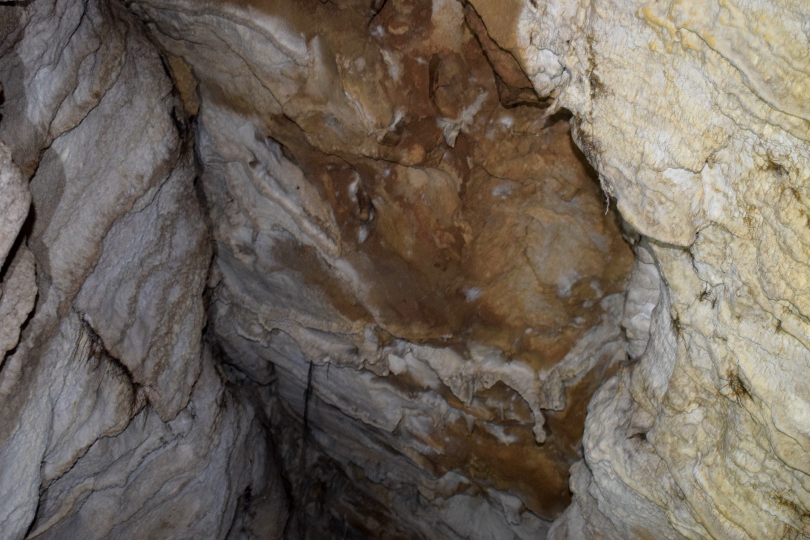
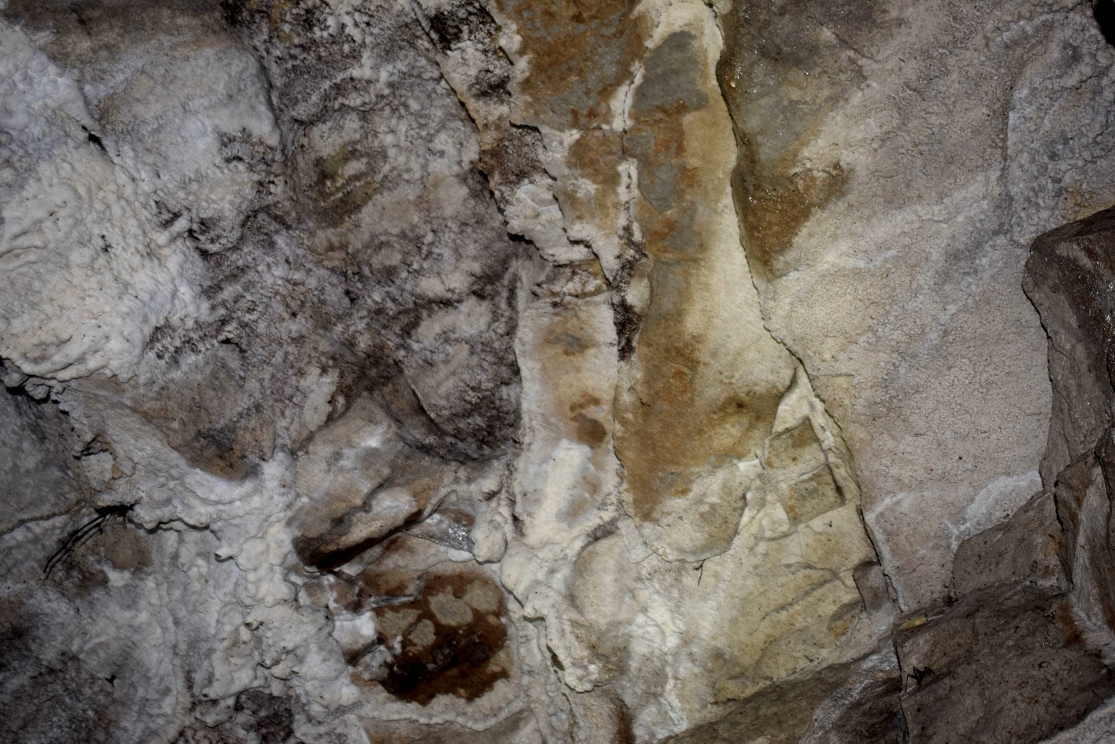
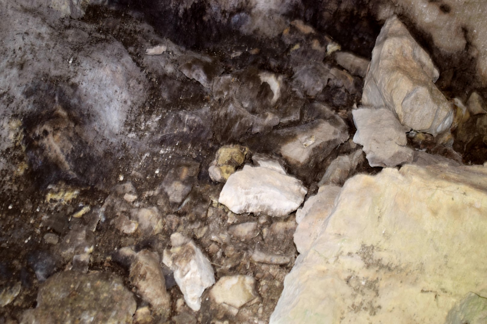
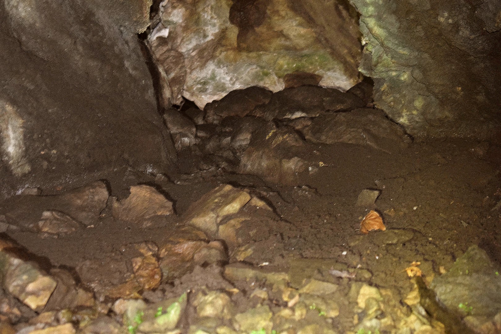
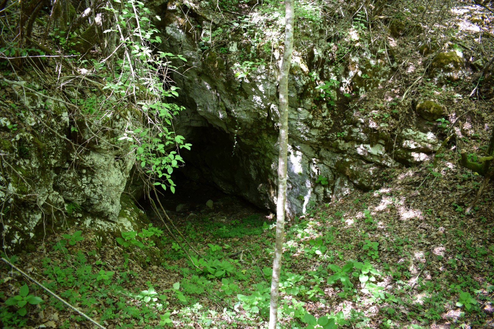
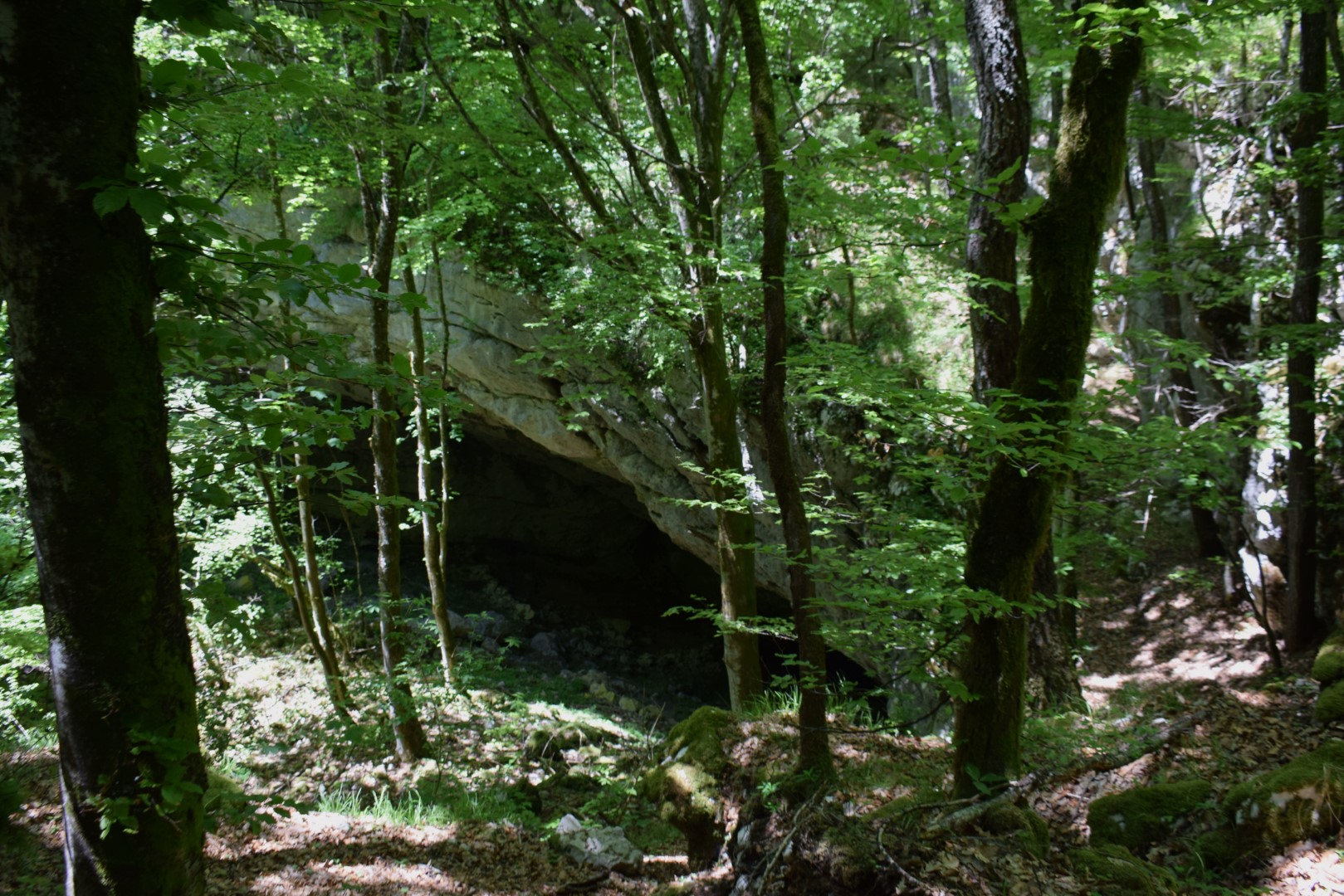
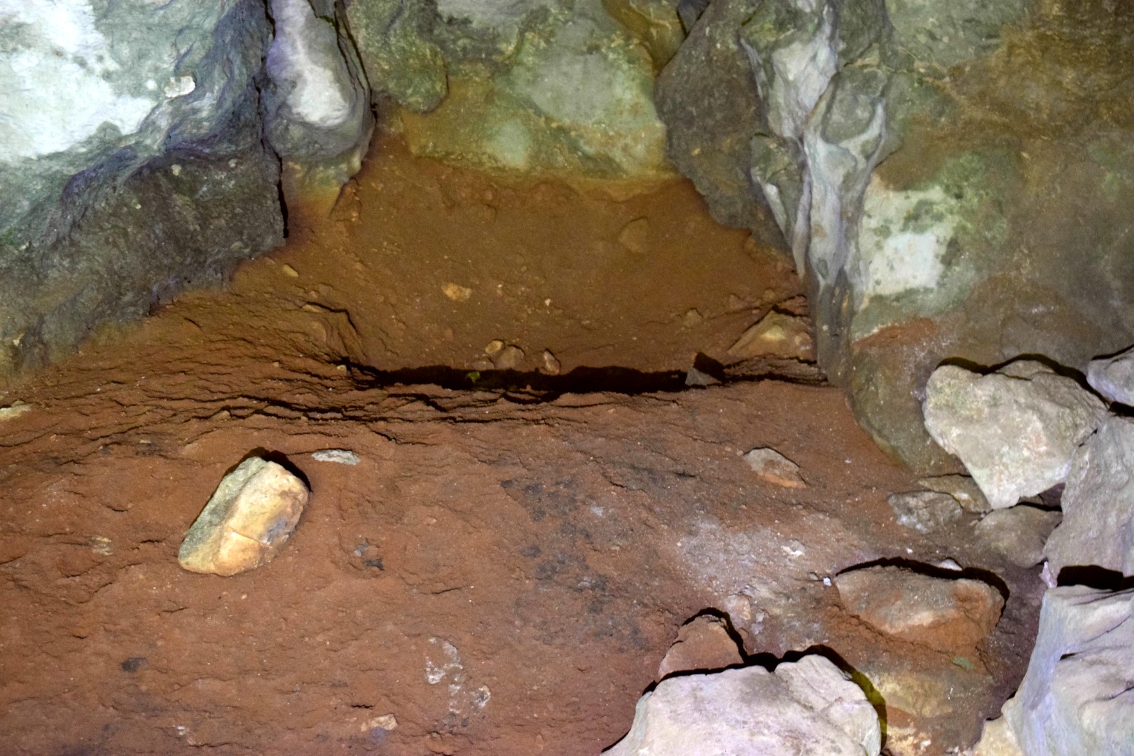
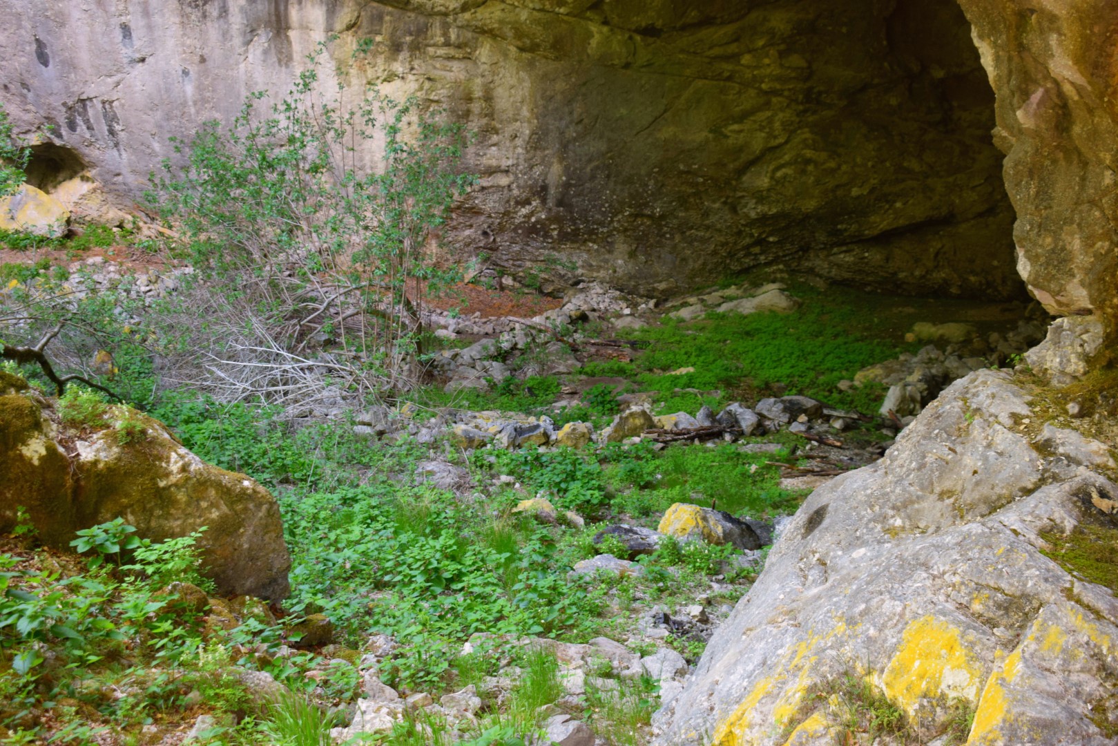
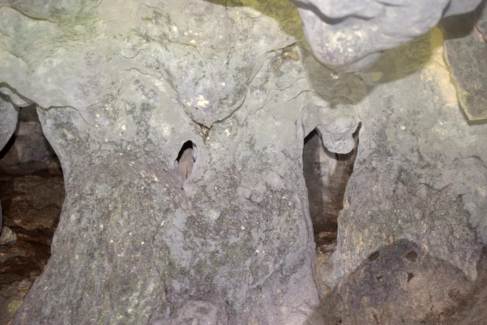
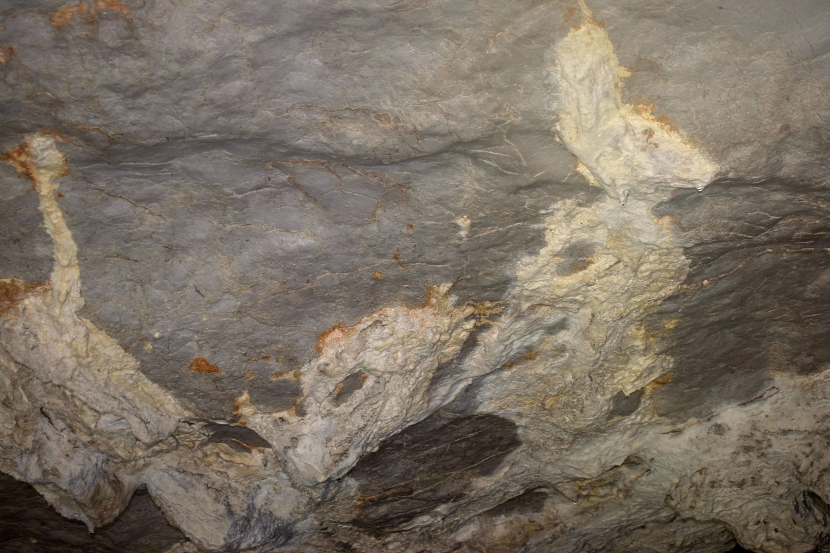
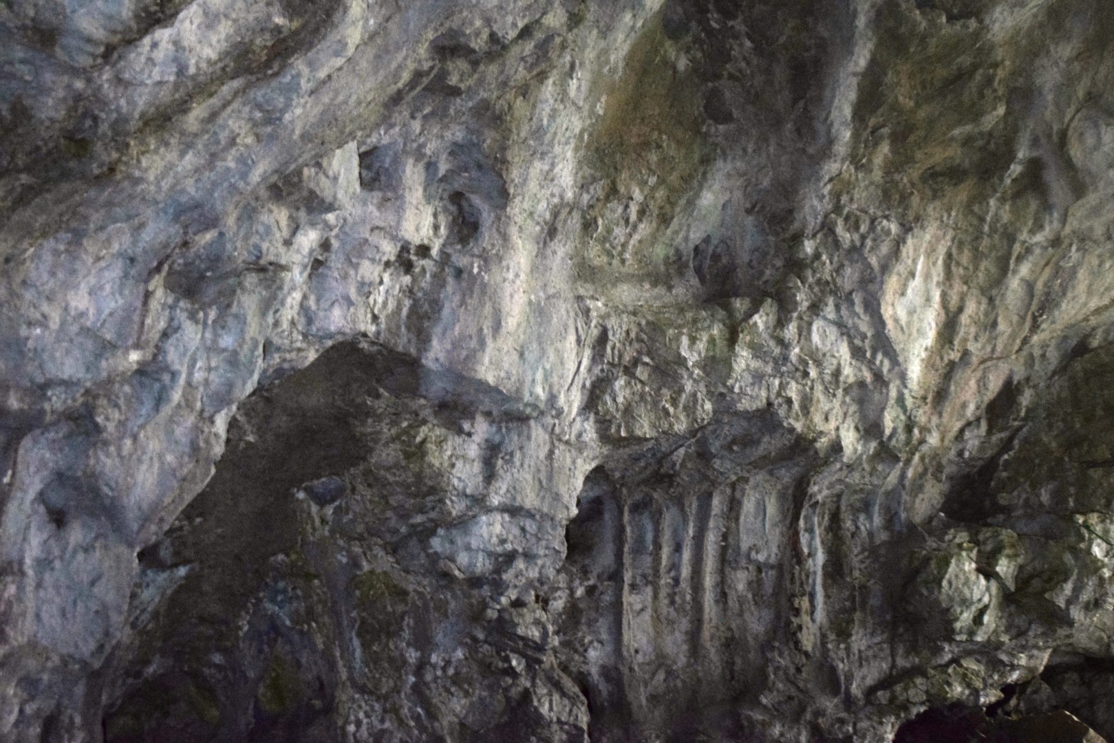
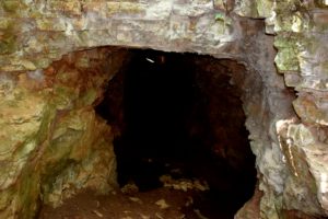
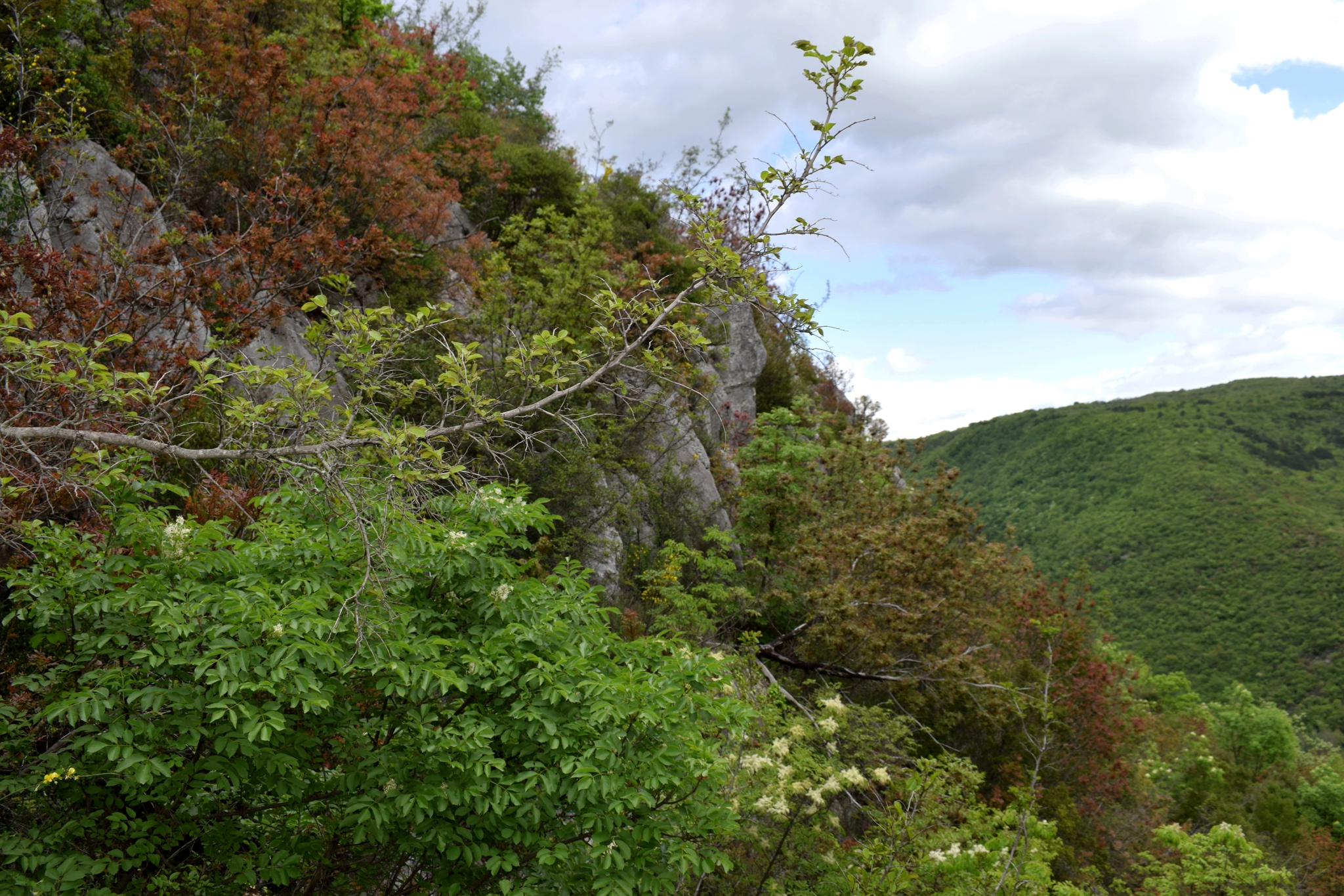
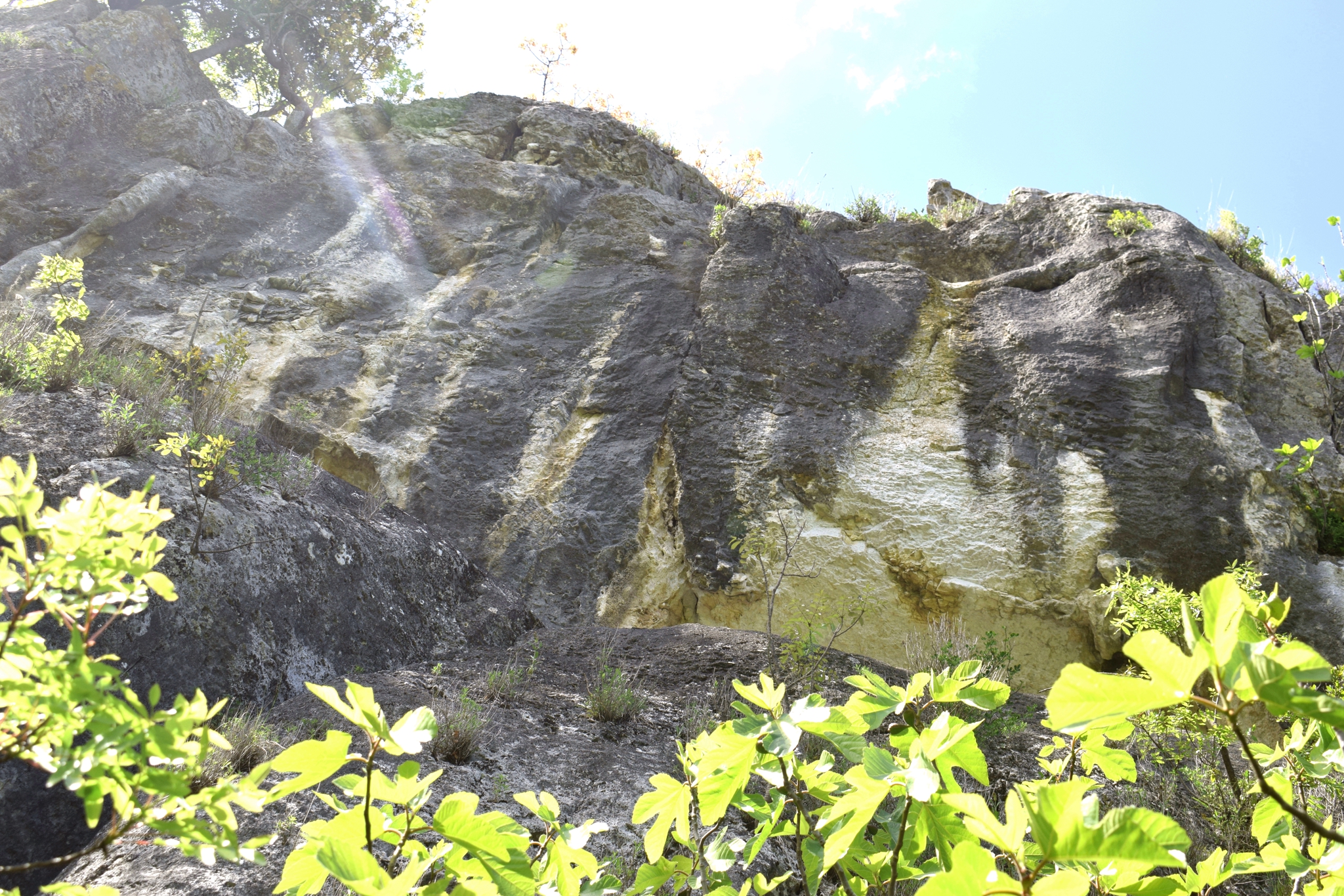
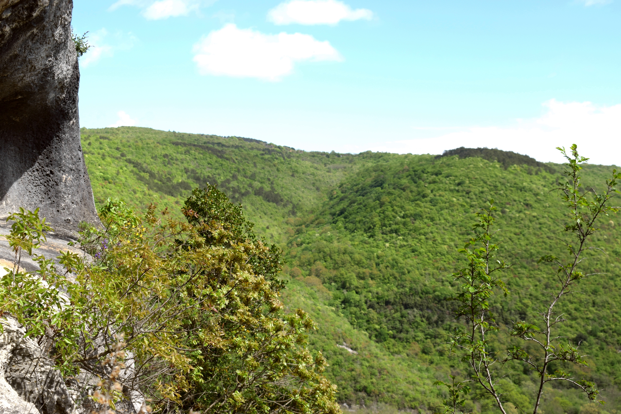
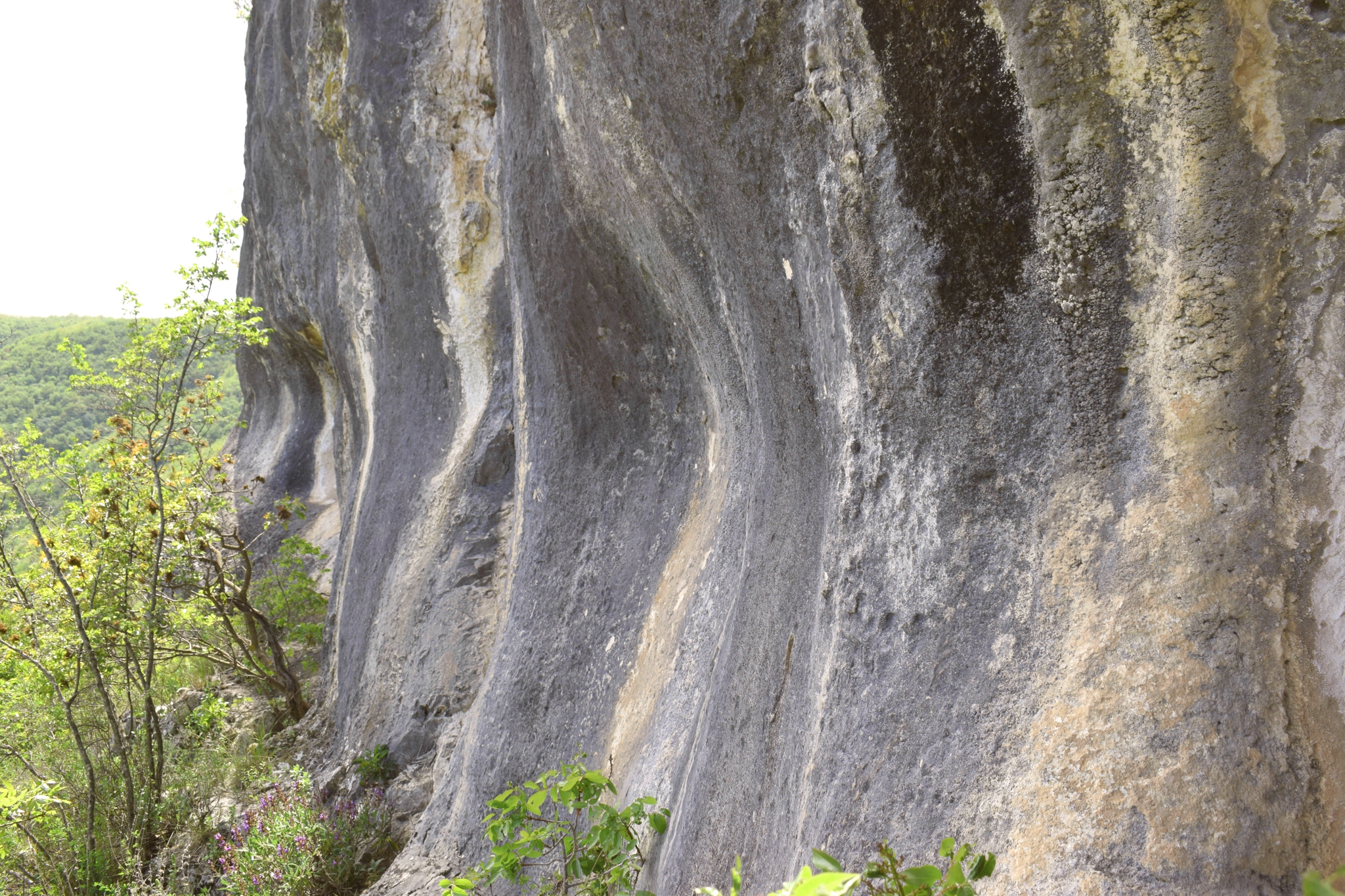
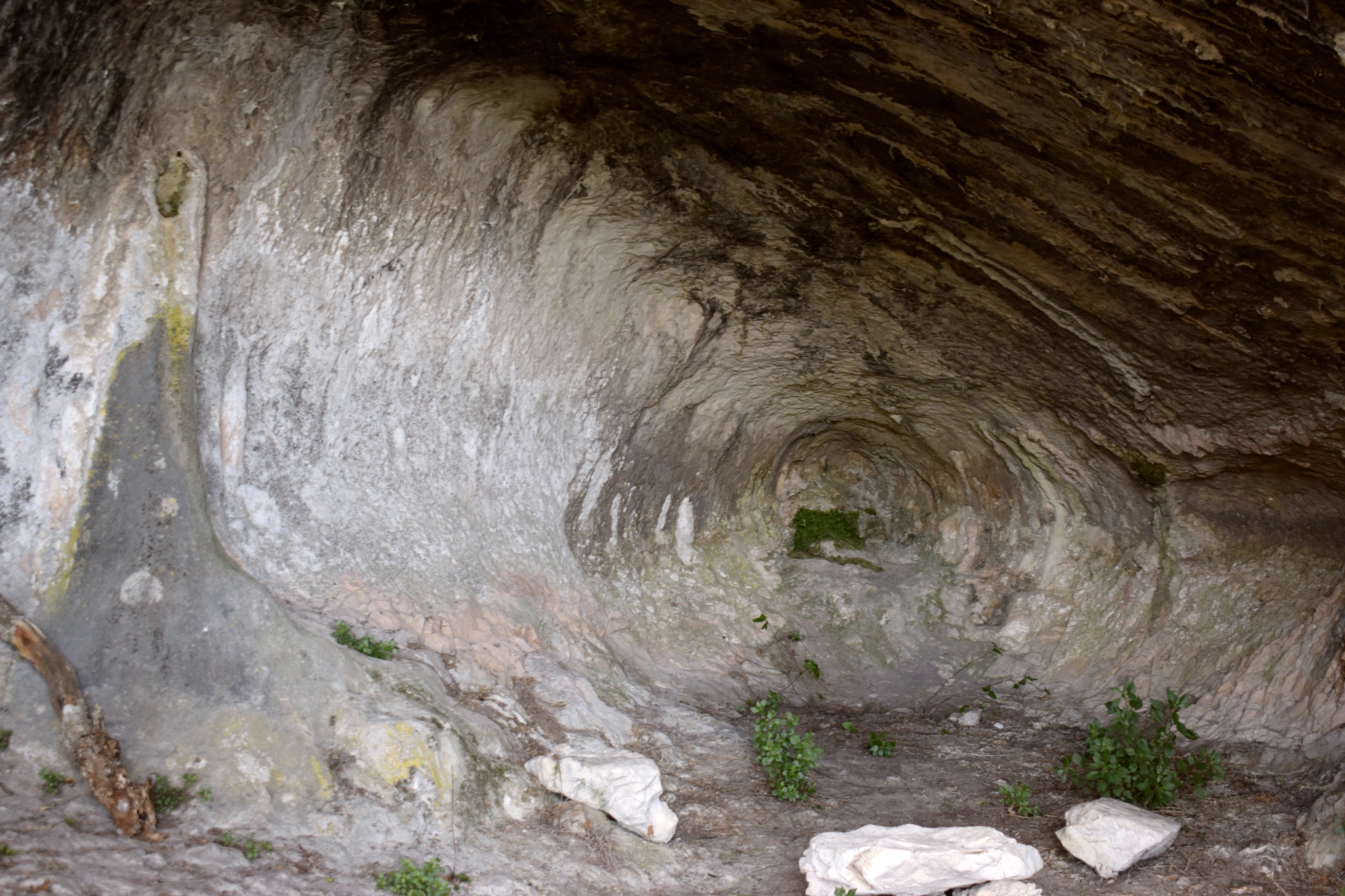
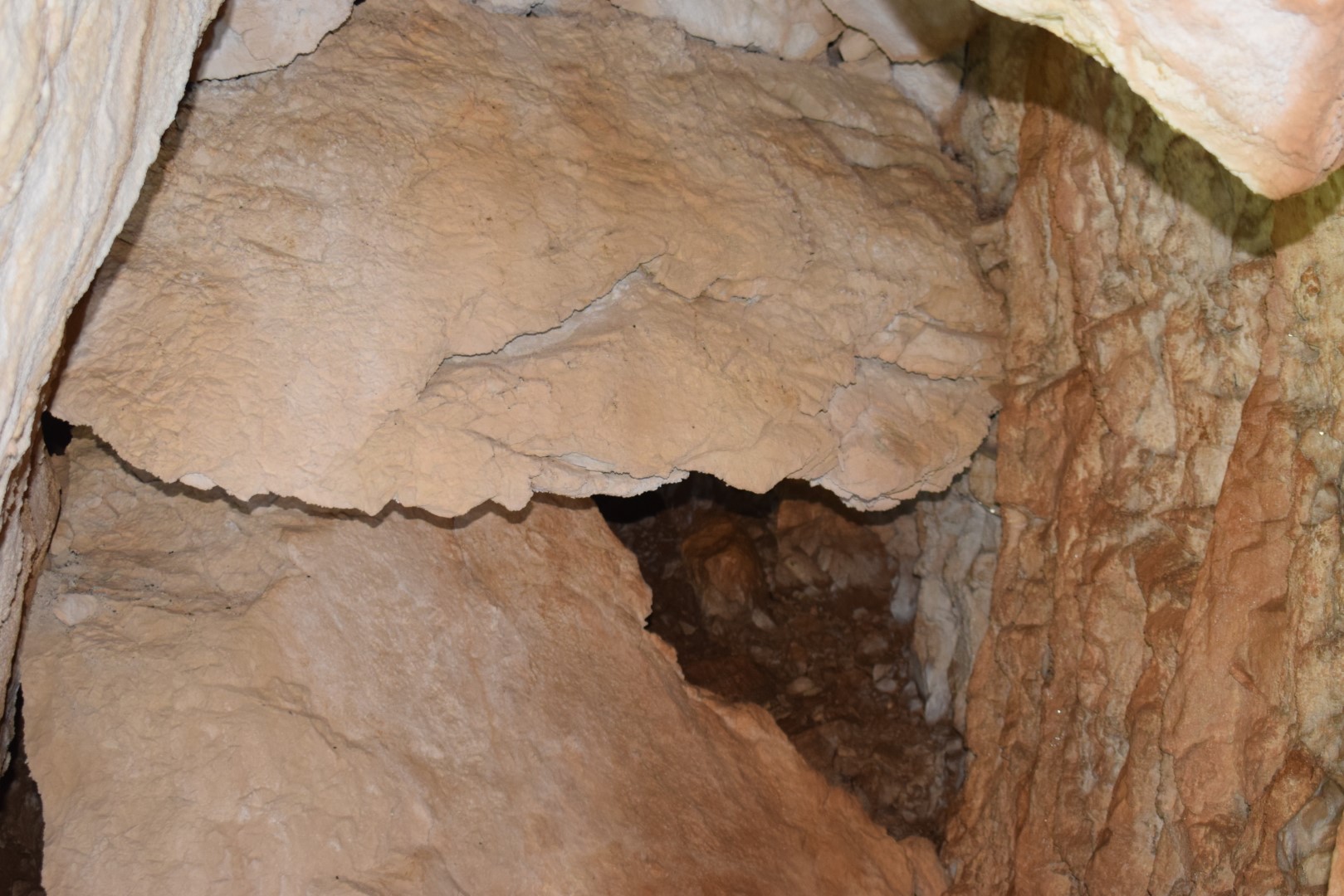
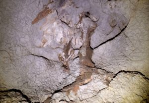
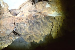
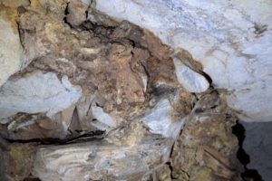
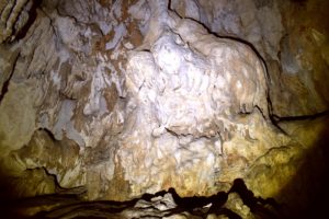
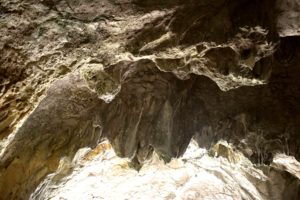
Name: Cave north of Račja Vas at an altitude of 771 meters.
Place: Ročja Vas – (Lanišće).
Coordinates: 45.43014 N – 14.08542 E
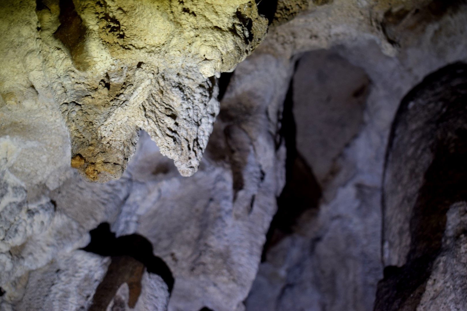
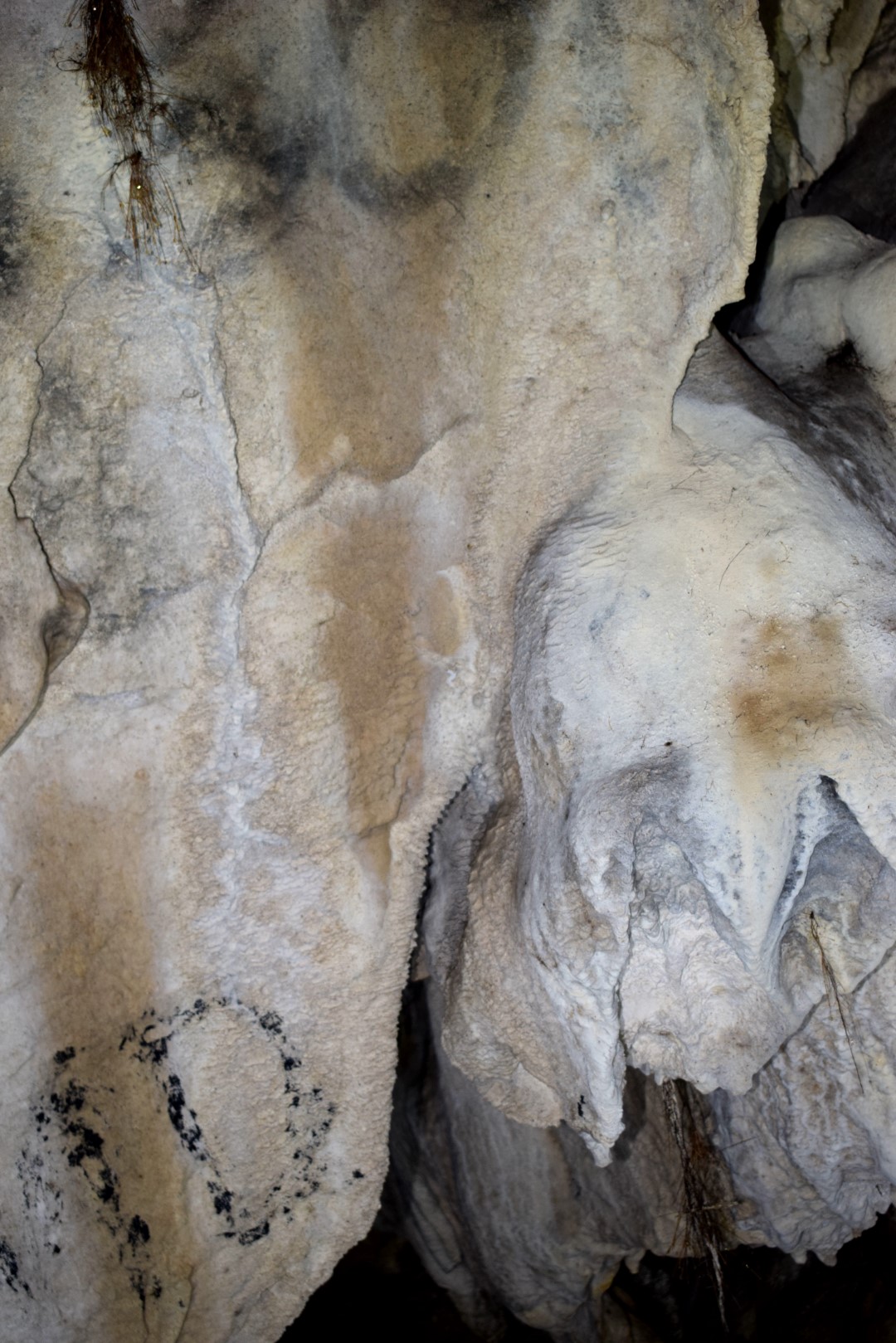
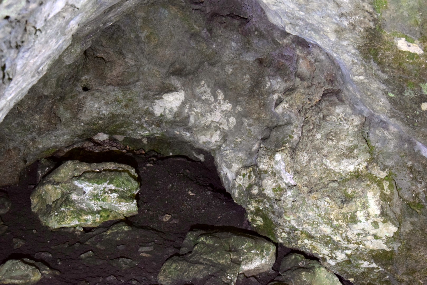
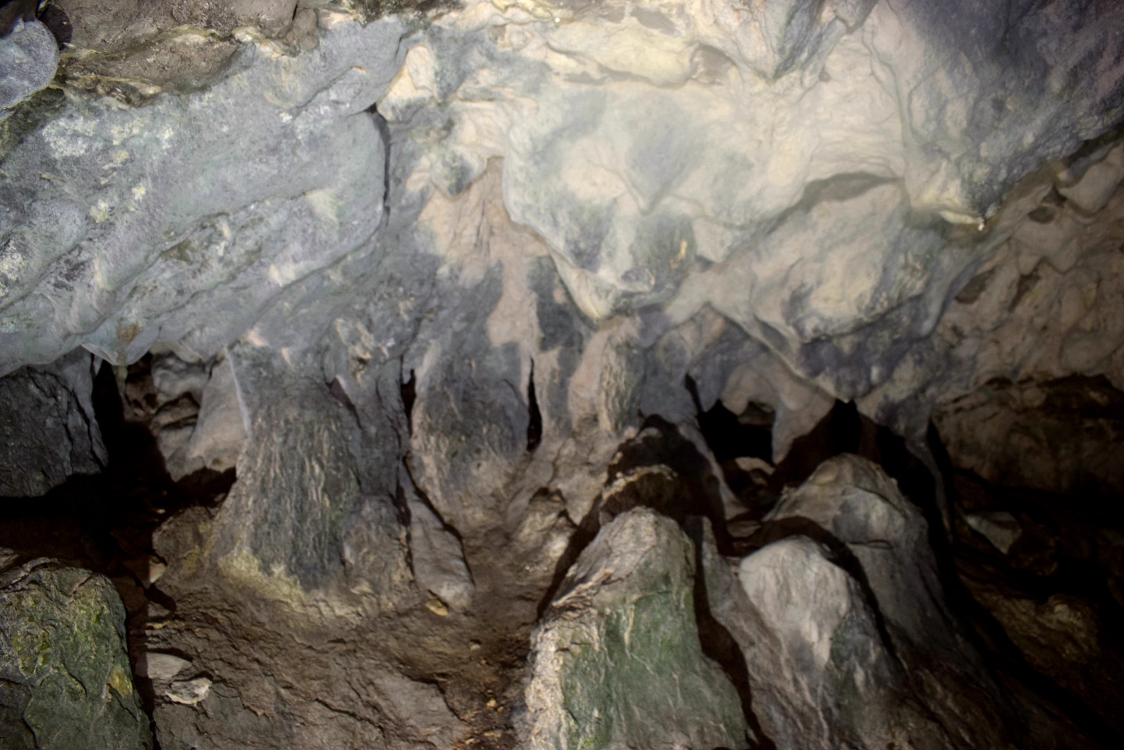
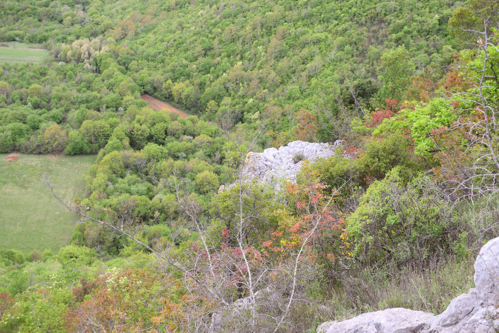
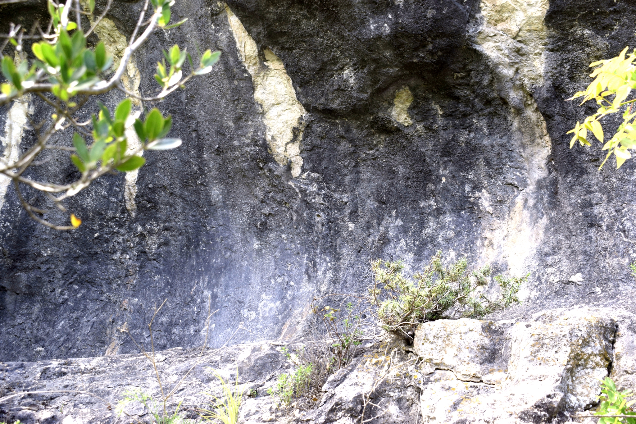
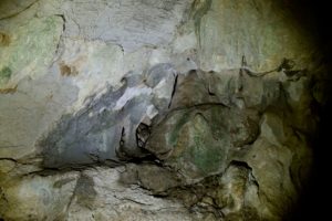
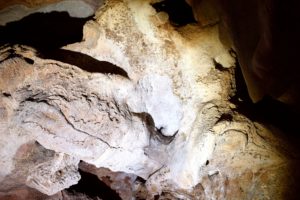
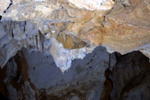
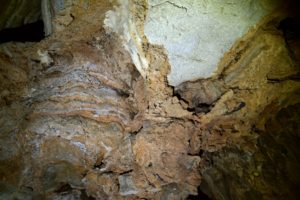
Name: Cave south of the road Vodice to Male Mune.
Place: Vodice – (Lanišće).
Coordinates: 45.46431 N – 14.12294 E.
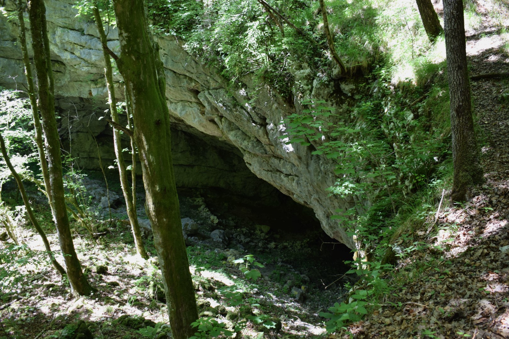
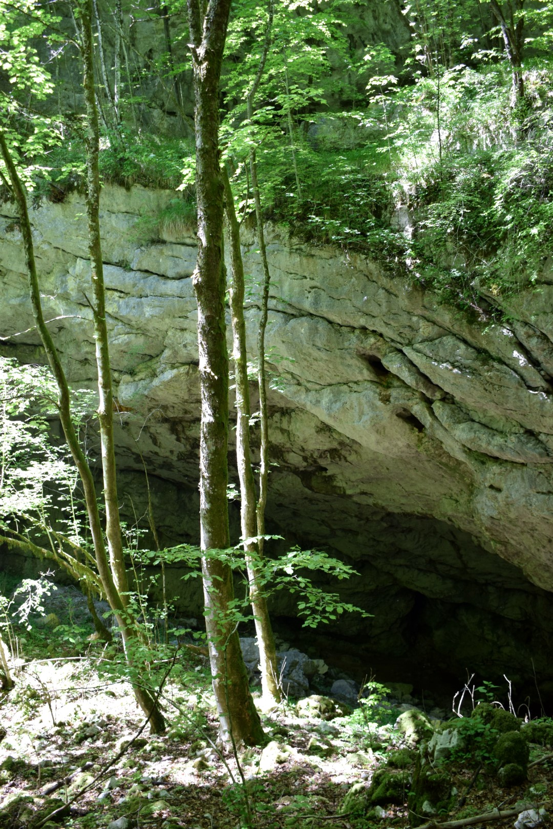
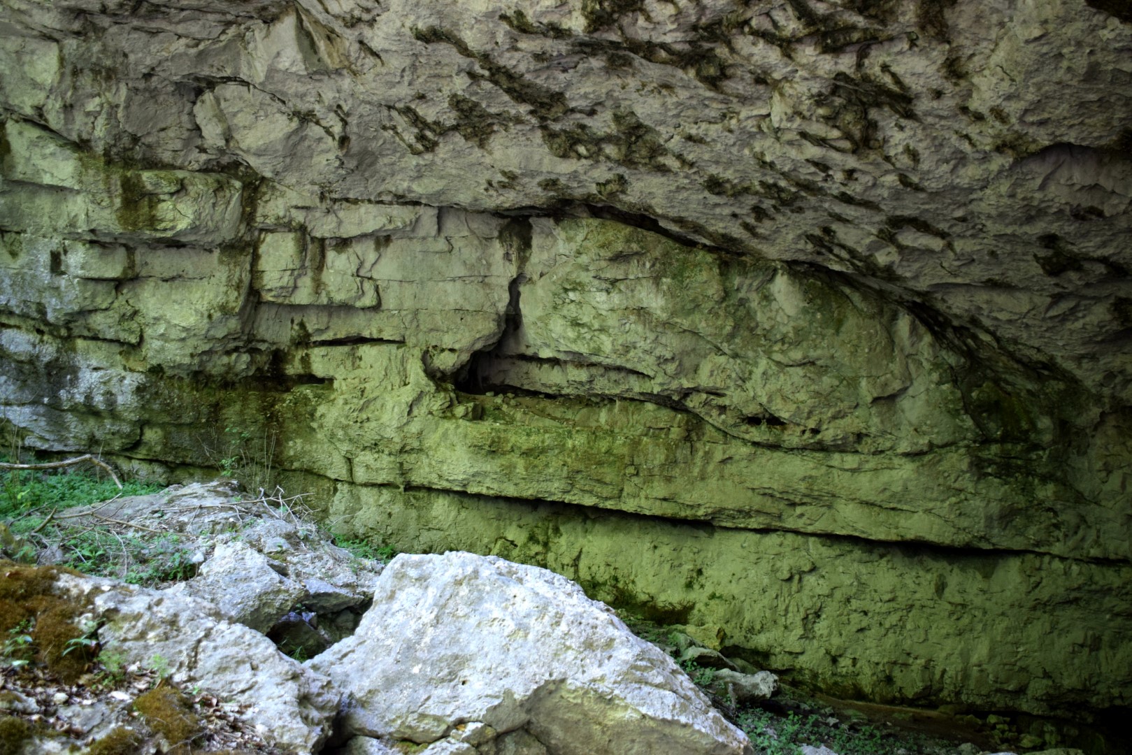
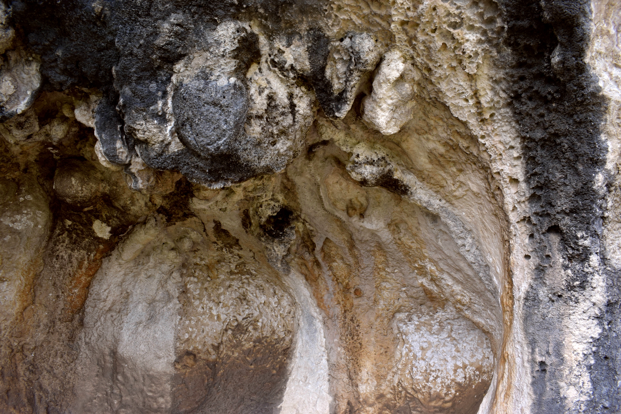
Name: Cave Klenovica near Vodice.
Place: Vodici-Lanišće.
Coordinates: 45.46756 N – 14.09831 E.
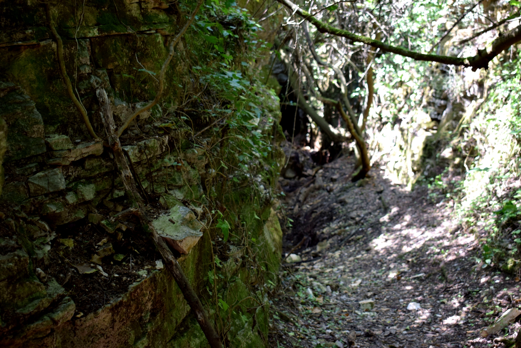
Name: Novački cave (Poli Prosedi).
Place: Near Dane – (Lanišće).
Coordinates: Start 45.47009 N – 14.03623 E, trail left 45.47528 N – 14.02893 E, follow this trail to 45.48209 N – 14.00945 E and then down to the cave 45.48212. N – 14.01353 E.
Name: Caves – rock formations near Sv. Ivan – Rasa valley.
Place: Sv. Ivan – Medančići – (Barban).
Coordinates: 45.12061 N -14.0197 E, 45.12046 N – 14.01948 E

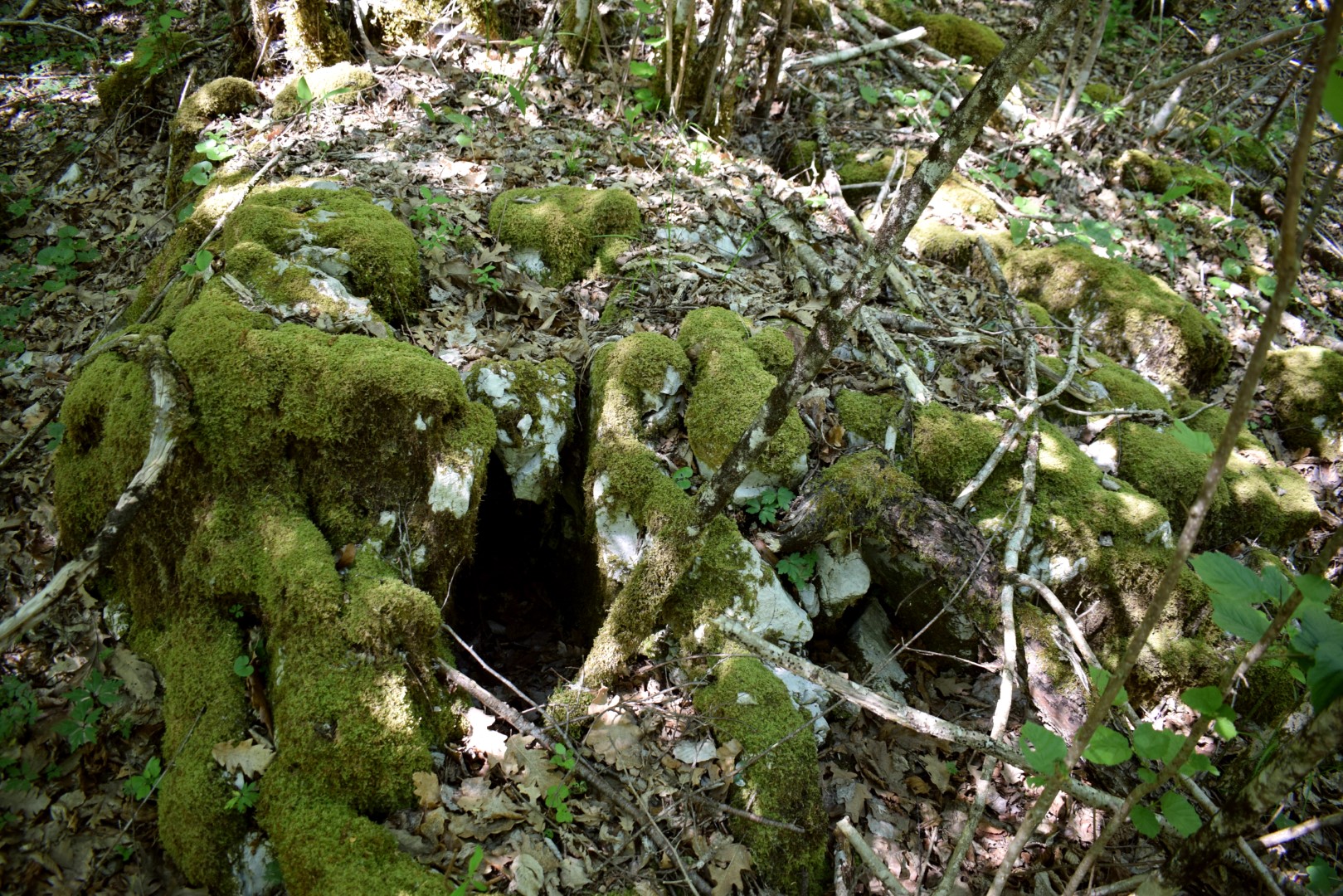
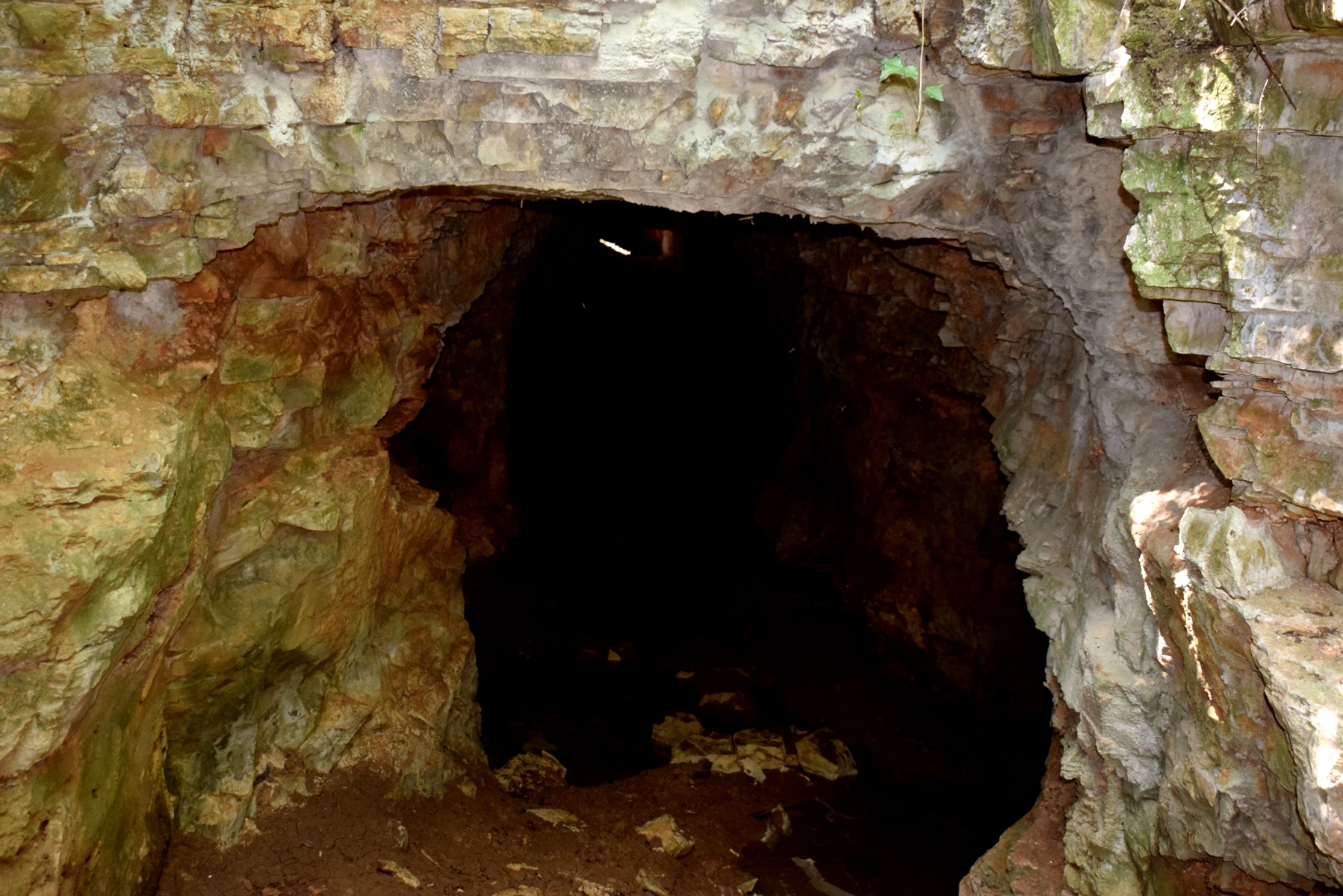
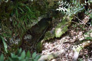
Name:Cave Pećina na Brehu.
Place: Near Slum – (Lanišće).
Coordinates: Start 45. 43986 N – 14. 00014 E , cave 45.44470 N – 14.00142 E.