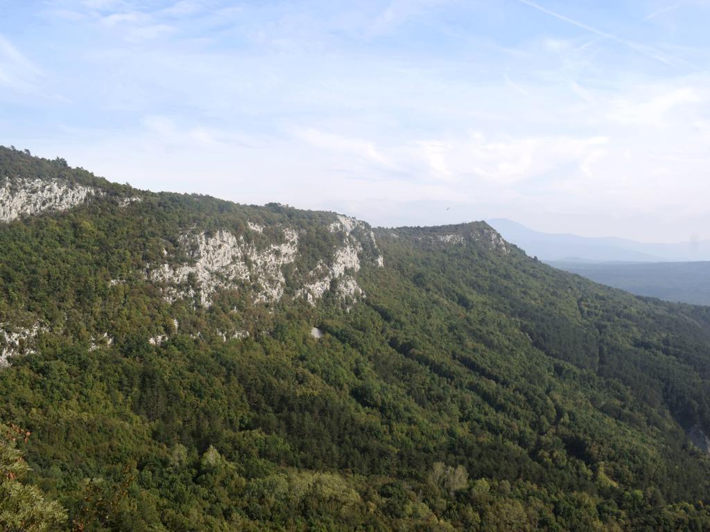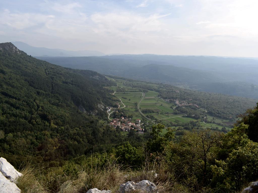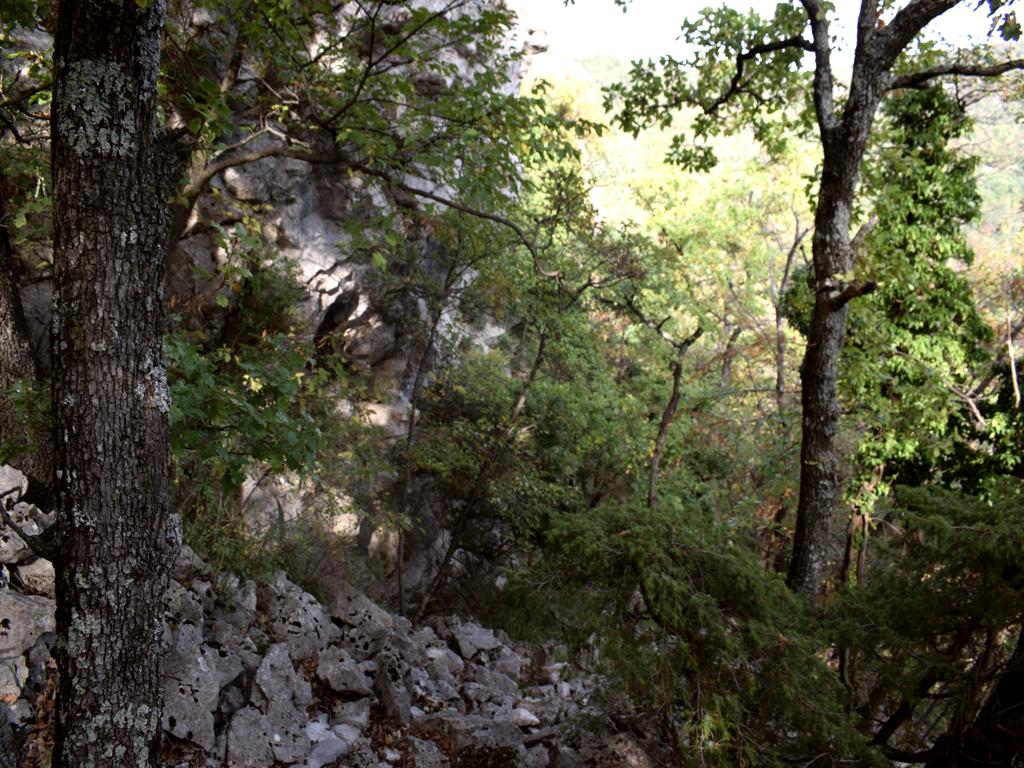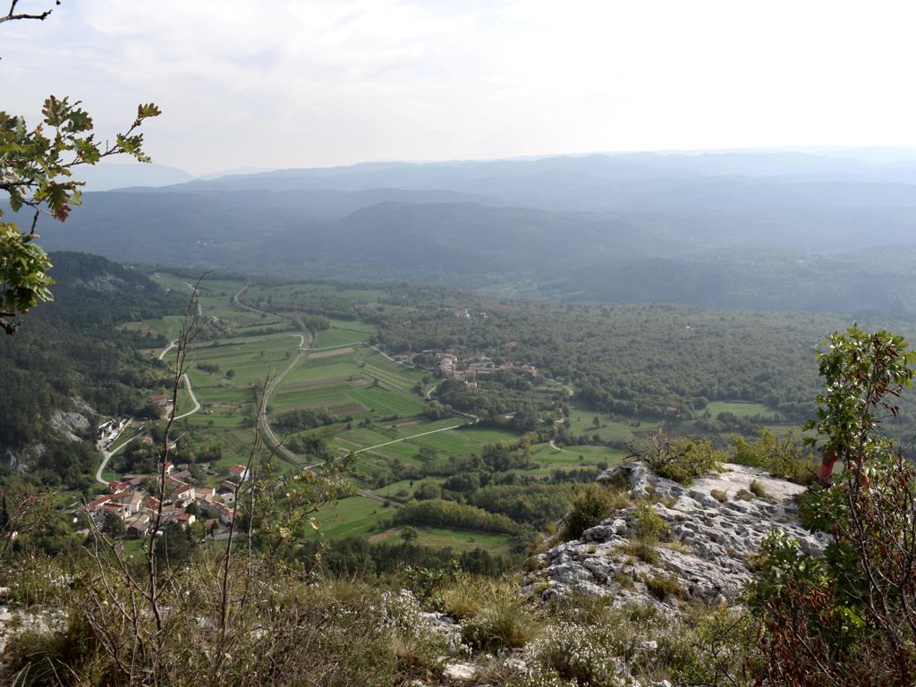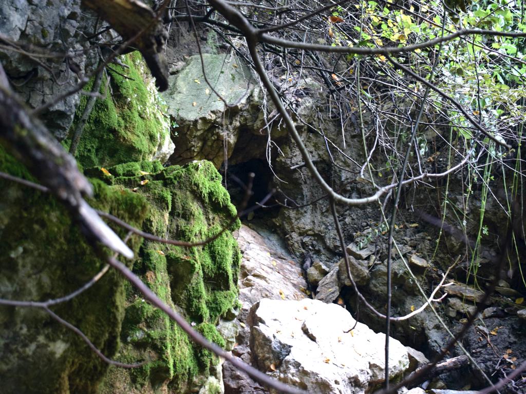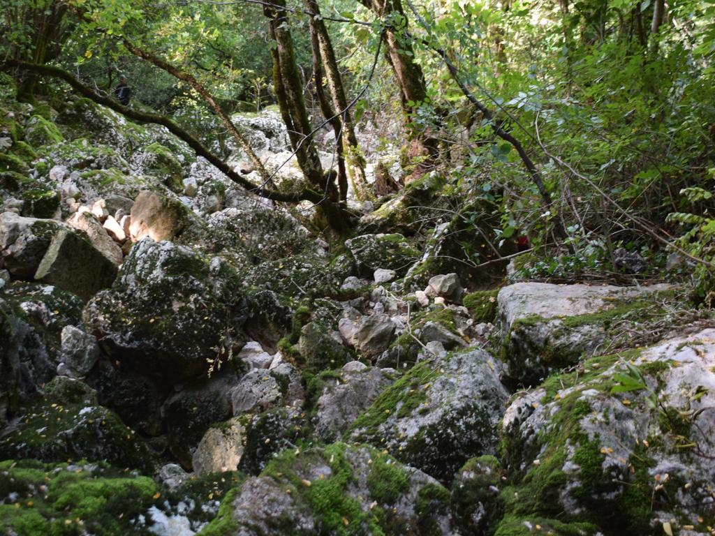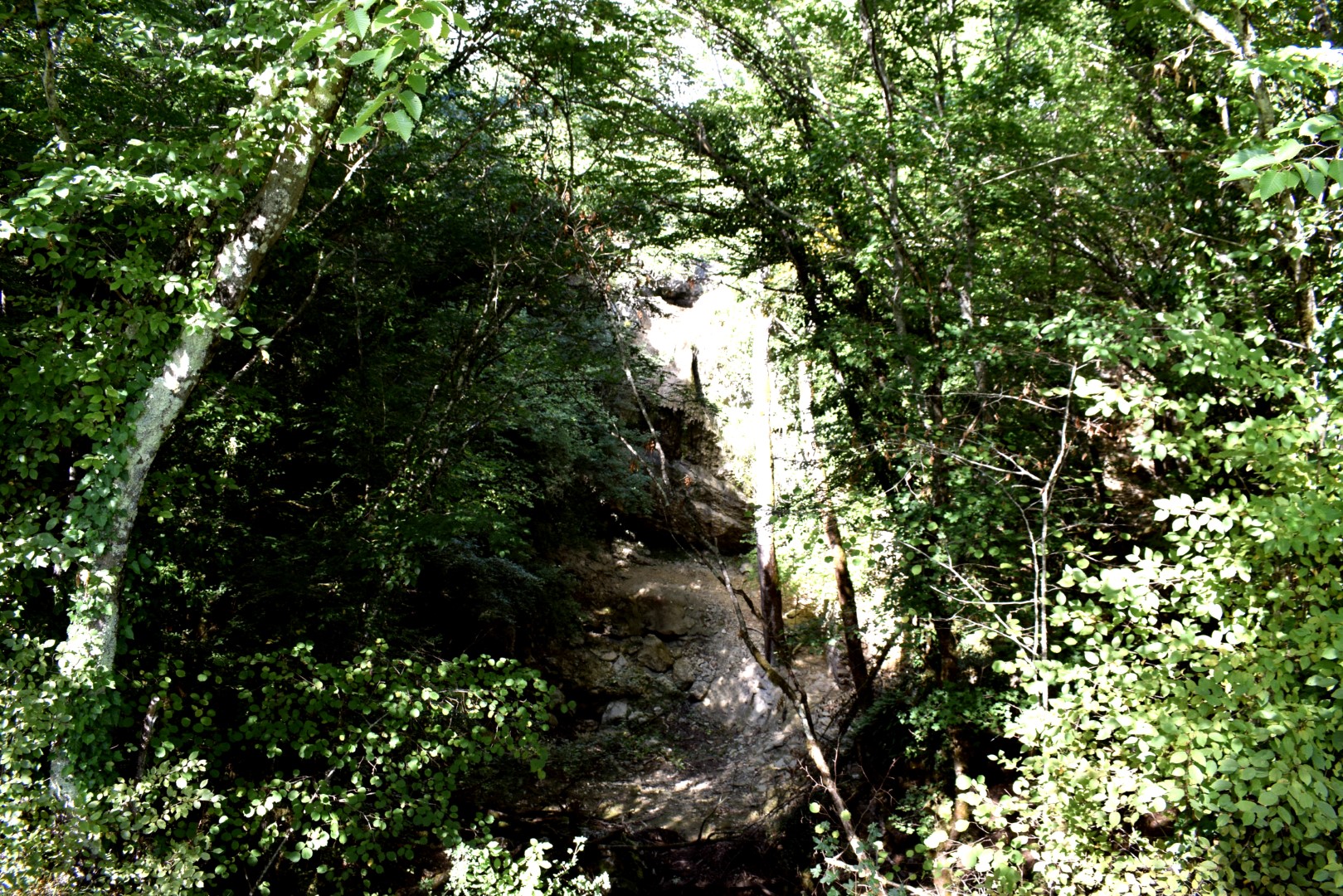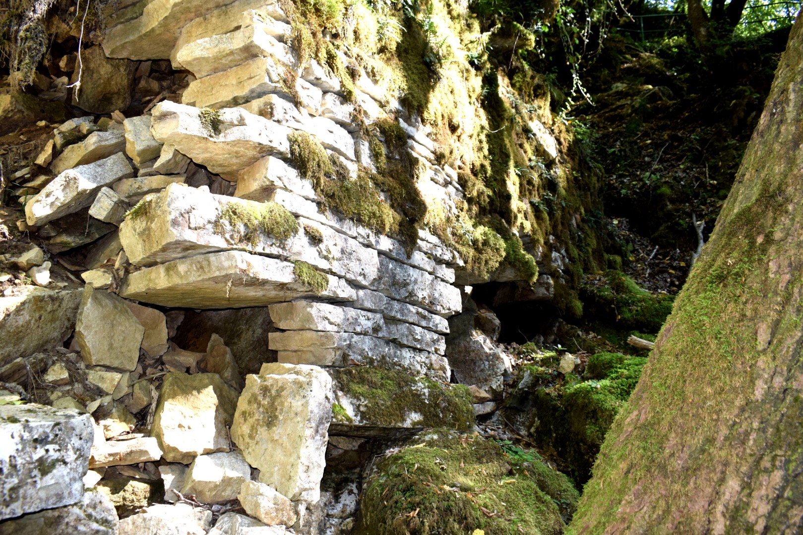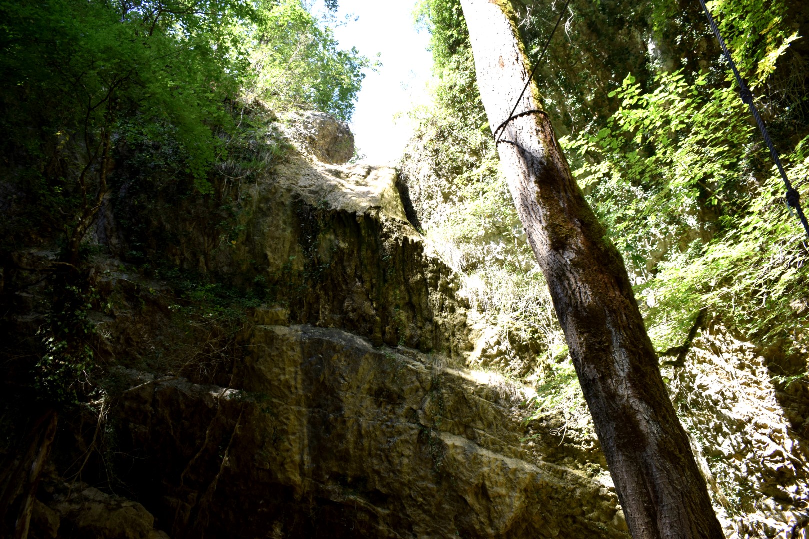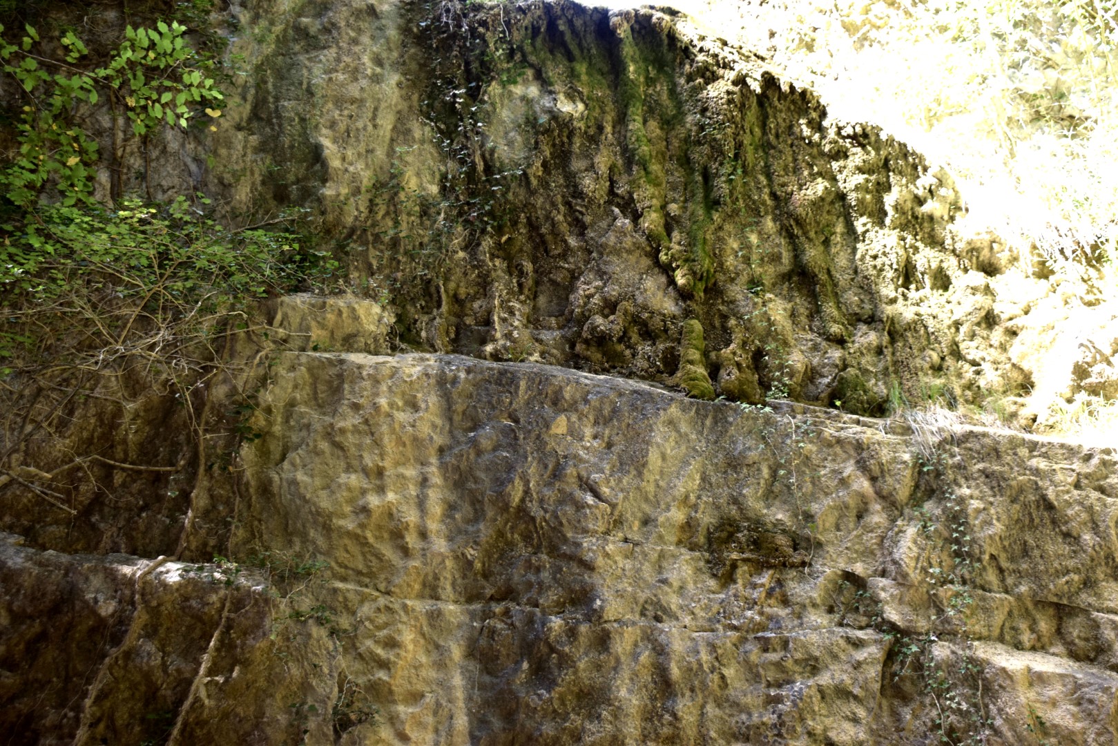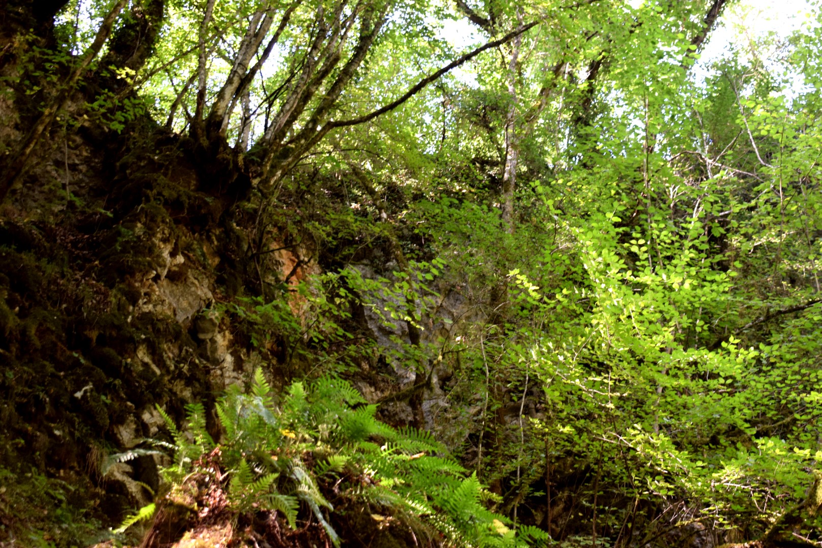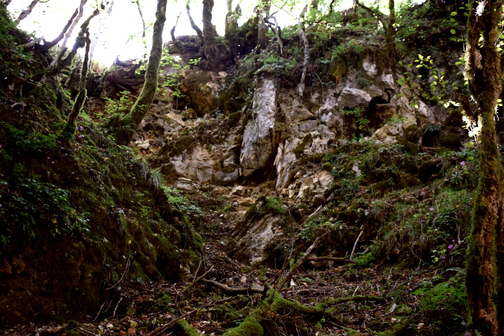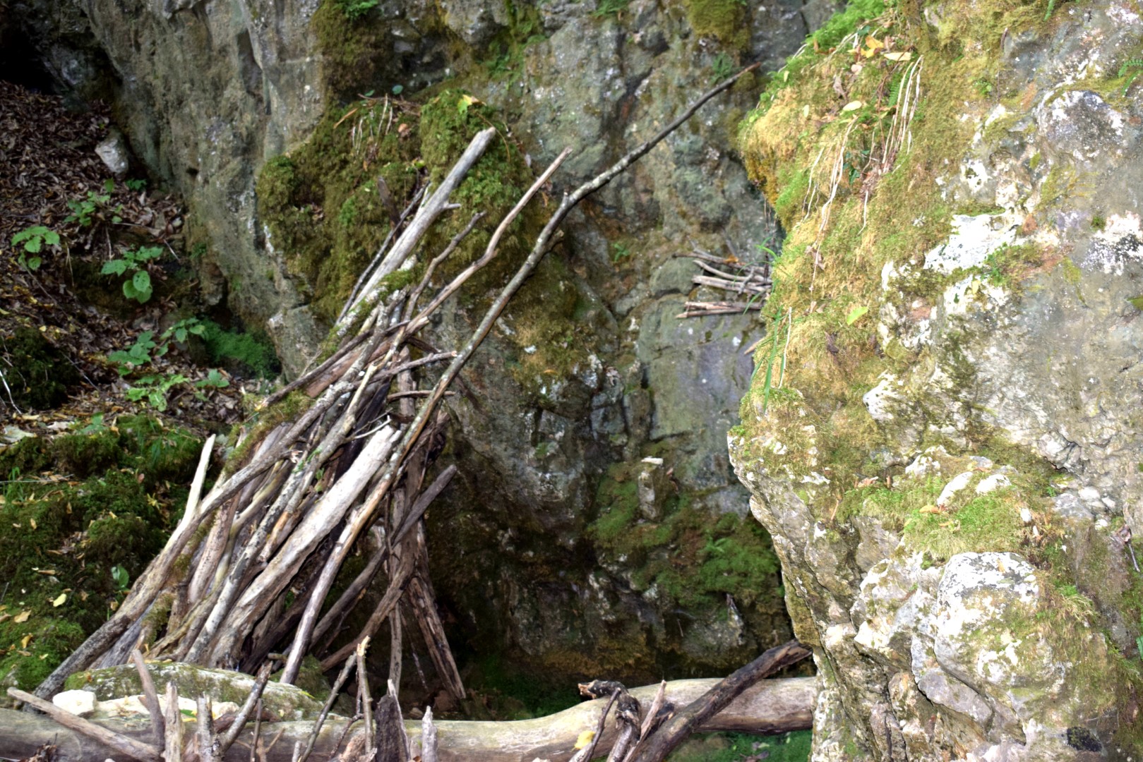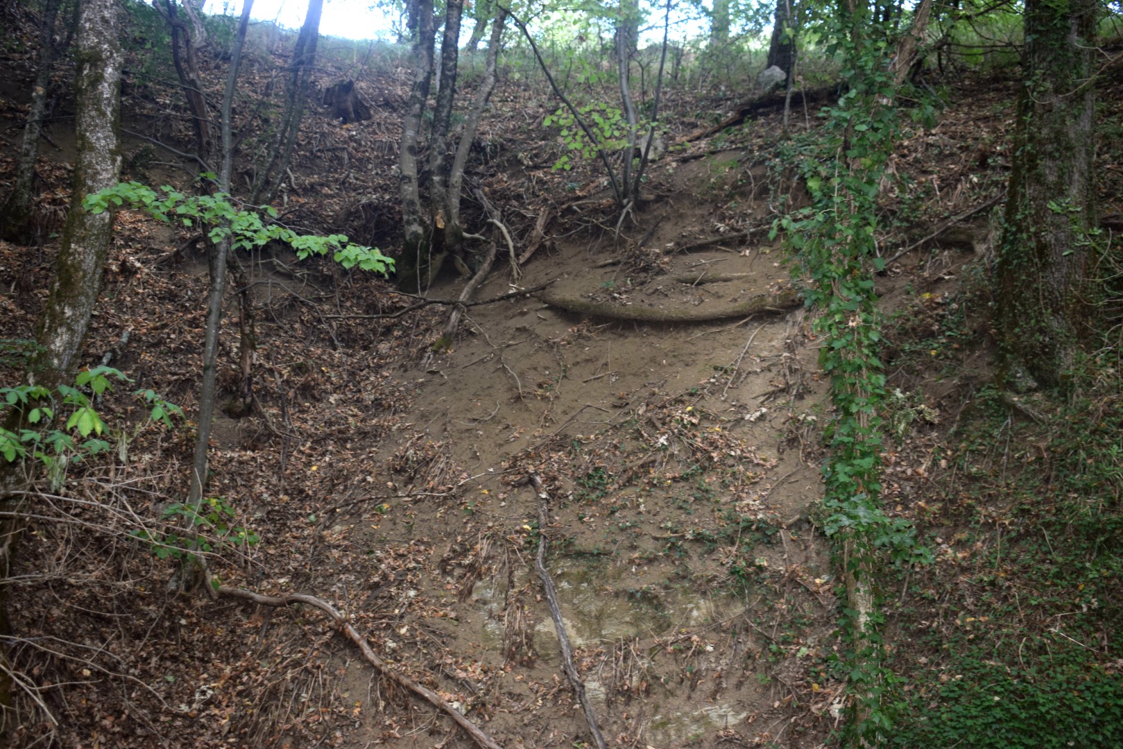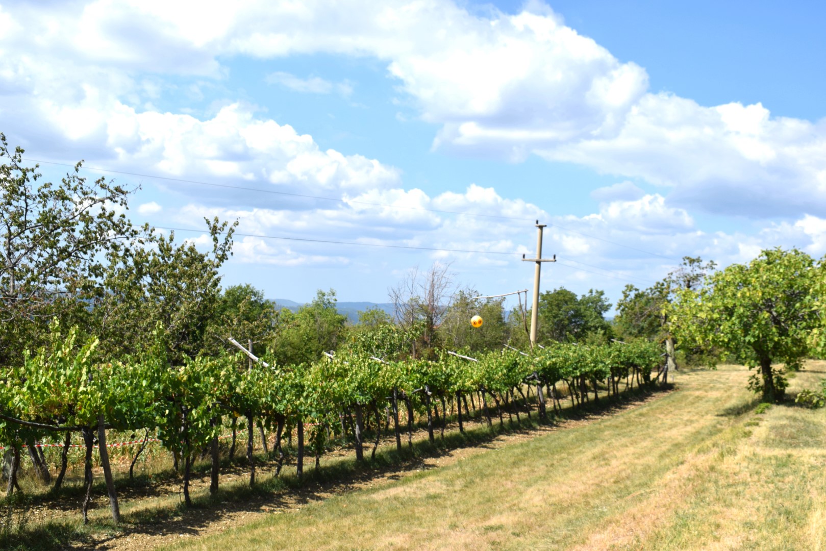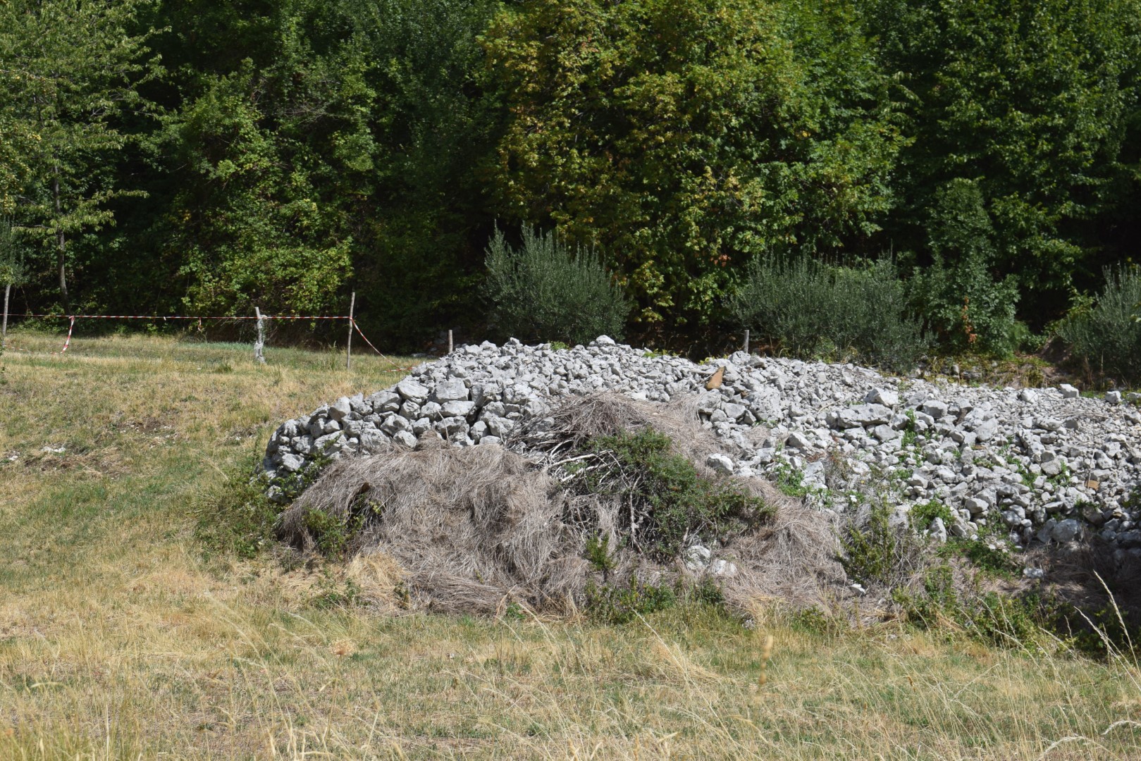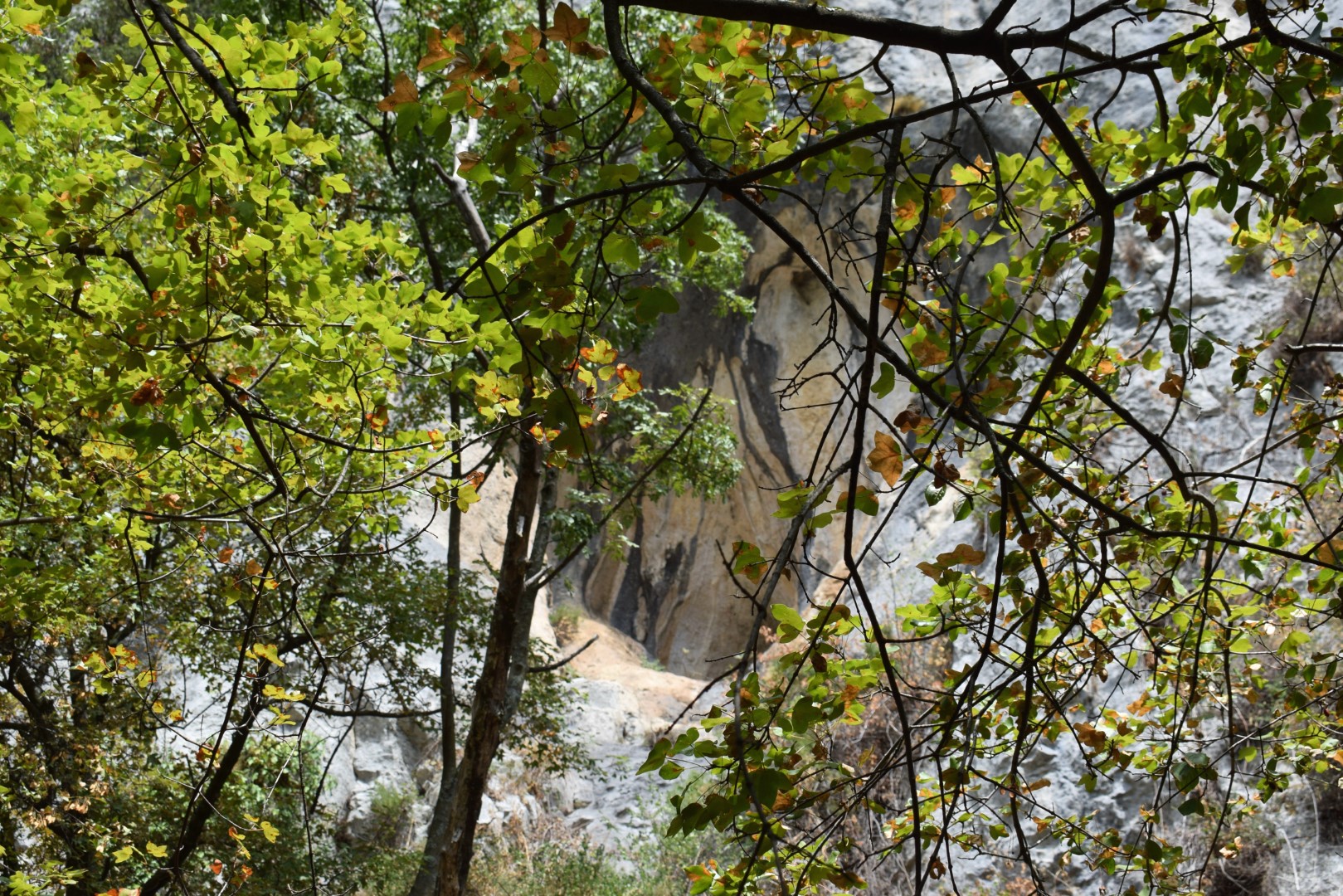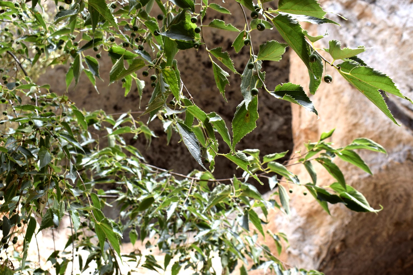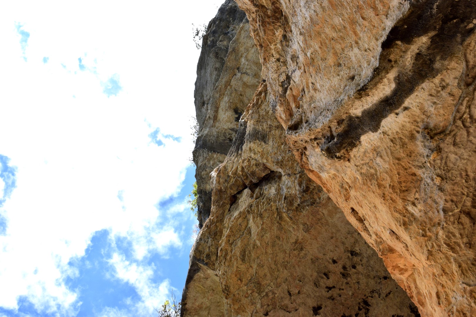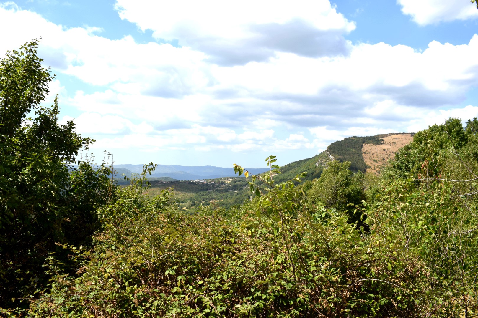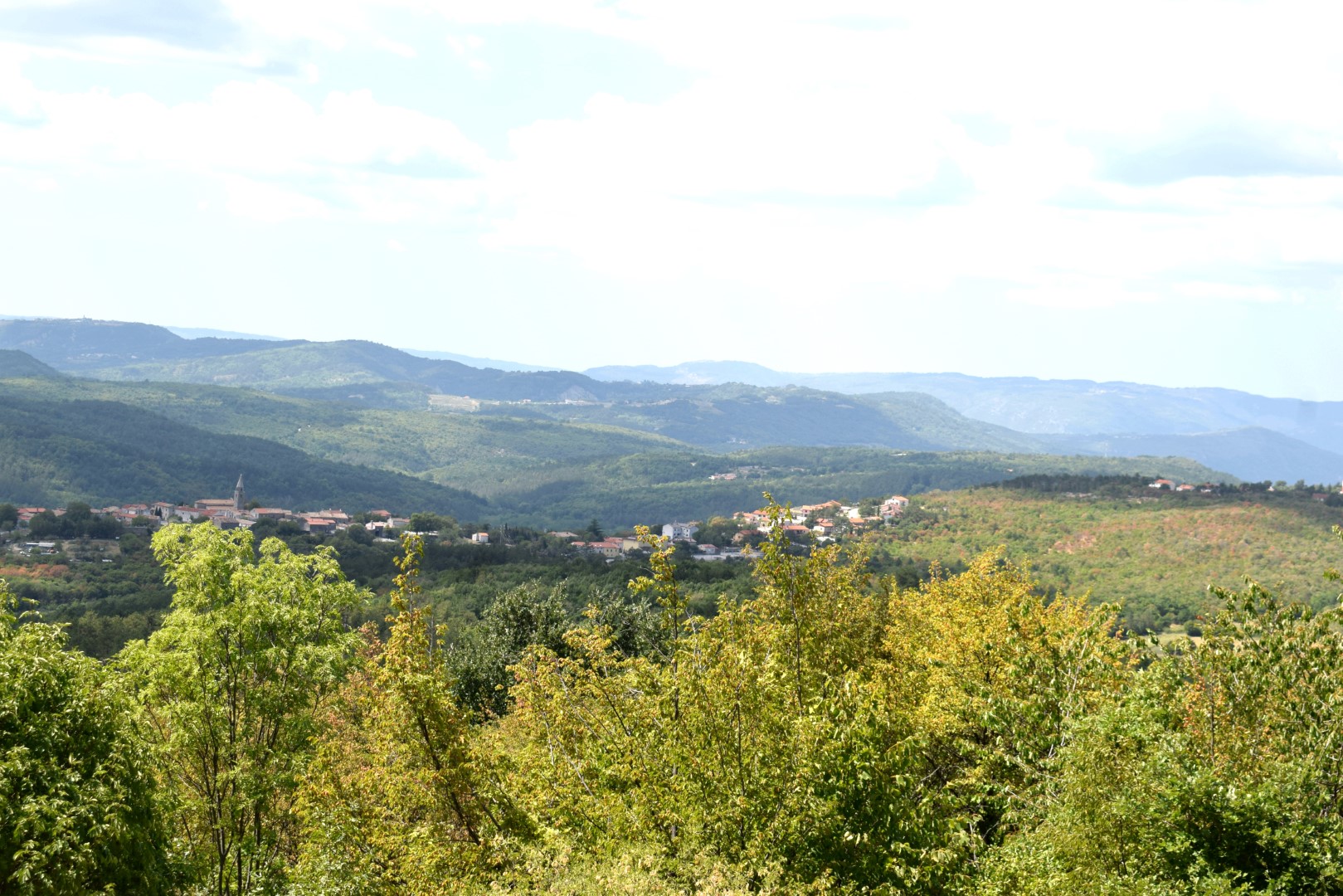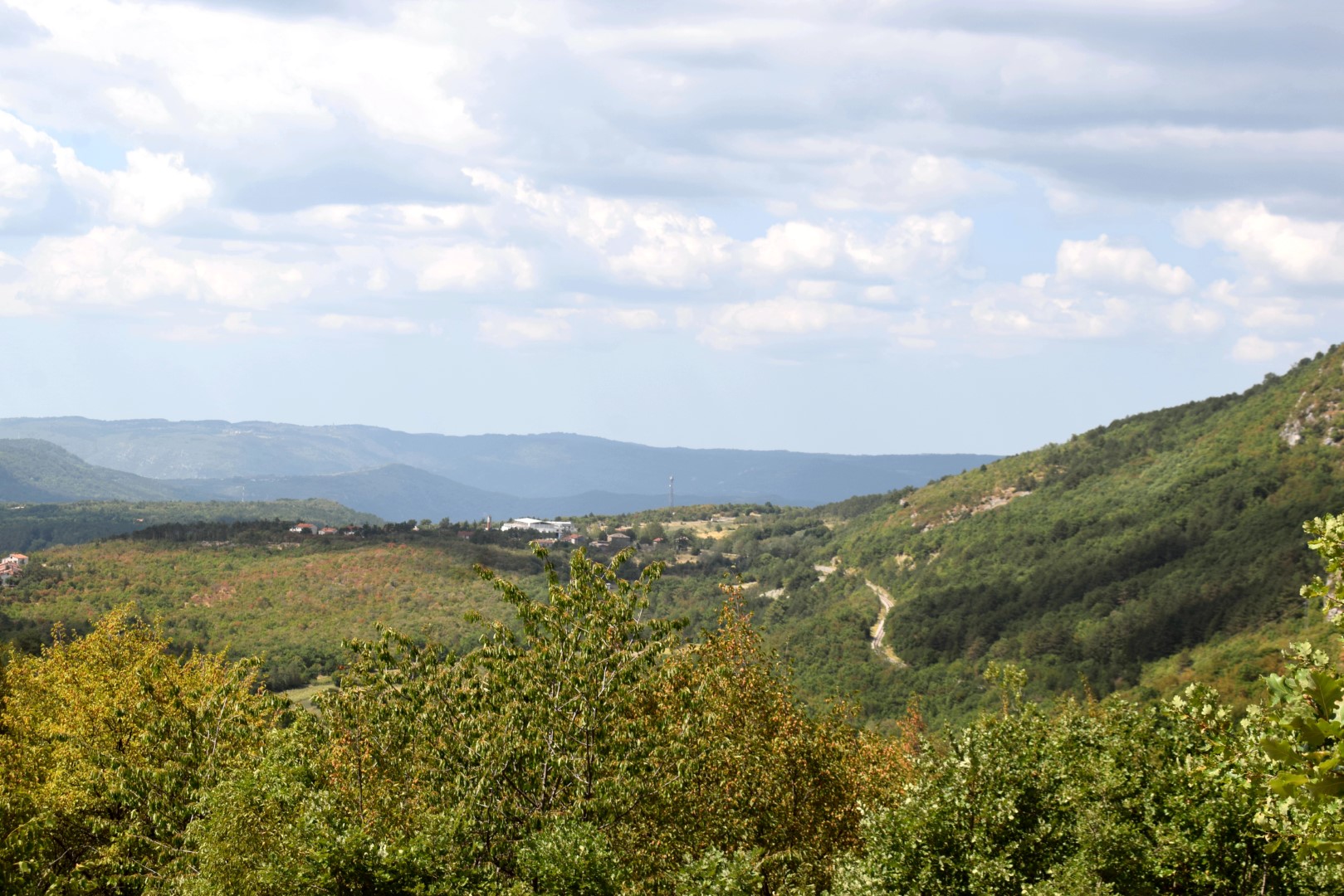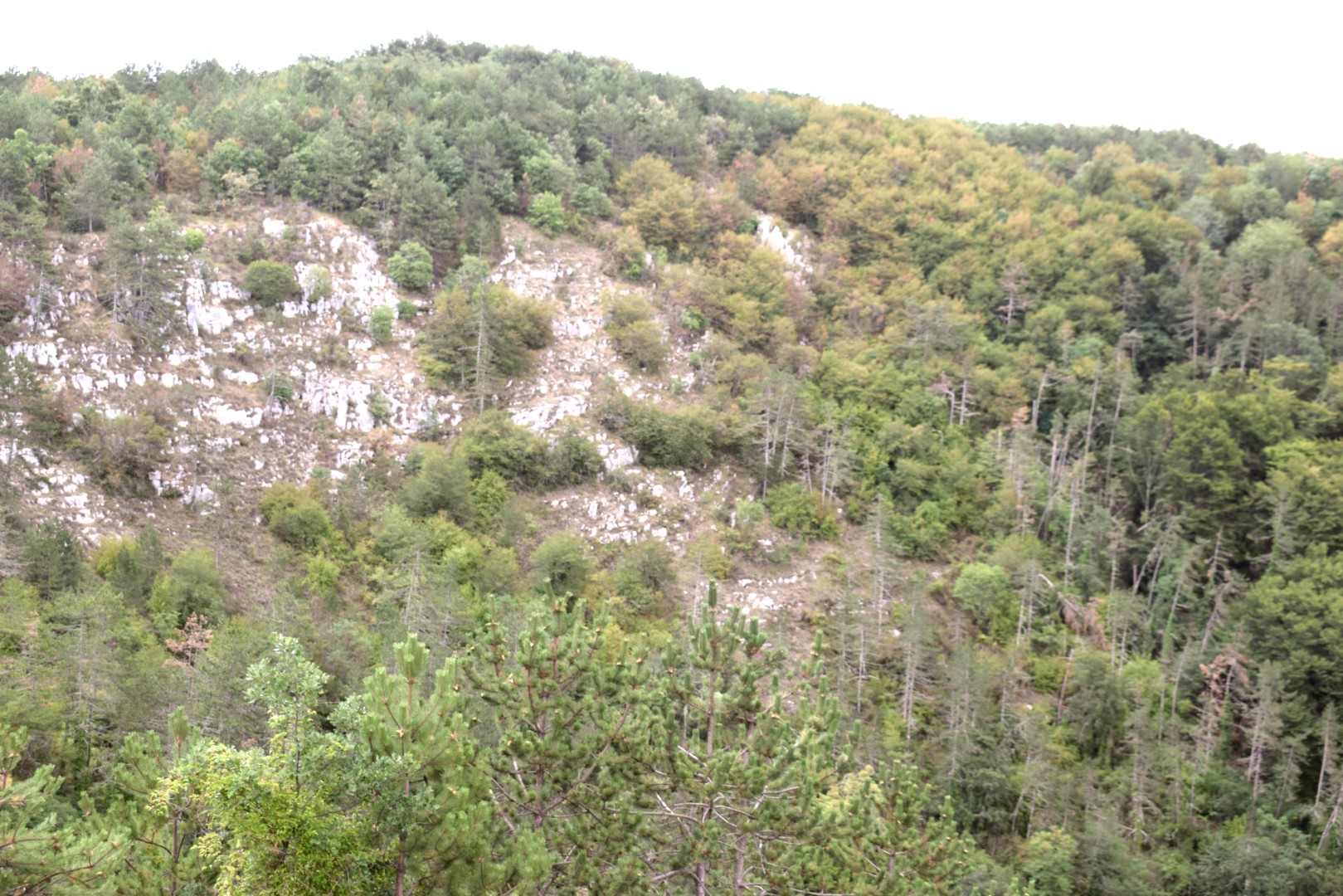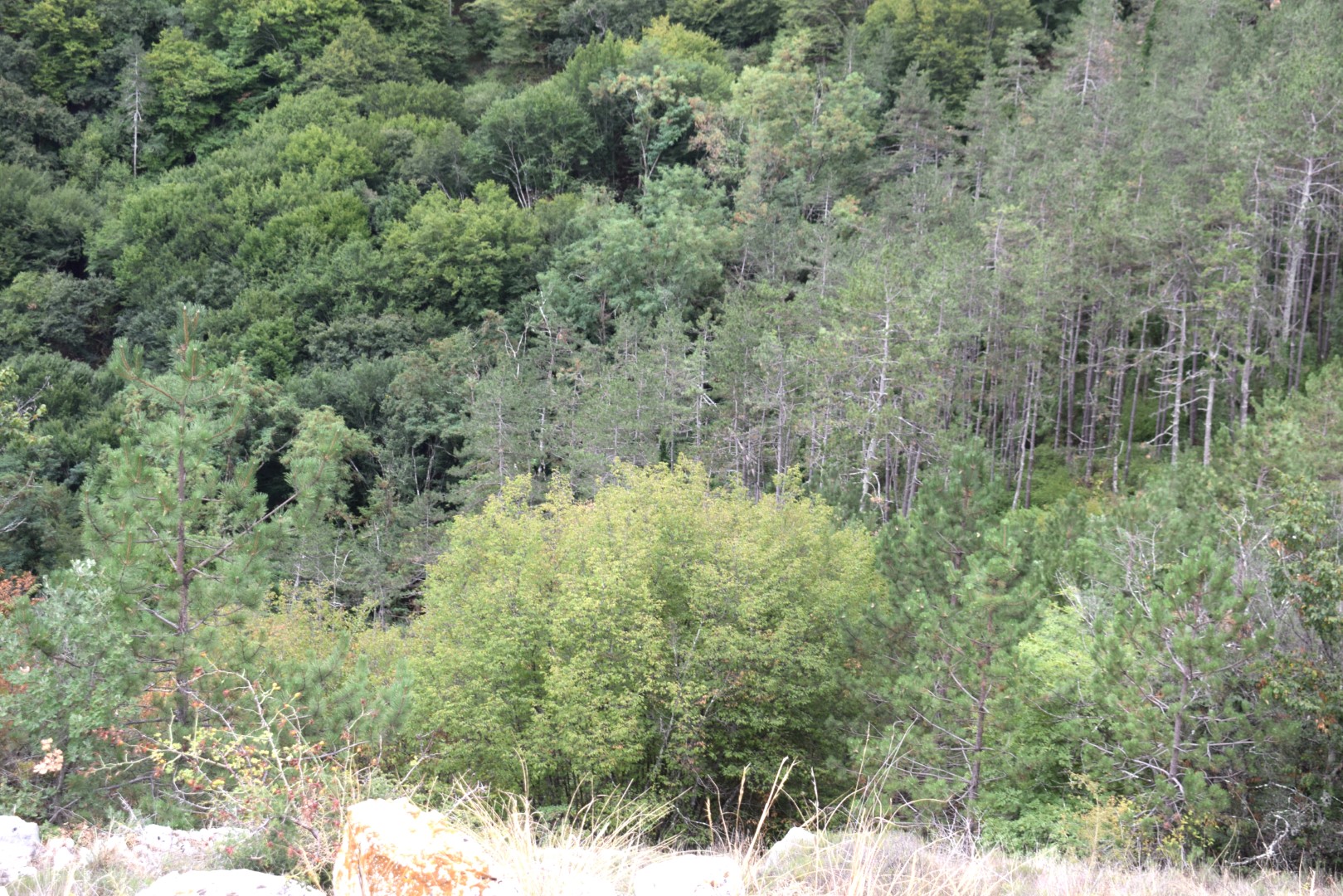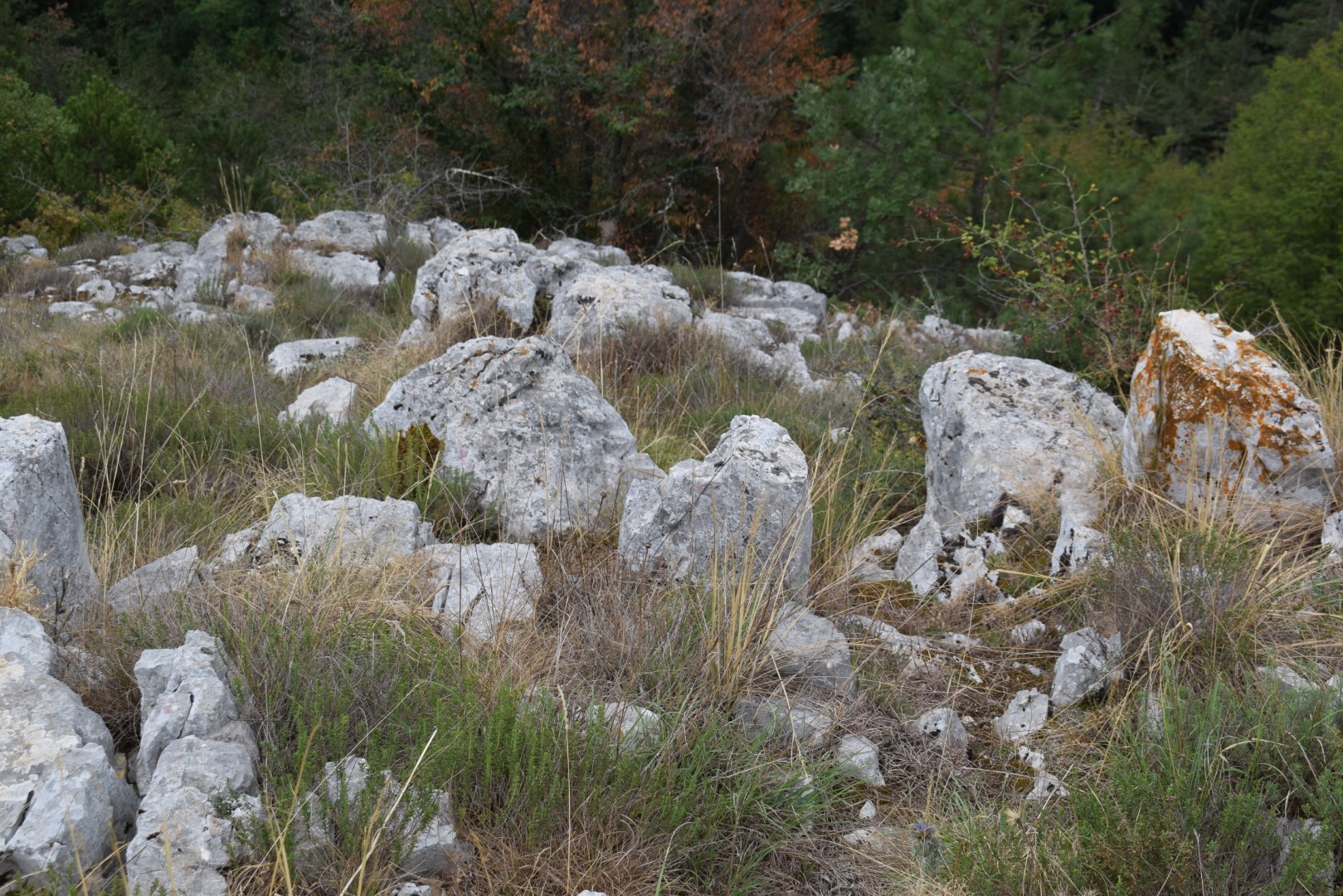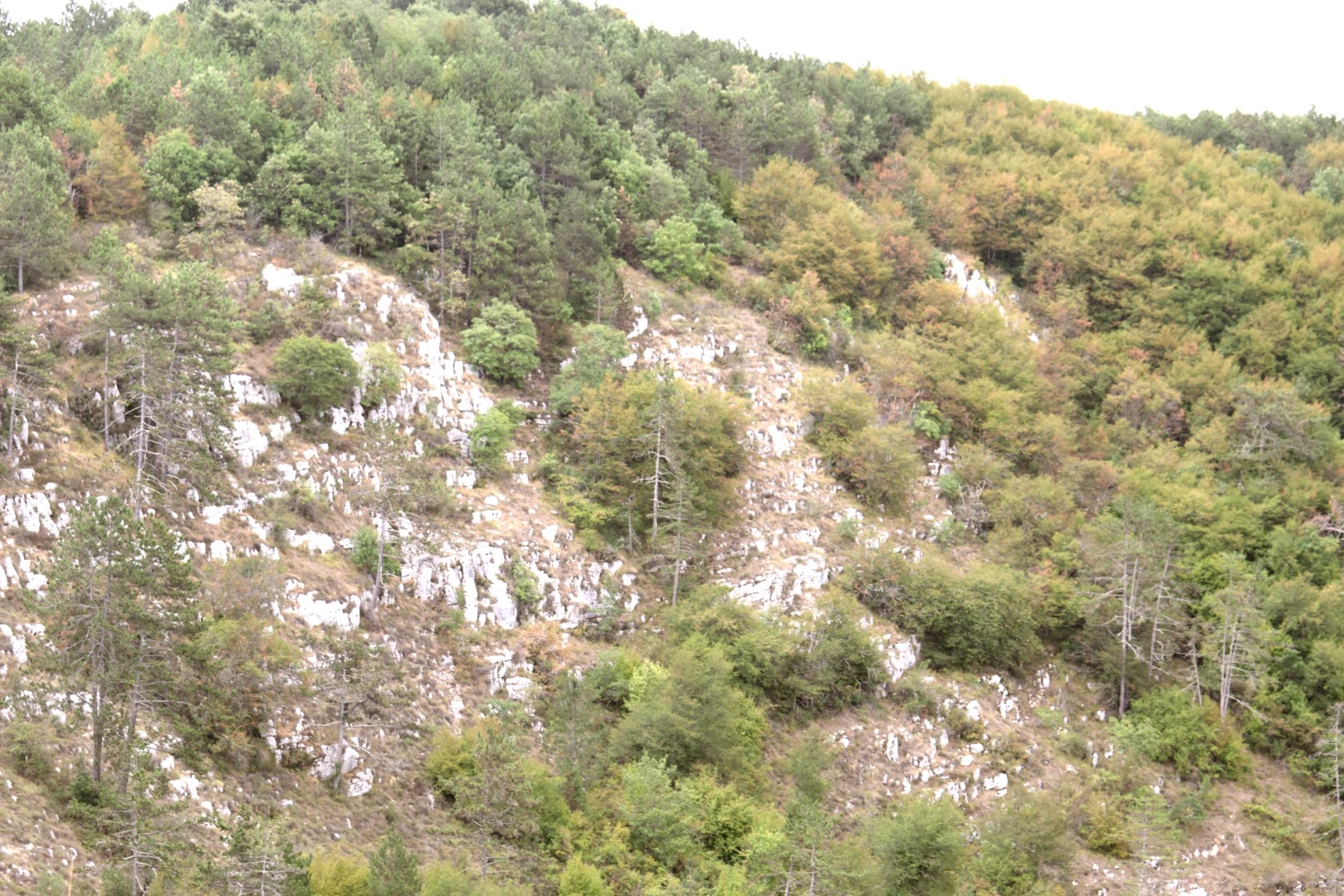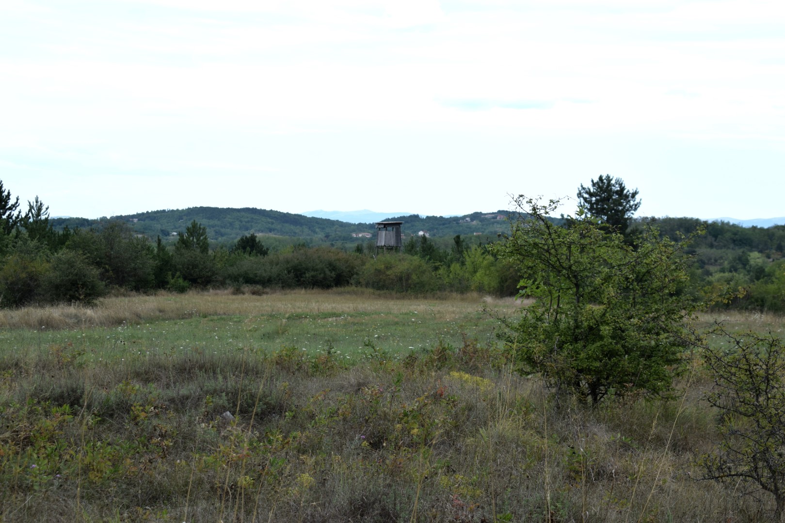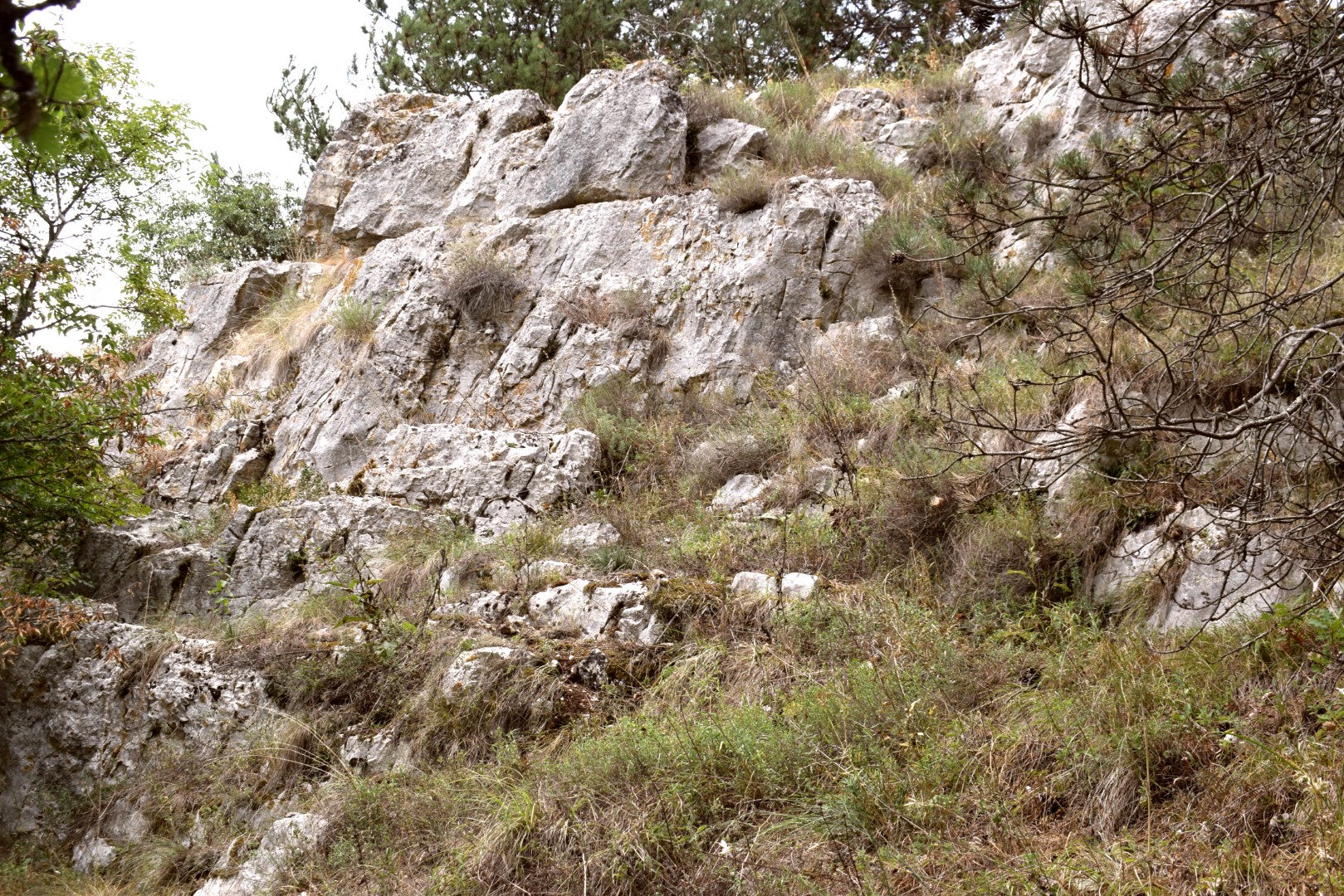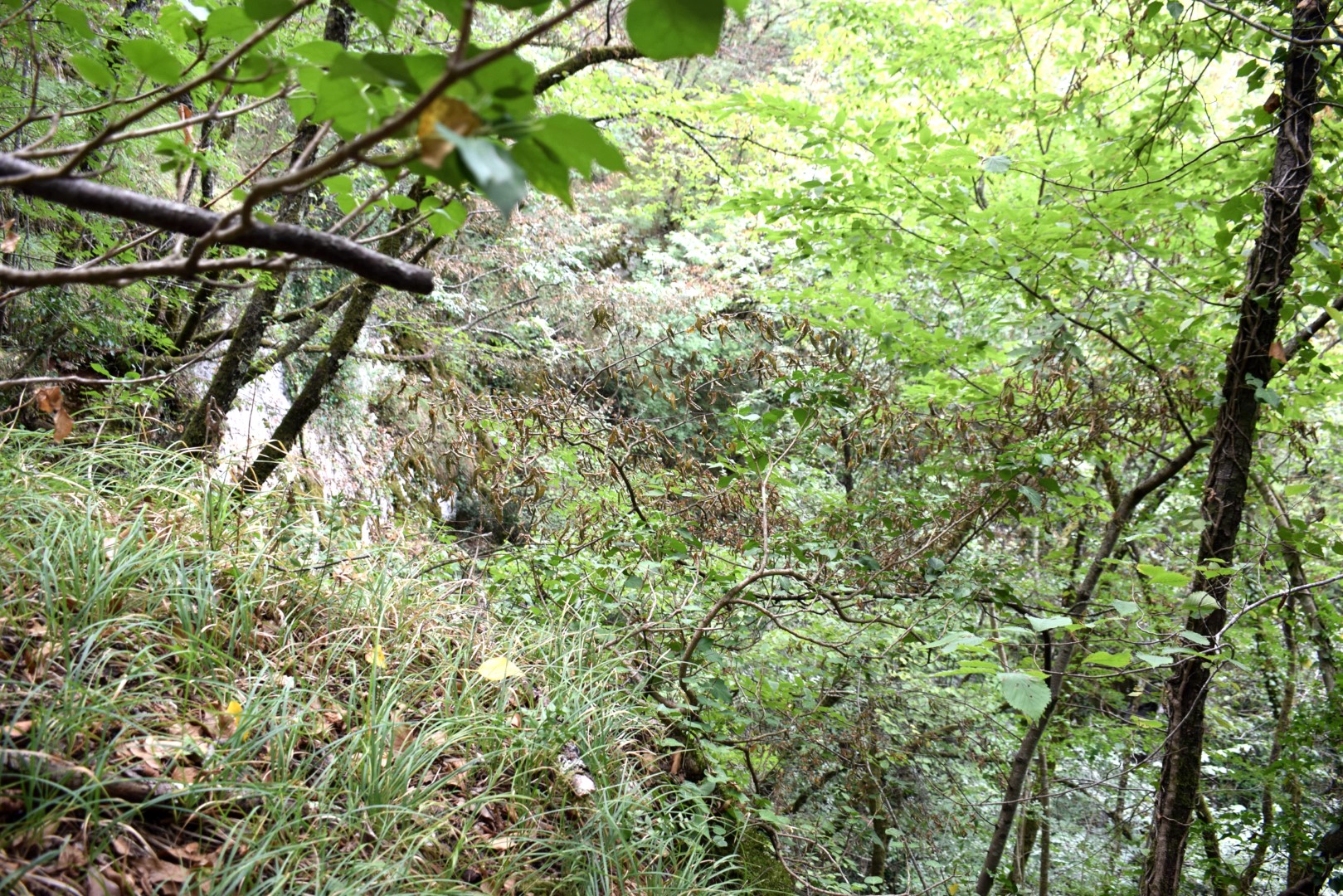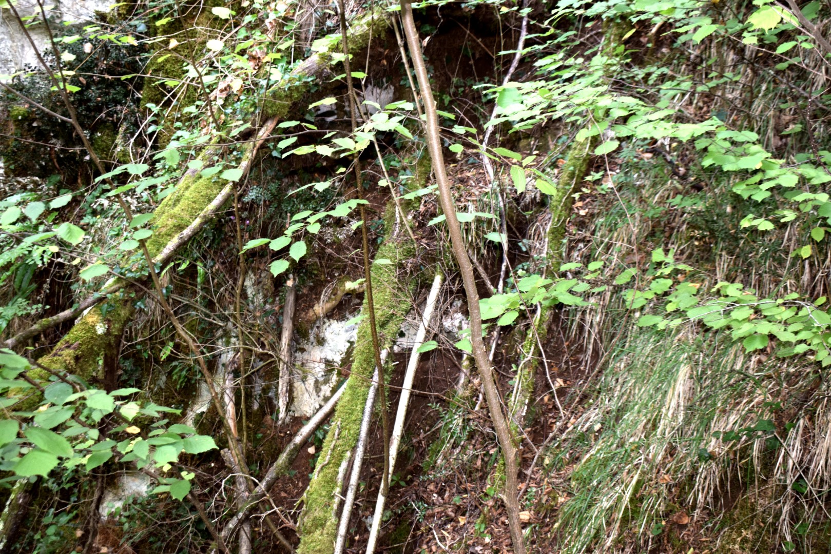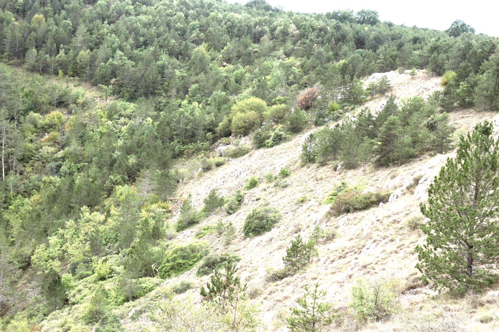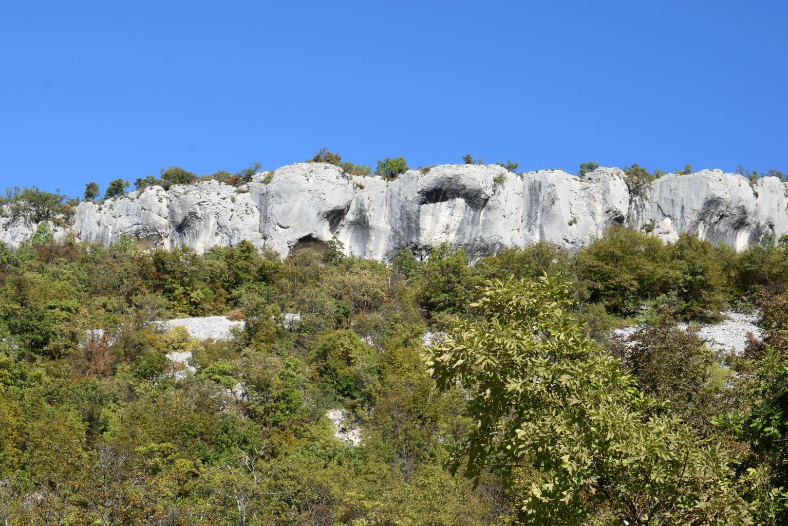


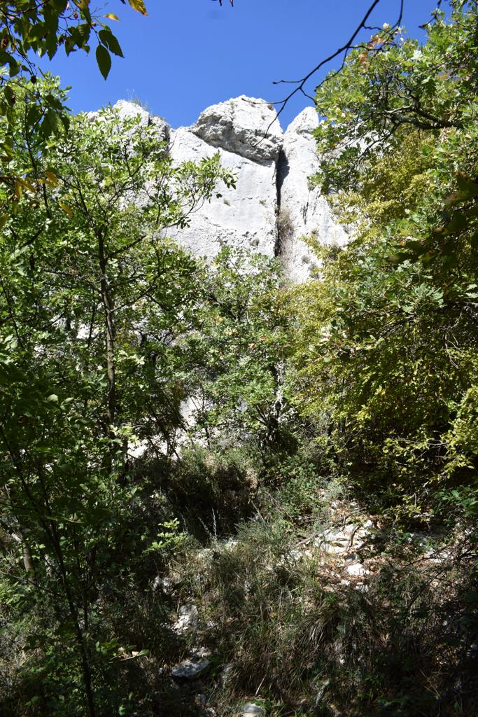
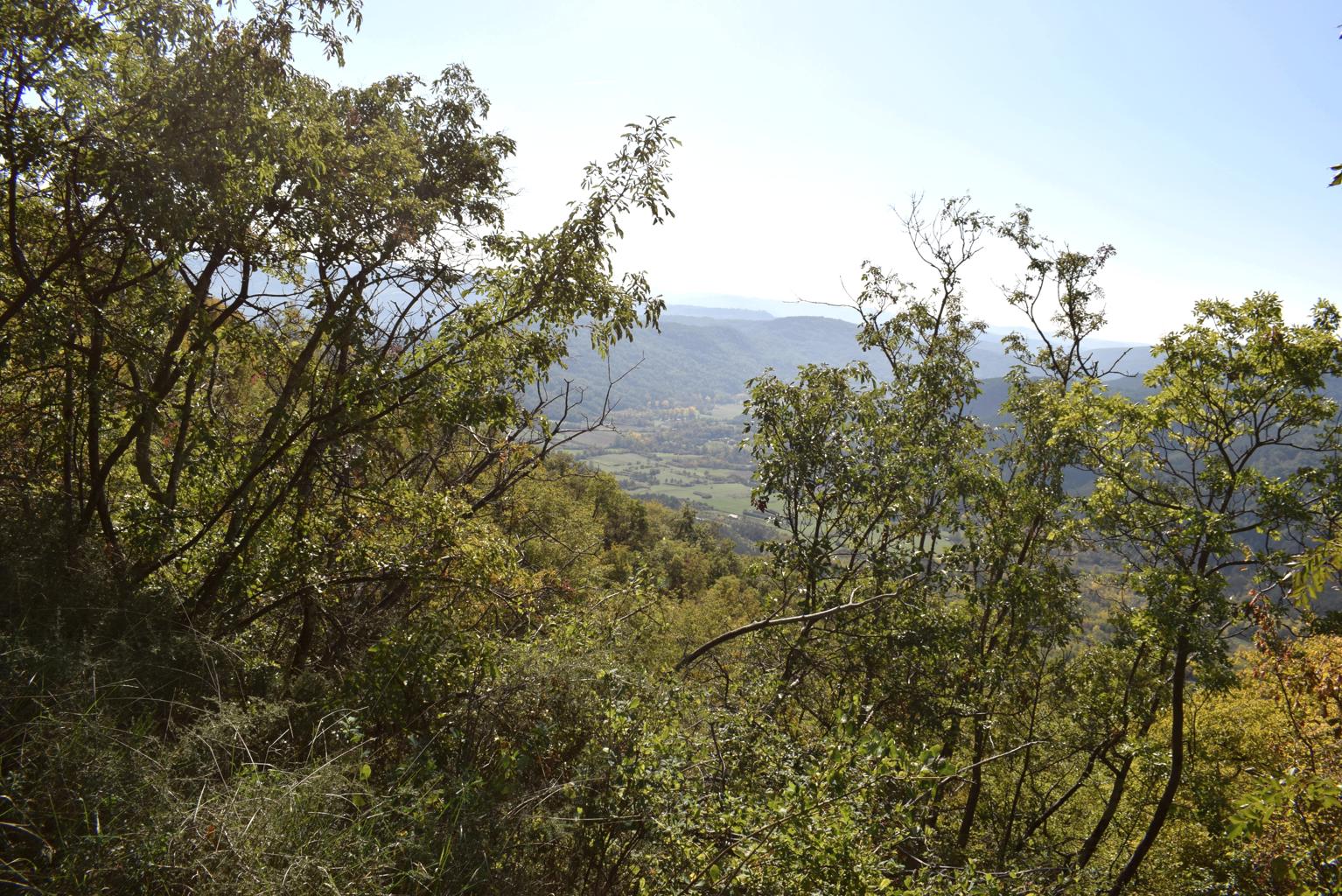
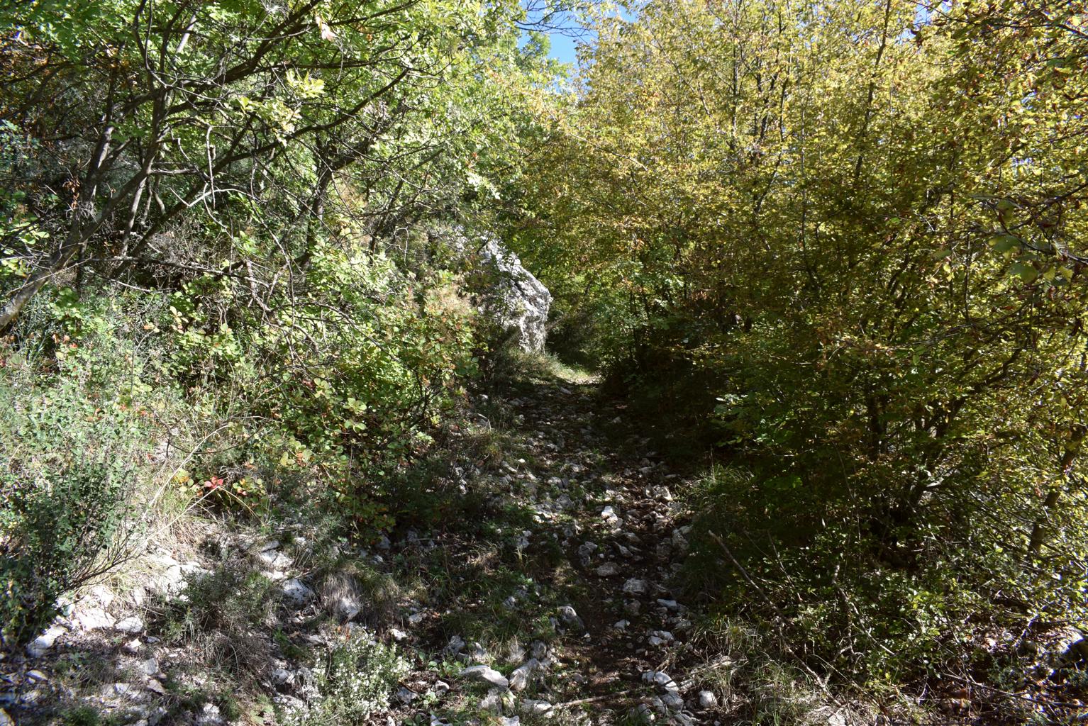
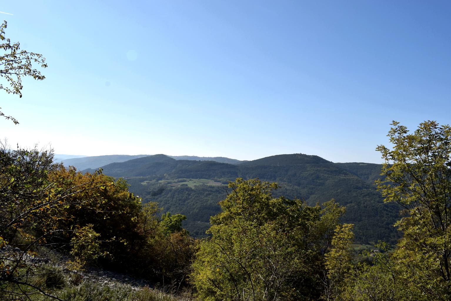
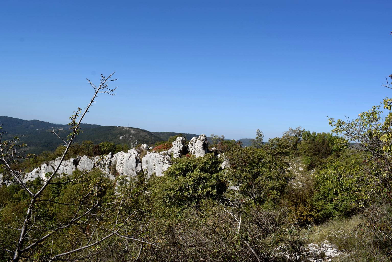

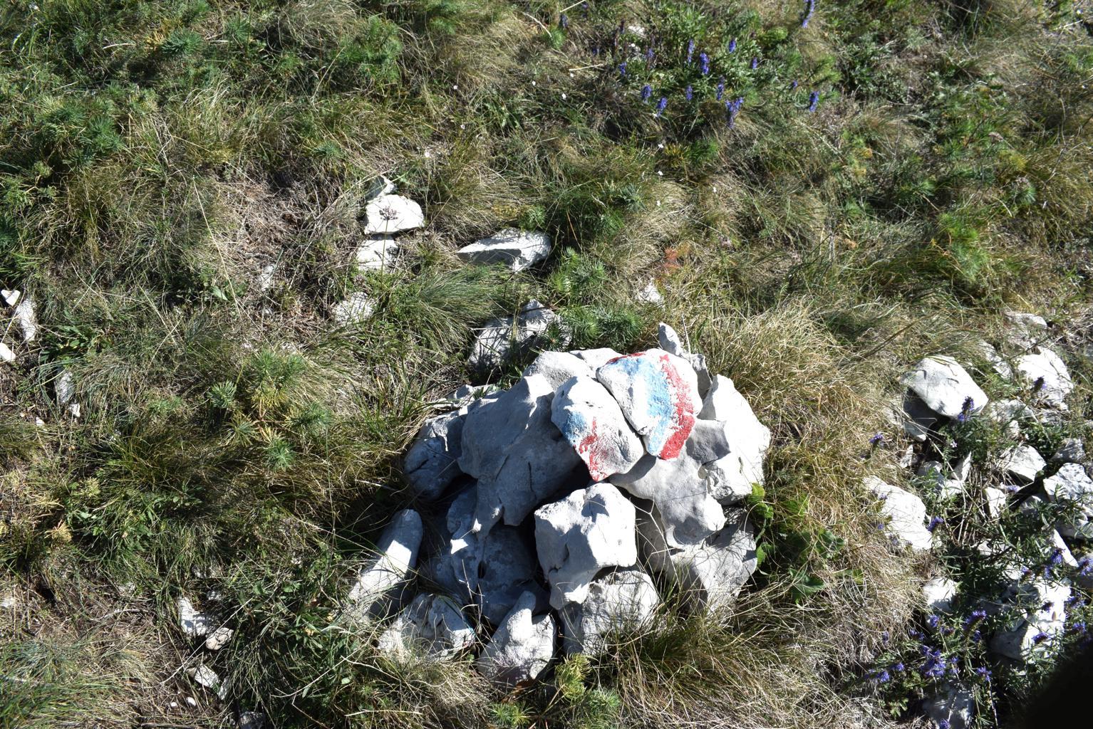
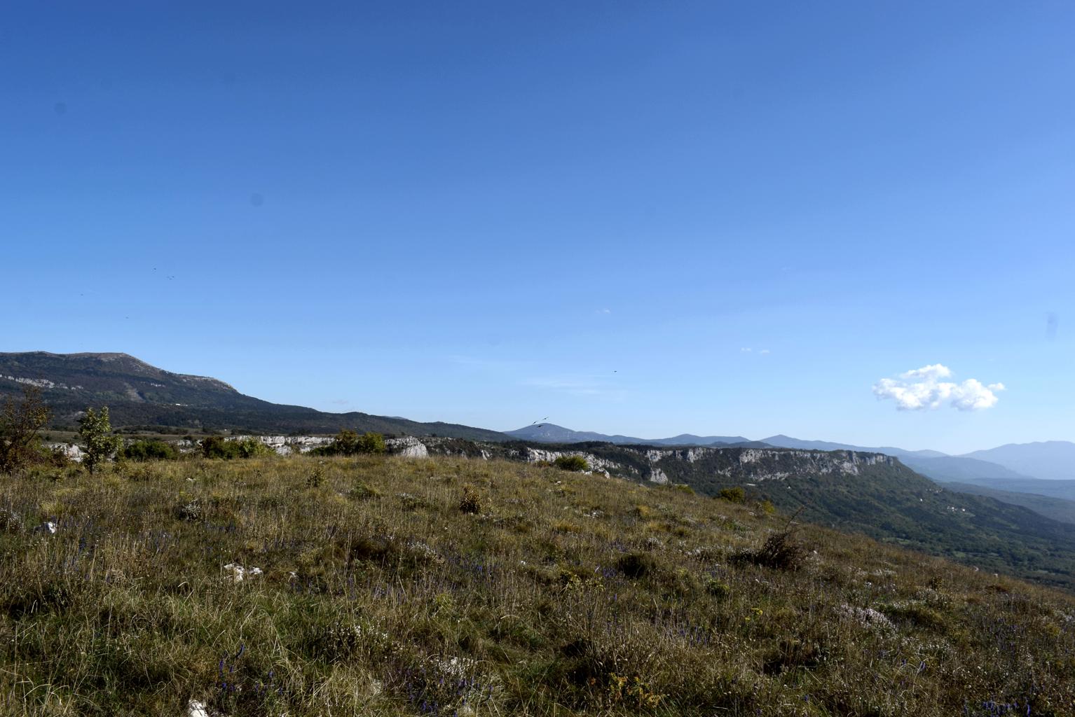
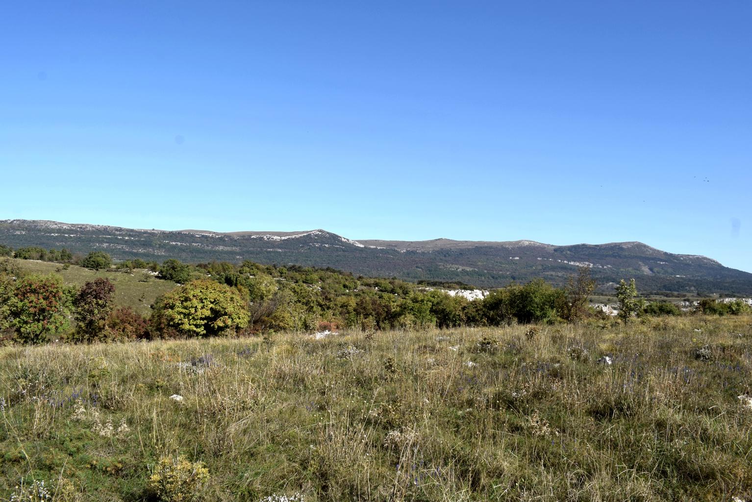
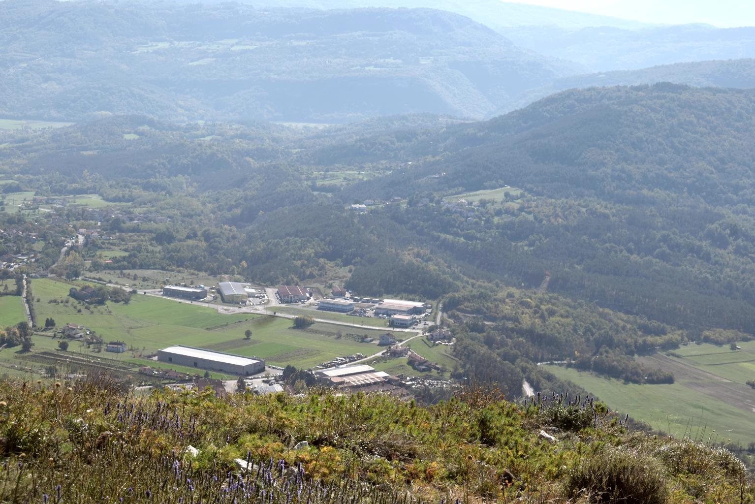
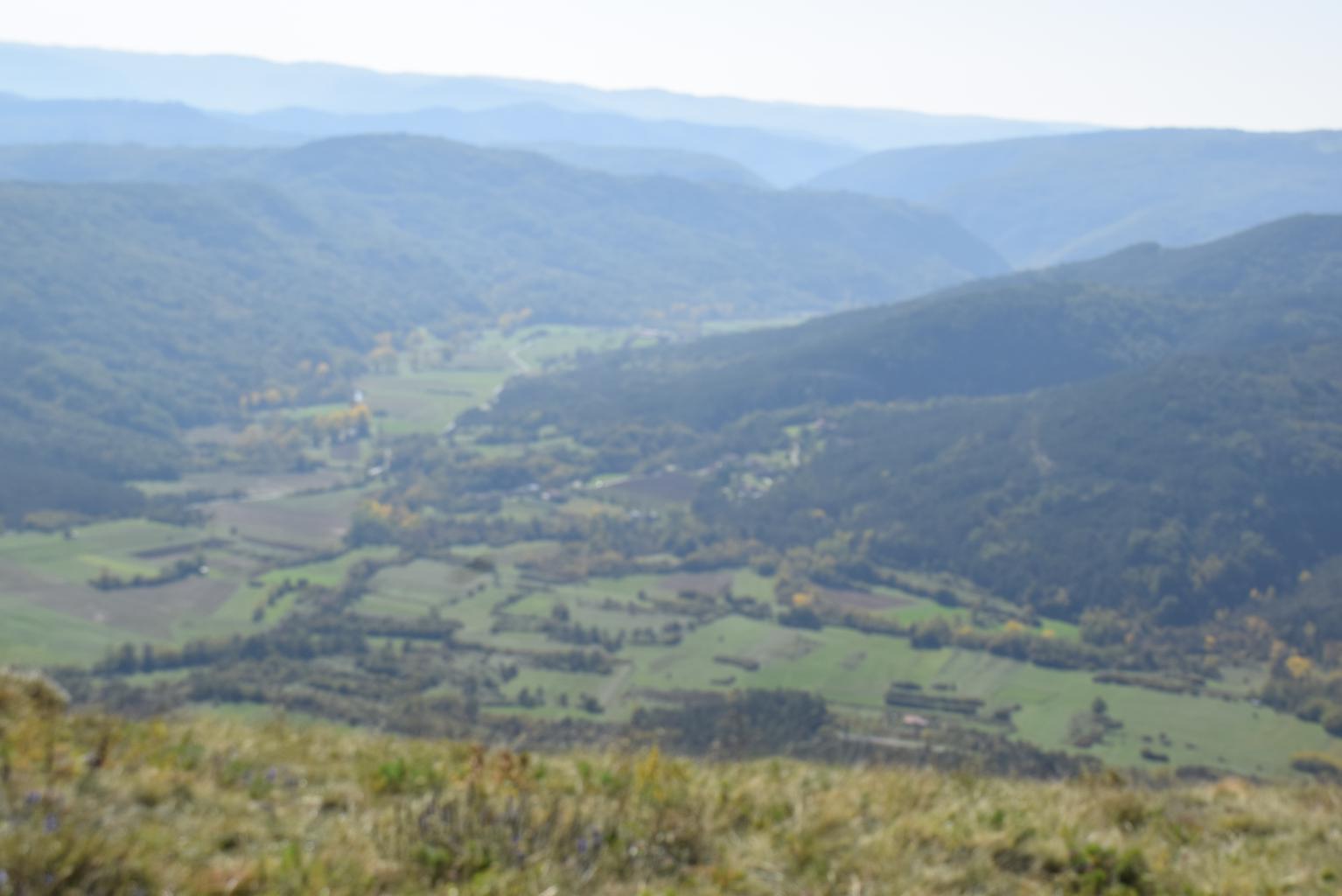
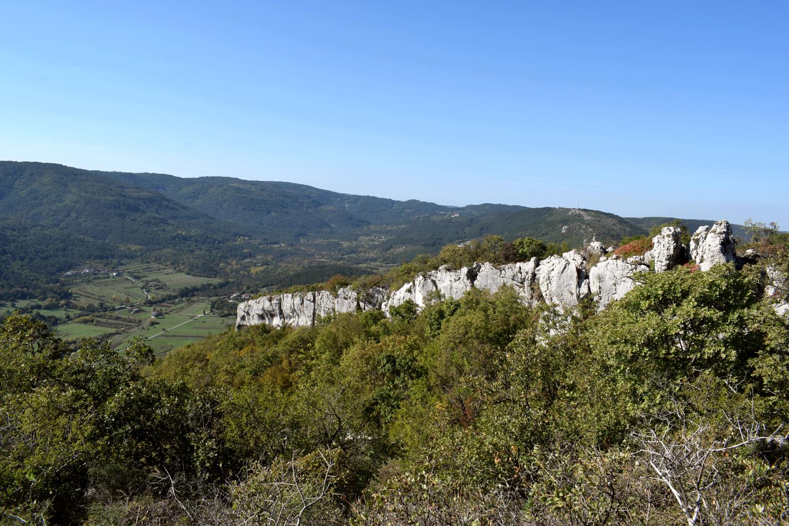
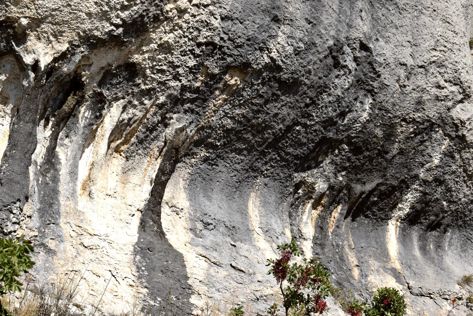
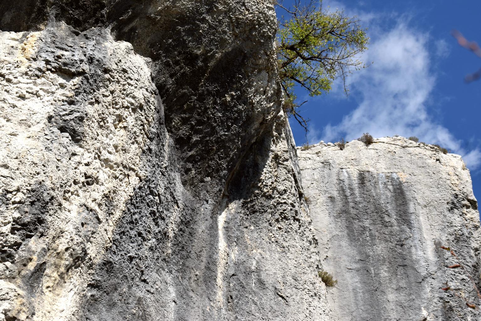
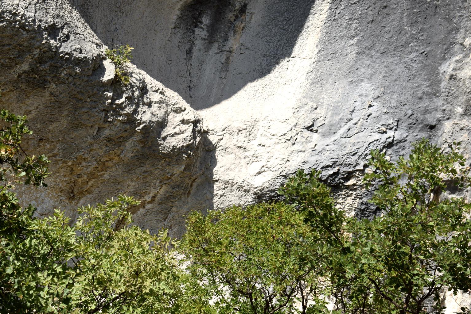
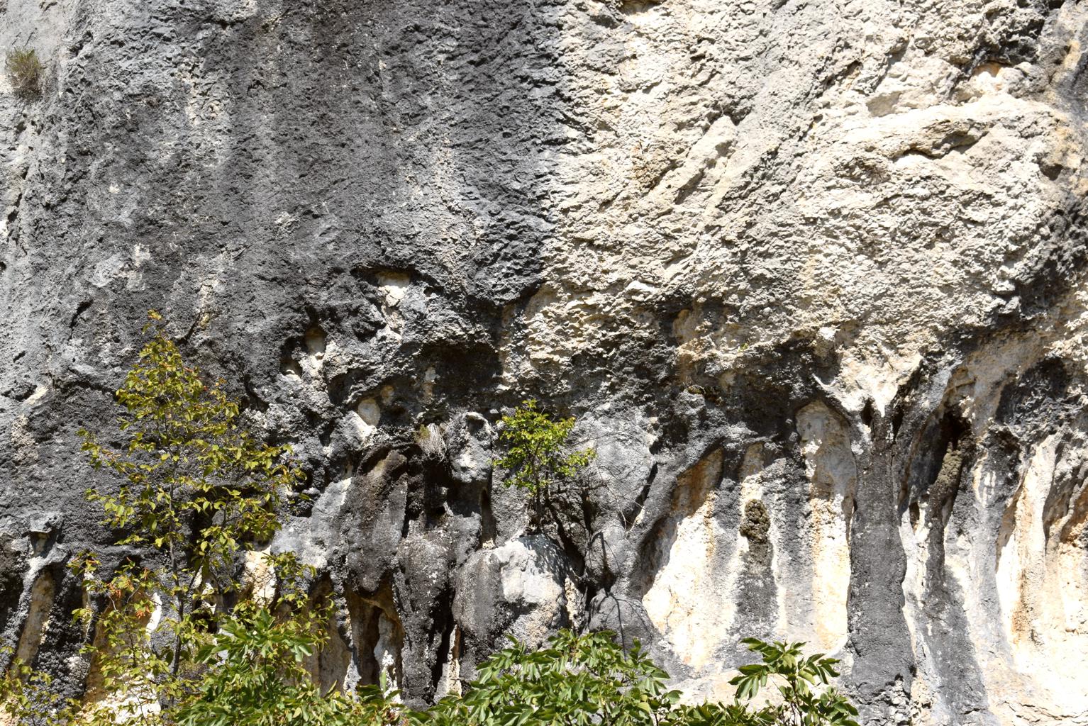

Name: Hiking: trail from Črnica to Jasmovica (465 meters).
Place: Črnica – (Buzet).
Coordinates: 45.44707 N – 13.93448 E, 4544652 N – 13.94344 E
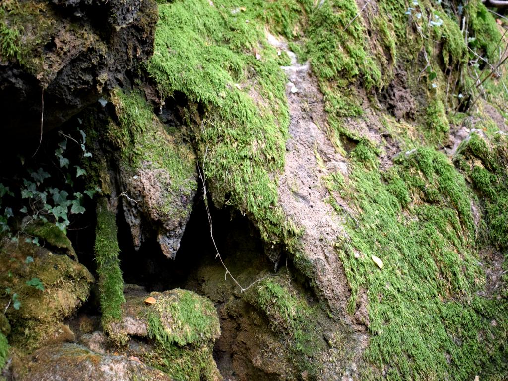
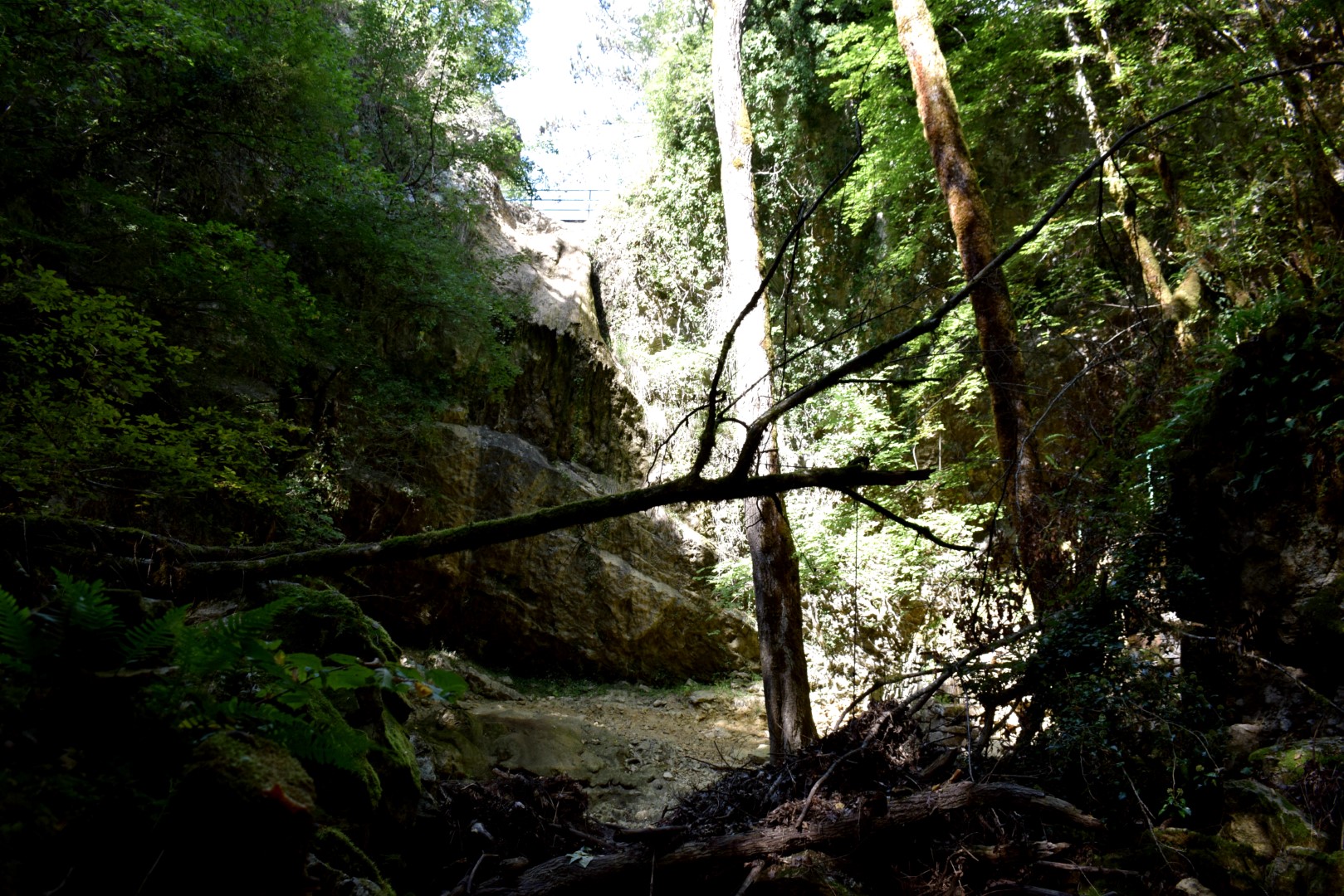
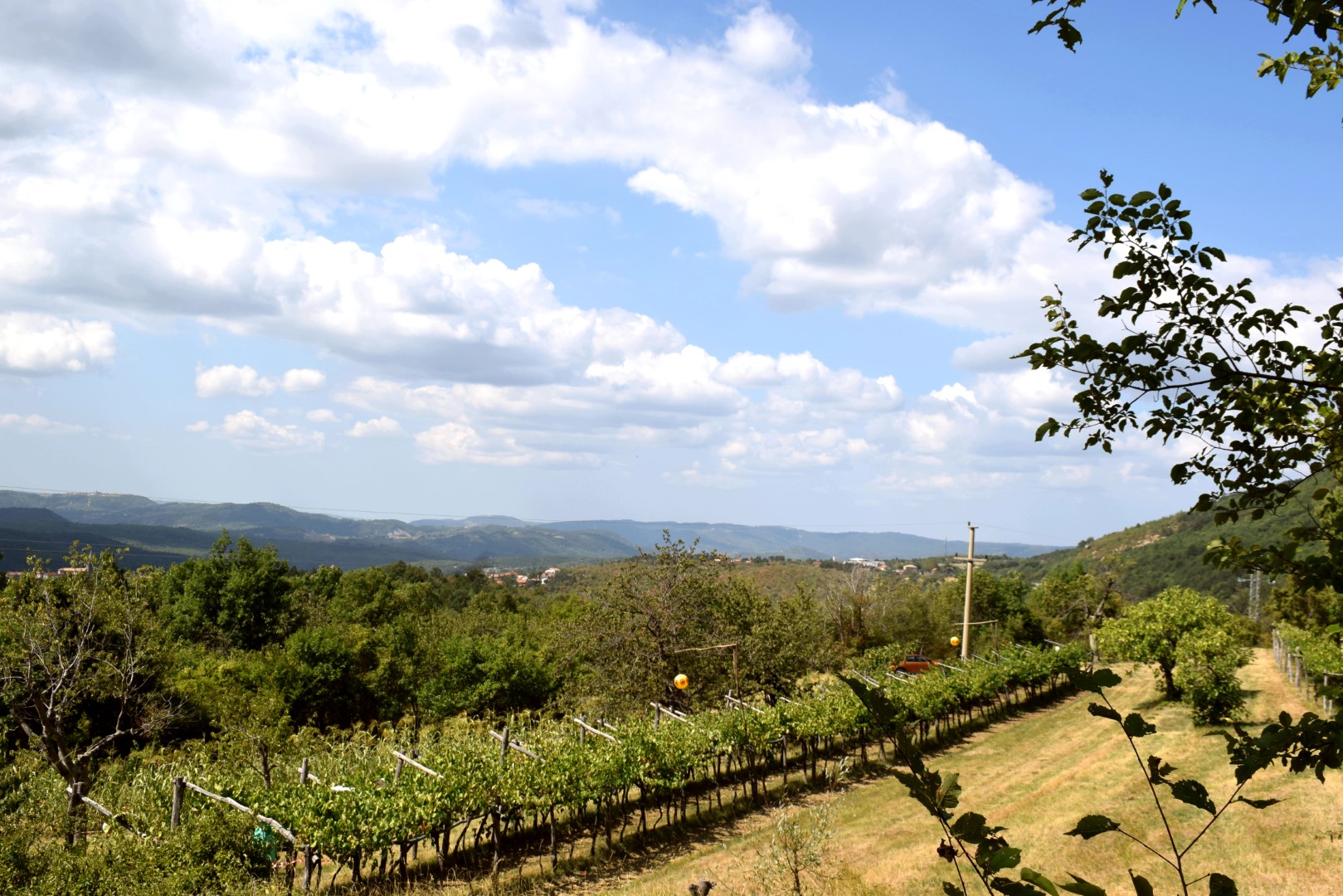
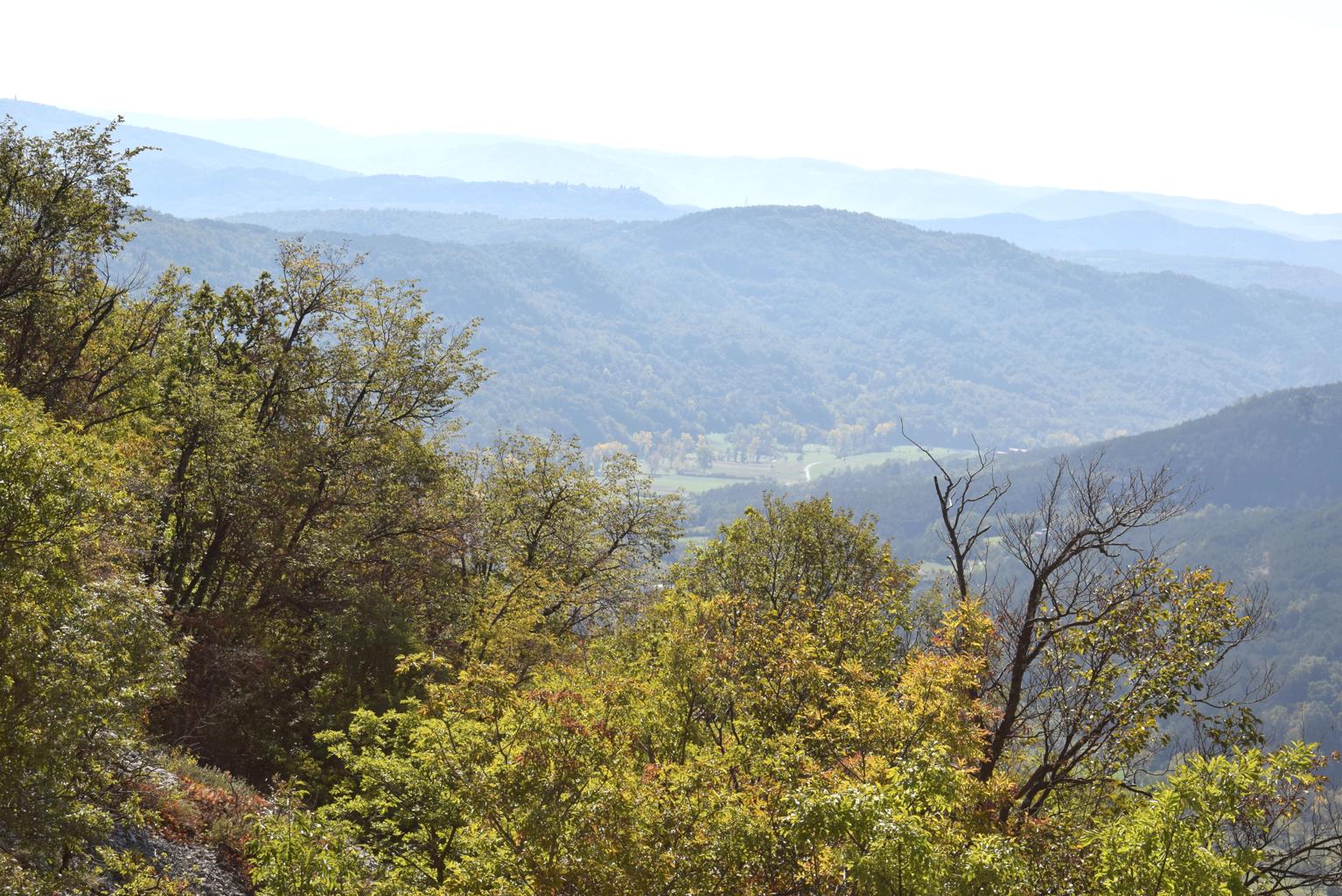
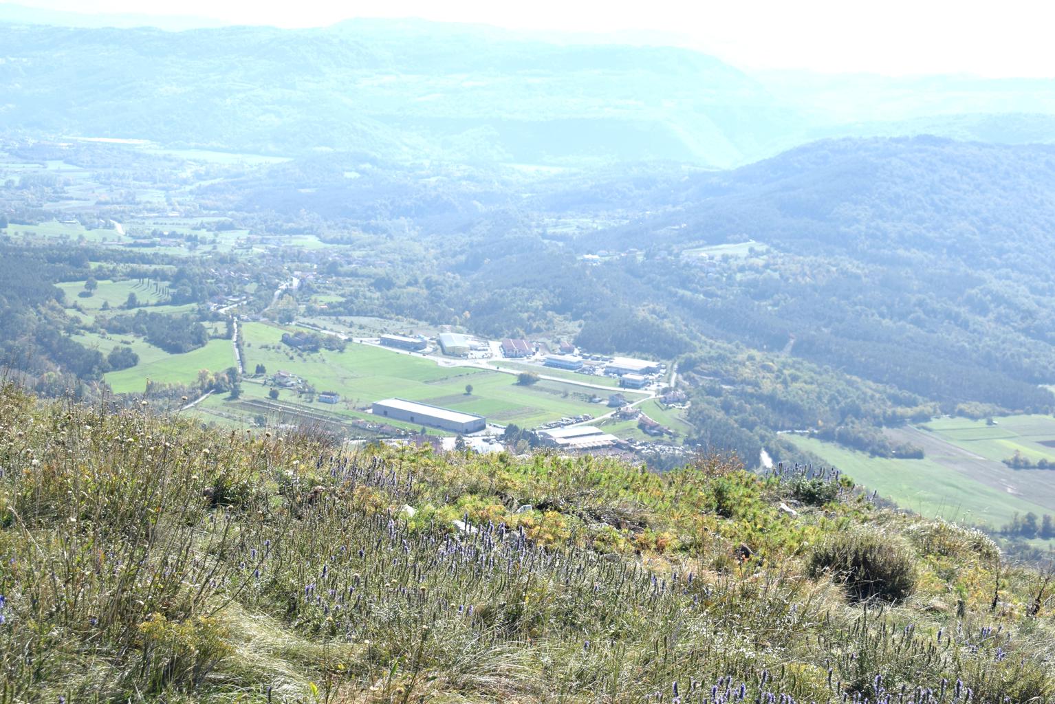
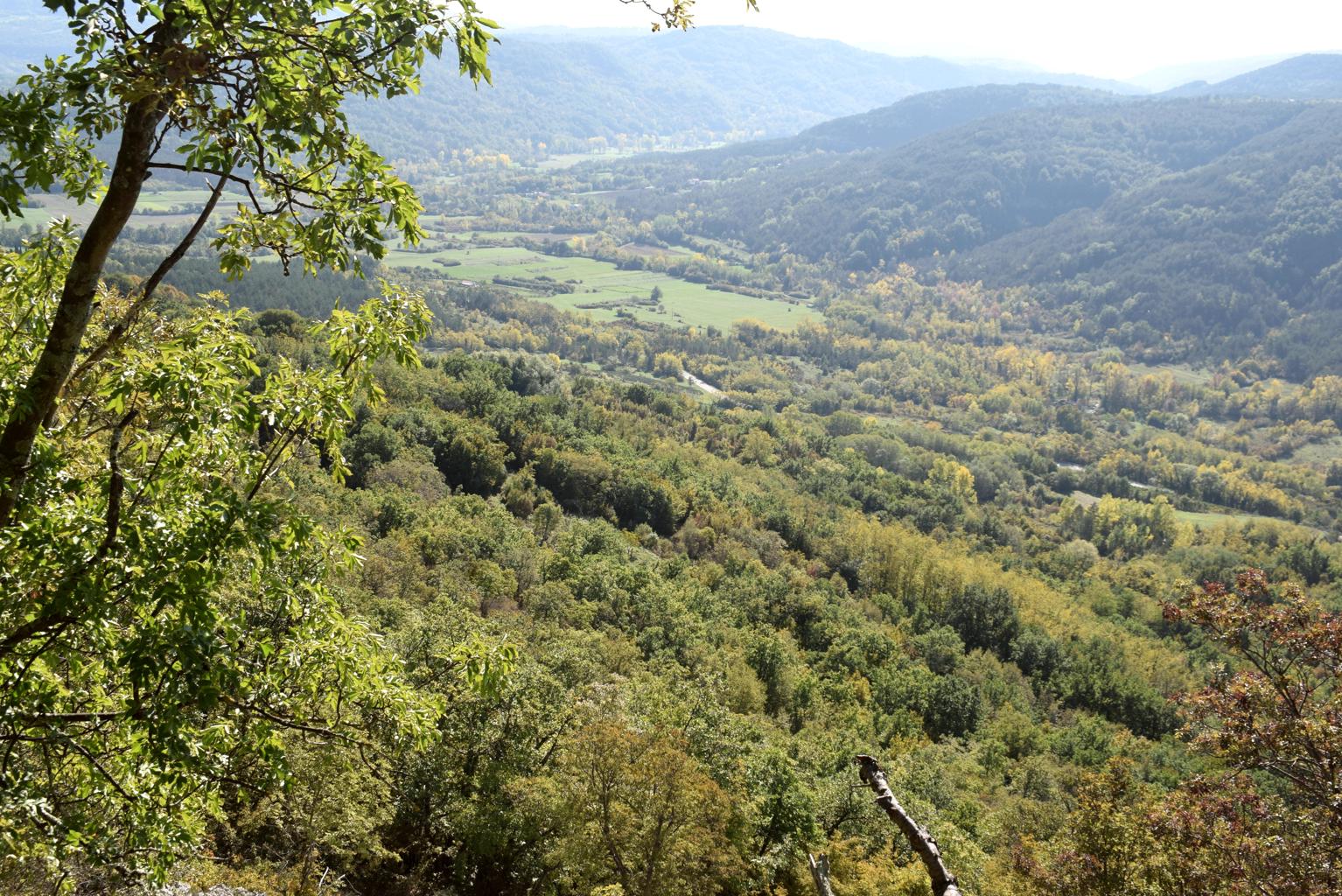
Name: Hiking: trail from Črnica to Jasmovica (465 meters).
Place: Črnica – (Buzet).
Coordinates: 45.44707 N – 13.93448 E, 4544652 N – 13.94344 E

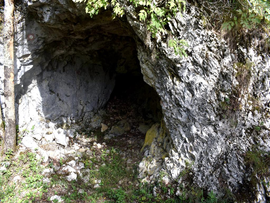
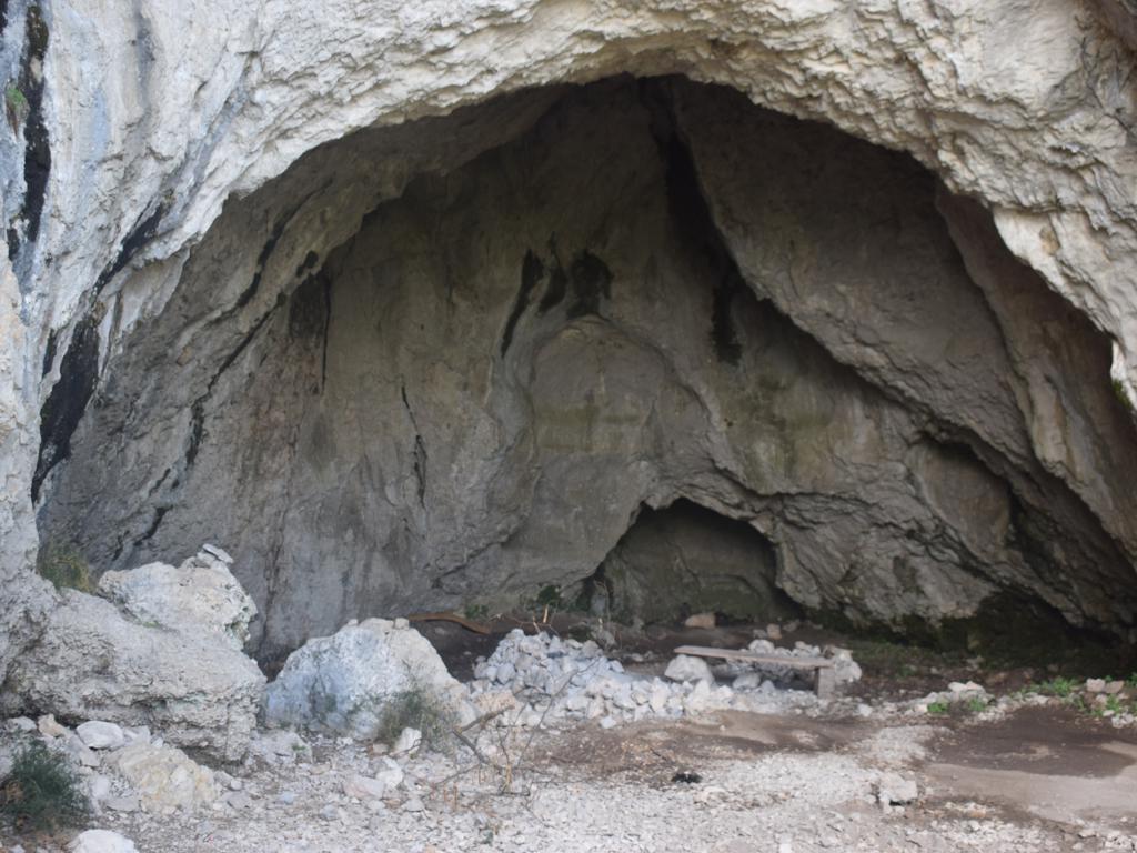
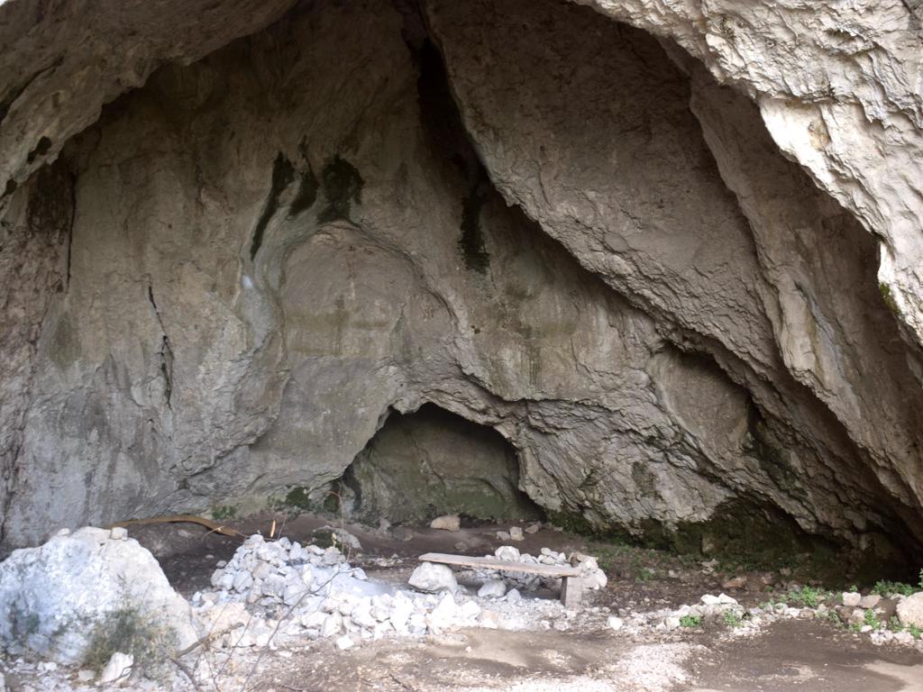
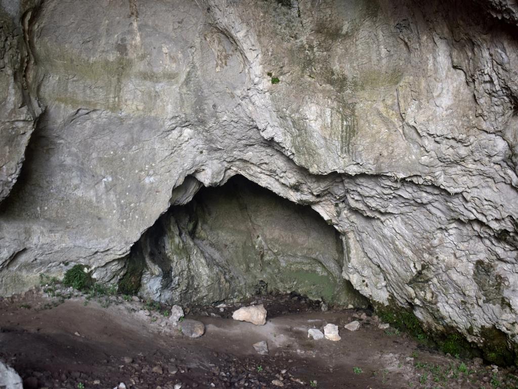
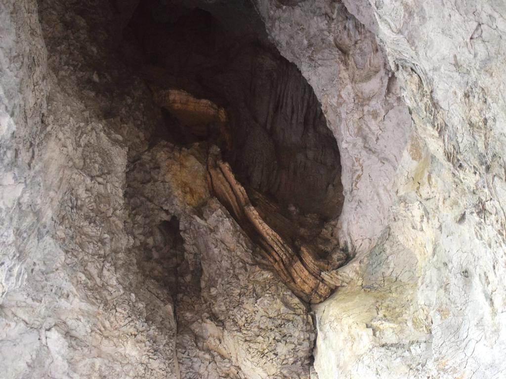
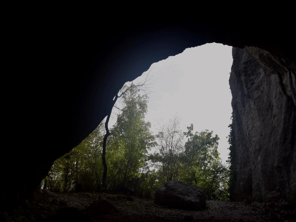
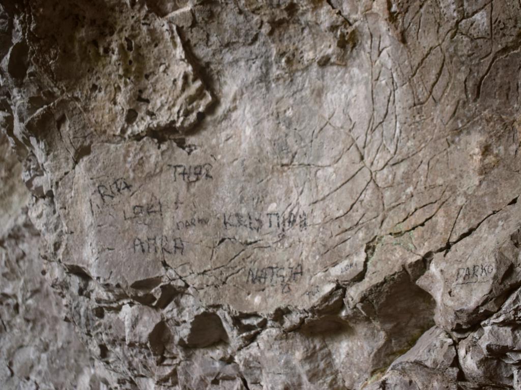
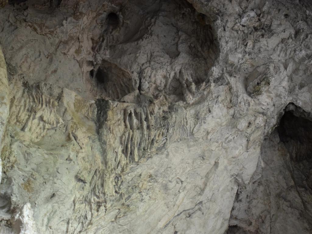
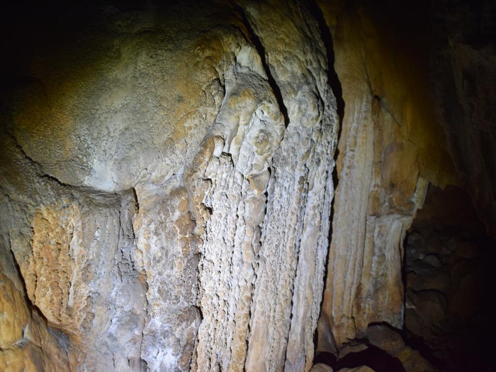
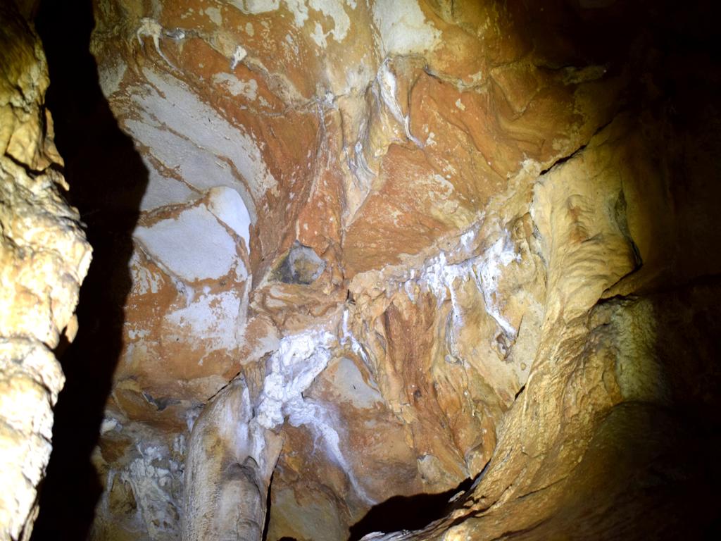
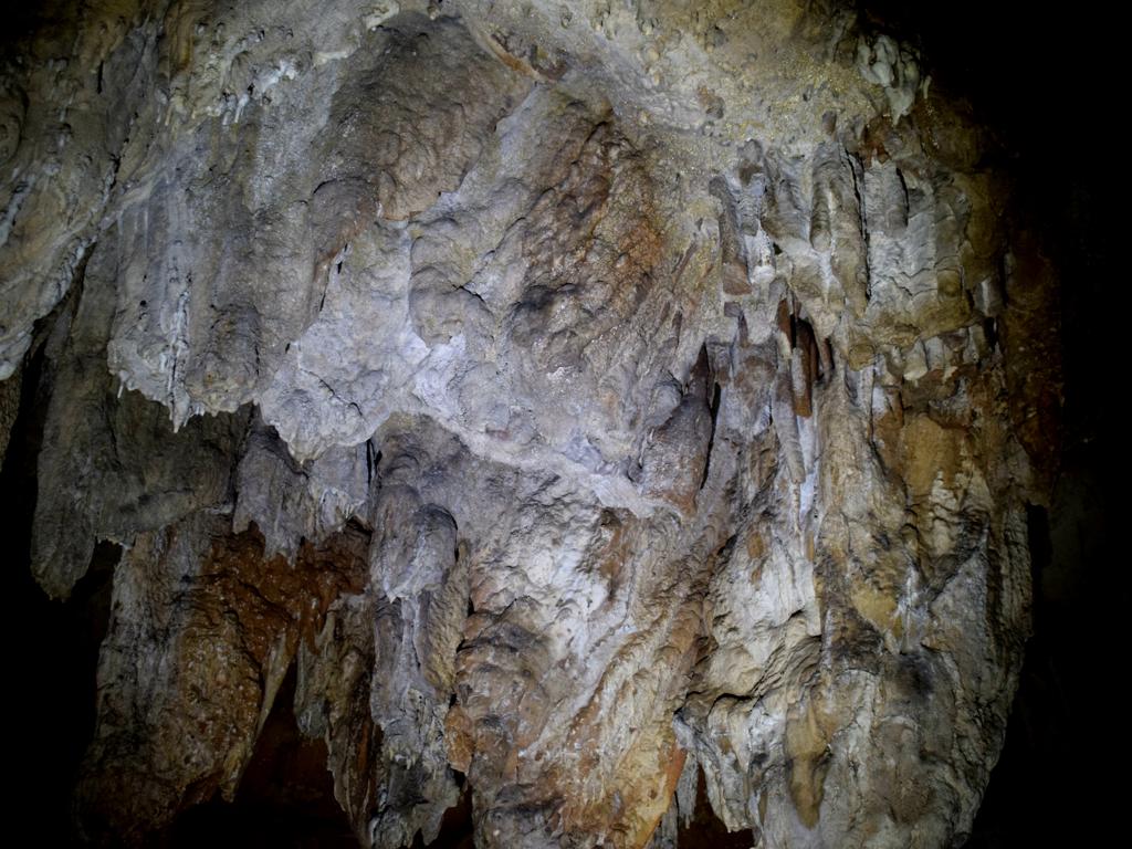
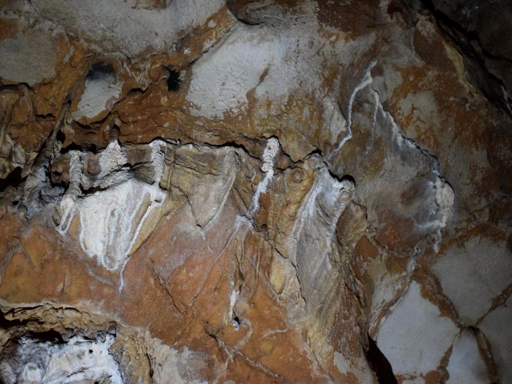
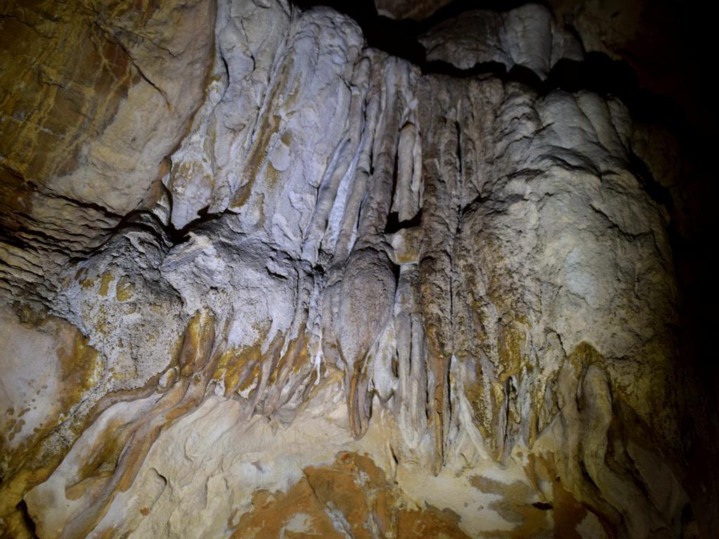
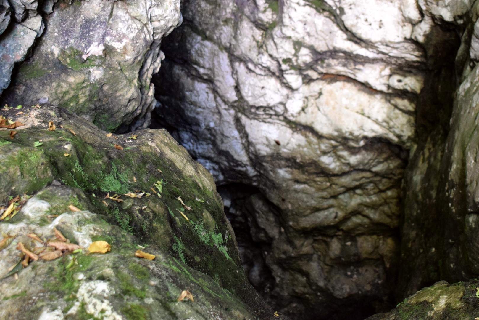
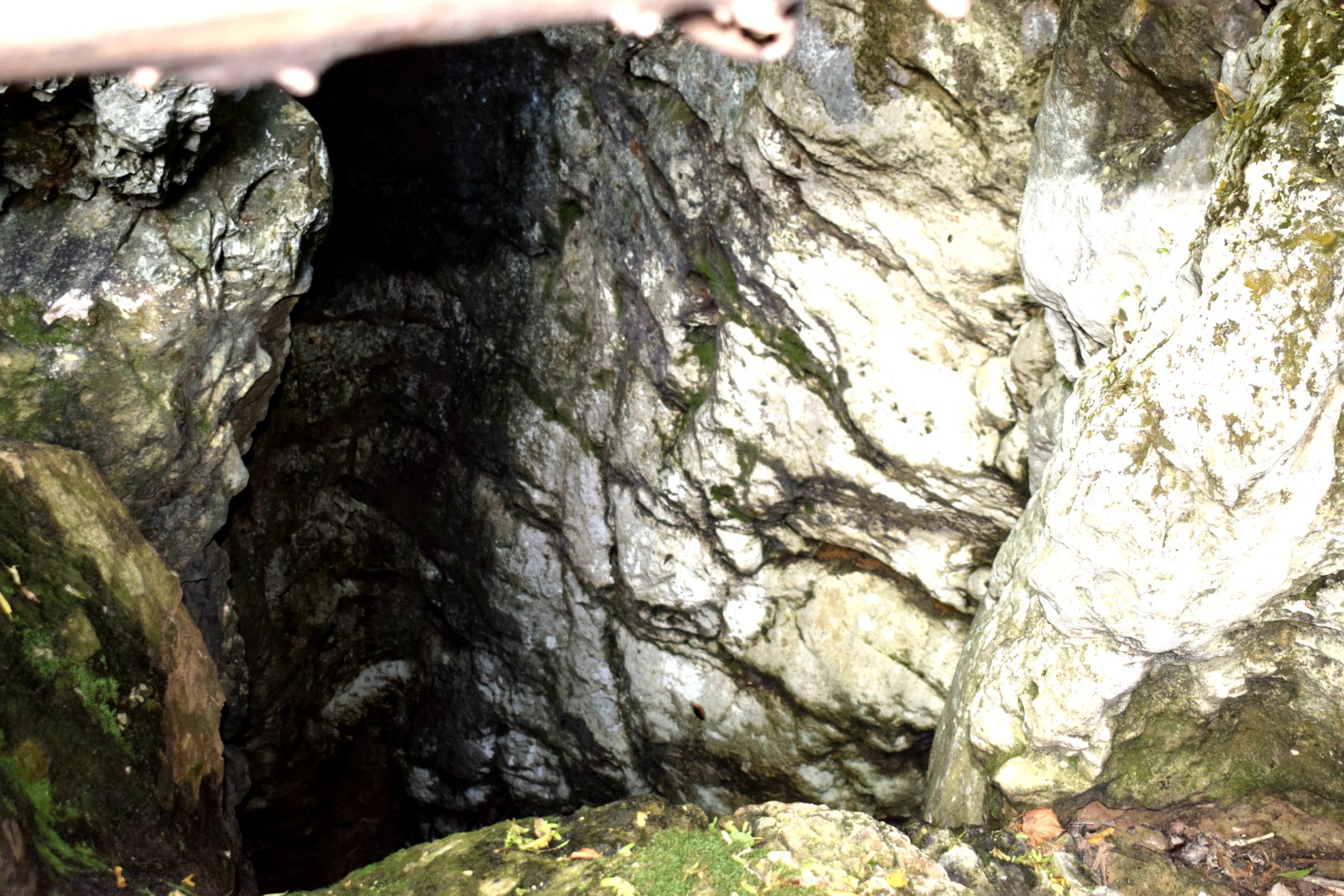
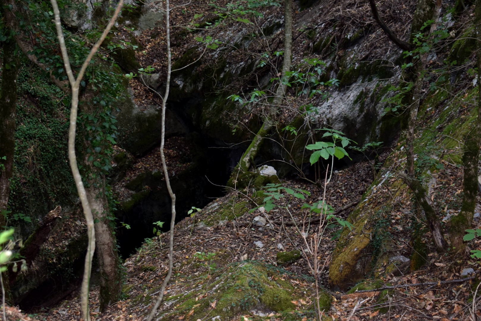
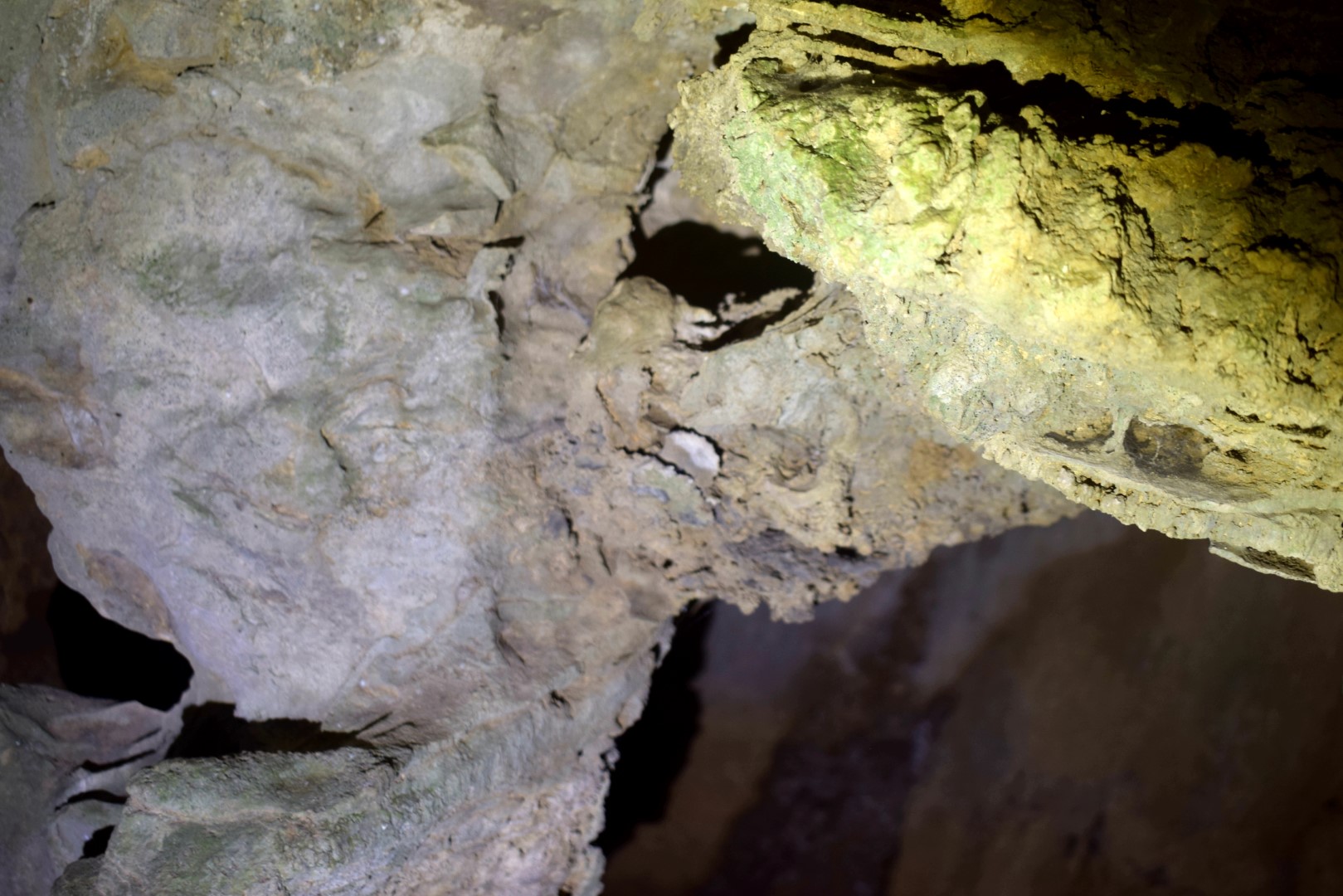
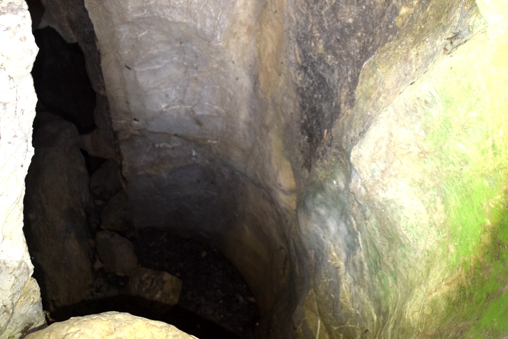
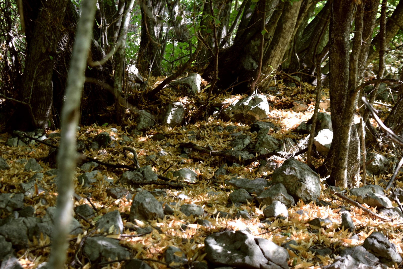
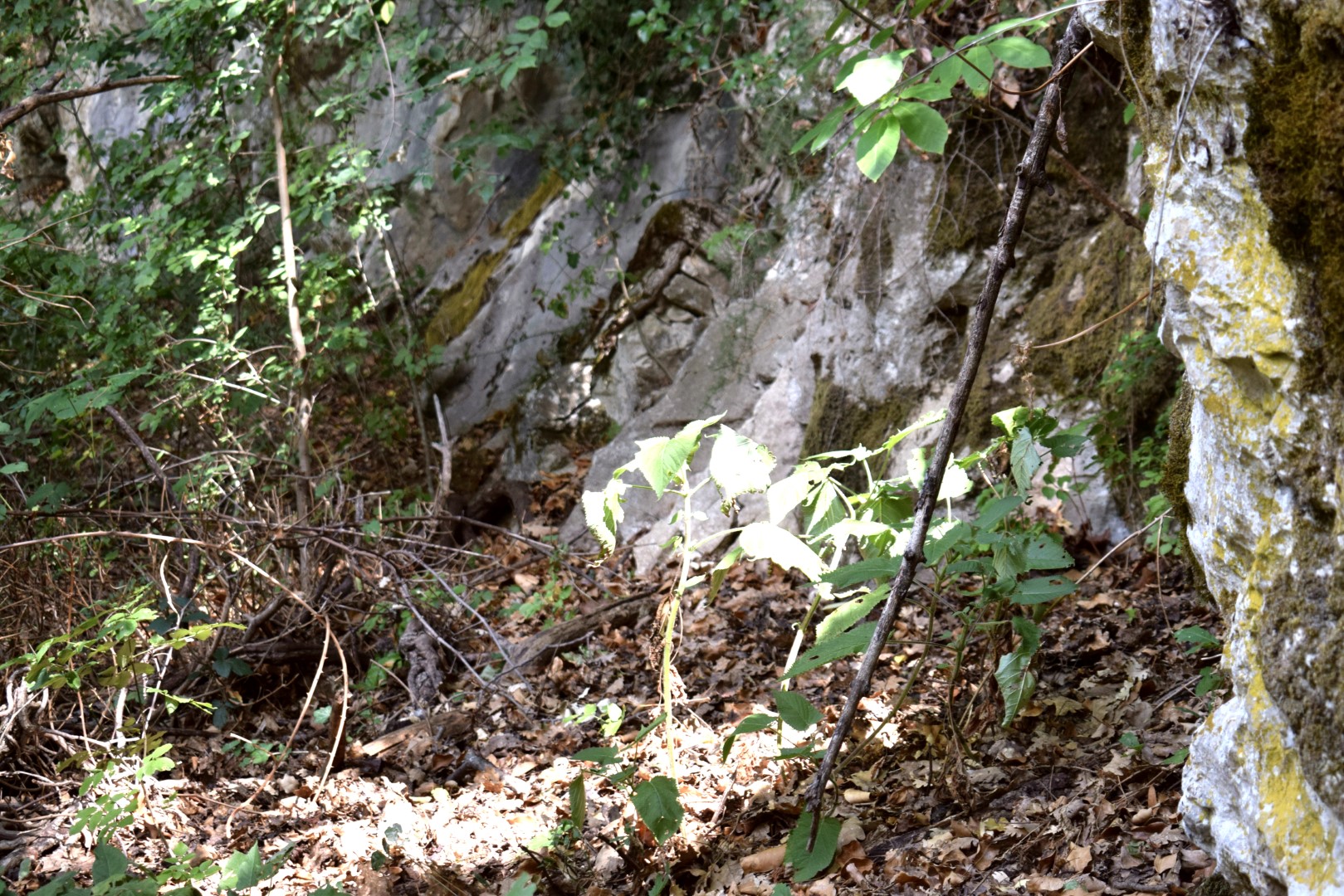
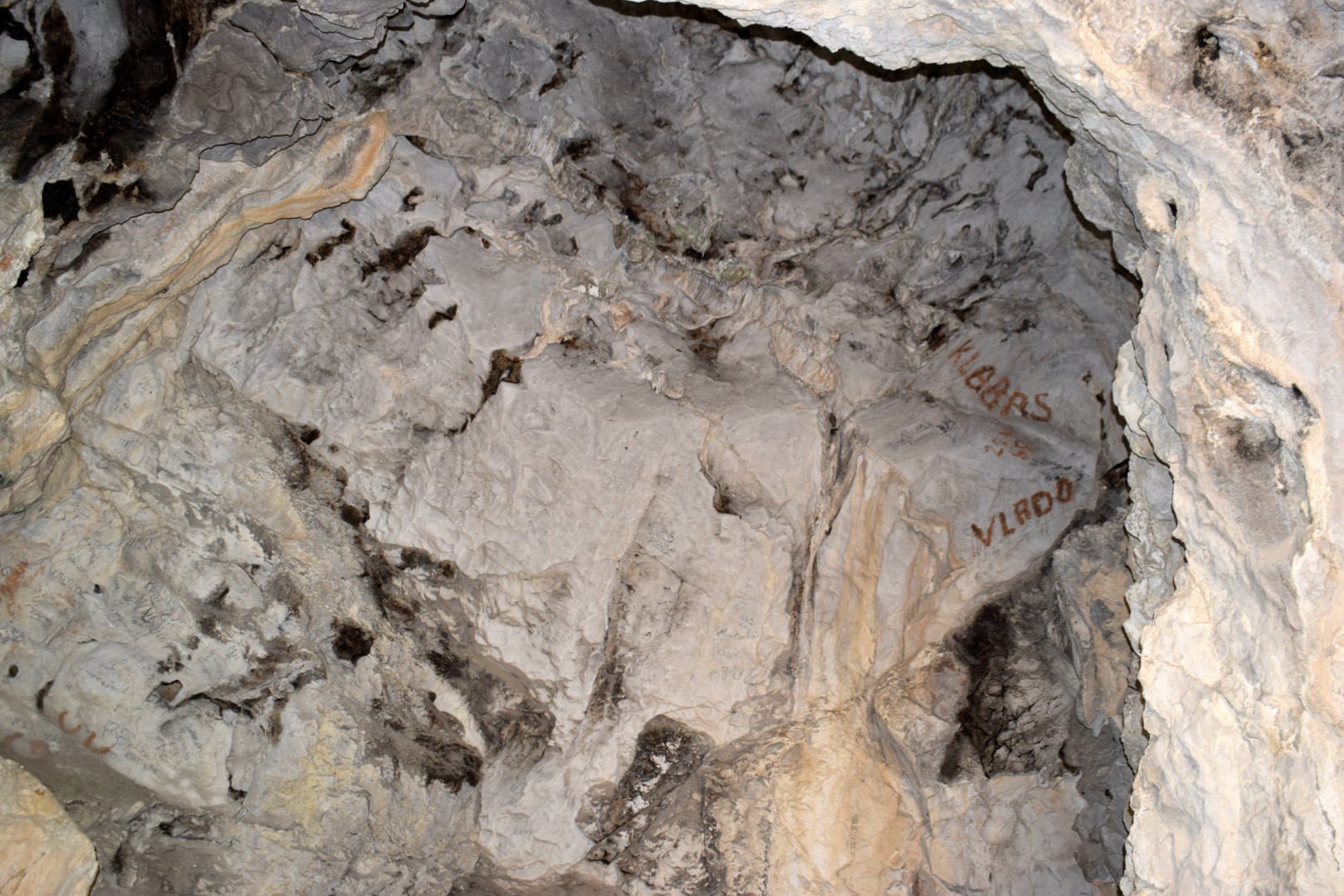
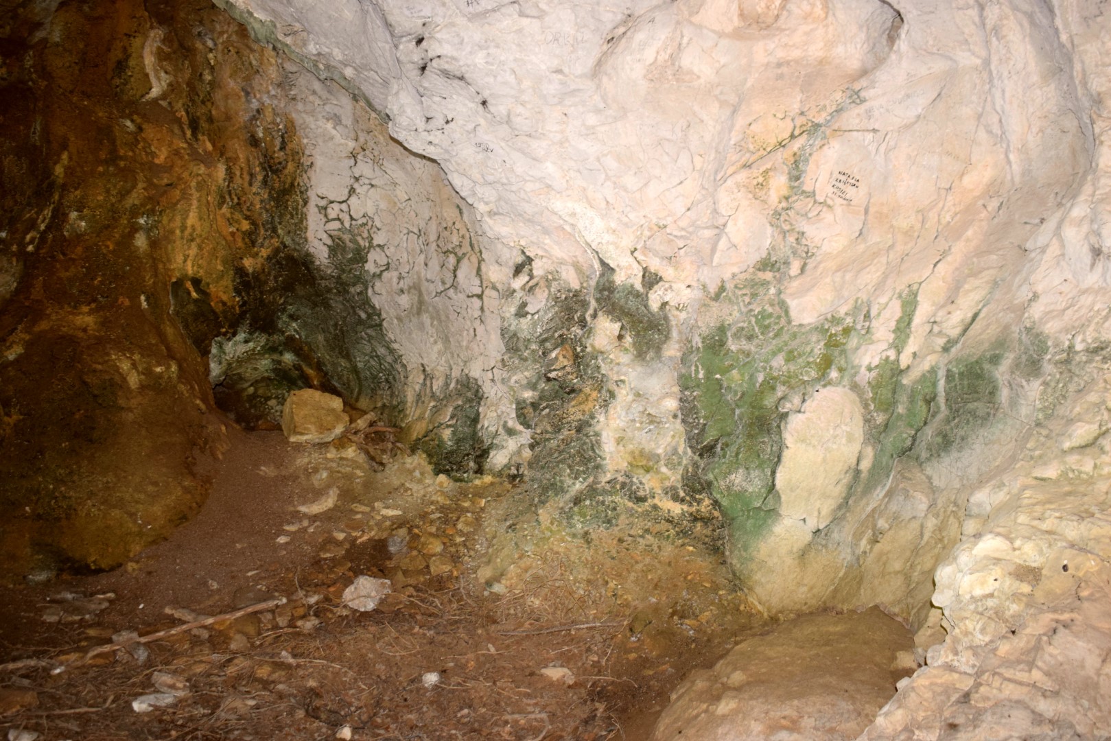
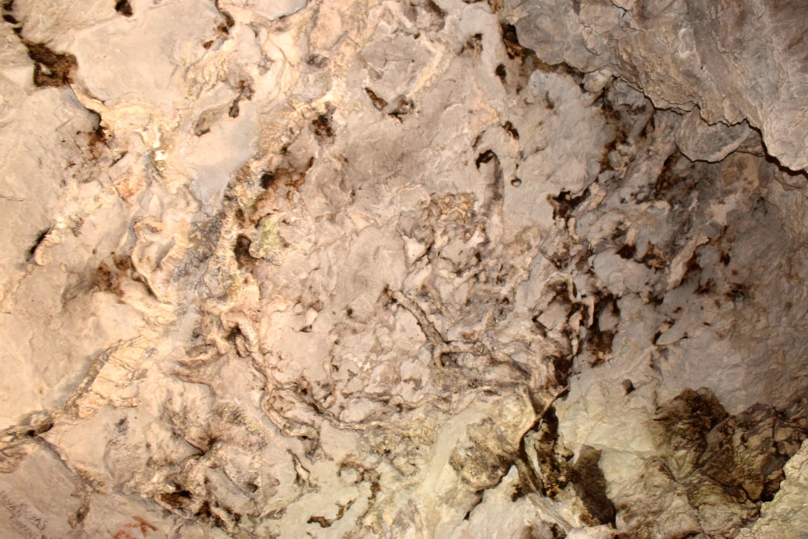
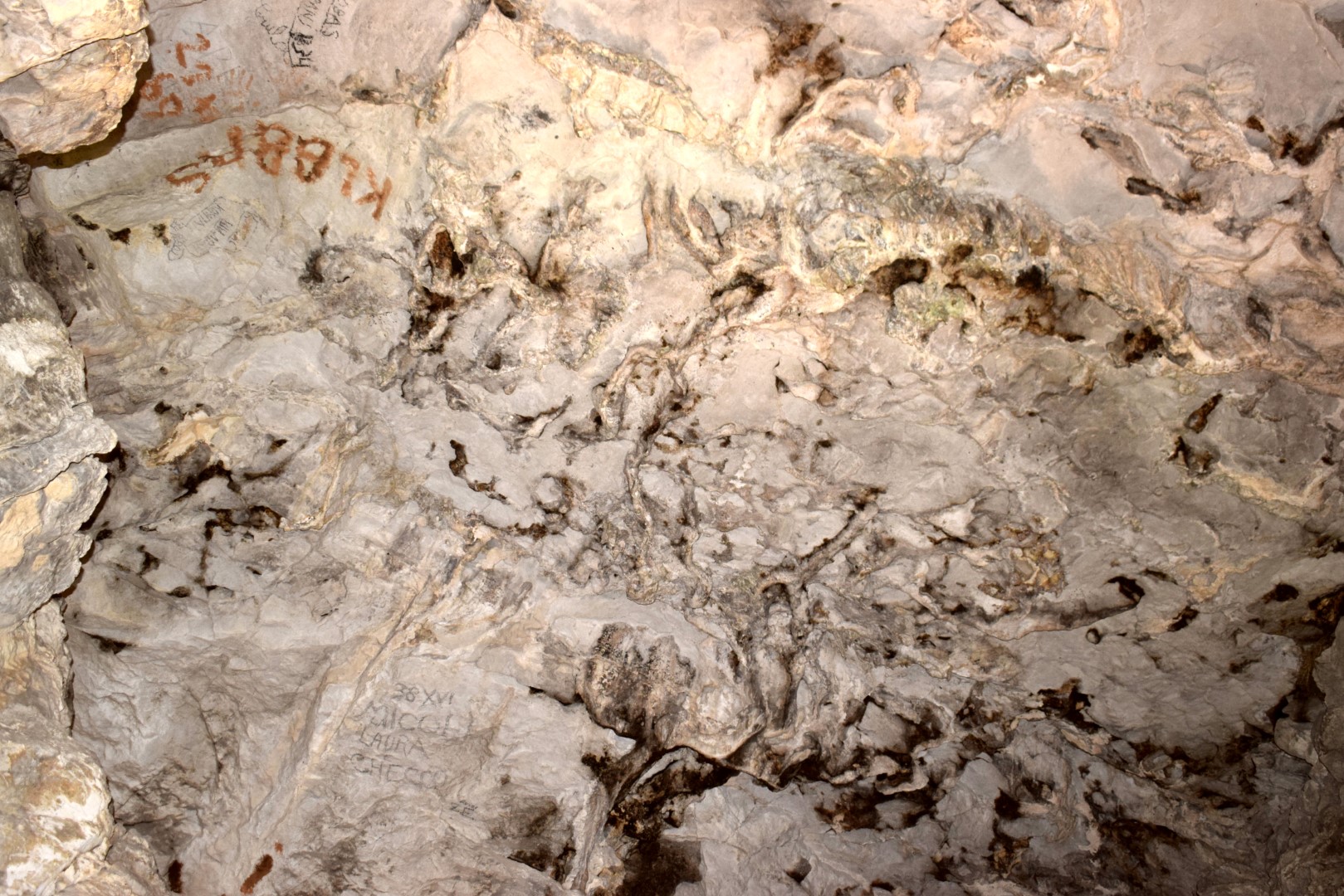
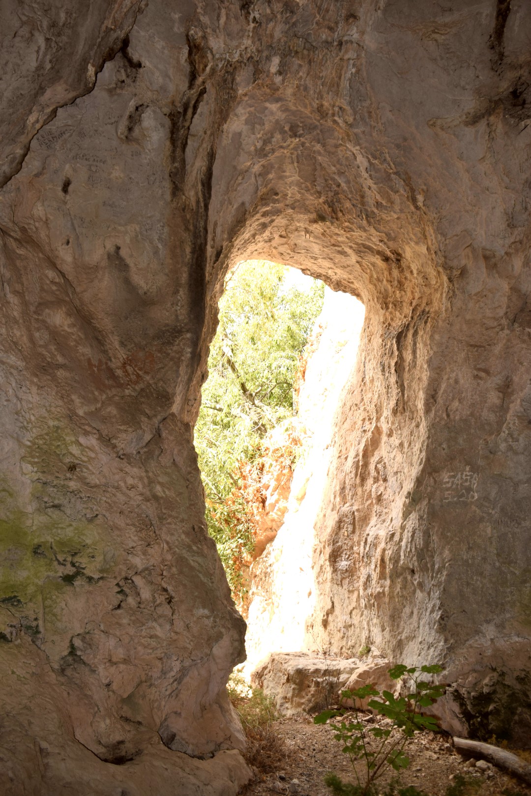
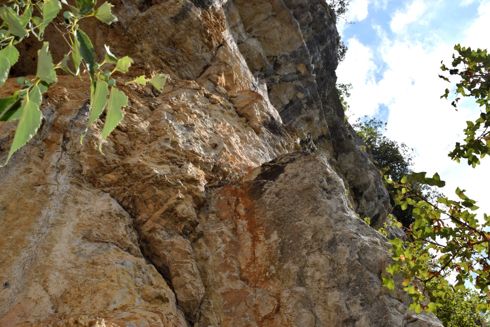
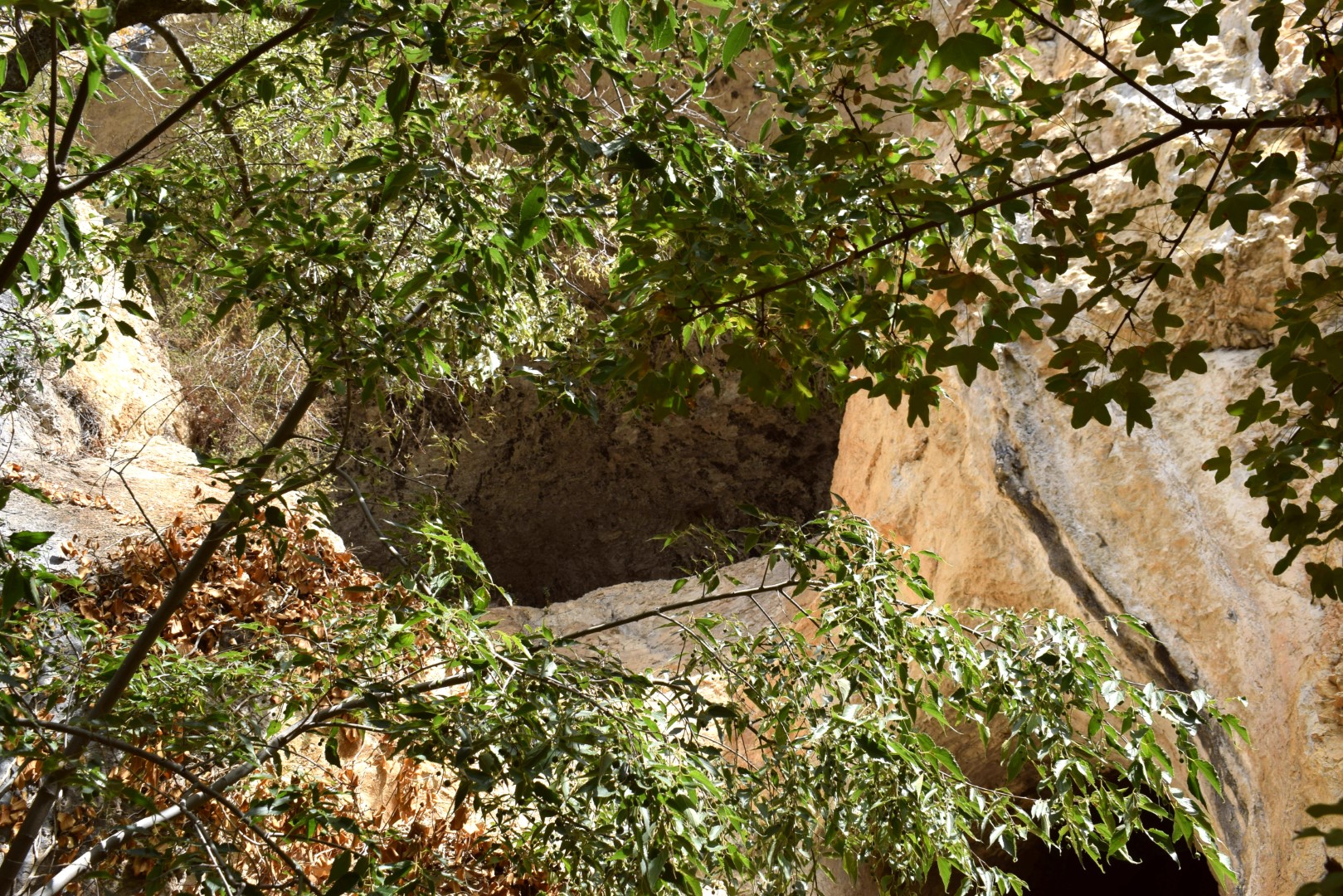
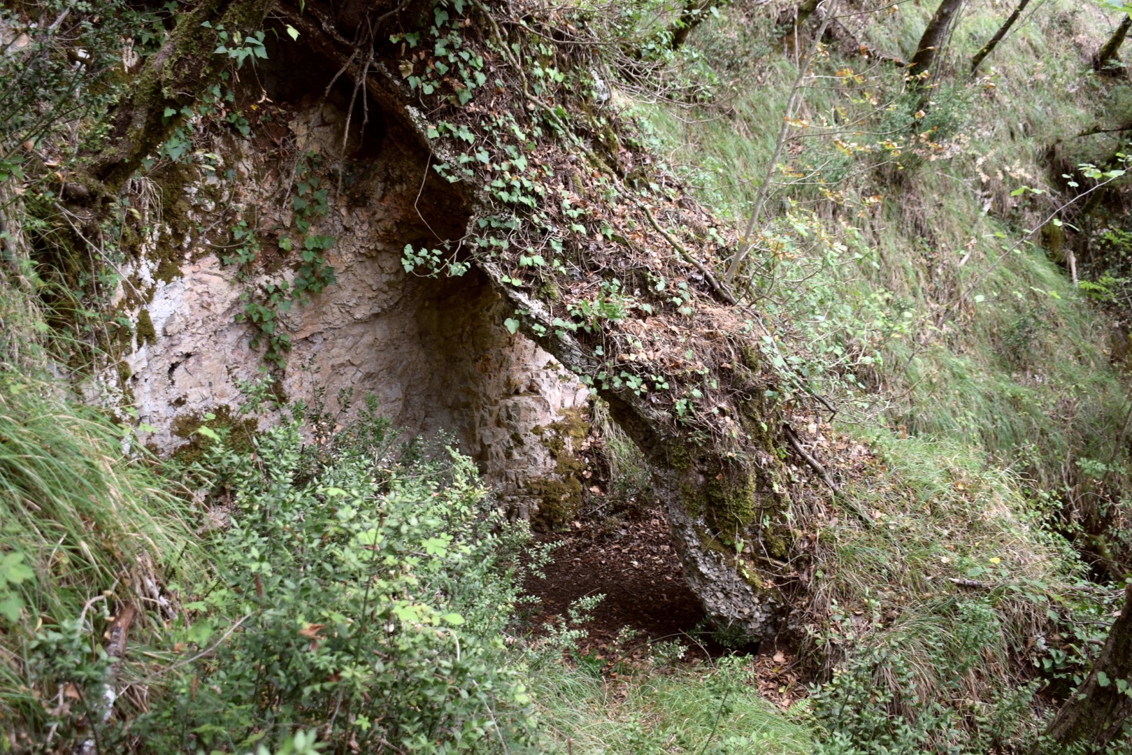
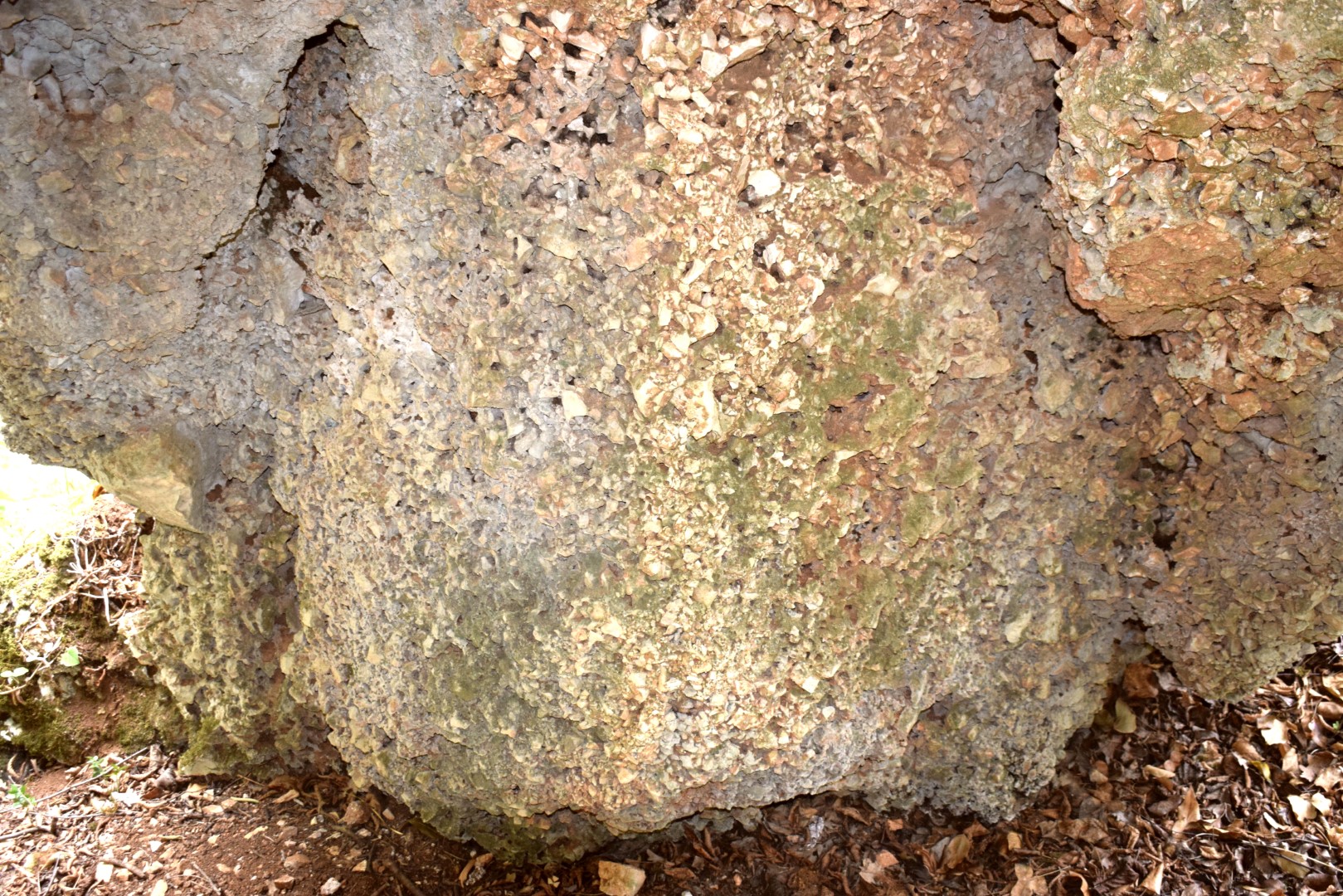
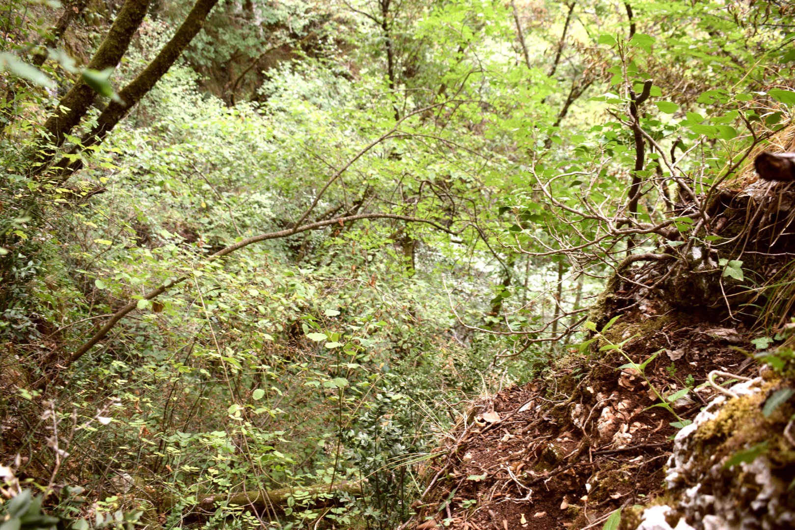
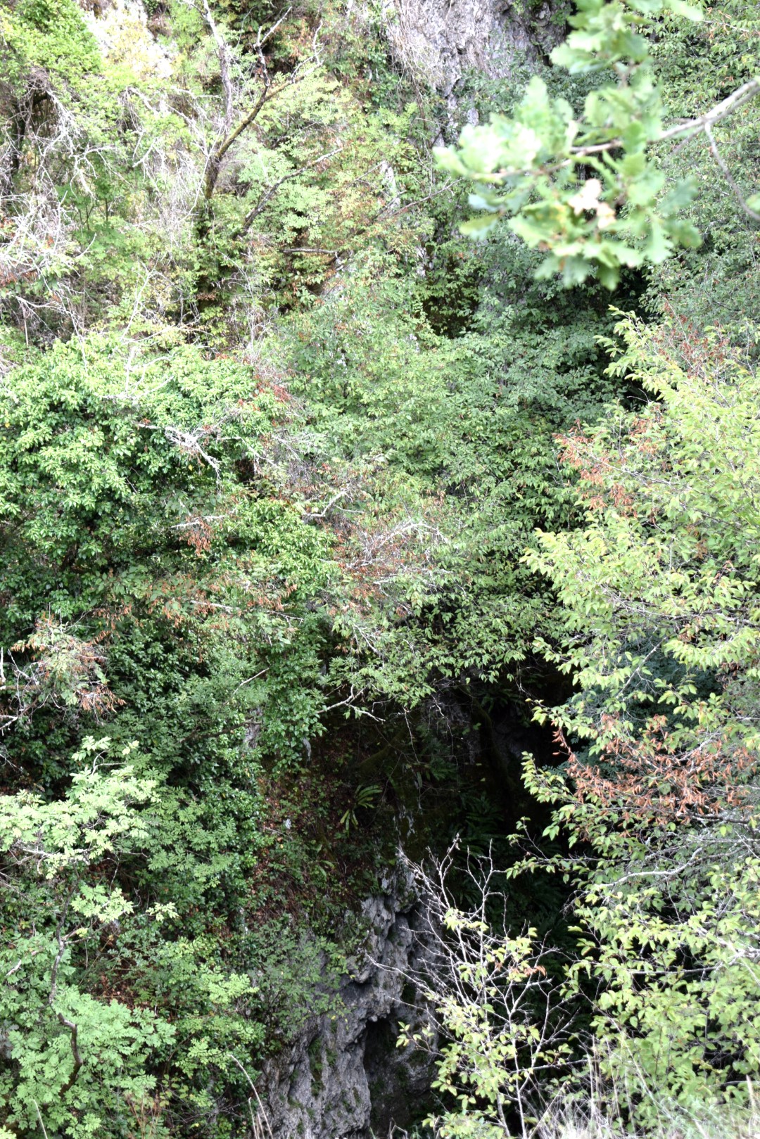
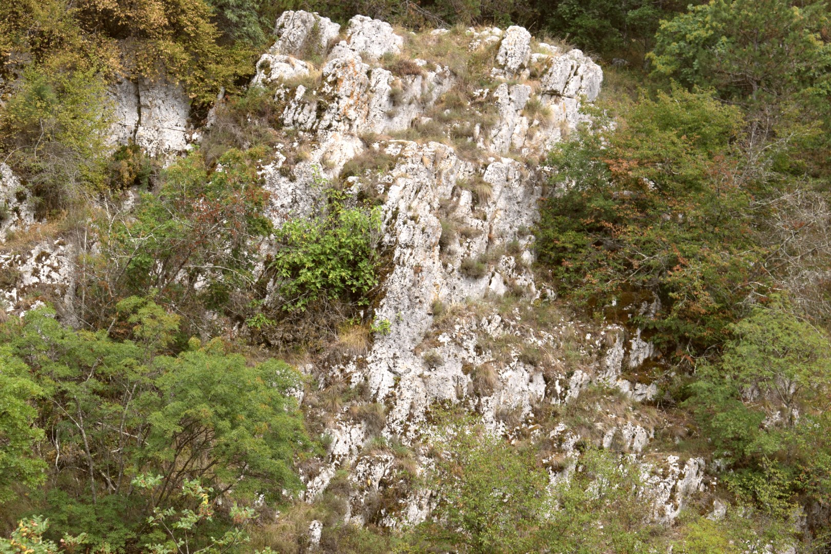
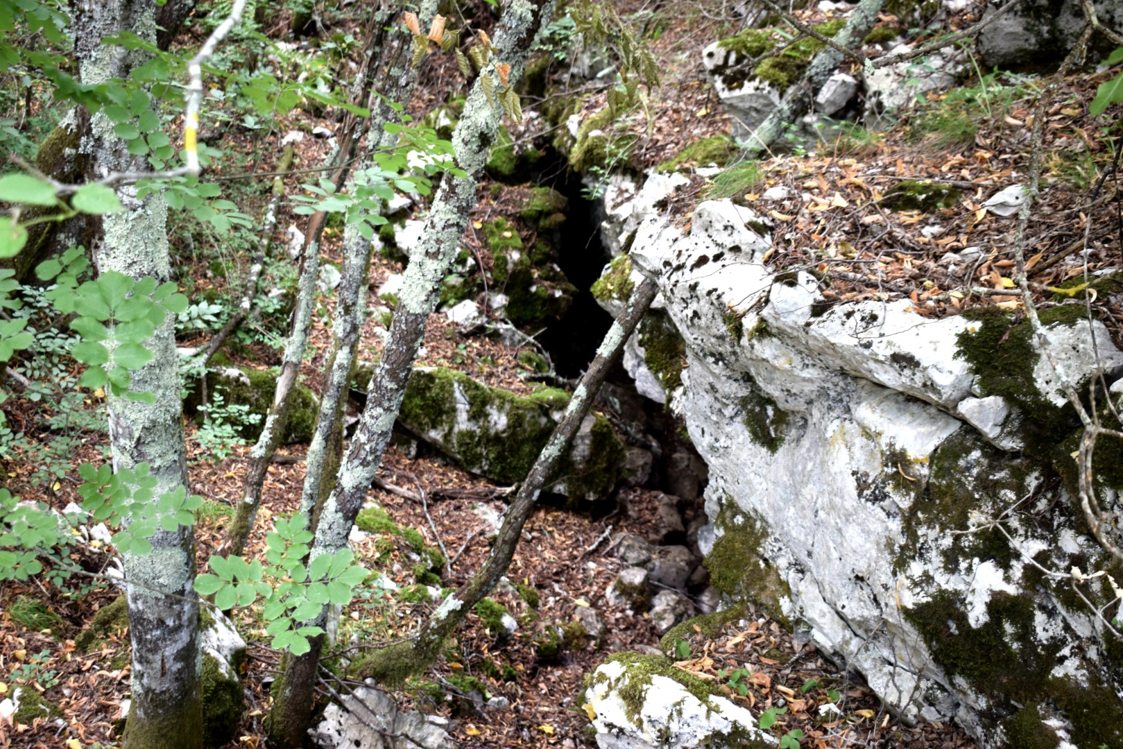
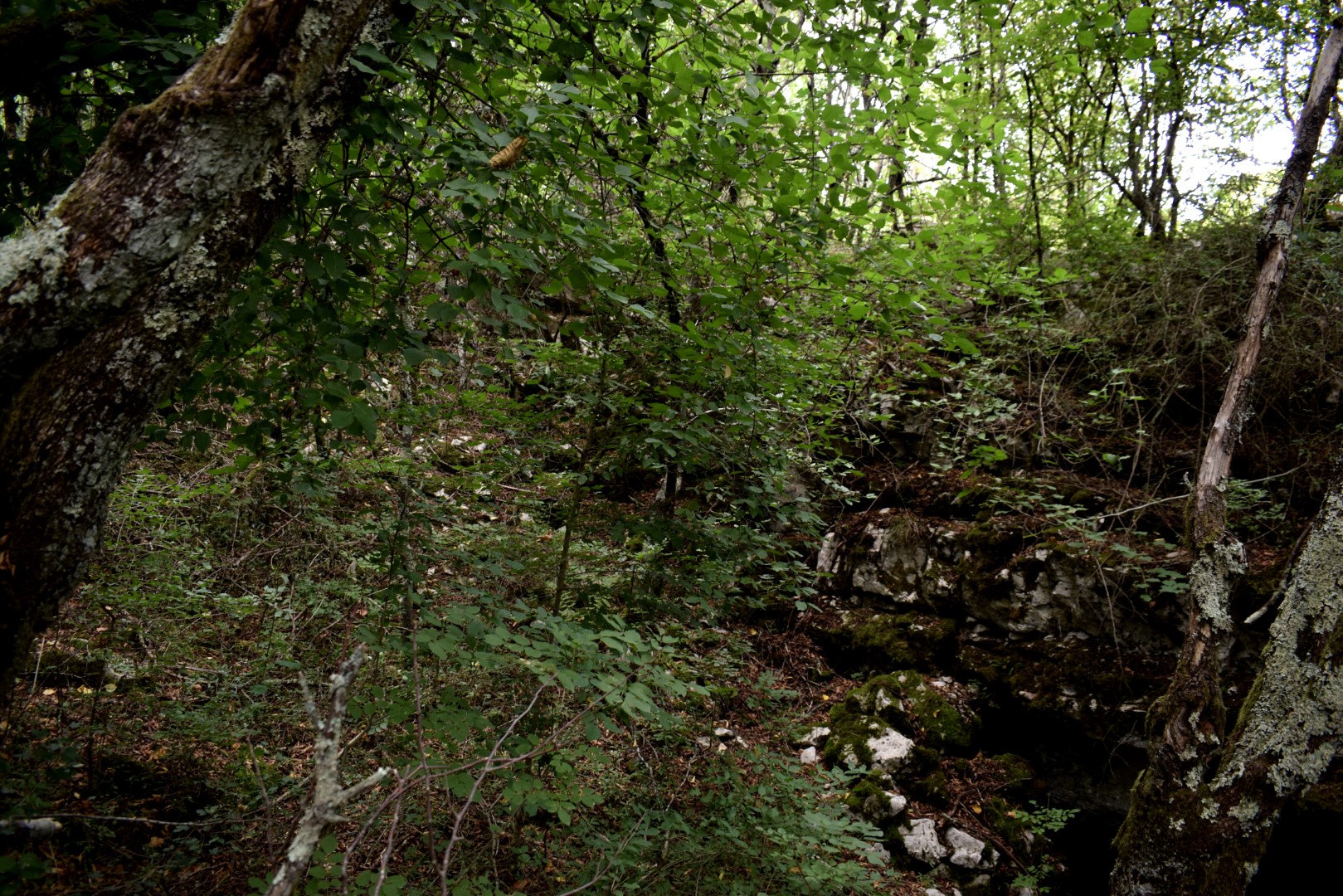
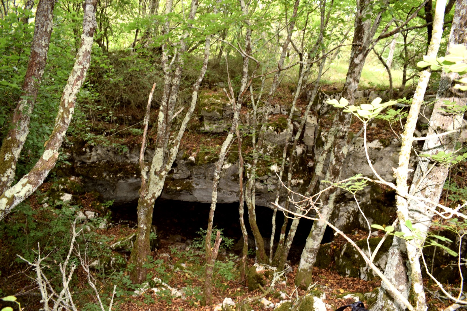
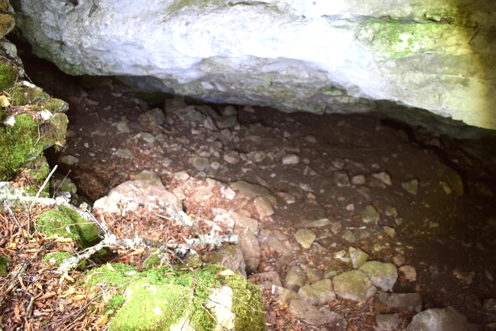
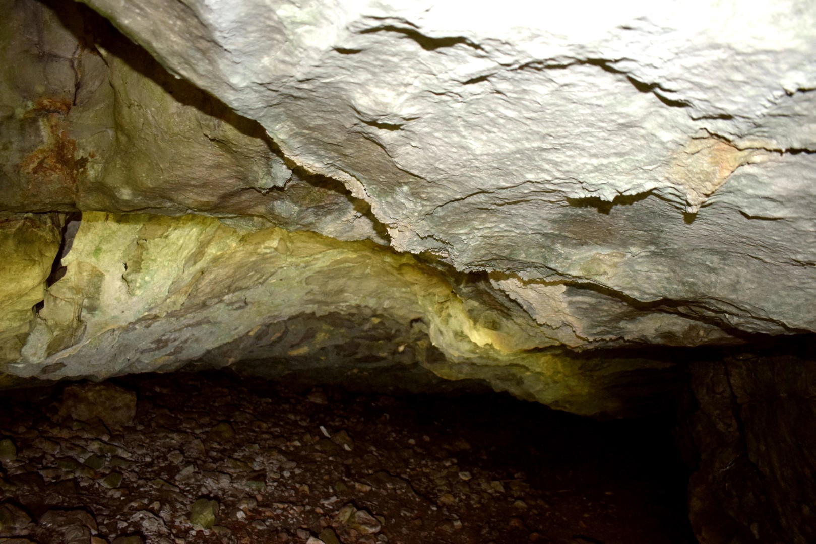
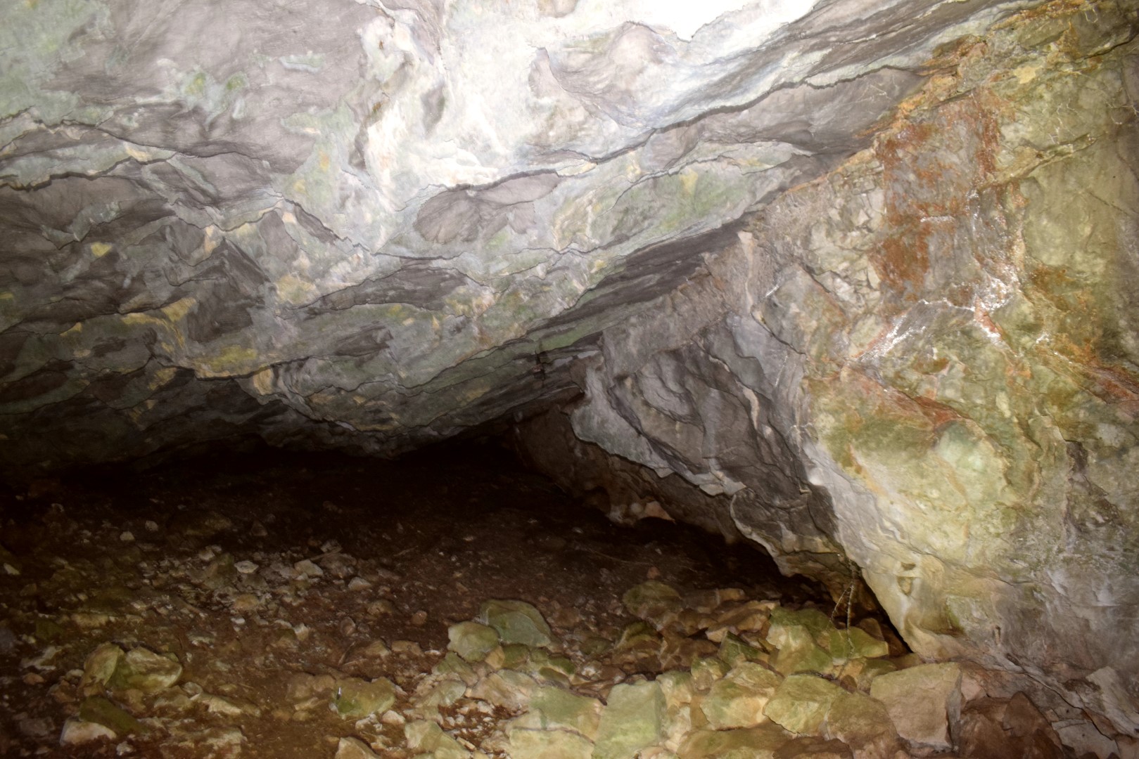
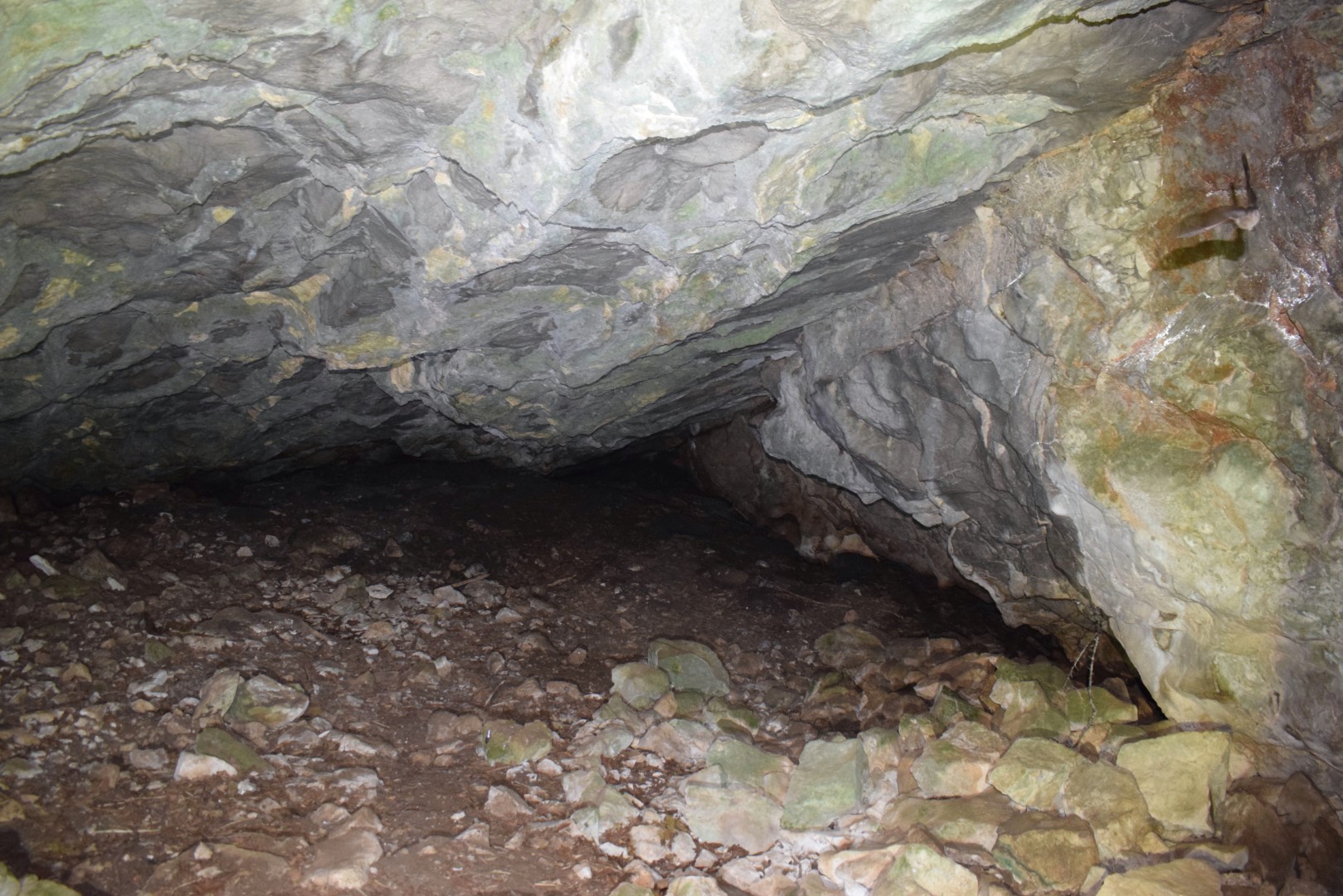
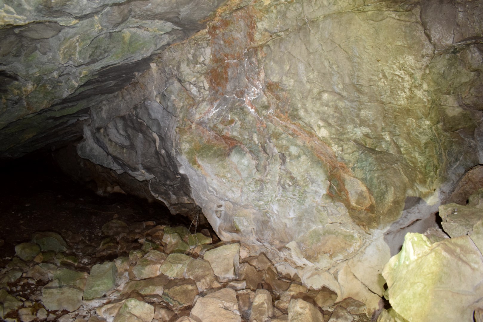
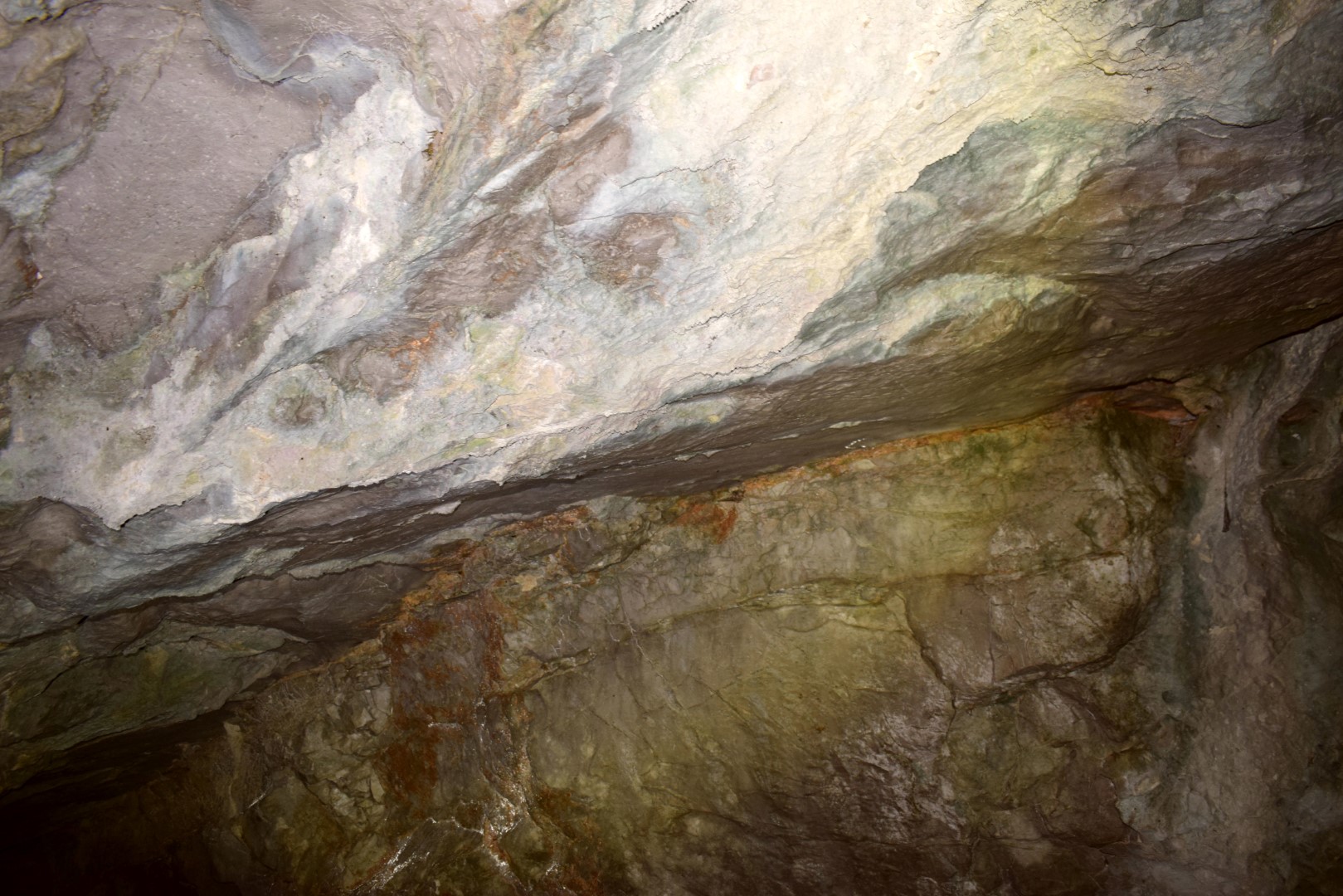
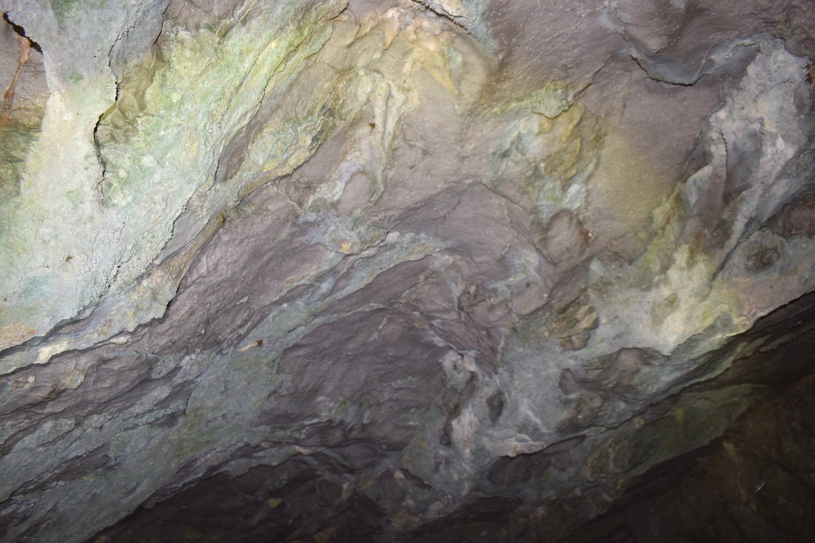
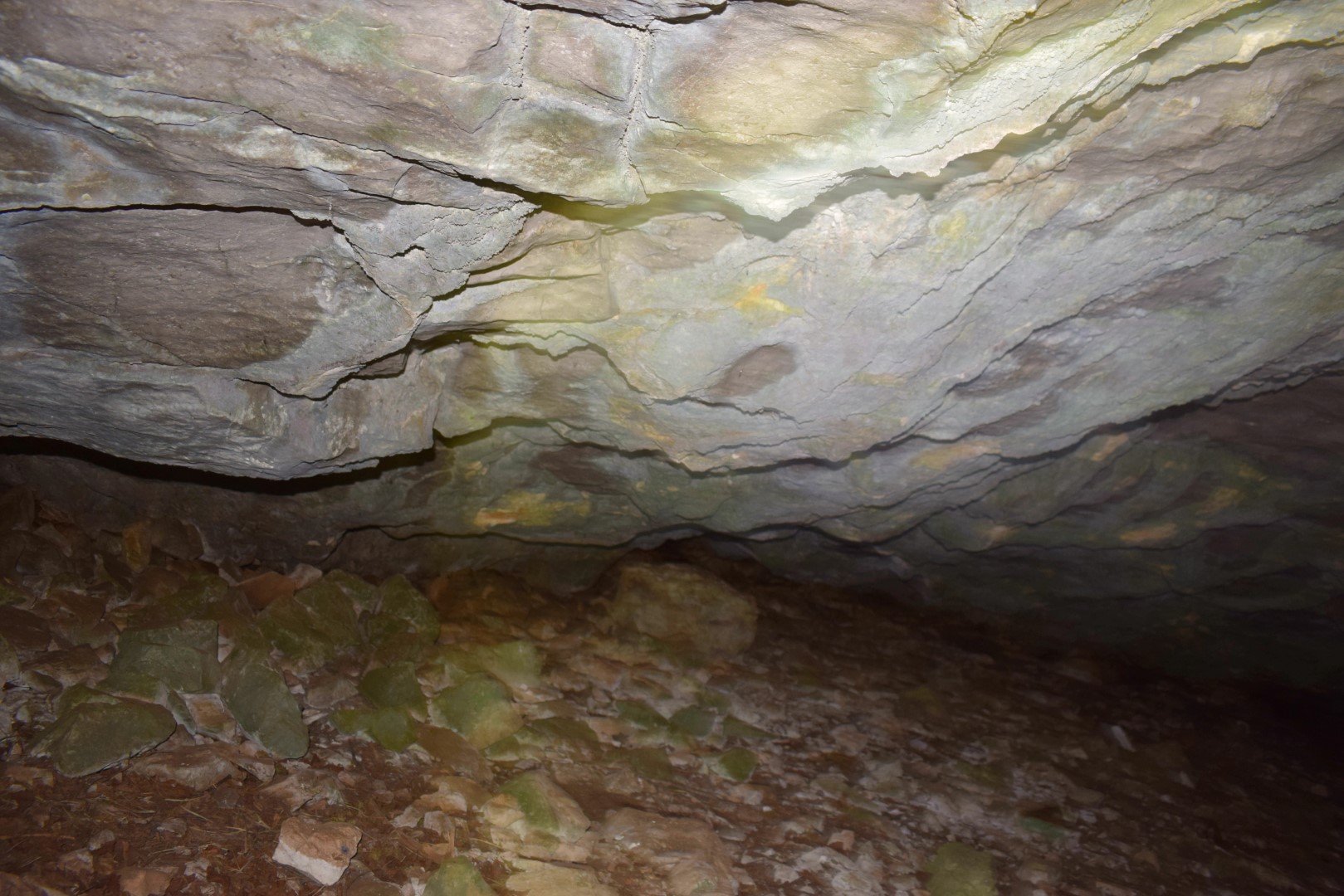
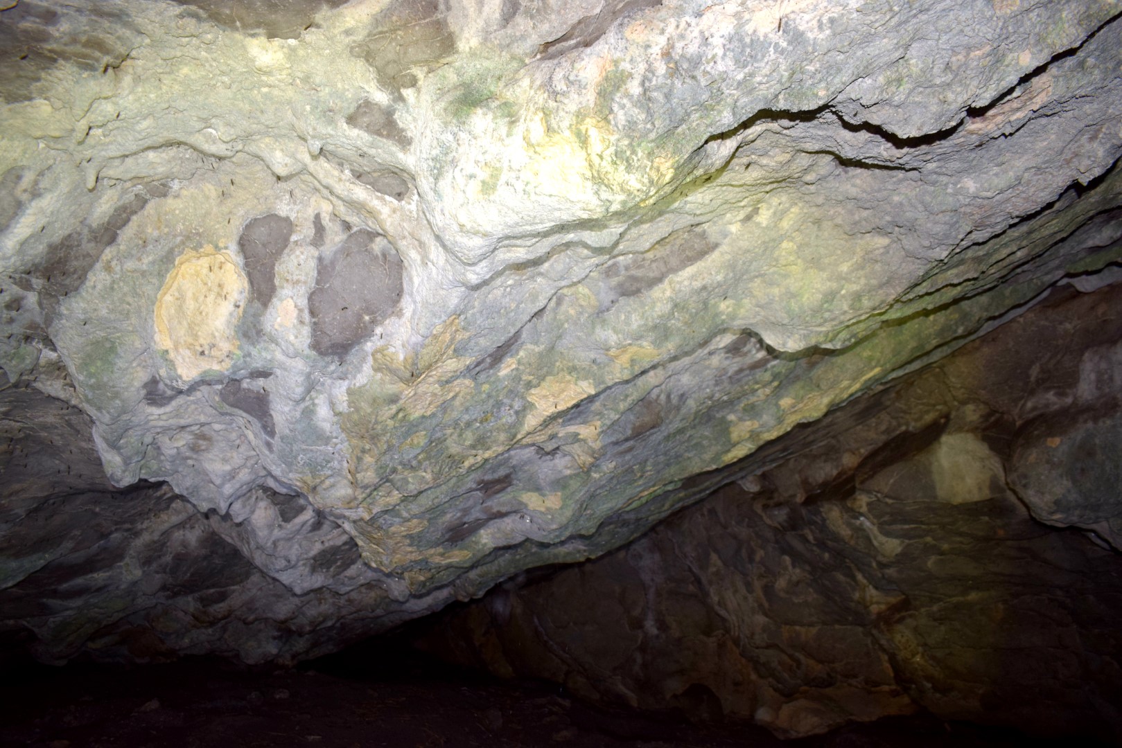
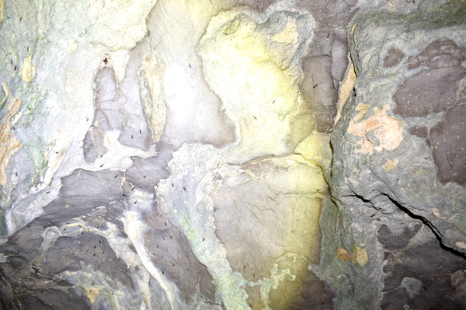
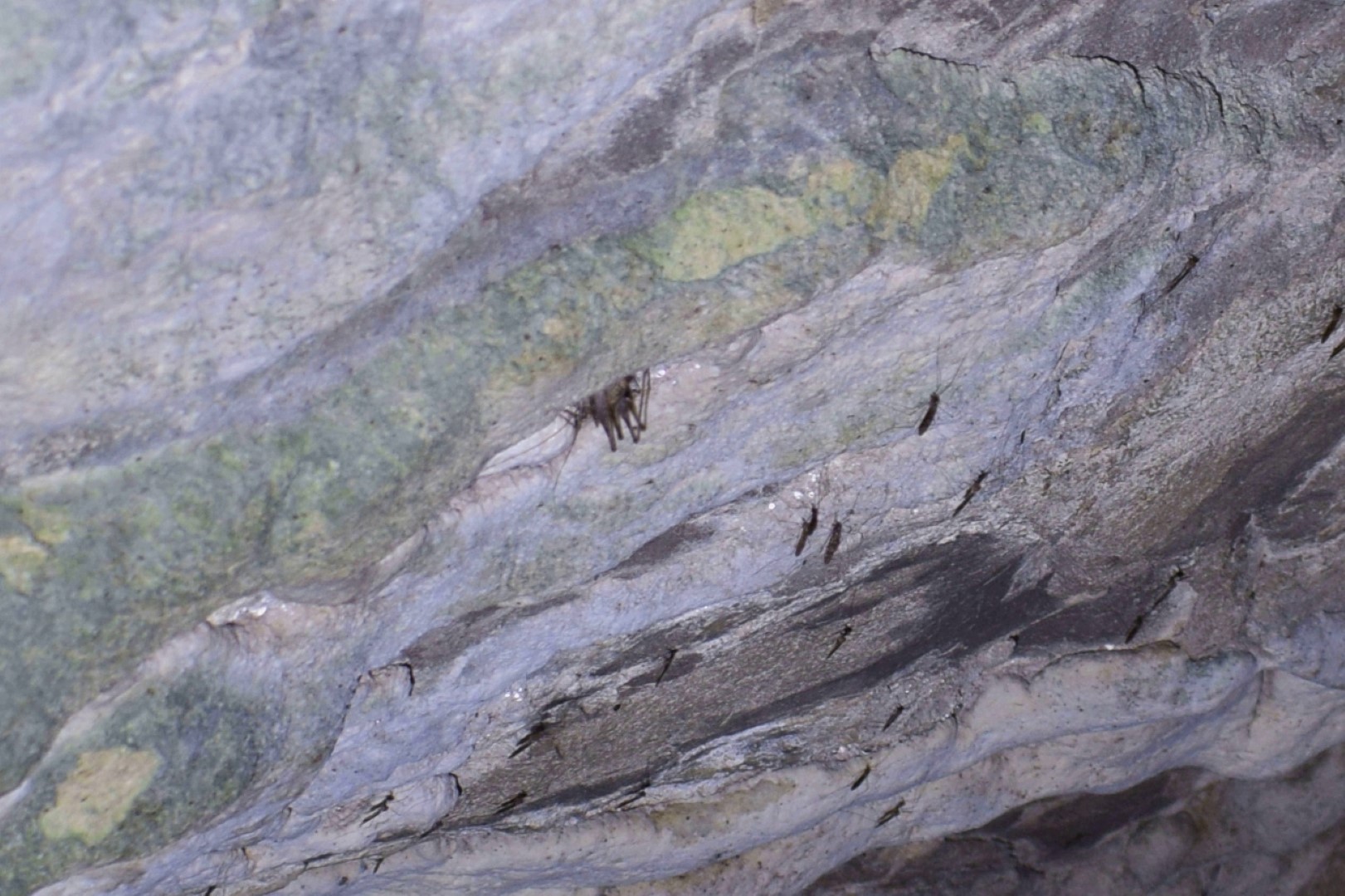
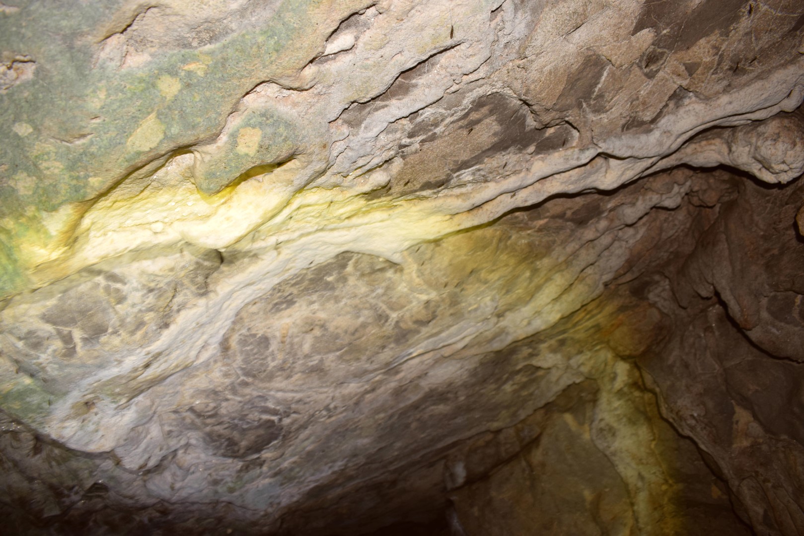
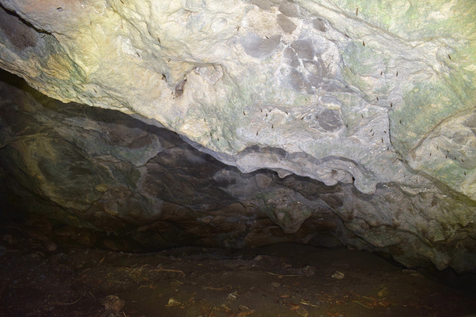
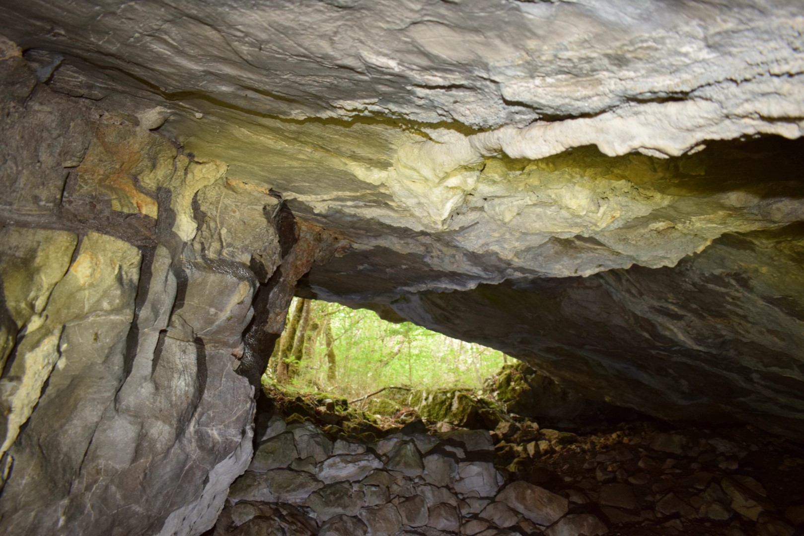
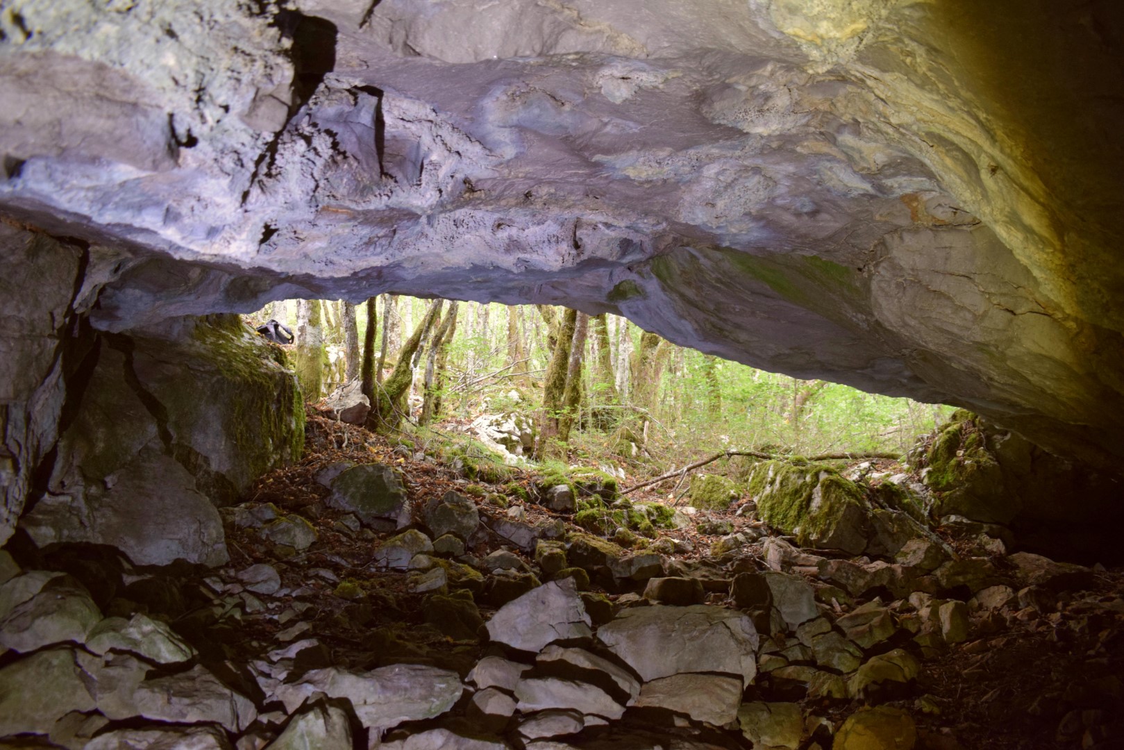
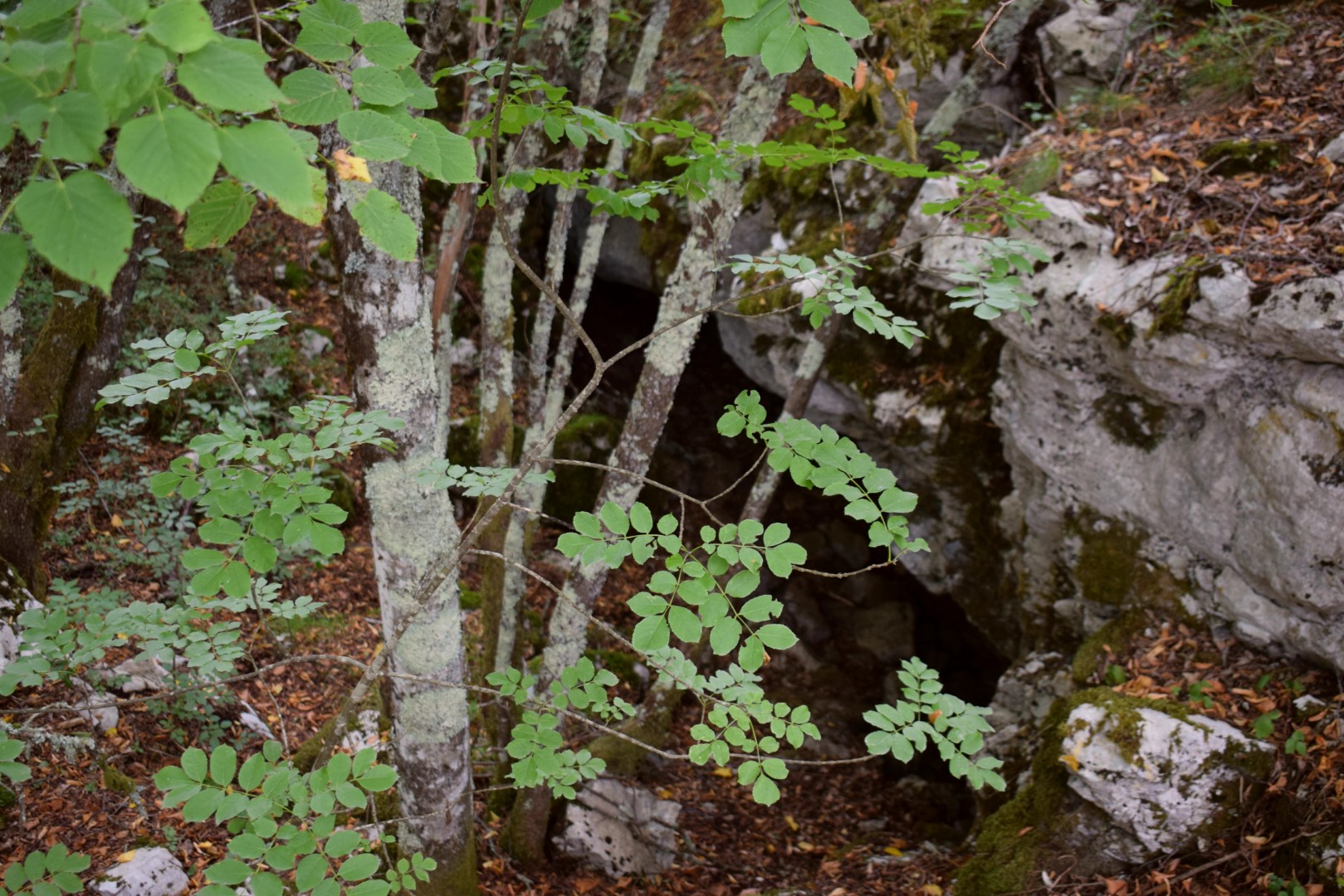
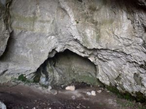
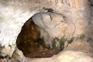
Name: Cave KlenovŠcak – SK HAD 248.
Place: Klenovšcak – (Lanišće).
Coordinates: 45.44114 N – 14.05385 E.
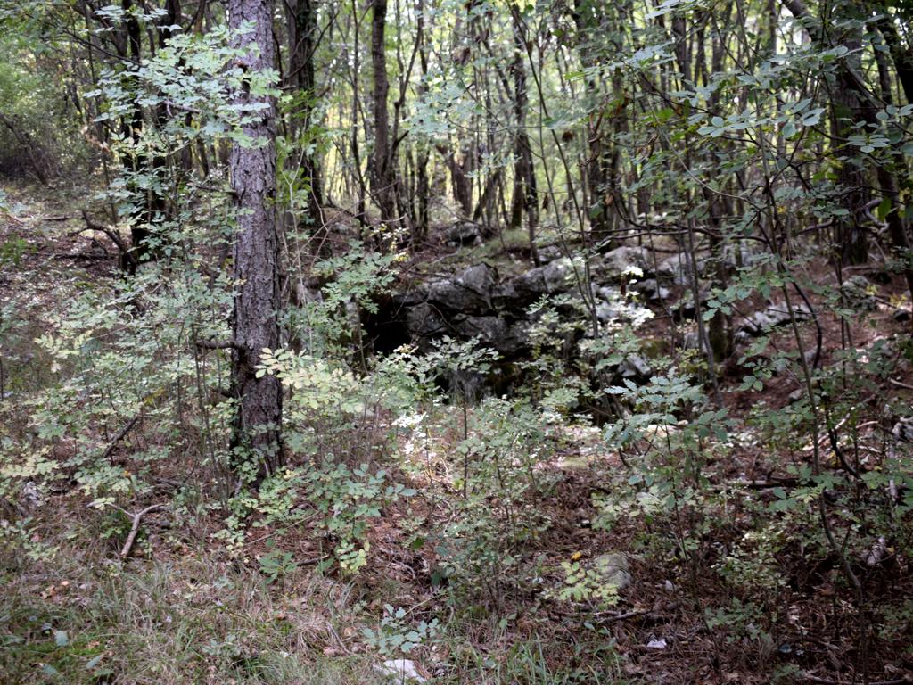
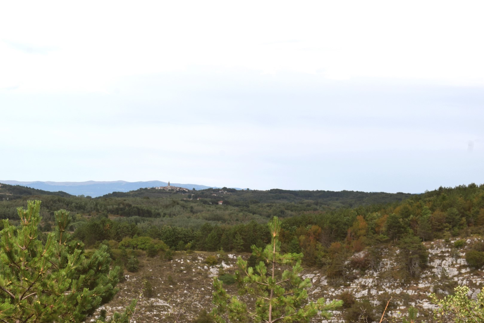
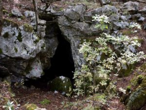
Name: Nugljanska cave above Gornja Nugla.
Place: Gornja Nugla – (Buzet).
Coordinates: Start path 45.41896 N – 14.02364 E, cave 45.41753 N – 14.02277 E (535 m.).
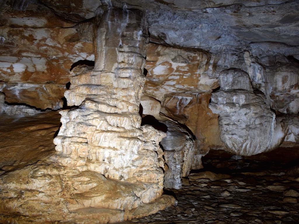
Name: Cave SK HAD 314 above Gornja Nugla.
Place: Gornja Nugla – (Buzet).
Coordinates: 45.42474 N – 14.02914 E (595 meters).

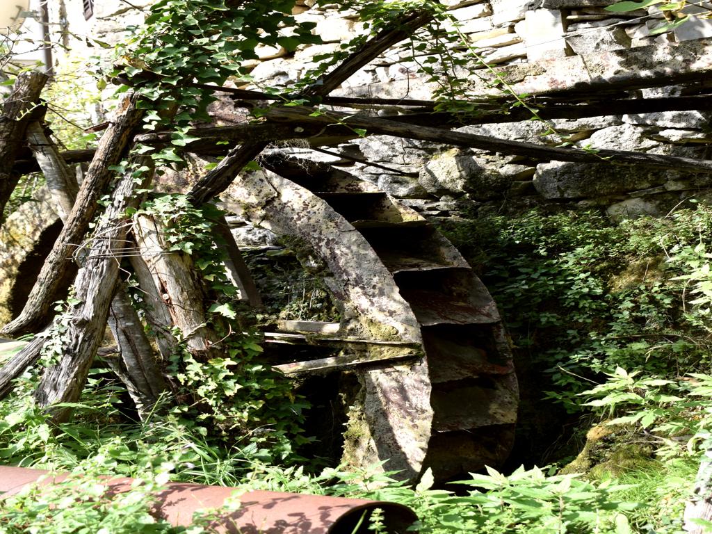
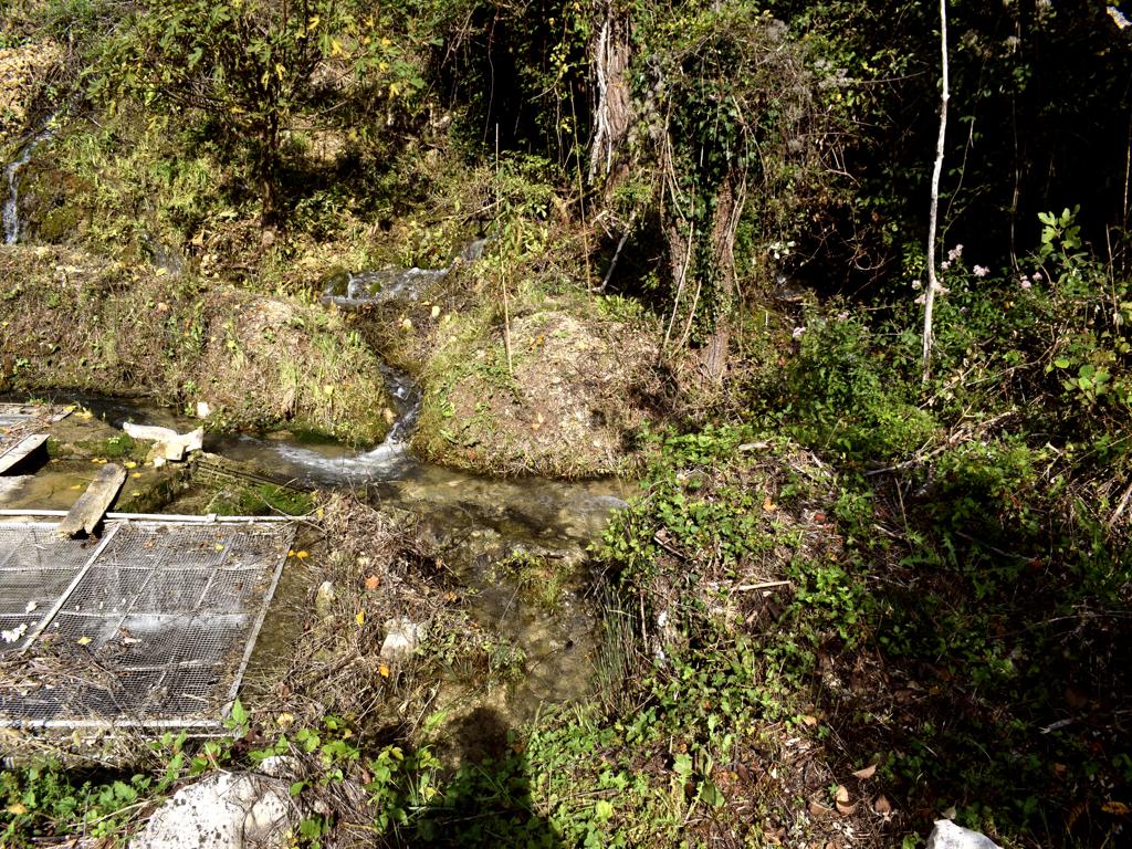
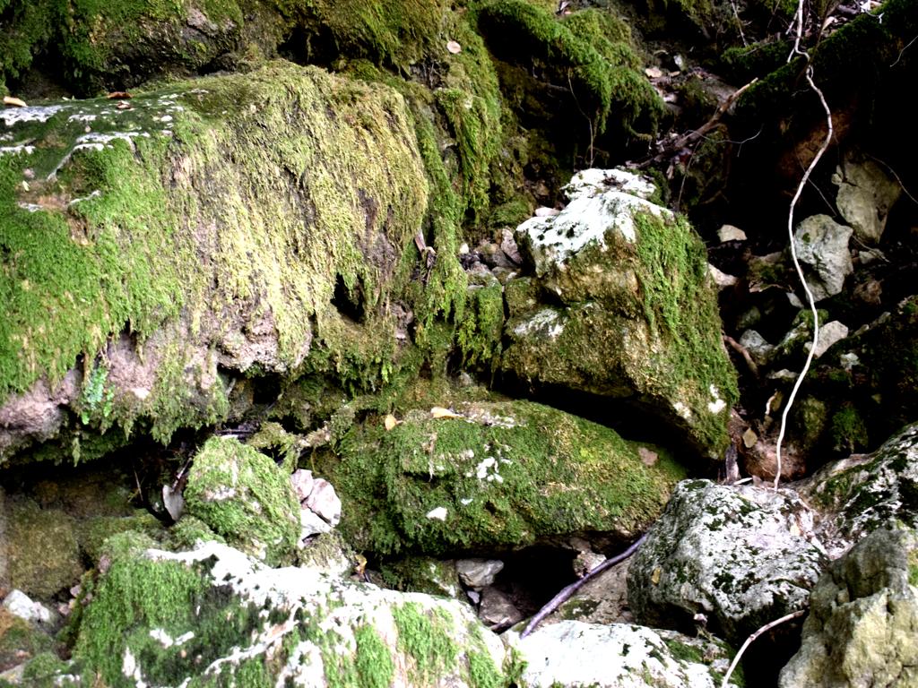
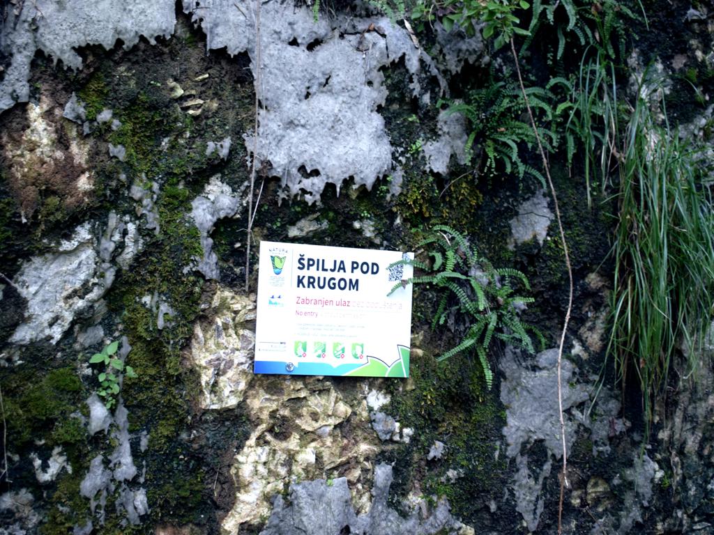
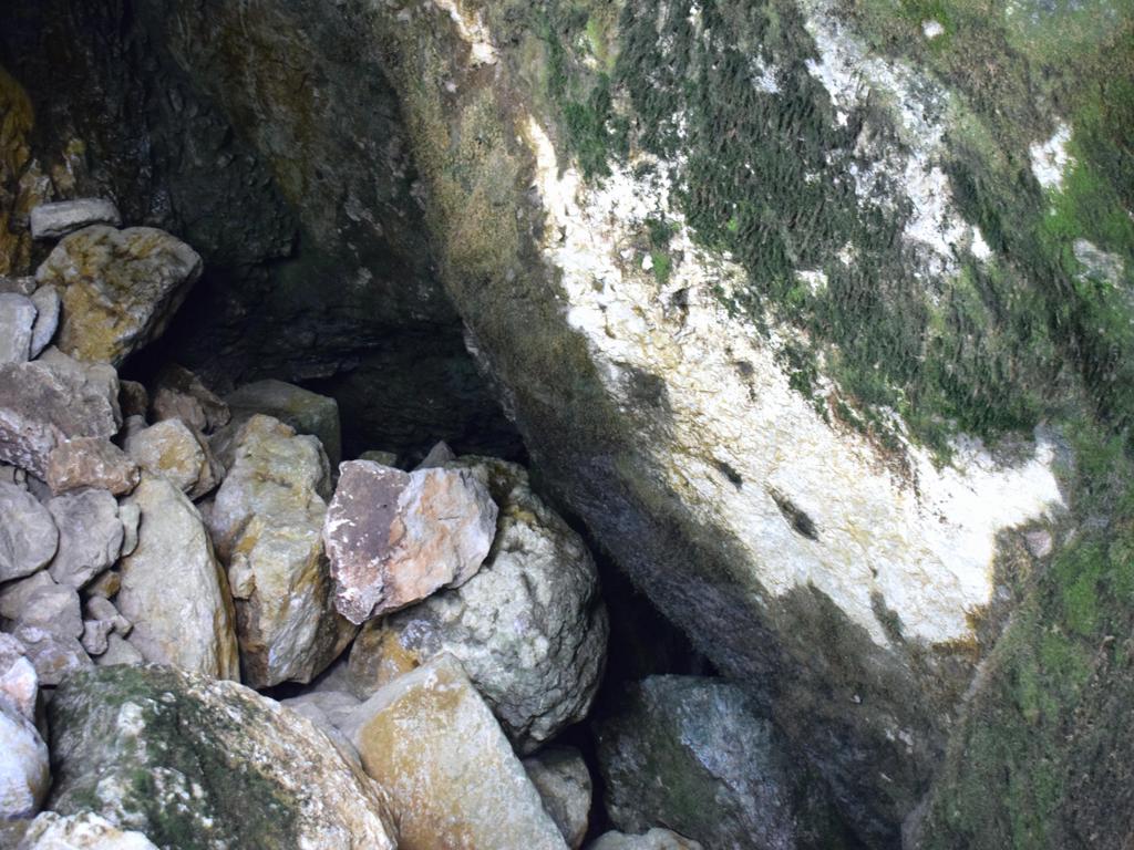
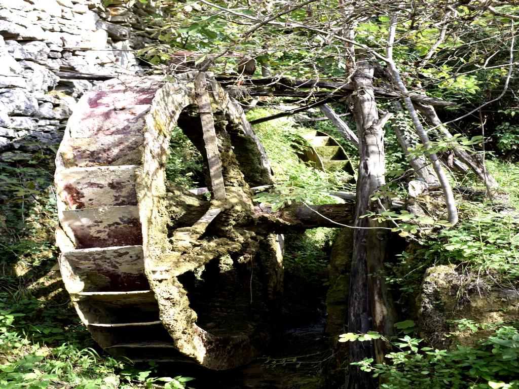
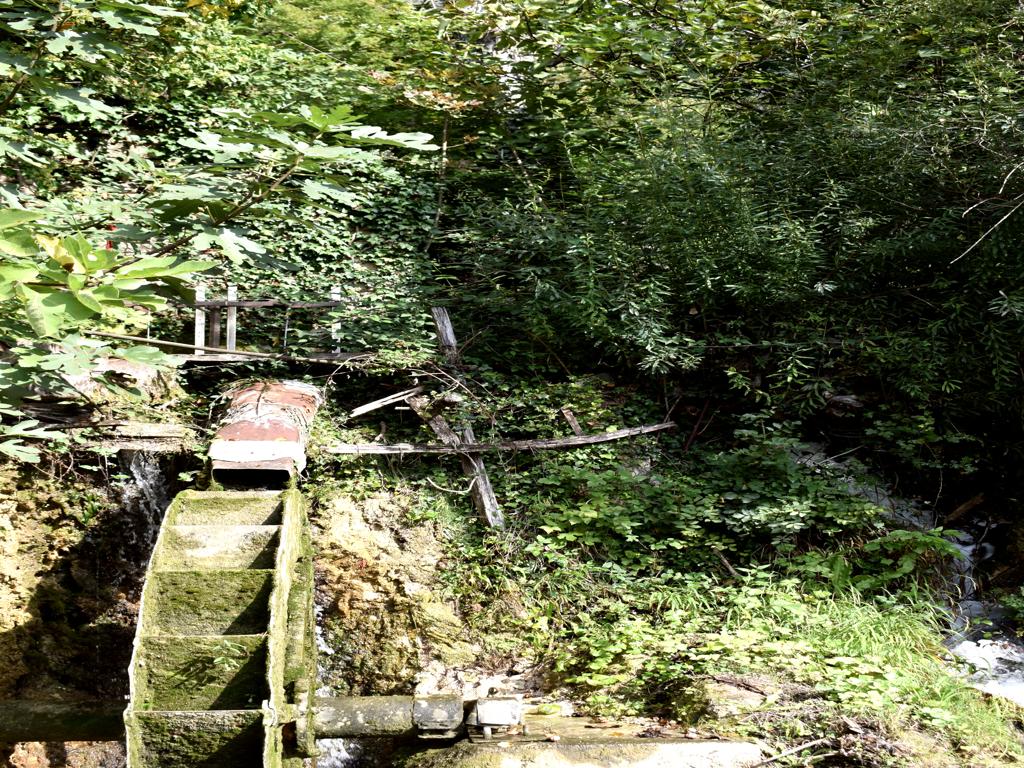
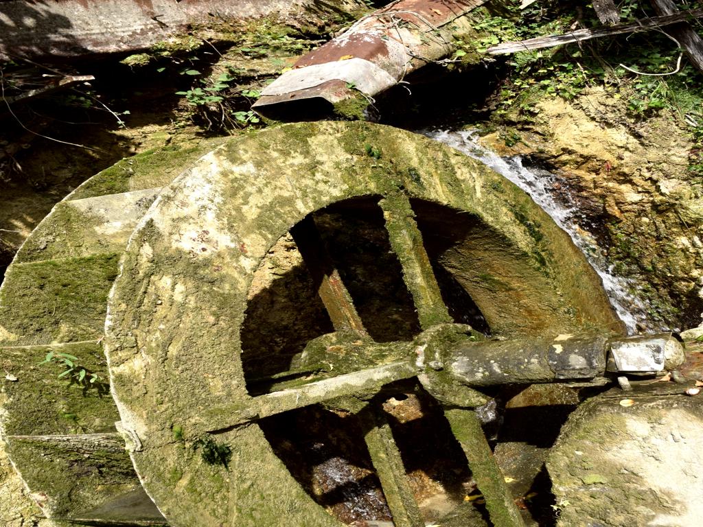
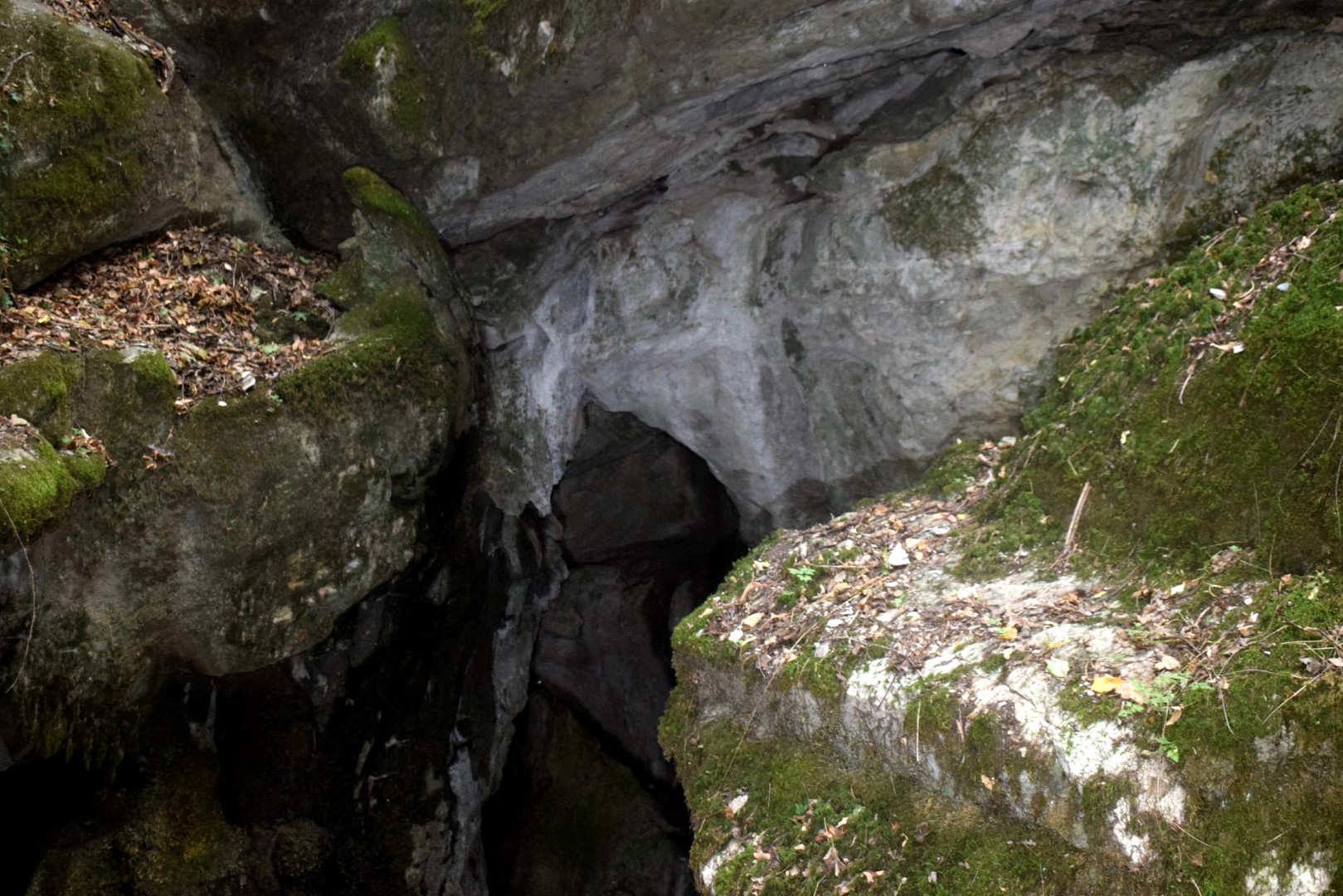
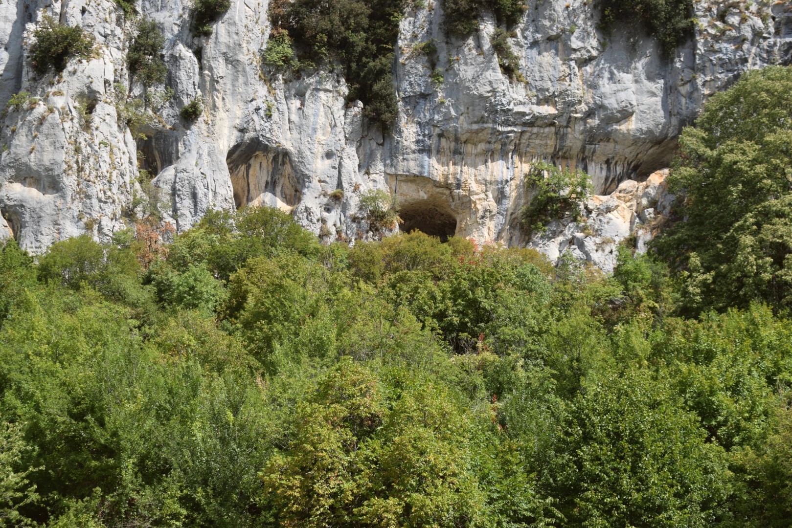
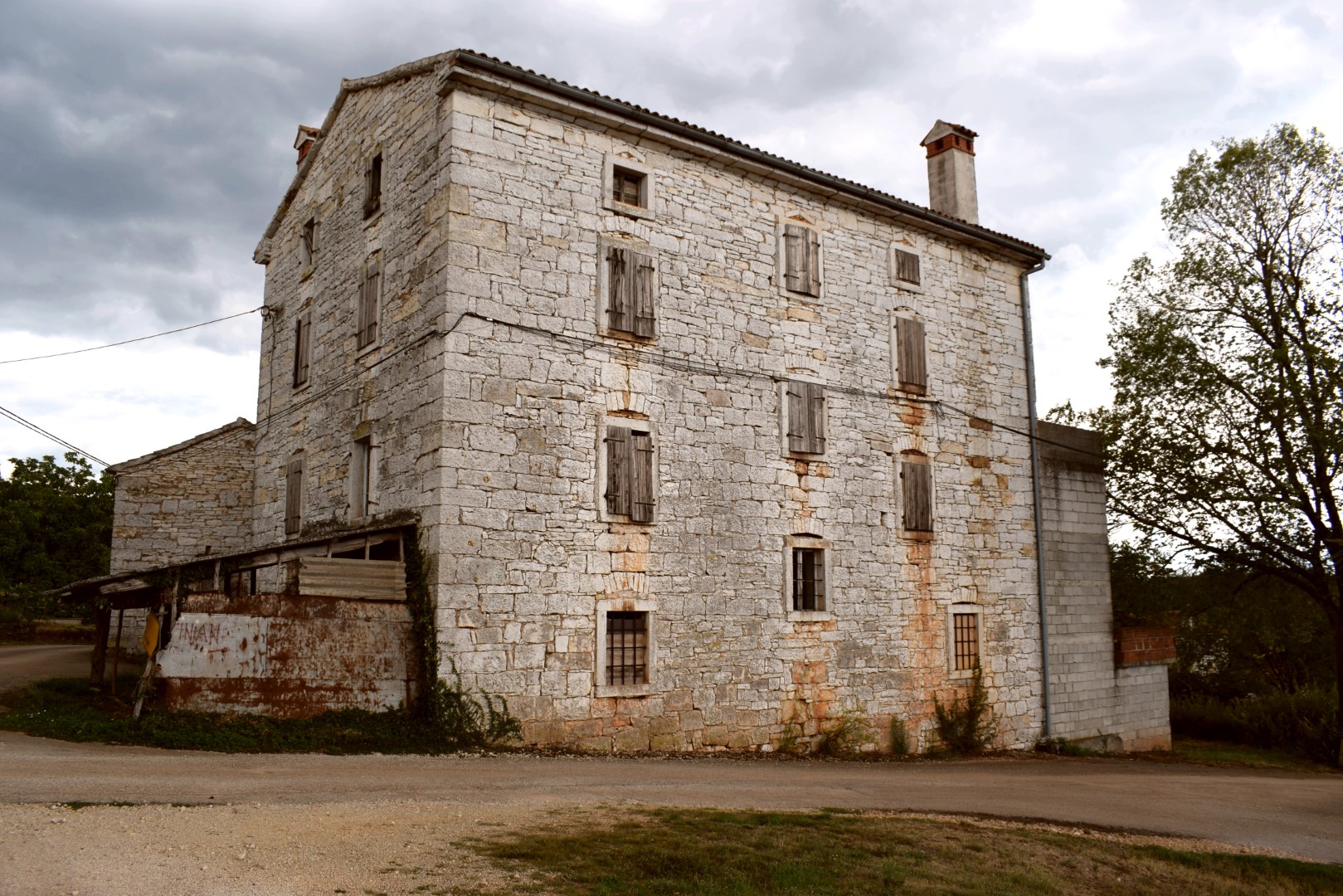
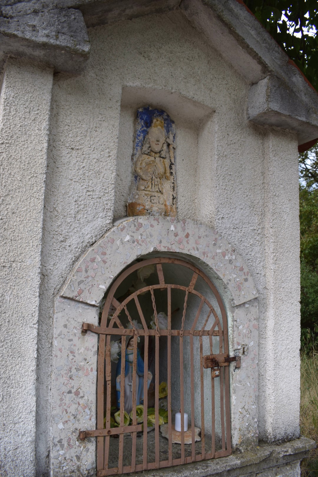
Name: Cave Pod Krugom and watermills Mlini.
Place: Mlini – (Buzet).
Coordinates: Mlini 45.45245 N – 13.92443 E, Cave 45.45202 N -13.92629 E.

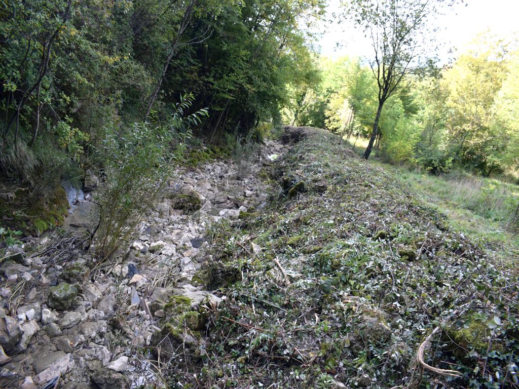
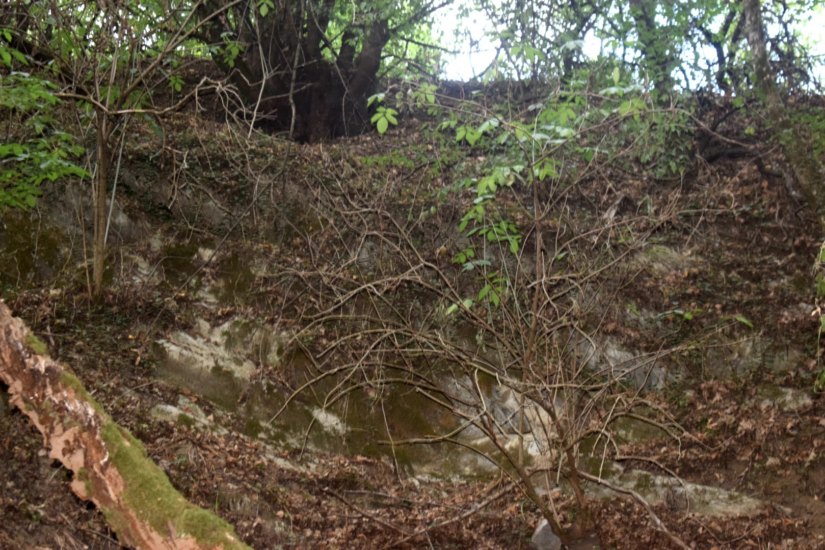
Name: The Butori waterfall in a totally dry state.
Place: Butori – Grožnjan
Coordinates: 45.41458 N – 13.77322 E.
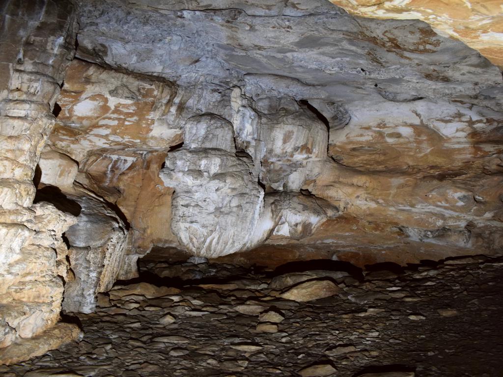
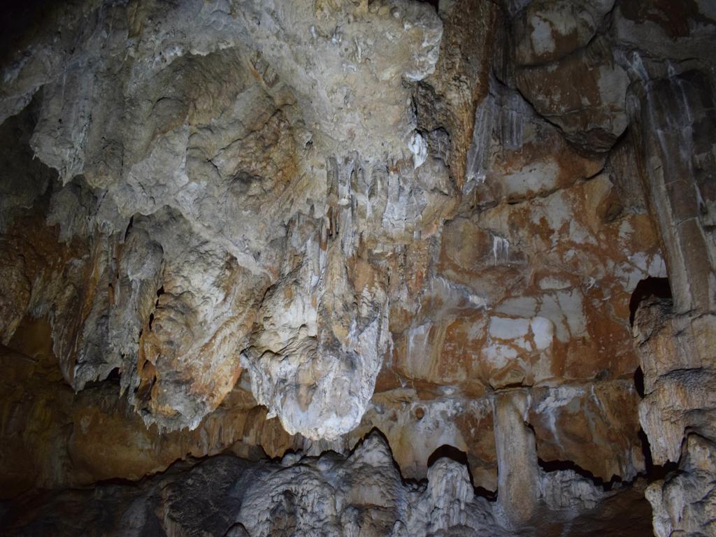
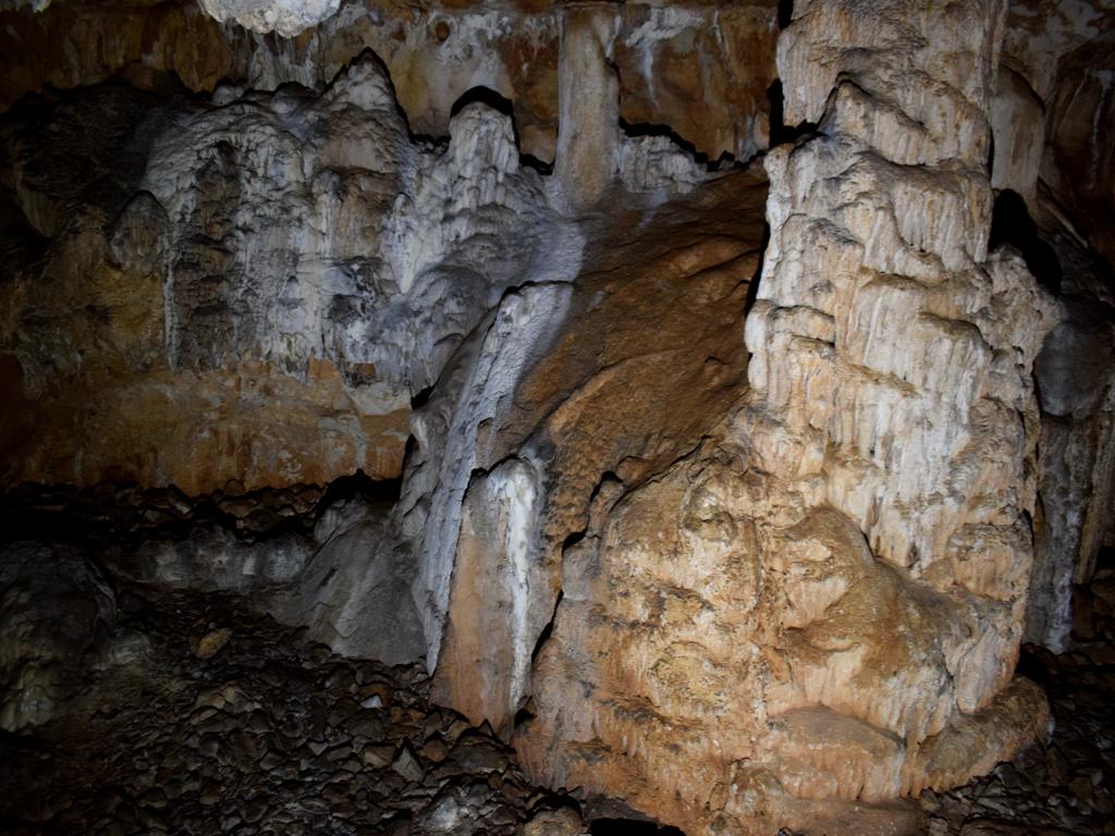
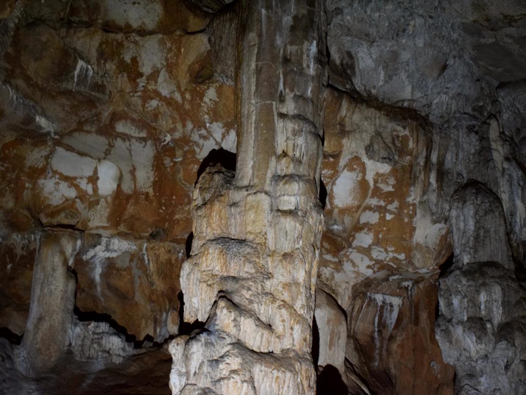
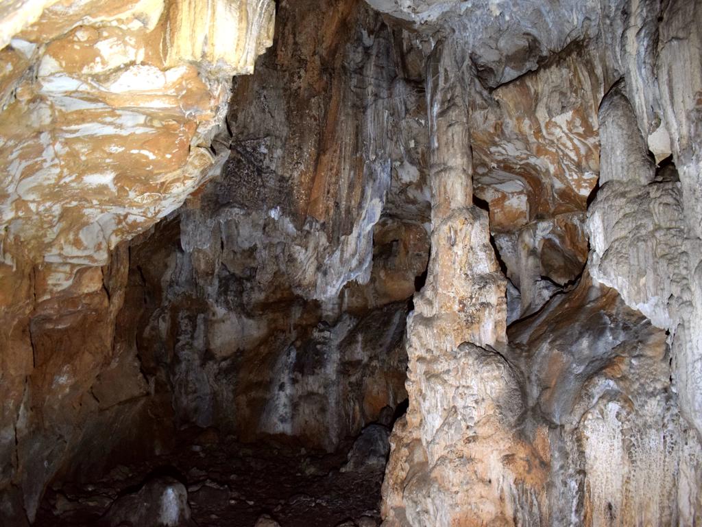
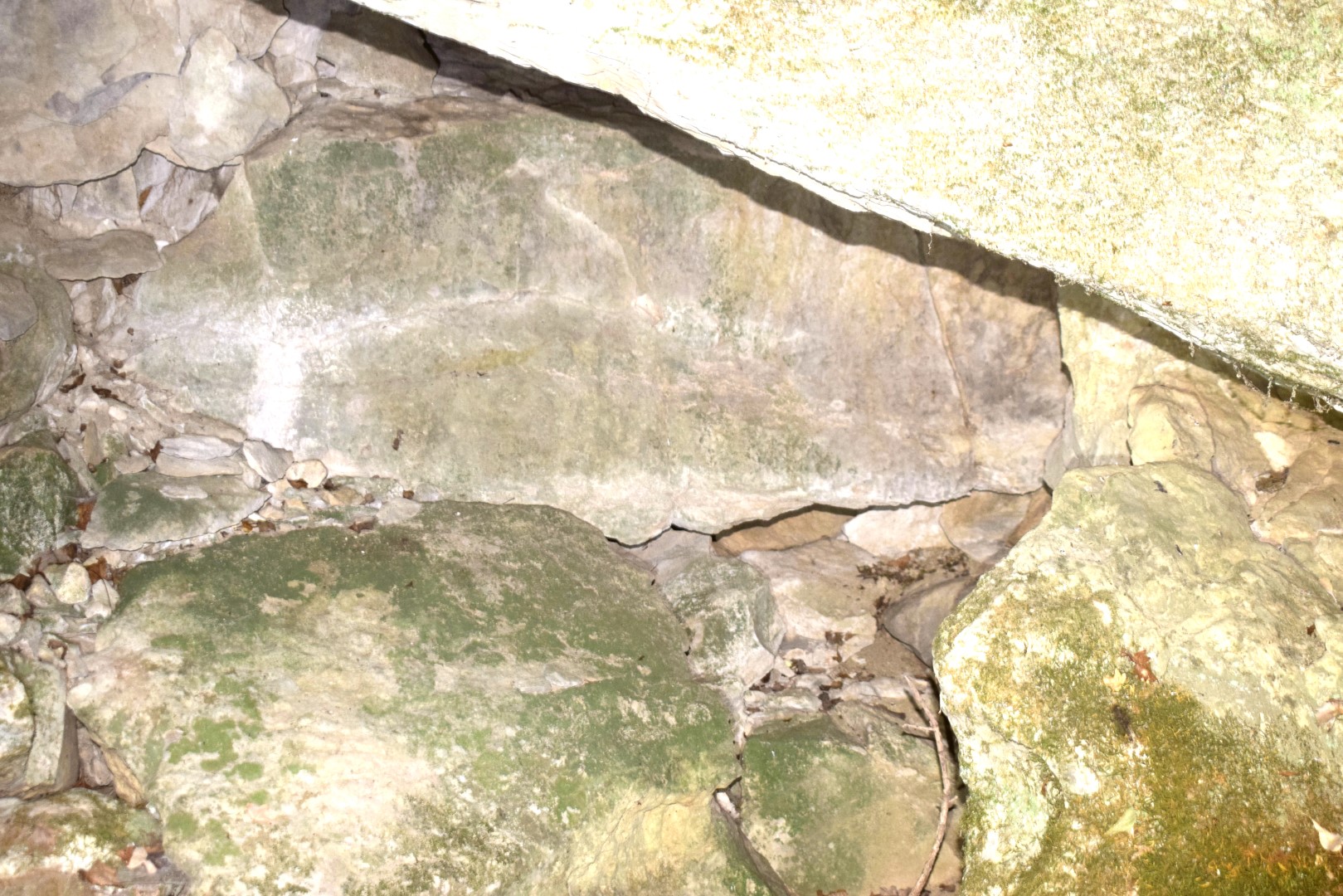
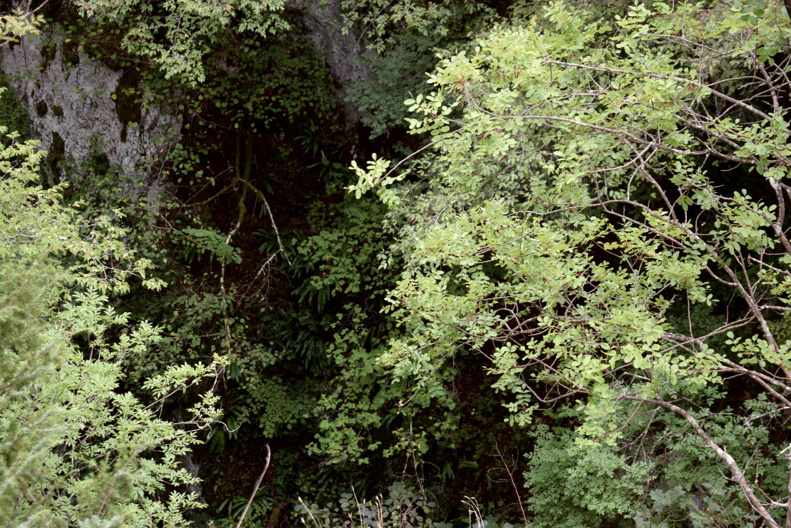
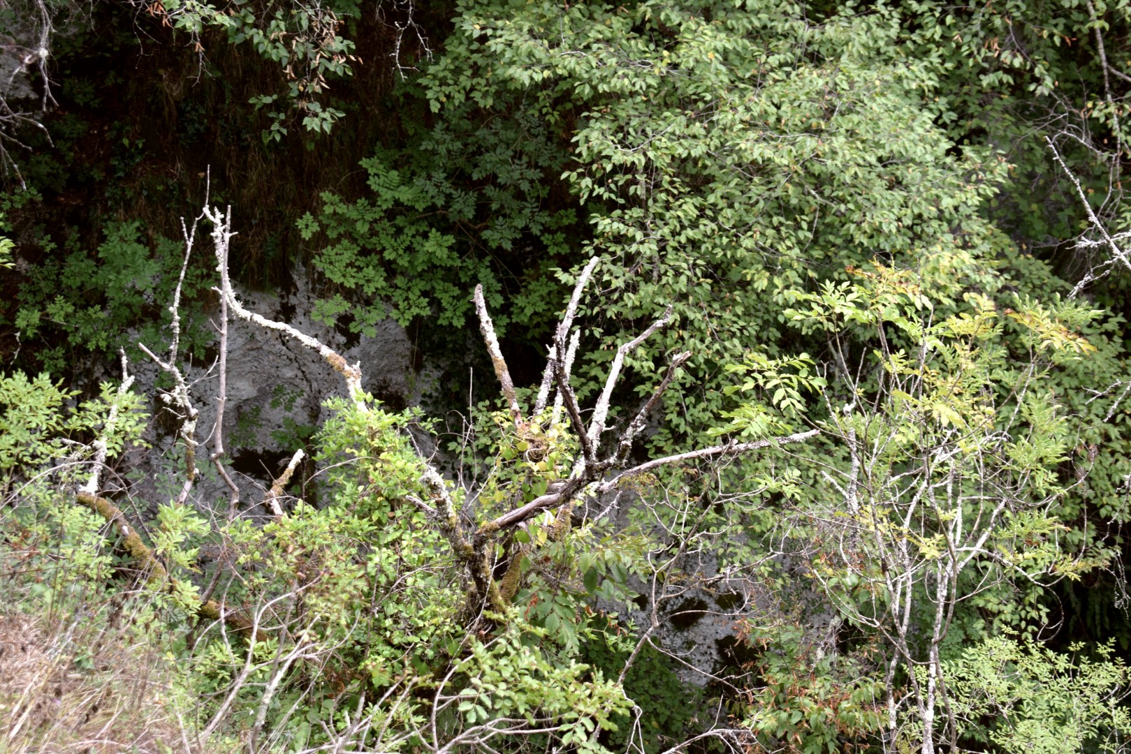
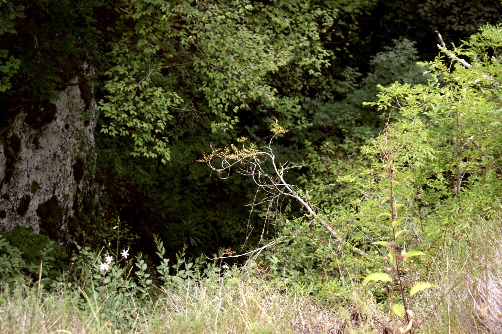
This cave is about 170 meters deep.

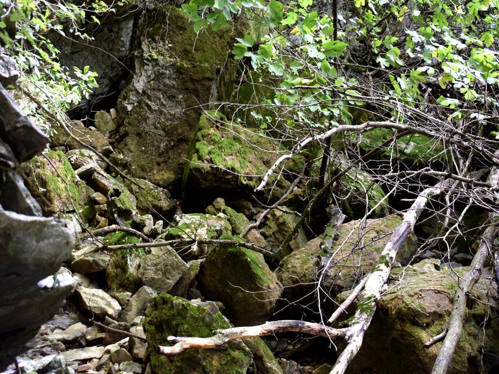
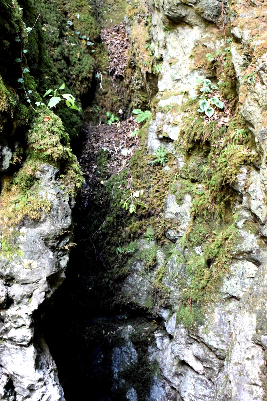
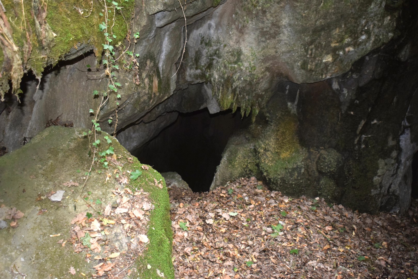
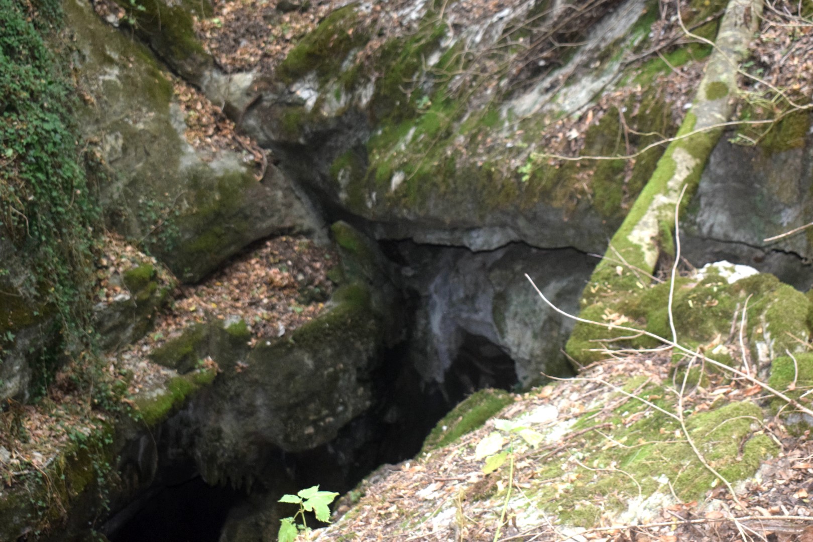
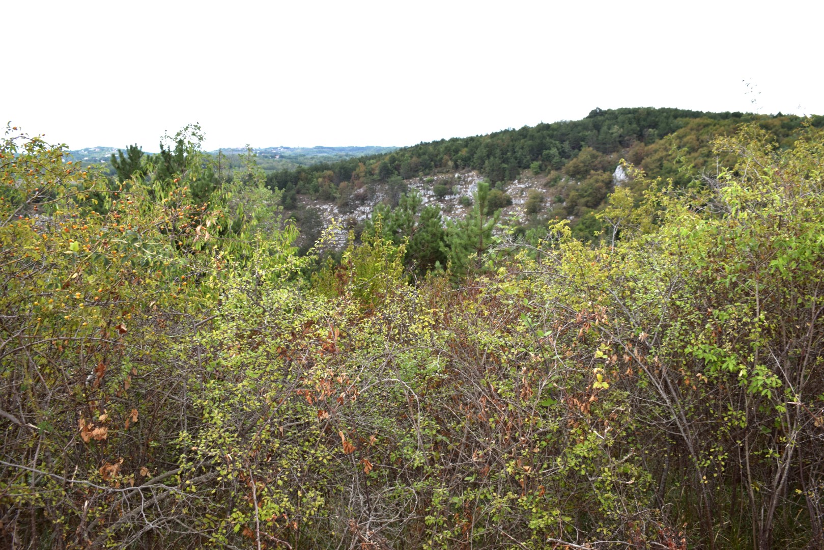
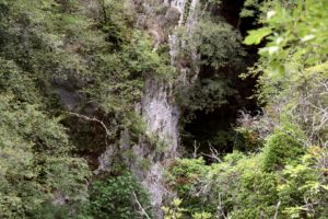
Name: Krkužki ponor -cave
Place: Krkuž – Buzet.
Coordinates: 45.40838 N – 14.05193 E
Name: Crna cave.
Place: Mune – (Buzet).
Coordinates: Start 45.39757 N – 14.06154 E, cave 45.39851 -14.06469 E.
Name: Hiking trail from Levaki along the sinkhole Sopajac to the cave Gavranik.
Place: Levaki – (Karojba).
Coordinates: Levaki – start 45.26264 N – 13.83052 E. path to cave 45.26760 N – 13.81990 E, cave Gavranik 45.27018 N – 13.84253 E.

Name: Bliznica 163 cave.
Place: Podgaće – (Lanišće).
Coordinates: 45.40382 N – 14.0581 E