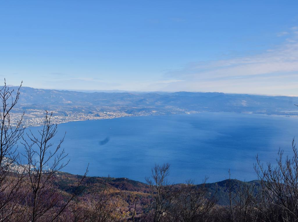
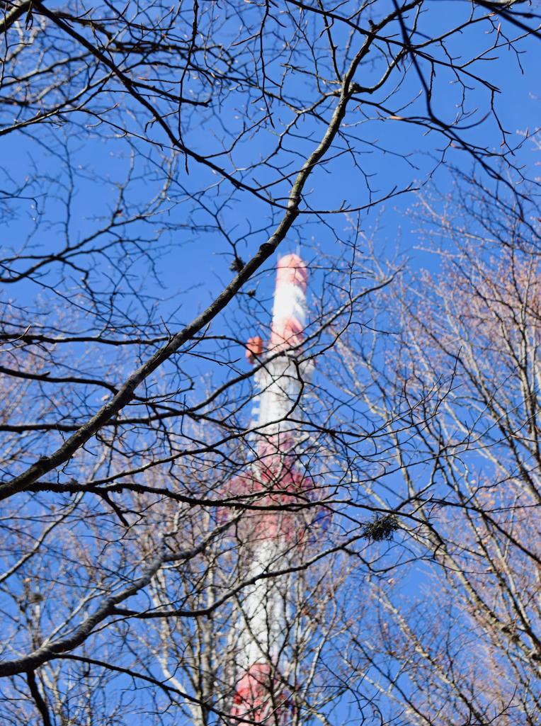
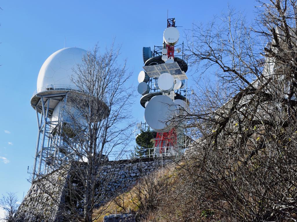
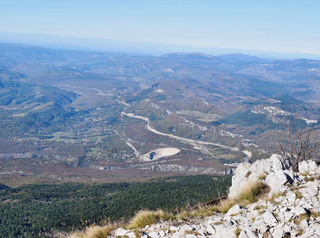
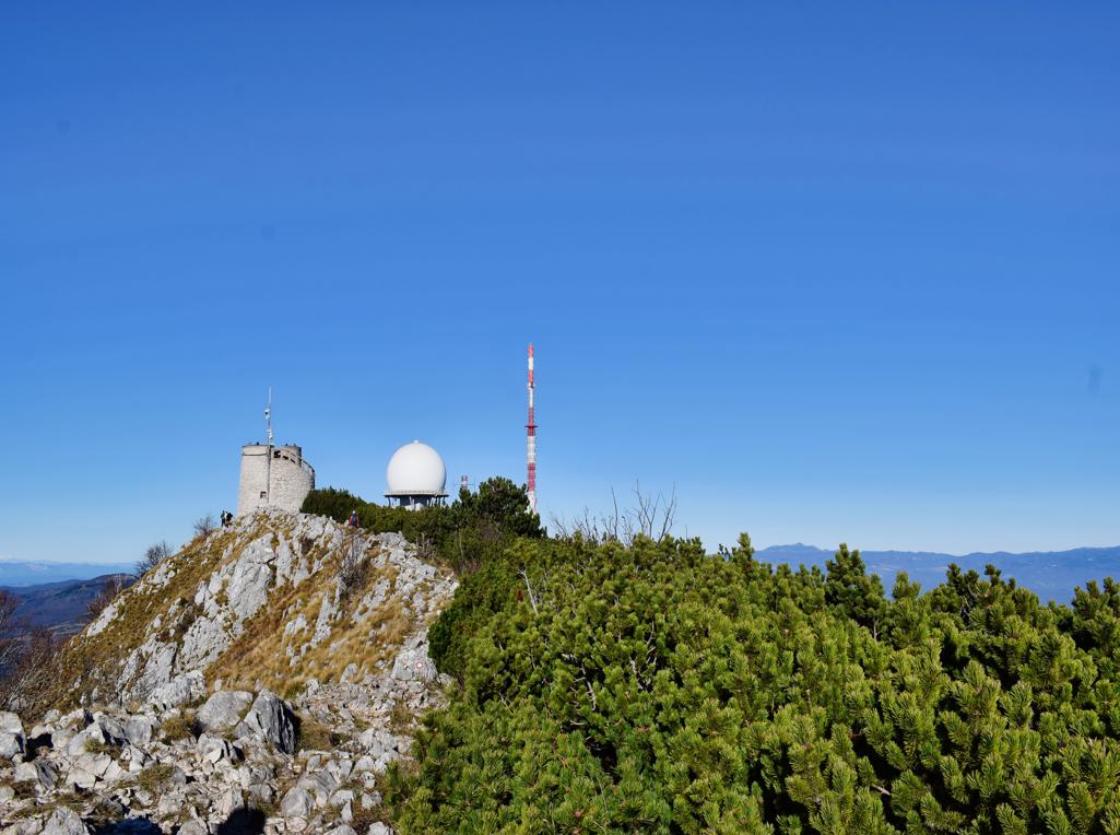
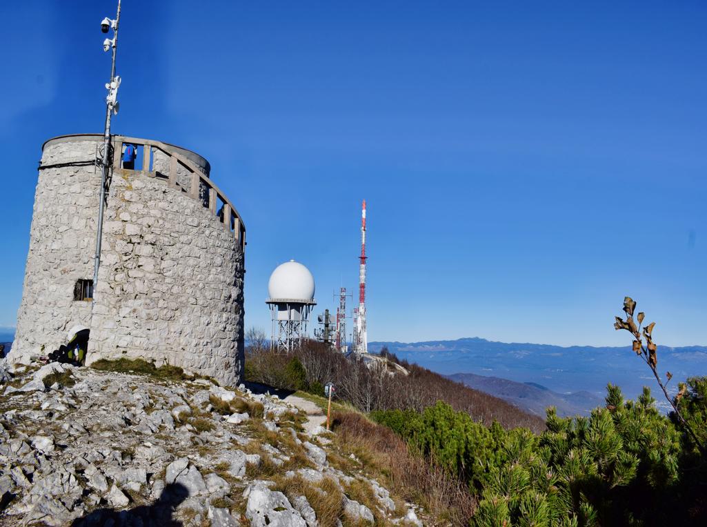

Name: Hiking trail from Poklon at an altitude of 925 meters to Vojak at an altitude of 1400 meters asl.
Place: Učka.
Coordinates:
Name: Hiking trail from Poklon at an altitude of 925 meters to Vojak at an altitude of 1400 meters asl.
Place: Učka.
Coordinates:
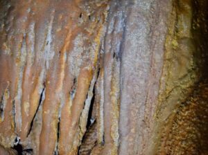
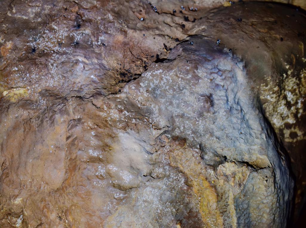
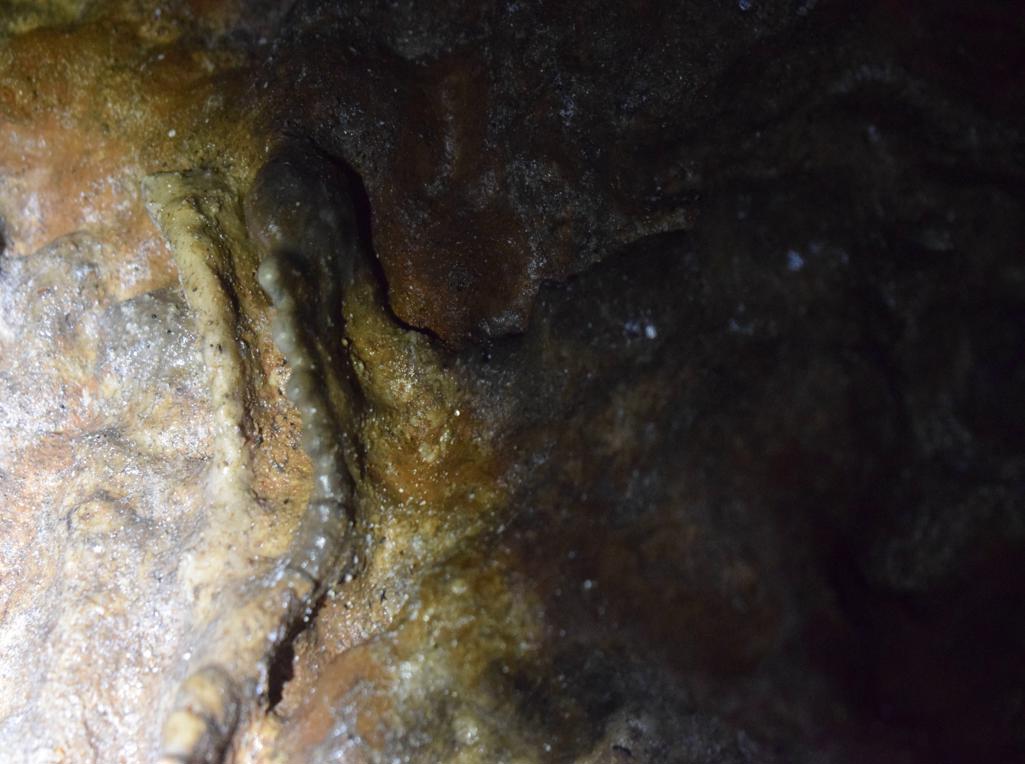
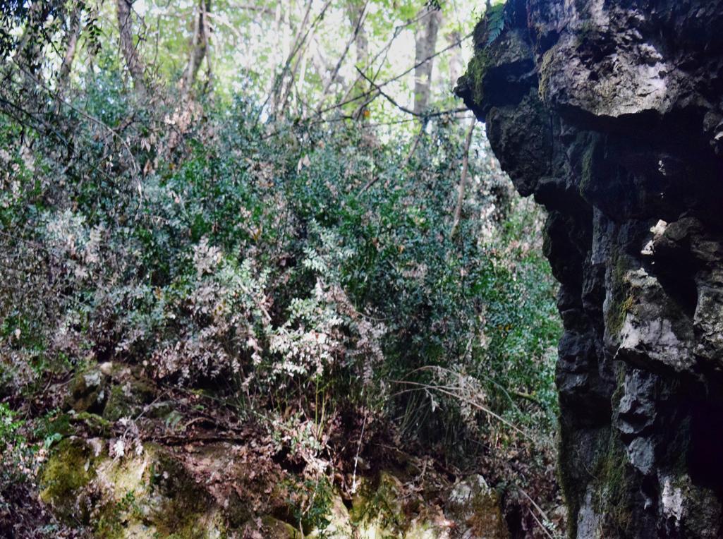
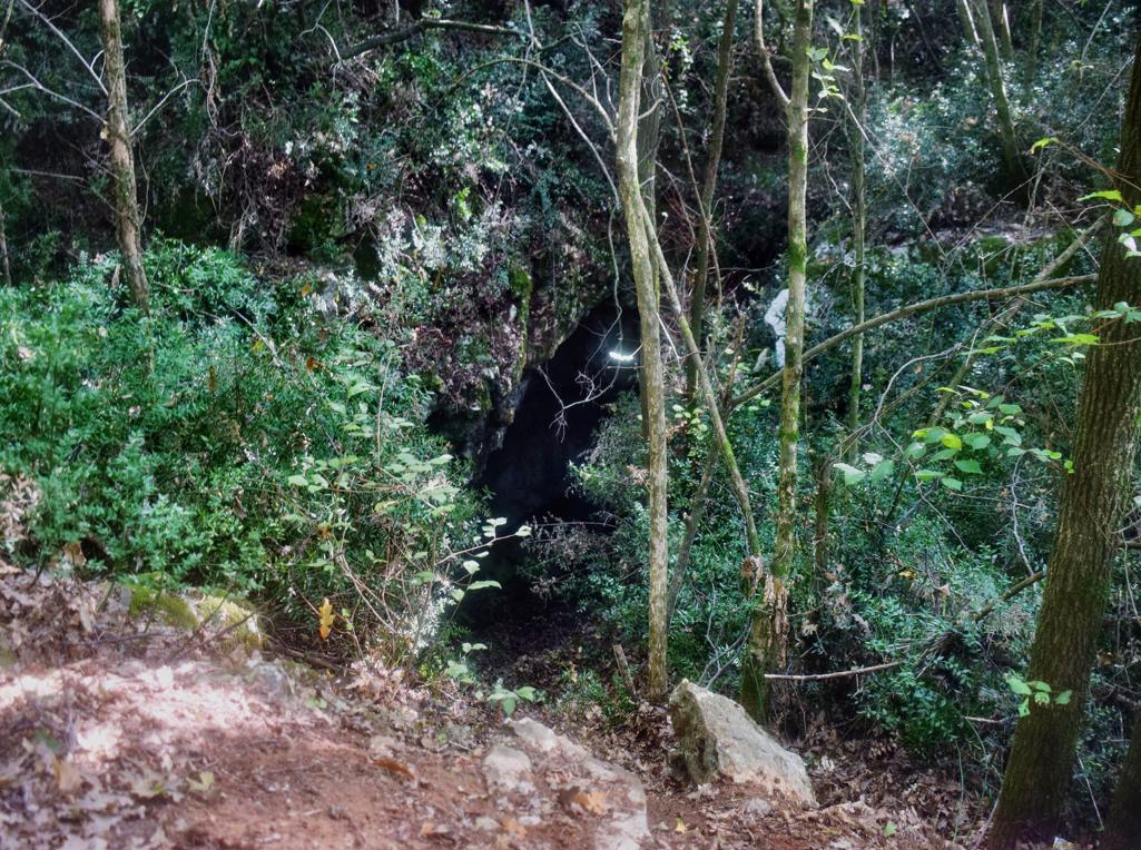
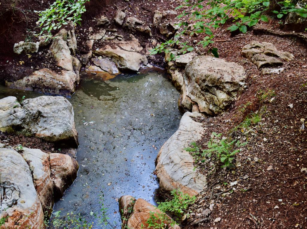
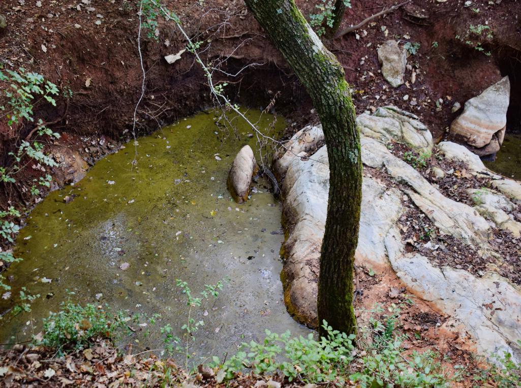
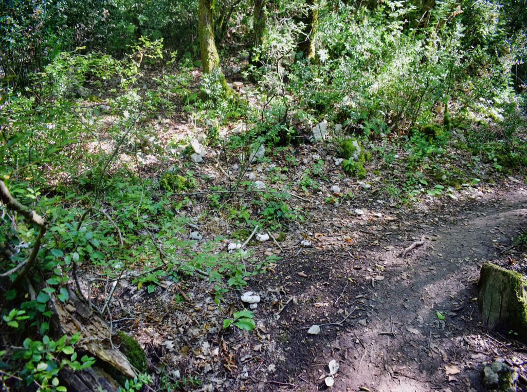
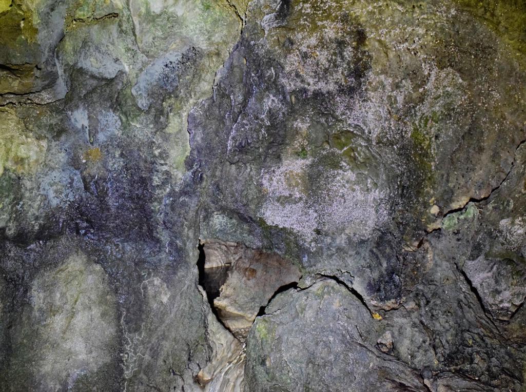
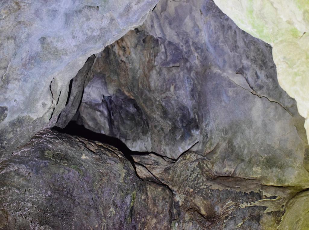
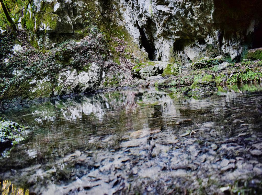
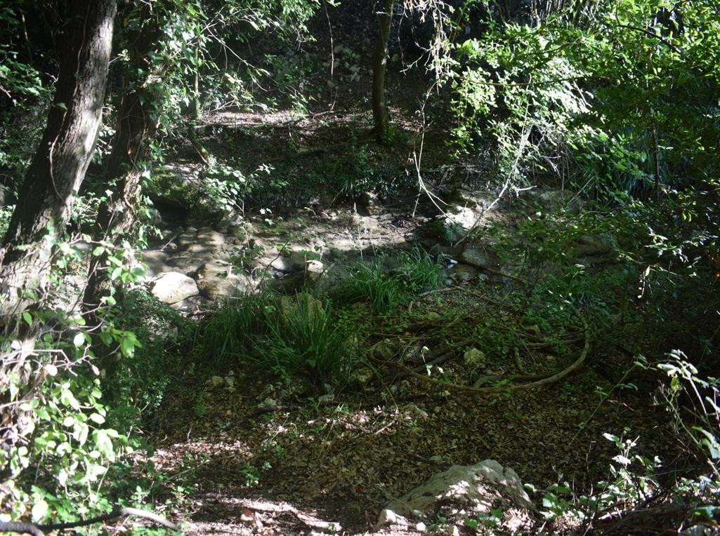
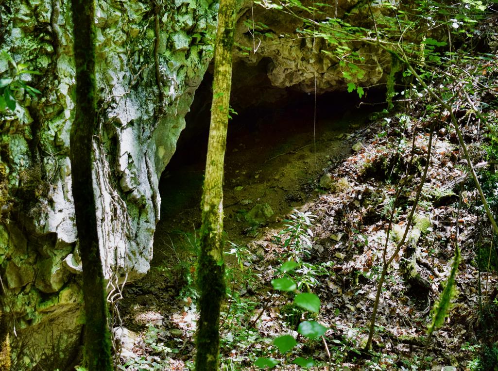
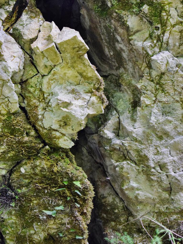
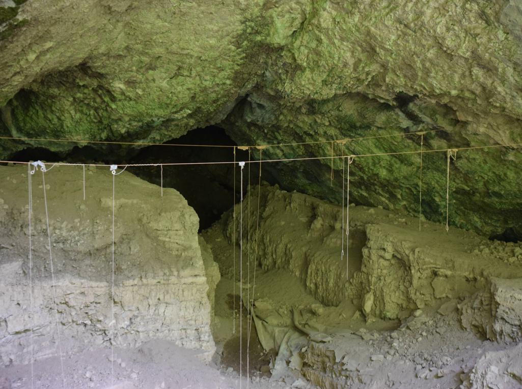
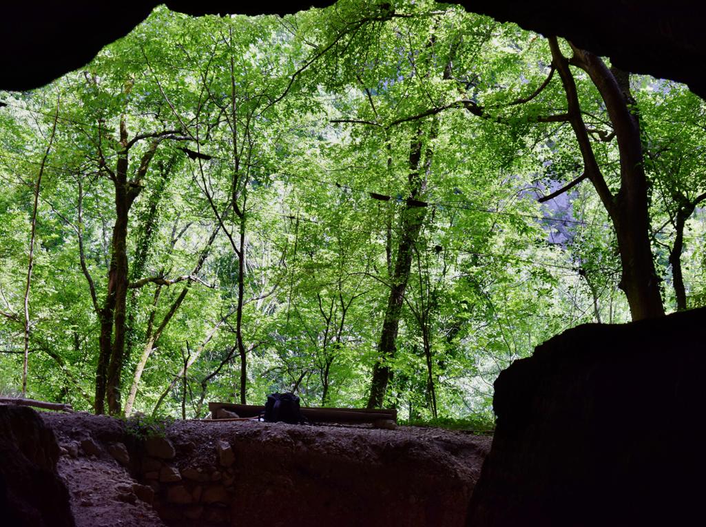
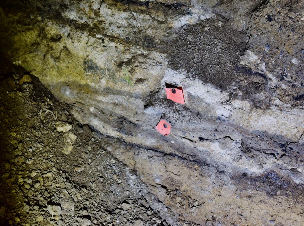
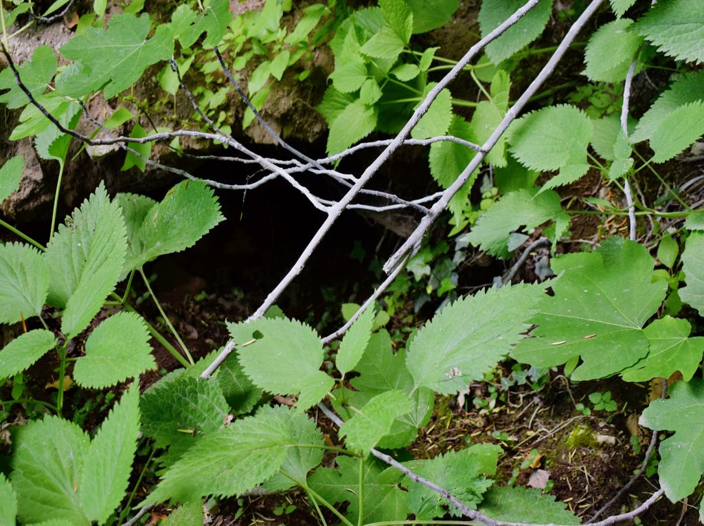
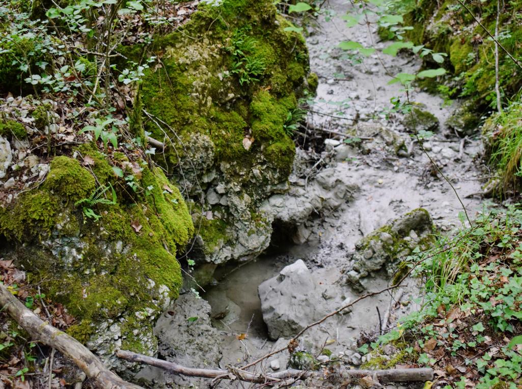
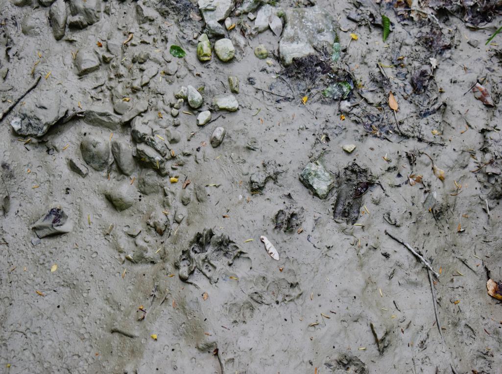
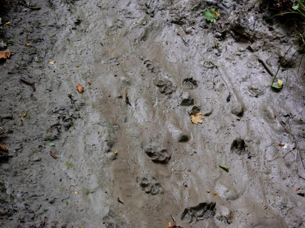
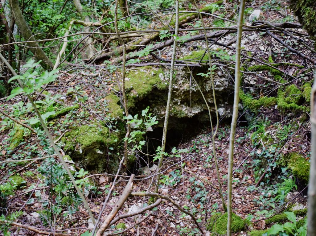
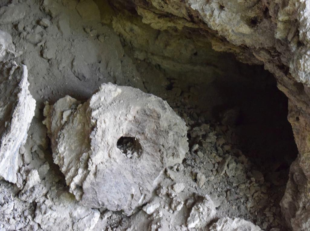
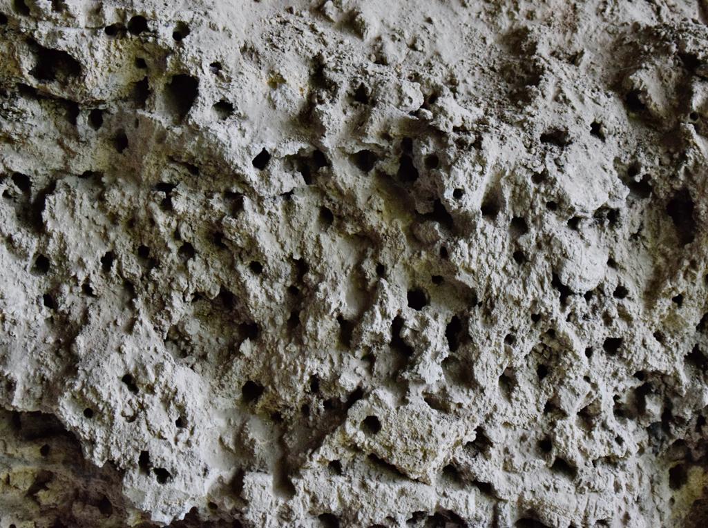
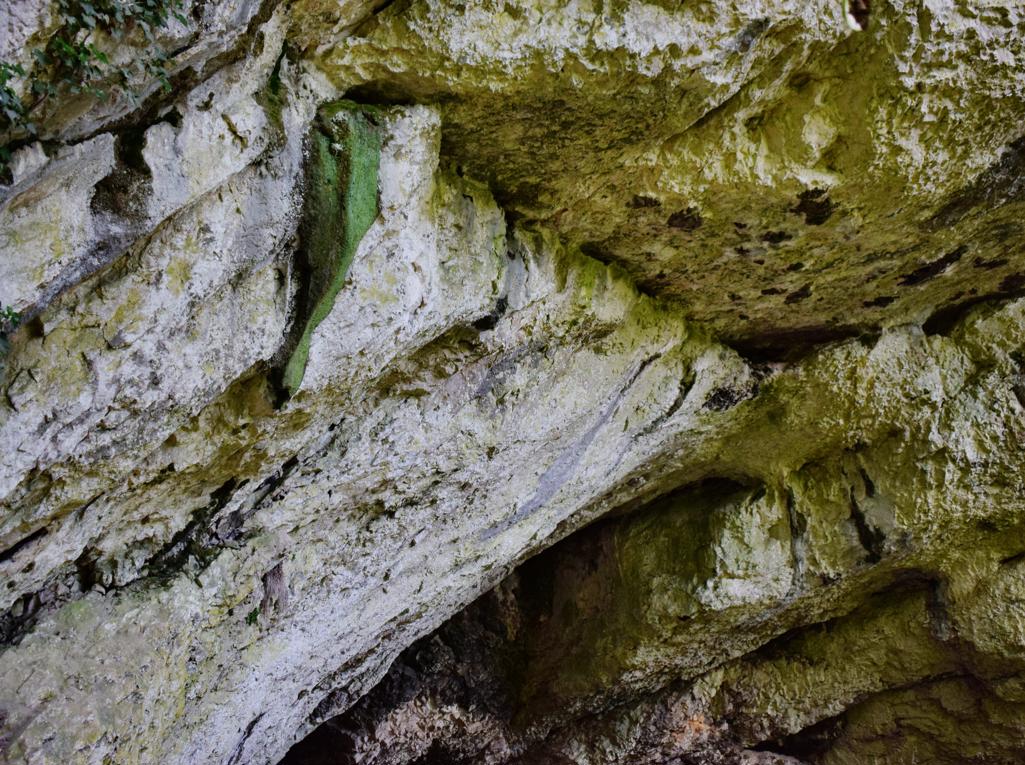
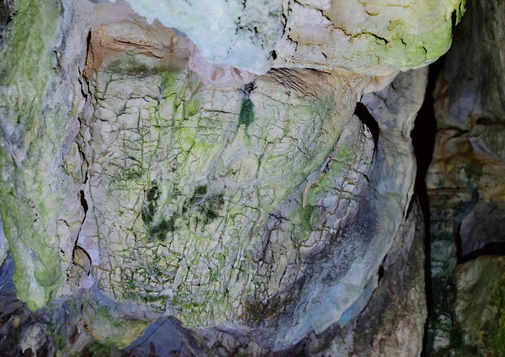
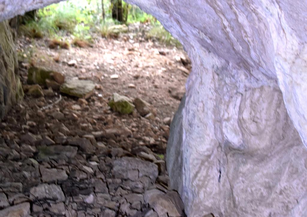
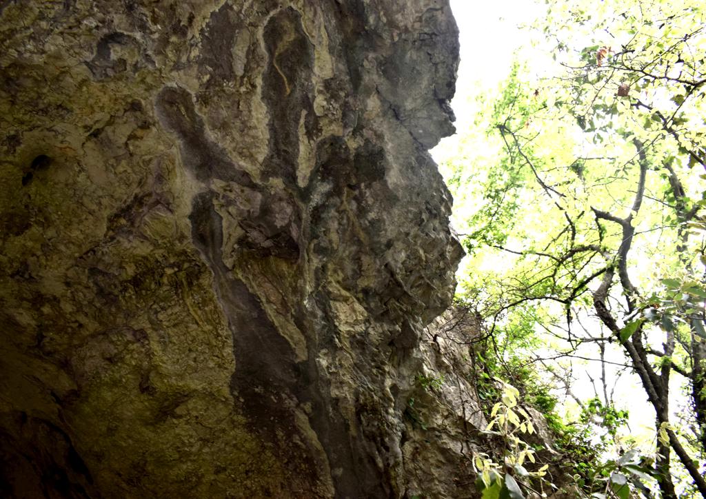
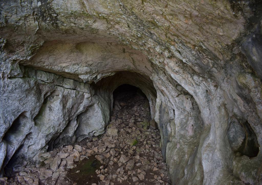
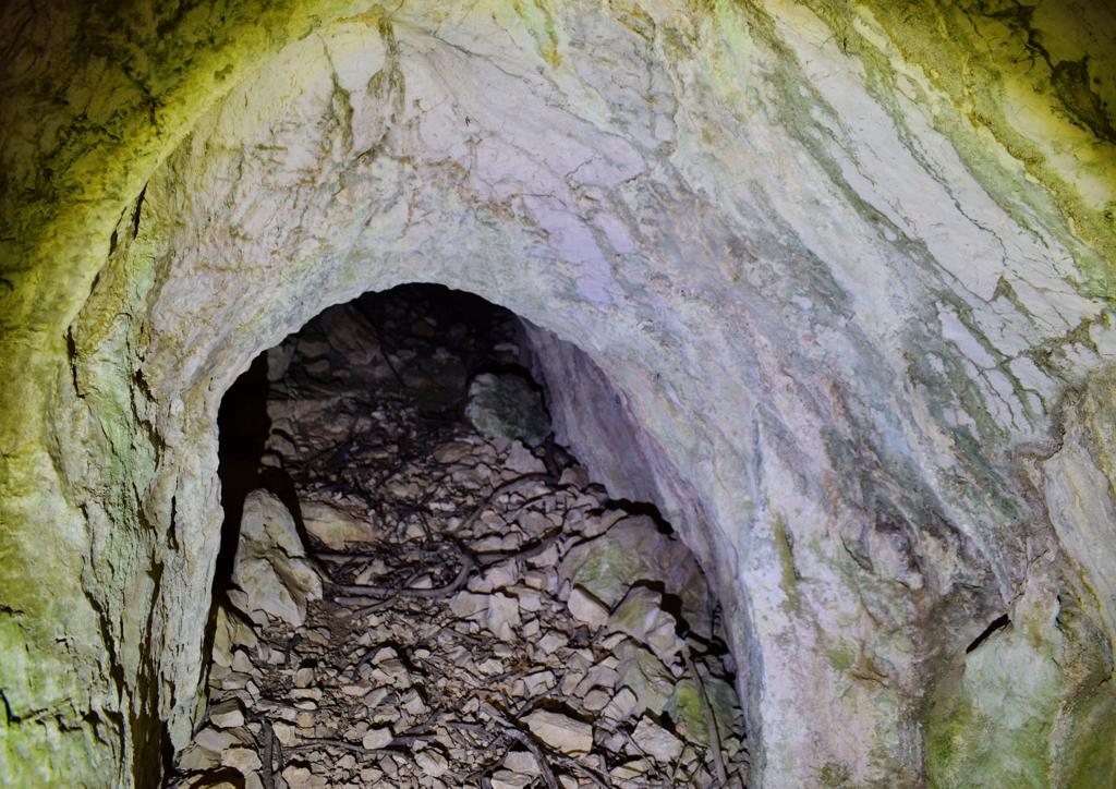
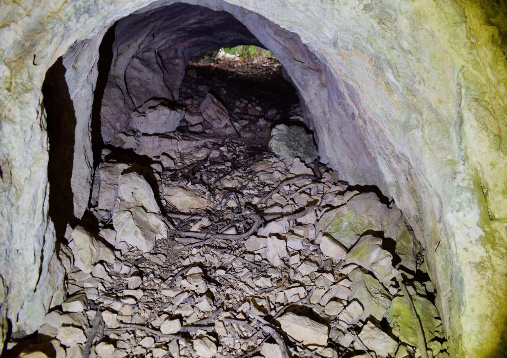
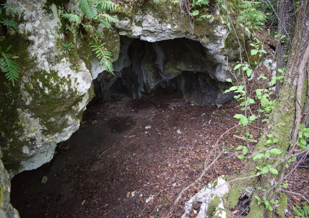
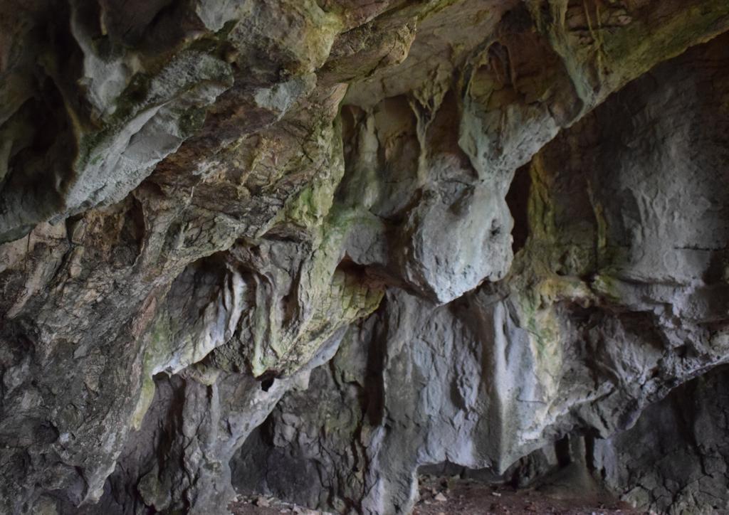
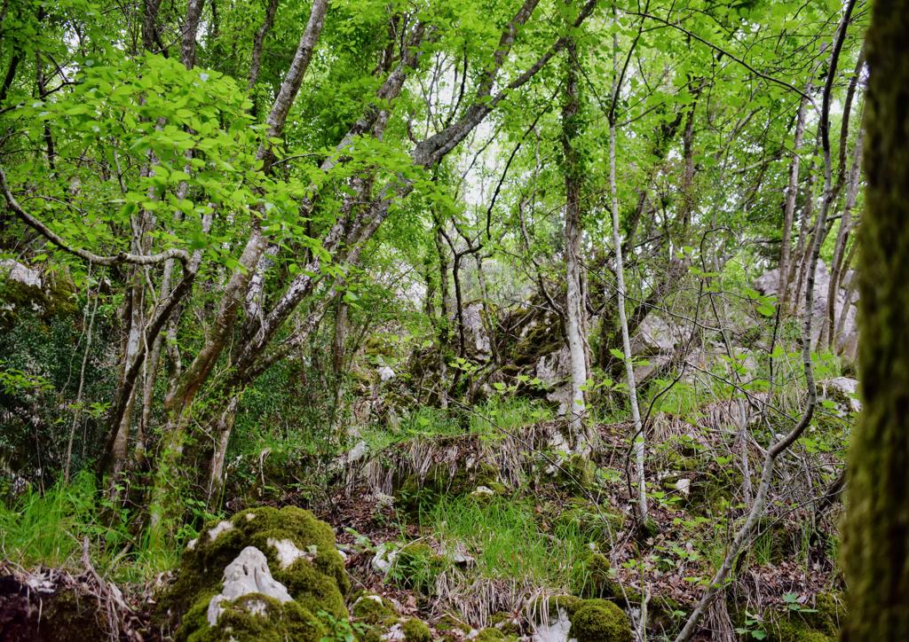
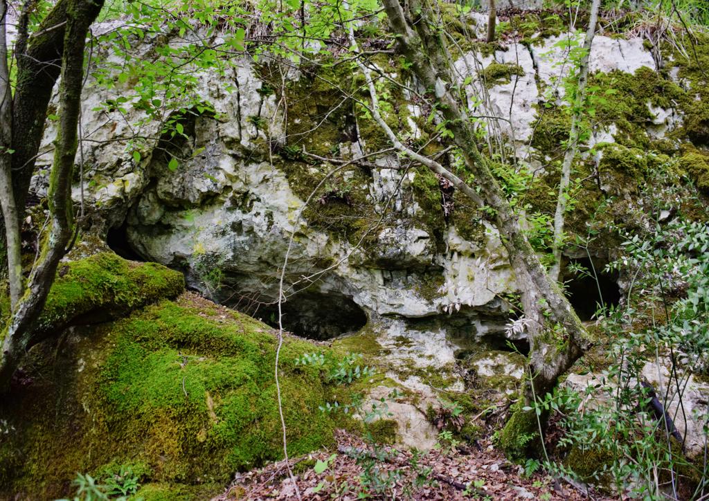
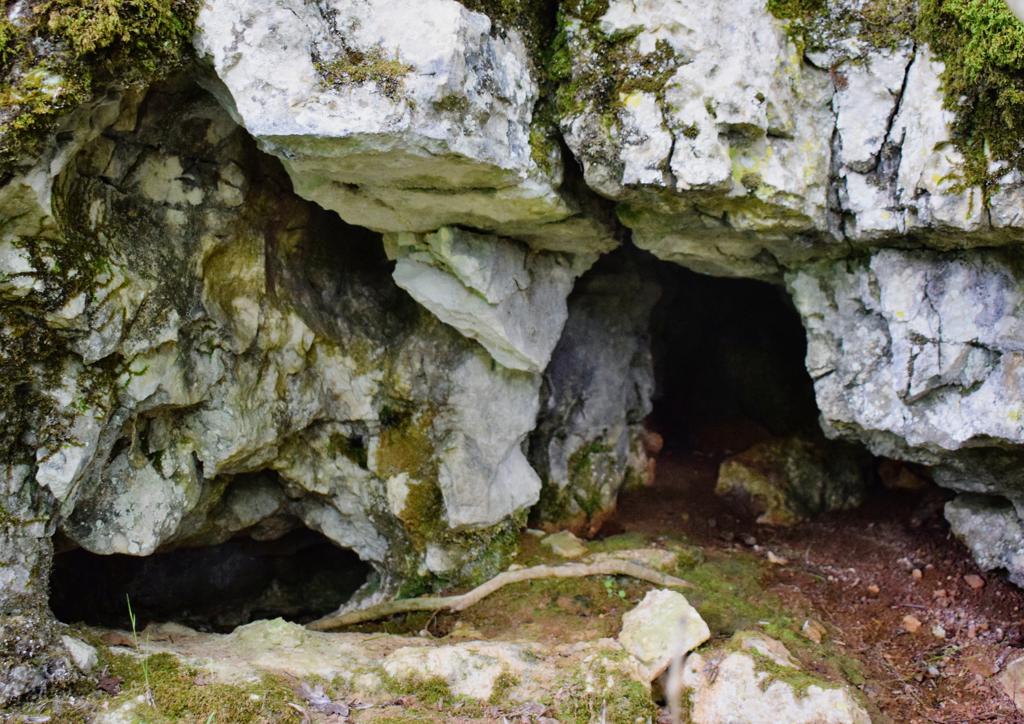
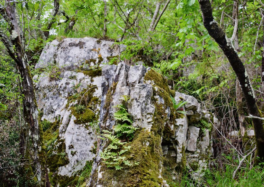
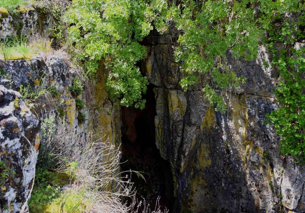
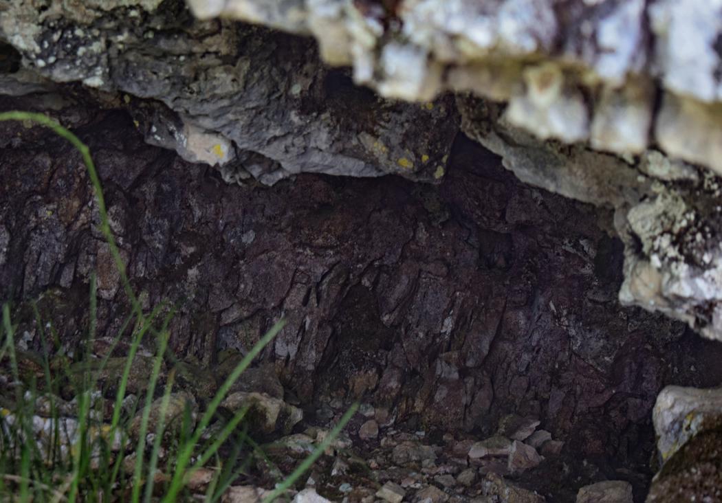
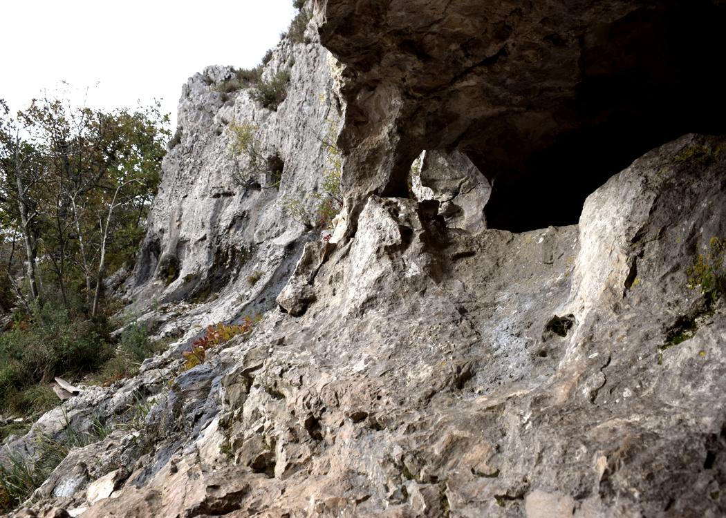
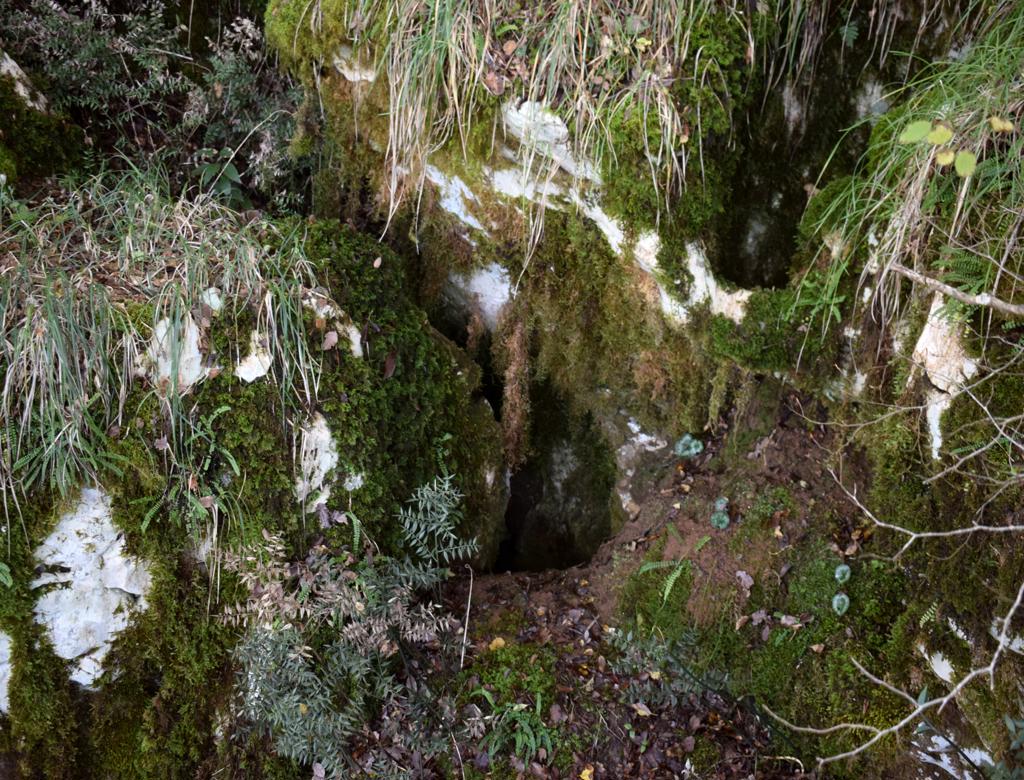
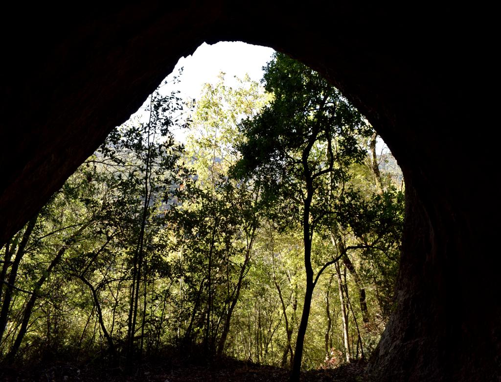
Name: Perecinova cave.
Place: Pecinova Dvori – Marčana.
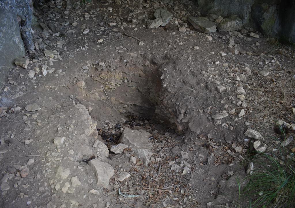
Coordinates; Start 44.94369 N – 13.92753 E., Perecinova cave: 44.94847 N – 13.92879 E, puddele 44.94910 N – 13.92785 E
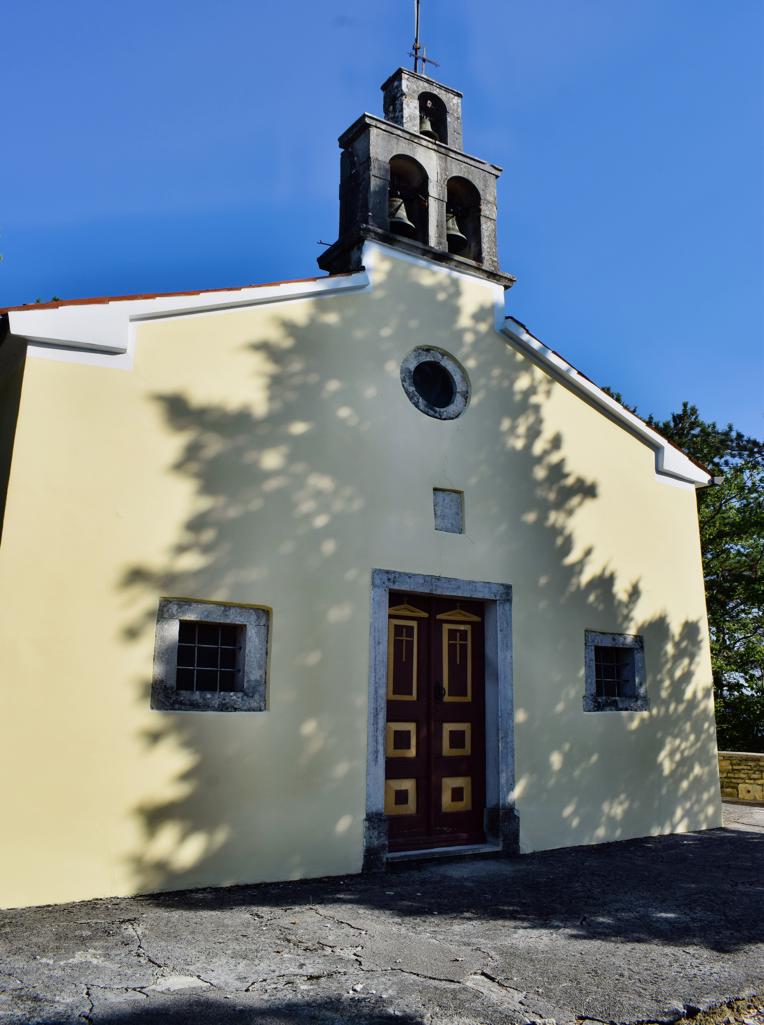
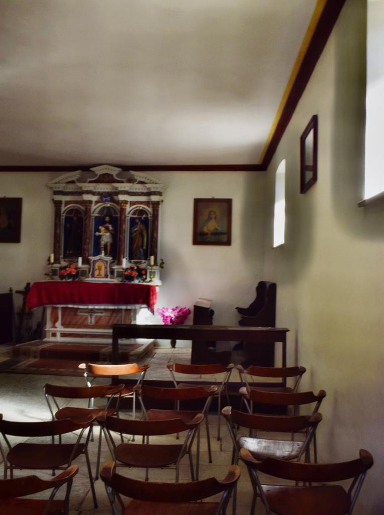
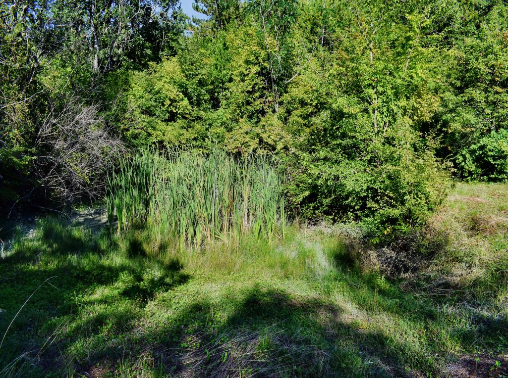
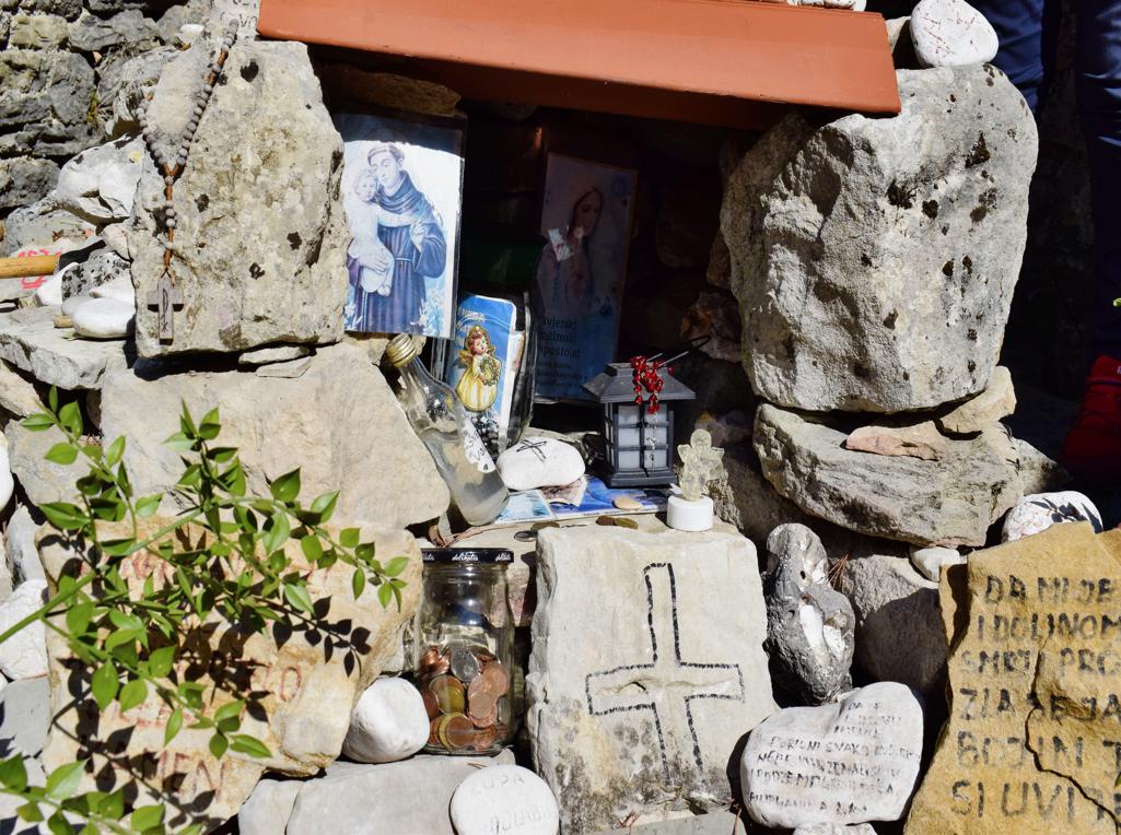
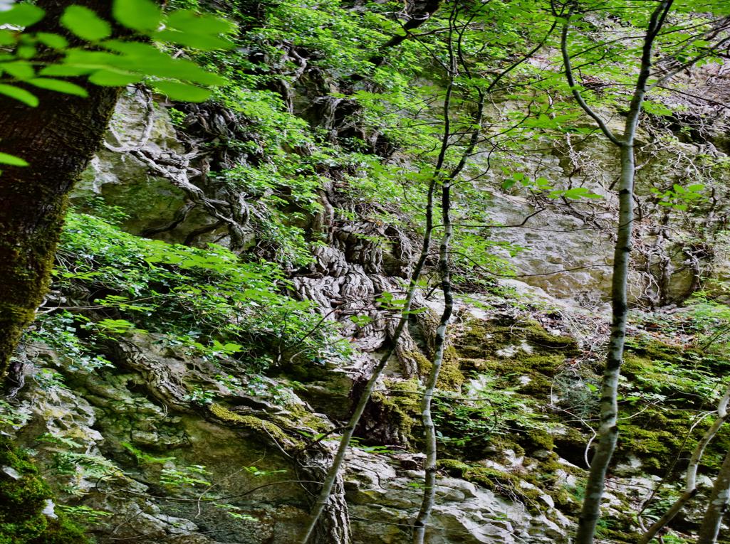
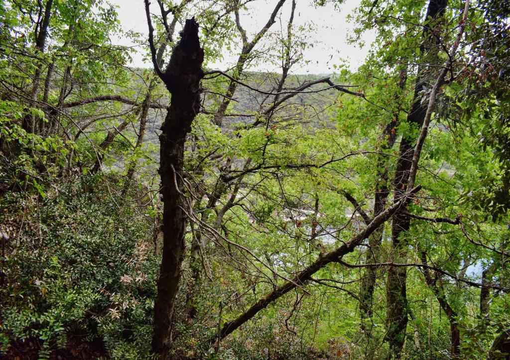
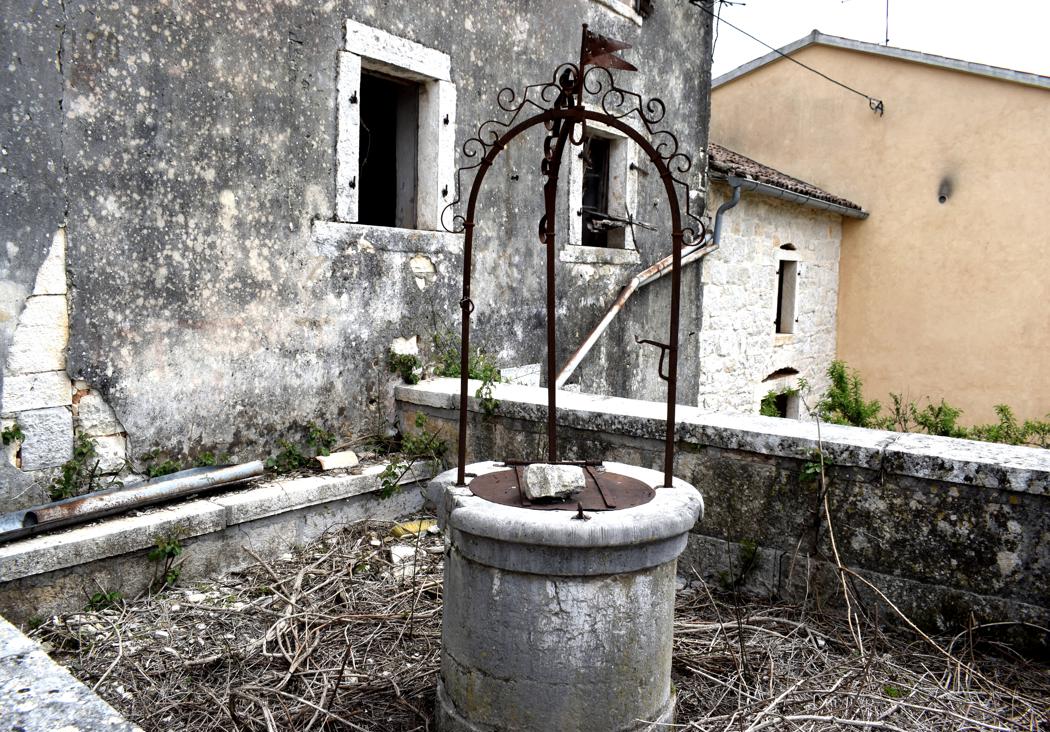
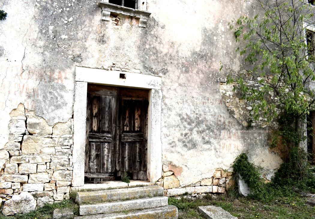
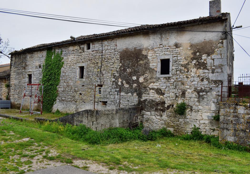
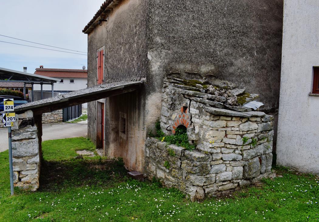
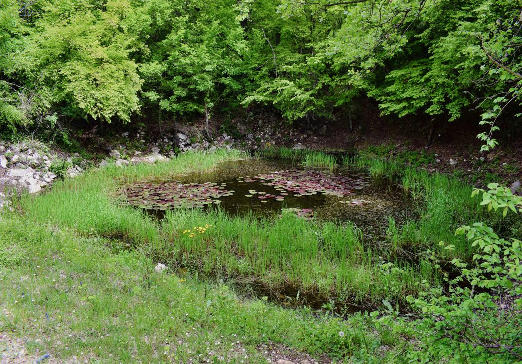
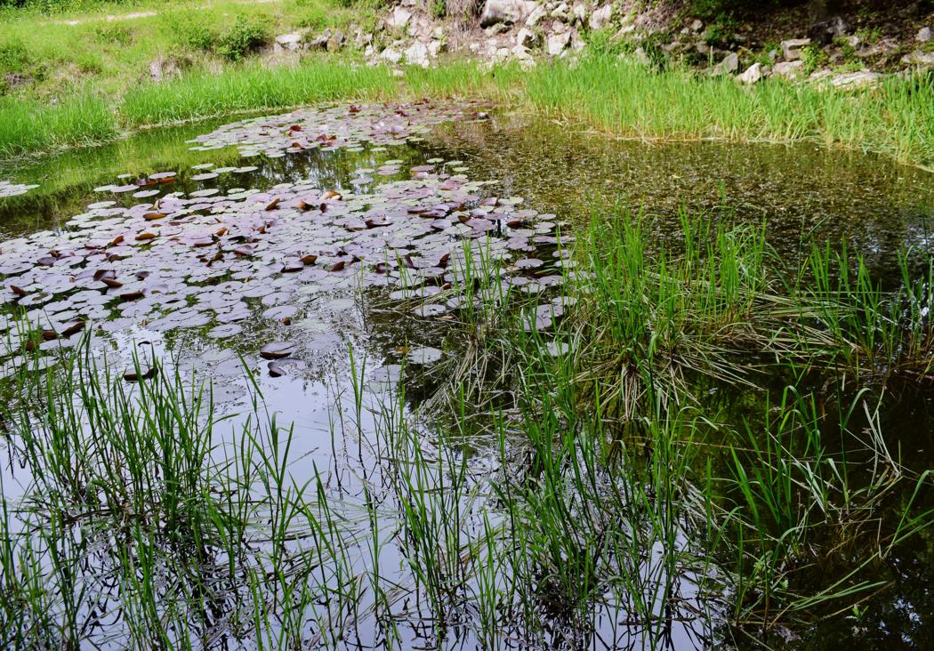
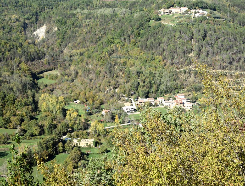
From there to the church Sveti Ivan, and the small village Pruhari with a puddle.

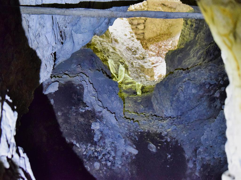
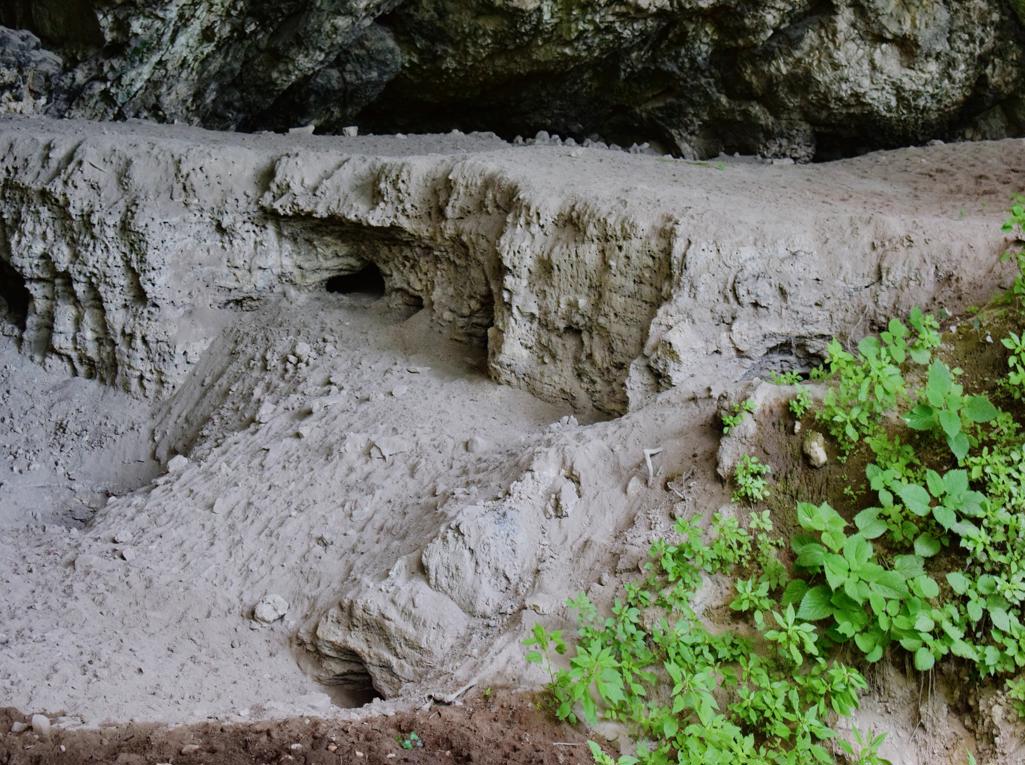
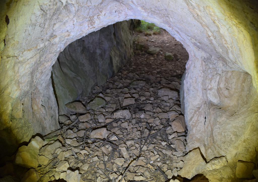
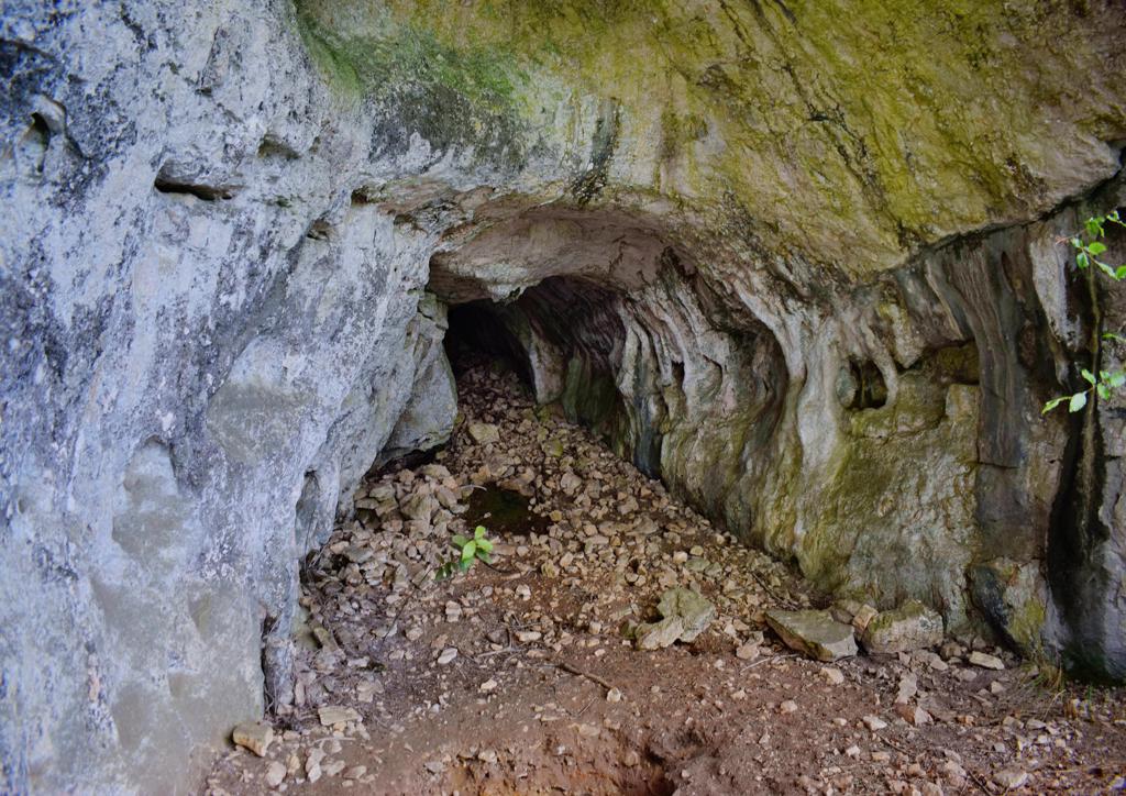
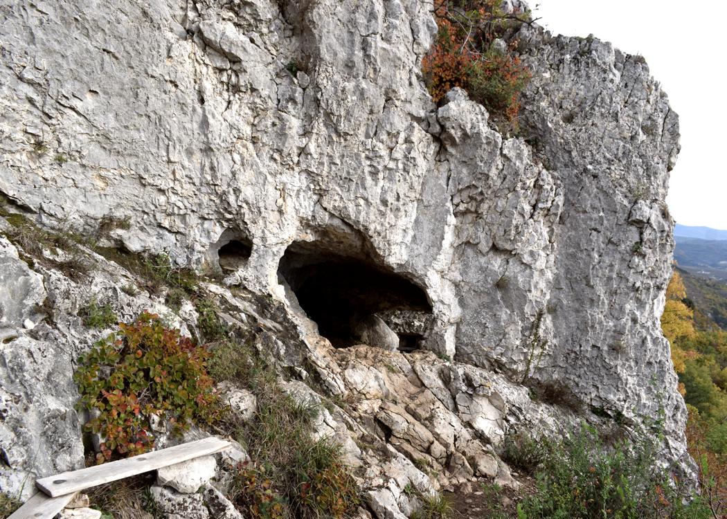
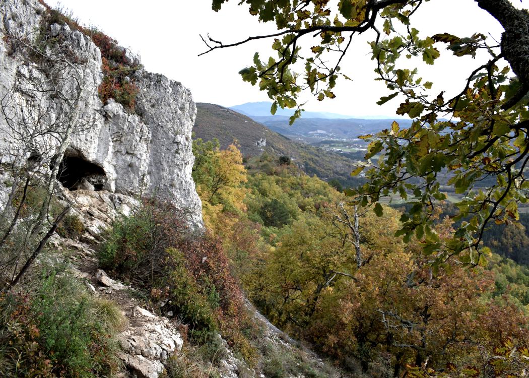
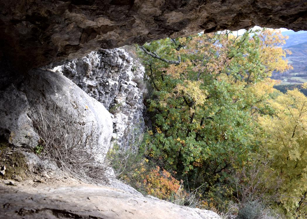
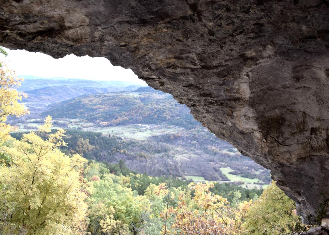
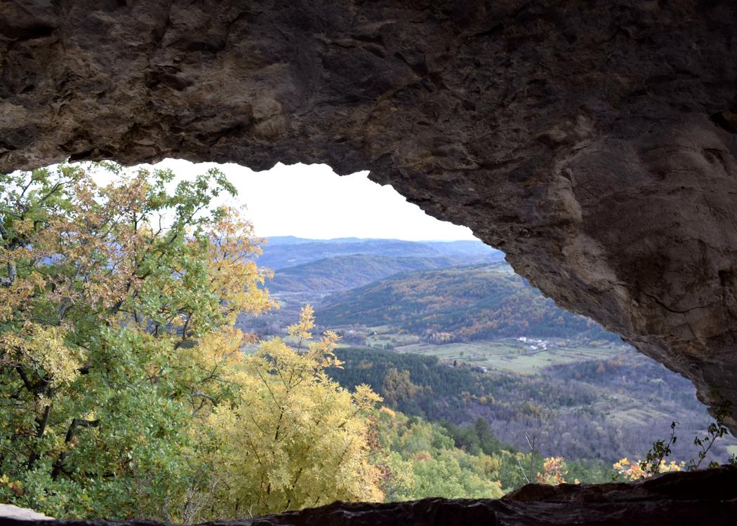
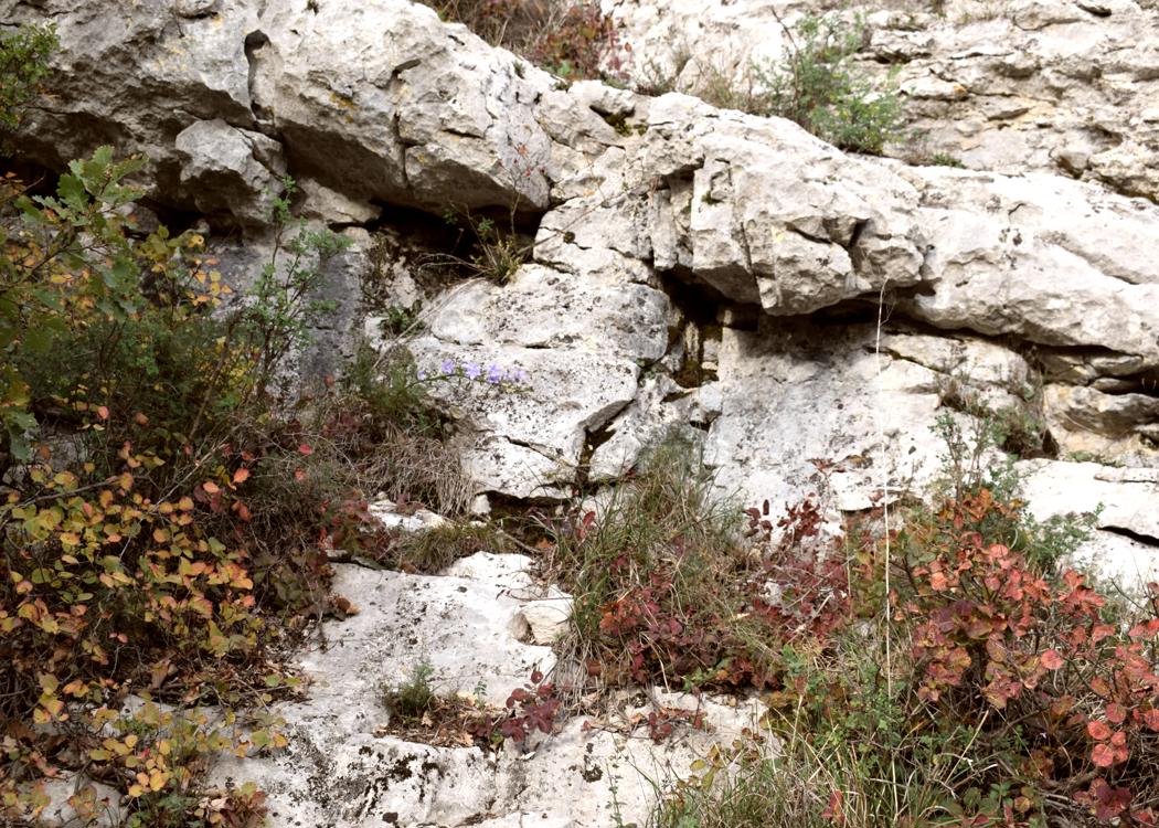
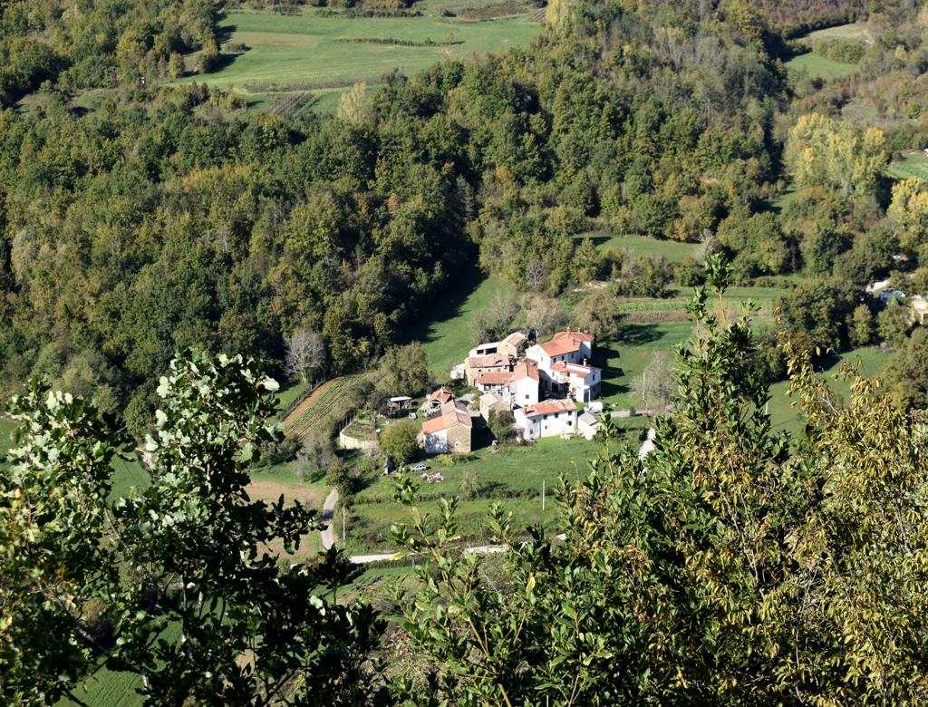
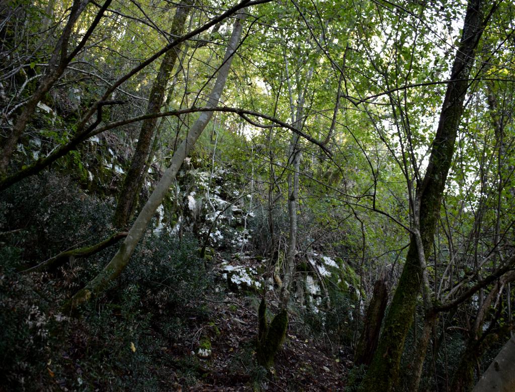
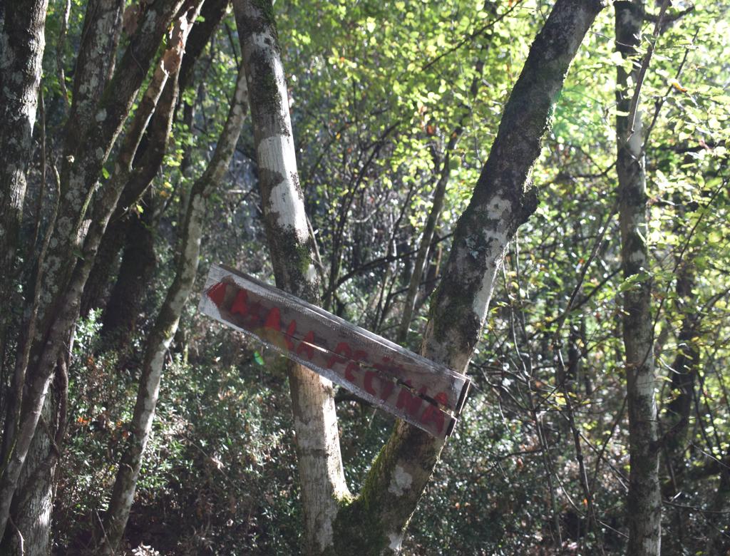
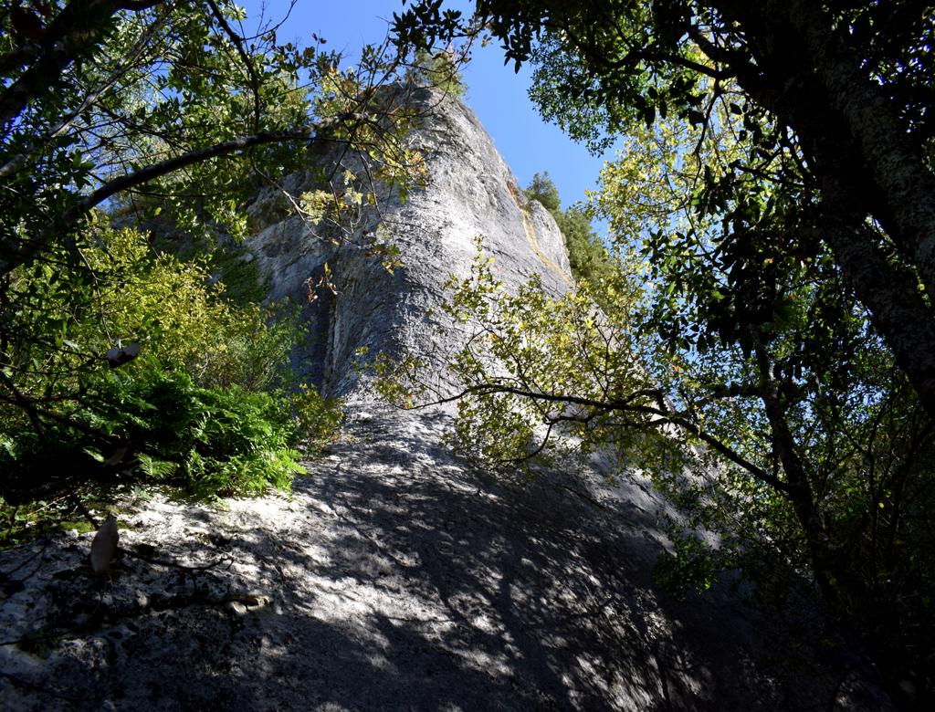
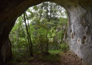
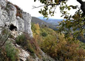
Name: Trail from Mali Mlun to the caves Veli- and mali pecina on the hill Zelena trava.
Place: Mali Mlun – (Buzet).
Coordinates: Start: 45.40112 N – 13.90691 E, Veli and Mali Pecina 45.40419 N – 13.90436 E, 45.40493 N – 13.90473 E, Church Sv. Ivan 45.4043 N – 13.91695 E, Pruhari 45.40435 N – 13.91708 E

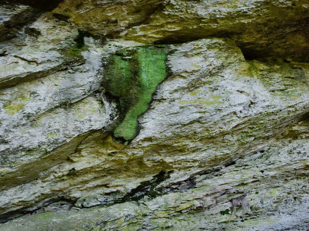
Name: Trail to the cave Oporovina – Lovranska Draga.
Place: Oraj – (Lovranska Draga),
Coordinates: Start 45.27661 N – 14,25958 E., end 45.27543 N . 14.26007 E.
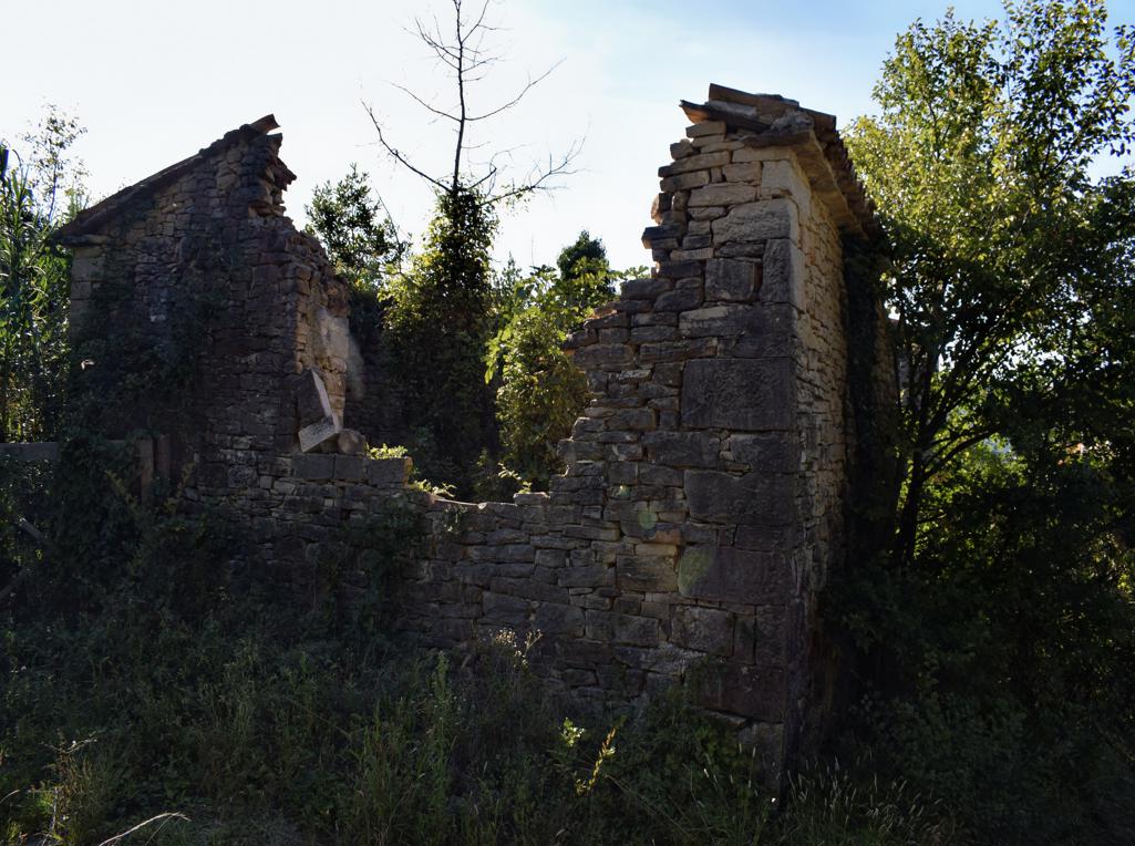
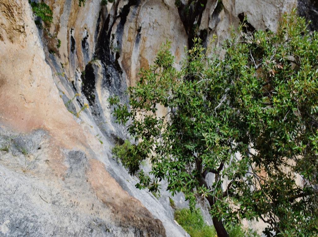
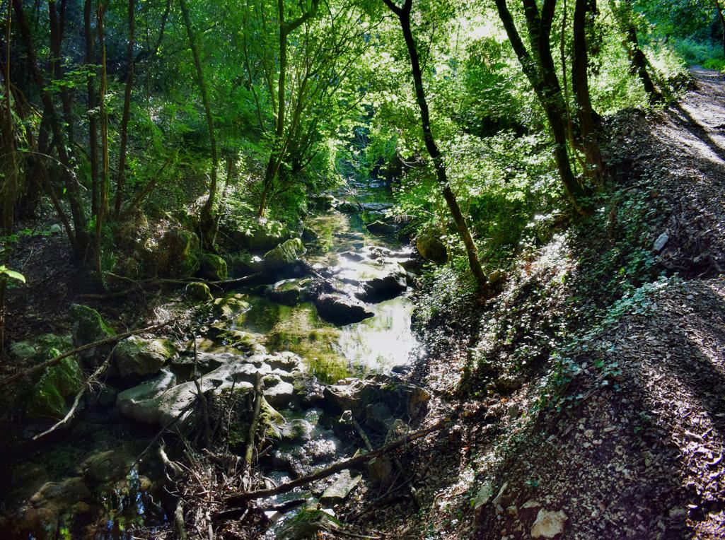
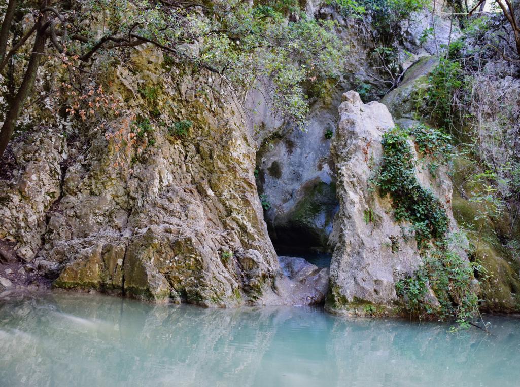
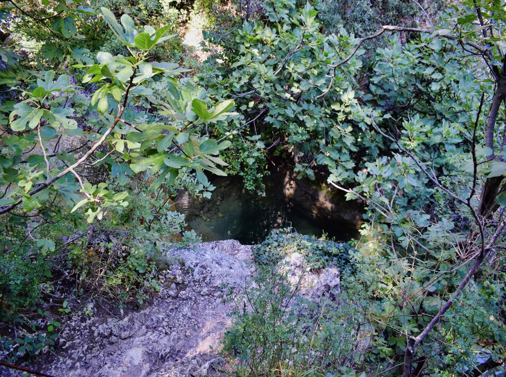
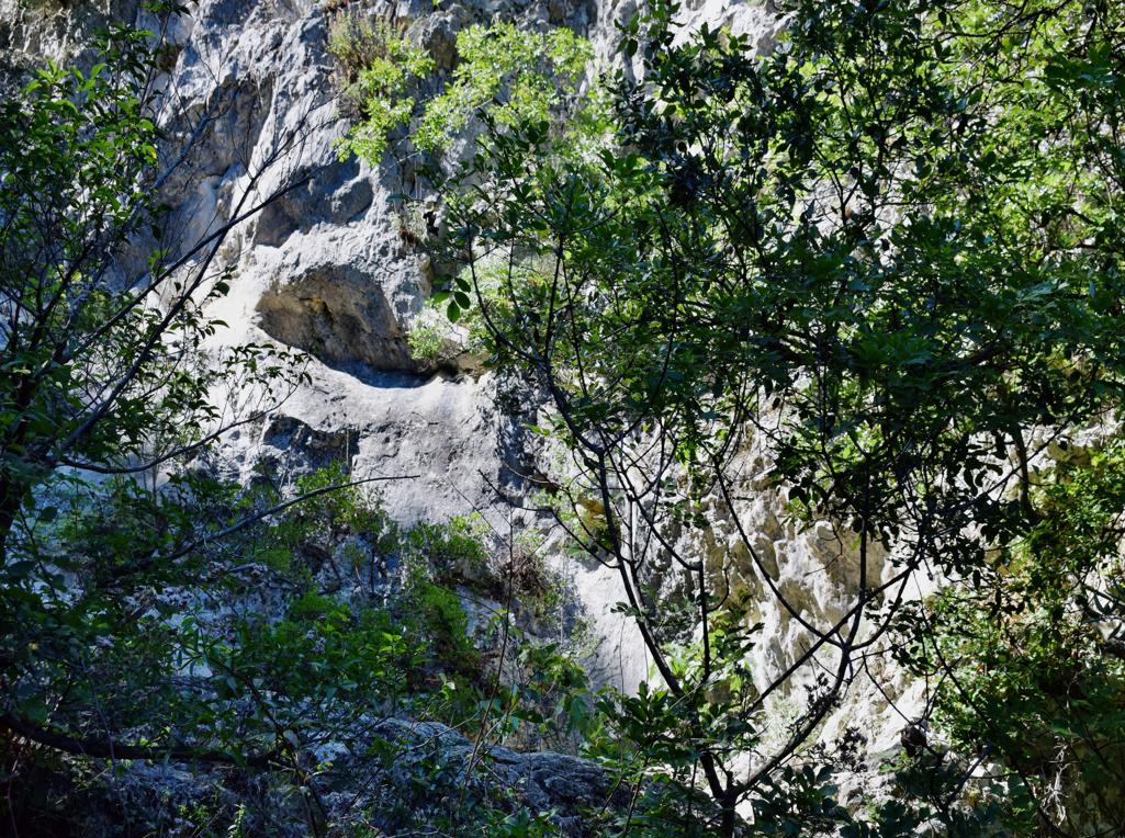
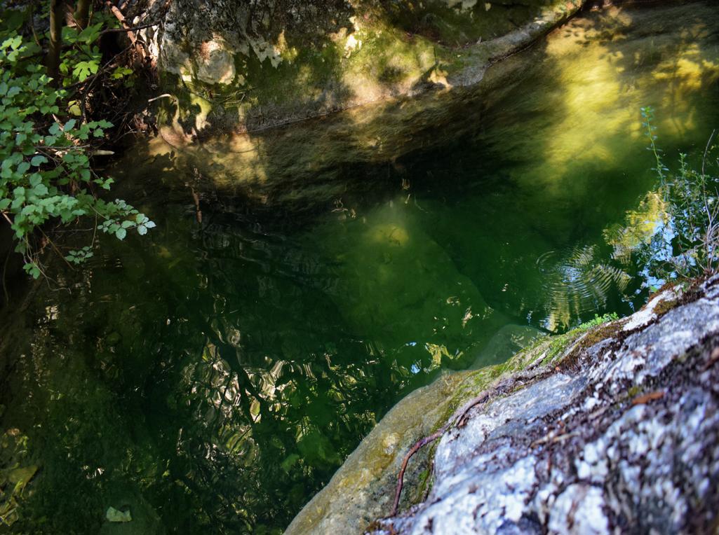
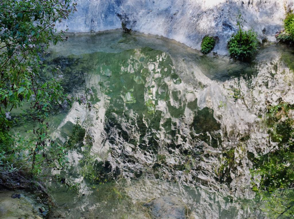
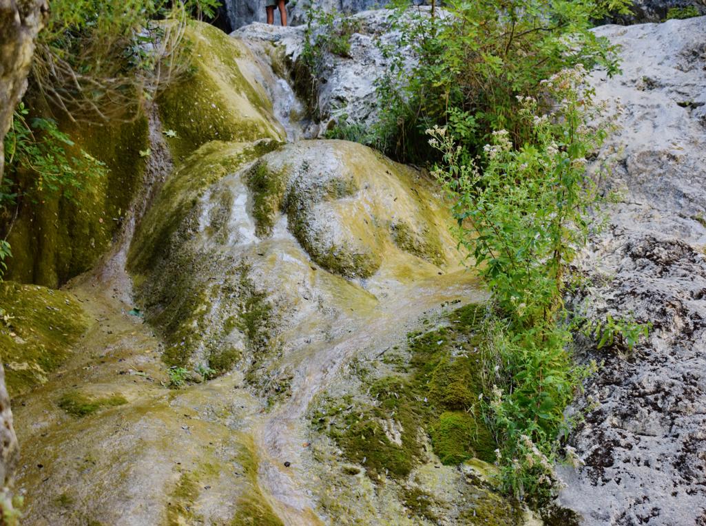
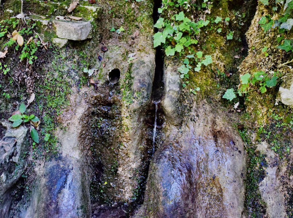
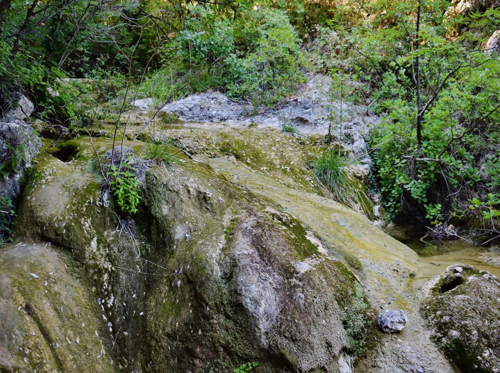
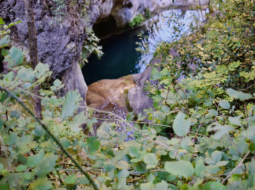
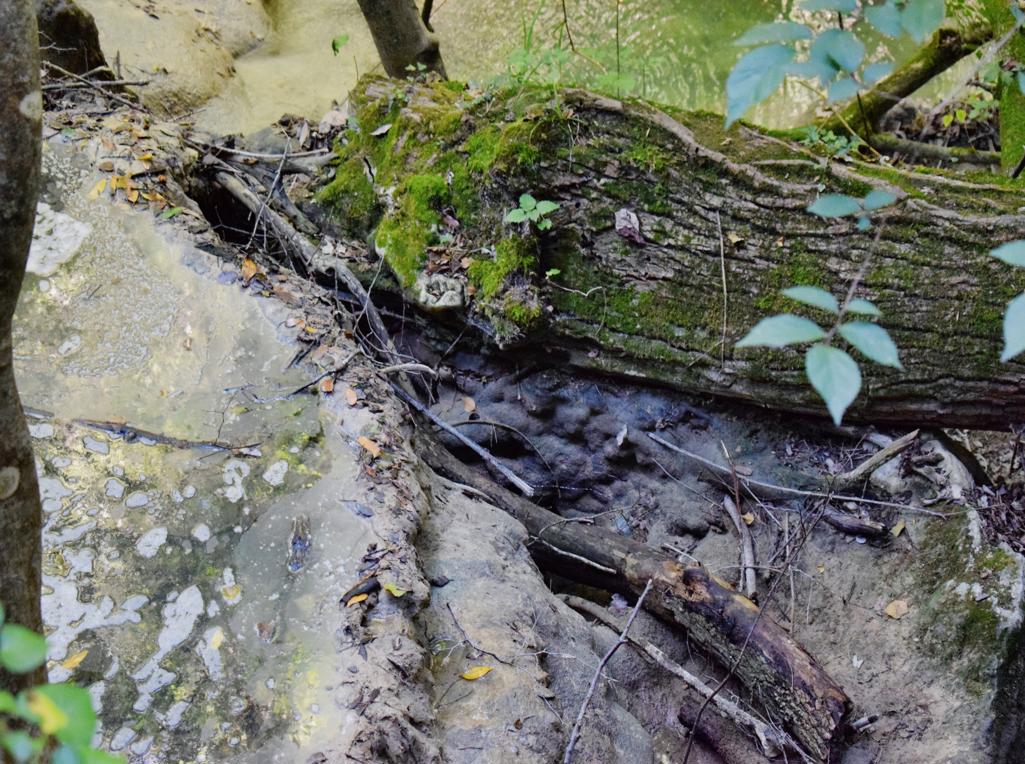
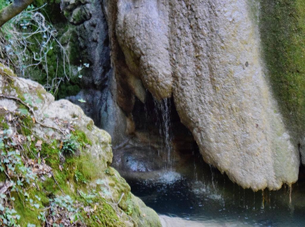
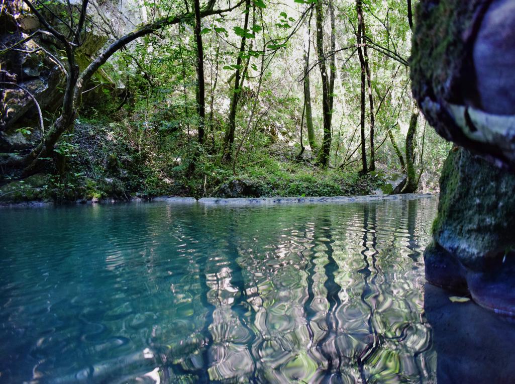
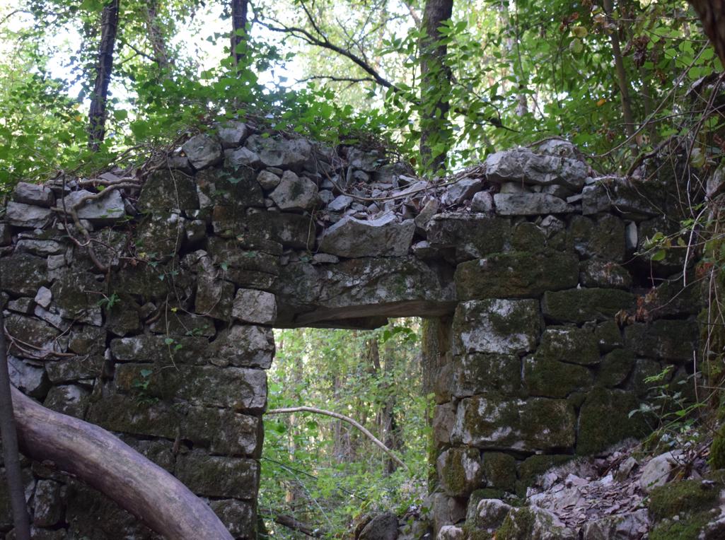
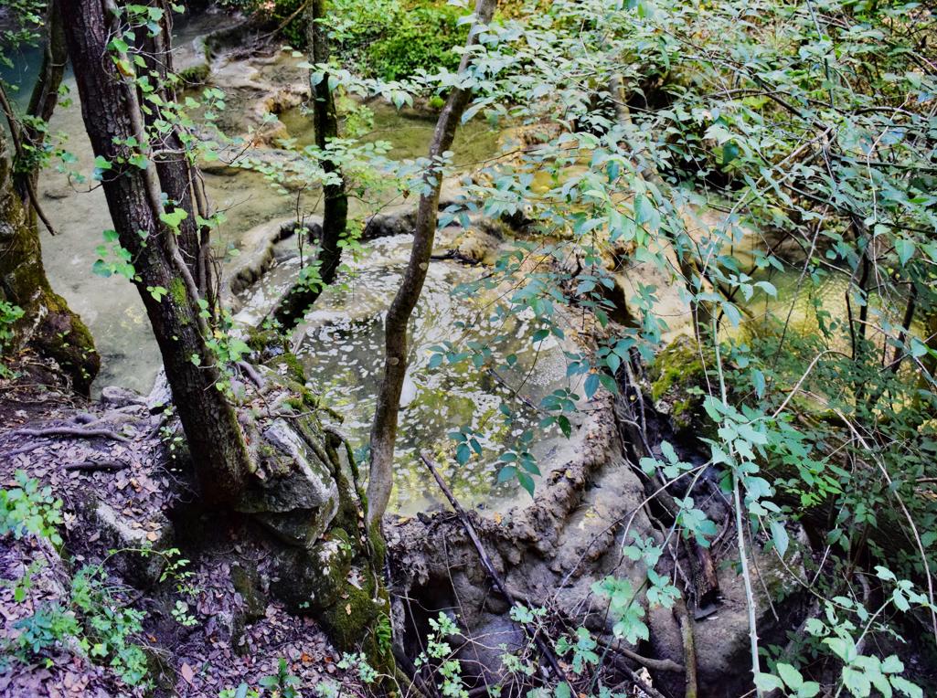
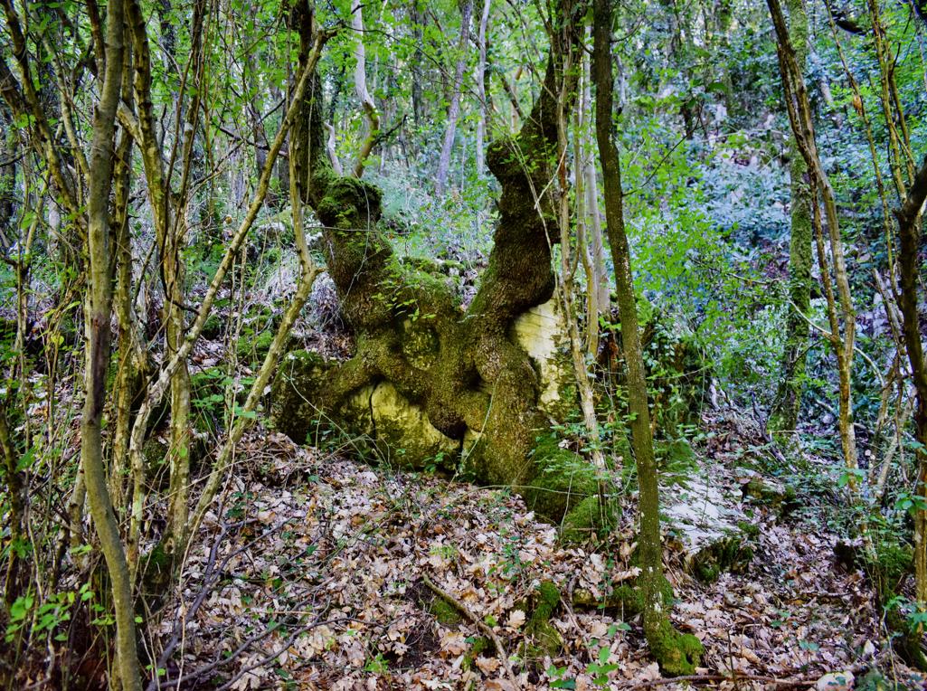
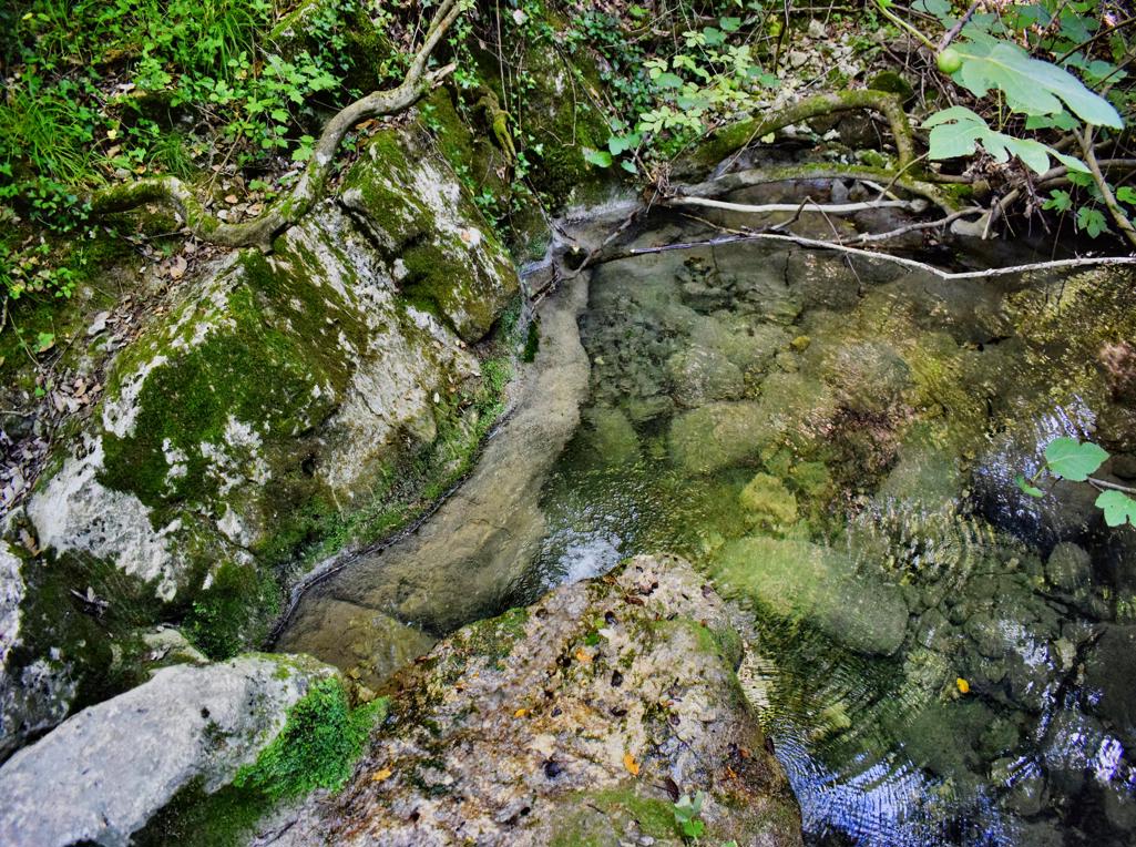
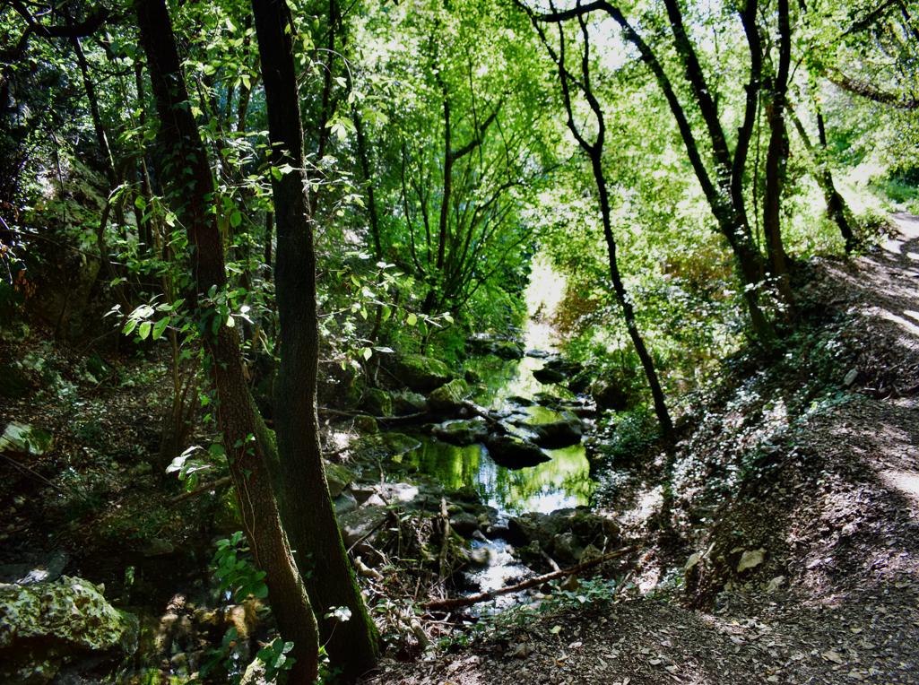
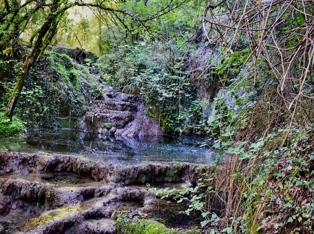
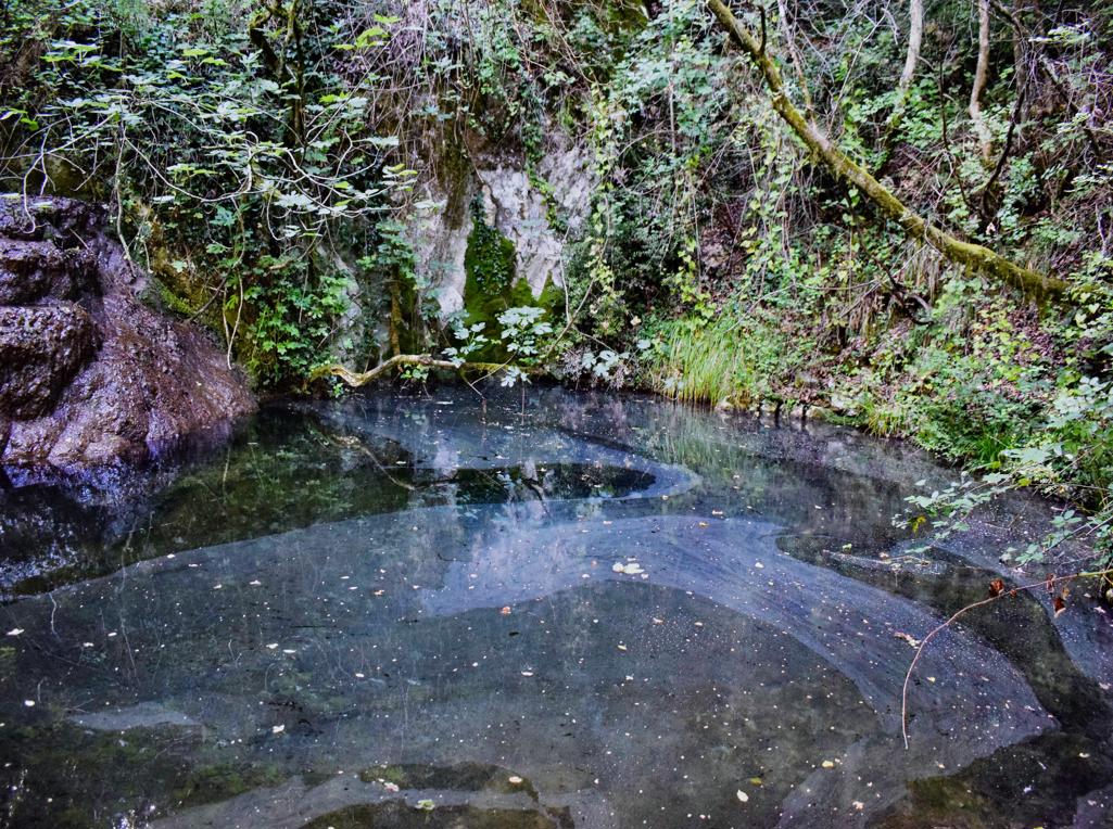
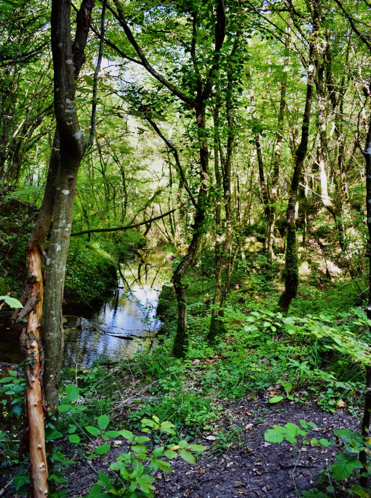
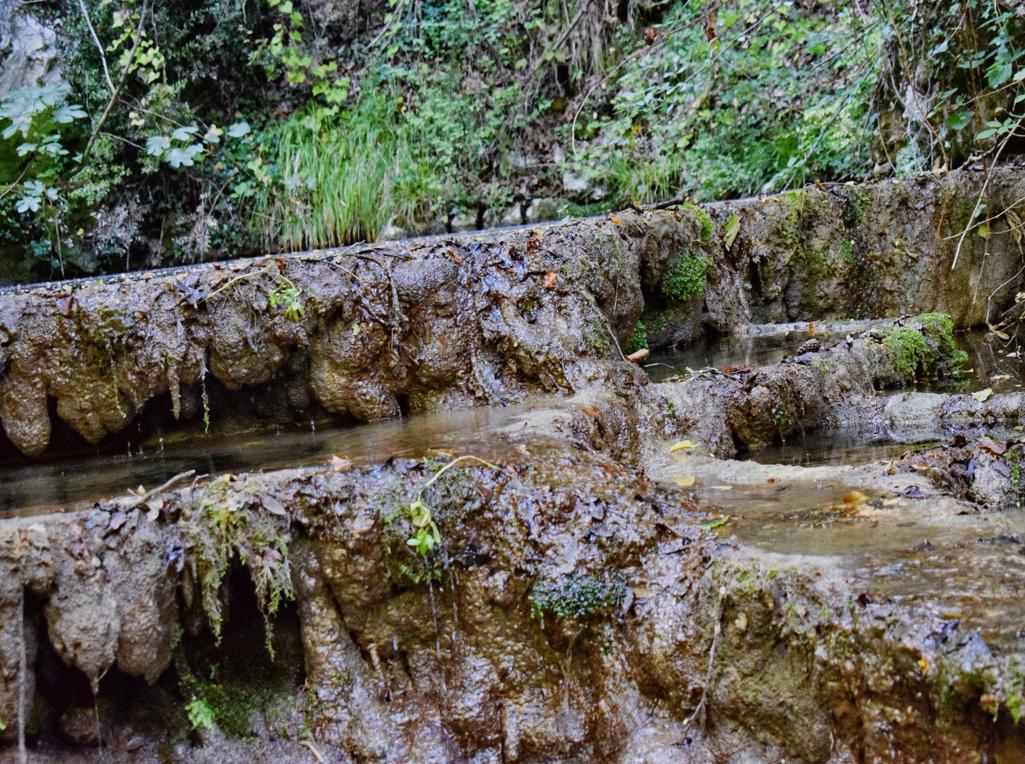
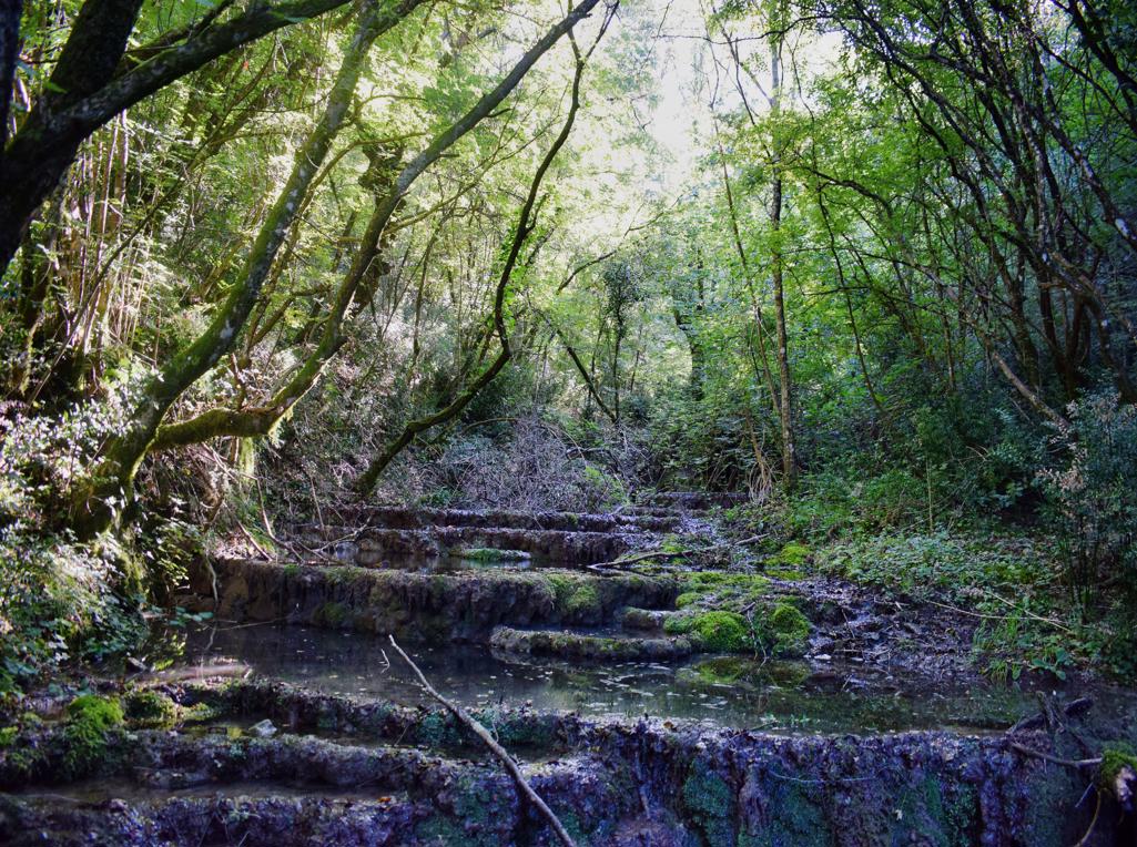
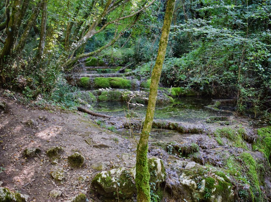
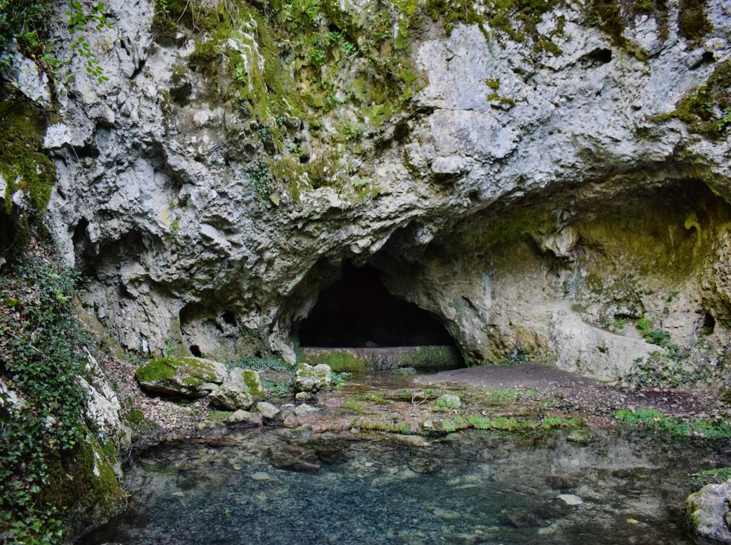
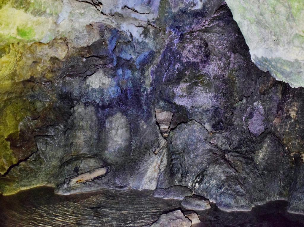
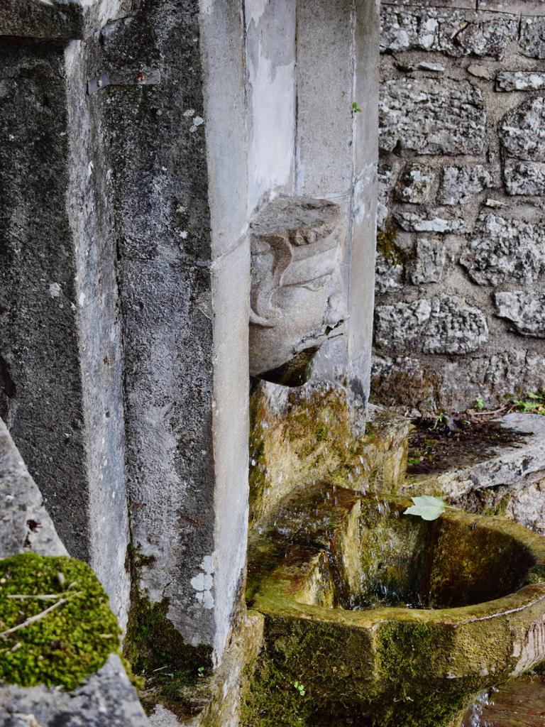
“The Goddess of Sendon” was a patron saint of travelers. The trail partly along the stream Pecina has several waterfalls, ruins of water mills and water springs. The name of the cave with a water source is called the Nigri. The church along the path is St. Hidran from the 12th/13th century.

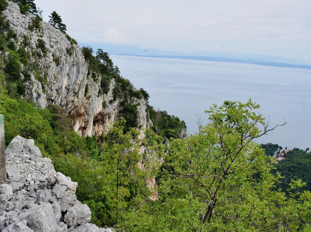
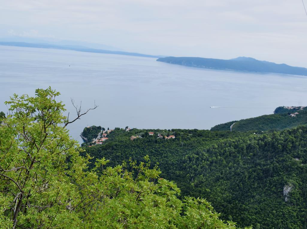
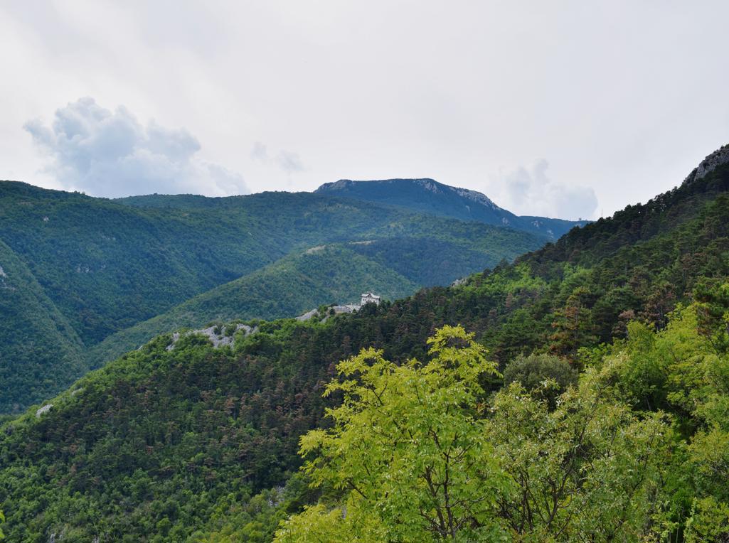
Name: Trail of Goddess Sedon from Rabac to Labin.
Place: Rabac – Labin.
Coordinates: Start trail 45.08126 N – 14.14586 E.

Name; Hiking trail Vela Draga with the caves Pupičina and Vela Peč.
Place: Baričevići – (Lupoglav).
Coordinates: Start; 45.31590 N – 14.15146 E , Pupicina 45.31344 N – 14.15676 E, Veli Peč 45.31268 N – 14.15691 E, Water source Joseh II 45. 30594 N – 14.19529 E.
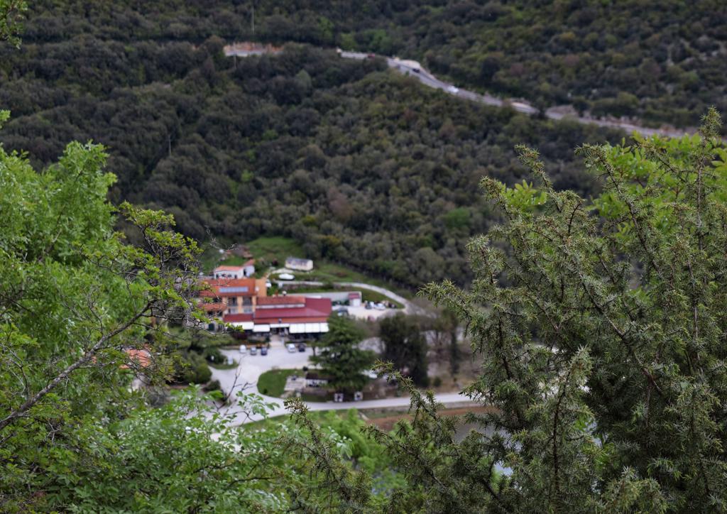
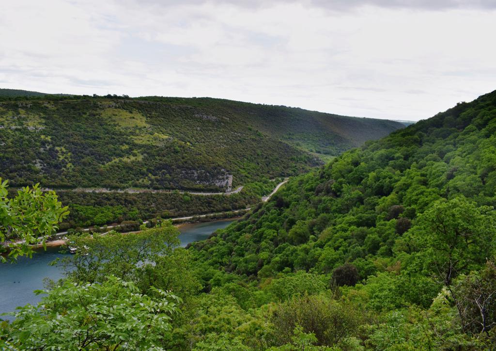
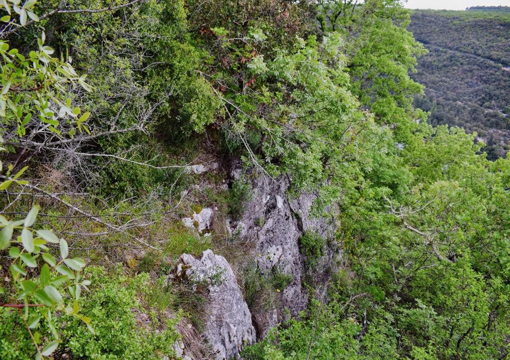
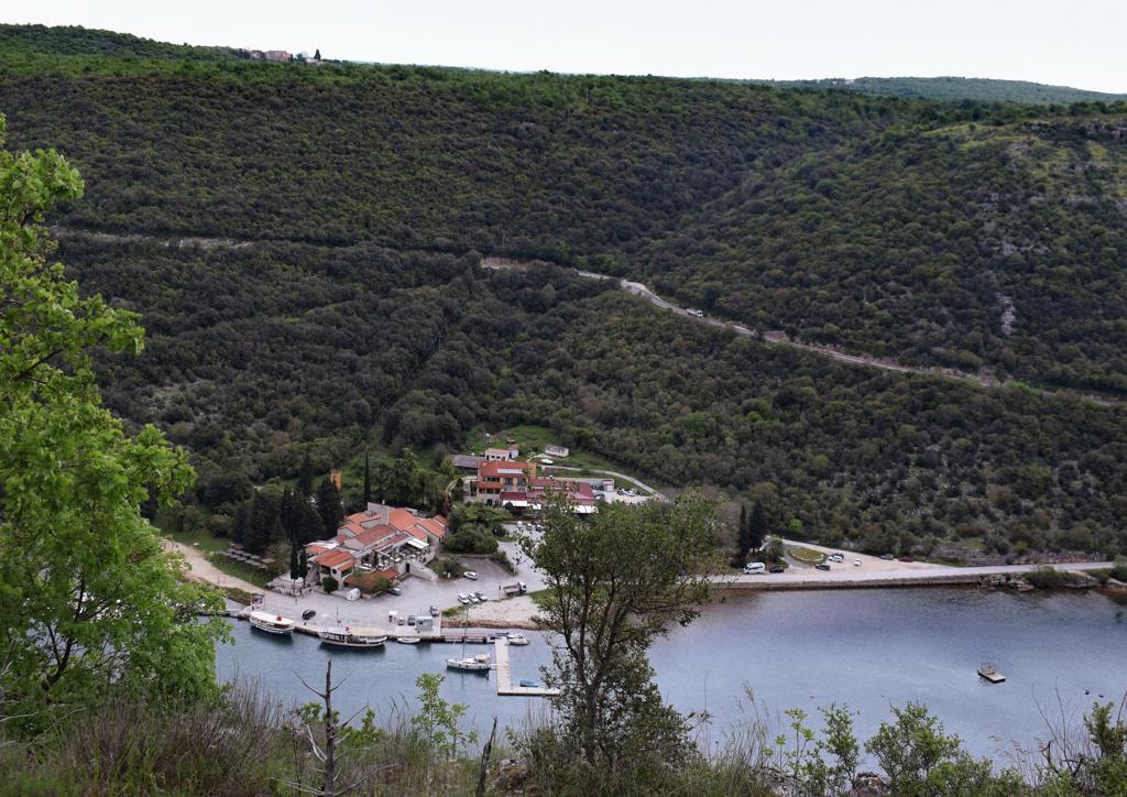
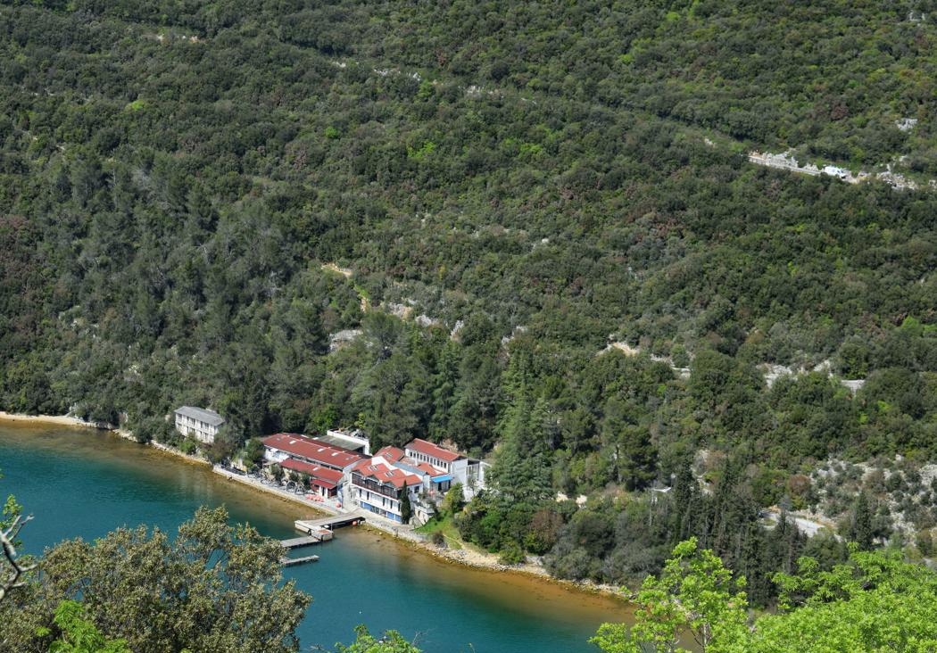
Name: Cave Dvojna near Limski canal.
Place: Bubani – Kanfanar.
Coordinates: Start trail 45.12664 N – 13.73302 E, cave 45.12884 N – 13.73222 E.
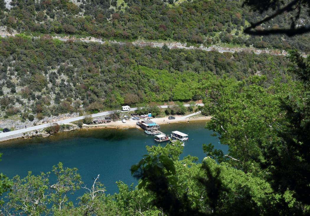
Hiking trail from the village Bubani, via a puddle to the cave Golubinka, down to the Limski canal and from there to the top of the hill.
Name: Bubani – cave Golubinka – Limski Kanal.
Place: Bubani – (Kanfanar – Rovinj).
Coodinates: Bubani 45.119040 N 13.74534 E, puddle 45.12462 N – 13.73178 E, Golubinka 45.132034 N – 13.72819 E.
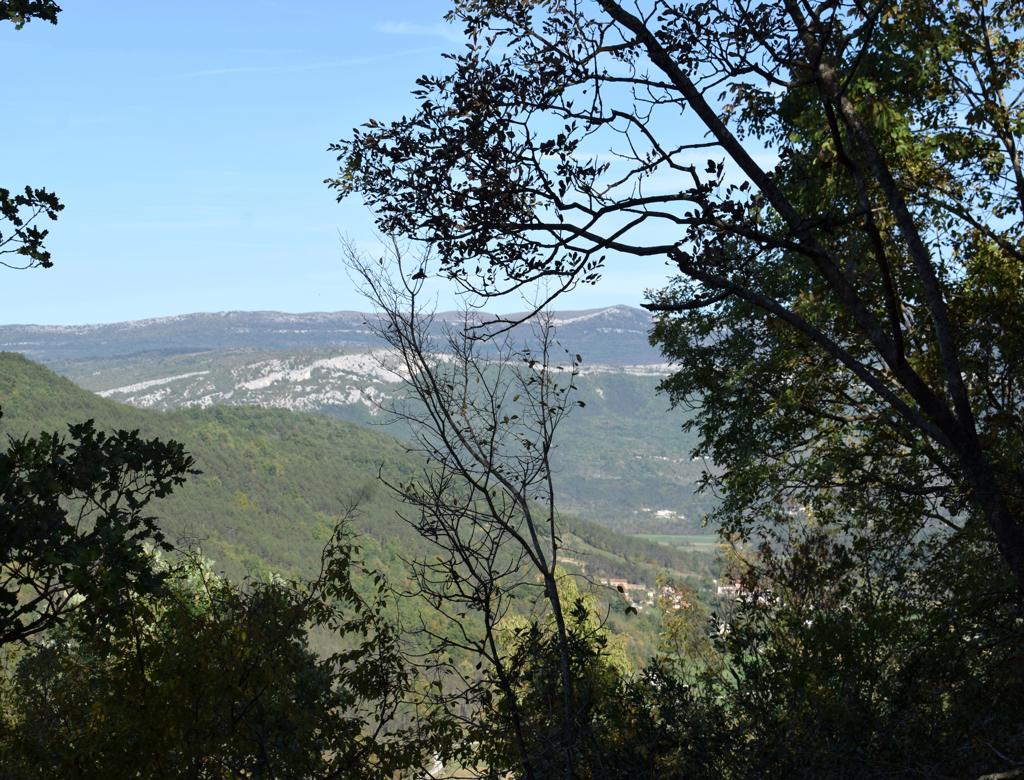
Name: Turtles Rock.
Place: Sočerga – (Koper),
Coordinates: 45.46116 N – 13.91133 E, 378 meters.
ers.
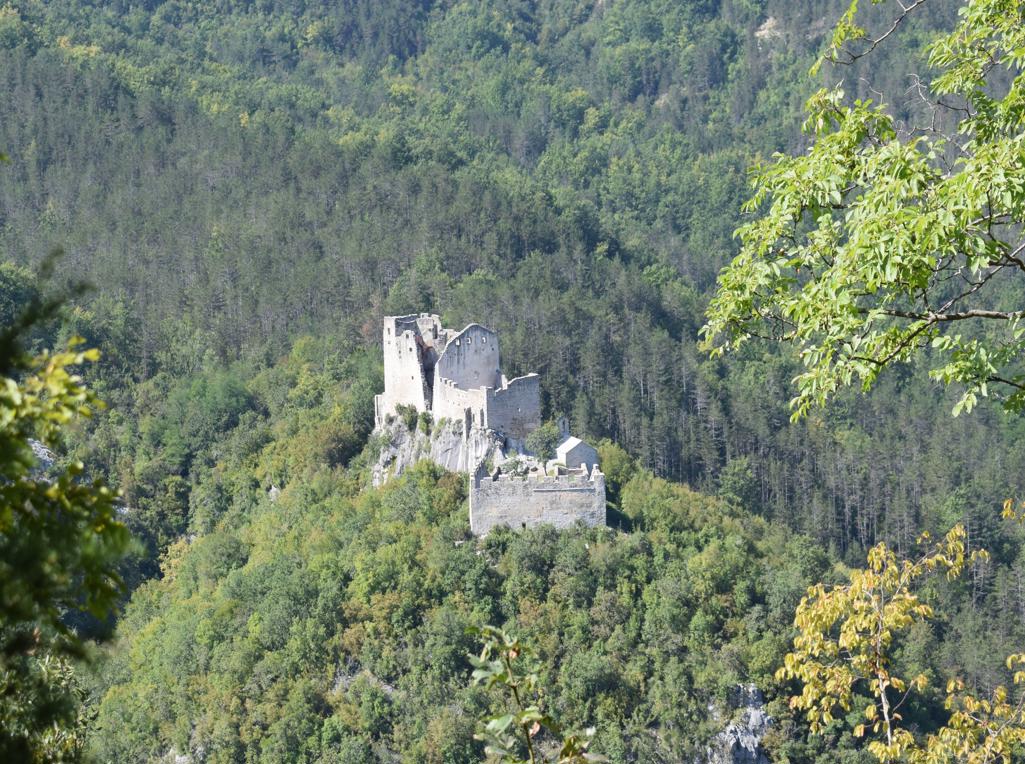
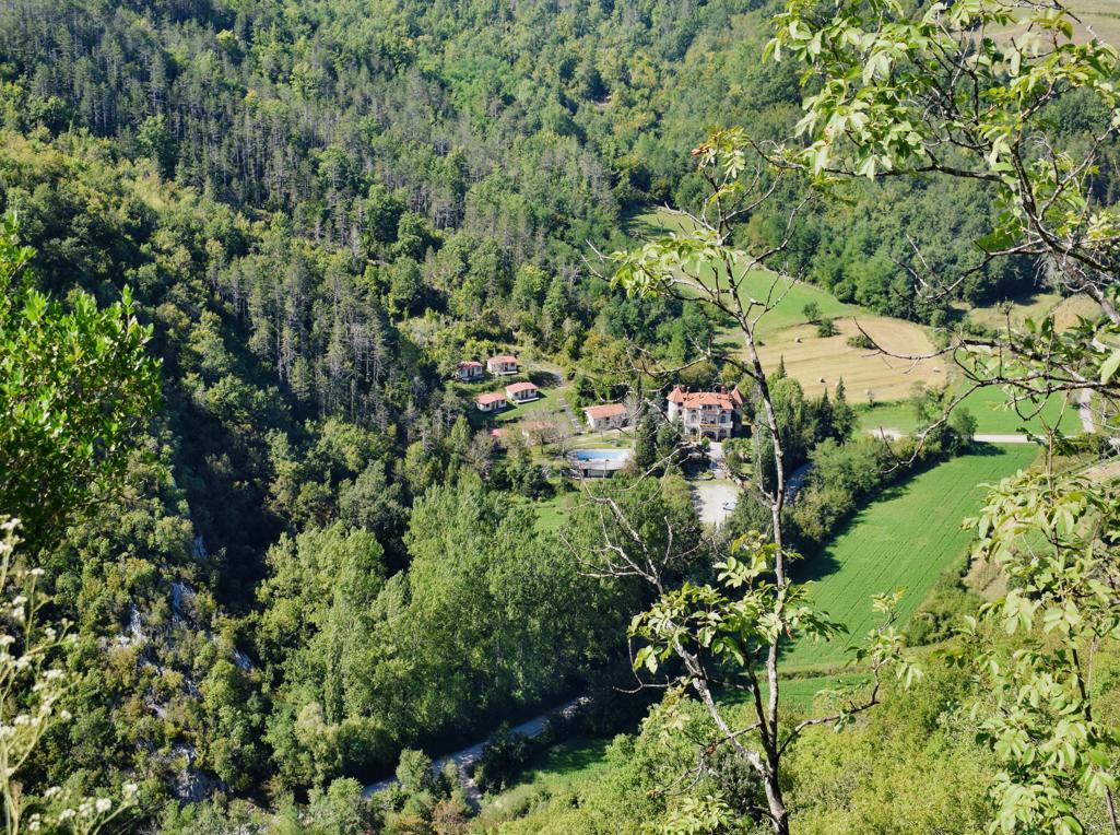
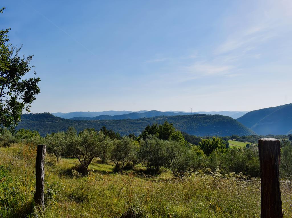
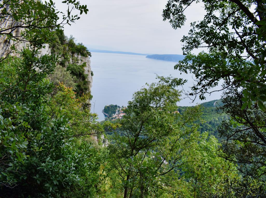
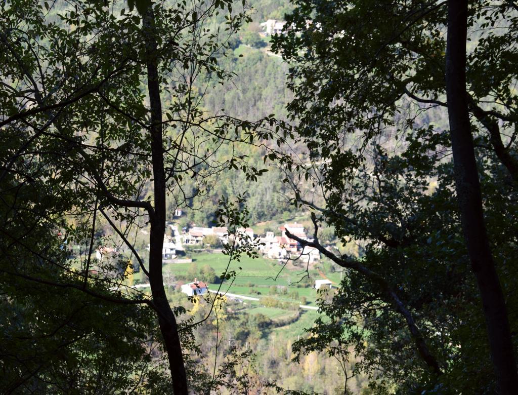
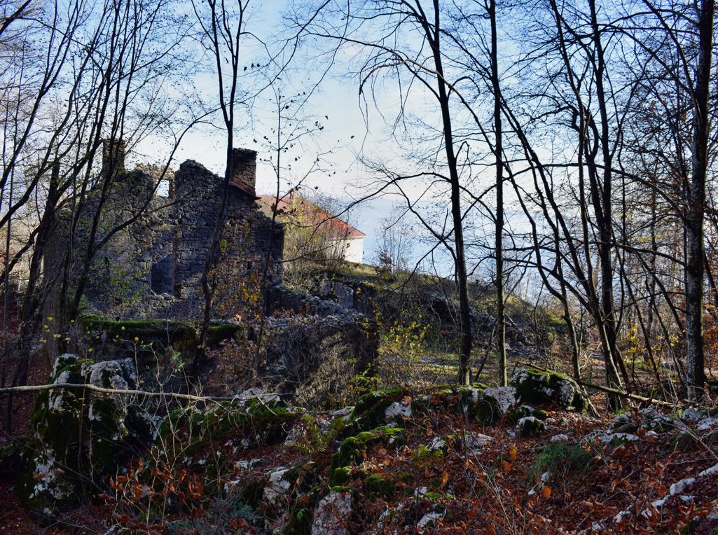
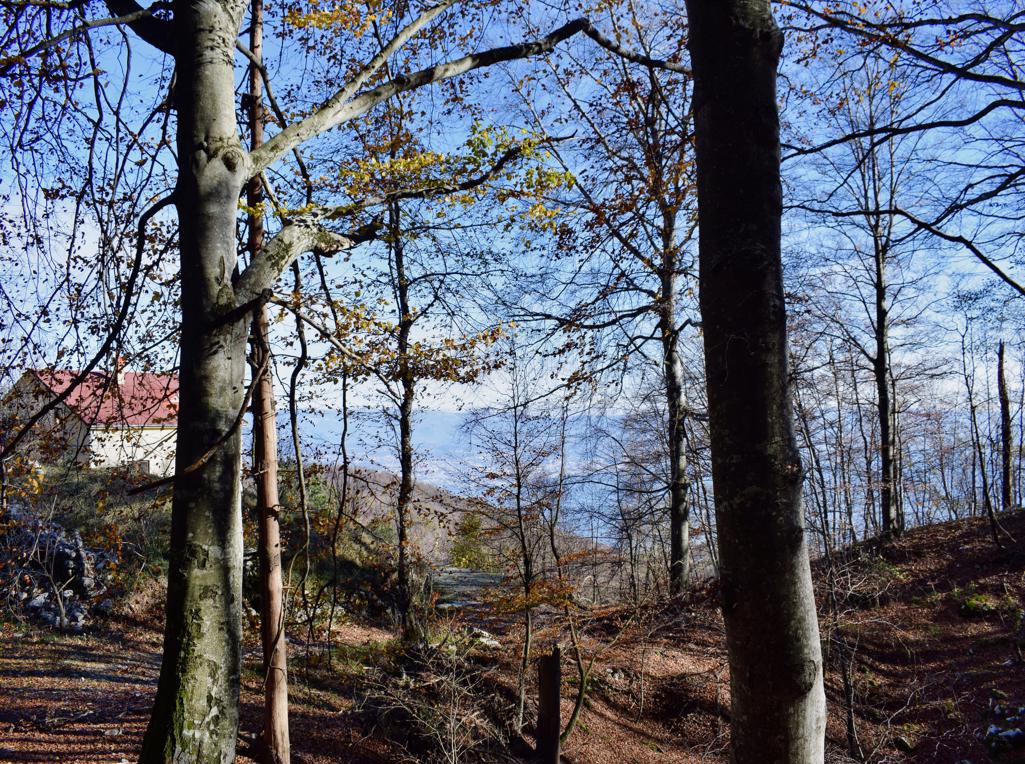
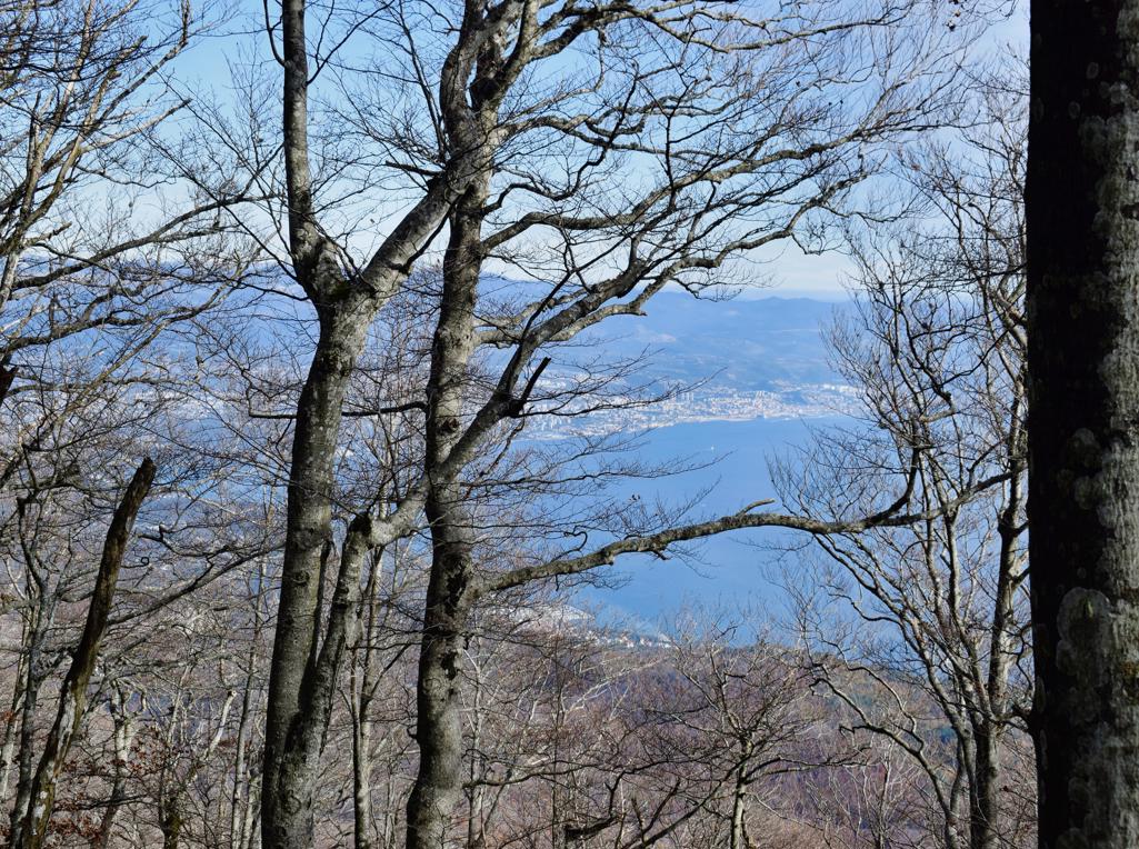
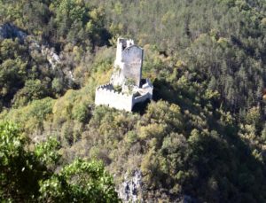
Views to the castle Petra Peloza and the villages Opatija, Zonti and Kastelani.
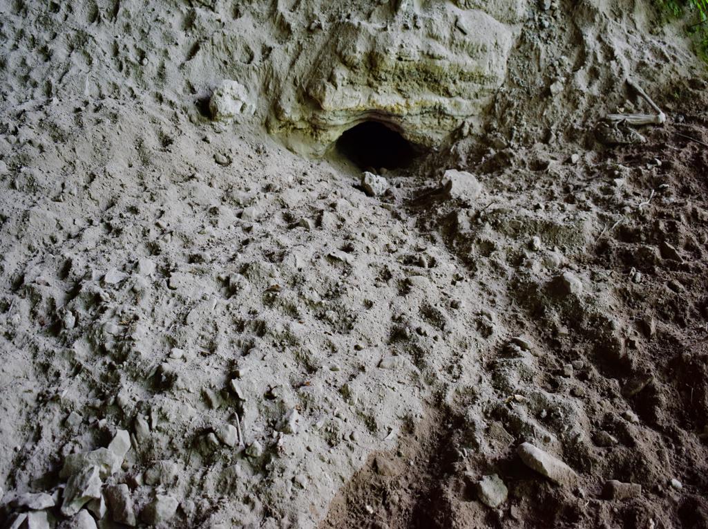
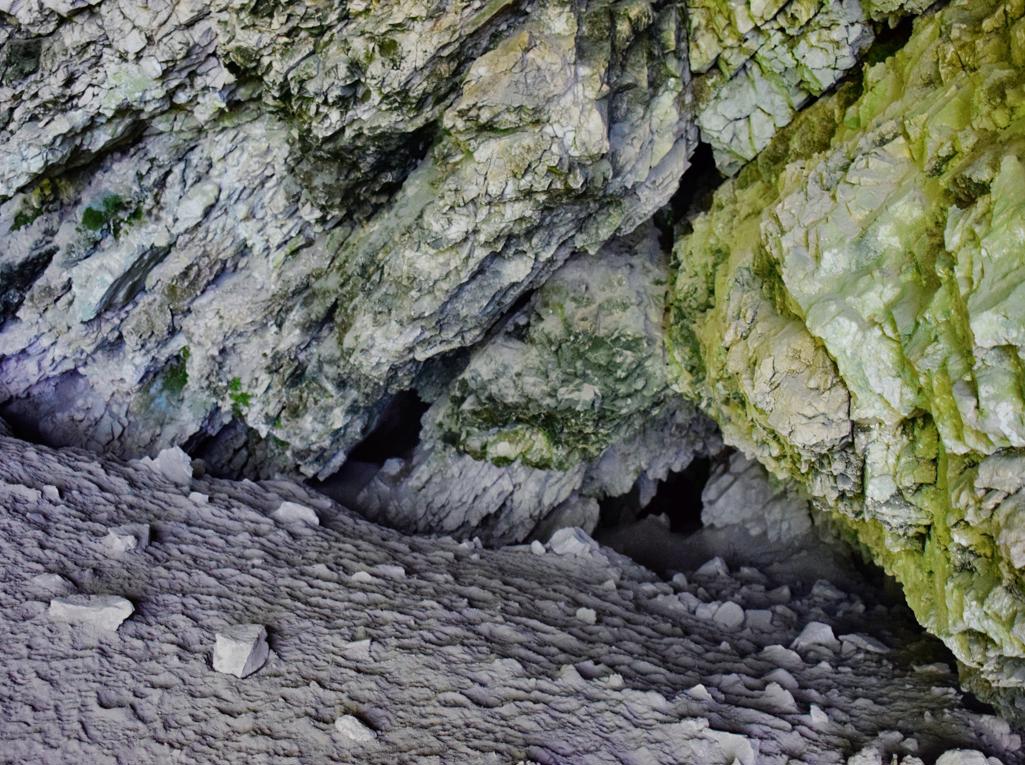
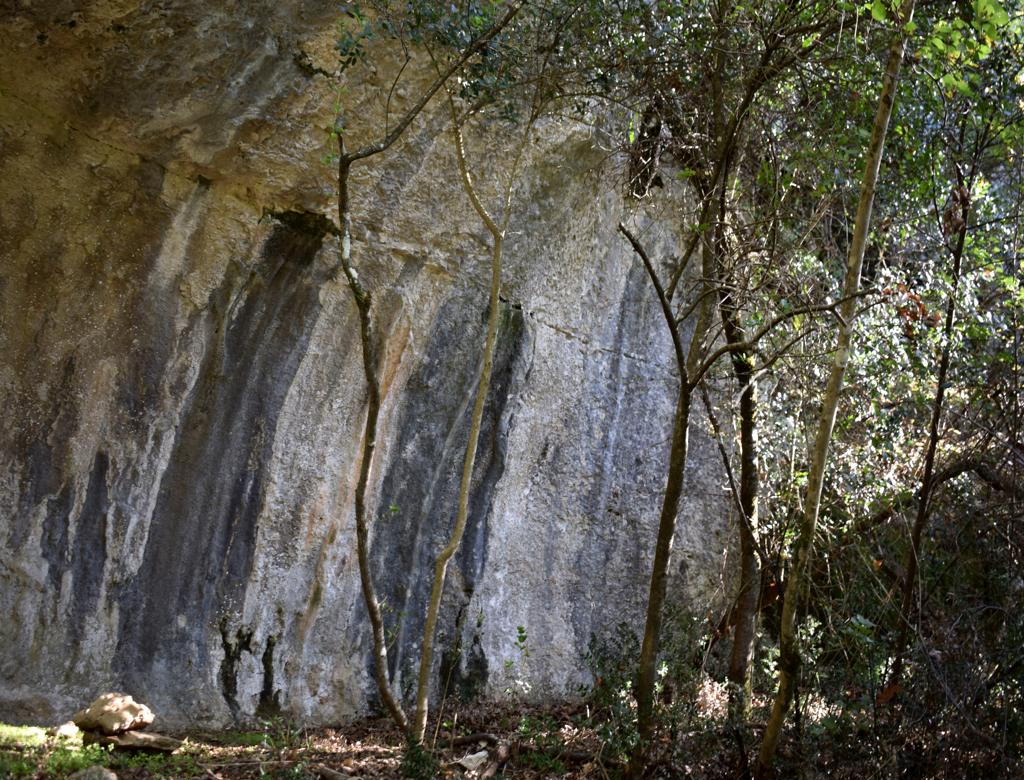
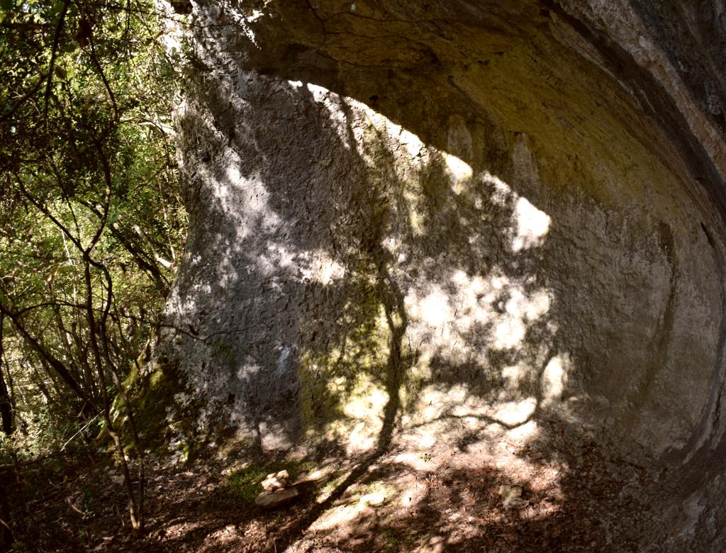
Name: Hiking trail from Mali Mlun to a small and big cave on the hill Zelena trava.
Place: Mali Mlun – (Buzet).
Coordinates: Start Mali Mlun 45.40112 N – 13.90691 E, mali cave 45.40493 N -13.90473 E, big cave 45.40419 N – 13.90436 E.