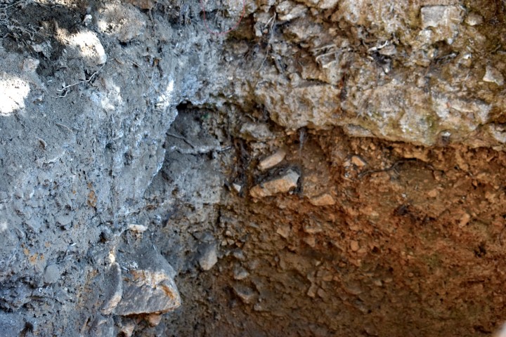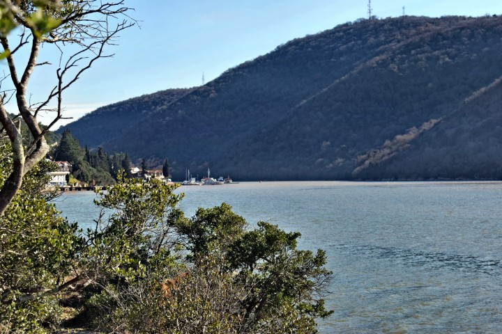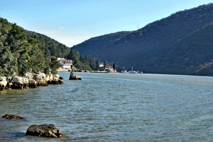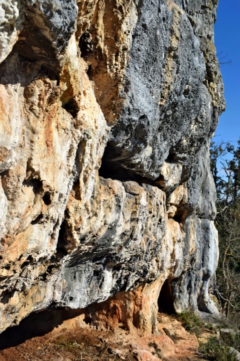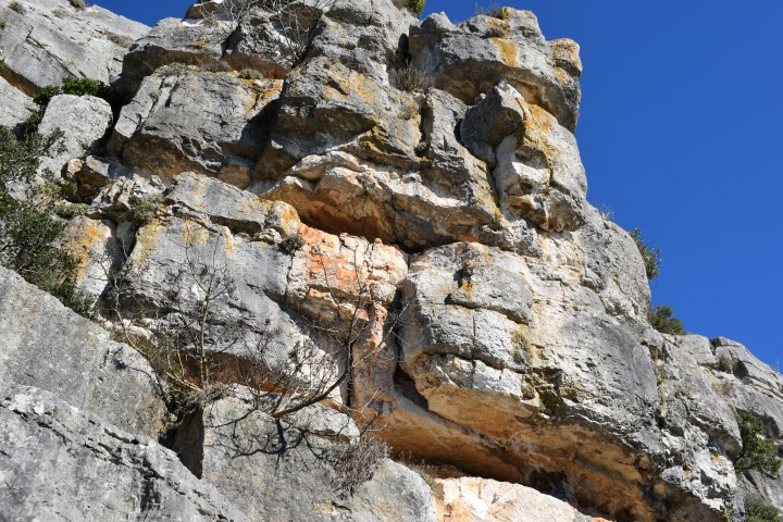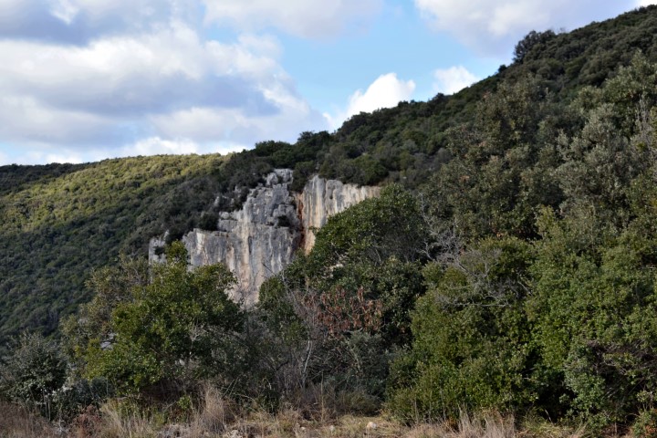

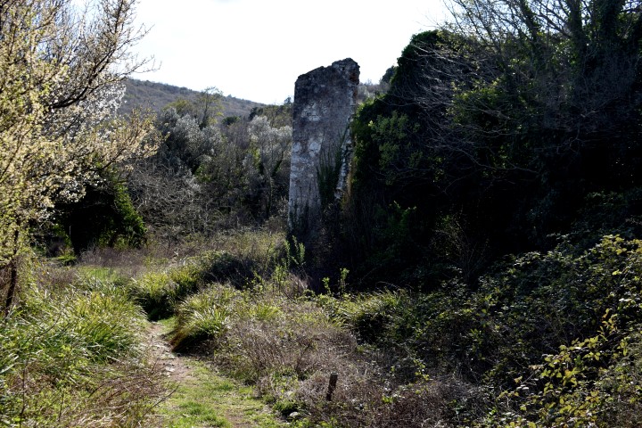
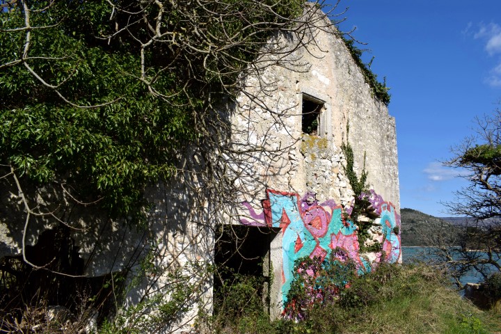

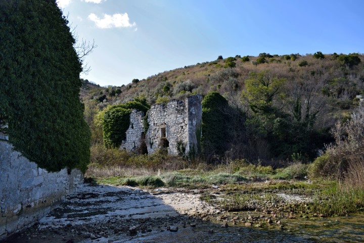


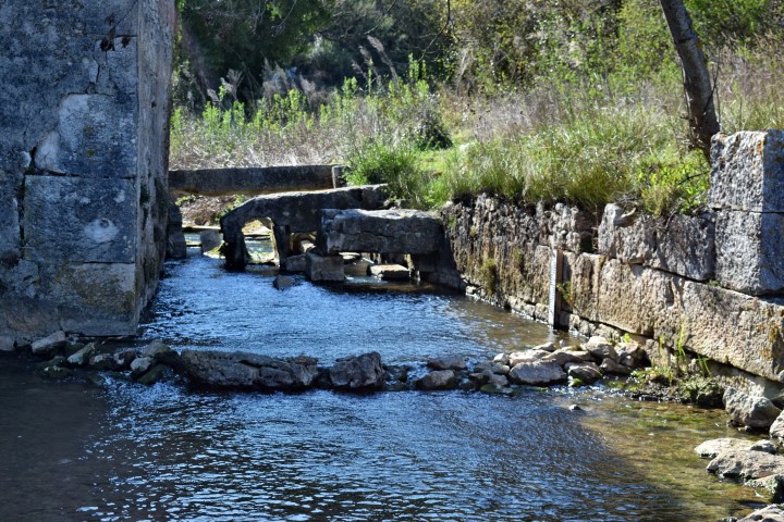


Name: Bay Blaz – Golf Raša.
Place: Marćana.
Coordinates: 45.00061 N – 14.03706 E.
Archaeological research: 4500038 N – 14-03921 E.
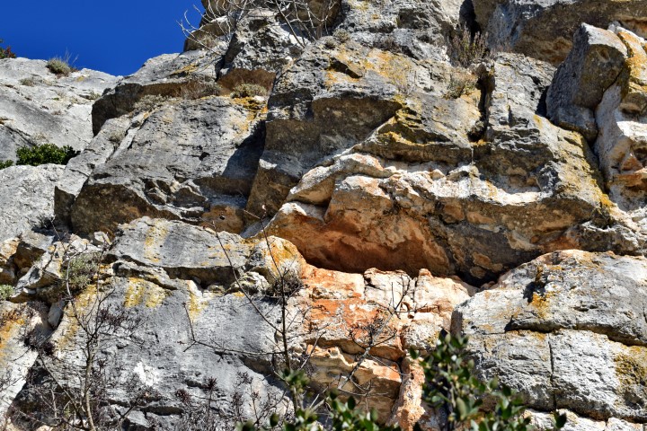
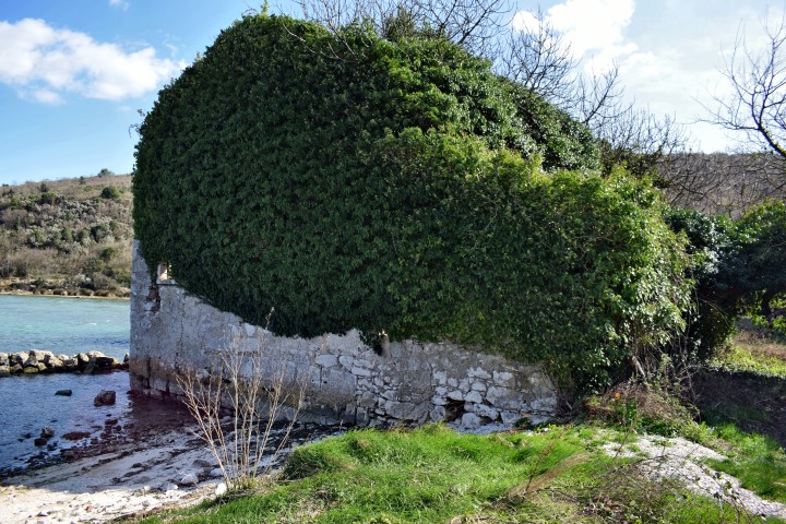
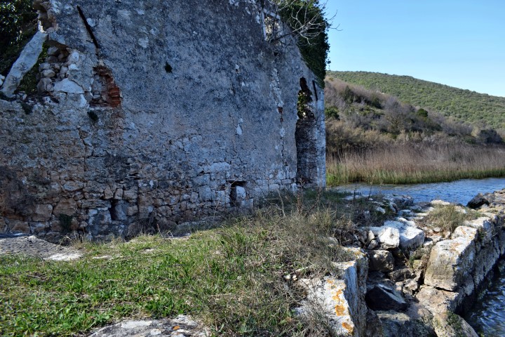
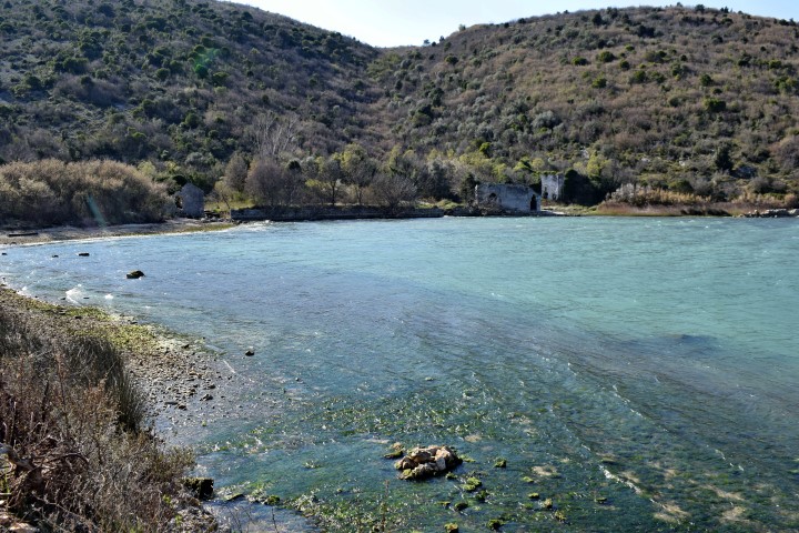
Name: Bay Blaz – Golf Raša.
Place: Marćana.
Coordinates: 45.00061 N – 14.03706 E.
Archaeological research: 4500038 N – 14-03921 E.
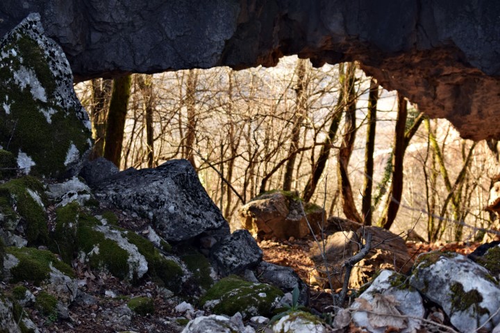
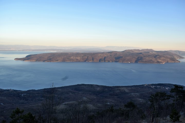
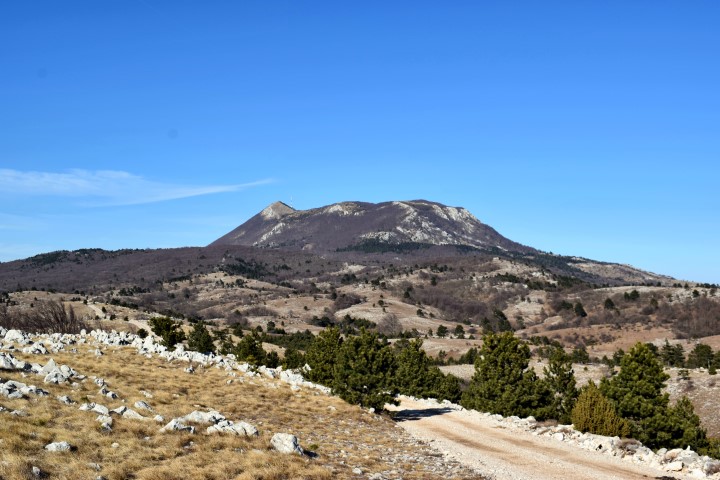
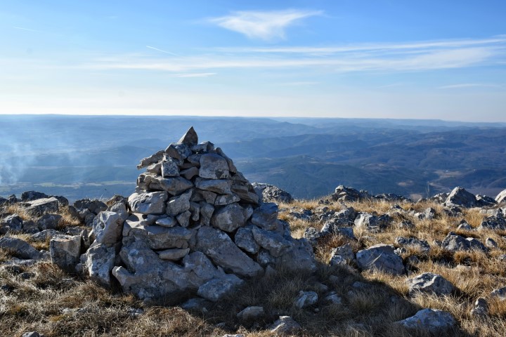
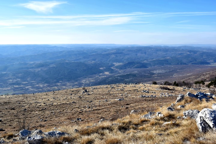
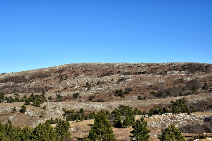
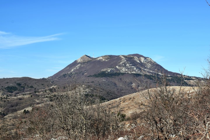
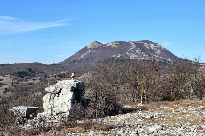
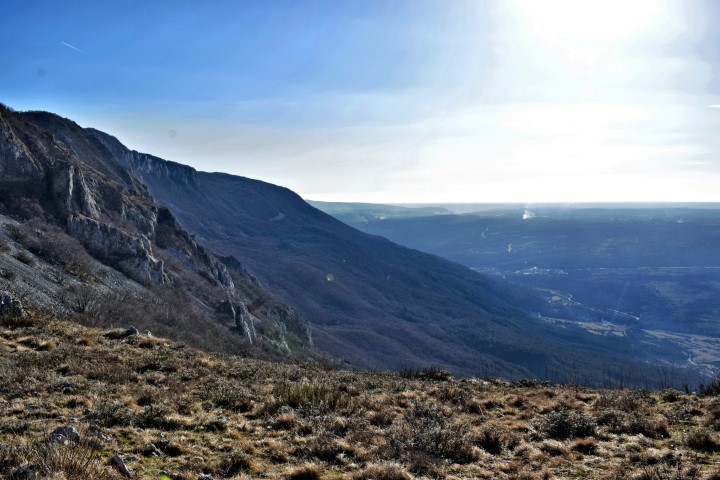
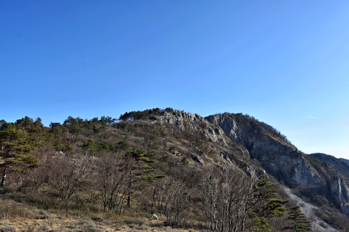
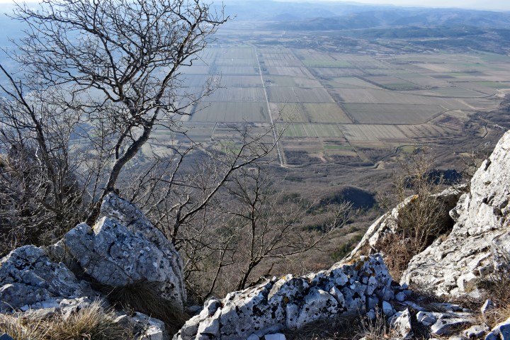
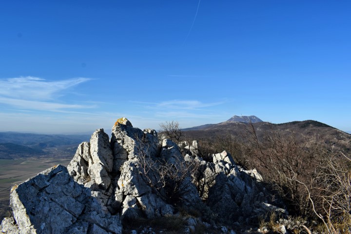
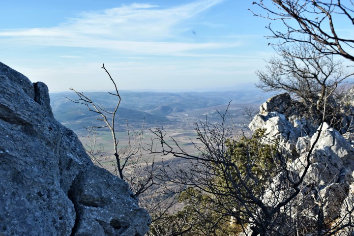
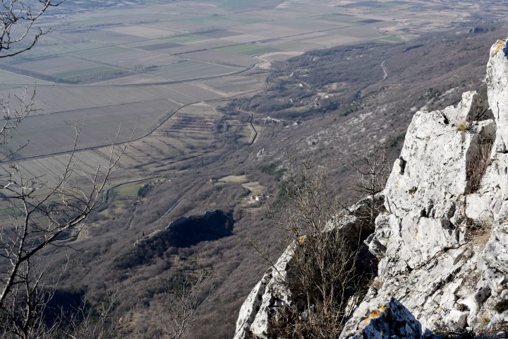
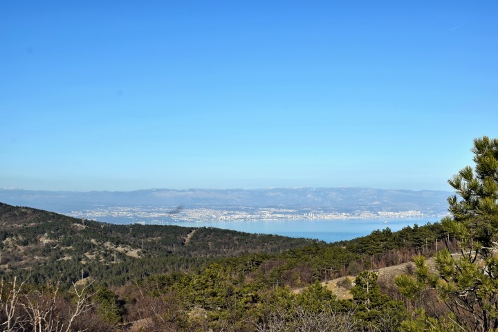
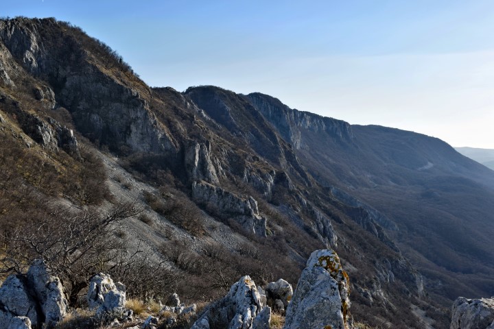
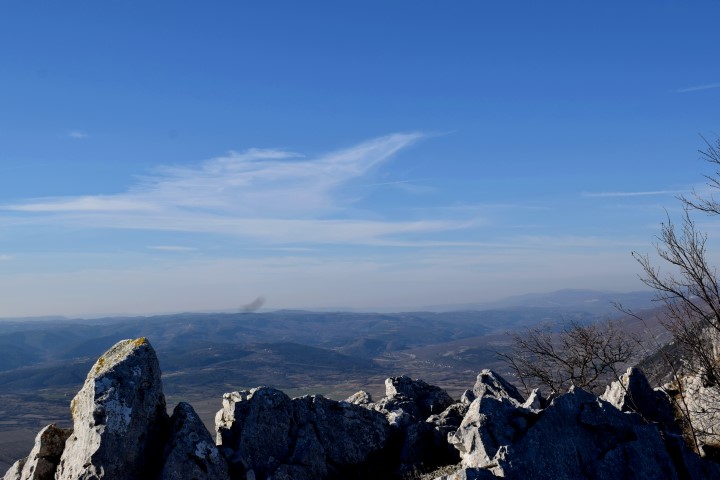
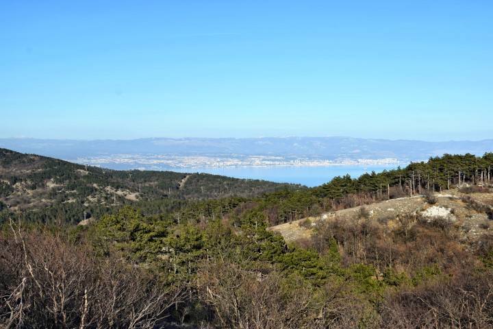
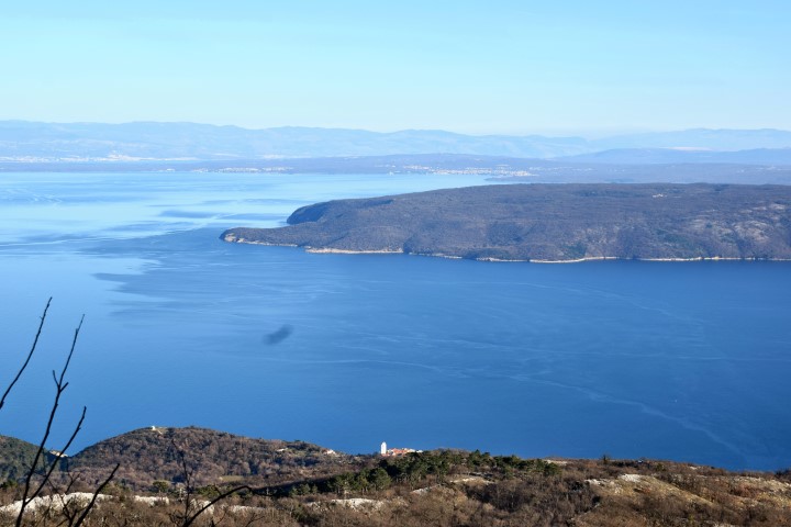
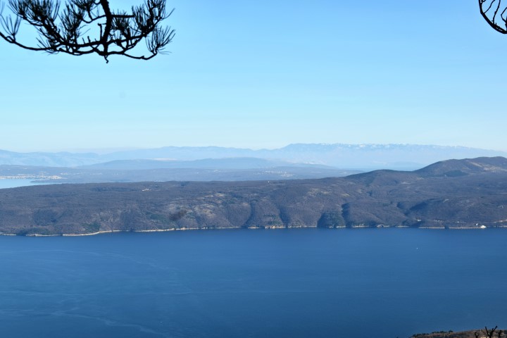
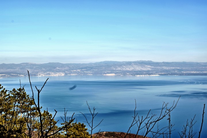
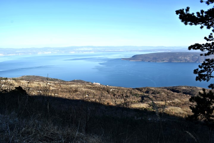
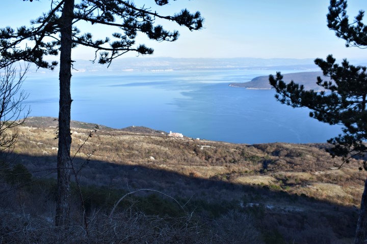
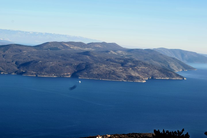
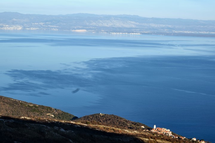
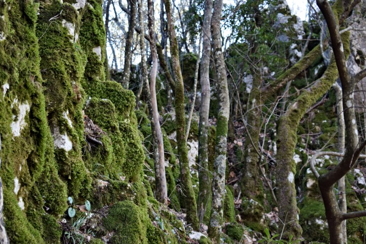
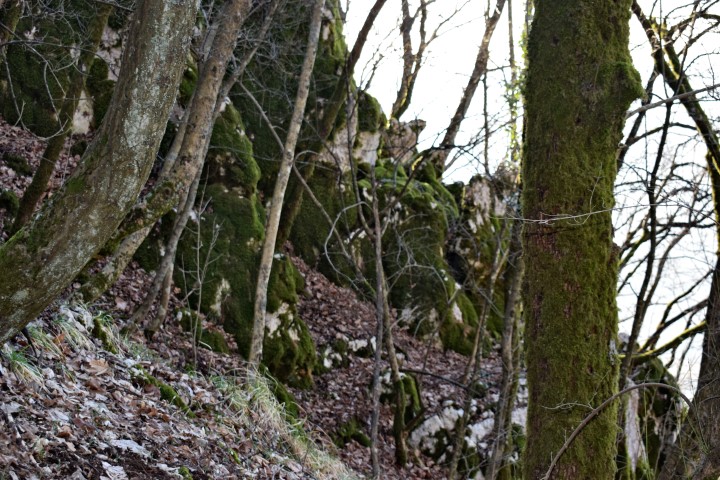
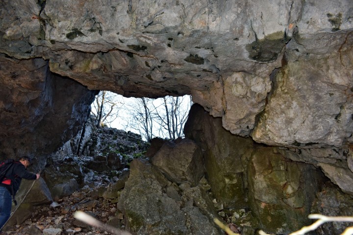
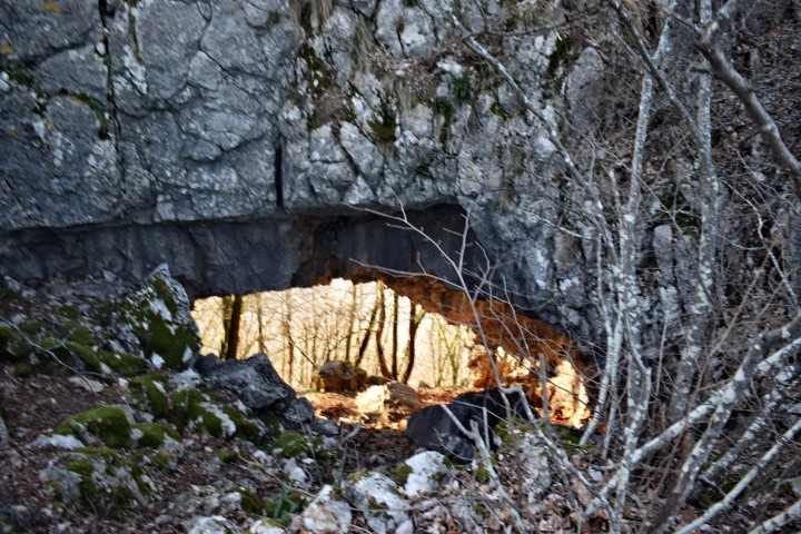
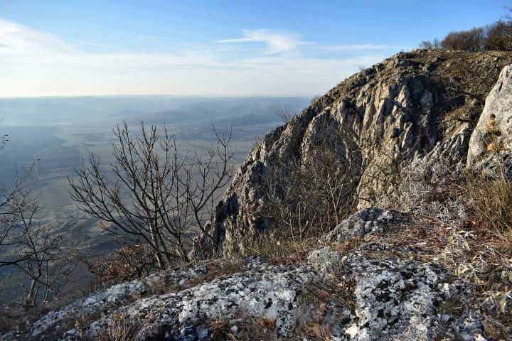
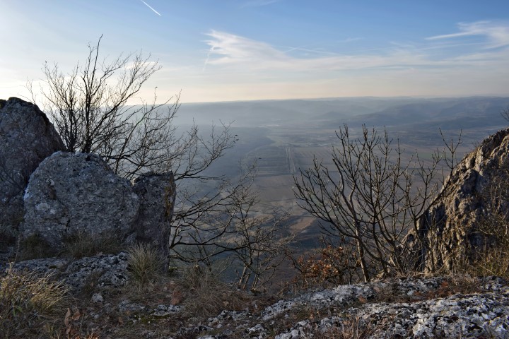
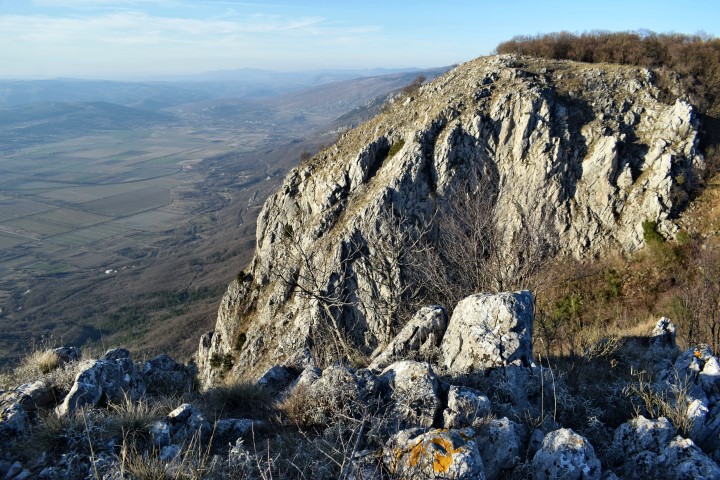
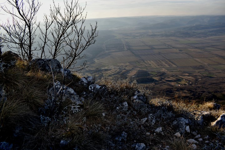
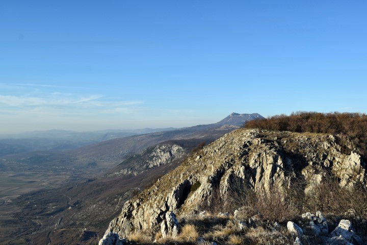
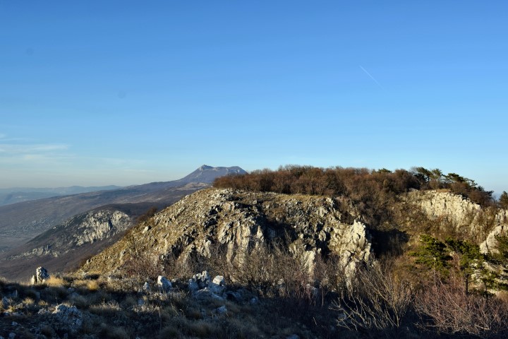
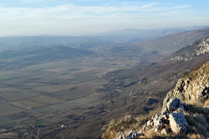
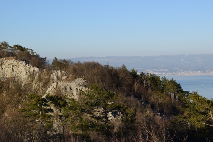
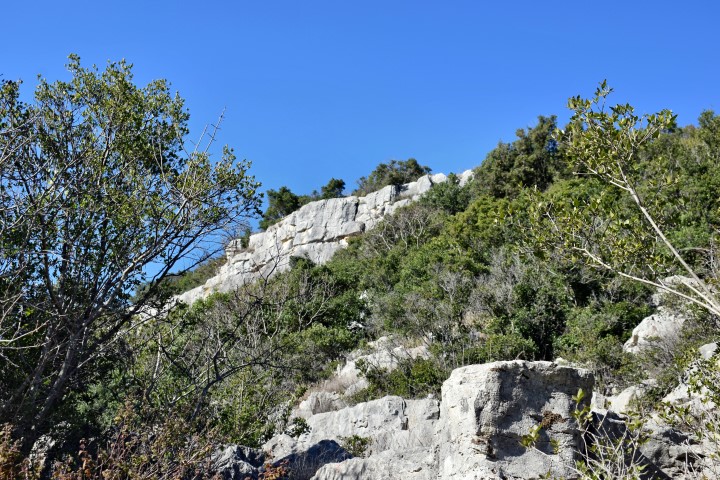
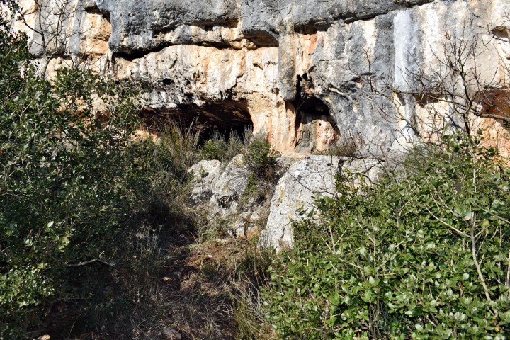
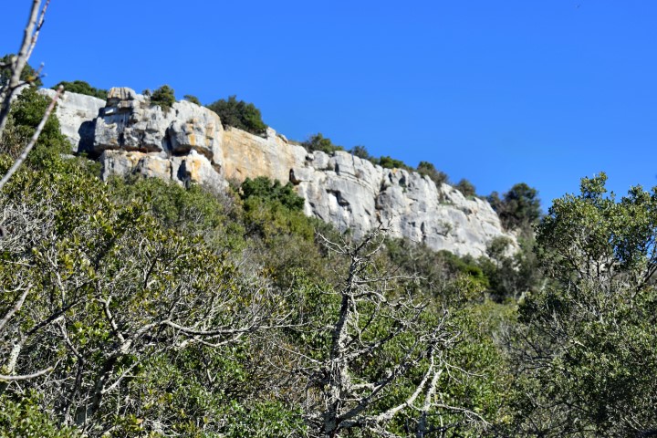
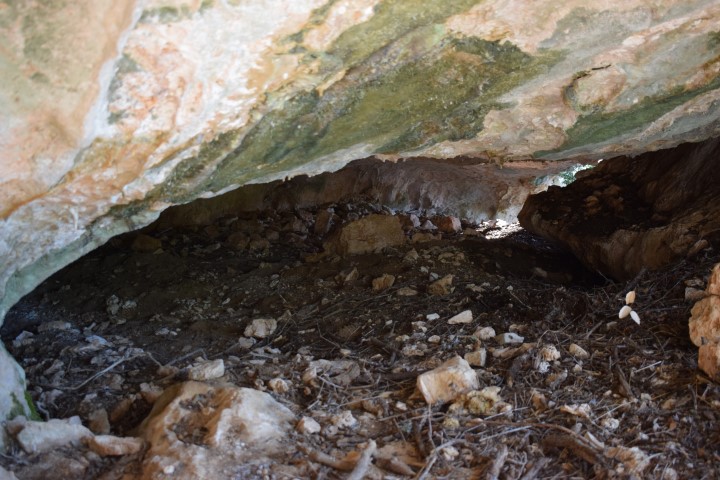
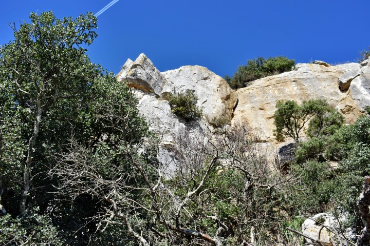
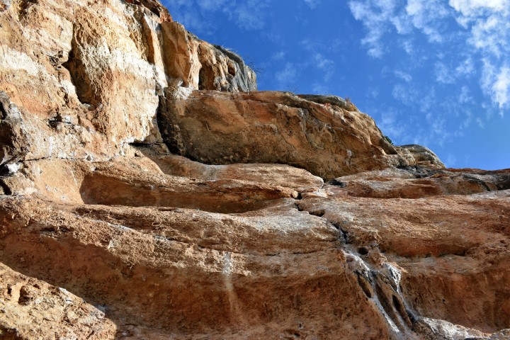
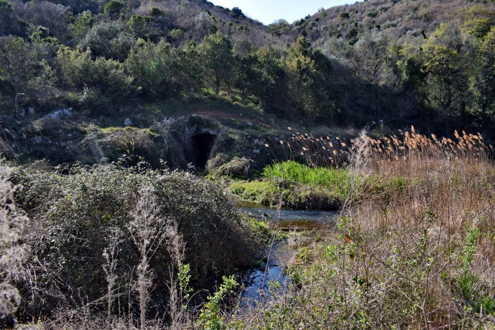
Name: Forest road from Mala Učka to Galovici and the hiking trail to the cave Provrtenica.
Place: Nature park Ucka.
Coordinates:
Viewpoint and flying site near the foot of the peak Brgud on the west slope of Učka;. Altitude 810 m. 45.24126 N – 14.19748 E.
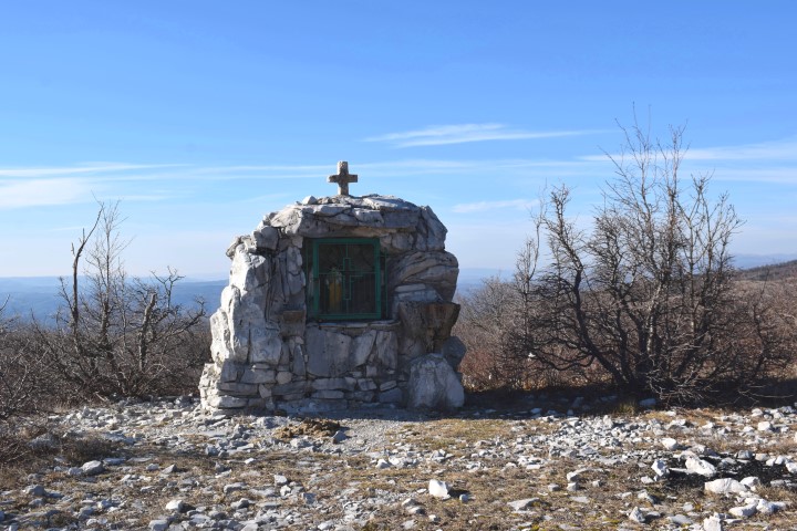
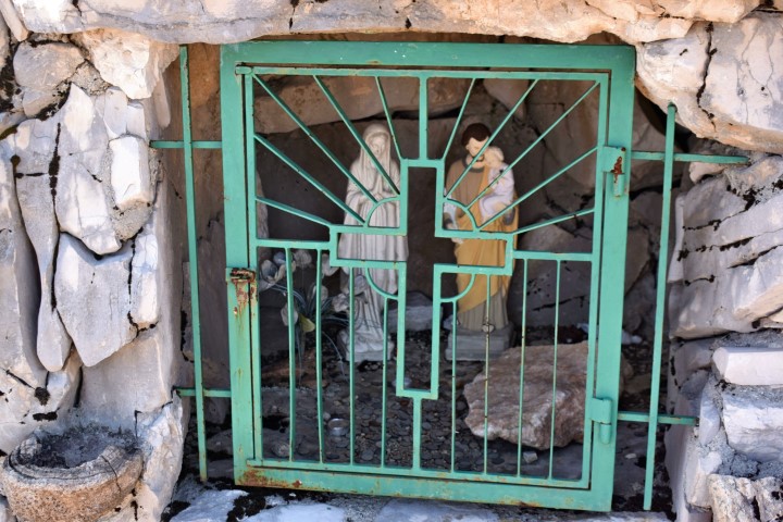
Small chapel; 45.23938 N – 14.20463 E.
End Forest road 45.17196 N – 14.20404 E.
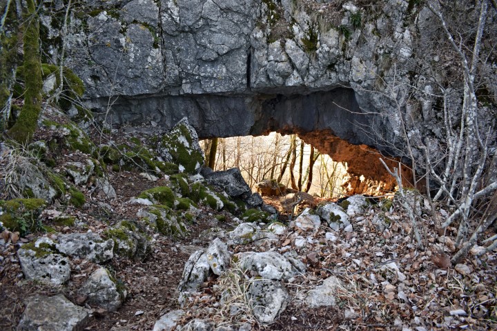
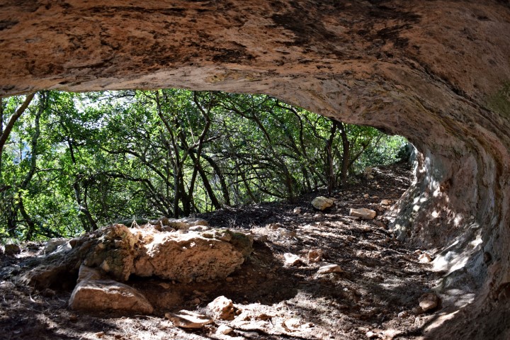
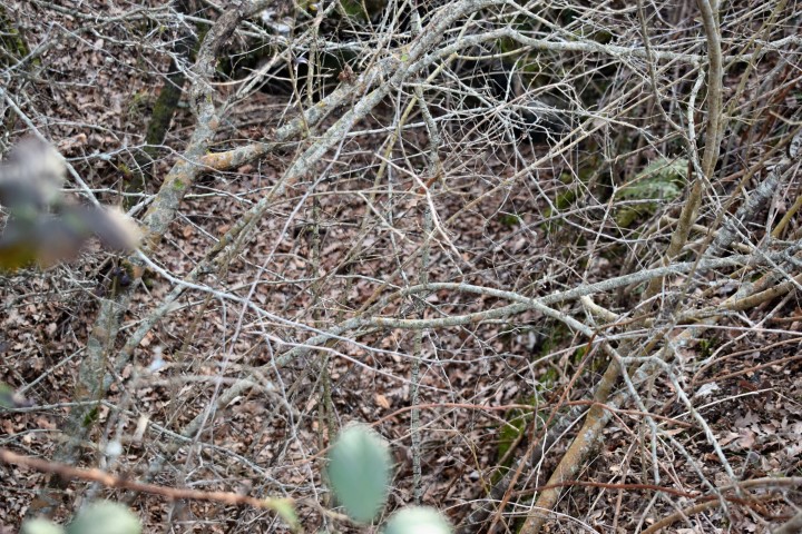
Hiking trail startpoint: 45.17634 N – 14.20657 E. Provrtenica cave 45.17691 N – 14.20334 E. (more…)
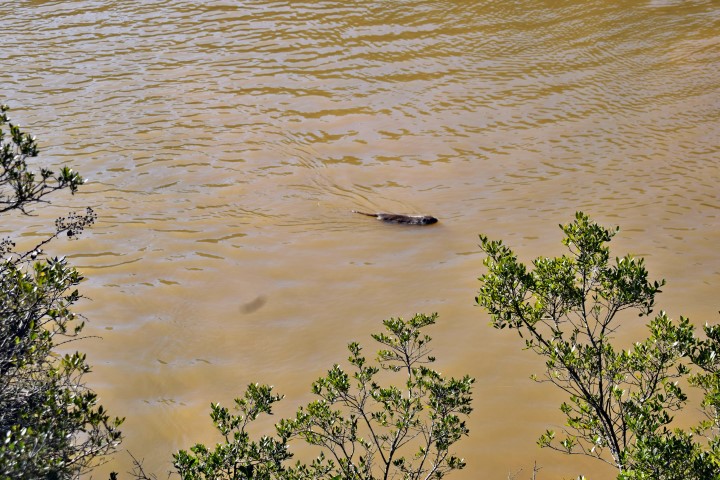
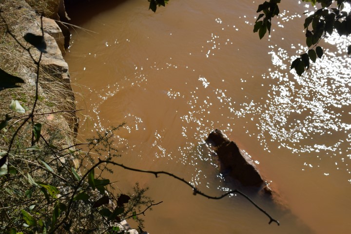
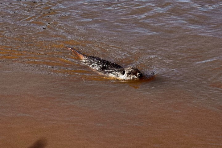
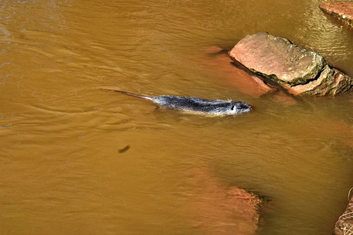
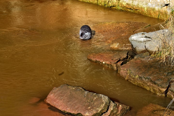
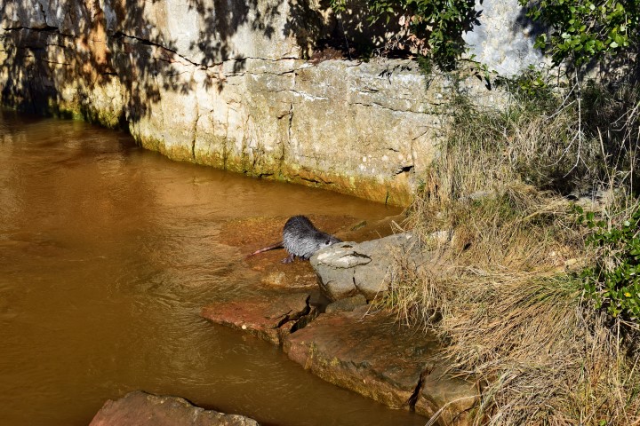
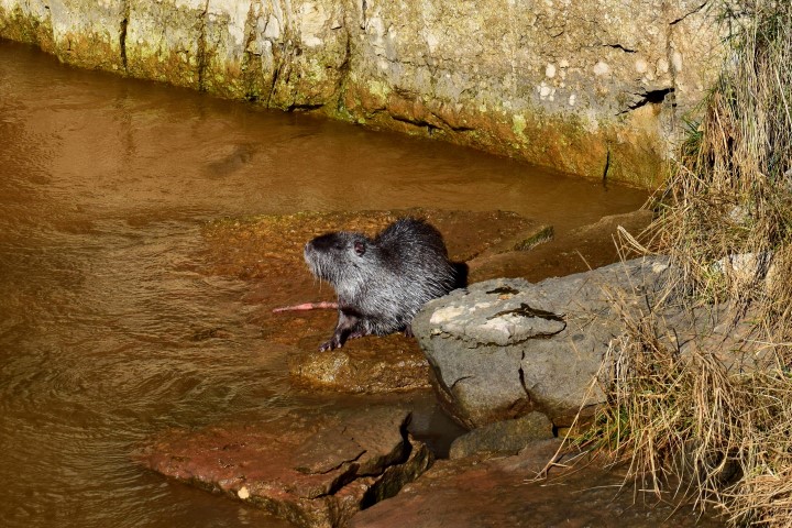
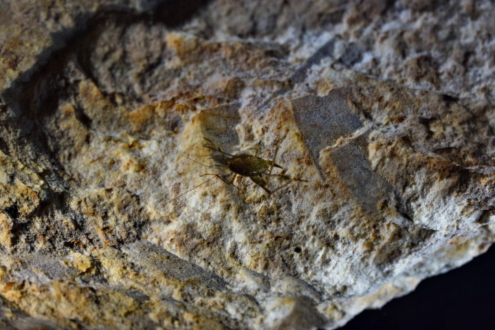
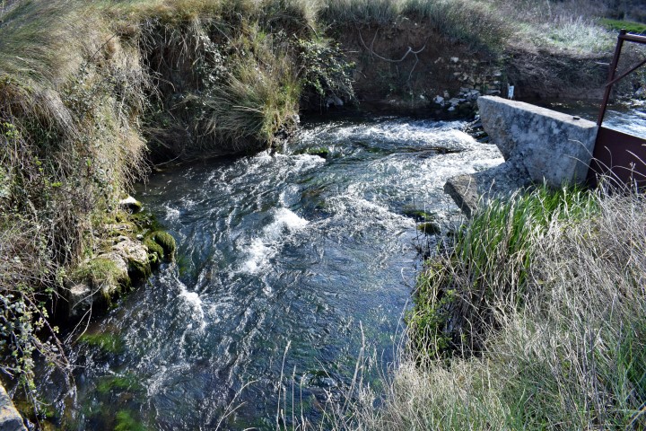
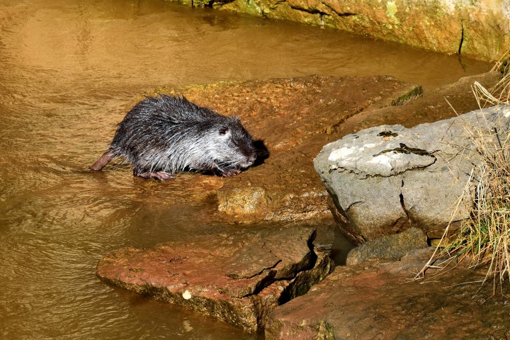
Otter (vidrea) near a water spring at the beginning of the hiking trail.
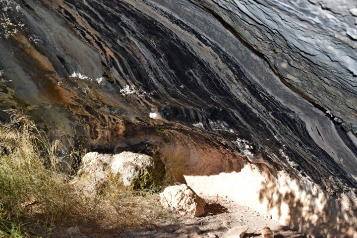
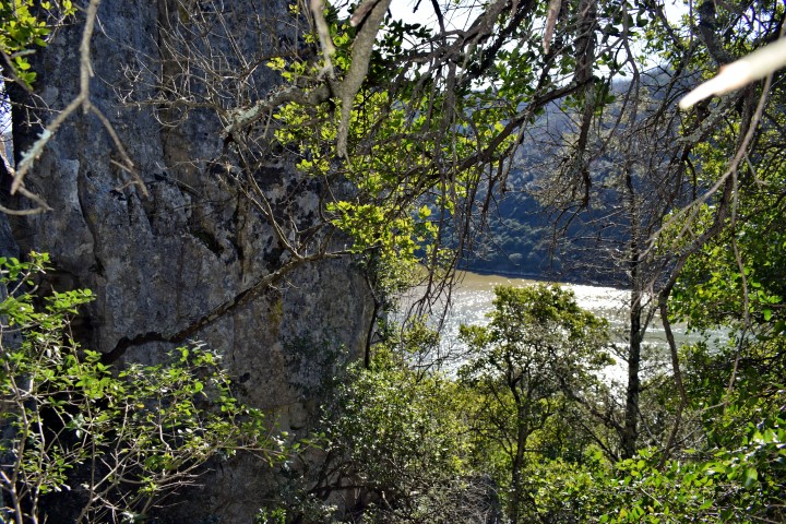
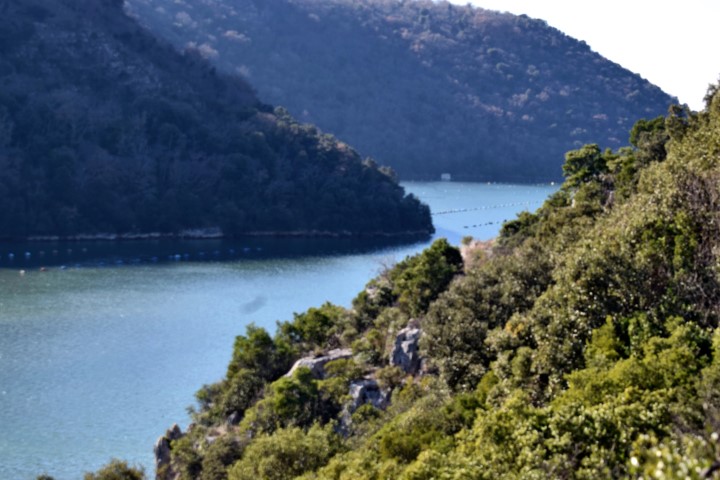
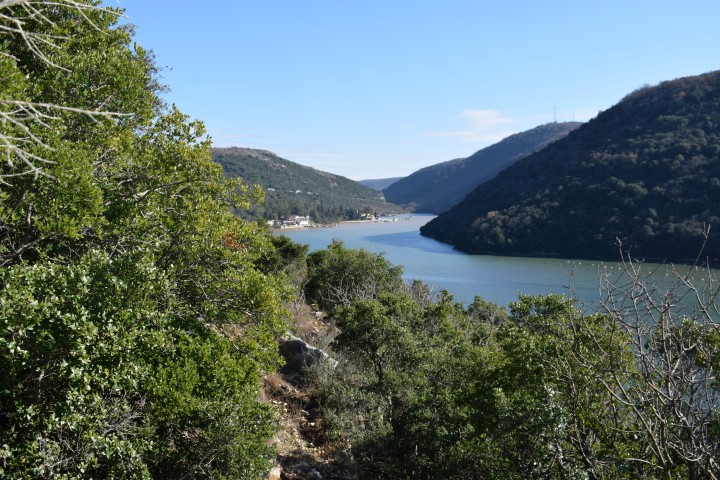
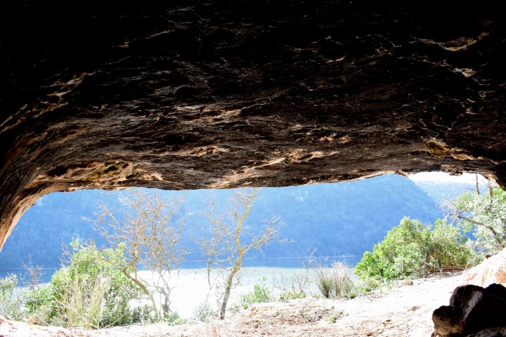
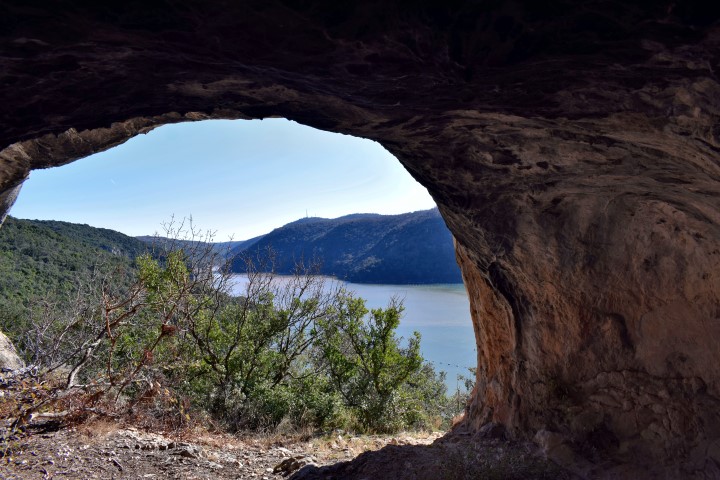
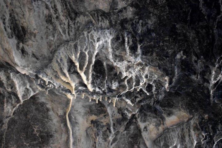
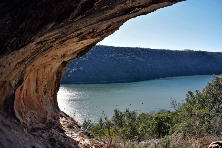
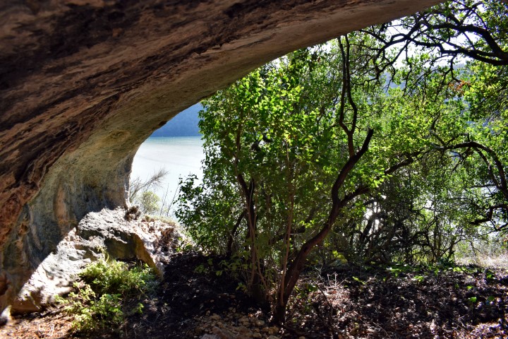
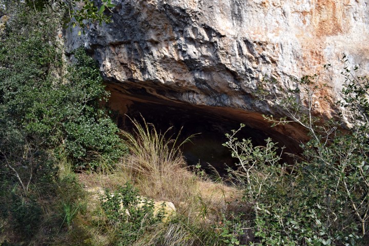
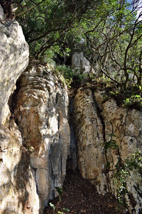
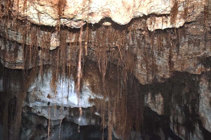
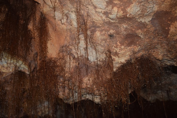
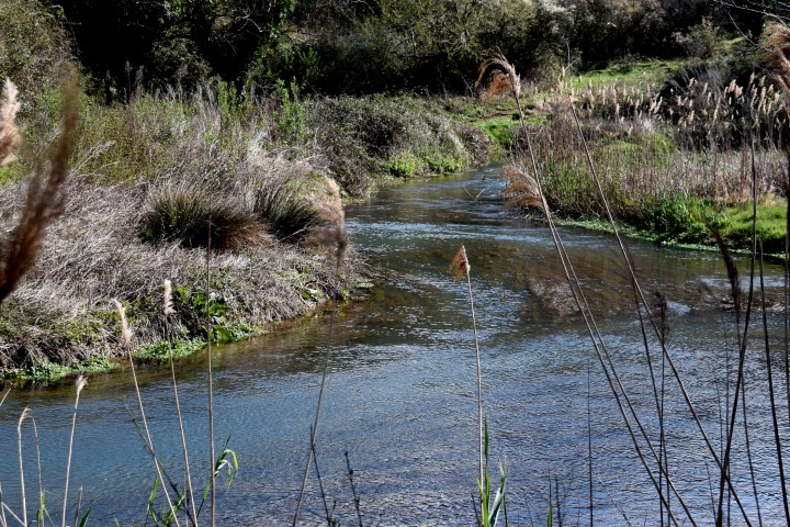
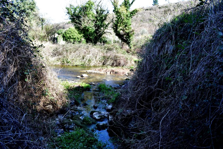
Name: Hiking trail along Lim Canal to caves Vrela.
Place: Kloštar – (Vrsar).
Coordinates: Starting point 45.134021 N – 13.73151 E.
Cave with archaeological research 45.13497 N – 13.72925 E.
Trail directly along water line from: 45.13551N – 13.72640 E to
45.13546 N – 13.7240 E.
Cave: 45.13578 N – 13.72138 E.
End point: 45.13575 N -13,72079 E
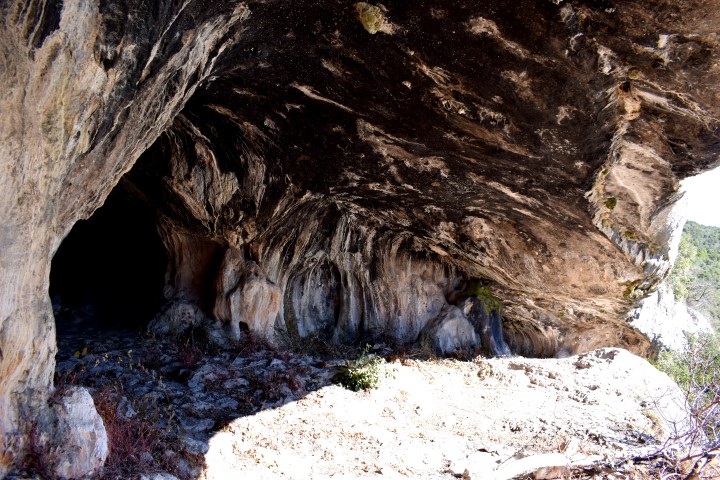
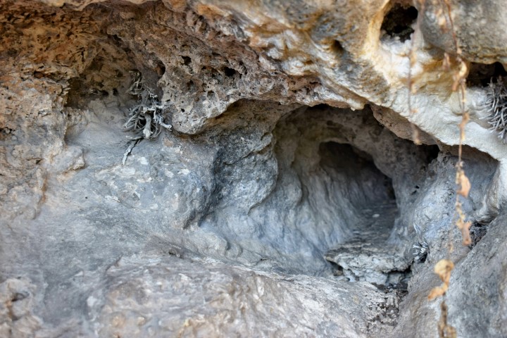
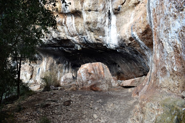
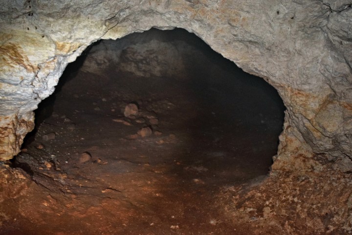
Name: Hiking trail to Jankova Spilja.
Place: Kloštar – (Vrsar).
Coordinates: Staring point near Sveti Mihovi 45.14055 N – 13.70227 E;
Near coordinate: 45.13870 N – 13.70398 E east to Jankova Spilja;
Jankova Spilja and other caves: 45.13876 N – 13.70659 E.
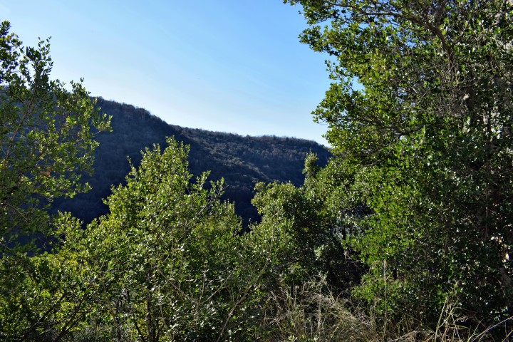
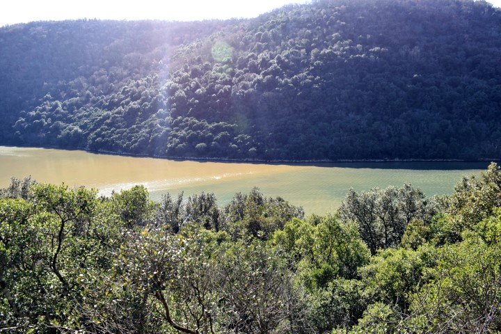
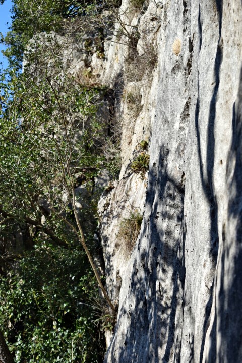
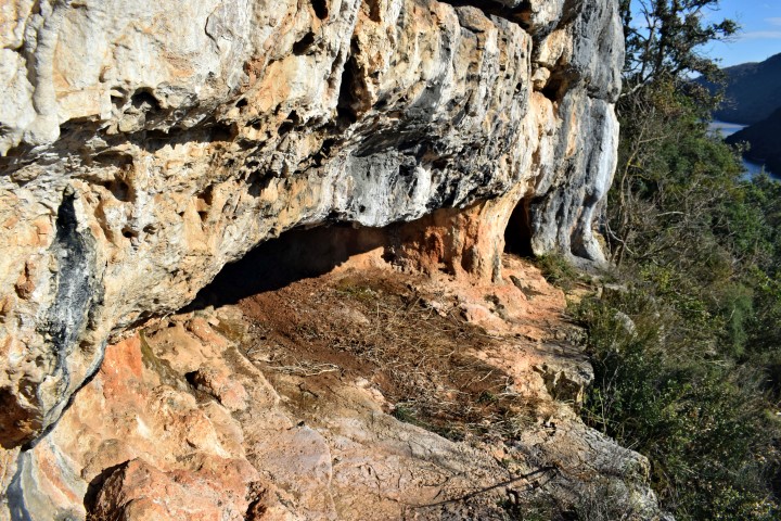
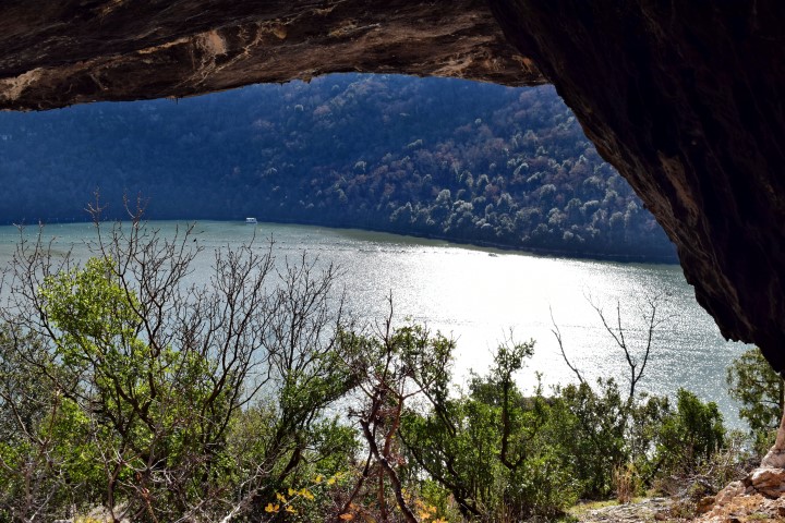
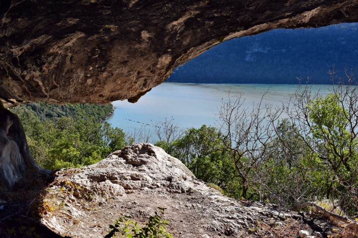
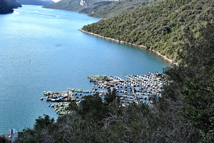
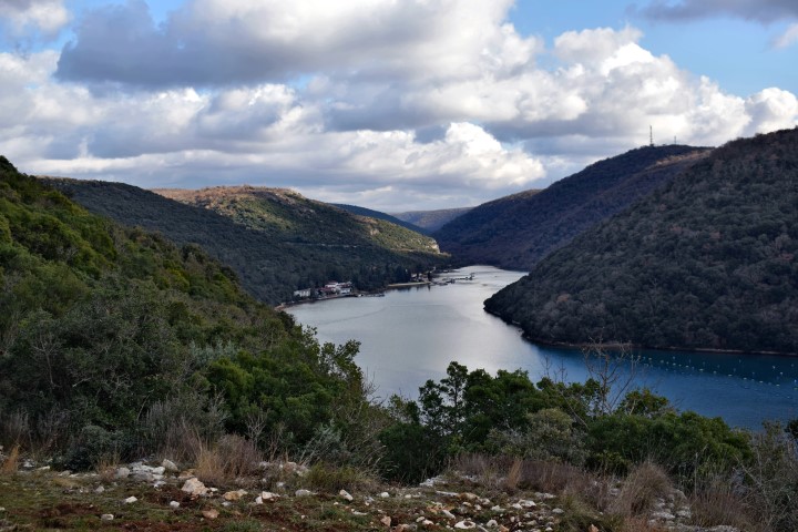
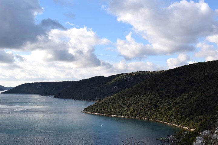
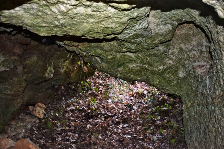
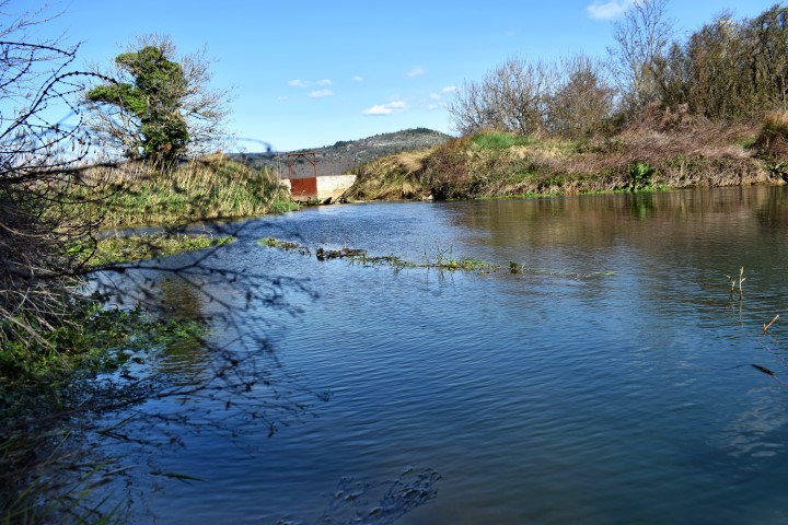
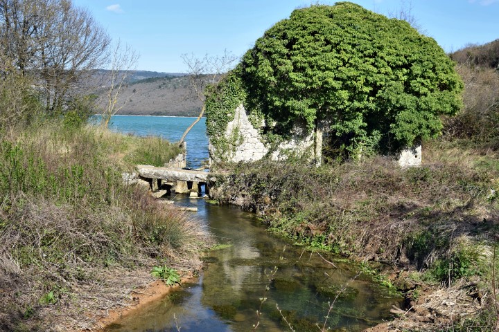
Name: Hiking trail Kozarica – Limski Kanal.
Place: Limski Kanal – (Vrsar).
Coordinates: Startpoint 45.13885 N – 13.71984 E.
Limski Kanal: 45.13756 N -13.71752 E.
Viewpoint: 45.13606 N – 13.71984 E.
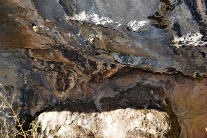
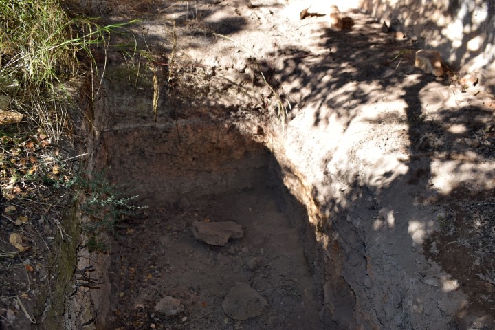
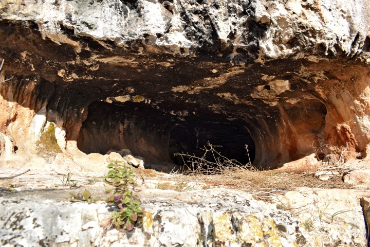
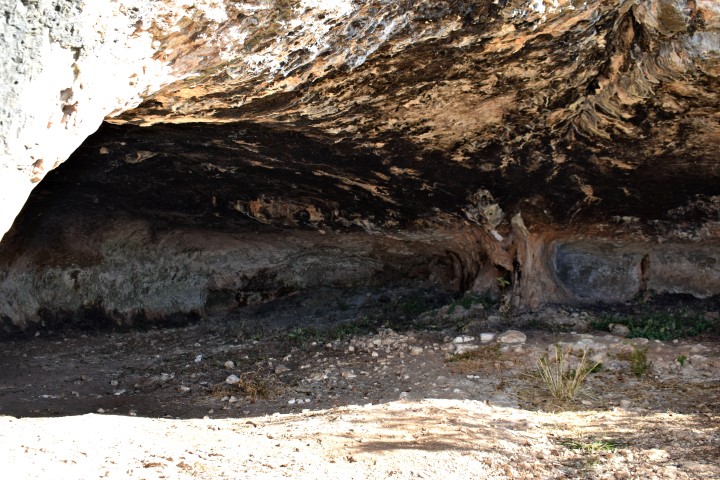
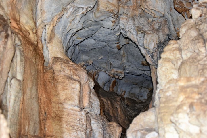
Name: Cave Lim 001 – Archaeological research.
Place: Vrala – Limski Kanal – (Vrsar).
Coordinates: 45.13627 N- 13.72705 E.

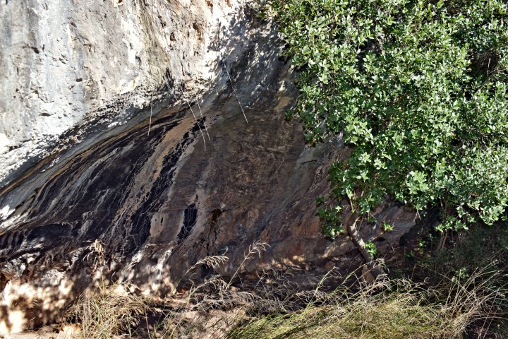
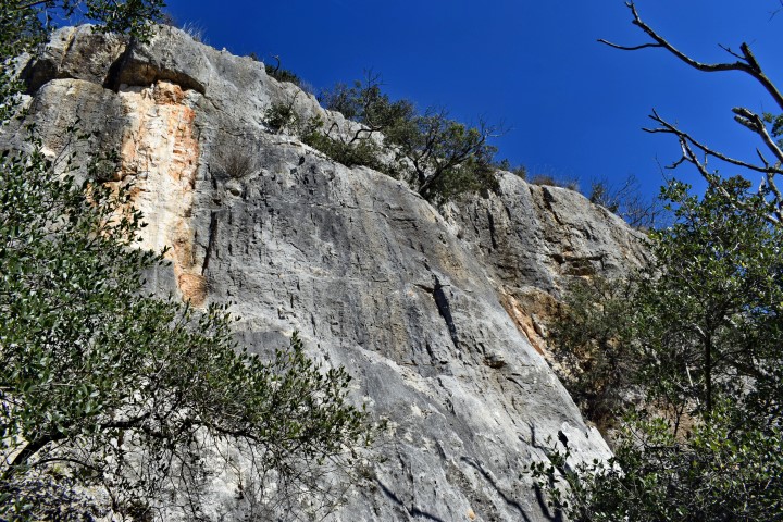
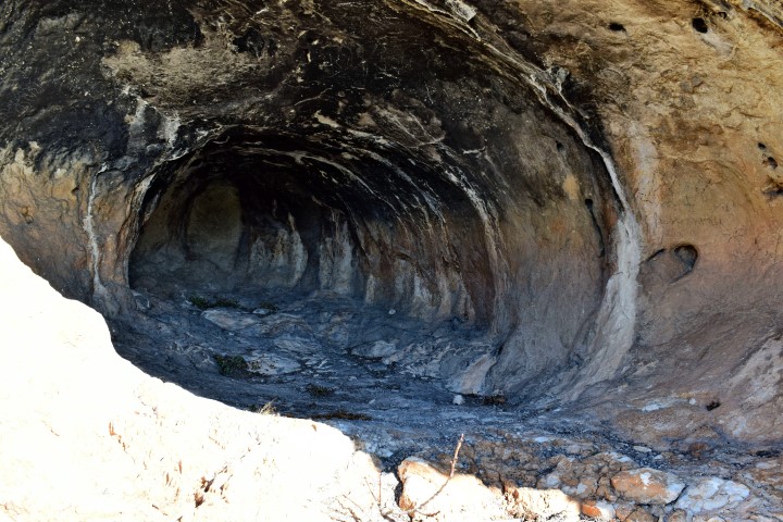
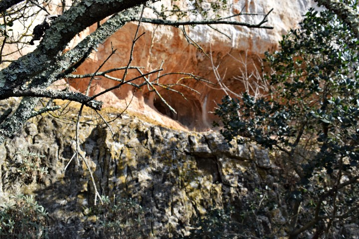
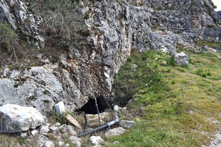
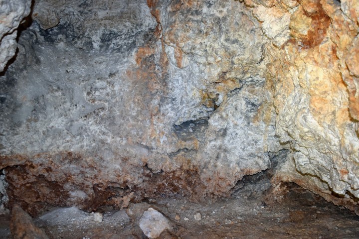
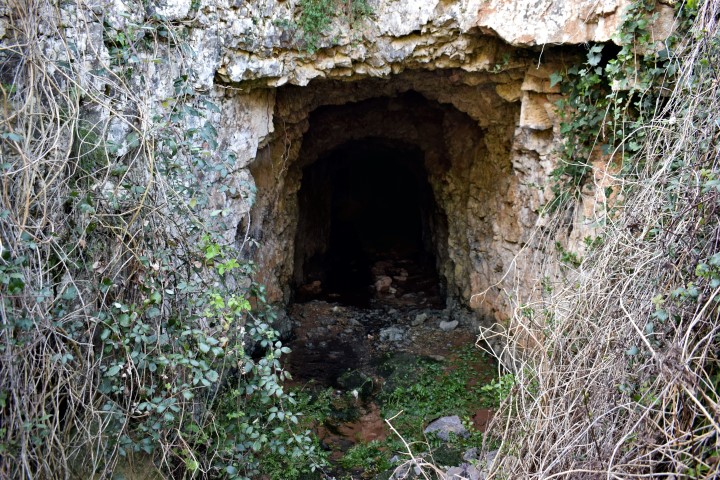
Name: Cave near Vrh Lima – Restaurant Viking
Place: Limski Kanal – (Vrsar).
Coordinates: 45.13116 N – 13.13.73612 E.
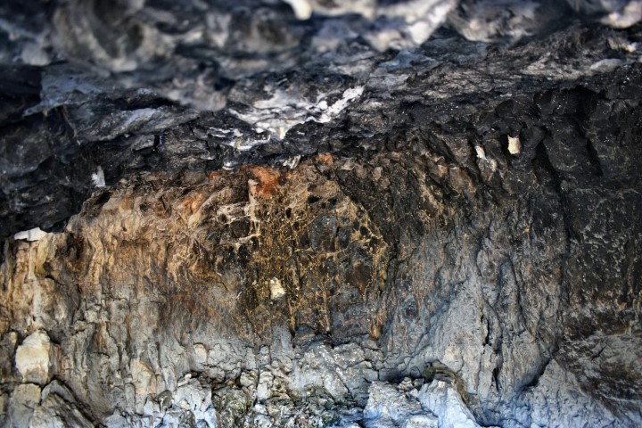
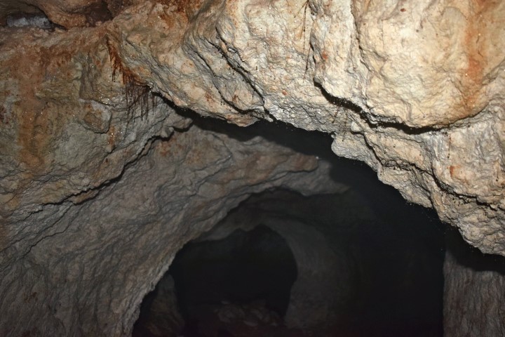
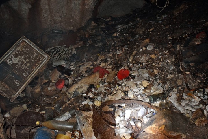
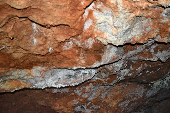
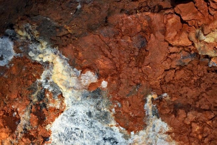
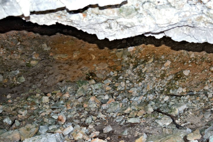
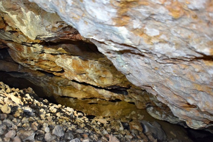
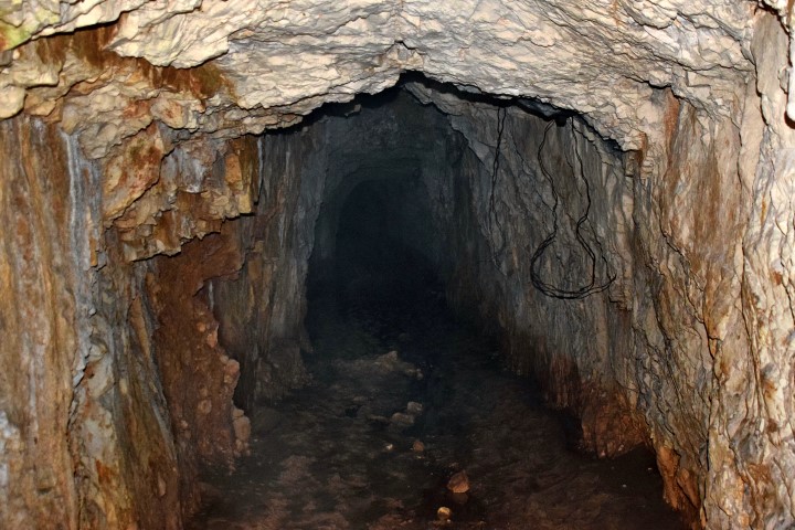
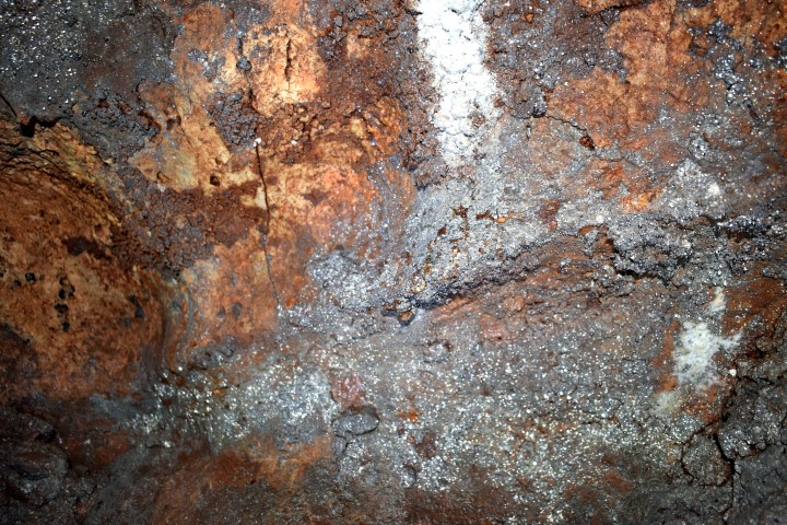
Quarts exploitation started in this area probably at the of the Roman Empire. In the thirties, forties of the 20th century, during the Italian occupation of Istria, the production from 10 mines was increased to 250 tons per day. This ended after the Capitulation of Italy on 8 September 1943.
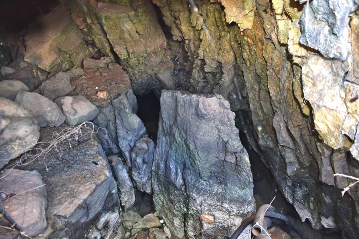
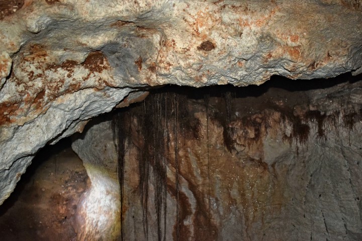
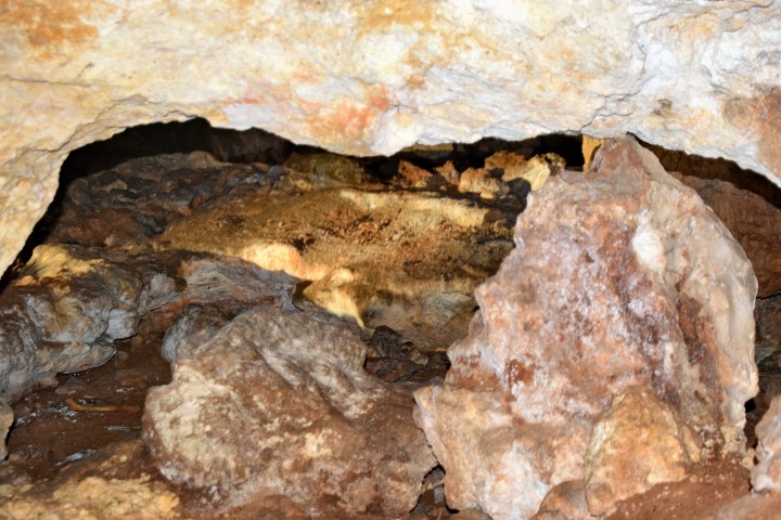
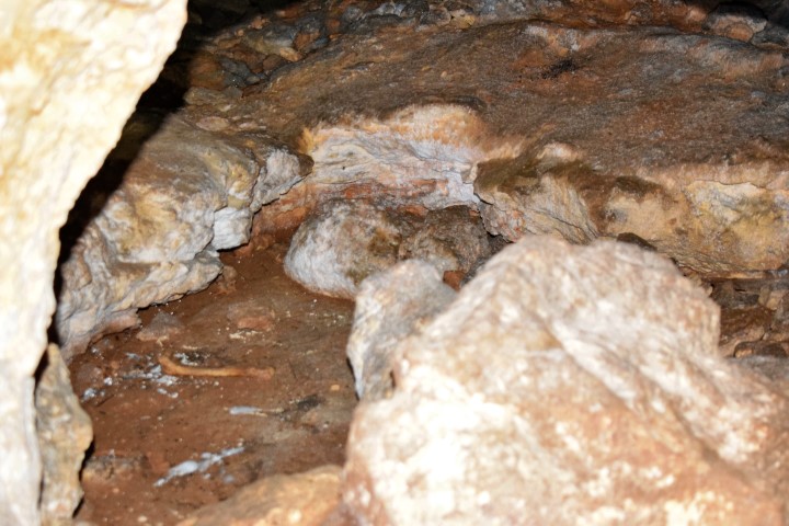
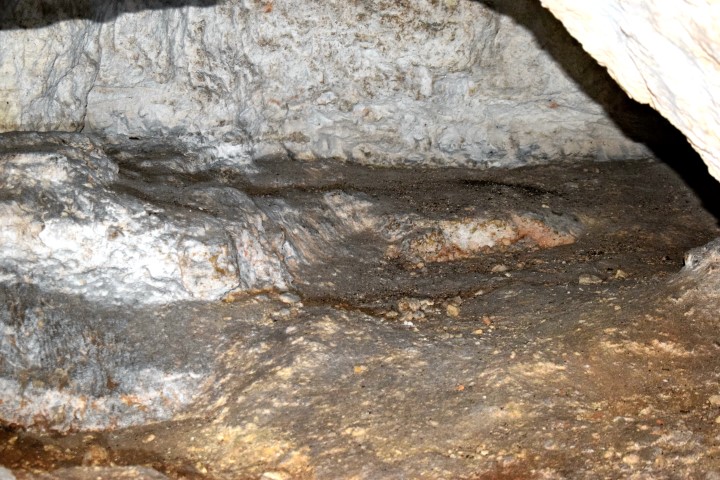
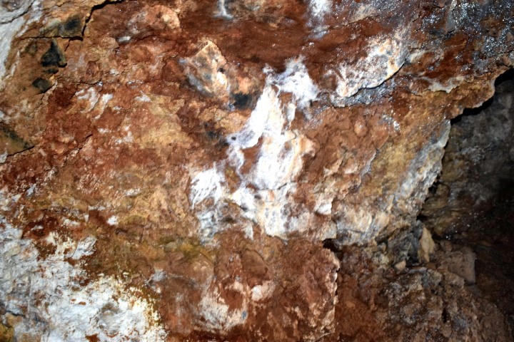
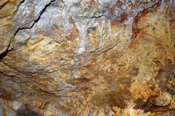
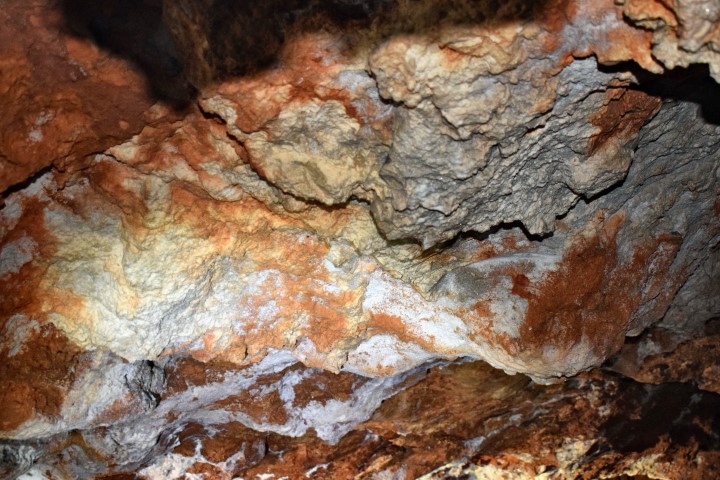
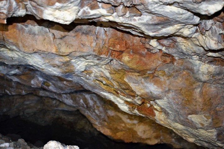
This cave was formerly an exploitation place for quarts sand (Siliciumoxide SIO2) and applied by its high purity in Murano glass.

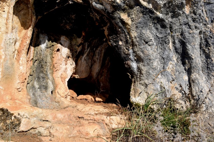
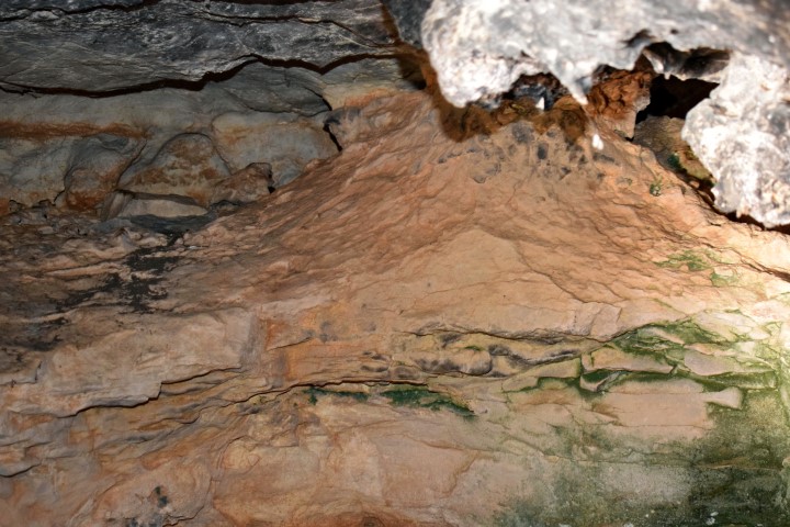
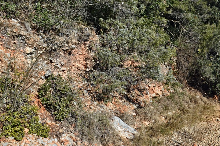
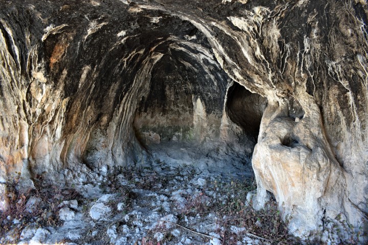
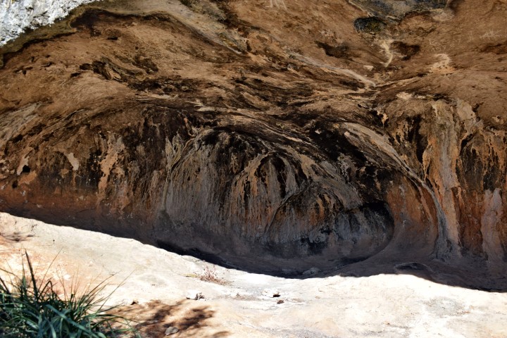
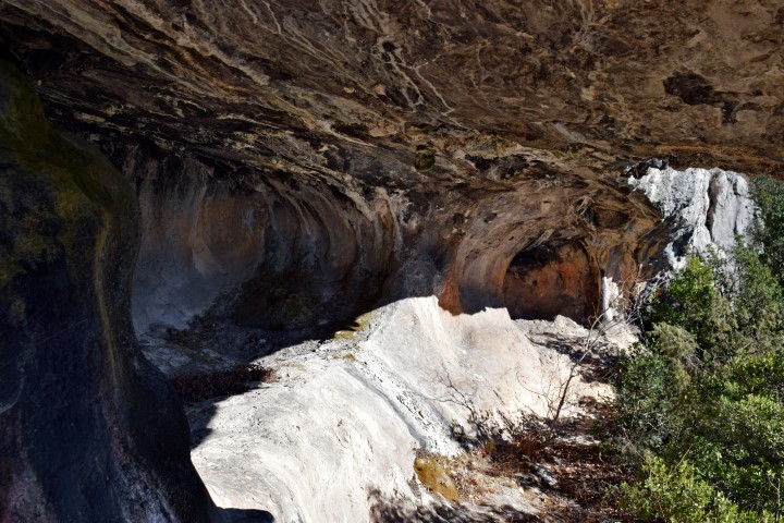
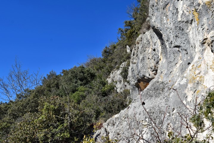
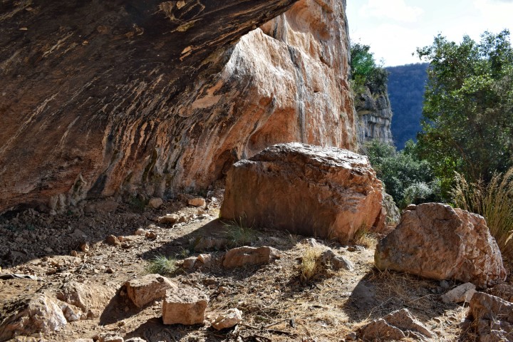
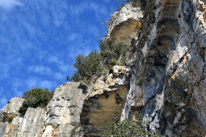
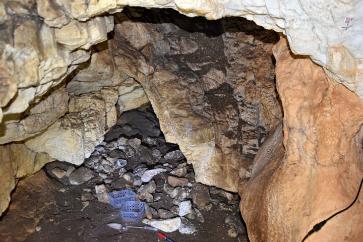
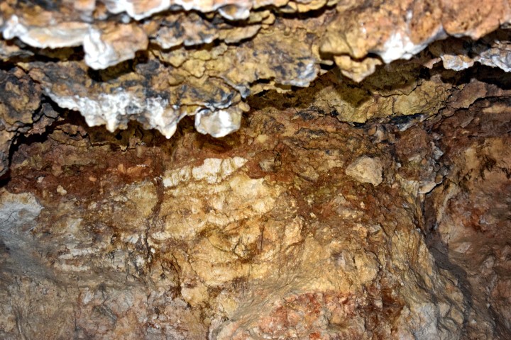
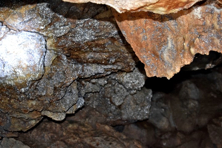
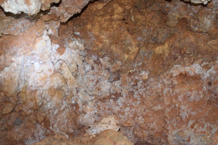
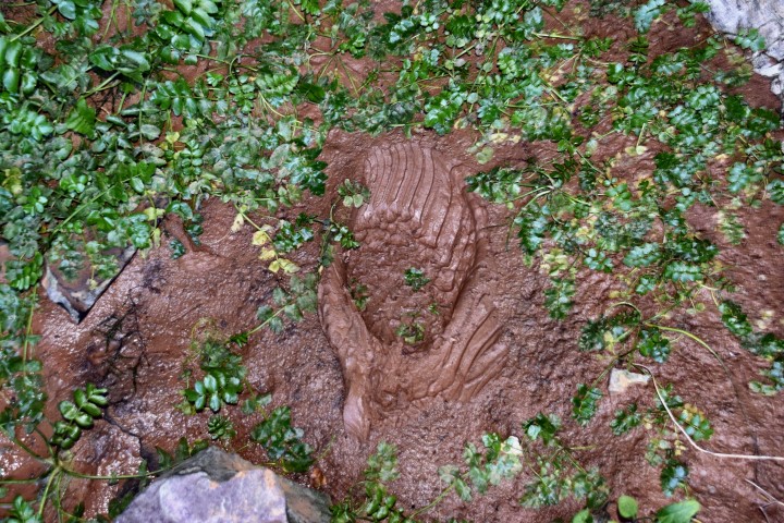
Name: Varine cave.
Place: Area Čikovac – (Zminj)
Coordinates: 451038 N – 13.90952
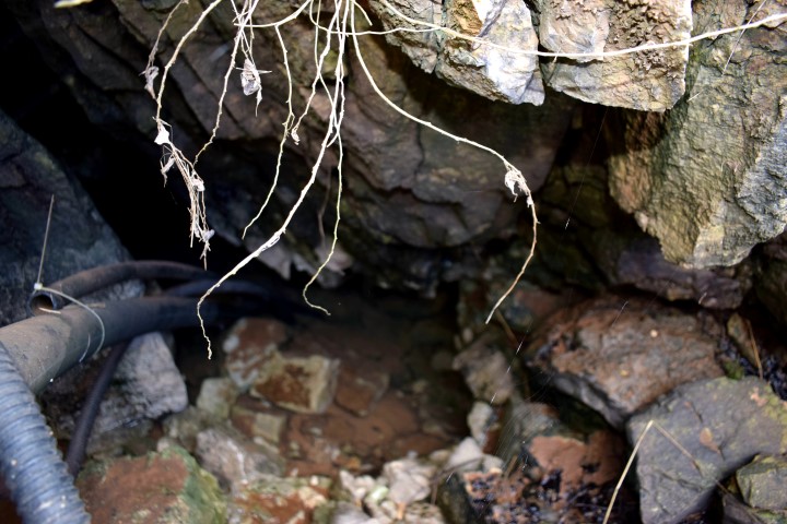
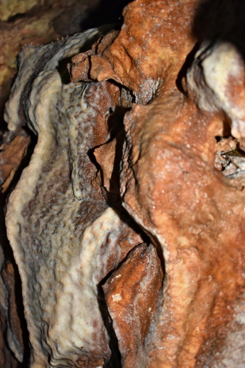
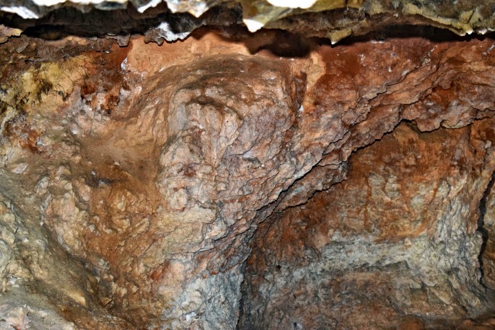
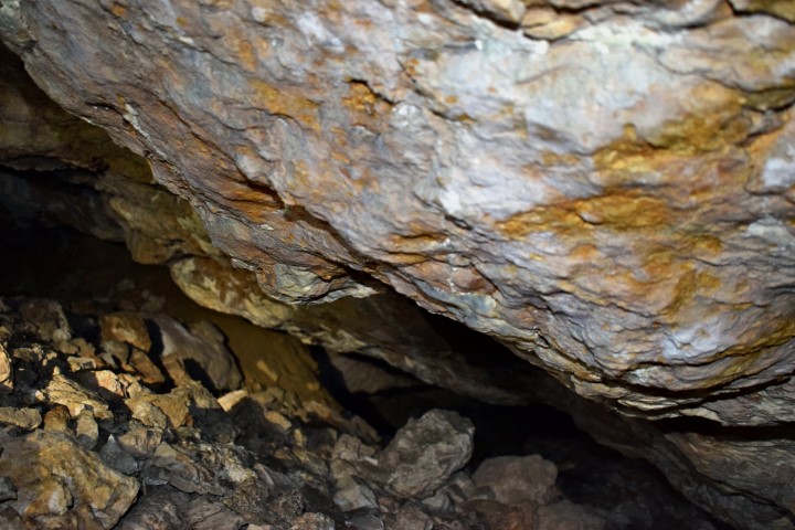
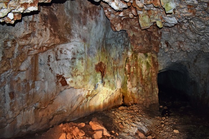
This cave was formerly an exploitation place for quarts sand
(Silicium dioxide SIO2) and applied by its high purity in Murano glass.
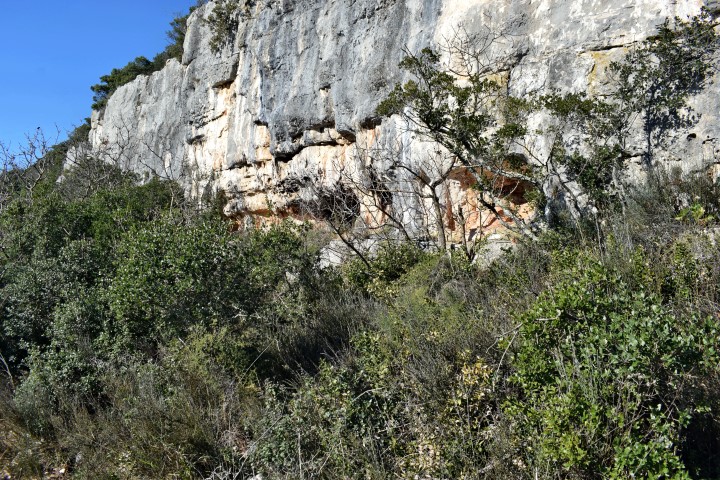
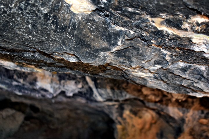
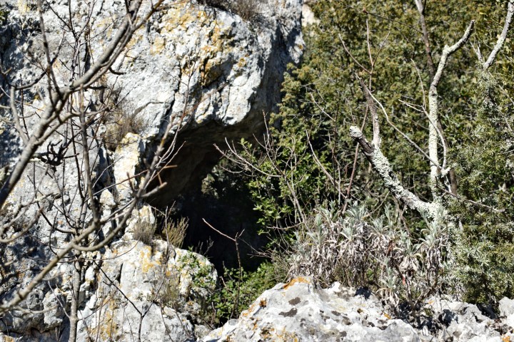
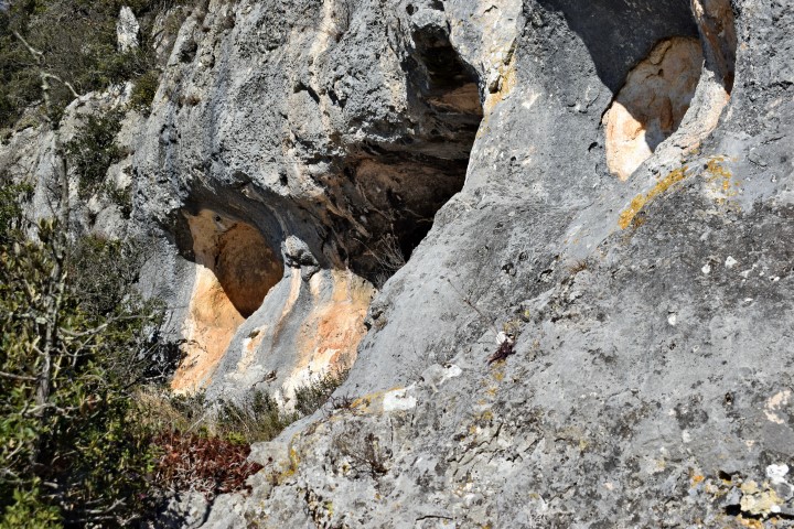
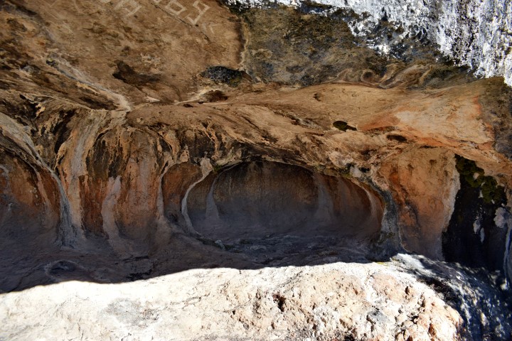
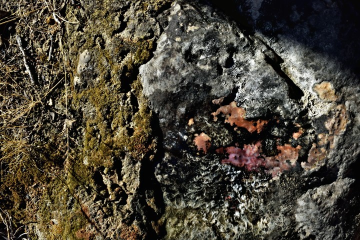
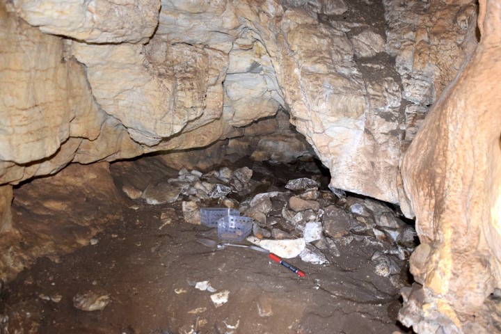
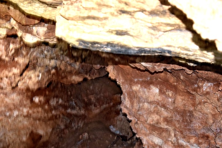
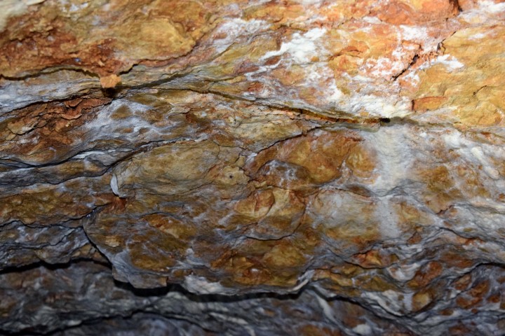
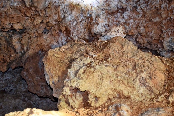
Name: Varine cave.
Place: Area Čikovac – (Zminj).
Coordinates: 45.10441 N – 13.91336 E. (more…)
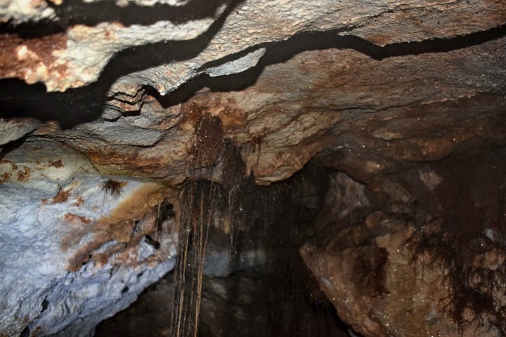
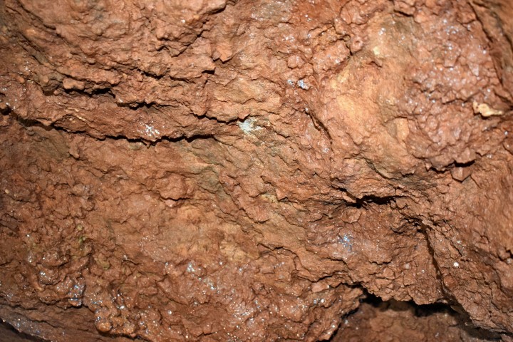
This cave was formerly an exploitation place for quarts sand (Siliciumdioxide SIO2), and applied by its high purity in Murano glass.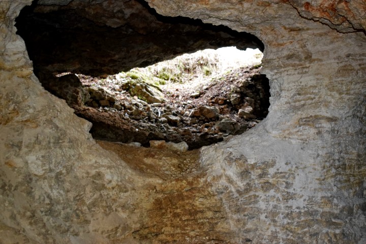
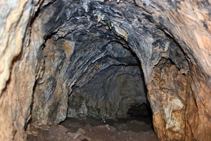
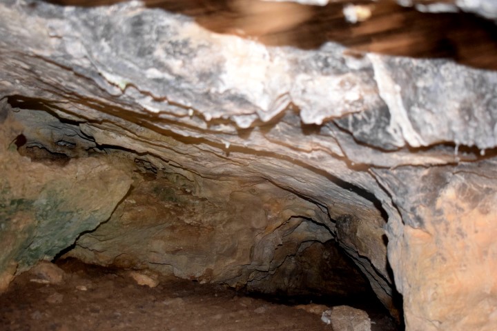
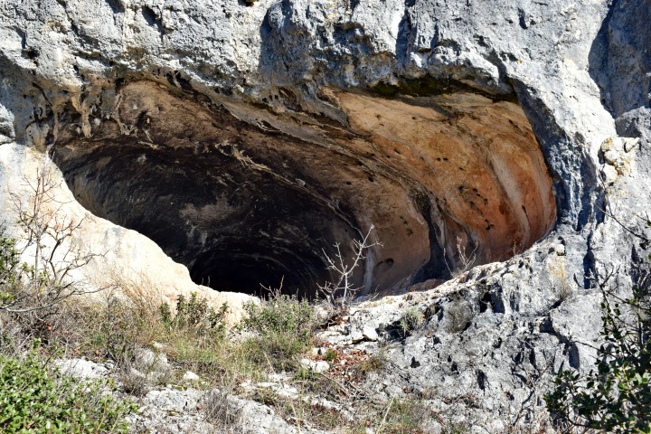
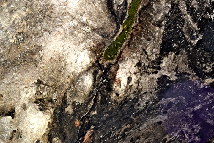
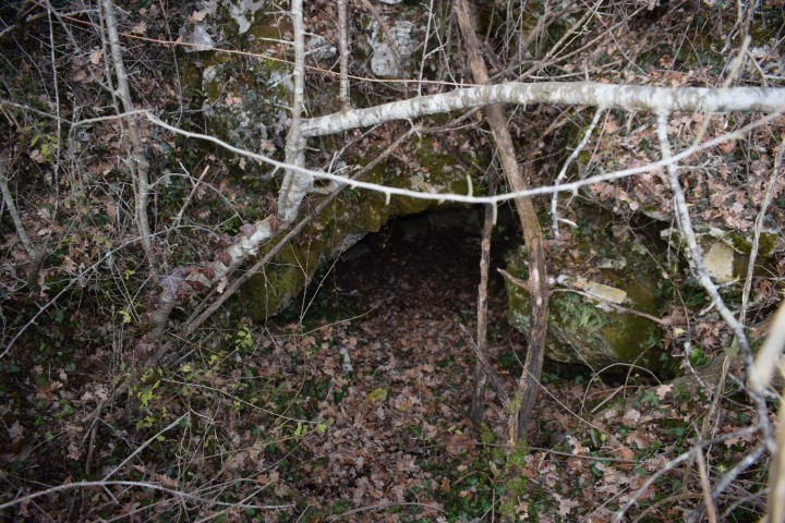
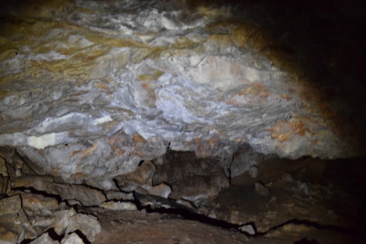
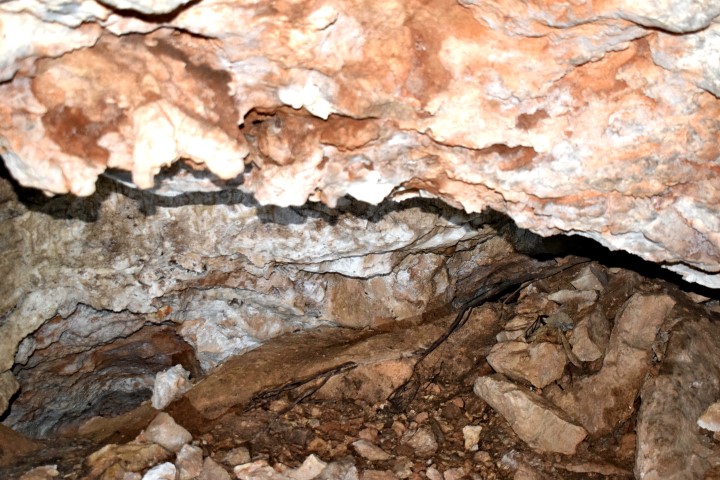
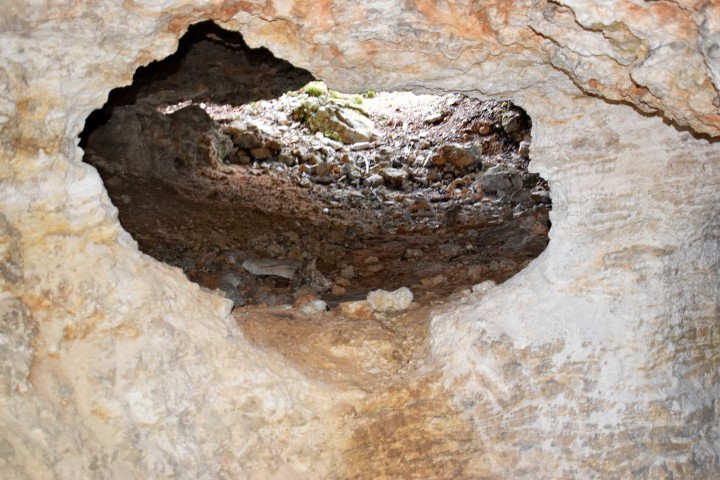
Name: Varine cave I.
Place: Area Čikovac – (Zminj).
Coordinates: 45.10493 N – 13.91336 E. (more…)