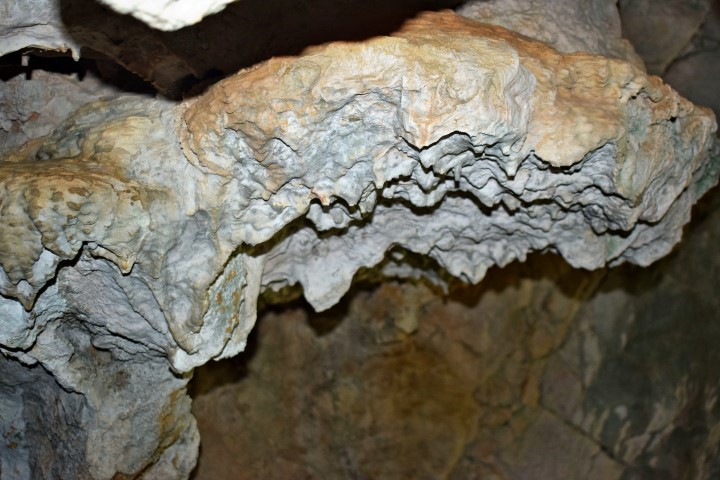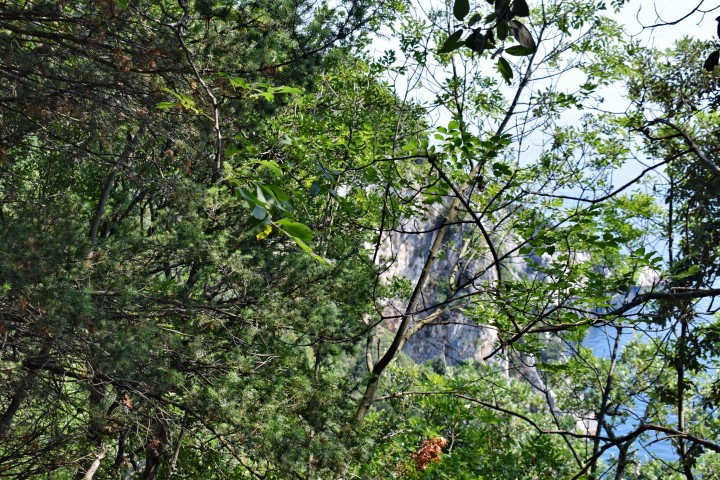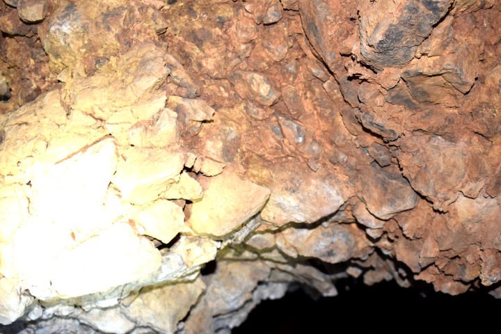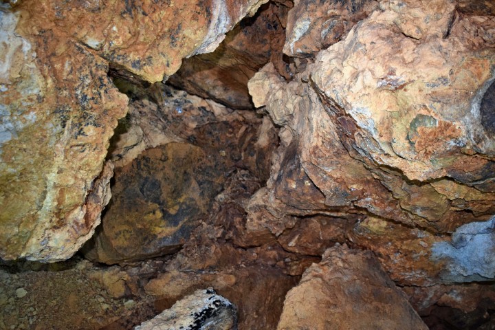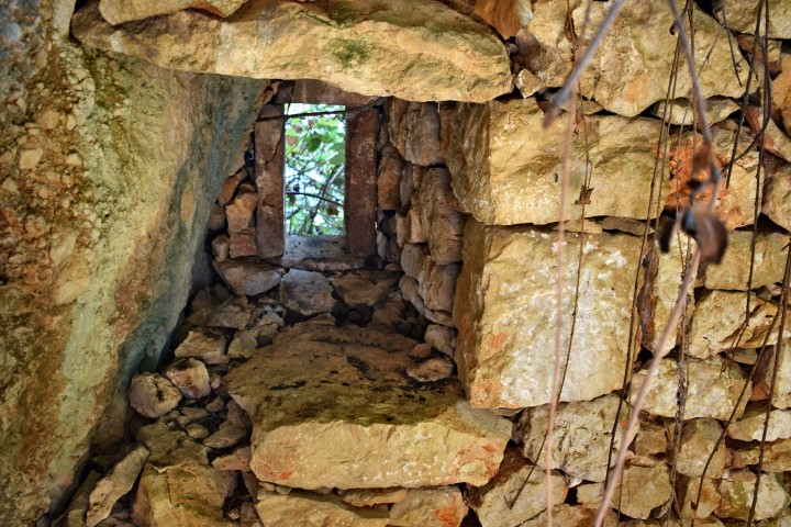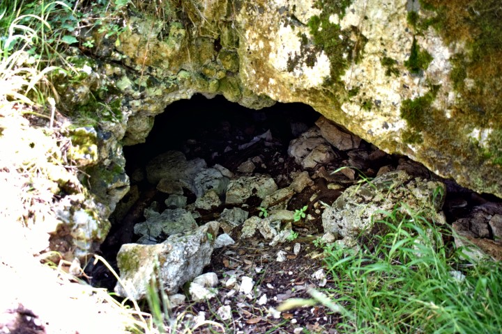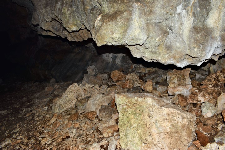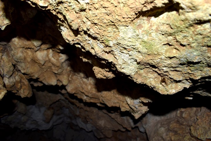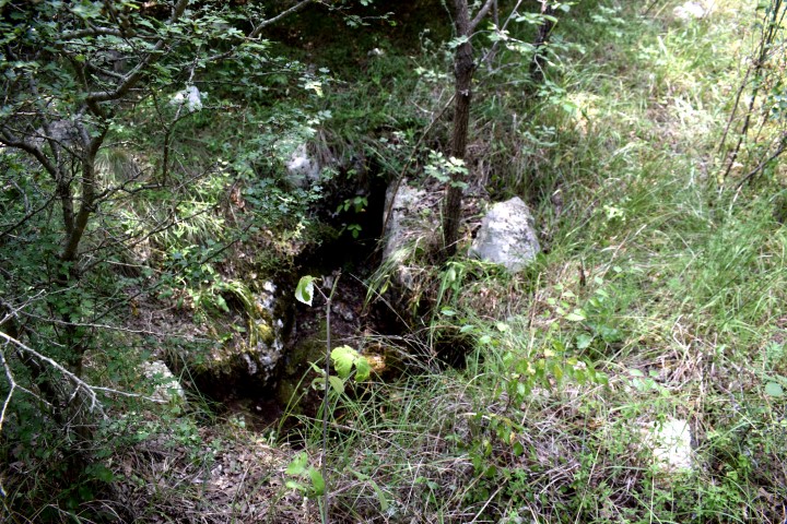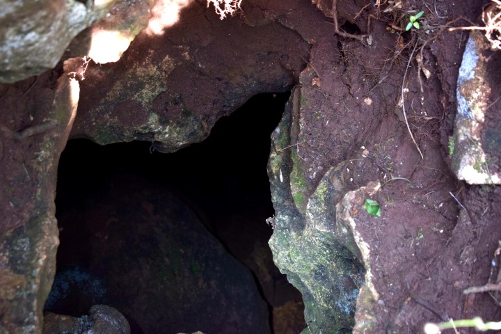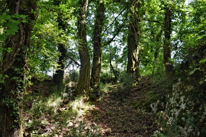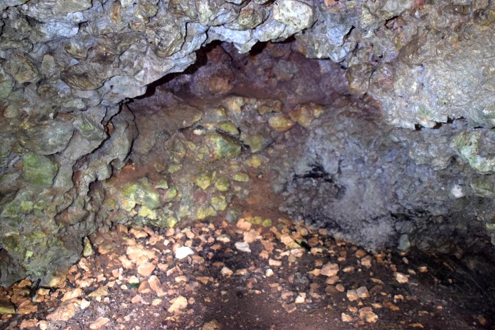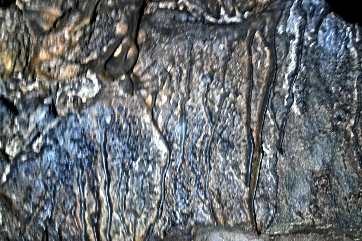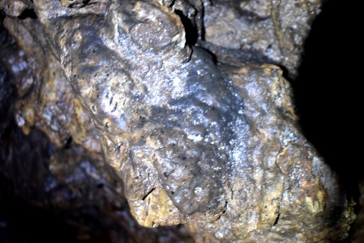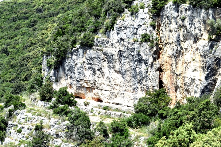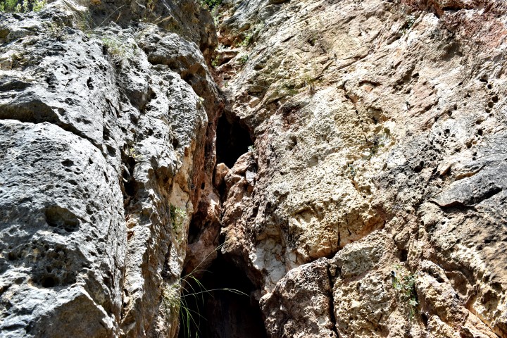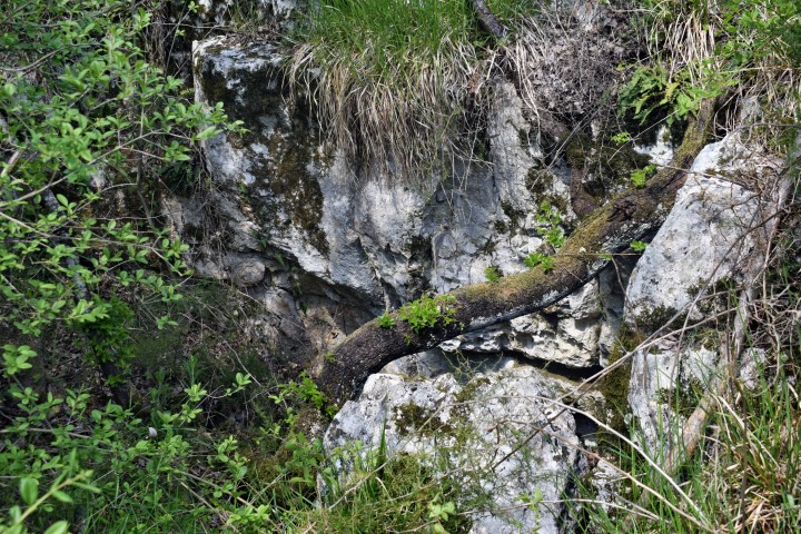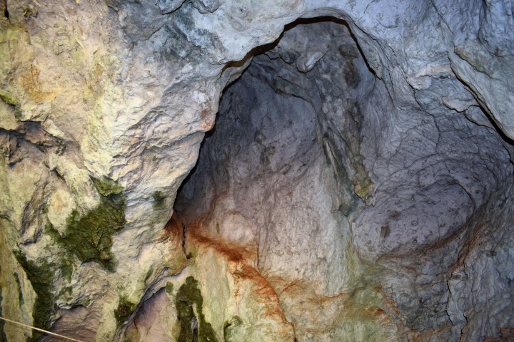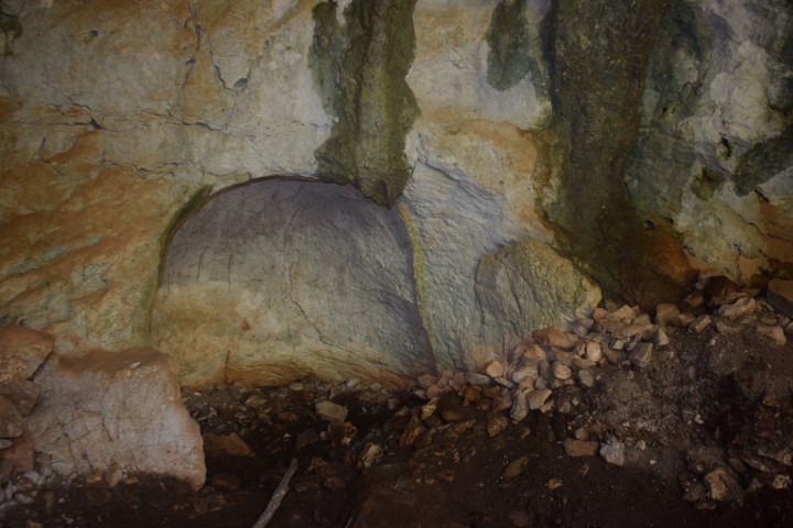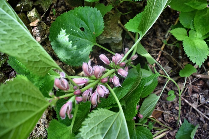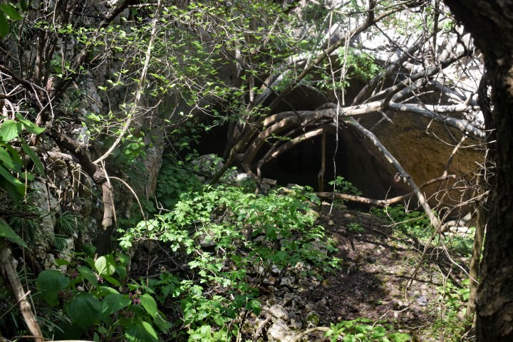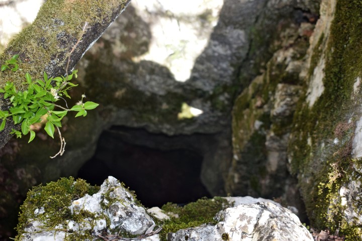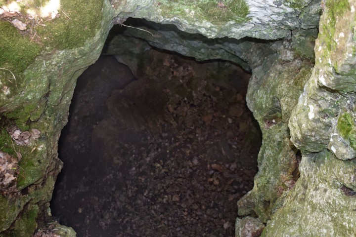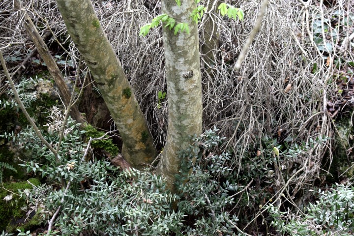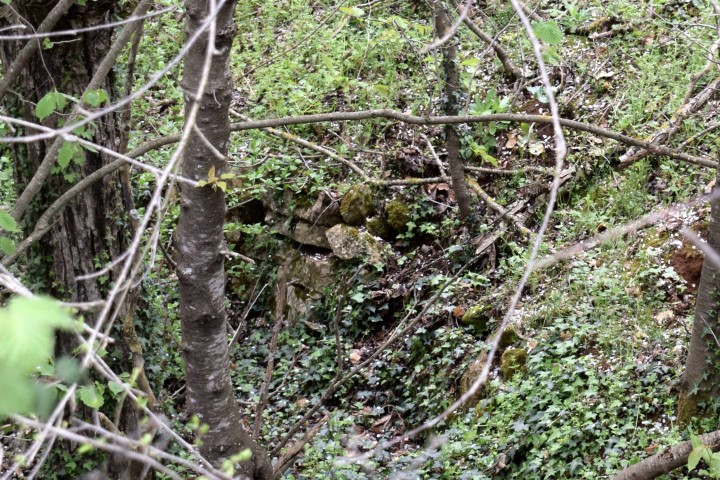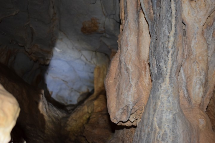

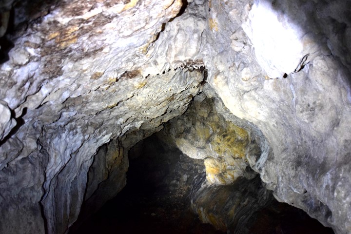
Name: View cave Čiritež.
Place: Čiritež – (Buzet).
Coordinates: 45.40148 N – 14.02815 E.
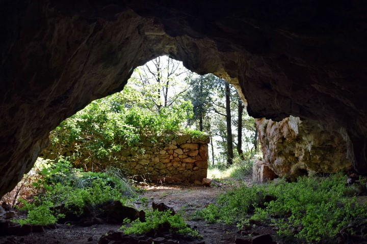
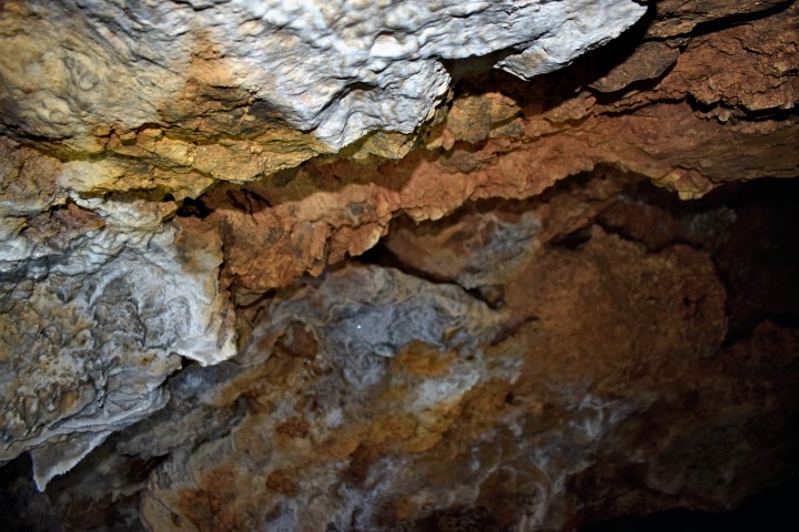
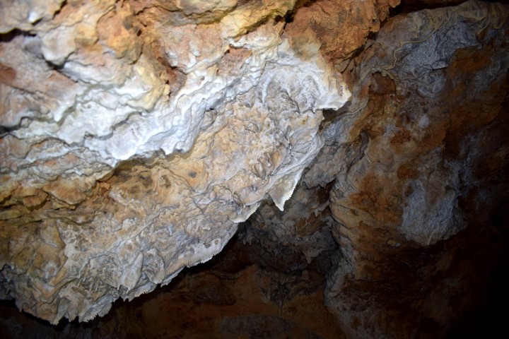
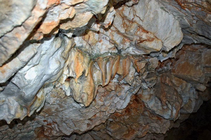
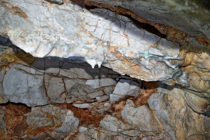
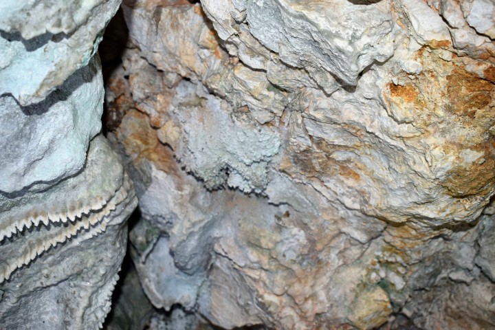
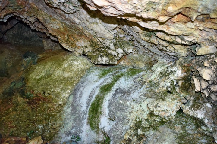
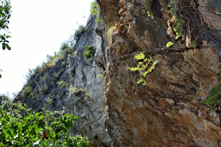
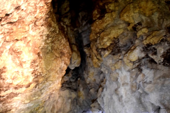
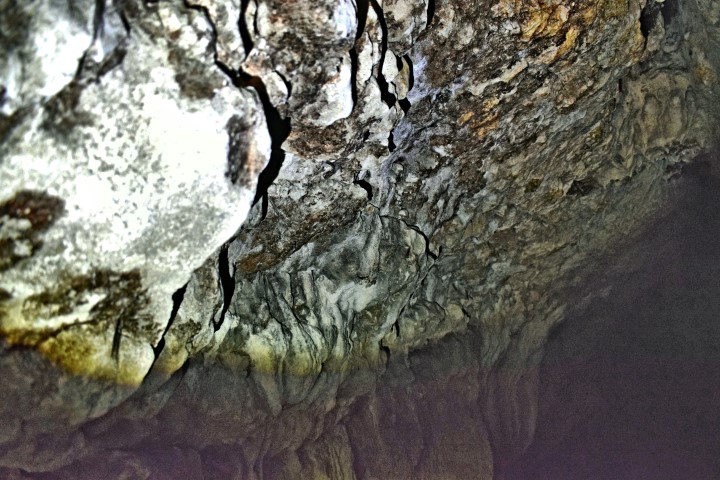
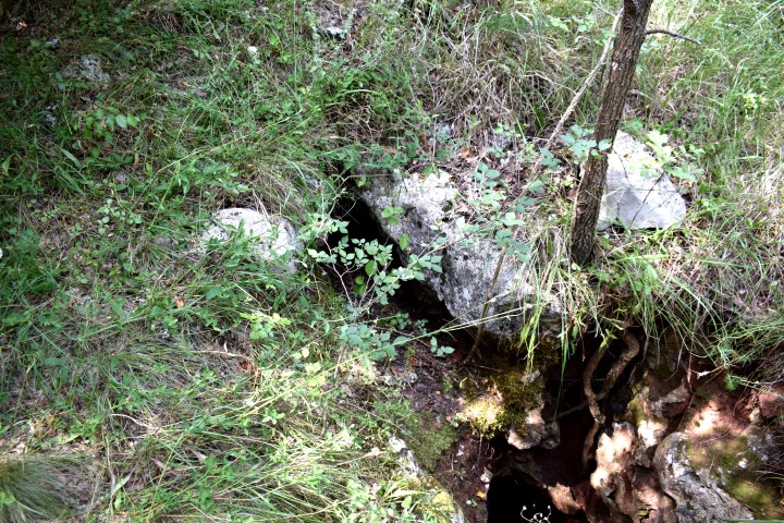
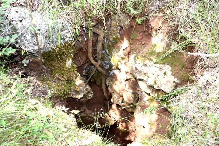
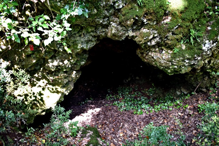
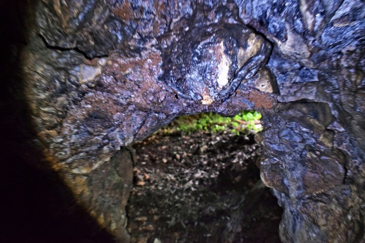
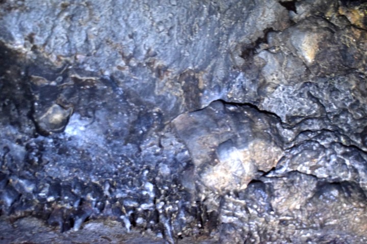
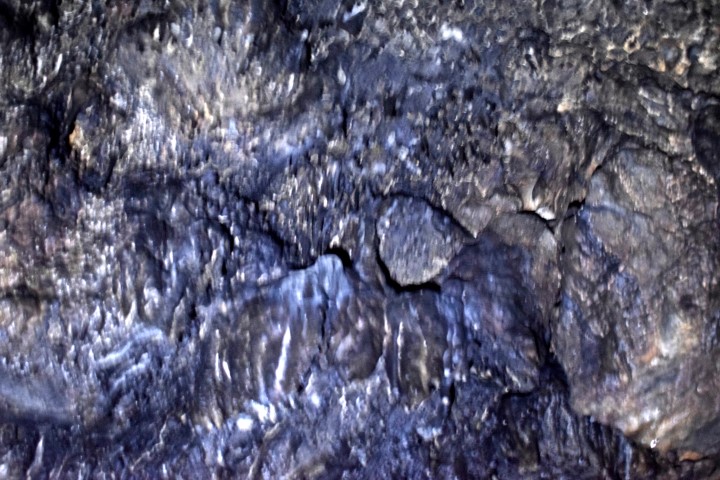
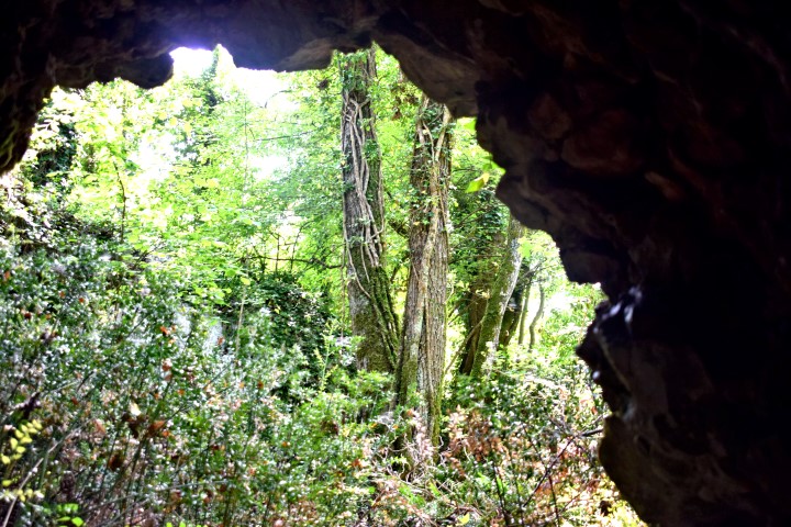
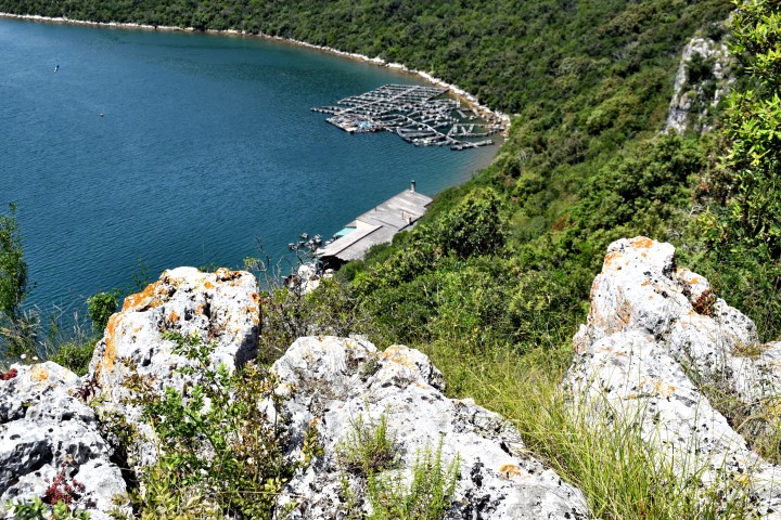
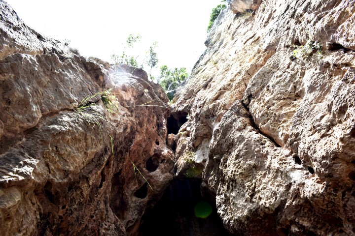
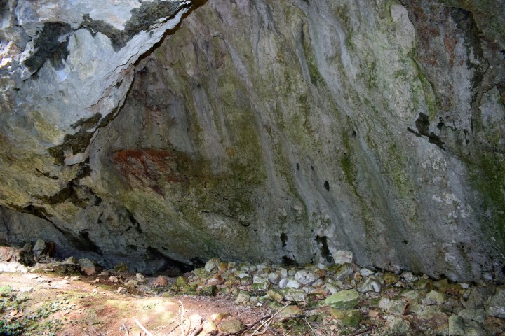
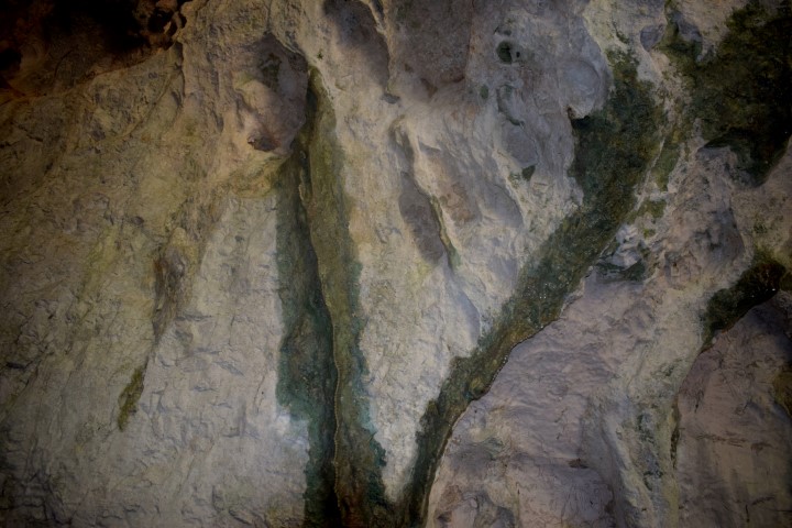
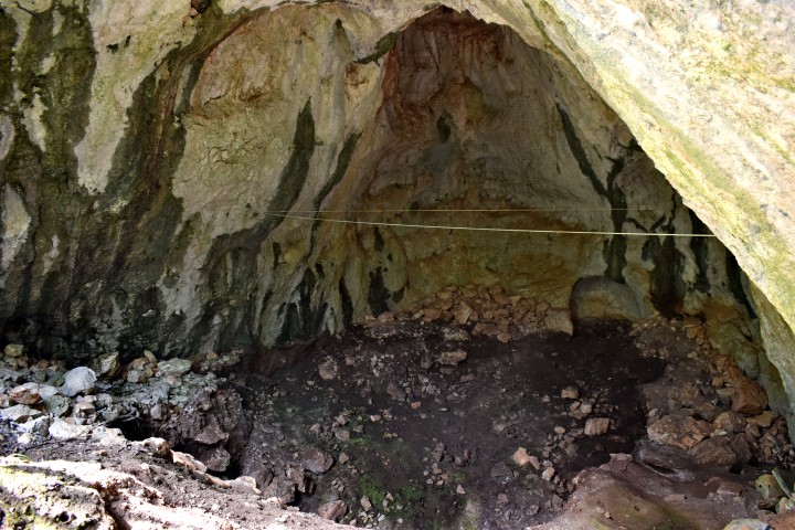
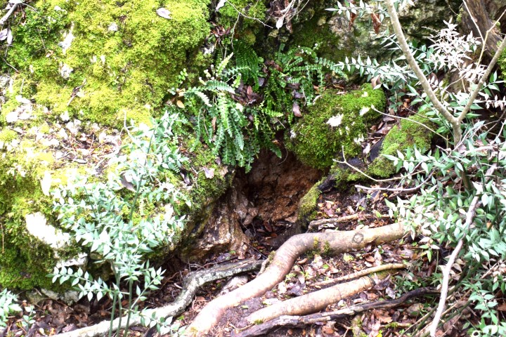
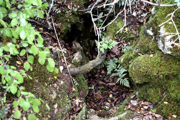
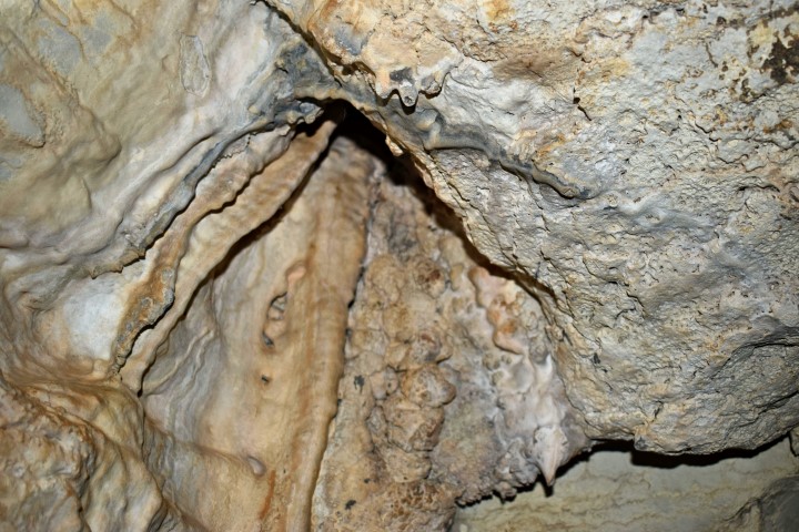
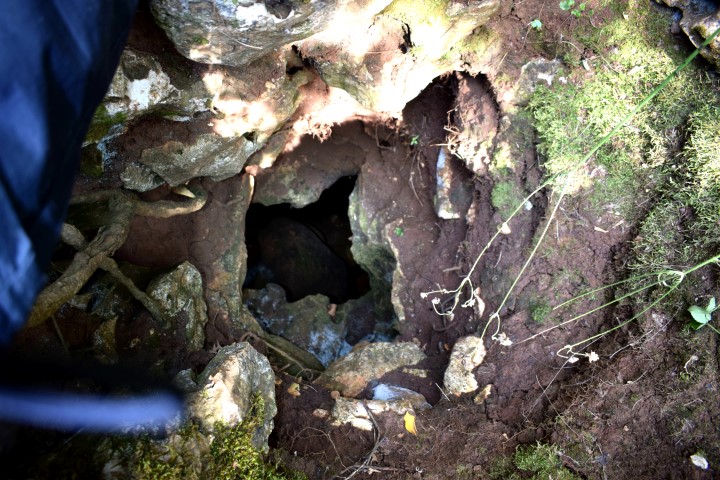
Name: View cave Čiritež.
Place: Čiritež – (Buzet).
Coordinates: 45.40148 N – 14.02815 E.

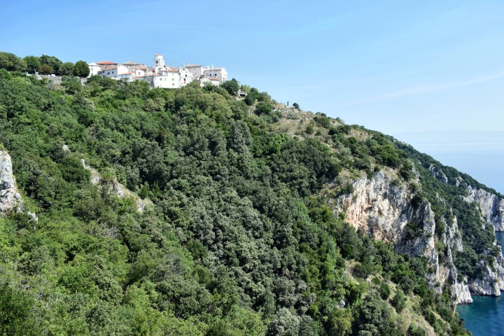
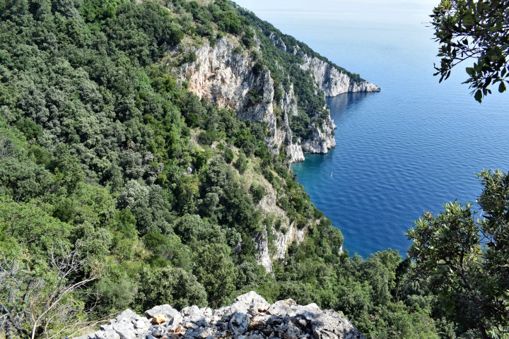
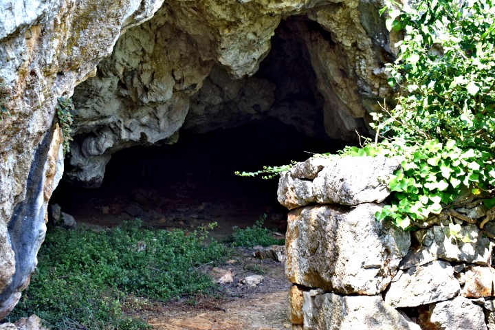
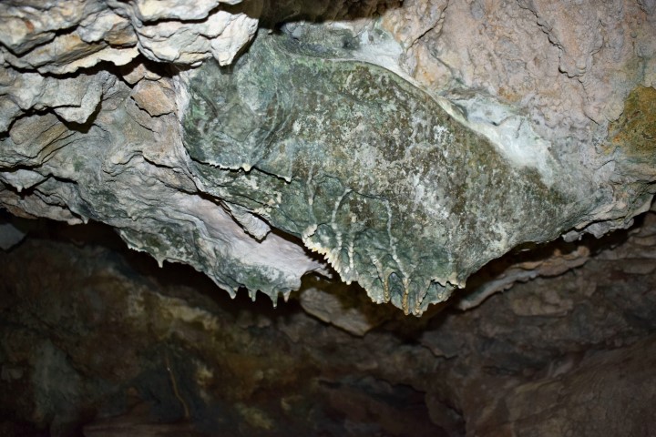
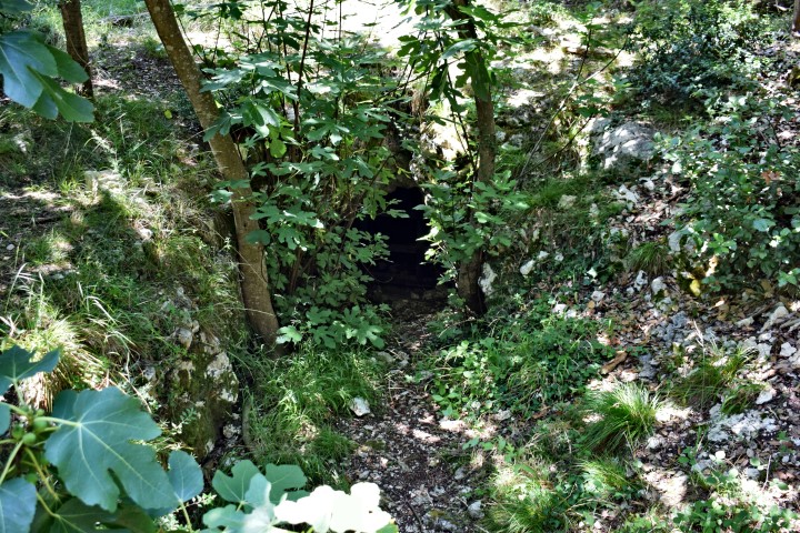
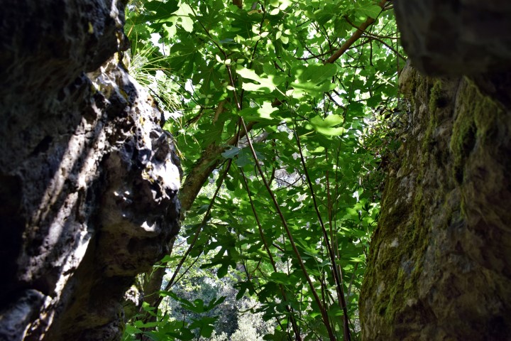
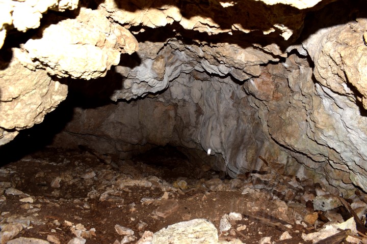
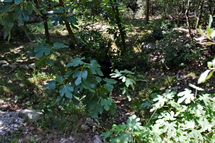
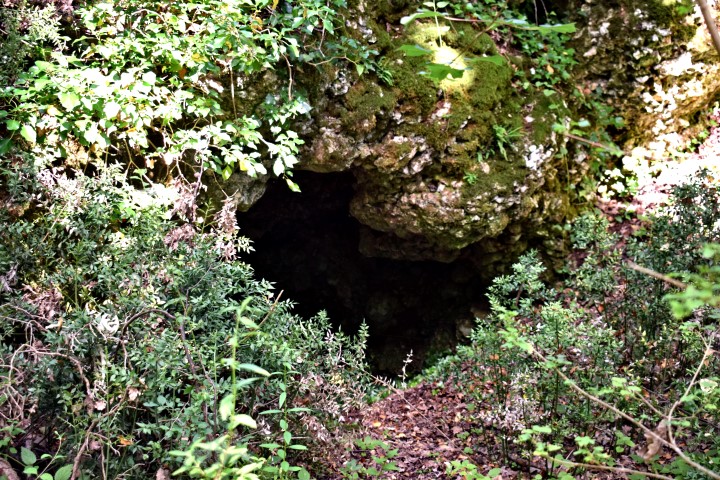
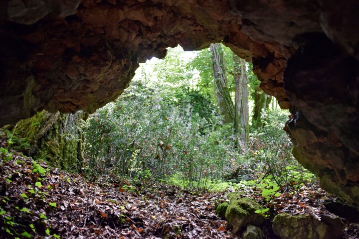
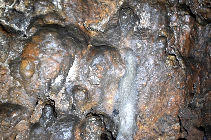
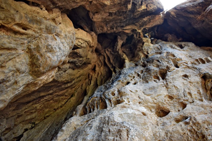
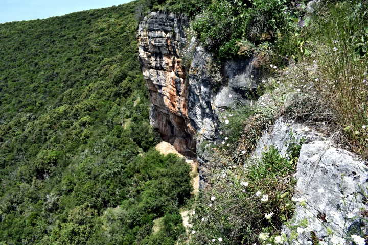
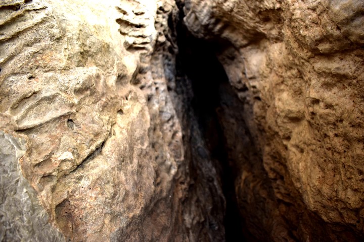
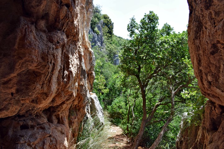
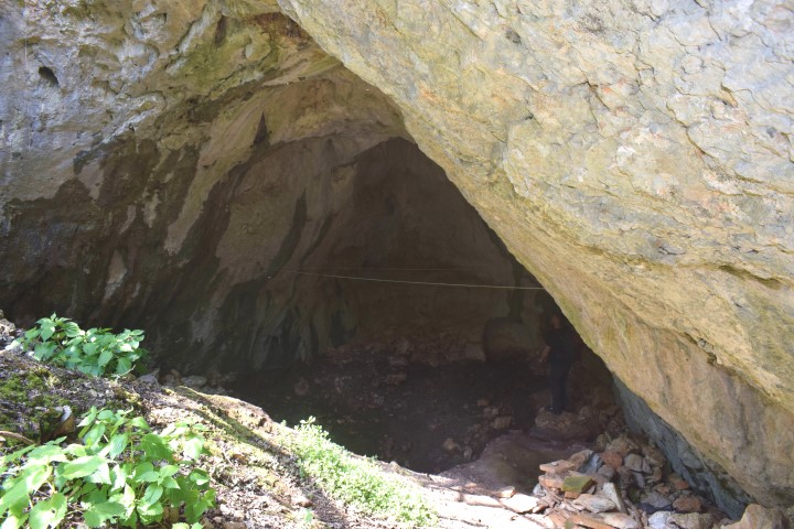
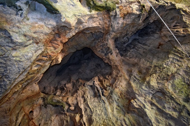
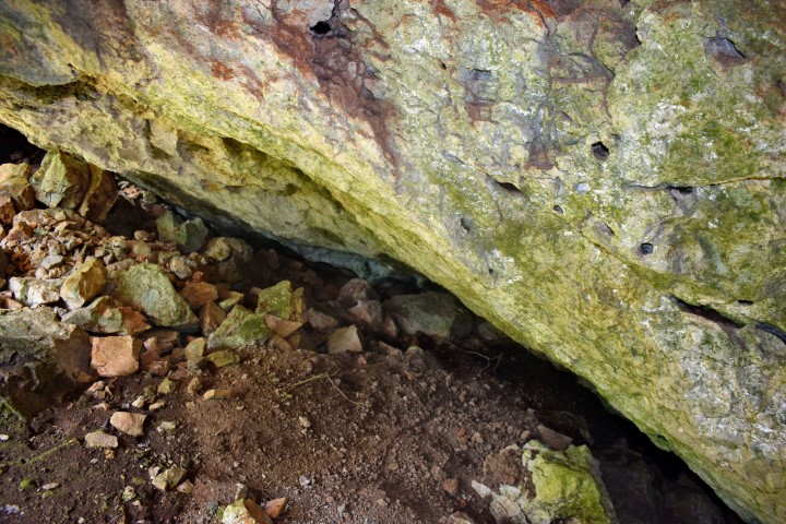
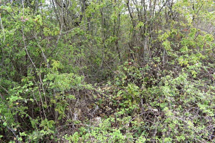
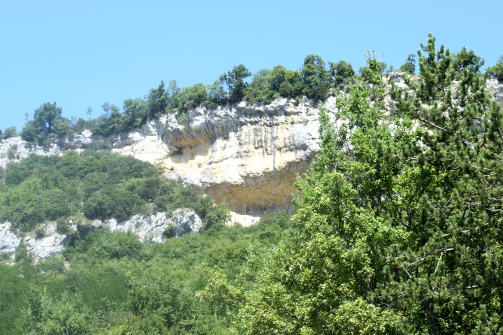
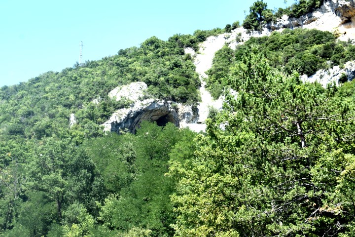
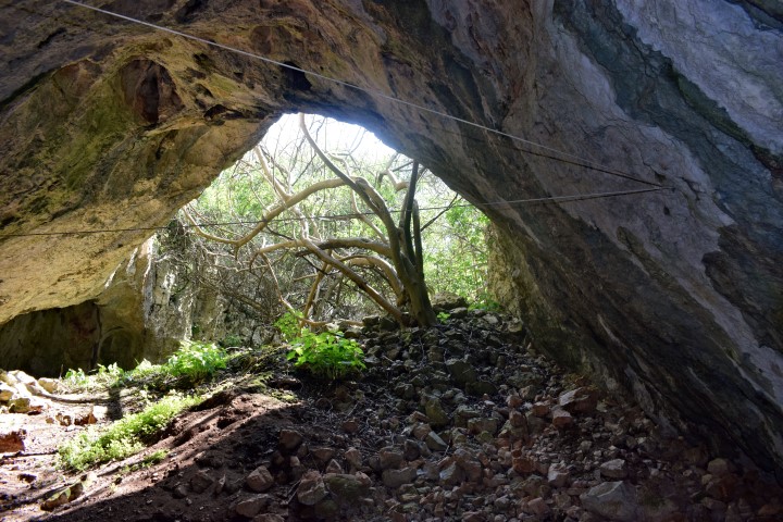
Name: Hiking trail to the cave Ilovica.
Place: Brseč – (Mošćenička Draga).
Coordinates:
Starting point: 45.17744 N – 14.23411 E, altitude: 150 m.
Cave: 45.176 N – 14.2365, altitude: 74 m.
.
This cave goes down at an angle of 20 to 30 degrees and is approximately 100 meters long, an has a shaft up to 6 meters high.
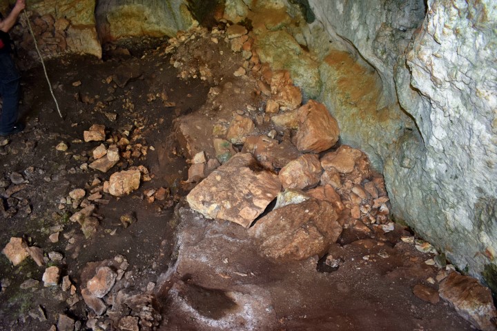
Many prehistoric and historical remains were found during archaeological research in 1999. At that time is also discovered that the cave was used as a shelter from the second half of the first century to the end of the third century. Who these people were is not known.
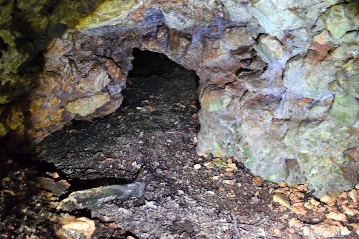
Name: Gradina cave.
Place: Near Prementura – (Medulin).
Coordinates: 44.81028 N – 13.90739 E.
Name: Jazbinka Cave.
Place: Near Podrol – (Marčana).
Coordinates: 44.99226 N – 13.96o90 E.

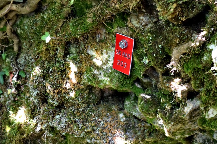
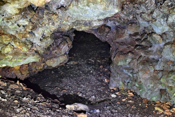
Name: Cave near Jurići (SK HAD 303).
Place: Jurić – (Zminj).
Coordinates: 45.15891 N – 13.91396 E.
Name: Cave Laganiši.
Place: Laganiši – (Oprtalj).
Coordinates: 45.38912 N – 13.84241 E.
See also post dated 2019-01-31.
Name: Cave Lim 001.
Place: Vrala – Limski Kanal – (Vrsar).
Coordinates: 45.13637 N – 13.72795 E.