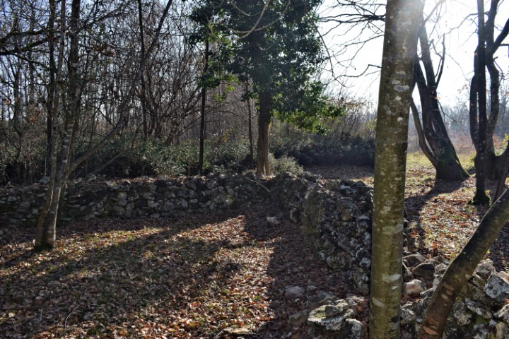
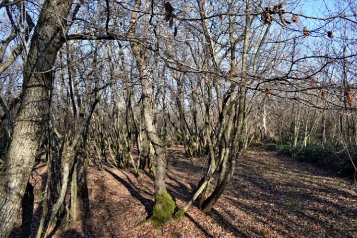
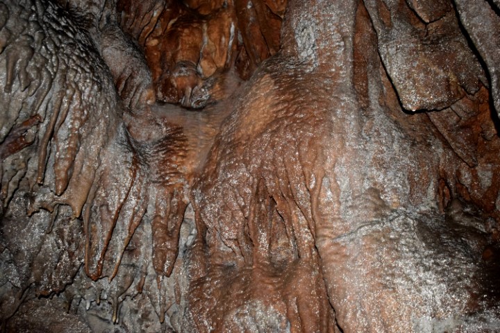
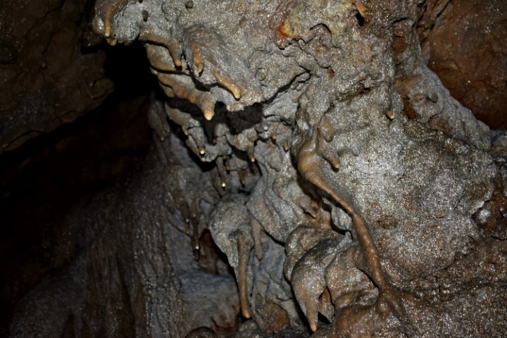
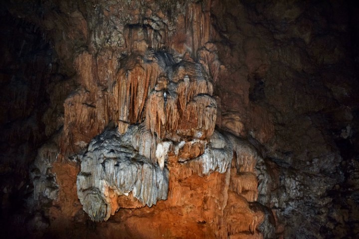
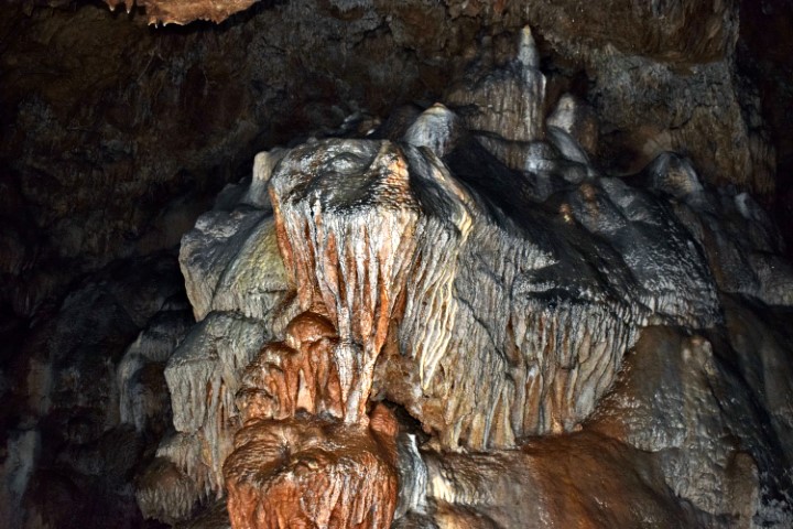
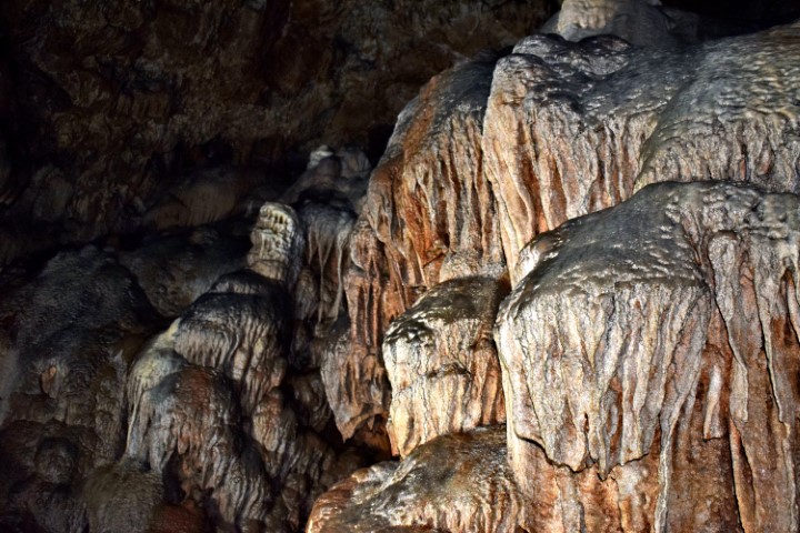
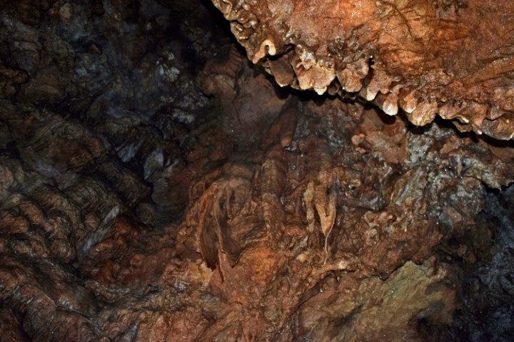
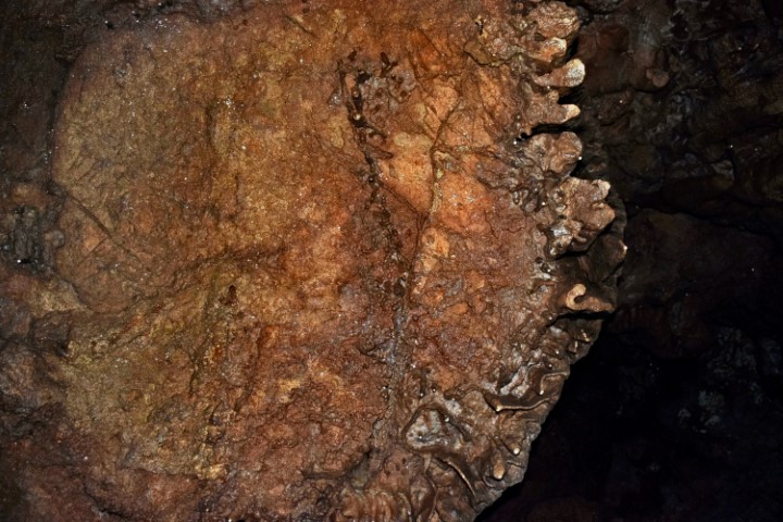
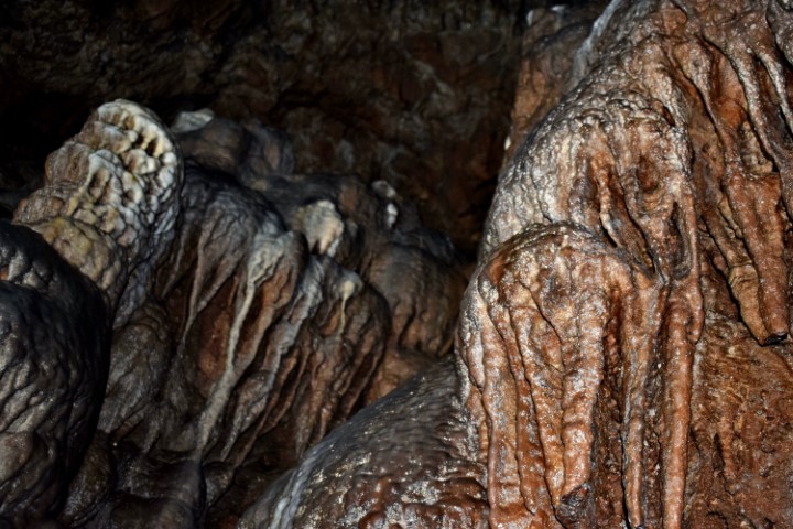
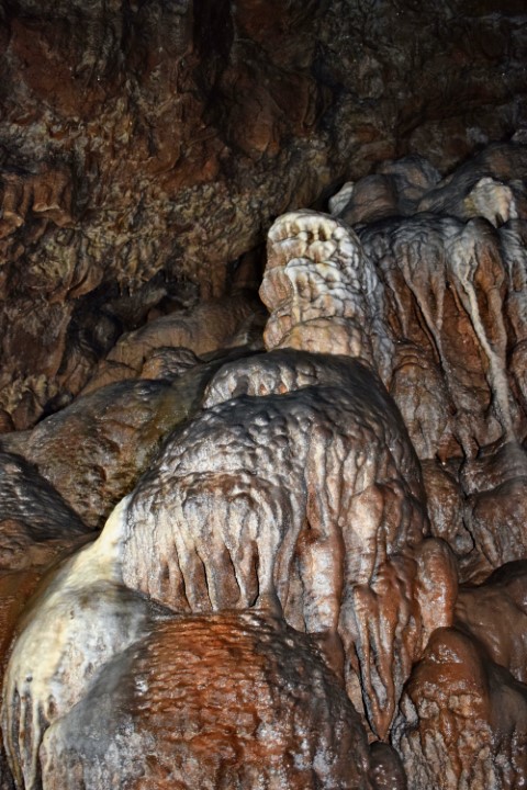
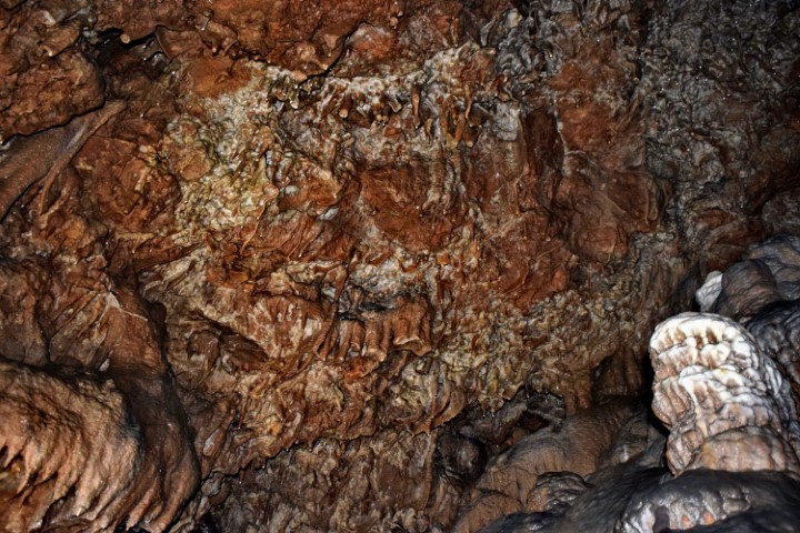
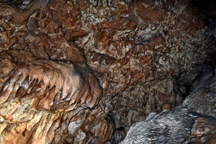
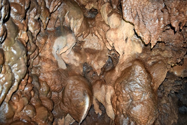
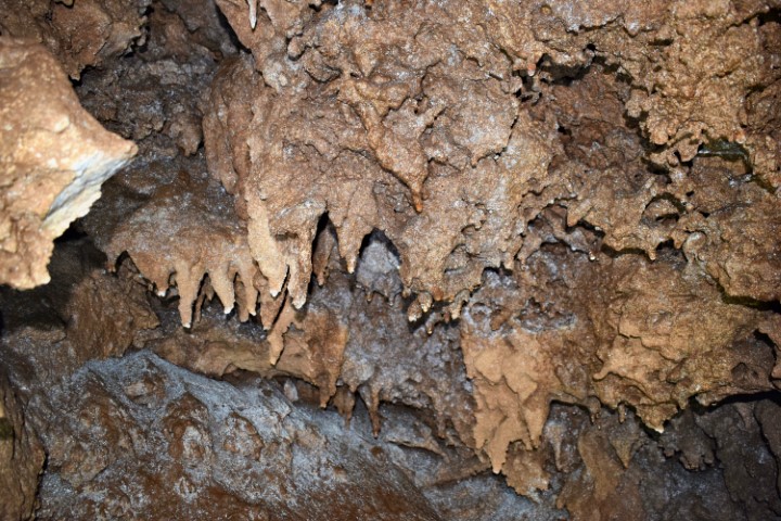
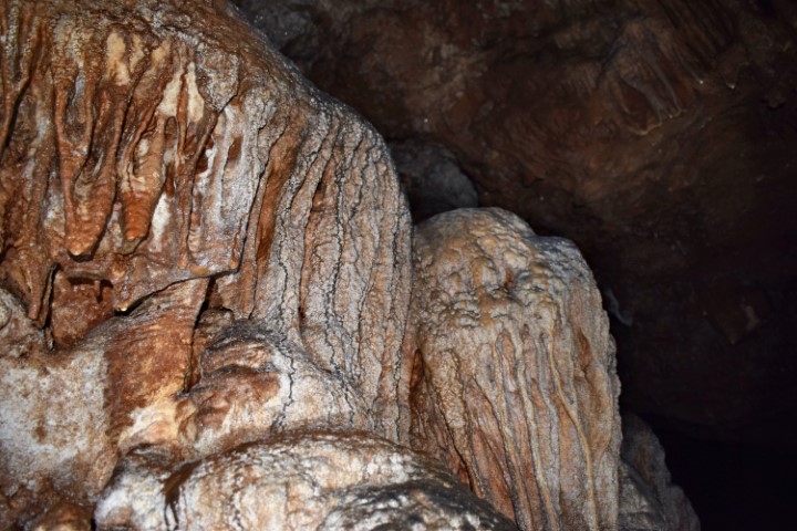
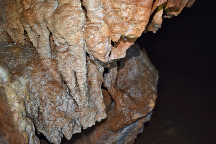
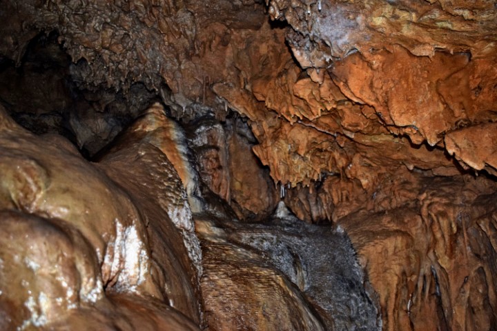
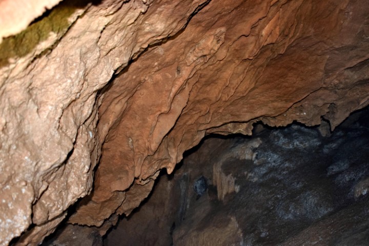
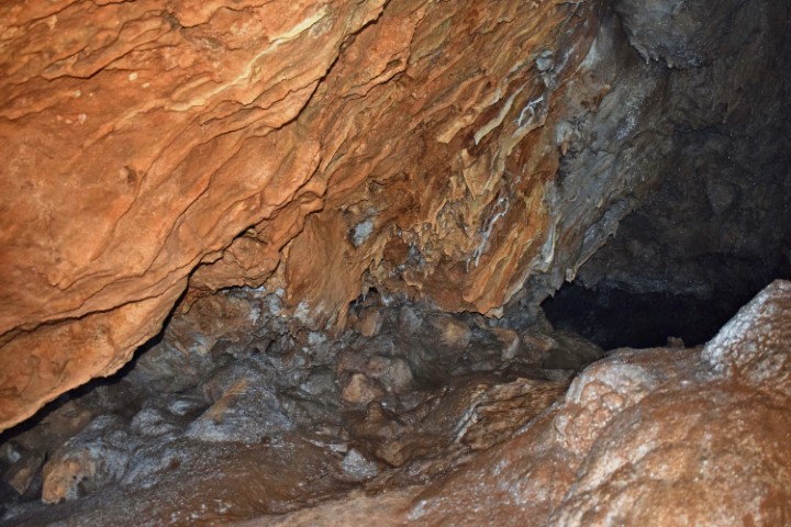
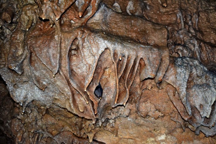
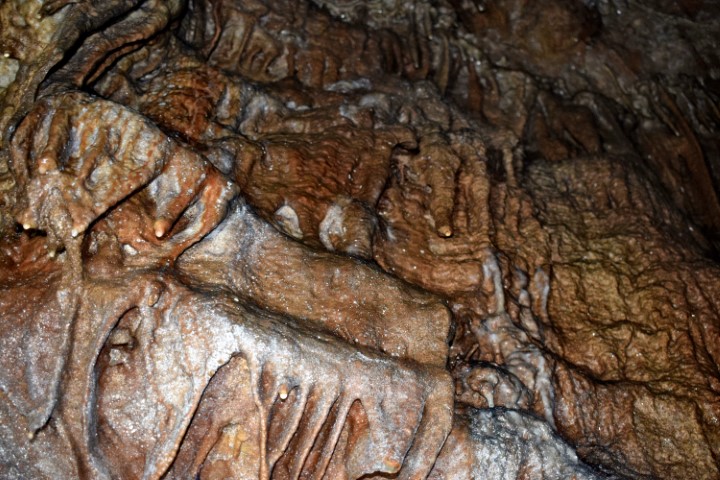
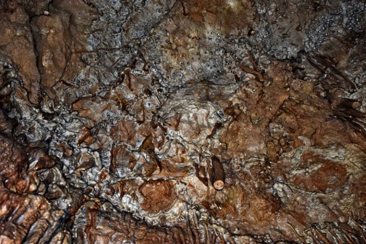
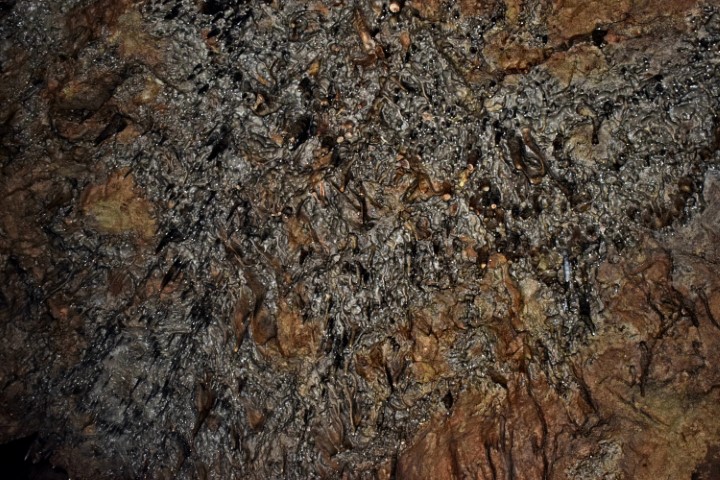
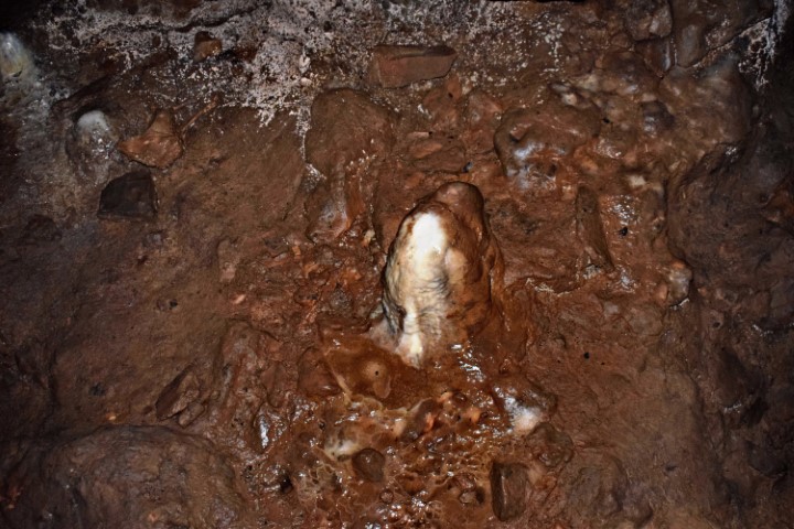
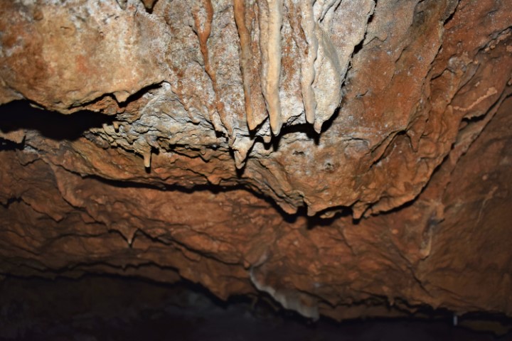
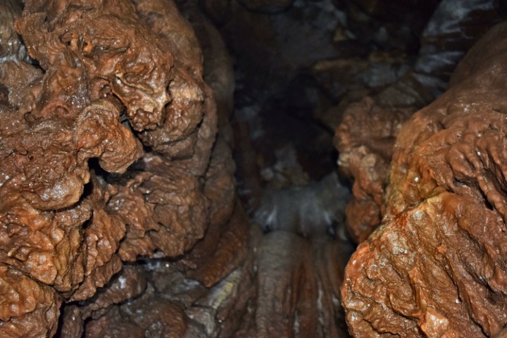
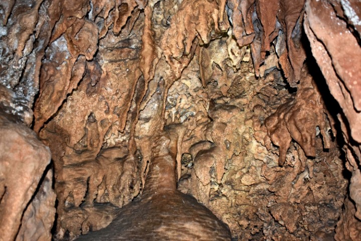
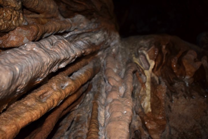
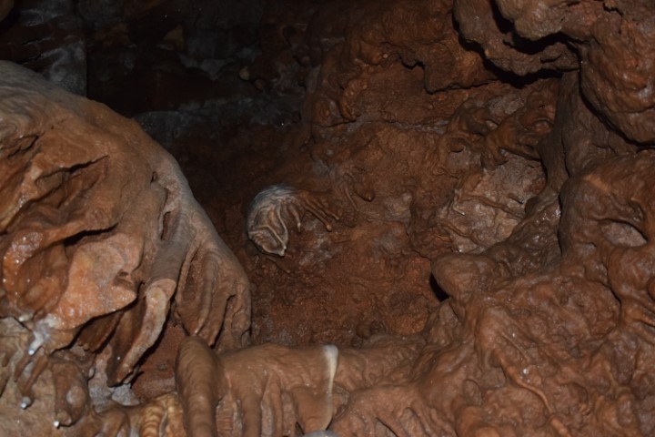
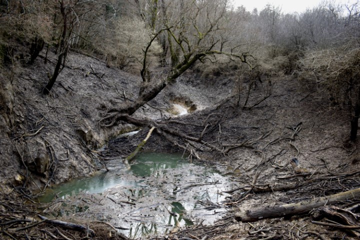
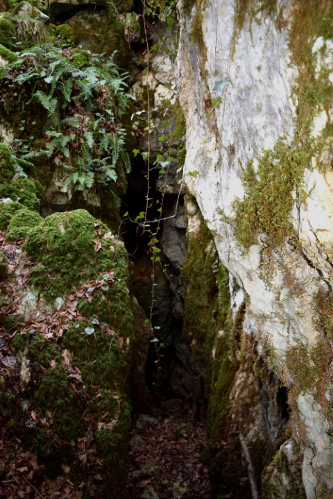
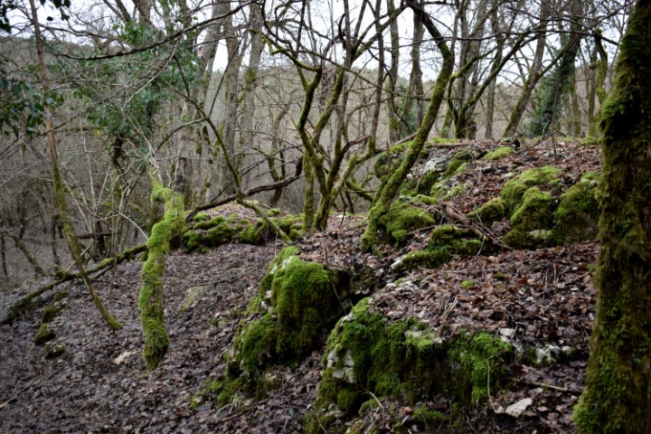
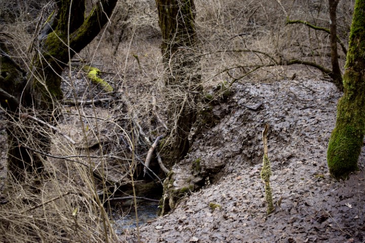
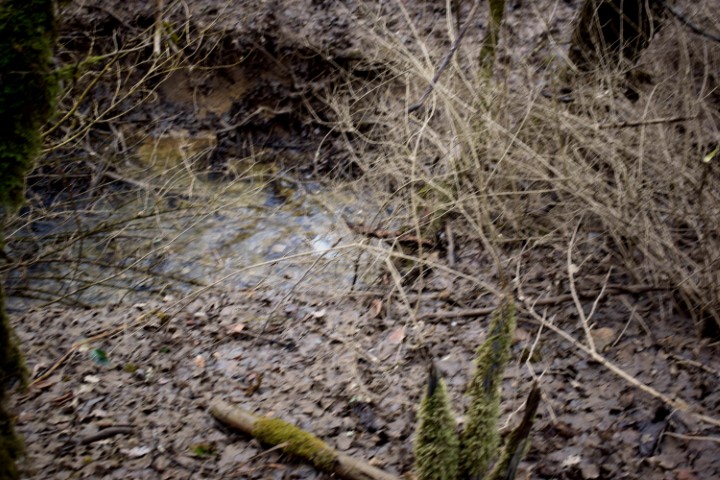
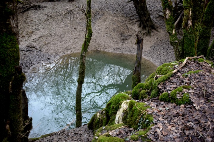
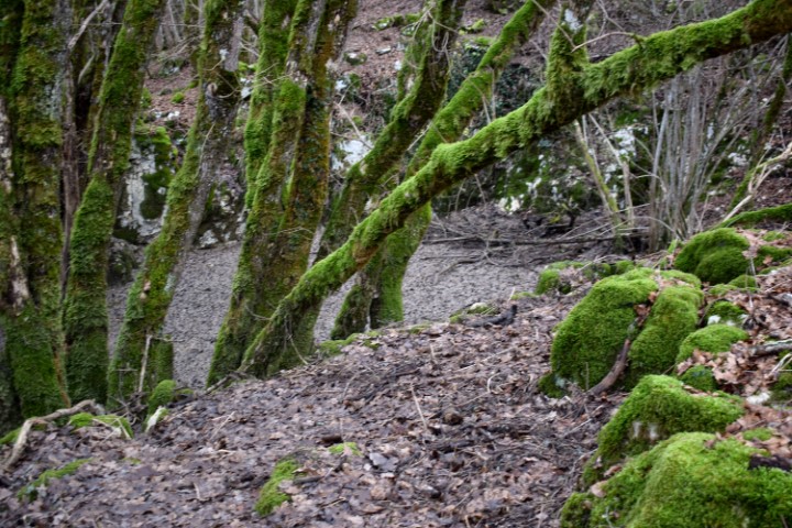
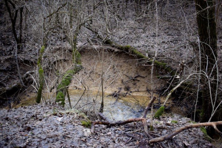
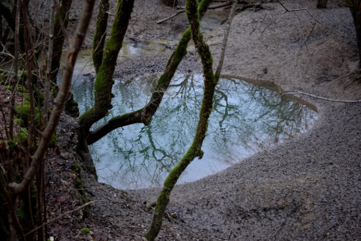
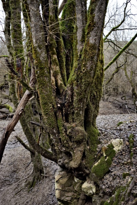
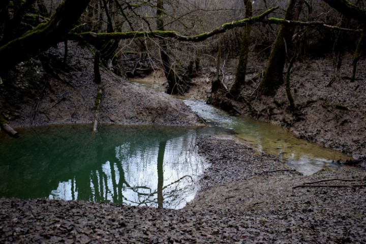
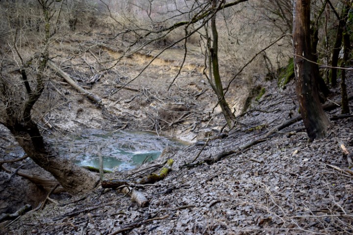
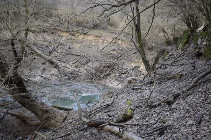
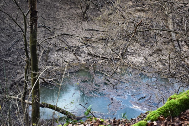
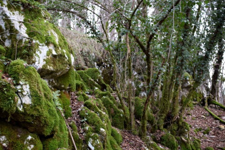
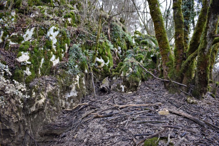
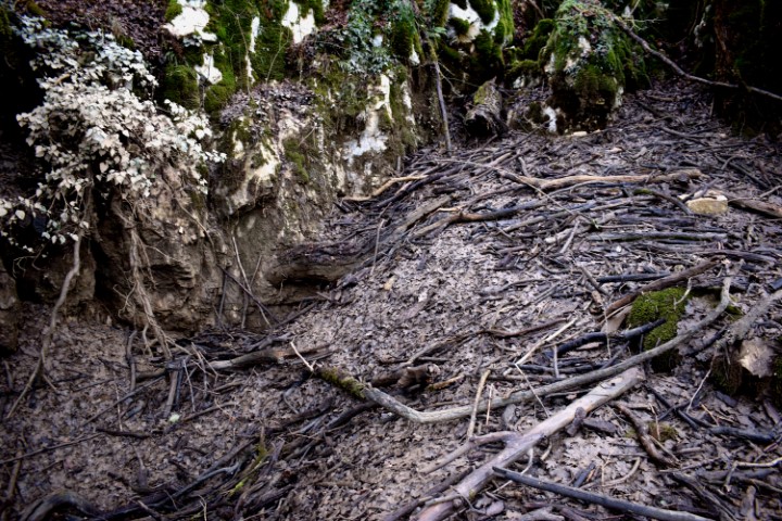
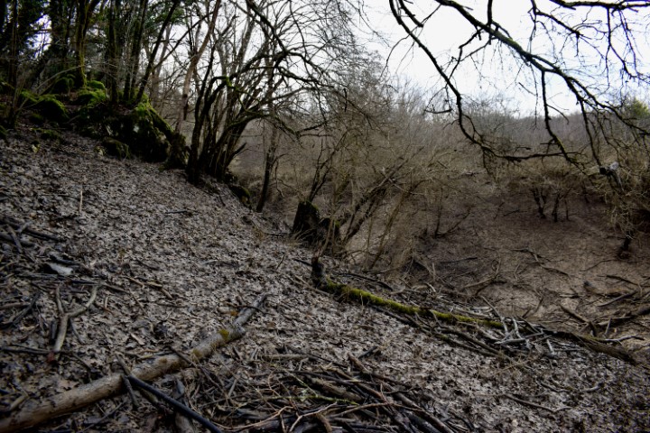
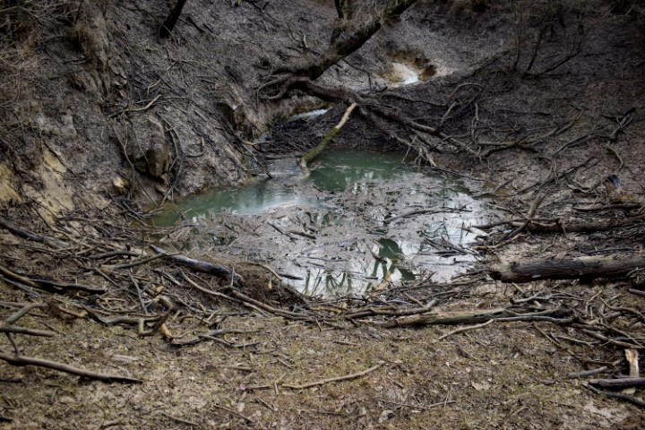
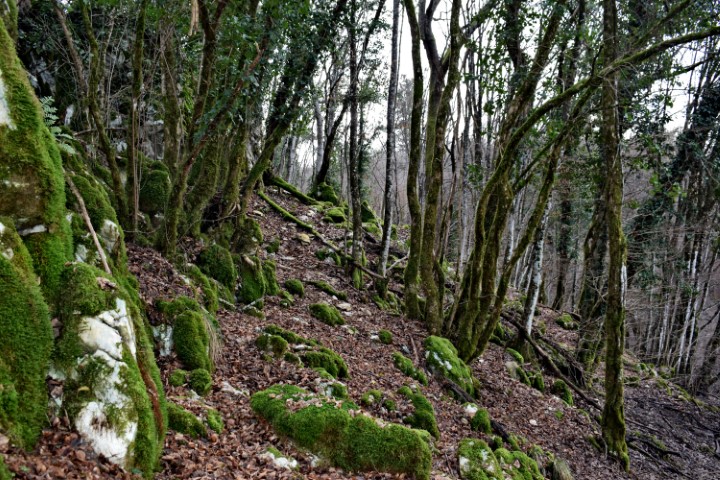
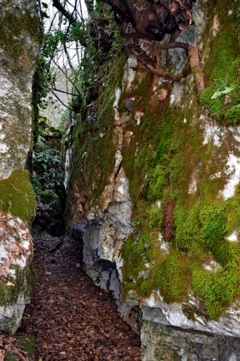
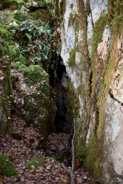
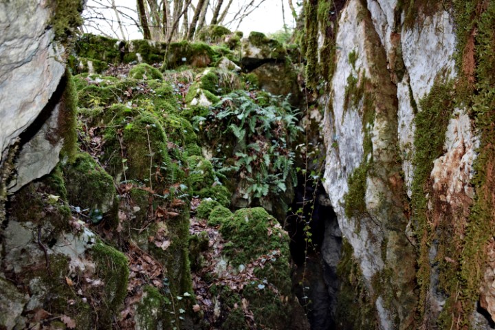
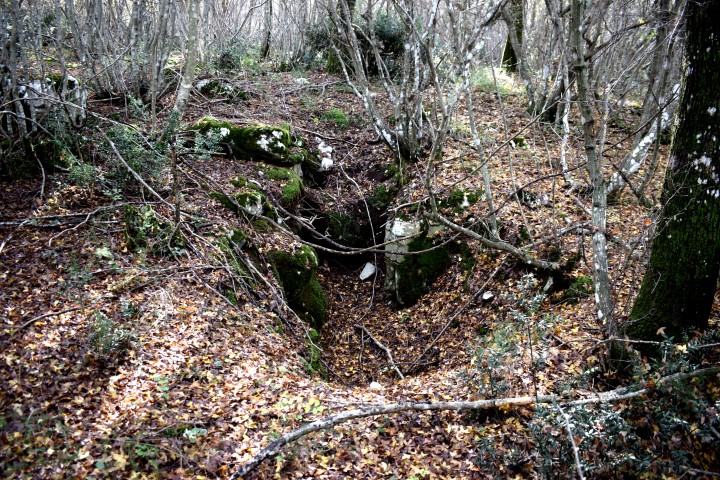
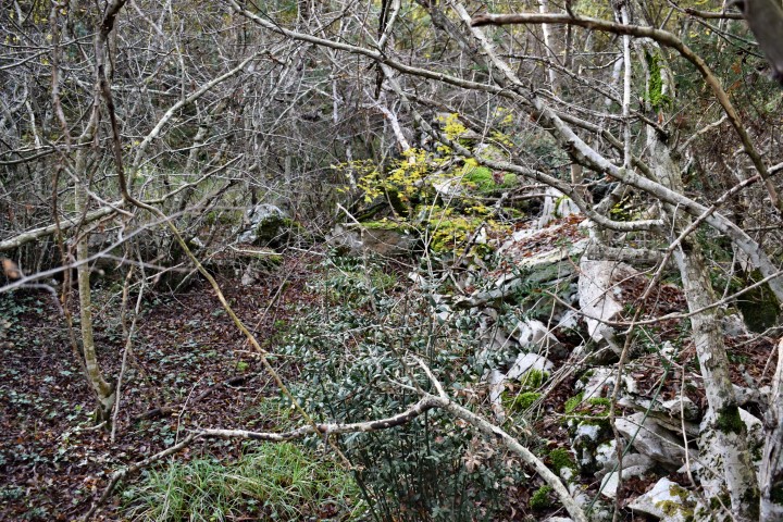
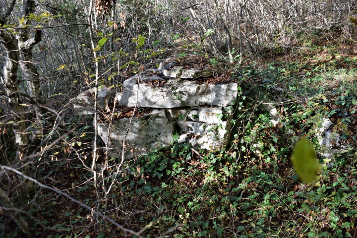
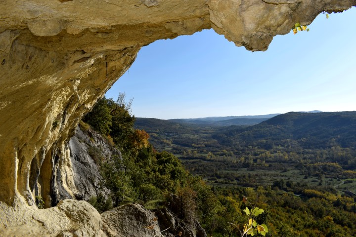
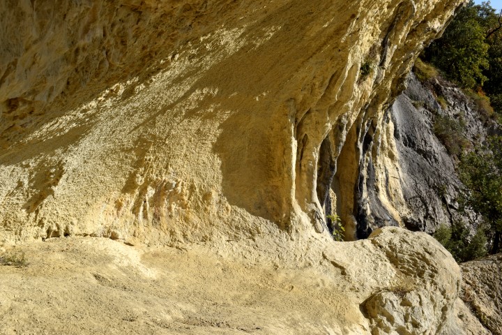
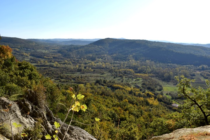
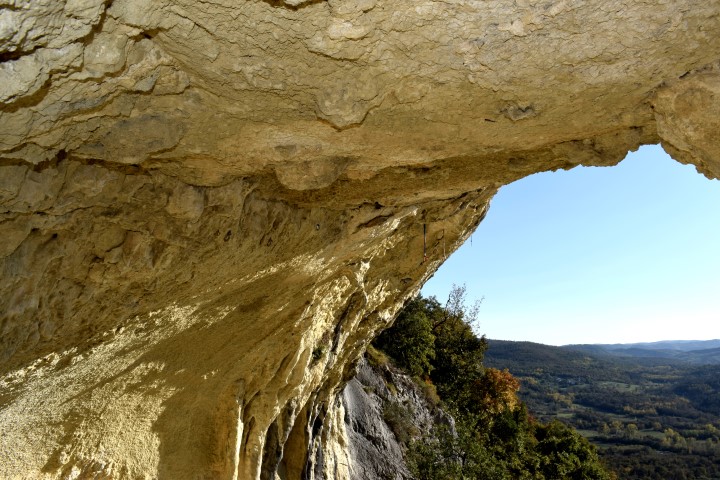
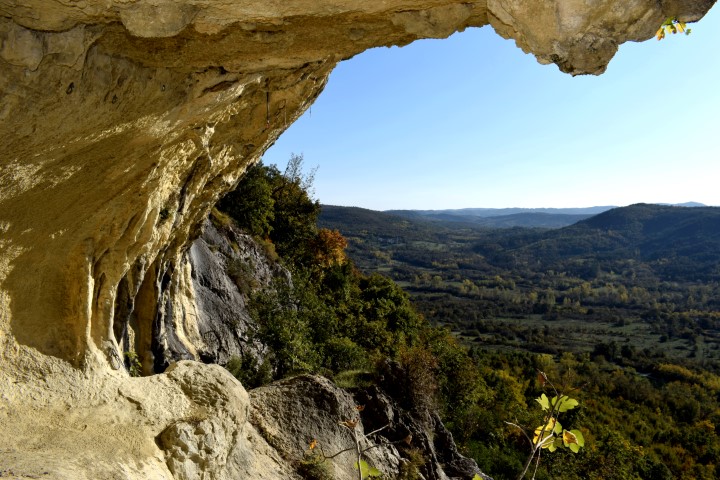
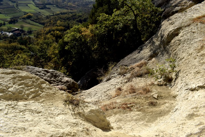
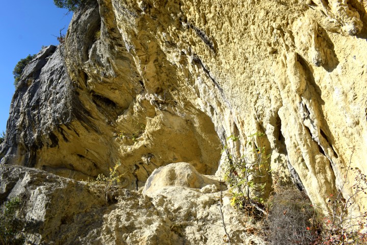
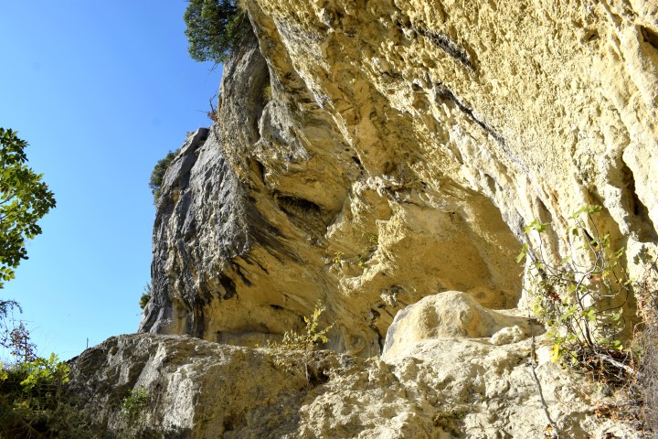
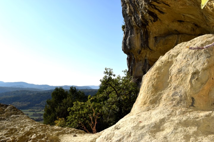
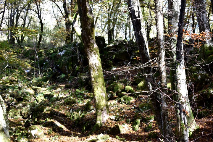
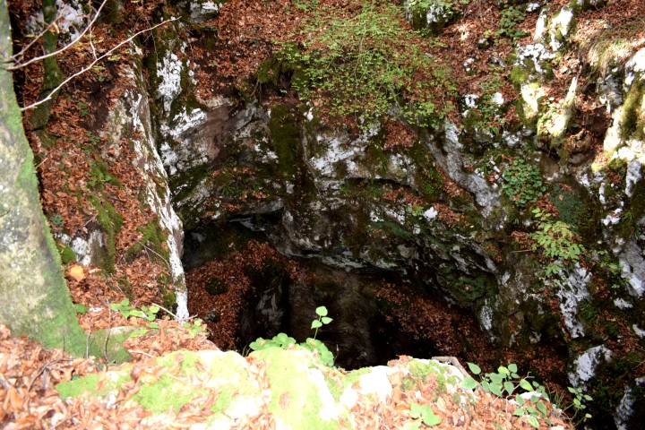
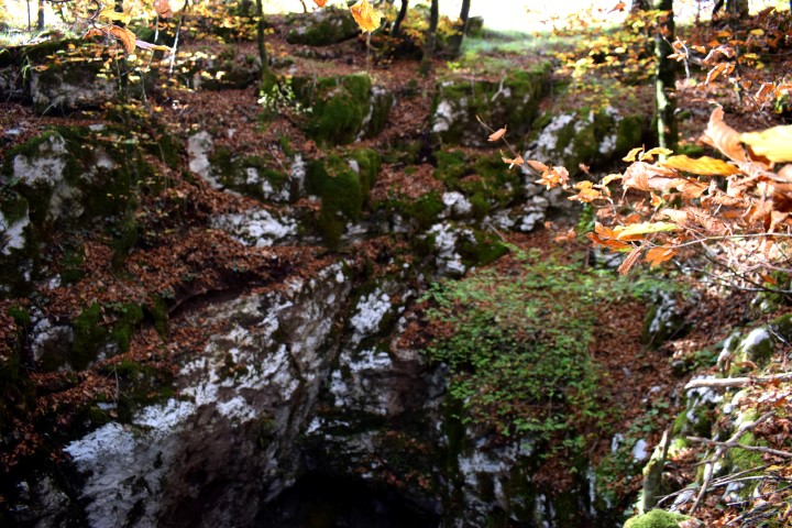
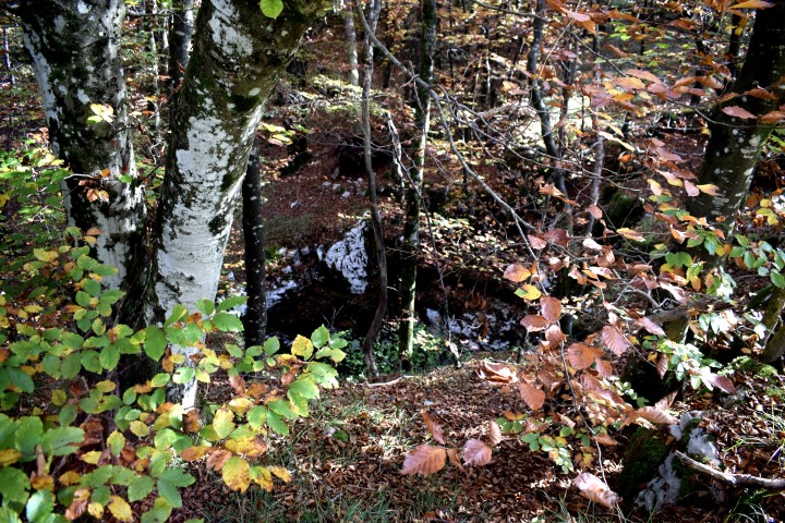
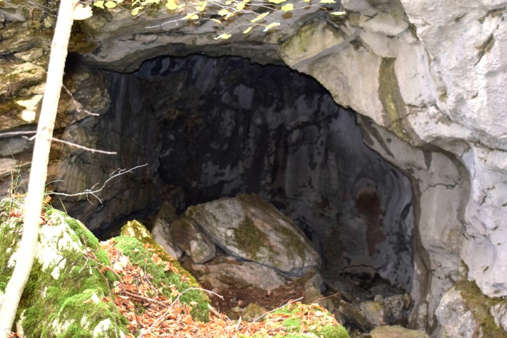
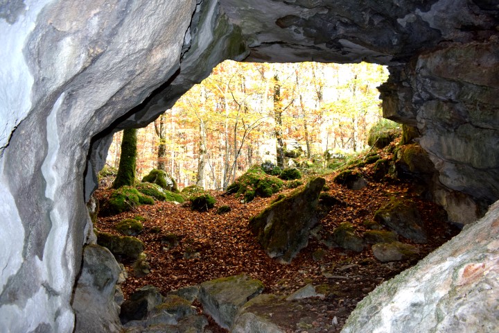
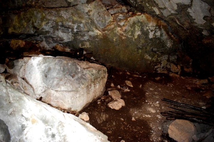
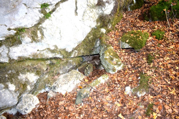
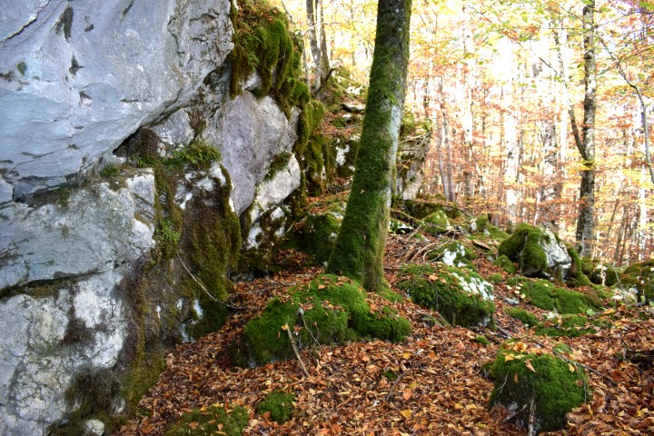
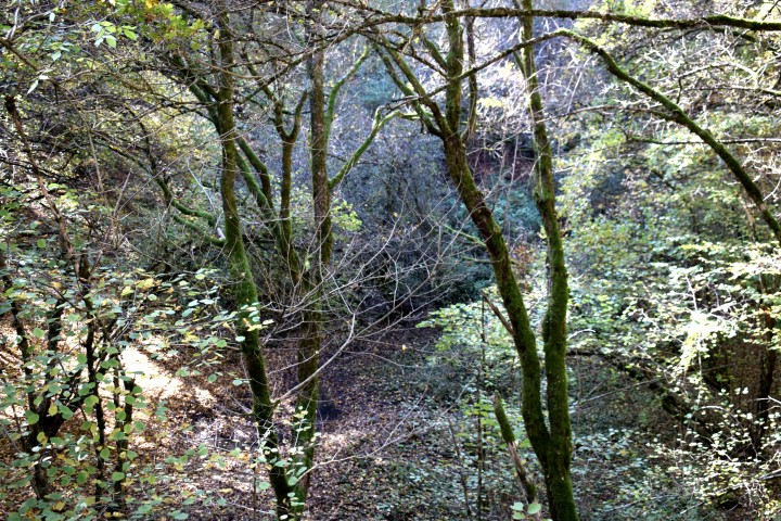
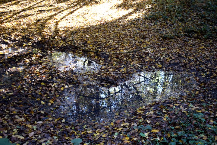
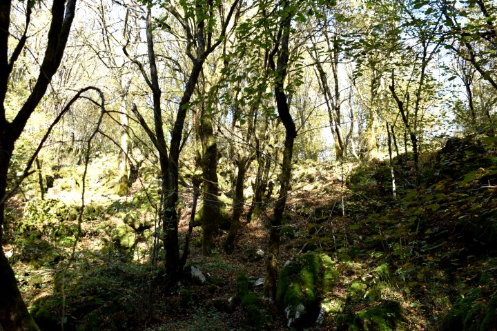
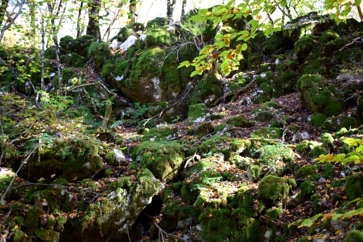
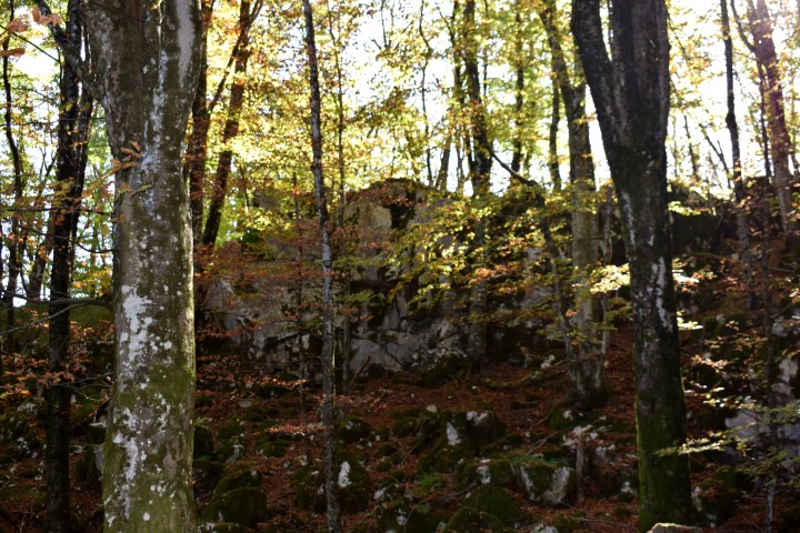
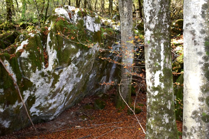
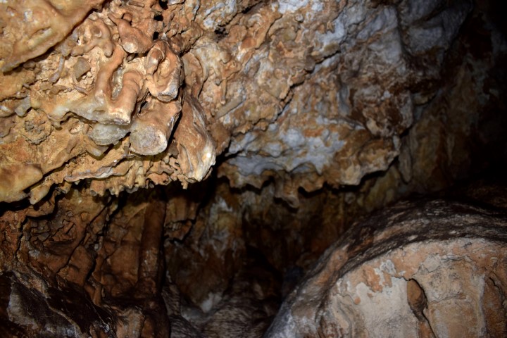
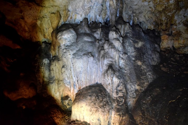
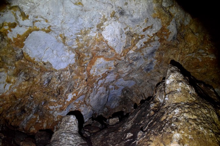
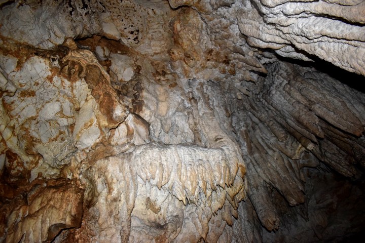
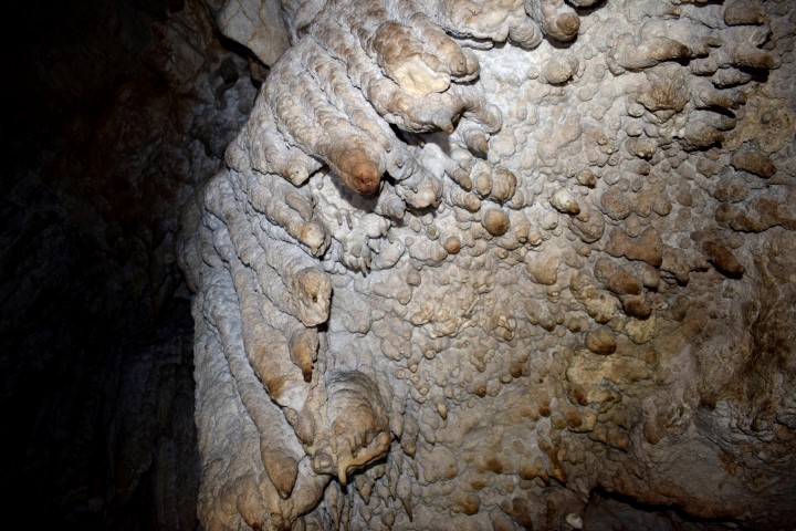
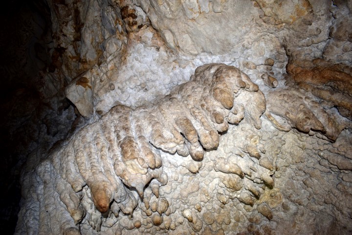
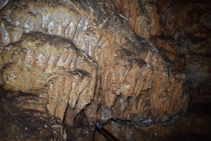
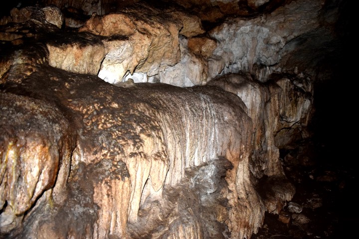
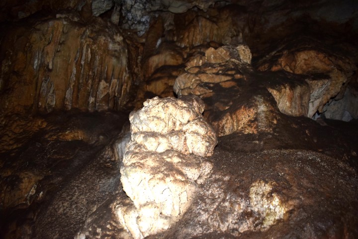
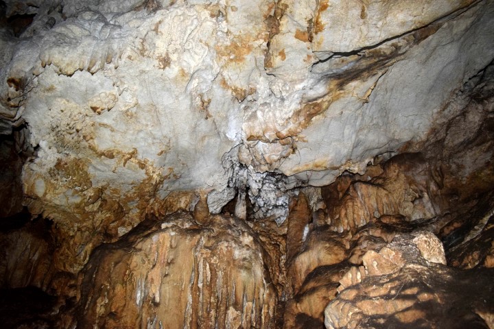
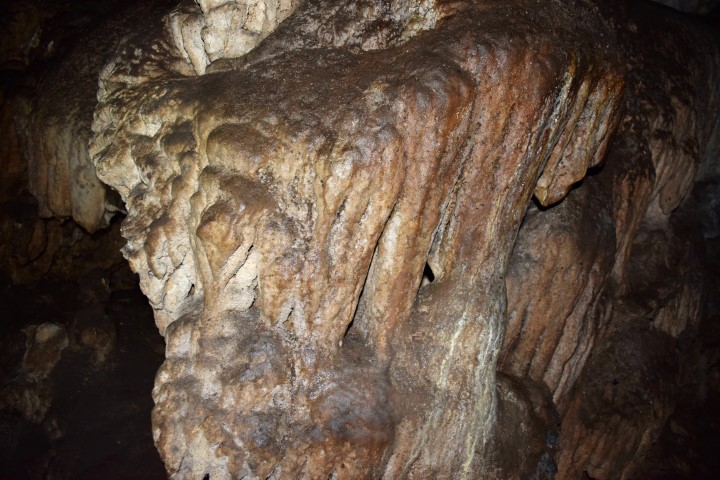
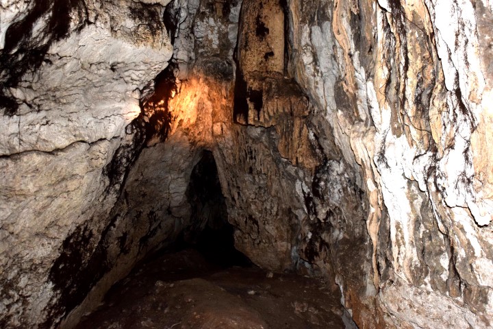
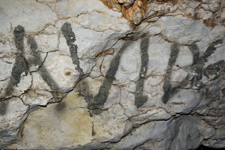
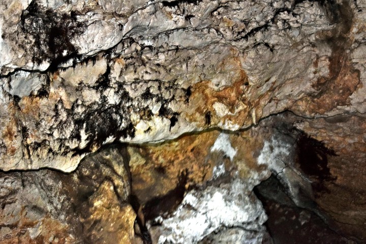
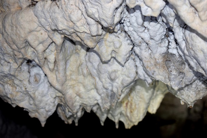
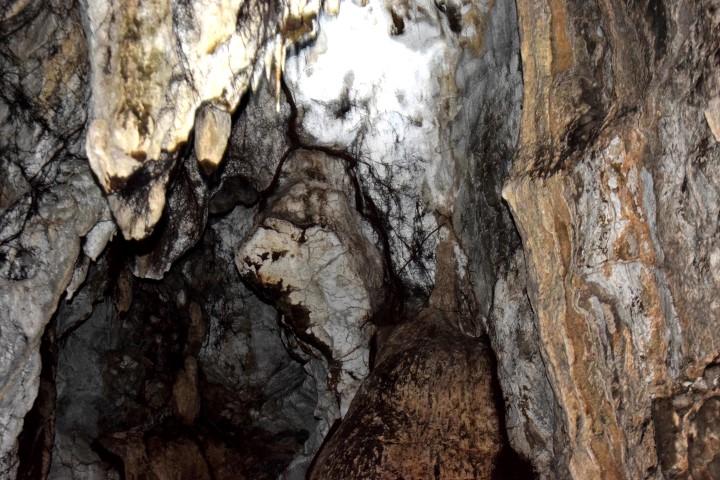
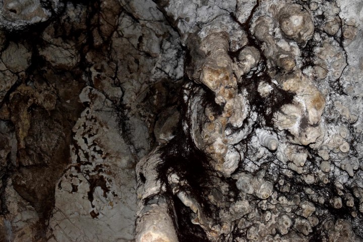
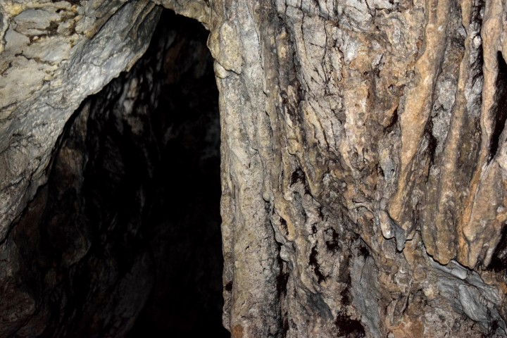
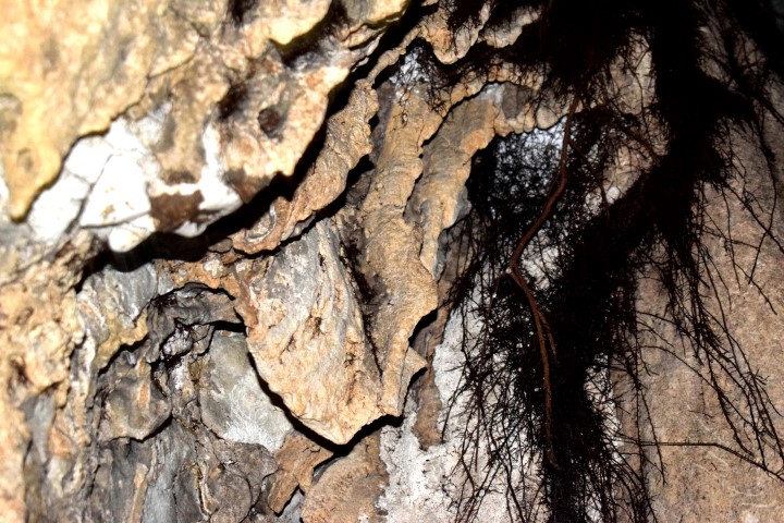
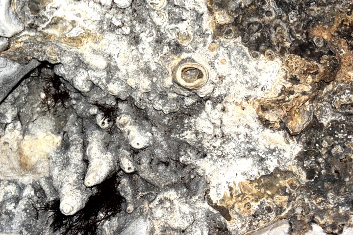
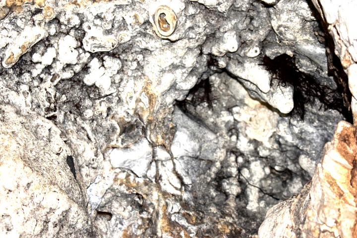
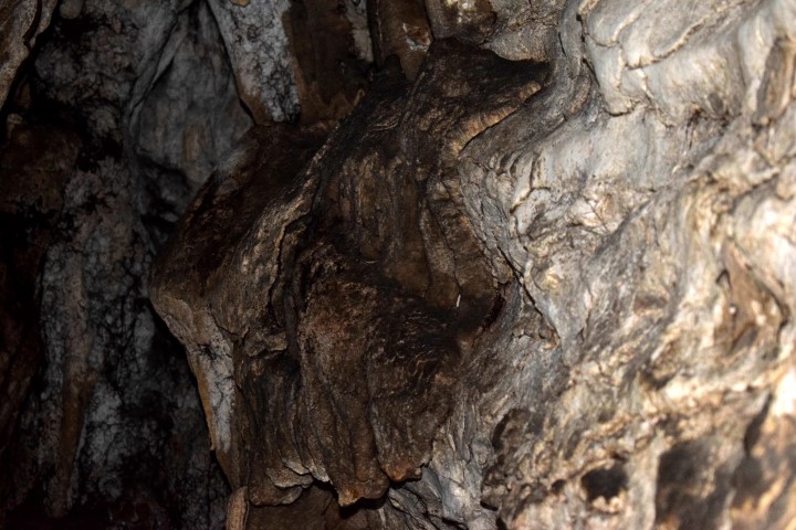
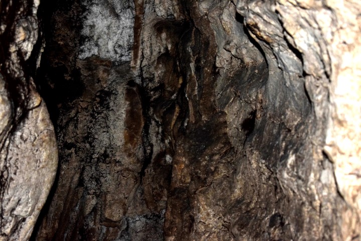
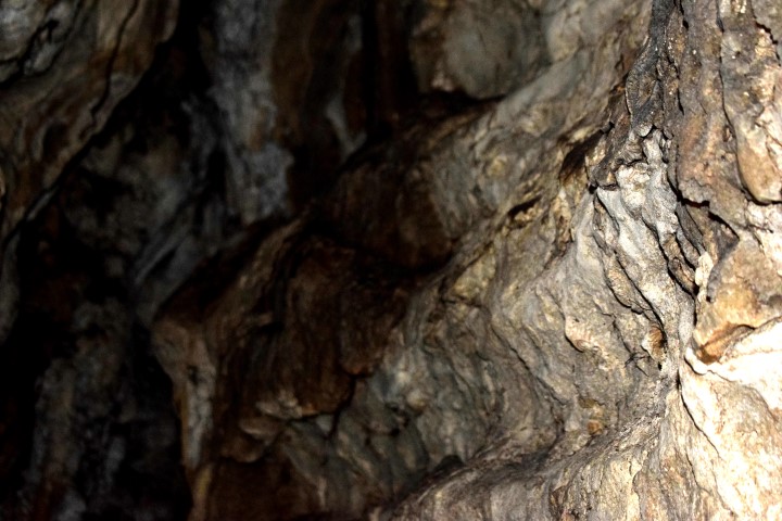
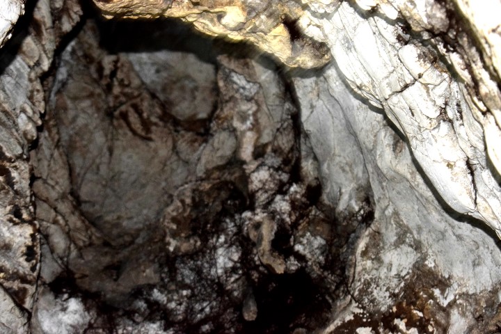
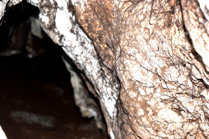
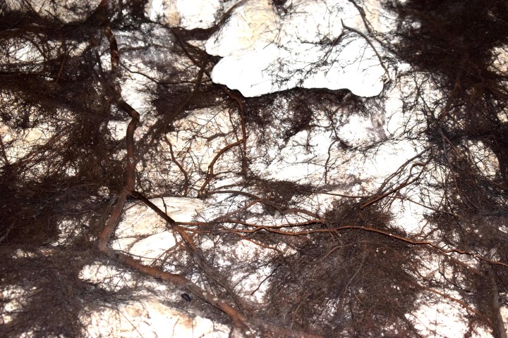
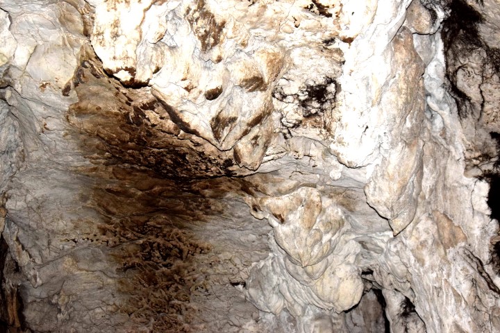
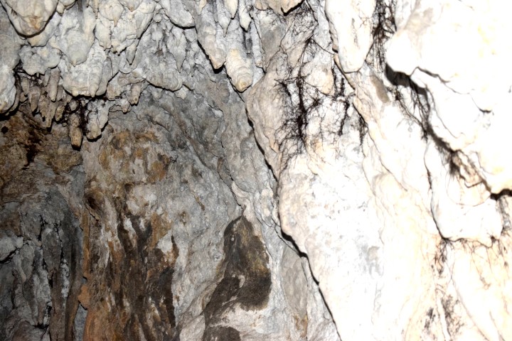
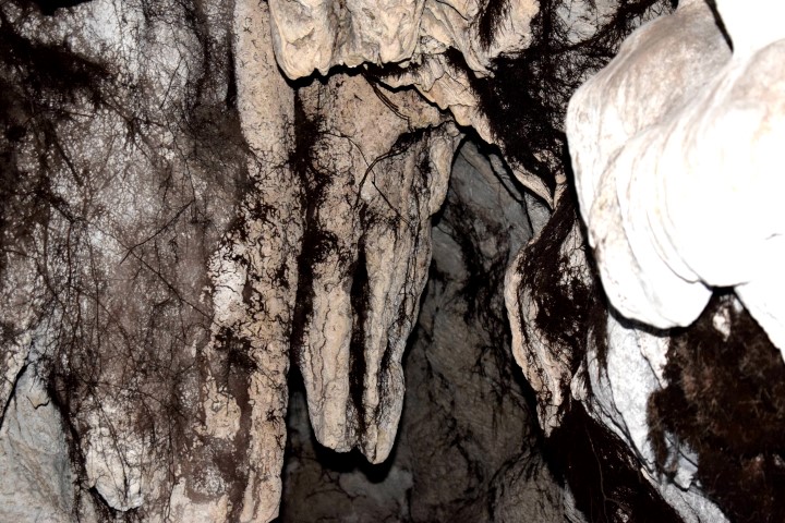
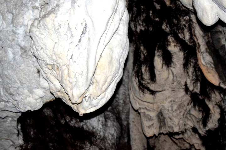
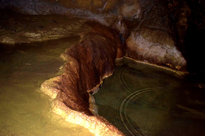
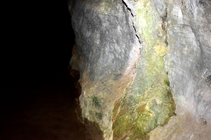
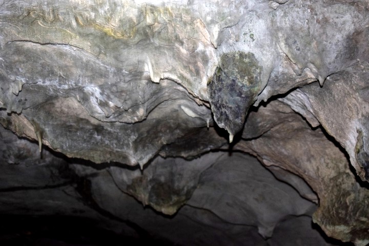
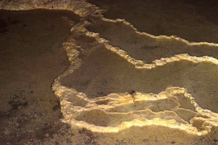
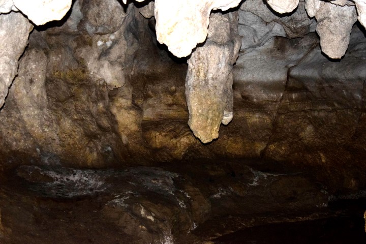
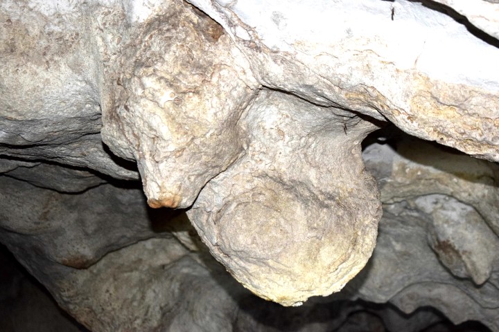
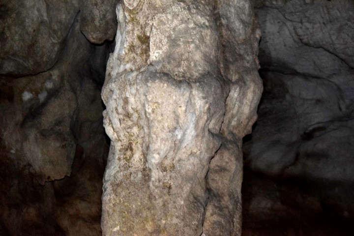
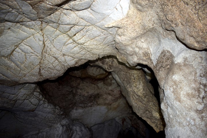
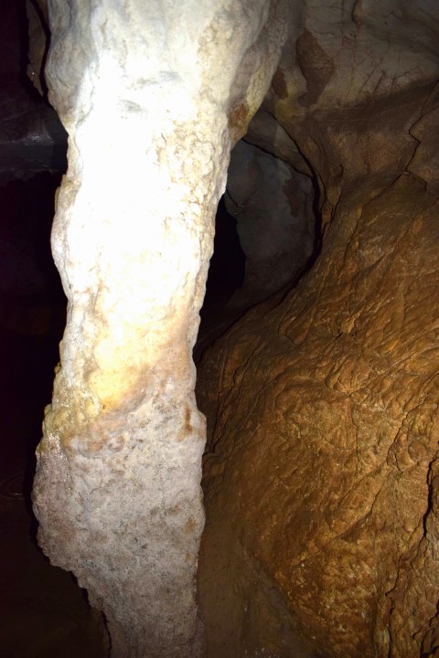
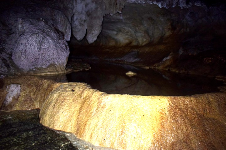
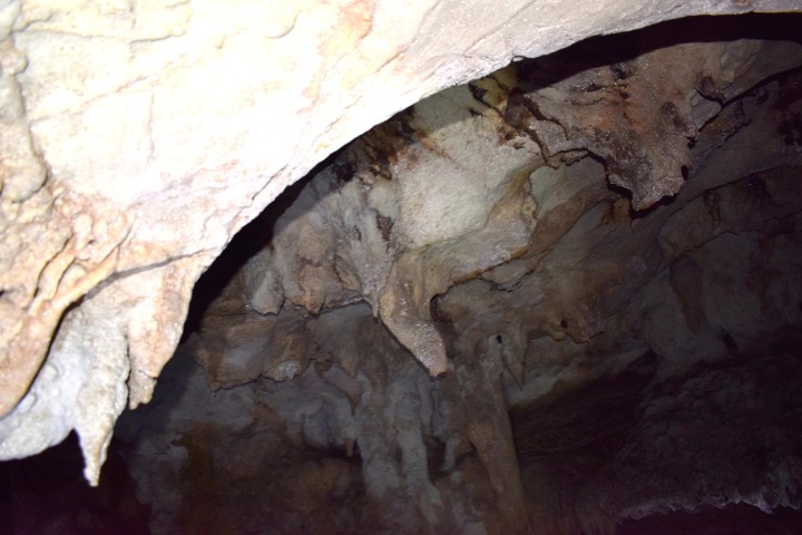
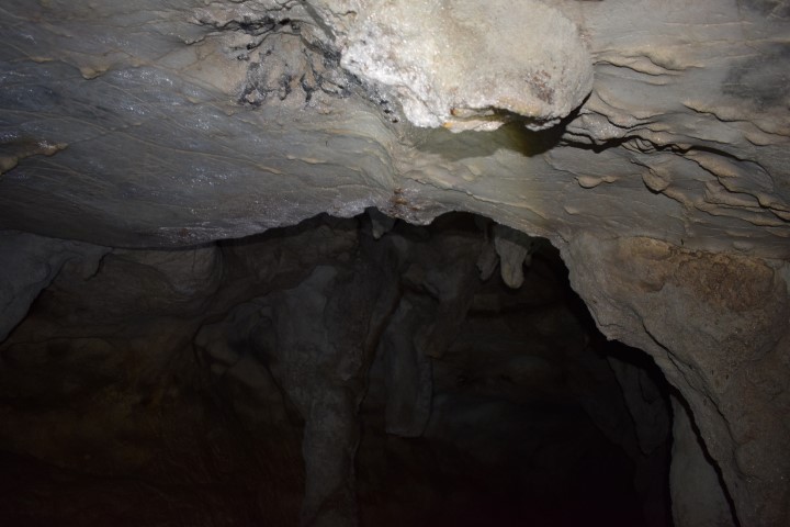
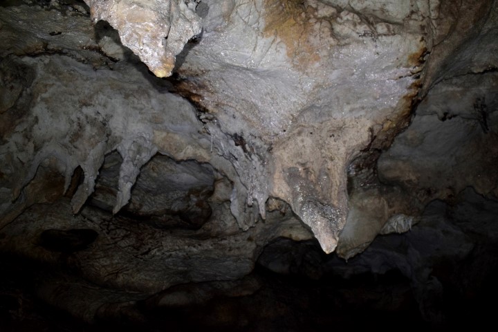
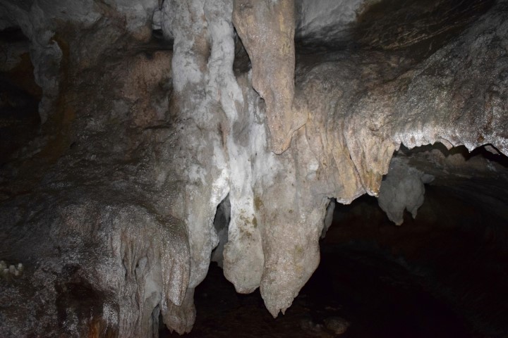
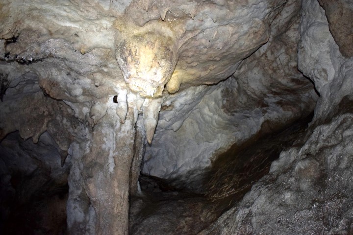
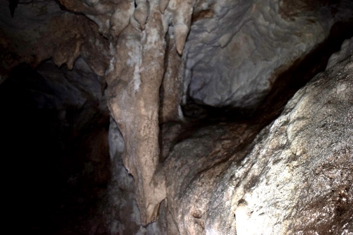
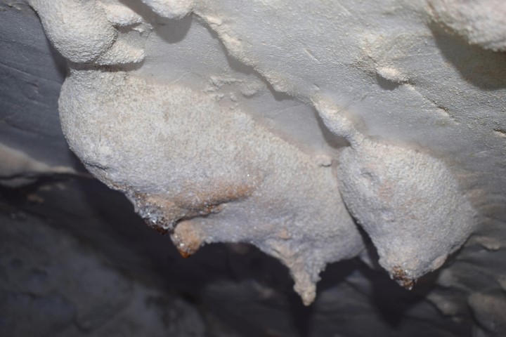
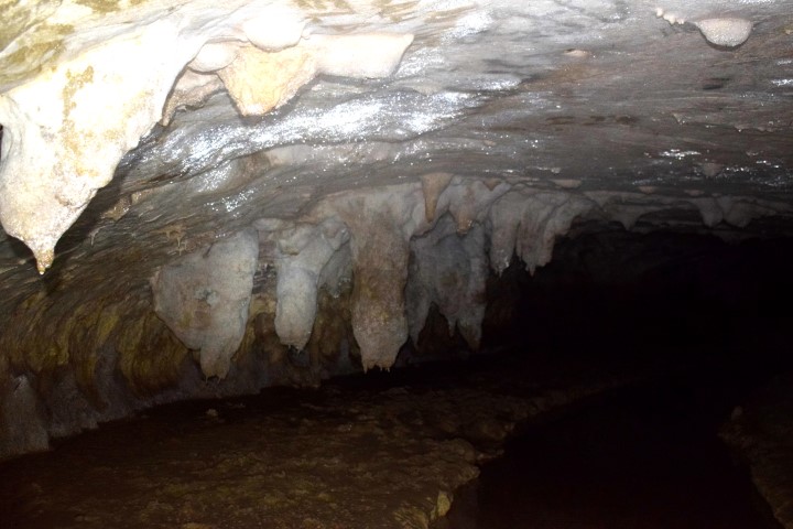
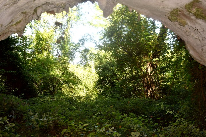
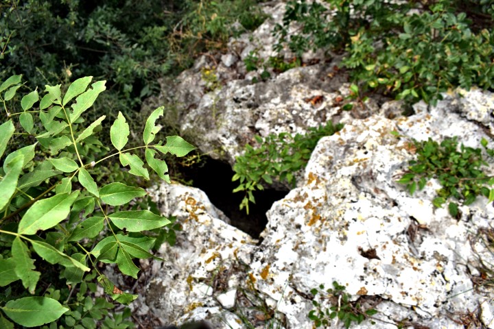
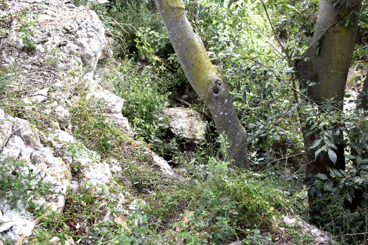
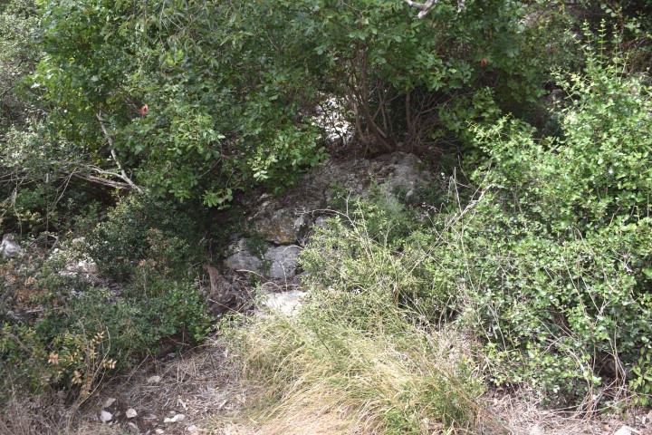
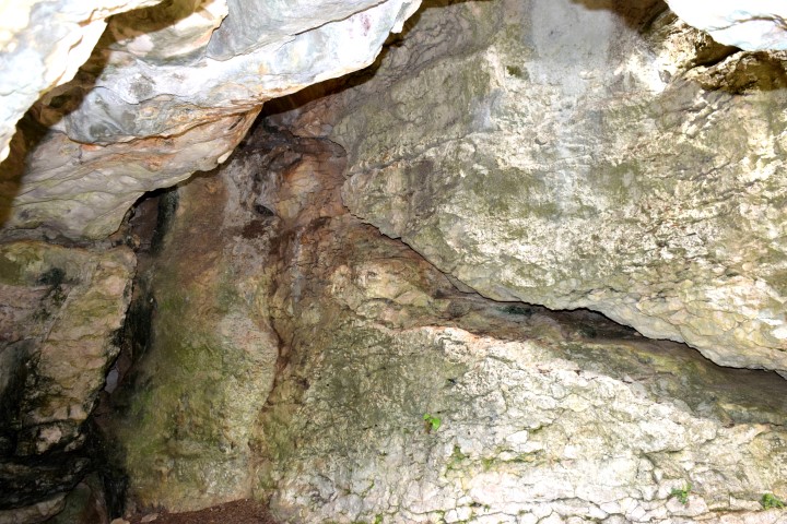
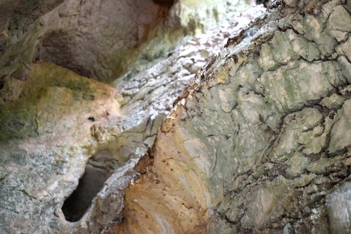
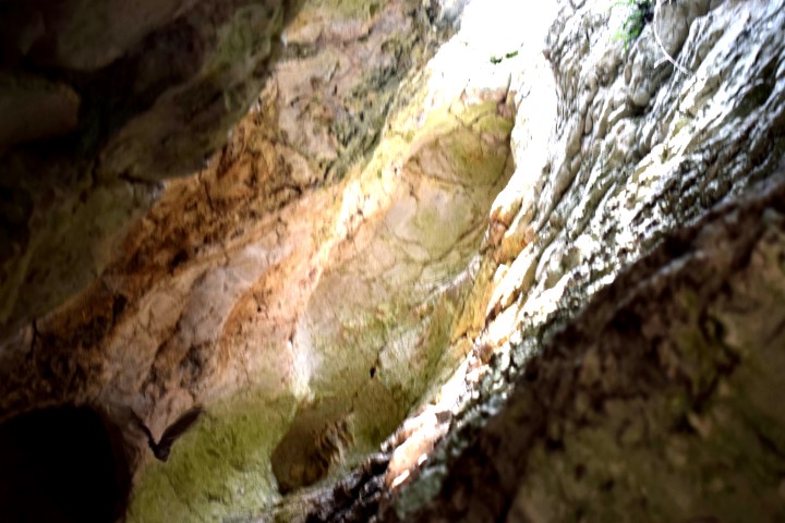
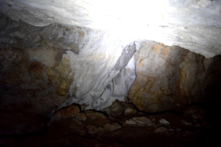
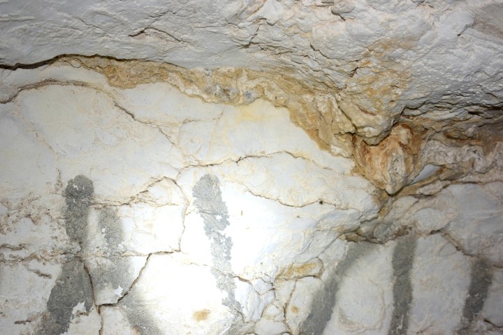
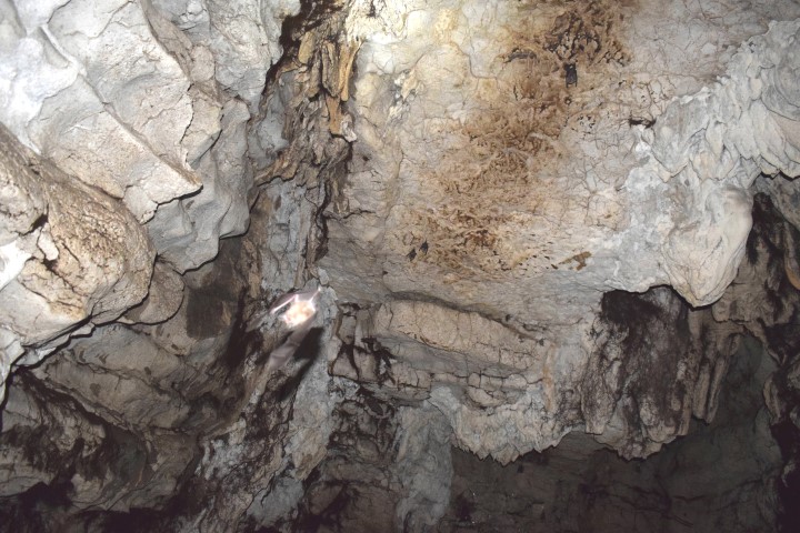
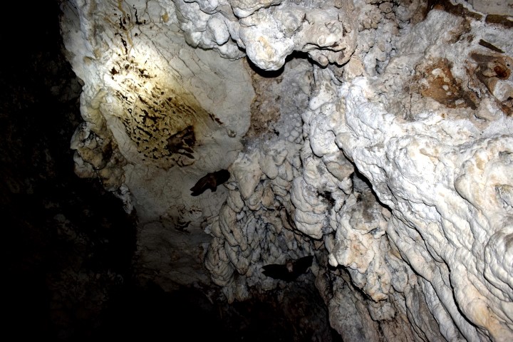
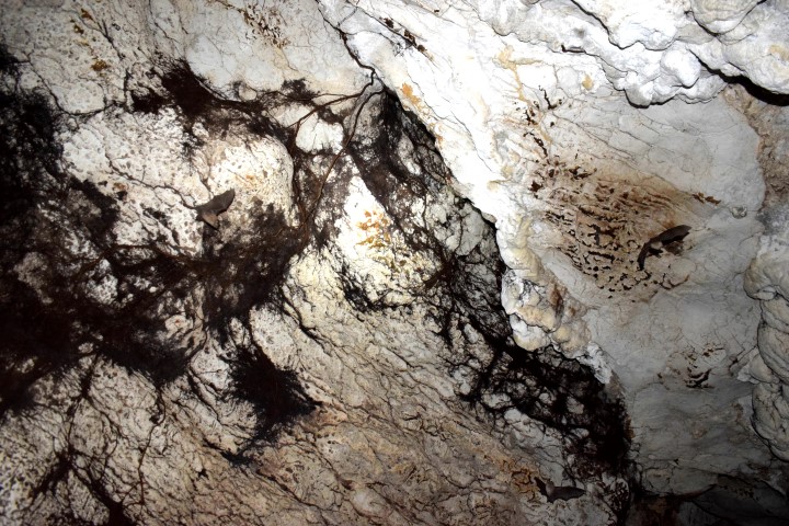
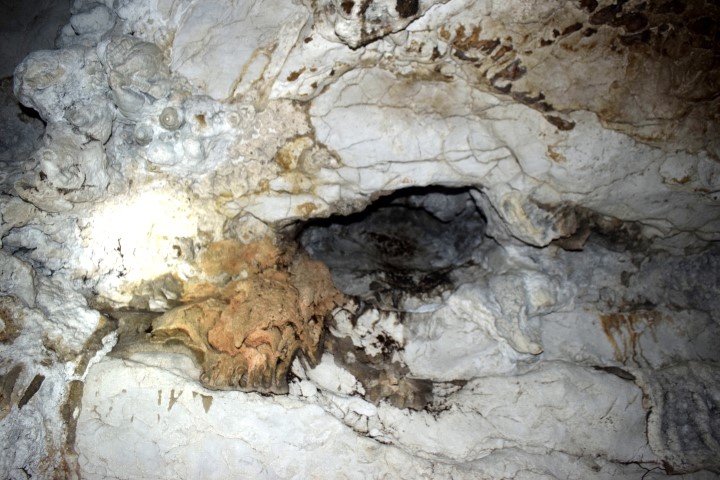
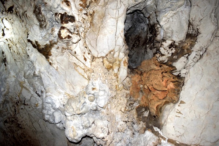
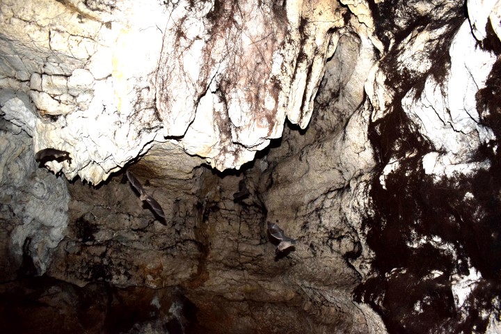
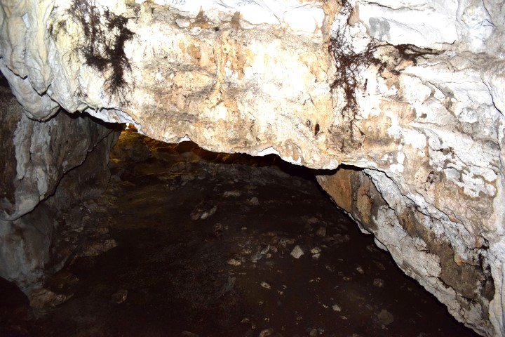
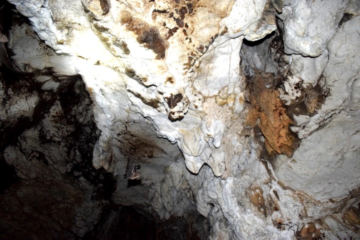
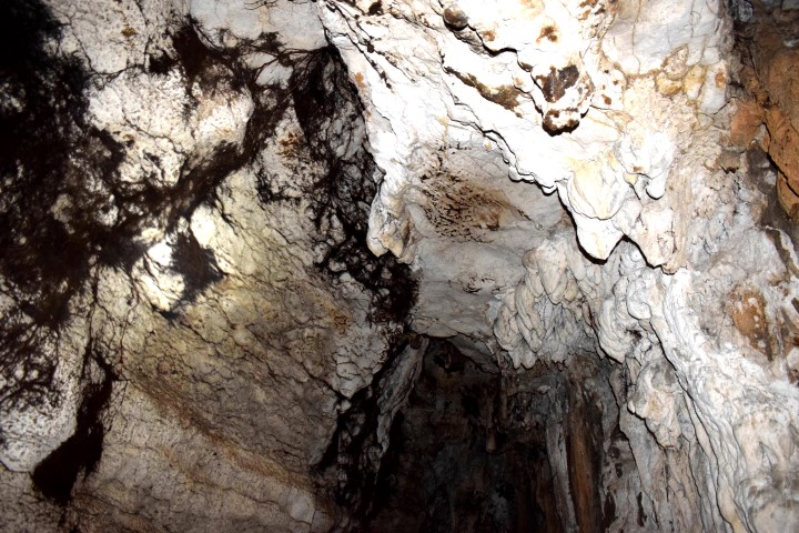
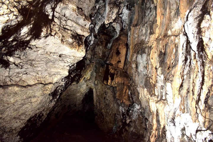
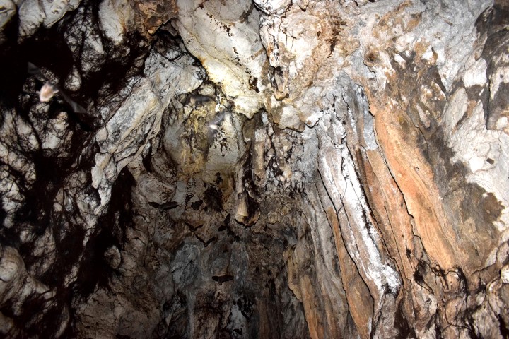
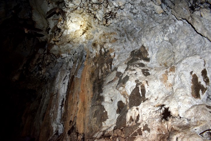
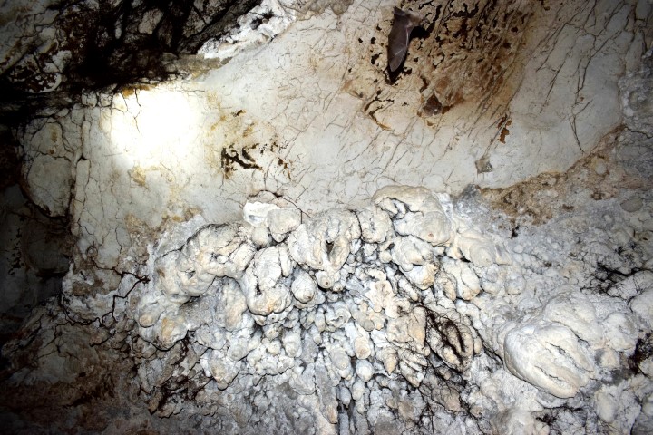
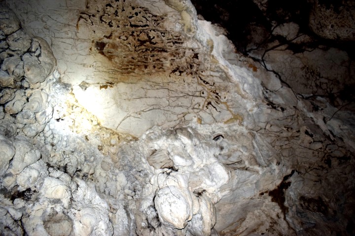
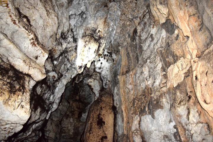
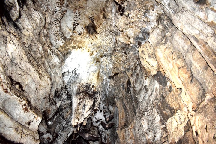
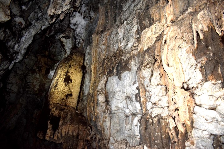
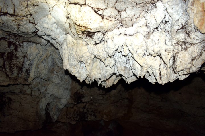
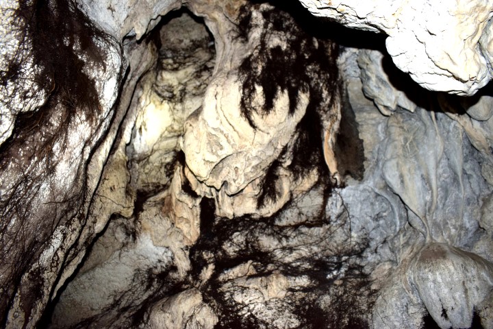
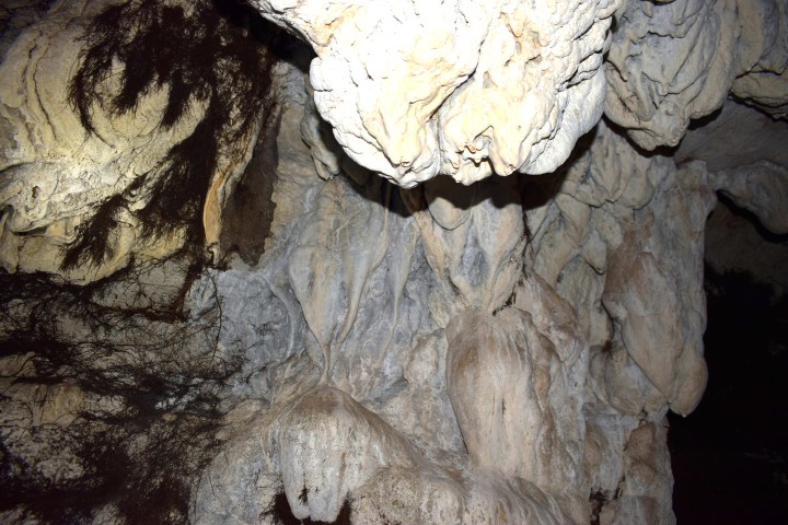
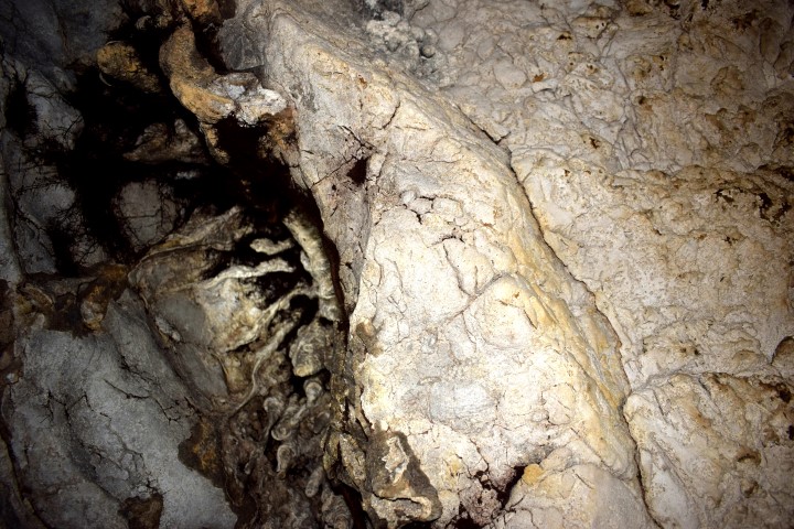
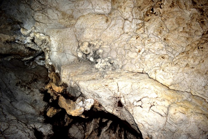
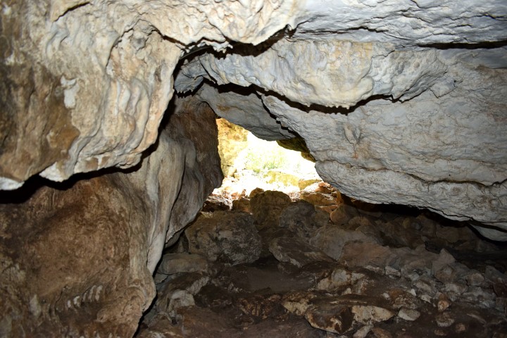
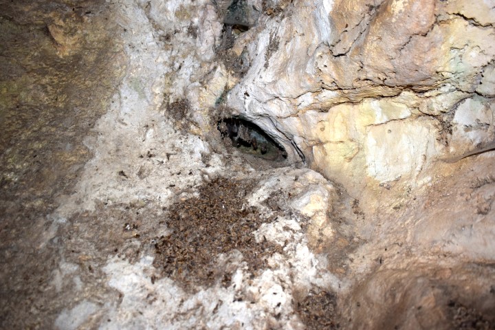
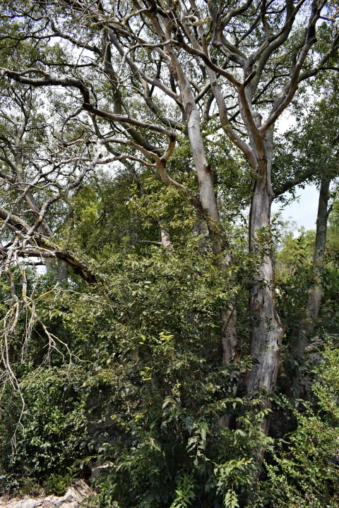
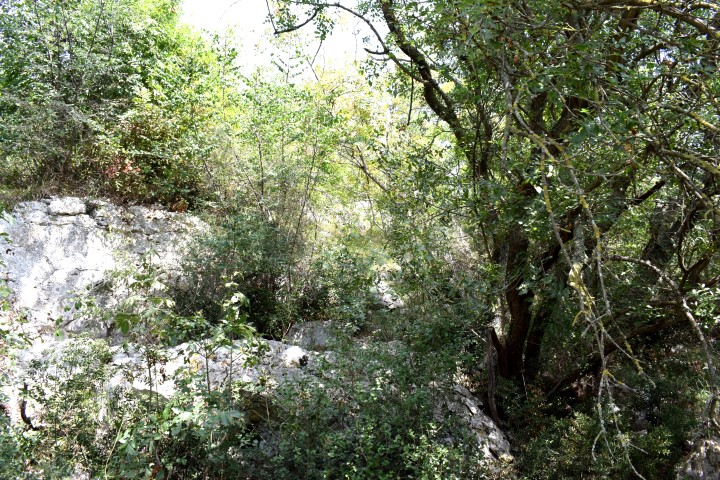
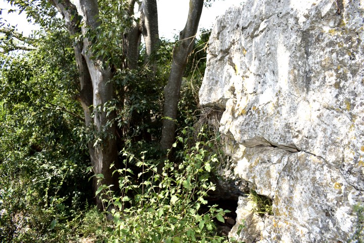
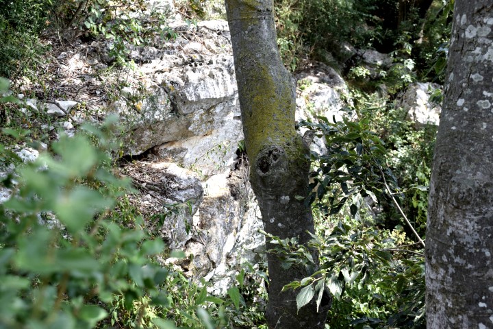
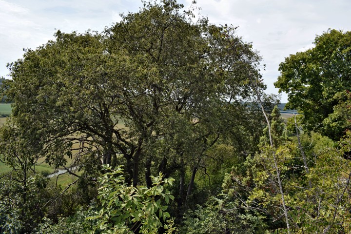
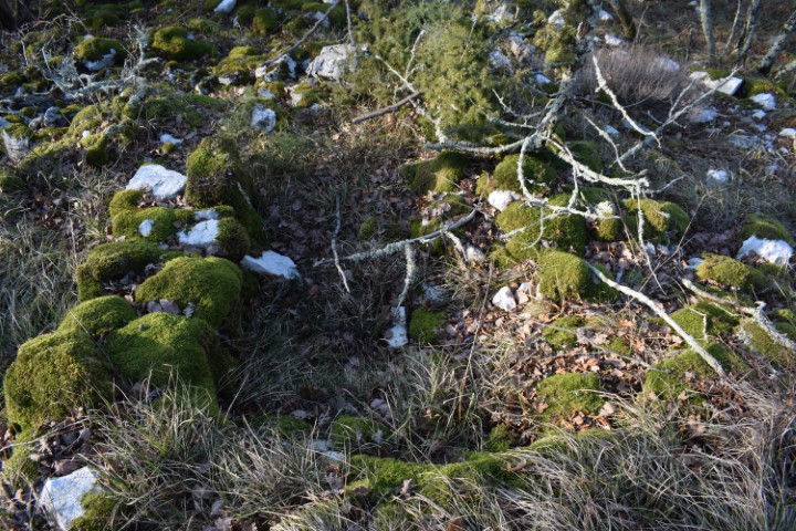
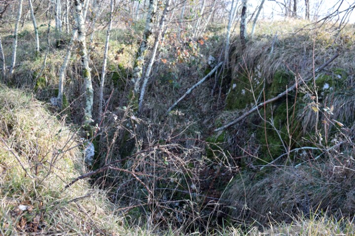
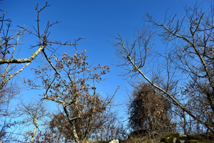
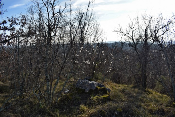
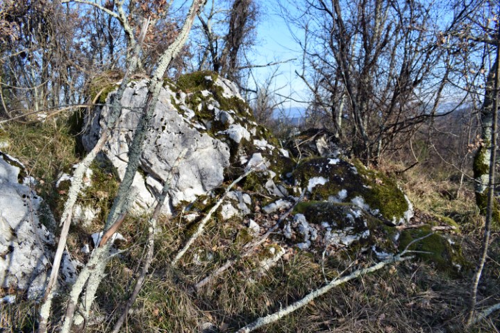
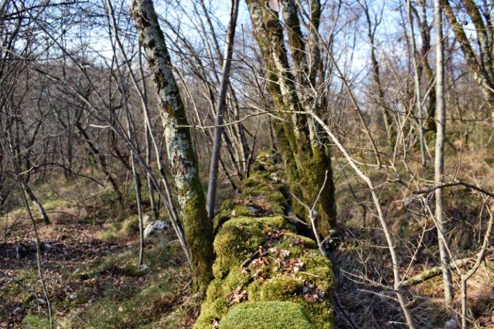
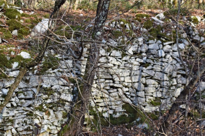
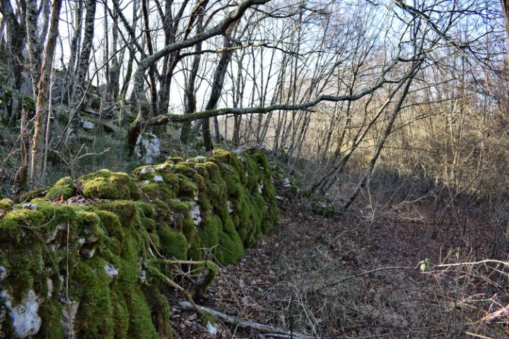
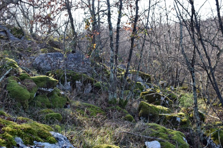
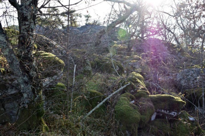
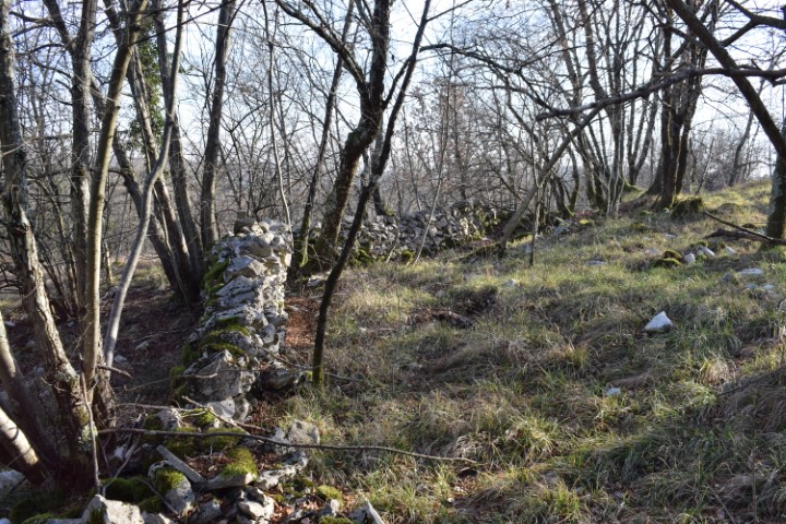
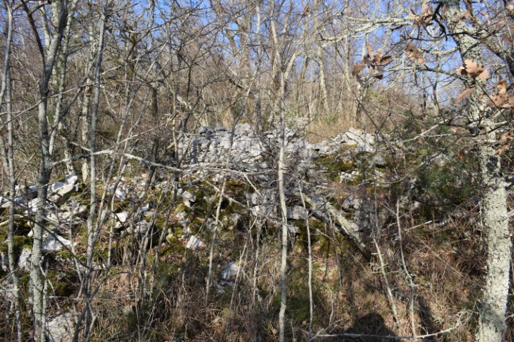
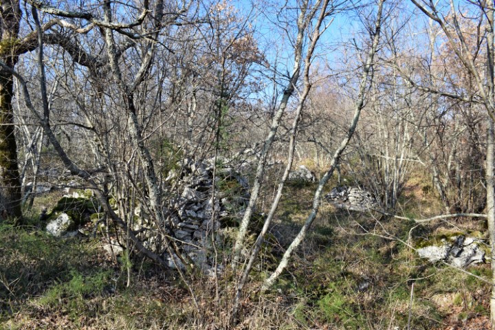
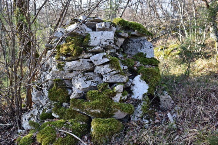
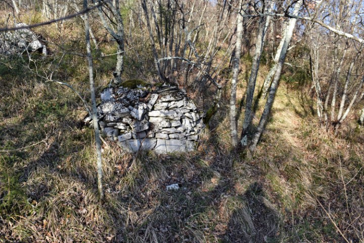
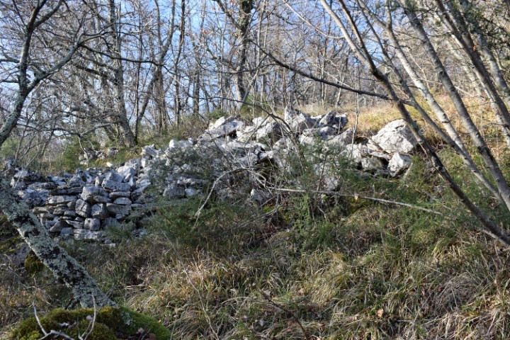
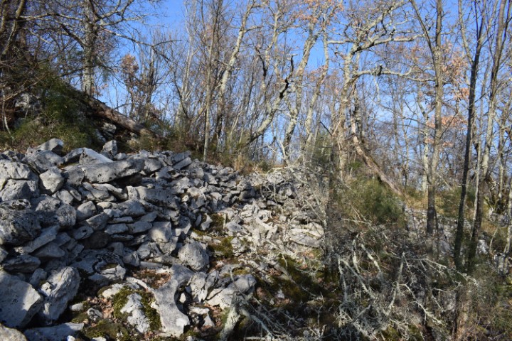
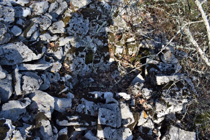
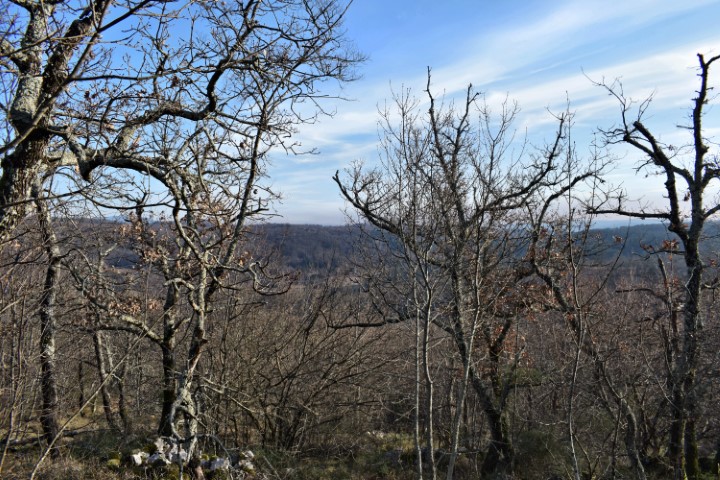
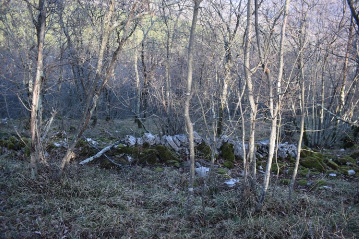
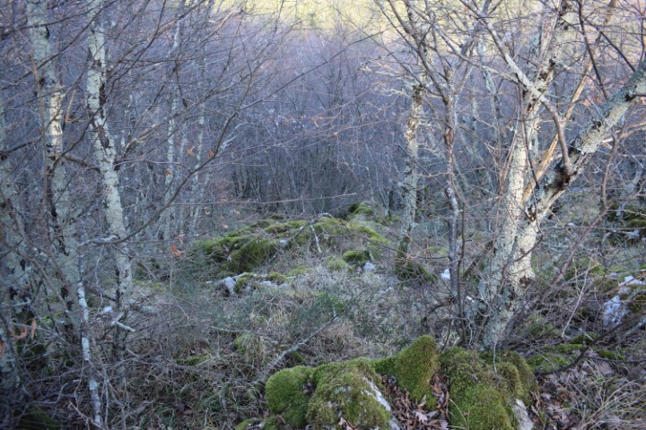
Partly due to the ceramics found and the dry technique applied to the walls, it is clearly recognizable that this was a prehistoric settlement. This gradina extended over two small landscaped plateaus. The small cave outside the gradina may have served as a water reservoir.


Name: Kukuj.
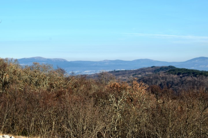
Place: Near Sorgi – (Oprtalj).
Coordinates: Starting point 45.40941 N – 13.84477 E.;
Top 45.40925 N – 13.84624 E (456 meters above s.l.).