Archaeological research Umag near Trgovačka Ulica

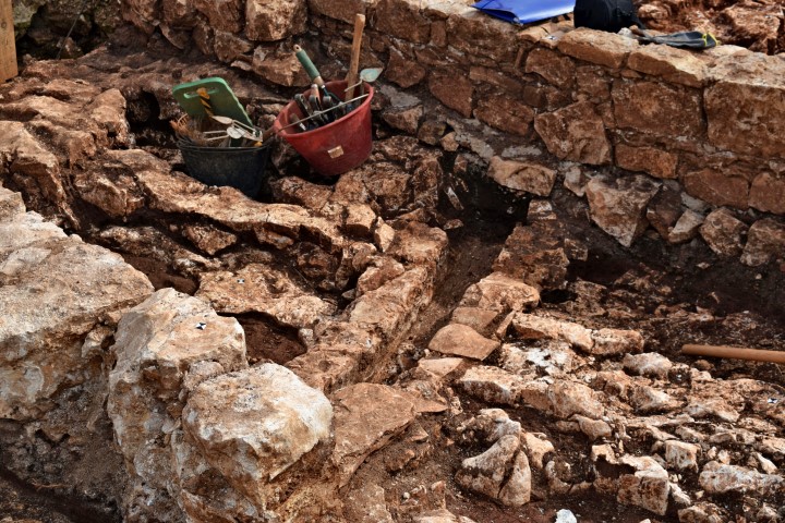
During the renovation of the square in the Center of Umag at the end of 2018, remains of city walls were found. These belonged to the second ring of the city walls from the 14th century.

Name: Archaeological research Umag.

Place: Near Trgovačka Ulica.

Coordinates: 45.43322 N – 13-52215 E. (more…)

Hiking path (201) Parentino / Quarry near Dvigrad

Name: Hiking path (201) Parentino / Quarry  near Dvigrad.

Place: Dvigrad – (Kanfanar).

Coordinates: Starting point (201) near church St. Anton: 45.26031 N – 13.81327 E. End one direction to road 45.12280 N – 13.81822 E. The other to the quarry:  45.12127 N -13.81140 E.

Hiking path around “Stari Guran”. Archaeological site and three churches from the middle ages.

  1. Church St. Cecilija from the middle ages. Pictures DSCN 9349 – 9352. Coordinates: 44.9756 N – 13.88792 E
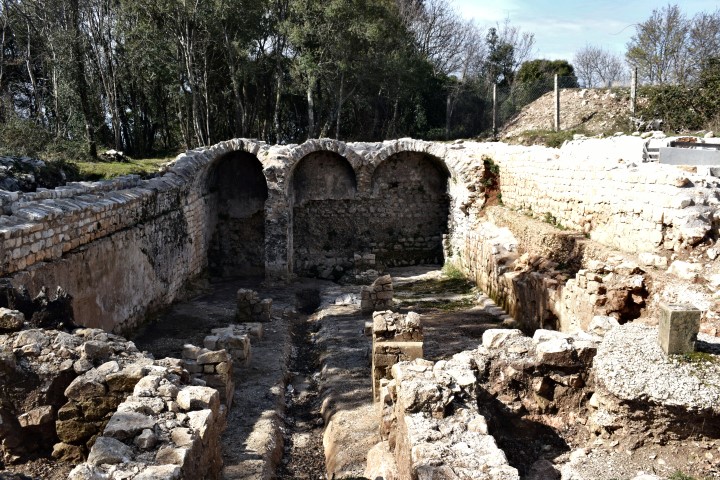
  2. Church three nave baselica Guran  from late 8th century. Pictures DSCN  9364 – 9370. Coordinates: 44.97047 N – 13.89554 E
  3. Archaeological site. Pictures DSCN 9372 – 9378.  Coordinates: 44.97121 N – 13.87081 E.
  4. Church St. Simon from 8th -11th century. Pictures DSCN 9379 – 9384. Coordinates: 44.96506 N – 13.89599 E.


Name: Hiking path around ” Stari Guran”.

Place: Cecilija – Guran – ( Vodnjan)

Archaeological research Novigrad

During archaeological research an older fortification wall was established at a distance of 6 meters within the existing shore from the 13th Century. This wall parallel to the existing wall has a thickness of 200-220 cm, built in the 7th Century, and separated by a passage, which was later used for the graves of deceased.

Name: Fortification wall

Place: Novigrad