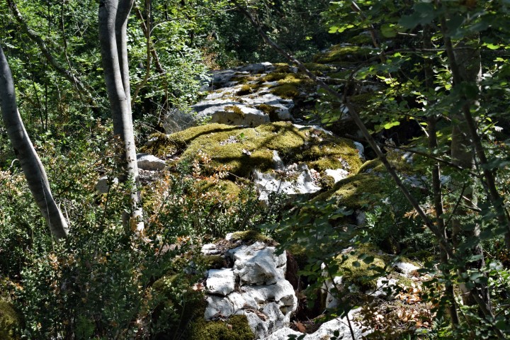
Name: Prehistoric settlement Mukliž.
Place: Near Putini – (Kanfanar).
Coordinates: 45.10505 N -13.7357 E.

Name: Prehistoric settlement Mukliž.
Place: Near Putini – (Kanfanar).
Coordinates: 45.10505 N -13.7357 E.
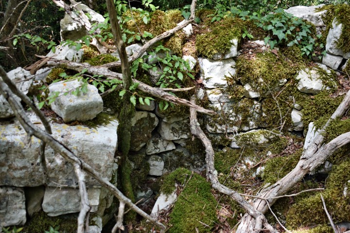
Name: Prehistoric settlement South East Makluz.
Place: Near Sorići – (Kanfanar).
Coordinaten:
45.10208 – 13.7395, altitude: 175 m.; starting point to location 45.10066 N – 13.73037 E, altitude 158 m.
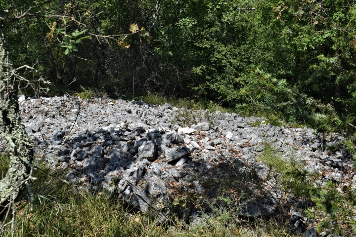
Name: Prehistoric settlement Momarin with tumulus.
Place: near Sorići – (Kanfanar).
Coordinates: 45.09429 N – 13.76827 E.
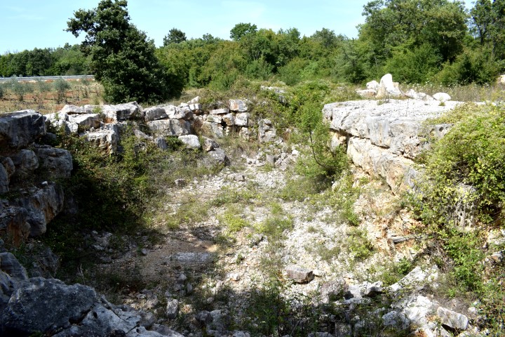
Name: Prehistoric settlement near Kurili.
Place: Near Kurili-(Kanfanar).
Coordinates: 45.1085410 N – 13.77568 E , Altitude: 192m.
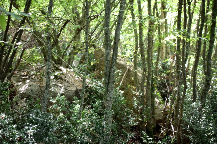
Name: Prehistoric settlement Begovac.
Place: Near Dvigrad – (Kanfanar).
Coordinates: 45.12332 N – 13.82625 E, Altitude 215 m.
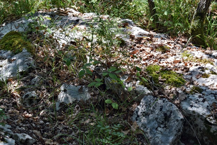
Name: Prehistoric Settlement near Okreti.
Place: Near Okreti – (Kanfanar).
Coordinates: 45.100277 N – 13.80750 E.
Settlement discovered in 2005 by the discovery of ceramics and a mutulus.
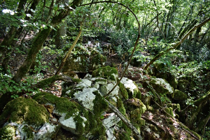
Name: Prehistoric settlement Baltaljevac.
Place: Near Okreti – (Kanfanar).
Coordinates: 45.104222 N – 13. 802340 E.
Because of the discovery of many ceramics, there is a suspicion that there was a prehistoric settlement here.
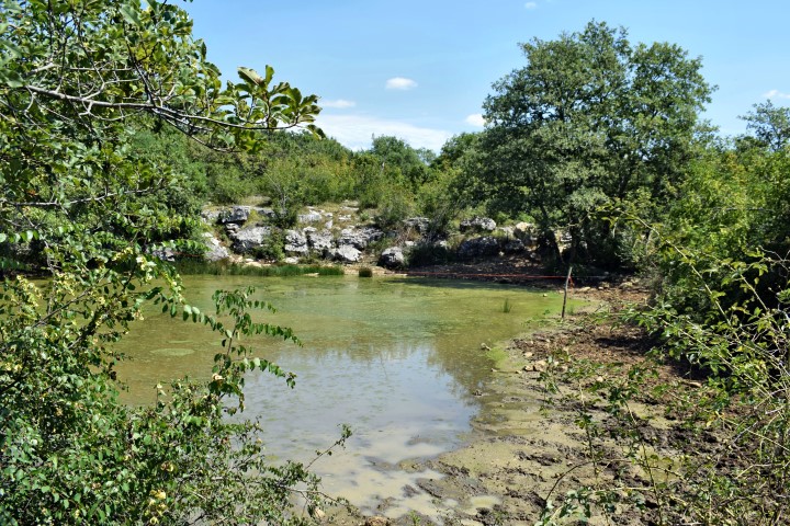
Name: Lokva Zanetovica.
Place: Near Okiri – (Kanfanar).
Coordinates: 45.10351 N – 13.80779.
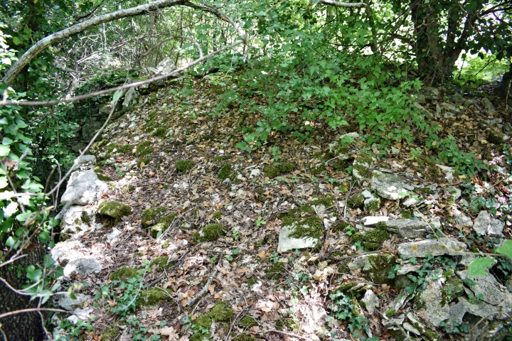
Name: Prehistoric settlement Pištine.
Place: Marići – (Kanfanar).
Coordinates: 45.10947 N – 13.85896 E.
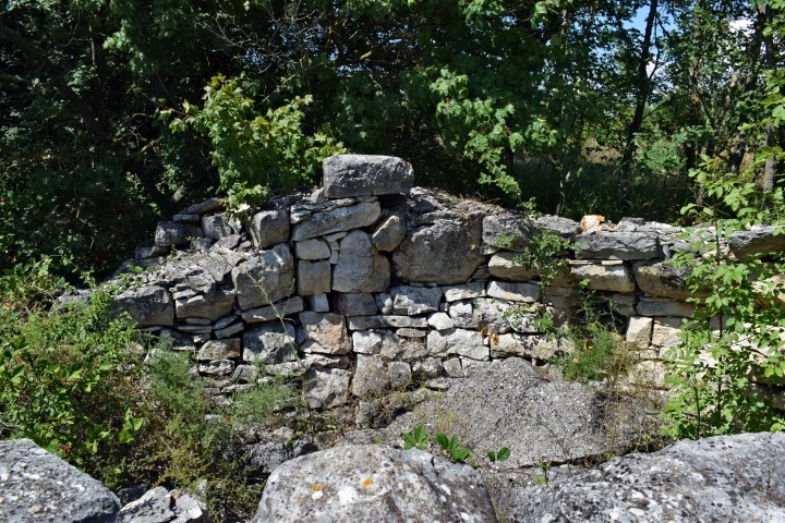
Name: Prehistoric settlement Pištine.
Place: Marići – (Svetvinšenat).
Coordinates: 45.10885 N – 13.8588 E.