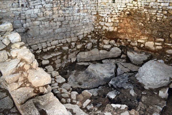
Name: Archaeological research
Place: Dvigrad – (Kanfanar)
Location after archaeological research from 27 June to 15 July 2018.
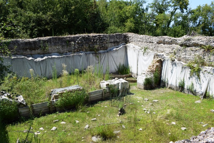
Place: Loron near Sante marina – (Tar)
Coordinates: 45.28138 N – 13.59862 E
See also the pictures posted on 2017-12-11.
These pictures give an impression of recent excavations, where found deaths from the early Middle Ages, as well as decorative objects.
Archaeological research has been taking place here since 2000.
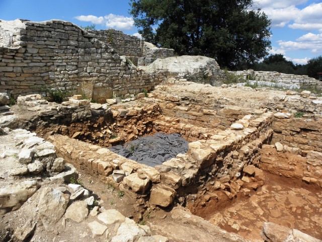
name: Villa Rustica
place: St. Blech – (Tar)
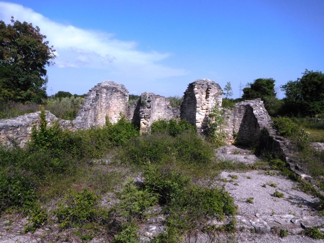
Name: Hiking path around ” Stari Guran”.
Place: Cecilija – Guran – ( Vodnjan)
During archaeological research an older fortification wall was established at a distance of 6 meters within the existing shore from the 13th Century. This wall parallel to the existing wall has a thickness of 200-220 cm, built in the 7th Century, and separated by a passage, which was later used for the graves of deceased.
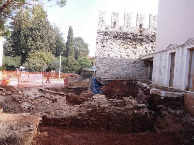
Name: Fortification wall
Place: Novigrad
This tower is located on a 105 meter high plateau between Rovinj and Rovinjsko Selo with a nice overview over the surroundings was part of a prehistoric fortress. Destroyed and rebuilt several times. In the Middle Ages was called Torre di Baroso and belonged to a feudal Lord Boris. Then the fortress was abandoned and seriously damaged during the 2nd World War.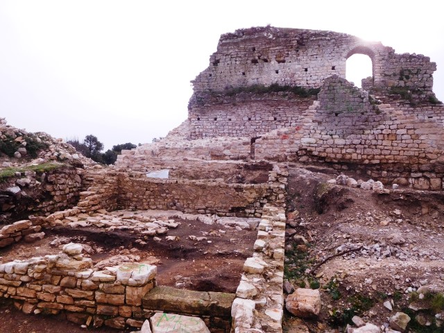
Date: 08-01-2018
Name: Kula Turnina
Place: Rovinj
Coordinates: 45.09409 N – 13.682422 E
This cave is situated about 1,3 kilometers north of Marčana and has several cave rooms and pits, interconnected by channels.
The cave is developed in the limestone of the cretaceous age (approximately 144 till 65 million years ago). This karst phenomenon was created by the action of water enriched with carbon dioxide that dissolved the mineral calcite in the limestone.
On basis of archaeological research in 1991 when the found ceramics and bones was concluded that people lived in the cave in the Neolithic age (about 10000 years BC) till the Bronze age (2nd millennium BC).
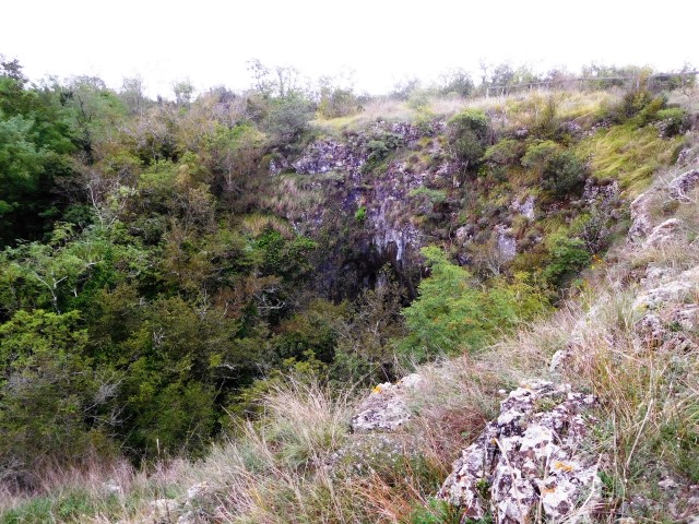
Name: Ljubičeva cava
Place: Marčana
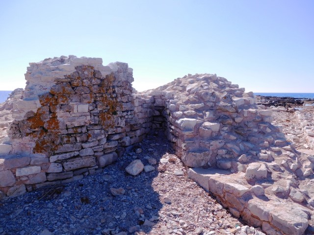
Name: Sipar (former castle and town )
Place: Katoro – (Umag)
Built: During the Roman period