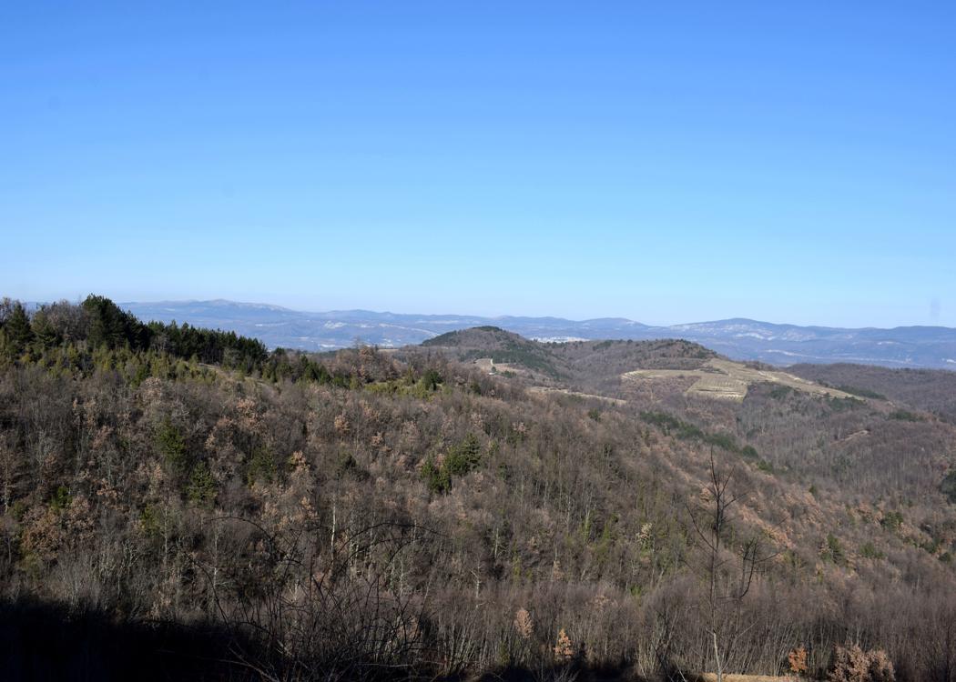
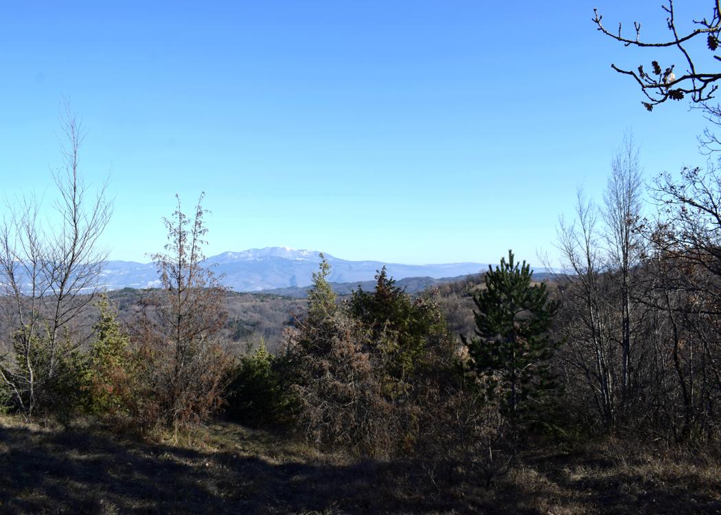
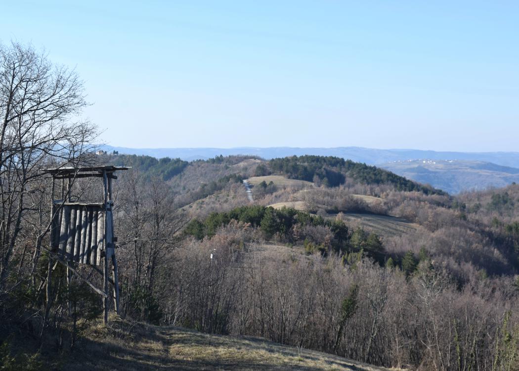
This hill was in the 16th century the border between Venice and Austria.


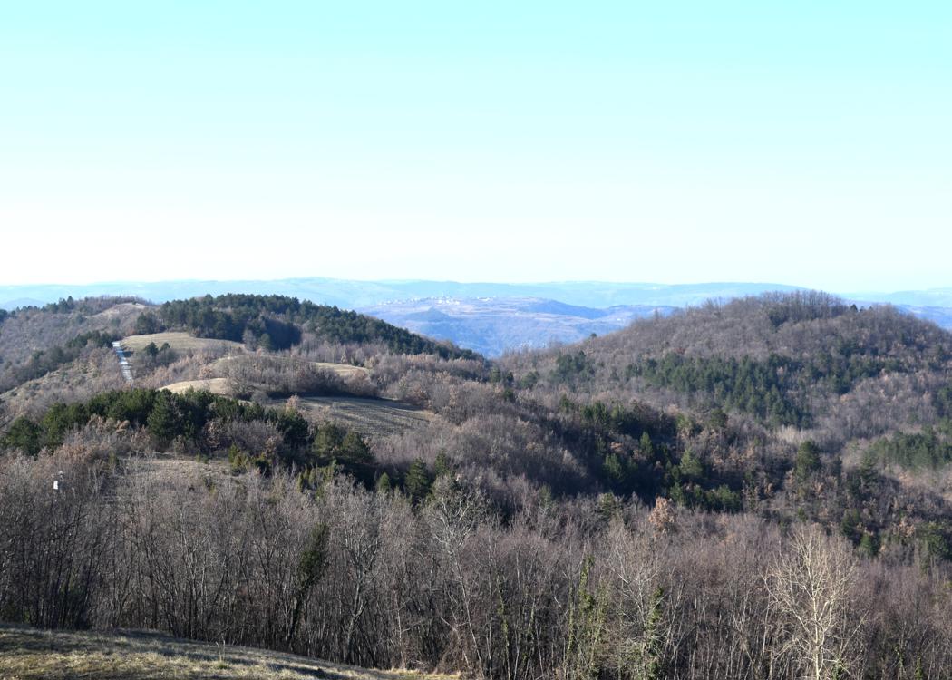

Name: Trail from the village Mlake to the top of the hill St Antuna.
Place: Near Mlake – (Cerovlje).
Coordinates: Start45.30723 N – 13.99906 E, Top St. Antuna 45.30509 N – 14.00377 E (492m).