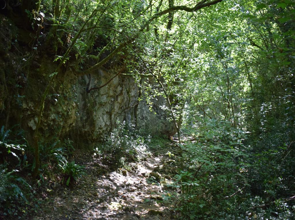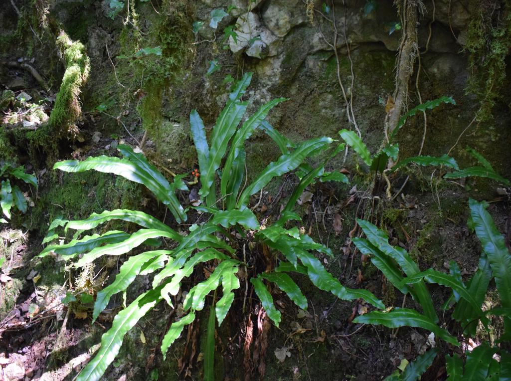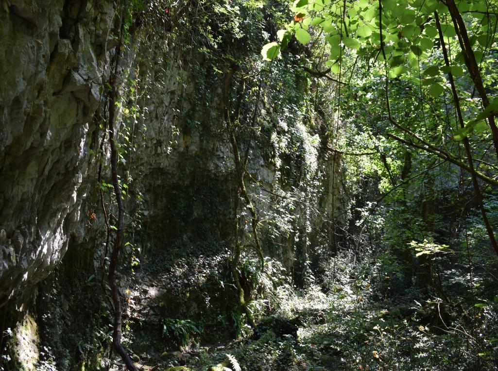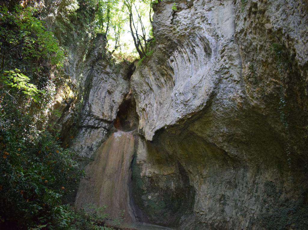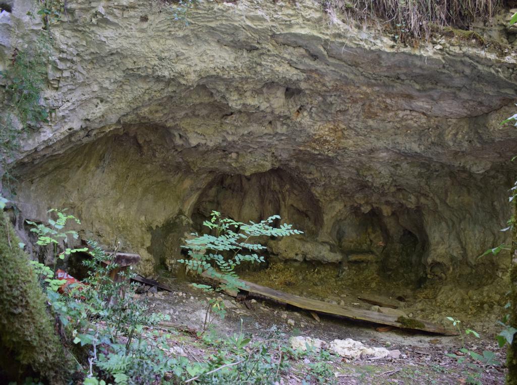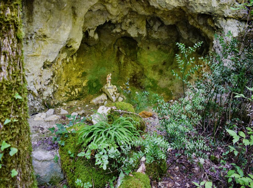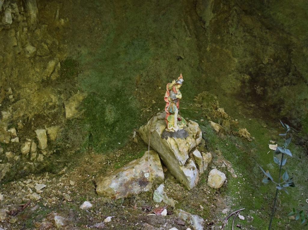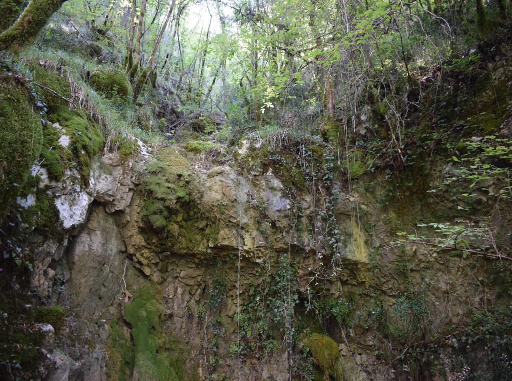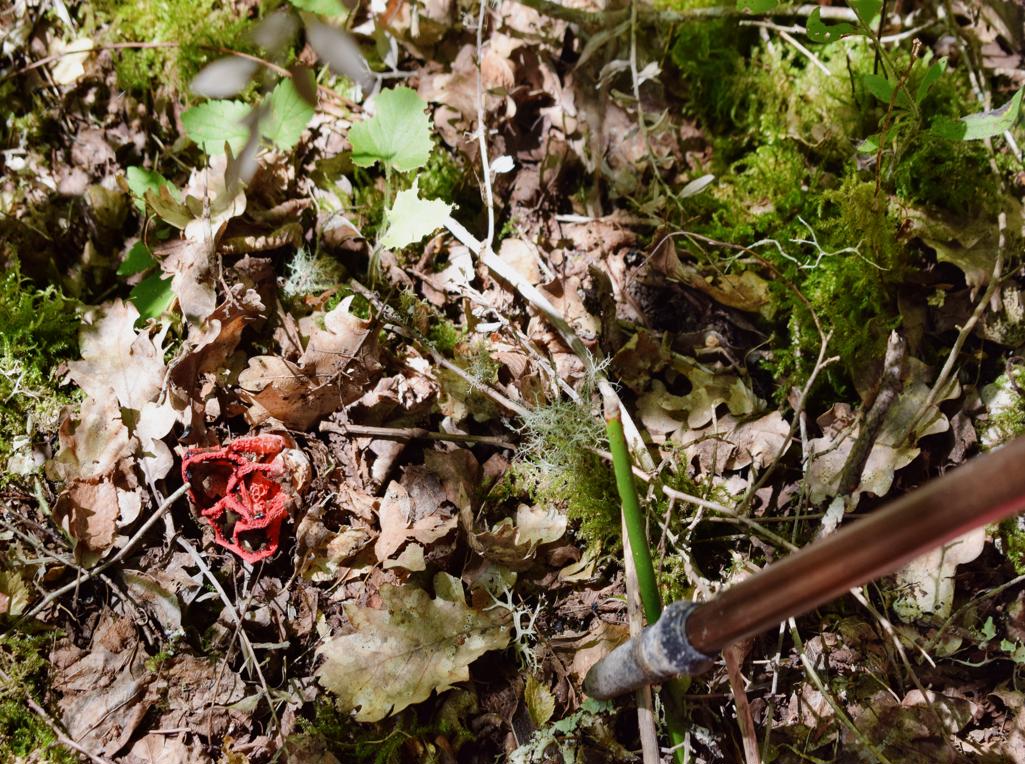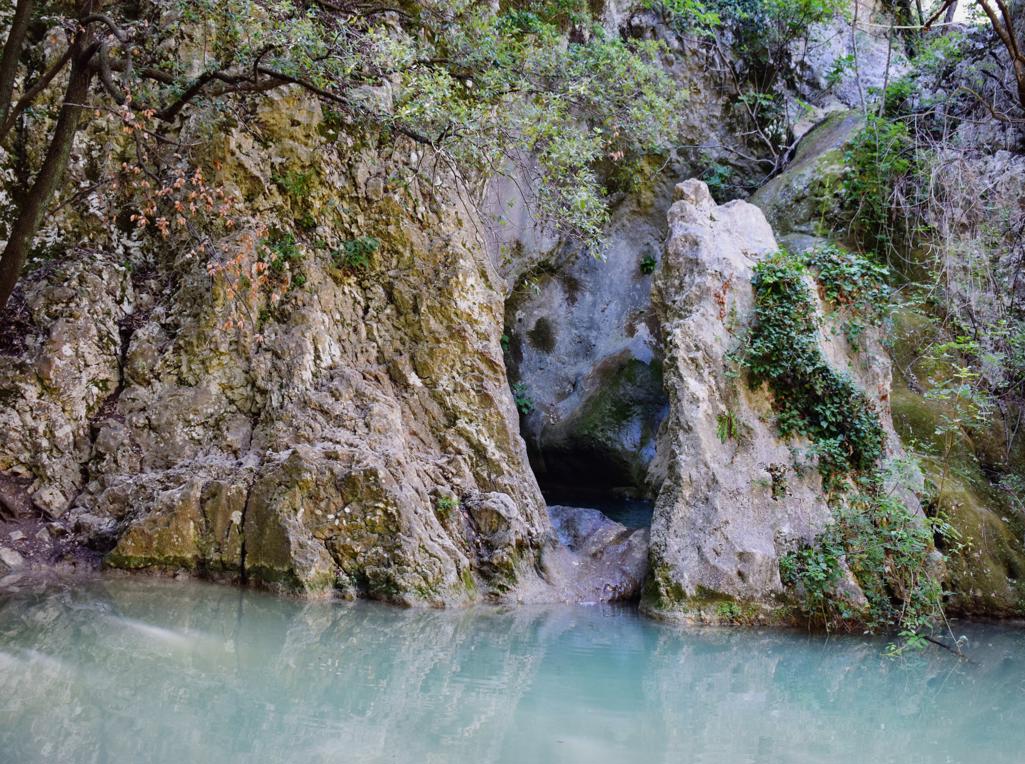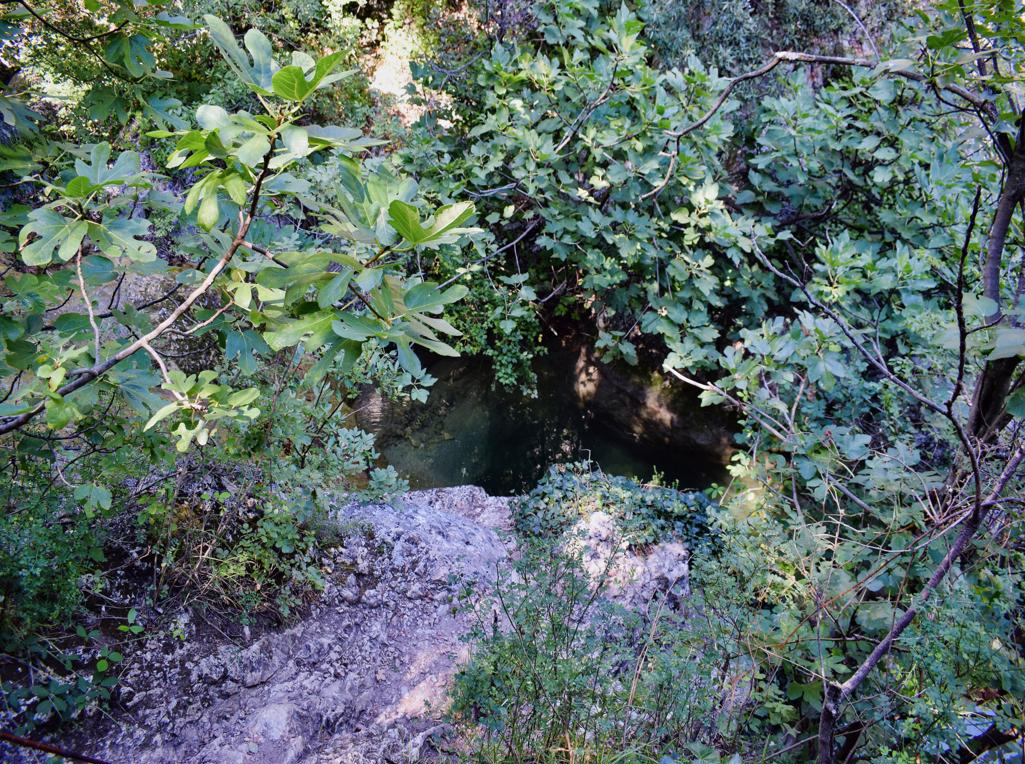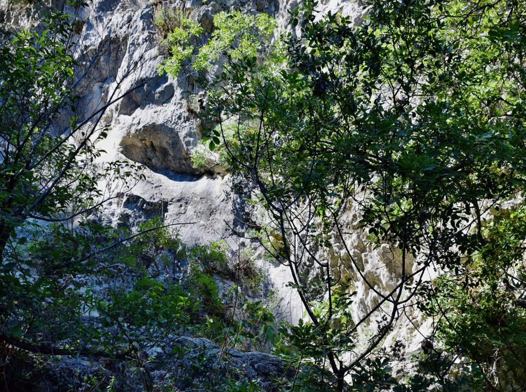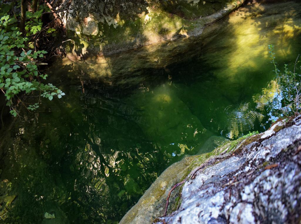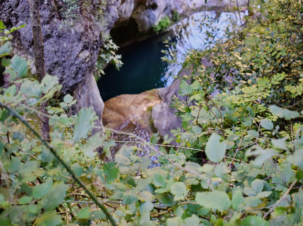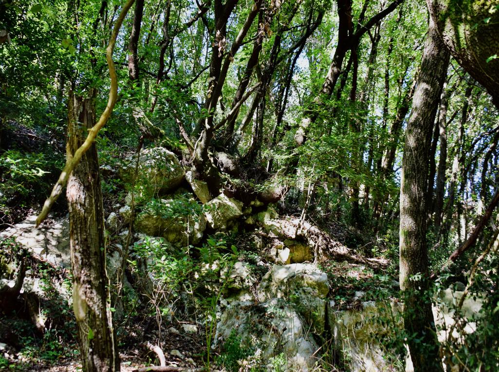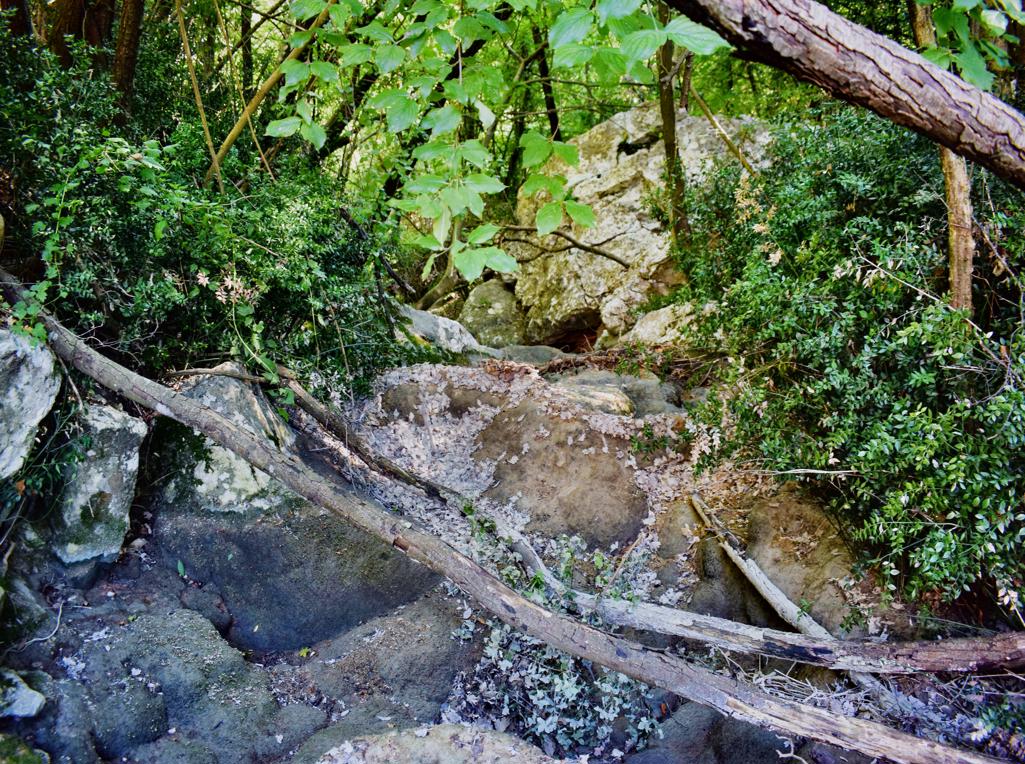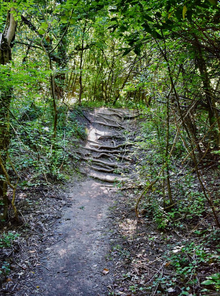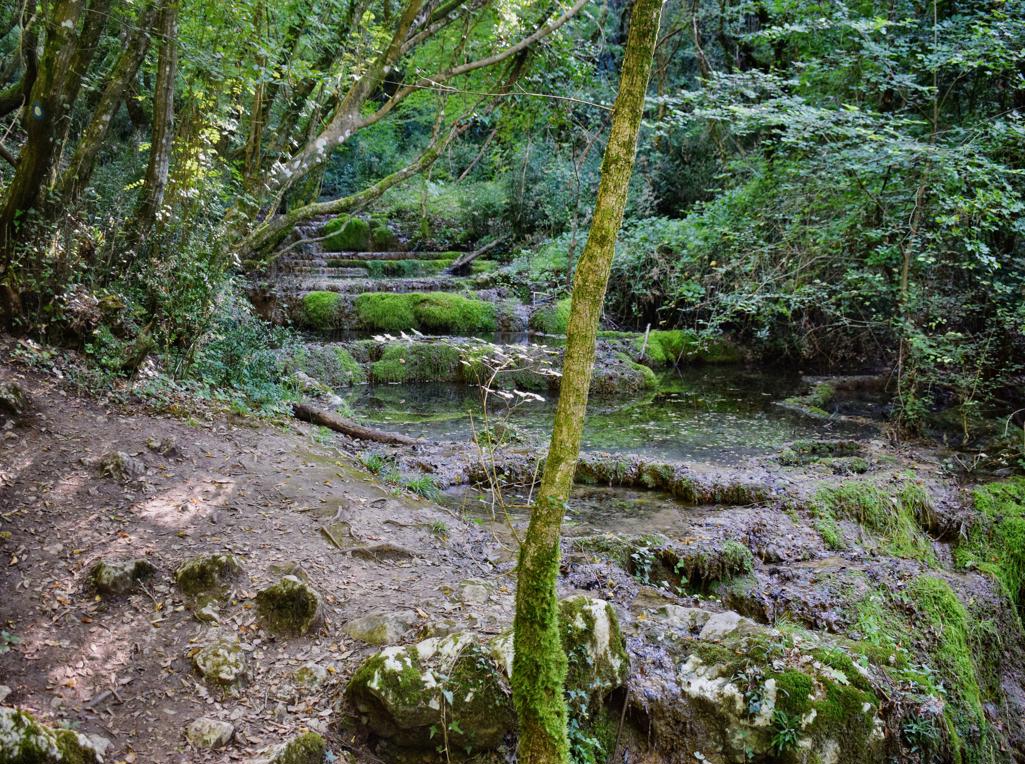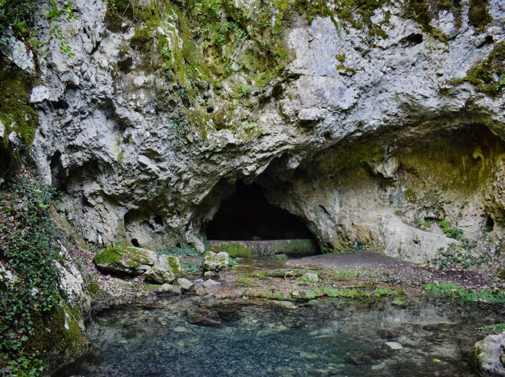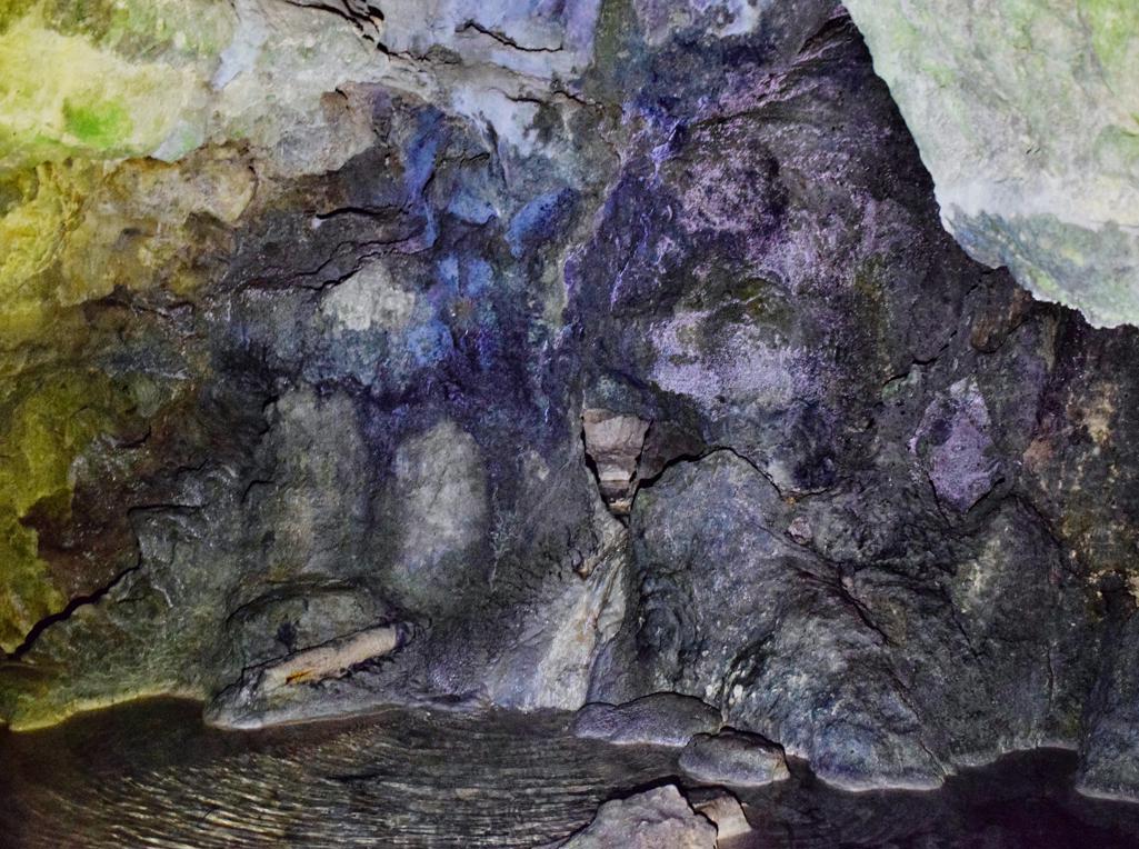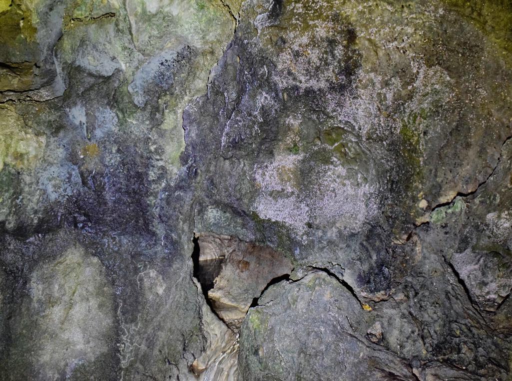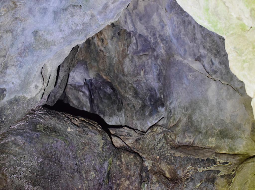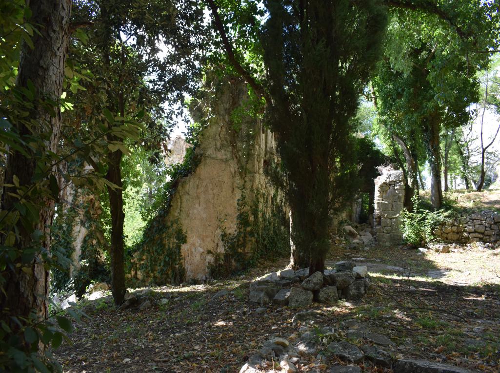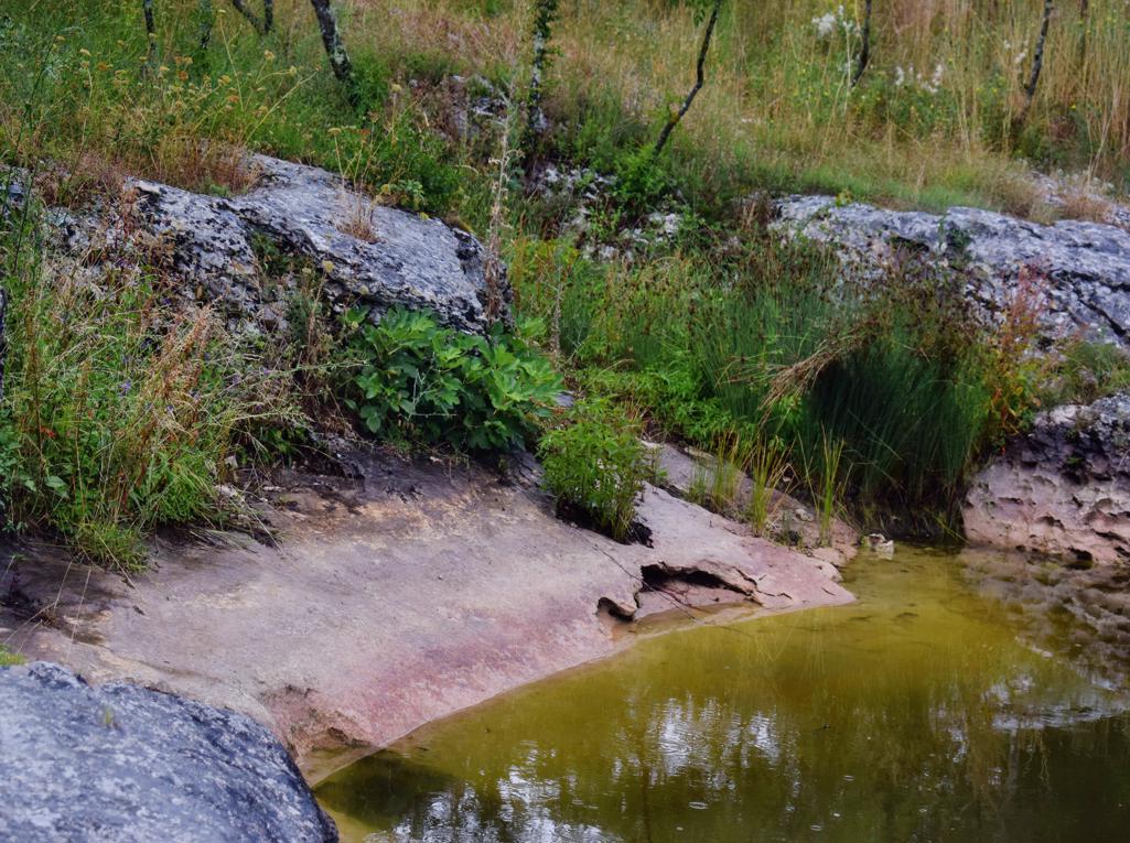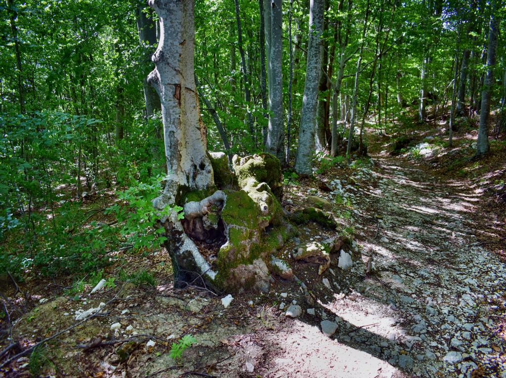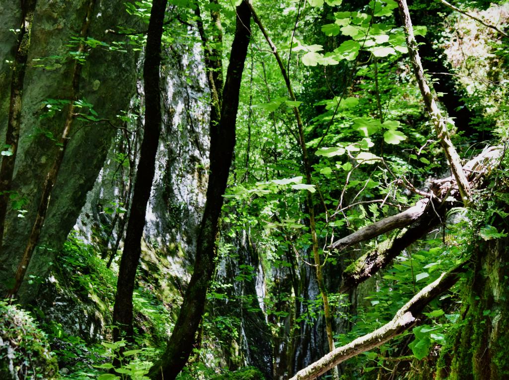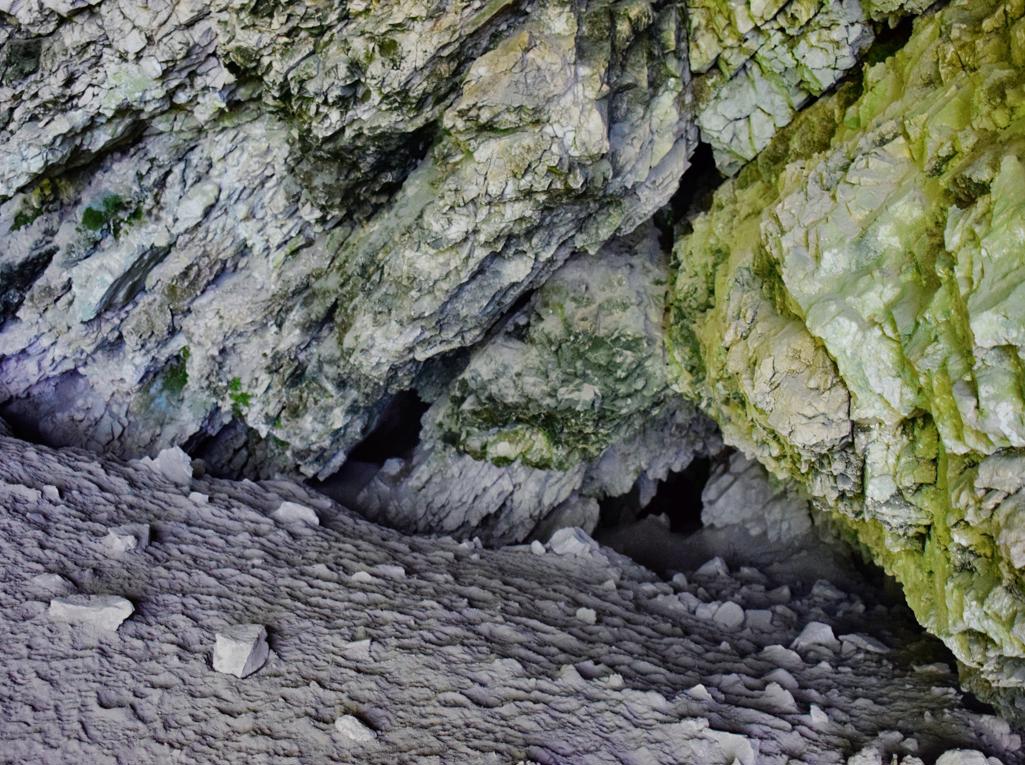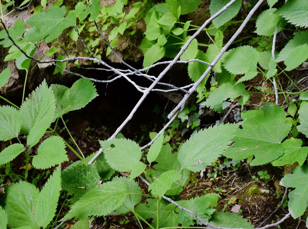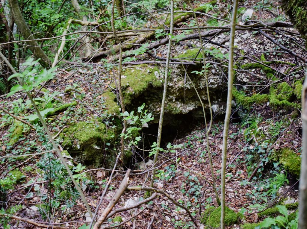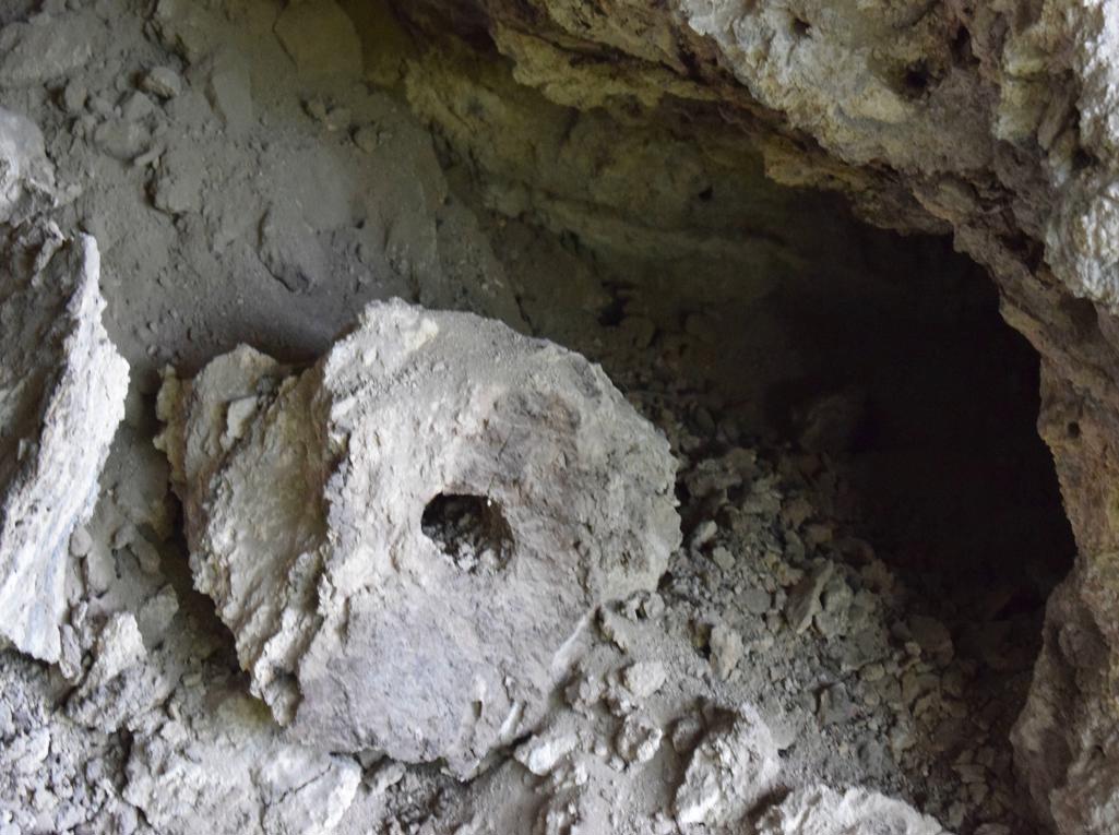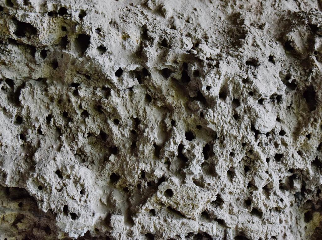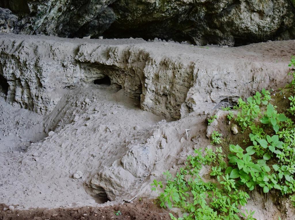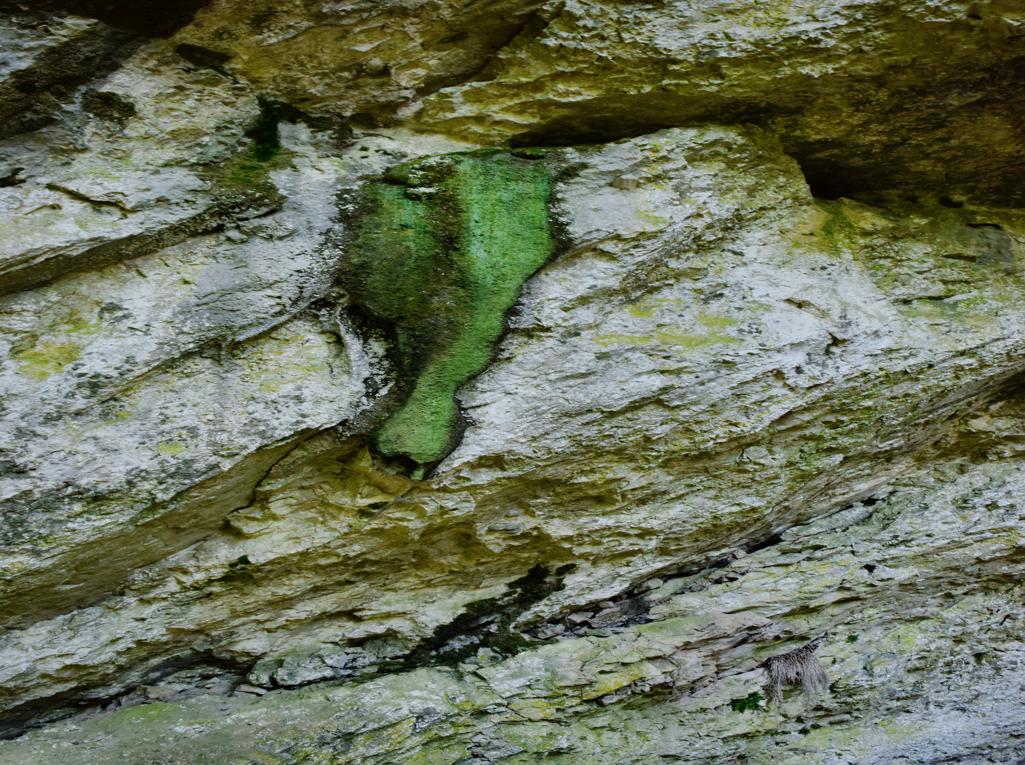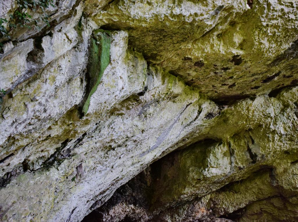
Name: Trail to the cave Oporovina – Lovranska Draga.
Place: Oraj – (Lovranska Draga),
Coordinates: Start 45.27661 N – 14,25958 E., end 45.27543 N . 14.26007 E.
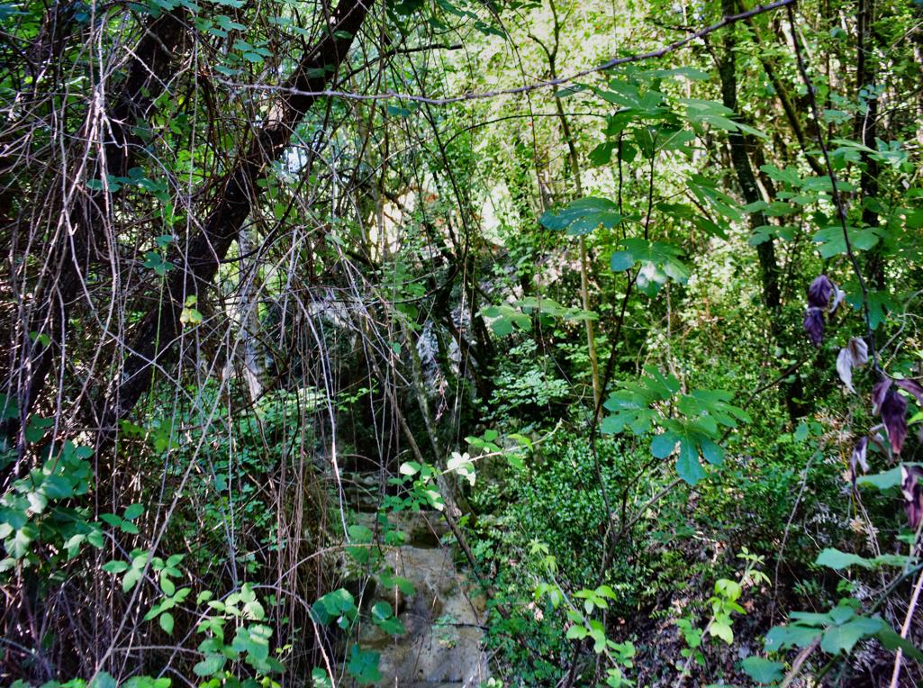
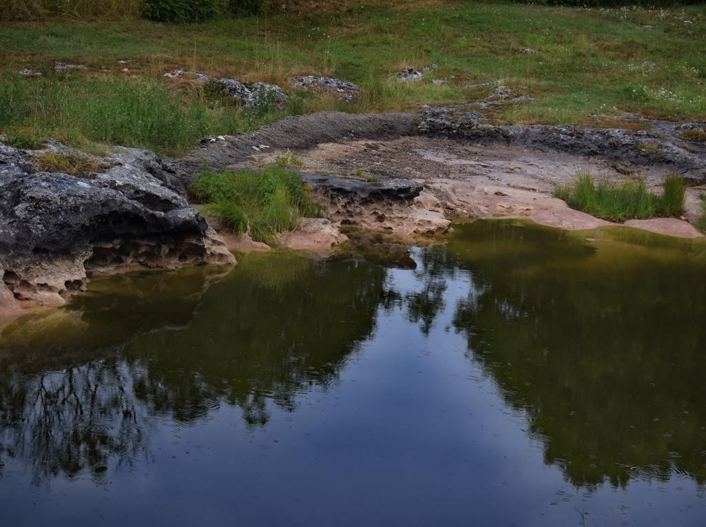
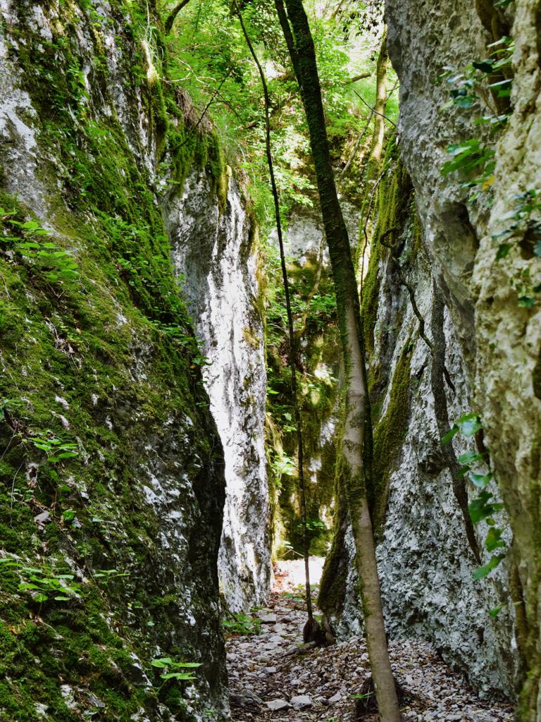
Name: Trail to the cave Oporovina – Lovranska Draga.
Place: Oraj – (Lovranska Draga),
Coordinates: Start 45.27661 N – 14,25958 E., end 45.27543 N . 14.26007 E.

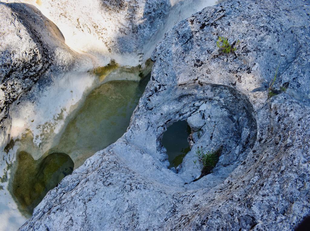
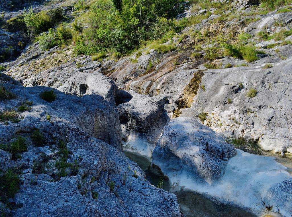
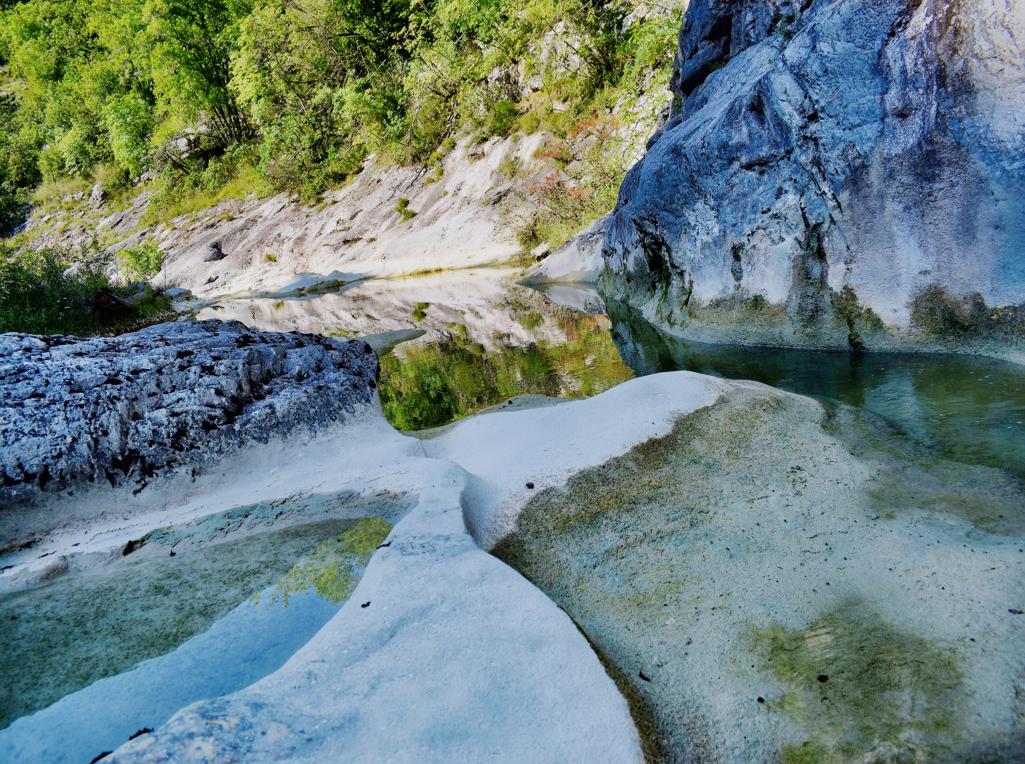
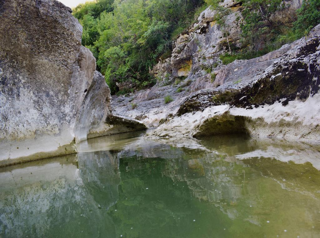
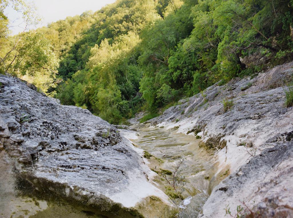
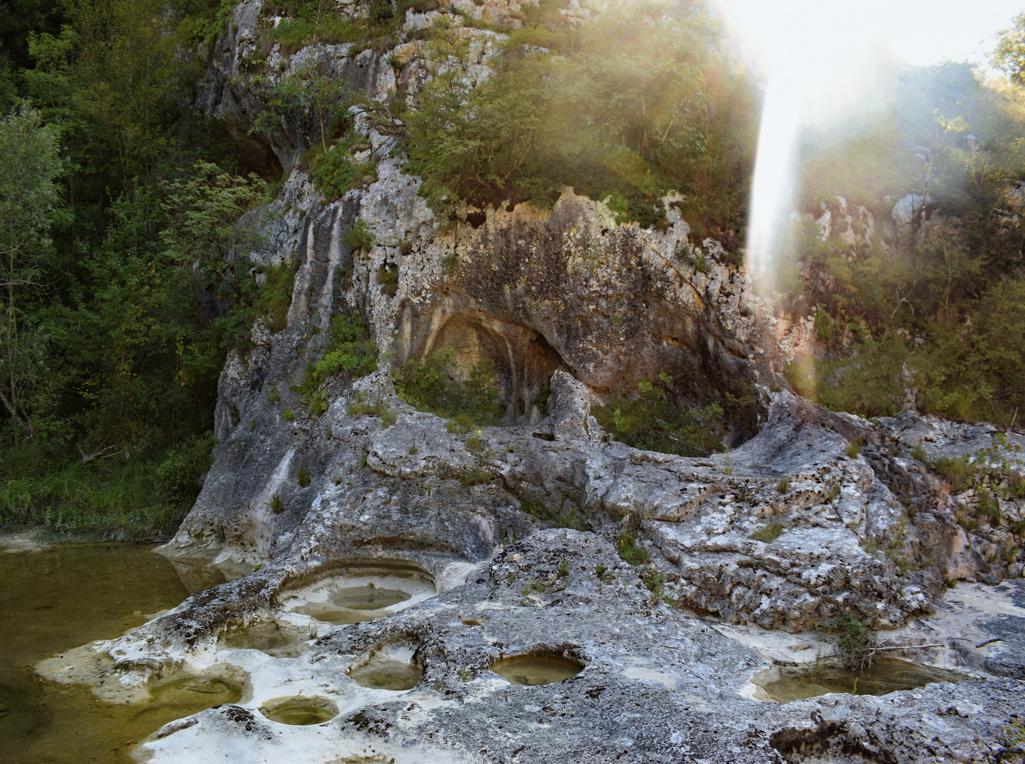
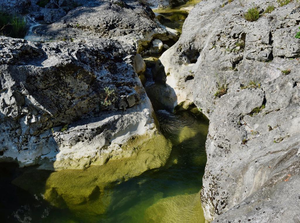
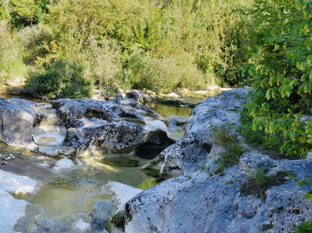
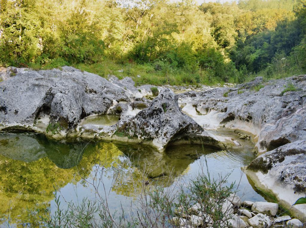
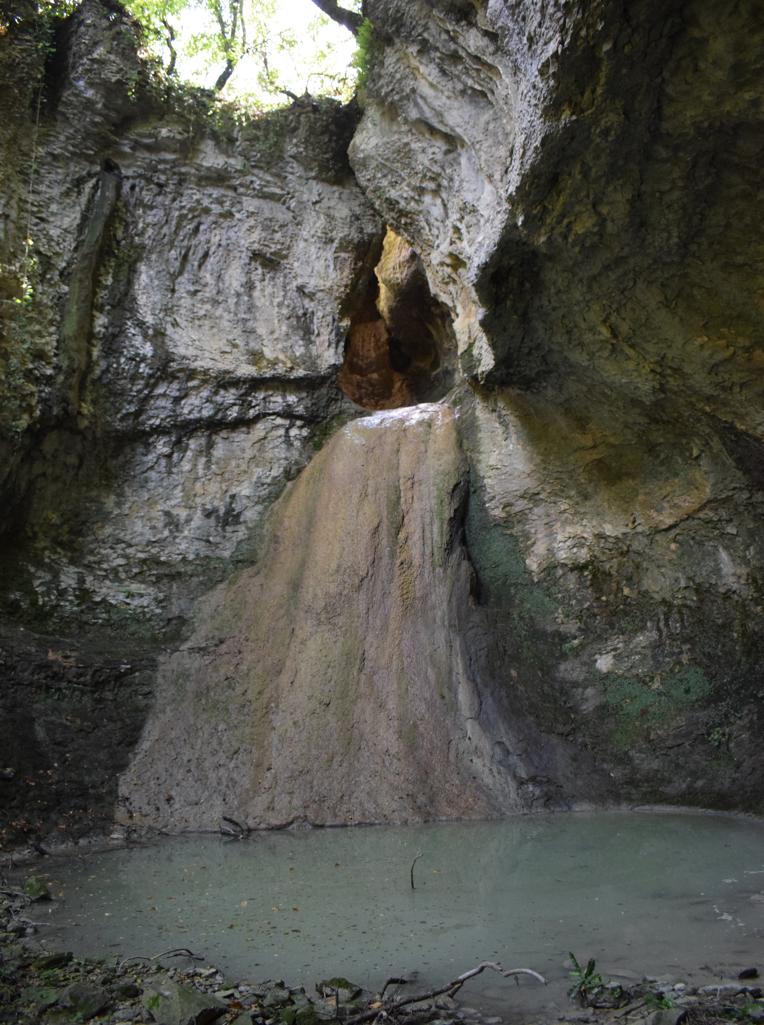
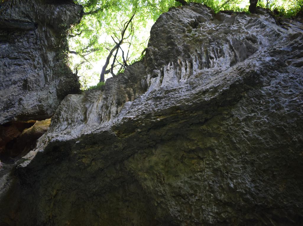
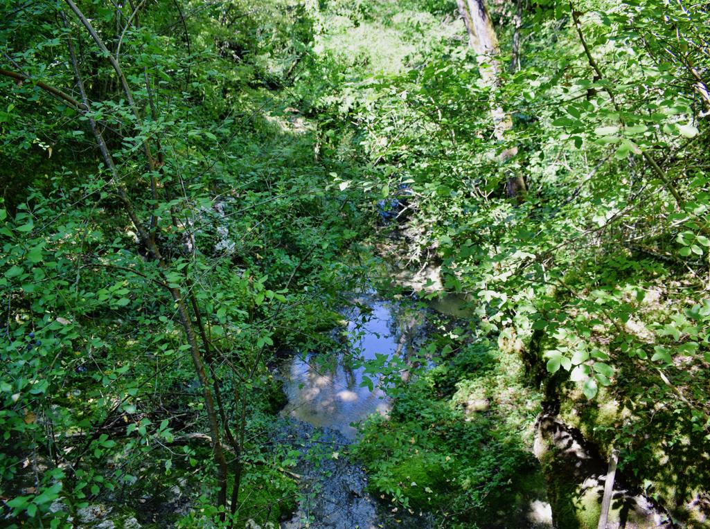
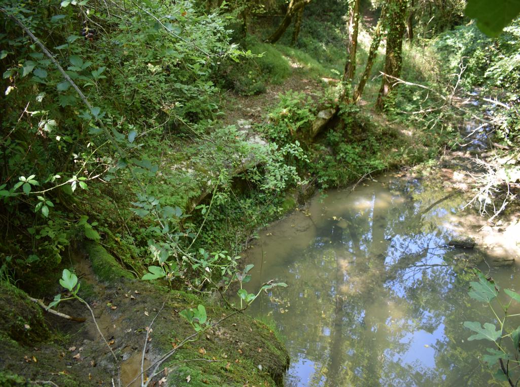
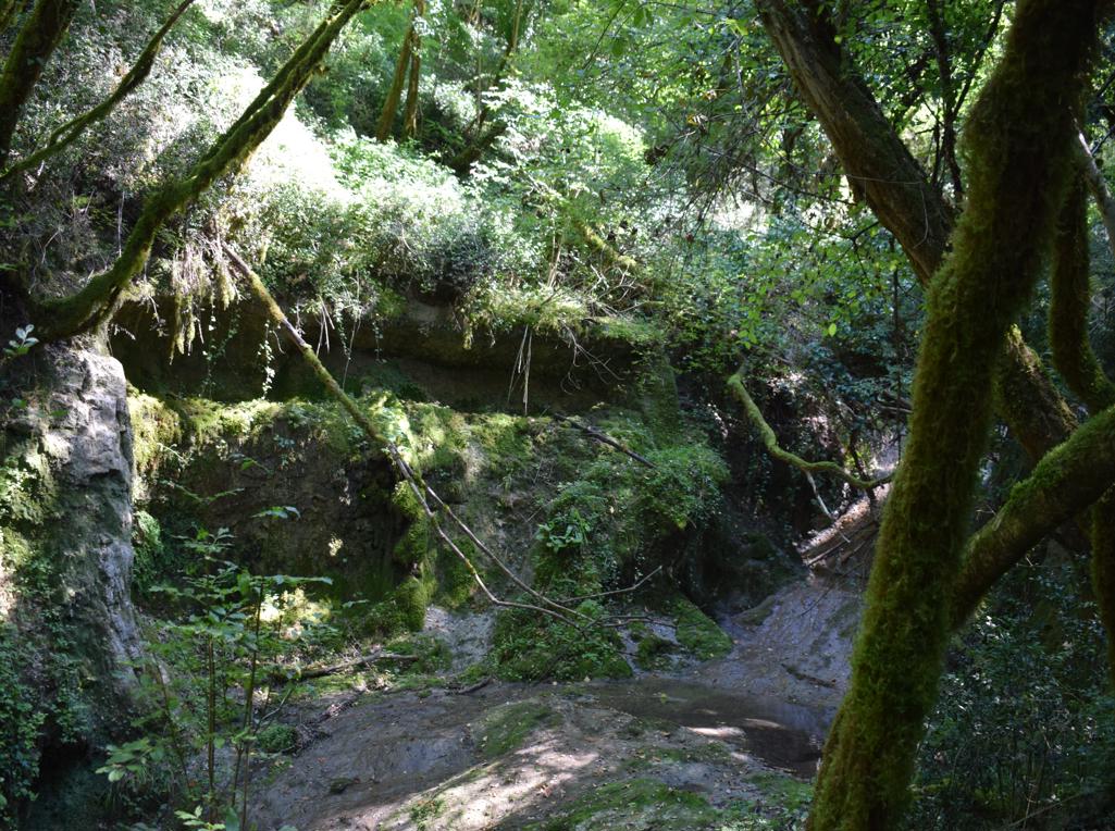
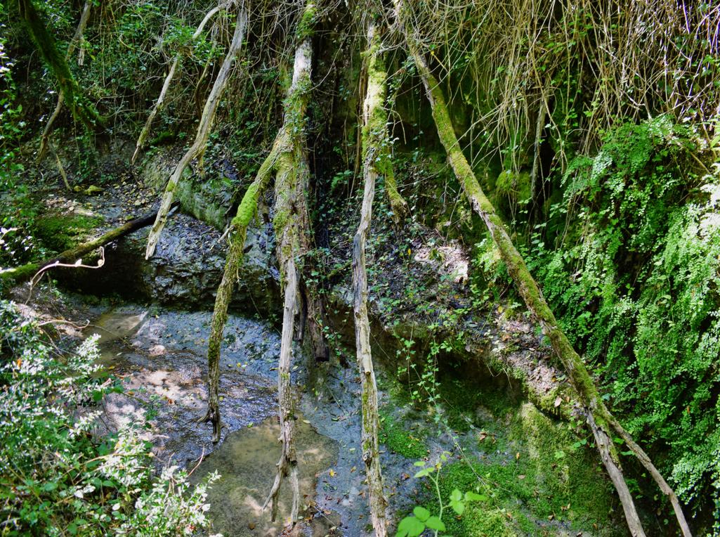
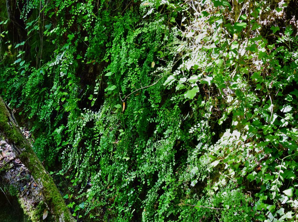
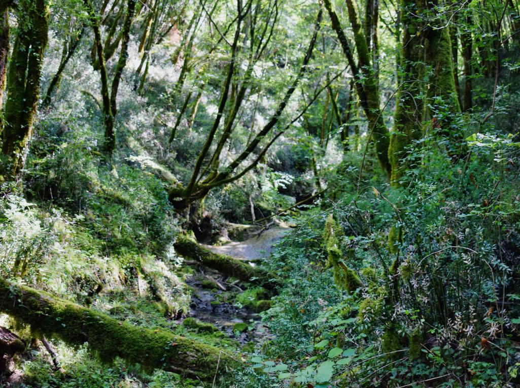
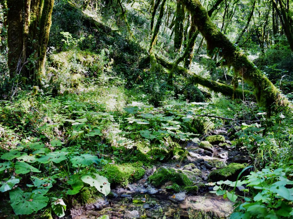
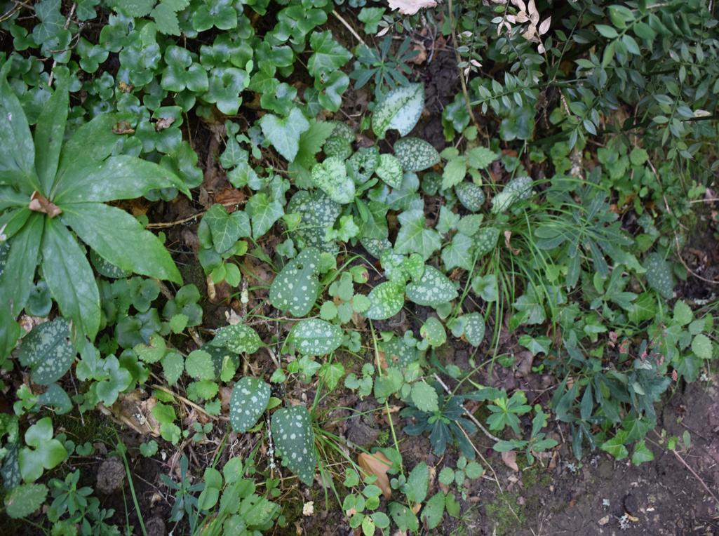
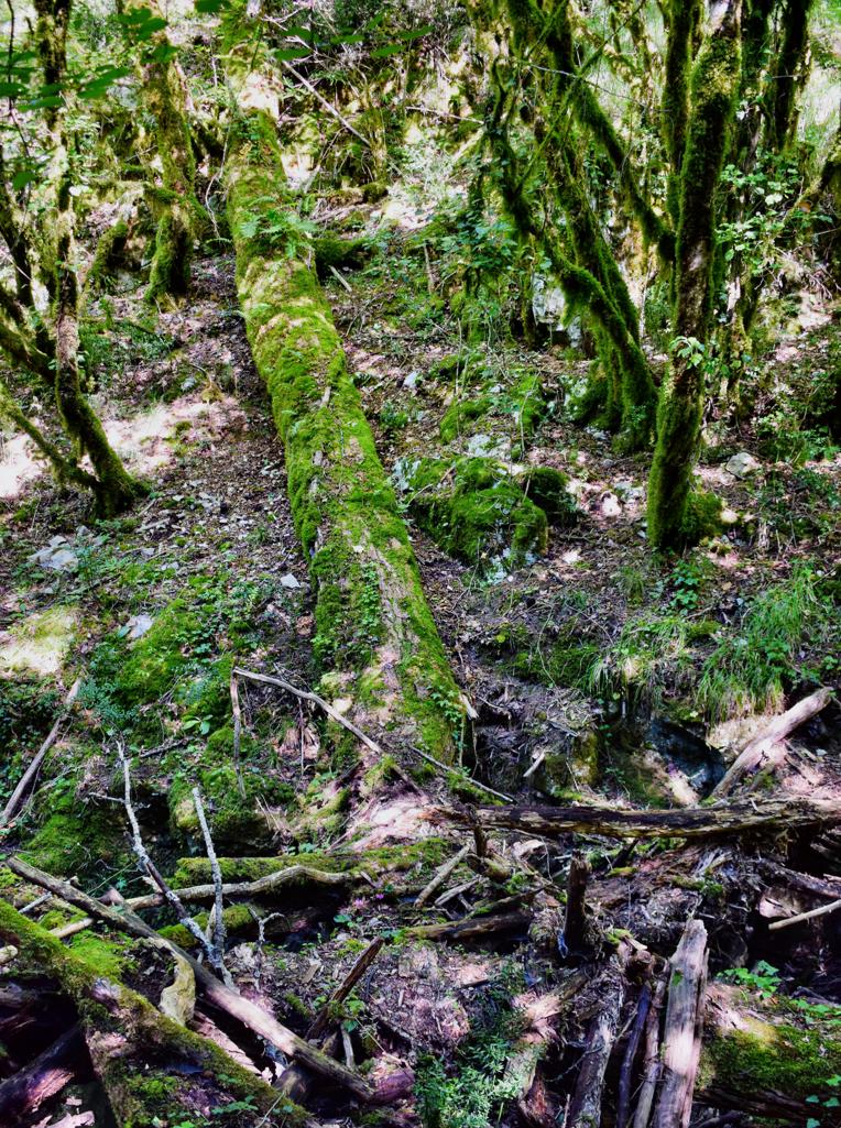
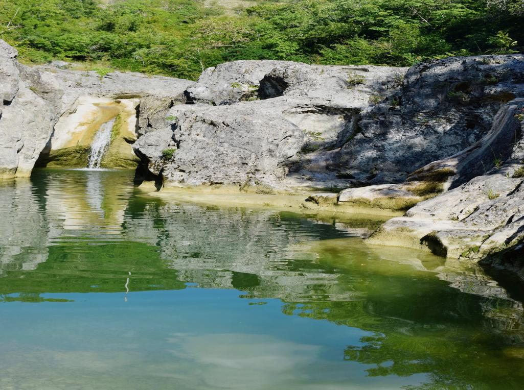
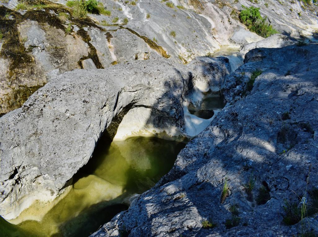
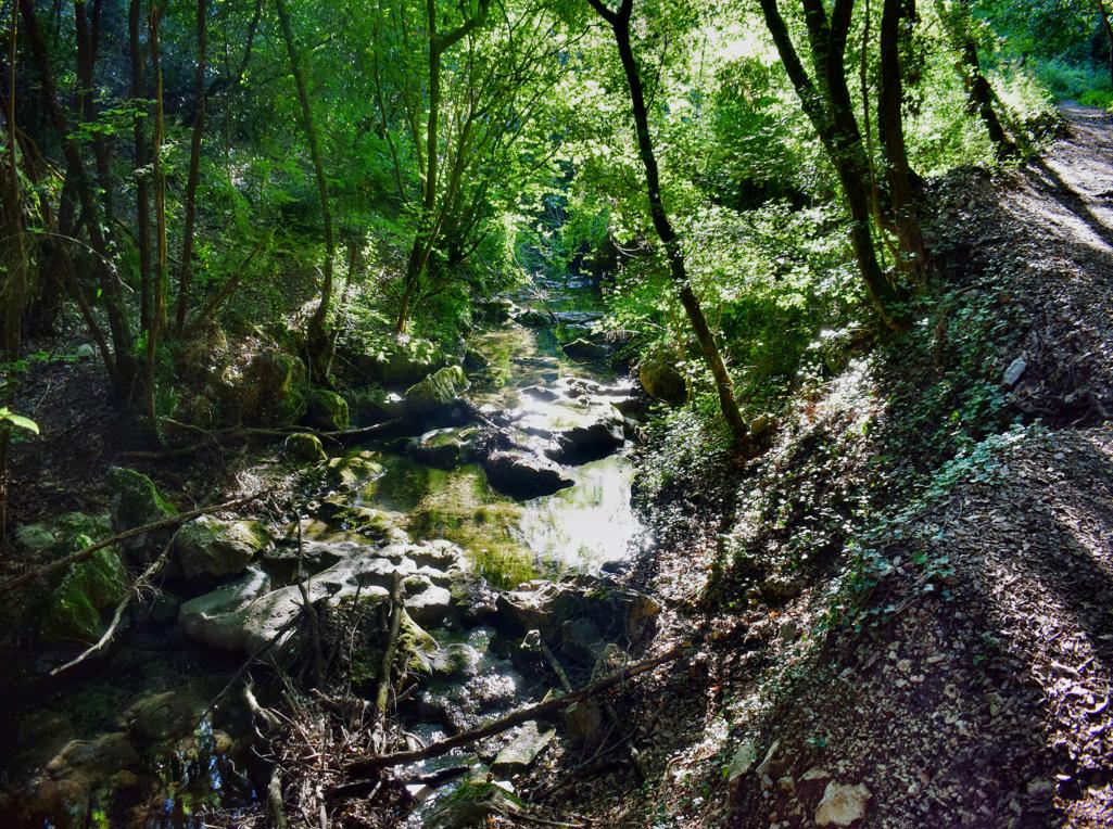
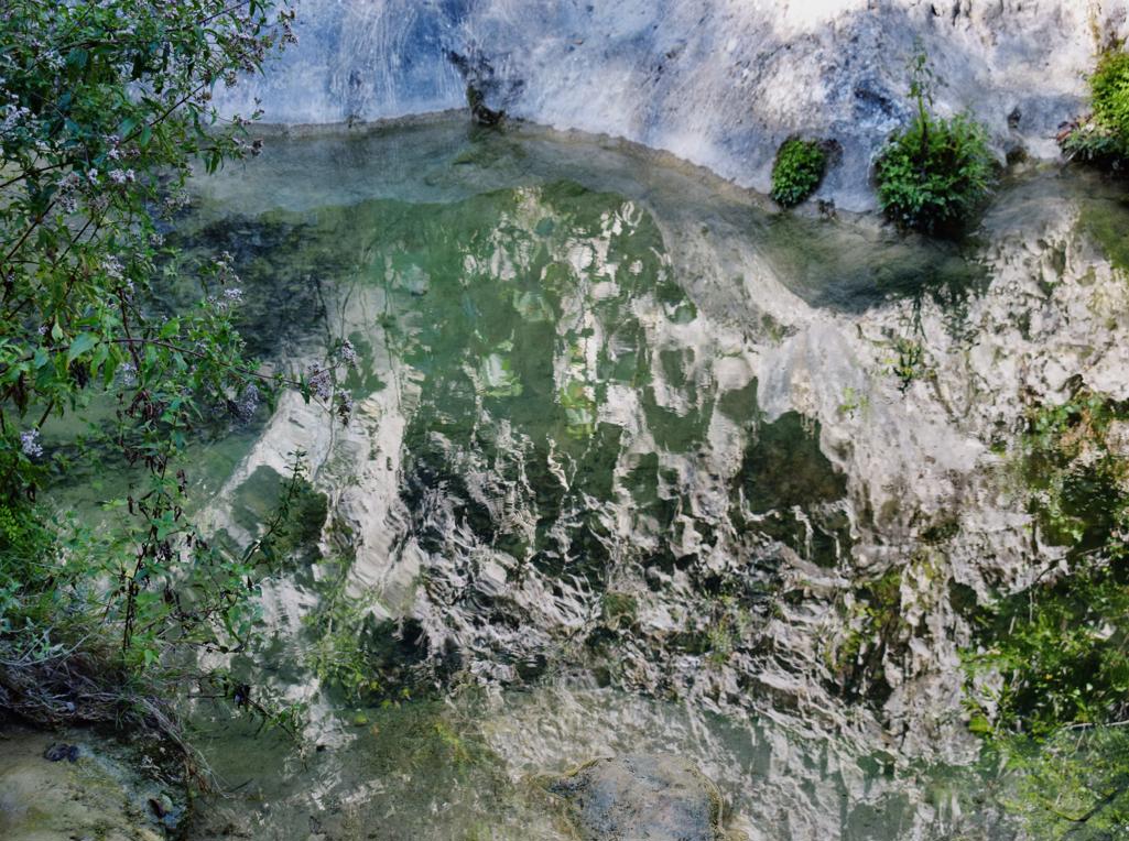
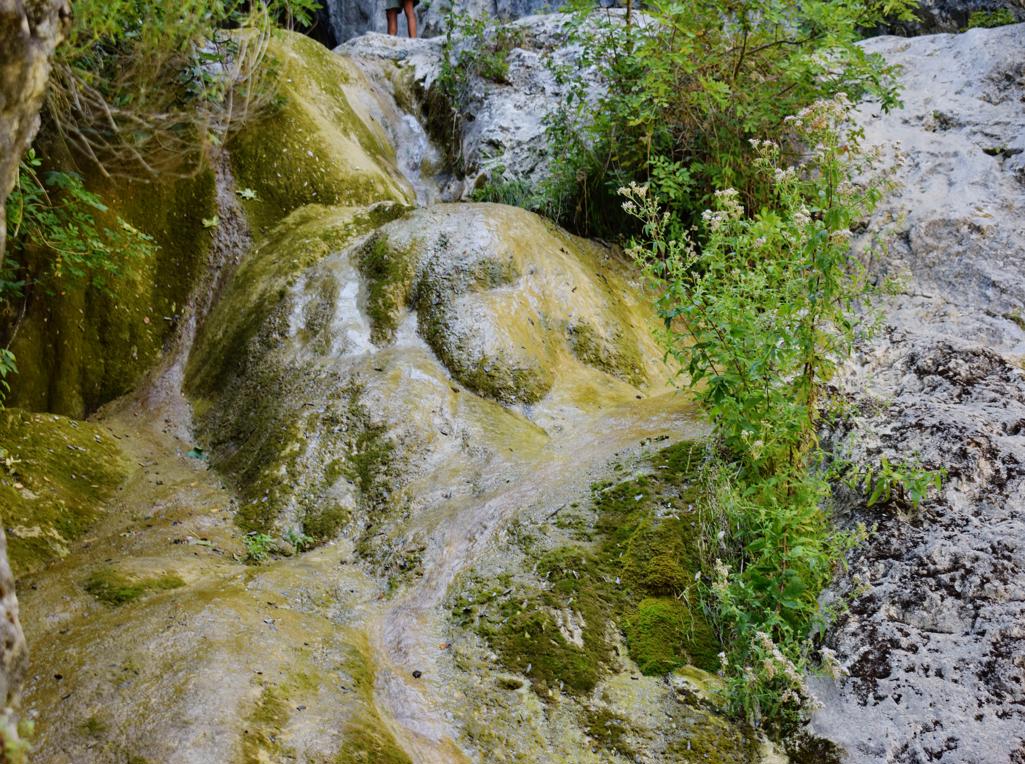
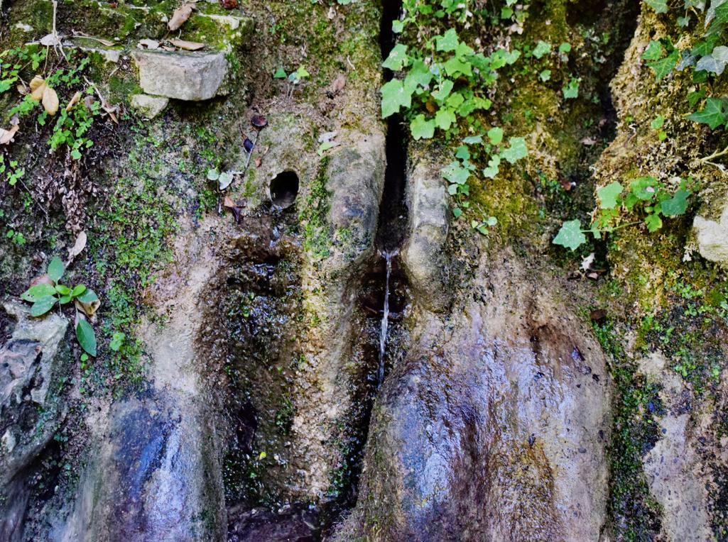
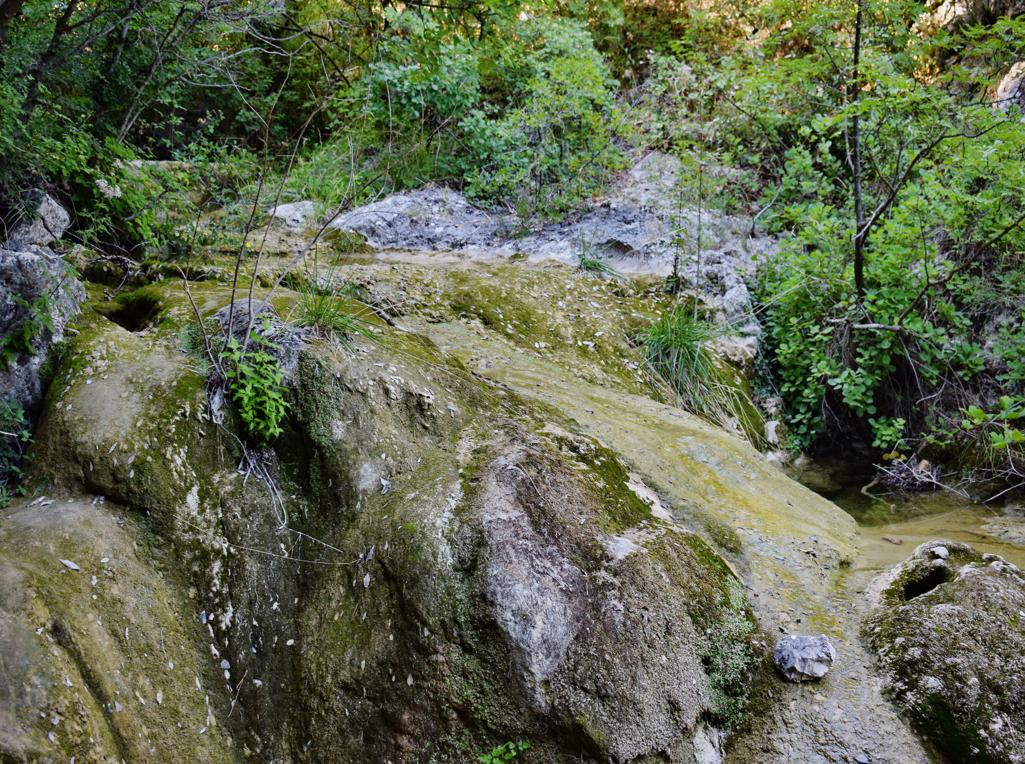
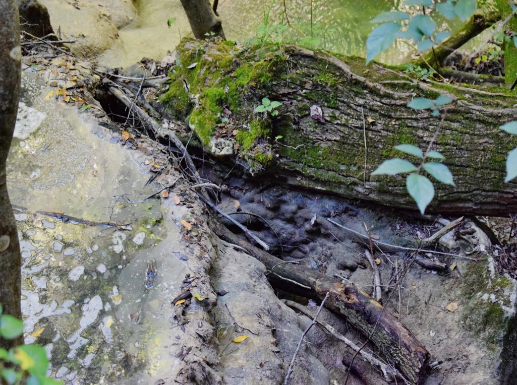
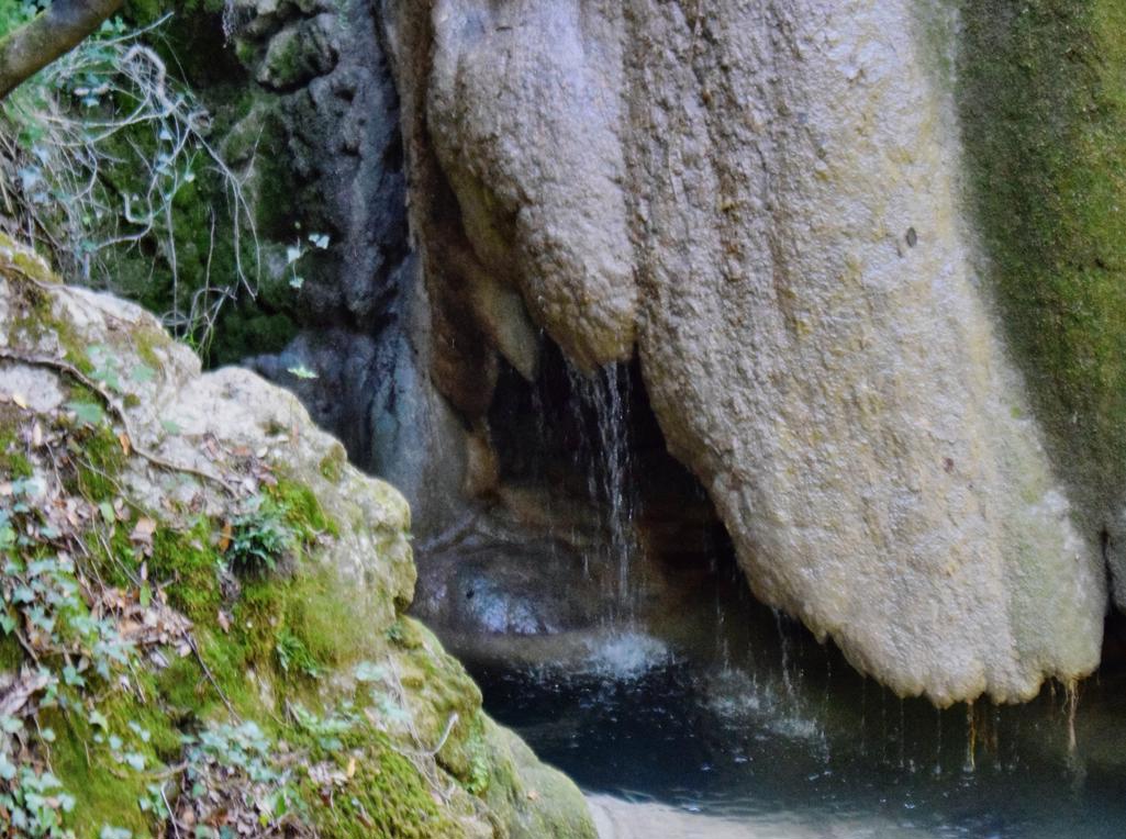
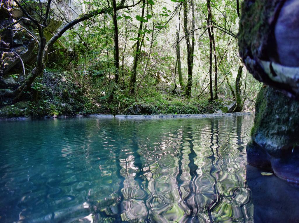
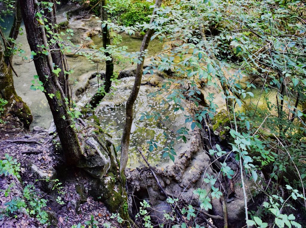
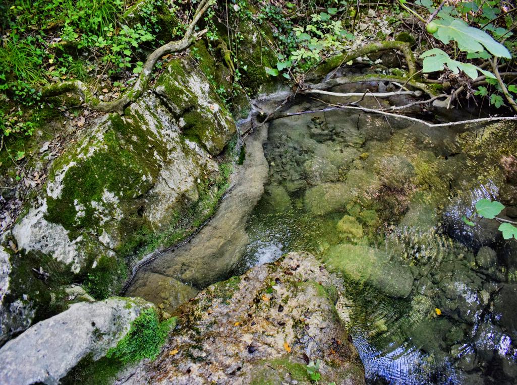
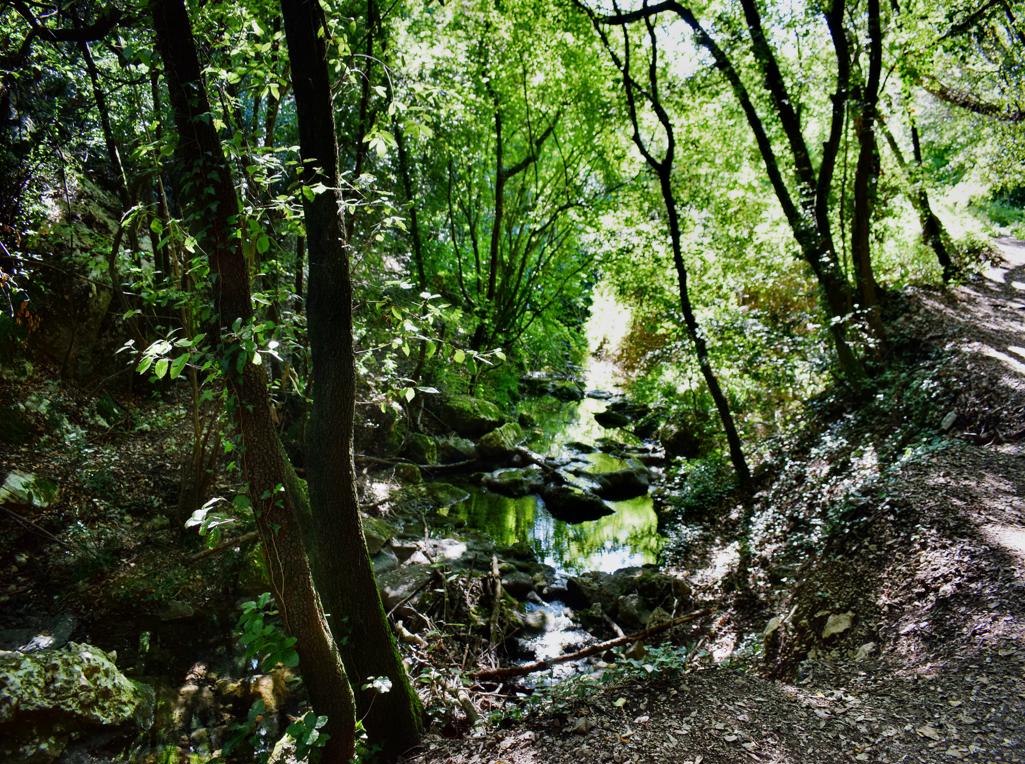
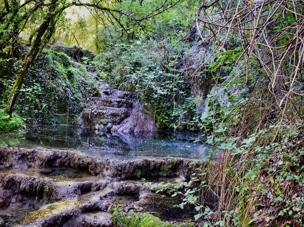
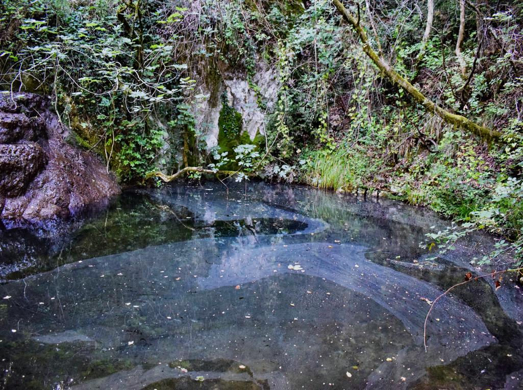
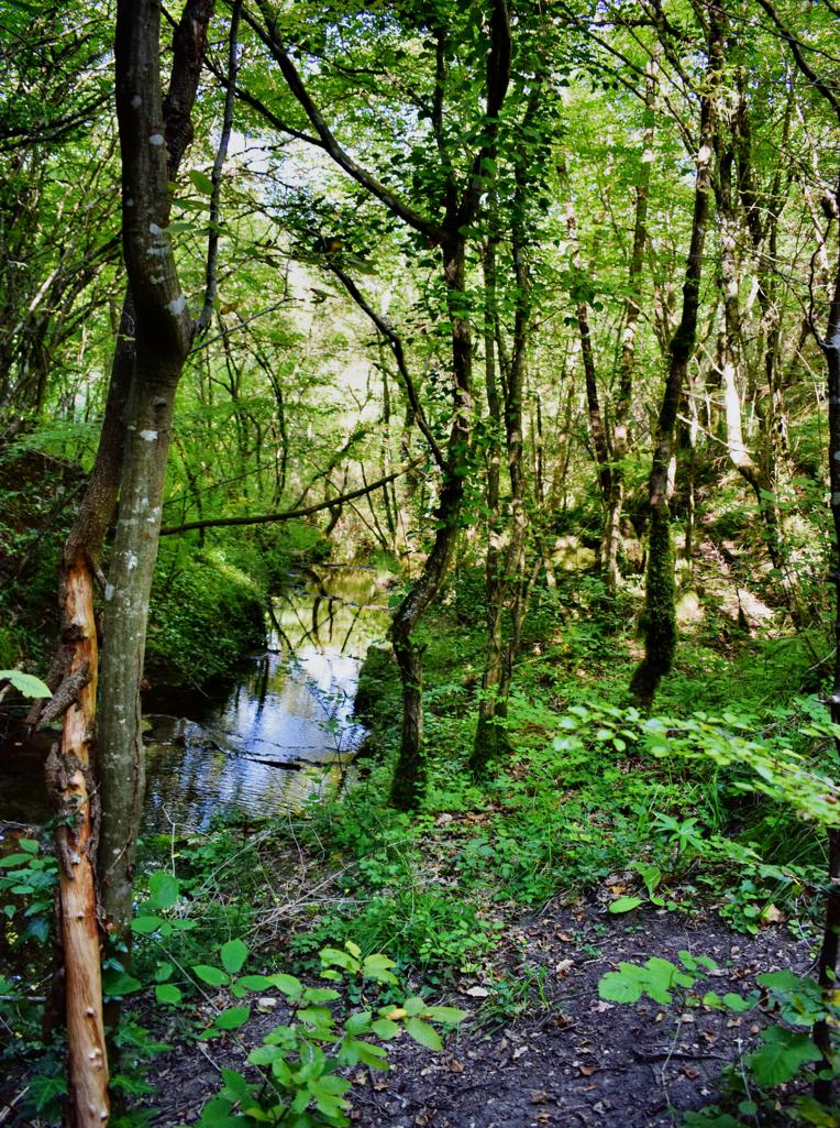
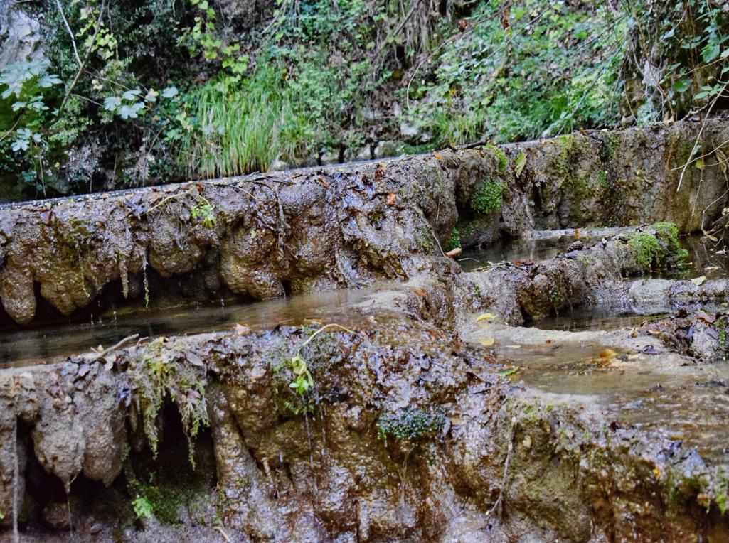
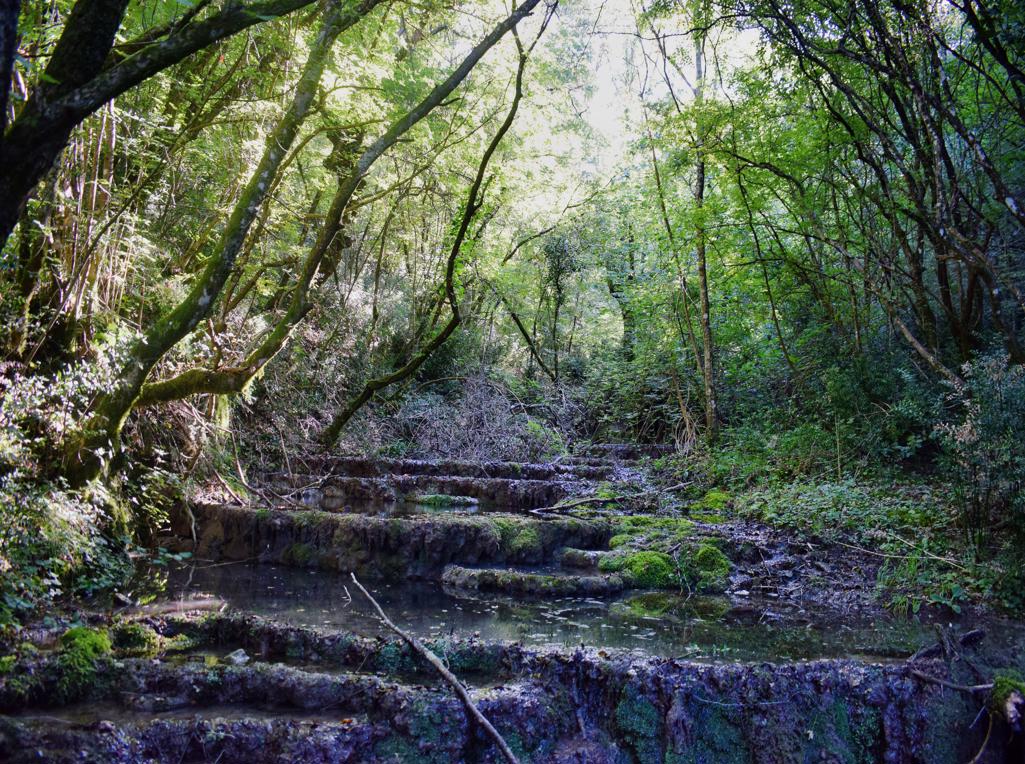
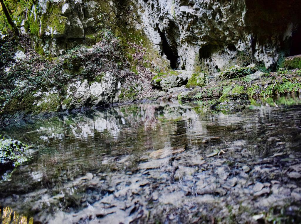
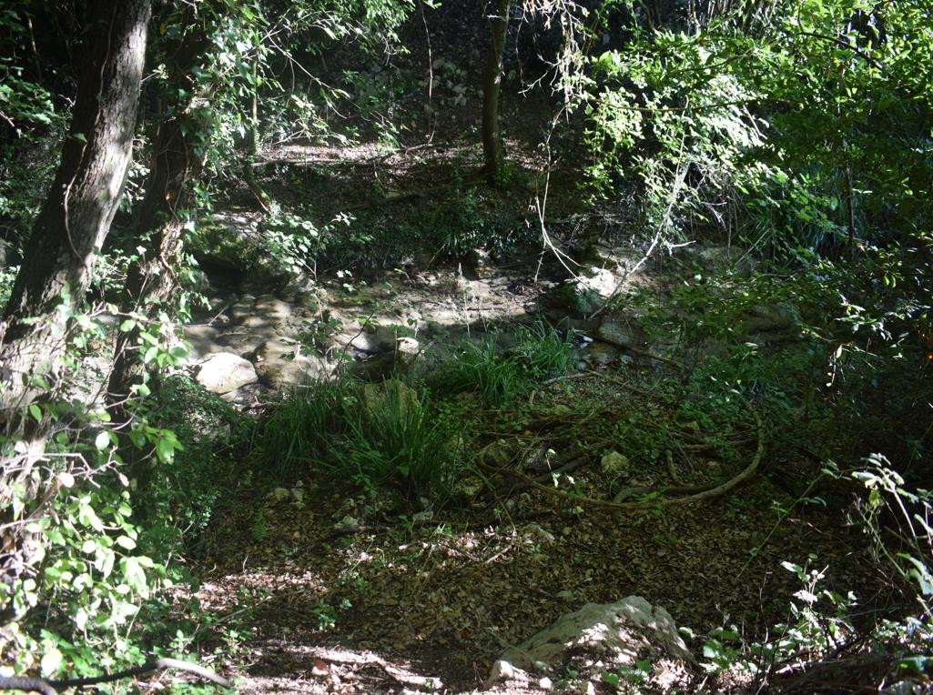
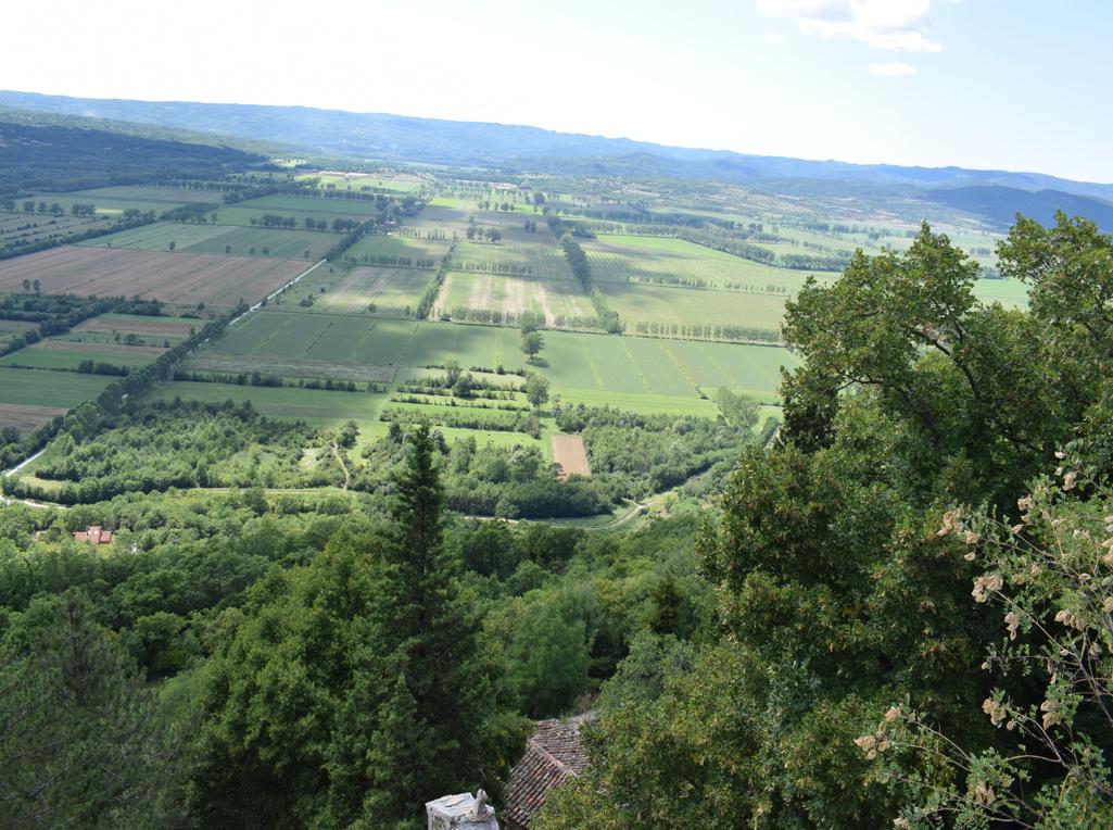
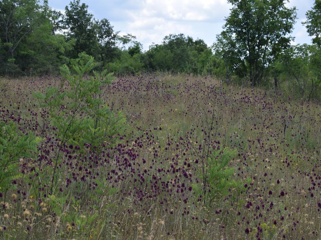
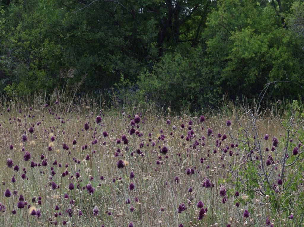
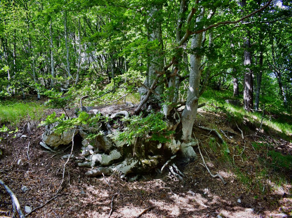
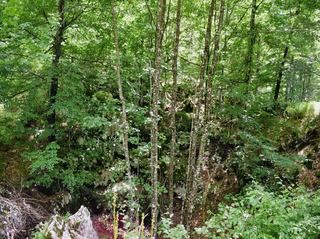
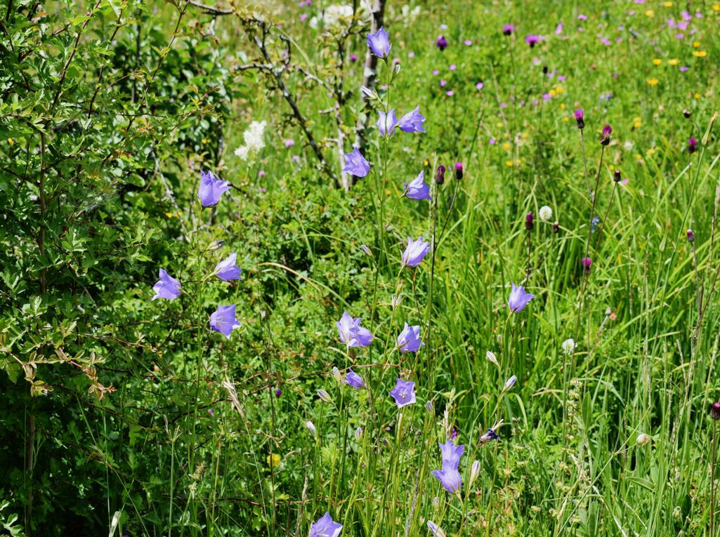
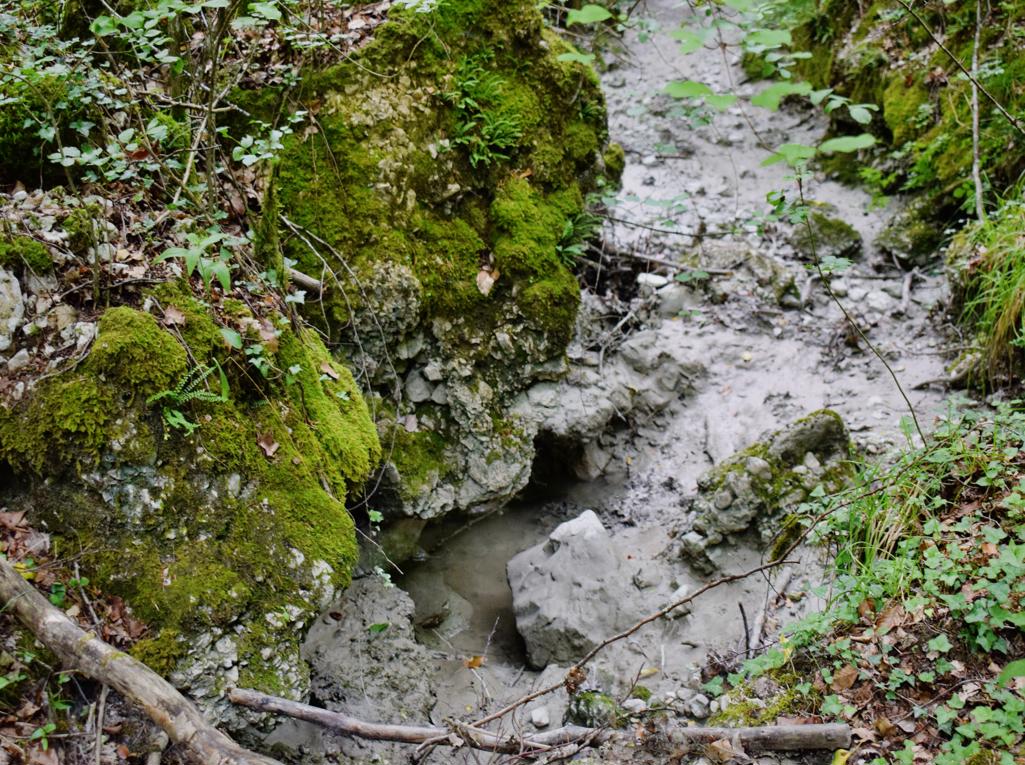
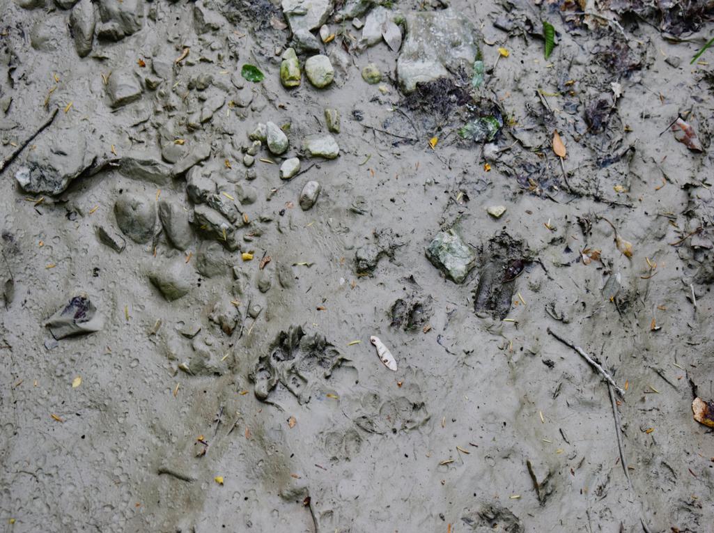
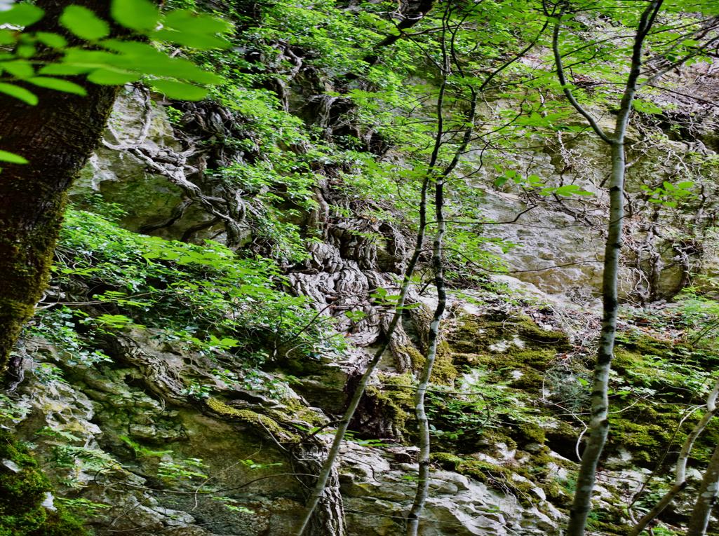
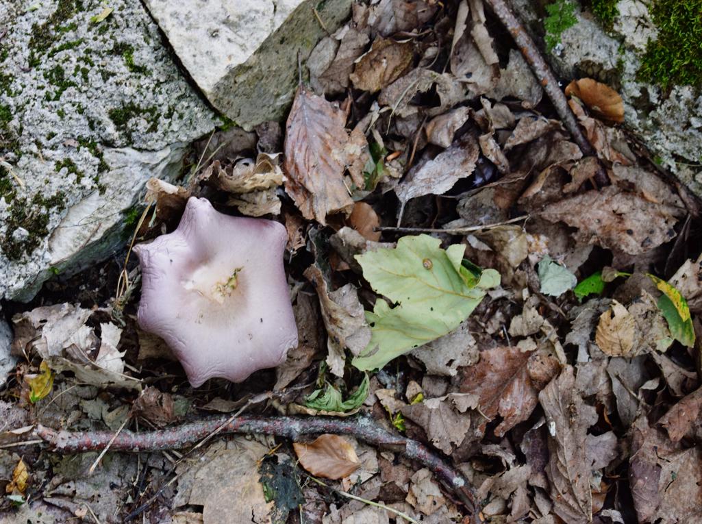
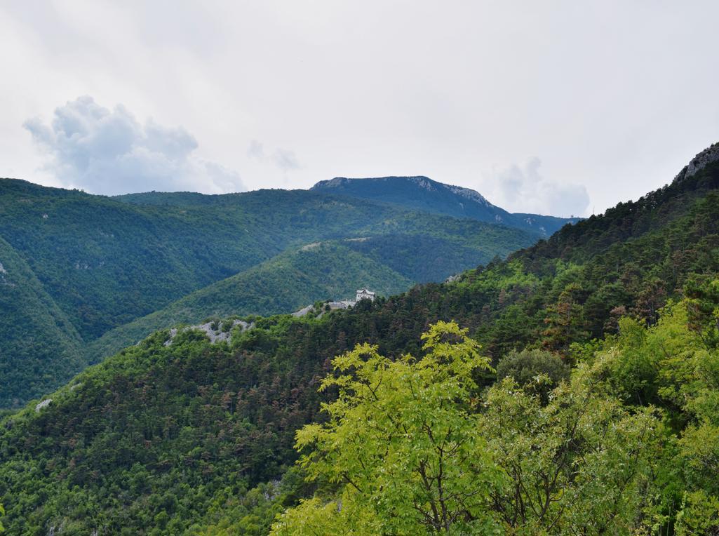
Name: Trail from the village Grdoselo, along the Grdoselski stream to Zelena Grad and the waterfall M. Slap.
Place: Grdoselo _ (pazin).
Coordinates: Start 45.27960N – 13.93997 E, Waterfall Grdoselo 45.27936 N – 13.93960 E, Watersource Malenice 45.28285 N – 13.94031 E, Waterfall Crni Puć 45.29195 N – 13.94636 E, Mali Slap 45.29195 N – 13.94636 E.
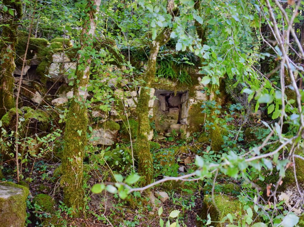
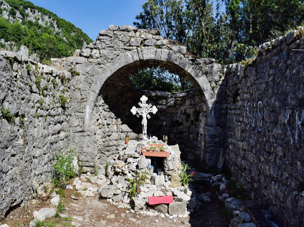
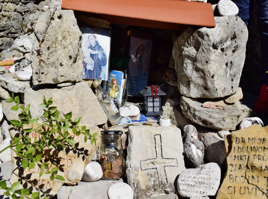
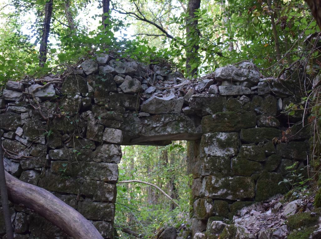
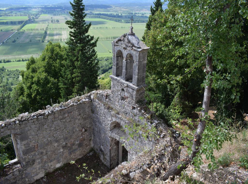
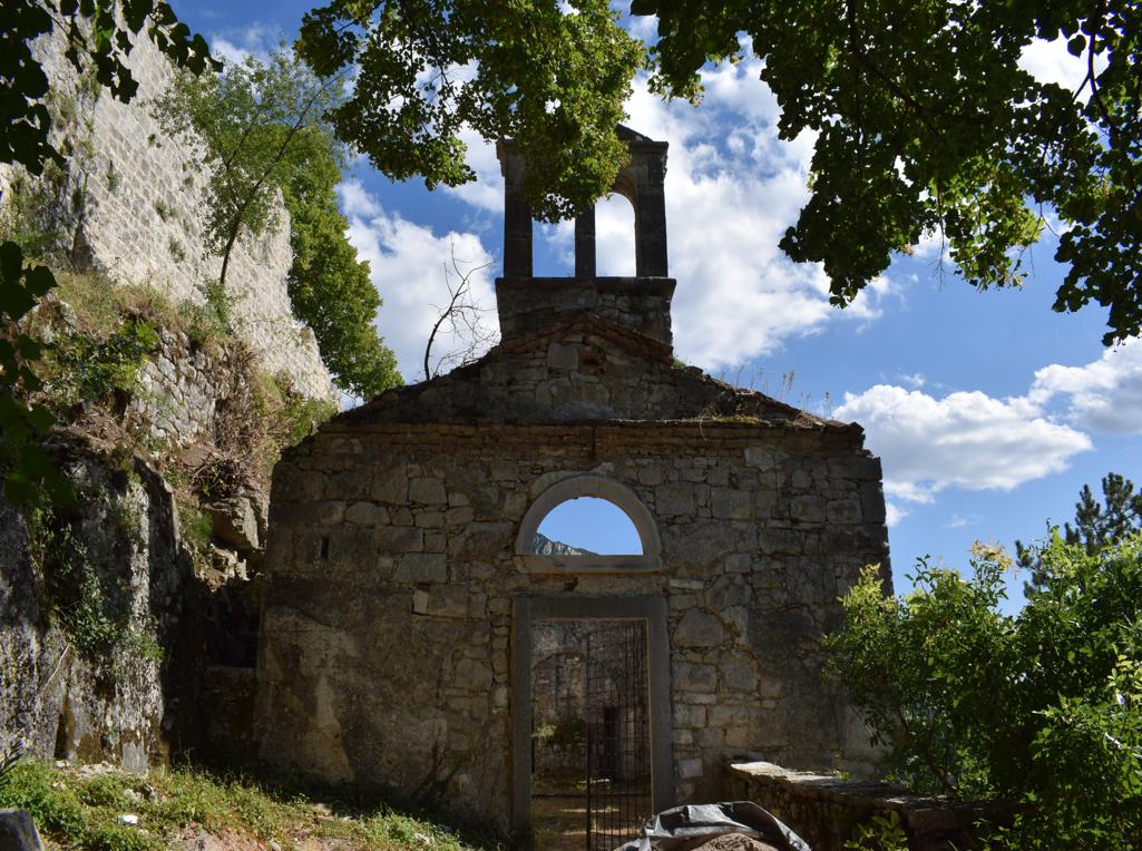
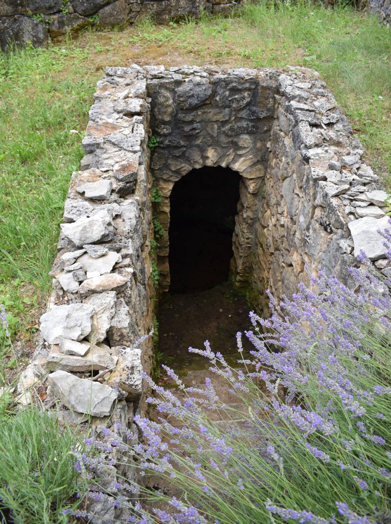
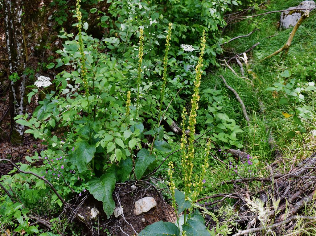
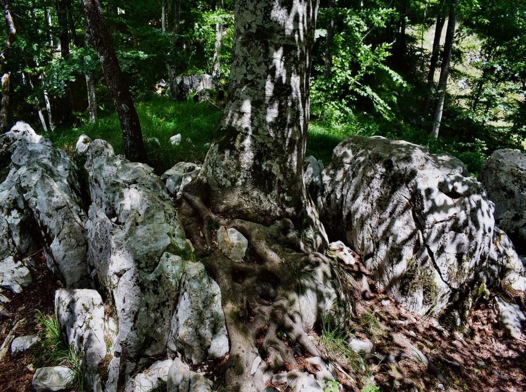
“The Goddess of Sendon” was a patron saint of travelers. The trail partly along the stream Pecina has several waterfalls, ruins of water mills and water springs. The name of the cave with a water source is called the Nigri. The church along the path is St. Hidran from the 12th/13th century.

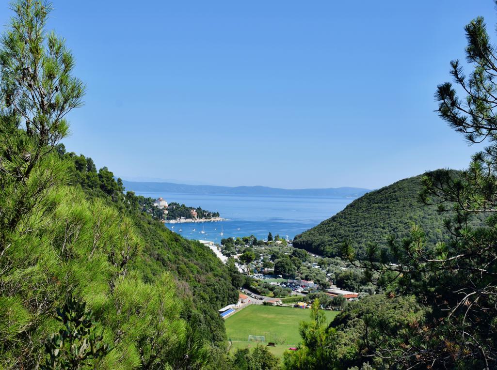
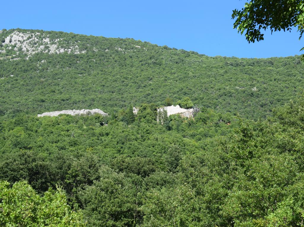
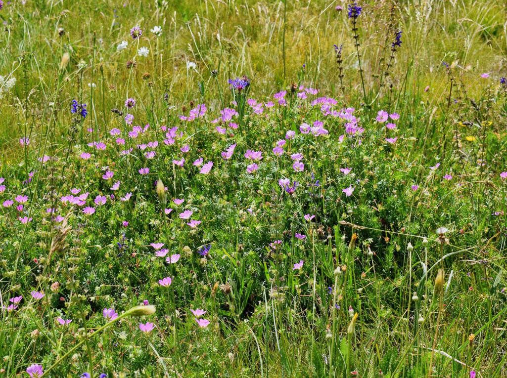
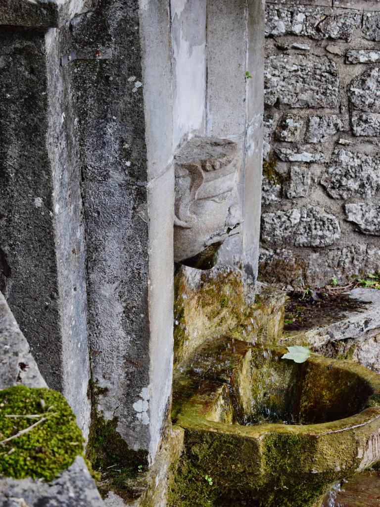
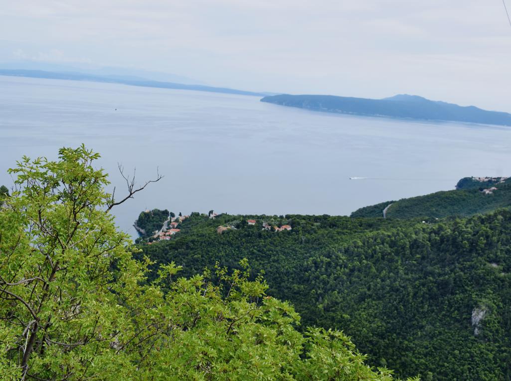
Name: Trail of Goddess Sedon from Rabac to Labin.
Place: Rabac – Labin.
Coordinates: Start trail 45.08126 N – 14.14586 E.
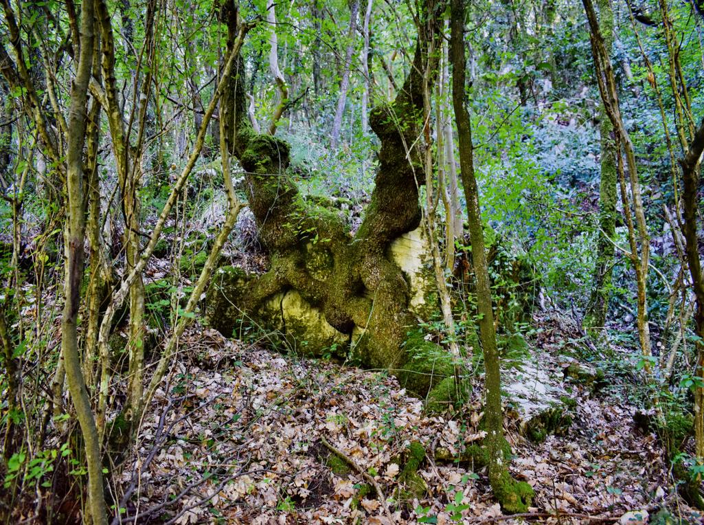
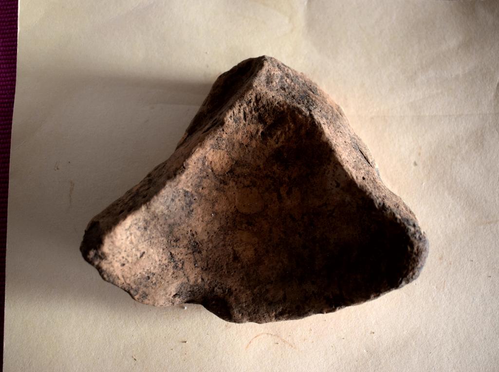
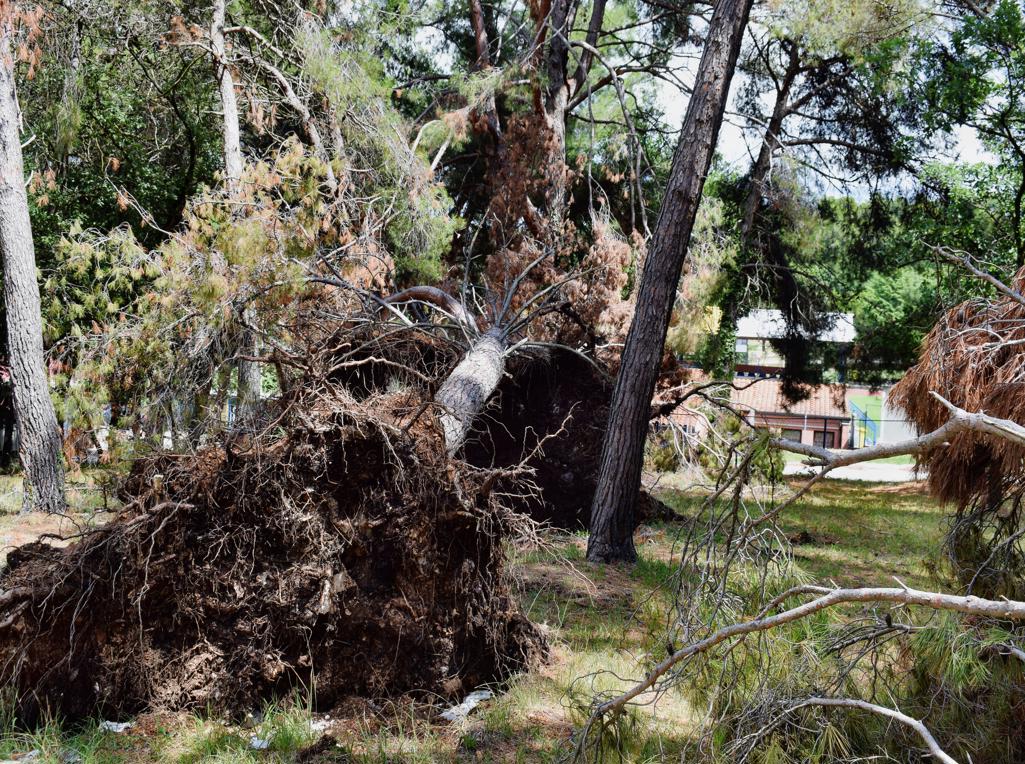
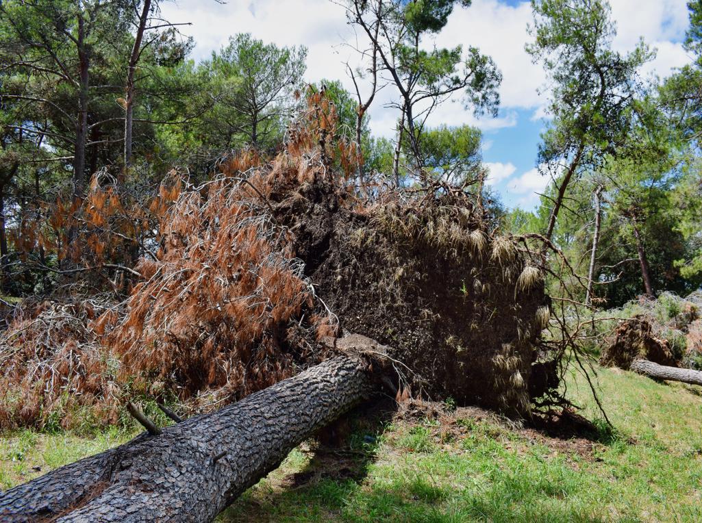
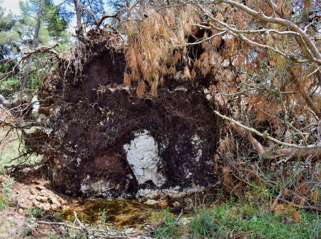
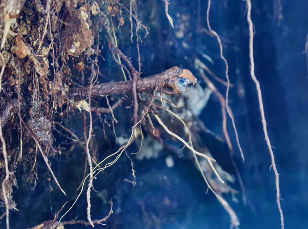
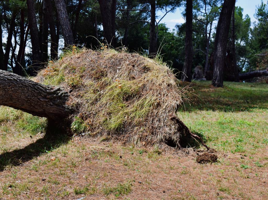
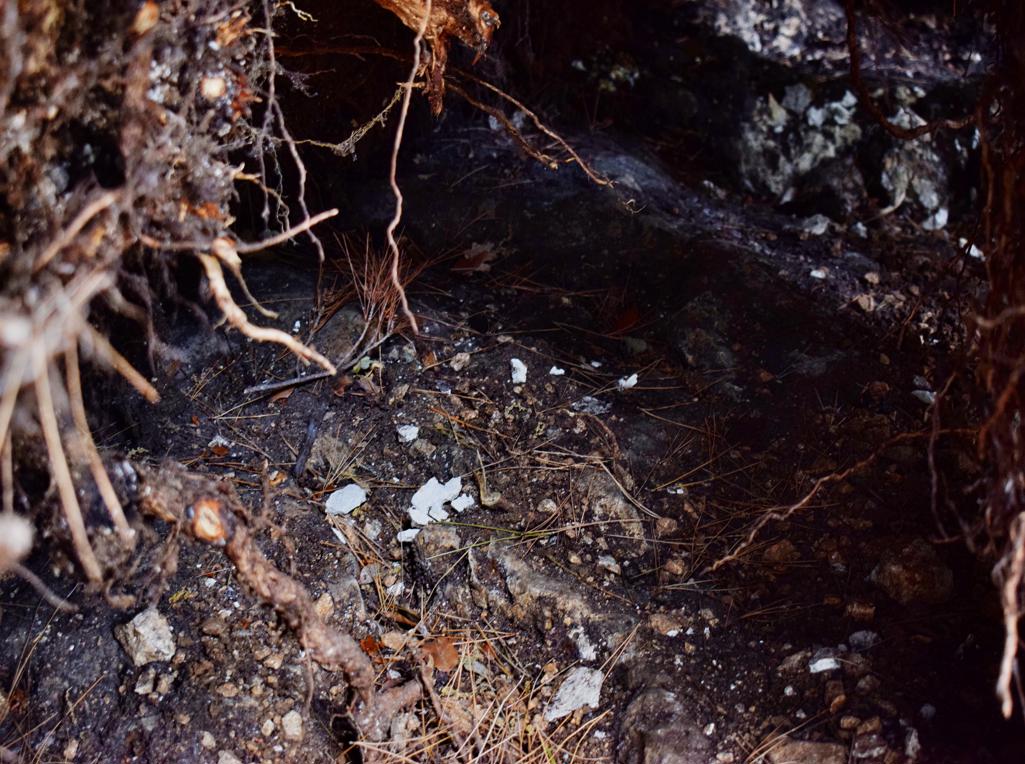
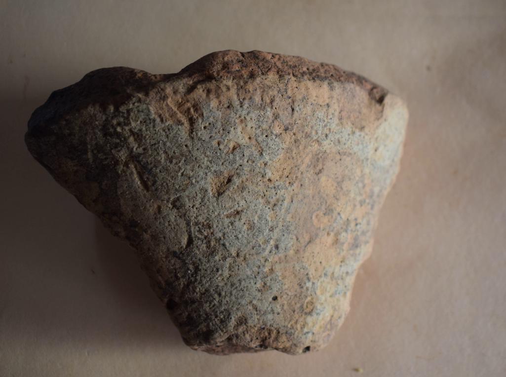
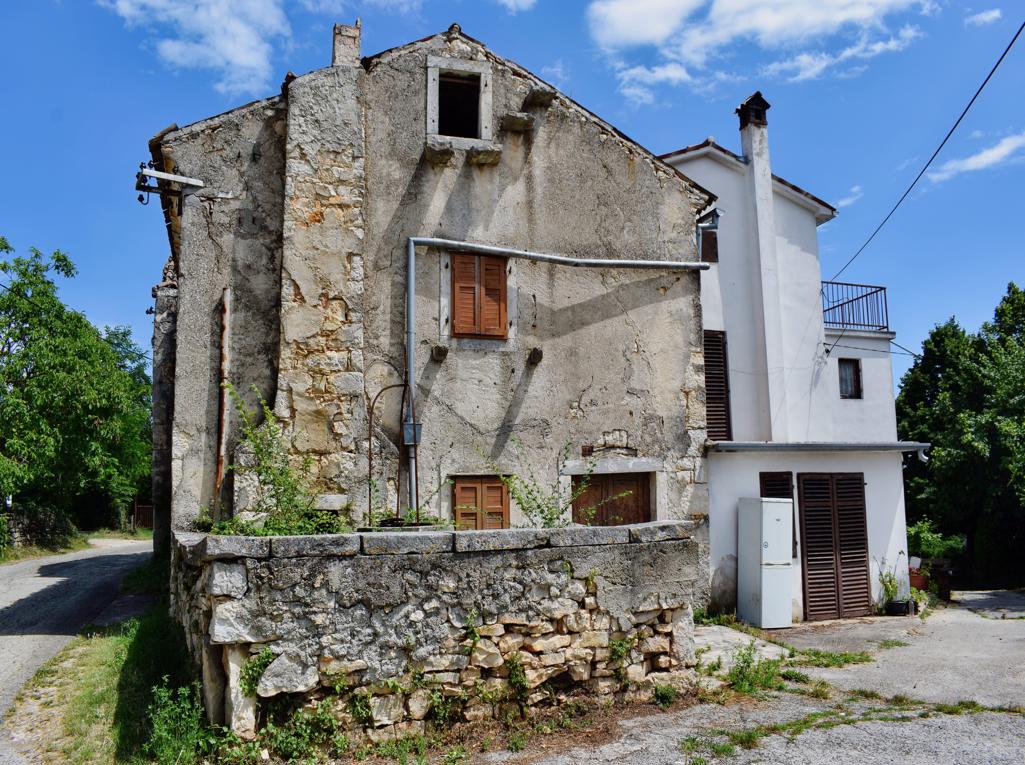
On the hill south of the Elementary School, several pines have been blown over by the storm of the past few days. Archaeological research has established, through the discovery of burnt remains, bones and objects, that under one of the trees near the roots there was a grave from the 1st century.

Name: Roman grave on the hill south of the Poreč Elementary School.
Place: Poreč
Coordinates: 45.22355 N – 13.60335 E.
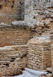
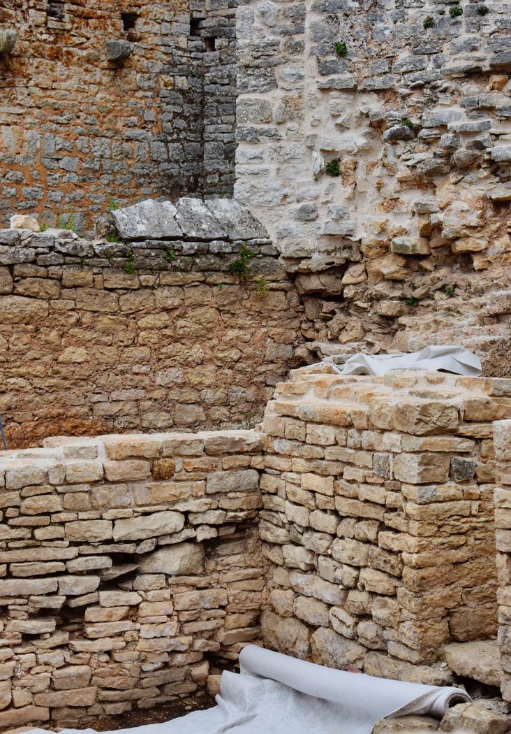
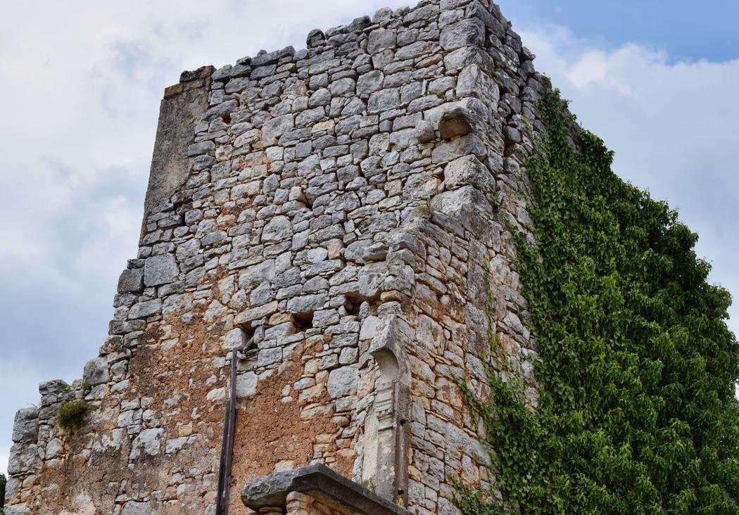
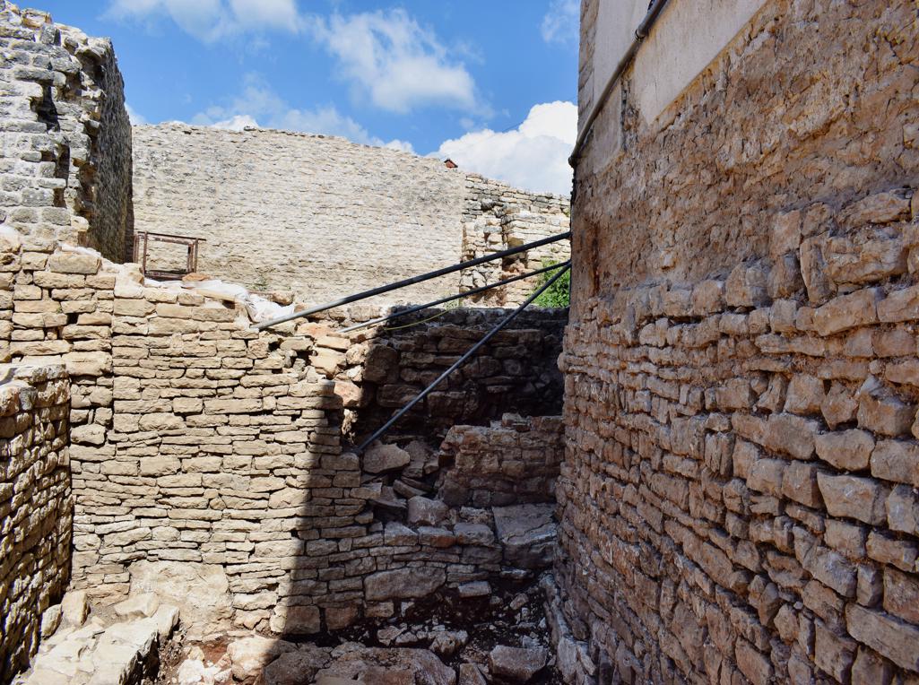
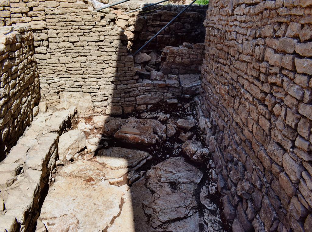
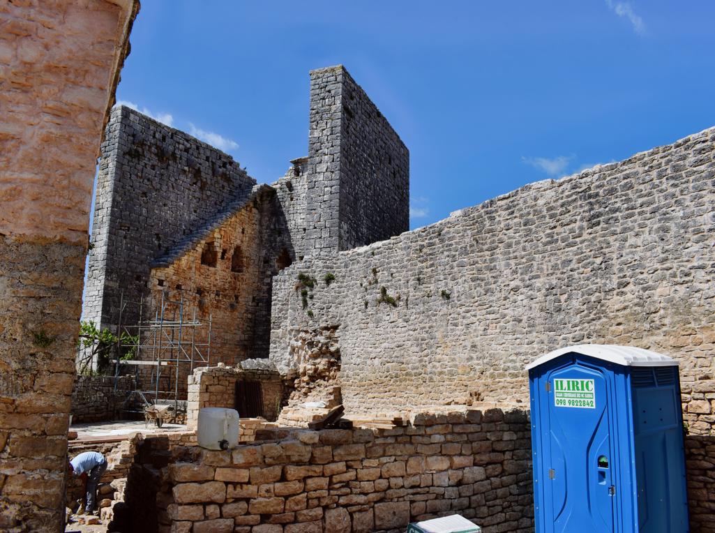
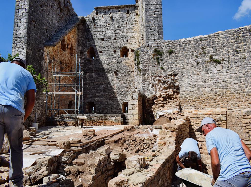
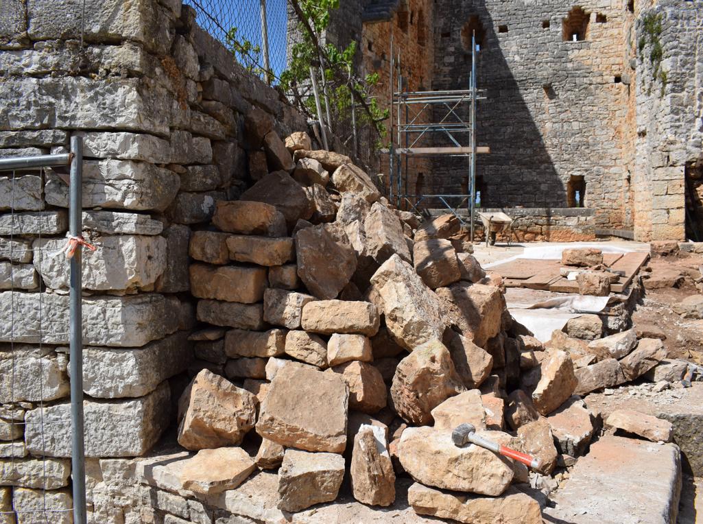
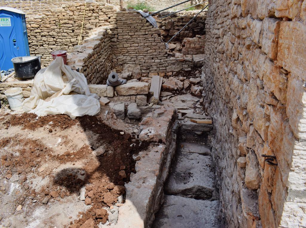
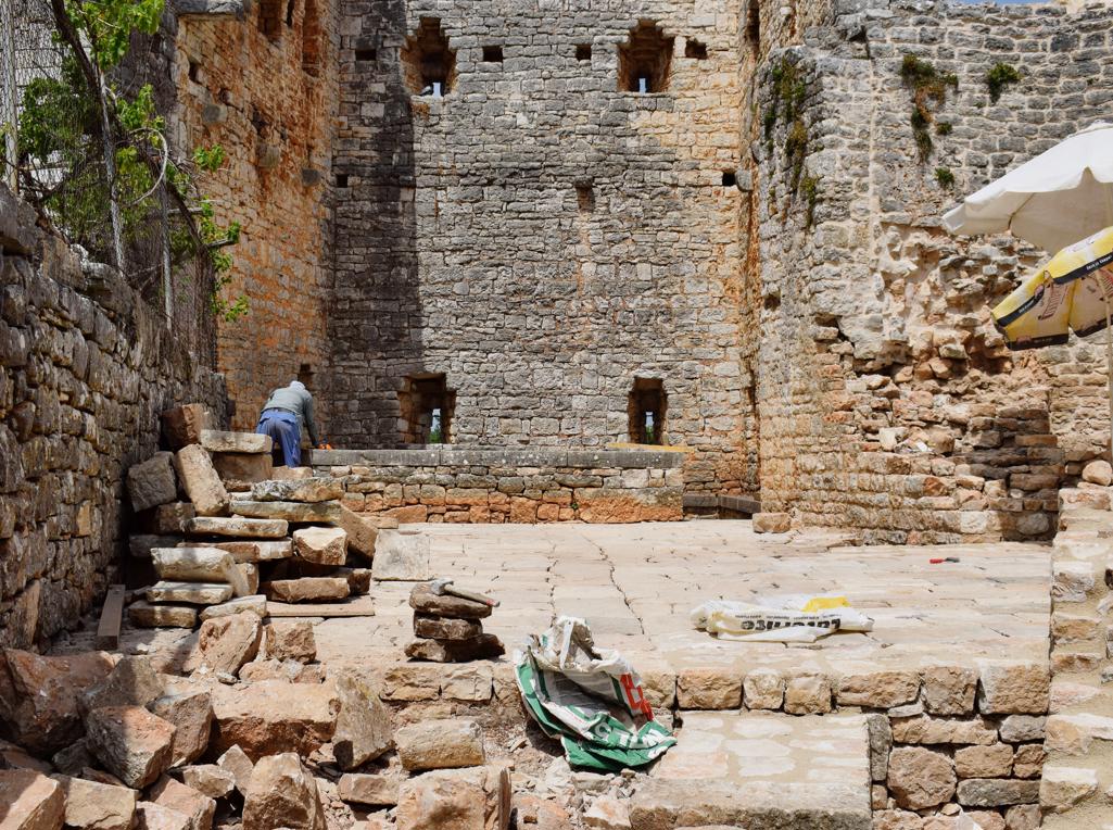
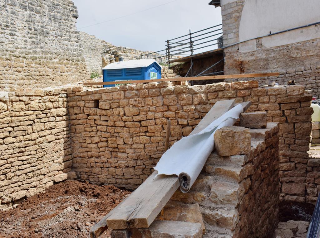
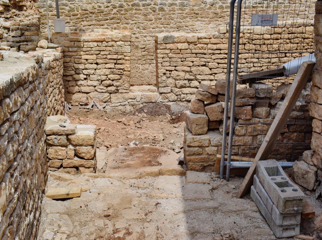
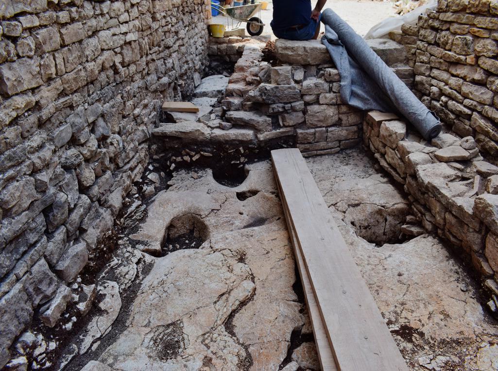
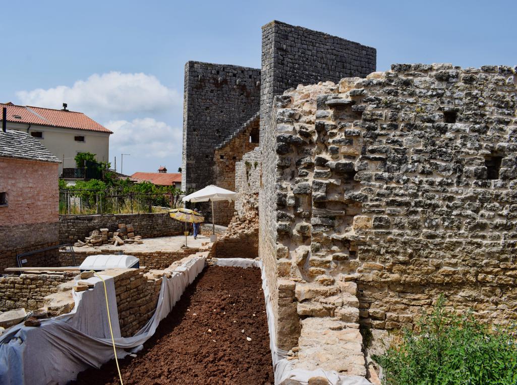
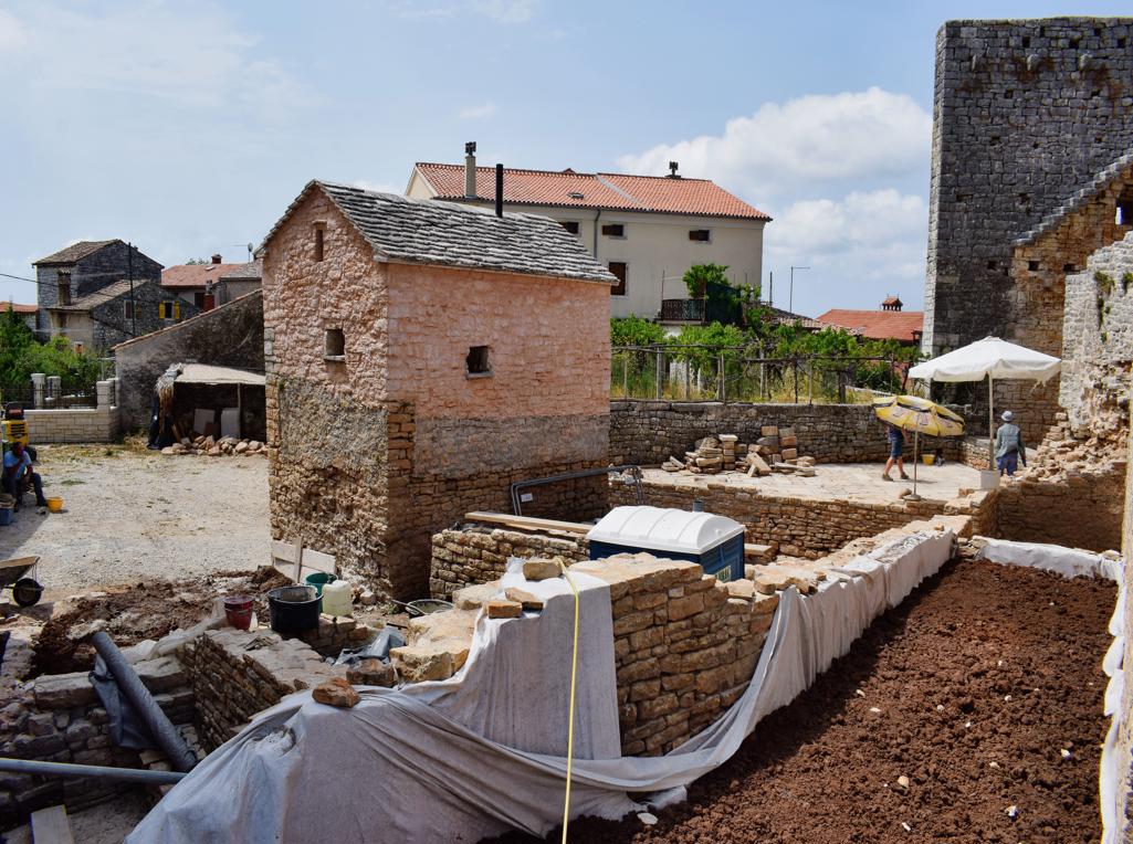
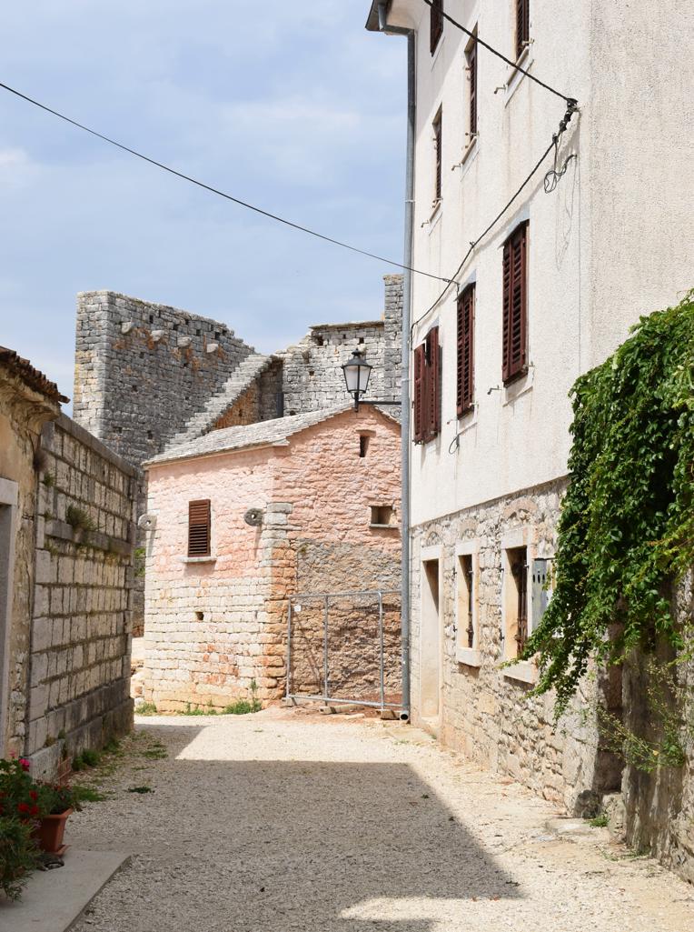
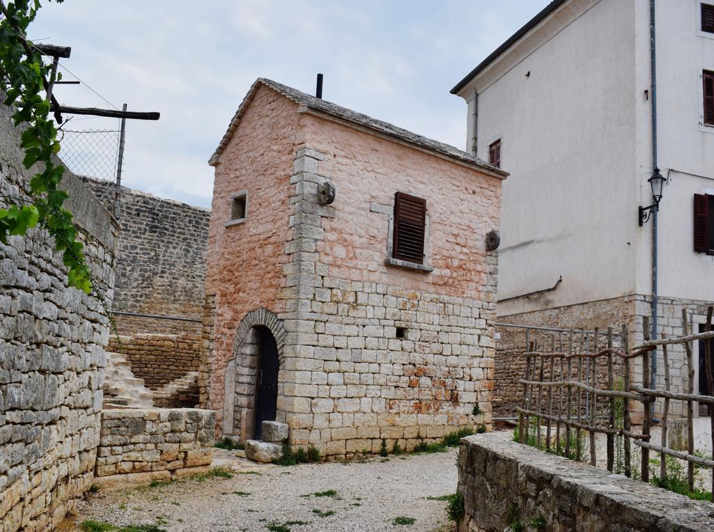
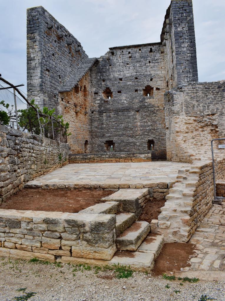
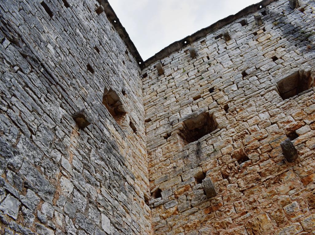
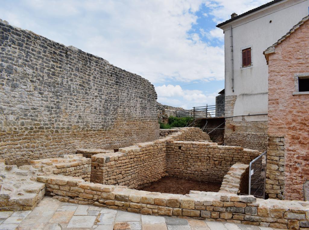
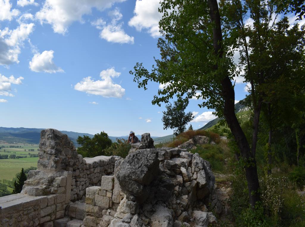
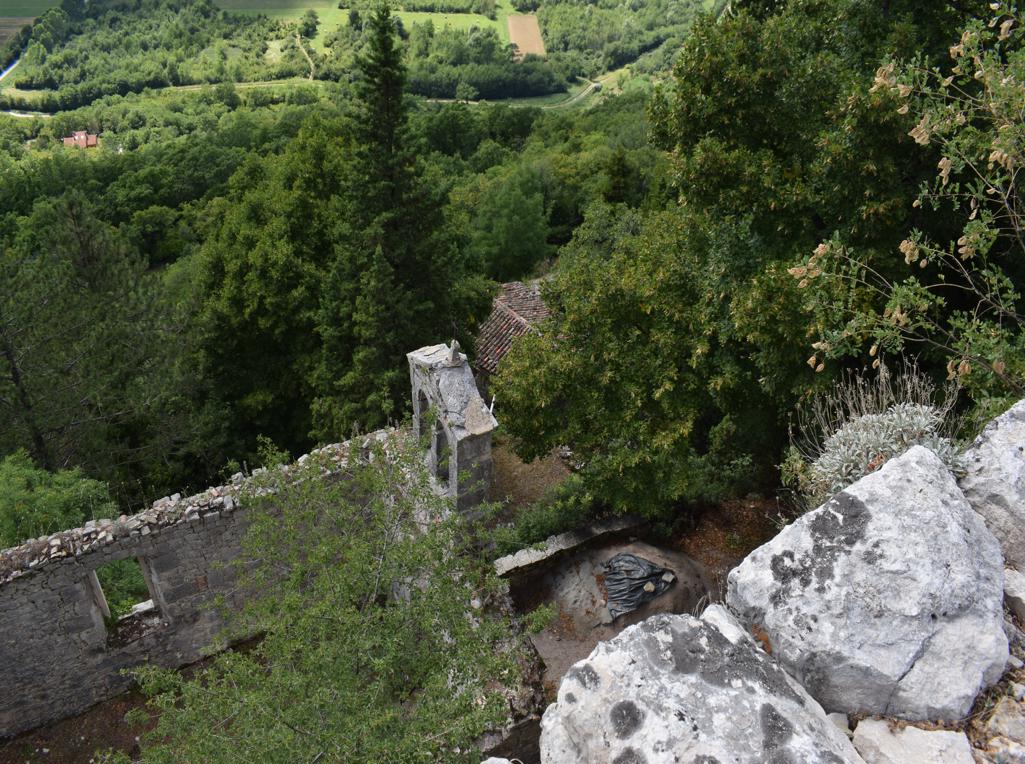
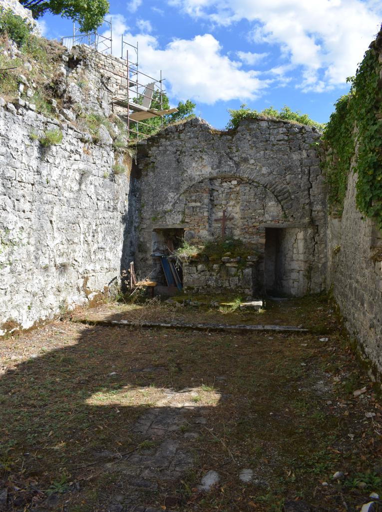
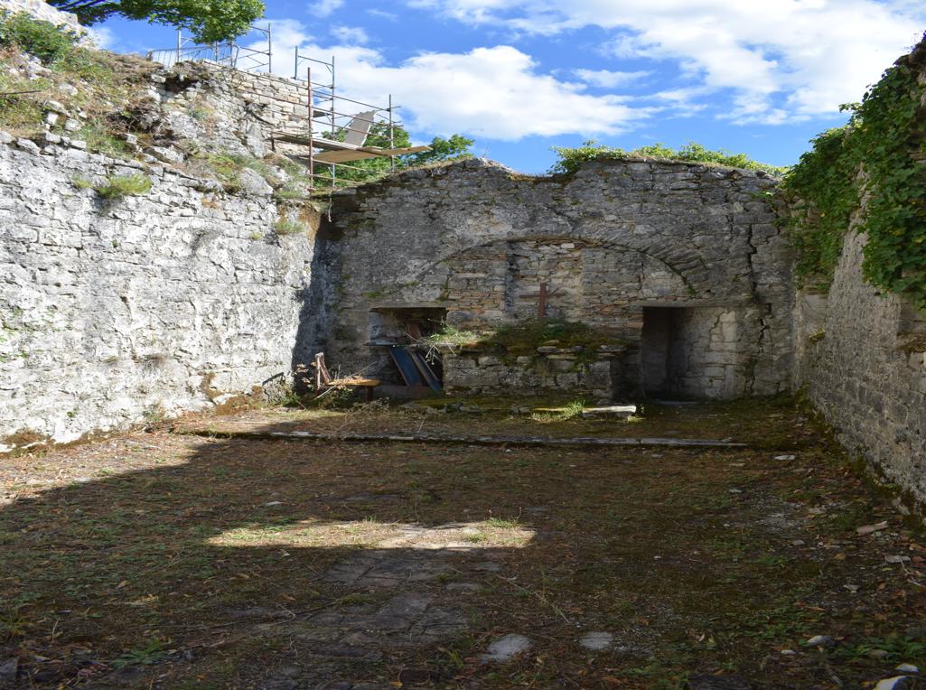
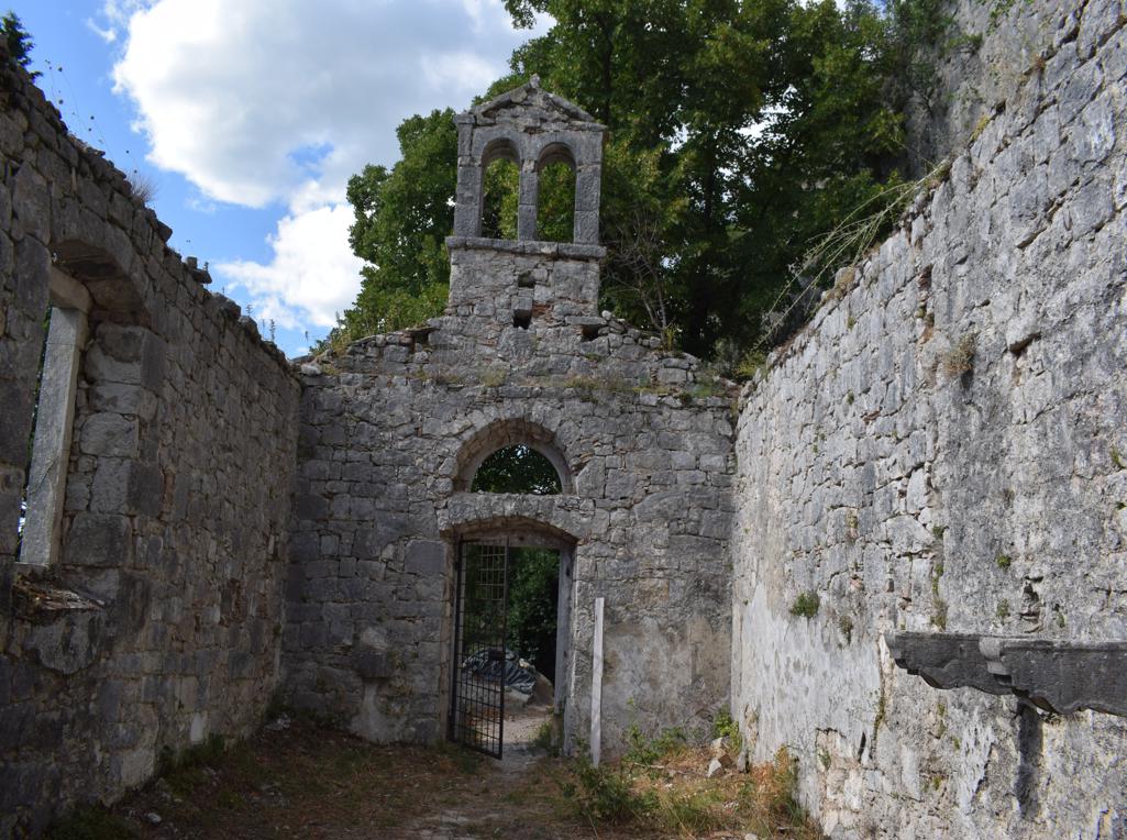
Name: Renovation of the medieval city walls of Sveti Lovreč (2023).
Place: Sveti Lovreč.
Coordinates: 45.17607 N – 13.74420 E.
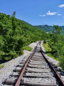
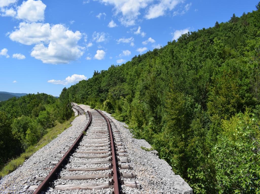
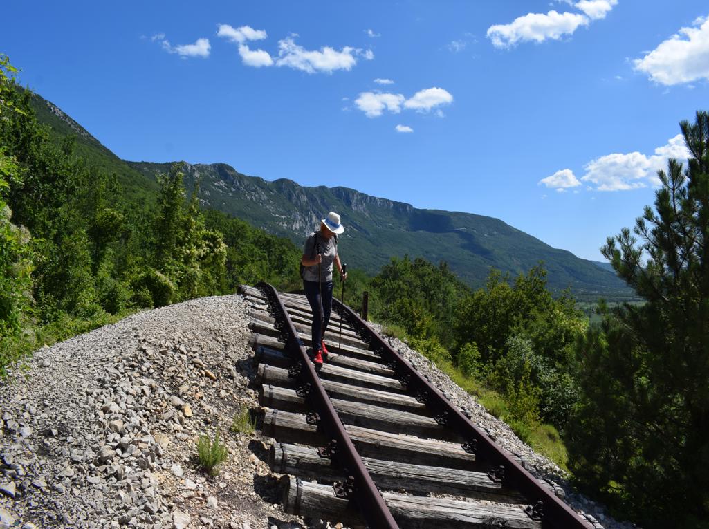
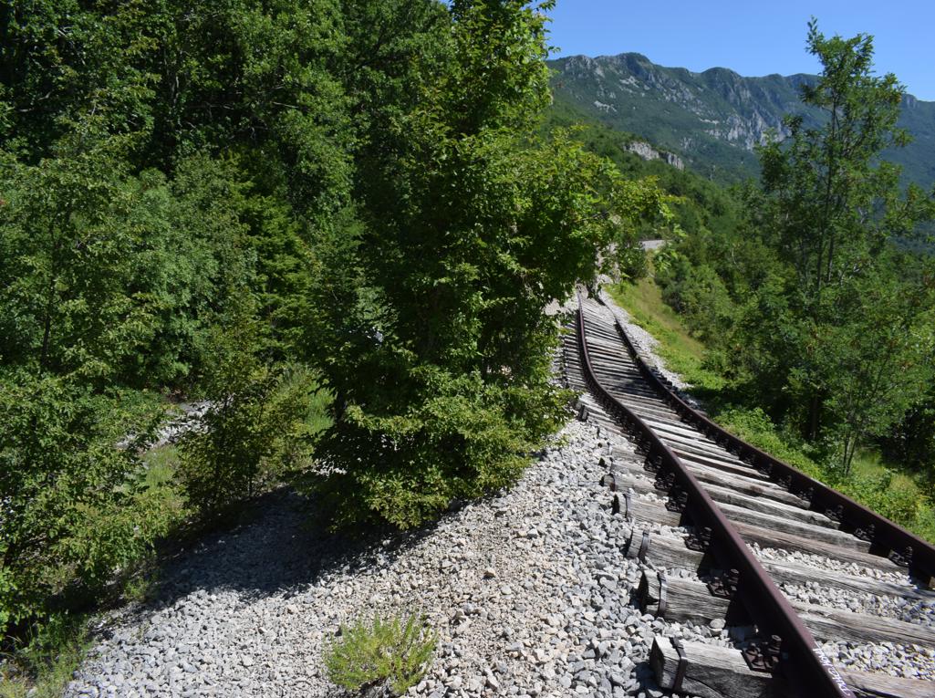
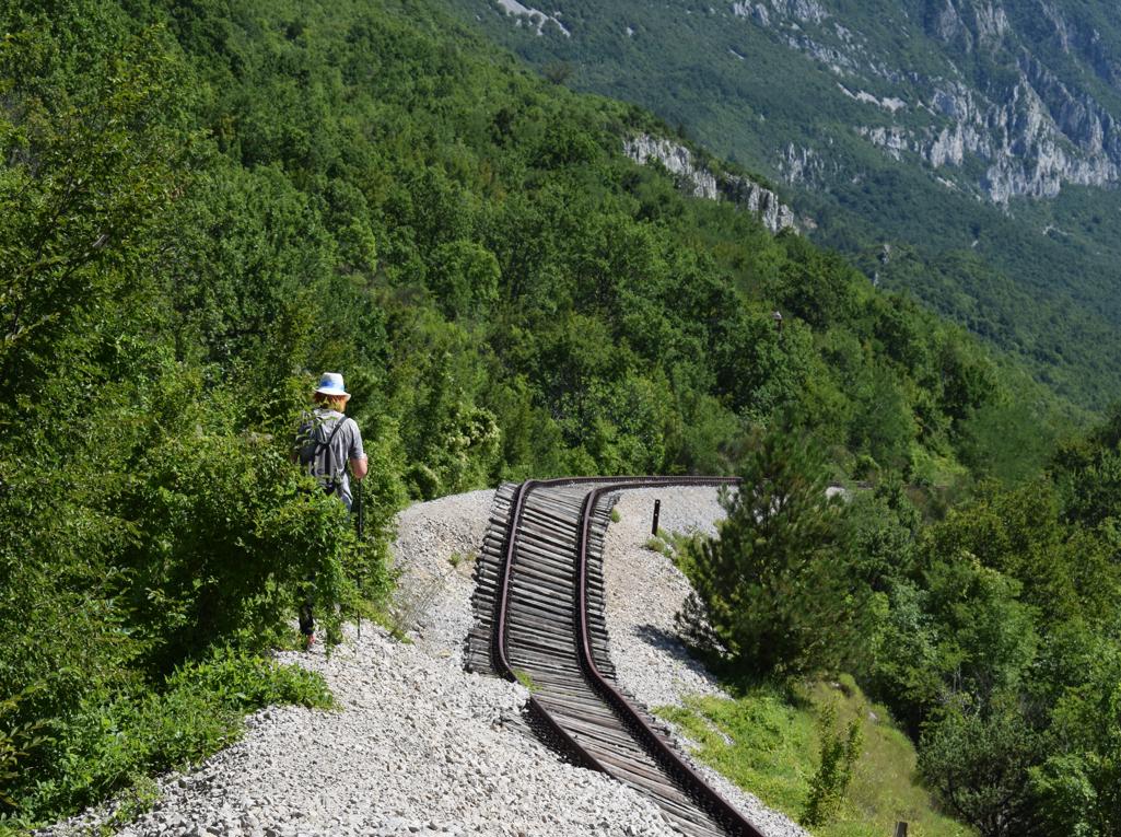
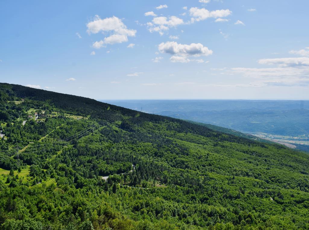
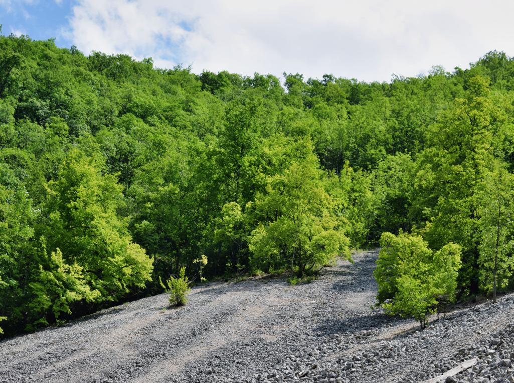
Name: The “drunk” part of the former railway (1951-2009) from Lupoglav to Raša.Place
Place: Kožlkak -(Kršan).
Coordinates: Start: 45.18045 N – 14.18082 E, Part of the railway: 45.21067 N -14.18760 E:
See too the post ” Trail 861 “Sveta Nedelja along ponds and puddles”. Dated: 2023-02-01.
Name: Sveta Nedelja – Trail 861.
See too the former posts from 2020-07-29 and 2020-07-21-
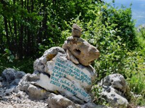
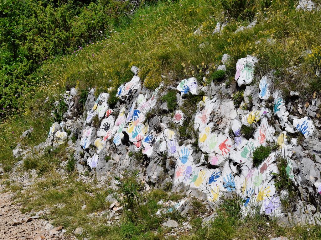
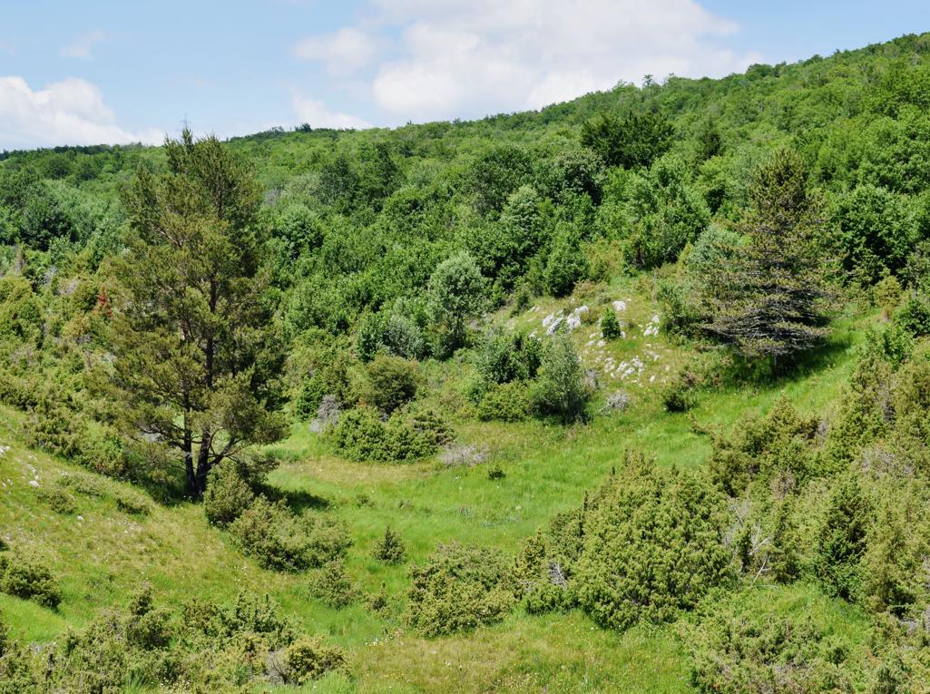
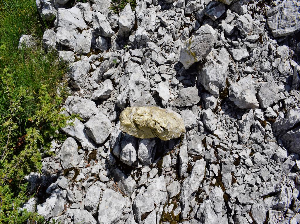
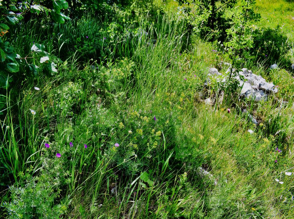
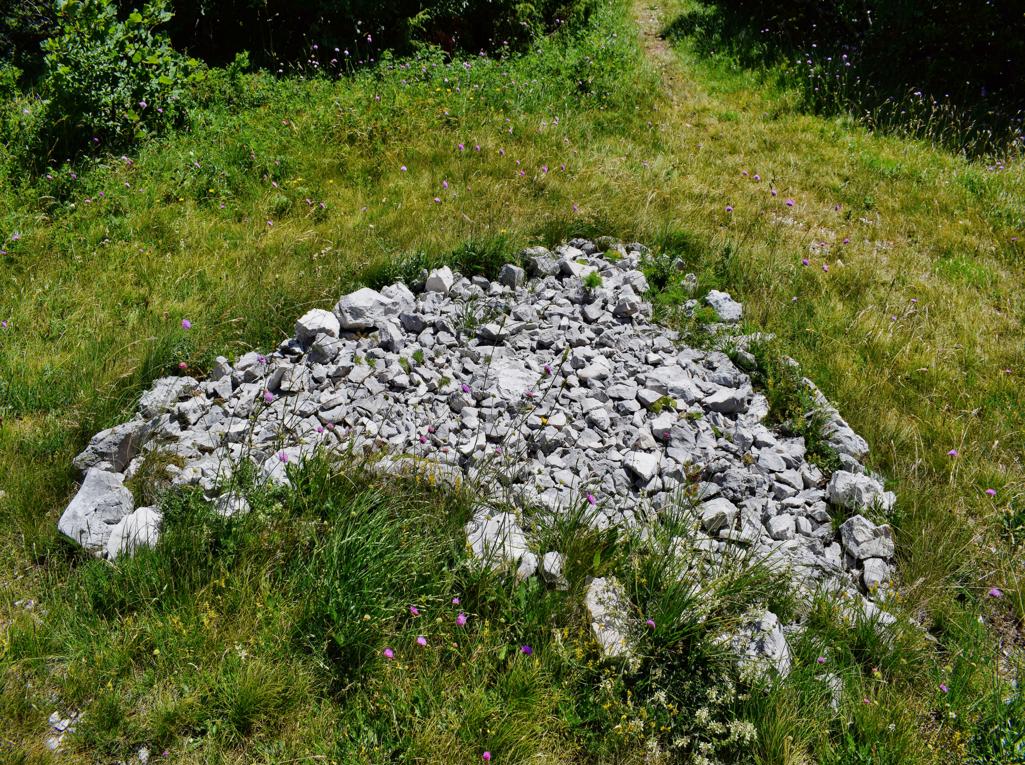
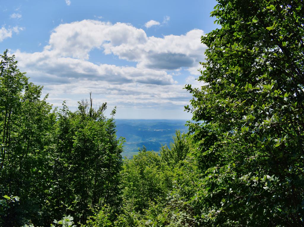
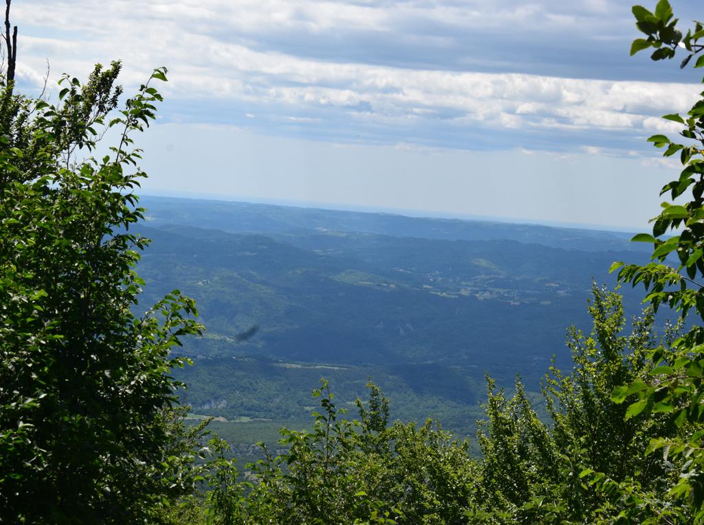
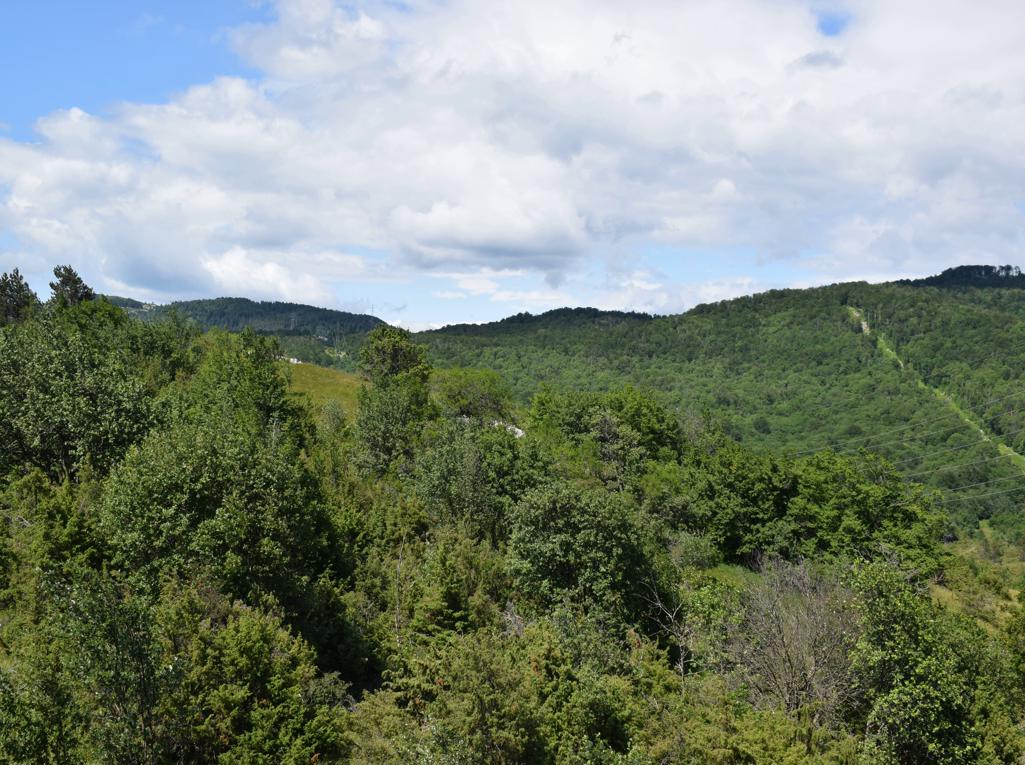
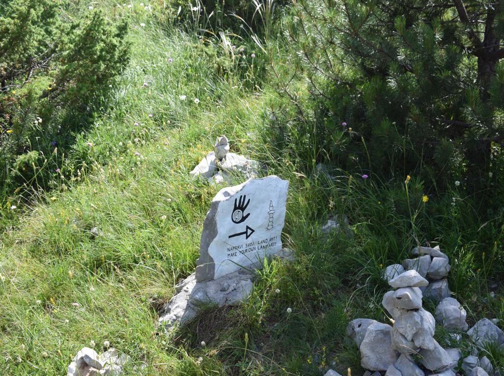
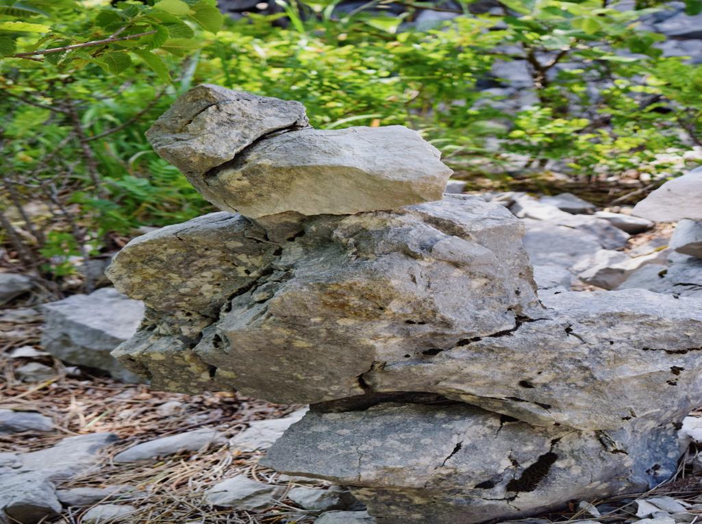
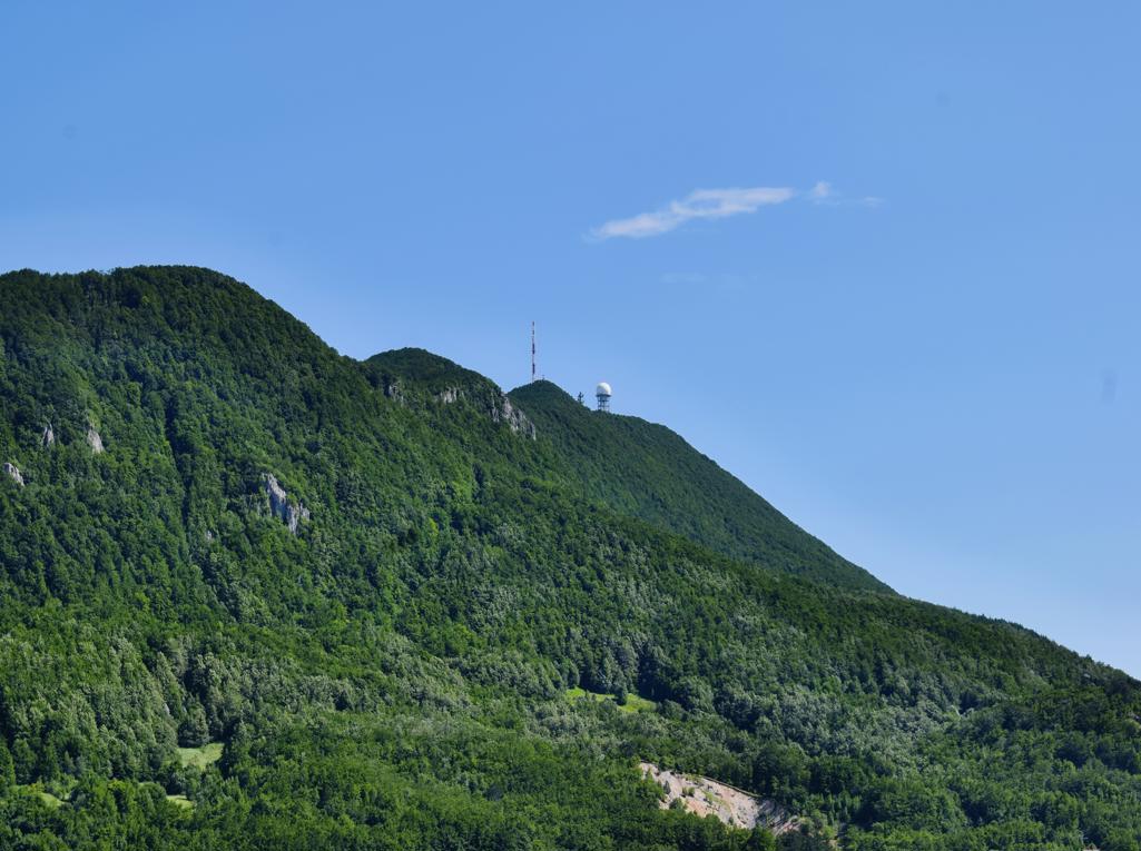
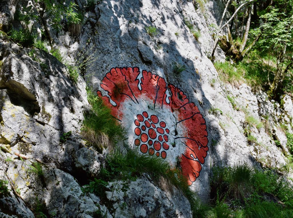
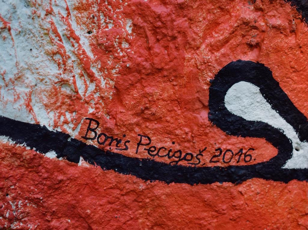
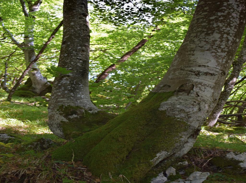
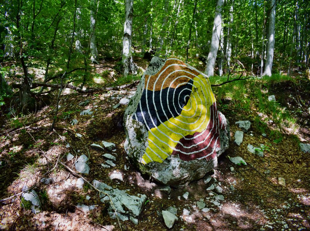
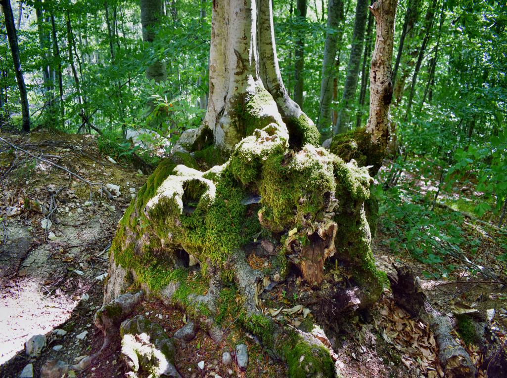
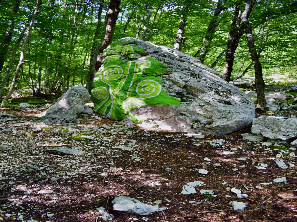
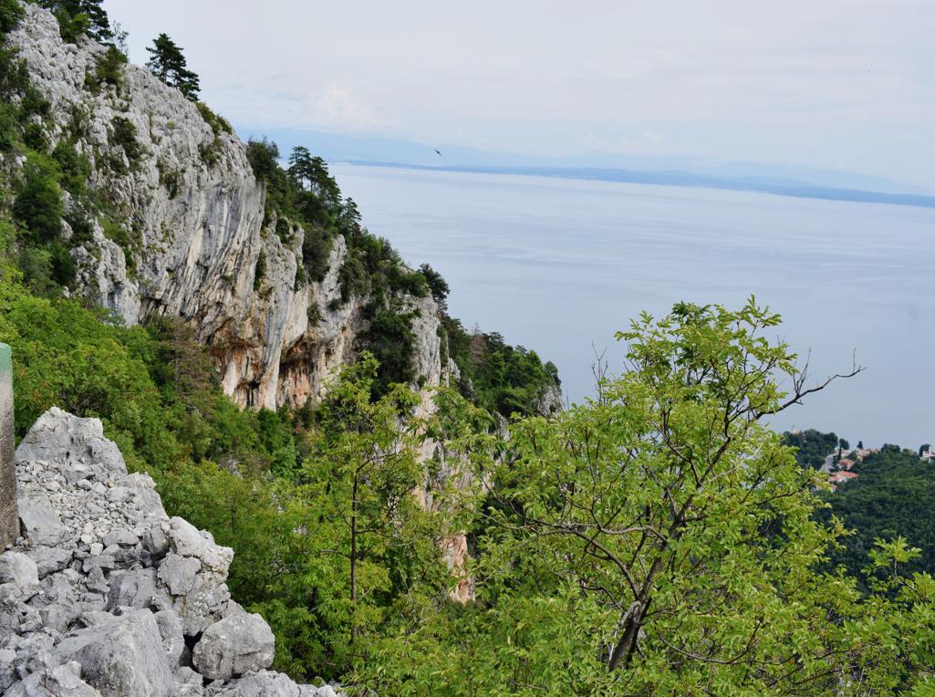
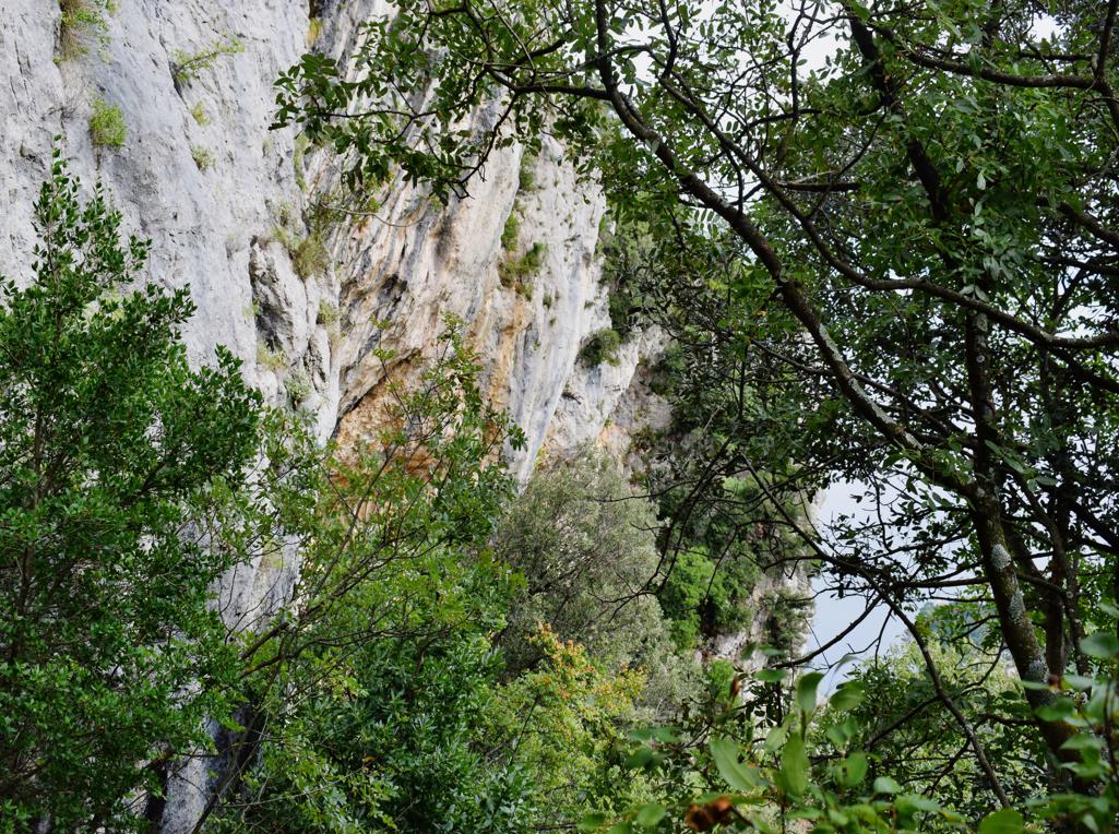
Name: Land Art Trail Stražica – Sapaćiča on the Mount Učka.
Place: Učka.
Coordinates: Start/finish 45.30951N – 14.21317 E.

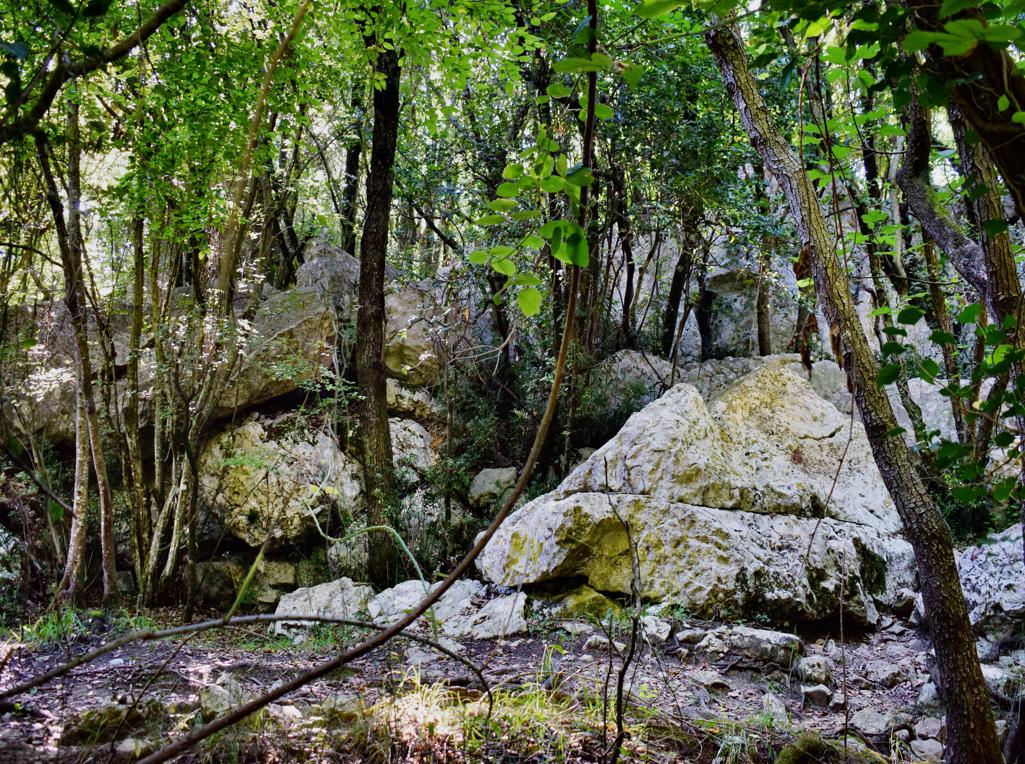
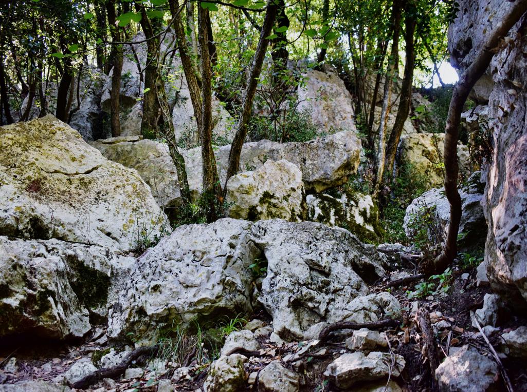
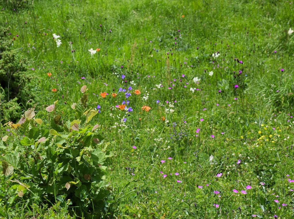
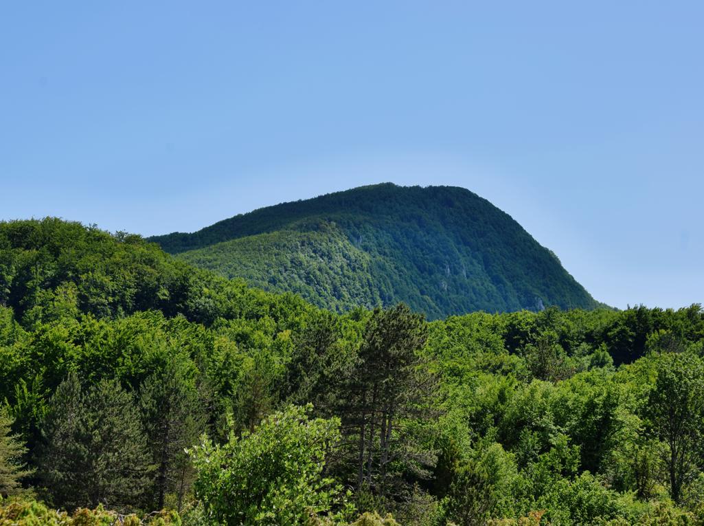
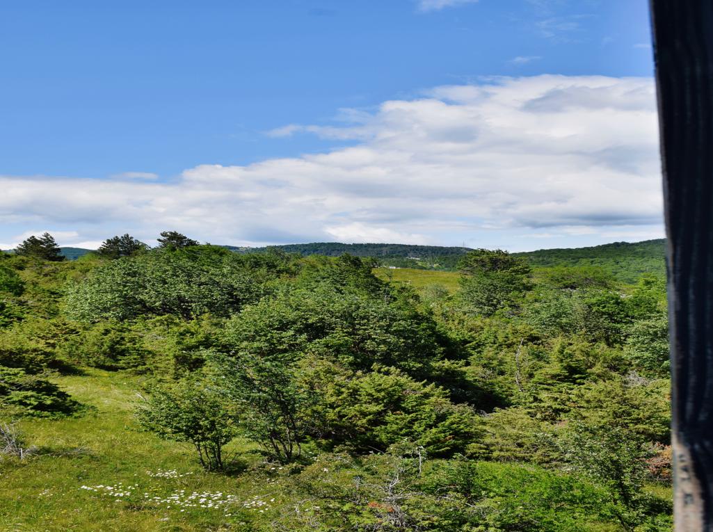
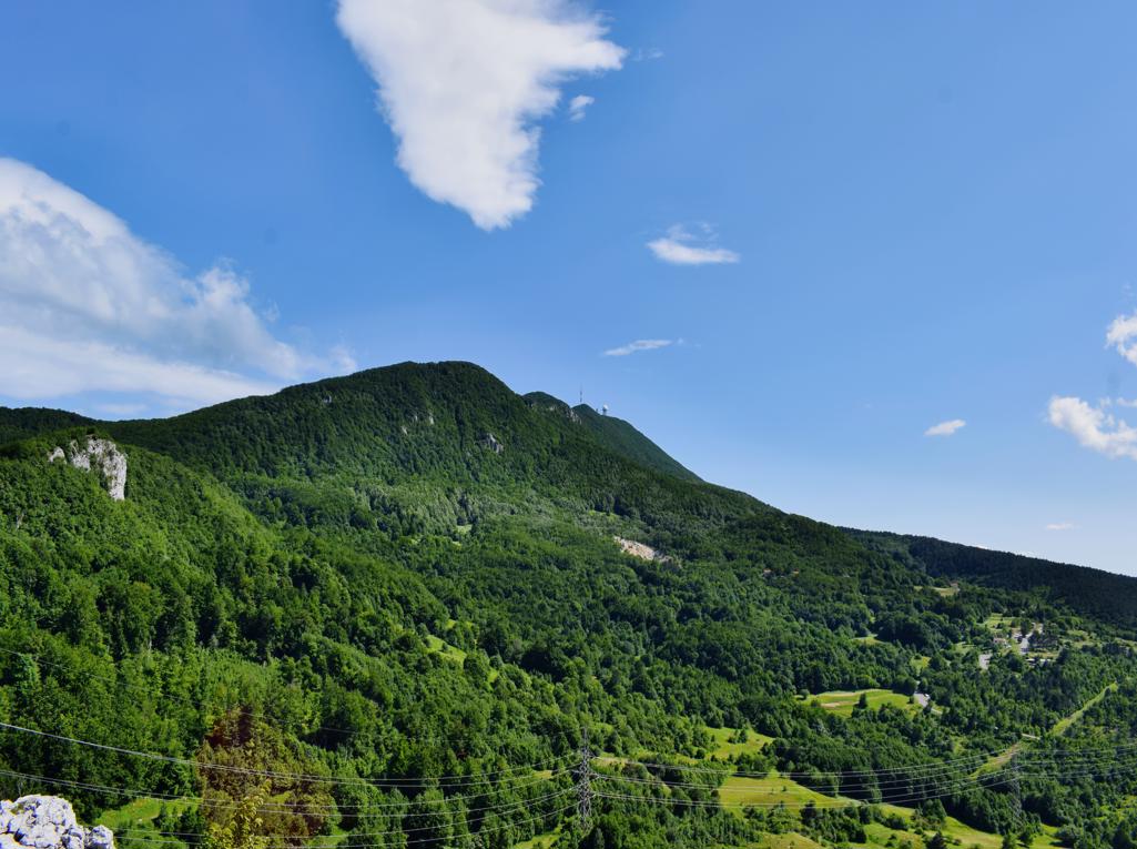
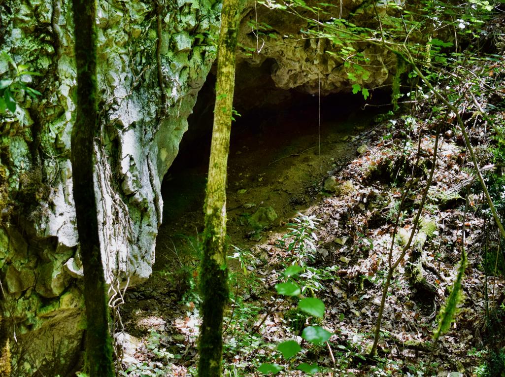
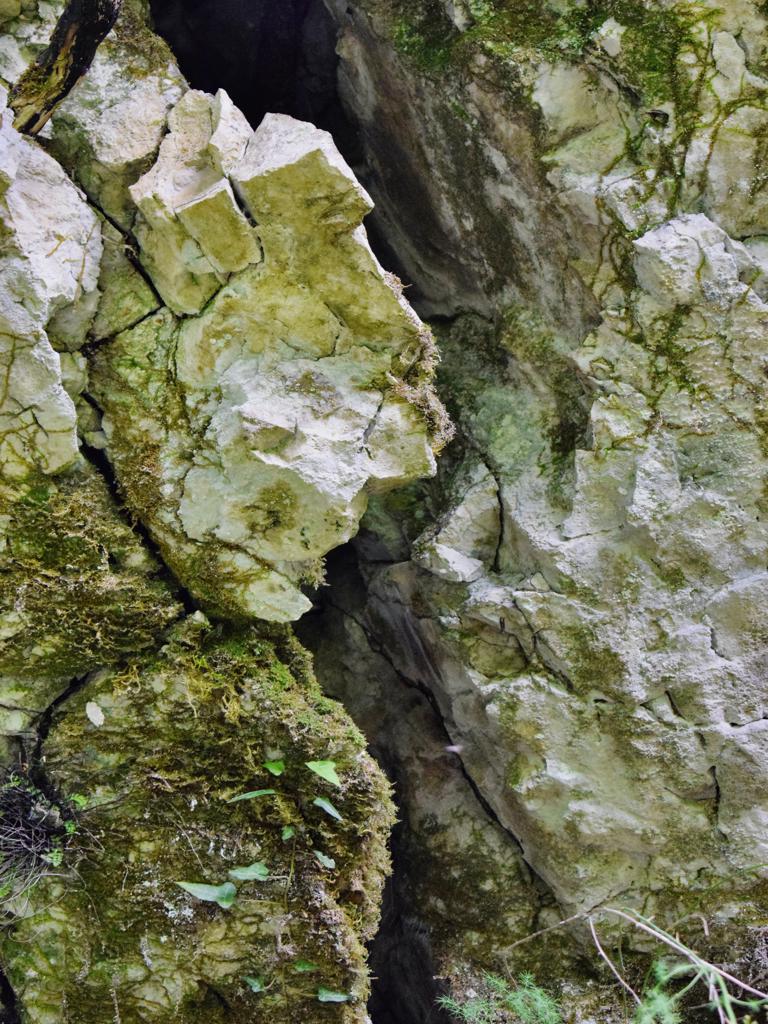
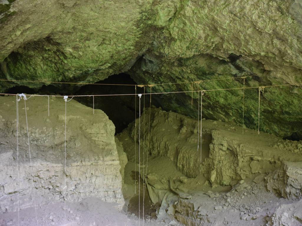
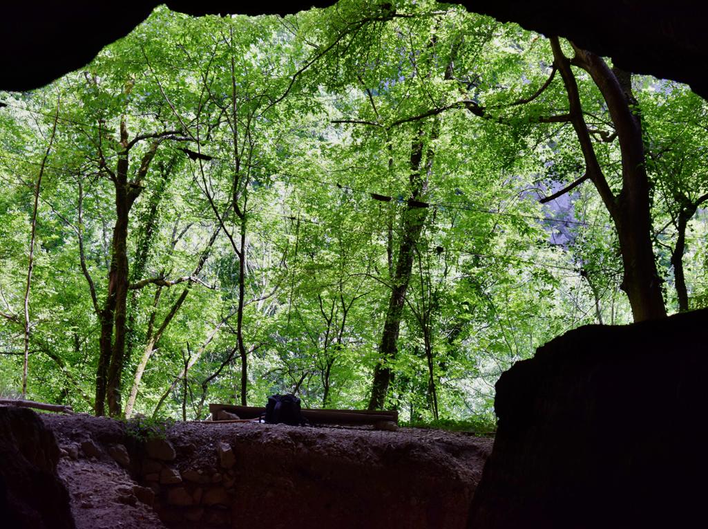
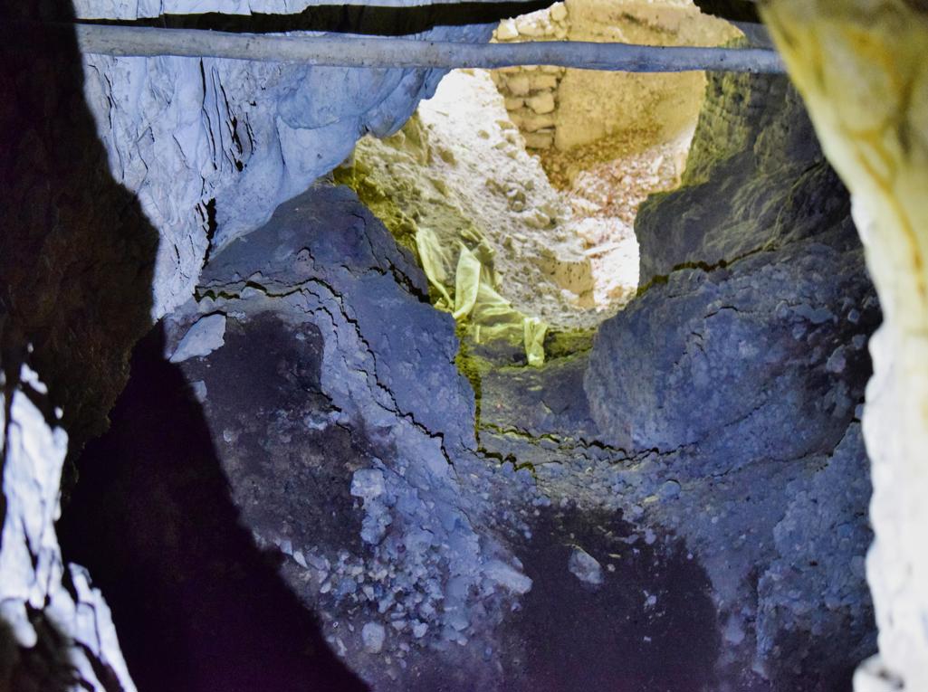
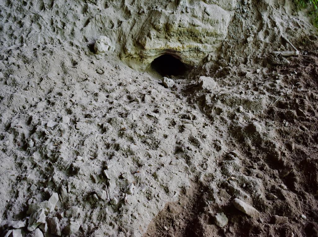
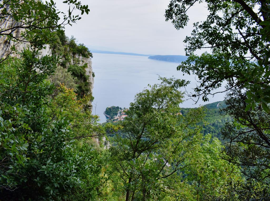
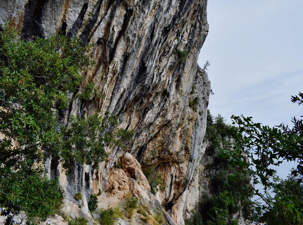
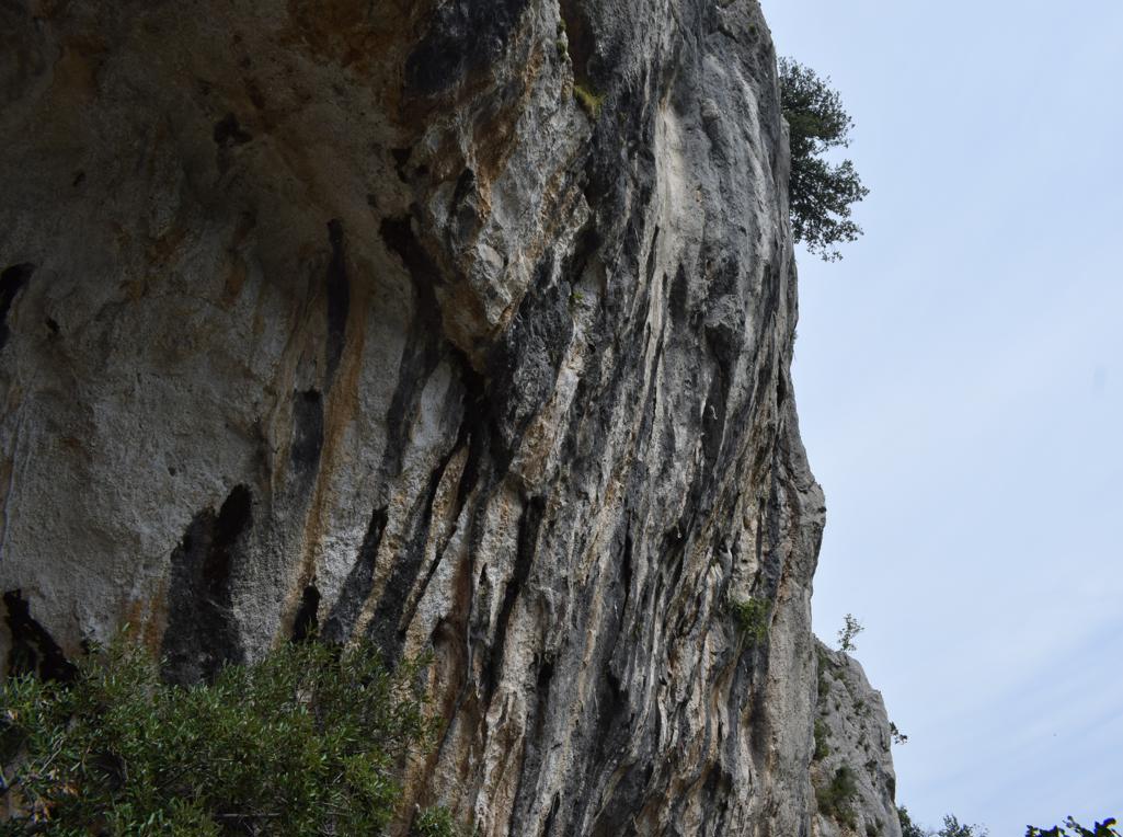
Name; Hiking trail Vela Draga with the caves Pupičina and Vela Peč.
Place: Baričevići – (Lupoglav).
Coordinates: Start; 45.31590 N – 14.15146 E , Pupicina 45.31344 N – 14.15676 E, Veli Peč 45.31268 N – 14.15691 E, Water source Joseh II 45. 30594 N – 14.19529 E.