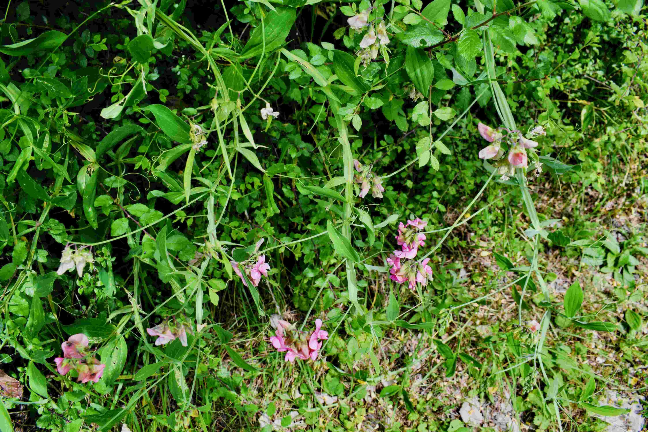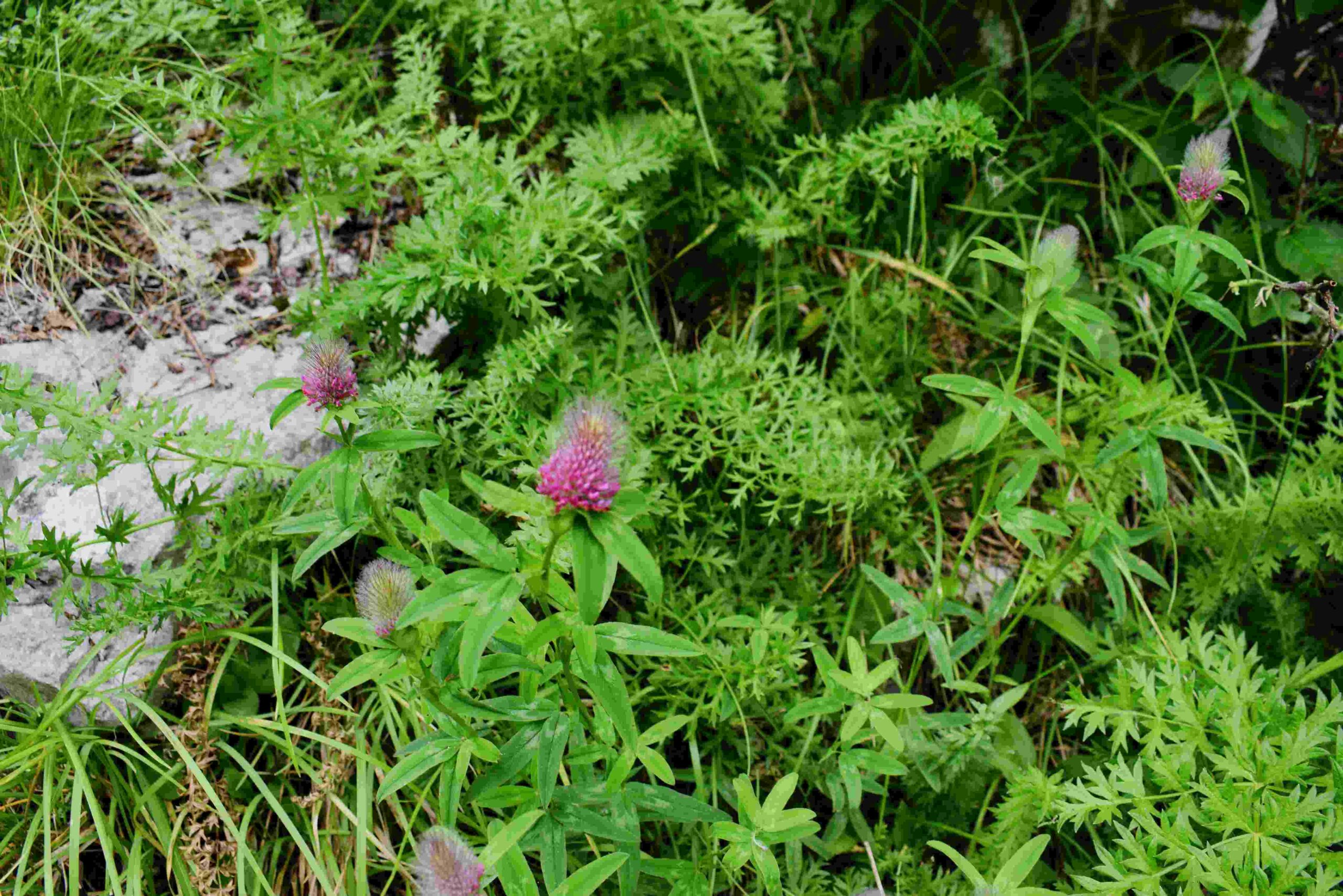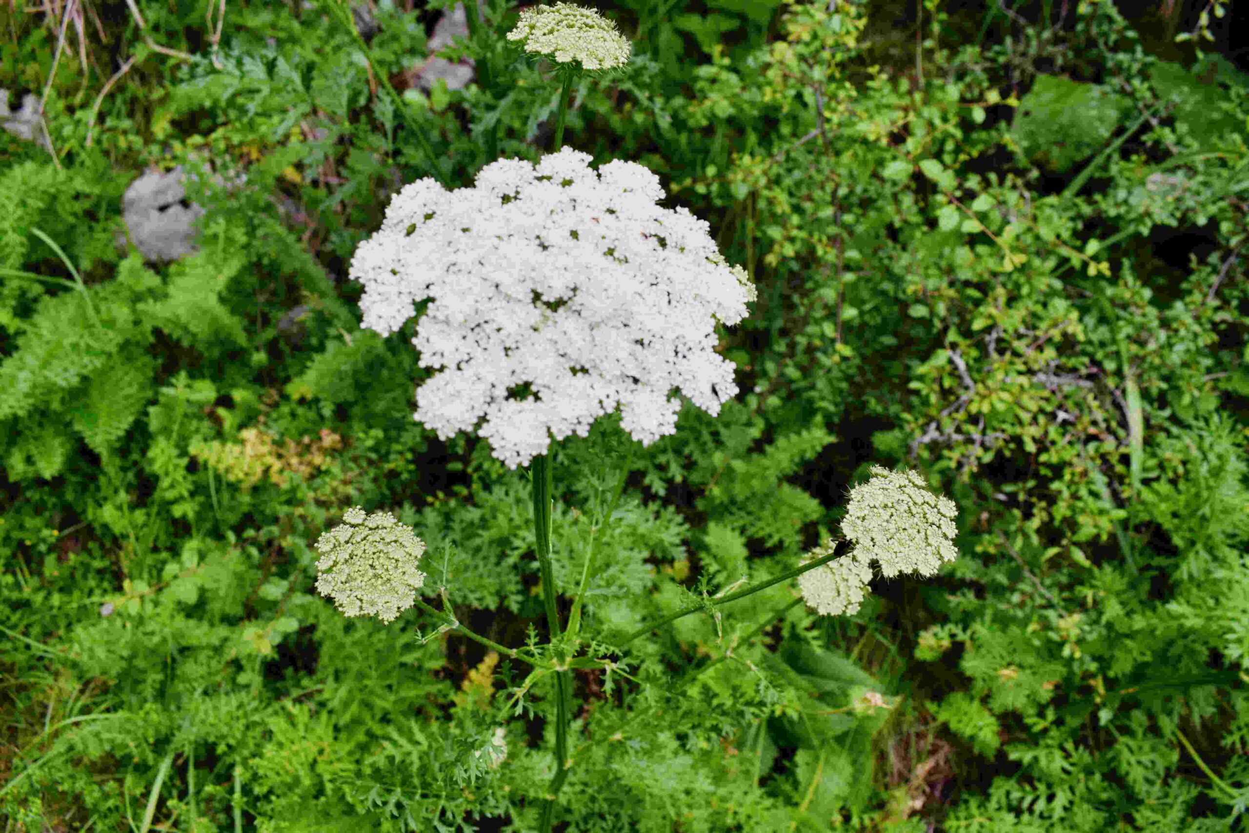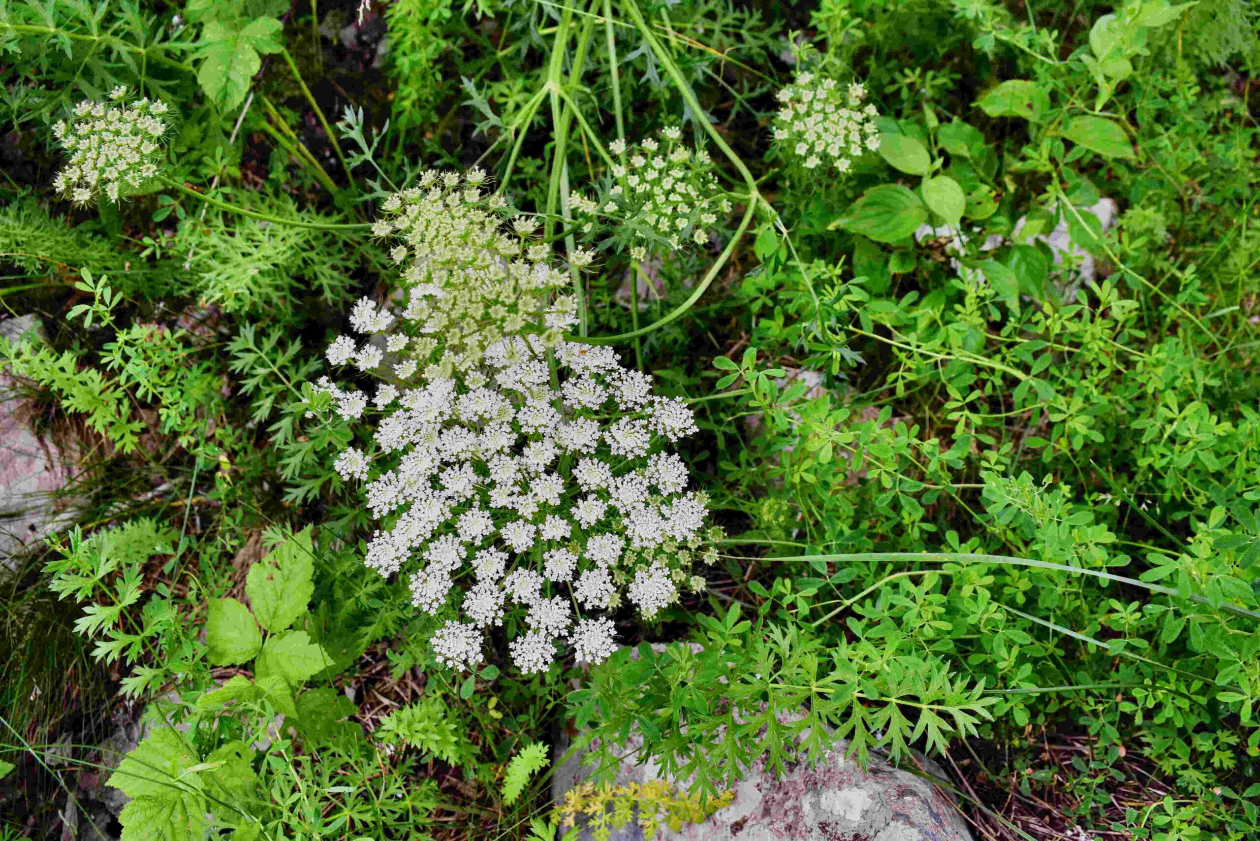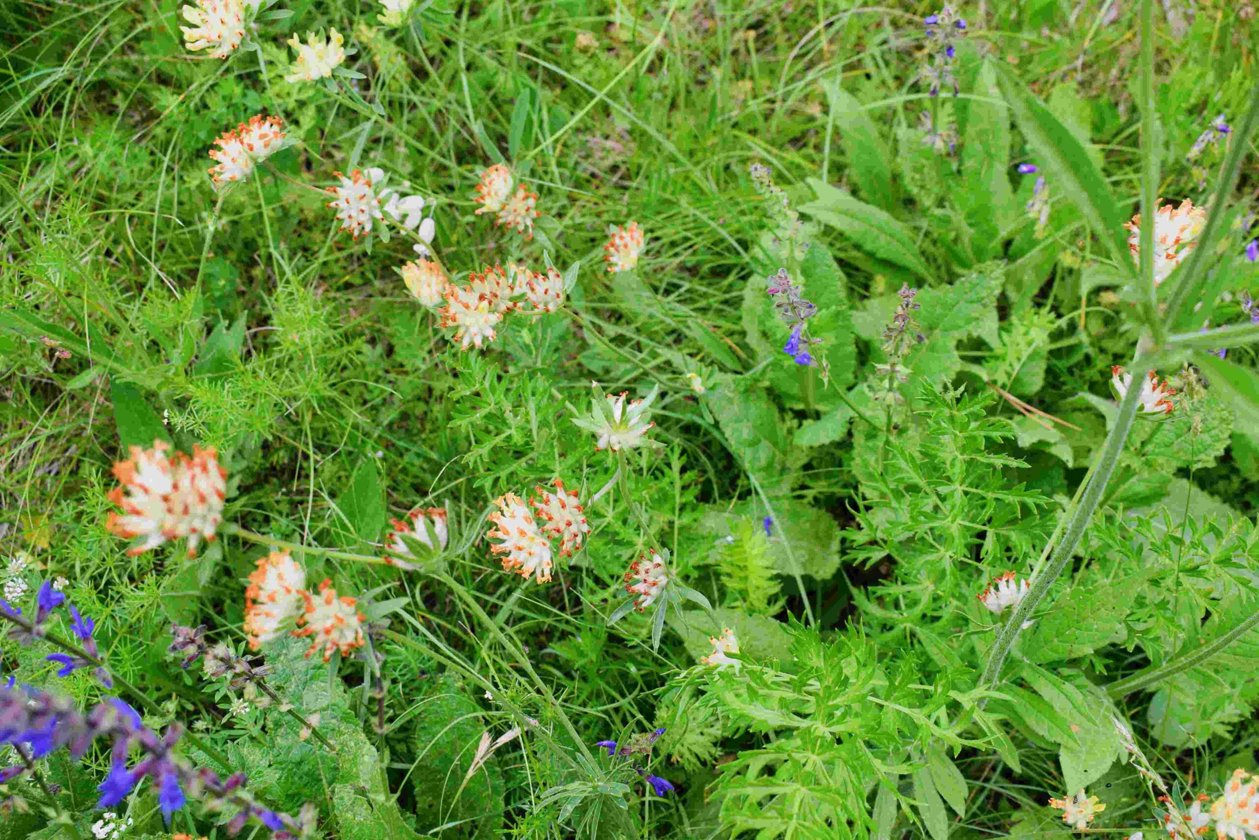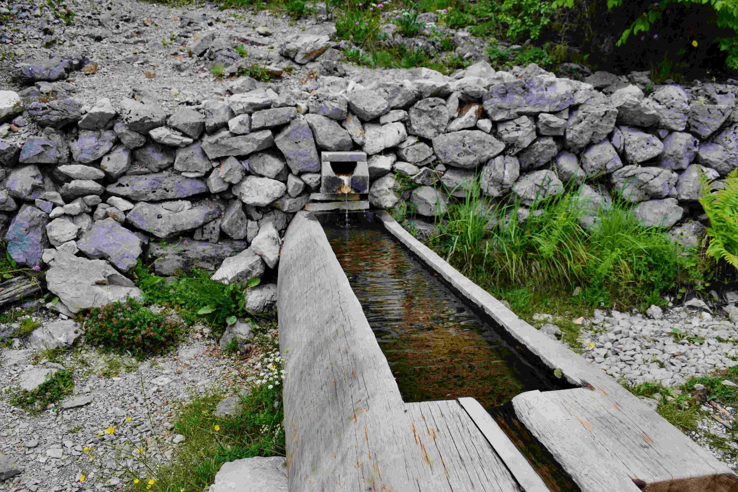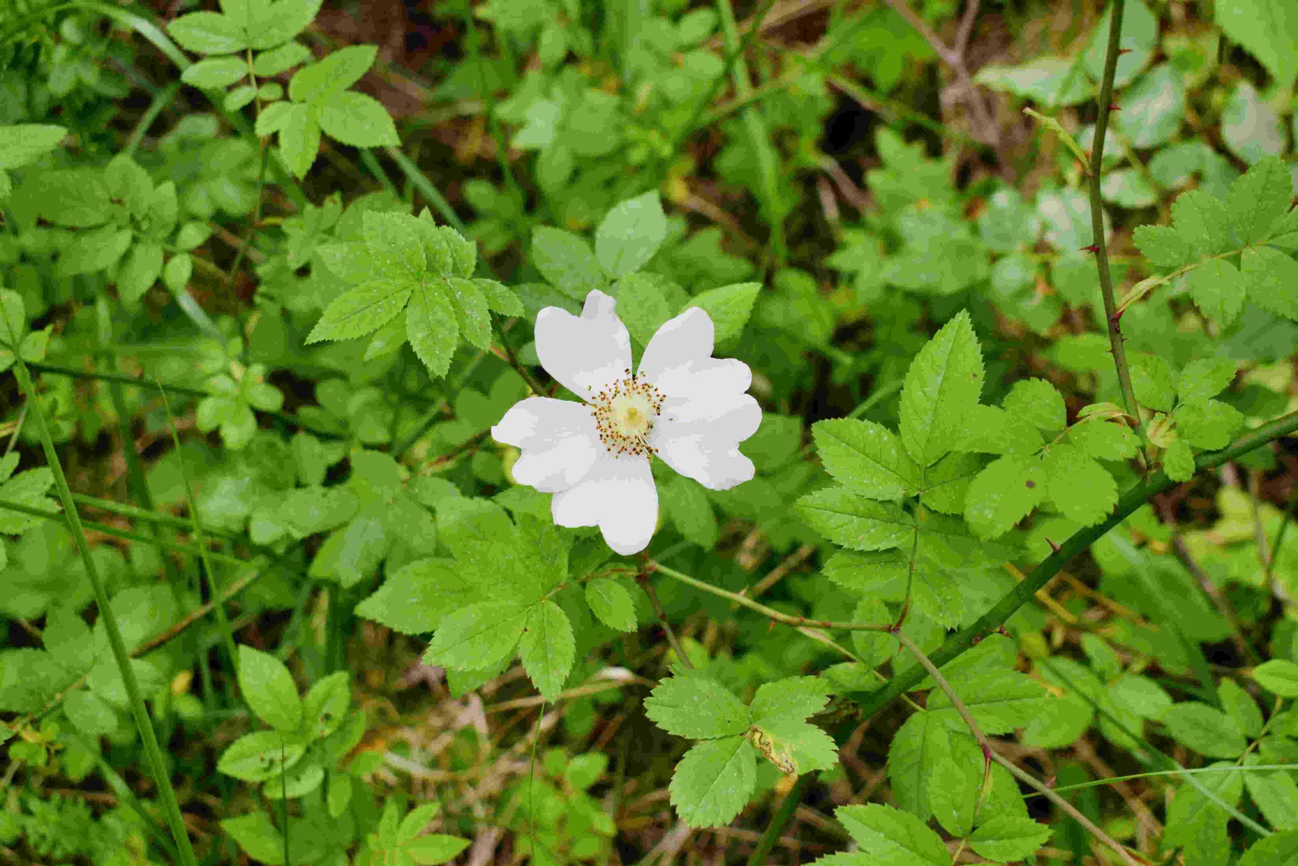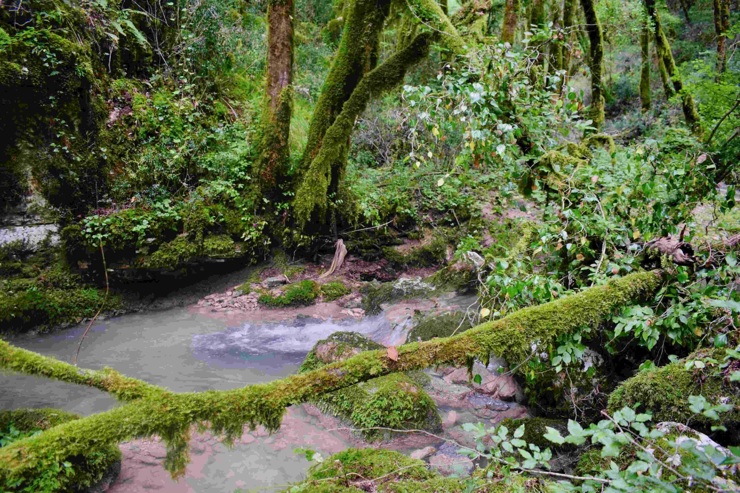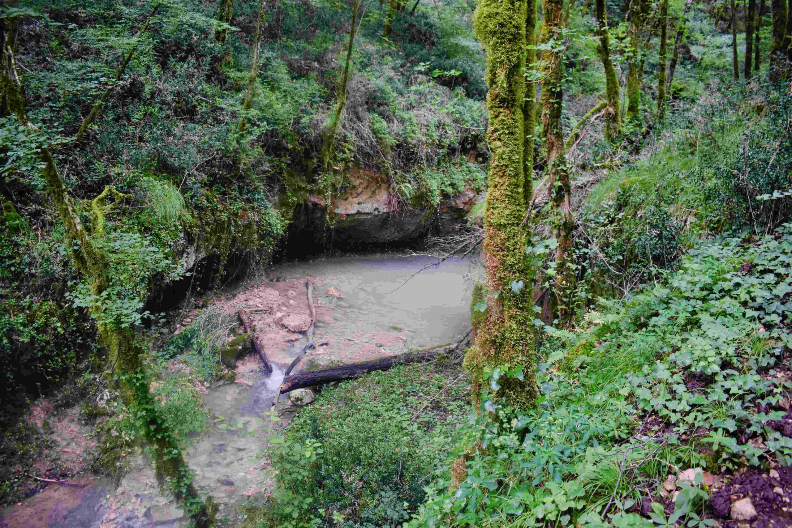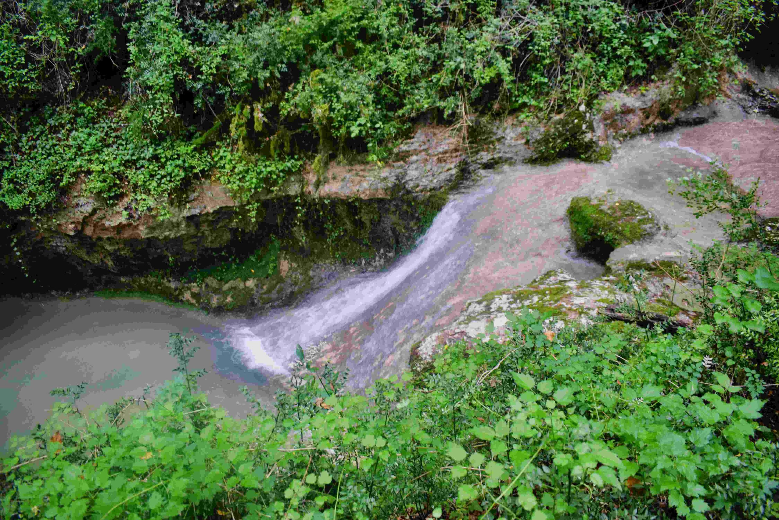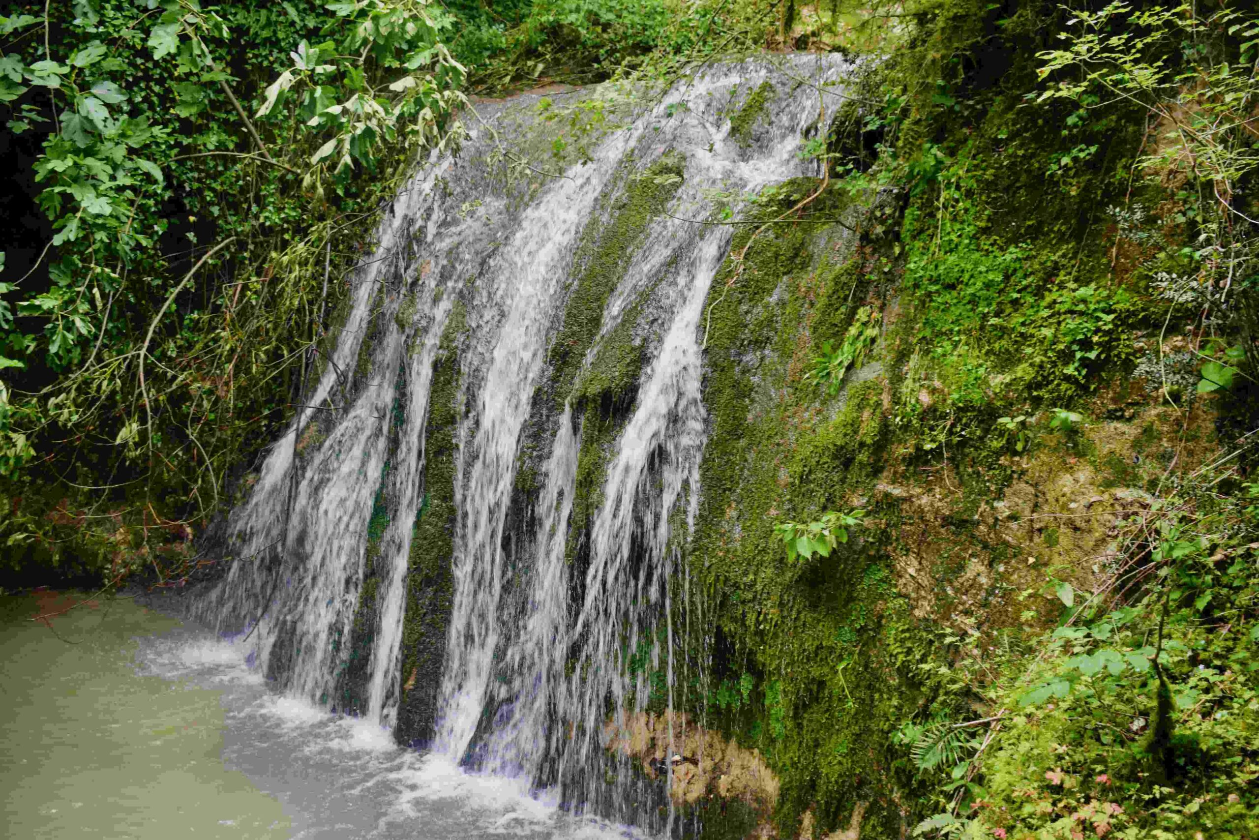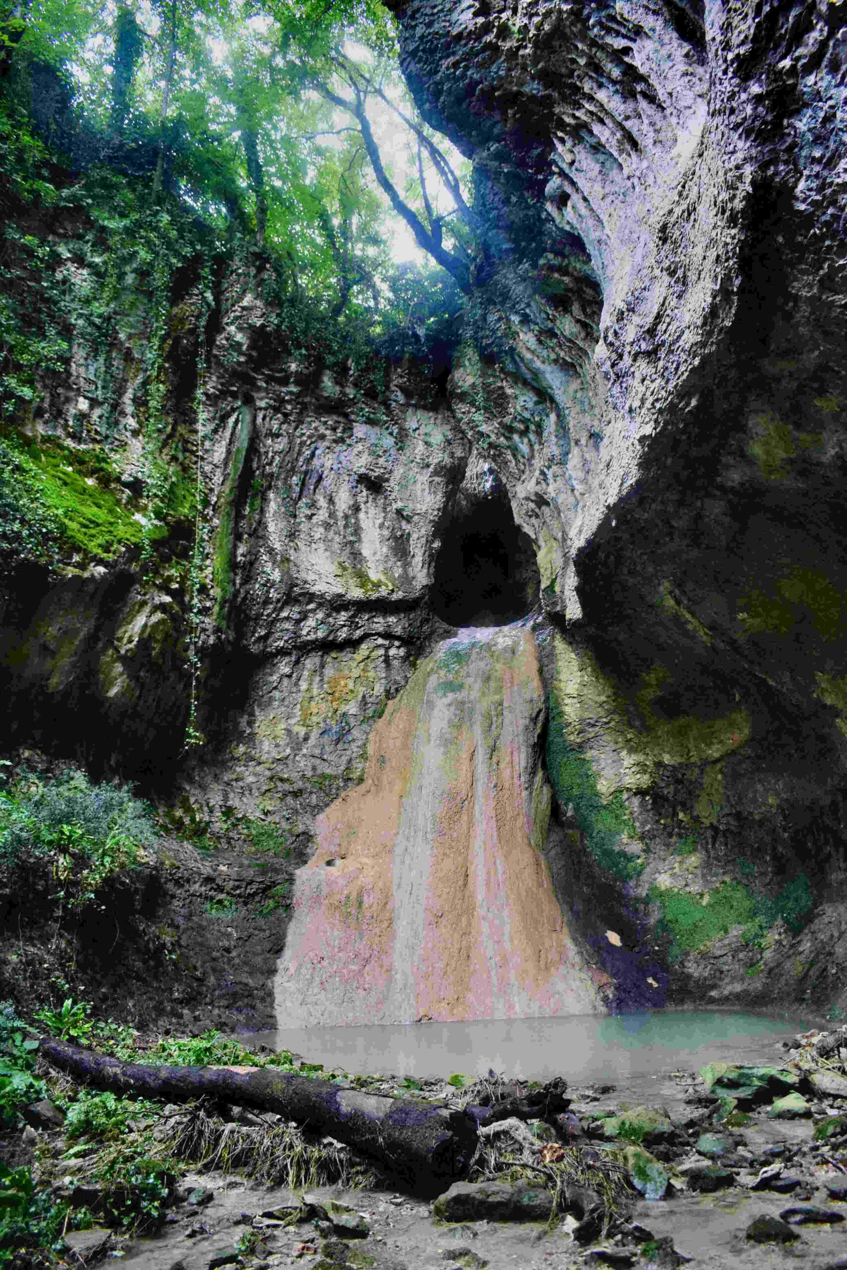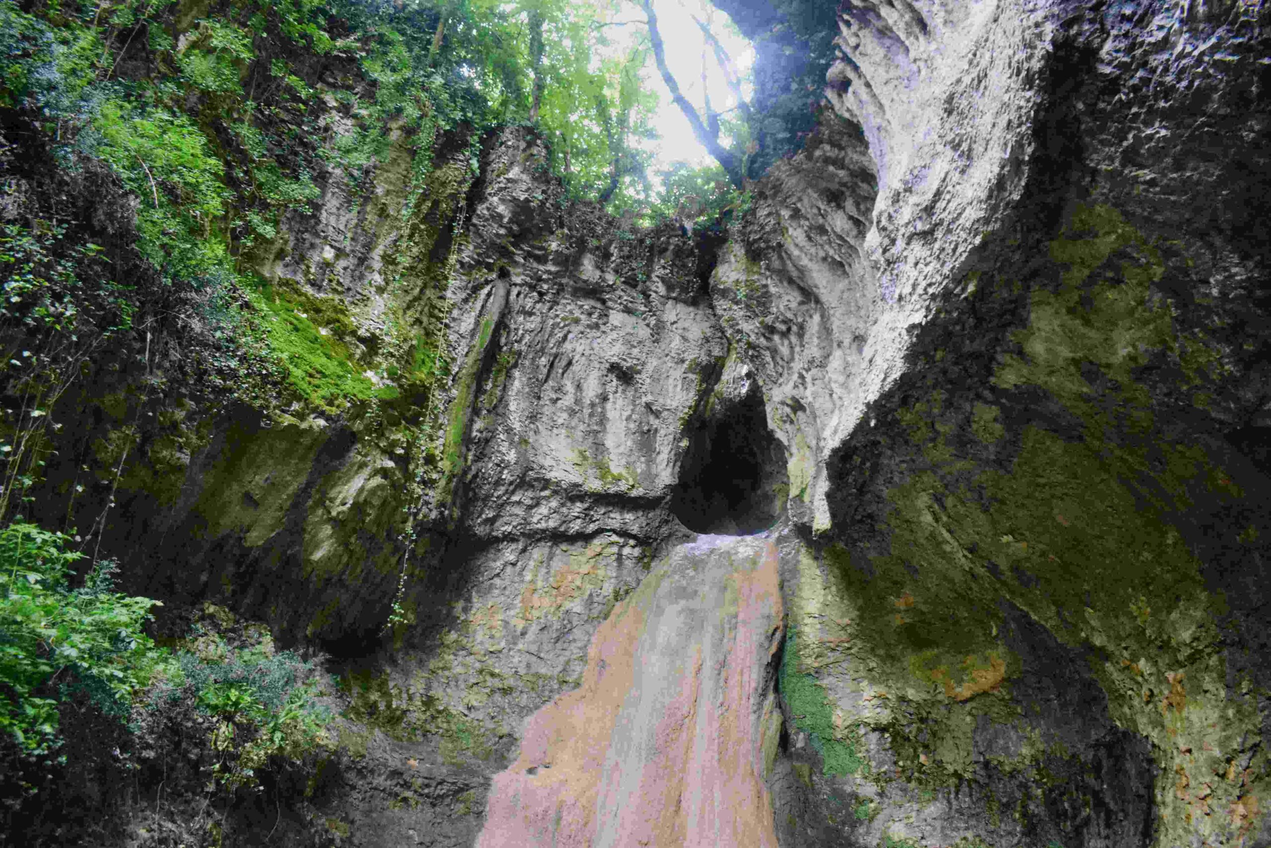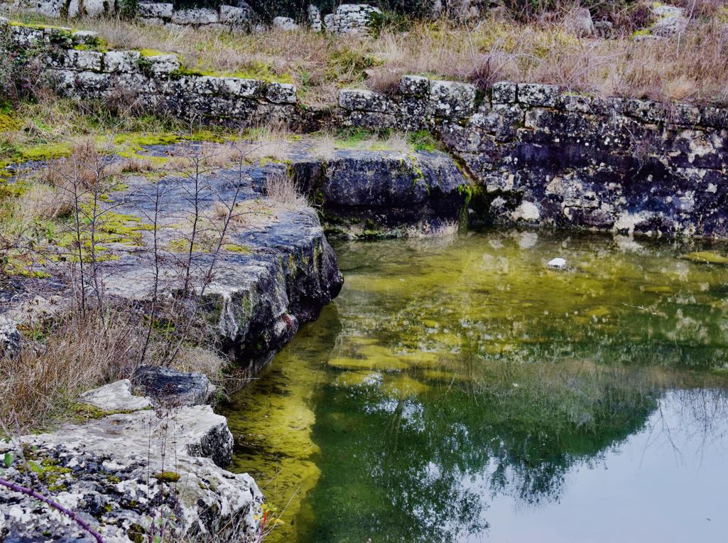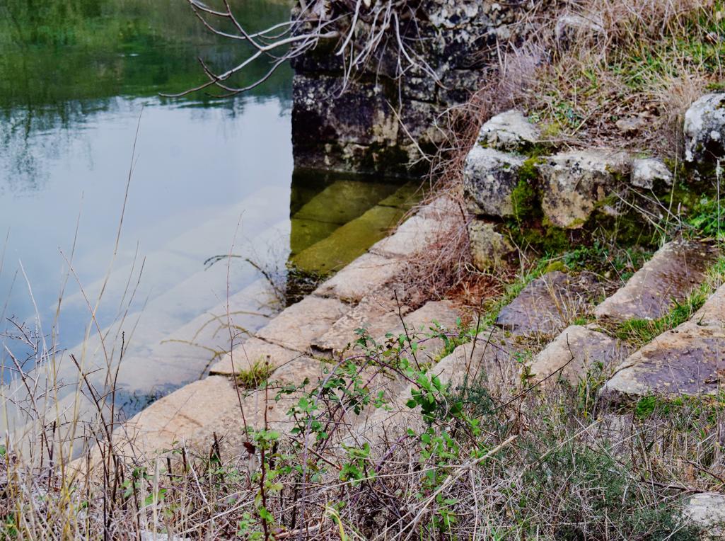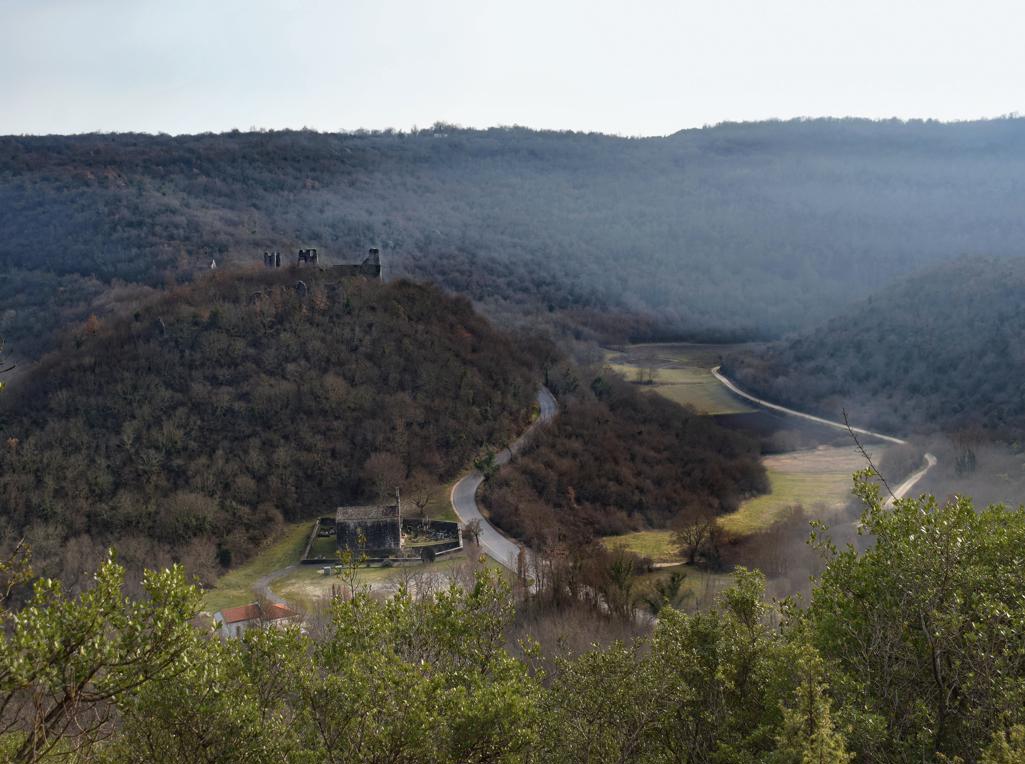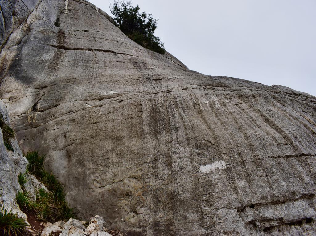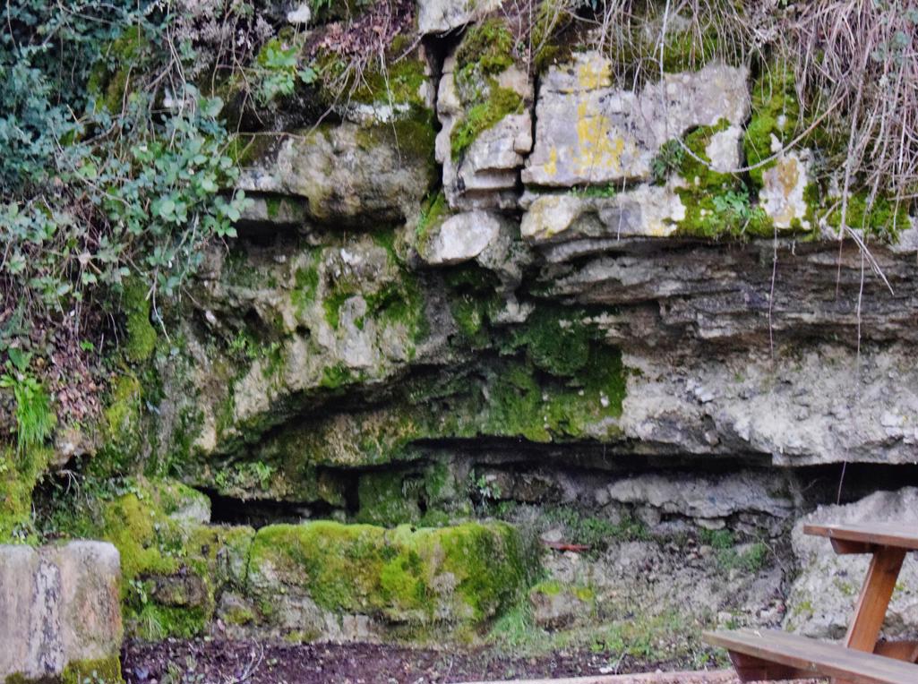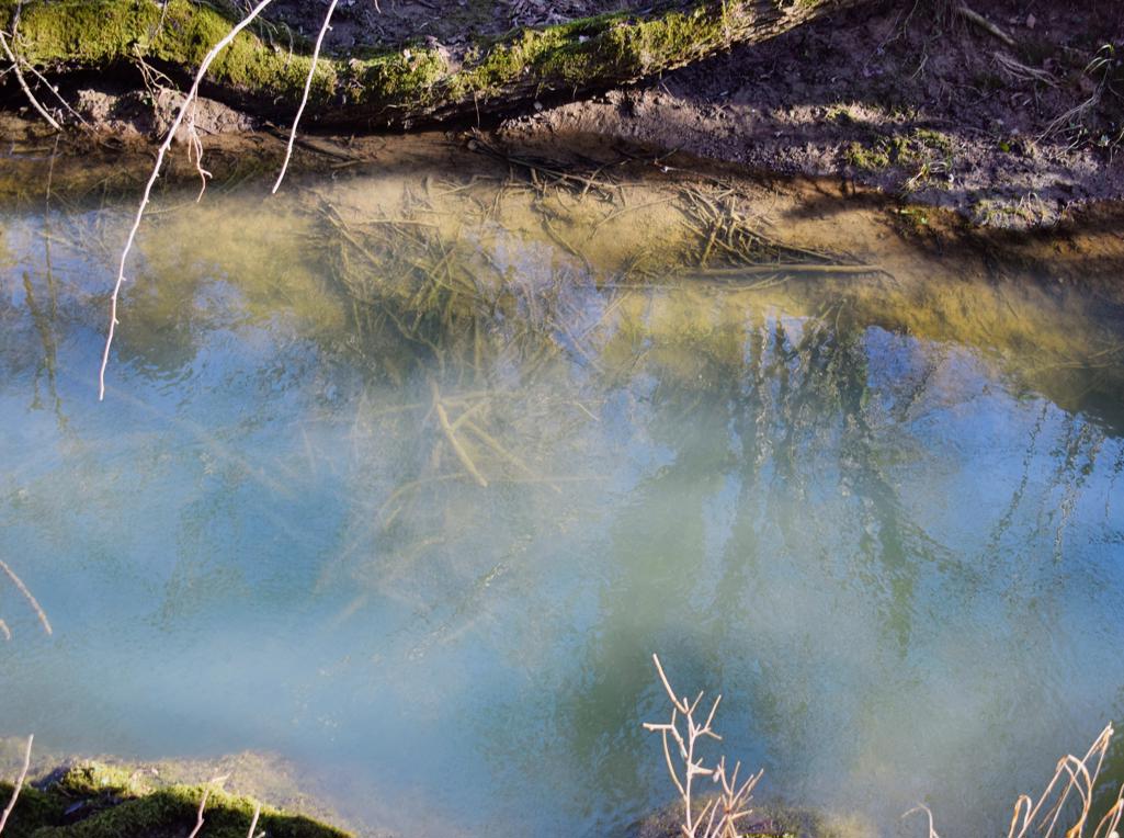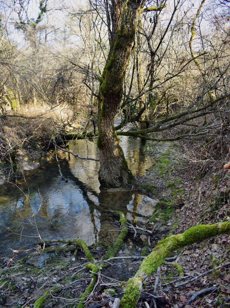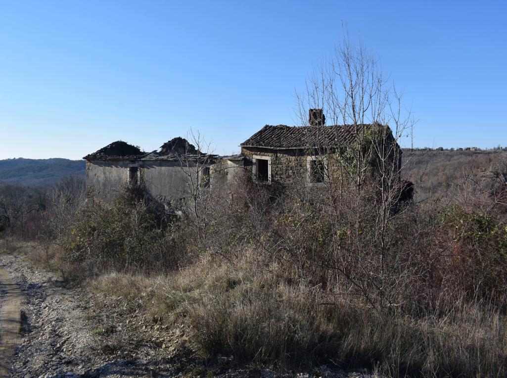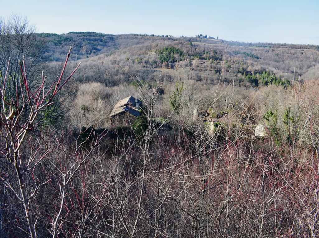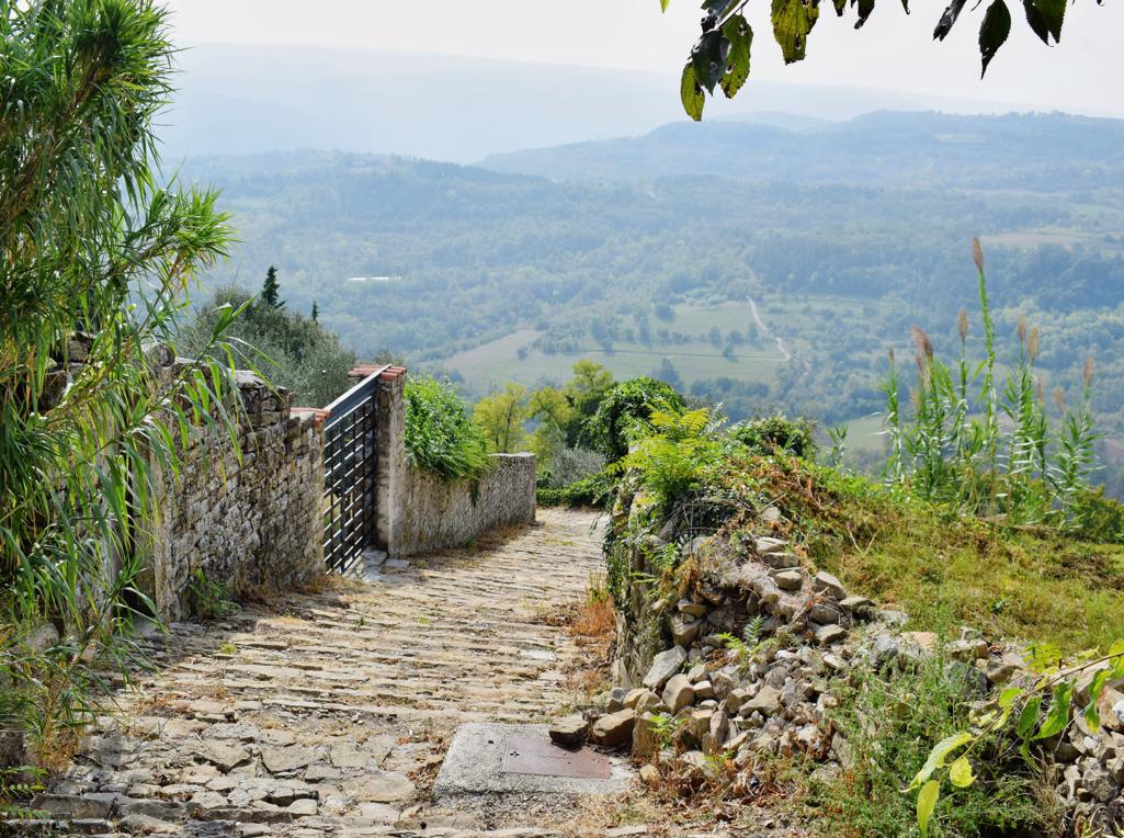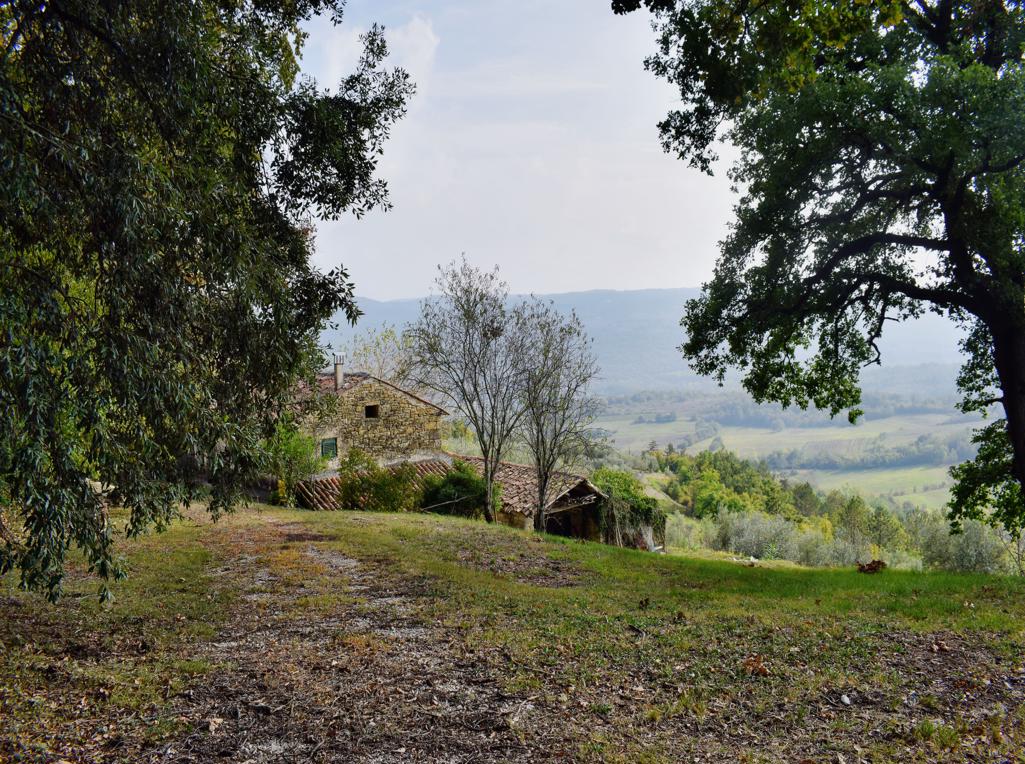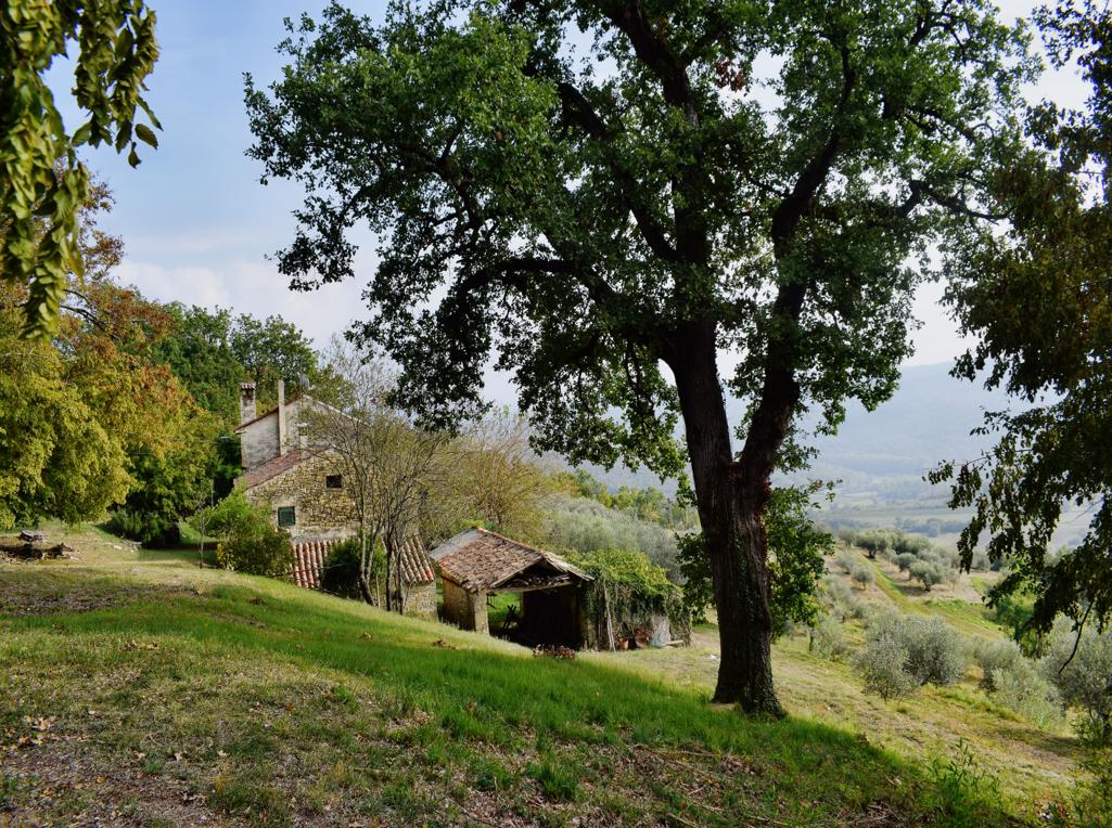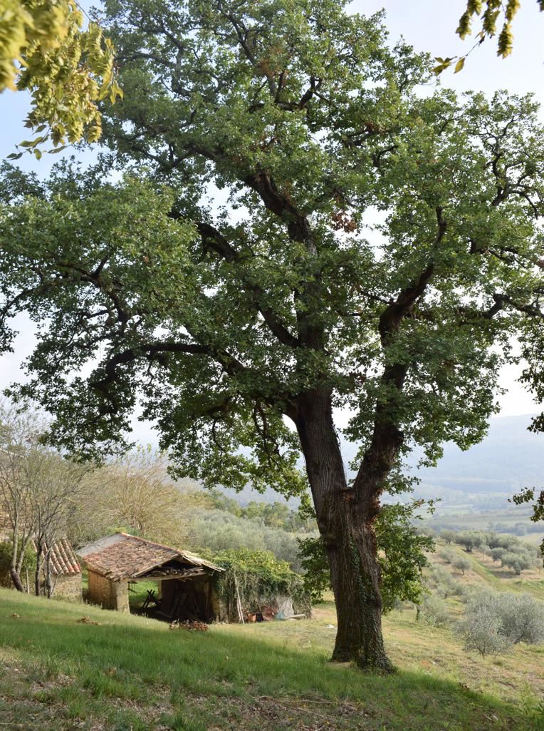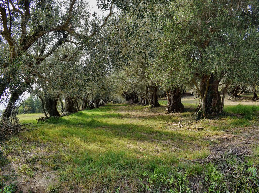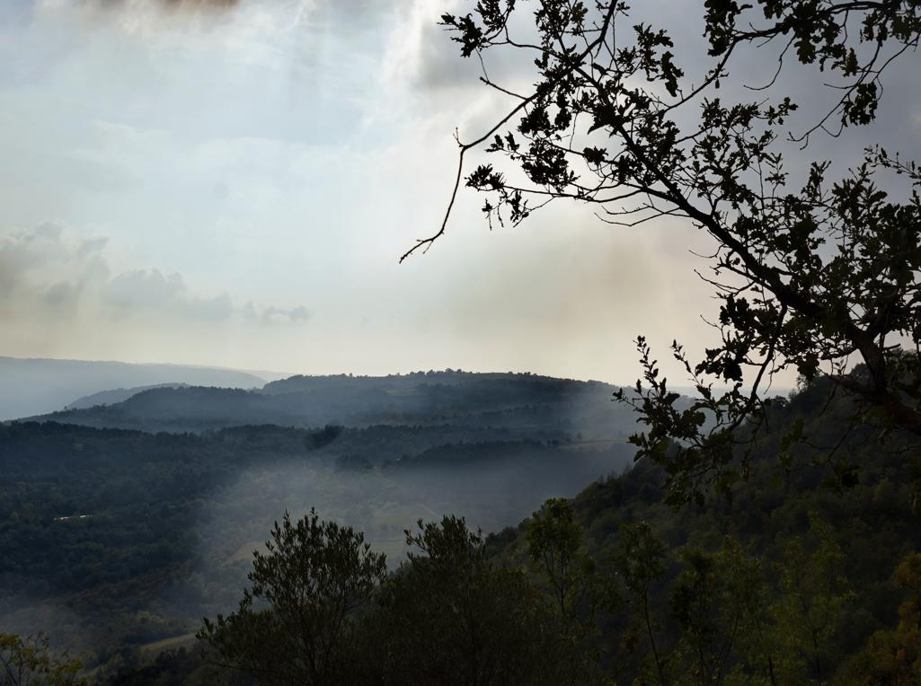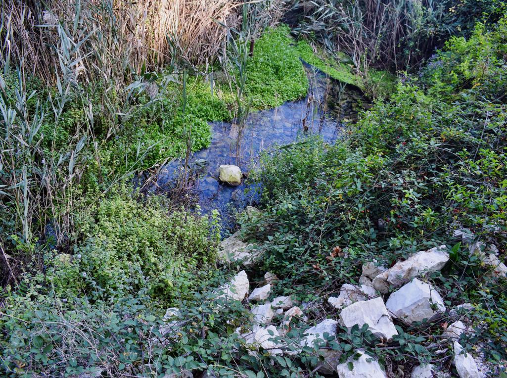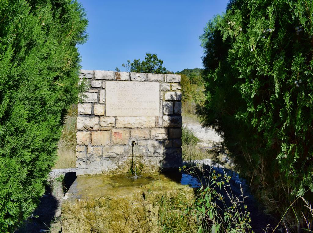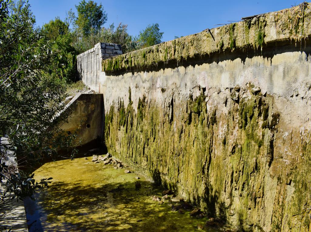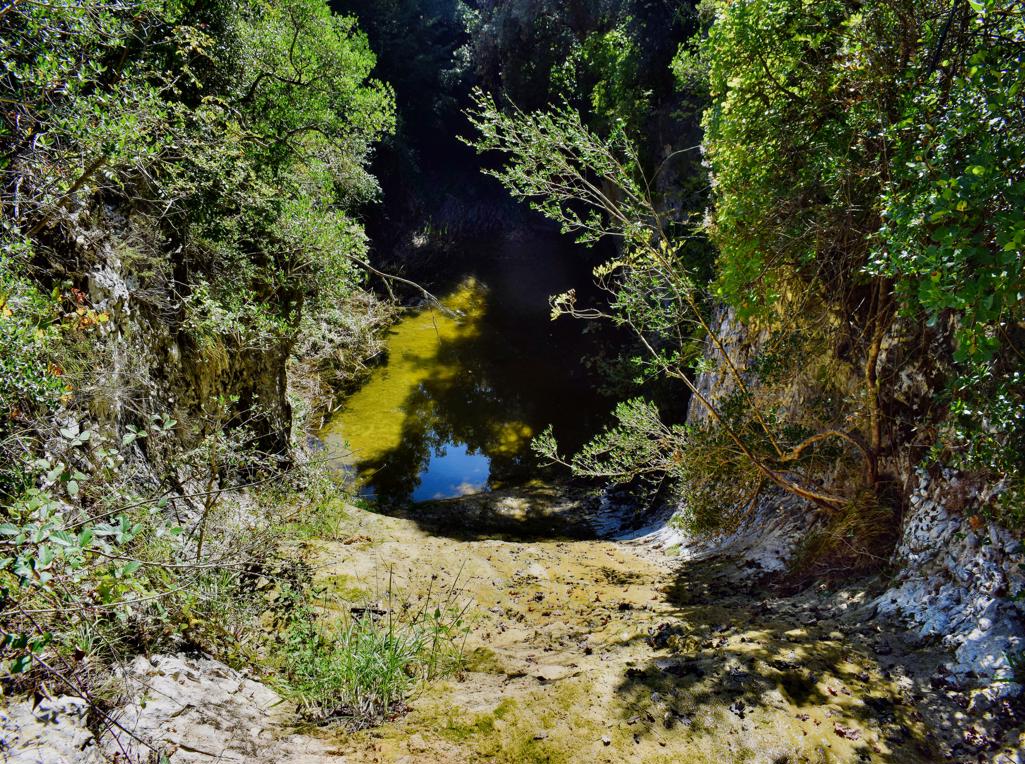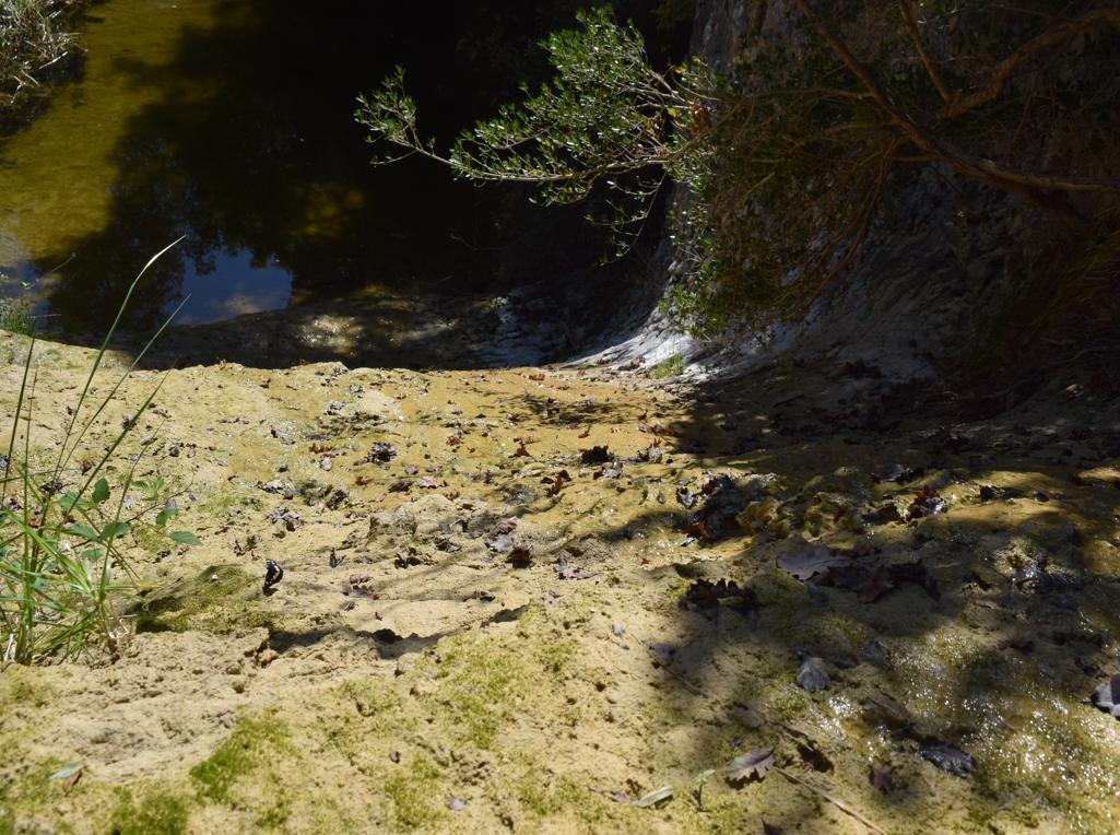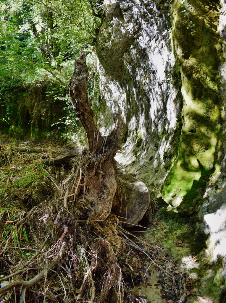


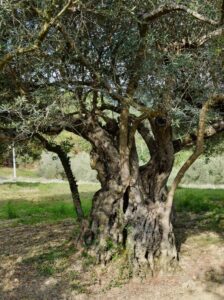
Name: From Brgudac to the source Korita and the Brajkov garden.
Place: Brgudac – (Lanišće).
Coordinates: Start 45.38038 N – 14.14479 E, Brajkov vrt 45.37933 N – 14. 15921 E, source Korita 45.37887 N – 14.15950 E.
Name: From Brgudac to the source Korita and the Brajkov garden.
Place: Brgudac – (Lanišće).
Coordinates: Start 45.38038 N – 14.14479 E, Brajkov vrt 45.37933 N – 14. 15921 E, source Korita 45.37887 N – 14.15950 E.
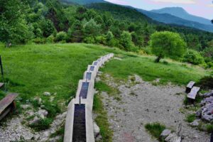
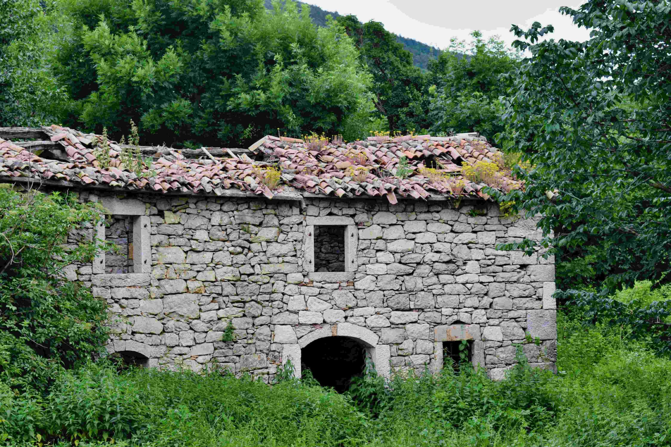
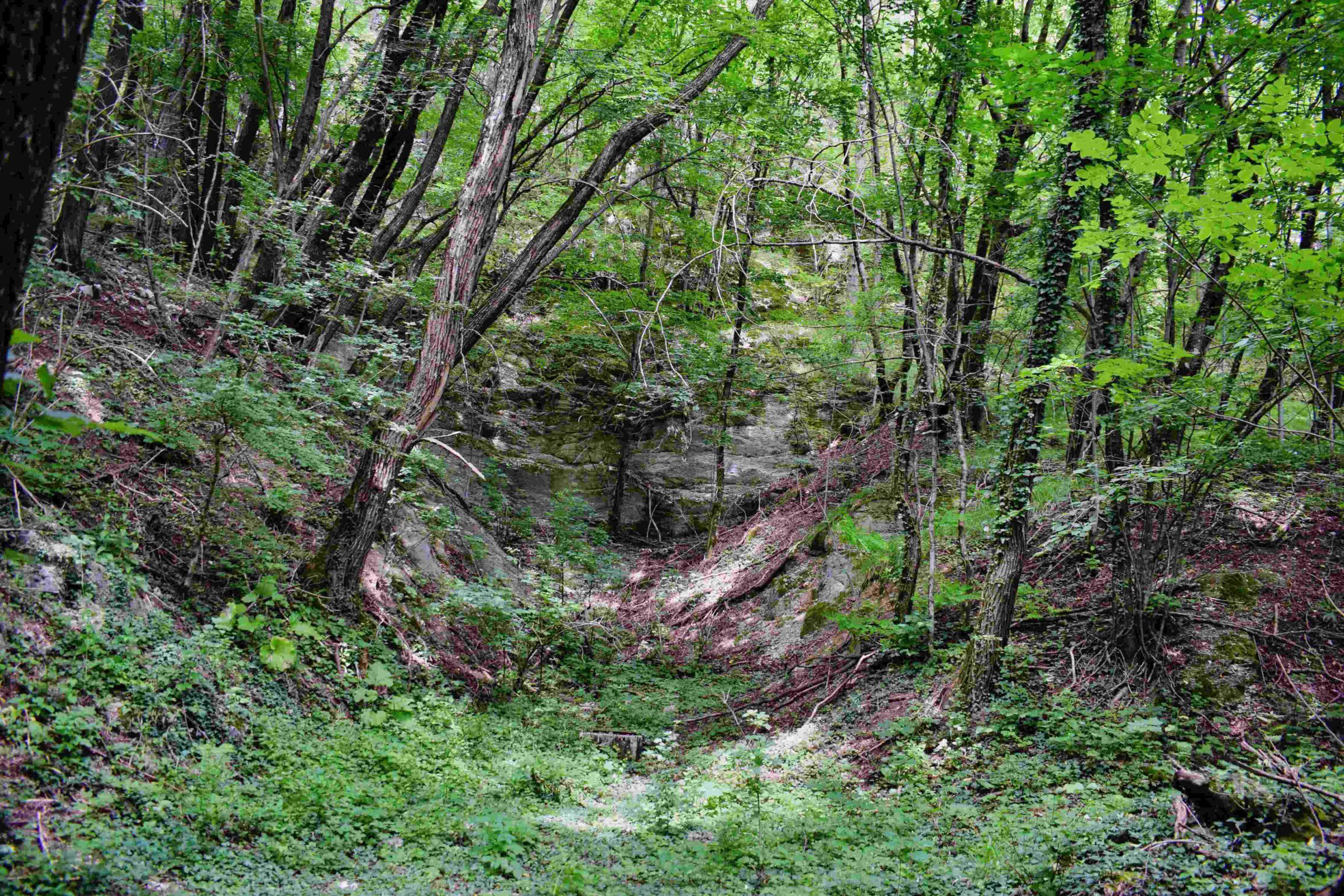
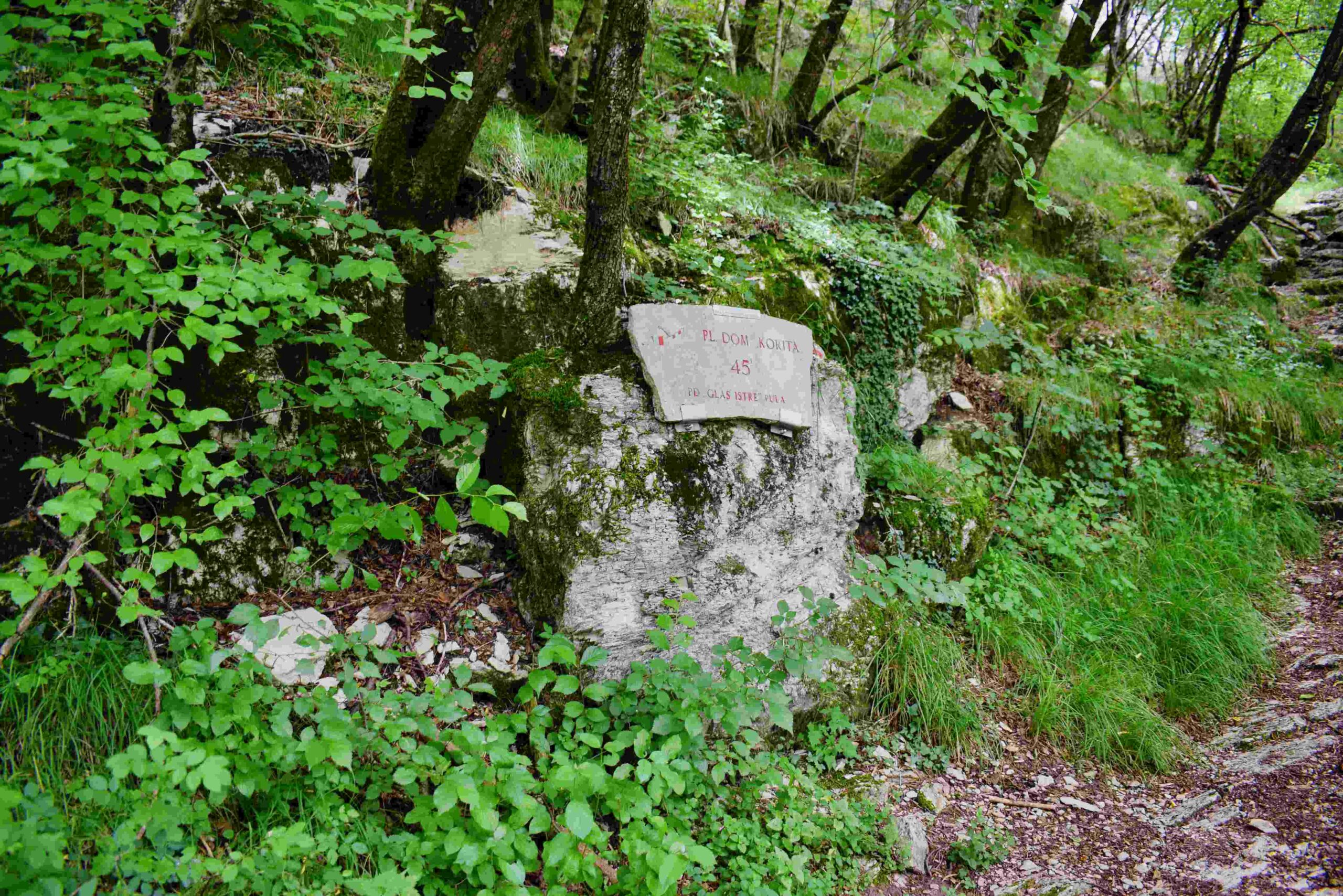
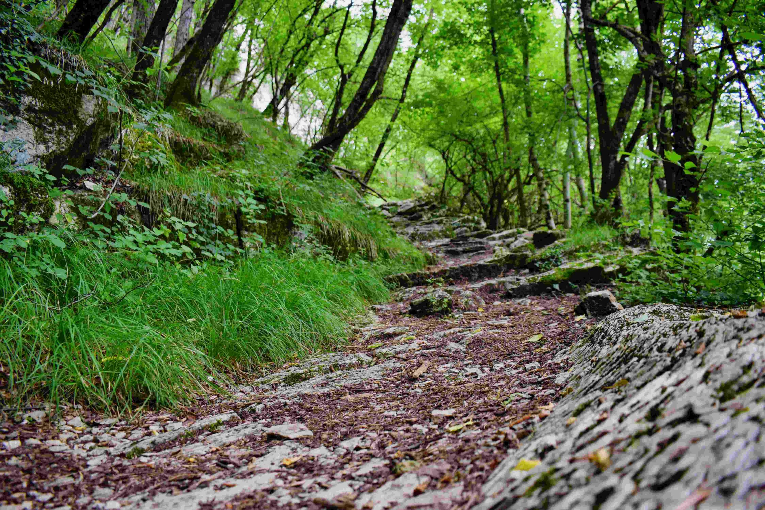
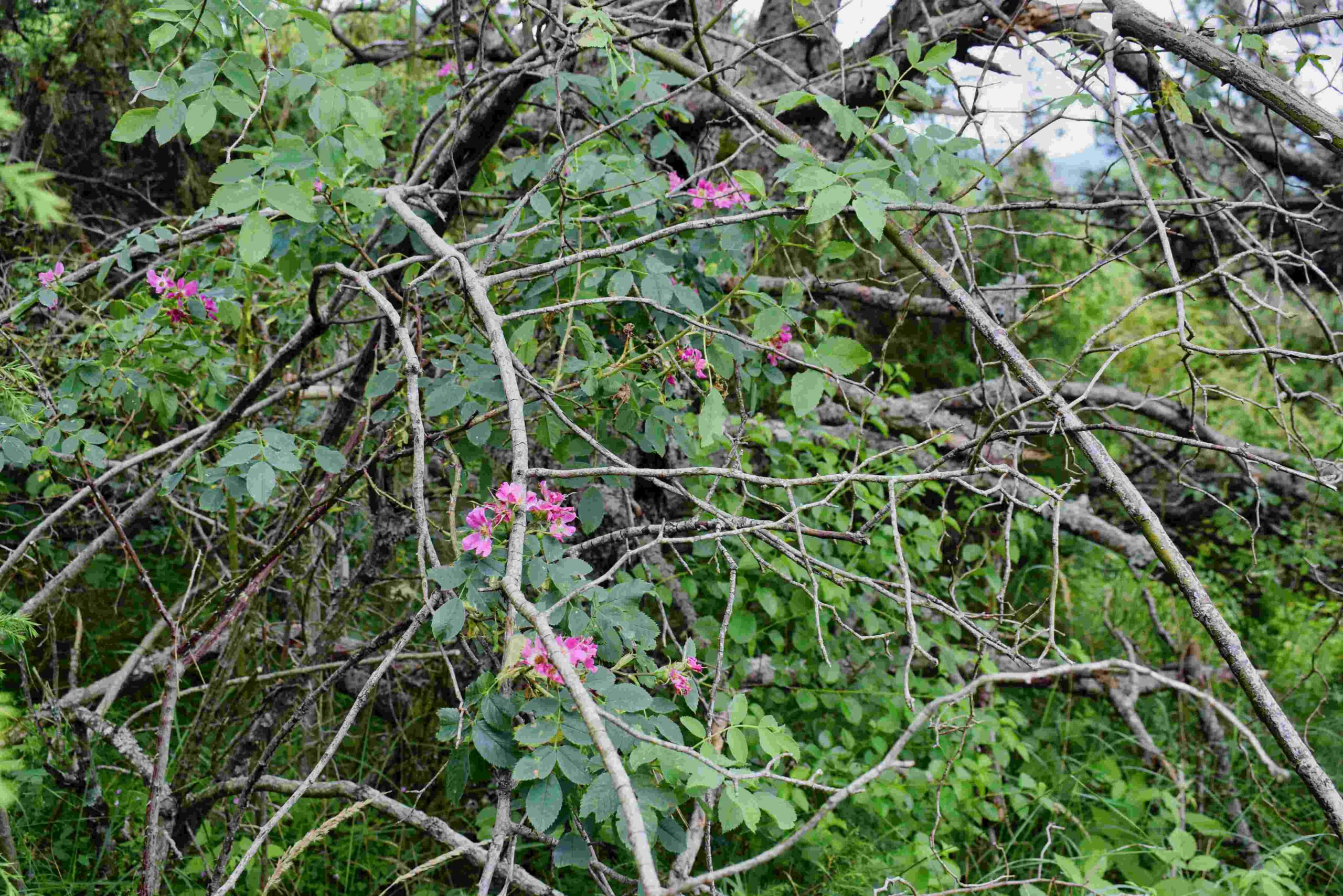
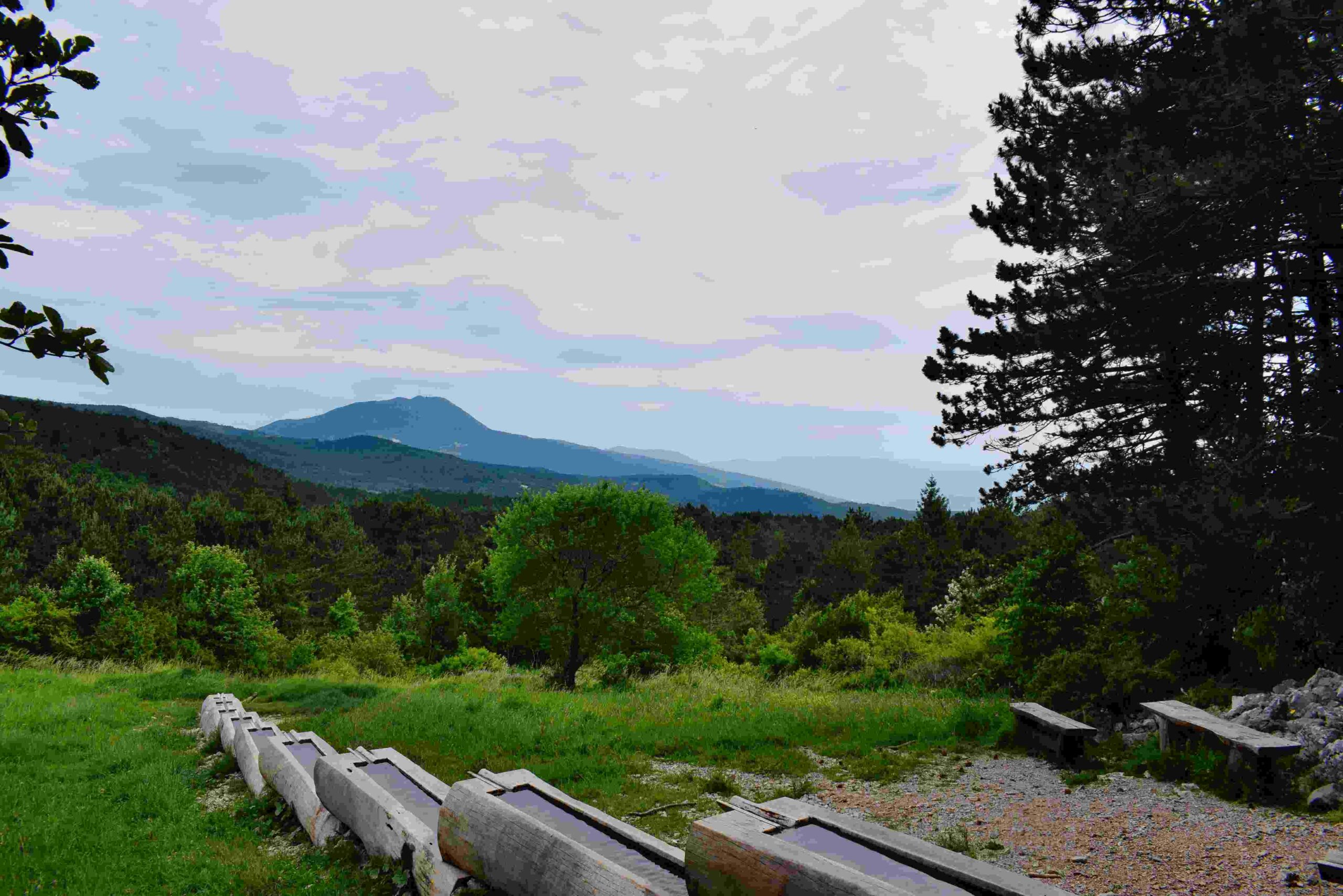
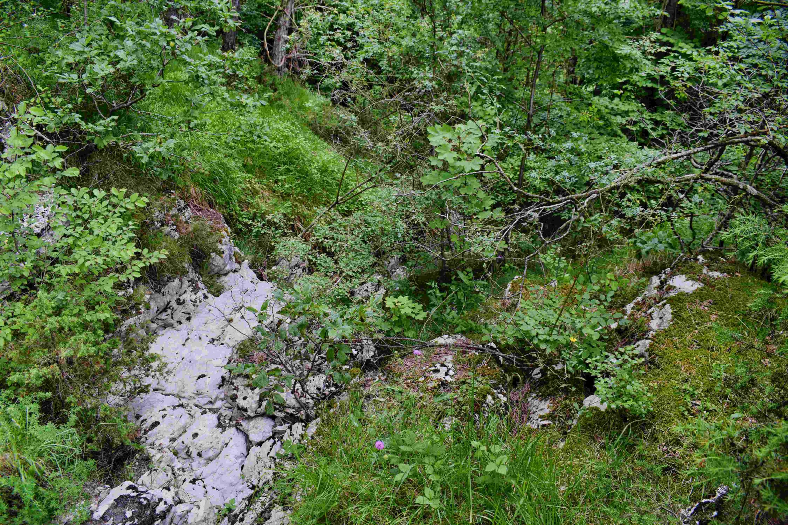
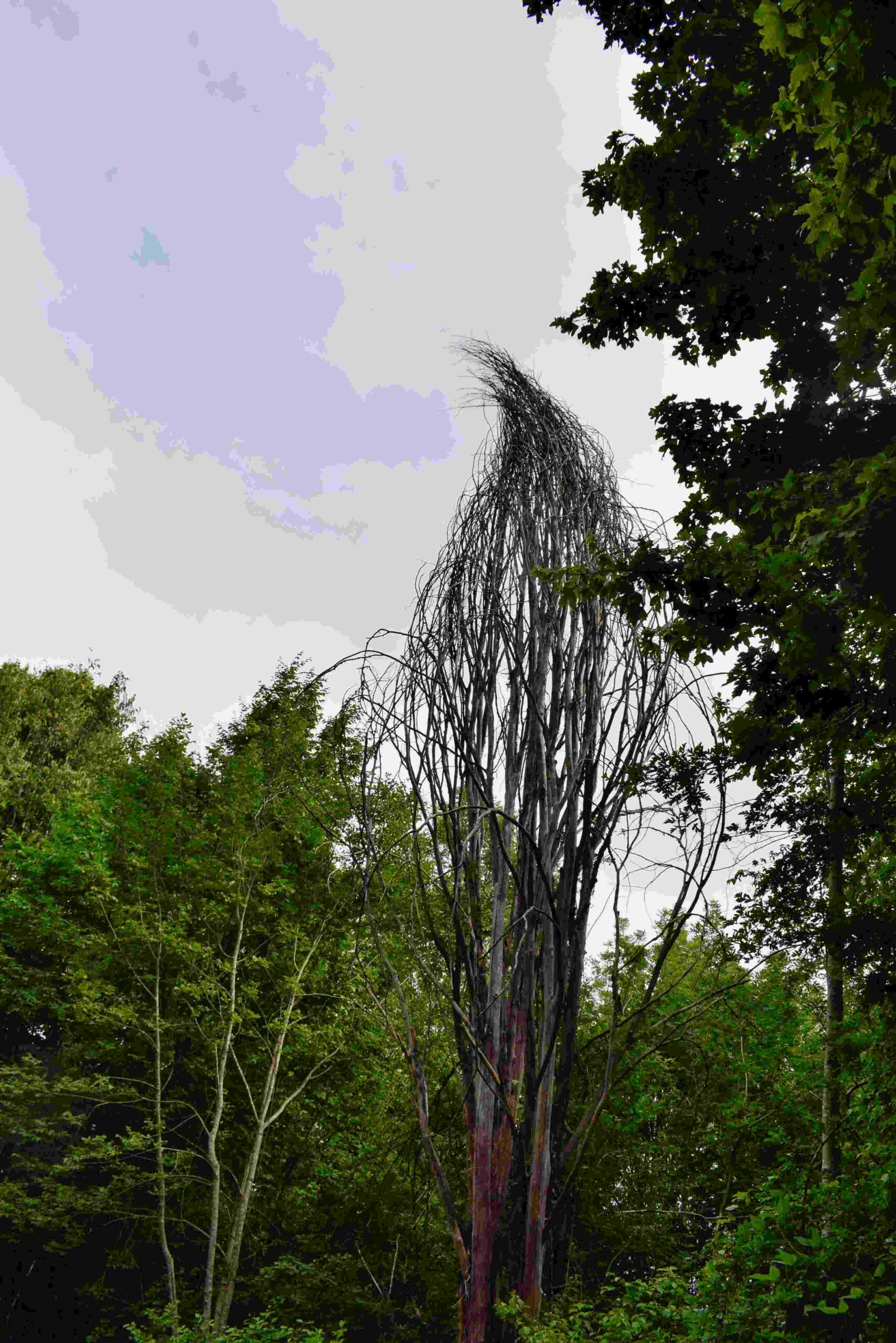
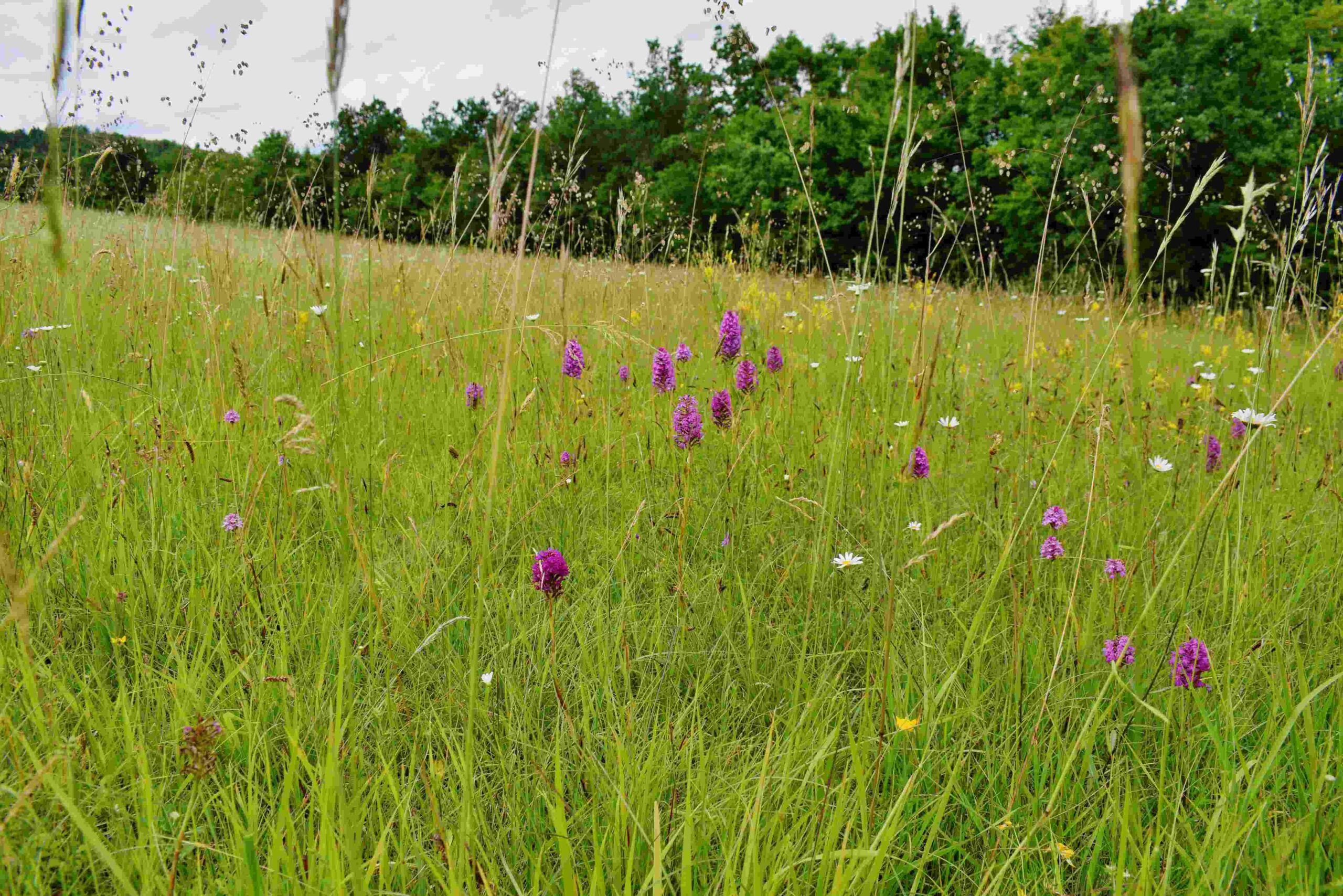
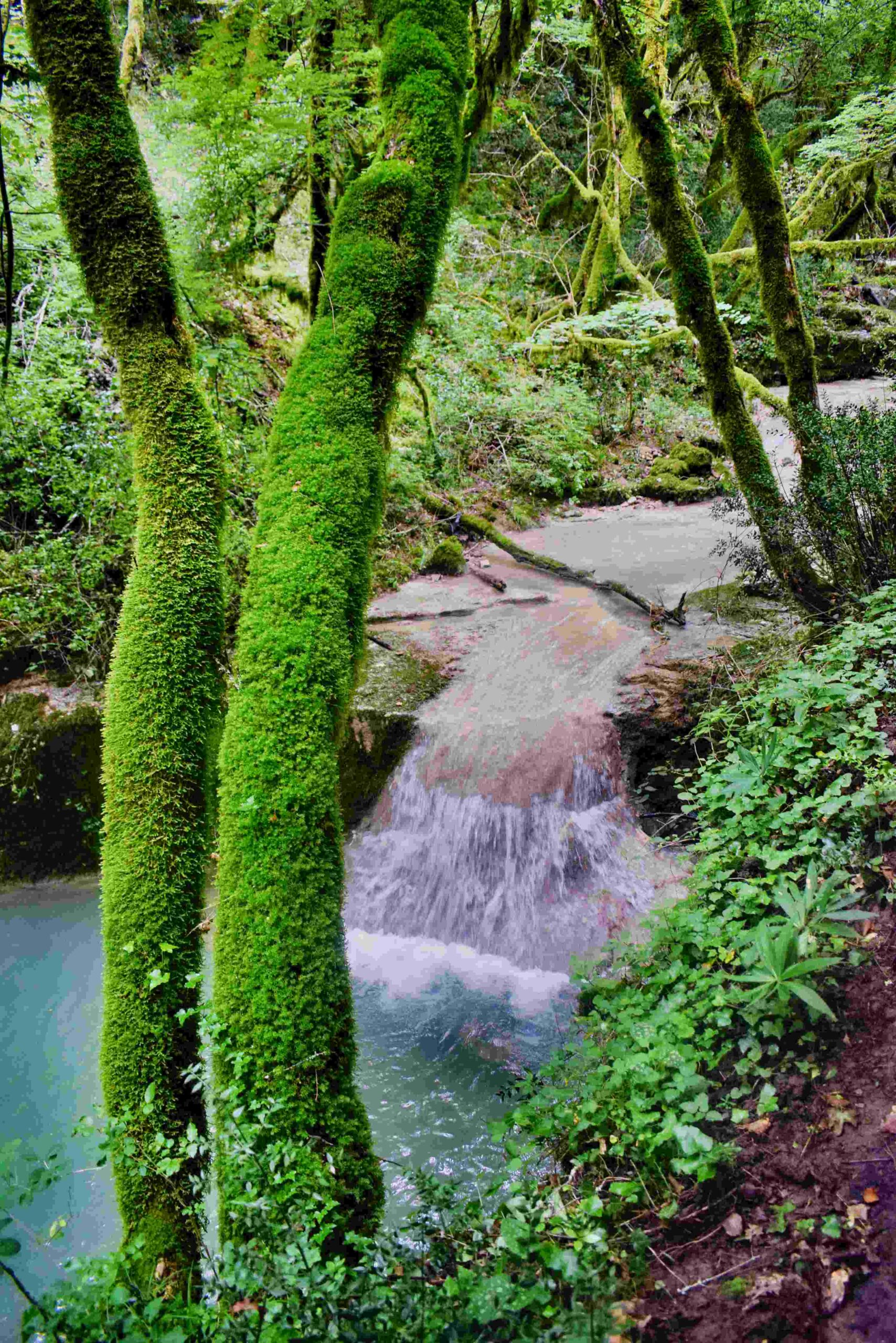
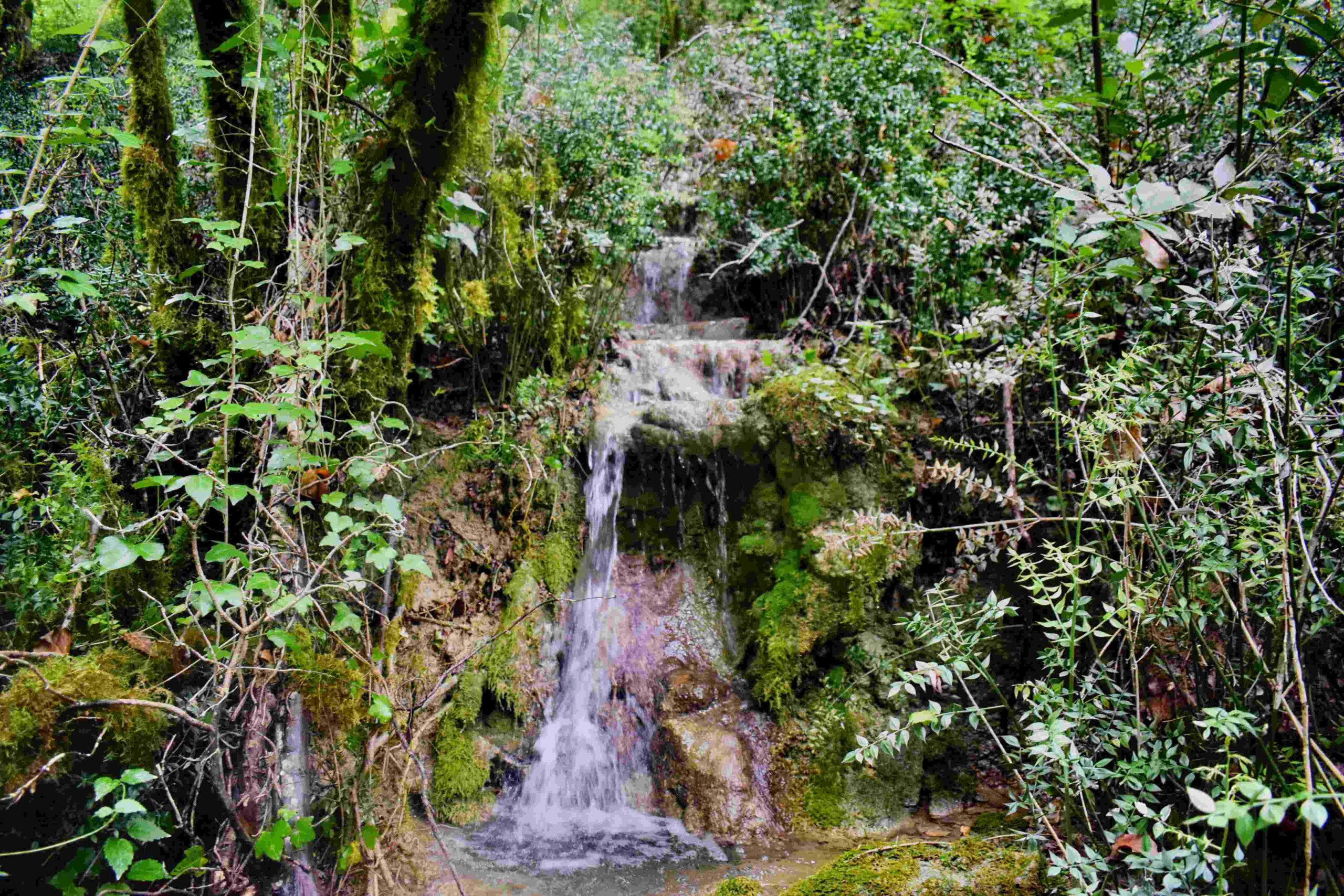
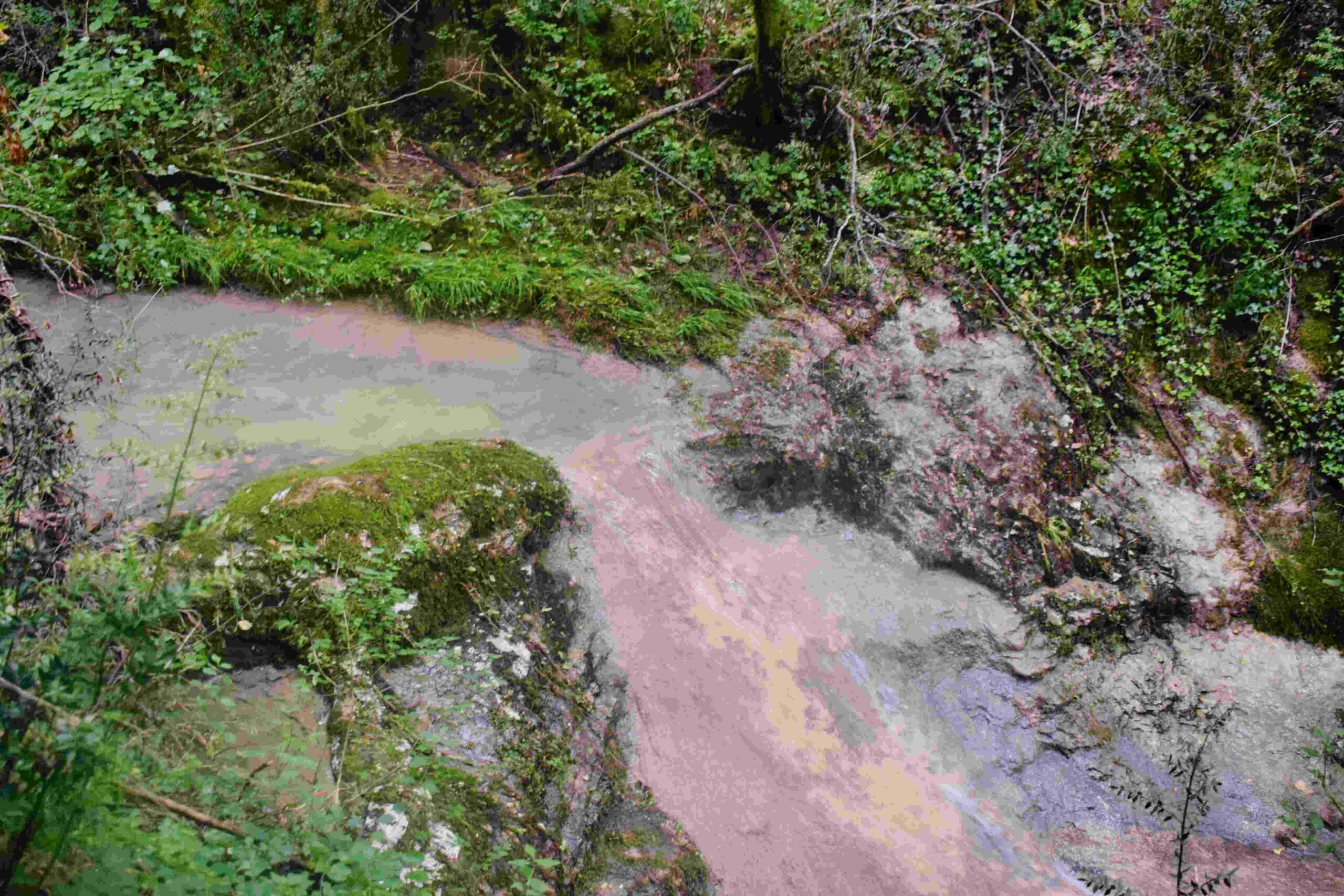
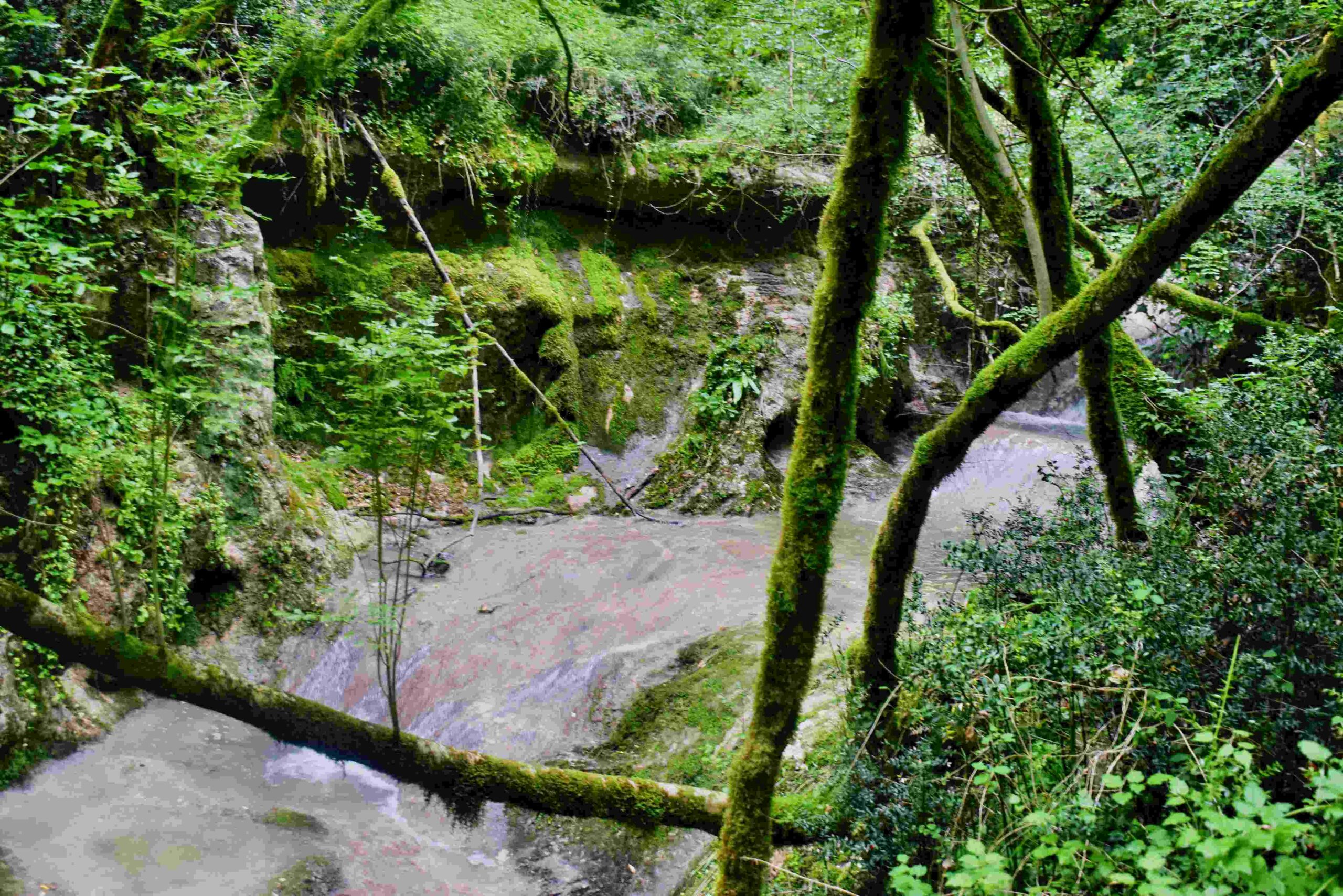
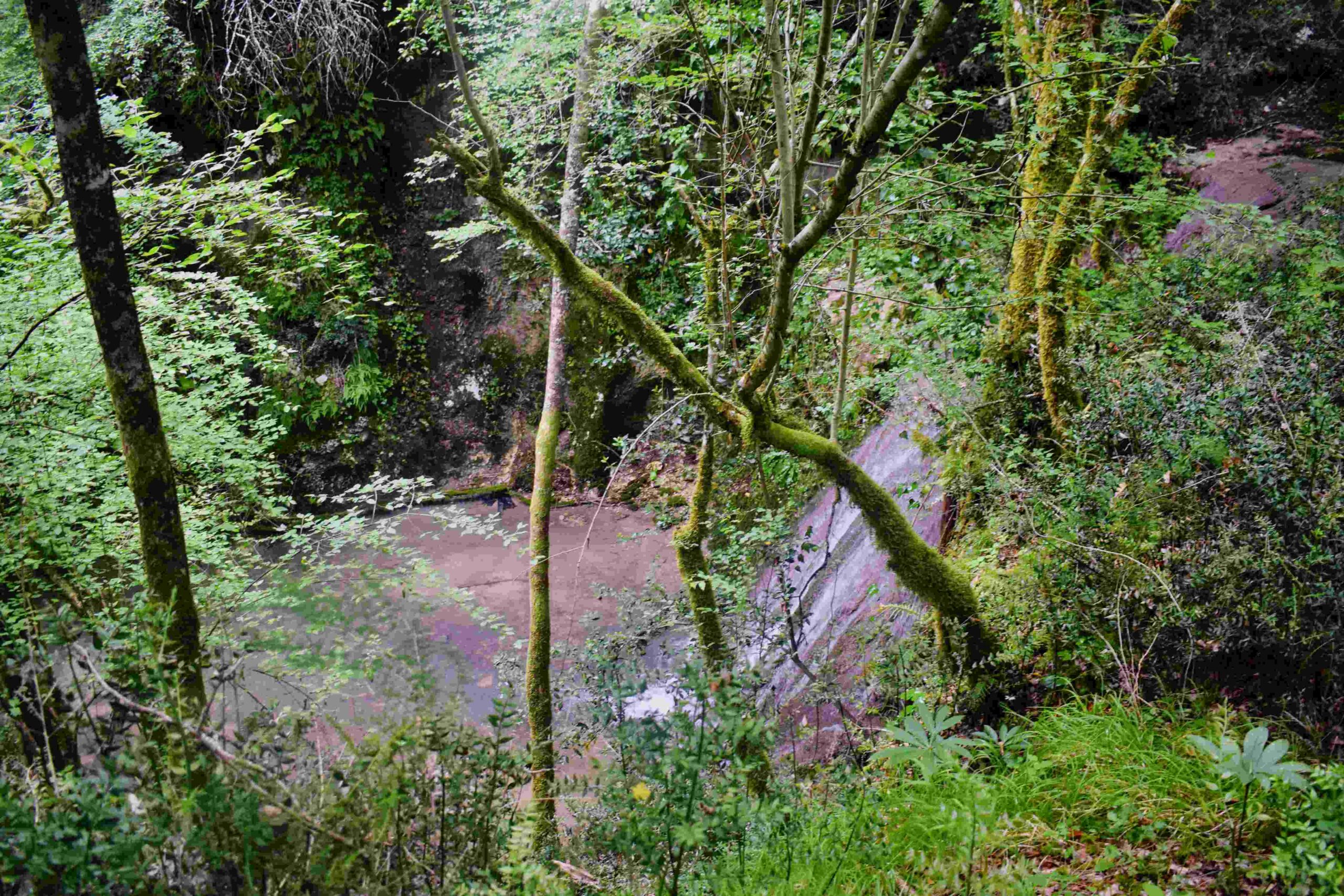
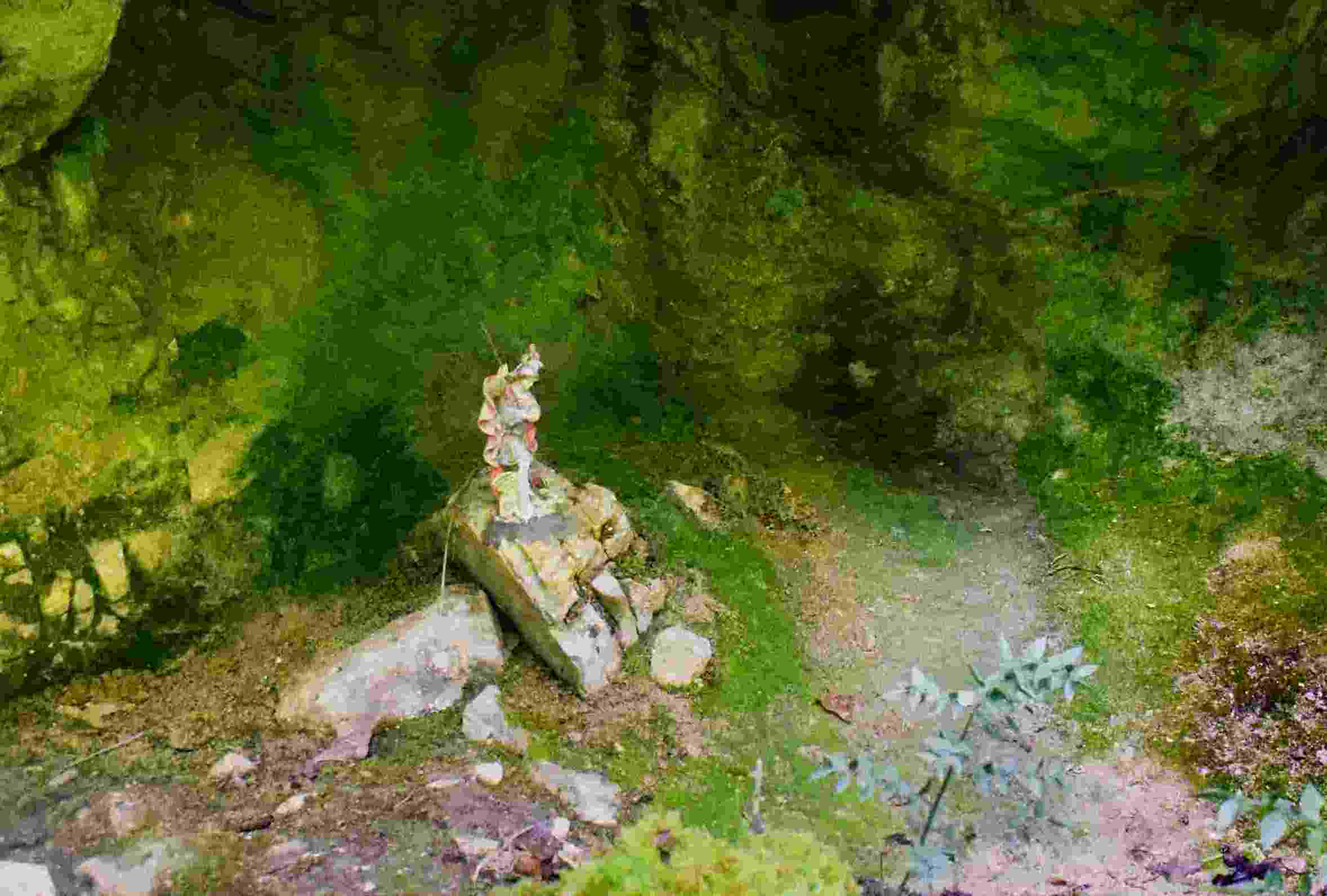
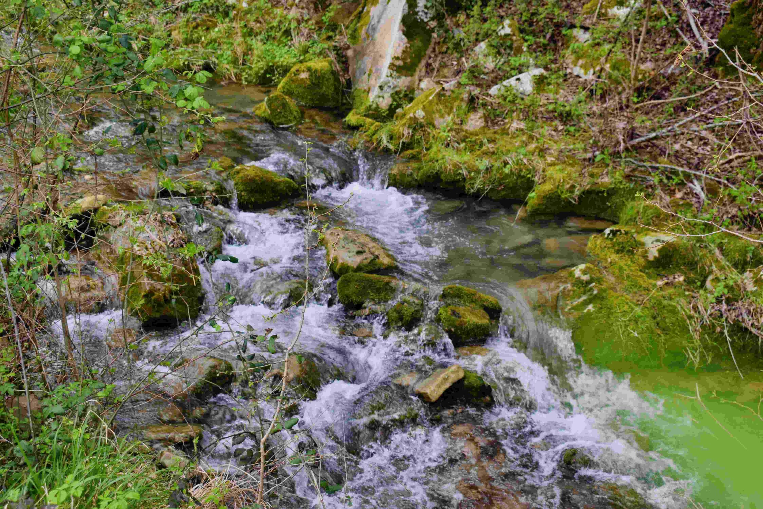
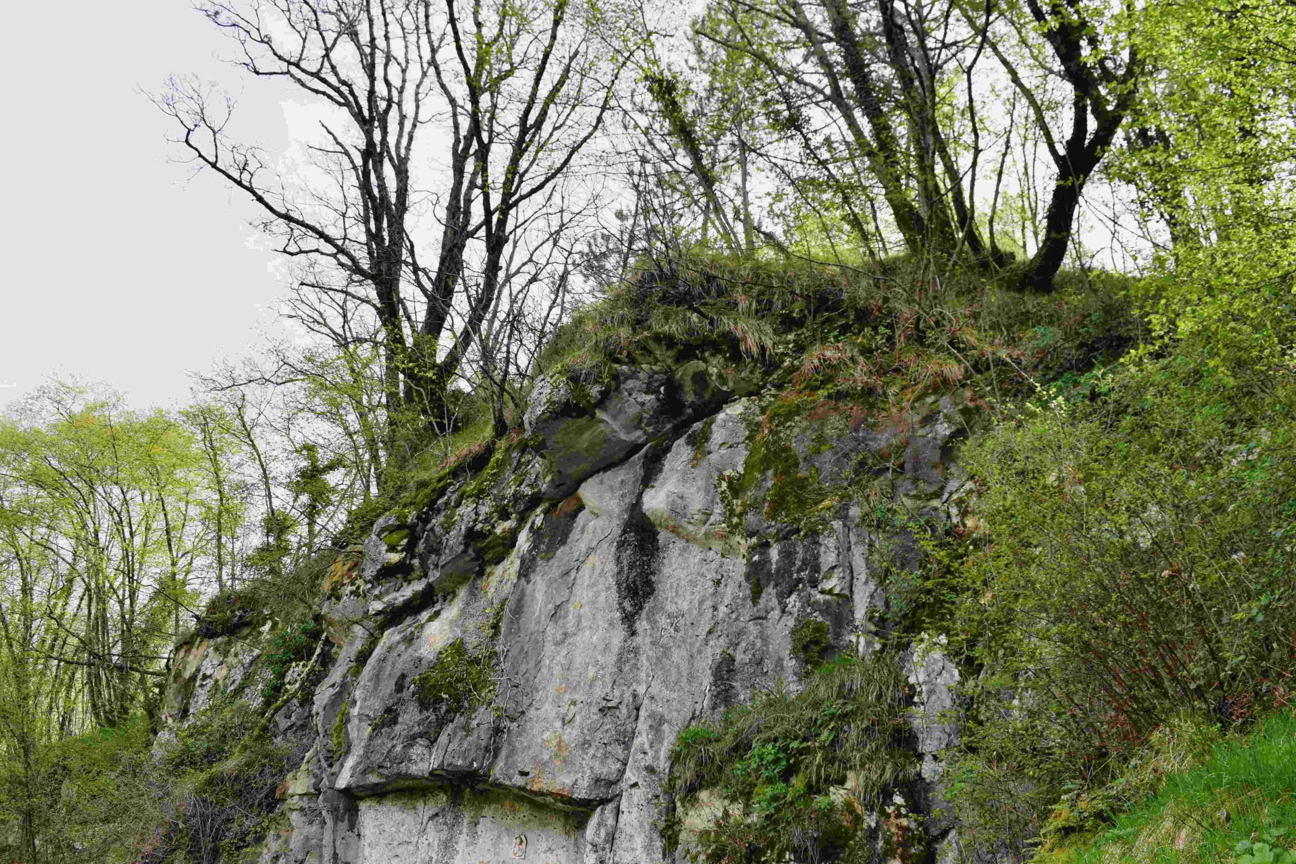
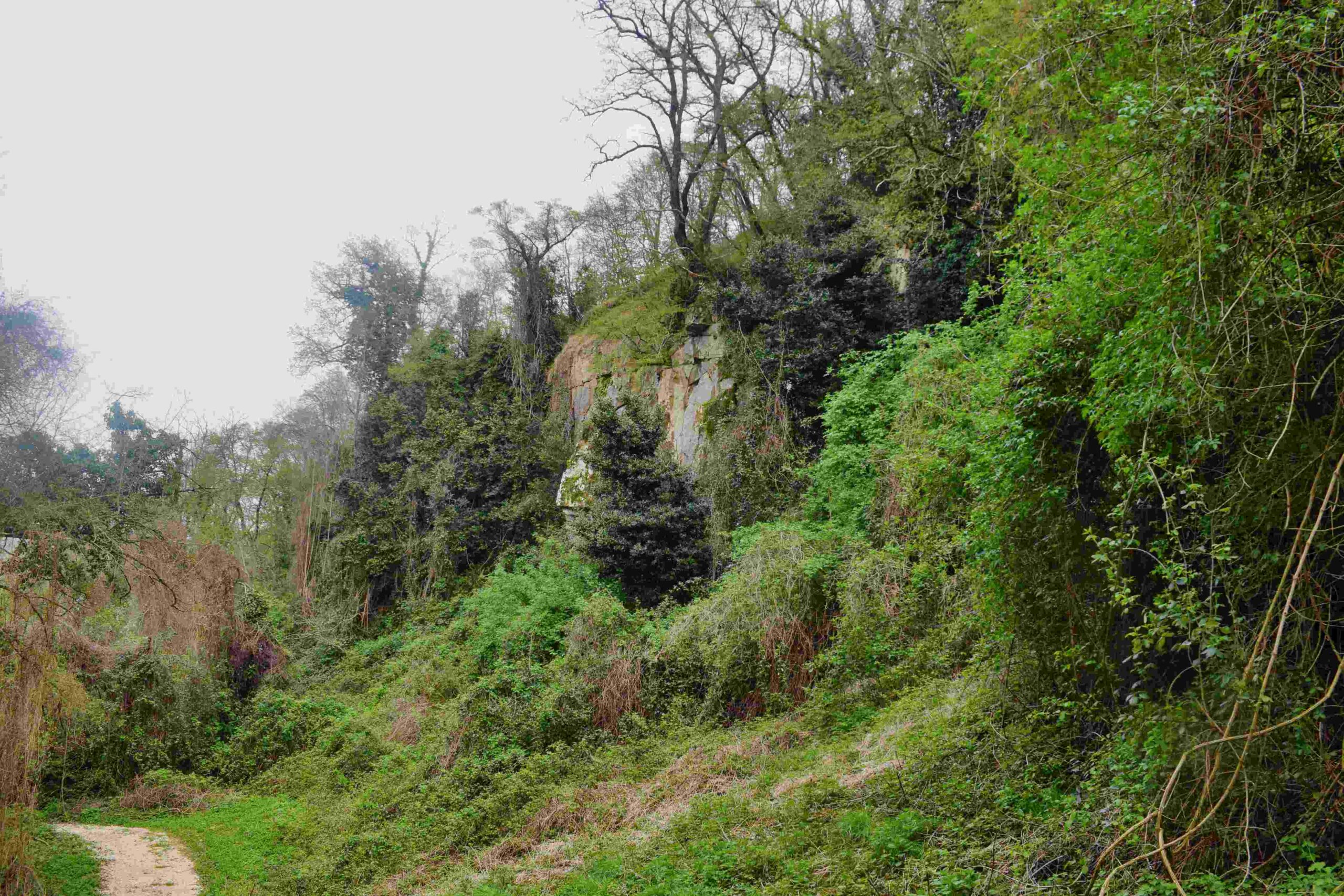
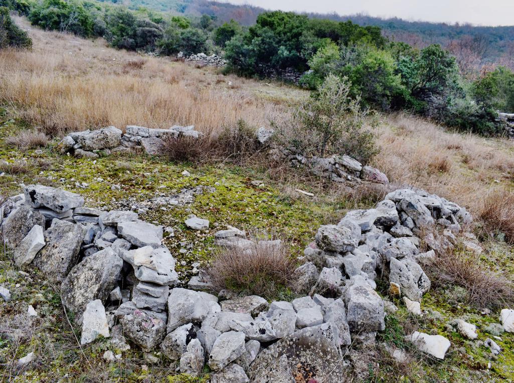
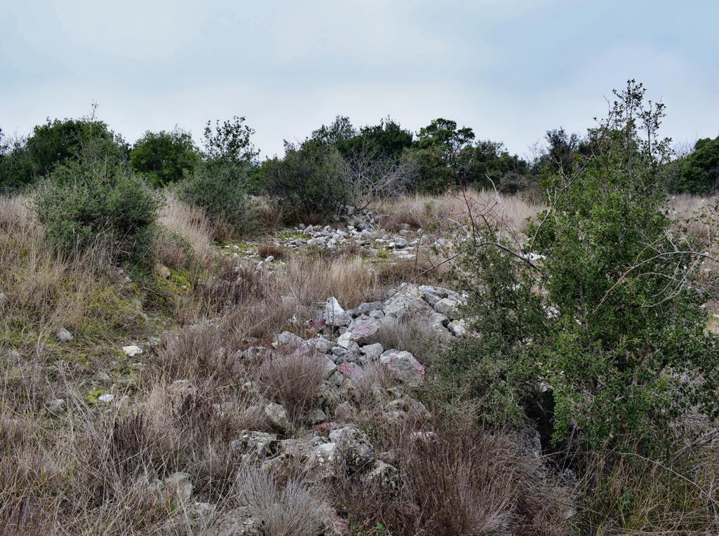
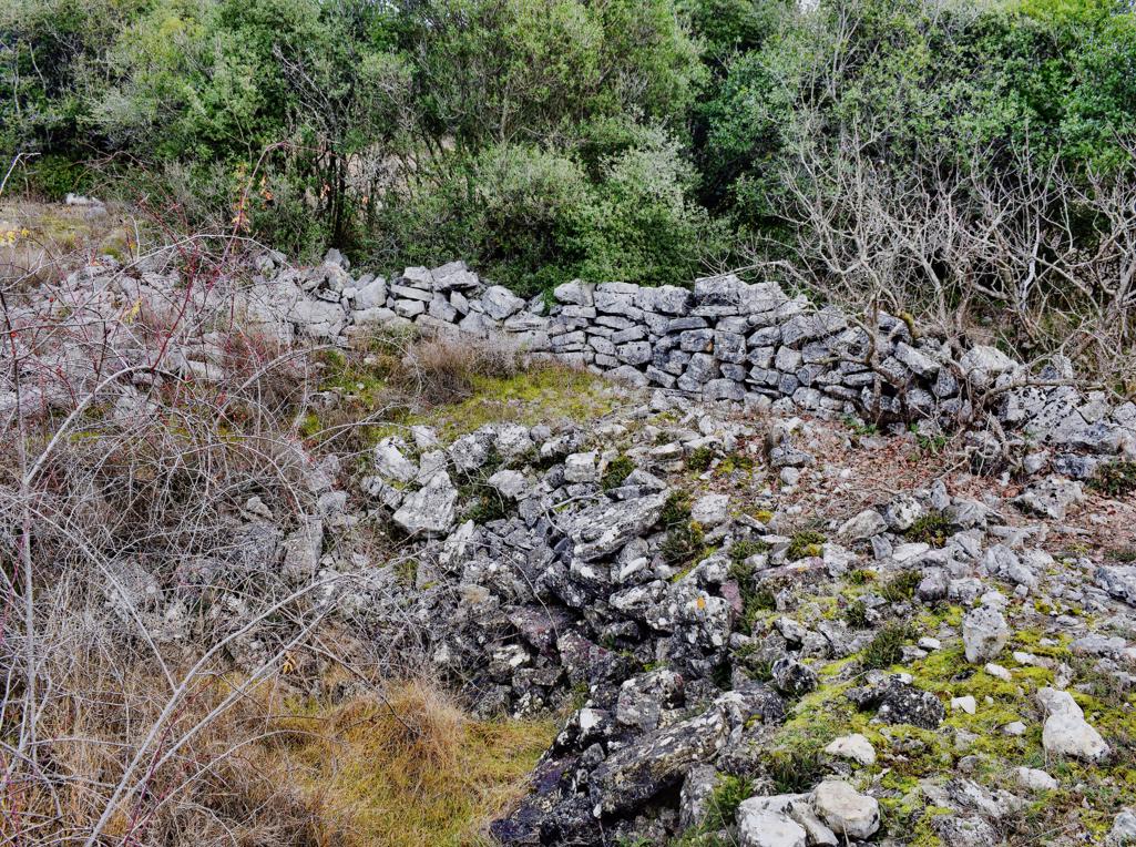
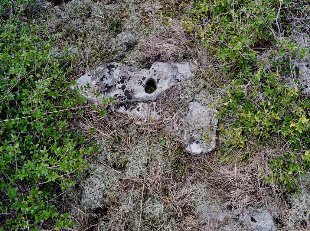
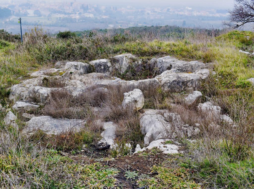
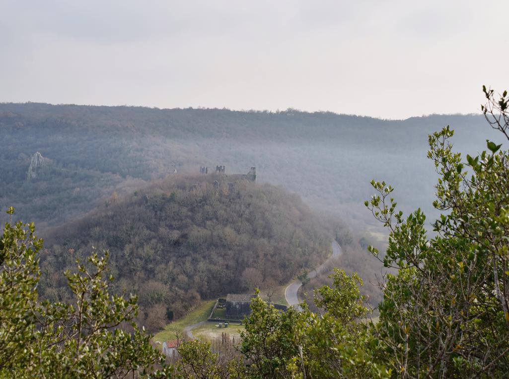
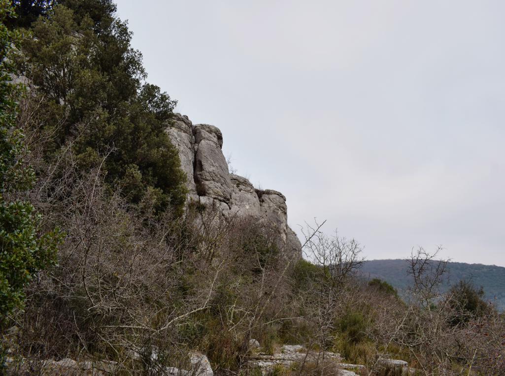
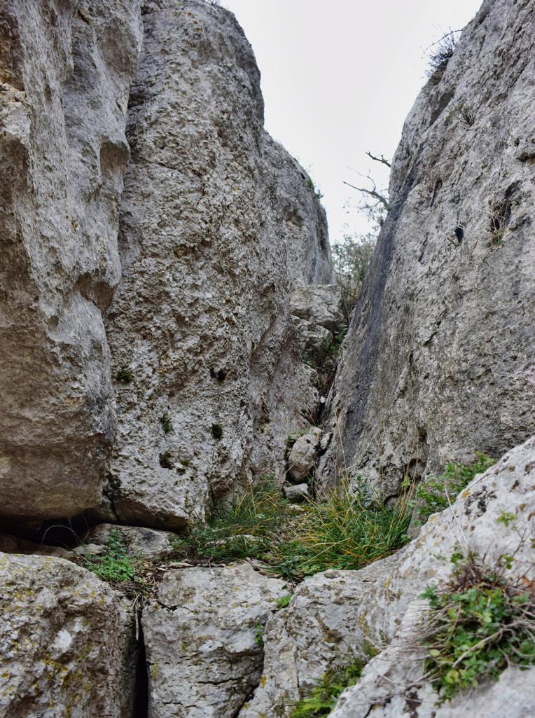
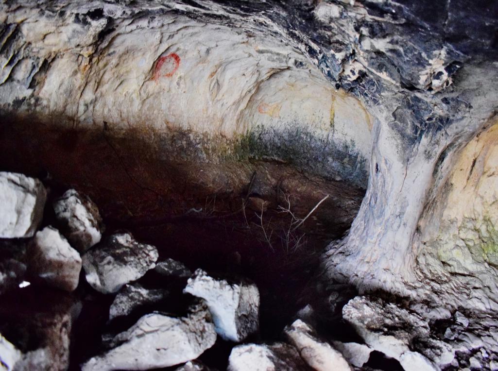
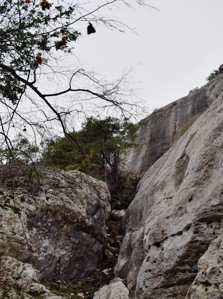
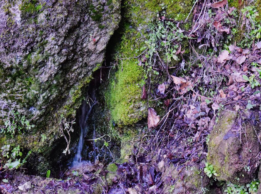
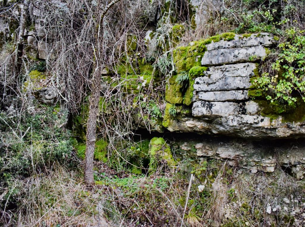
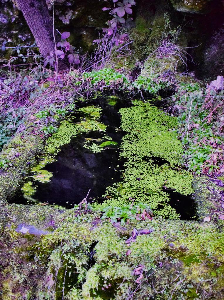
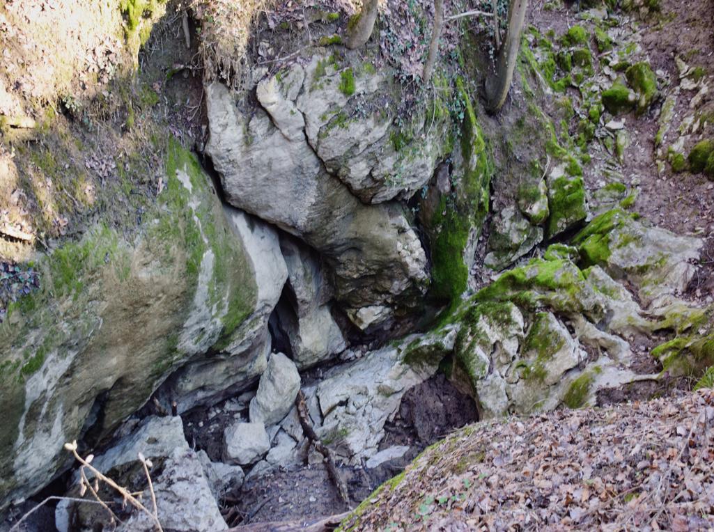
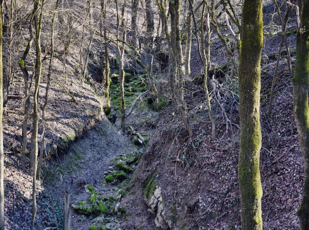
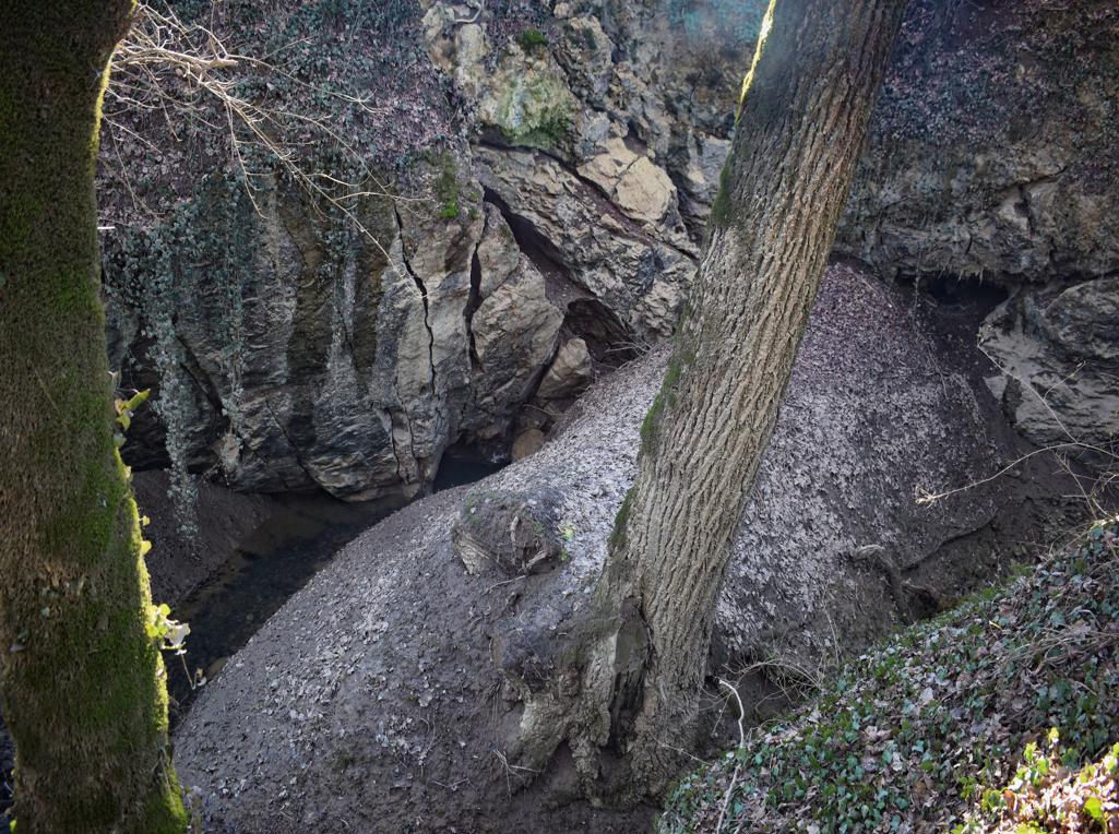
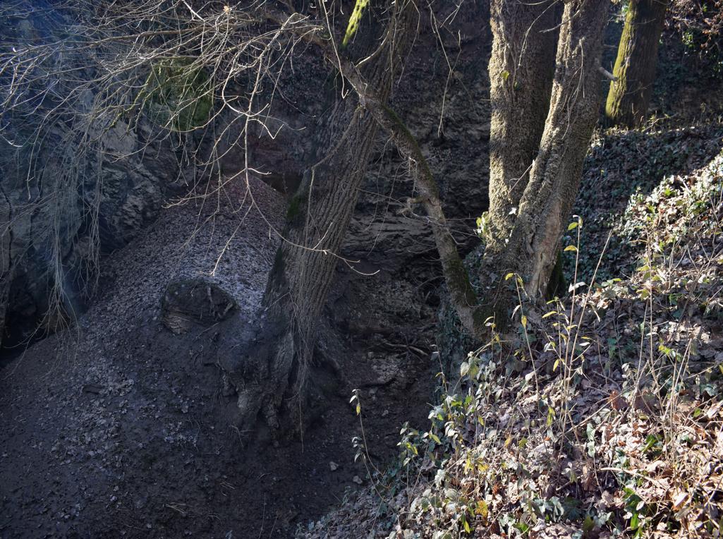
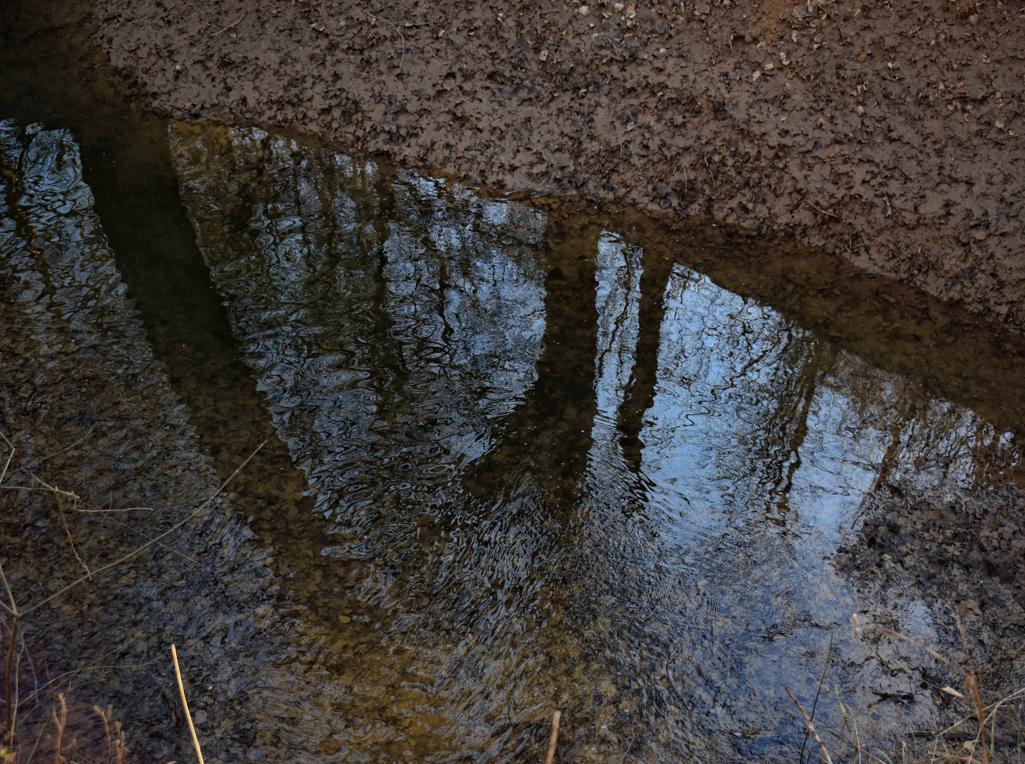
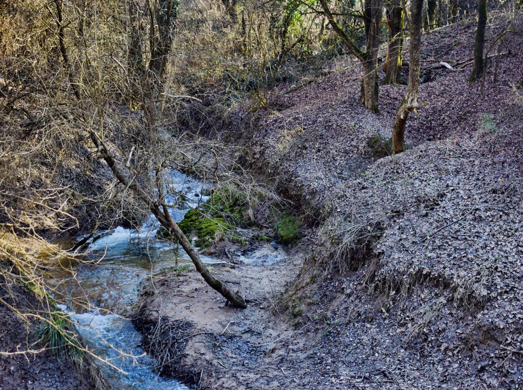
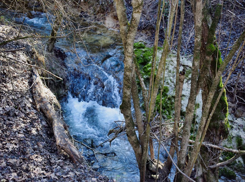
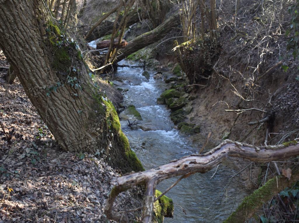
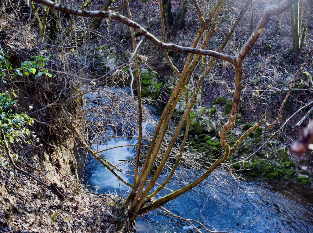
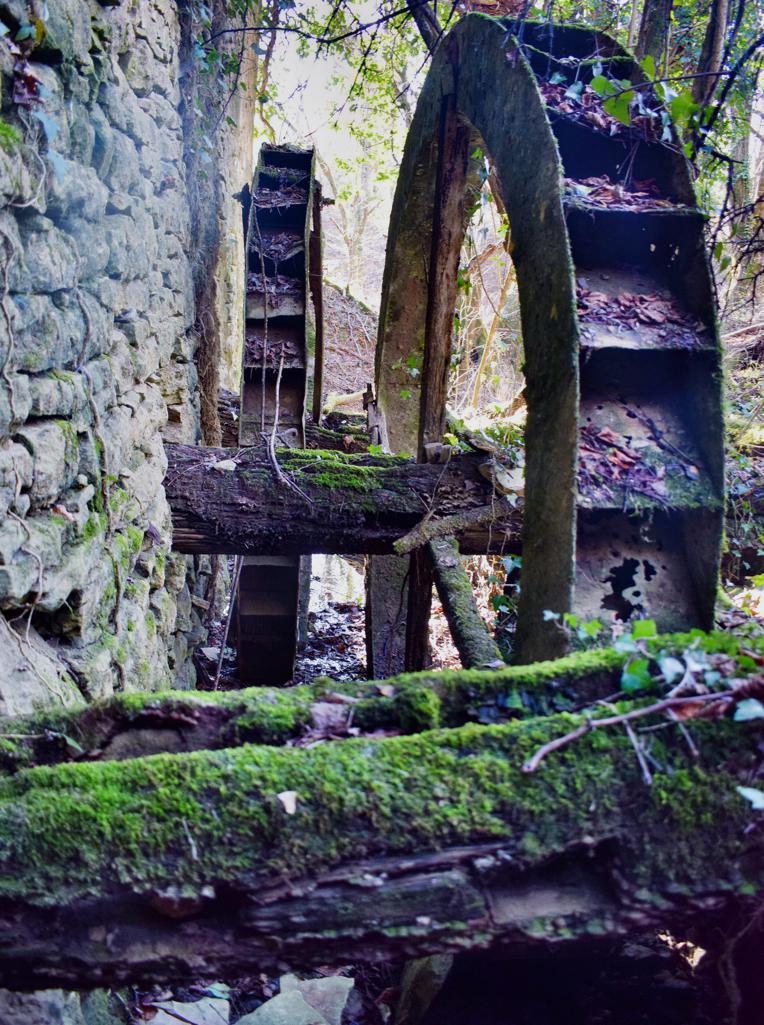
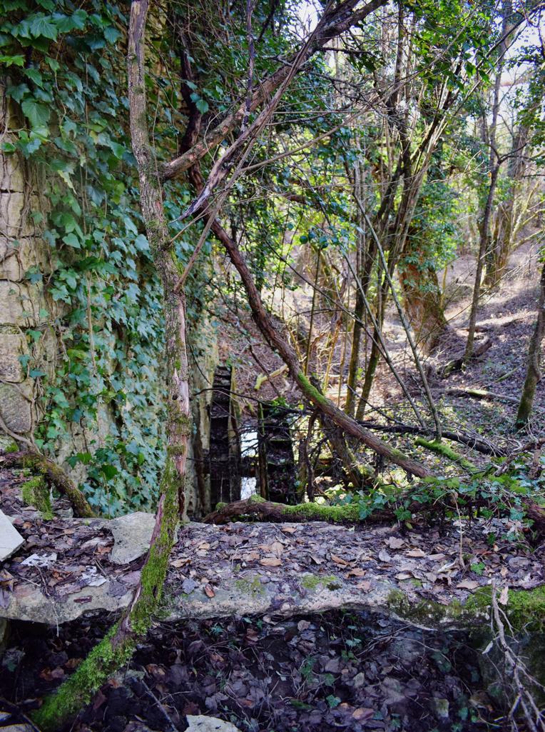
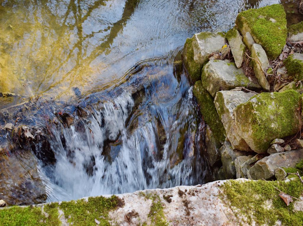
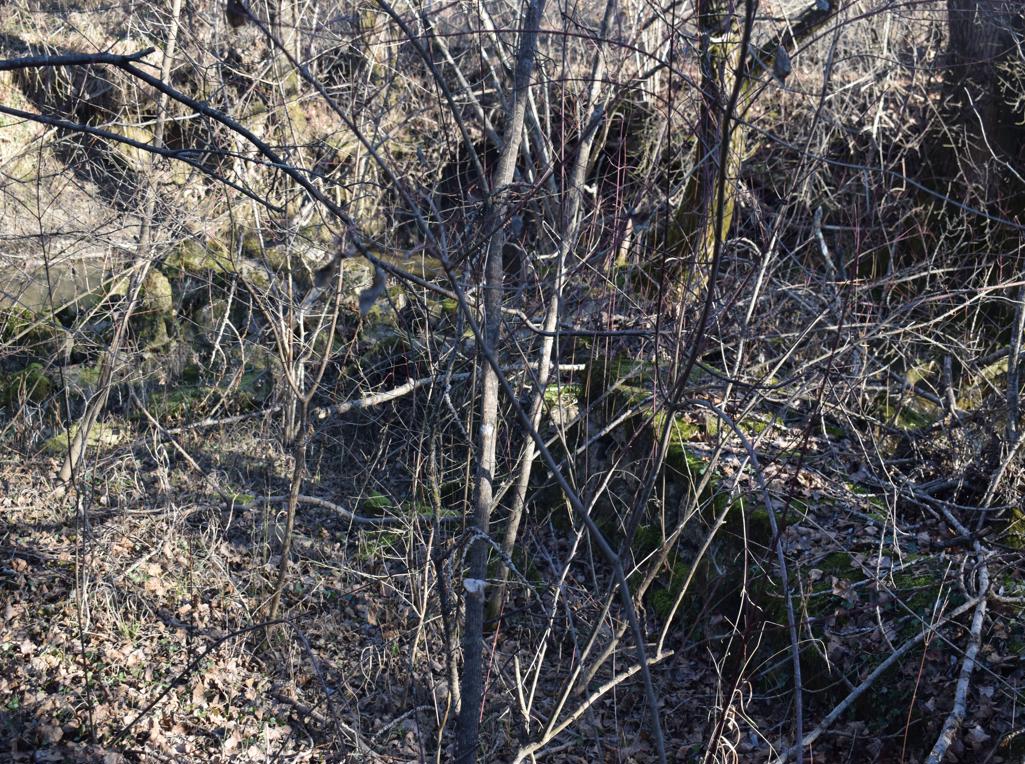
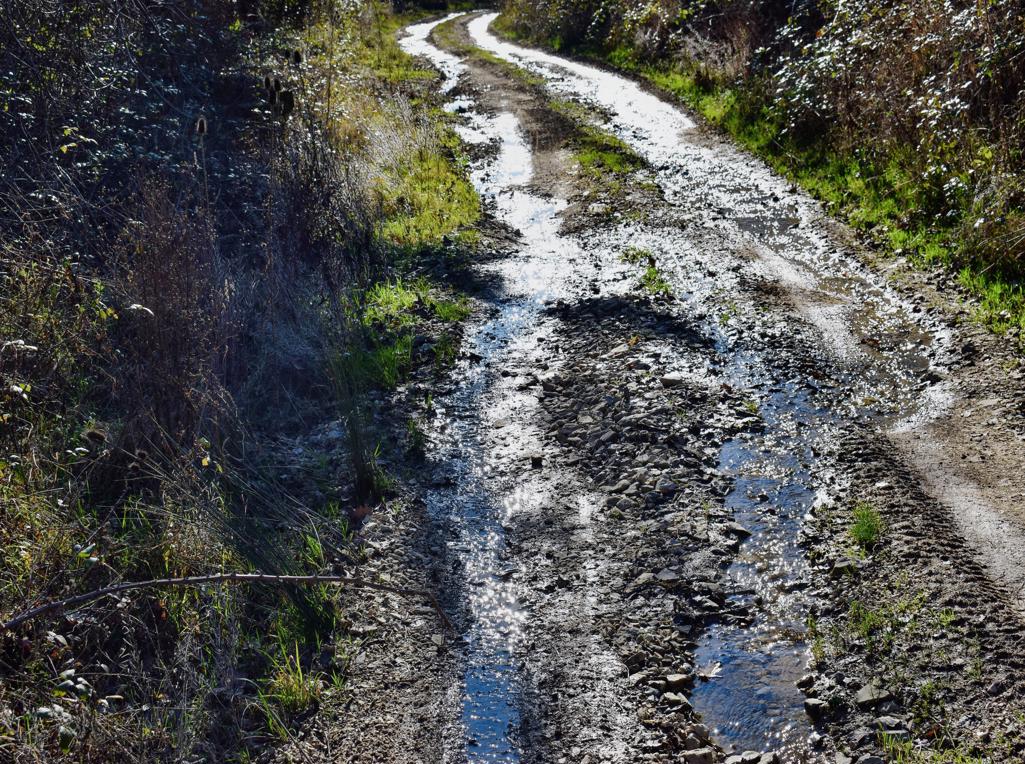
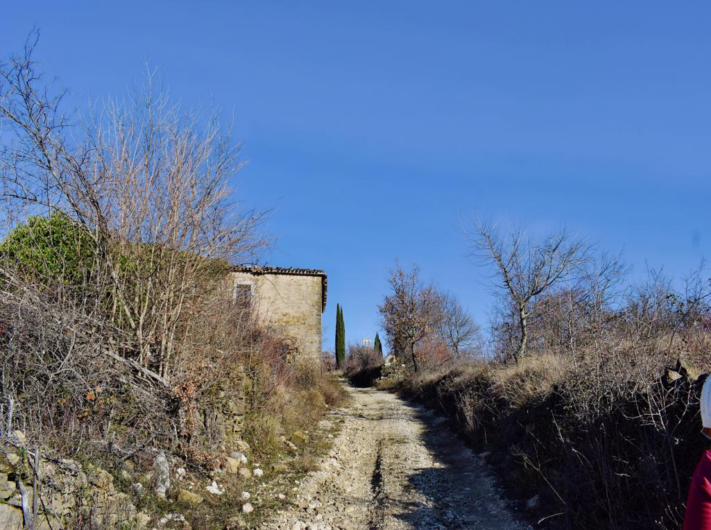
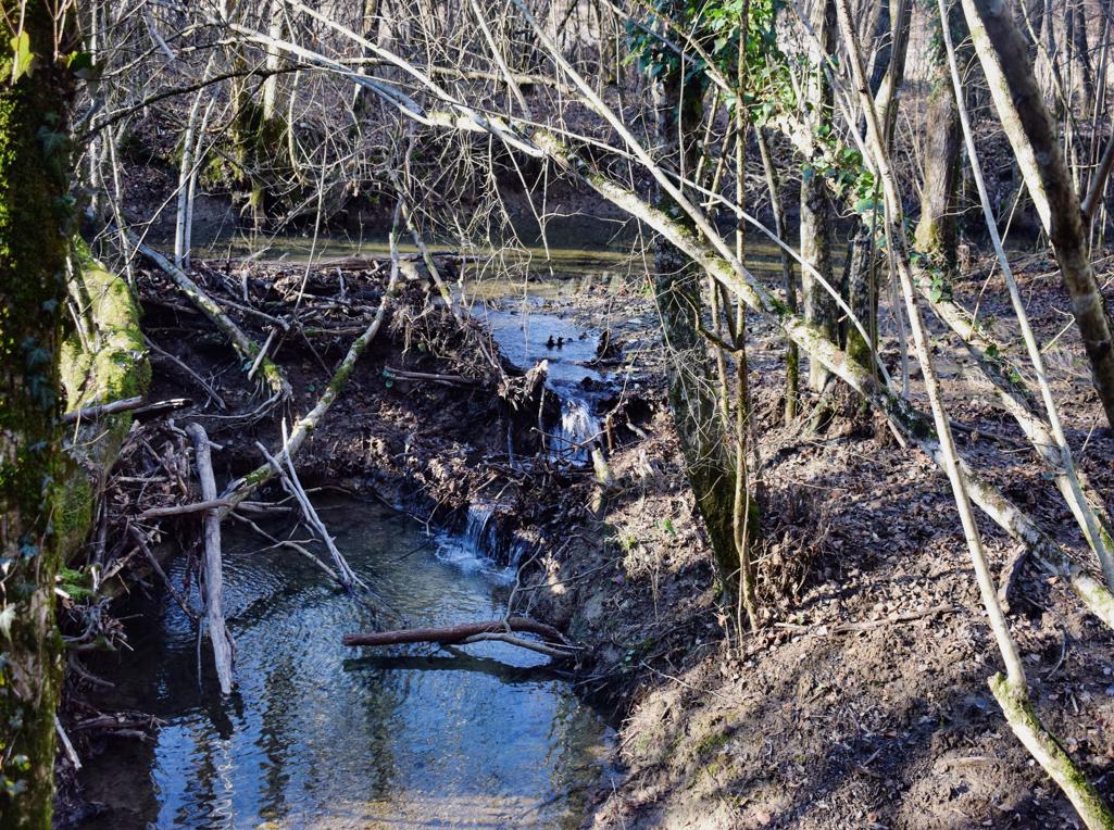
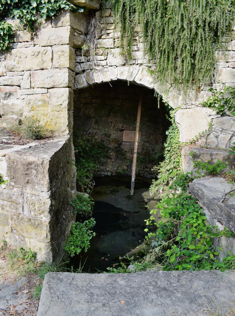
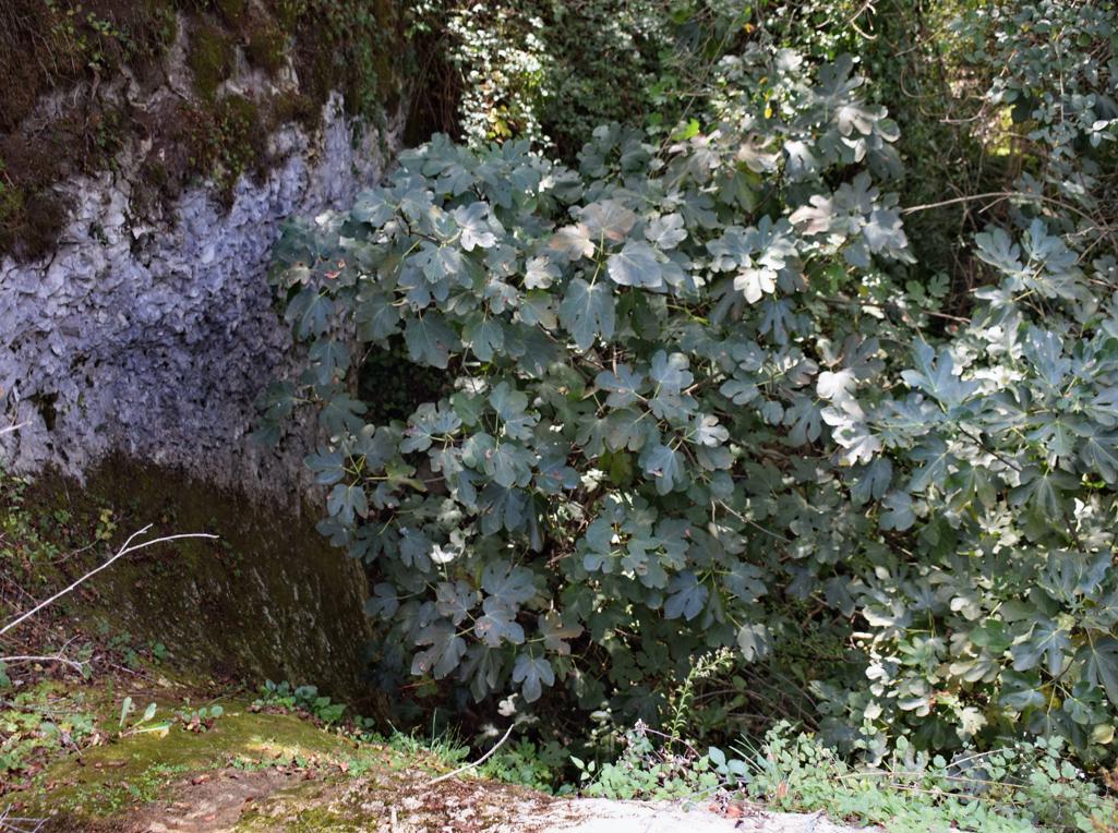
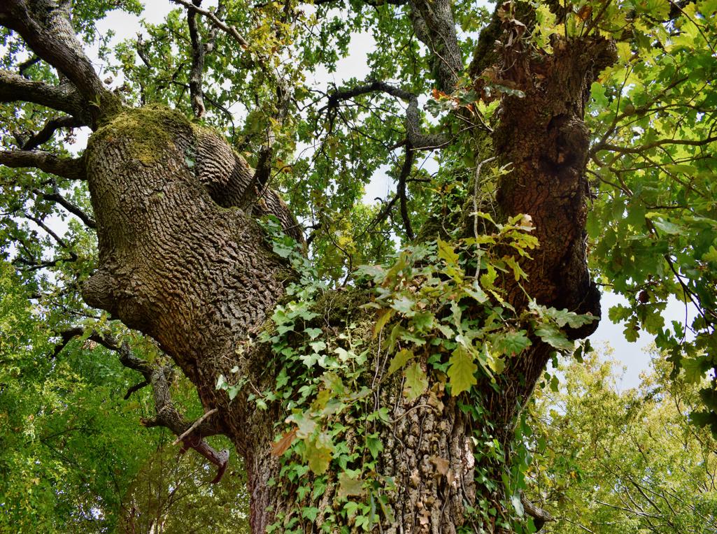
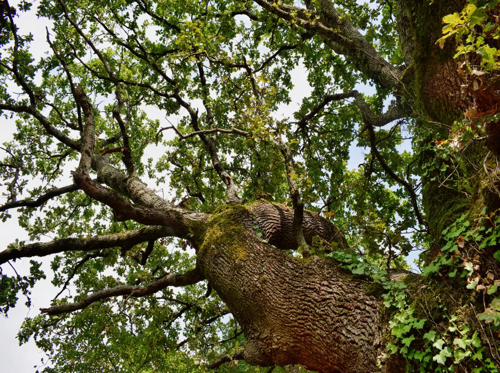
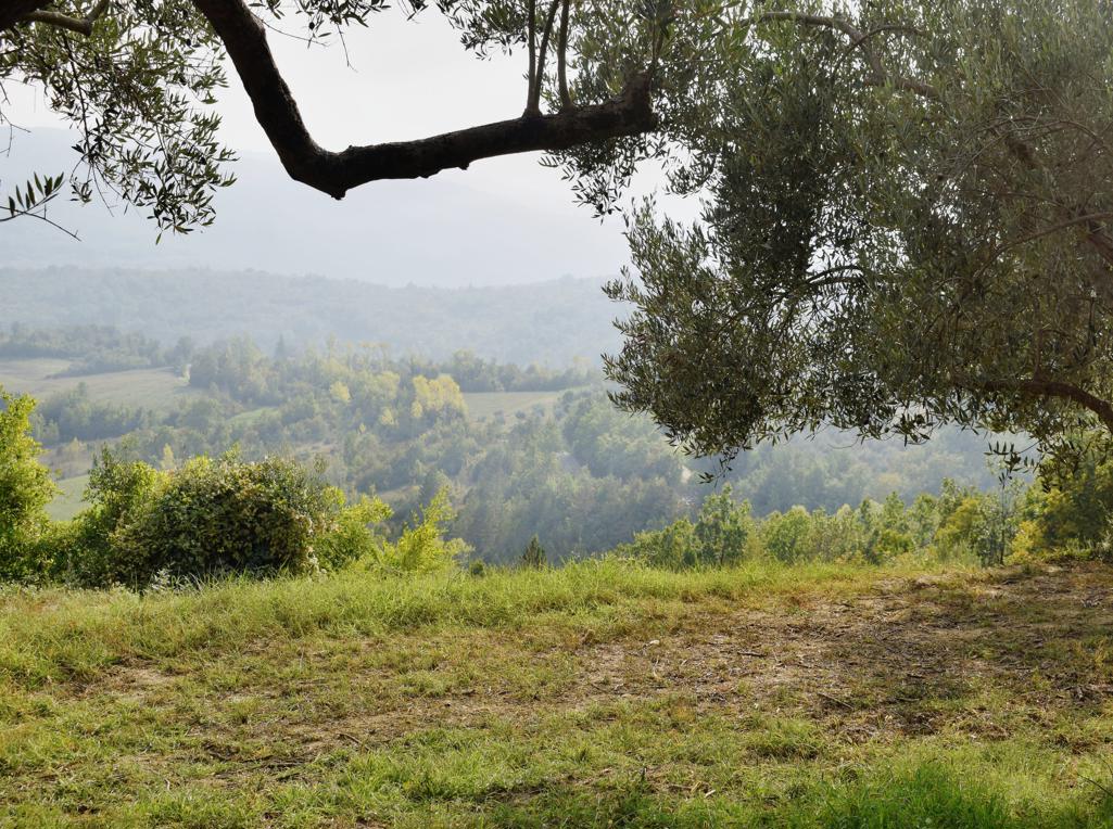
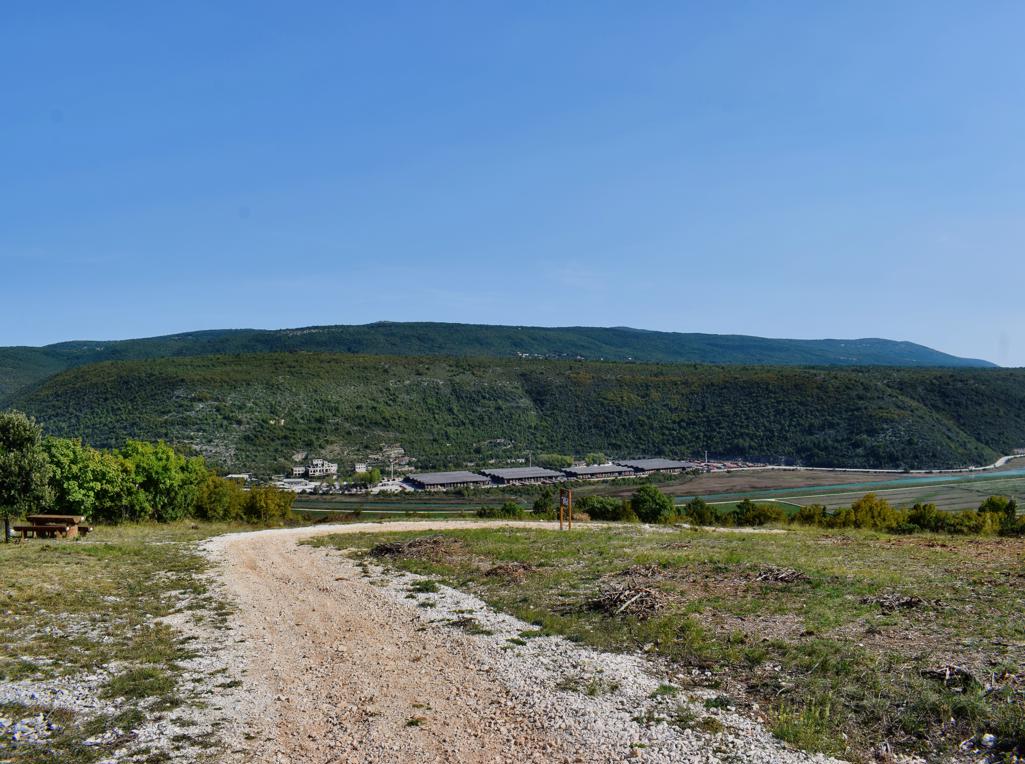
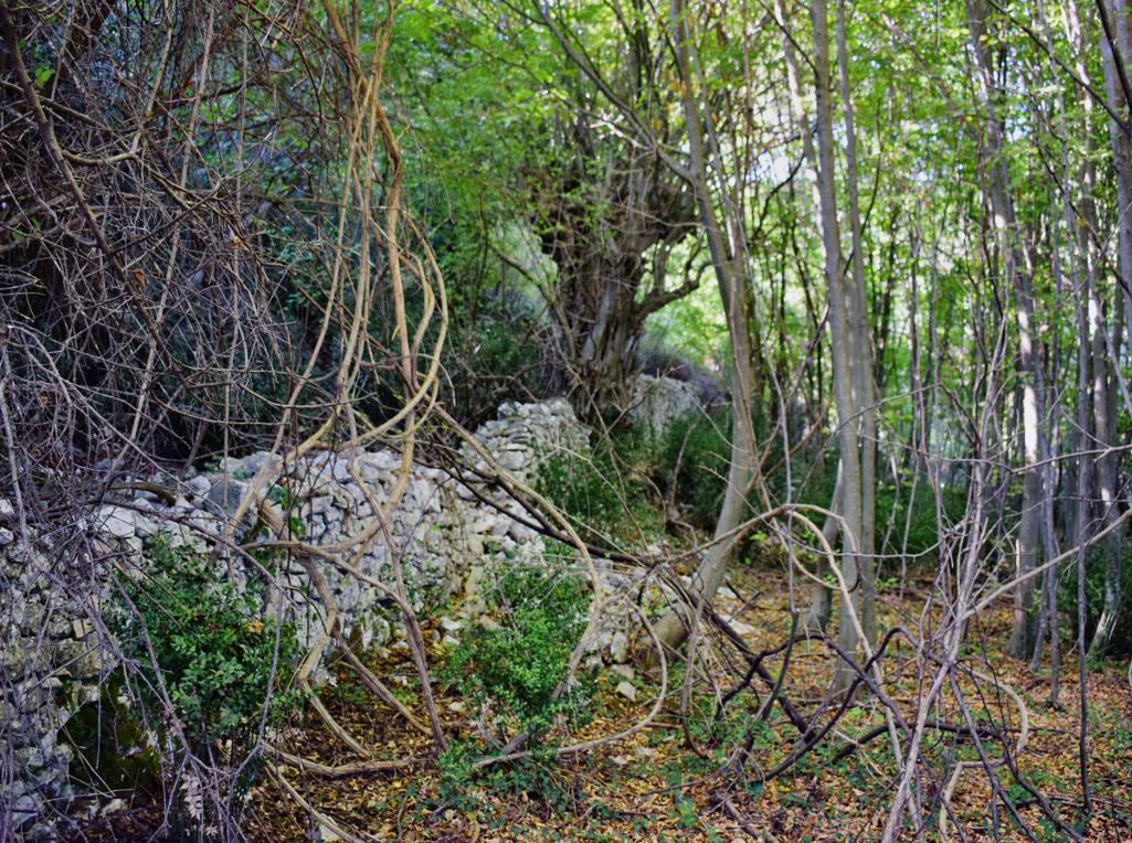
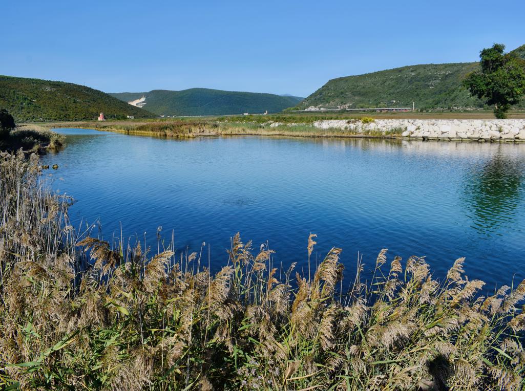
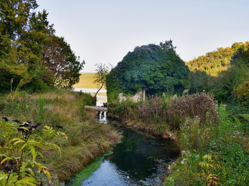
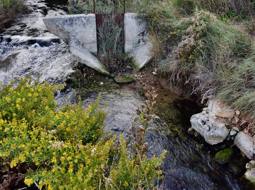
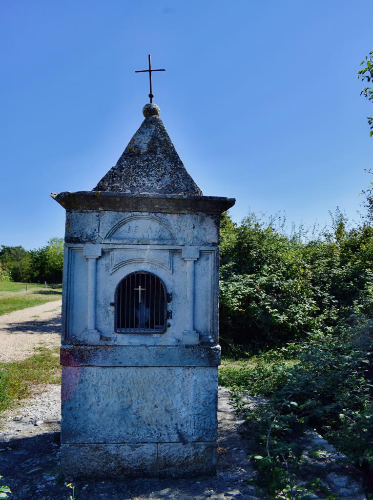
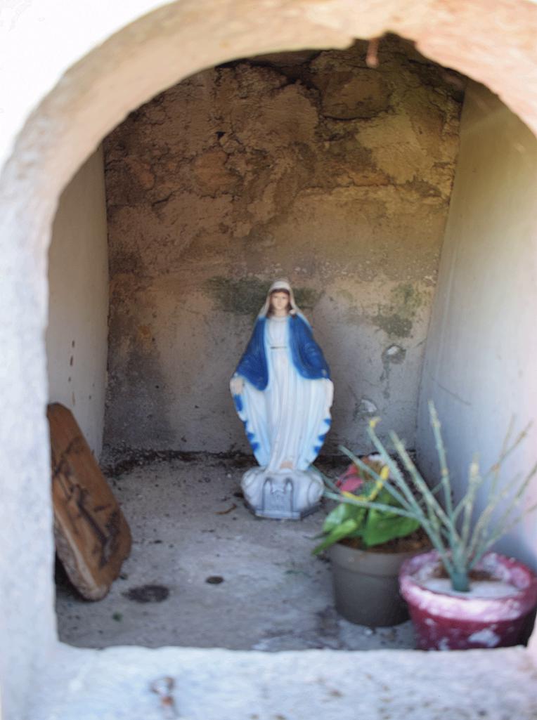
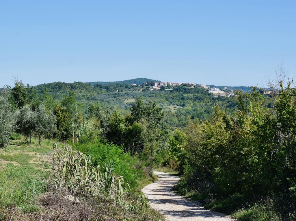
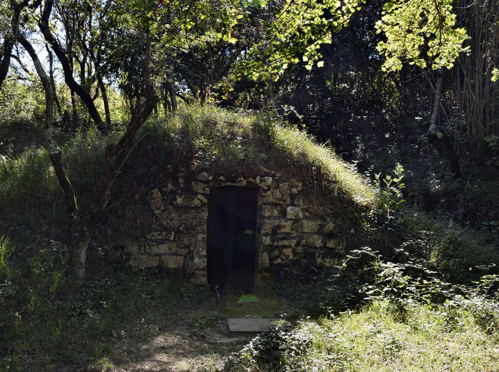
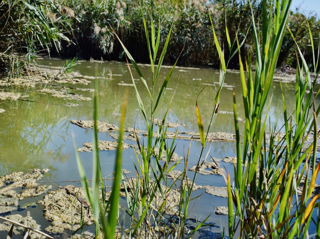
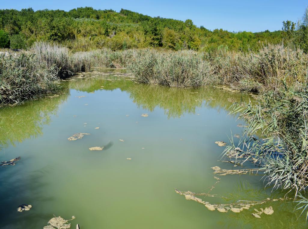
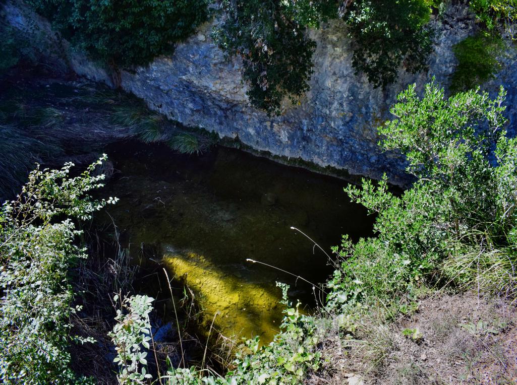
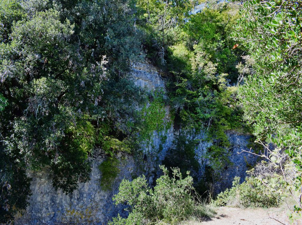
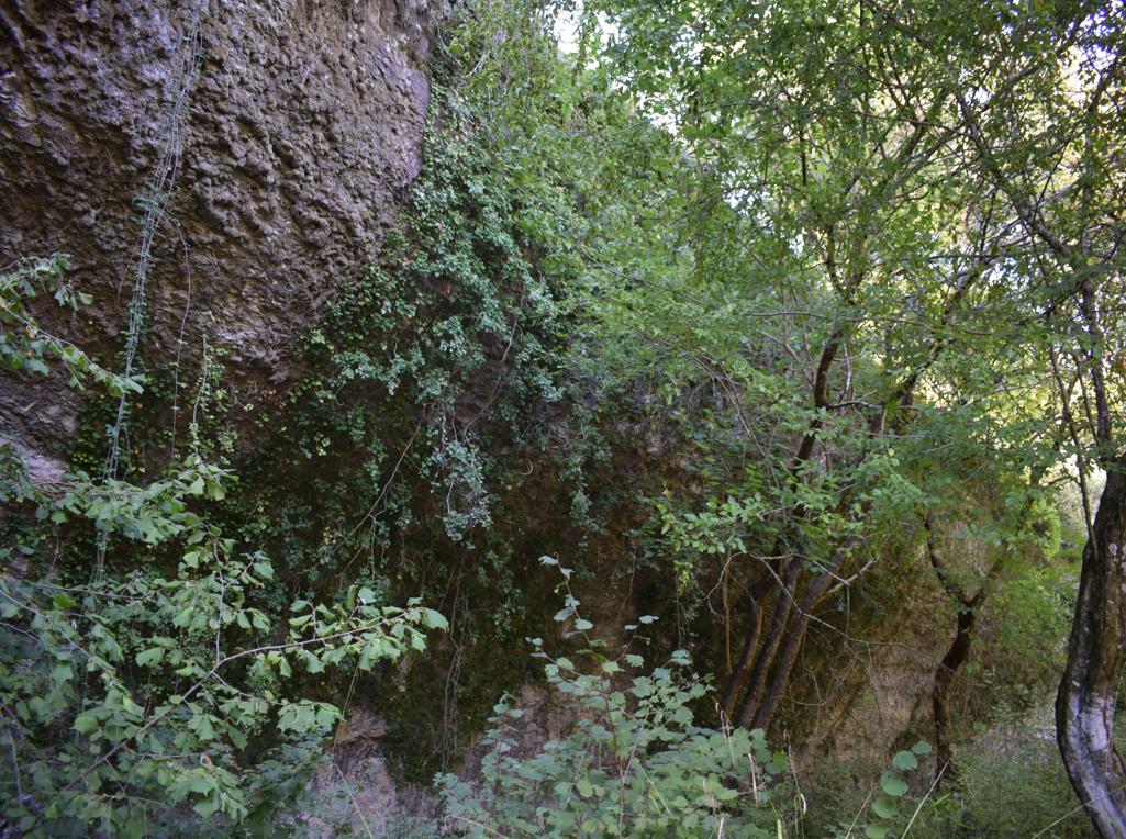
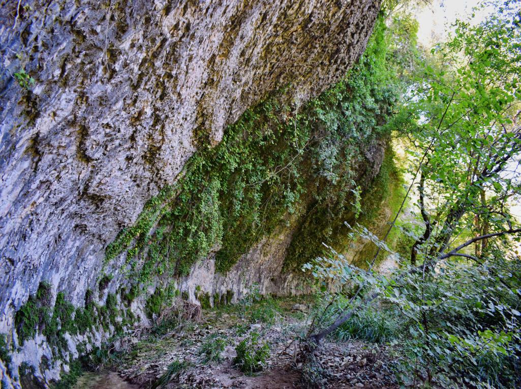
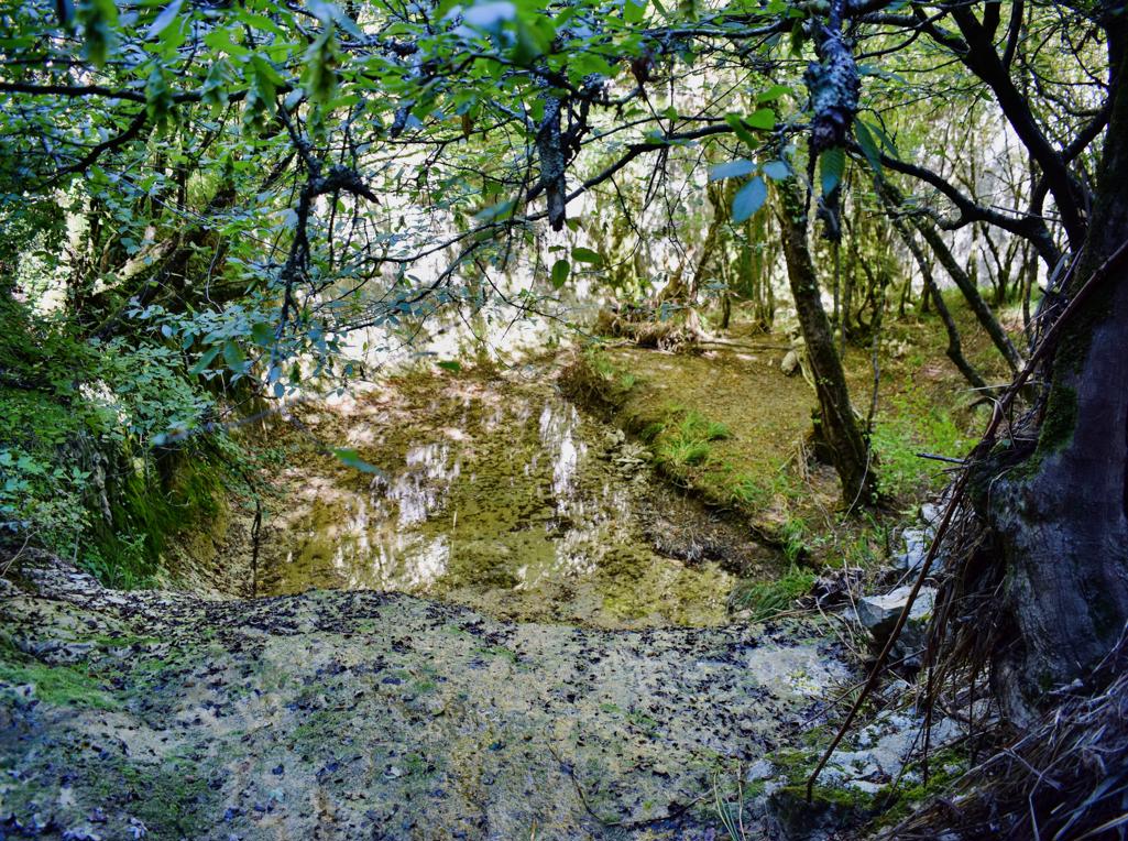
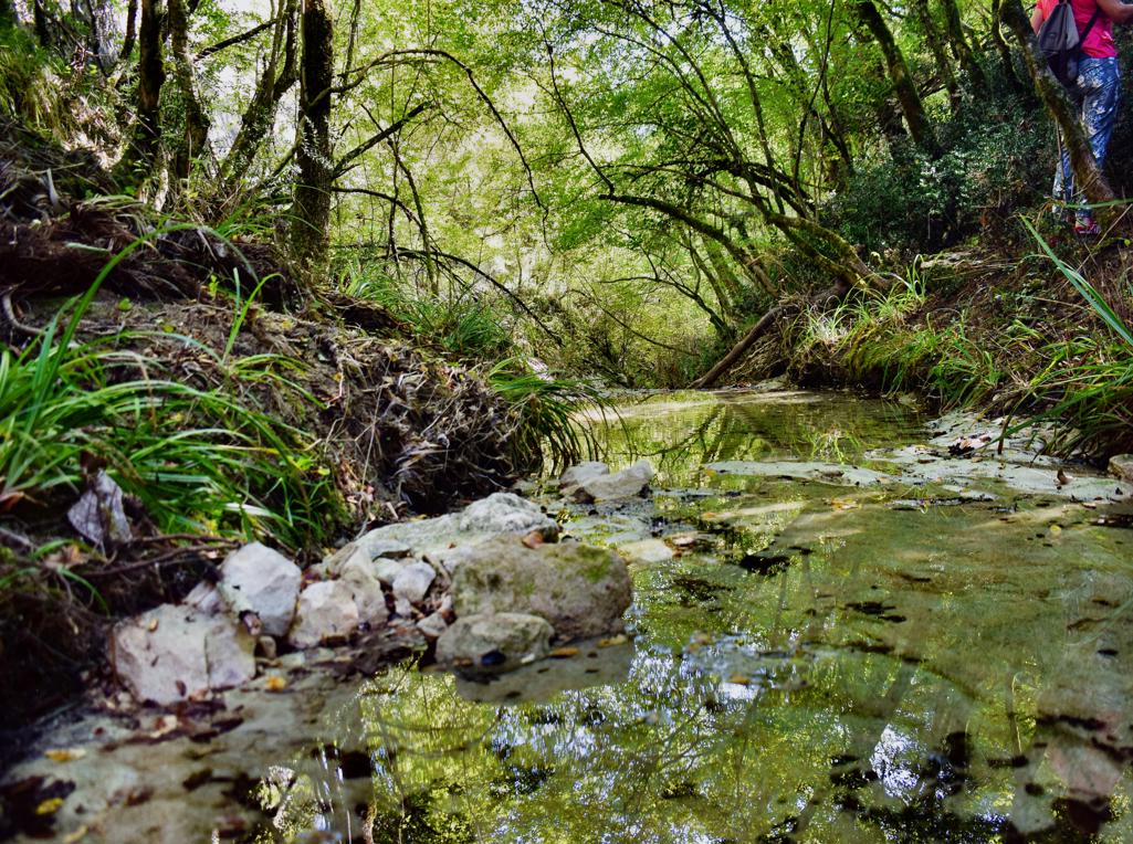
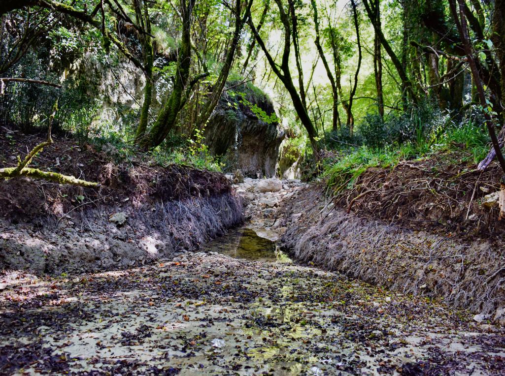
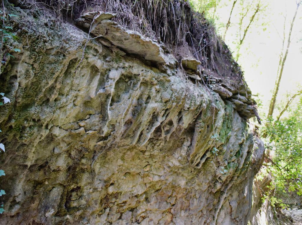
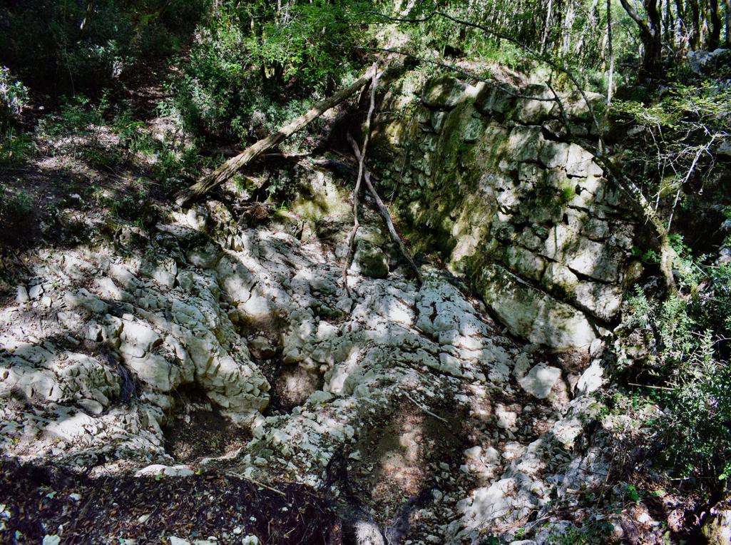
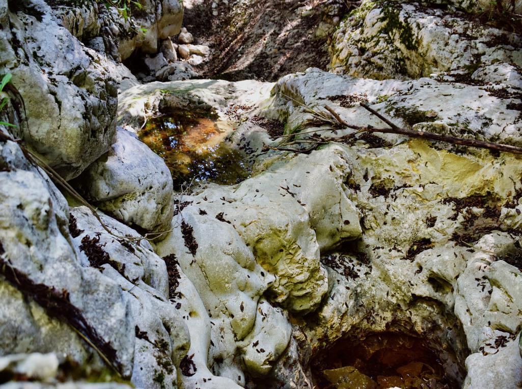
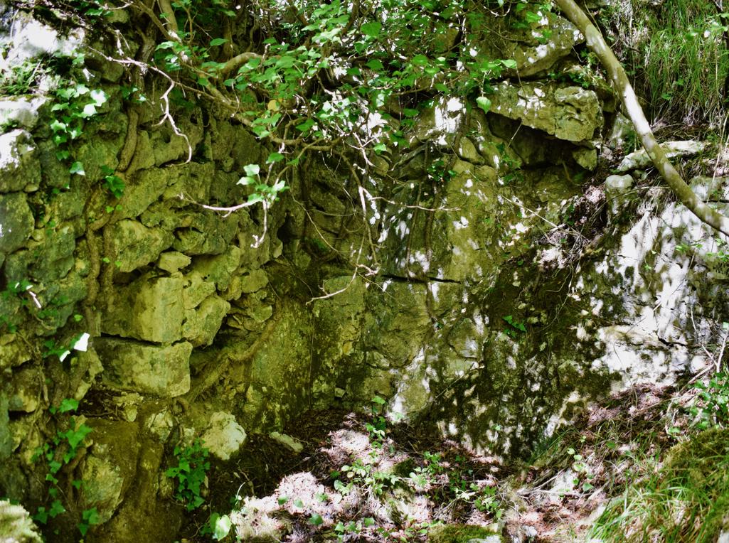
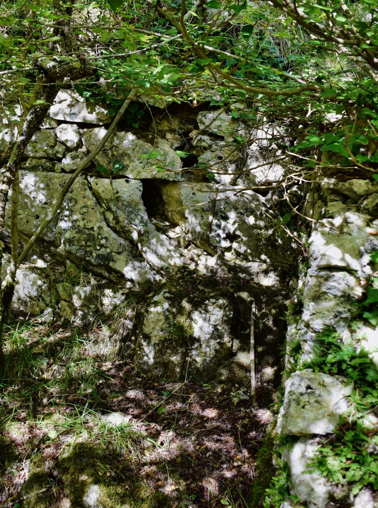
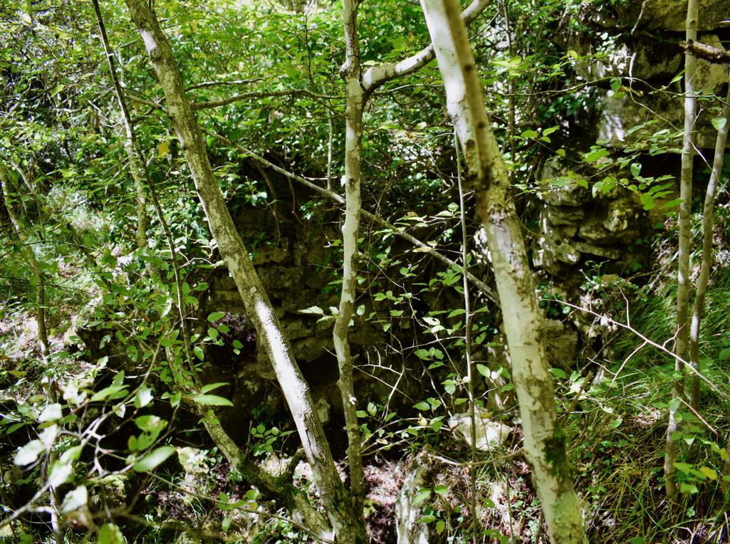
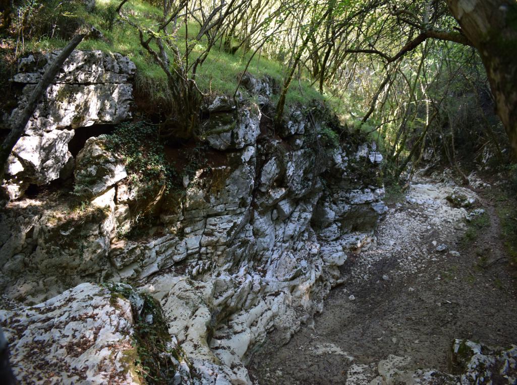
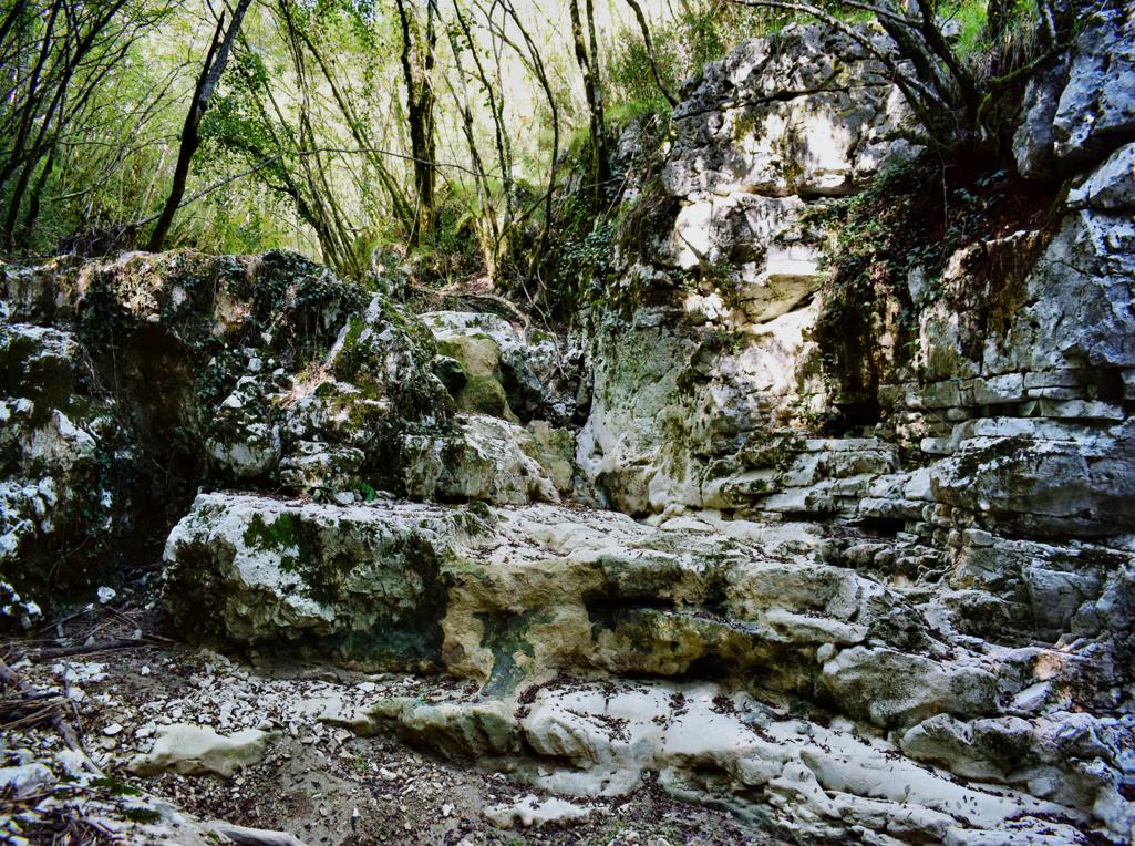
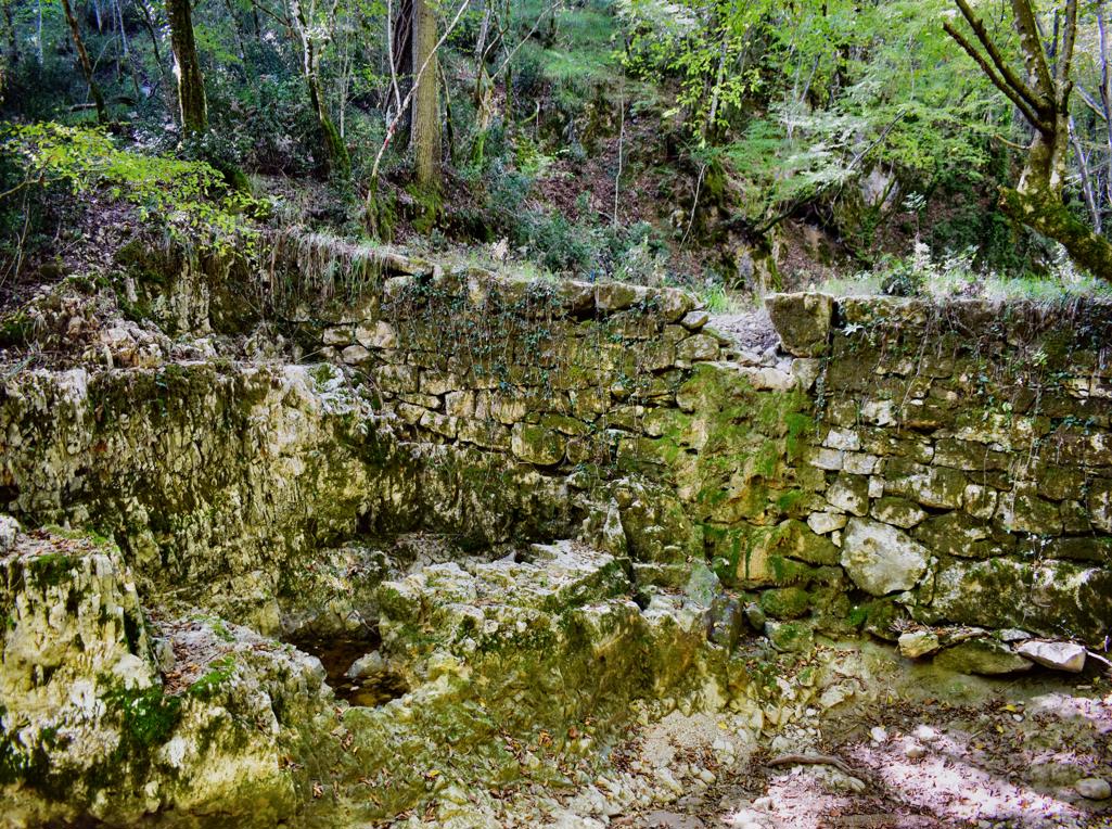
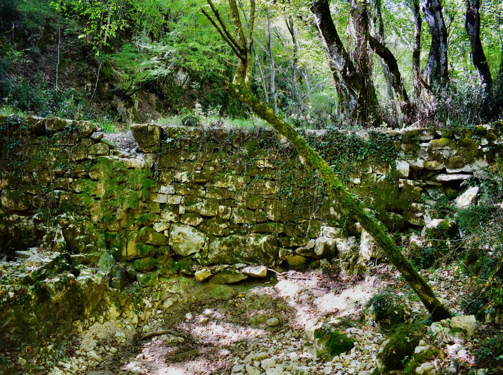
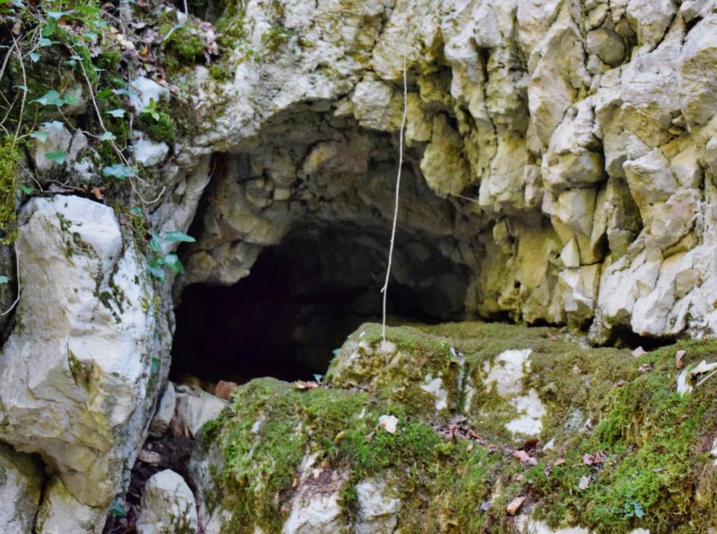
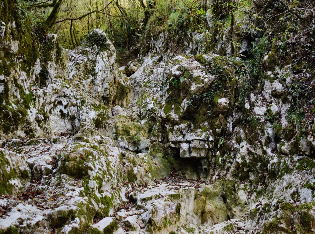
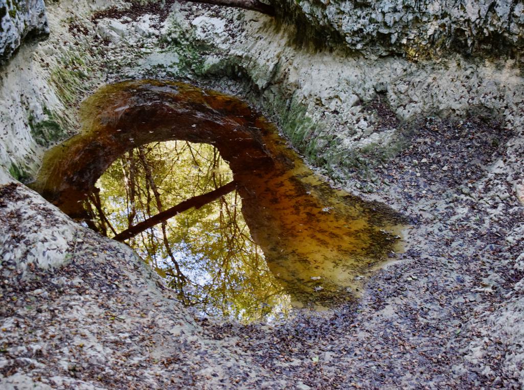
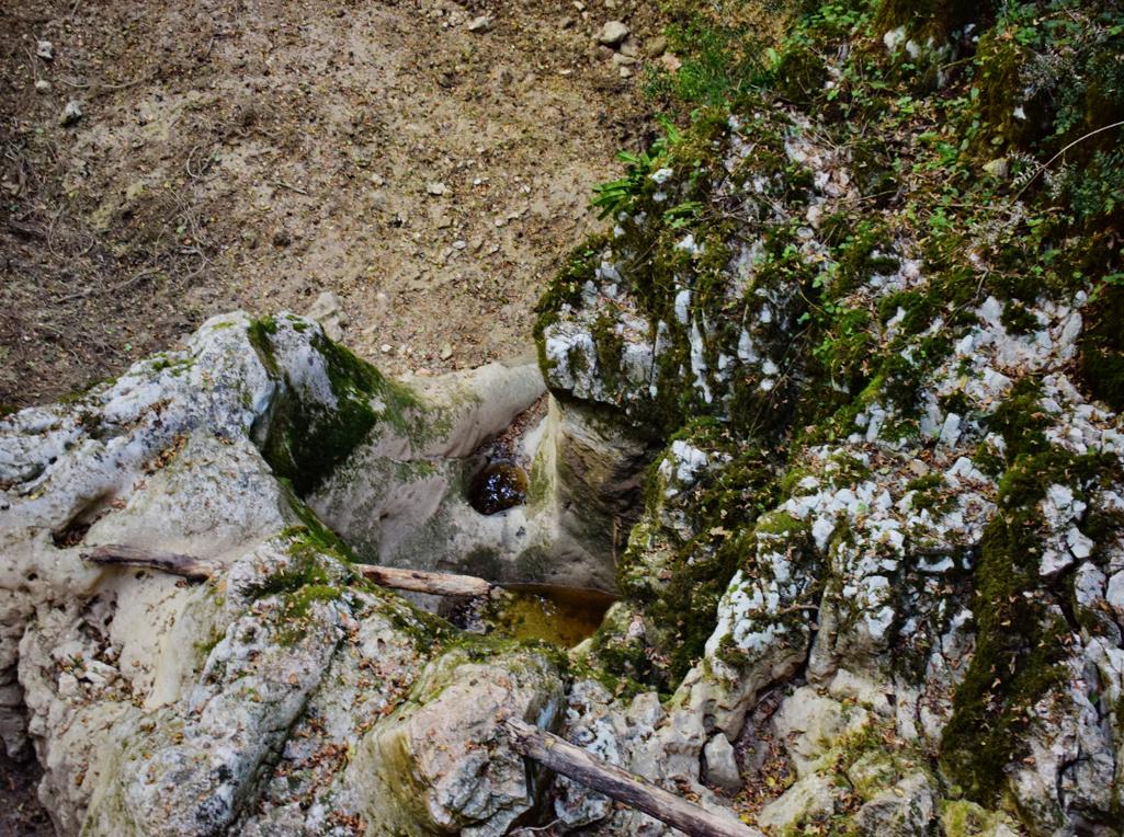
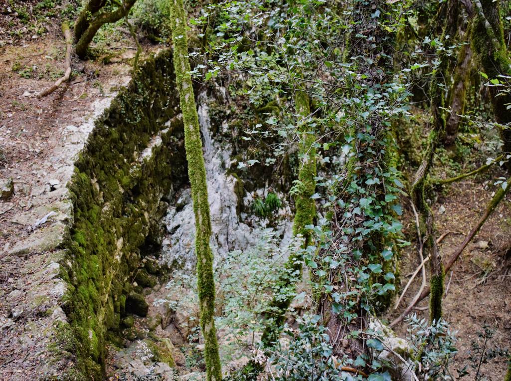
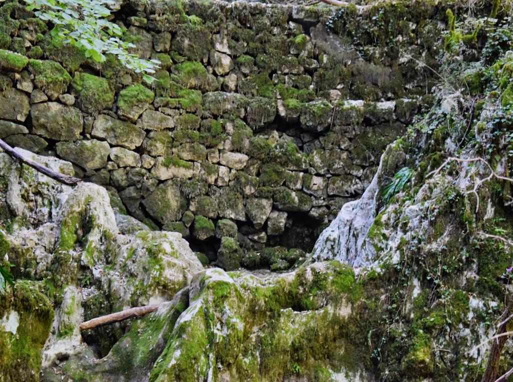
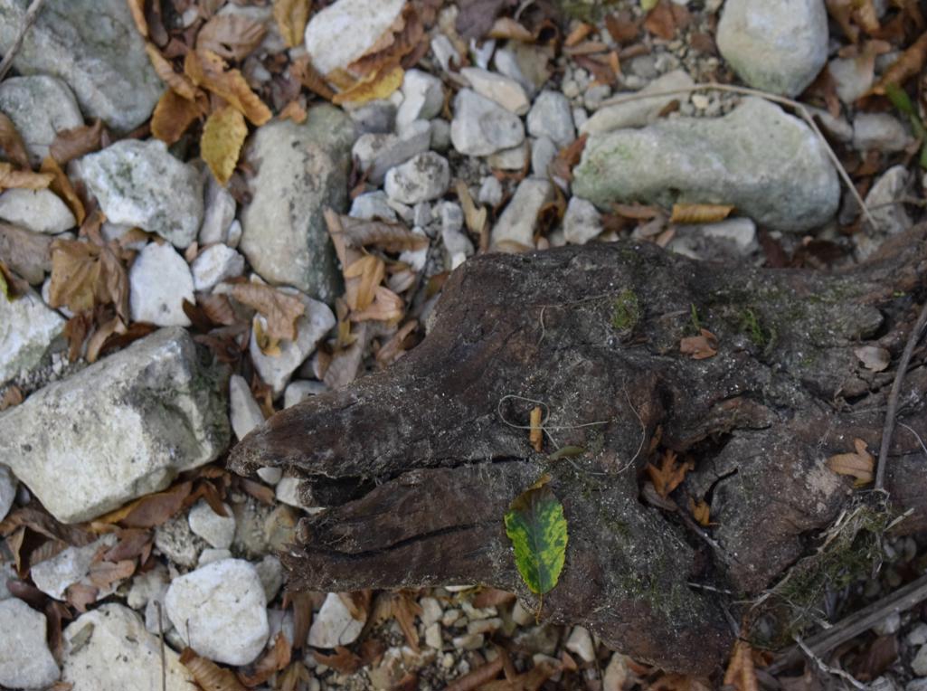
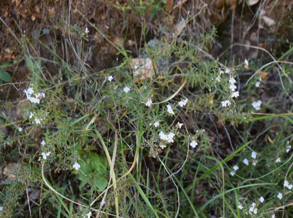
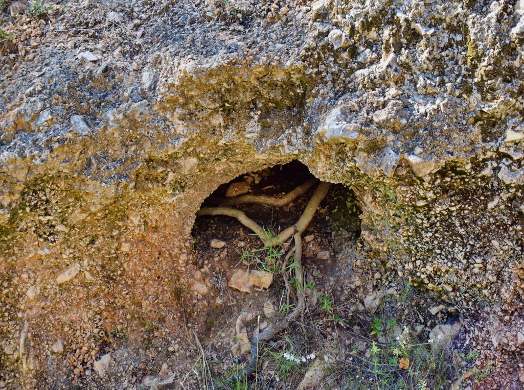
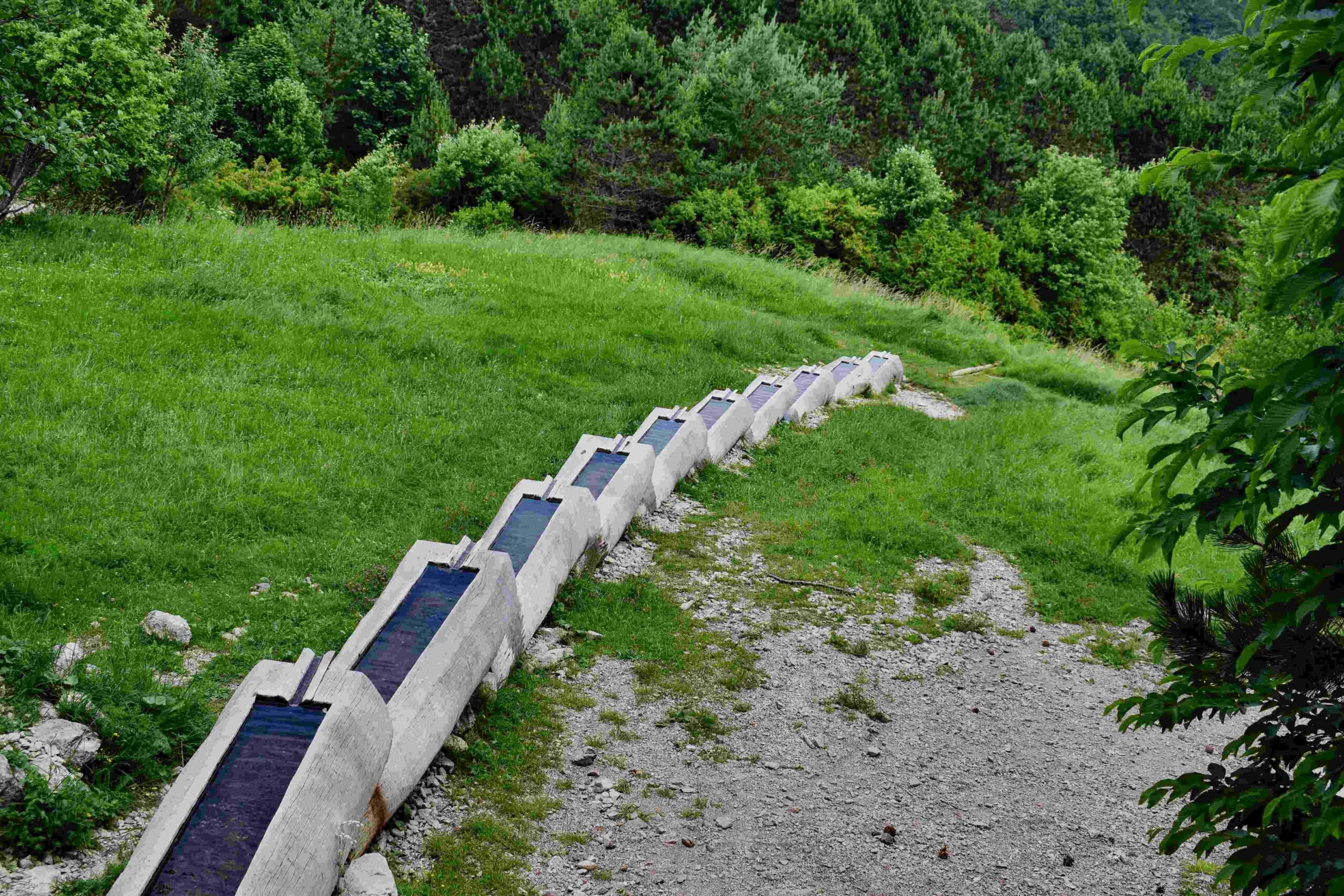
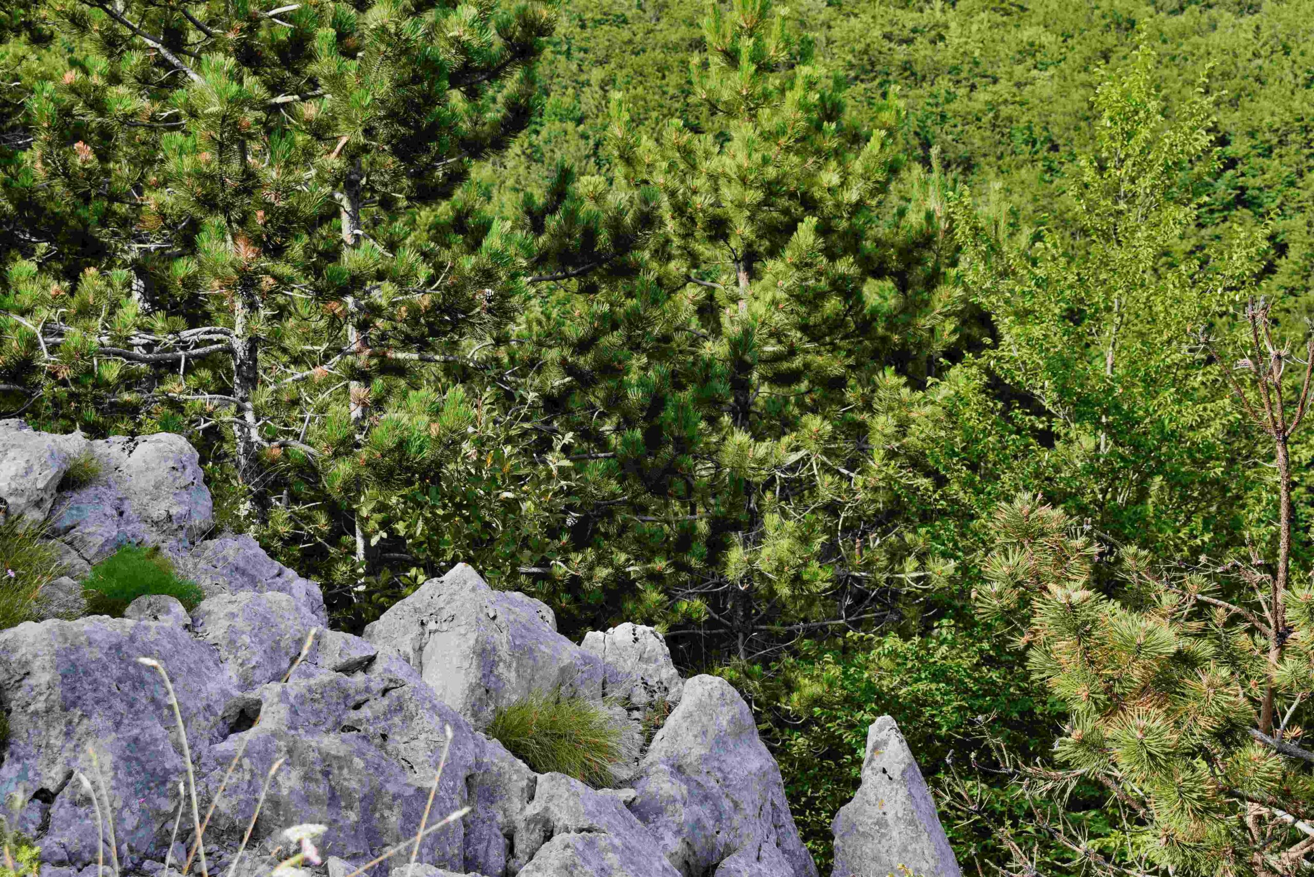
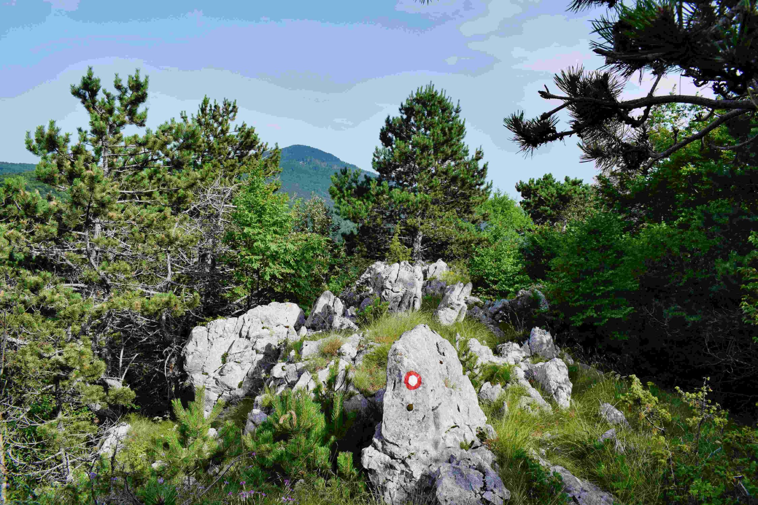
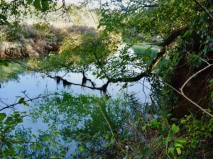
Name: Hiking trail from Brgudac to the source Korita.
Place: Brgudac – (Lanišće).
Coordinates: start 45.38034 N – 14.14475 E, source 45.37892 N – 14.15963 E.
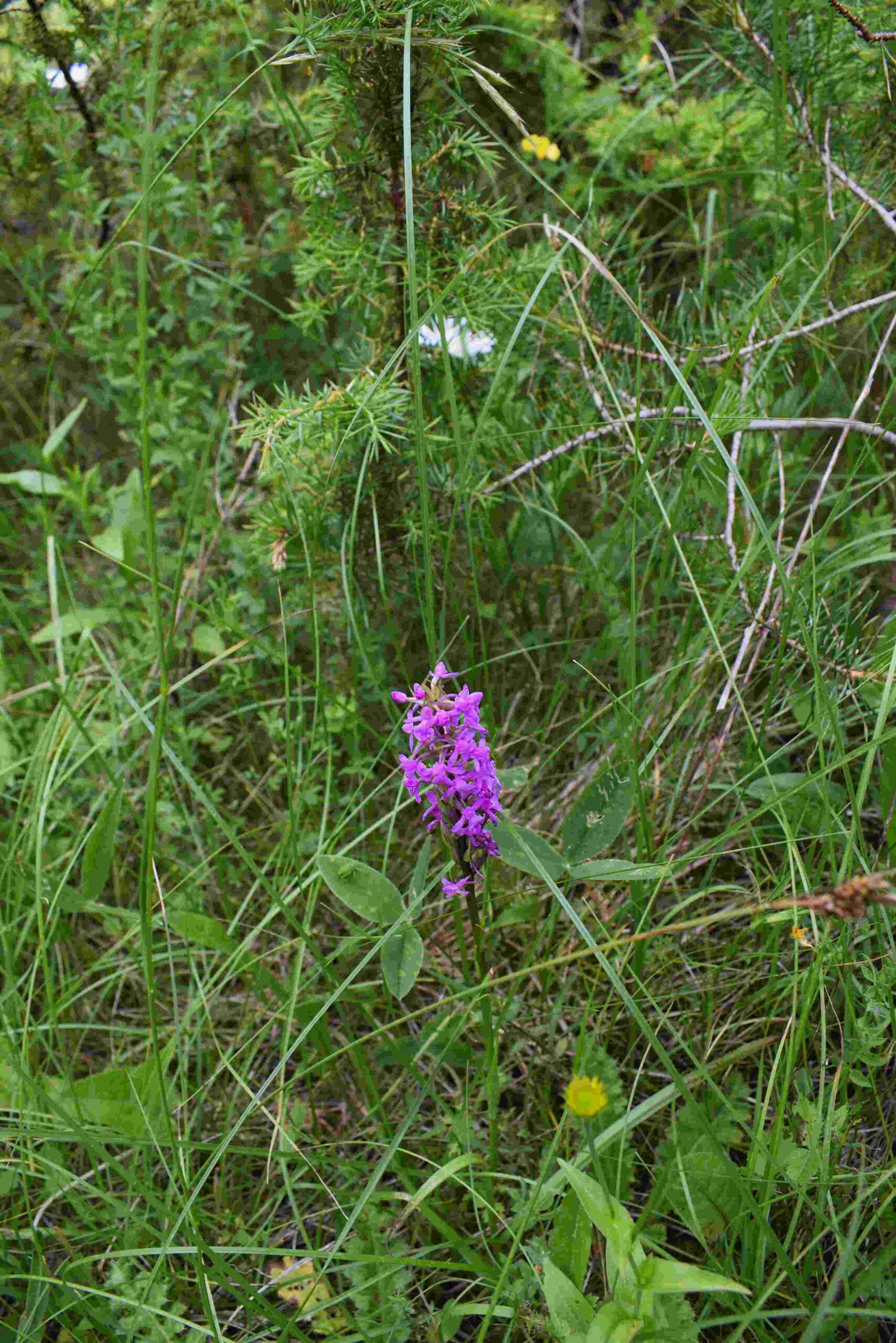
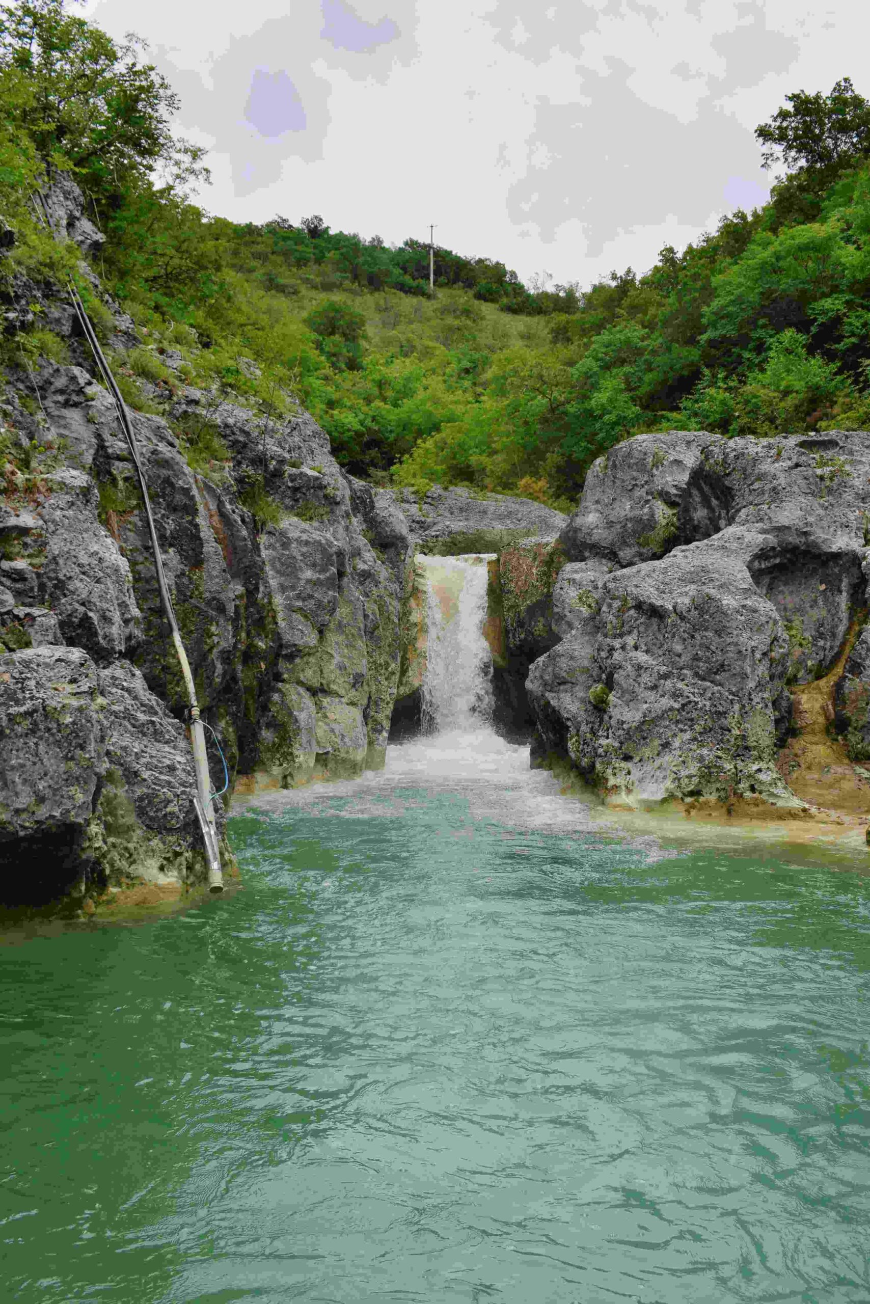
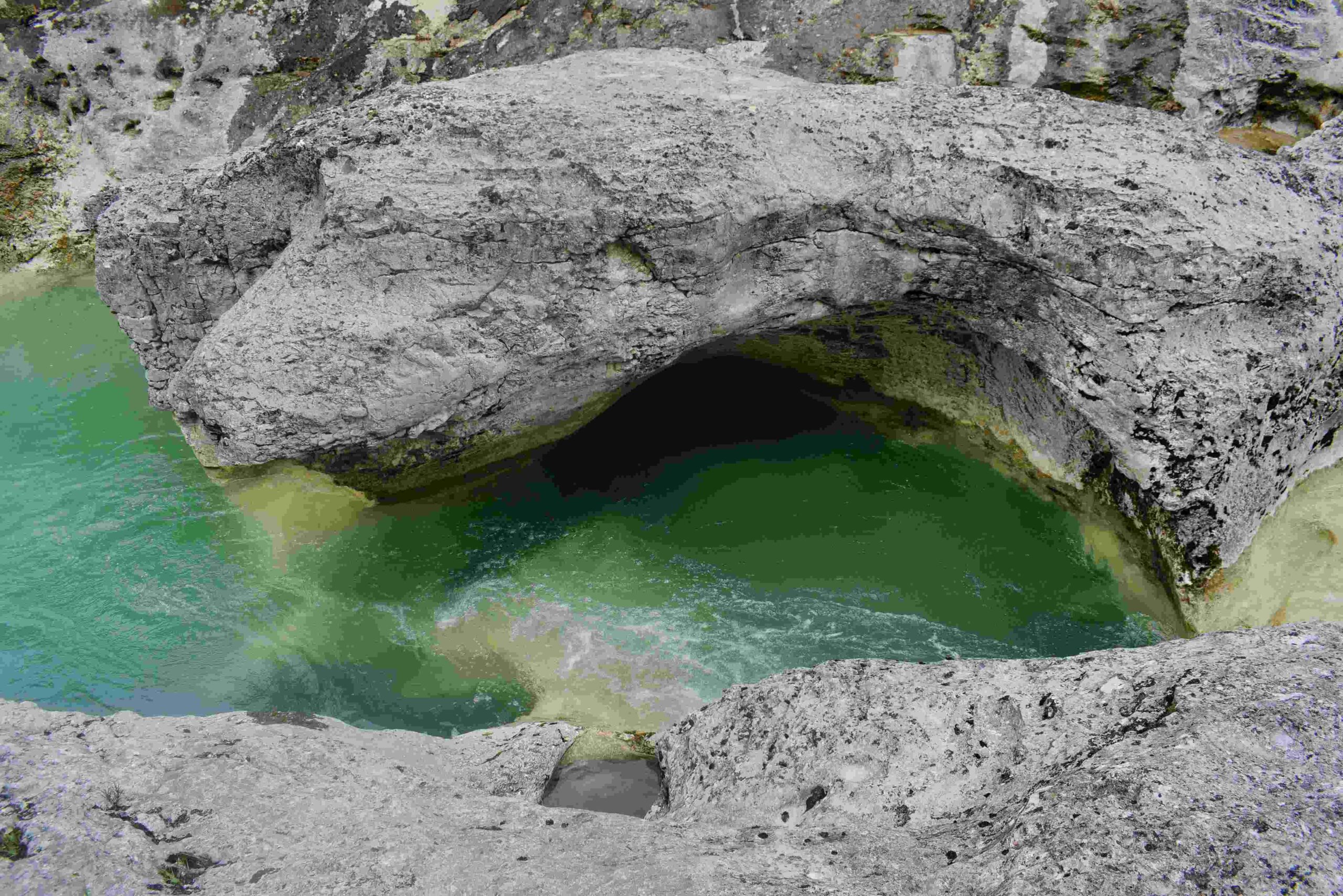
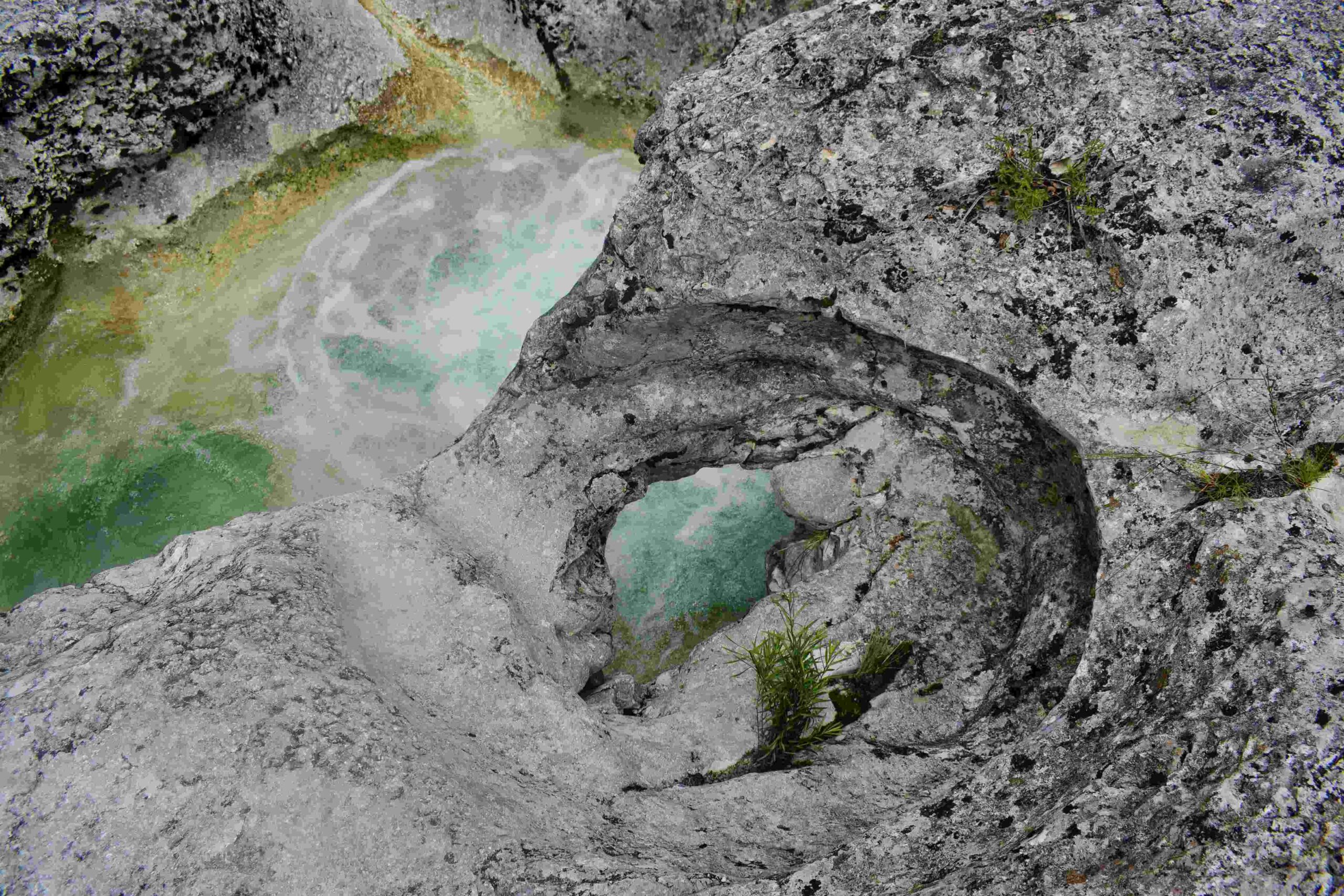
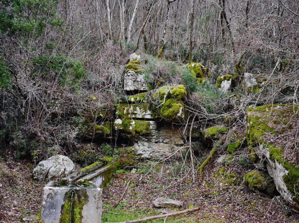
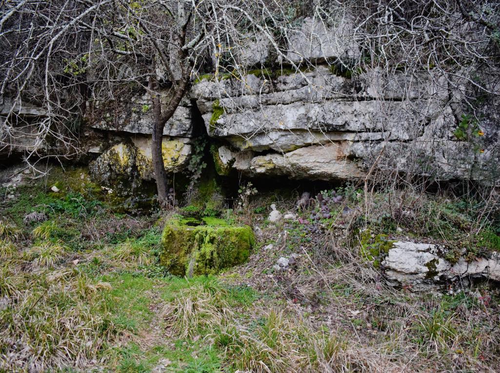
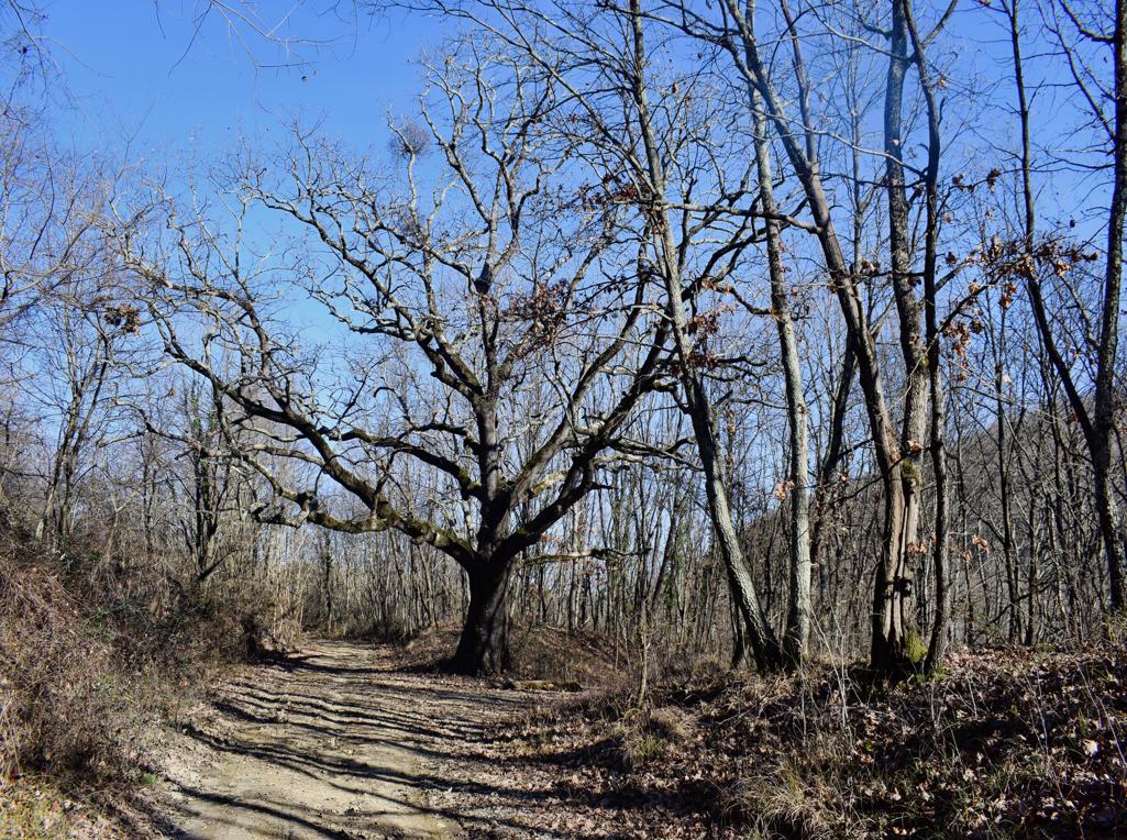
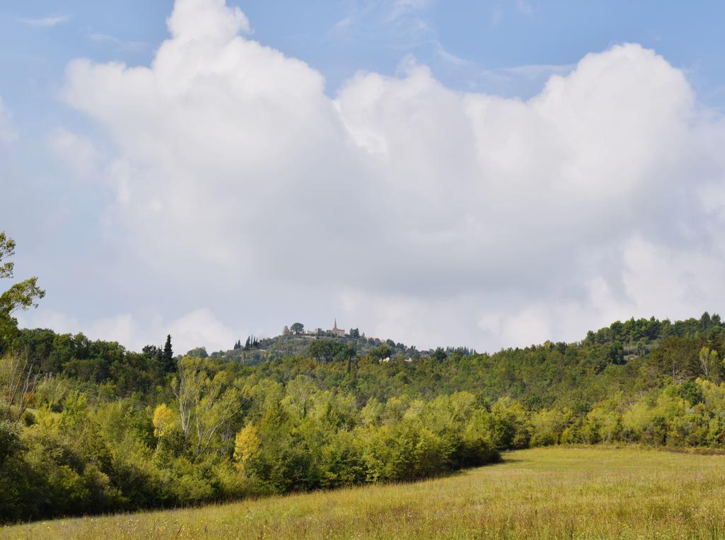
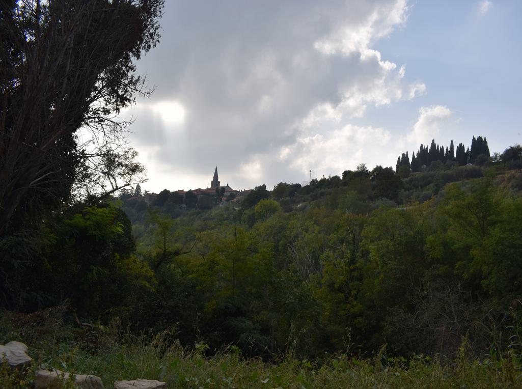
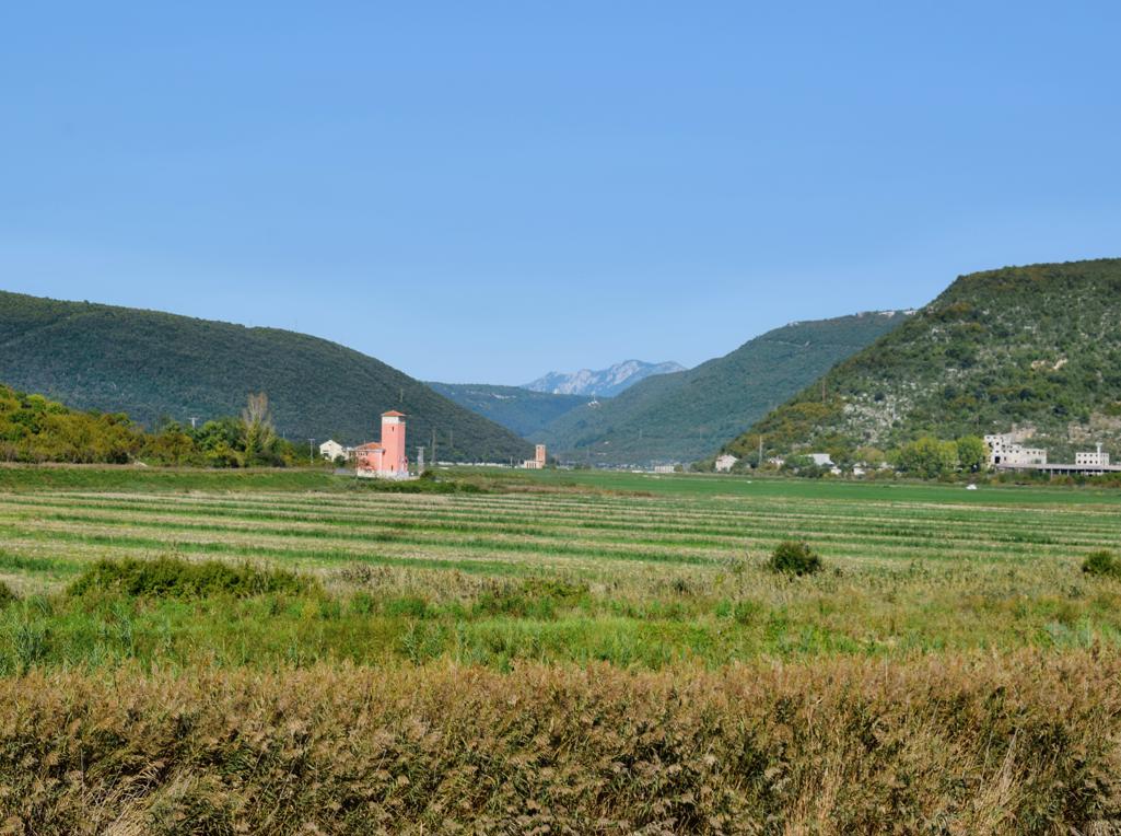
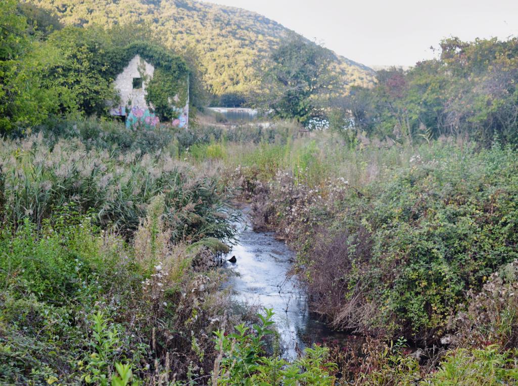
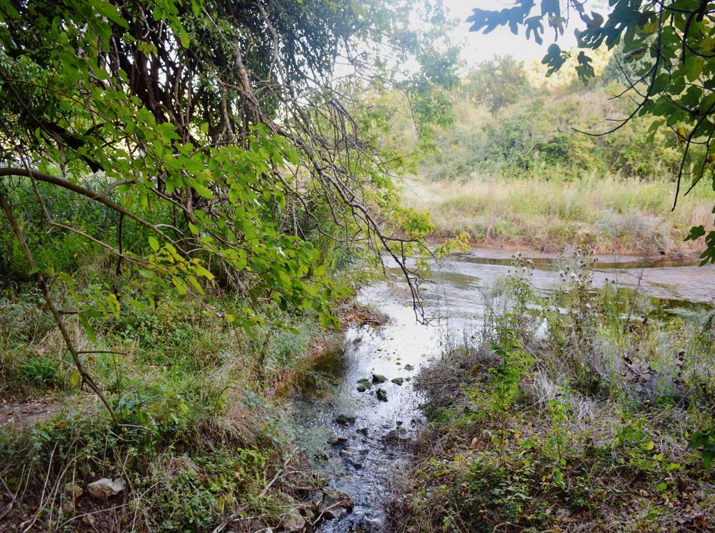
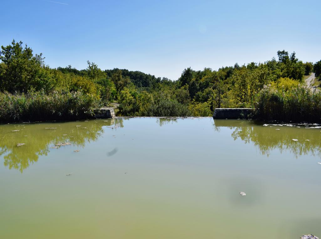
Name: Hiking trail from Grdoselo to Zelinigrad and to the waterfall in the Grdoselski stream to Crni puč.
Place: Grdoselo – (Pazin).
Coordinates: Start/end 45.2814 N – 13.94288 E, Zelenigrad 45.29171 N – 13.94303 E, Cerni puč 45.29107 N -13.94630 E Grdoselski waterfall 45.28829 N – 13.94706 E.
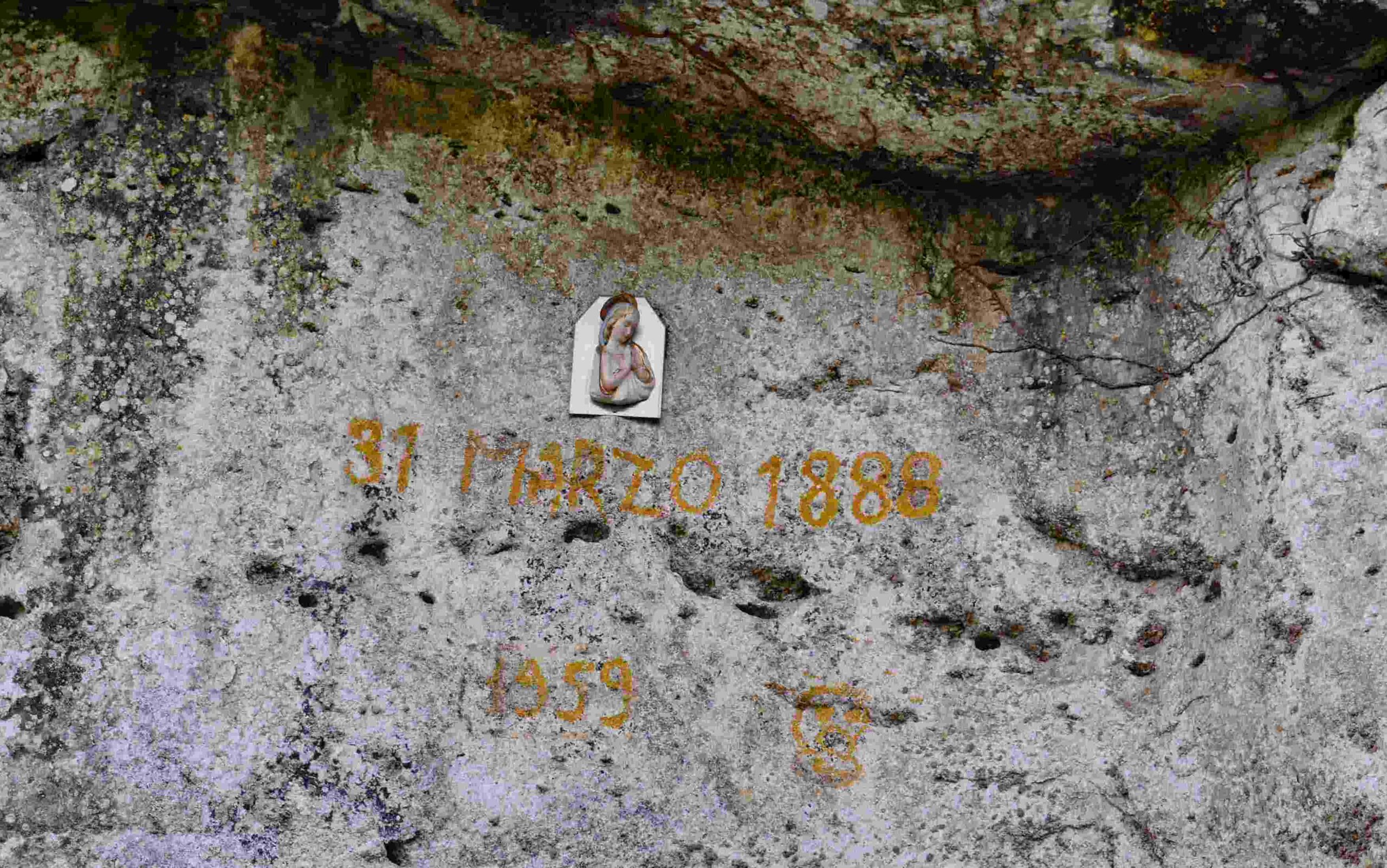
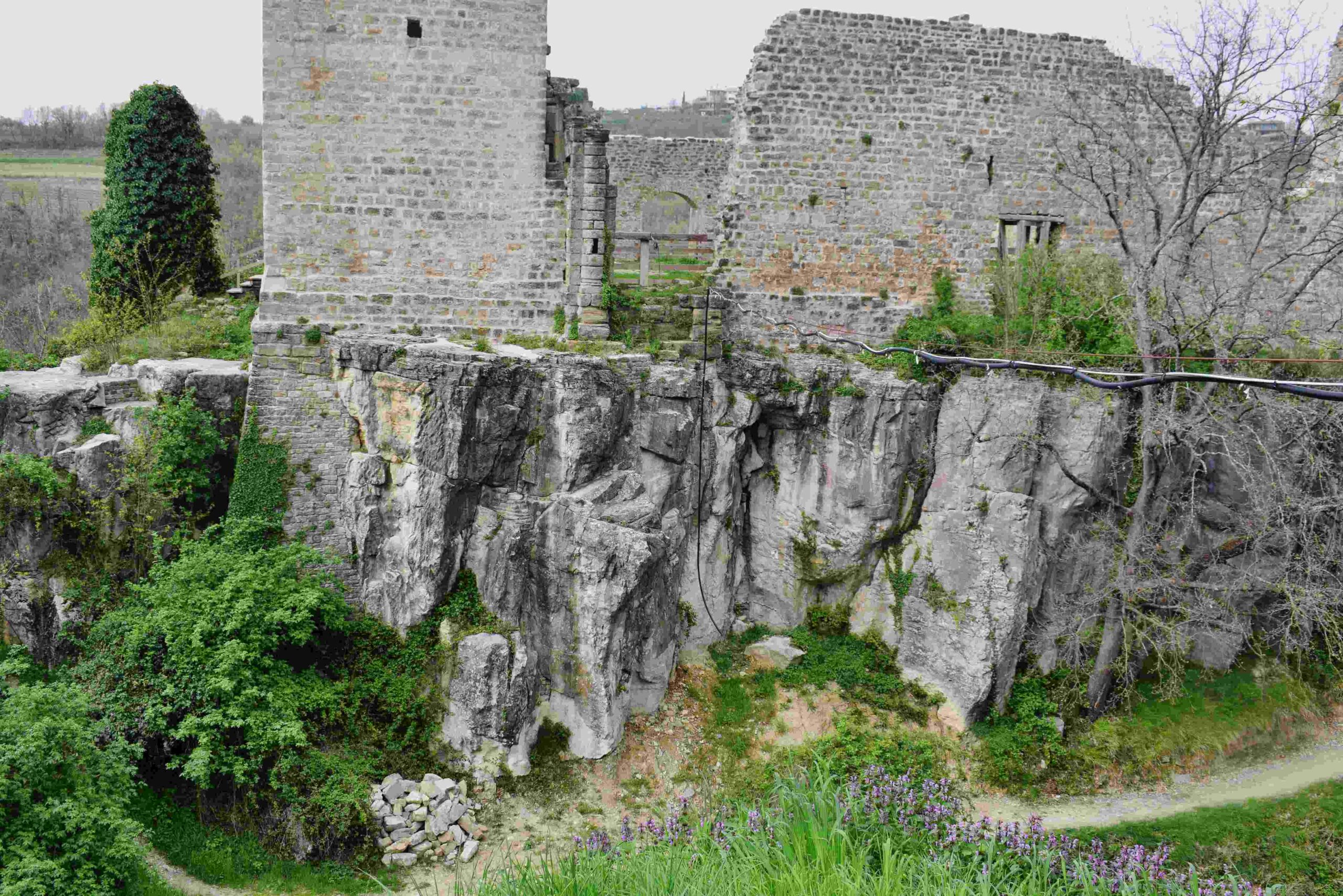
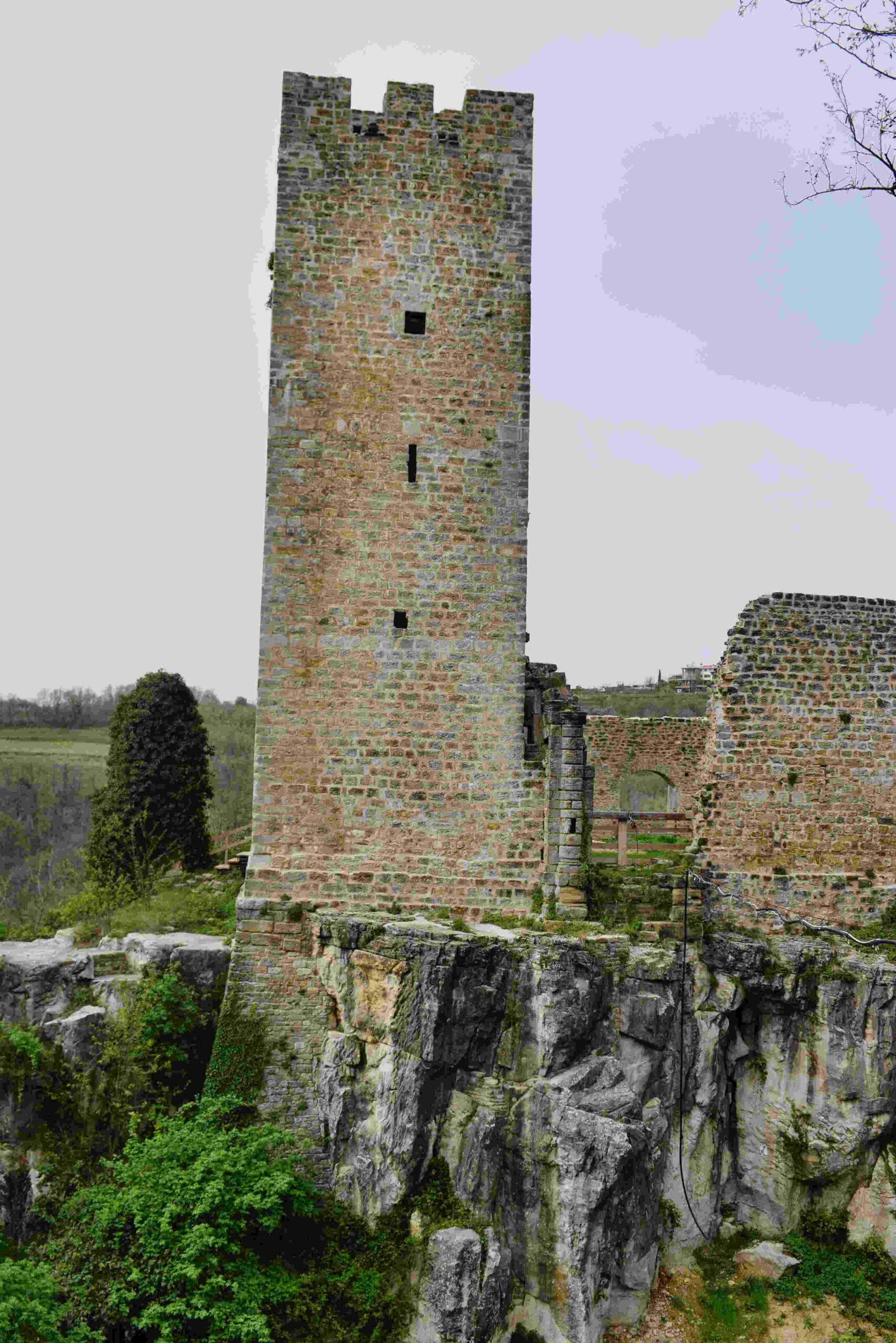
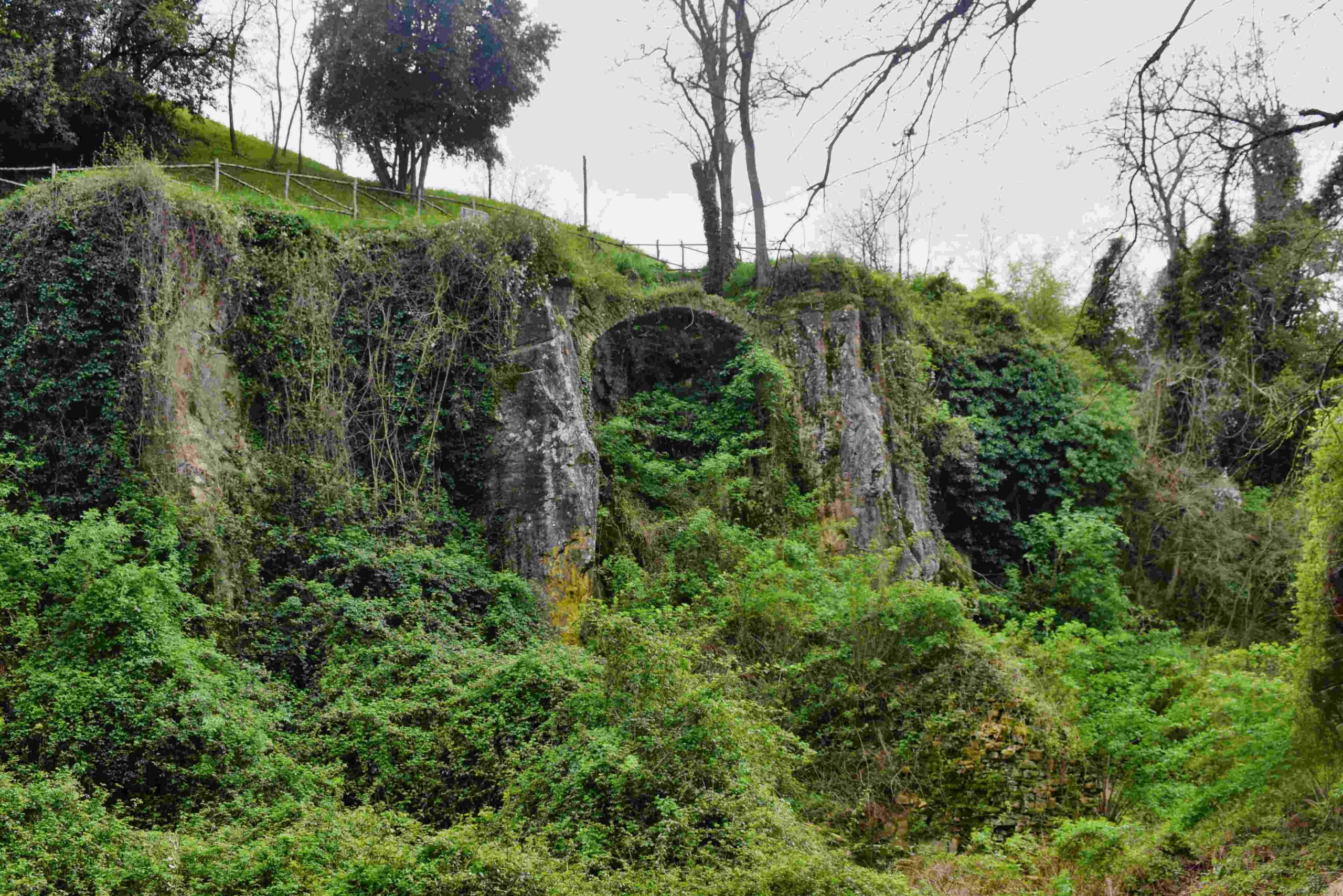
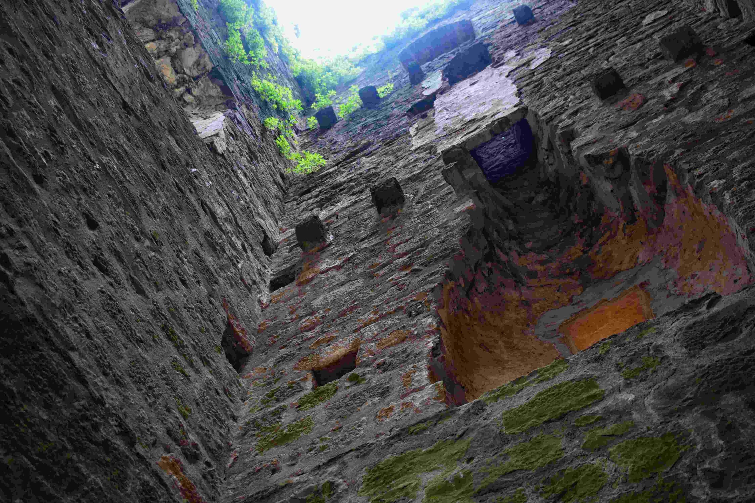
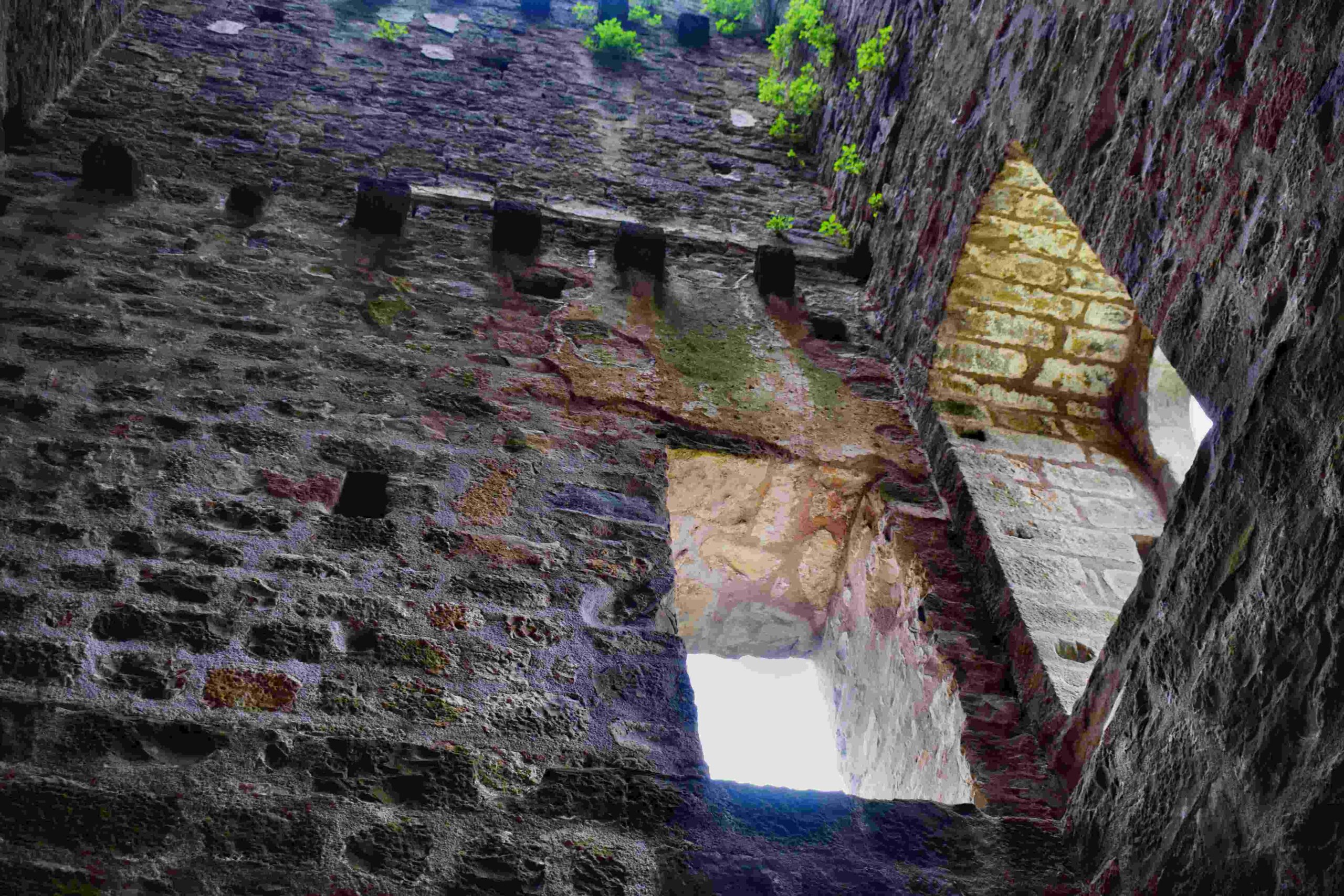
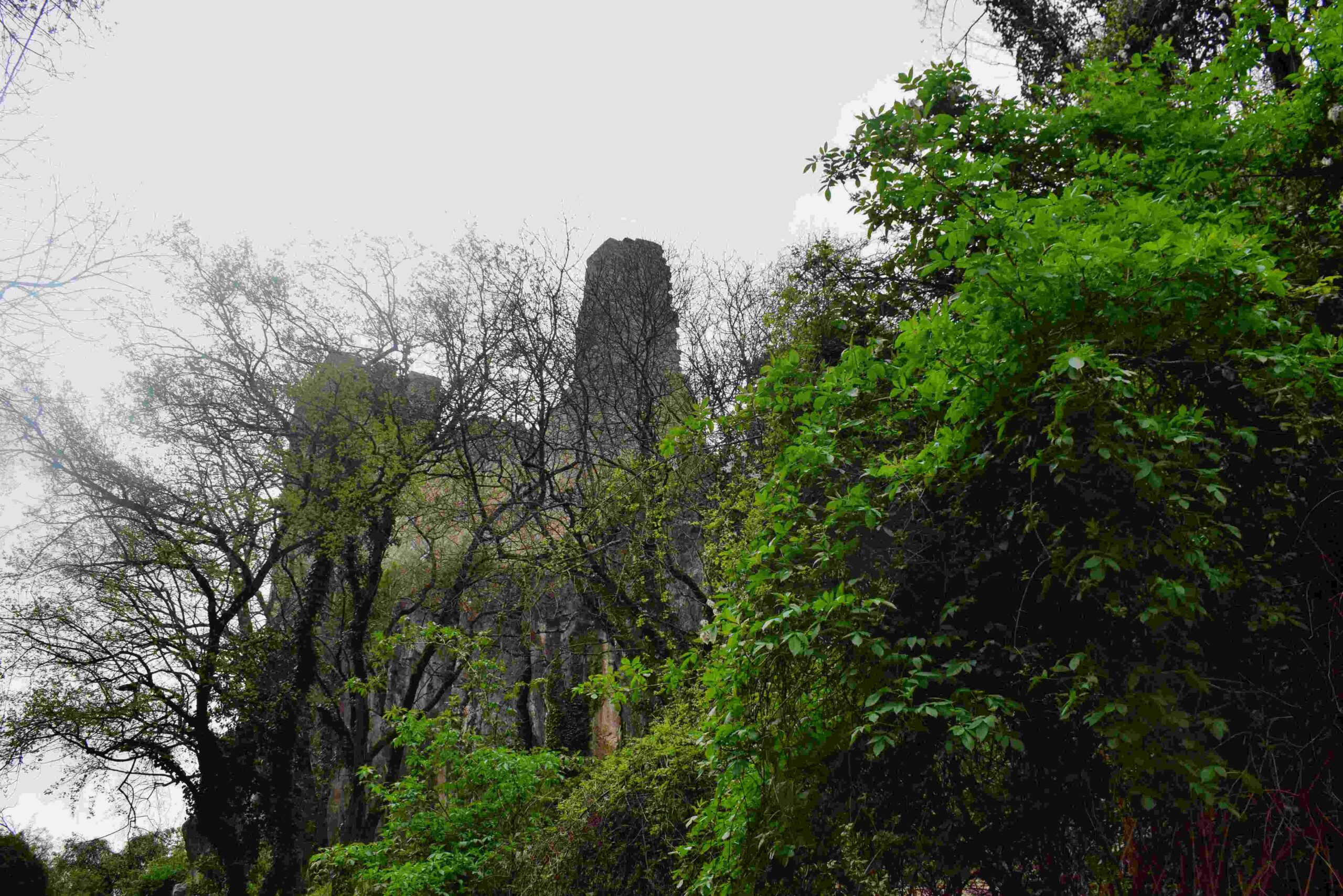
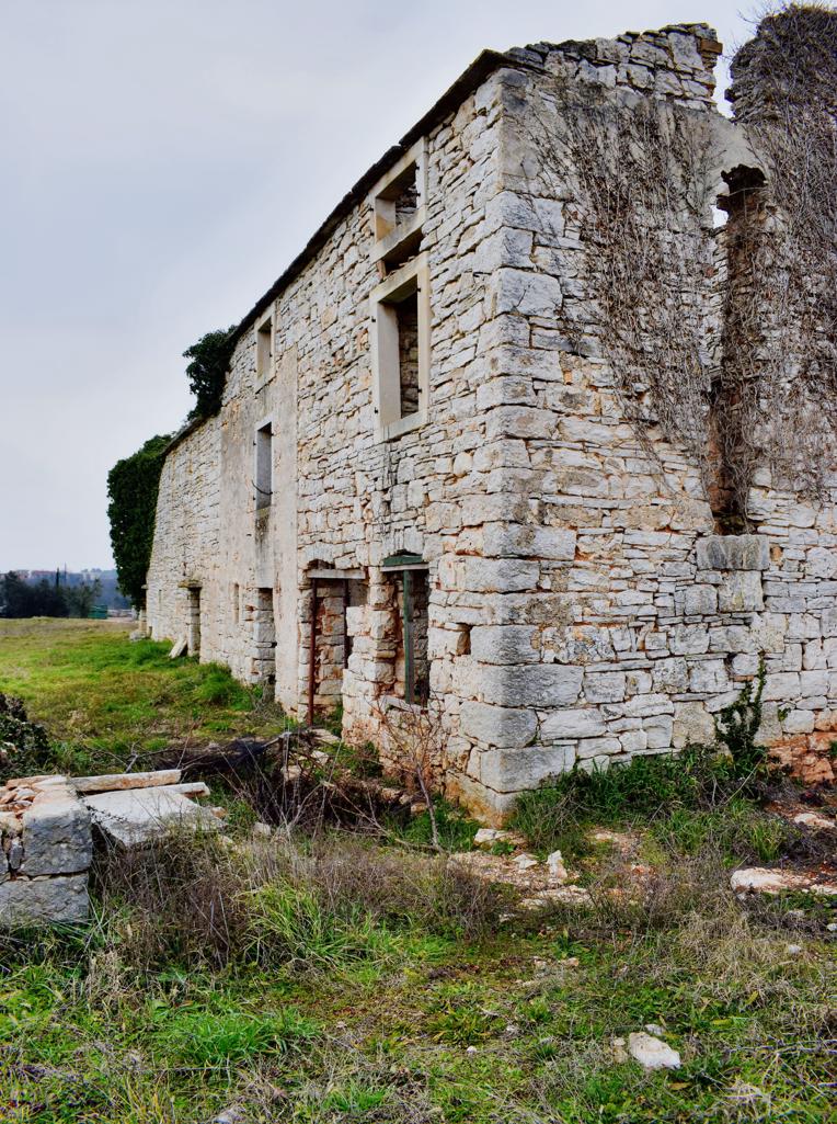
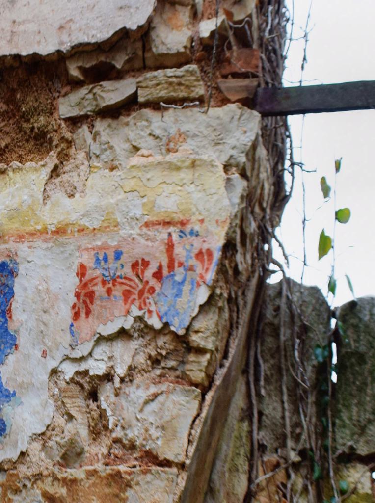
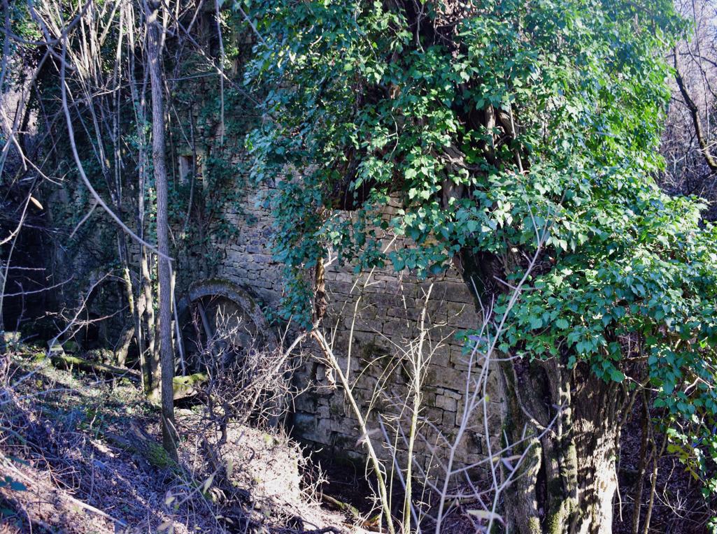
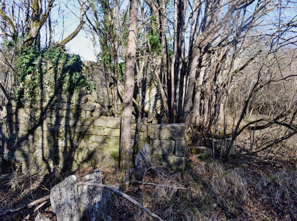
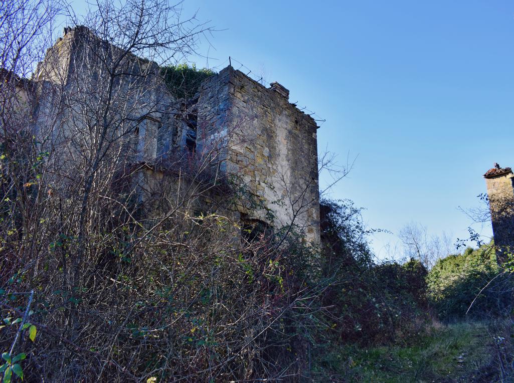
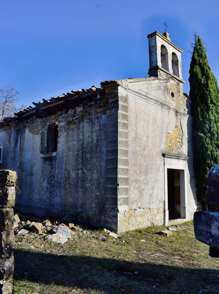
Momjan castle built by Wosalecus de Mimilianico.
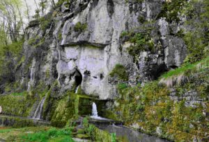
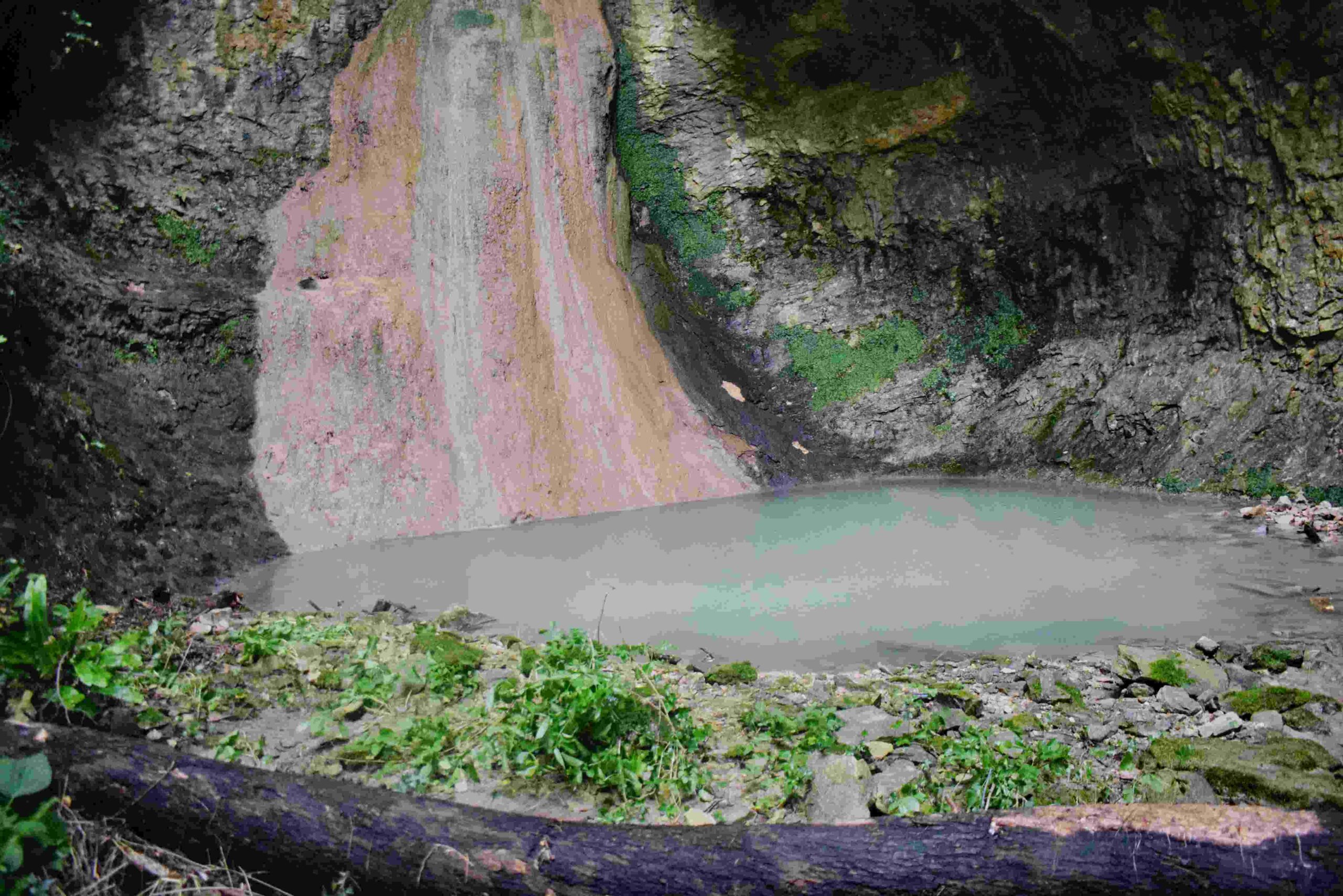
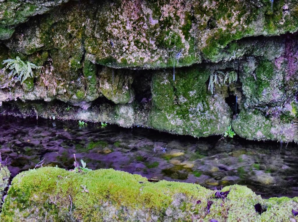
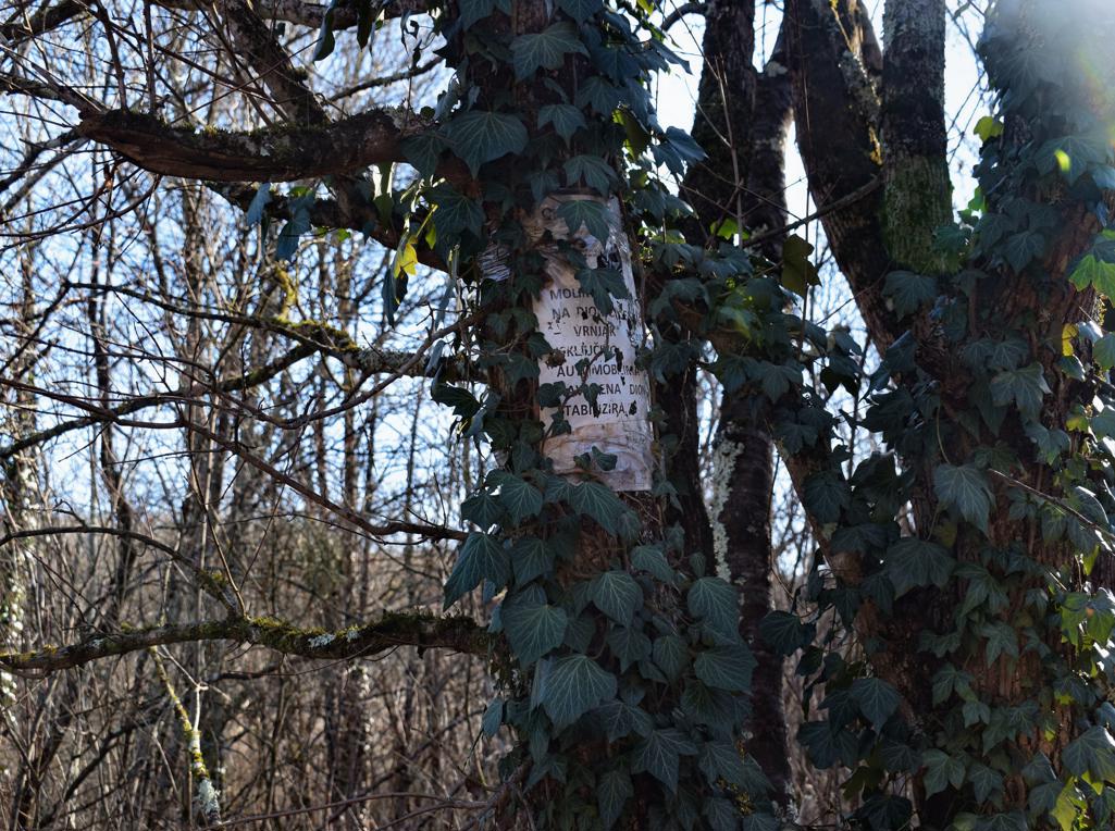
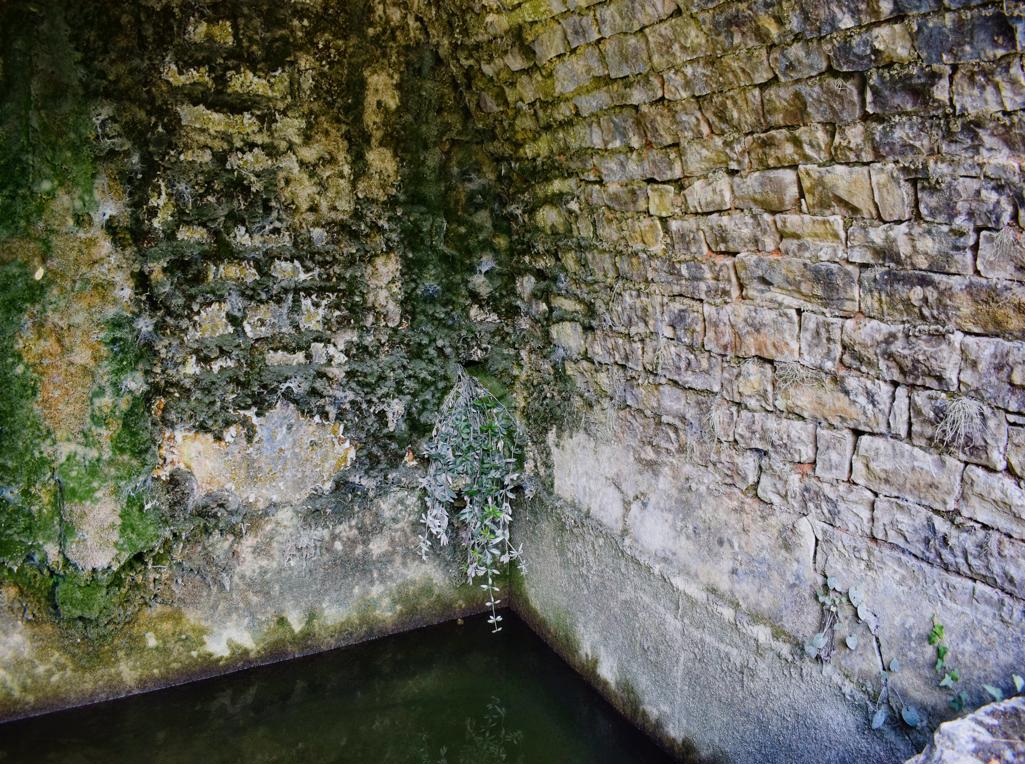
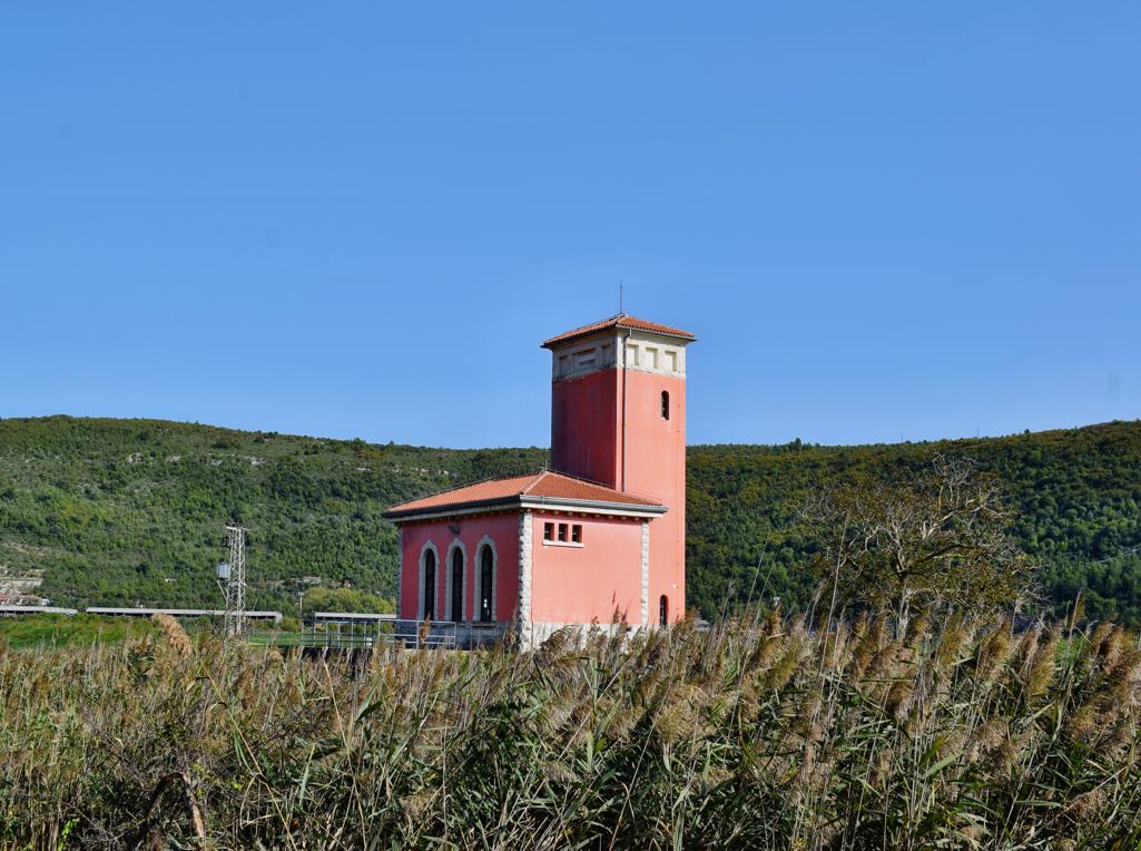
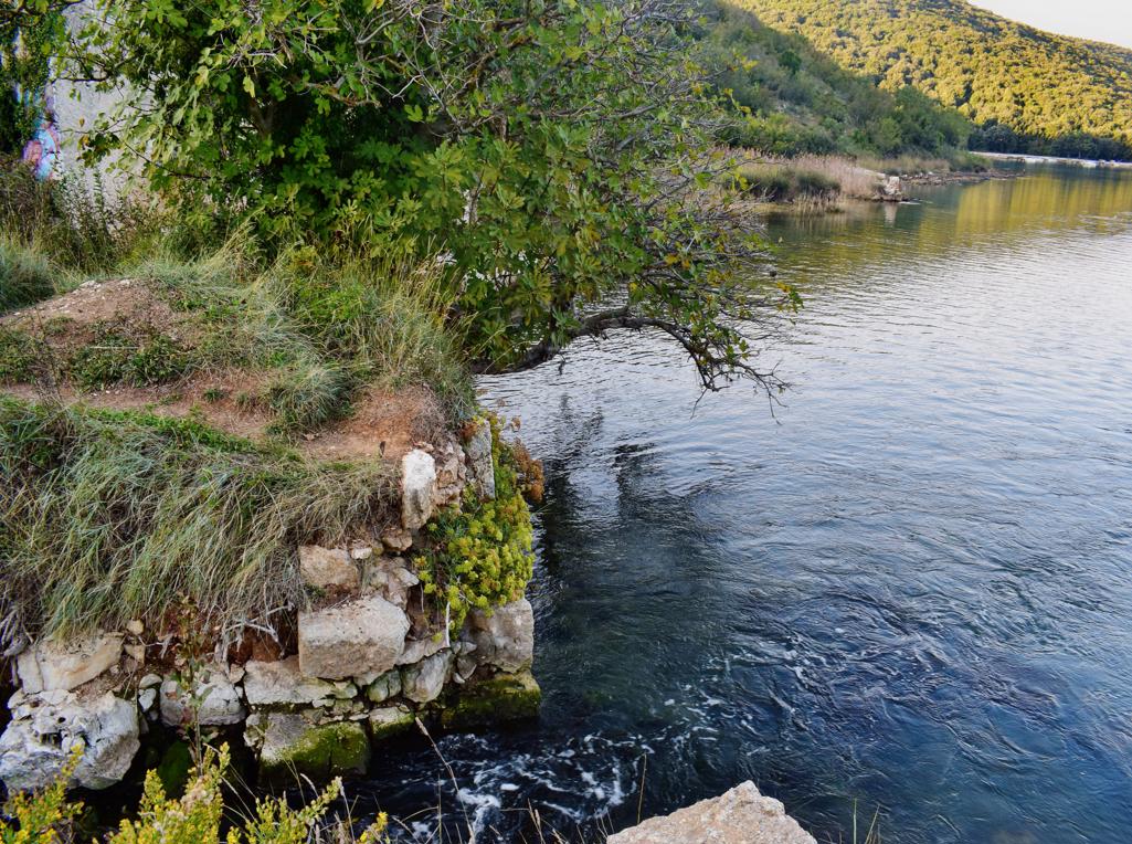
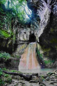
Name: Izvor and castle Momjan.
Place: Momjan – (Buje).
Coordinates: Izvor 45.44131 N – 13.71183 E, Castle 45. 44083 N – 13.70733 E.
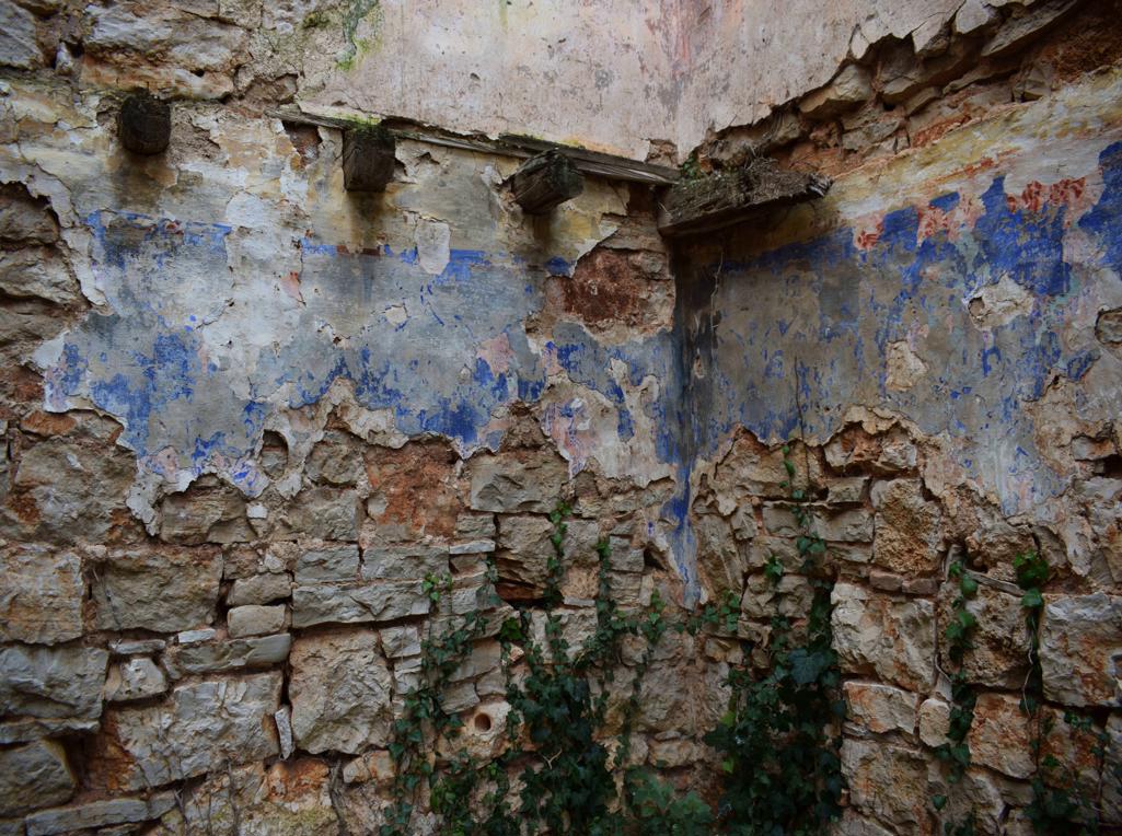
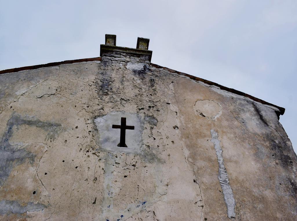
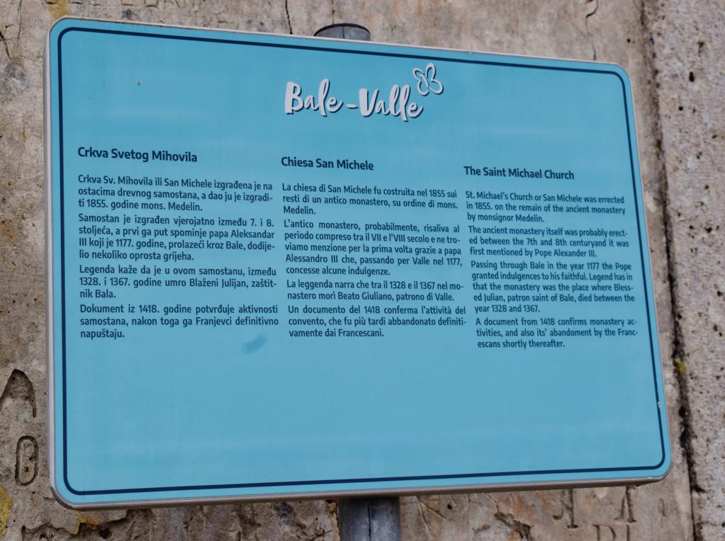
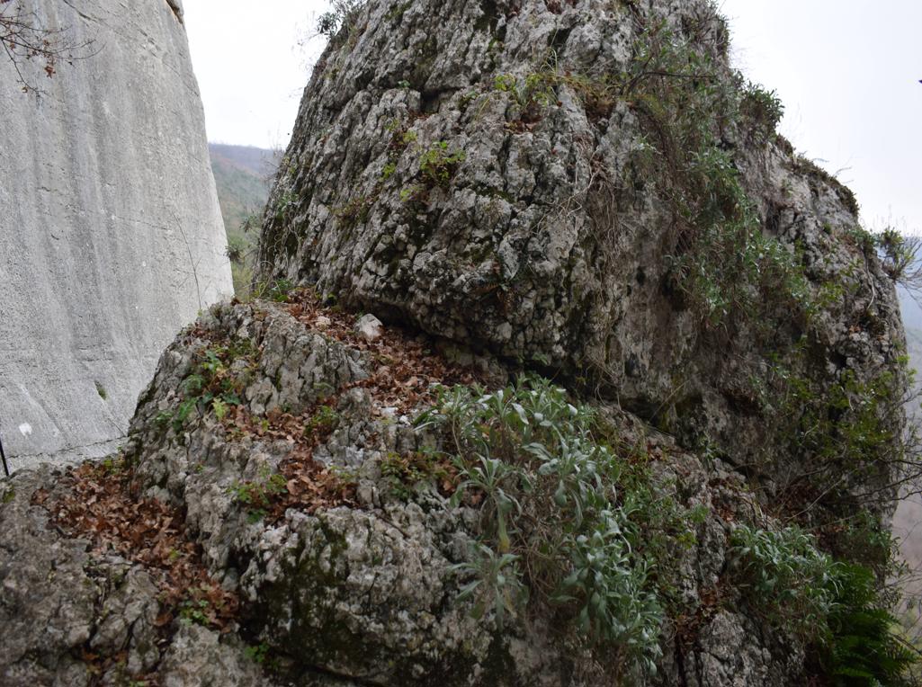
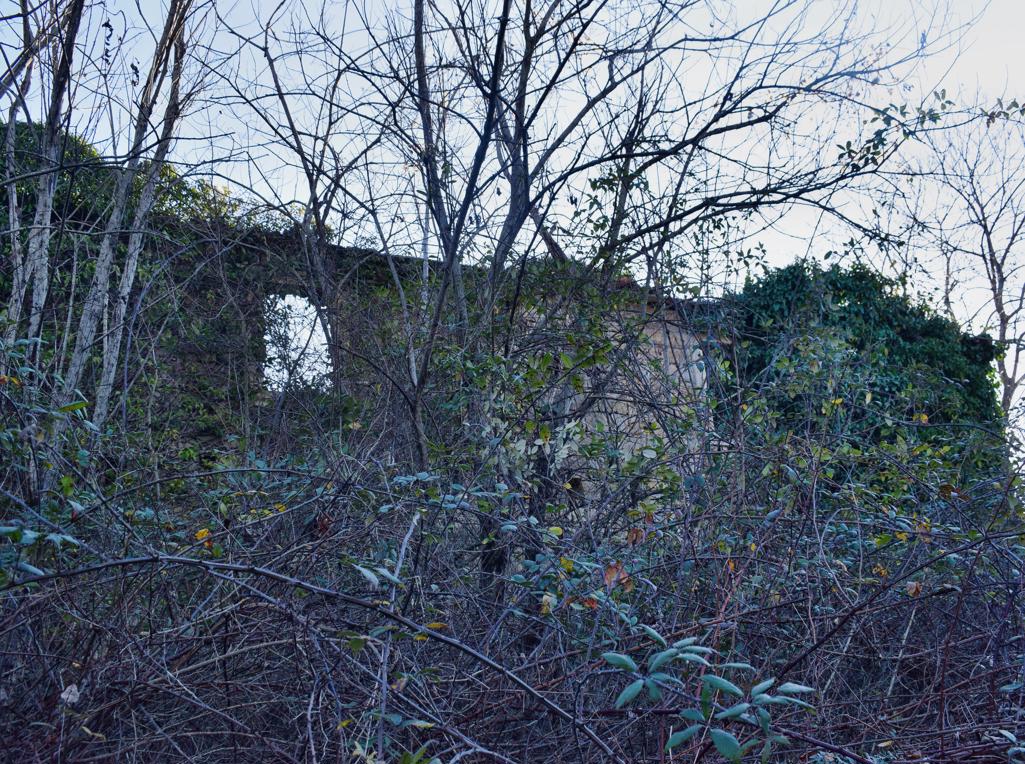
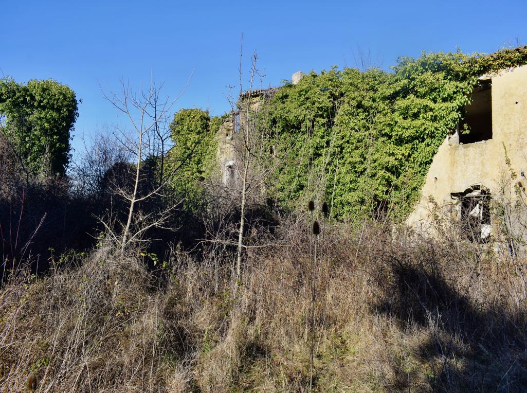
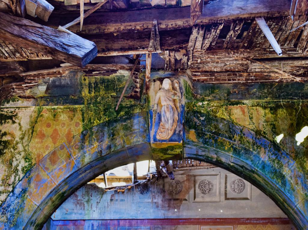
On the hill Sv. Mihovil was built a monastery in the 7th century and in 1855 a church named St. Michael.
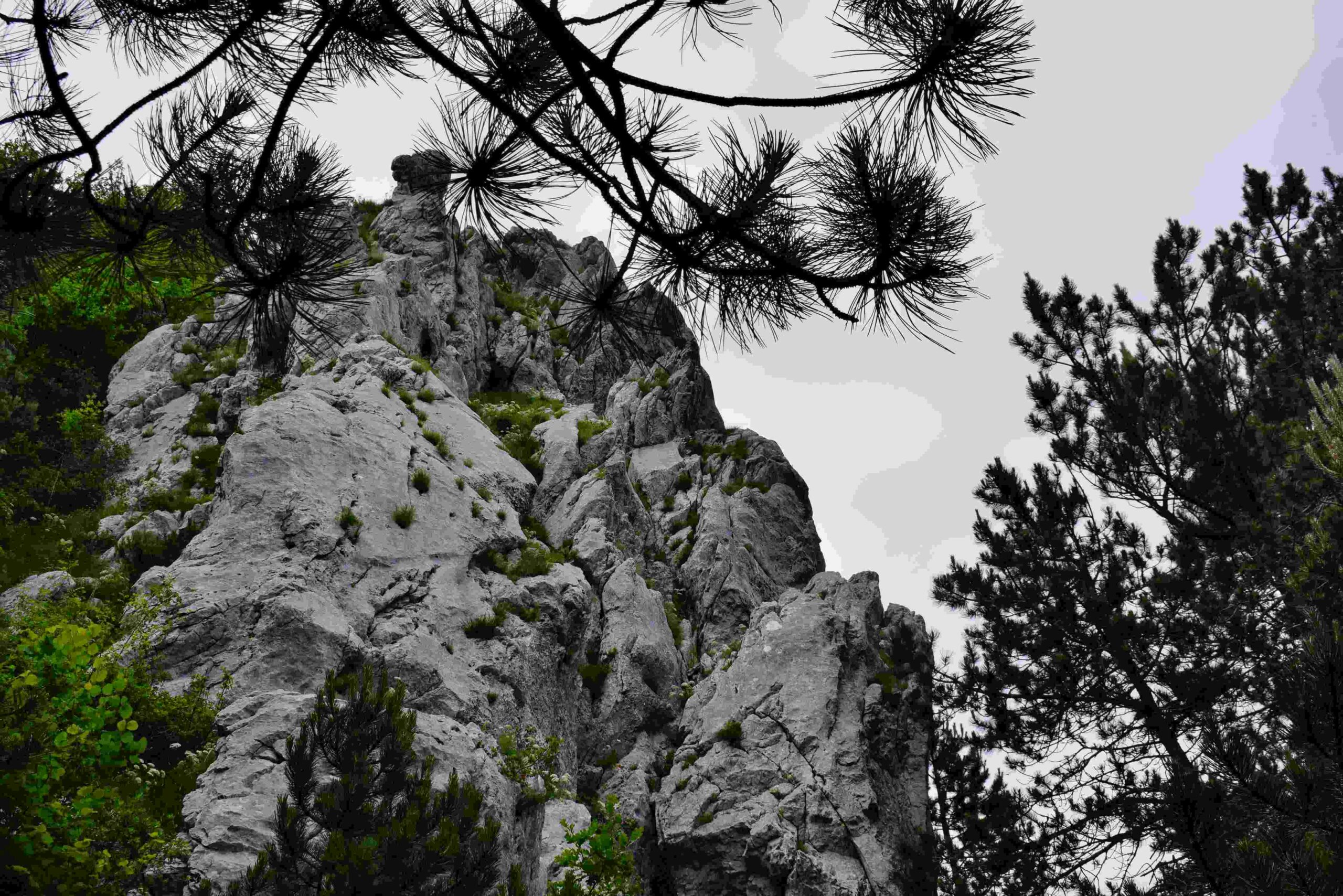
Name: Prehistoric settlement on the hills Sveti Mihovil and Forke .
Place: Bale
Coordinates. Church St. Michael 45.03820 N -13.79952 E, Top Forke

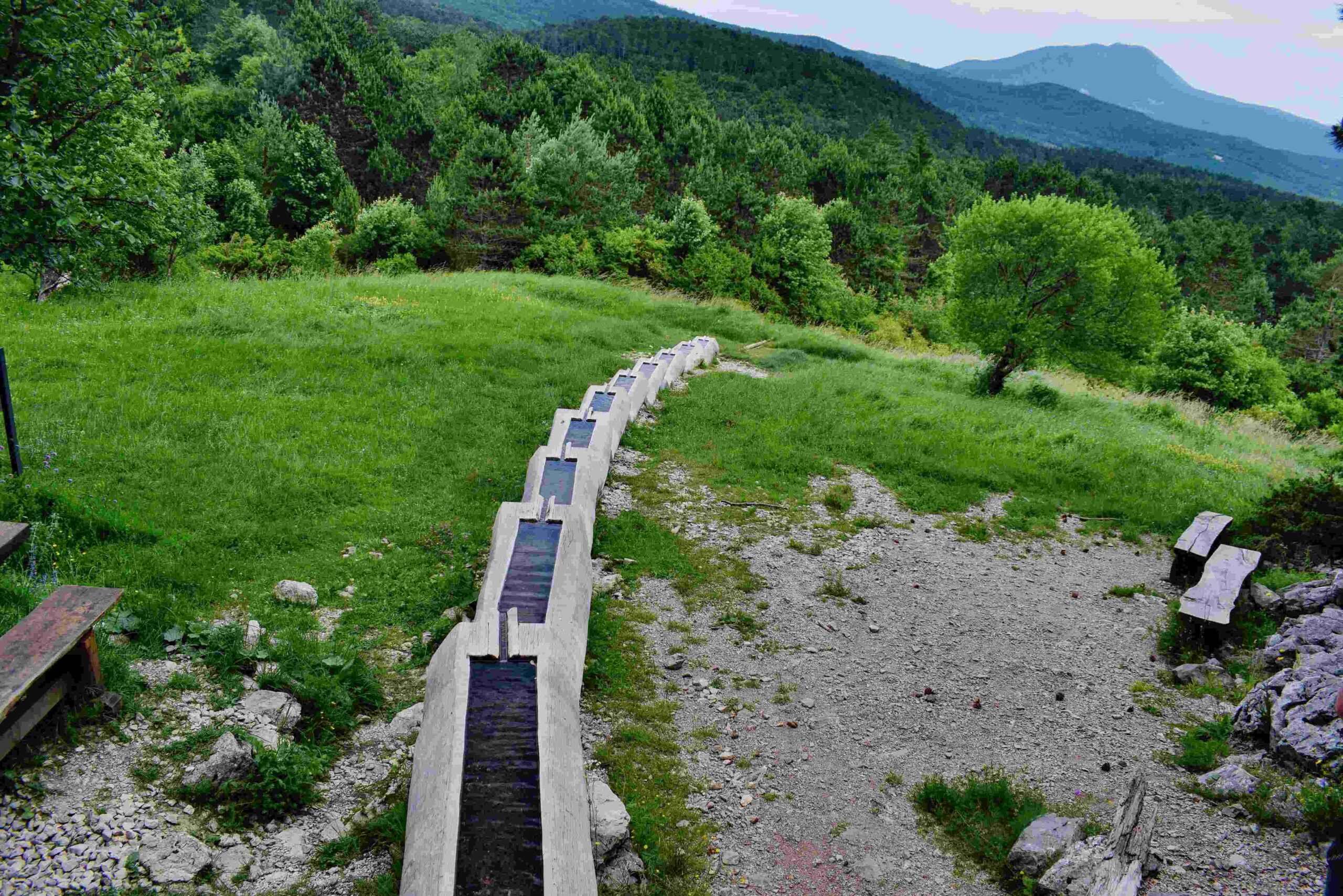
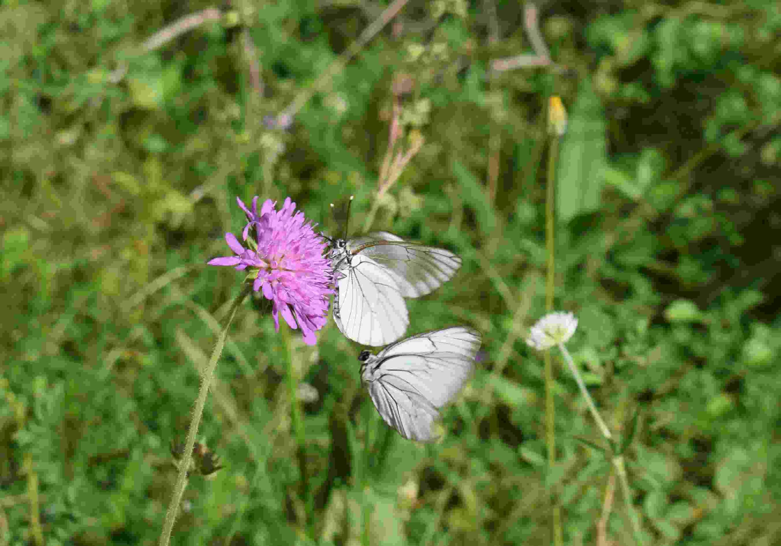
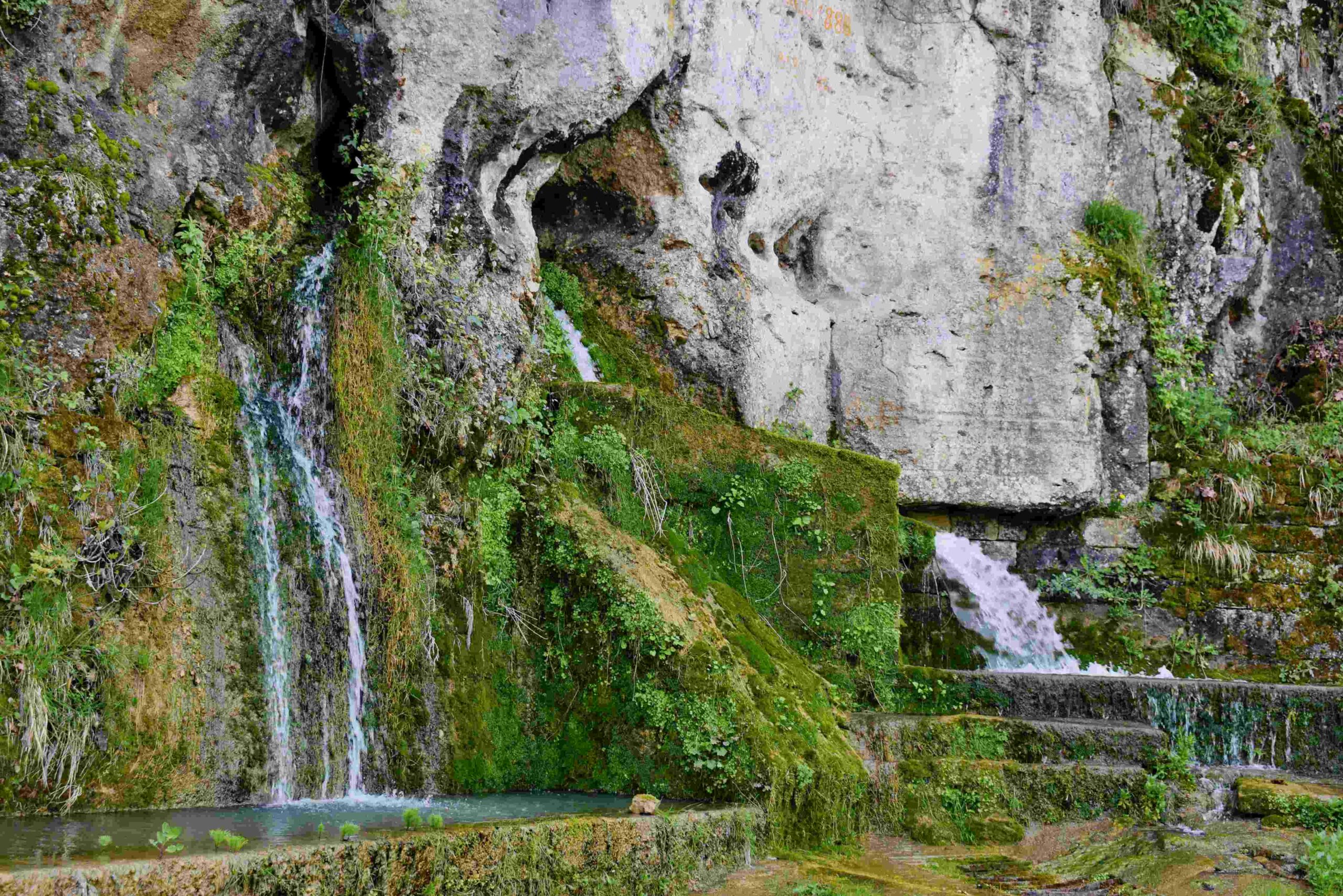
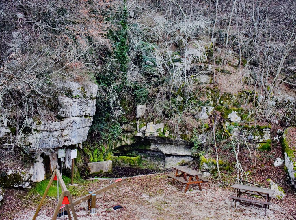
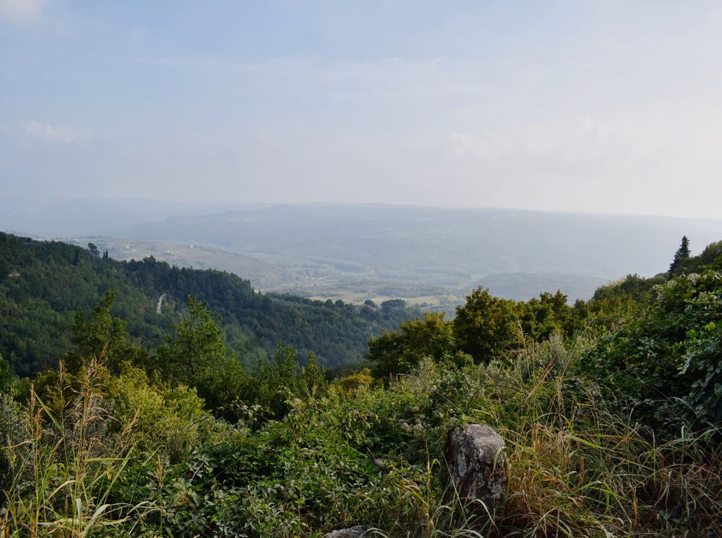
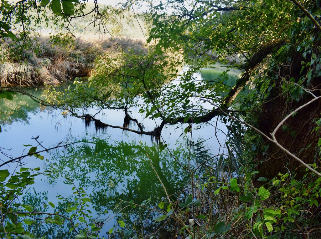
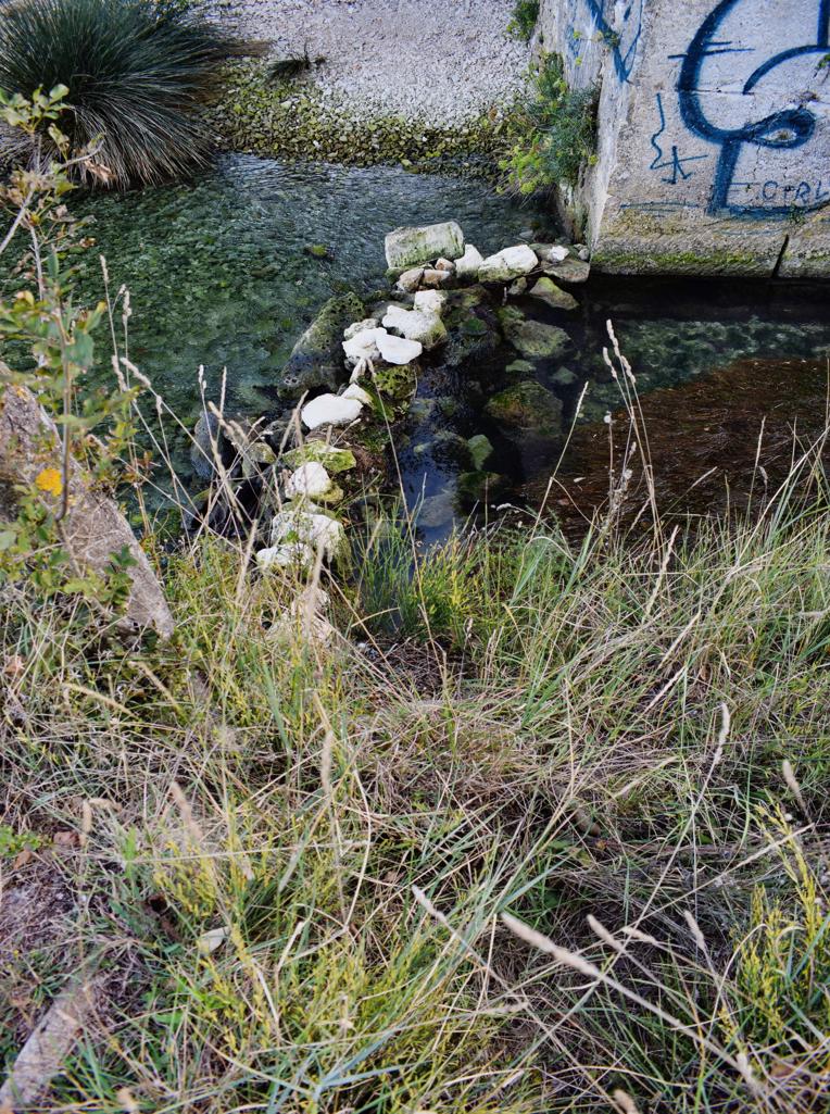
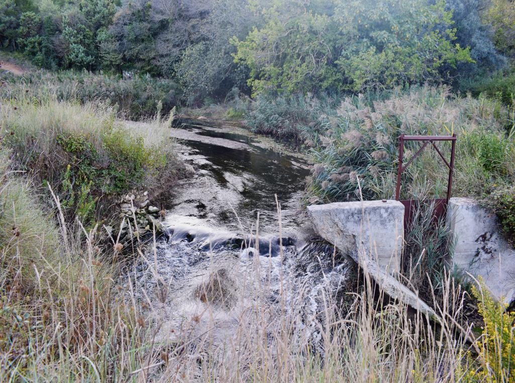
Name: Hiking trail to Ladećevi krugi and to Kasteljir waterspring
Place: Korenići – Kanfanar
Coordinates: start 45.12872 N – 13.81072 E., path to Korenići 45.12910 N – 13.809.42 E, Korenići 45.13232 N – 13.80738 E, End Ladećevi krugi 45.13232 N – 13.82056 E, Start Kasteljir waterspring 45.12925 N – 13.84390 E, end 45.13371 N – 13.84091 E.
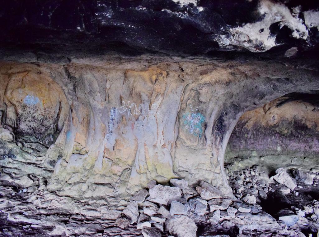
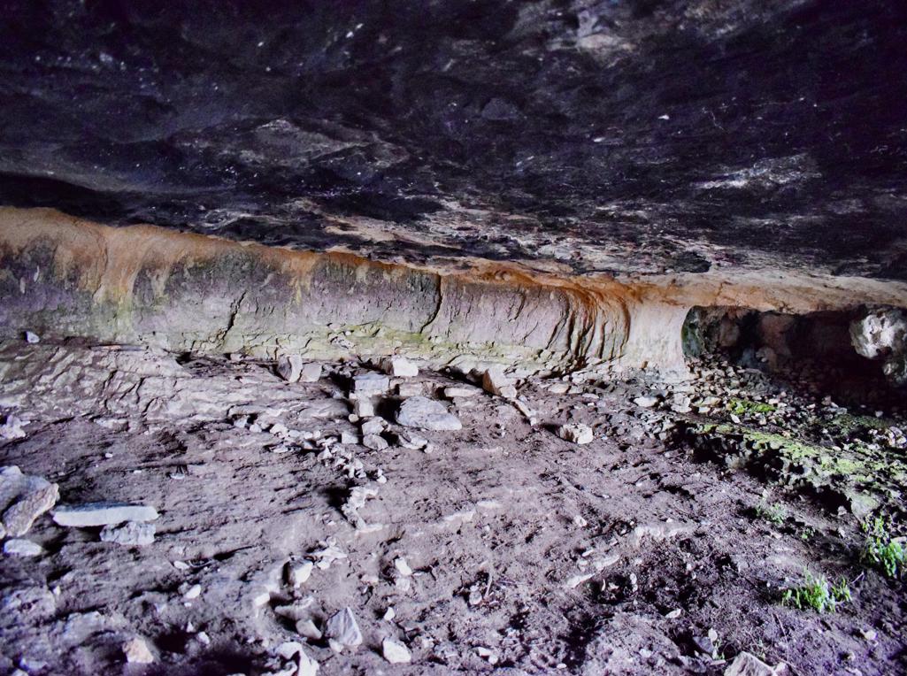
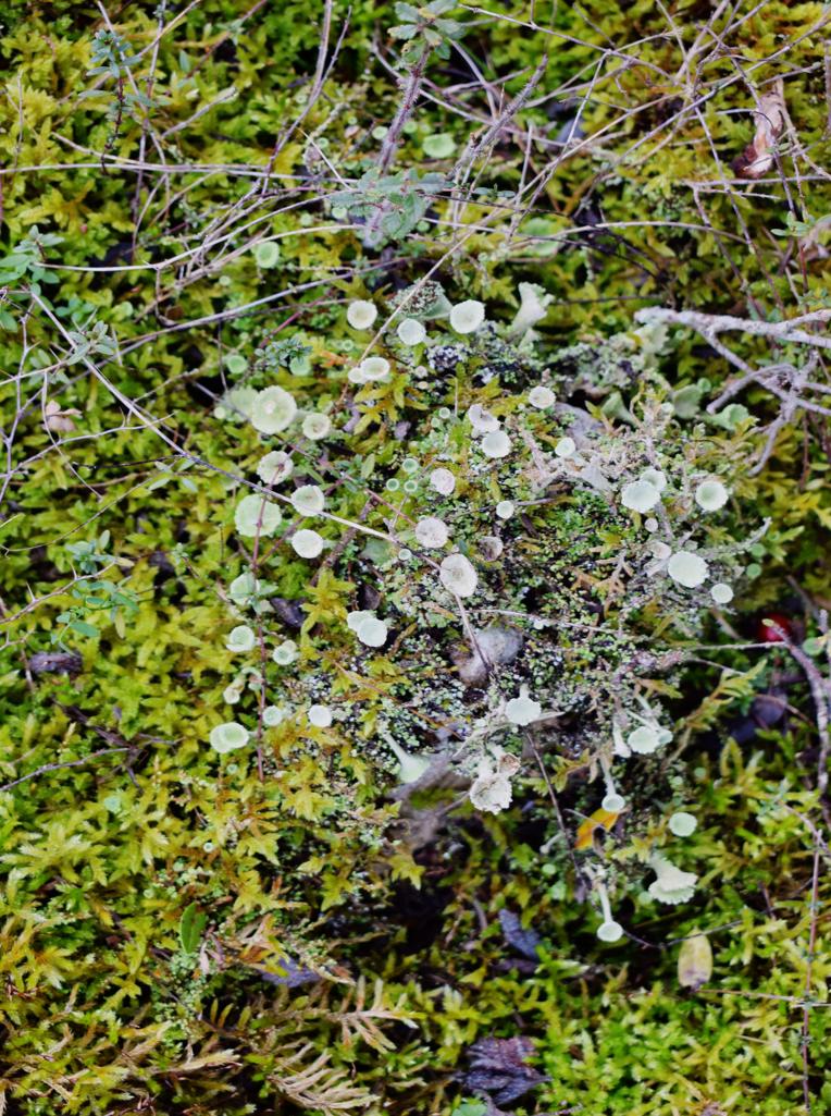
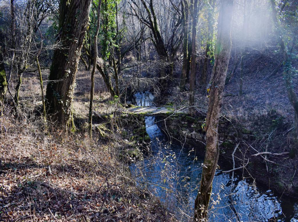
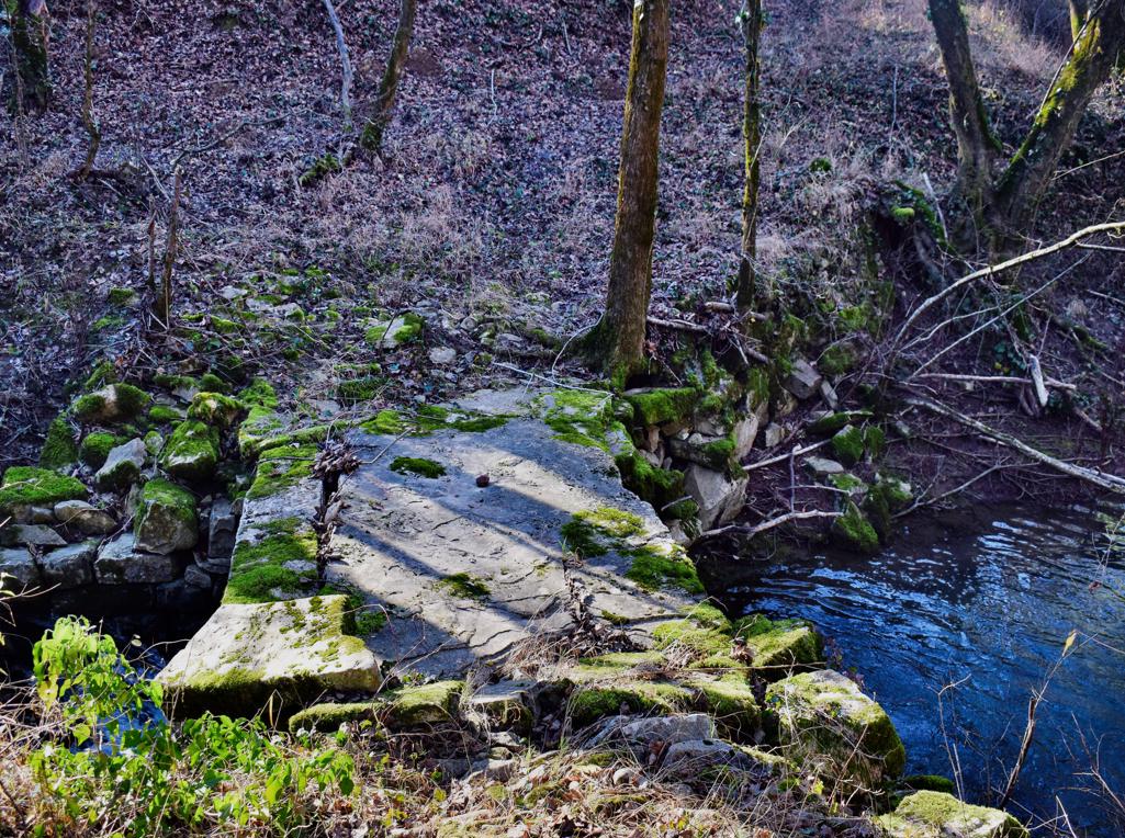
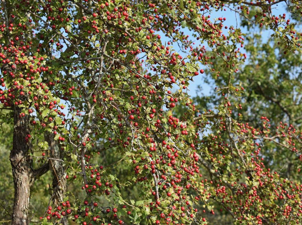
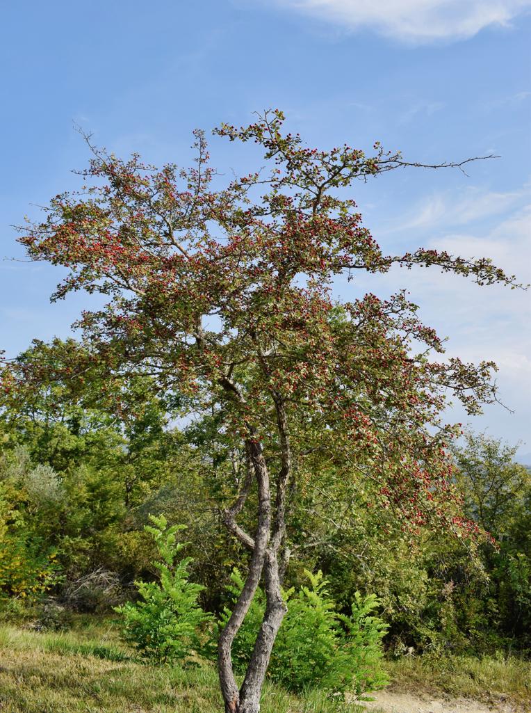
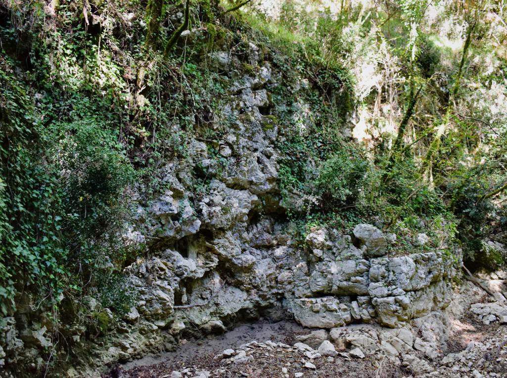
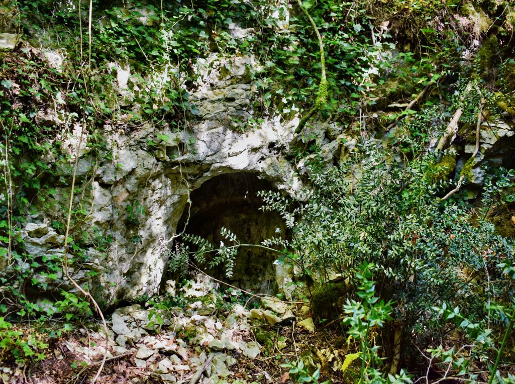
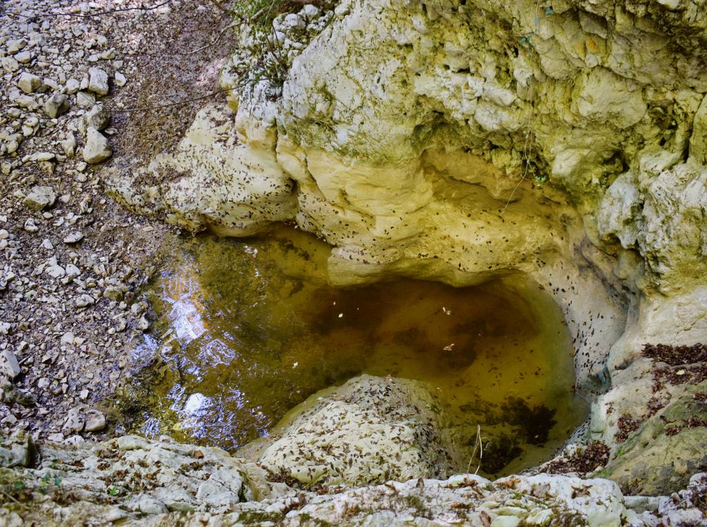
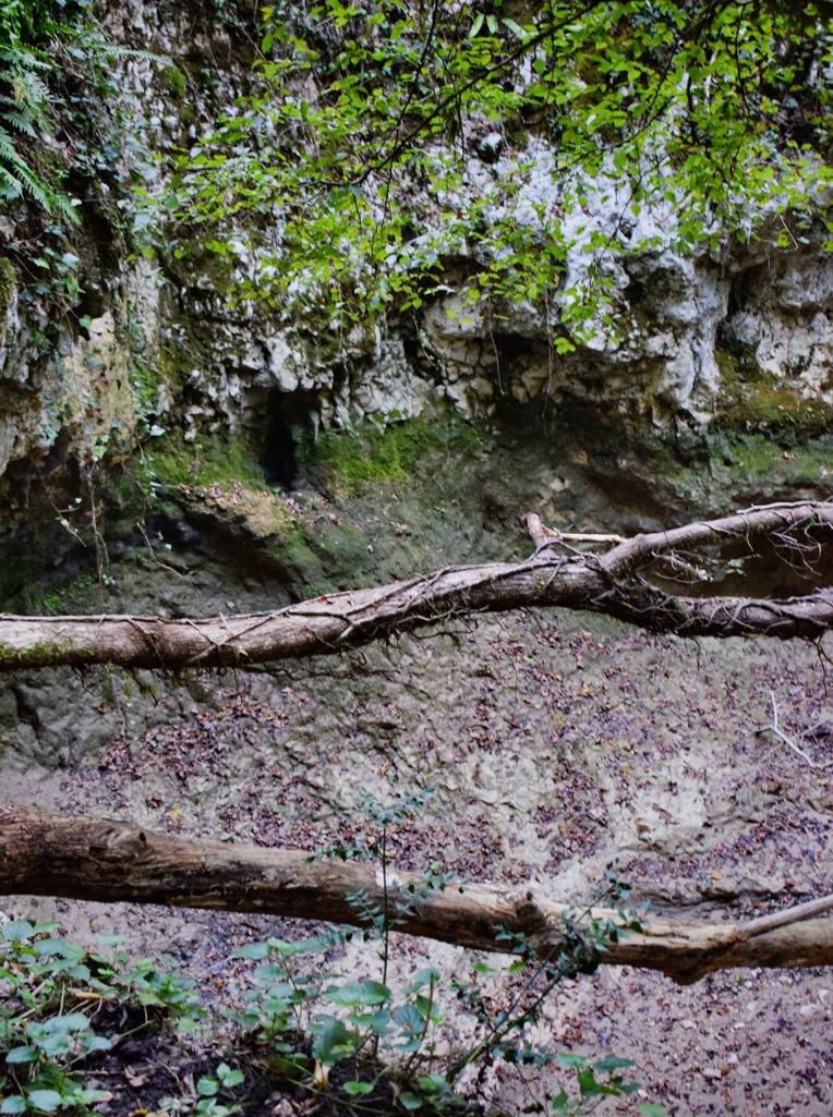
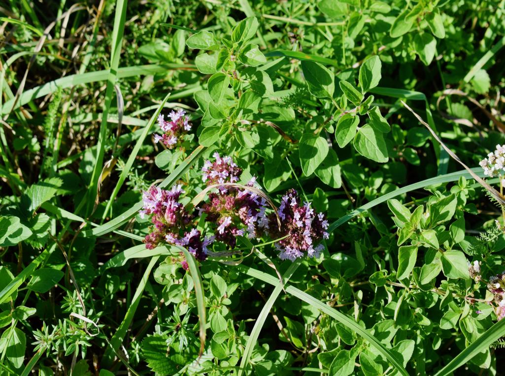
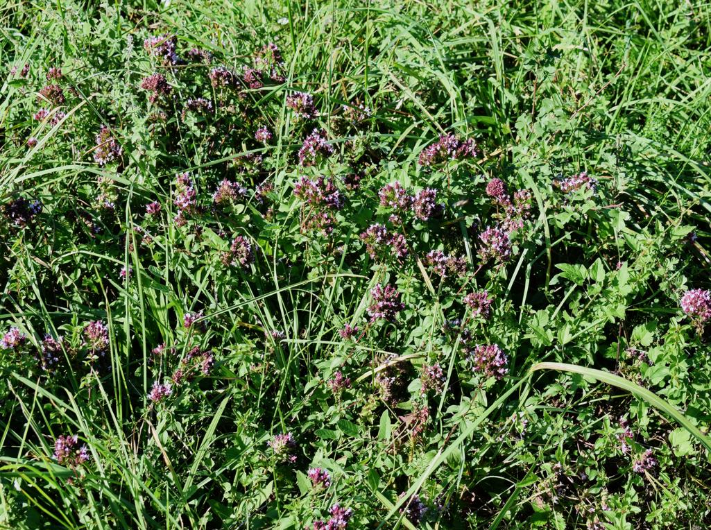
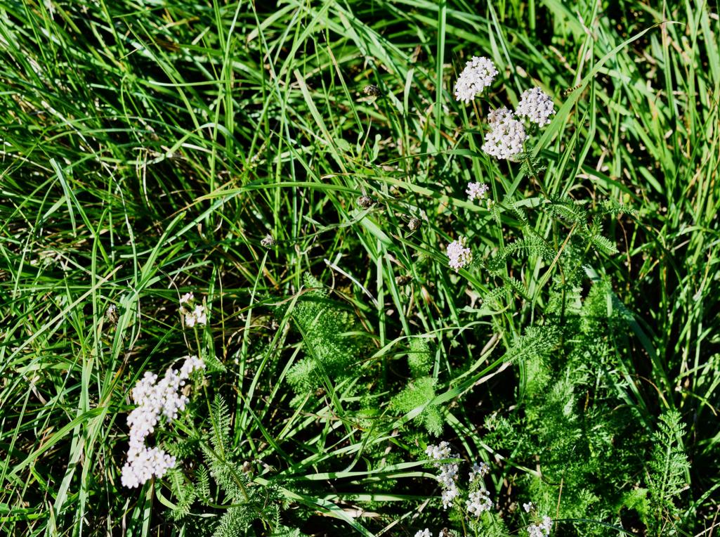
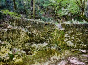
The trail is along the stream Buzuje with caves and a spring, and three former watermills.

Name: Hiking trail from the village Bazuje to the abandoned village Vrnjak.
Place: Bazuje – Vrnjak – (Grožnjan).
Start: Bazuje 45.41723 N – 13.73696 E, caves 45.41723 N – 13.774101 E, 45.41706 N -13.74309 E, 45.41783 N – 13.74462 E,watermills. 45. 41793 N -13.74435 E, 45.41932 N – 13. 74551 E, 45.42699 – 13 74912 E, Vrnjak: 45.43981 N – 13. 76807 E.
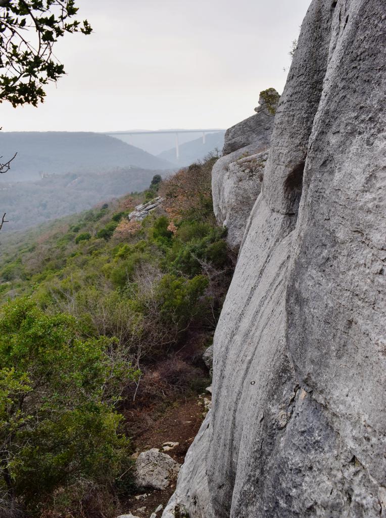
Name: Hiking trail 242 Grožnjan – Regancini – Pertici.
Place: Grožnjan.
Coordinates: Grožnjan 45. 37941 N – 13.72332 E, Regancini 45.37118 N – 13.72323 E, Pertici 45.38149 N – 13.73039 E.
Name: Hiking trail from Puntera to the bay Blaž.
Place: Puntera – (Barban).
Coordinates: Puntera 45.05228 N – 14.02312 E, Bay Blaž 45.00070 N – 14.03843 E.
Name: Hiking trail Skarline canyon – stream Lavre – Rocco Sentiero.
Place: Bertonigla
Coordinates: start/finish 45.37828 N – 13.62926 E, Skarlinski park 45.37507 N – 13.65217 E, Canyon 45.37484 N – 13.65284 E, path to Baredine Donje 45. 36623 N – 13.66395 E, back to startpoint 45.37445 N – 3.65824 E.