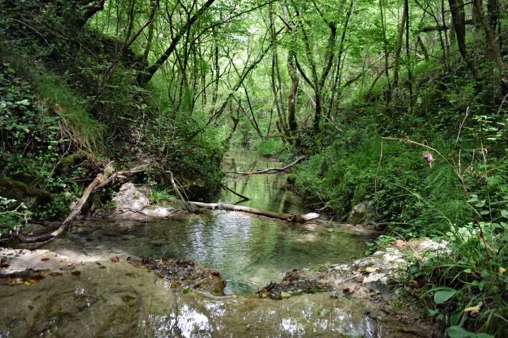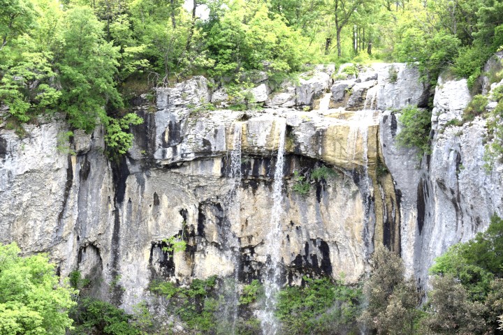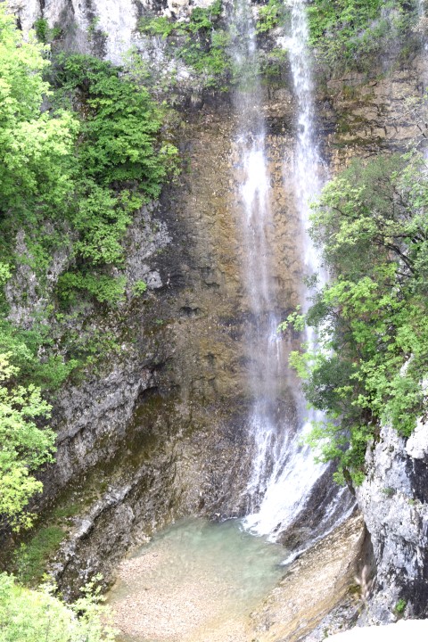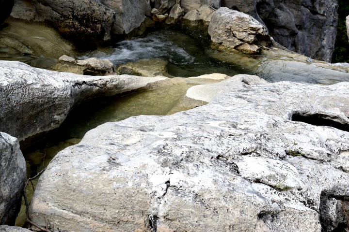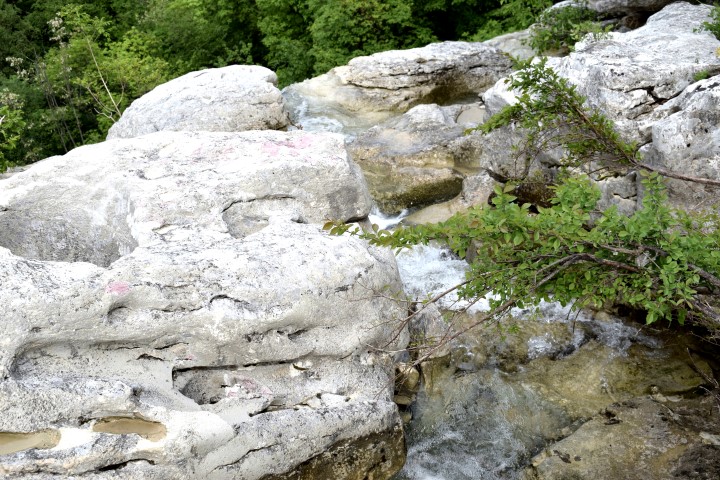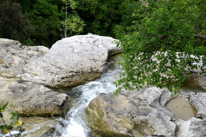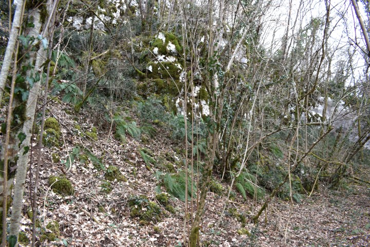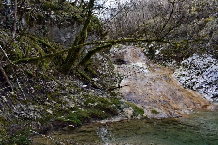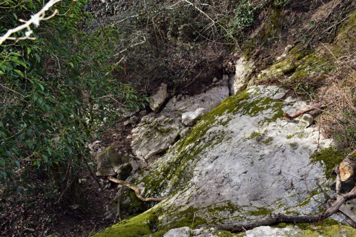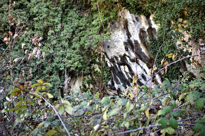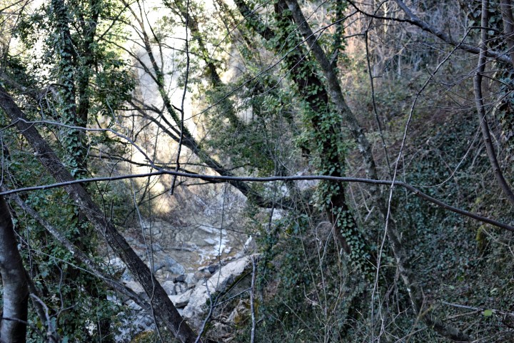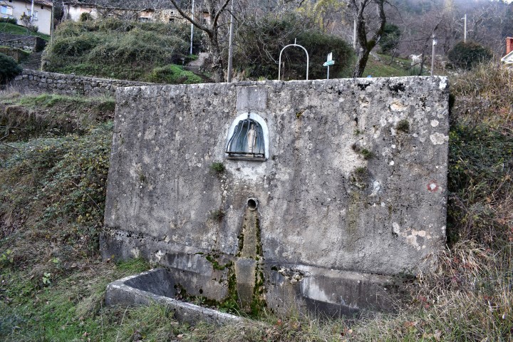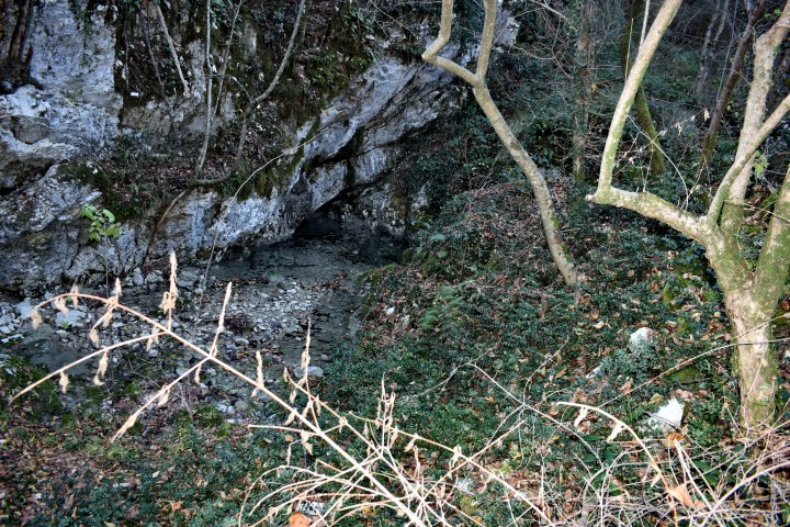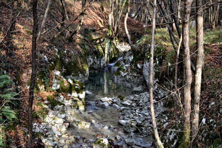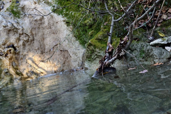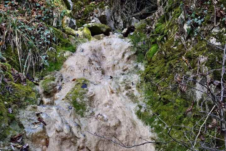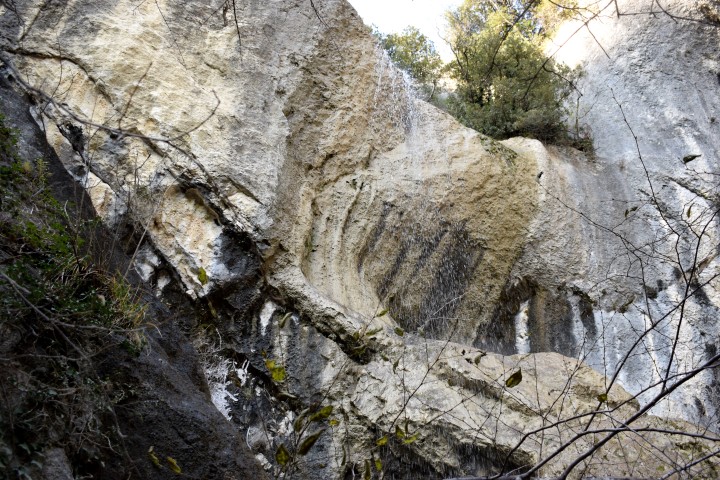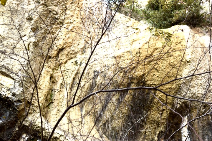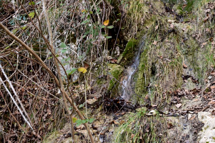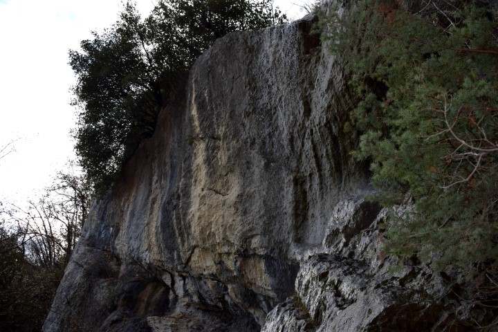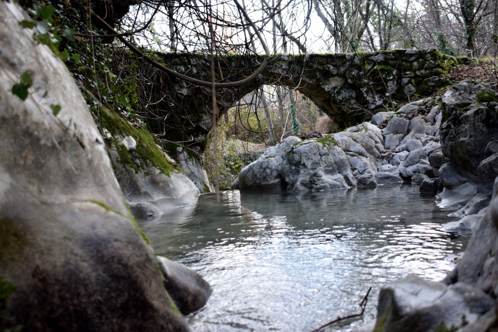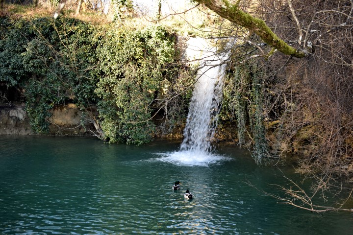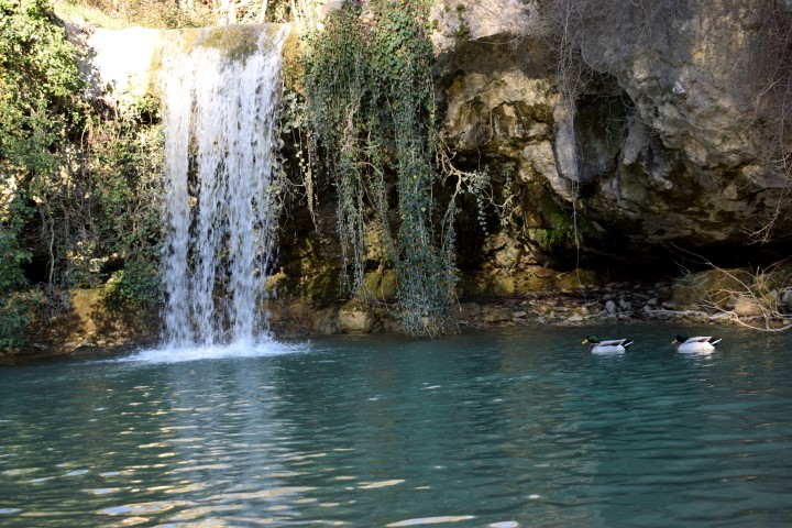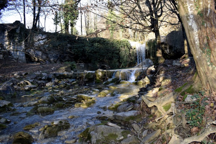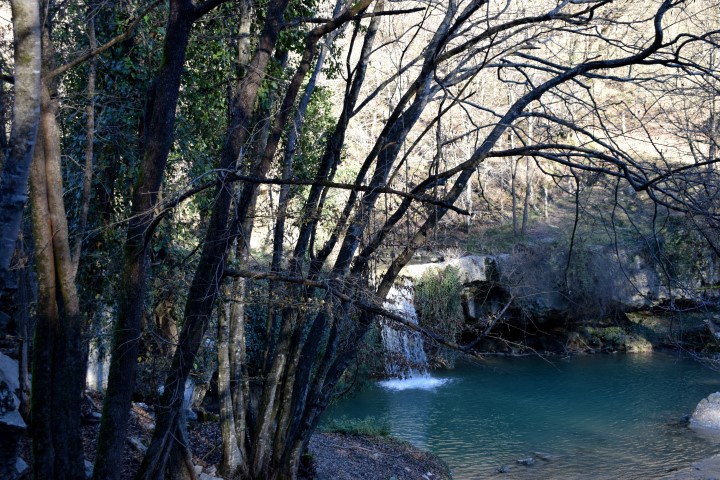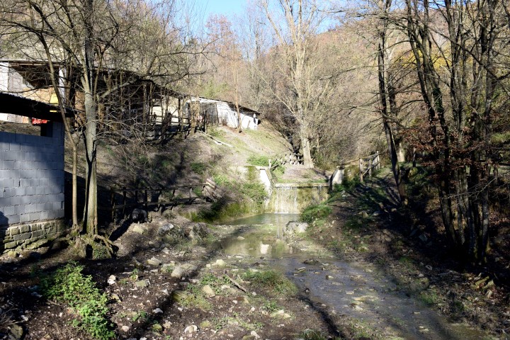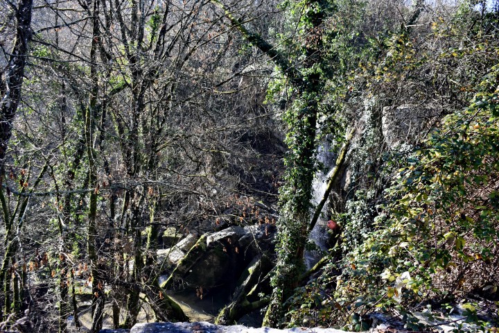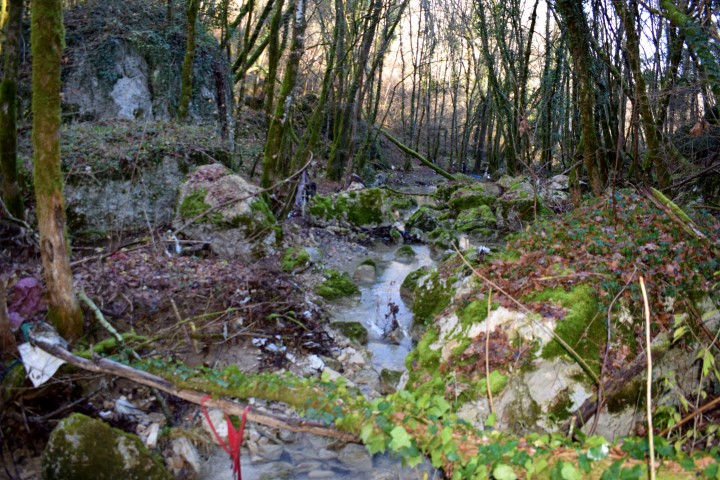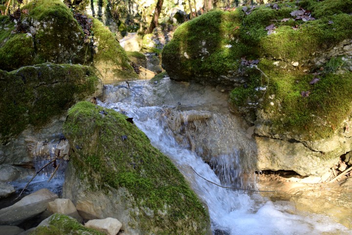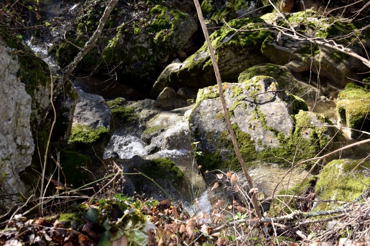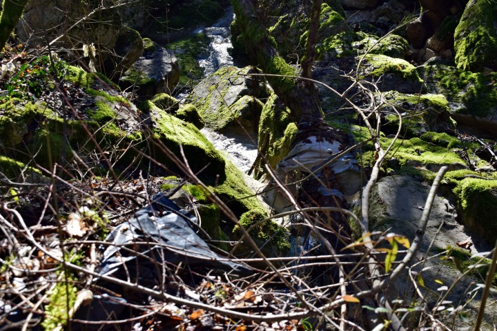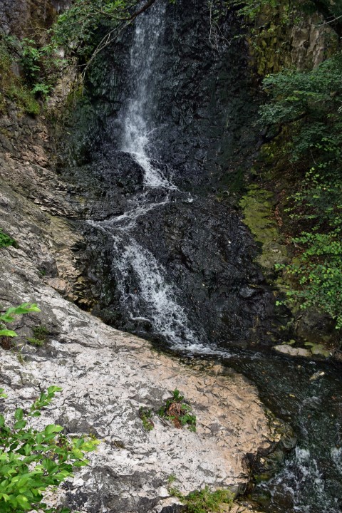


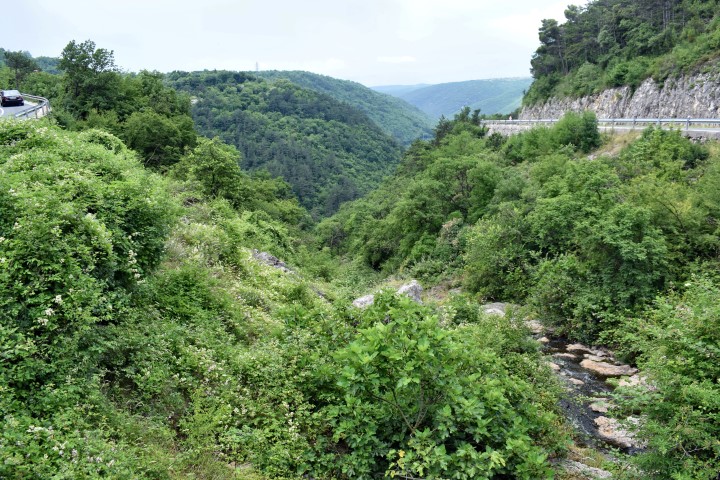
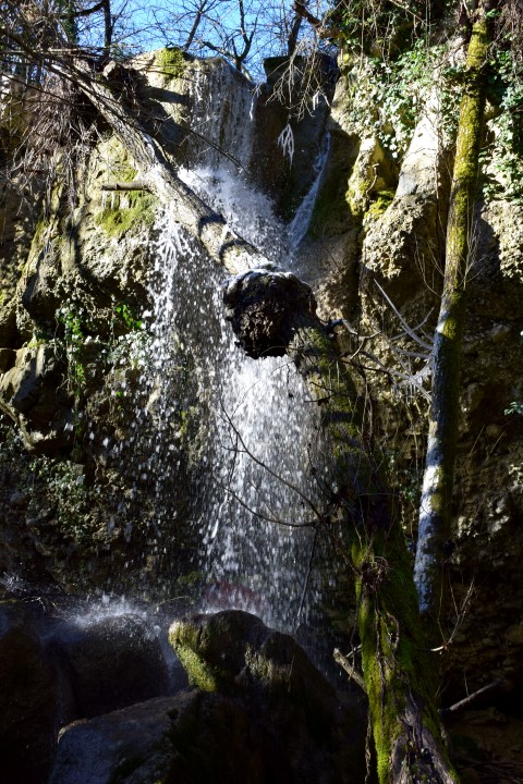
Name: Waterfall near Krapan
Place: Krapan – Labin.
Coordinates: 45.093147 N – 14.112539 E.
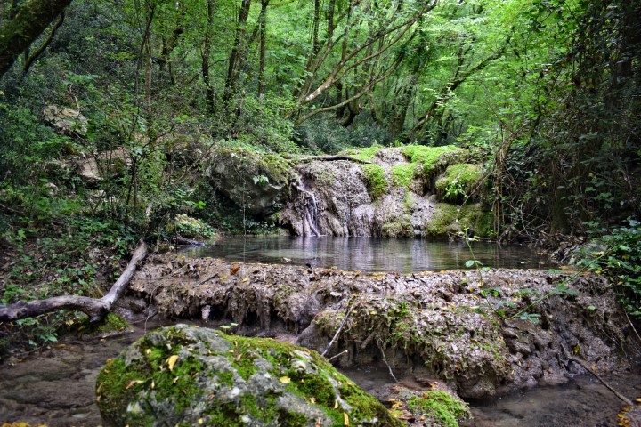
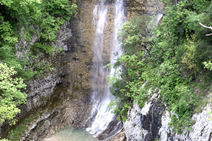
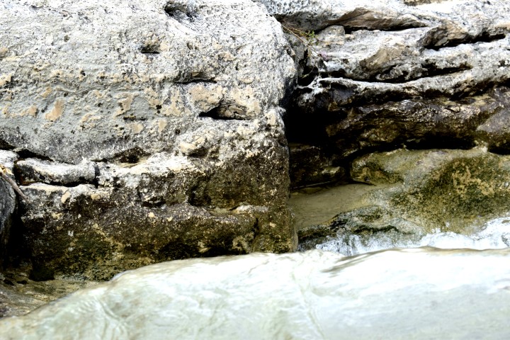
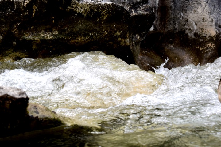
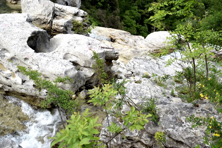
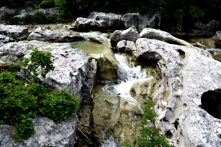
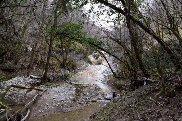
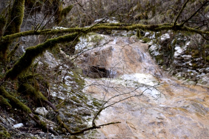
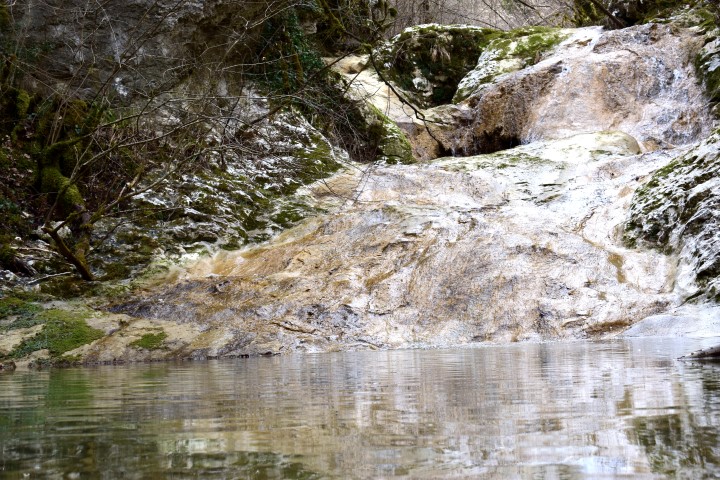
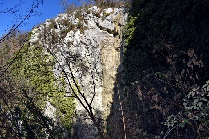
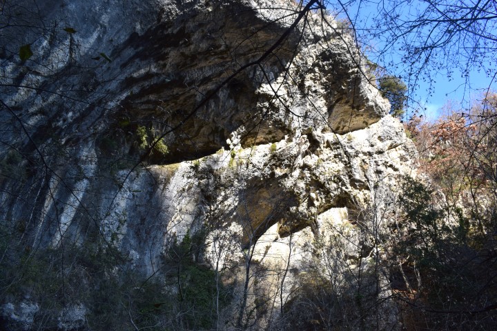
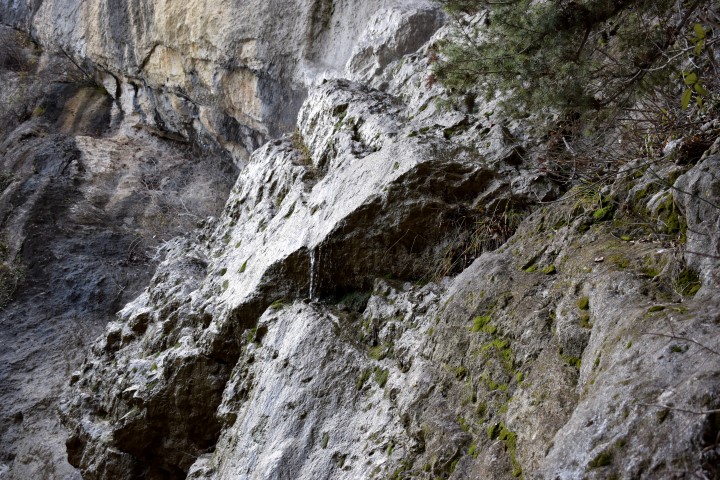
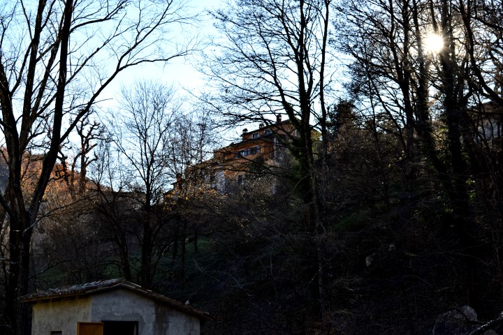
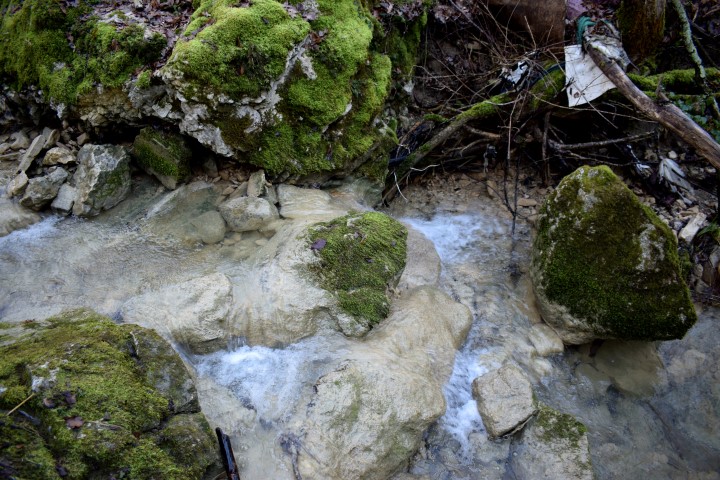
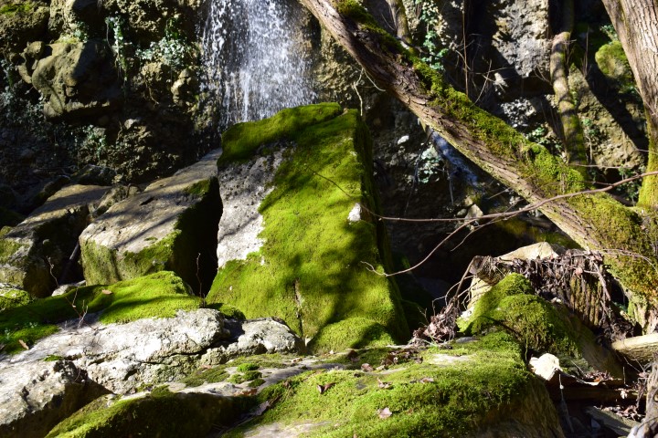
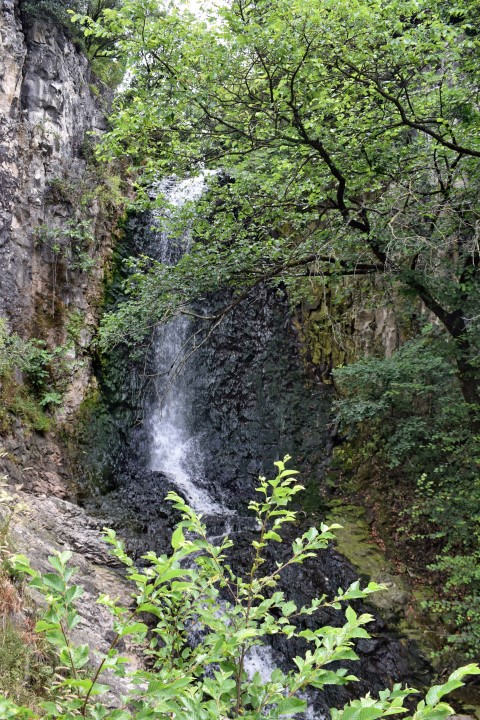
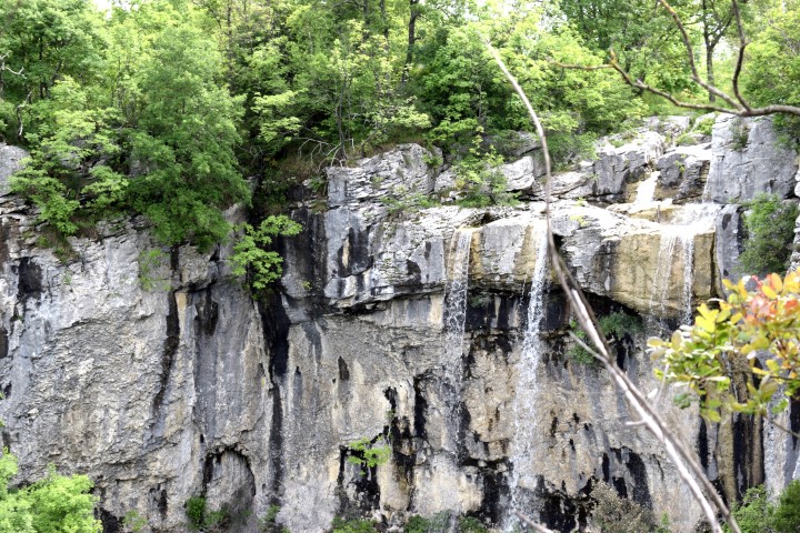
Name: Waterfall near Krapan
Place: Krapan – Labin.
Coordinates: 45.093147 N – 14.112539 E.
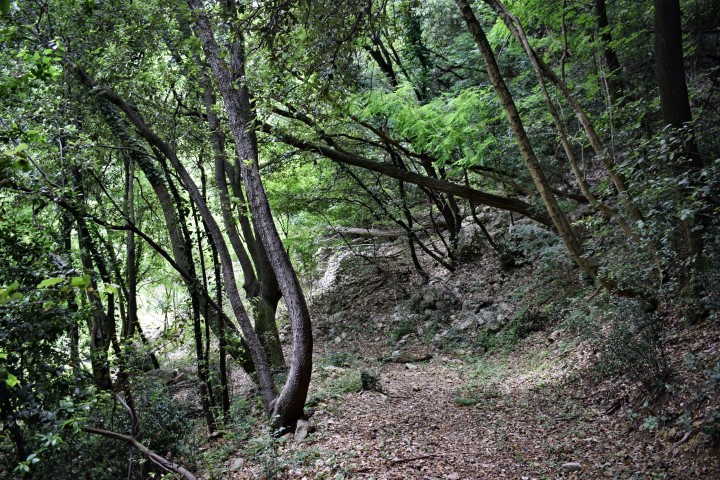
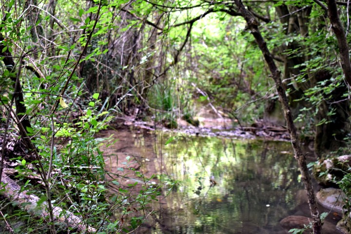
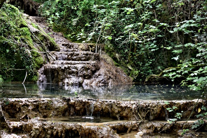
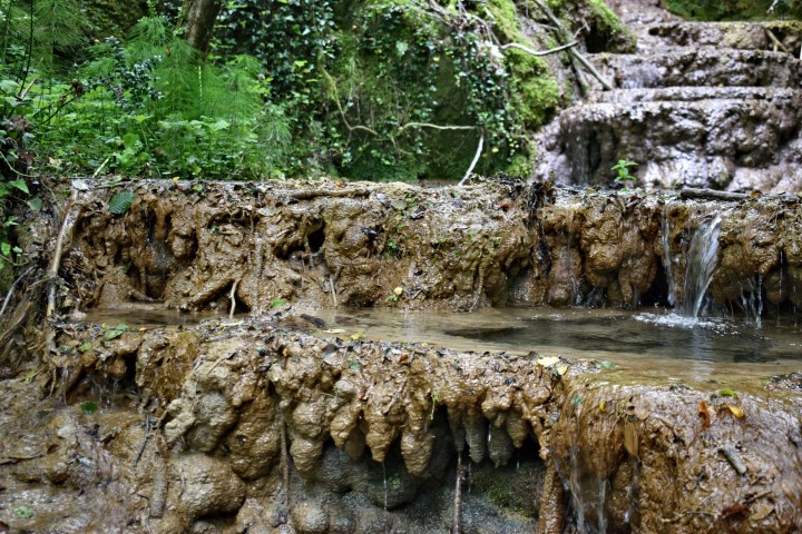
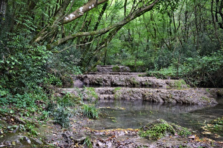
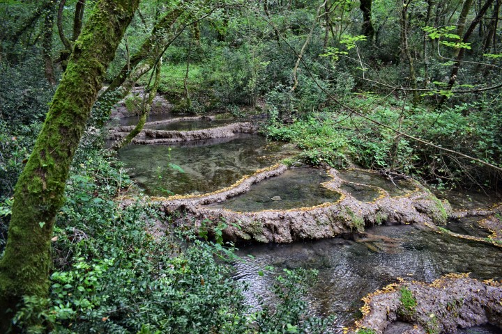
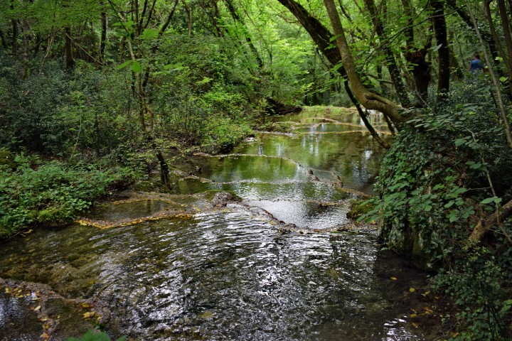
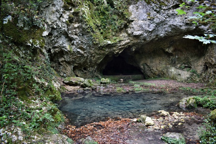
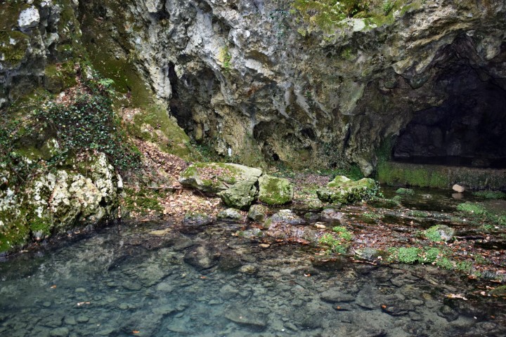
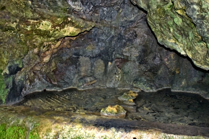
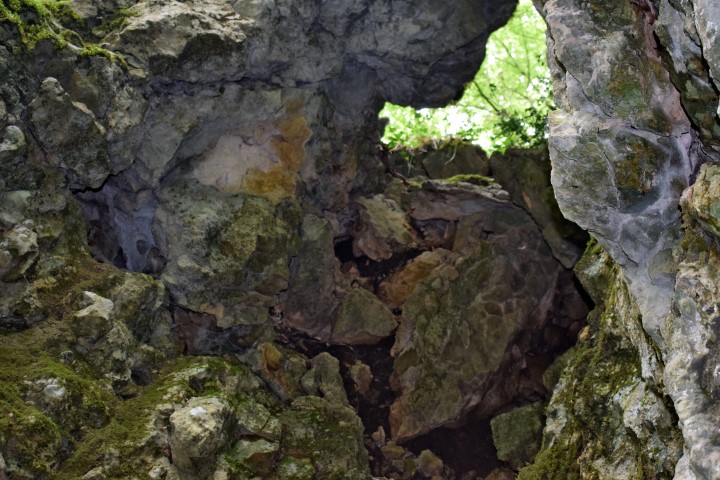
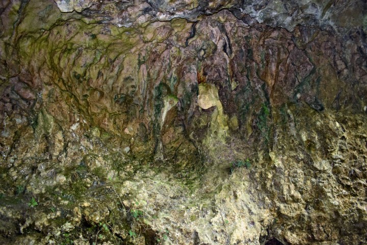
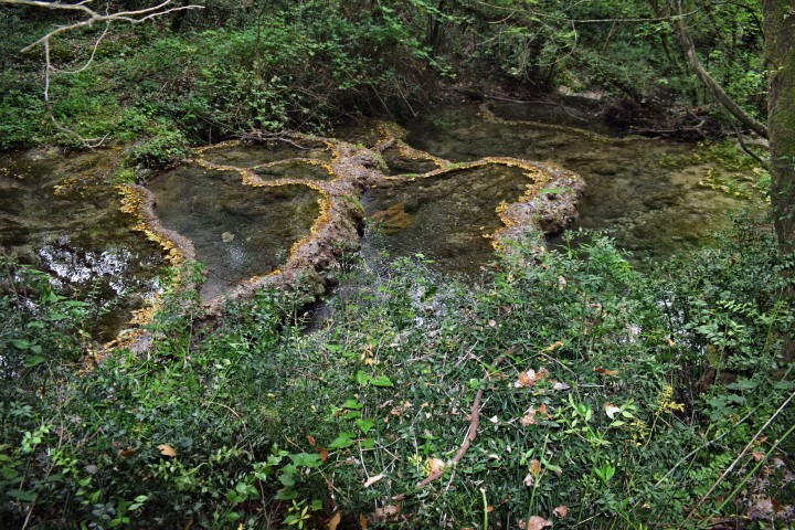
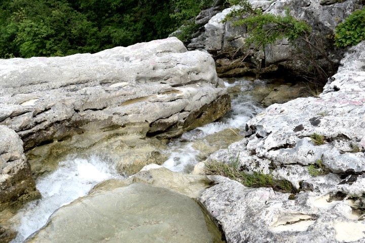
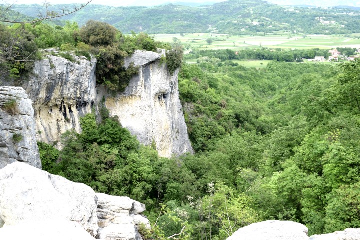
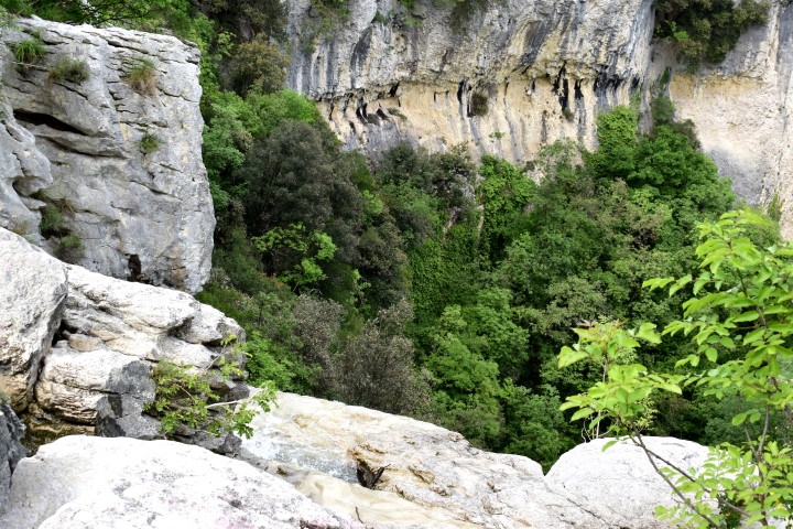
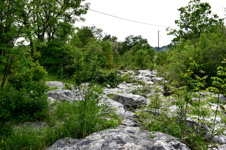
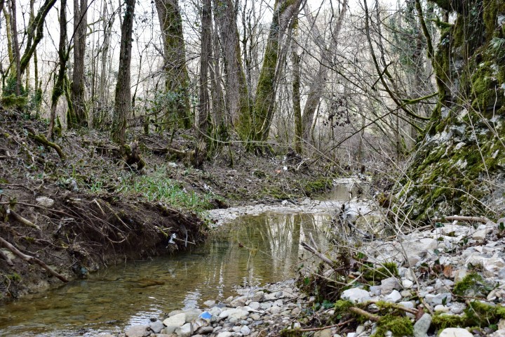
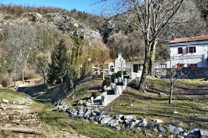
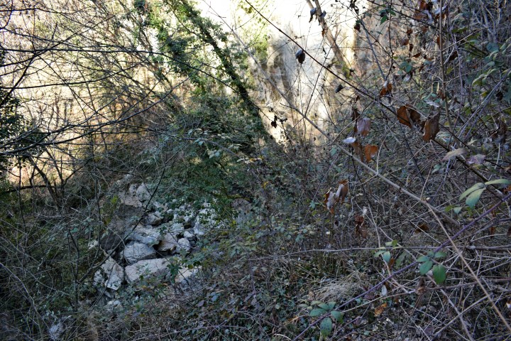
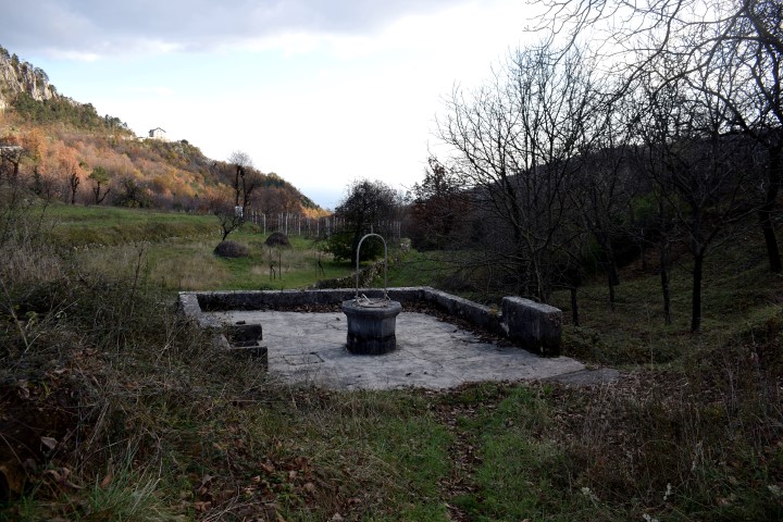
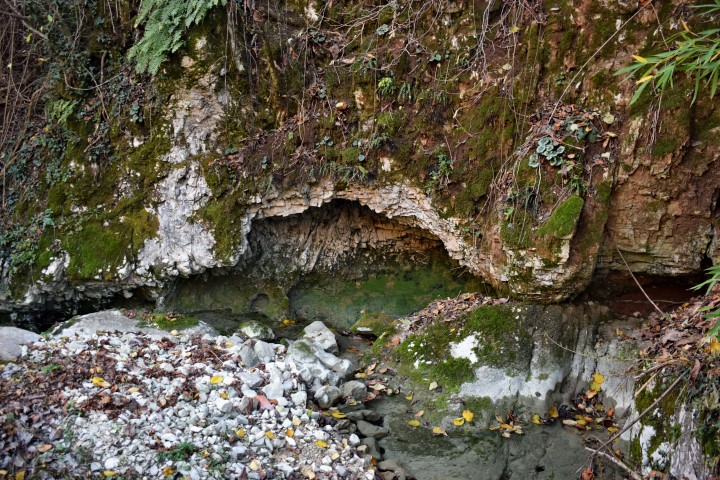
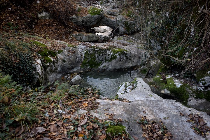
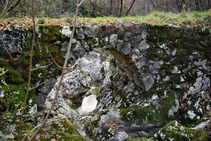
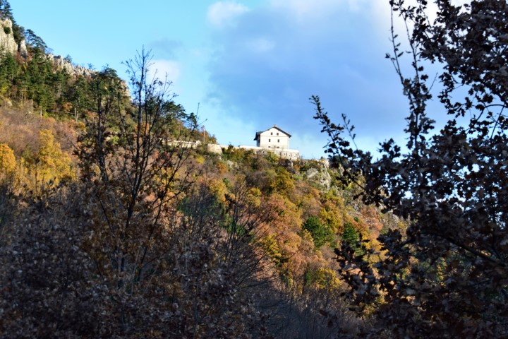
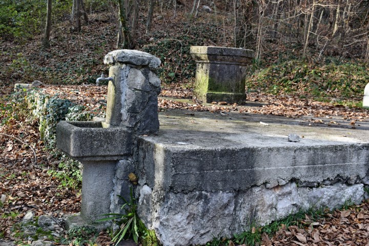
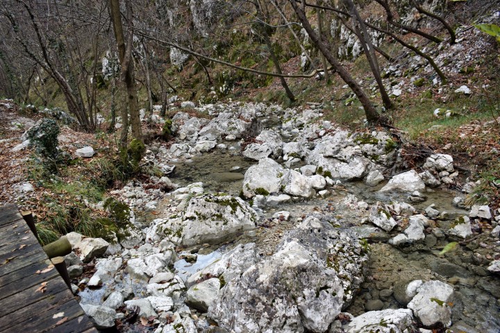
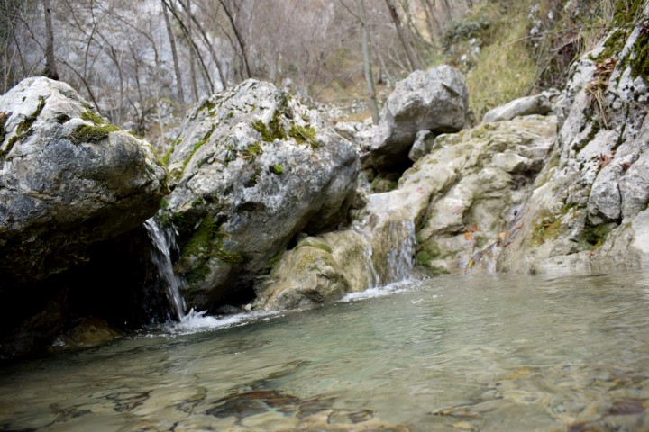
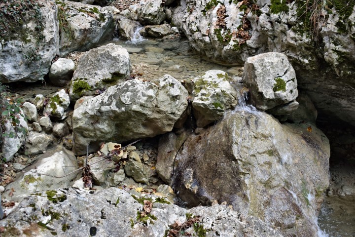
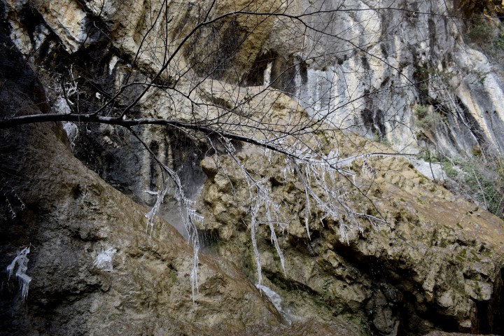
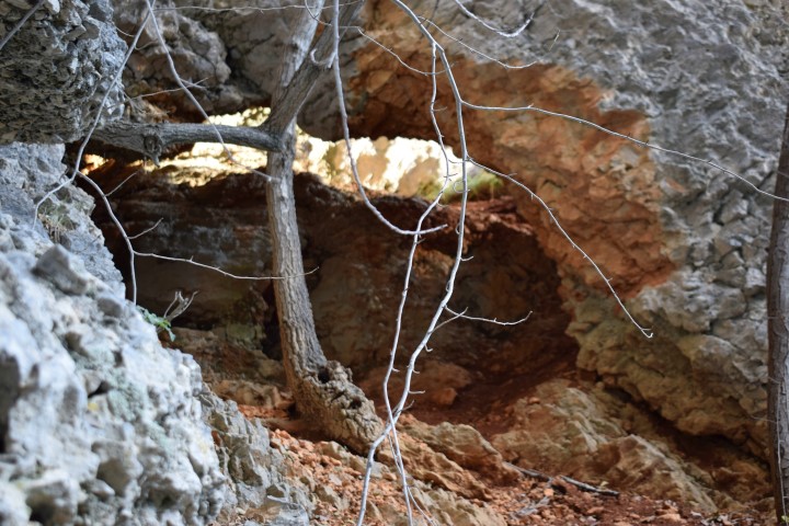
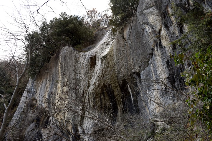
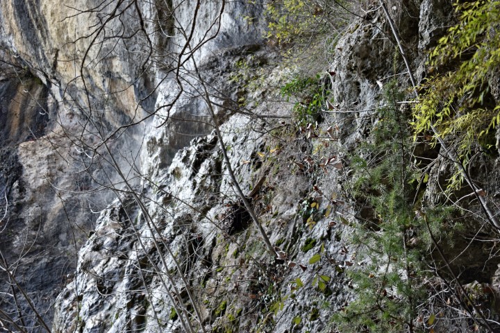
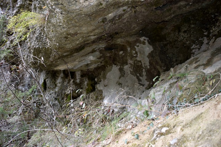
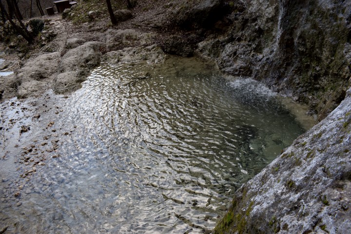
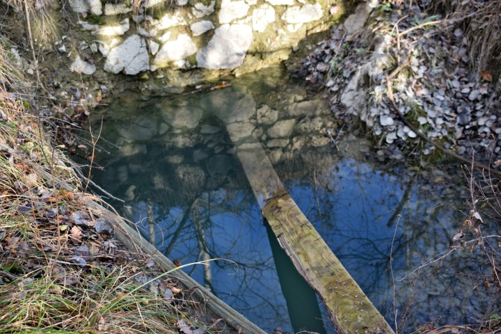
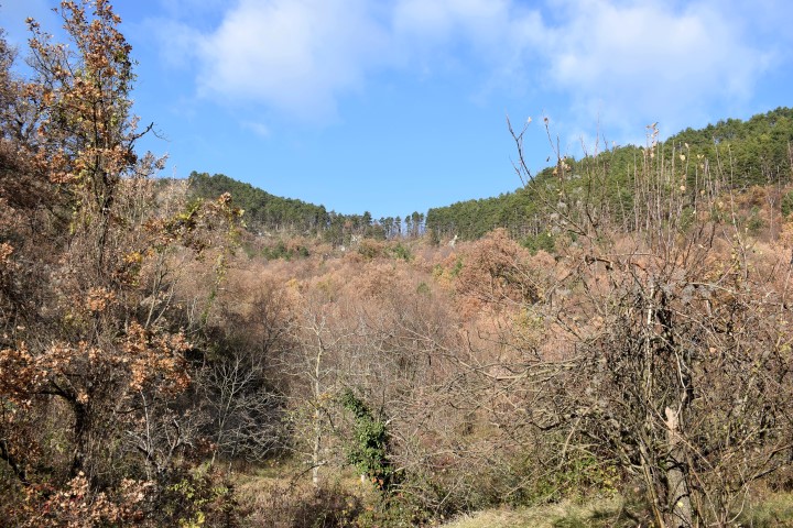
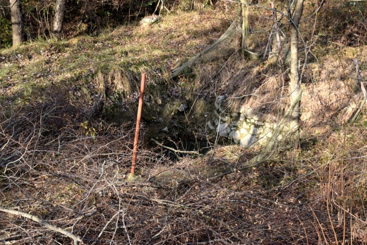
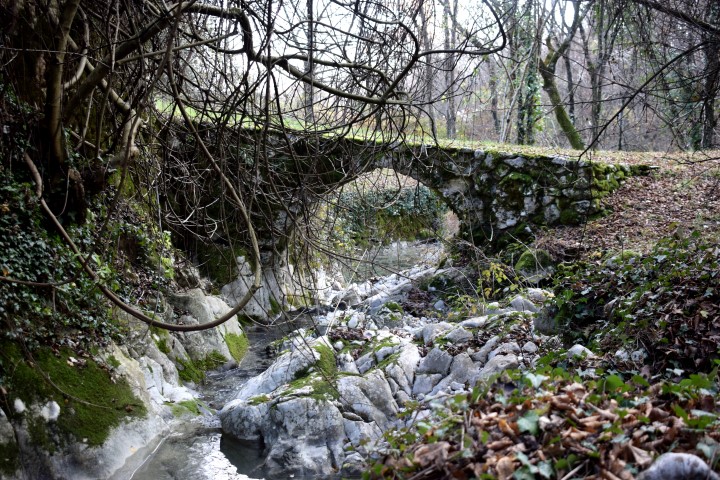
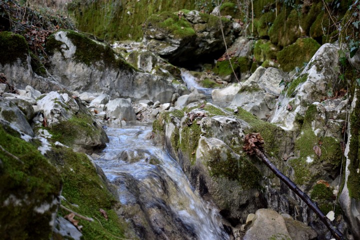
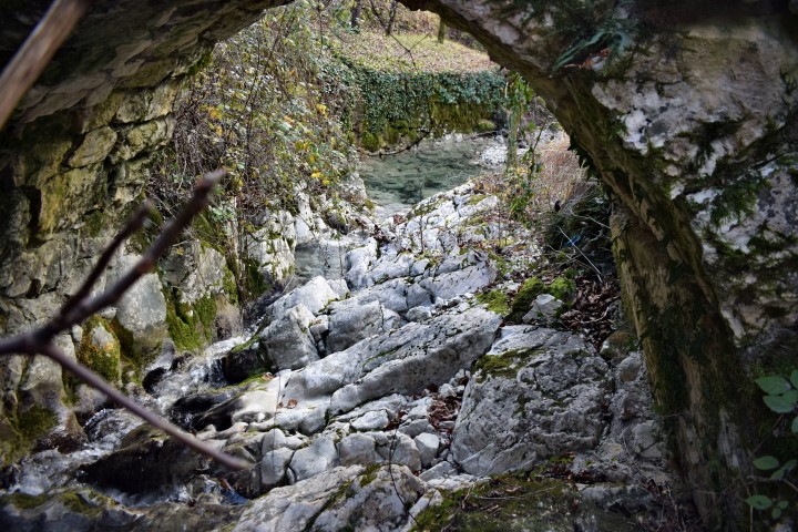
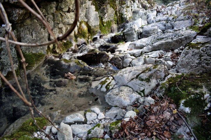
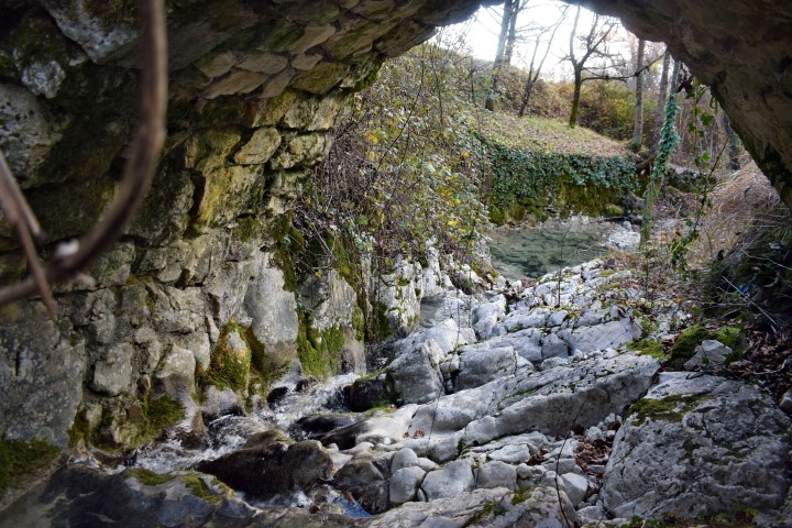
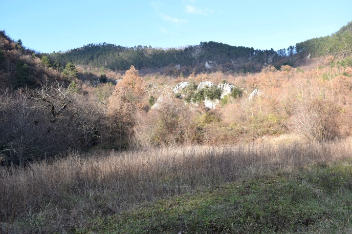
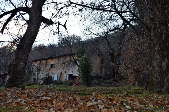
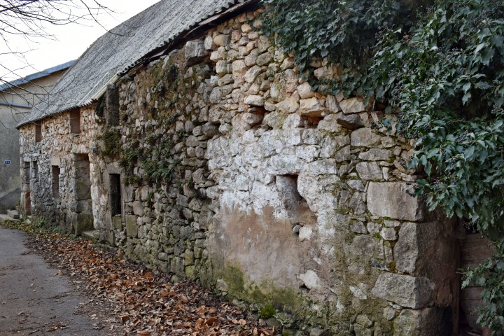
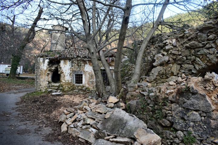
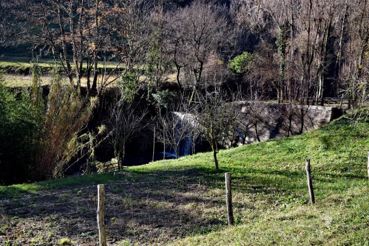
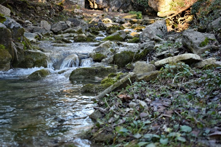
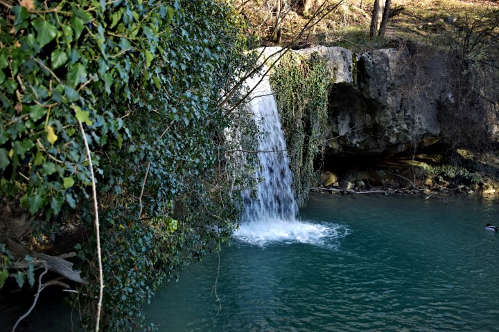
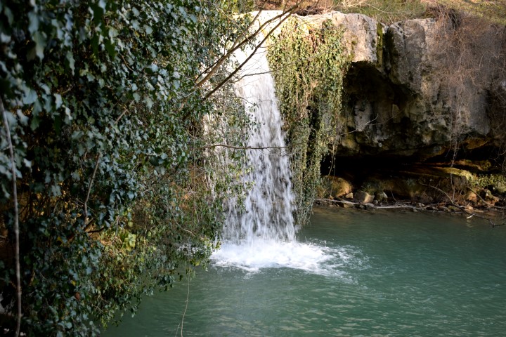
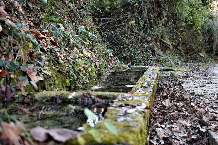
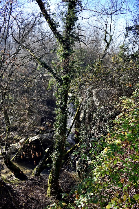
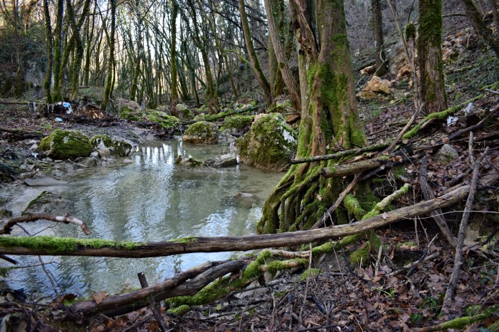
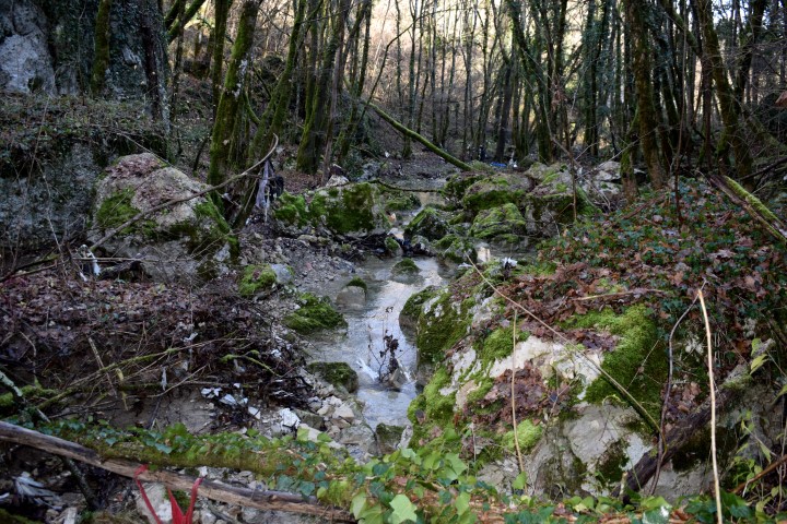
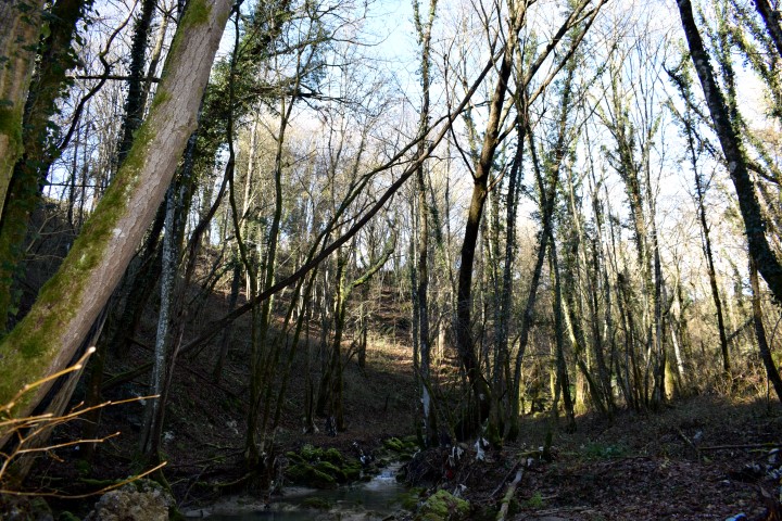
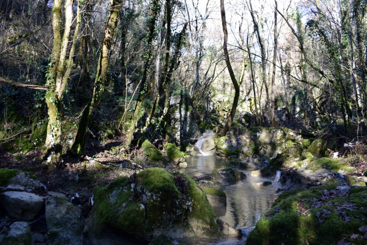
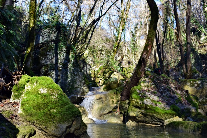
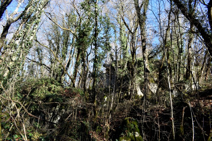
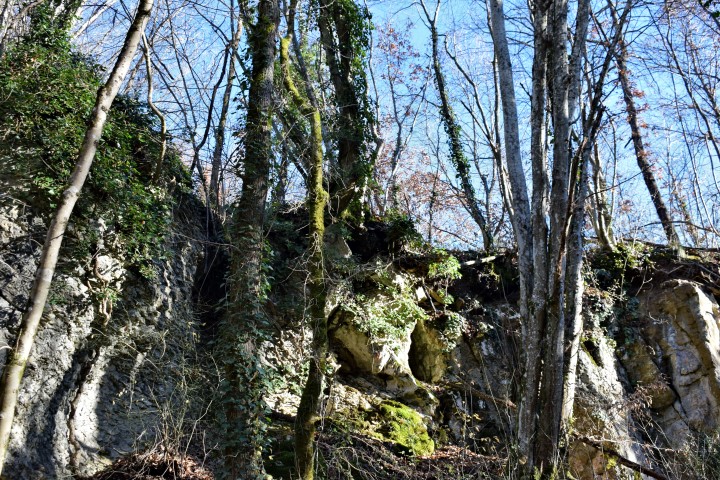
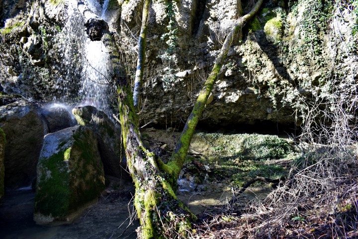
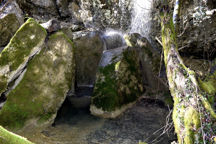
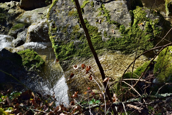
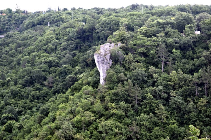
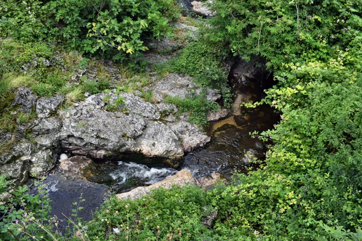
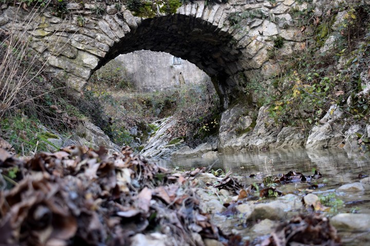
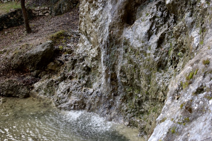
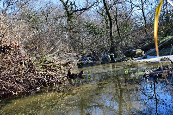
“Sentona trail” is the hiking path from the Old town Labin to Rabac. These pictures are from the part along the river Pećine with limestone barriers. On the end is the Nigri cave with a clear water spring.
Sentona is a goddess and the patroness of travellers in this area in the 1st and 2nd century AD.

Name: Sentona’s trail.
Place: Labin – Rabac.
Coordinates:
Start: 45.08727 N – 14.13641 E to Nigri cave 45.08831 N -14.13468 E.
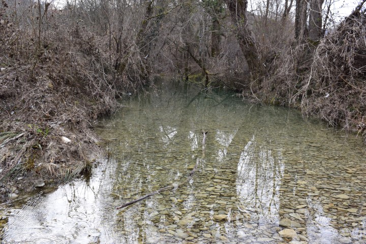
See also the Benkovići waterfall posted on 2018-12-07 and 2018-01-18.
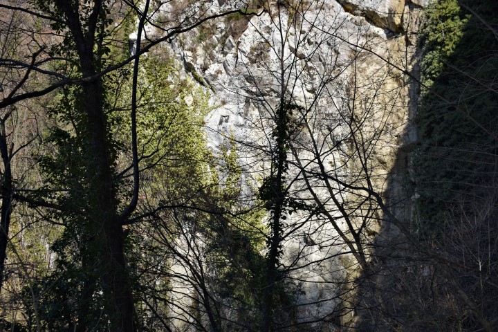
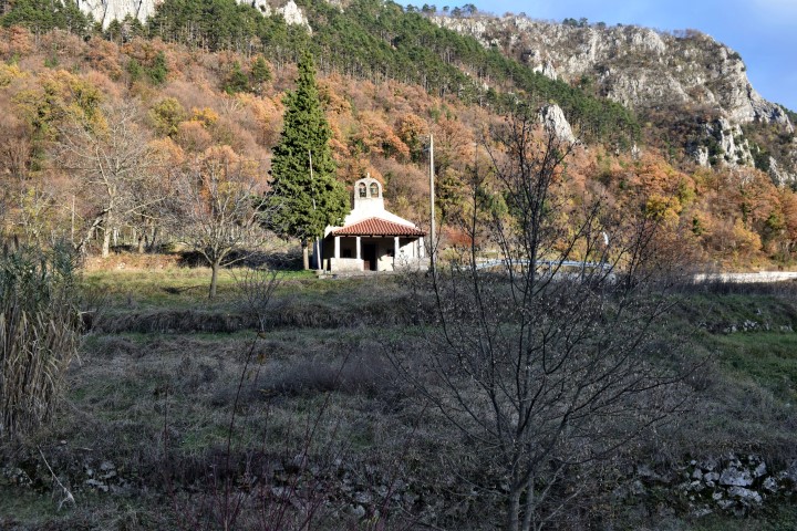
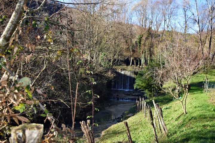
Name: Benkovići waterfall.
Place: Pićan.
Coordinates: 45.20o17 N – 14.05712 E.
Elevation: 162 meter.

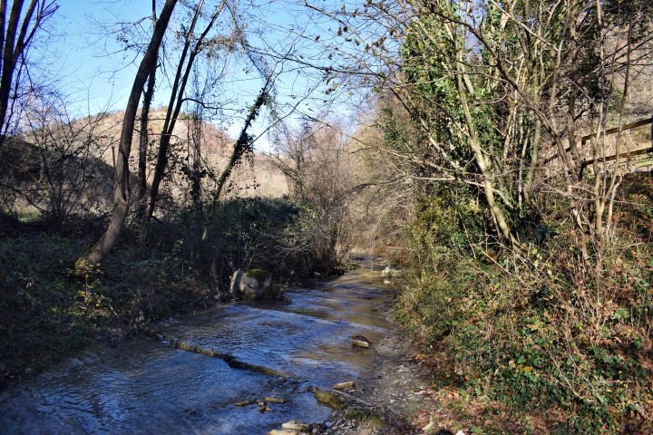
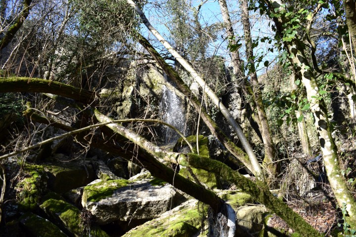
Name: Waterfall Grdoselski stream.
Place: Kišići – (Pazin).
Coordinates: Kišići 45.30633 N – 13.93843 E; Crossing Grdoselski stream: 45.30264 N – 13.93379 E; Waterfall: 45.29703 N – 13.93234 E.

Name: Rušanski waterfall
Place: Brest Pod Učkom – (Lupoglav)
Coordinates: 45.33455 N – 14.15734 E.
Name: Waterfalls hiking trail to Medveja.
Stream: Potok
Place: Lovranska Draga – (Lovran).
Coordinates: Starting point: 45.27903 N – 14.24393 E
Waterfall: 45.27695 N – 14.24541 E.
Waterfall: 45.27631 – 14.24606 E.
Name: Waterfall Setnica slap / Draški slap.
Stream: Potok
Place: Lovranska Draga – (Lovran).
Coordinates: Start hiking trail:45.27912 N -14.24393 E
Waterfall: 45.28305 N – 14.24120 E (more…)
Place: Lukačići near Gologorički Dol.
stream: unknown.
Coordinates: 45.24767 N – 14.03562 E.
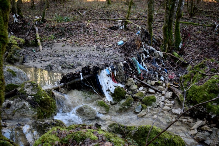
Name: Waterfall “Blizu ima smeća” (“Near there is carbage”)
Stream: Brestovica.
Place: Rijavac – (Pazin).
Coordinates: 45.27129 N – 14.02592 E.