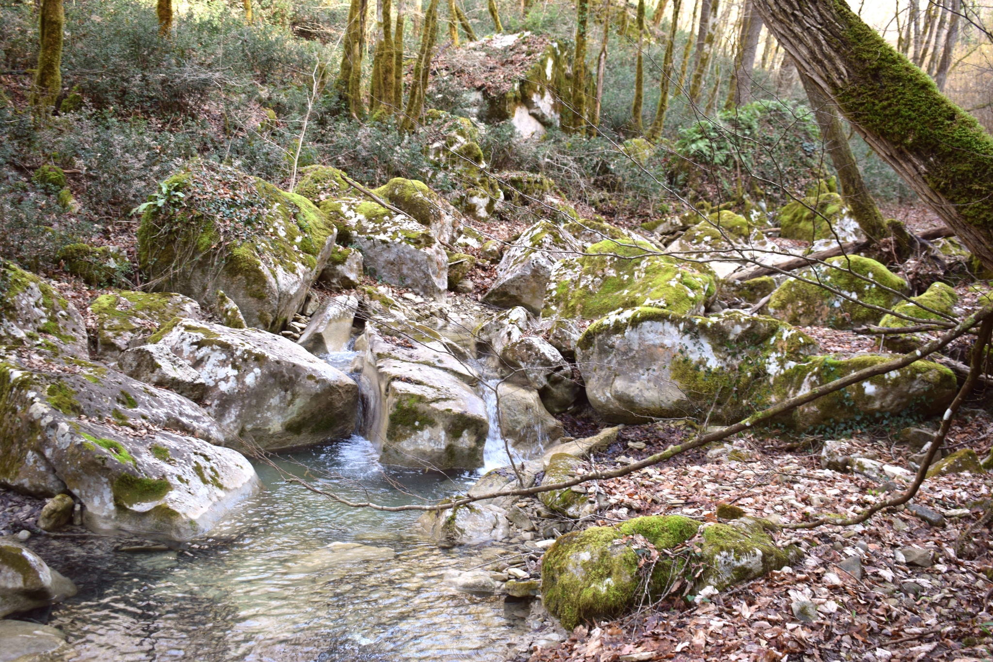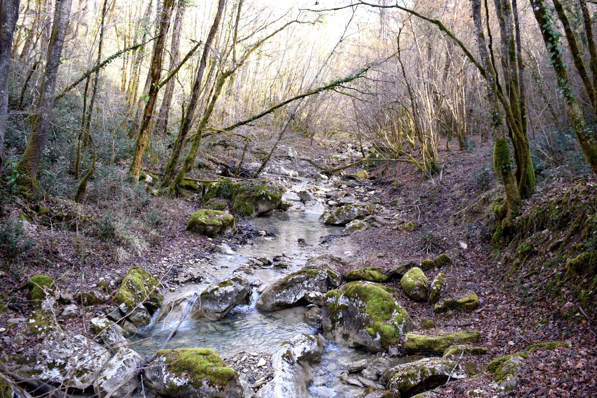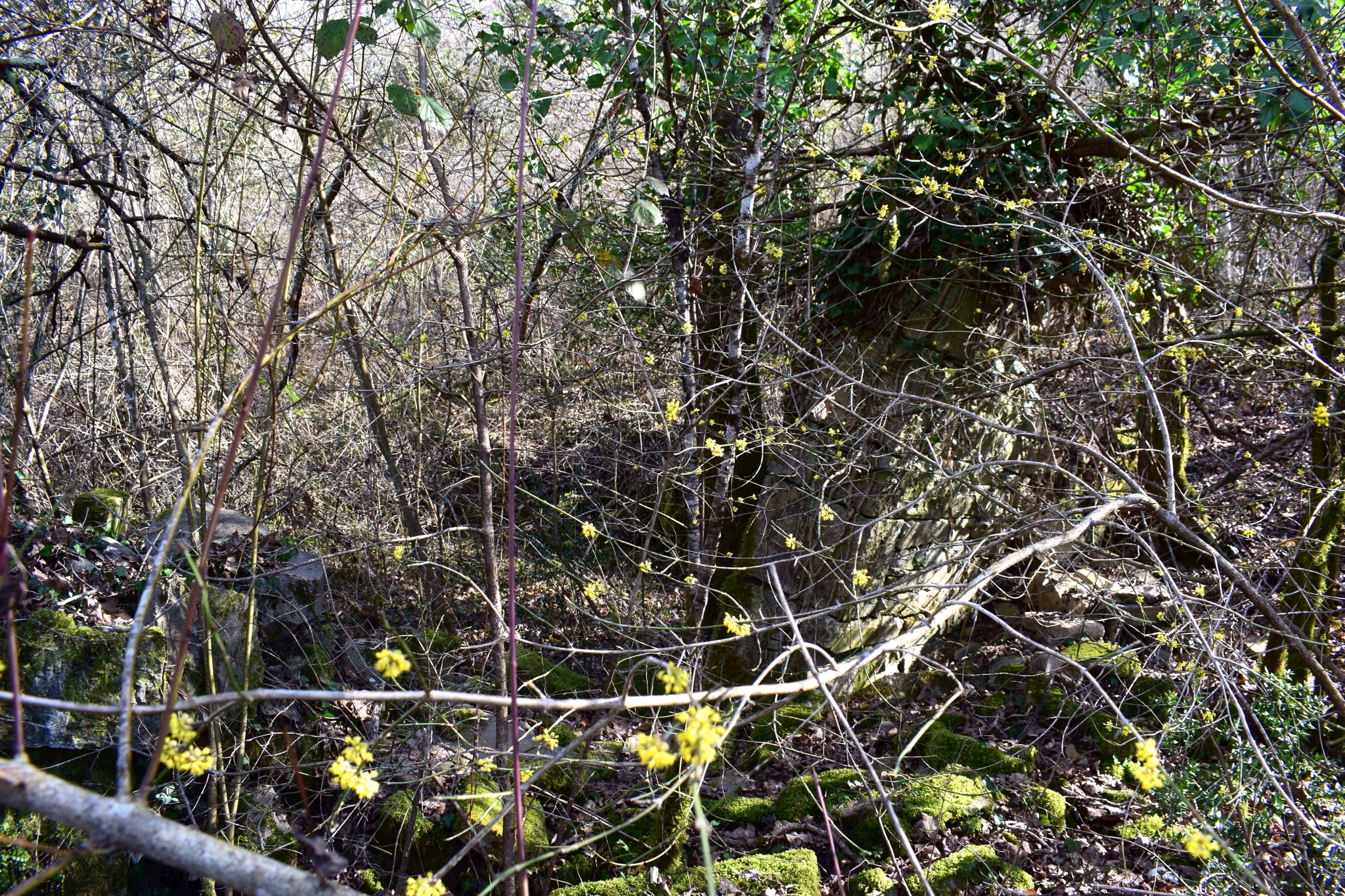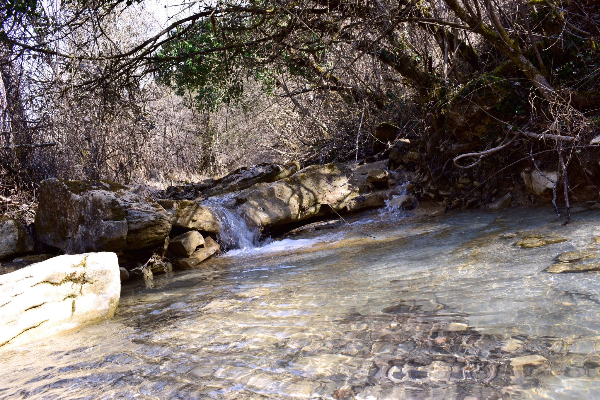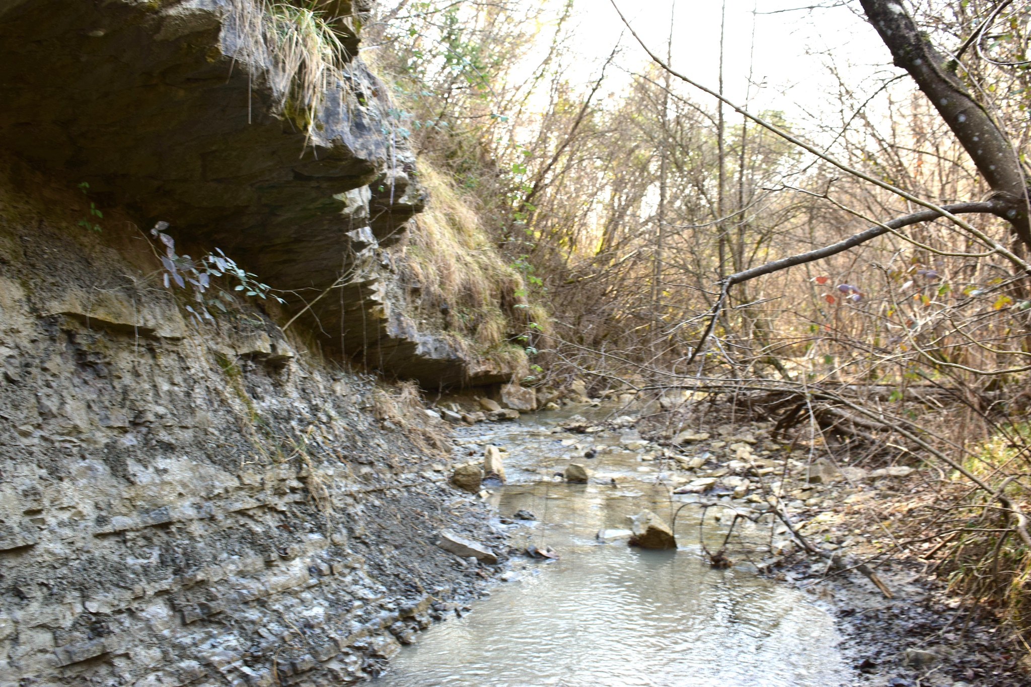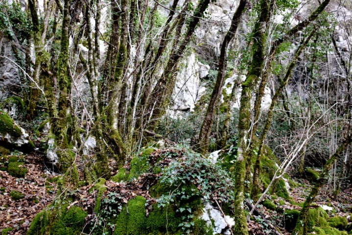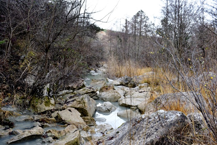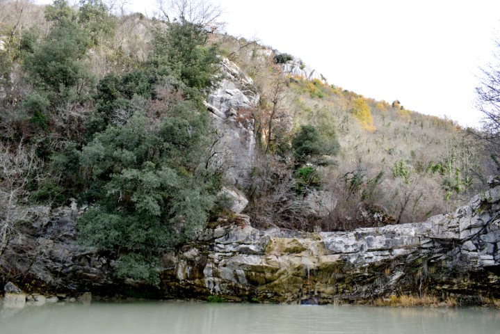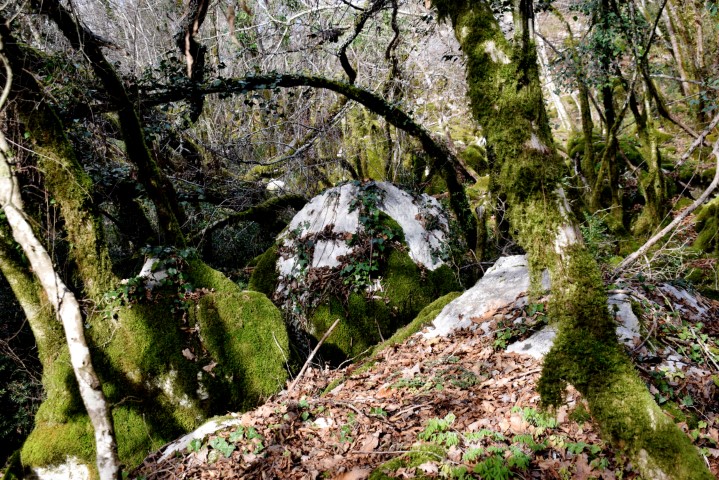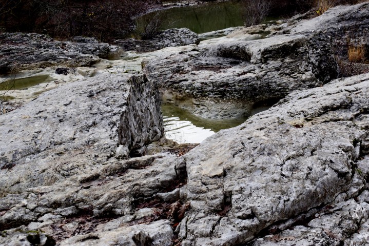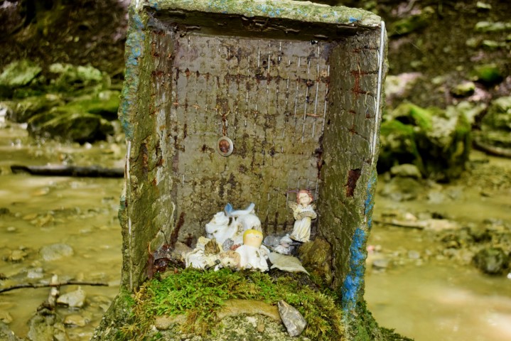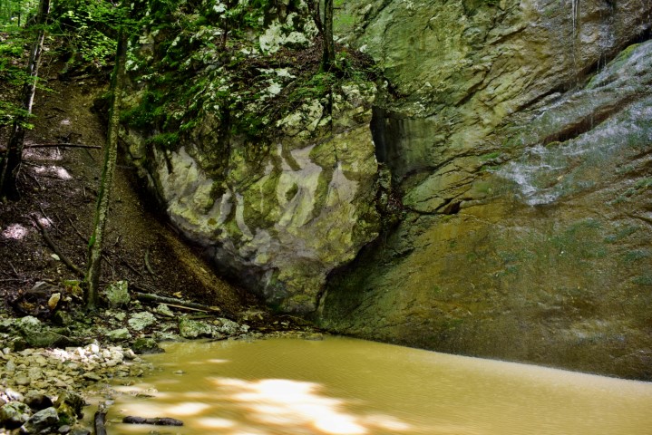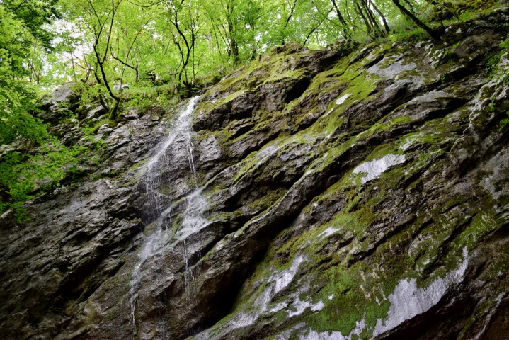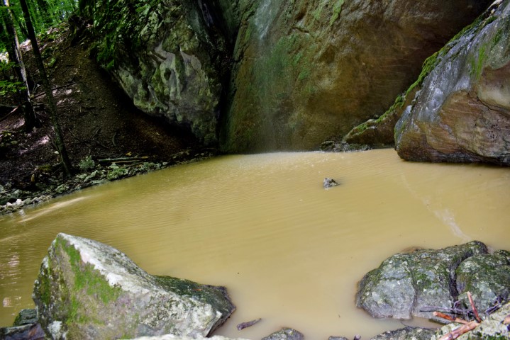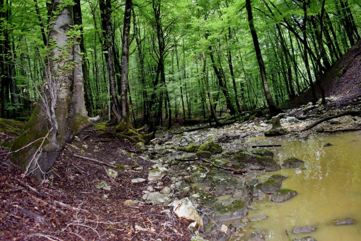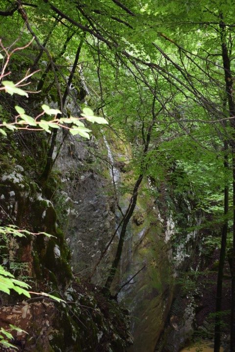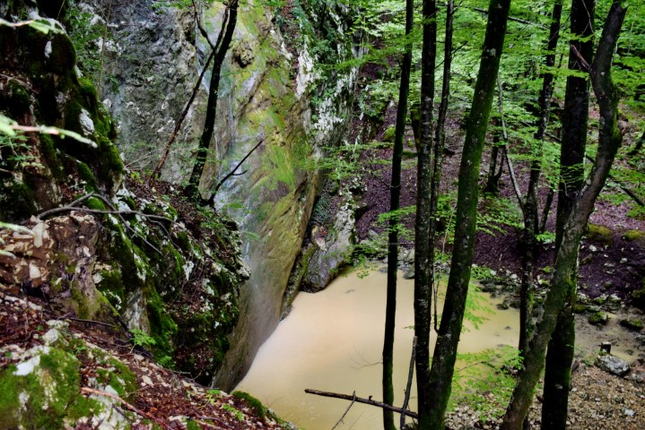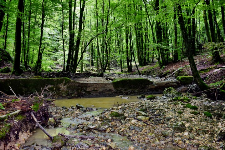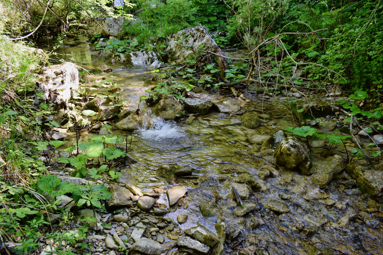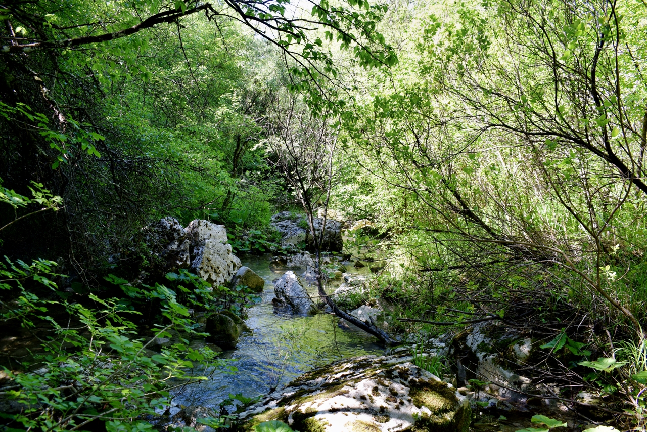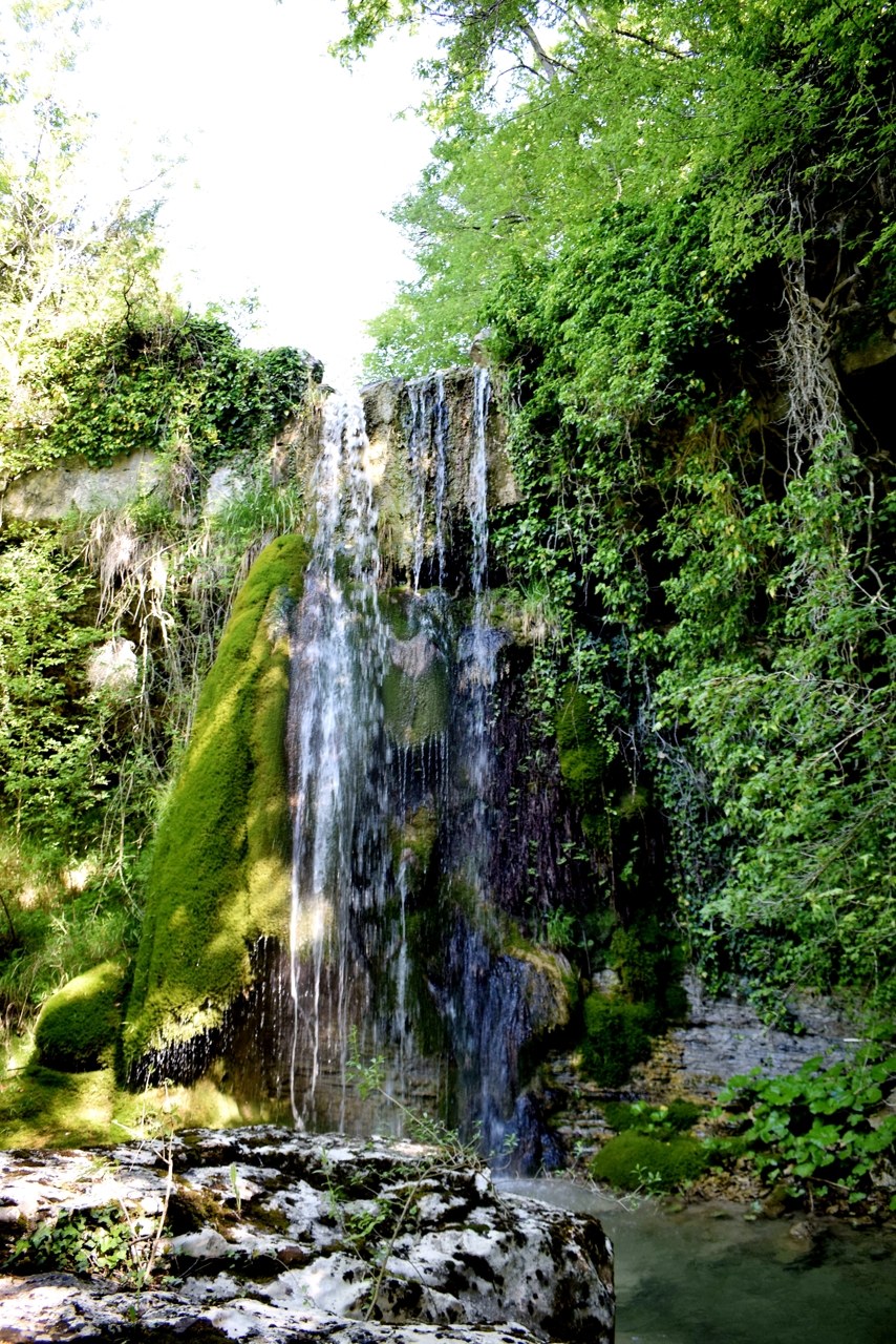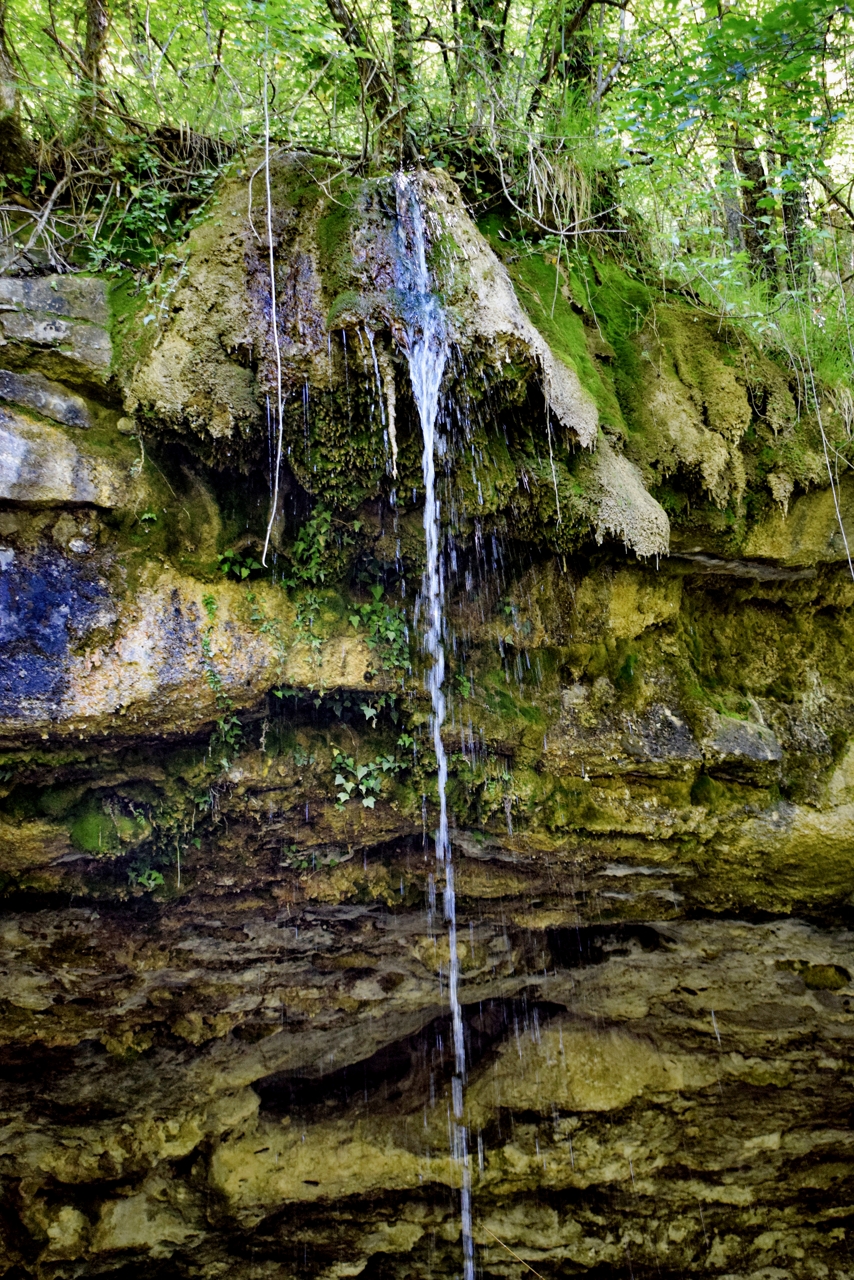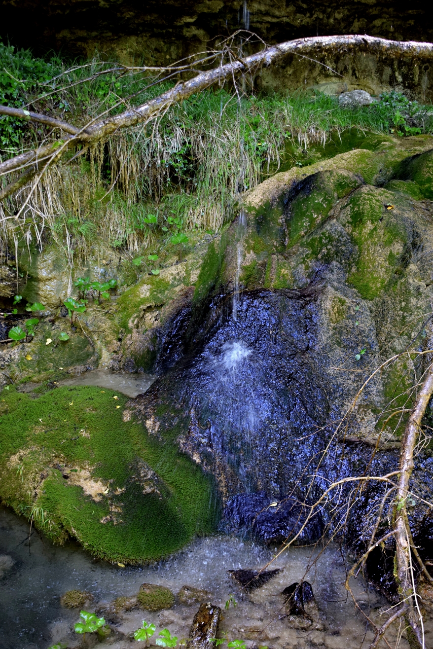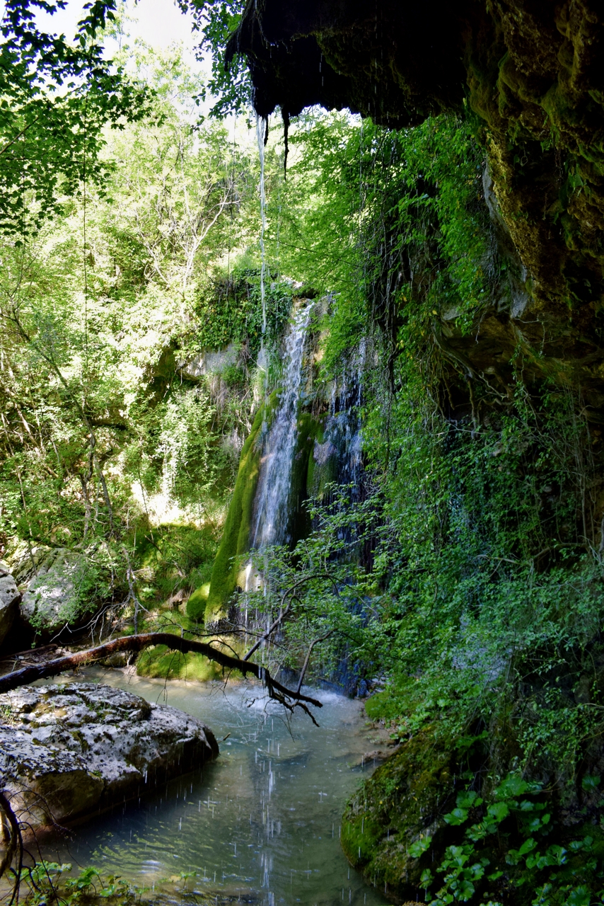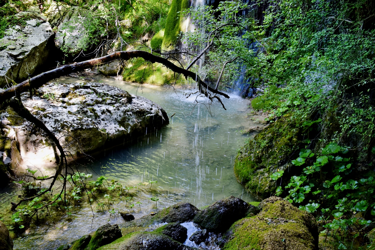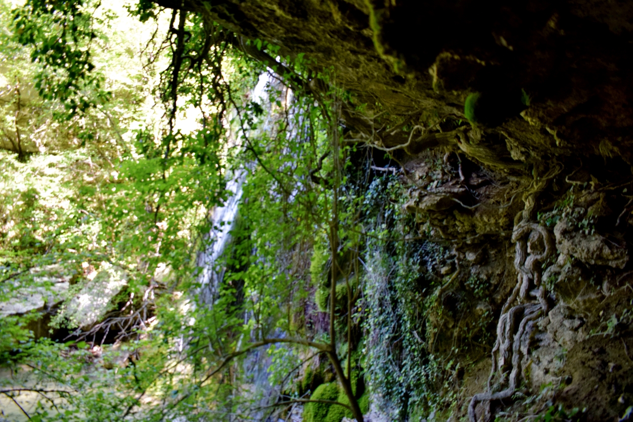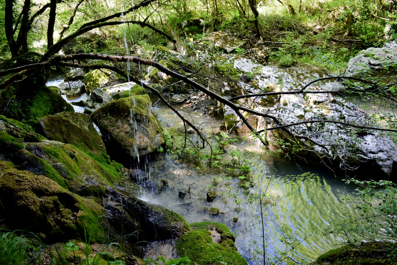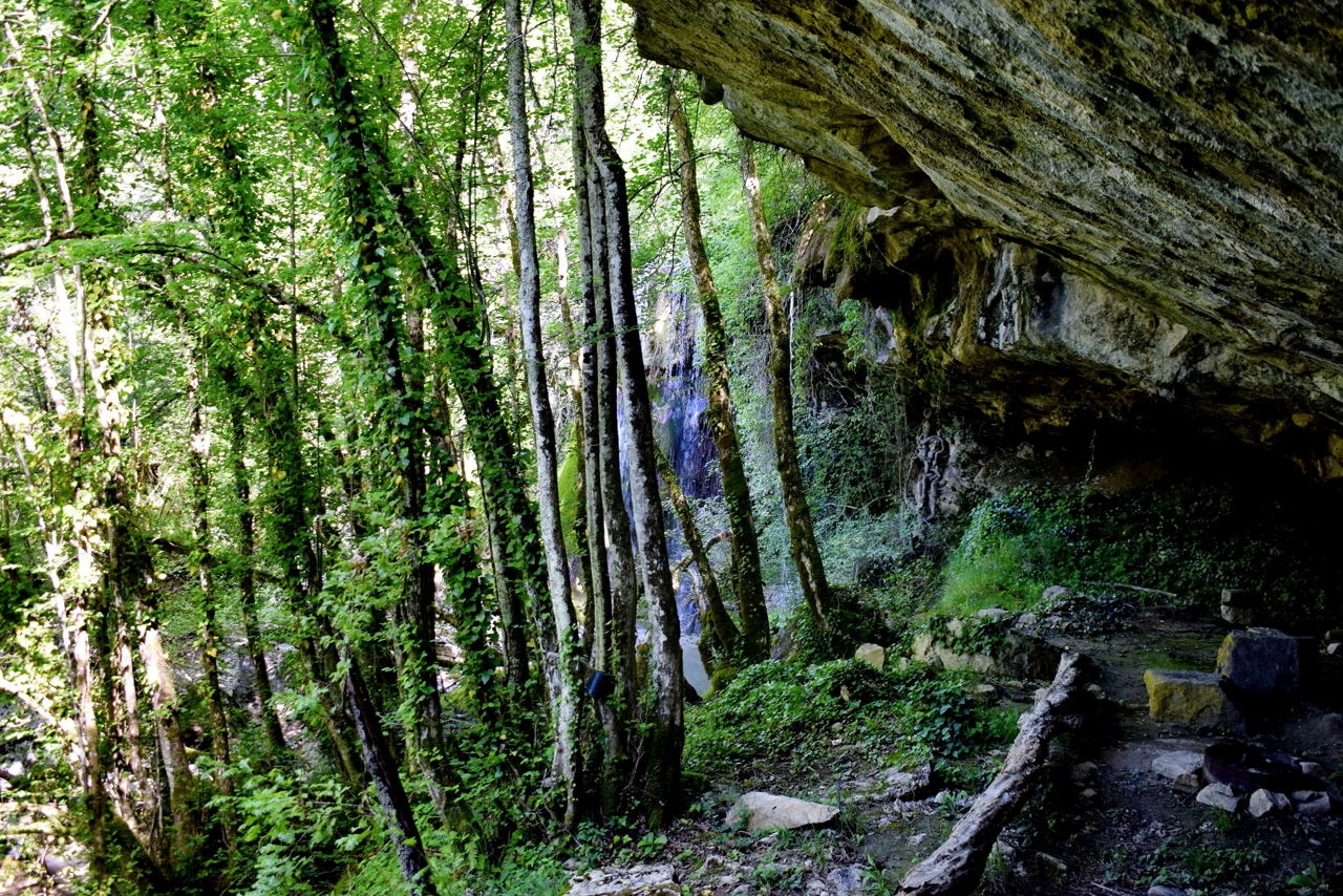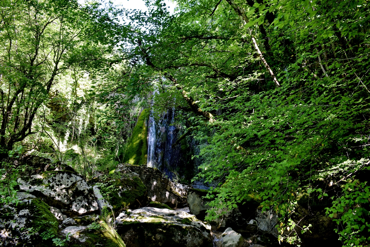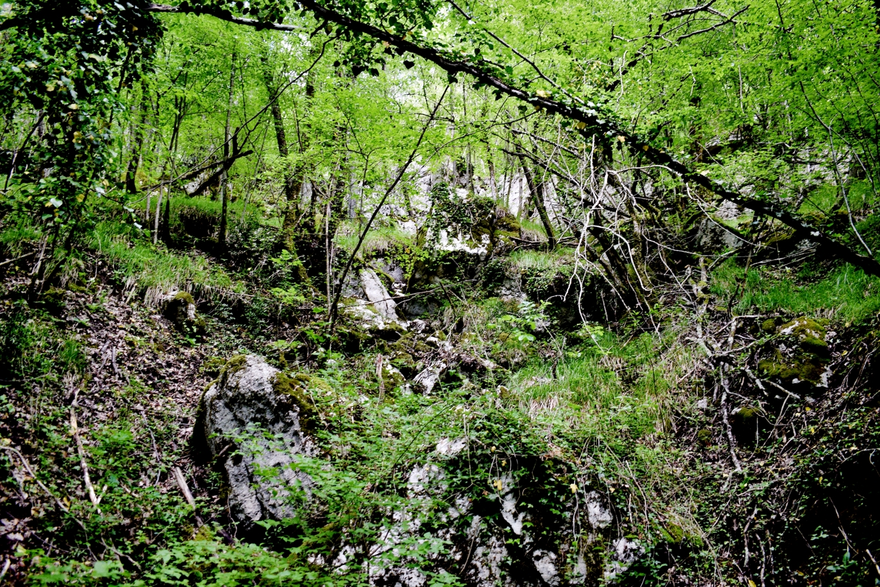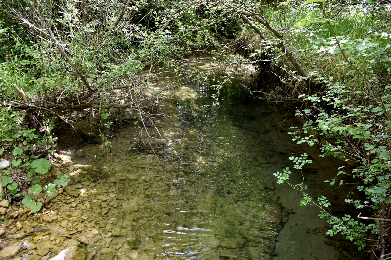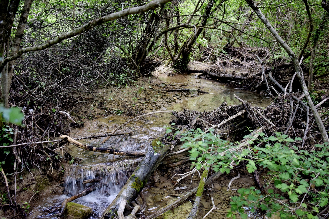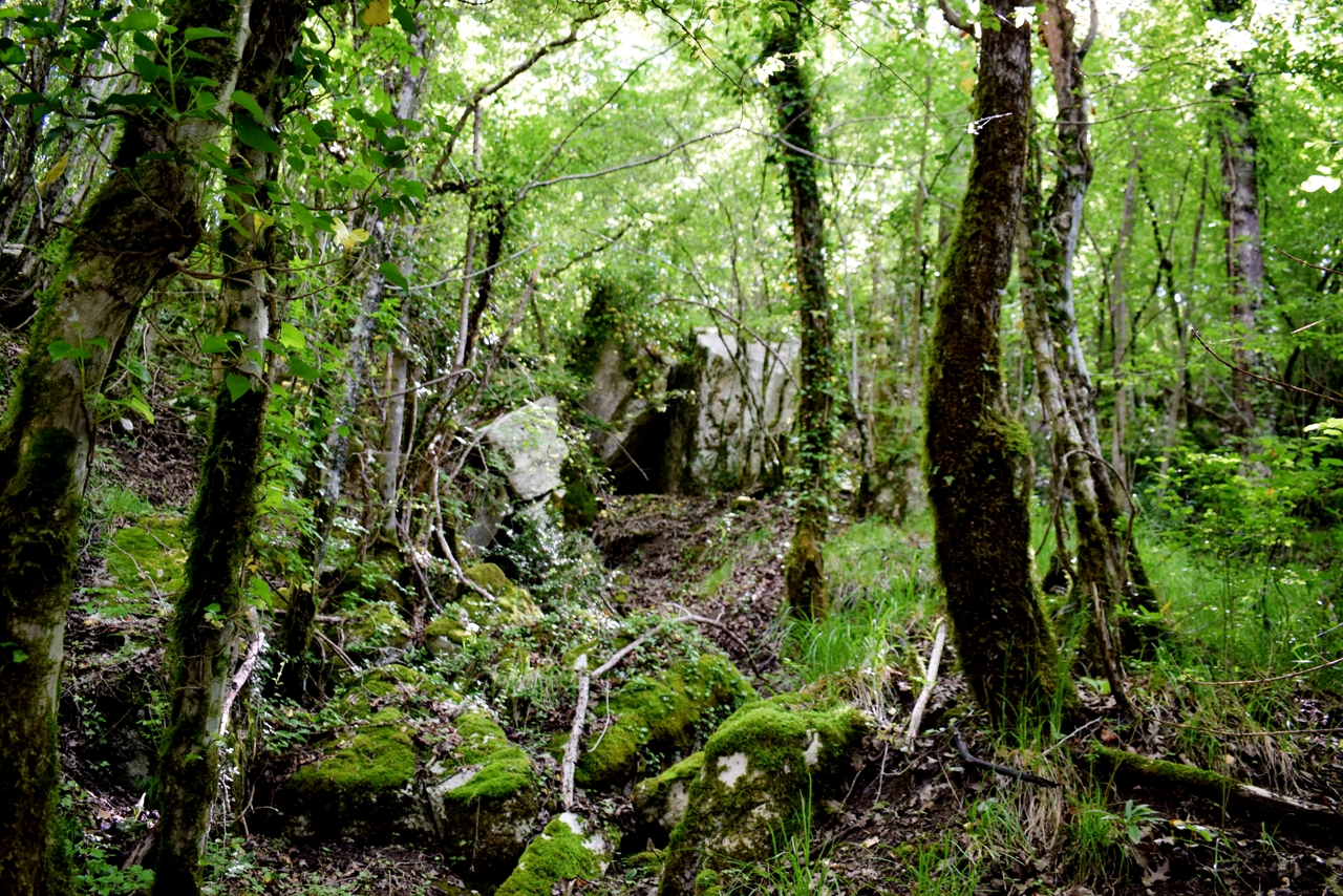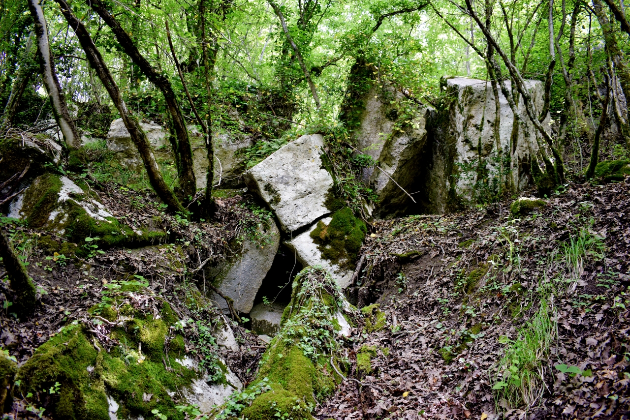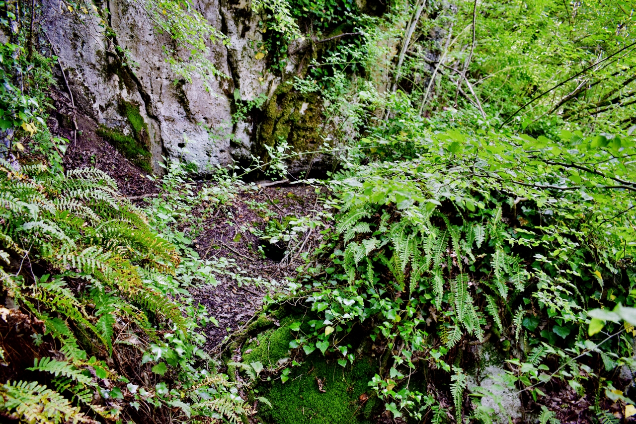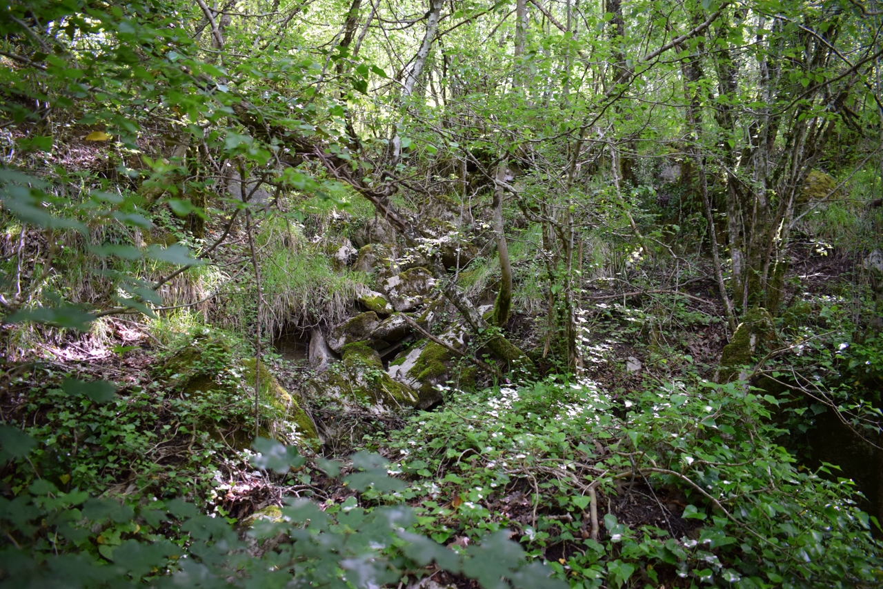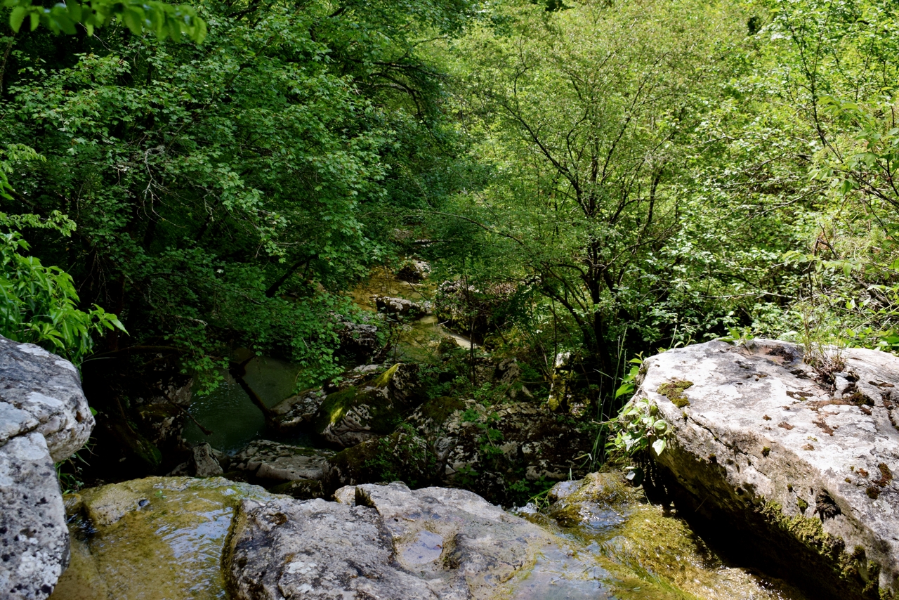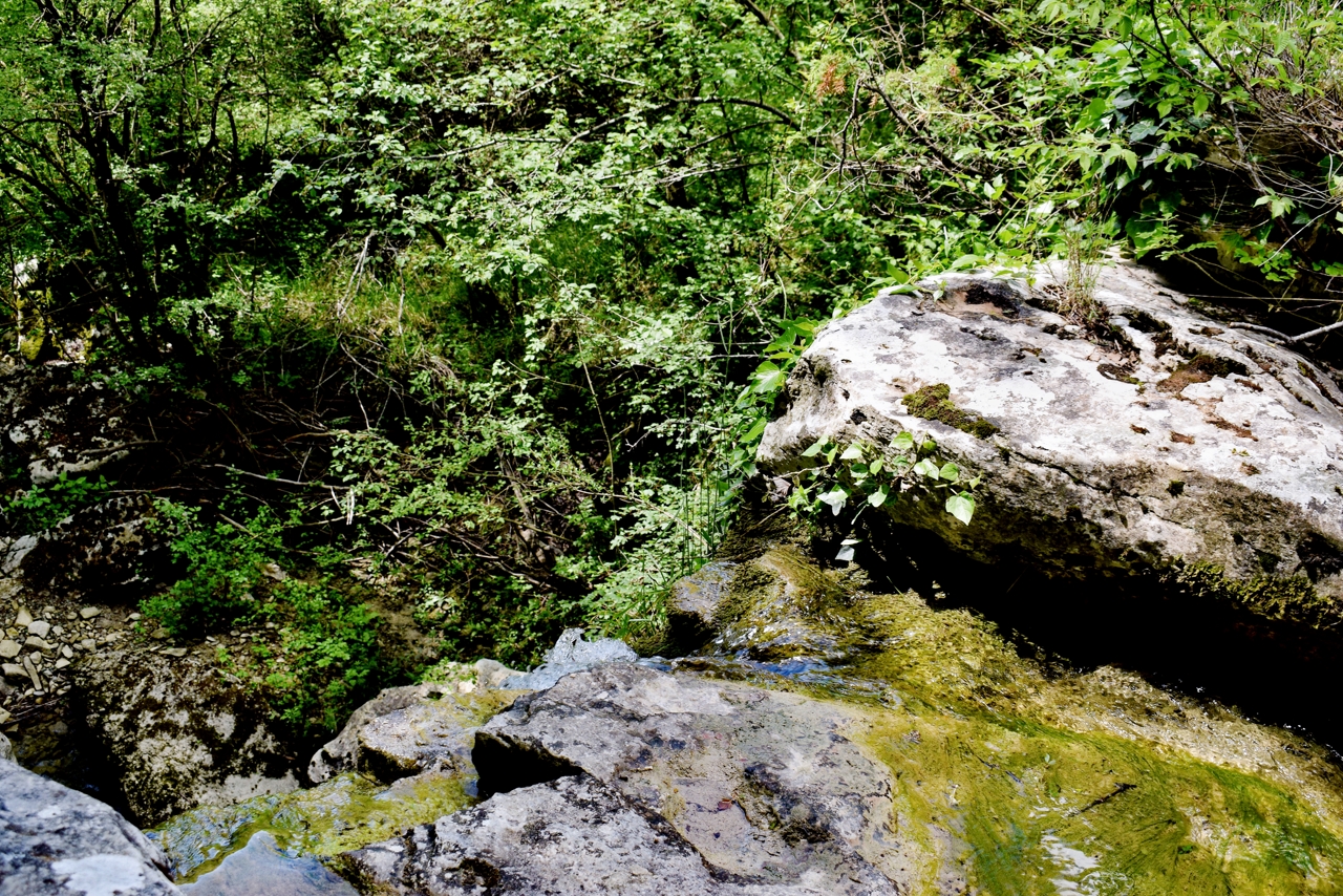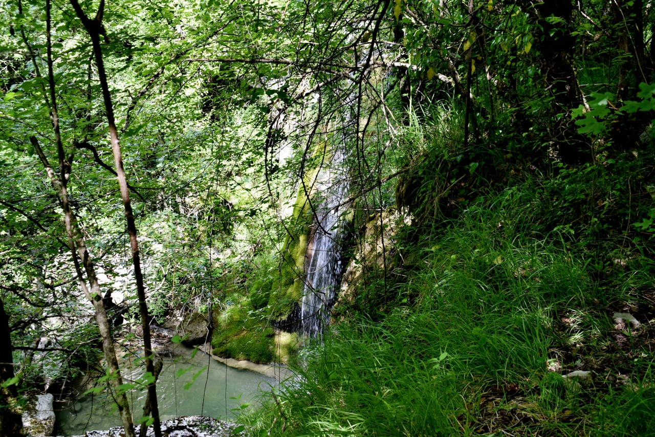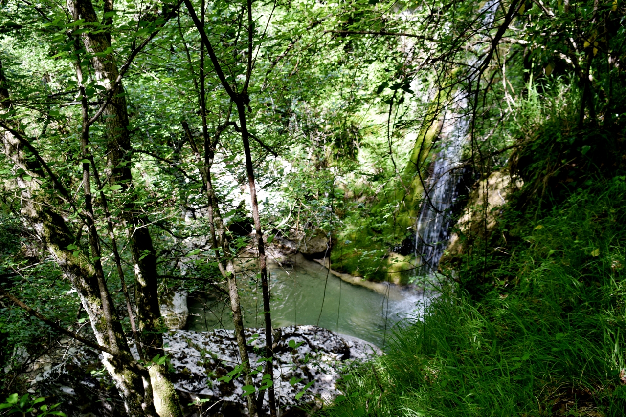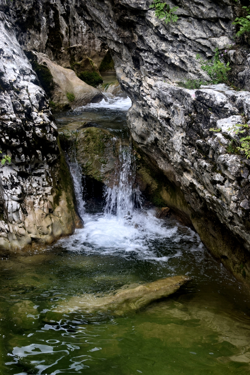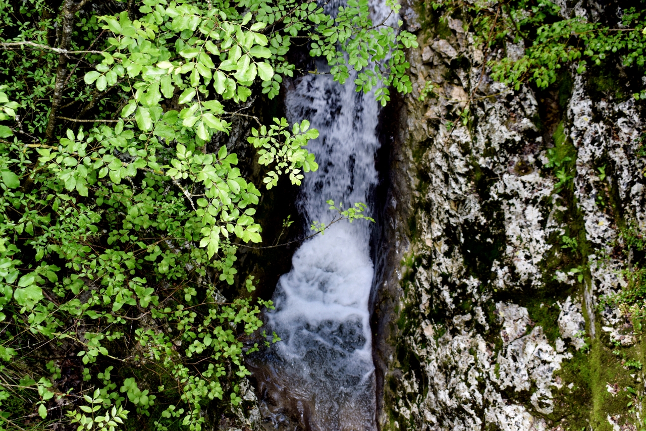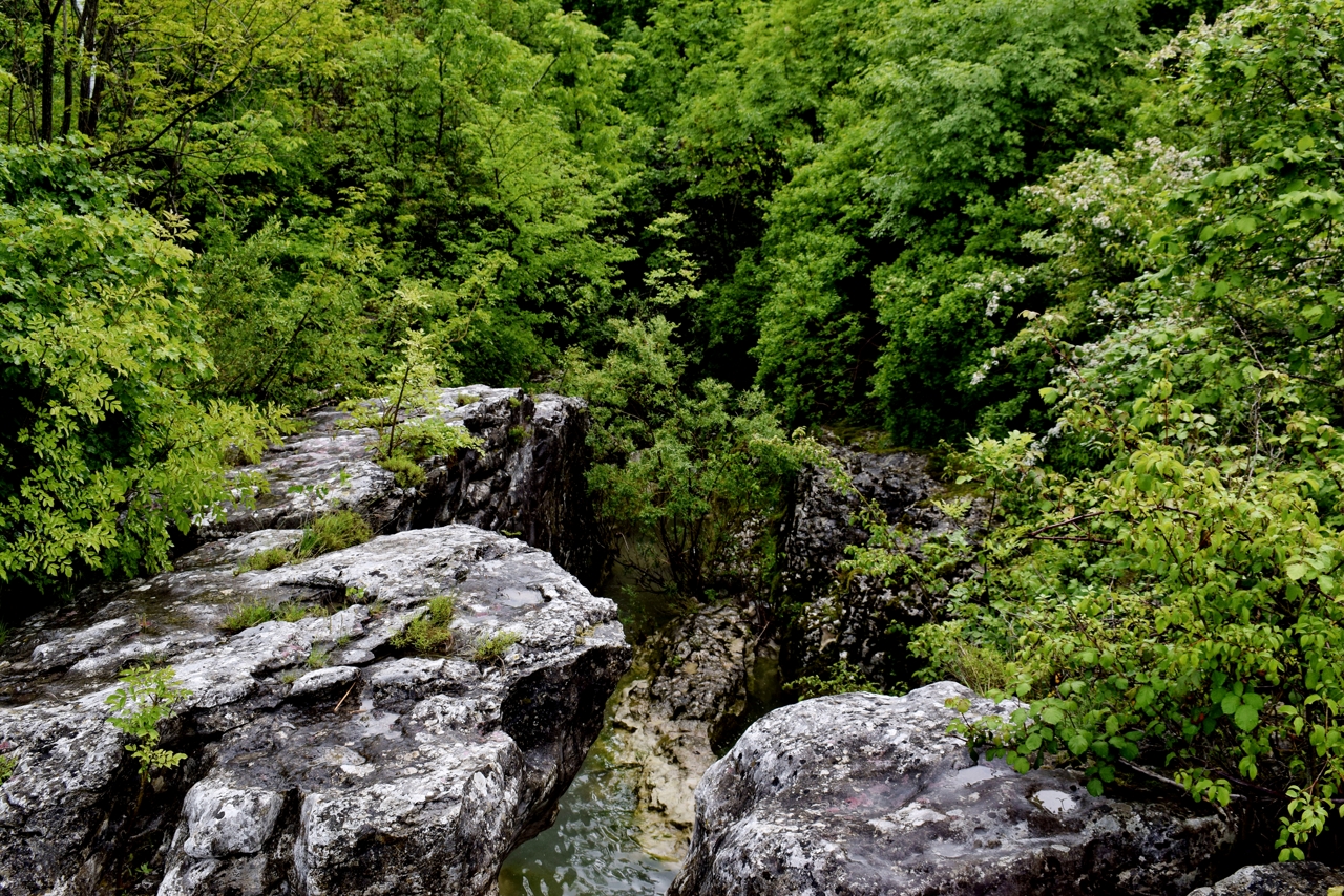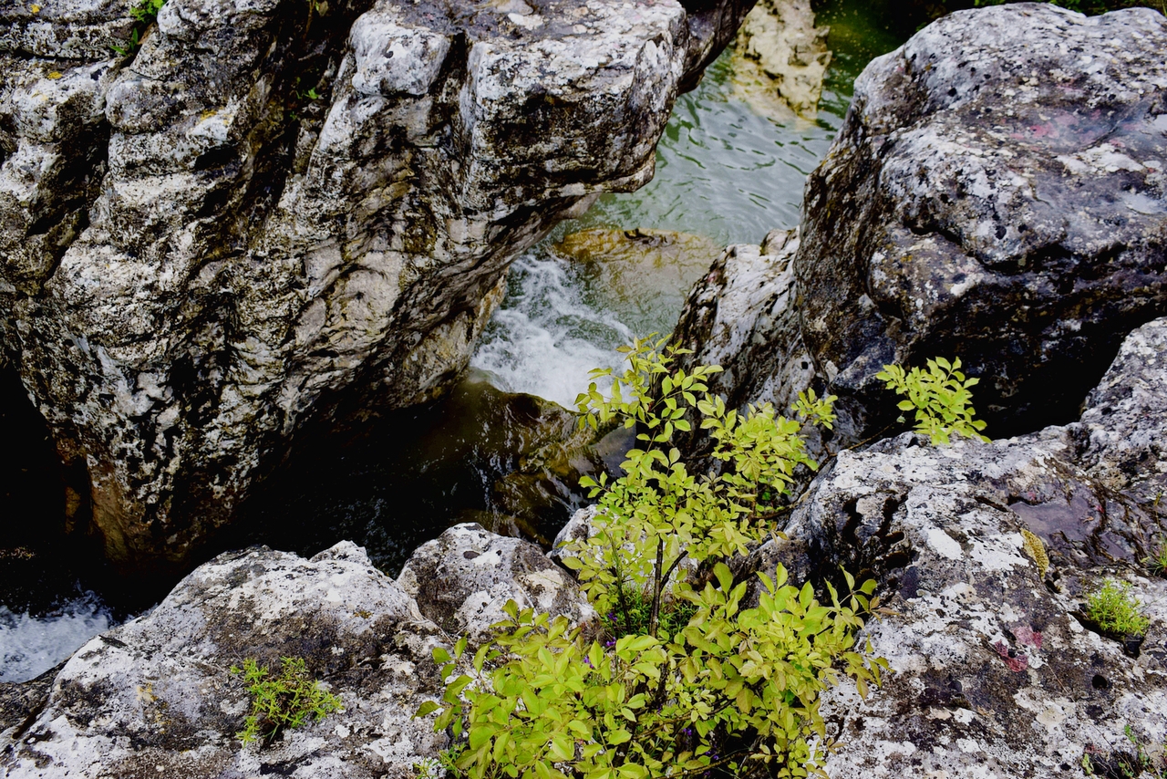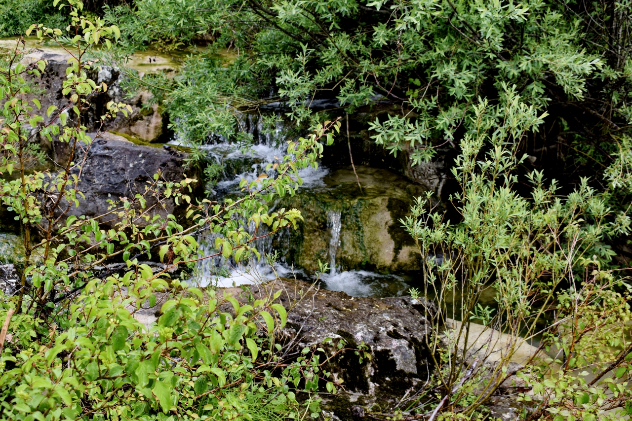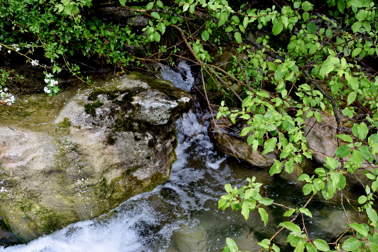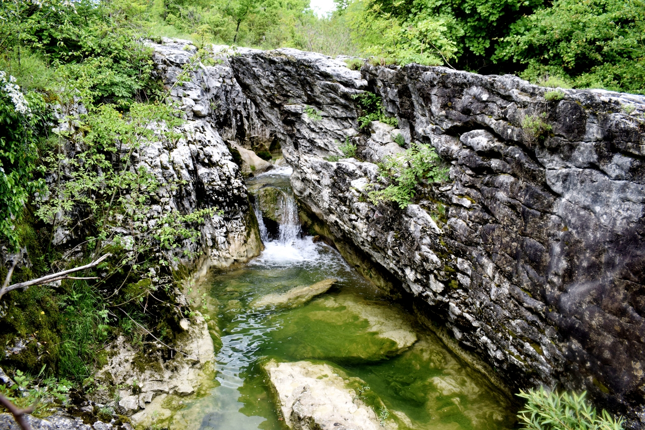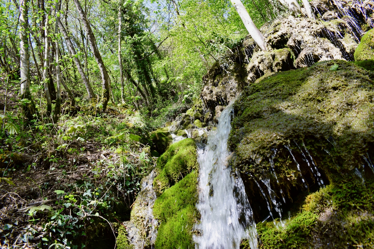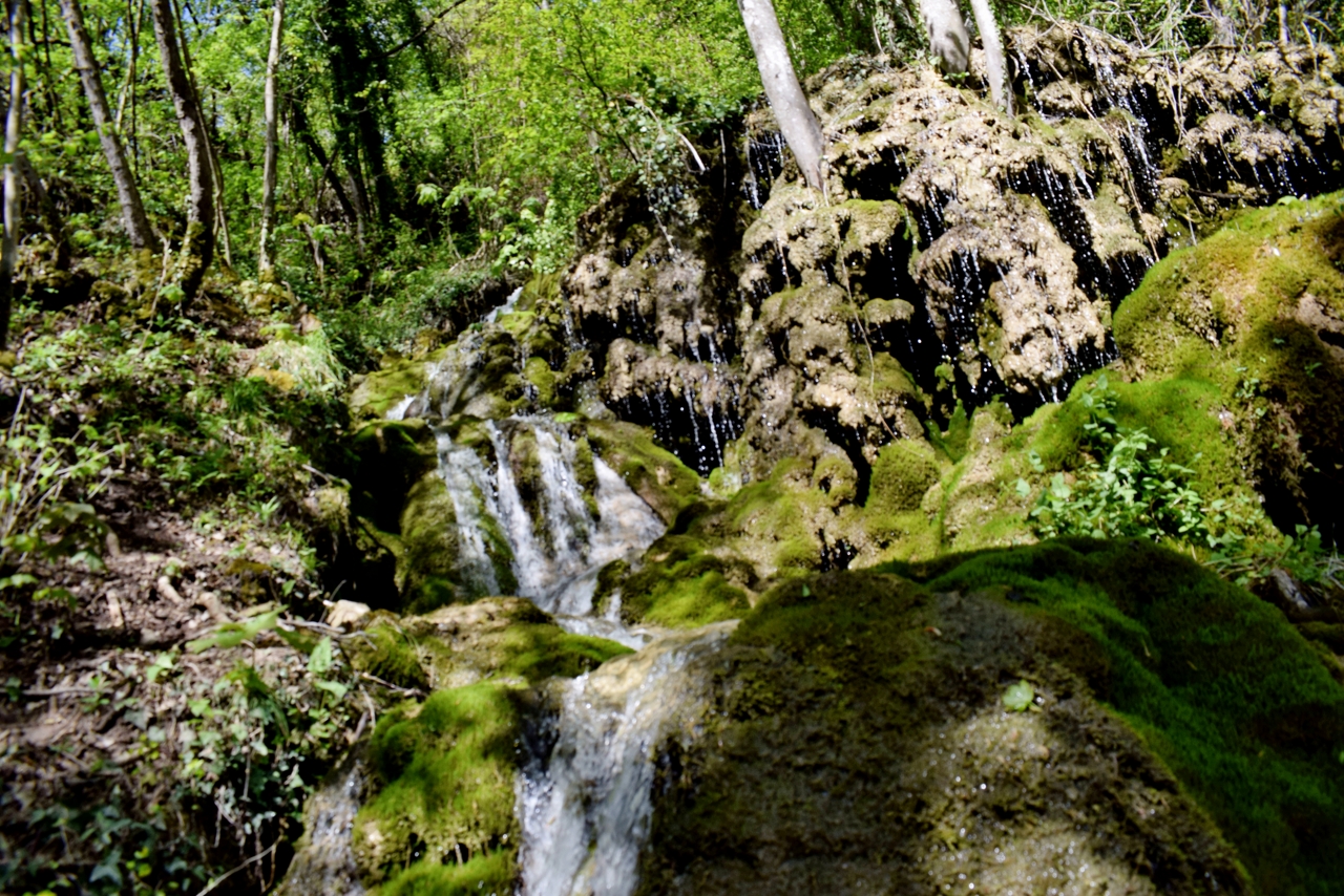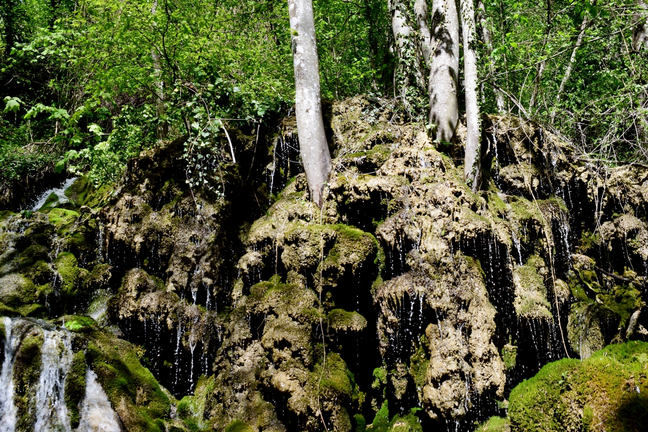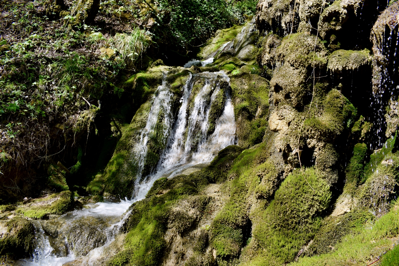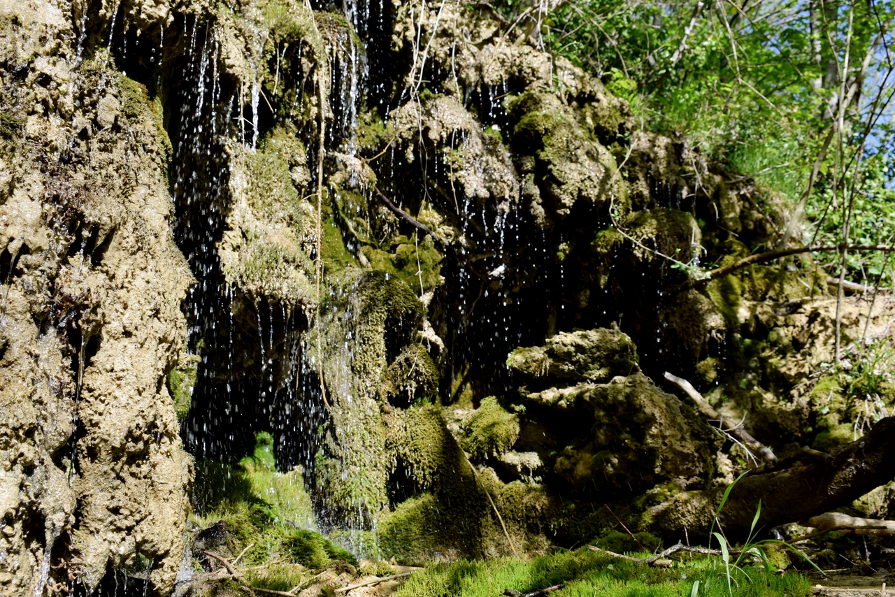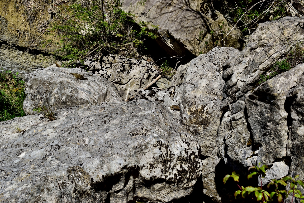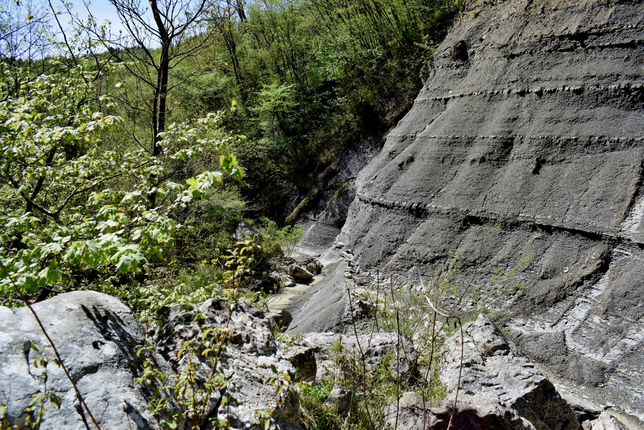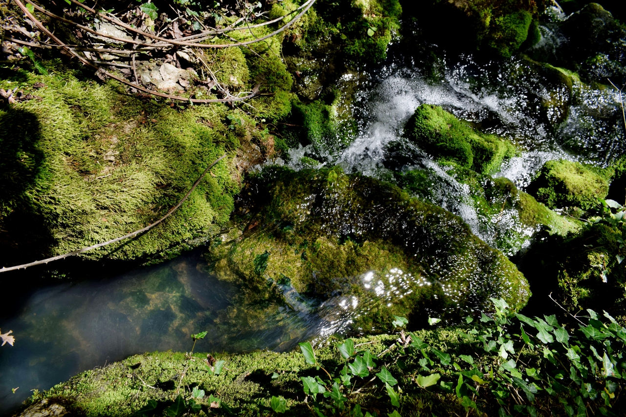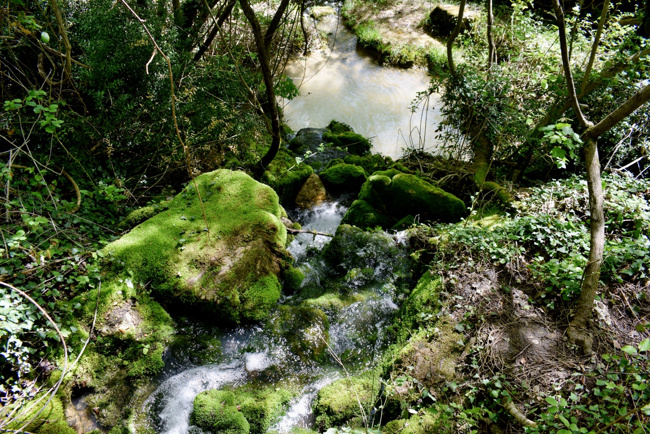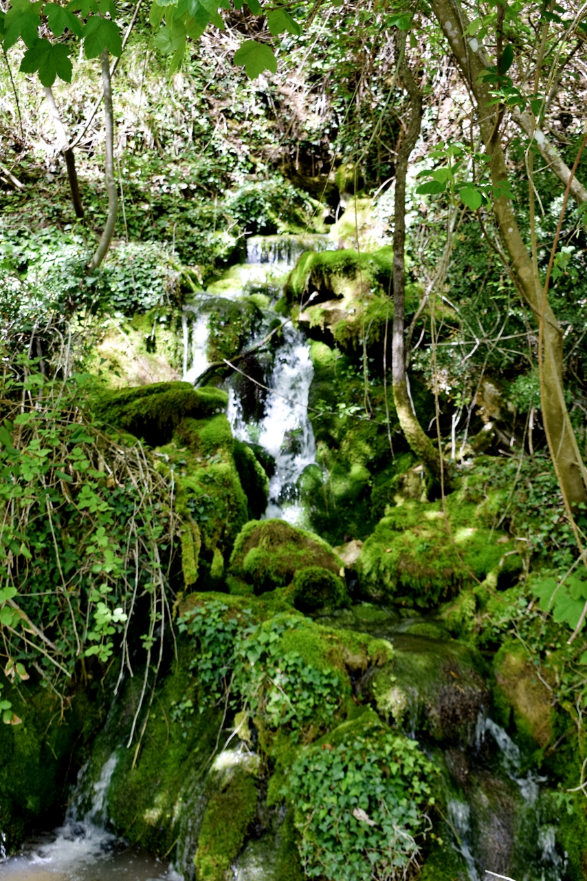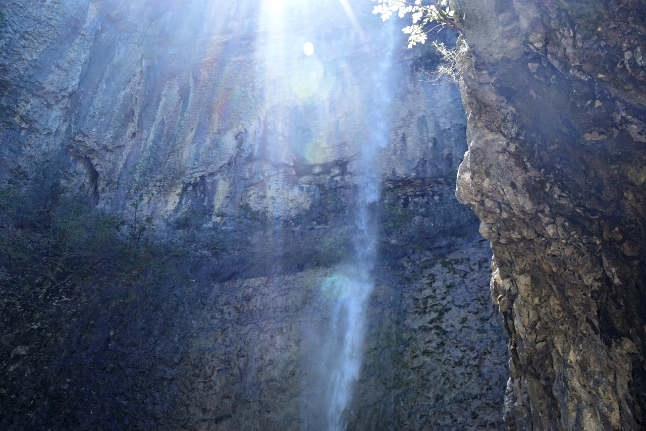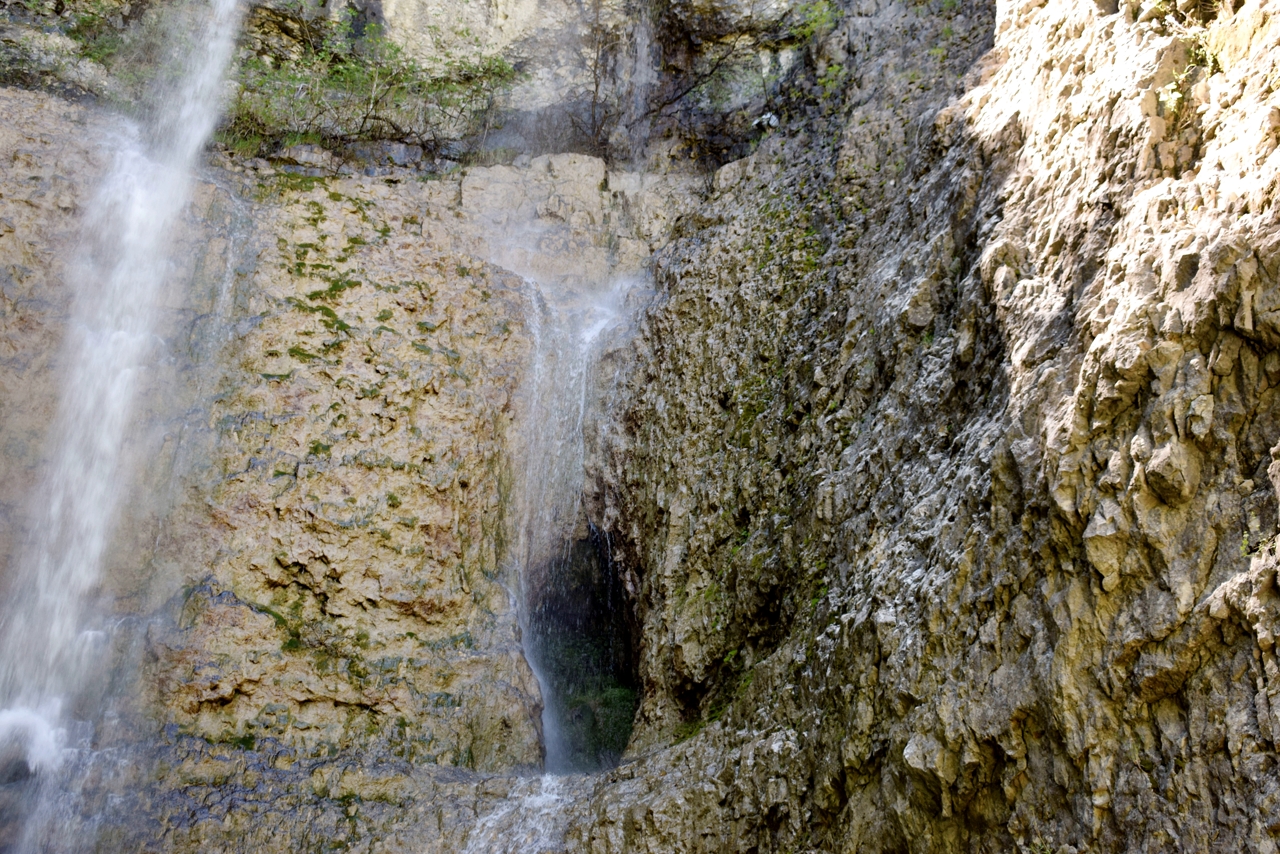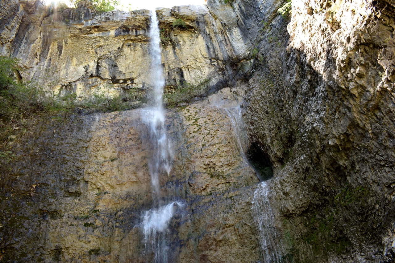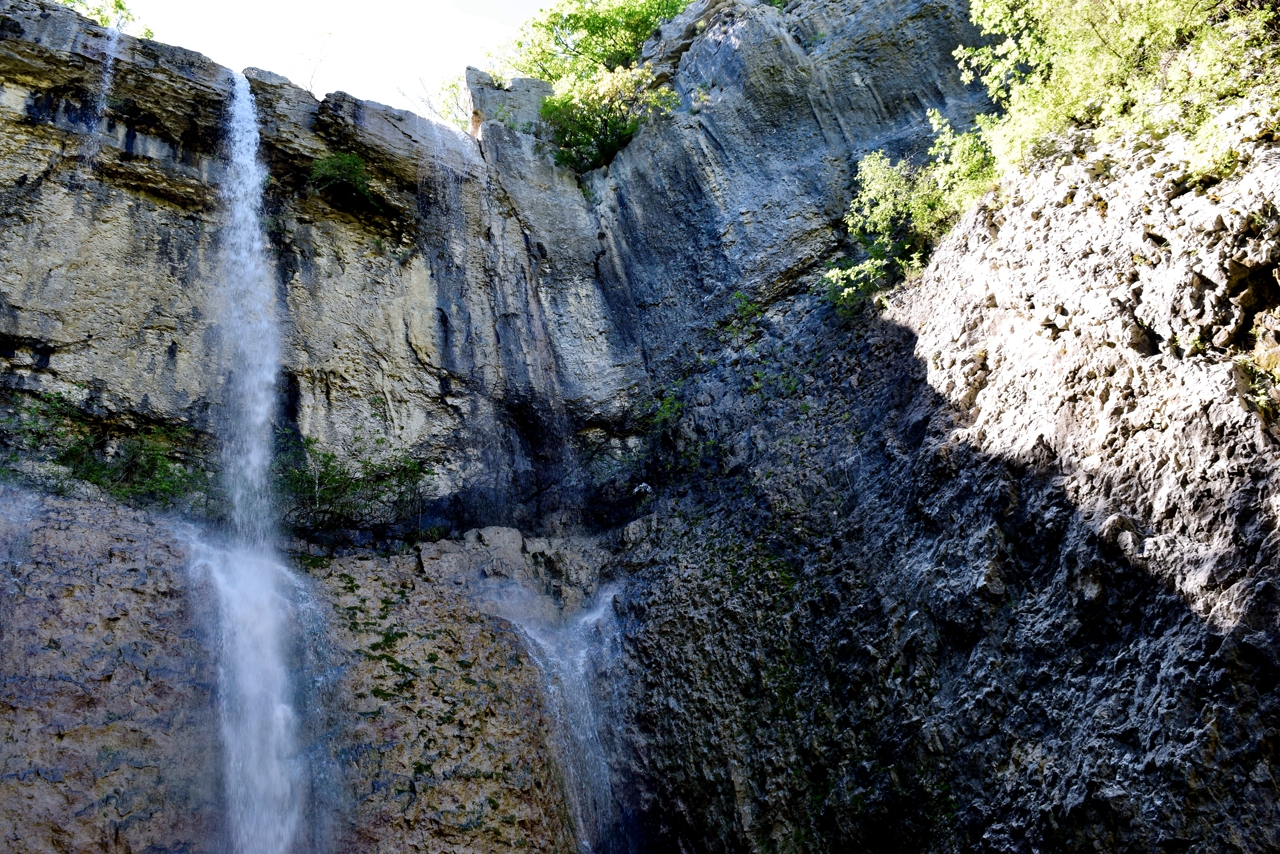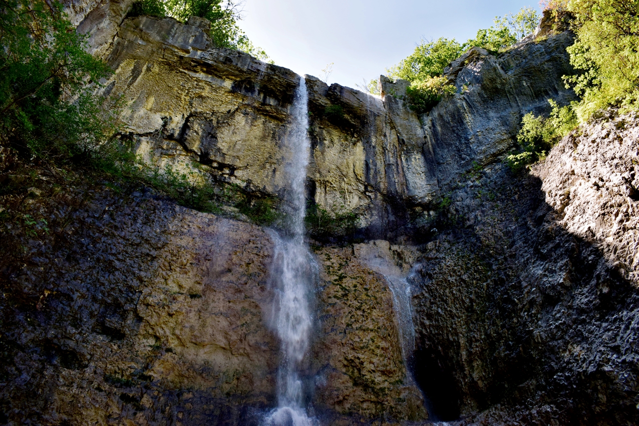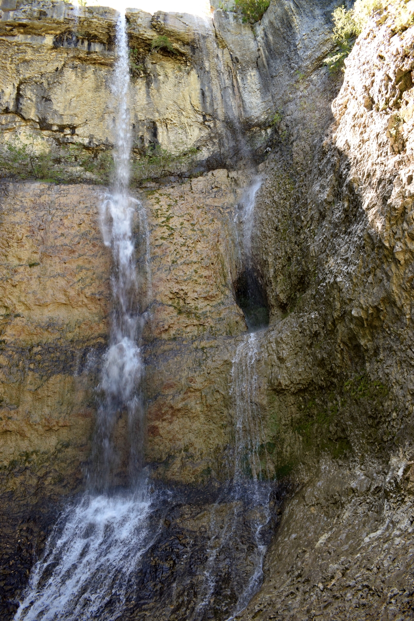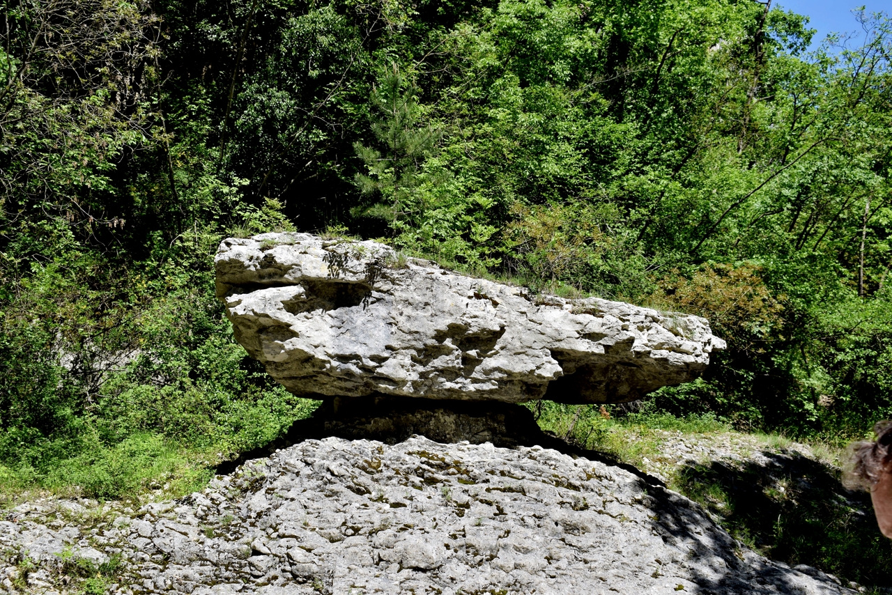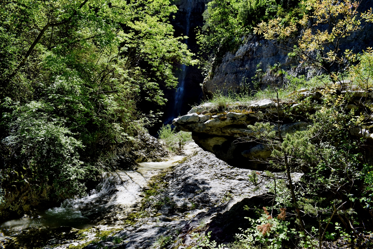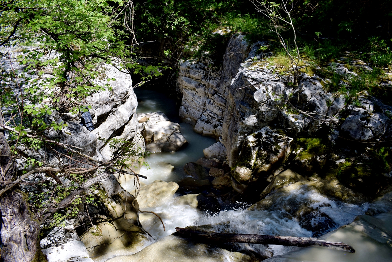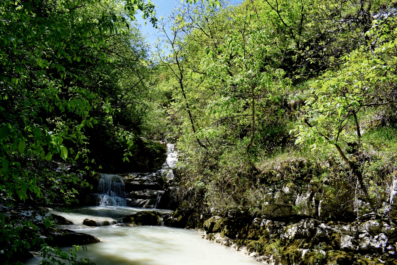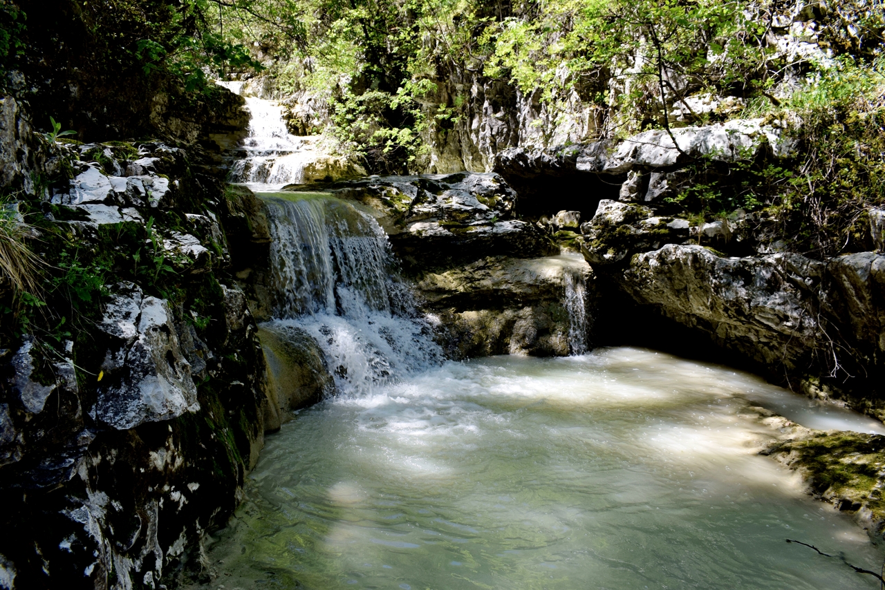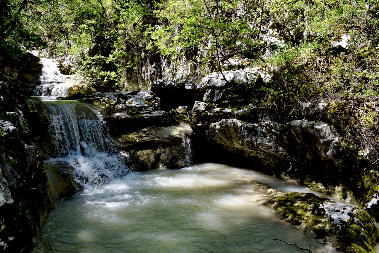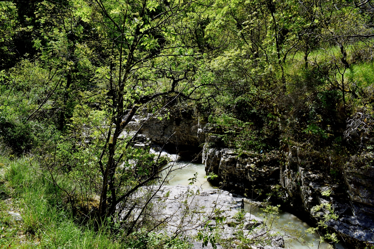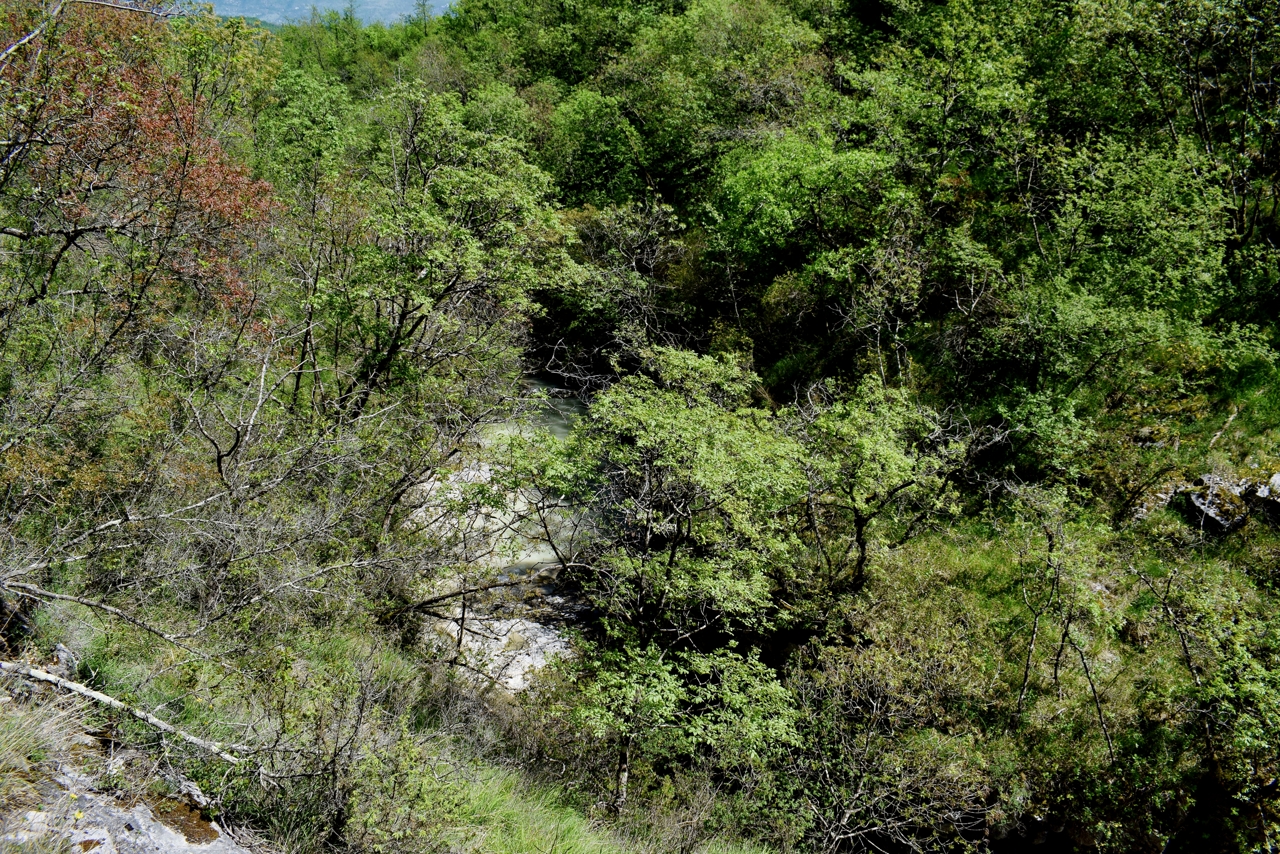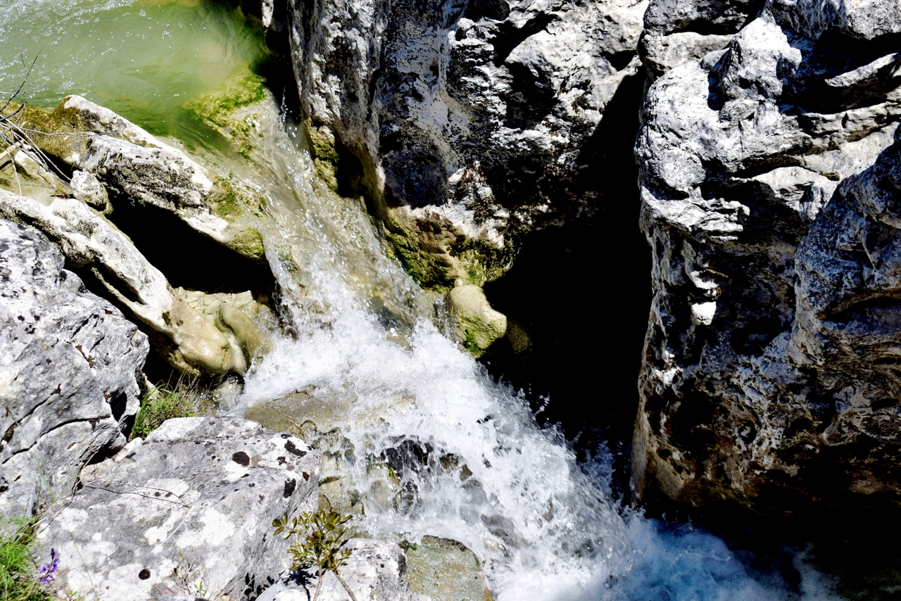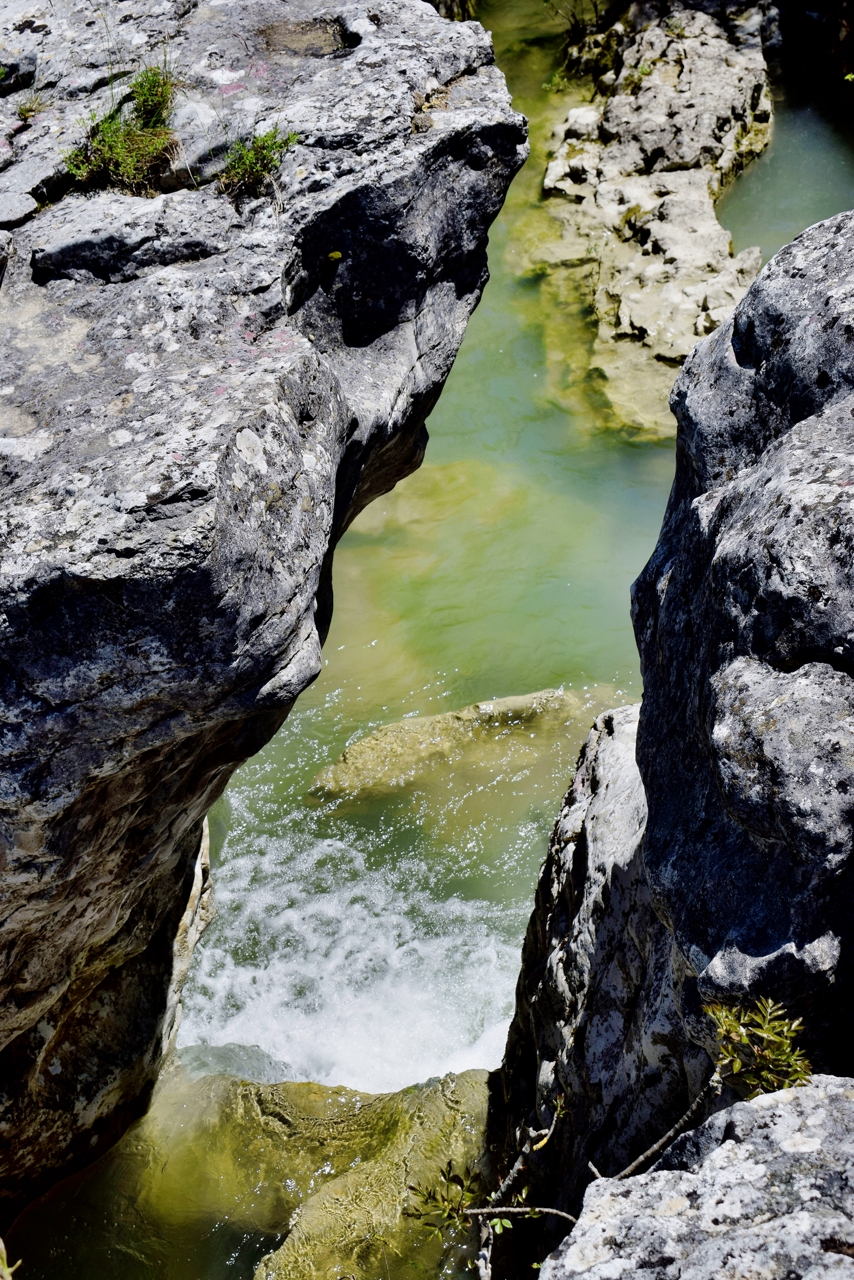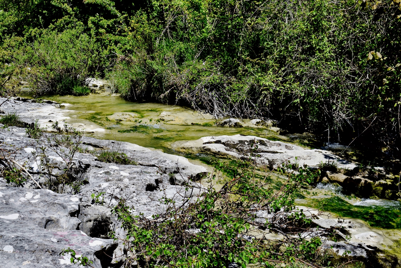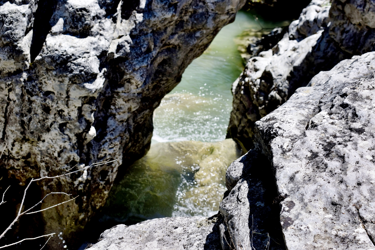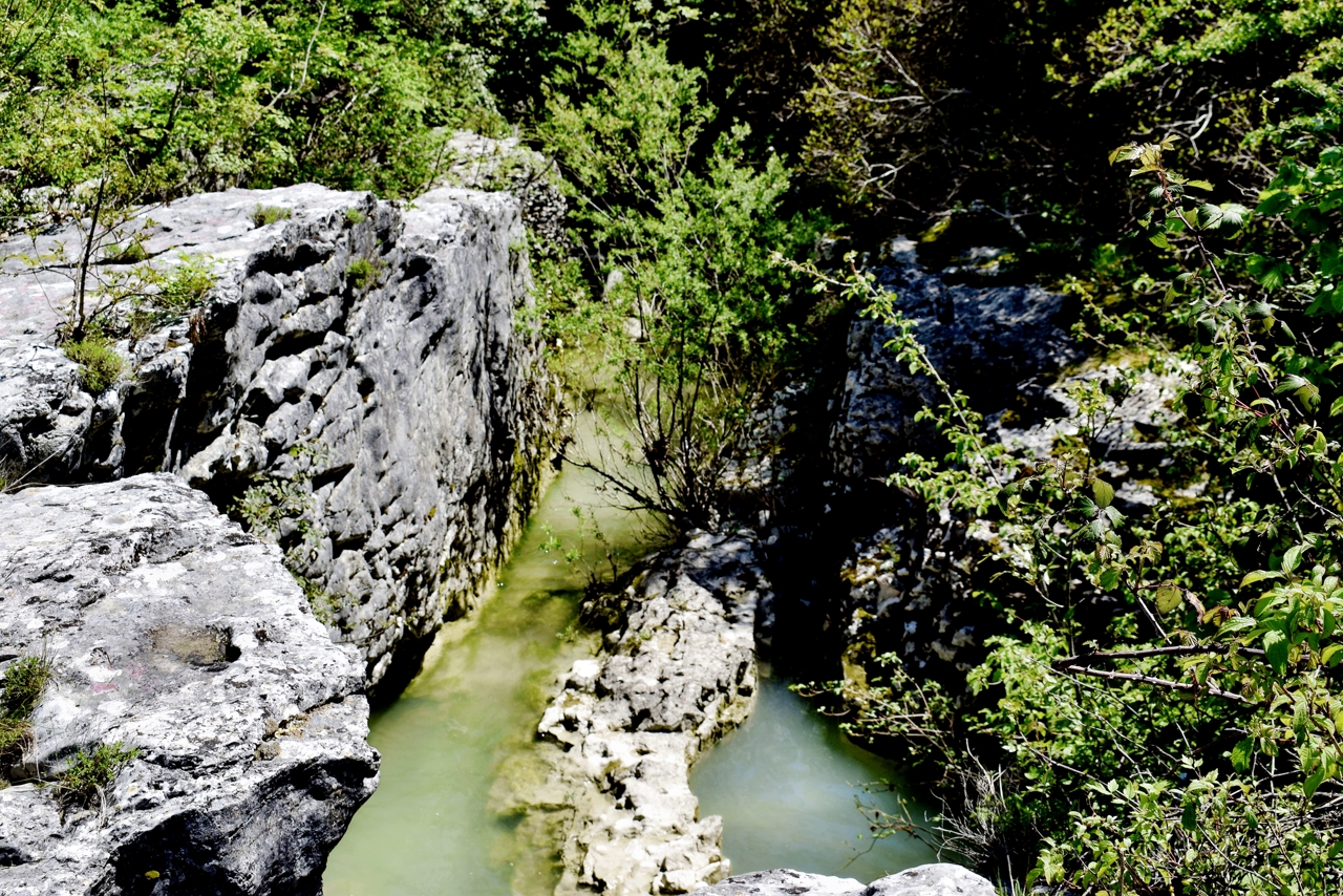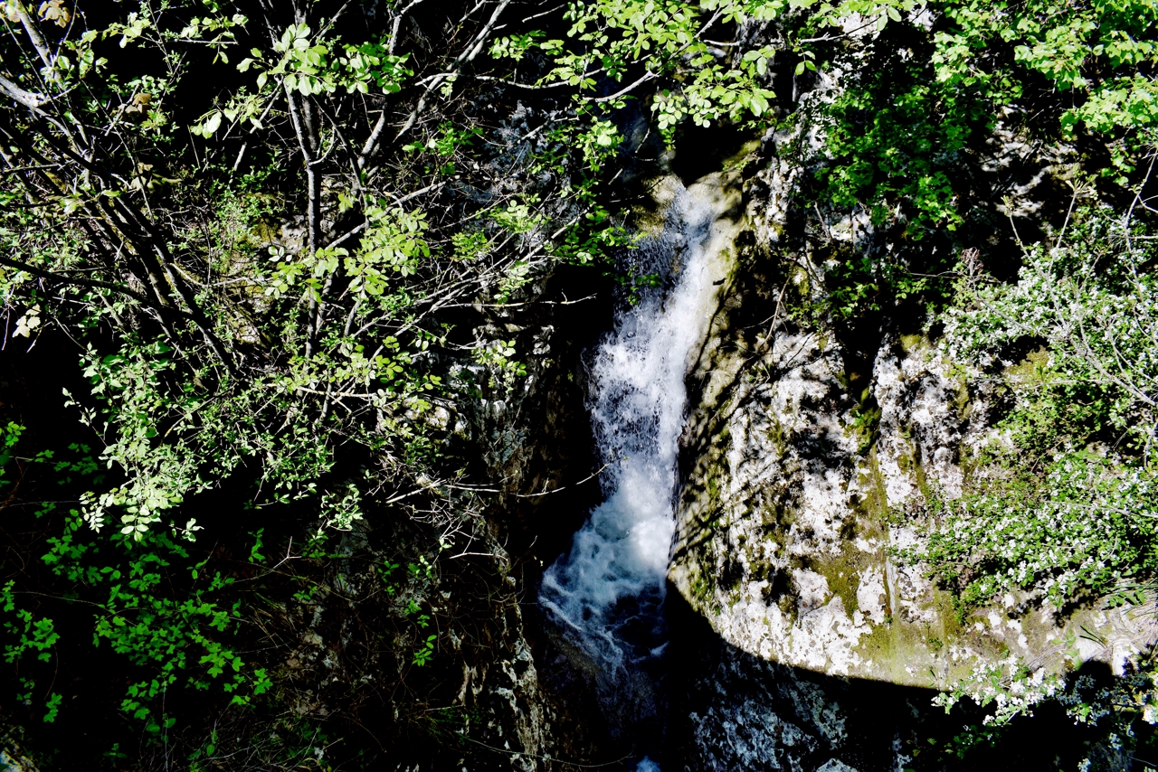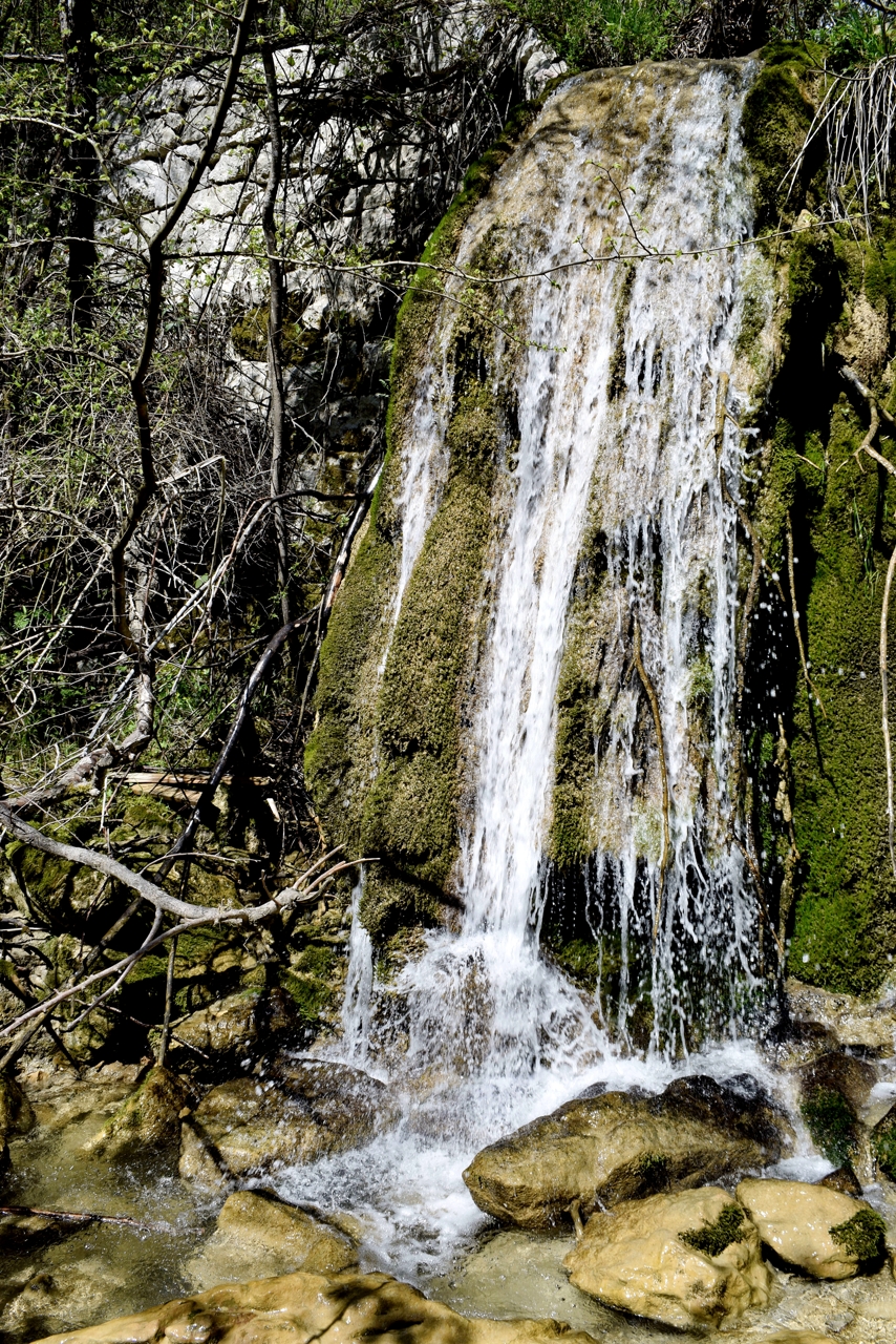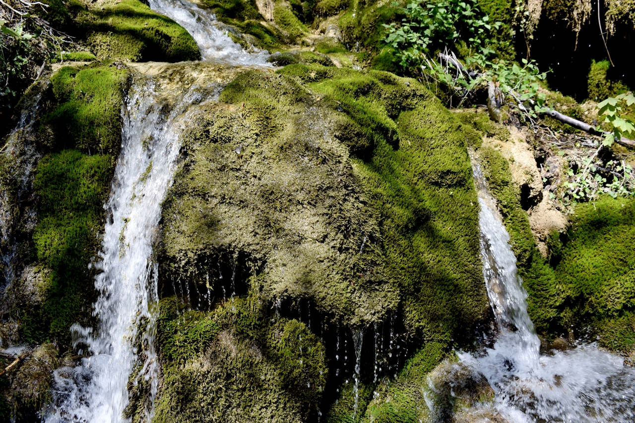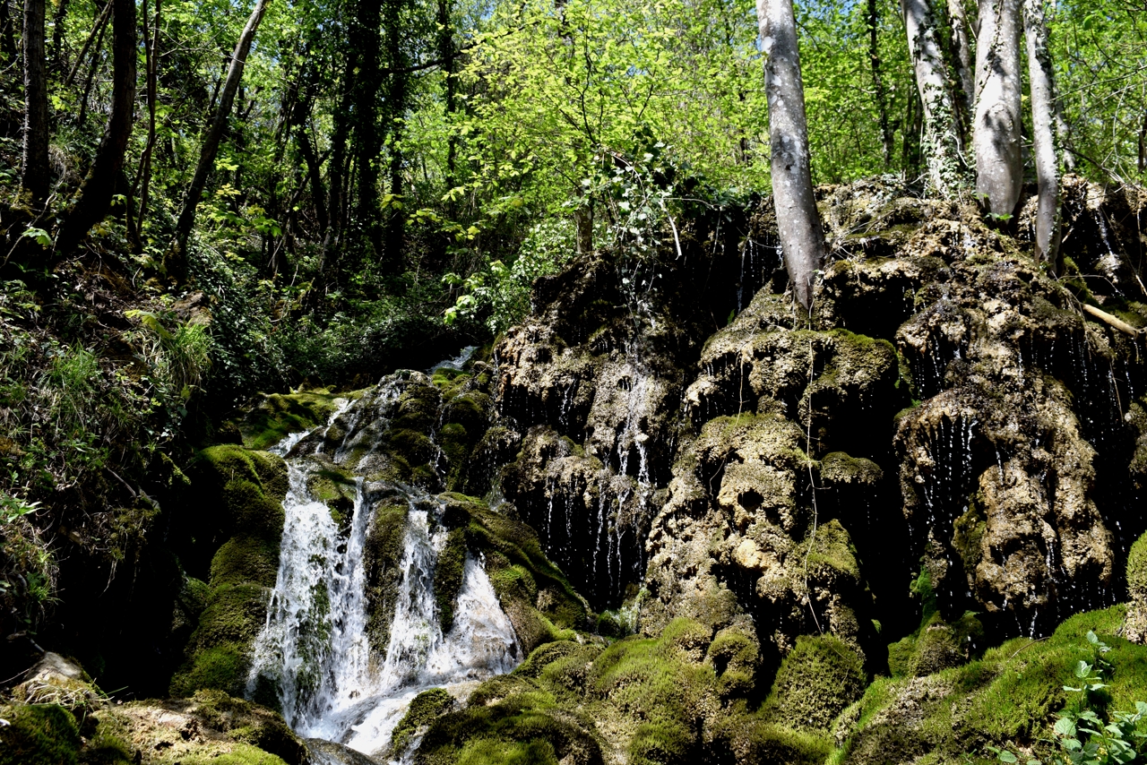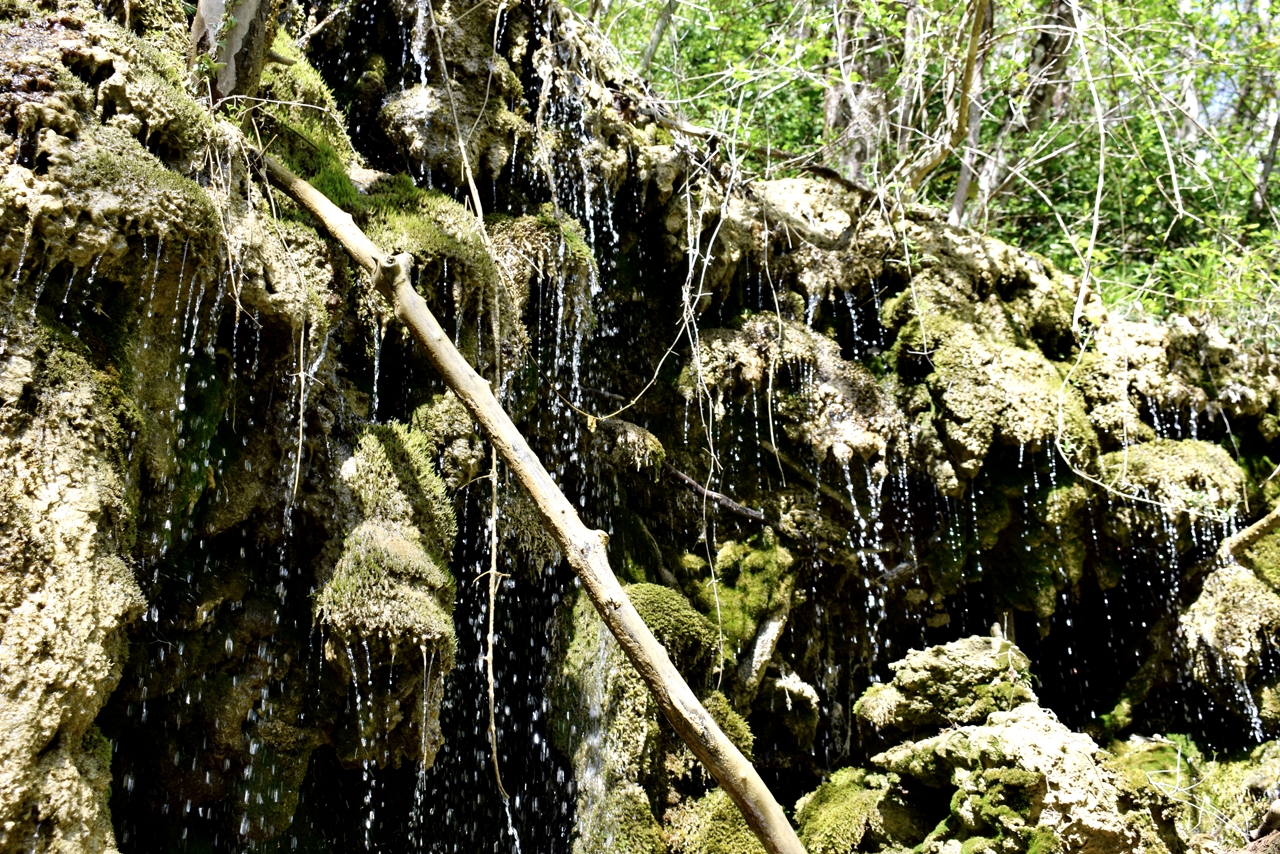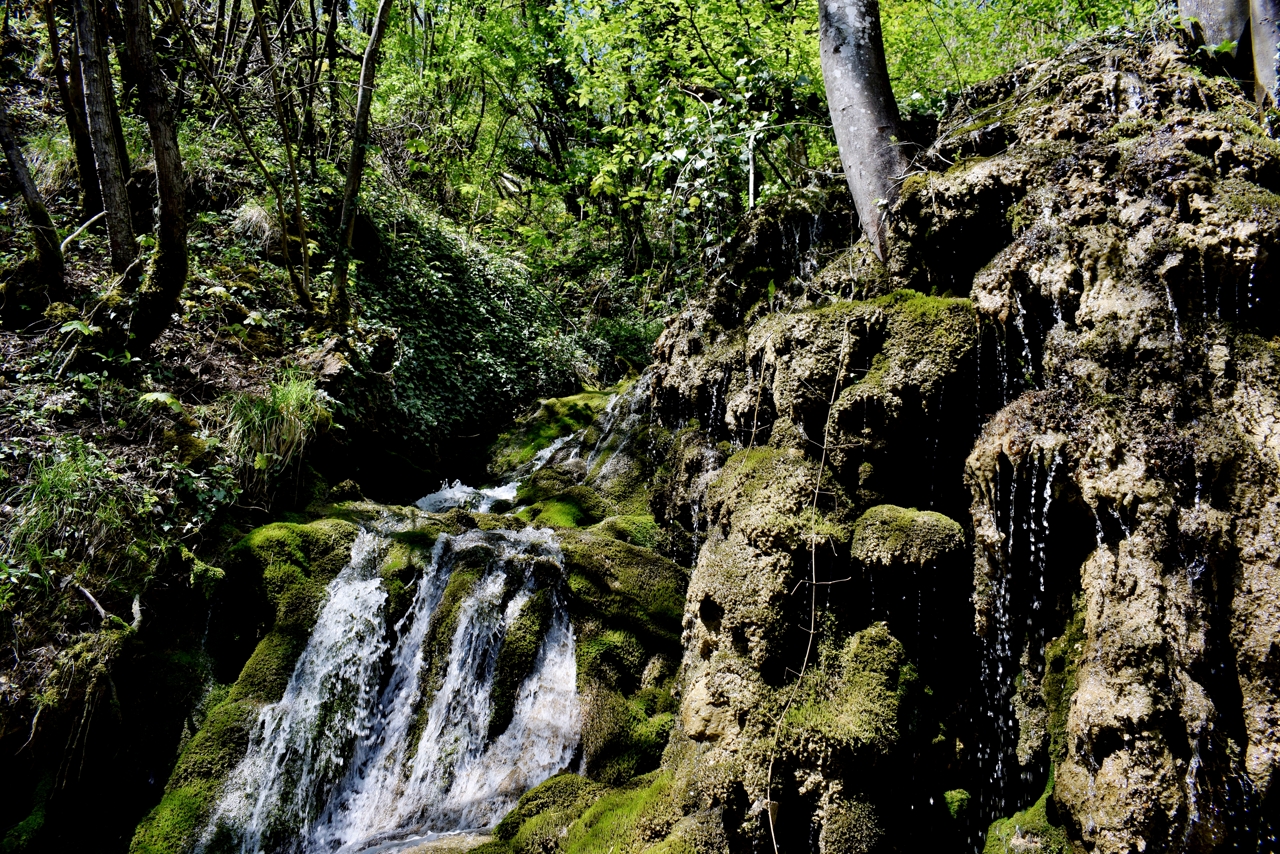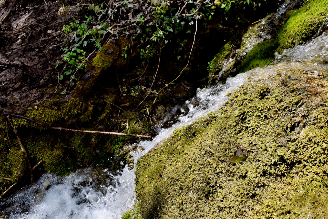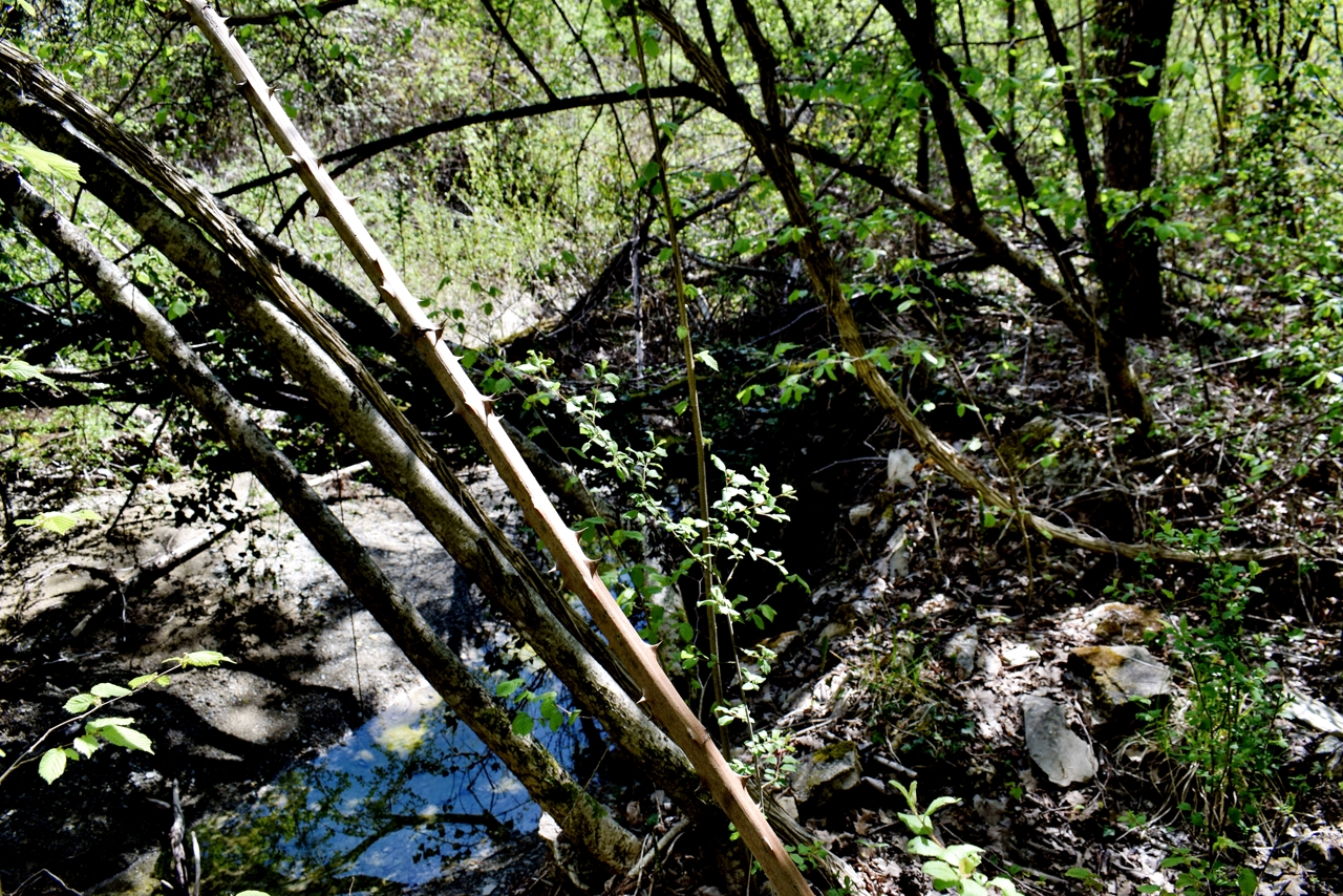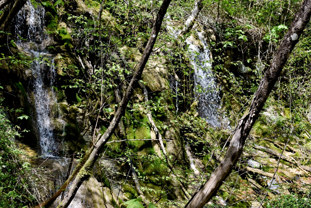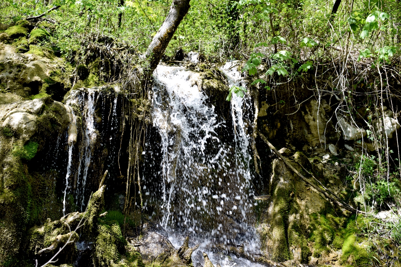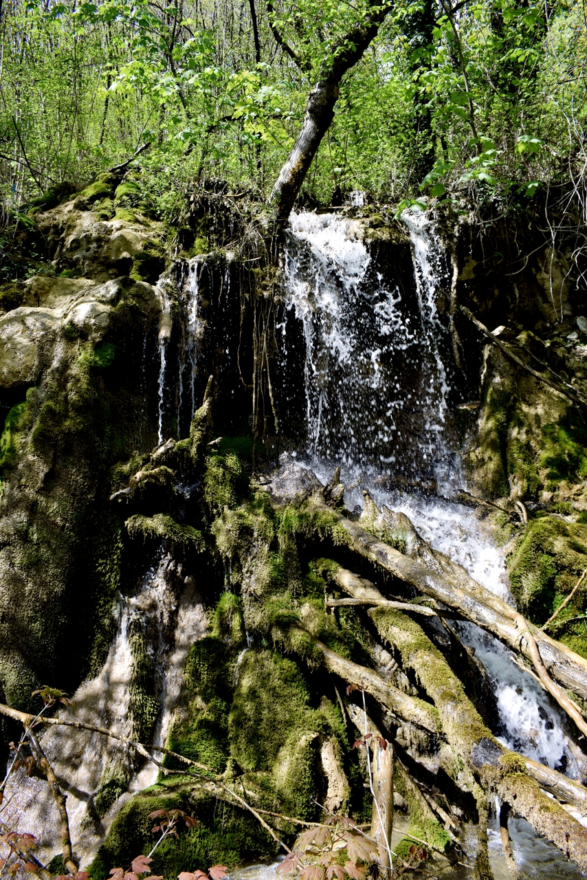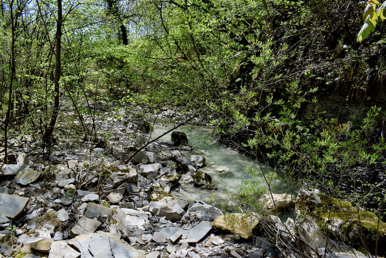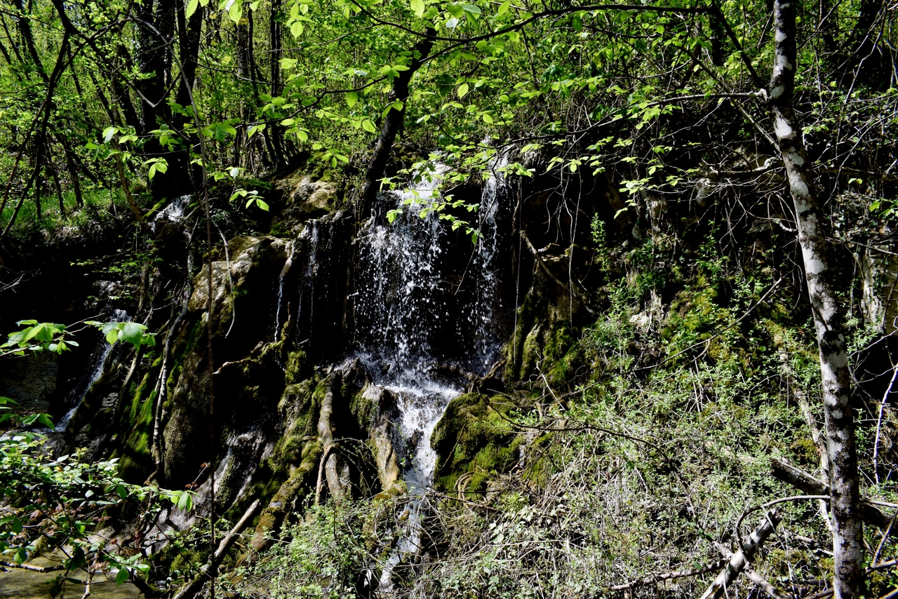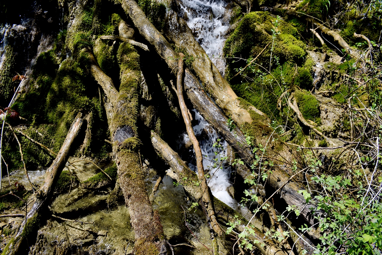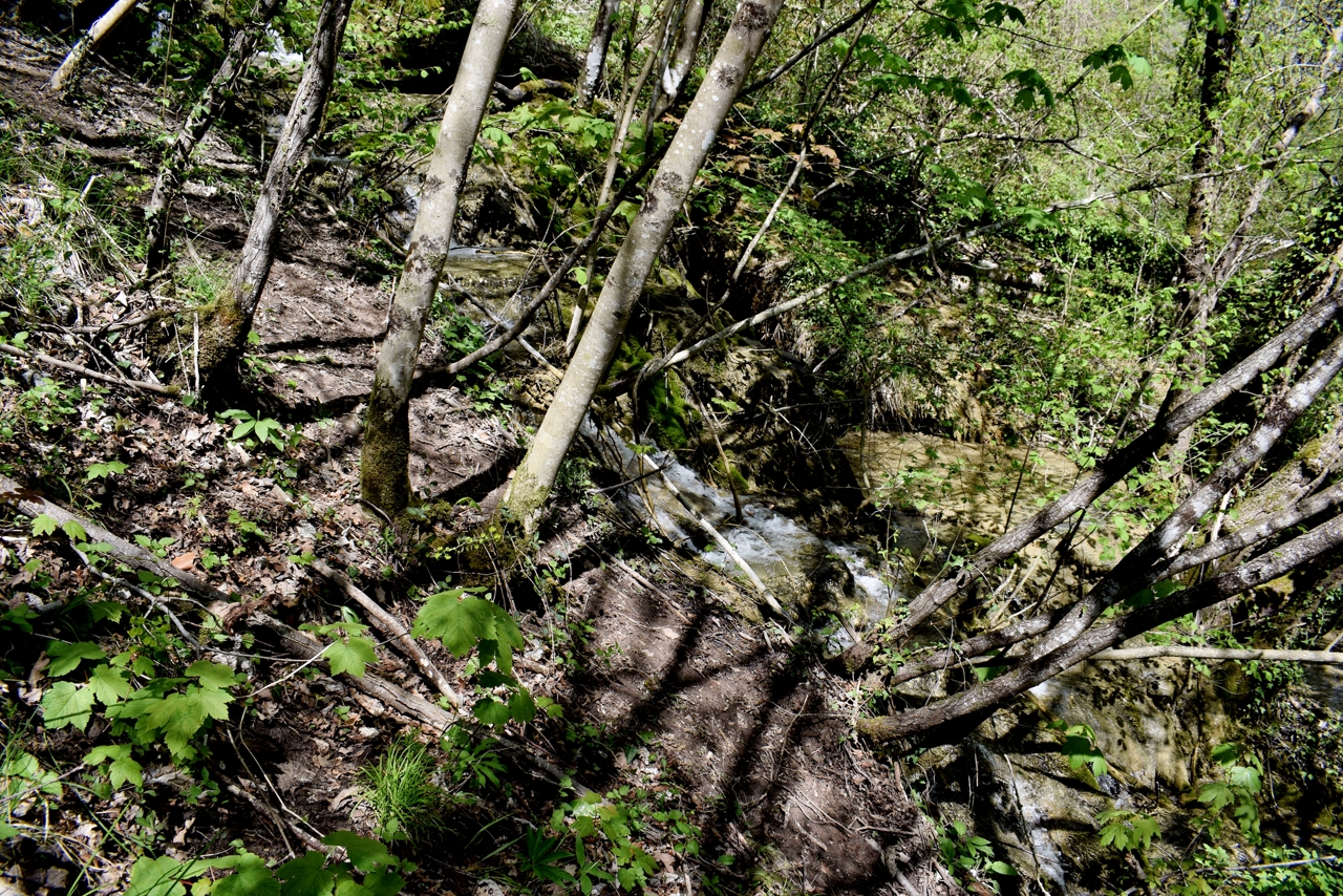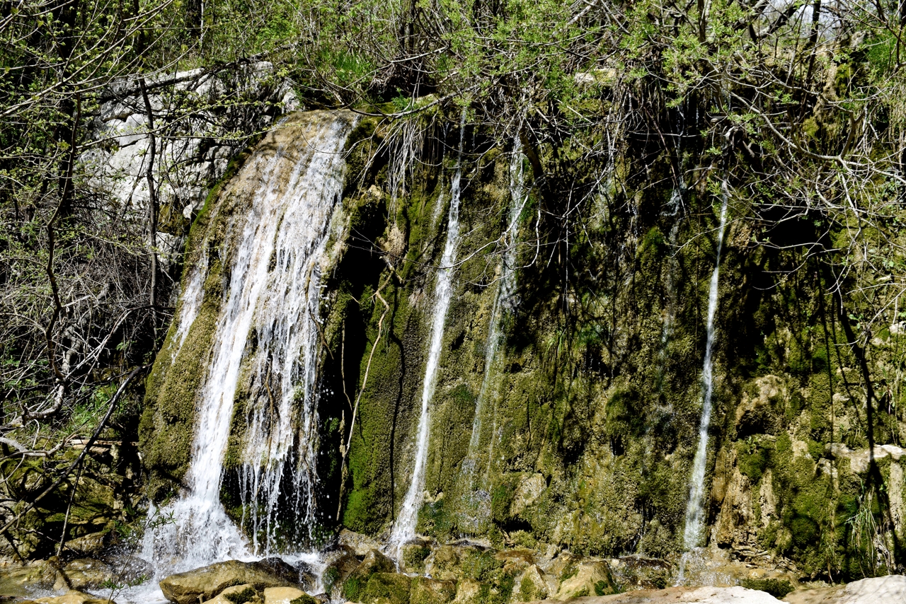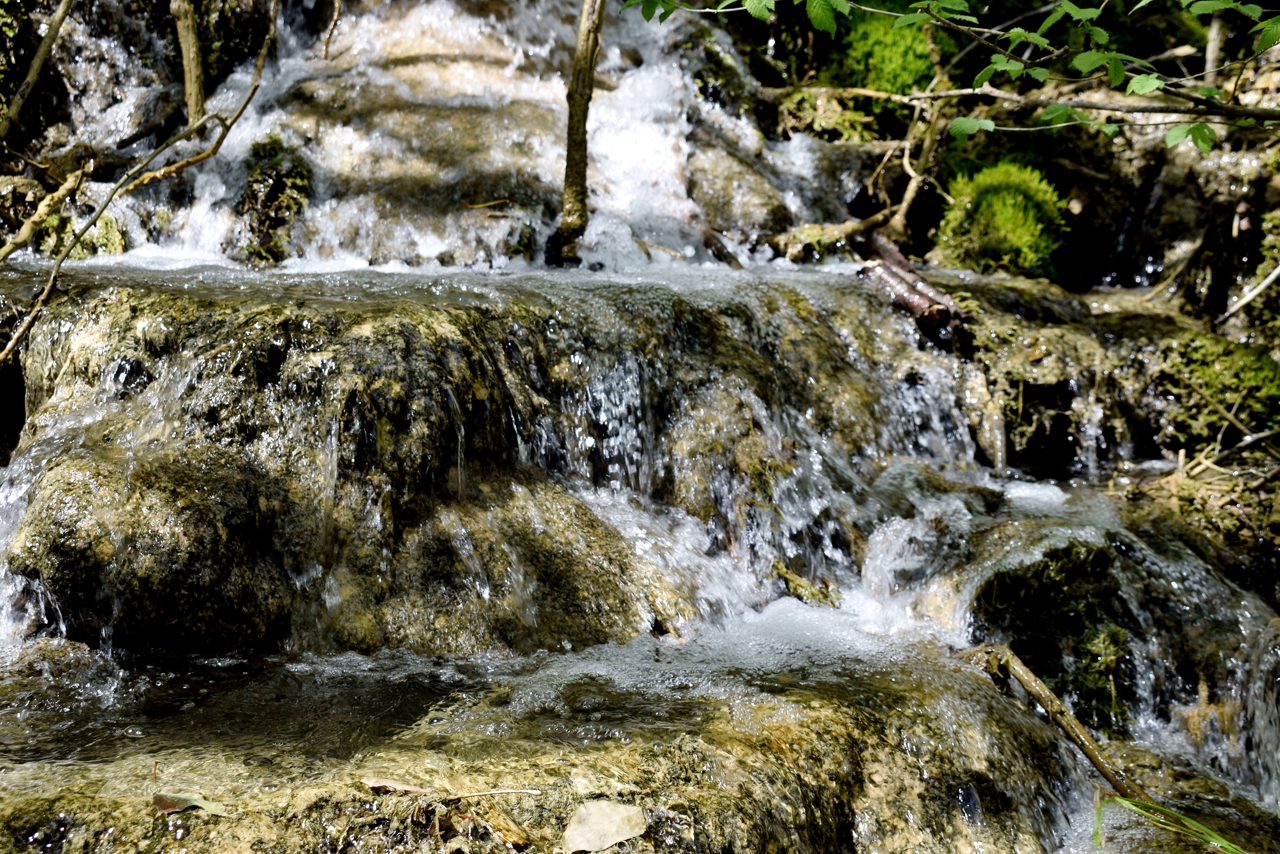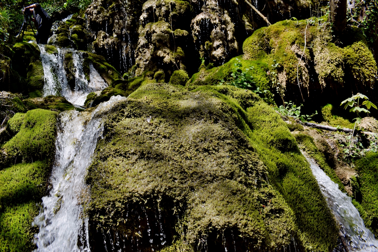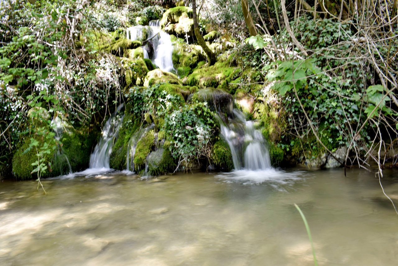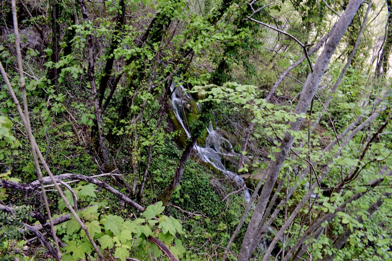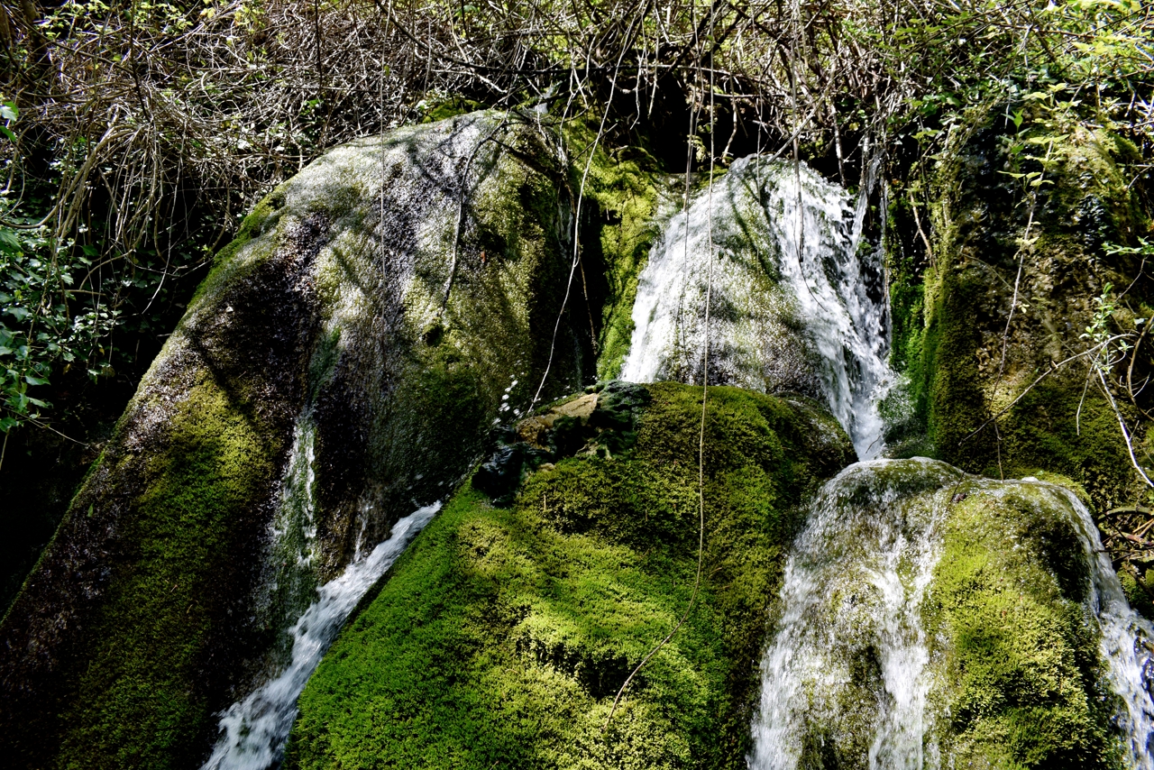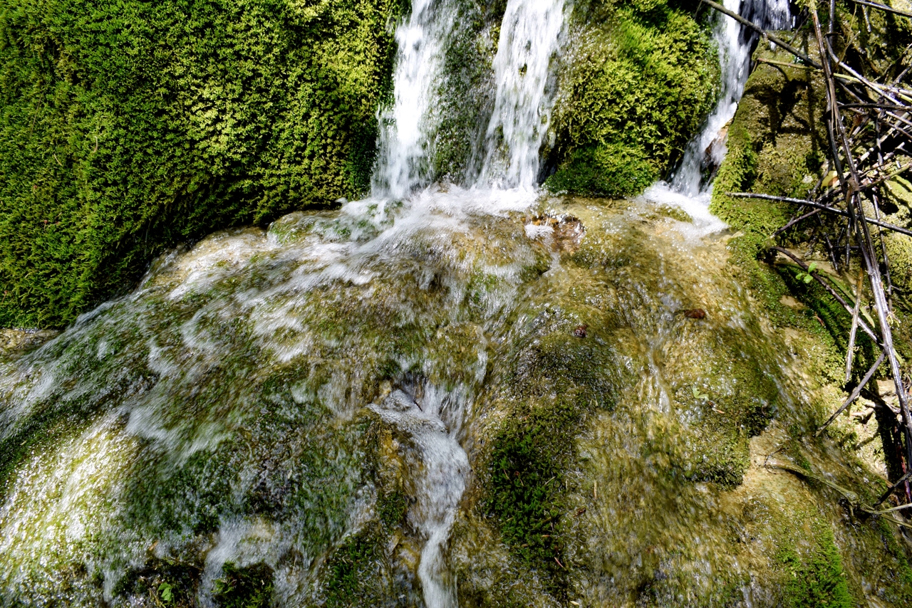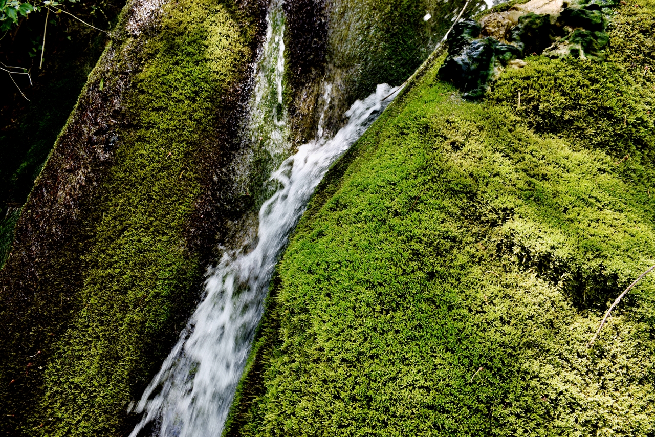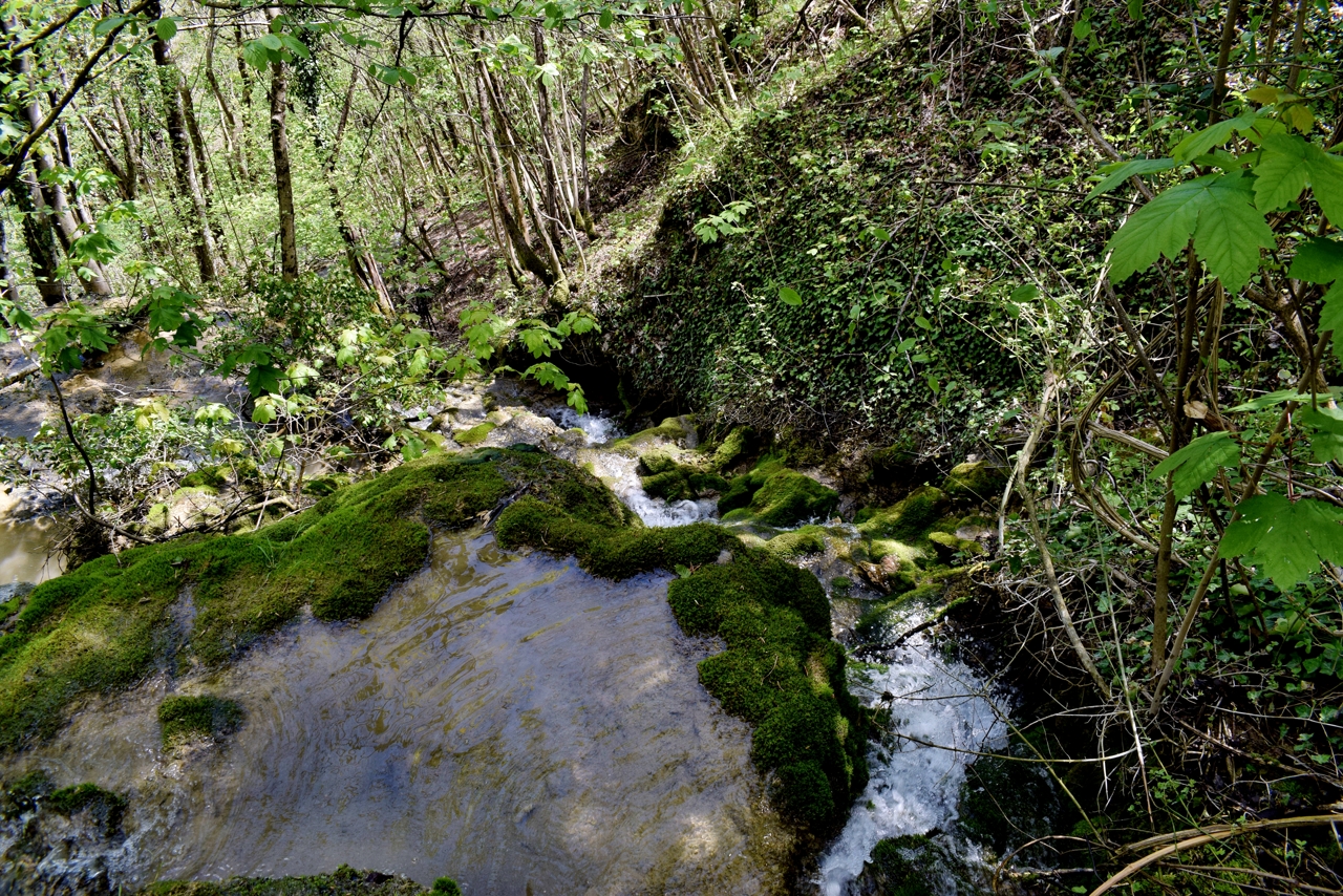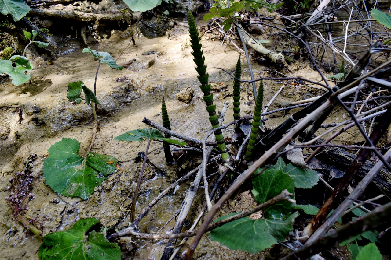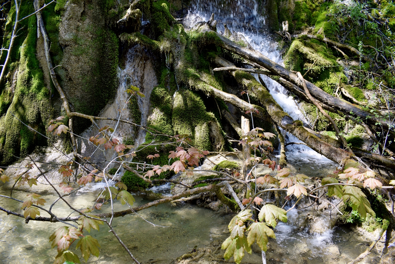
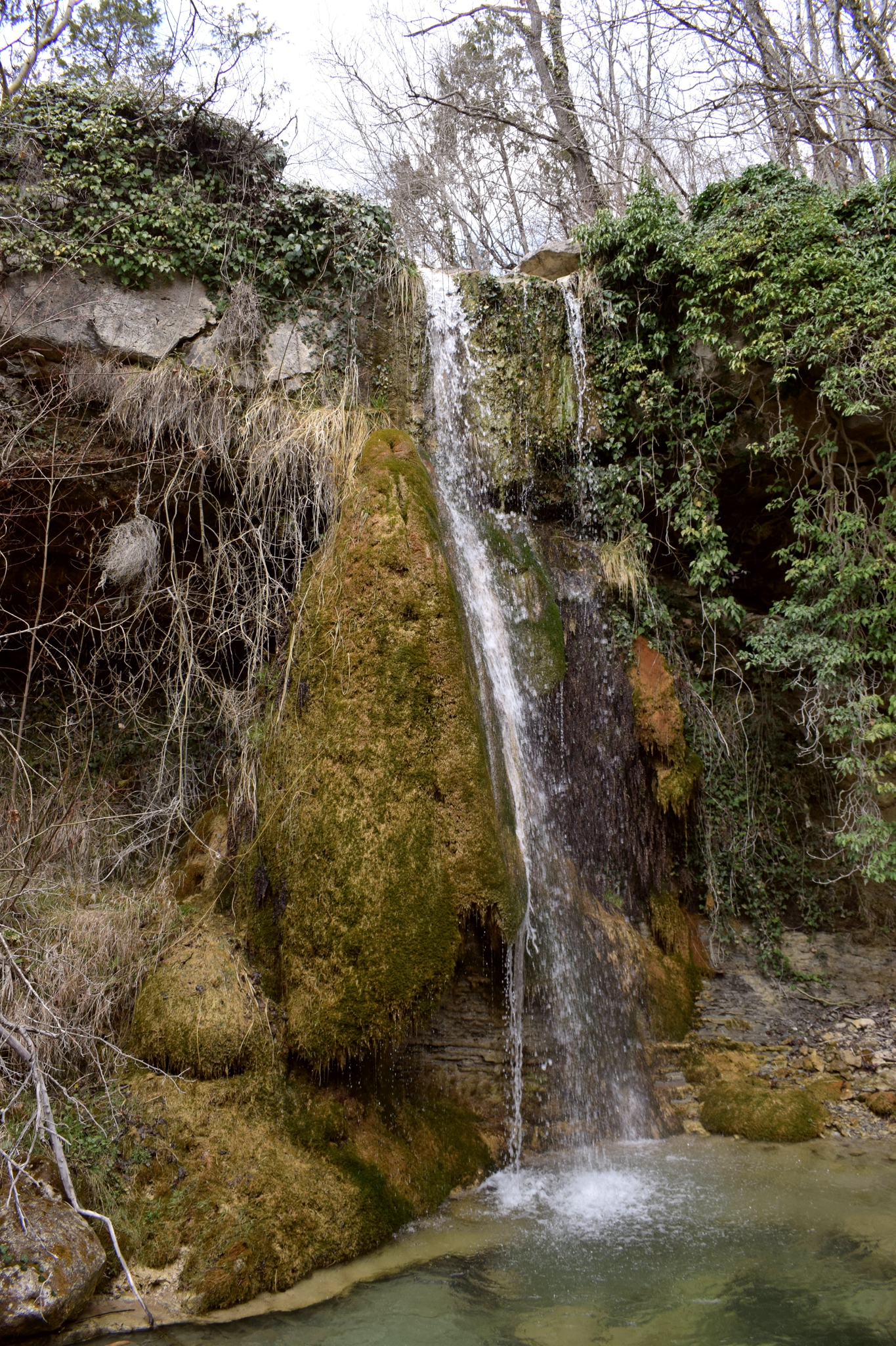
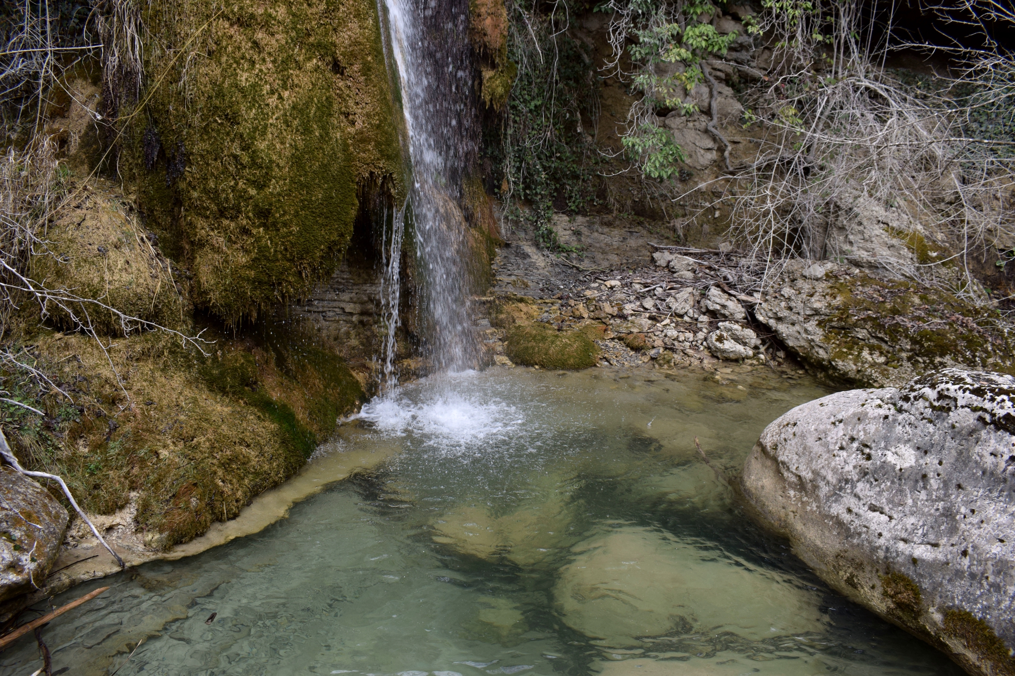
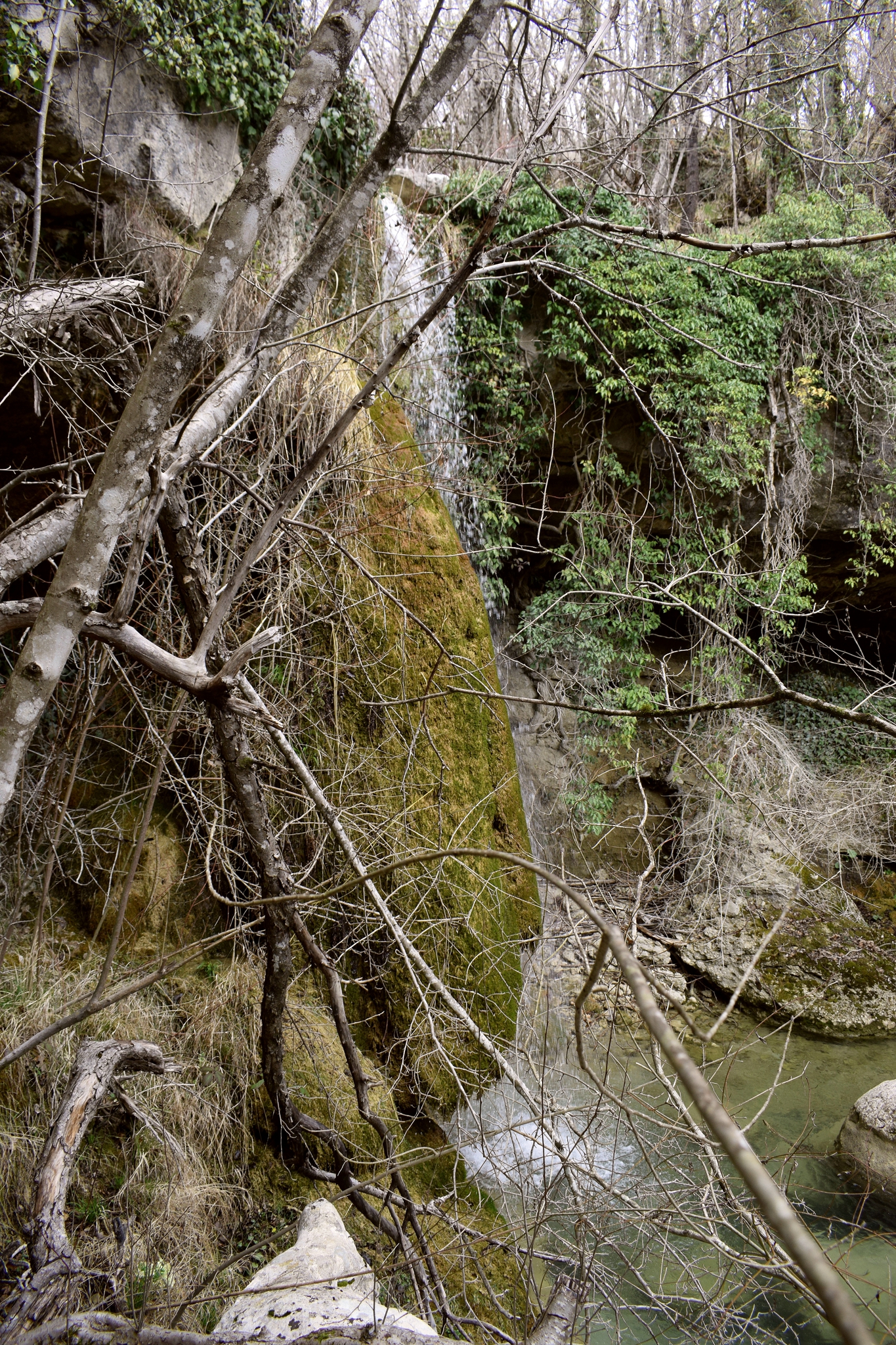

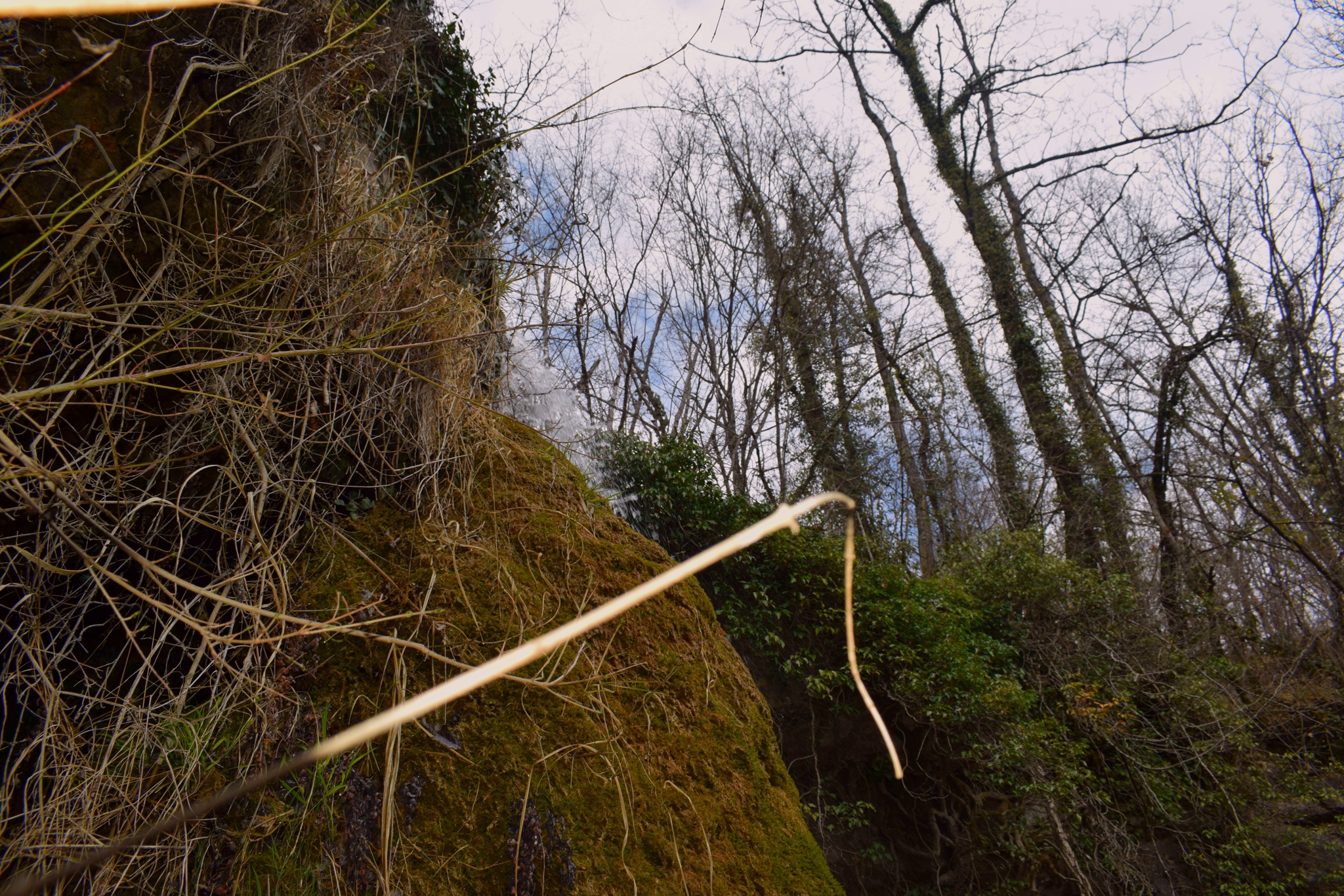
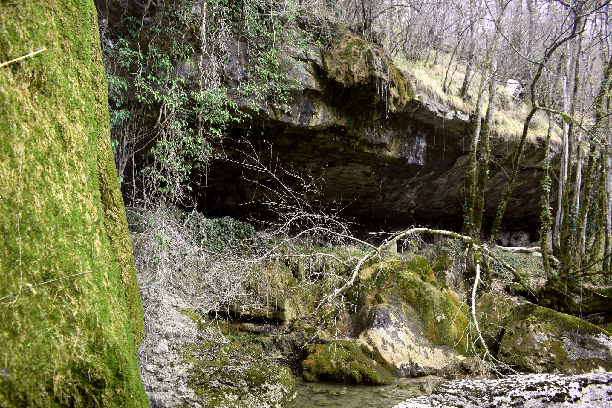
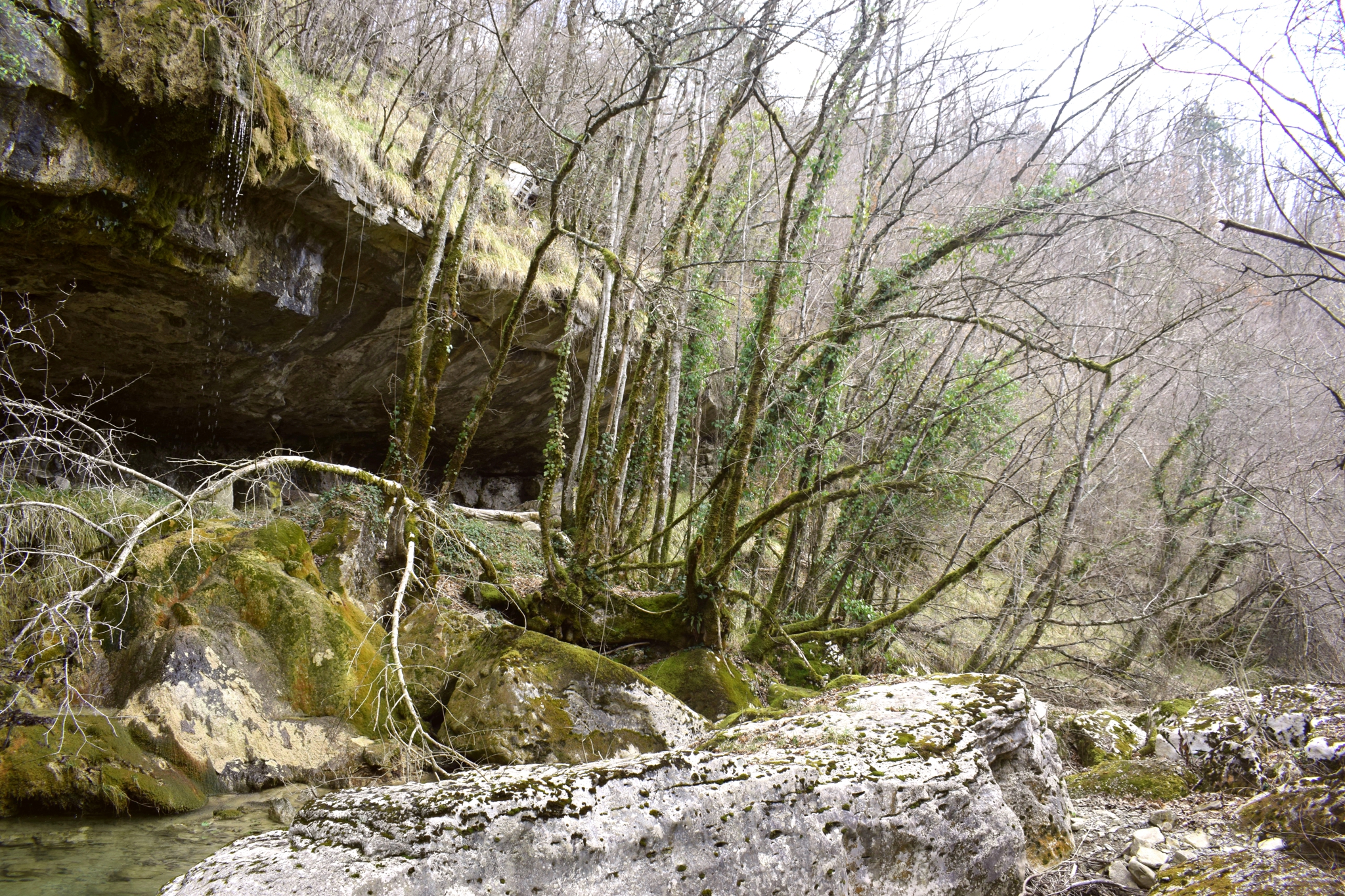

Name: Stream – waterfall – cave Rakovi.
Place: Rakovuk – (Cerovlje).
Coordinates: 45.28007 N -14.06571 E.
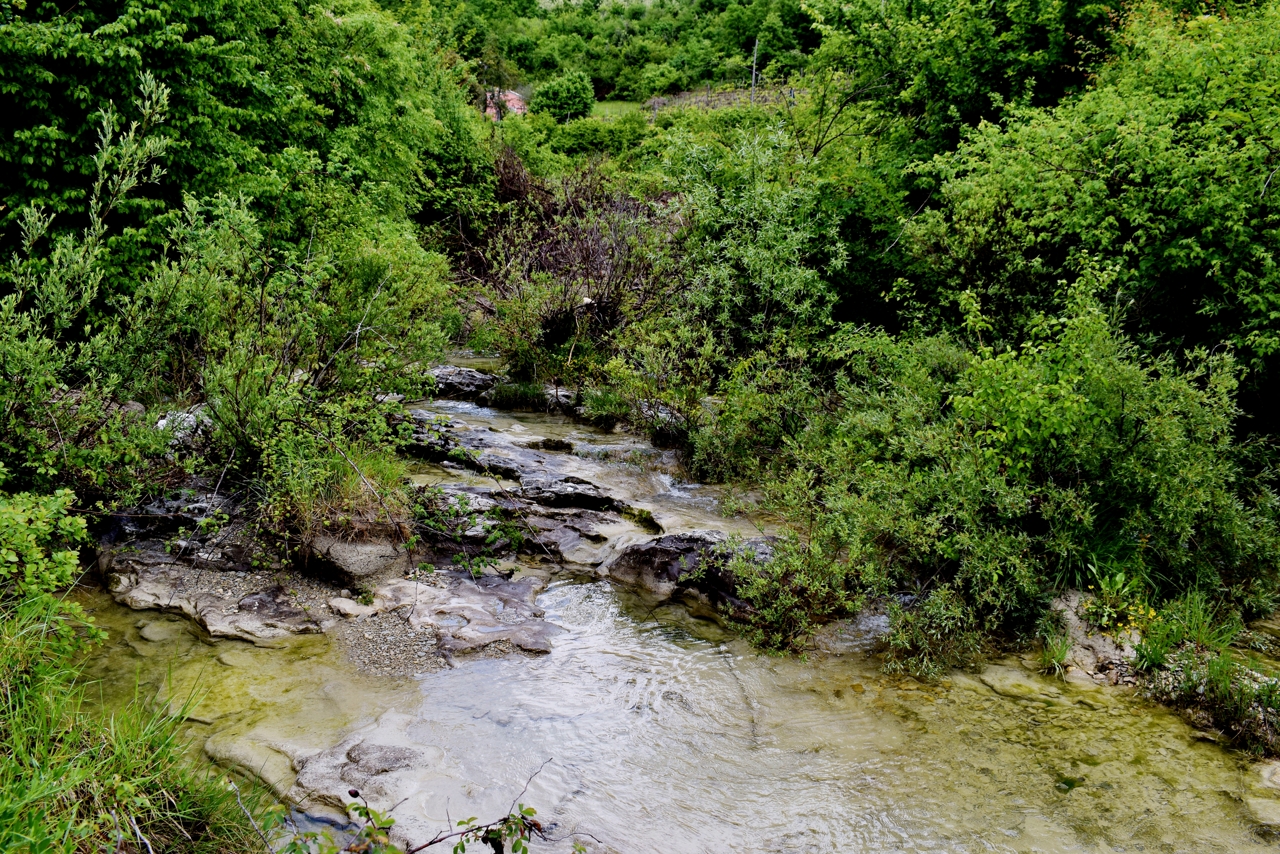
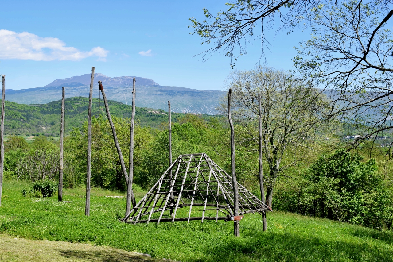
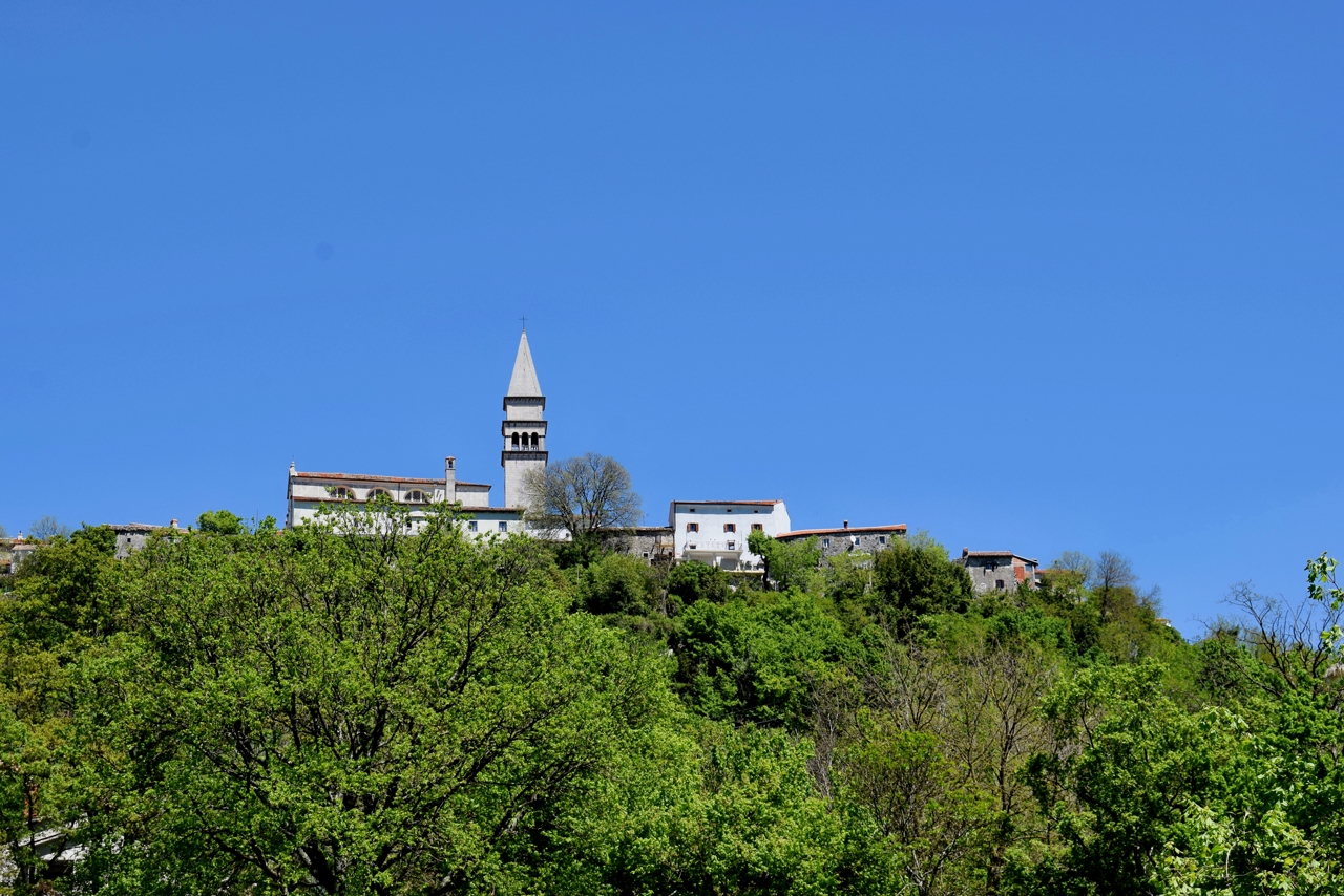
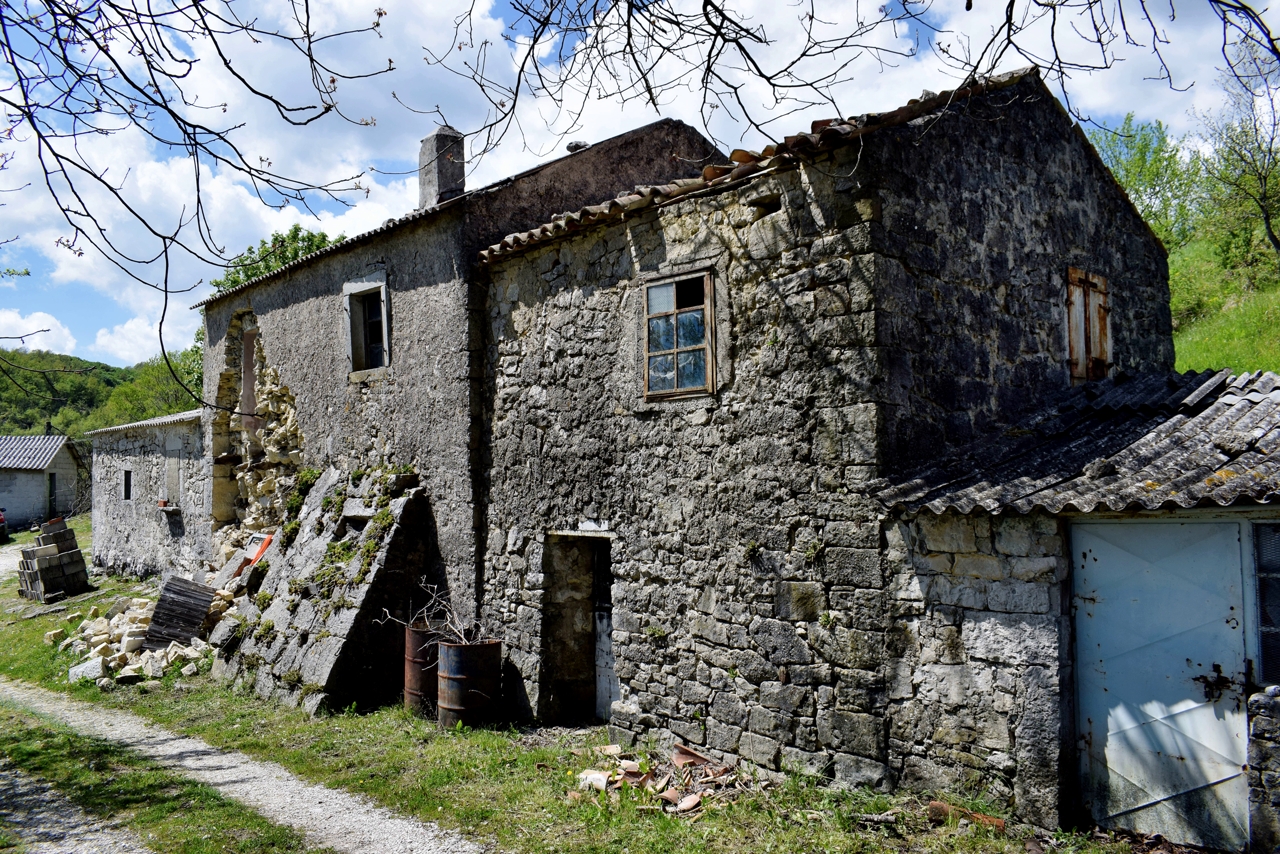
Name: Hiking trail from Valari to the hamlet Senica and the village Čunjci.
Place: Valari – Čunjci – (Buzet).
Coordinates: Start/End 45.35244 N – 13.90252 E, Senica: 45.35995 N -13.92687 E, Čunjci 45.36615 N -13.93092 E.
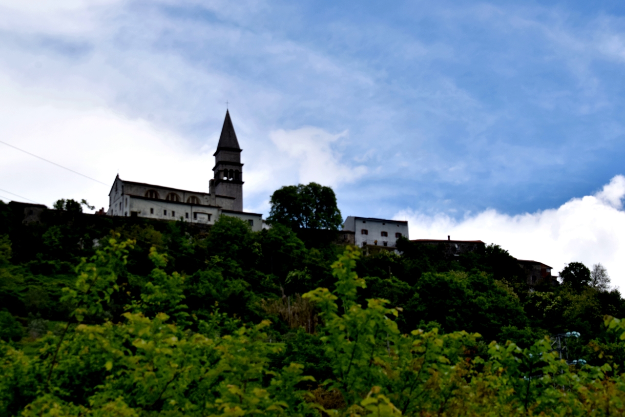
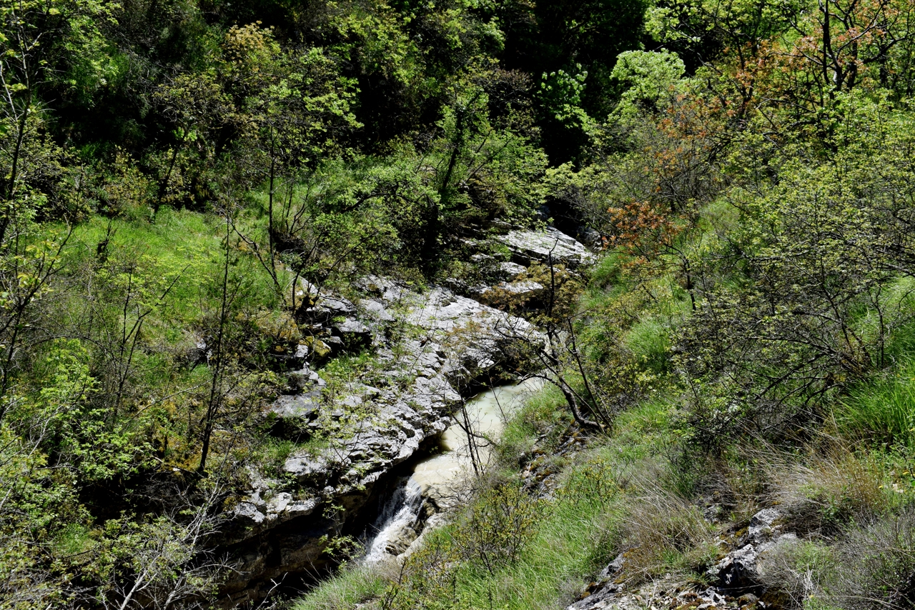
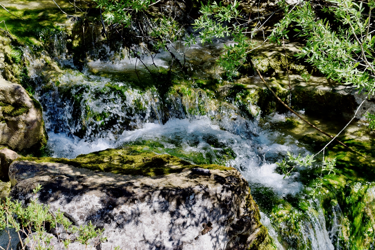
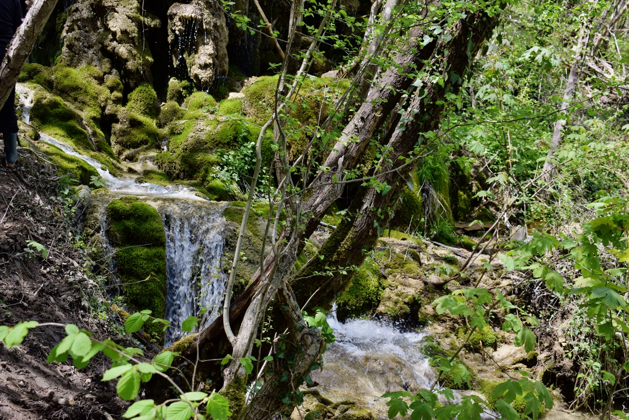
Name: Hiking trail from the village of Svi Sveti via the hamlet of Miholići to the river Mirna with the Grjok and Zelenšćak waterfalls.
Place: Miholići – (Buzet).
Coordinates: Svi Sveti 45.38219 N – 13.97426 E, Miholići 45.38383 N – 13.98777 E, Grjok 45. 37985 N – 13.99600 E, Zelenščak 45.3792 N – 13.99743 E.

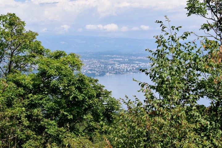
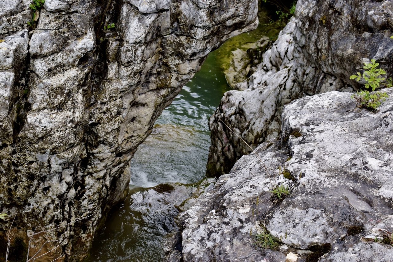
Name: Hiking trail near the entrance of the Učka tunnel to the Banina waterfall in the Učka Mountains.
Place: (Opatija).
Coordinates: Start point 45.31377 N – 14.24217 E, Waterfall Banina 45.30198 N – 14.22939 E.

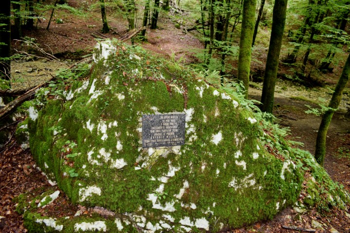
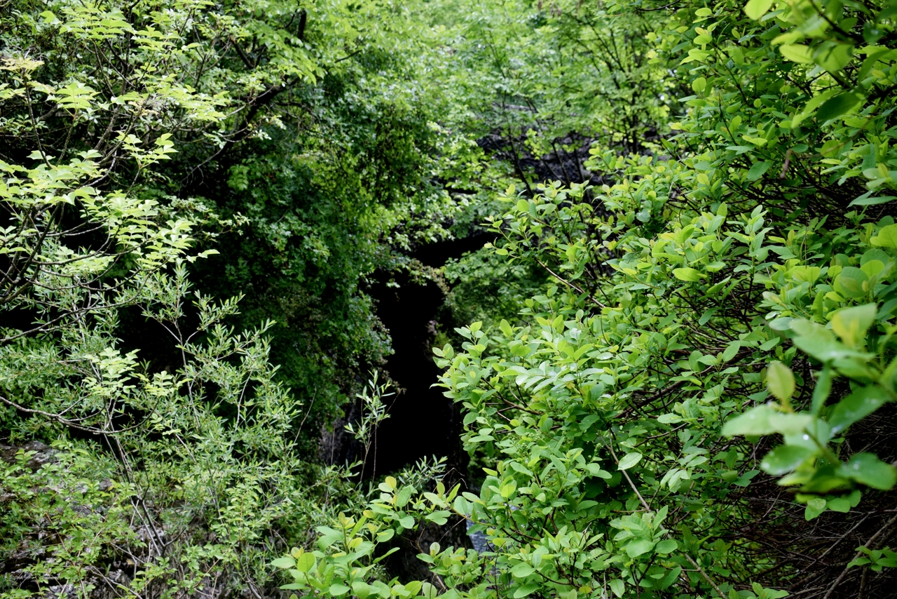
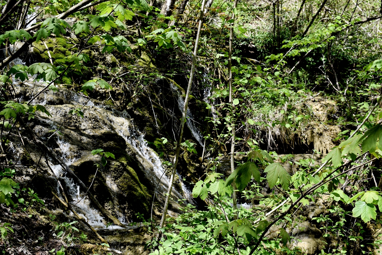
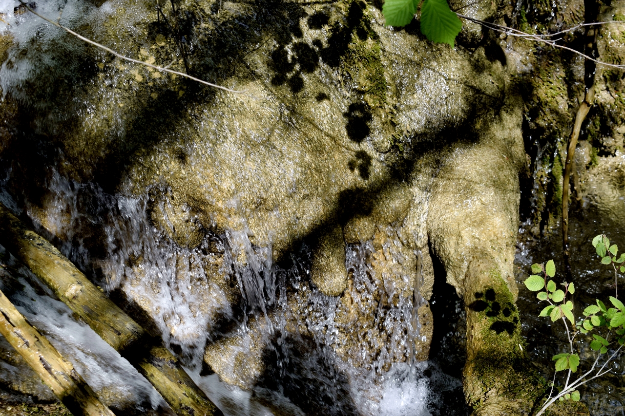
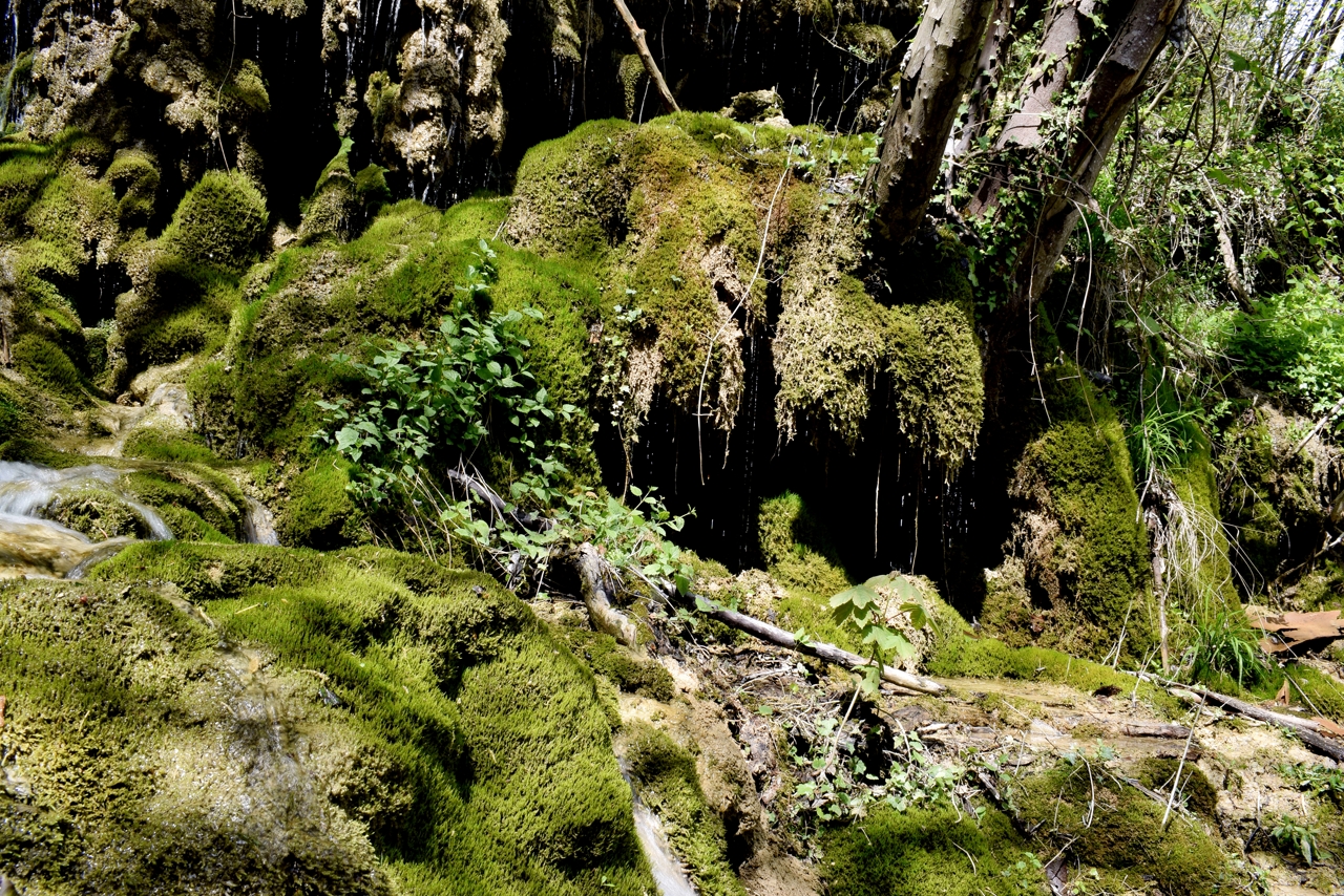
Name: Rakovi stream, waterfall and cave.
Place: Rakovi – (Cerovlje).
Coordinates: 45.27988 N – 14.06593 E

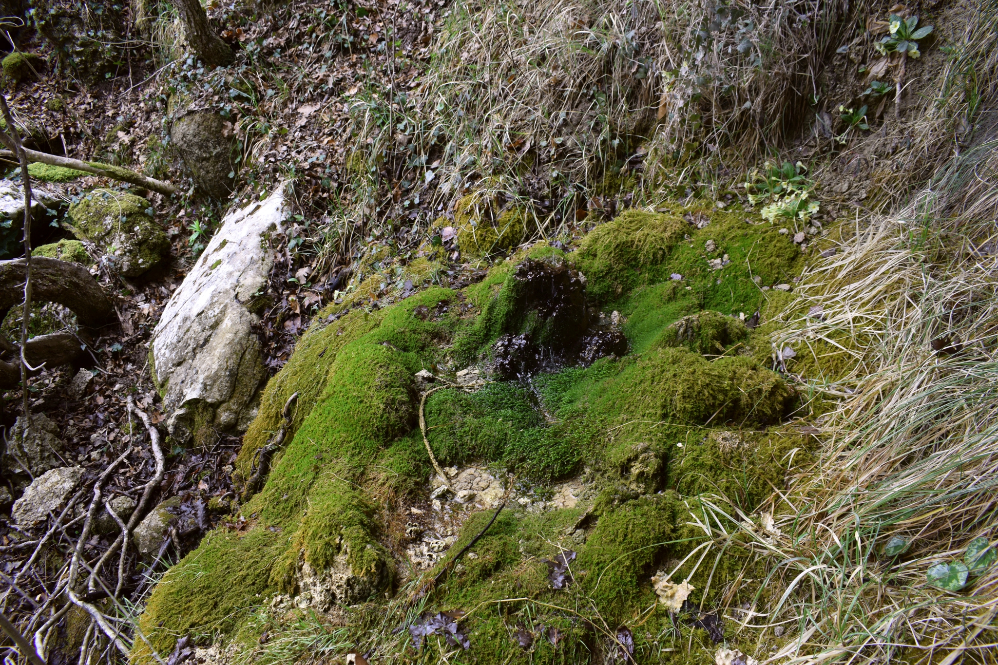
Name: Gravanovo Škrila – water source Palonsčak.
Place: Baldeti – (Gračišći).
Coordinates: Baldeti: 45.20831 N – 14.01045 E, water source 45.20383 – 14.01698 E.
Name: Benkovići waterfalls – Grajanski stream.
Place: Most Pićan – Pićan.
Coordinates: Start: 45.20447 N – 14.05893 E, trail 45.20345 N – 14.0688,
waterfall 45.20043 N – 14.05734 E

Name: Water source Palonsšćak , watervallen Gravanovo (Raven’s wing).
Place: Baldeti – (Gračisće).
Coordinates: Baldeti: 45.21123 N – 14.01293 E, start trail Gravranovo krilo 45.20520 N – 14.01182 E.