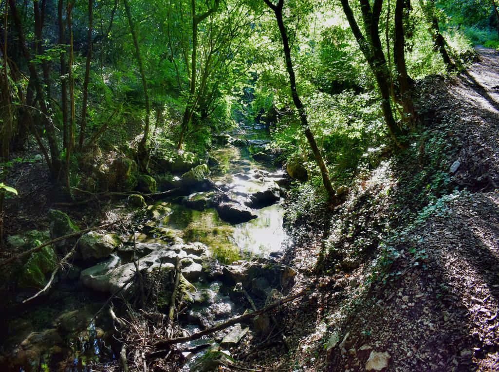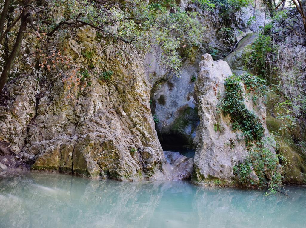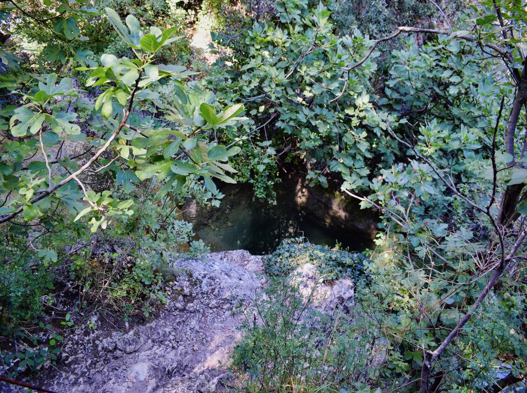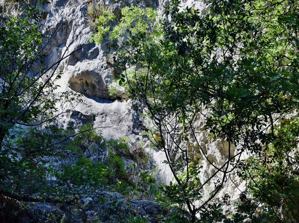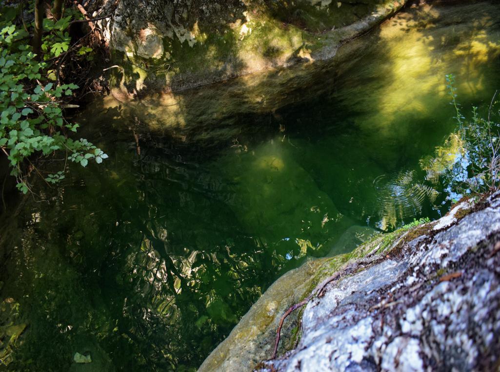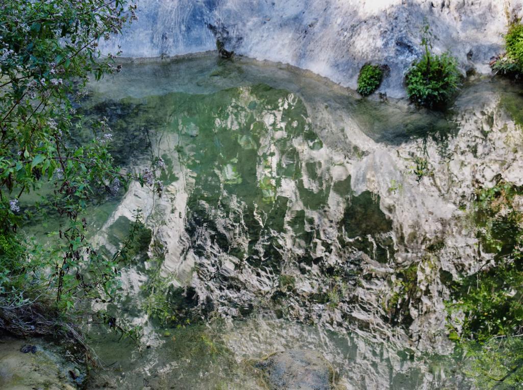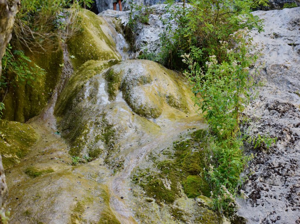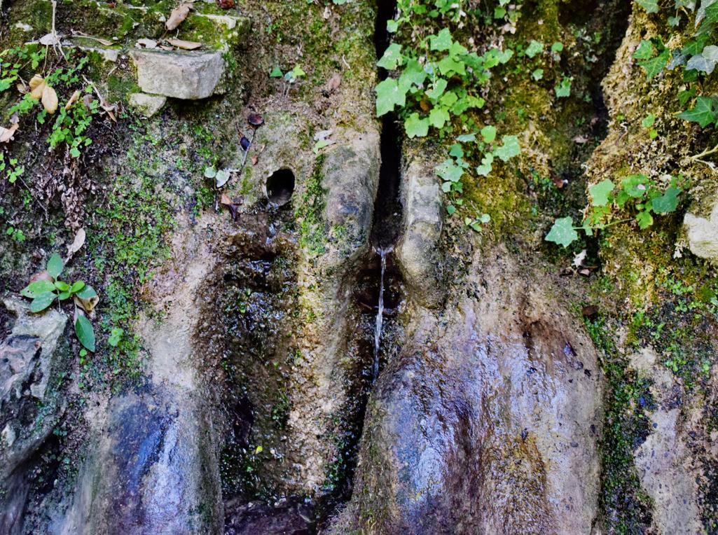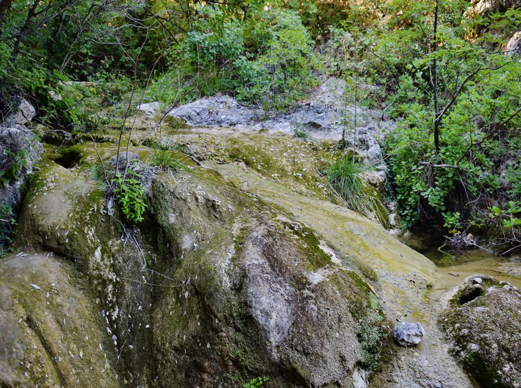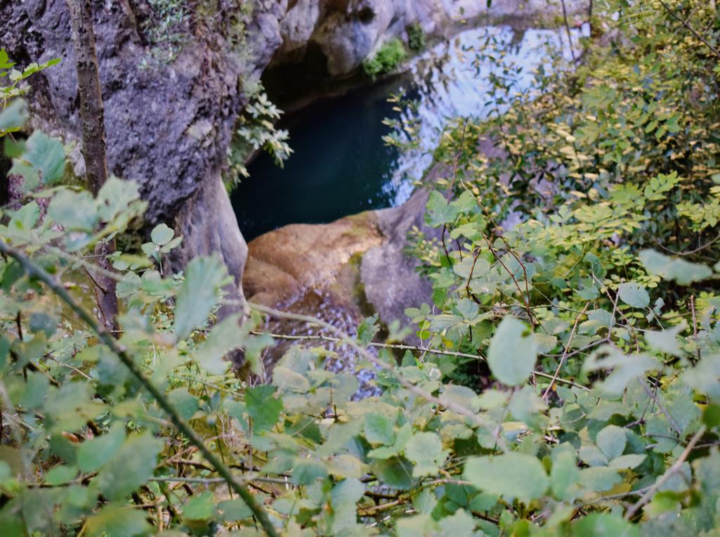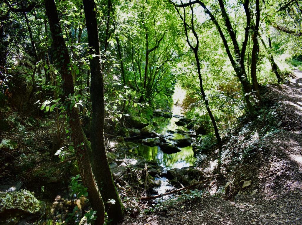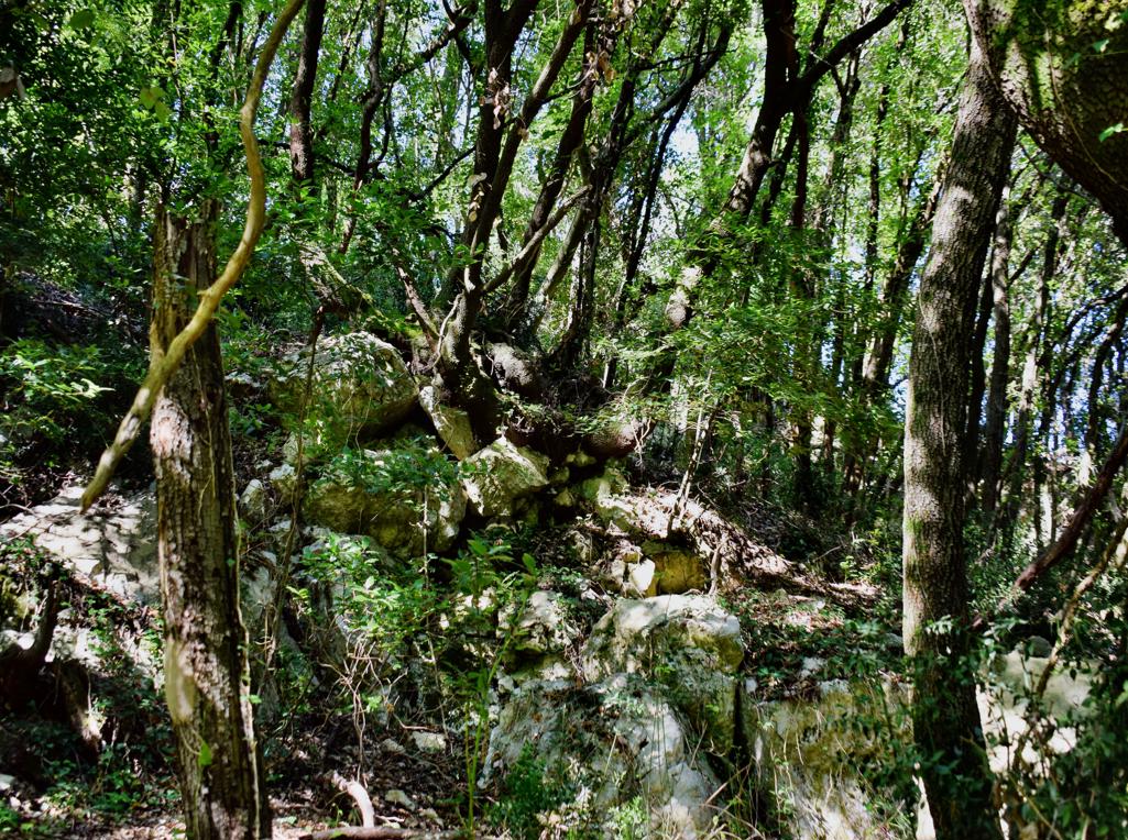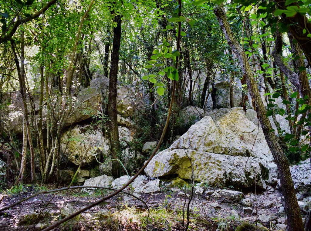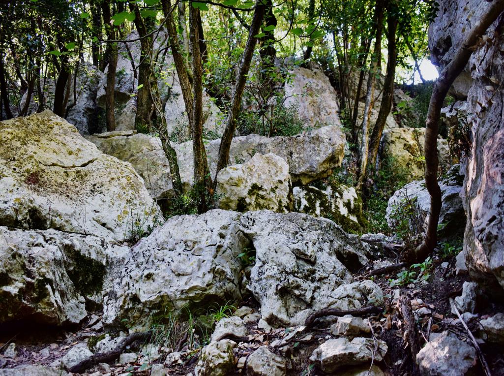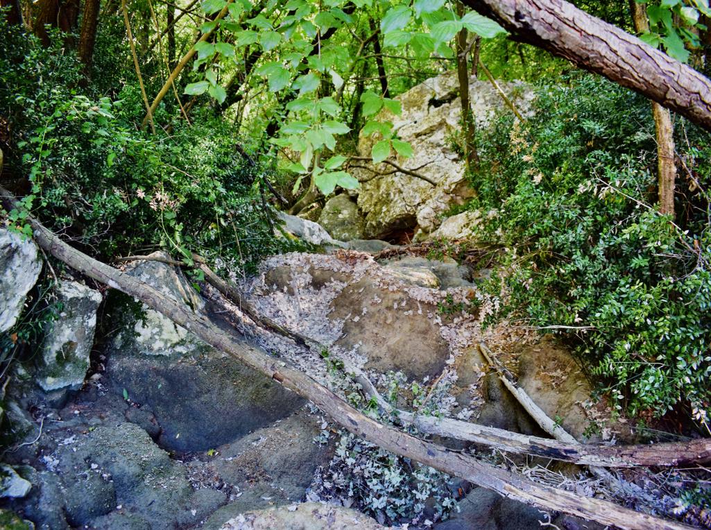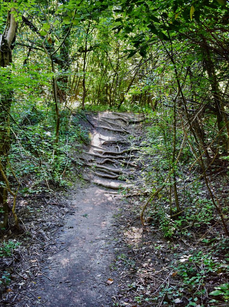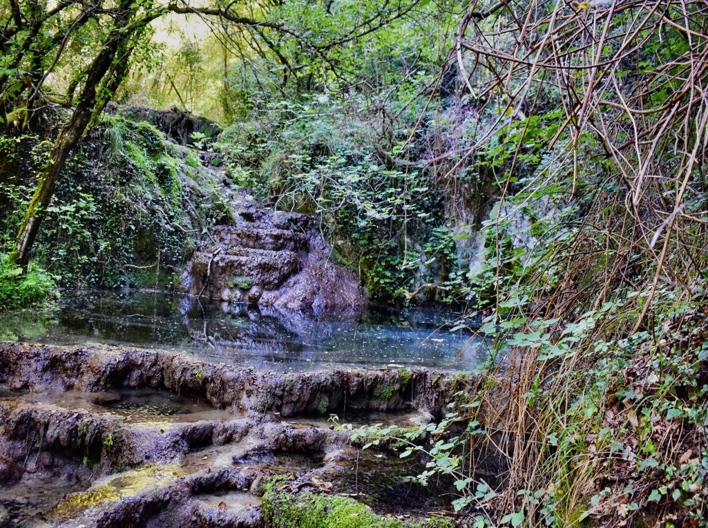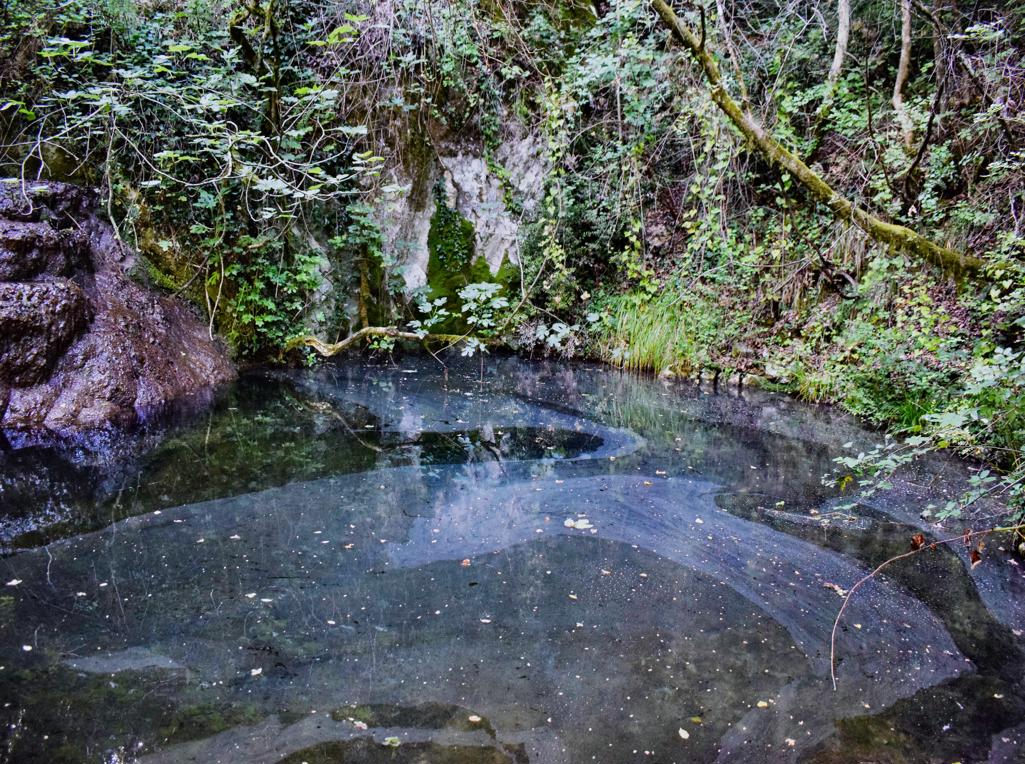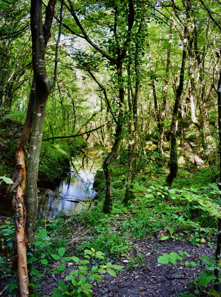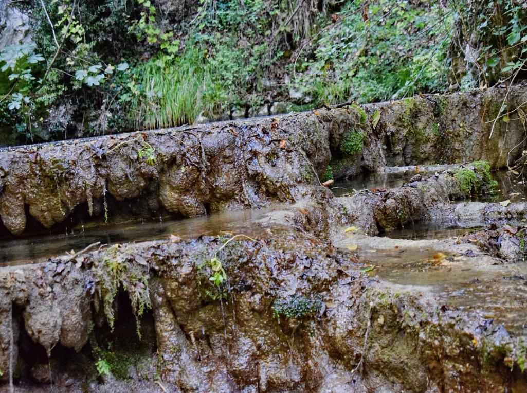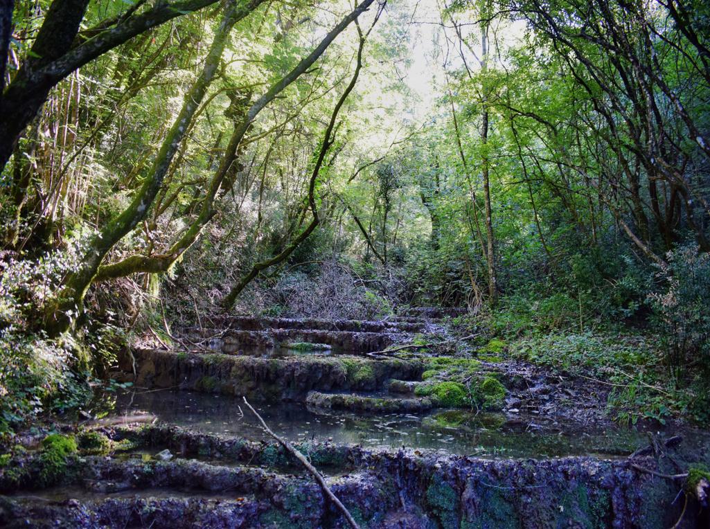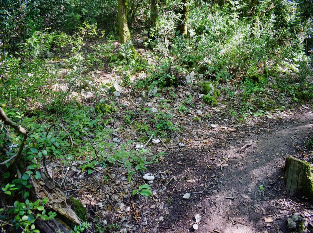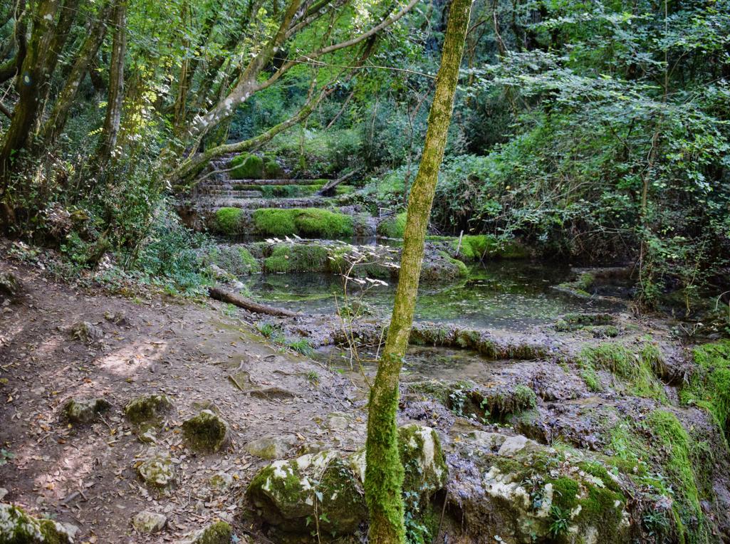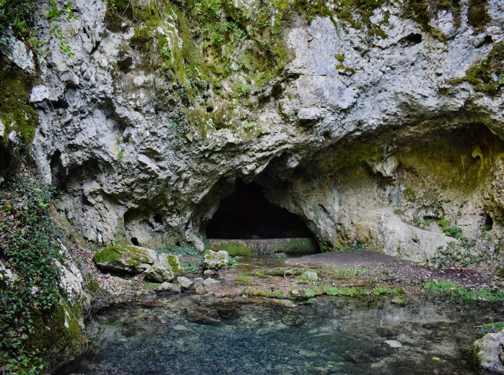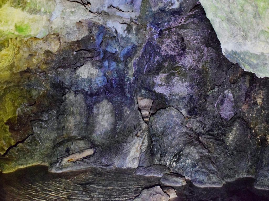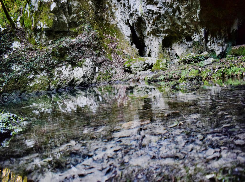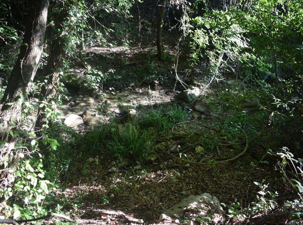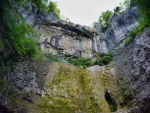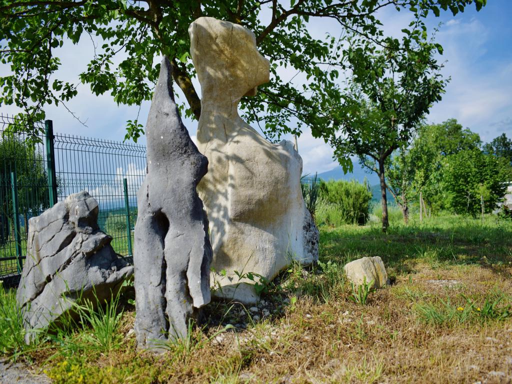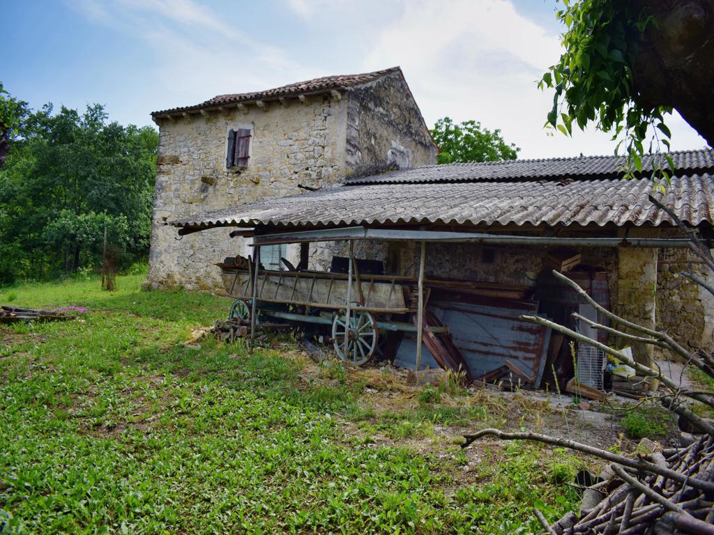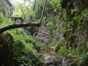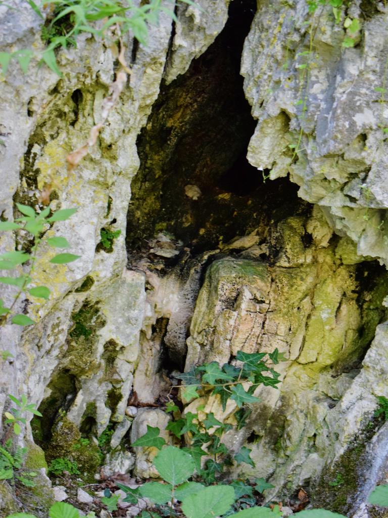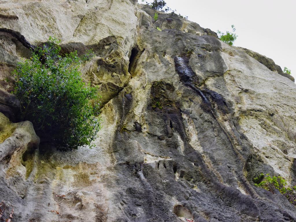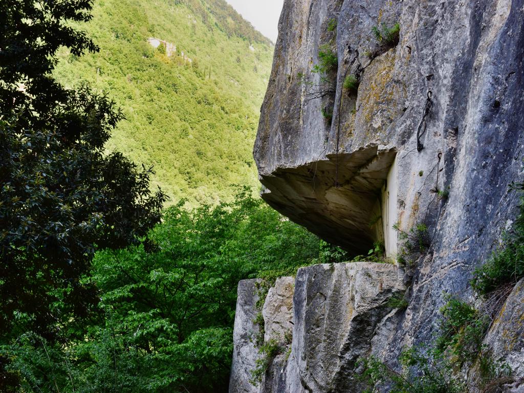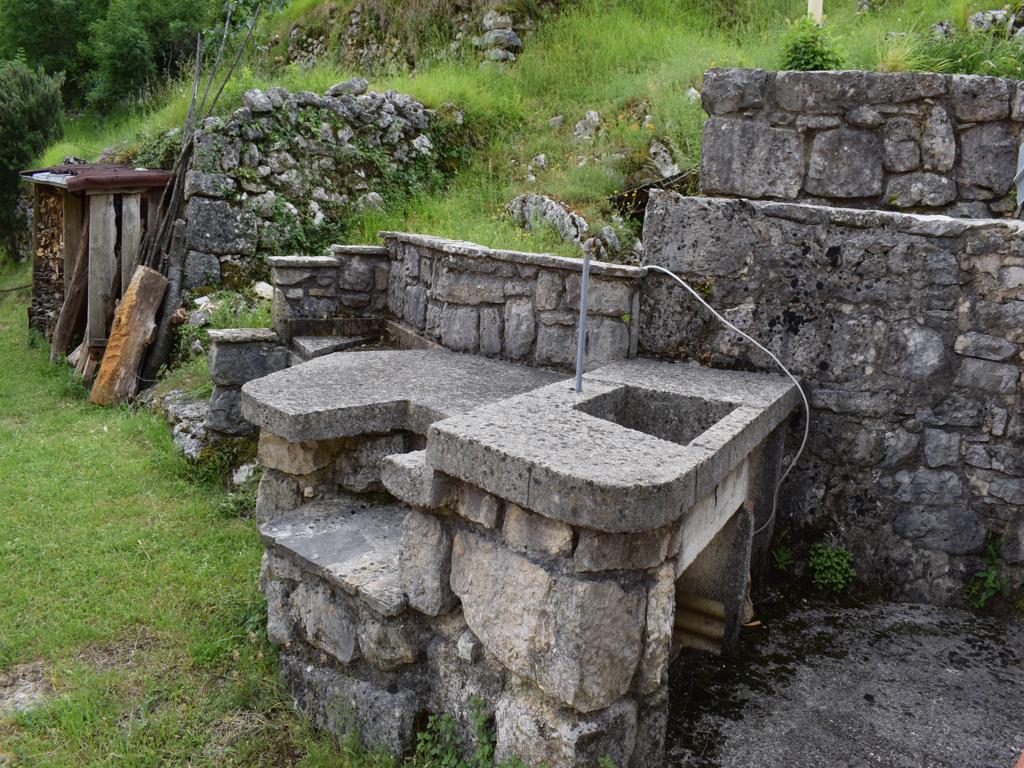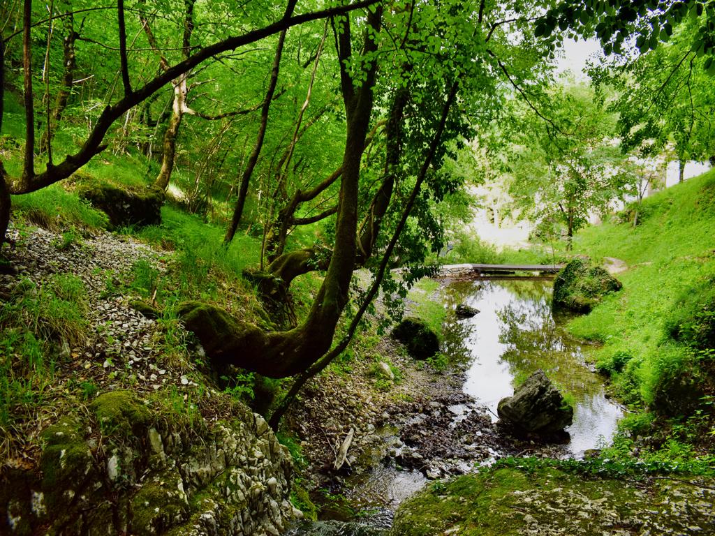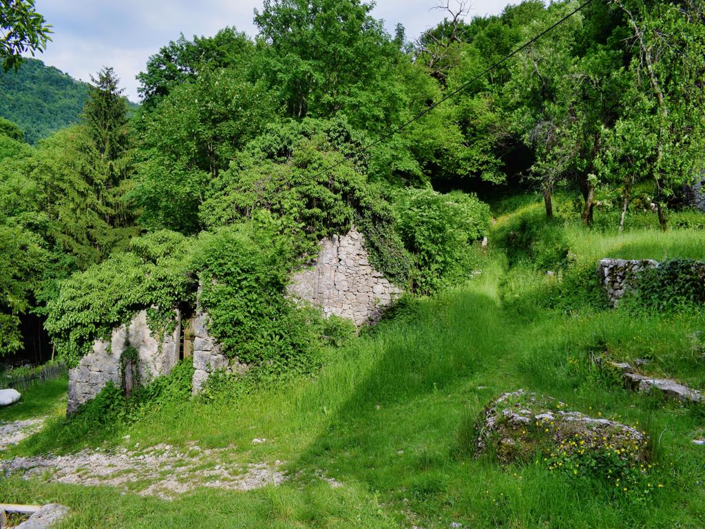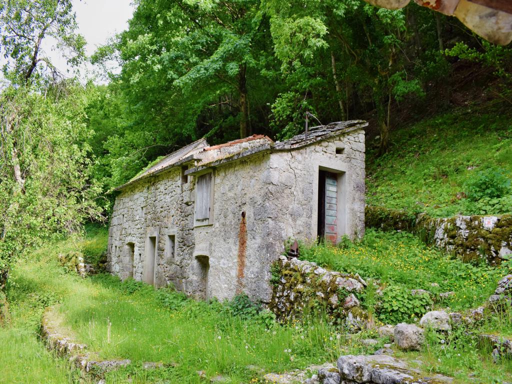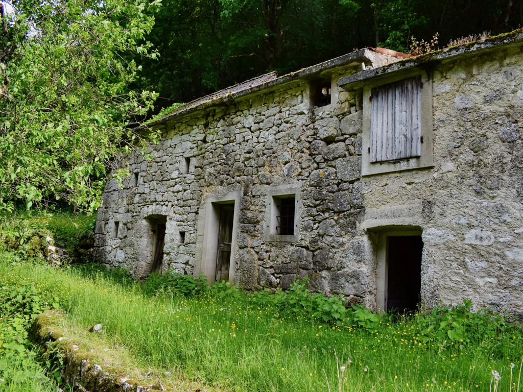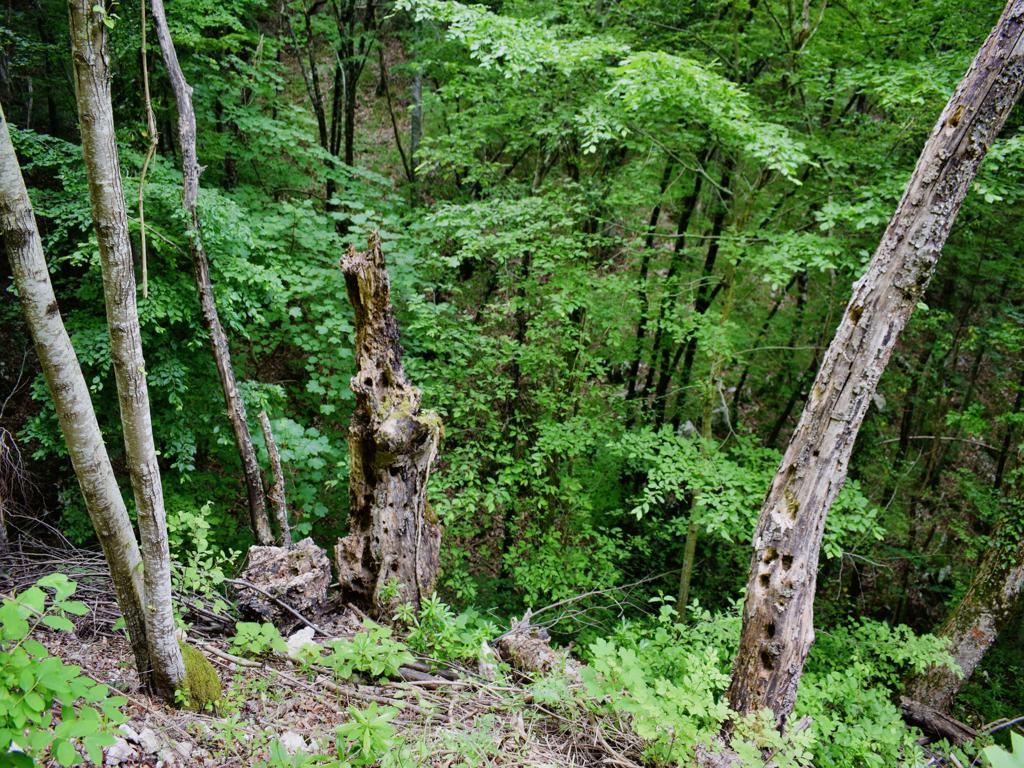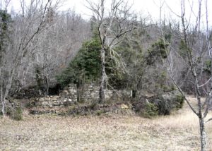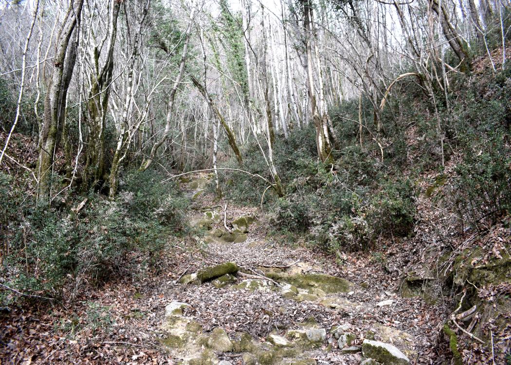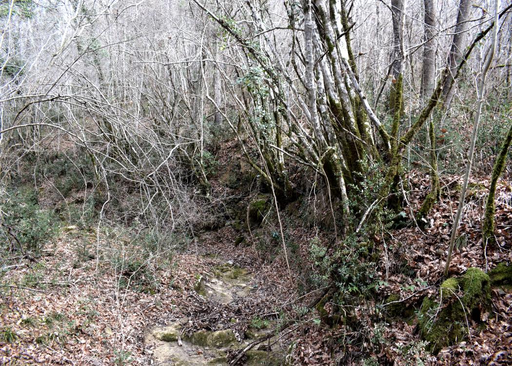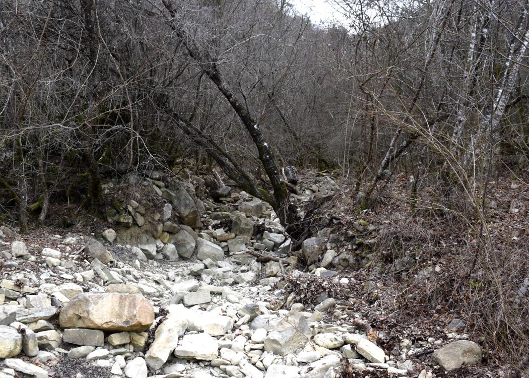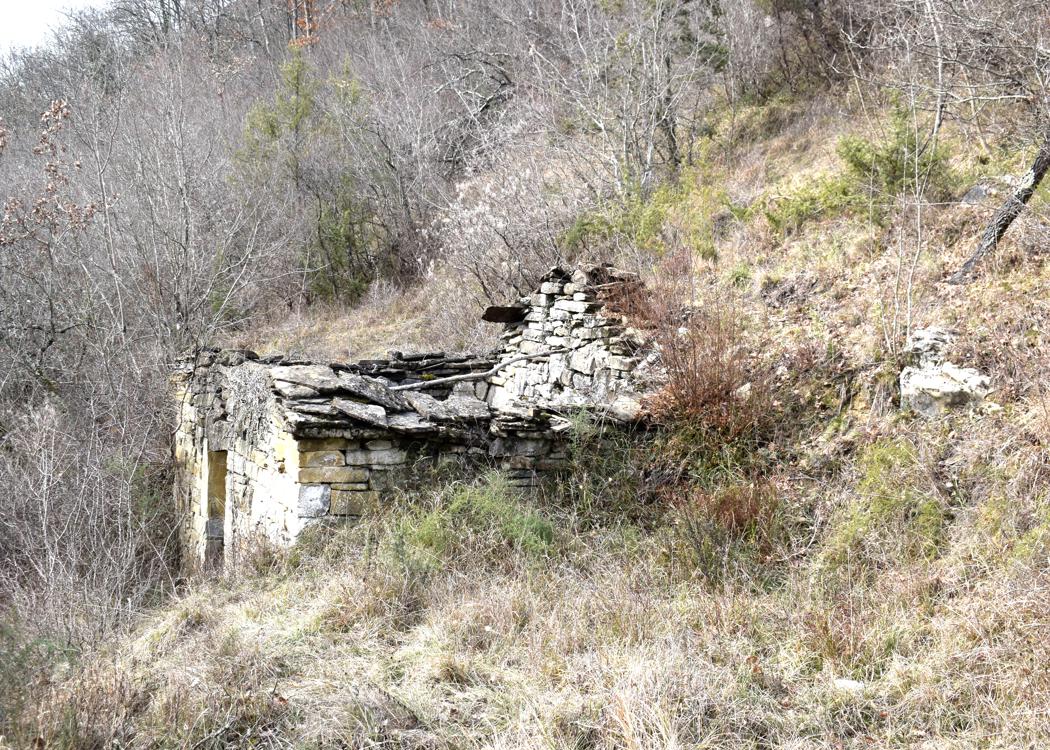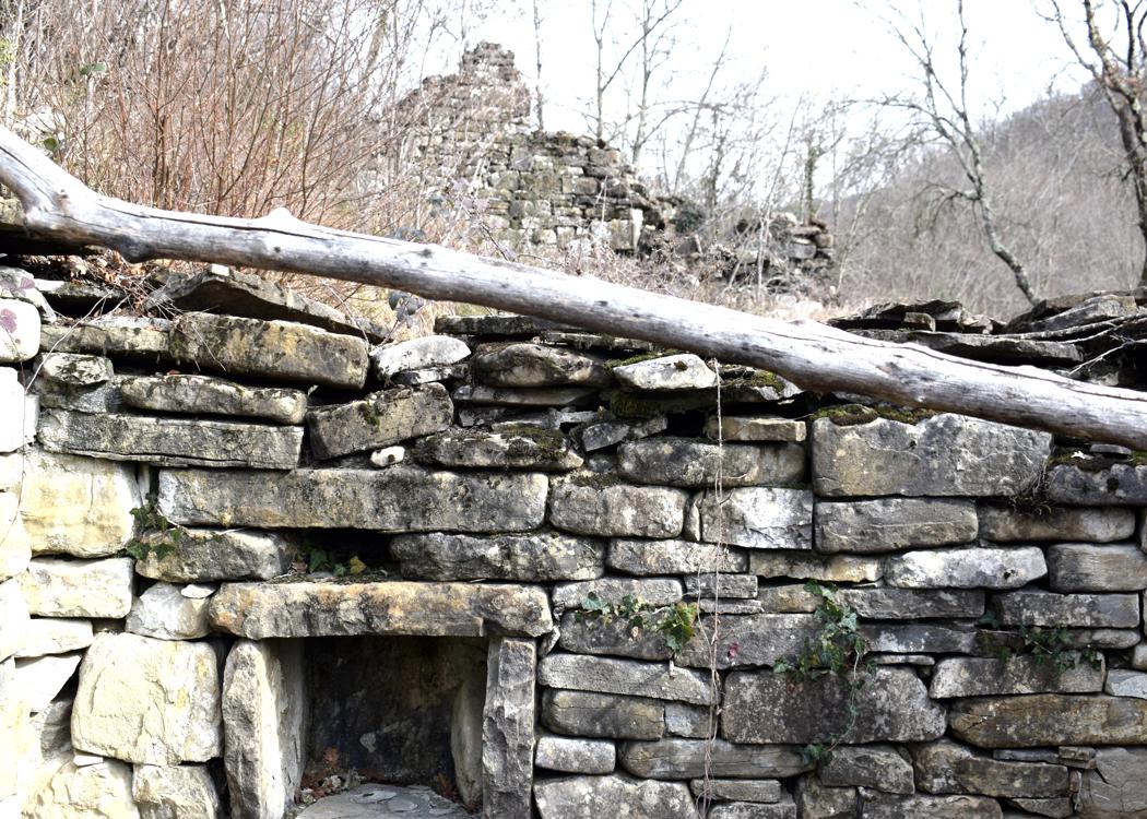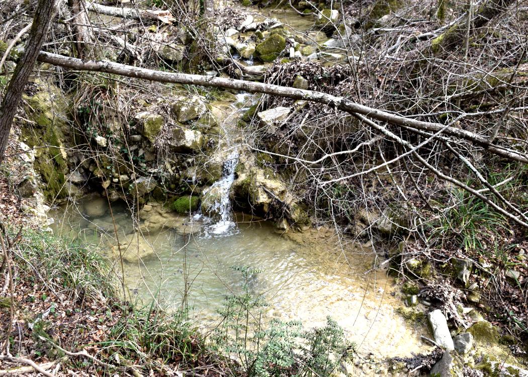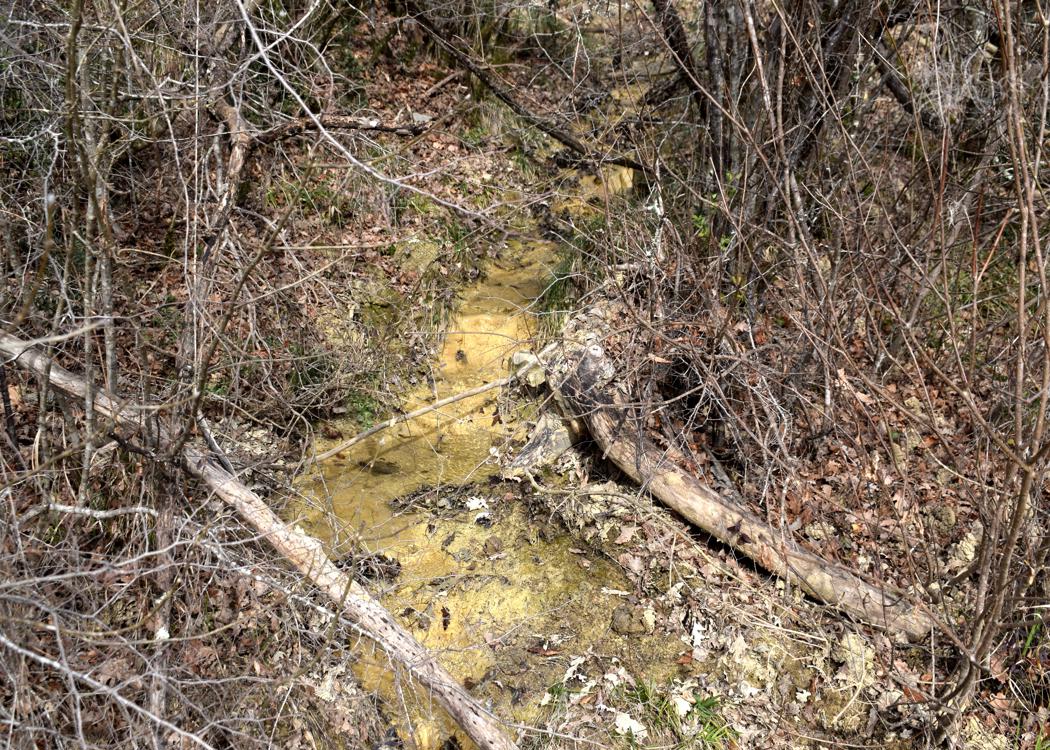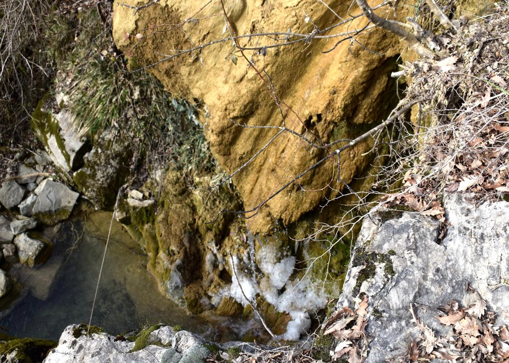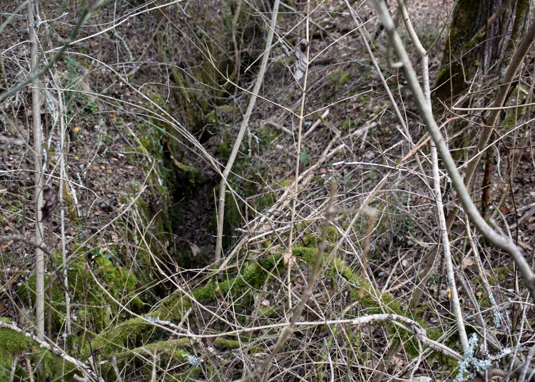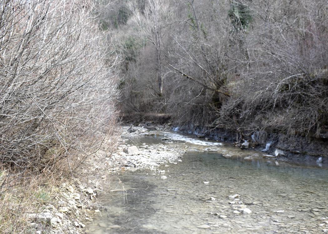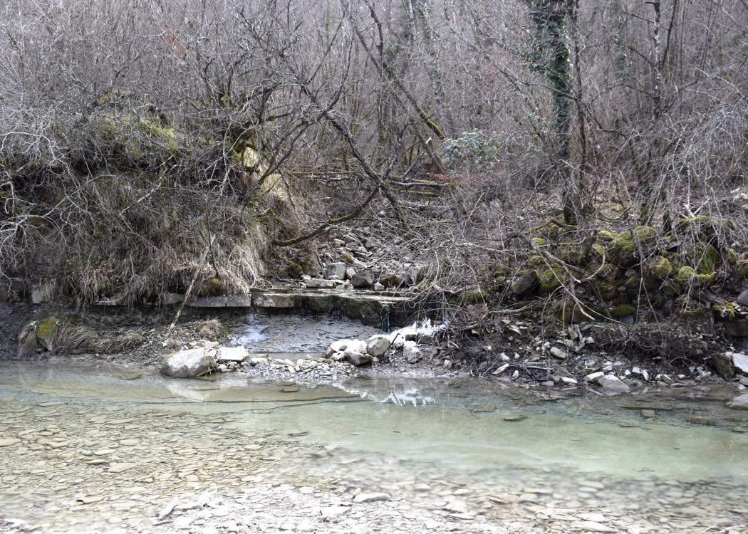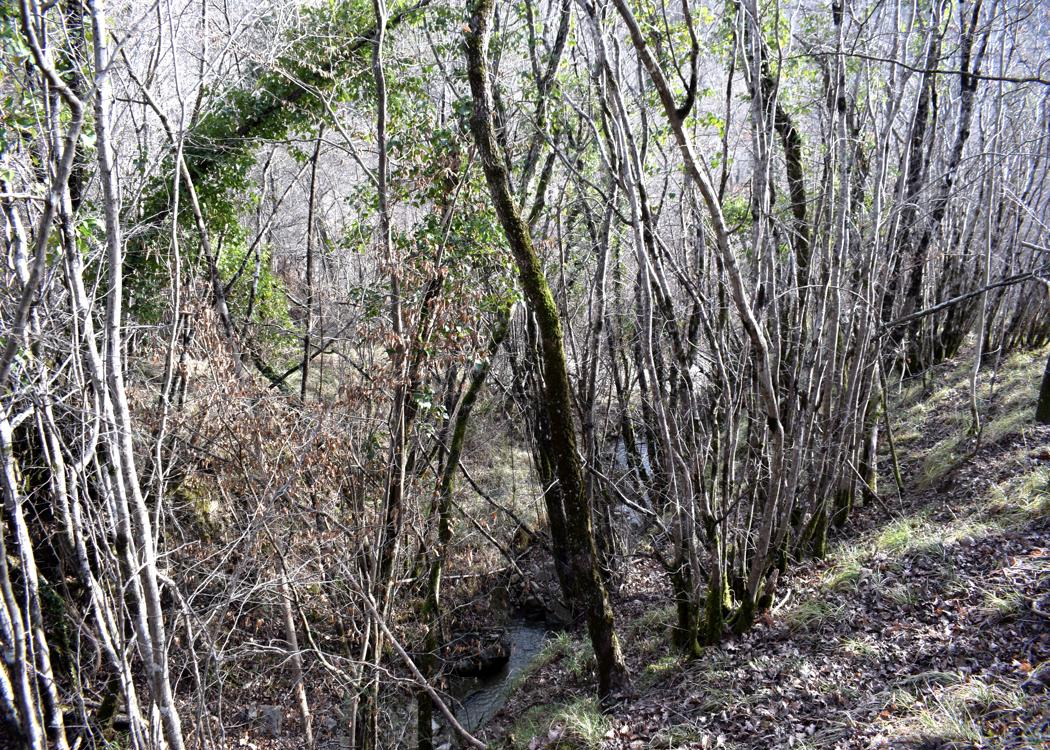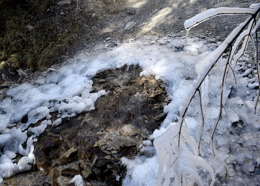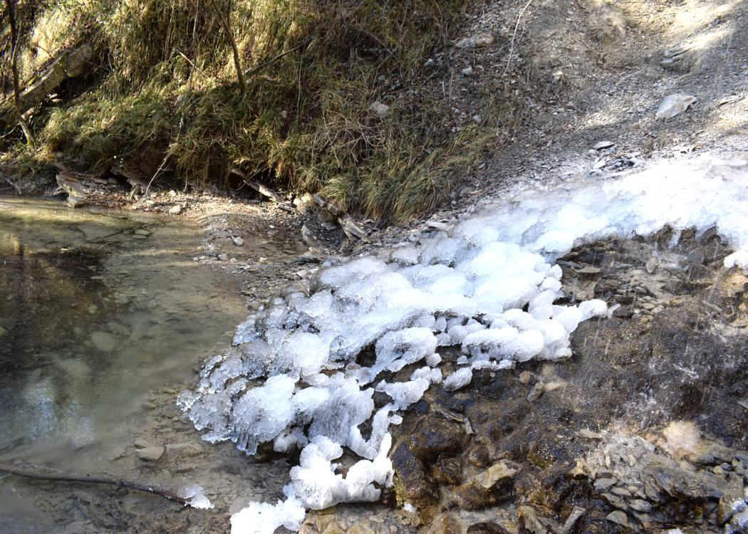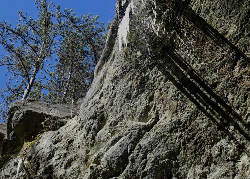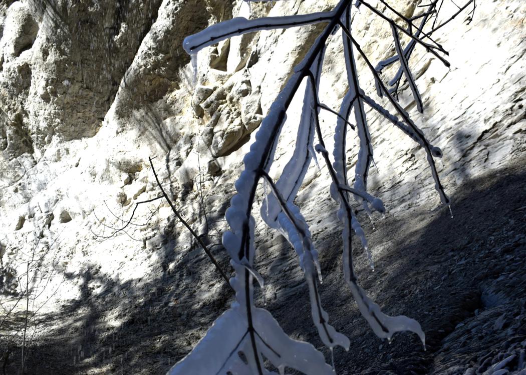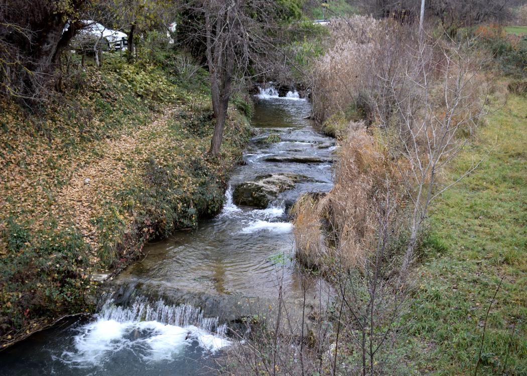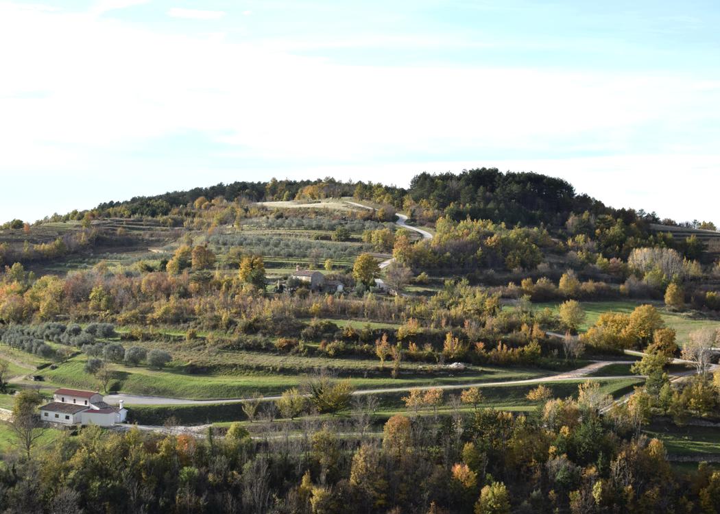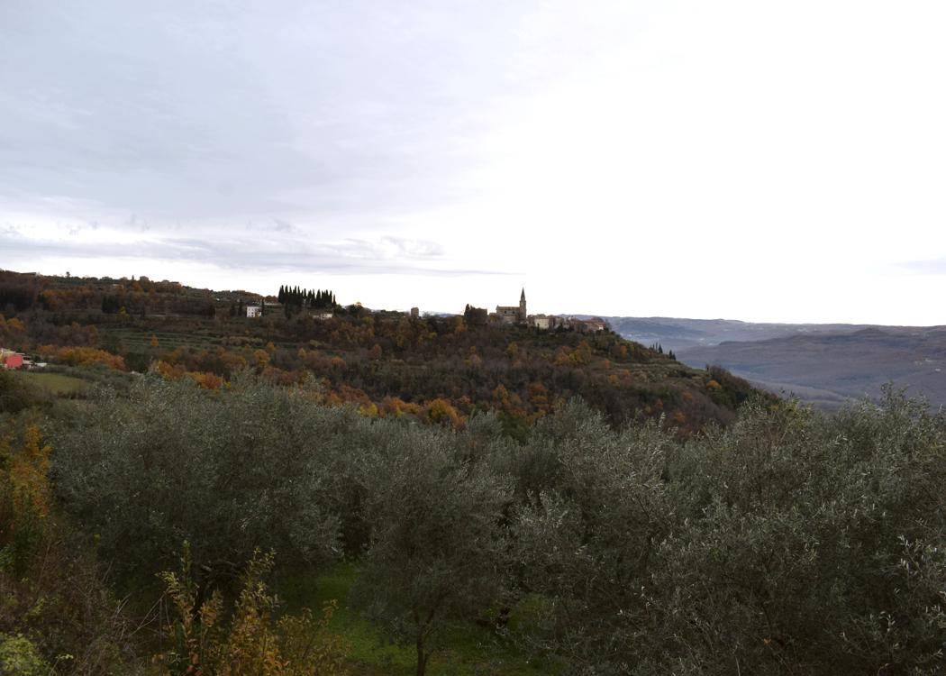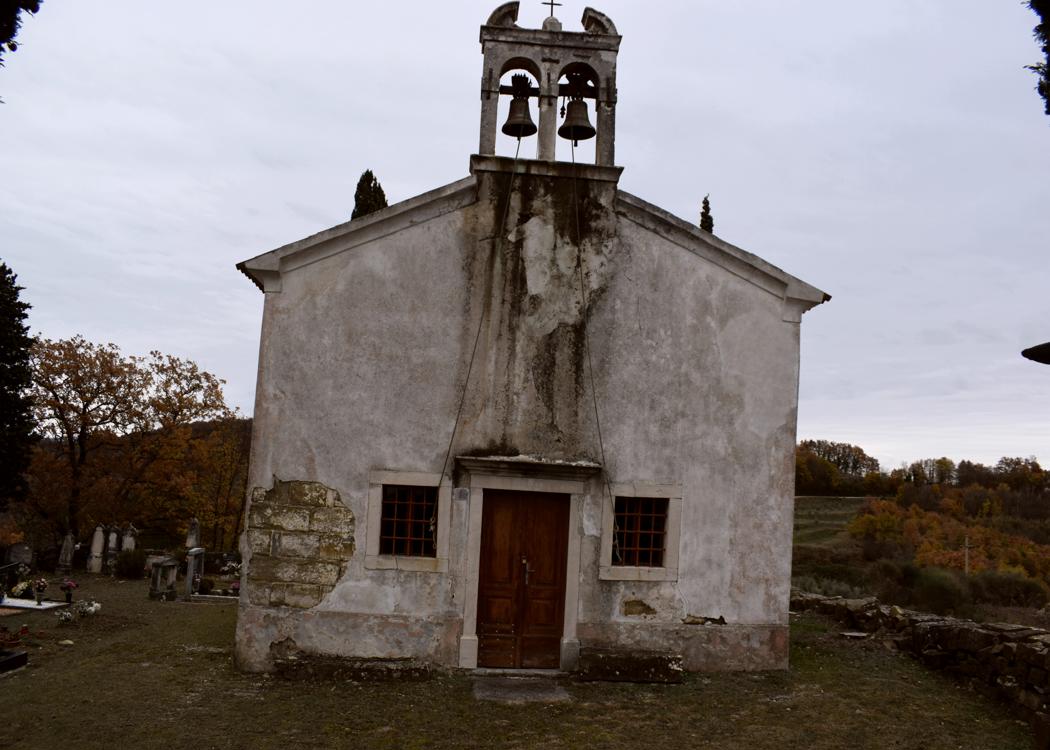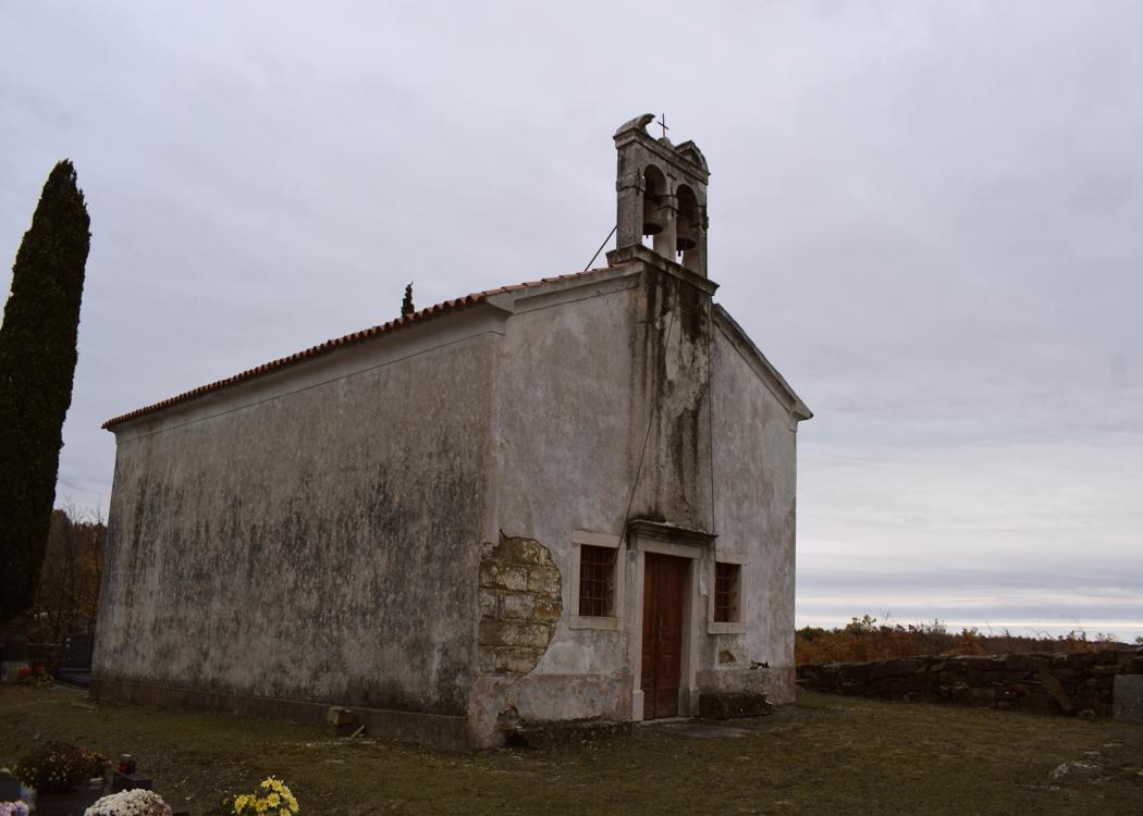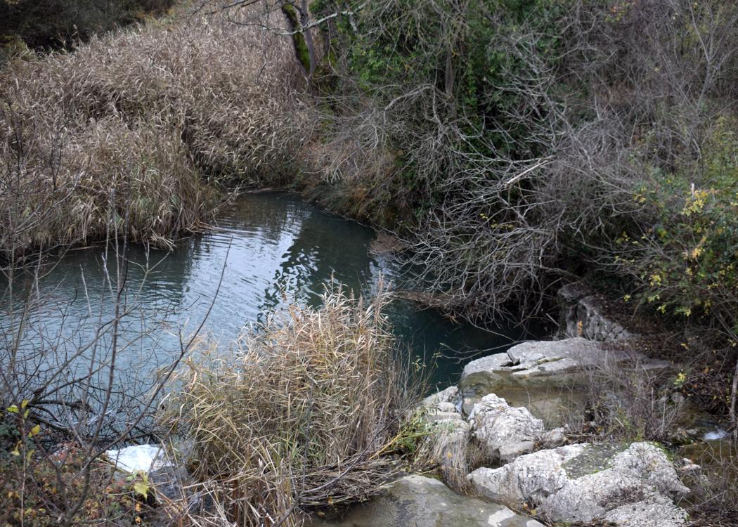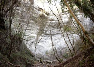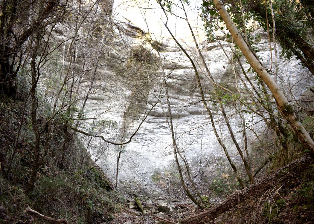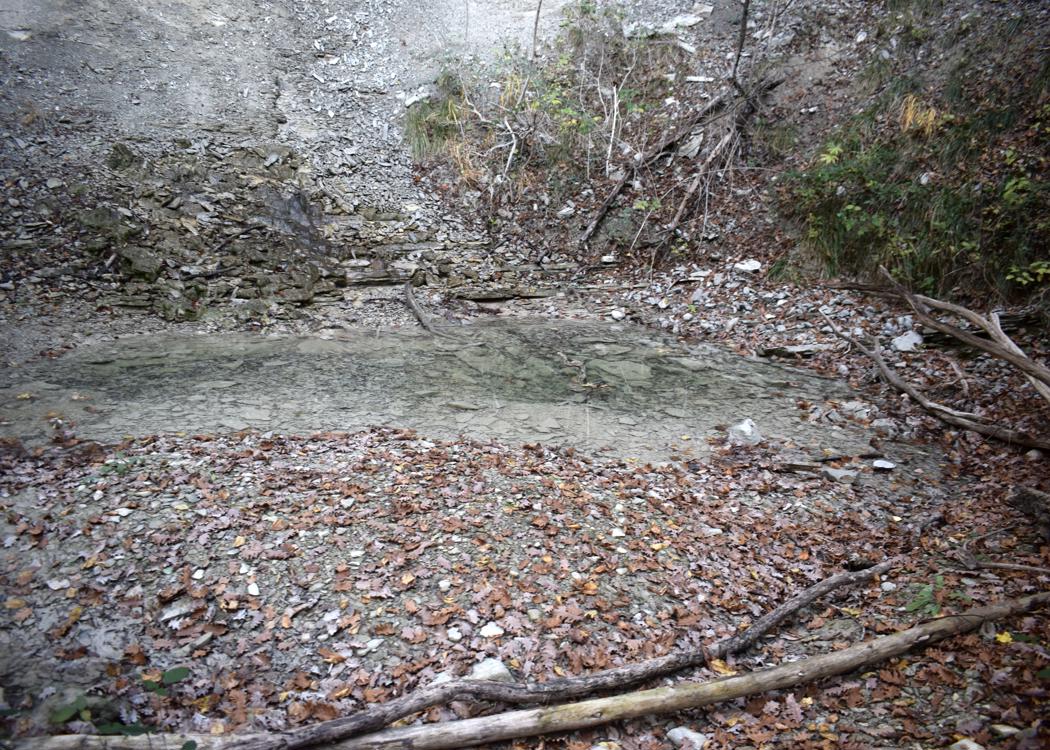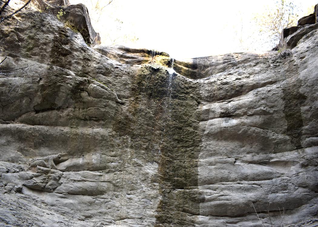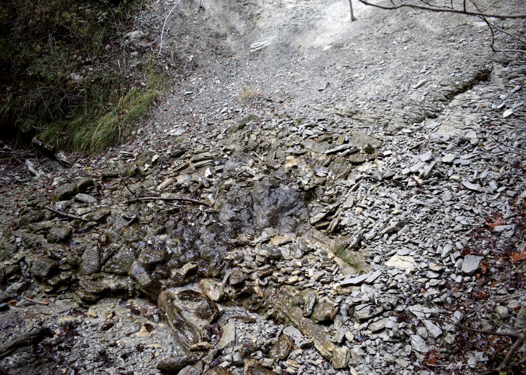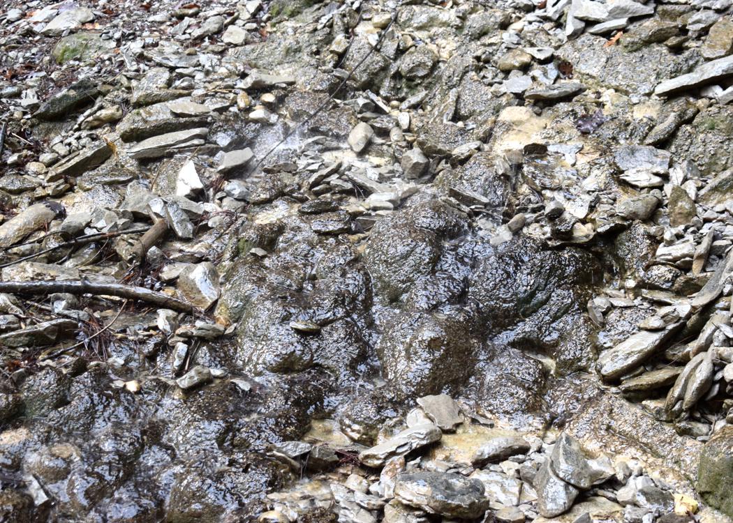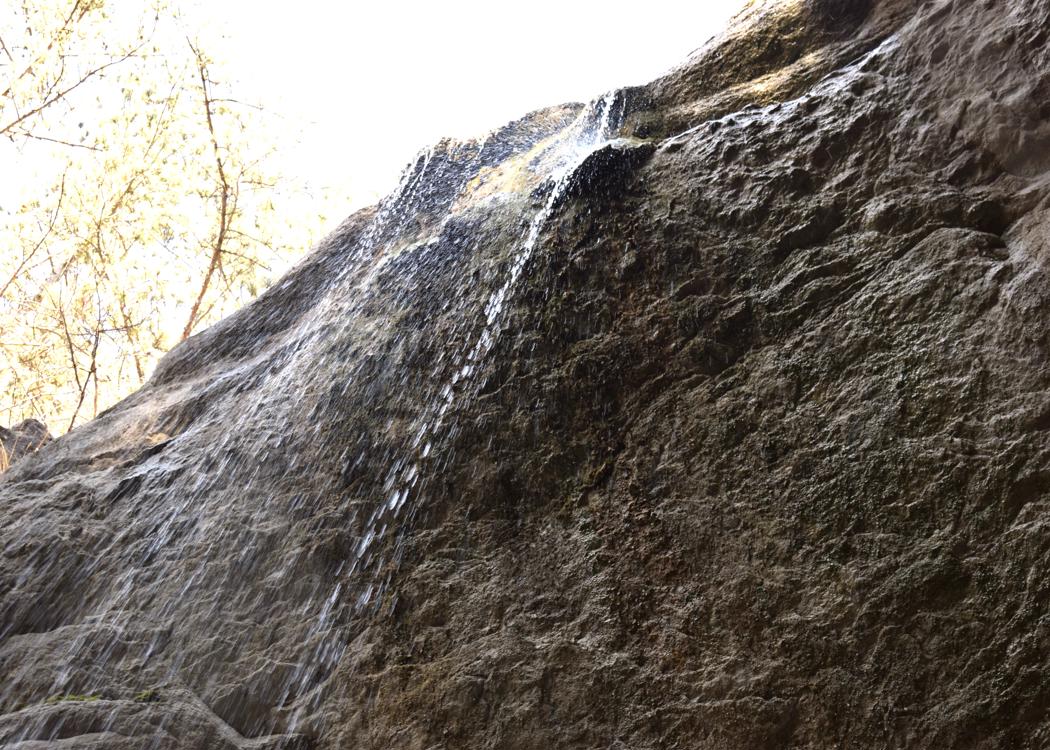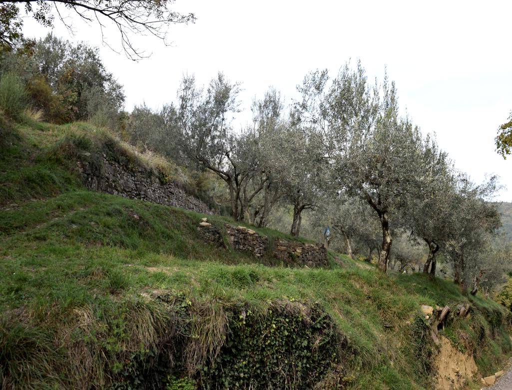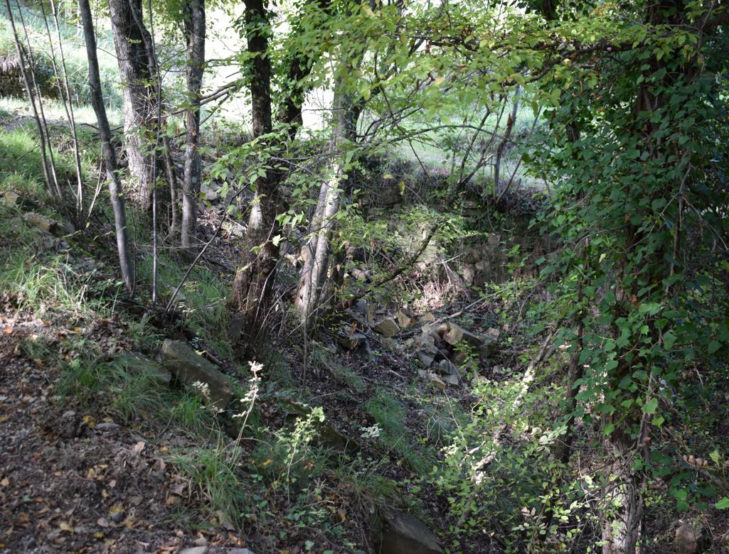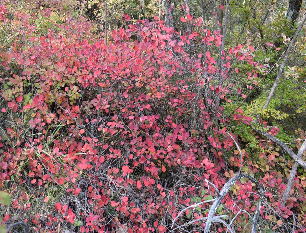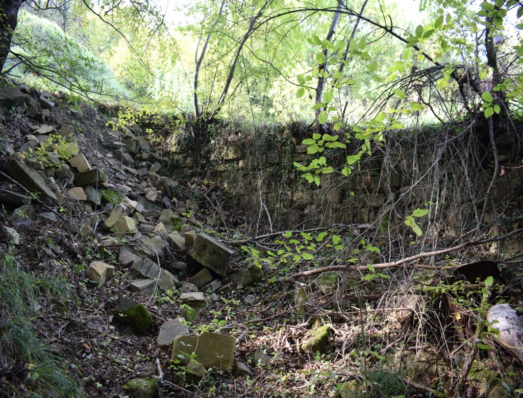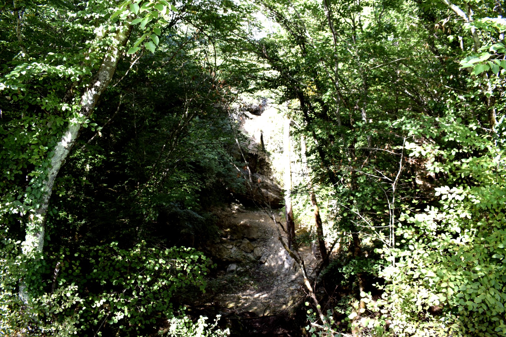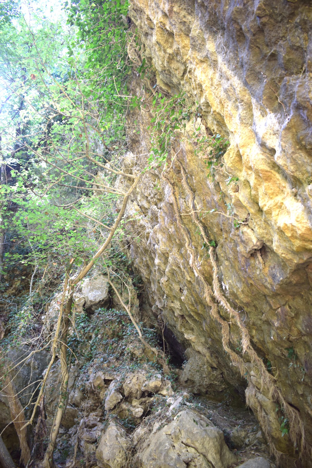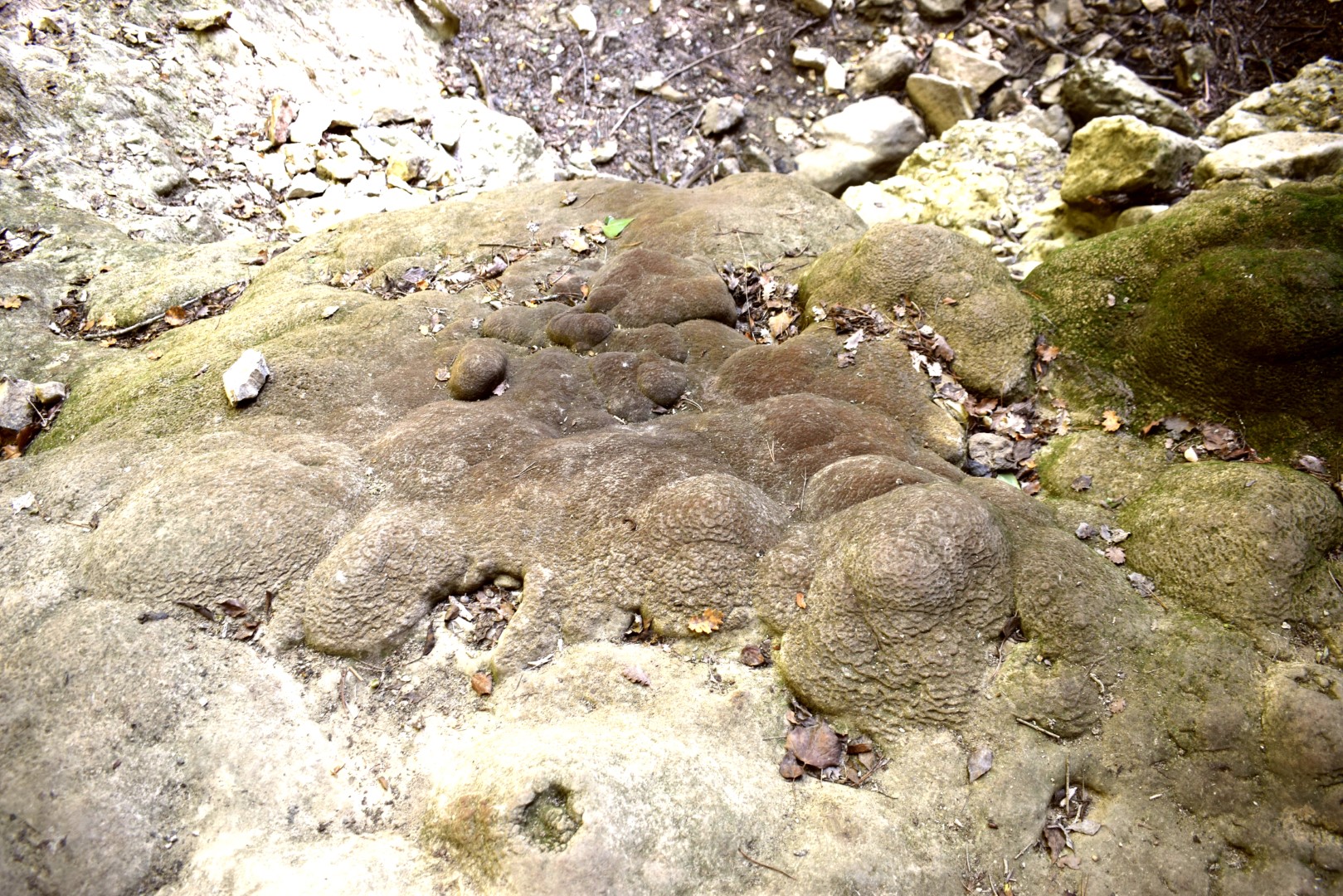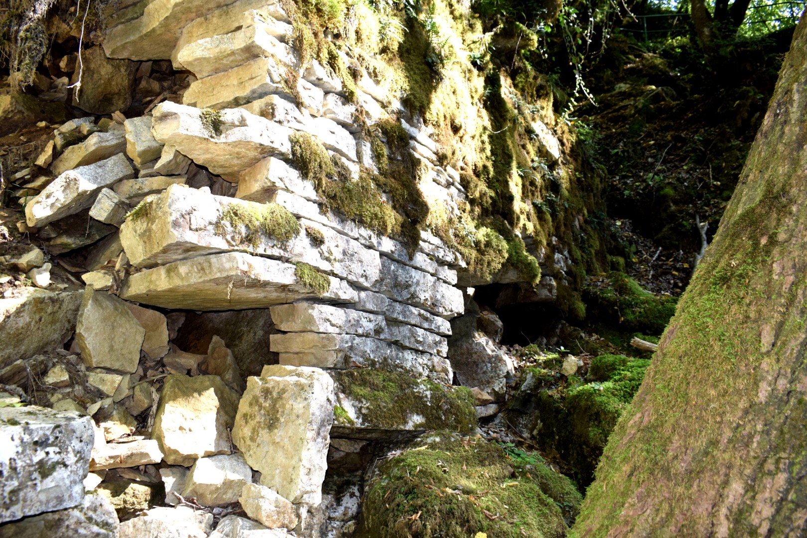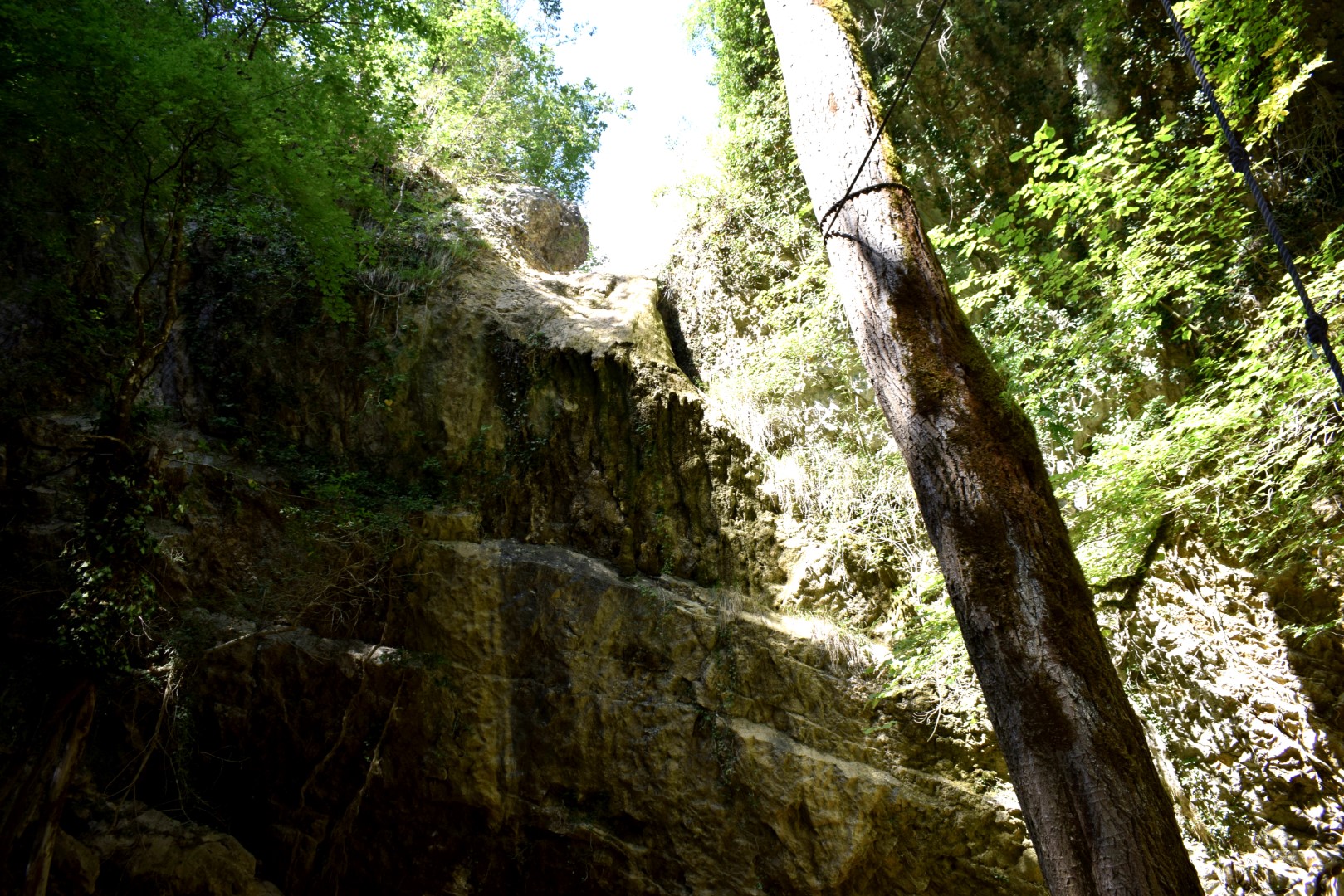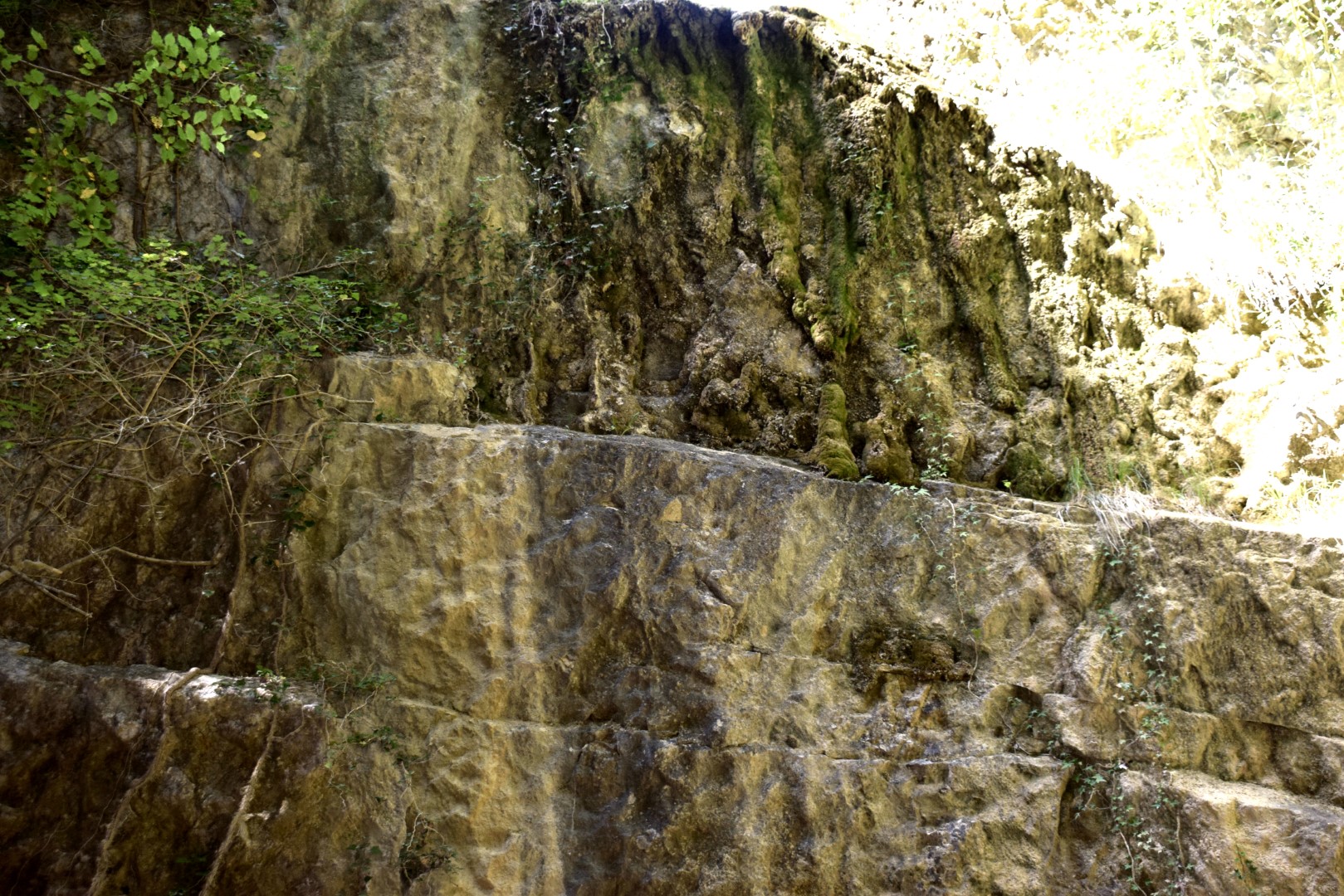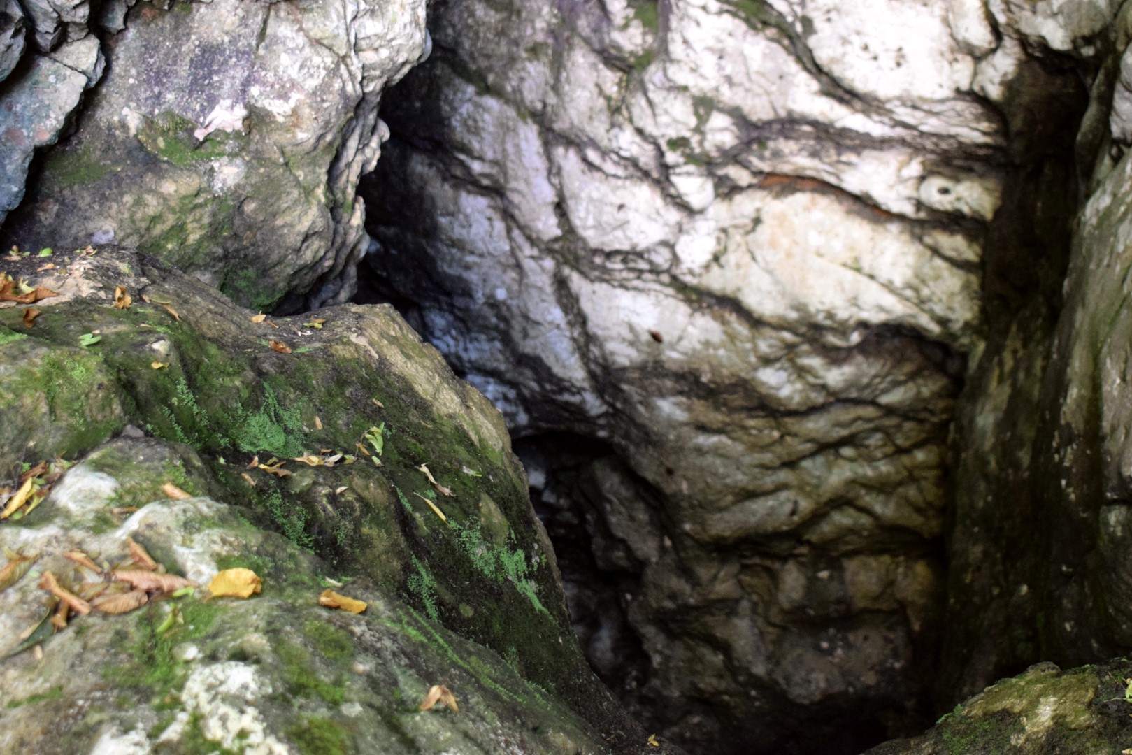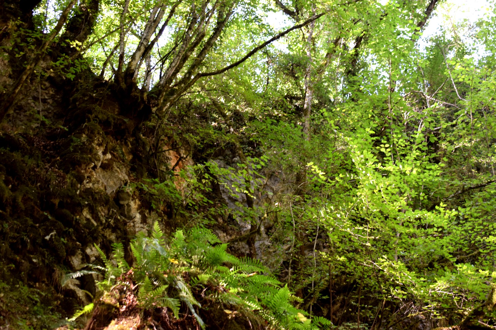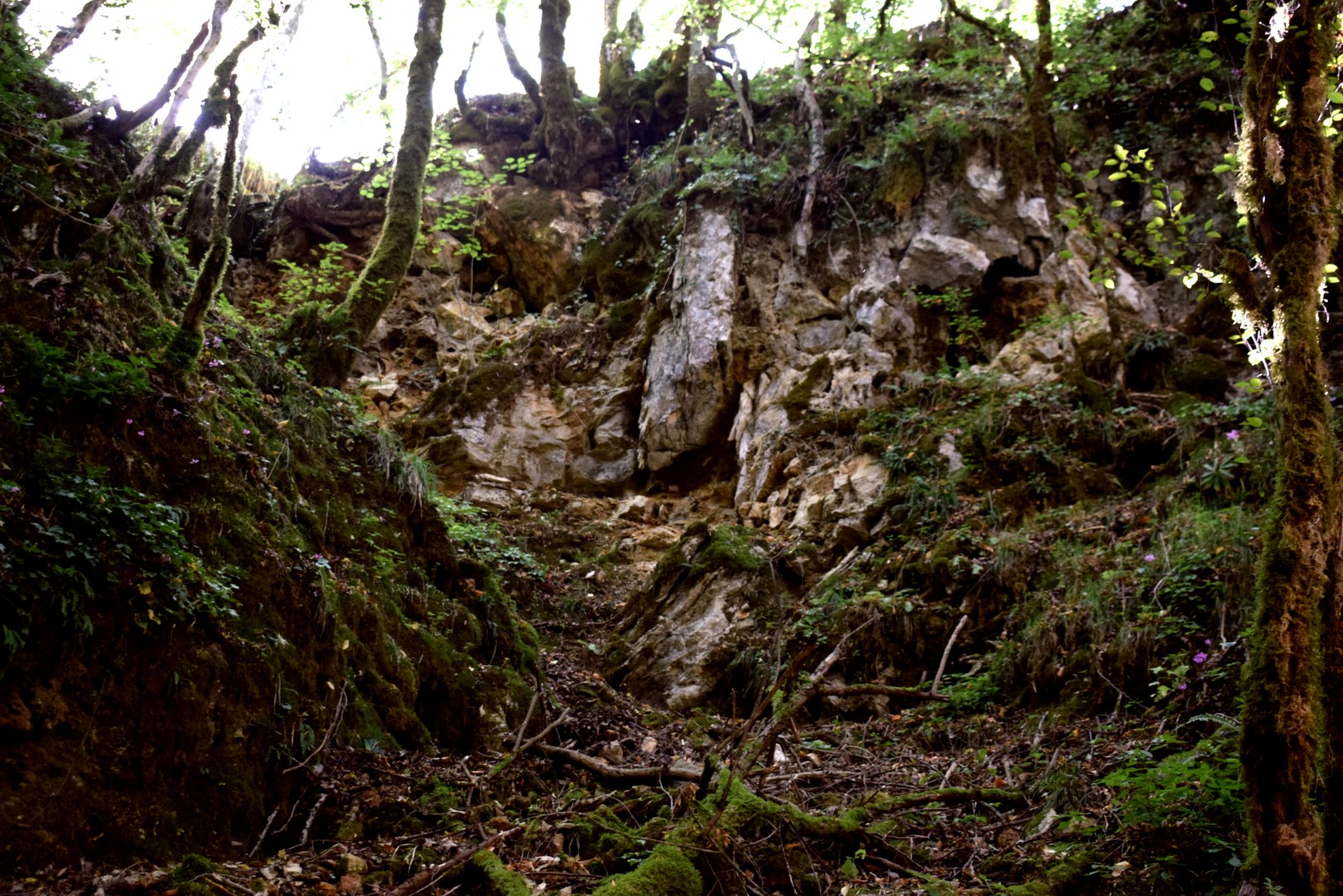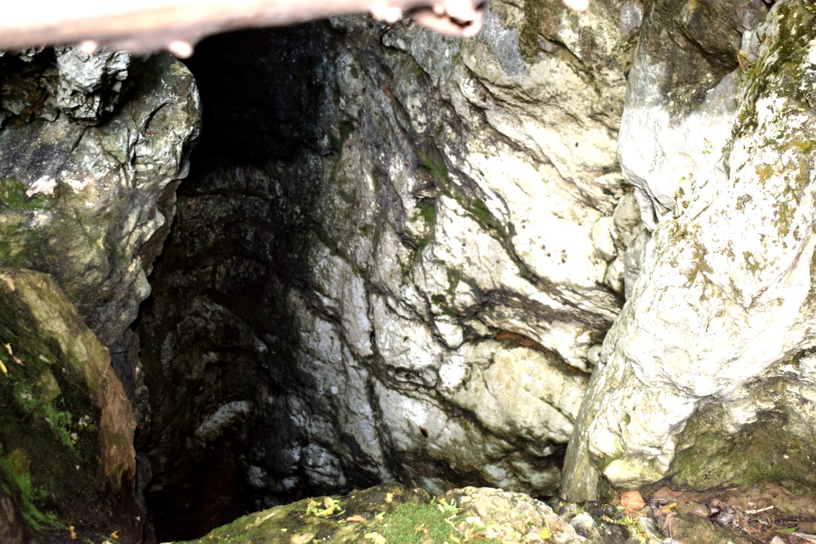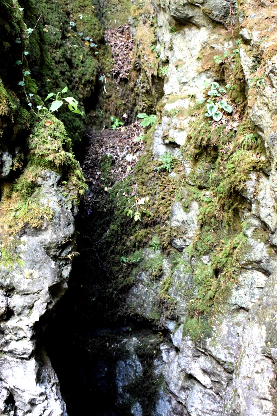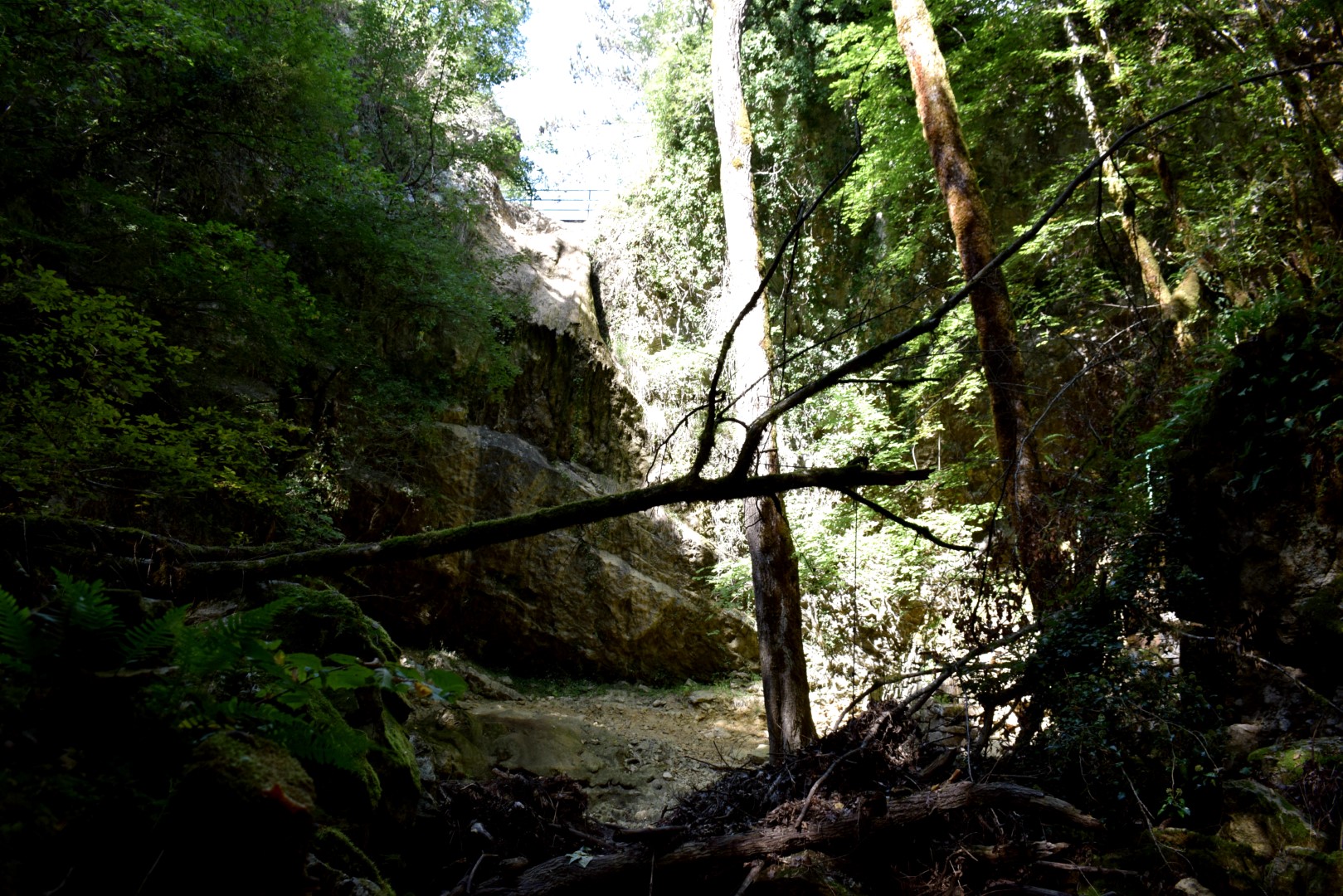
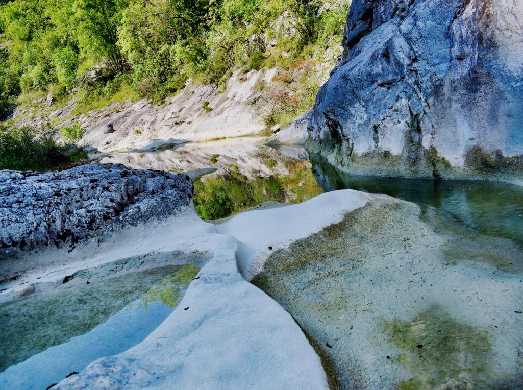
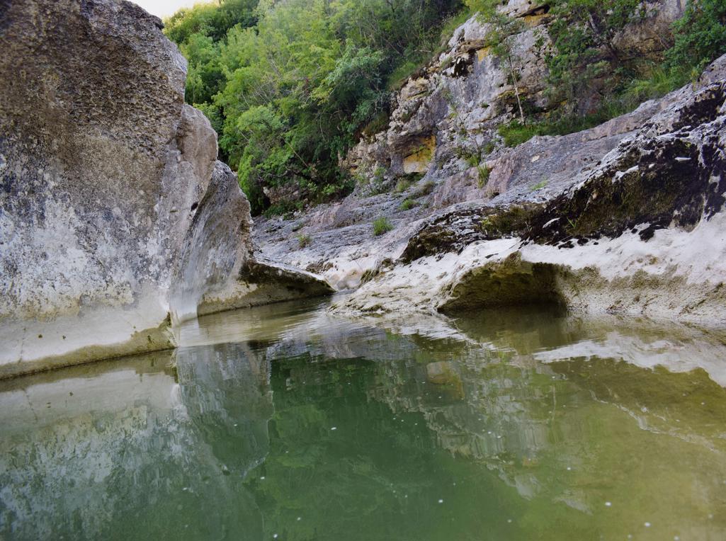
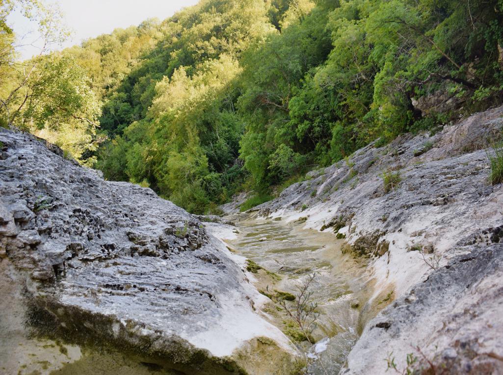

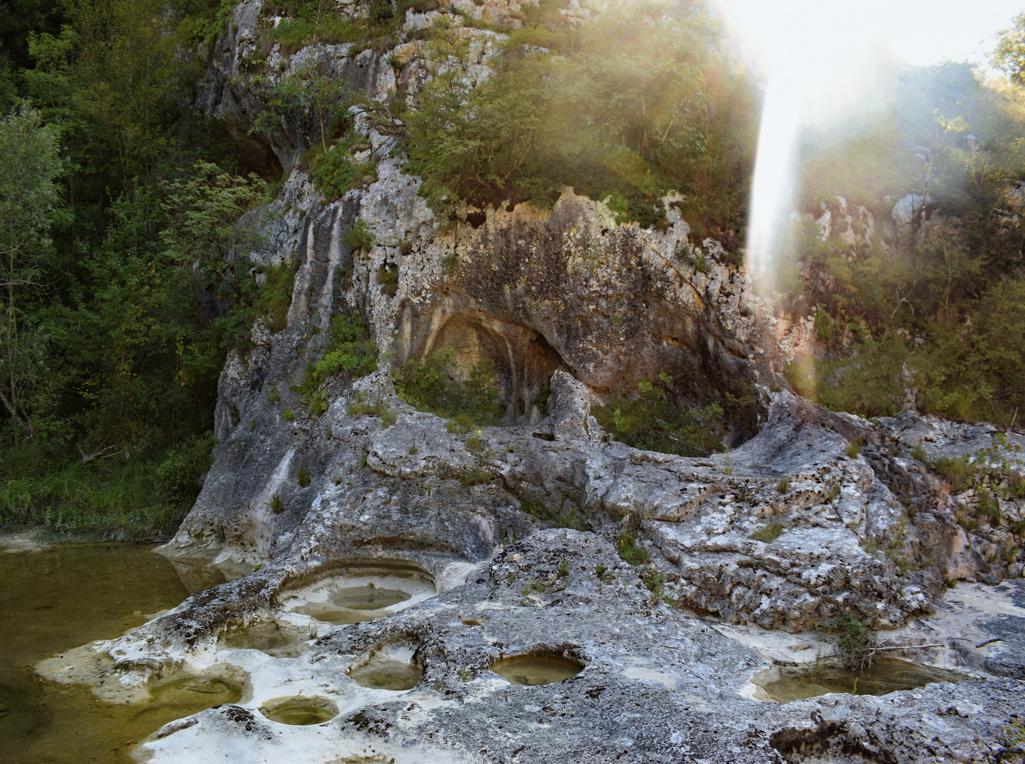


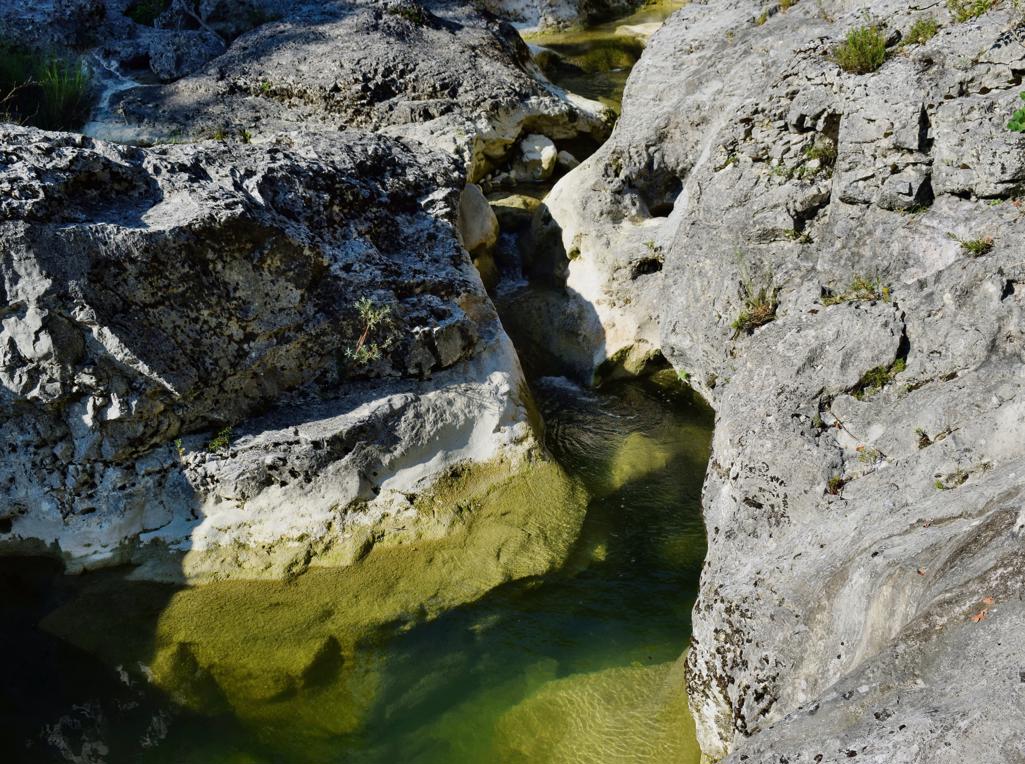
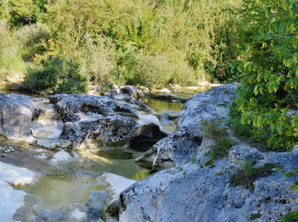
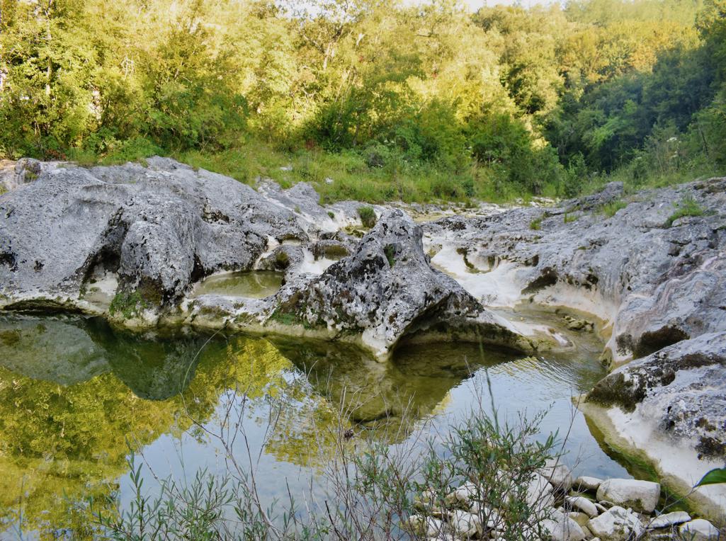
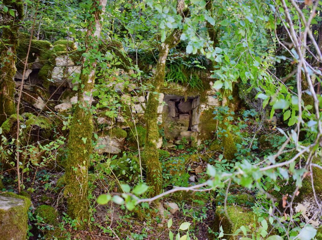

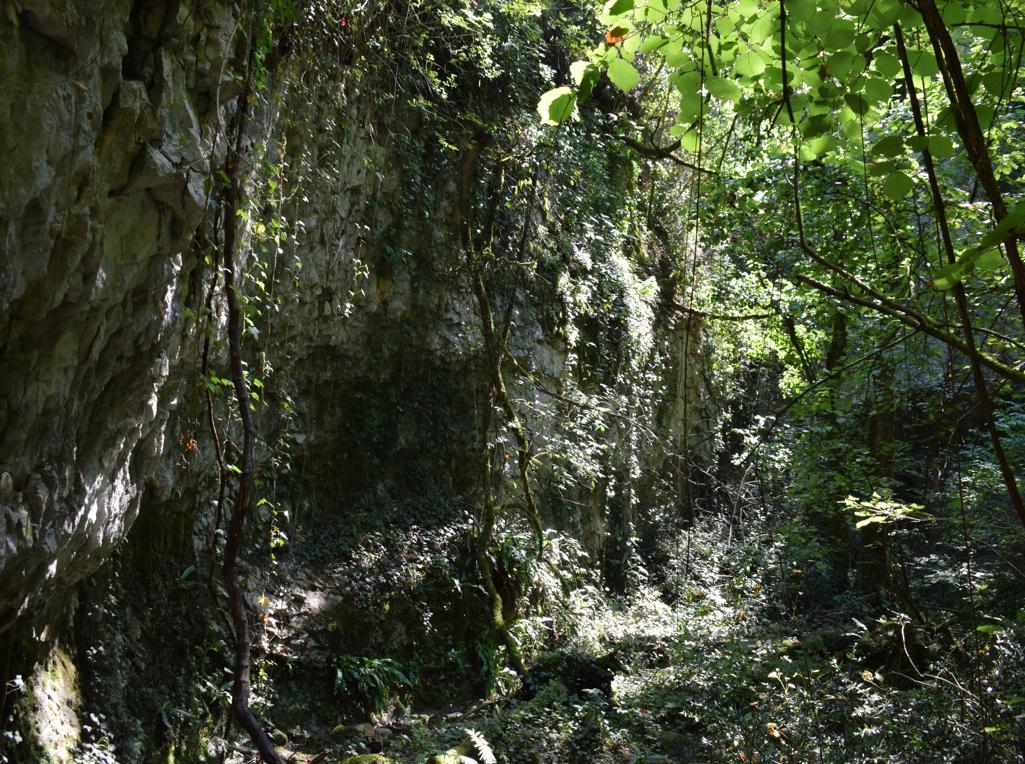
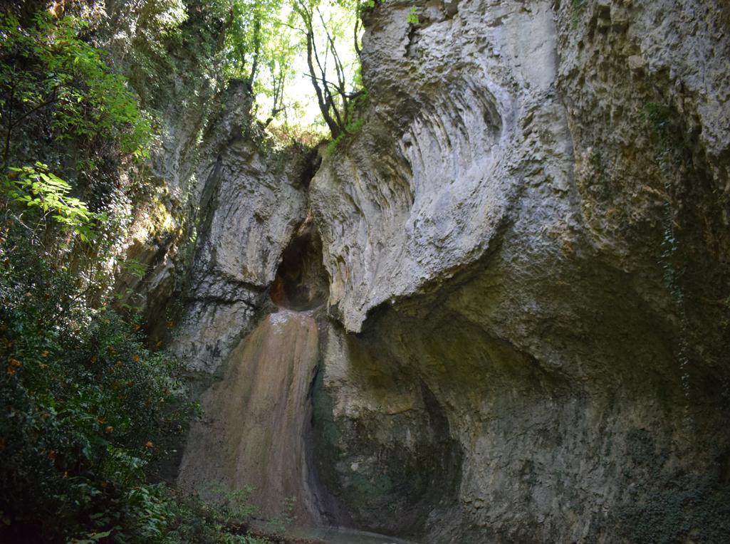
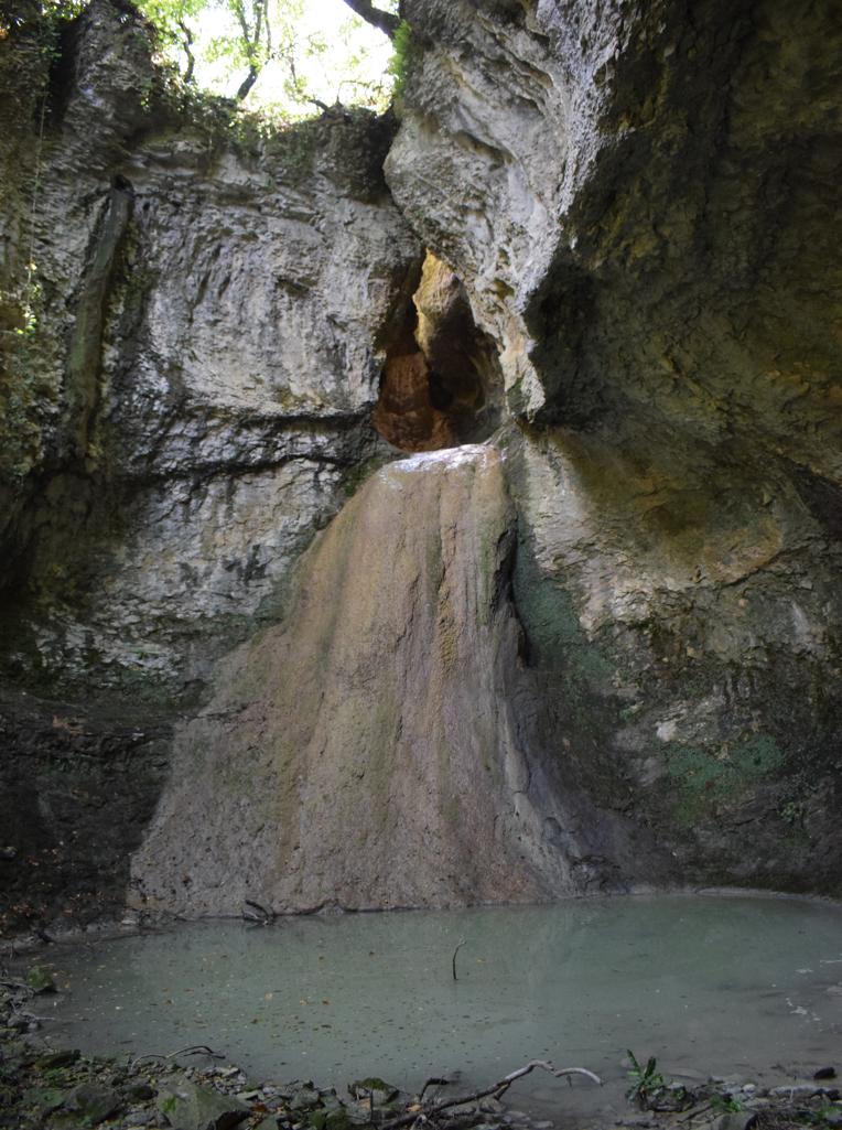
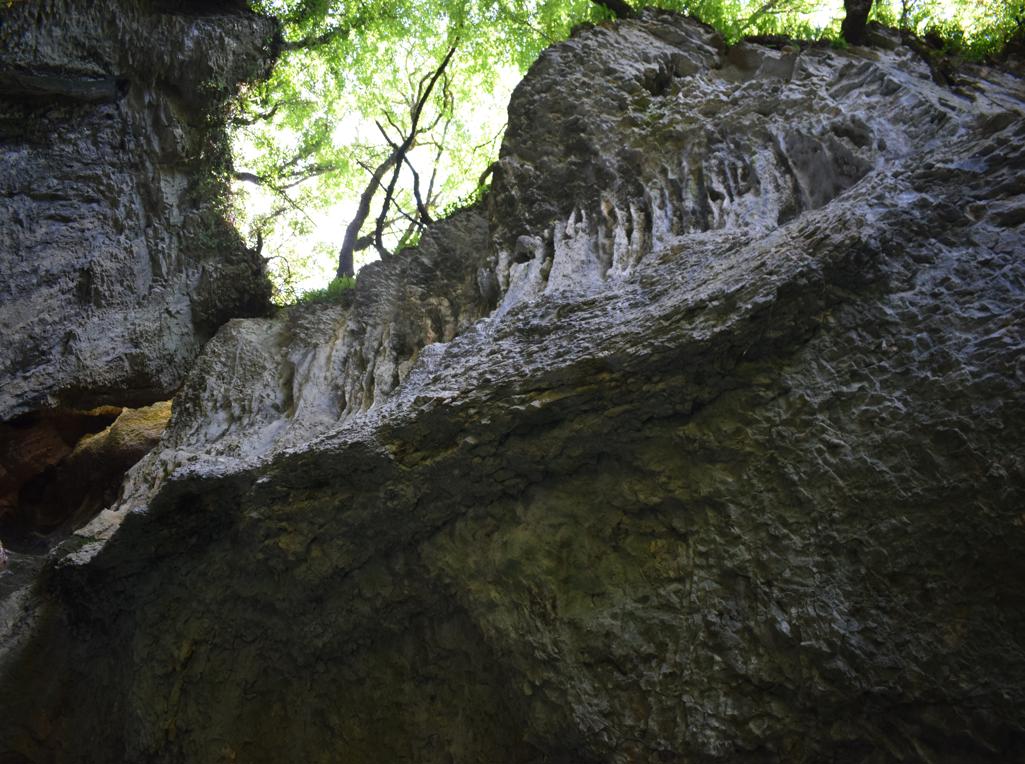
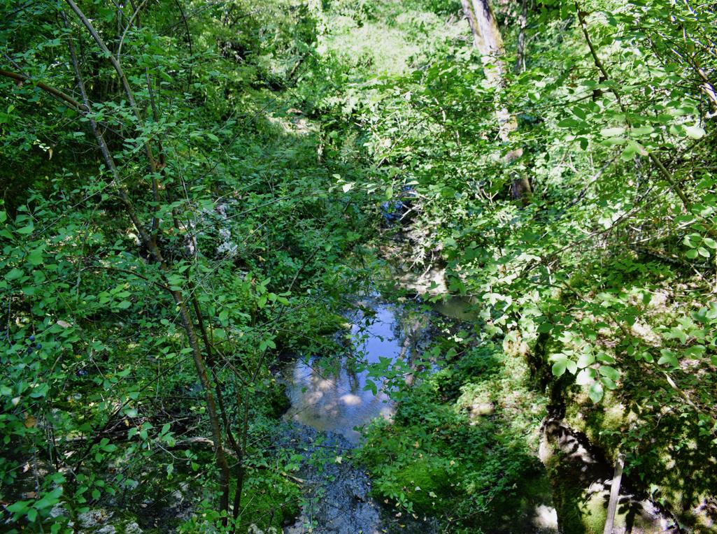
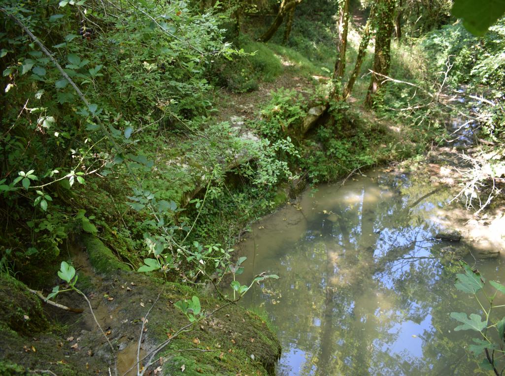
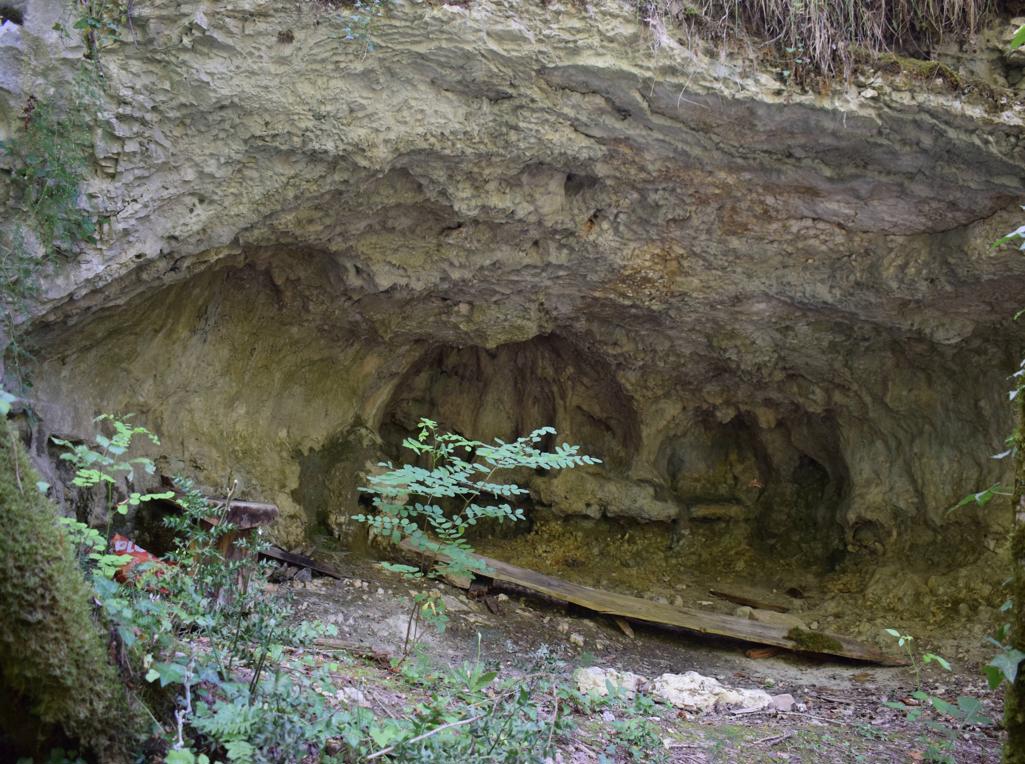
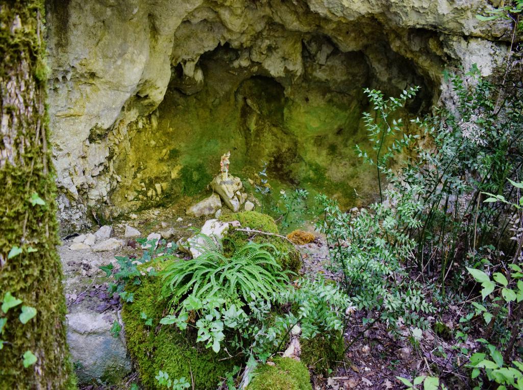


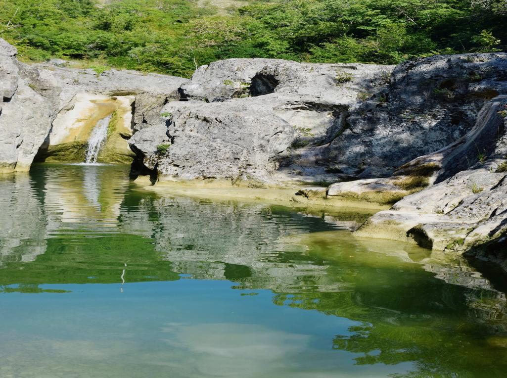

Name: Trail from the village Grdoselo, along the Grdoselski stream to Zelena Grad and the waterfall M. Slap.
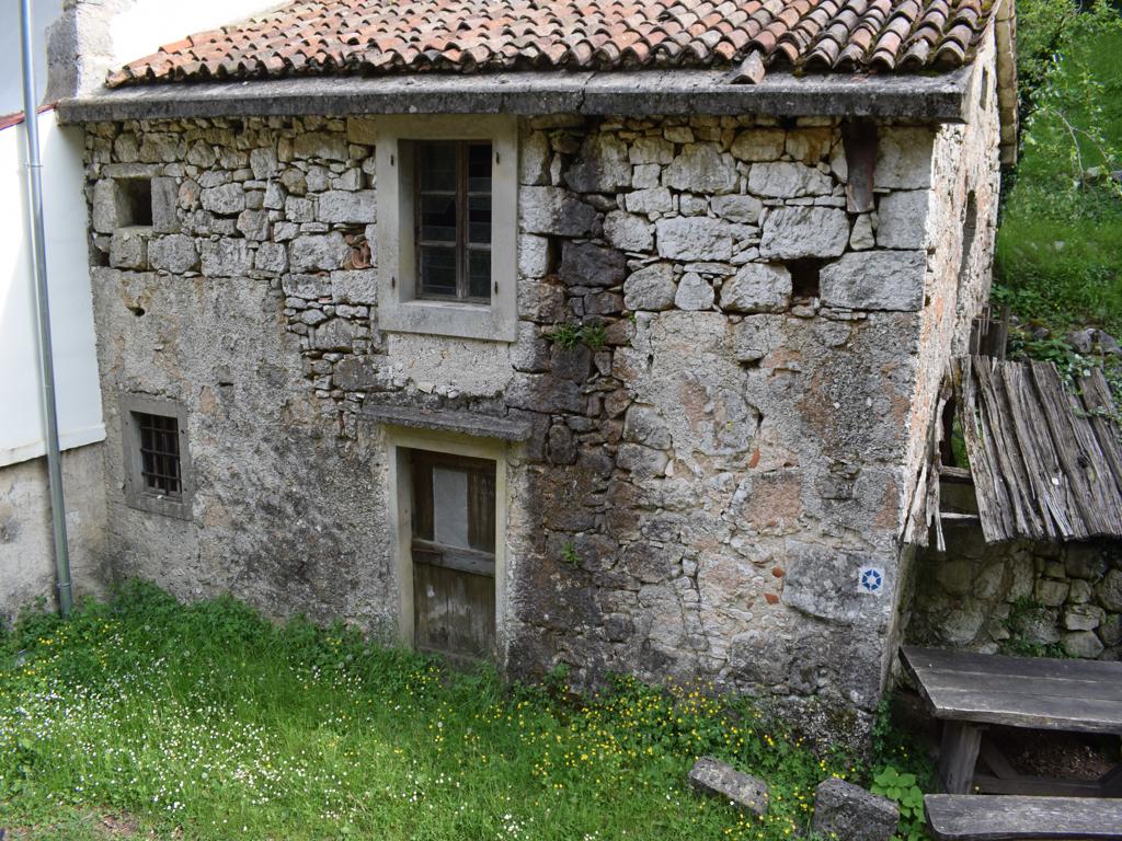
Place: Grdoselo _ (pazin).
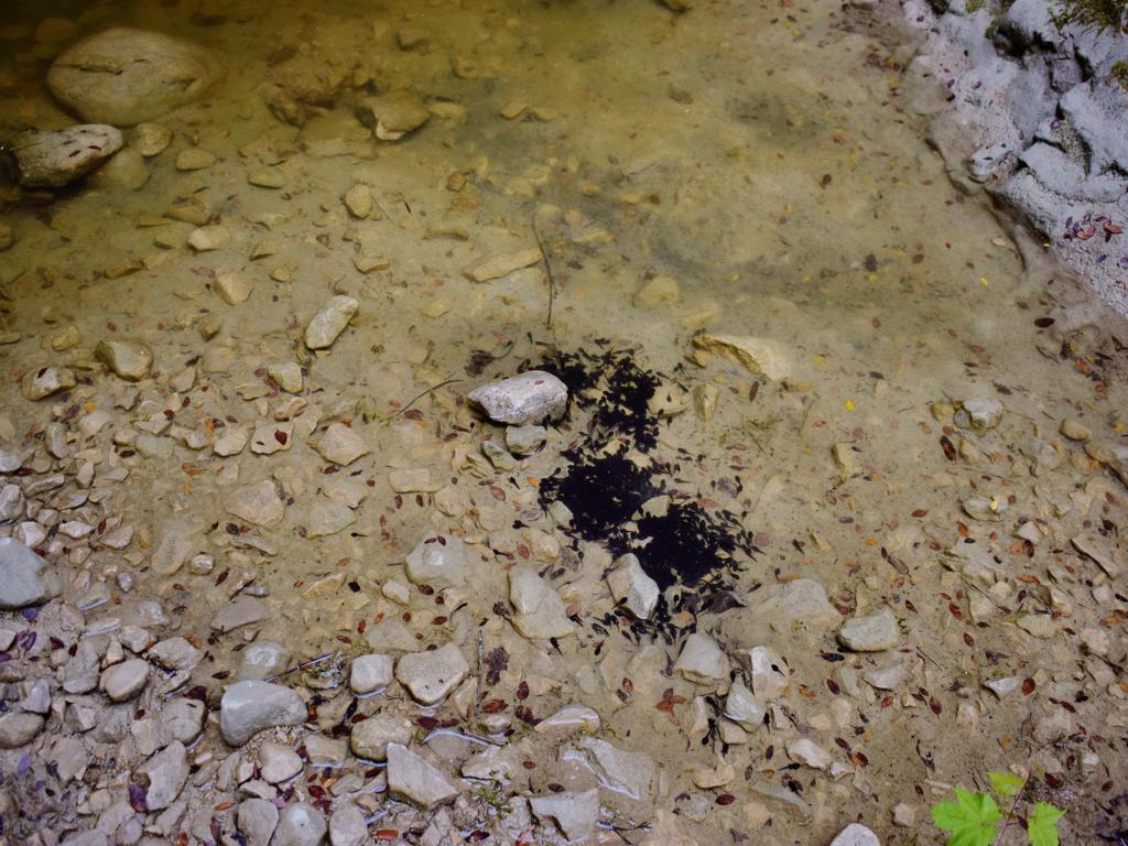
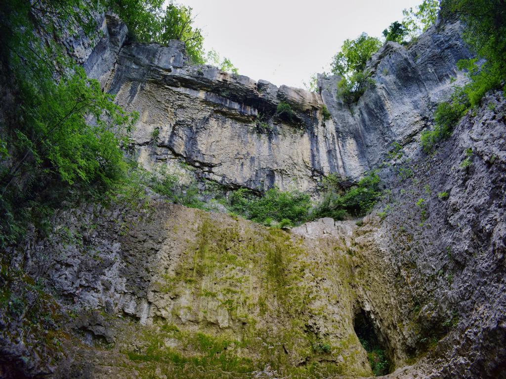
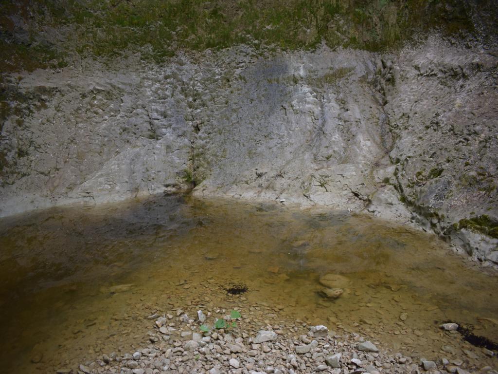
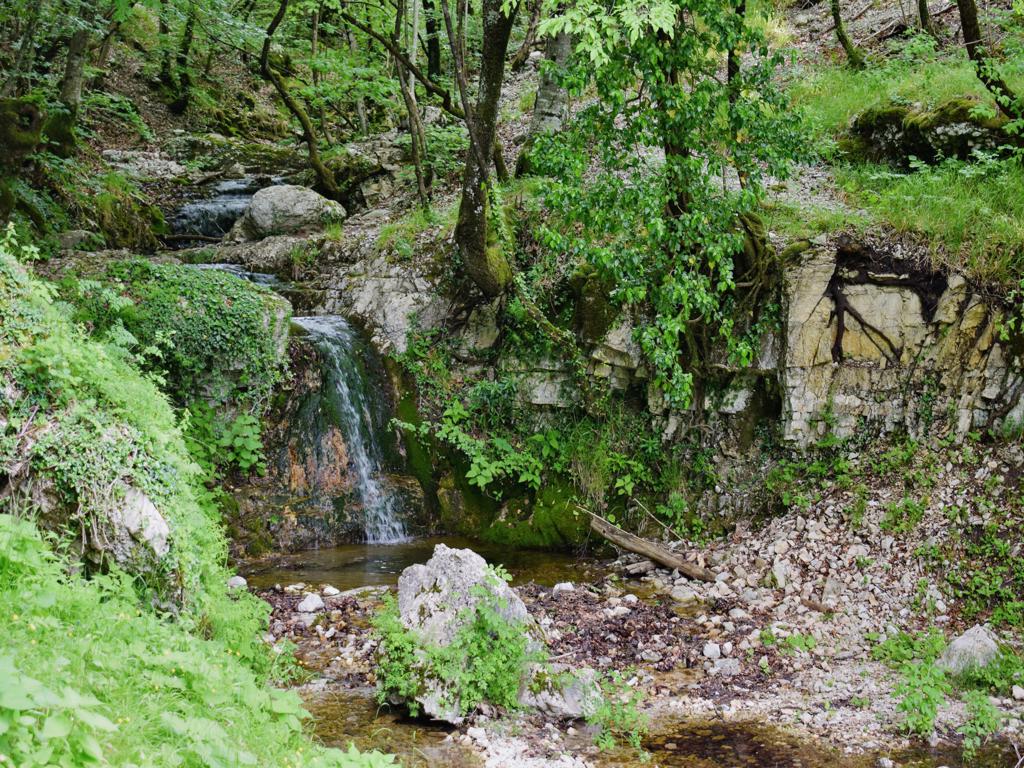
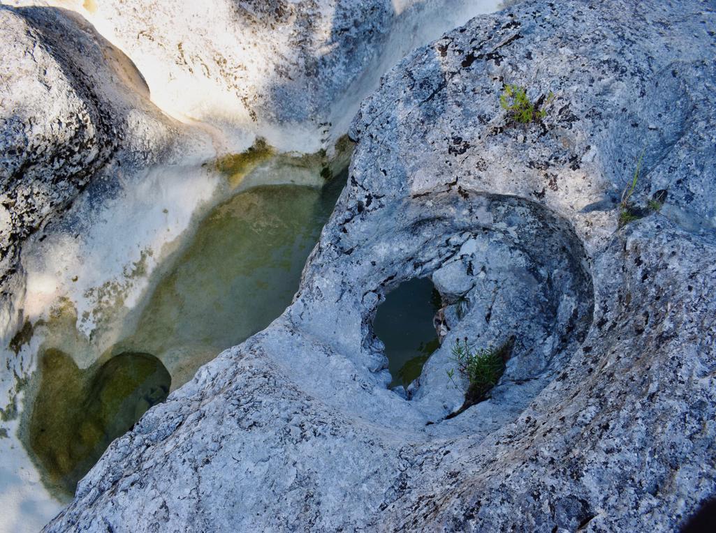
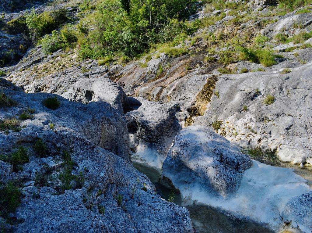
Coordinates: Start 45.27960N – 13.93997 E, Waterfall Grdoselo 45.27936 N – 13.93960 E, Watersource Malenice 45.28285 N – 13.94031 E, Waterfall Crni Puć 45.29195 N – 13.94636 E, Mali Slap 45.29195 N – 13.94636 E.