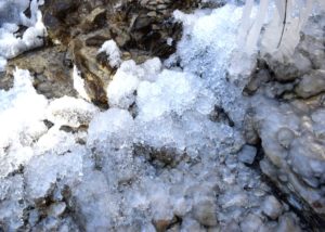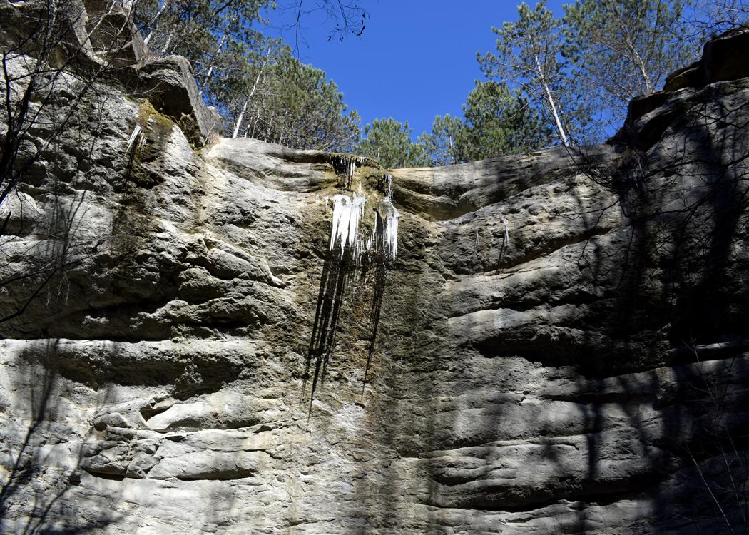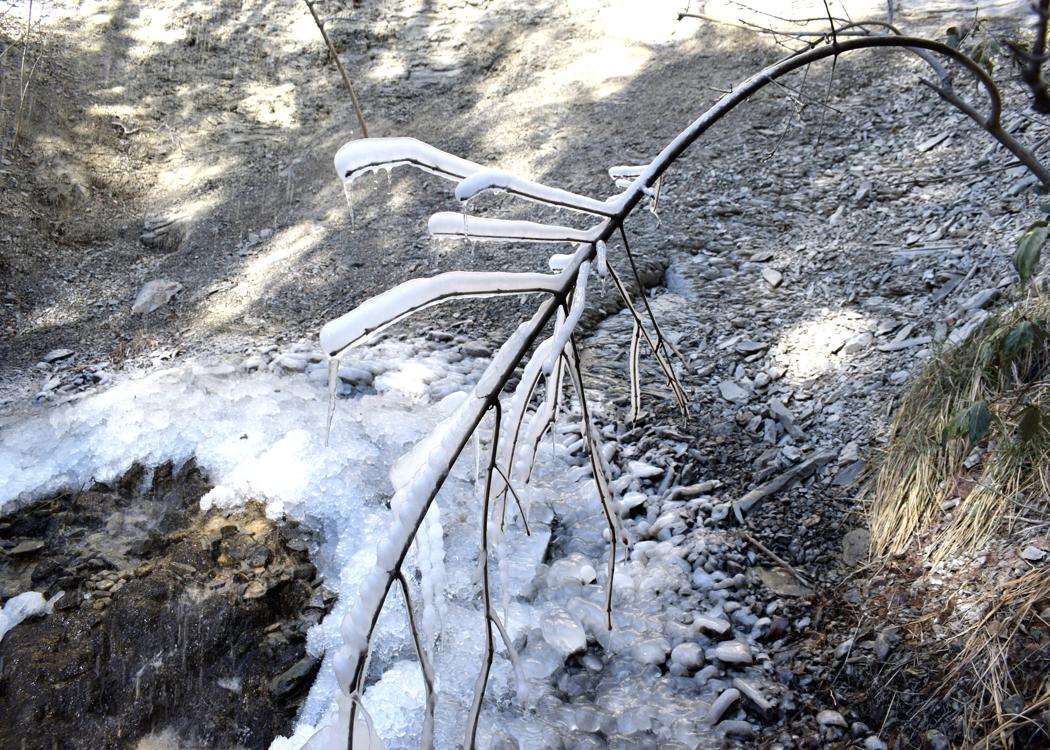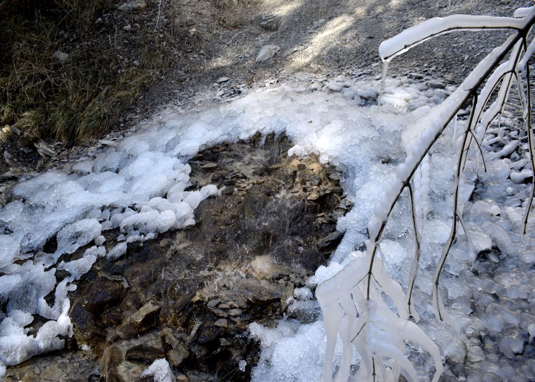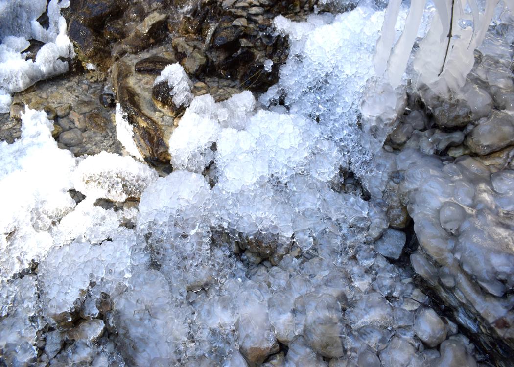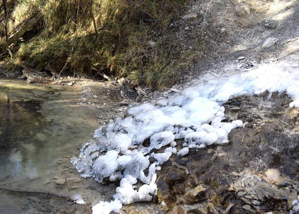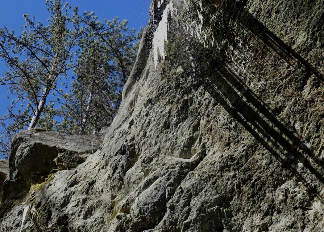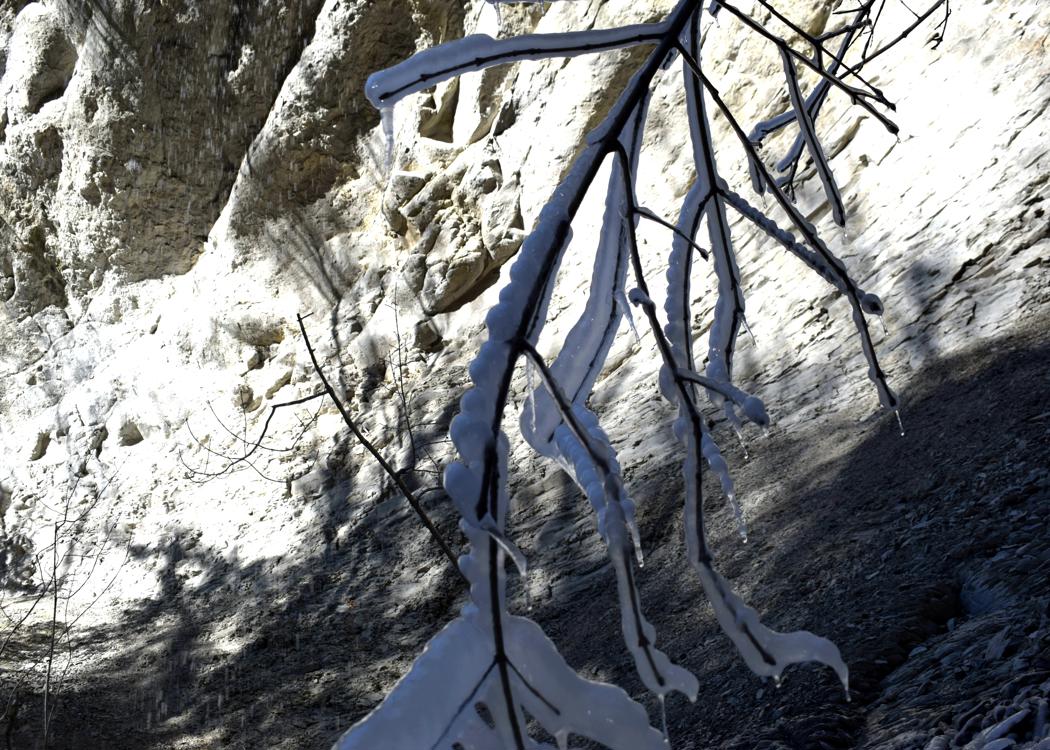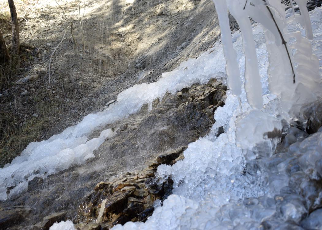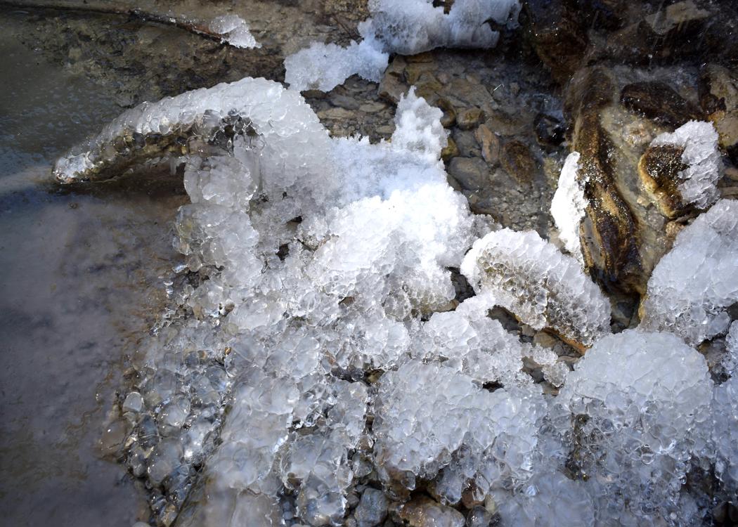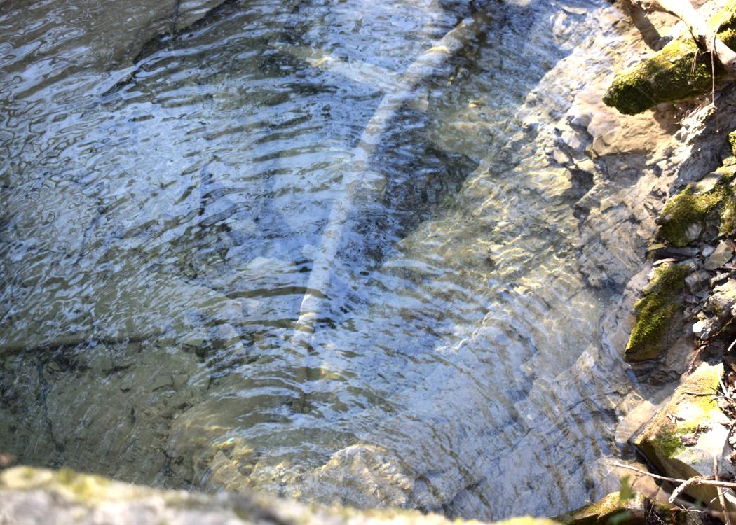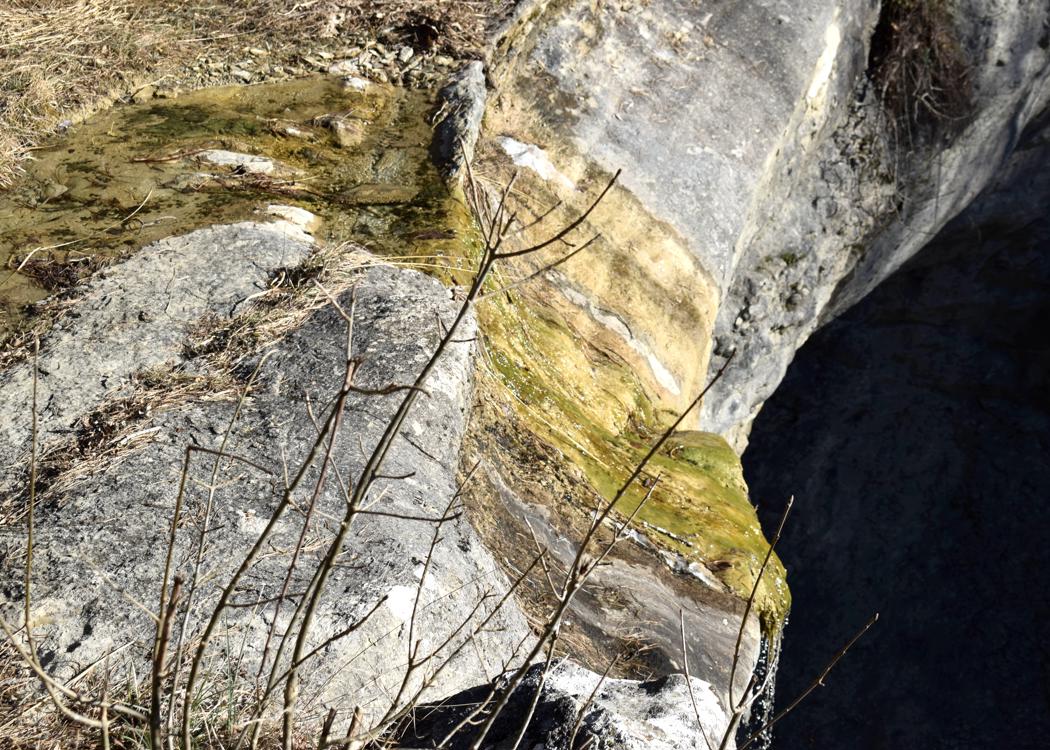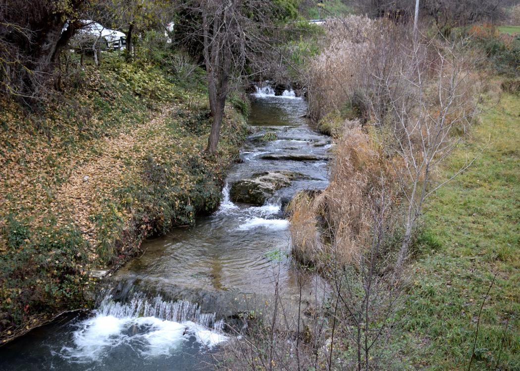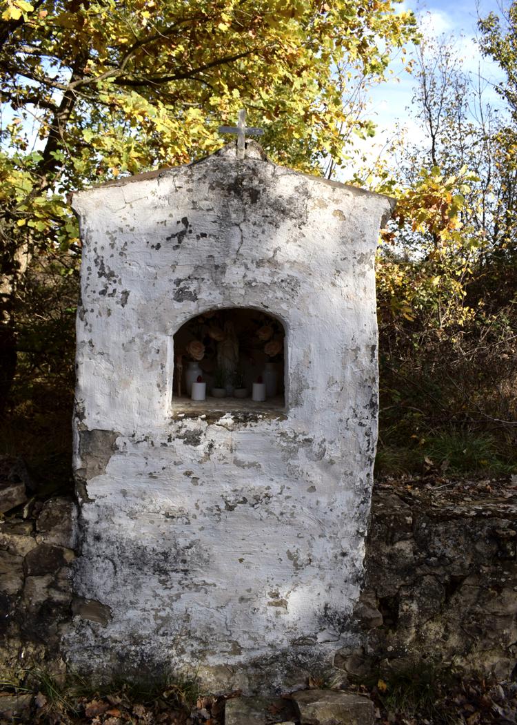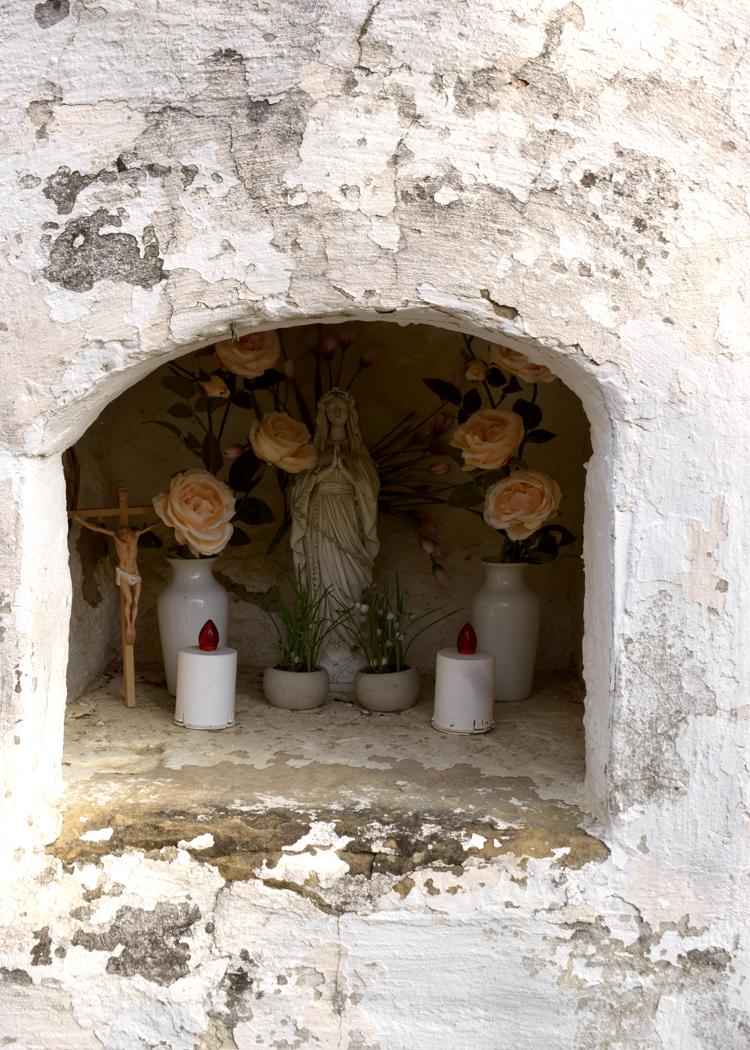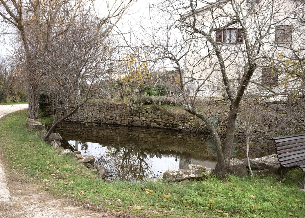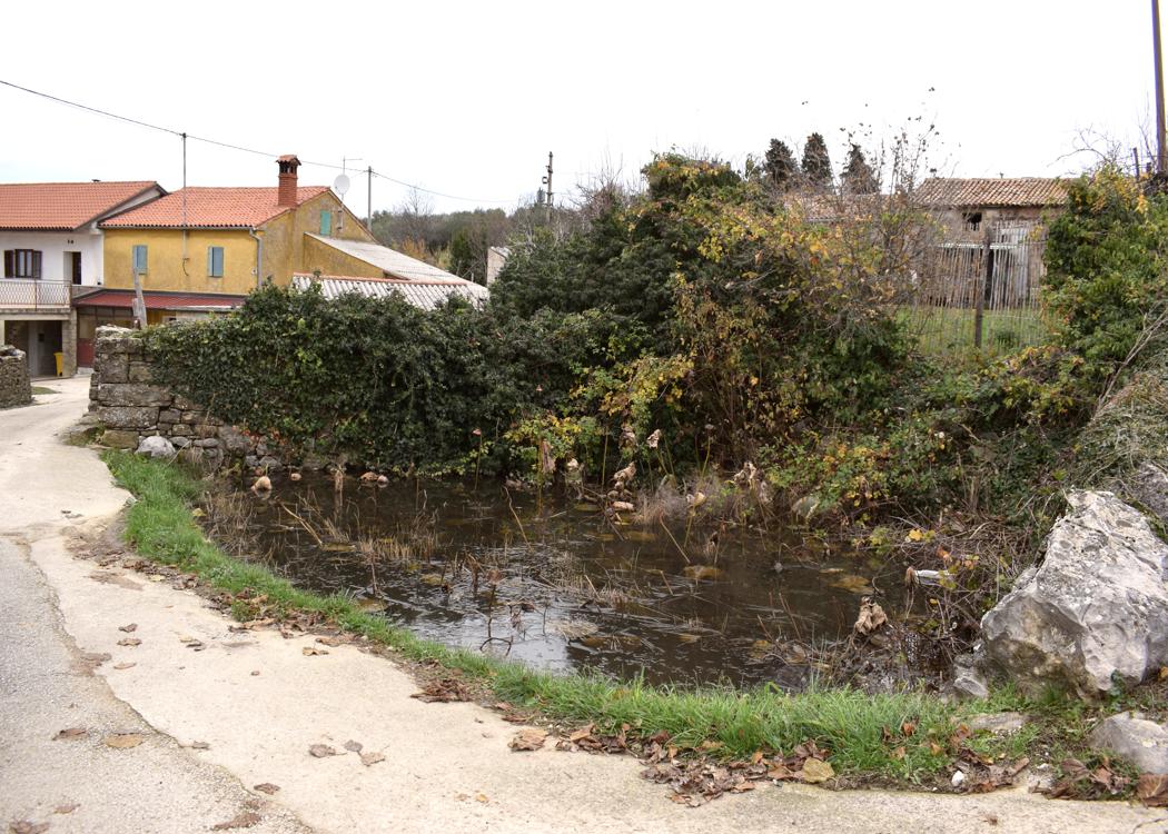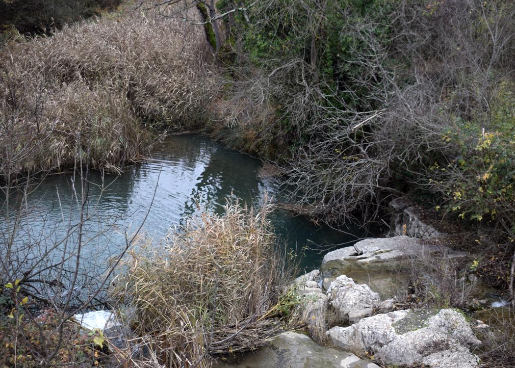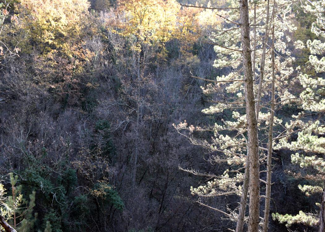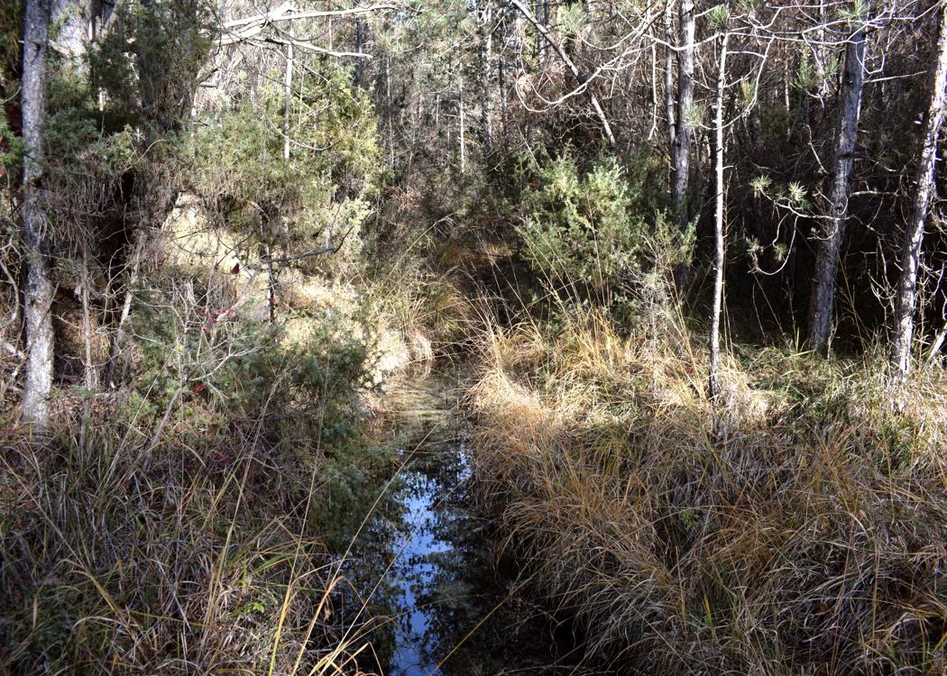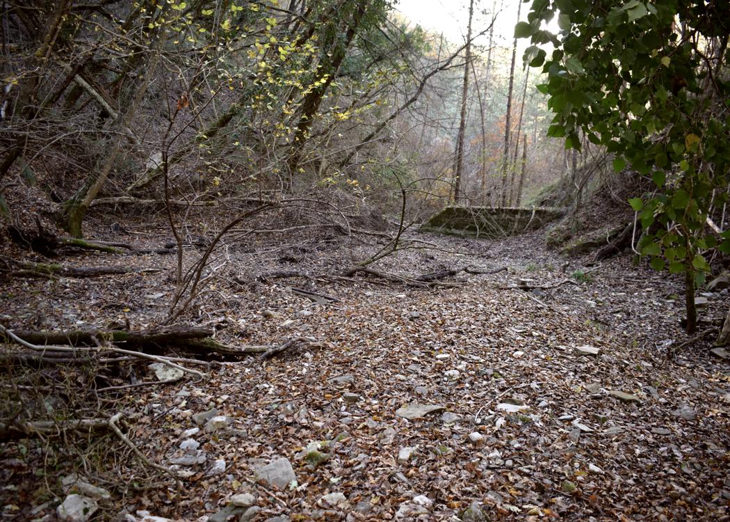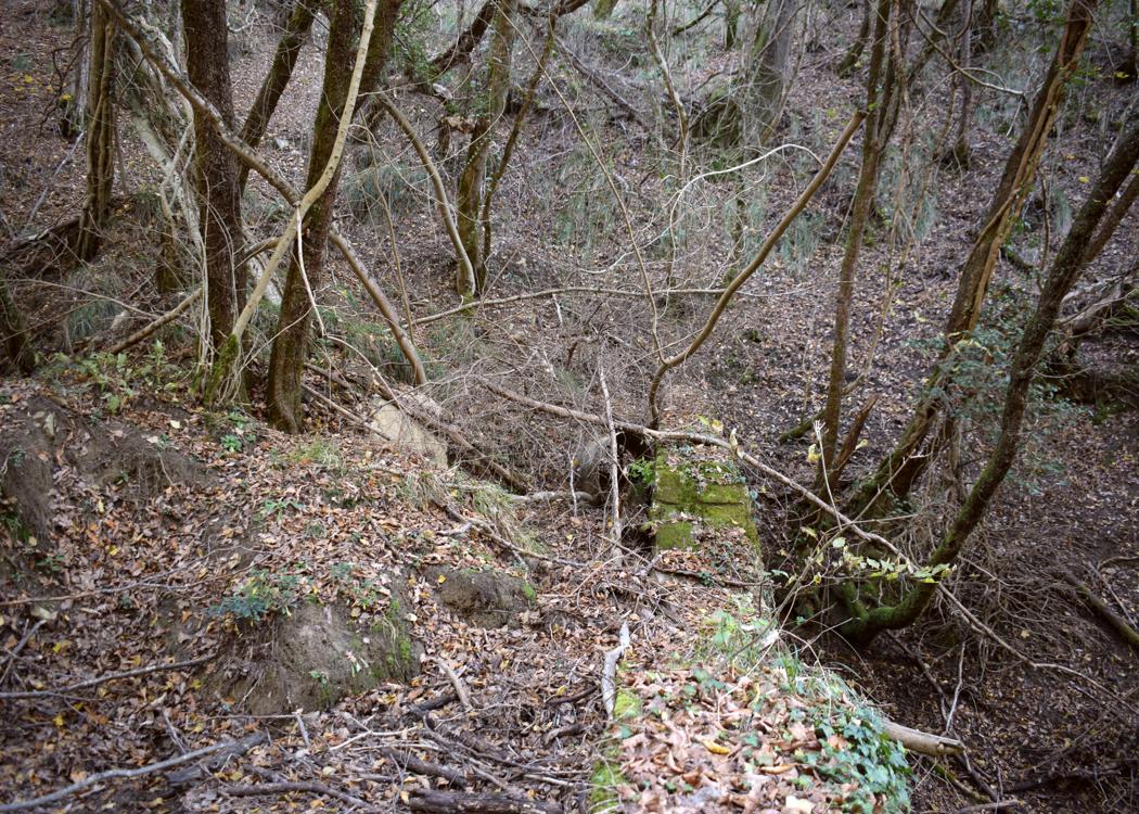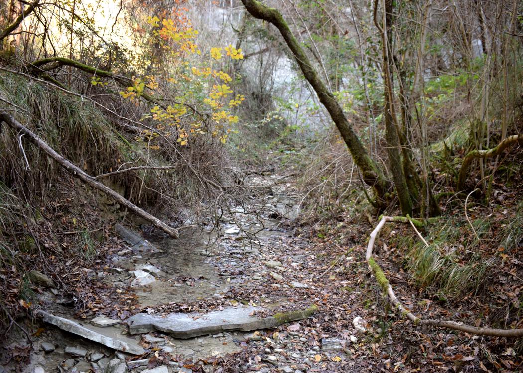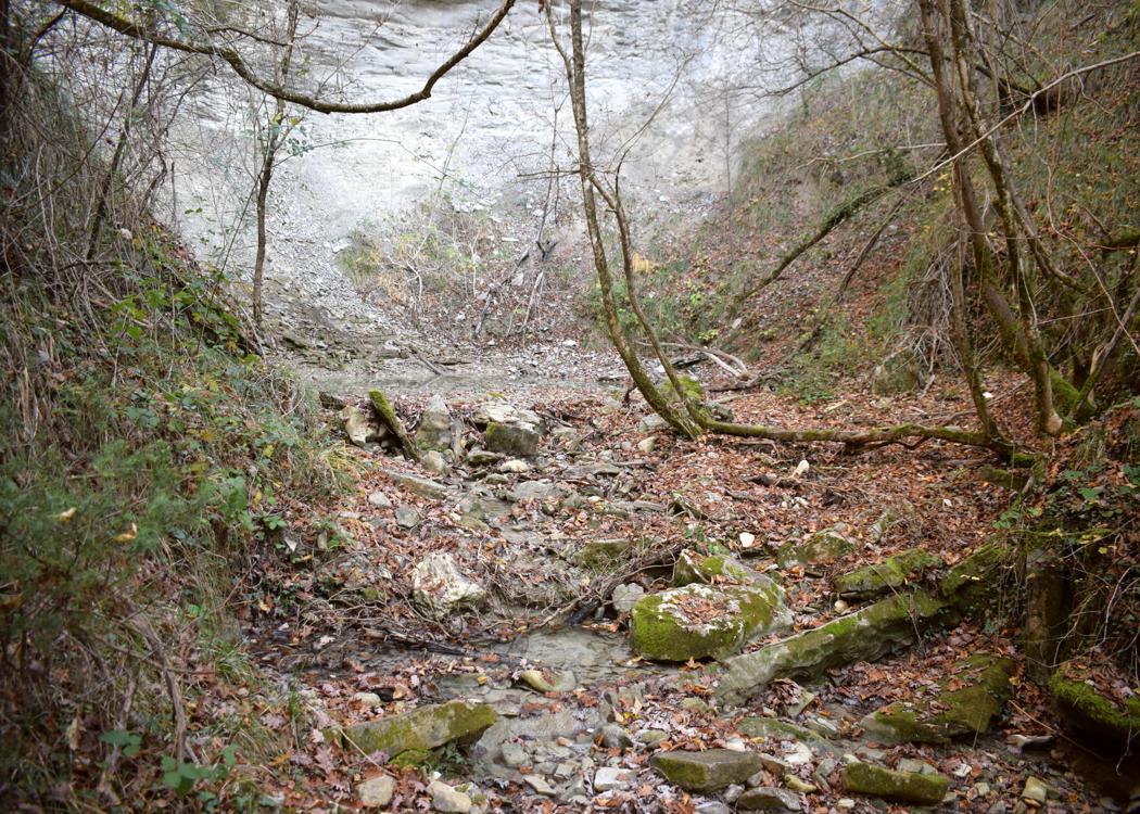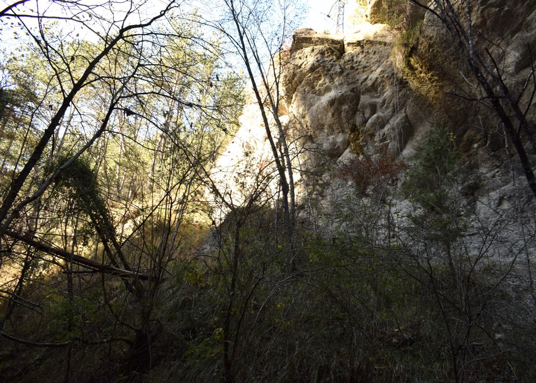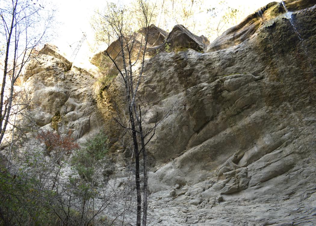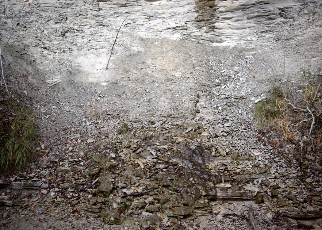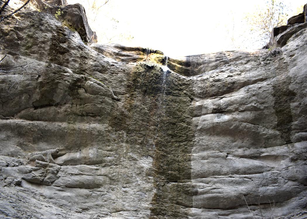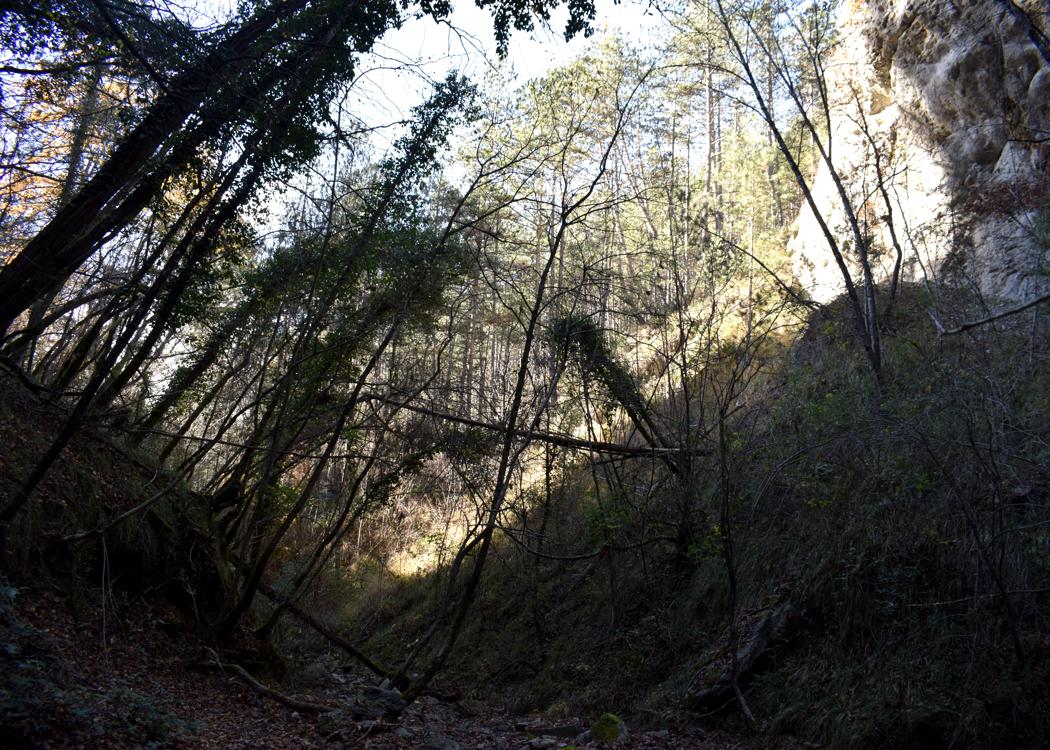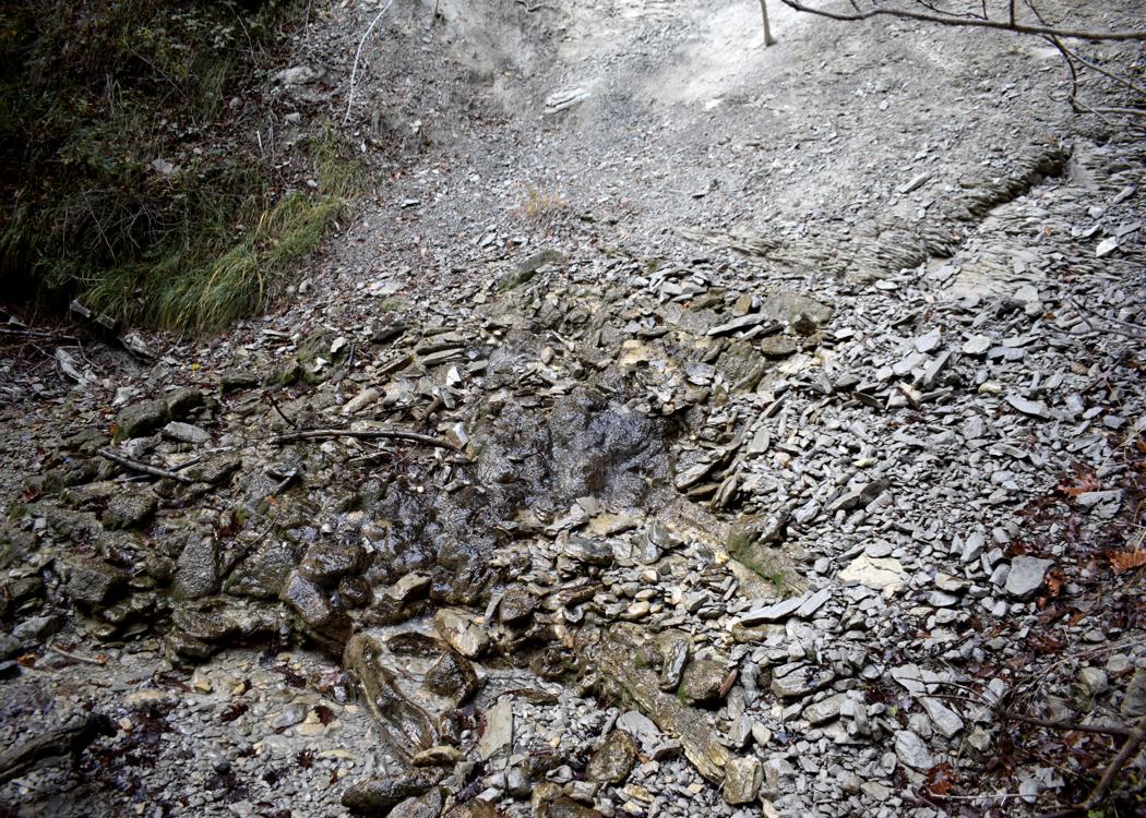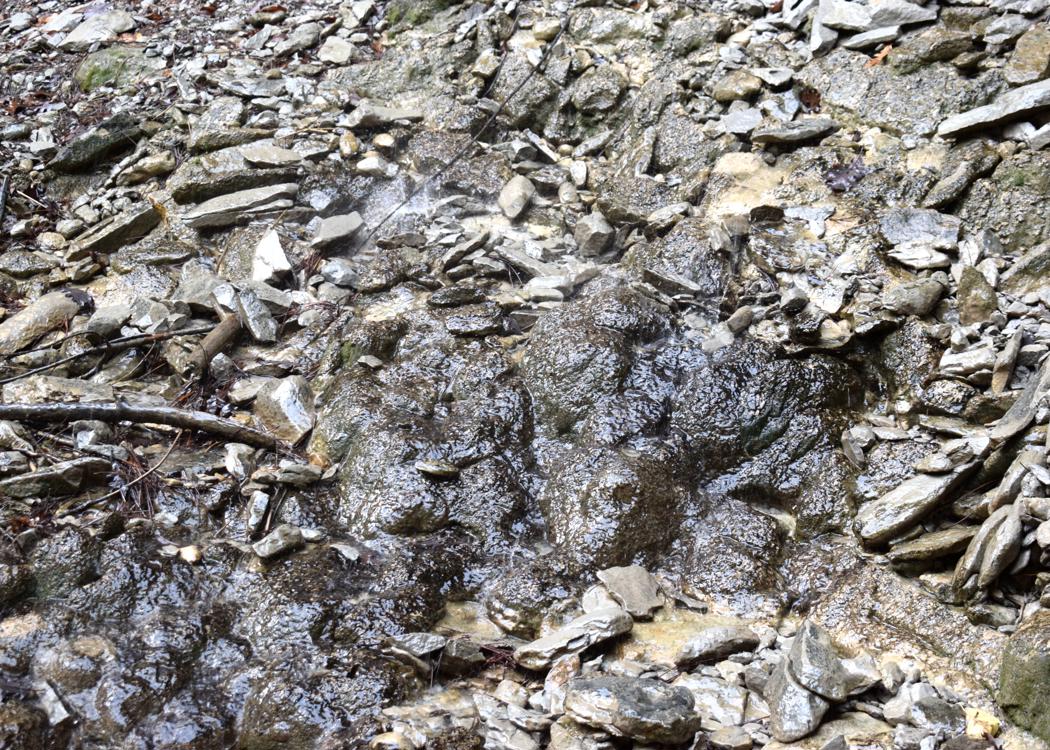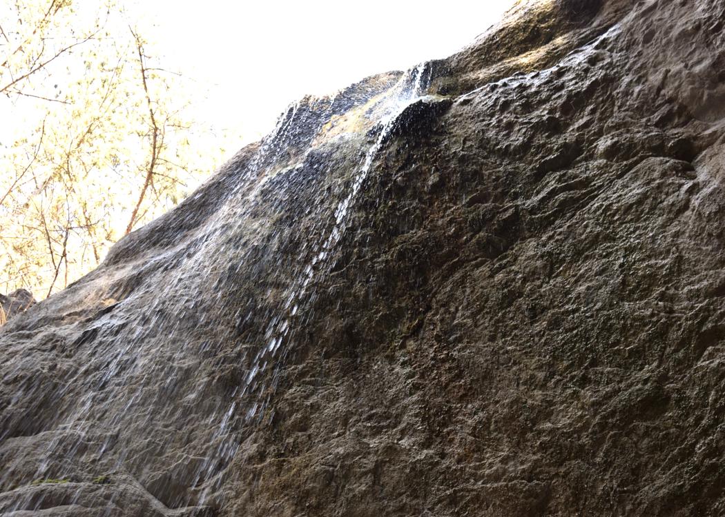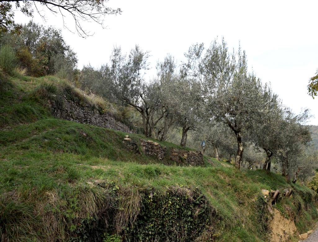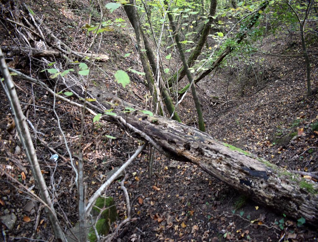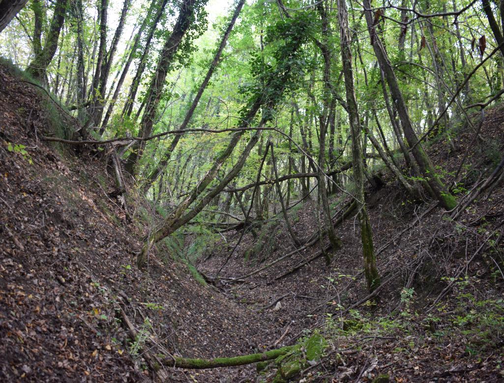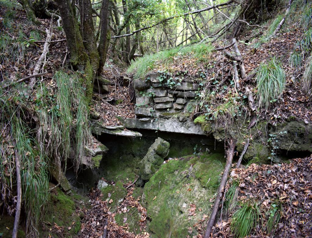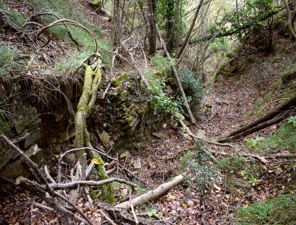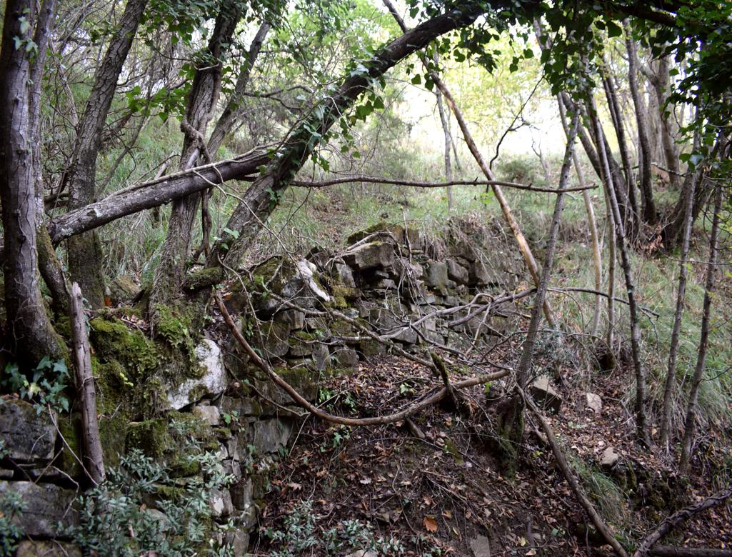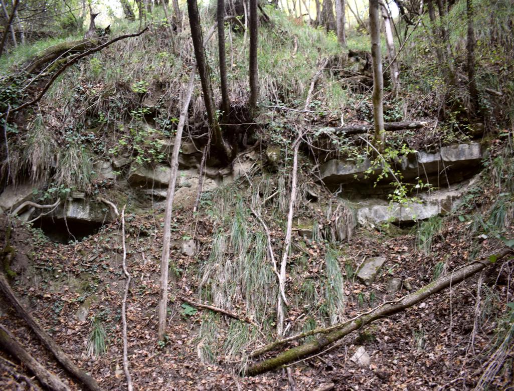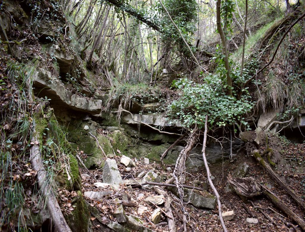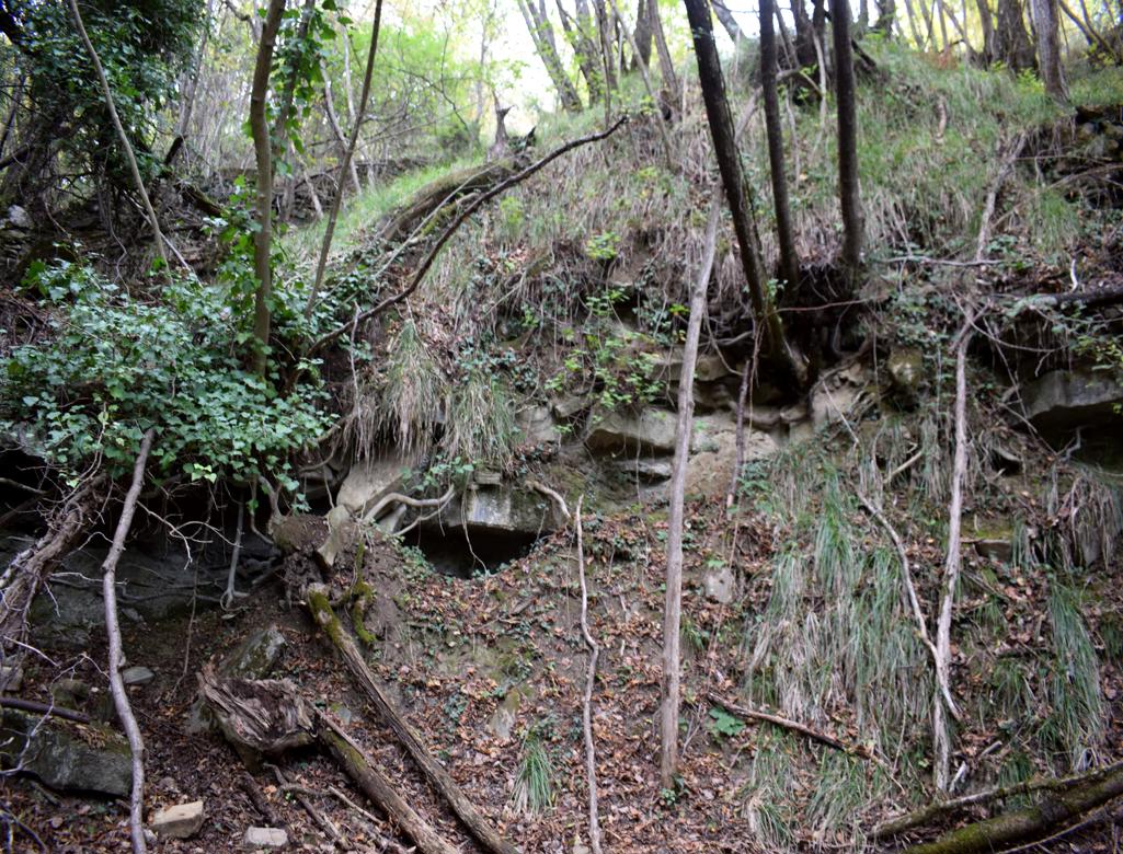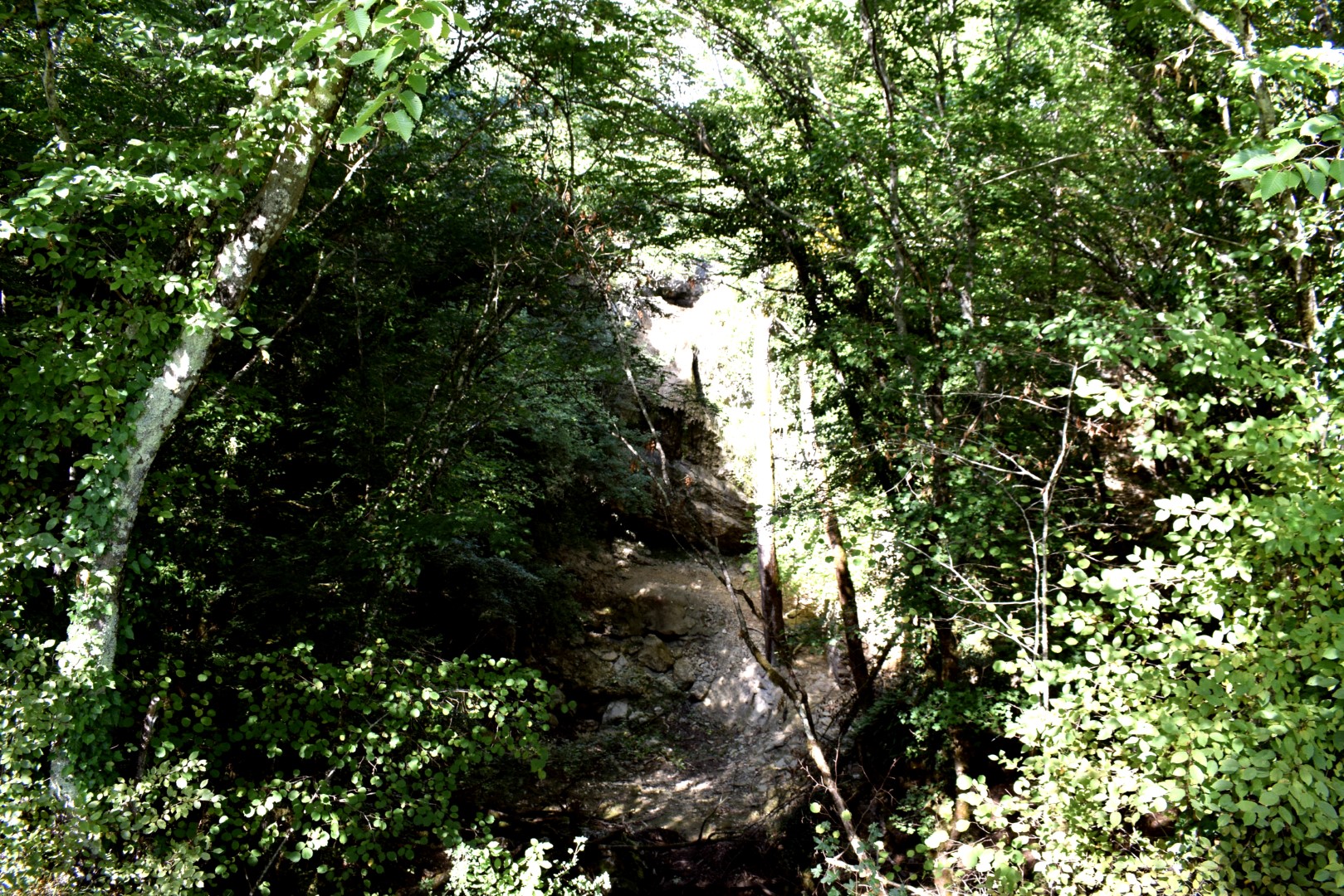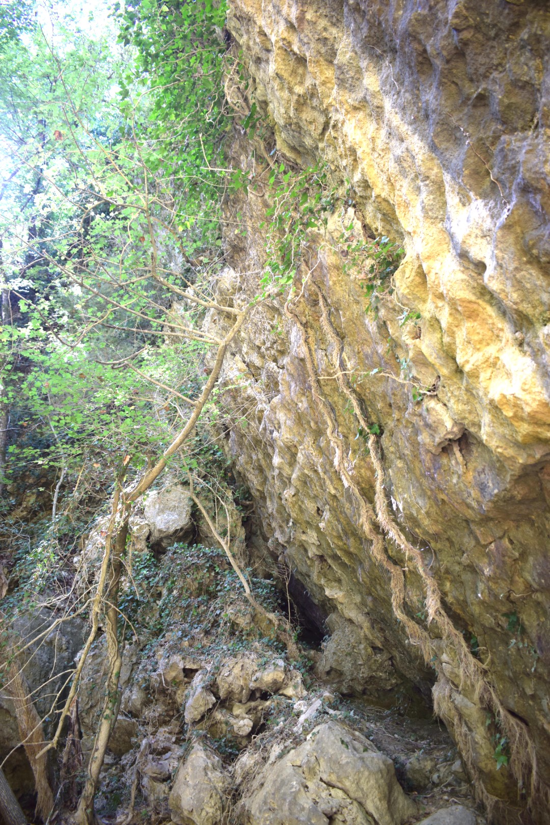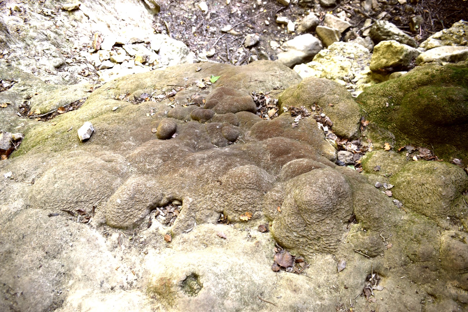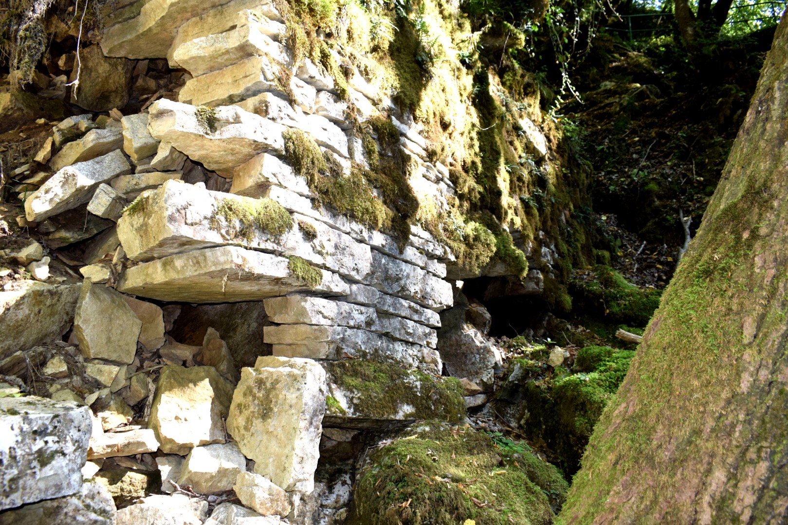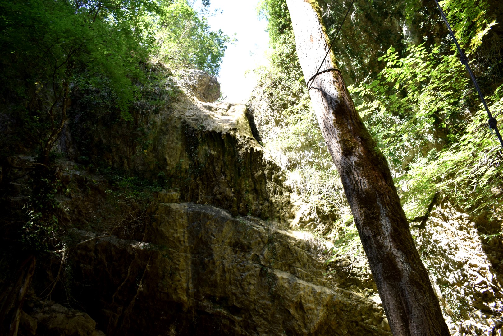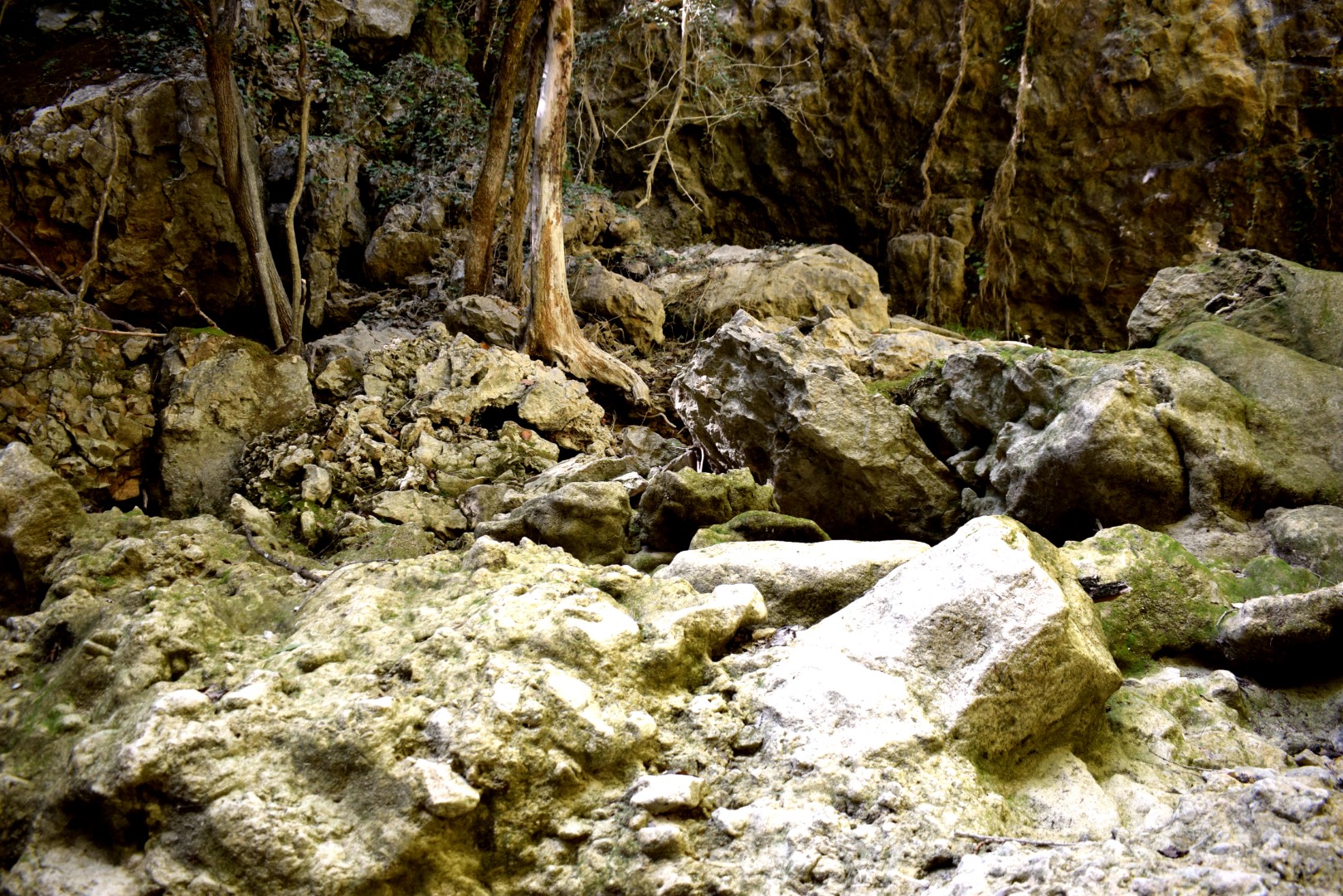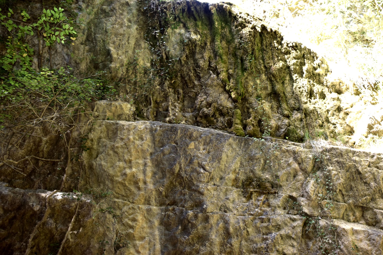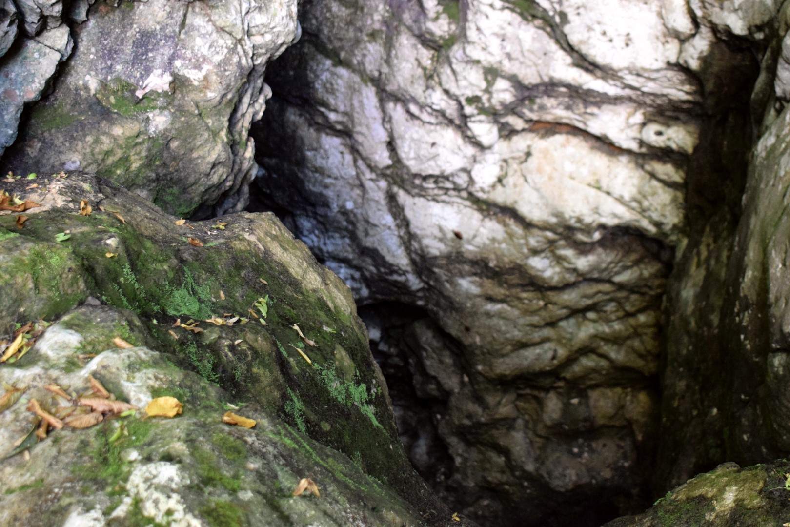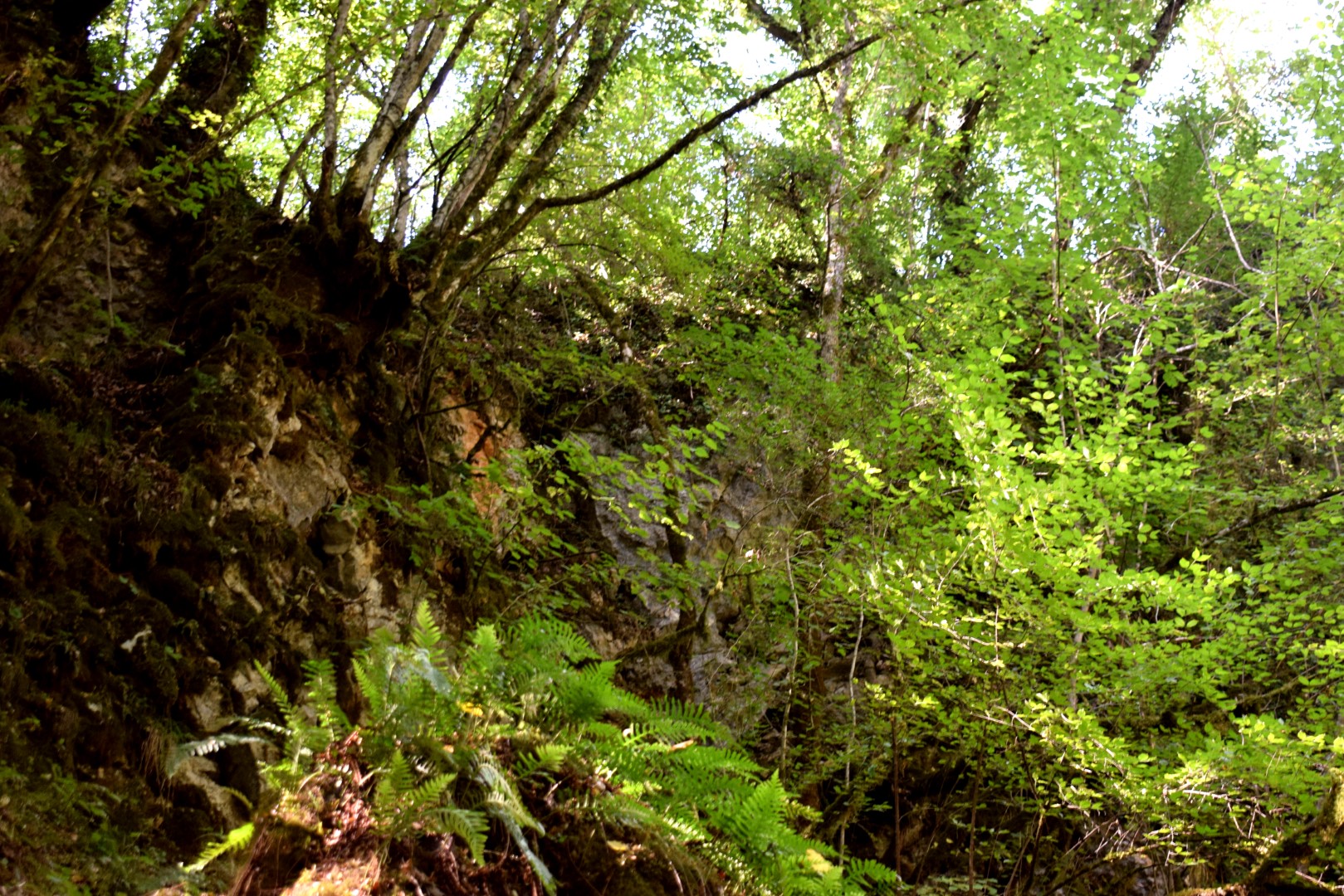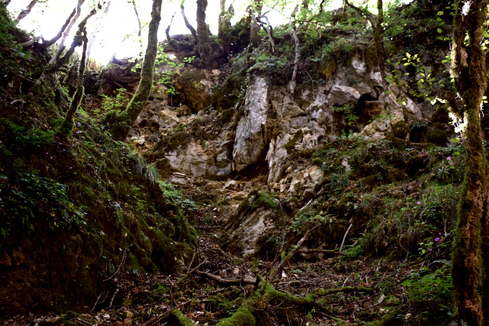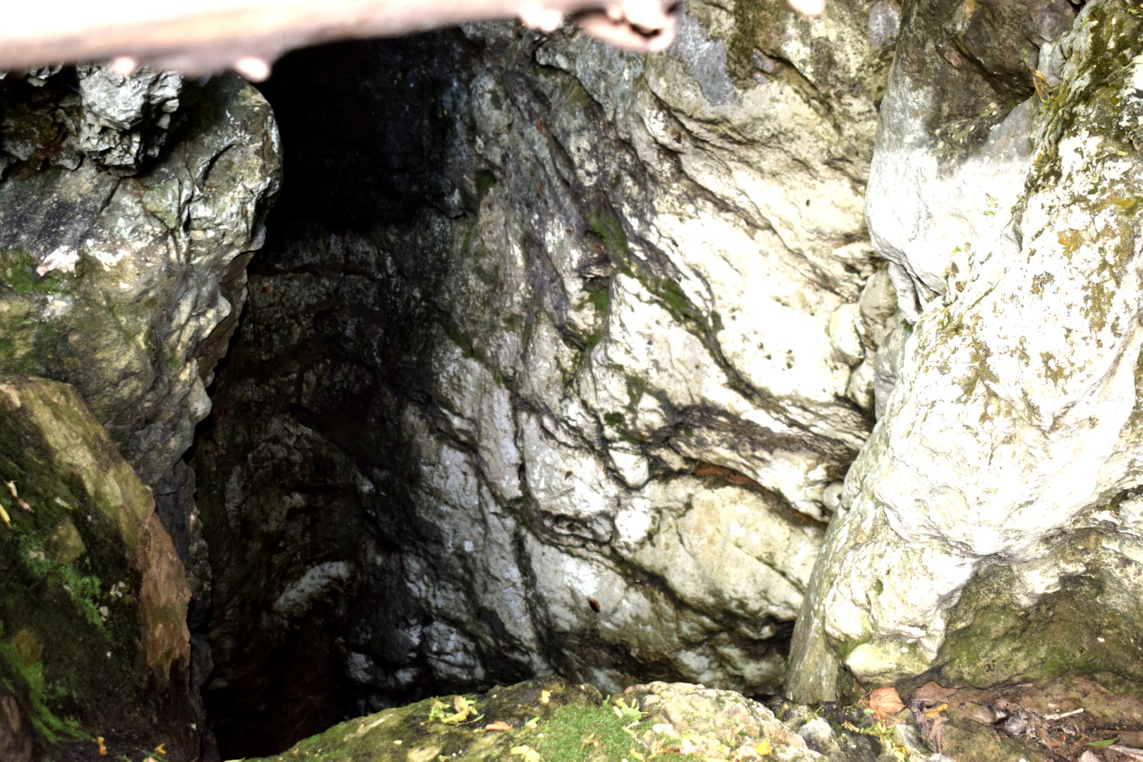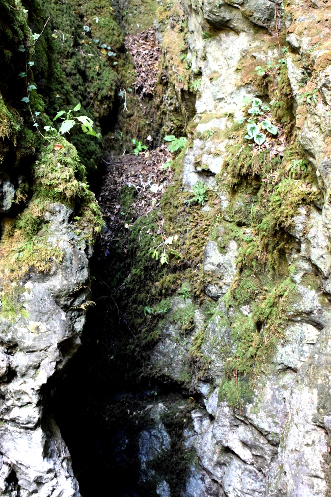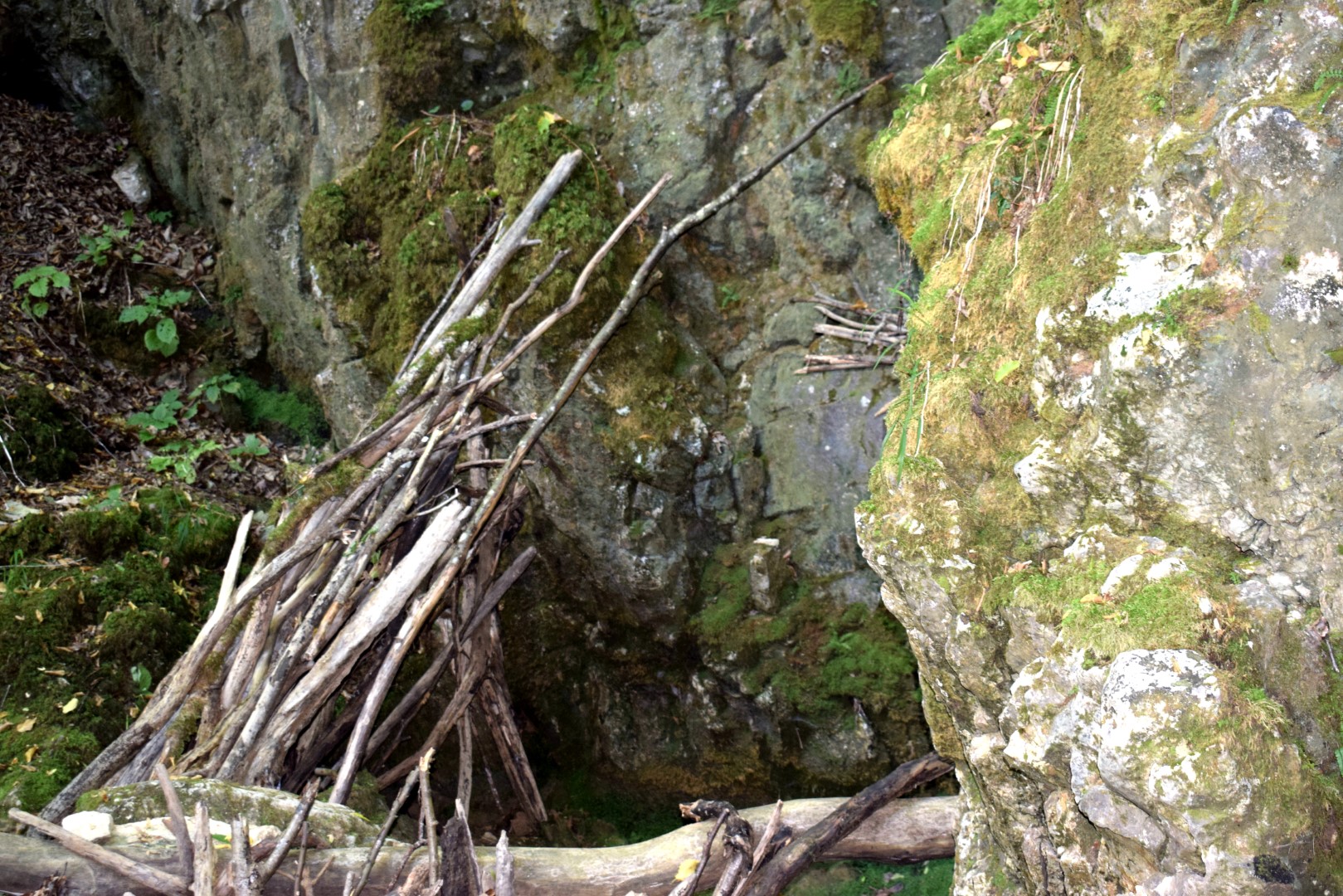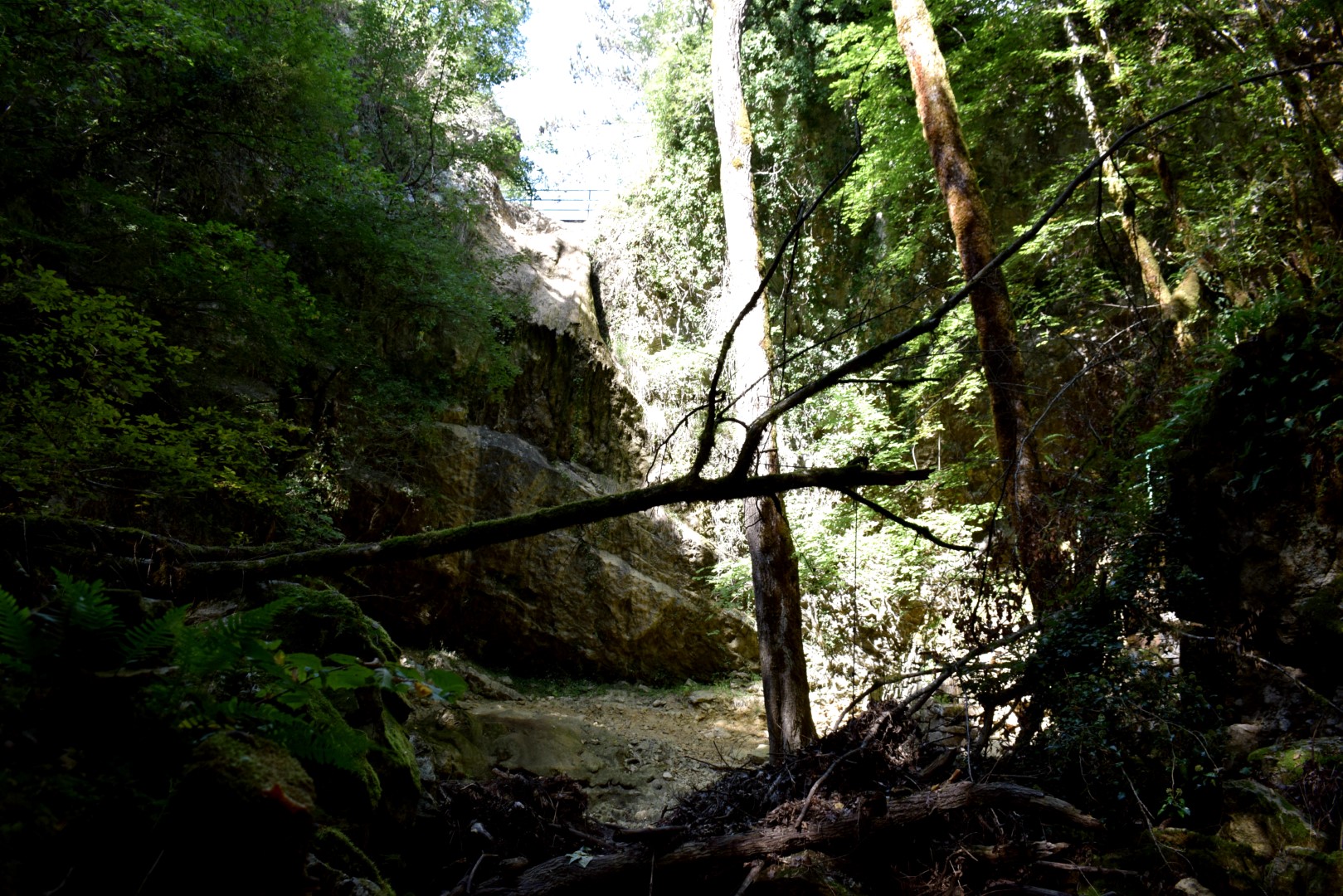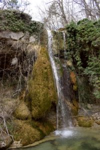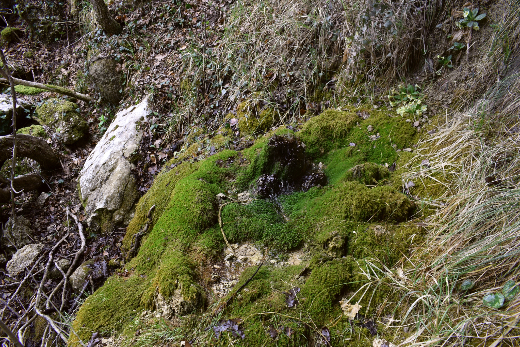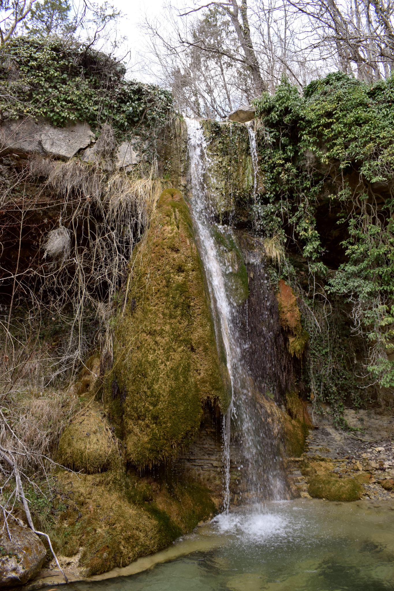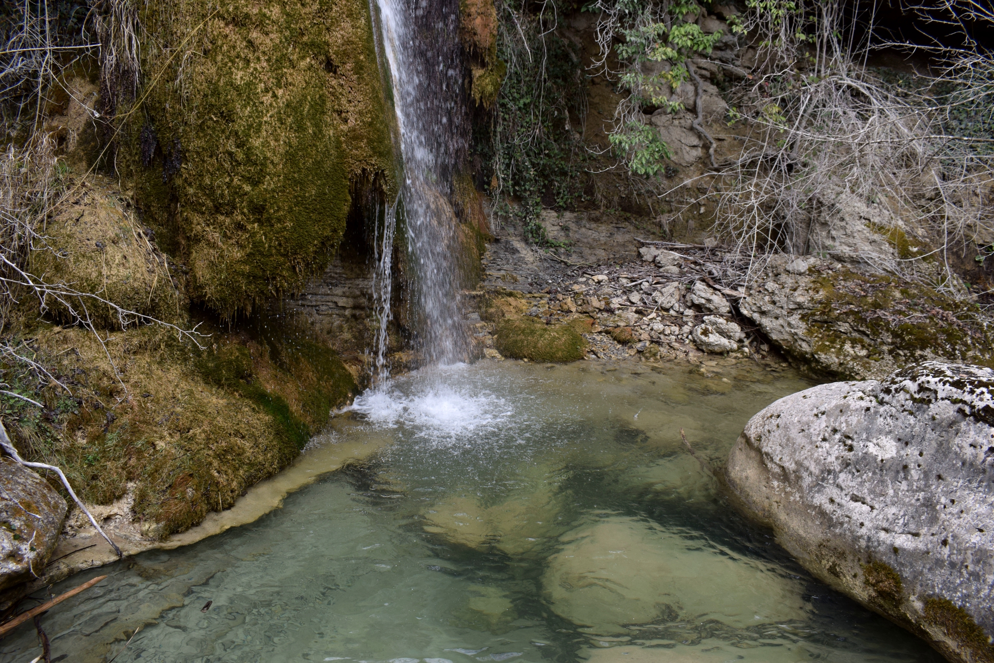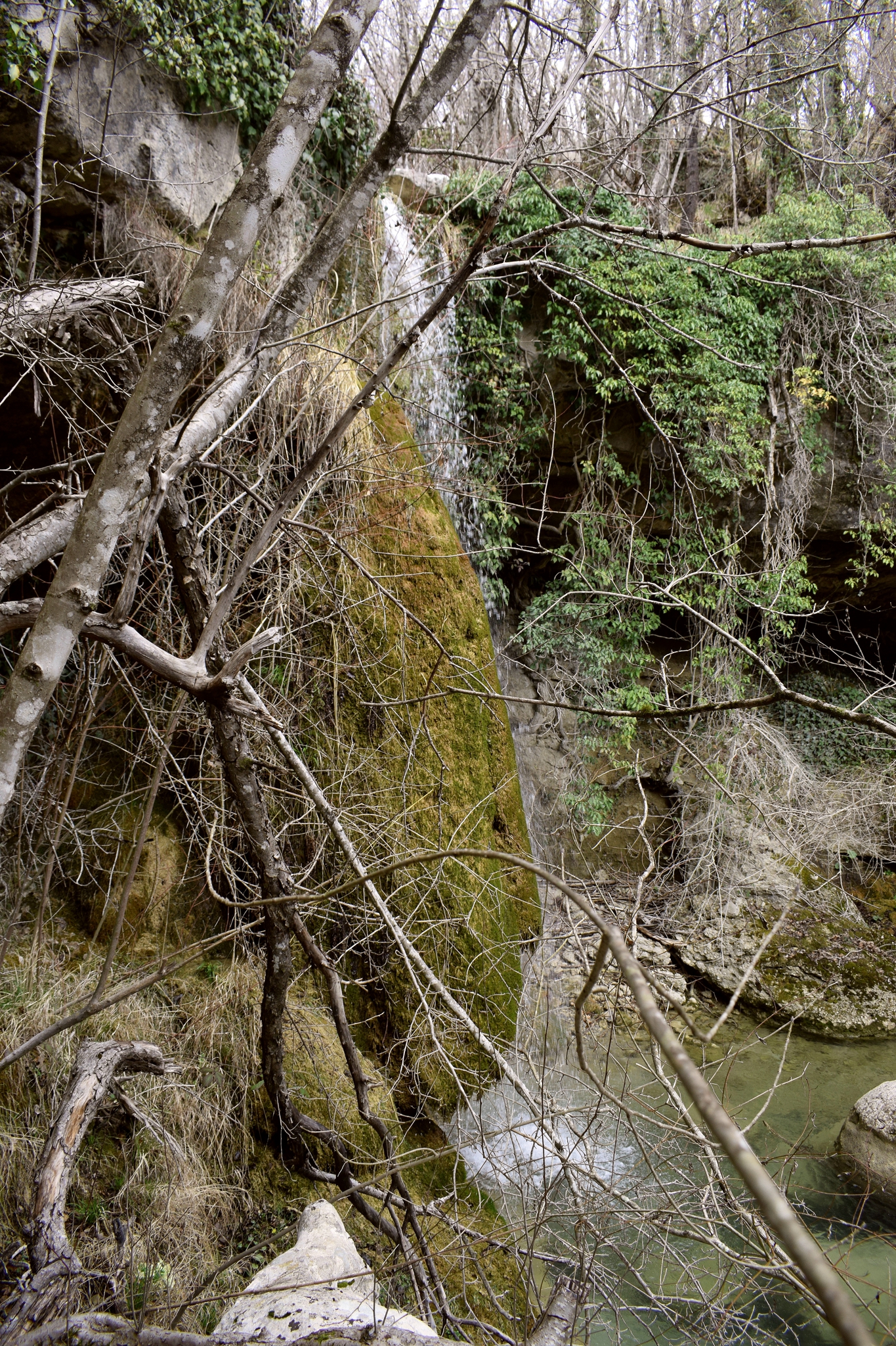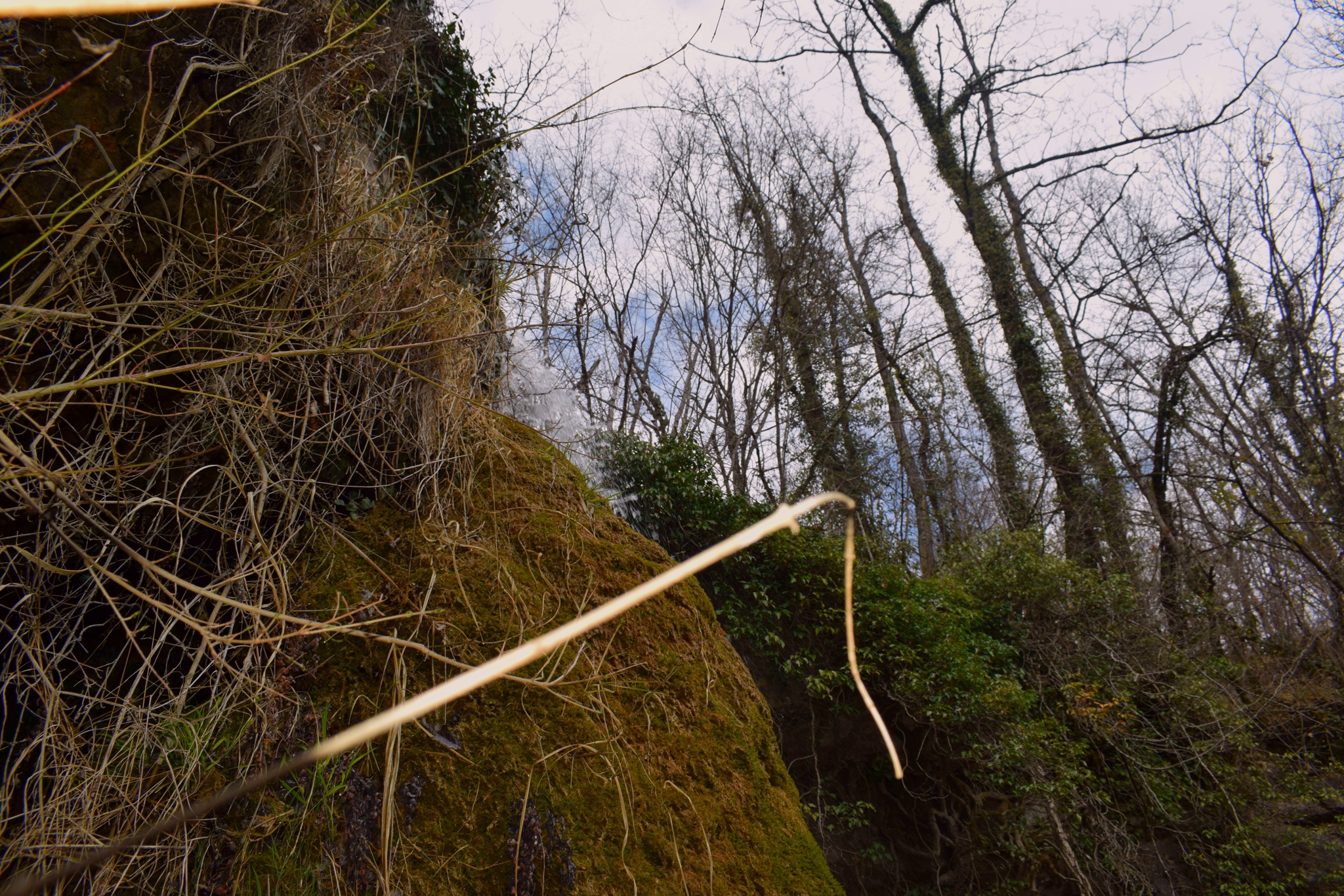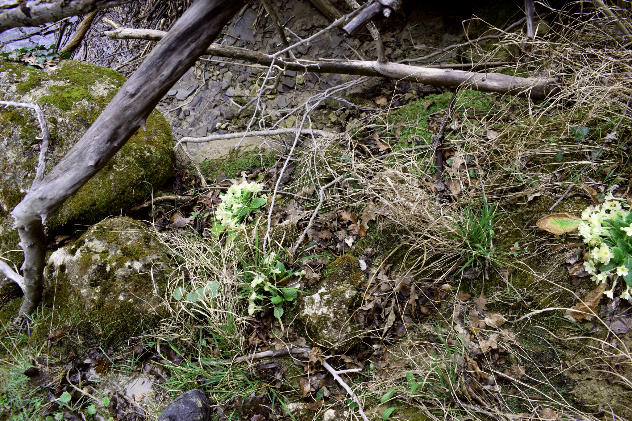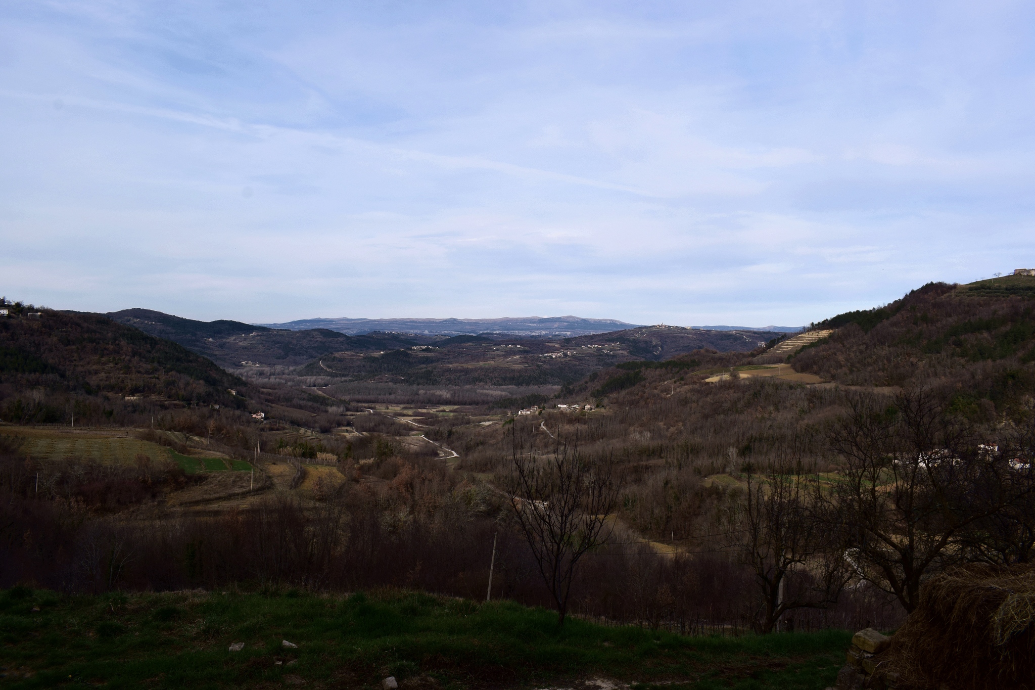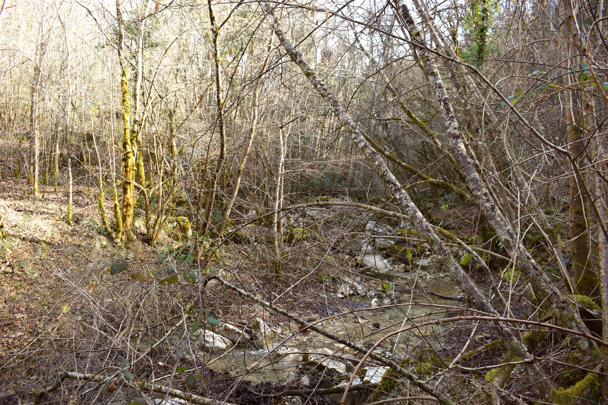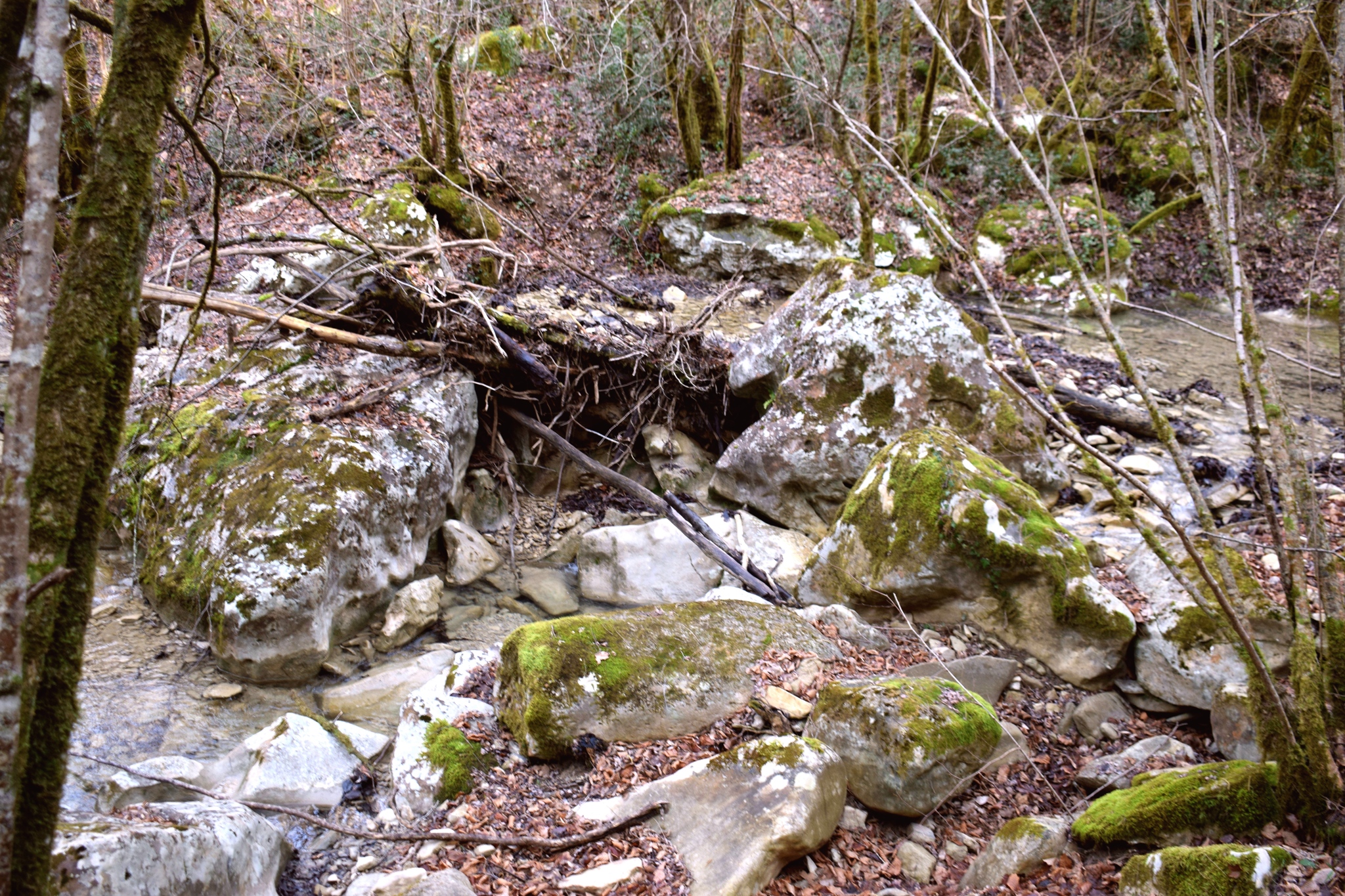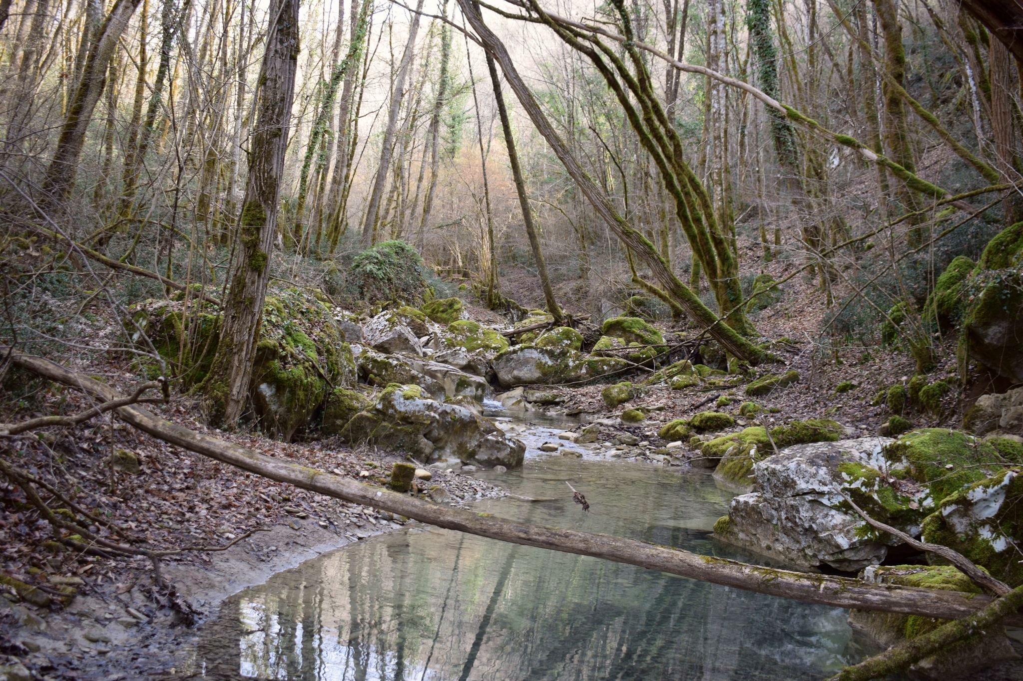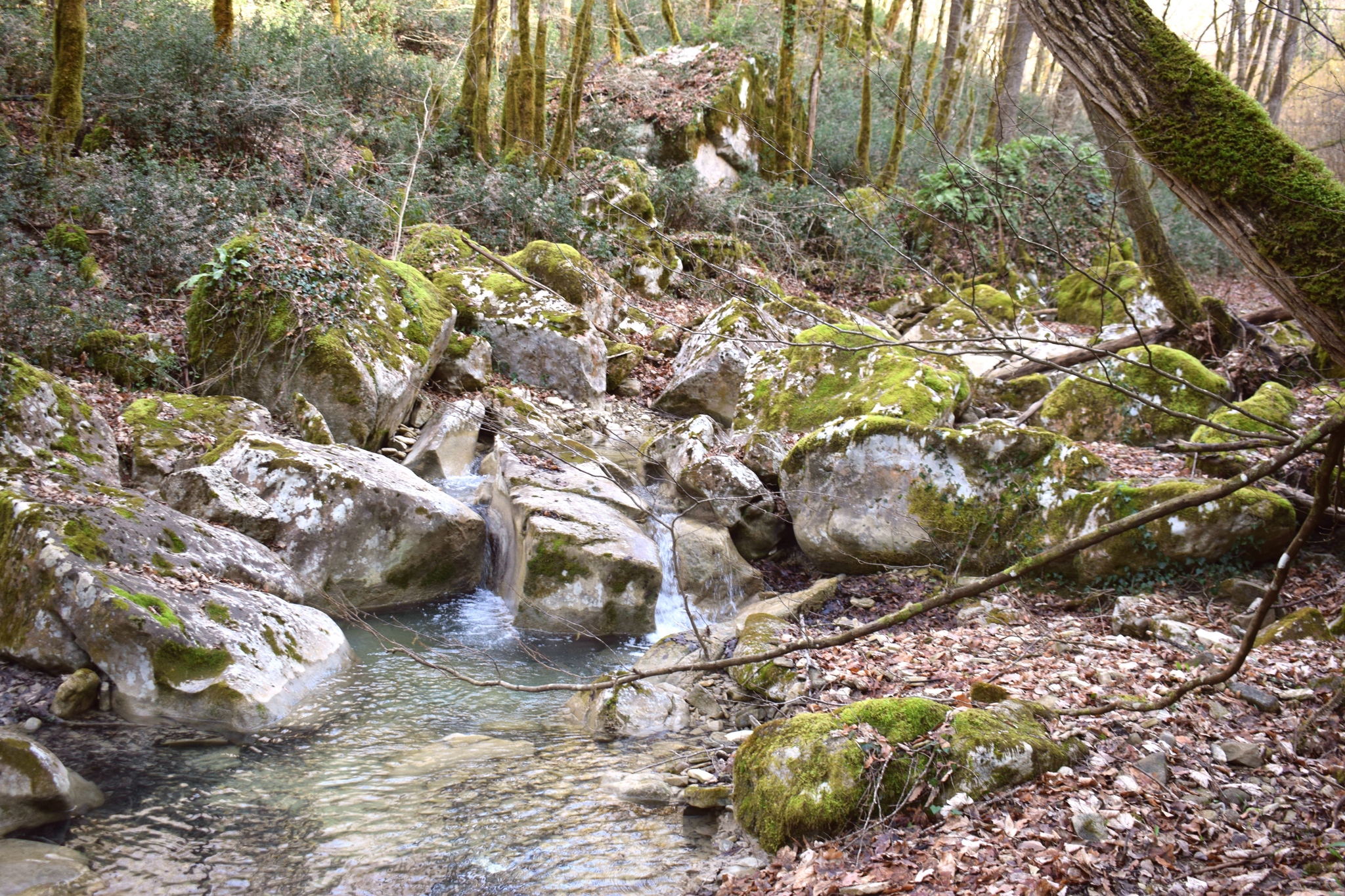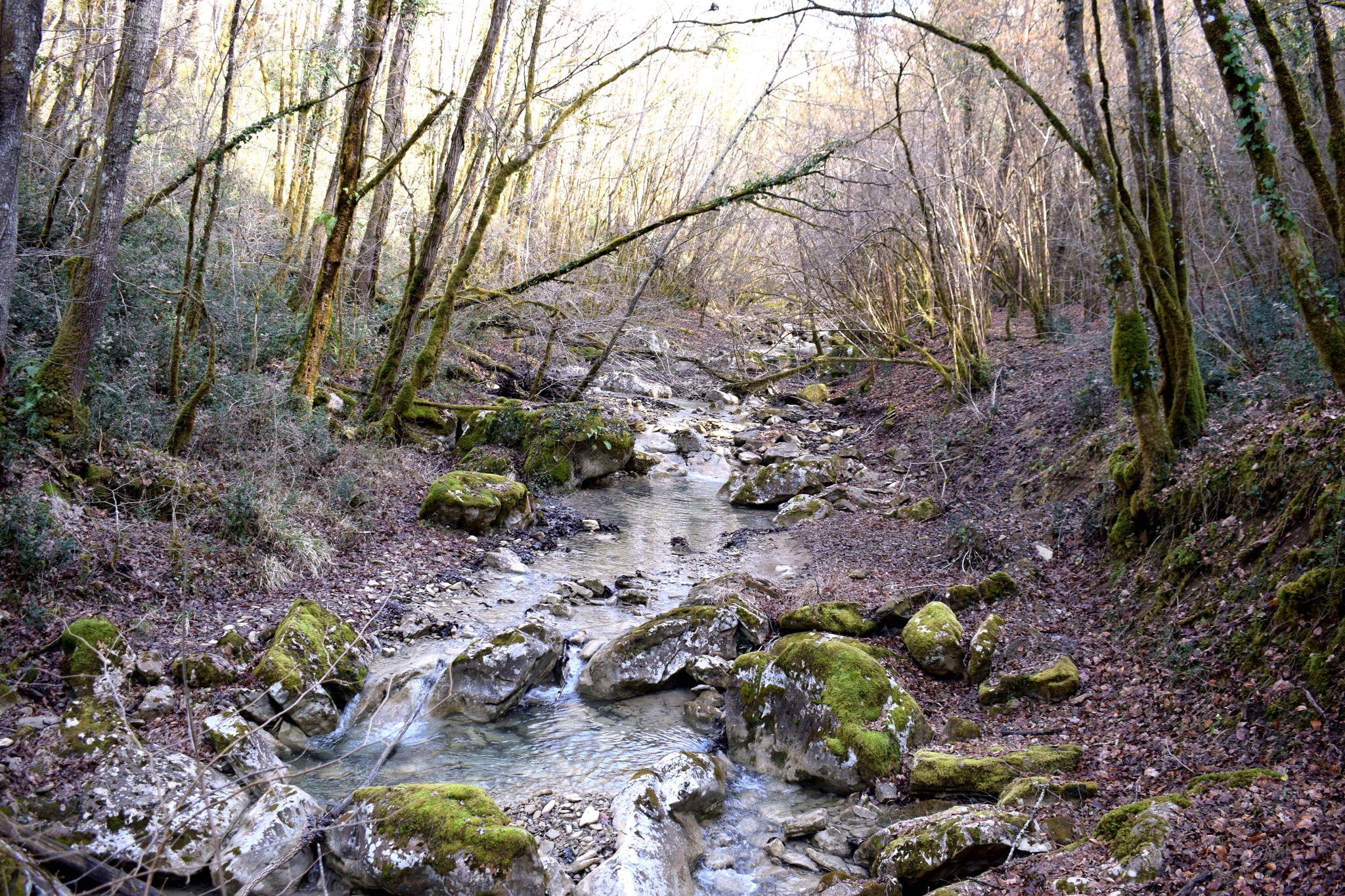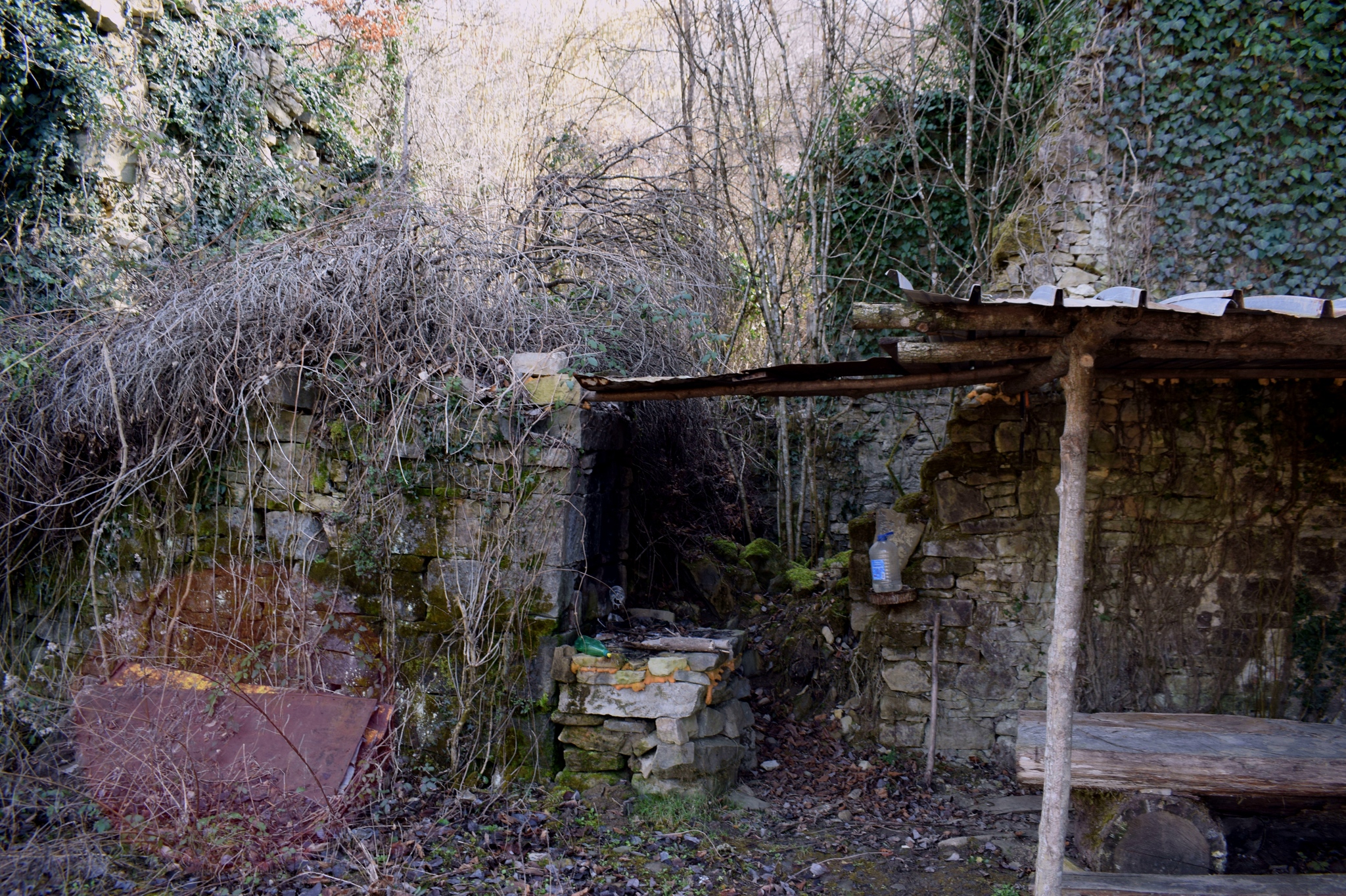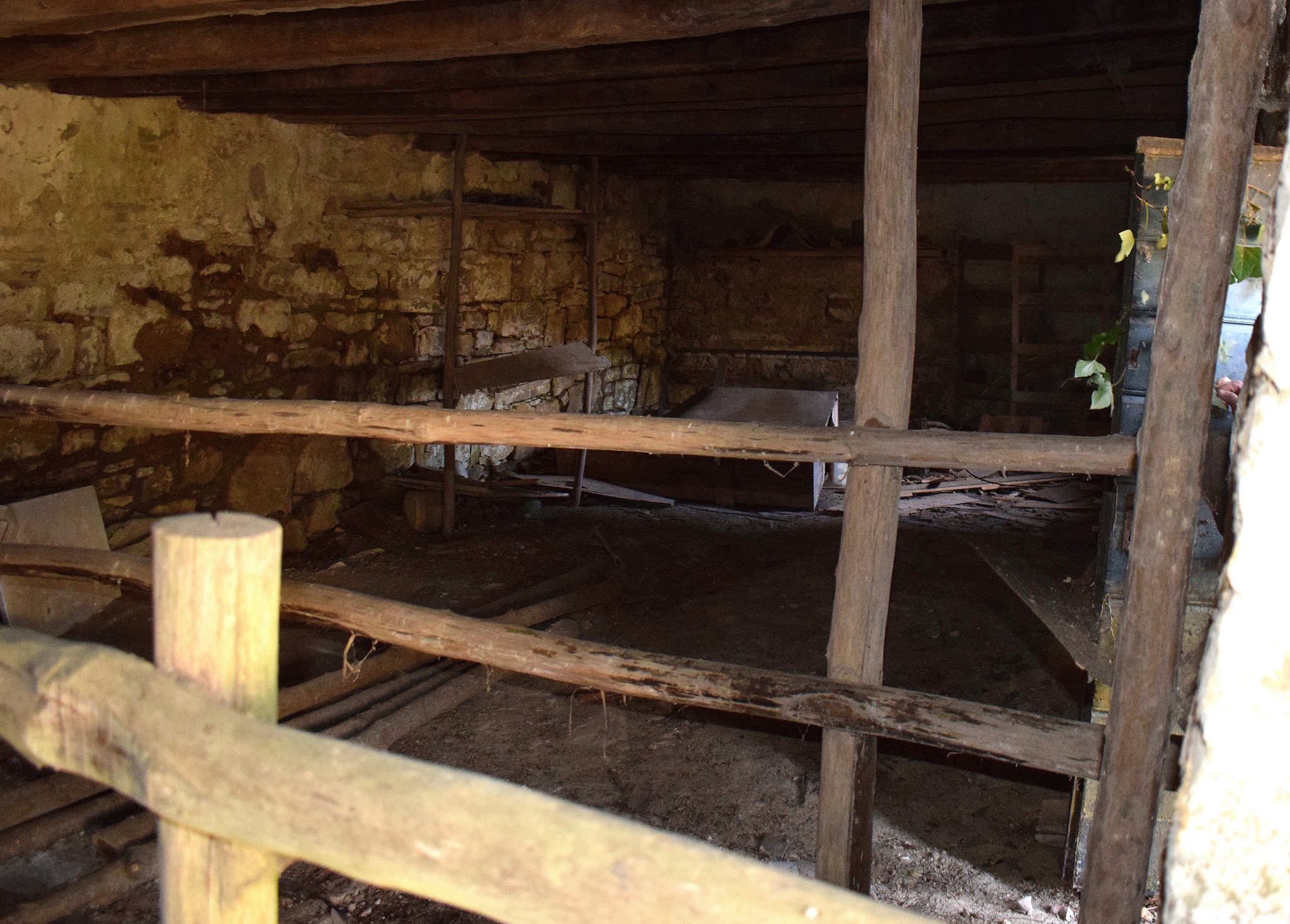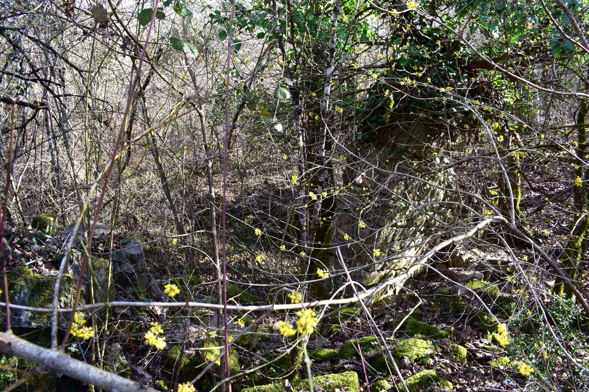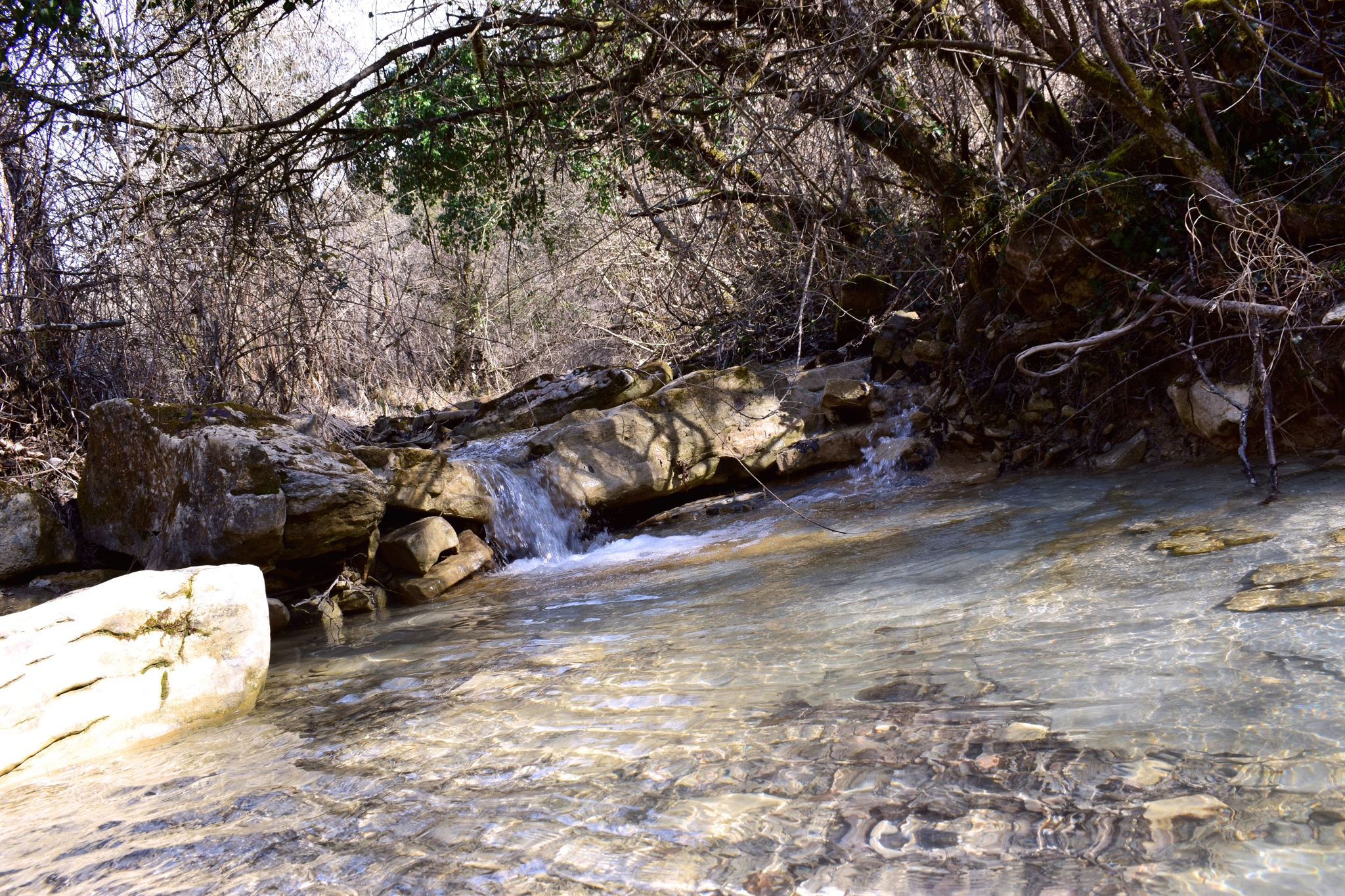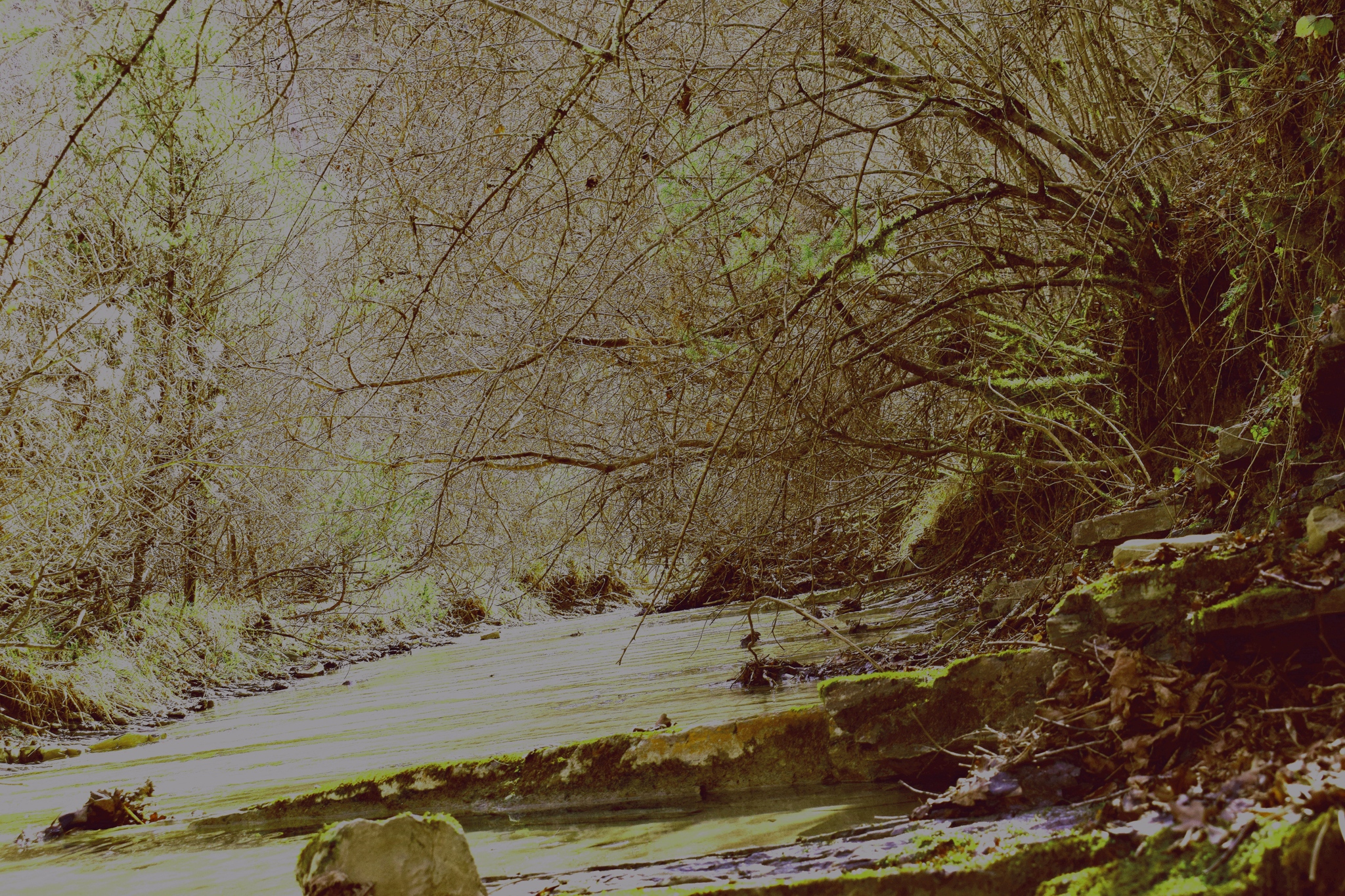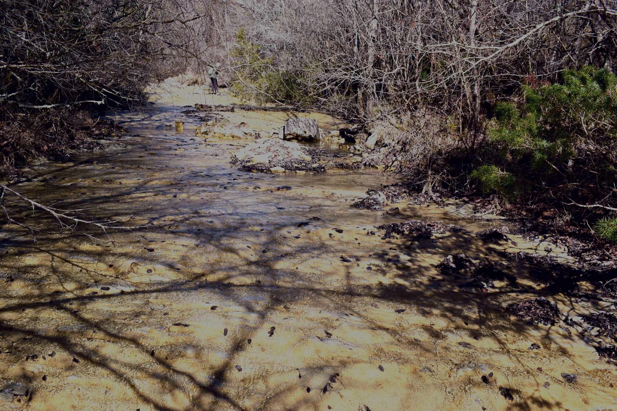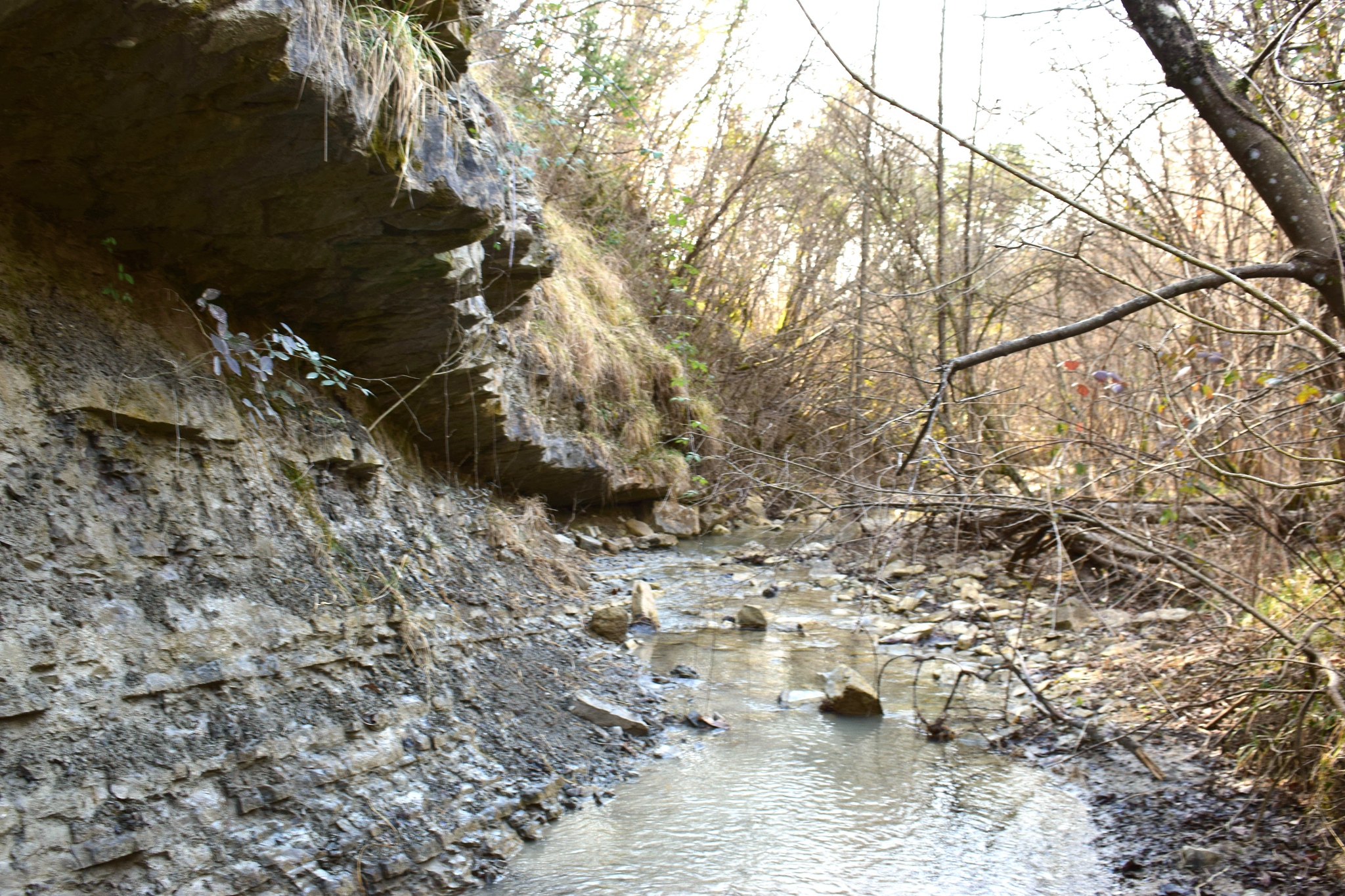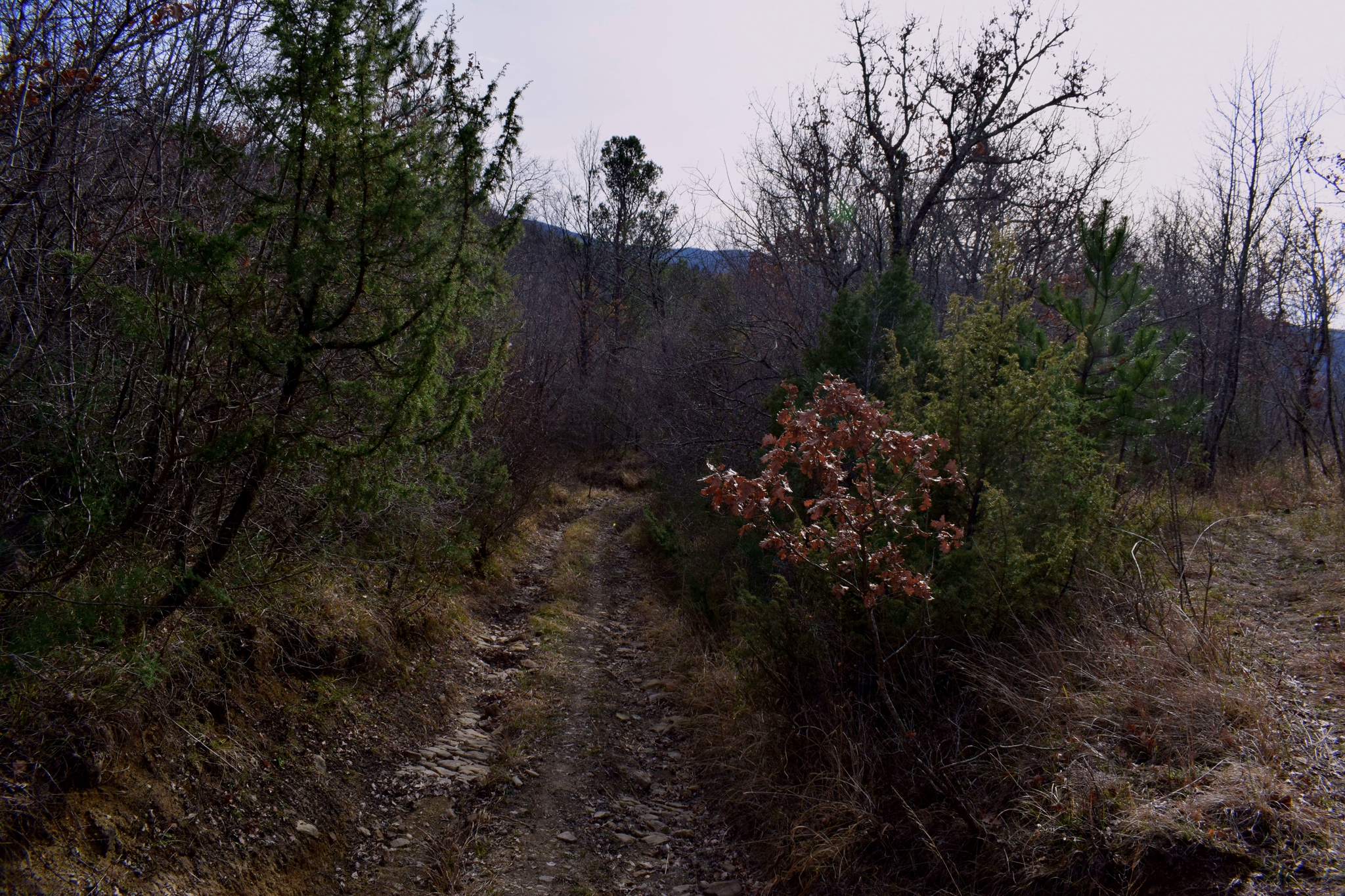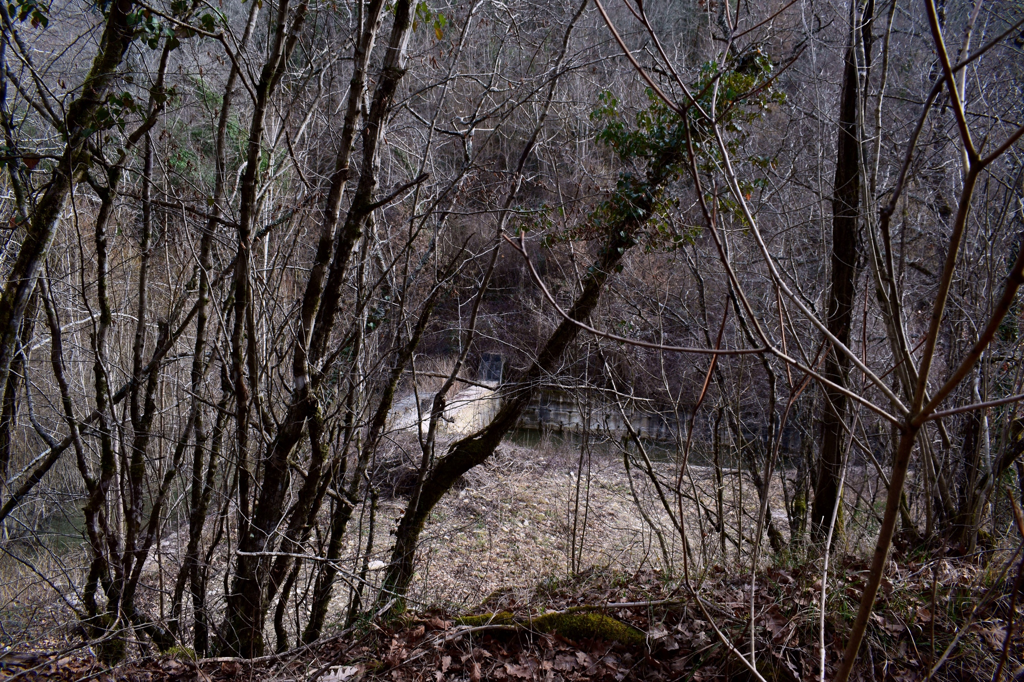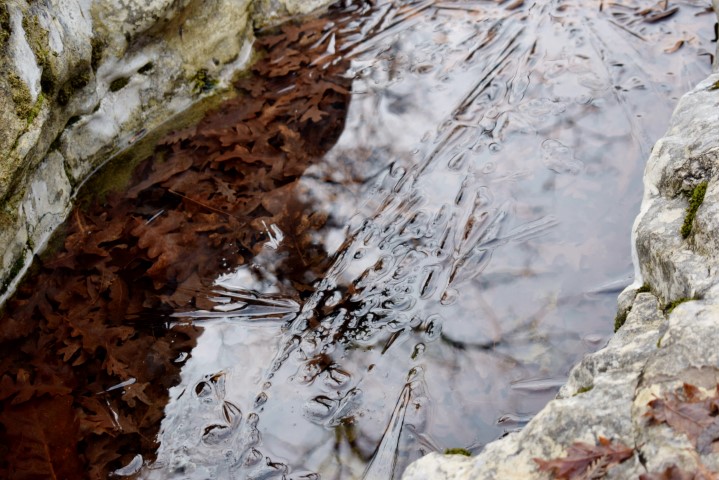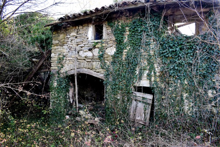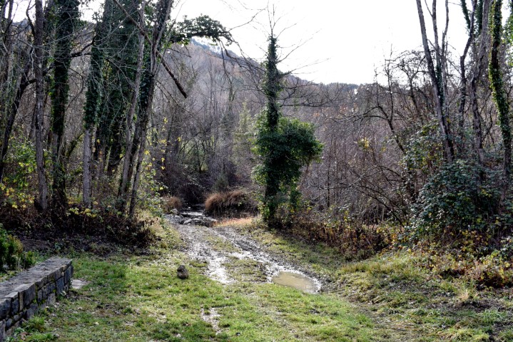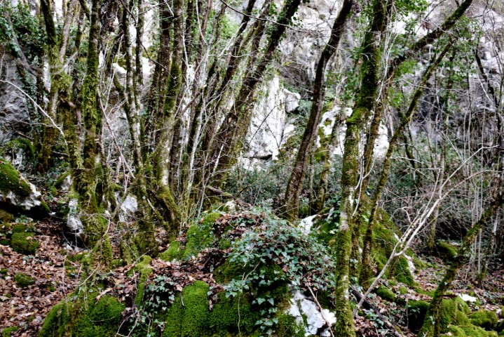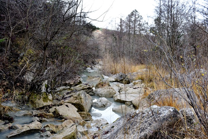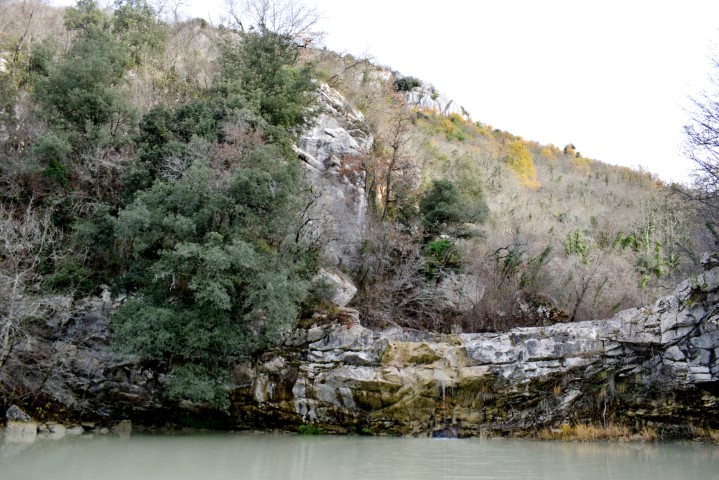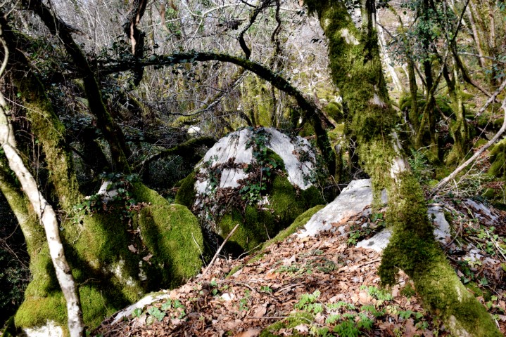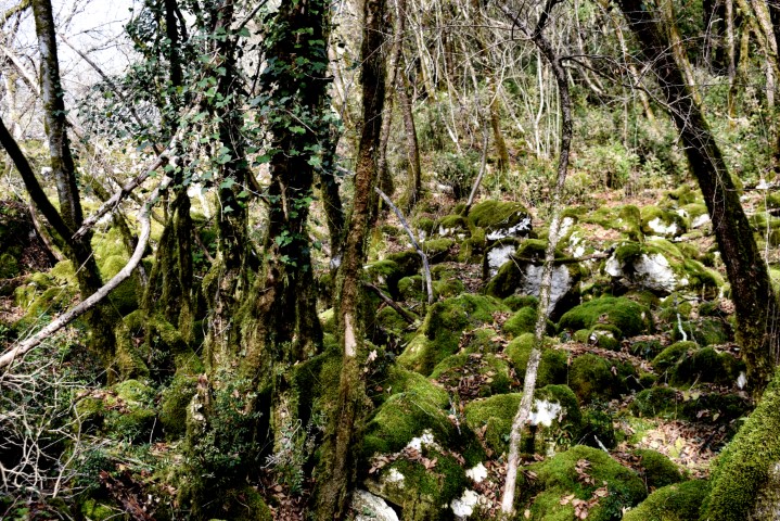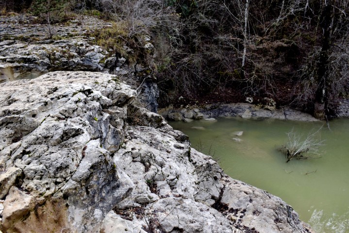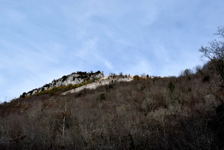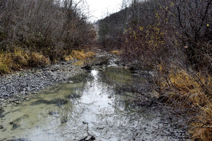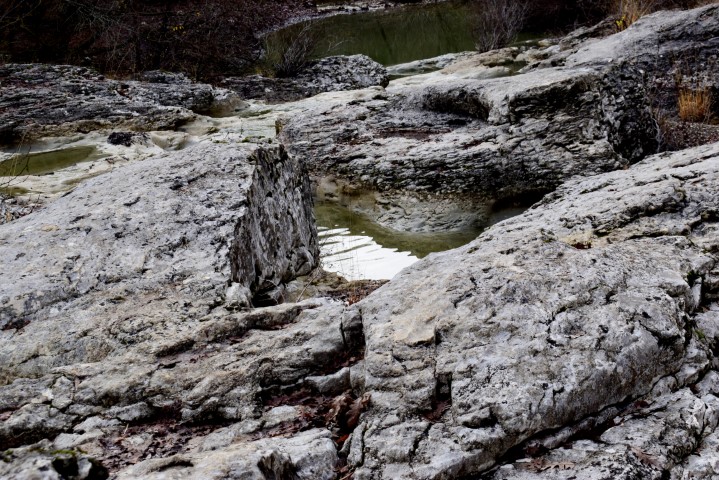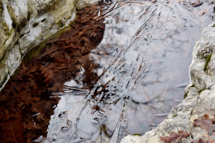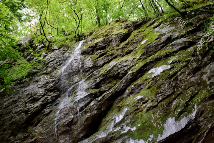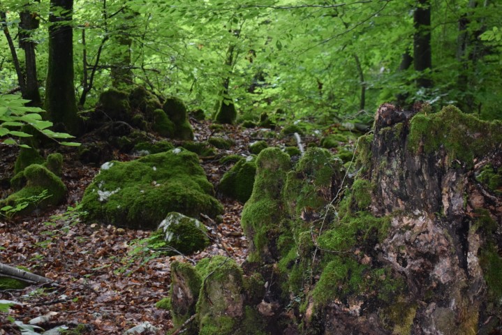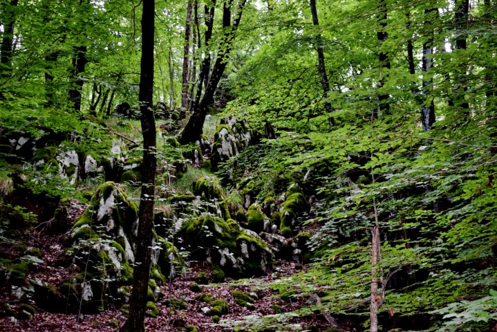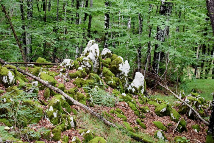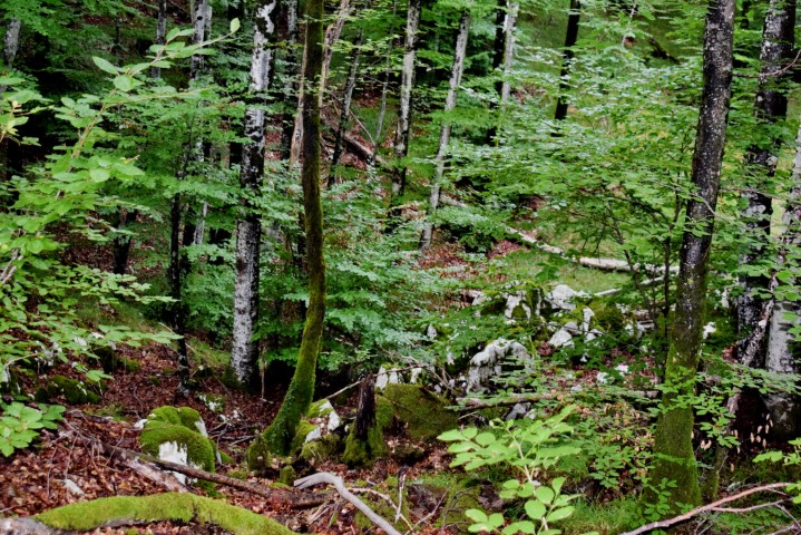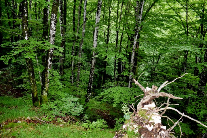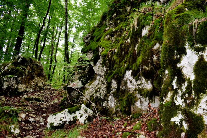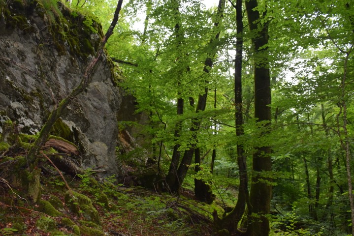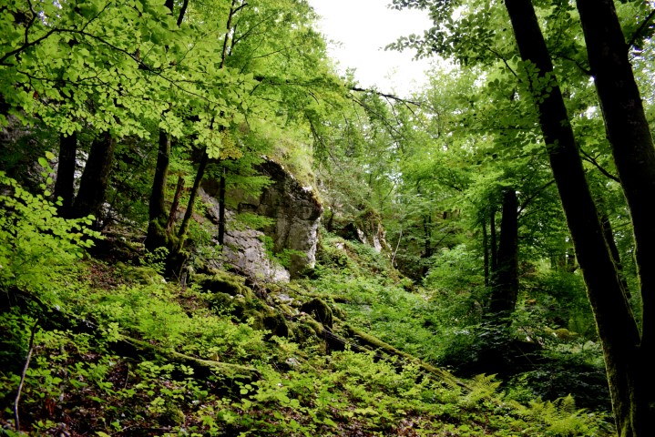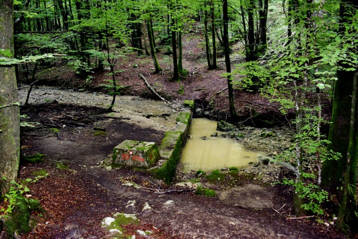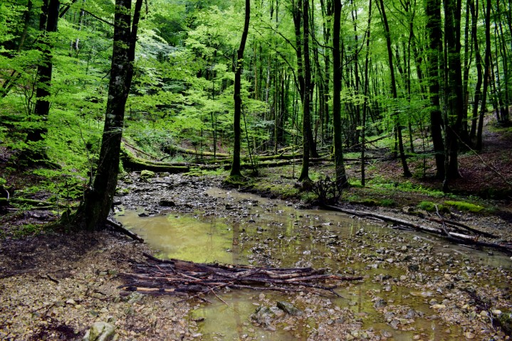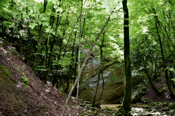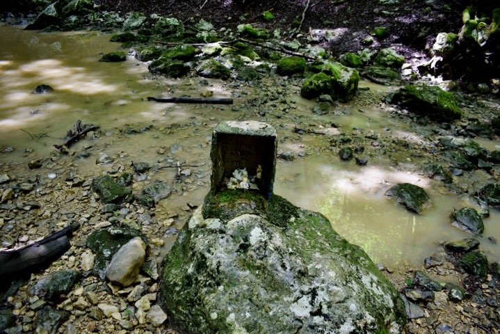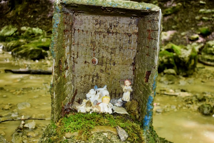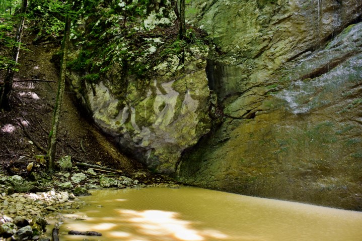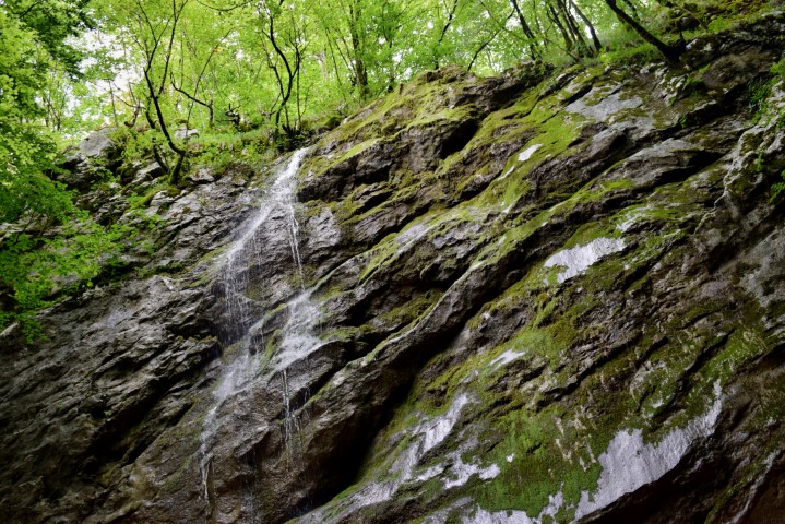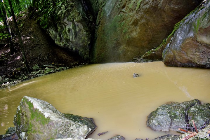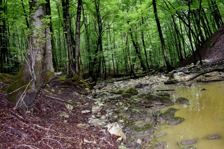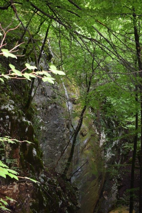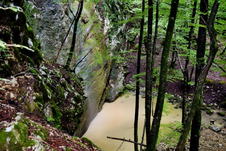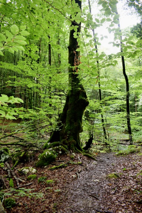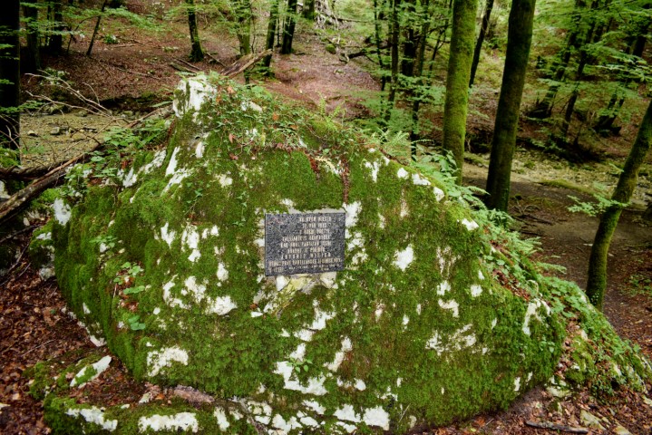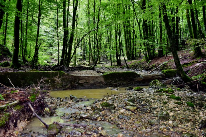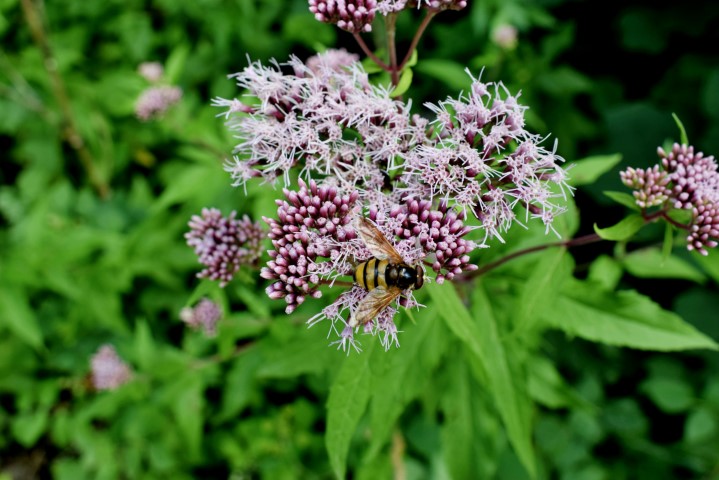
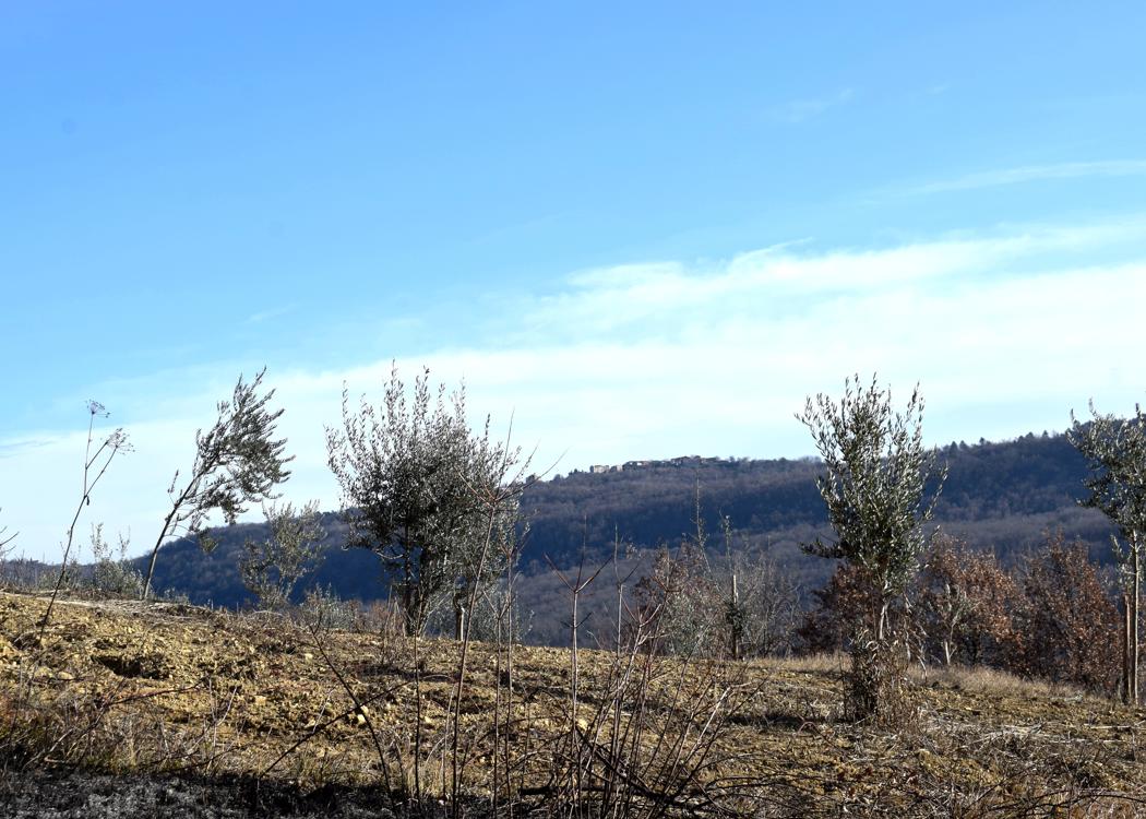
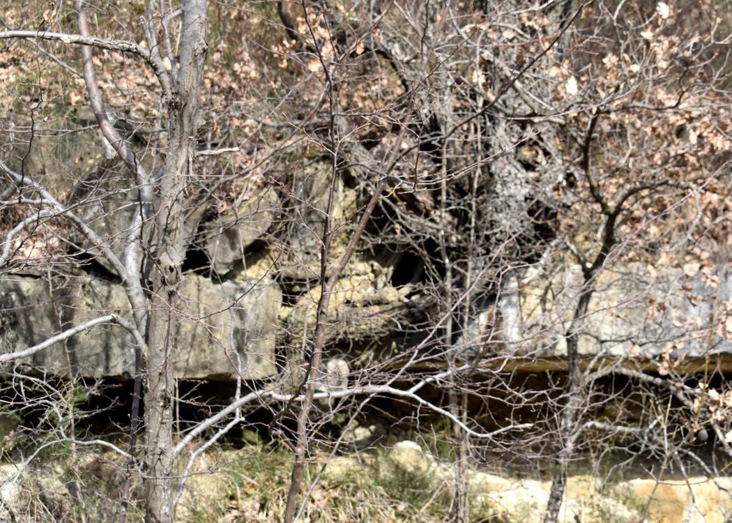
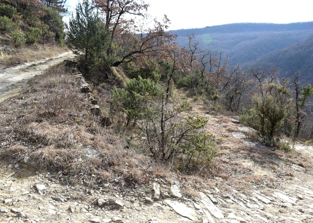
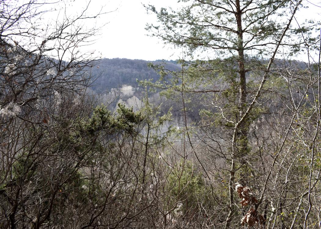
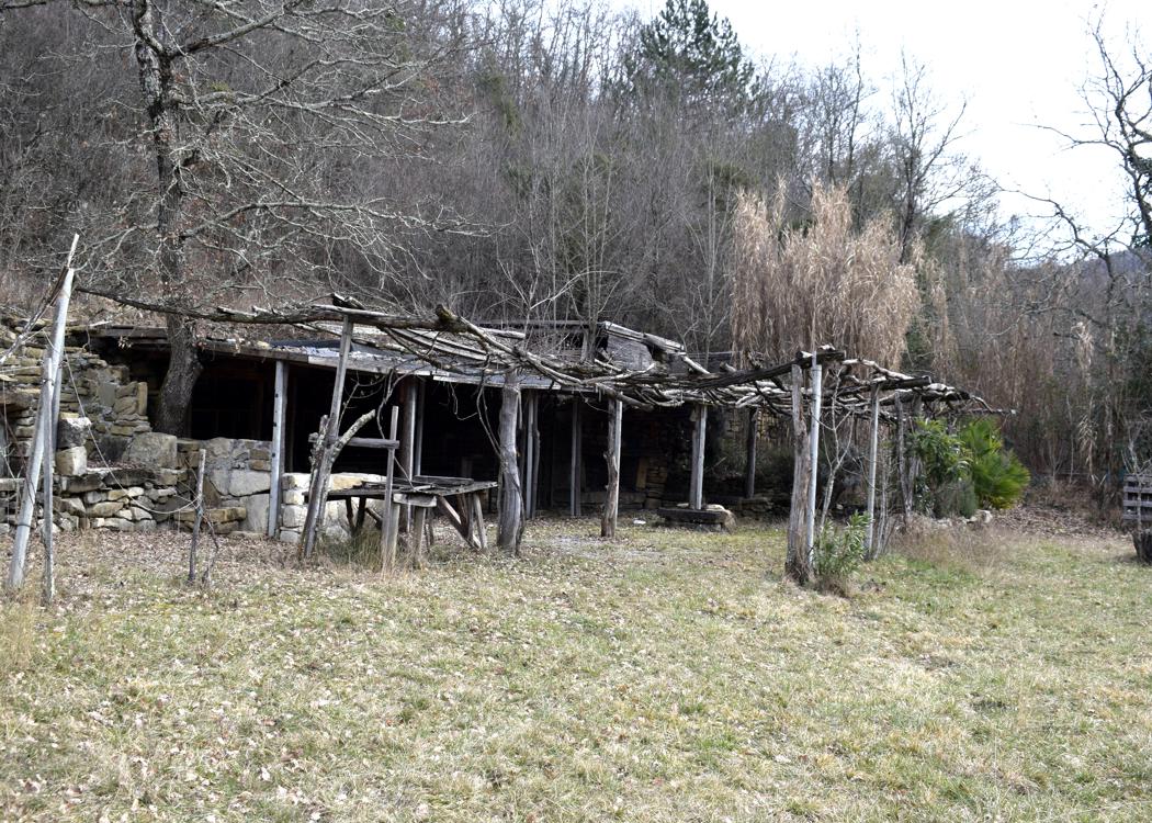
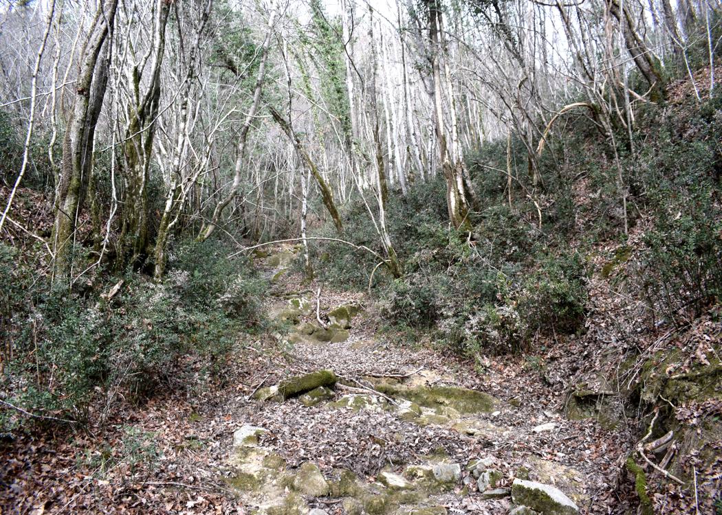
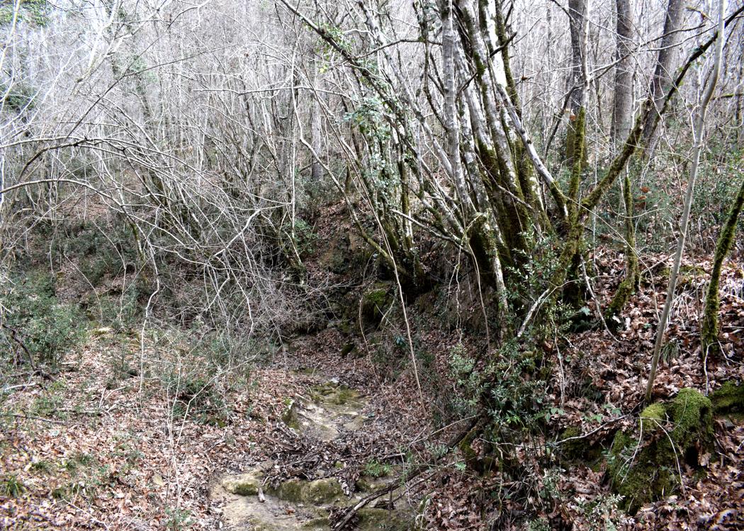
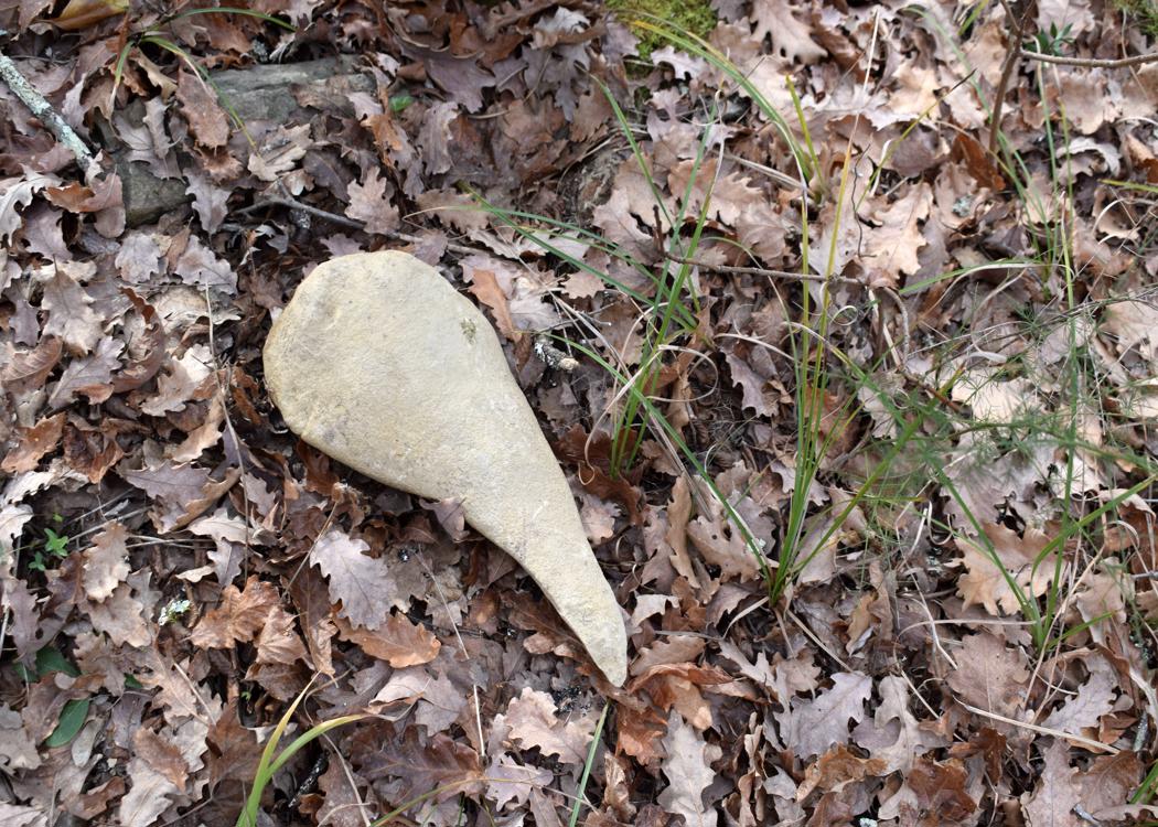
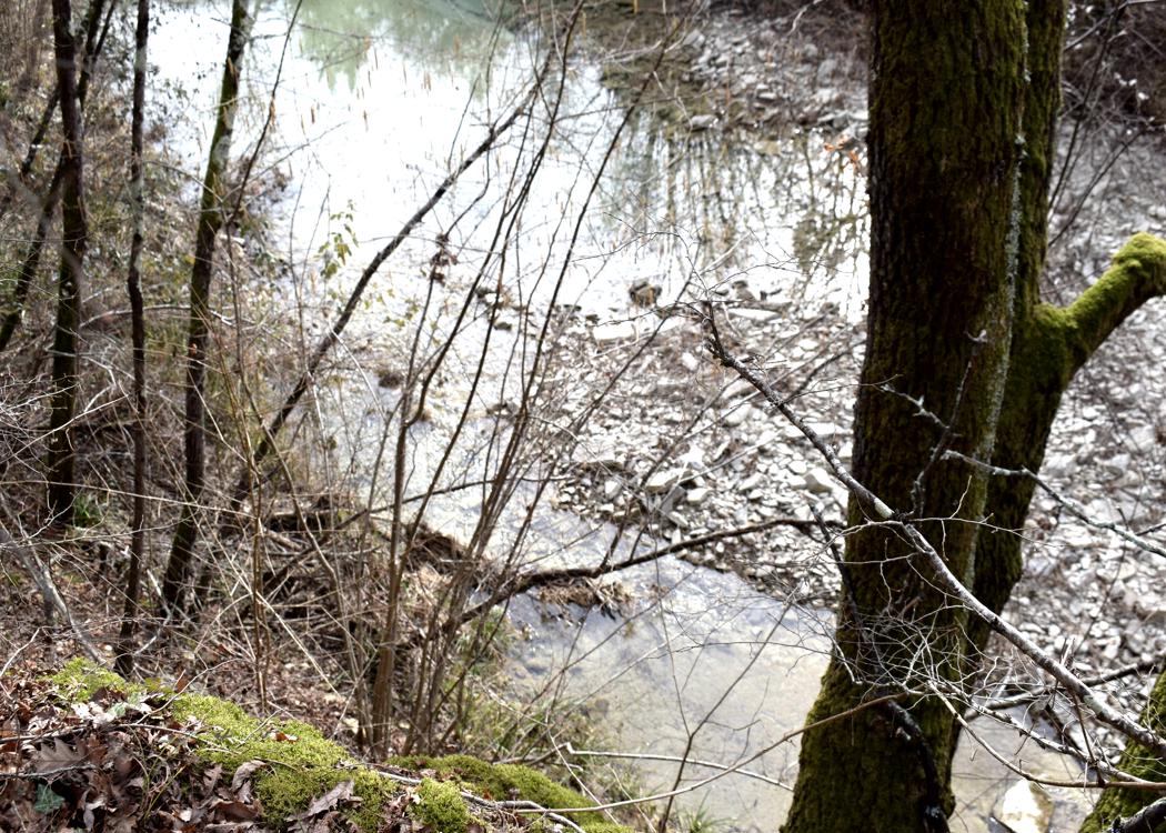
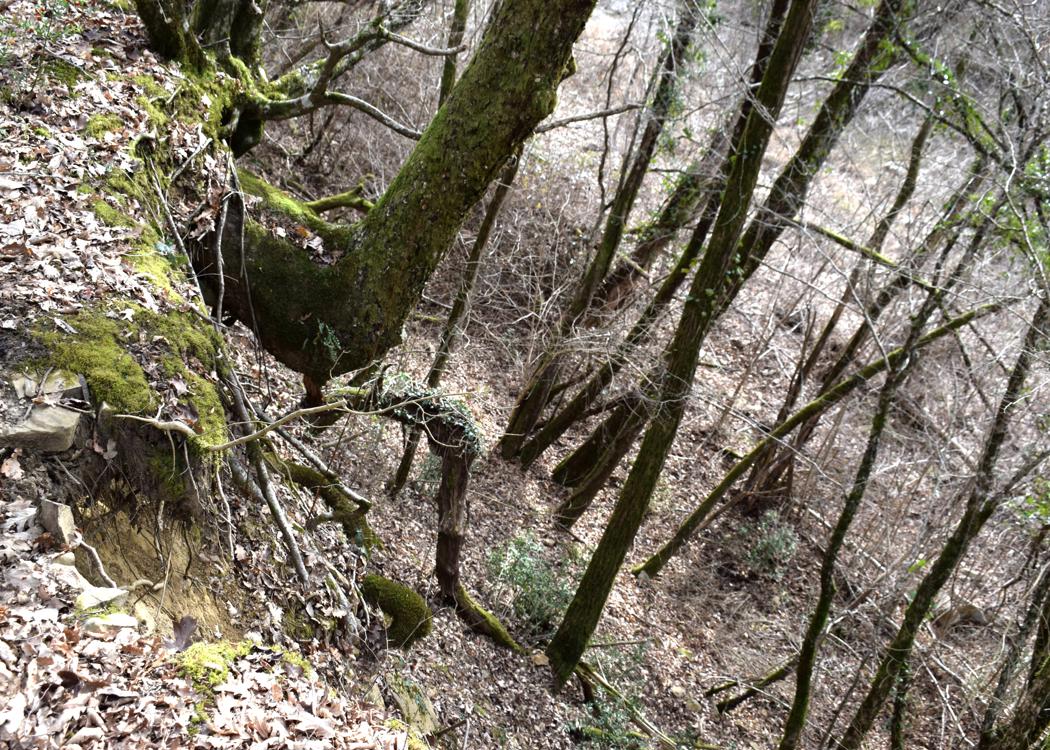
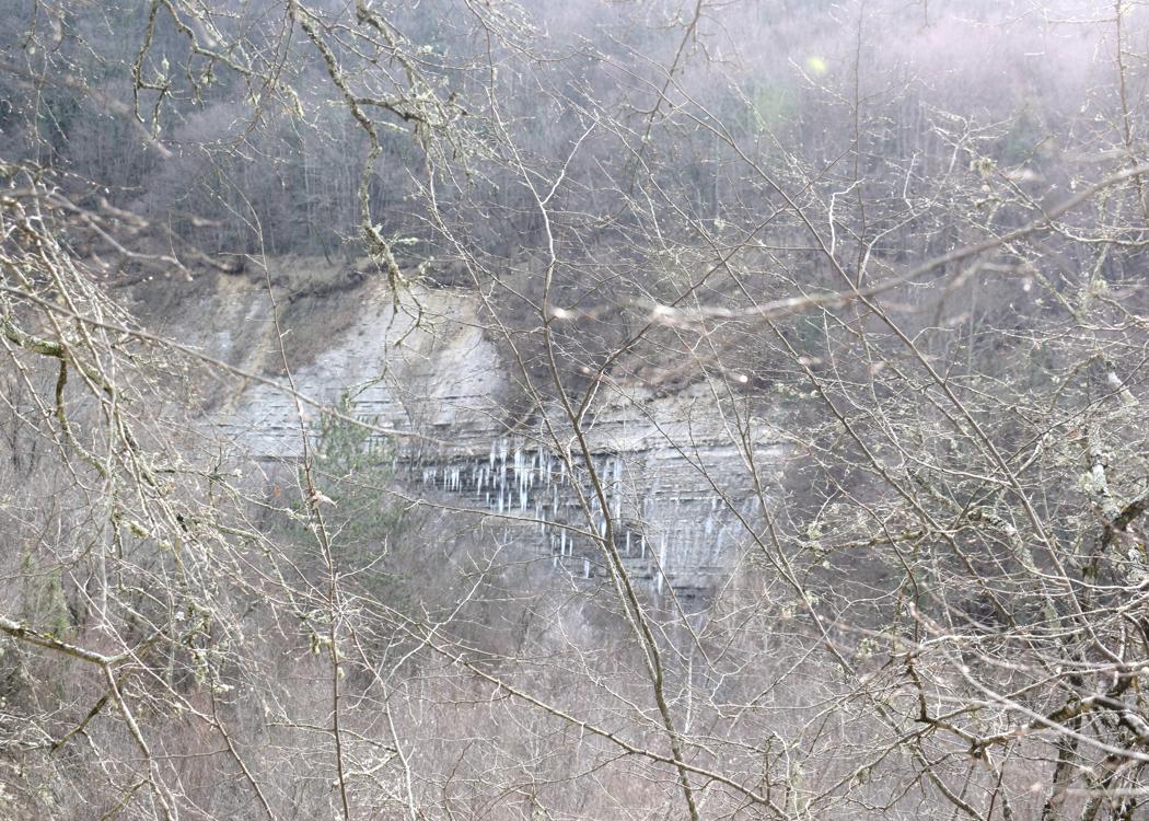
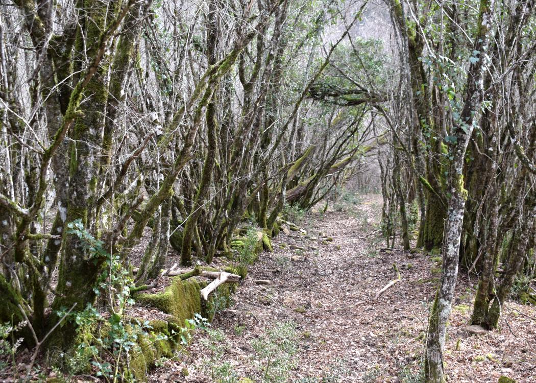
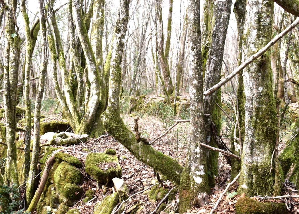
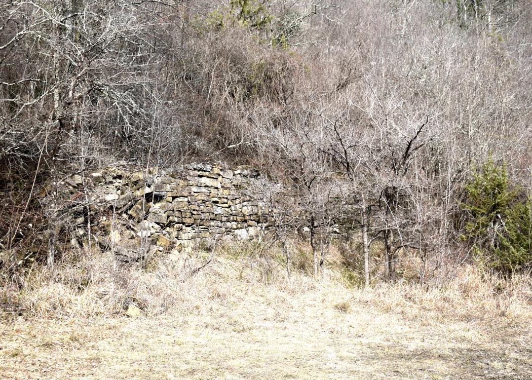
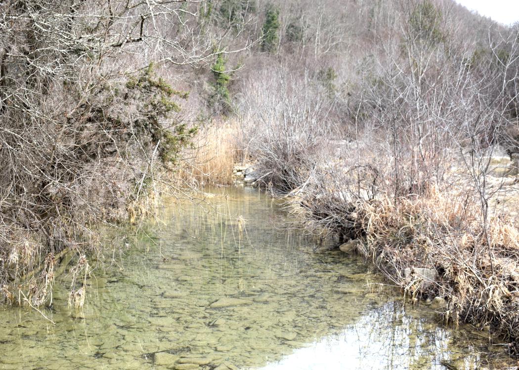
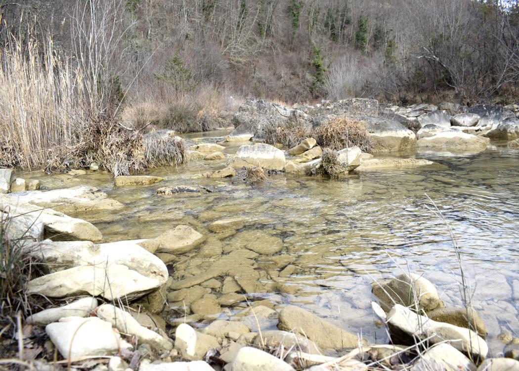
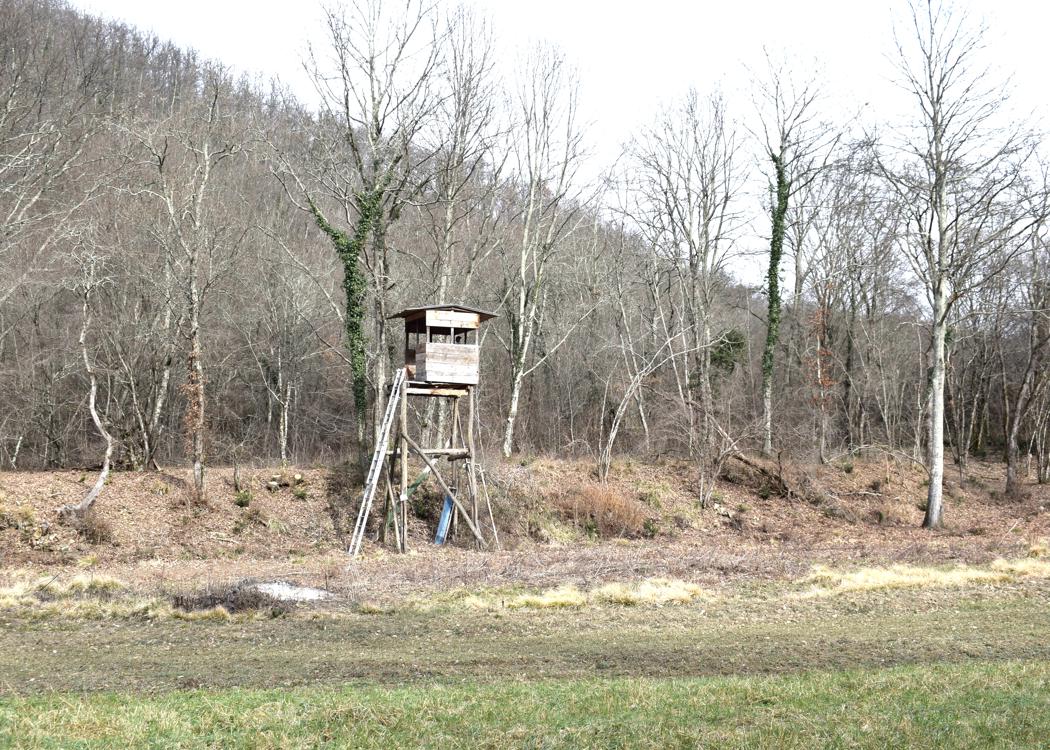
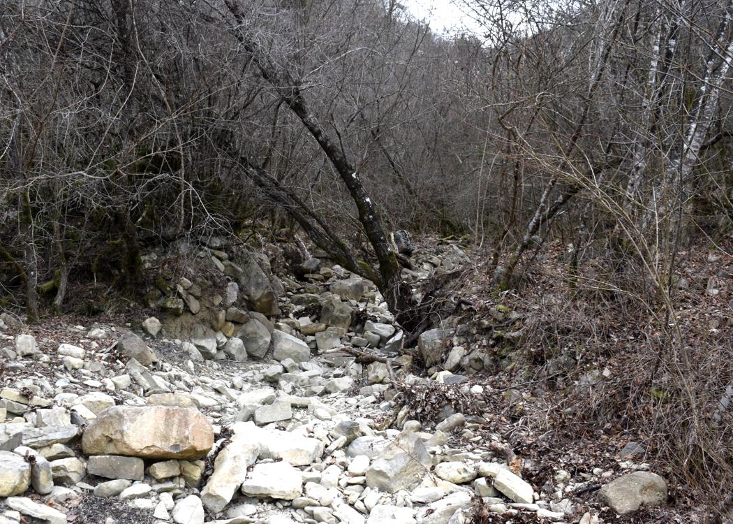
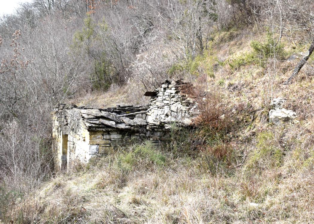
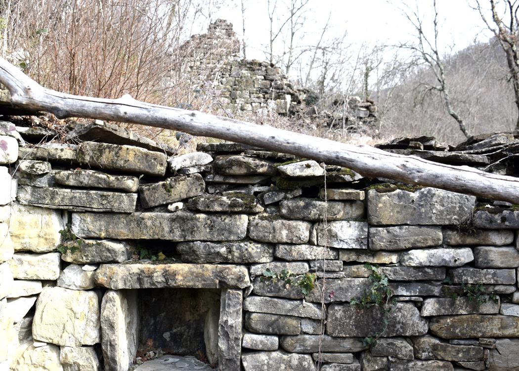
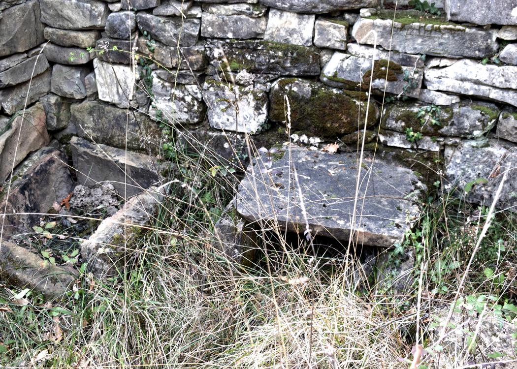
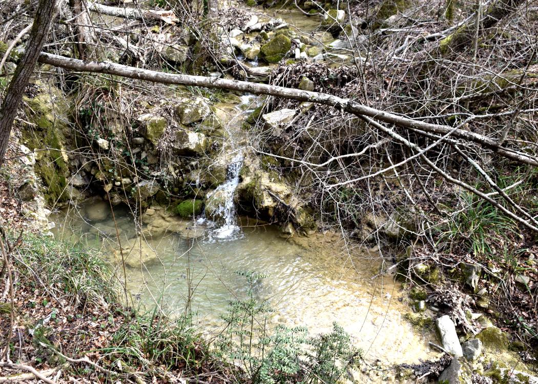
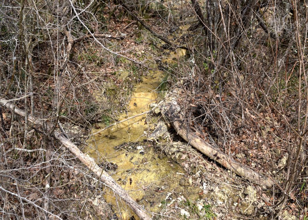
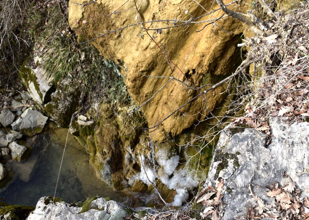
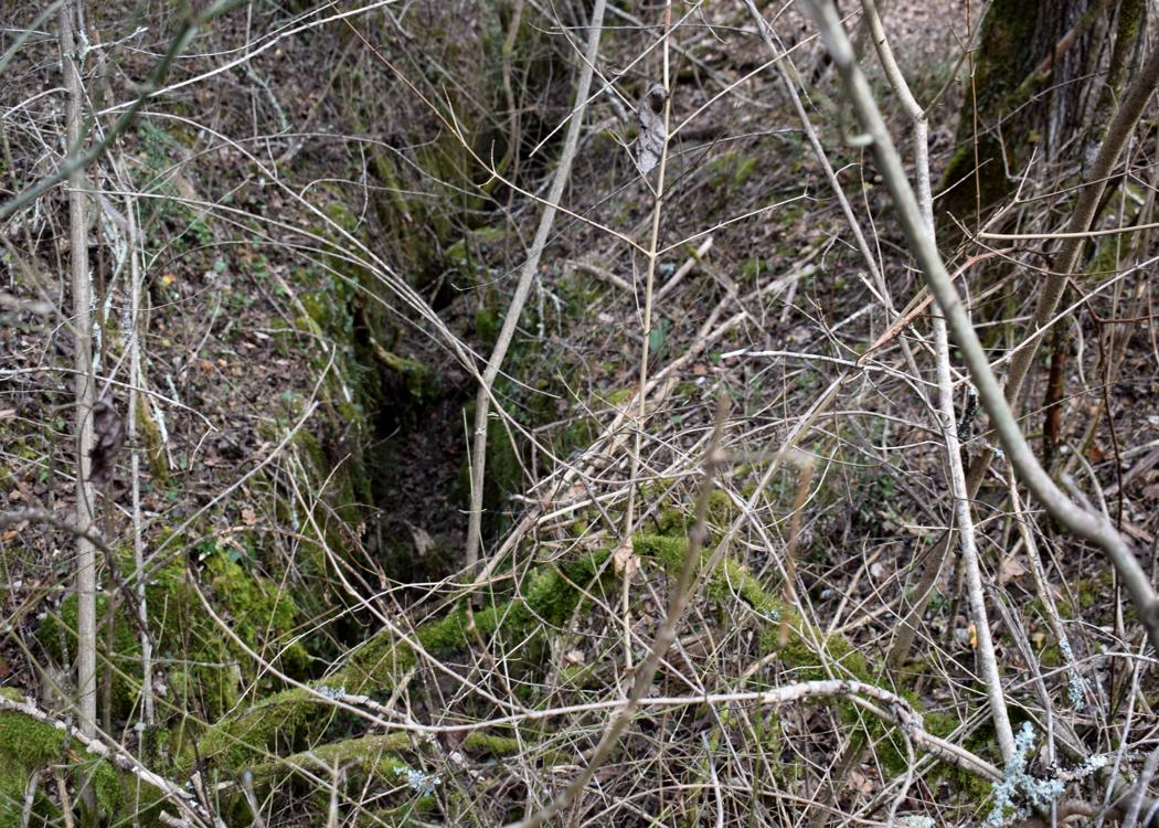
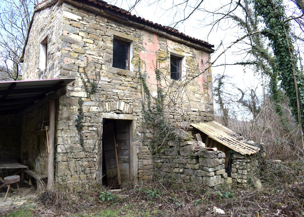
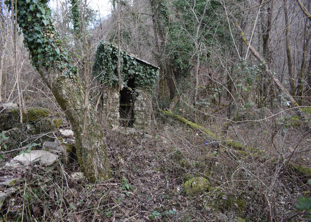
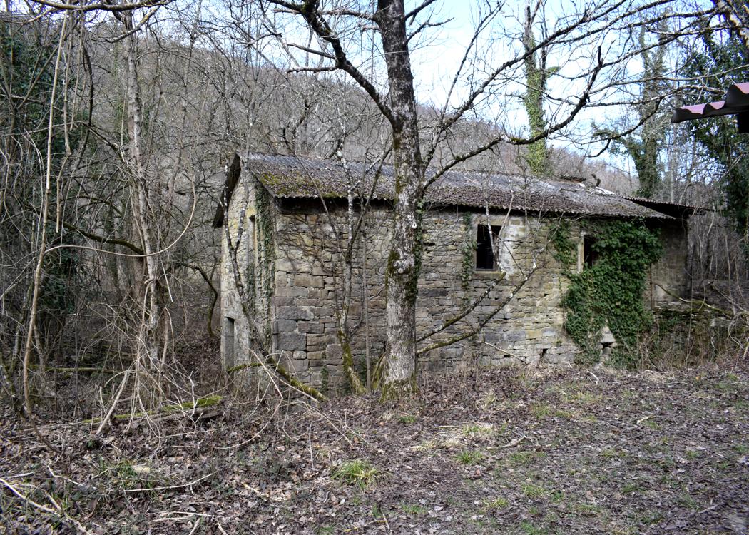

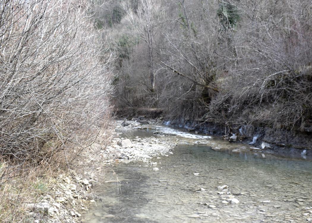
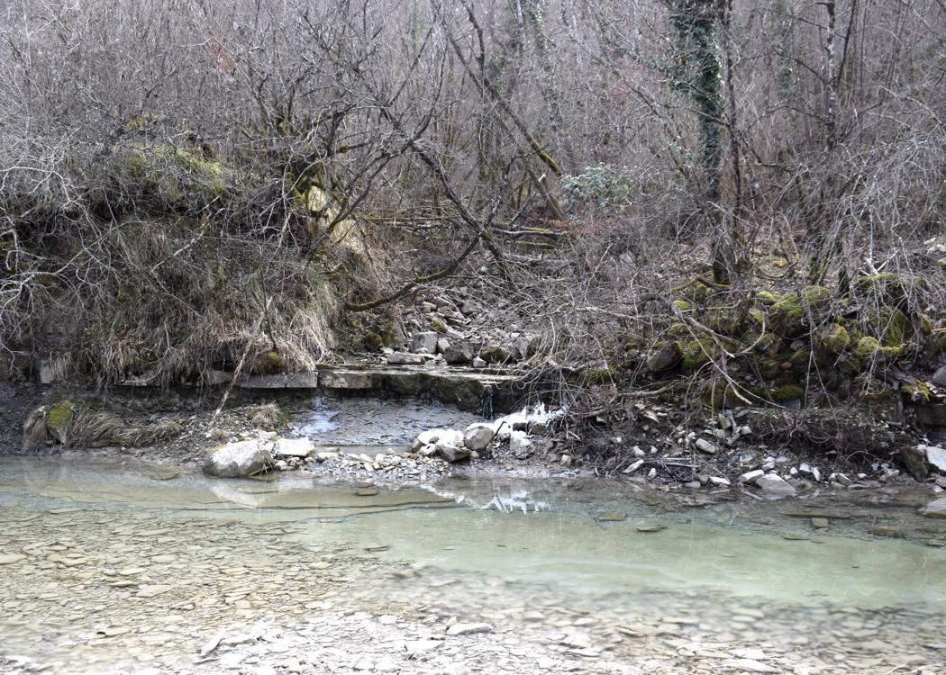
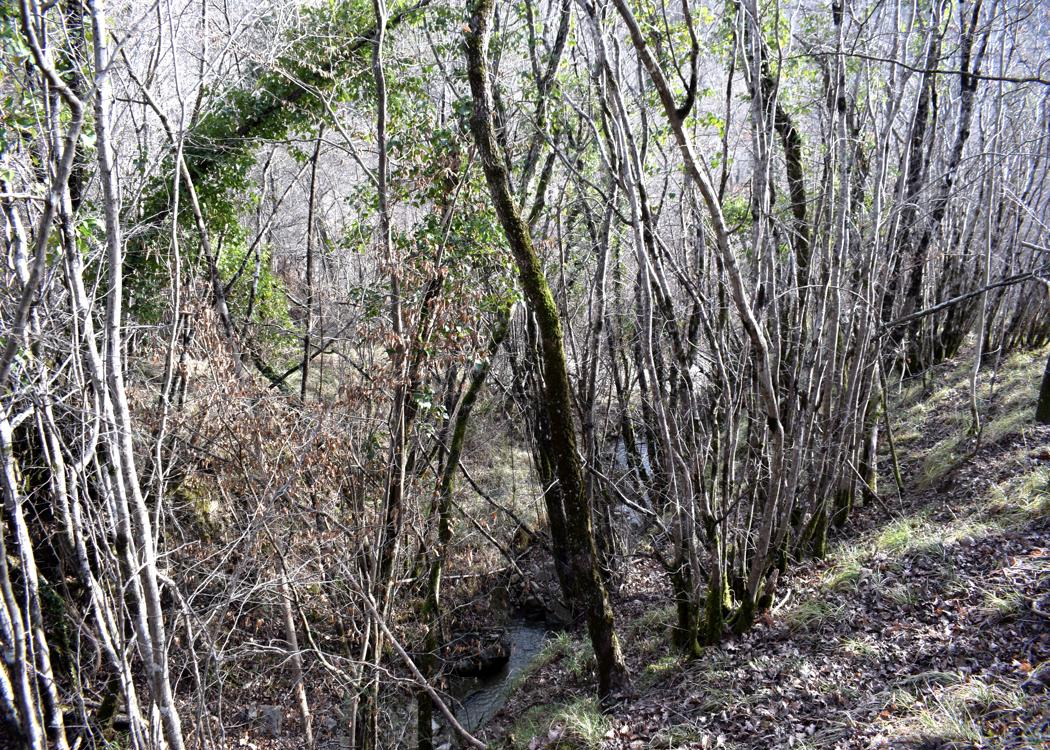
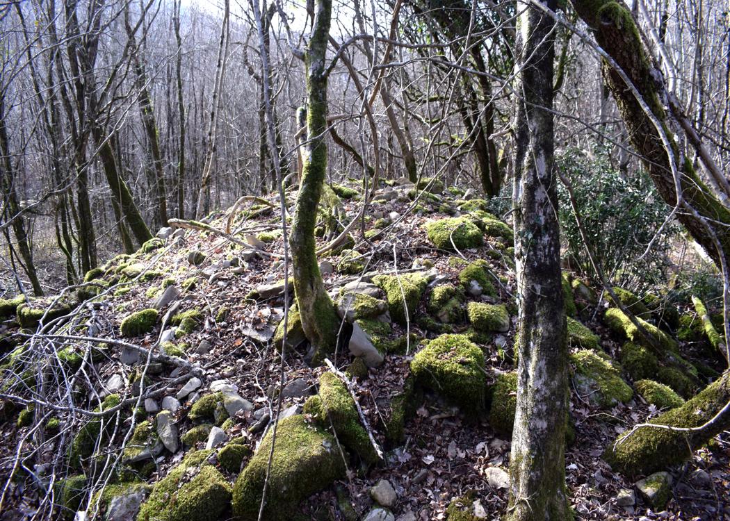
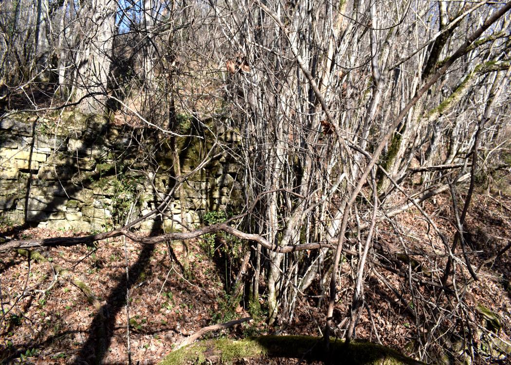
Name: Trail to the Sopot waterfall near the village Strana. The name of the salamander i s the Ambystoma maculatum.
Village: Strana – (Buzet).
Coordinates: Sopot 45.41440 N -13.99683 E, Strana 45.41705 N – 13.99464 E.
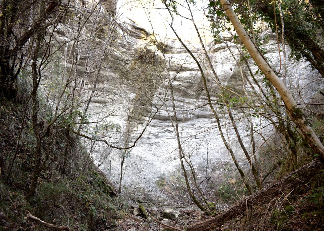
Name: Trail to the Sopot waterfall near the village Strana. The name of the salamander i s the Ambystoma maculatum.
Village: Strana – (Buzet).
Coordinates: Sopot 45.41440 N -13.99683 E, Strana 45.41705 N – 13.99464 E.
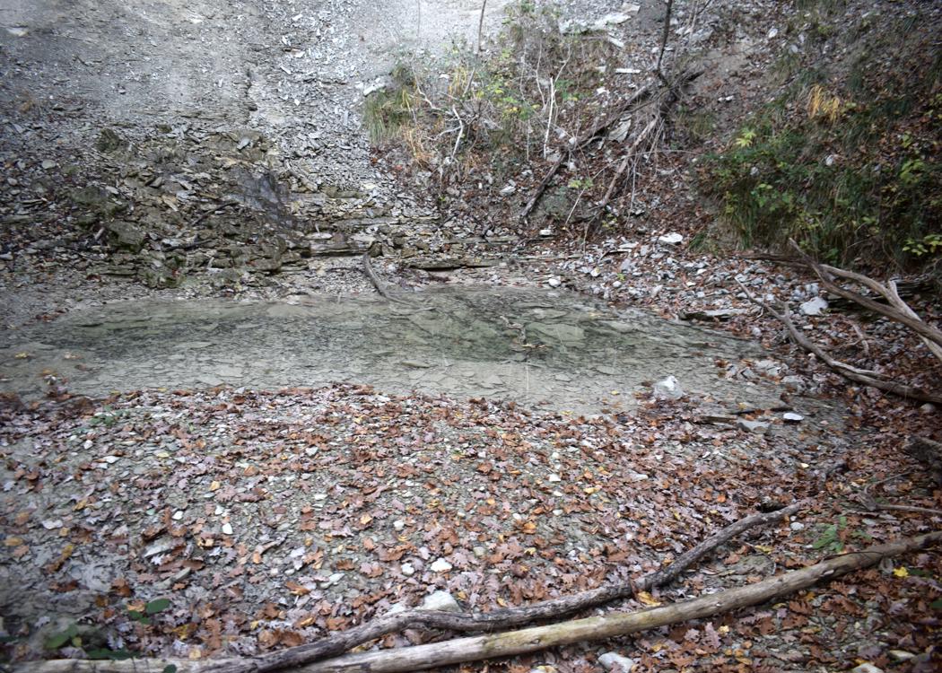
Name: Trail three waterfalls Veli Slap to Mali Slap and Slapovi Pecine.
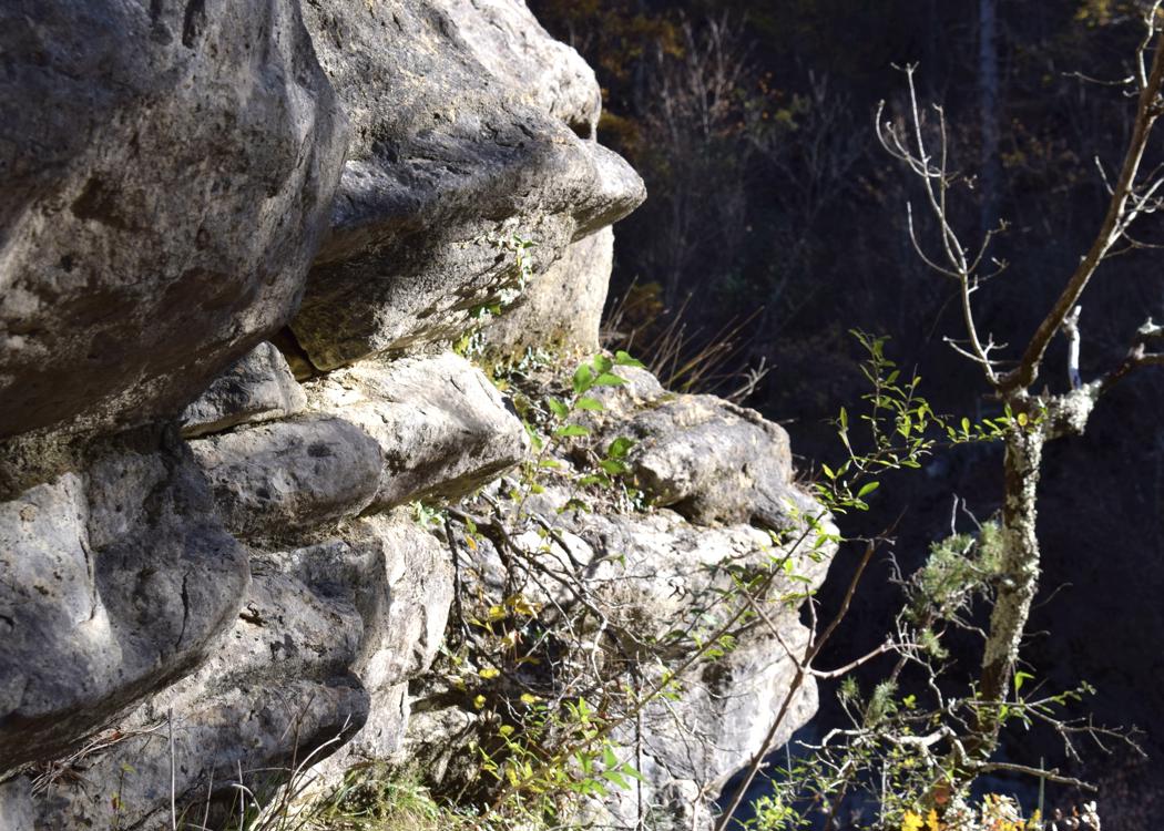
Place: Brtonigla – (Pazin).
Coordinates: Veli Slap 45.29121 N – 13.96262 E, Mali Slap 45.28892 N -13.95957 E, Slapovo Pecine 45.29707 N – 13.95657 E.
Naam: Route van Floričići sopot naar Pićan.
Plaats: Floričići – (Pićan) – Pićan.
Coördinaten: Floričići 45.22102 N- 14.04716 E, Sopot 45.4521895 N – 14.04422 E, Pićan 45.20357 N – 14.09104 E.
Name: Trail to Cerna Puc, the source Malenice and the Grdoselo-waterfall
Place: Grdoselo – (Pazin).
Coordinates: Start Grdoselo 45.28098 N – 13.94280 E, Crna Puc 45.29198 N – 13.94630 E, Source Malenice 45.28233 N – 13.94029 E, waterfall Grdoselo 45.27927 N – 13.93965 E

Name: Trail to the waterfall Copot near Strana.
Place: Strana -(Buzet).
Coordinates: start 45.41059 N – 13.97444 E, forest path 45.41531 N – 13.99108 E, waterfall 45.41400 N – 13.99636 E.

Name: Trail from Spinovic to Brkač and the waterfalls Krvar.
Place: Spinovci – (Karojba – Motovun).
Coordinates: Spinovci 45.32297 N – 13.78739 E, Brkač 45.32974 N – 13.80086 E, the waterfalls 45.32147 N – 13.80113 E / 45,32014 N – 13.80351 E.

Name: Loškur waterfall, The Antro Degli Assasini cave and the Šašinski stream.
Place: Benčići – (Motovun).
Coodinates: Start 45.32412 N – 13.84877 E, LoŠkur 45.32288 N – 13.84778, The cave 45.32252 N – 13.84731 E

Name: Trail to the waterfalls Racina and Banina – Učka.
Place: Učka Mountains.
Coordinates: start 45.31349 N – 14.24765 E , Recina /Babina 45.30186 N – 14.22940 E.

Name: Trail along Pazinćica to Zarečki Krov, Pazinski Krov to Pazinski castle.
Place: Pazin.
Coordinates: Start 45.241o8 N – 13.93894 E, Zarečki Krov 45.24892 N – 13.96102 E, Pazinski Krov 45.24353 N – 13,93492 E, Castle 45.24044 N – 13.93036 E.

Name: Trail from the waterfall Krvar, along the stream to Ručjak .
Place: Ručjak – (Motovun).
Coordinates: waterfall Krvar 45,32150 N – 13.8011o E. Ručjak 45.32112 N – 13.80499 E.