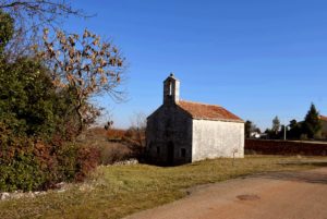
Name: Trail from St. Margareta to the “Foot of the Mother God, the puddle Jurosovac, the ruins of the church St. Jelene and a monument of Tito.
Place: Prnjani – (Barban).
Coordinates: From 45.08711 N – 14.00194 N to 45.07448 N – 14.01735 E.

Name: Trail from St. Margareta to the “Foot of the Mother God, the puddle Jurosovac, the ruins of the church St. Jelene and a monument of Tito.
Place: Prnjani – (Barban).
Coordinates: From 45.08711 N – 14.00194 N to 45.07448 N – 14.01735 E.
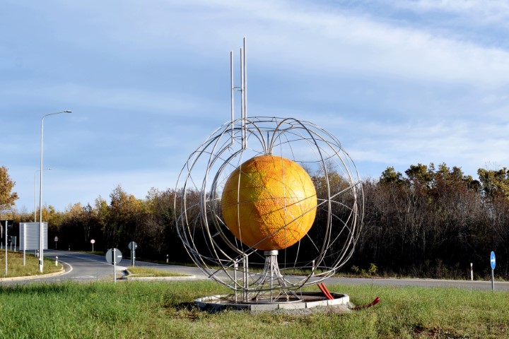
Name: View from Kočići, sculpture and cemetery Višnjan.
Place: Kočići – Višnjan.
Coodinates: Sculpture 45.2809 N – 13.73281.
Sculptural School Montraker from August 30 to September 11, 2021. Montraker is a former quarry where the marble came from for buildings in Venice, among others. Now every year since 1991, the place where students of Art Academy from Split, Ljubljana, Rijeka and Zagreb, under the guidance of their professors and experienced sculptors, create statues, which are placed in the public space in Vrsar.
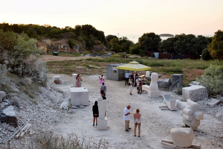
Name: Sculptural School Montraker.
Place: Montraker – (Vrsar).
Coordinates:
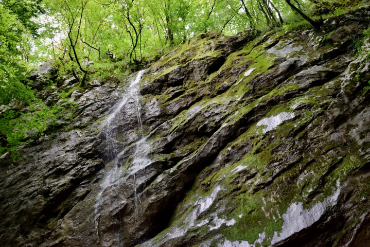
Name: Hiking trail near the entrance of the Učka tunnel to the Banina waterfall in the Učka Mountains.
Place: (Opatija).
Coordinates: Start point 45.31377 N – 14.24217 E, Waterfall Banina 45.30198 N – 14.22939 E.
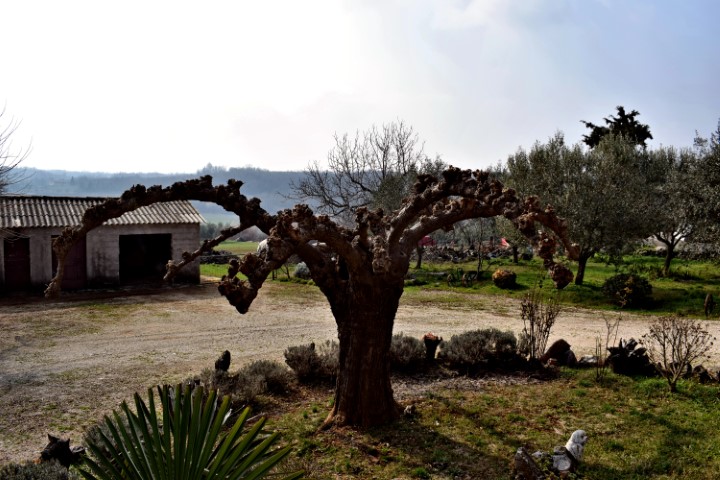
Name: Hiking trail 504 “Heart of Vizinada”
Place: Crklada – Markovići – Vranje Selo – Bajkini – Vižinada.
Coordinates: Start/end 45.33001 N – 13.757653 E
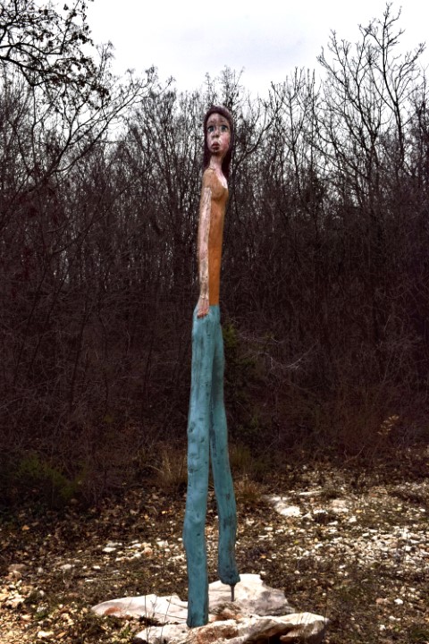
Name: Sculptures Adventure Park Glavani.
Place: Glavani – (Barban).
This part of the peninsula is located over a length of 3.5 km between the villages of Prementura and Volme and is bordered on the north side by the bay of Medulin.This nature protected area has many special features such as a prehistoric settlement – a Gradina – from the Bronze Age, and a cave that was inhabited not only in the Bronze Age but also in the Middle Ages. Military facilities such as pillboxes and an artillery battery near Gomila hill. This as part of the Austo-Hungarian defense system in the early 19th century to defend the marina port of Pula. The presence of limestone rocks with bivalve molluscs (rudists). There is also a path over Upper Kamenjak with Stations of the Cross built in 2013.
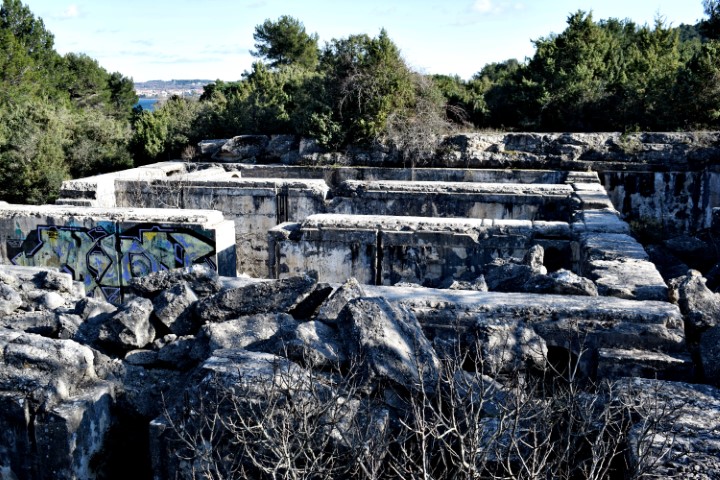
Name: Upper Kamenjak – Monte Kope.
Place: Prementura – (Medulin).
Coordinates: Start 44.8o676 N – 13.90818 E to 44.81419 N – 13.87769 E.