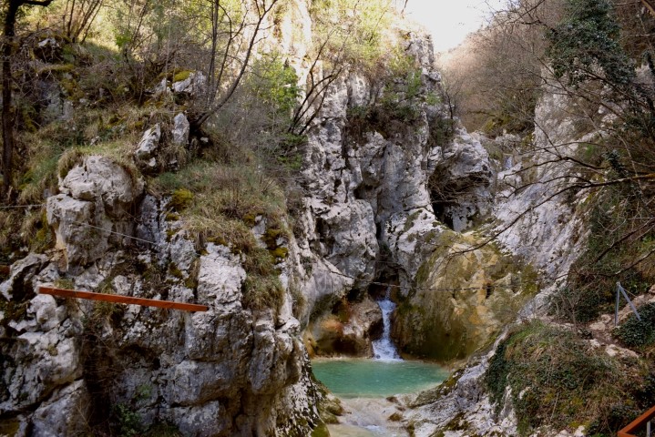
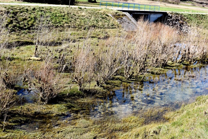
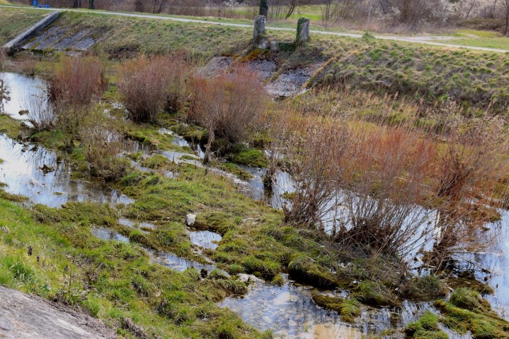
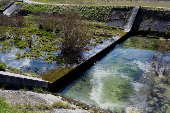
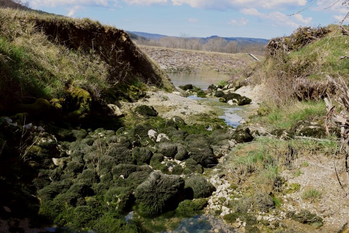
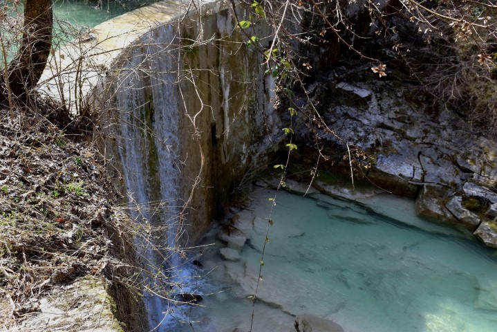
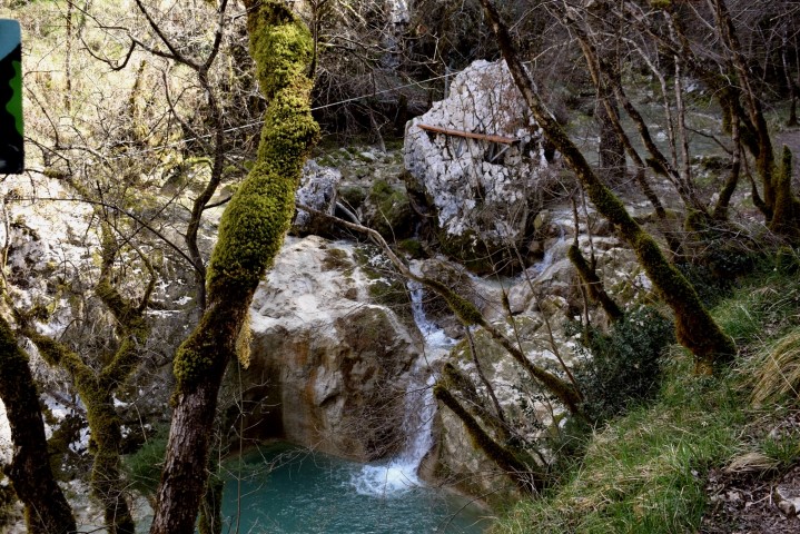
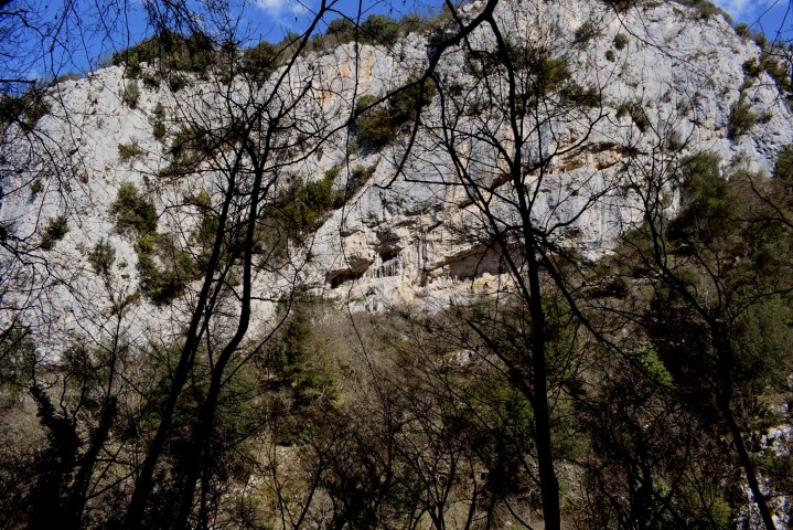
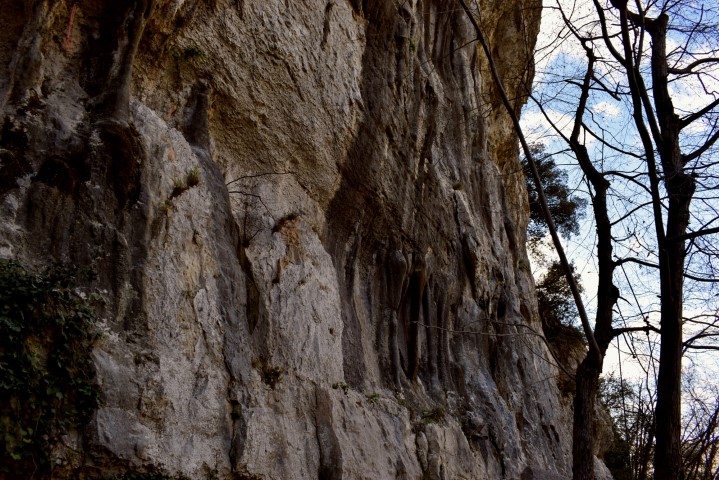
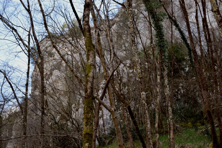
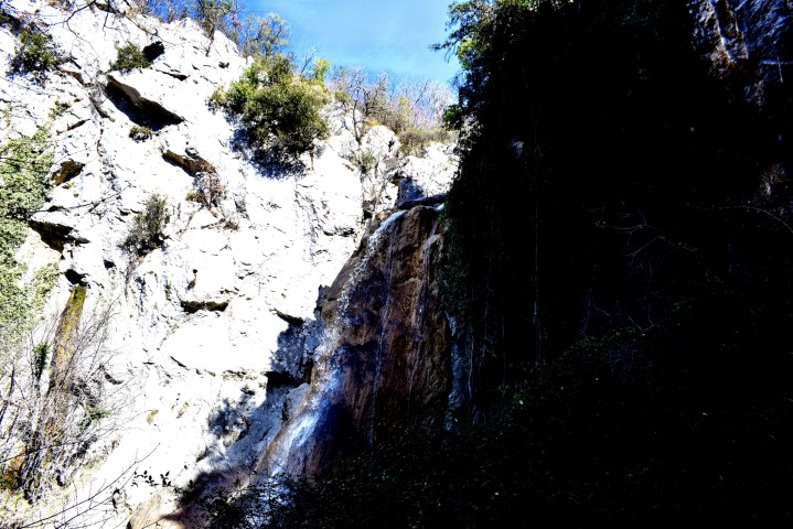
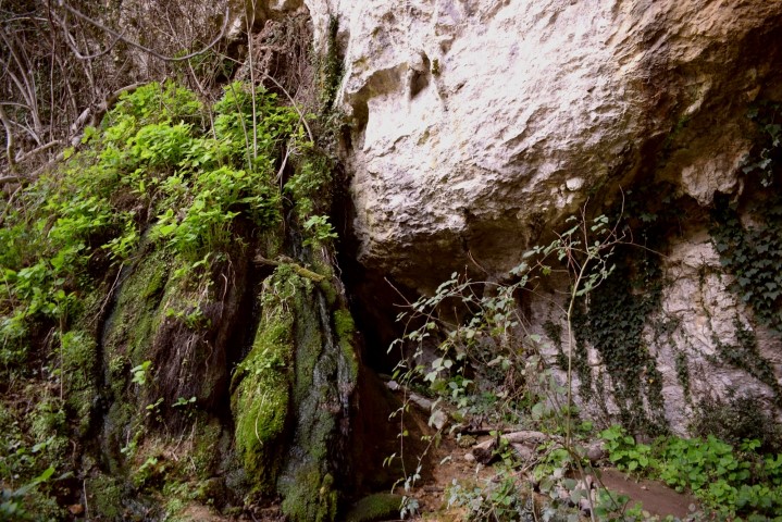
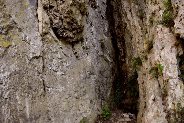
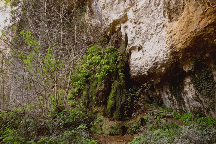
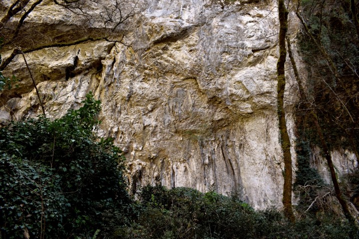
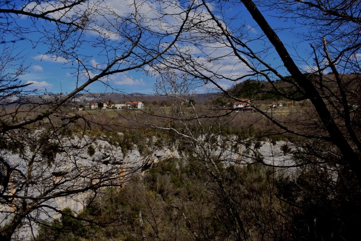
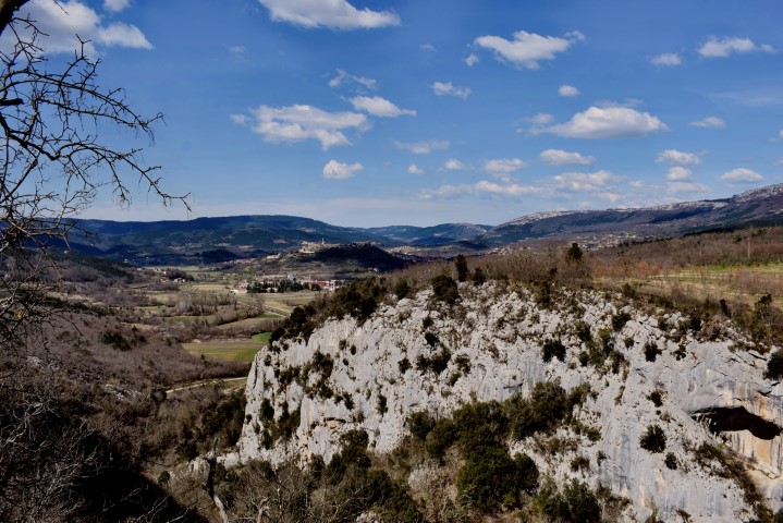
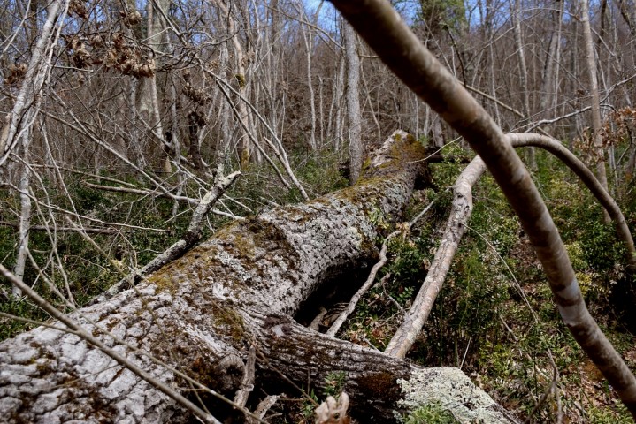
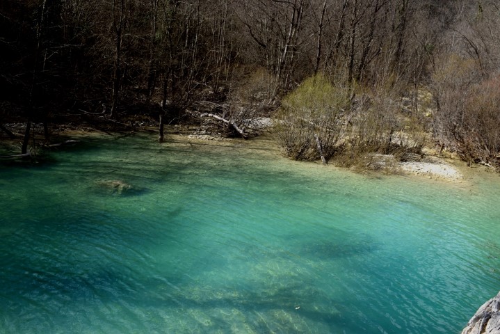
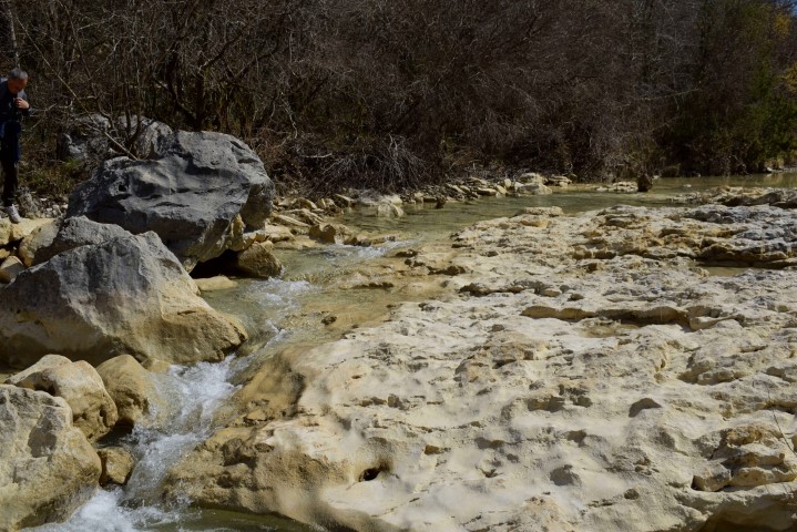
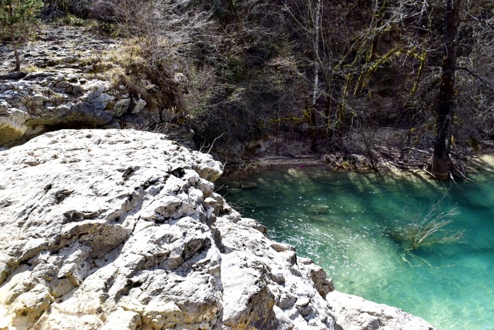
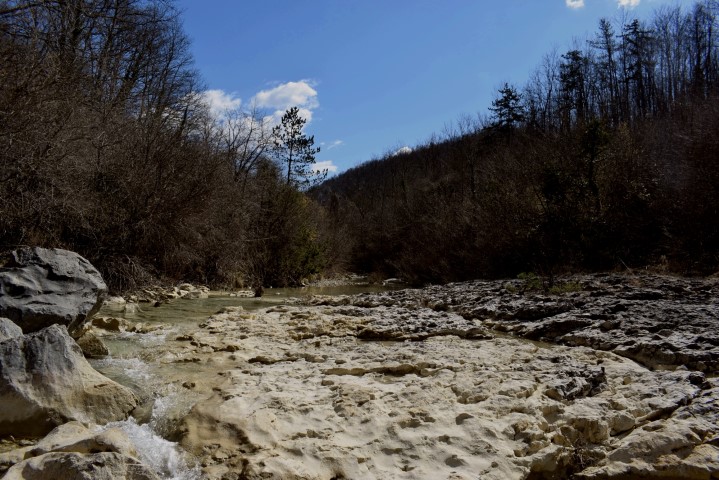
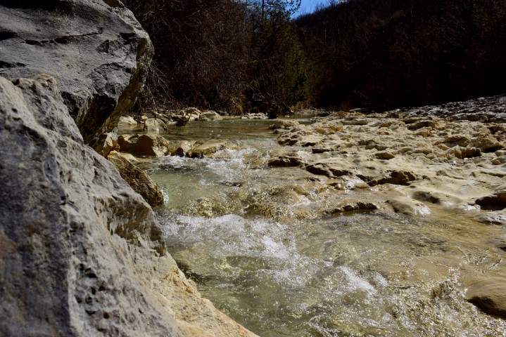
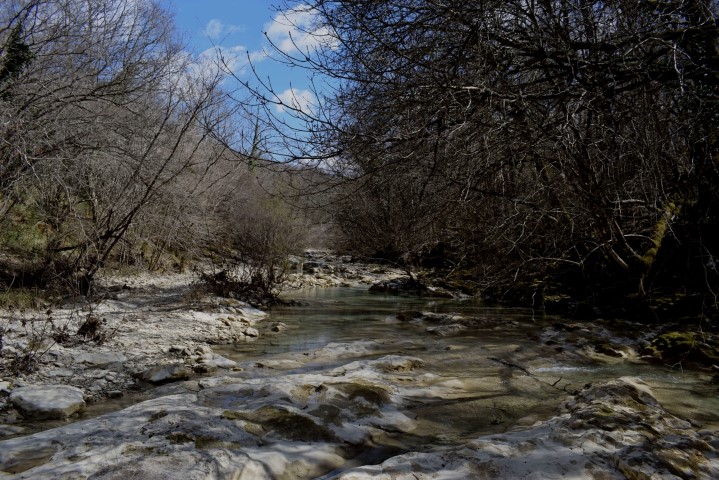
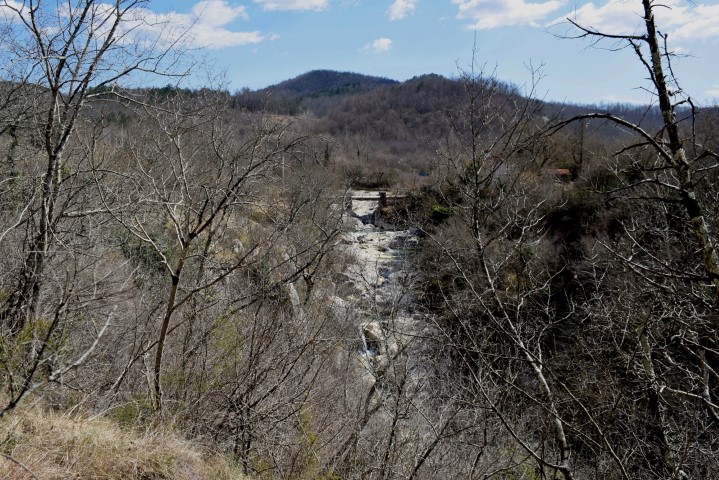
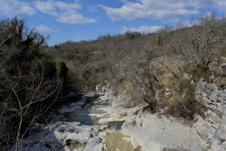
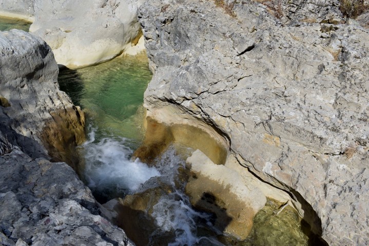
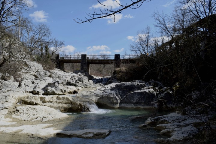
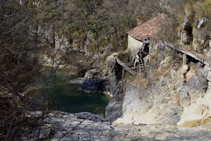
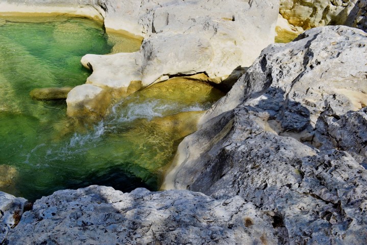
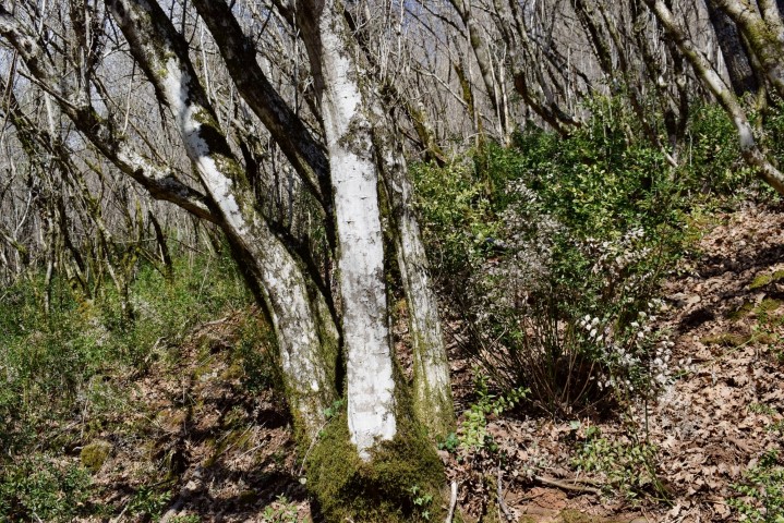
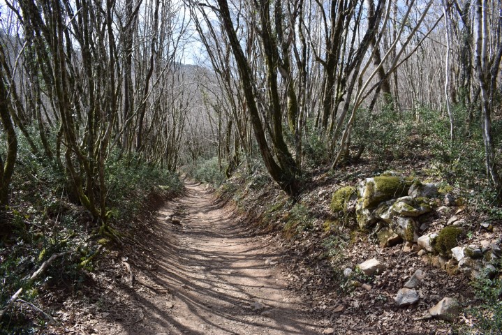
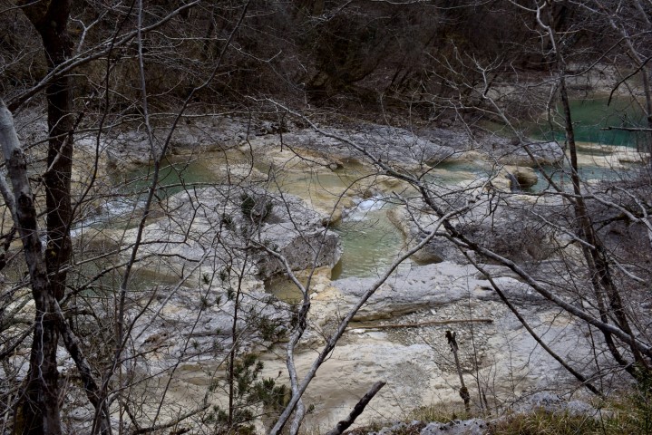
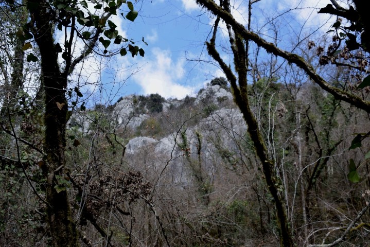
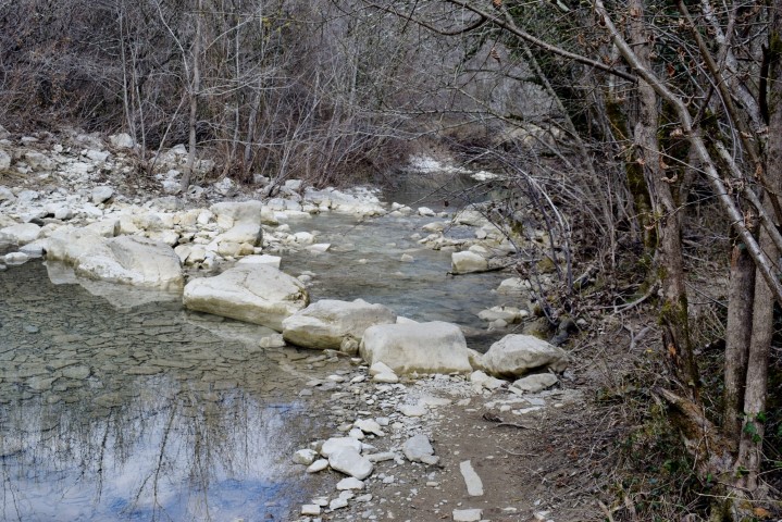
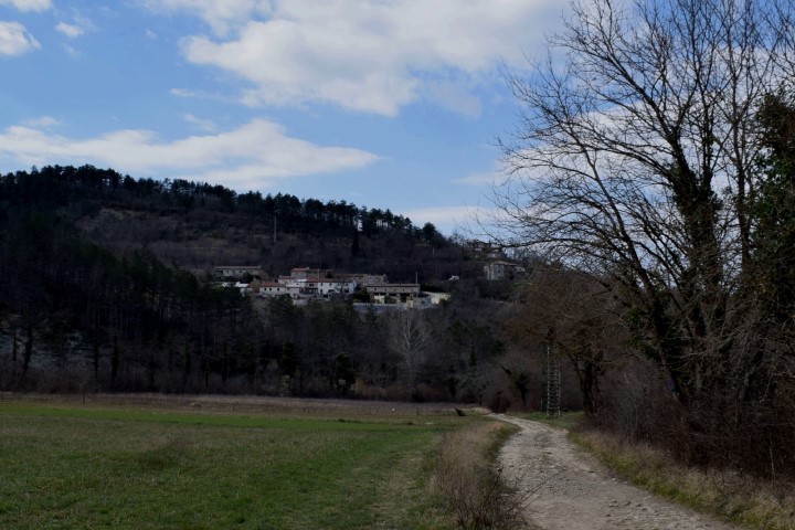
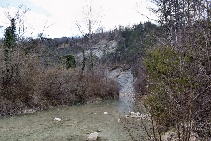
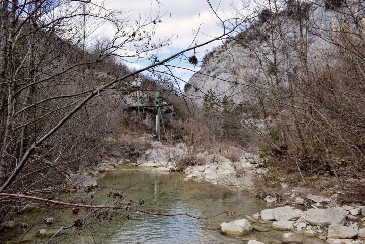
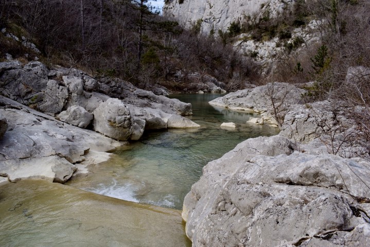
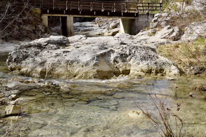
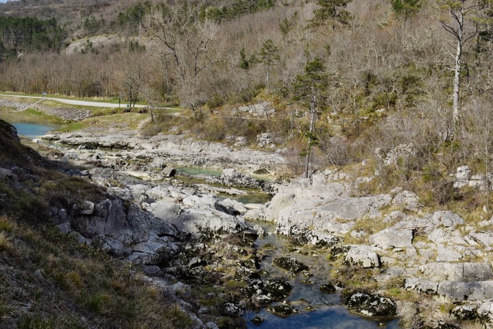
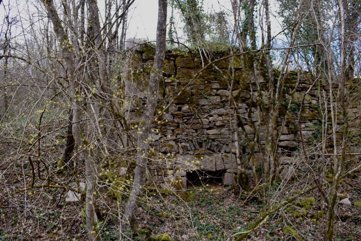
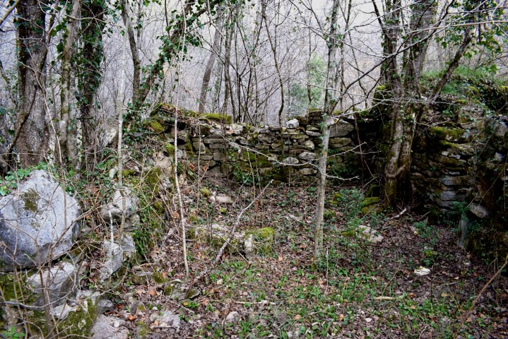
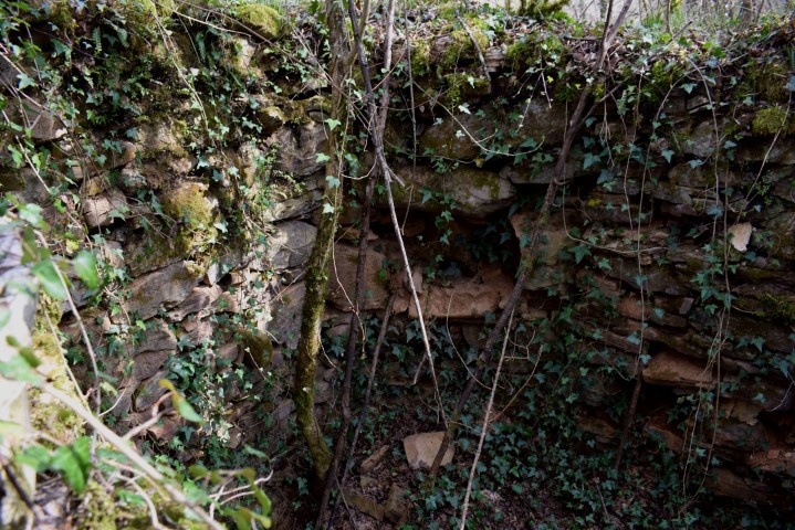
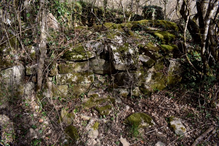
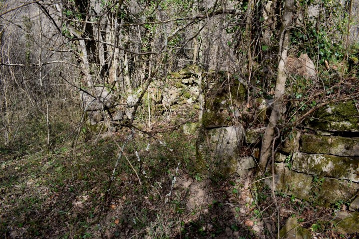
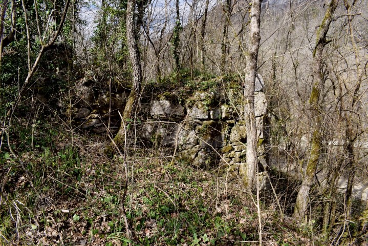
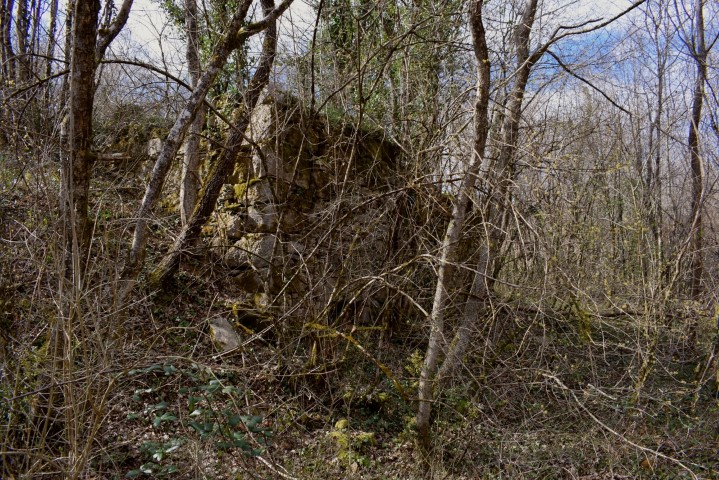
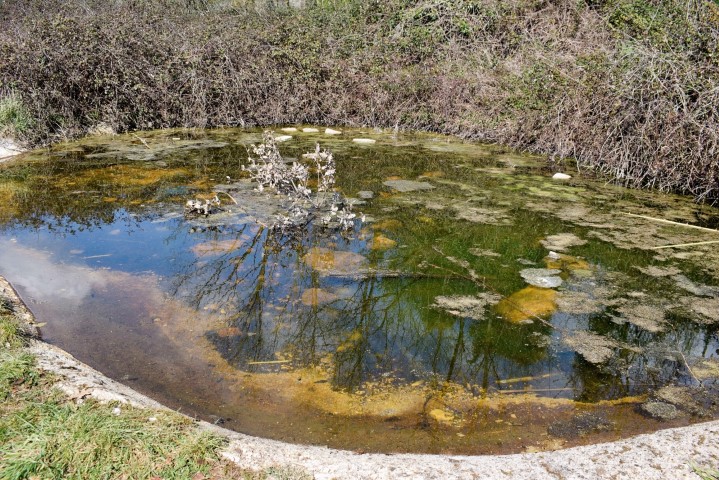
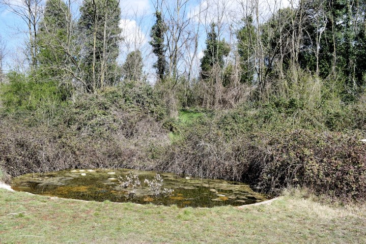
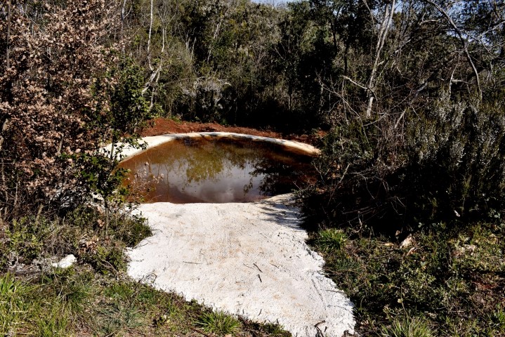
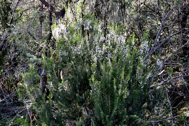
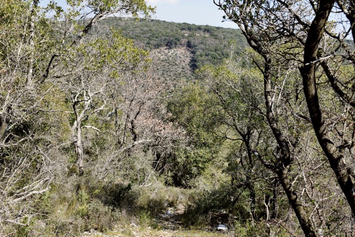
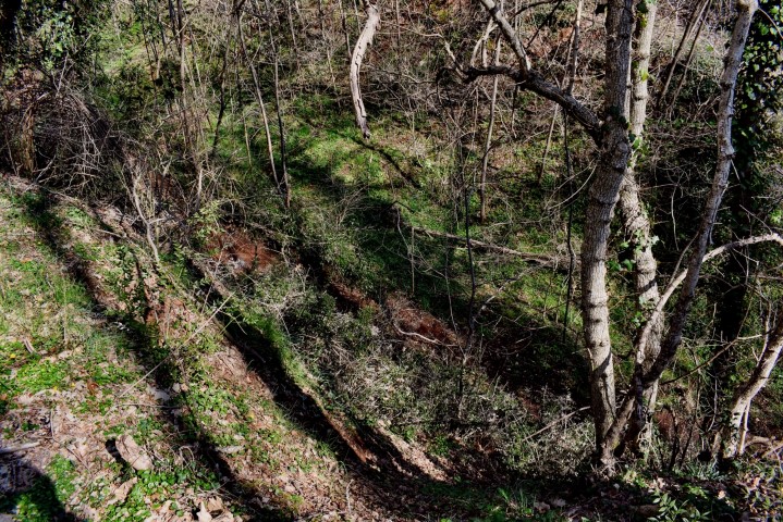
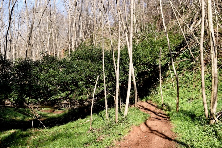
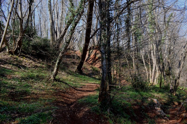
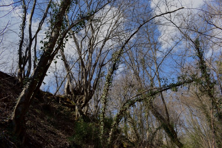
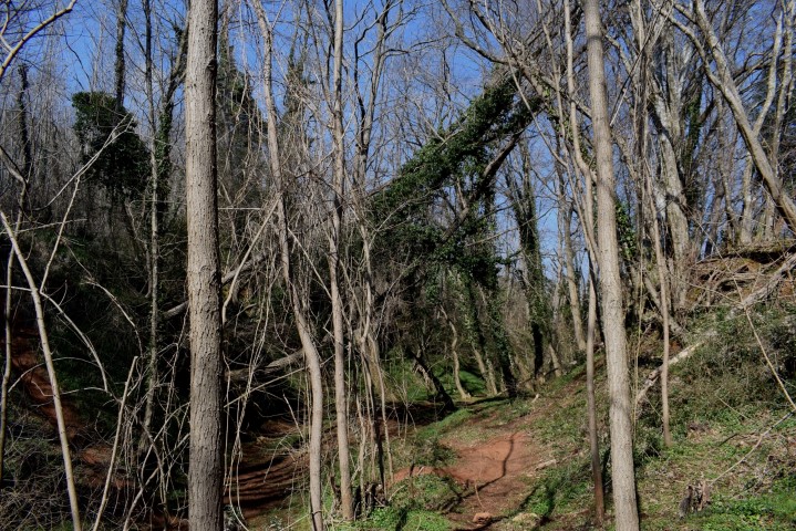
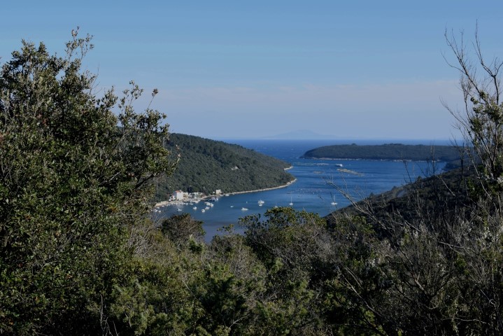
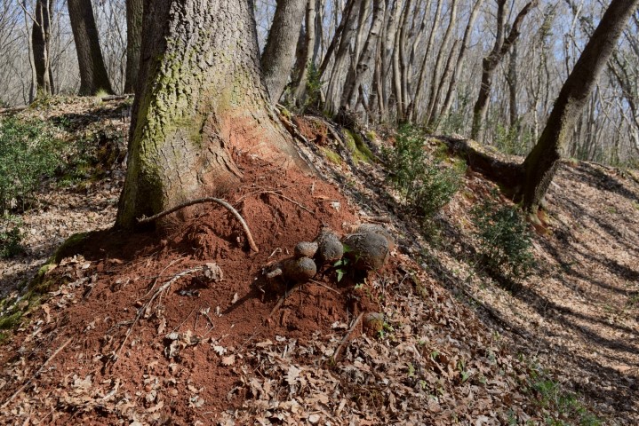
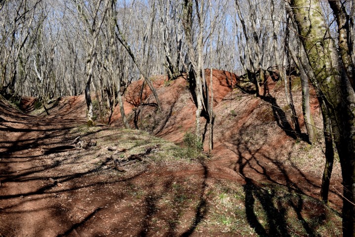
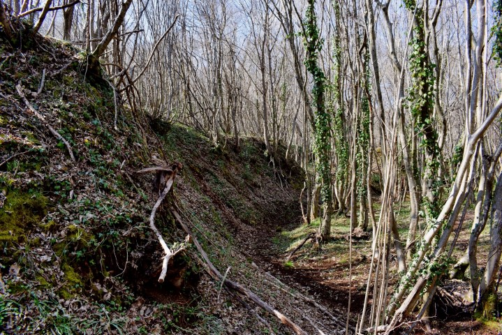
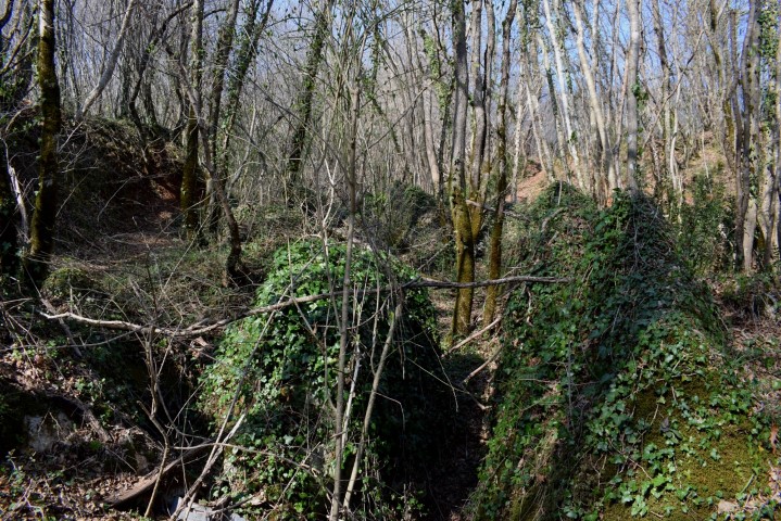
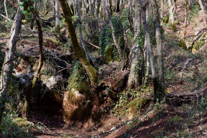
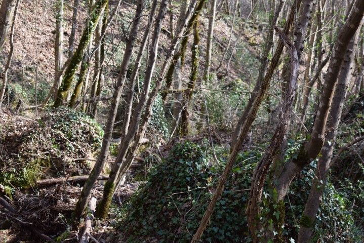
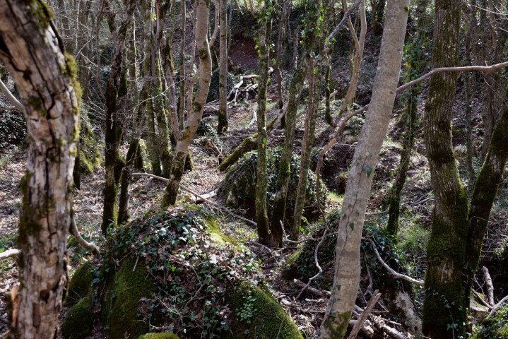
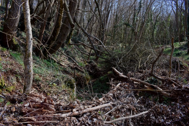
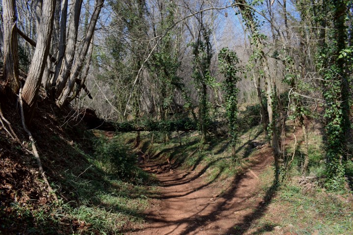
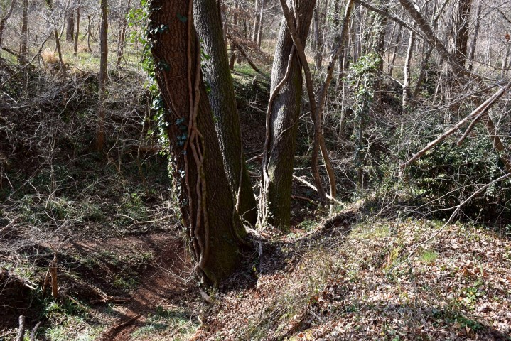
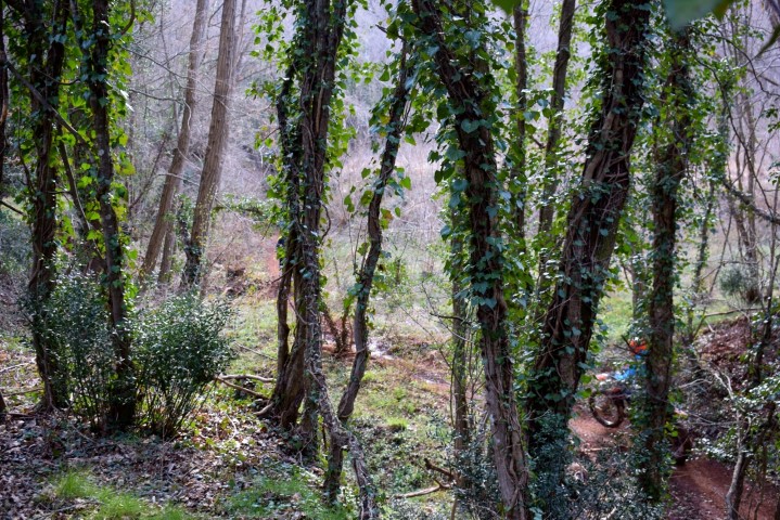
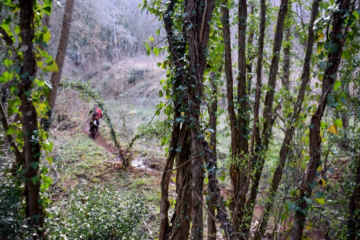
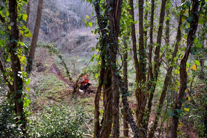
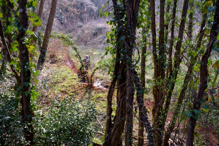
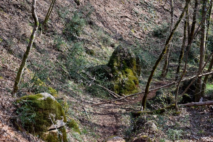
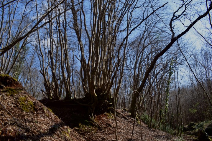
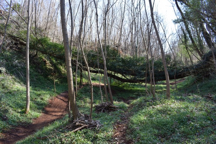
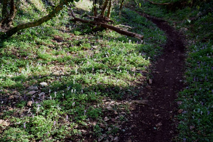
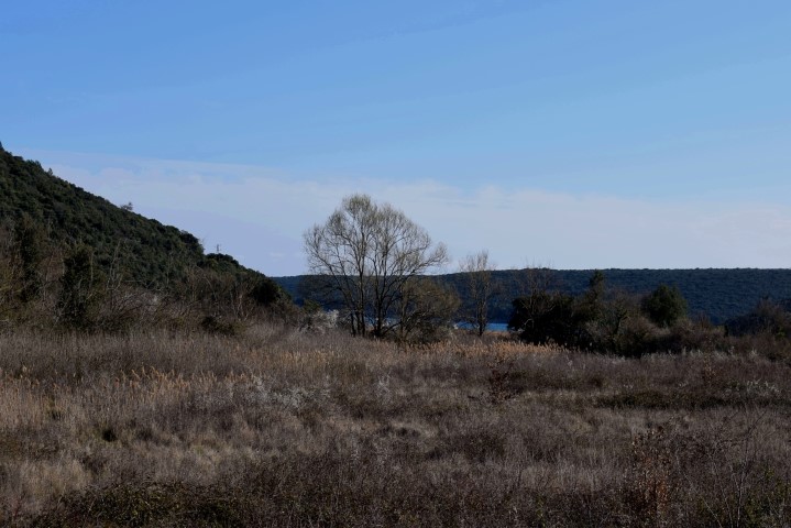
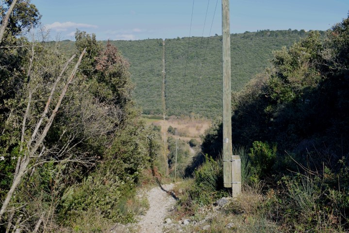
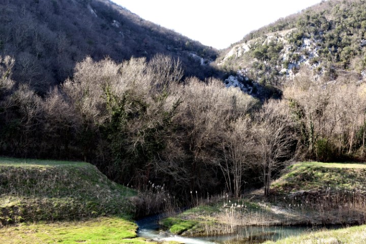
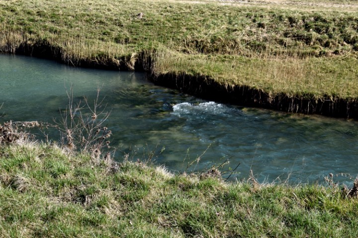
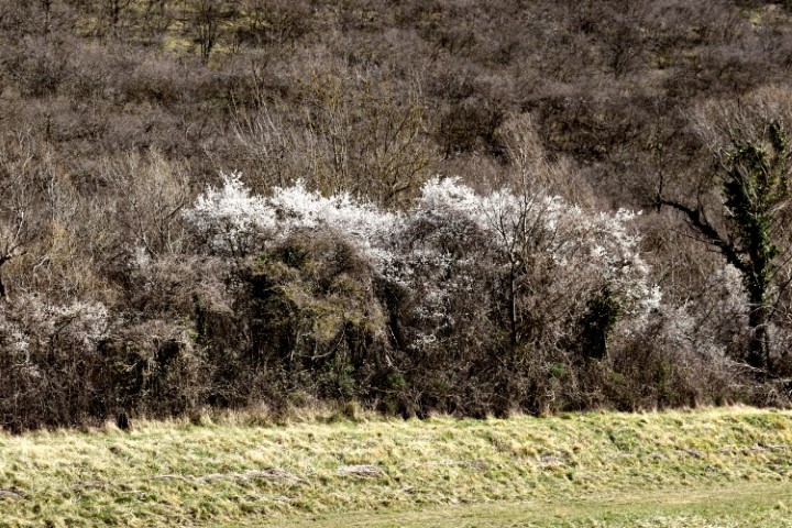
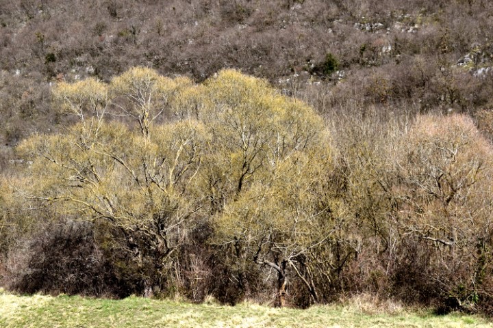
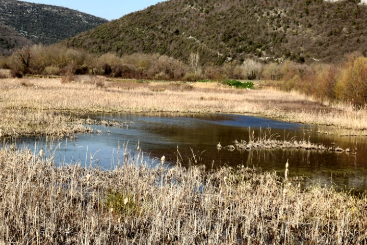
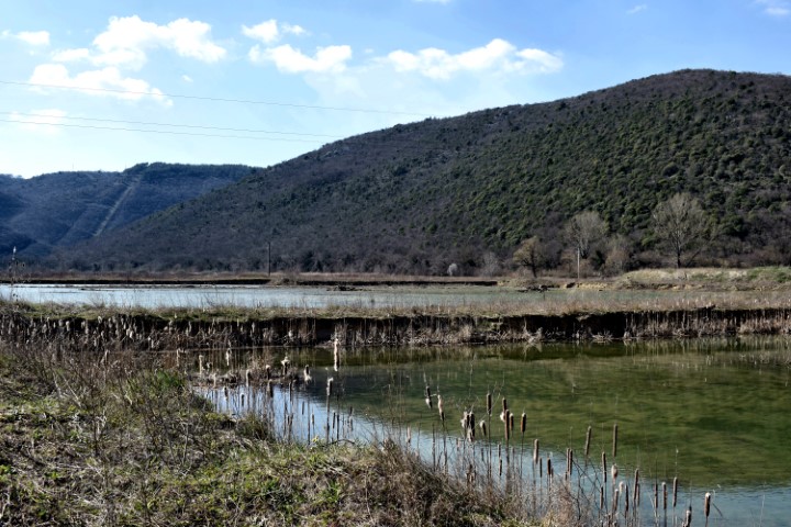
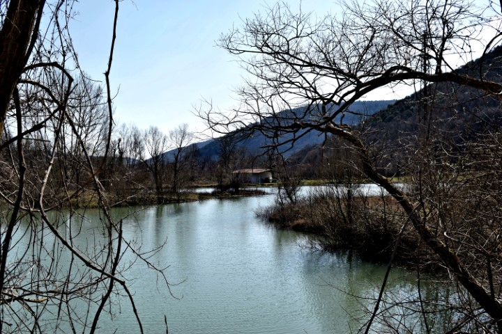
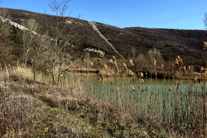
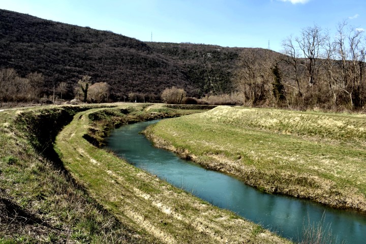
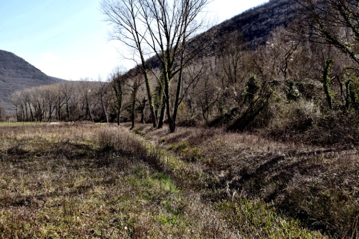
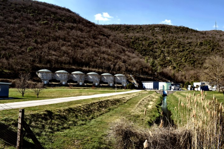
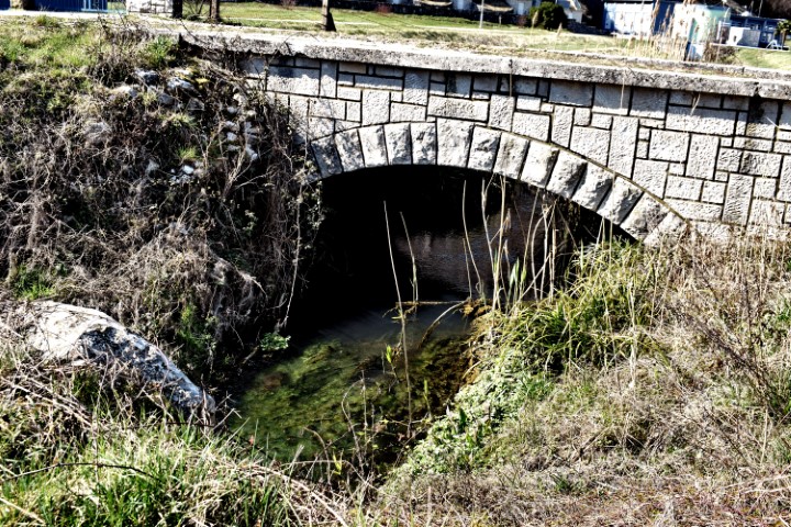
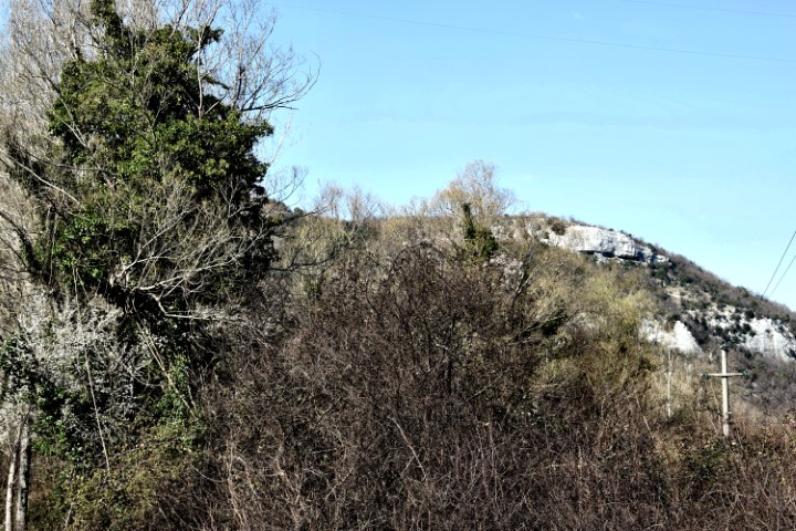
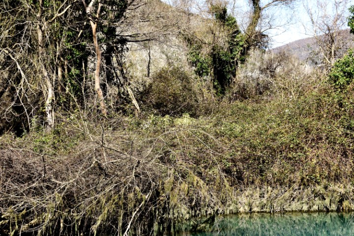
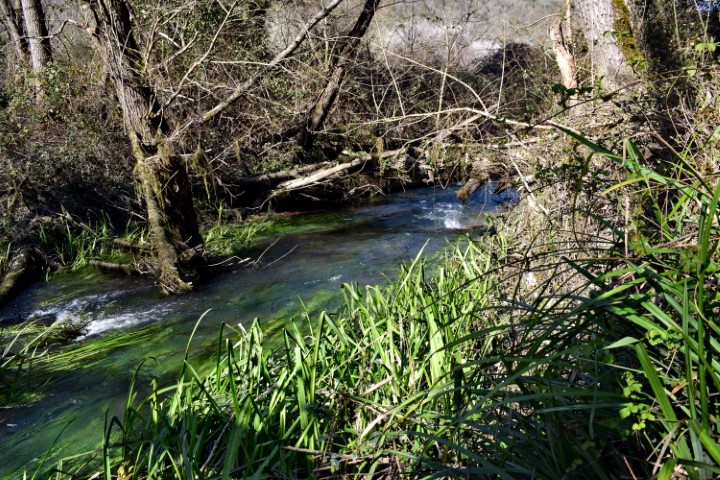
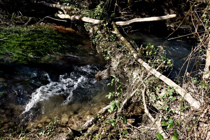
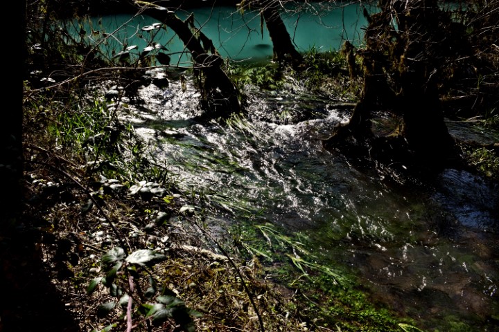
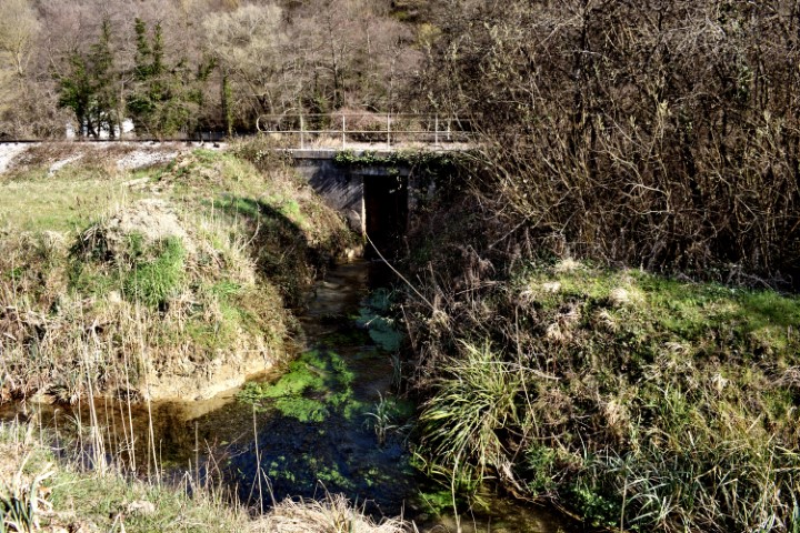
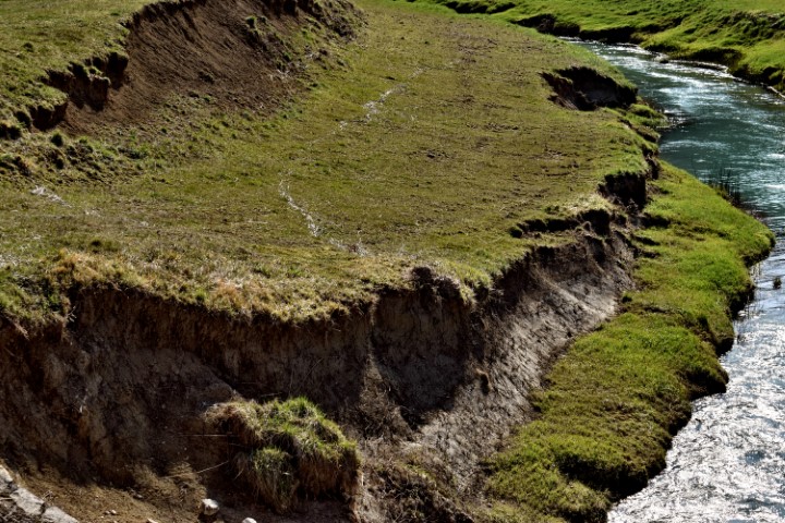
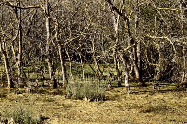
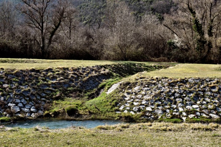
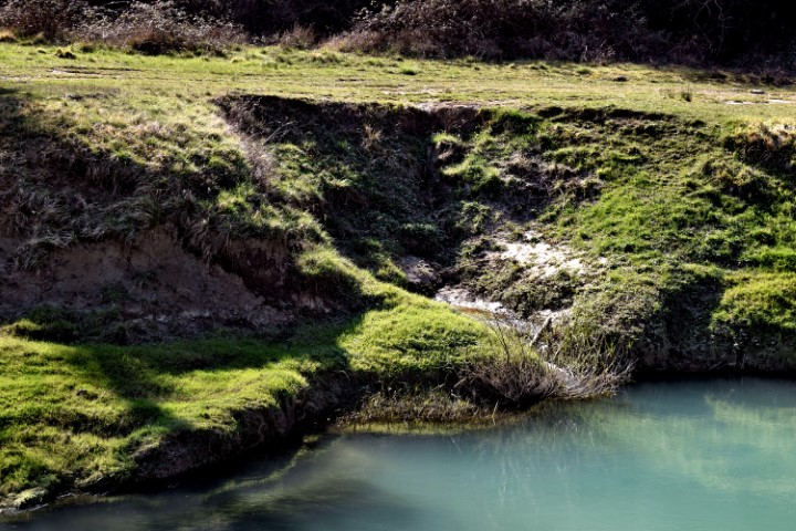
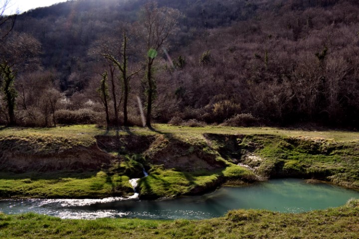
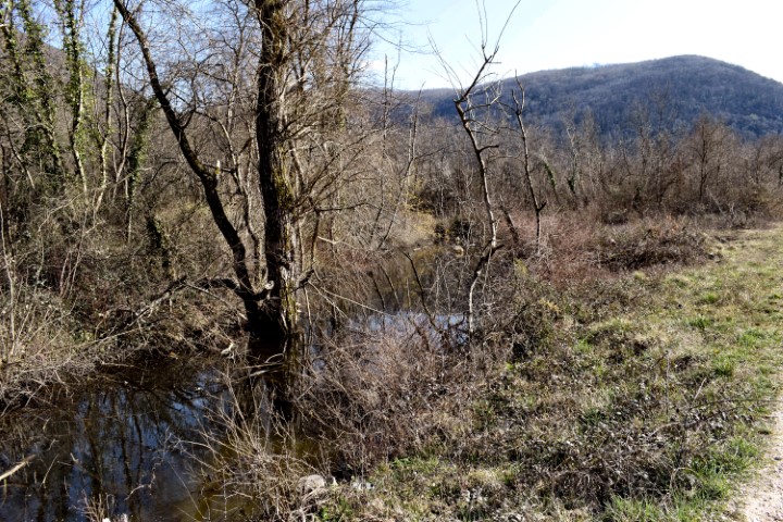
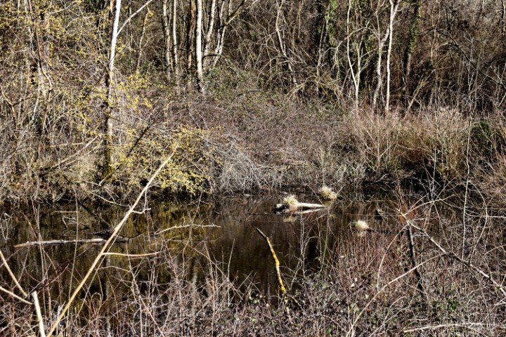
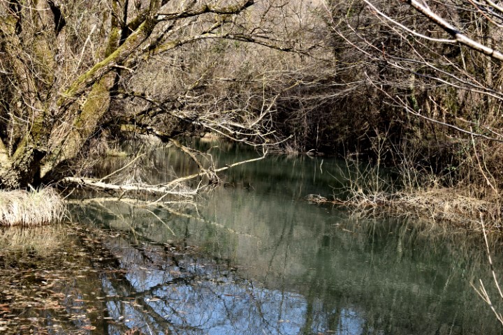
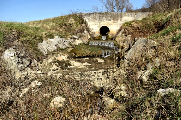
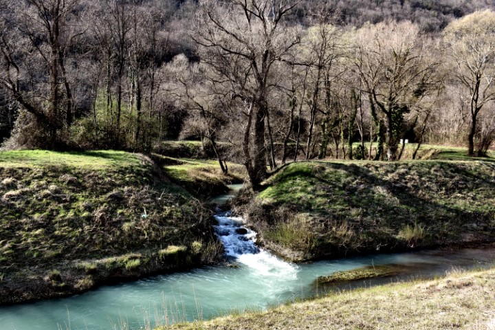
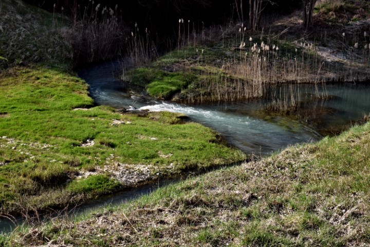
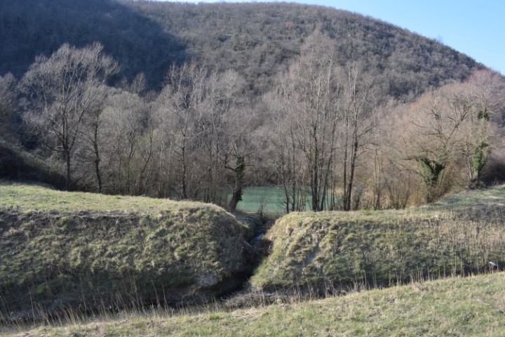
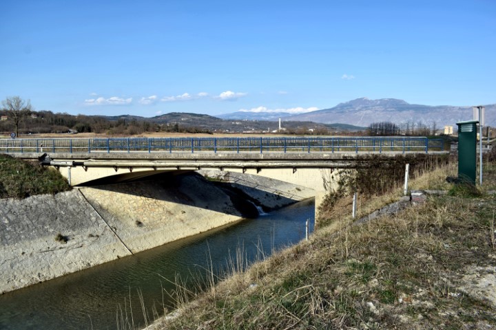
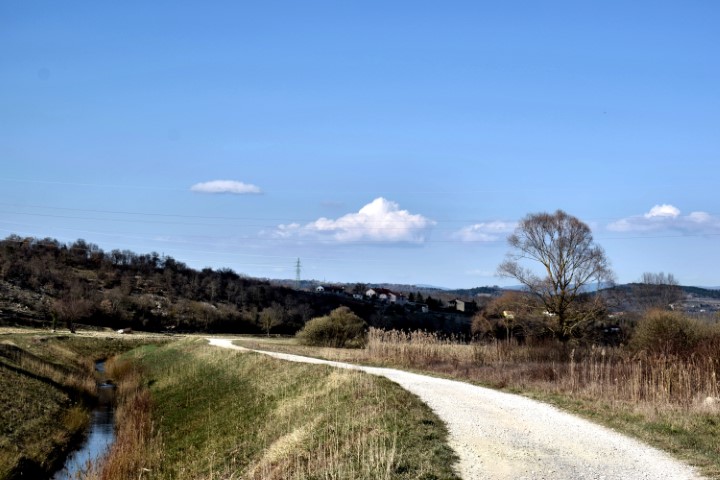
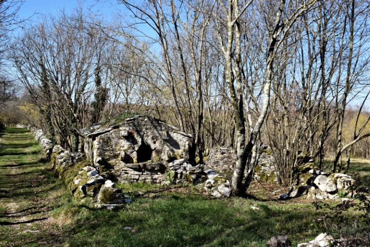
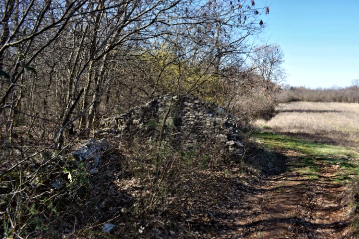
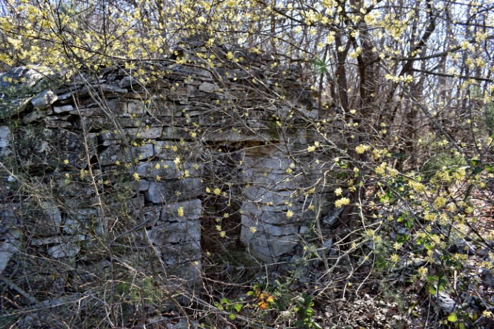
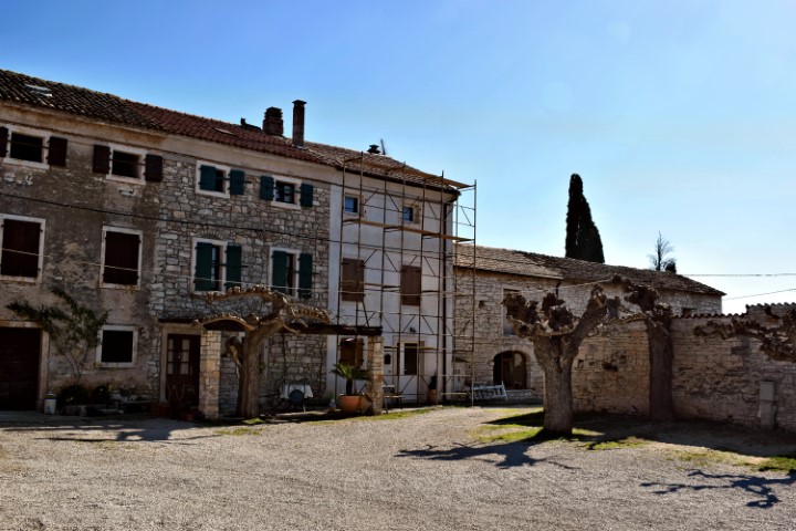
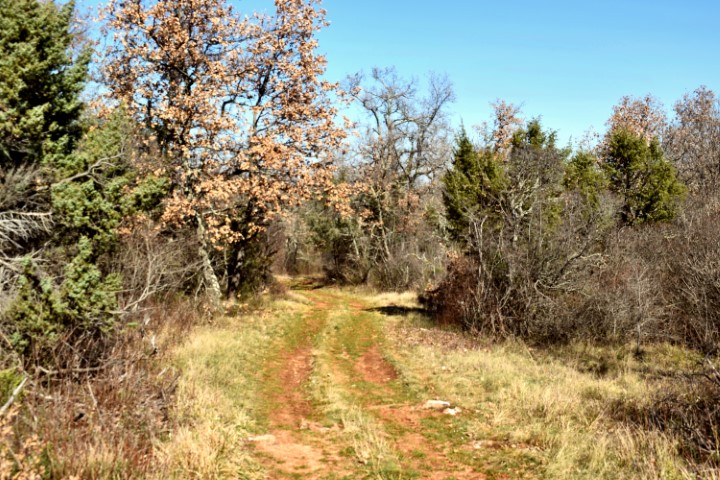
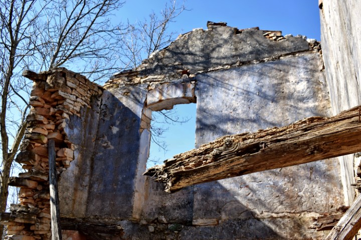
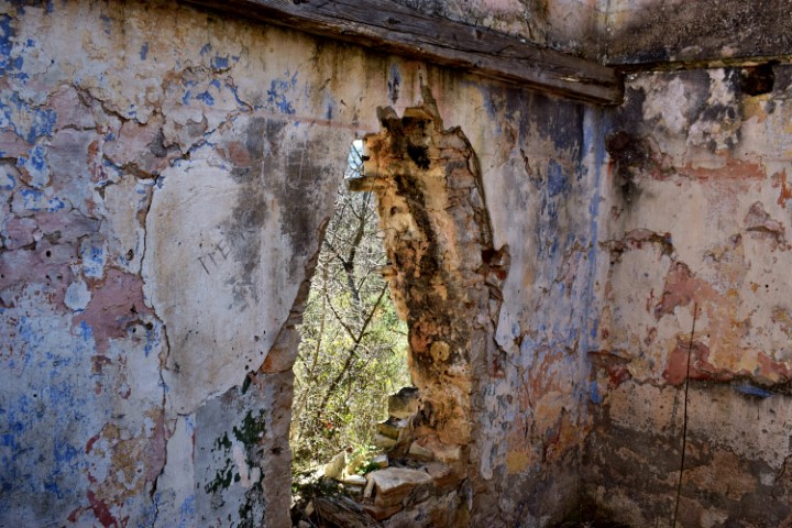
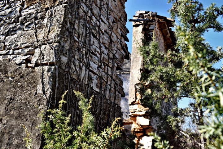
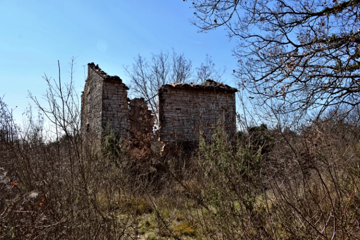
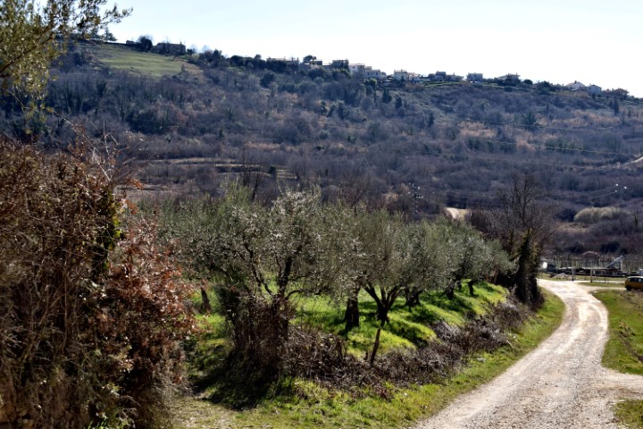
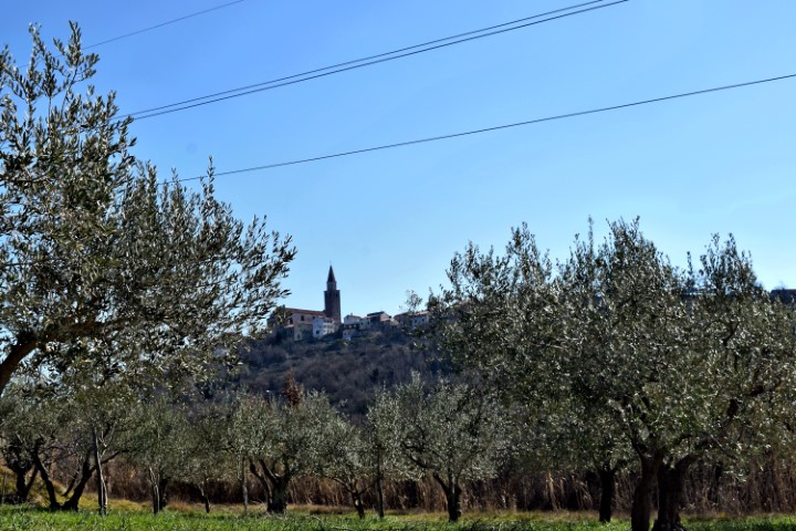
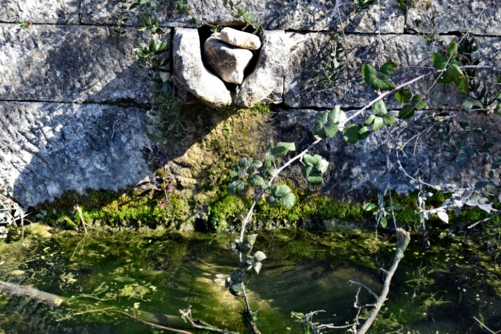
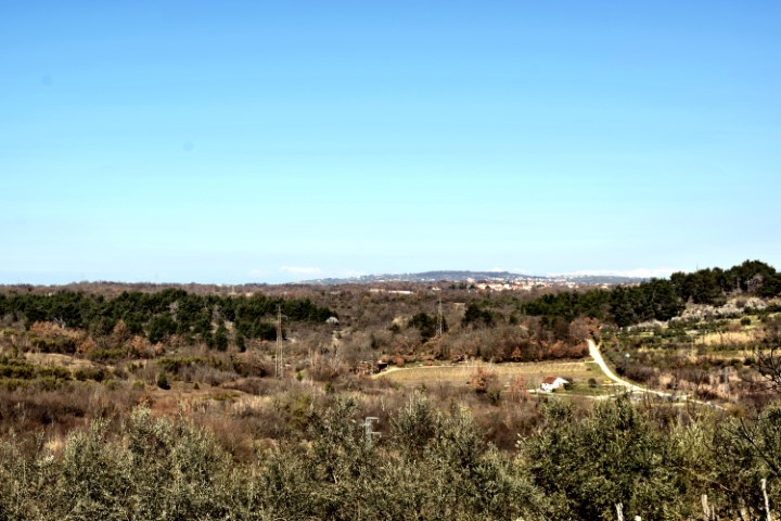
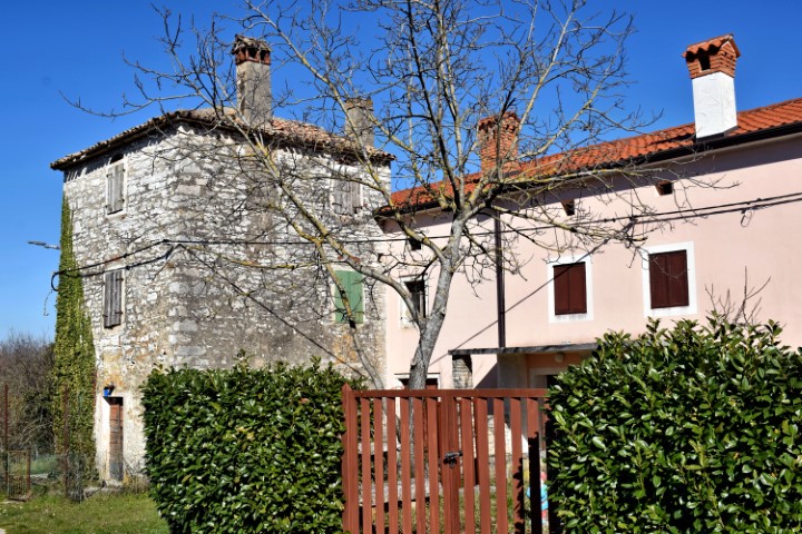
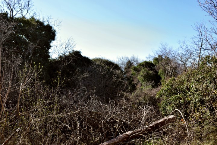
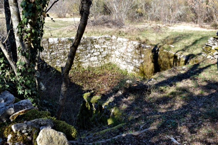
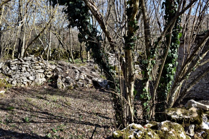
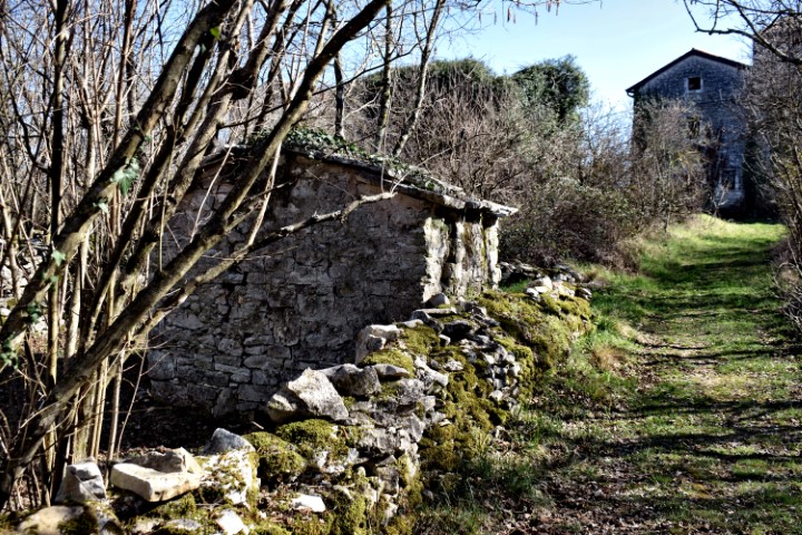
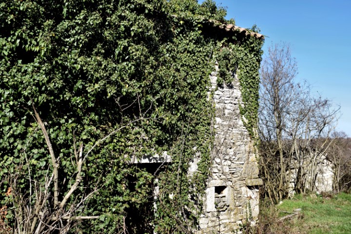
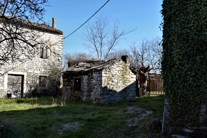
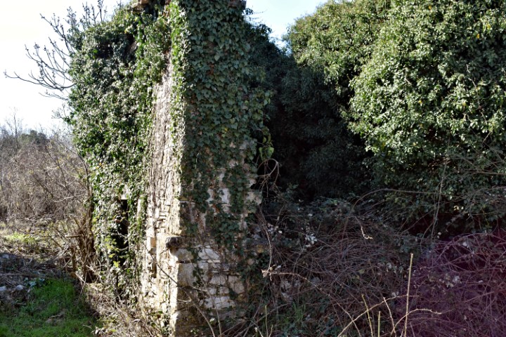
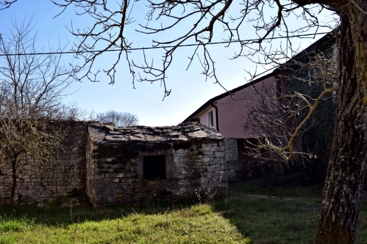
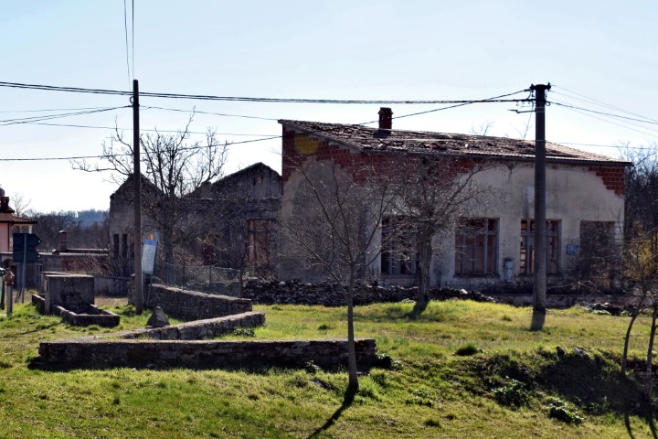
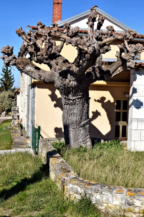
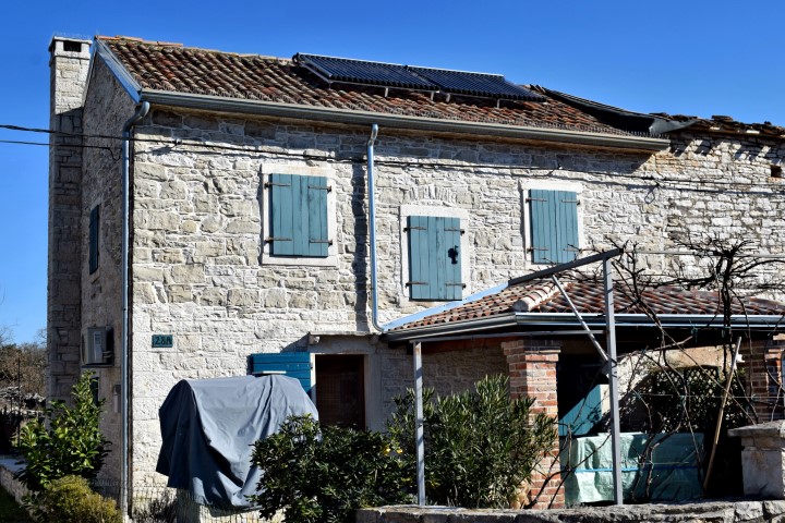
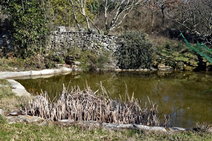
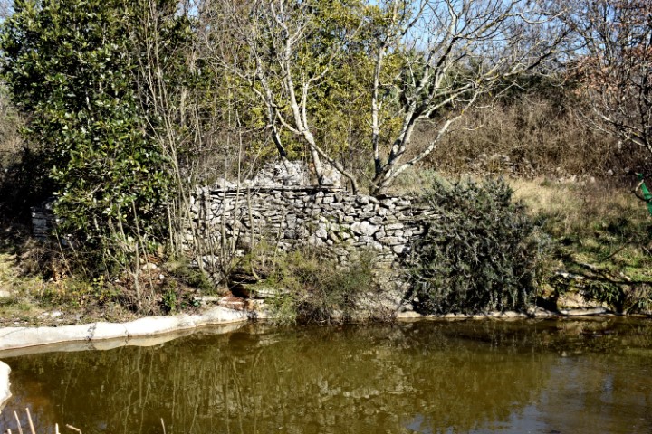
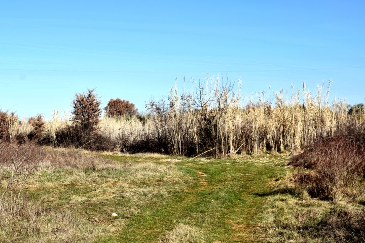
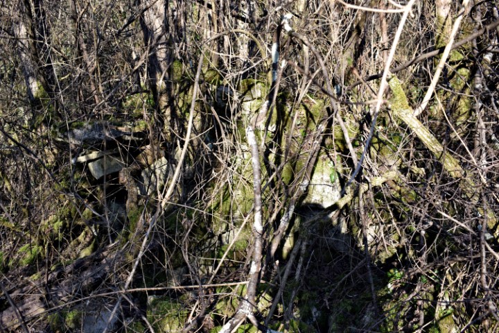
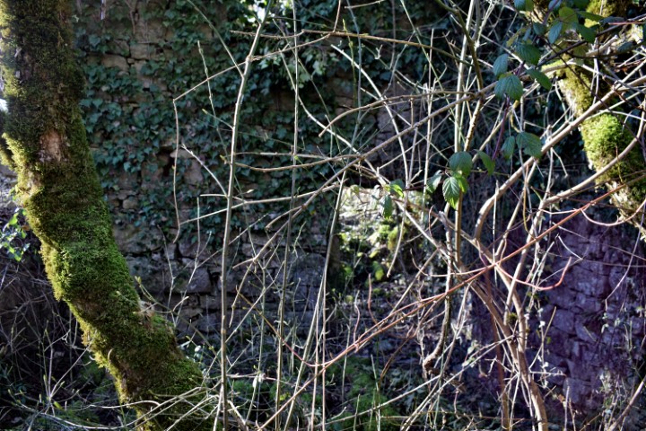
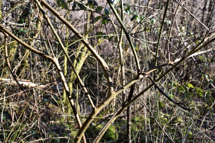
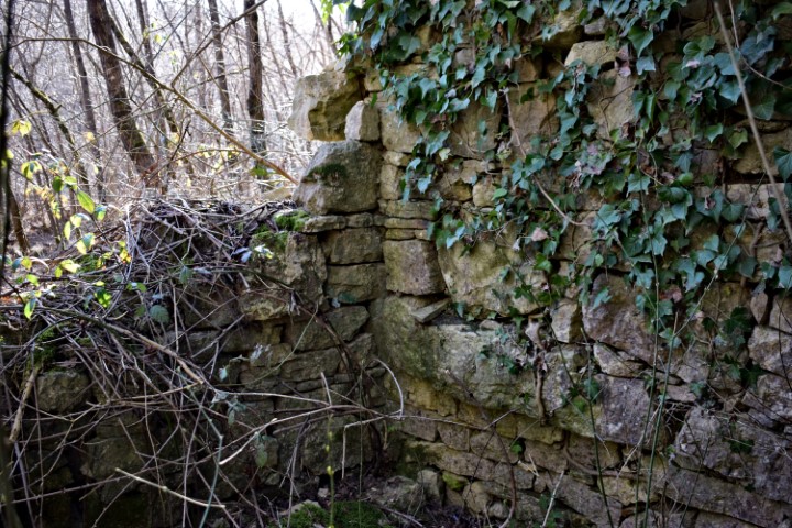
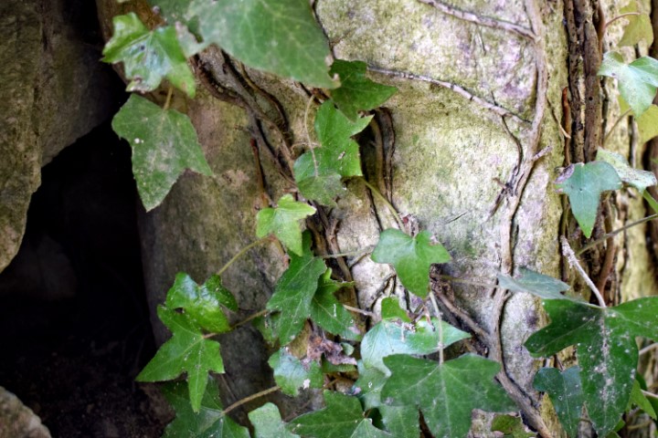
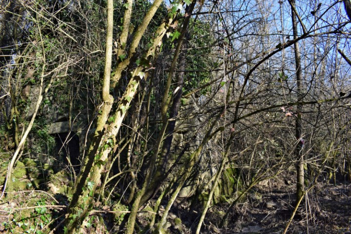
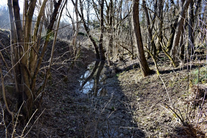
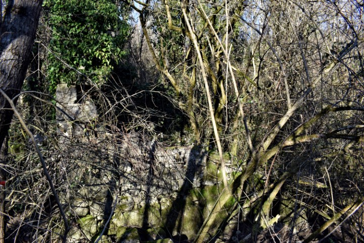
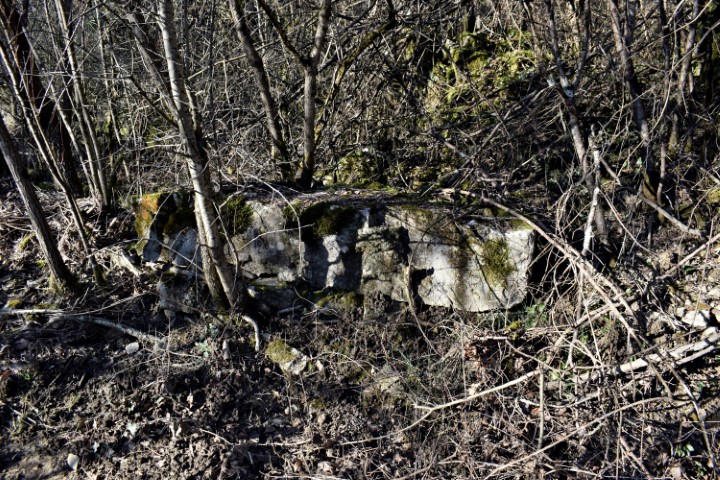
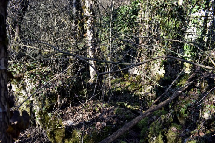
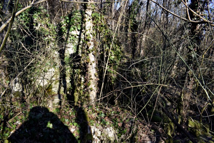
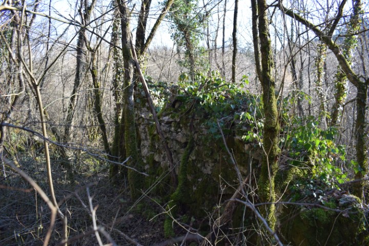
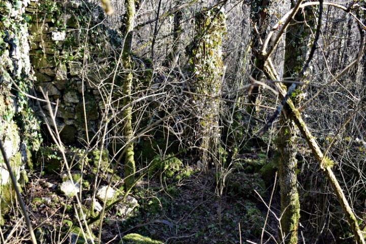
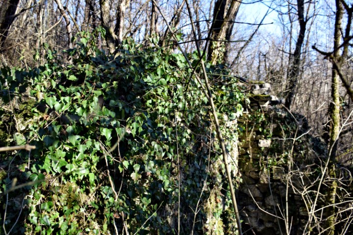
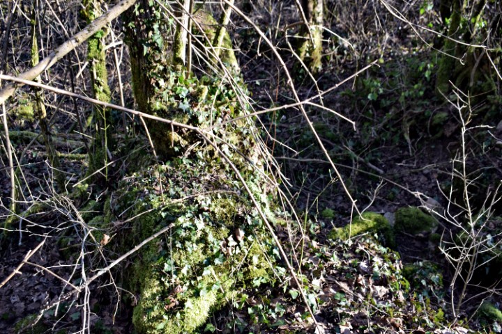
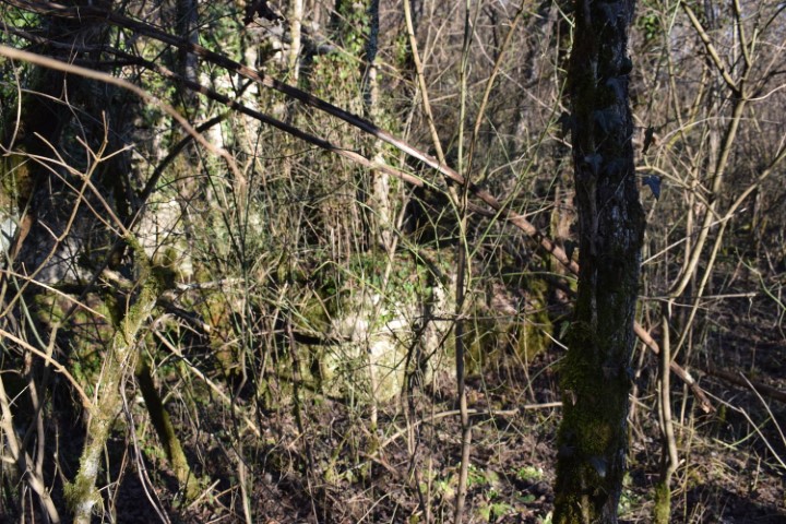
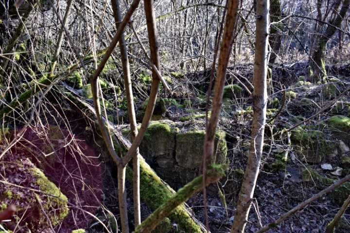
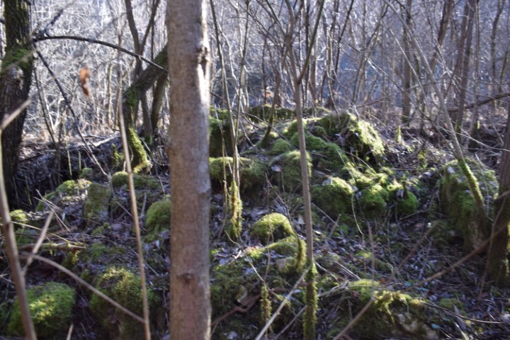
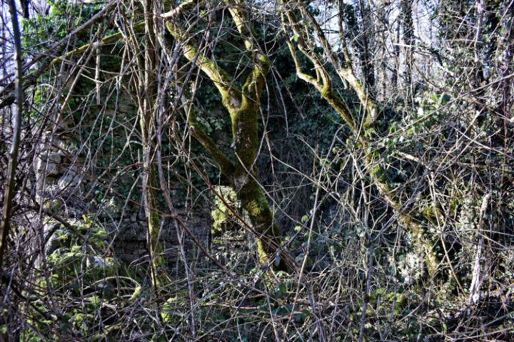
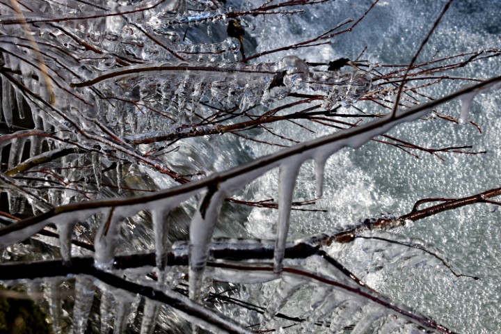
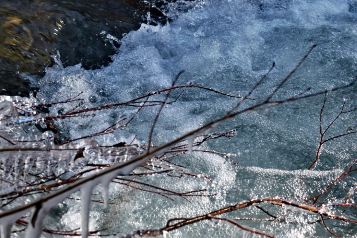
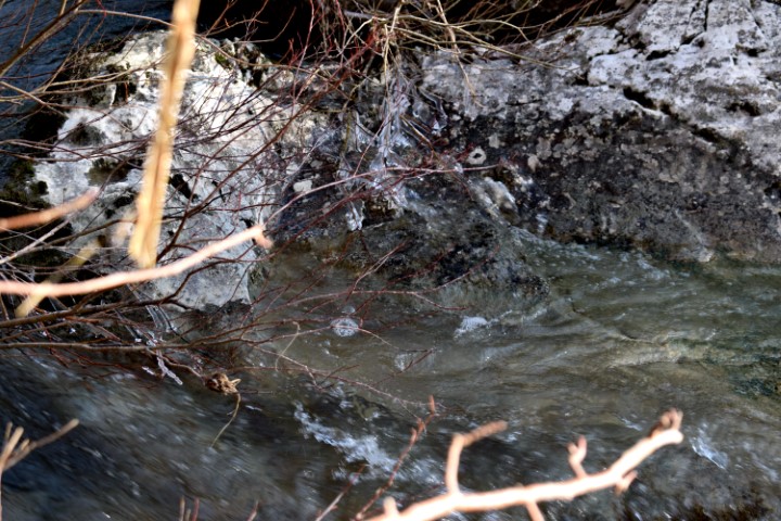
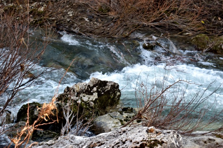
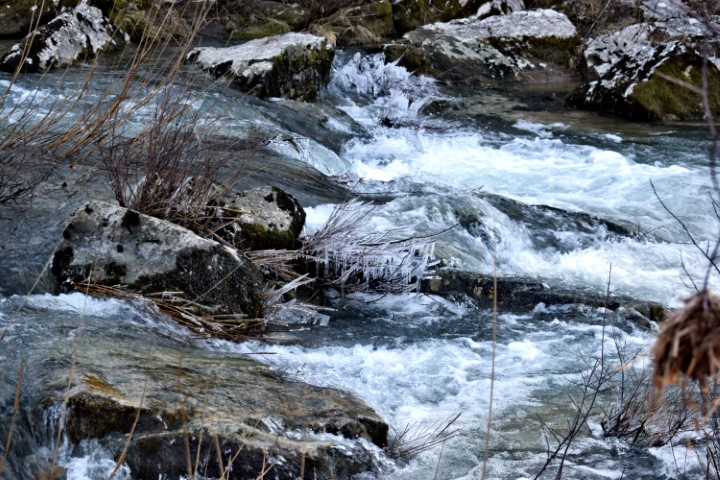
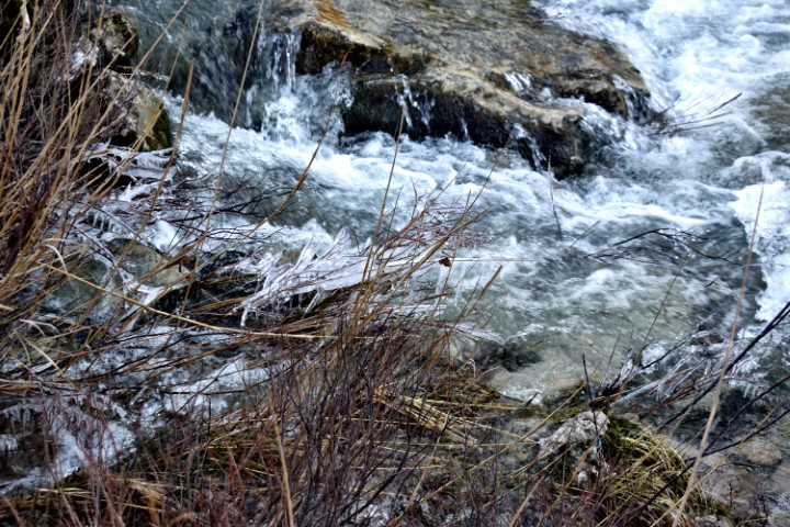
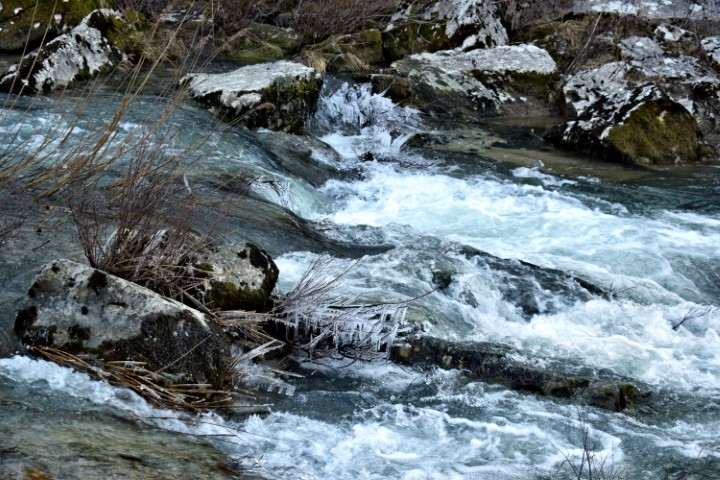
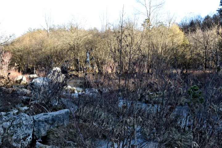
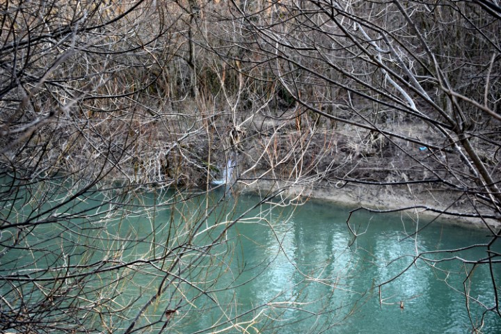
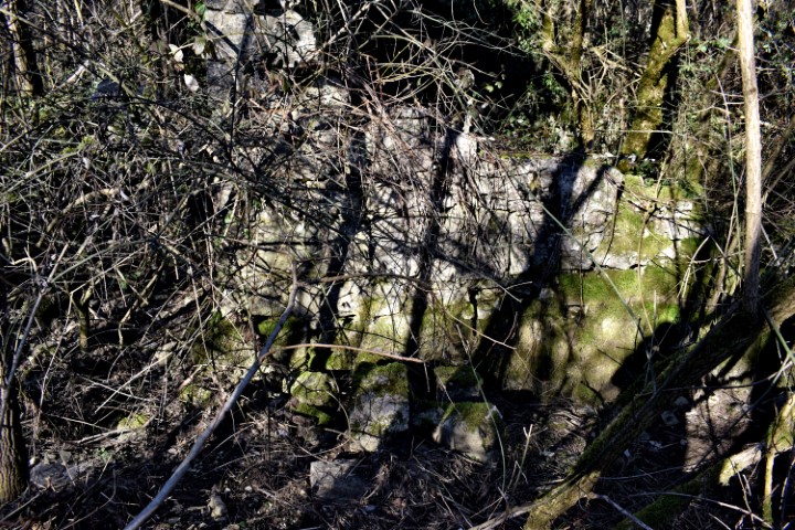
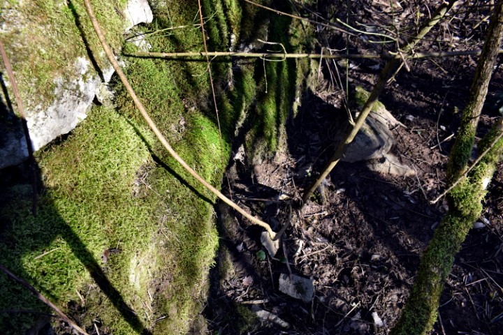
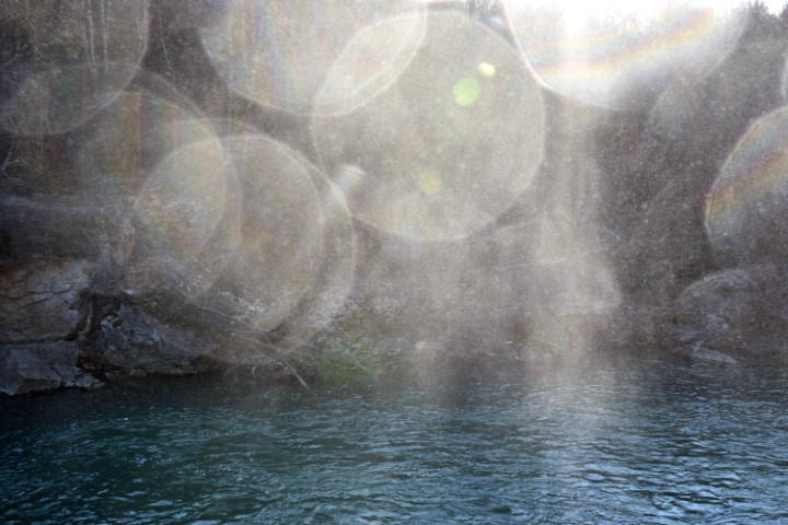
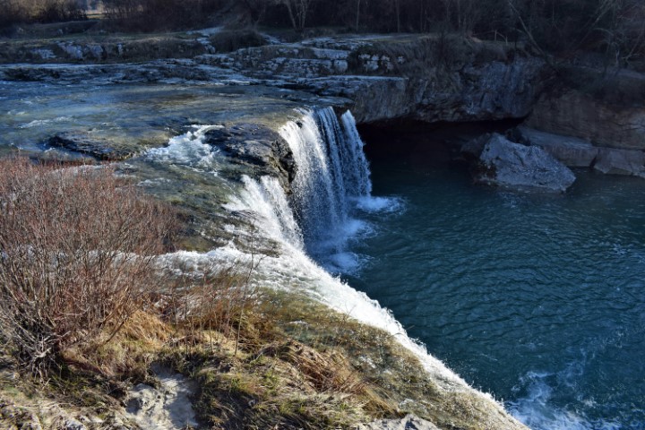
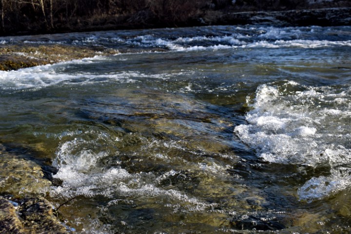
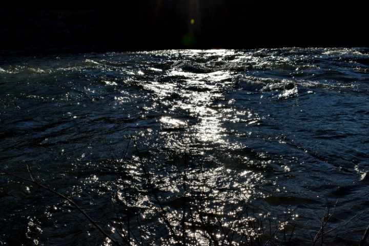
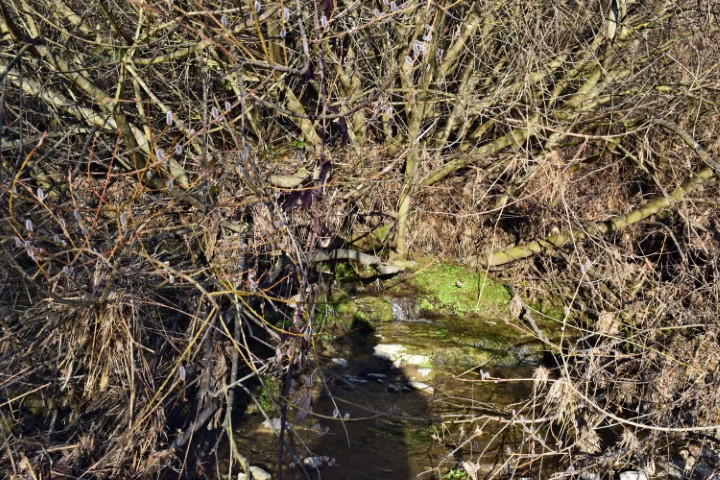
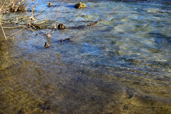
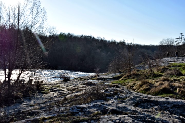
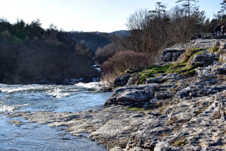
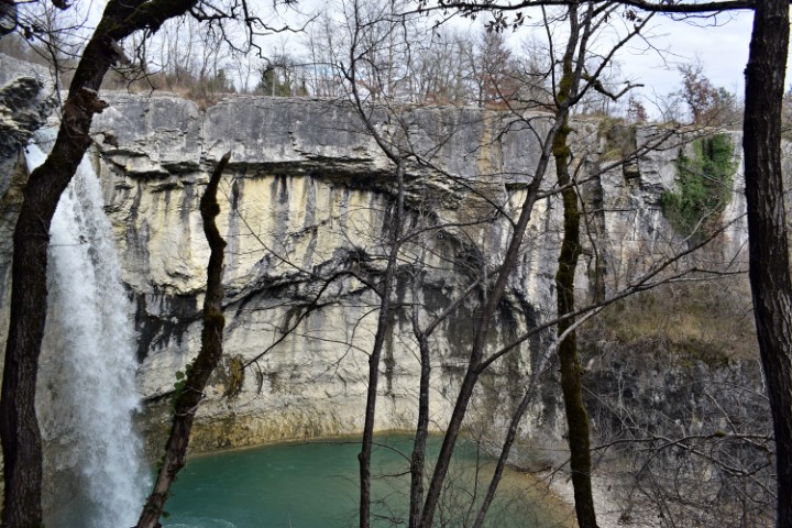
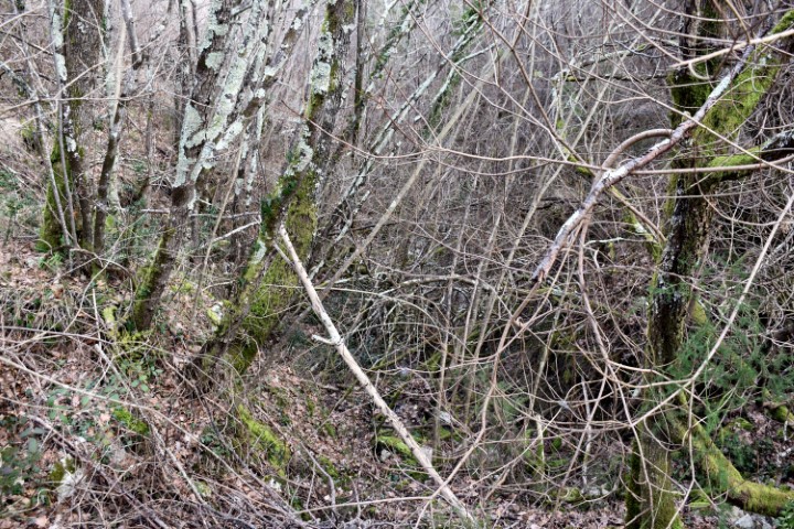
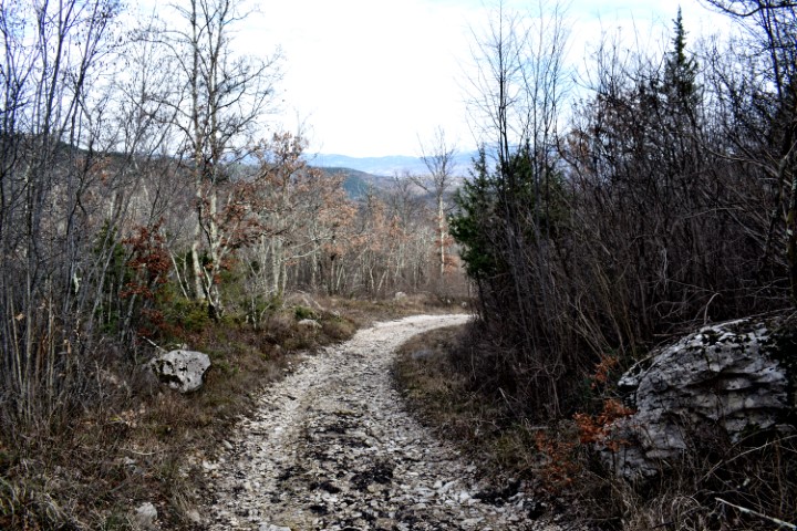
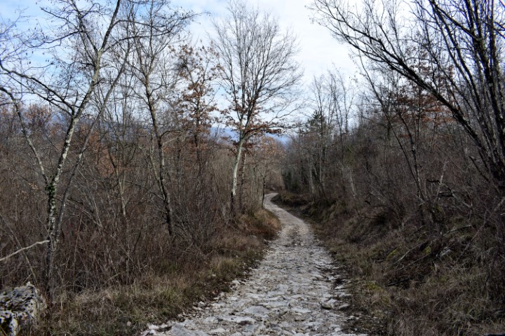
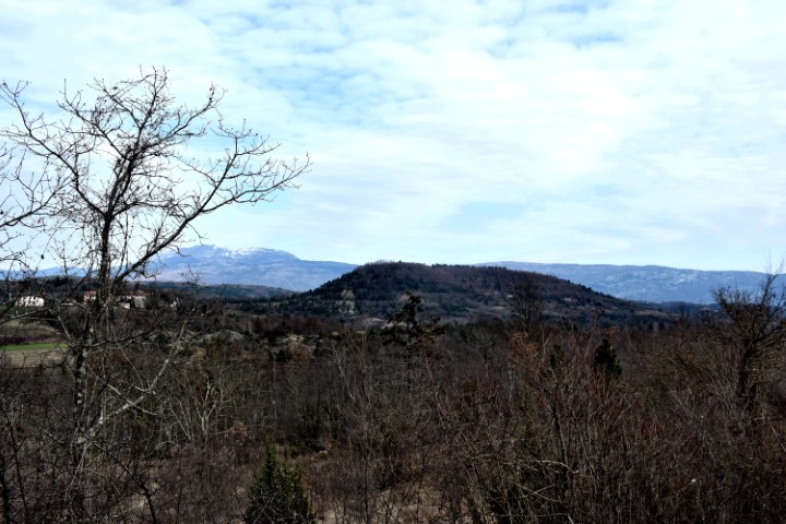
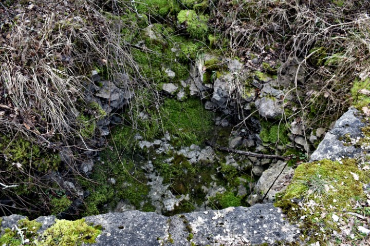
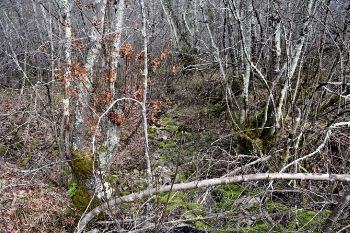
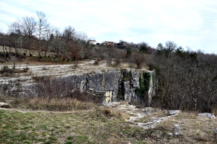
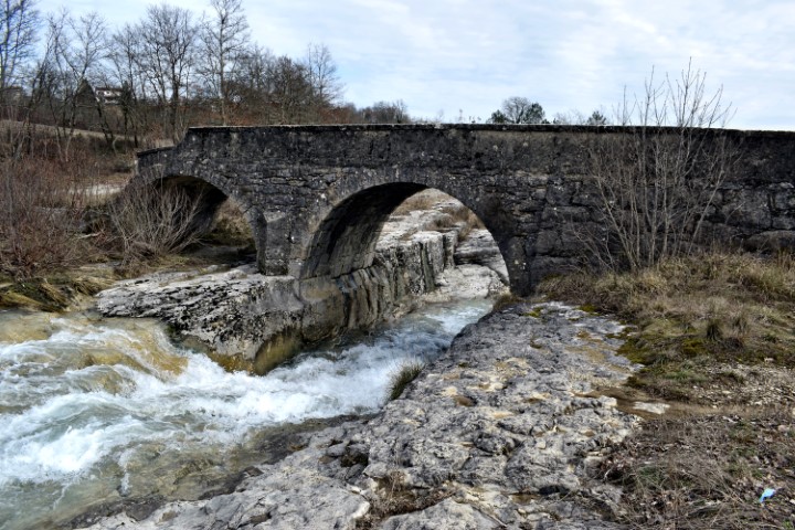
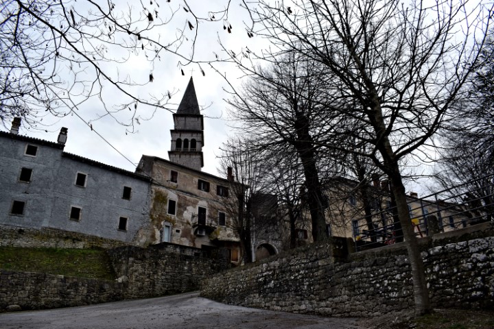
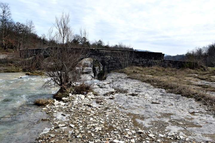
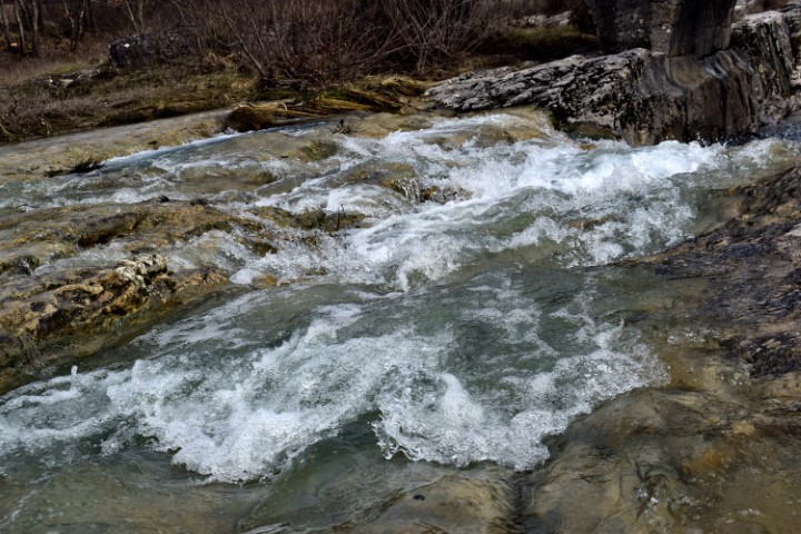
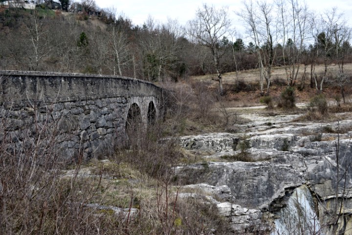
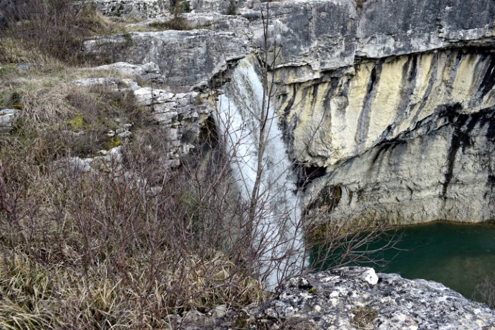
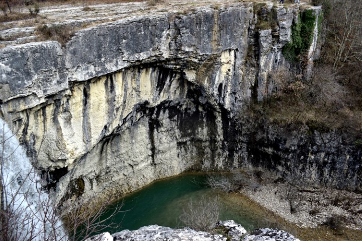
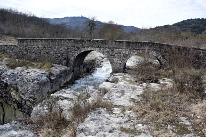
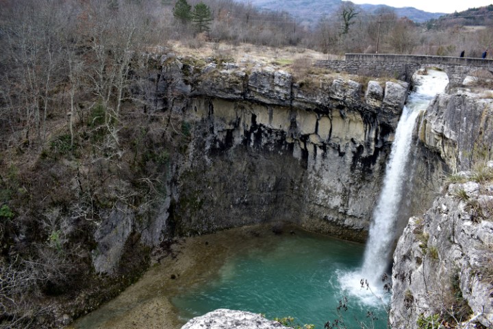
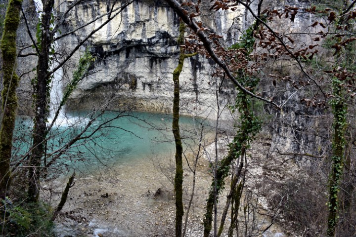
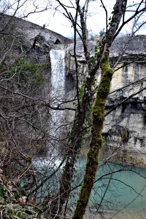
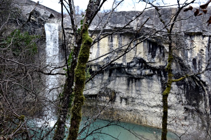
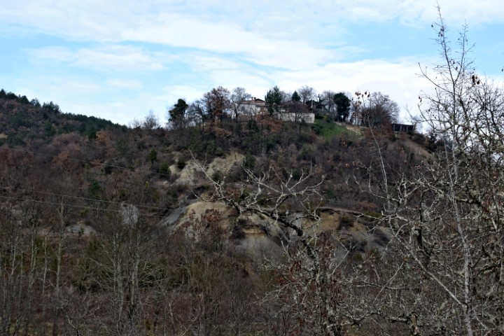
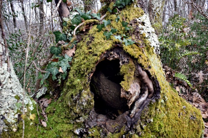
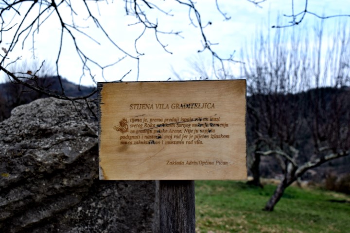
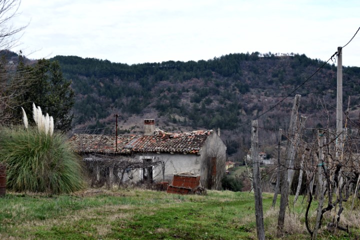
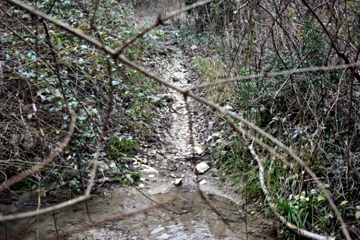
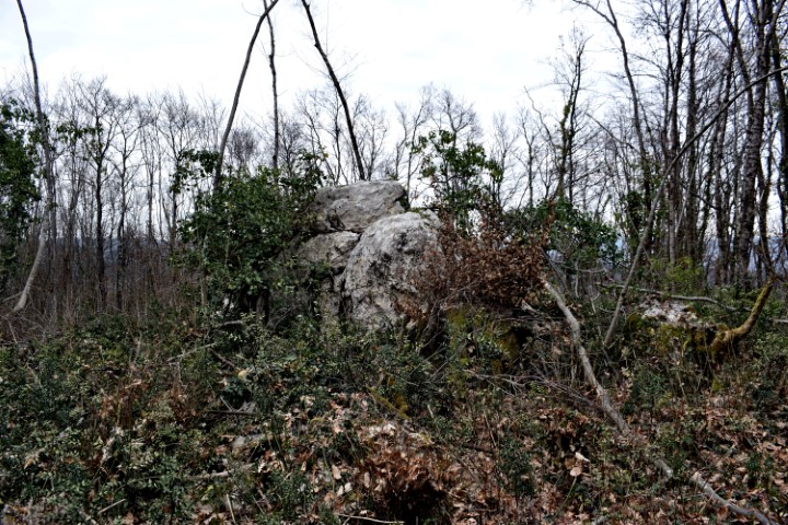
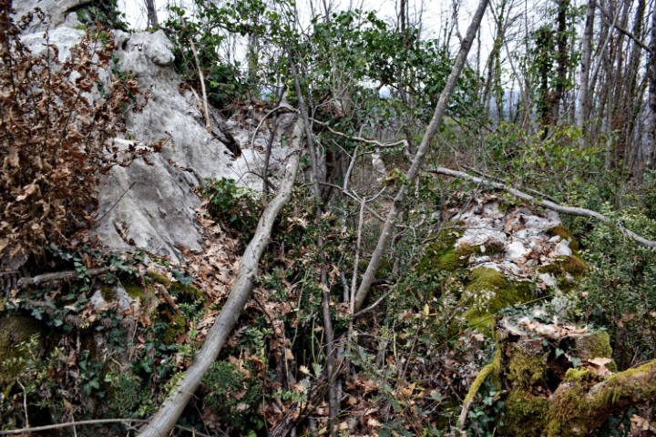
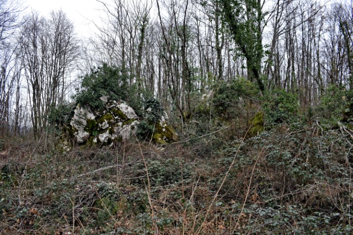
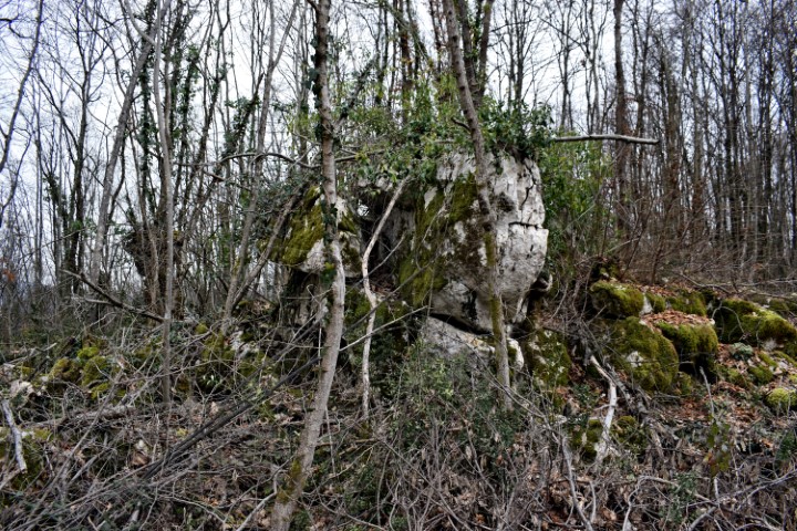
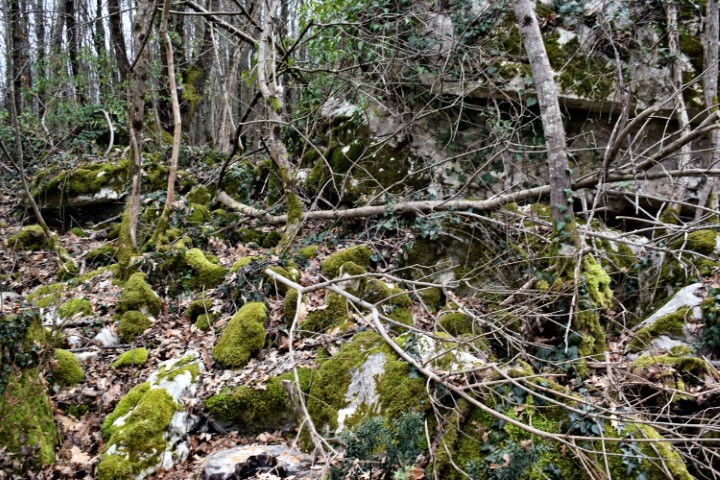
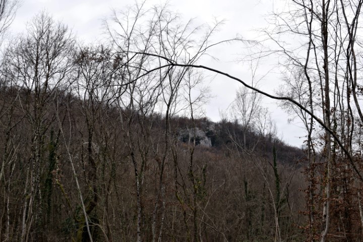
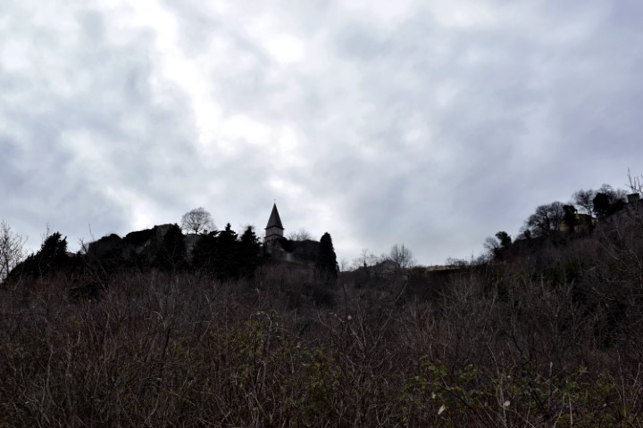
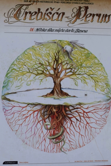
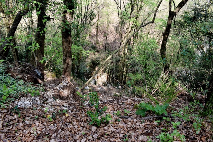
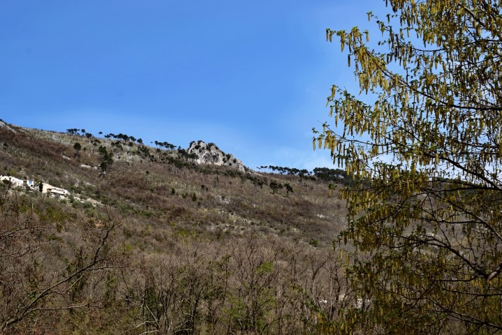
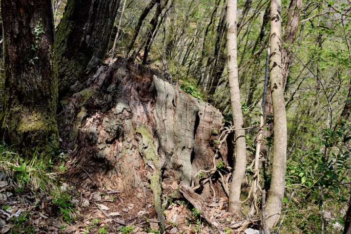
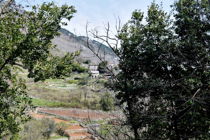
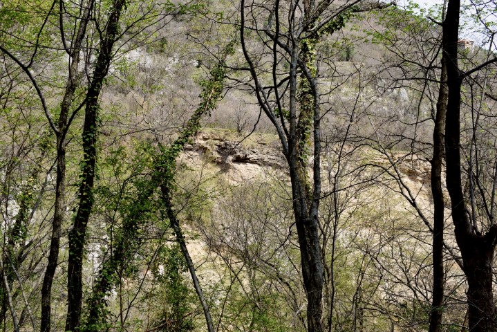
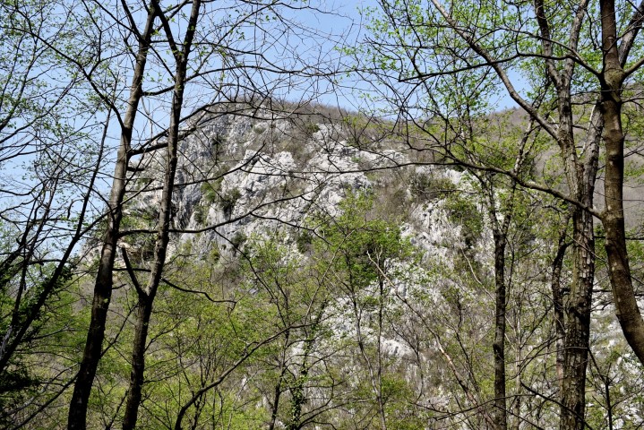
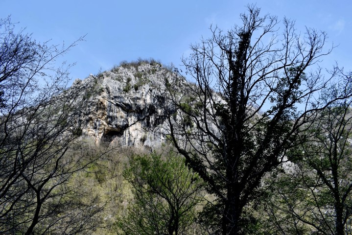
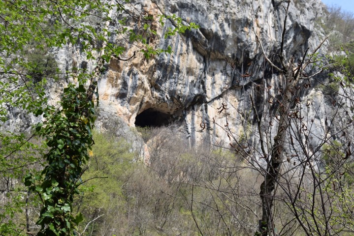
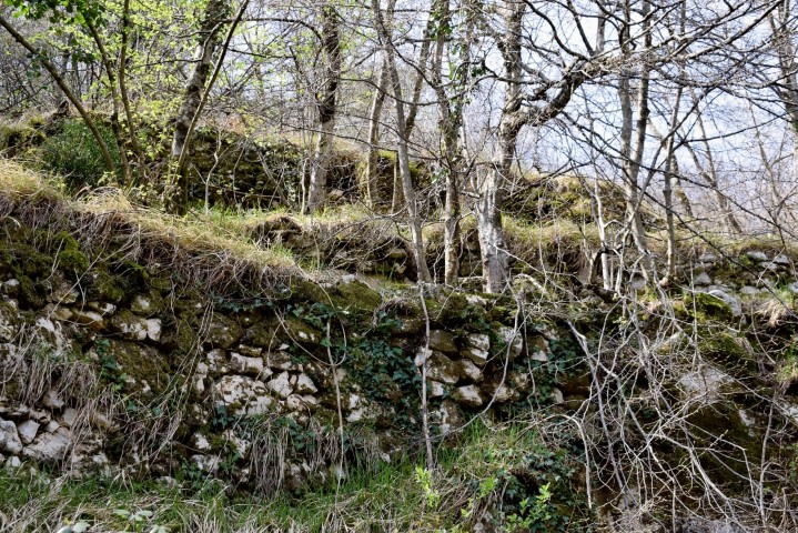
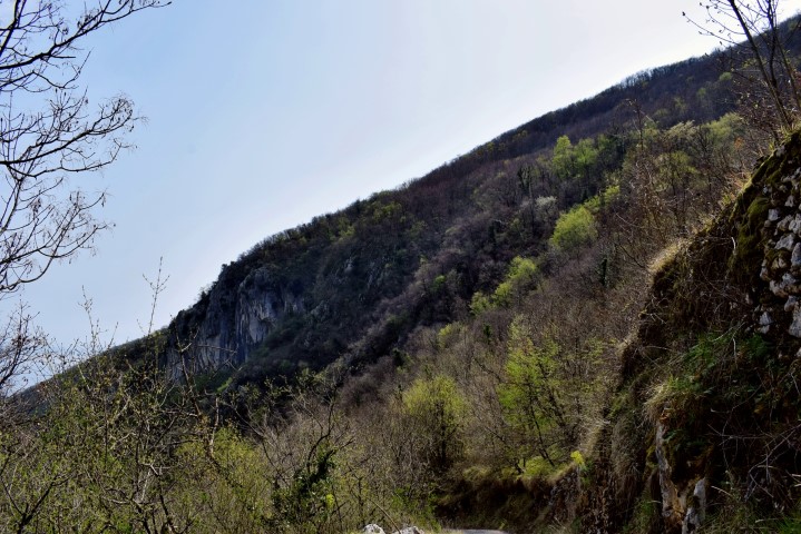
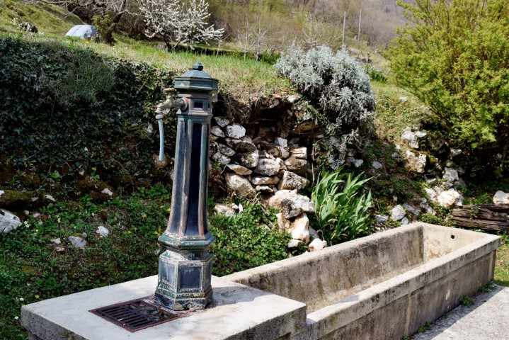
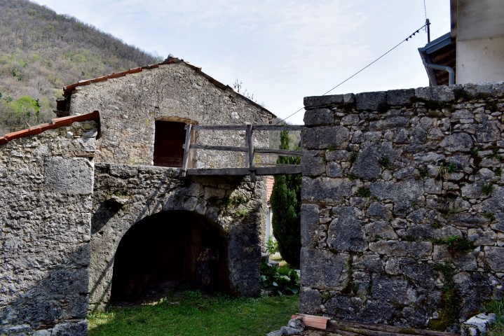
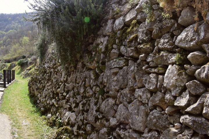
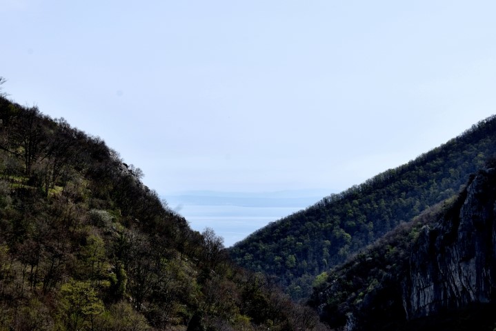
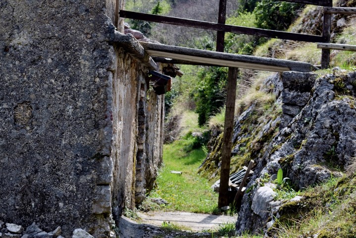
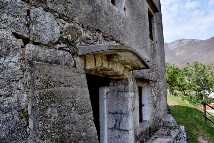
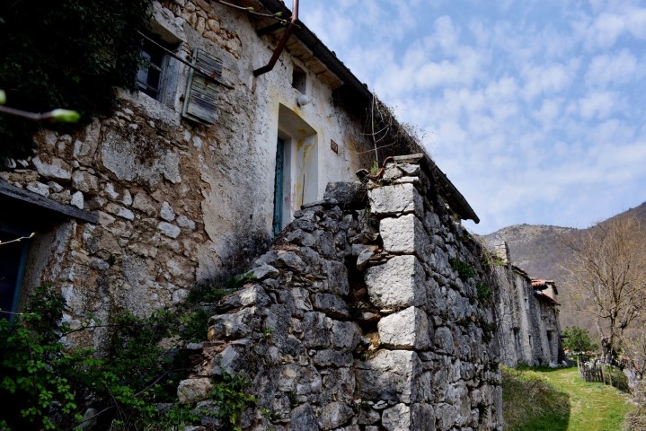
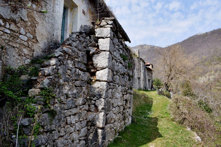
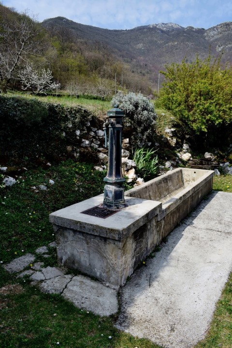
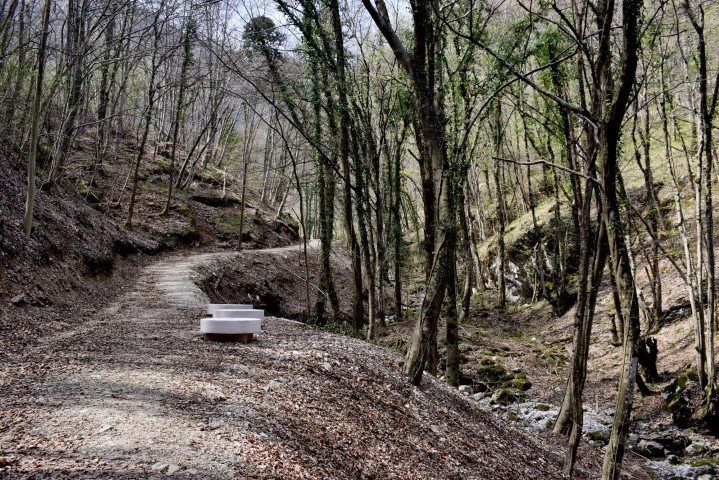
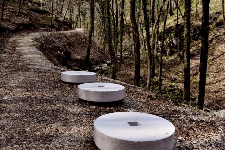
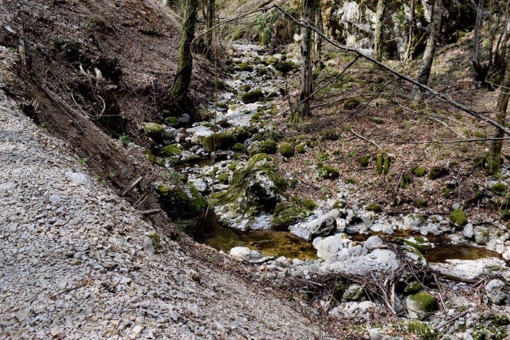
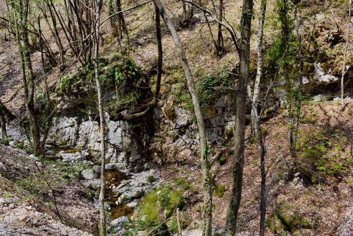
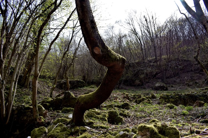
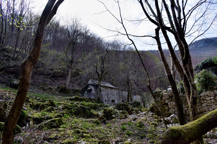
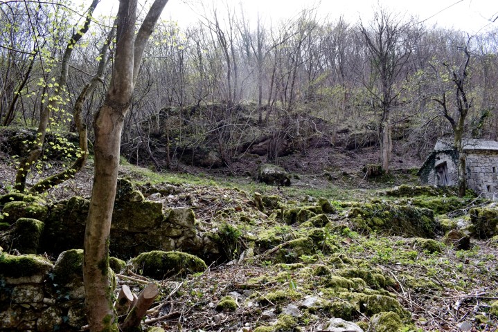
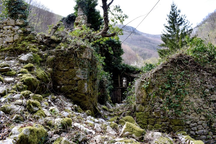
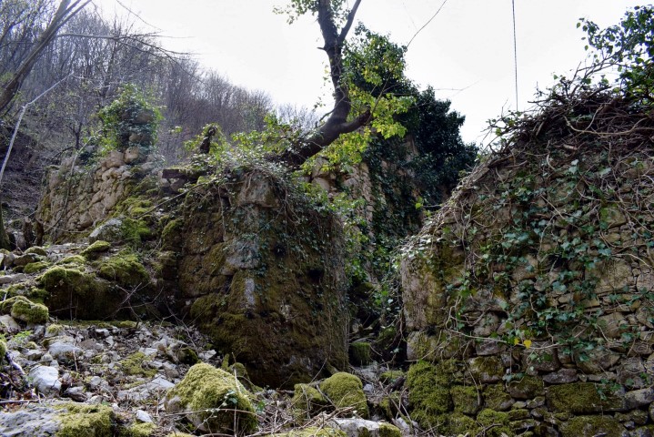
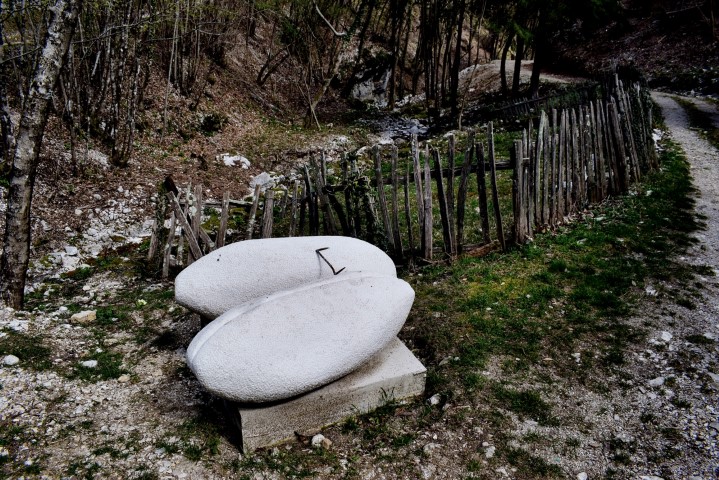
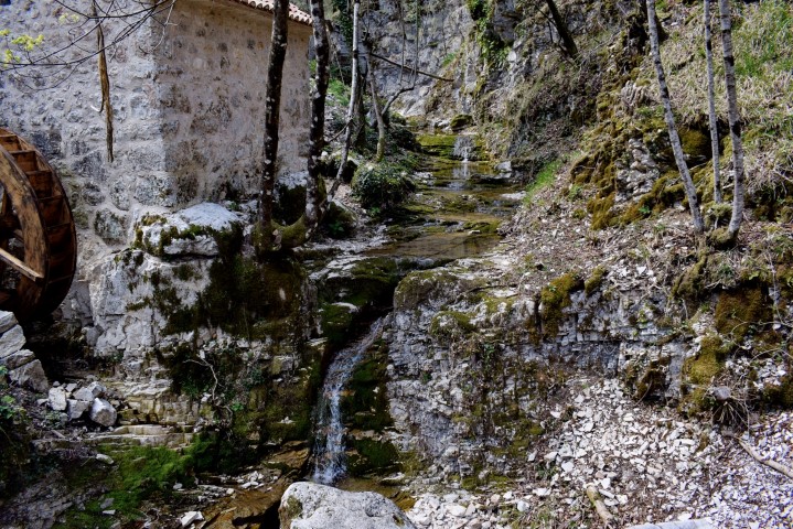
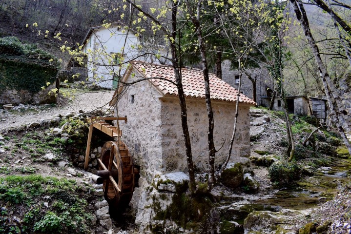
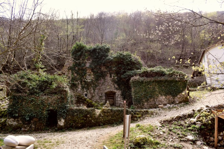
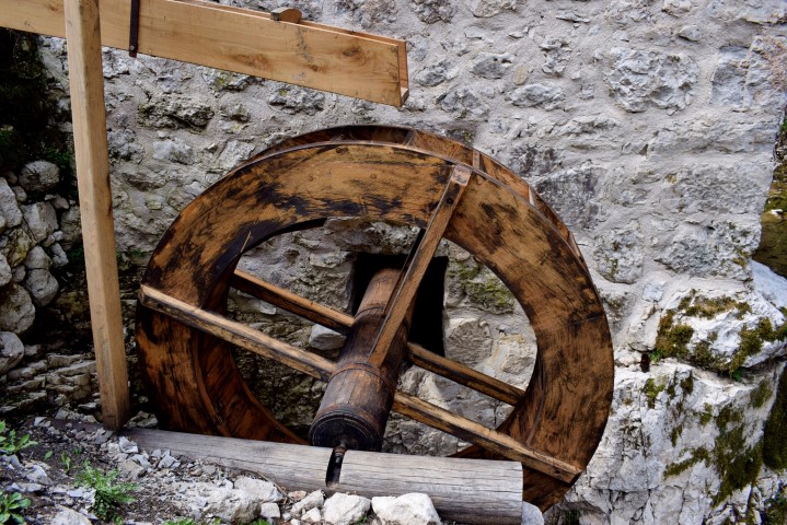
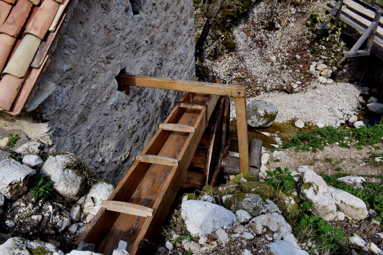
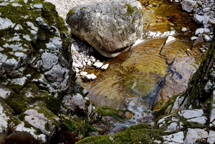
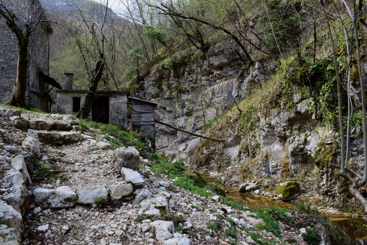
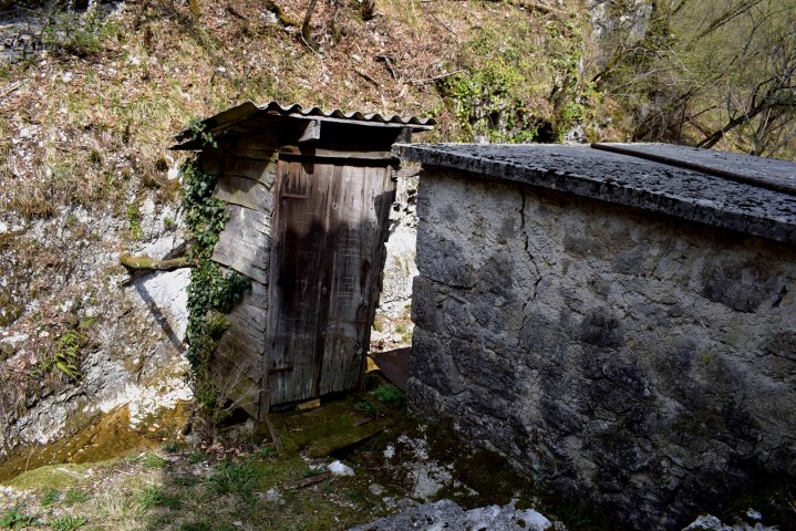
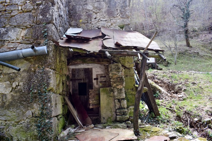
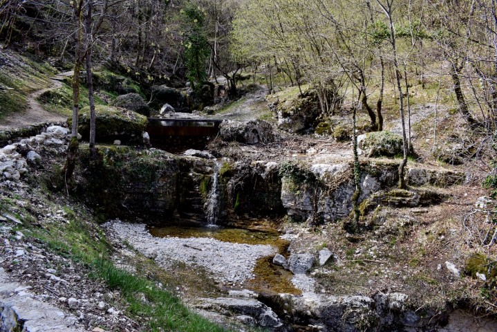
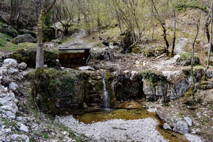
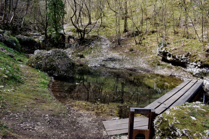
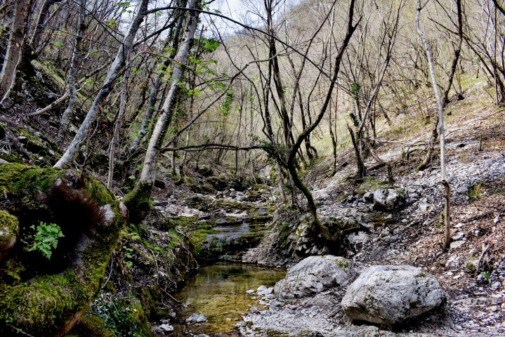
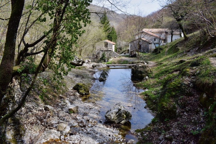
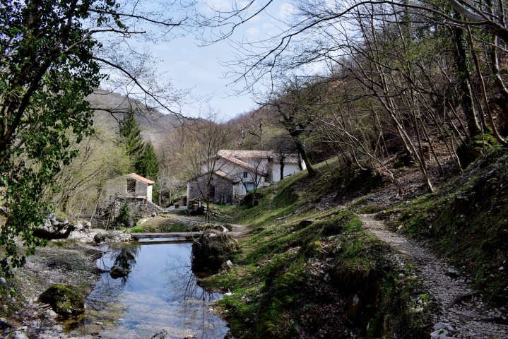
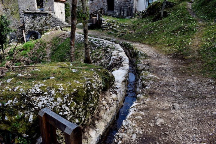
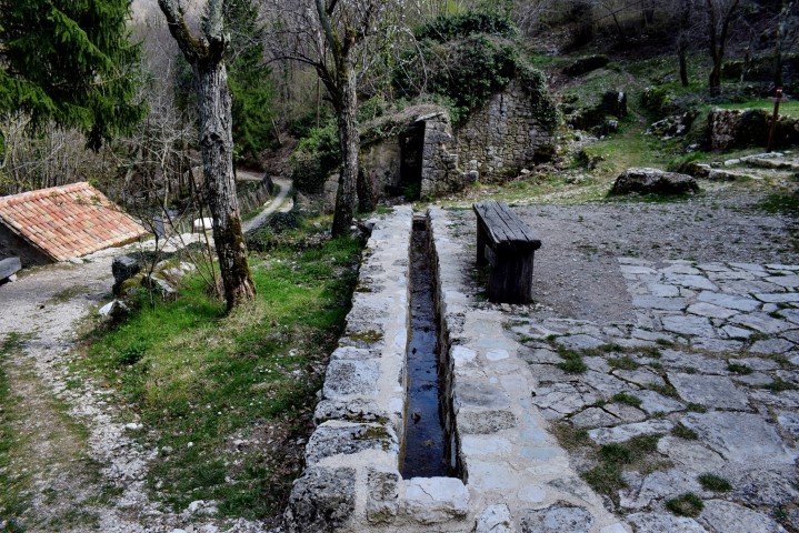
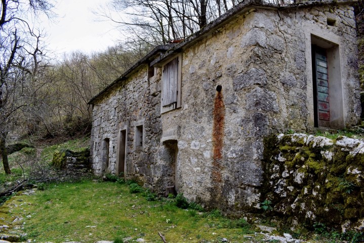
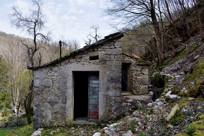
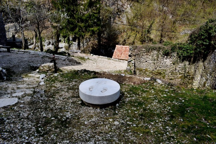
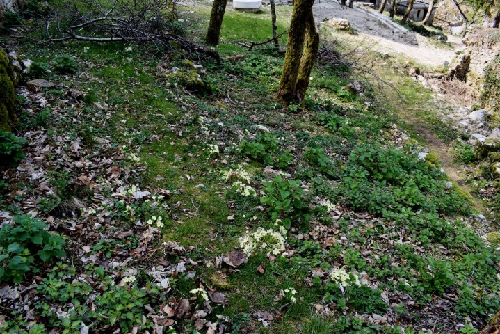
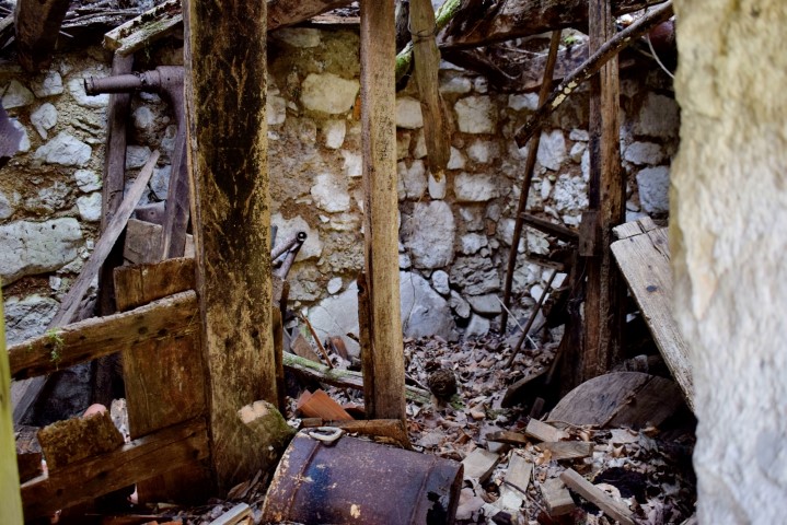
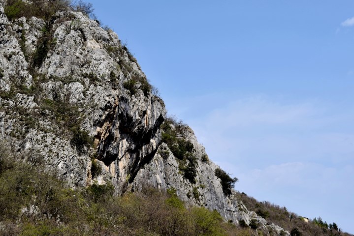
This trail from the village Mošćnička-Draga through a deep gorge to the hamlets of Potoki and Trebišća – Perun. A path of special significance because, after Roman rule, the first Slavic colonialists settled here, but also the area for beliefs and myhical events on which the life cycle is based. The inhabitants engaged in agriculture and animal husbandry as well as other artisanal practices until the mid-20th century when many villages were burned in the Učka Mountains during the 2nd World War. The now abandoned hamlet of Trebišca, which lies in a deep gorge devoid of sunlight for four winter months, has been the actual mythical place of the Slavs, which is reflected in the name of “sacrifice”. The boundary between two worlds and the place of conflict between the gods Perun (the god of thunder and lightning) and the serpent Veles (the god of the earth, the water and the underworld). The water mill is located on the Potok stream and originates from the Middle Ages and is now restored.


Name: Trail from Mošćenička – Draga to the hamlets Potoki and Trebiška -Perun.
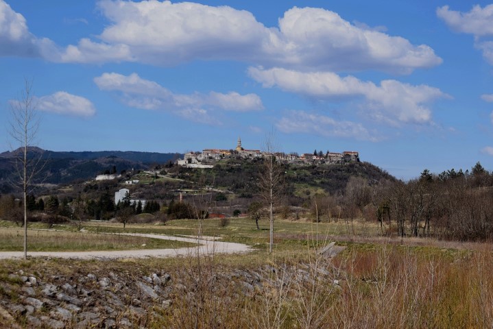
Places: Potoki – Trebiška – Perun – (Mošćenička).
Coordinates: Mošćaenička – Draga 45.24093 N – 14.24968 E, Potoki 45,25223 N – 14.22626 E, Trebiška – Perun 45.25519 N -14.27316 E.